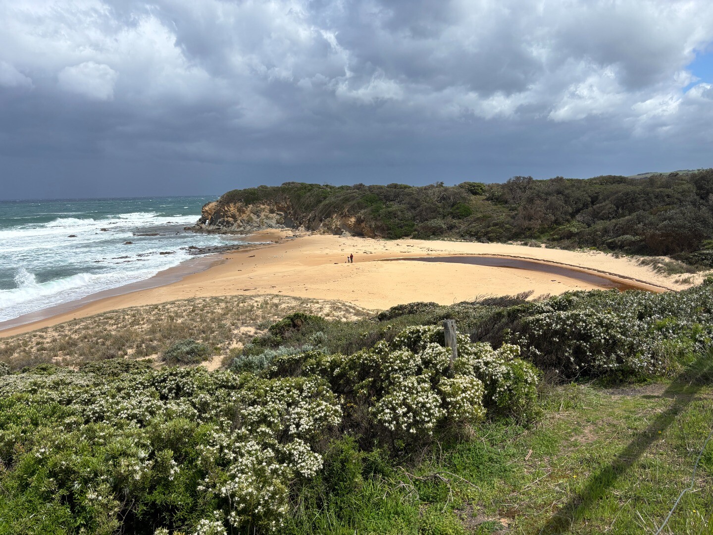
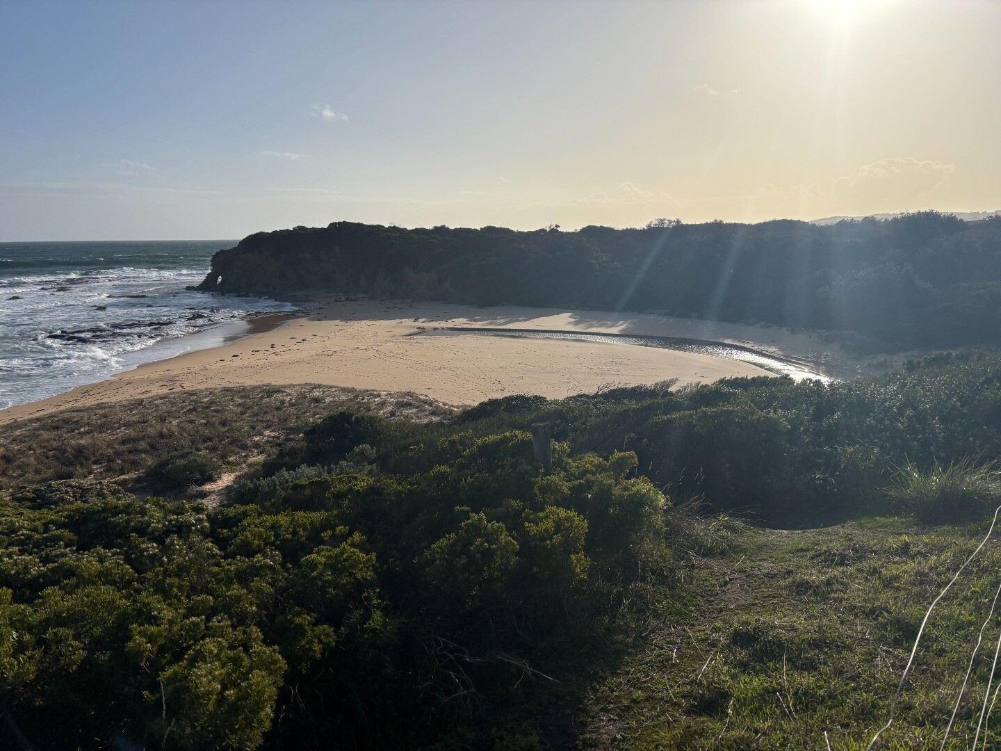
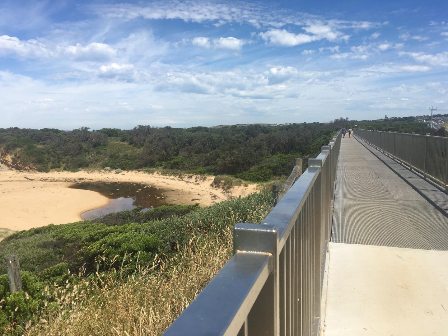
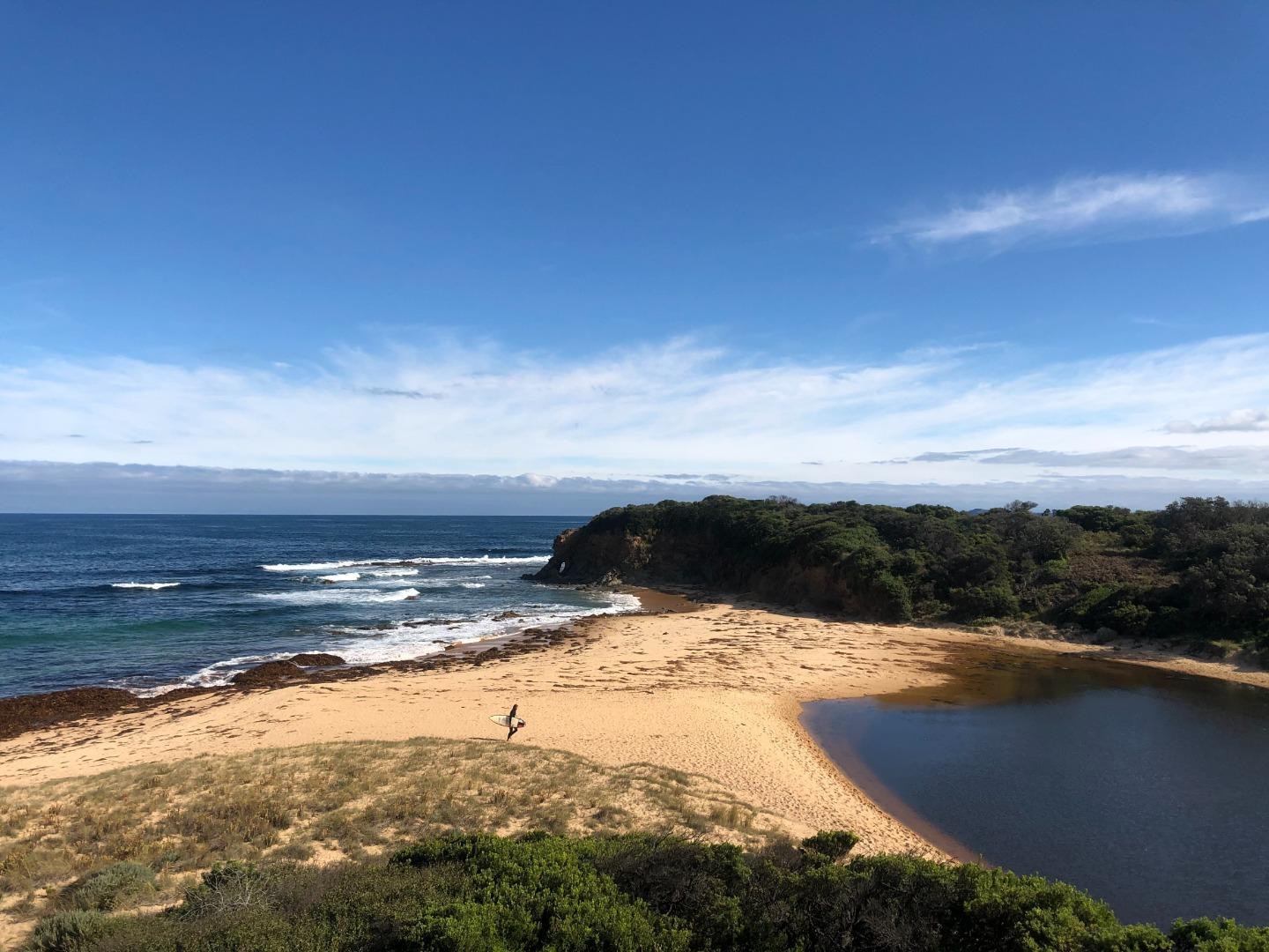
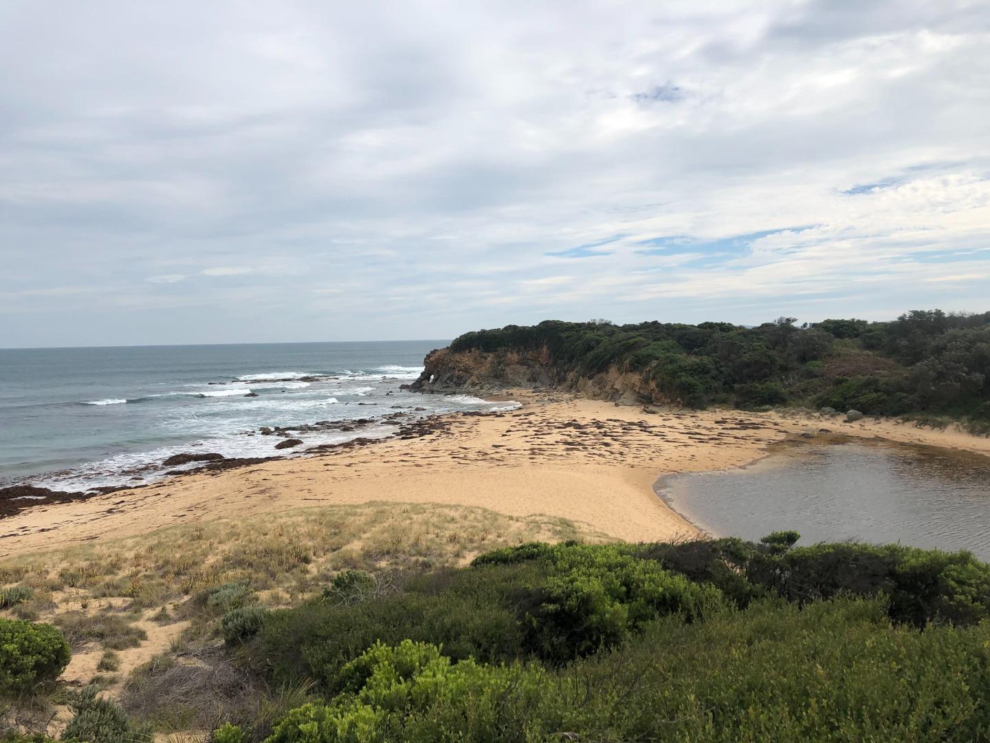
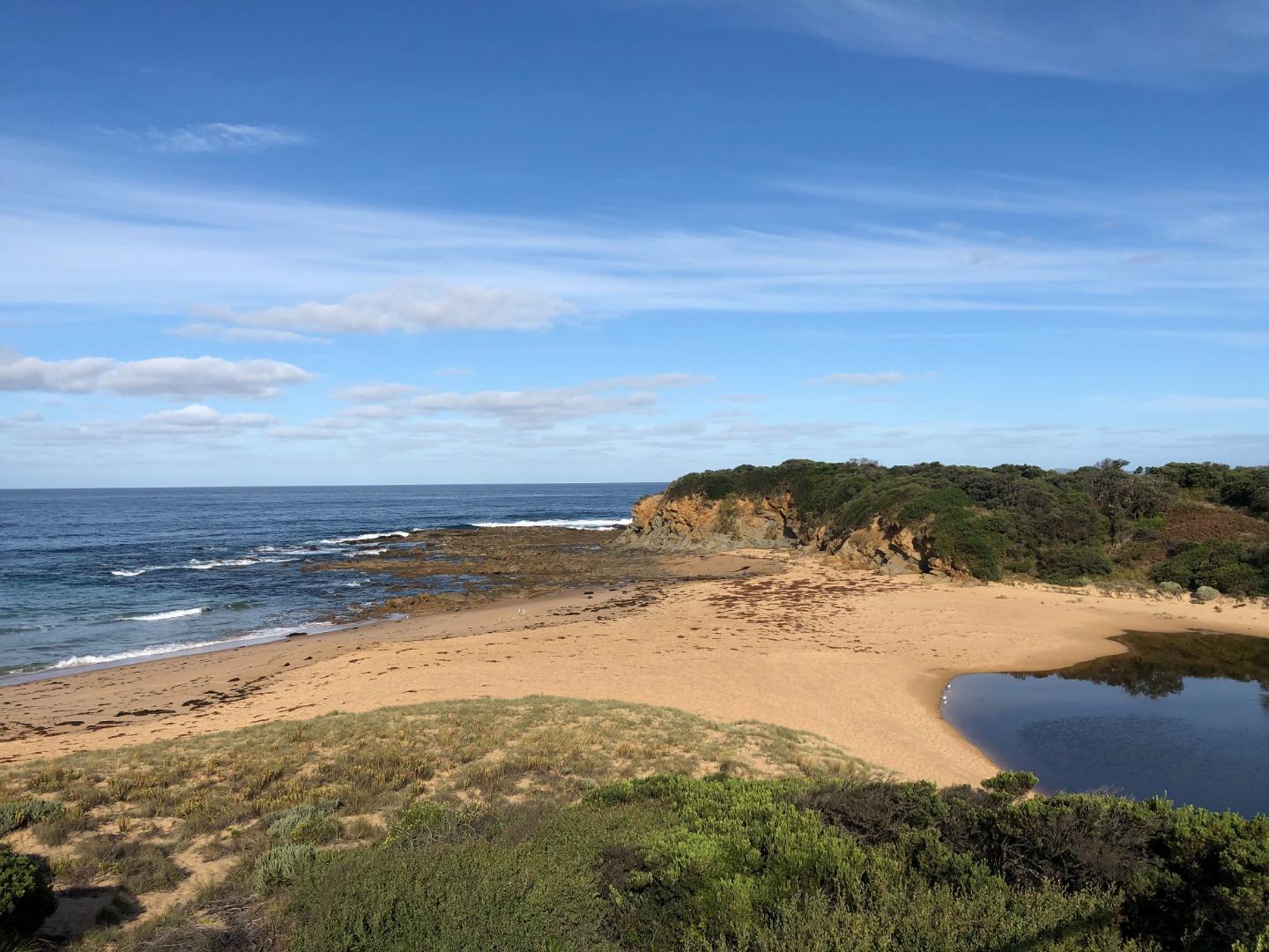
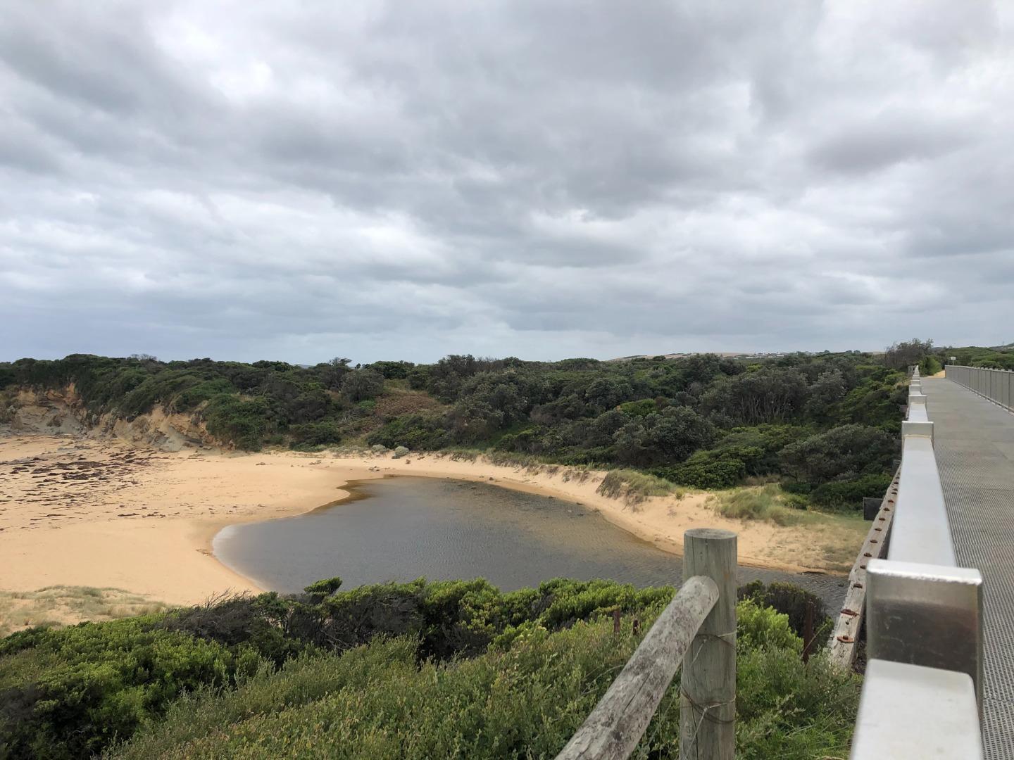
Bourne Creek
West Gippsland CMA
DOWNLOAD DATAOverview
Active WGCMA Estuary Management Group
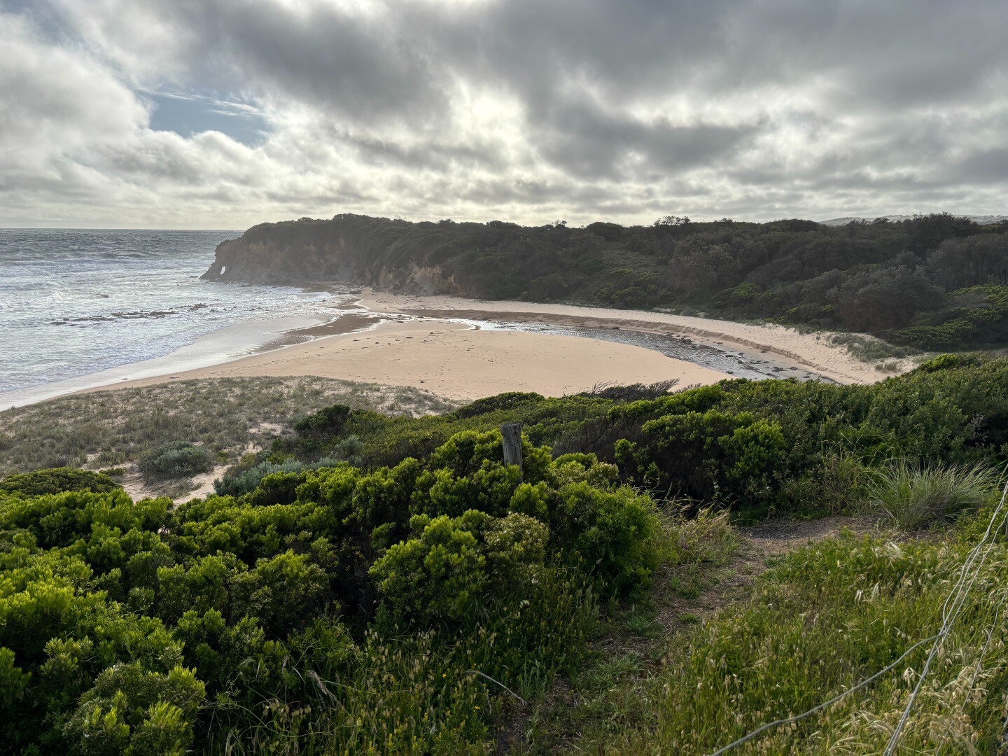
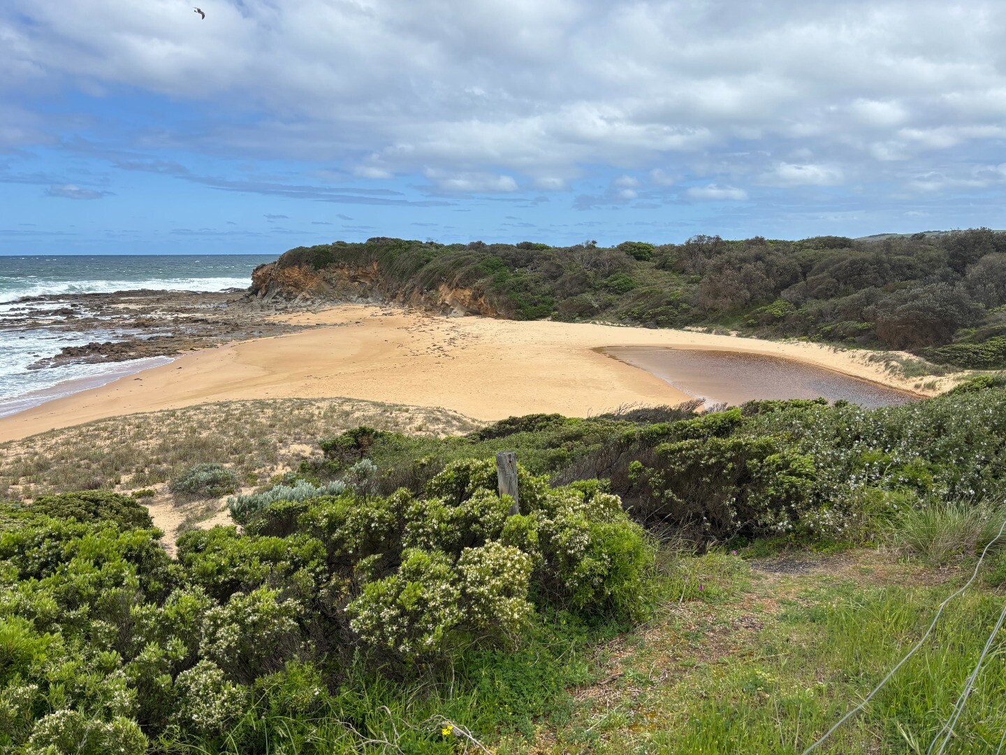
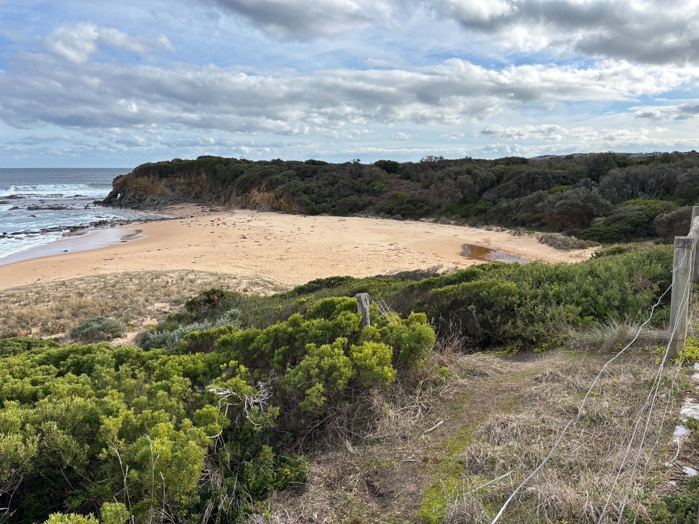
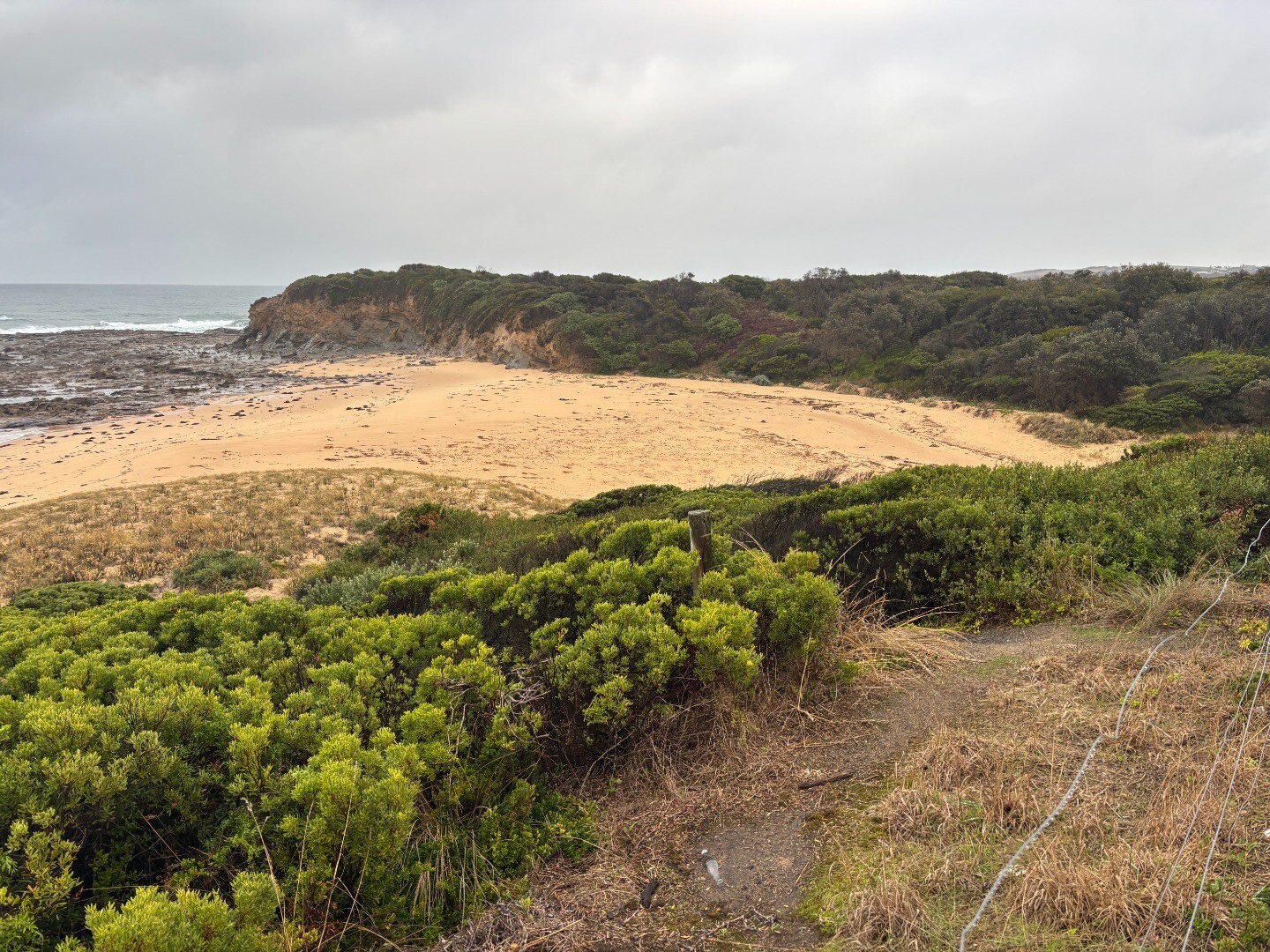
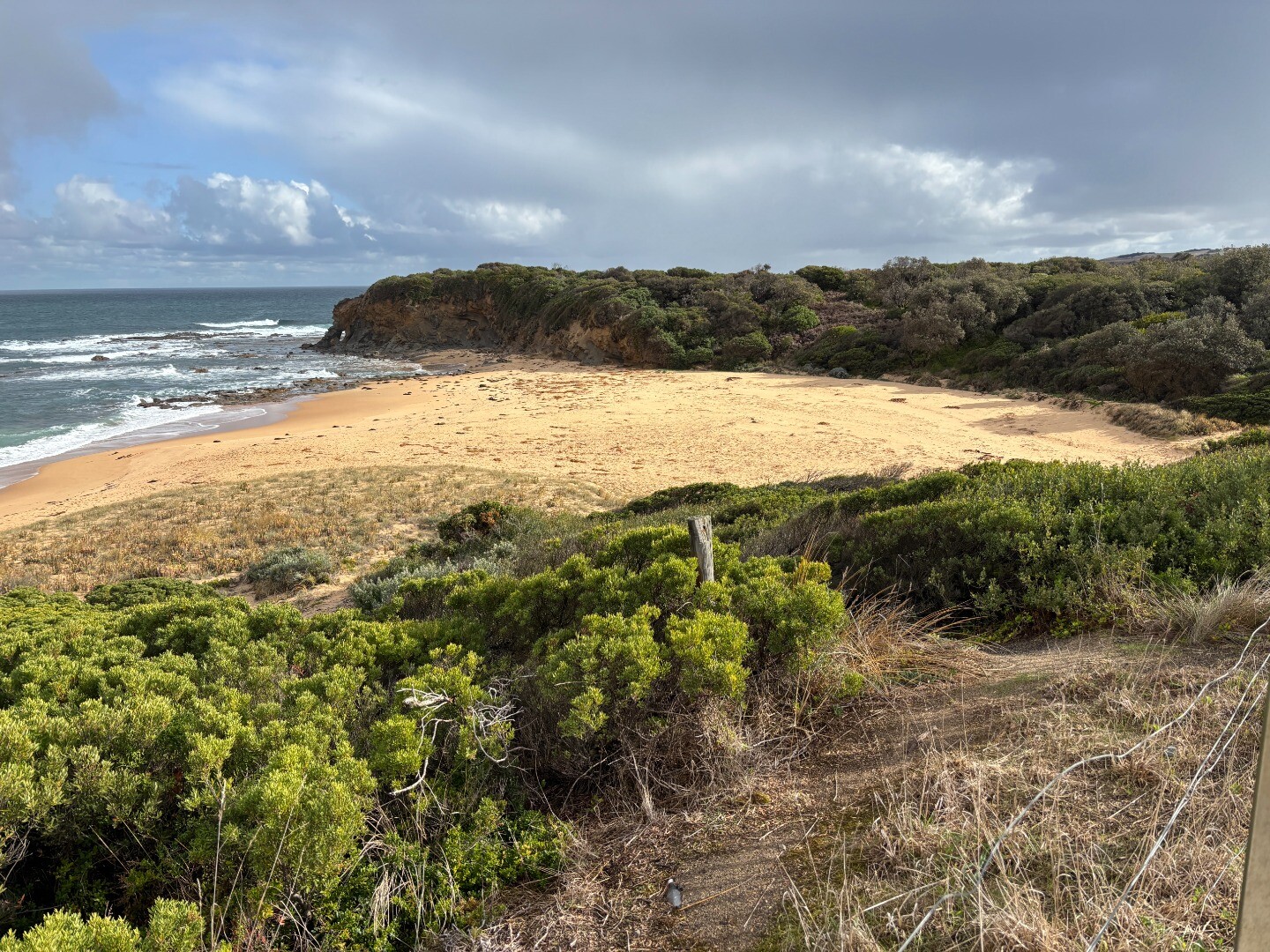
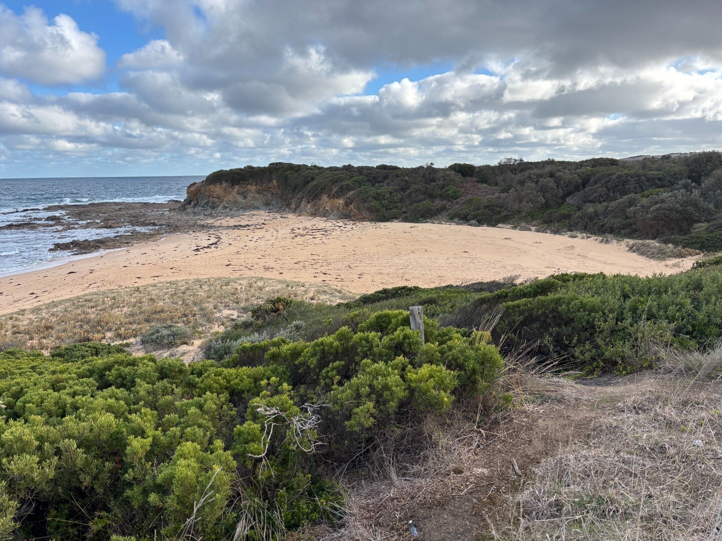
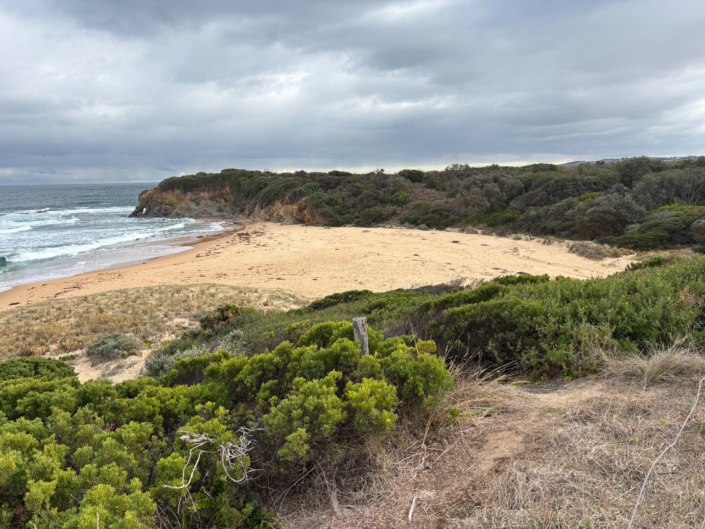
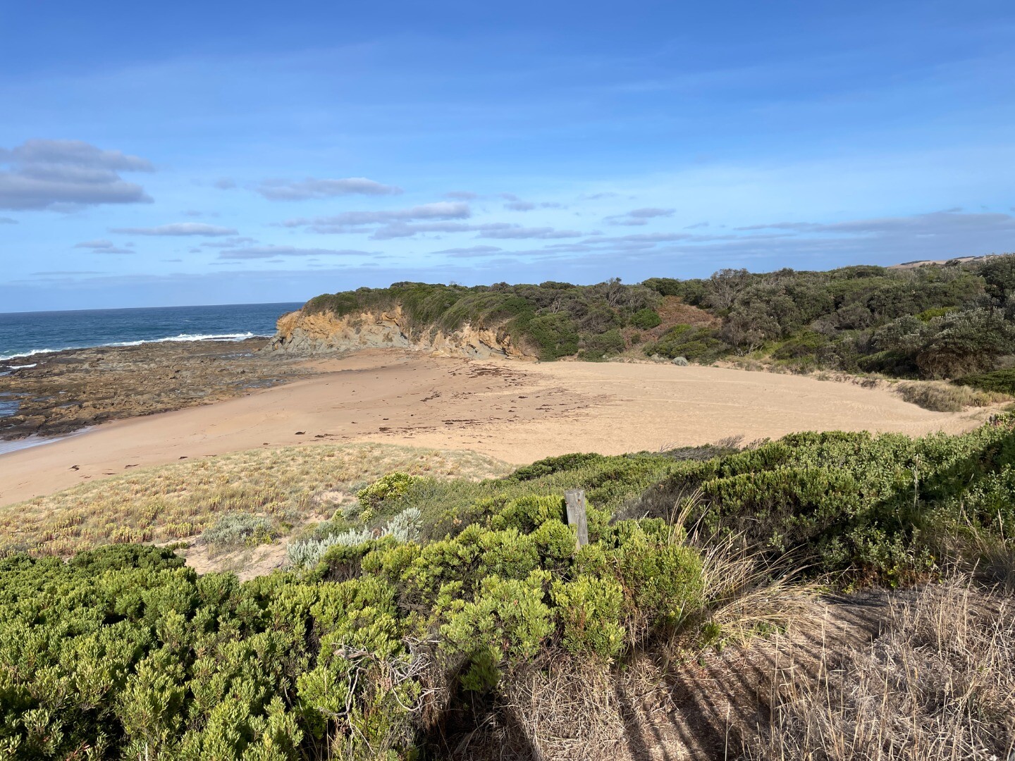
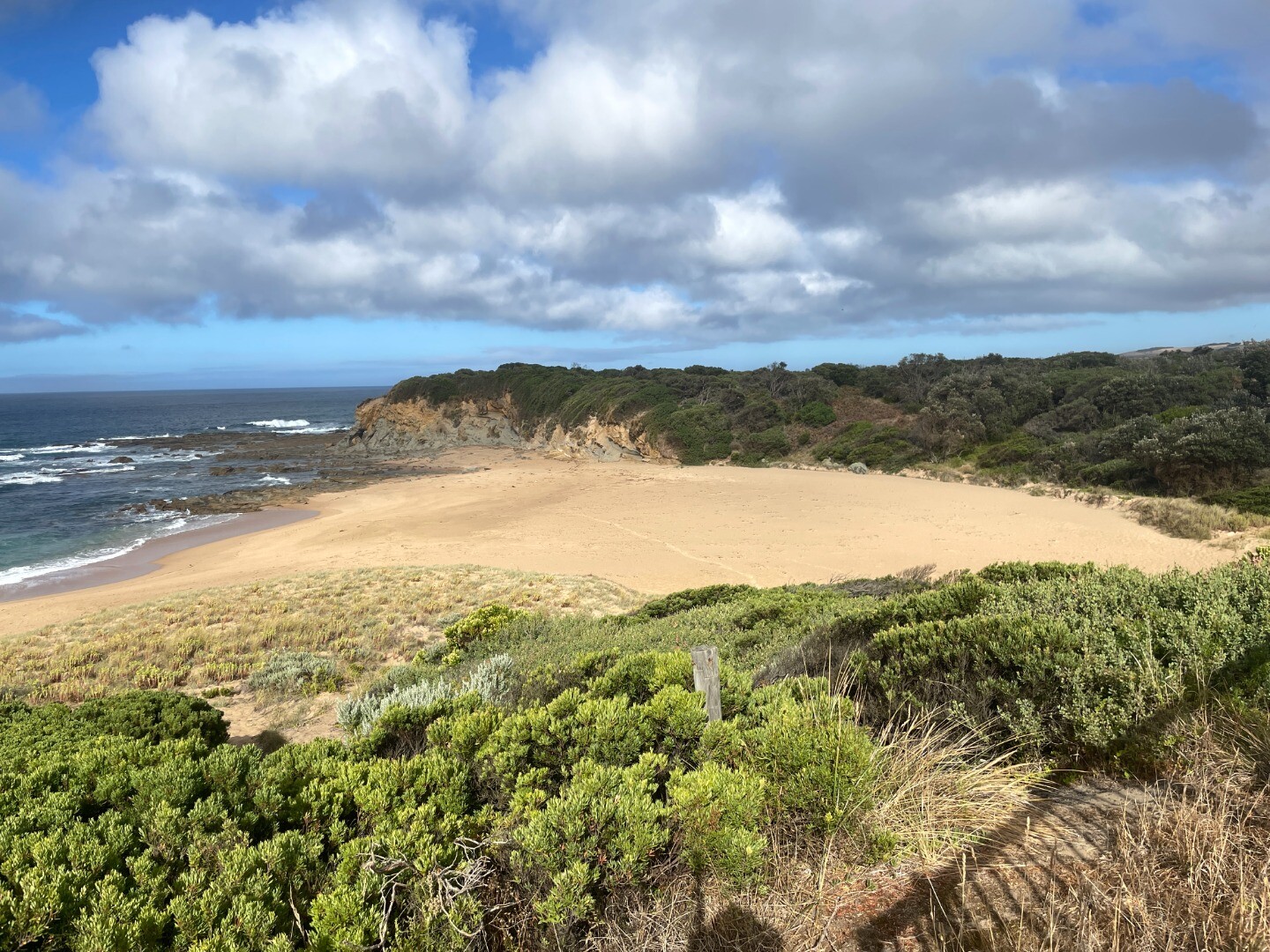
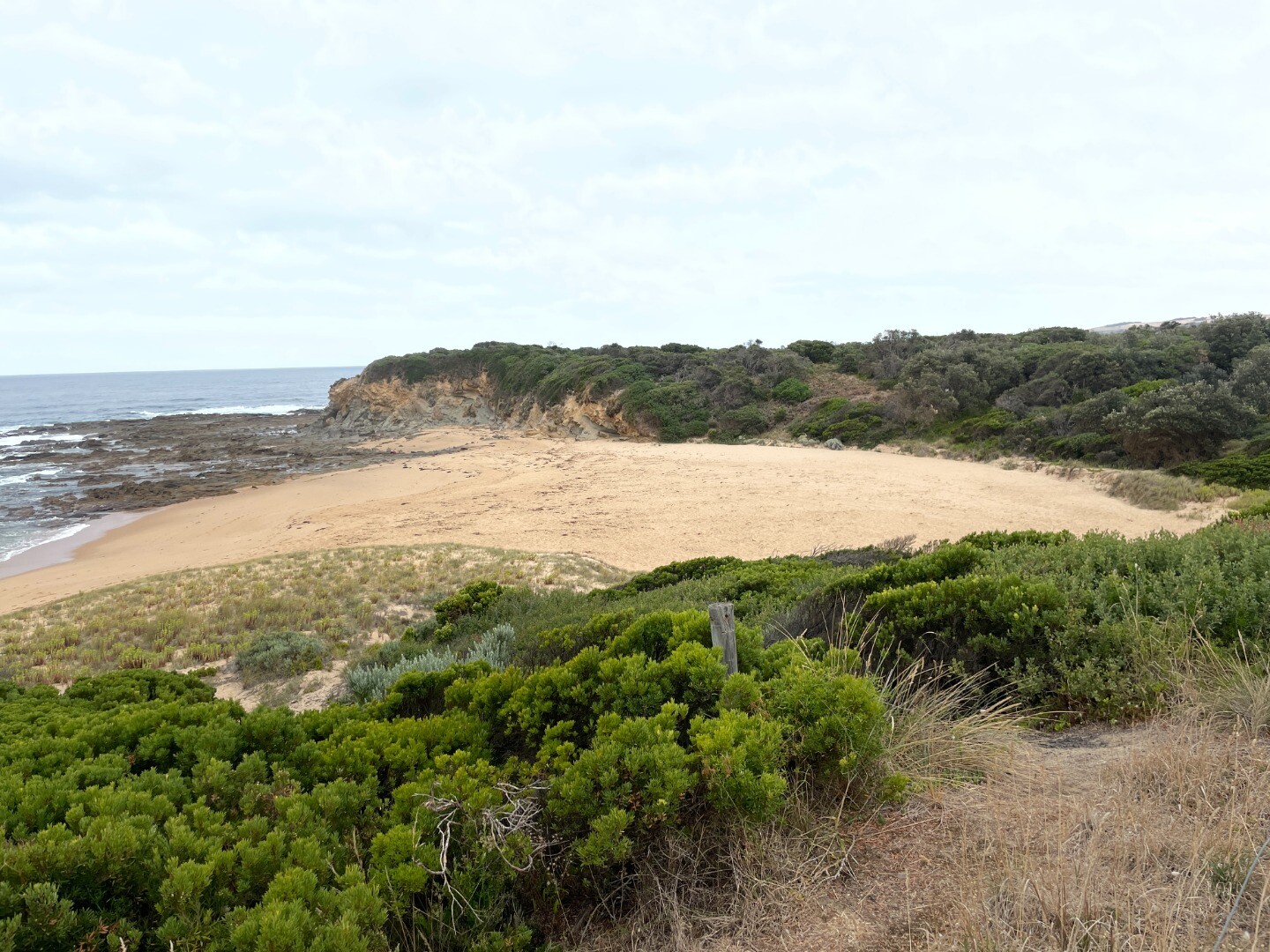
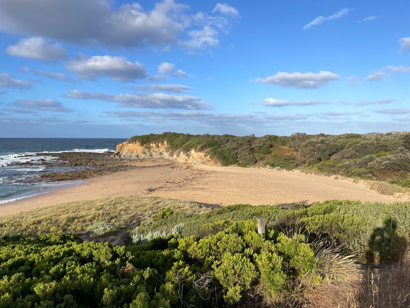
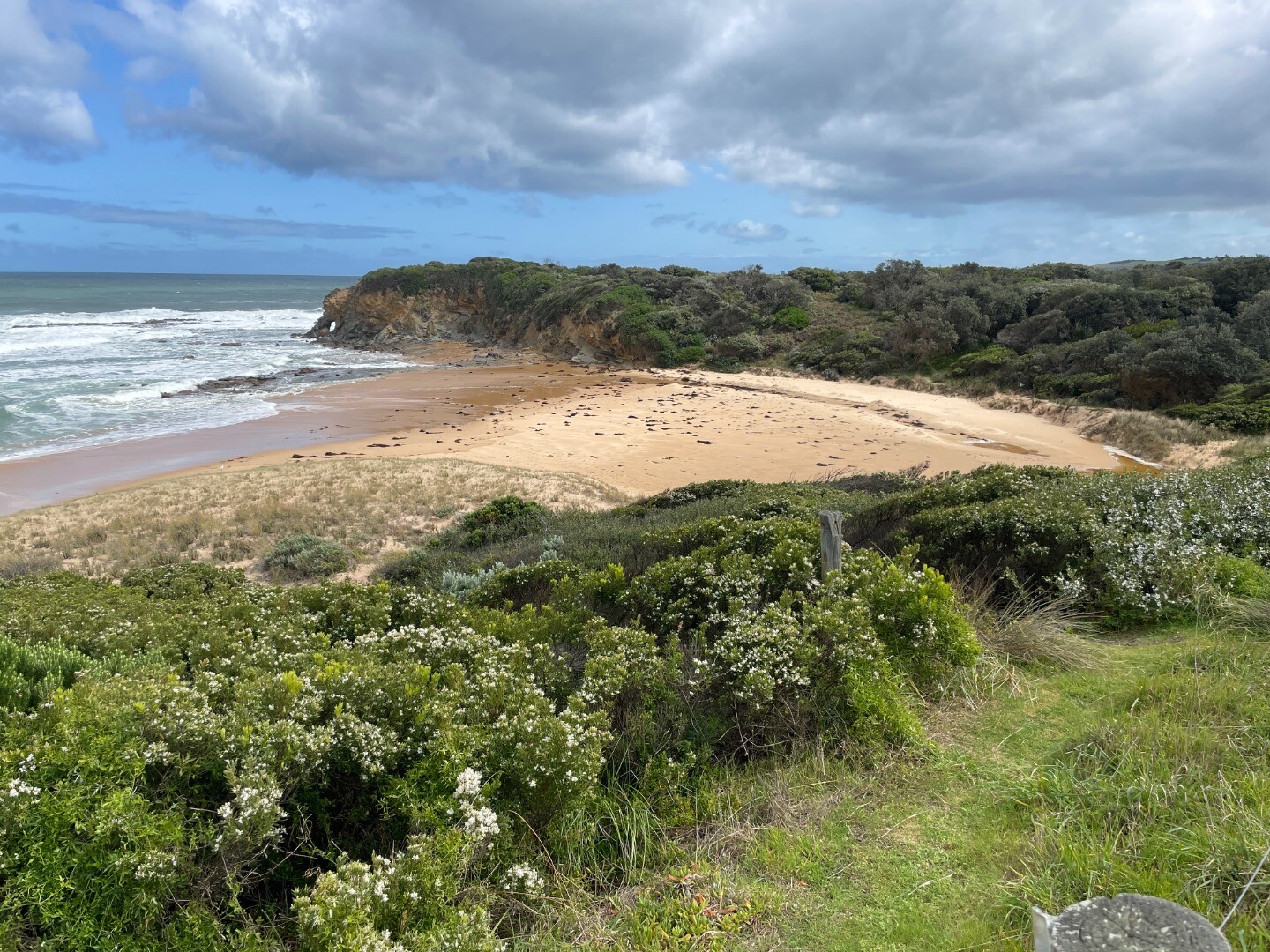
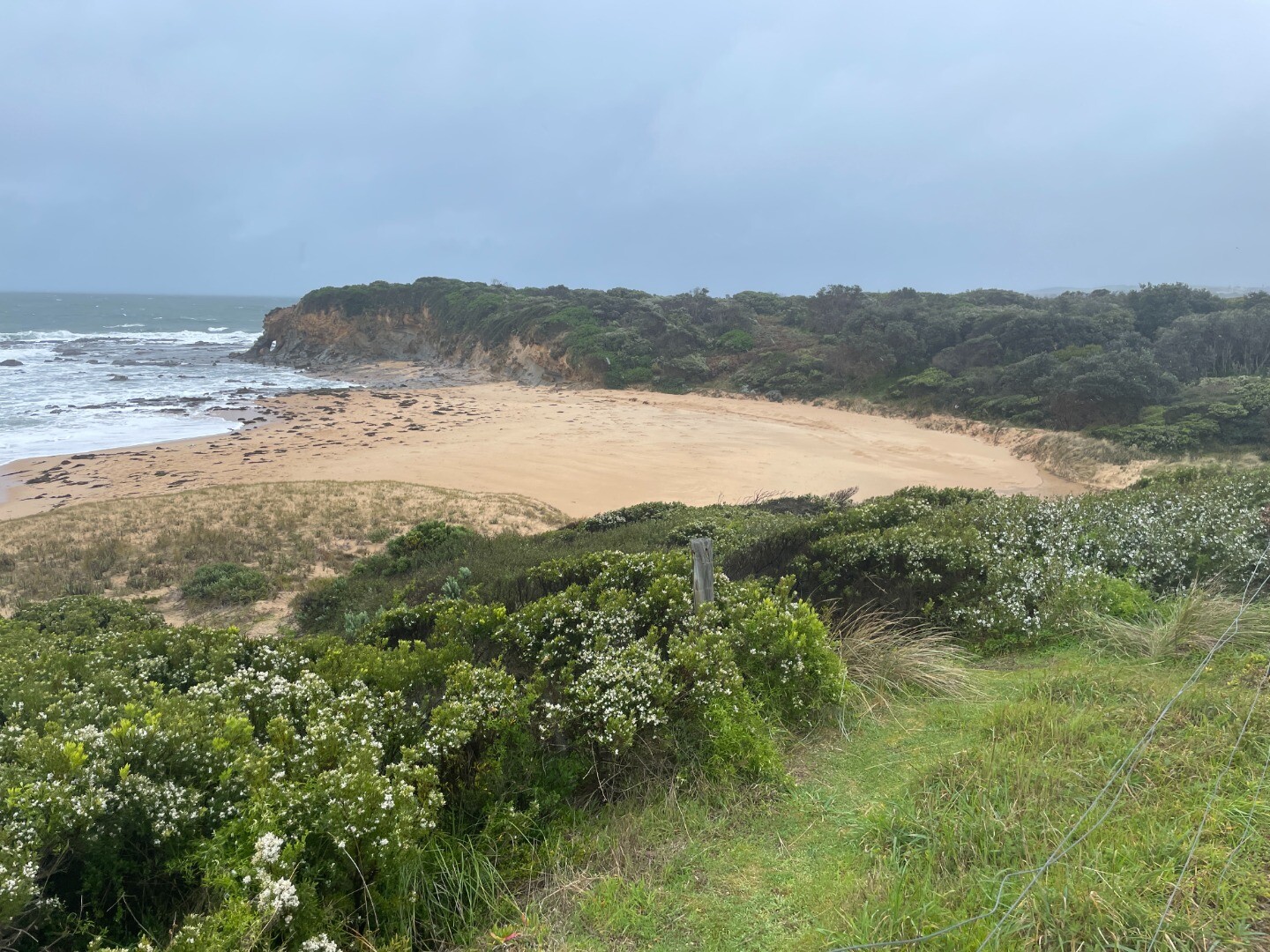
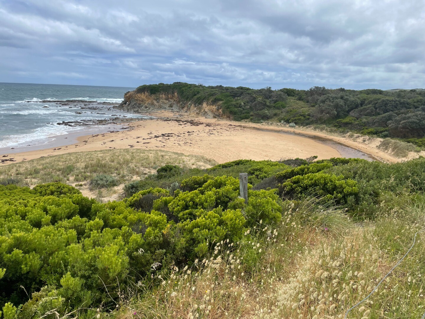
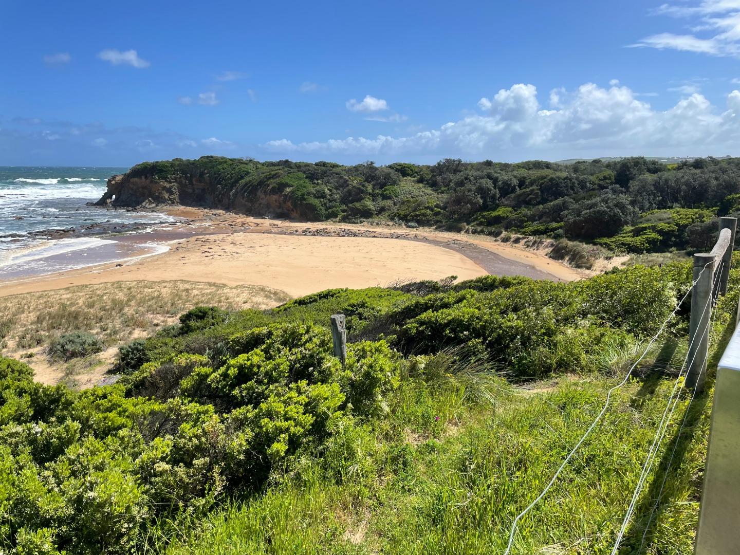
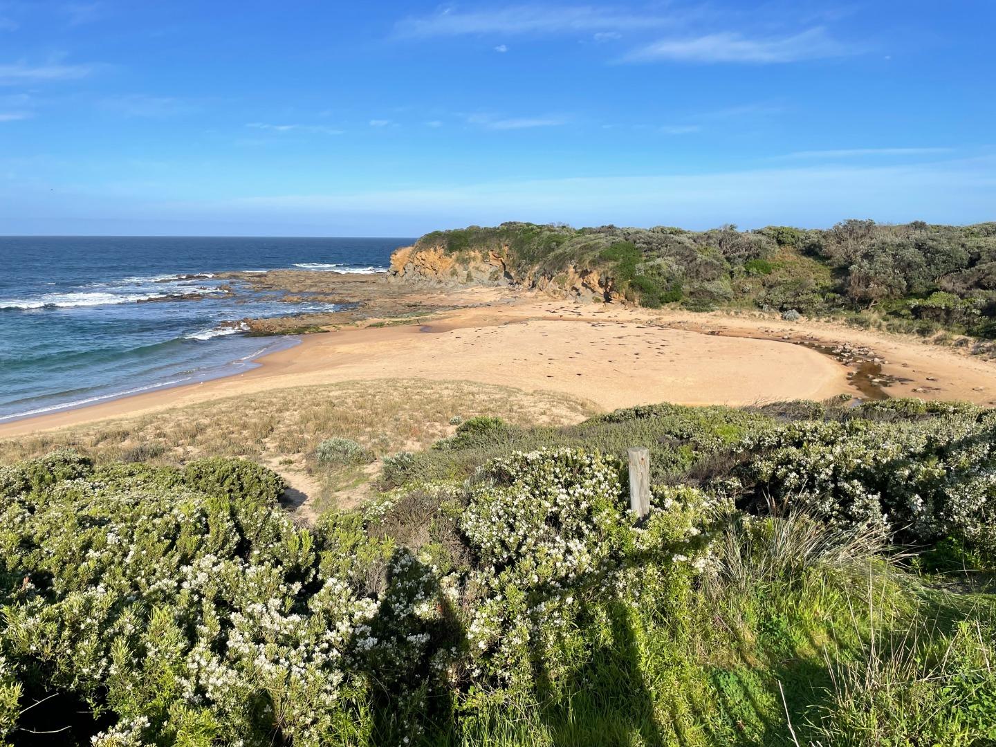
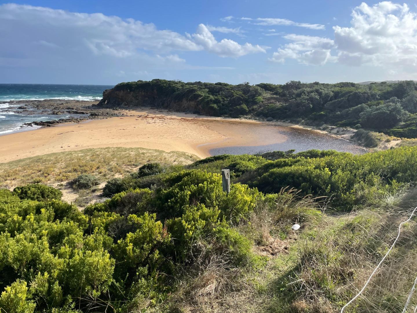
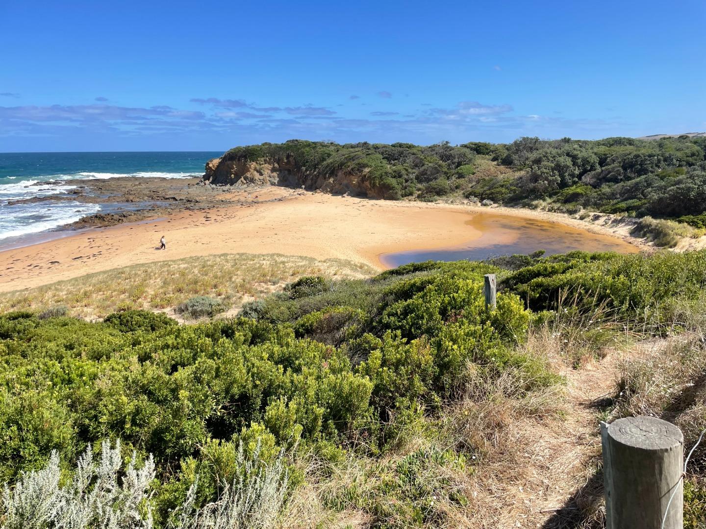
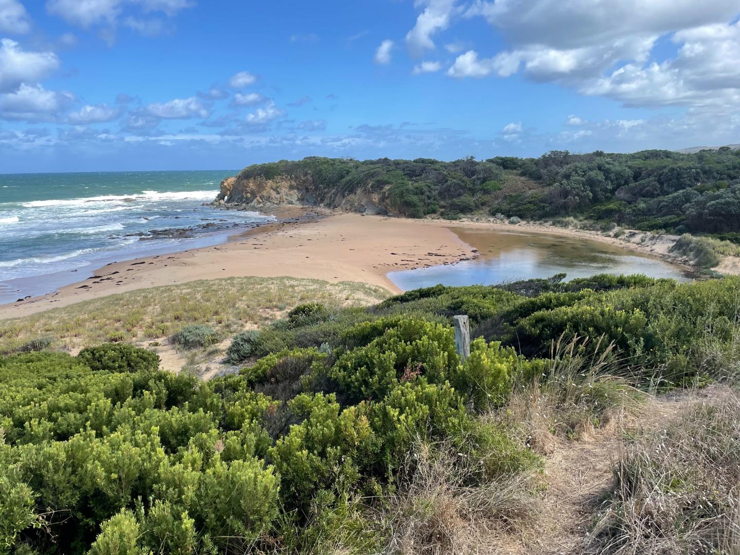
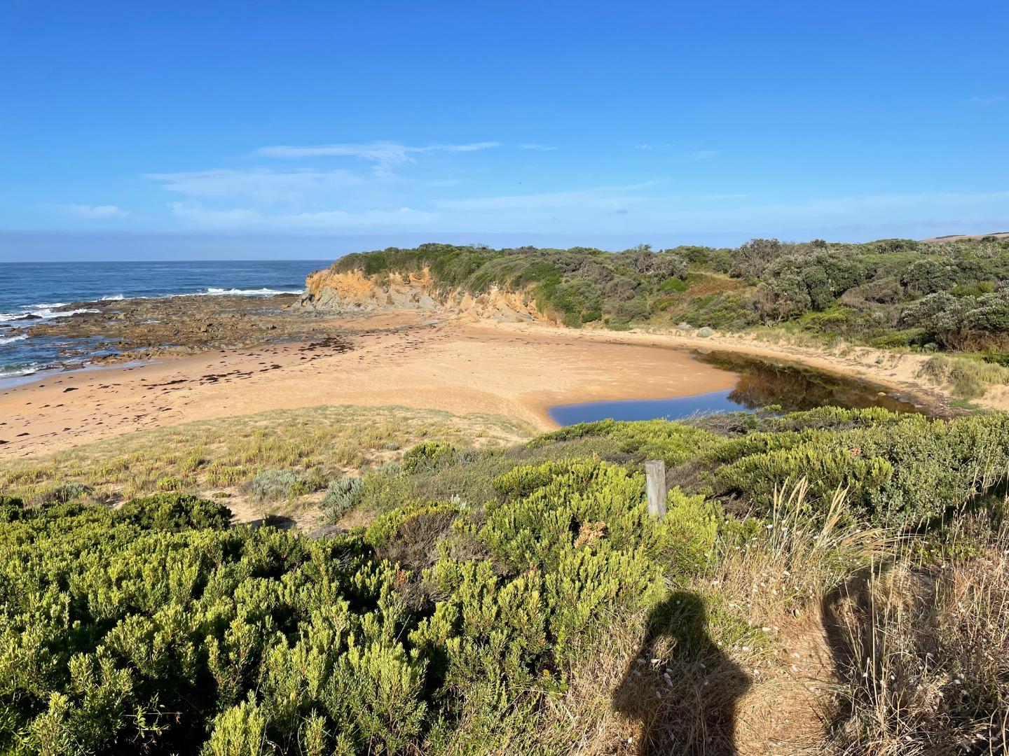
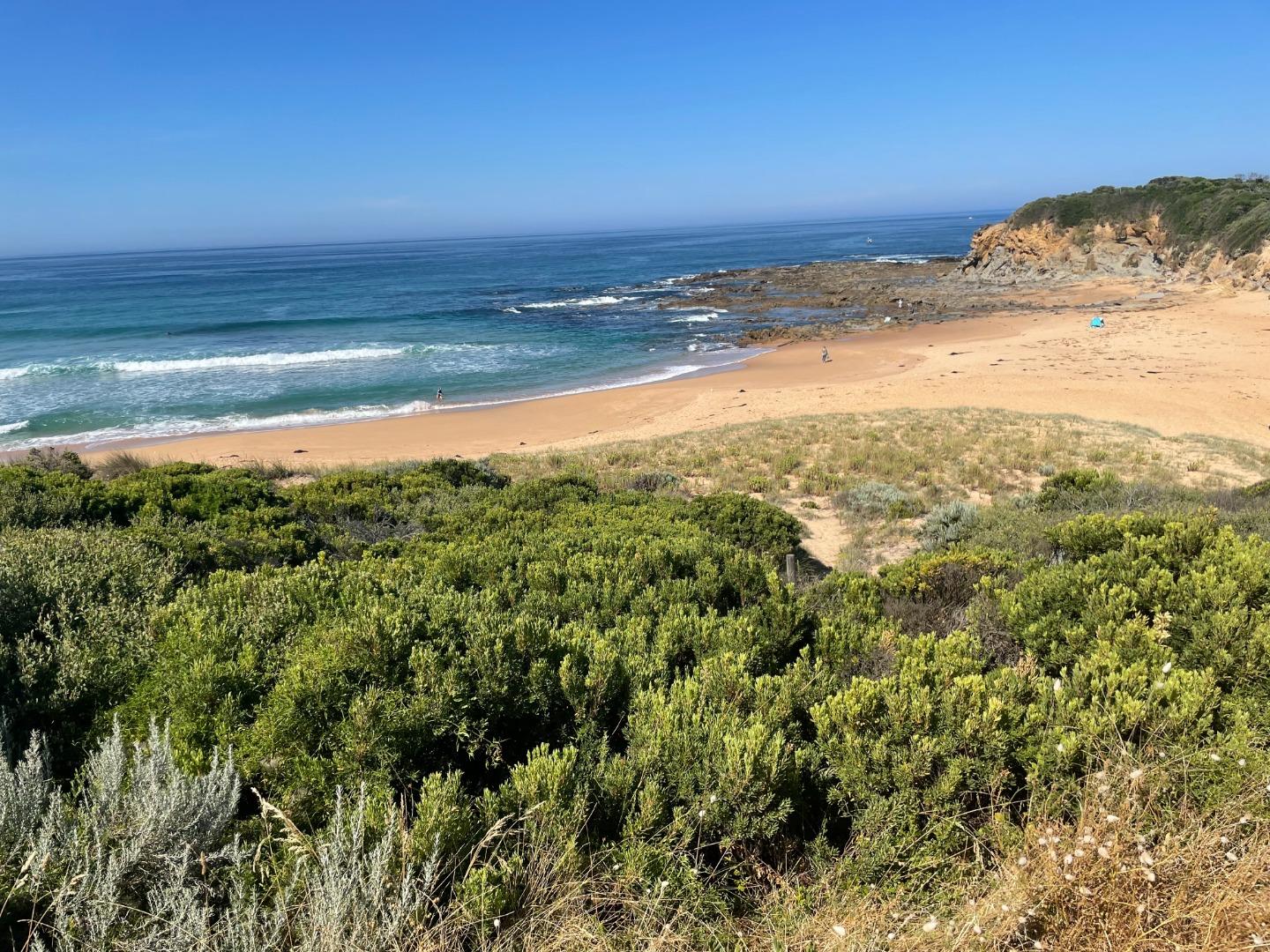
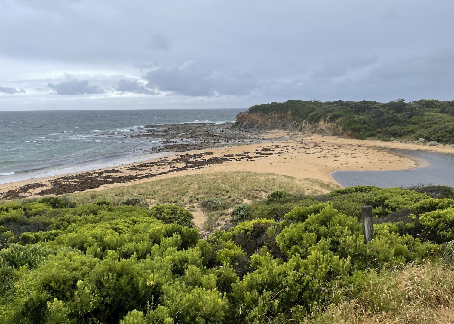
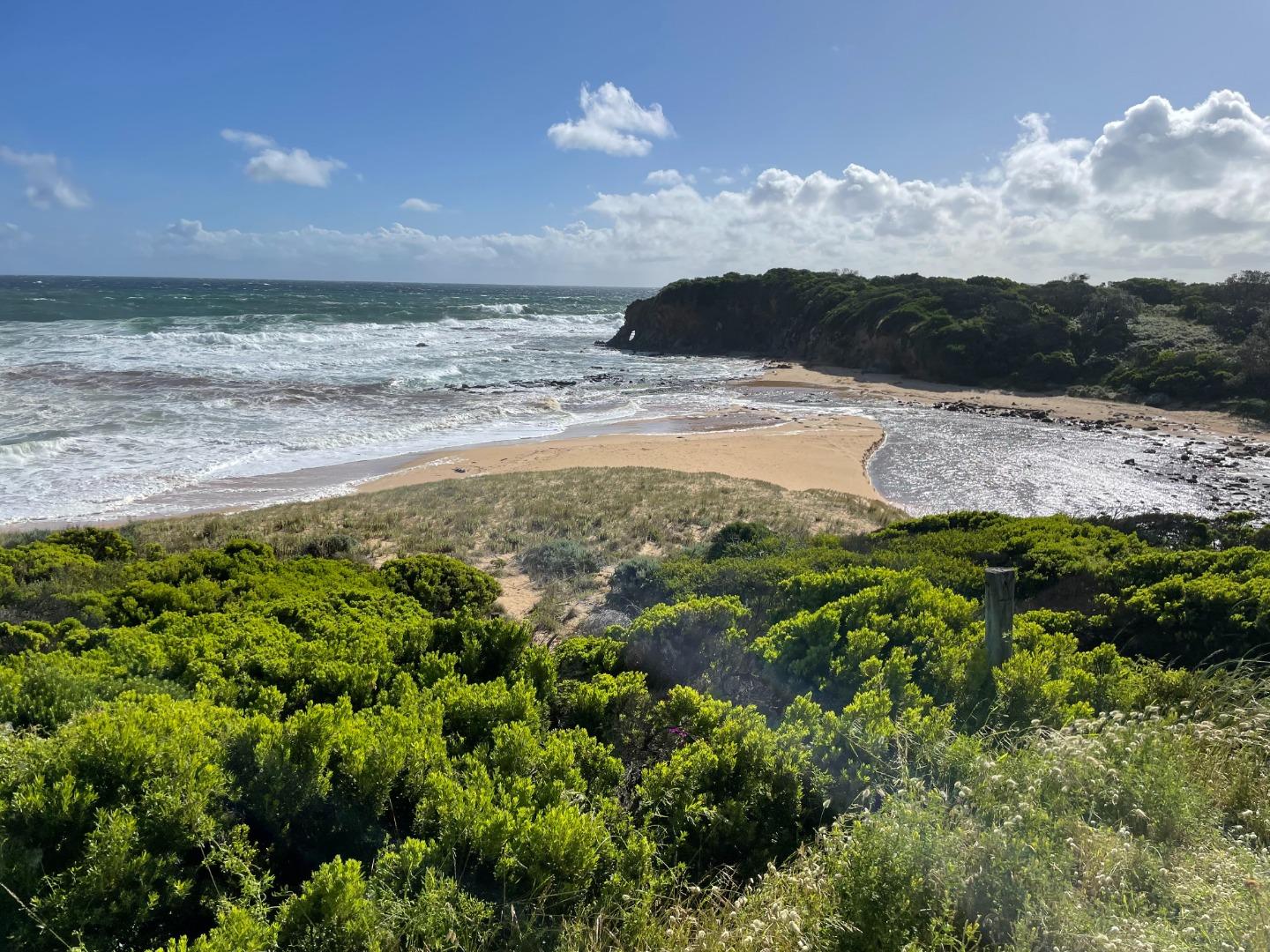
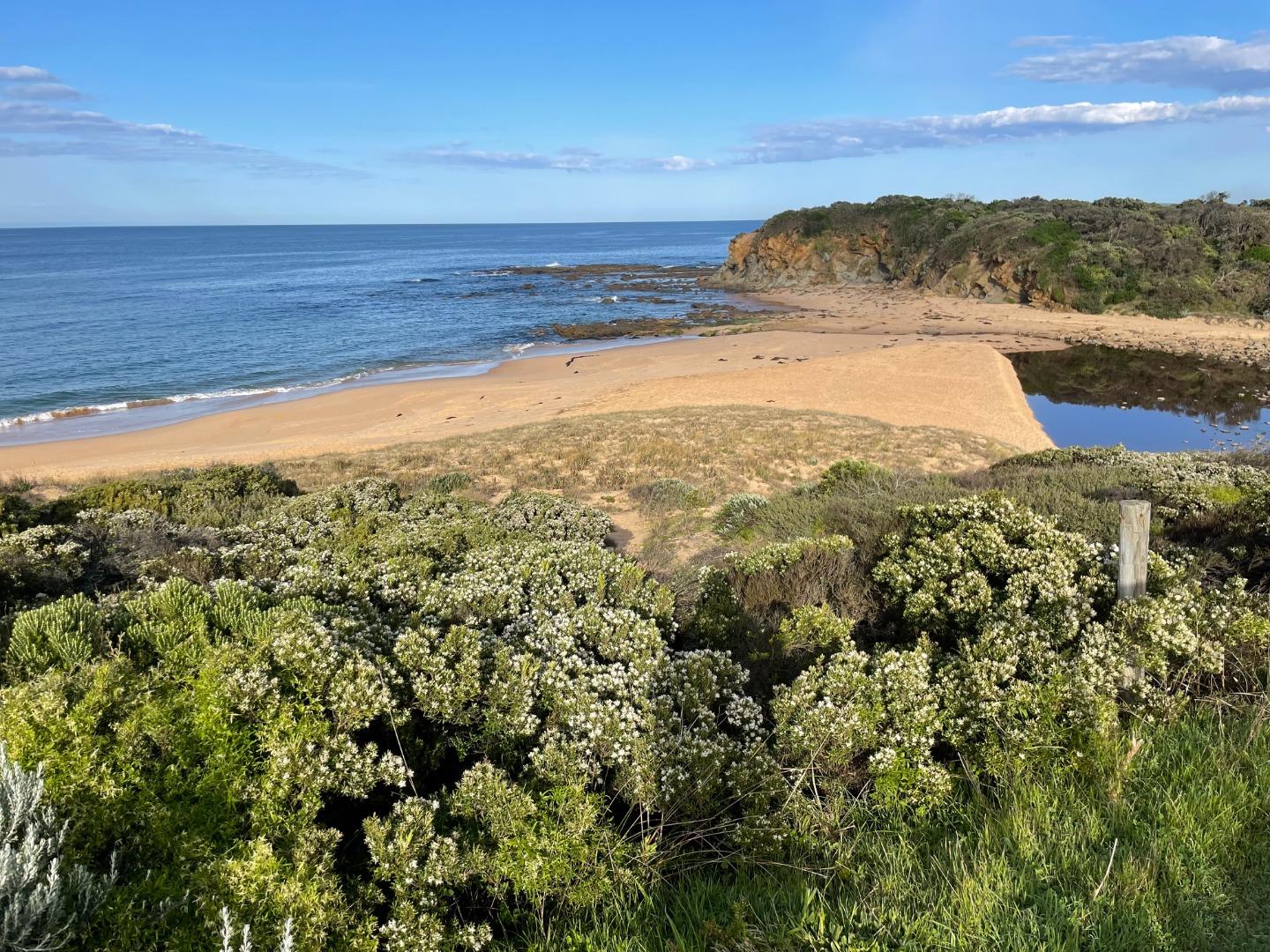
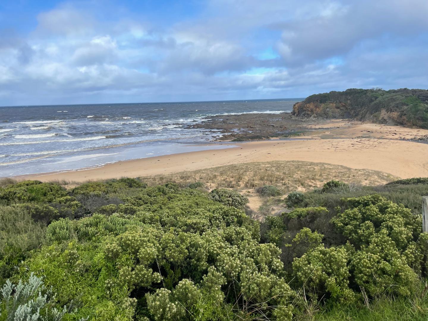
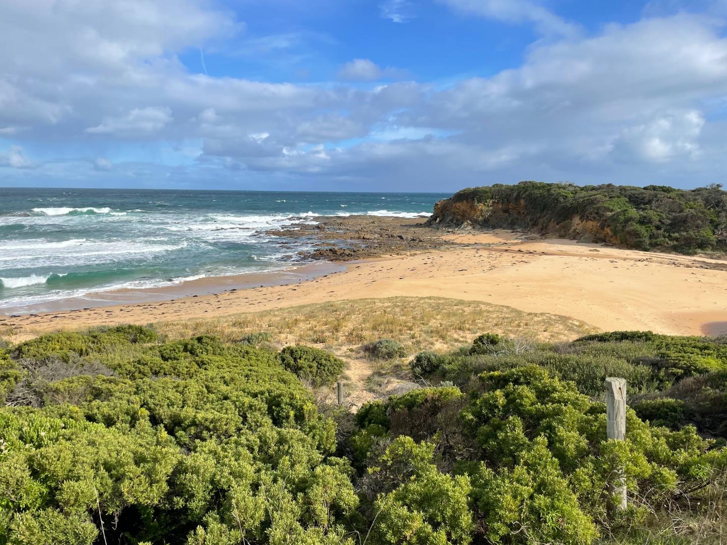
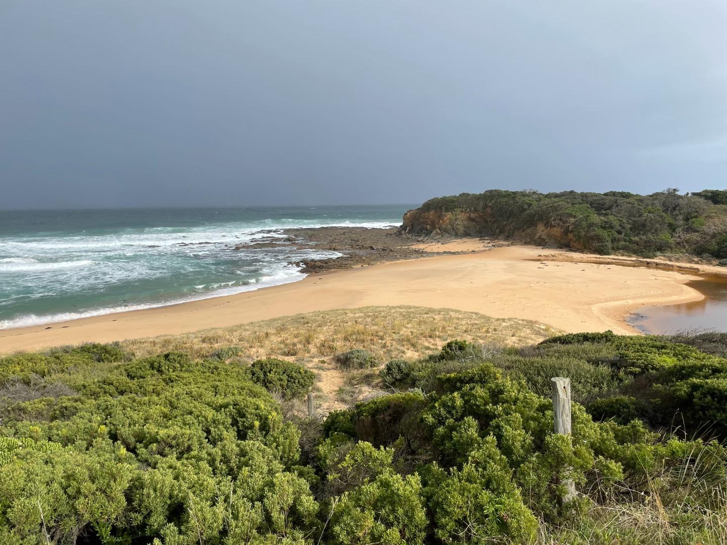
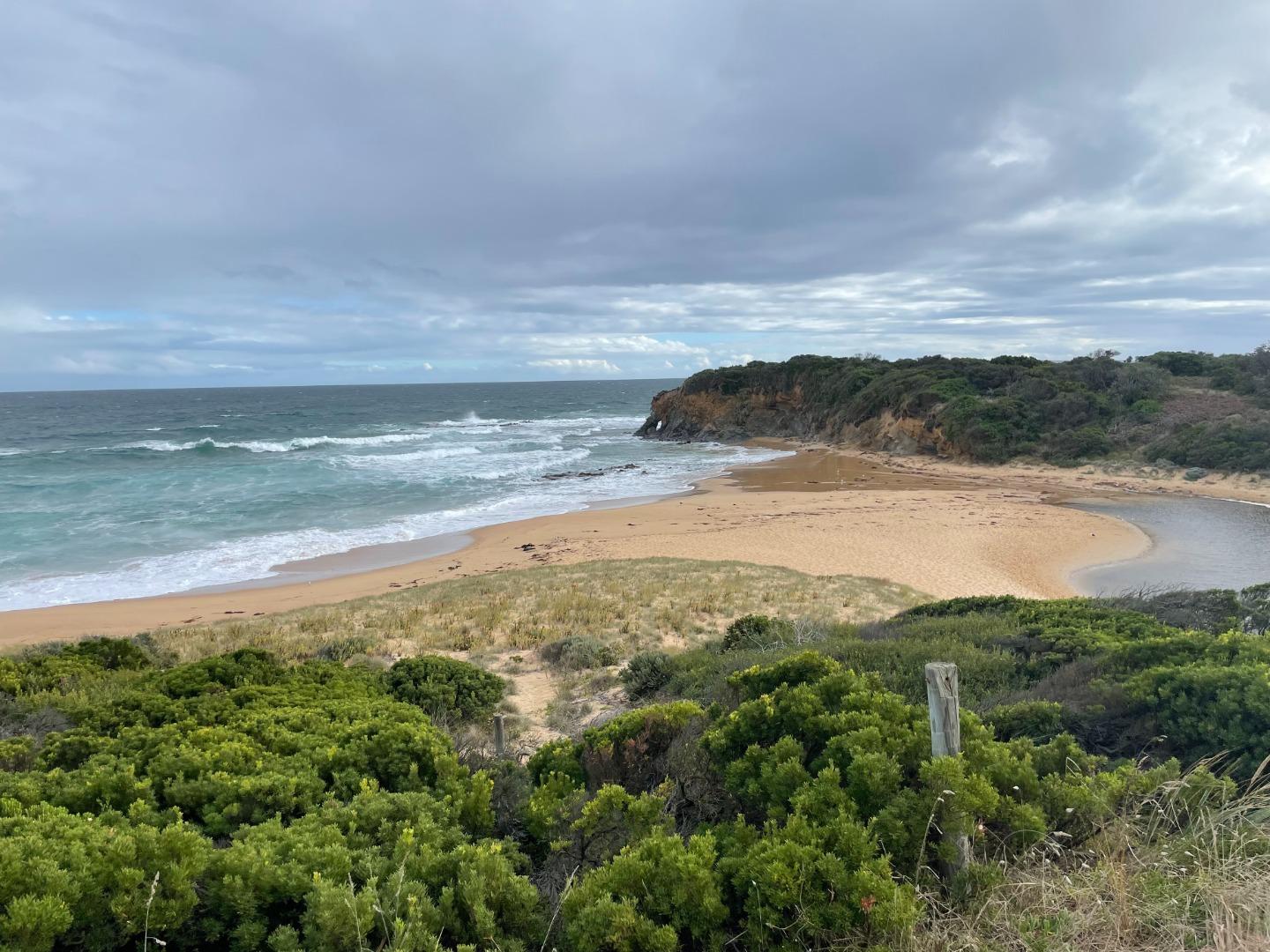
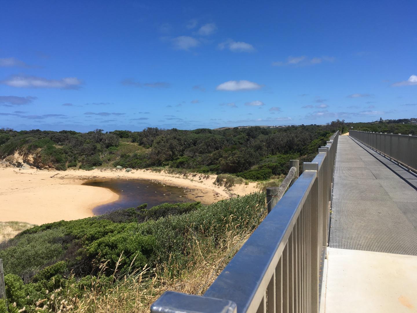
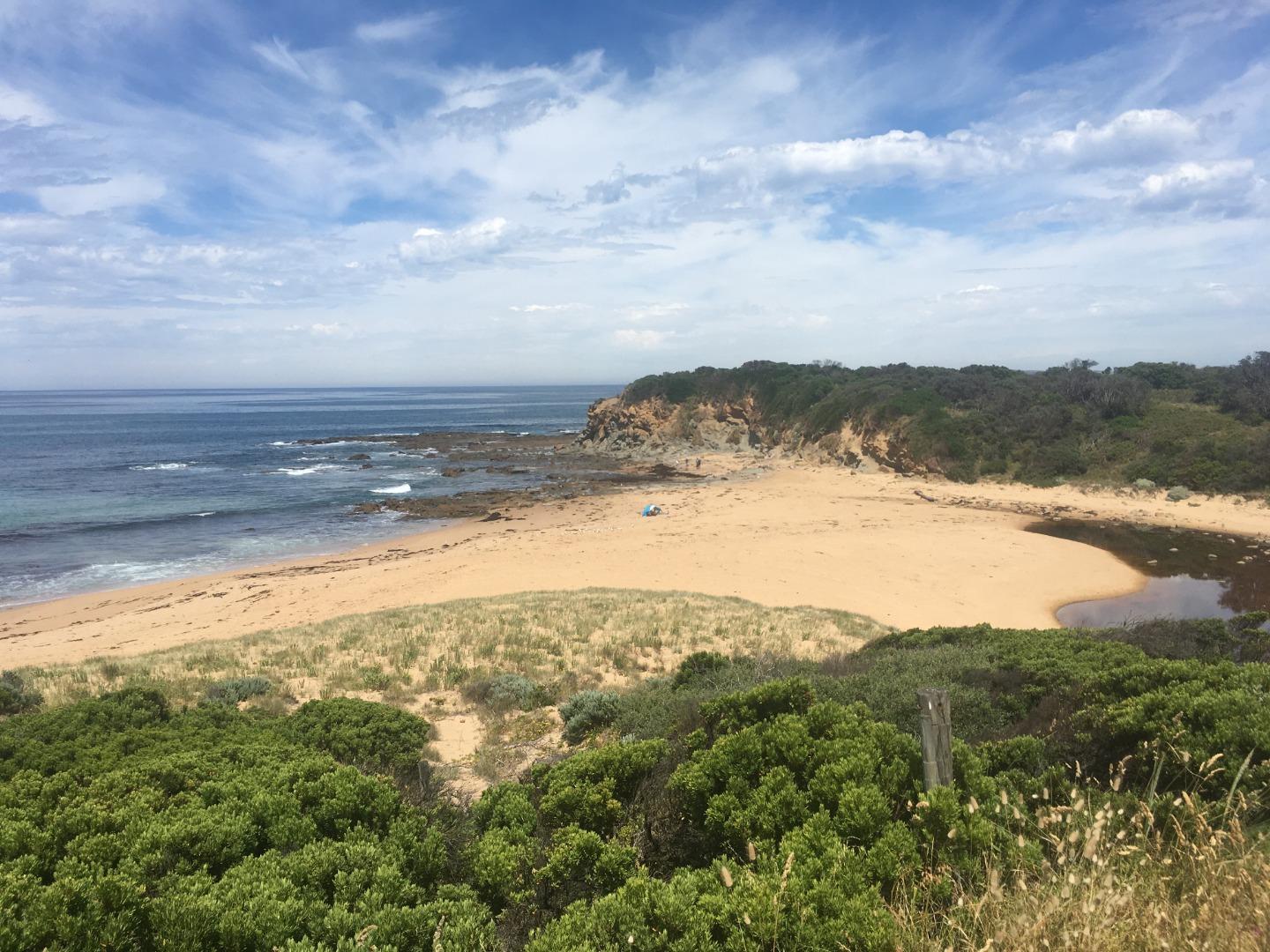
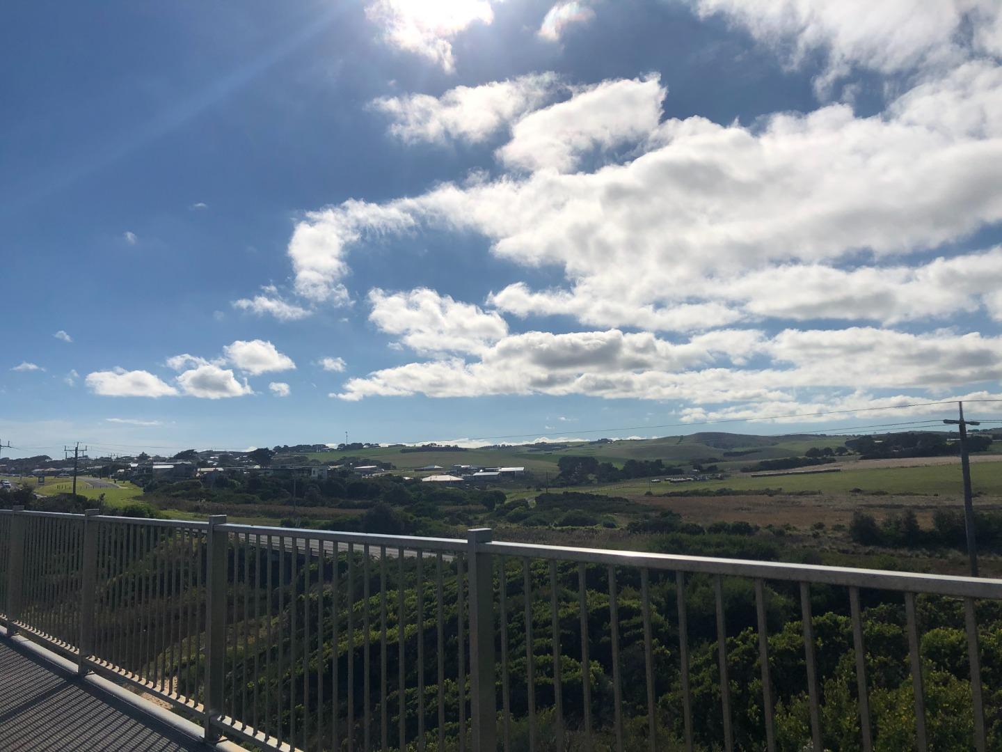
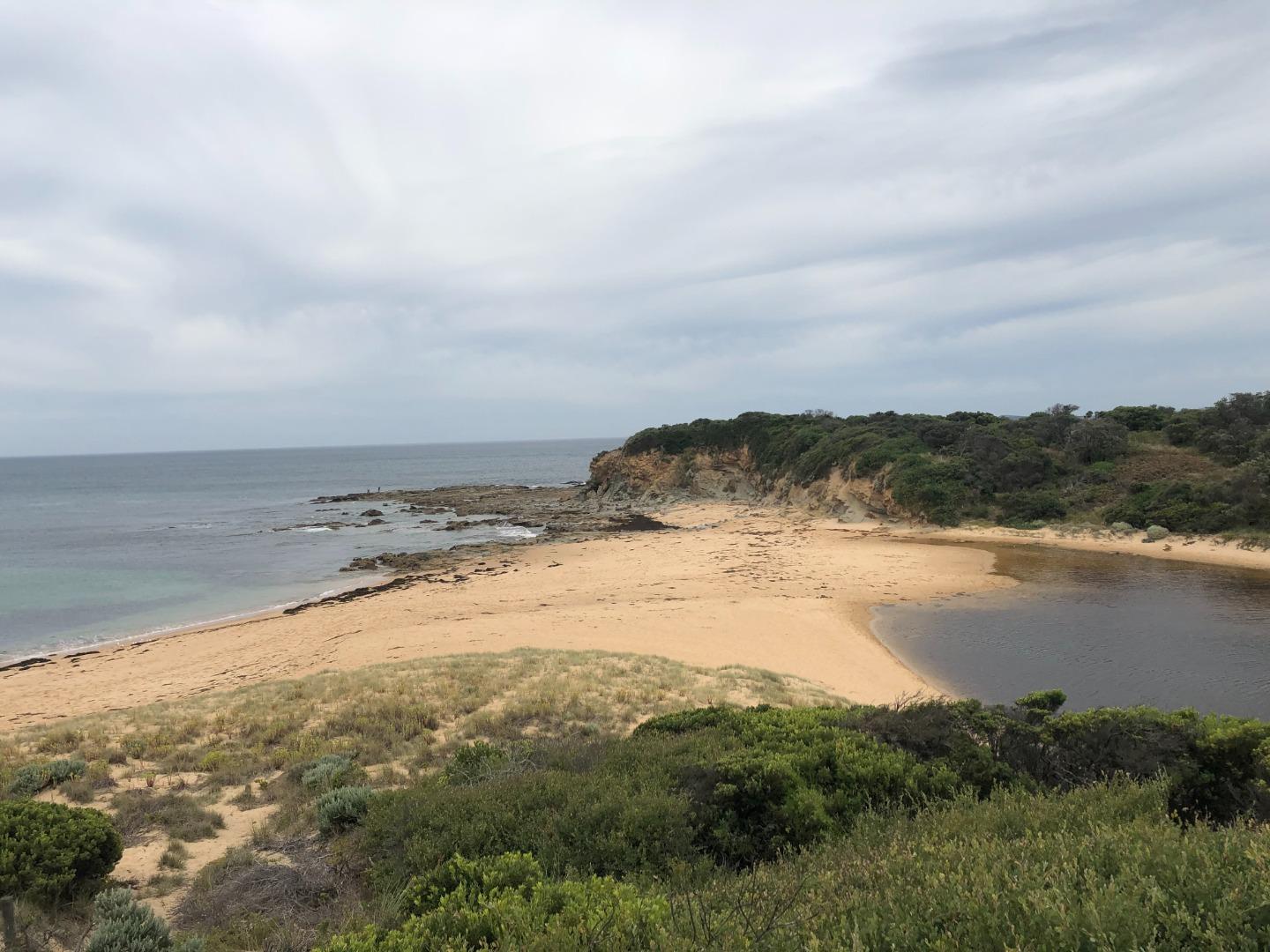
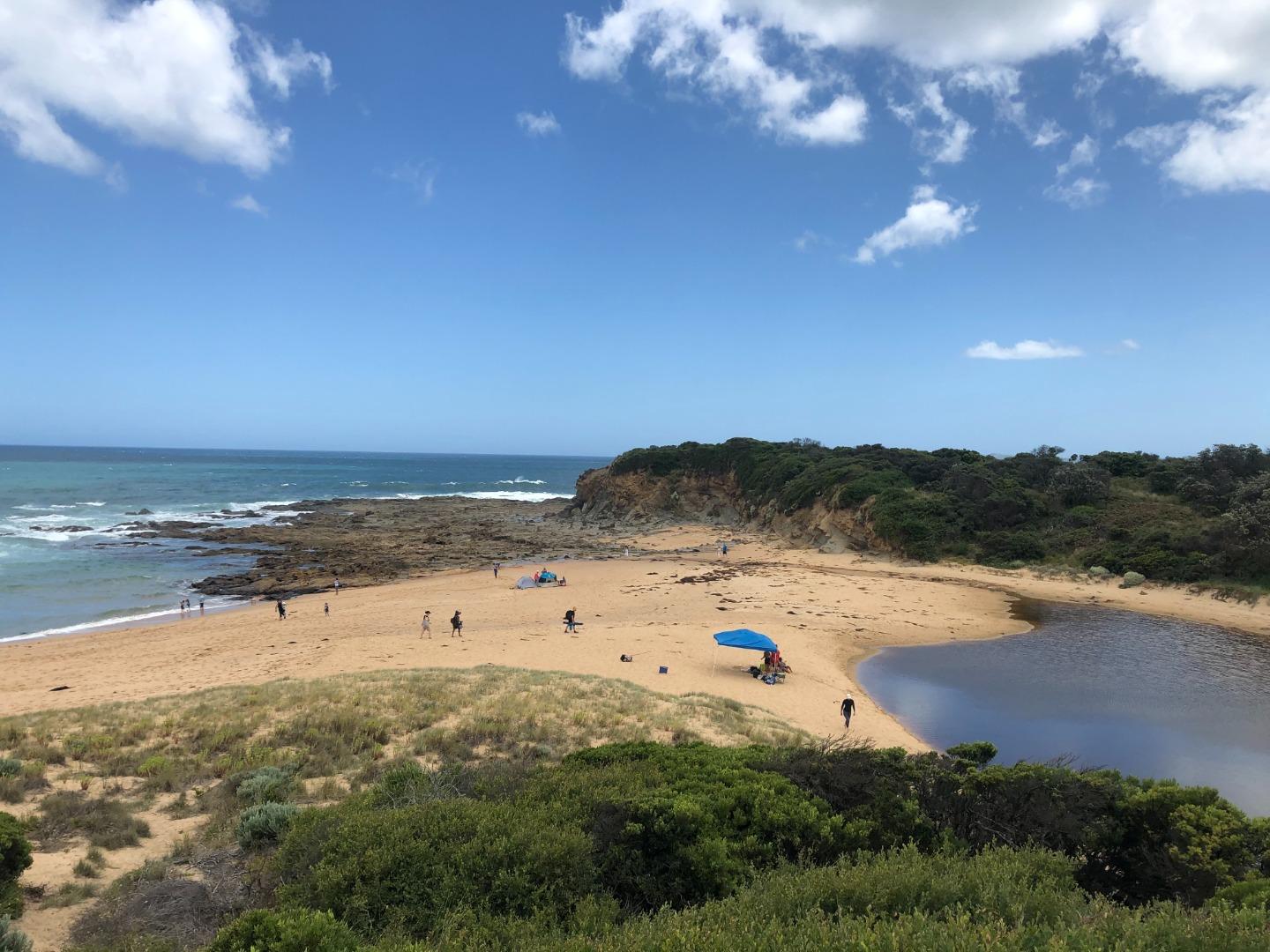
Bourne Creek is a small intermittently closing and opening coastal estuarine lagoon (ICOLL) located to the east of the Kilcunda township. The majority of the creek that is considered estuarine is located within protected crownland reserves with good vegetation cover (i.e. the Kilcunda Creek Water Frontage and Kilcunda Coastal Reserves). The broader catchment that feeds the estuary with freshwater is approximately 10 square kilometres, extending as far north as the Kilcunda Ridge Road. This catchment is relatively steep, eroded and contains very little remnant or newly established vegetation.
Map
Estuary Values
- EVC pre European settlement: (83) Swampy Riparian Woodland (Endangered).
- EVCs that appear to inhabit the site currently: (9) Coastal Saltmarsh, (10) Estuarine Wetland (this is likely to resulted from changes in hydrology resulting from catchment clearing, intensive landuse leading to the loss of top soil and deepening of the creek channels (i.e. lowering of the landscape and creek channels to allow the intrusion of more saltwater into the creek). On top of this the recent need to carry out artificial estuary entrance openings would also have allowed more saltwater into the creek).
- Bird species sighted at Bourne Creek include; Hooded Plover, Sooty Oystercatcher, Eastern Great Egret, Pacific Gull, Greater Sand Plover, Common Diving Petrel
- Fish species at Bourne Creek; Common Galaxias, Spotted Galaxias, Short-finned Eel, Flatheaded Gudgeon, Black Bream.
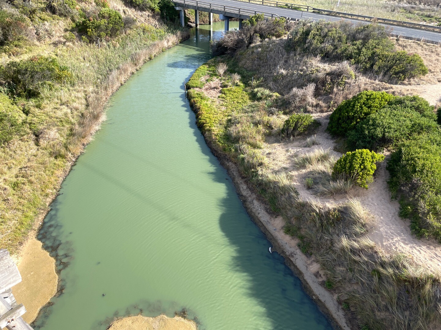
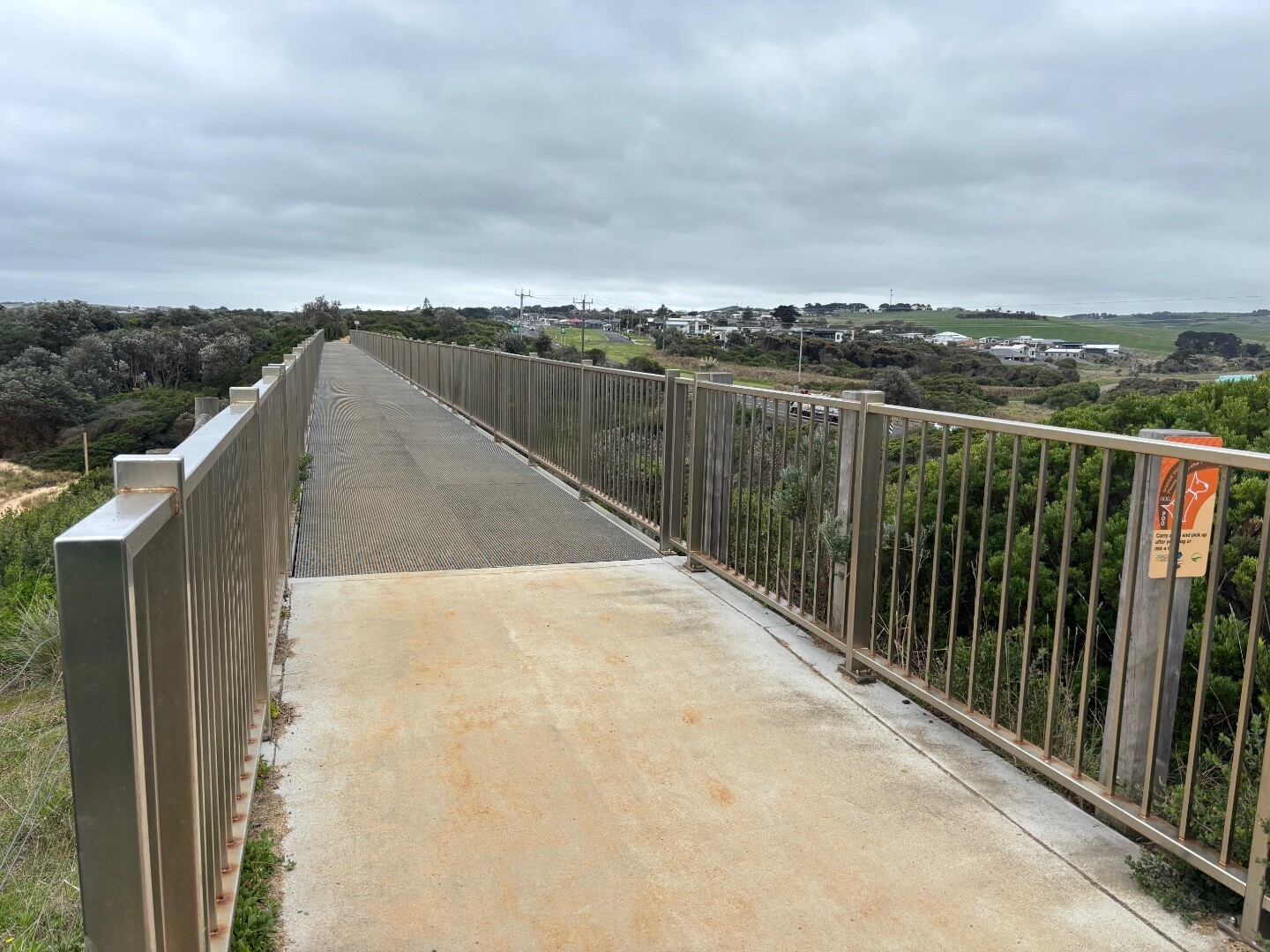
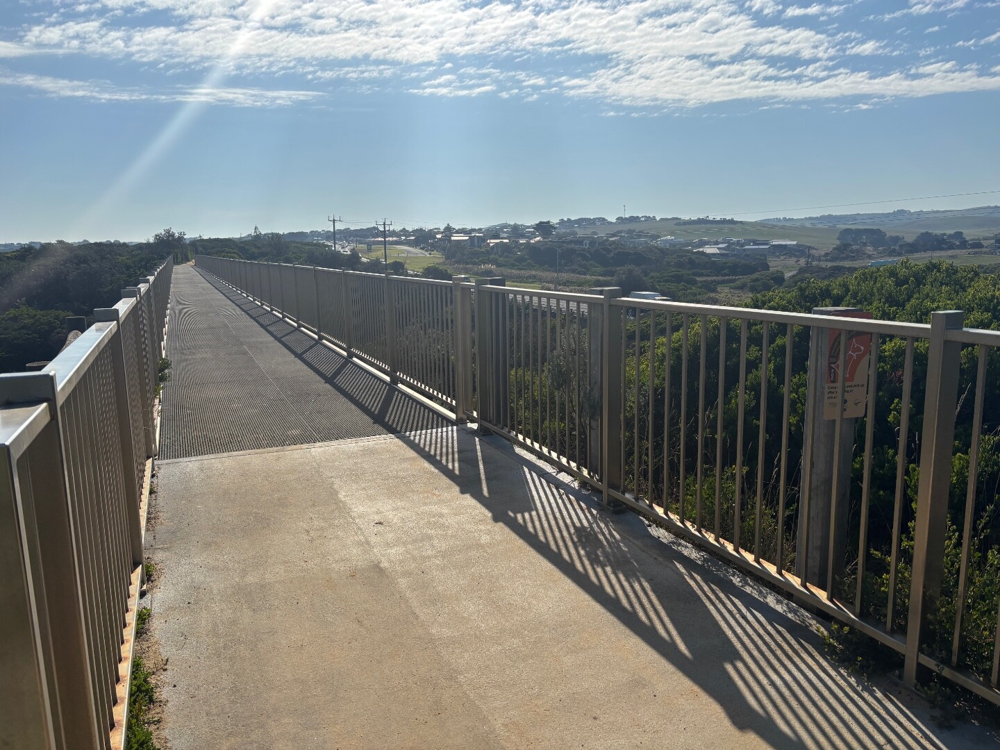
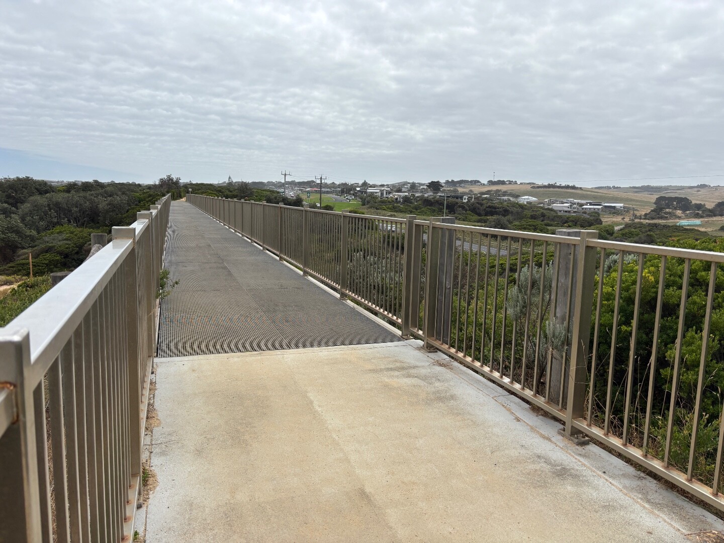
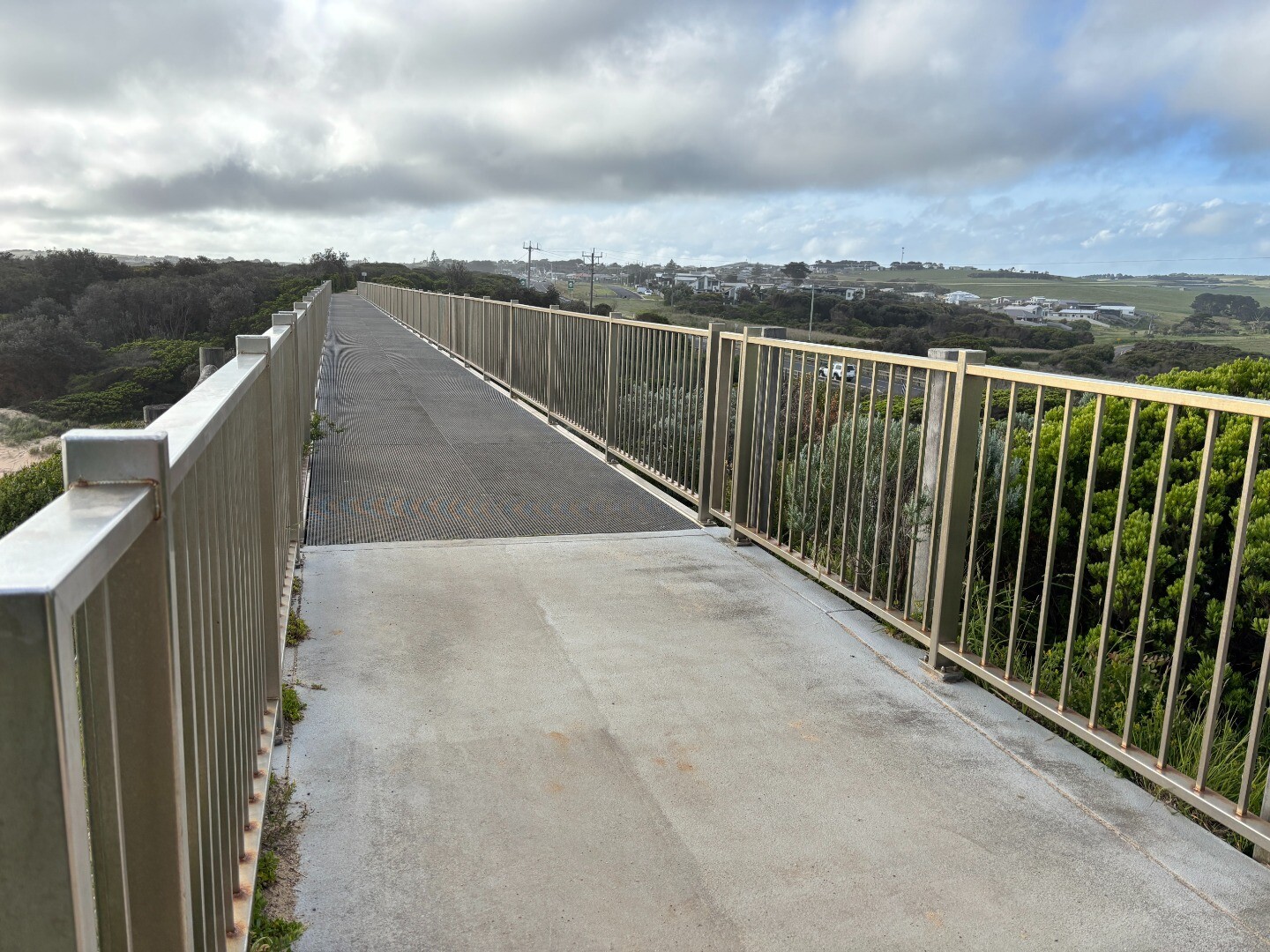
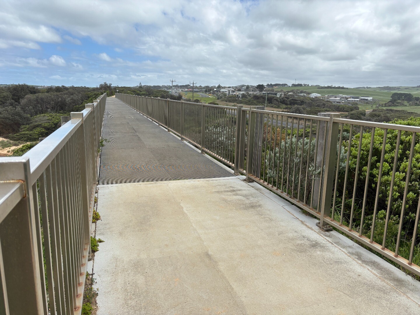
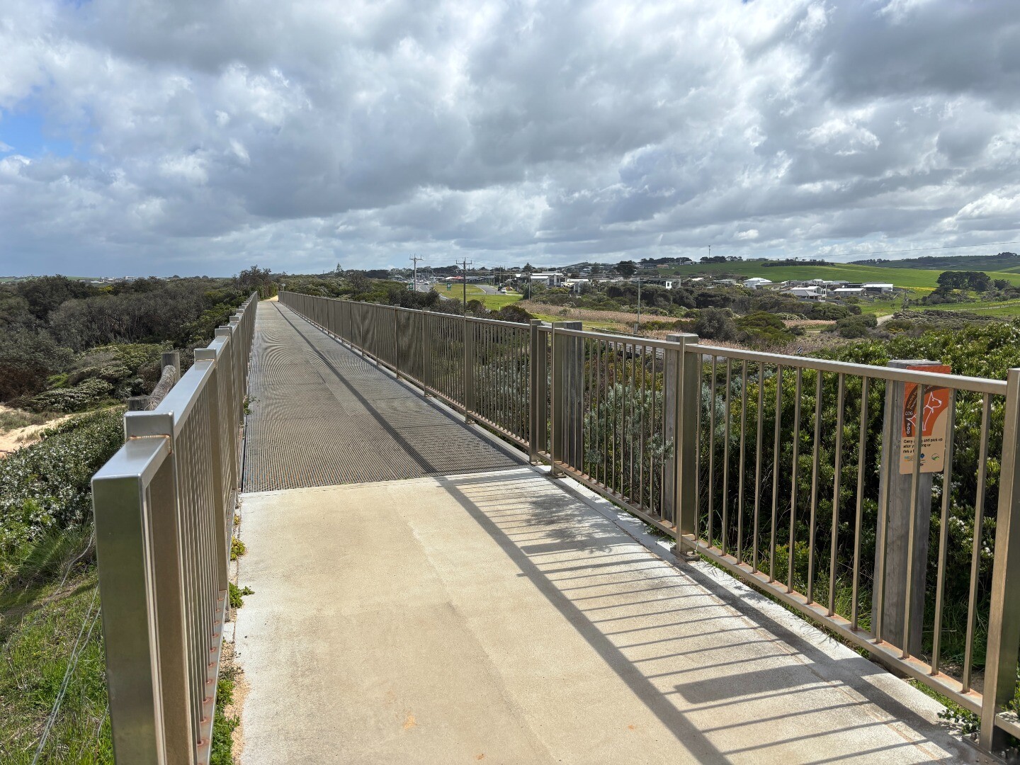
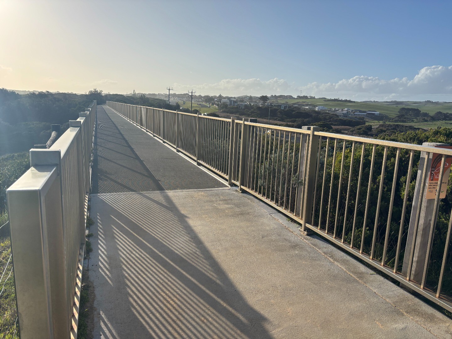
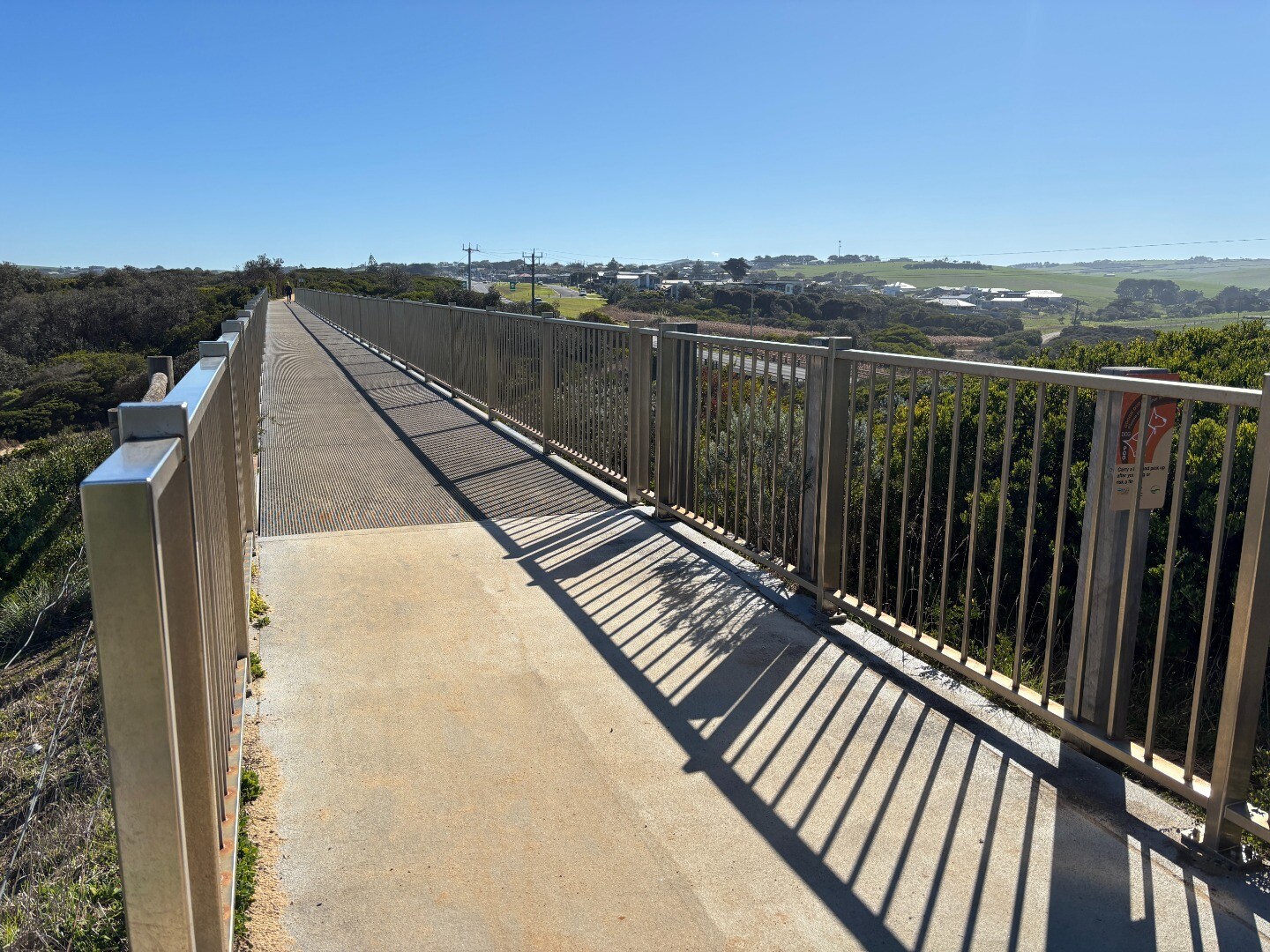
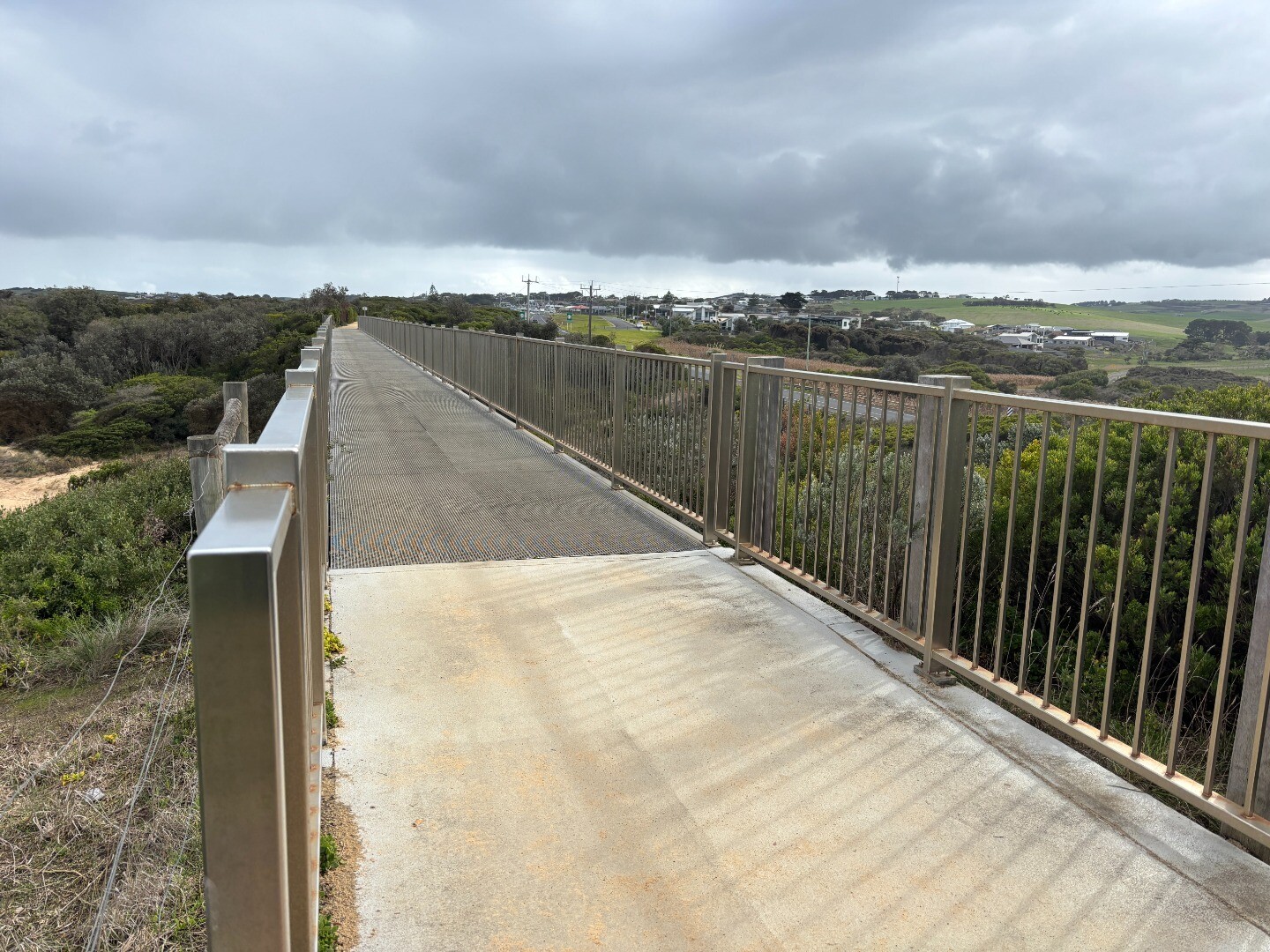
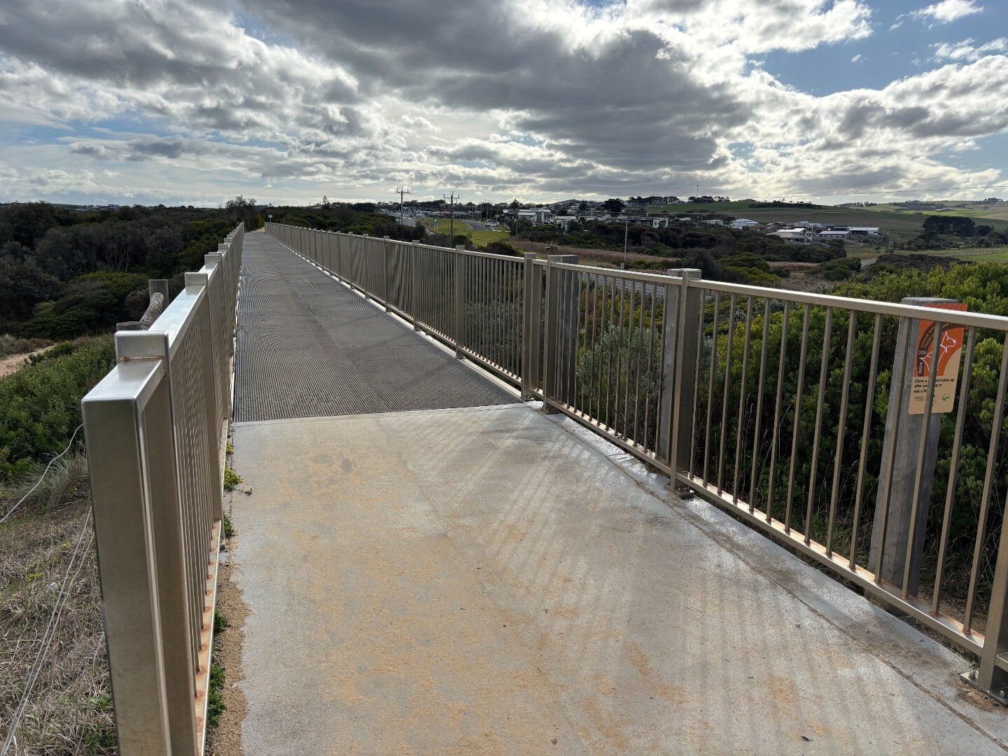
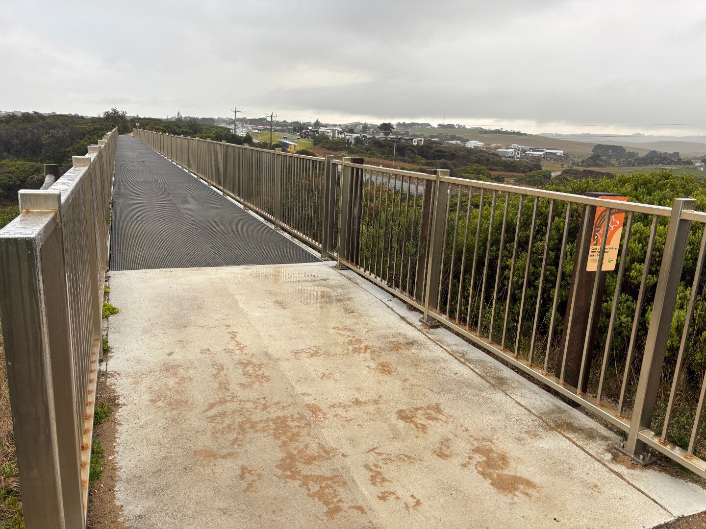
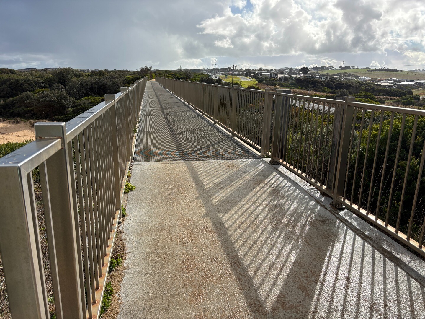
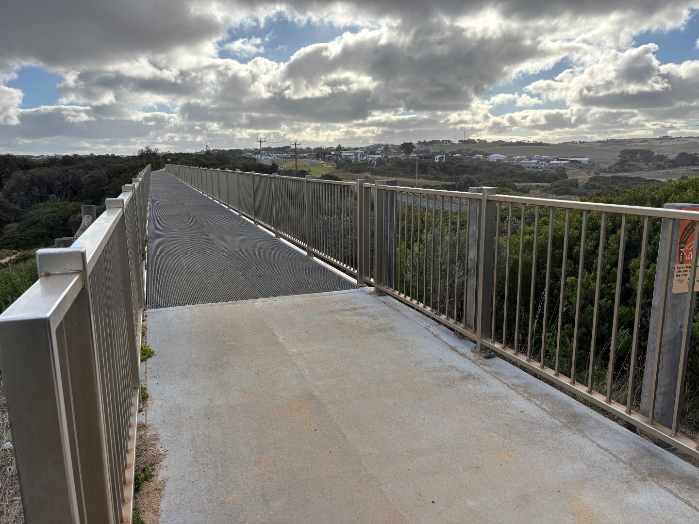
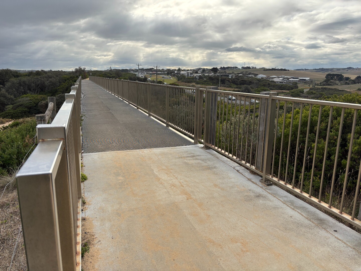
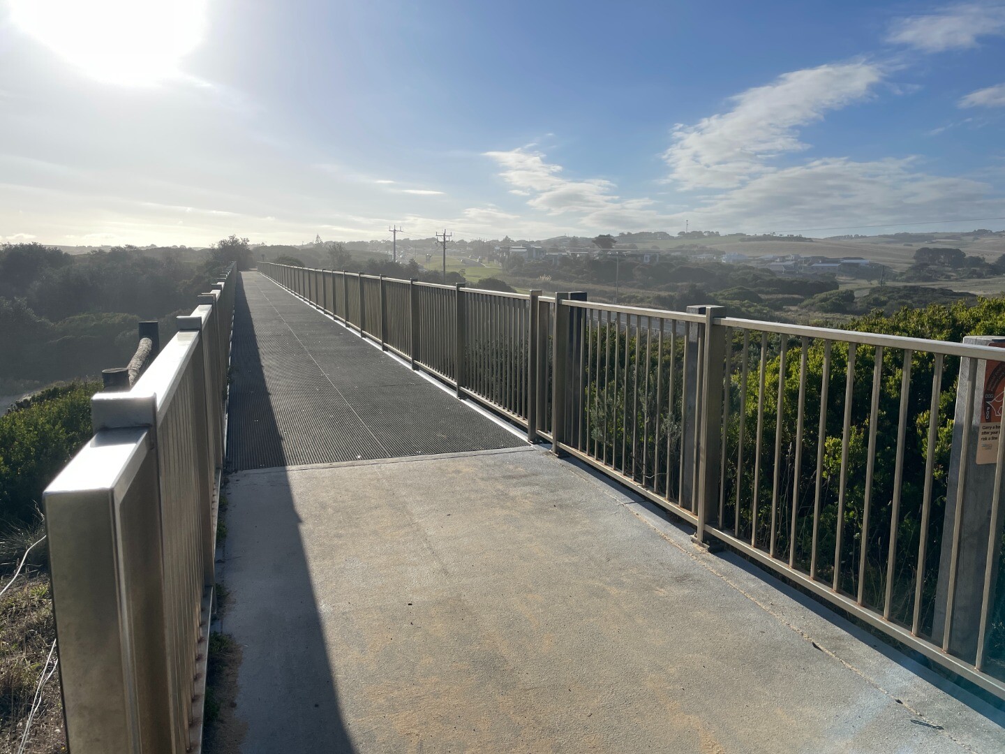
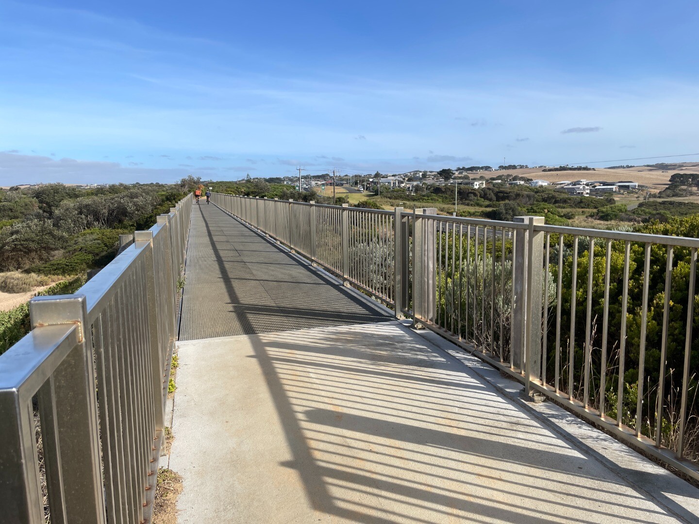
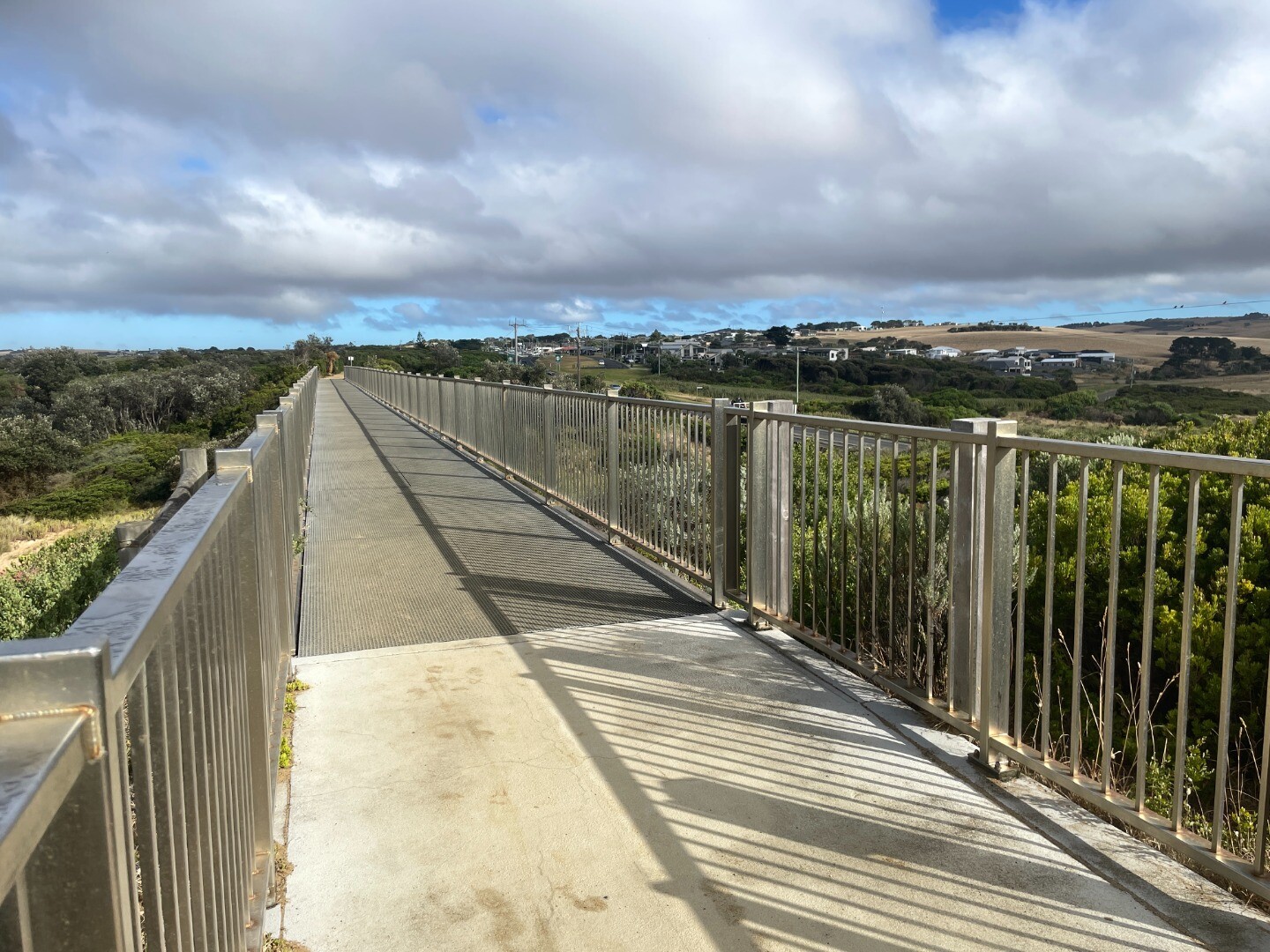
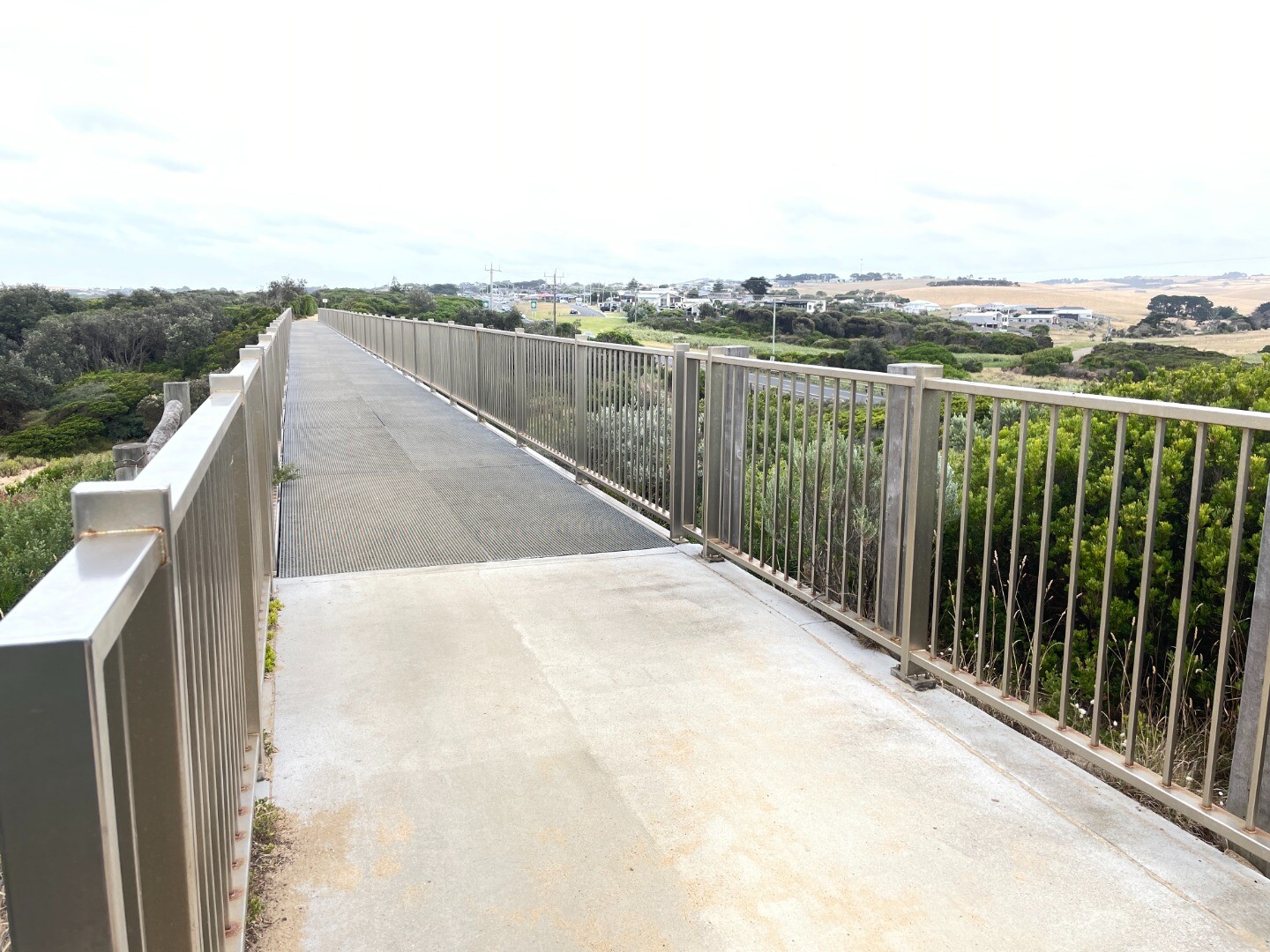
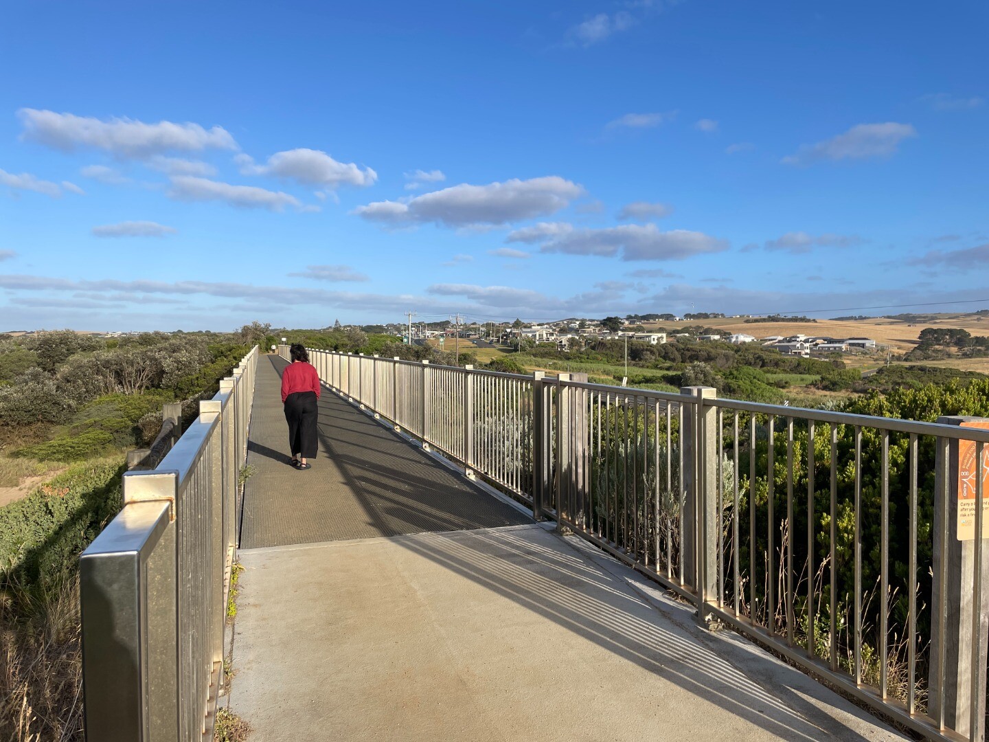
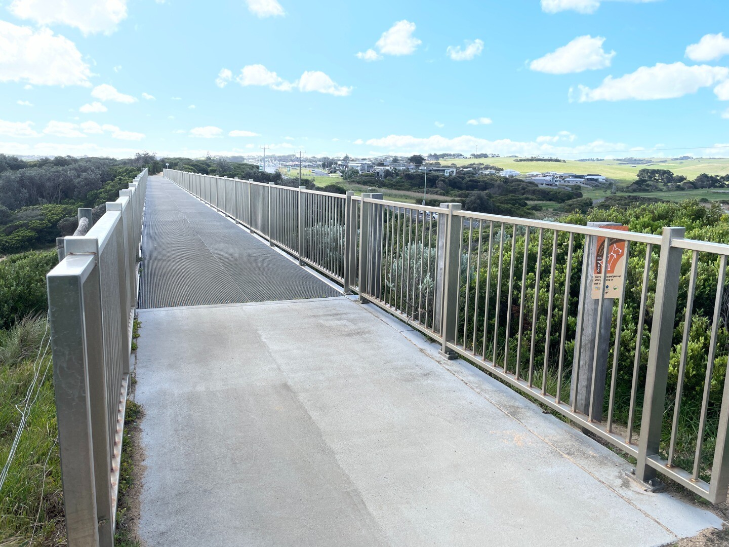
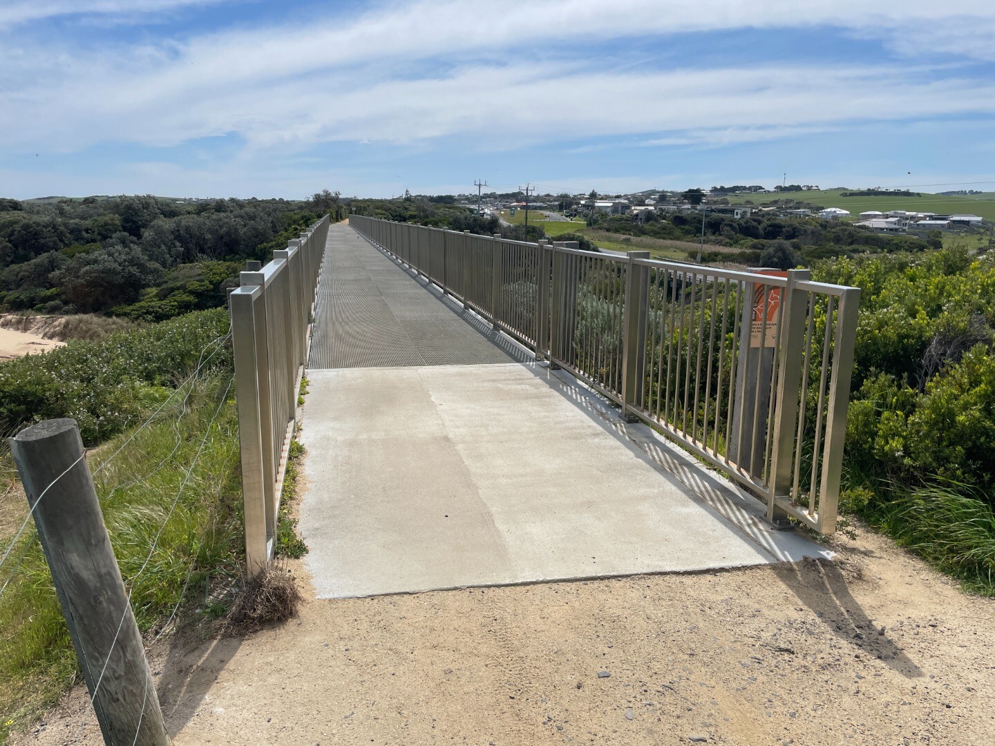
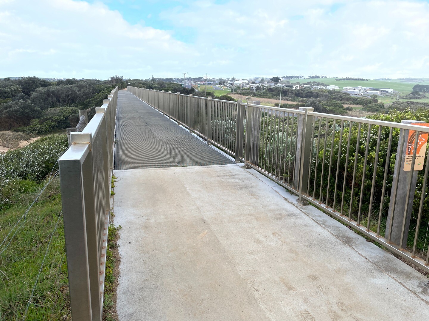
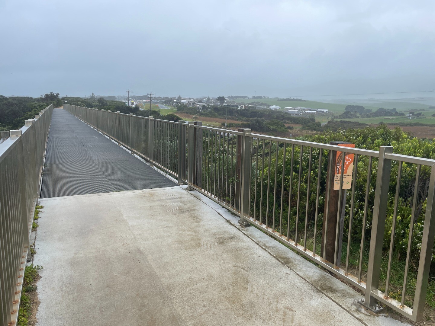
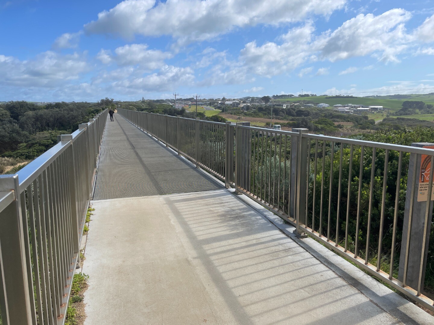
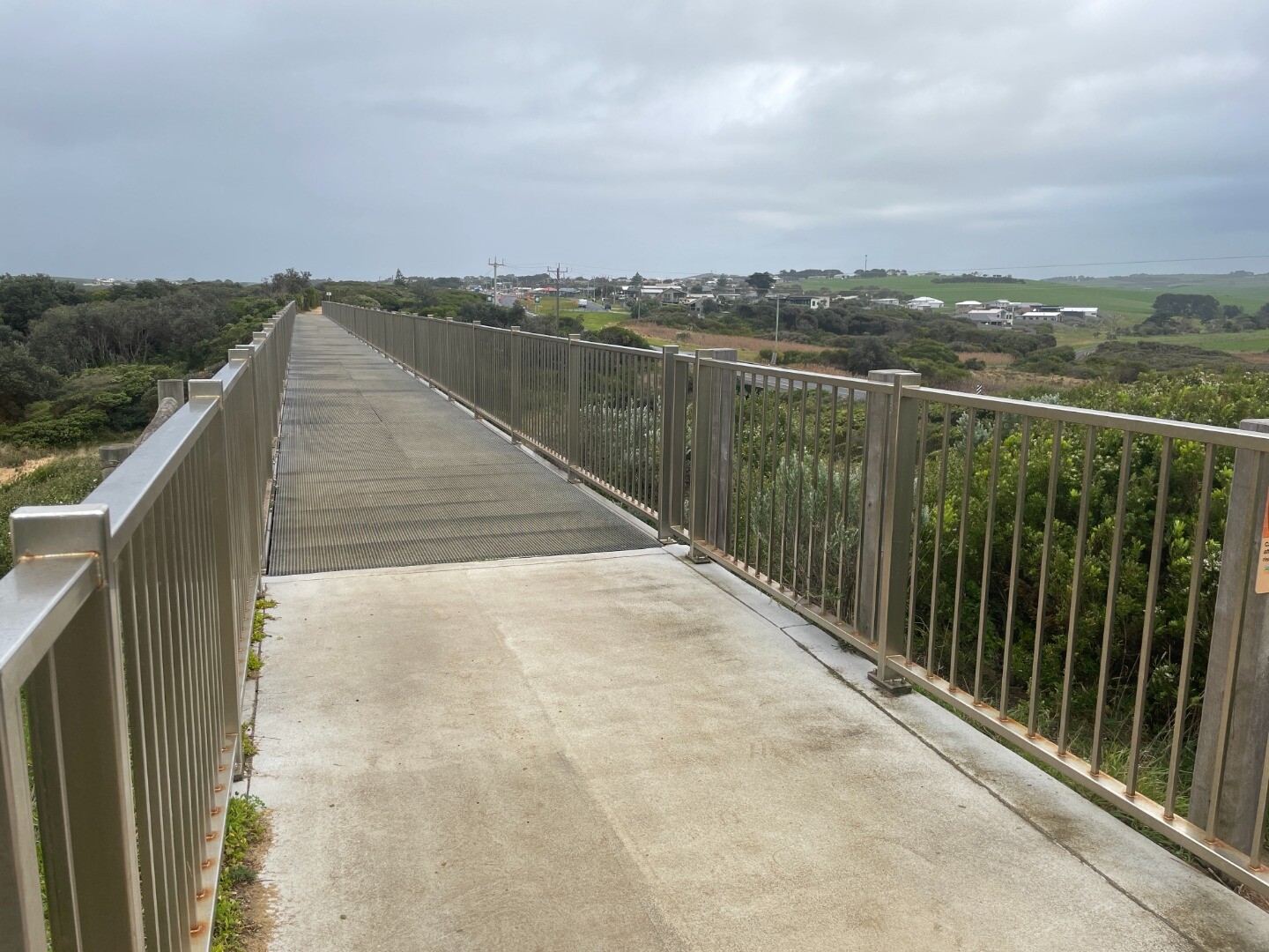
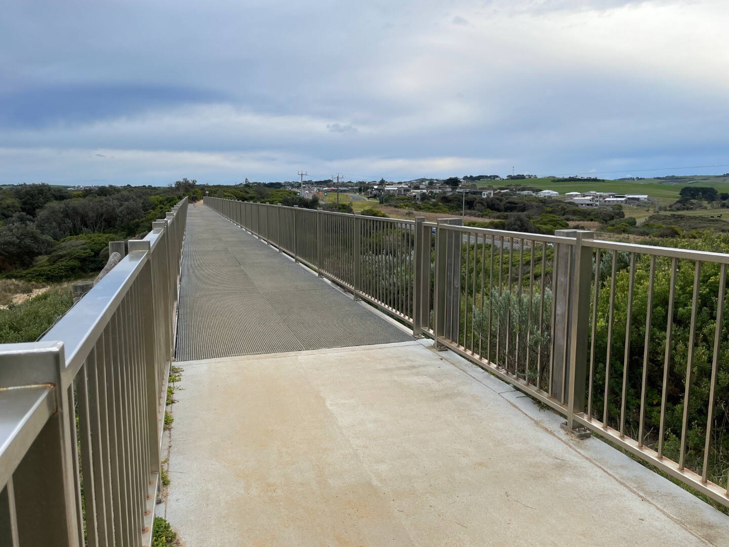
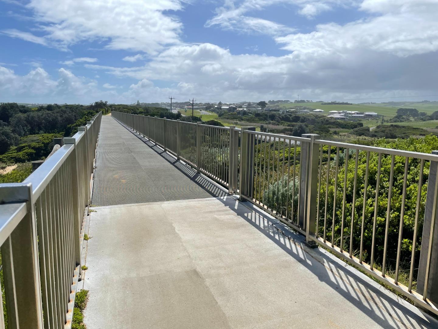
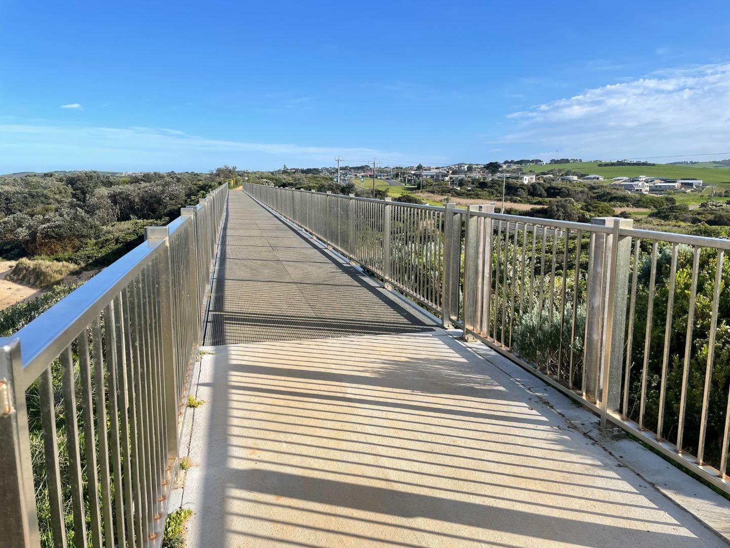
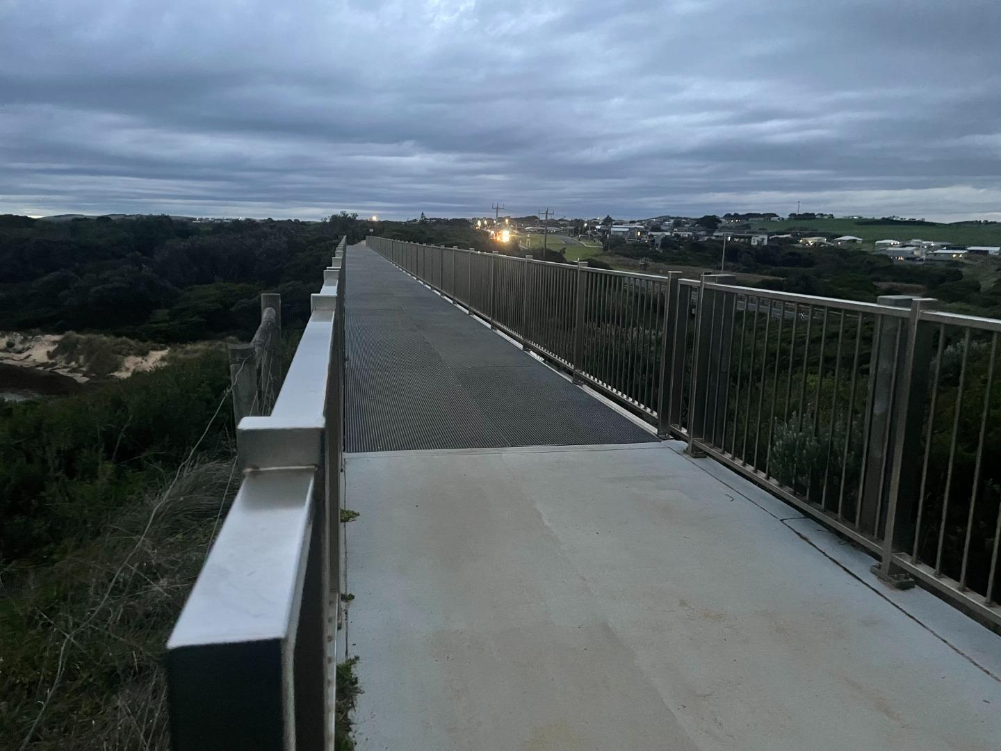
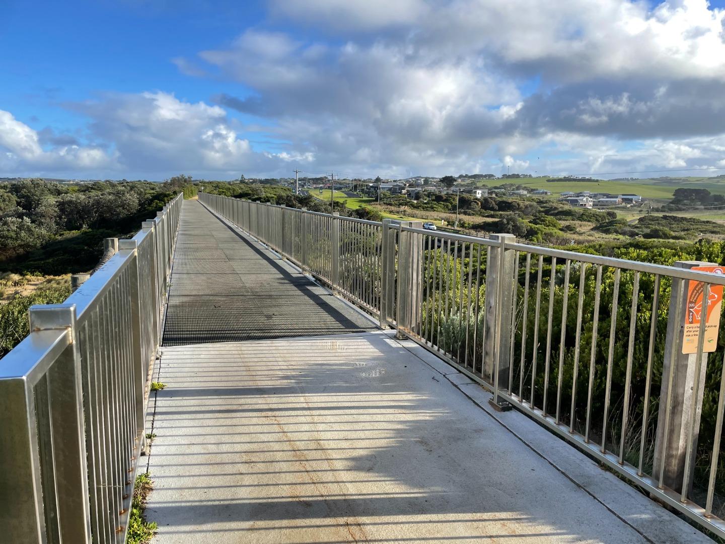
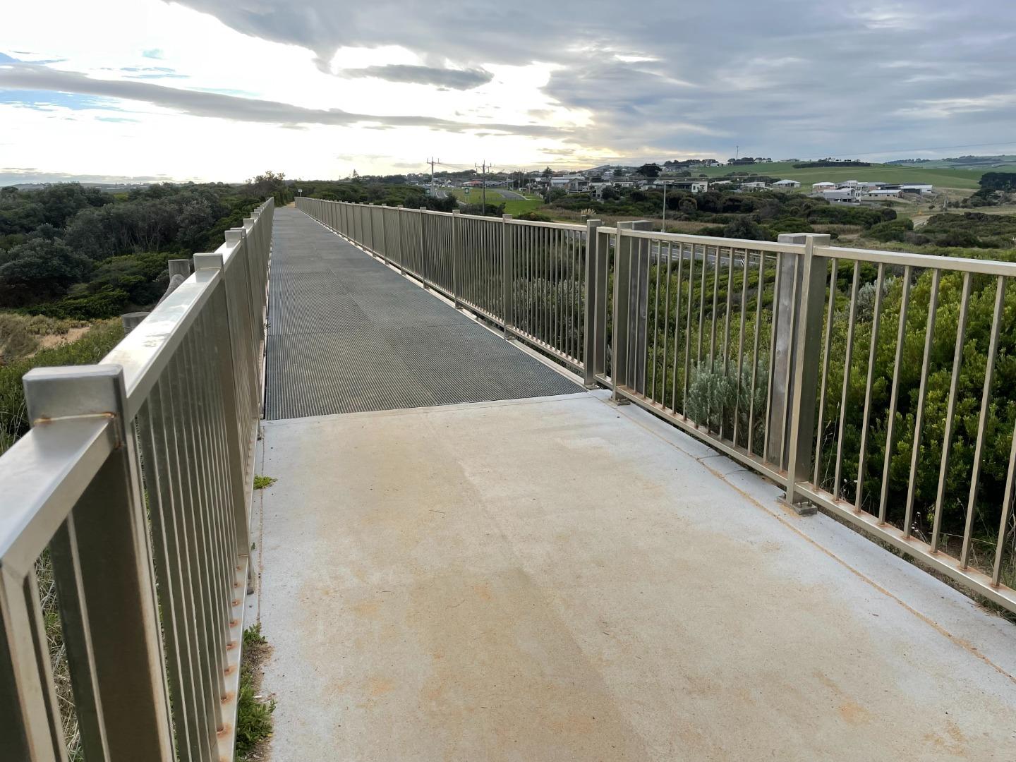
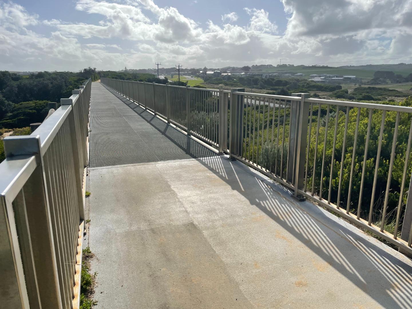
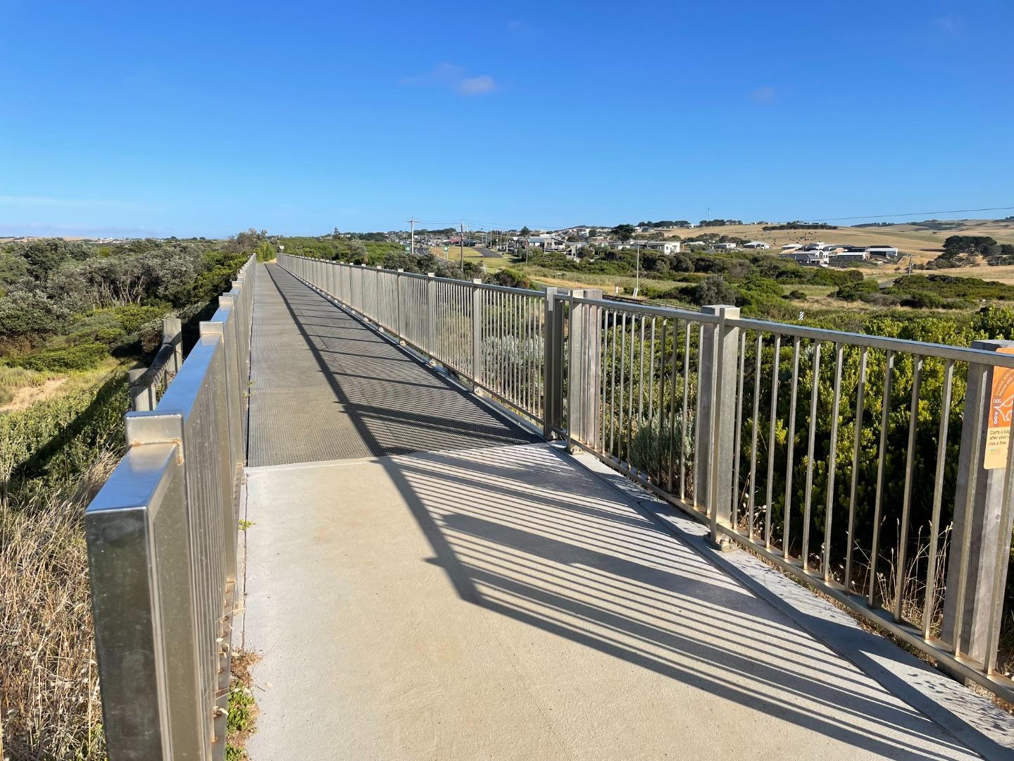
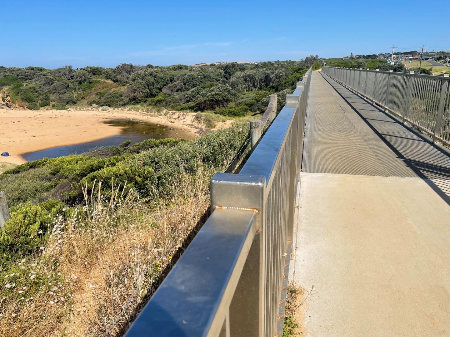
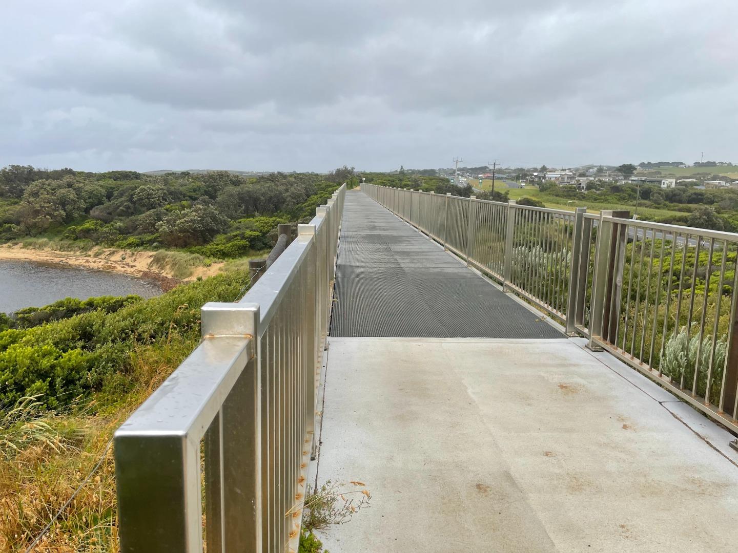
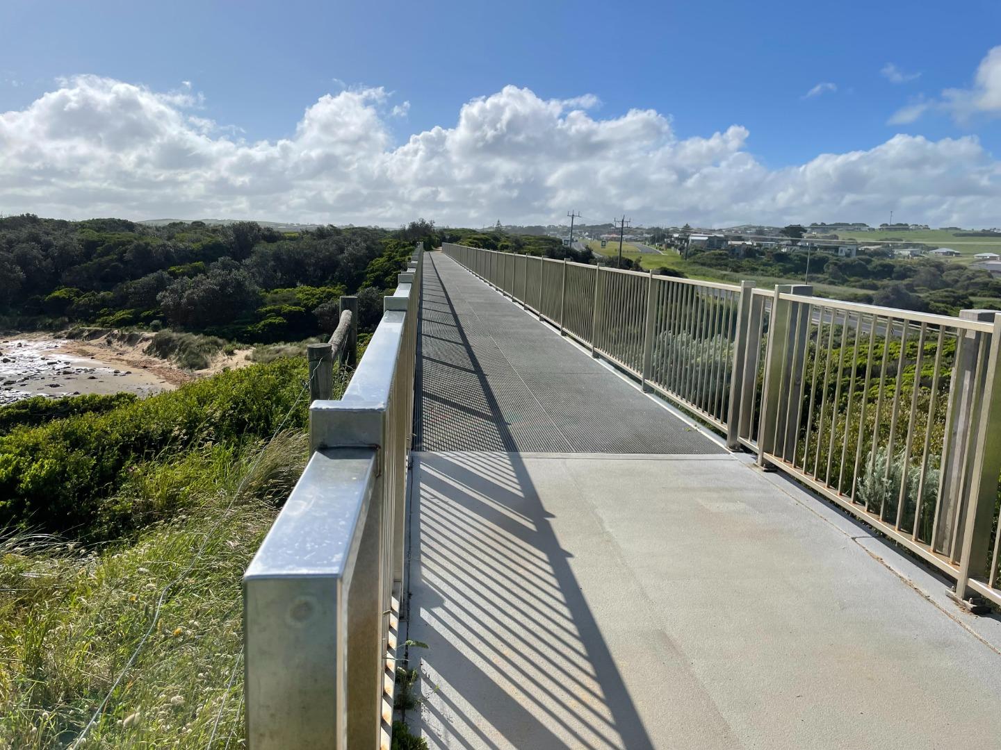
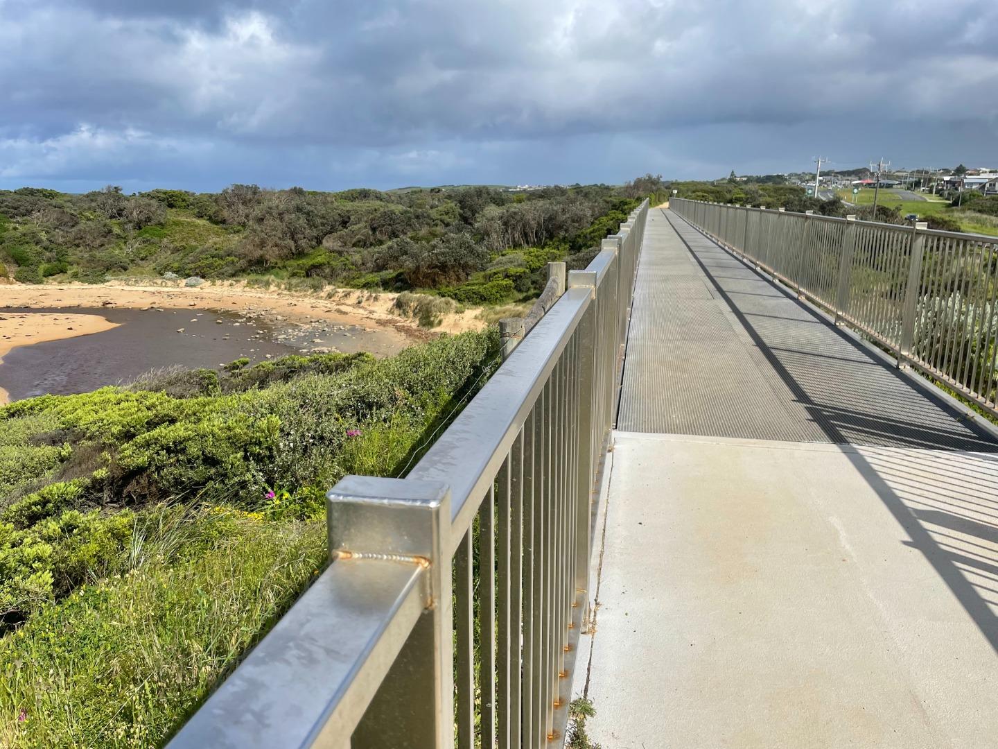
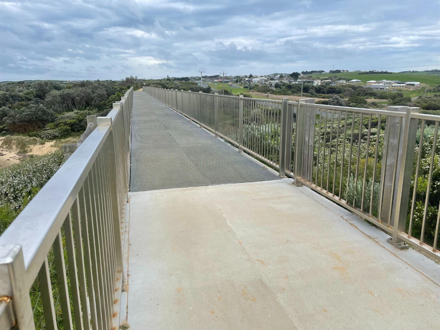
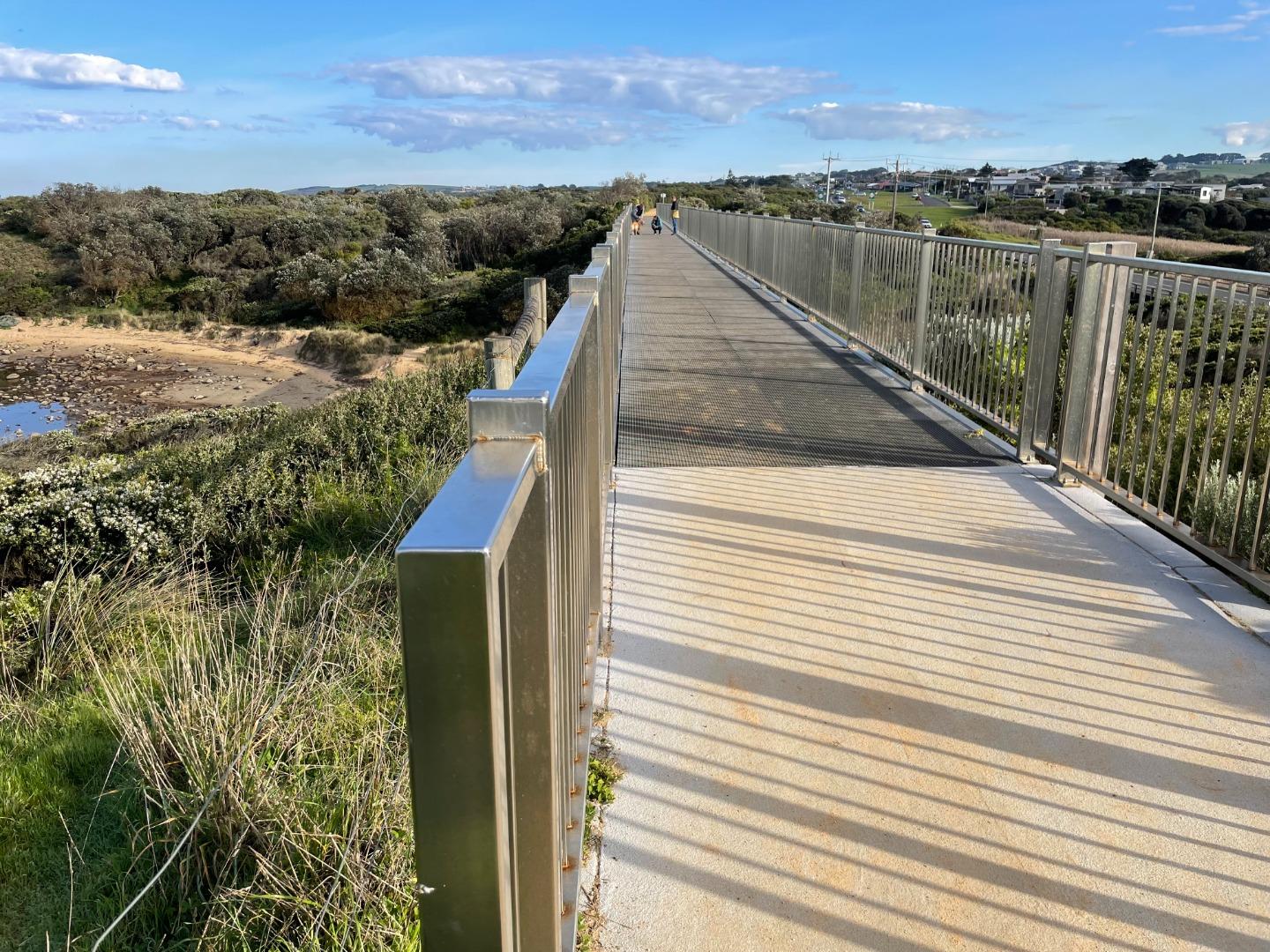
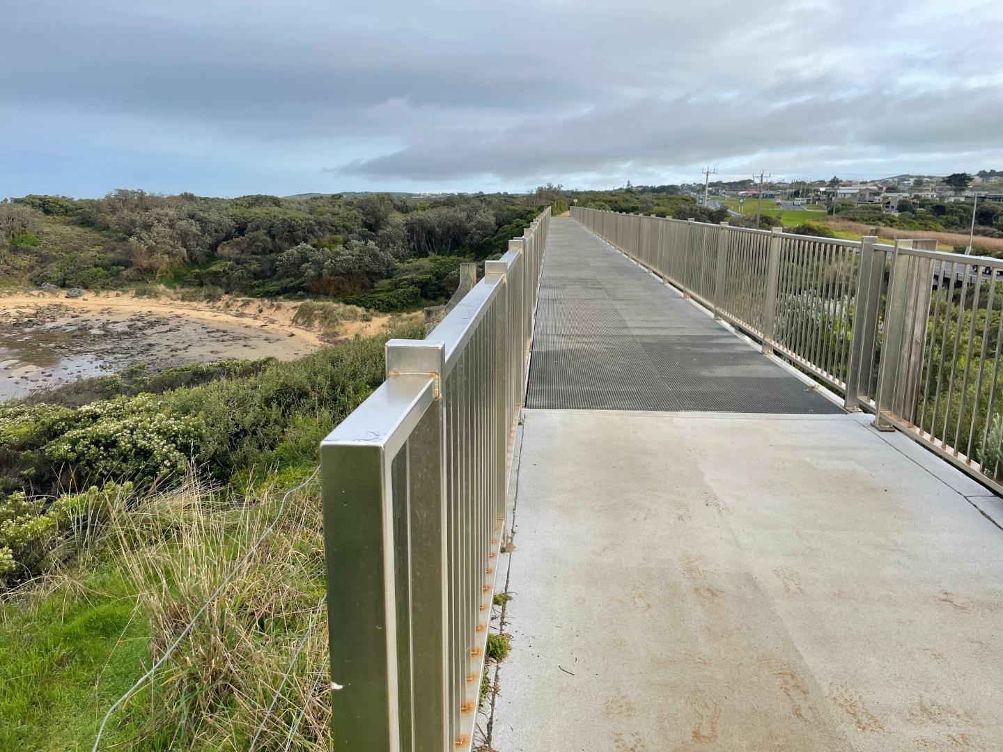
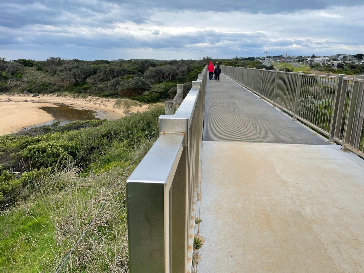
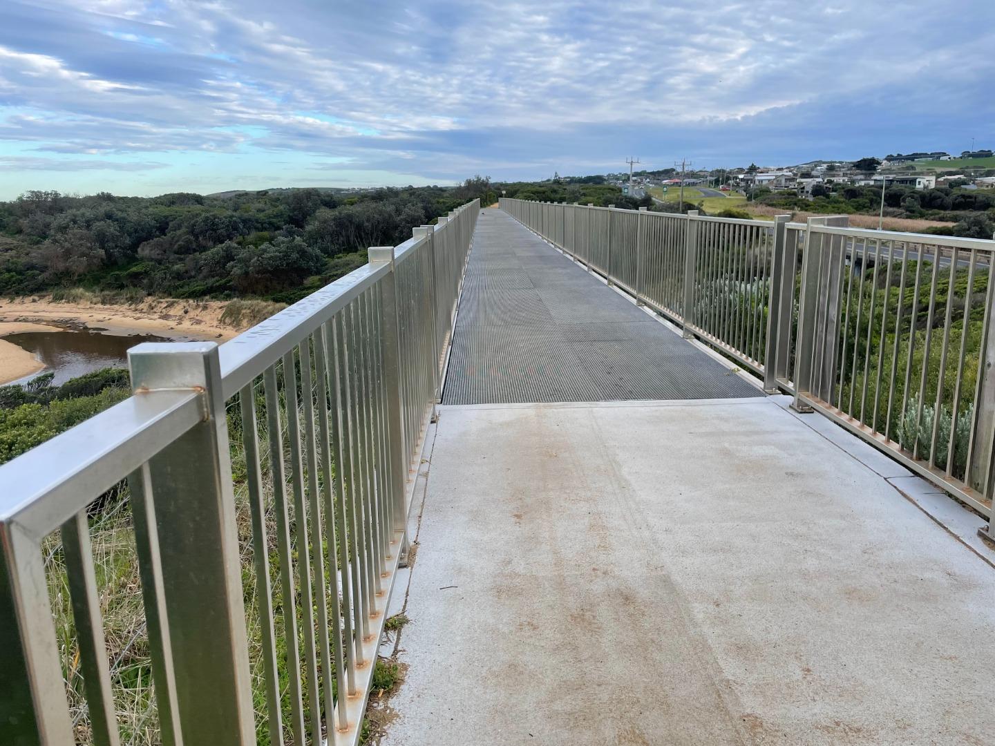
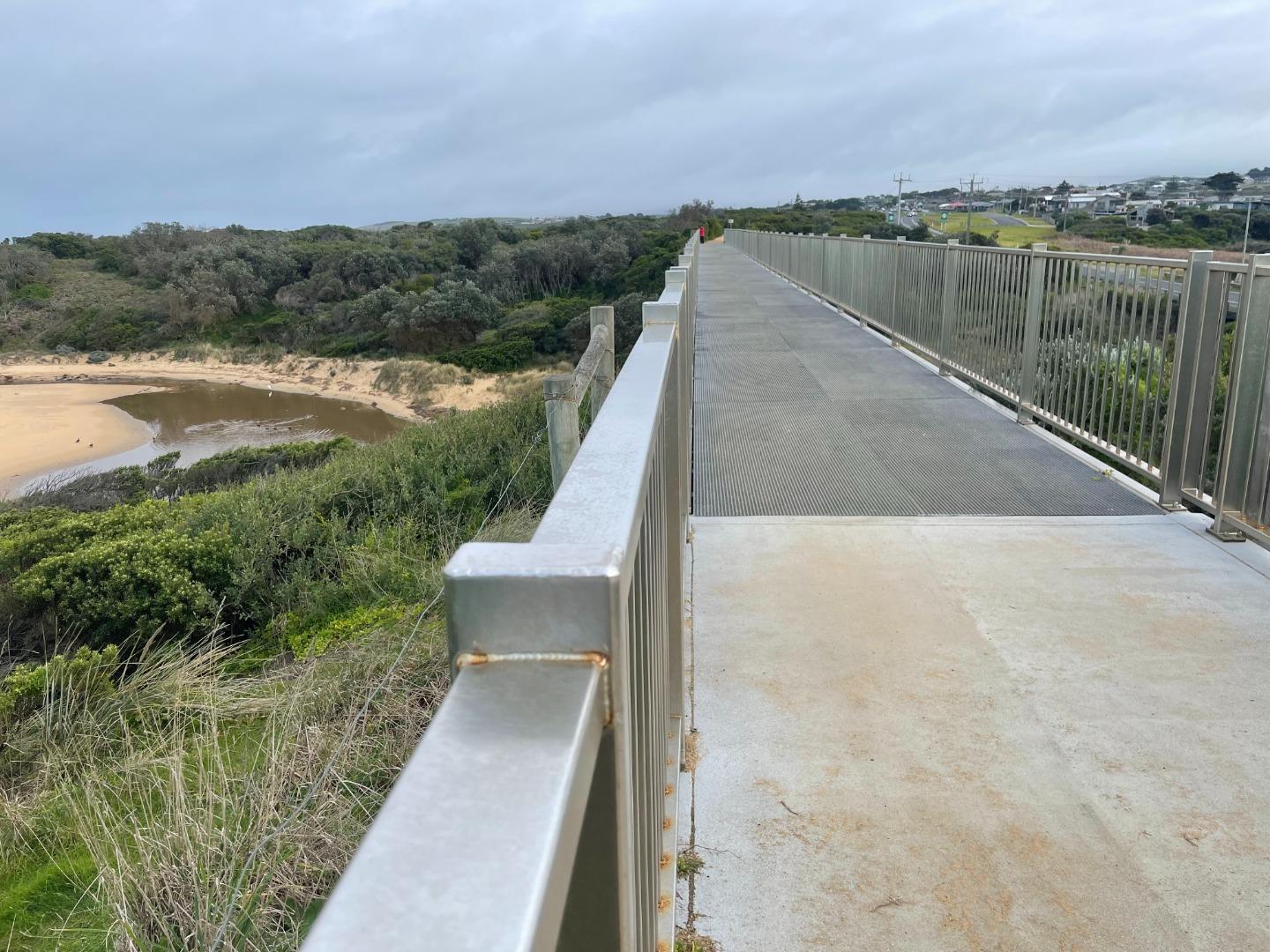
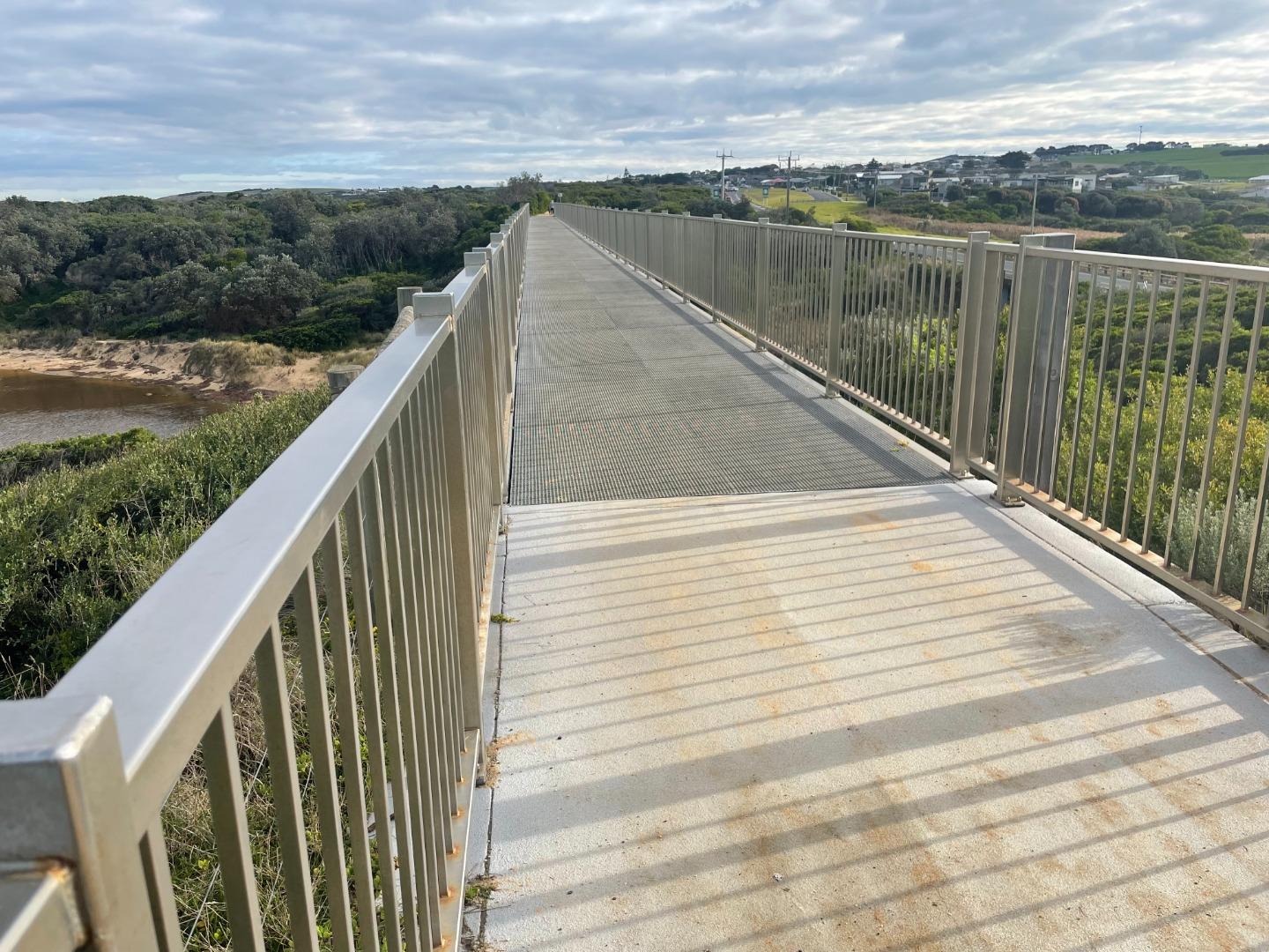
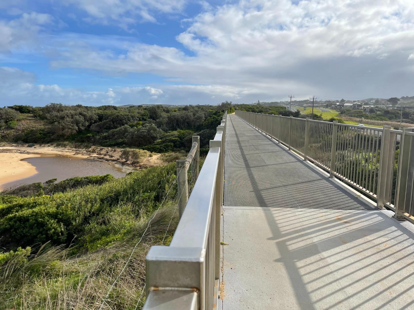
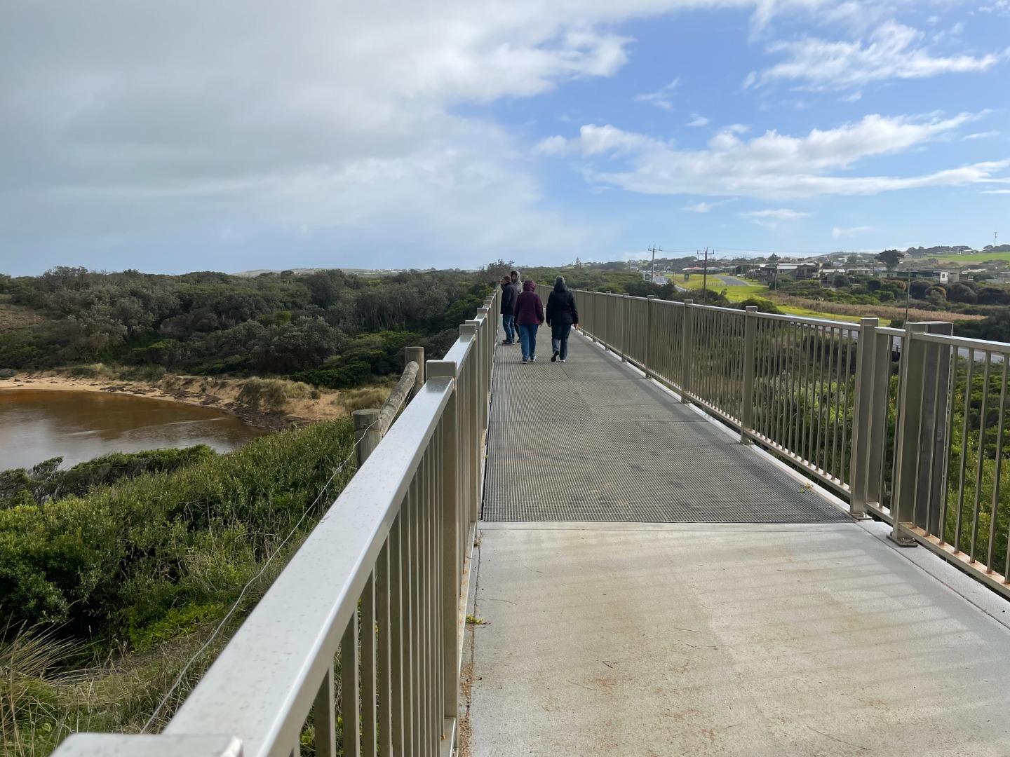
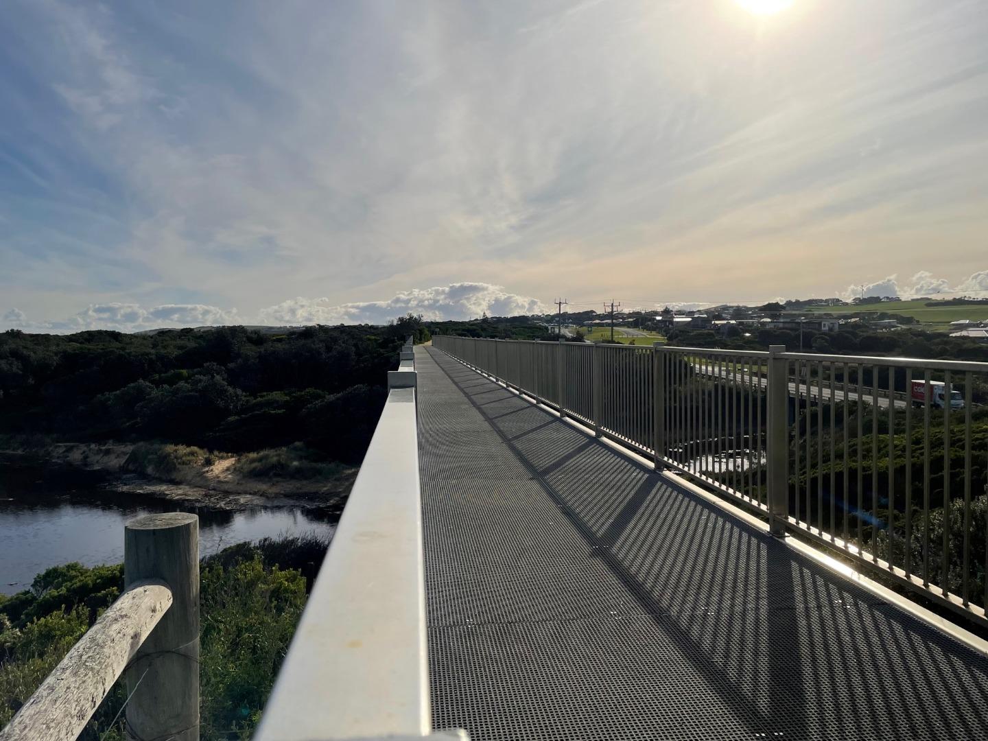
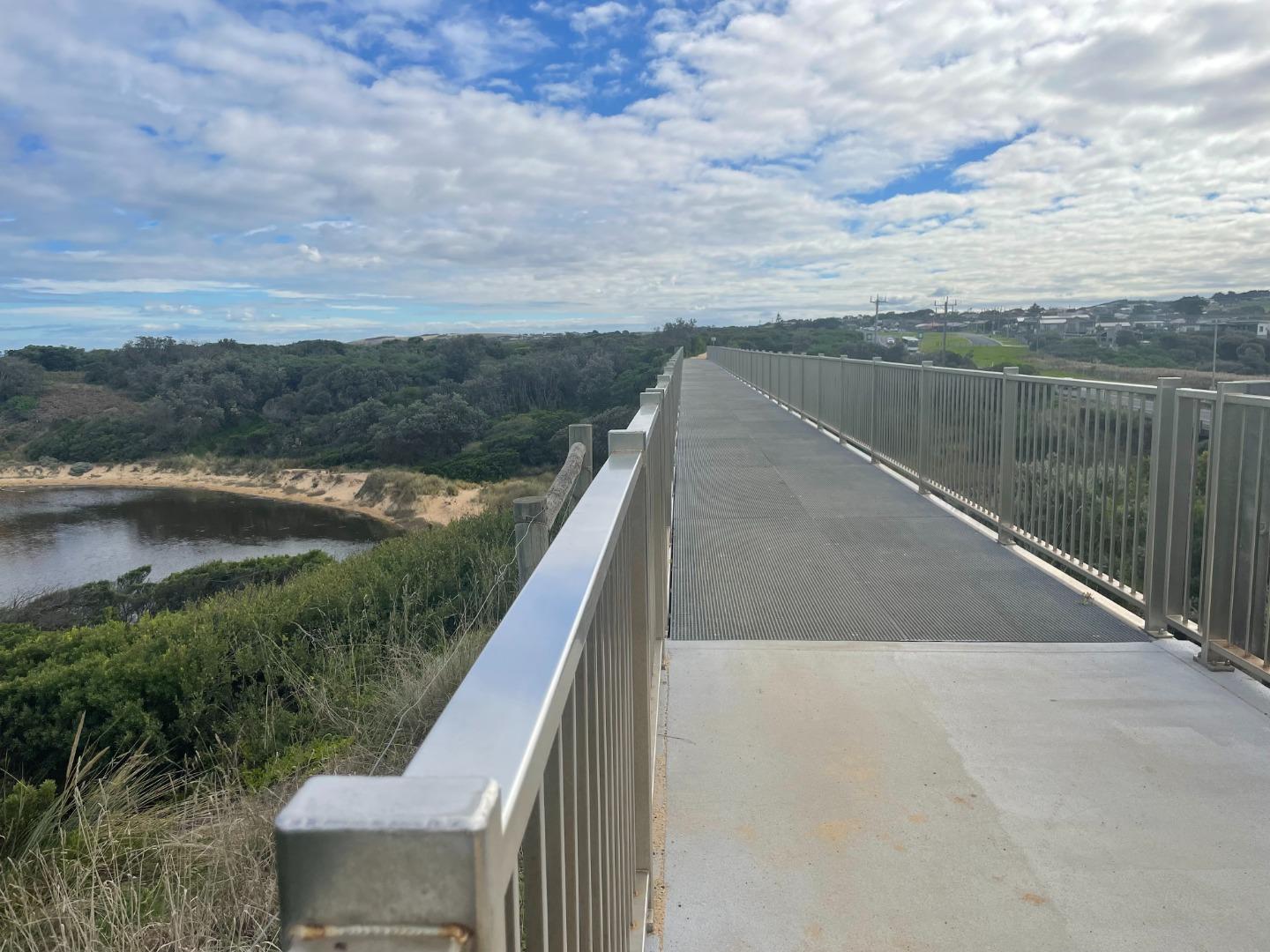
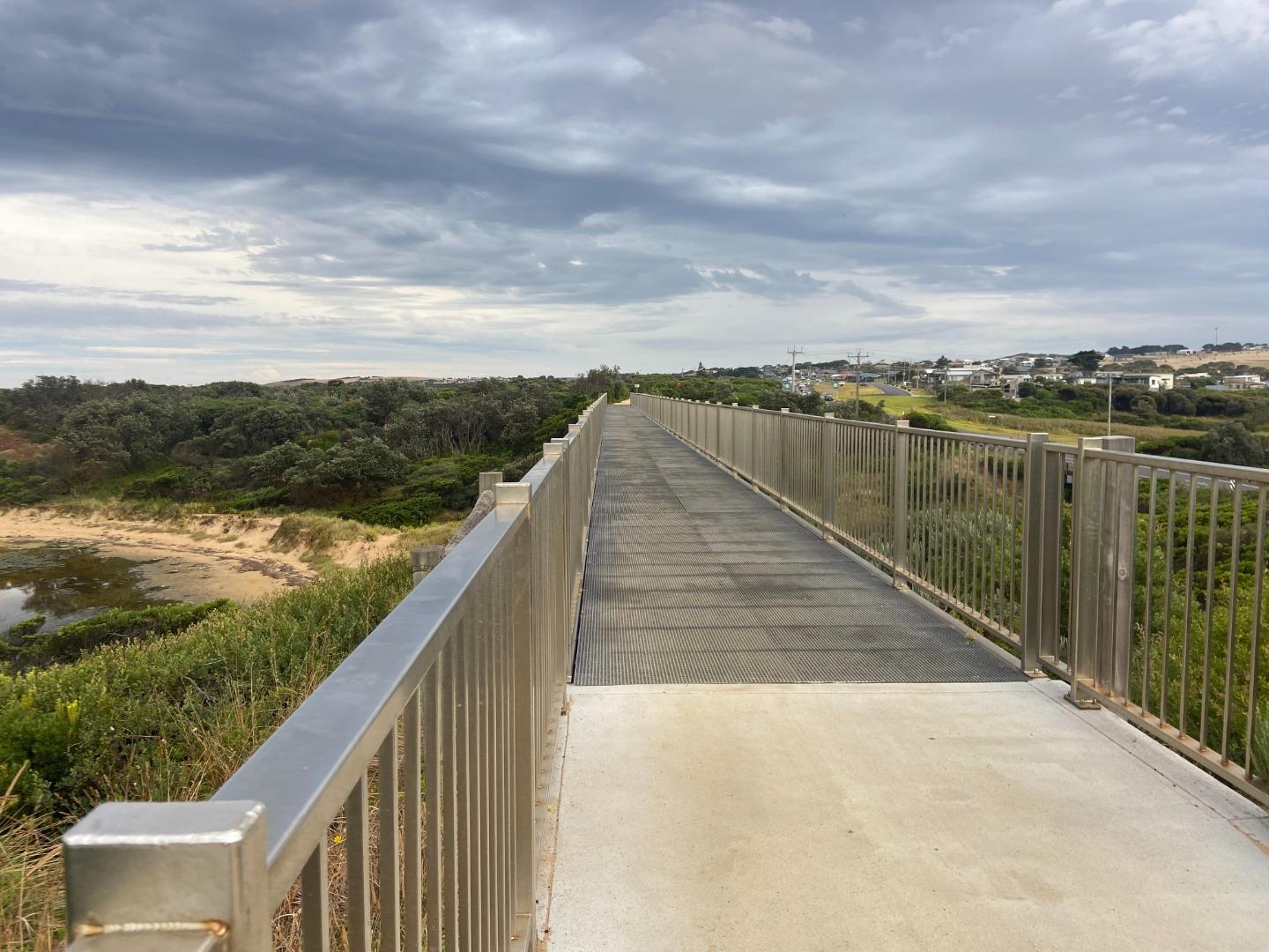
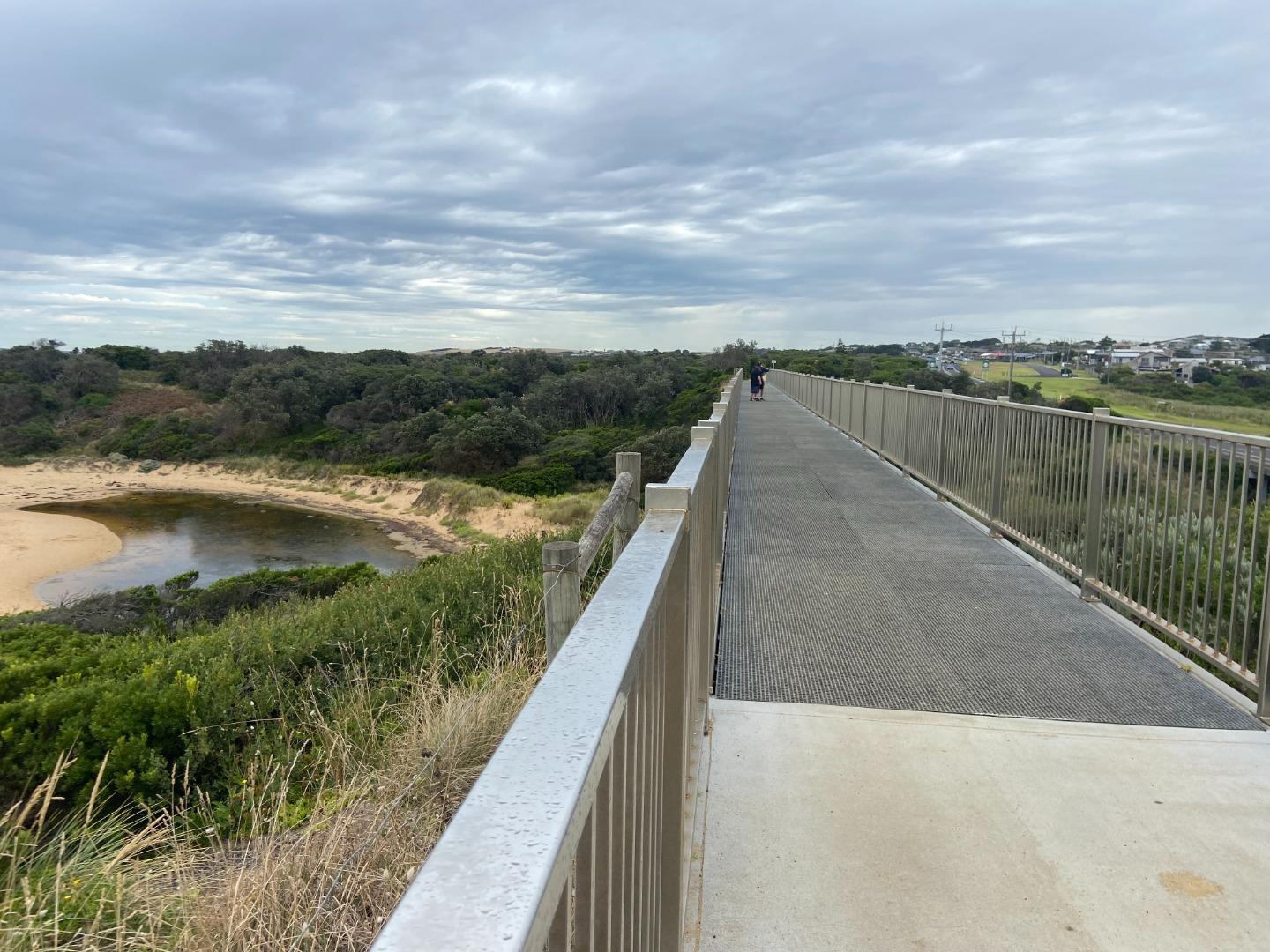
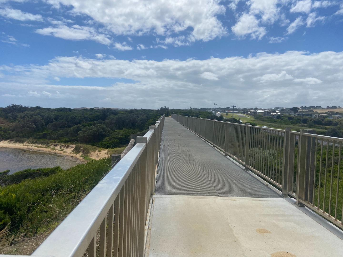
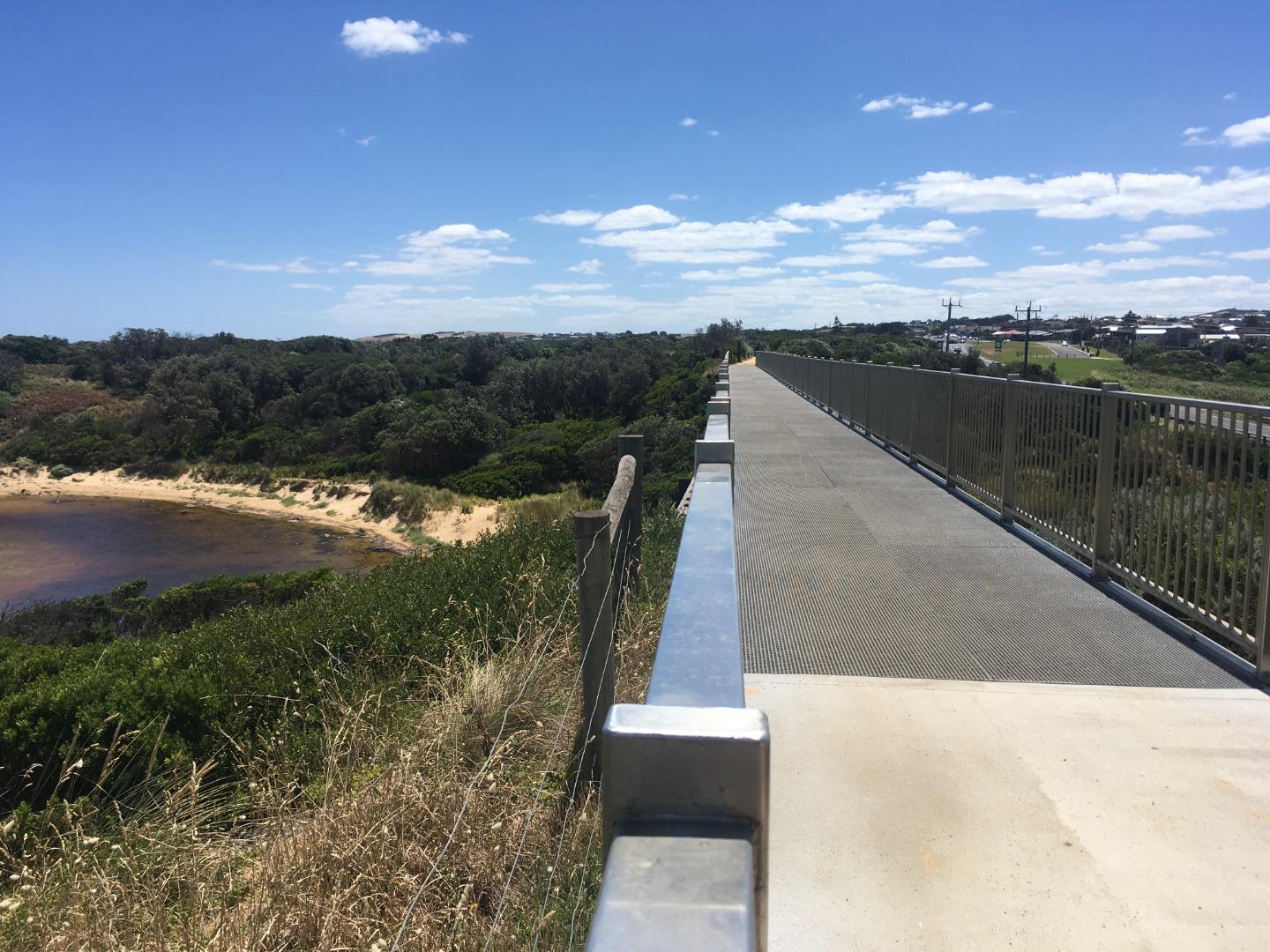
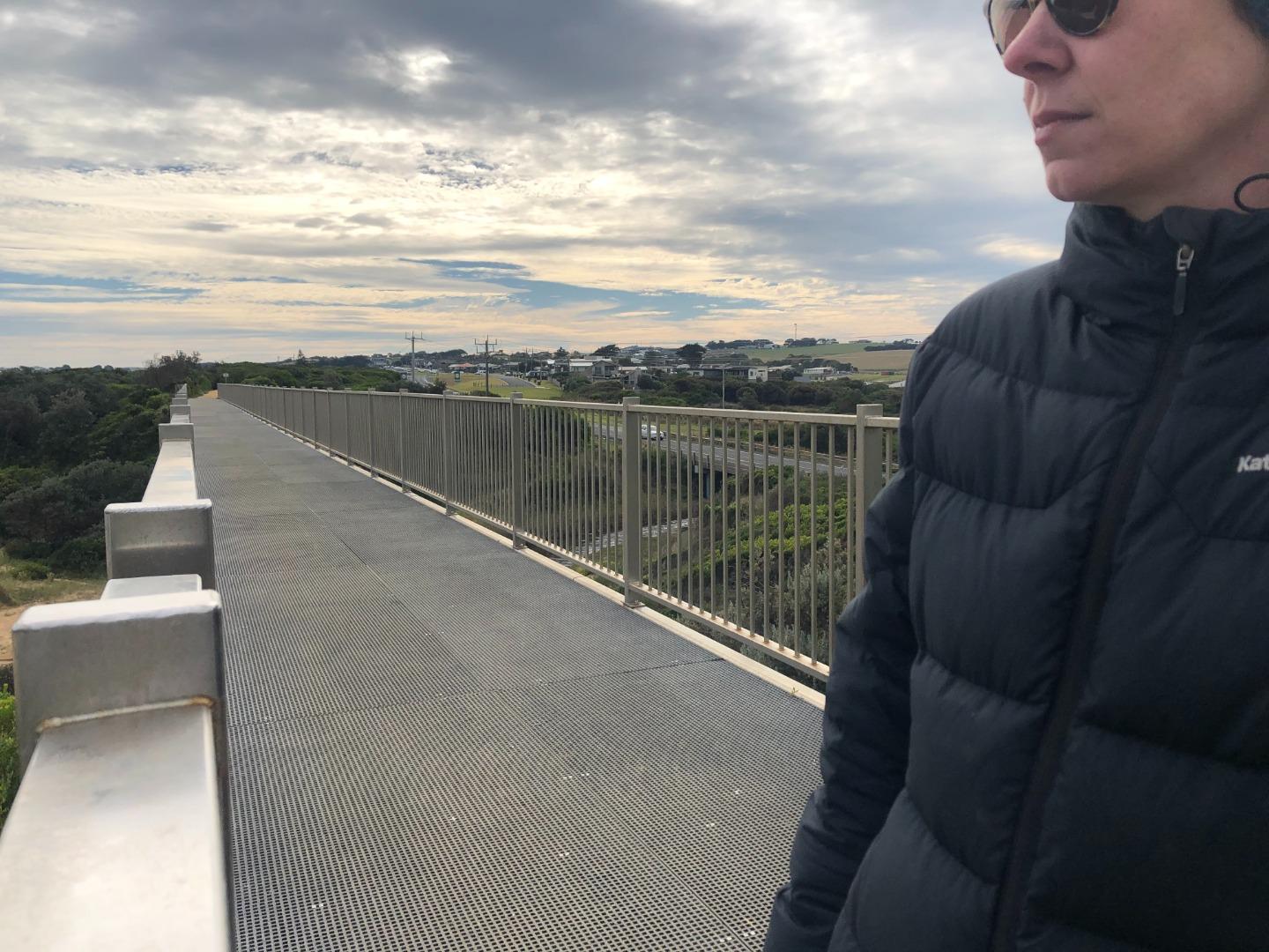
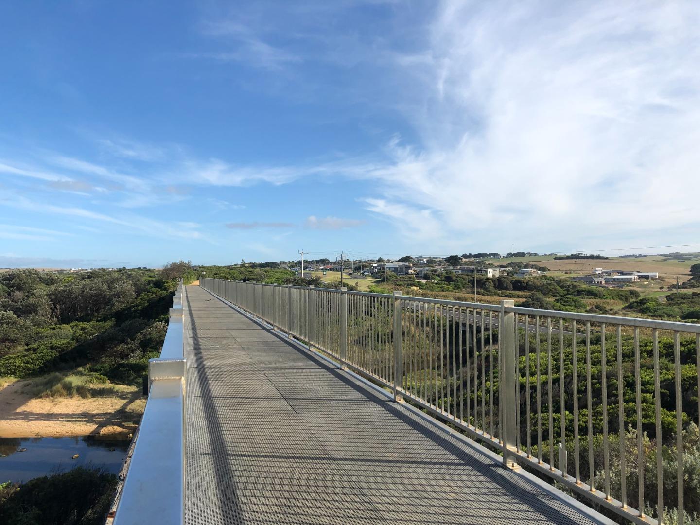
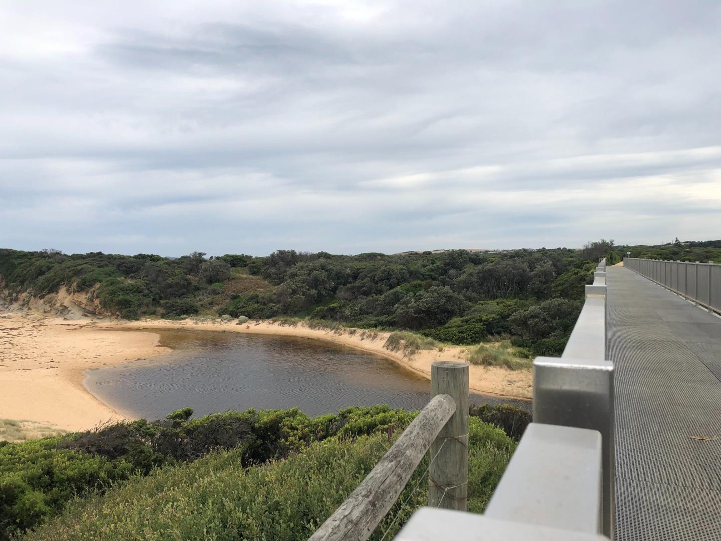
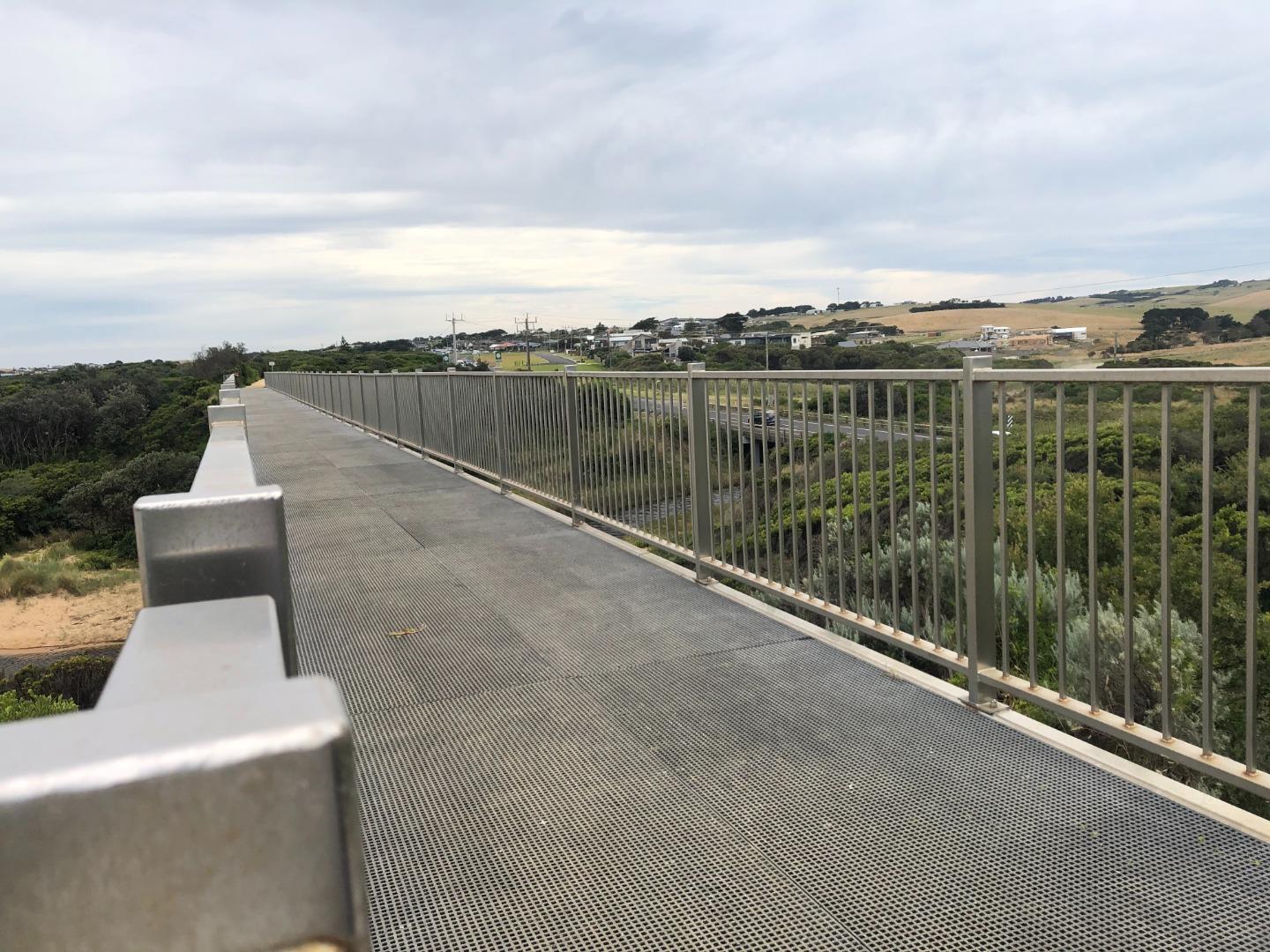
- The old trestle bridge that goes over Bourne Creek is a tourist attraction and popular amongst photographers.
Estuary Threats
Unpermitted estuary entrance openings, growing populations, changes in water regimes, high levels of sediment and nutrients, pollution events, habitat modification, land reclamation, Invasion by weeds and pest animals, salinisation and acidification, bank instability, livestock access and altered marine exchange.
Recent Events
| Event Details |
|---|
| 11-02-2025 Blue Green Algae Bloom A Blue Green Algal bloom was confirmed after testing by SGW at Bourne Creek estuary. Birds seem to still be using the estuary upstream of Bass Highway and no dead fish have been spotted to date. First photo is from 11/02/25 and second photo is from 03/03/25. 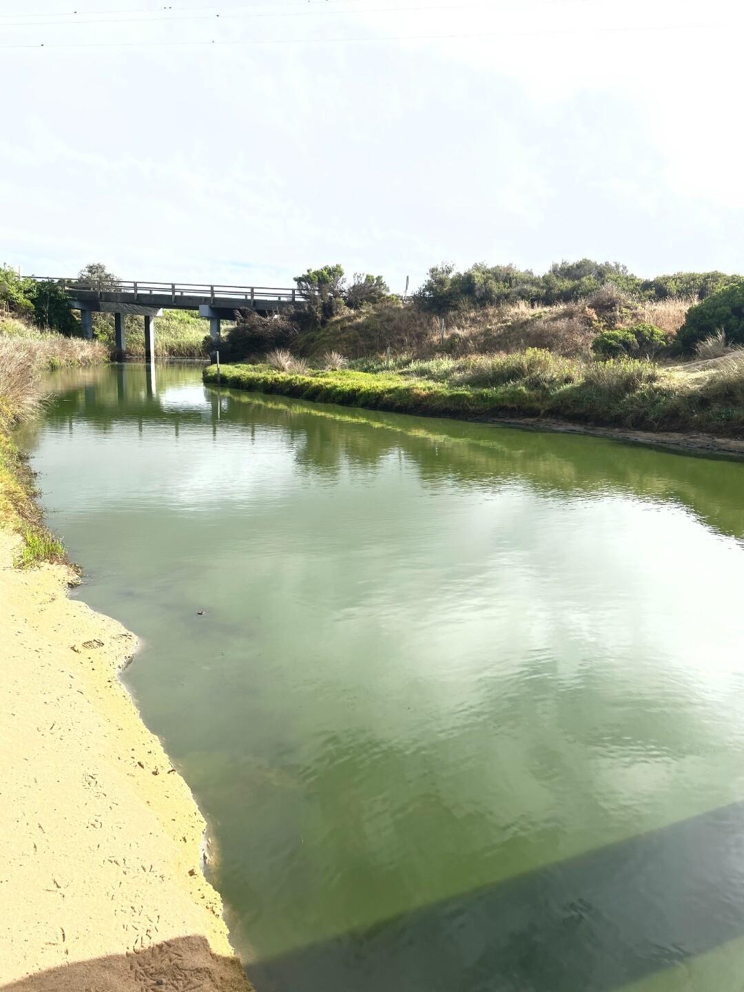
|
| 03-09-2024 Estuary Entrance Opening An artificial opening was approved to go ahead at Bourne Creek estuary after water levels reached 2.56mAHD which was enough to inundate the emergency lane of Bass Highway. The next morning water levels had dropped 10cm and water levels are expected to drop further during the week 

|
| 02-04-2024 Estuary Entrance Opening After 77mm rain over April 2-3, Bourne Creek naturally opened to the ocean. 
|
Sites
Bo1 |
Bourne Creek Eastern Bank Phys/ChemActive Physico-Chemical 24-05-2016 - 27-10-2025Grassy bank 20 metres upstream of the Kilcunda Rail Trail Trestle bridge. Eastern bank of the creek. Observations 83 |
BoGB |
Bourne Creek Gauge BoardActive Gauge BoardBourne Creek gauge board located on the eastern bank downstream of Bass Highway bridge and upstream of trestle bridge. |
BoMC |
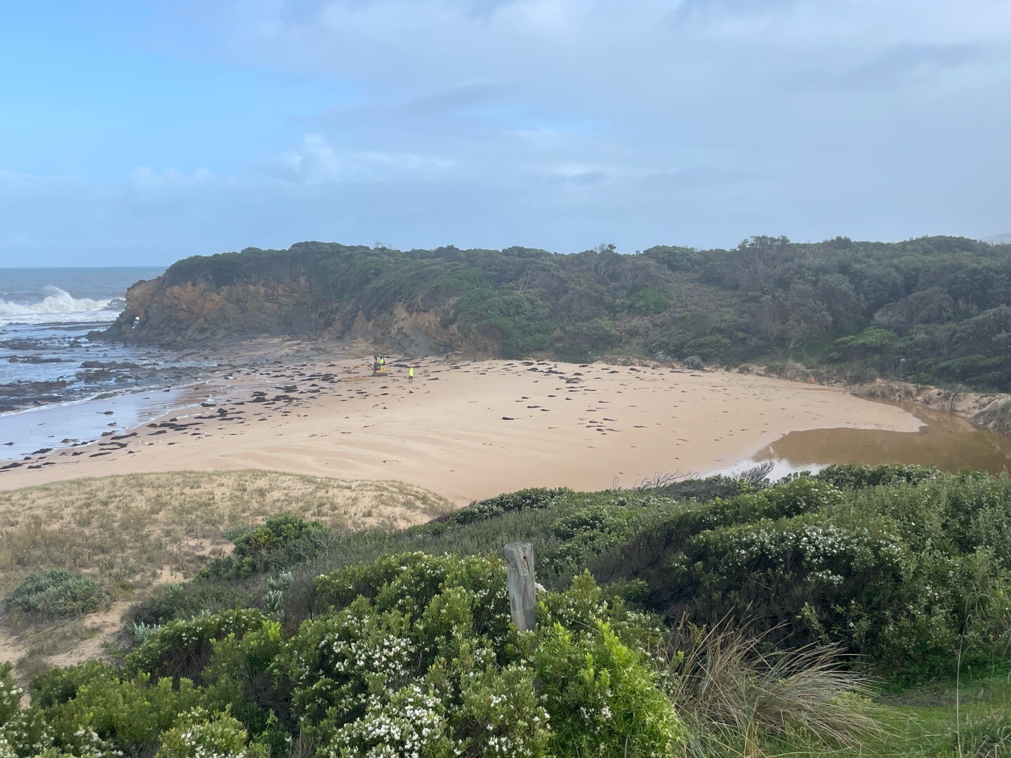
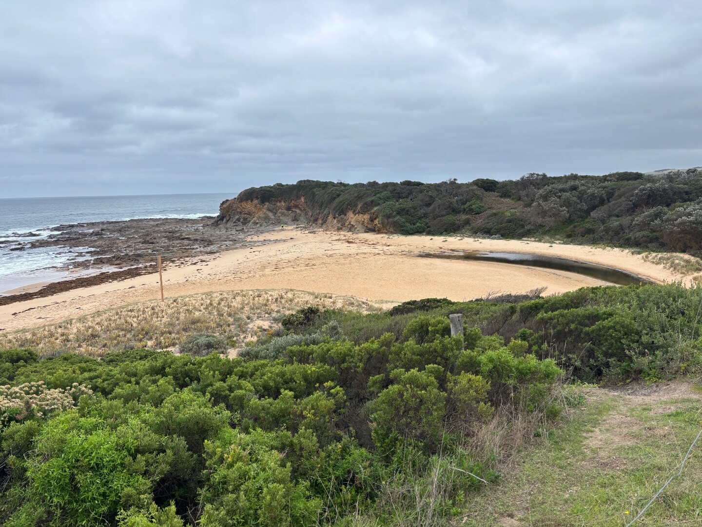
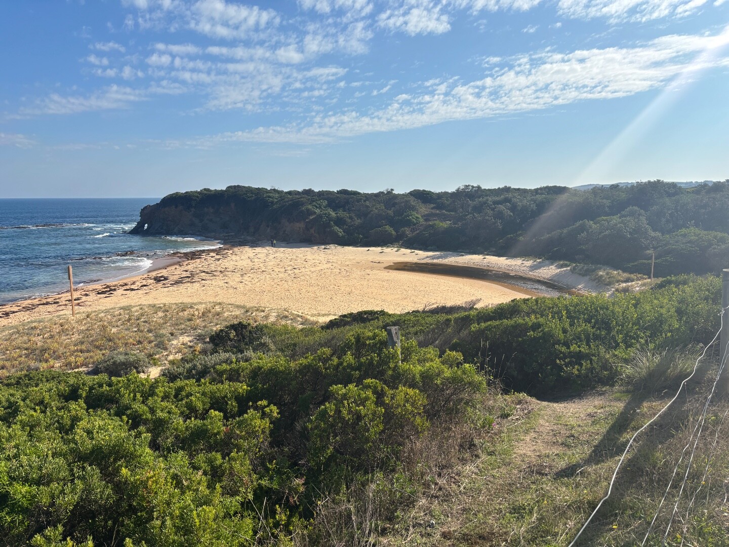
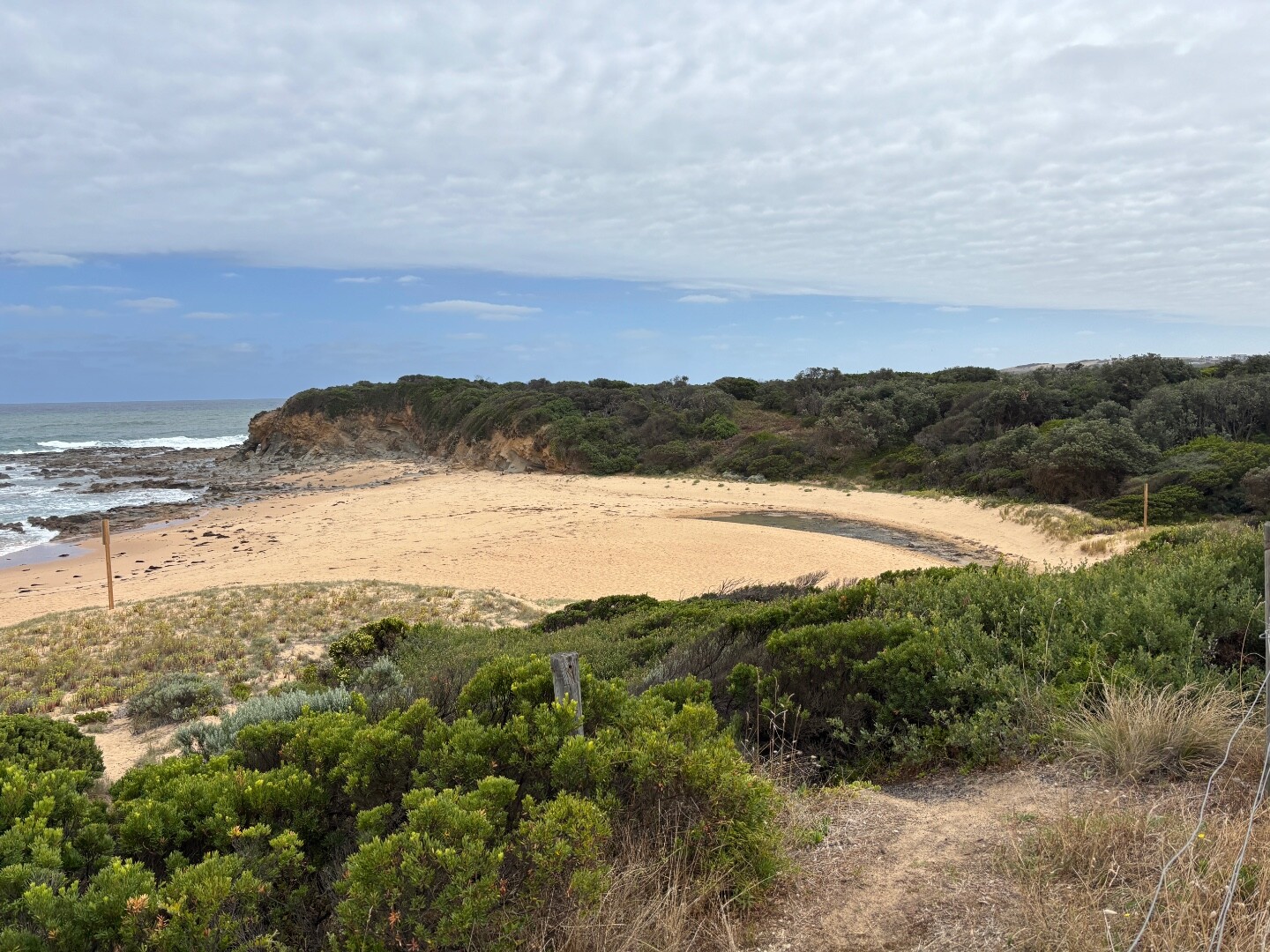
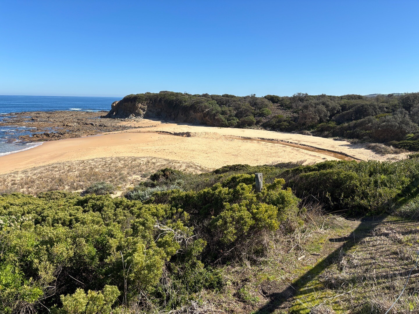
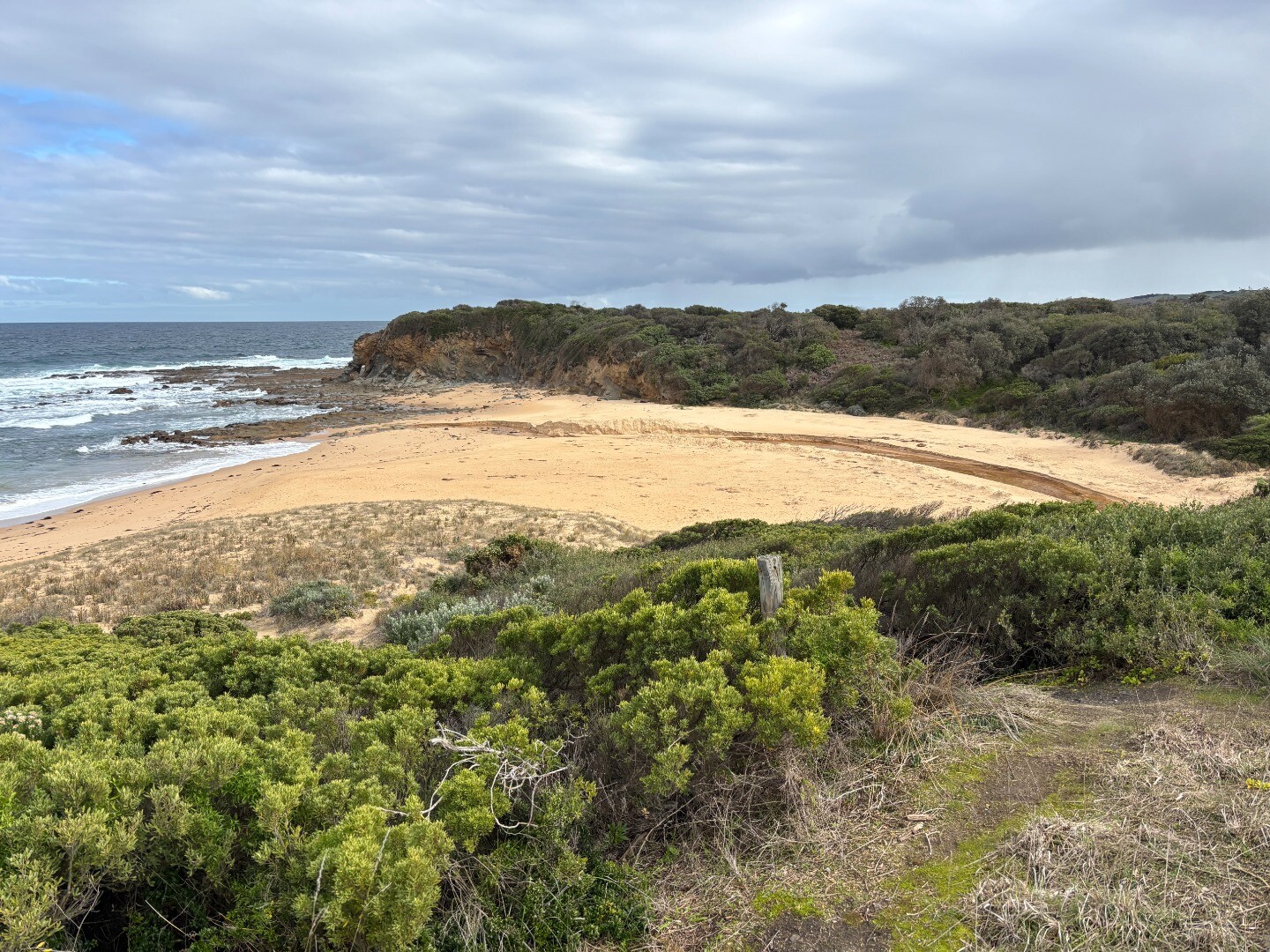
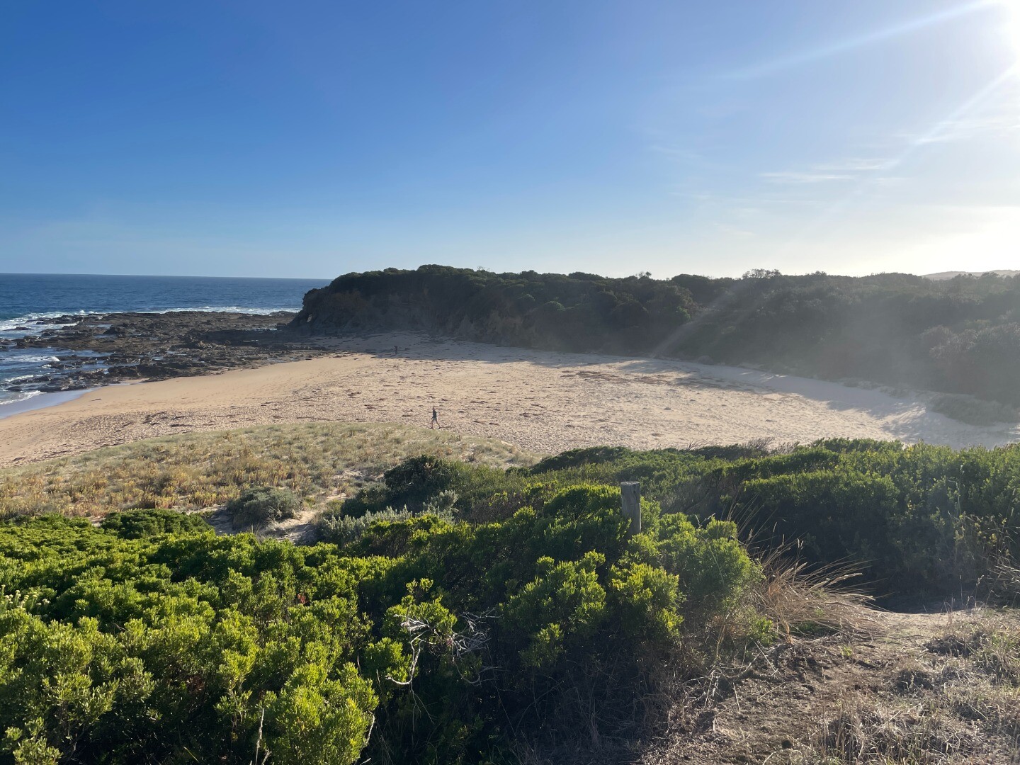
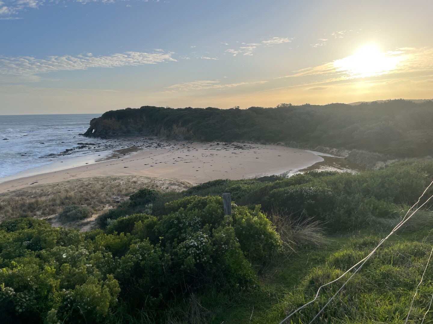
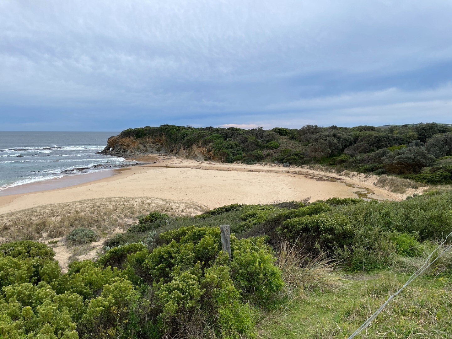
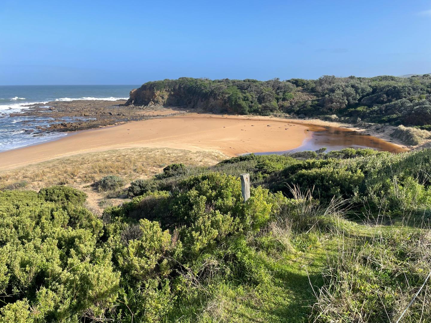
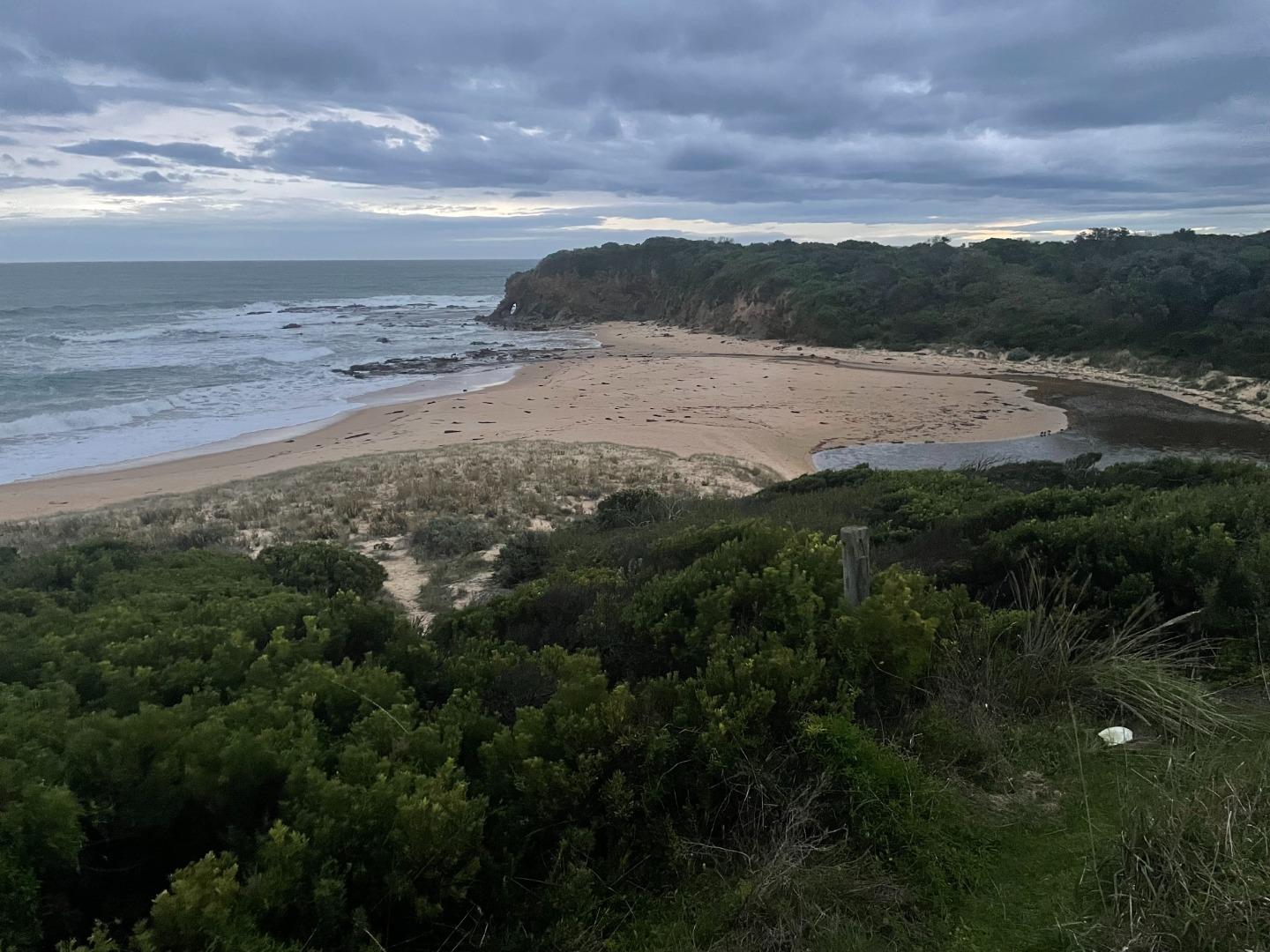
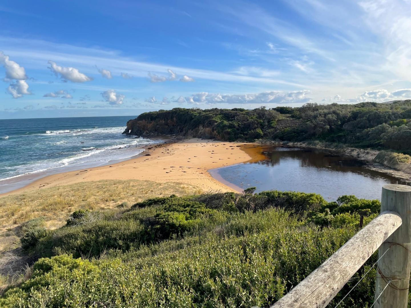
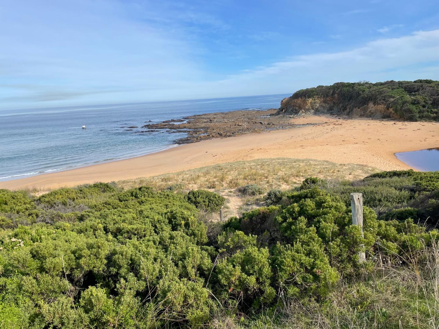
Bourne Creek Mouth Condition Monitoring SiteActive Mouth Condition 27-04-2017 - 26-05-2026Mouth of Bourne Creek. Observations 149 |
Bop1 |
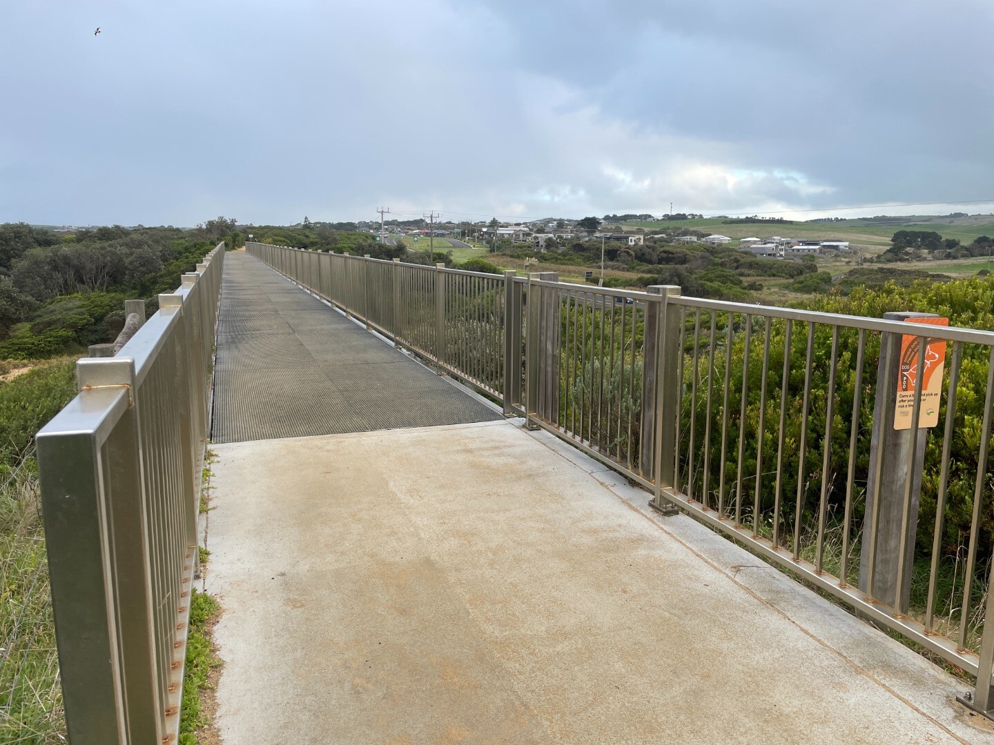
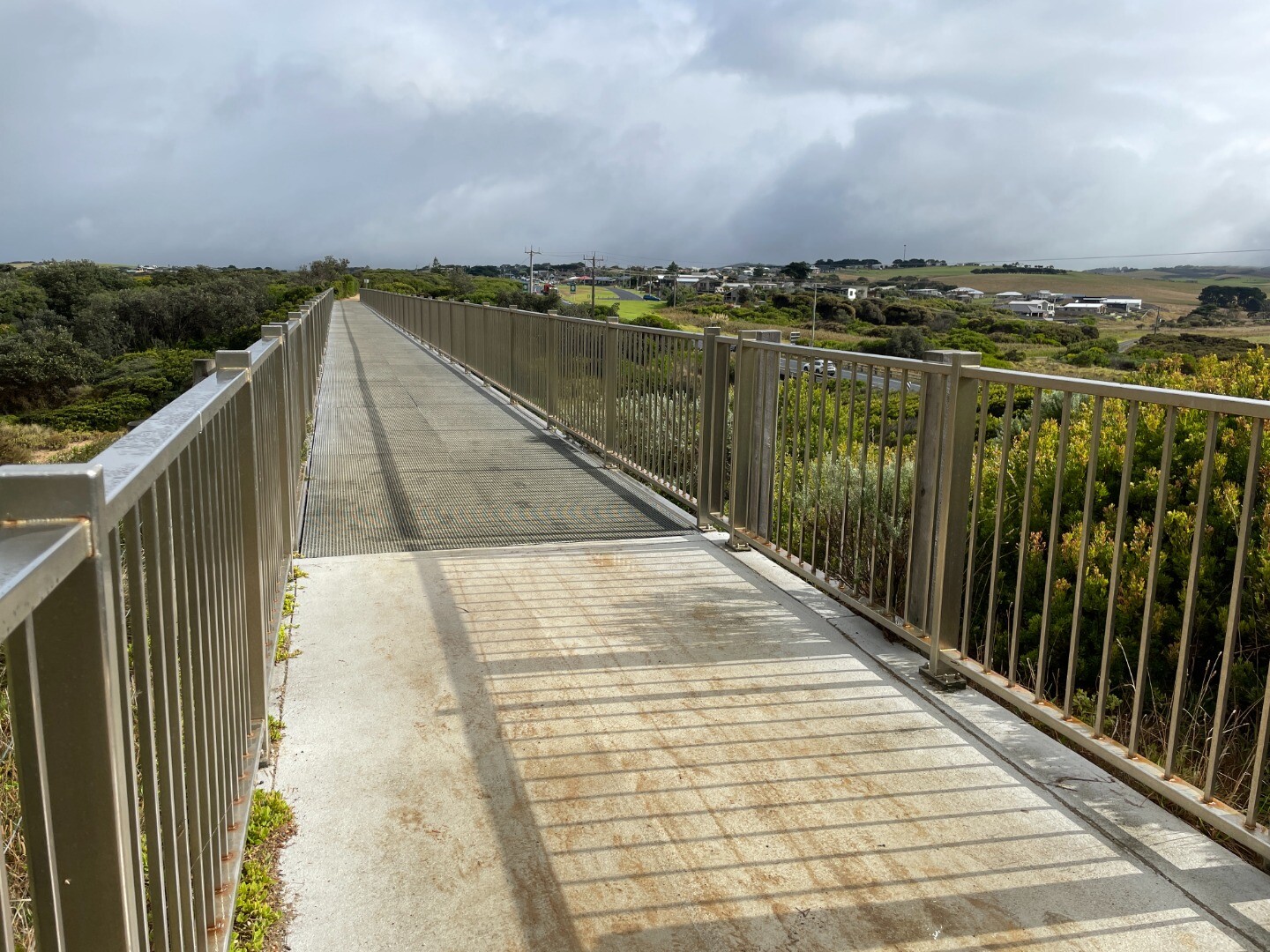
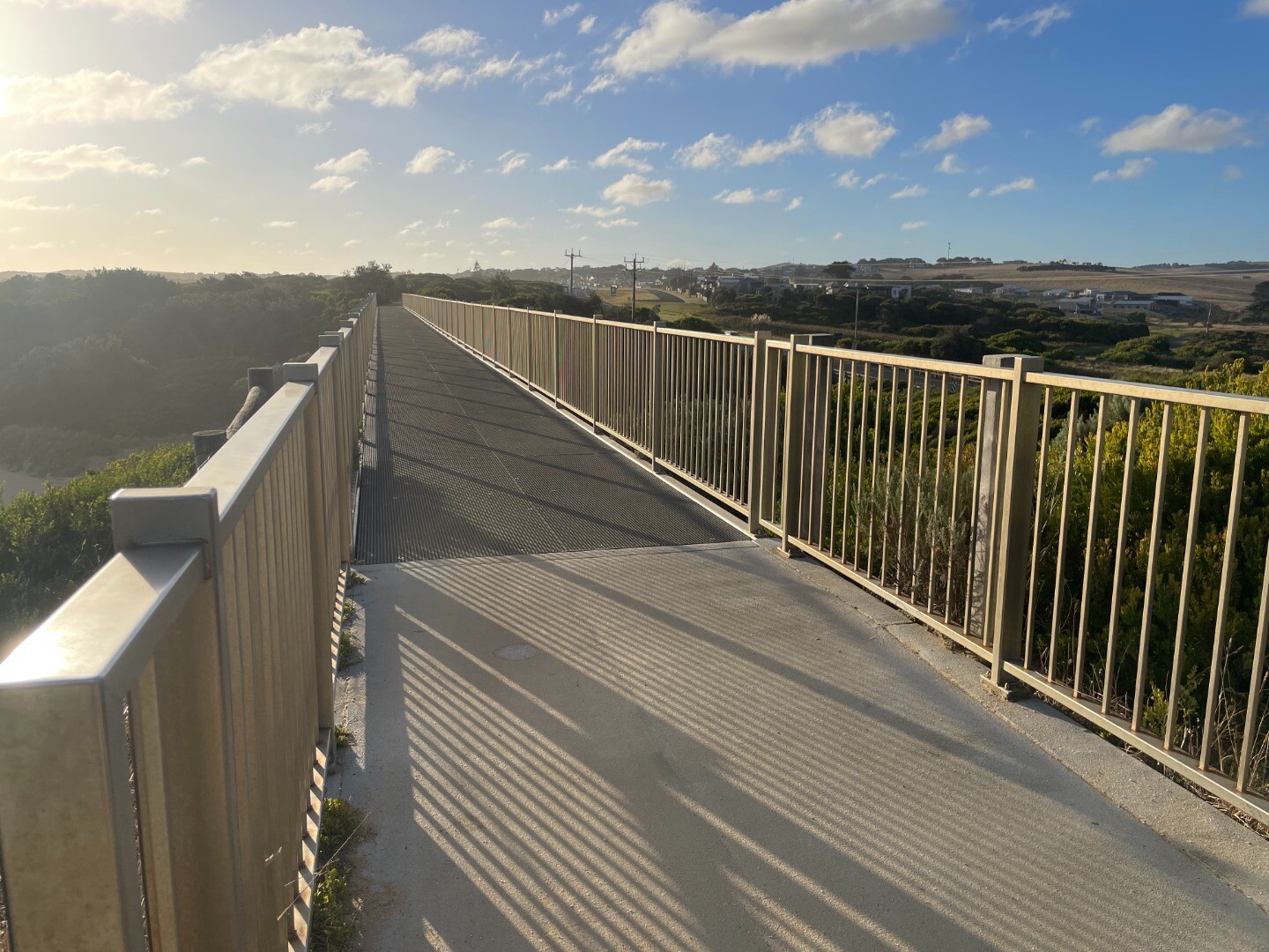
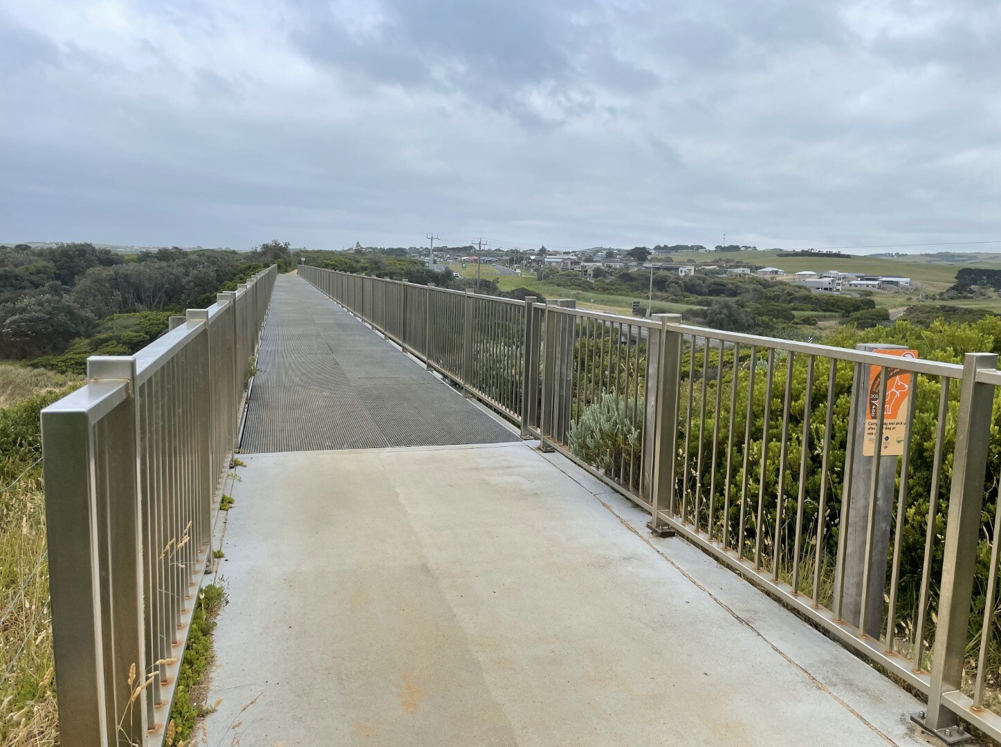
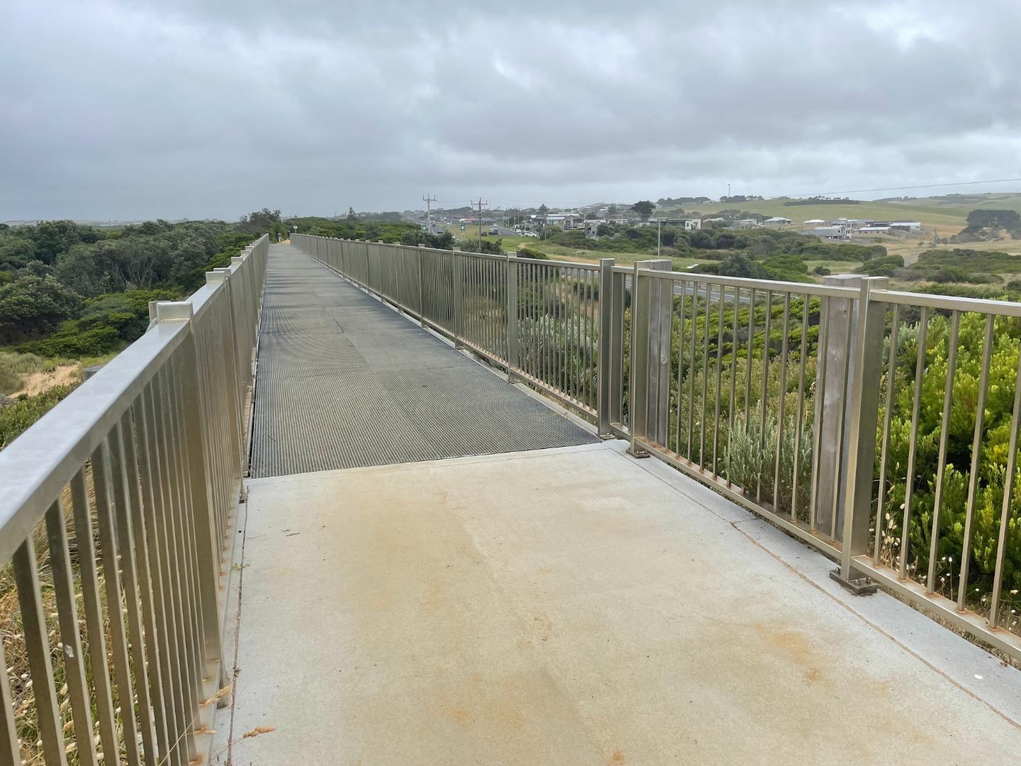
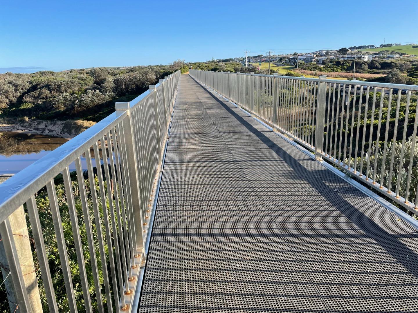
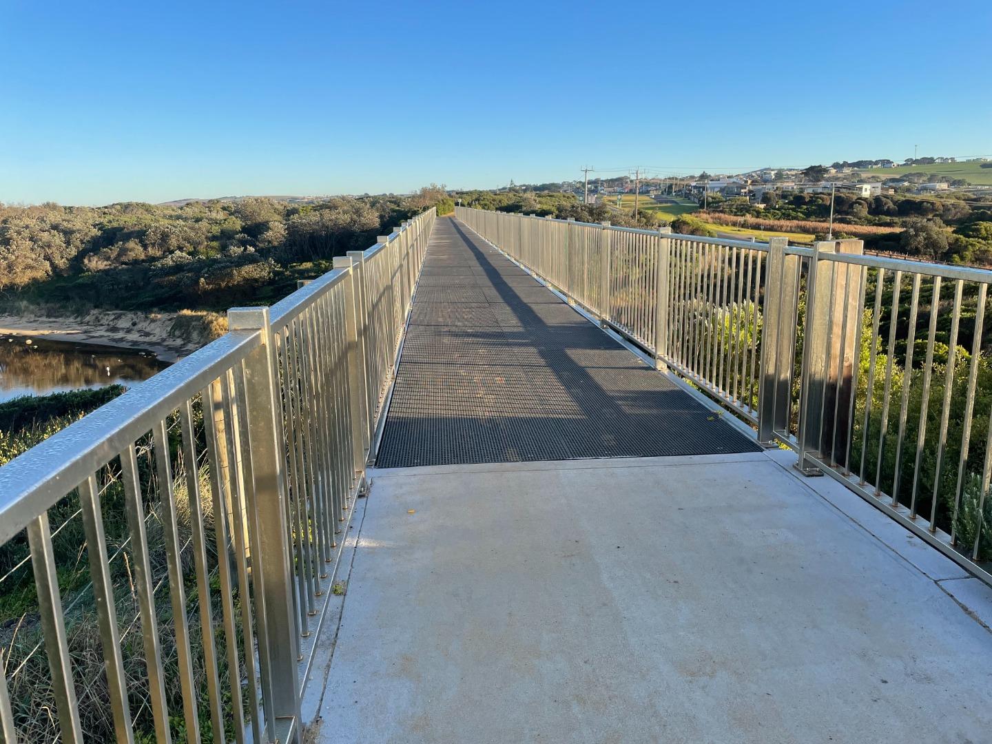
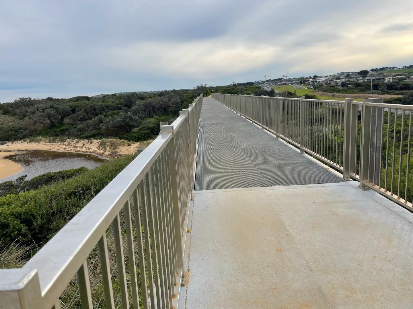
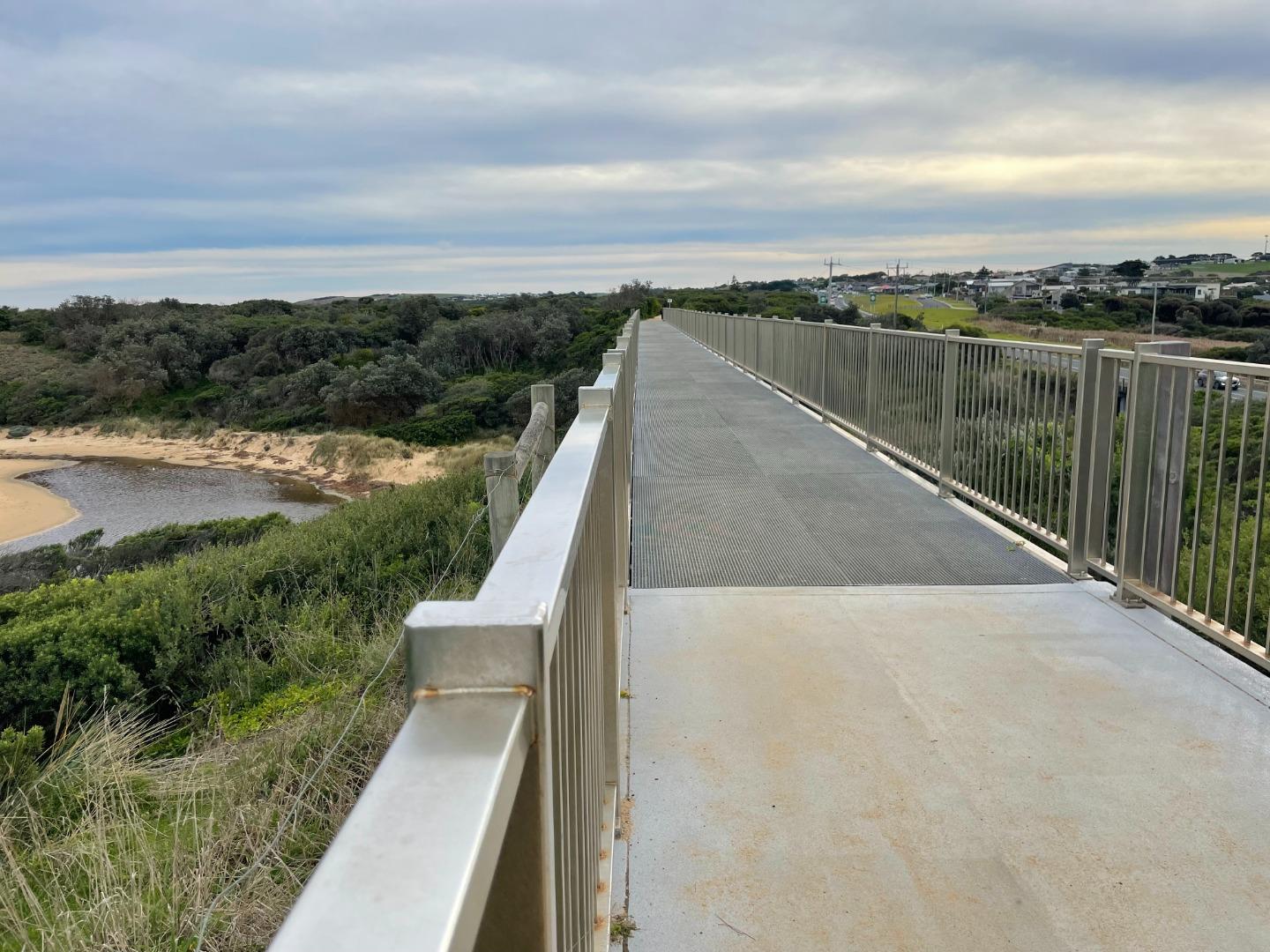
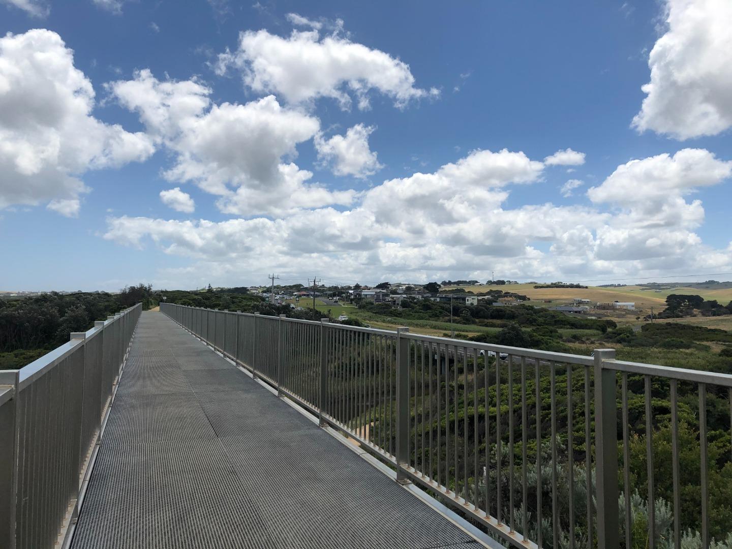
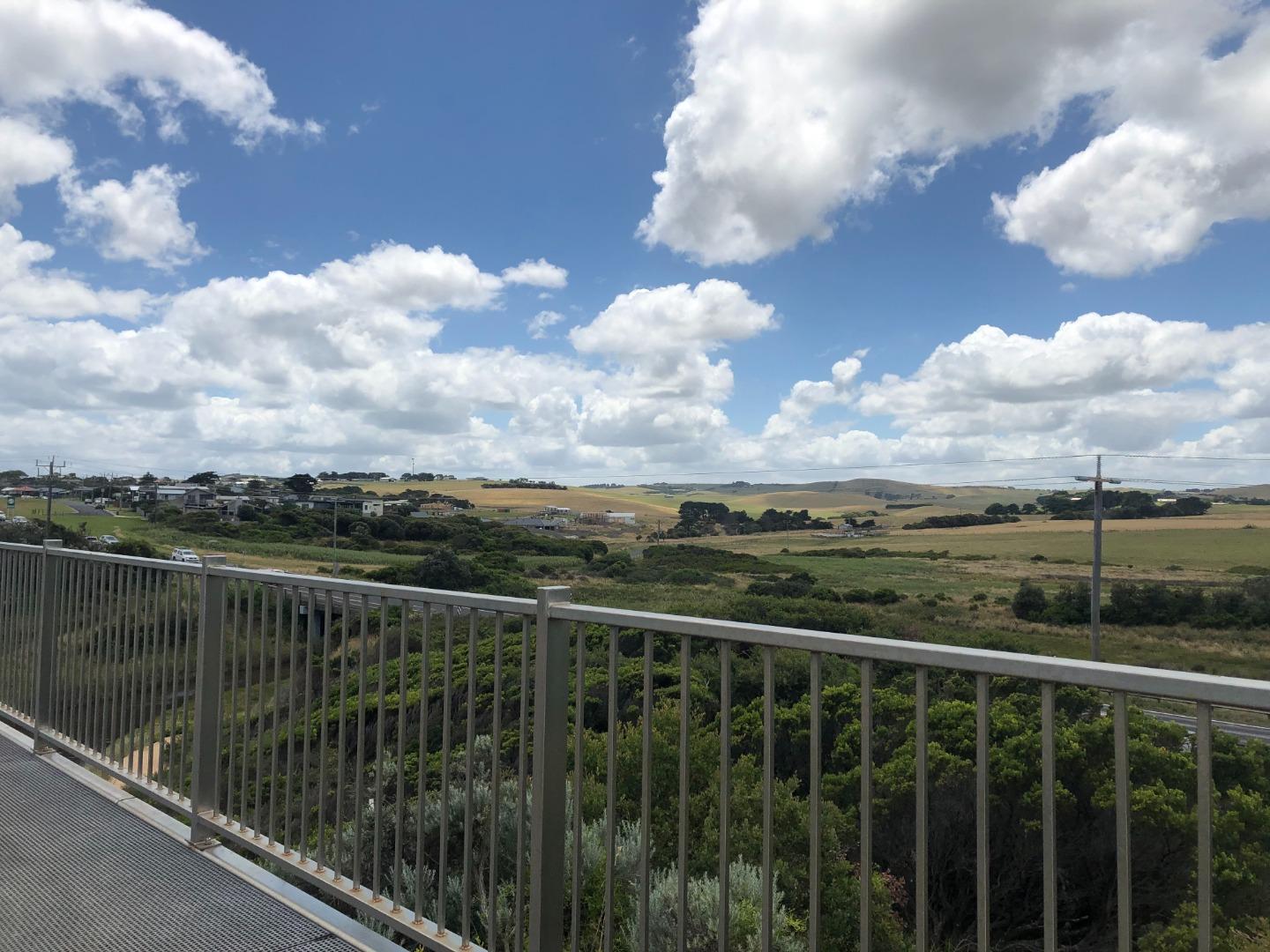
Bourne Creek Photopoint Site OneActive Photopoint 15-05-2017 - 26-05-2026Eastern side of the Kilcunda Rail Trail (Trestle) Bridge, using the corner of the handrail (Oceanside) where the timber meets the gravel path as a guide. Photos 367 |
Spring 2025
Winter 2025
Summer 2025
Spring 2024
Winter 2024
Autumn 2024
Summer 2024
Spring 2023
Winter 2023
Autumn 2023
Summer 2023
Spring 2022
Winter 2022
Autumn 2022
Summer 2022
Spring 2021
Autumn 2021
Summer 2021
Mouth Condition Snapshots


We honour Elders past and present whose knowledge and wisdom has ensured the continuation of culture and traditional practices.
 All content, files, data and images provided by the EstuaryWatch Data Portal subject to a Creative Commons Attribution License
Data portal by CeRDI
All content, files, data and images provided by the EstuaryWatch Data Portal subject to a Creative Commons Attribution License
Data portal by CeRDI