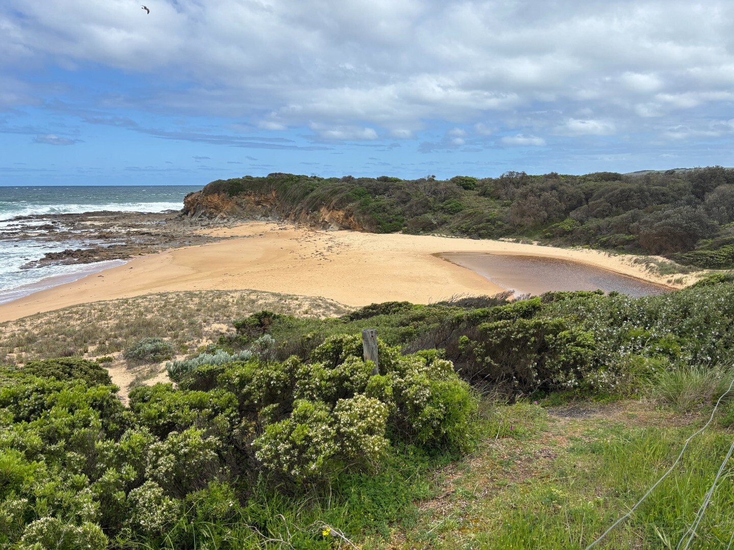
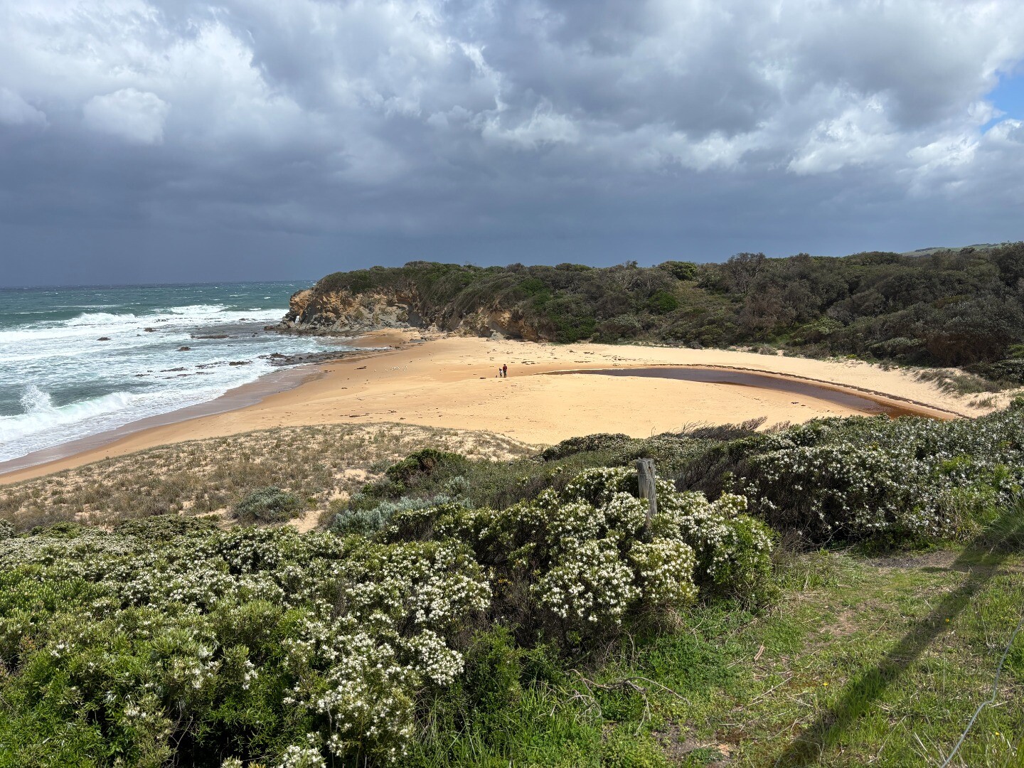
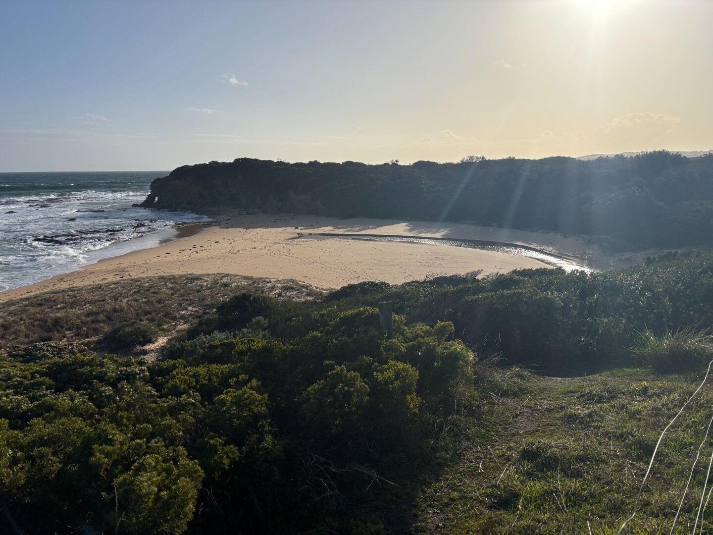
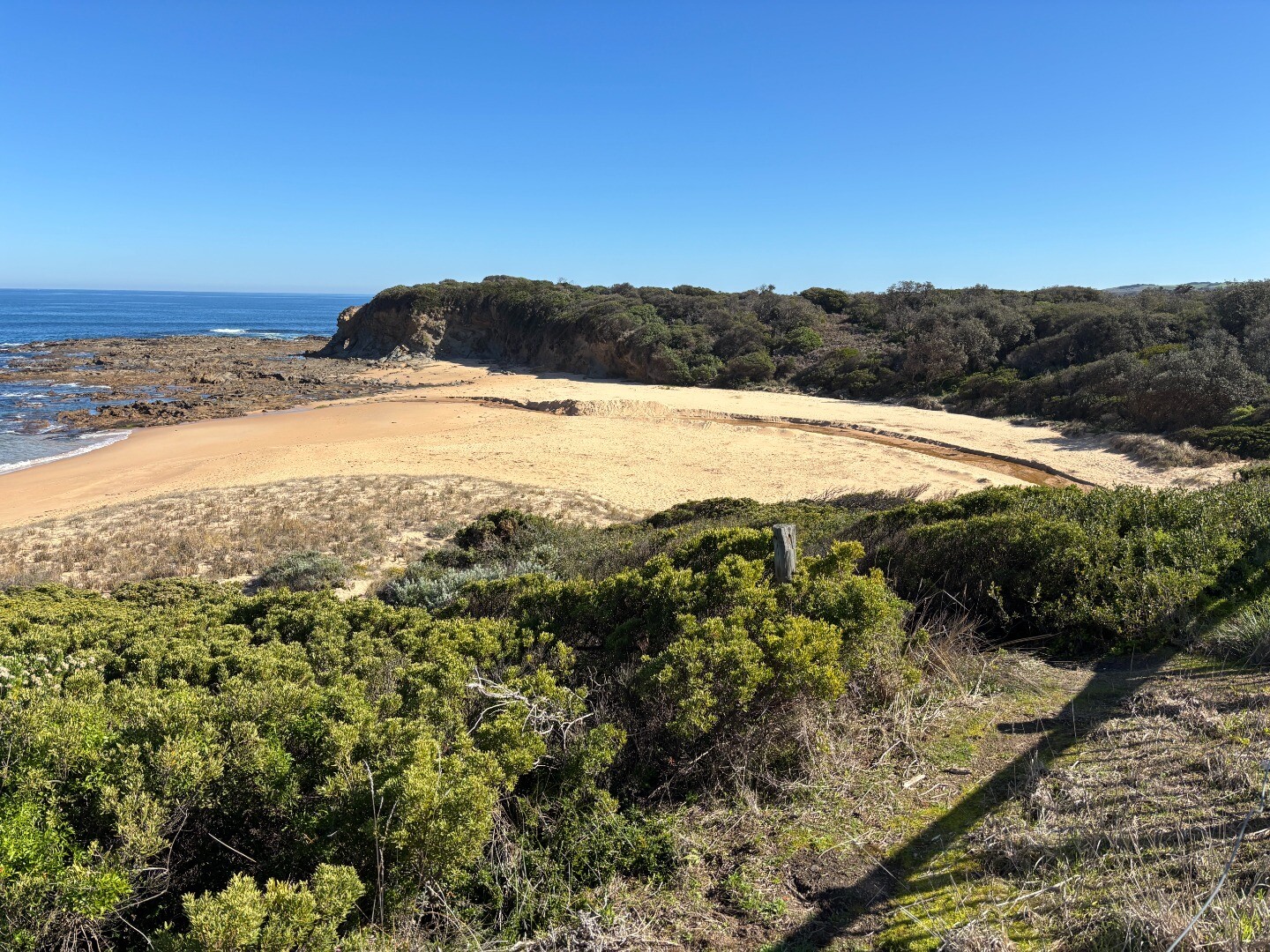
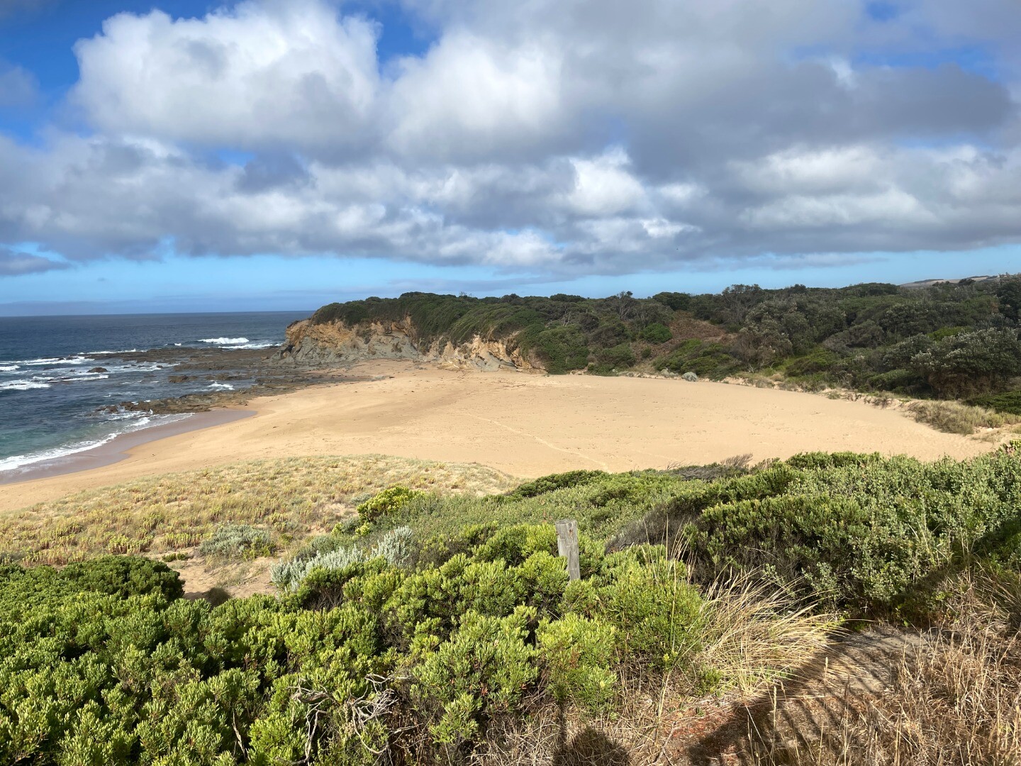
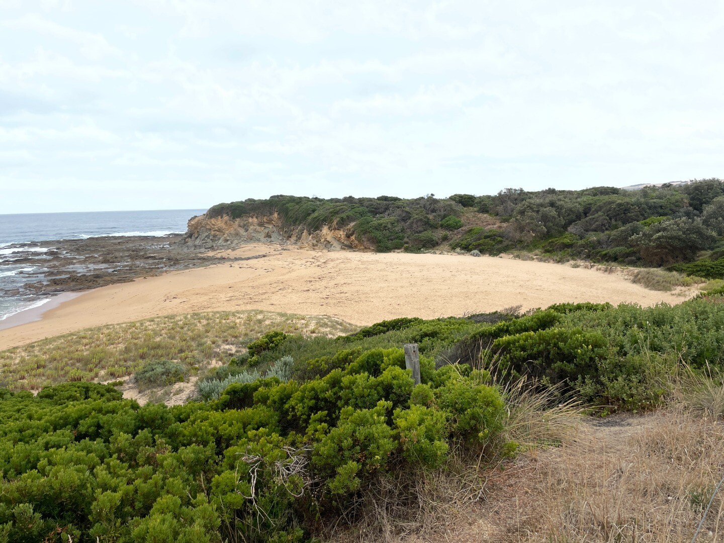
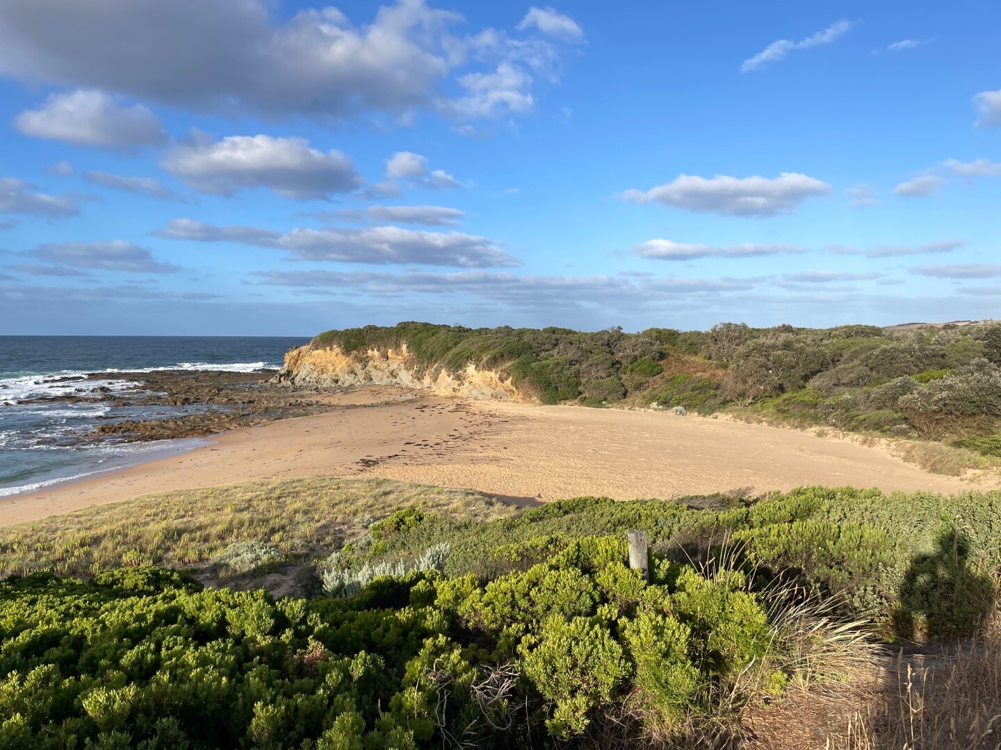
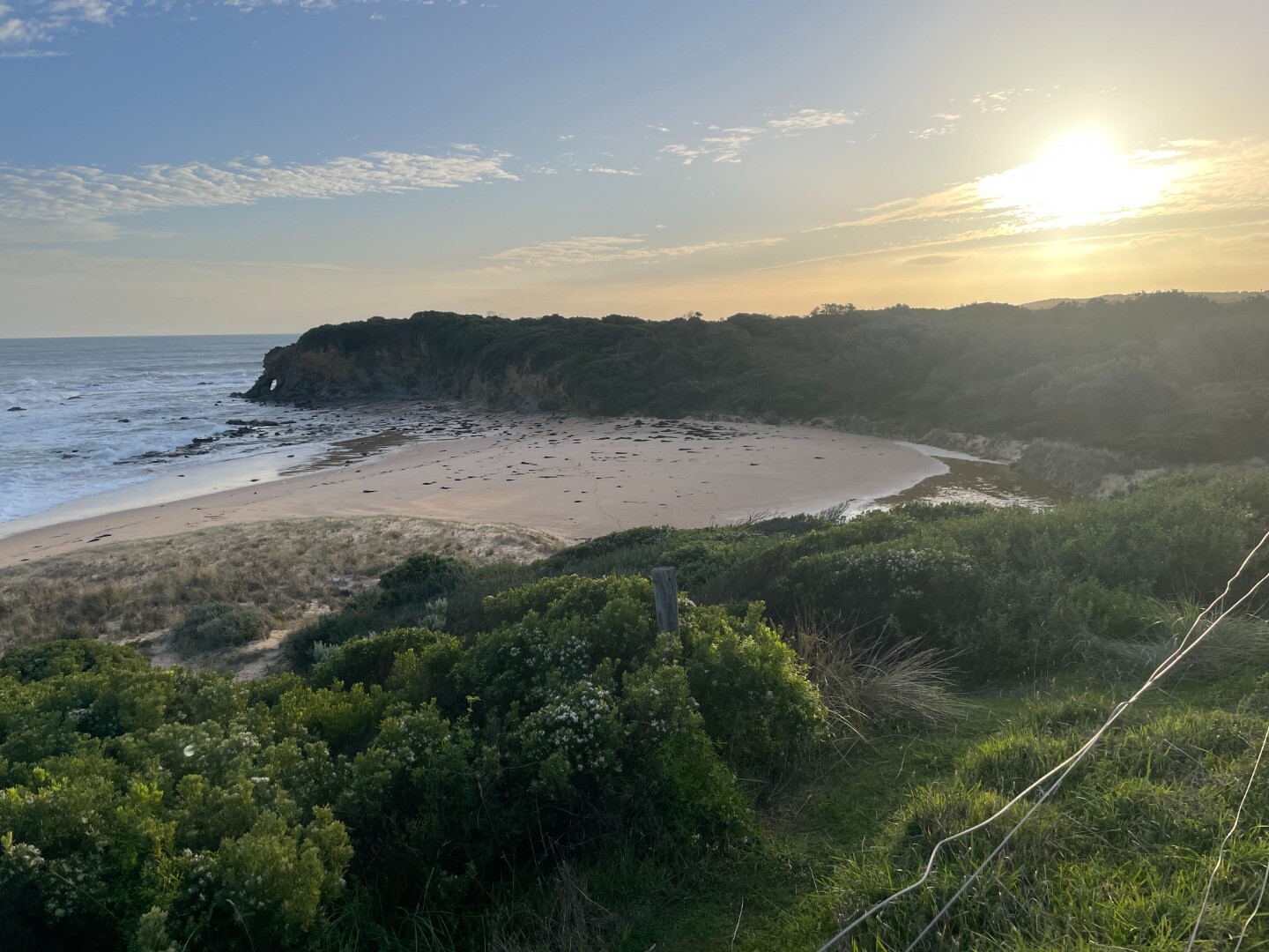
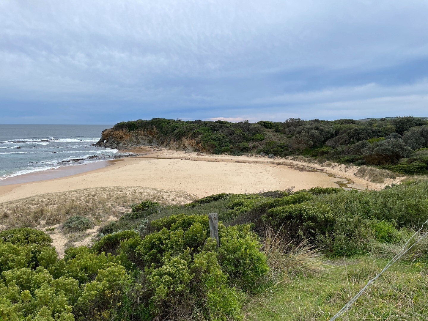
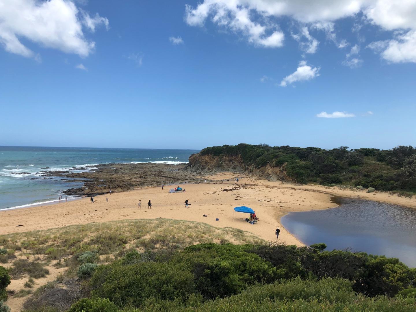
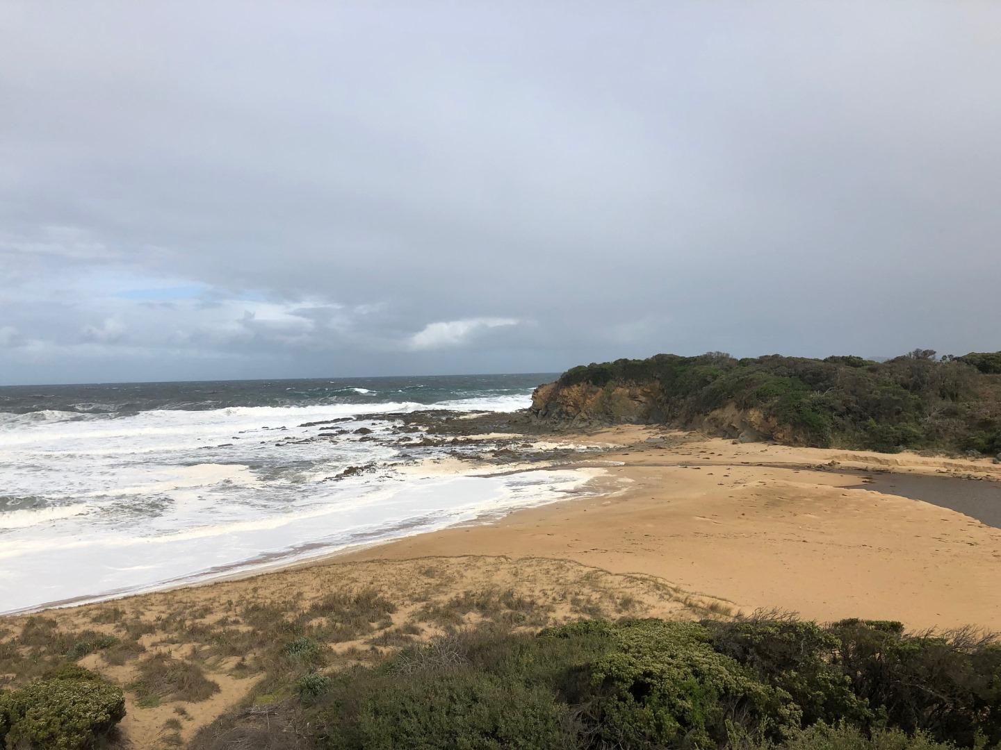
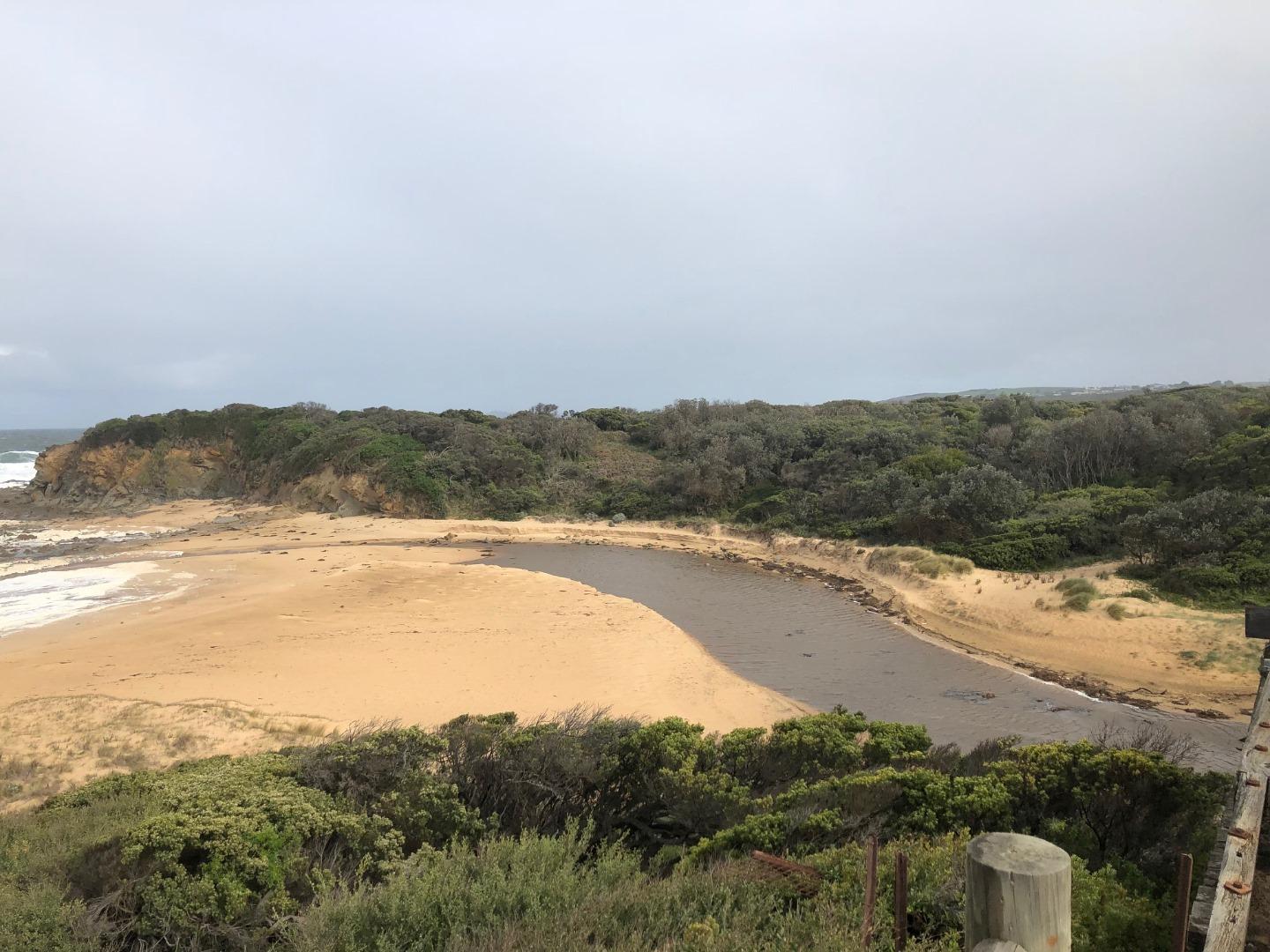
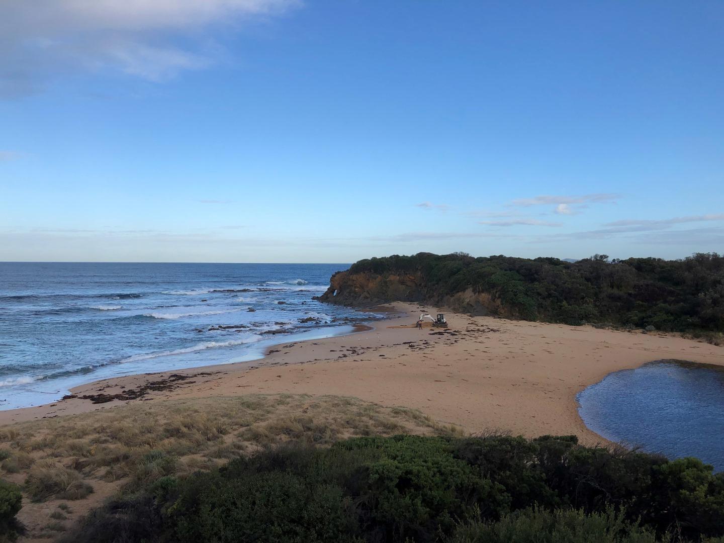
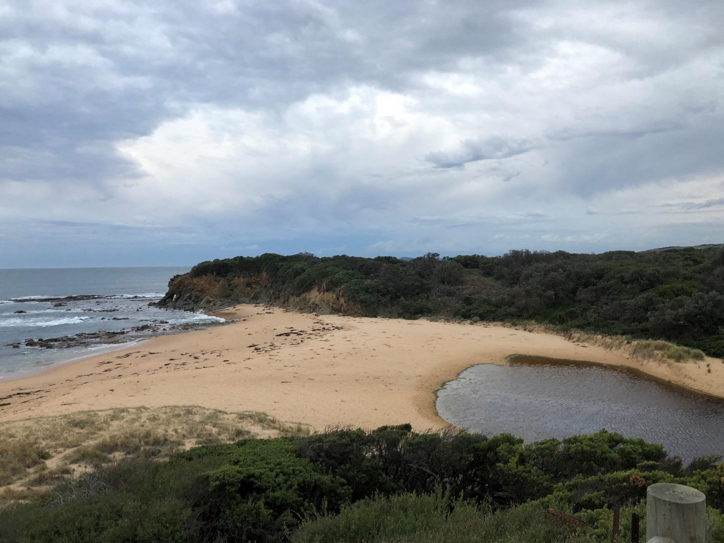
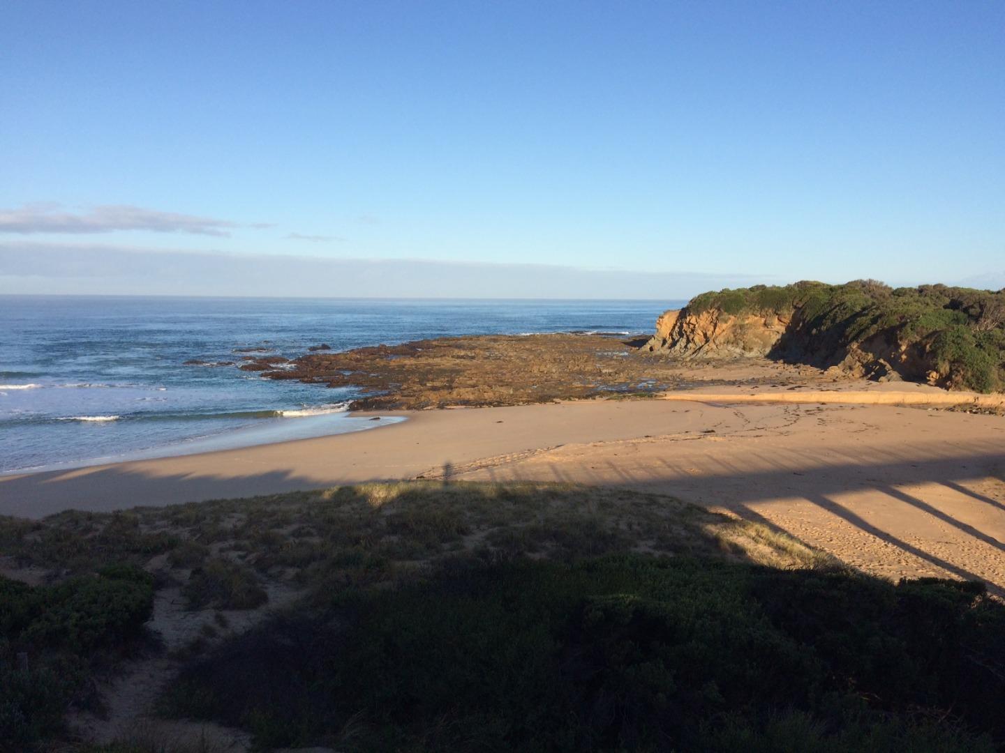
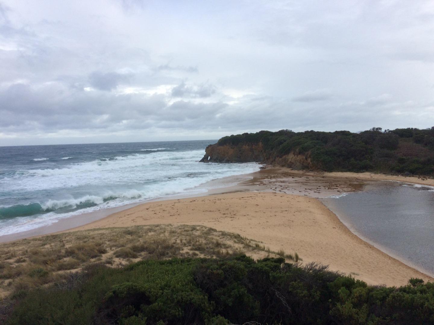
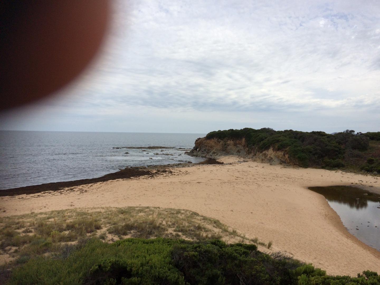
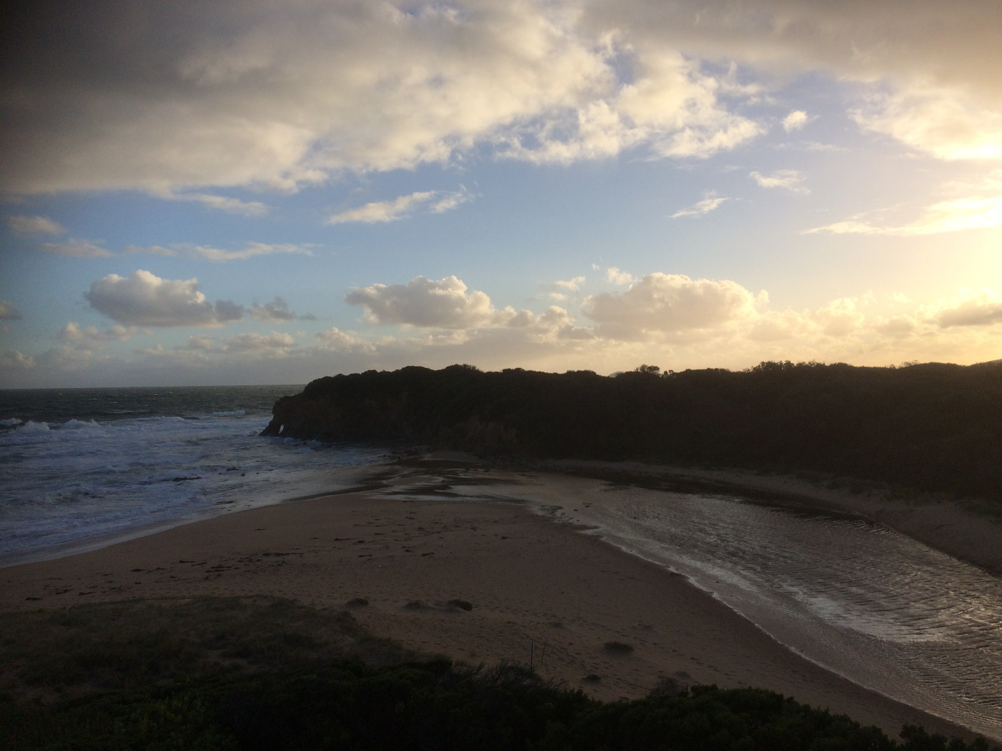
Bourne Creek
West Gippsland CMA
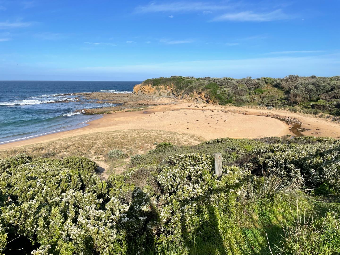
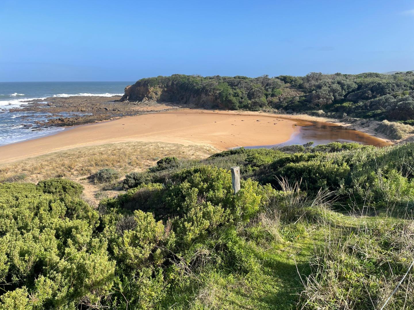
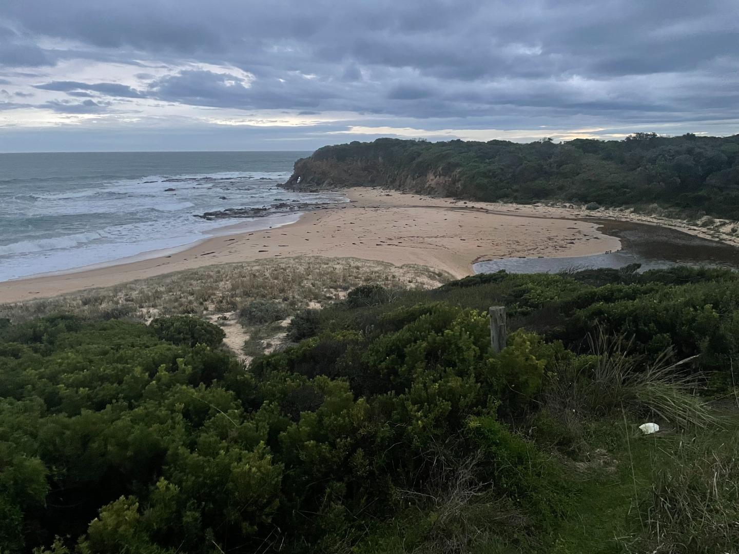
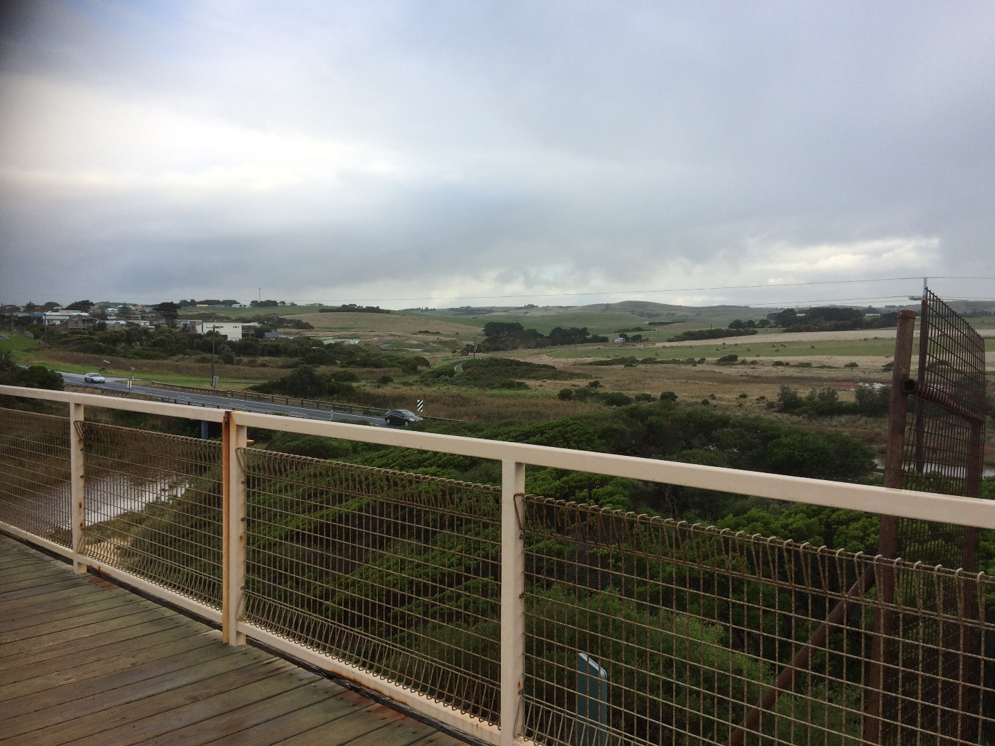
DOWNLOAD DATABop1 Bourne Creek Photopoint Site One
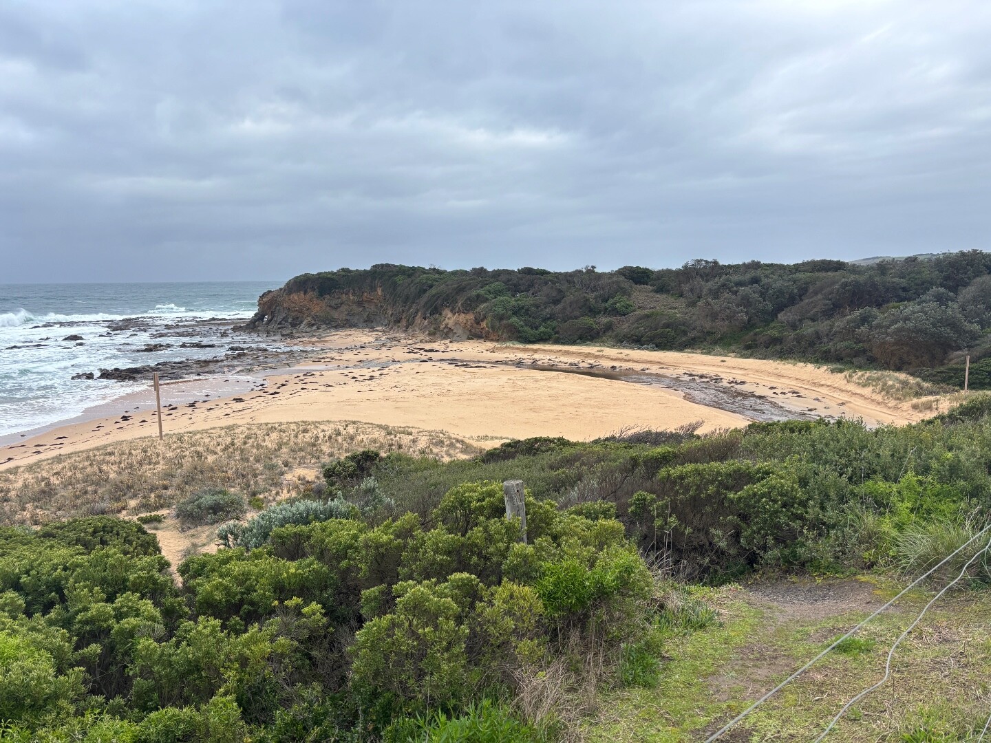
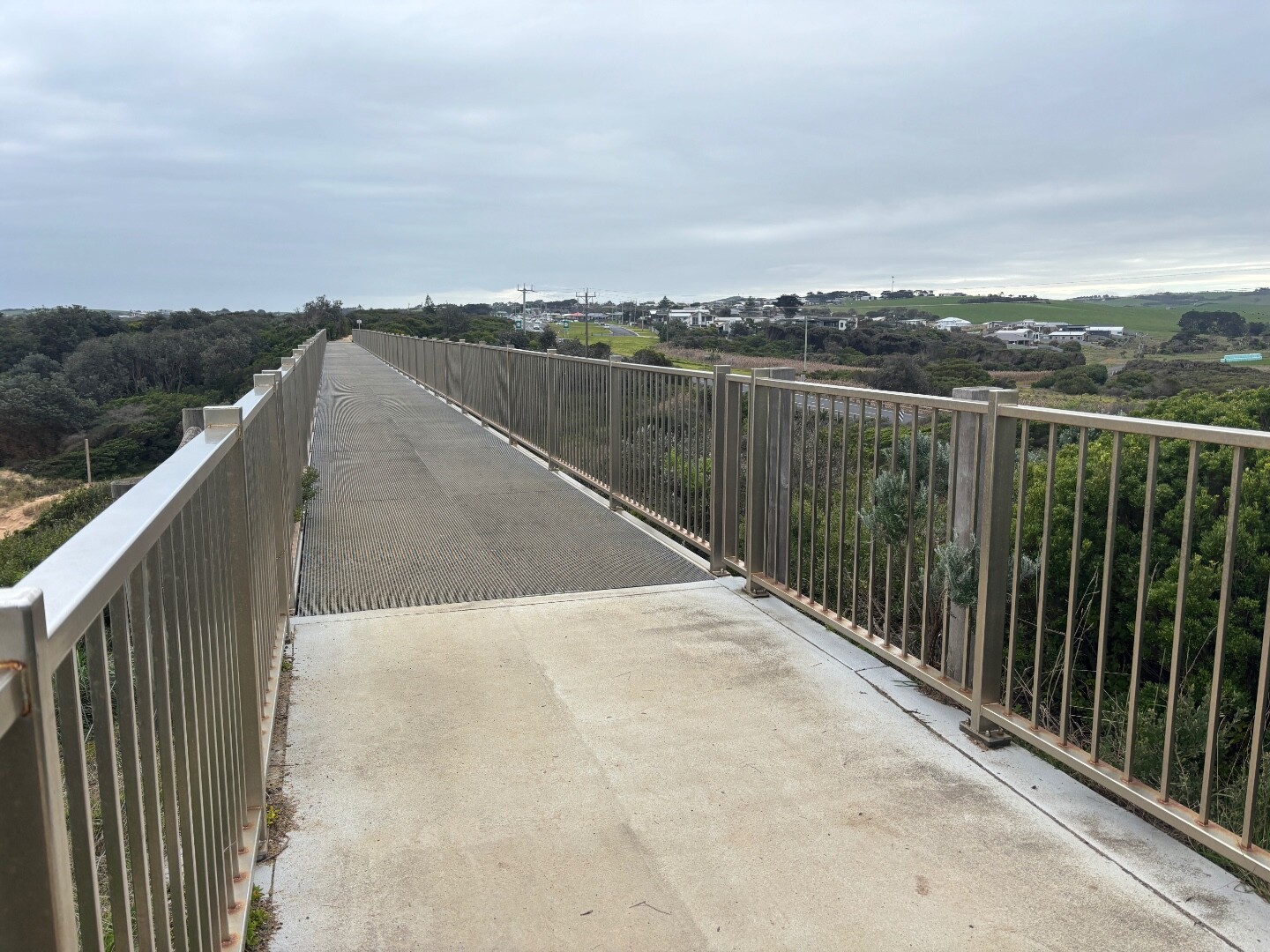
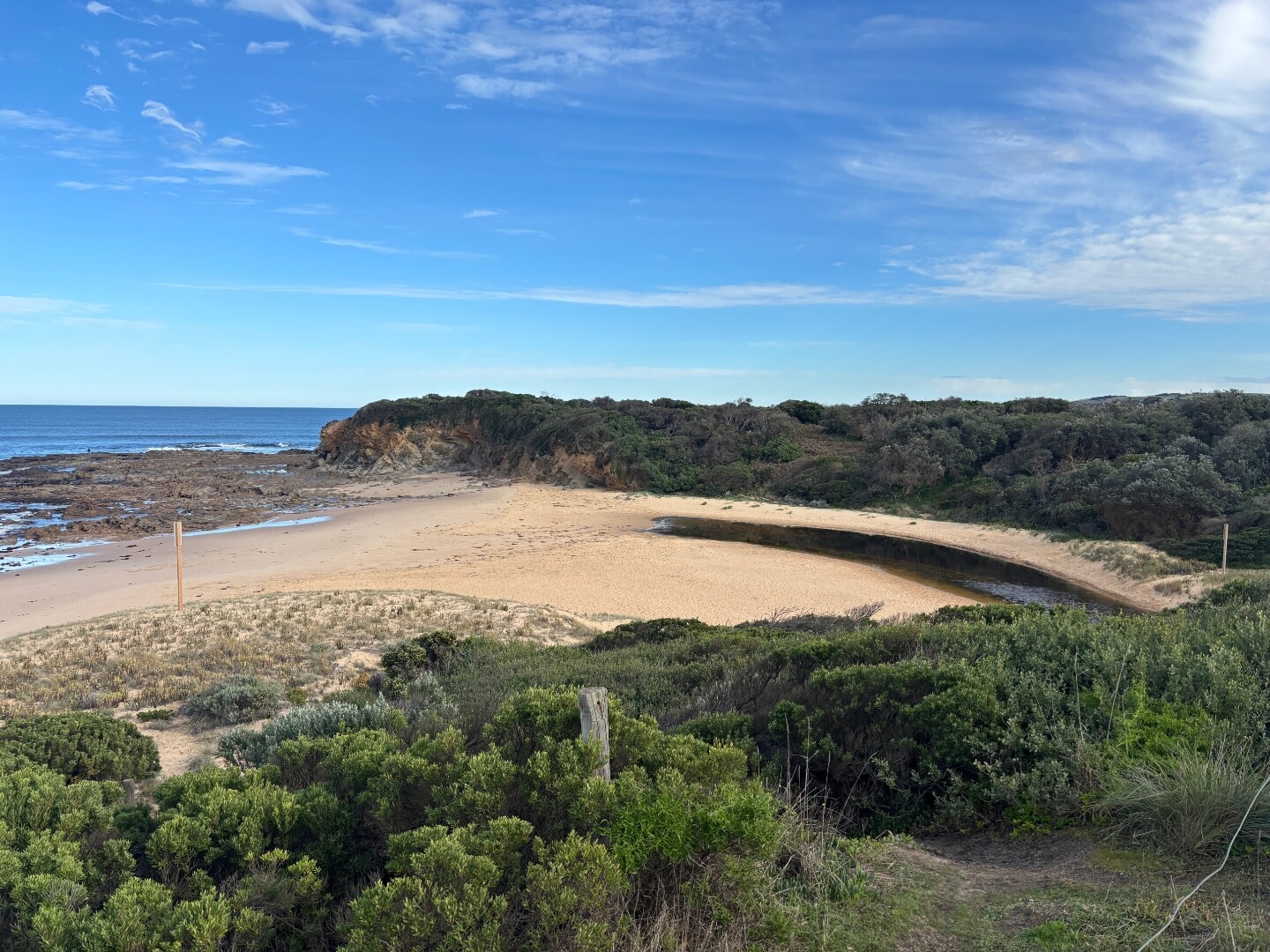
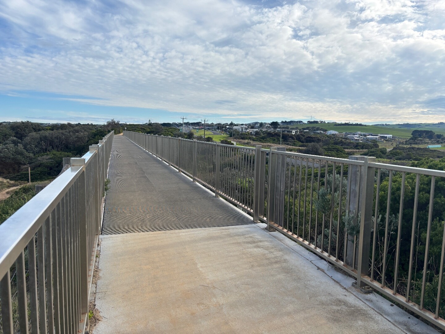
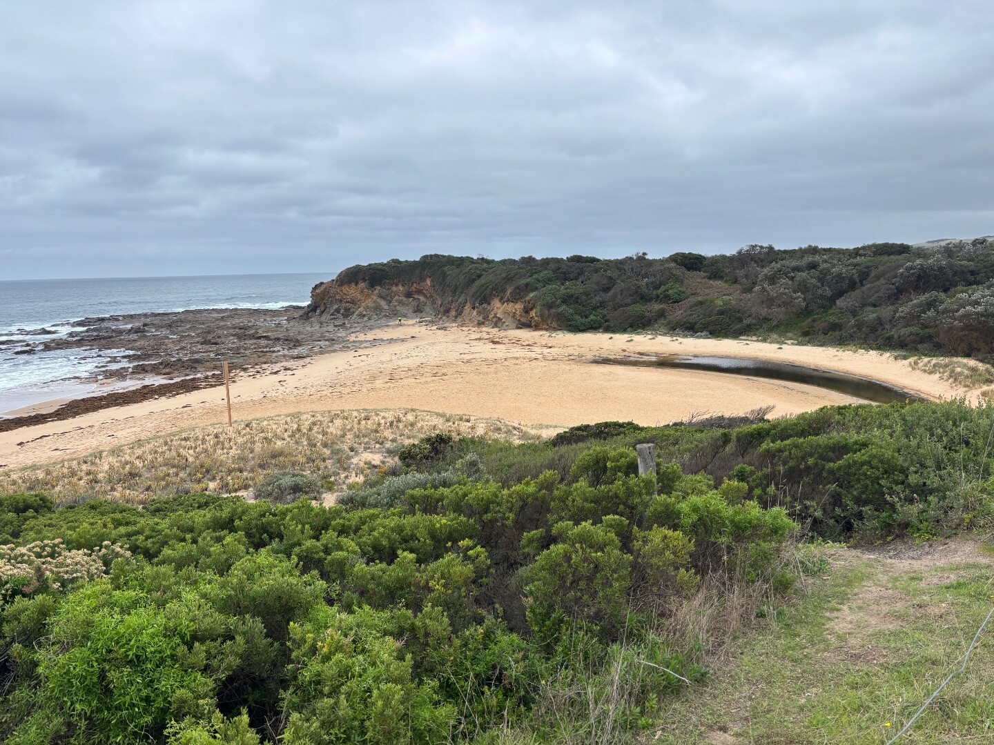
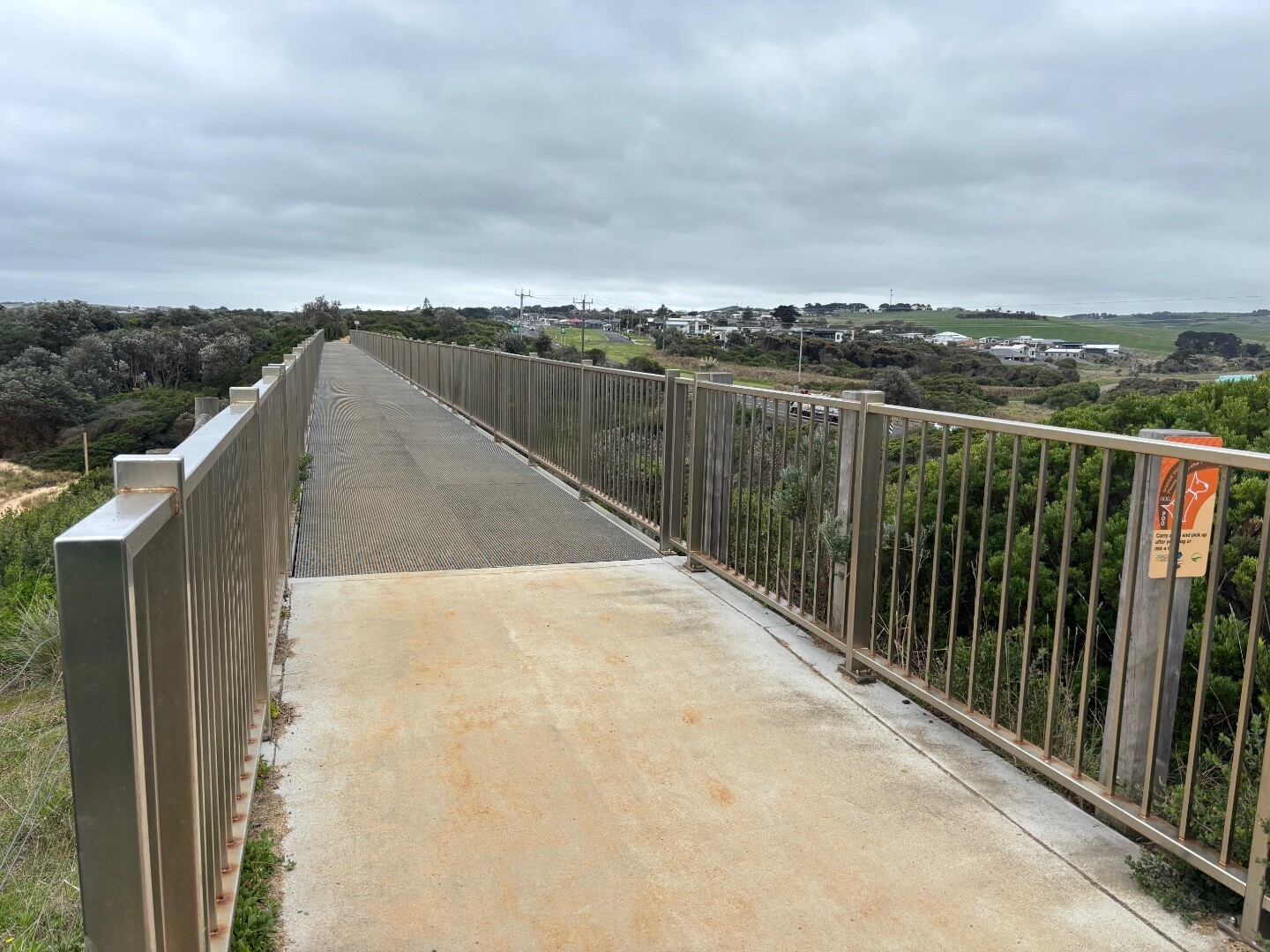
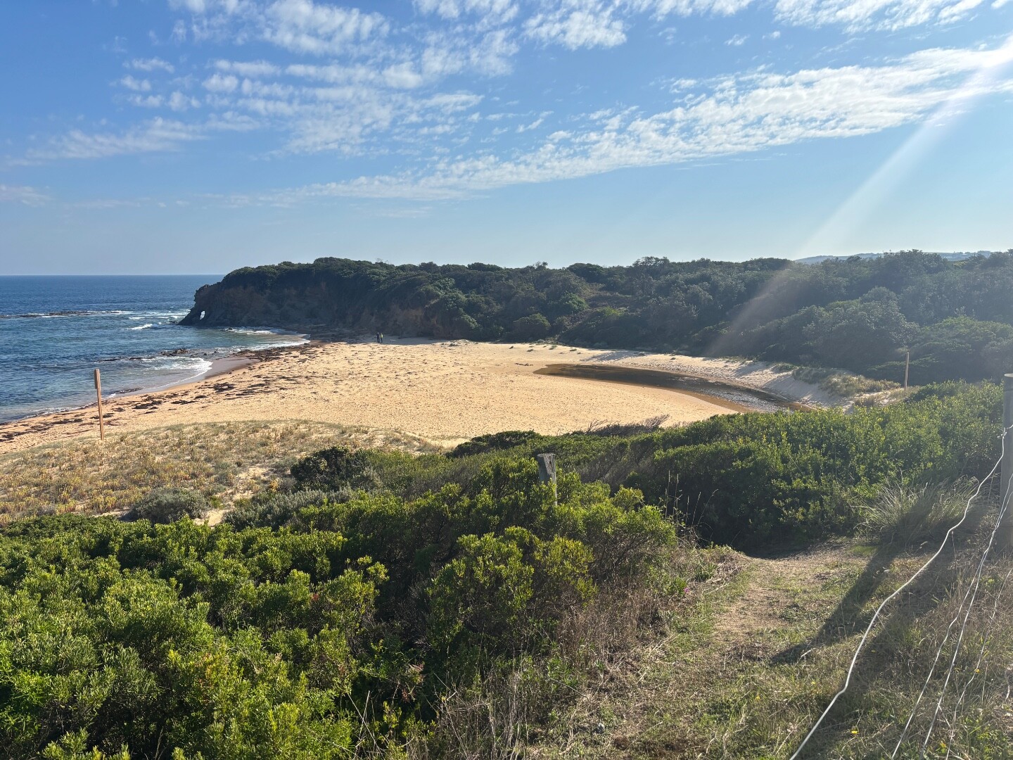
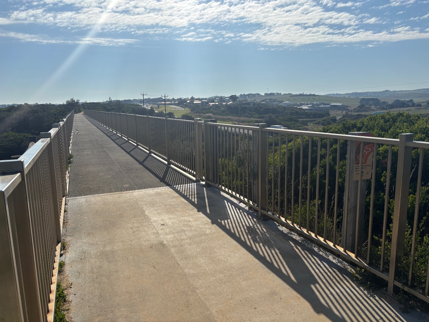
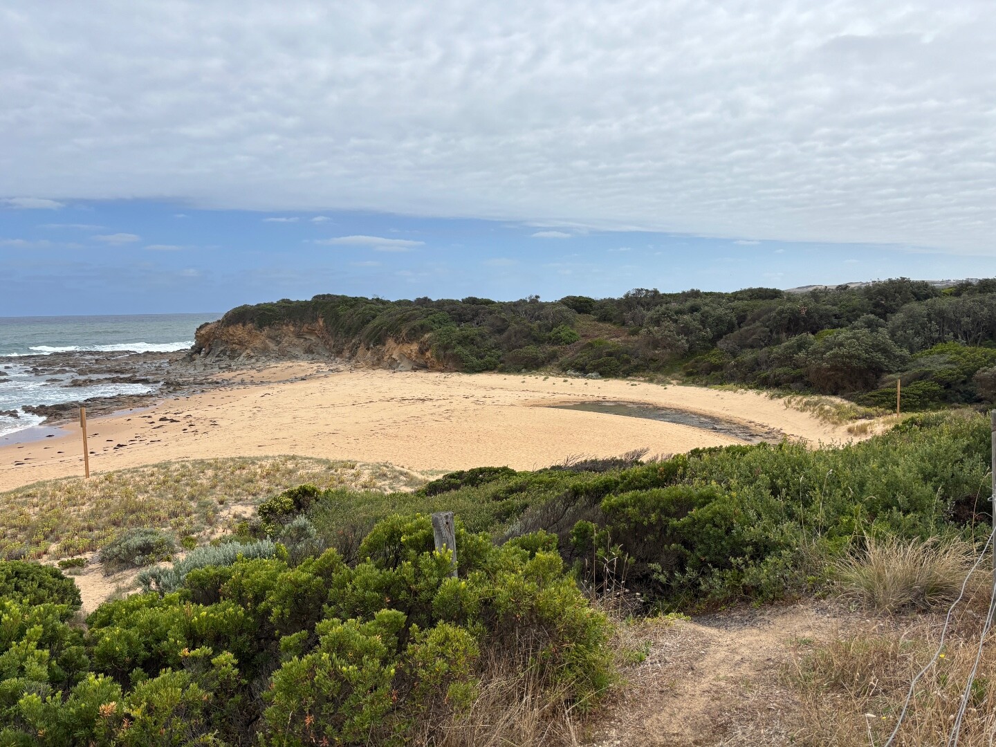
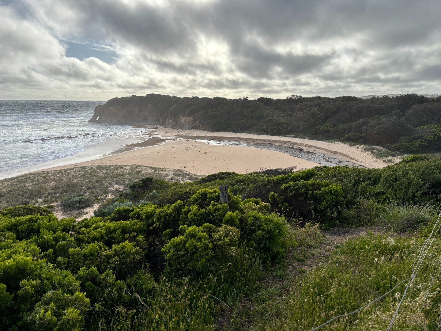
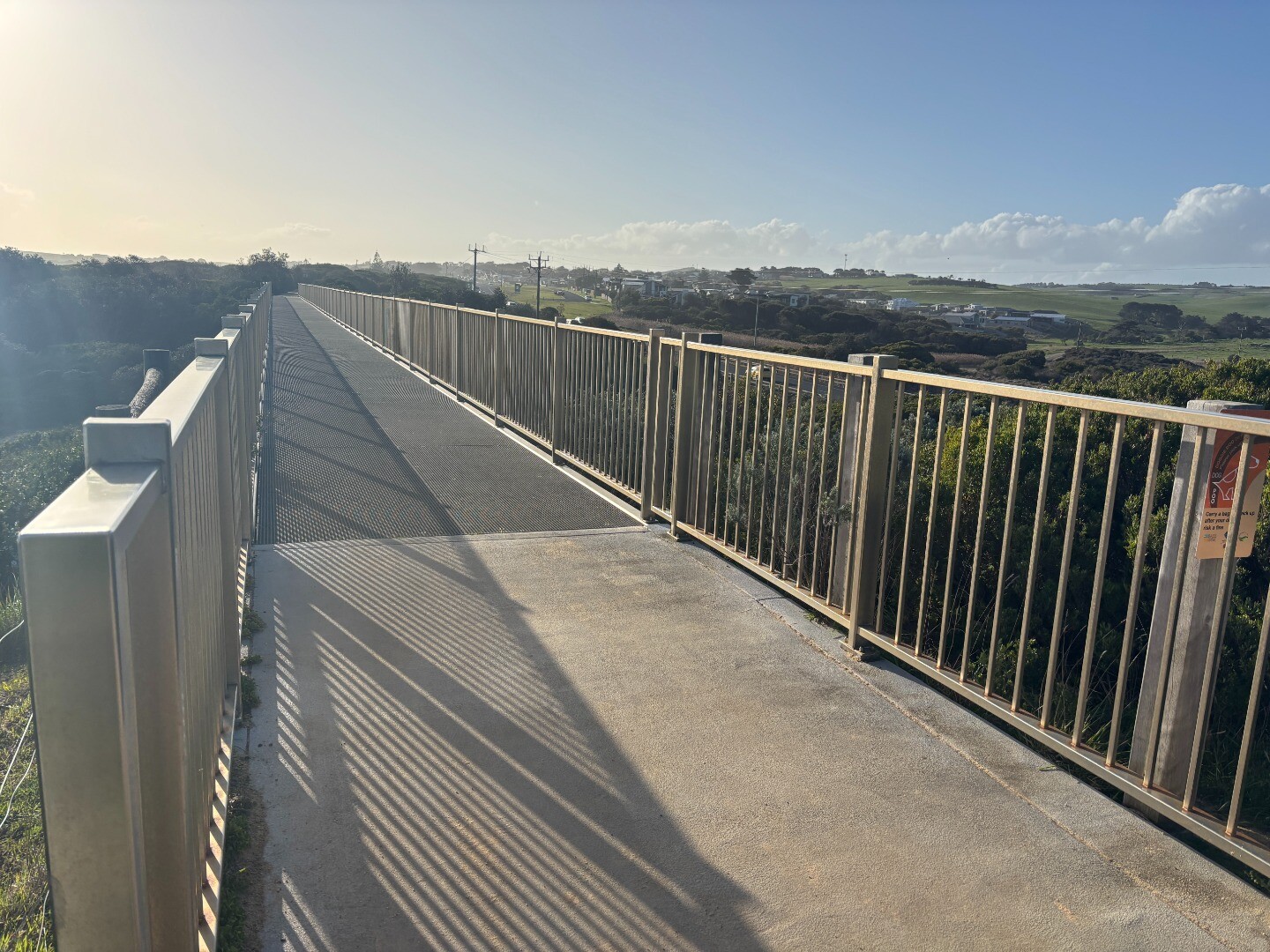
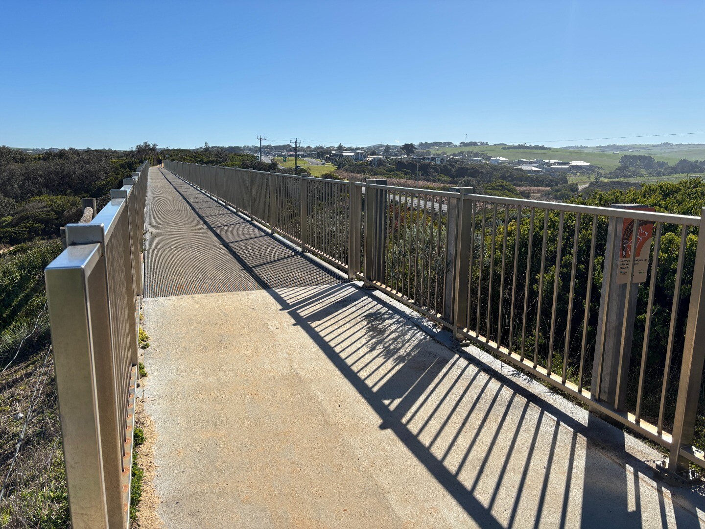
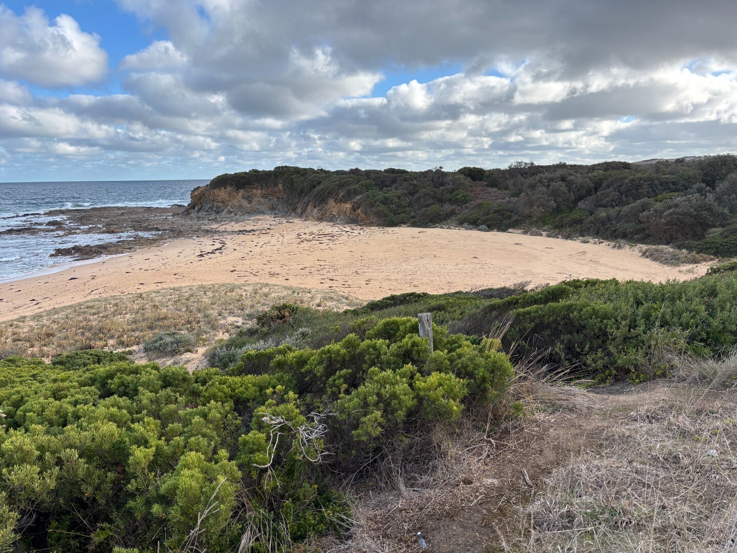
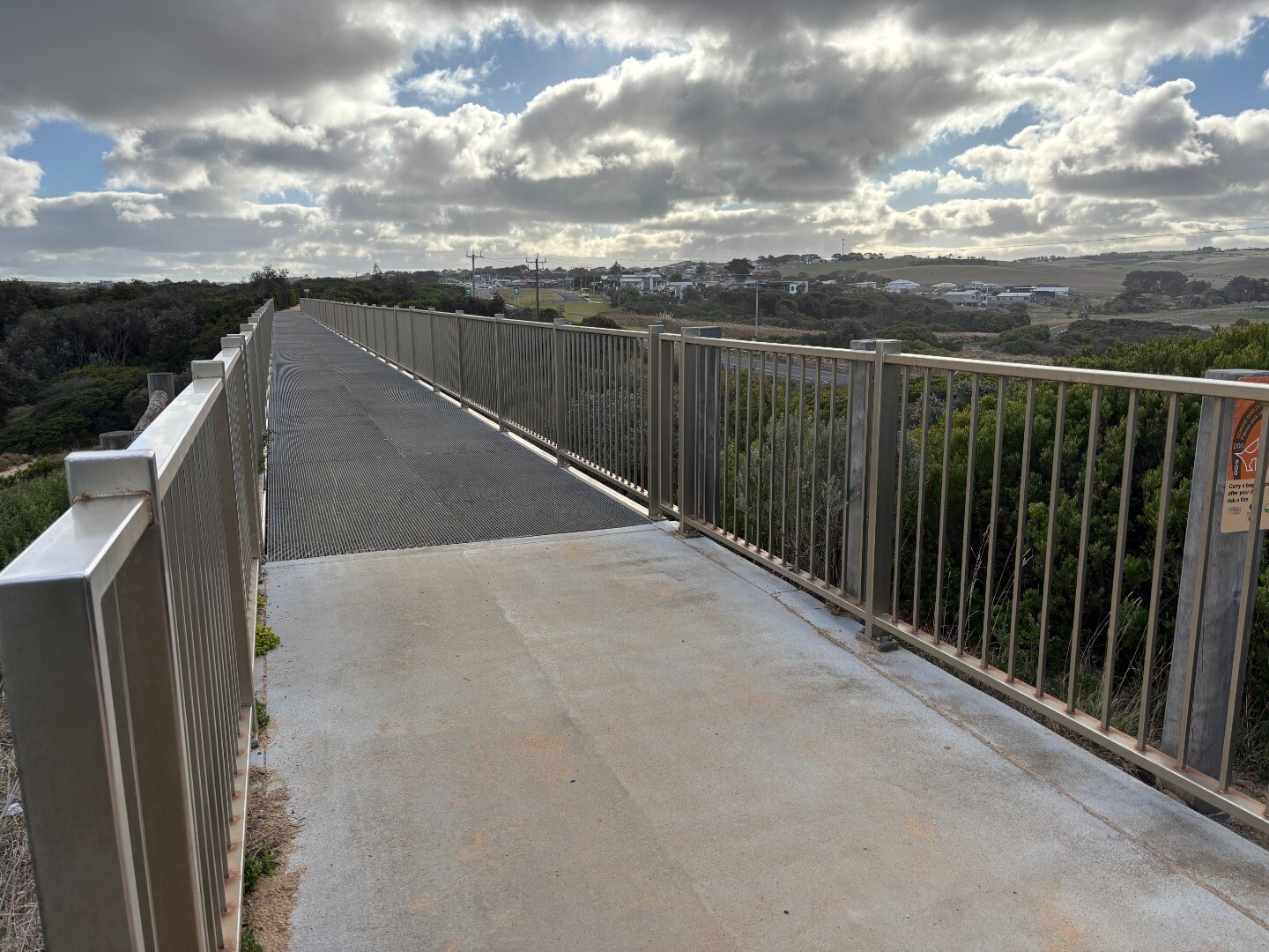
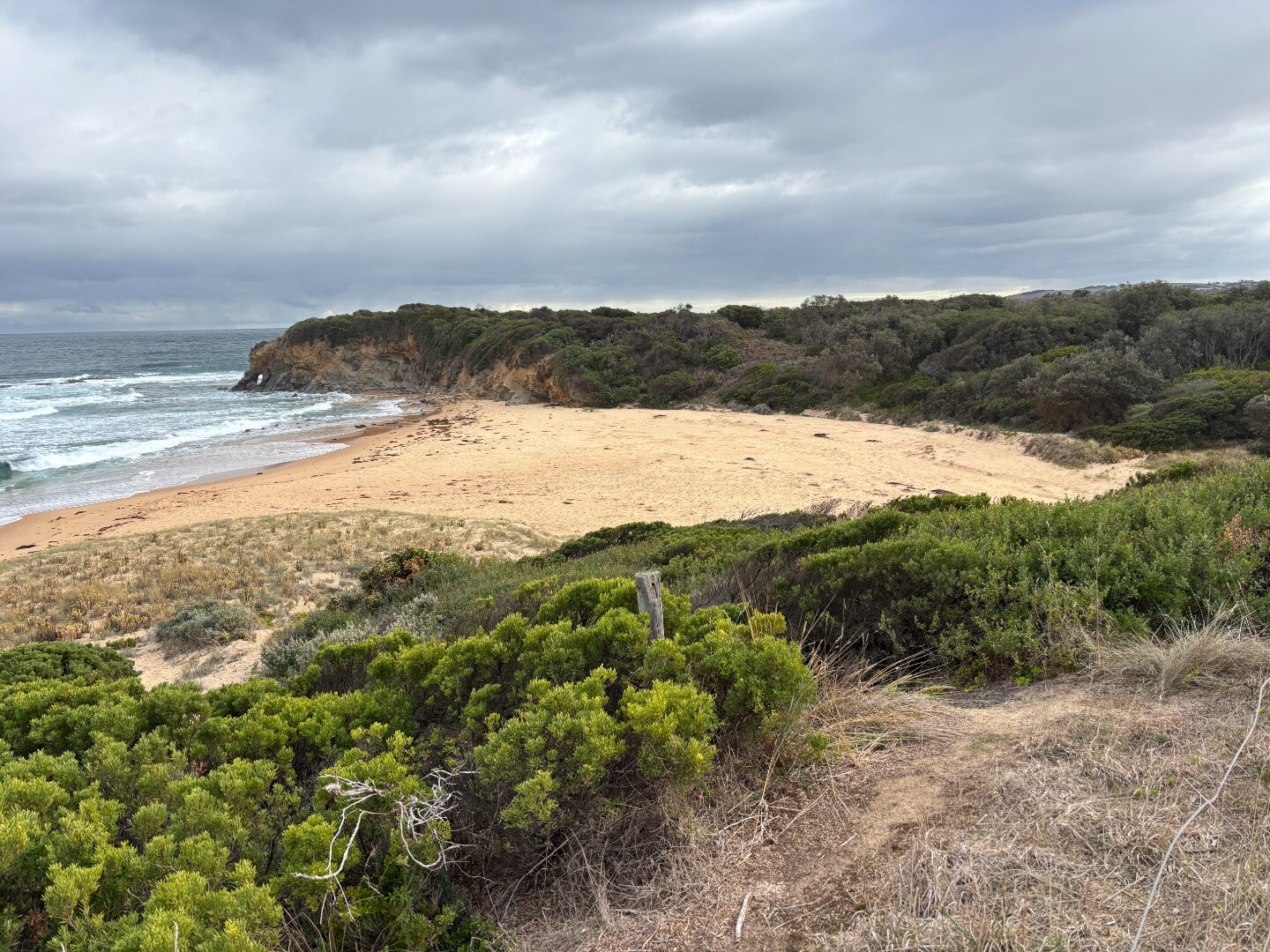
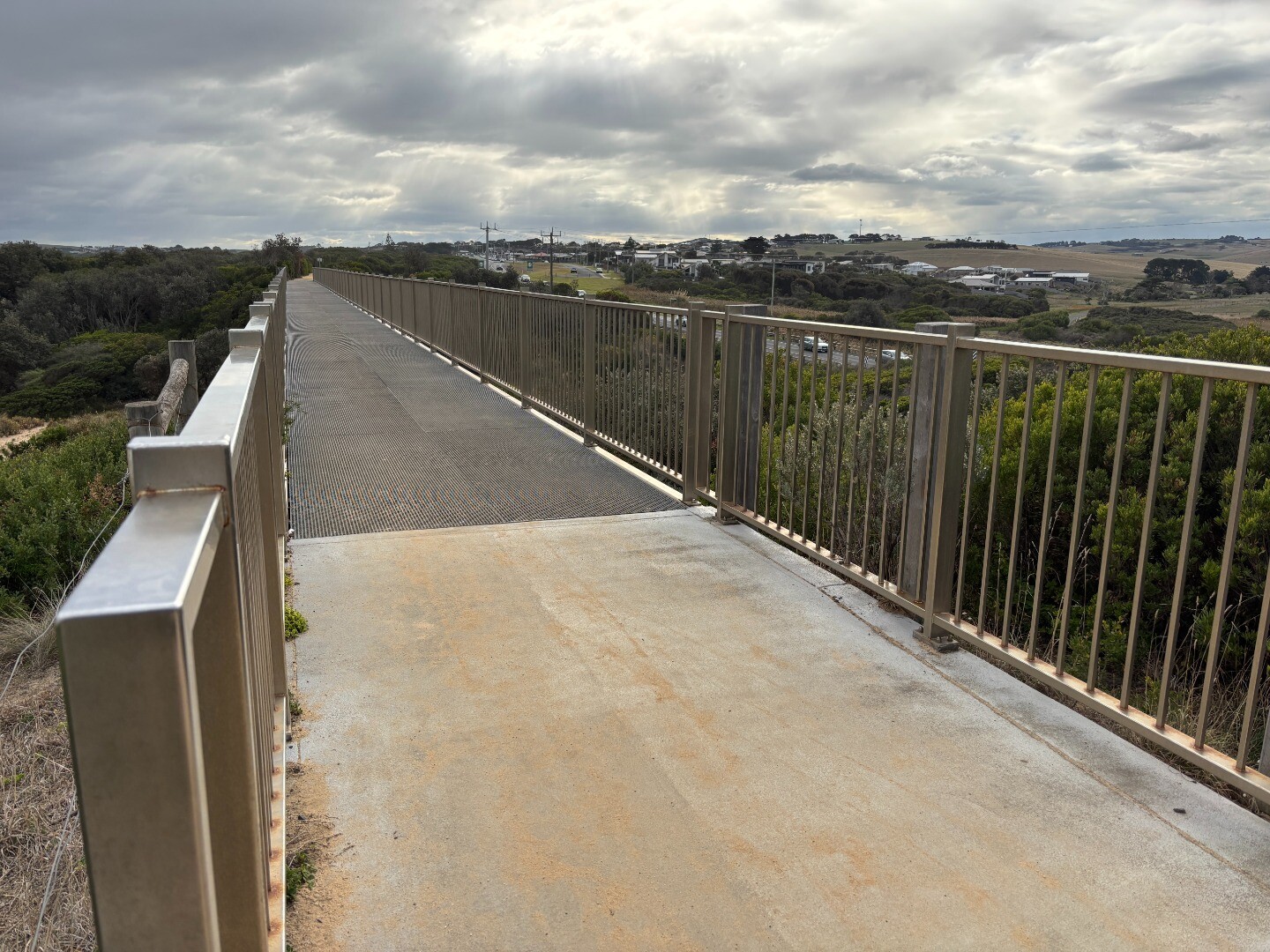
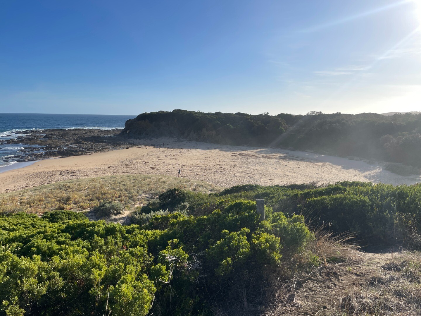
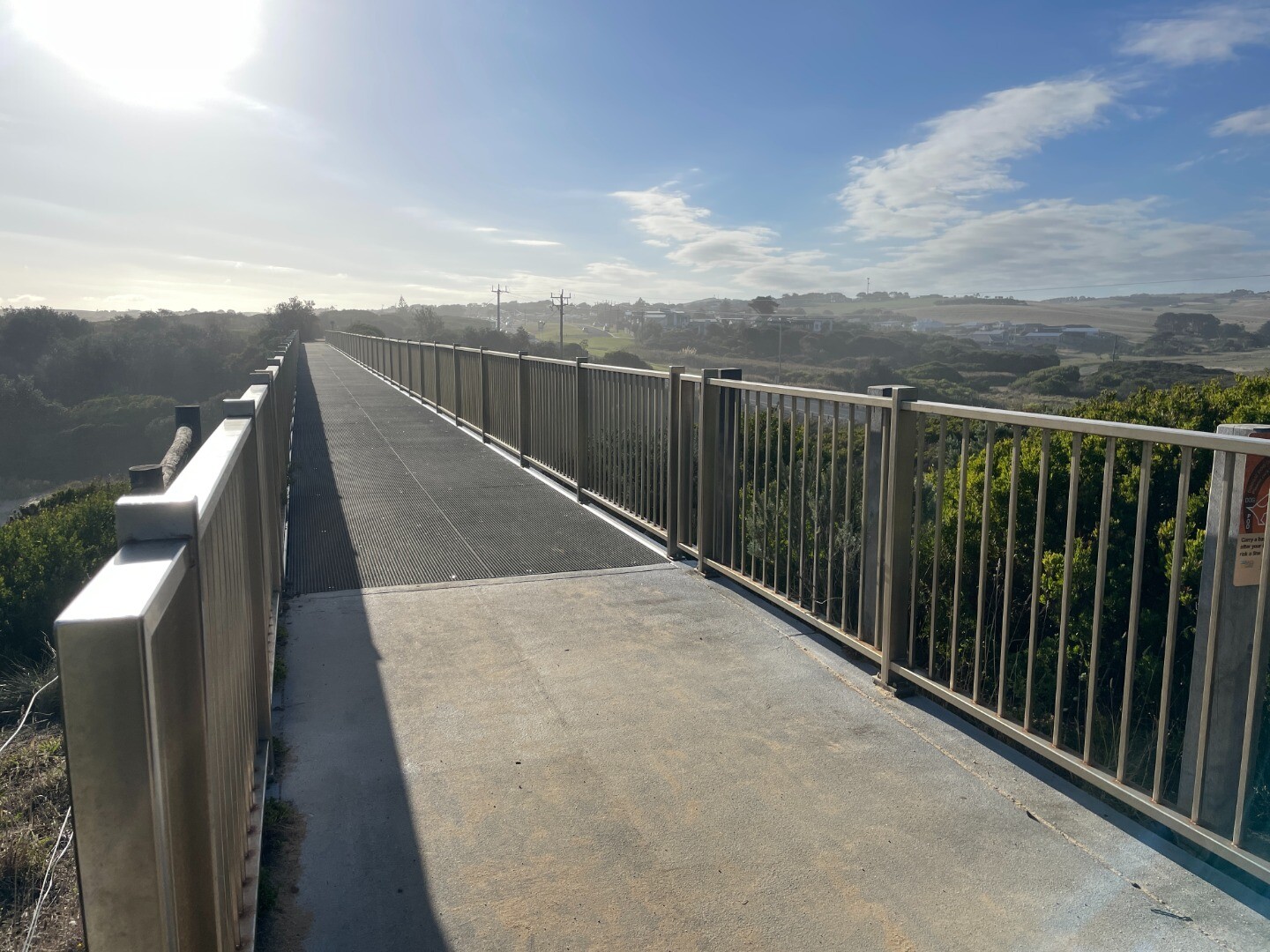
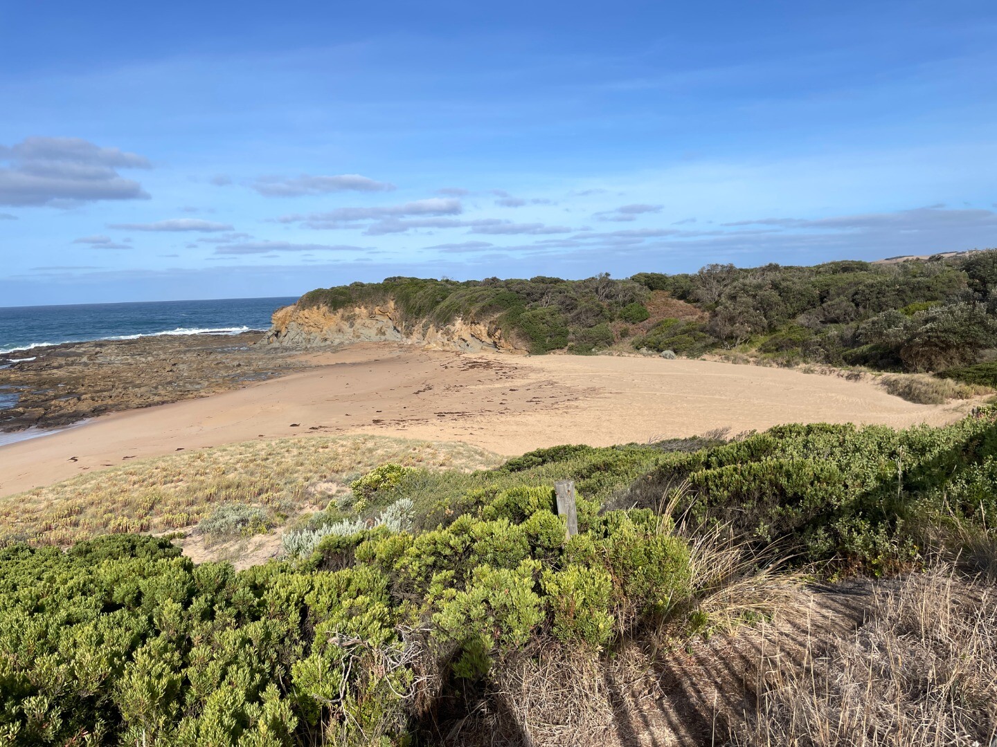
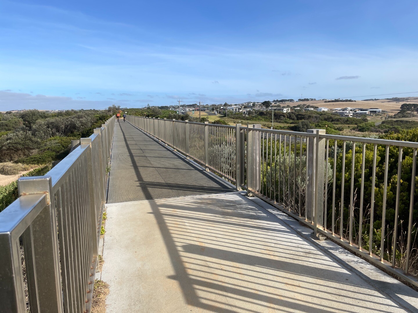
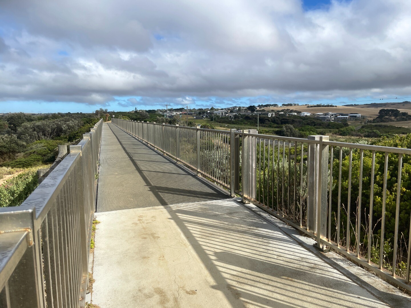
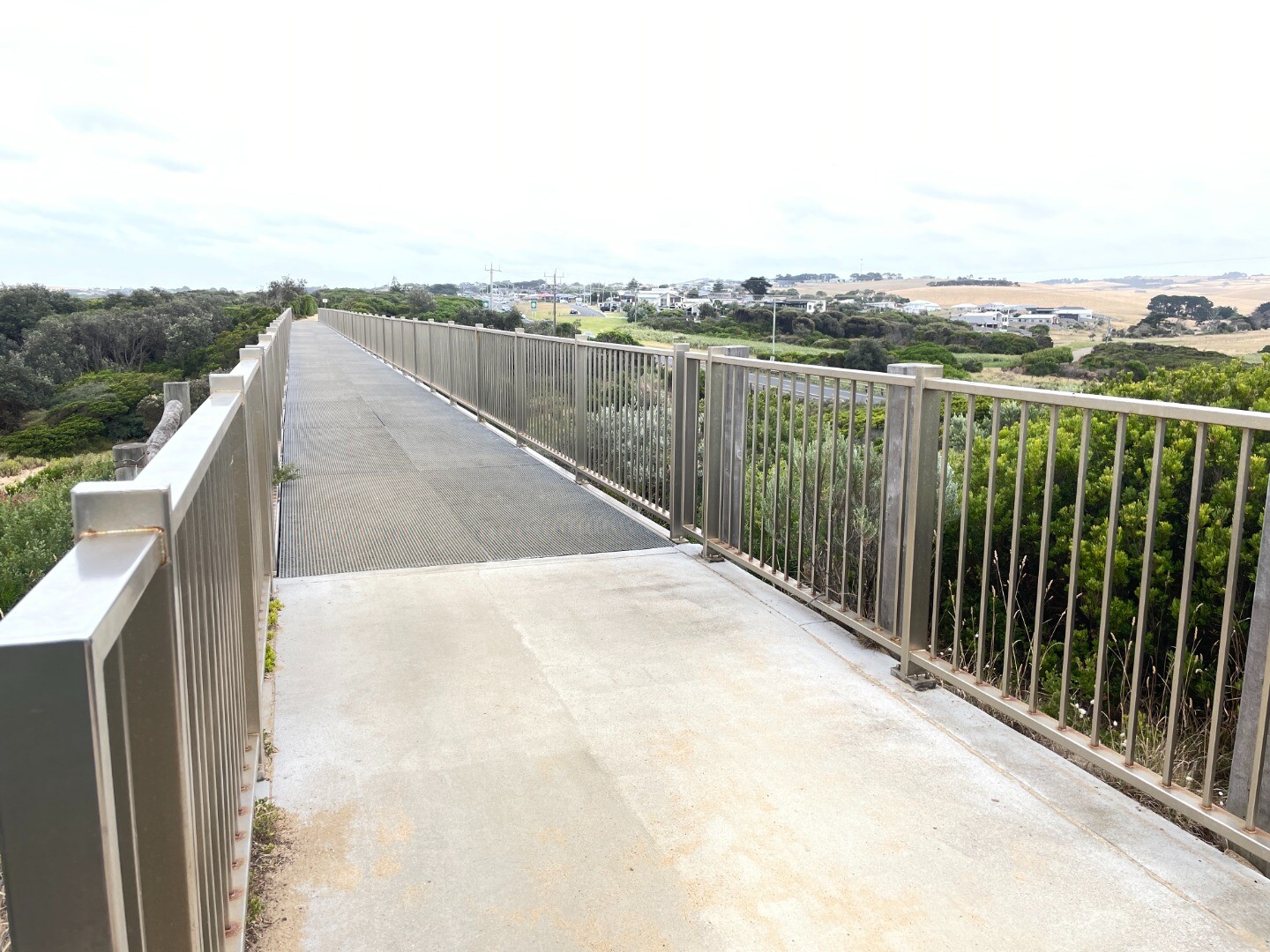
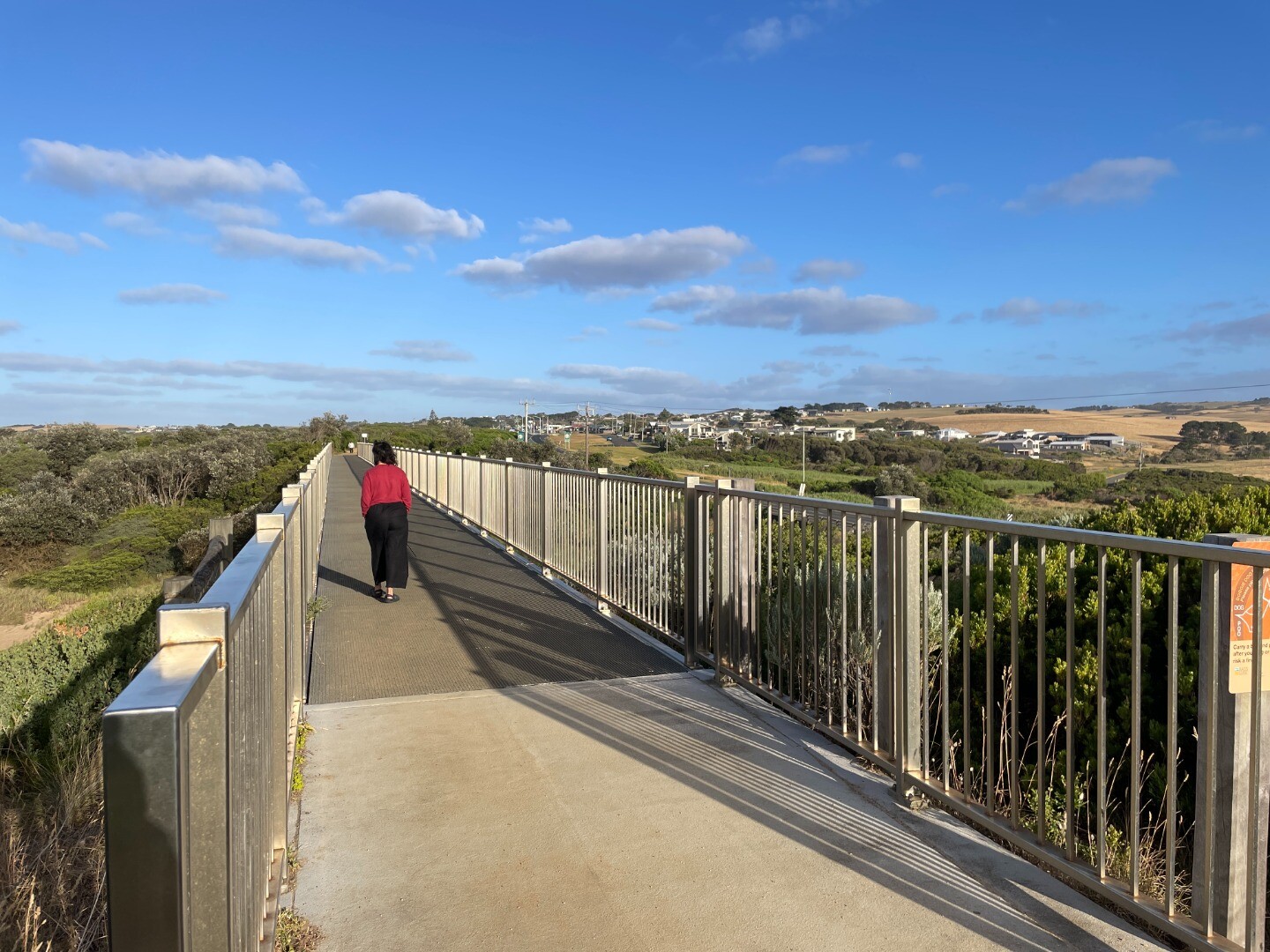
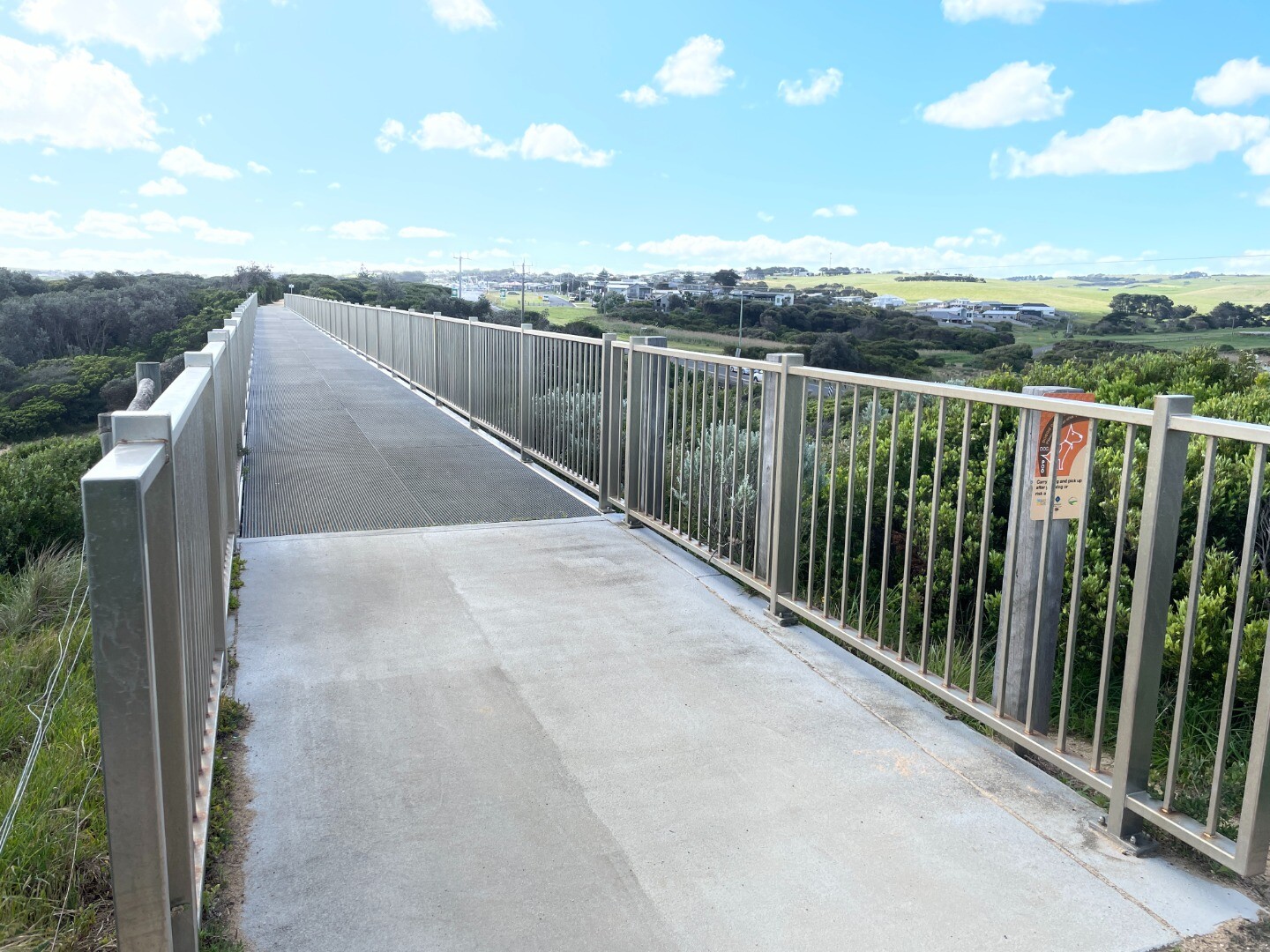
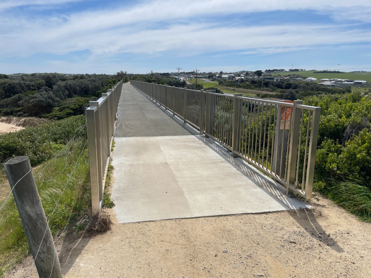
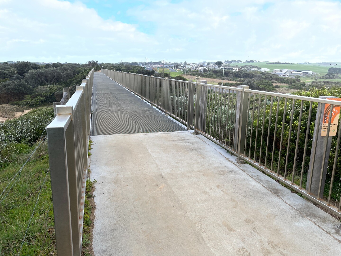
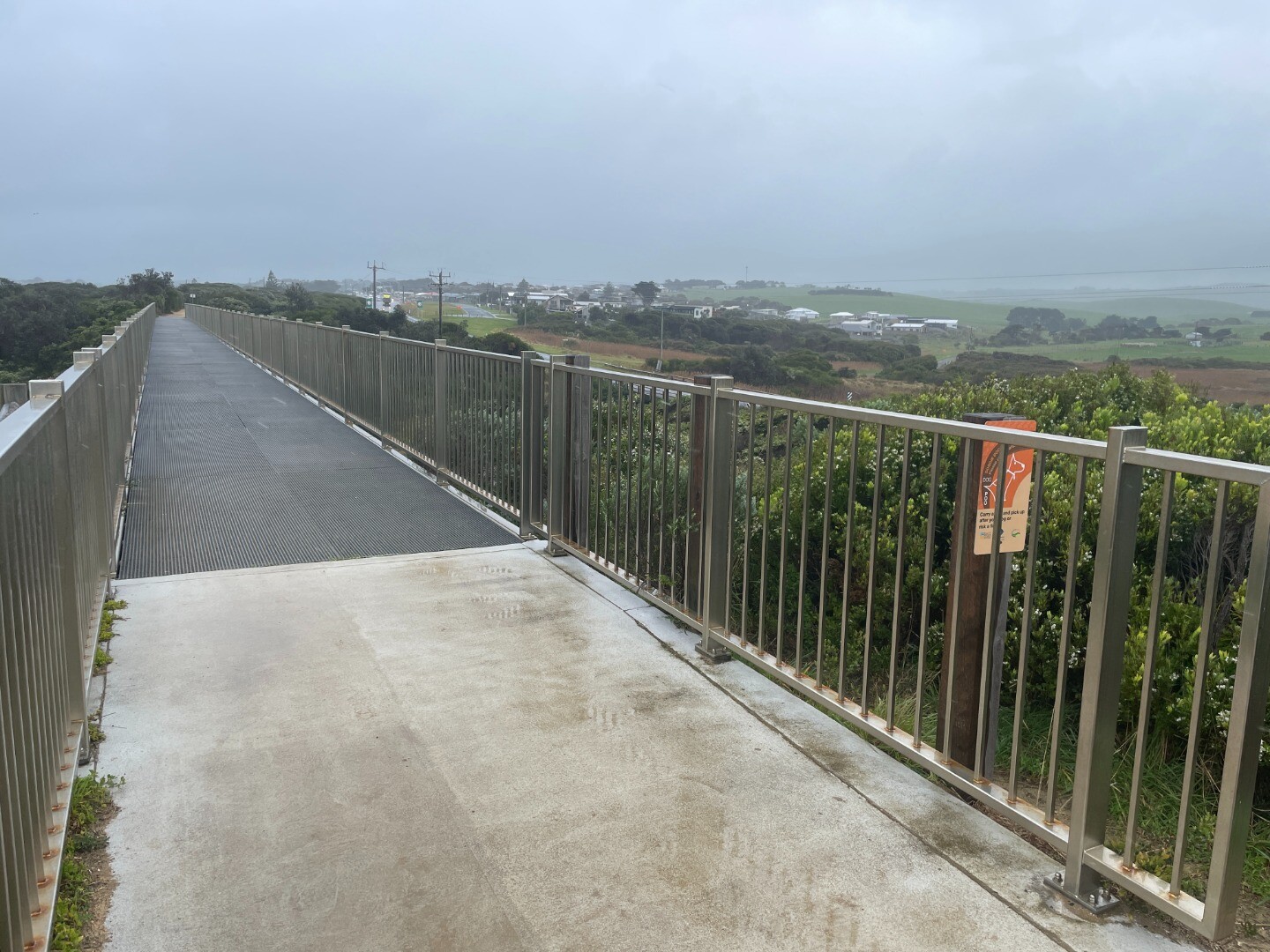
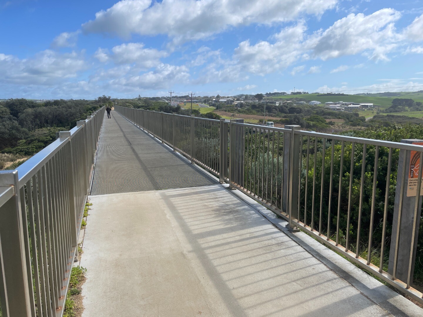
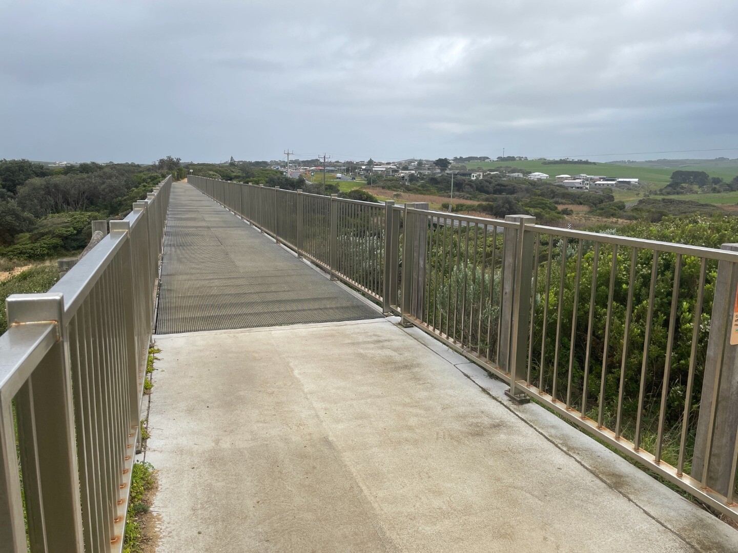
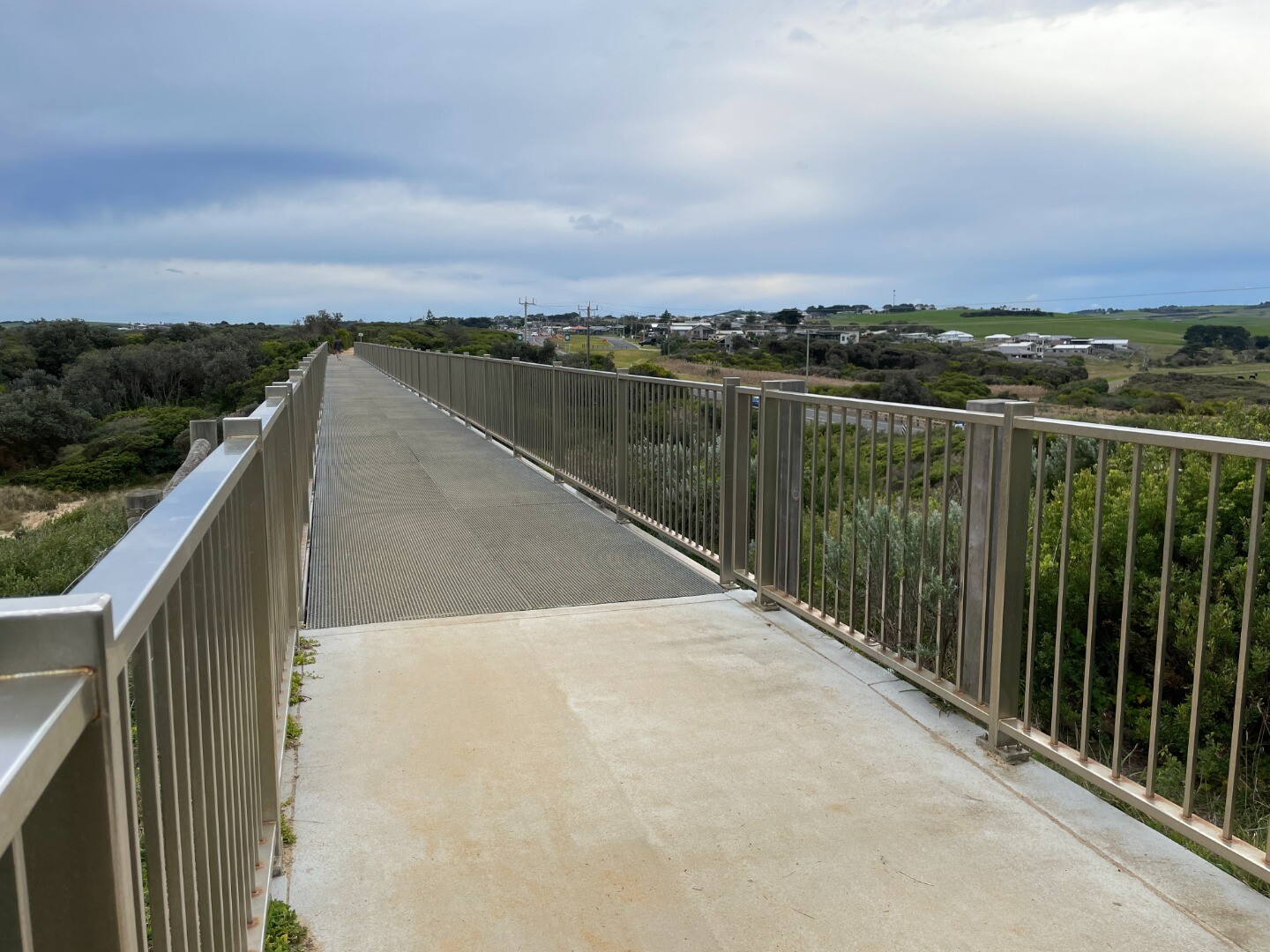
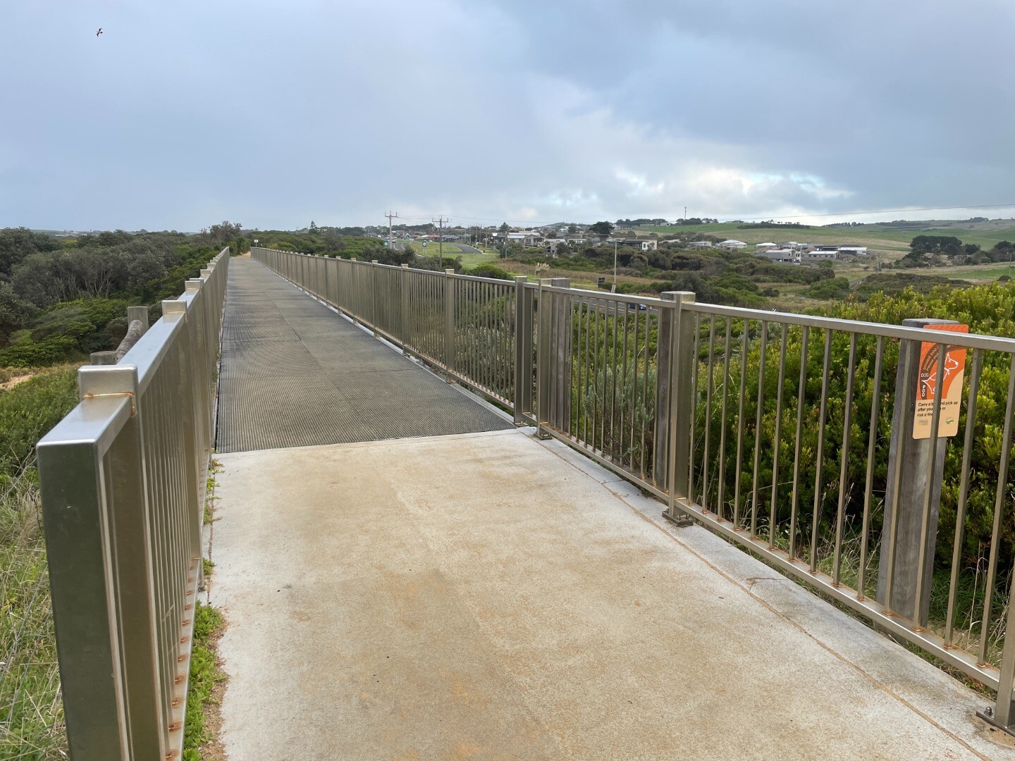
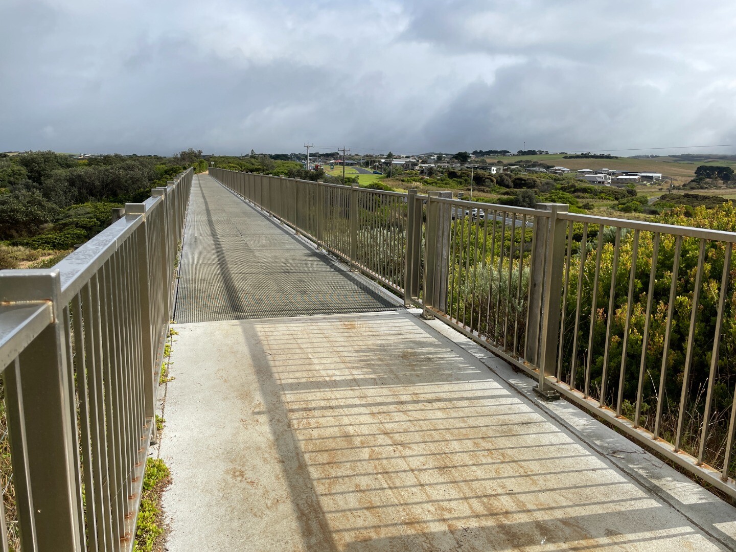
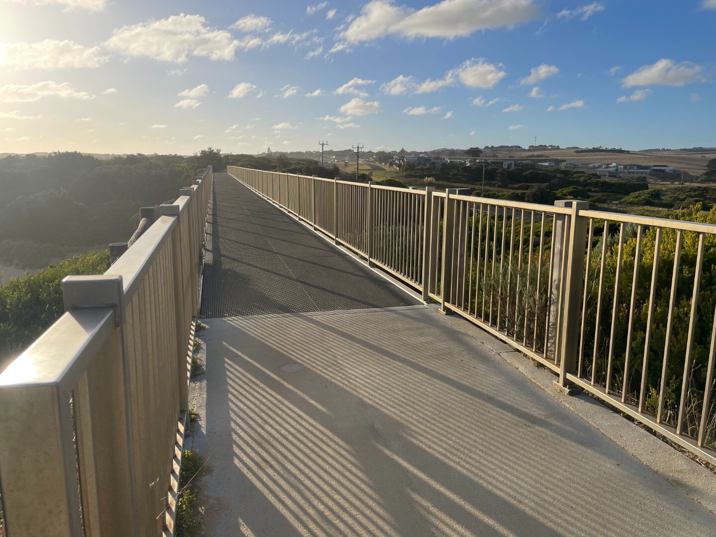
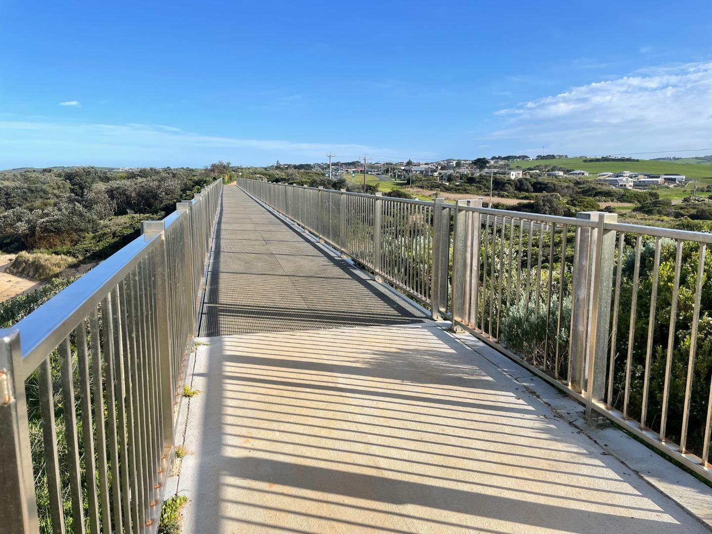
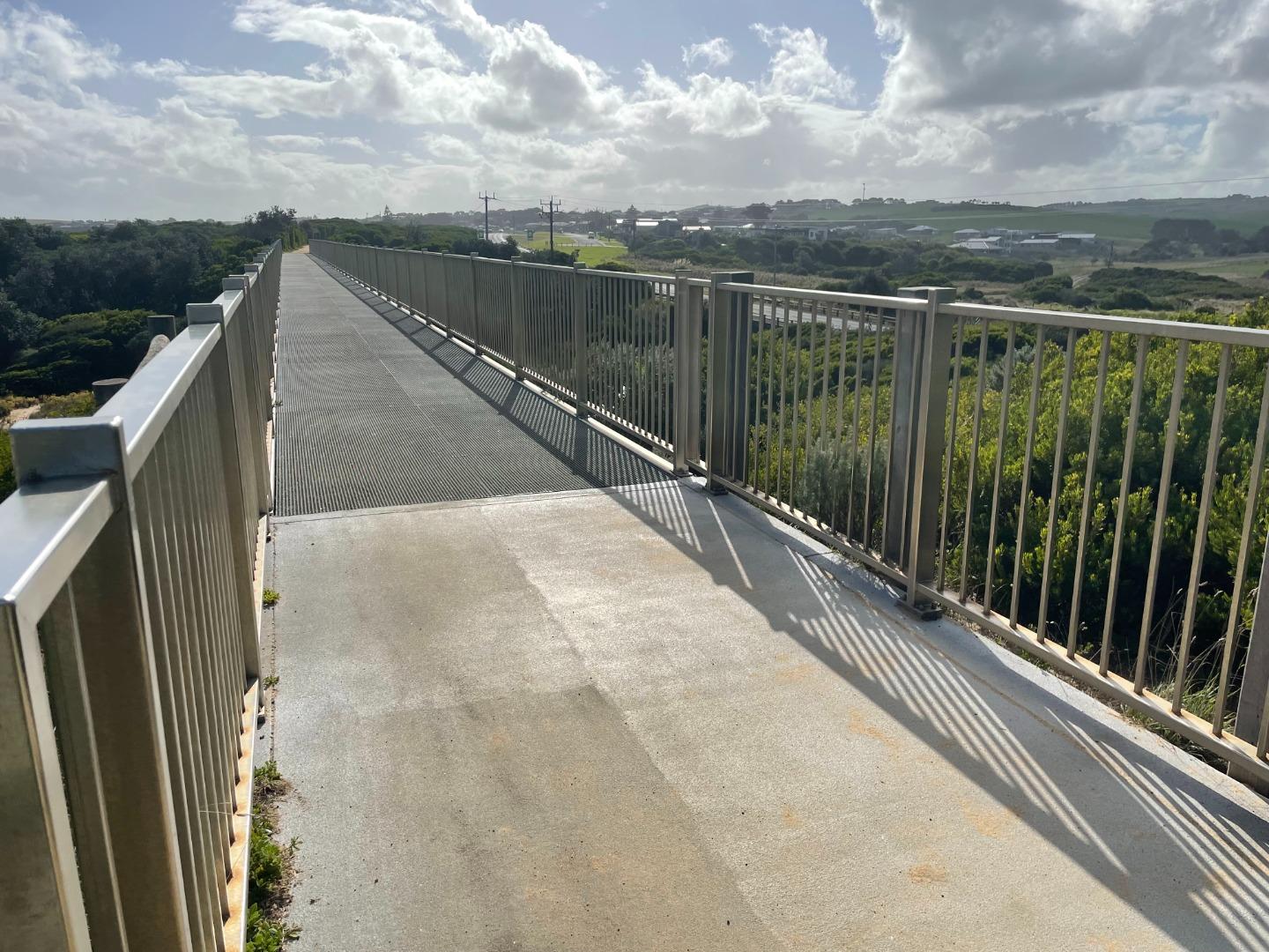
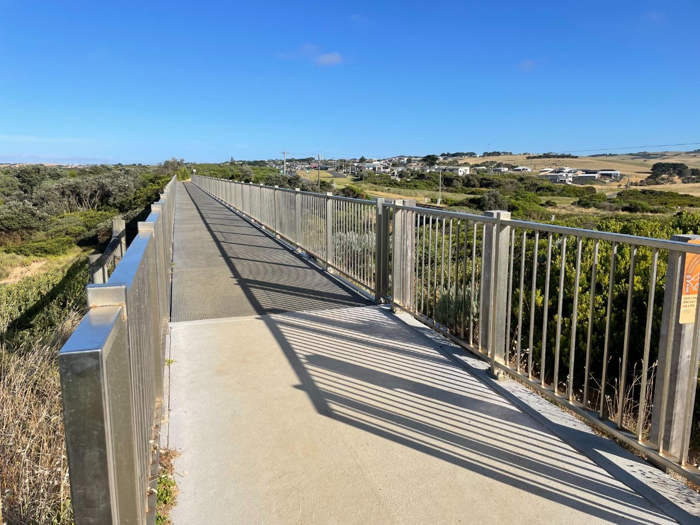
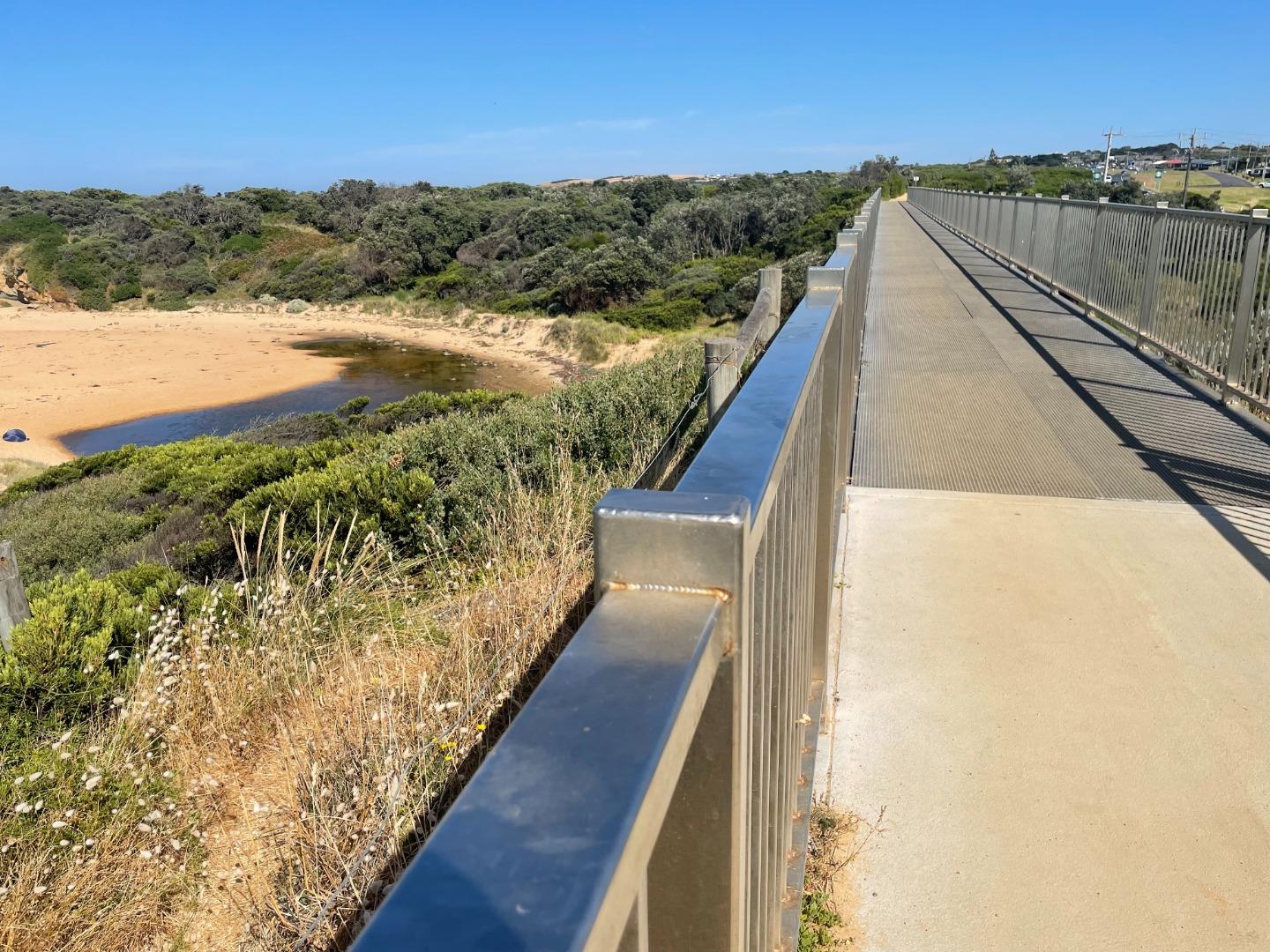
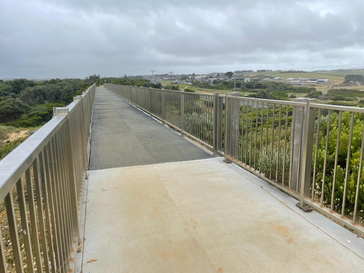
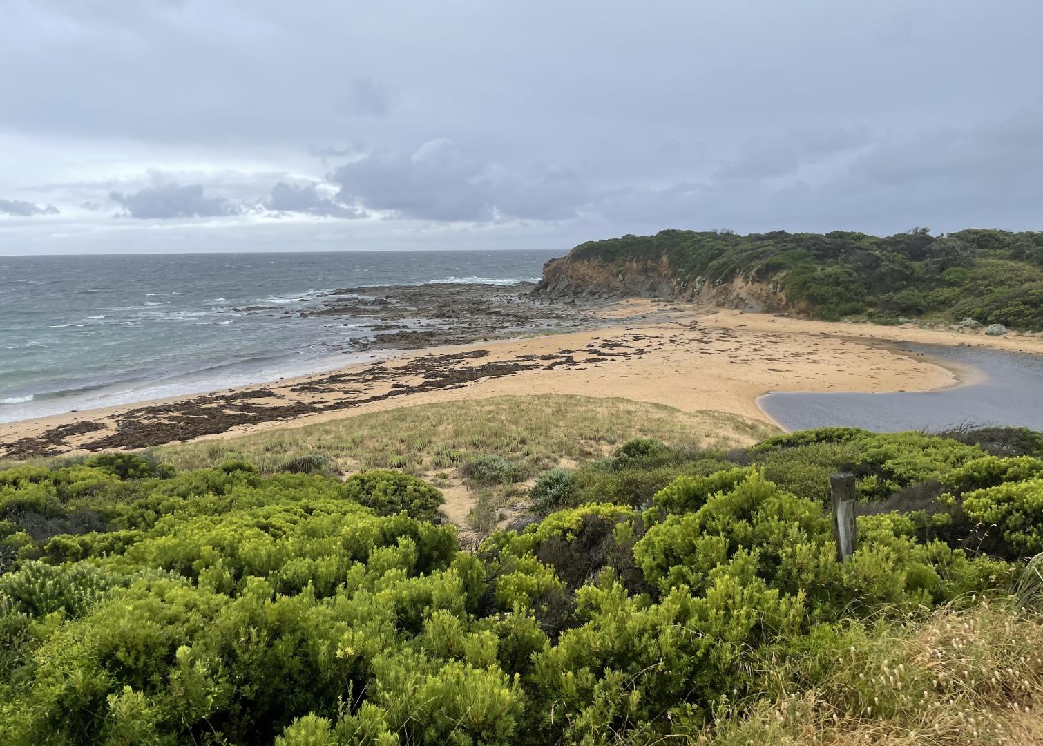
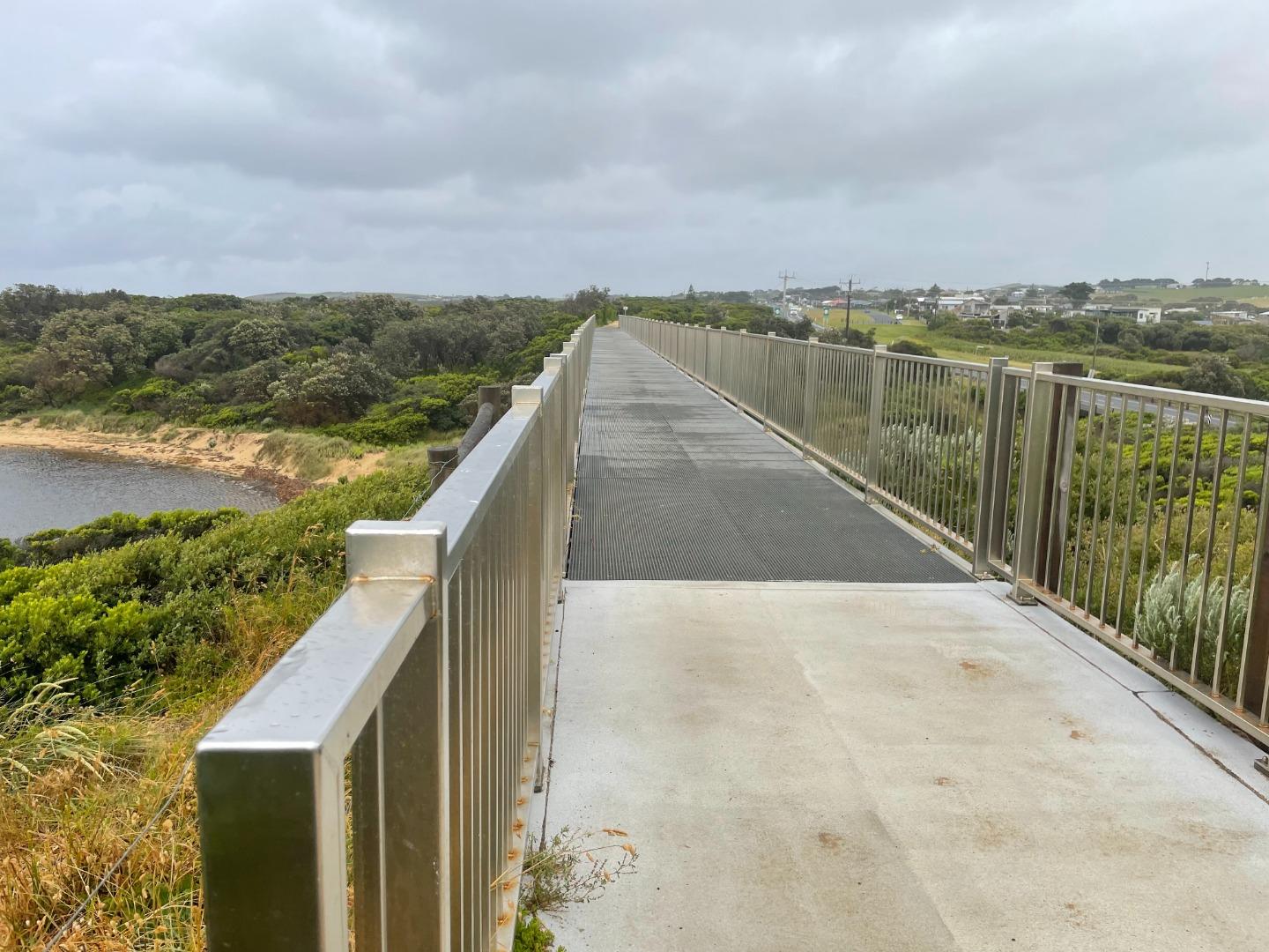
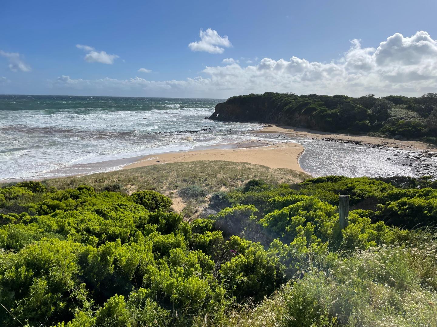
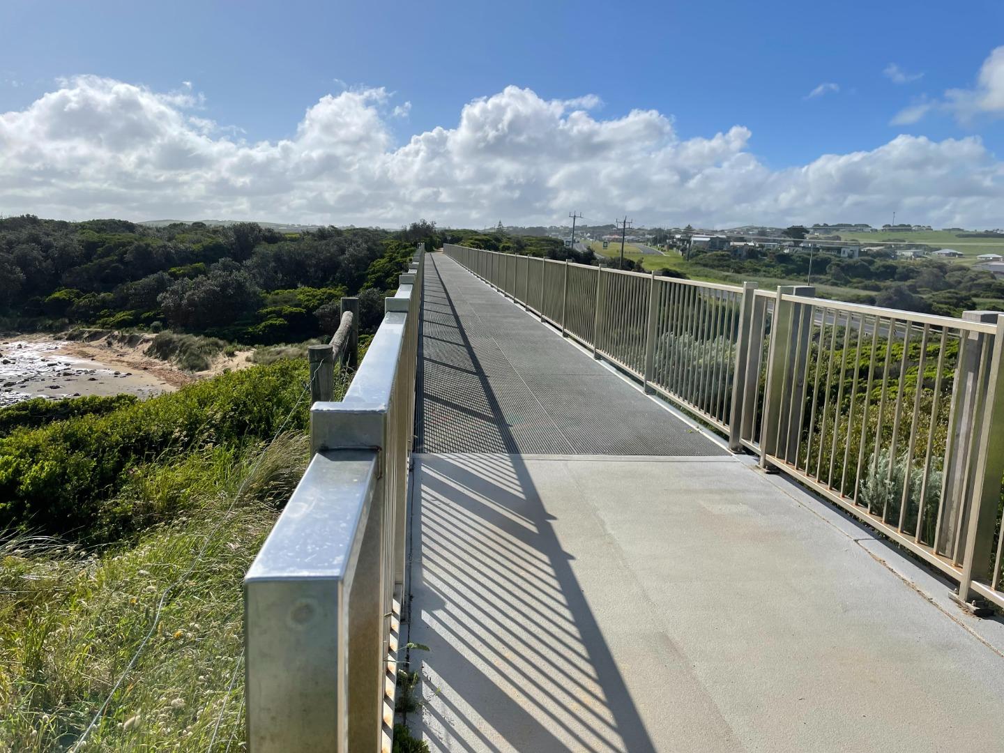
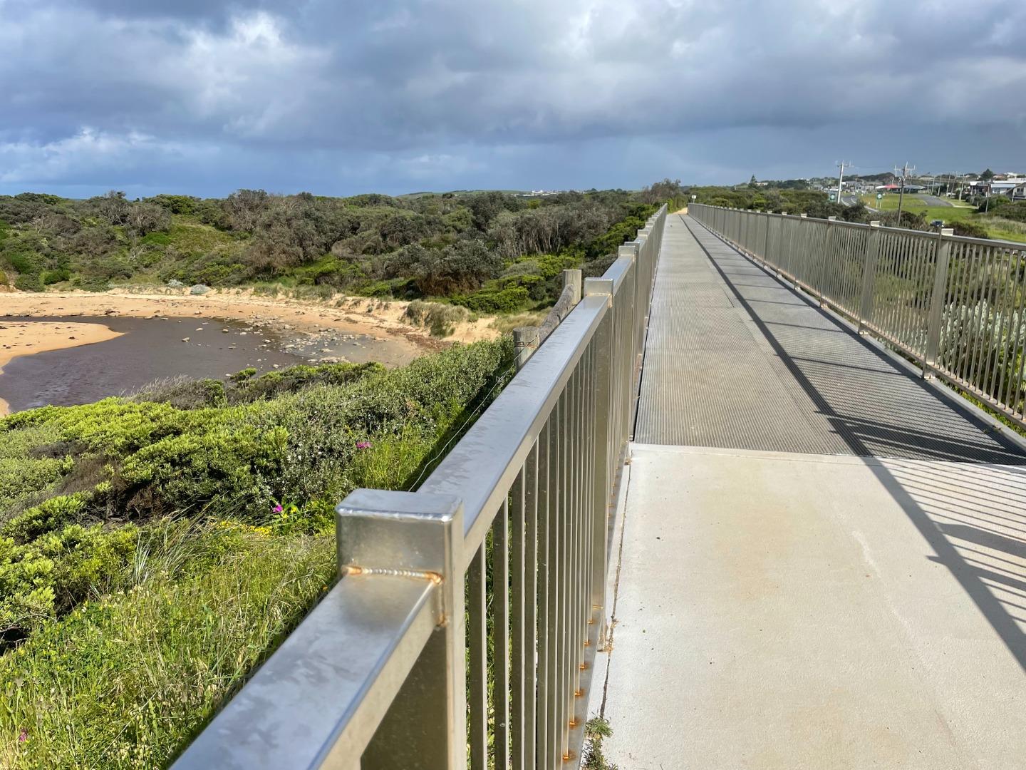
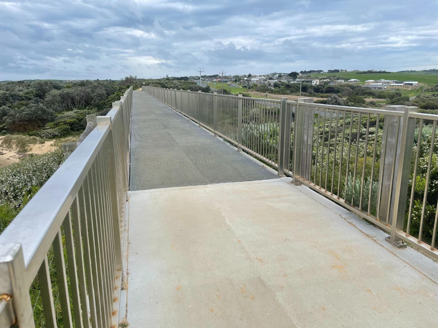
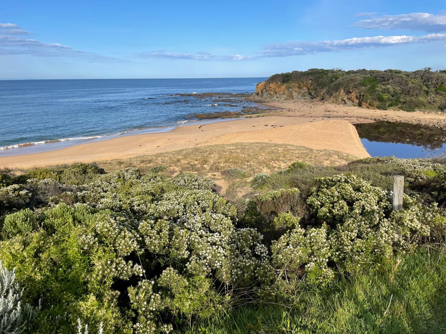
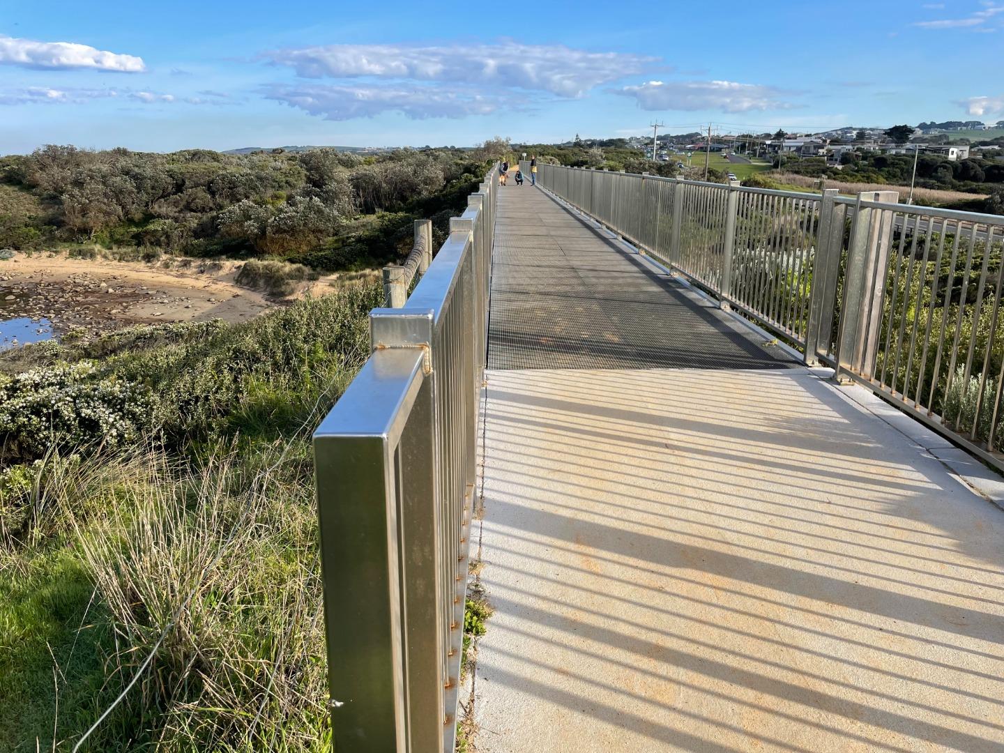
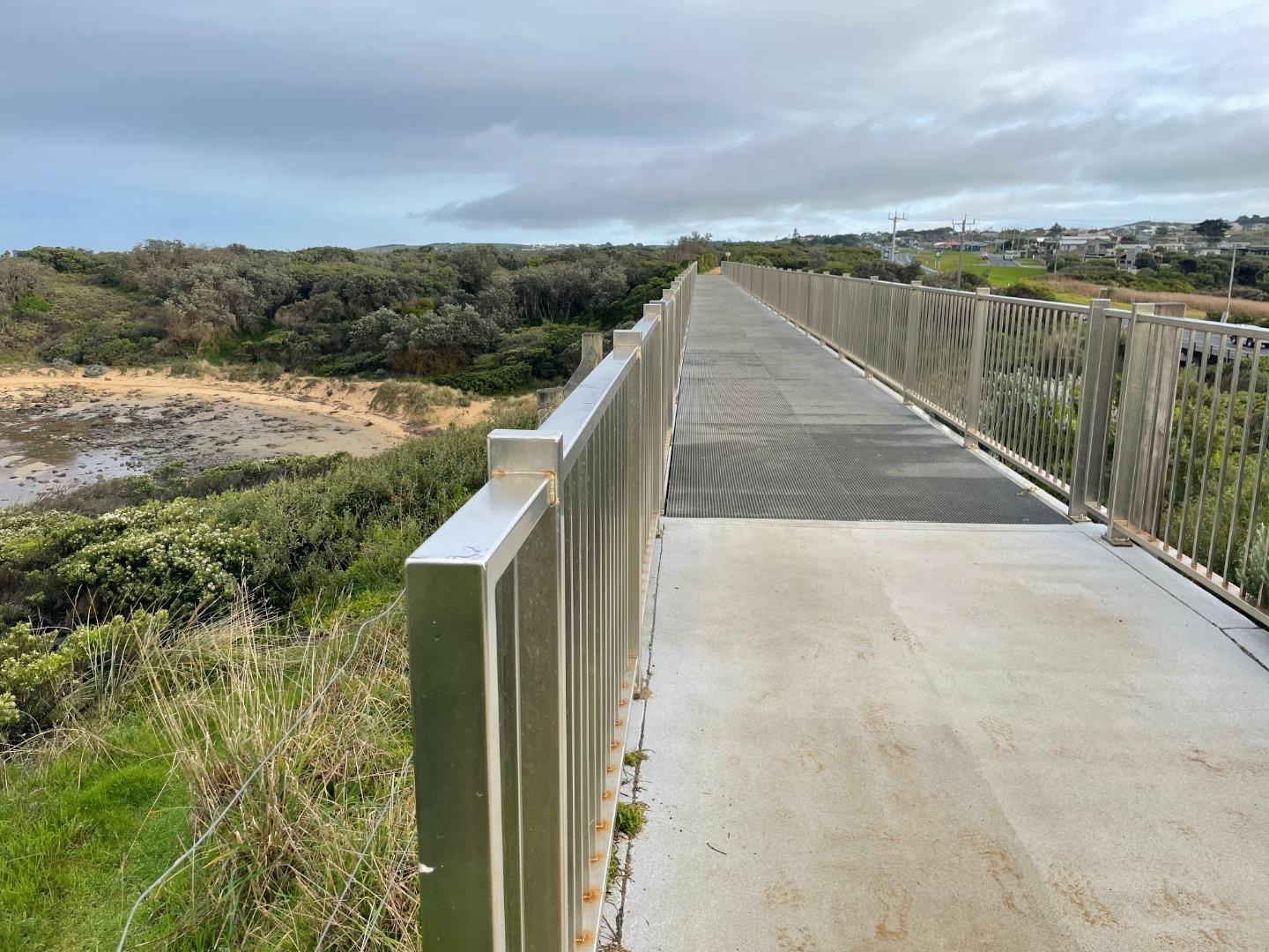
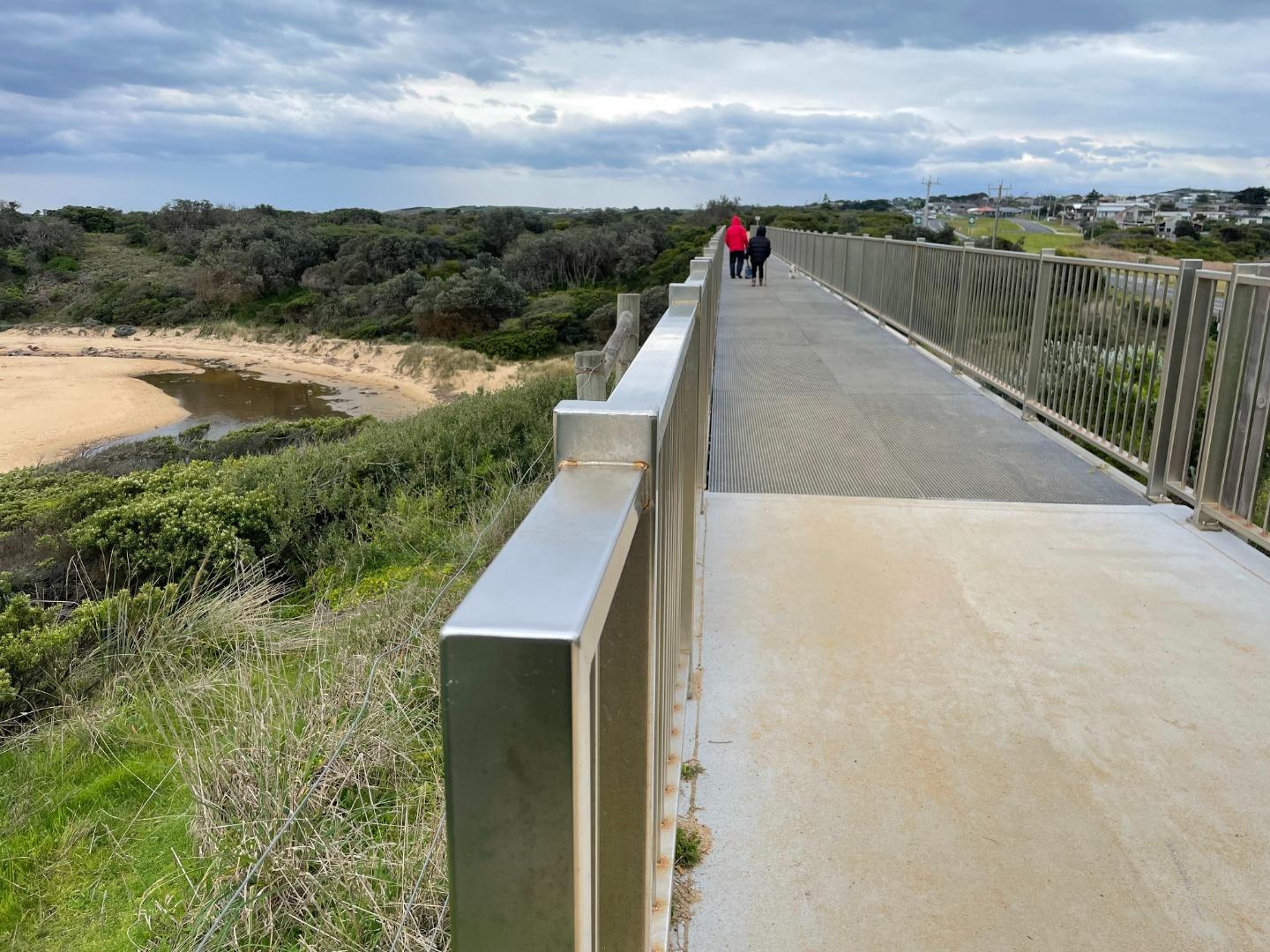
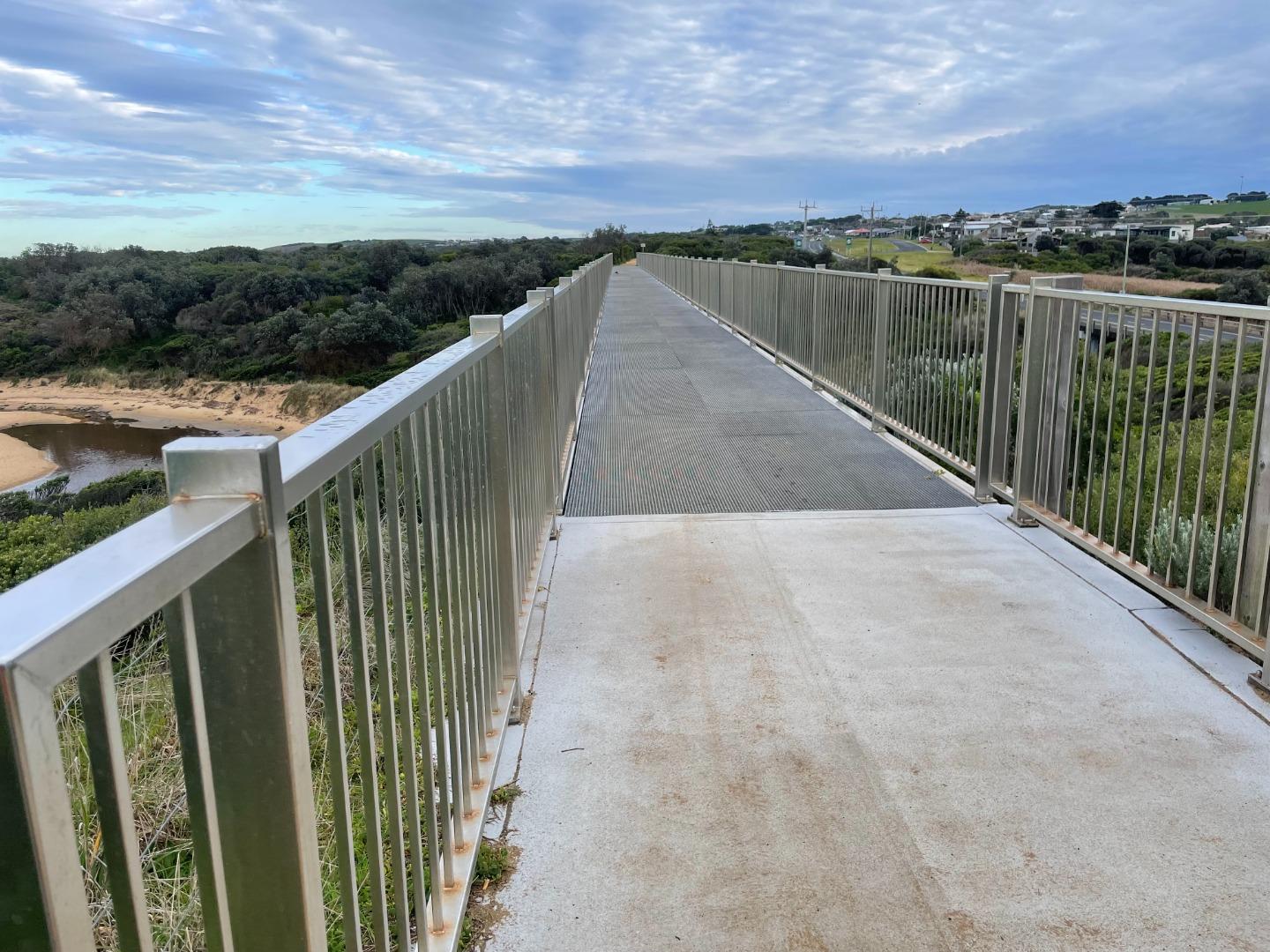
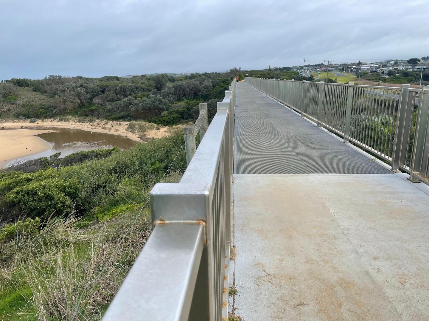
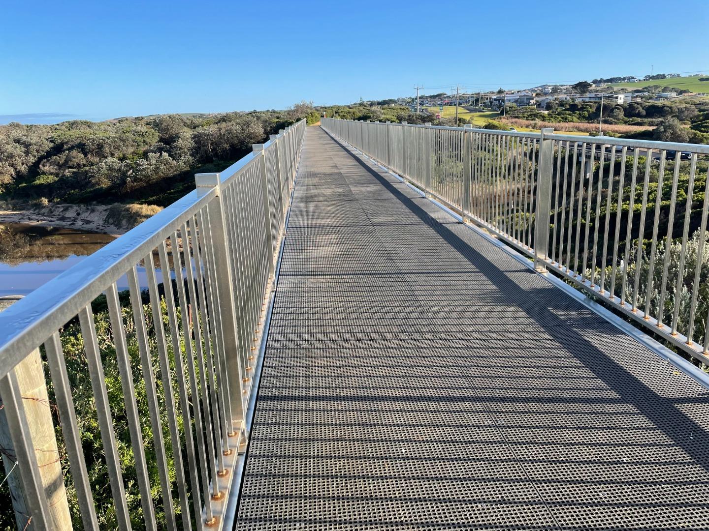
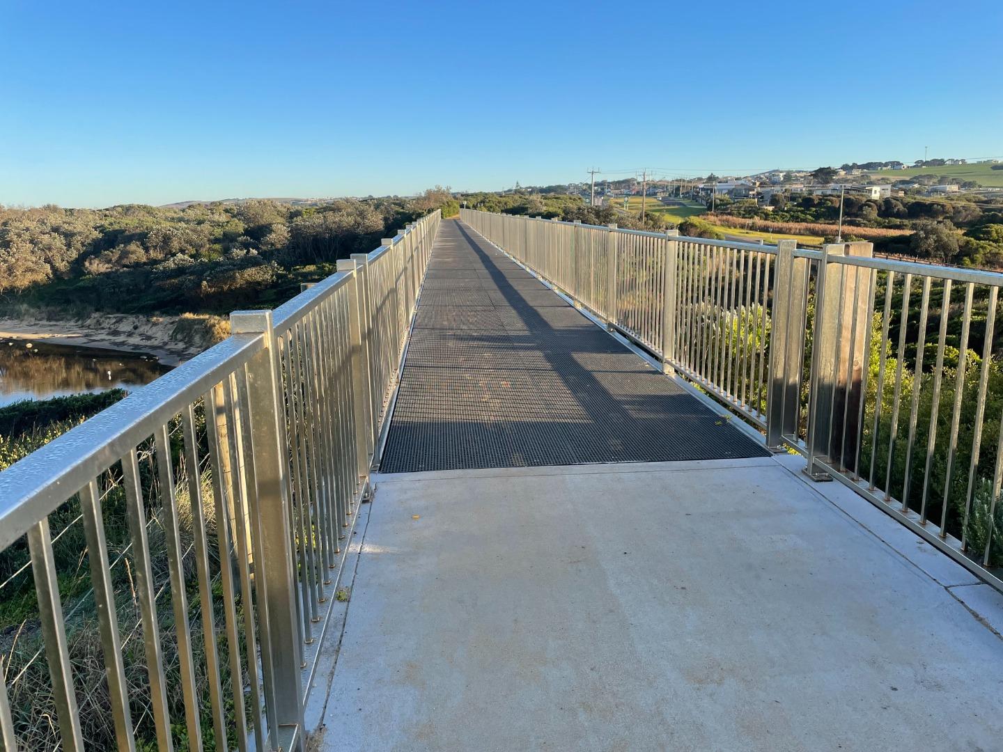
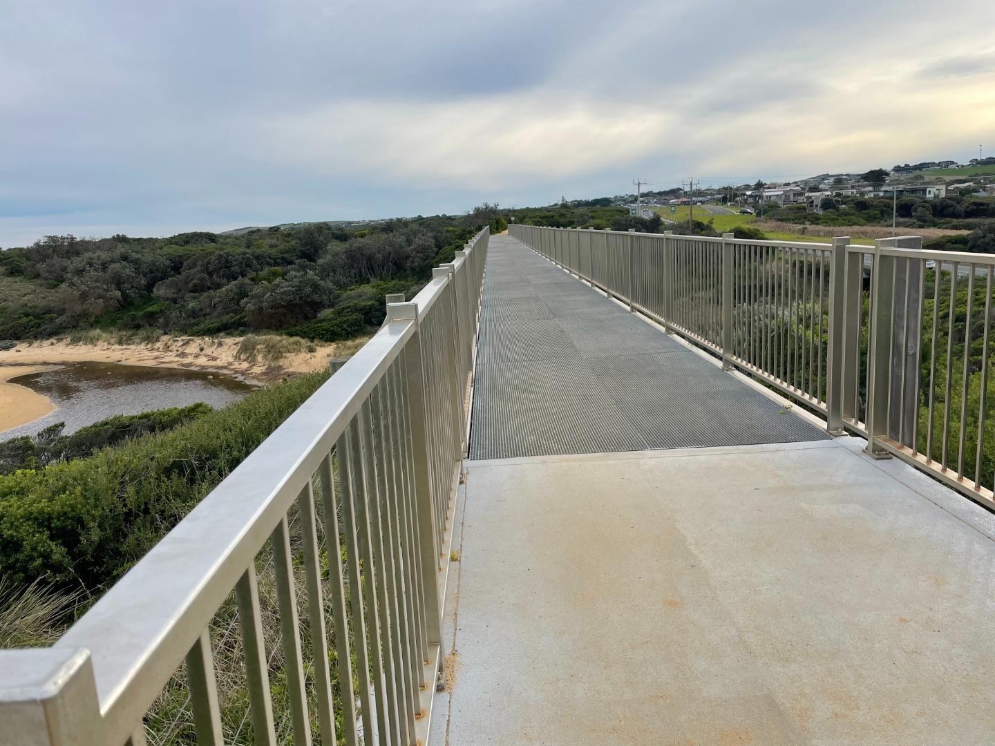
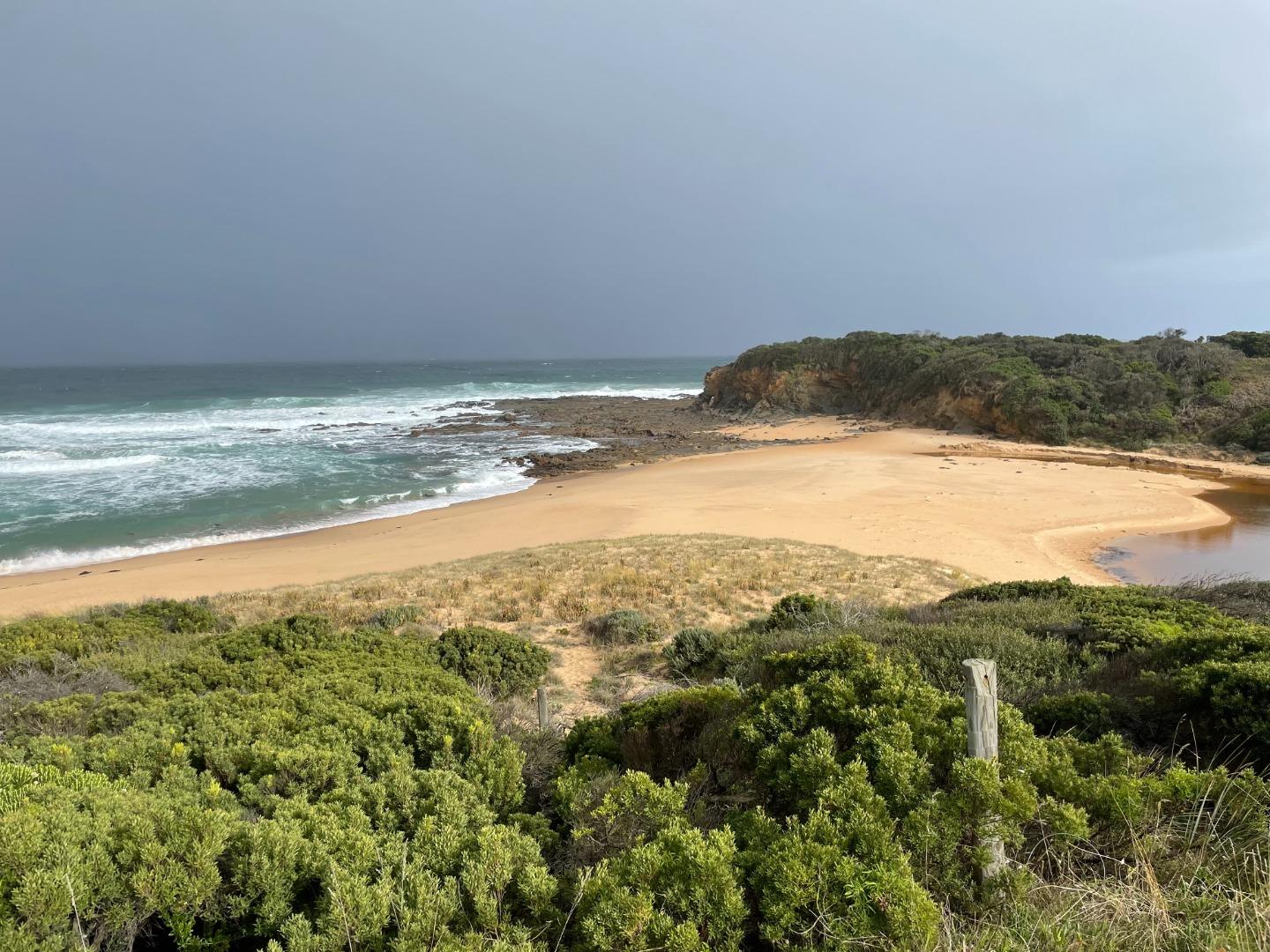
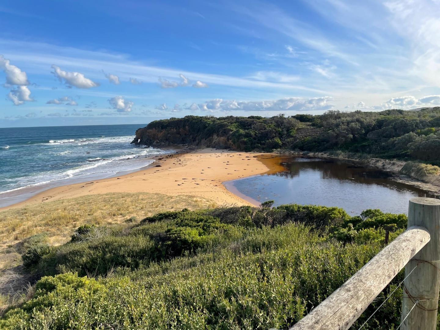
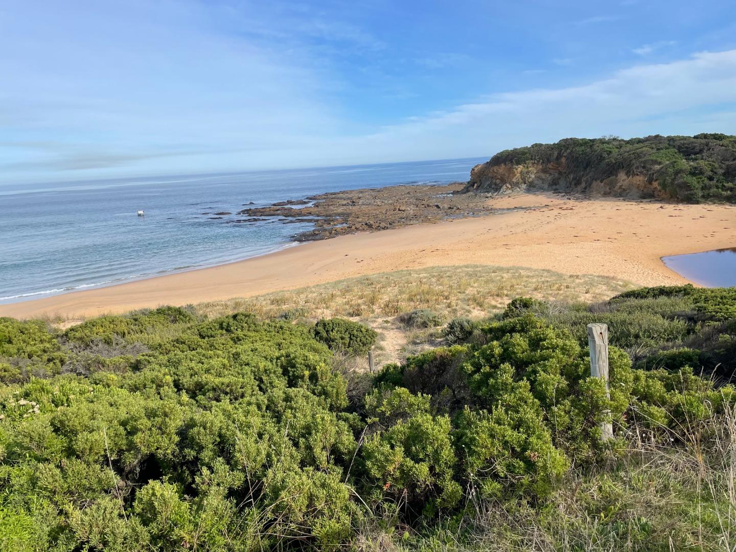
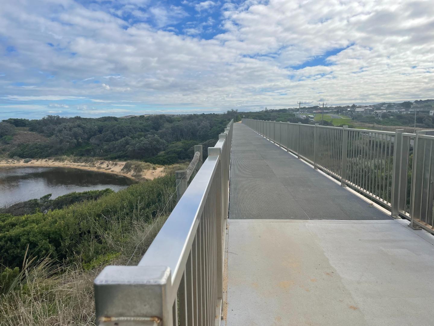
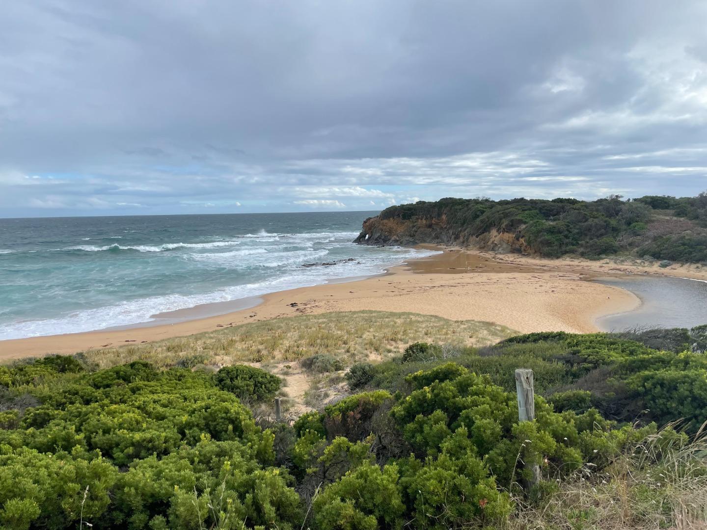
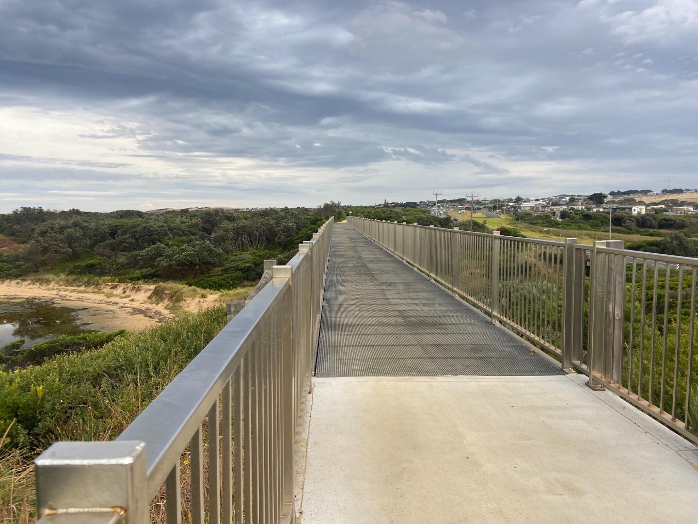
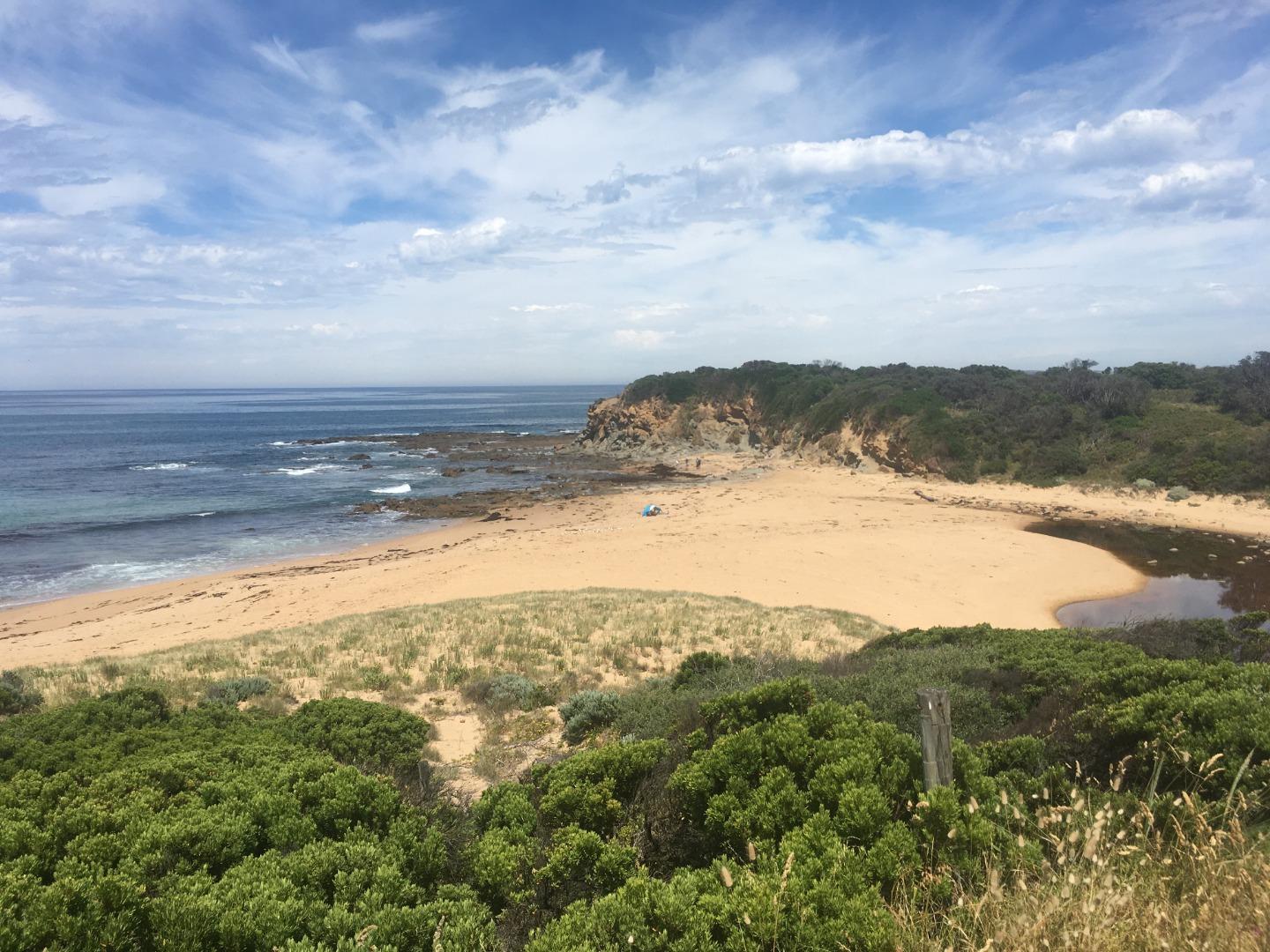
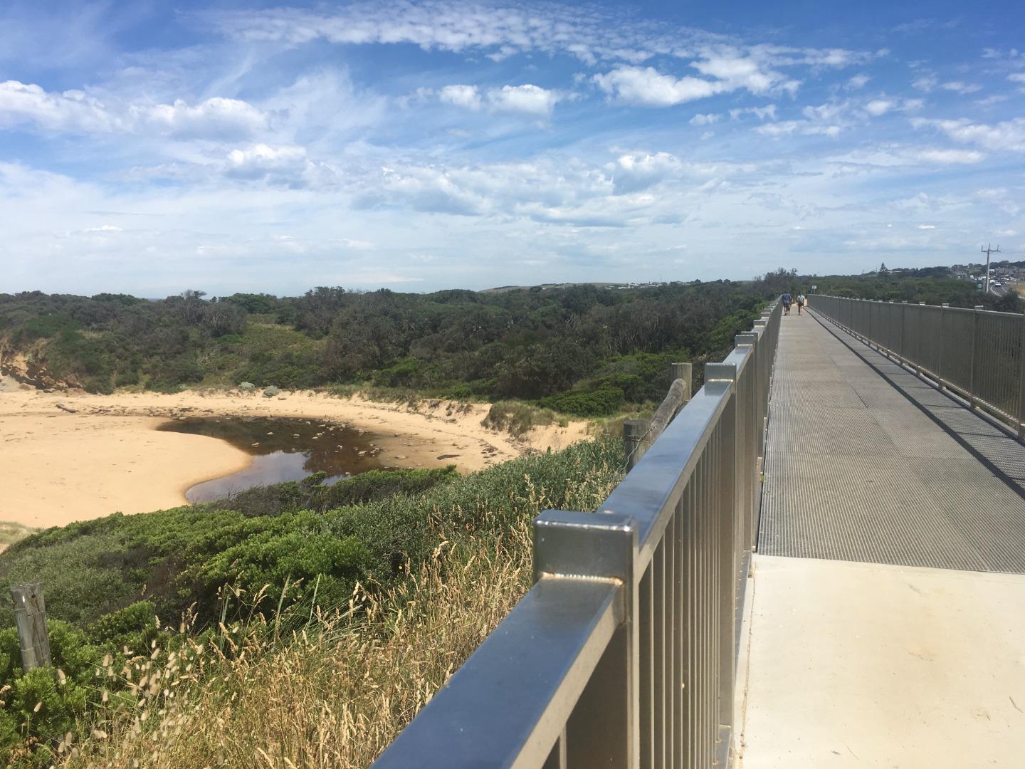
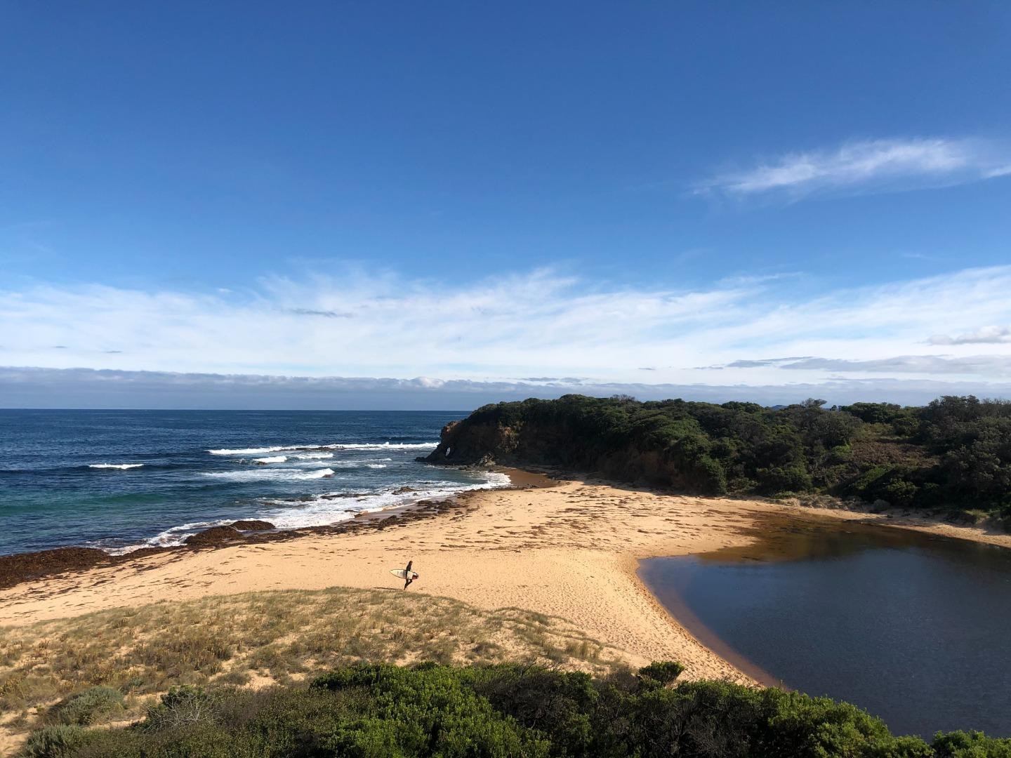
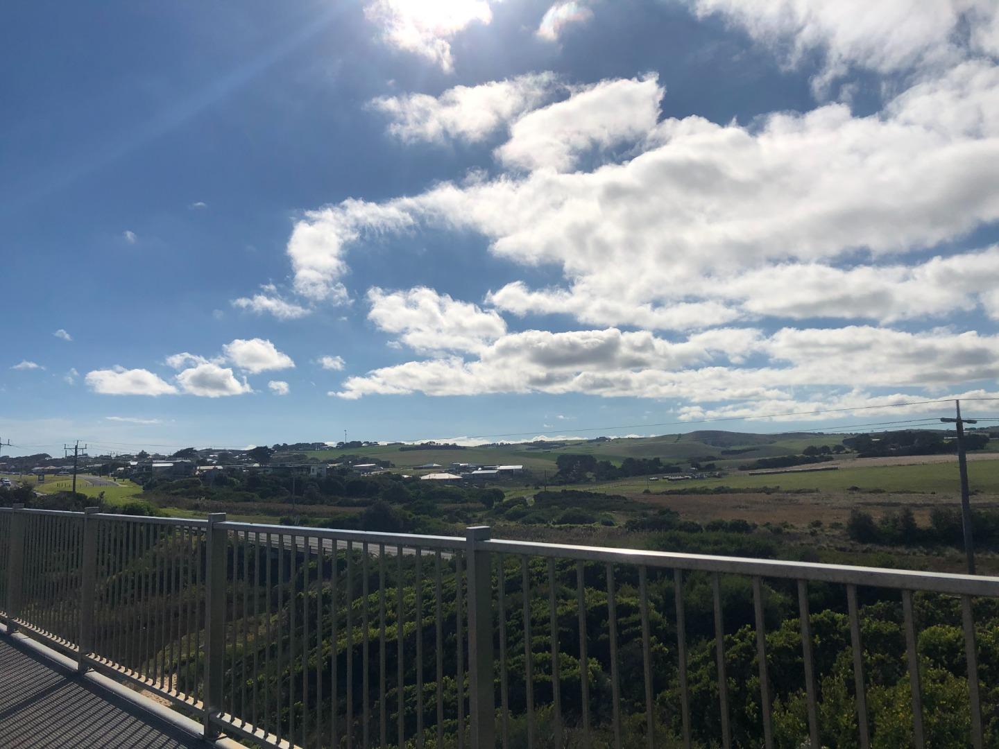
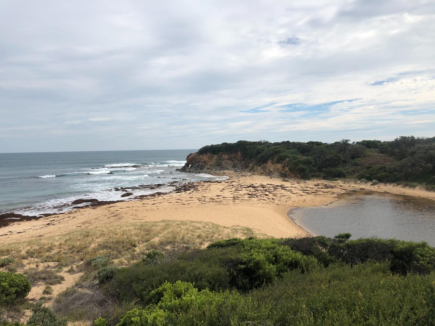
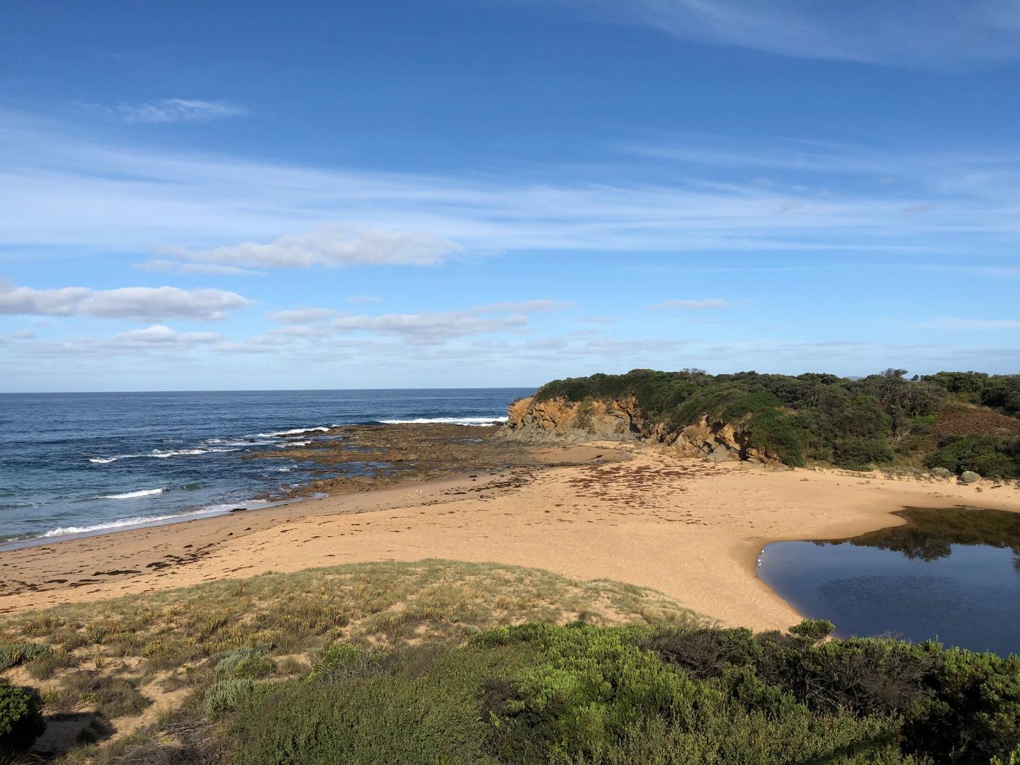
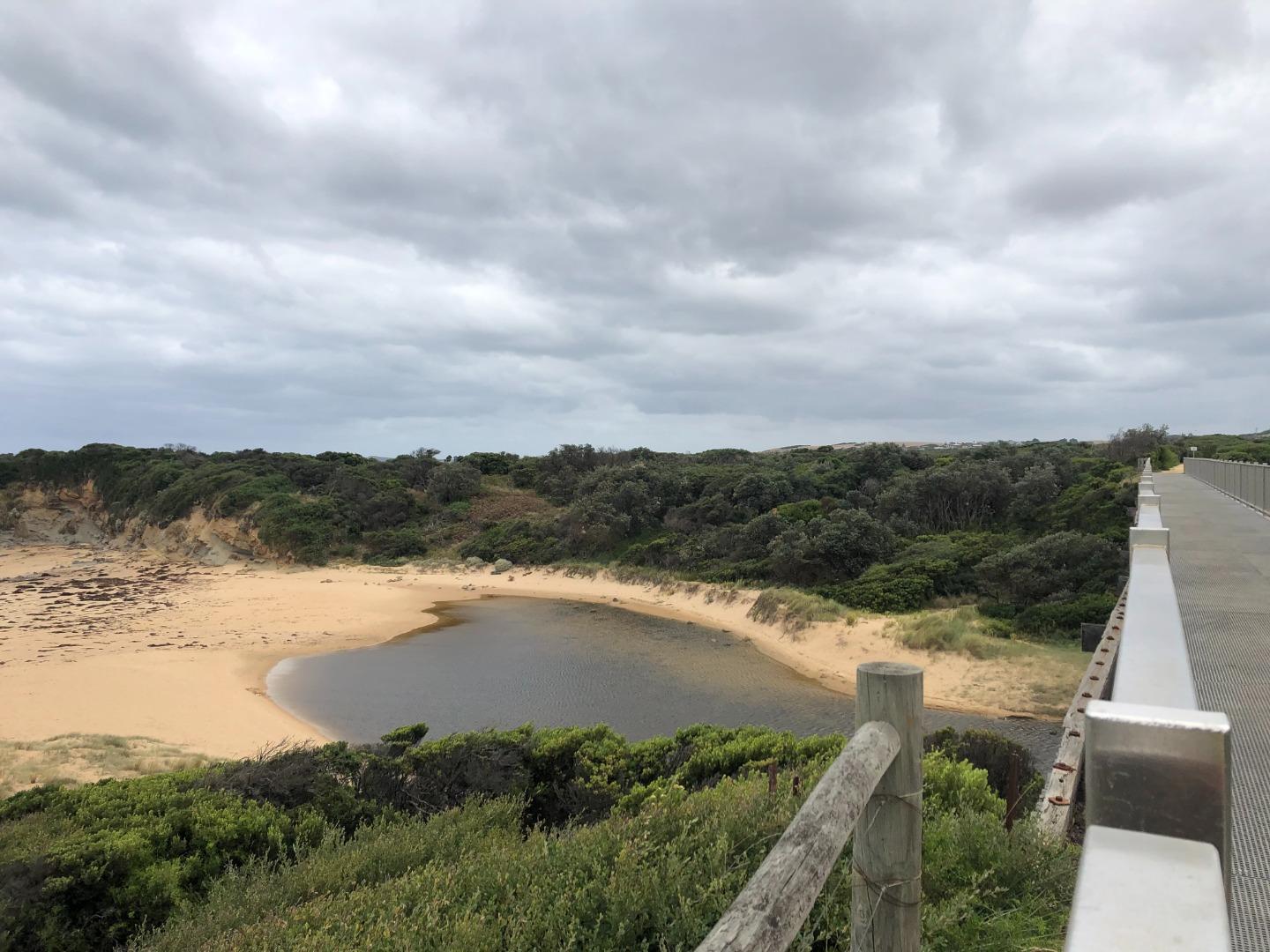
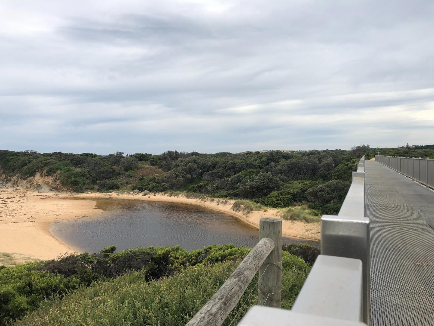
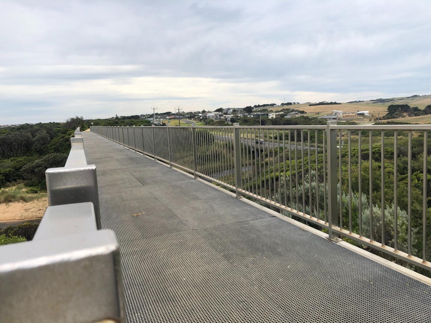
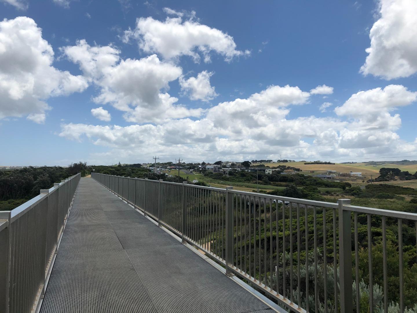
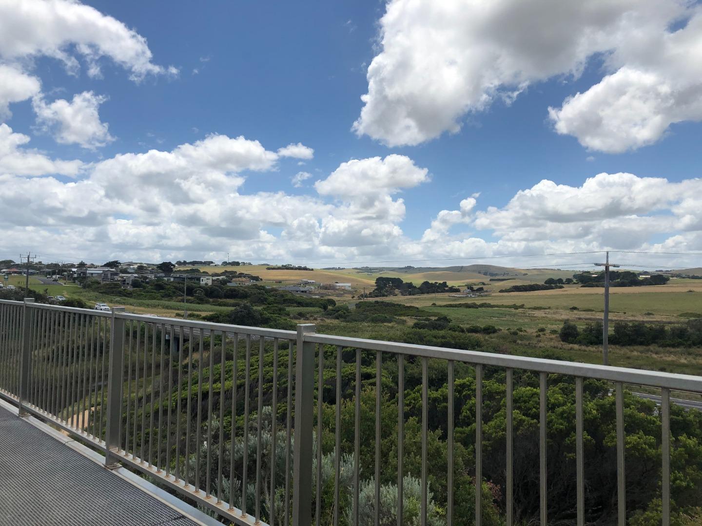
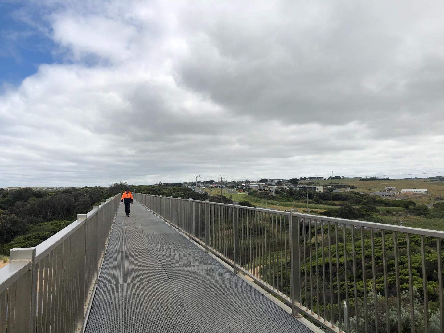
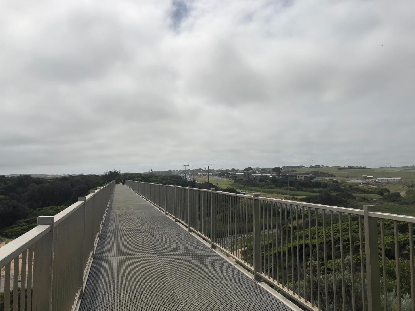
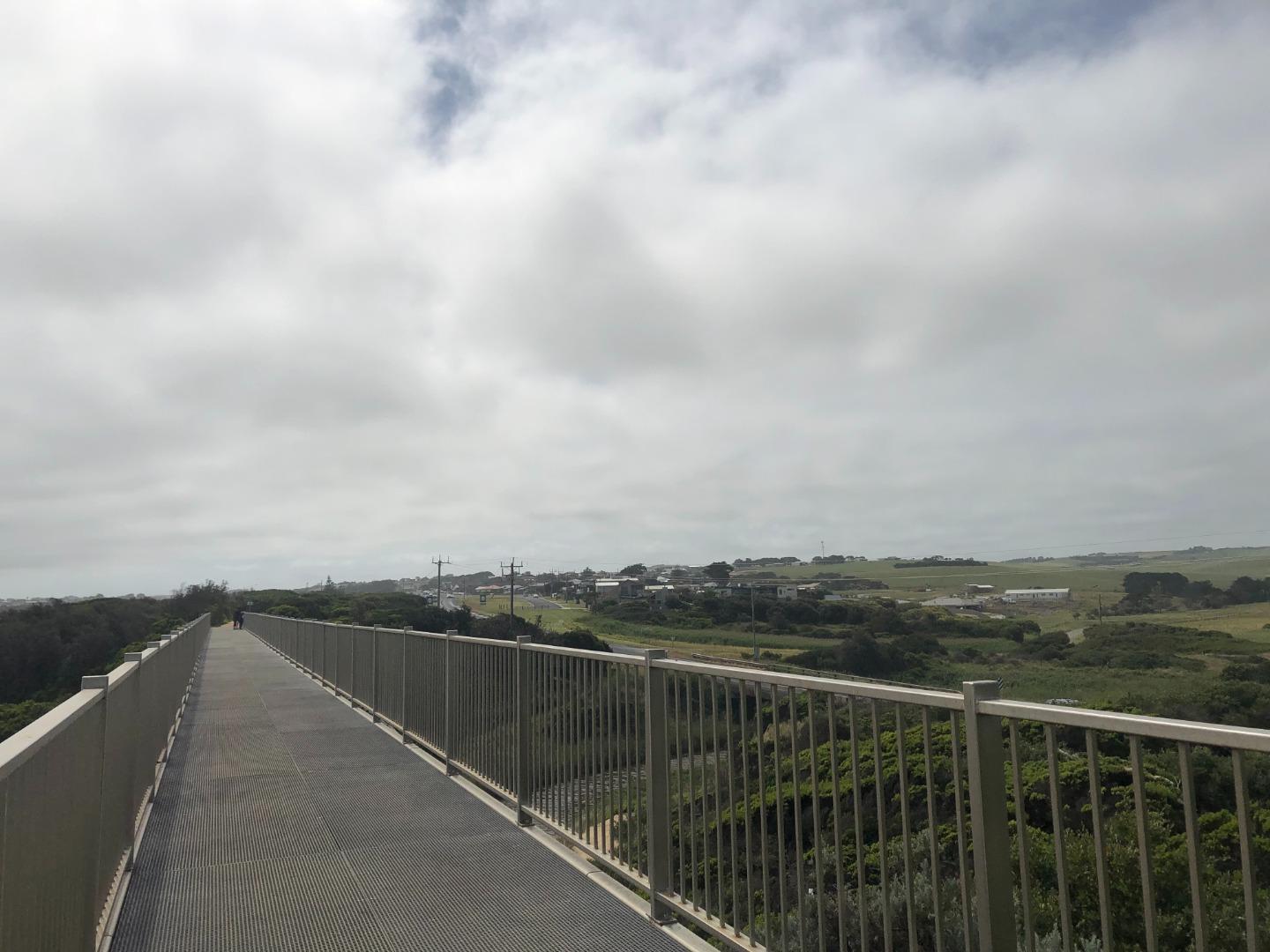
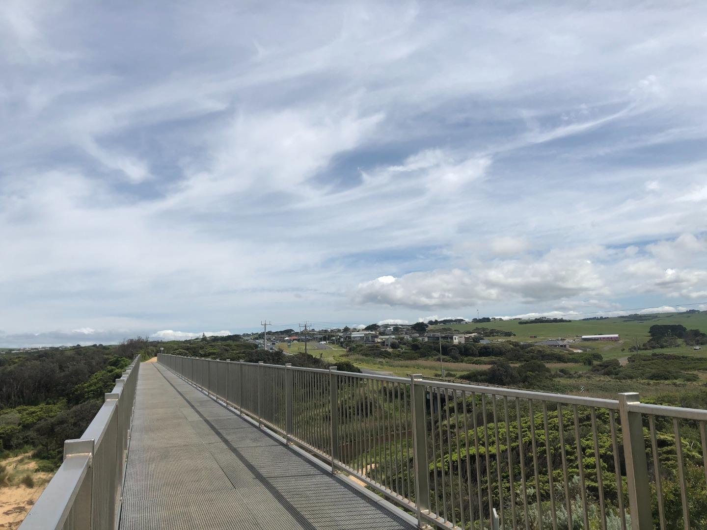
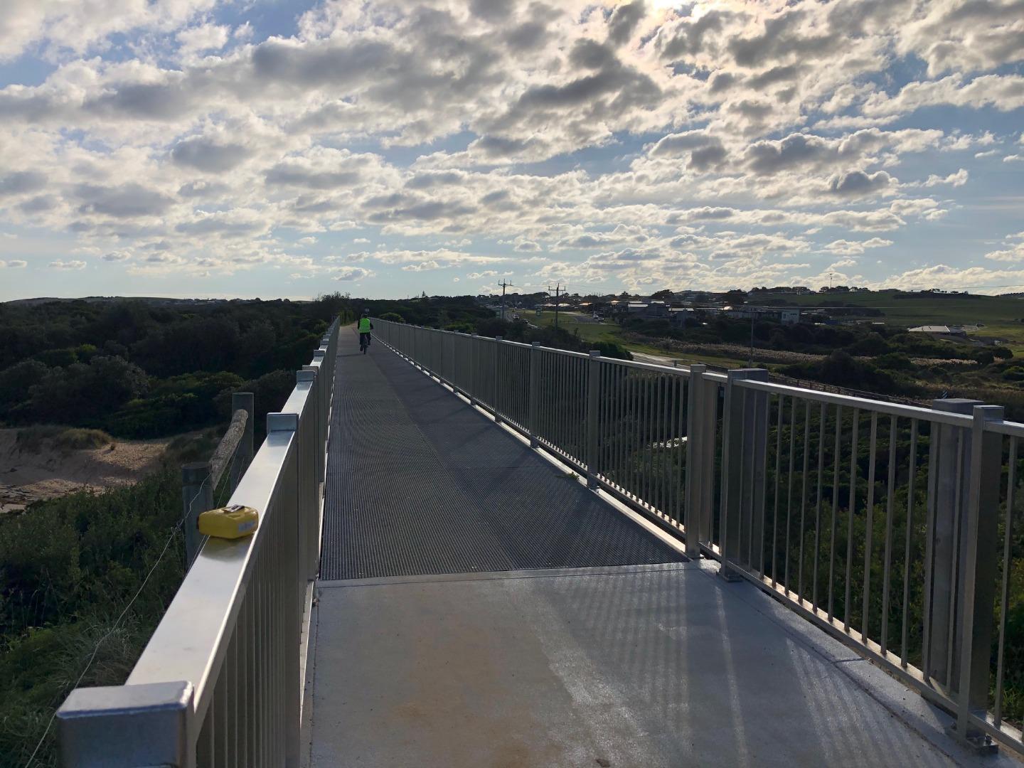
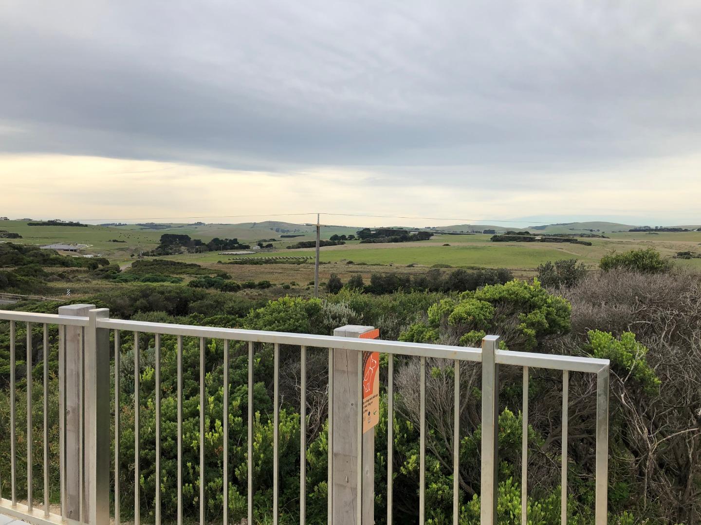
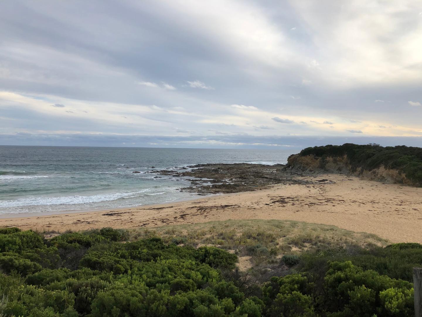
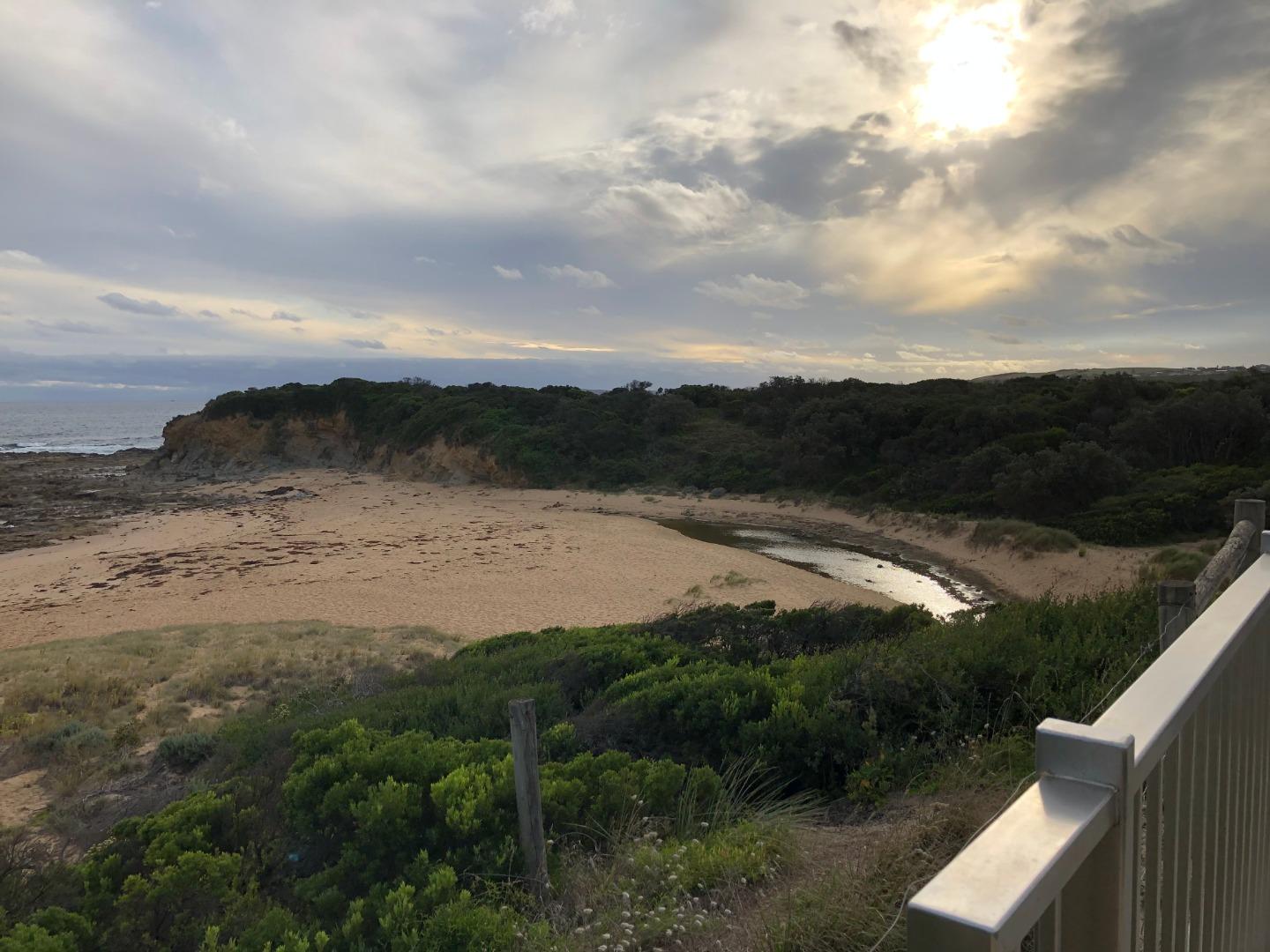
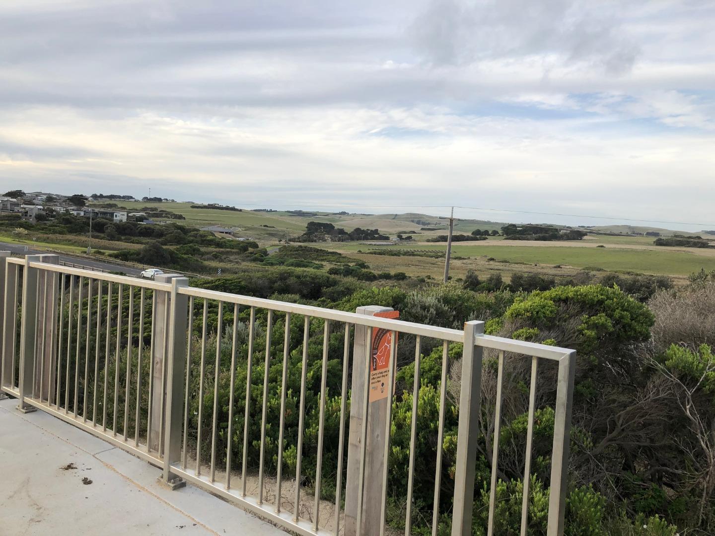
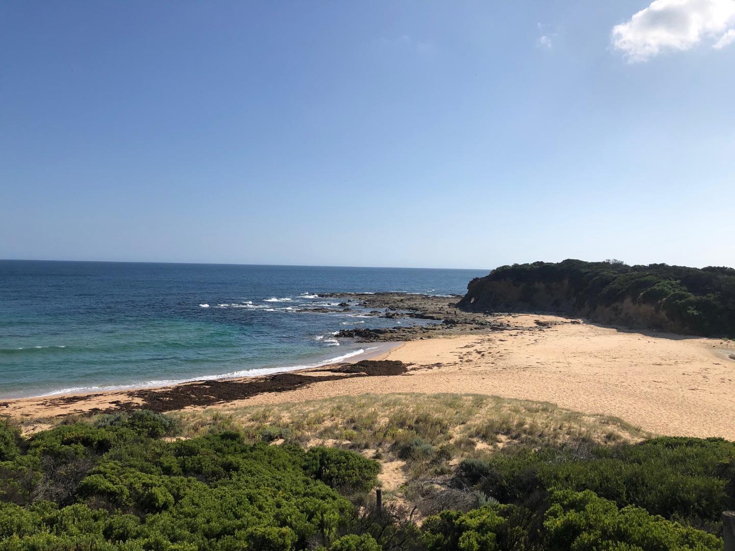
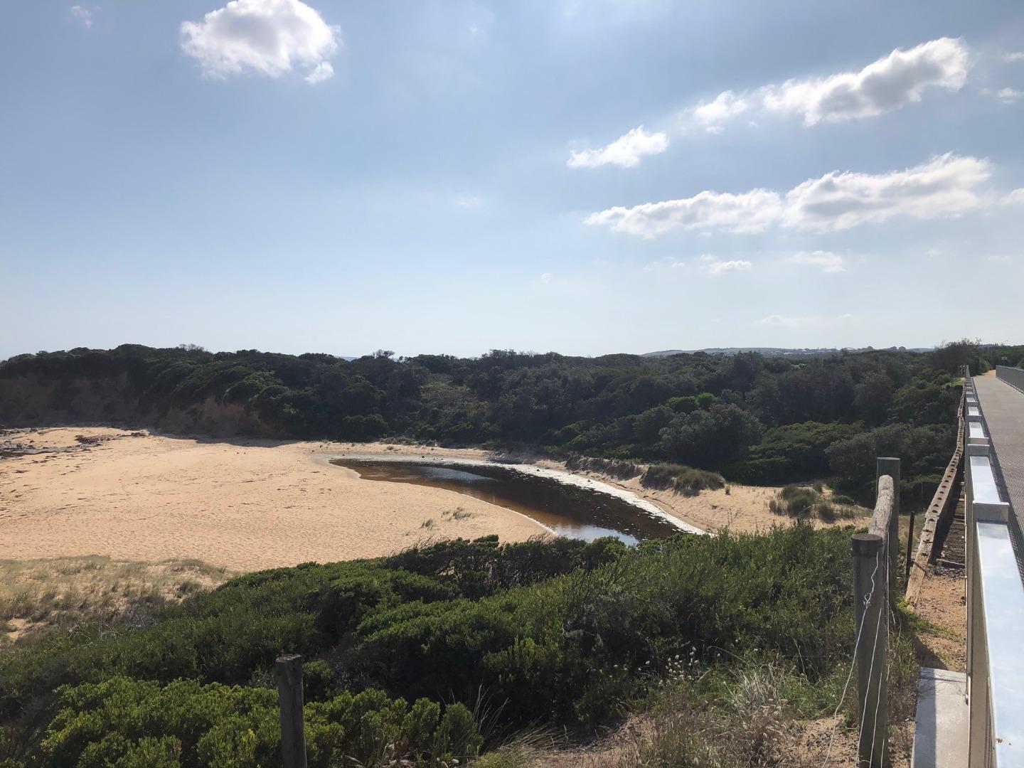
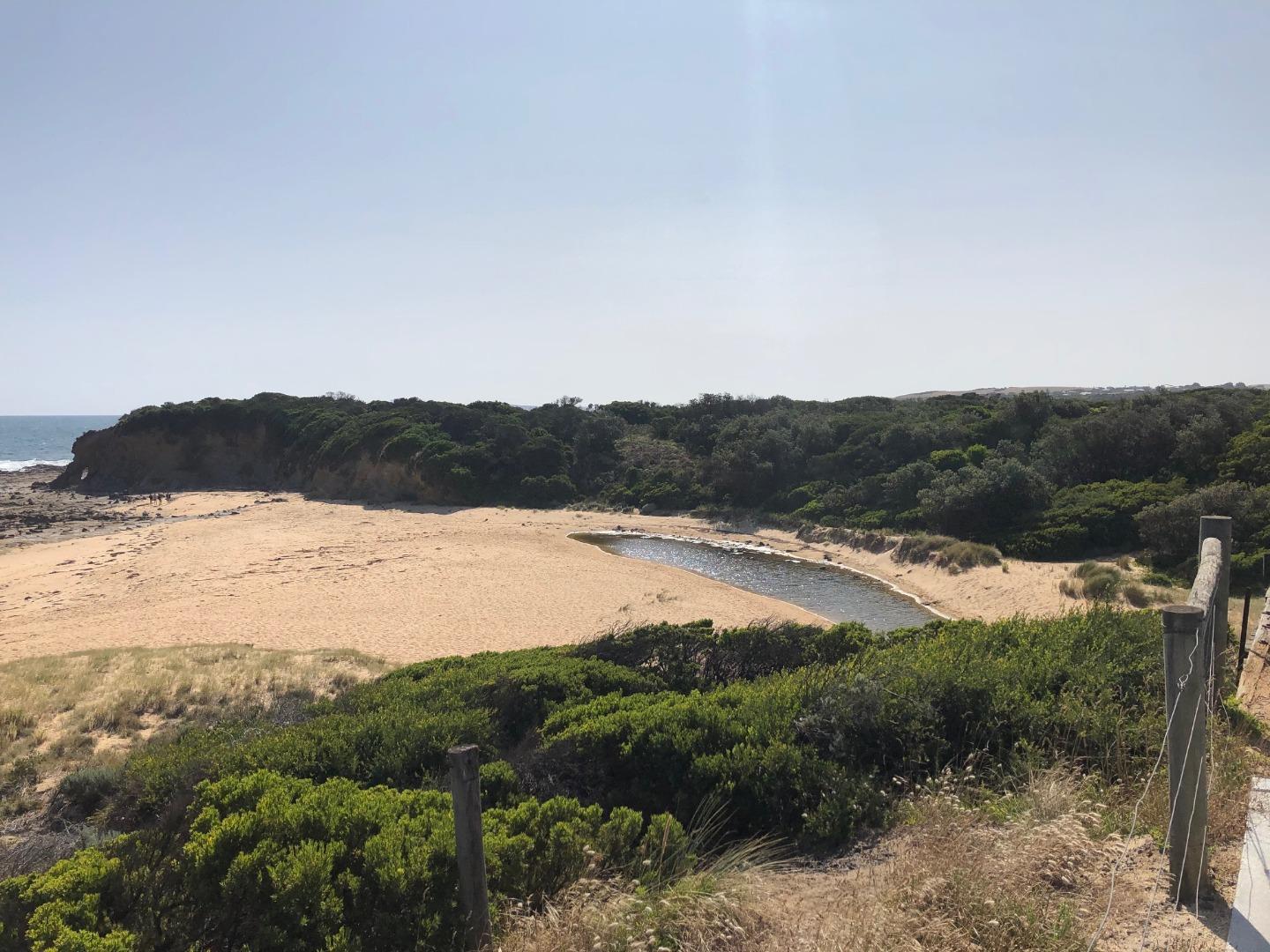
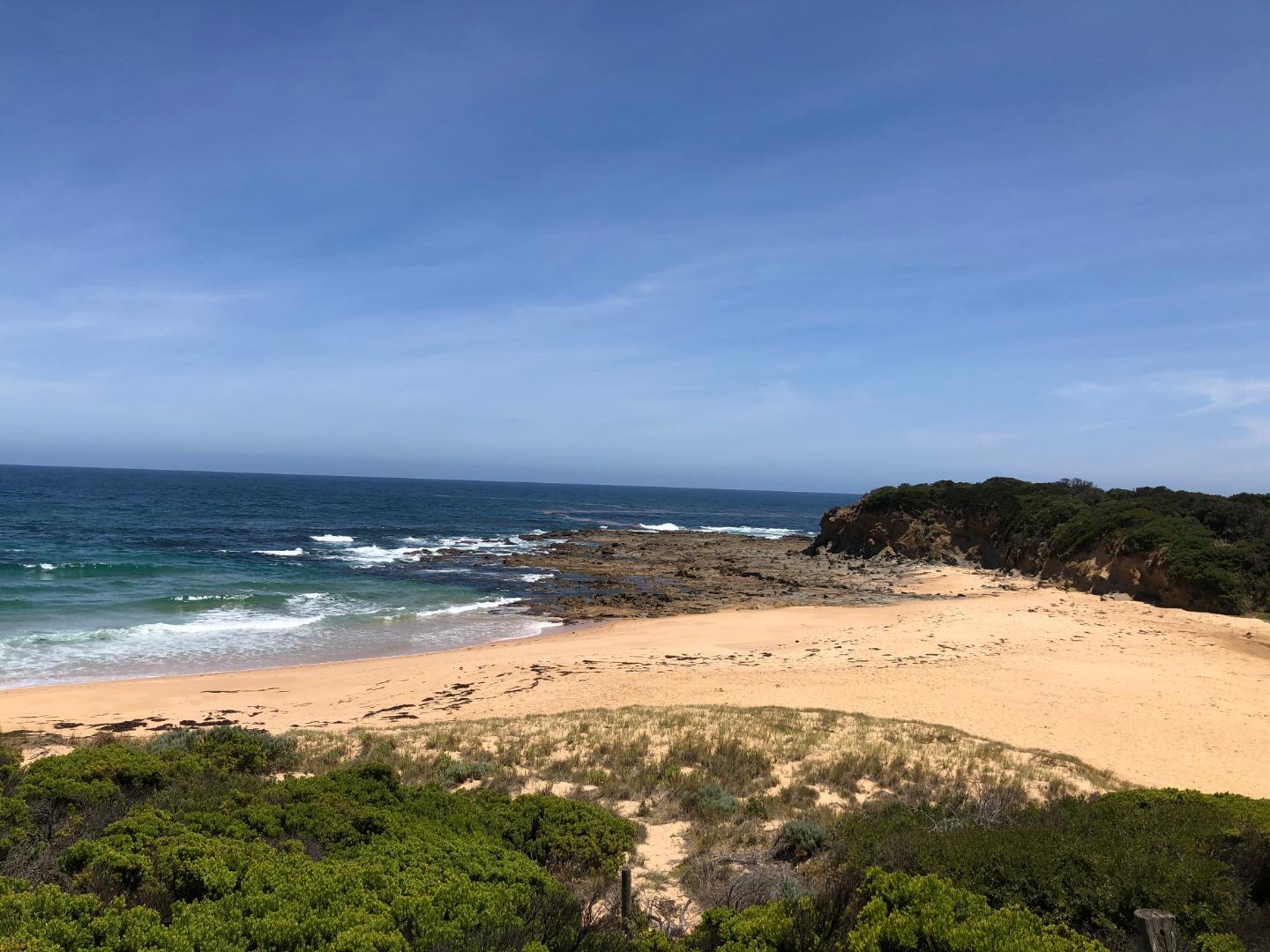
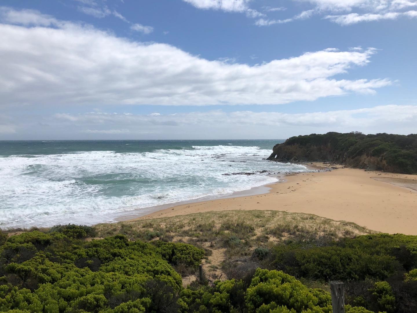
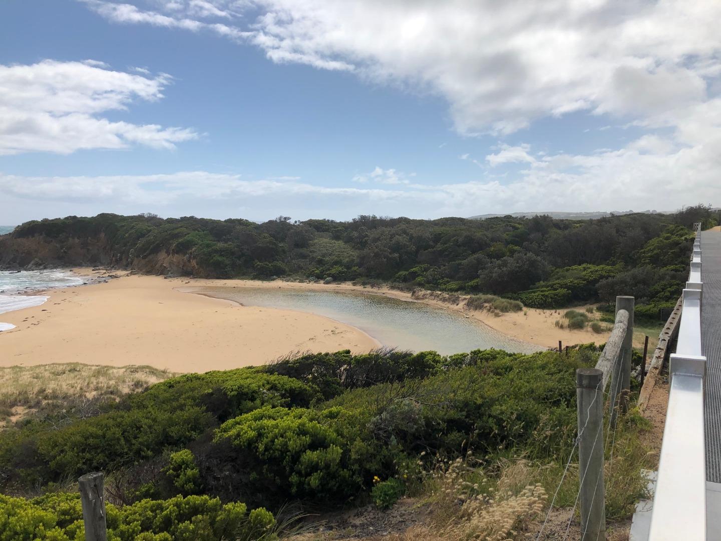
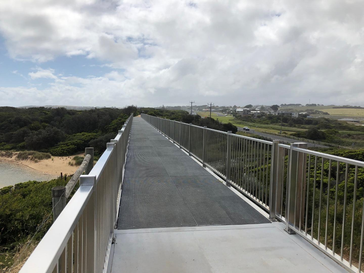
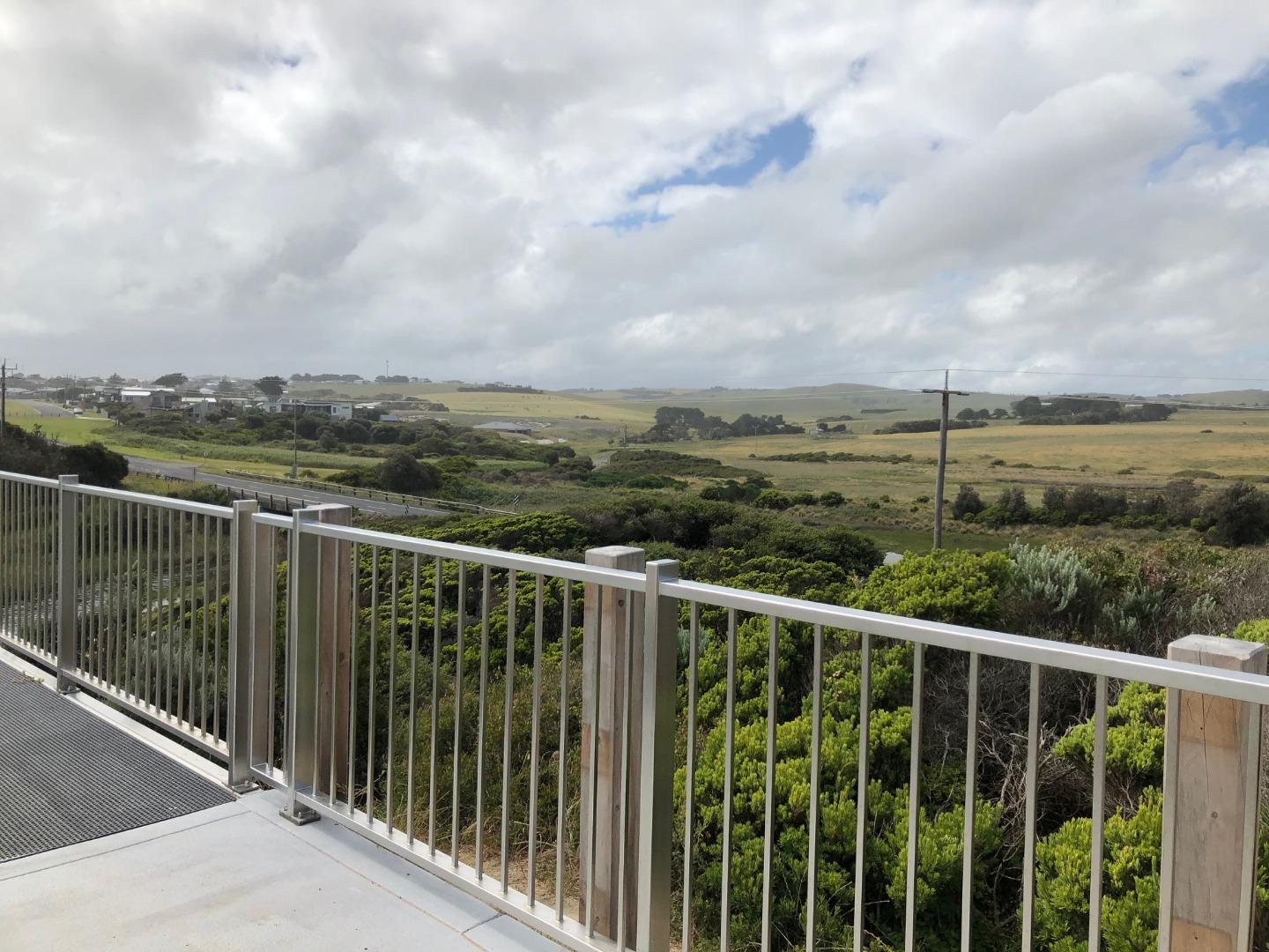
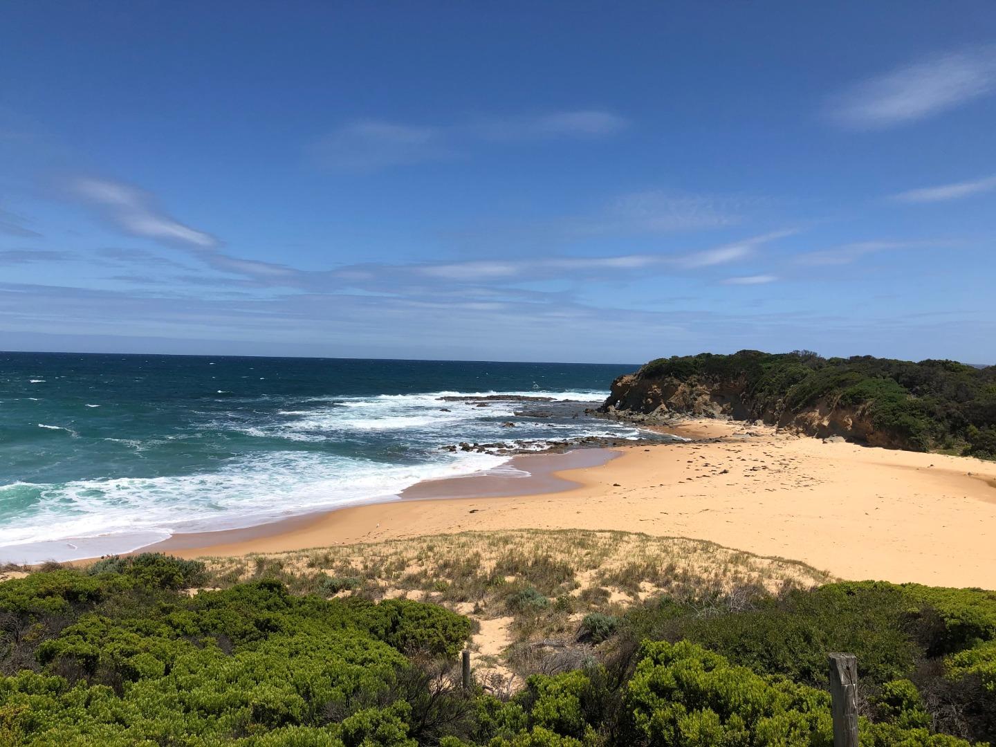
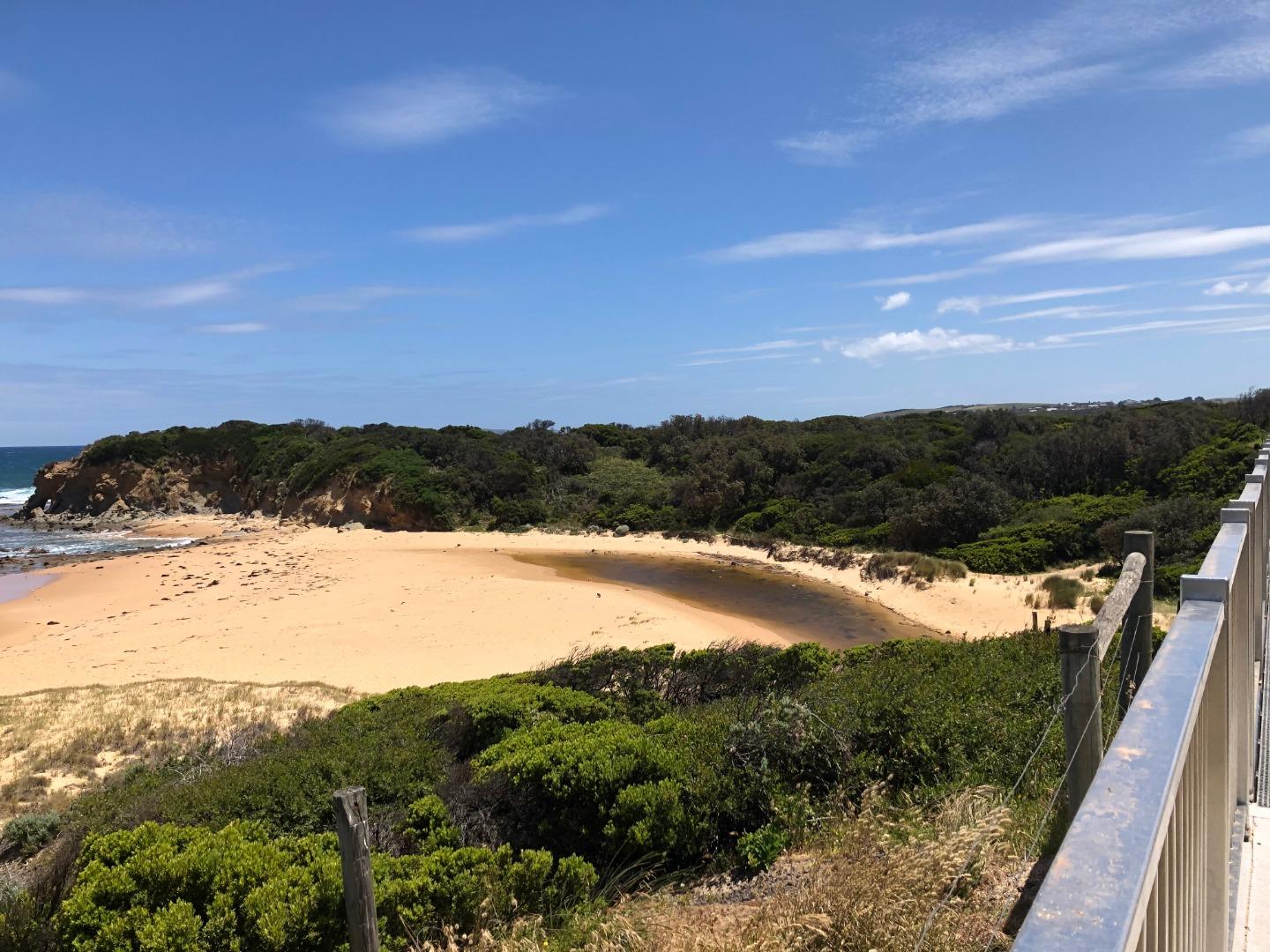
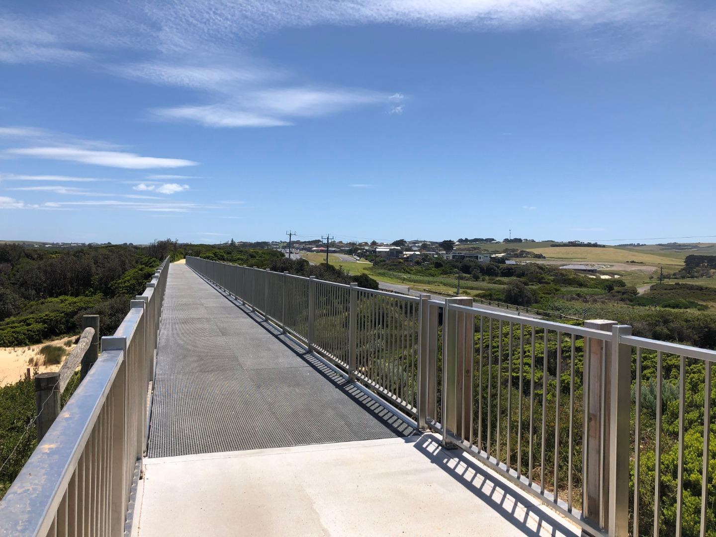
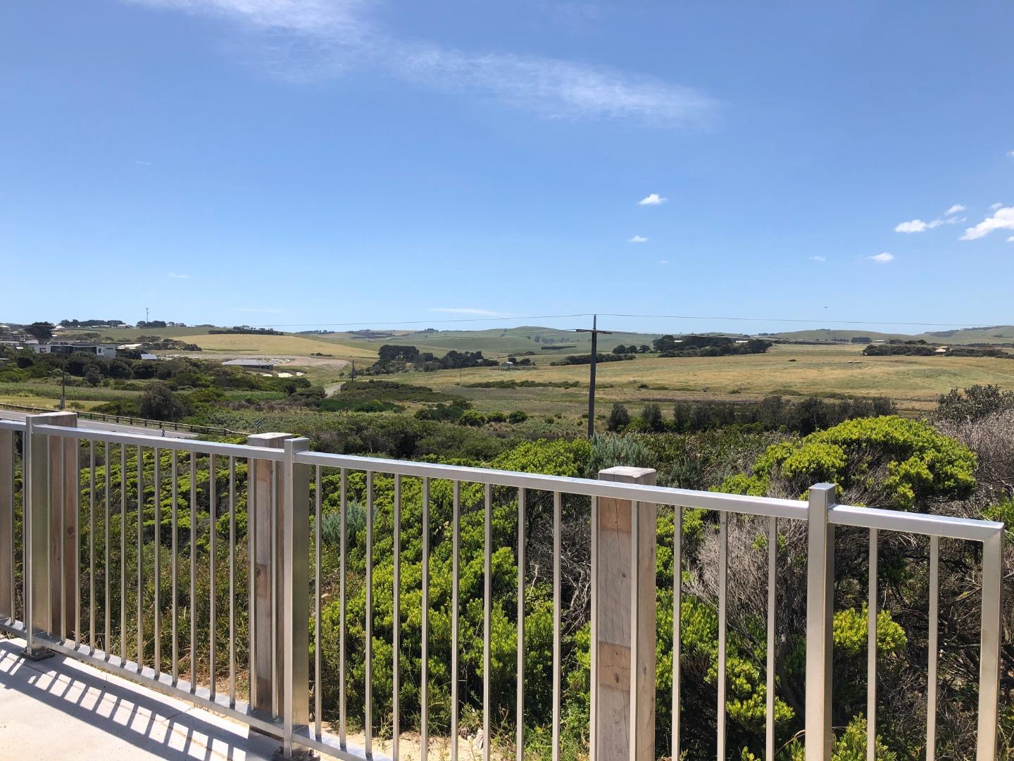
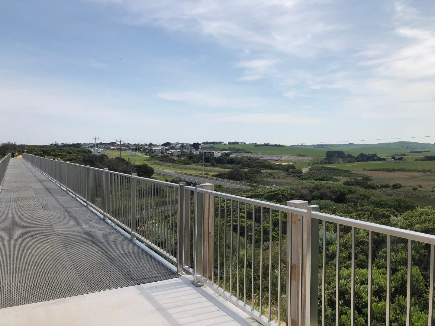
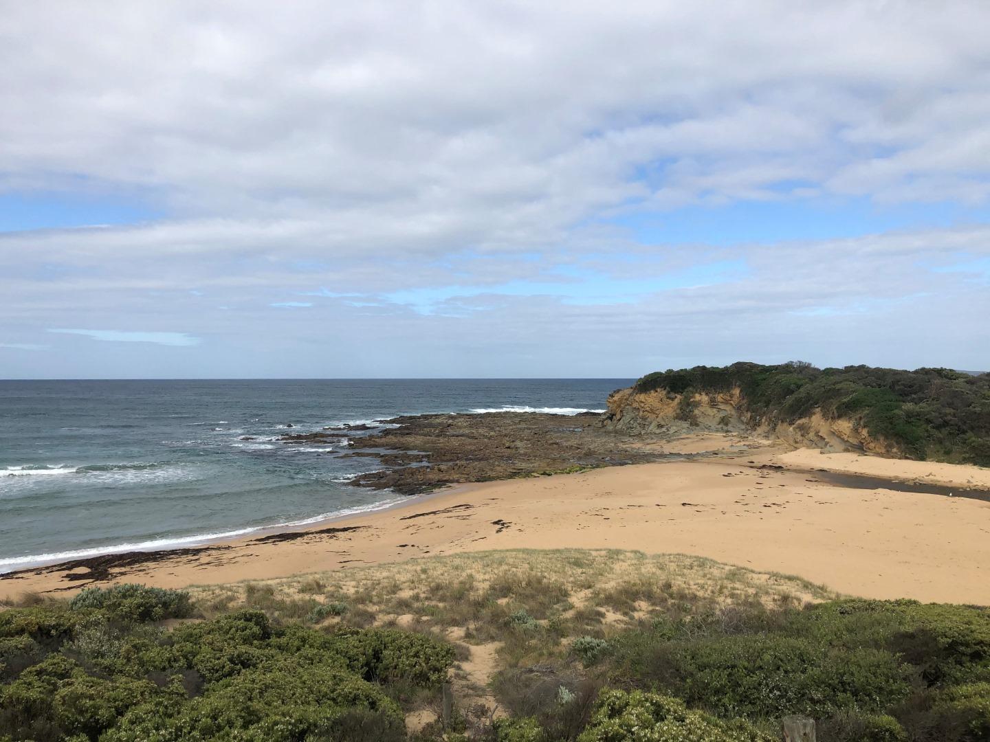
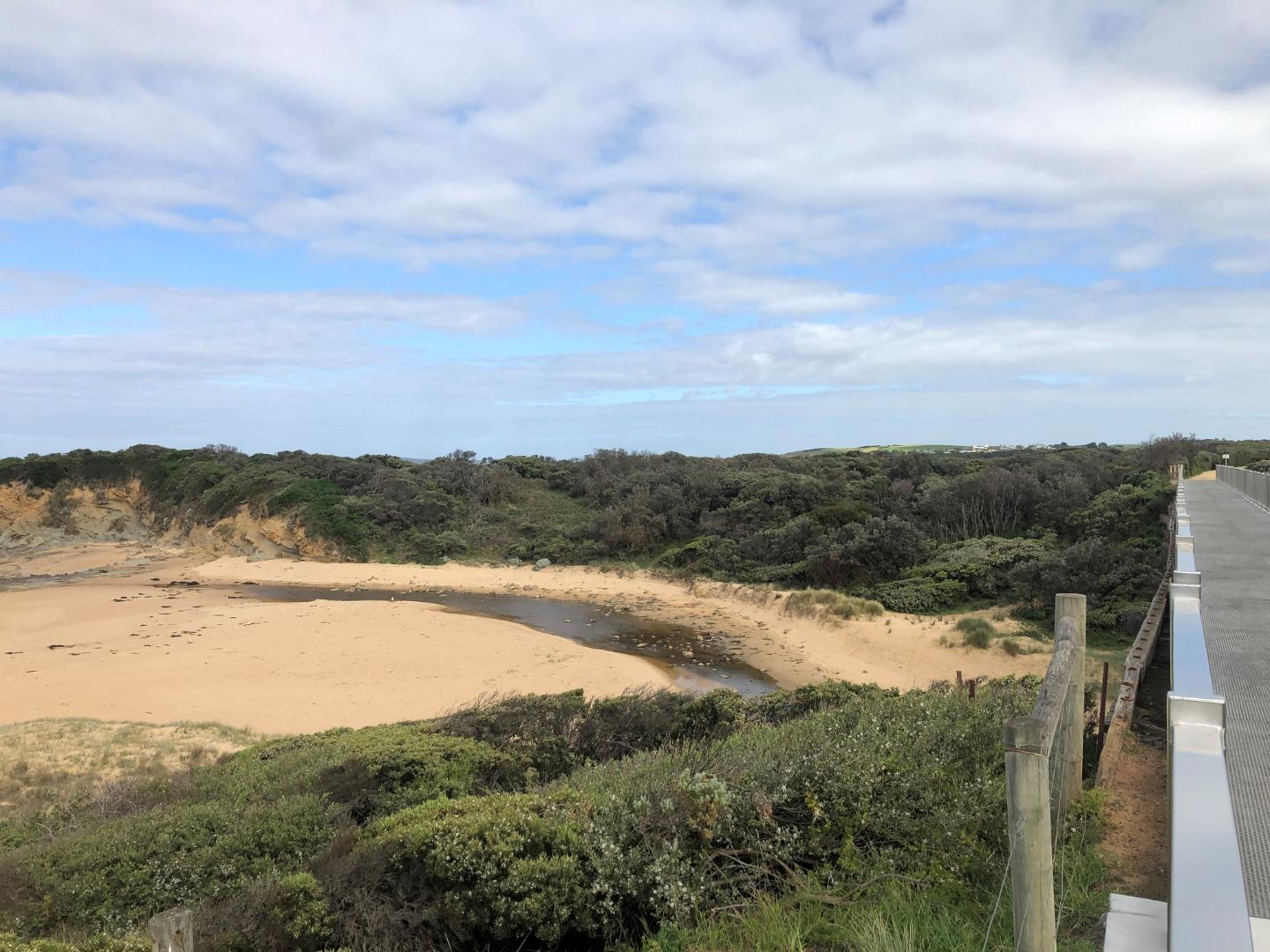
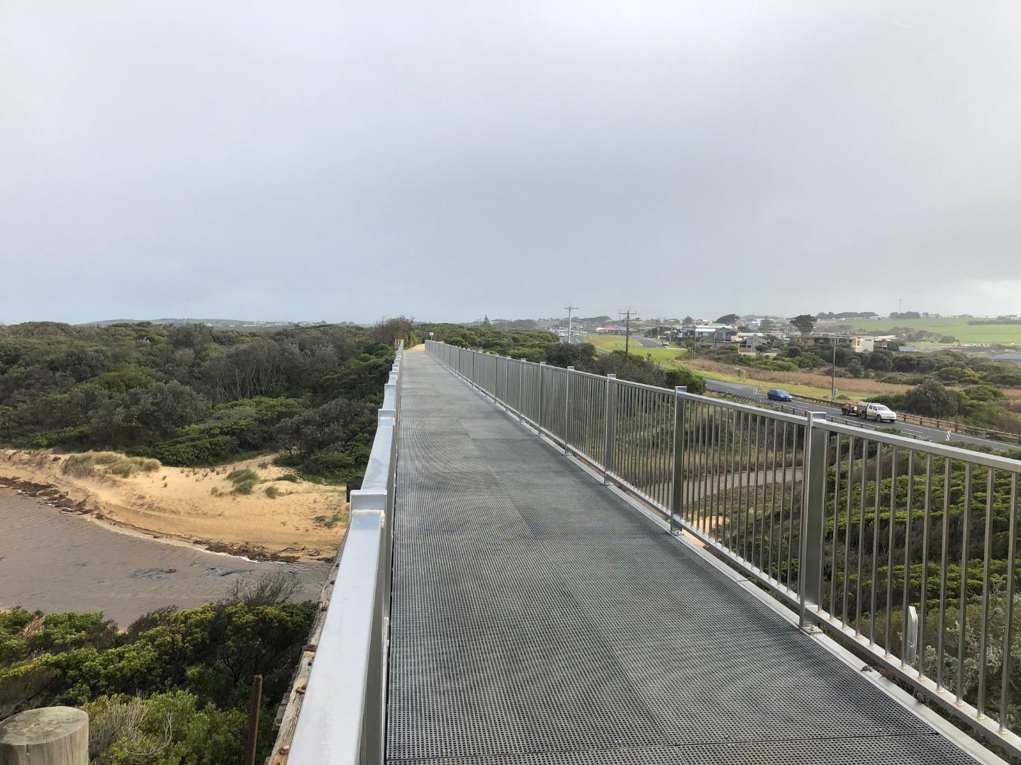
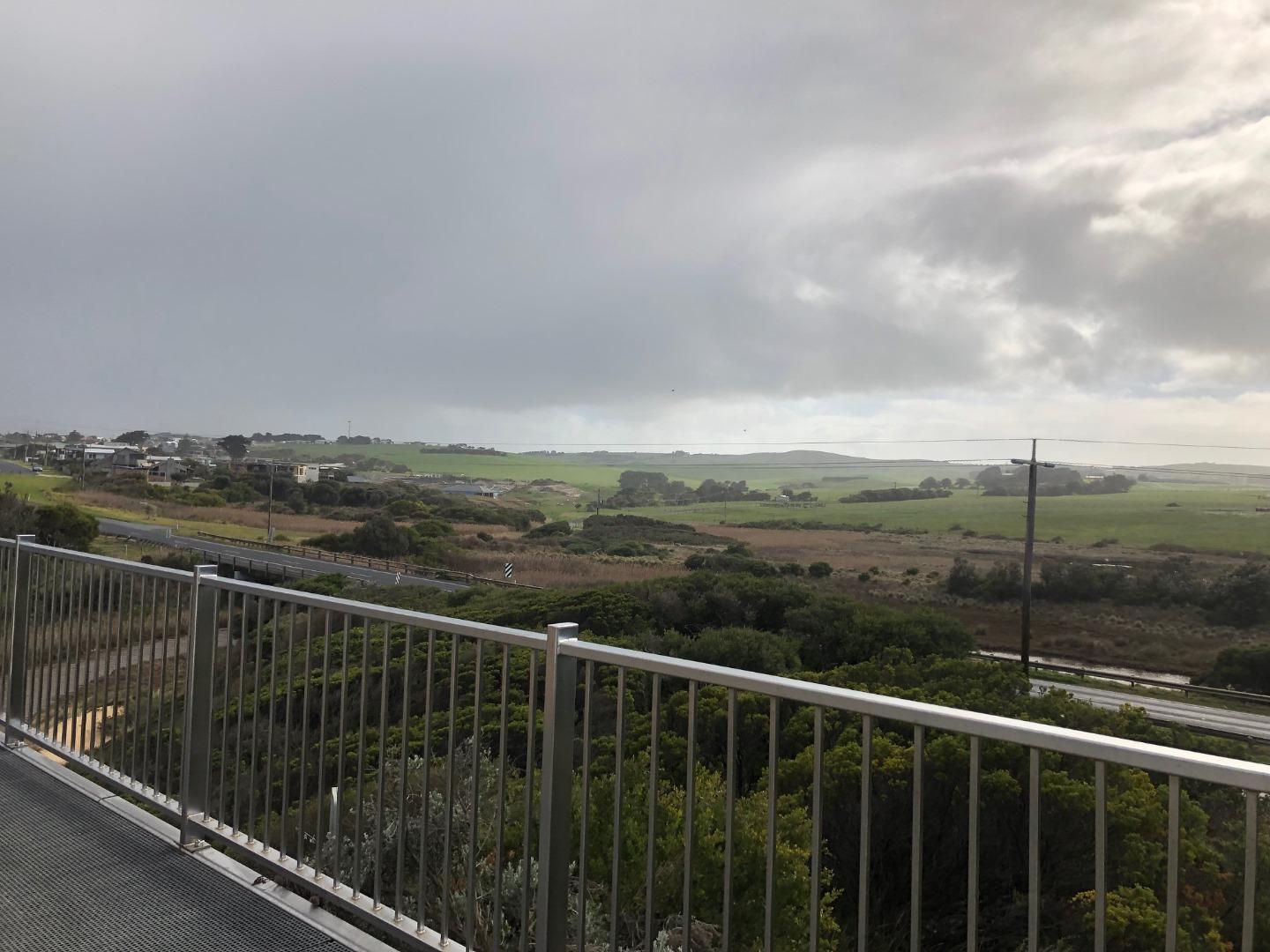
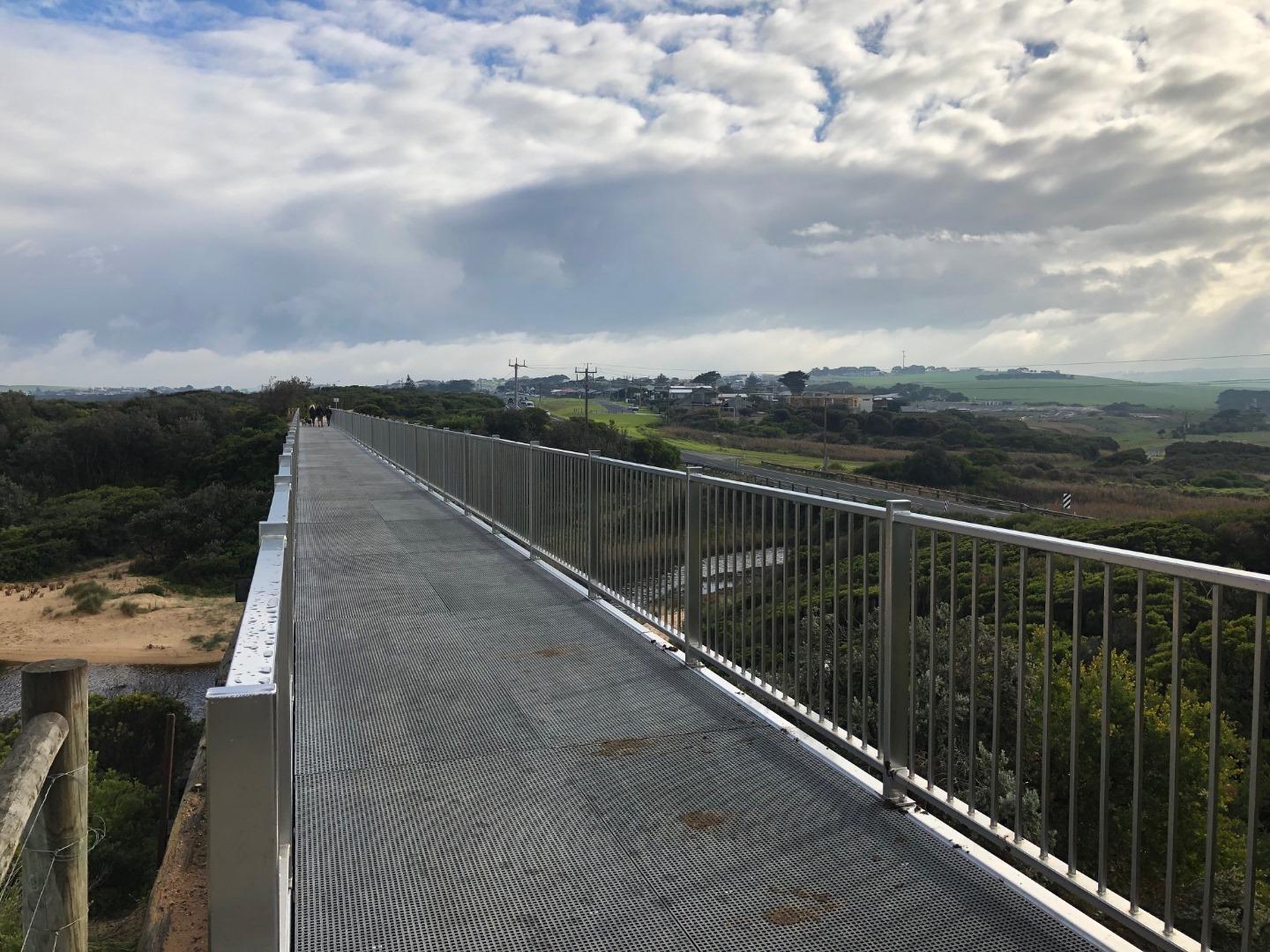
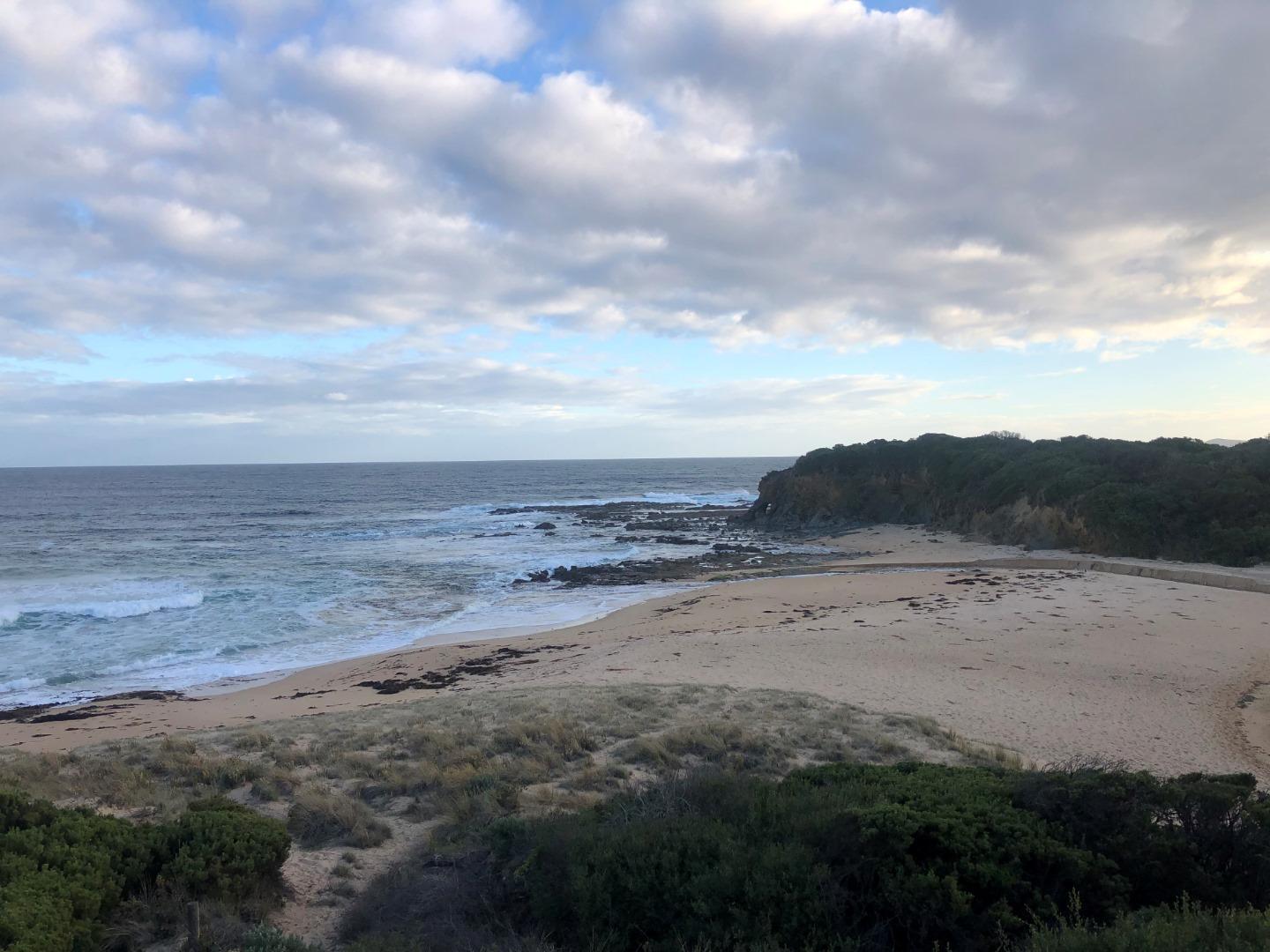
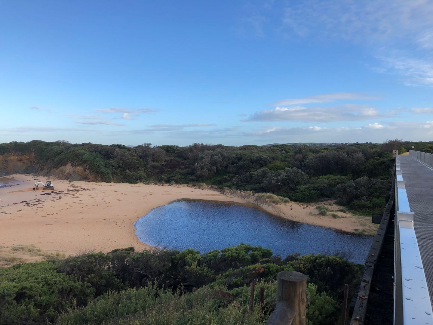
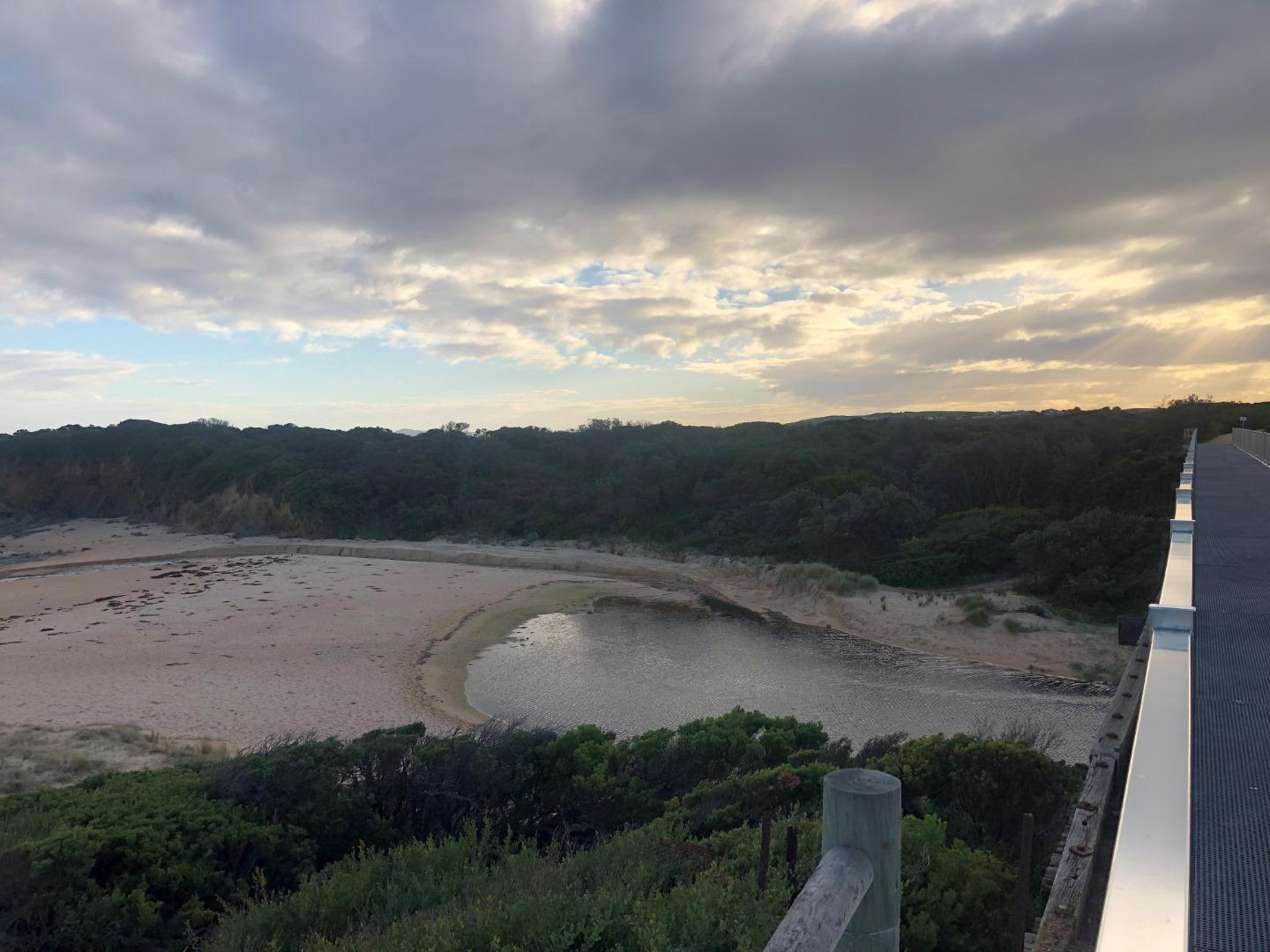
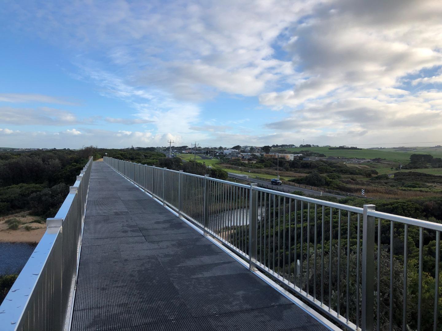
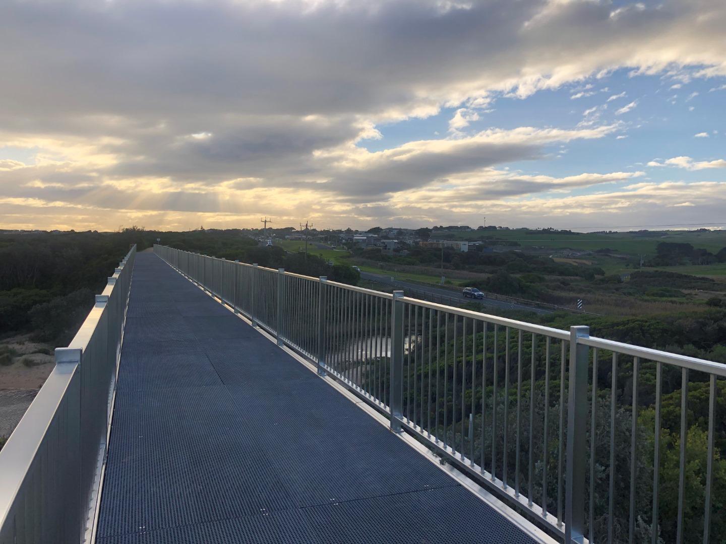
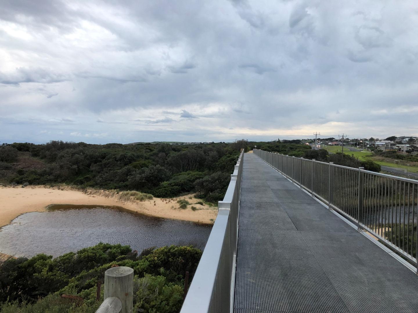
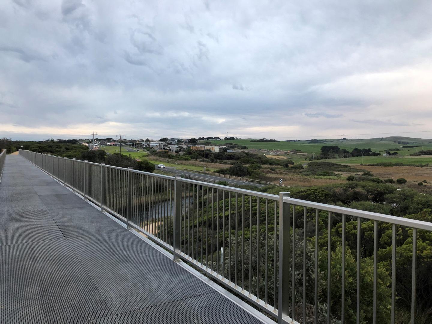
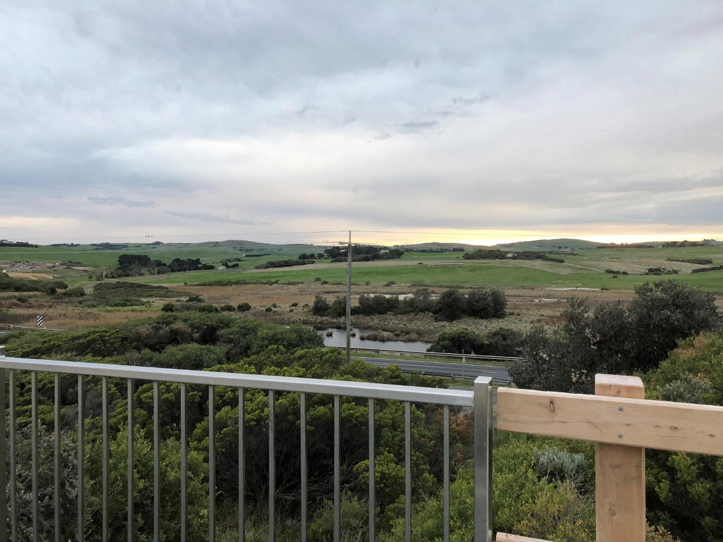
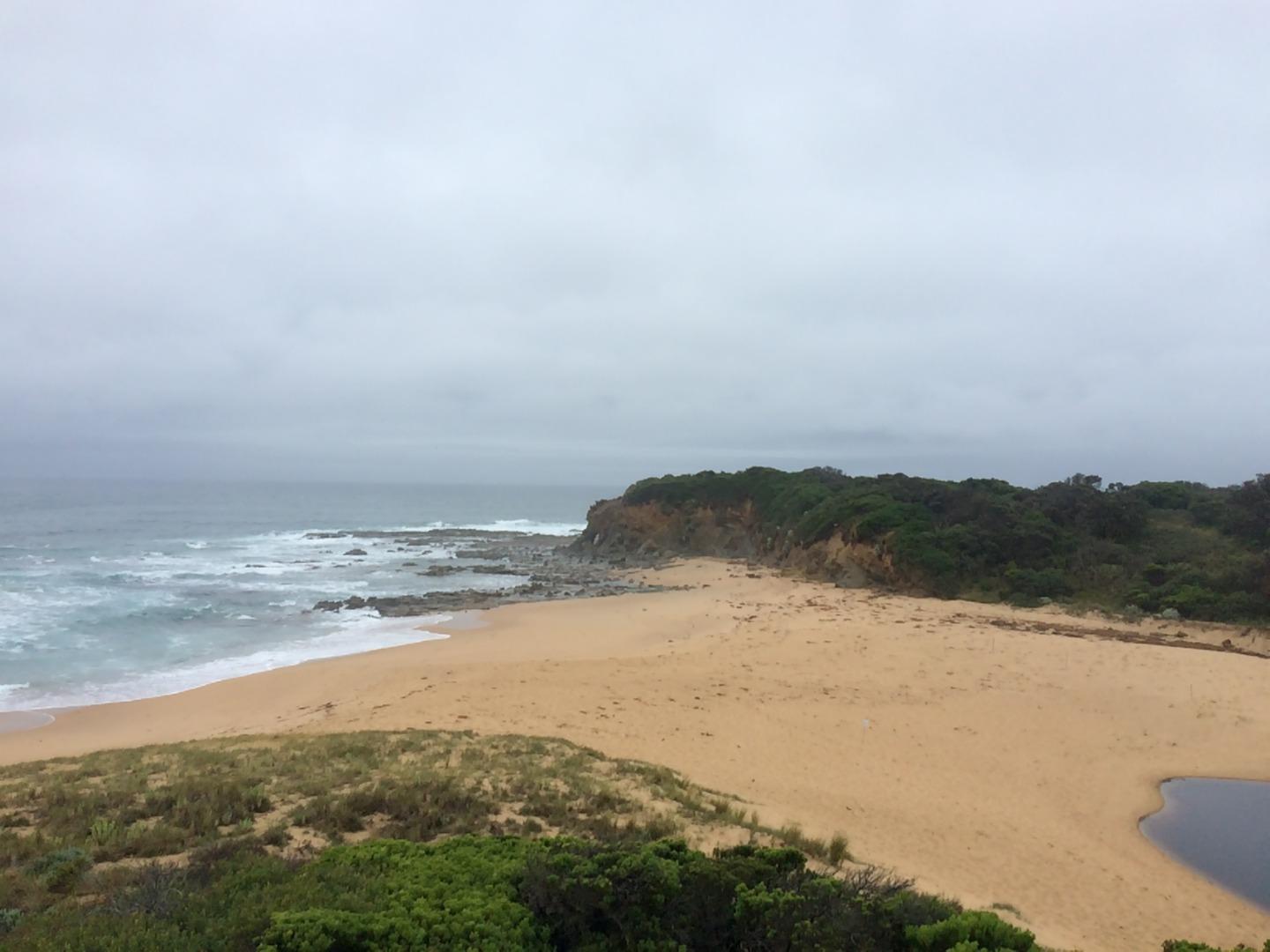
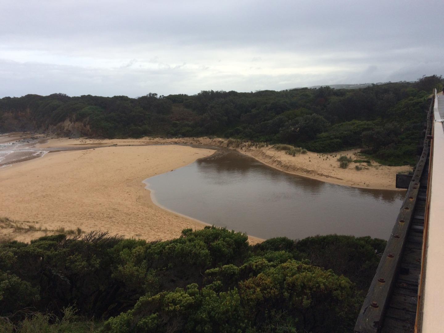
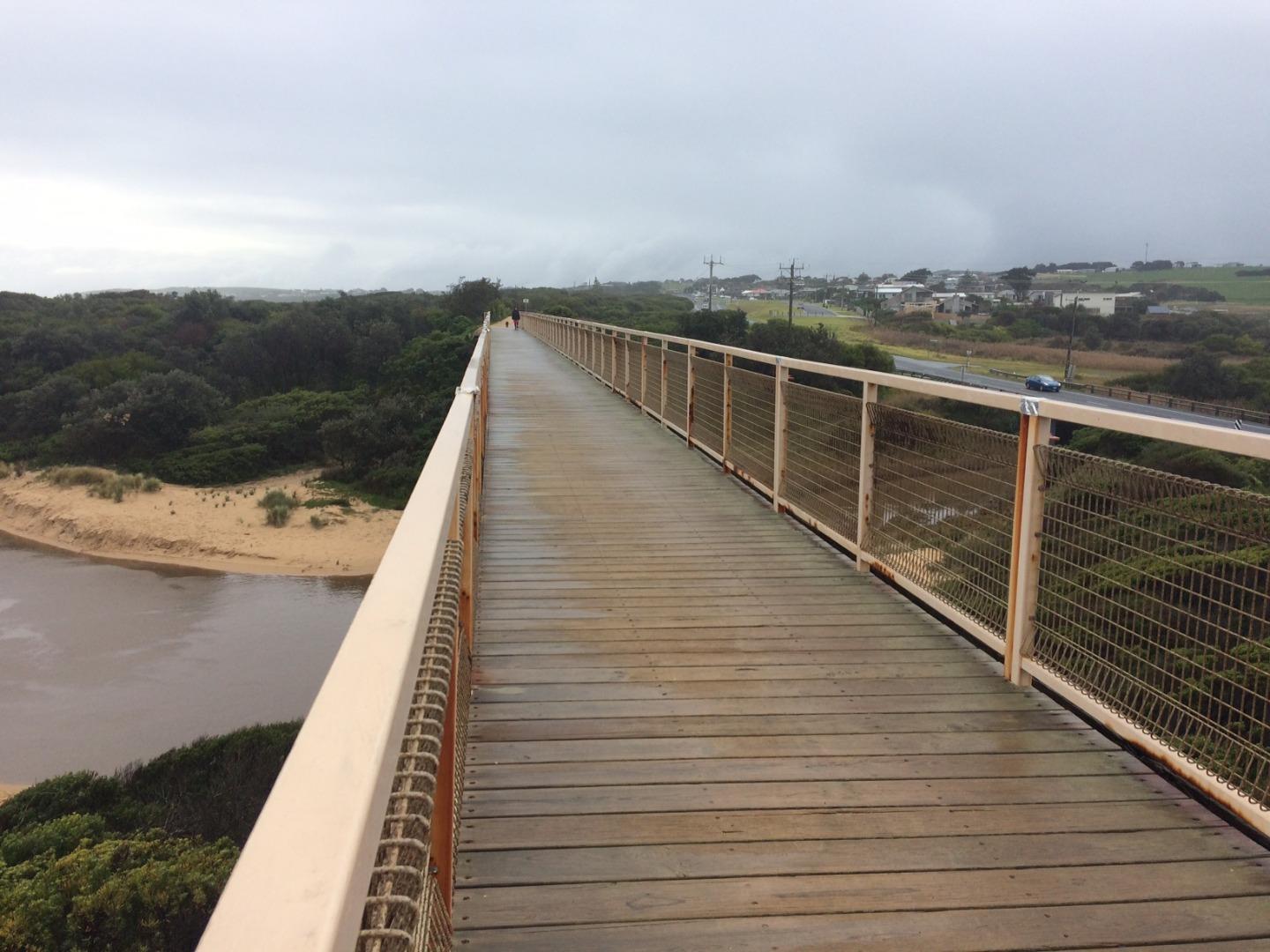
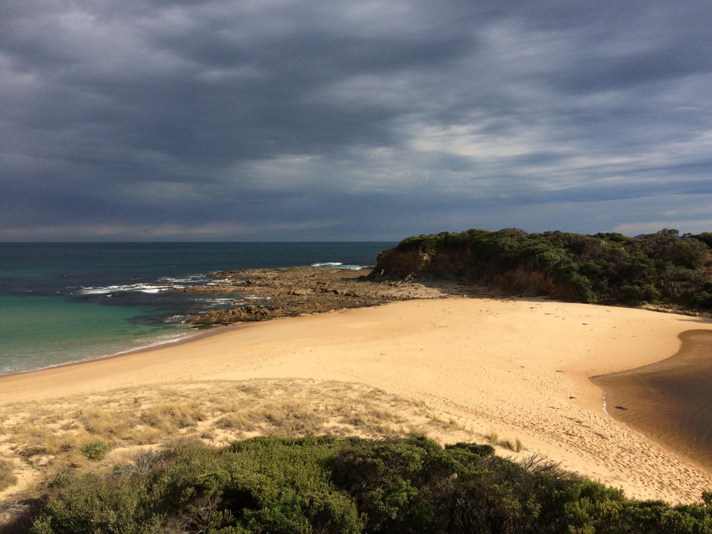
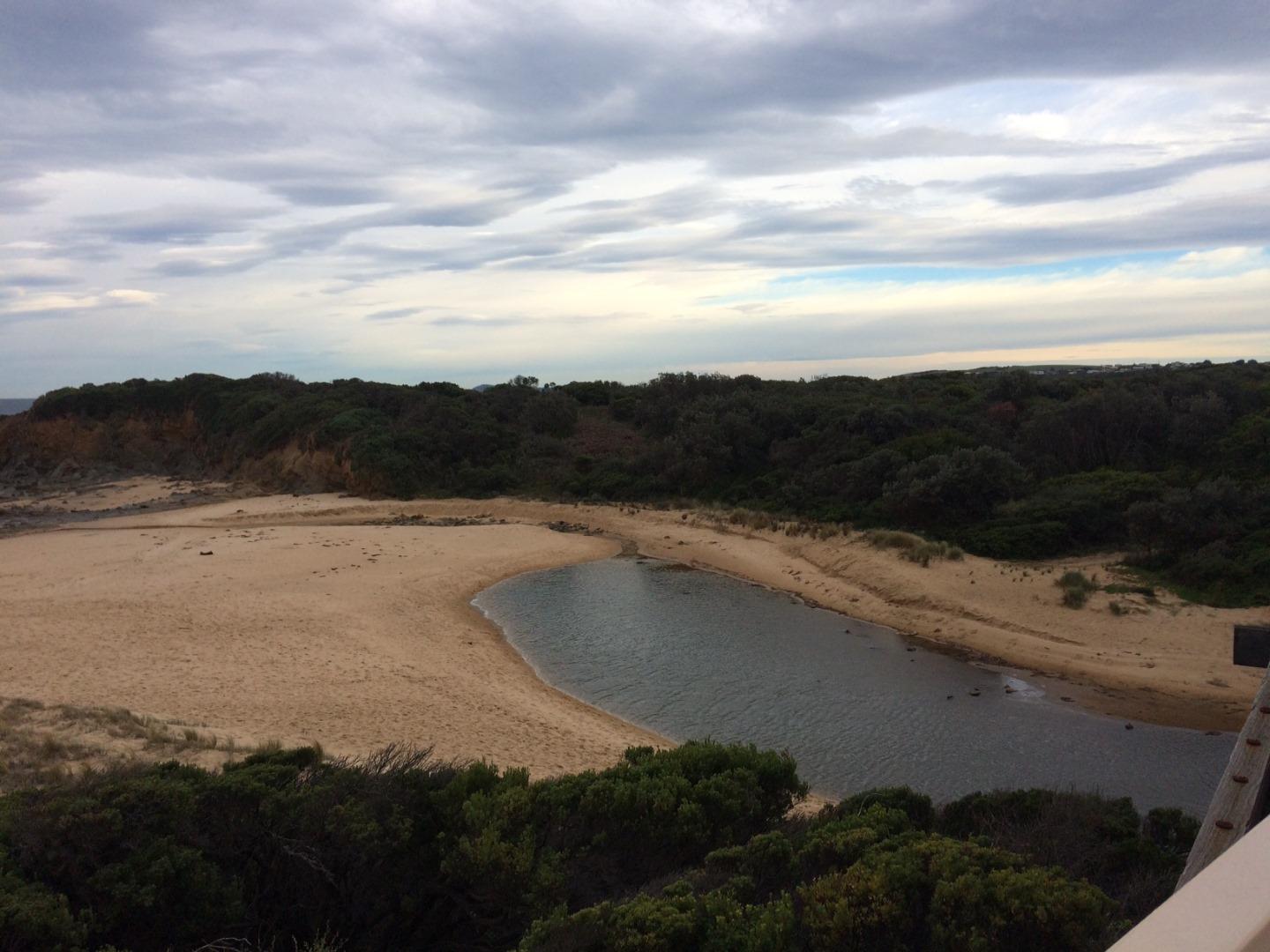
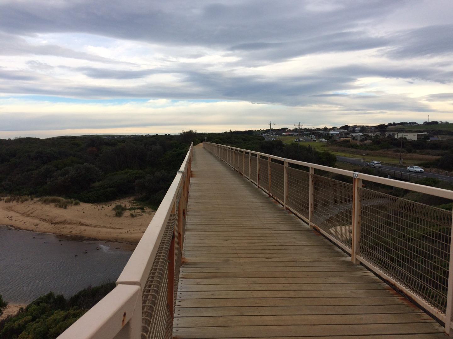
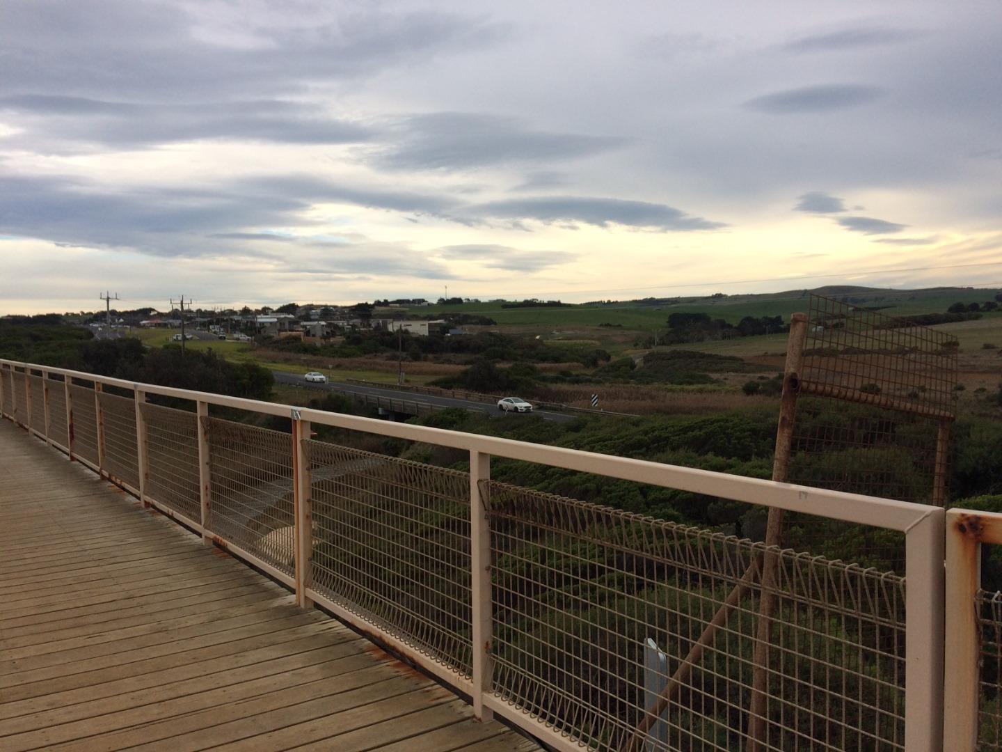
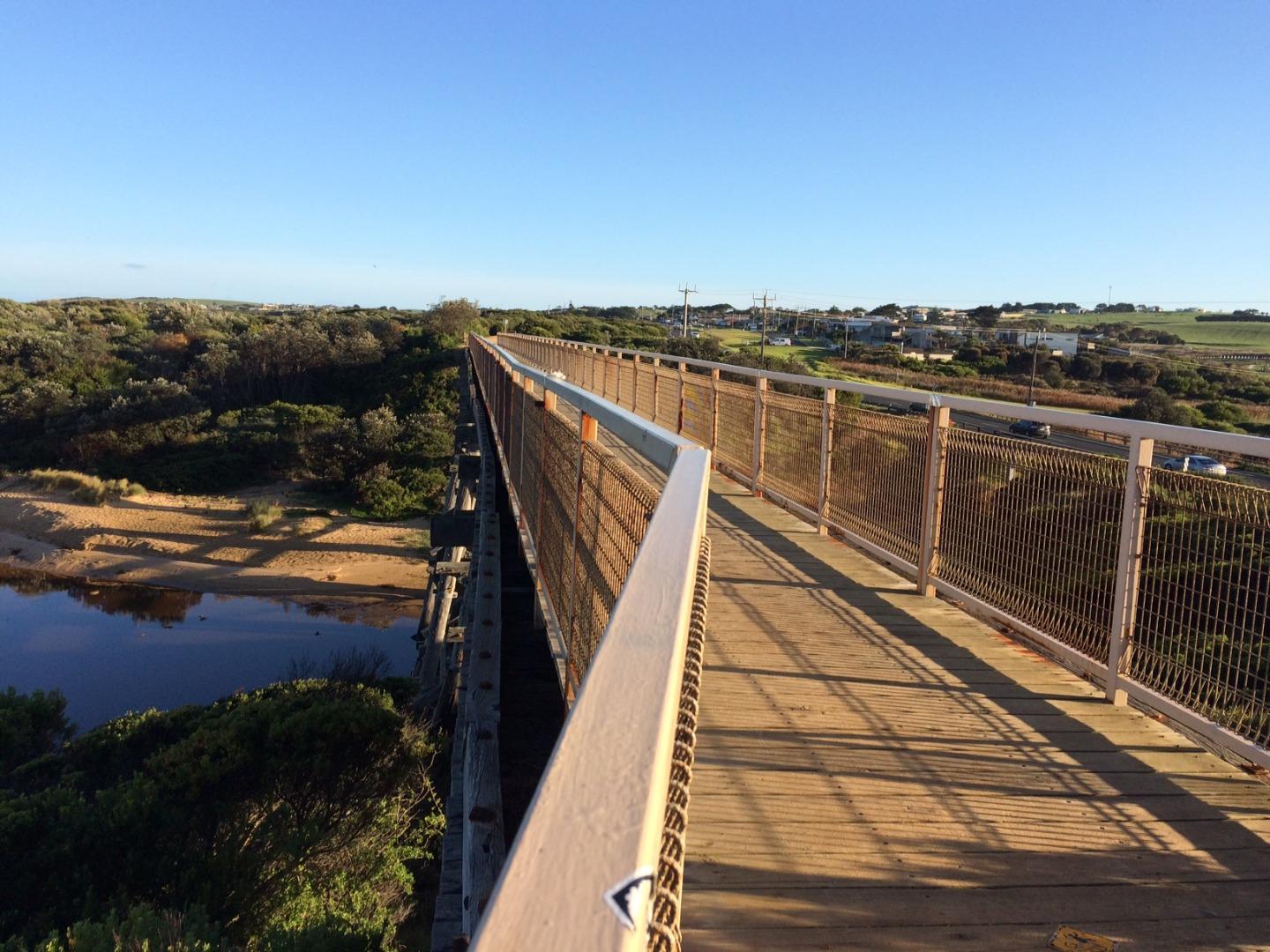
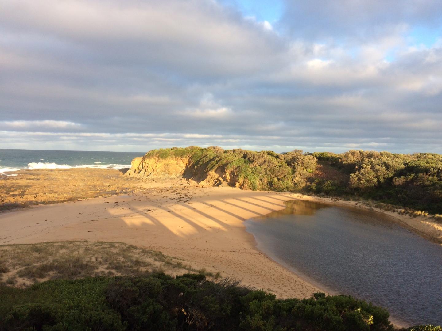
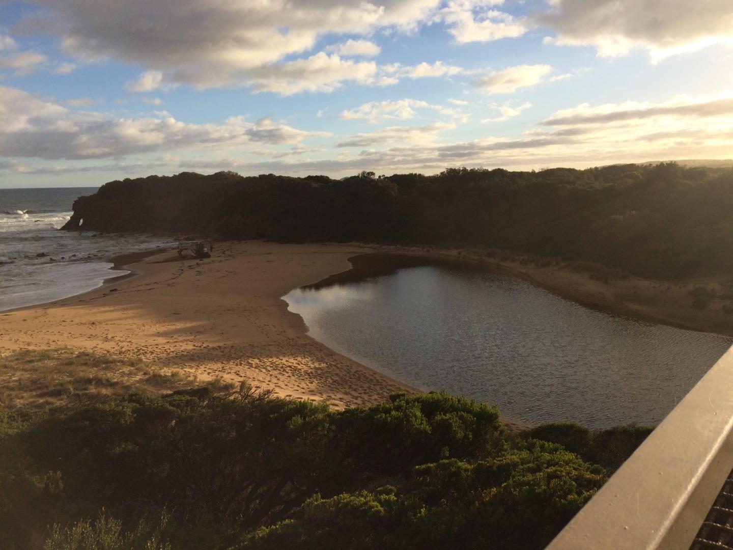
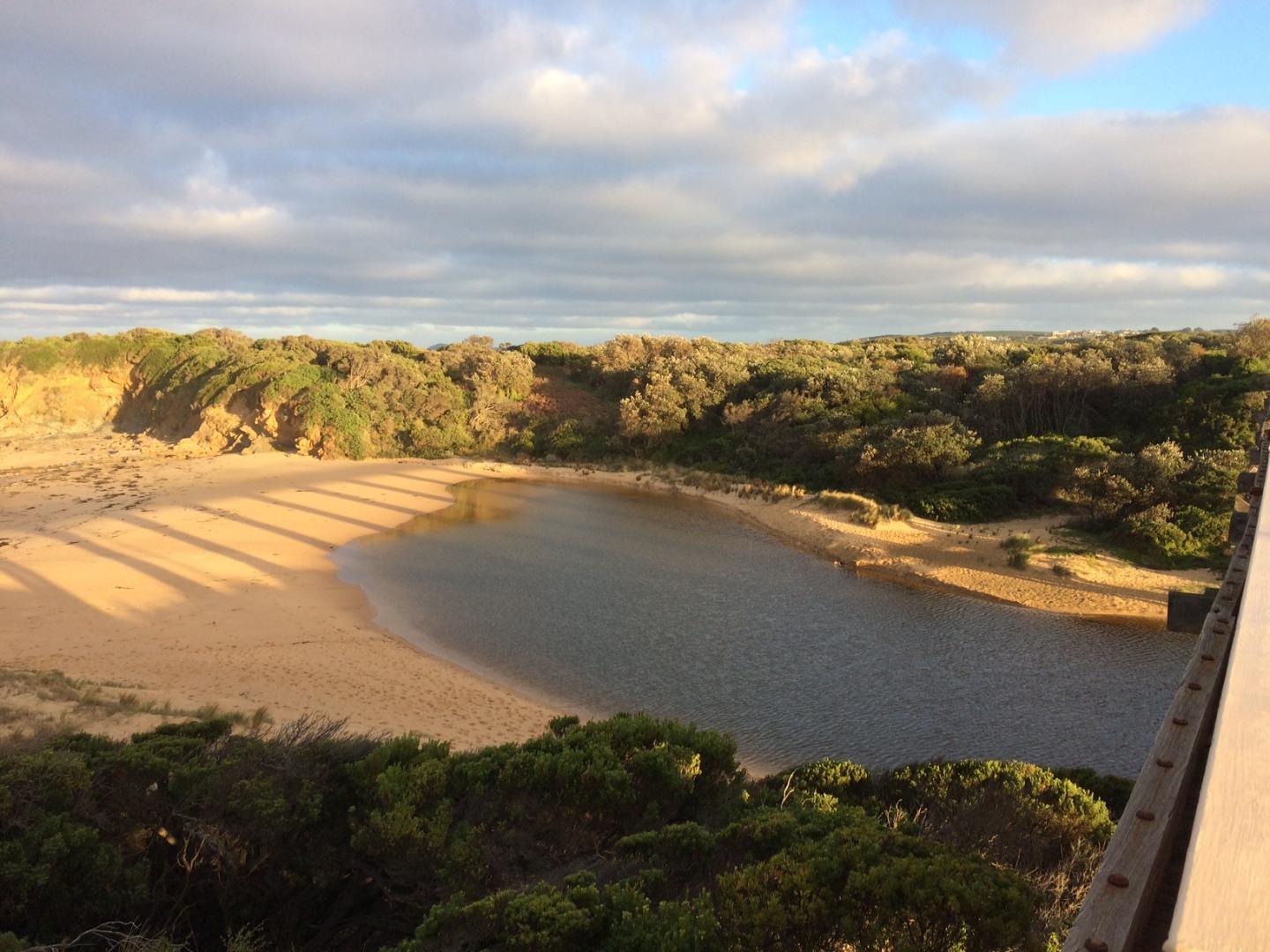
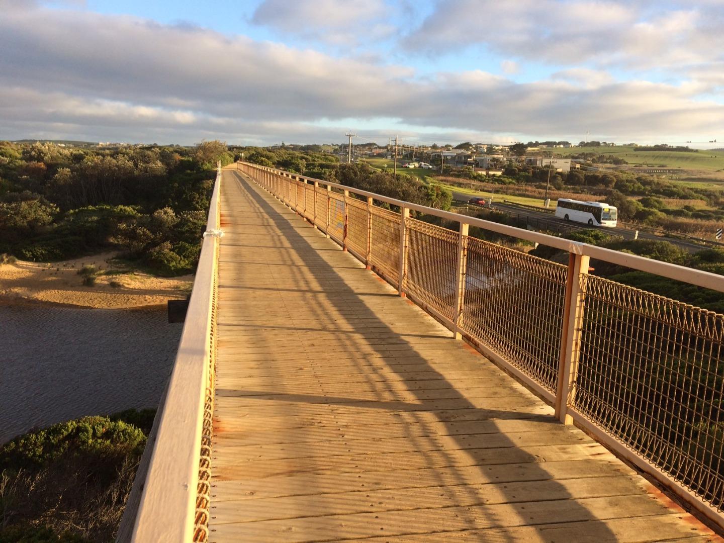
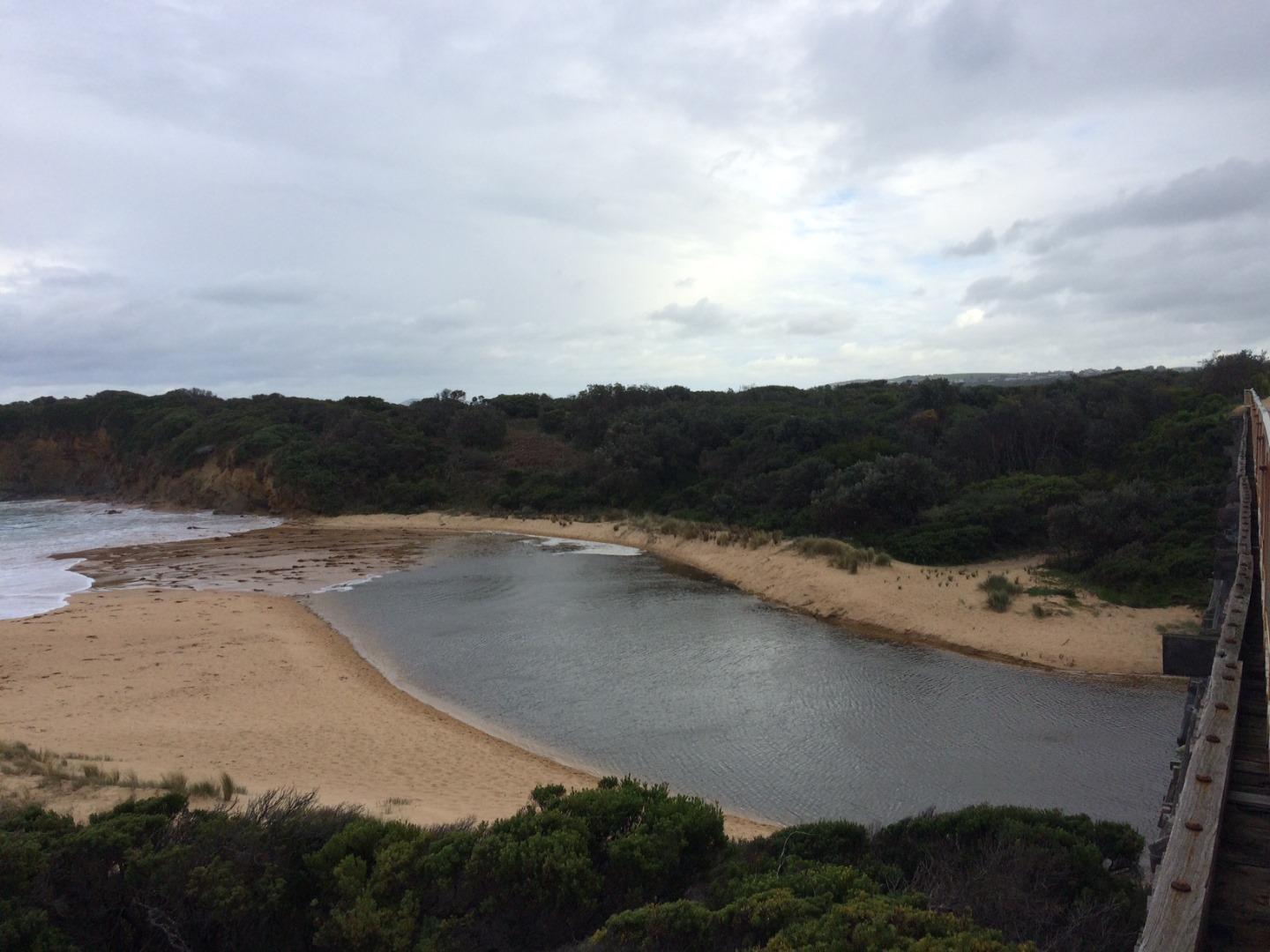
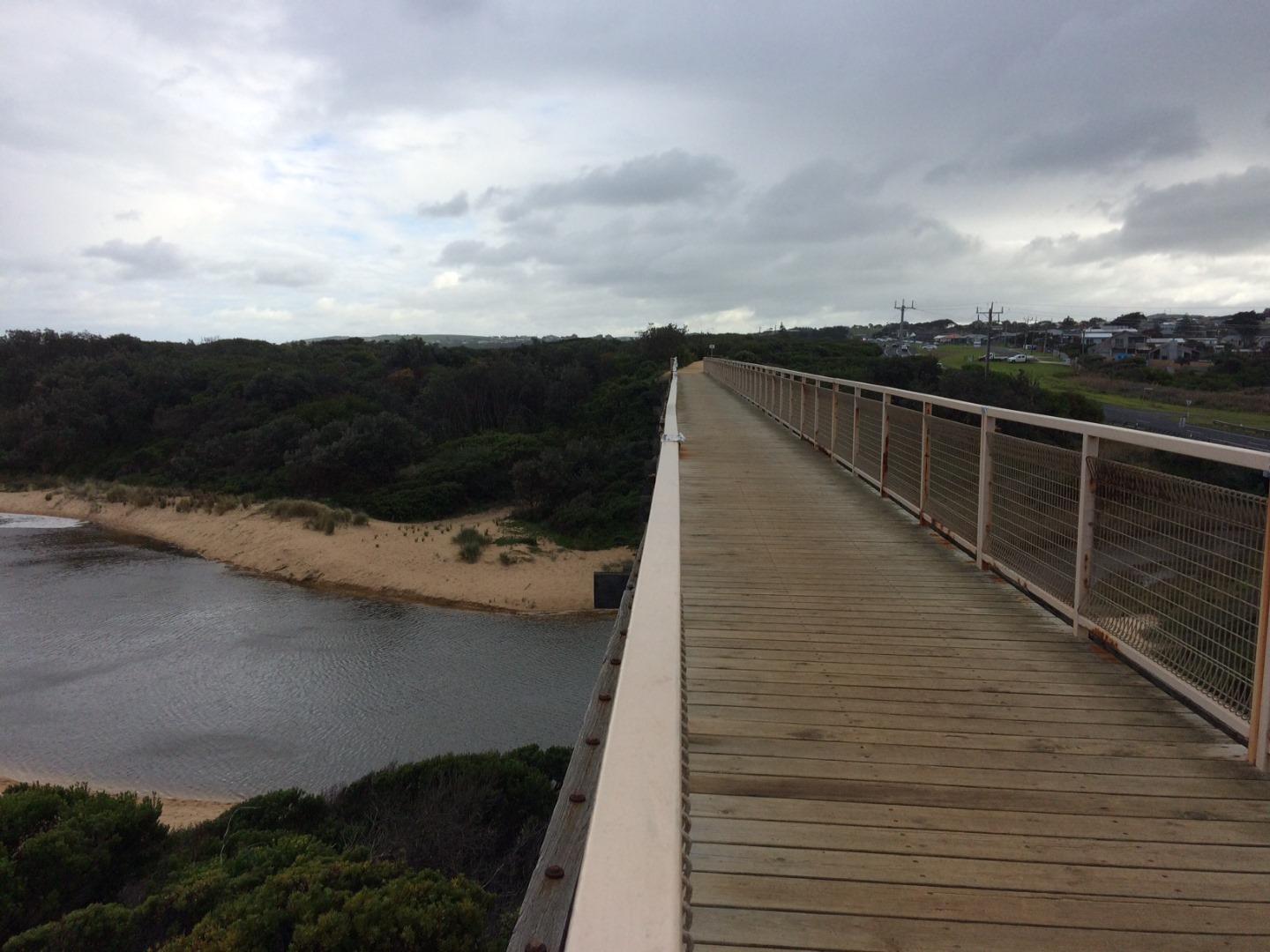
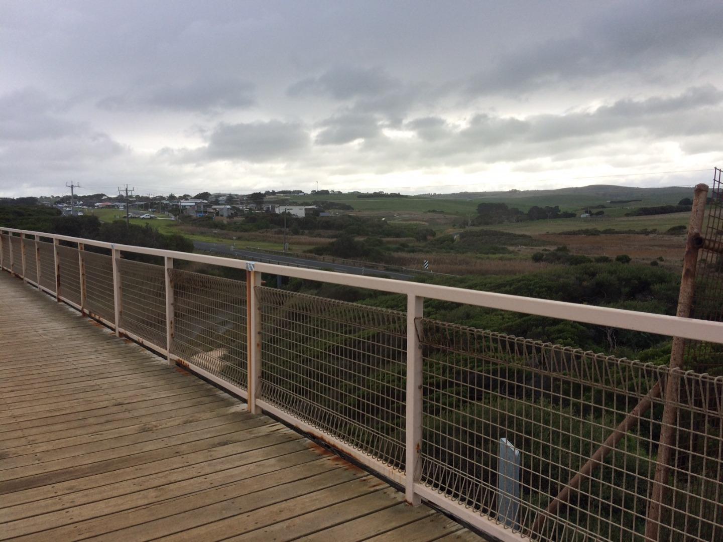
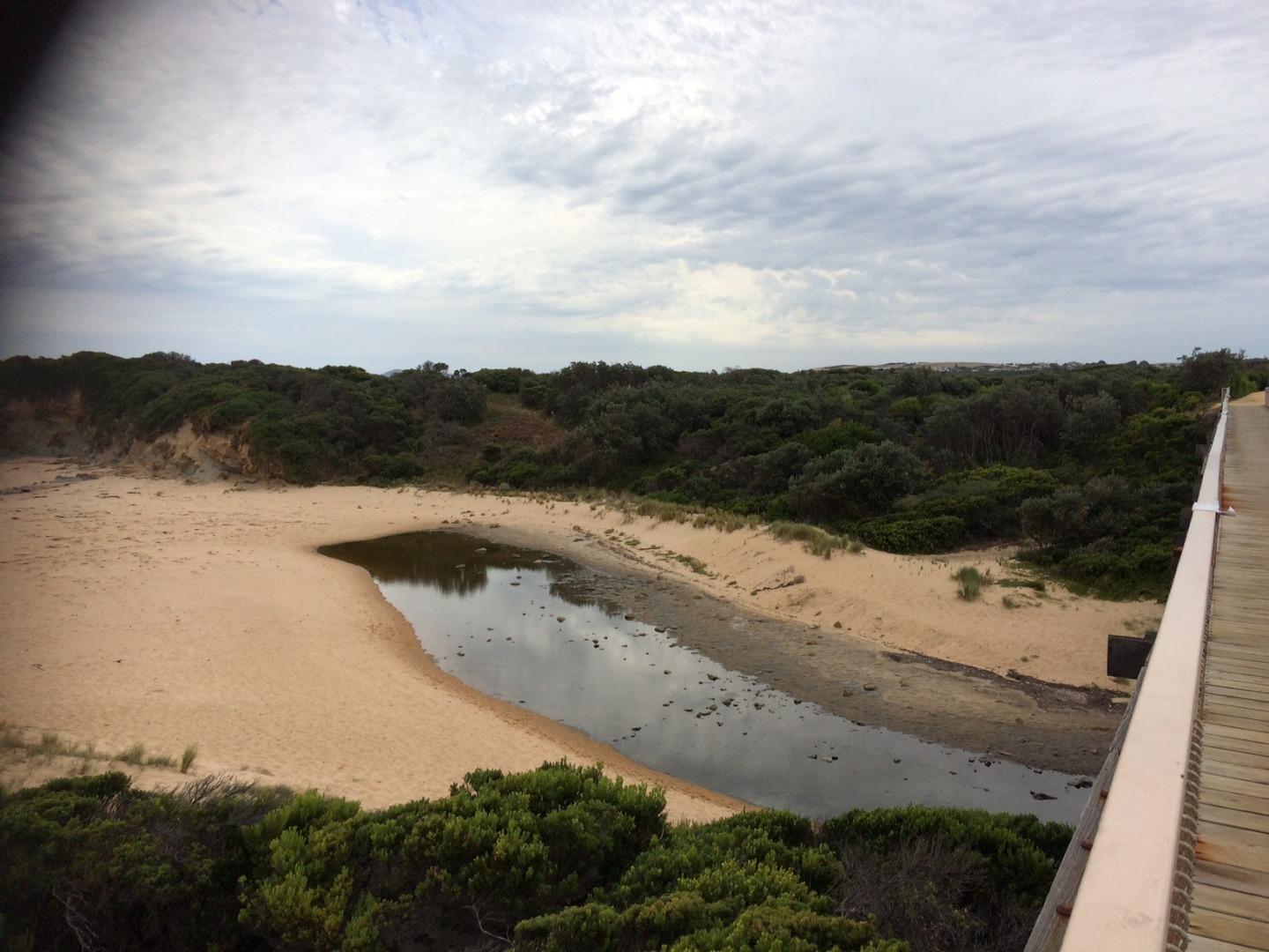
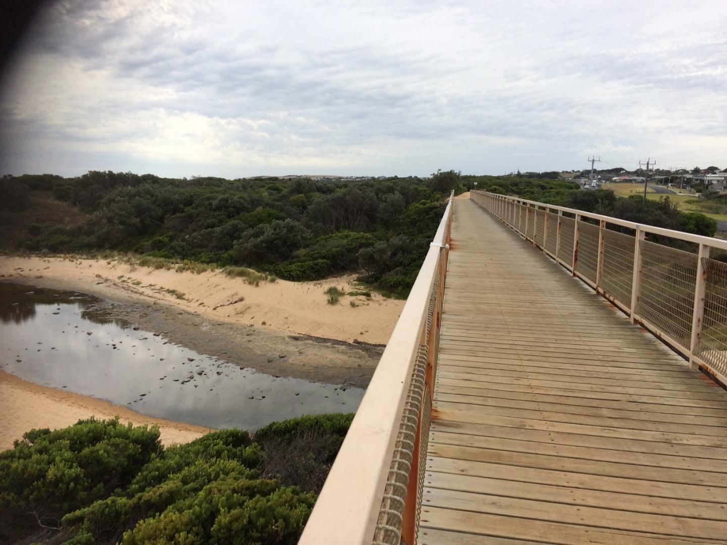
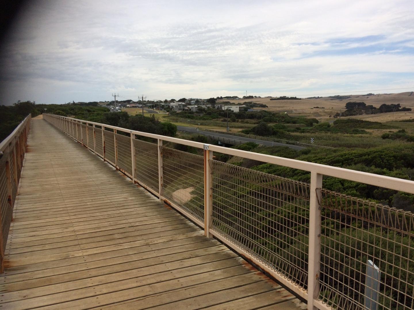
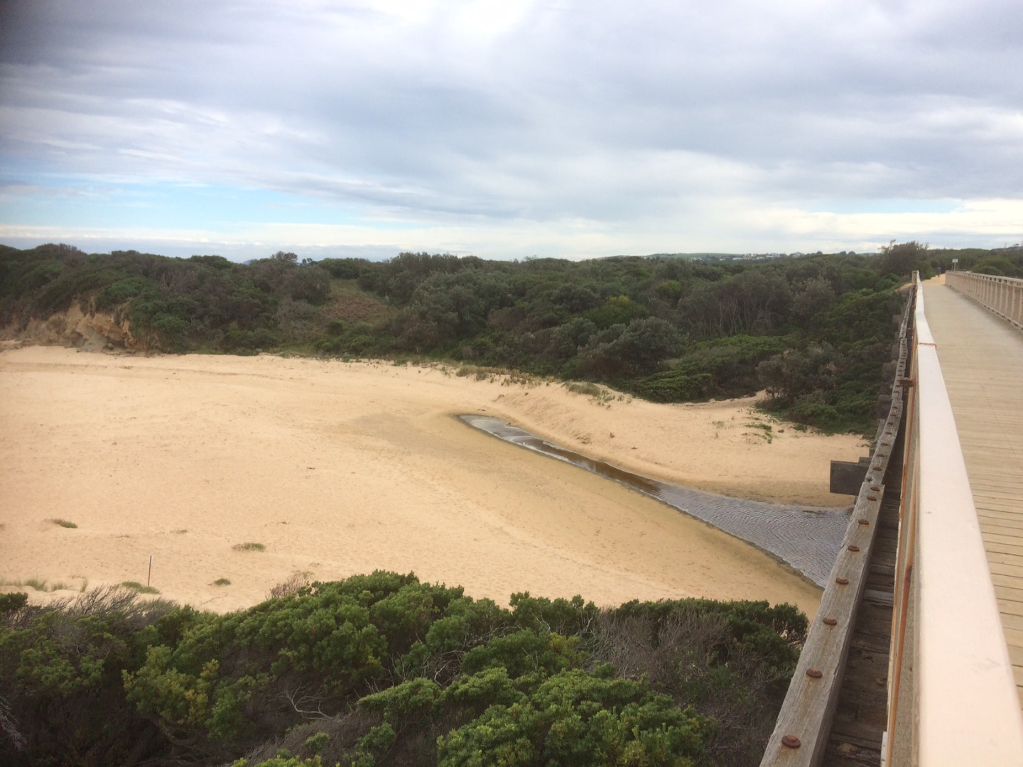
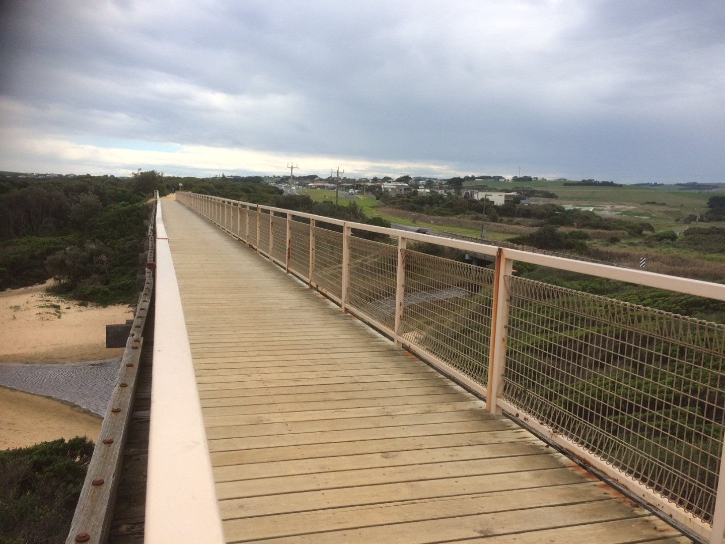
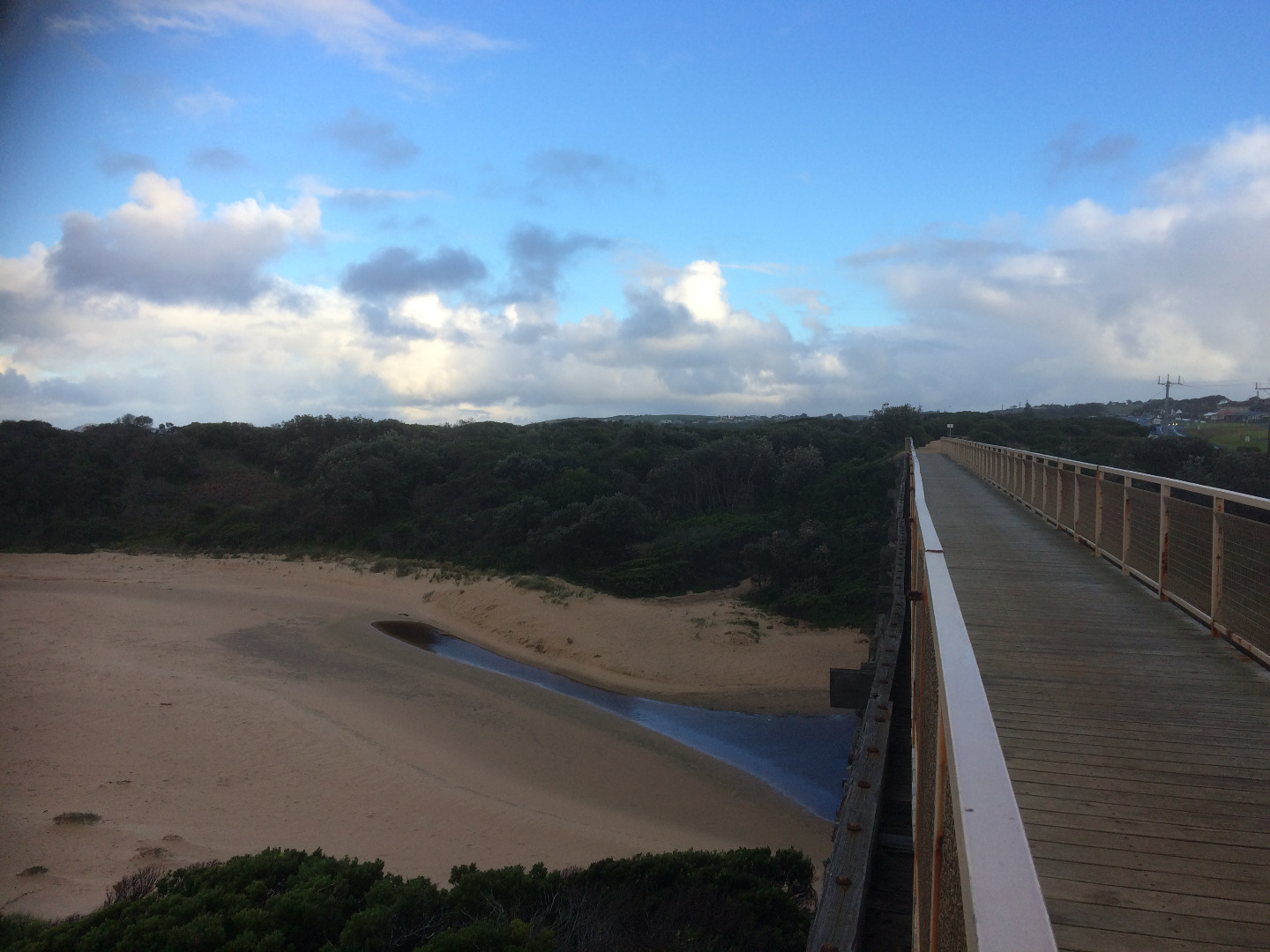
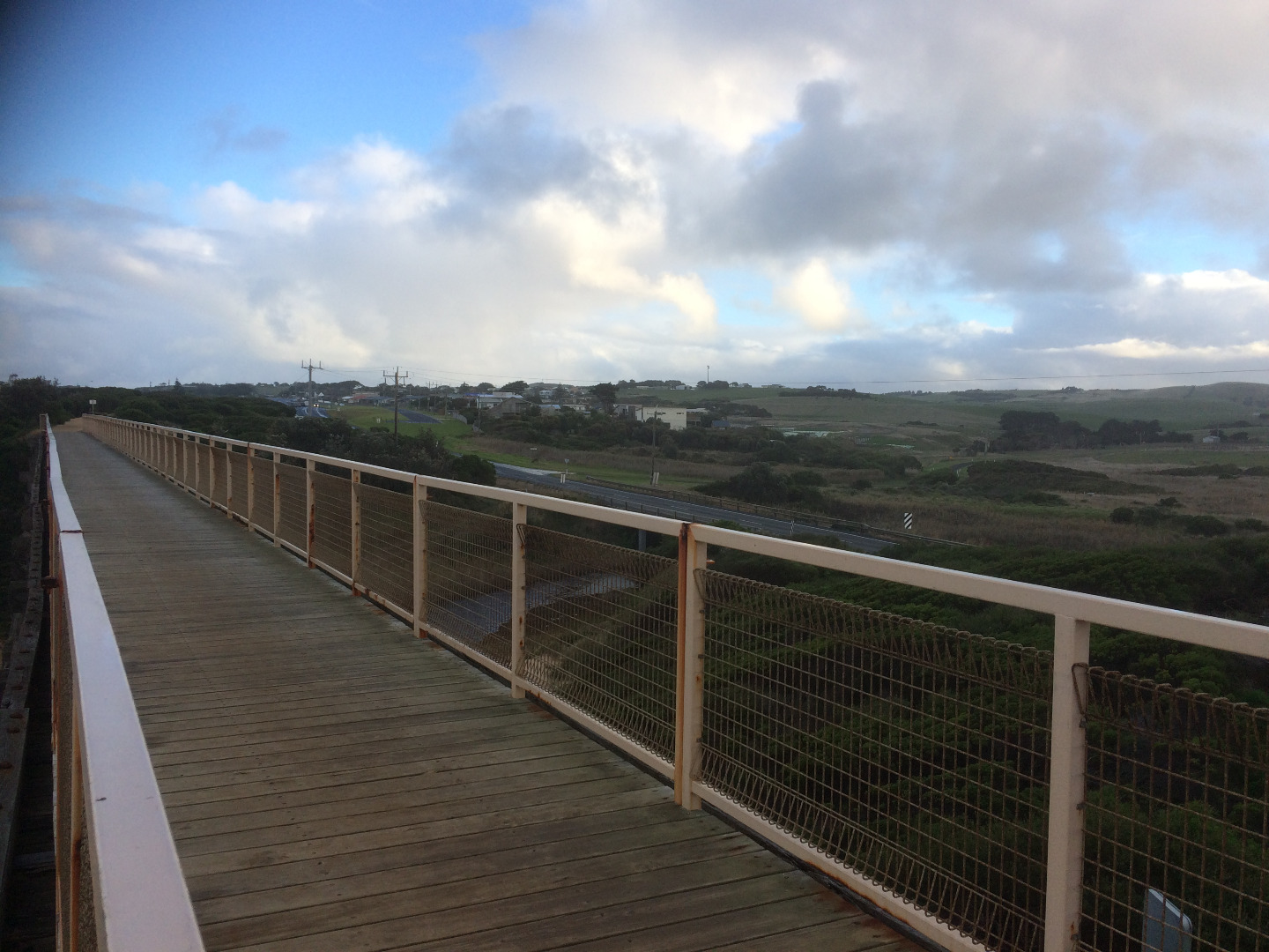
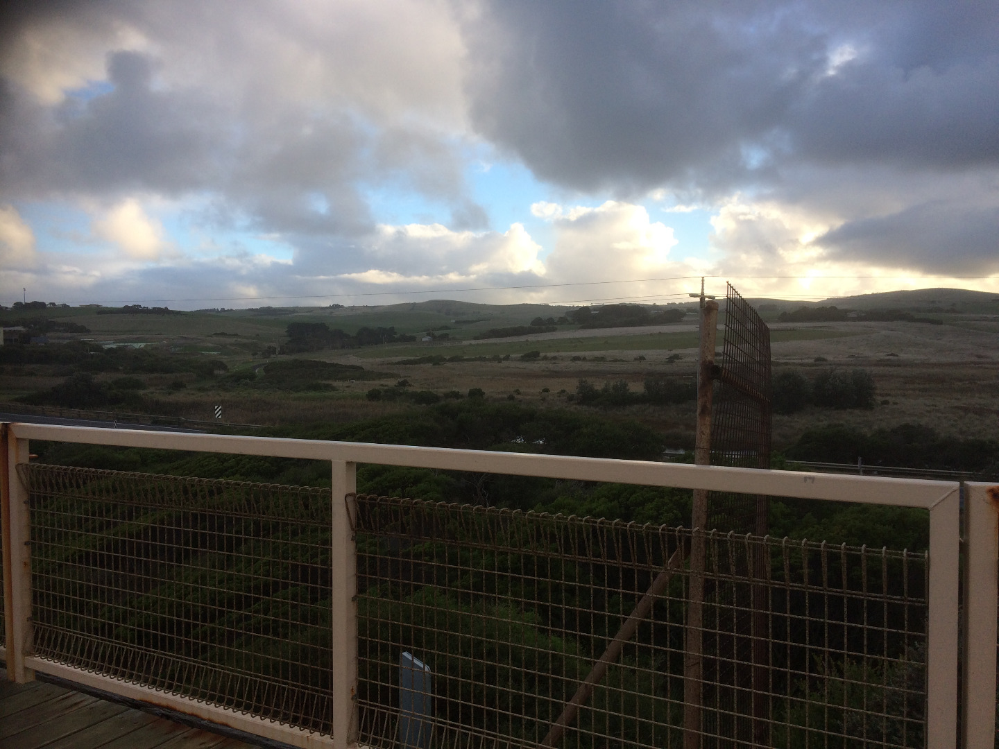
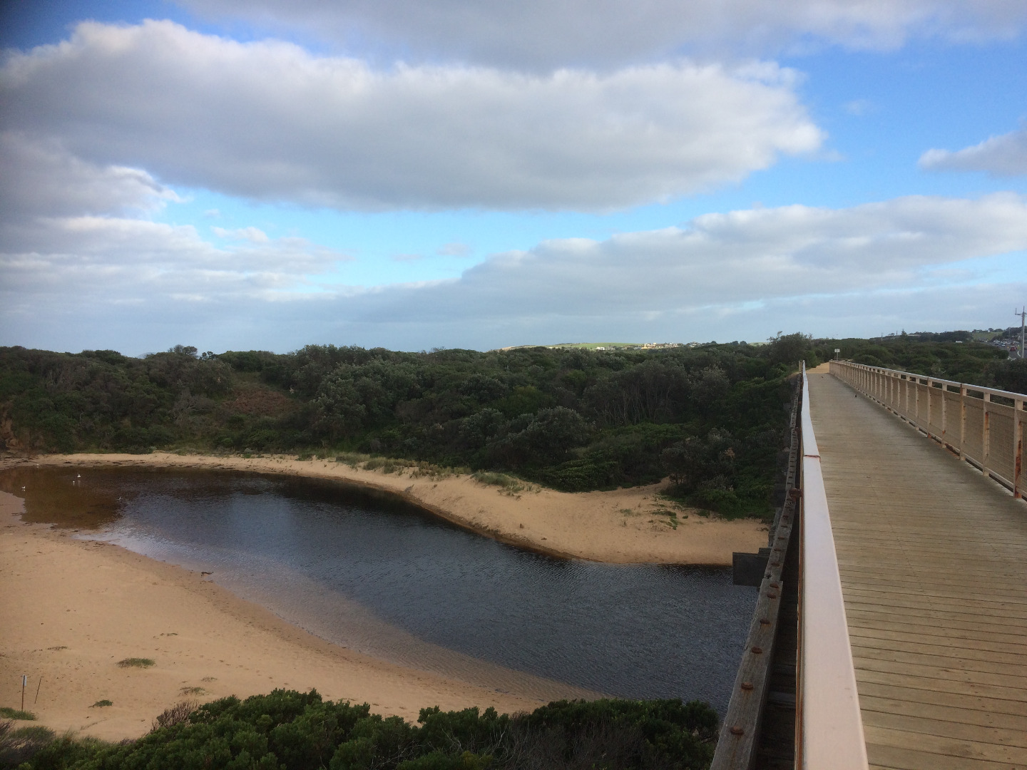
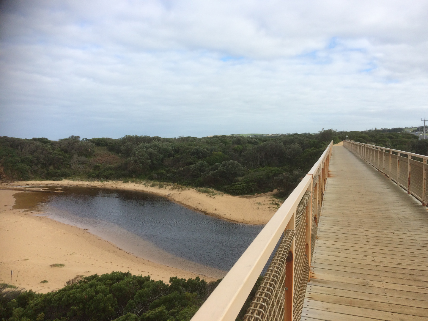
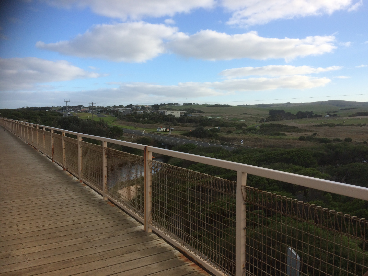
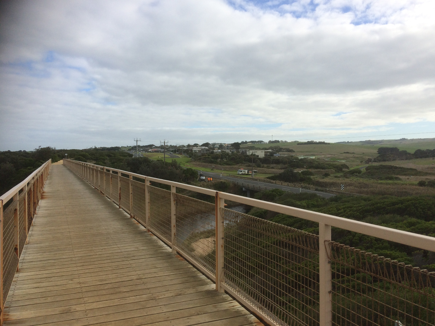
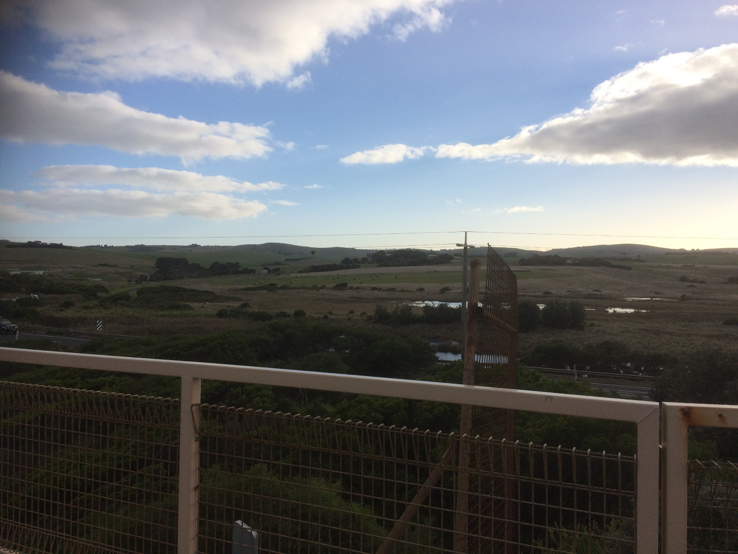
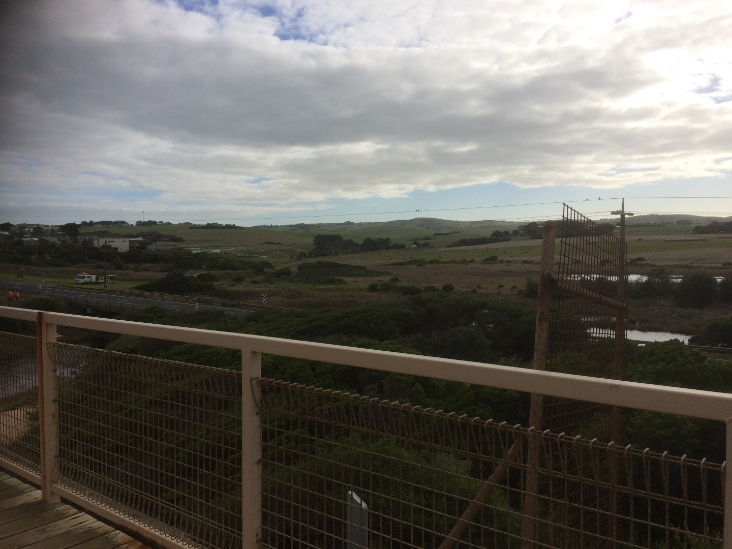
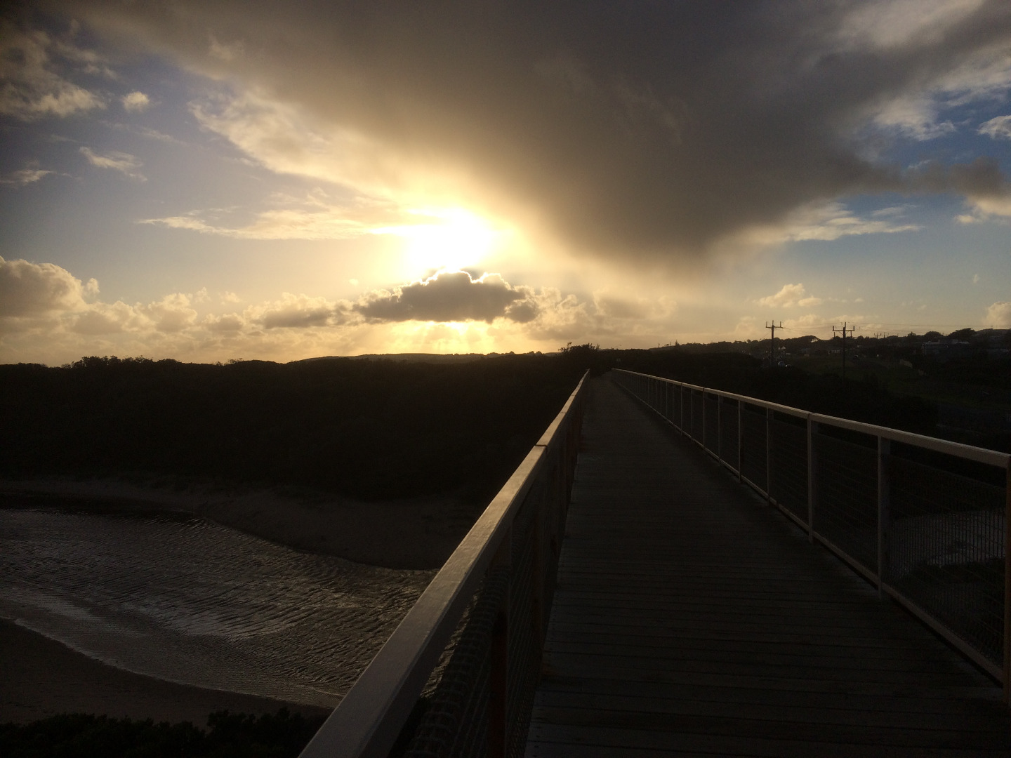
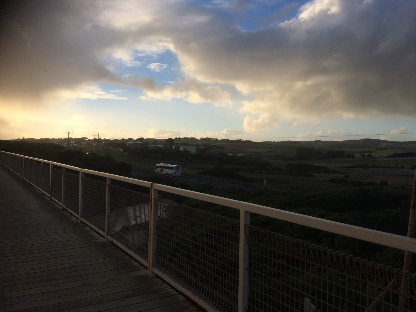
Active Photopoint Bass Hwy, Kilcunda
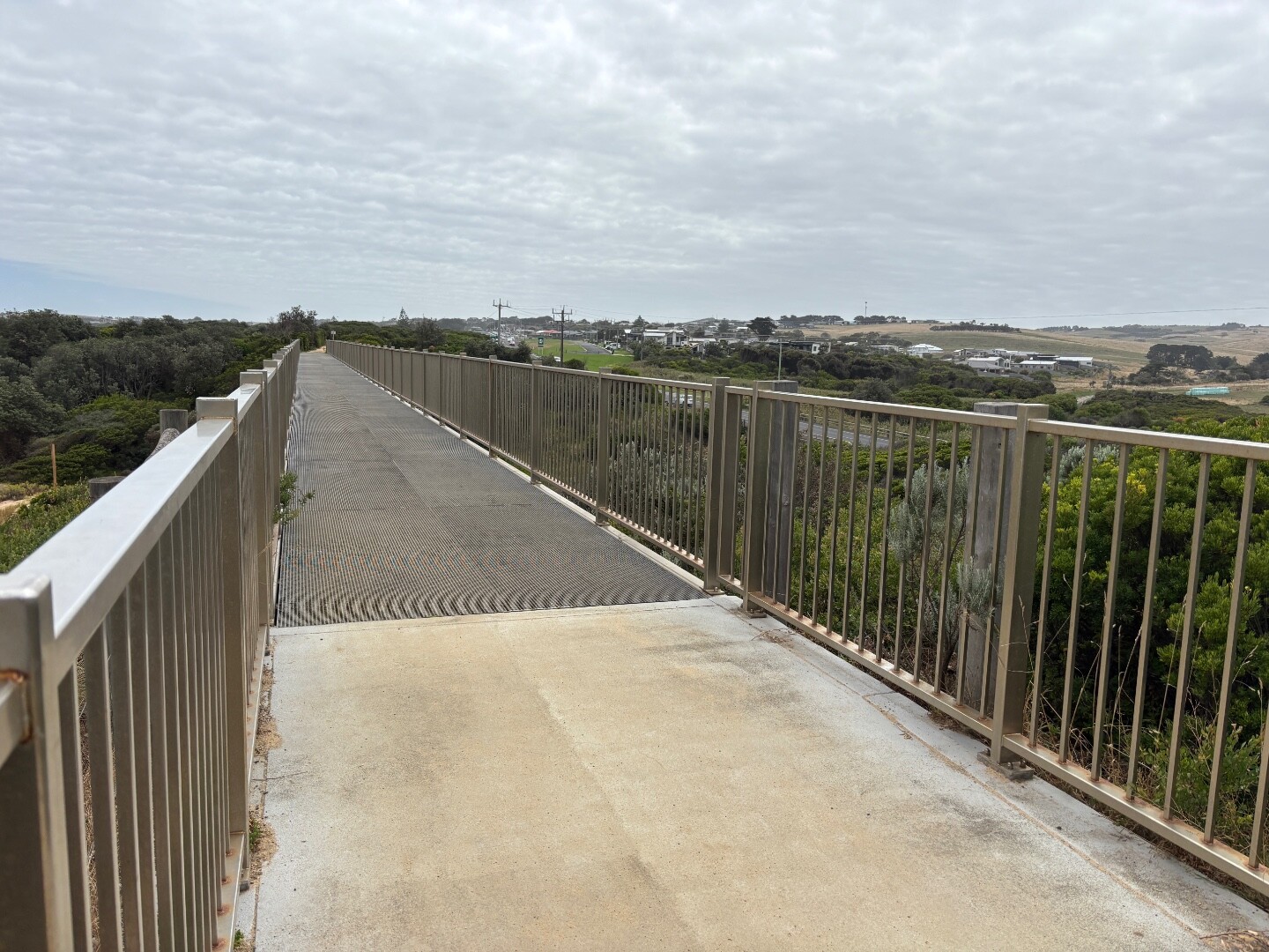
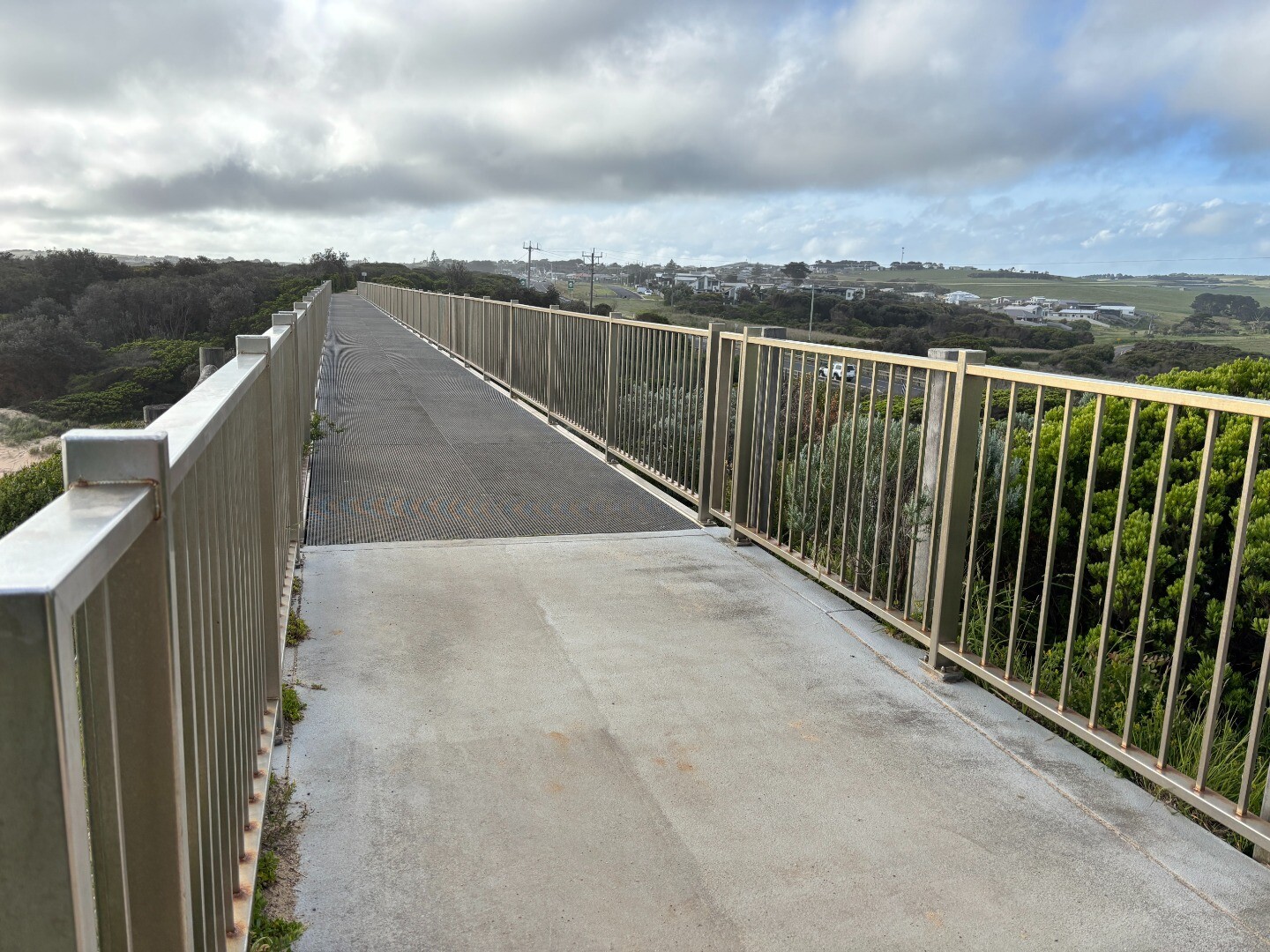
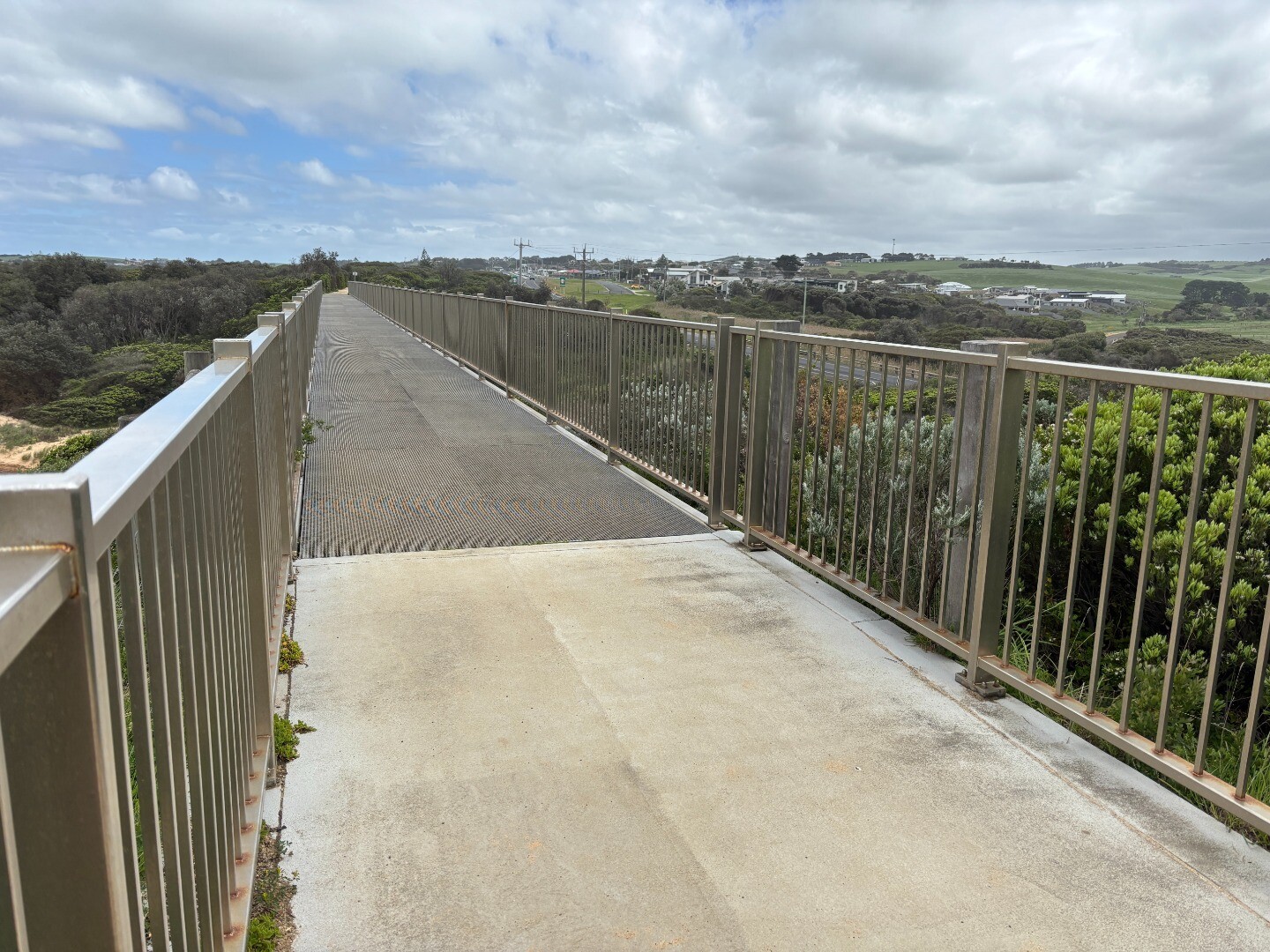
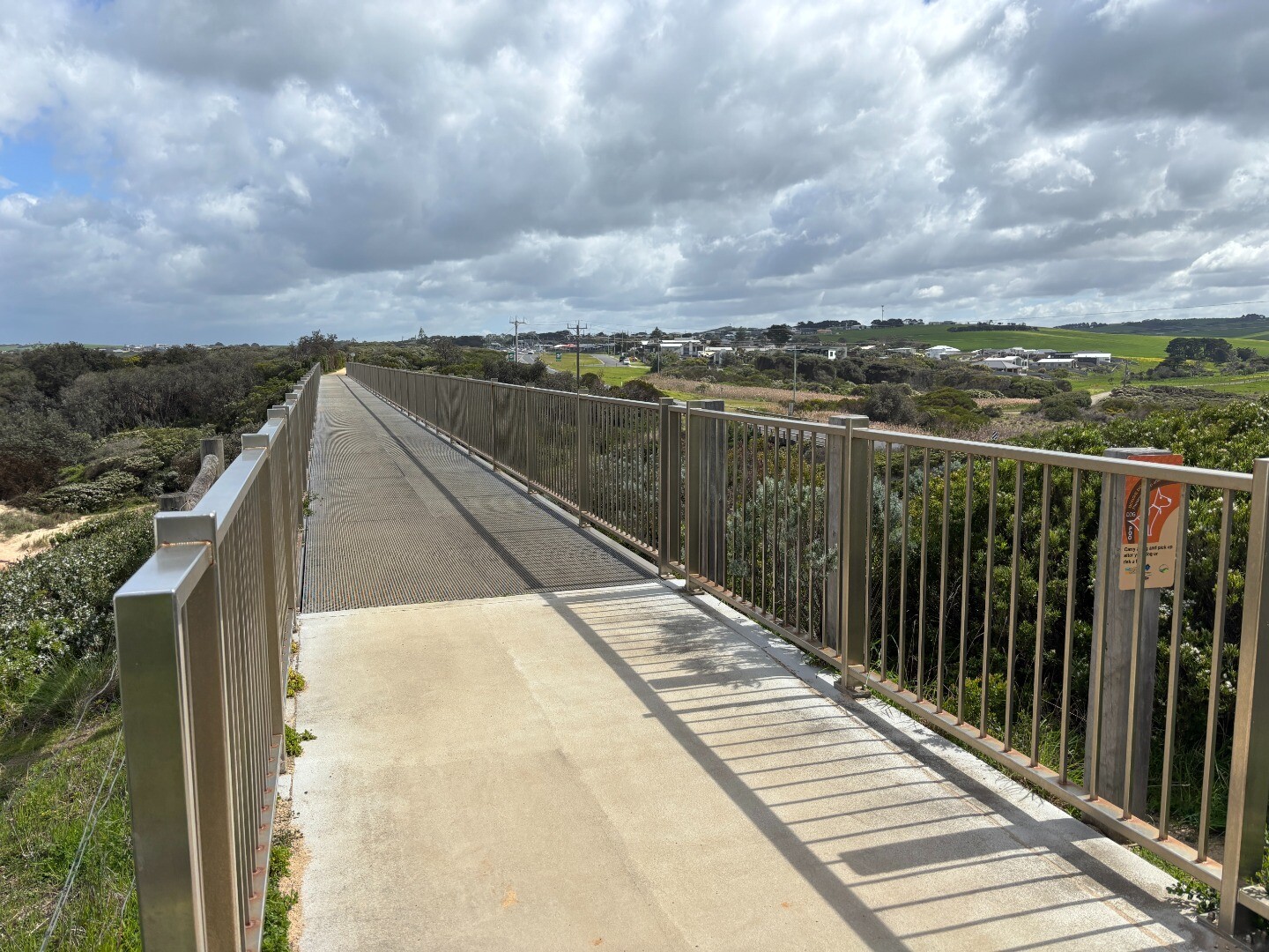
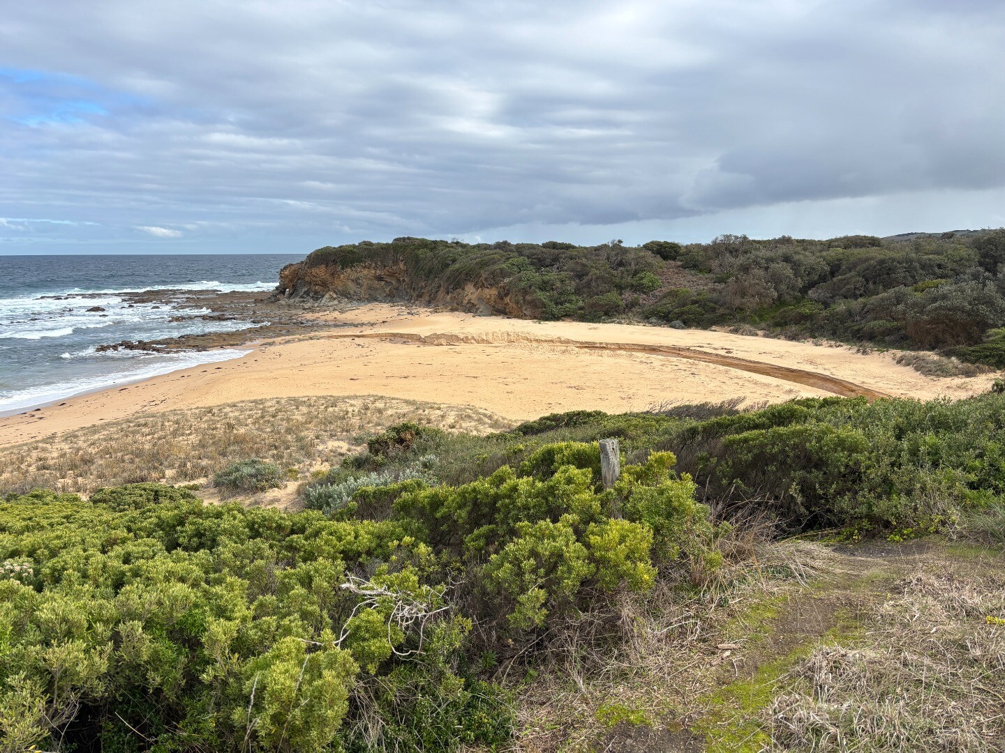
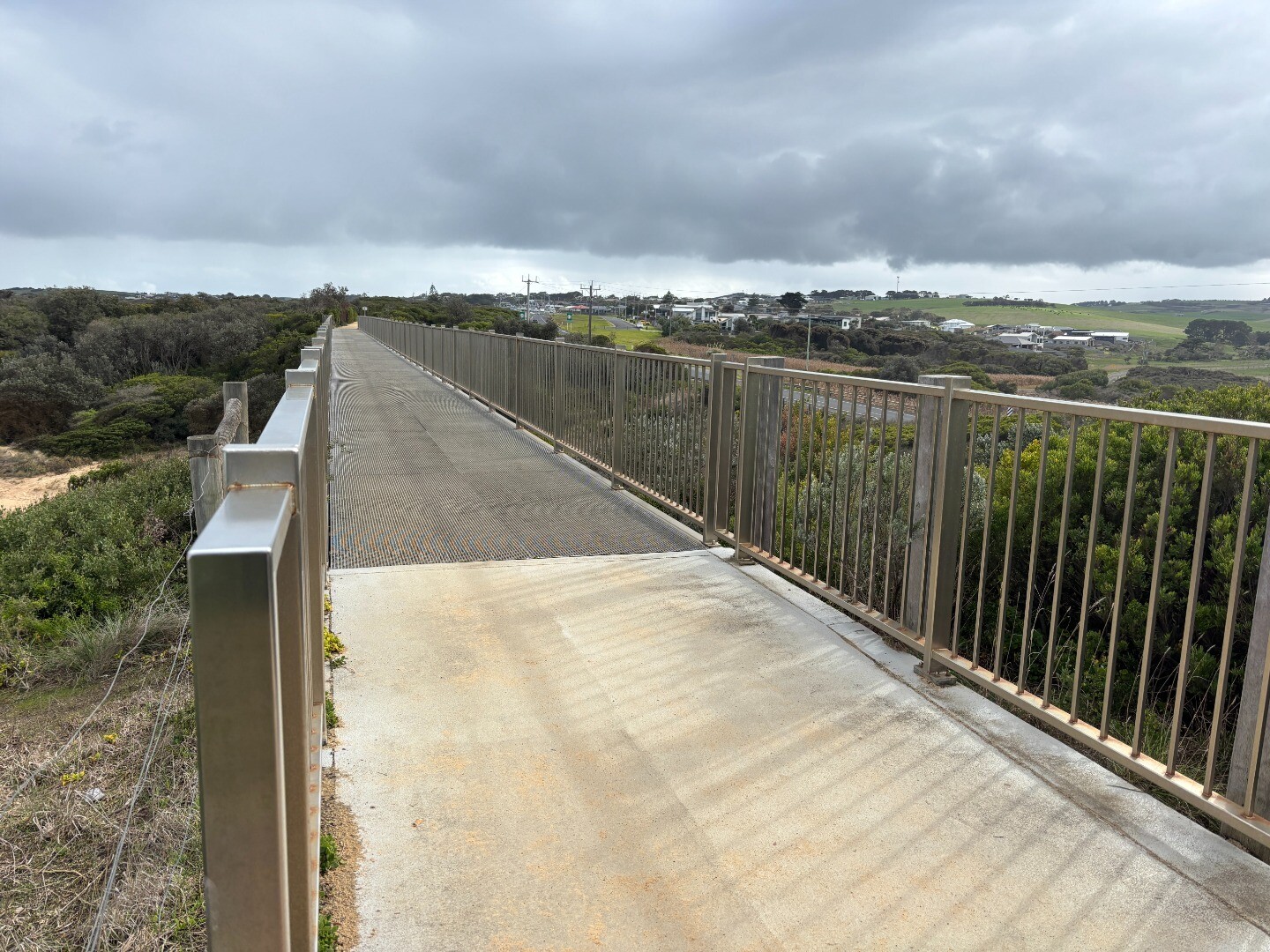
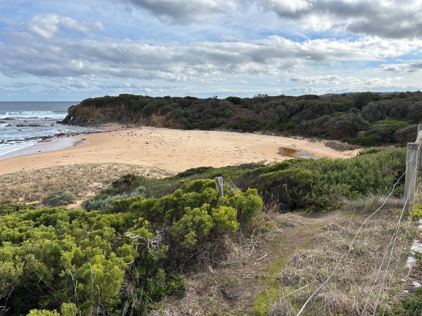
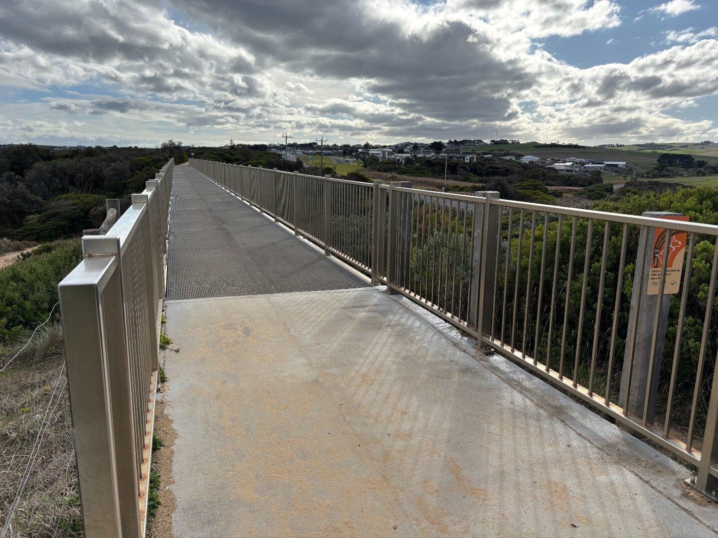
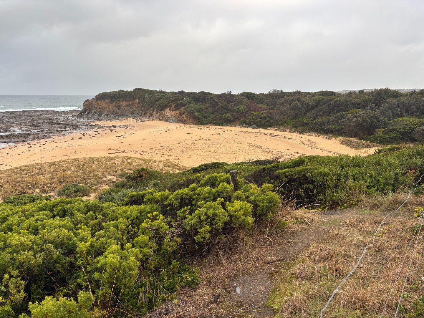
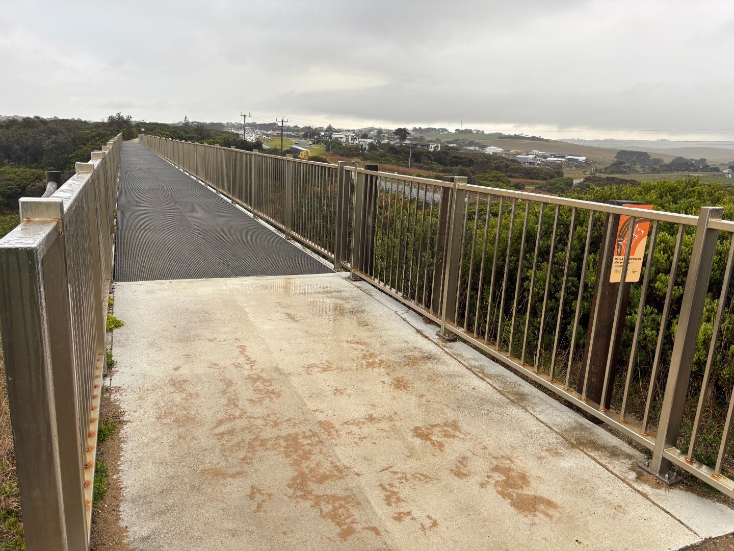
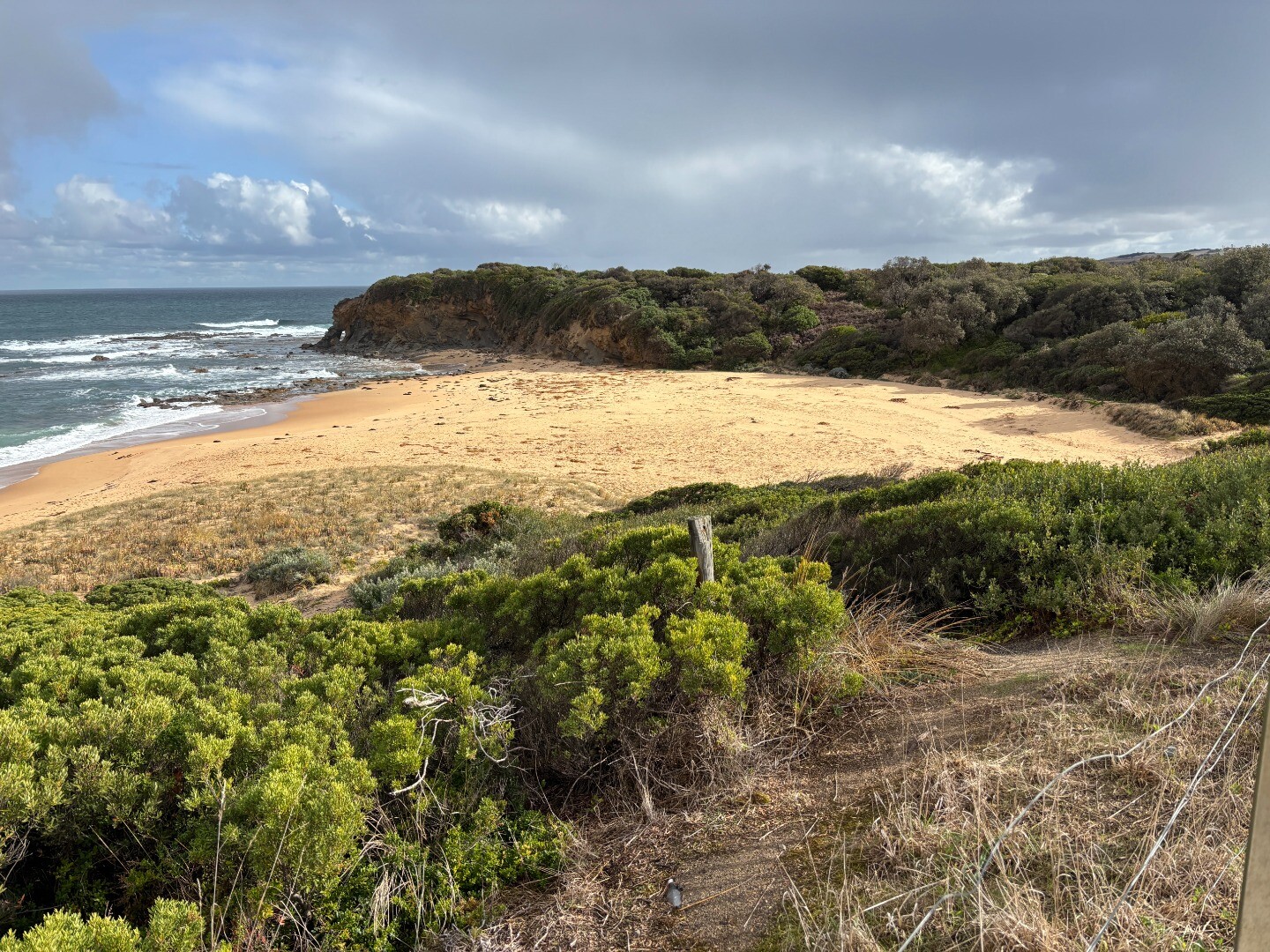
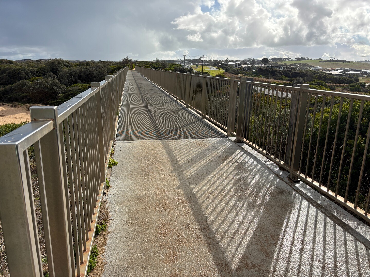
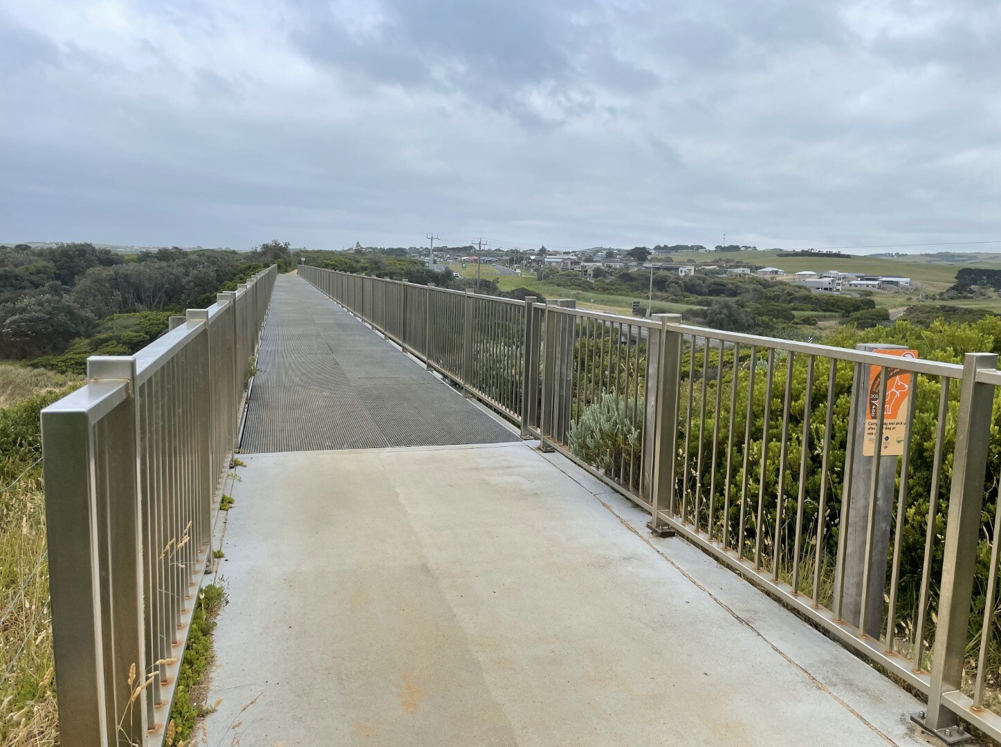
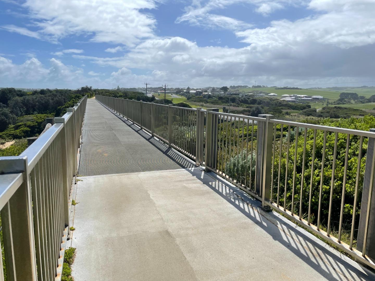
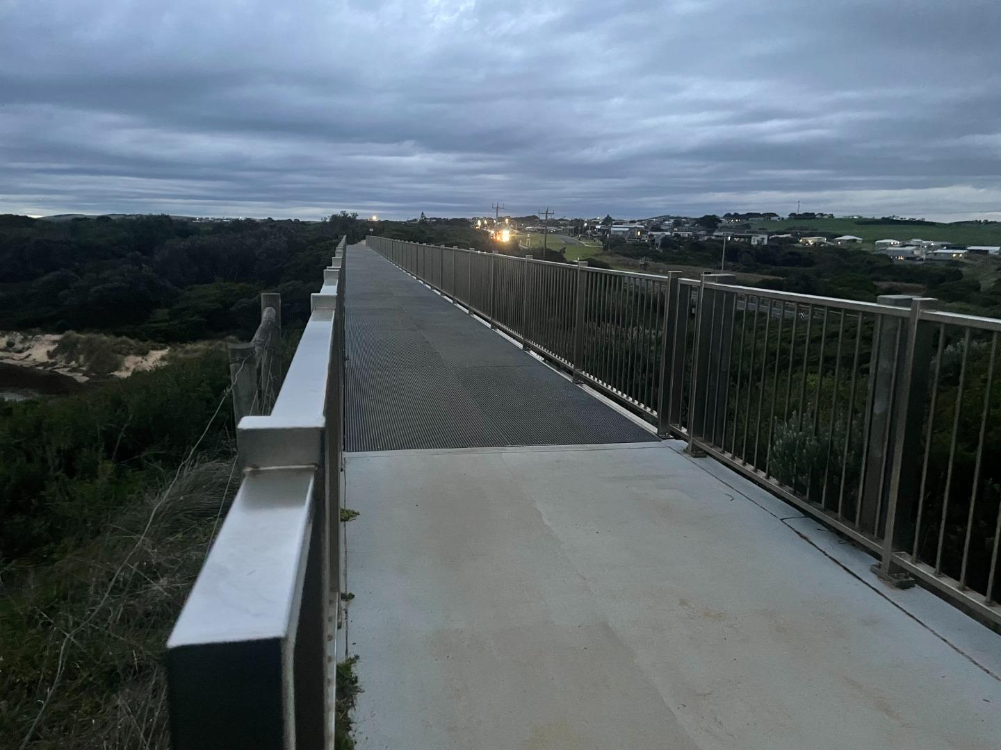
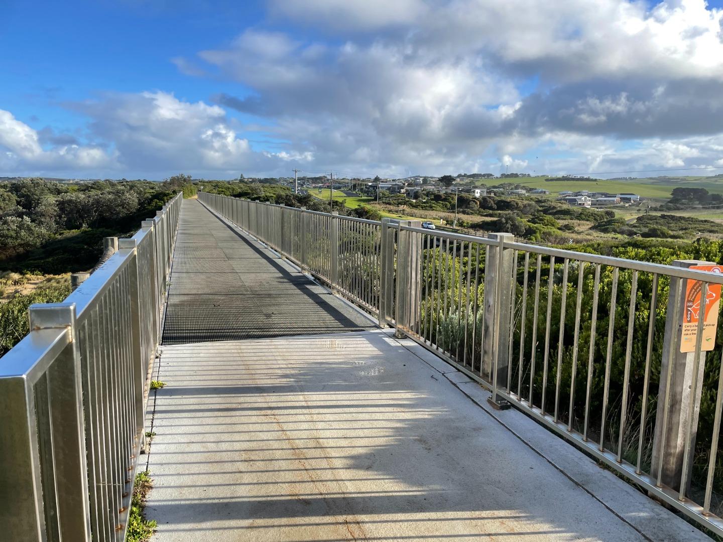
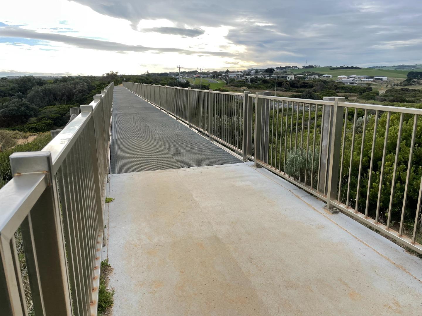
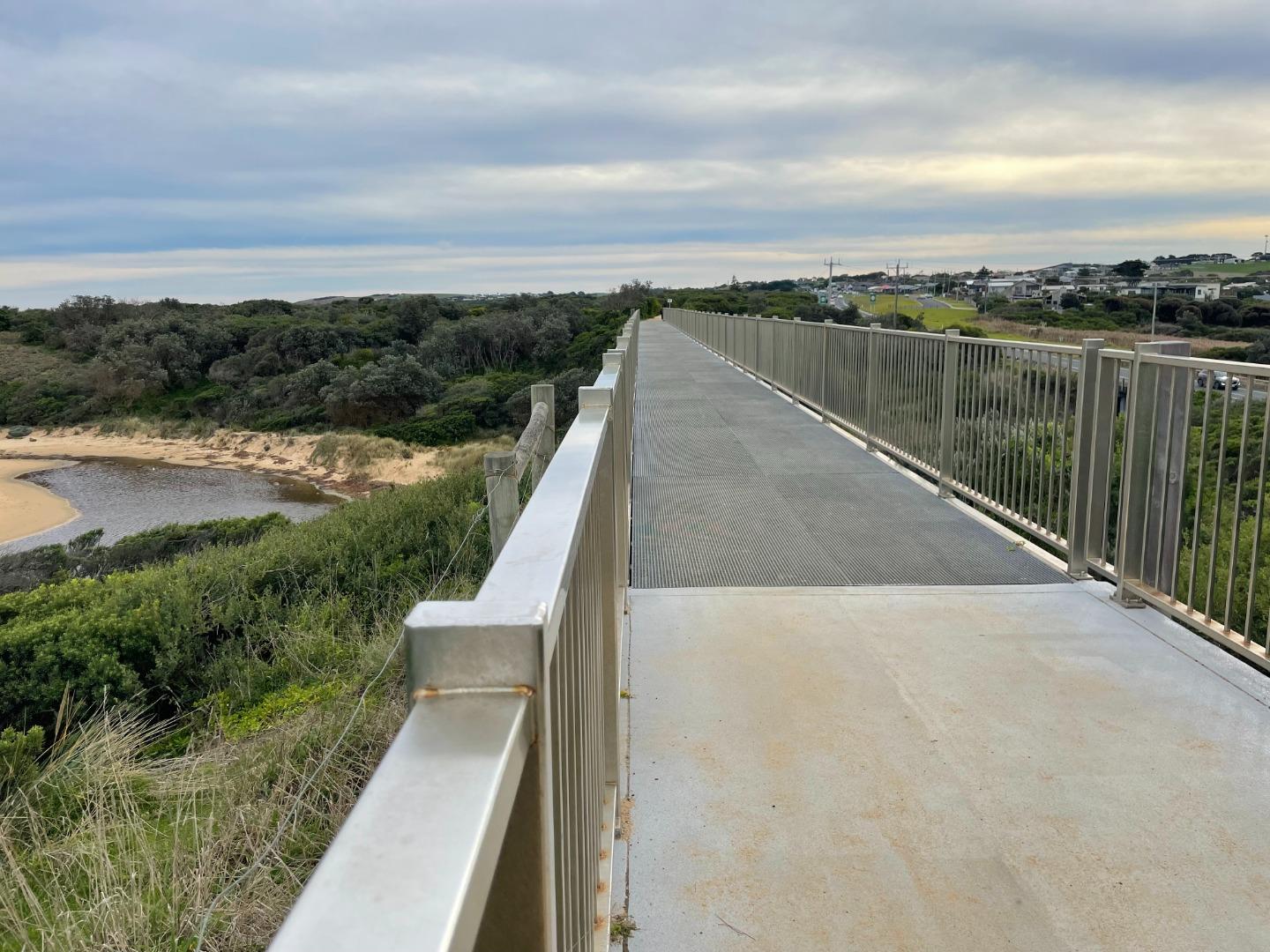
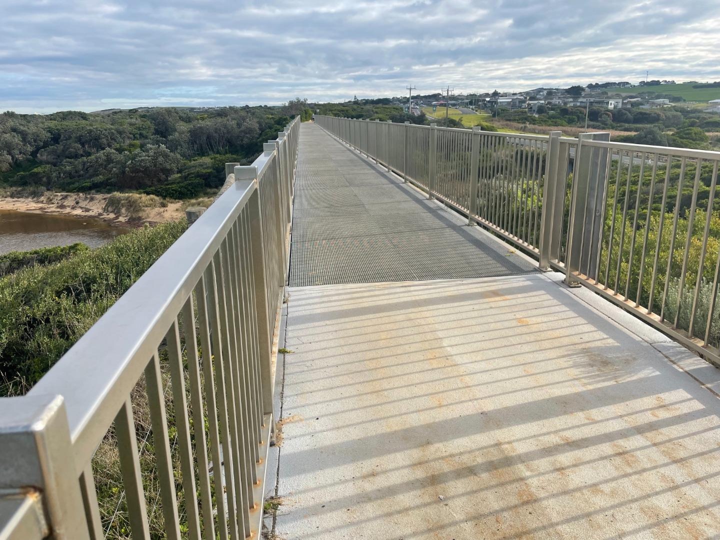
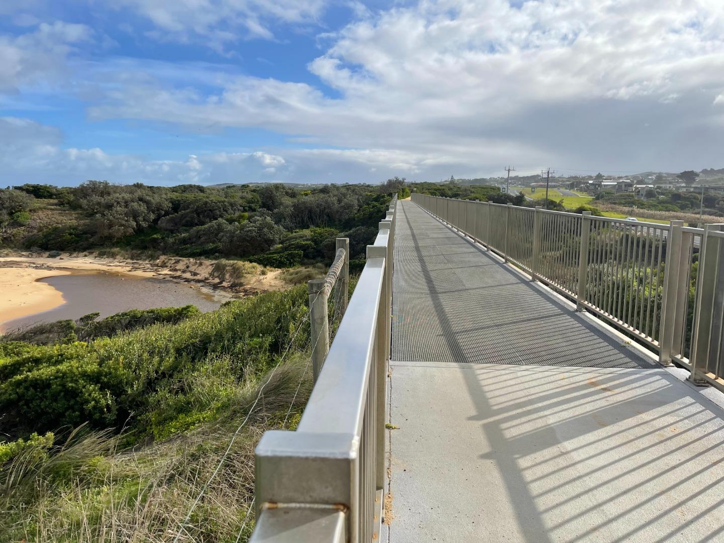
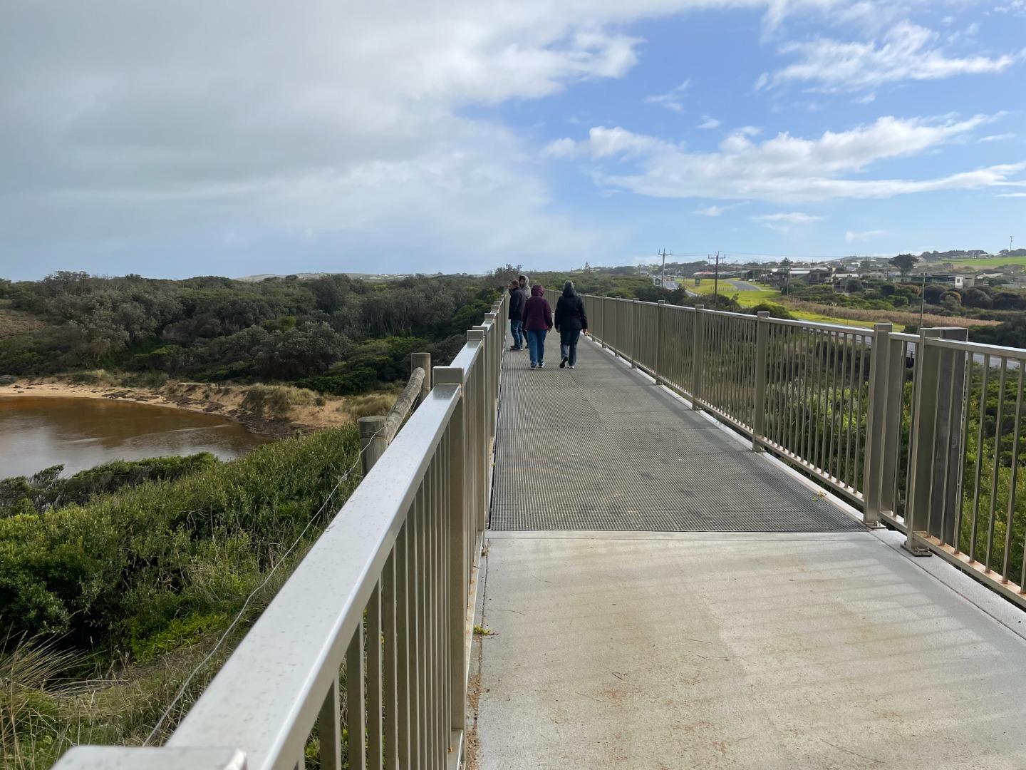
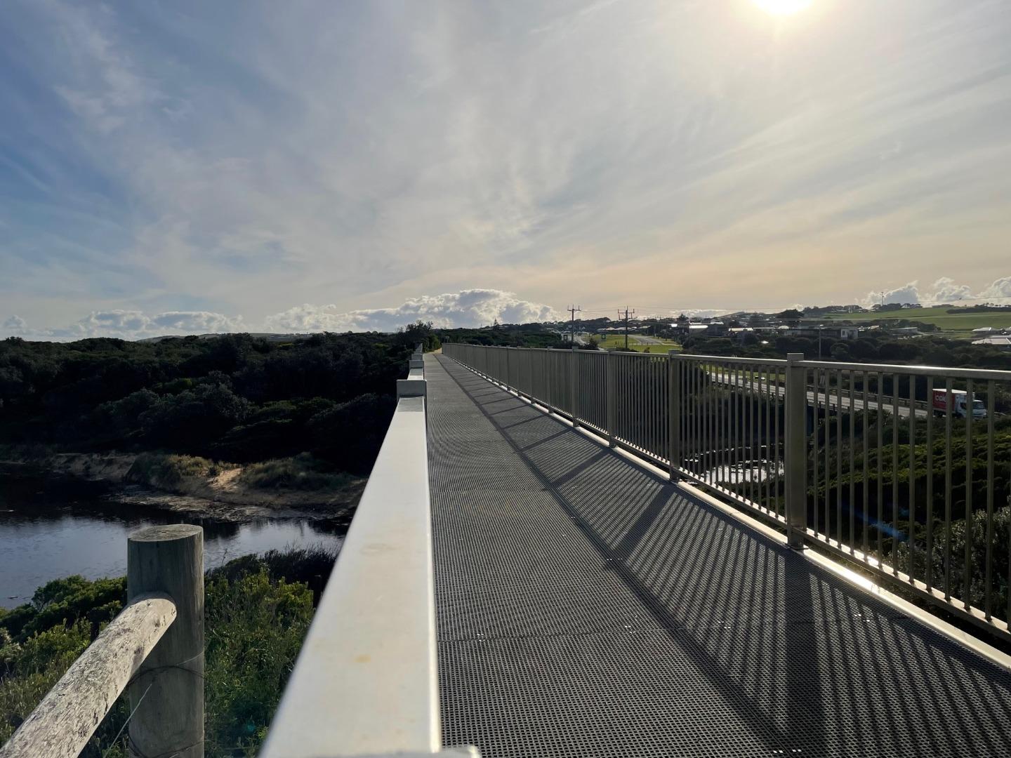
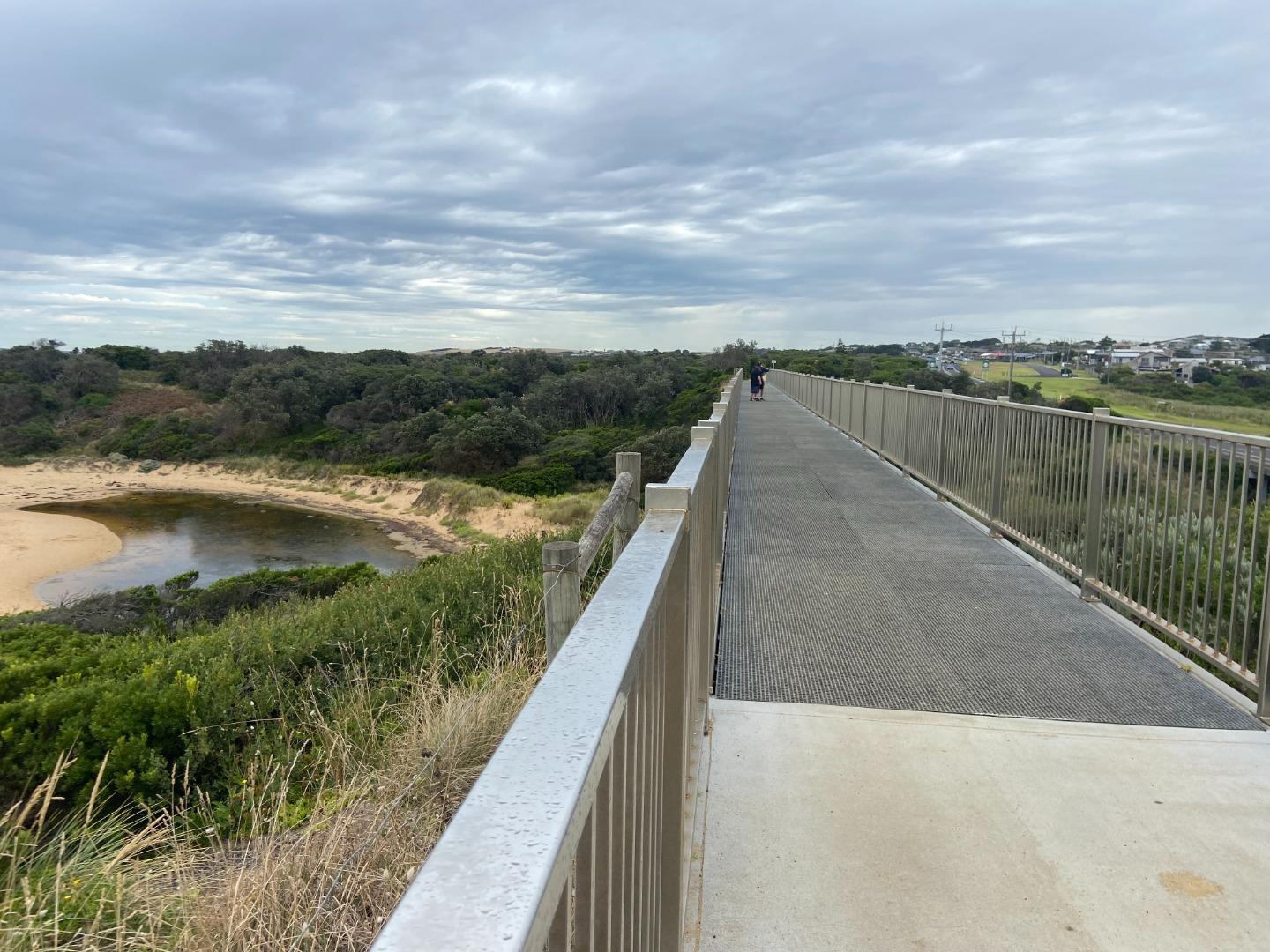
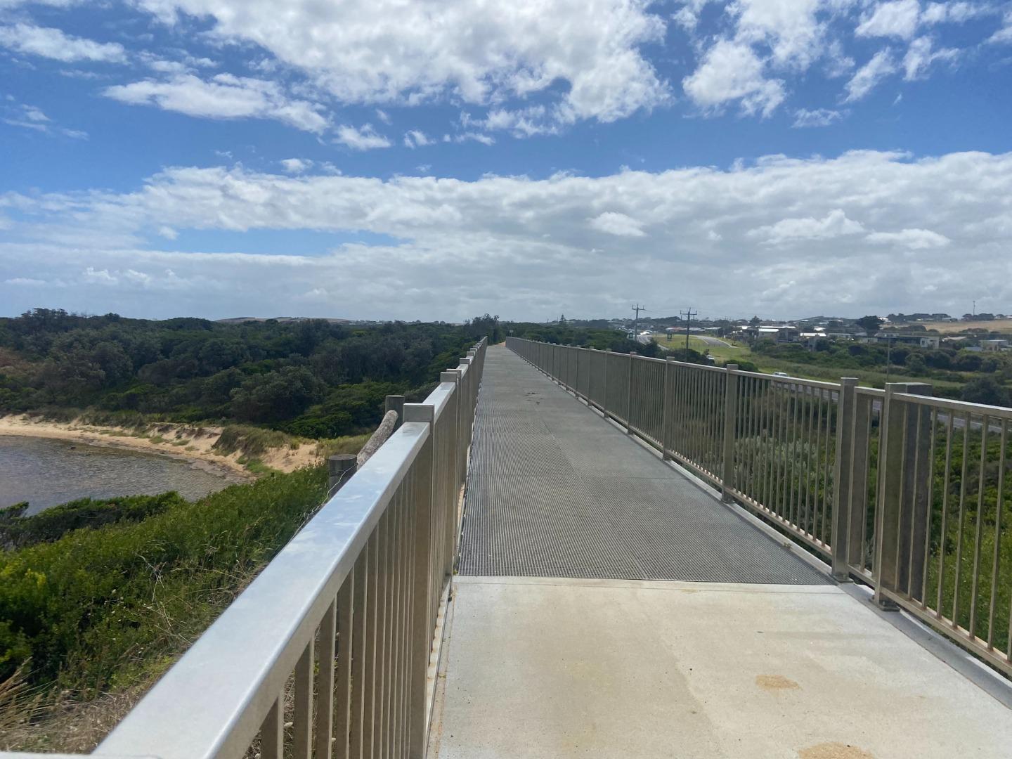
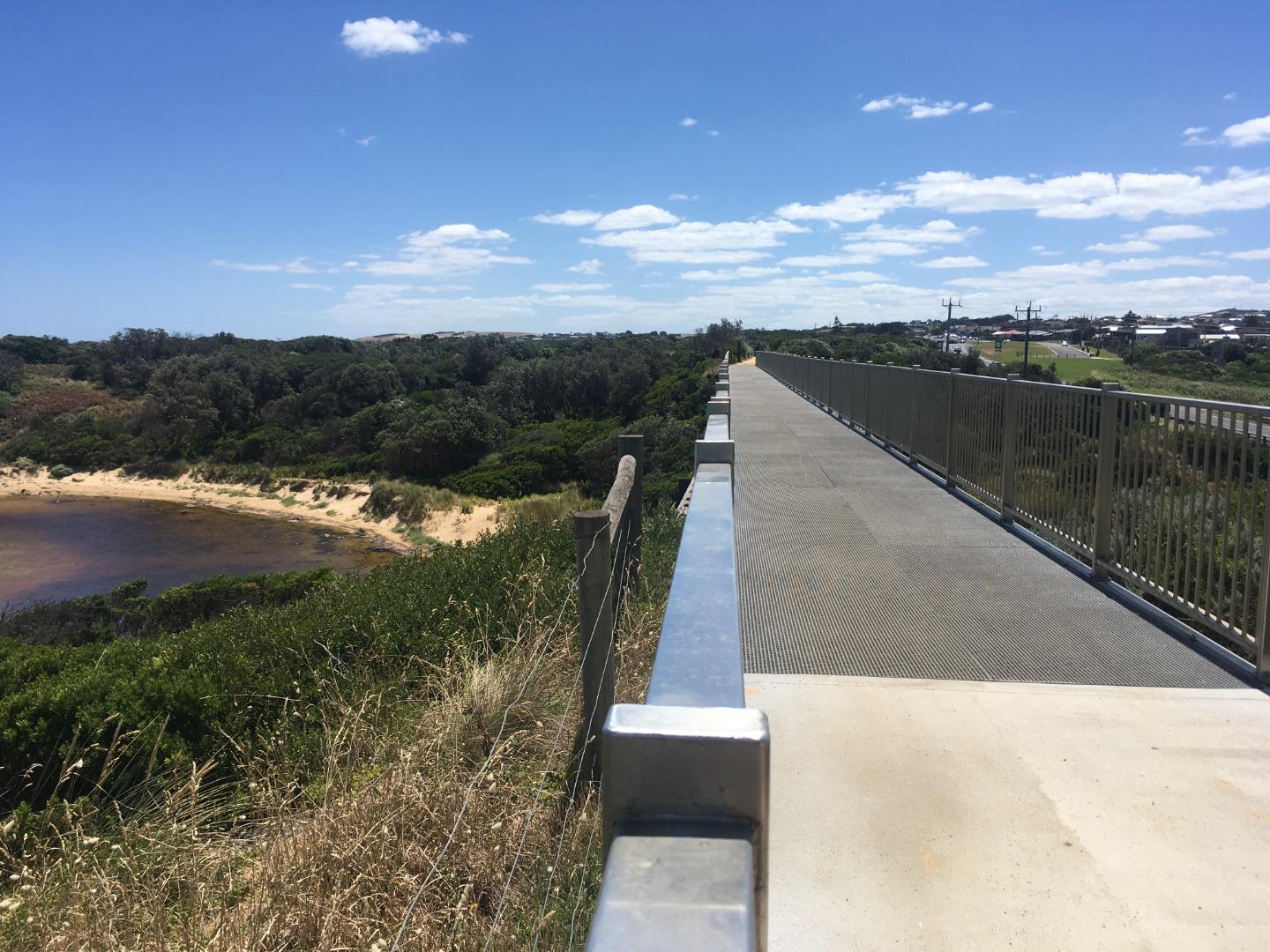
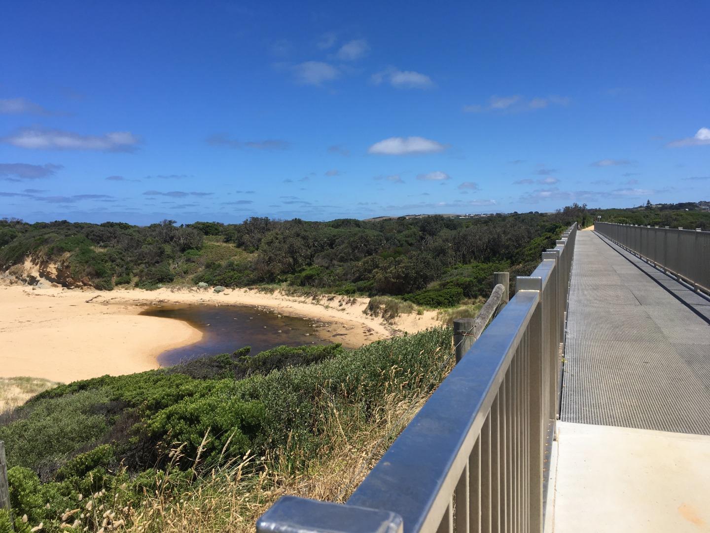
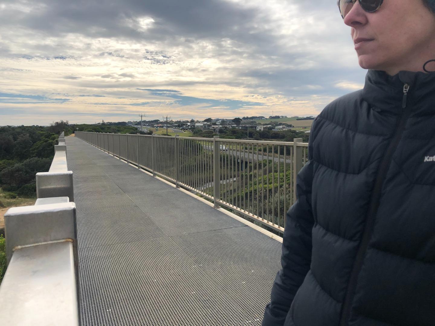
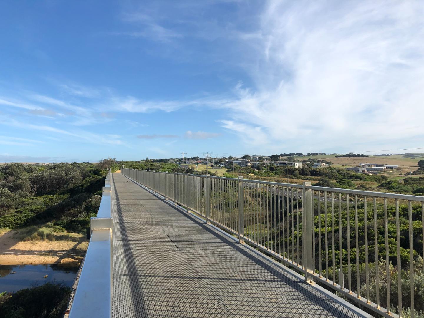
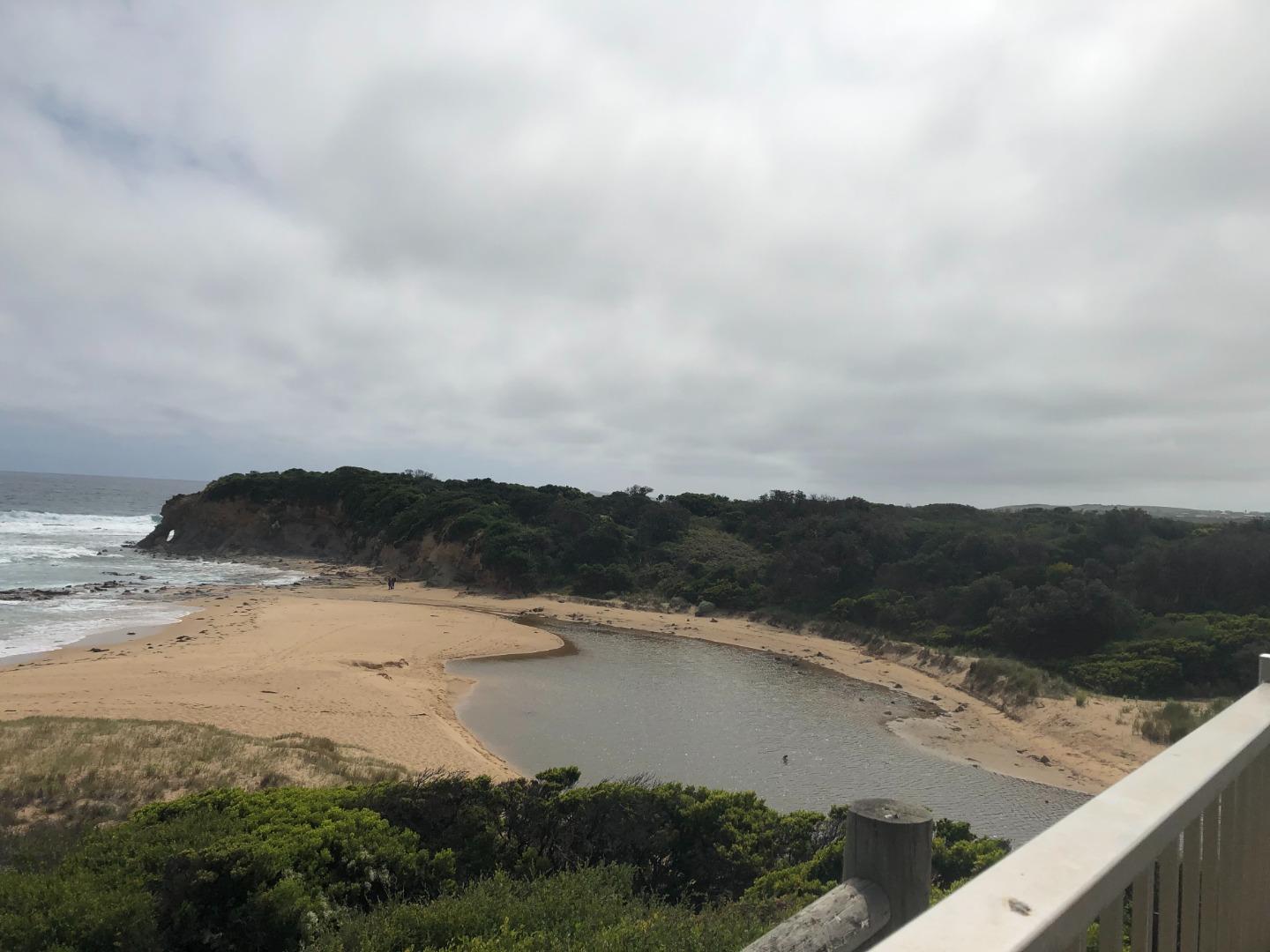
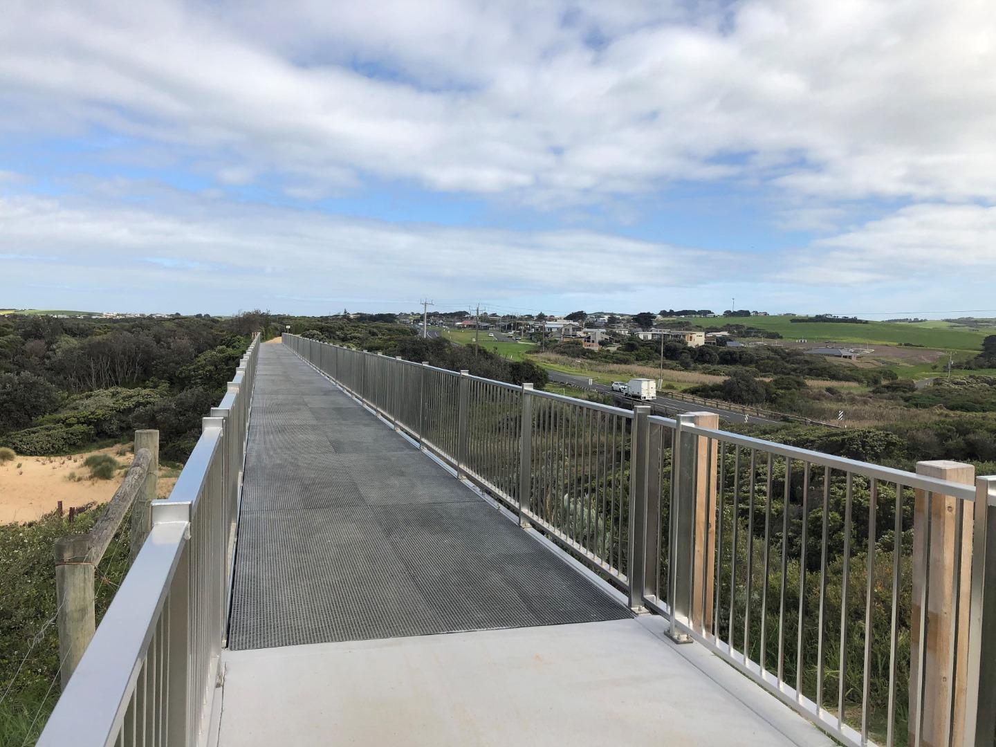
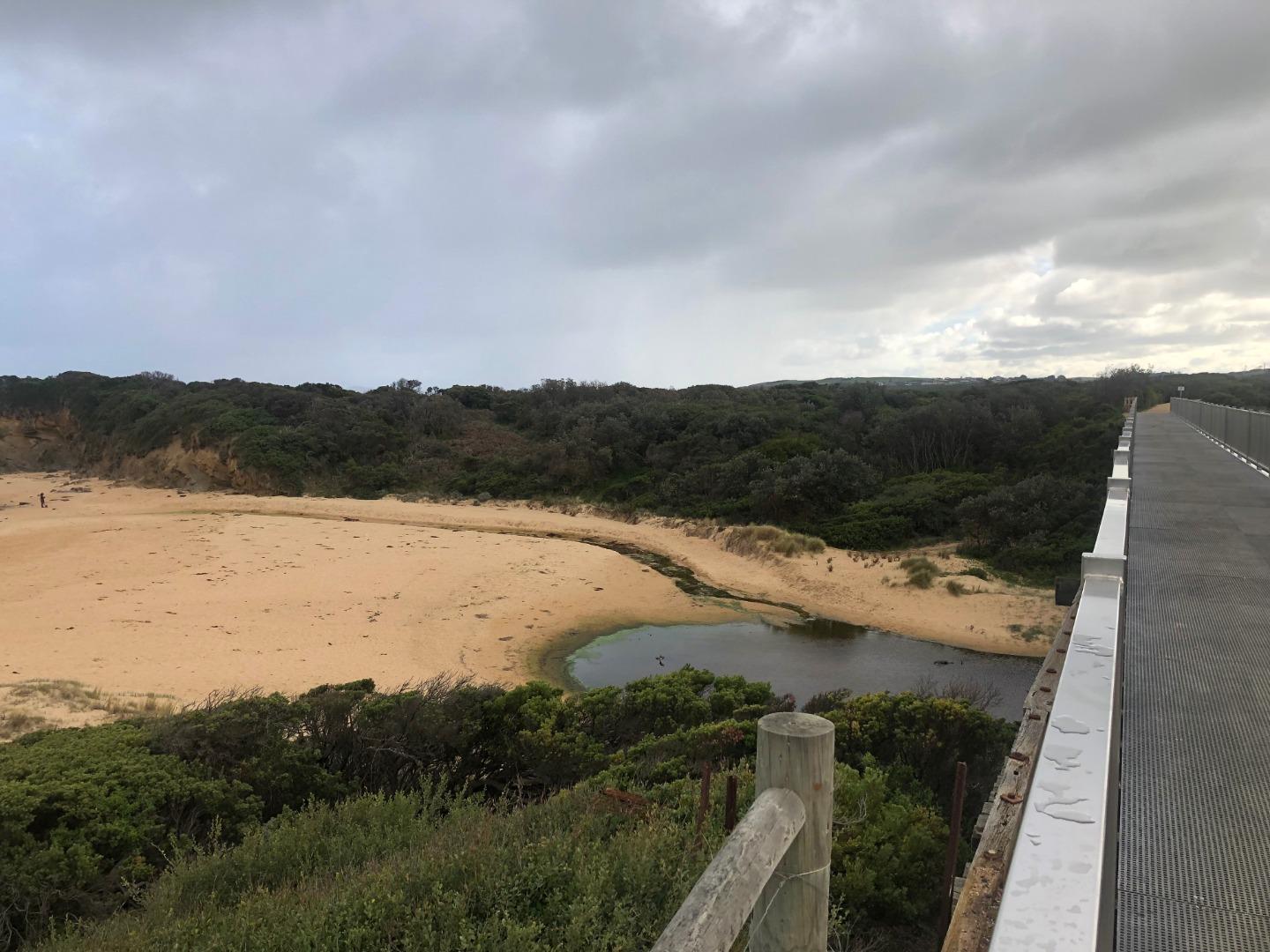
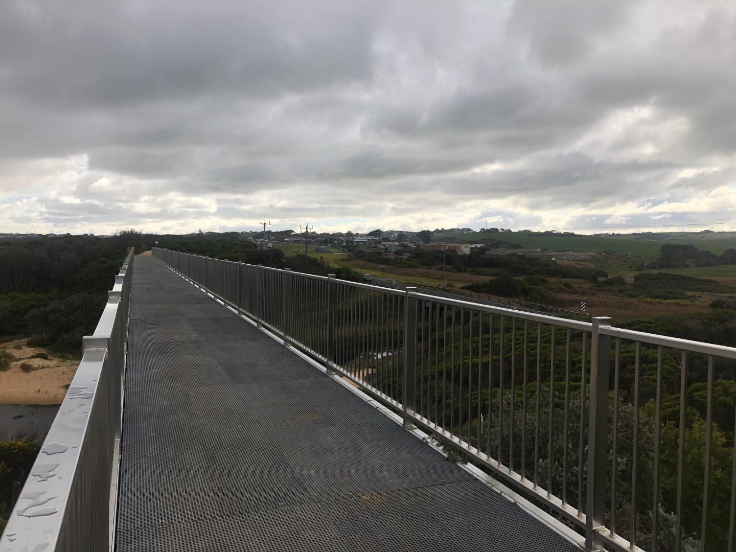
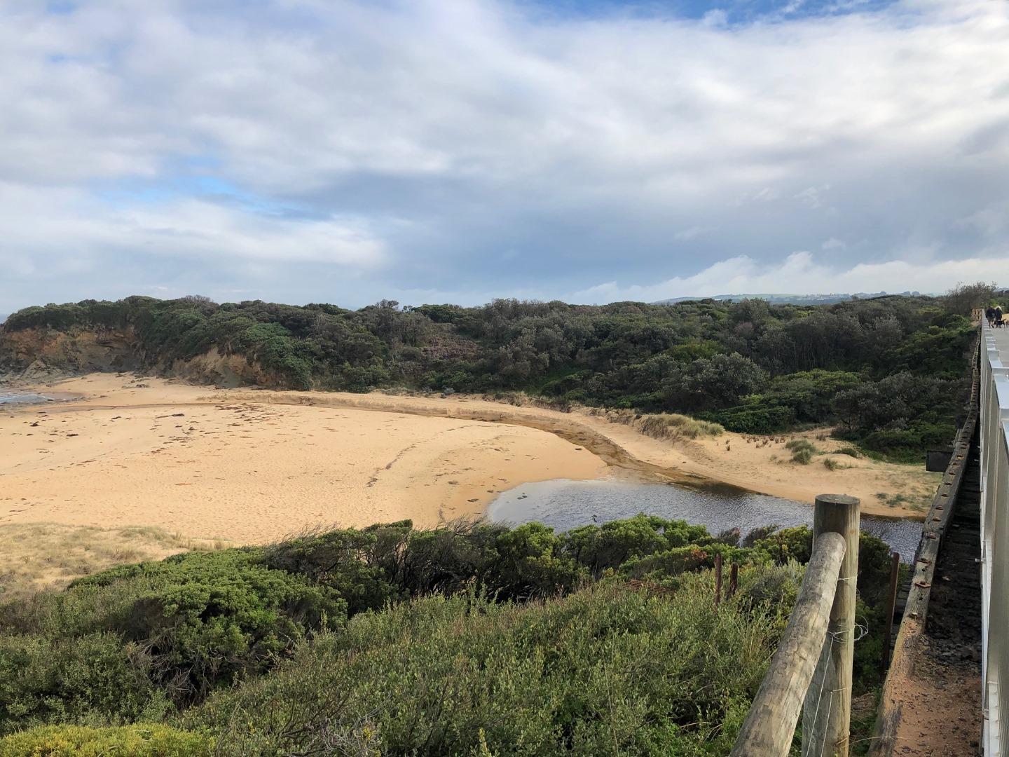
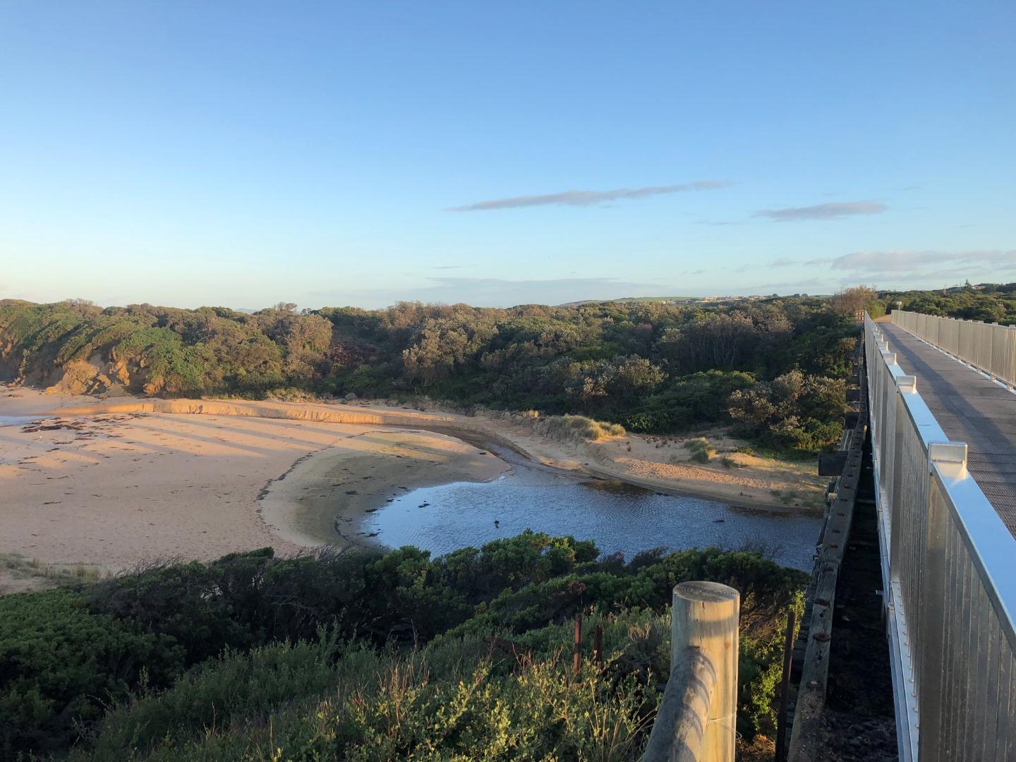
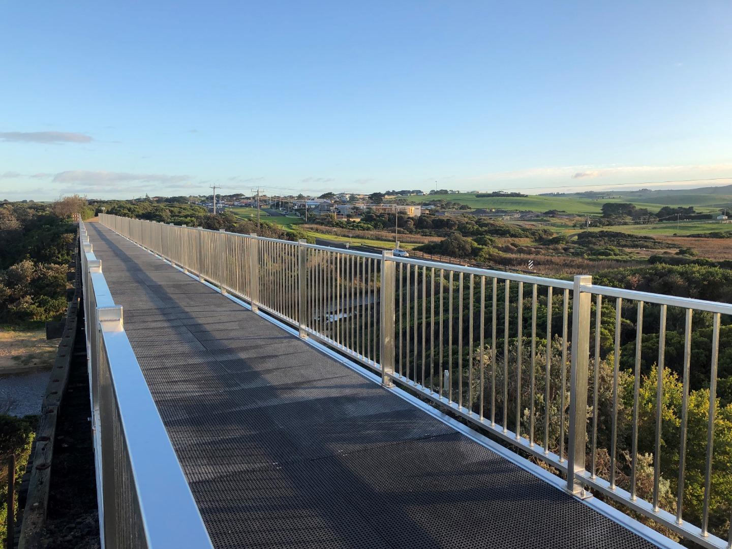
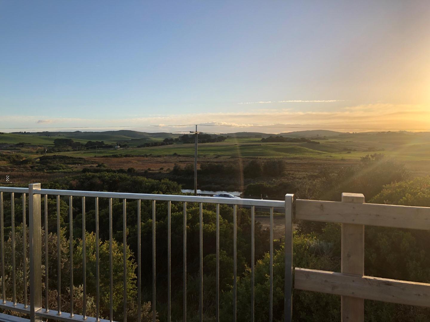
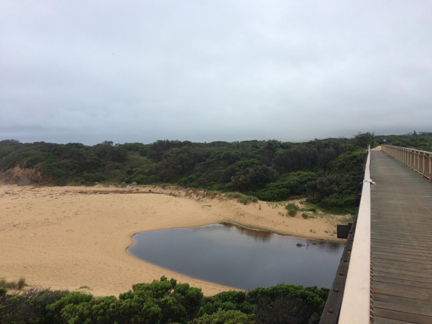
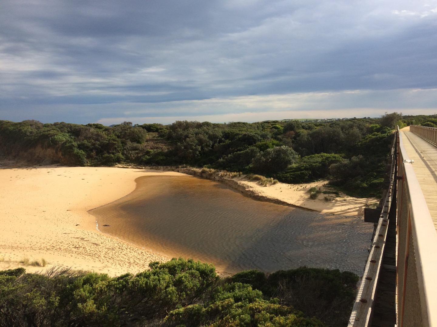
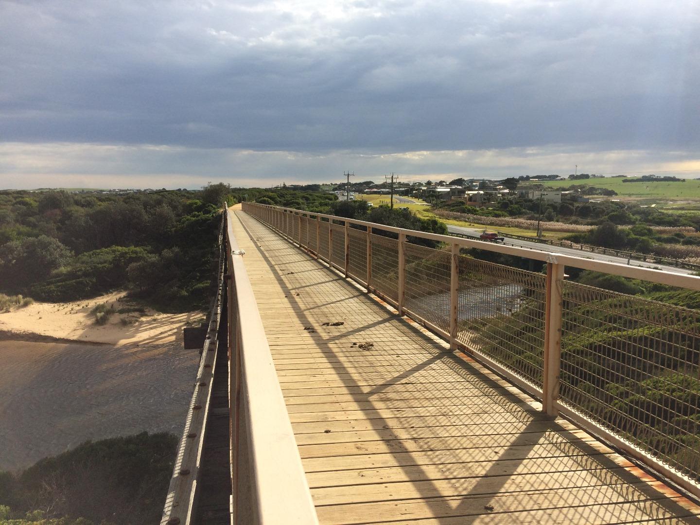
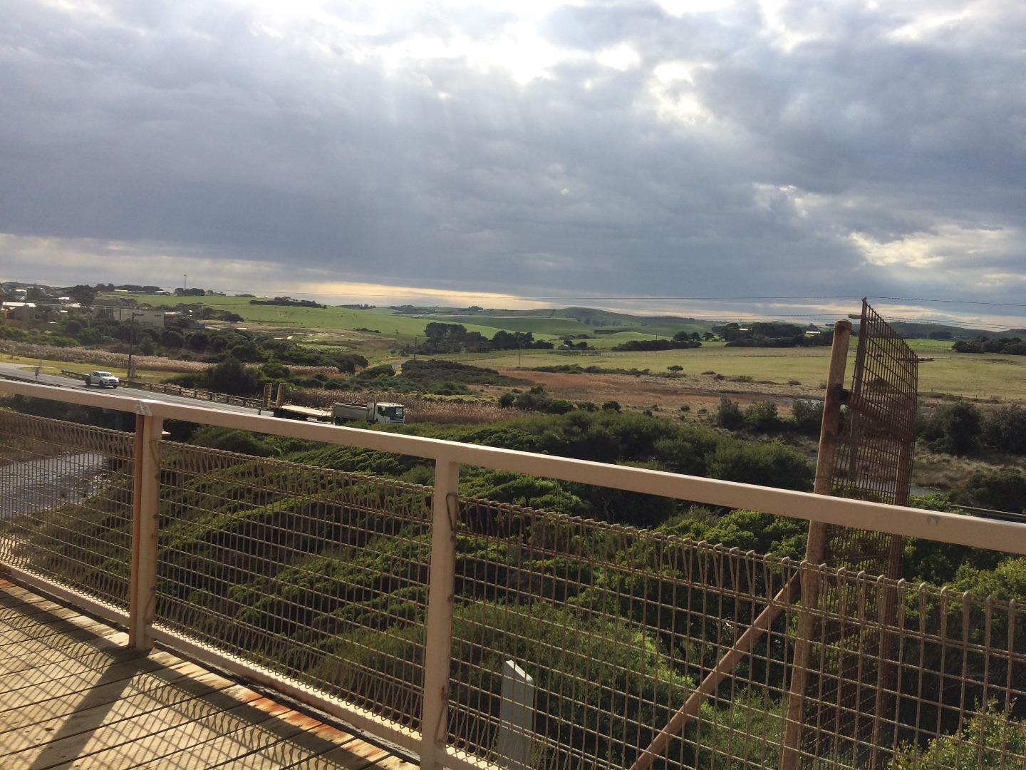
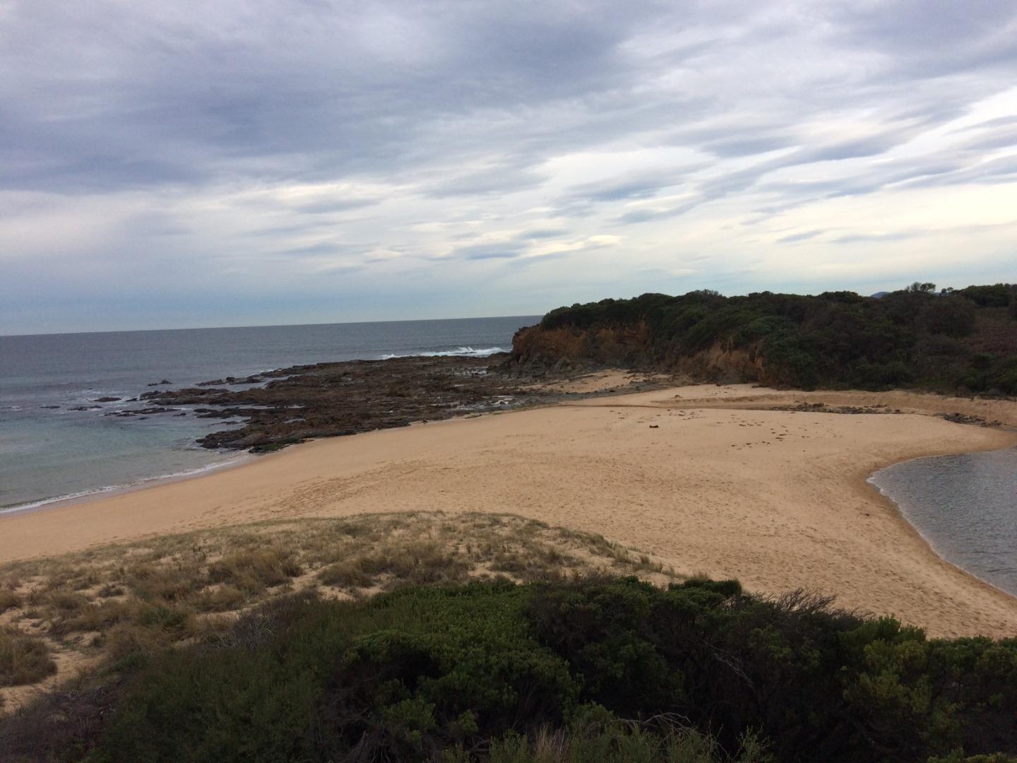
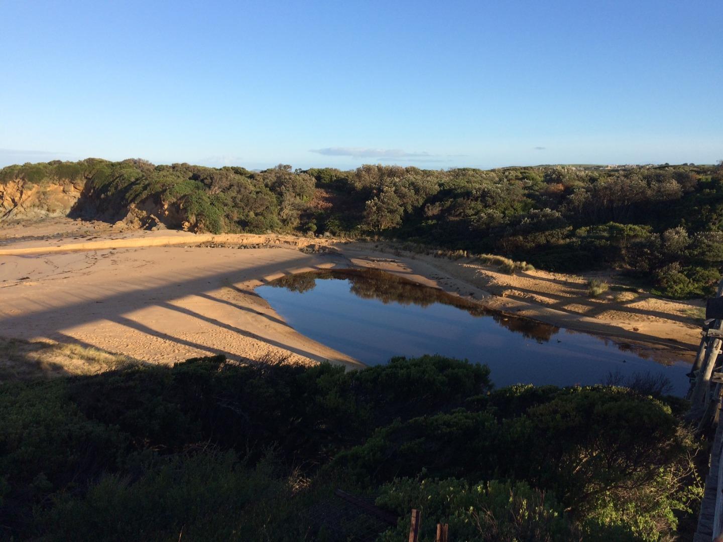
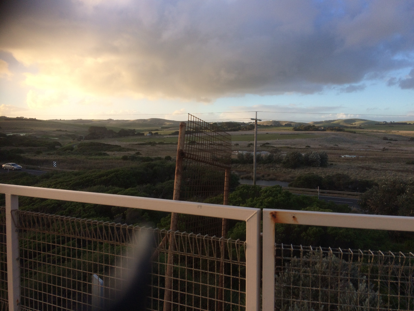
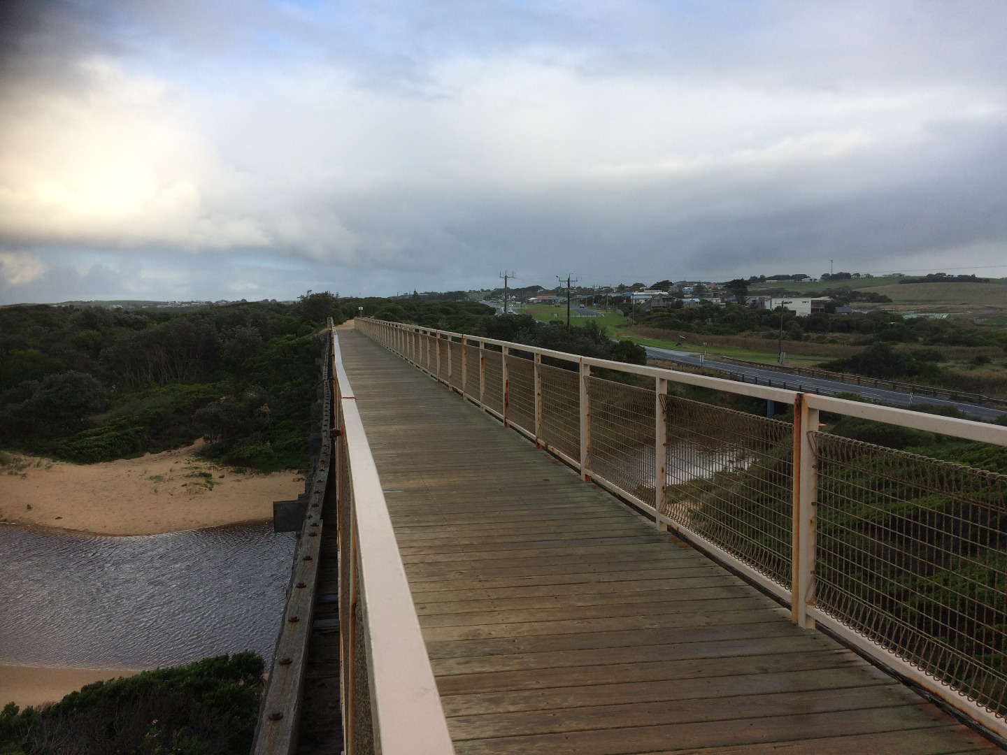
Eastern side of the Kilcunda Rail Trail (Trestle) Bridge, using the corner of the handrail (Oceanside) where the timber meets the gravel path as a guide.
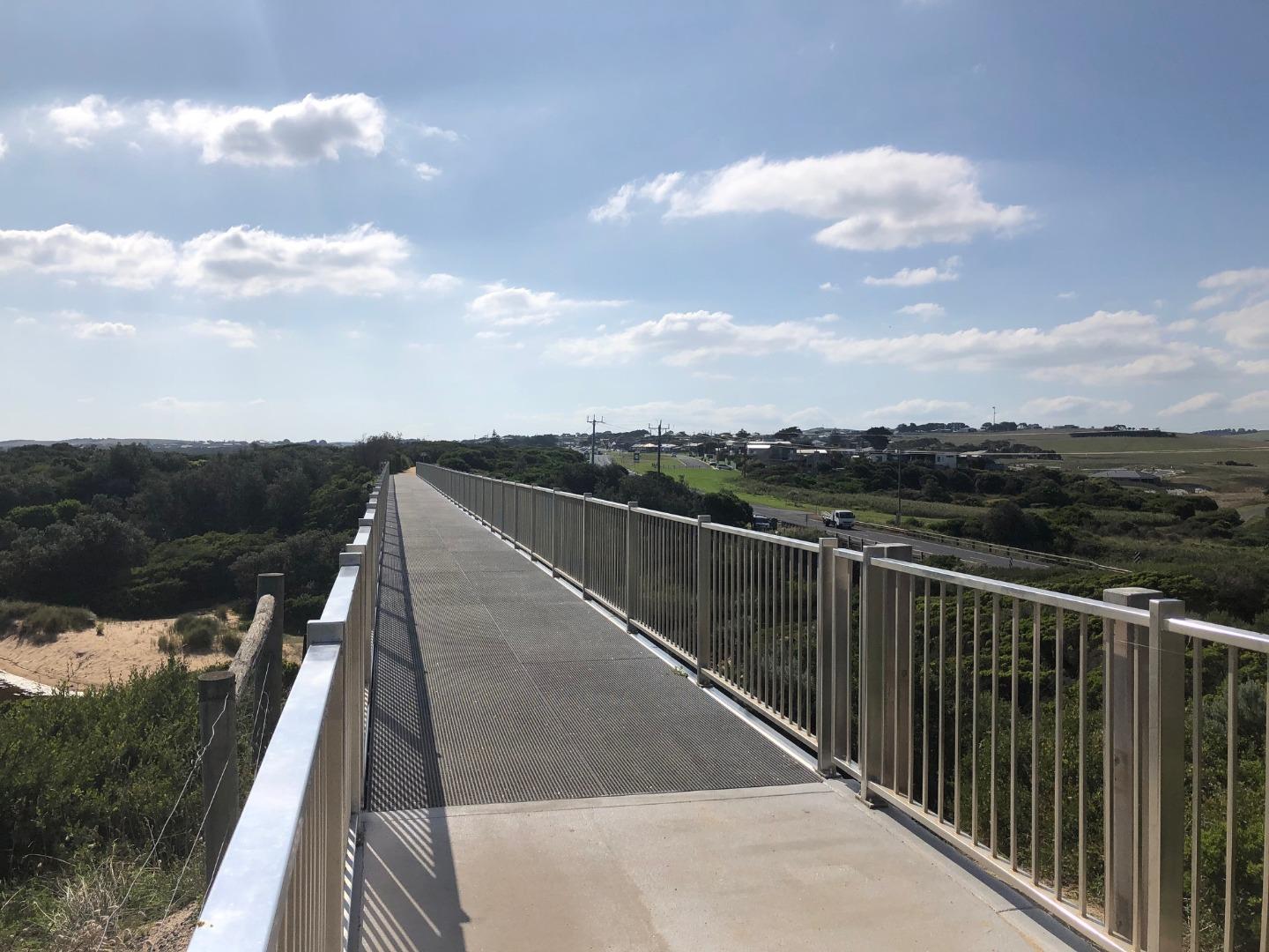
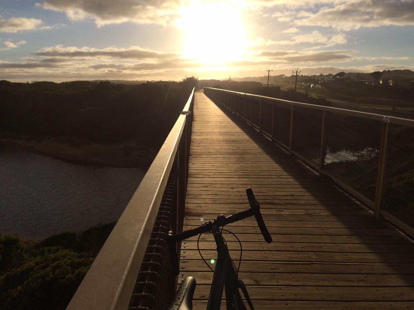
Park in the carpark to the east of the trestle bridge (i.e. Wonthaggi side of bridge) and follow the stairs up to the rail trail, and head west towards the bridge.
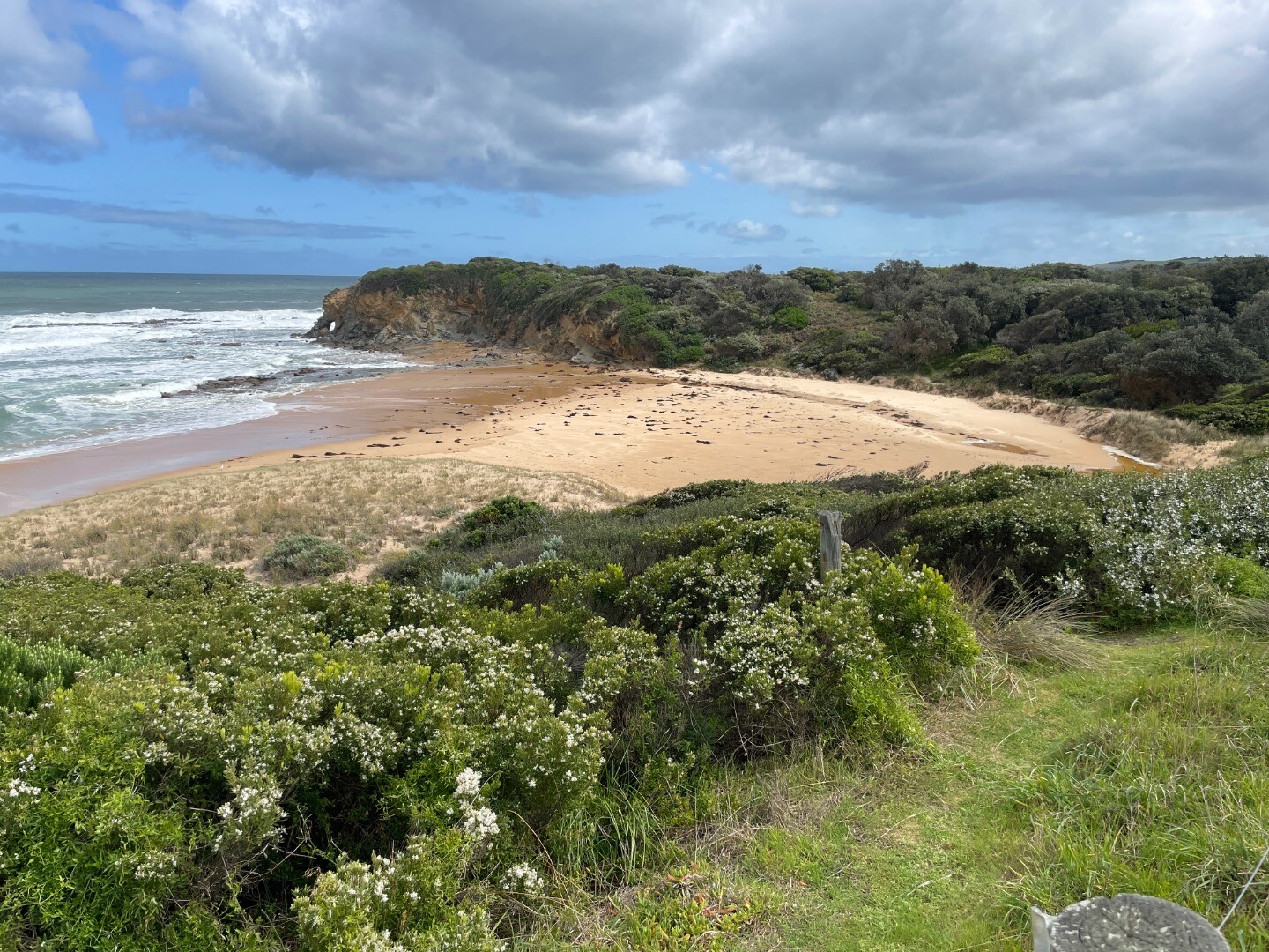
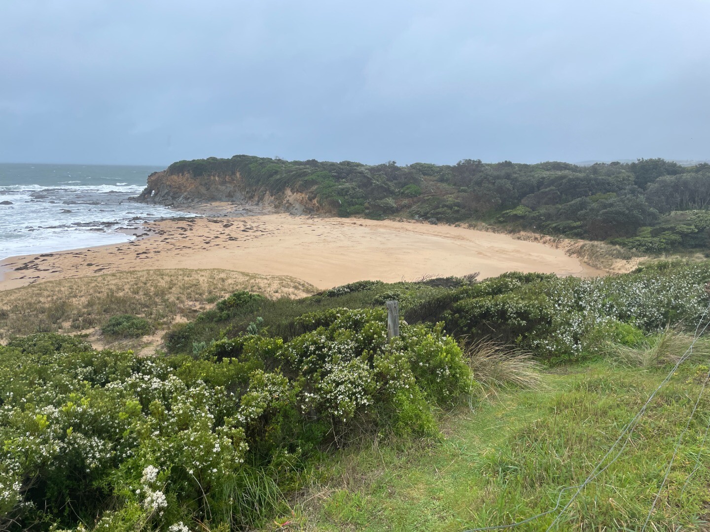
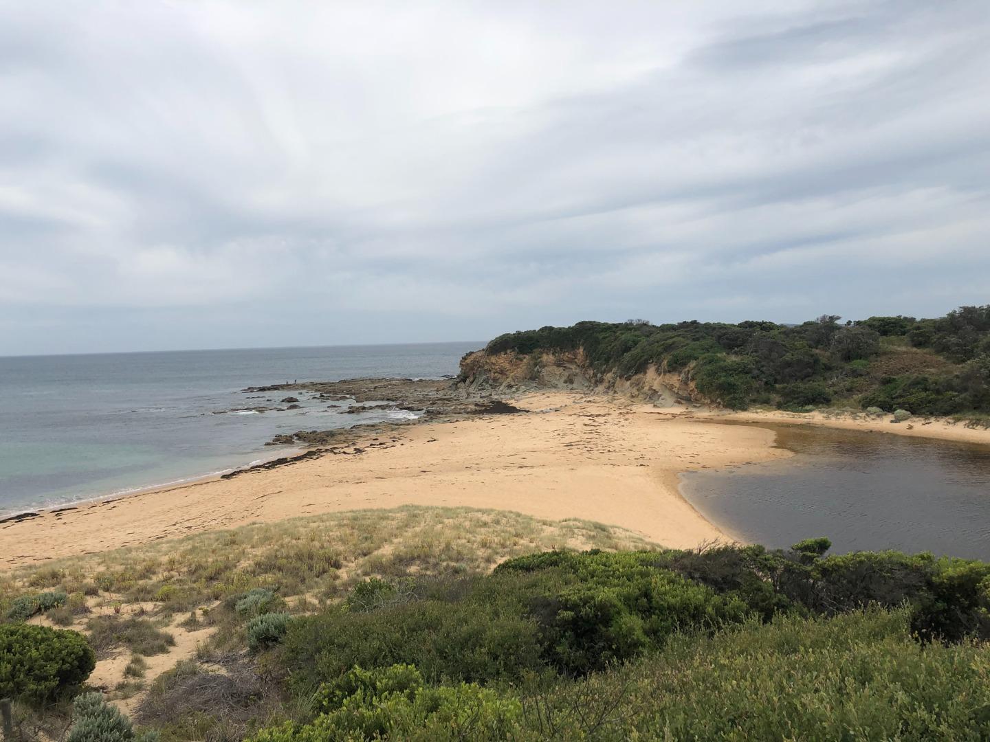
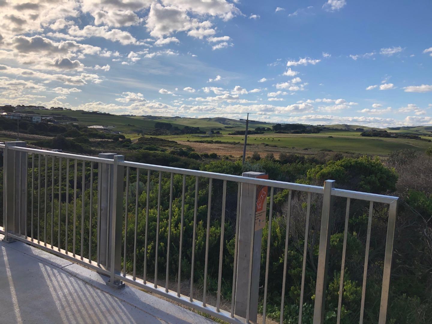
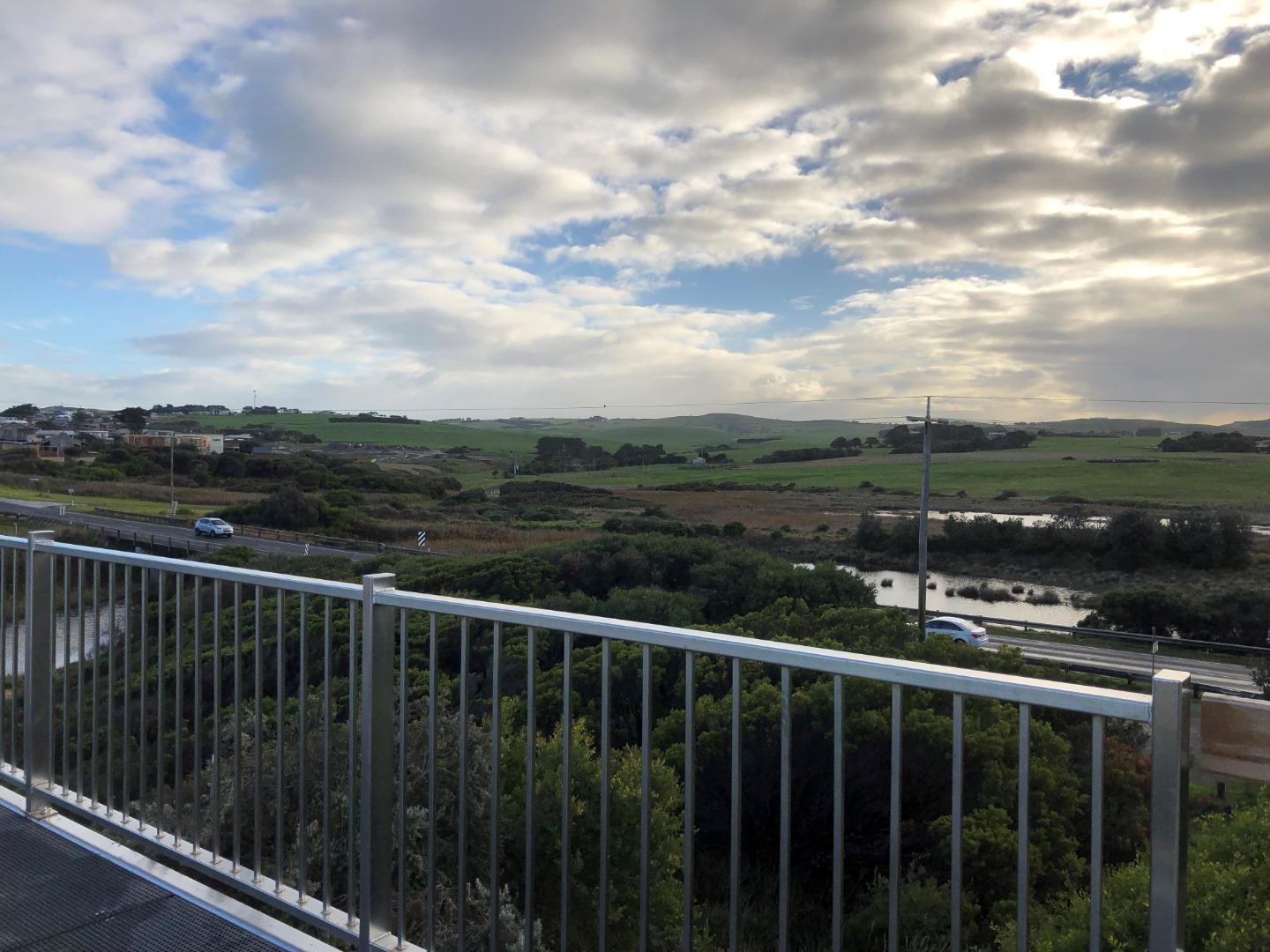
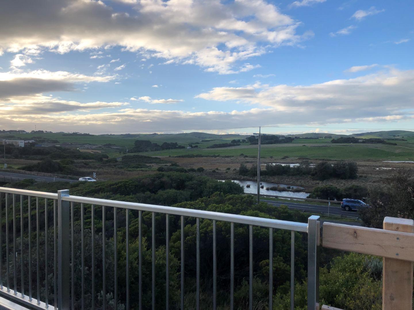
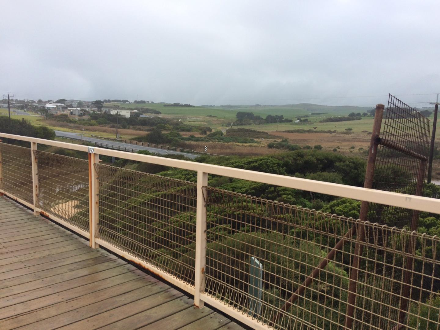
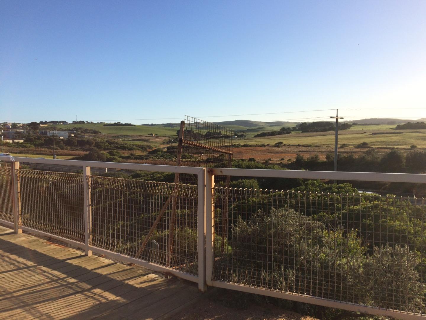
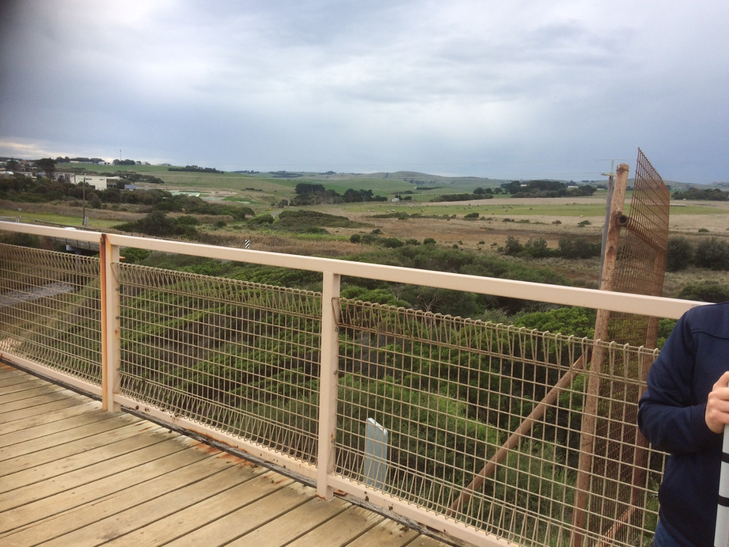
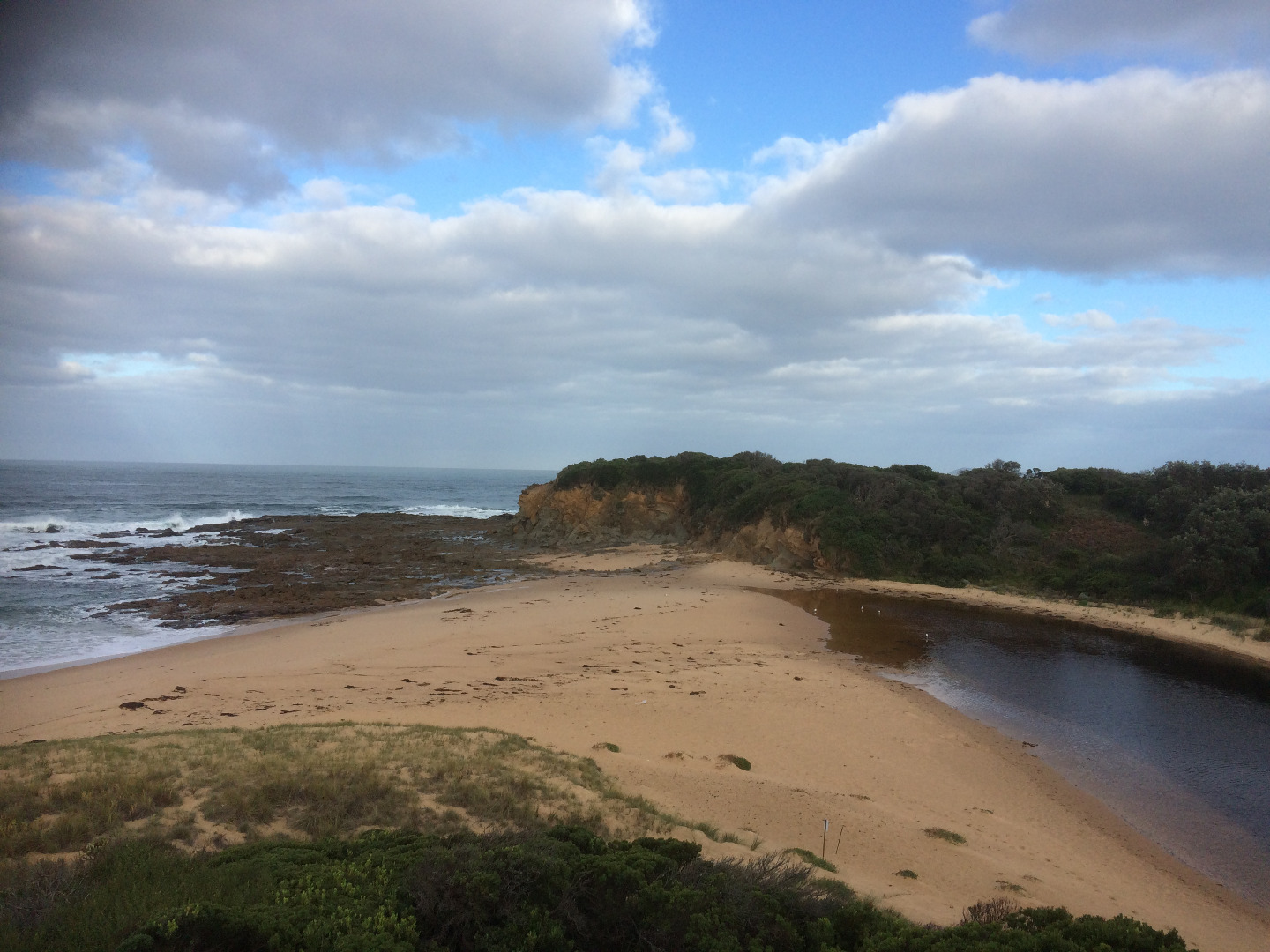
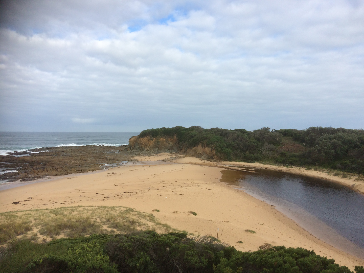
Land Use
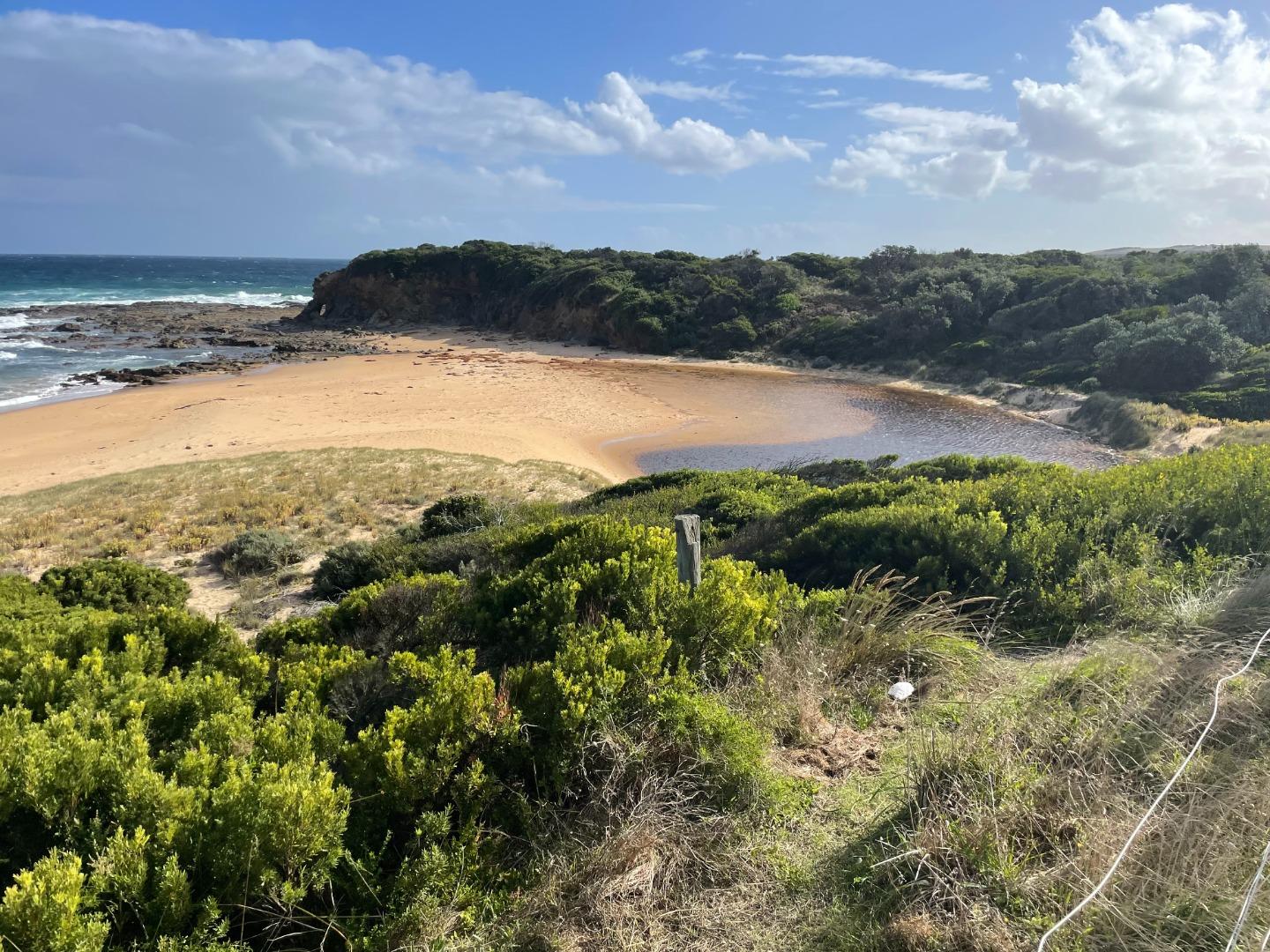
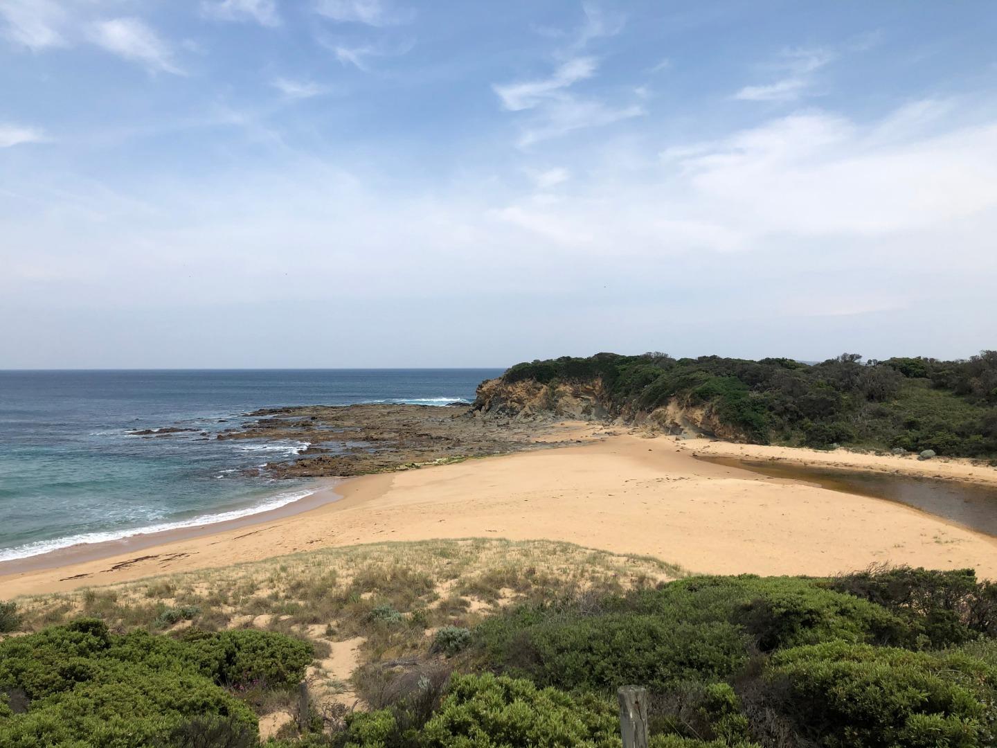
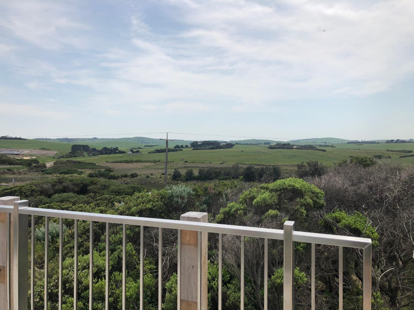
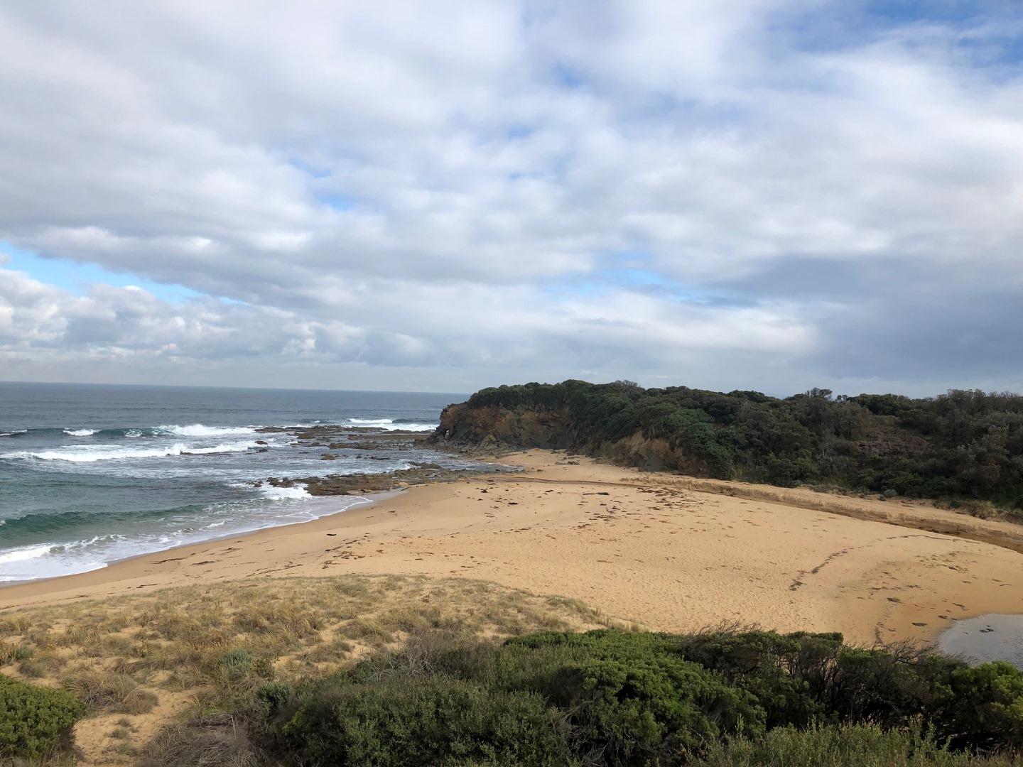
- Native Bushland
- Recreational
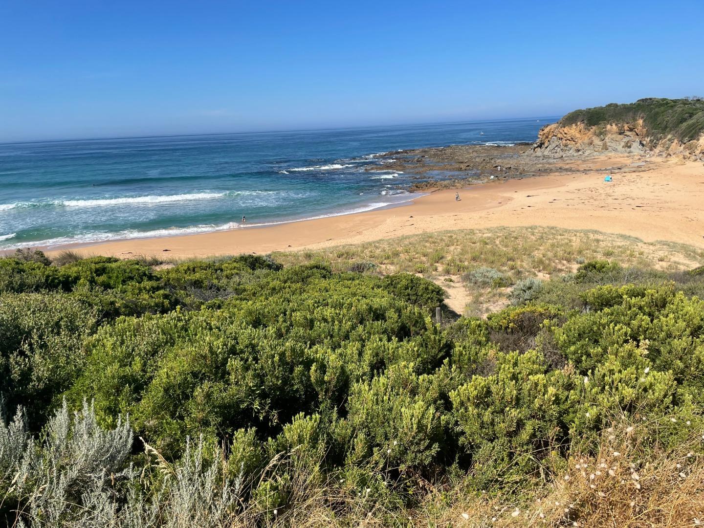
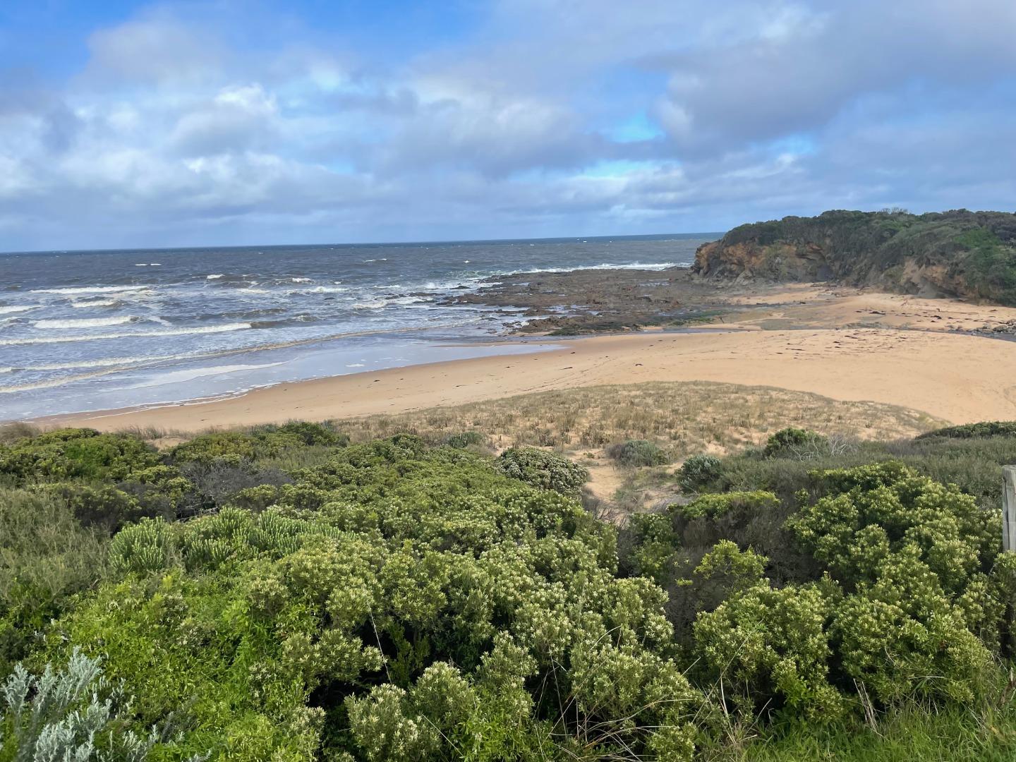
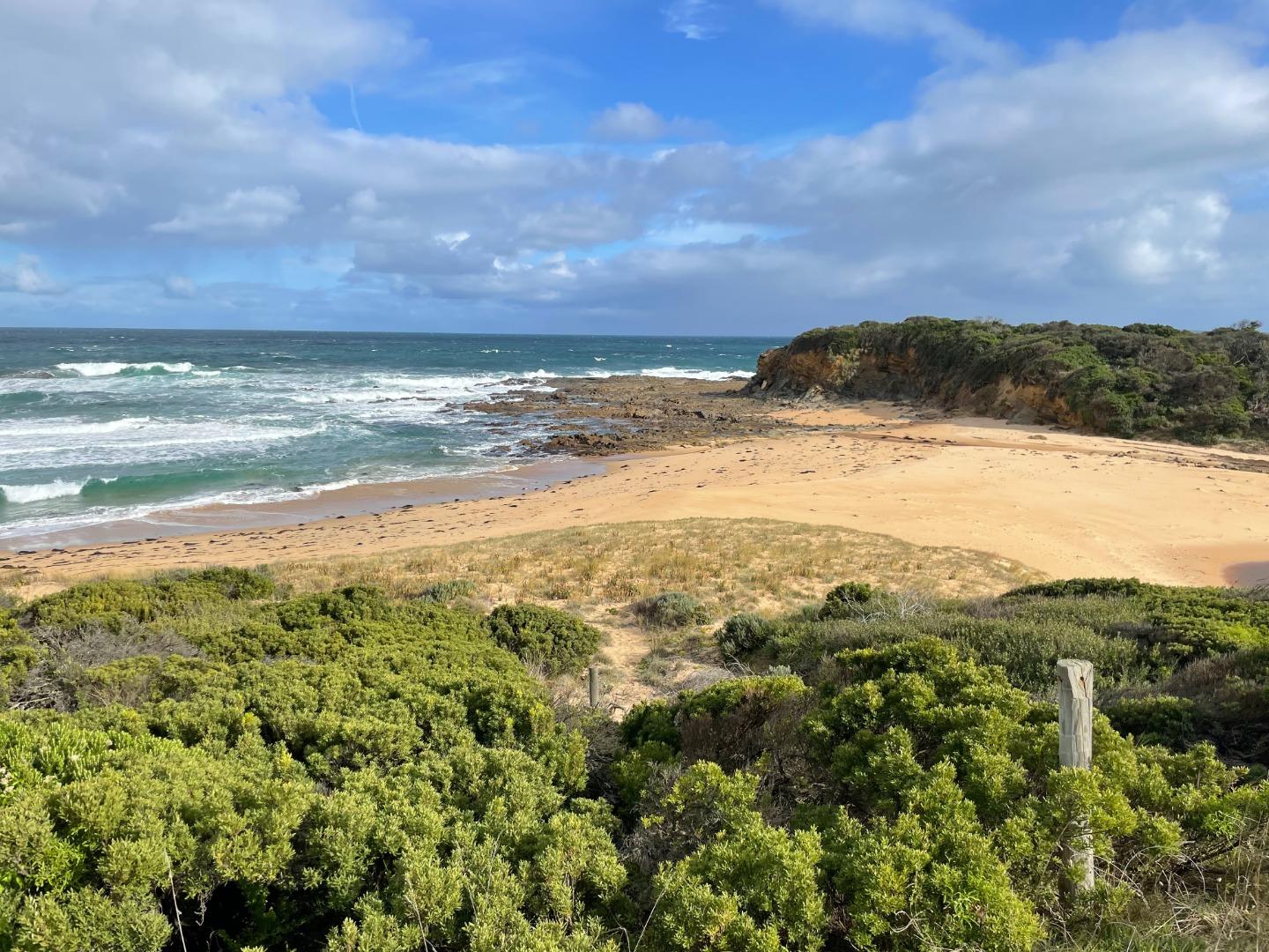
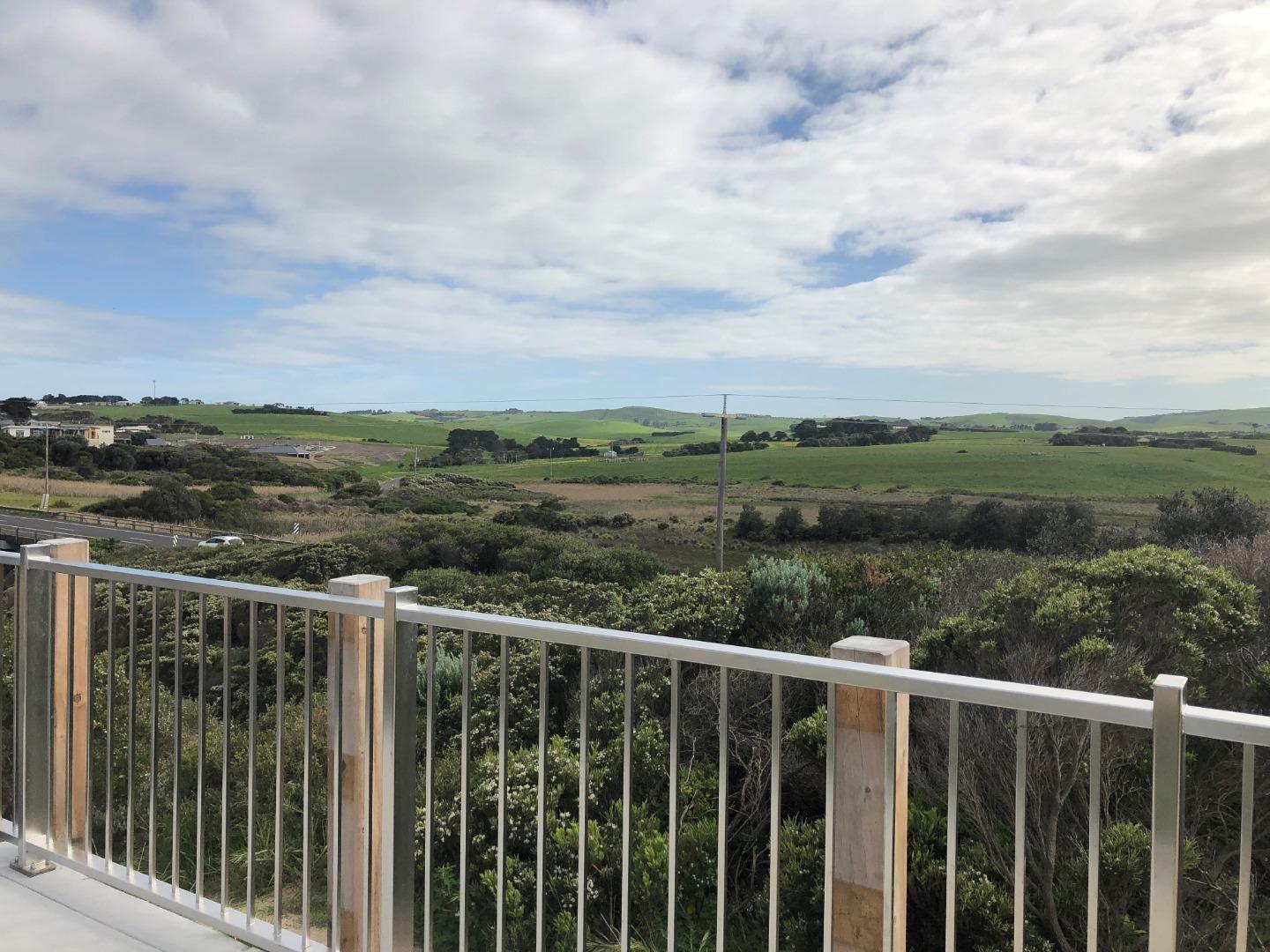
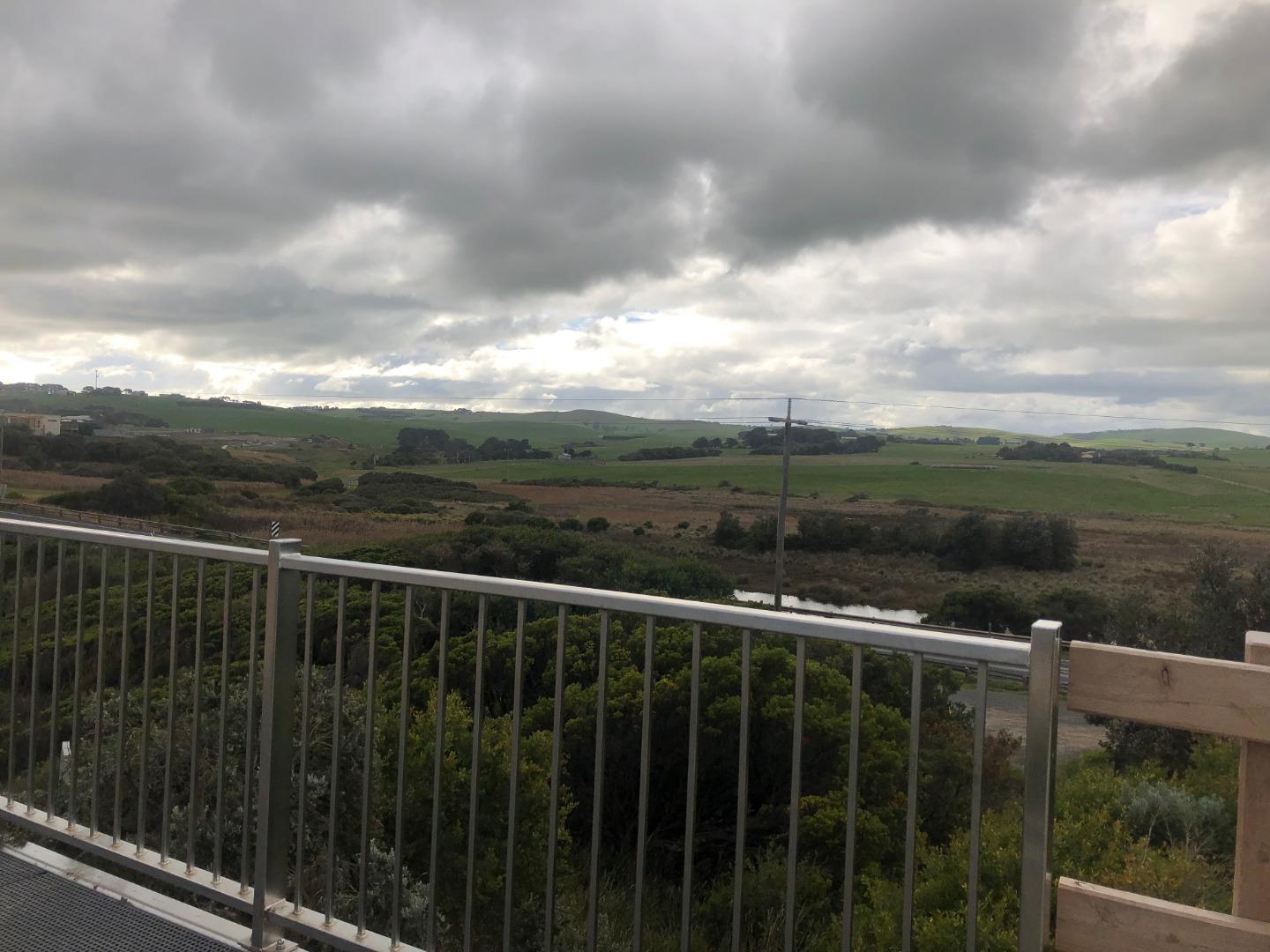
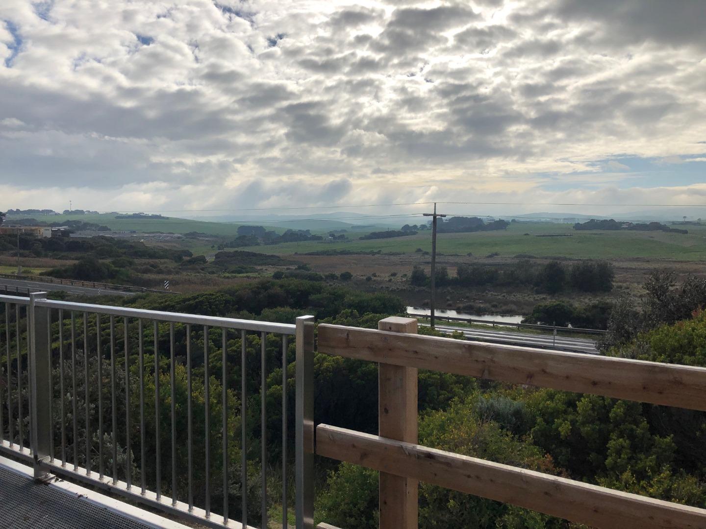
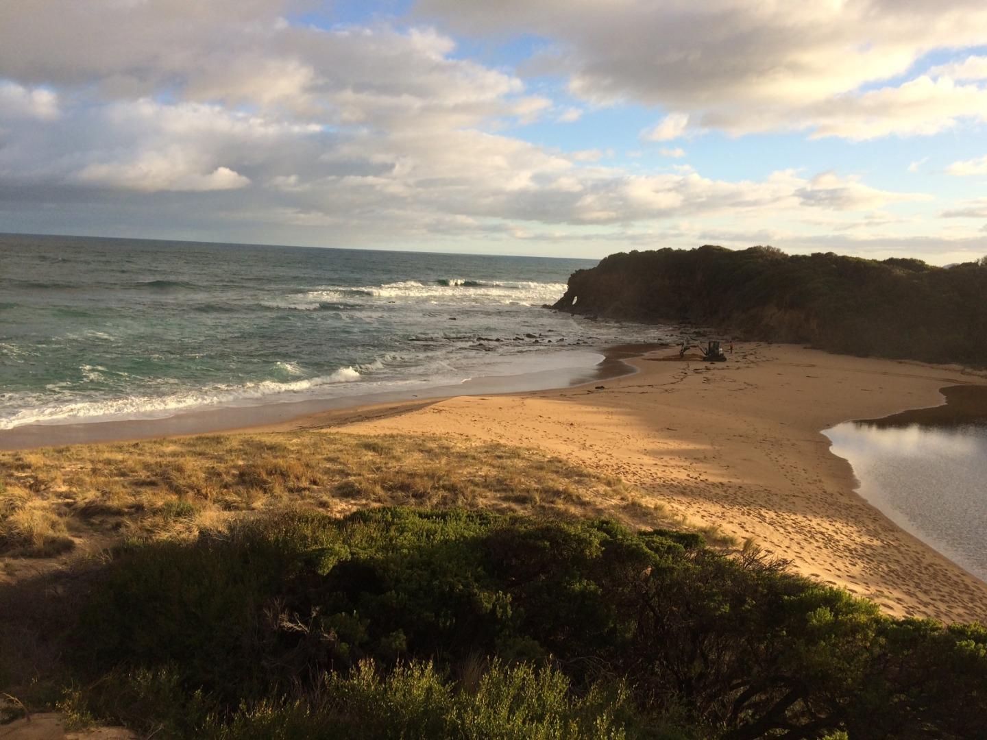
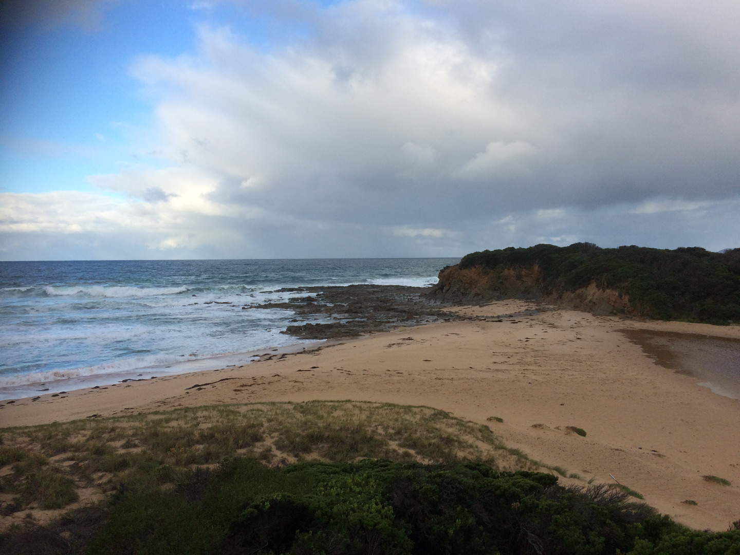
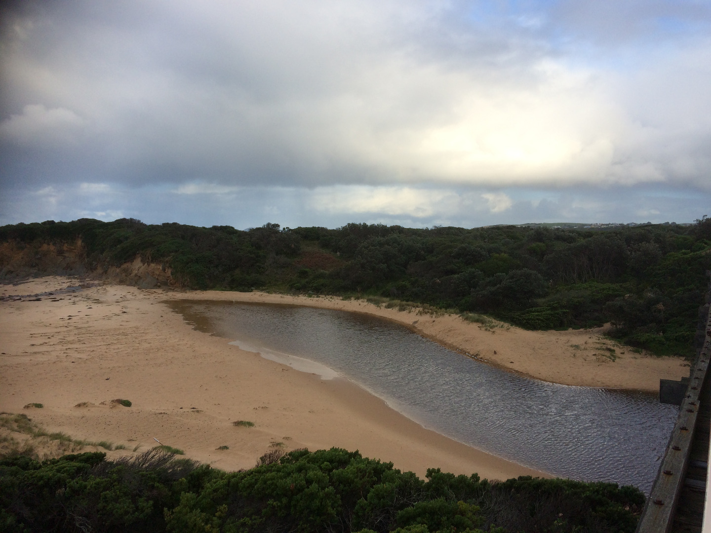
Coastal reserve along the coast, with land on the northern (inland side) of the Hwy consisting of residential and grazing land.
Photopoint site
This is a Photopoint site.
No observational data is recorded at this location.
No observational data is recorded at this location.
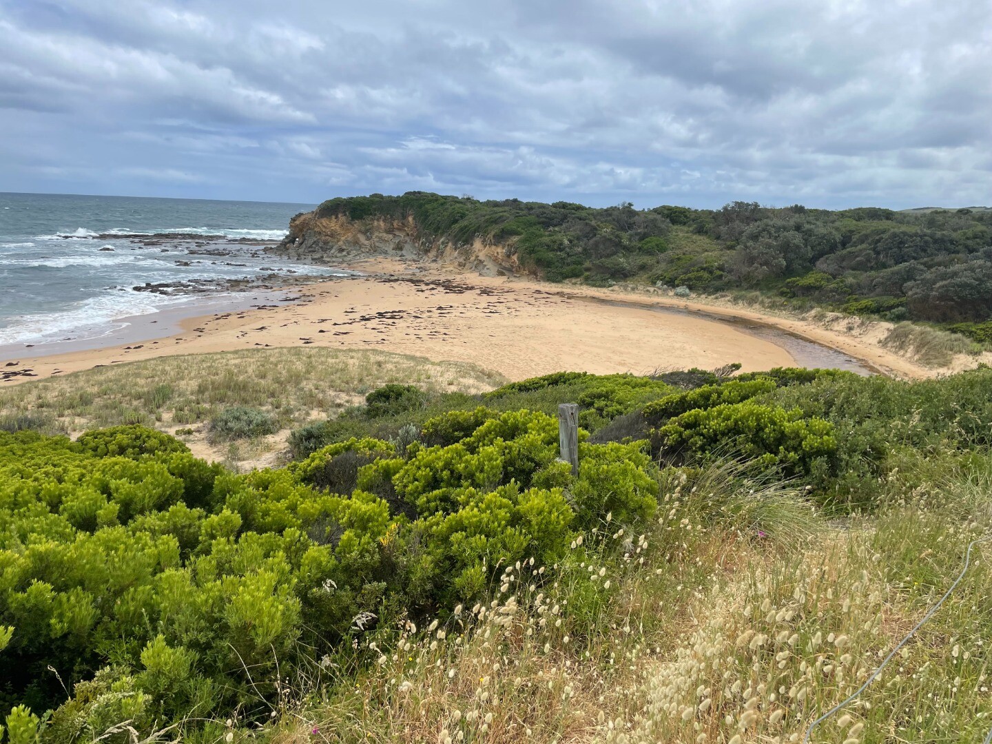
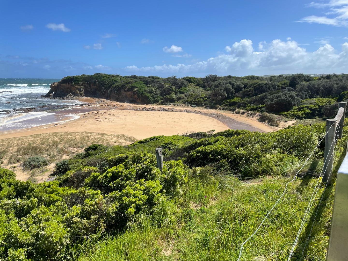
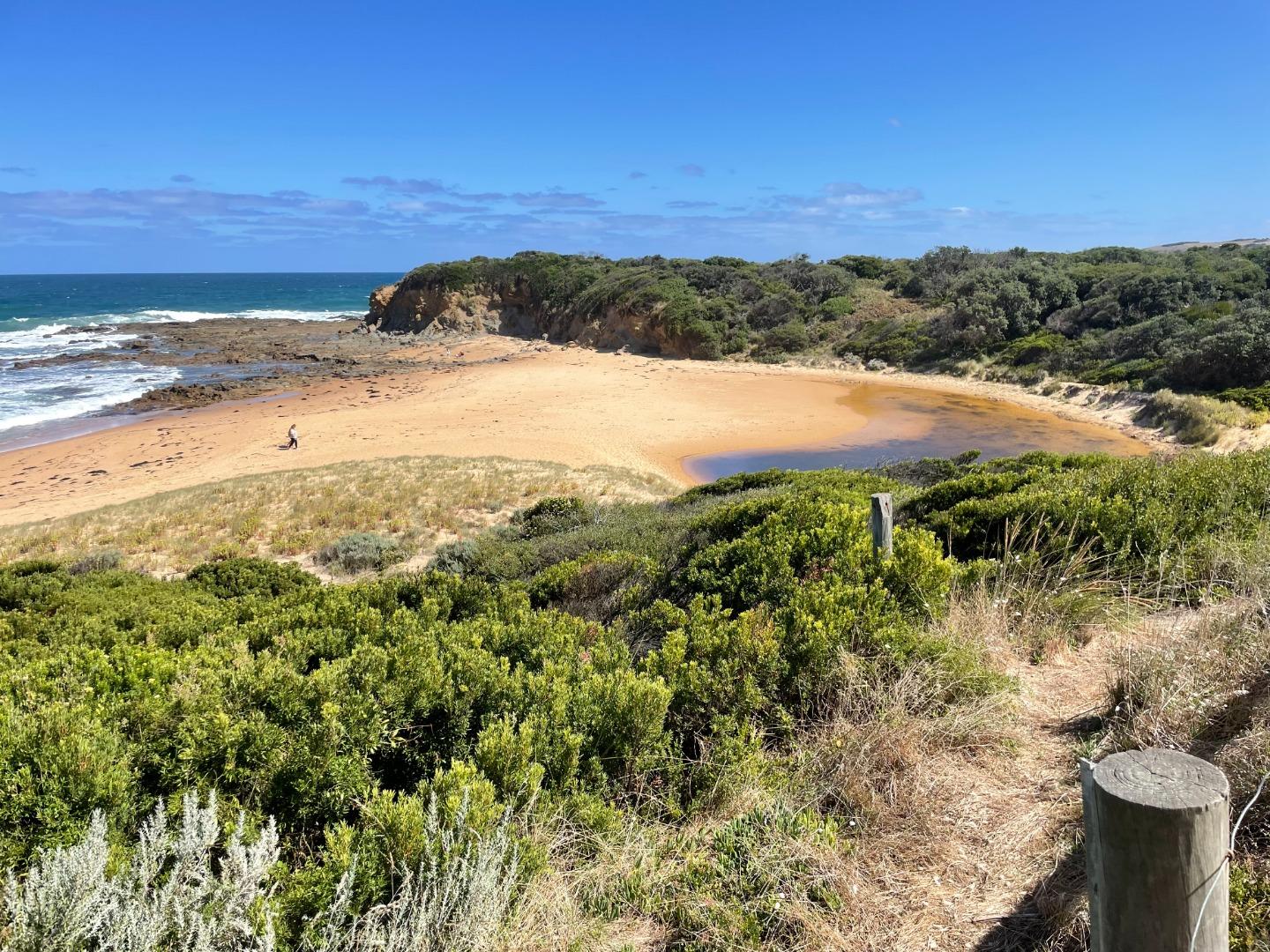
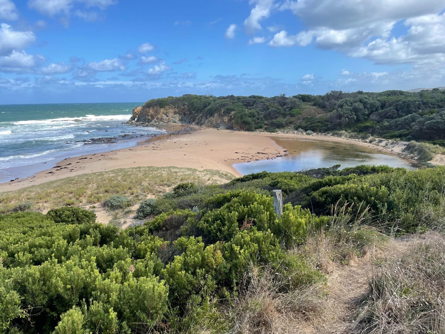
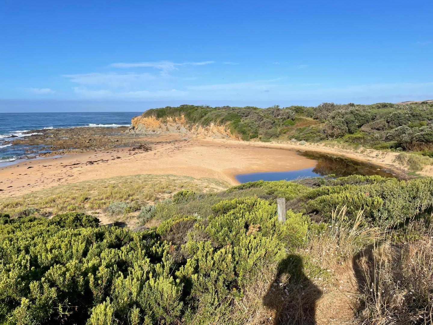
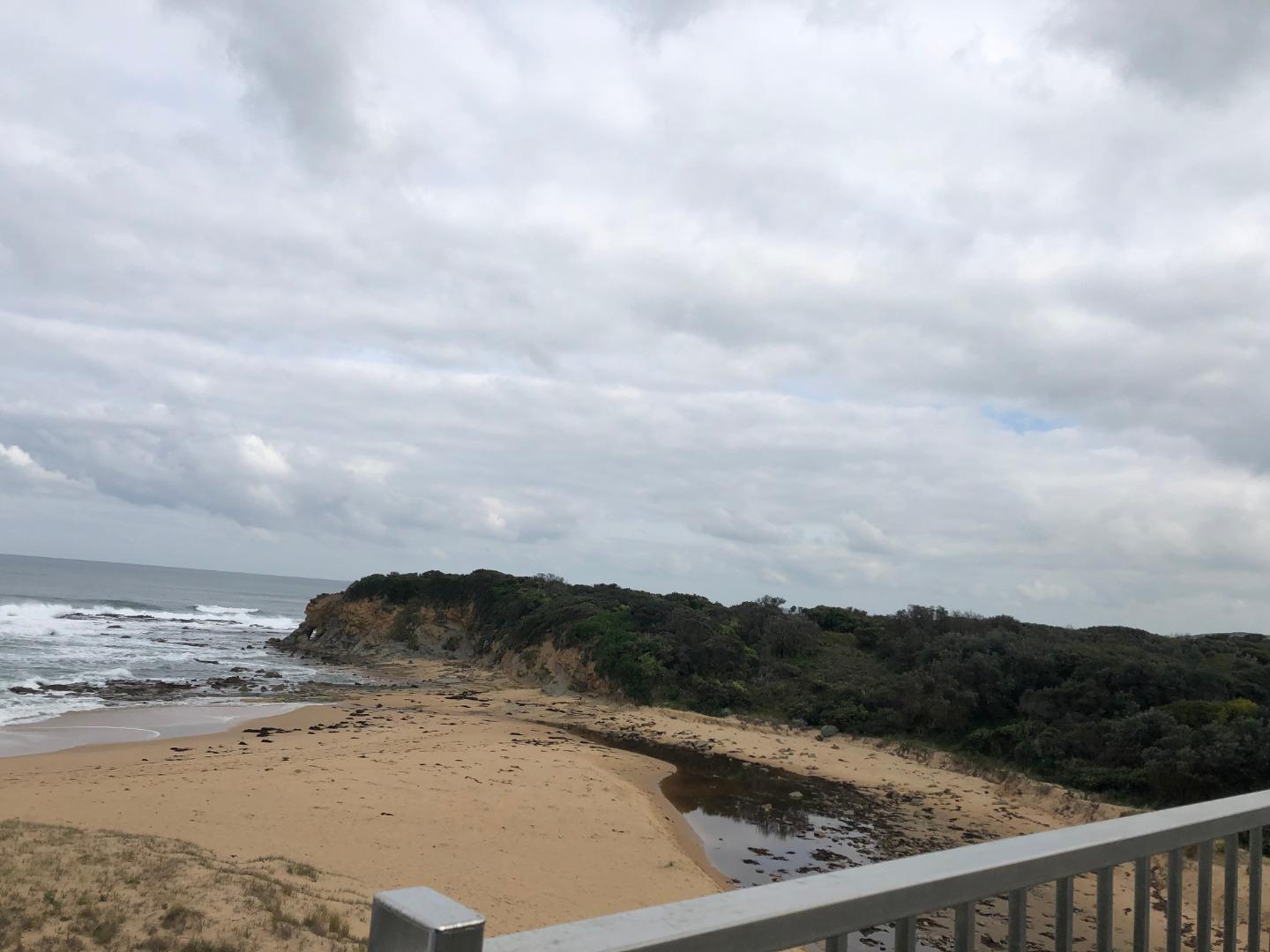
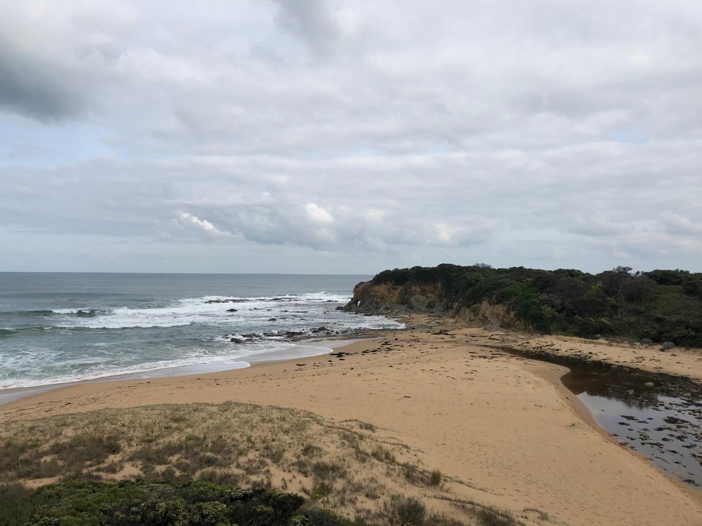
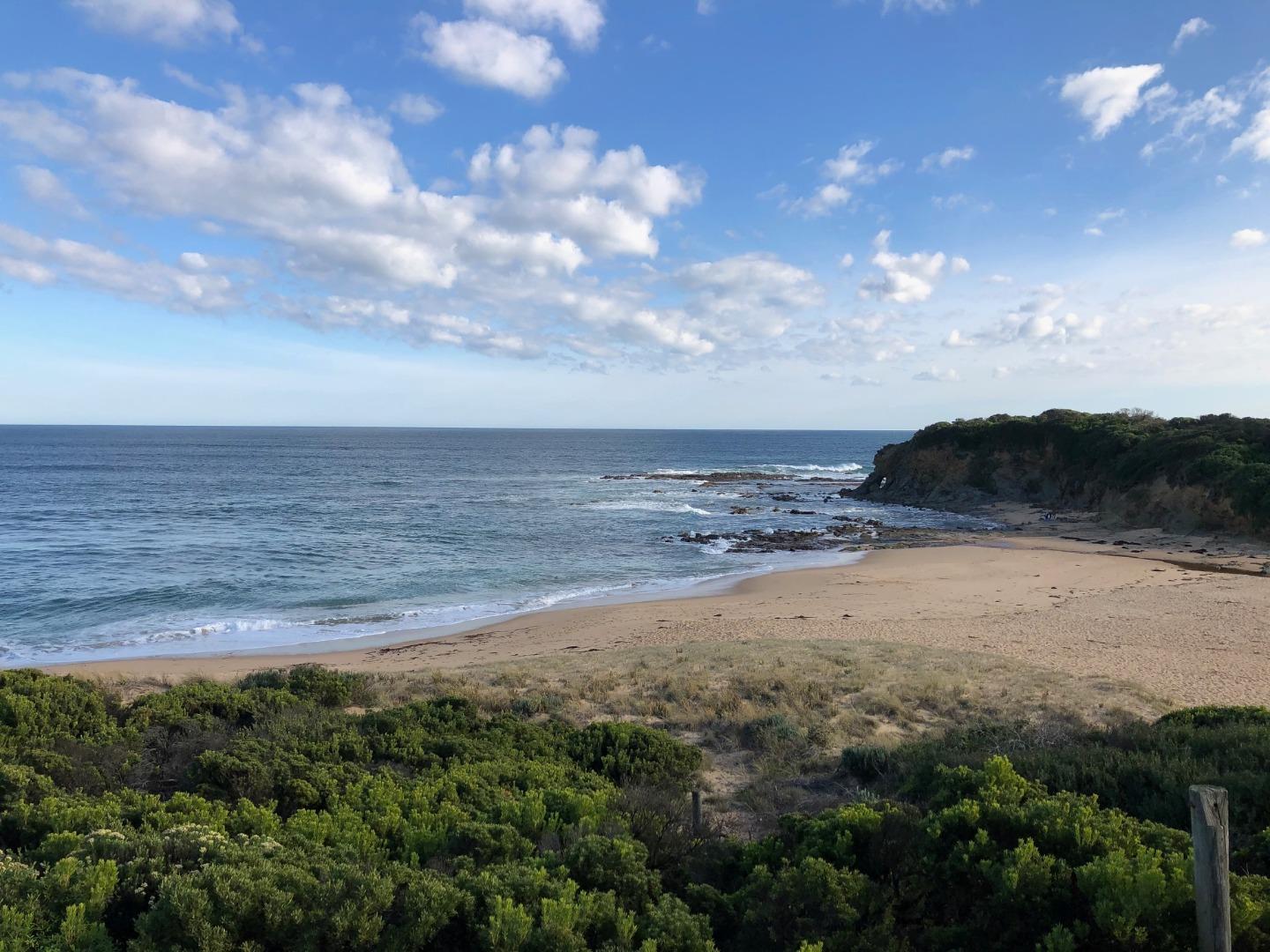
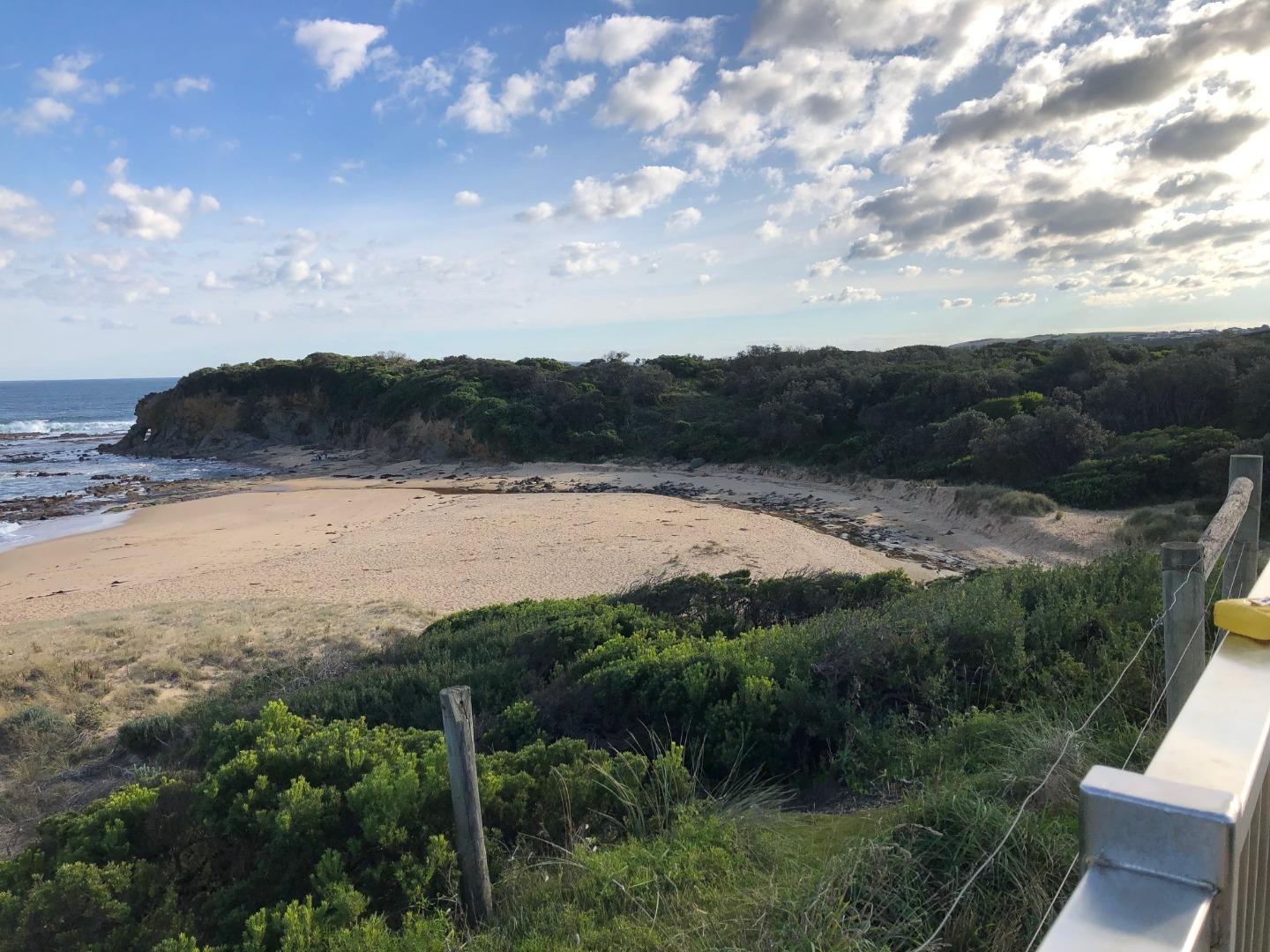
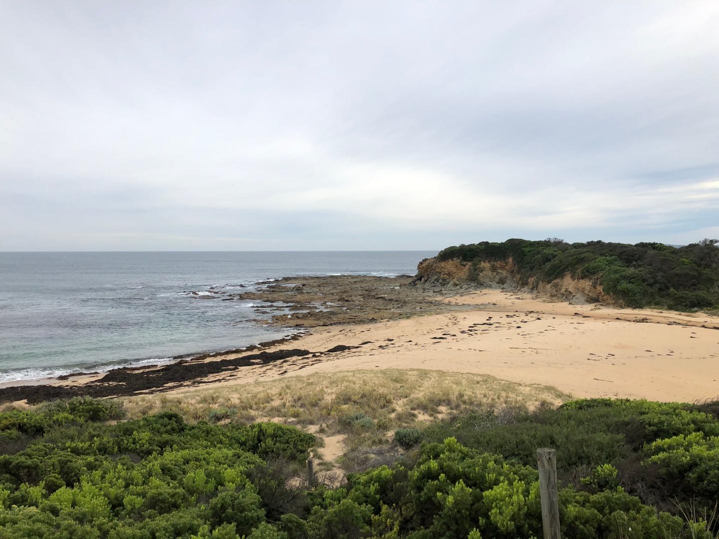
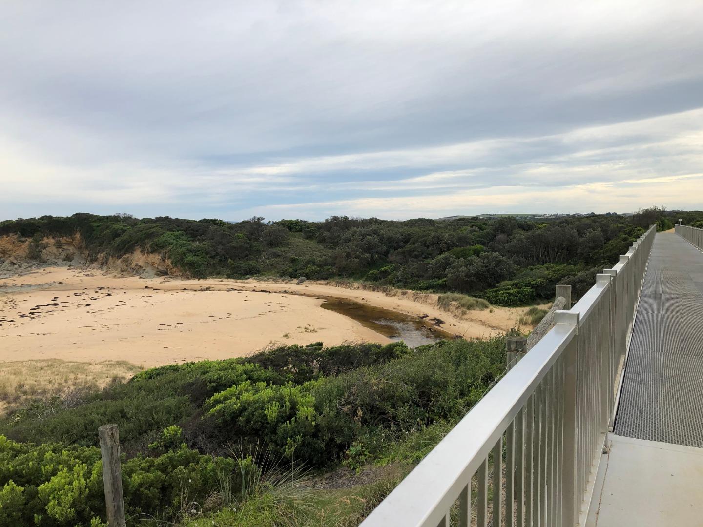
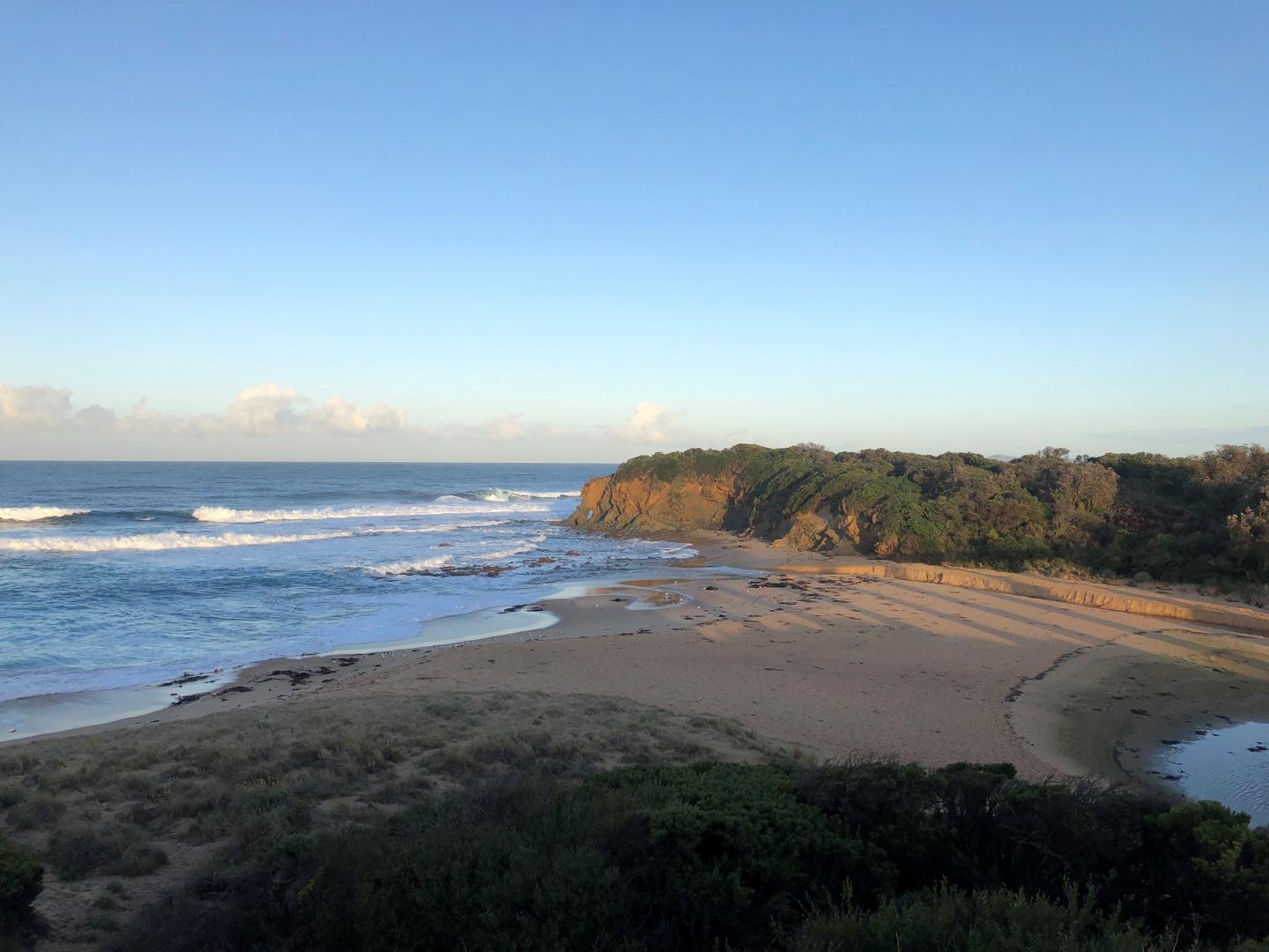
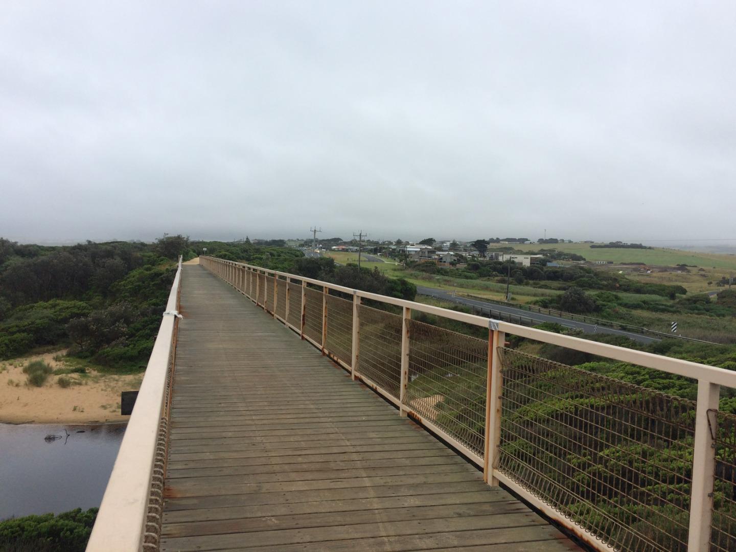
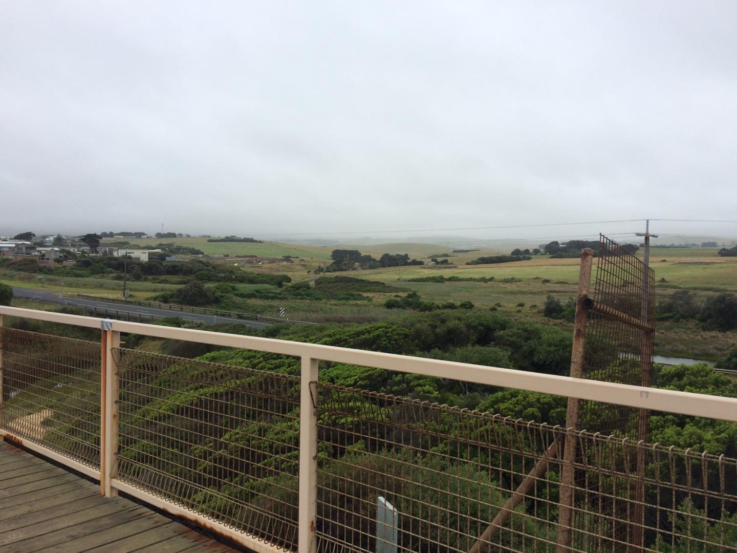
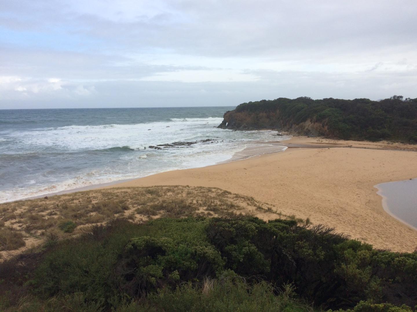
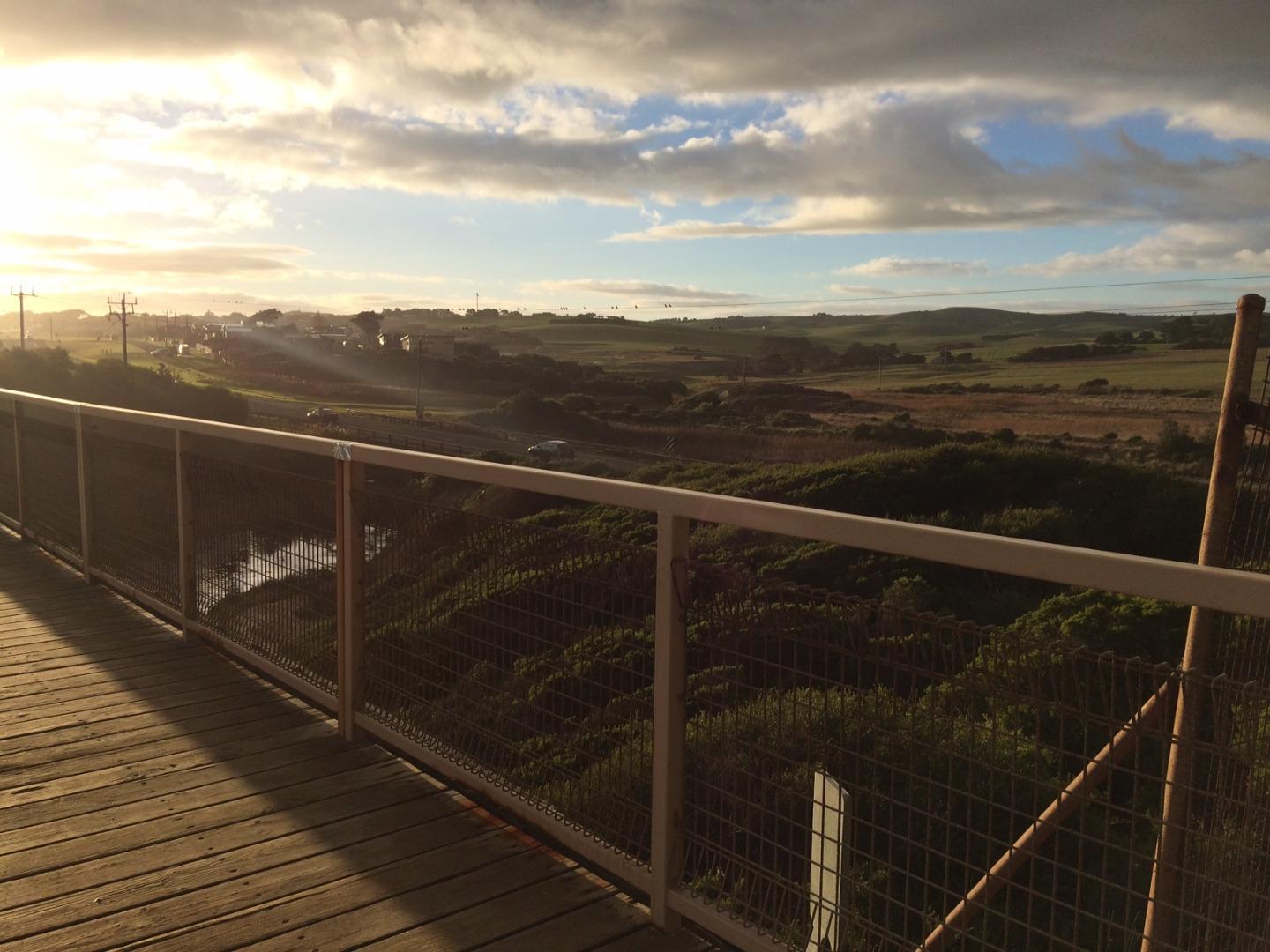
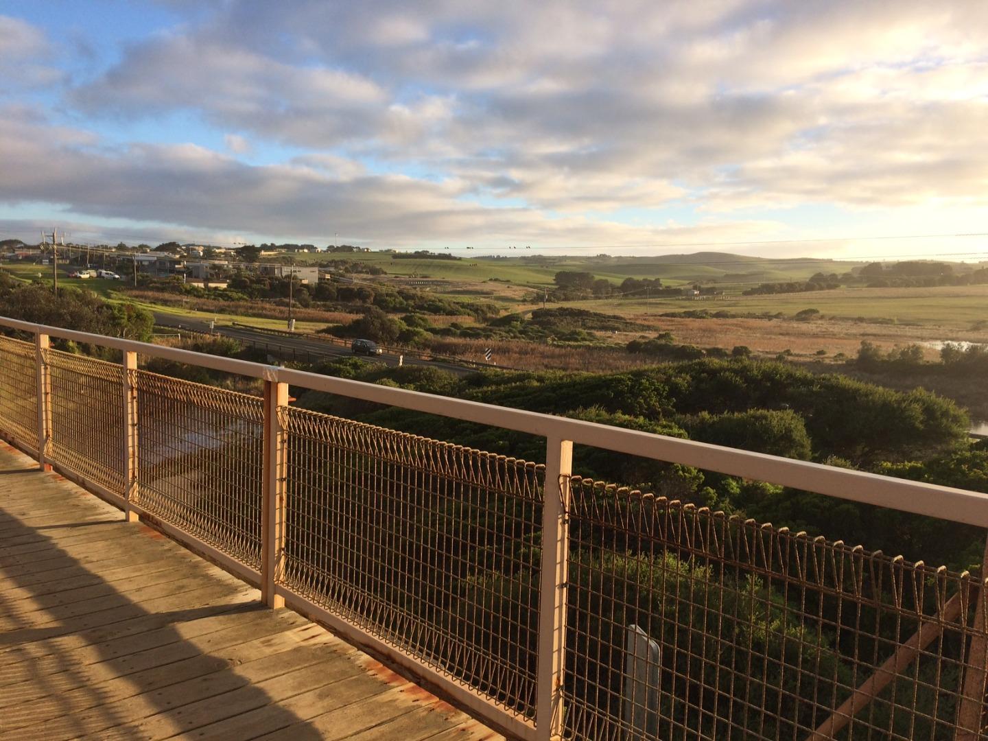
Photopoint photos


We acknowledge and respect Victorian Traditional Owners as the original custodians of Victoria’s land and waters, their unique ability to care for Country and deep spiritual connection to it.
We honour Elders past and present whose knowledge and wisdom has ensured the continuation of culture and traditional practices.
We honour Elders past and present whose knowledge and wisdom has ensured the continuation of culture and traditional practices.
 All content, files, data and images provided by the EstuaryWatch Data Portal subject to a Creative Commons Attribution License
Data portal by CeRDI
All content, files, data and images provided by the EstuaryWatch Data Portal subject to a Creative Commons Attribution License
Data portal by CeRDI