Hopkins River Estuary
Glenelg Hopkins CMA
DOWNLOAD DATAOverview
Active Hopkins River EstuaryWatchers
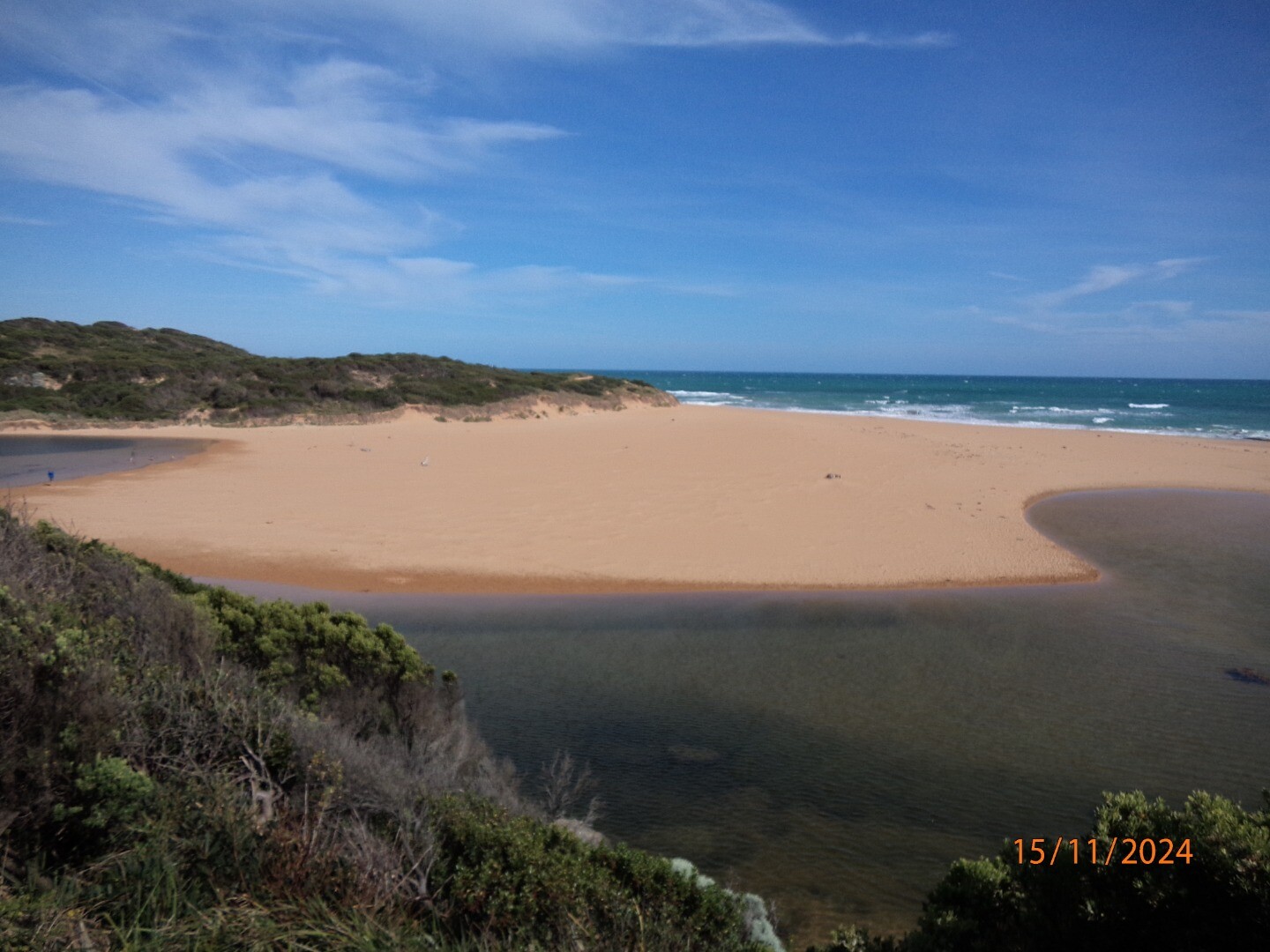
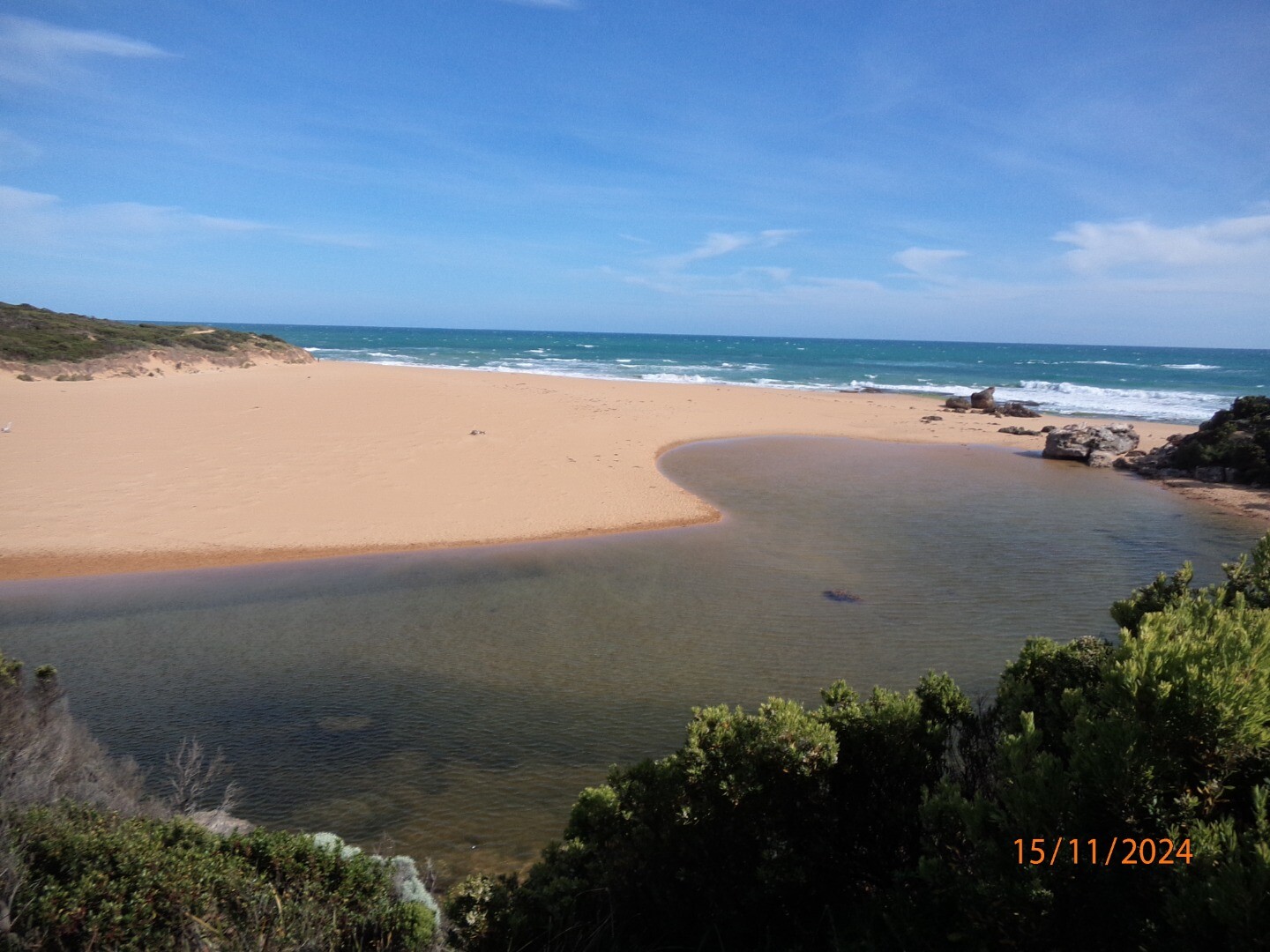
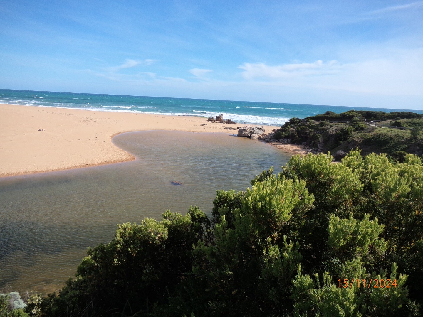
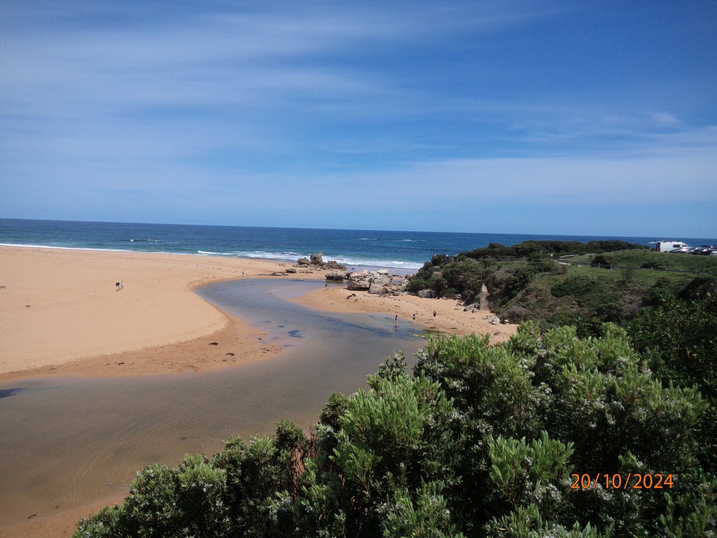
The Hopkins River Estuary is a wave dominated, seasonally closed, salt wedge estuary. The estuary is approximately 9.5km long, covers an area of approximately 1.6 km2 and has a total volume of 3,100 ML. It is confined by a rock walled canyon for much of its length, and is formed in a drowned river valley. In geological terms, the current form of the Hopkins River estuary is relatively young, forming around 6,000 years ago.
Map
Estuary Values
Estuary Threats
Recent Events
| Event Details |
|---|
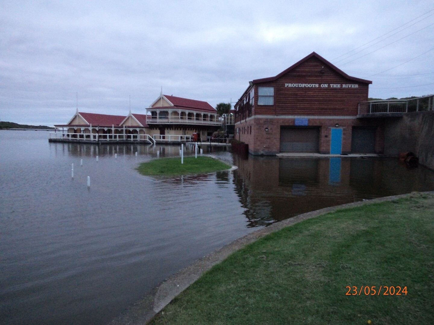
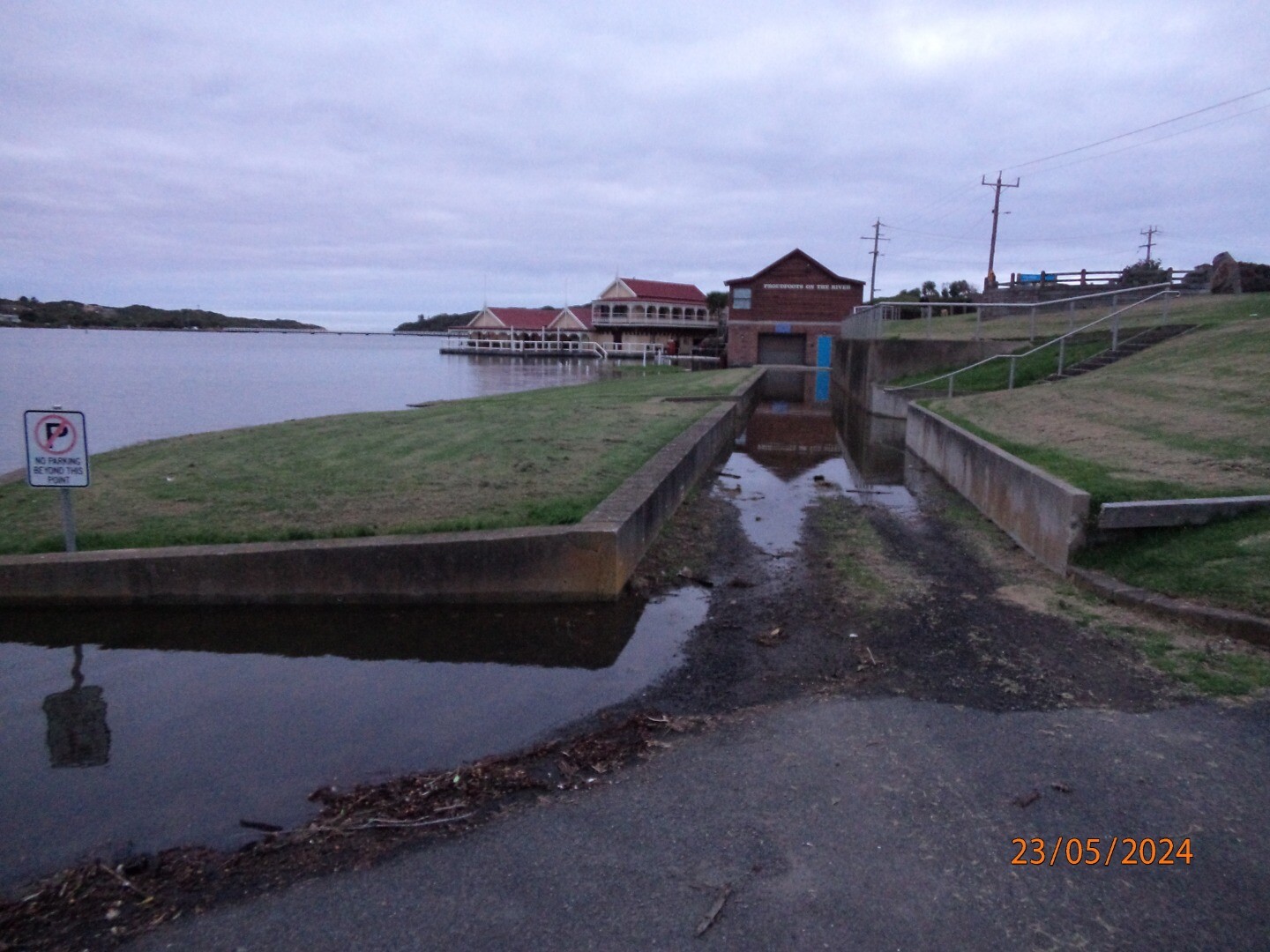
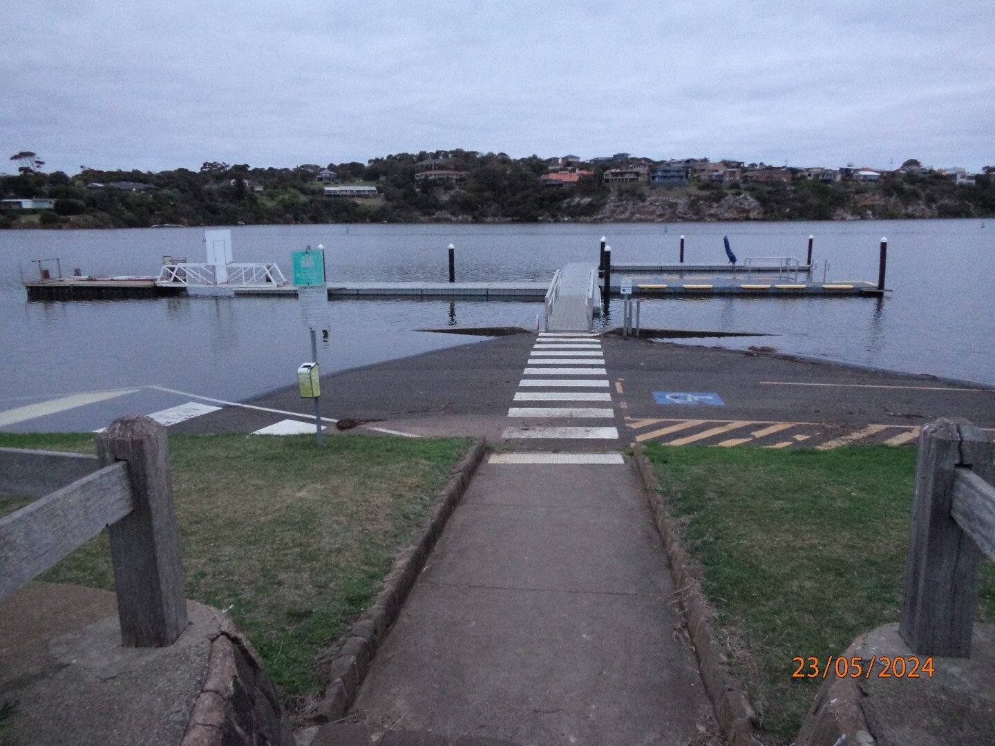
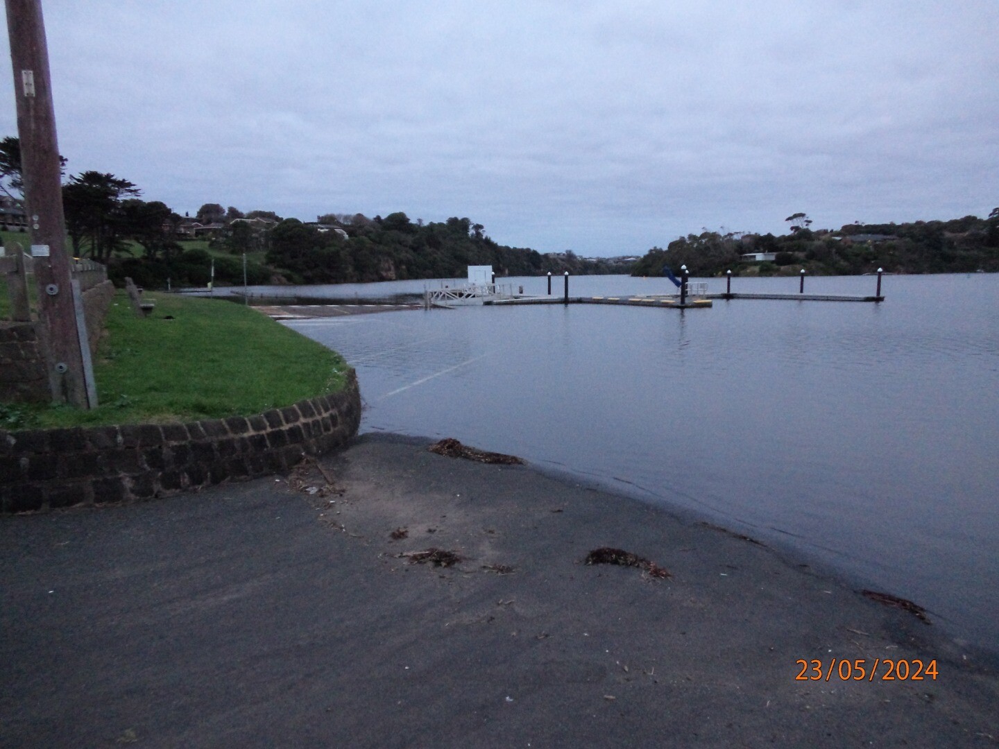
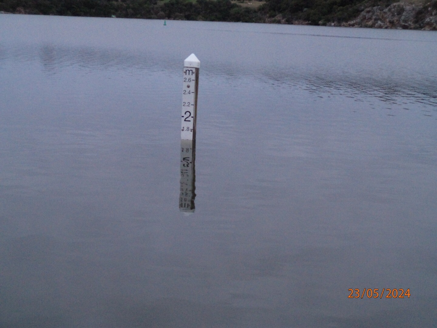
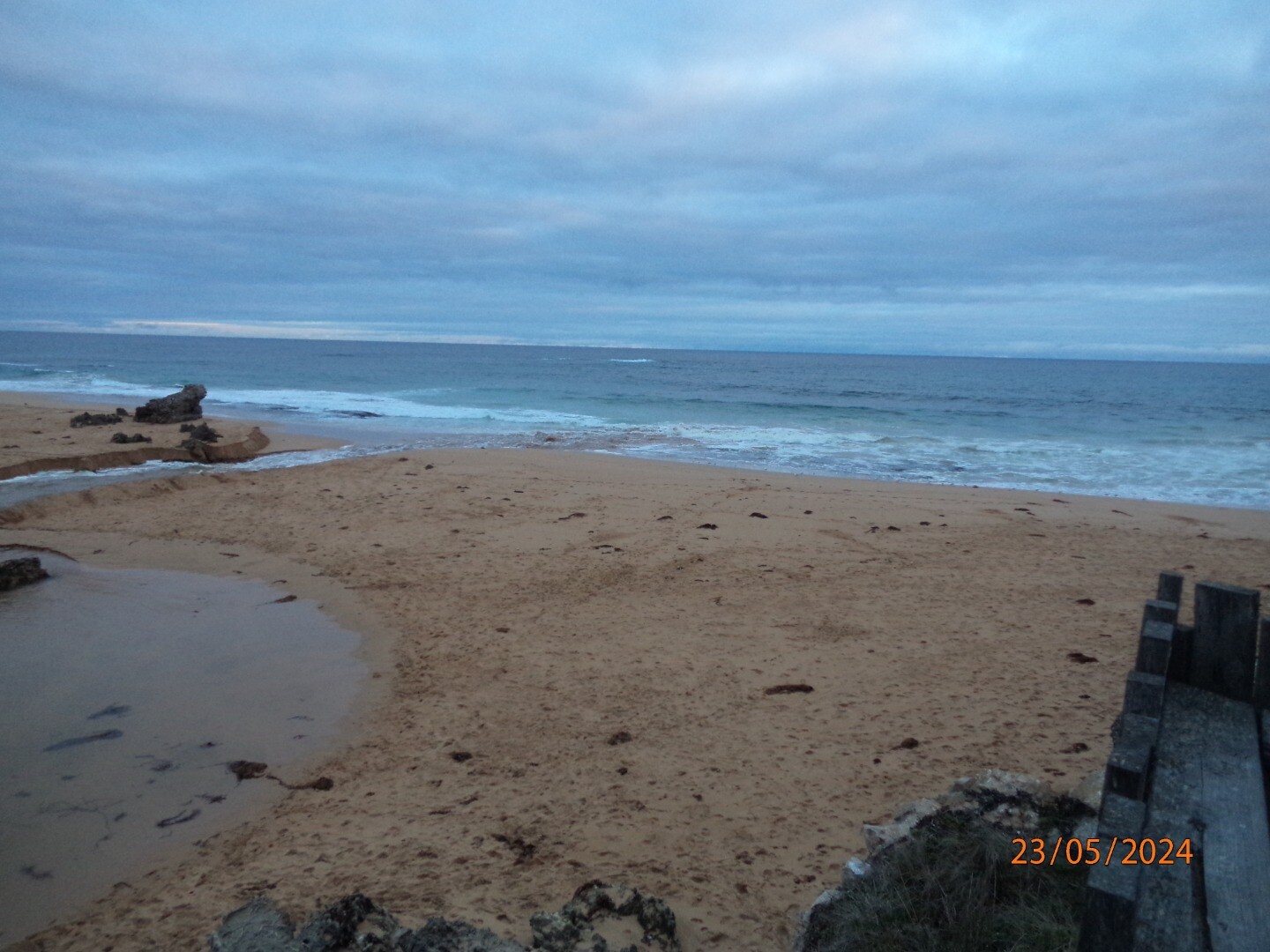
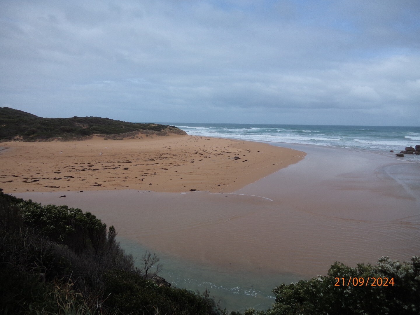
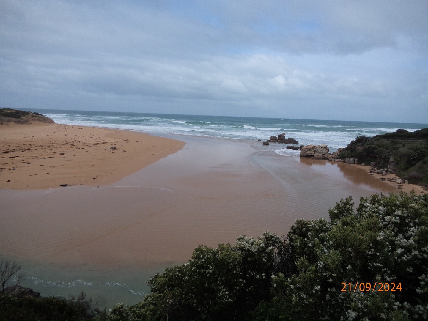
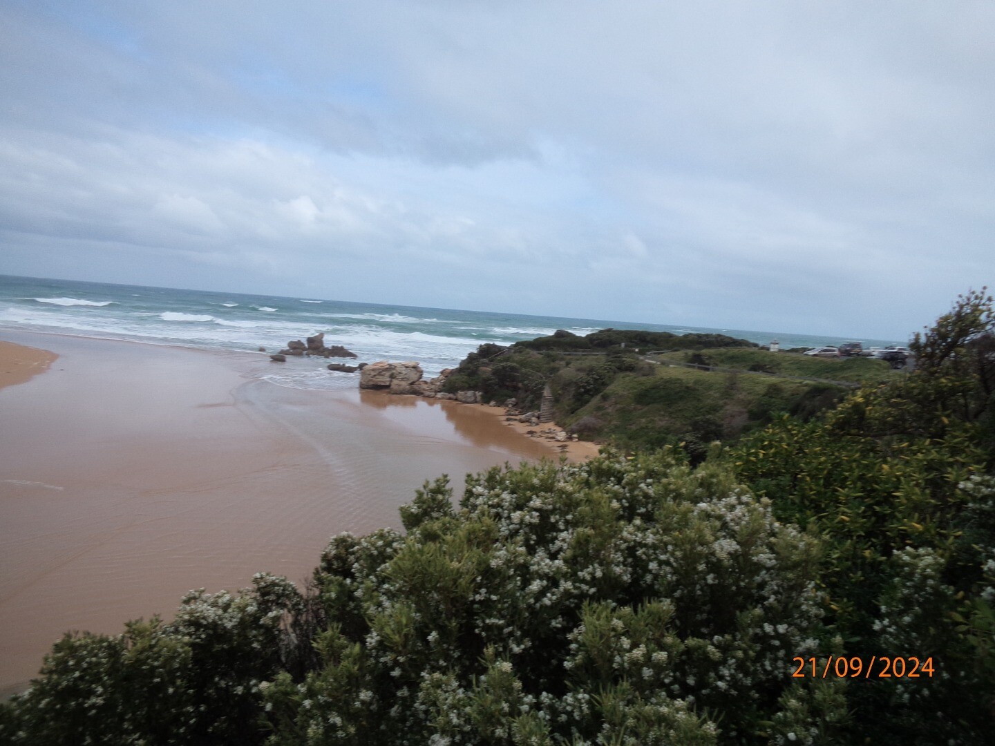
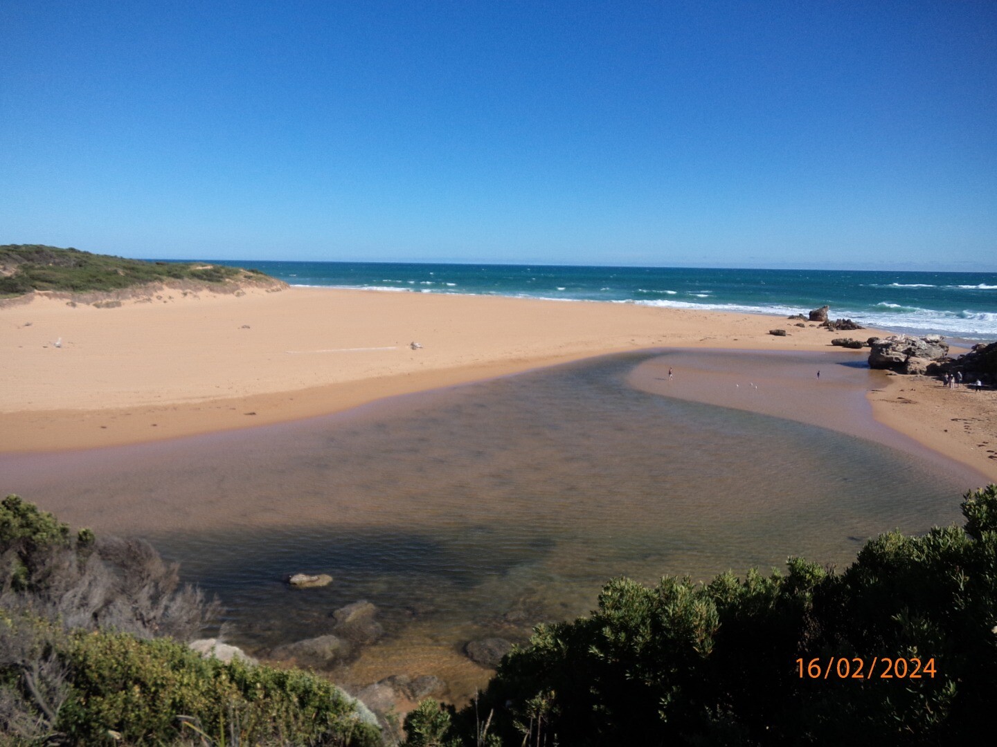
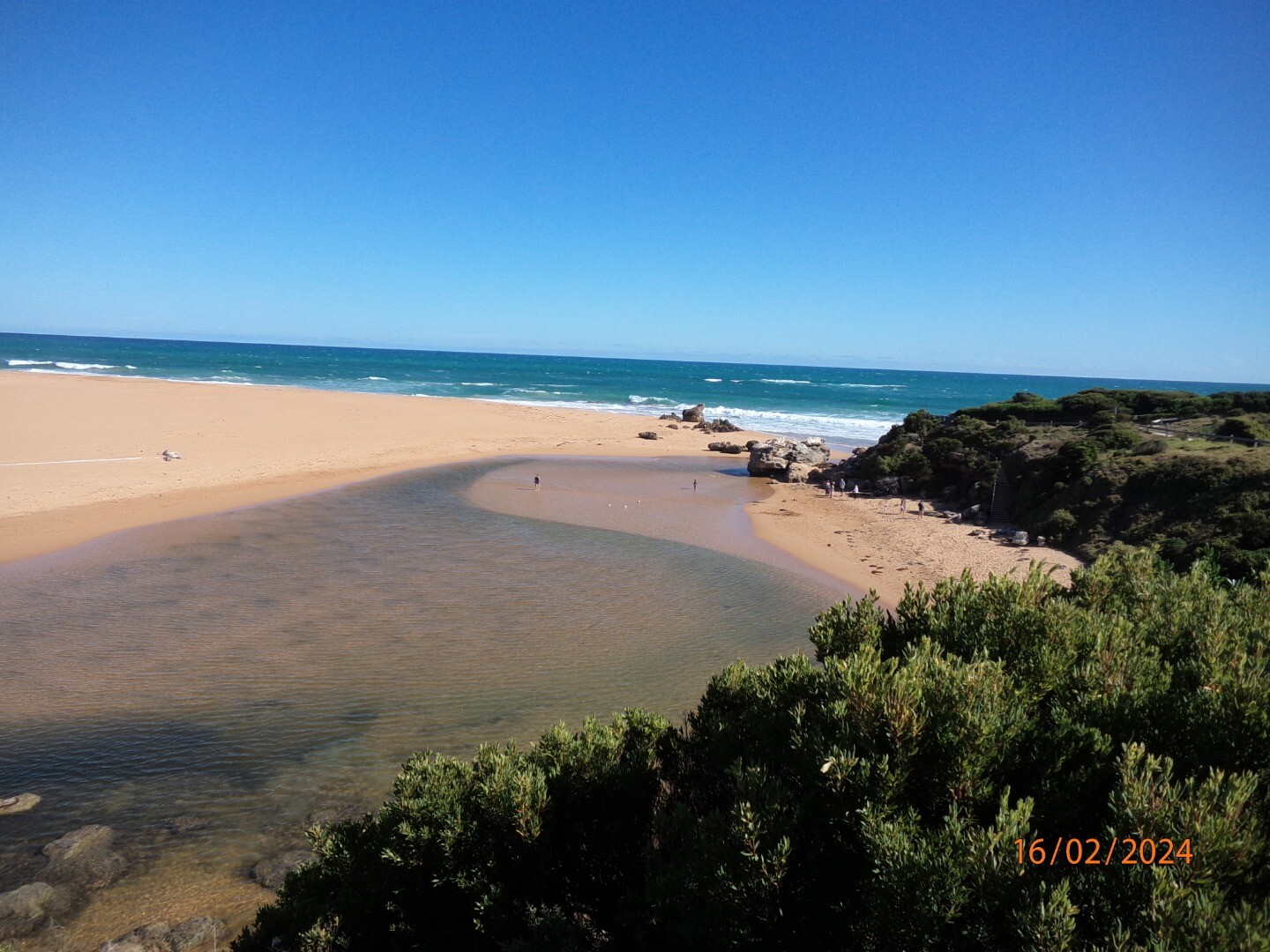
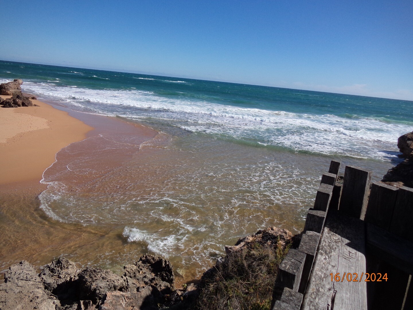
| 23-05-2024 Unusual/Extraordinary occurrence! Photos 1-3 flooding near Proudfoots By The River Restaurant Photos 4-8 flooding at road from Warrnambool Ski club to boat ramp Photos 9&10 water height pole near boat ramp at Lyndoch Photos 11-13 artificial opening photo taken from timber Hopkins river mouth viewing deck 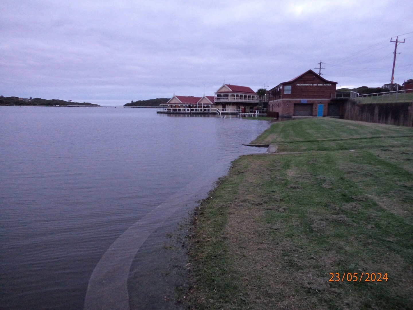


|
Sites
H1 |
Site one (Hopkins River Bridge)Active Physico-Chemical 01-01-2000 - 21-06-2026Ocean side of bridge, between the 29th and 30th post (counting from the western side of bridge) infront of the fishing ruler. Observations 187 |
H2 |
Site two (Riverboat Cruise Pontoon)Active Physico-Chemical 11-07-2010 - 21-06-2026Pontoon located on the ocean side of the Riverboat. This pontoon extends out into the river beyond the other pontoons. Observations 185 |
H3 |
Site three (Mahoneys Road)Active Physico-Chemical N/A - 21-06-2026Fishing pontoon located on the oceanside of the boat ramp. Monitoring is conducted off the end of the pontoon. Observations 188 |
H4 |
Site four (Jubilee Park)Active Physico-Chemical 11-08-2010 - 21-06-2026End of the floating pontoon located closest to the ocean, opposite the Hopkins River Caravan Park/ Jubilee Park. Observations 184 |
HGB |
Hopkins River Water Level Gauge BoardActive Gauge BoardThis sites water level monitoring gauge board is attached to the Simpson Street boat ramp. |
HMC |
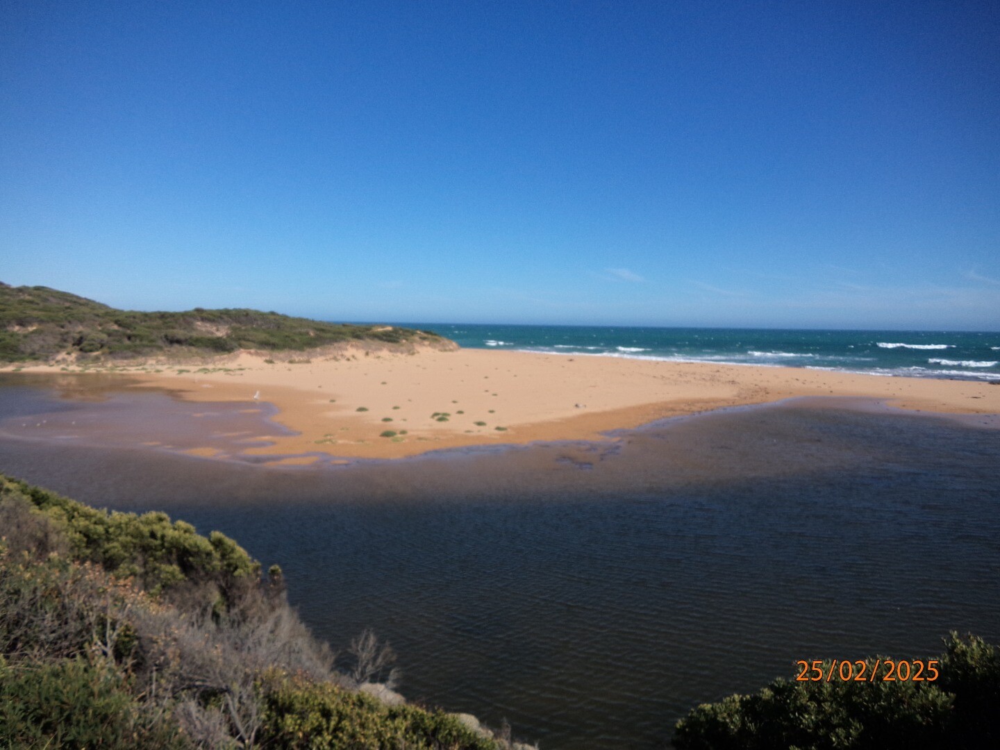
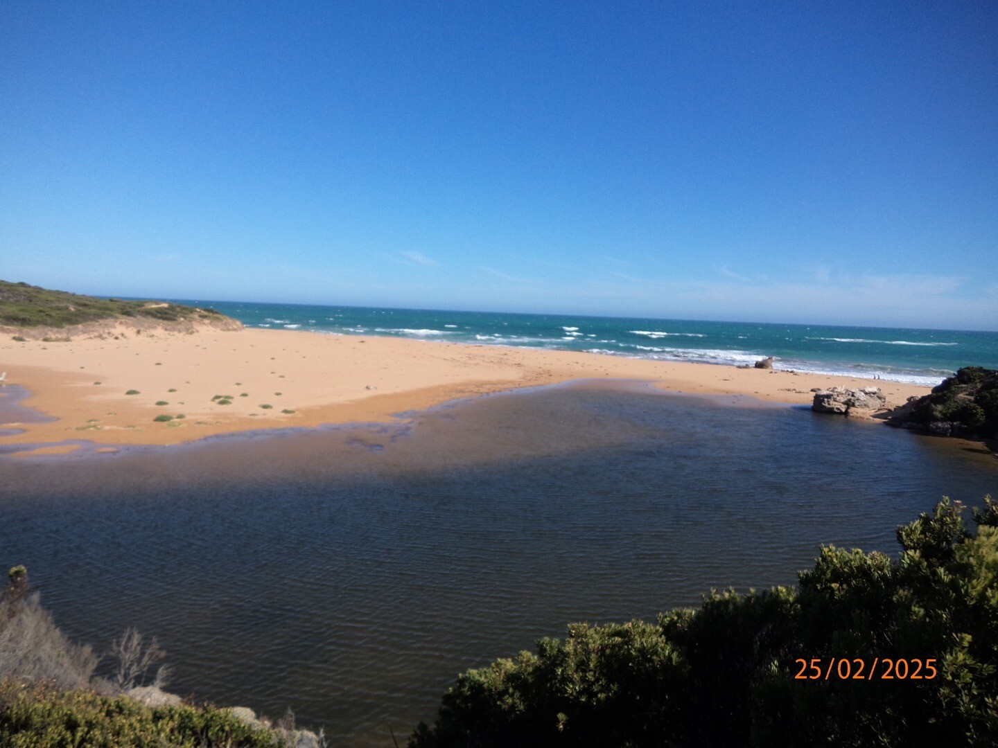
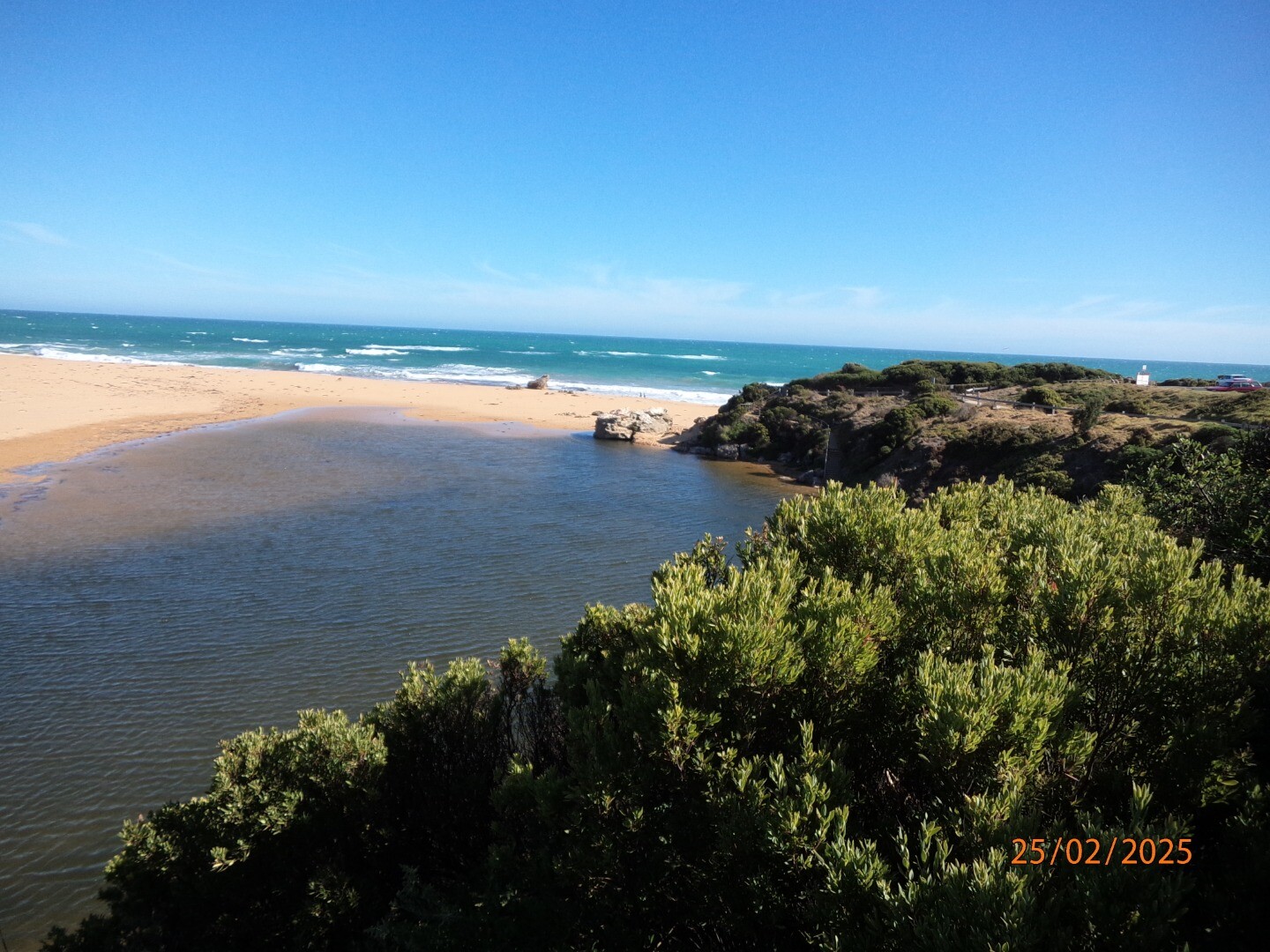
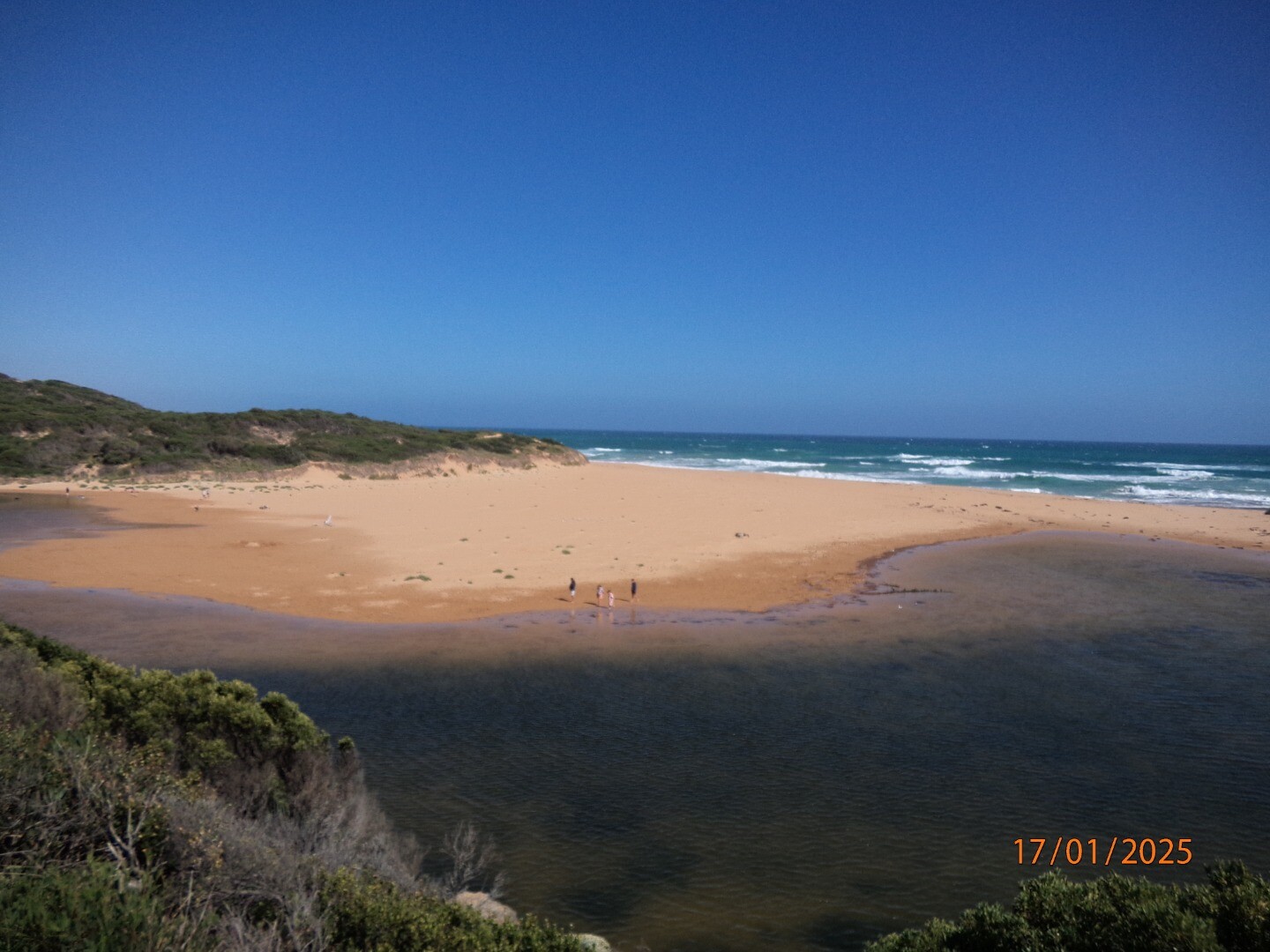
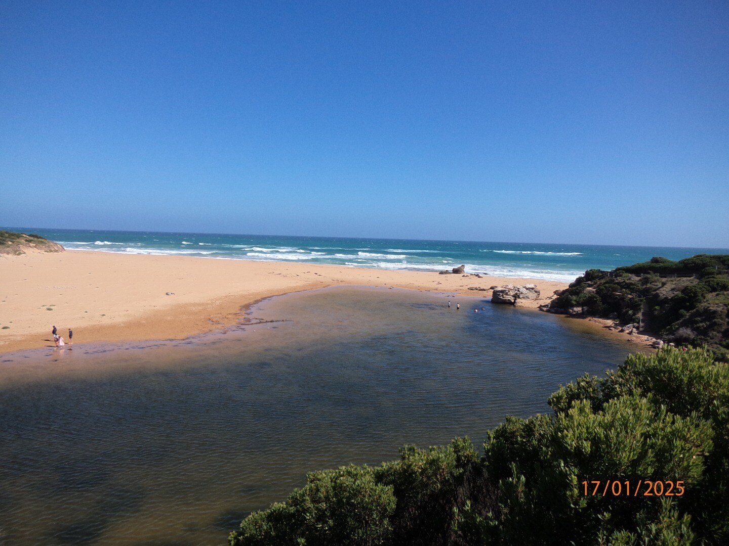
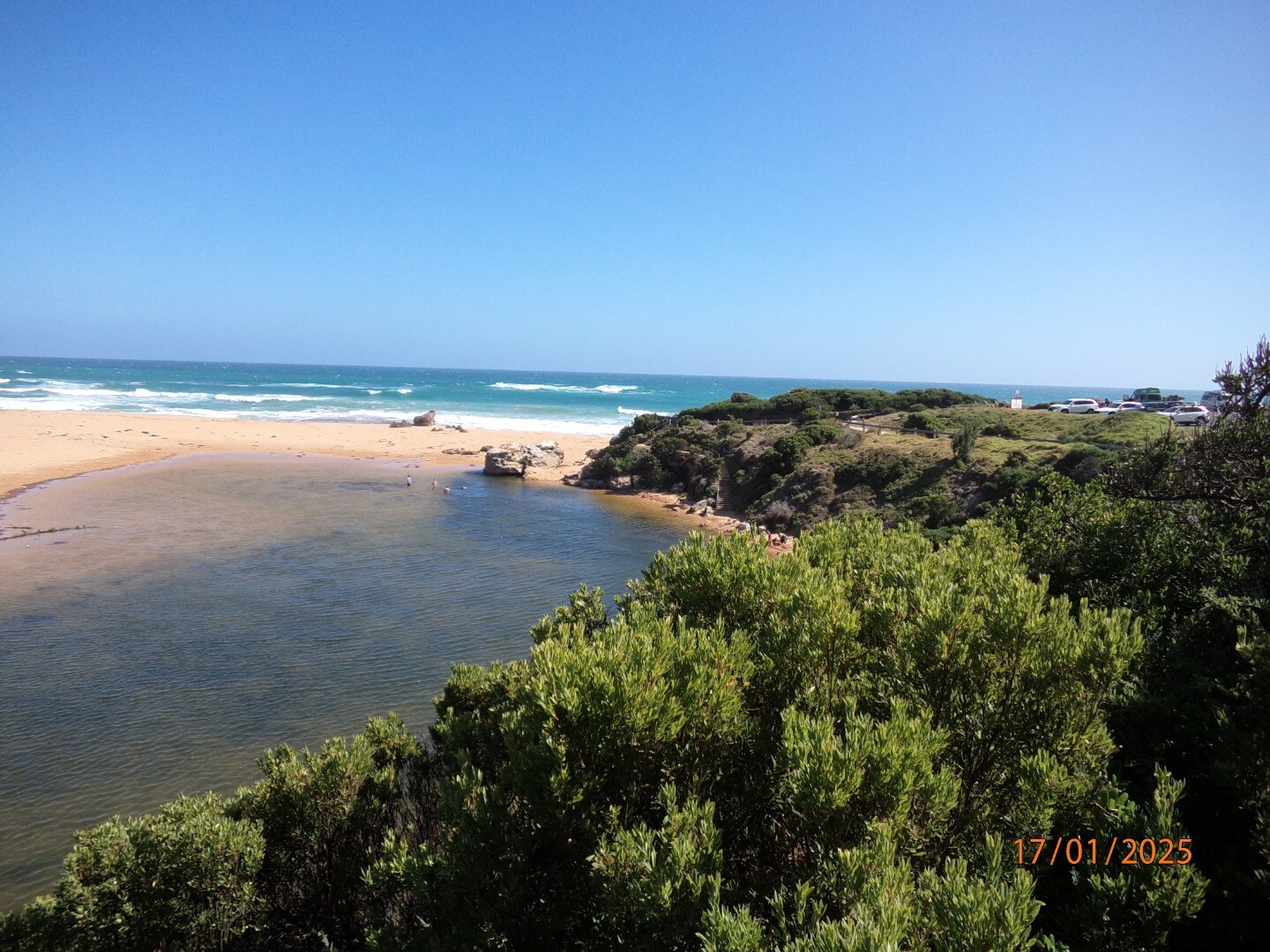
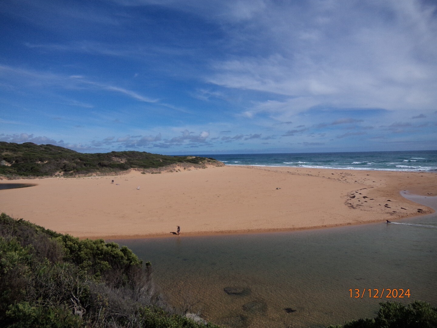
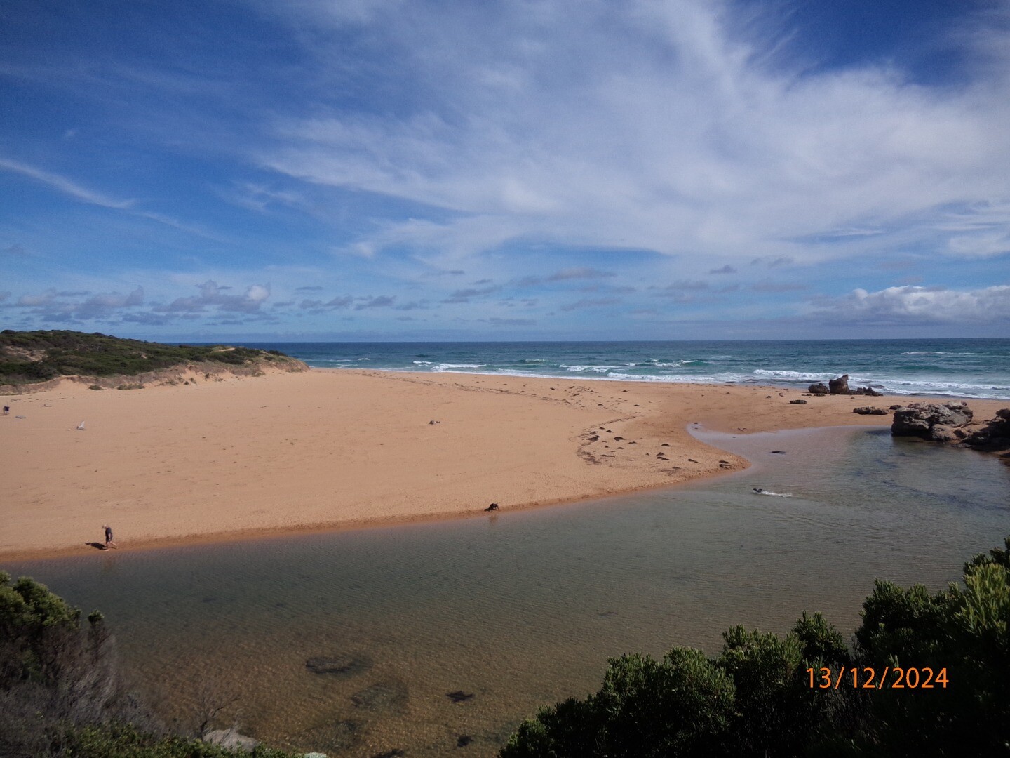
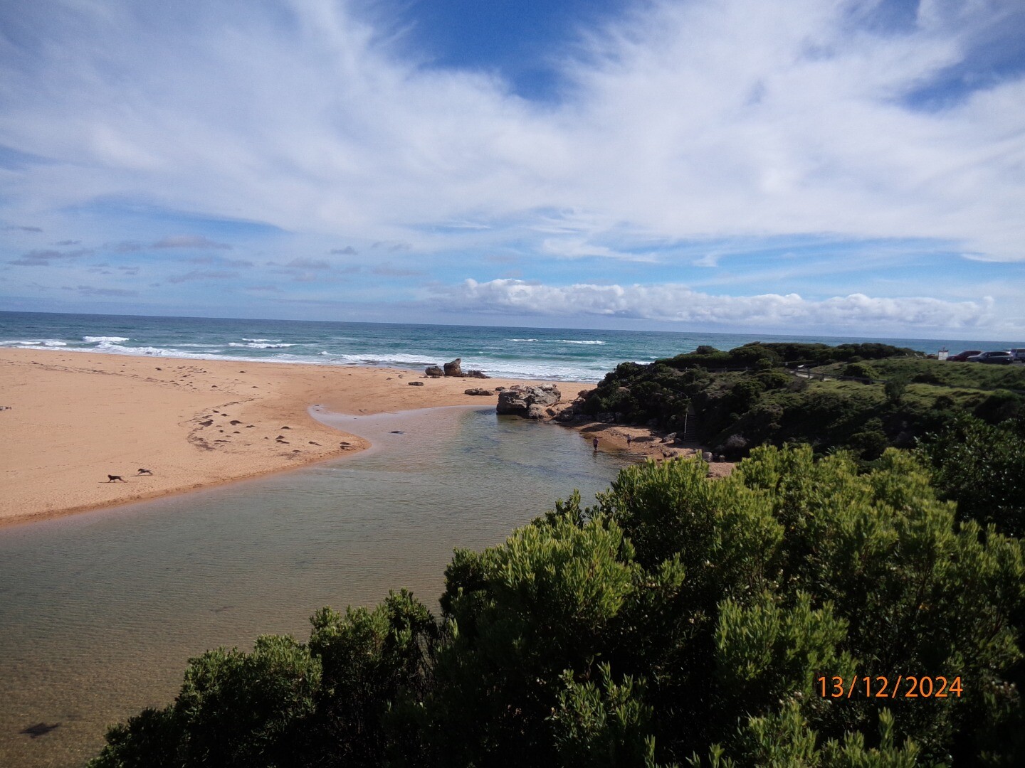
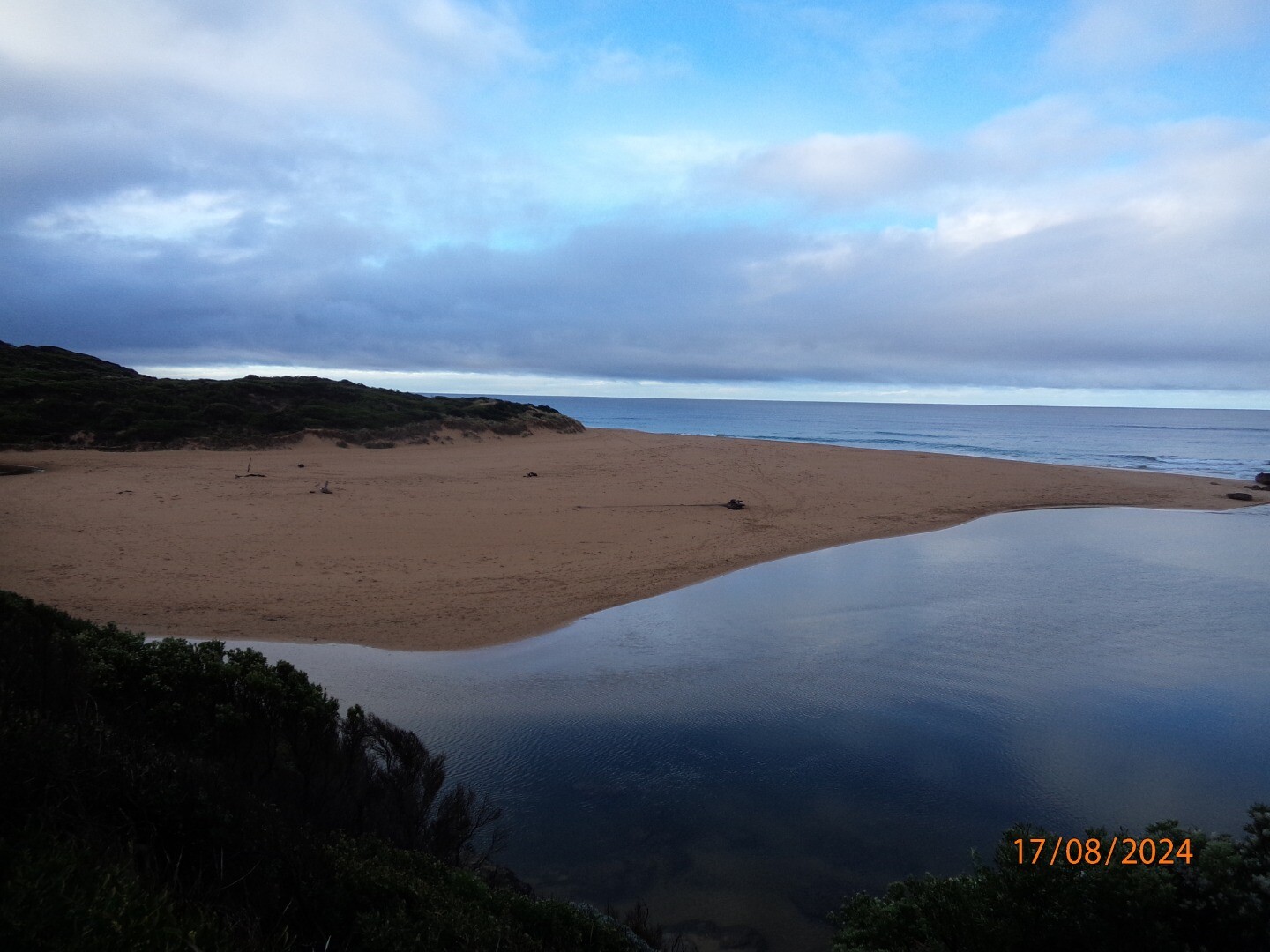
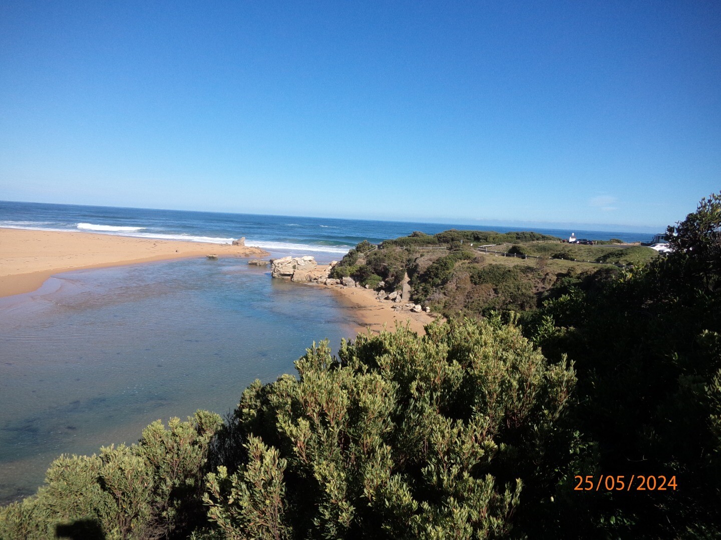
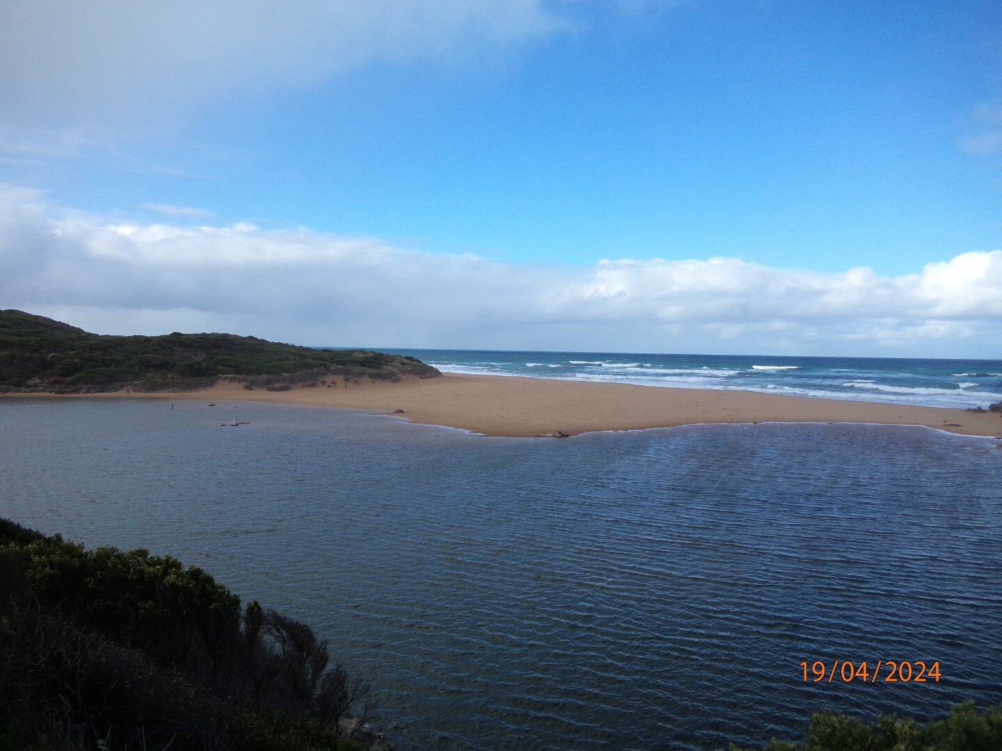
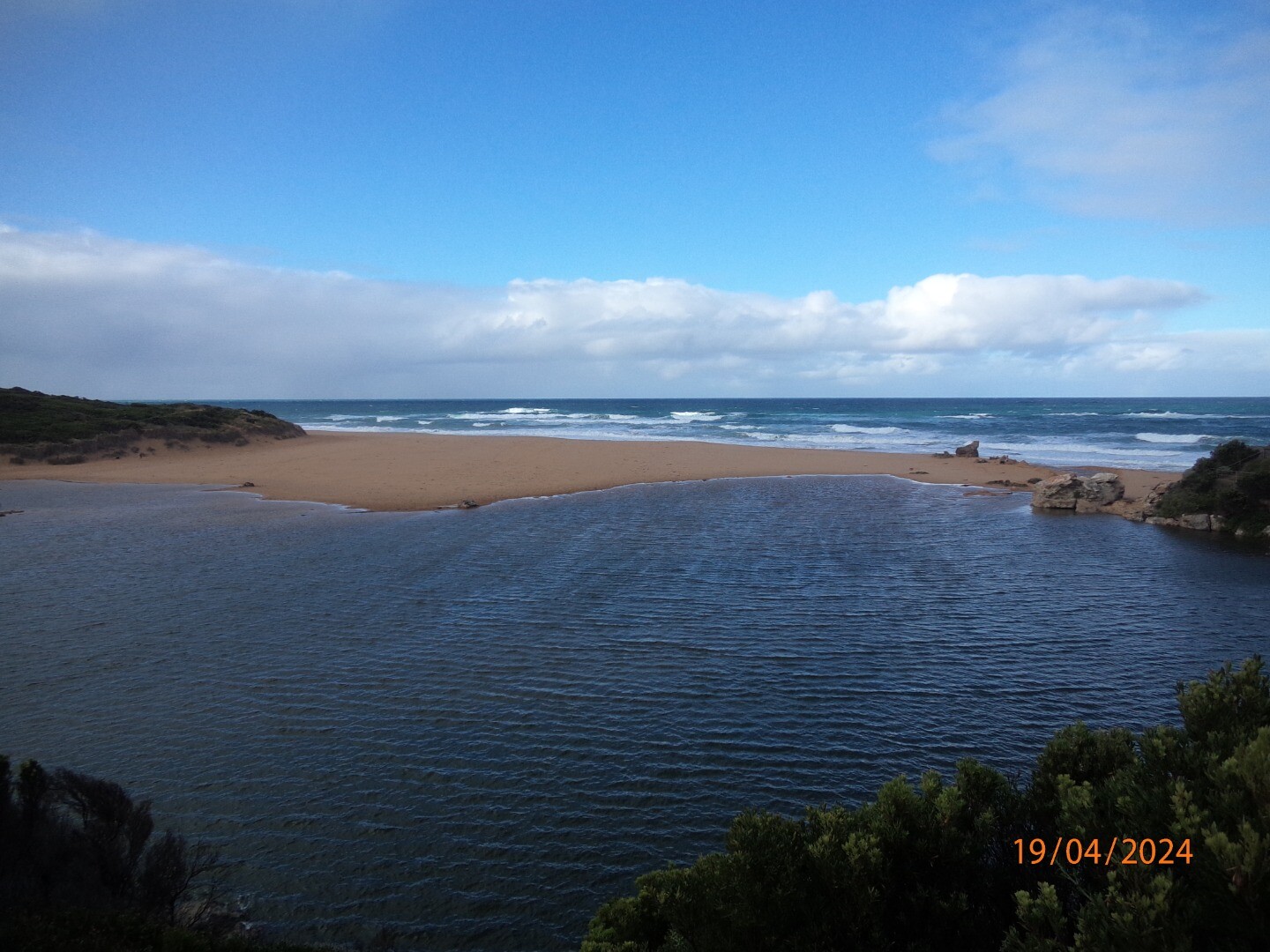
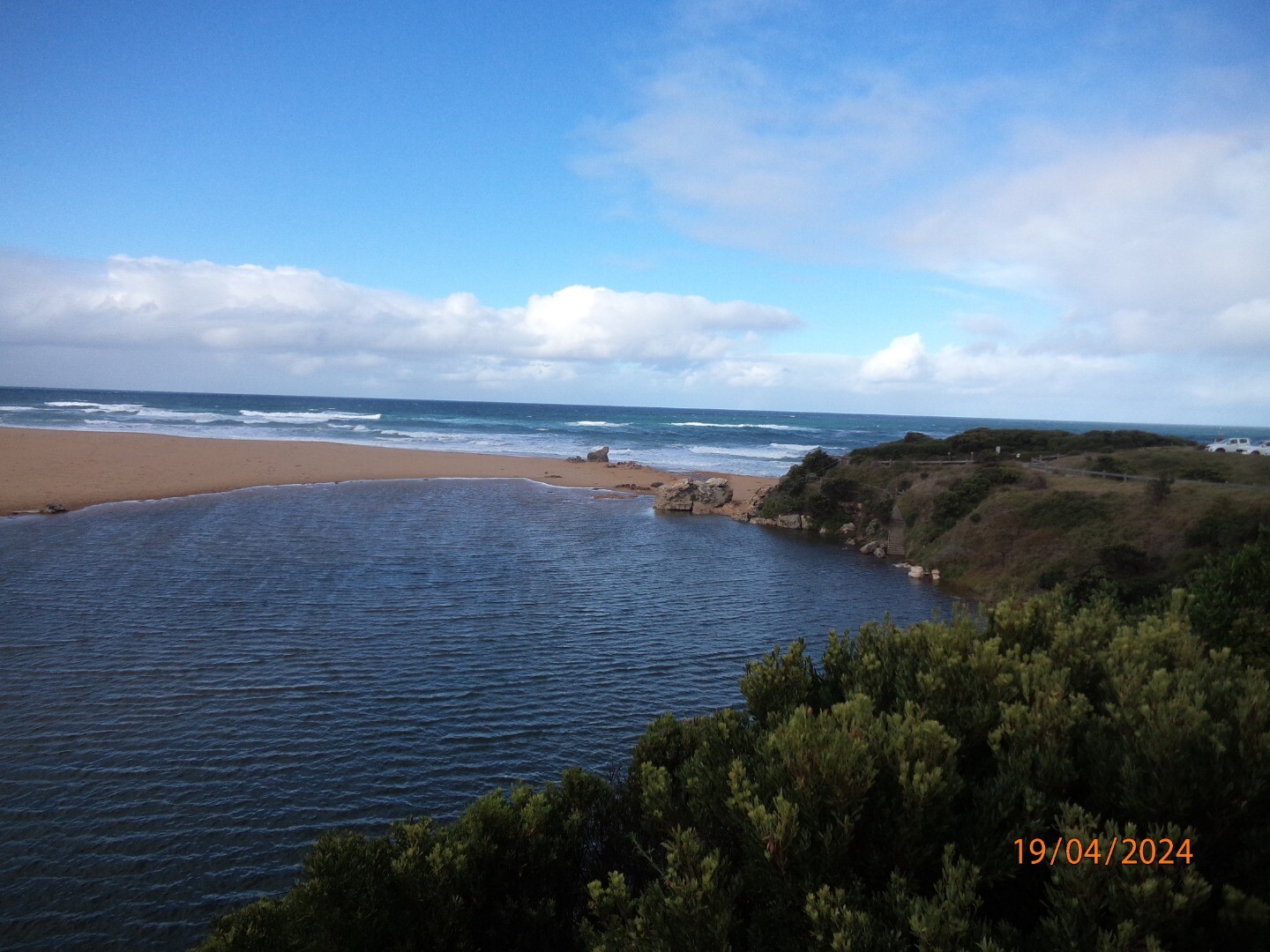
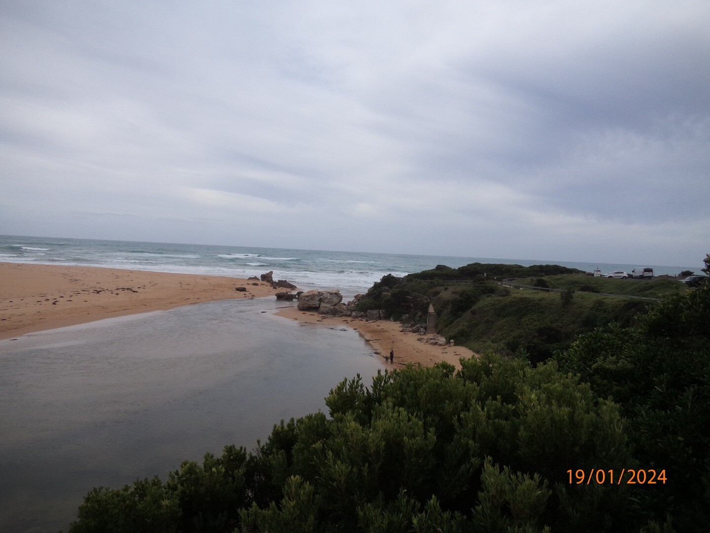
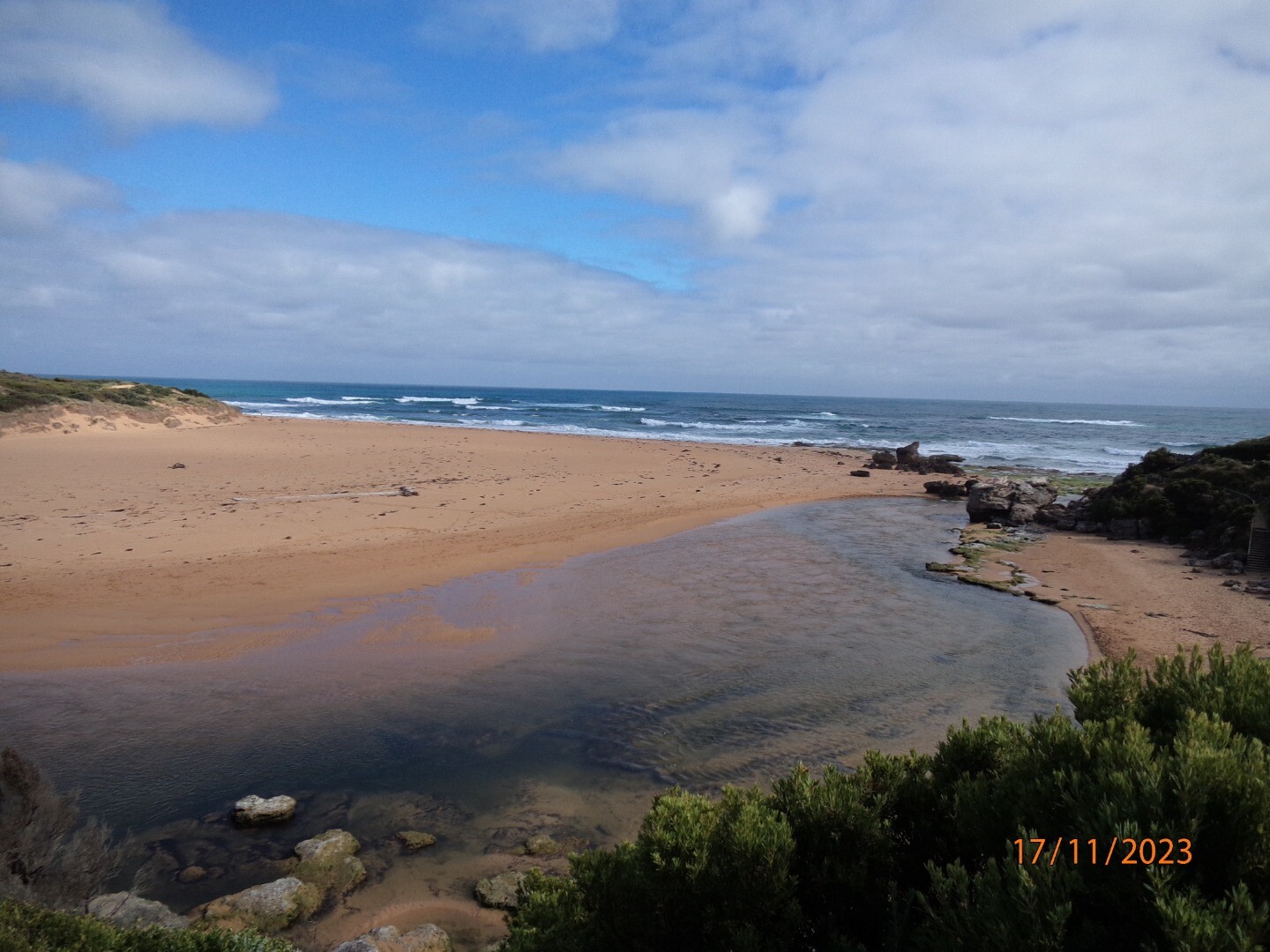
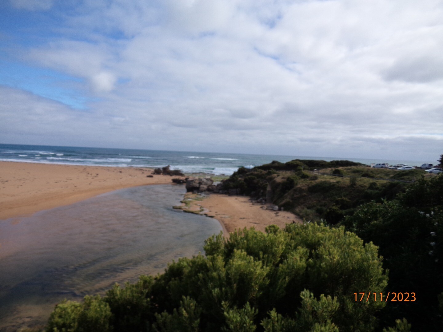
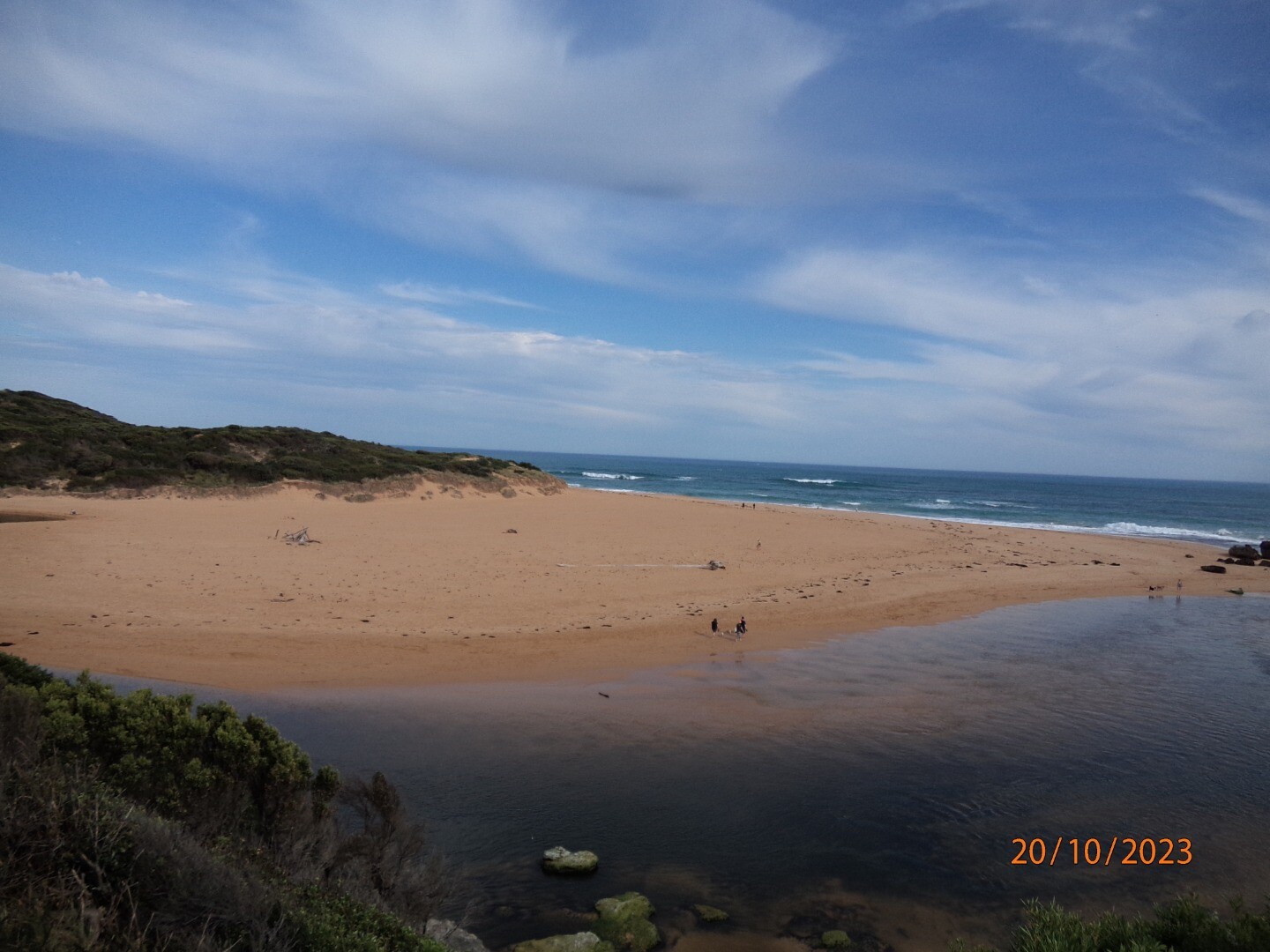
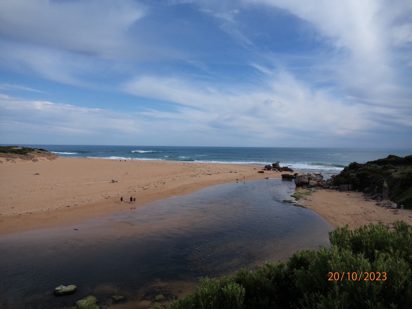
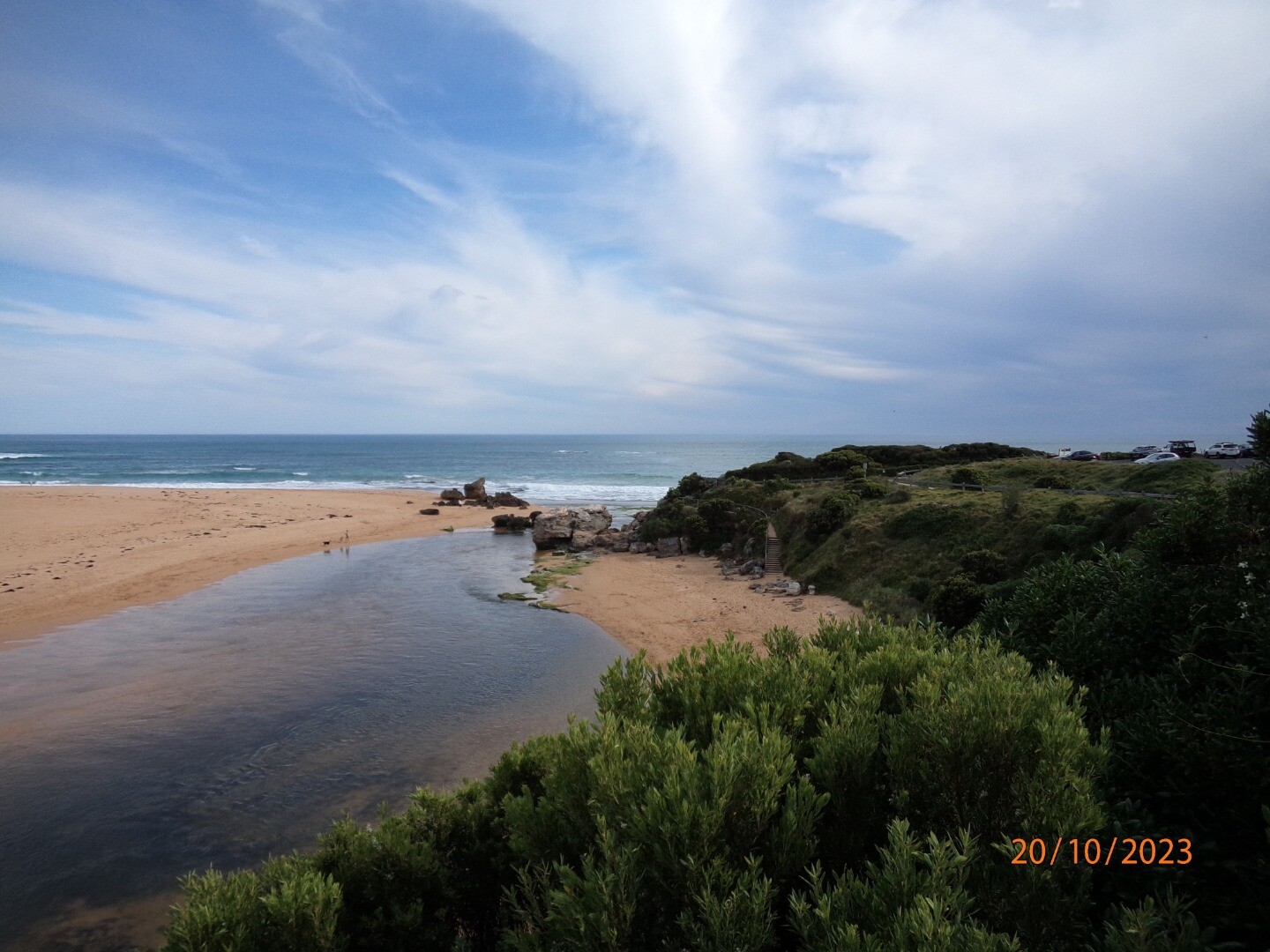
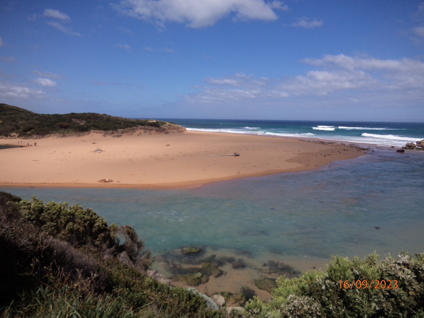
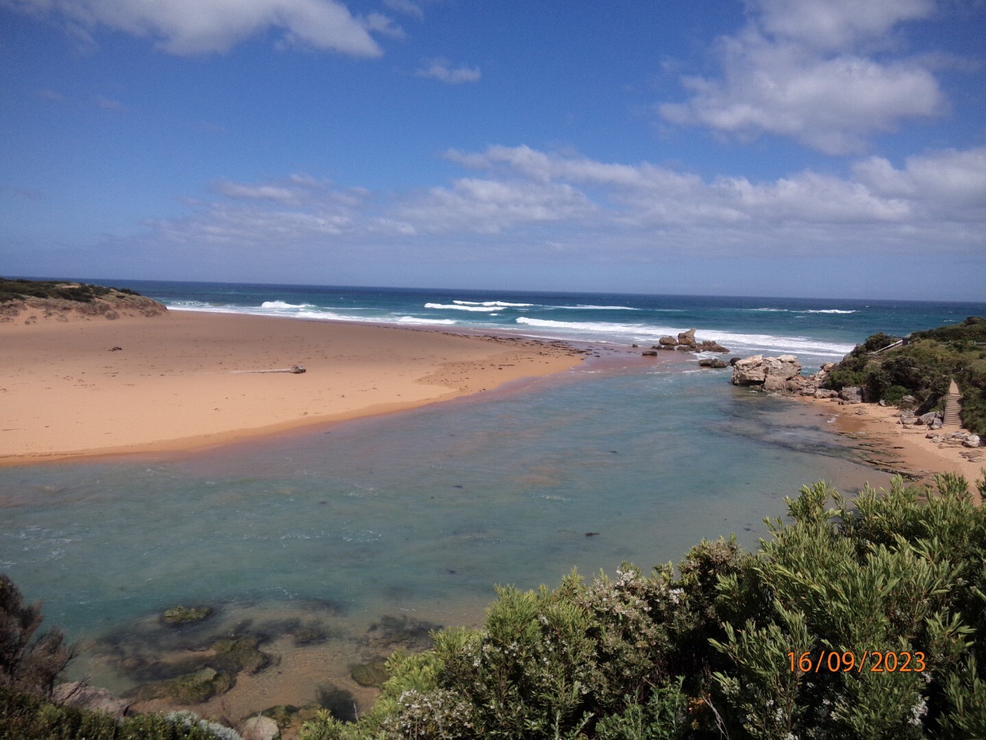
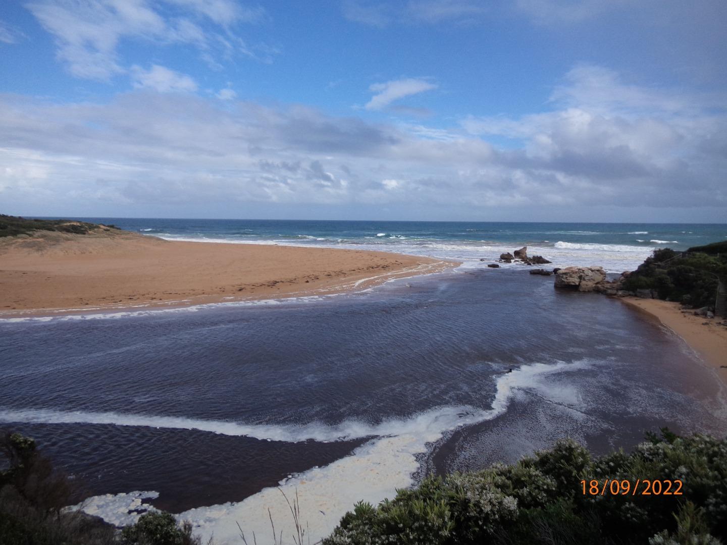
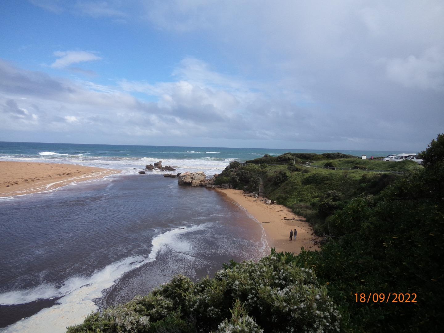
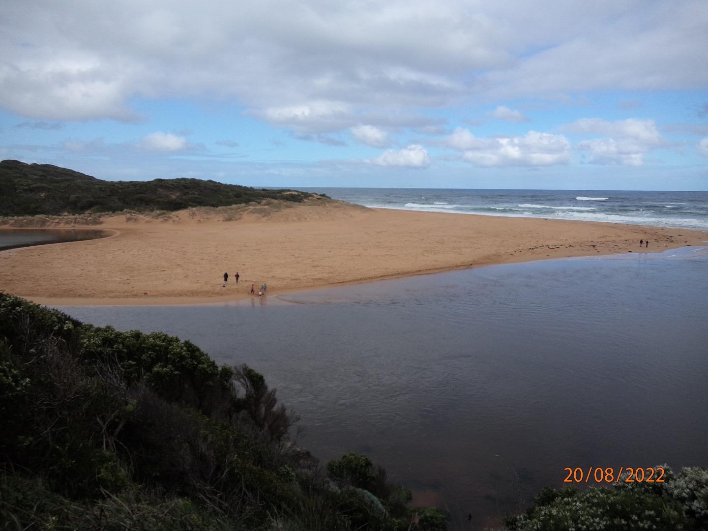
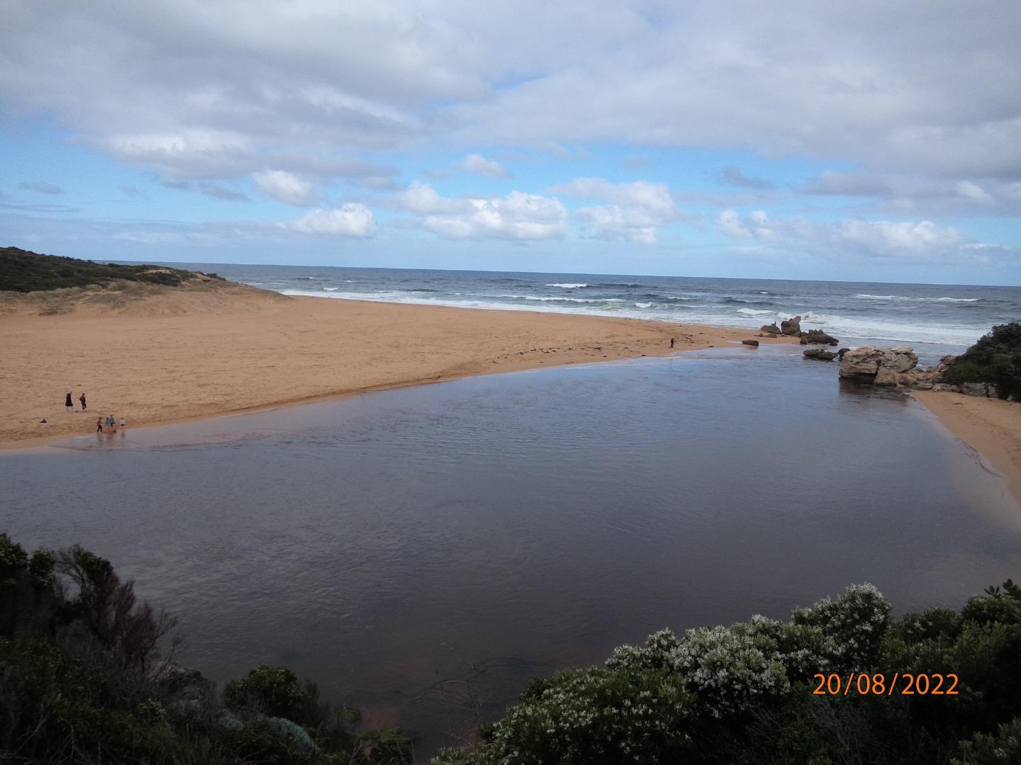
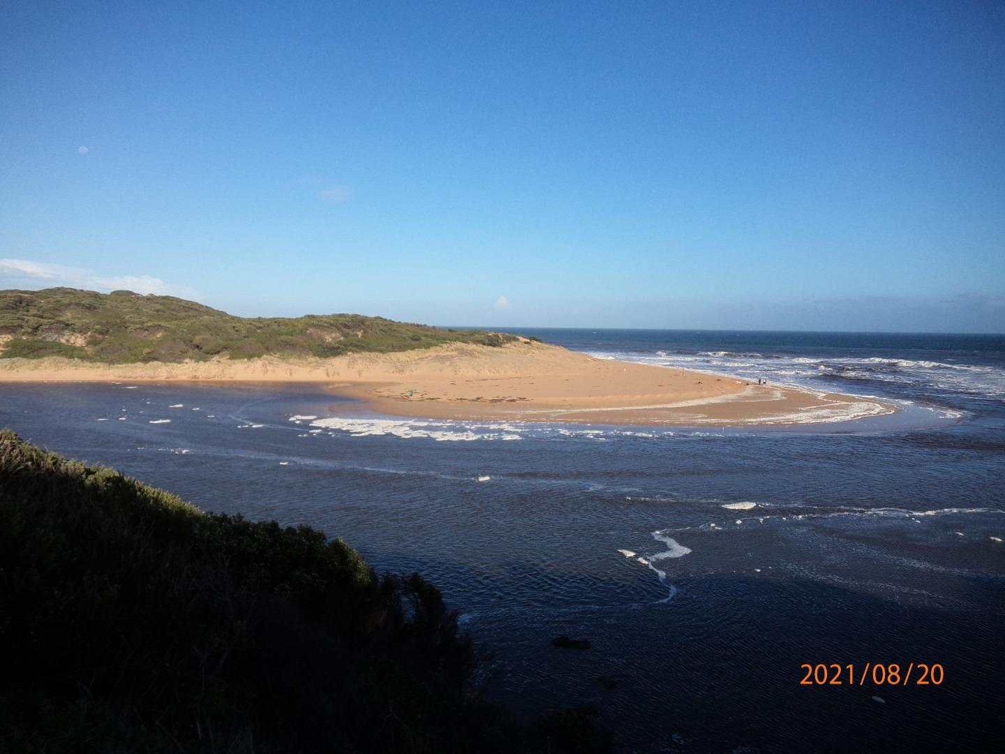
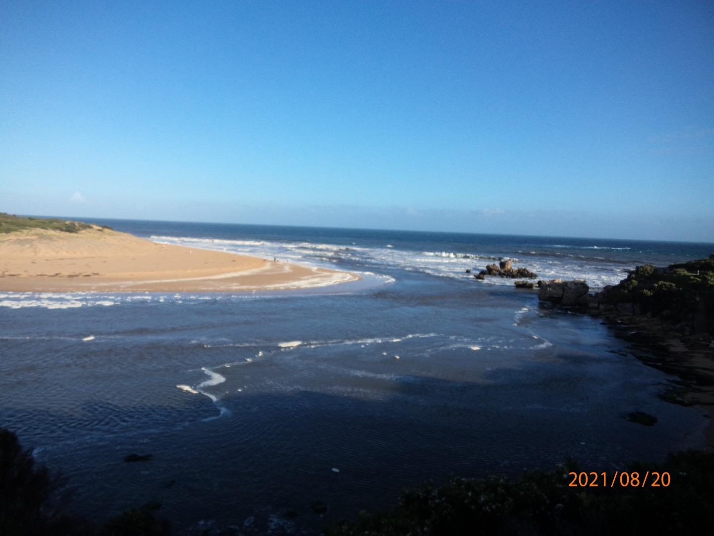
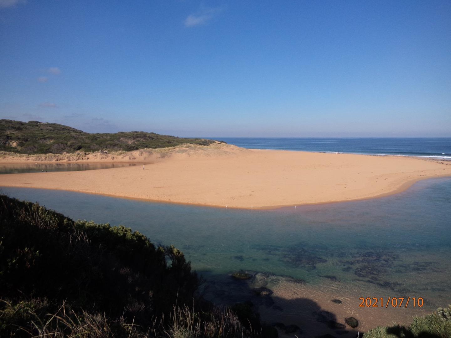
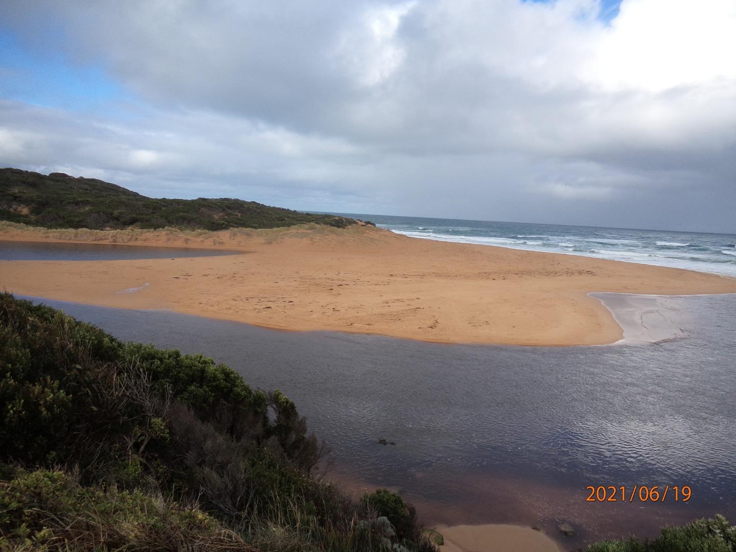
Hopkins River Mouth Condition Observation SiteActive Mouth Condition 29-05-2010 - 25-02-2025Site changed in September 2019 to Fluker Post WEPS1. Previous location became overgrown. Observations 179 |
Hp1 |
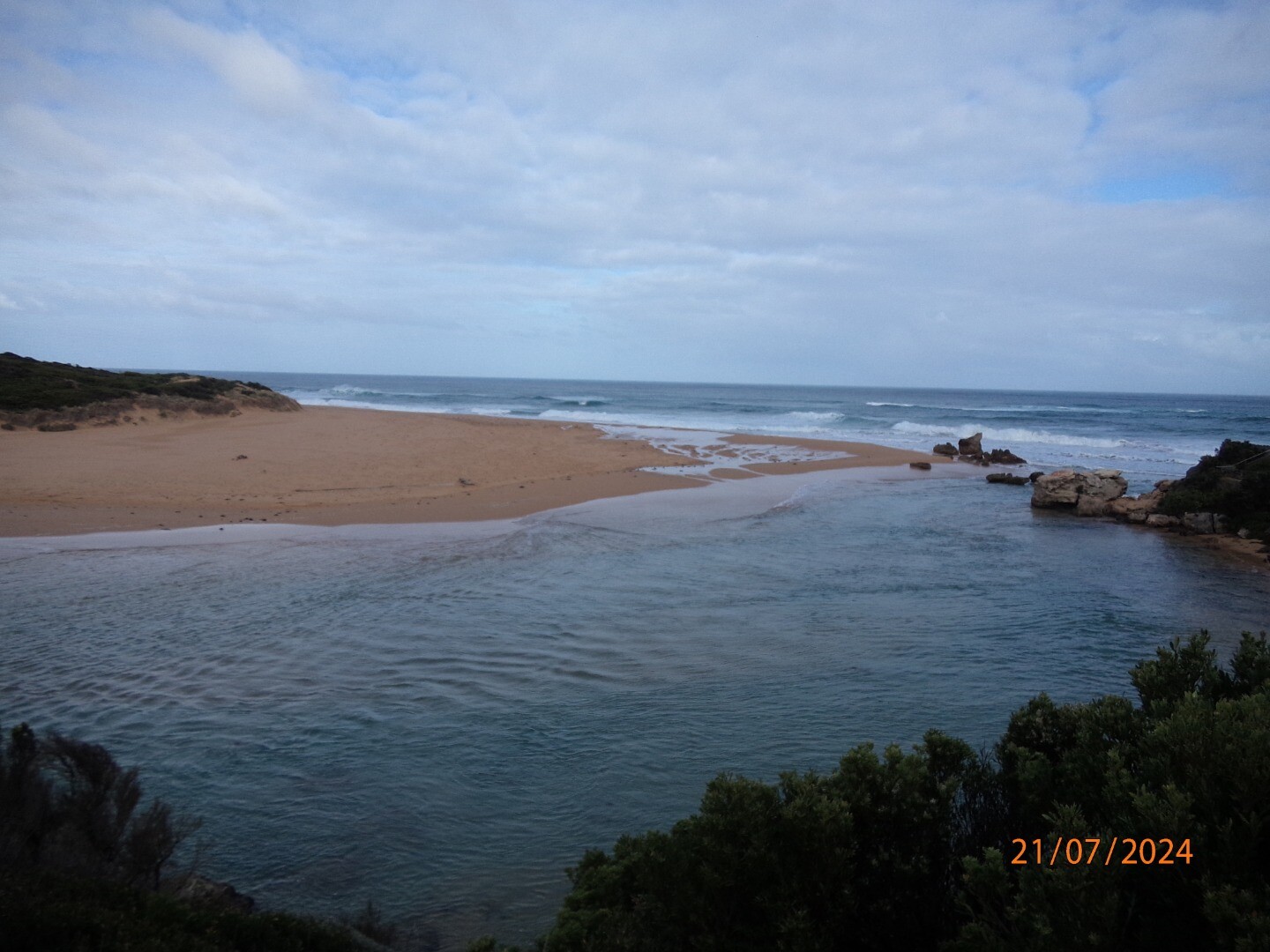
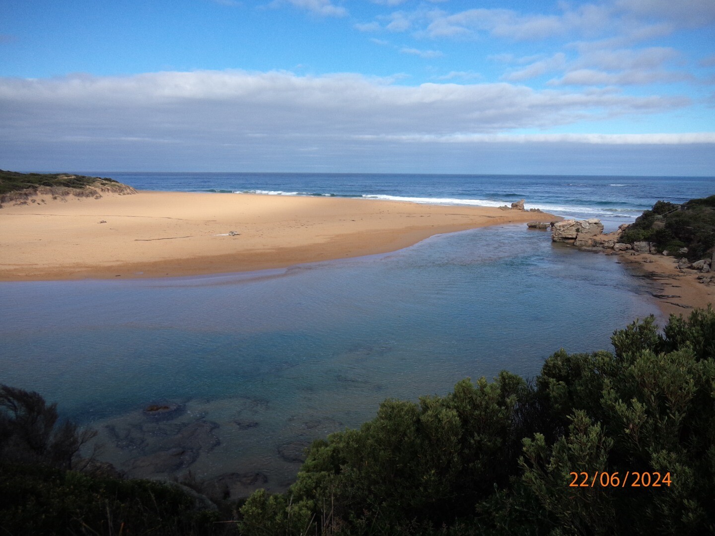
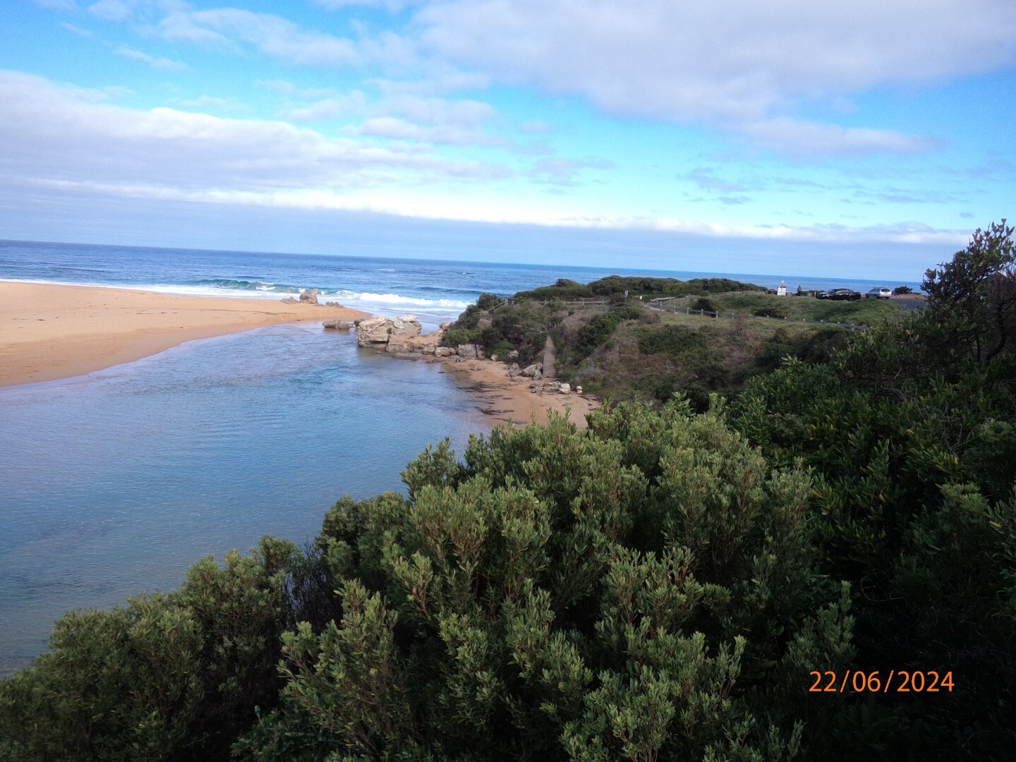
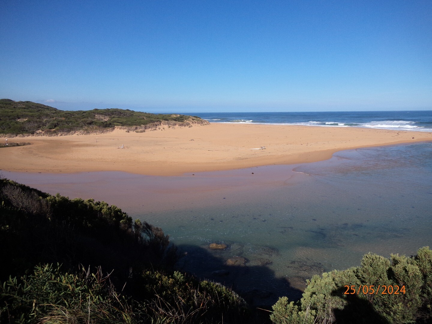
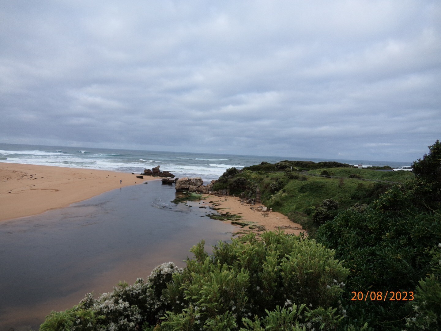
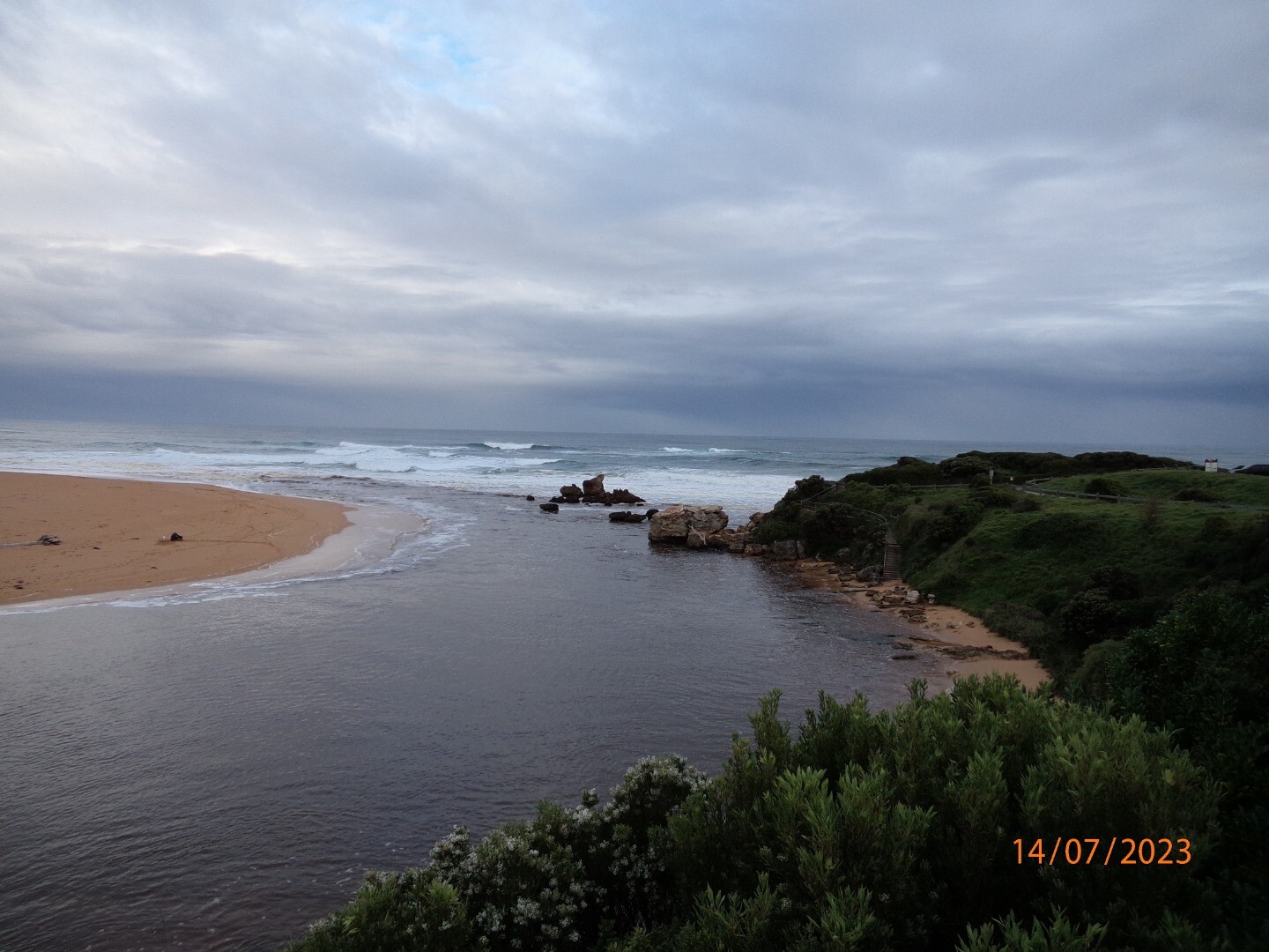
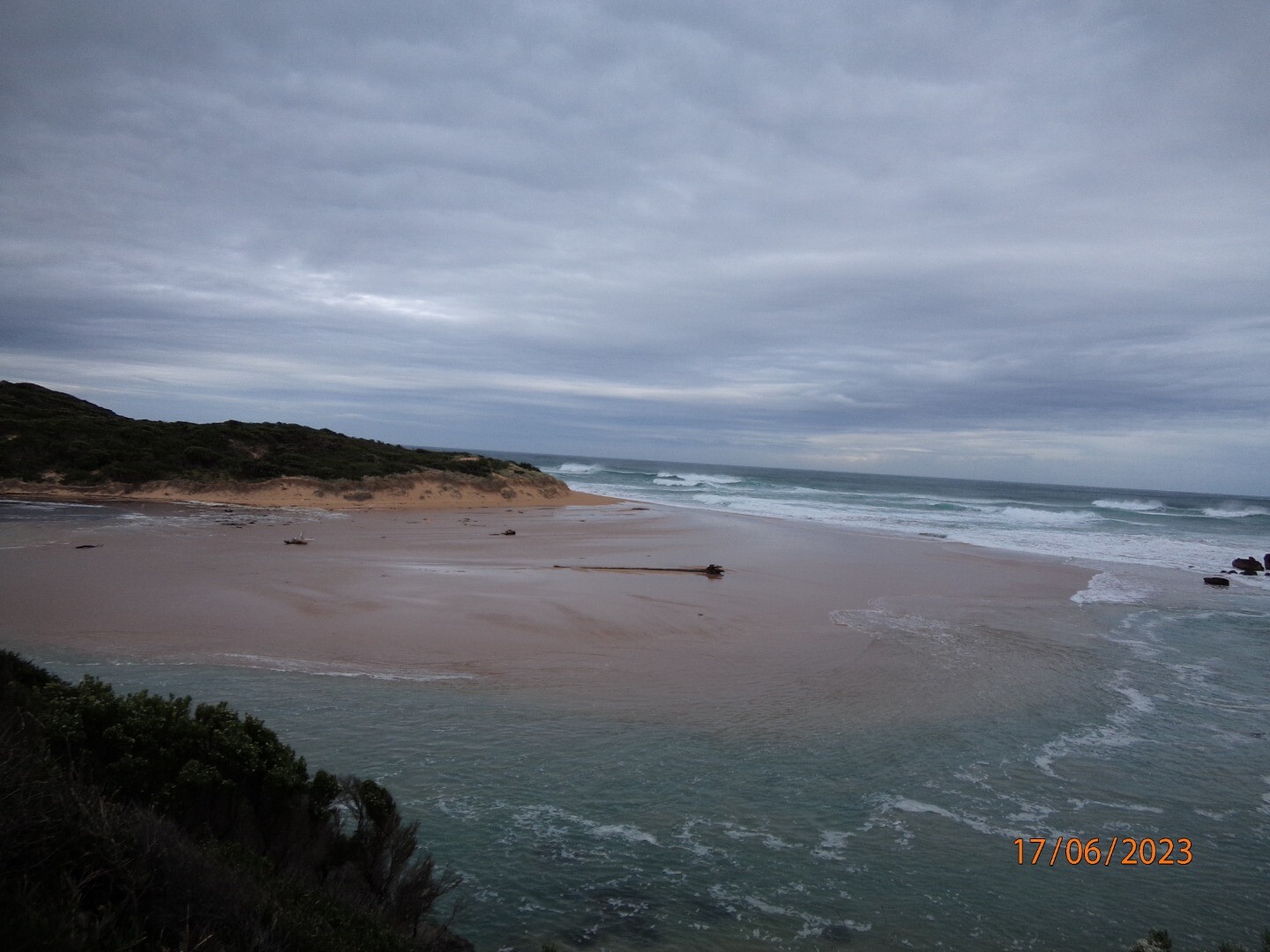
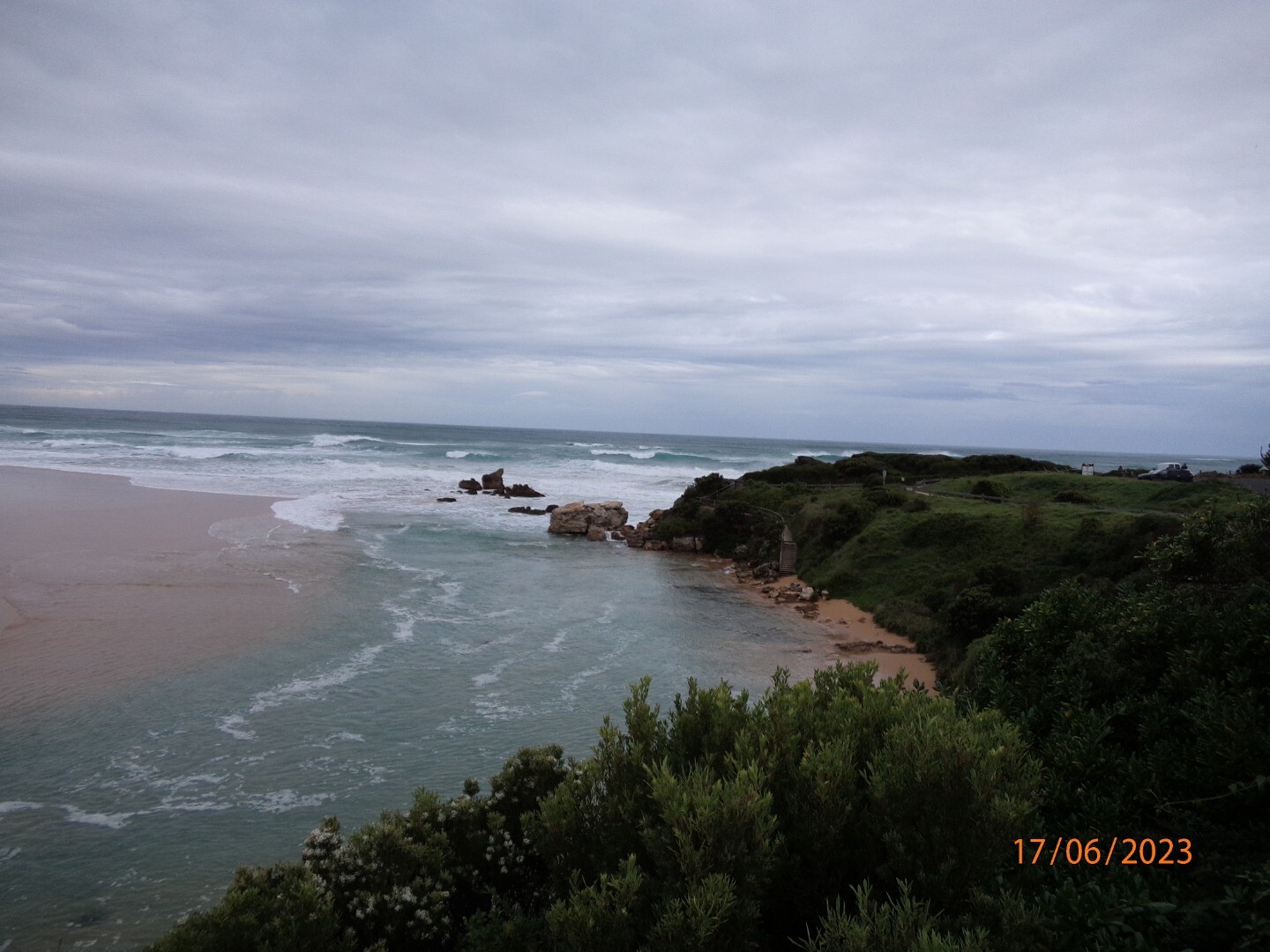
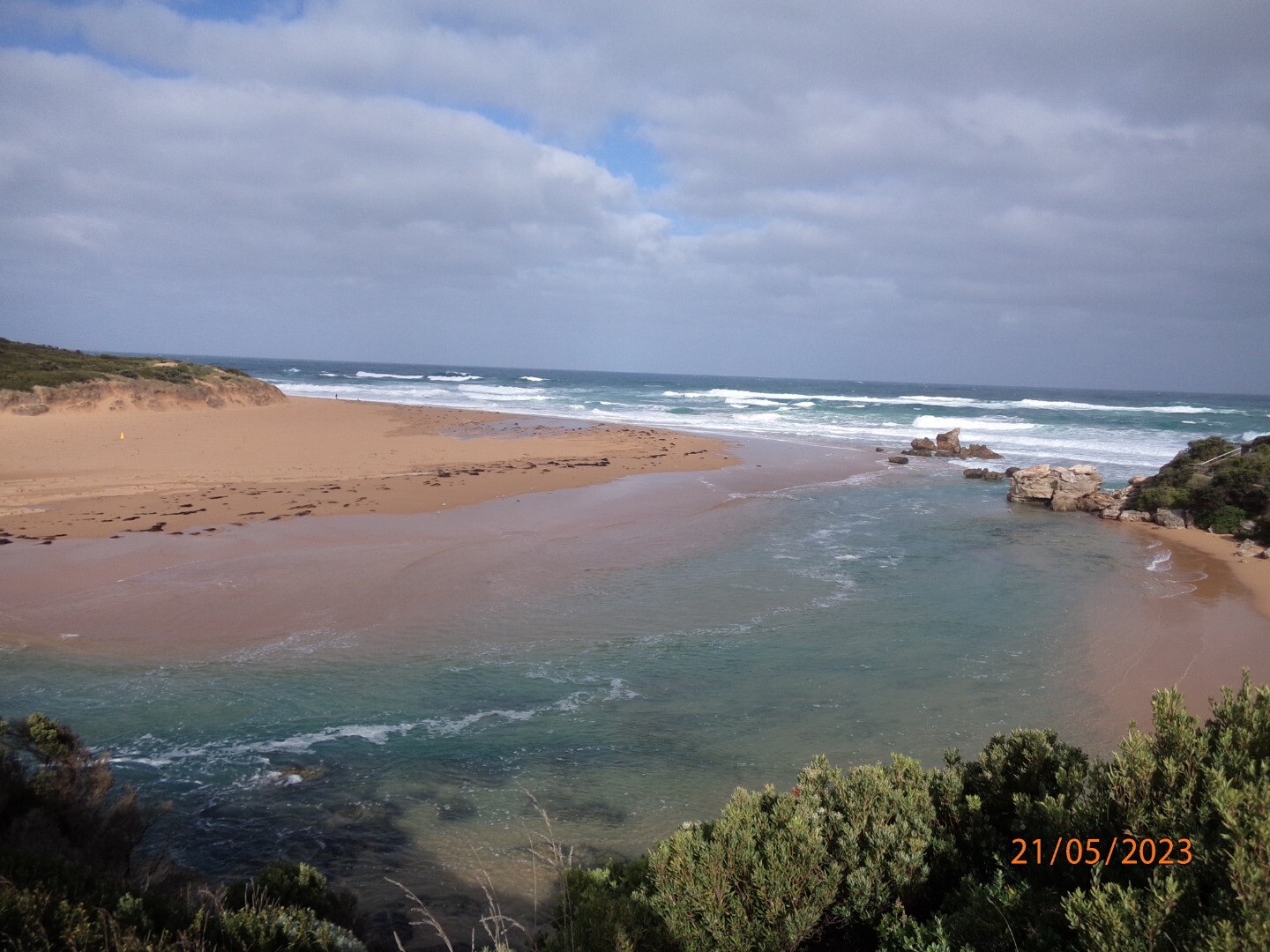
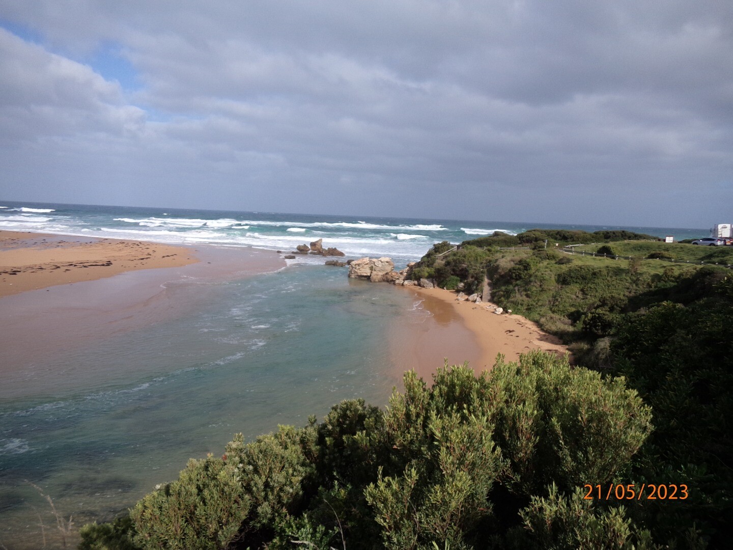
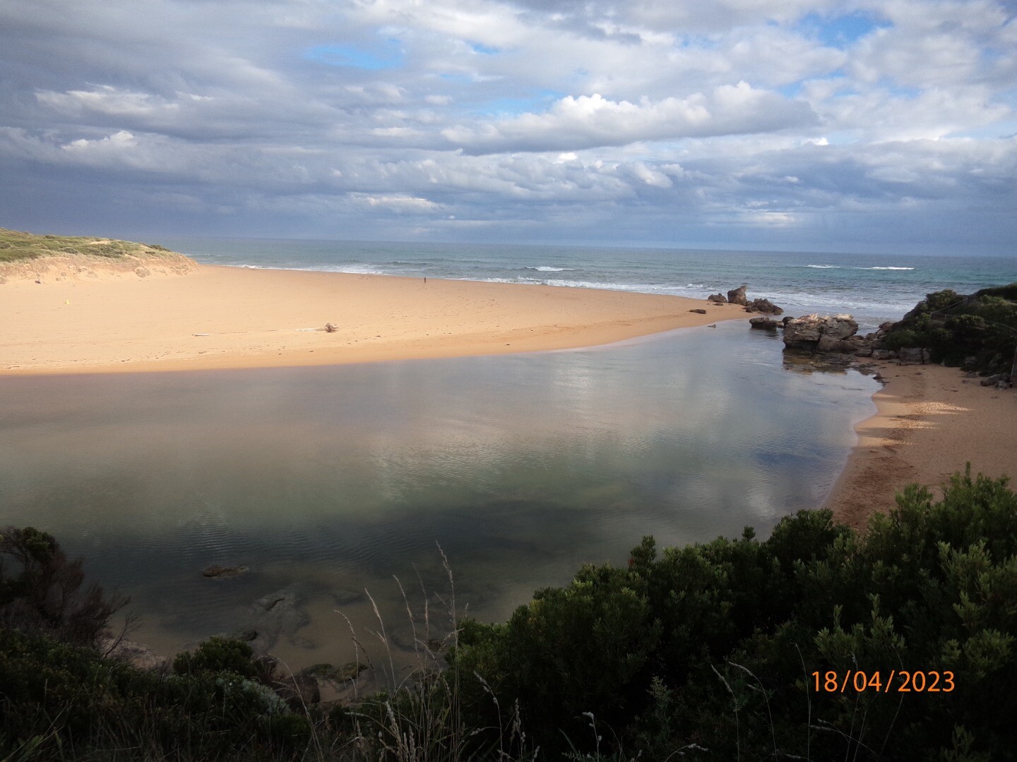
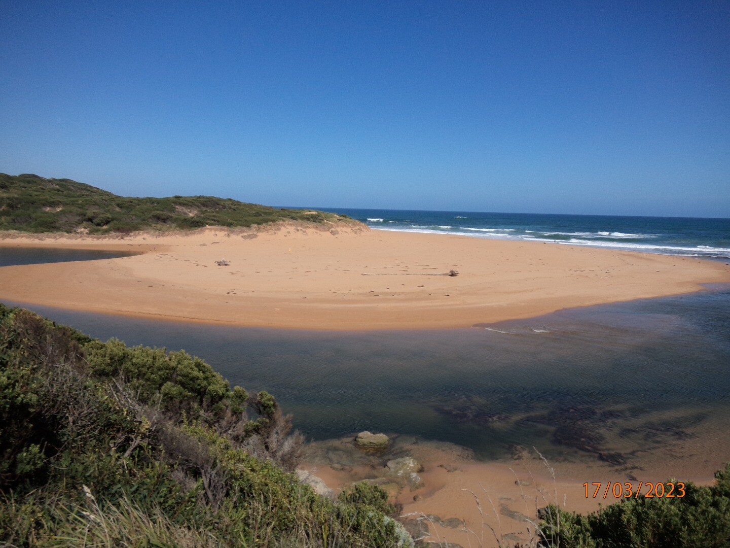
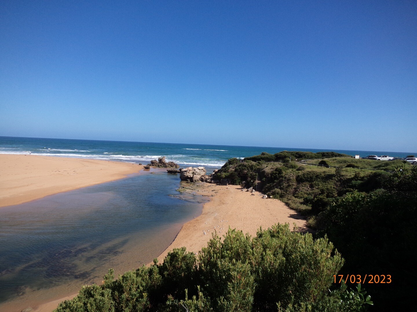
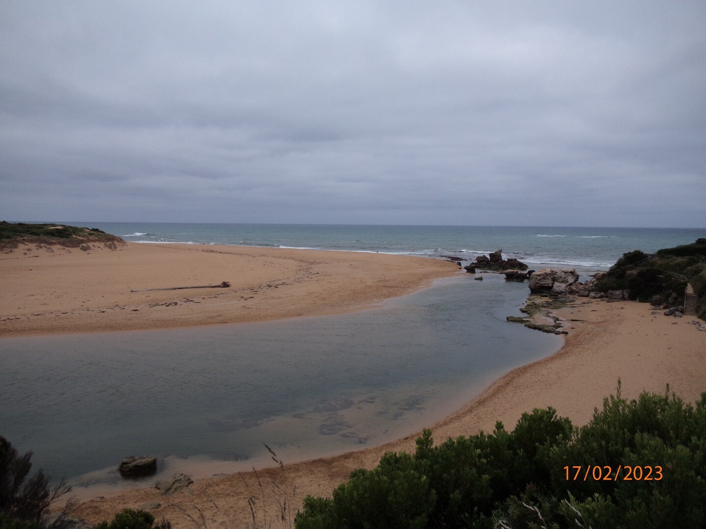
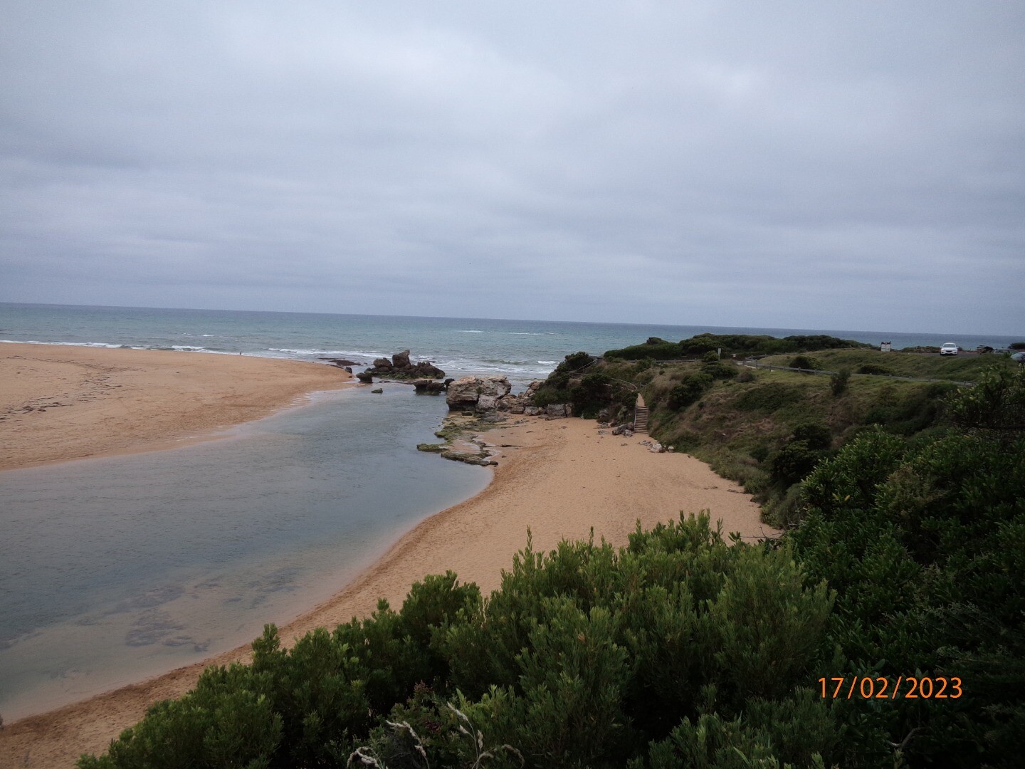
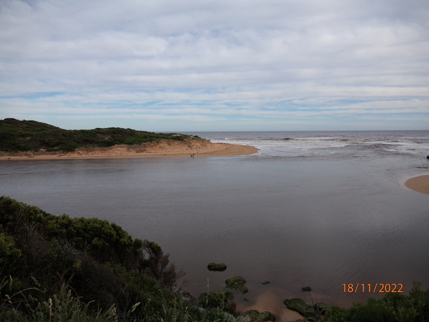
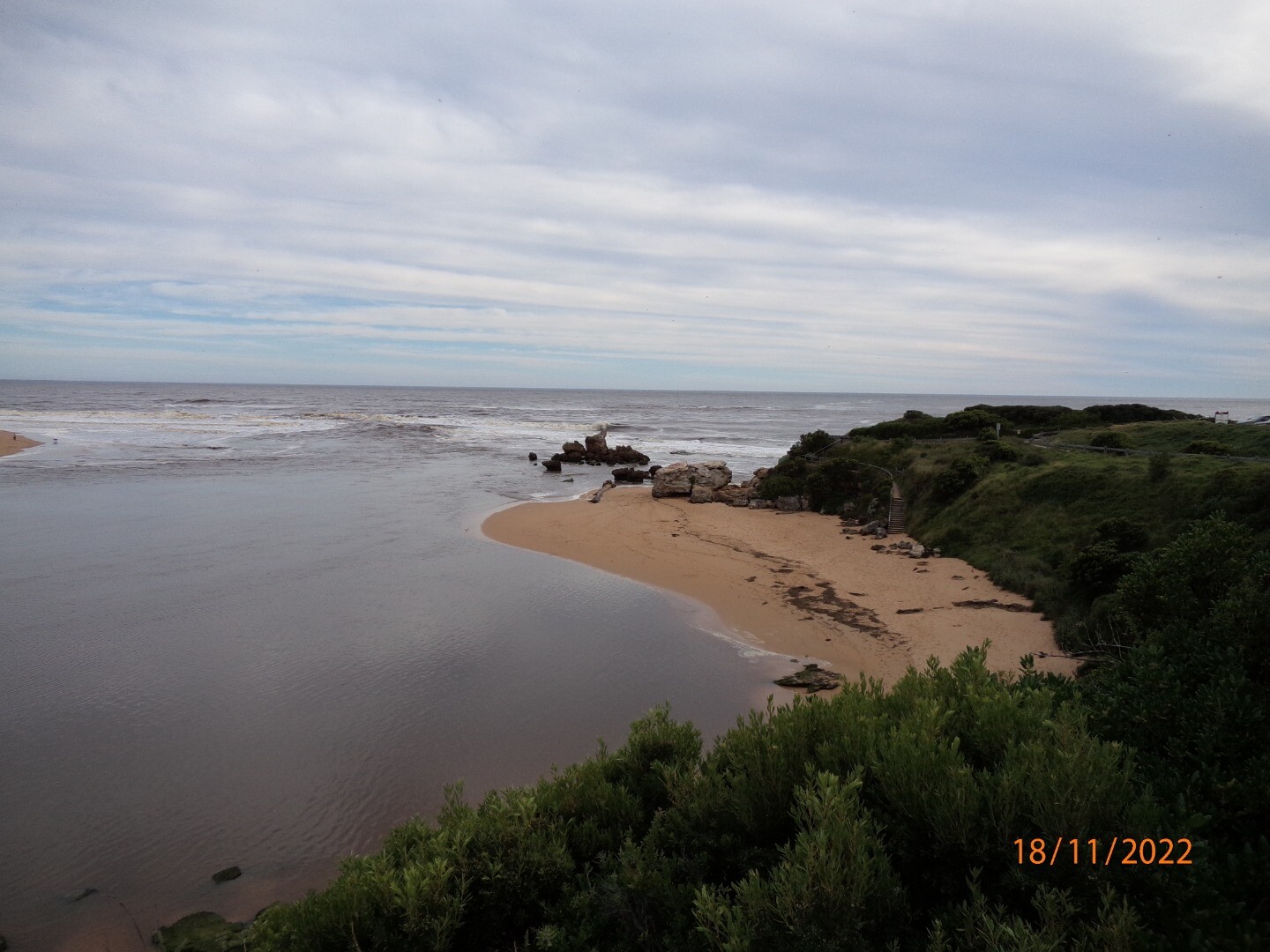
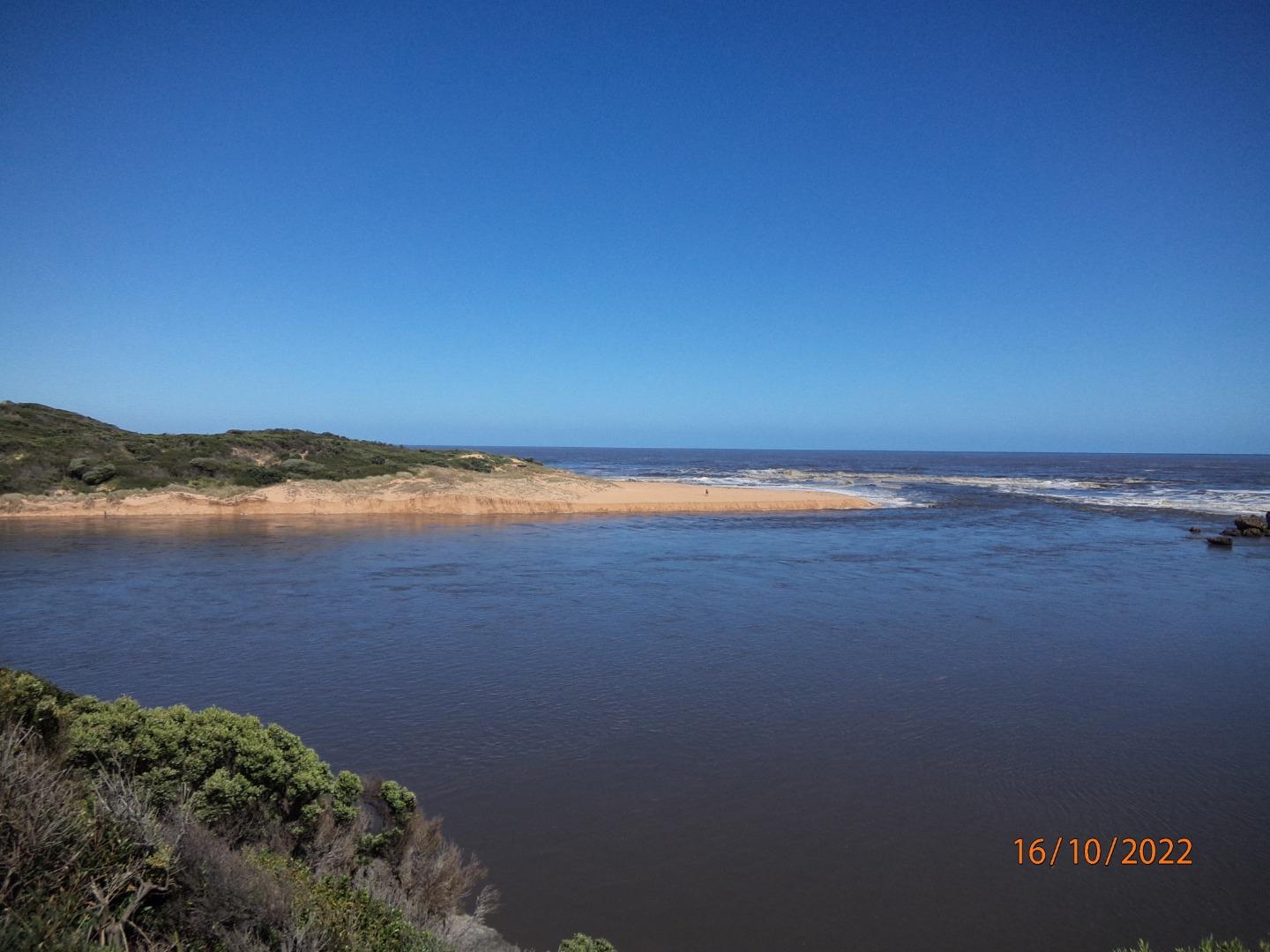
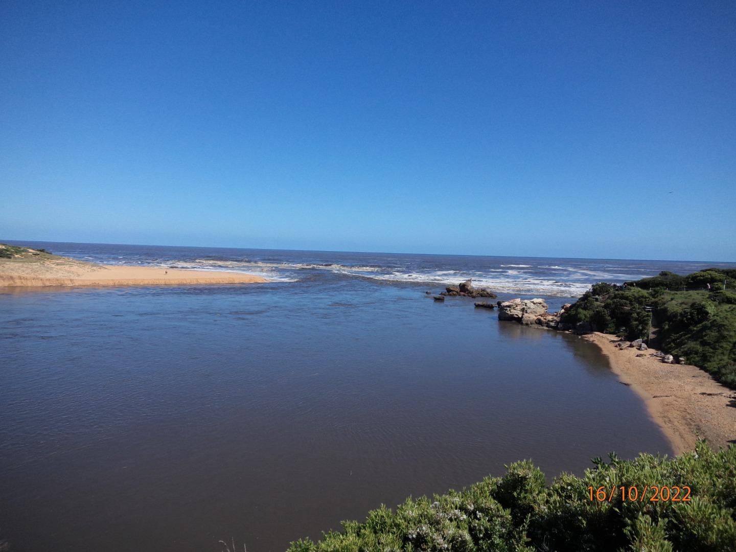
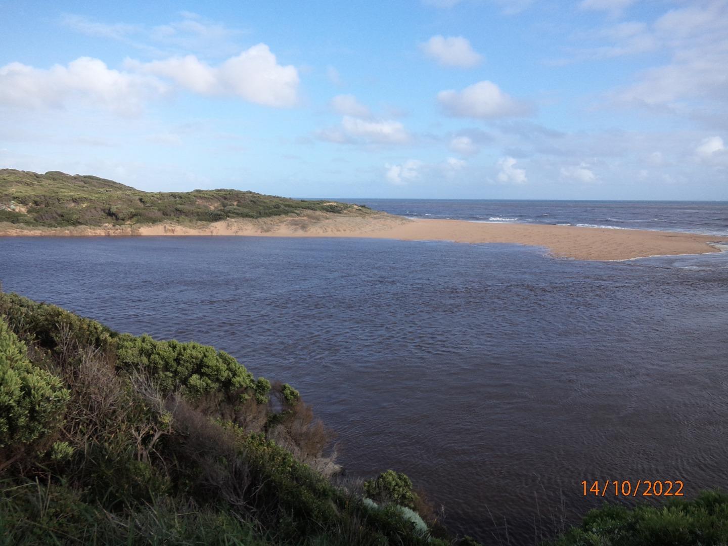
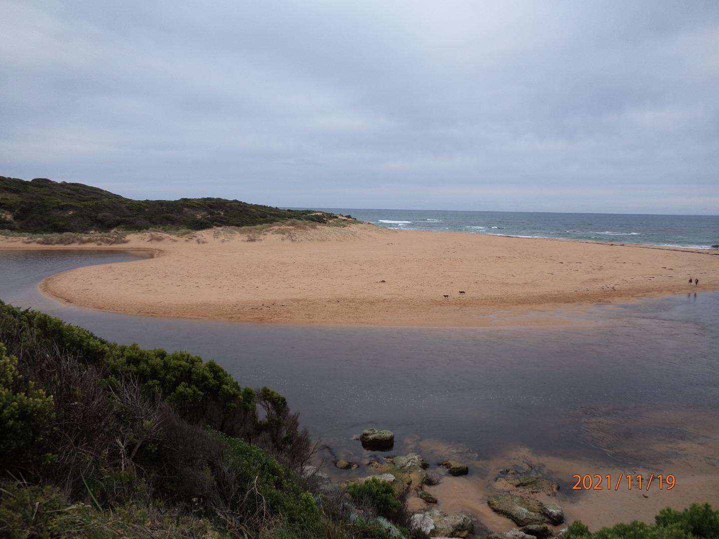
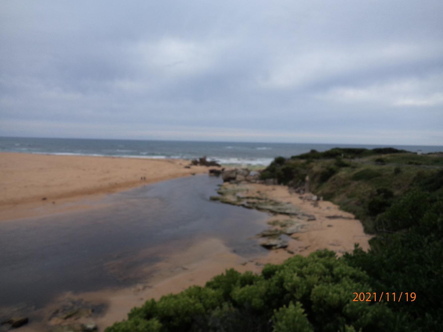
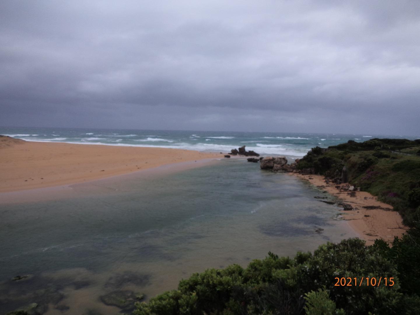
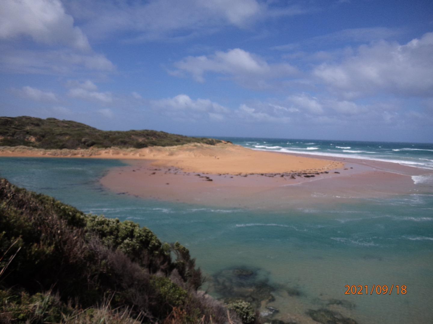
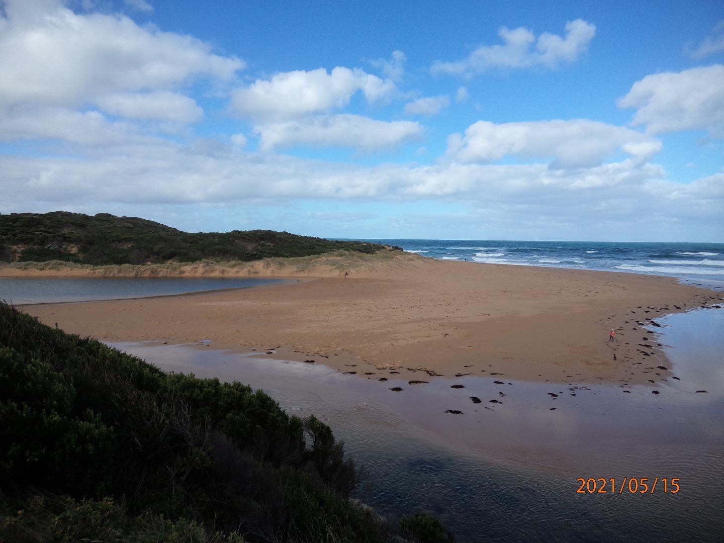
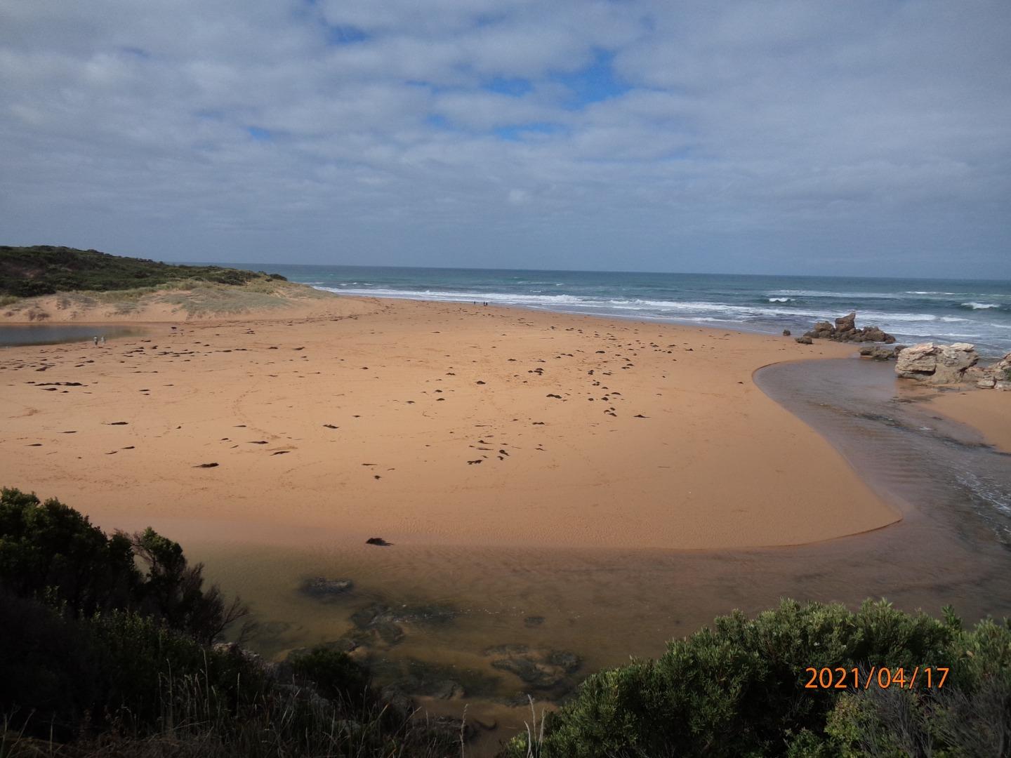
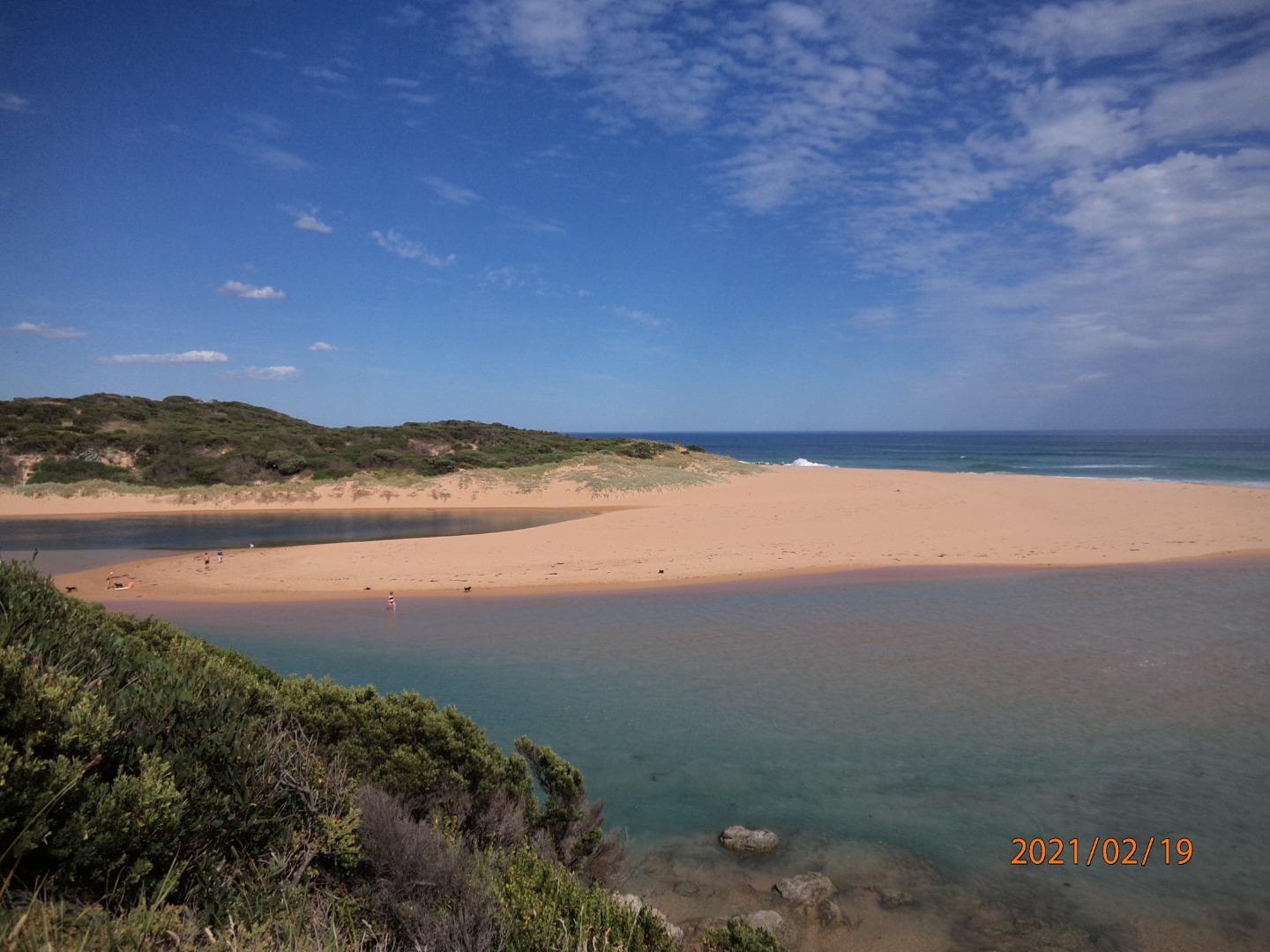
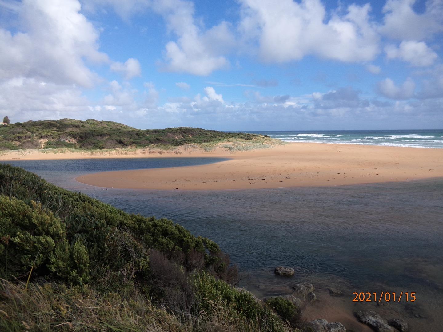
Hopkins River Photopoint Site OneActive Photopoint 06-12-2012 - 17-03-2025Small cleared area located on the western side of the river mouth. Photos 443 |
Winter 2026
Autumn 2026
Summer 2026
Spring 2025
Winter 2025
Autumn 2025
Summer 2025
Spring 2024
Winter 2024
Autumn 2024
Summer 2024
Spring 2023
Winter 2023
Autumn 2023
Summer 2023
Spring 2022
Winter 2022
Autumn 2022
Summer 2022
Spring 2021
Winter 2021
Autumn 2021
Summer 2021
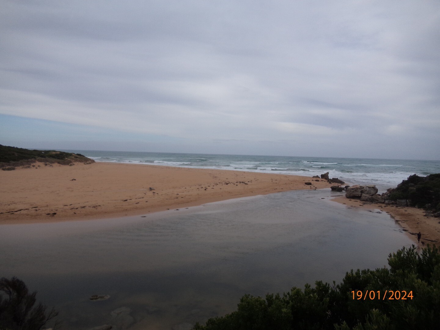
Mouth Condition Snapshots


We honour Elders past and present whose knowledge and wisdom has ensured the continuation of culture and traditional practices.
 All content, files, data and images provided by the EstuaryWatch Data Portal subject to a Creative Commons Attribution License
Data portal by CeRDI
All content, files, data and images provided by the EstuaryWatch Data Portal subject to a Creative Commons Attribution License
Data portal by CeRDI