Hopkins River Estuary
Glenelg Hopkins CMA
DOWNLOAD DATAHGB Hopkins River Water Level Gauge Board
Active Gauge Board Simpson Street, Warrnambool
This sites water level monitoring gauge board is attached to the Simpson Street boat ramp.Access is via the boat ramp carpark.
Land Use
- Recreational
- Urban Residential
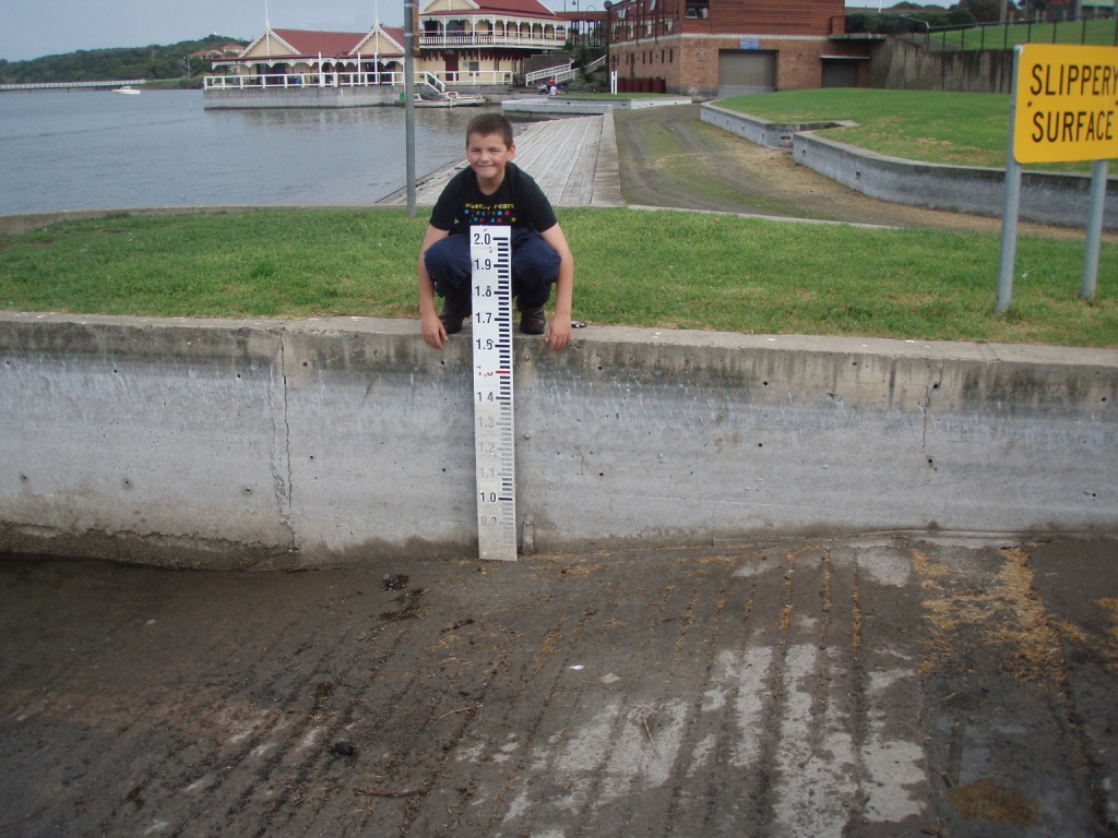
Hopkins River Water Level Gauge Board
Gauge Board Site
NOTE: Gauge Board sites are for location reference and do not contain any observation data
View the Mouth Condition, Physical Chemical, or Photopoint sites for information on this Estuary
View the Mouth Condition, Physical Chemical, or Photopoint sites for information on this Estuary
We acknowledge and respect Victorian Traditional Owners as the original custodians of Victoria’s land and waters, their unique ability to care for Country and deep spiritual connection to it.
We honour Elders past and present whose knowledge and wisdom has ensured the continuation of culture and traditional practices.
We honour Elders past and present whose knowledge and wisdom has ensured the continuation of culture and traditional practices.
 All content, files, data and images provided by the EstuaryWatch Data Portal subject to a Creative Commons Attribution License
Data portal by CeRDI
All content, files, data and images provided by the EstuaryWatch Data Portal subject to a Creative Commons Attribution License
Data portal by CeRDI