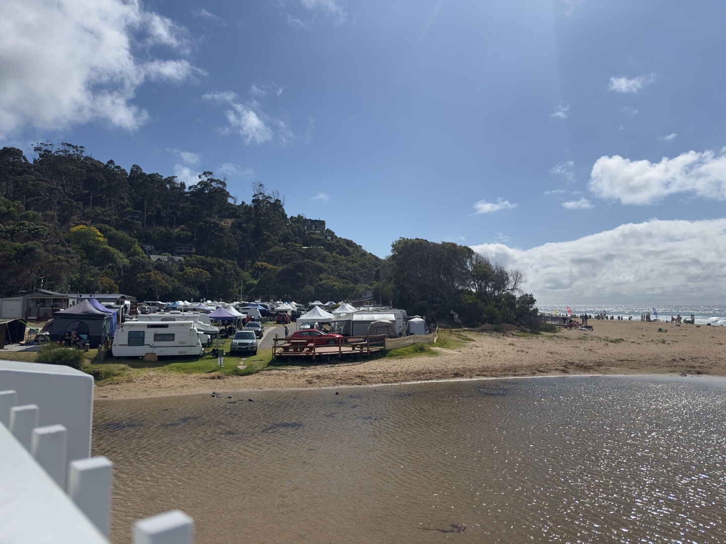
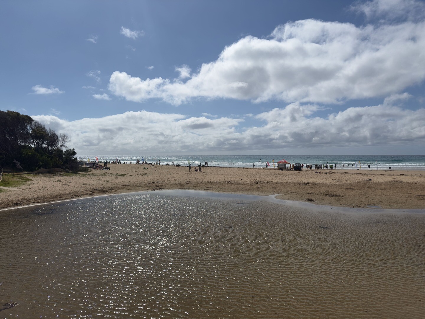
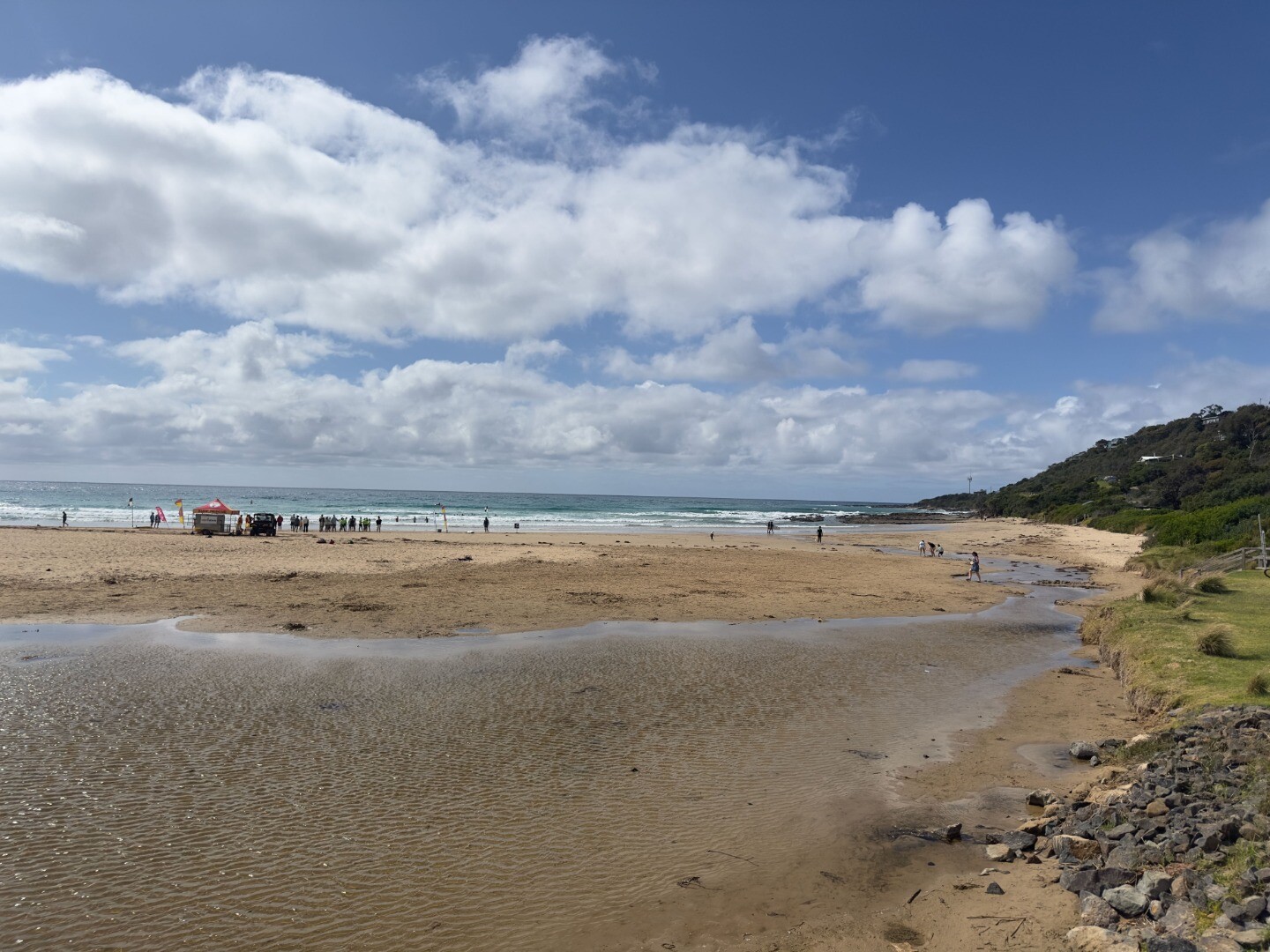
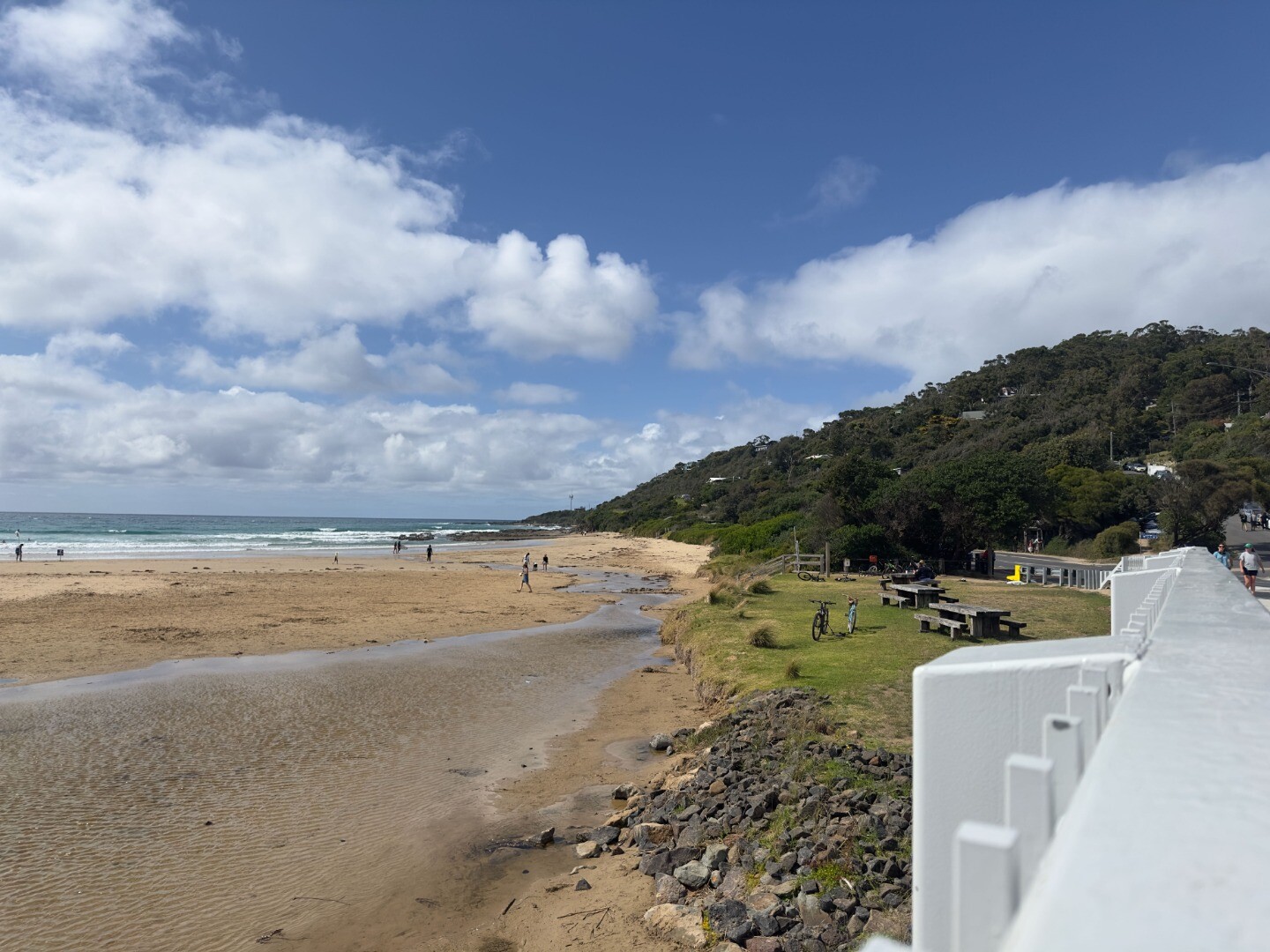
Wye River Estuary
Corangamite CMA
DOWNLOAD DATAOverview
Active Wye River EstuaryWatchers
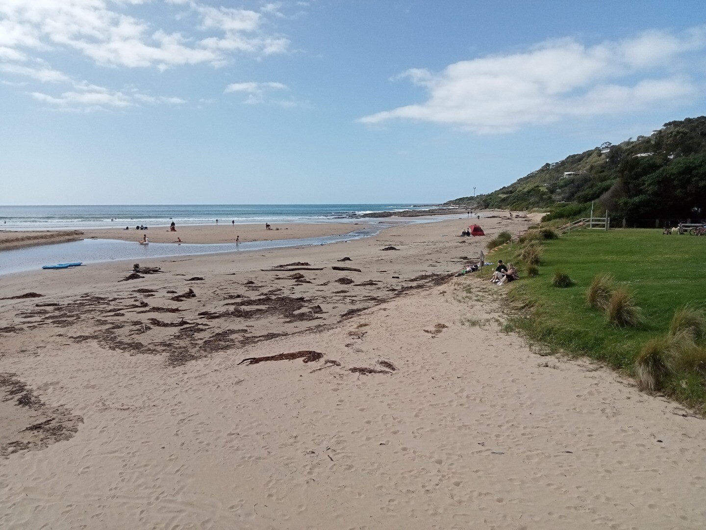
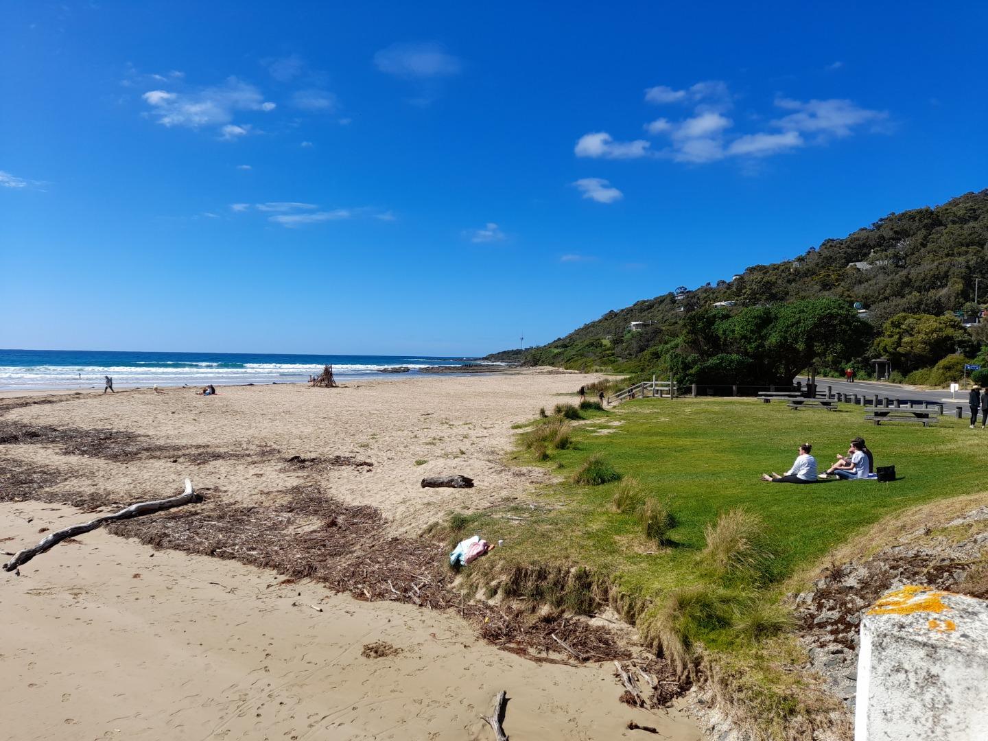
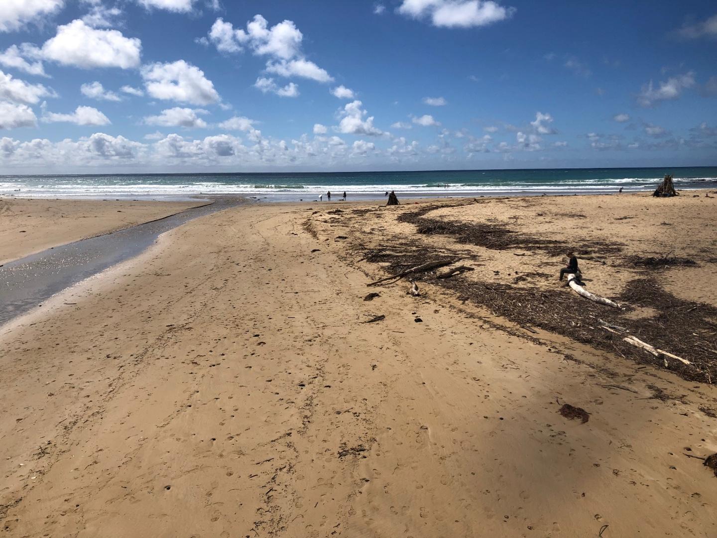
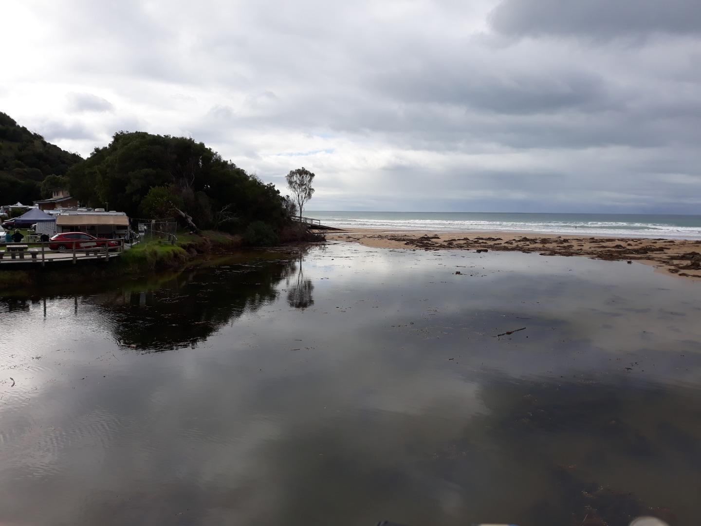
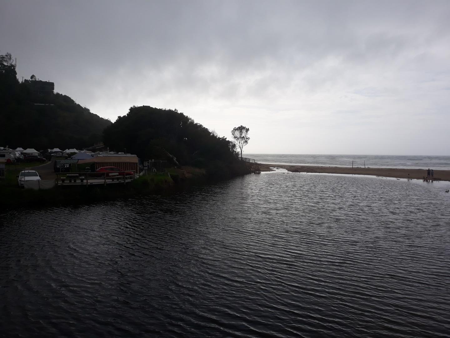
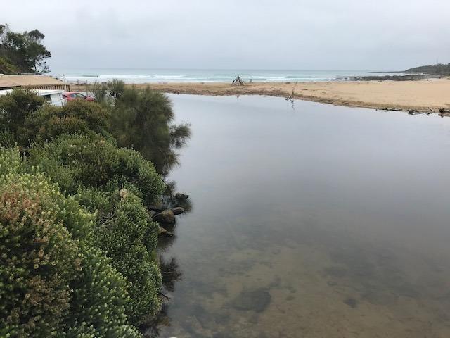
The estuary is home to the vulnerable Tasmanian Mudfish which bury themselves beneath logs or stones during dry summers. The estuary is approximately 1km in length
Map
Estuary Values
- a significant fish species found on the Wye River estuary is the Australian Grayling.
- Estuarine Wetland Ecological Vegetation Class (Endangered)
- Riparian Forest Ecological Vegetation Class (Least Concern)
- Wet Forest Ecological Vegetation Class (Least Concern)
- Cool Temperate Rainforest Ecological Vegetation Class (Endangered)
- a significant bird species found on the Wye River is the Azure Kingfisher (Alcedo azurea)
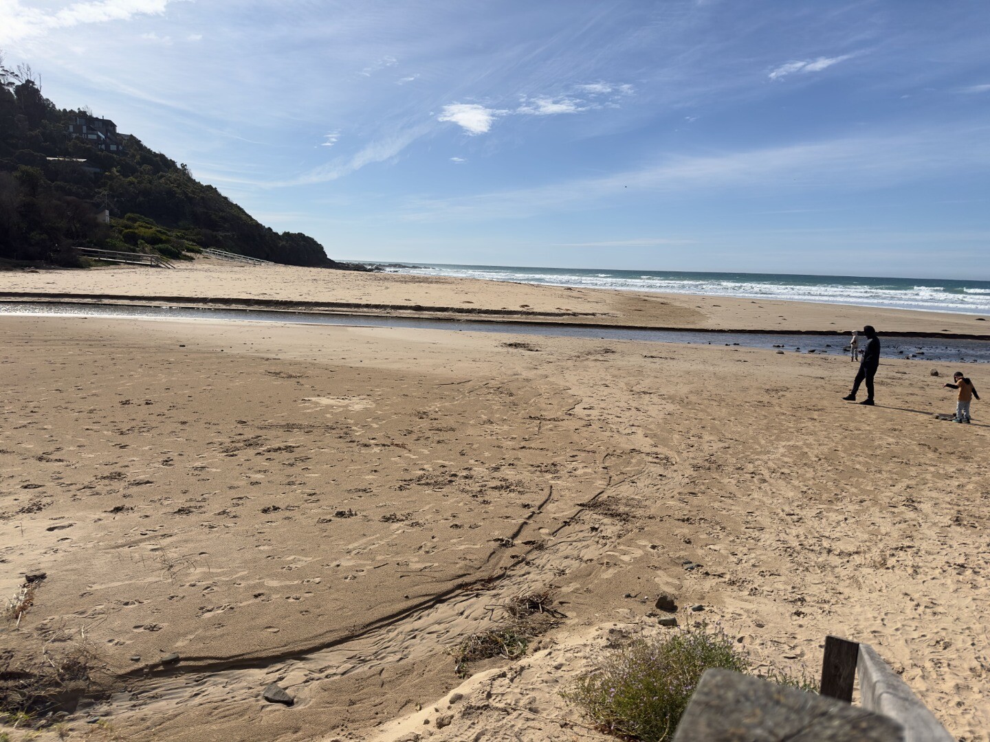
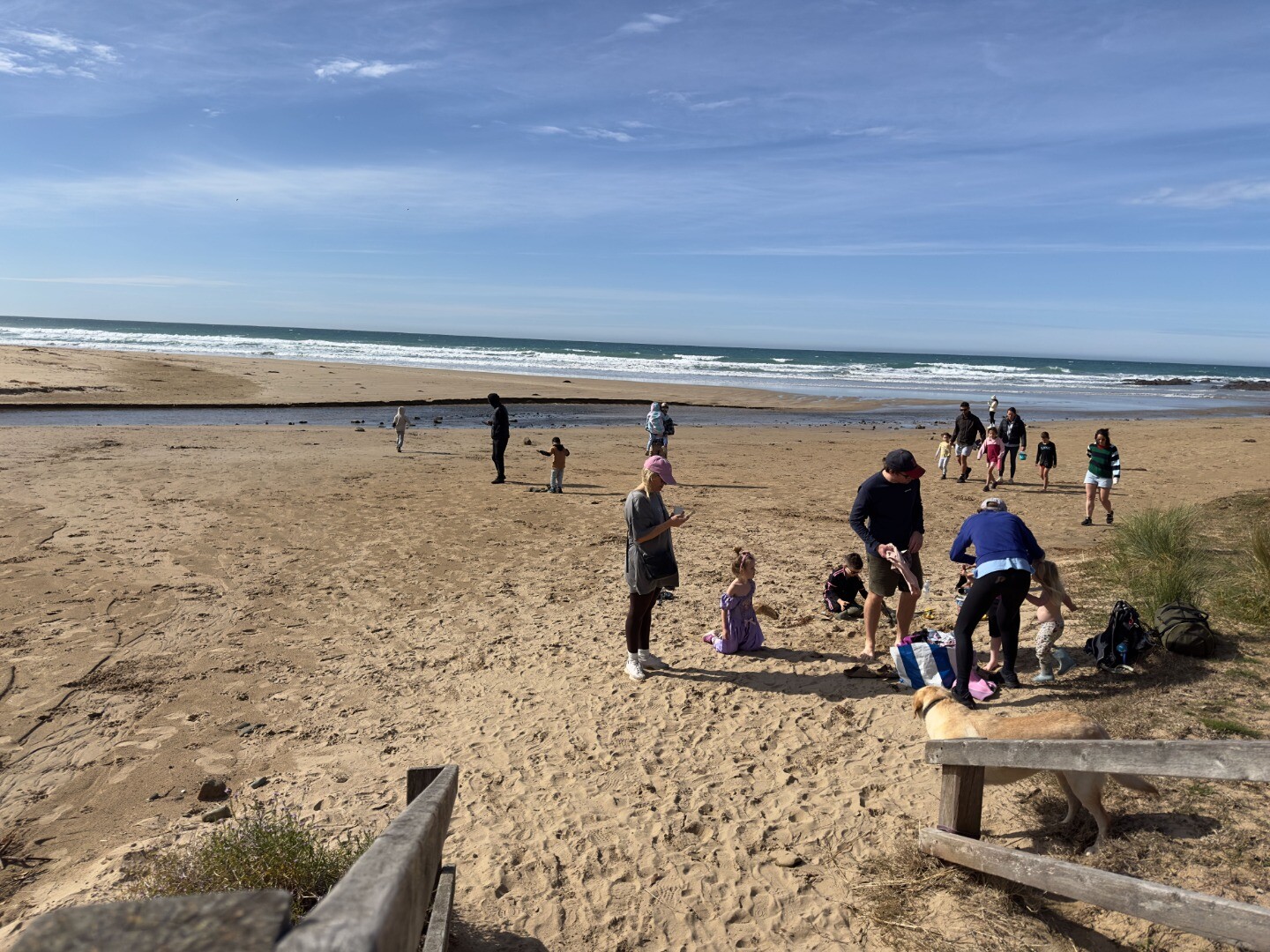
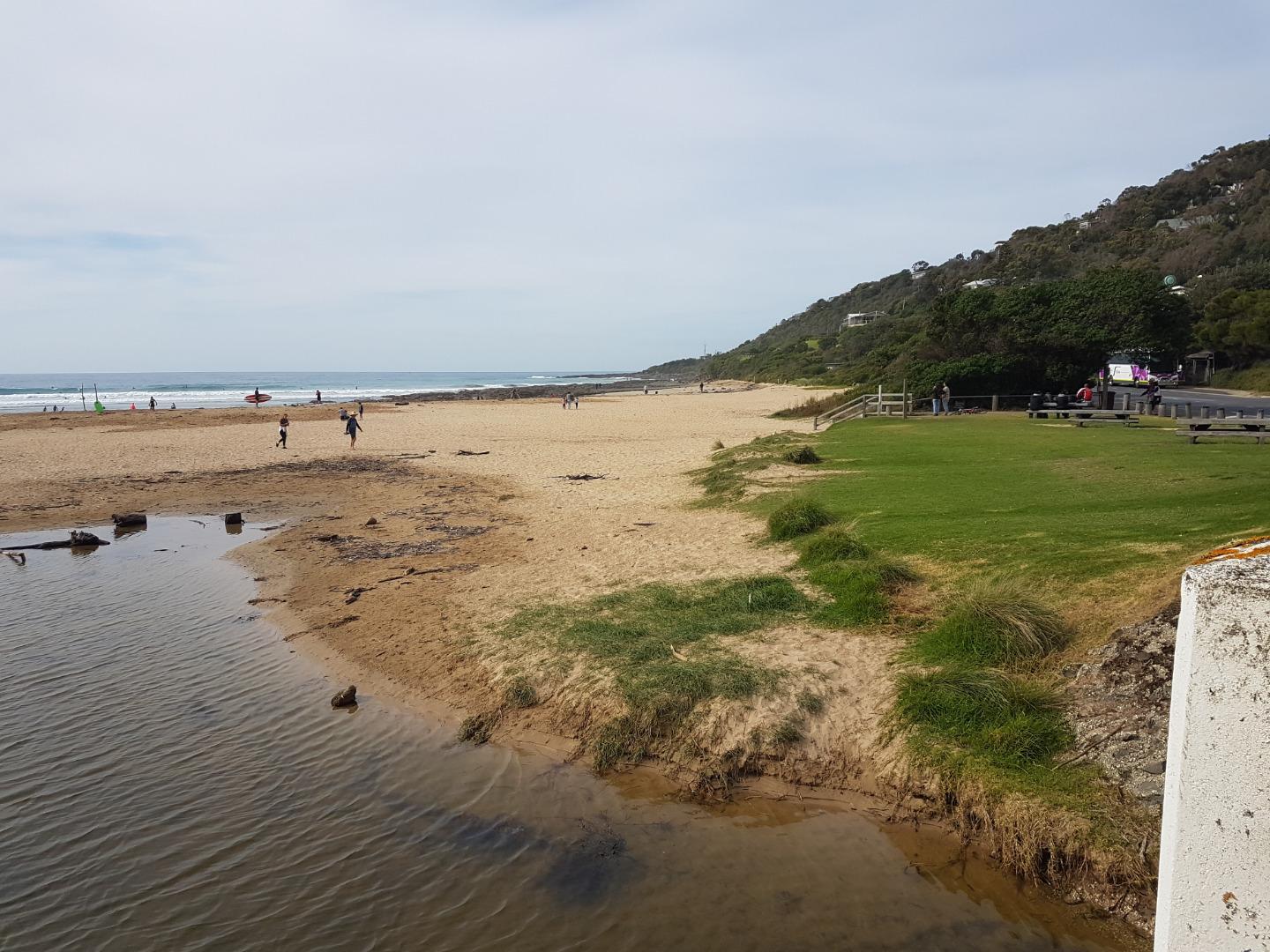
- swimming
- picnics and barbecues
- sightseeing
- tourism
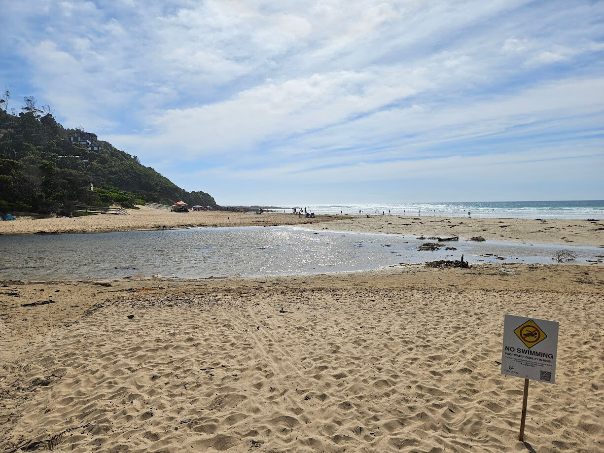
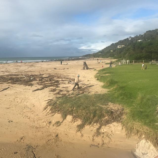
Estuary Threats
- bank instability
- degraded estuarine vegetation
- disturbance of acid sulphate soils
Recent Events
| Event Details |
|---|
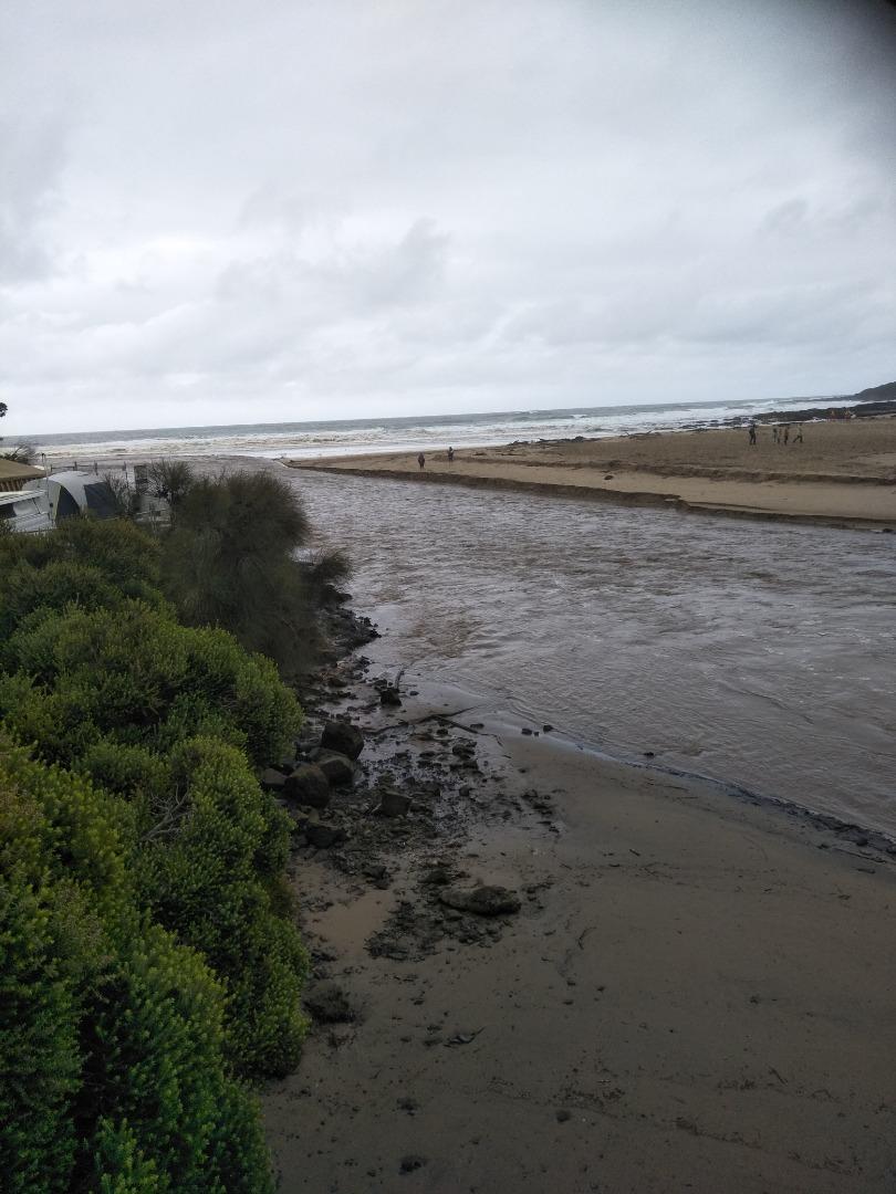
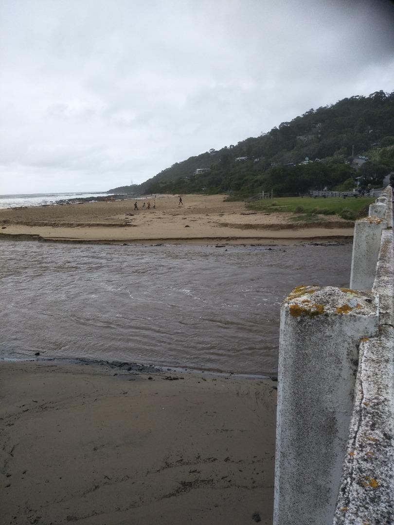
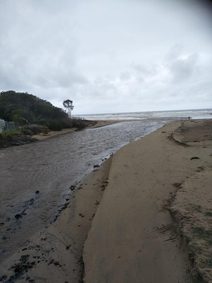
| 15-01-2026 Weather Event
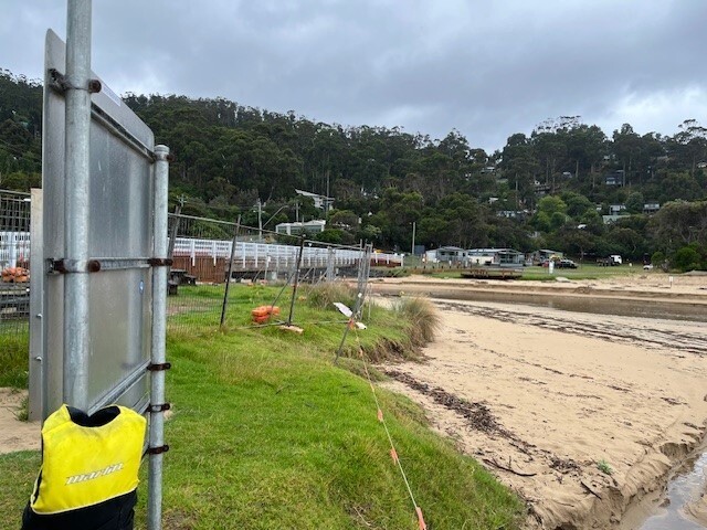
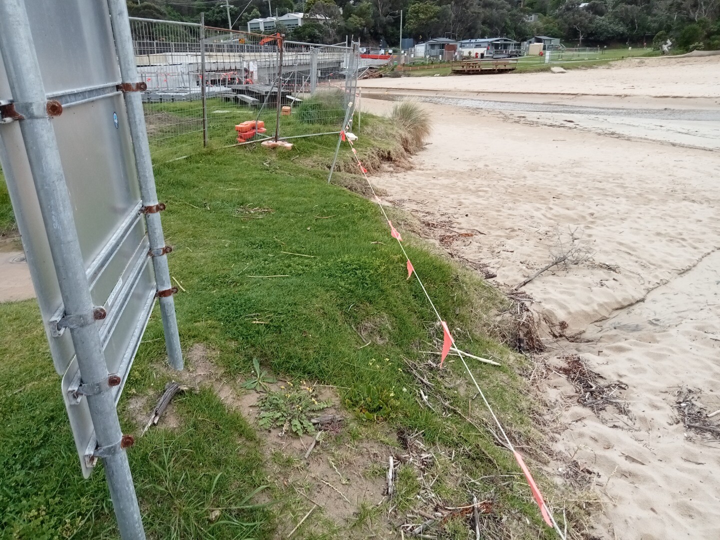
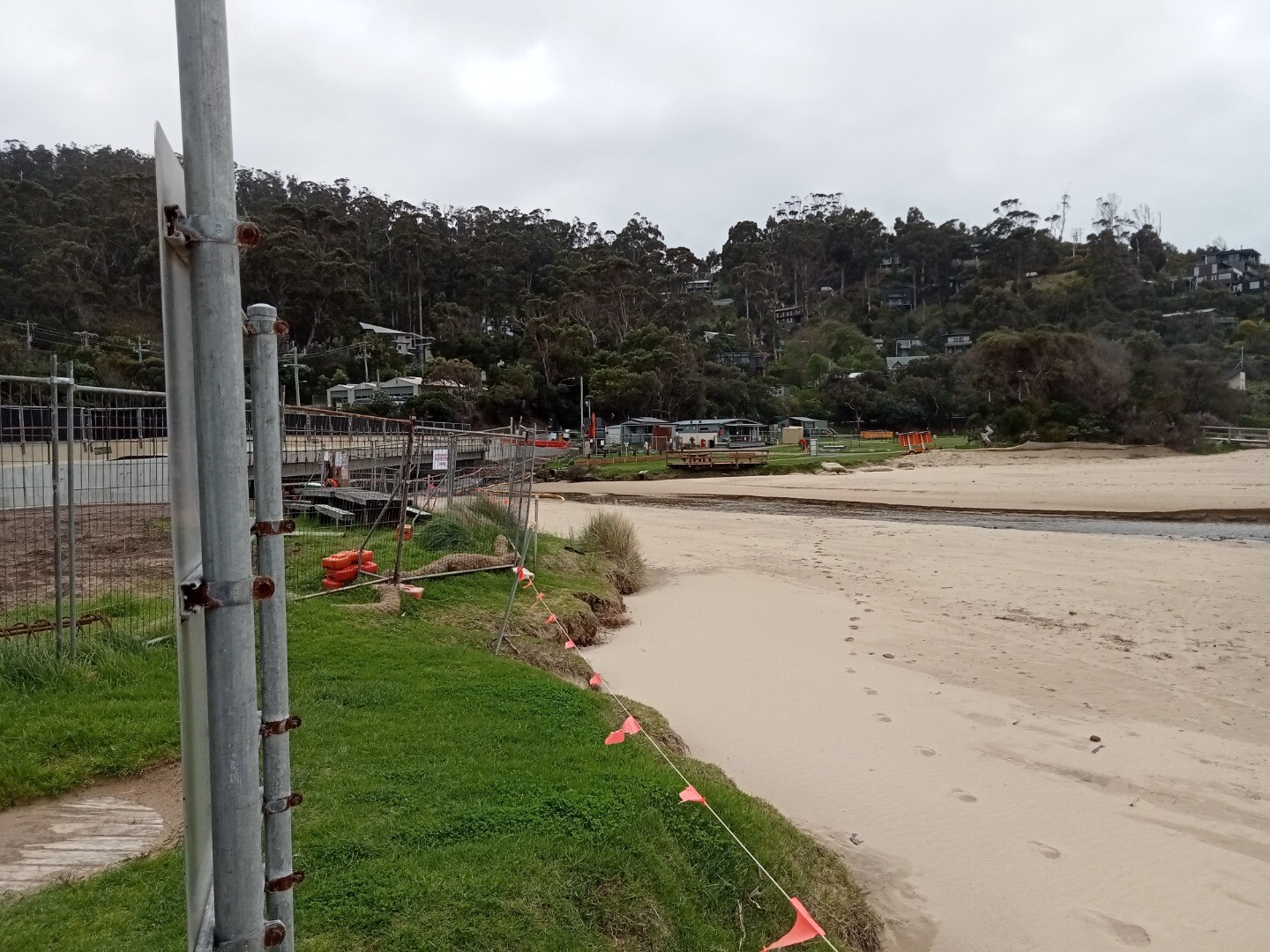
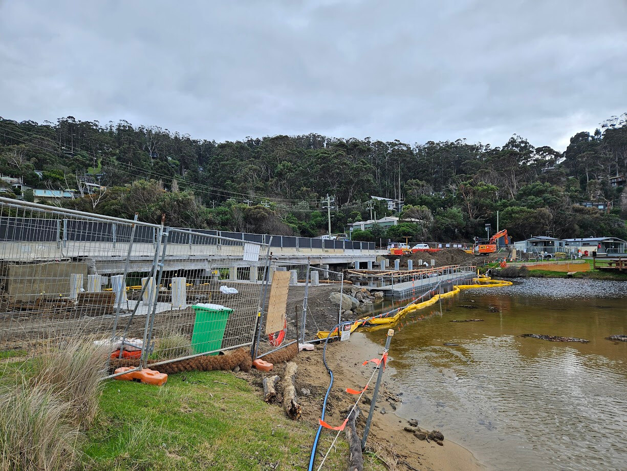
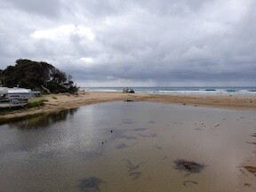
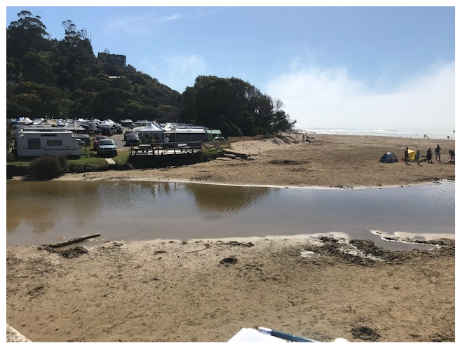
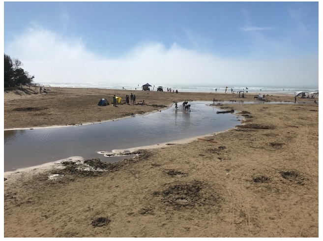
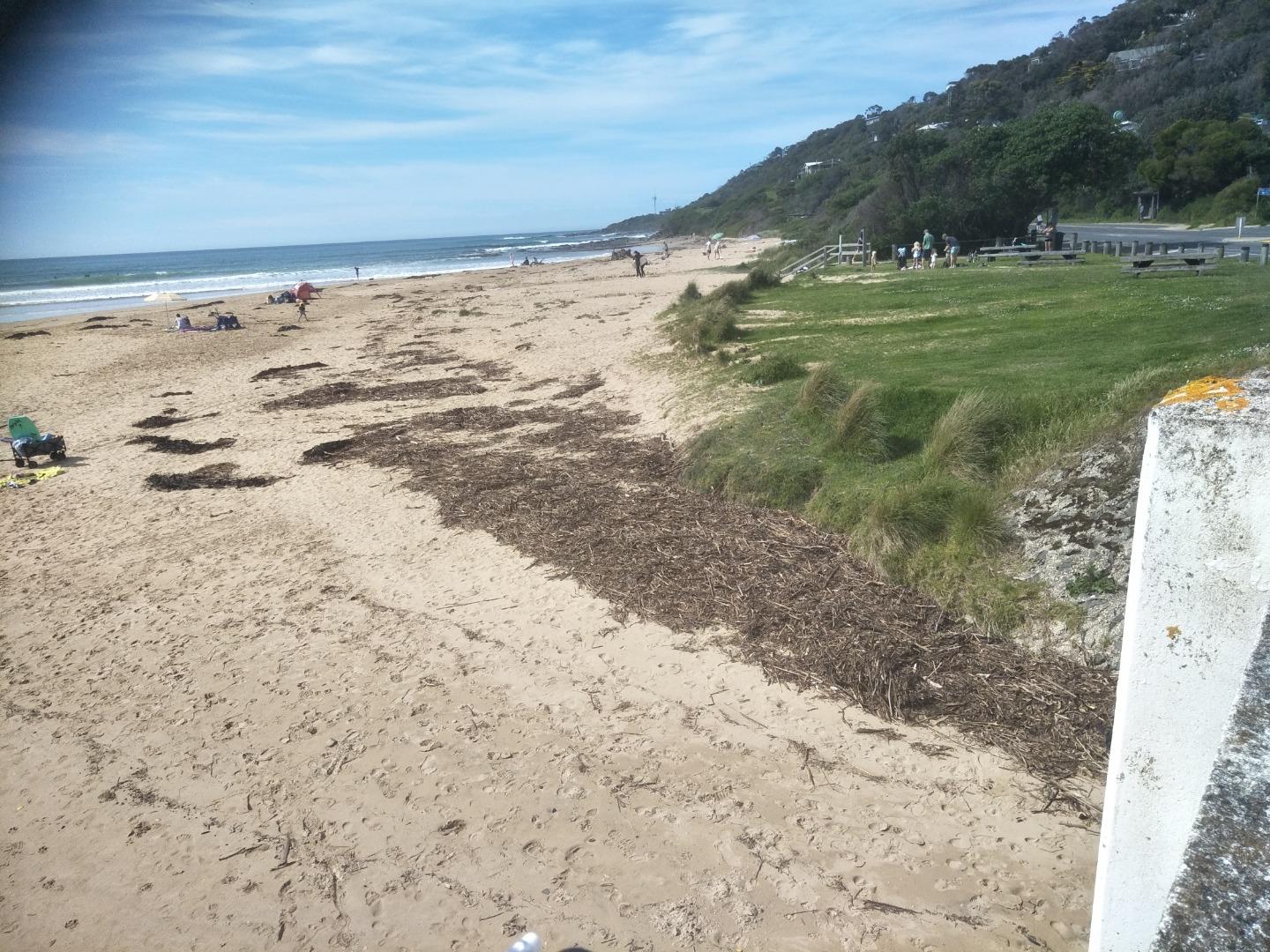
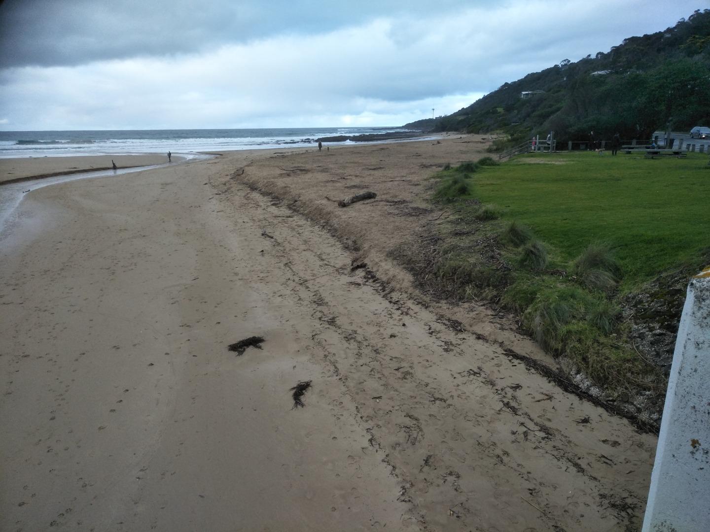
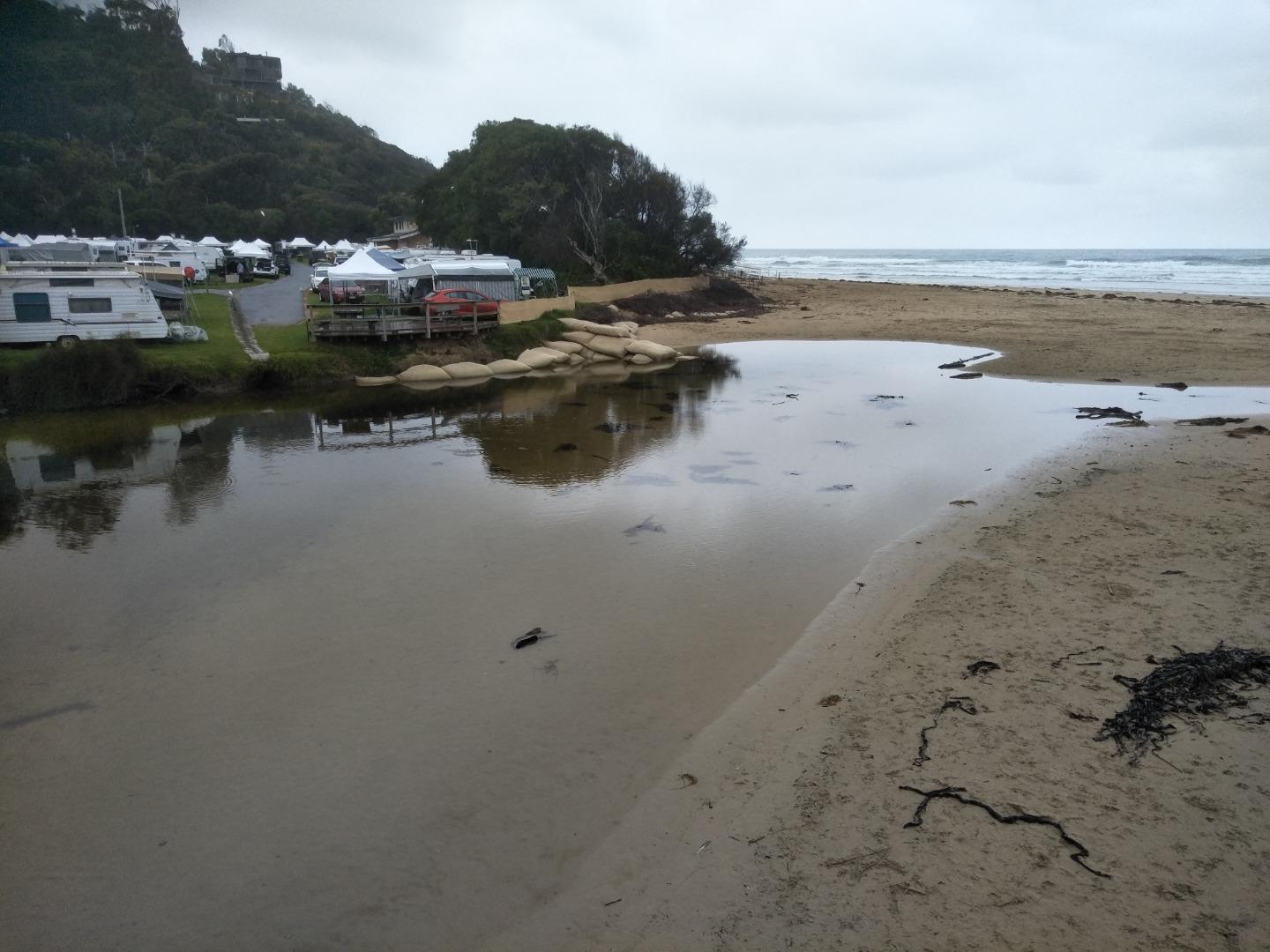
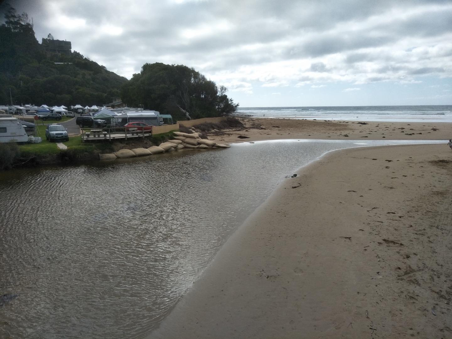
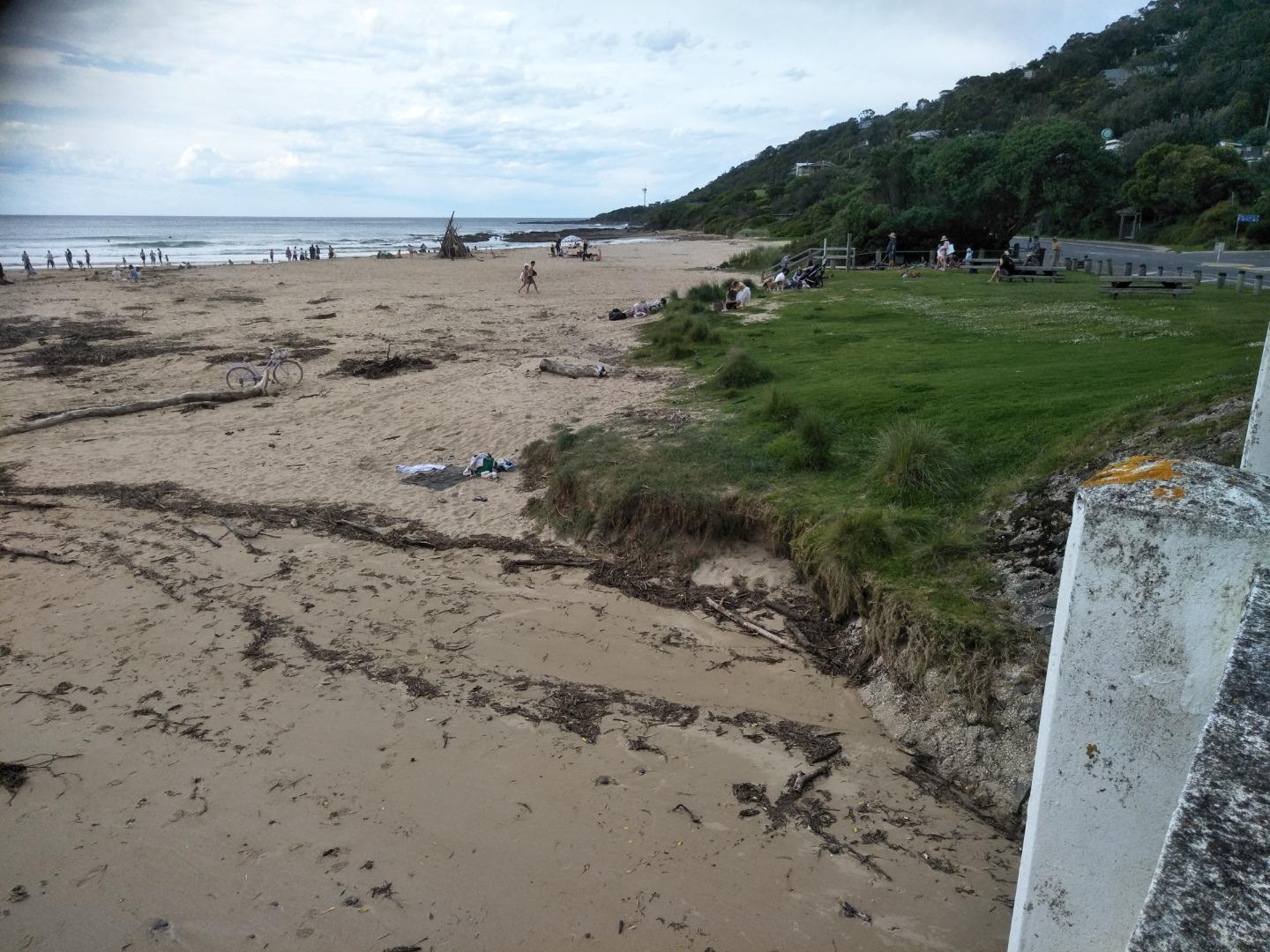
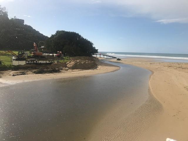
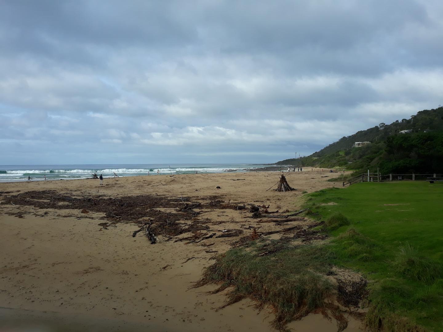
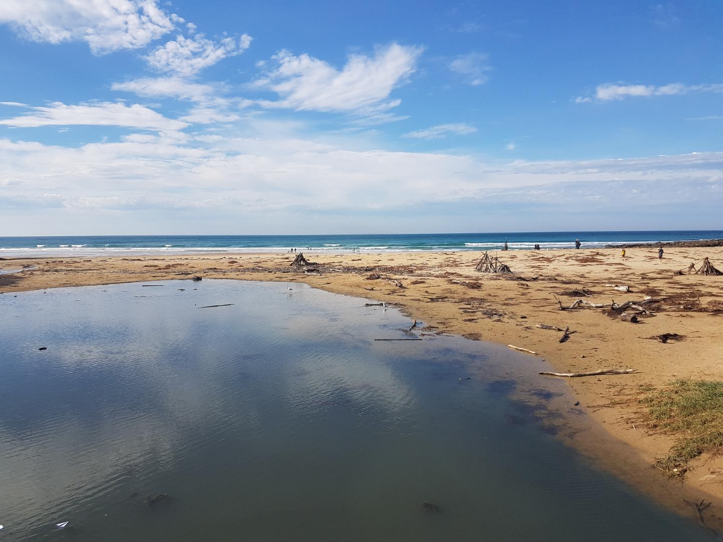
Major Flash Flooding Event - On 15 January 2026, the Wye River estuary experienced a severe flash-flood event following an intense thunderstorm over the upper catchment. Heavy rainfall fell over a very short period, with approximately 170–180 mm recorded within several hours, causing the river to rise extremely rapidly. The most intense rainfall and flooding occurred from late morning through the early to mid-afternoon, with peak floodwaters moving through the township and estuary during the afternoon. Fast-moving water overtopped the riverbanks, carrying large volumes of sediment, vegetation and debris, with some material flushed through the estuary mouth into the ocean. The flooding was driven by exceptional rainfall intensity over steep terrain, resulting in rapid runoff and minimal warning time. Hundreds of people, including residents and holiday-makers in caravan parks and low-lying areas, were affected, with emergency evacuations required to higher ground. Impacts relevant to the estuary included a sudden and major freshwater inflow, significant sediment and debris transport, likely short-term deterioration in water quality, and physical disturbance to the estuary channel and river mouth. https://www.abc.net.au/news/2026-01-16/flooding-great-ocean-road-victoria-wye-river-lorne/106232918 https://www.abc.net.au/news/2026-01-16/vic-what-caused-great-ocean-road-flash-flooding/106235904 https://www.abc.net.au/news/2026-01-16/wye-river-flood-castlemaine-harcourt-fires/106236018 https://www.thenewdaily.com.au/news/state/vic/2026/01/15/storms-victoria https://www.thenewdaily.com.au/news/state/vic/2026/01/16/flash-flood-carnage https://www.pedestrian.tv/news/victoria-great-ocean-road-flash-flooding-cars-swept-out-to-sea/ |
Sites
Wy1 |
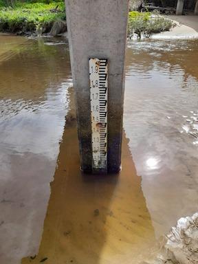
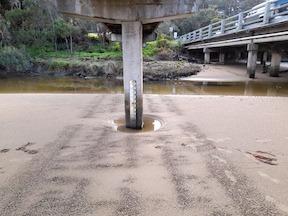
Fishing platformInactive Physico-Chemical 06-07-2014 - 29-03-2019Fishing platform upstream of the GOR bridge in Wye River. Measurements are taken from the fish ruler. Observations 9 |
WY2 |
Wye River Upper Phys.ChemInactive Physico-Chemical 23-11-2018 - 29-03-2019Observations 6 |
WyMC |
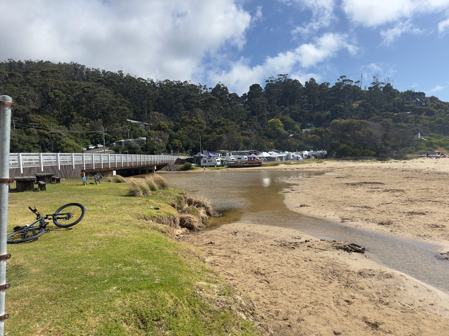
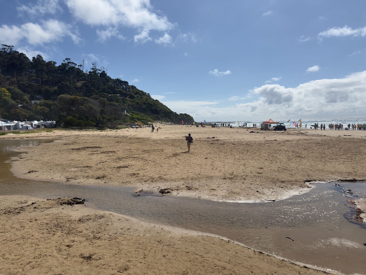
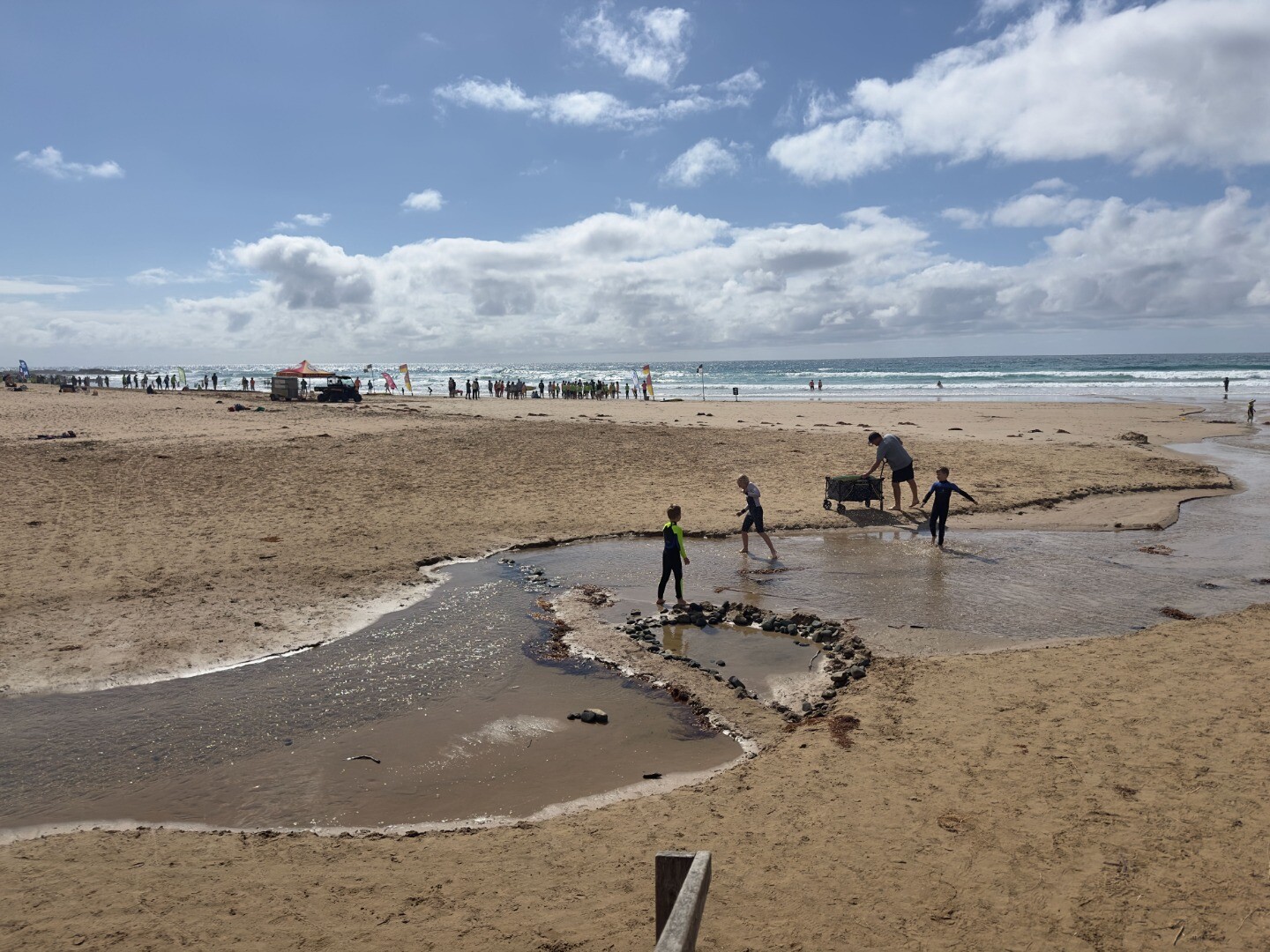
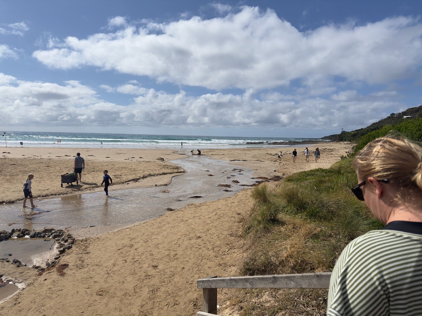
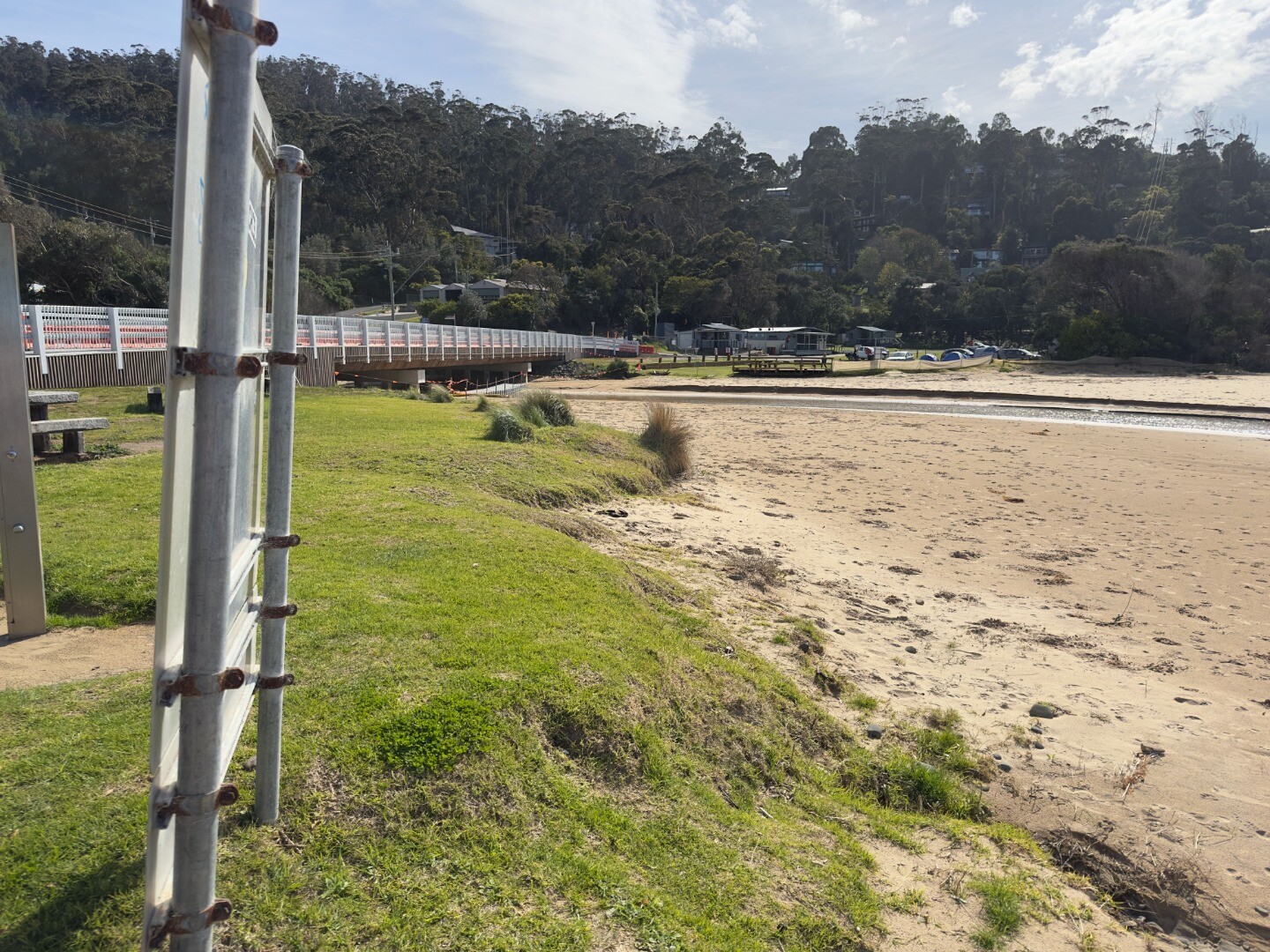
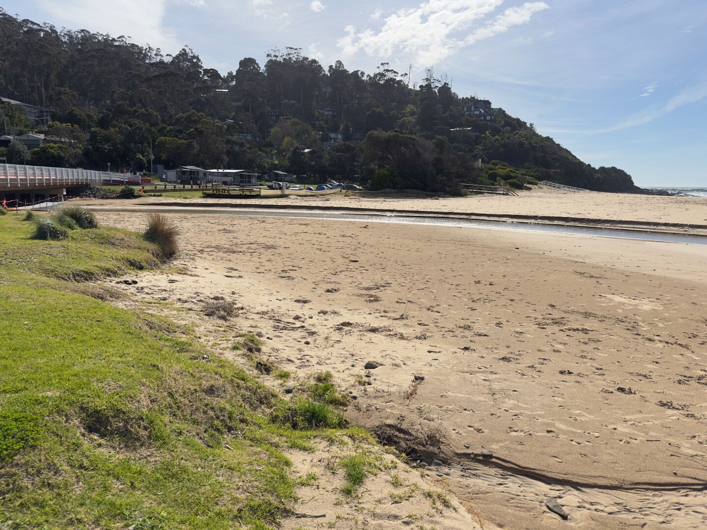
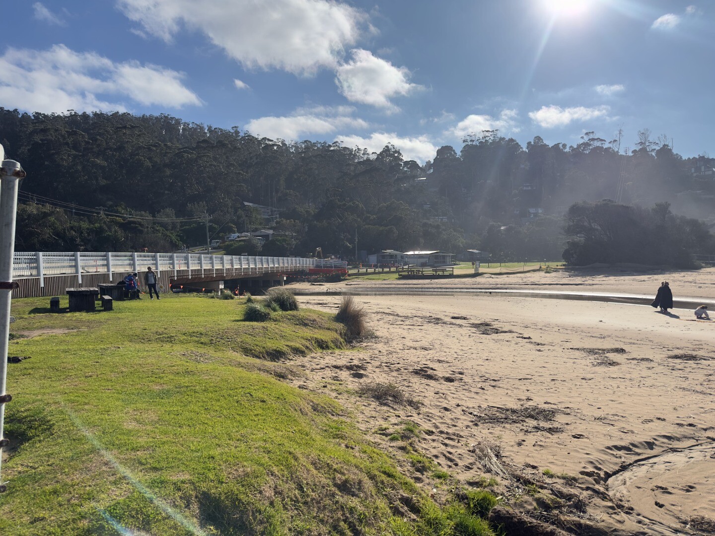
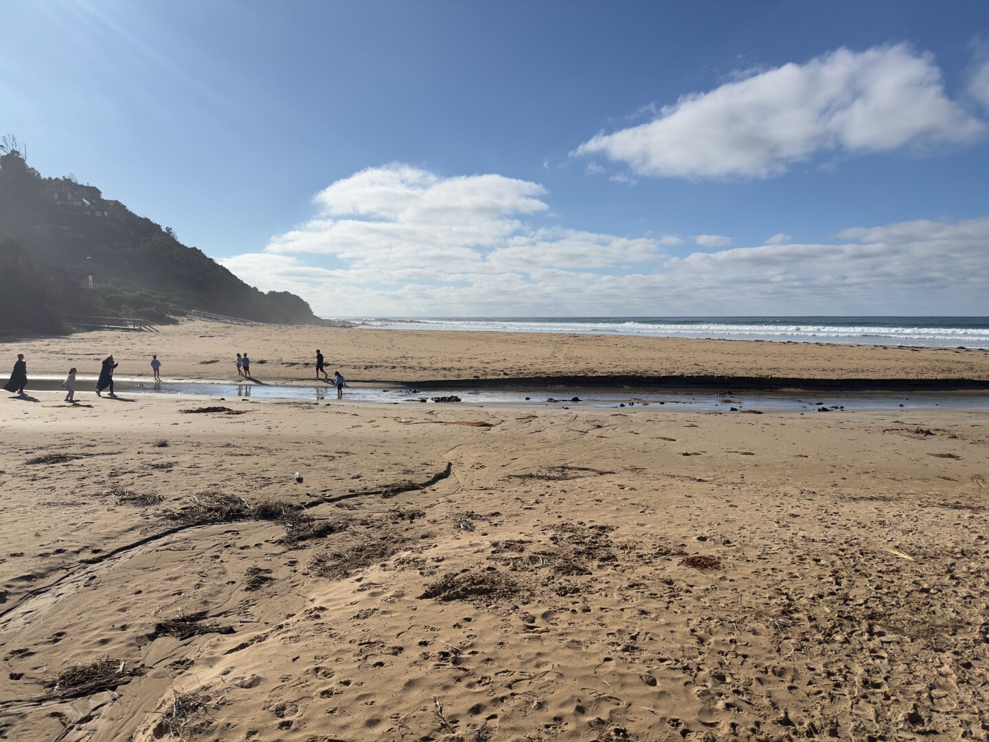
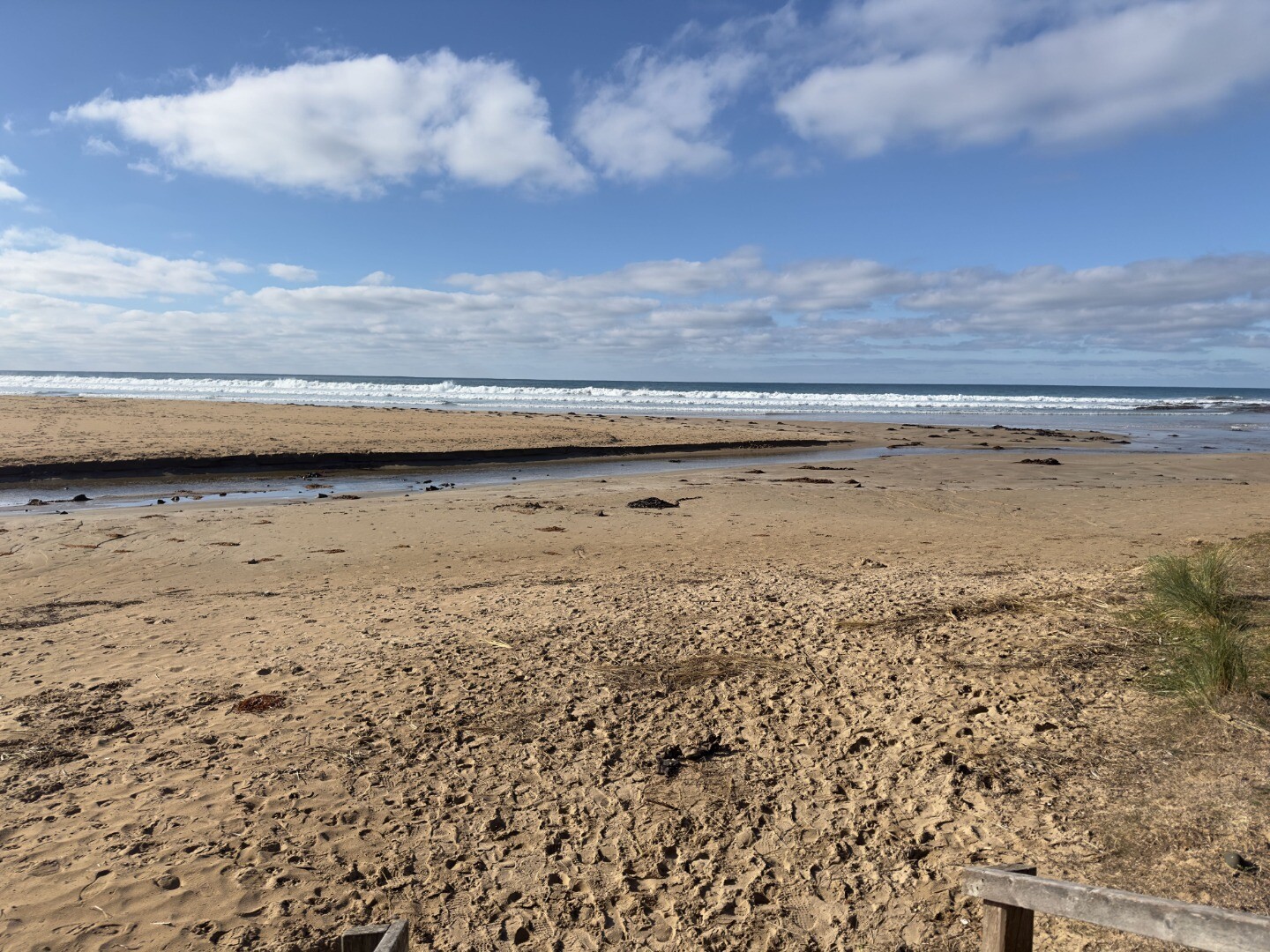
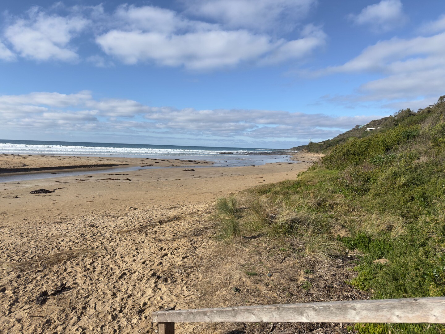
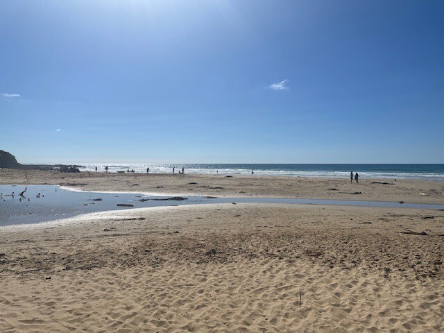
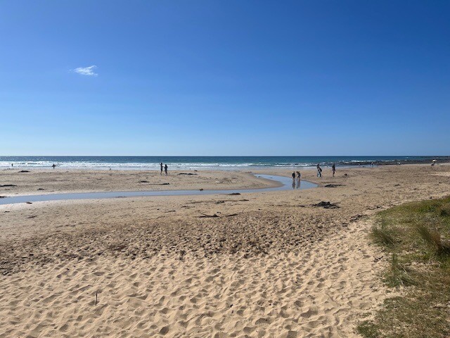
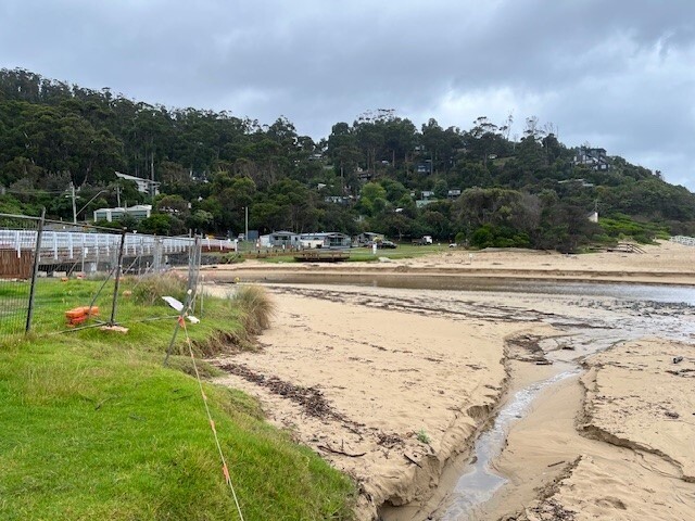
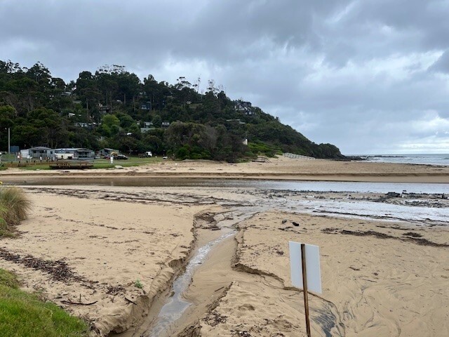
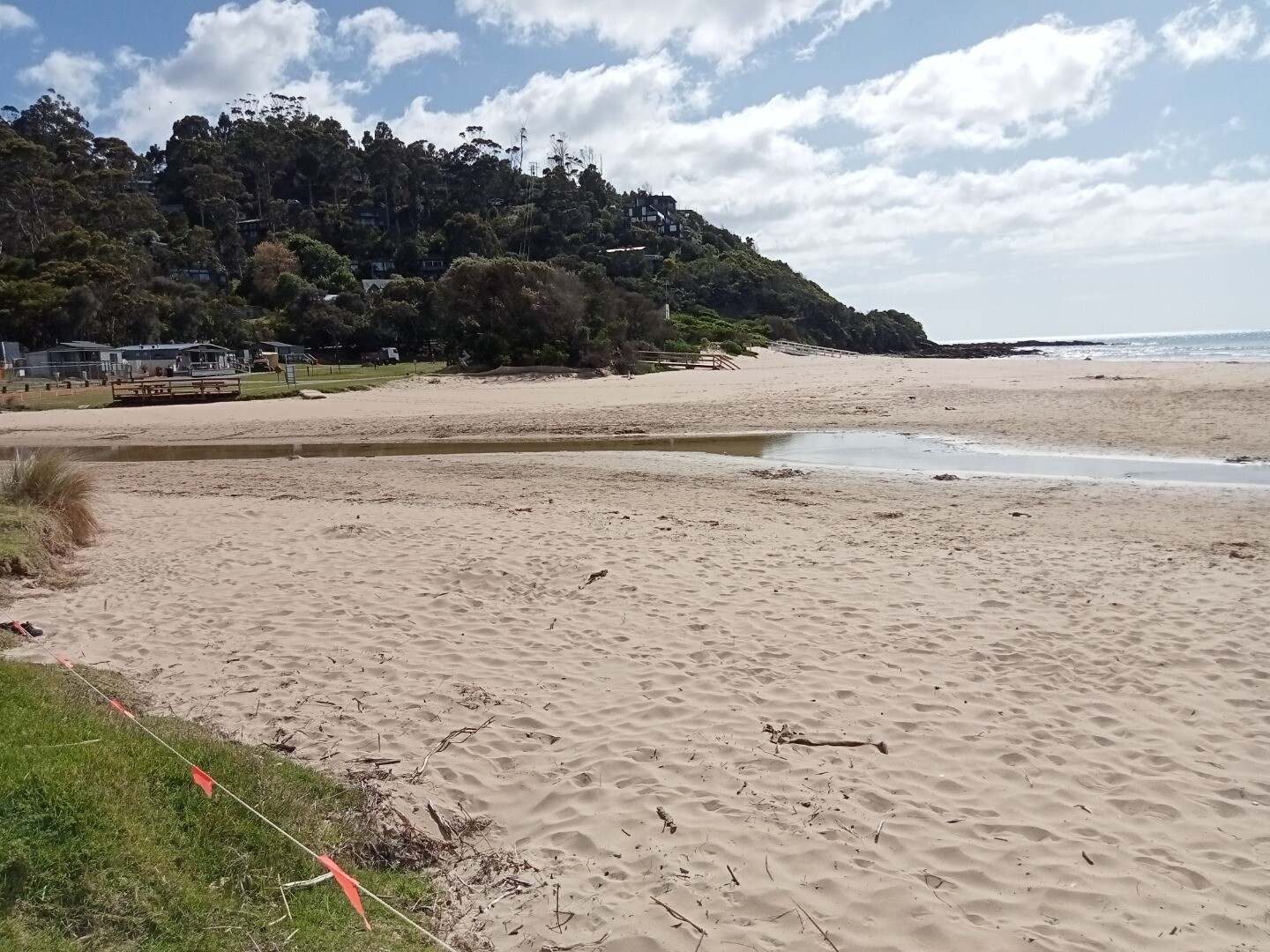
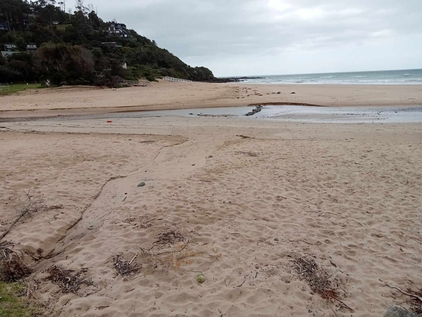
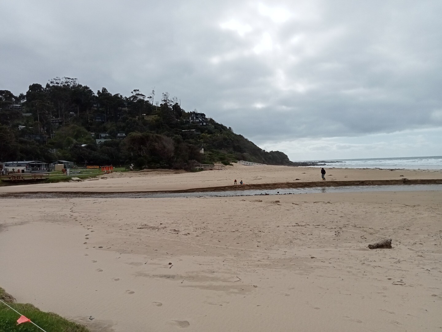
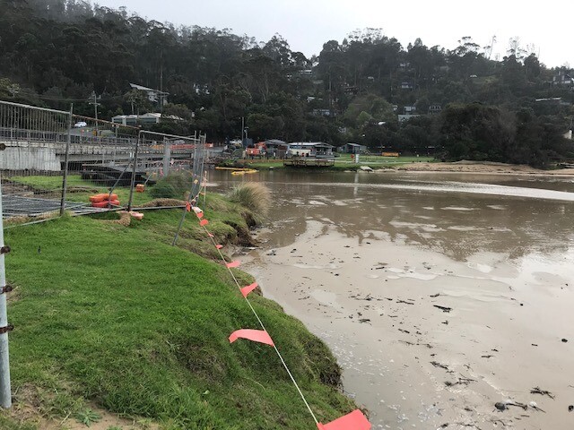
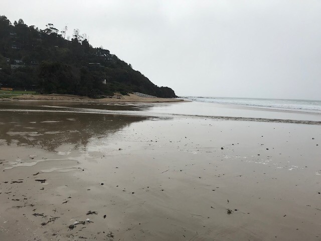
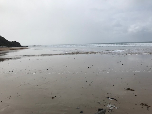
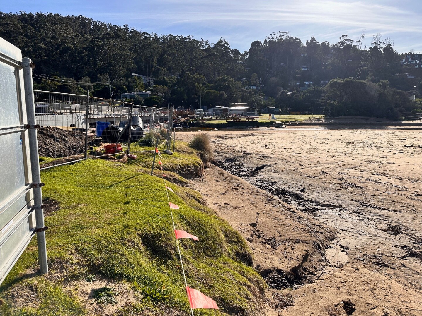
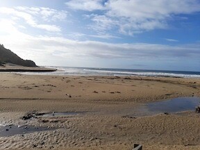
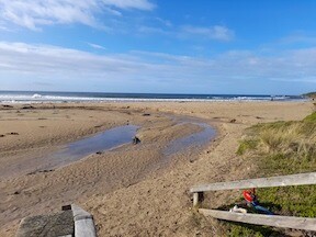
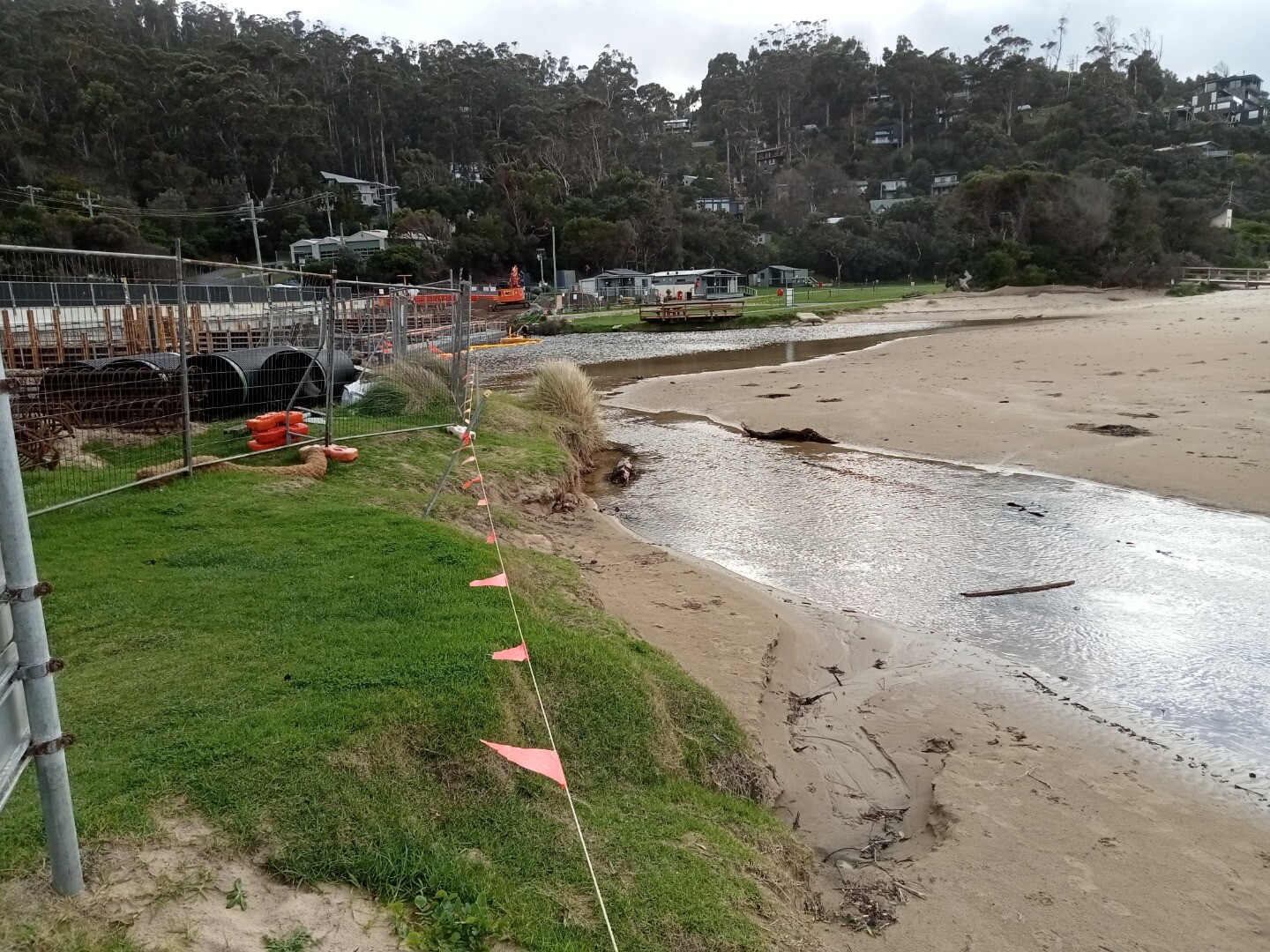
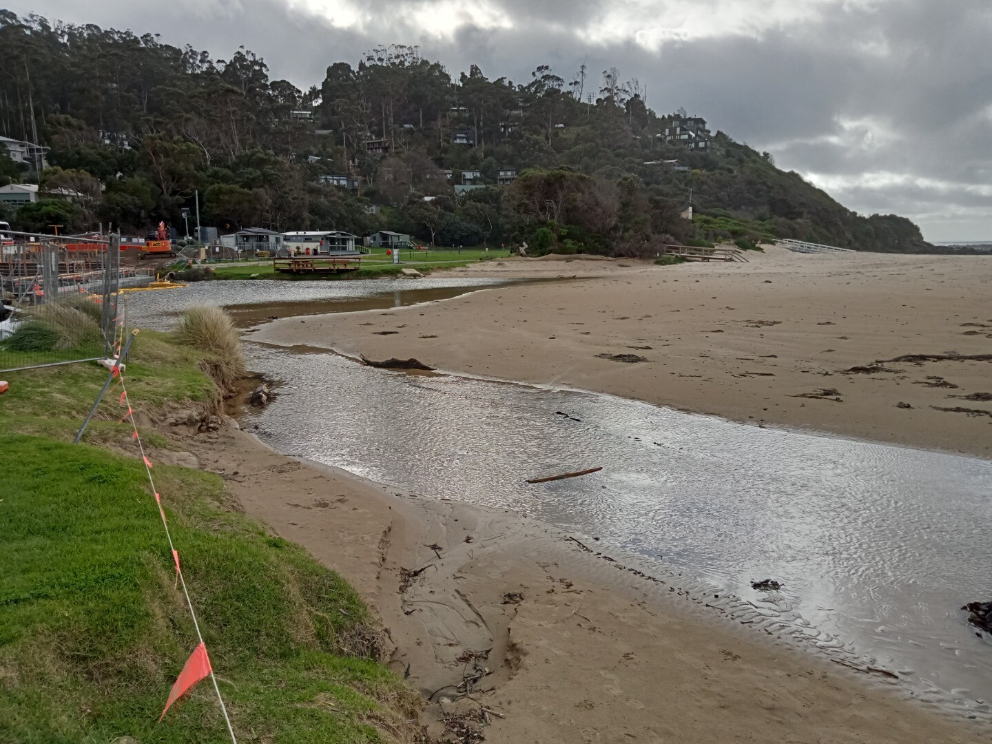
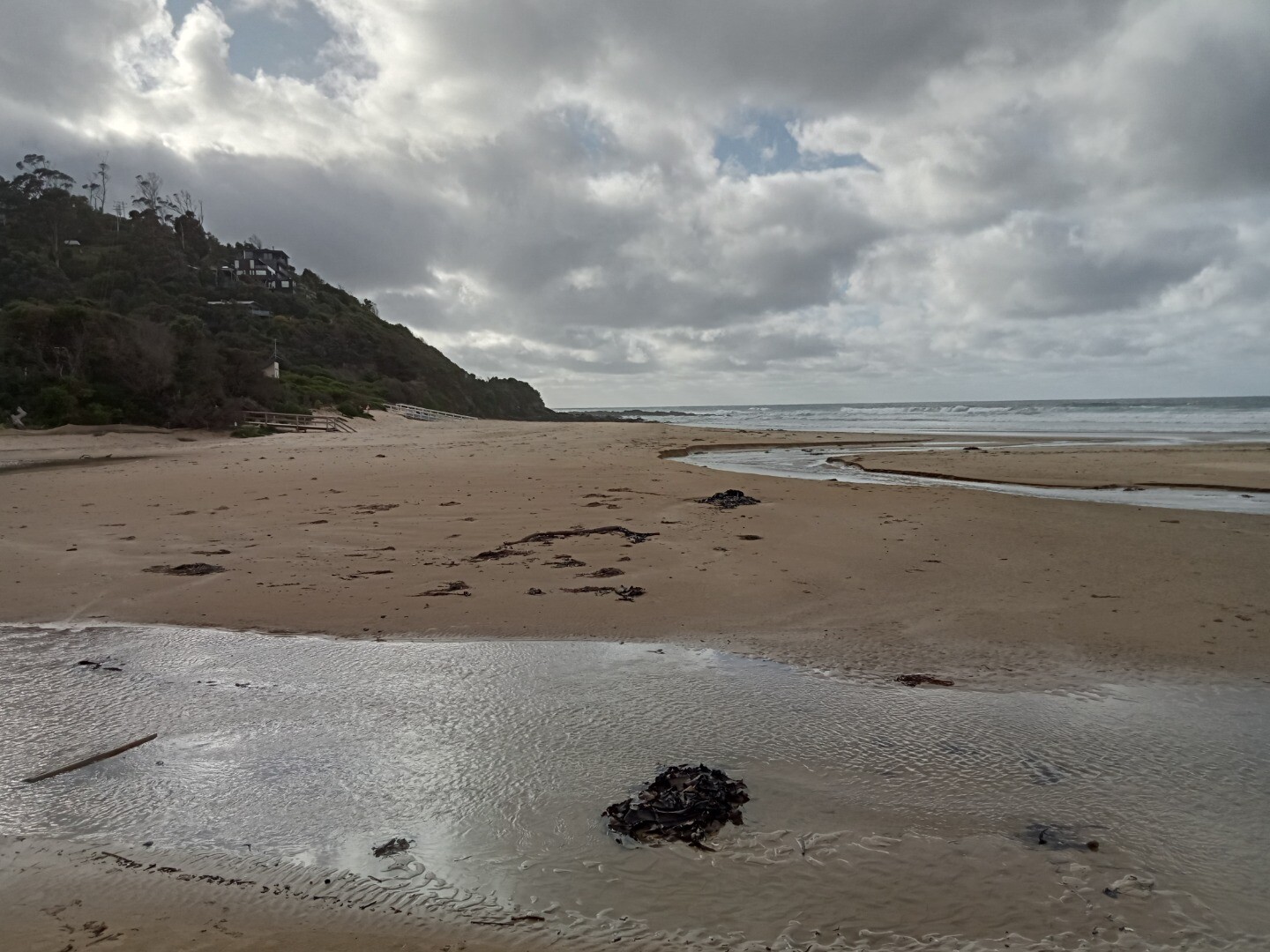
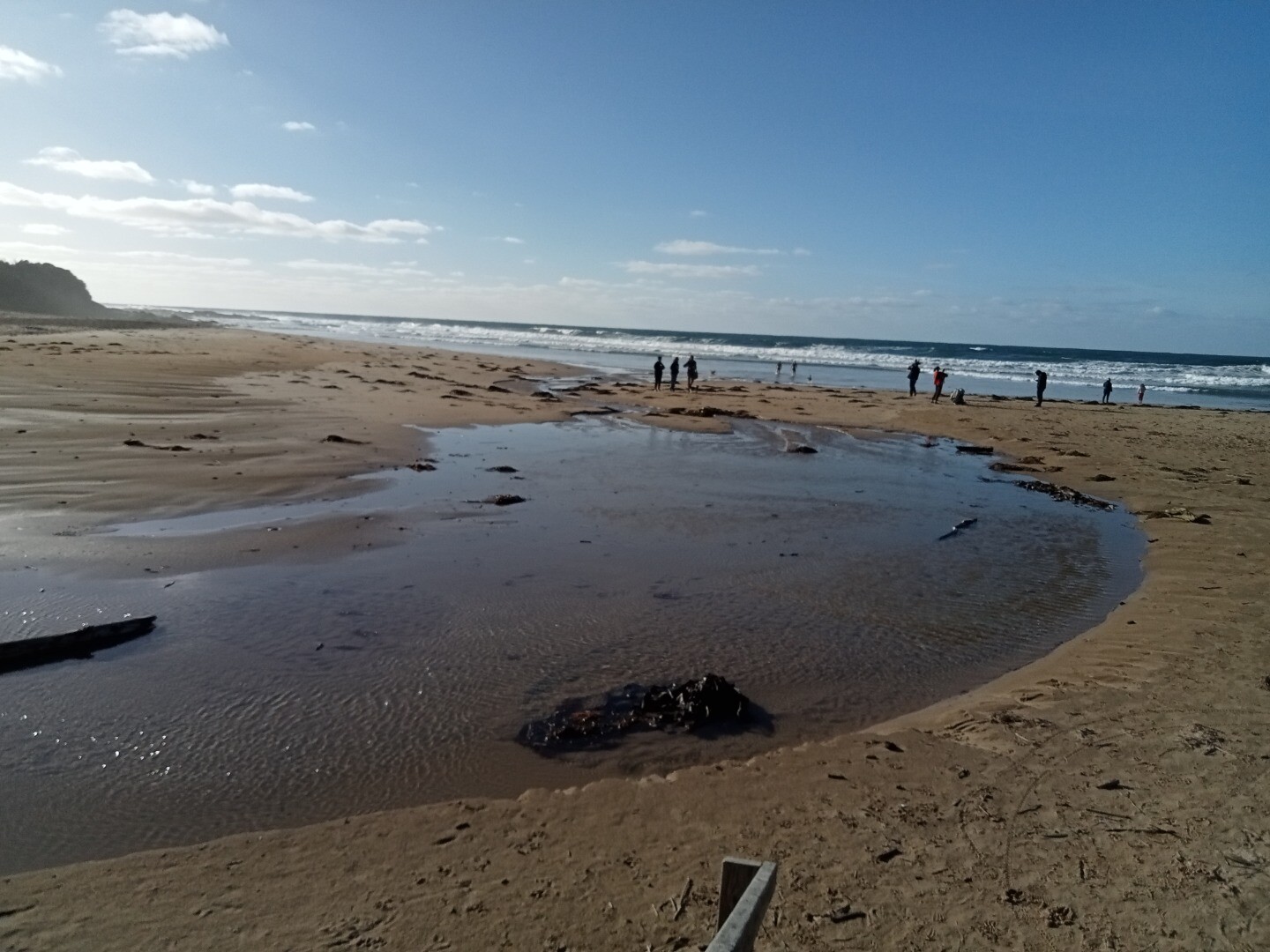
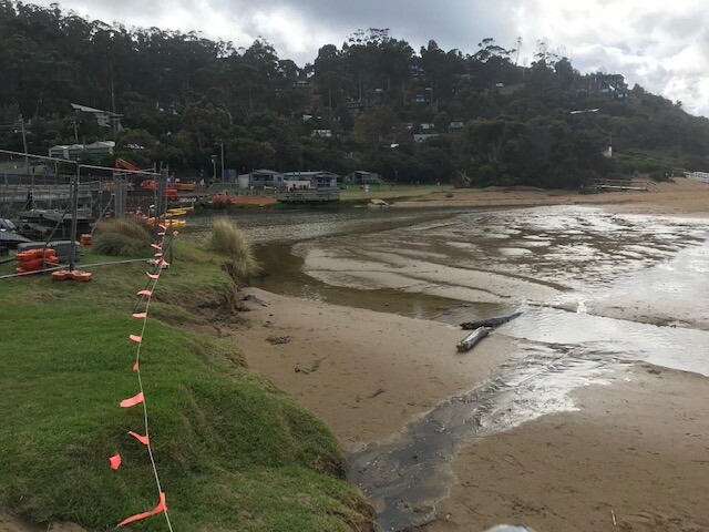
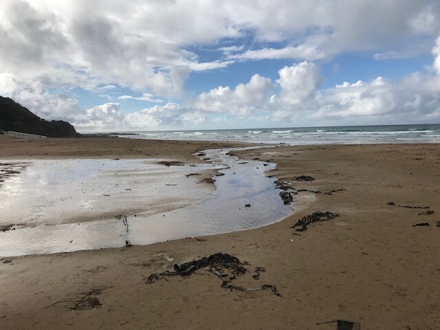
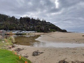
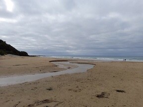
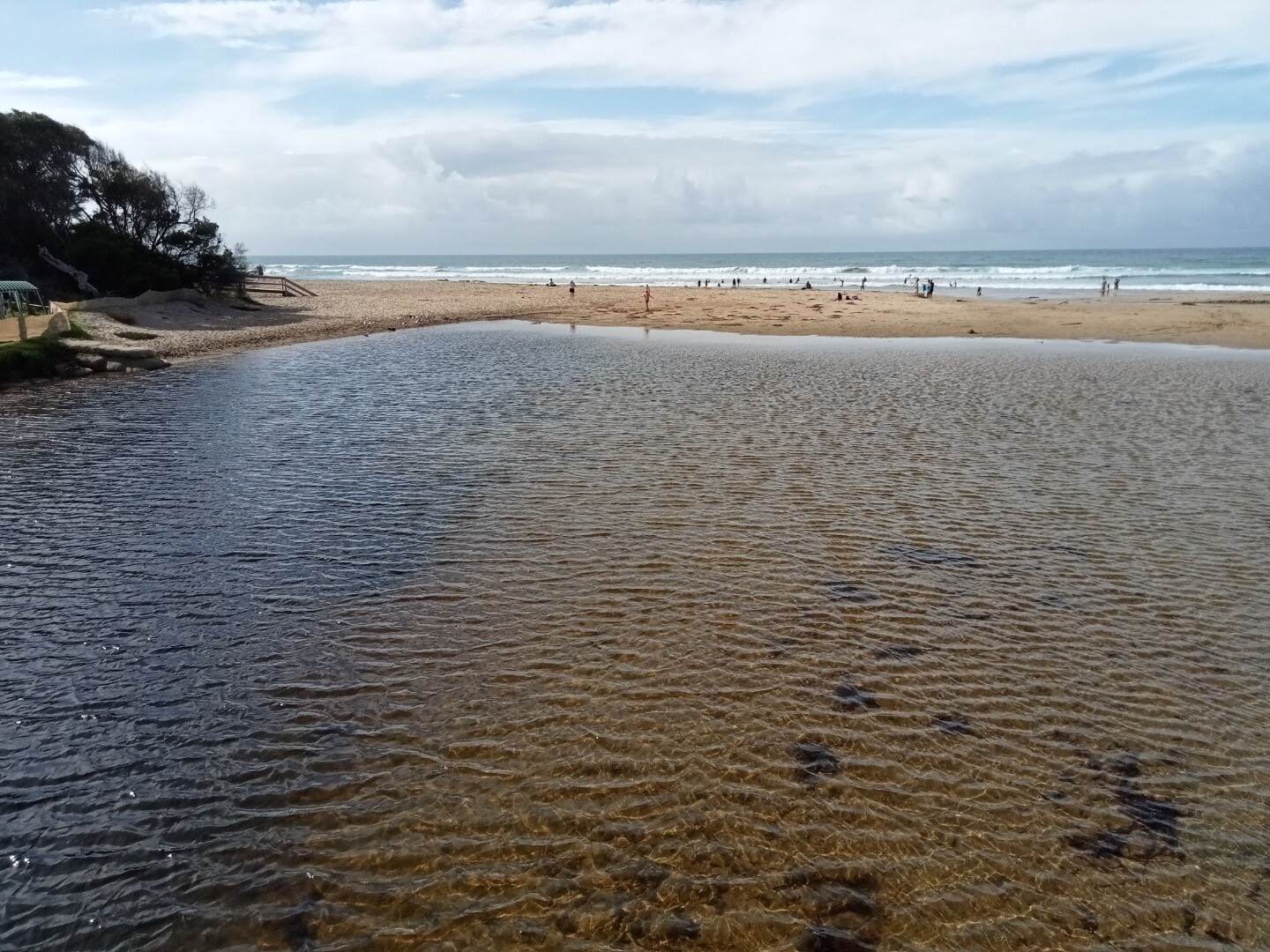
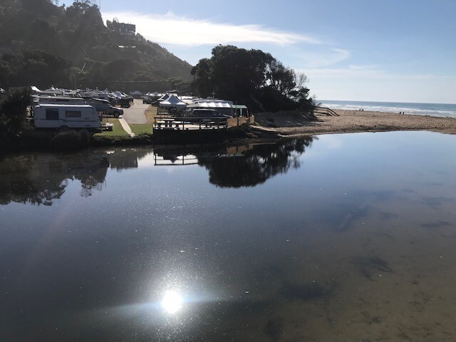
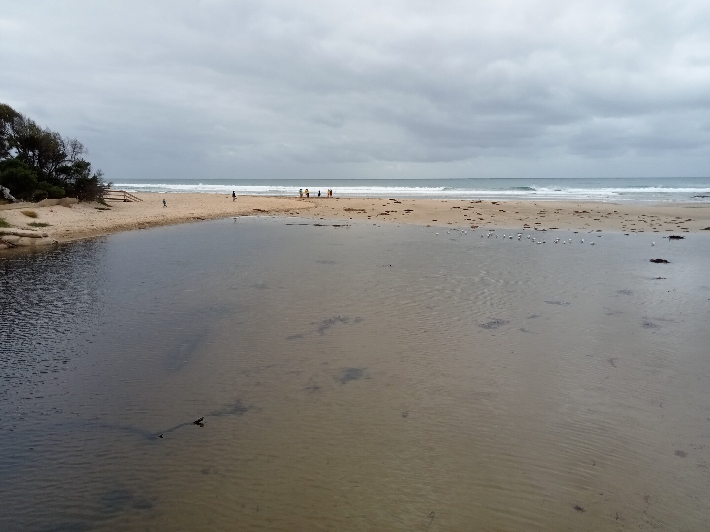
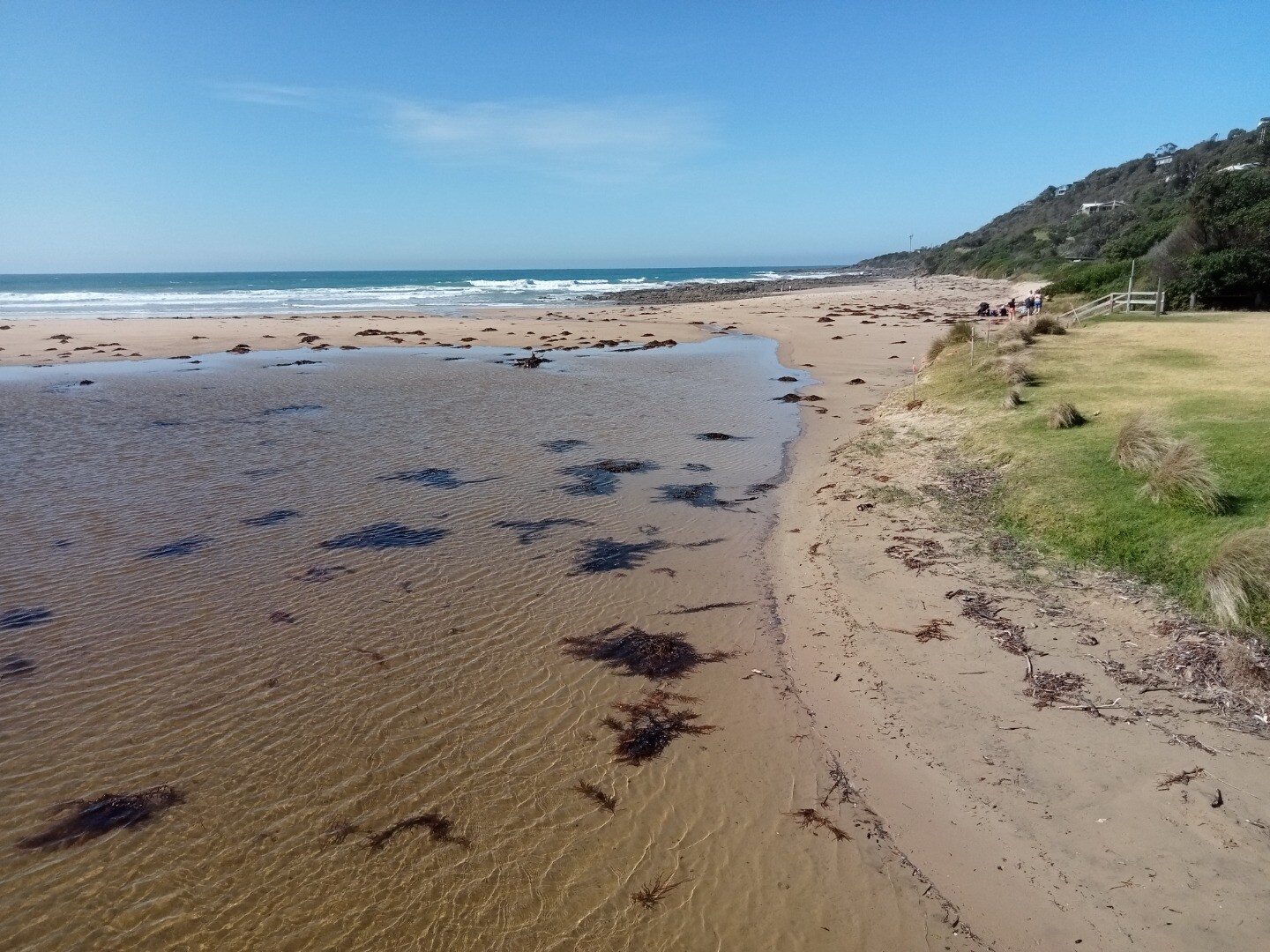
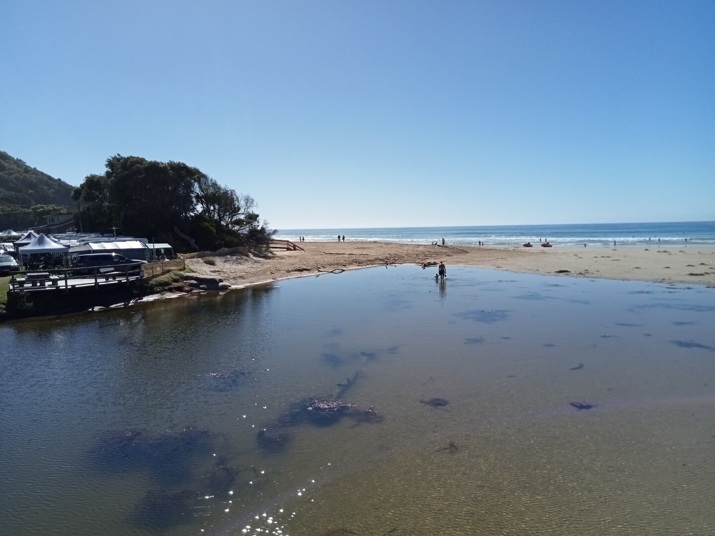
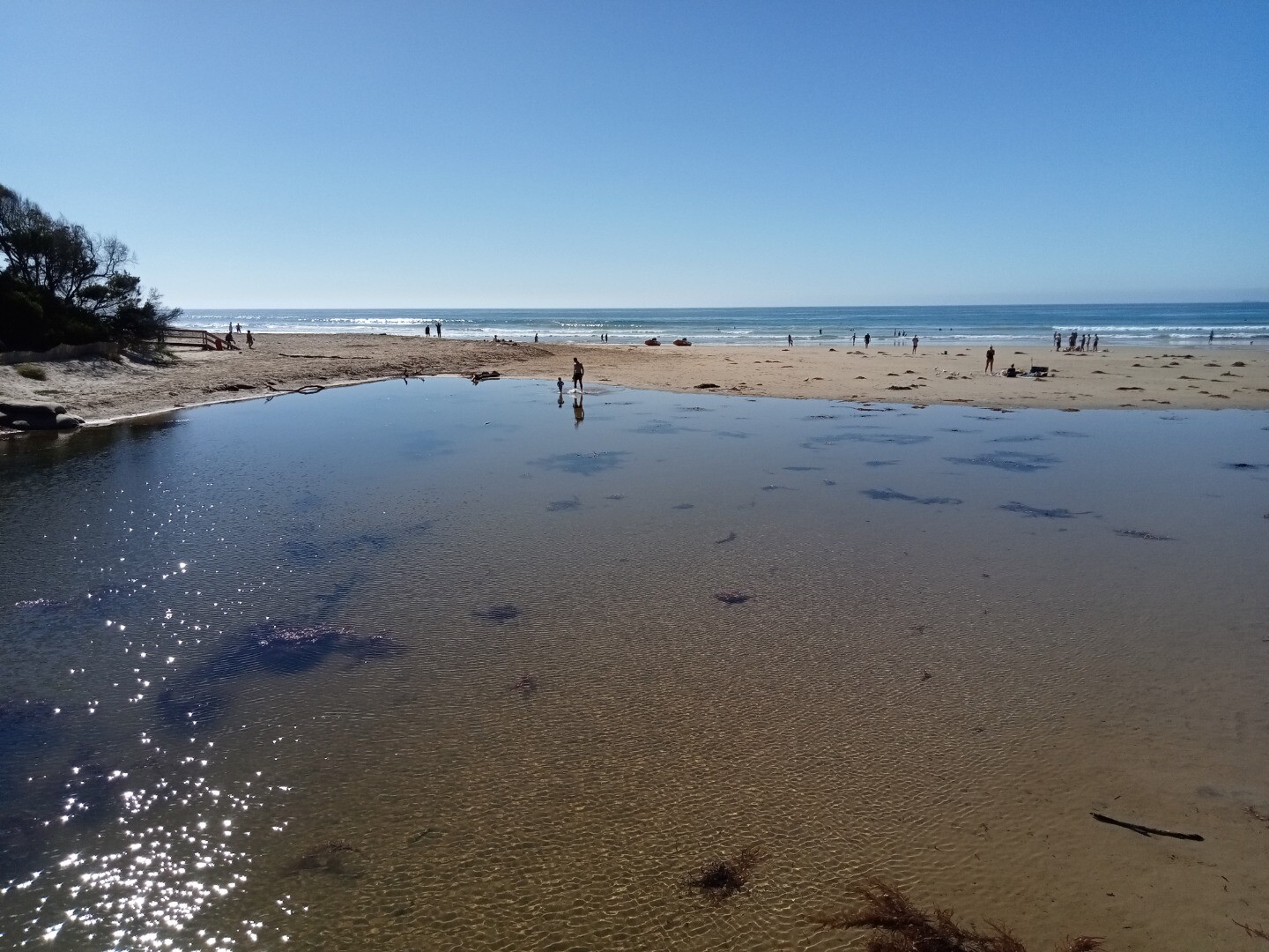
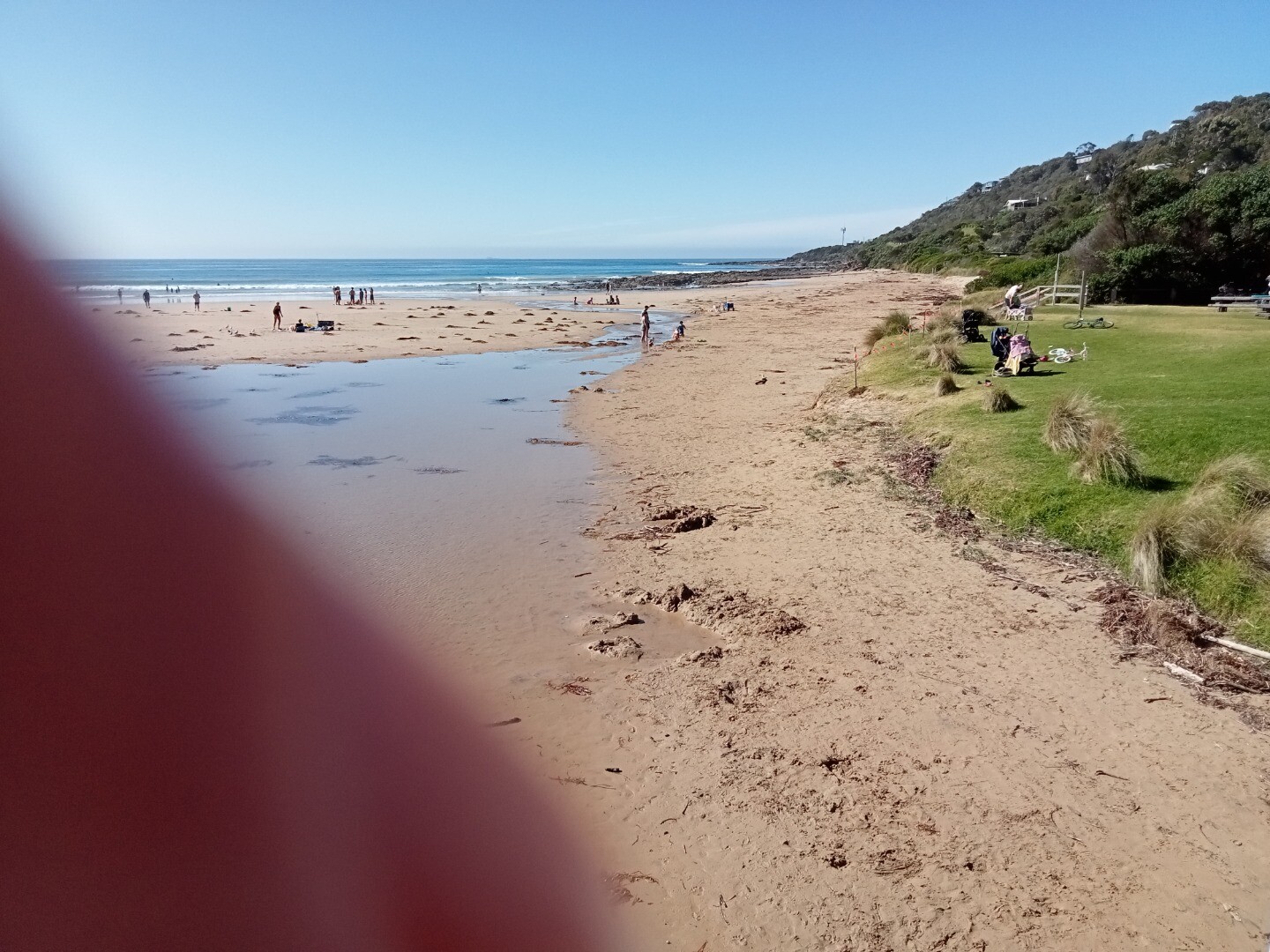
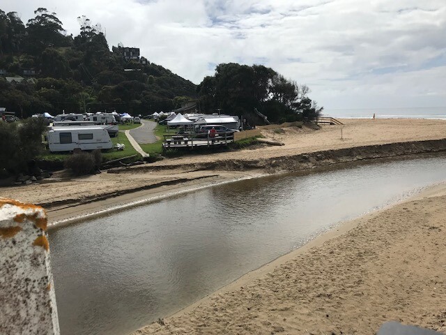
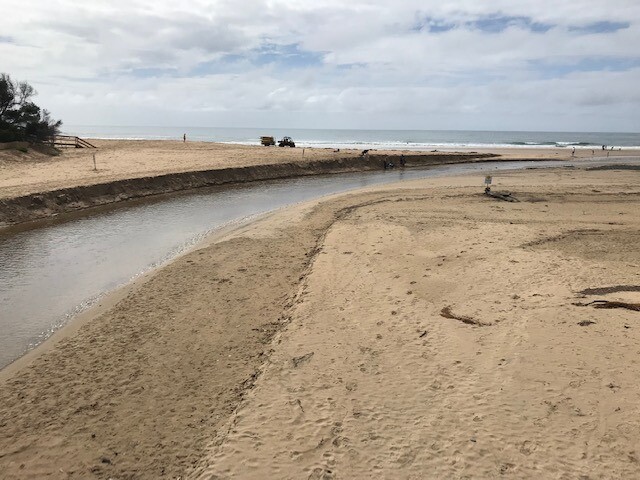
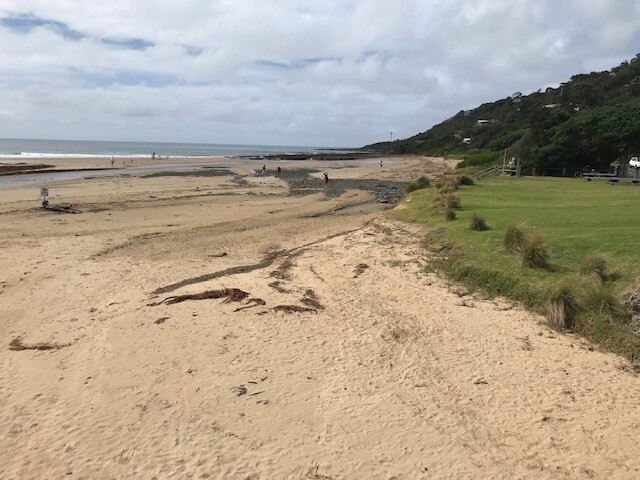
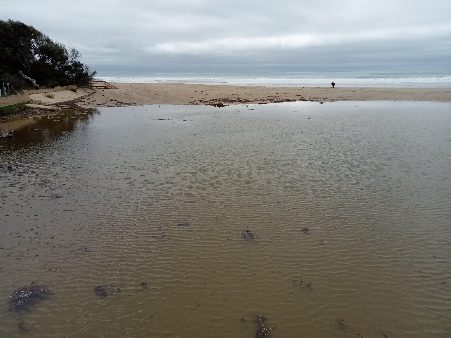
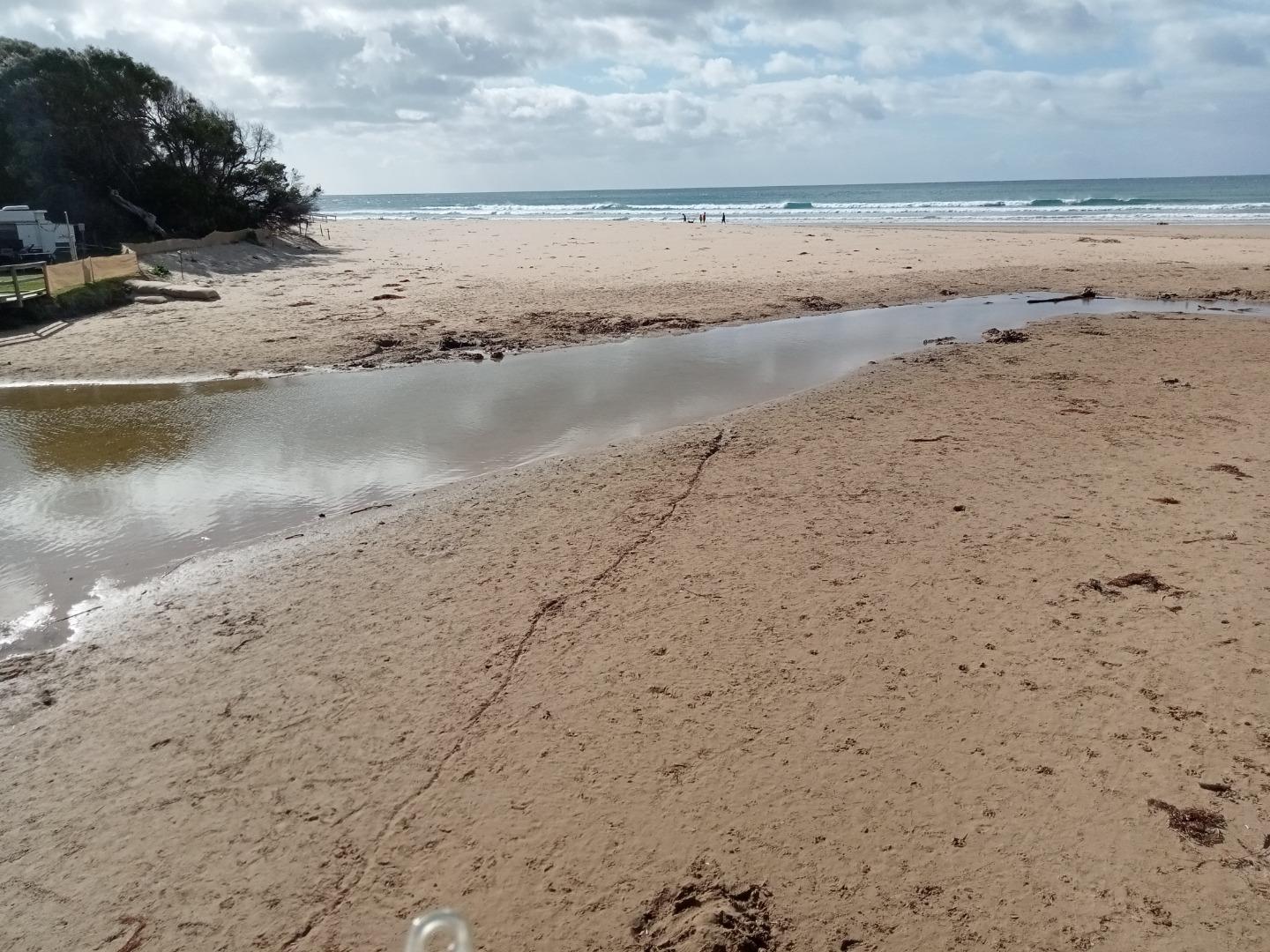
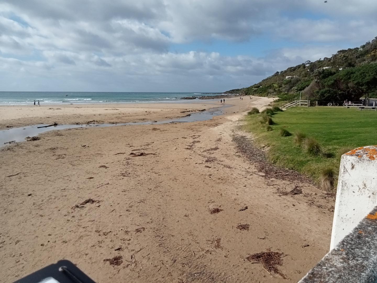
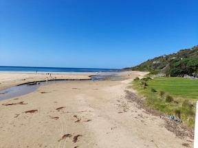
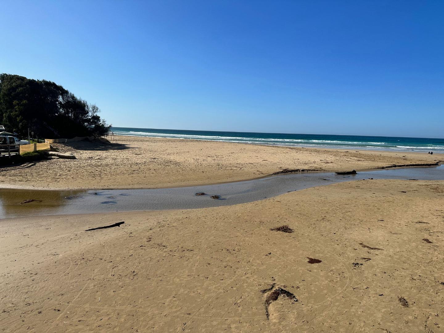
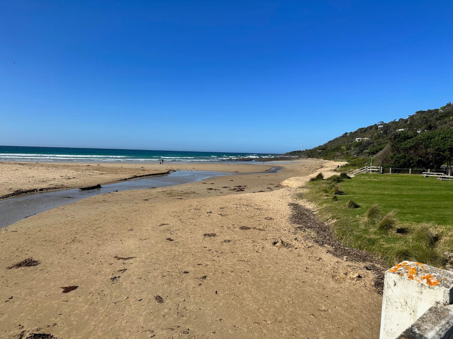
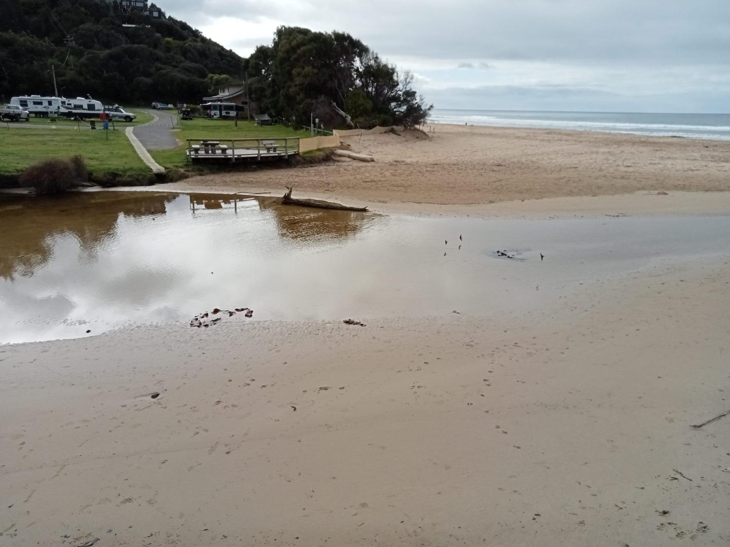
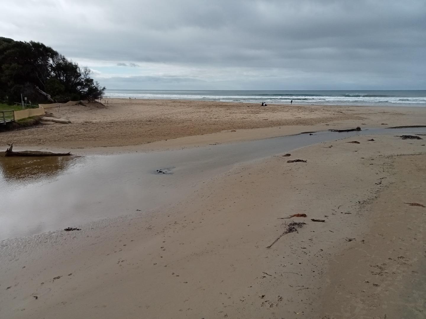
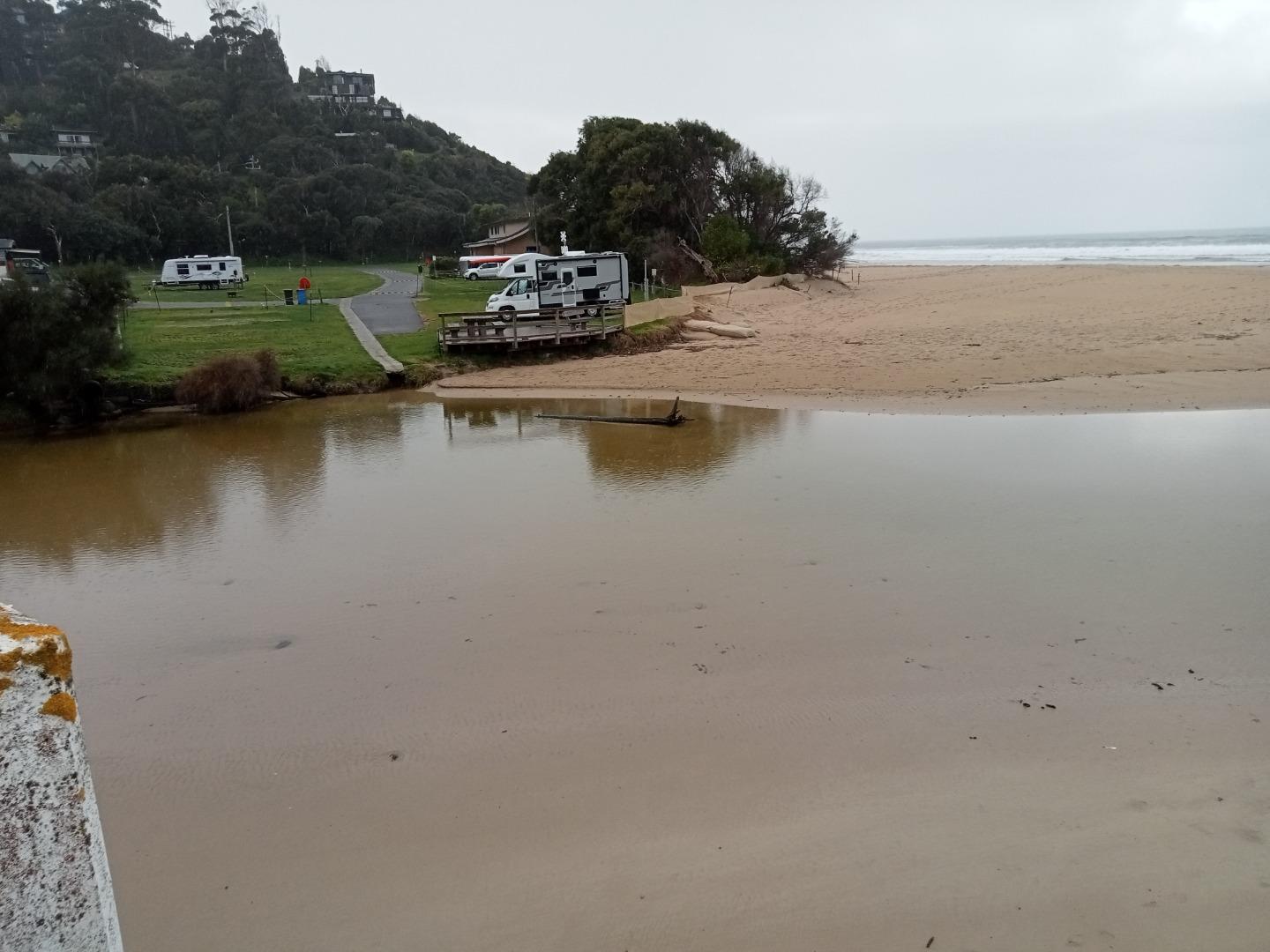
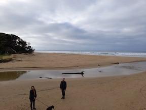
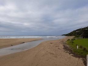
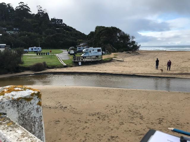
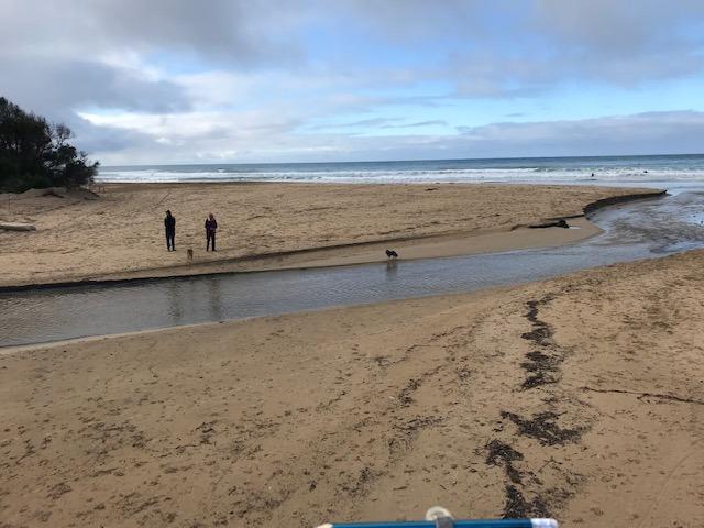
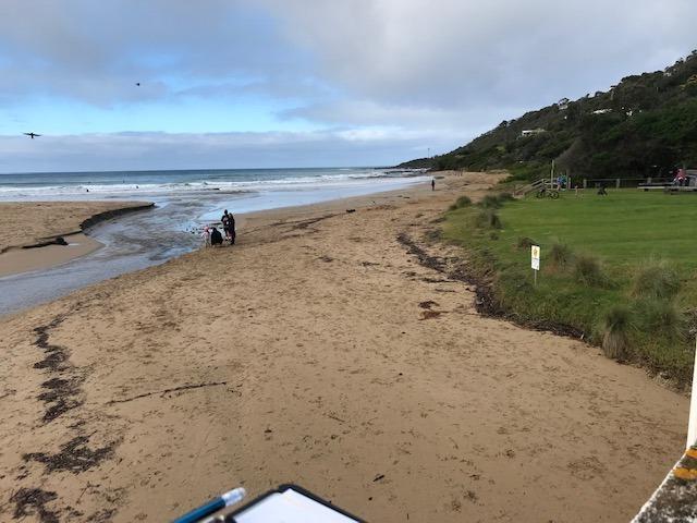
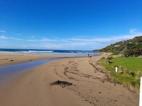
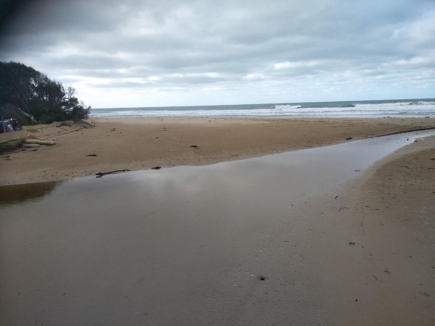
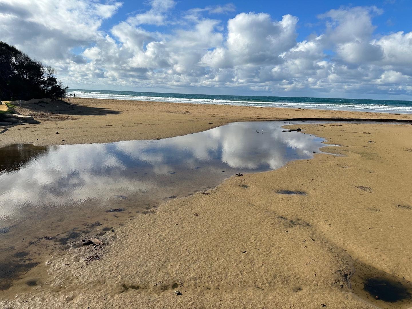
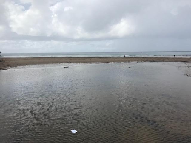
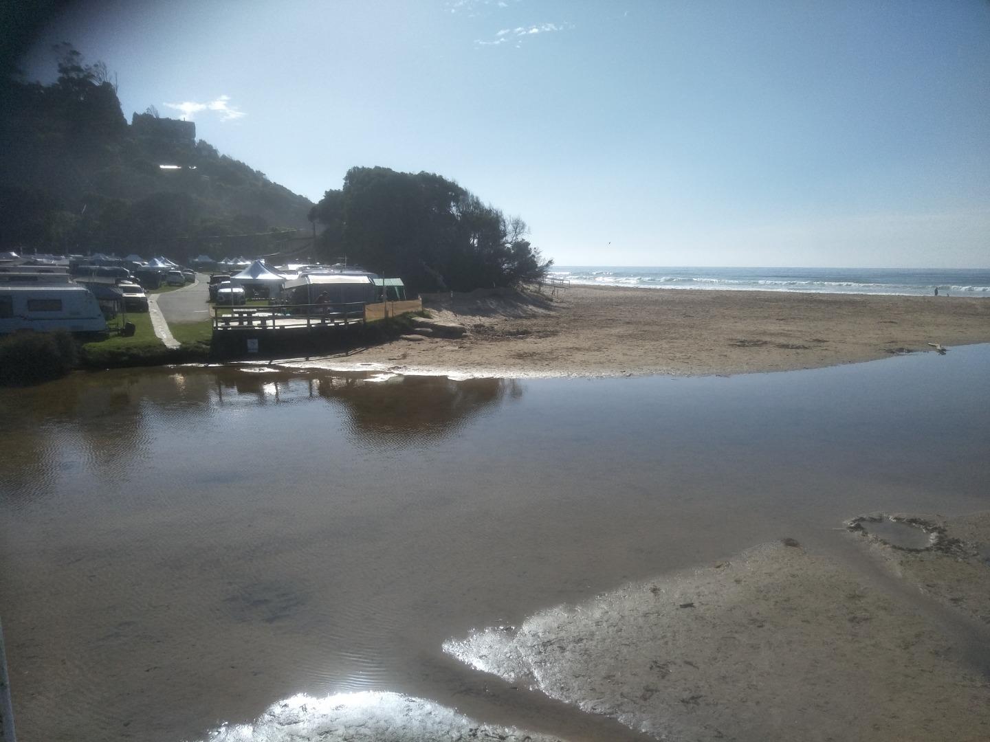
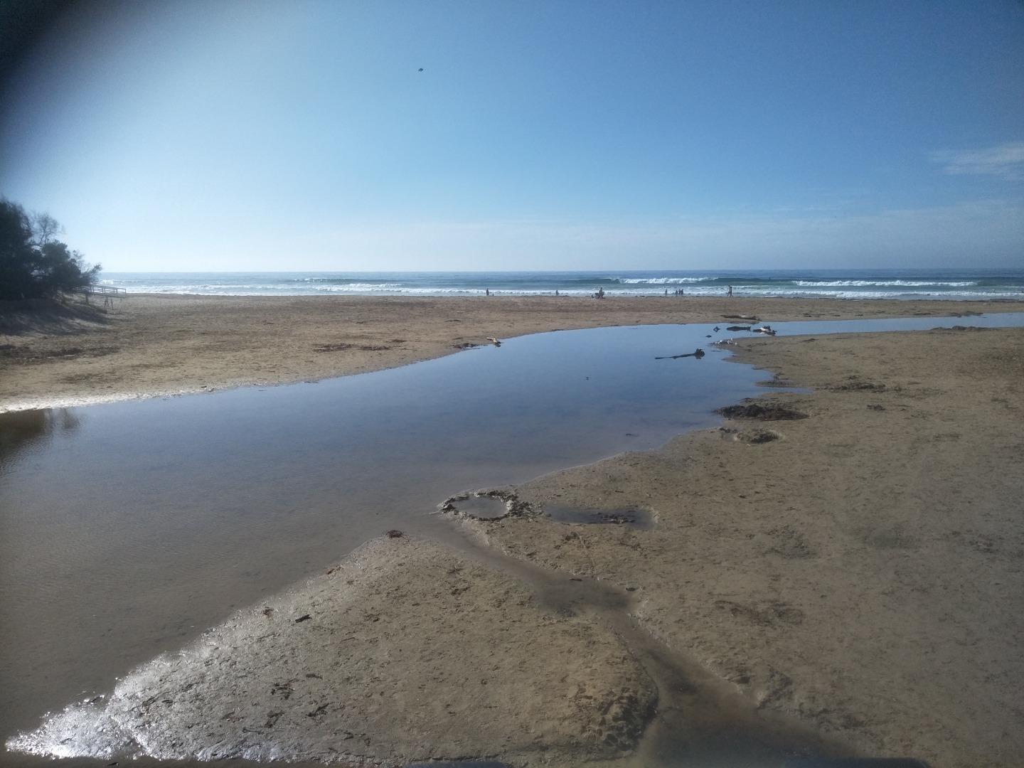
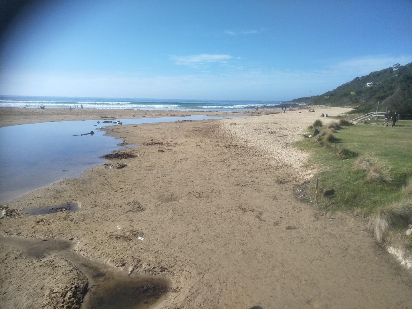
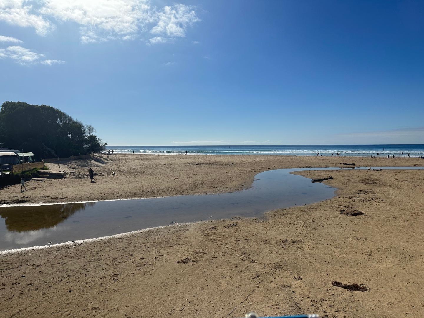
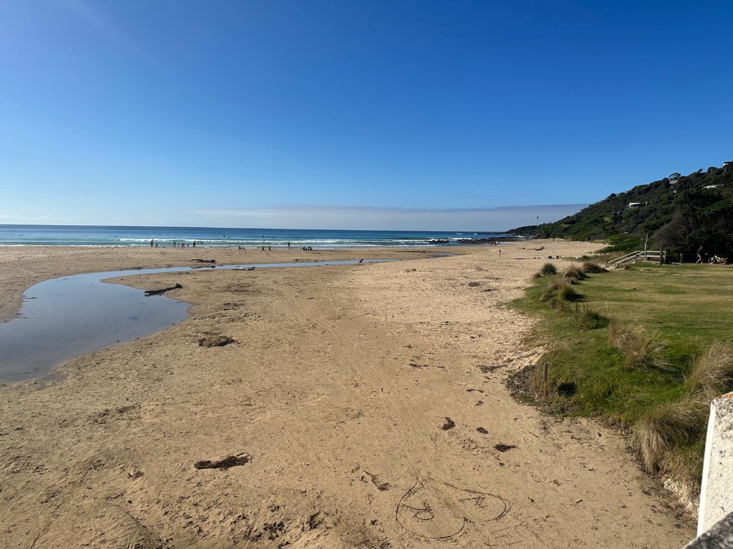
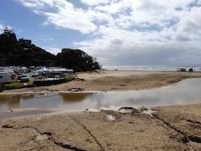
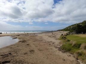
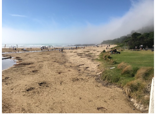
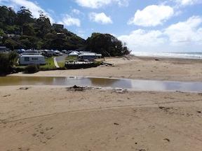
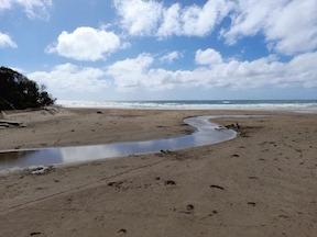
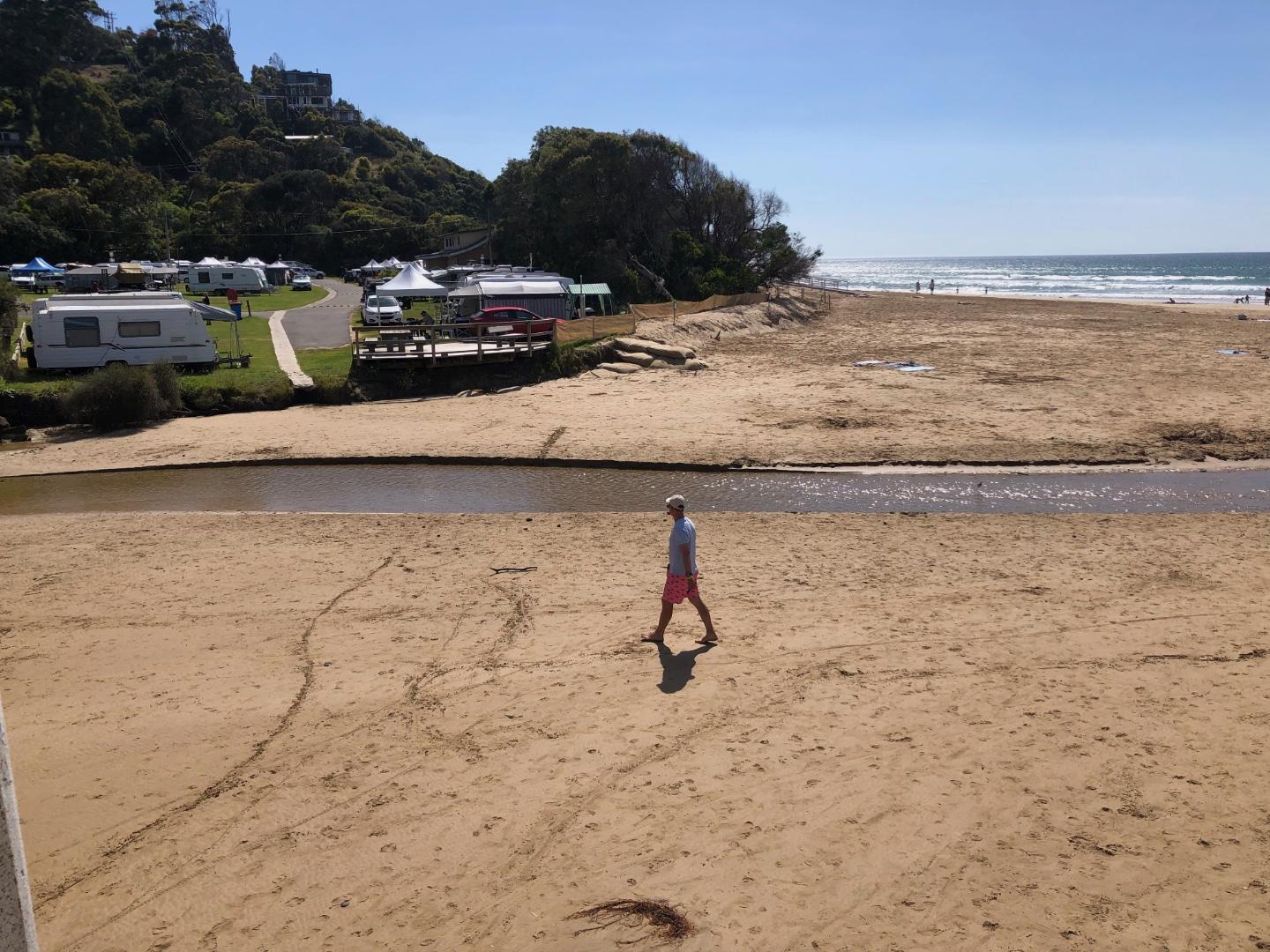
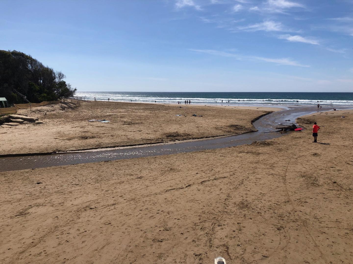
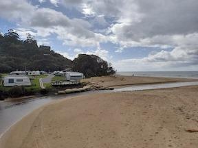
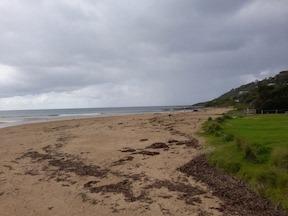
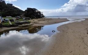
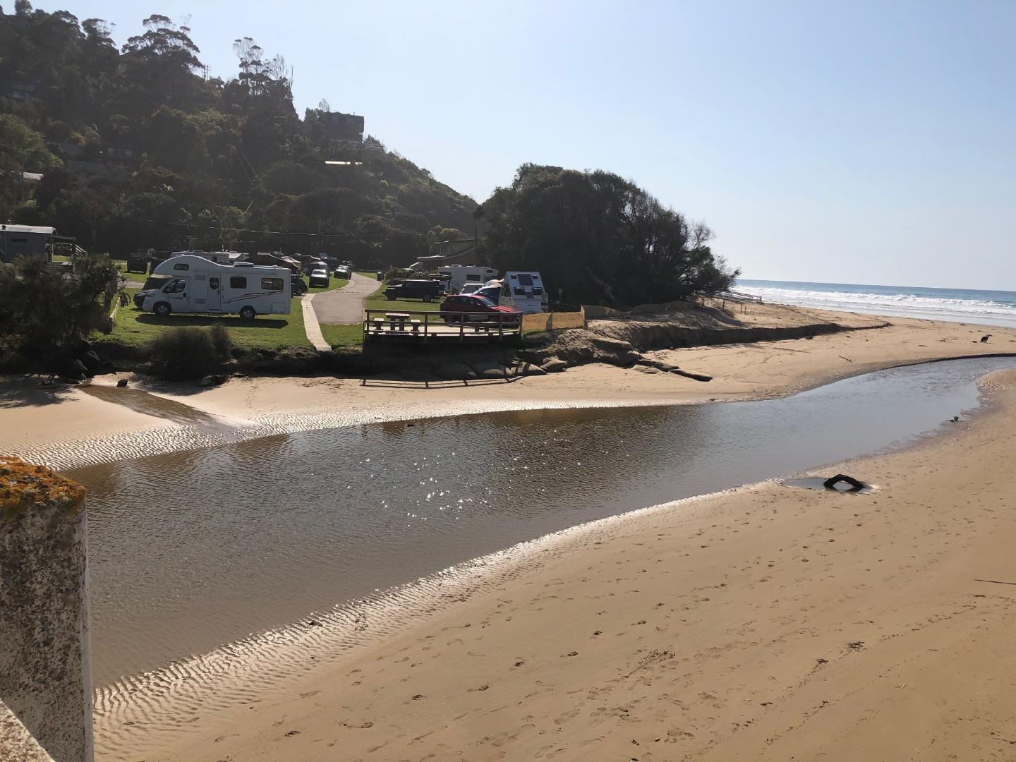
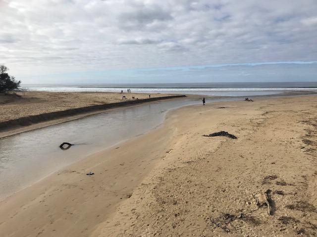
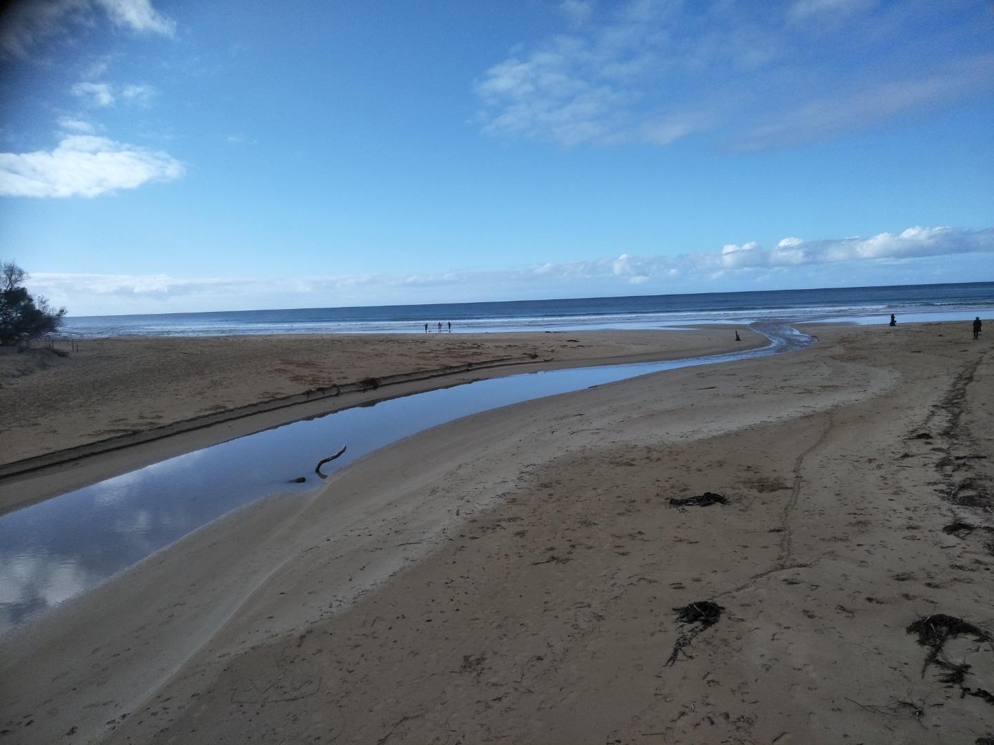
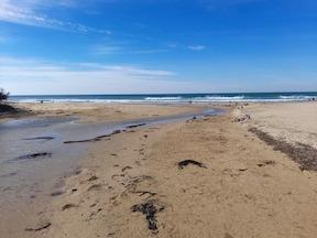
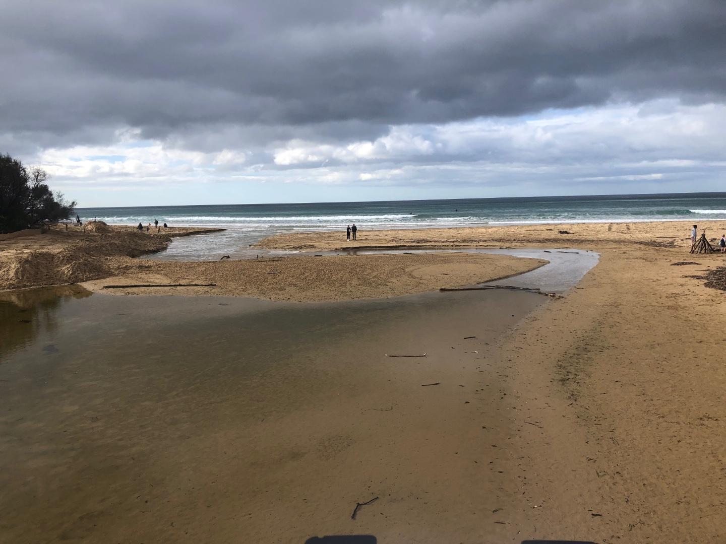
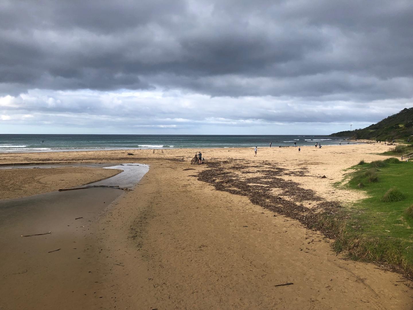
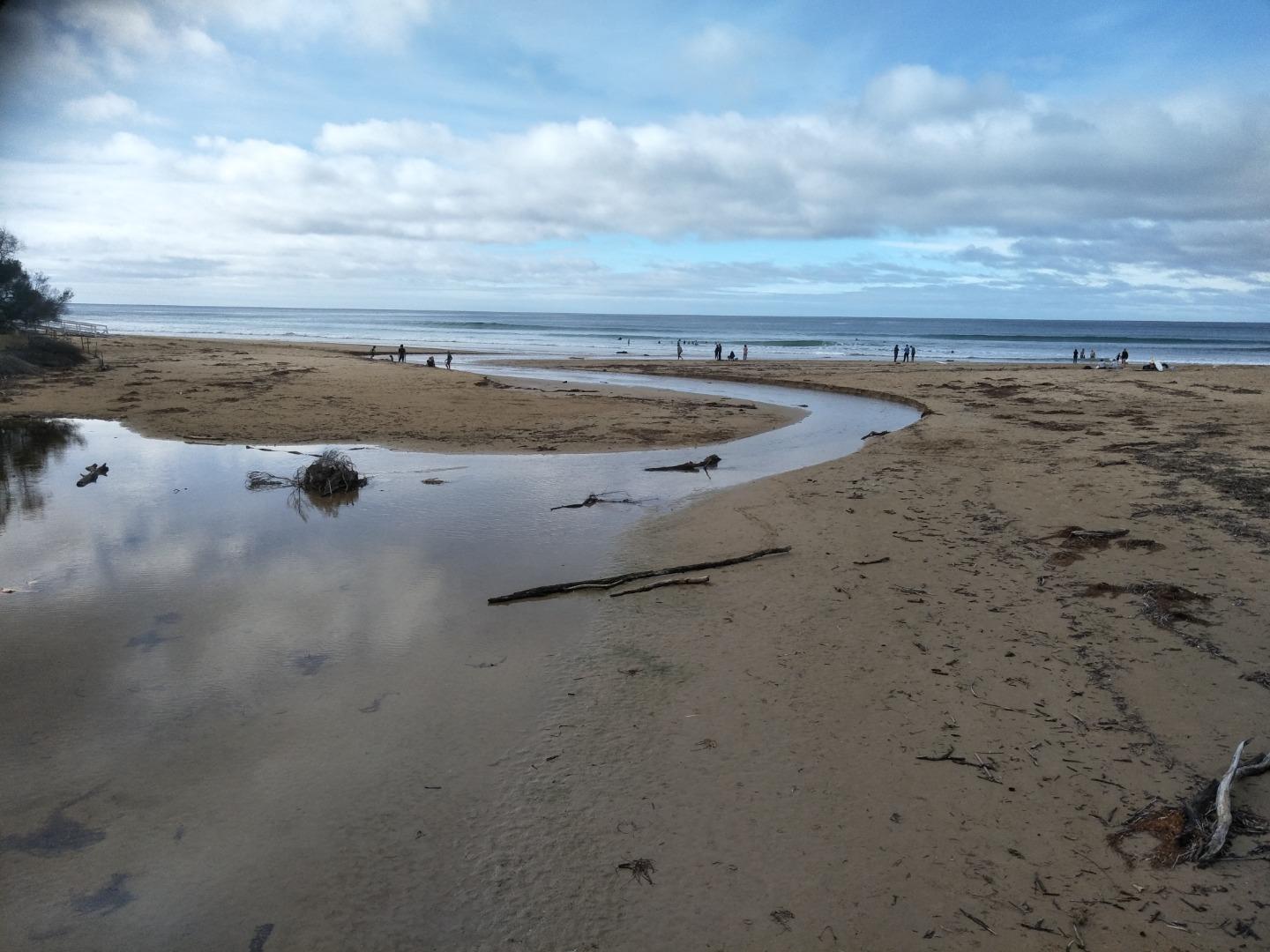
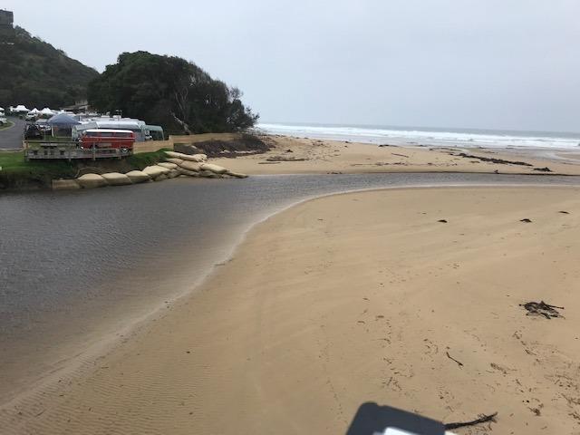
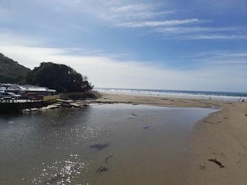
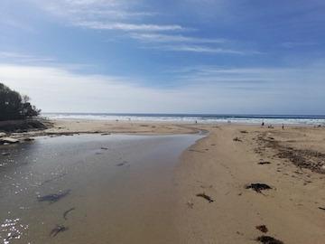
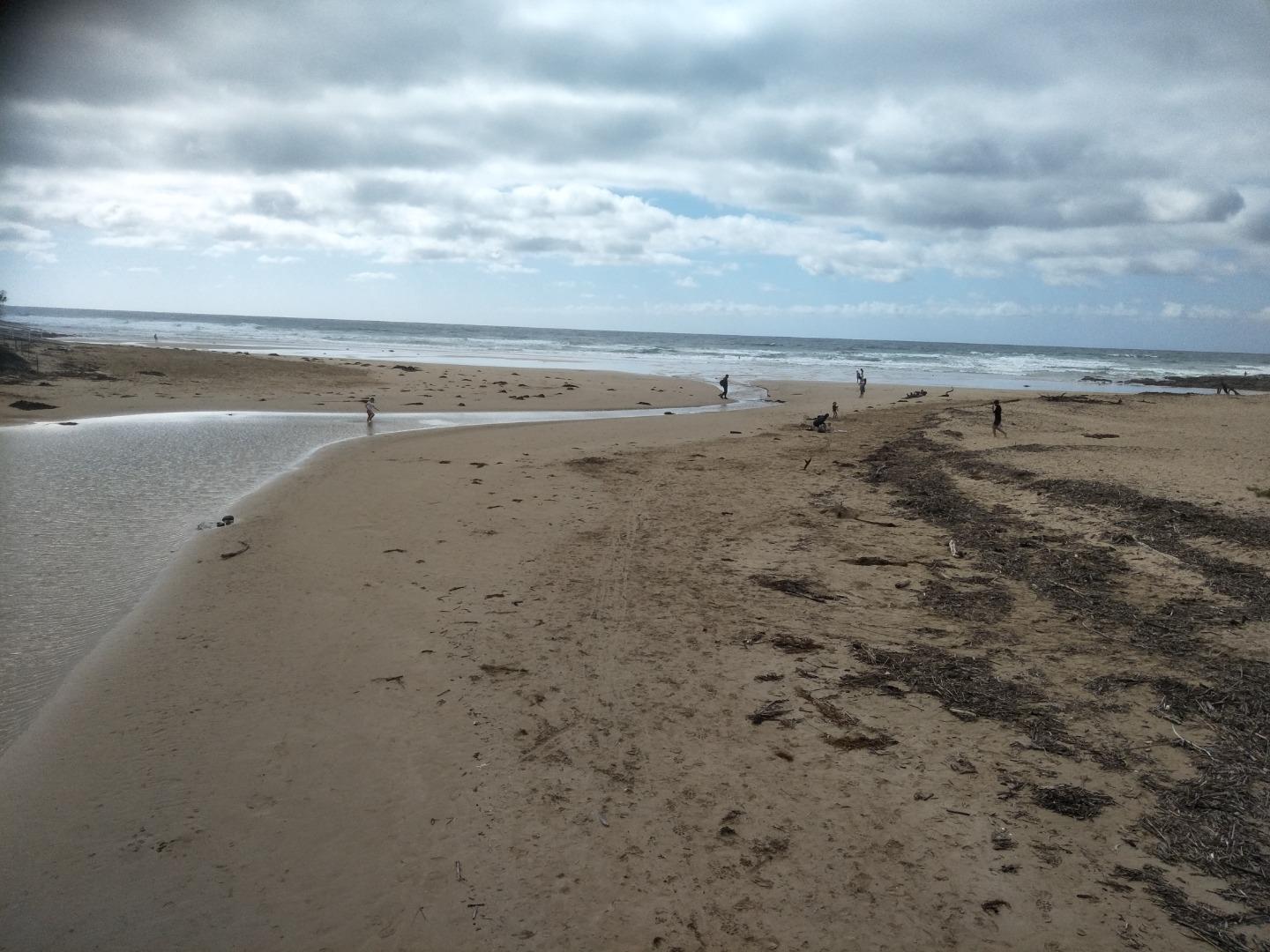
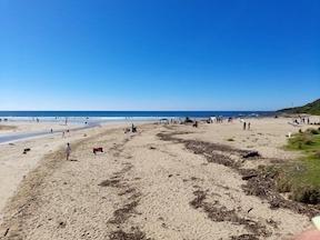
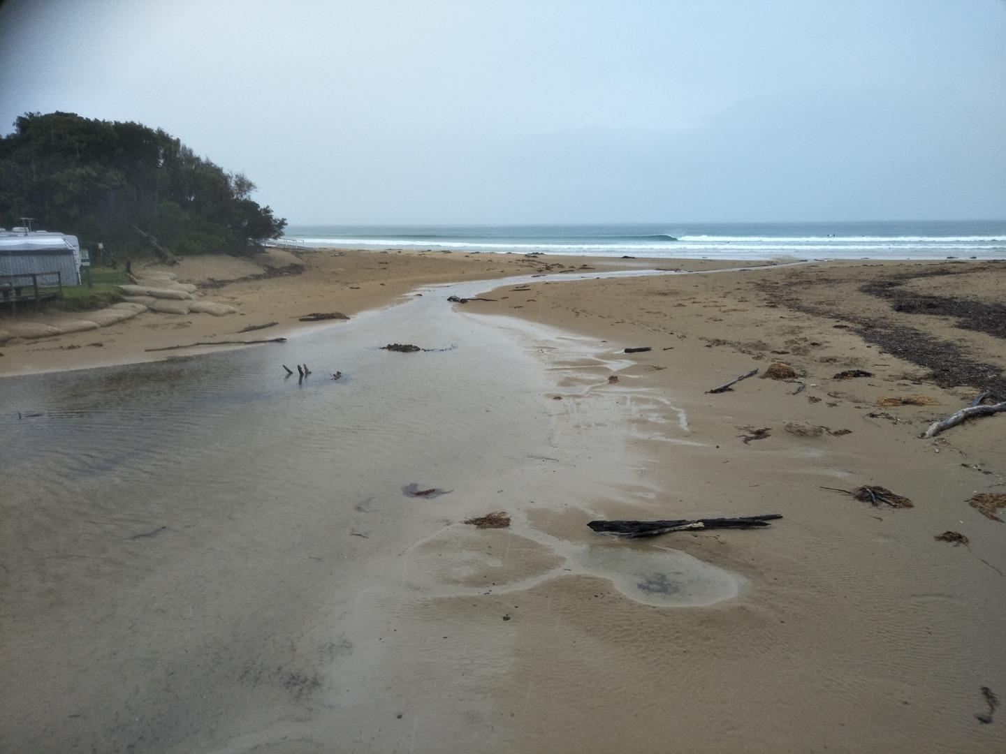
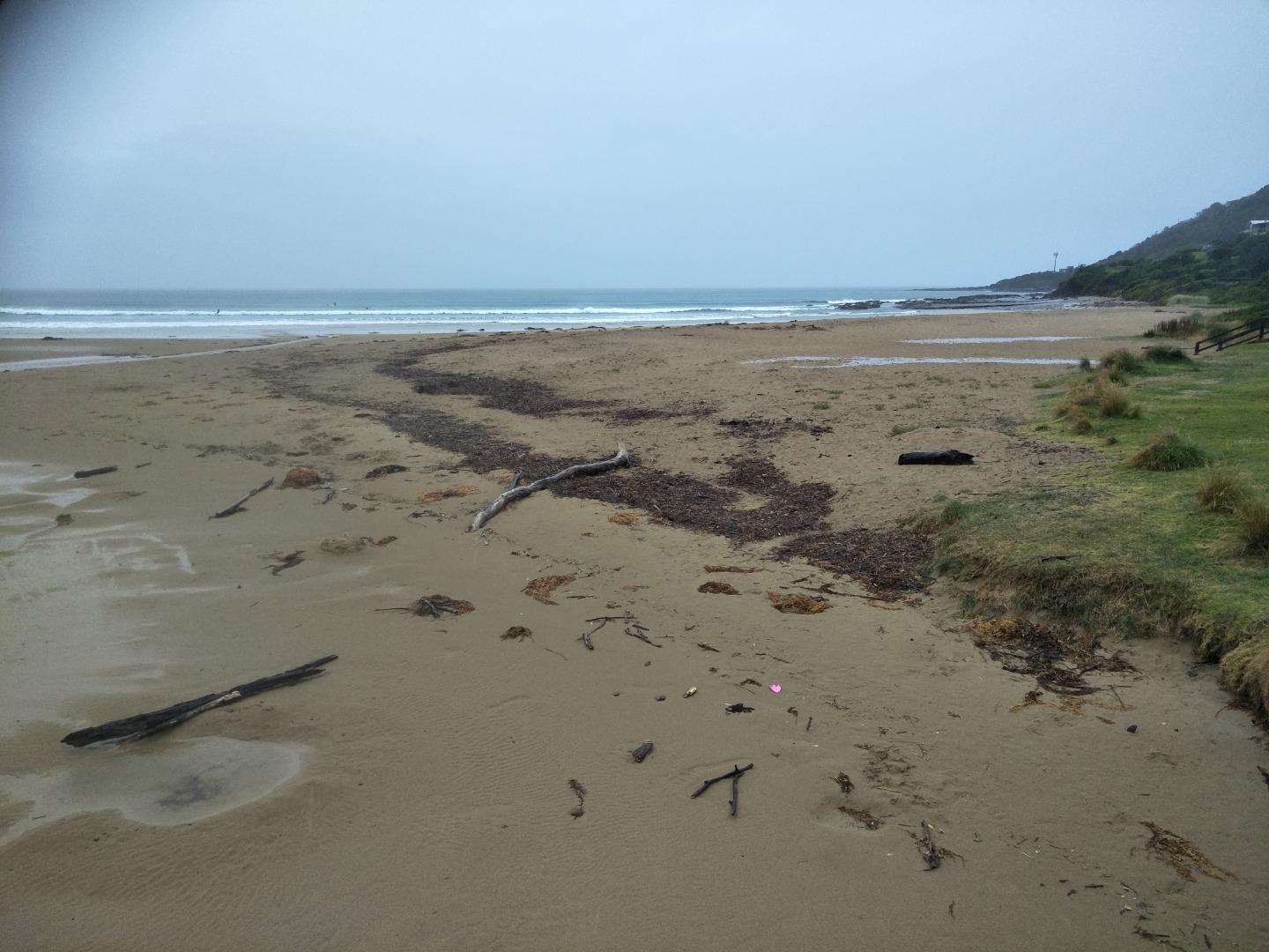
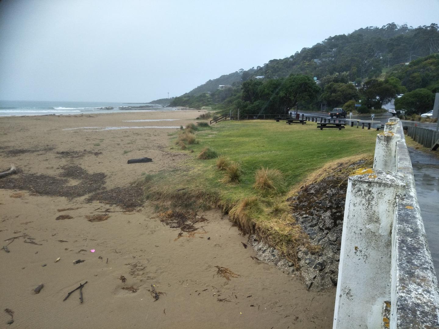
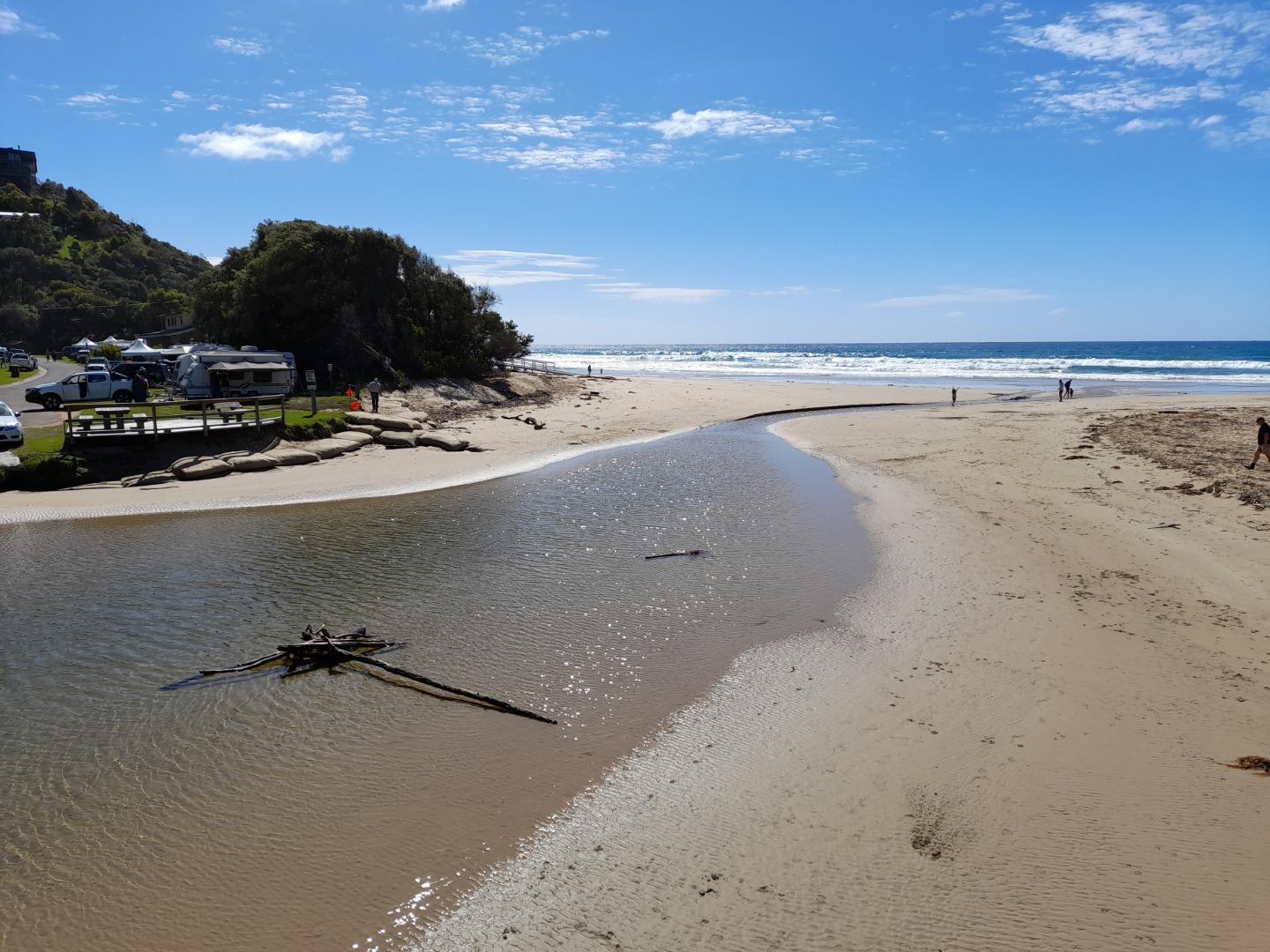
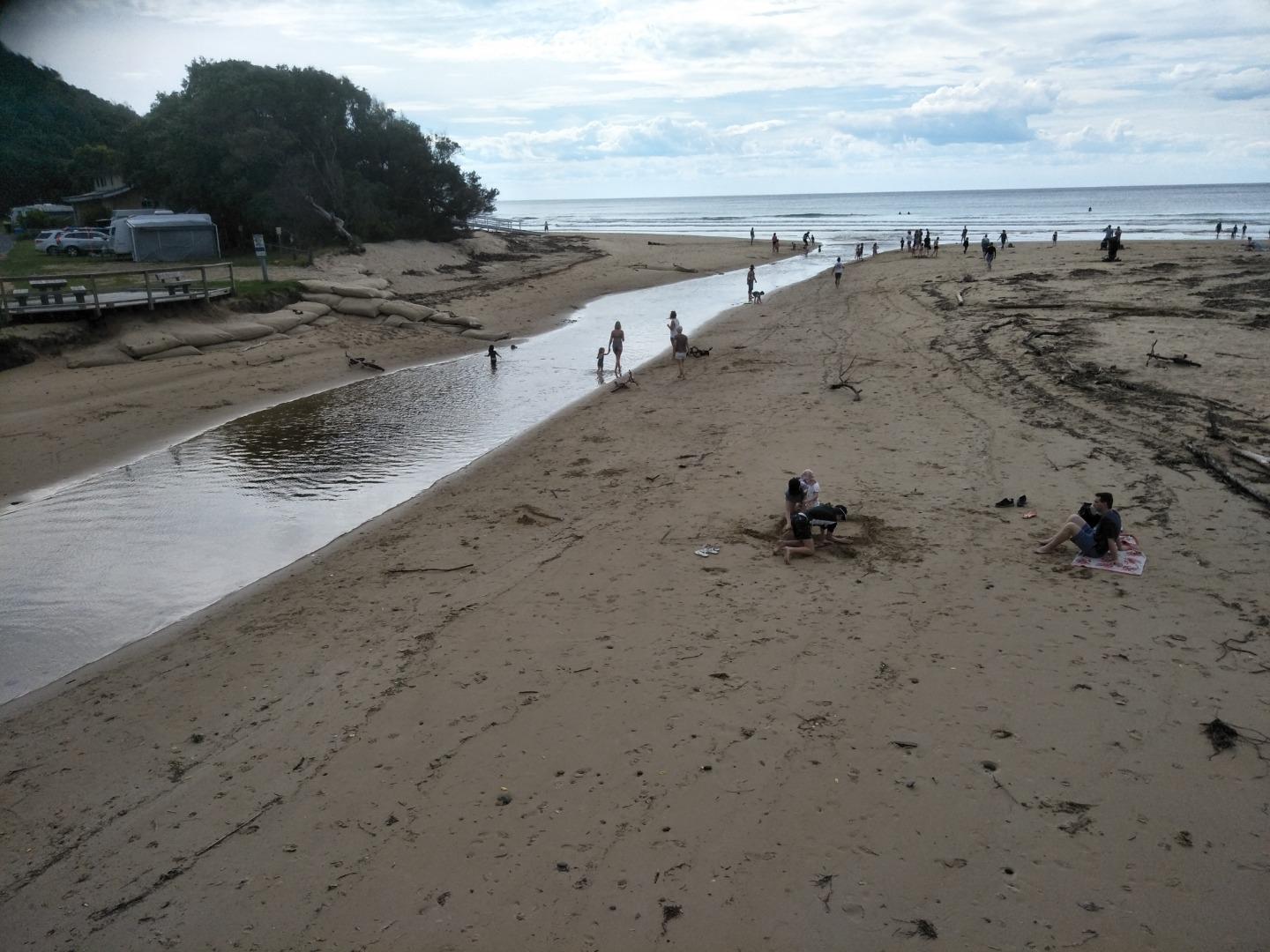
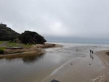
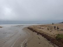
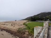
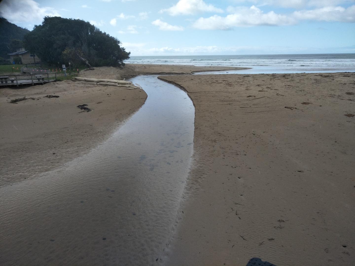
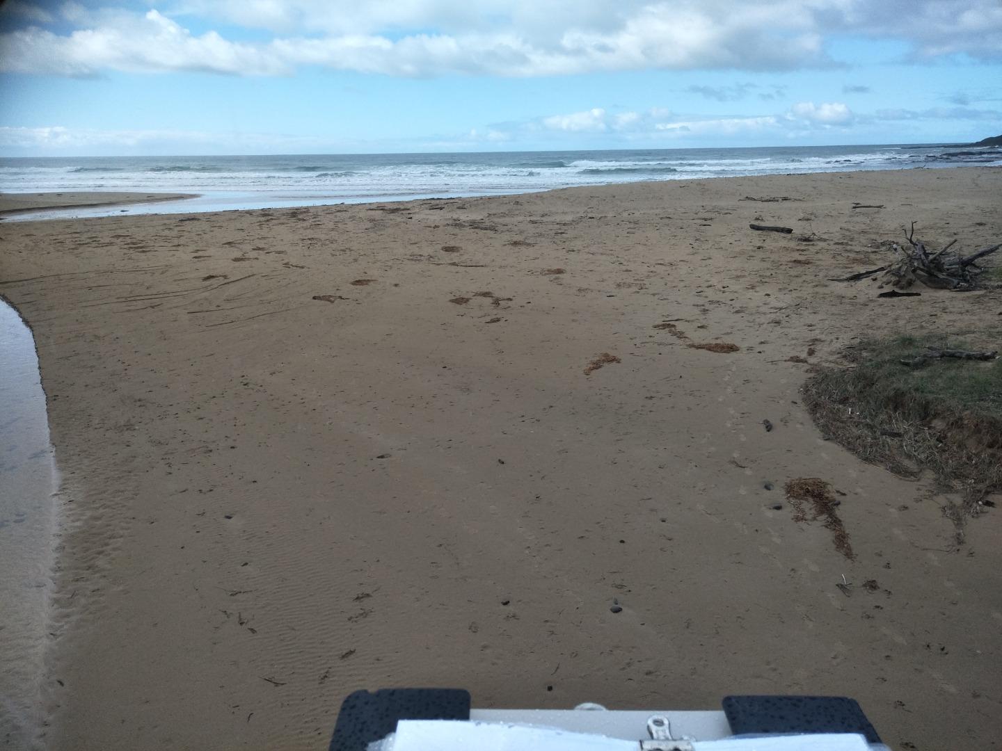
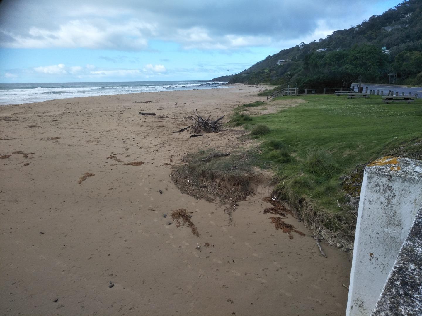
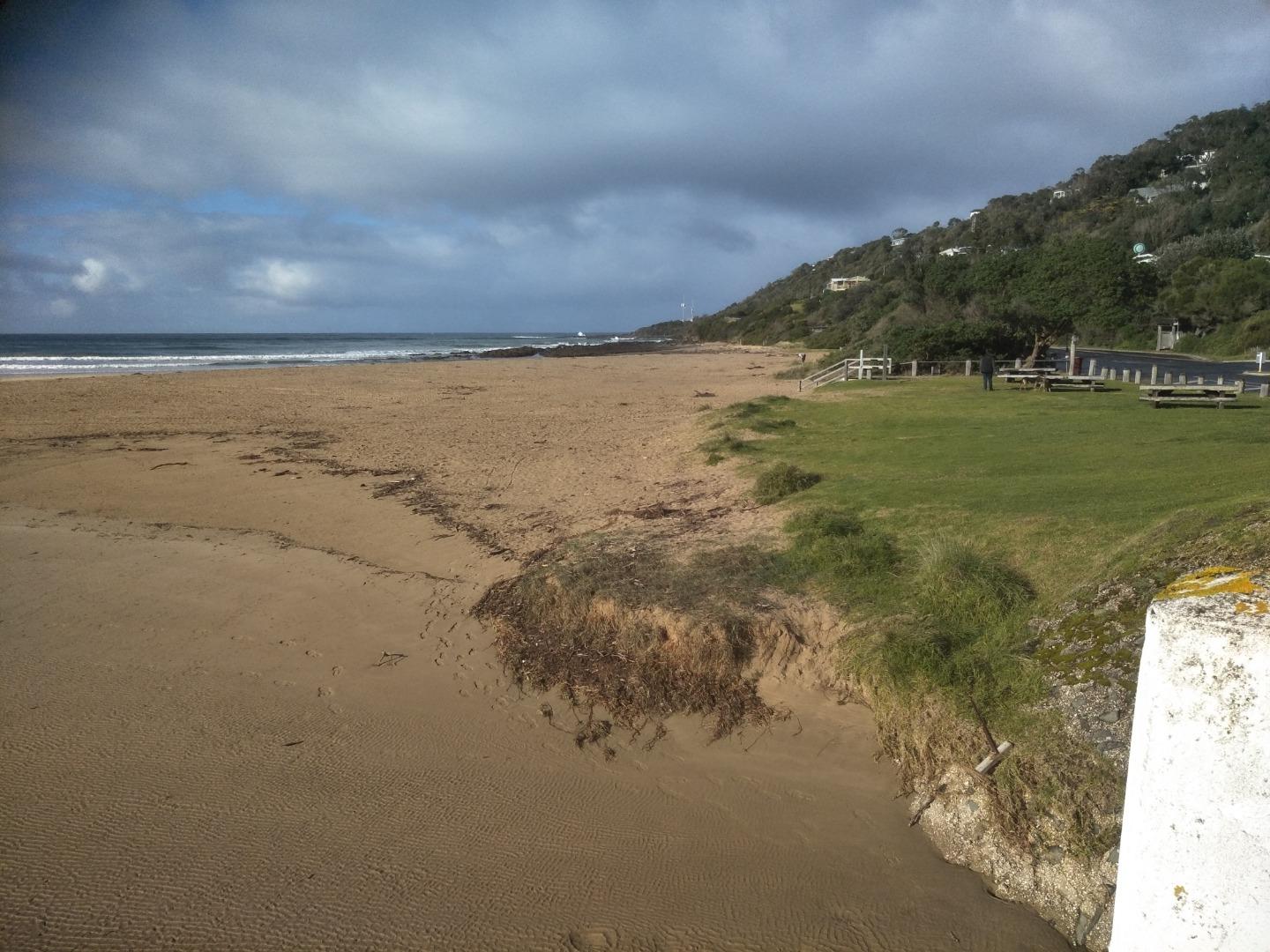
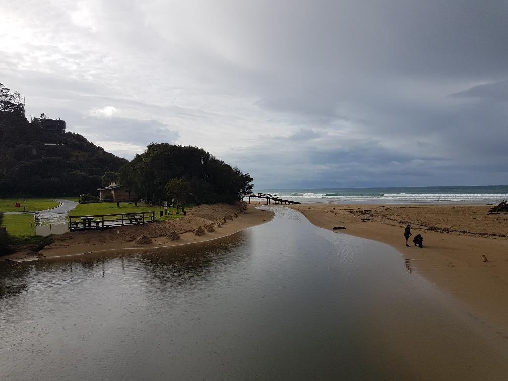
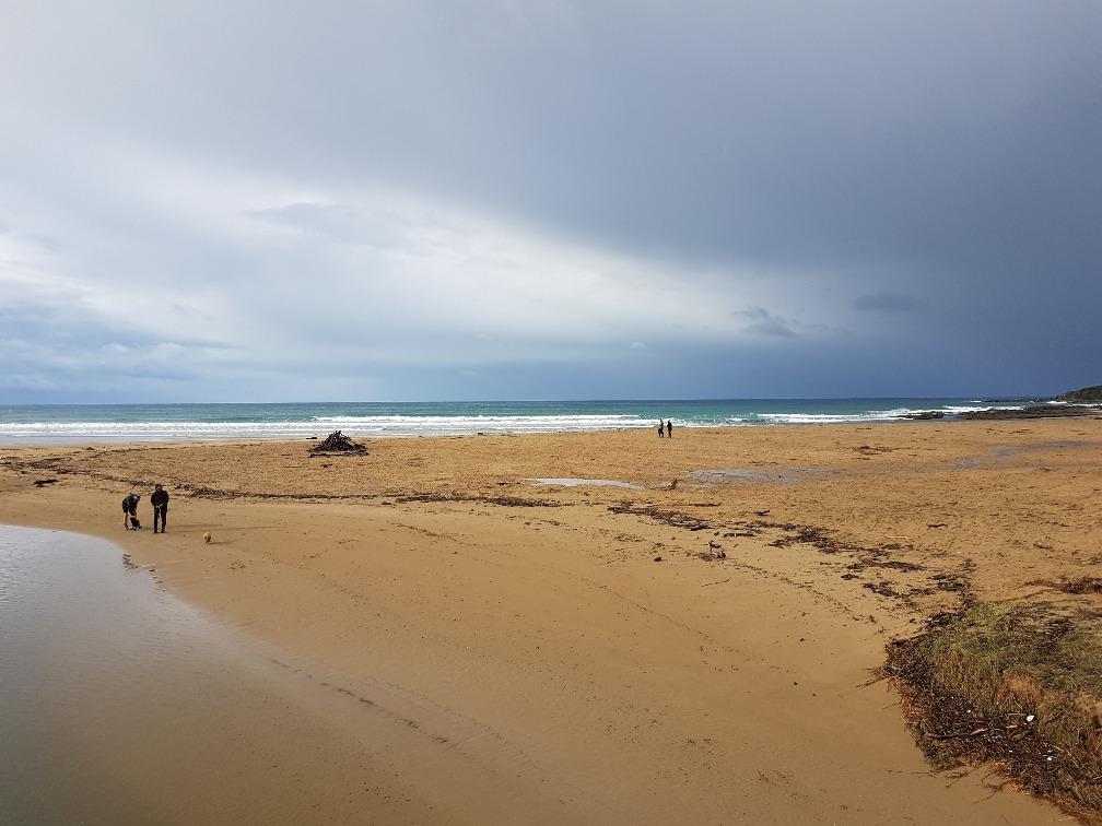
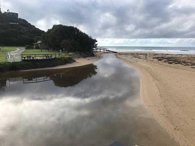
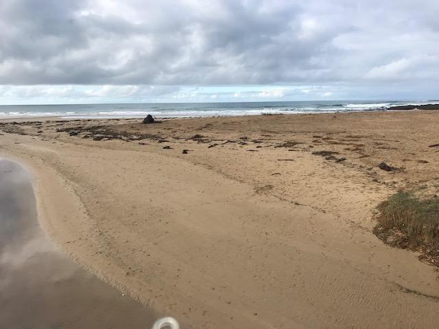
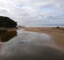
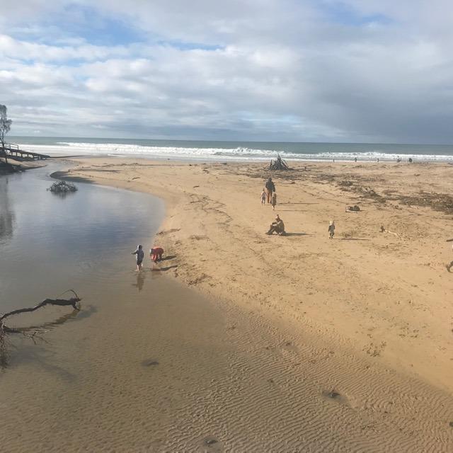
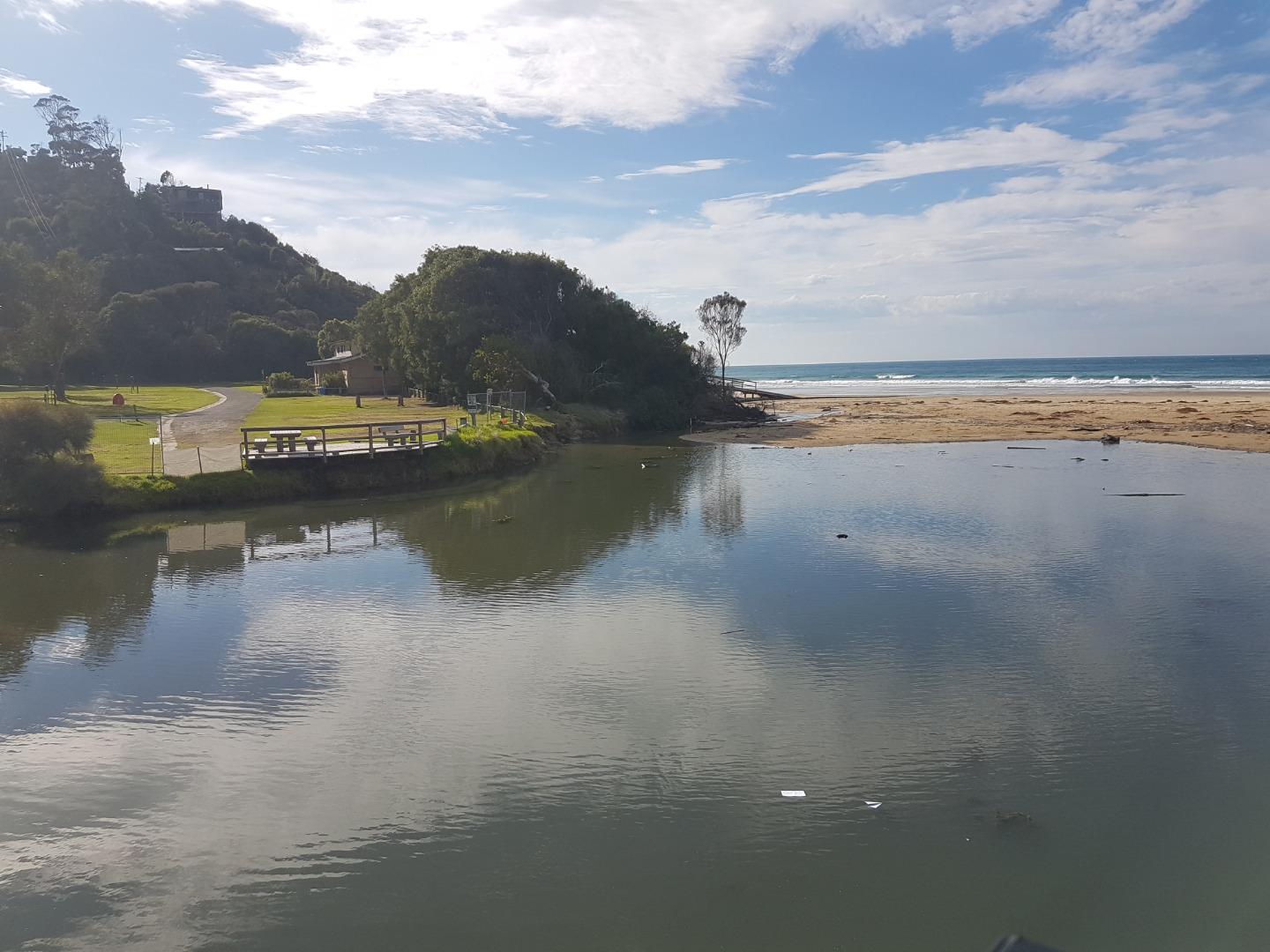
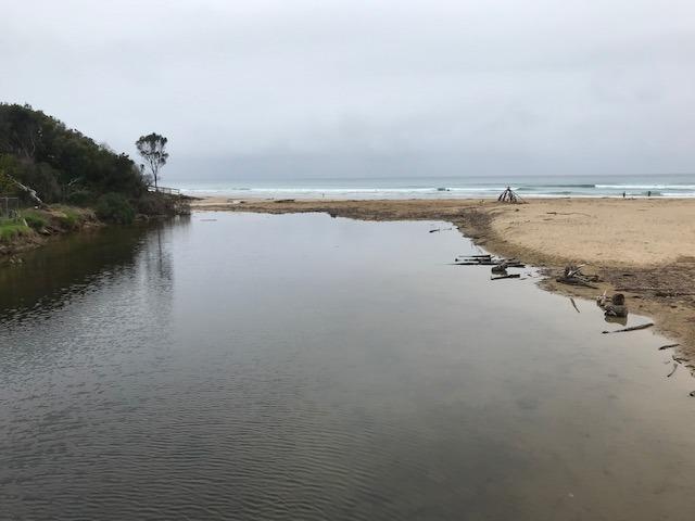
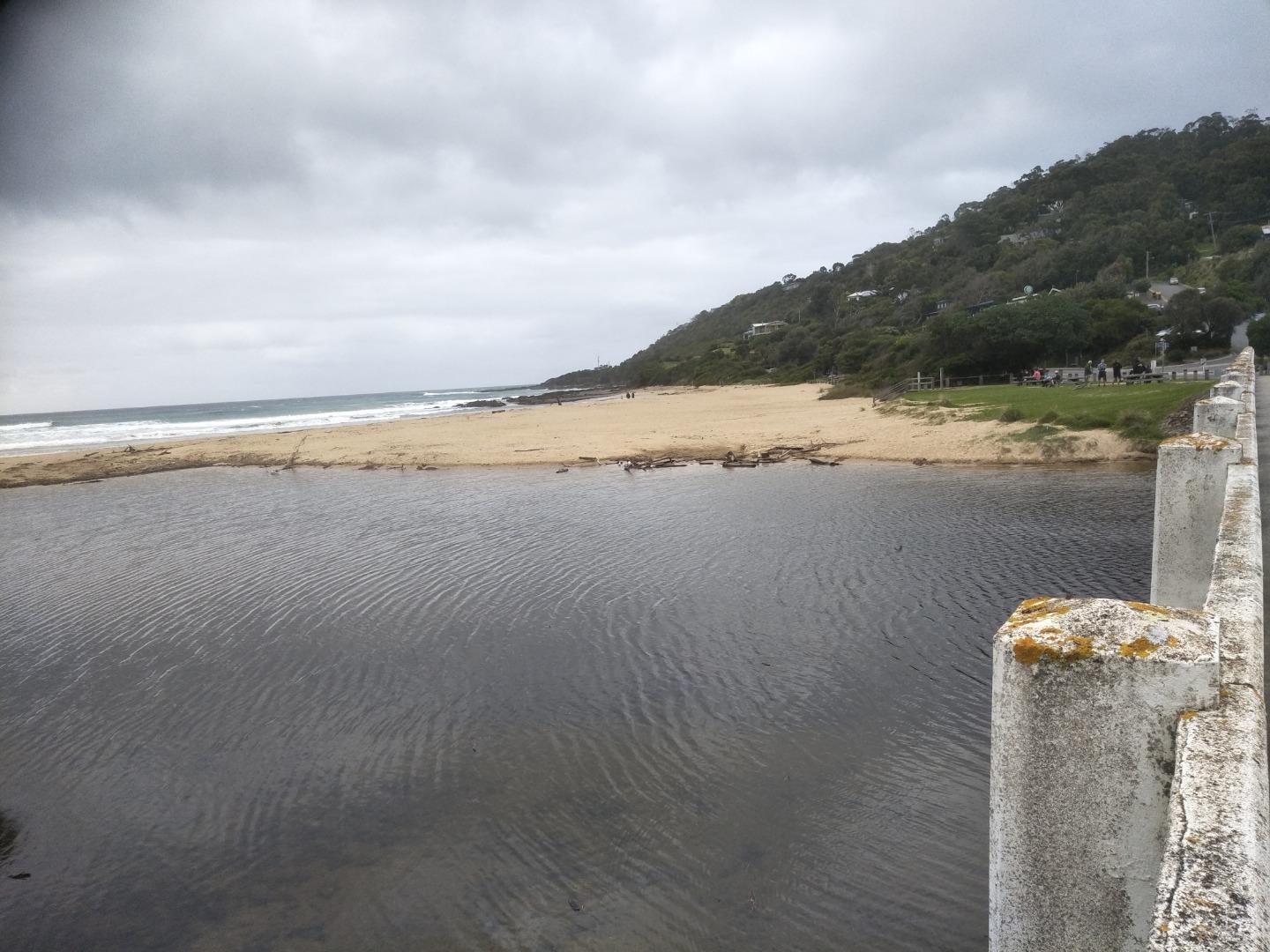
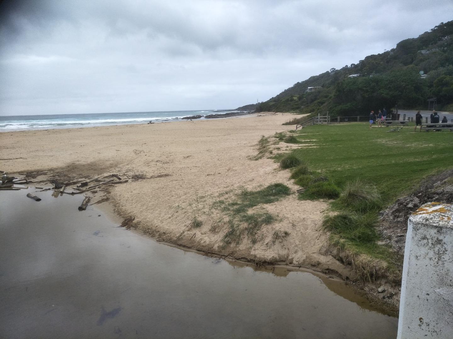
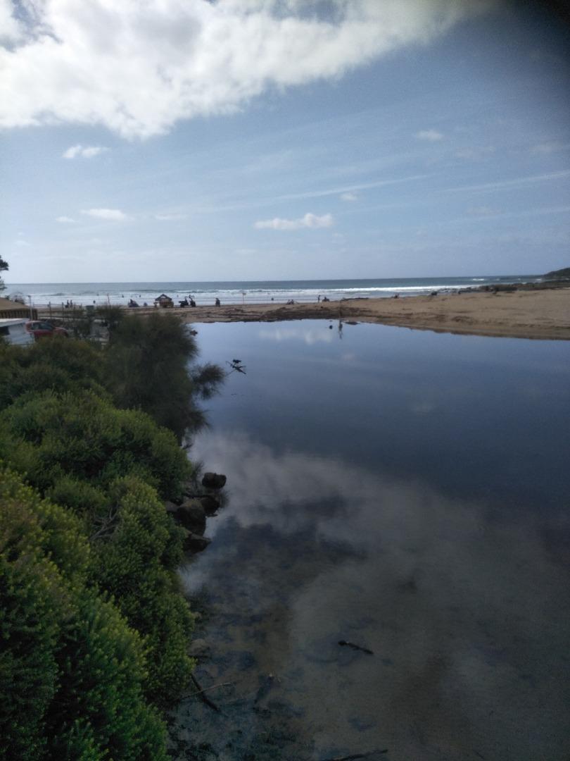
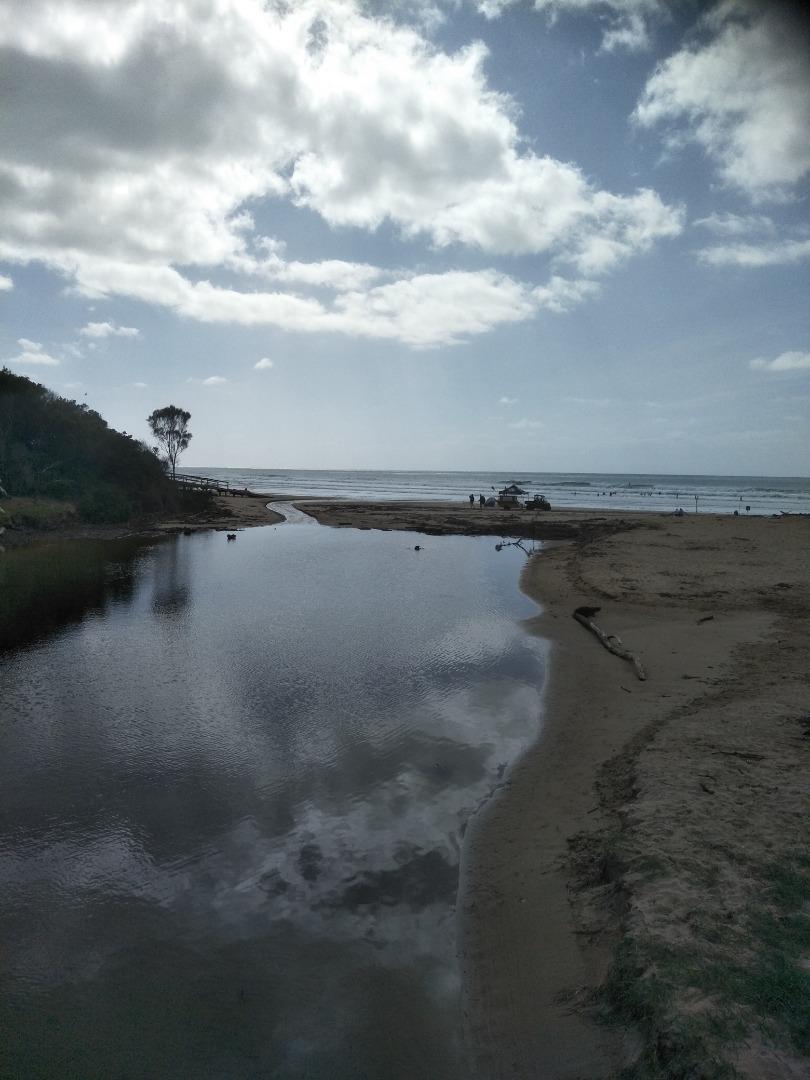
Wye River Mouth ConditionActive Mouth Condition 28-10-2012 - 04-07-2026A small steep catchment, the Wye River passes through the township of Wye River and flows under the Great Ocean Road. Observations 320 |
WyP1 |
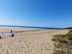
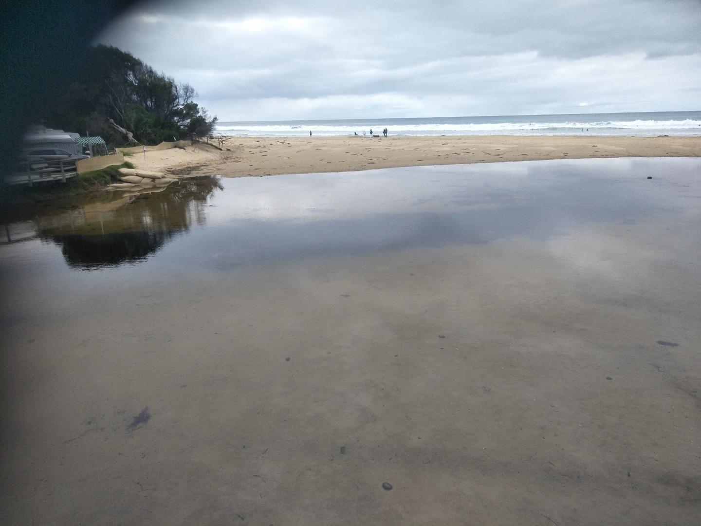
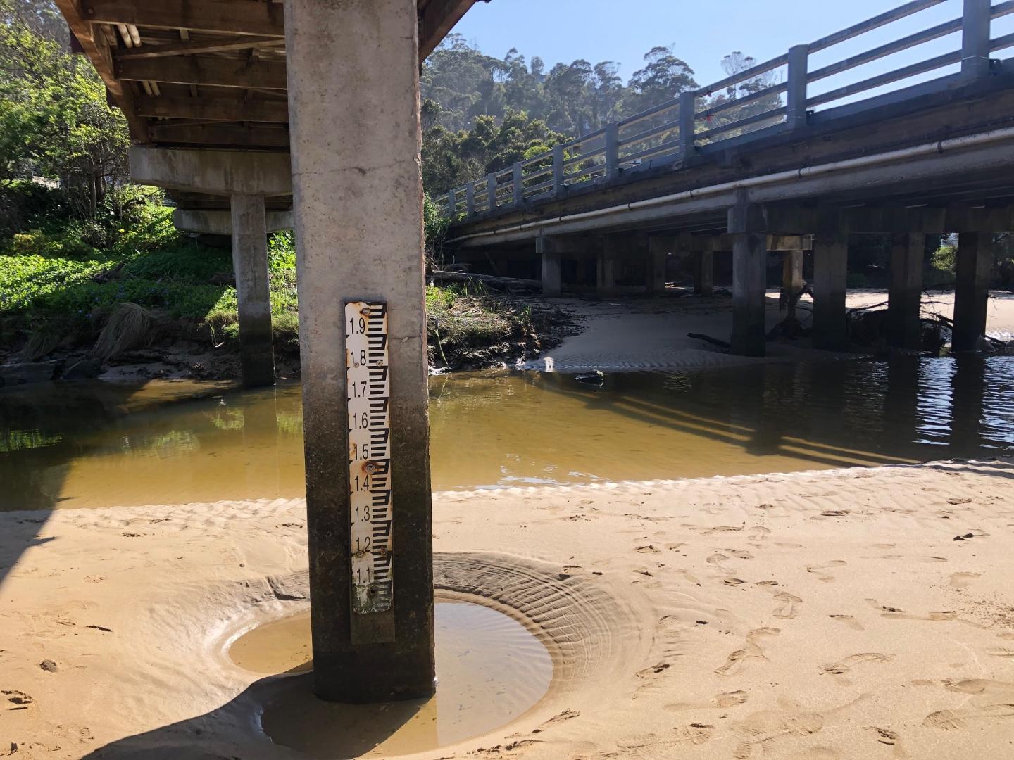
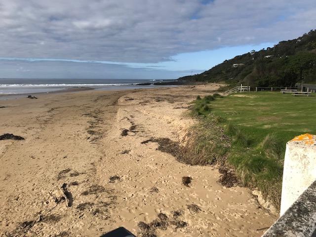
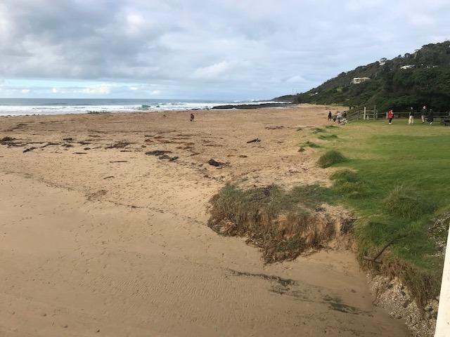
Wye River Photopoint 1Active Photopoint 02-12-2012 - 06-01-2026Photos are taken from the footpatth on the ocean side of the Great Ocean Bridge between the second and third post counting from the eastern end of the bridge. Photos 551 |
WyP2 |
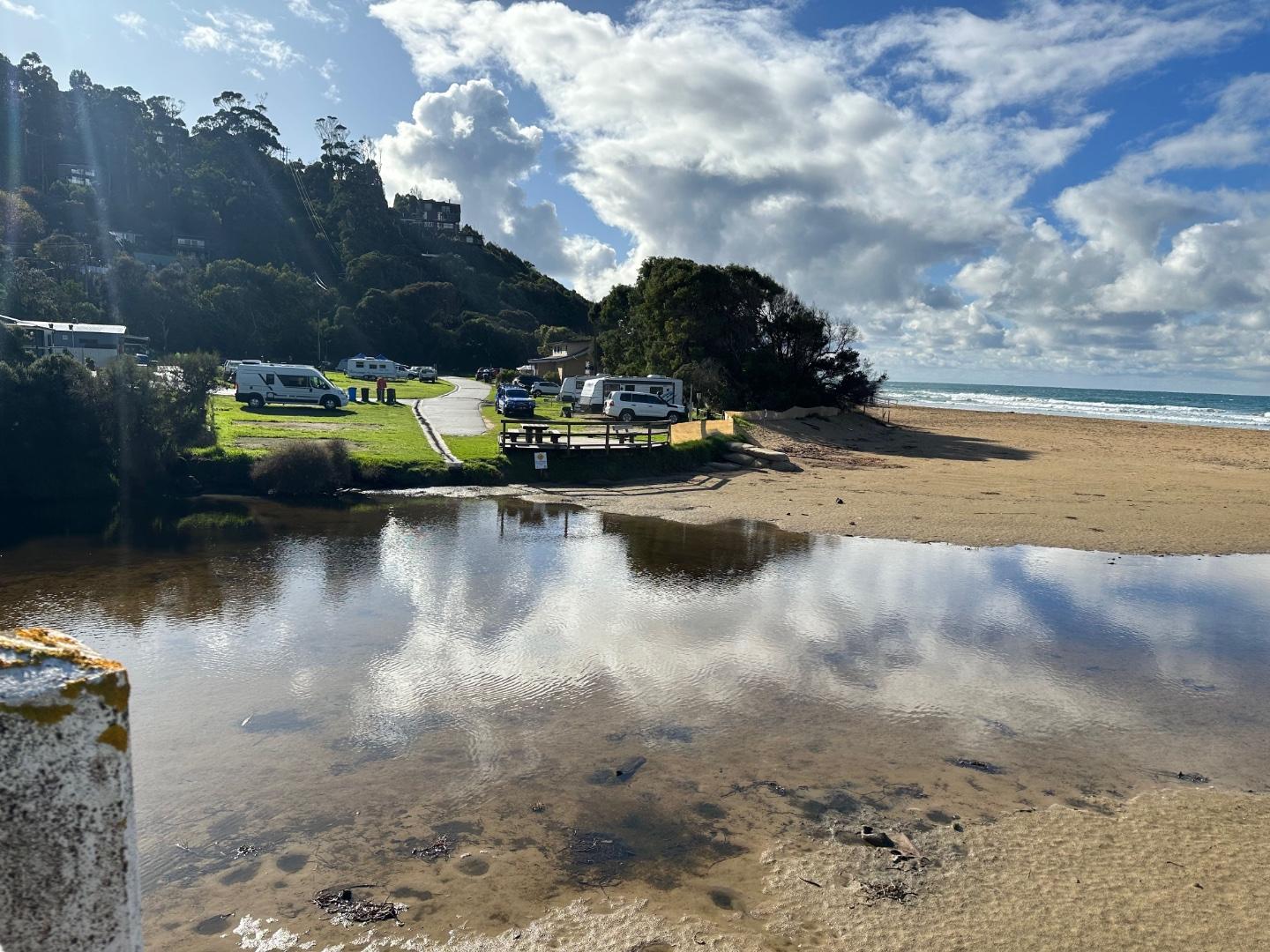
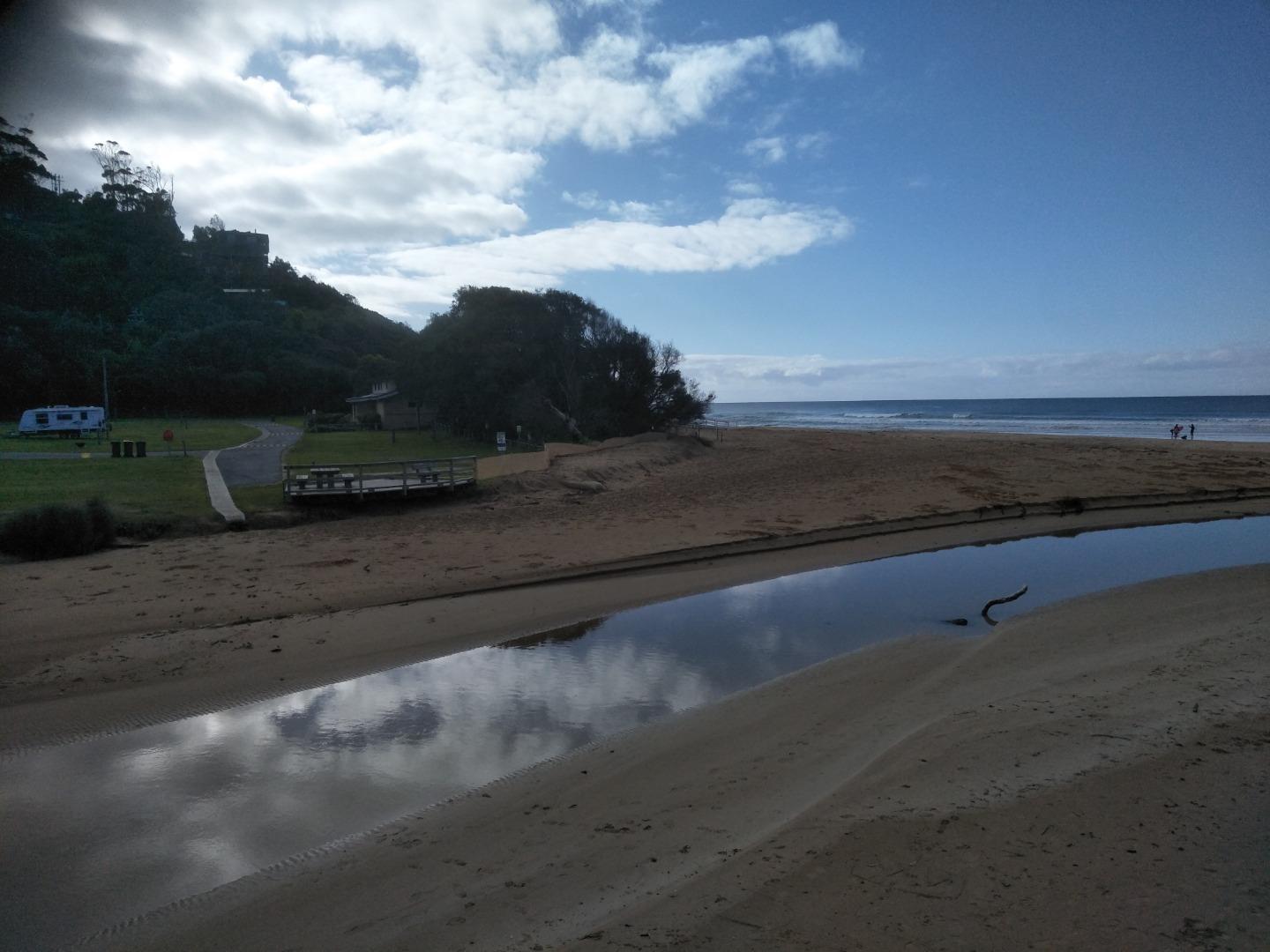
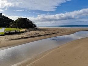
Wye River Photopoint 2Active Photopoint 23-02-2021 - 09-07-2026July 2021 - Walk to the south eastern end of the Great Ocean Bridge ie beach entrance end on the ocean side of the road bridge. Look for pencil markings on the top rail between 4th and 5th posts. Lat -38.63436 Long 143.89103 April 2024 - bridge works. WyP2 is the code for a relocated photopoint site temporarily used while bridge is under construction. Field visit with EW volunteers on Fri26/4/24 identified new location at wooden stair access to beach Lat -38.634841, Long 143.891092 - see photo below Photos 292 |
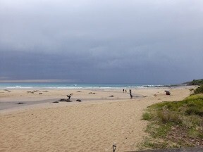
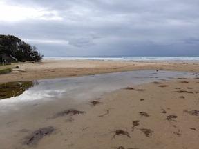
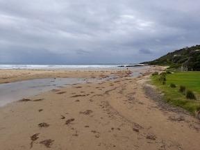
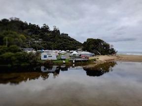
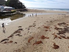
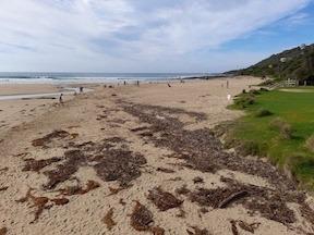
Mouth Condition Snapshots


We honour Elders past and present whose knowledge and wisdom has ensured the continuation of culture and traditional practices.
 All content, files, data and images provided by the EstuaryWatch Data Portal subject to a Creative Commons Attribution License
Data portal by CeRDI
All content, files, data and images provided by the EstuaryWatch Data Portal subject to a Creative Commons Attribution License
Data portal by CeRDI