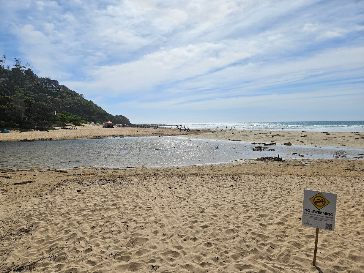
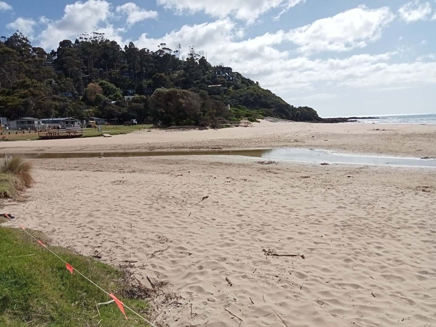
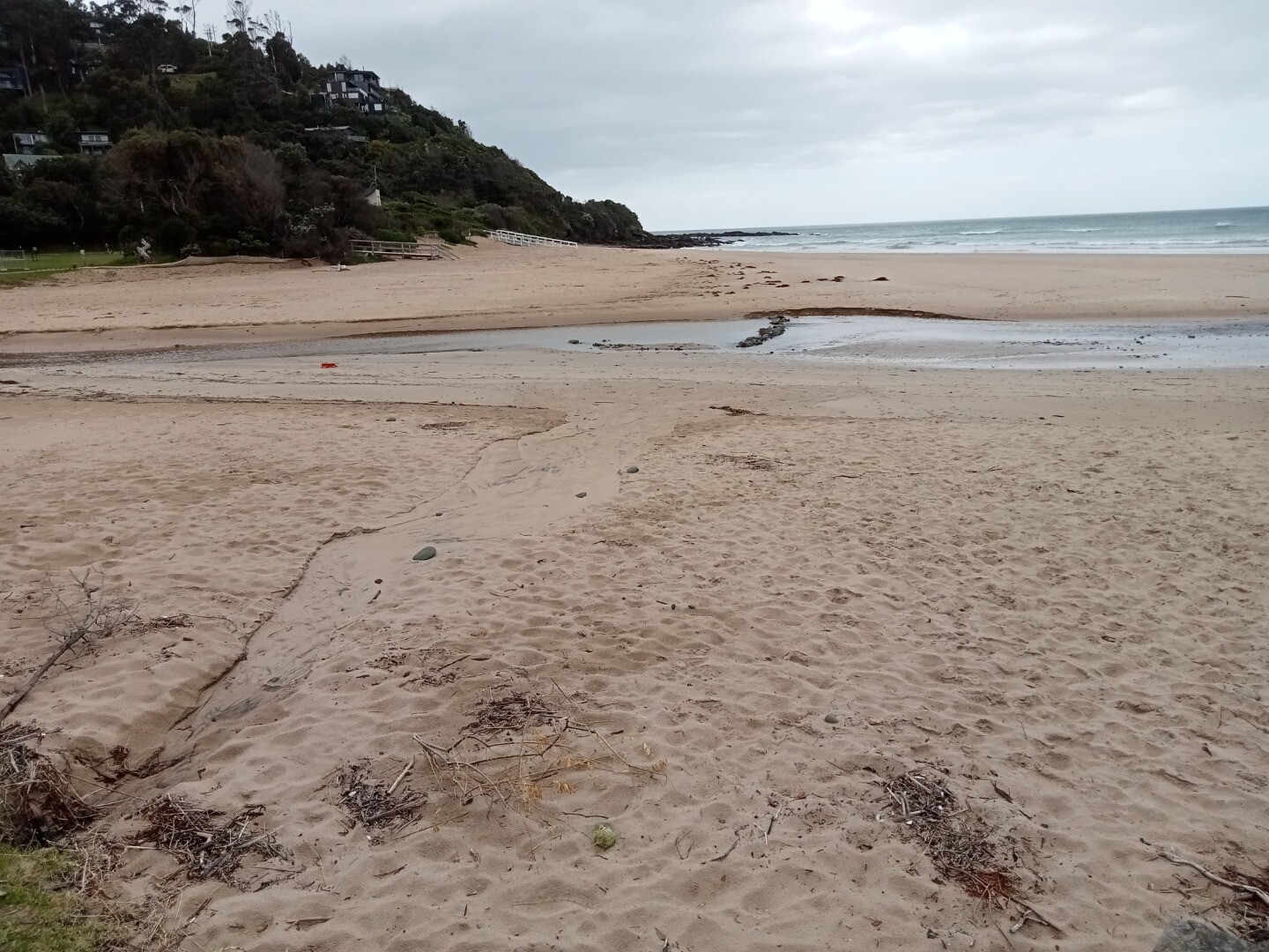
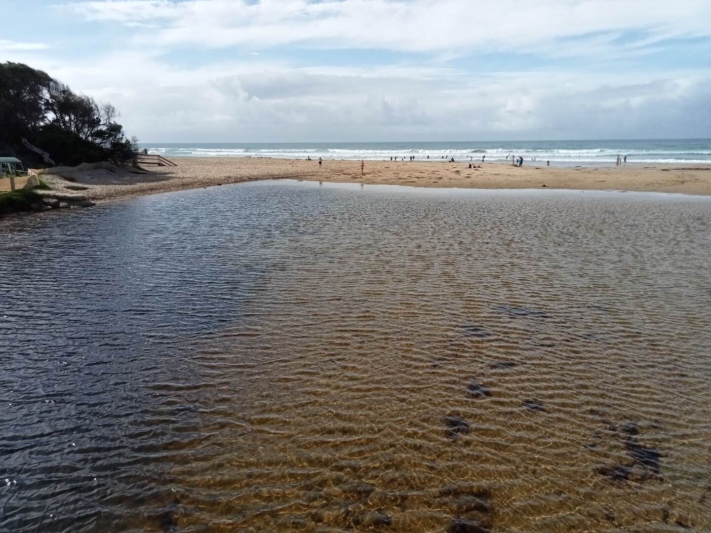
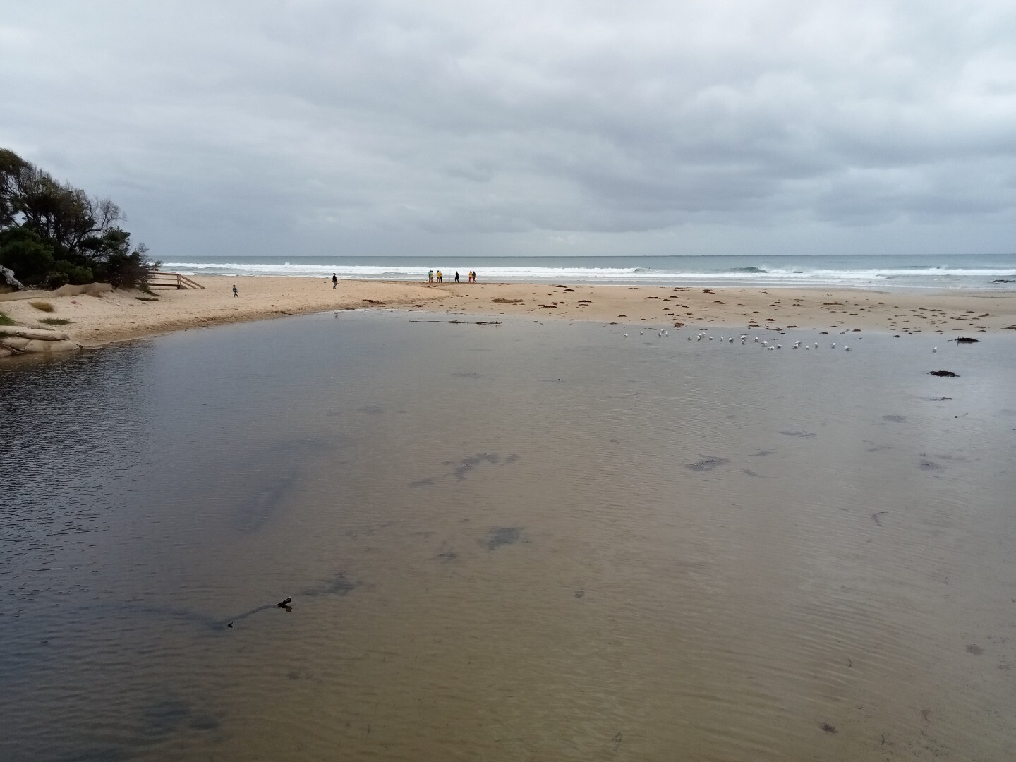
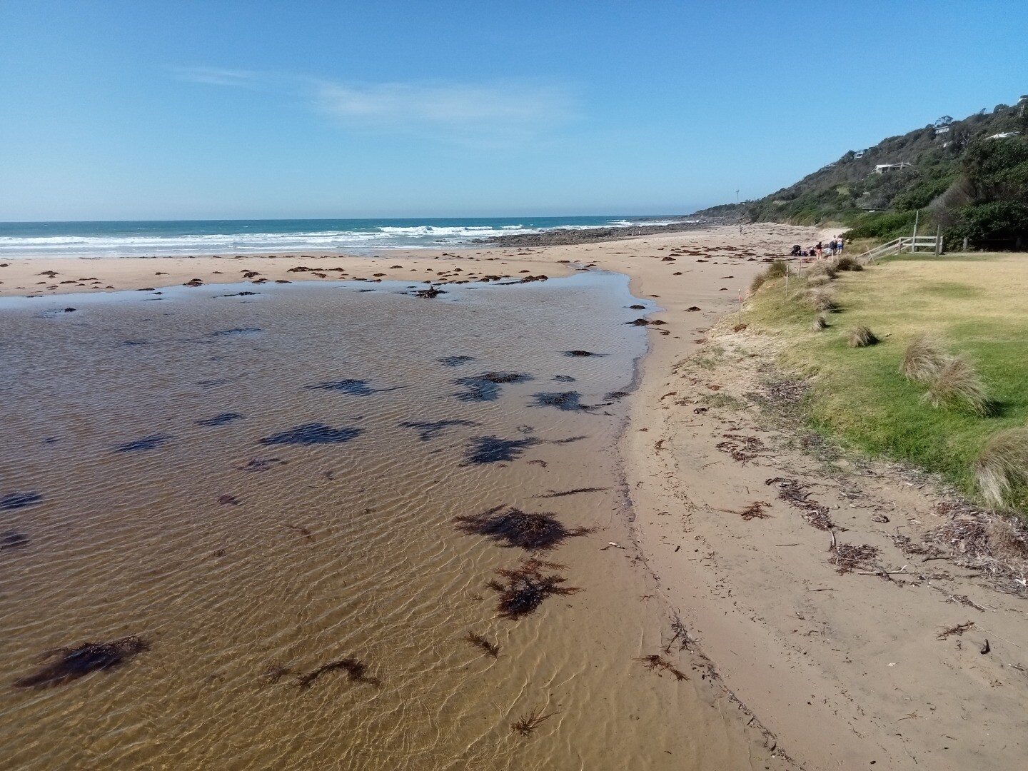
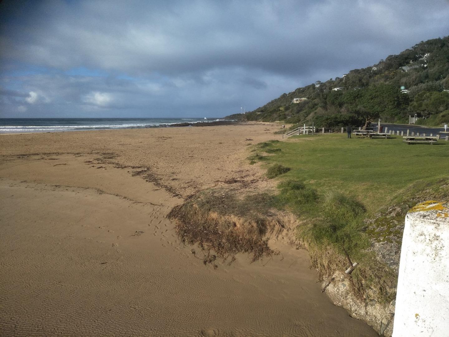
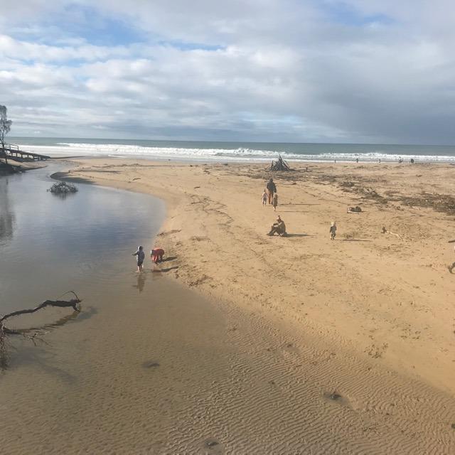
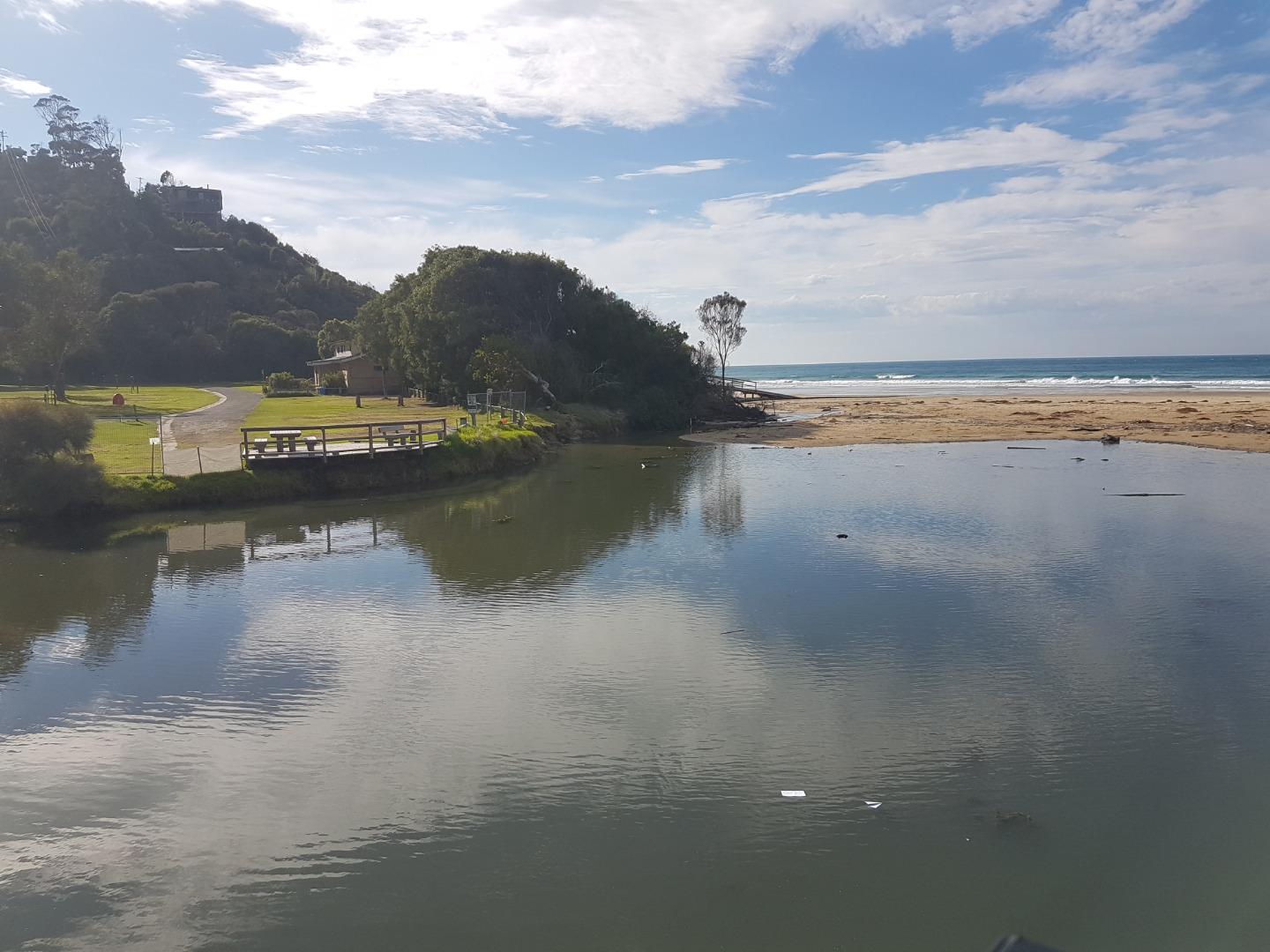
Wye River Estuary
Corangamite CMA
DOWNLOAD DATAWyP2 Wye River Photopoint 2
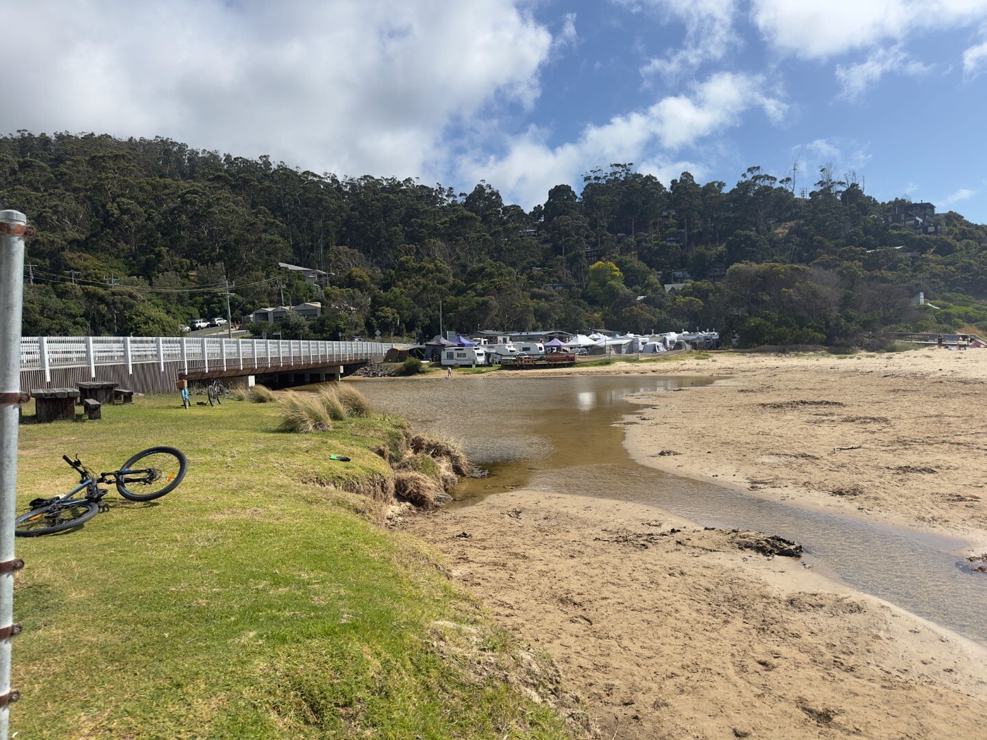
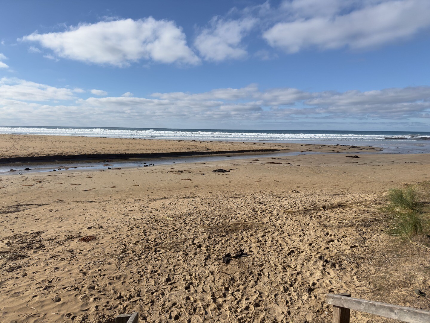
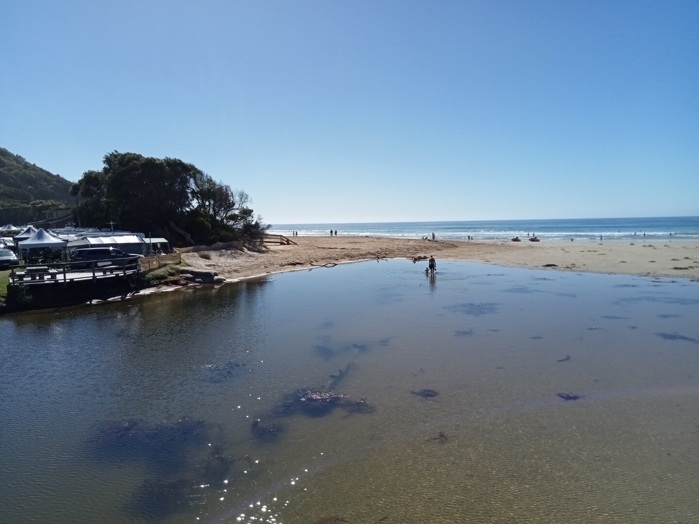
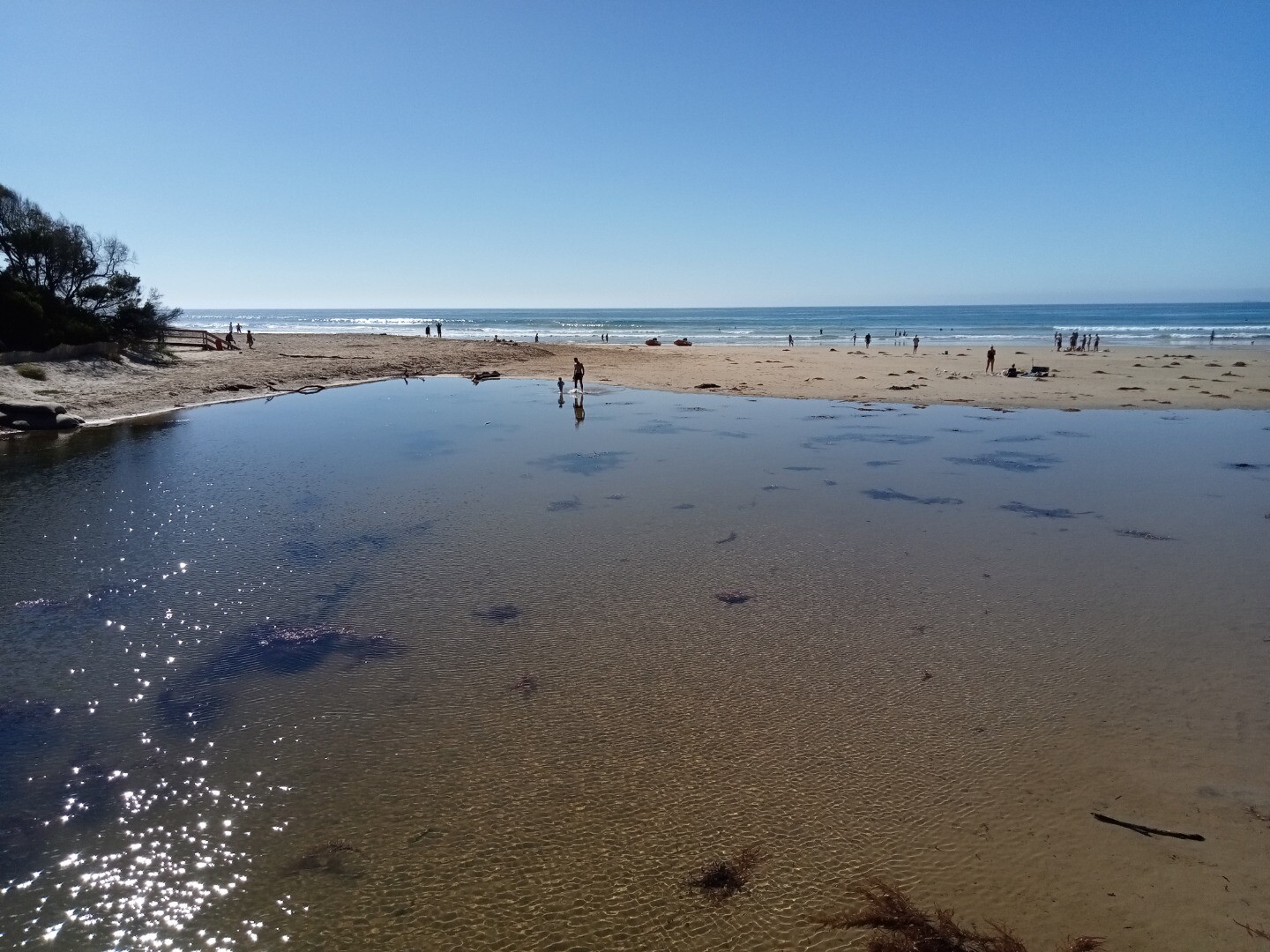
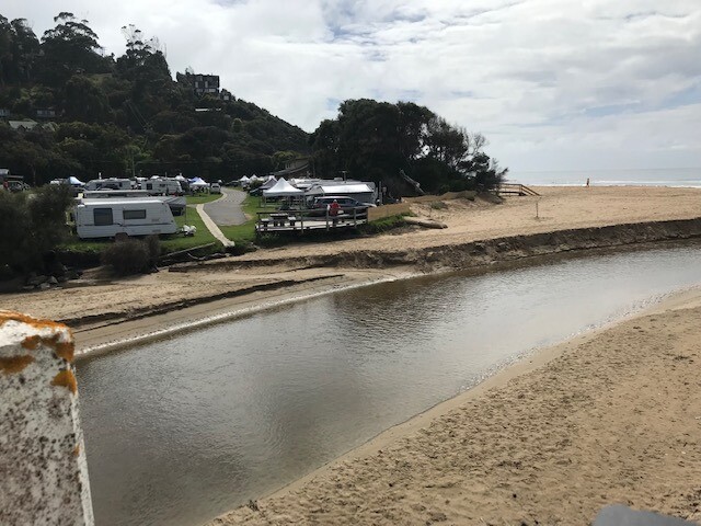
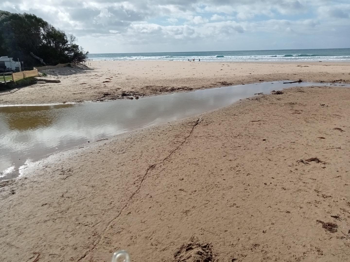
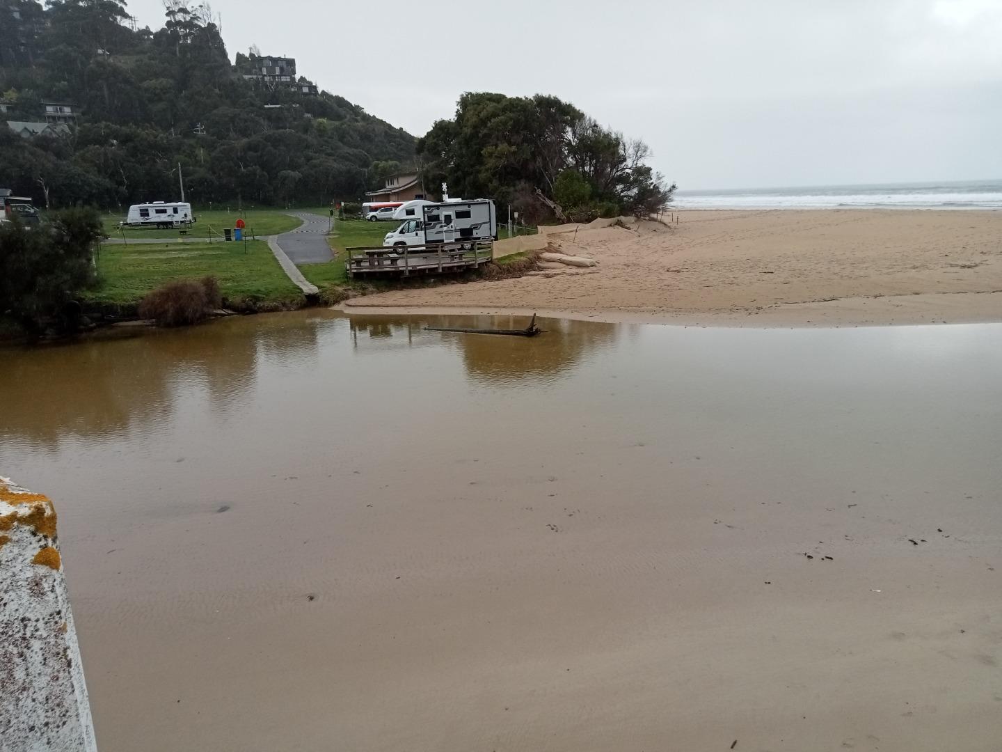
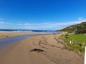
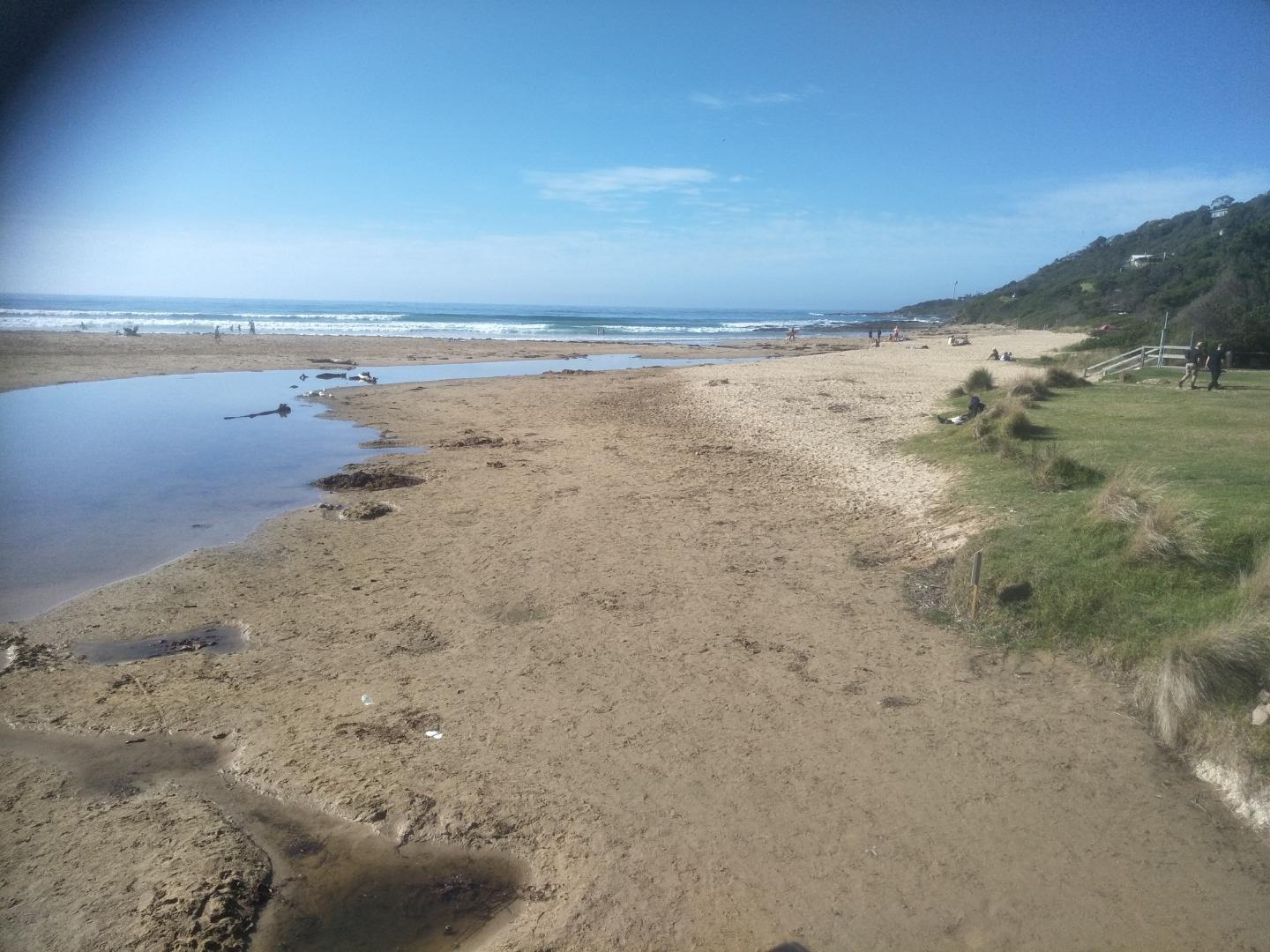
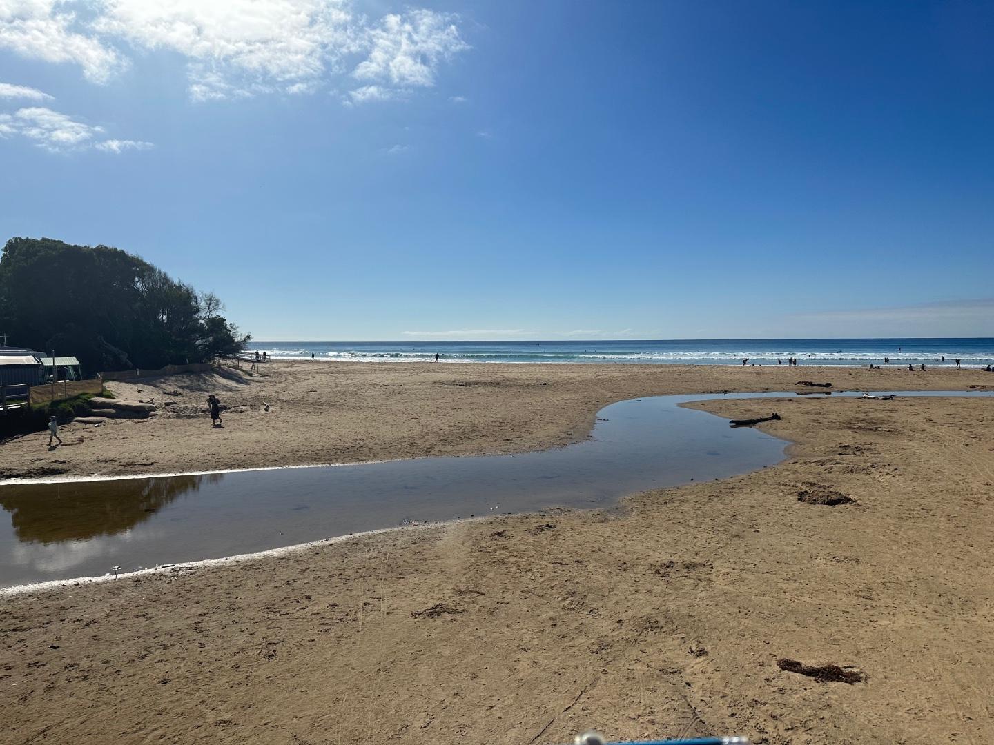
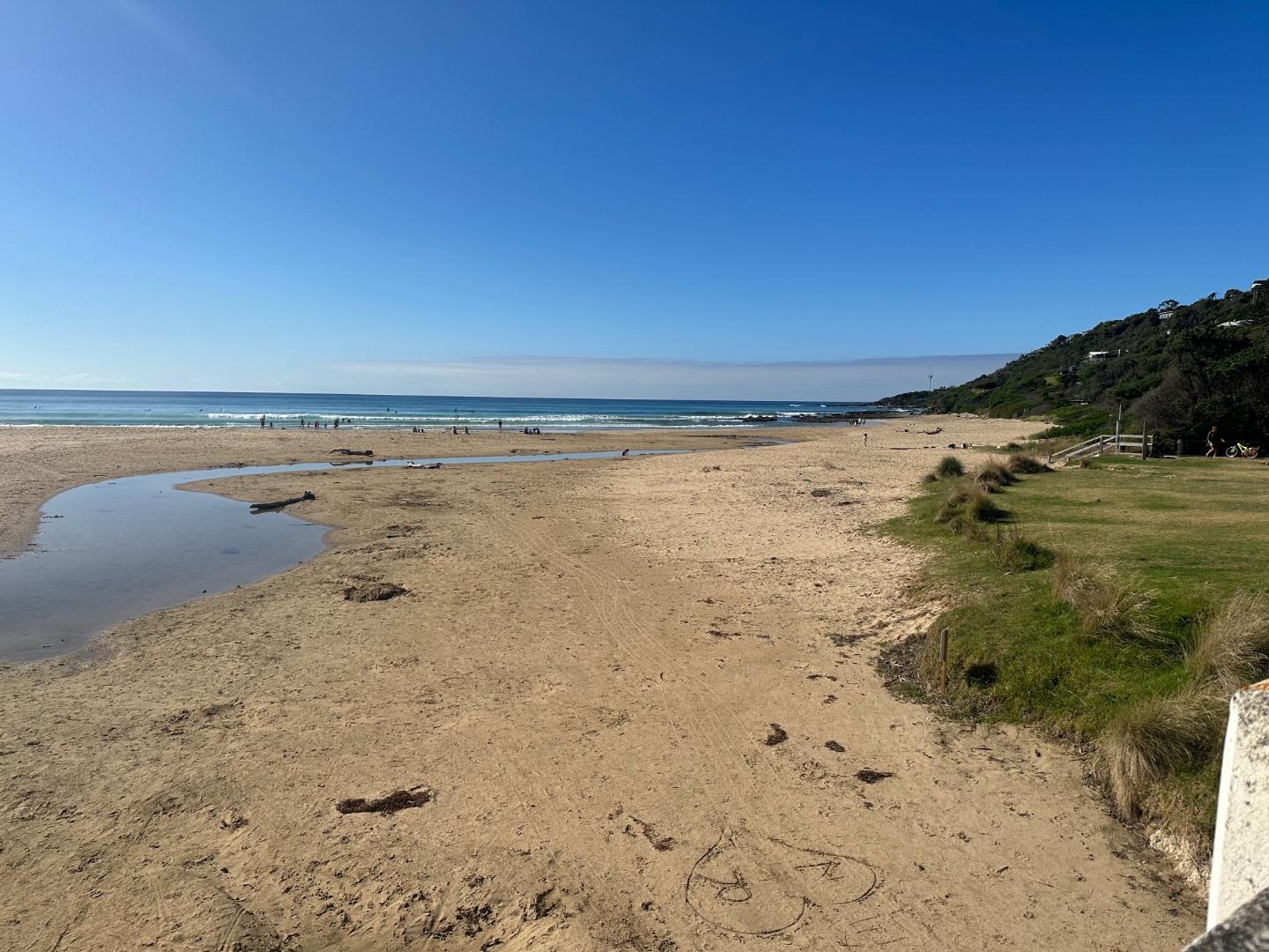
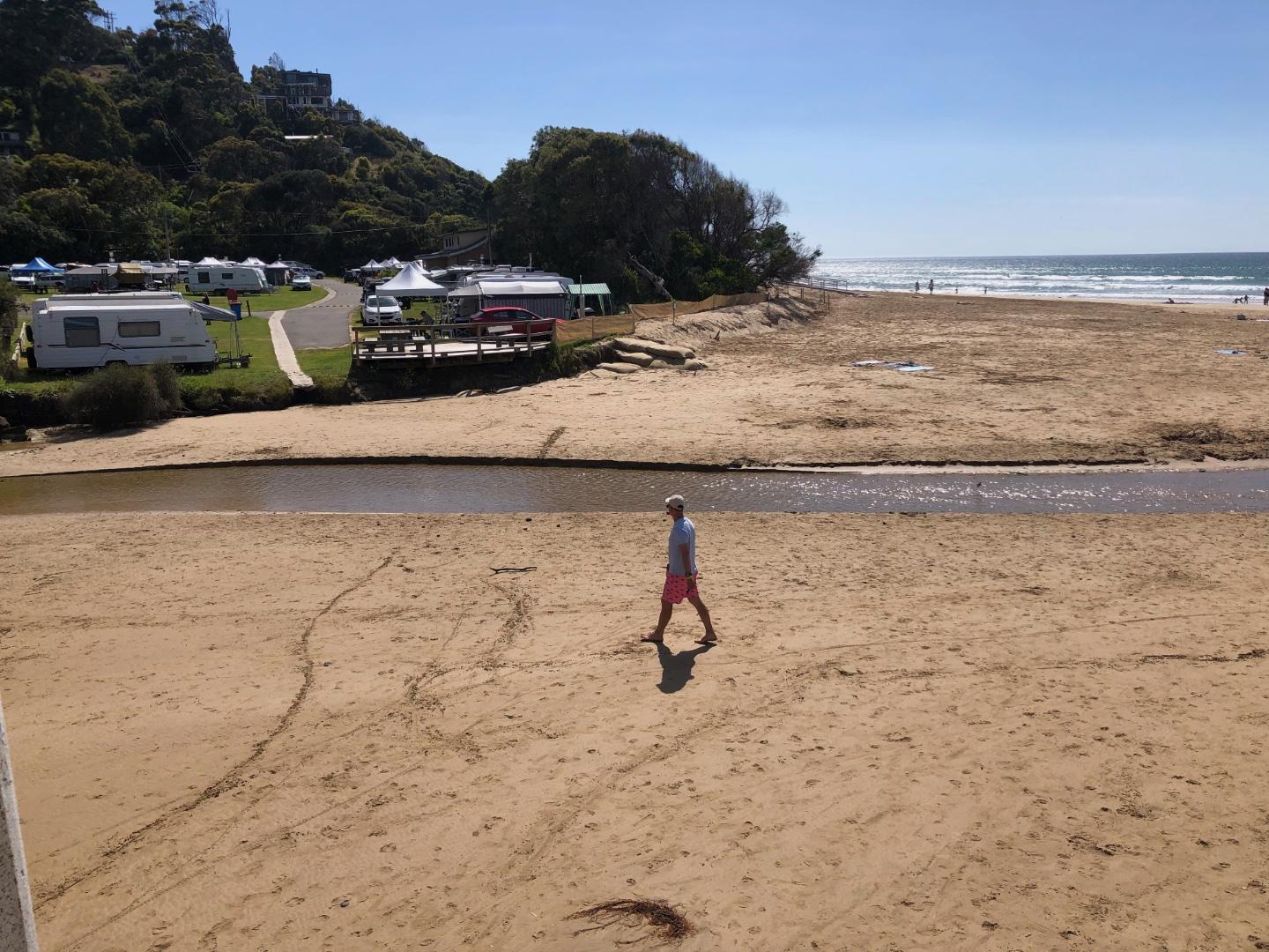
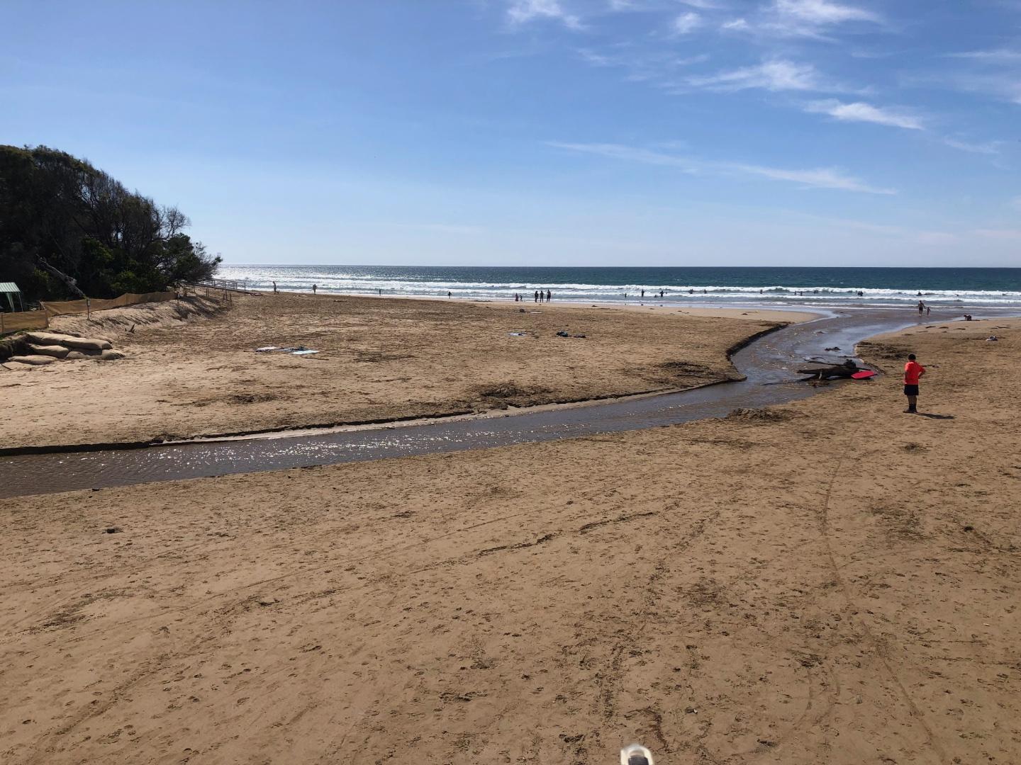
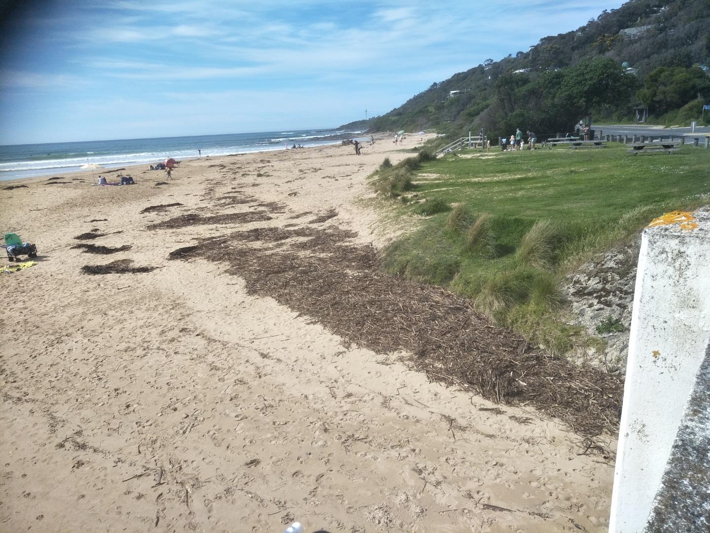
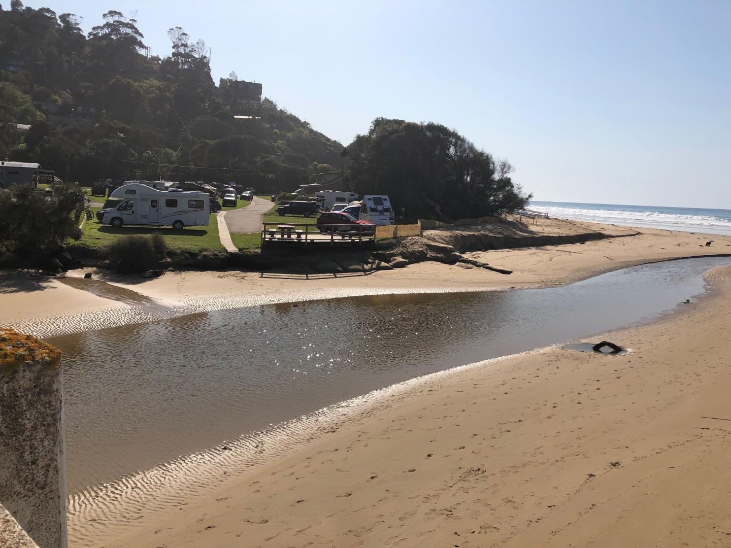
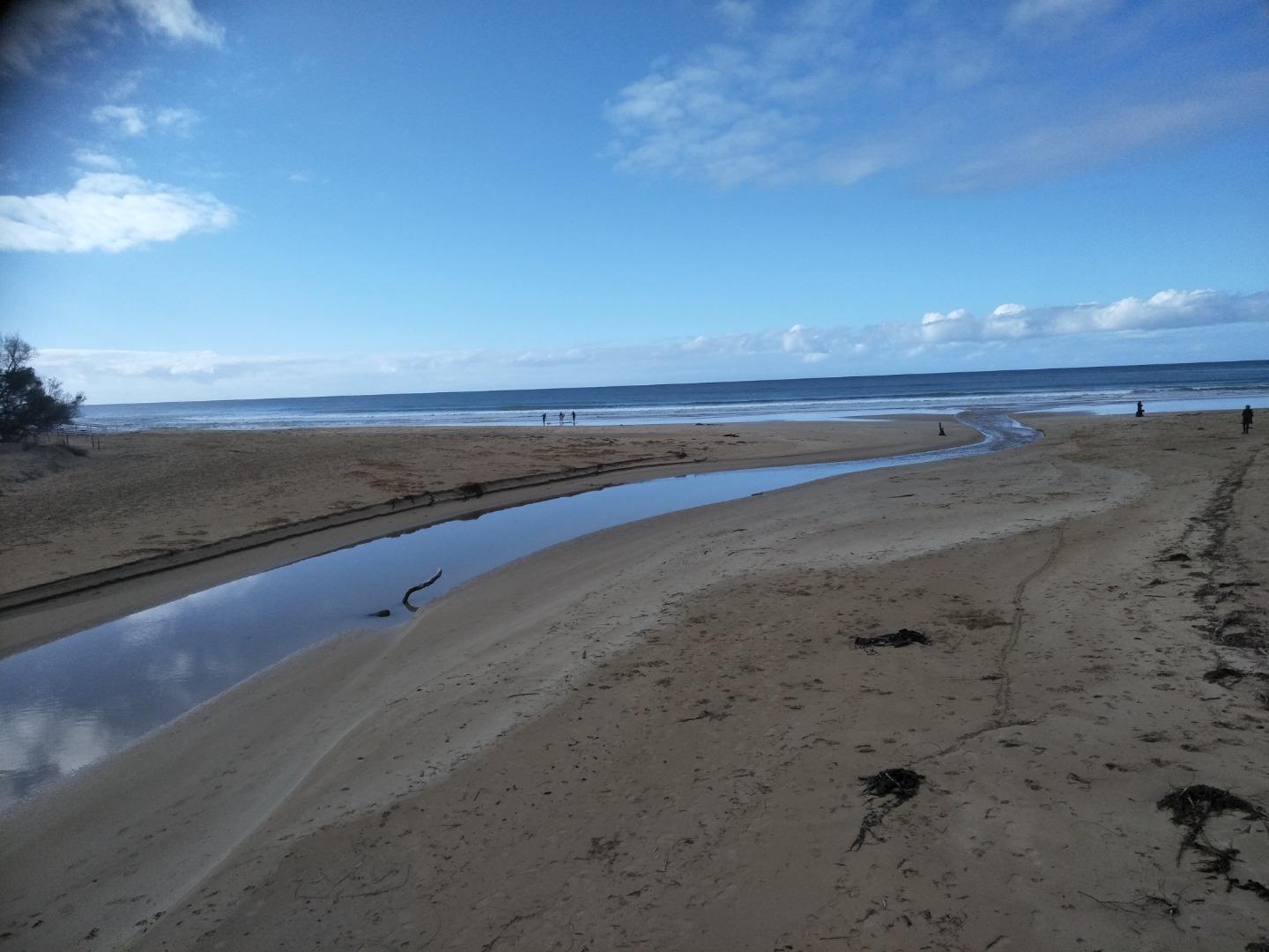
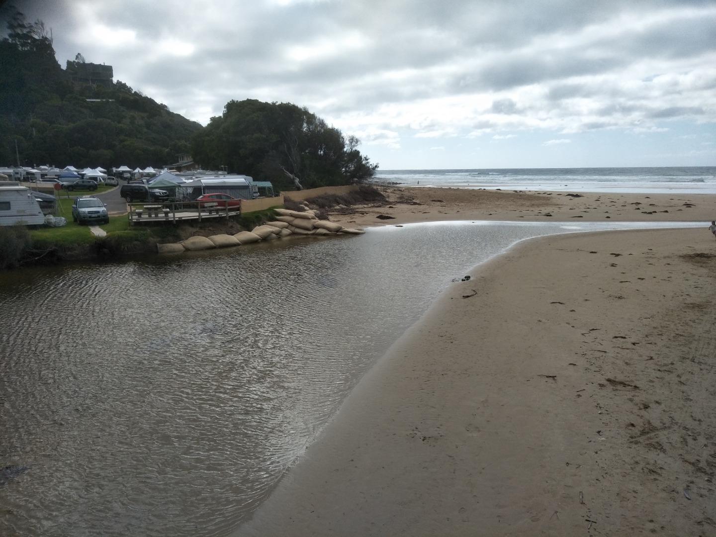
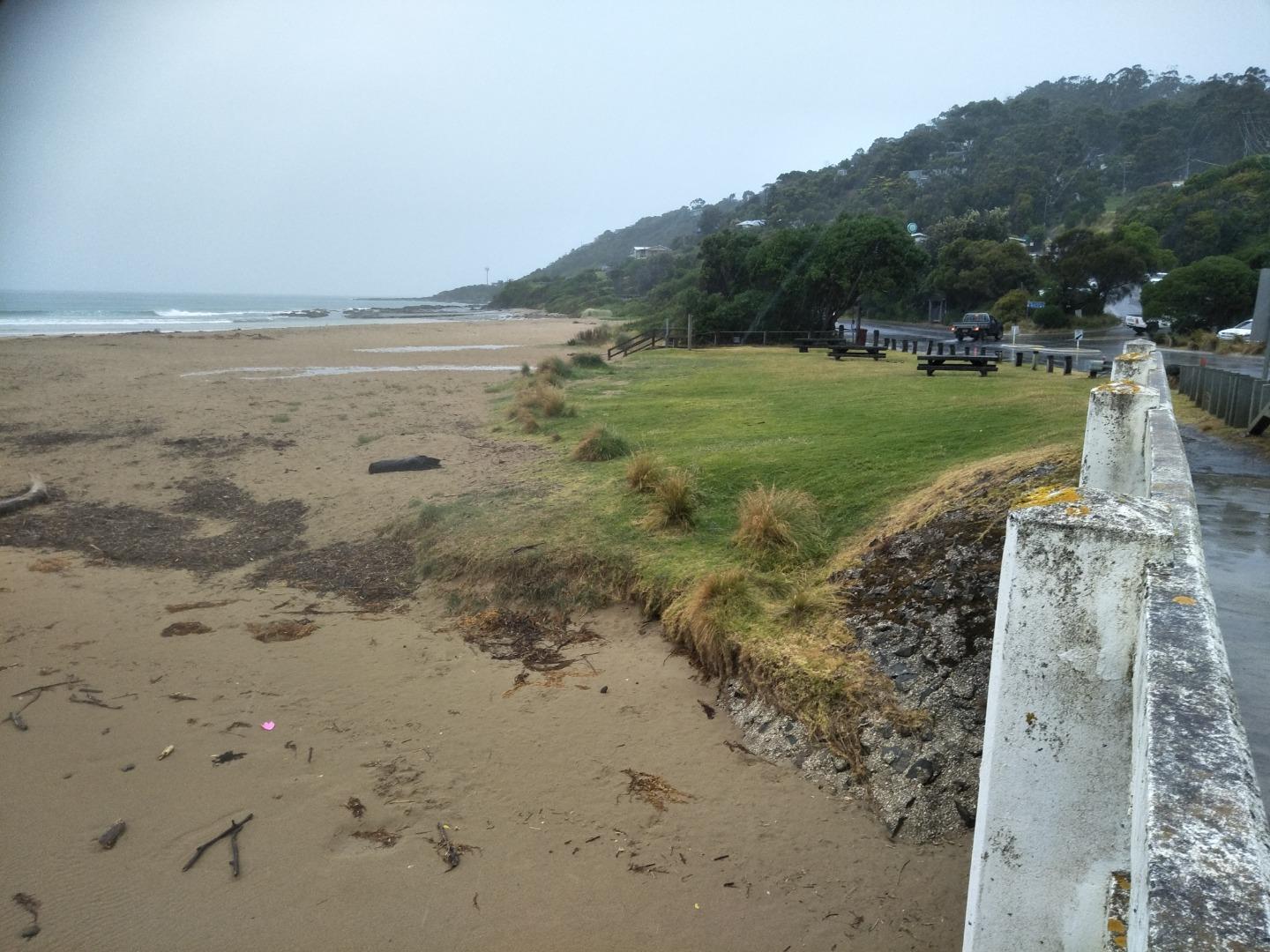
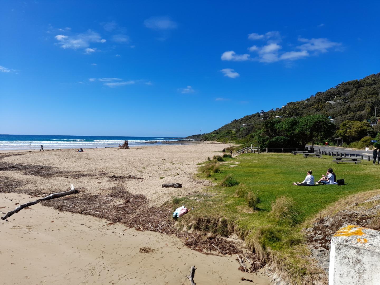
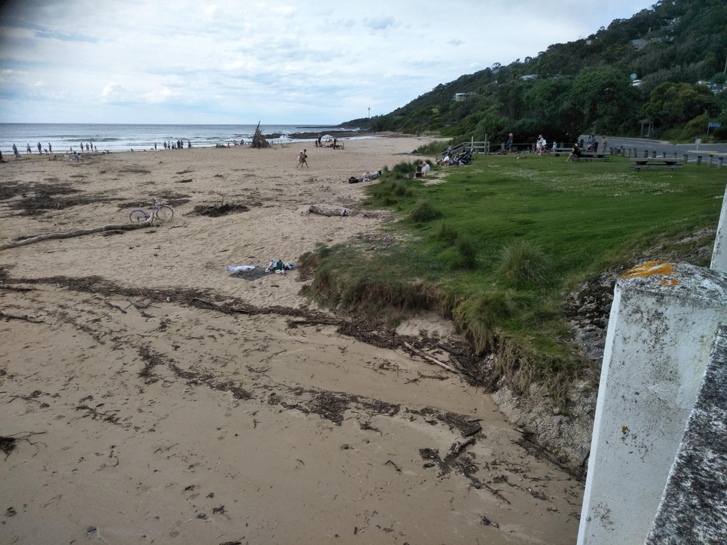
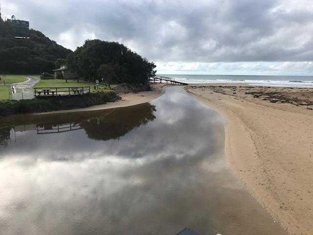
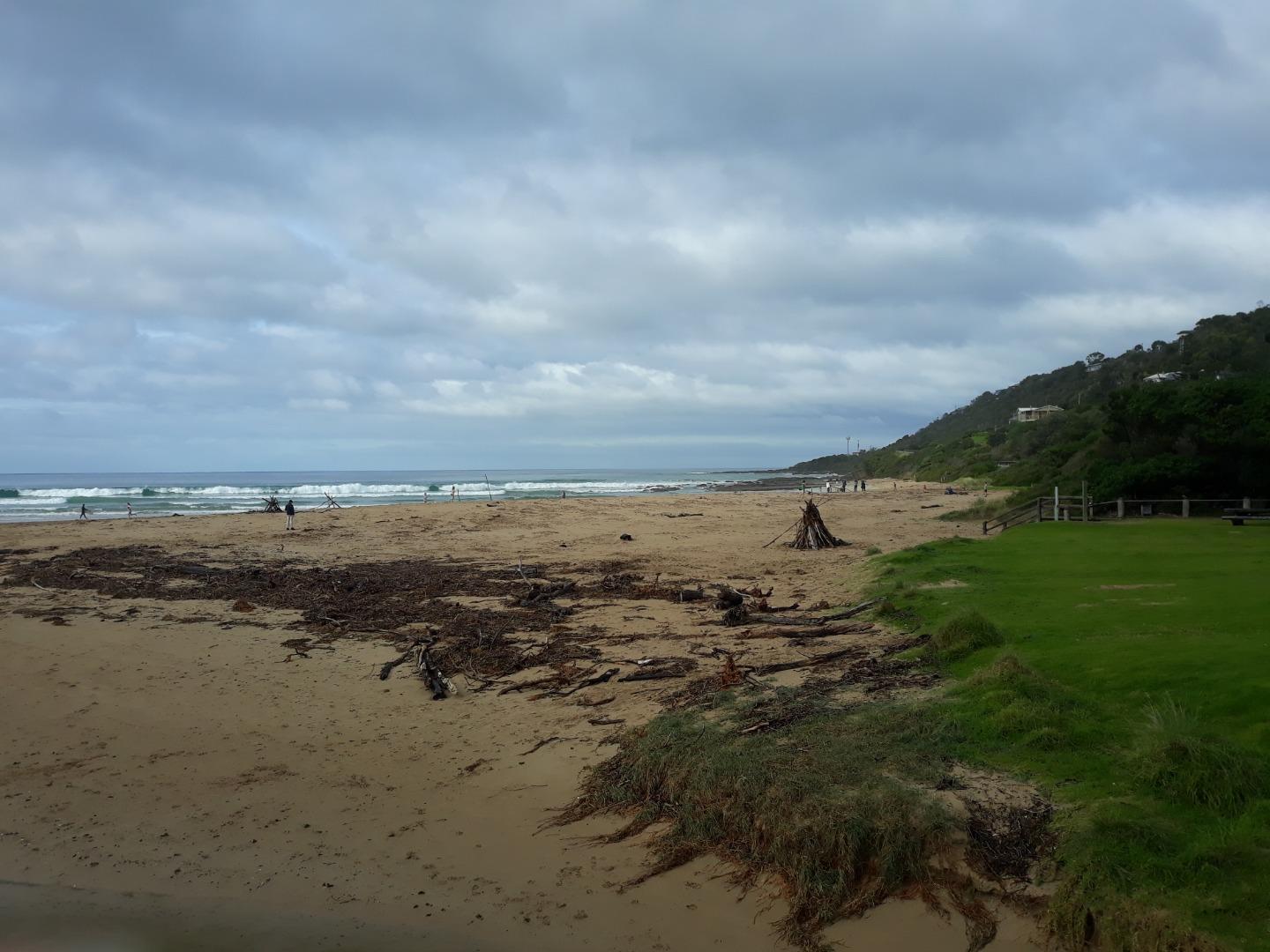
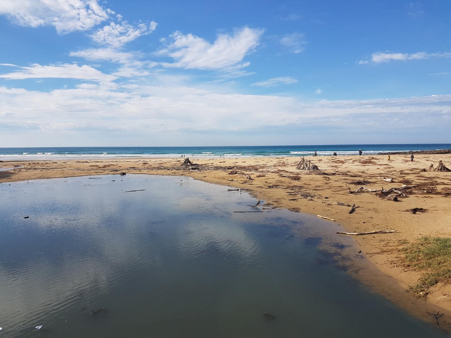
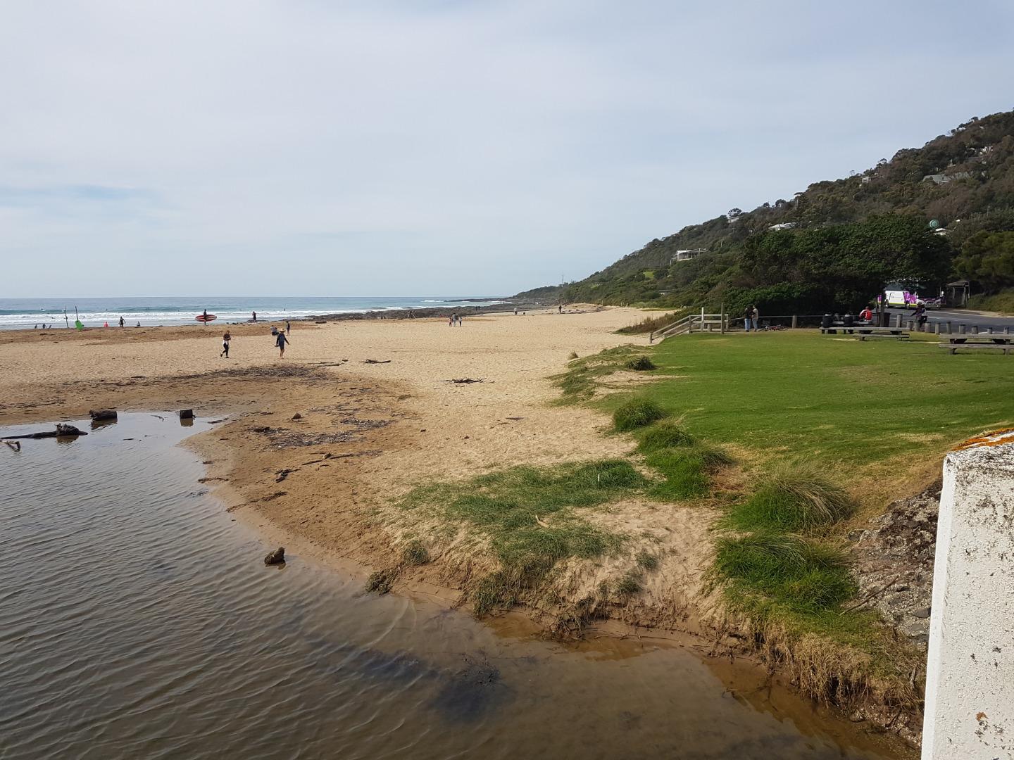
Active Photopoint Great Ocean Road beach access point, Wye River
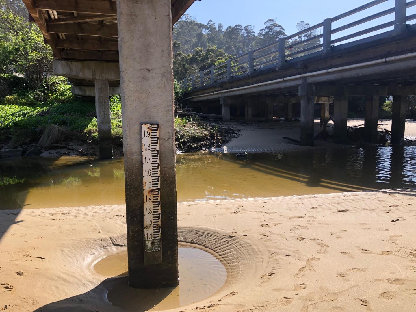
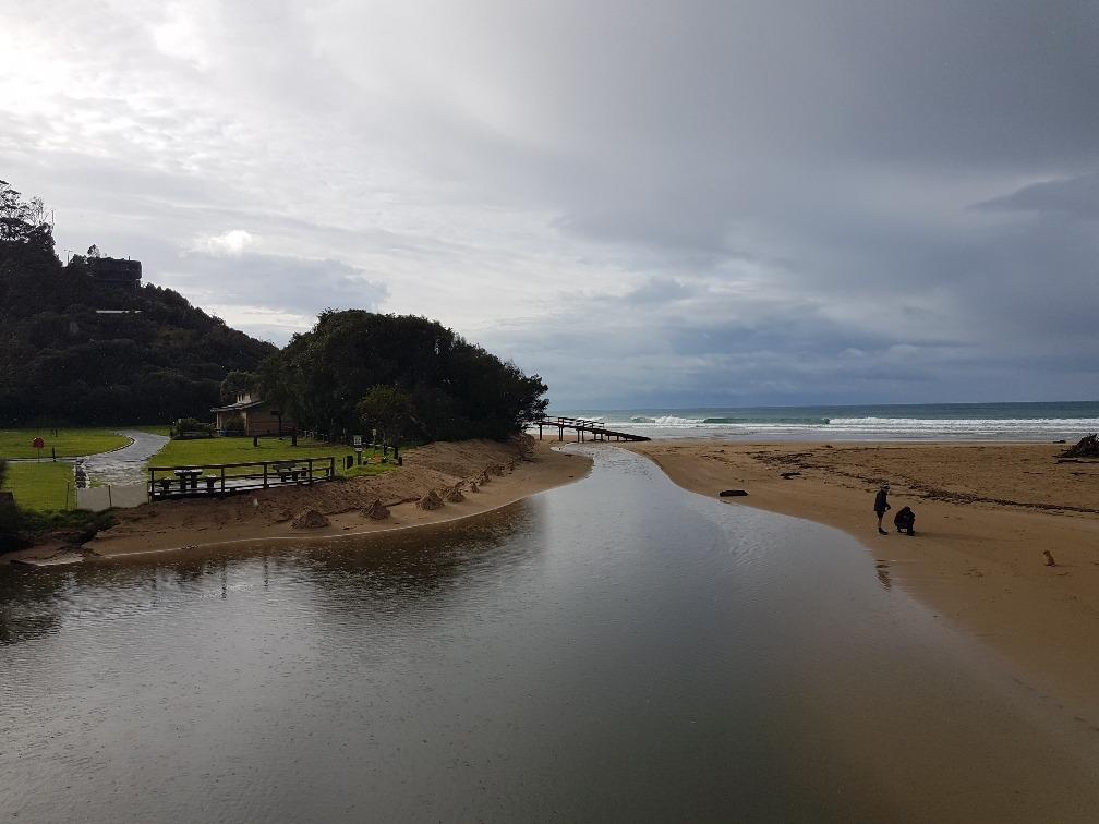
July 2021 - Walk to the south eastern end of the Great Ocean Bridge ie beach entrance end on the ocean side of the road bridge. Look for pencil markings on the top rail between 4th and 5th posts. Lat -38.63436 Long 143.89103
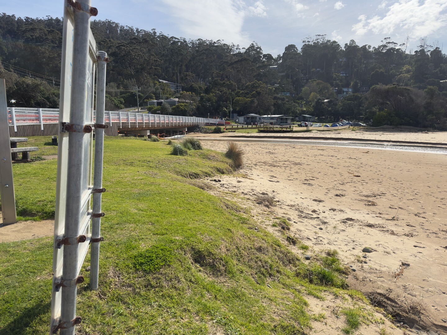
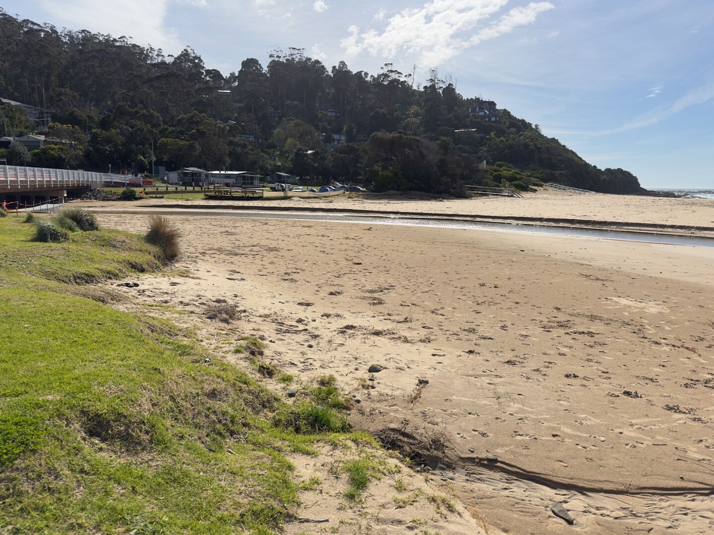
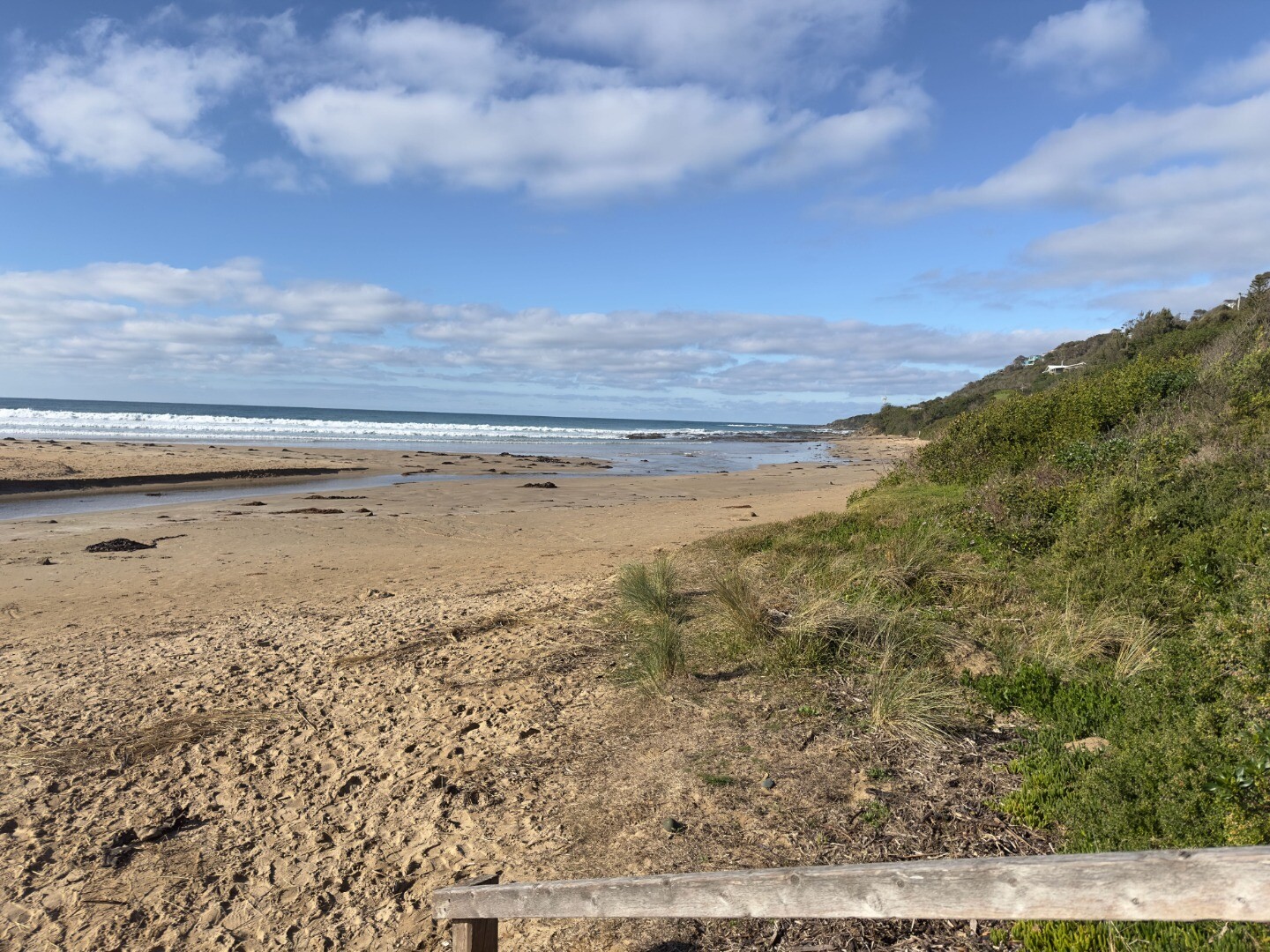
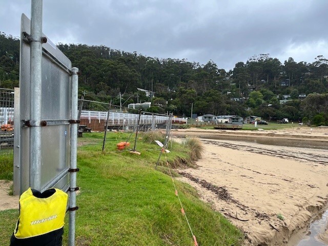
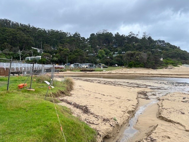
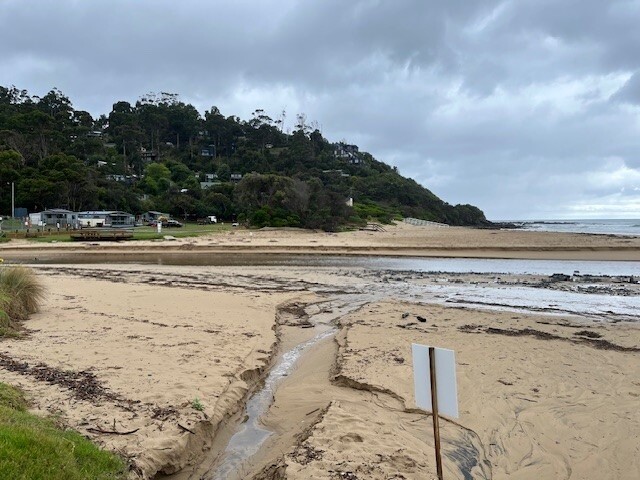
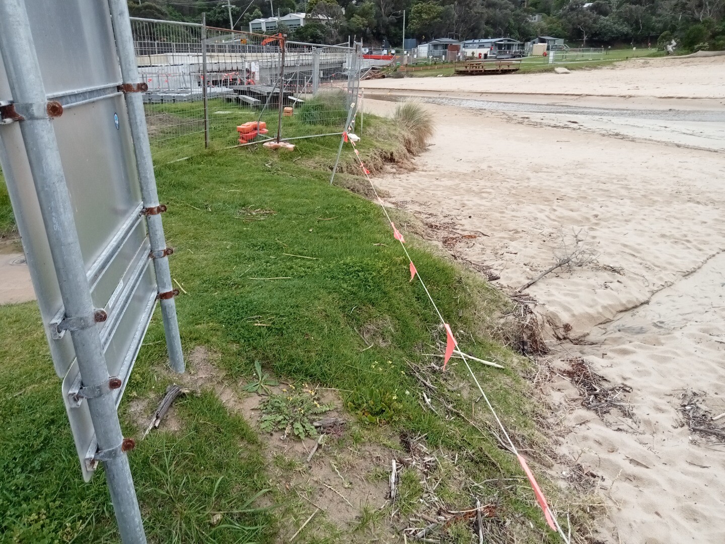
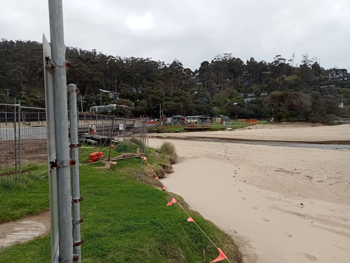
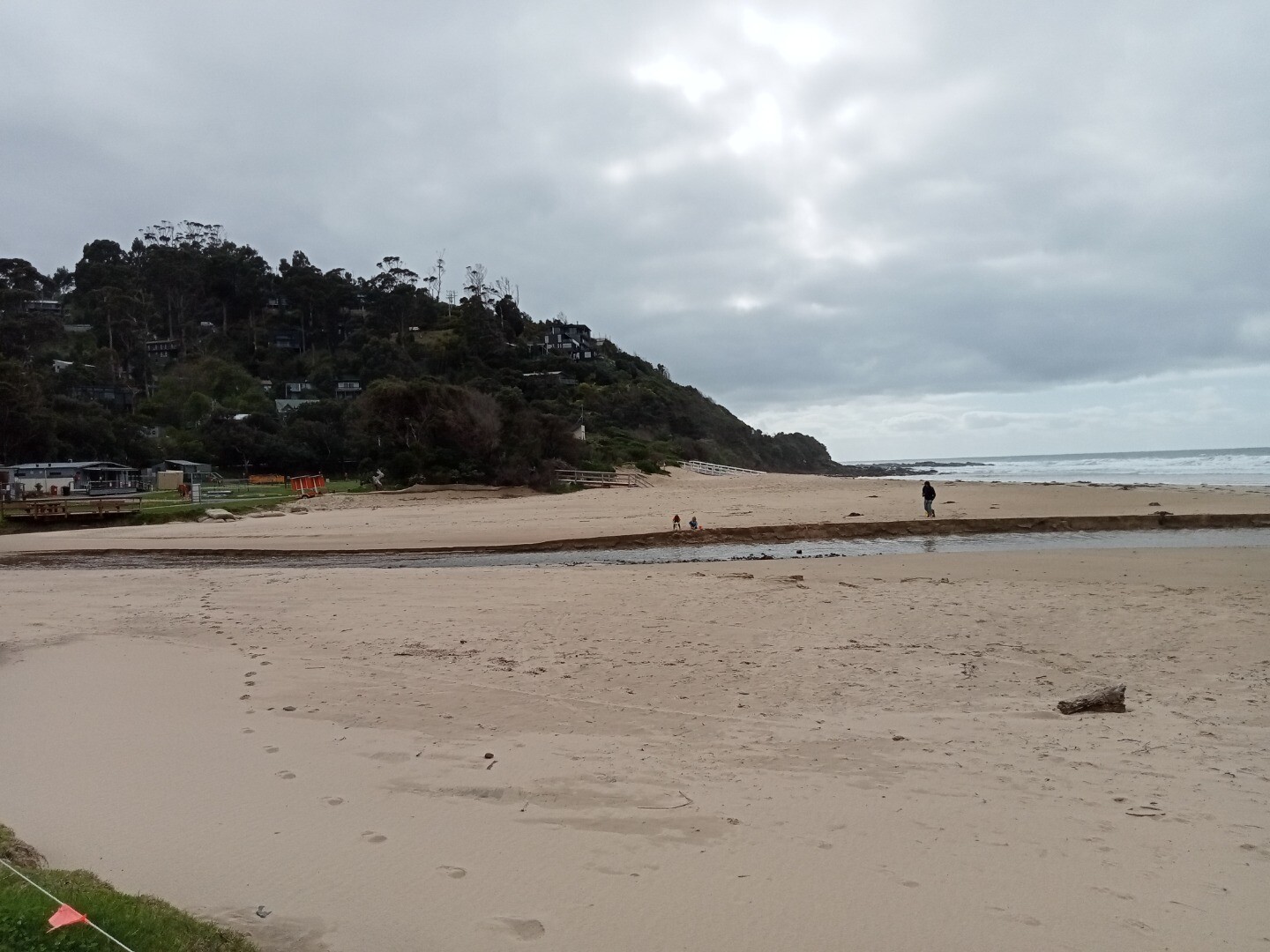
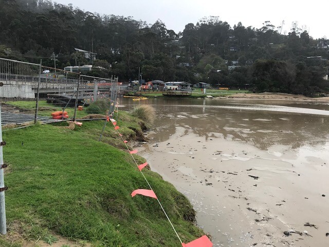
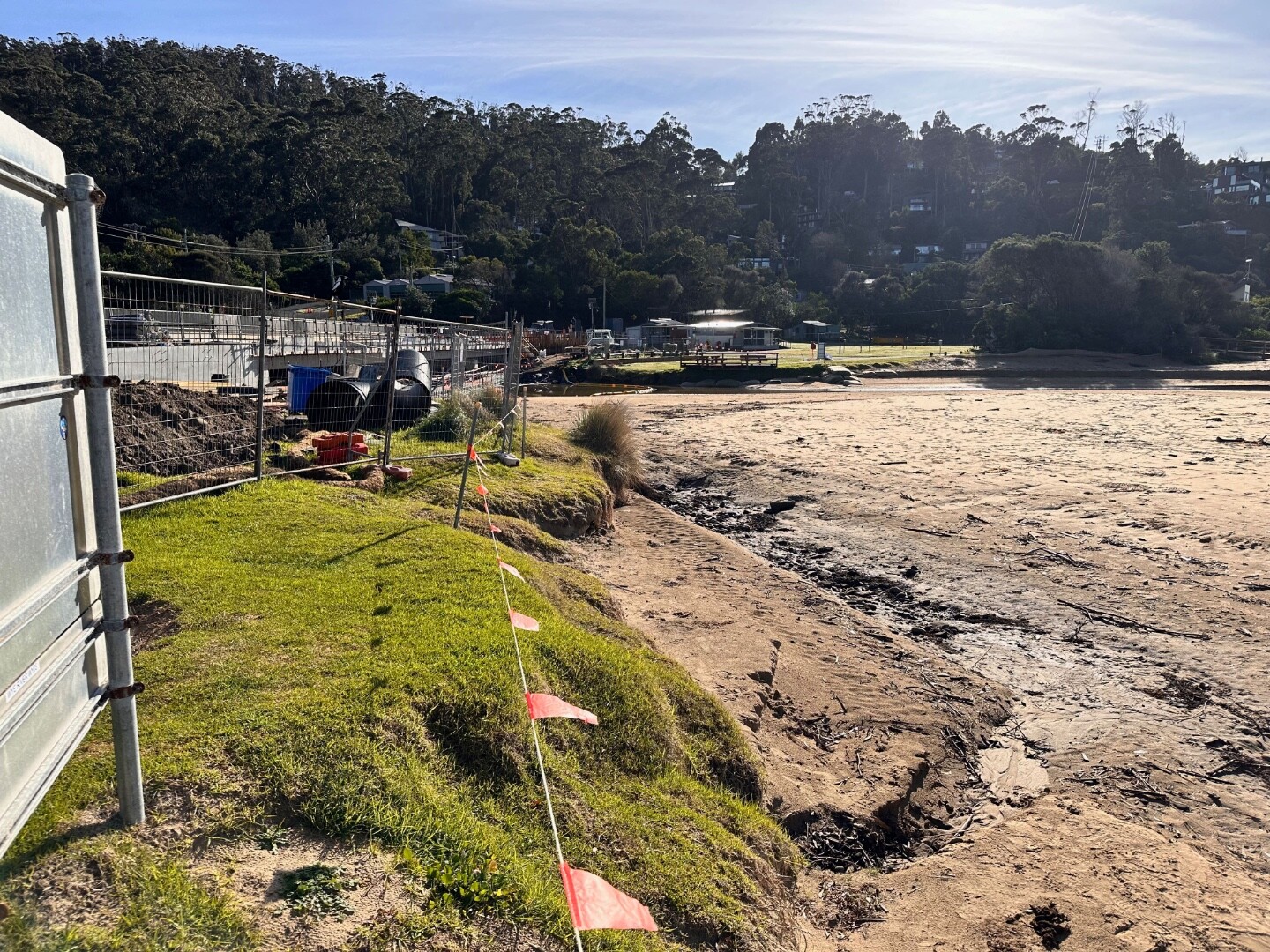
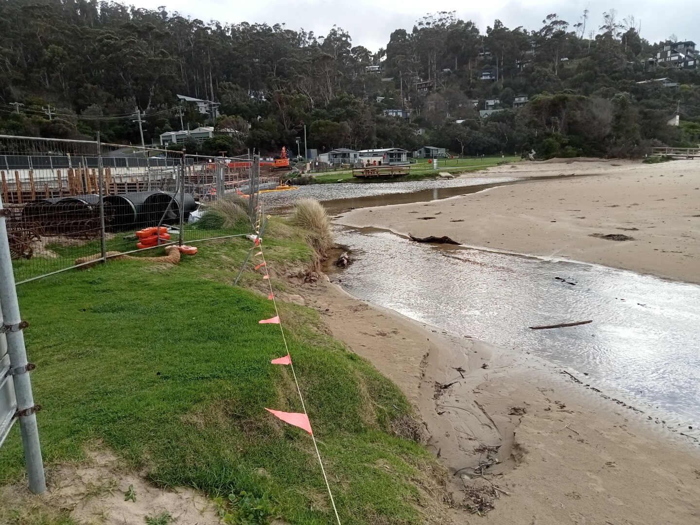
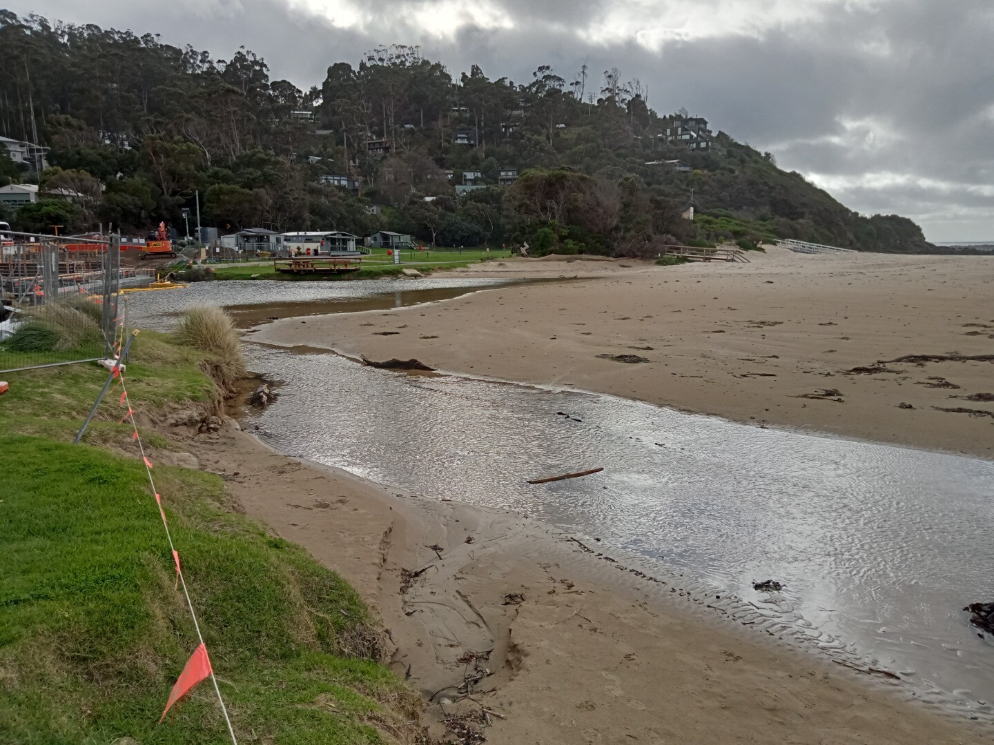
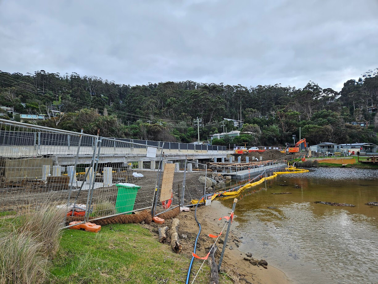
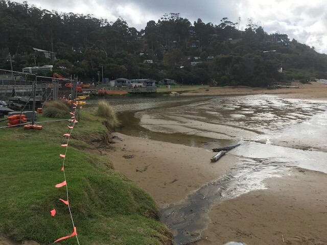
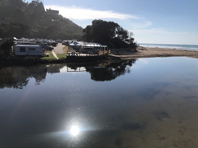
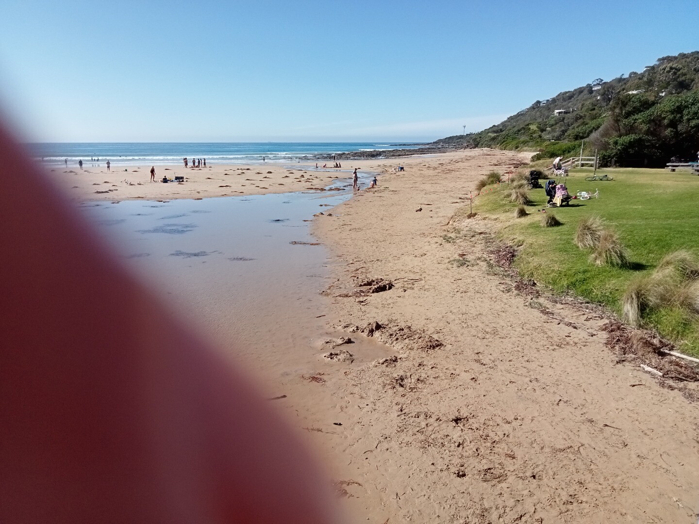
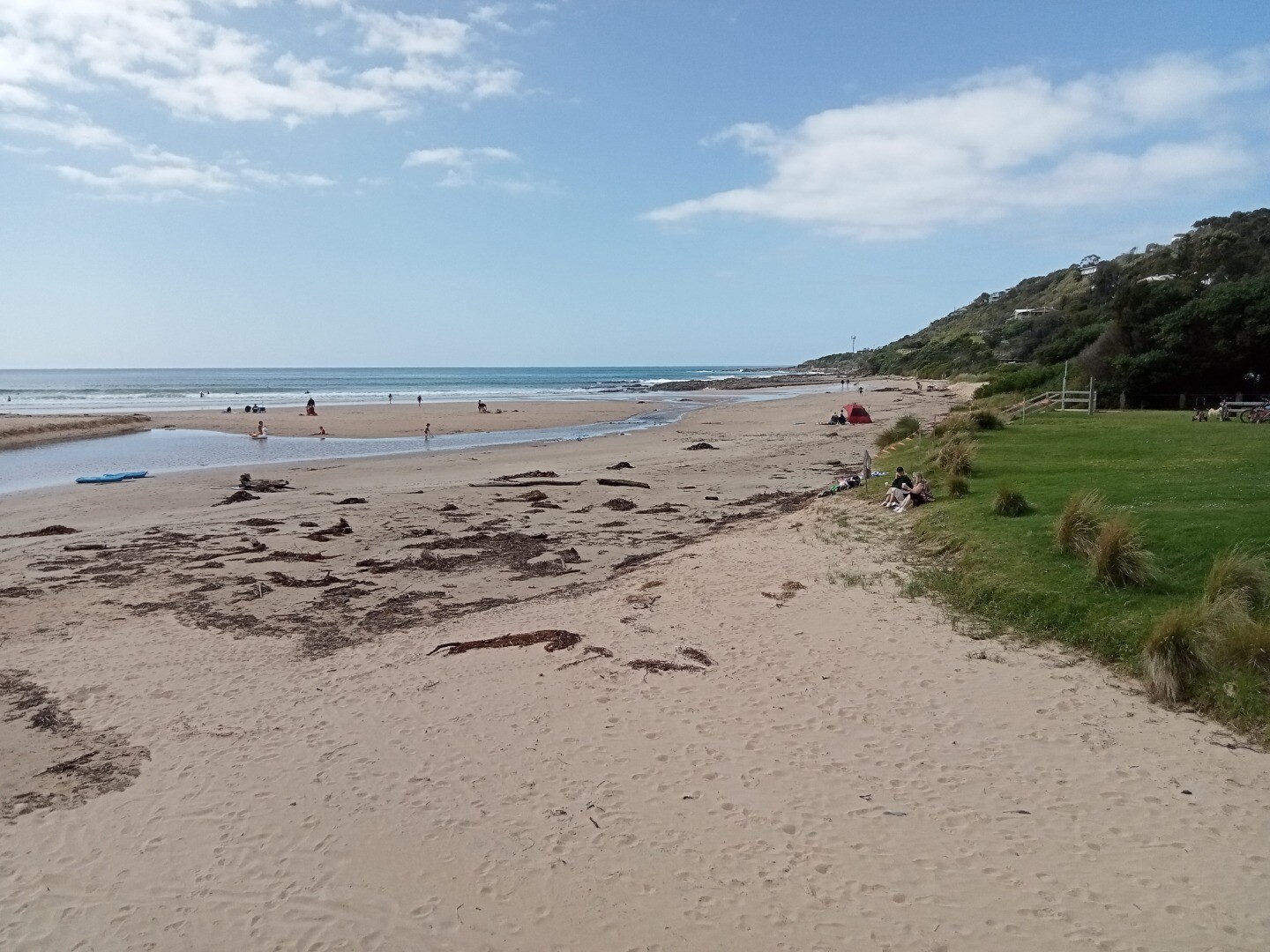
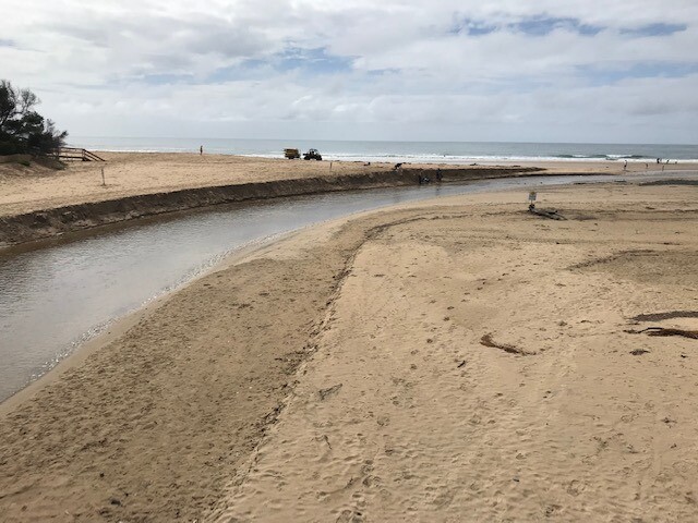
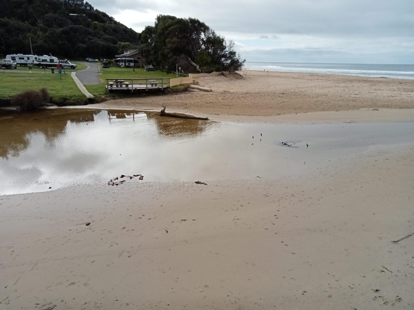
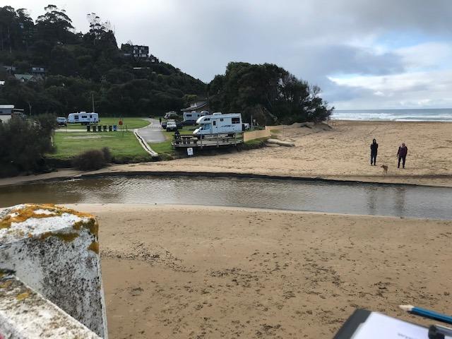
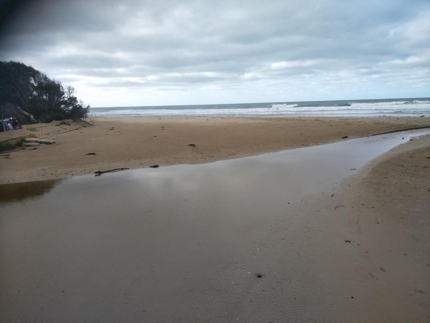
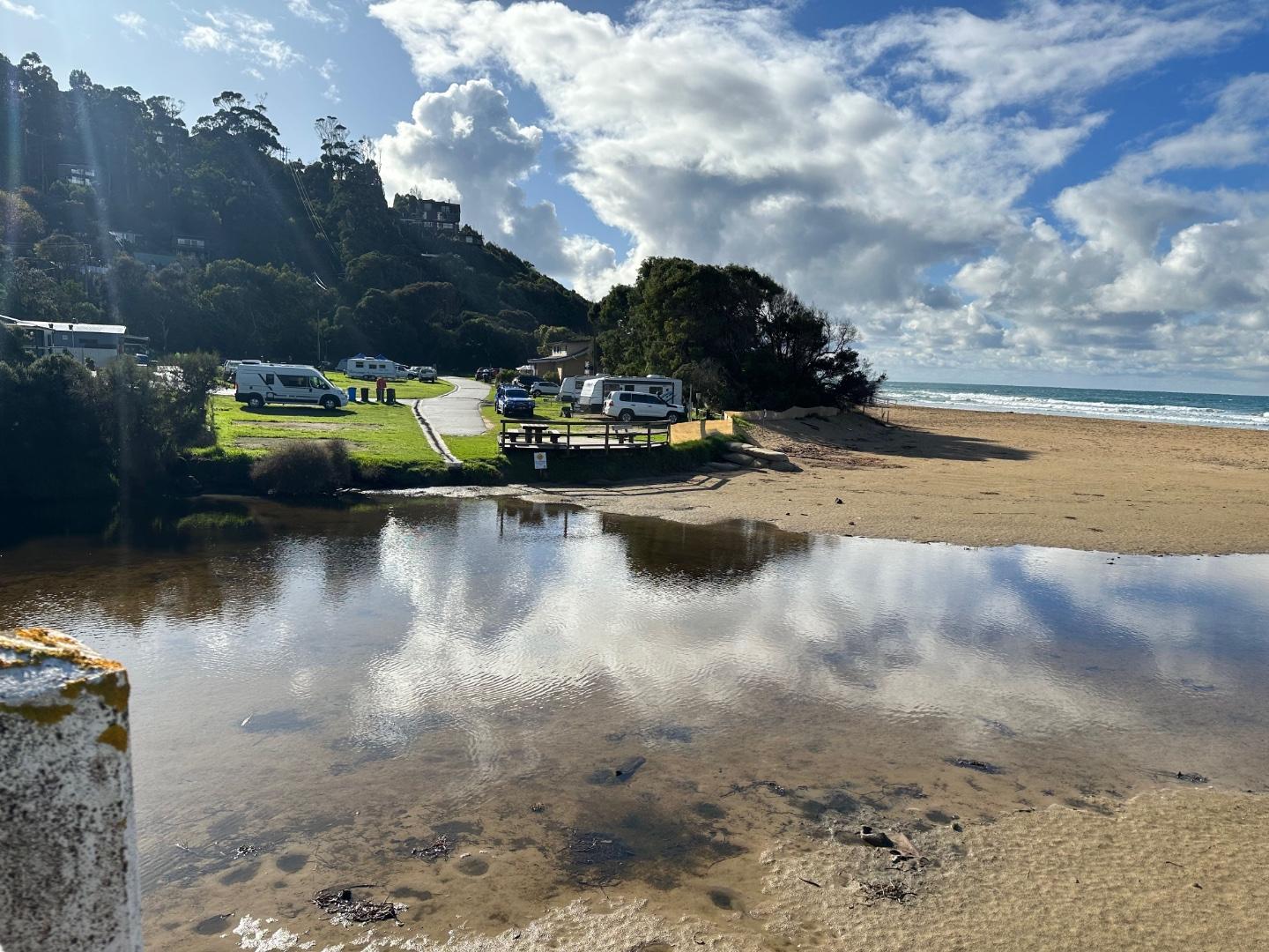
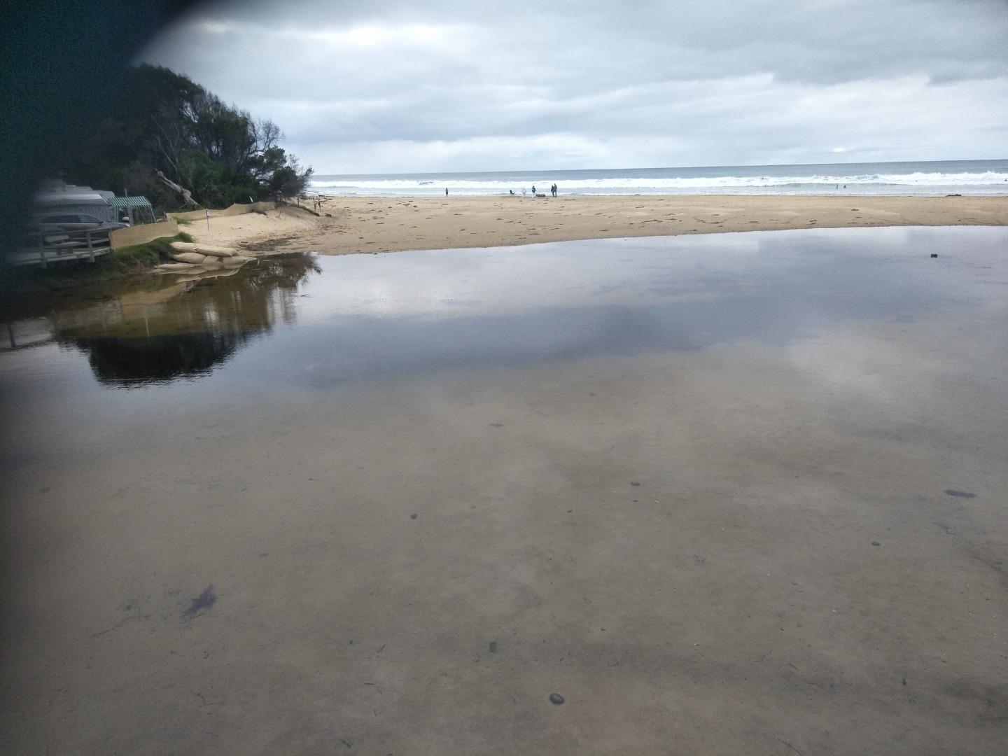
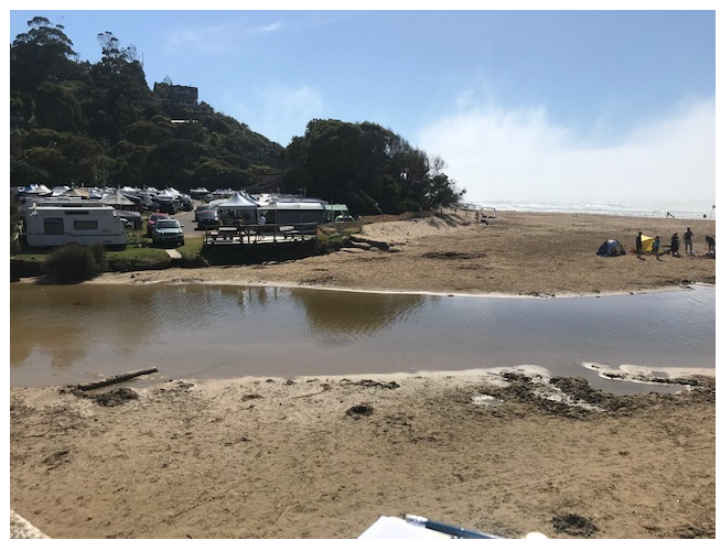
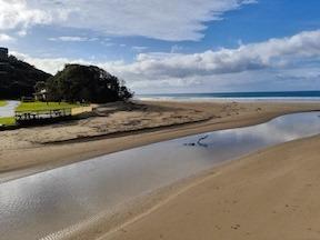
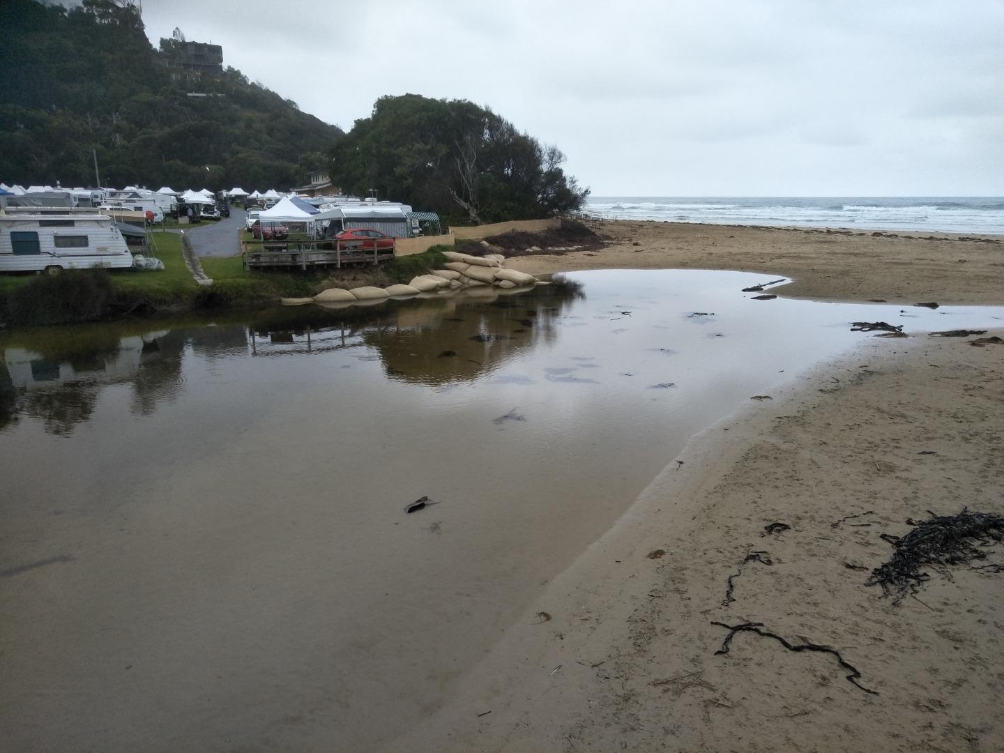
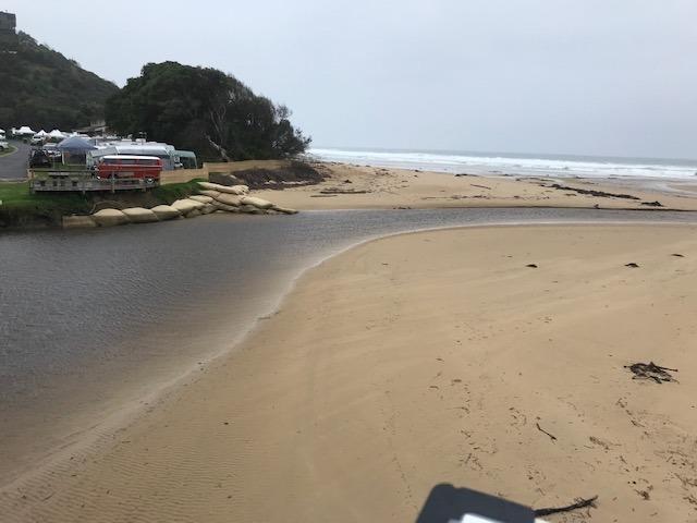
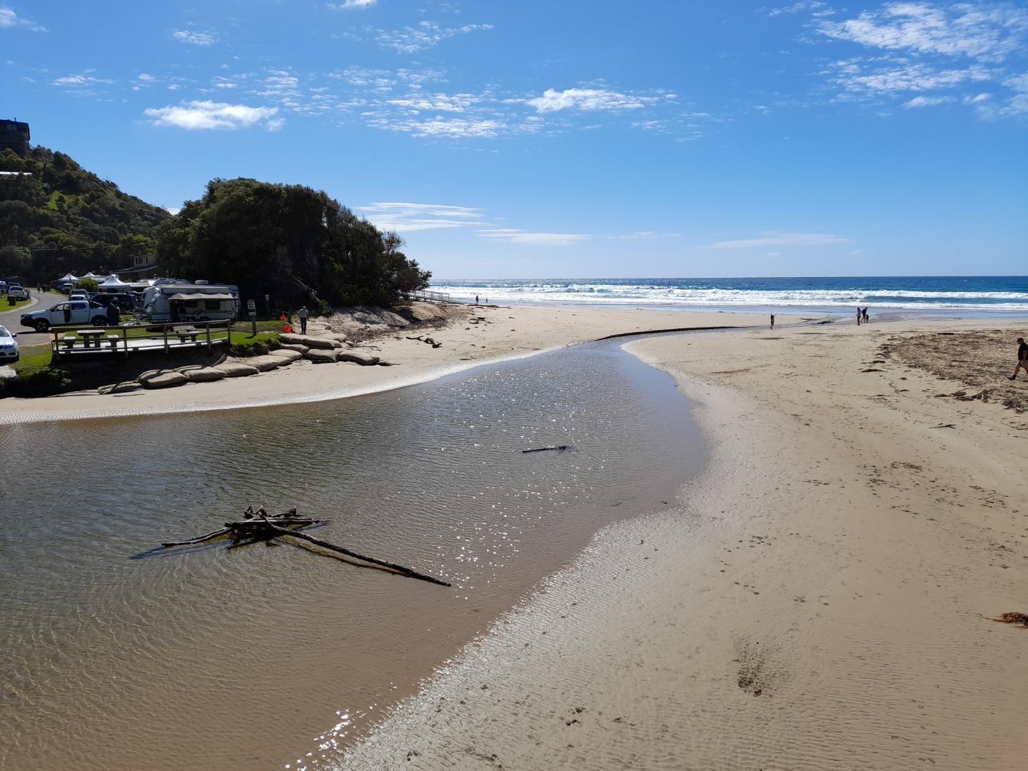
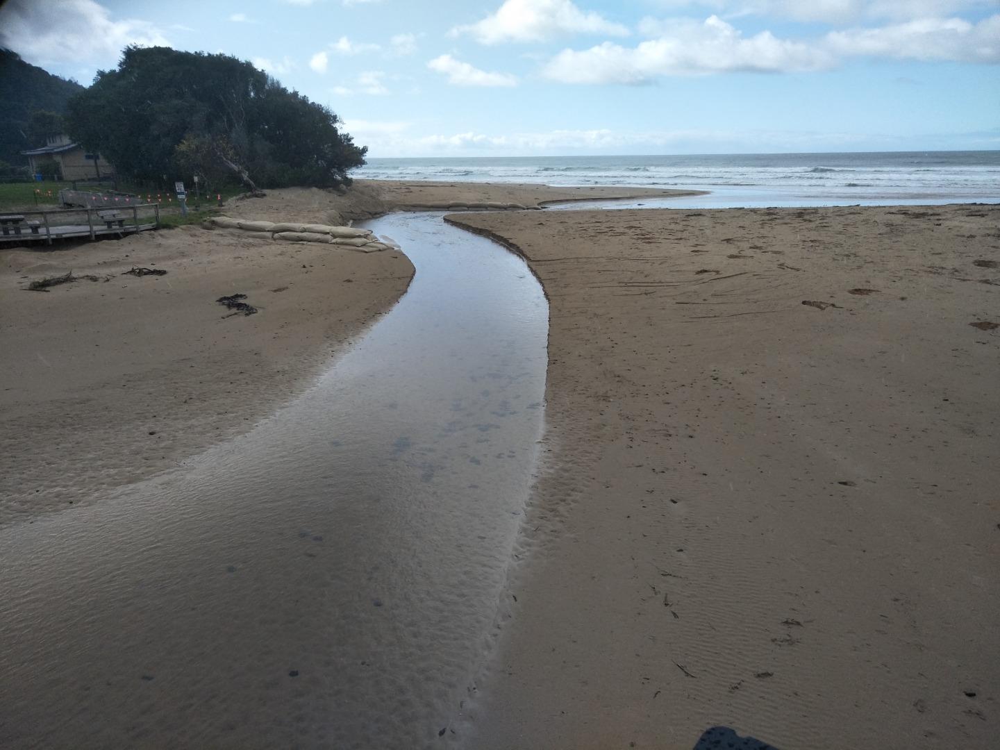
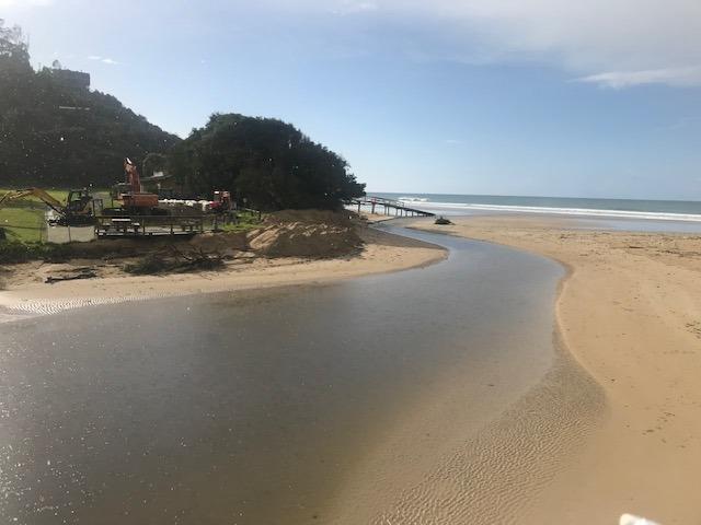
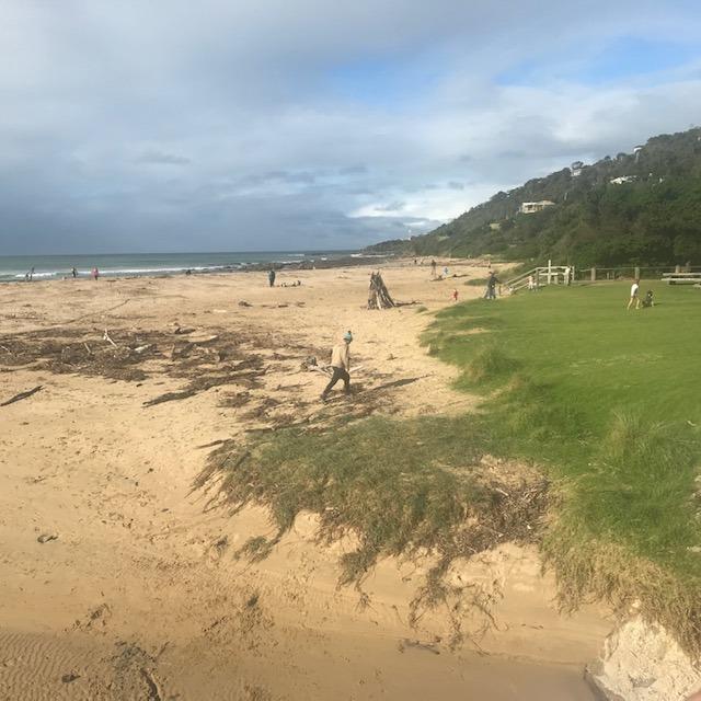
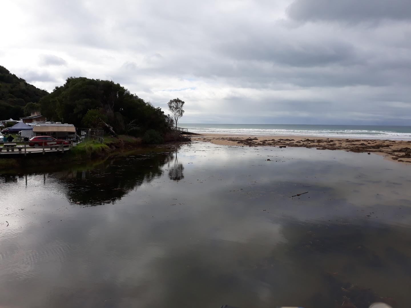
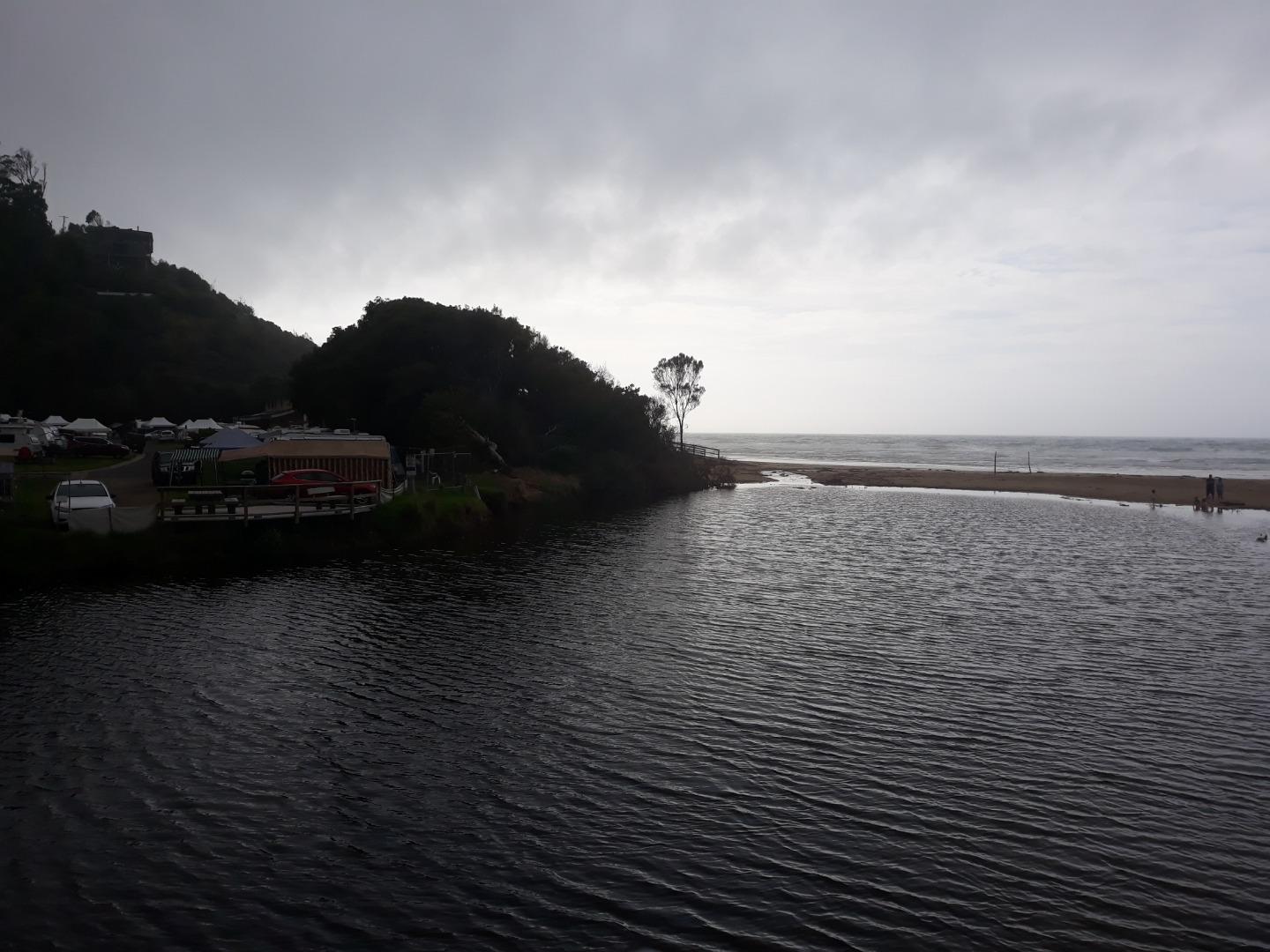
April 2024 - bridge works. WyP2 is the code for a relocated photopoint site temporarily used while bridge is under construction. Field visit with EW volunteers on Fri26/4/24 identified new location at wooden stair access to beach Lat -38.634841, Long 143.891092 - see photo below
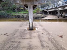
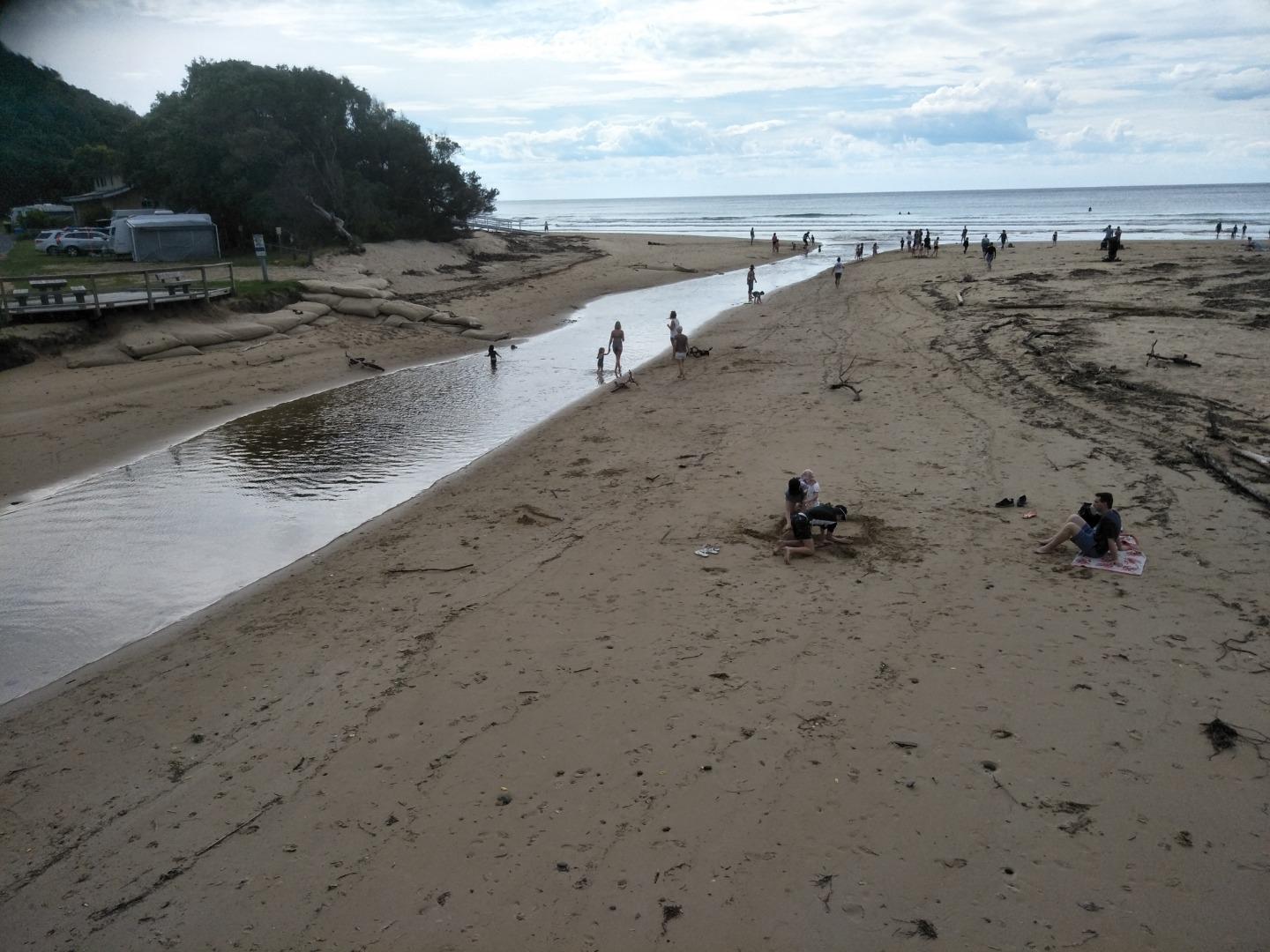
Platform at stair access to beach (see photo). Bridge works visible as well as sandbags and river course.
Land Use
- Native Bushland
- Recreational
- Rural Residential
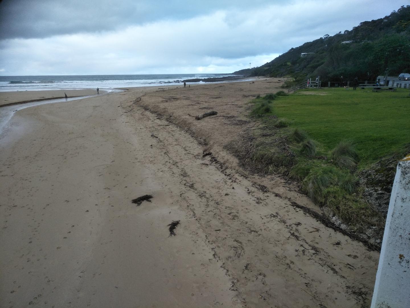
Upper catchment native forest. Site is downstream of low densiity housing, caravan park and recreational areas.
Photopoint site
No observational data is recorded at this location.
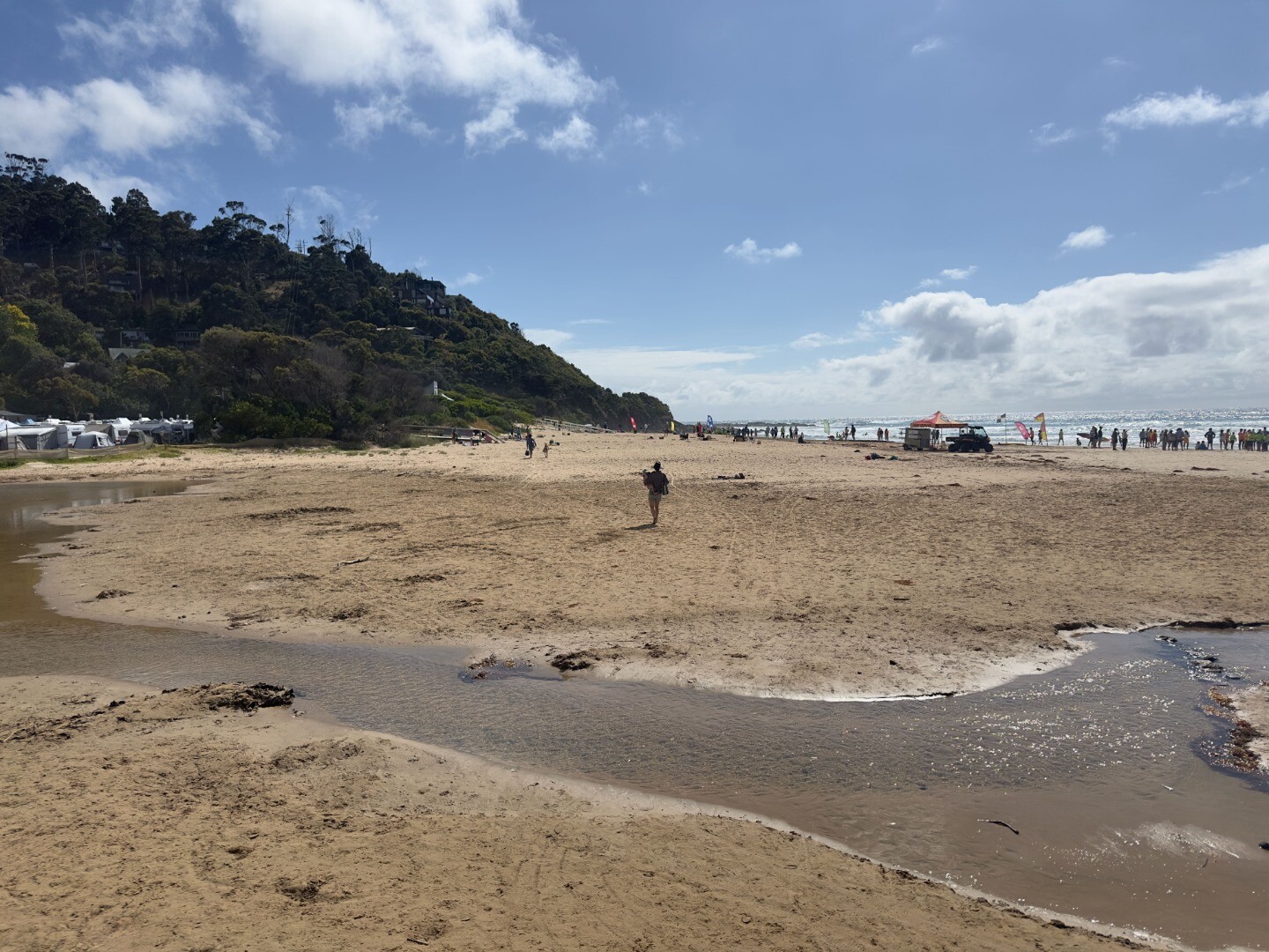
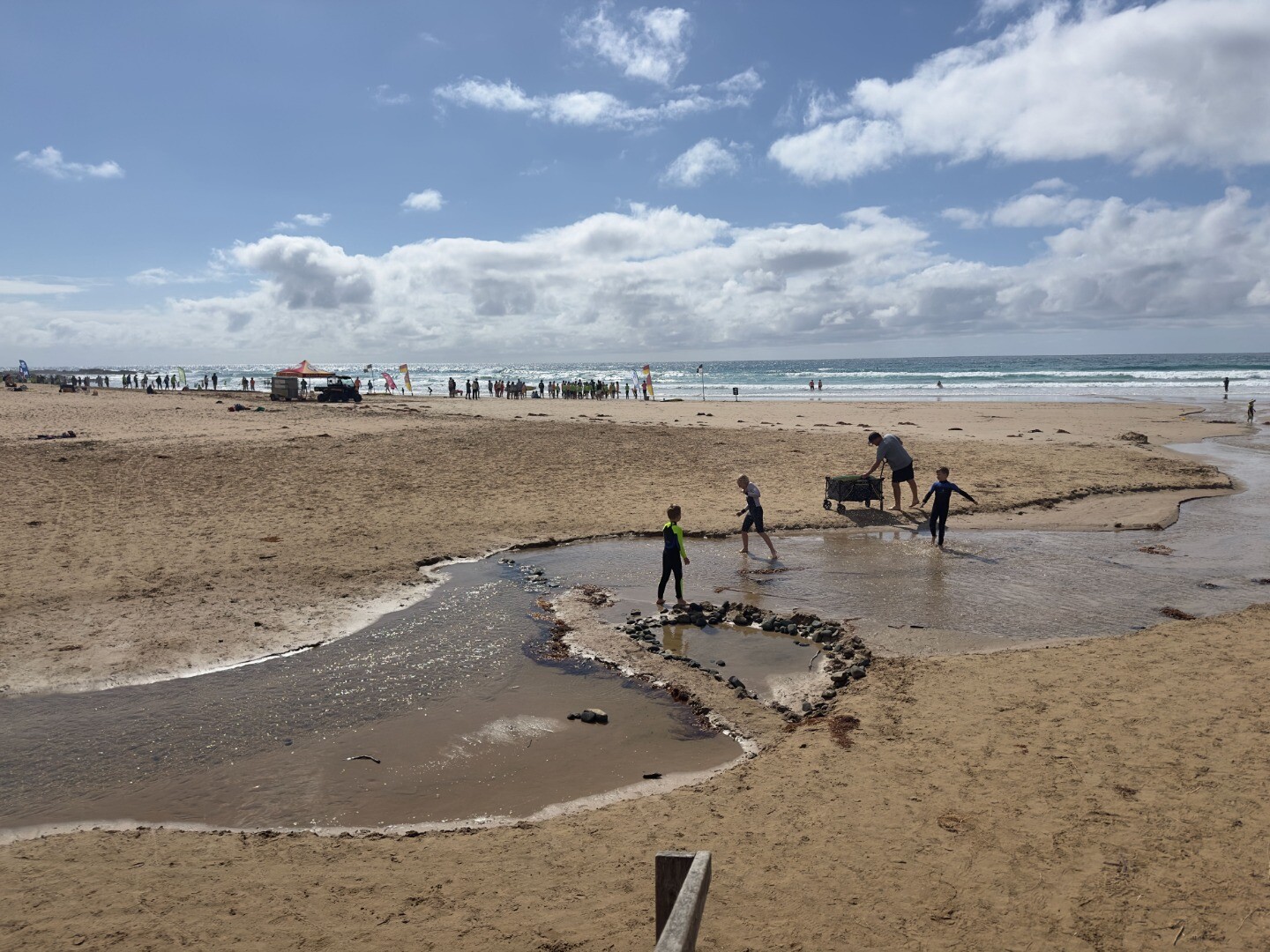
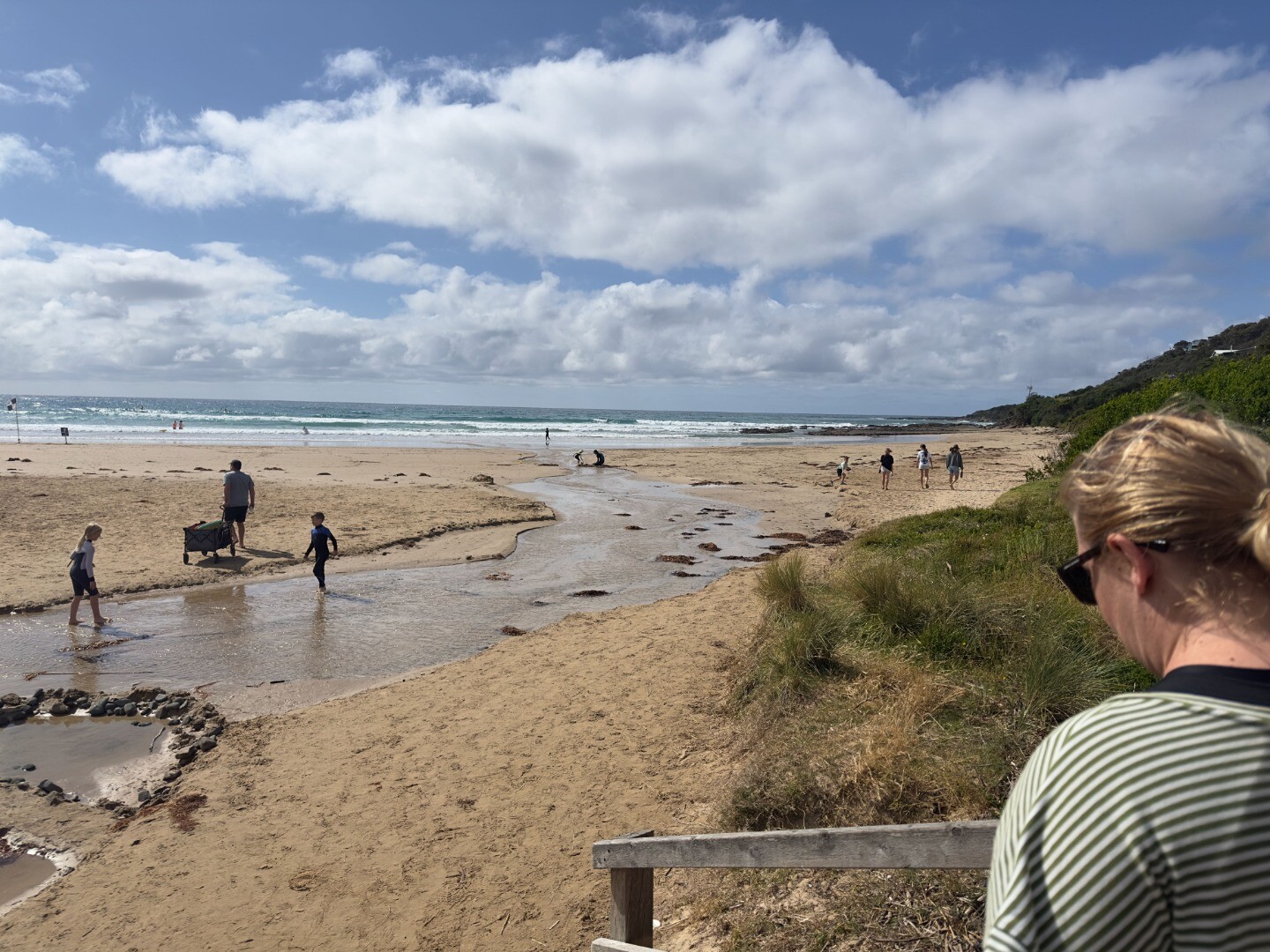
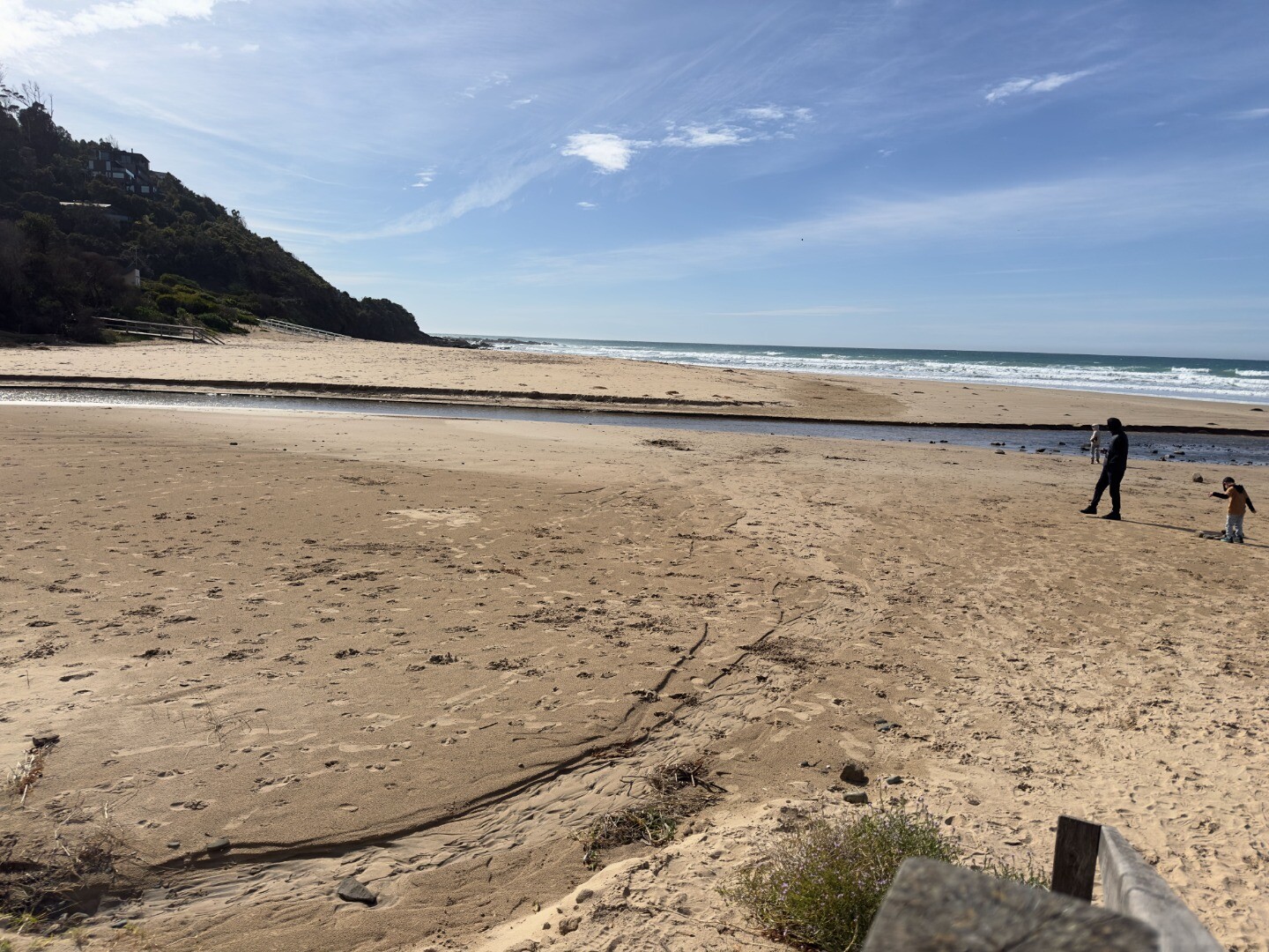
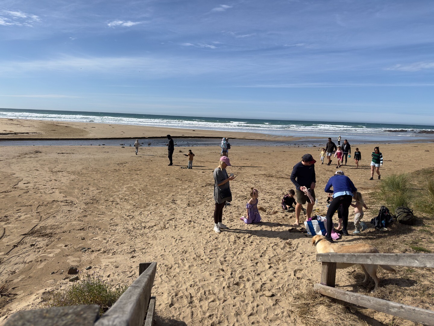
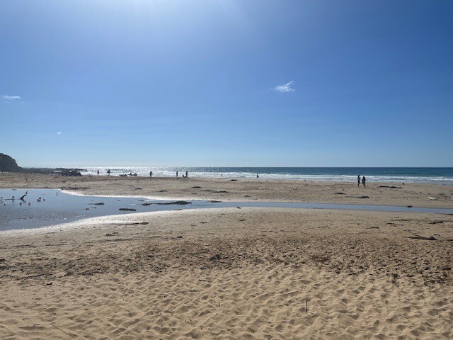
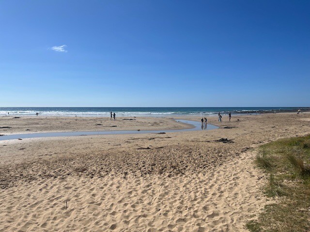
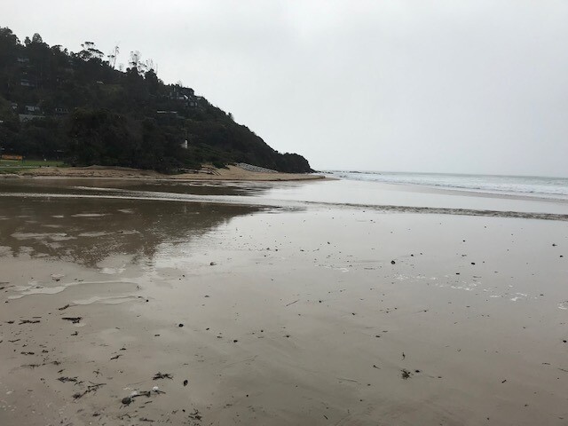
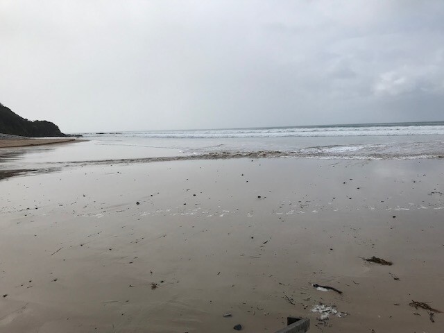
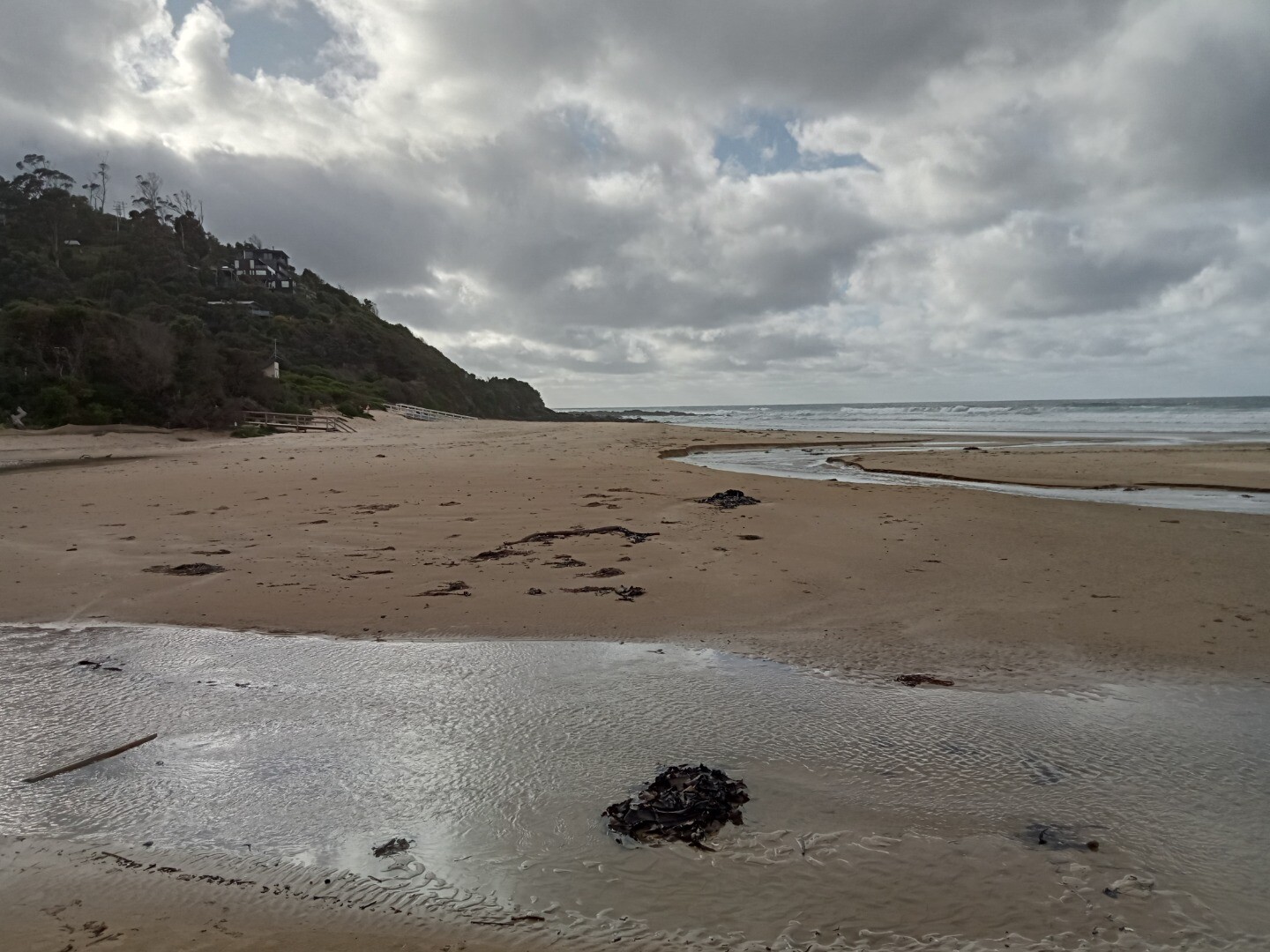
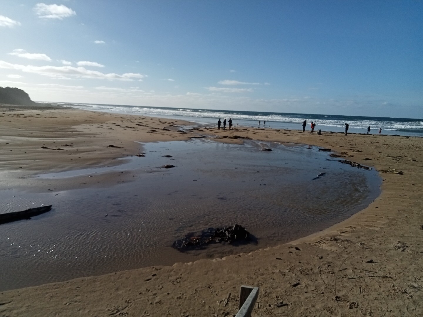
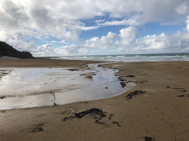
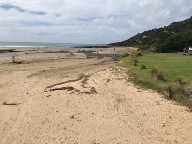
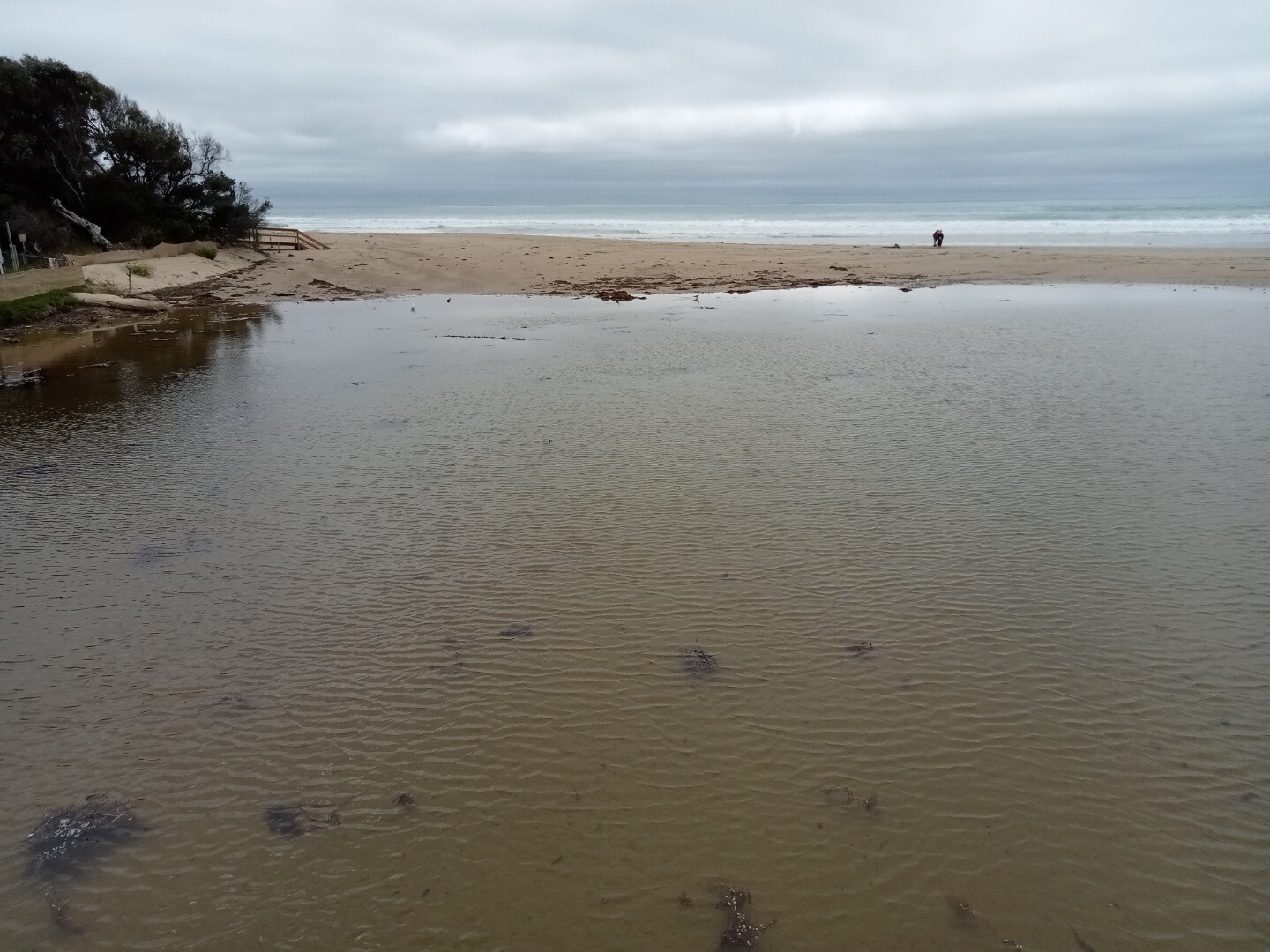
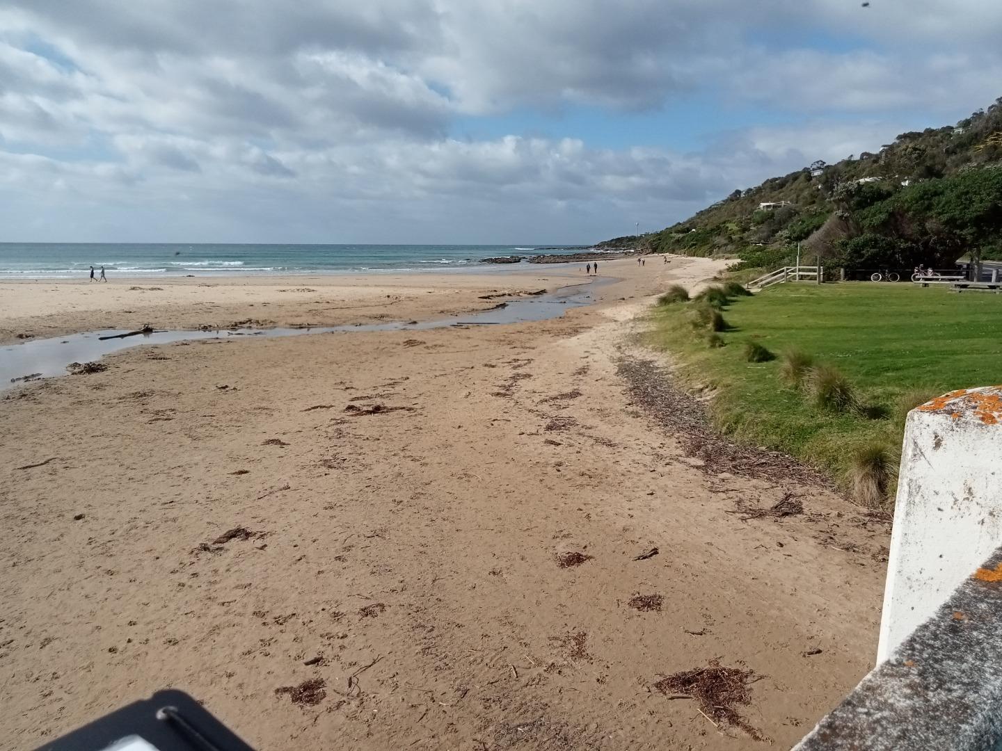
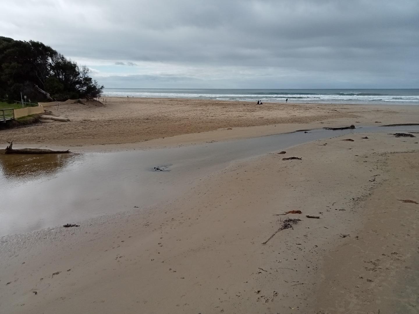
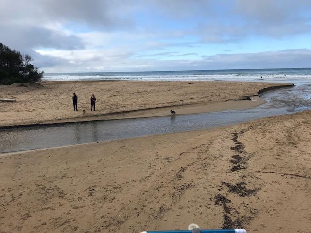
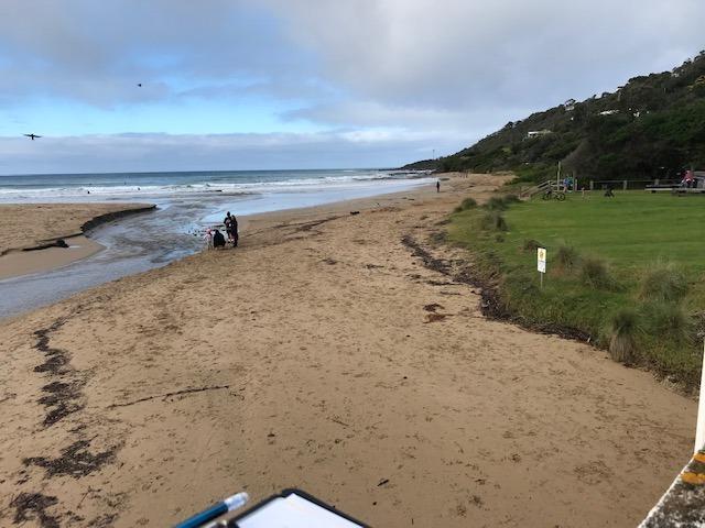
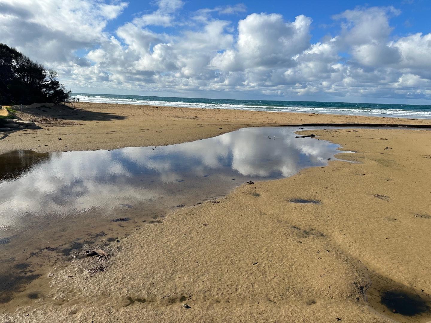
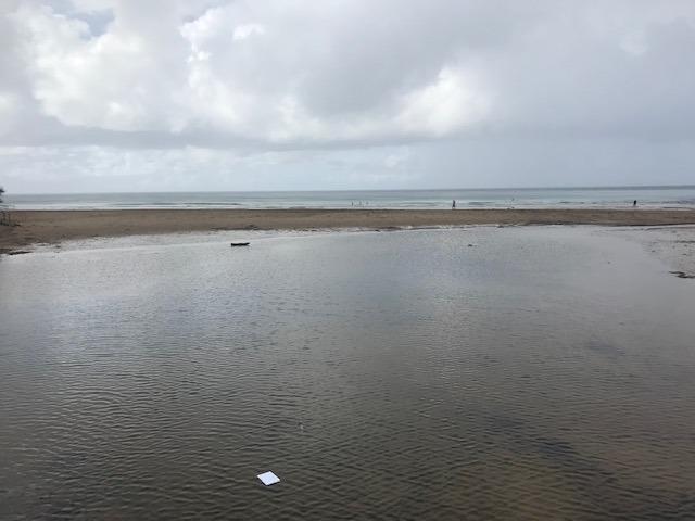
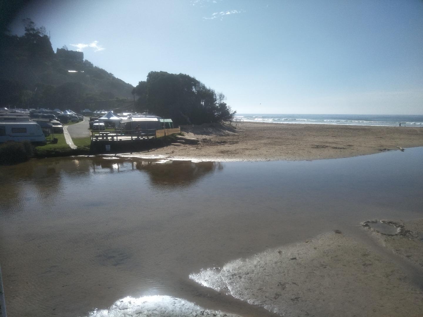
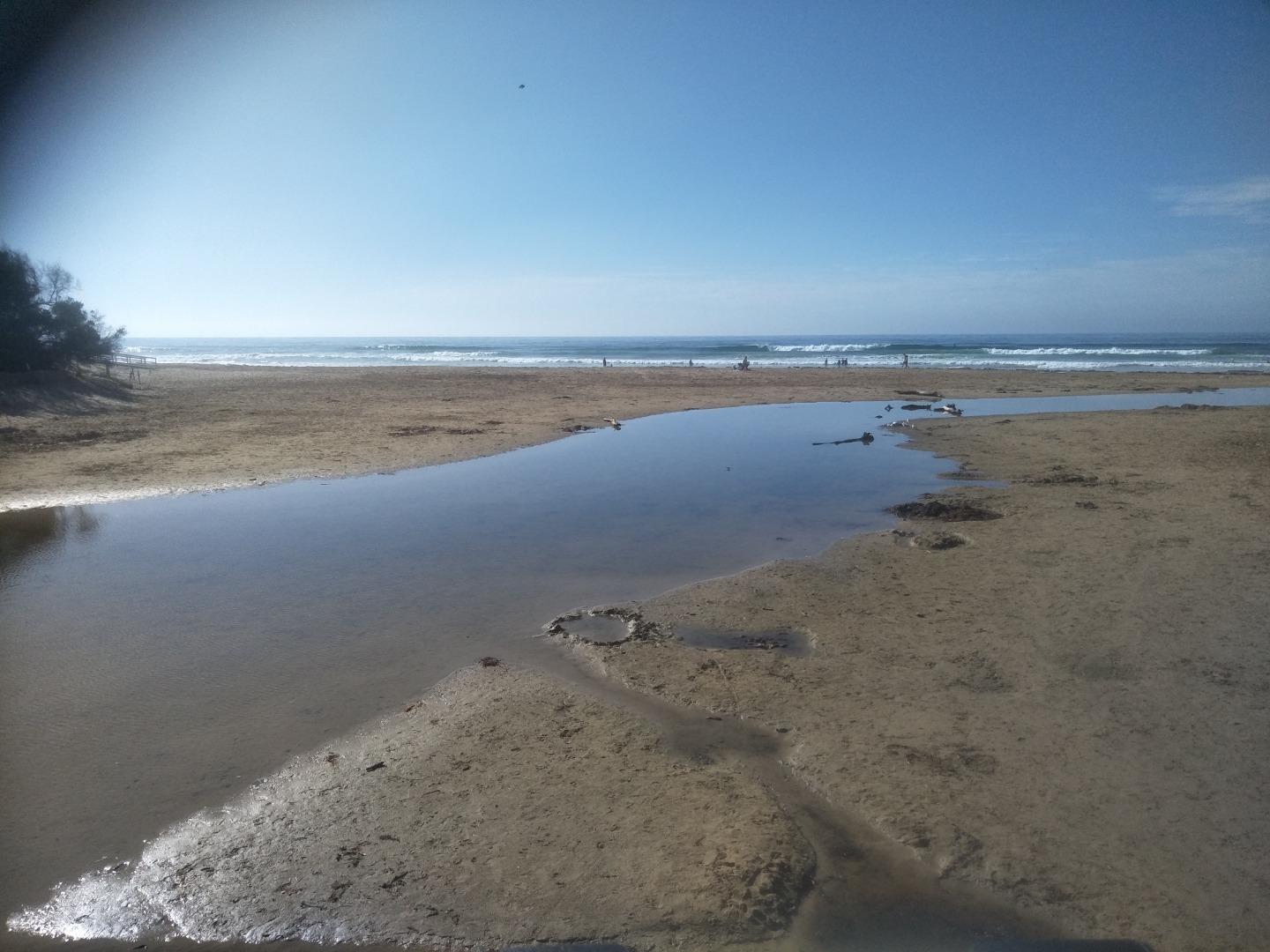
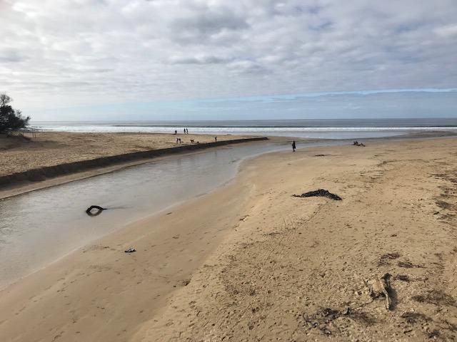
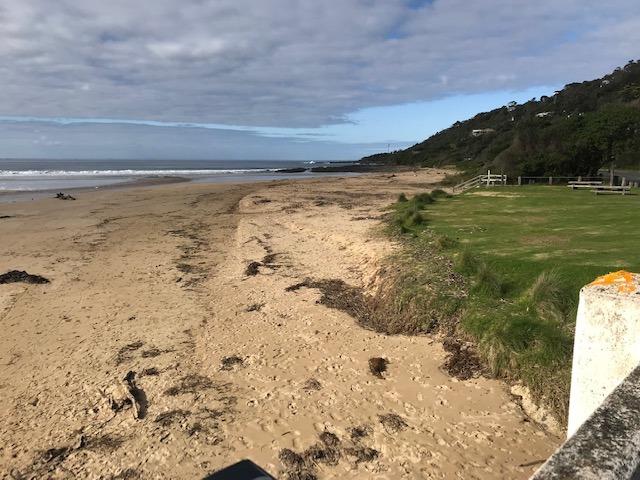
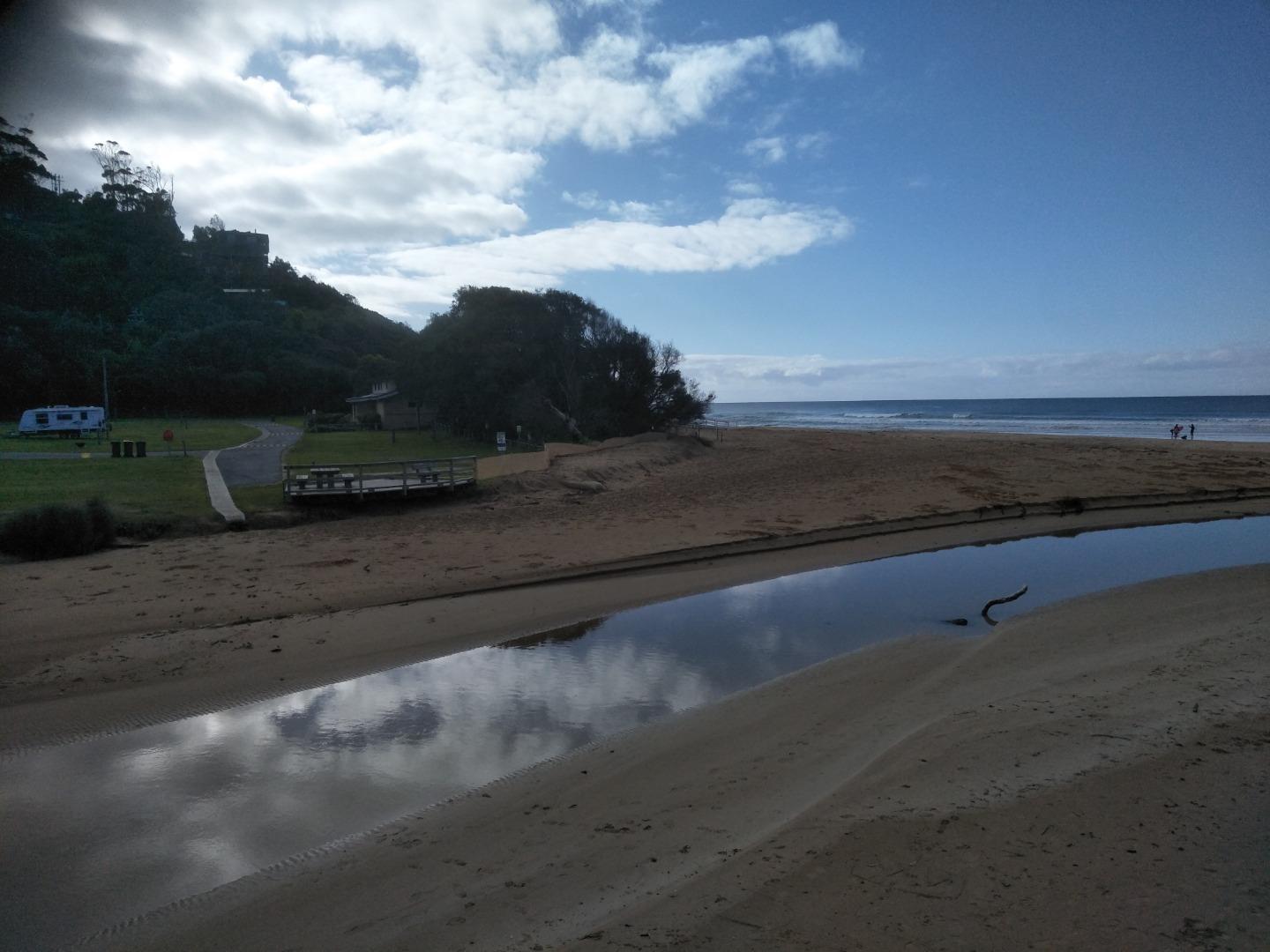
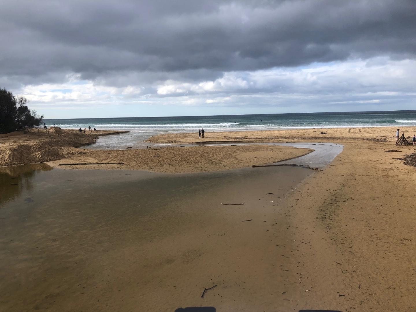
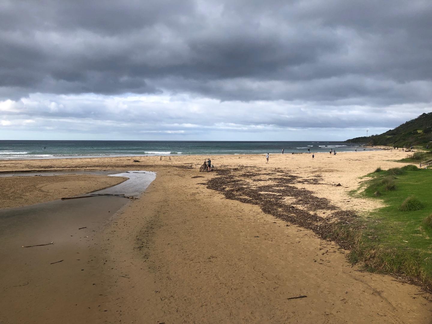
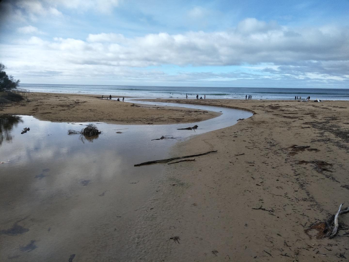
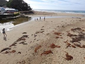
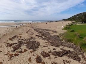
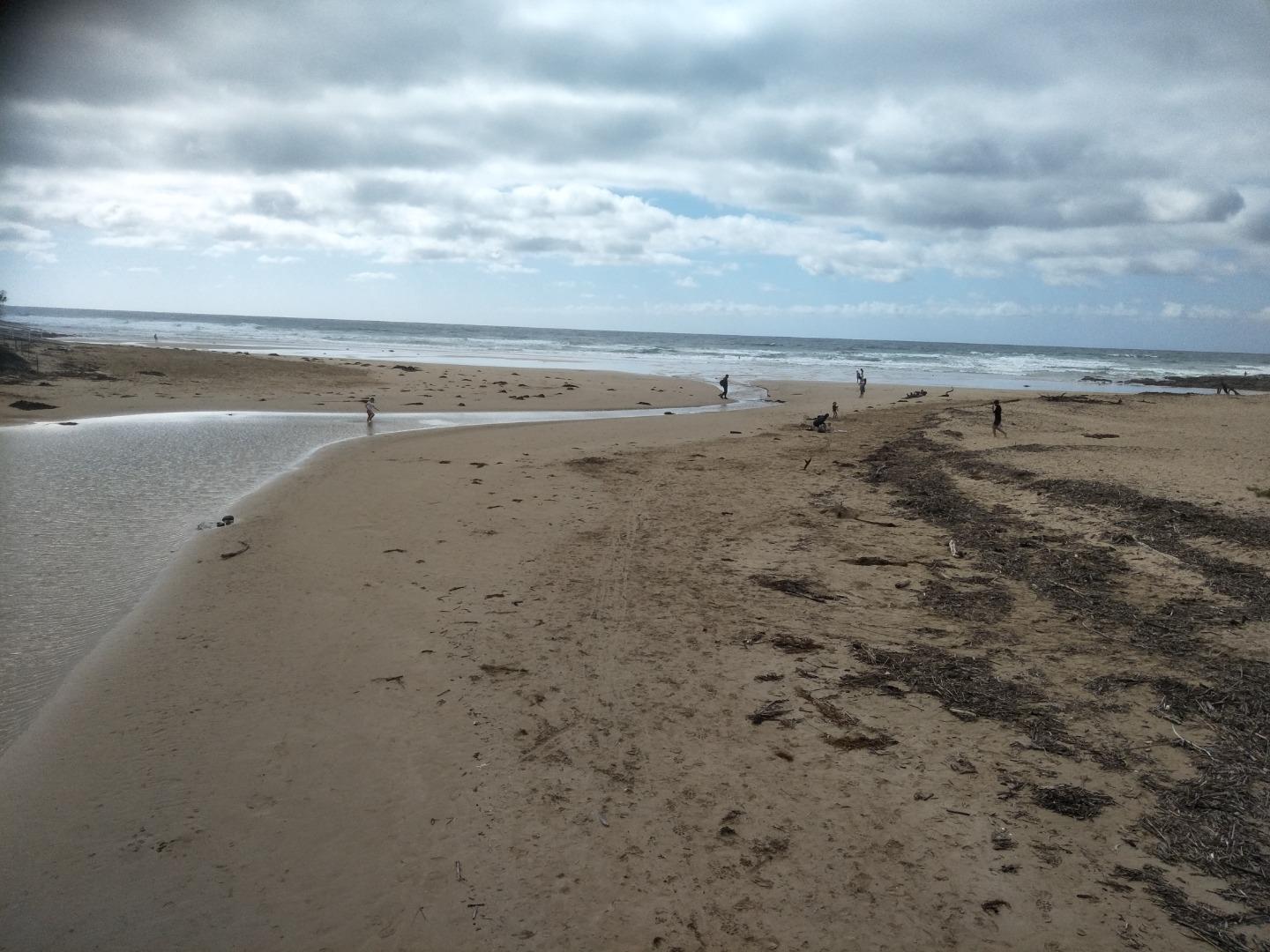
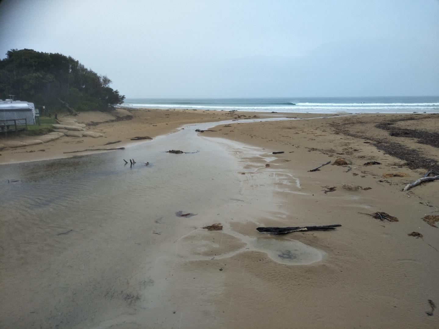
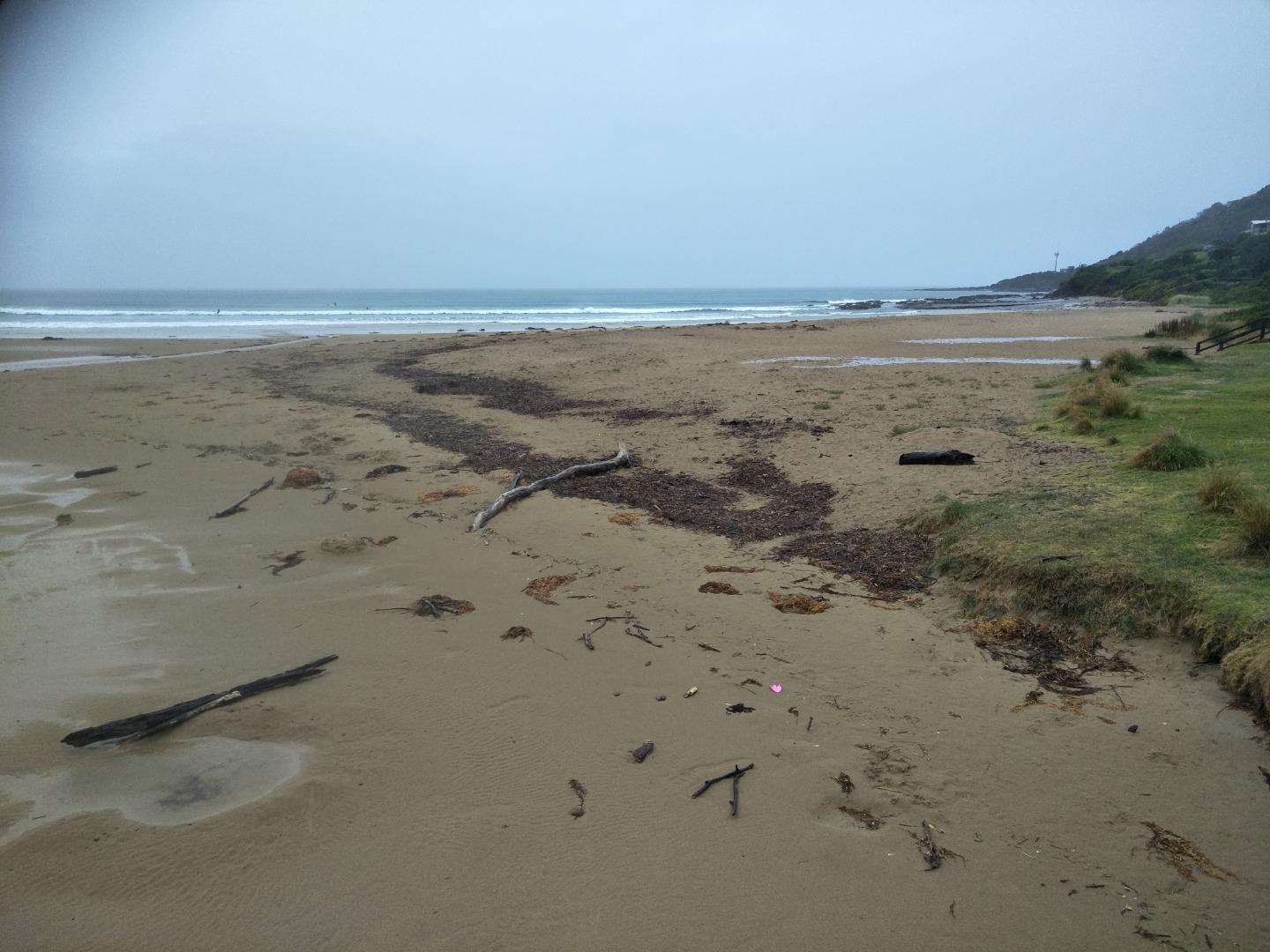
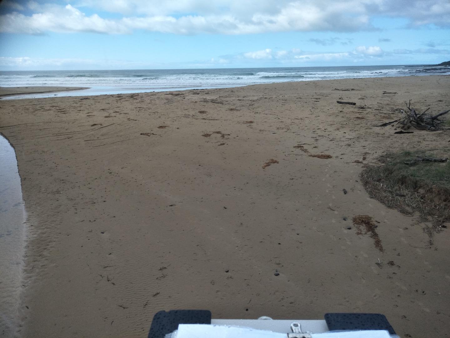
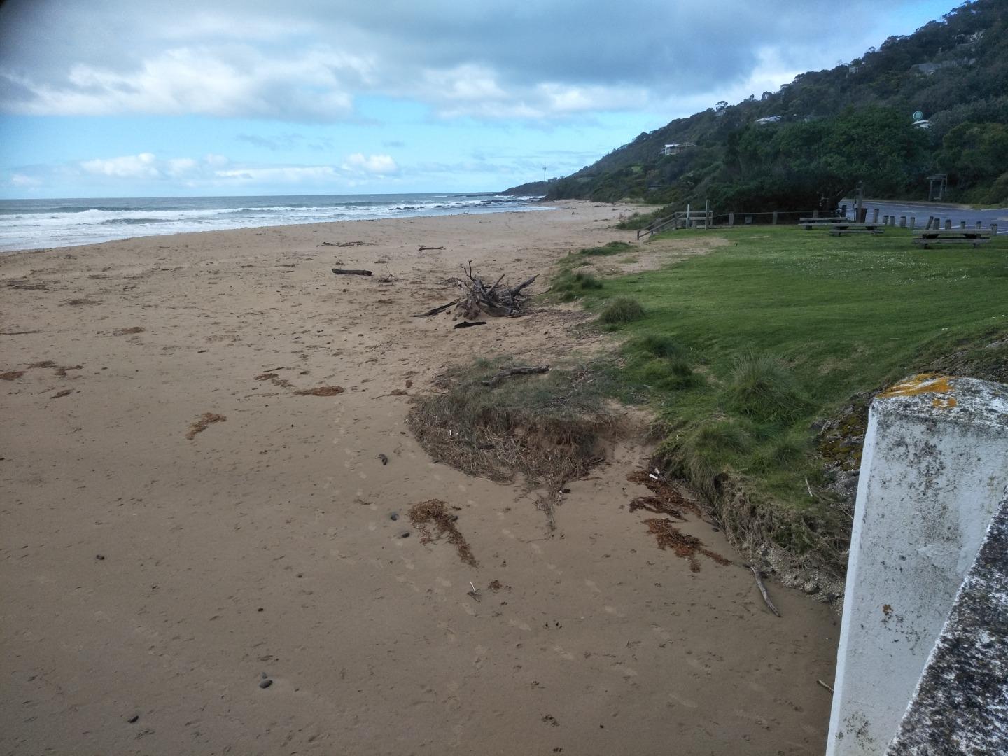
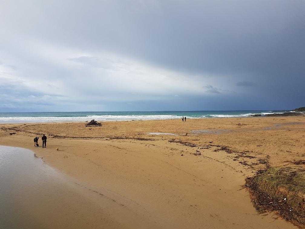
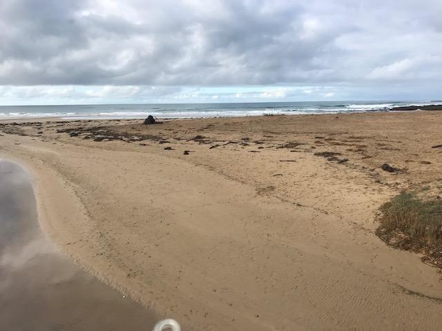
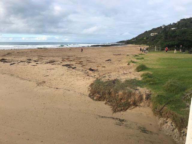
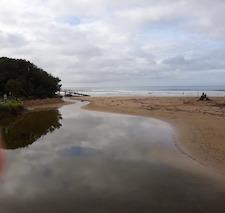
Photopoint photos


We honour Elders past and present whose knowledge and wisdom has ensured the continuation of culture and traditional practices.
 All content, files, data and images provided by the EstuaryWatch Data Portal subject to a Creative Commons Attribution License
Data portal by CeRDI
All content, files, data and images provided by the EstuaryWatch Data Portal subject to a Creative Commons Attribution License
Data portal by CeRDI