WyMC Wye River Mouth Condition
Active Mouth Condition 28-10-2012 - 04-07-2026Wye River Estuary
| Date | Status | Details |
|---|---|---|
| 4 Jul 2026 | Pending |
Notes:
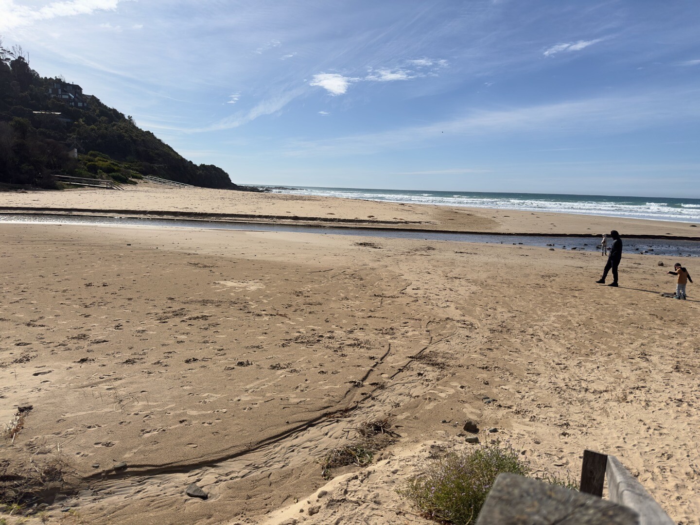
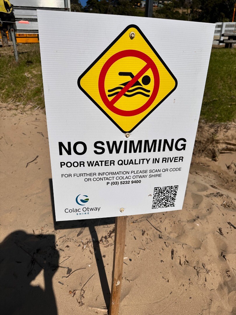
With the recent rainfall tree ferns and logs are on the beach some of which may have been uncovered after the high river flow and high tides and some have probably washed down. Helen reported that they have been picking up hundreds of rubber bands which are used in making friendship bracelets. These would have been washed down the river during the January flood and have been embedded in the sand on the beach and now being uncovered by rain and tides. |
| 8 Jun 2026 | Approved |
Notes:
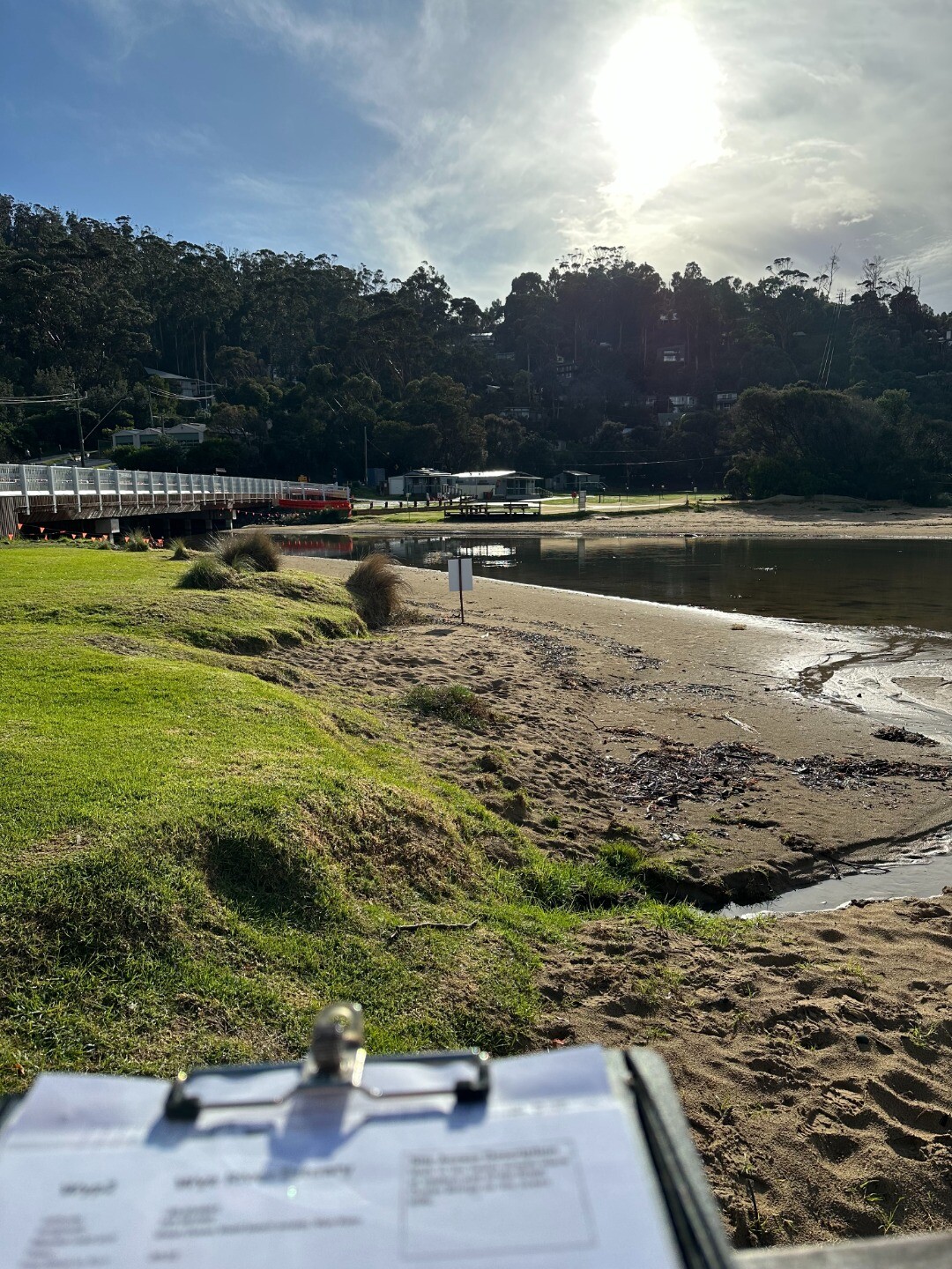
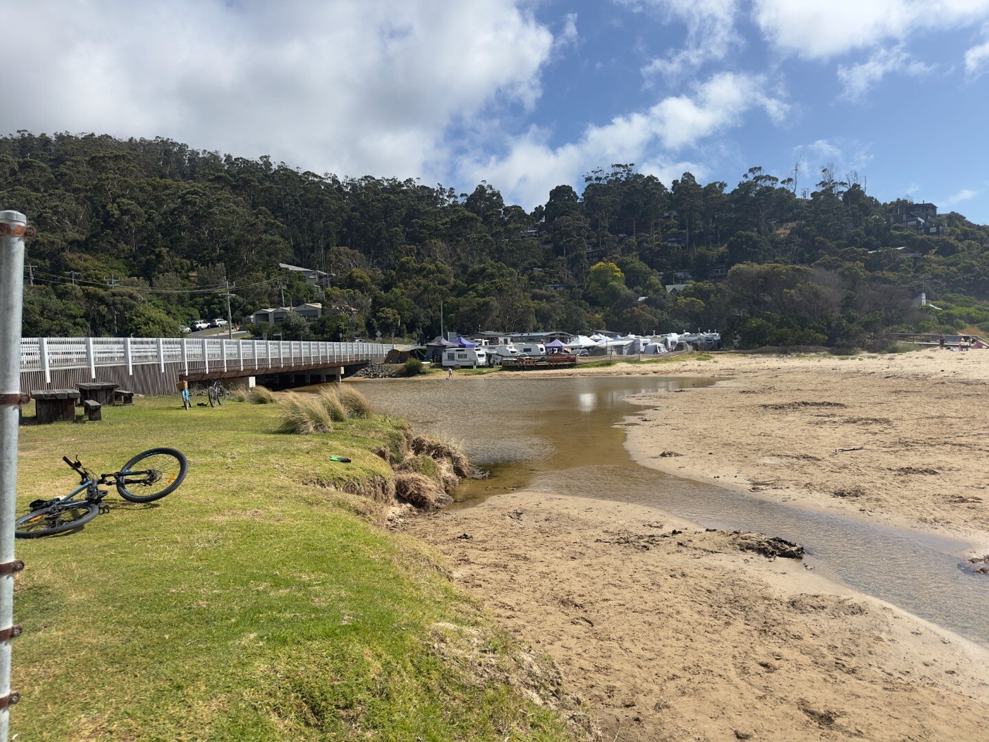
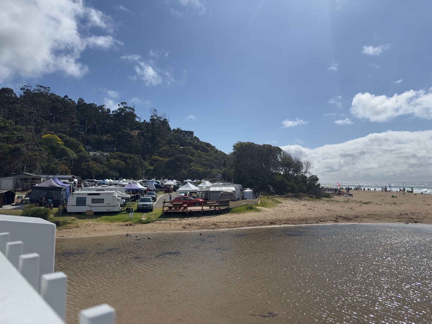
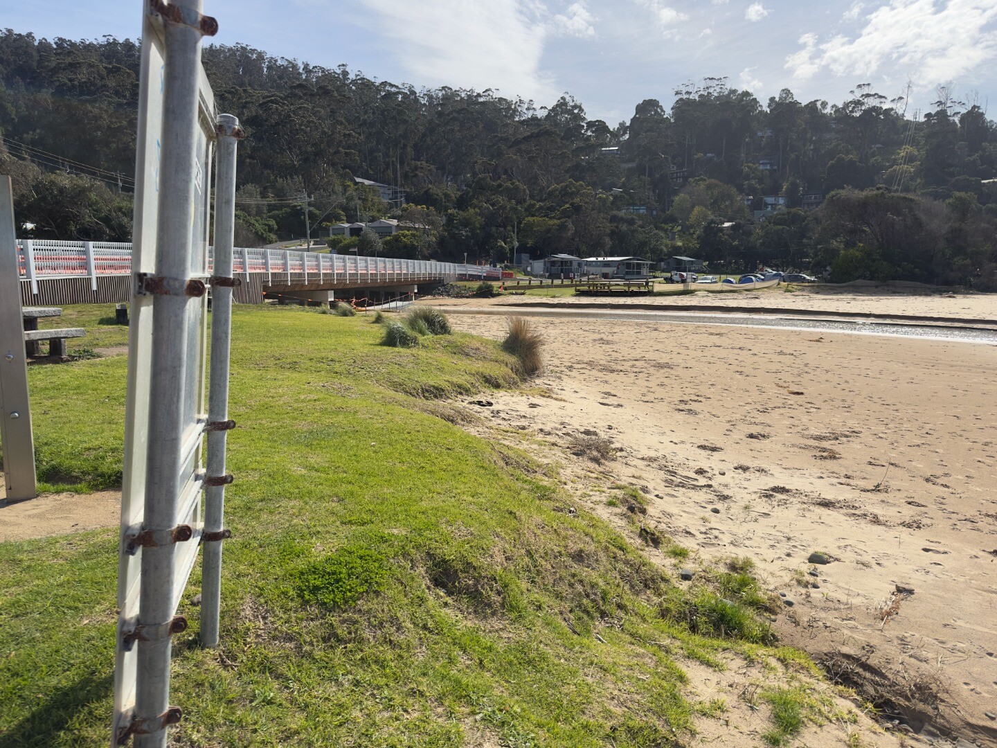
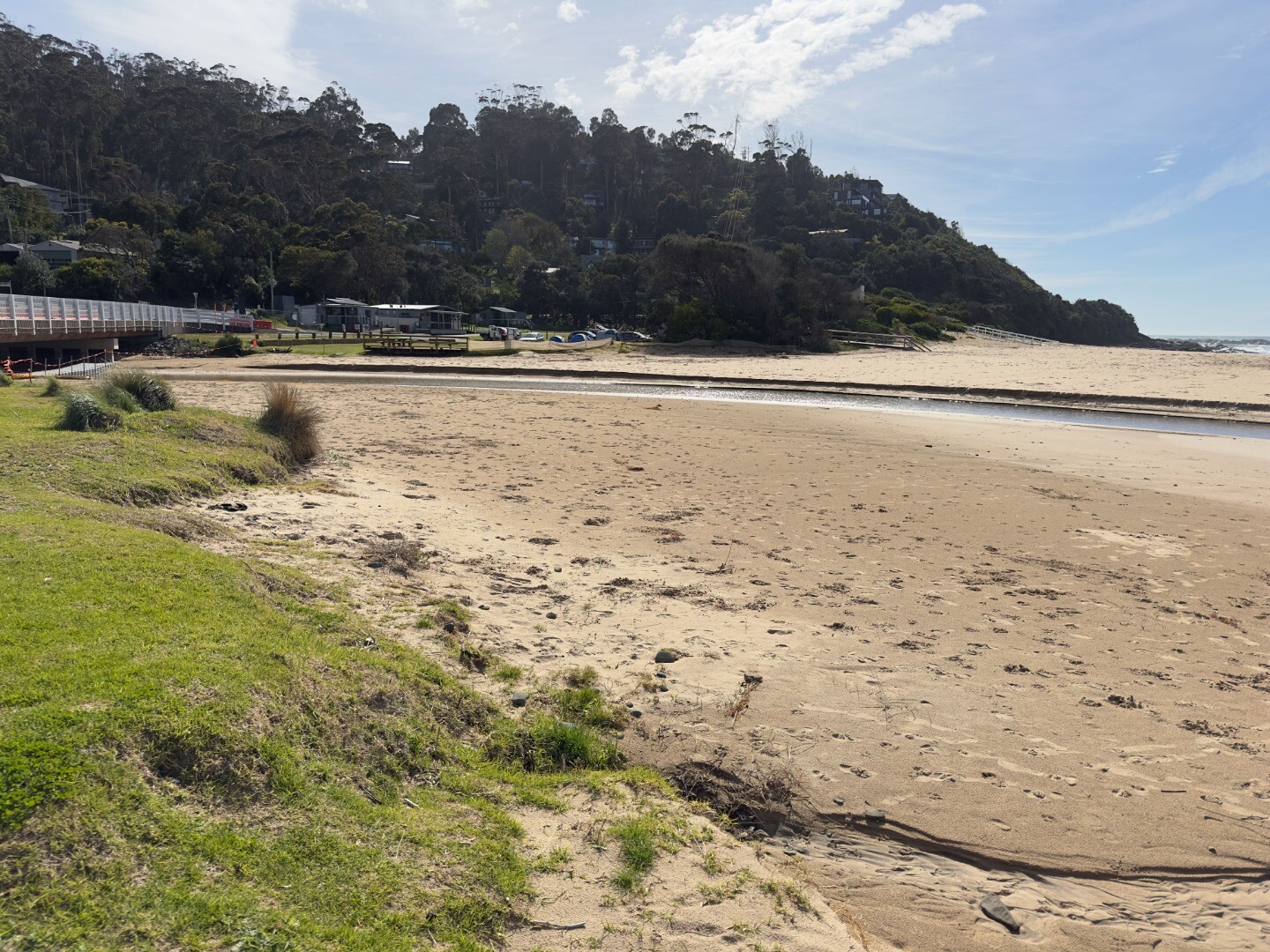
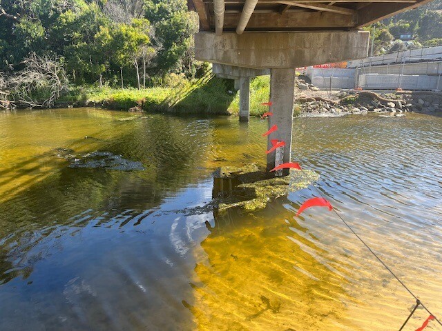
We have had very high tides and the river is tracking close to the Great Ocean Road. The tides have helped create a large lagoon in the estuary helped by recent heavy rainfall. |
| 2 May 2026 | Approved |
Notes:
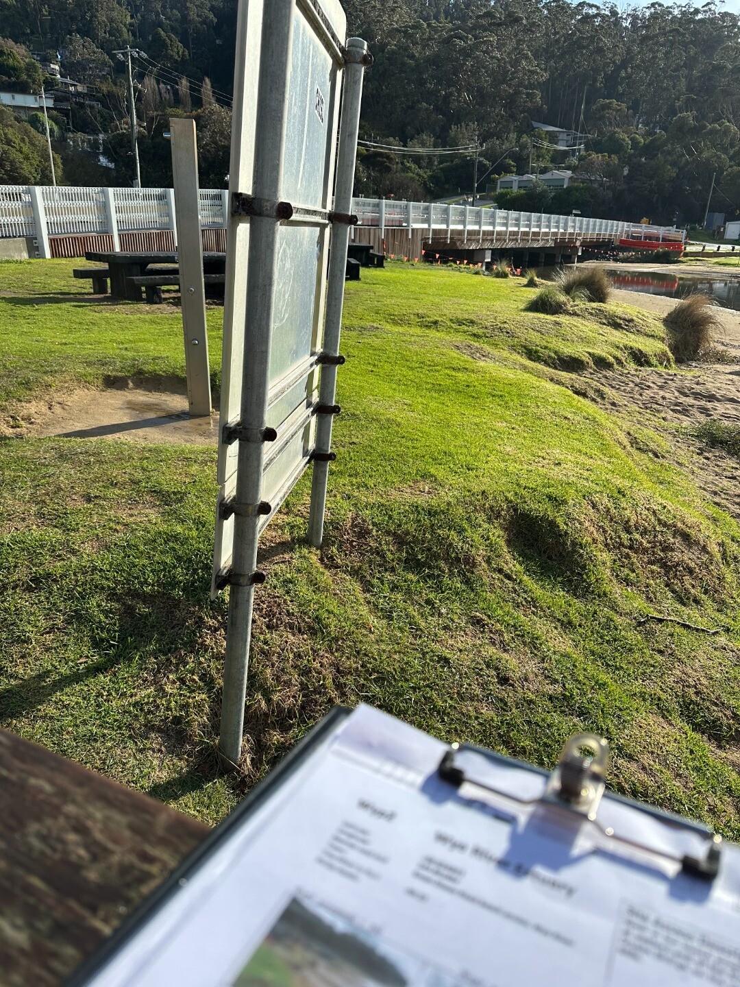
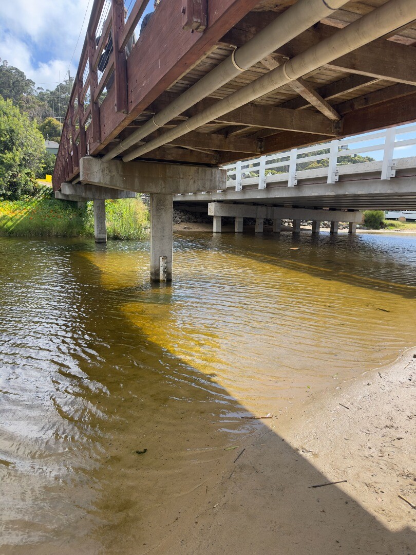
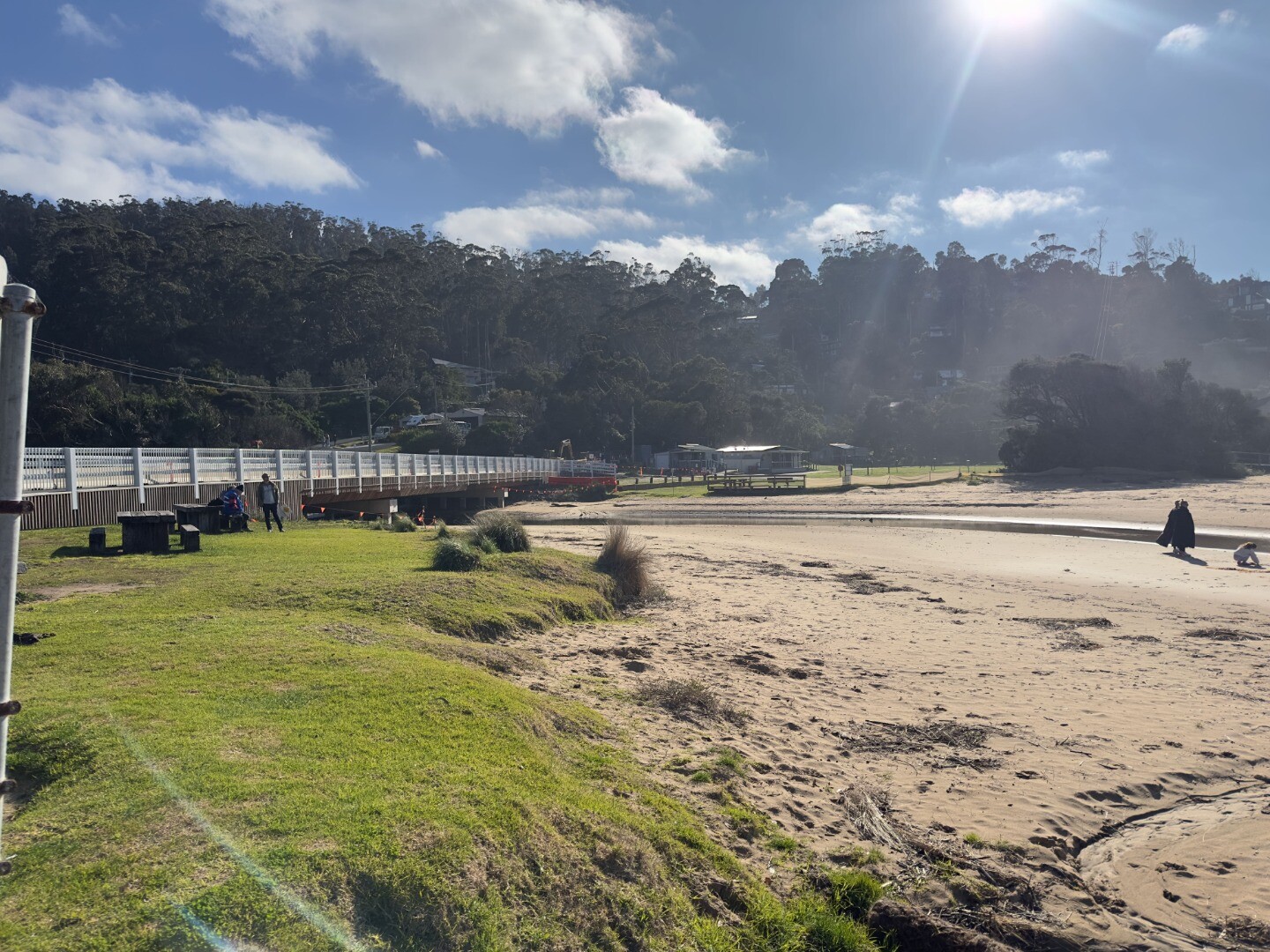
We used the new photopoint on the new bridge. It feels like you have to point the camera downwards slightly because the railings are higher than the railings on the old bridge. It may not make much of a difference, I suppose we could note this and compare to older photos. However in reality we are still capturing the same viewpoints of the estuary and river as it flows out to sea. |
| 11 Apr 2026 | Approved |
Notes:
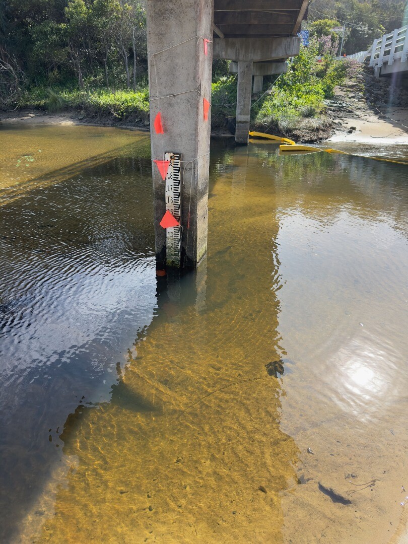
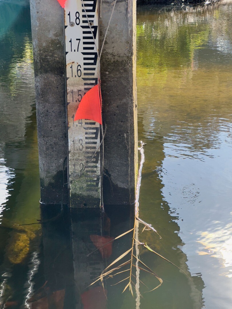
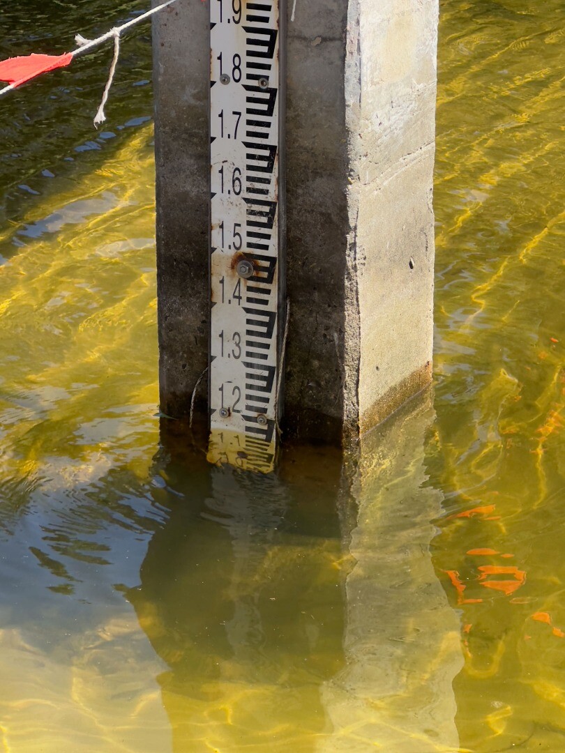
Gauge in the river is hard to read, it's smeared with grime and probably worse after the flood. It needs to be cleaned. We used the new photopoint on the Wye River bridge for the first time. |
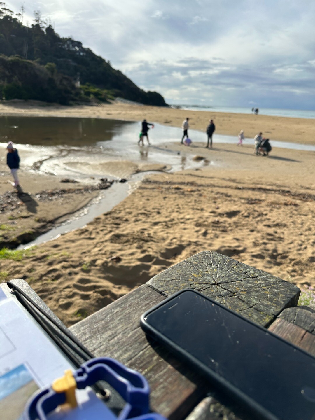
| 8 Mar 2026 | Approved |
Notes:
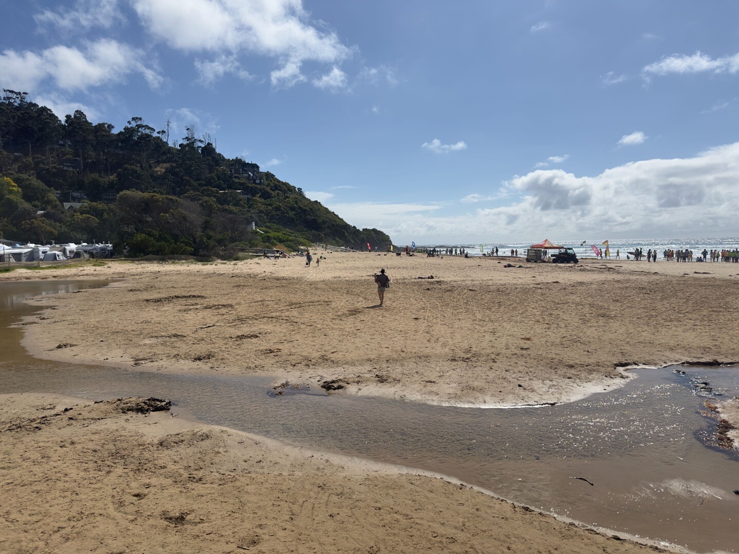
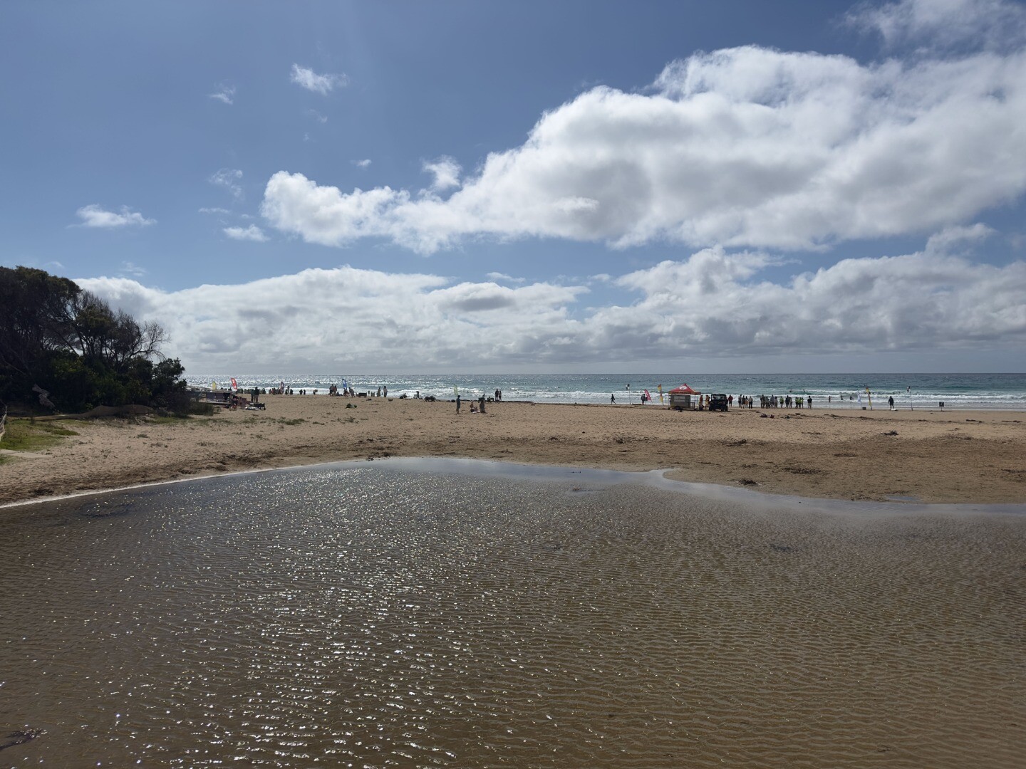
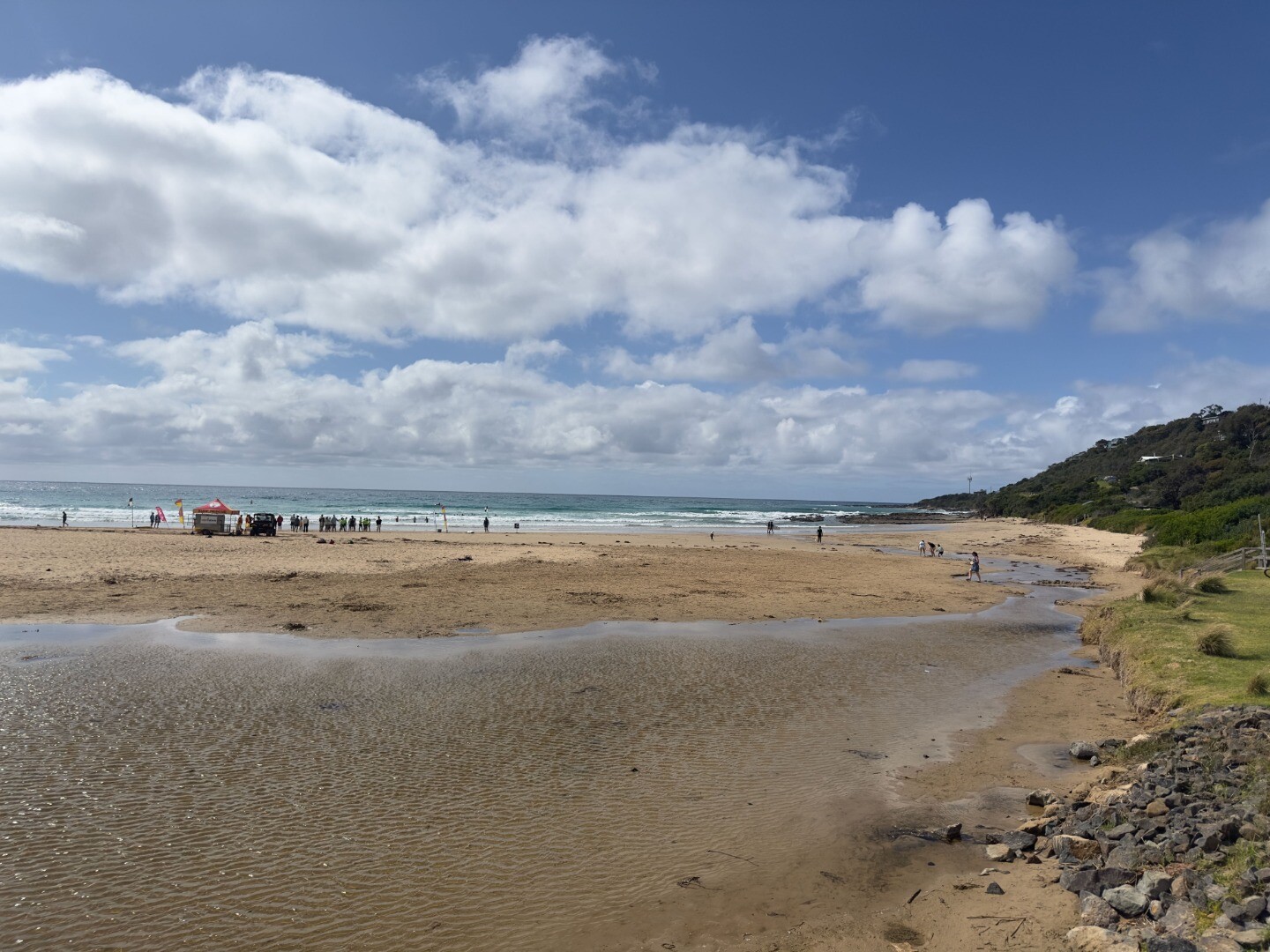
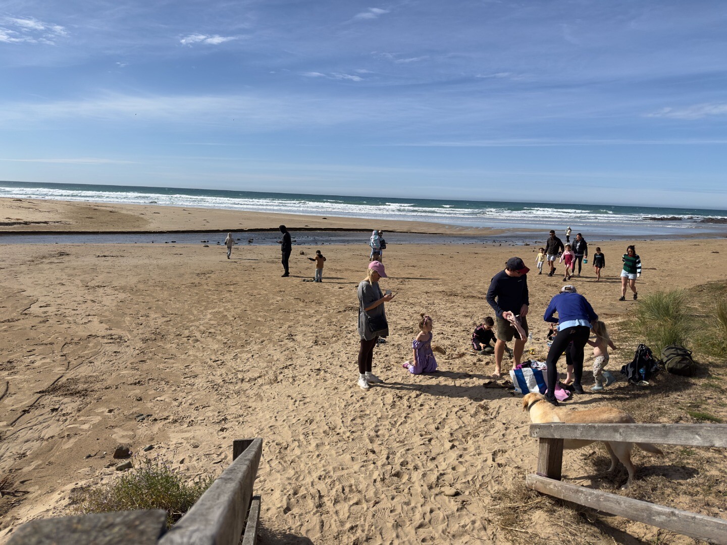
Carmel and Bob from Kennett River came as observers. Small lagoon at south side of beach (photo 5) 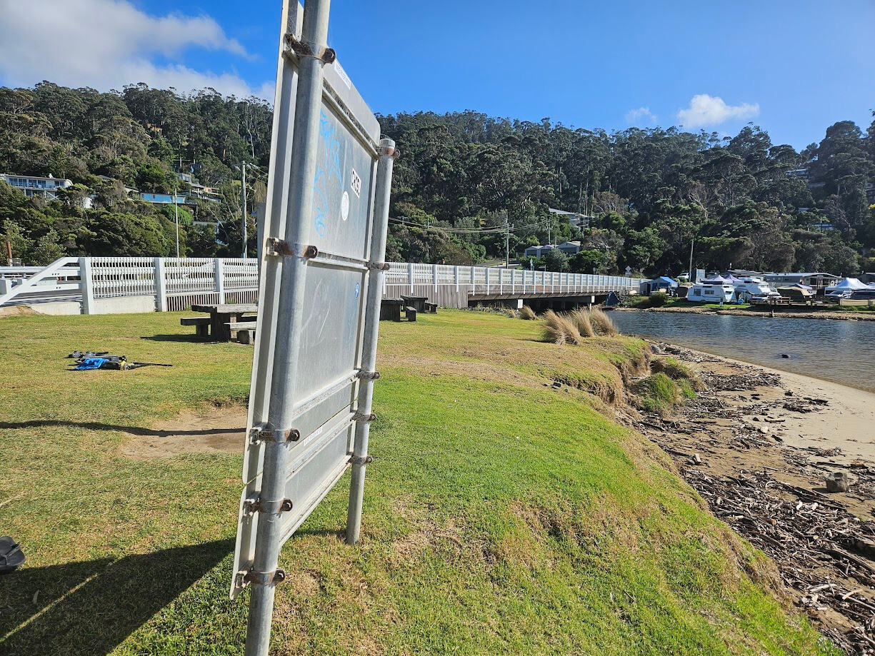 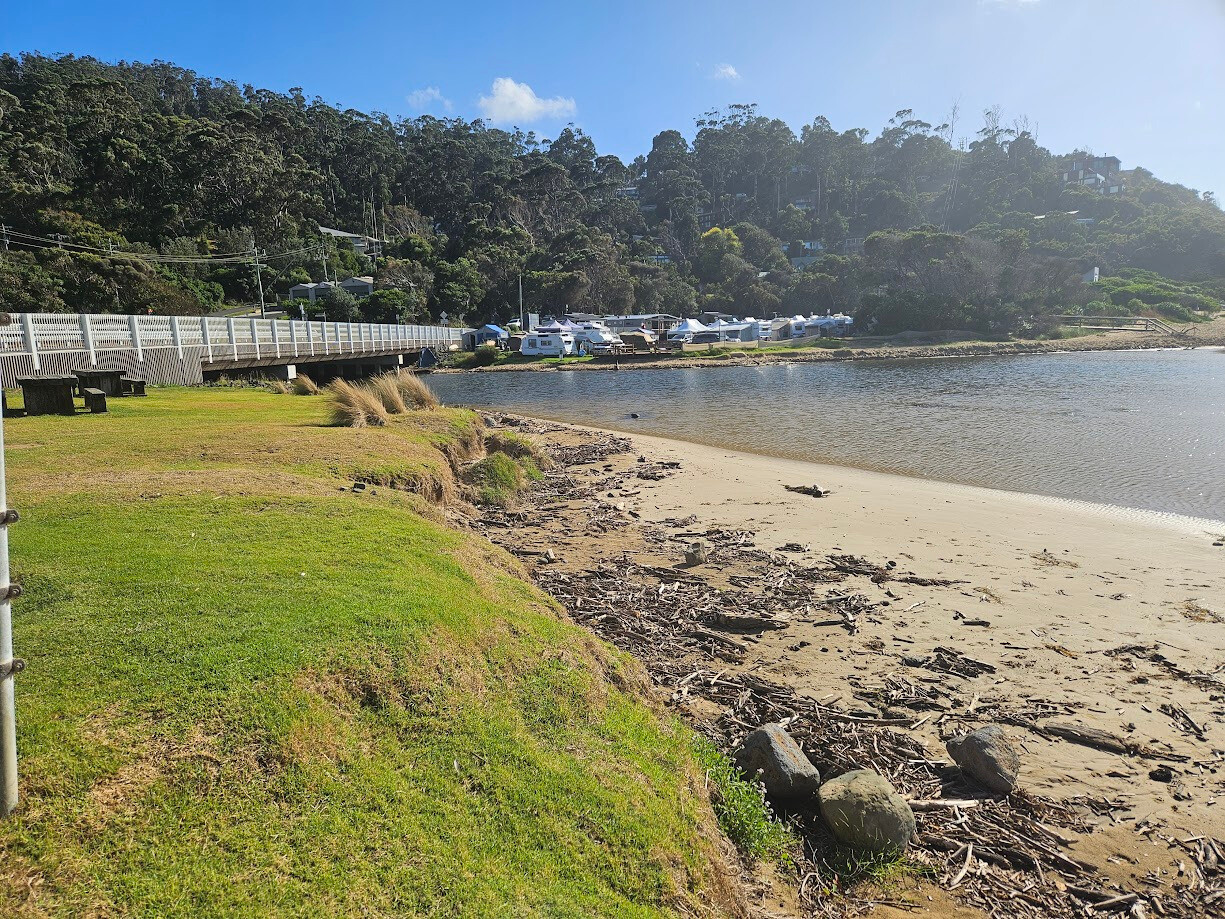 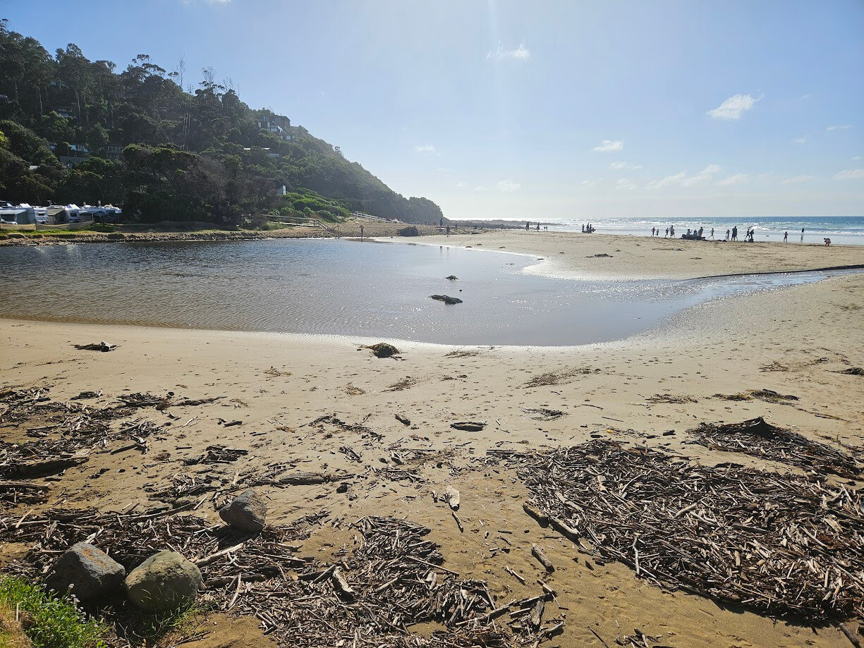 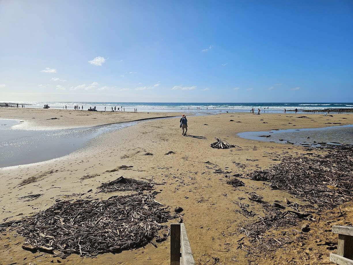 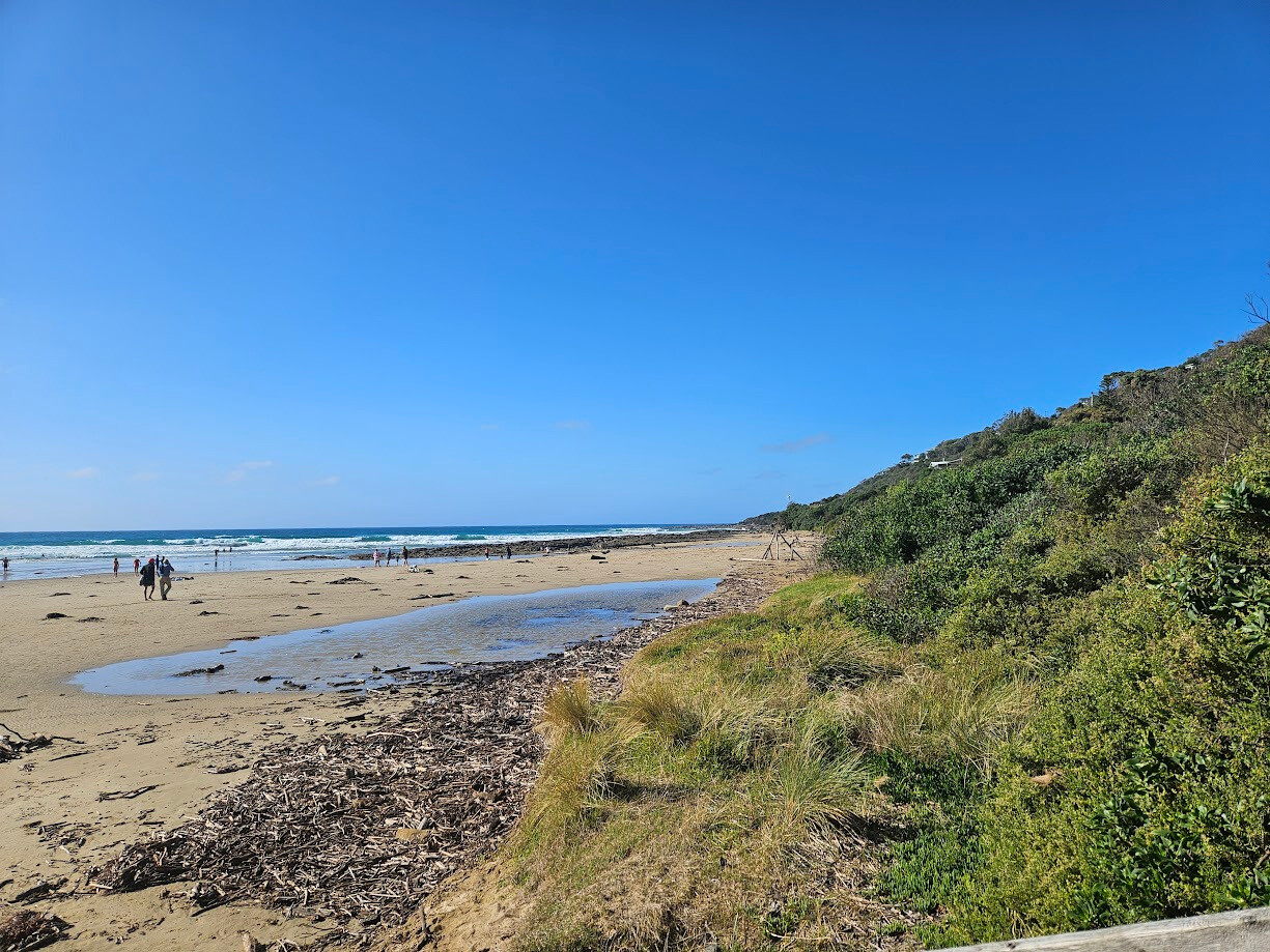 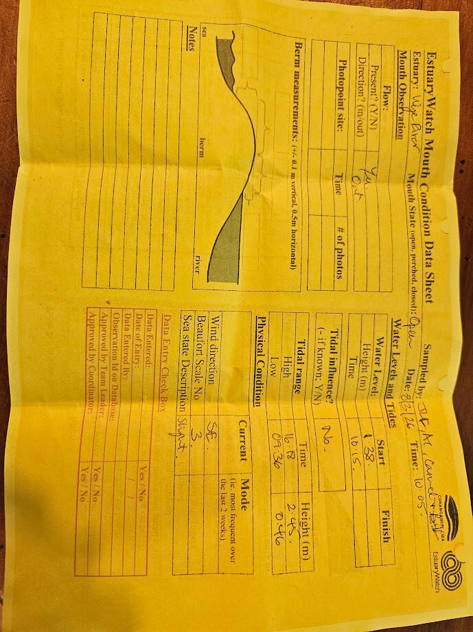 |
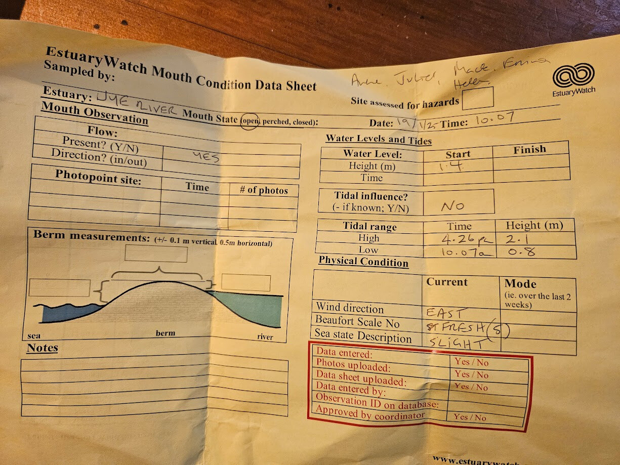
| 7 Feb 2026 | Approved |
Notes:
River gauge is hard to read due to dirt covering many of the numbers. |
| 24 Jan 2026 | Approved |
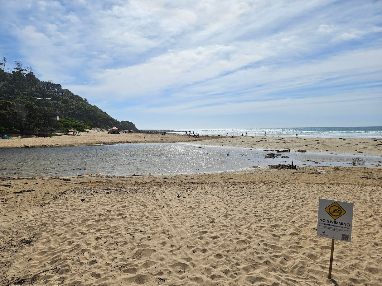
Notes:
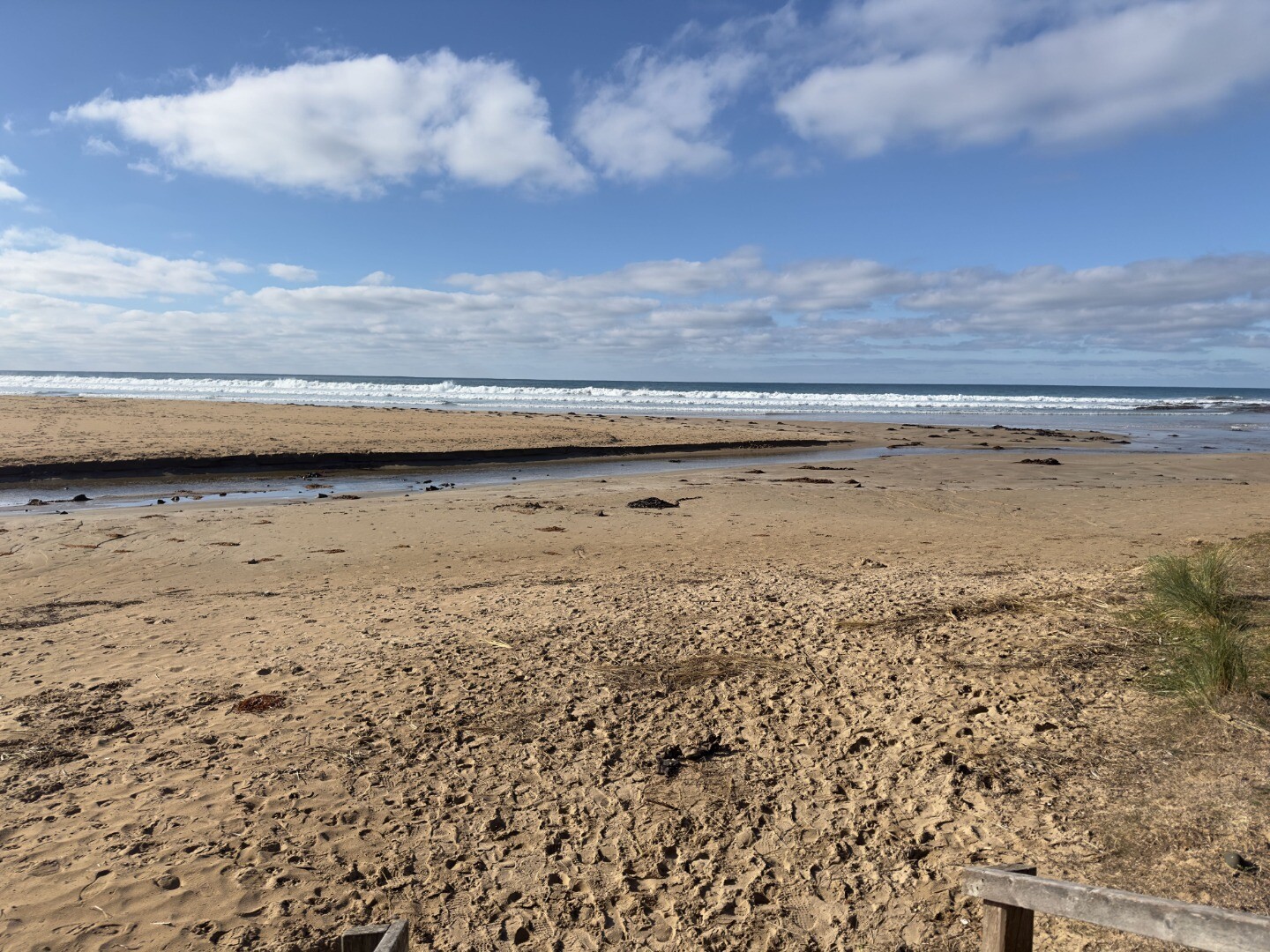
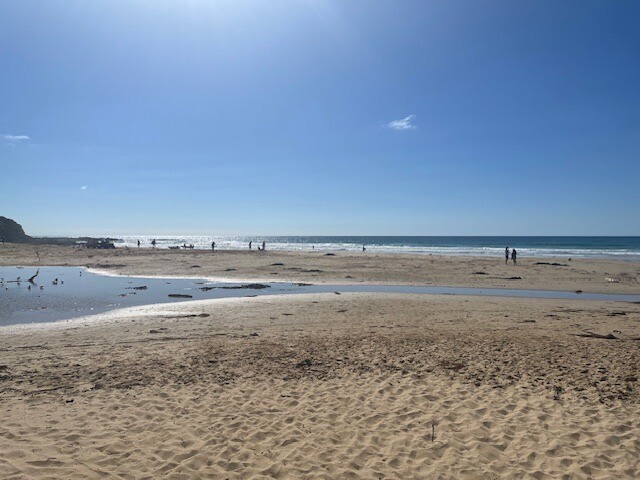
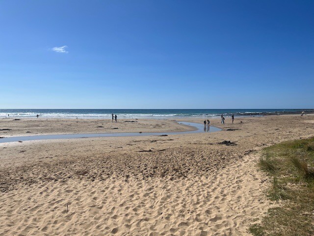
Nine days after the flood. Piles of debris, large and small remain on the beach. Although there has been some cleaned up into piles by GORCAPA. Lagoon is reforming. River channel has moved east. Sand accumulating at the surf club ramp. Rocks still exposed where the beach was scoured out by the flood. The eroded banks next to the foreshore campground have been flattened out by GORCAPA machinery. |
| 18 Jan 2026 | Approved |
Notes:
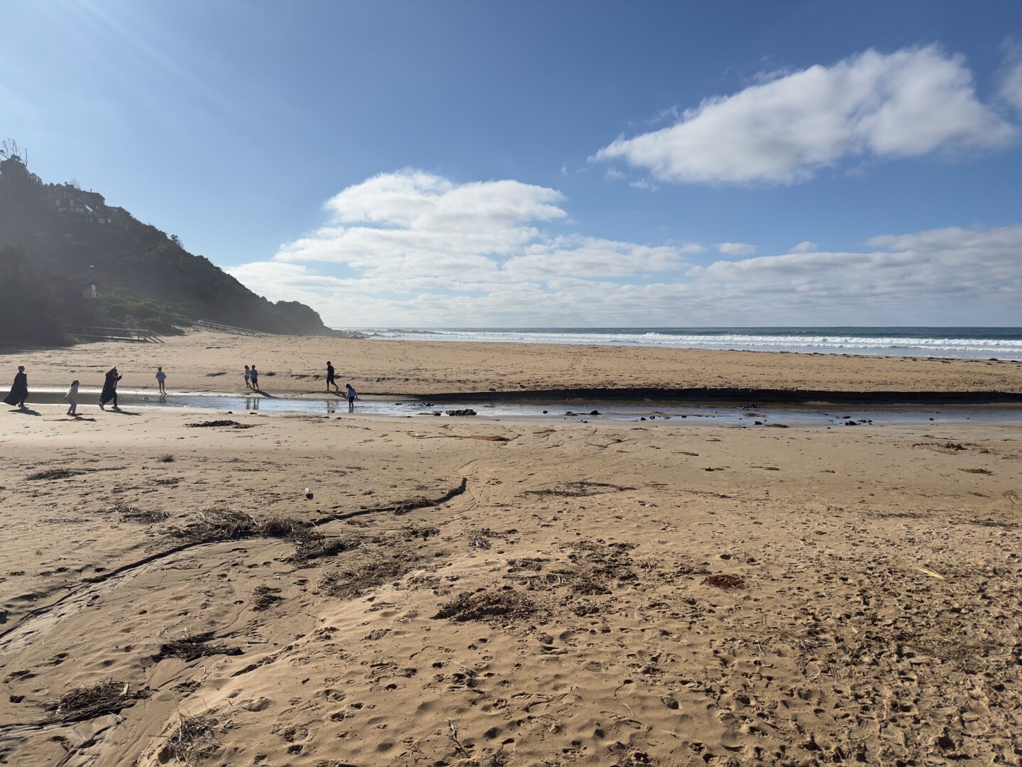
Three days after the devastating flood on Thursday 15th January we completed our observations of the river mouth and took a range of photos. Huge logs and debris all over the beach. Tree fern trunks on the beach and in the rockpool zone. River channel is running straight out to sea. In previous weeks the channel had hugged the foreshore adjacent to the Great Ocean Road. Rocks exposed on beach from the flood. High sand banks next to Foreshore Campground due to sand being eroded away from floodwater. The river gauge is unreadable as it is high and dry about the water level. Looking upstream and downstream from the vicinity of the bridge there are piles of trees and other vegetation blocking the channel or on the river bank. |
| 4 Jan 2026 | Approved |
Notes:
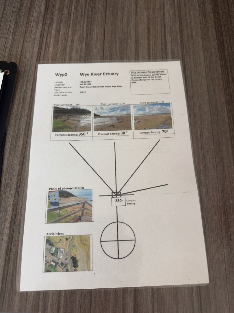
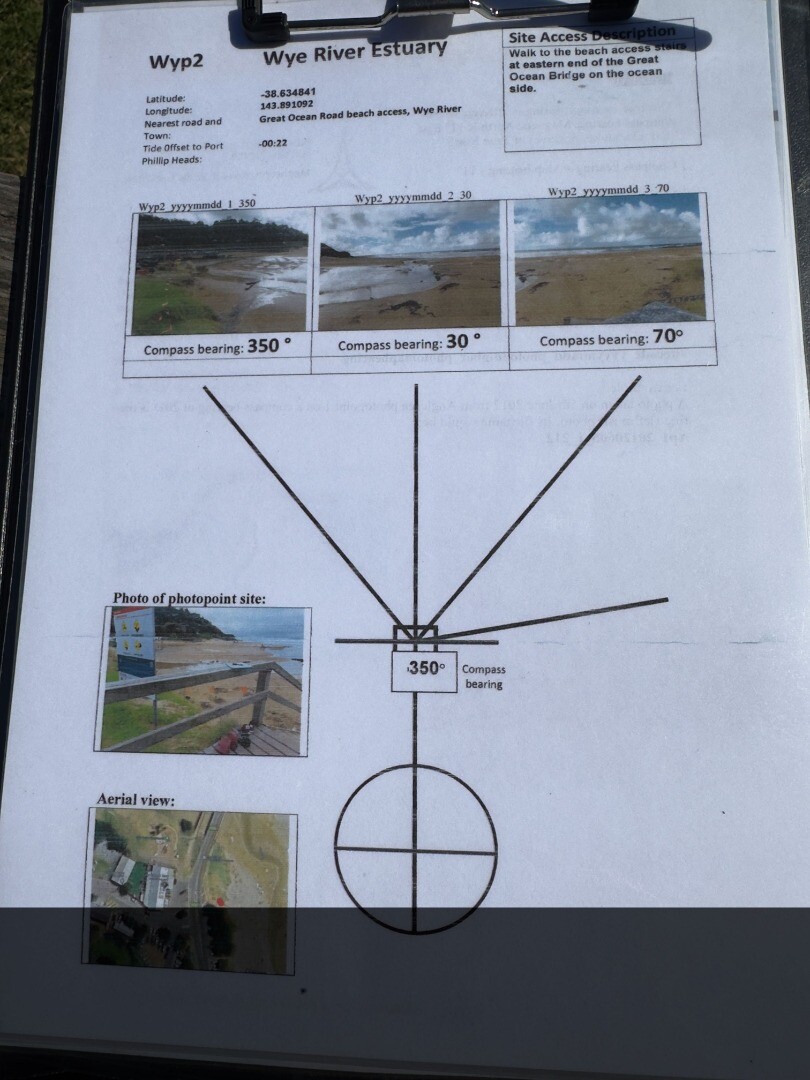
Erina Officer is a volunteer at WW and EW She participated on 4/1/26 at EW and WW Her email is eofficer@mwy.com.au She was was not on the database so I couldn't add her name Can her name please be added. There are two sets of photos for EW. First set in the current location on the steps to the beach. Another set from the new bridge , near where we originally had our photopoint, before the bridge works. Wyp2 , 350, 30, 70, 100 are taken from the steps going down to the beach Another set was taken from the bridge , The compass degrees are not yet specified for the “new” Wye bridge location . These are labelled bridge Wyp1- 1,2,3,4.
|
| 6 Dec 2025 | Approved |
Notes:
We looked at a new photopoint site from the bridge and I did take photos. However it is probably best to wait for Georgie to come and ensure we have the best location and compass points. |
| 2 Nov 2025 | Approved | |
| 4 Oct 2025 | Approved |
Notes:
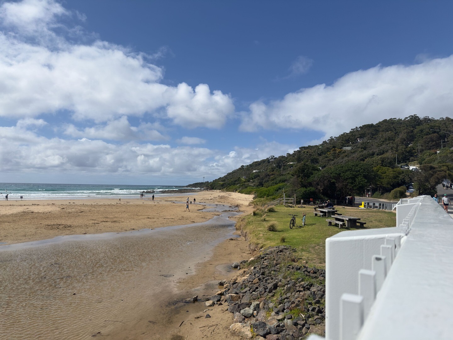
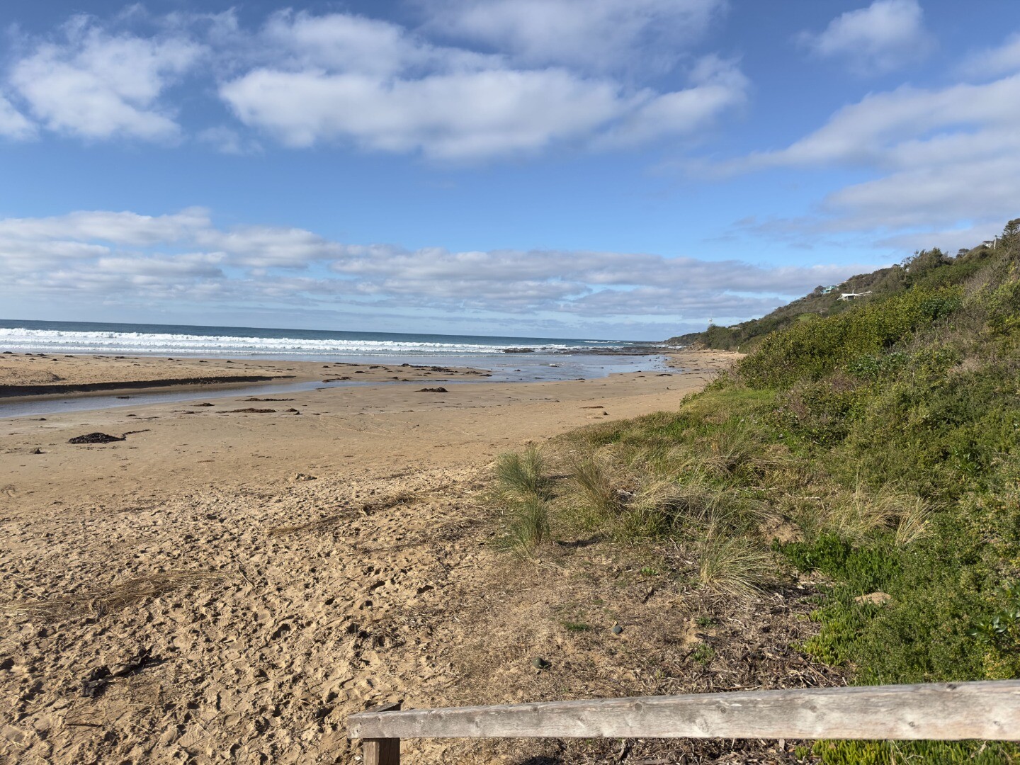
The recent rainfall and strong high tides have exposed the rocks on the river channel as it exits the estuary to the sea. The high tides have been causing a lot of erosion to the western (Great Ocean Road side) riverbank |
| 6 Sep 2025 | Approved |
Notes:
Please add Erina Officer and Roy Moriarty as volunteers They both assisted with the data collection |
| 9 Aug 2025 | Approved |
Notes:
Please add Jennifer Wood- she is a new volunteer We took an extra photo at compass reading of 110, as suggested on photoguide sheet -attached. |
| 5 Jul 2025 | Approved |
Notes:
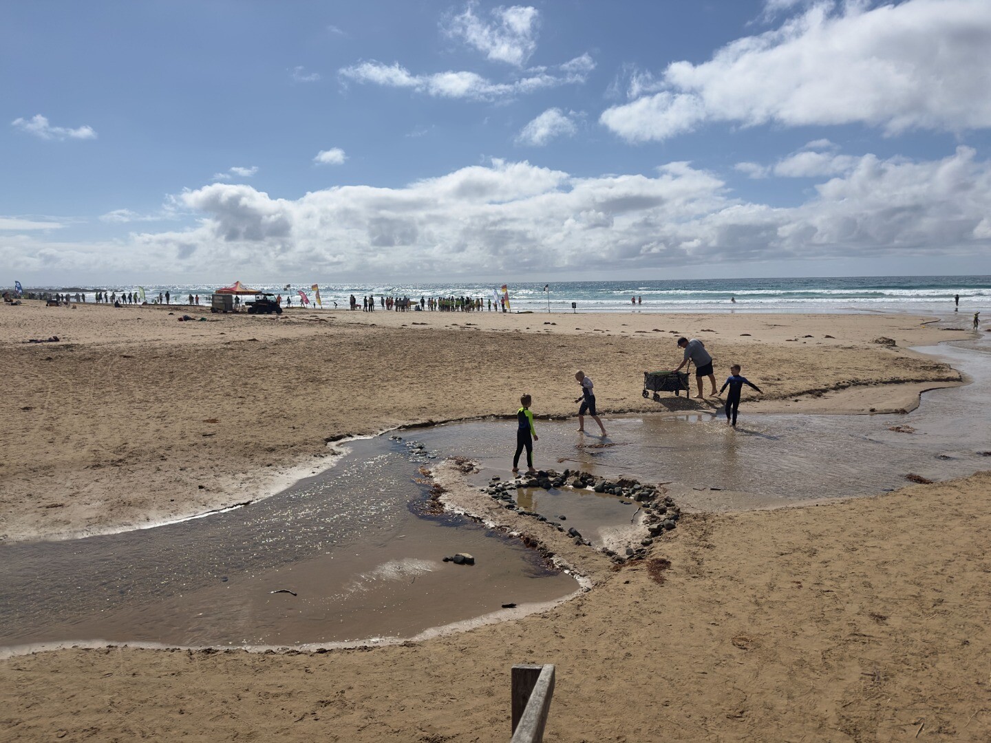
The river channel continues to travel south, so I have taken extra photos to show its course. Lots of erosion to the west of the channel. |
| 7 Jun 2025 | Approved |
    |
| 3 May 2025 | Approved |
Notes:
Elsa and Erina also present. Still lots of algae in estuary upstream of bridge - see photos 5 and 6 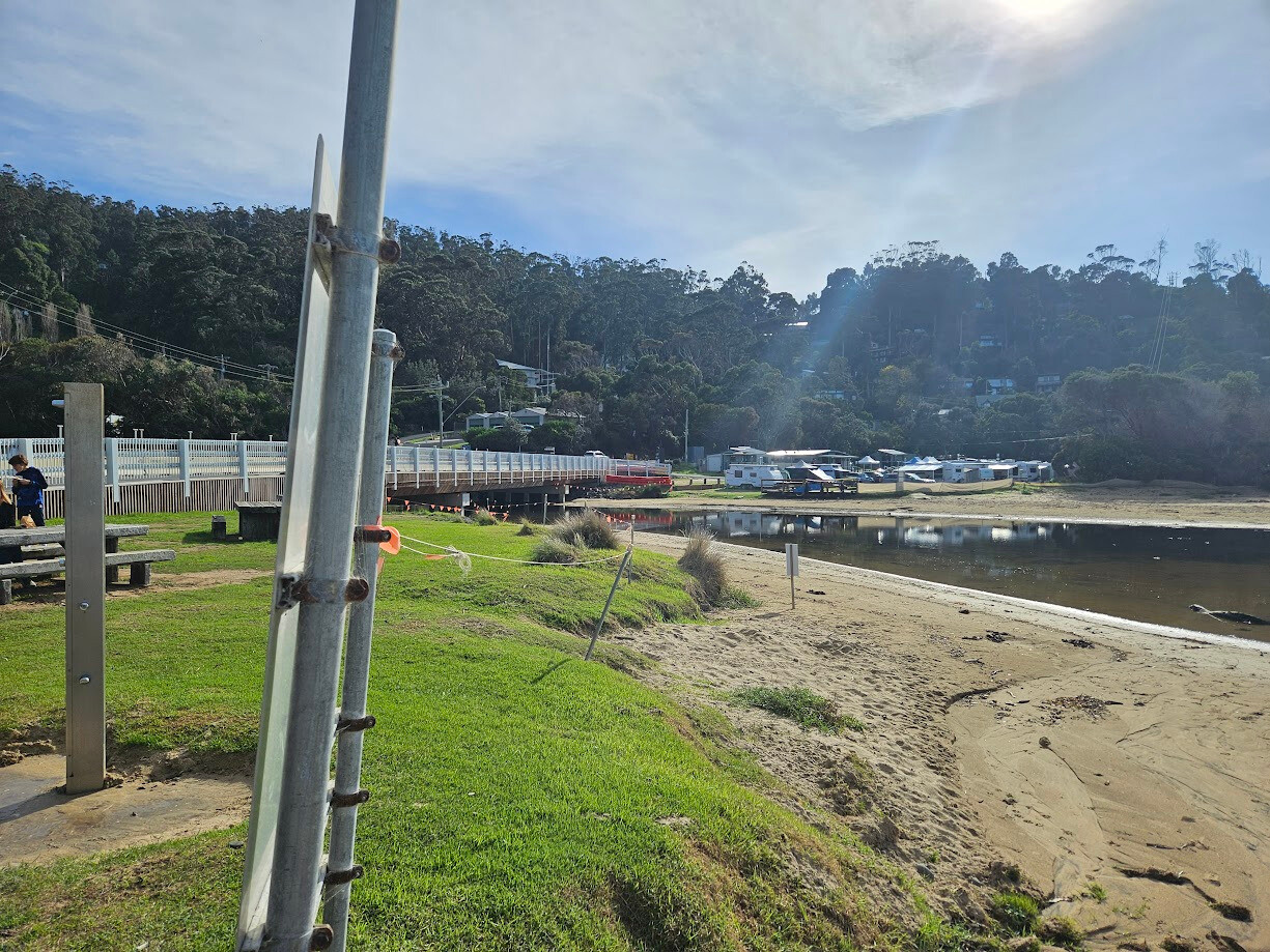 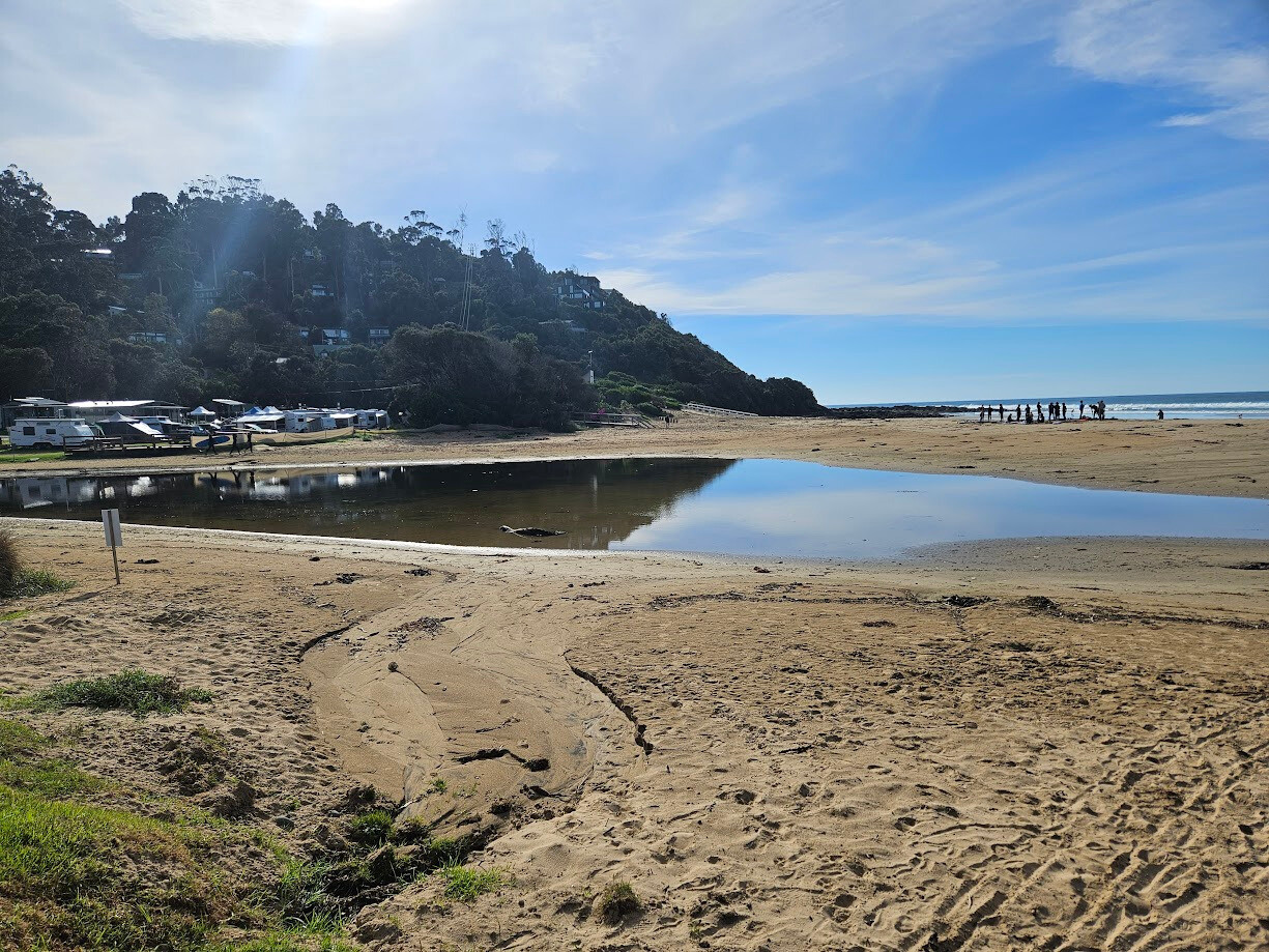 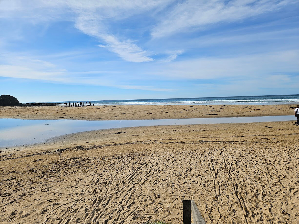 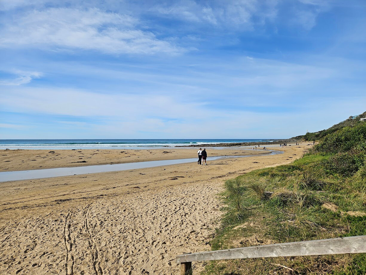 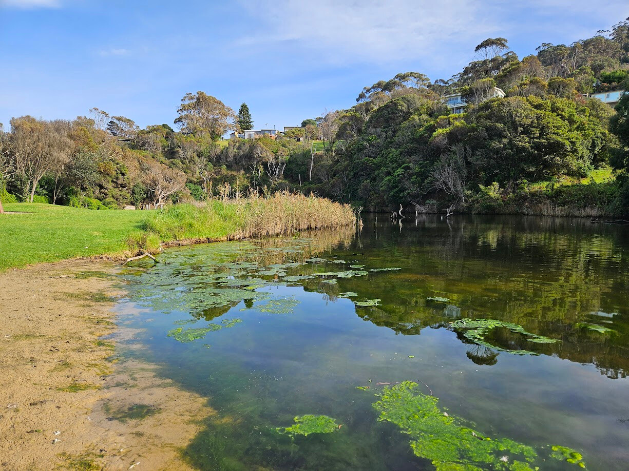 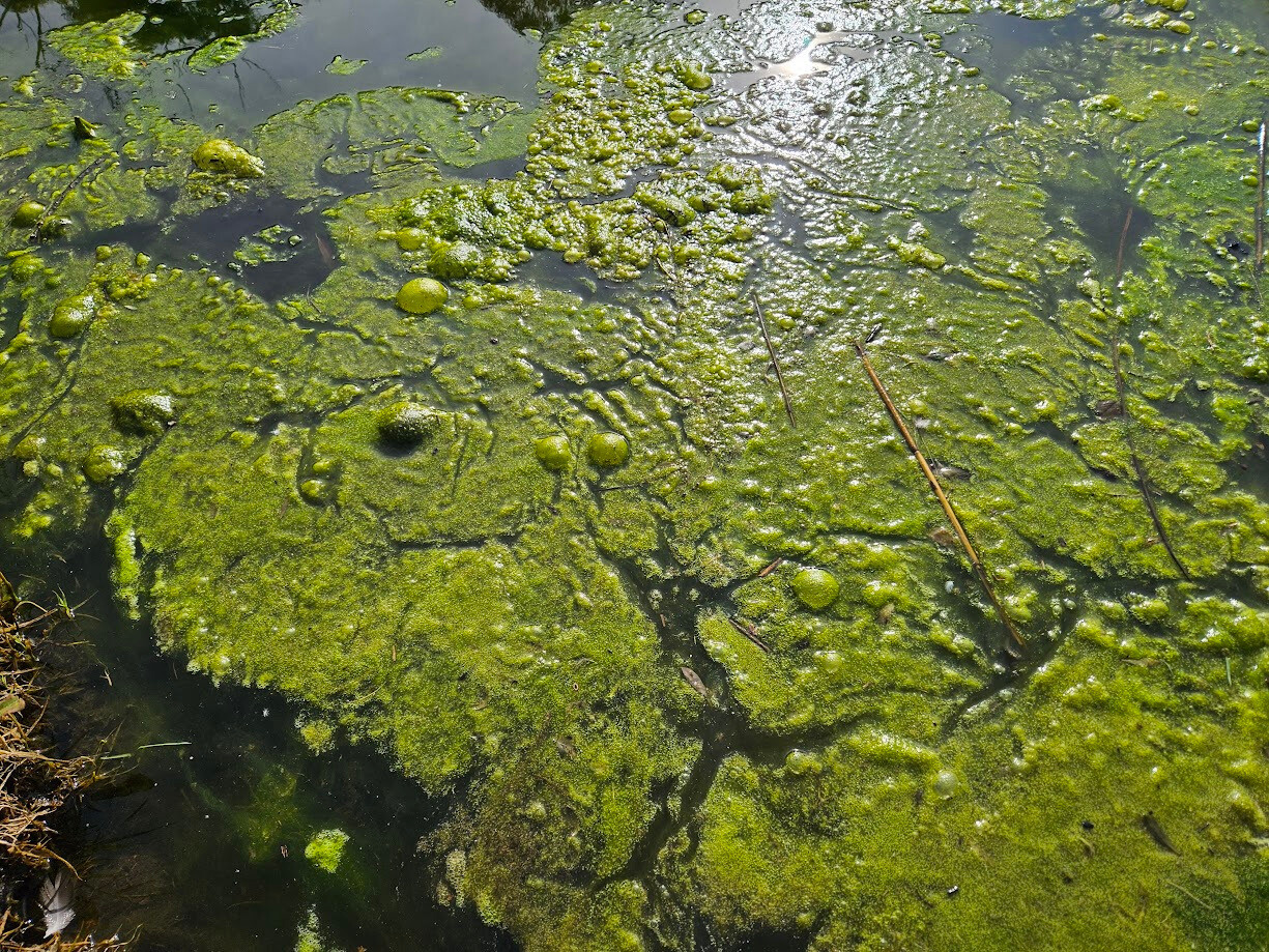  |
| 5 Apr 2025 | Approved | |
| 1 Mar 2025 | Approved | |
| 15 Feb 2025 | Approved |
Notes:
Immediately after heavy rain shower 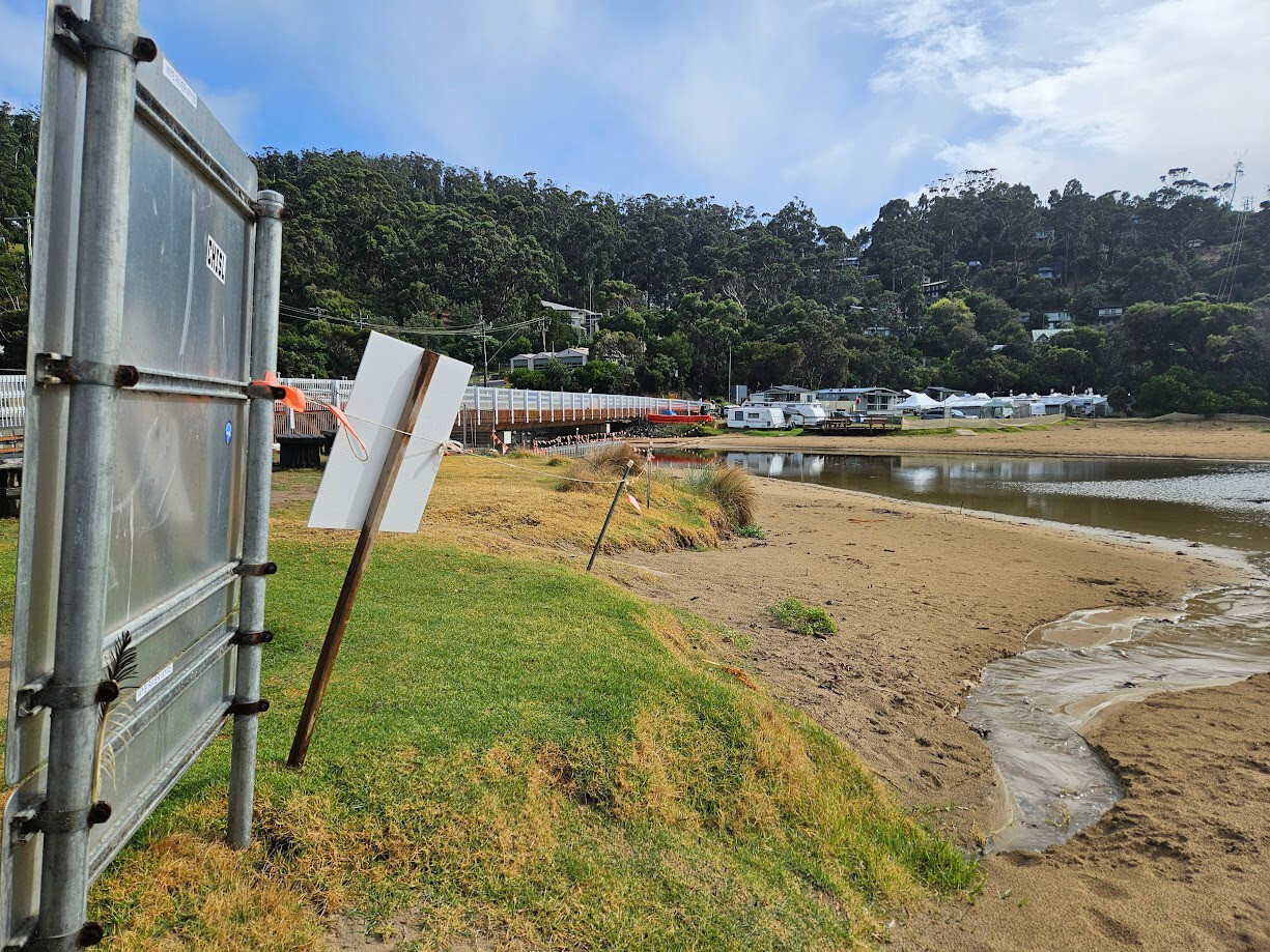 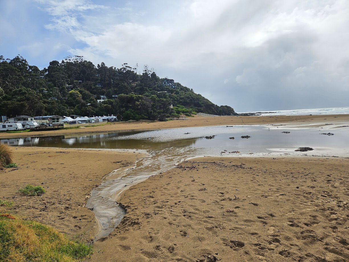 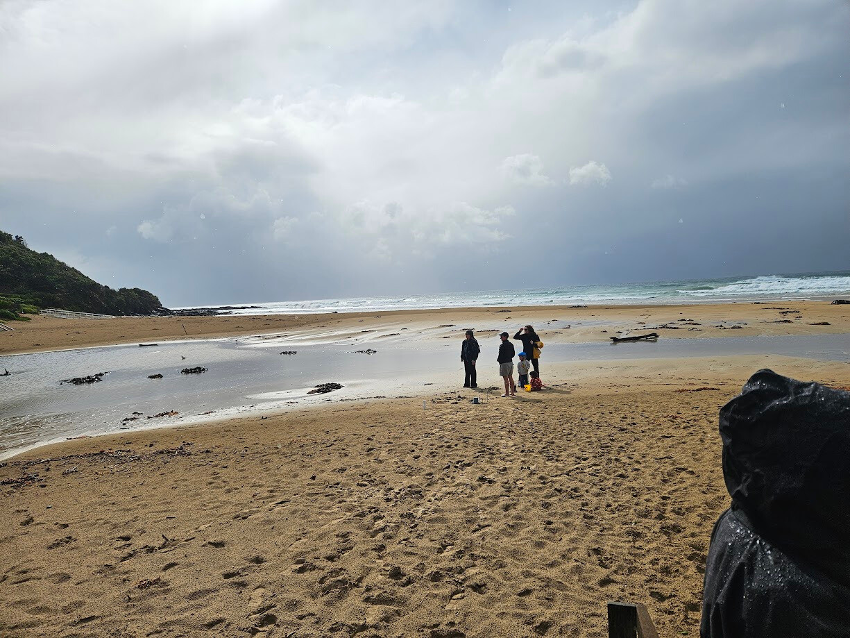 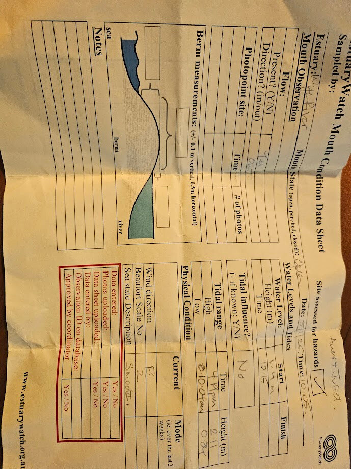 |
| 1 Feb 2025 | Approved |
Notes:
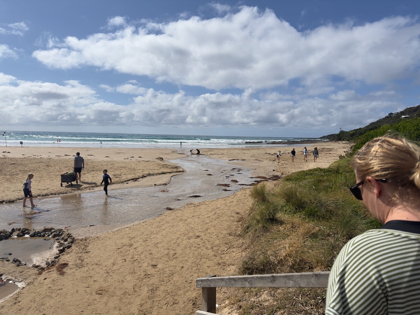
We had new volunteers join us today- Erina Officer, Elsa Mahlstedt and Fran Berry. We have changed our monitoring day to Saturday and welcomed back Mary Eckhardt who did observations a few years ago. The path of the river takes a wider route across the beach so an extra photo has been taken to show that. Also a photo of the water gauge which is quite slimy and a bit hard to read, there's a lot of algae in the river, it has been warm with little rainfall in January. |
| 19 Jan 2025 | Approved | |
| 5 Jan 2025 | Approved | |
| 15 Dec 2024 | Approved | |
| 1 Dec 2024 | Approved |


We honour Elders past and present whose knowledge and wisdom has ensured the continuation of culture and traditional practices.
 All content, files, data and images provided by the EstuaryWatch Data Portal subject to a Creative Commons Attribution License
Data portal by CeRDI
All content, files, data and images provided by the EstuaryWatch Data Portal subject to a Creative Commons Attribution License
Data portal by CeRDI