BaMC Barham River Mouth Condition
Active Mouth Condition 23-05-2008 - 22-07-2026Barham River Estuary
| Date | Status | Details |
|---|---|---|
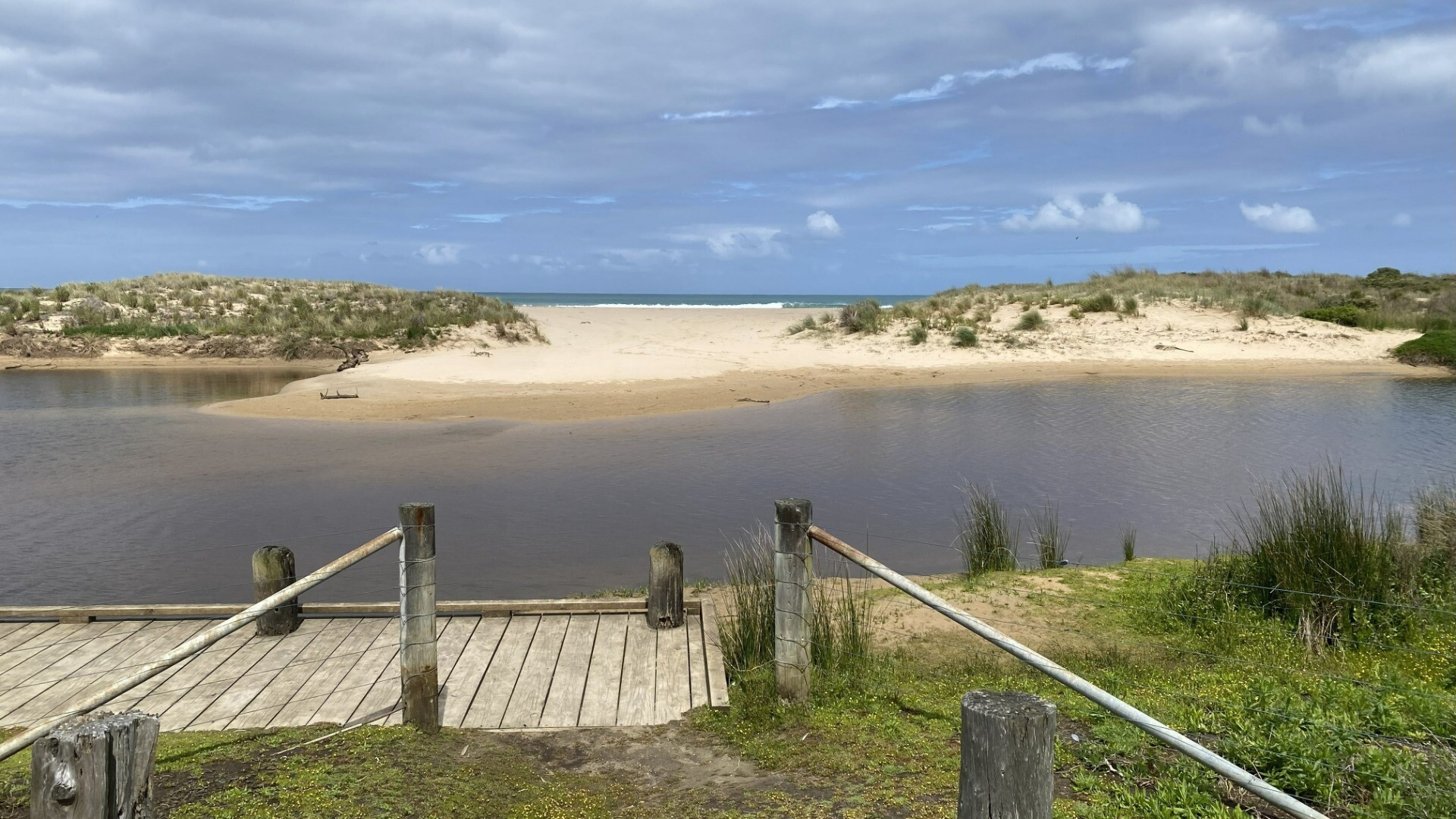
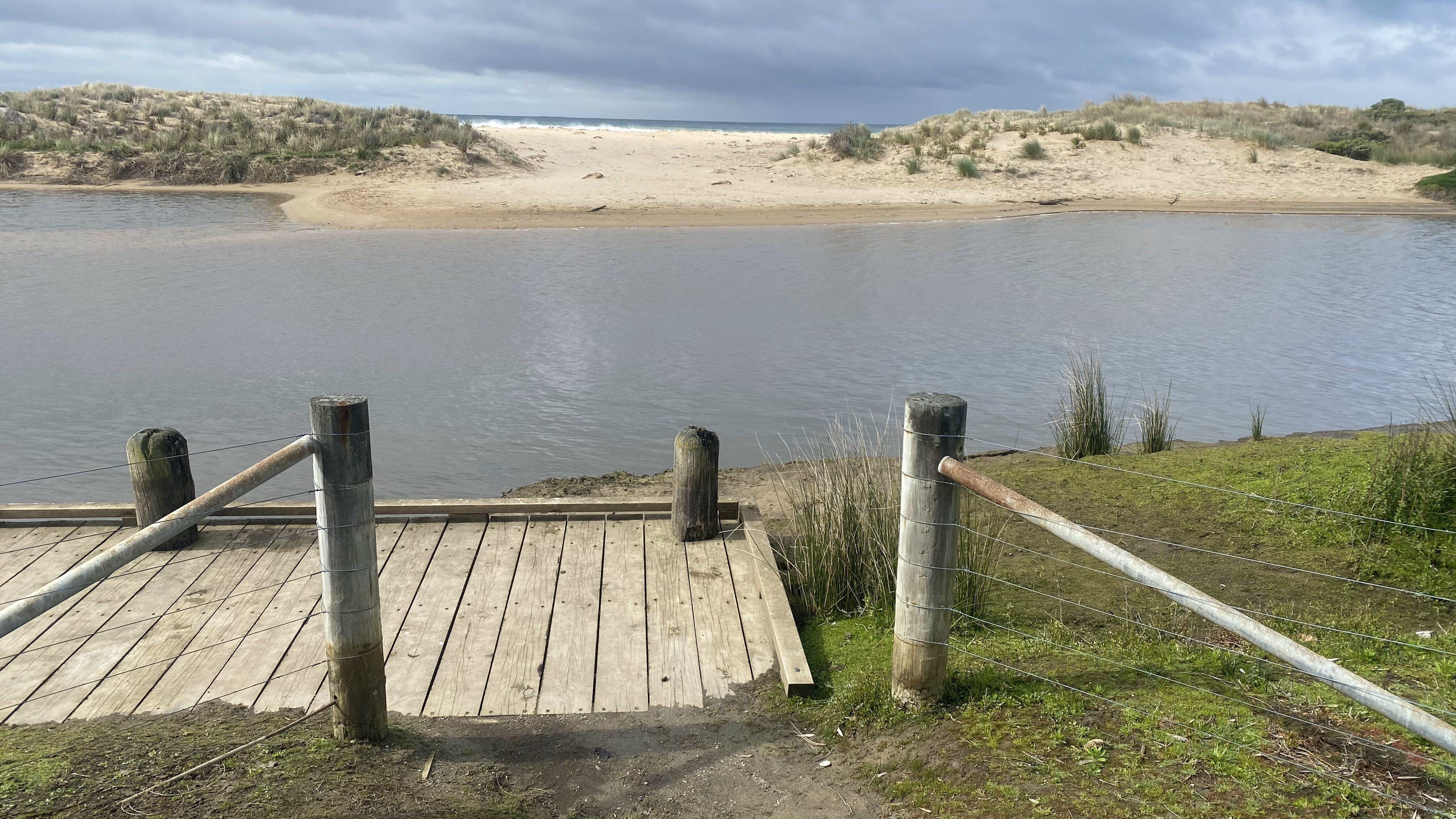
| 22 Jul 2026 | Pending |
Notes:
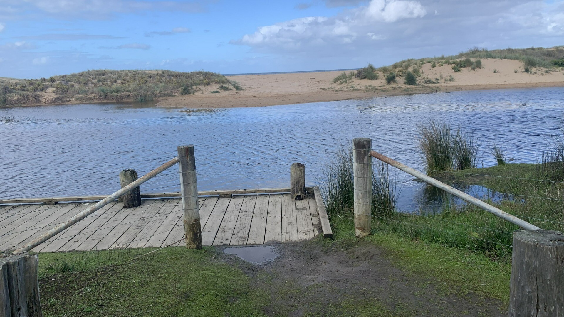
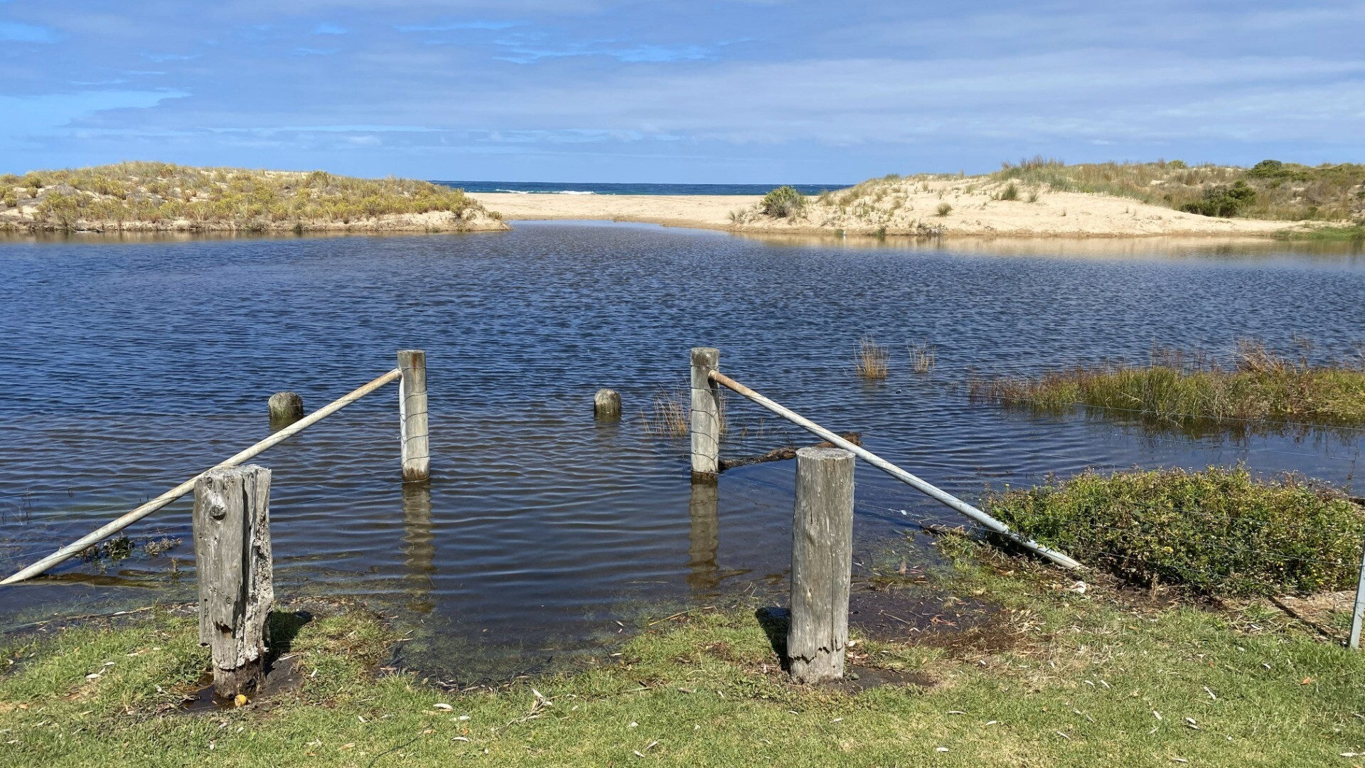
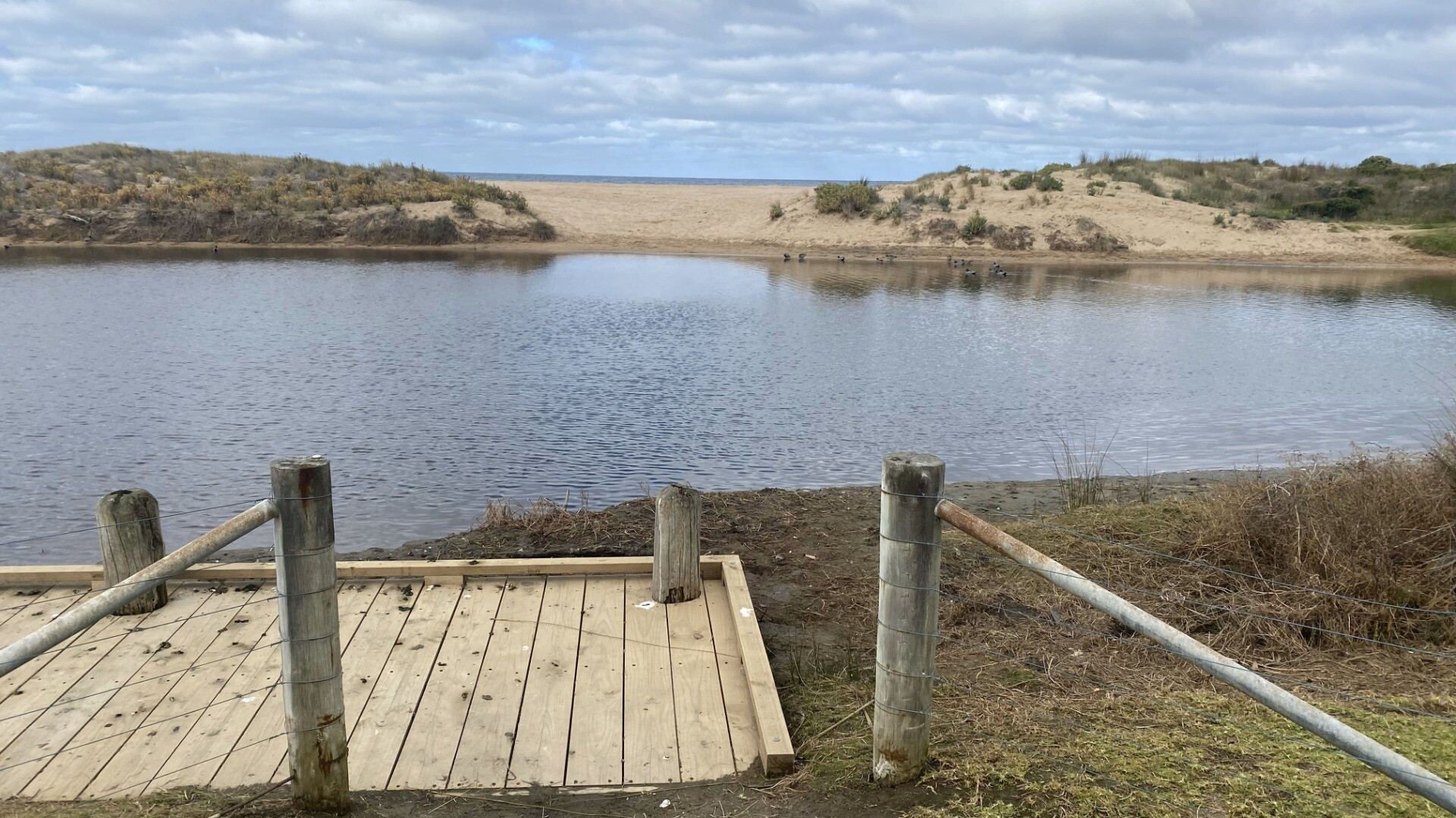
River level v low at measuring point - well below lowest 0.8 metre reading Second hpto is from corner of Gamber and Trafalgar Street - sudden rain storm prevented me from walking to BMP-3 without getting soaked! |
| 19 Jun 2026 | Pending |
Notes:
River very high due to recent rain and very high tide |
| 19 May 2026 | Approved |
Notes:
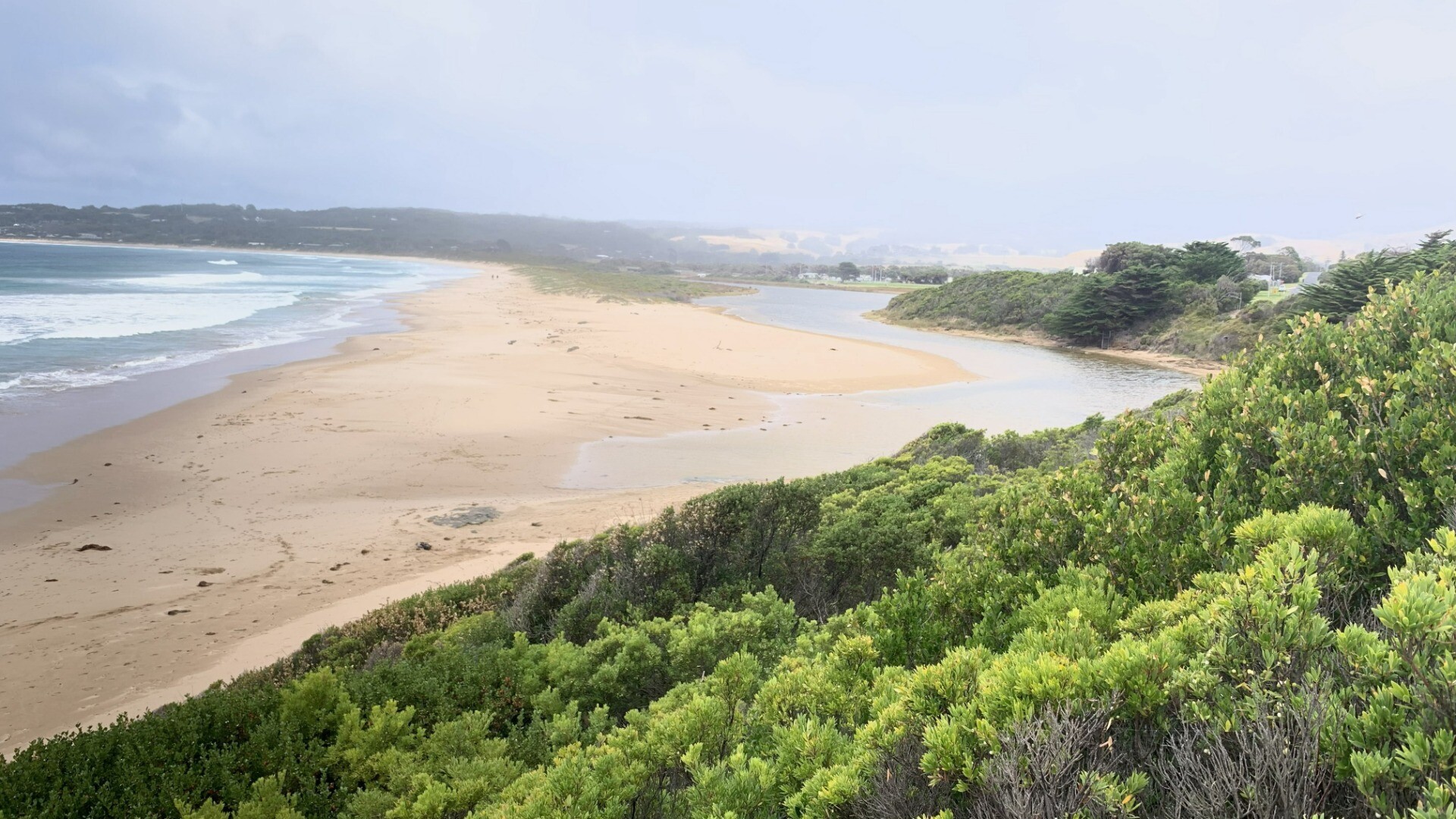
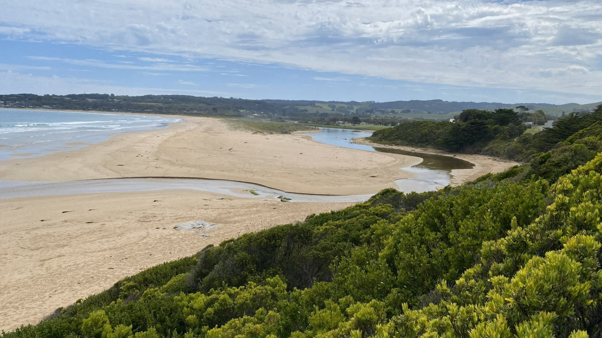
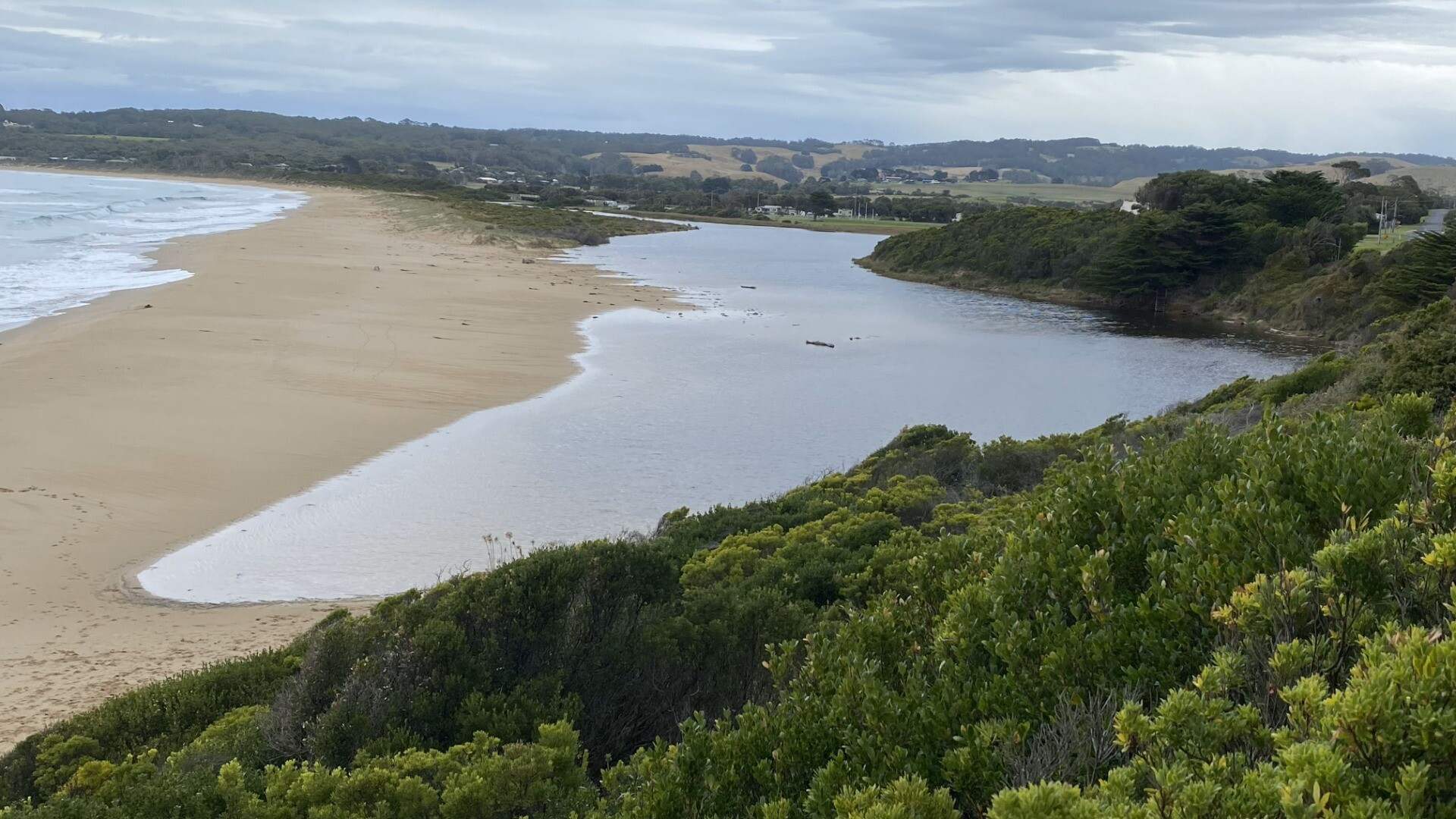
Mouth is regularly opening and closing over past few months - was closed 2 days before latest observation and river levels are quite high still |
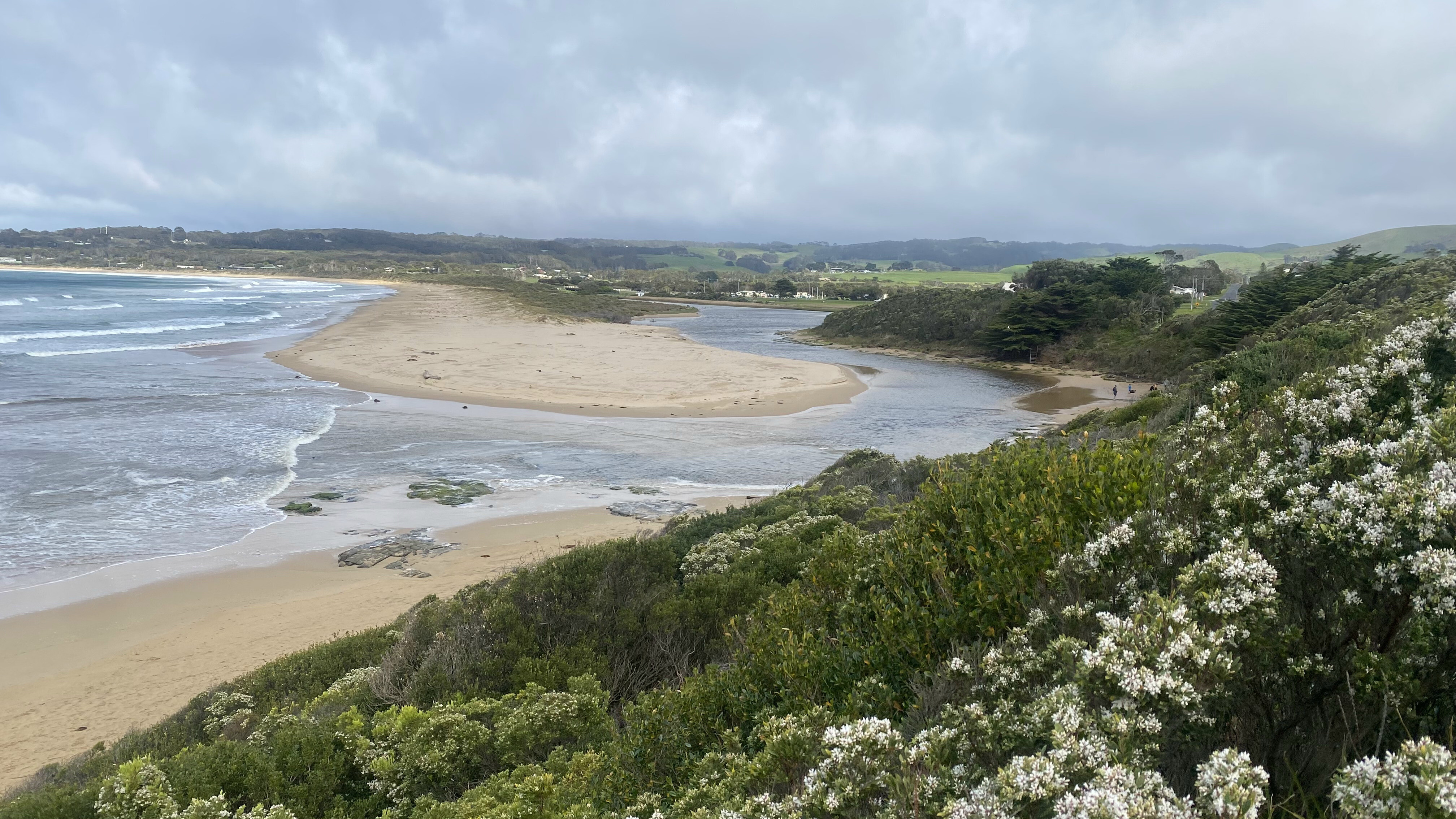
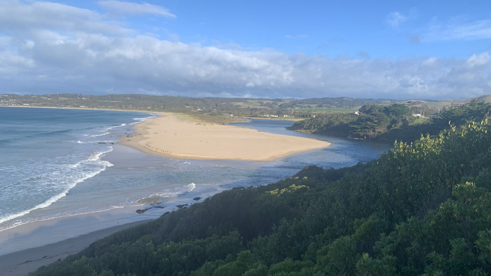
| 19 Feb 2026 | Approved |
Notes:
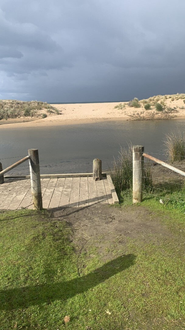
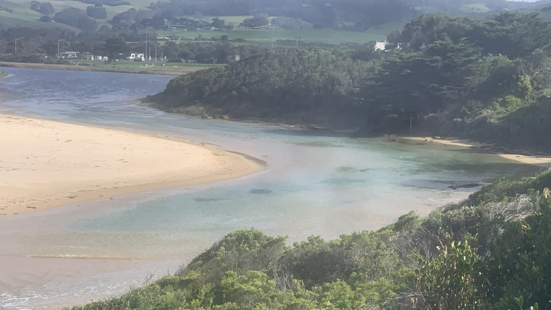
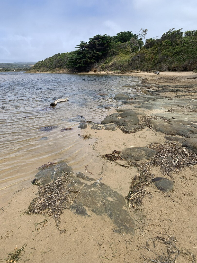
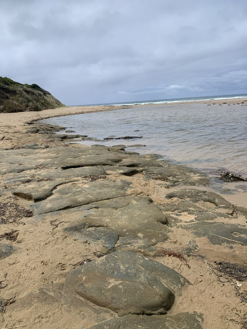
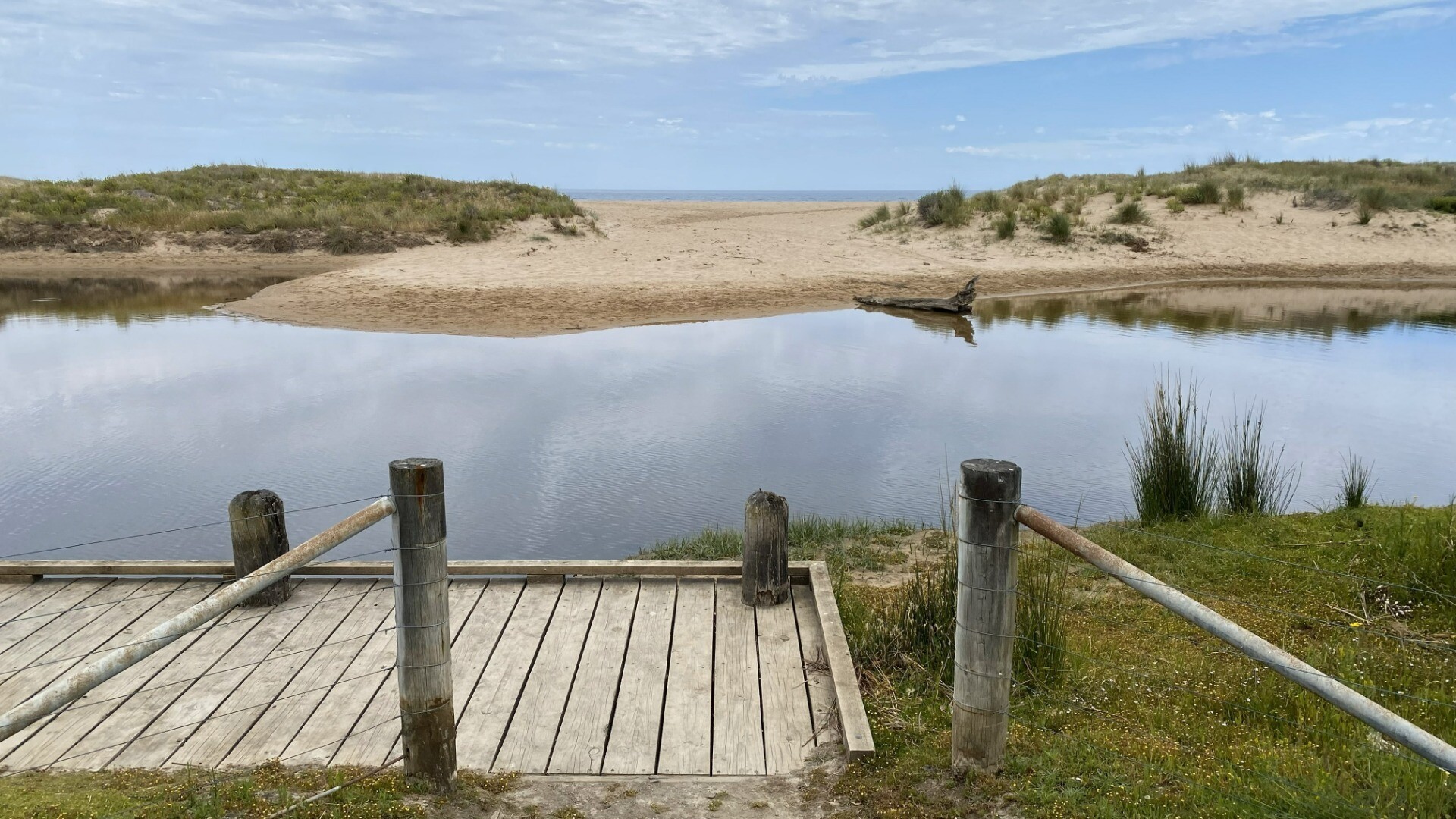
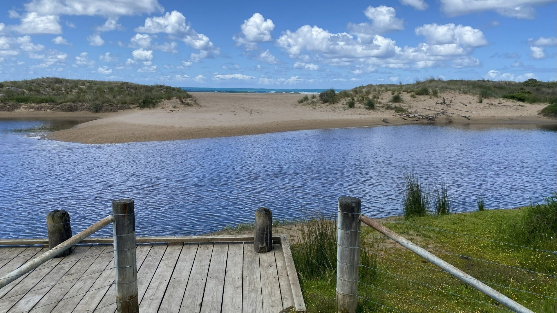
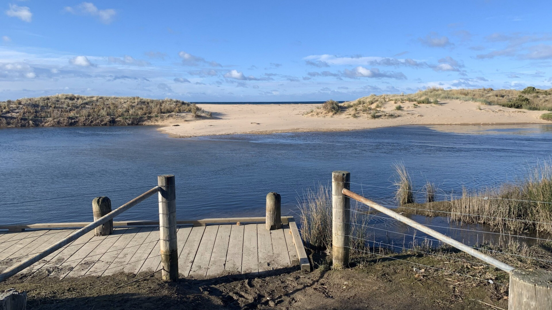
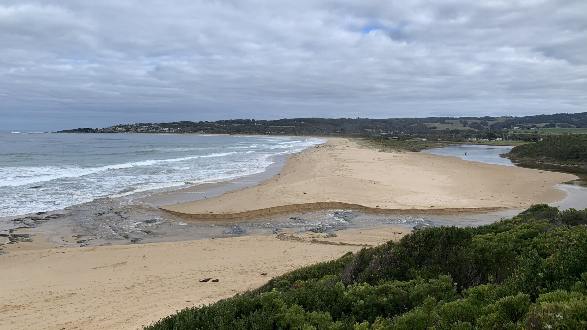
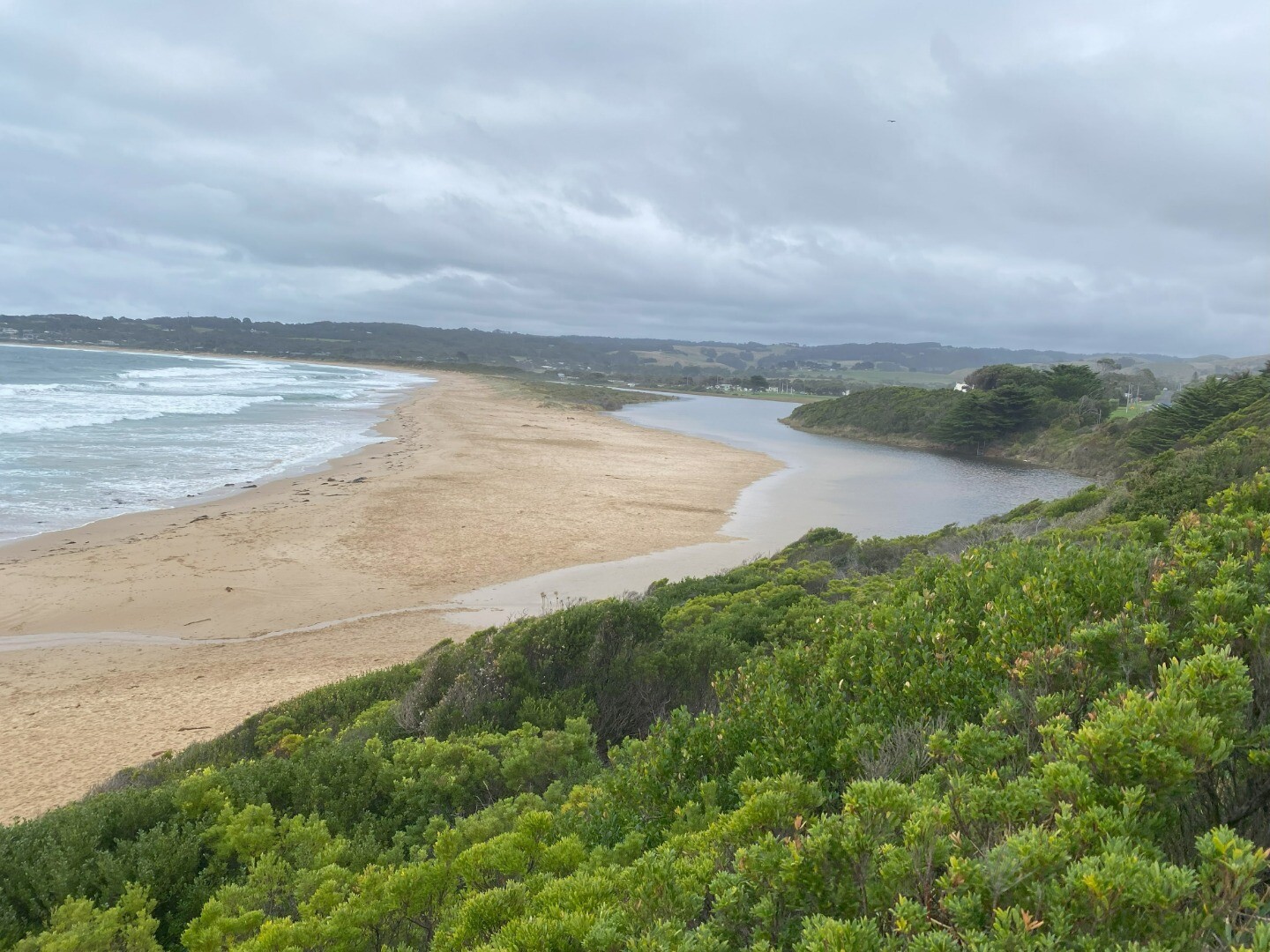
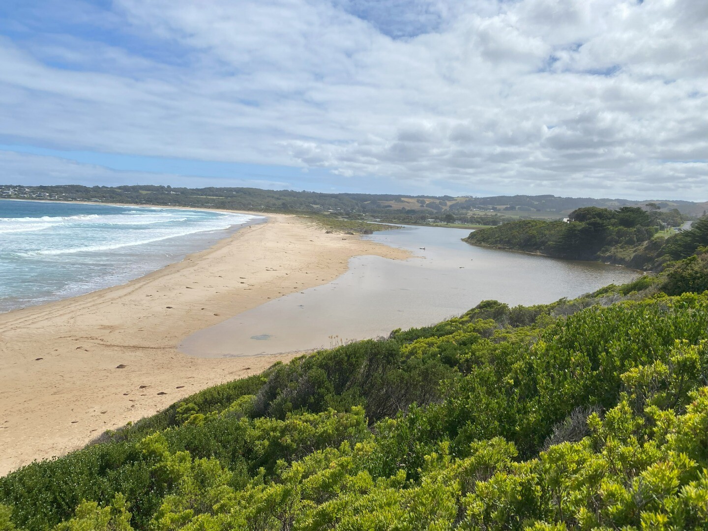
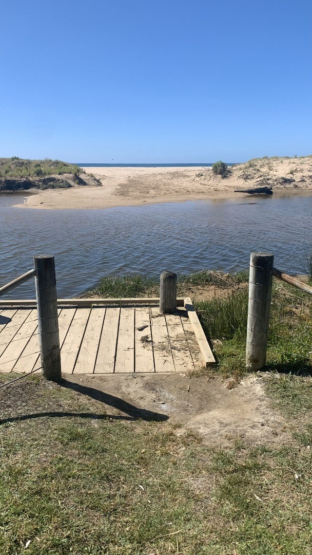
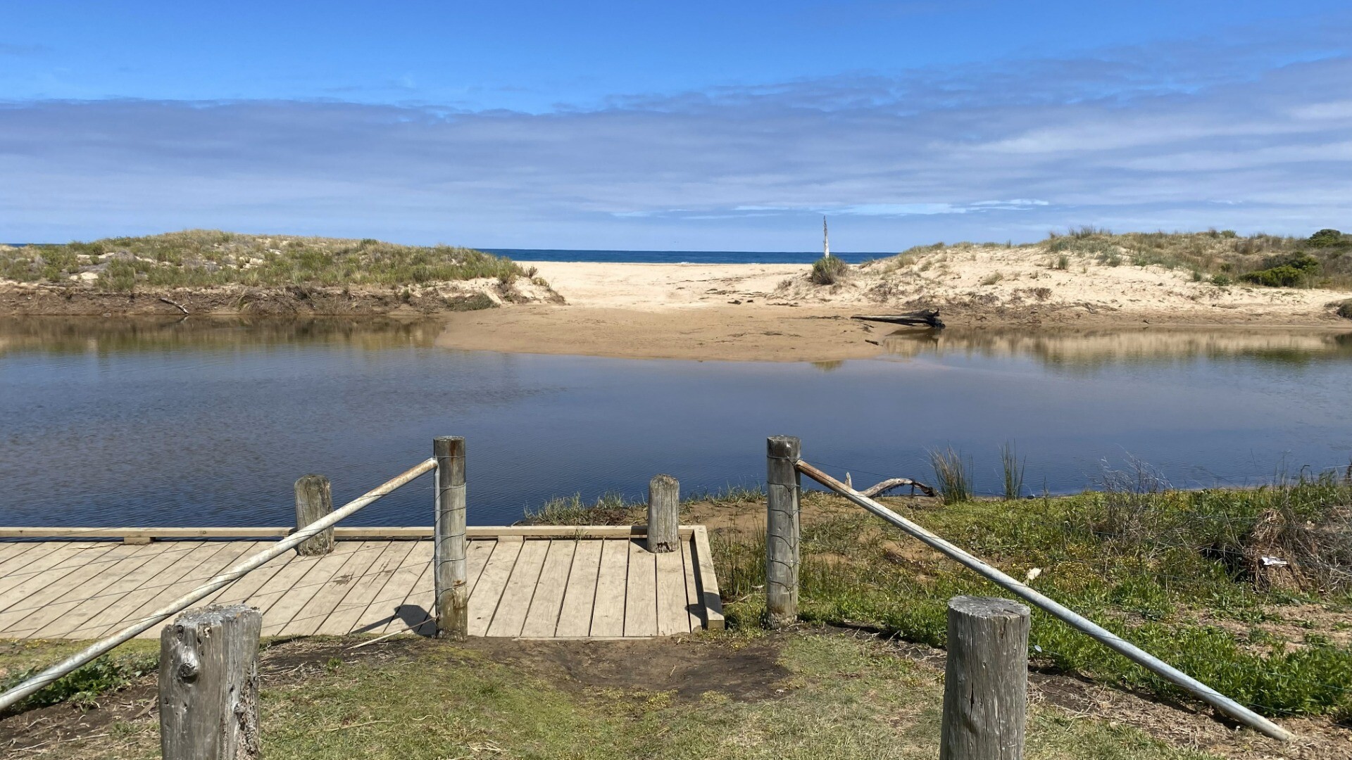
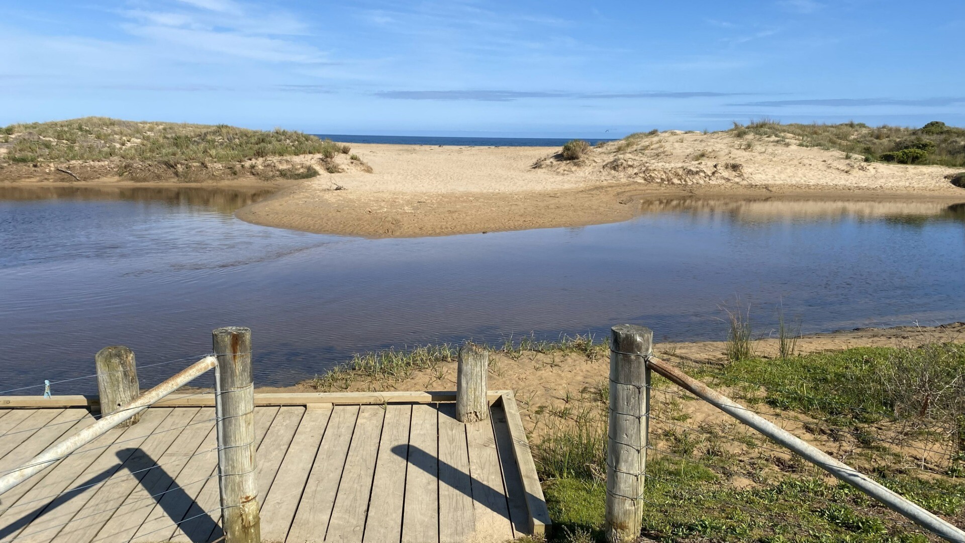
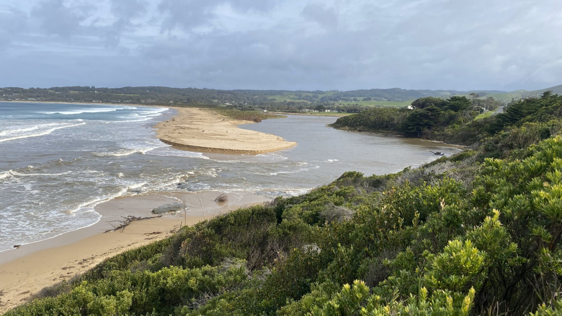
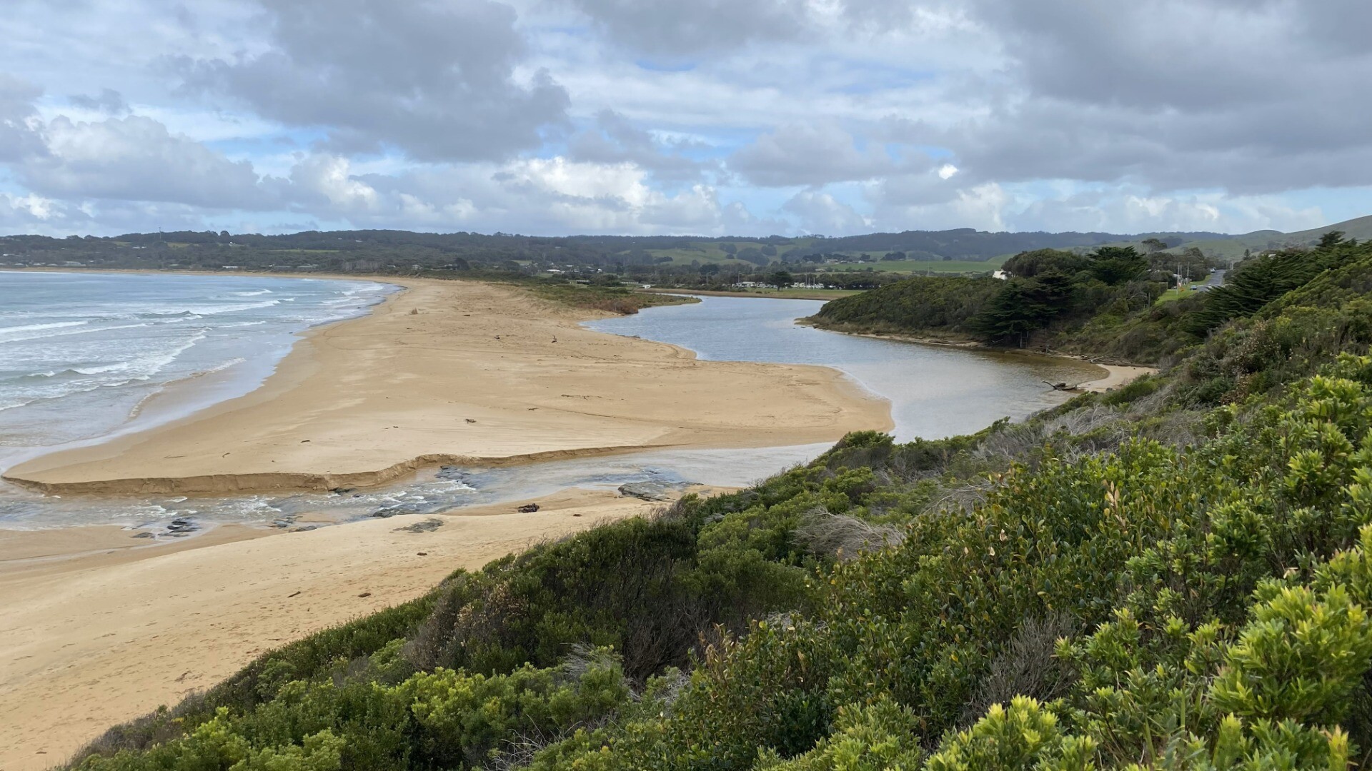
Water level below bottom of guage. Berm - wet sand across whole of berm, may well be open again at next high tide. I didnt measure width, but at lowest point, this was not very wide. I was on my own today so measurements a bit difficult - reasonable estimates I think! Note - there has been heavy traffic along this stretch of beach for last 10 days for sand renourishment at Marengo Beach. I don't know if this will affect conditions. Note 2 - photos of rocks along golf course side of river mouth for Rachel who was interested to see their exposure in different conditions. |
| 19 Dec 2025 | Approved |
Notes:
Water level below bottom of depth marker |
| 20 Nov 2025 | Approved | |
| 23 Oct 2025 | Approved | |
| 5 Sep 2025 | Approved | |
| 24 Jun 2025 | Approved |
Notes:
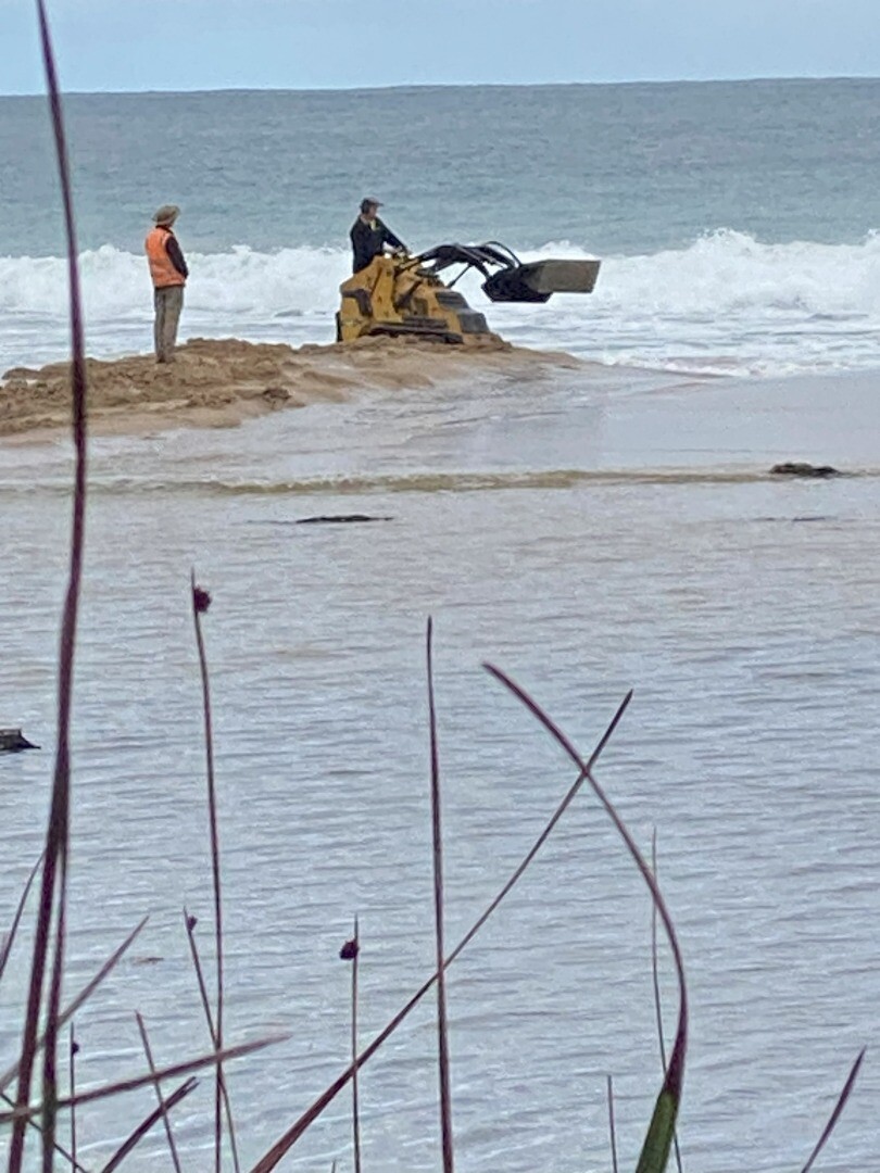
Sorry this is a few days late! Water level well below bottom of measuring post, wind and sea v variable over last 2 weeks - impossible to estimate mode. Forecast v high tides, up to 40mm rain and near gale winds in next 24 hours Fri 30th May - GORCAPA used excavator to open wide mouth - photo attached |
| 19 May 2025 | Approved |
Notes:
Mouth opened after 20mm+ rain on Saturday. Riverr level has fallen by at least 0.5m Flow minimal by picnic car park (BMP-1) Nice rapid flow across beach at cut-through |
| 22 Apr 2025 | Approved |
Notes:
Mouth only open due to someone having dug a small outlet |
| 20 Mar 2025 | Approved | |
| 20 Feb 2025 | Approved |
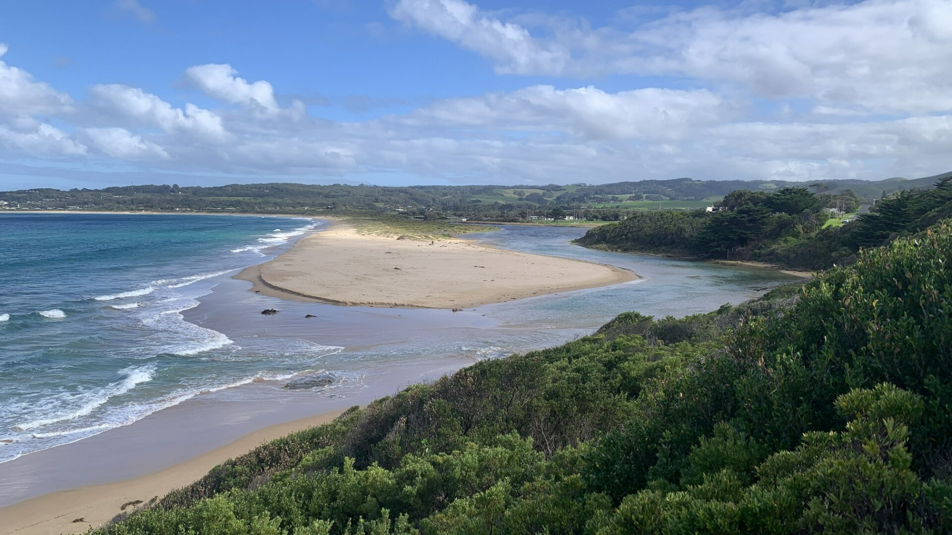
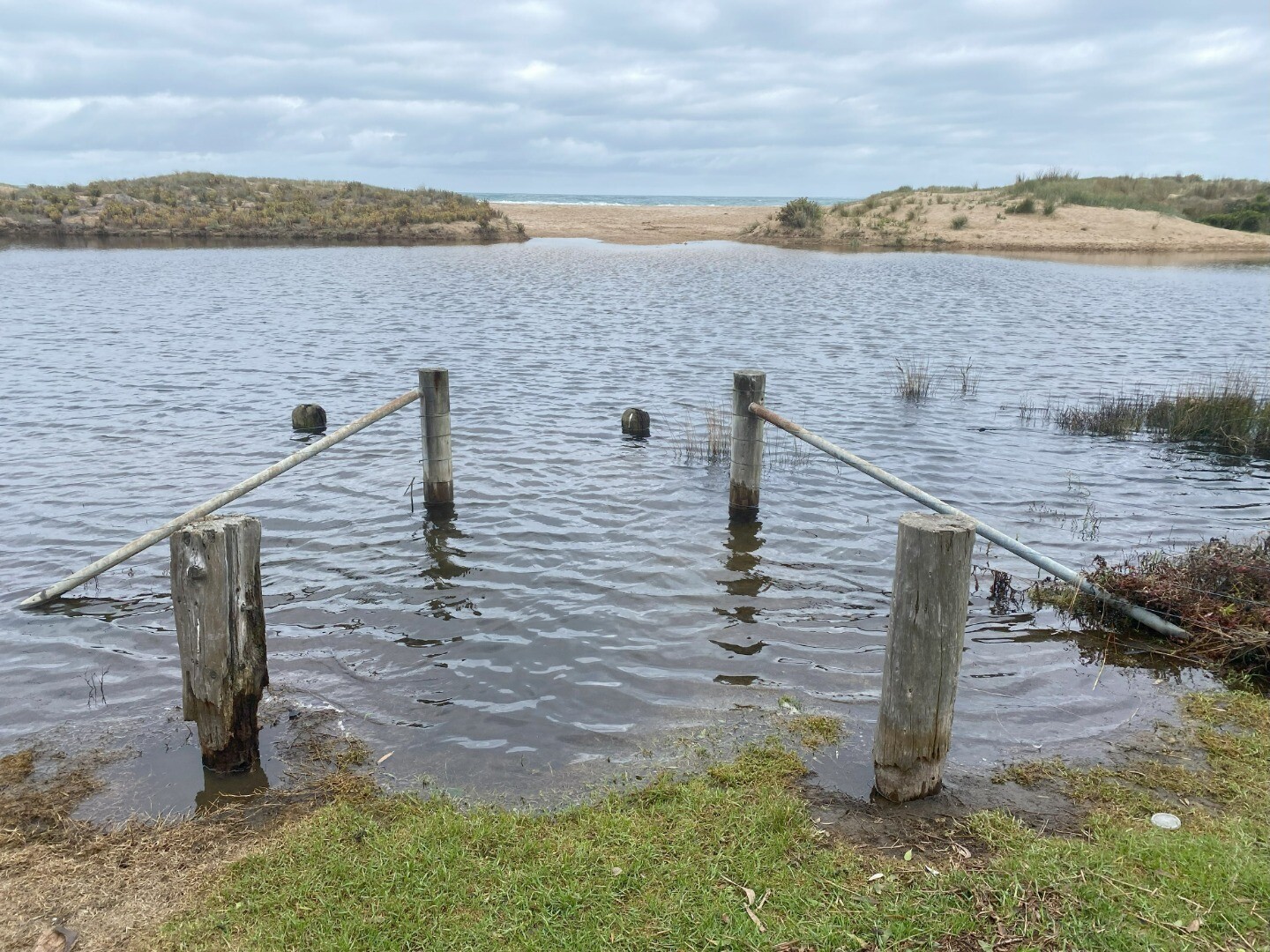
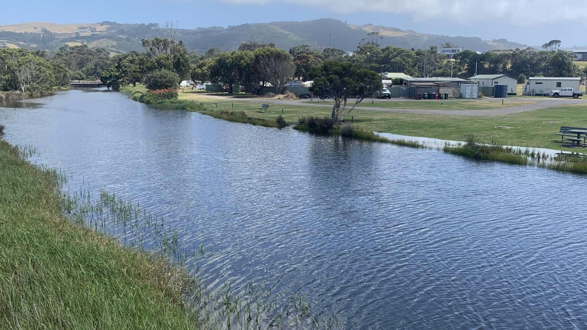
Notes:
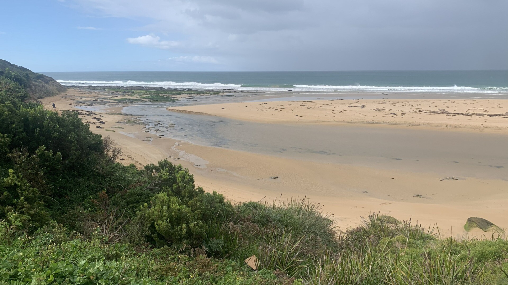
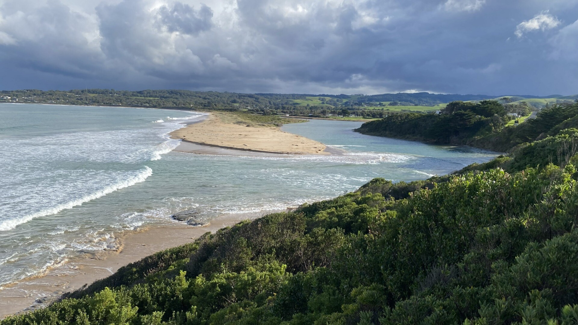
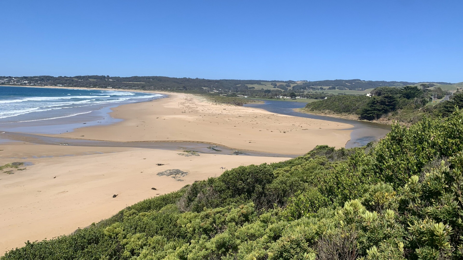
River v high - over banks in campground near bridge, and up to the steps down from trafalgar St/Gambier St corner At sea edle, there is shallow water spread across a wise area from the dune spit almost to golf course bank |
| 21 Jan 2025 | Approved |
Notes:
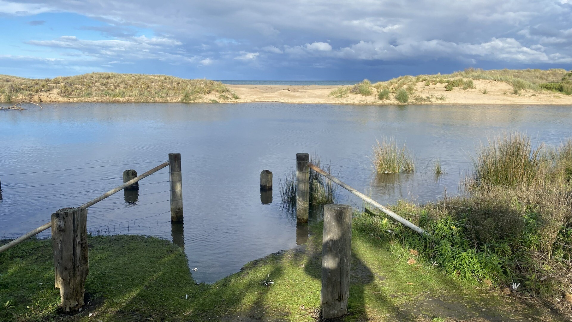
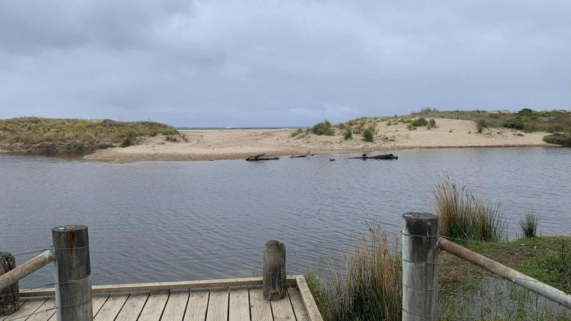
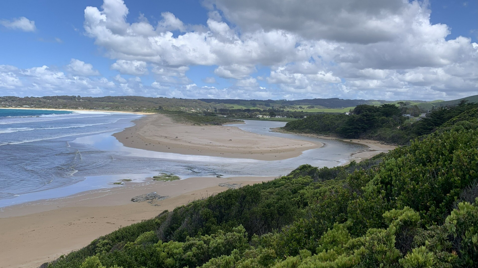
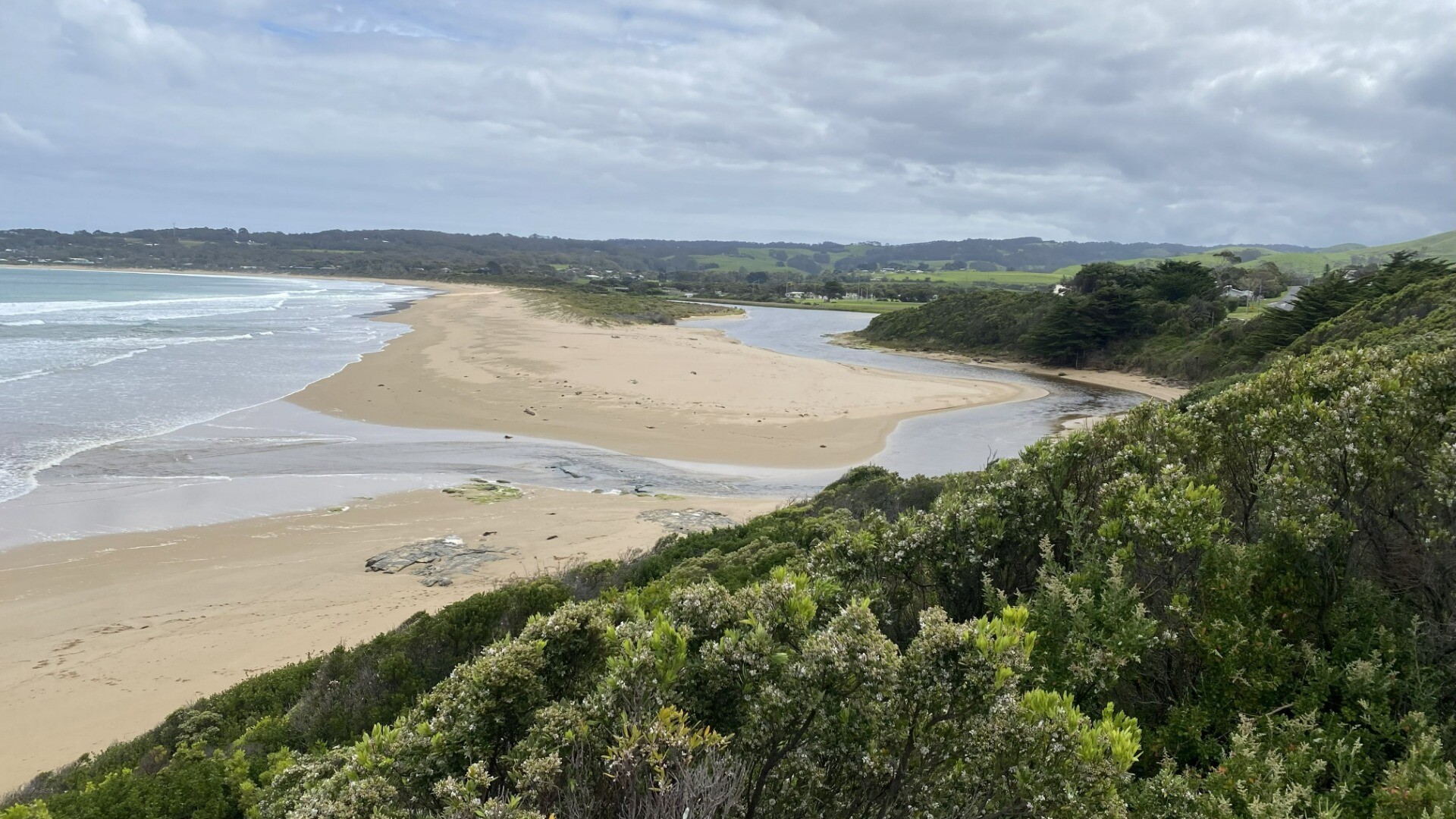
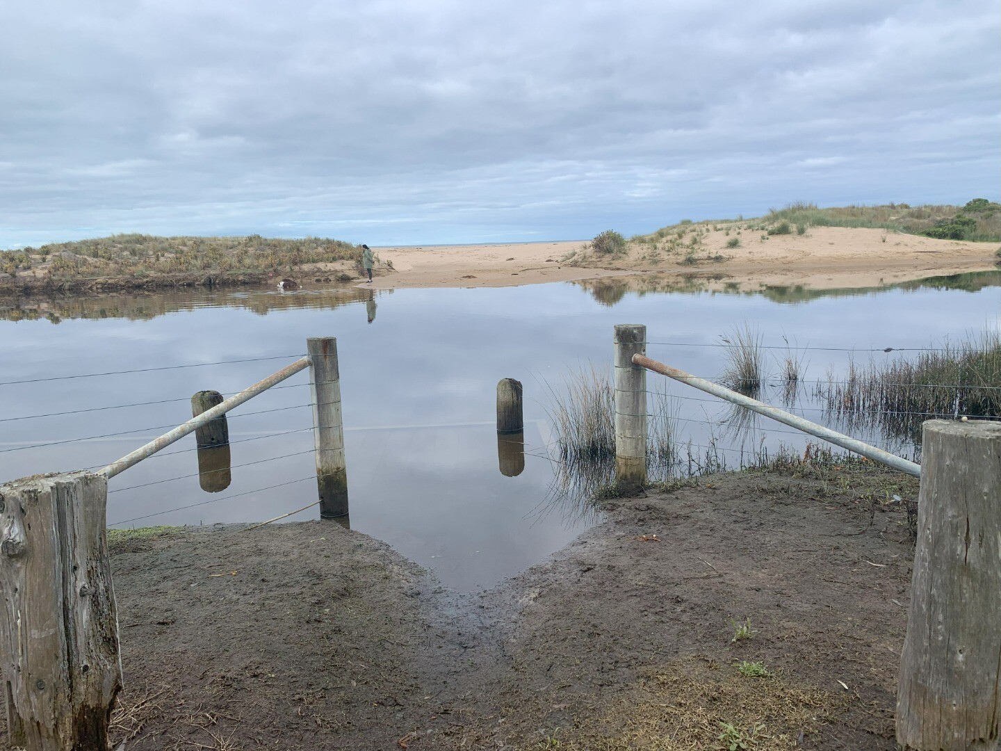
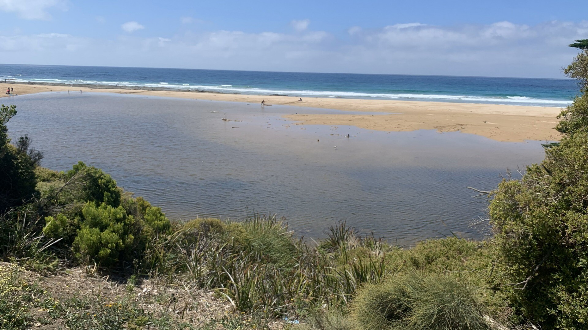
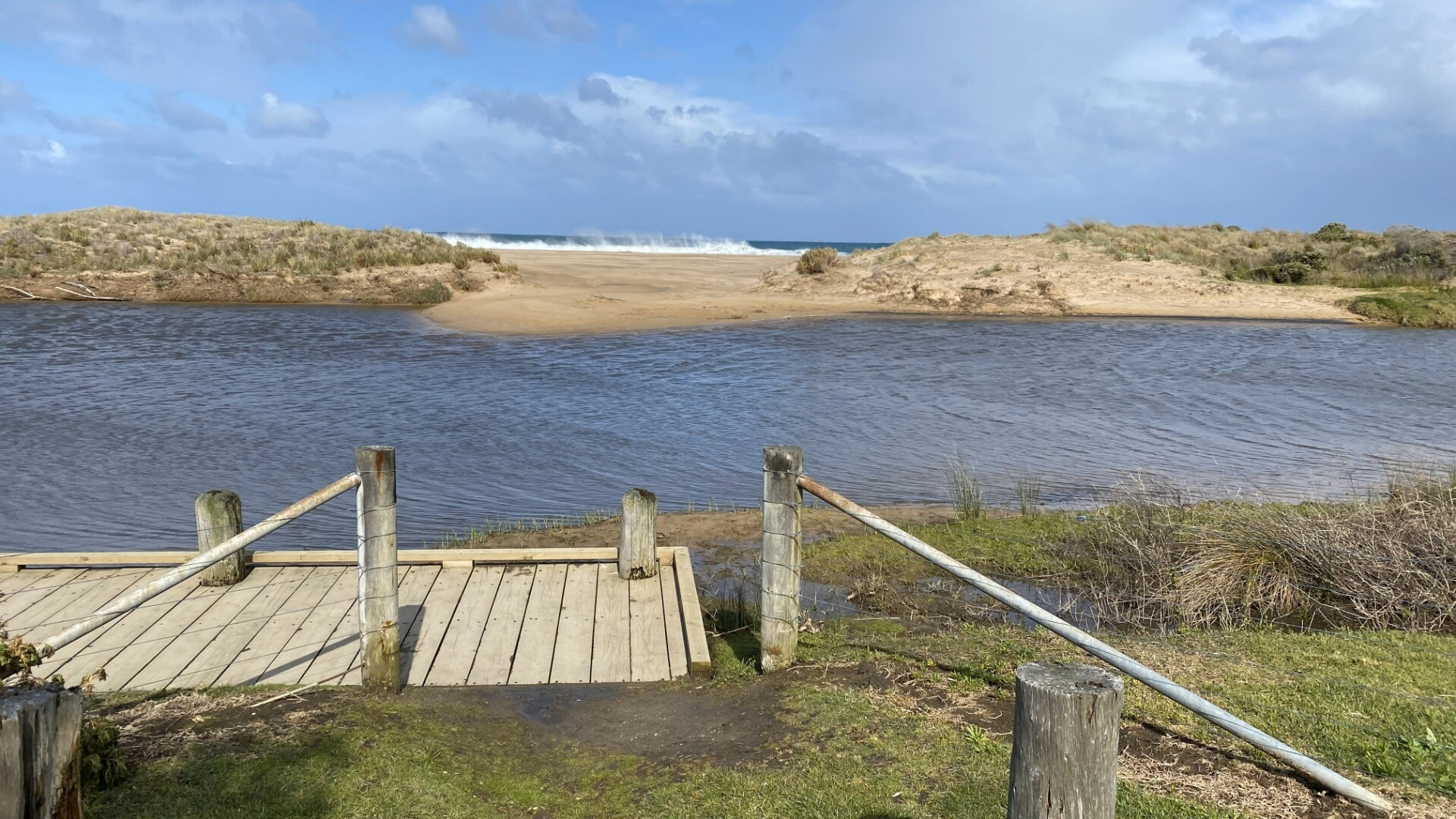
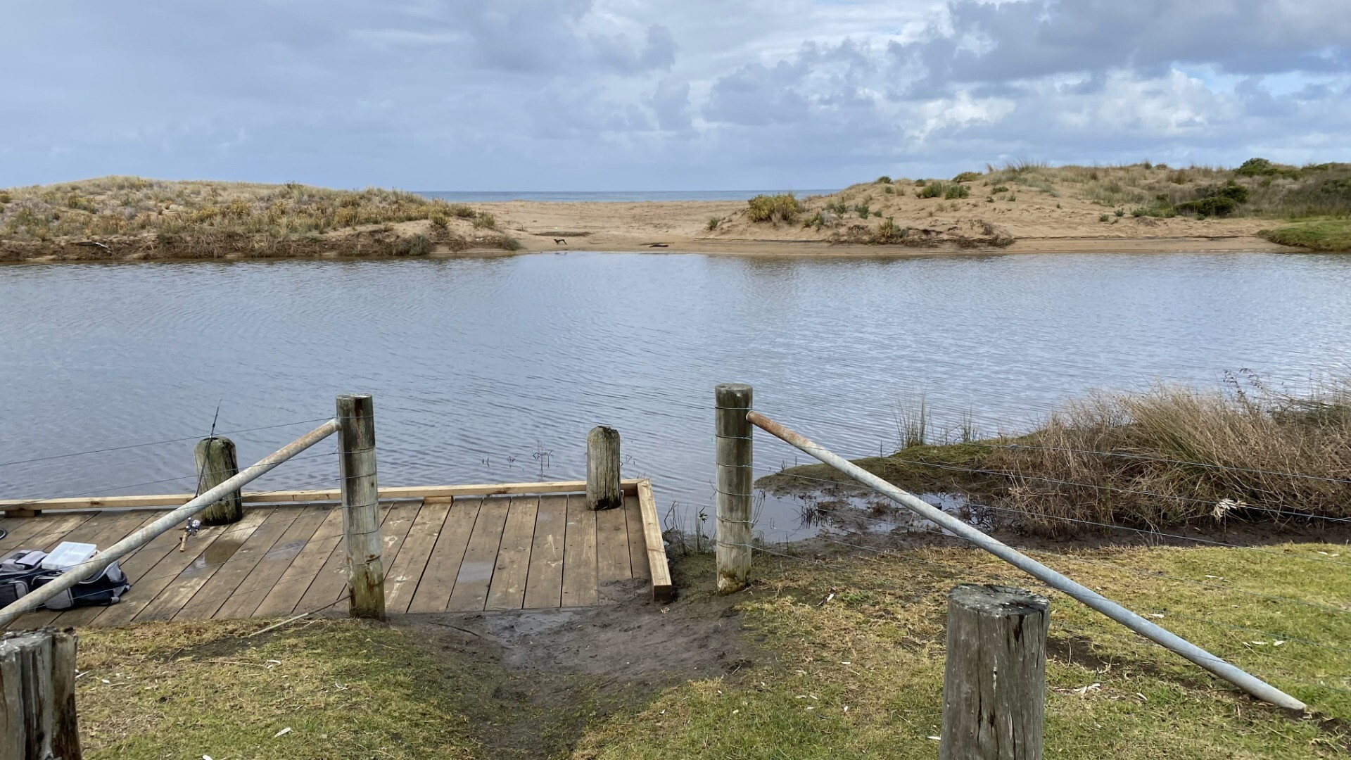
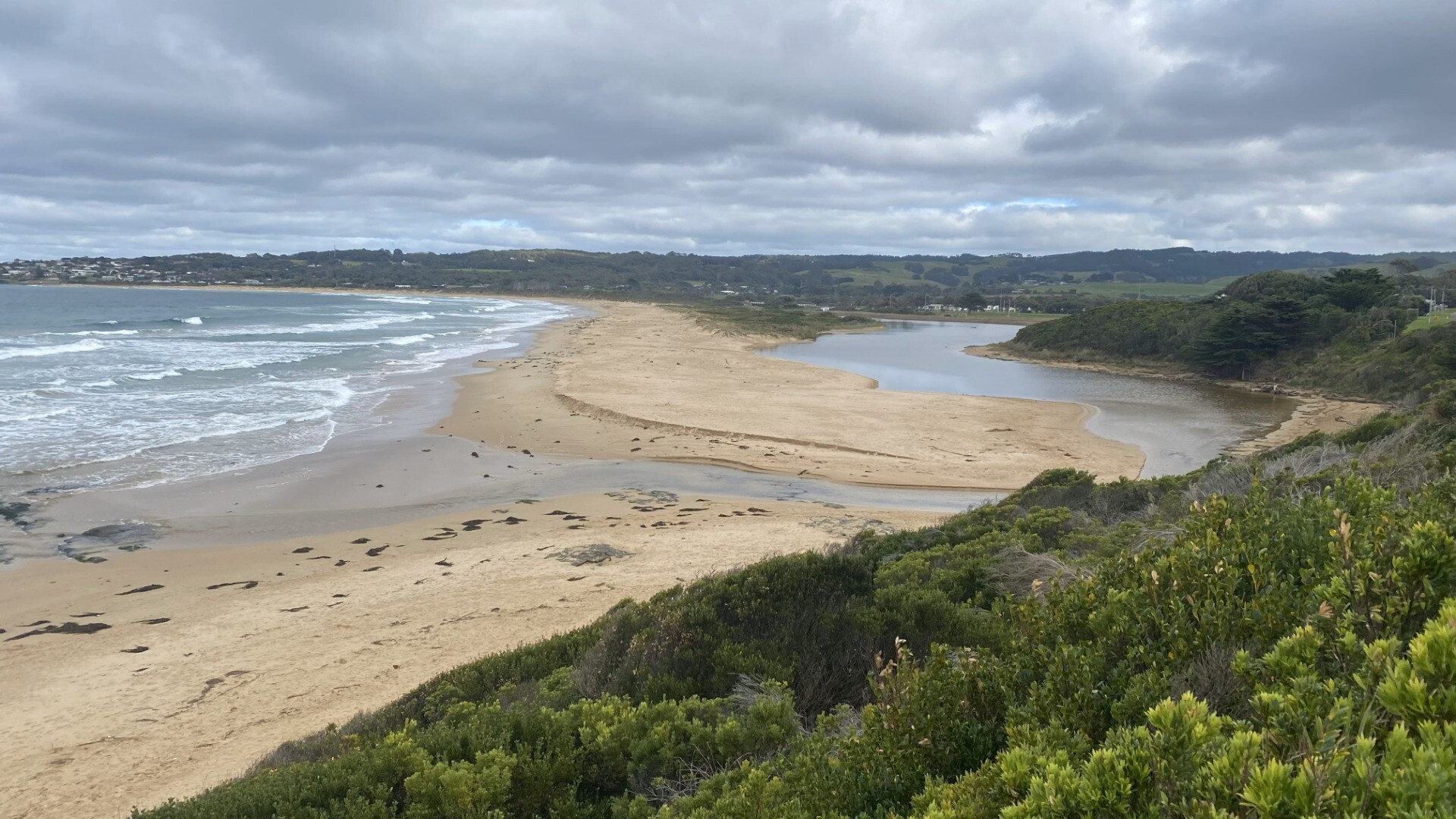
Wind over last 2 weeks from calm to strong, mostly easterly. Seas correspondingly from flat calm to very rough (small waves inside Apollo bay harbour) Berm measurements are approx. as I was on my own so difficult to measure heights. The river at the berm was more of a shallow spread across a wide area of beach - depth approx. at centre, but the water is gradually spreading out with the sand spit likely to get covered. River back from mouth getting very full with BMP2 fishing platform flooded and with some overflow onto banks in campground - pictures taken at various places to demonstrate. River mouth has been closed for at least a week. |
| 19 Dec 2024 | Approved |
Notes:
Again, very variables conditions over past 2 weeks so impossible to complete mode. Shows Georgie Custance the water level markers - she will see about getting the bushes at lower marker cleared to allow access Sorry for lack of tide data - Christams chaos got in the way!
|
| 20 Nov 2024 | Approved | |
| 20 Nov 2024 | Approved | |
| 20 Oct 2024 | Approved |
Notes:
Mode conditions - very variable, unable to provide mode |
| 19 Sep 2024 | Approved | |
| 21 Aug 2024 | Approved |
Notes:
Wind and se condition very variable over previous 2 weeks |
| 21 Jul 2024 | Approved |
Notes:
Unable to measure water level owing to lower guage being in bushes Wind direction has been very variable over last 2 weeks |
| 29 Jun 2024 | Approved |
Notes:
Unable to access water level markers due to trees Wind direction, stength and sea state very variable over previous 2 weeks |
| 21 May 2024 | Approved |
Notes:
Unable to measure water level due to obstructed access to lower height marker |
| 19 Apr 2024 | Approved |
Notes:
Sea state very variable over previous 2 weeks from flat calm to Rough Cannot measure water level due to lower gauge beng obscured by bushes River mouth was closed until previous day. River level quite high and overflowng banks prior to this.
|
| 21 Mar 2024 | Approved |
Notes:
Lower water level marker is still completely obscured by overgrown bushes. Level we;ll below the bottom of higher marker (< 2m) though quite high and over banks in campground. Wind and sea state very variable over last 2 weeks - easterlies predominant varying from still to quite strong winds. Sea state from flat calm to very rough. Observed someone digging small channel to open berm (but they gave up before completing this). Following day, 22nd March, the river mouth had burst through the berm and was fully open agin. |


We honour Elders past and present whose knowledge and wisdom has ensured the continuation of culture and traditional practices.
 All content, files, data and images provided by the EstuaryWatch Data Portal subject to a Creative Commons Attribution License
Data portal by CeRDI
All content, files, data and images provided by the EstuaryWatch Data Portal subject to a Creative Commons Attribution License
Data portal by CeRDI