Barham River Estuary
Corangamite CMA
DOWNLOAD DATAOverview
Active Barham EstuaryWatchers
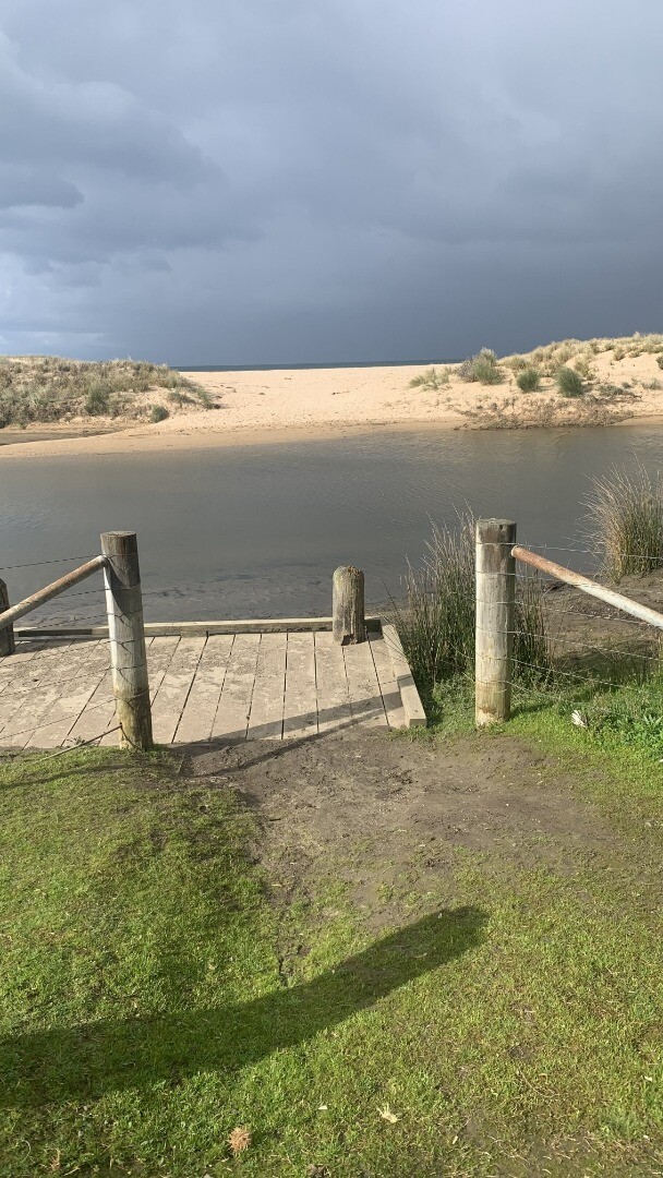
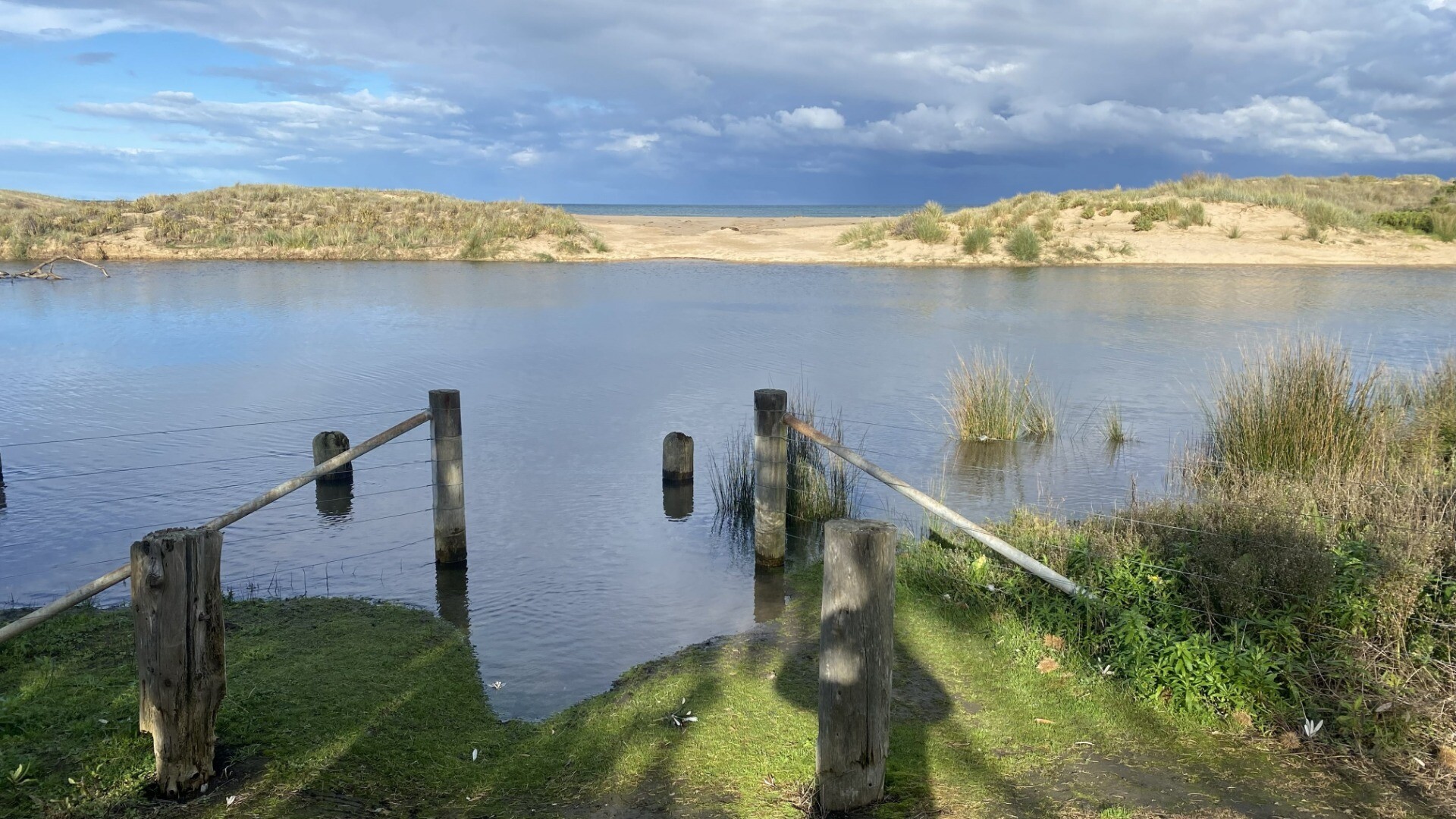
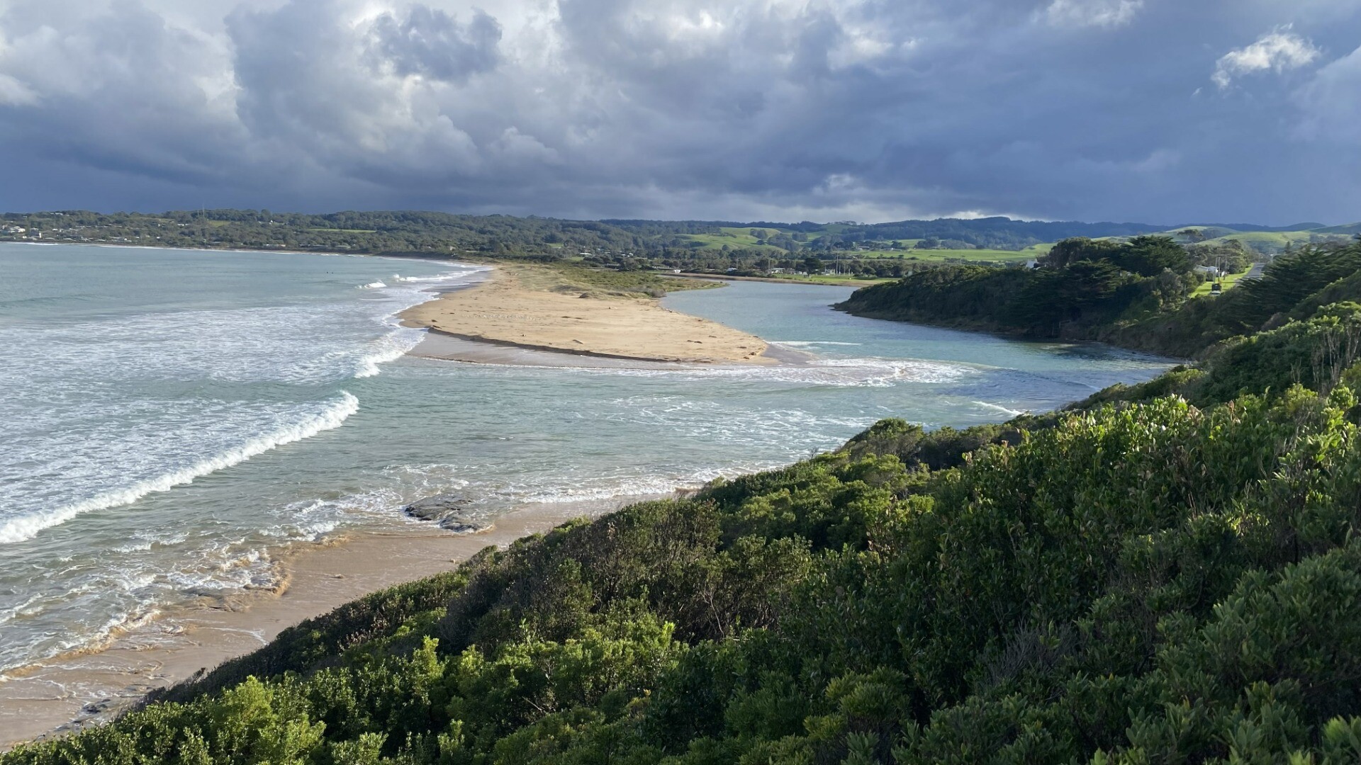
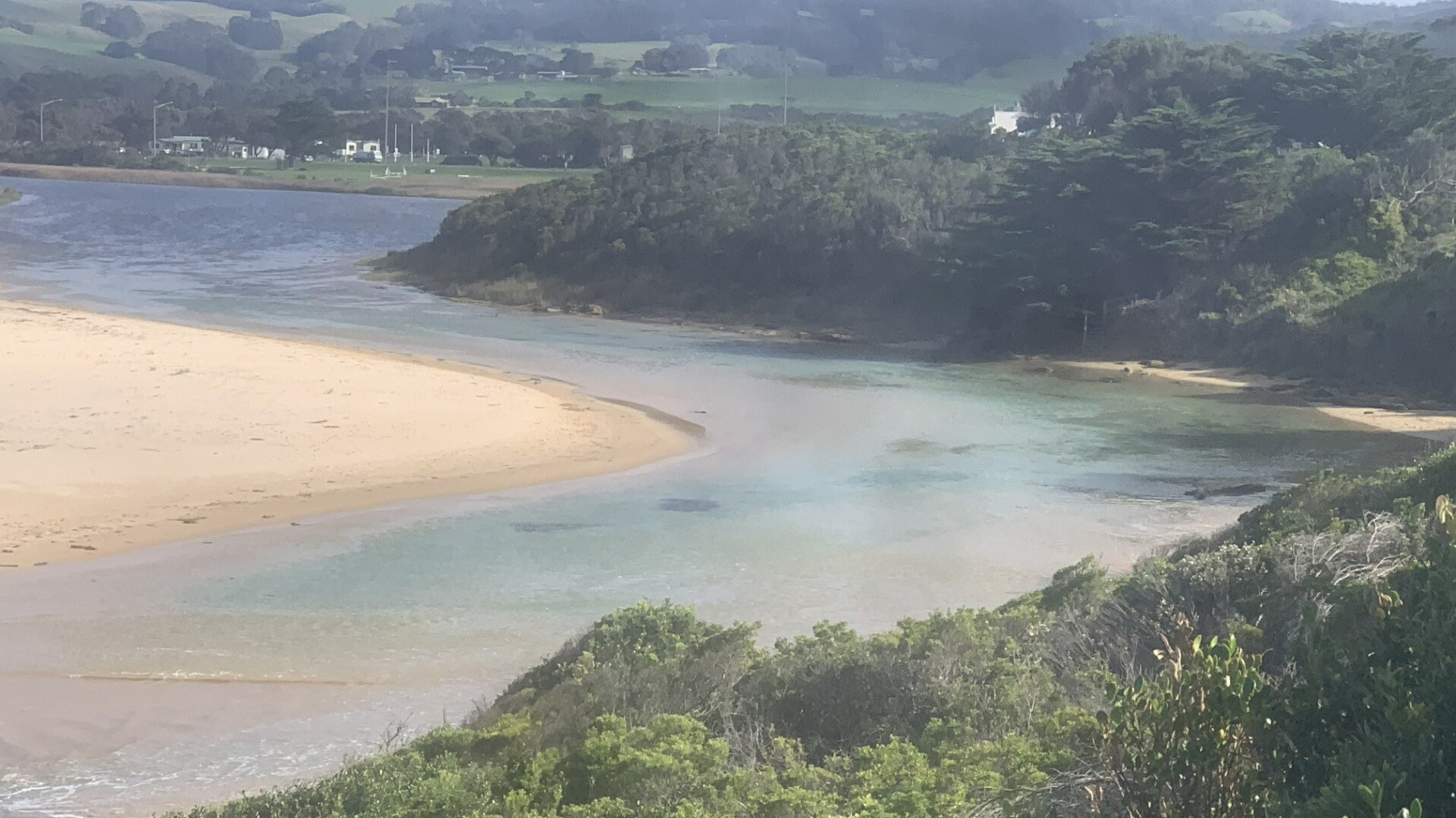
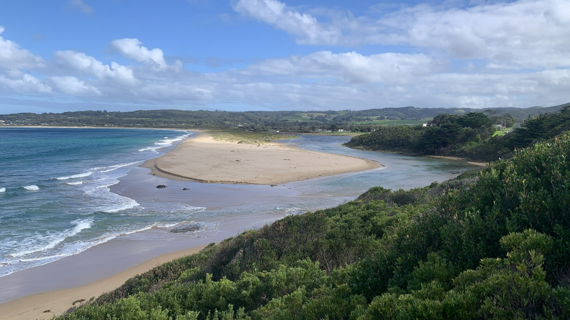
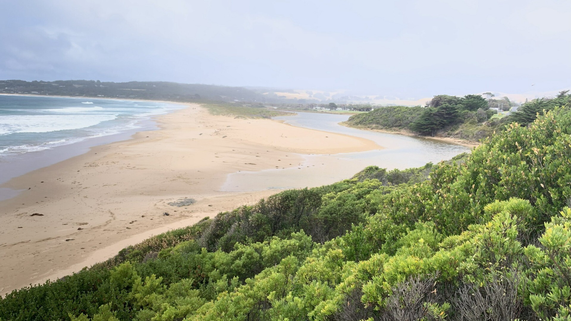
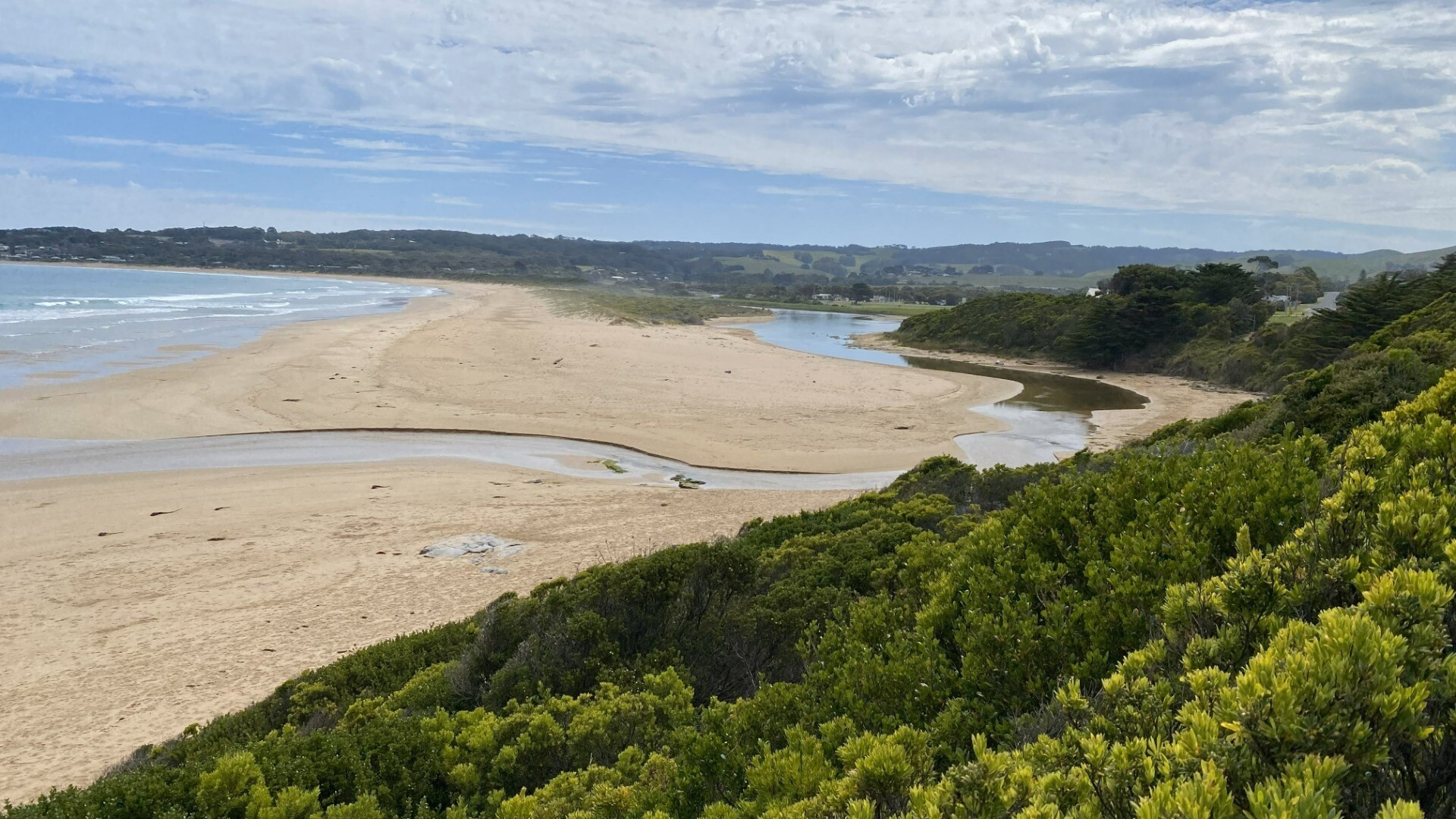
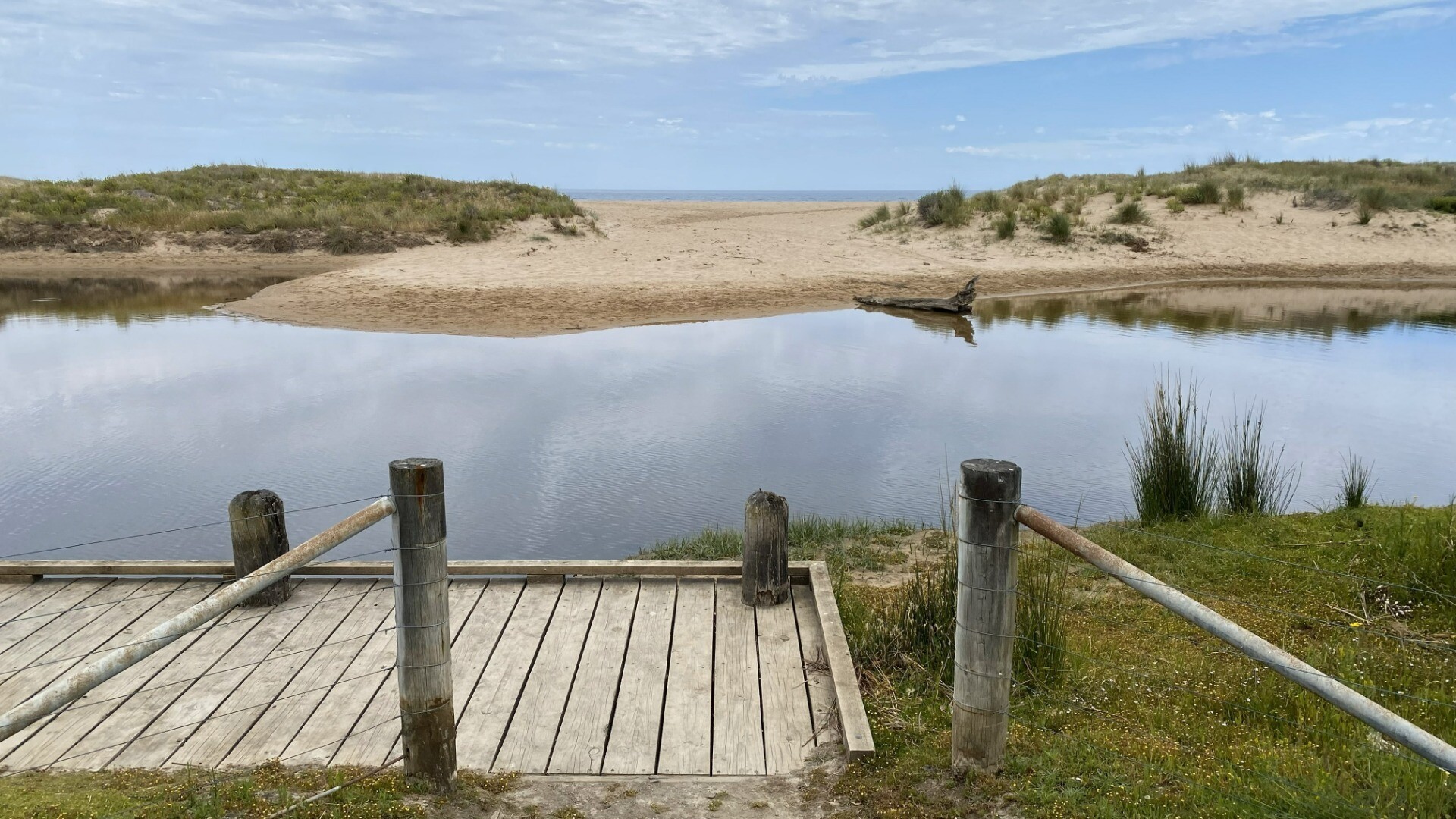
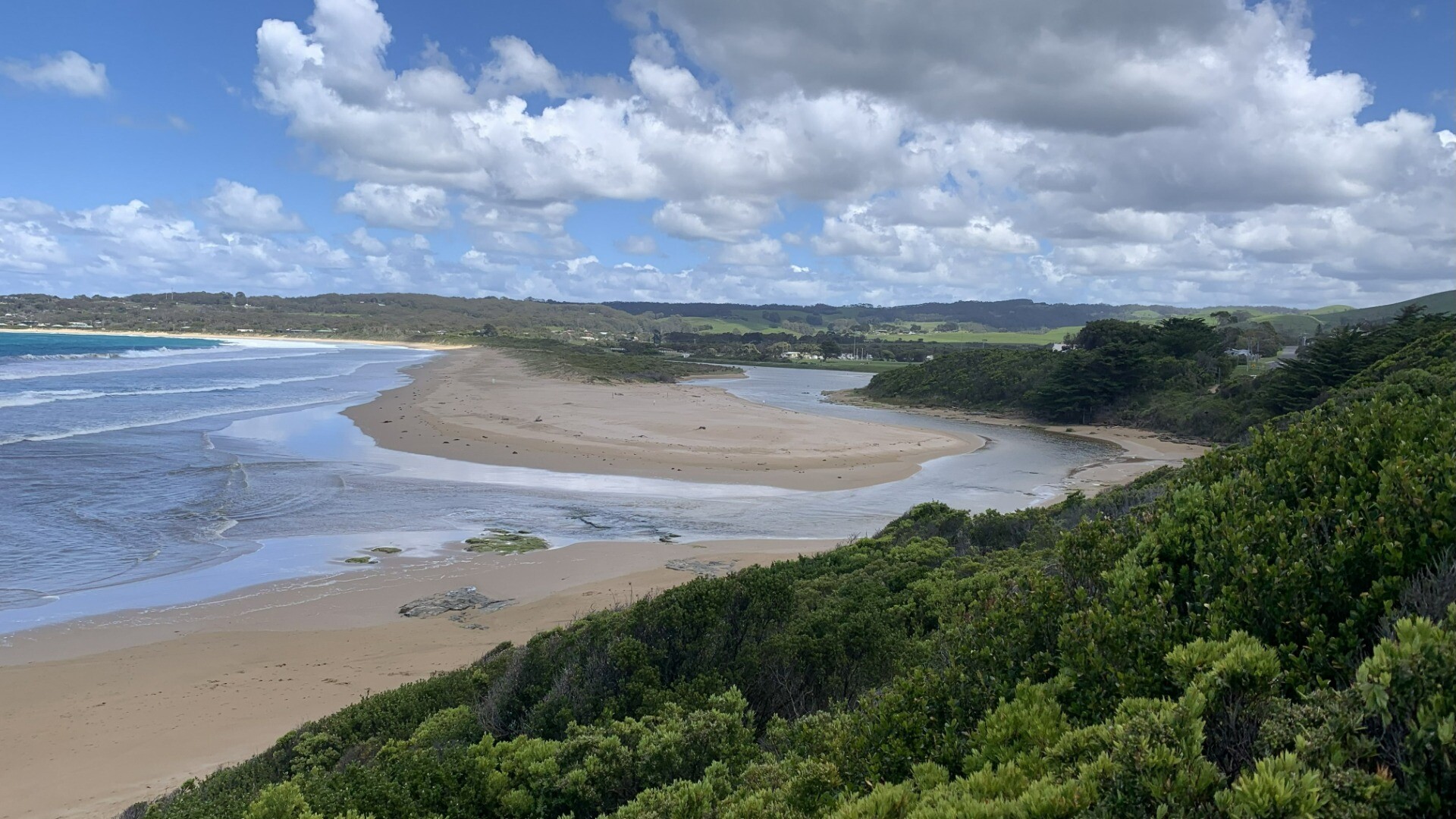
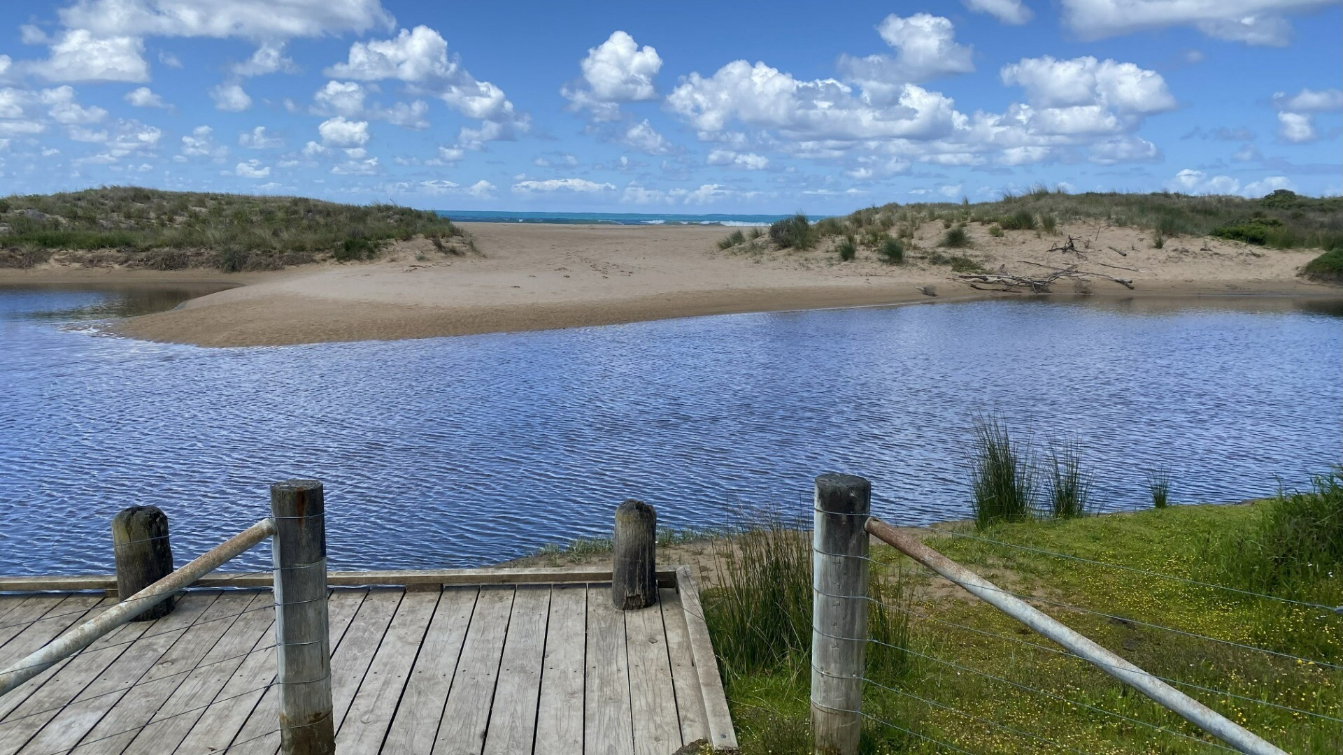
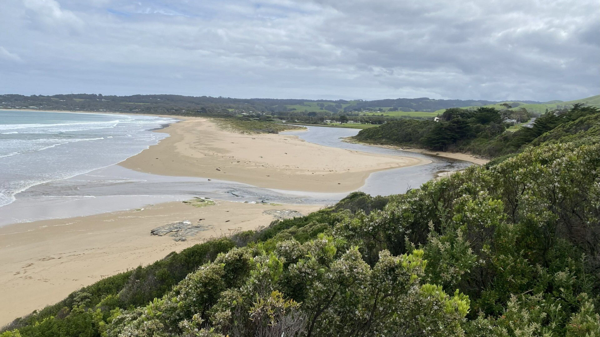
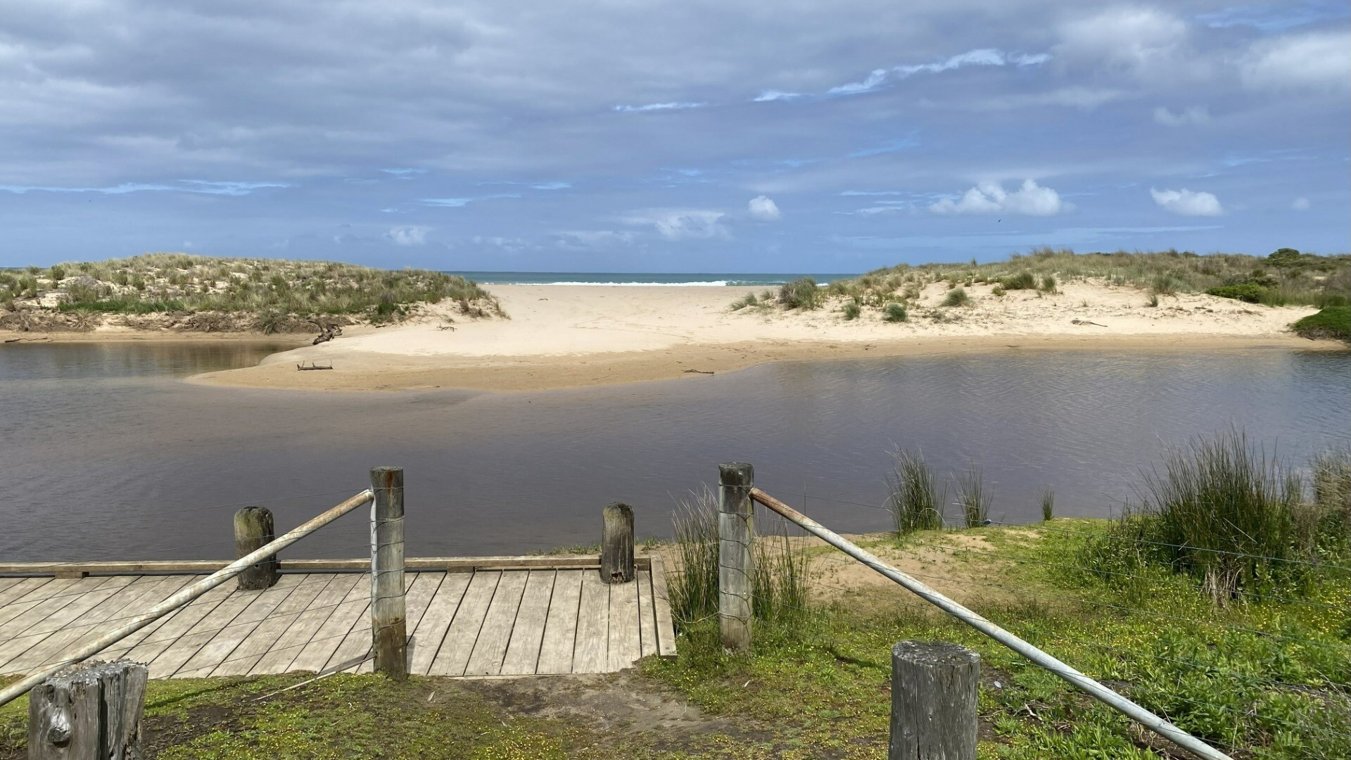
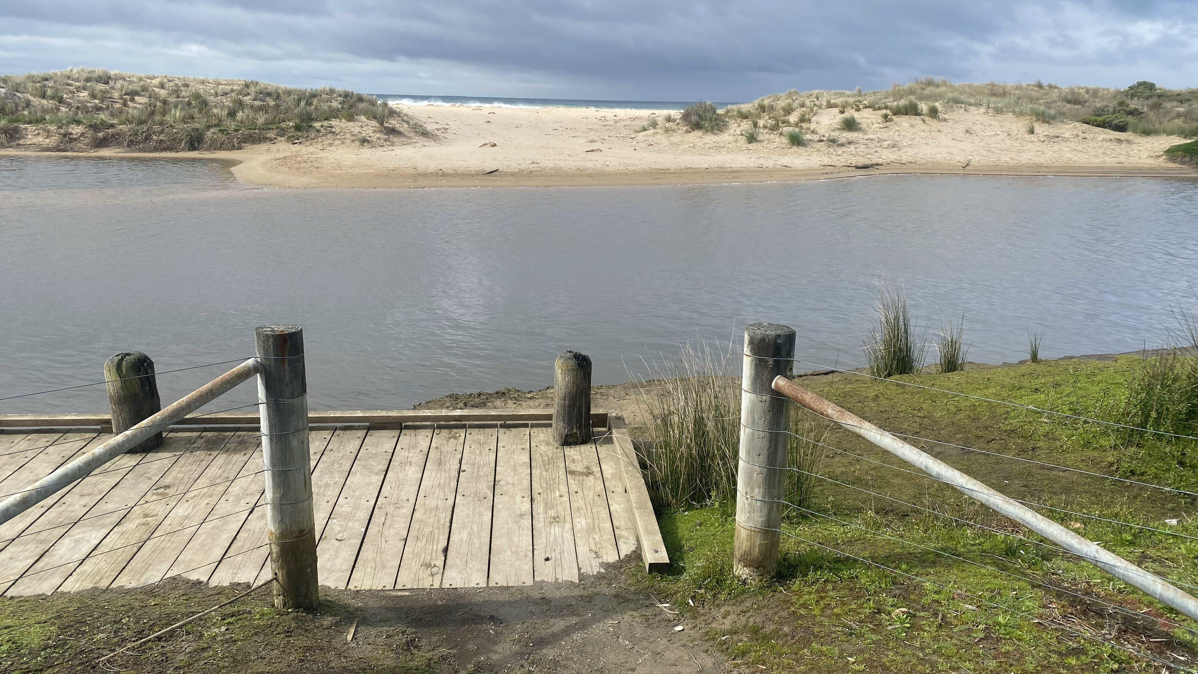
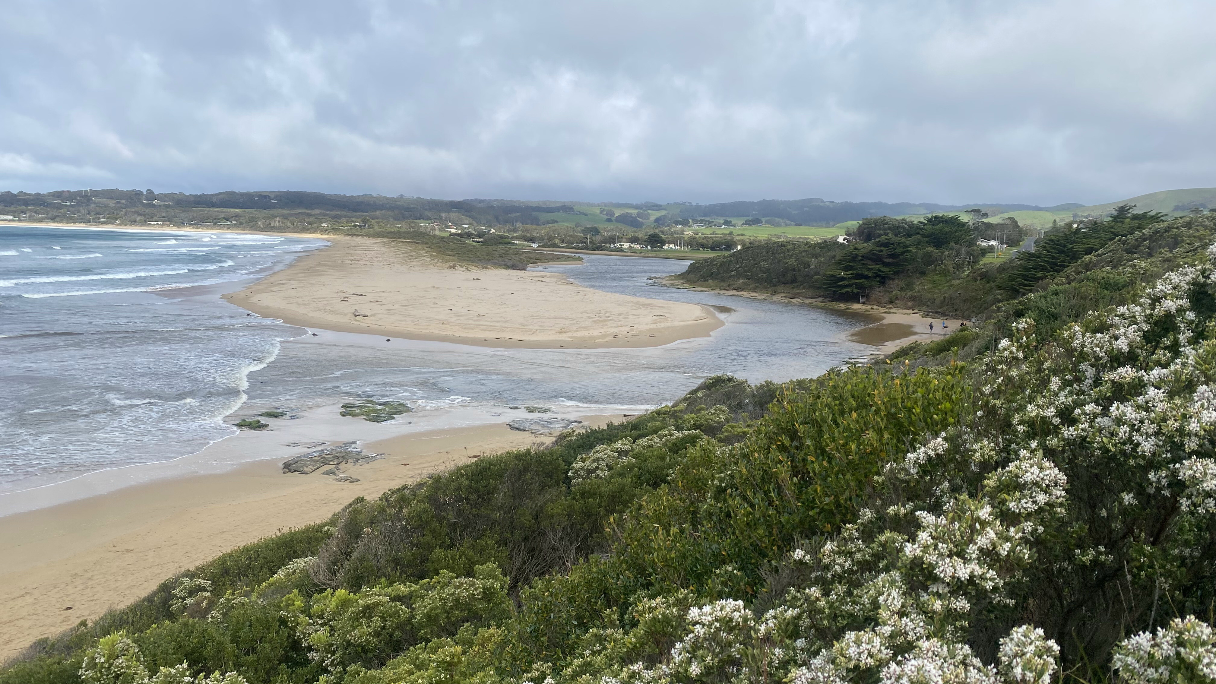
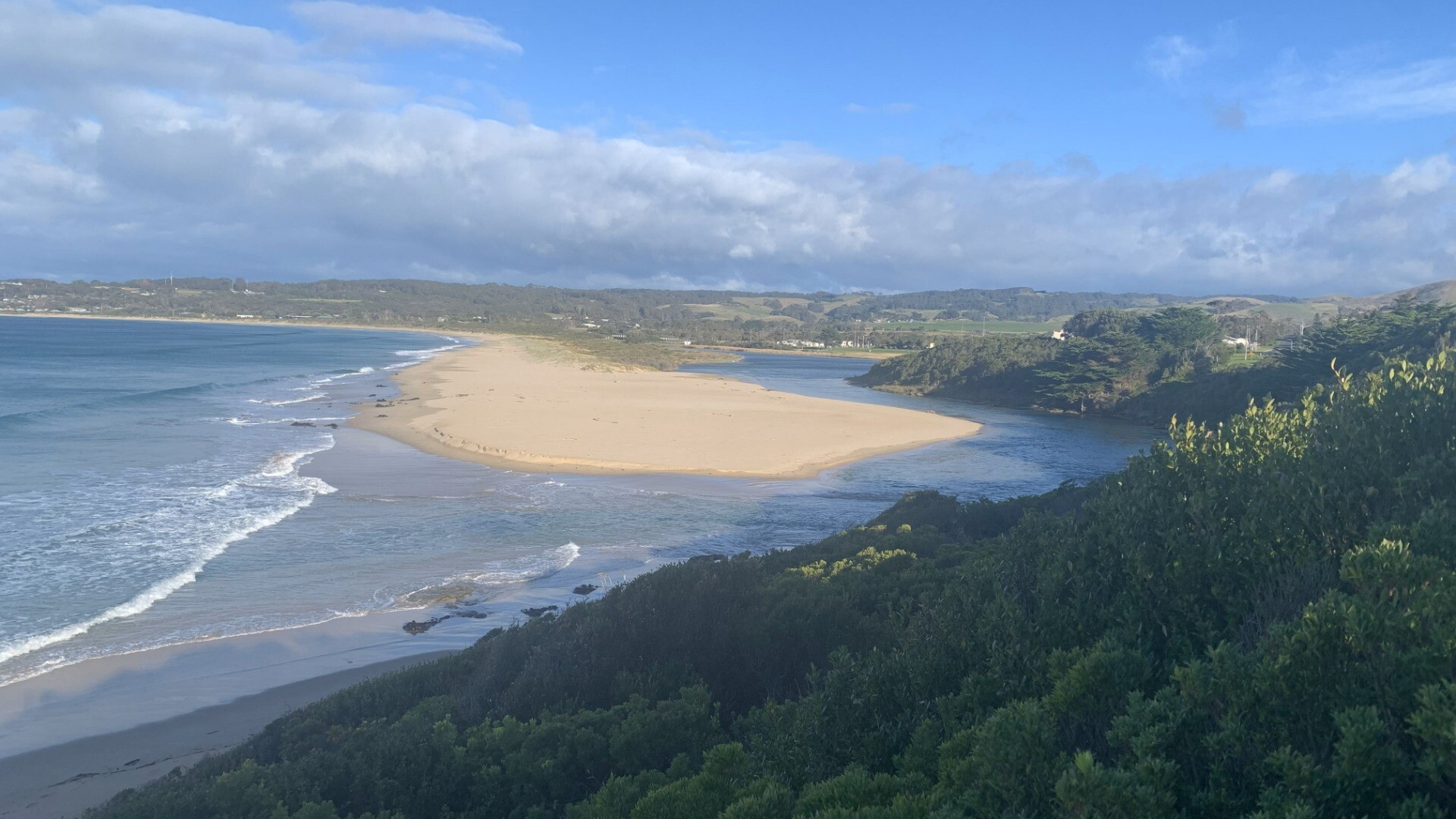
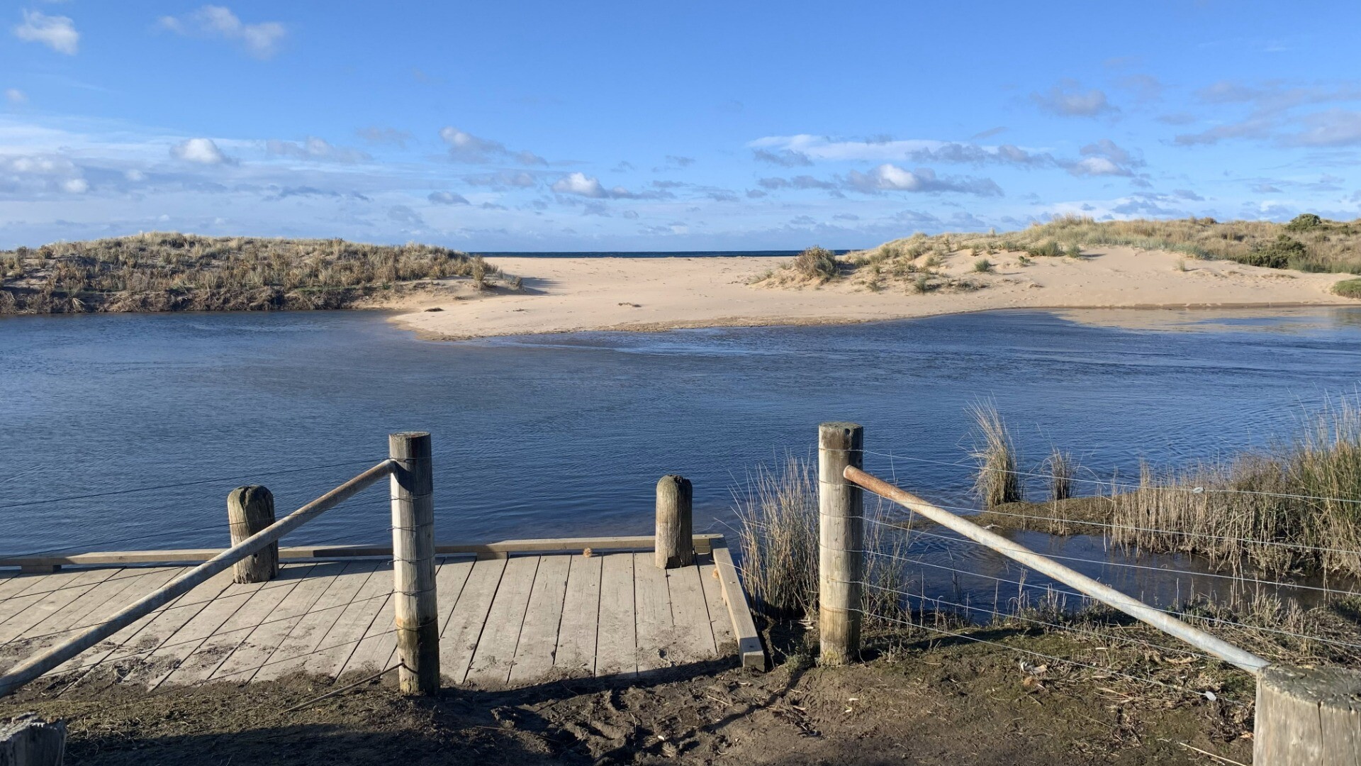
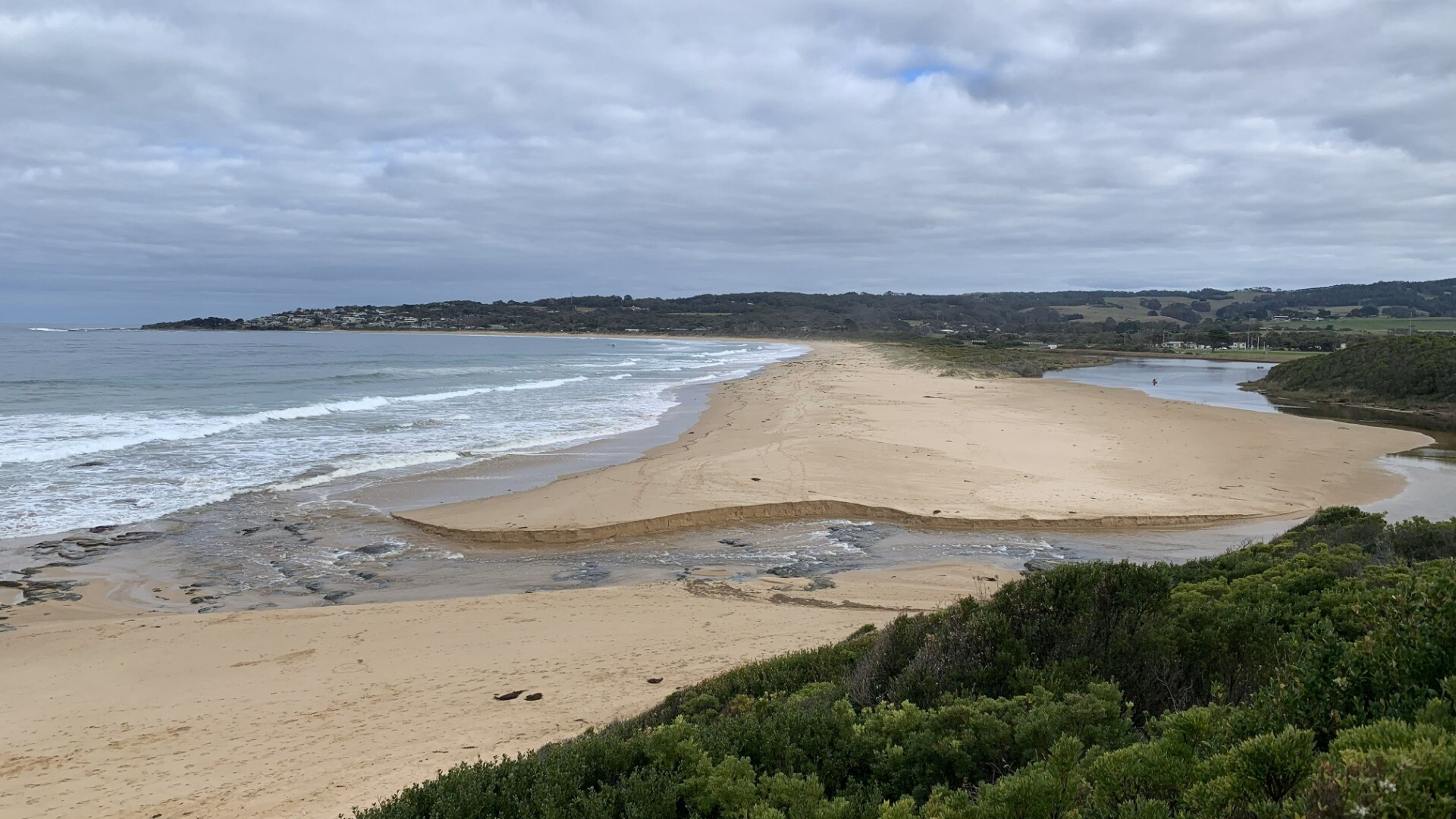
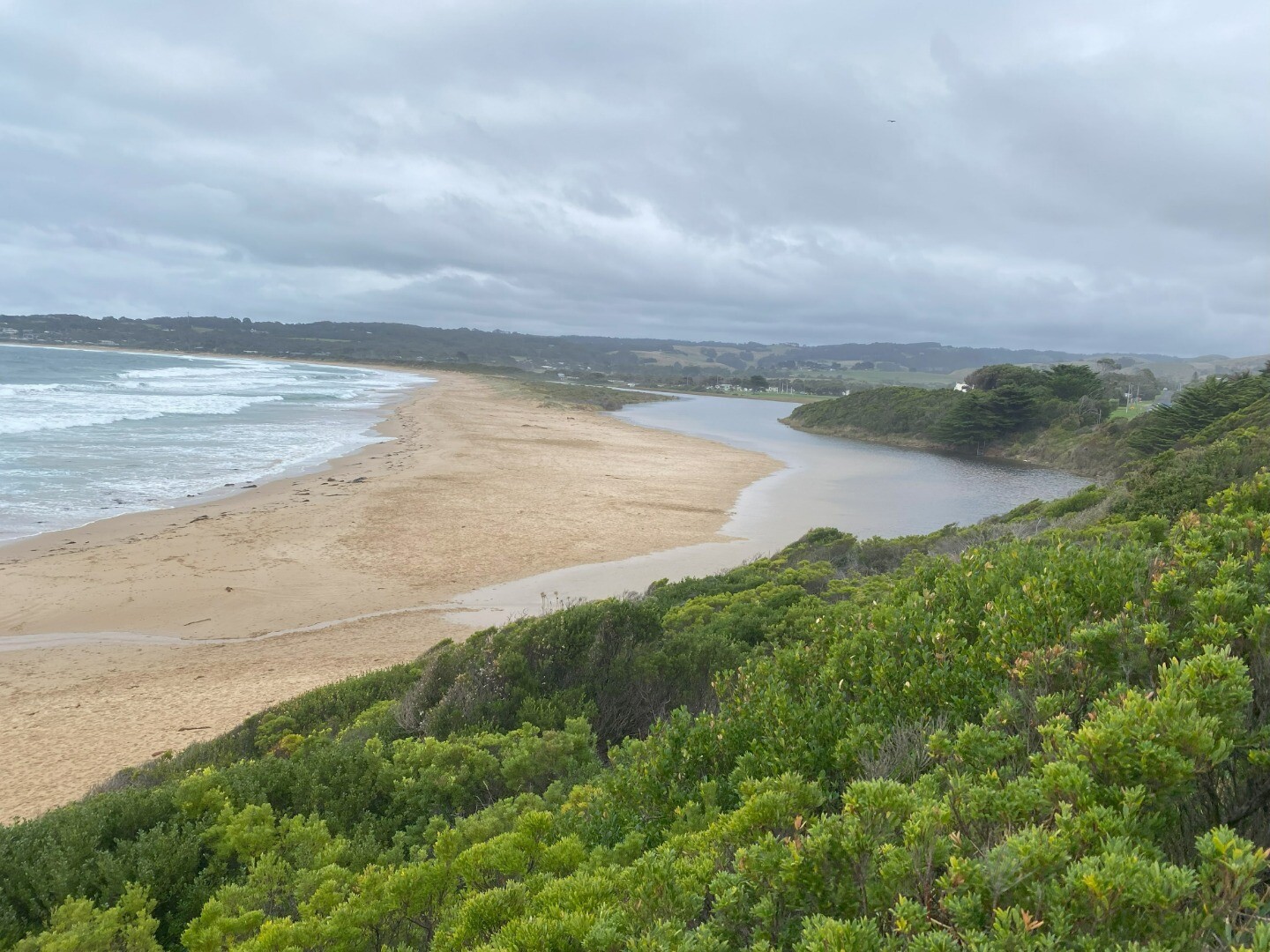
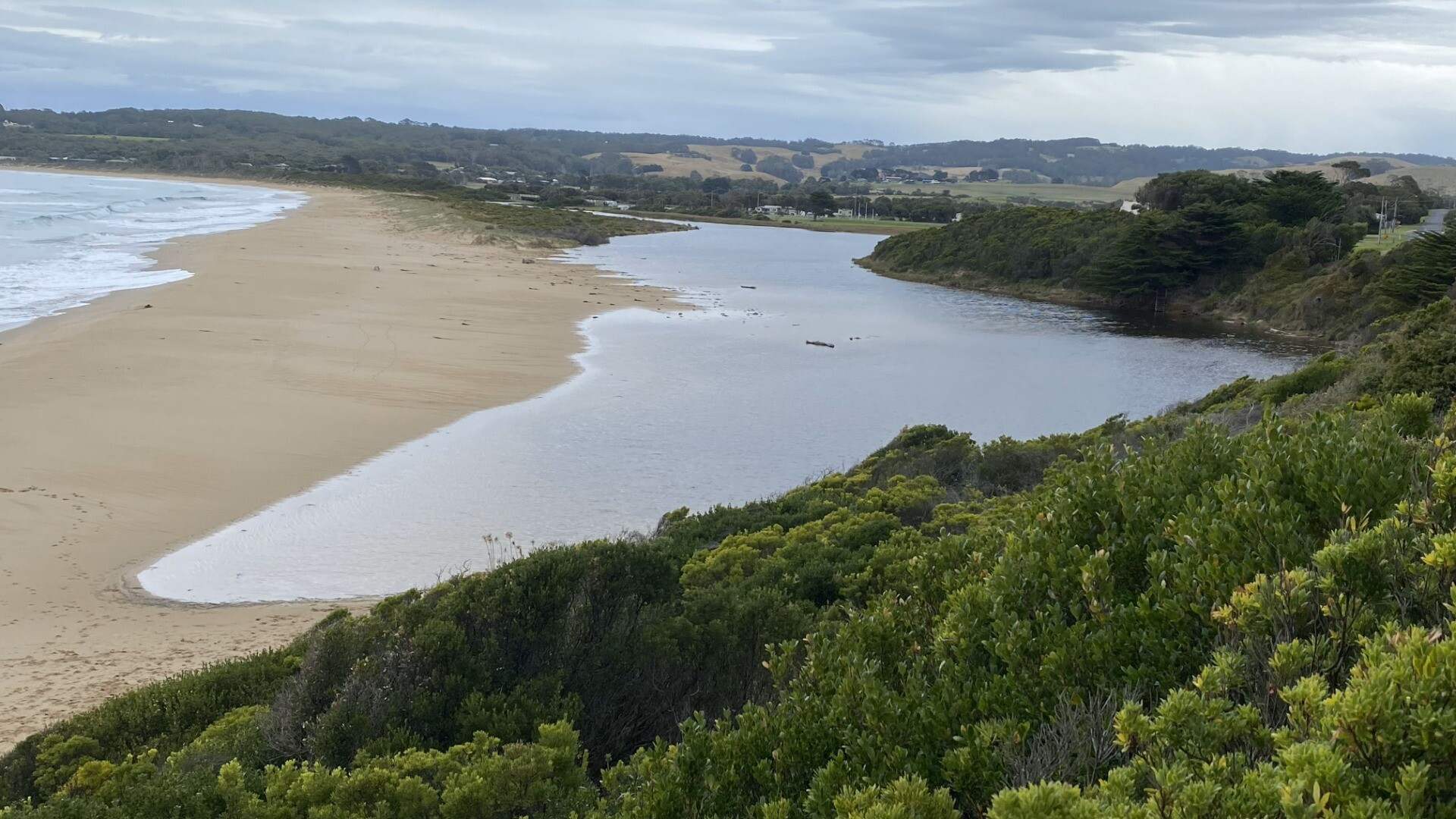
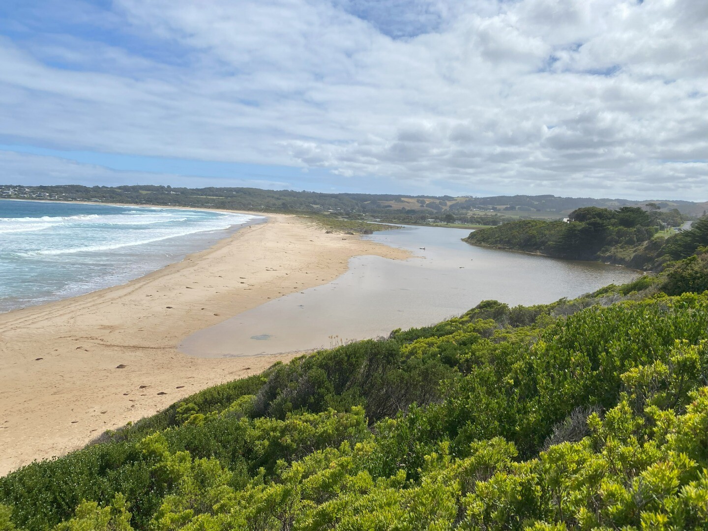
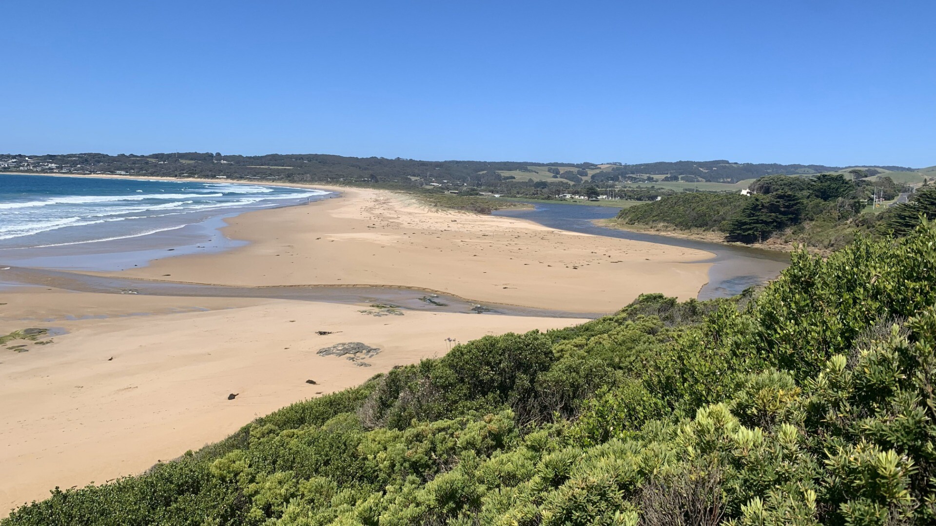
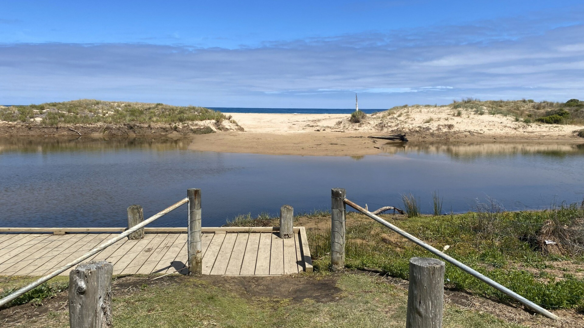
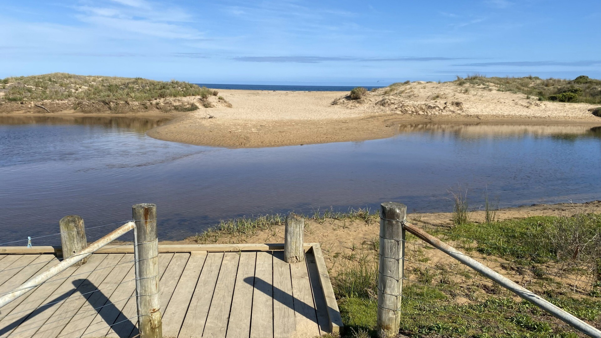
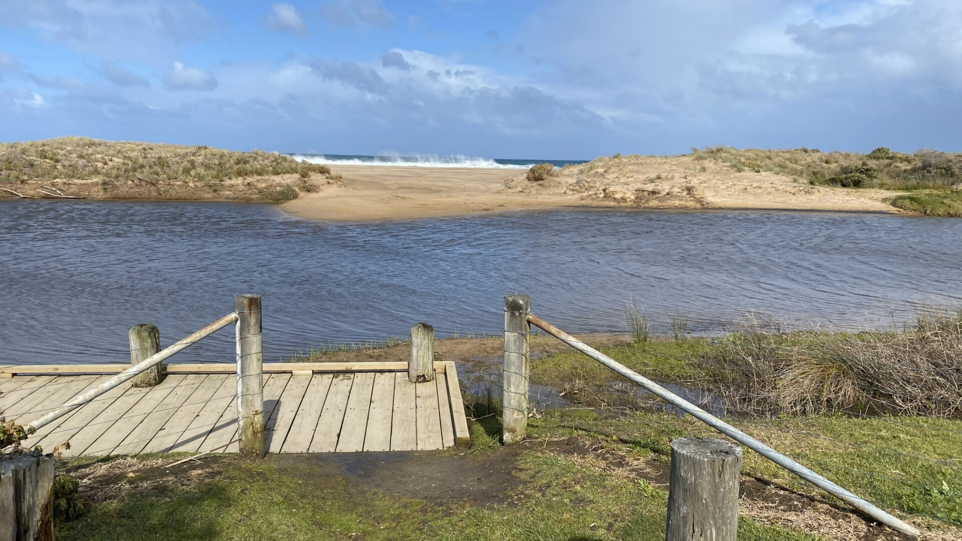
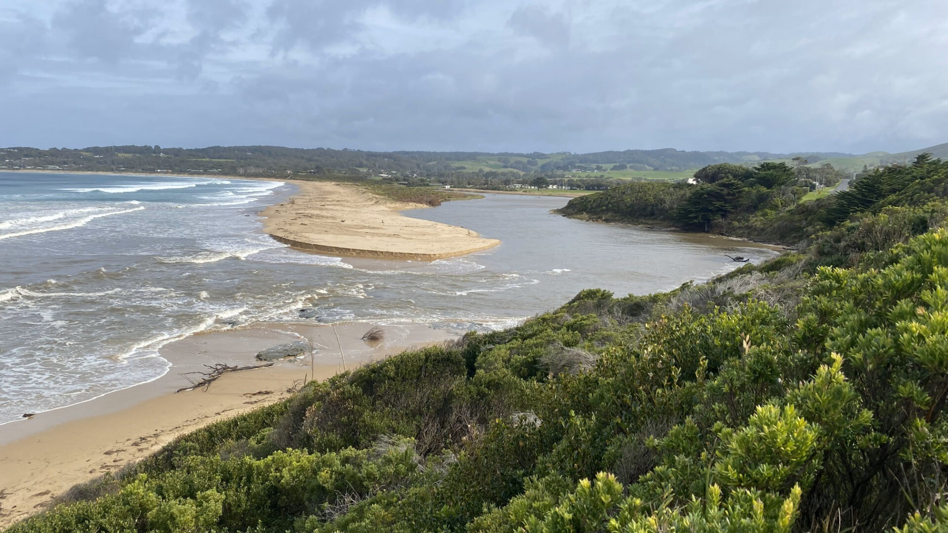
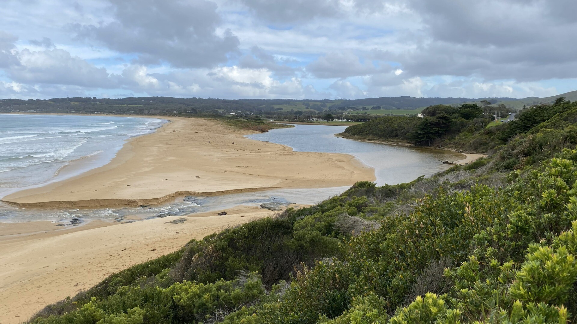
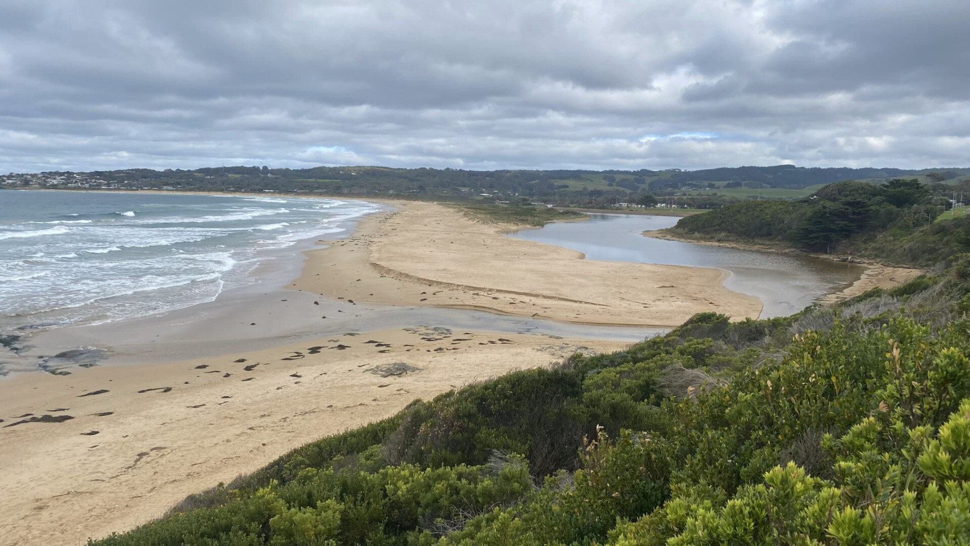
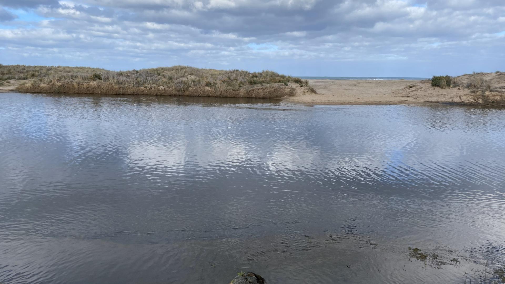
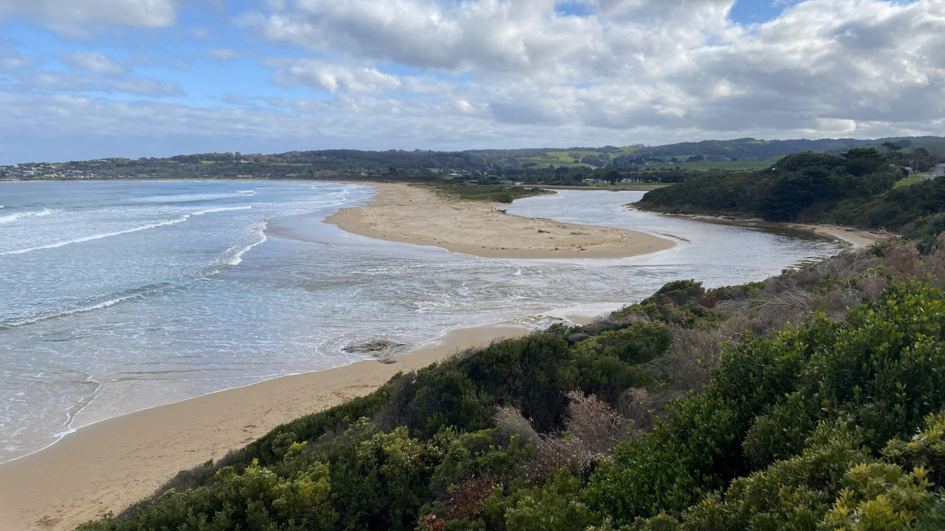
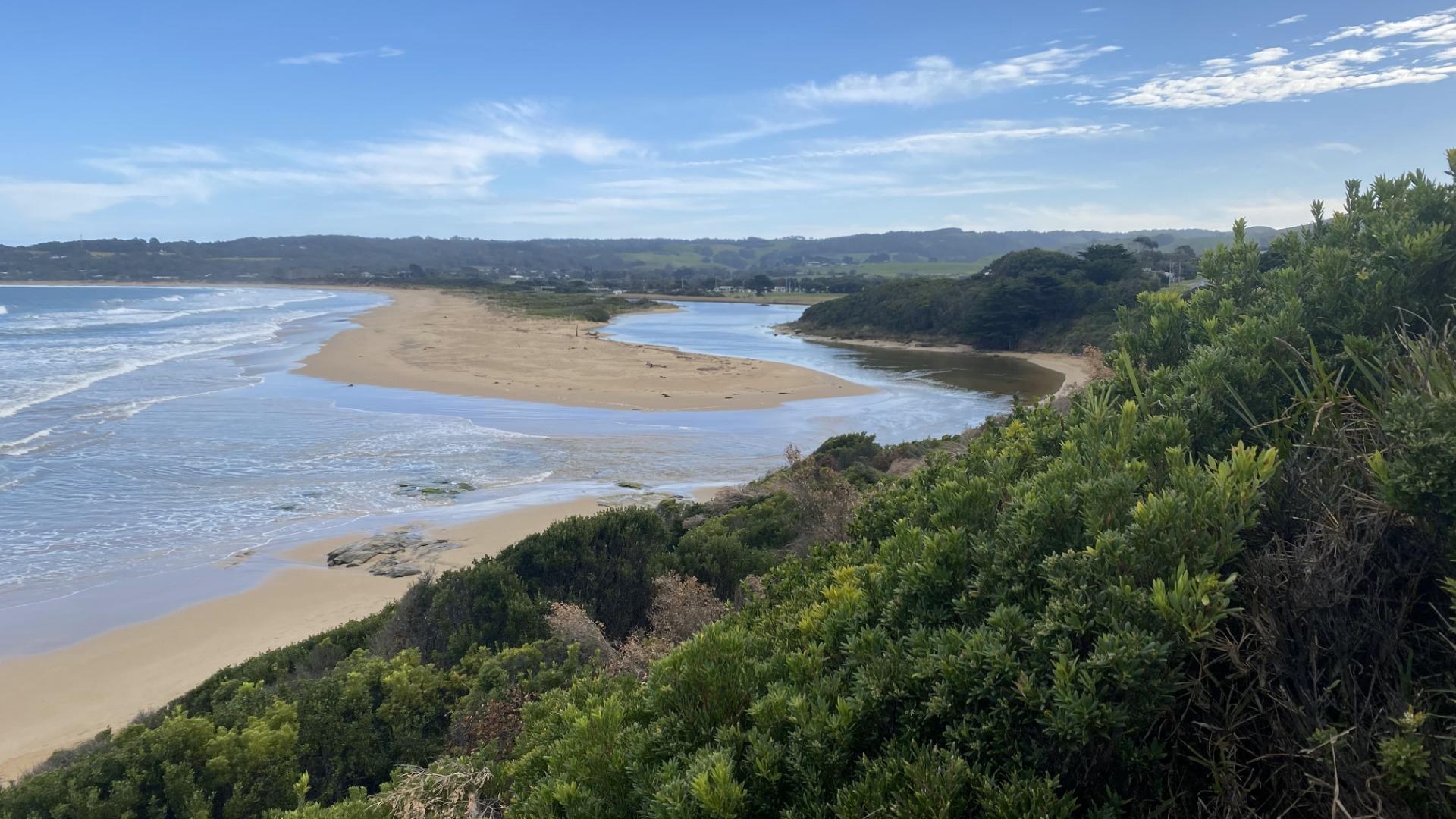
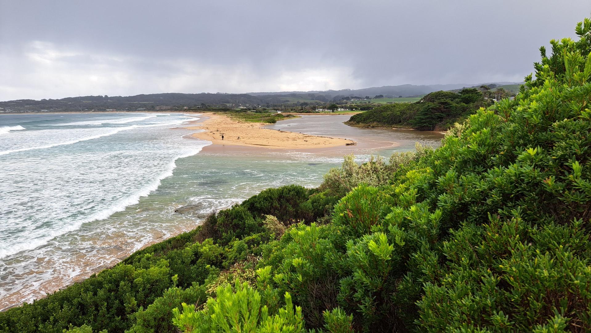
The Barham enters the sea between Apollo Bay and Marengo after meandering across a broad tidal waterway, an uncommon river style within the region. The Barham River Estuary is 2.980km in length, with a catchment area of 192.1Ha that contains several geologically significant sites.
Map
Estuary Values
- significant birds species found on the Barham River estuary are the Eastern Great Egret (Ardea modesta) Status: Vulnerable (Adv List) , Whiskered Tern (Childonias hybrida) Status: Near Threatened (Adv List) , Fairy Tern (Stemula nereis nereis) Status: Vulnerable (EPBC), Endangered (Adv List) and the Hooded Plover (Thinornis rubricollis) Status: Vulnerable (Adv List and EPBC)
- a significant fish species found on the Barham River estuary is the Australian Grayling.
- the Barham River supplies water to Apollo Bay
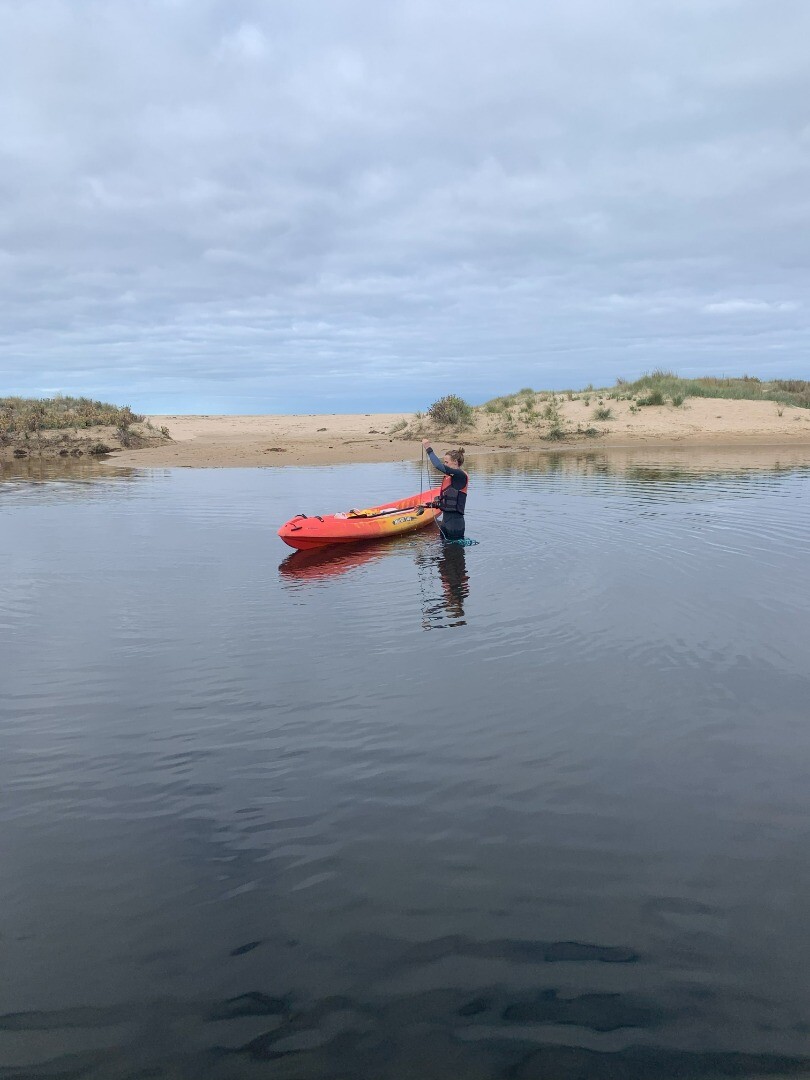
- canoeing
- picnics
- walking
- camping
- recreational fishing.
Estuary Threats
- degraded riparian vegetation
- stock access
- bank erosion
- invasive flora and fauna
- reduced connectivity
- poor water quality
- Barham River Estuary Fact Sheet
Recent Events
| Event Details |
|---|
| 22-04-2025 Estuary Entrance Opening Illegal estuary opening observed by EstuaryWatch volunteers. Water level was 1.6m AHD at the time. 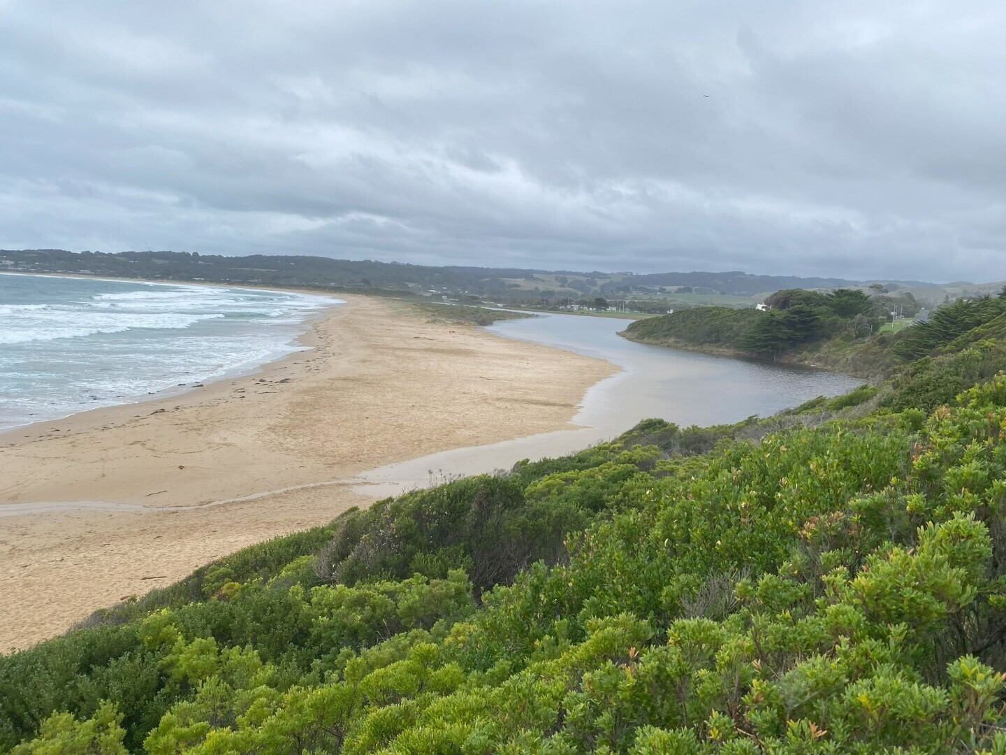
|
Sites
Ba1 |
Great Ocean Road BridgeActive Physico-Chemical 19-05-2025 - 19-05-2025between 10th & 11th bridge pylons counting from Apollo Bay side Observations 1 |
Ba2 |
Picnic Ground East PontoonActive Physico-Chemical 19-05-2025 - 19-05-2025Eastern pontoon, nearer the estuary mouth. Observations 1 |
Ba3 |
Southbank BendActive Physico-Chemical 19-05-2025 - 19-05-2025Directly opposite opposite yellow/blue/white houses on Gambier St - approximately 10m from southside bank of river Observations 1 |
Ba4 |
Gambier Street StepsActive Physico-Chemical 19-05-2025 - 19-05-2025Rocky outcrop 10m upstream from Gambier St steps Observations 1 |
BaGB |
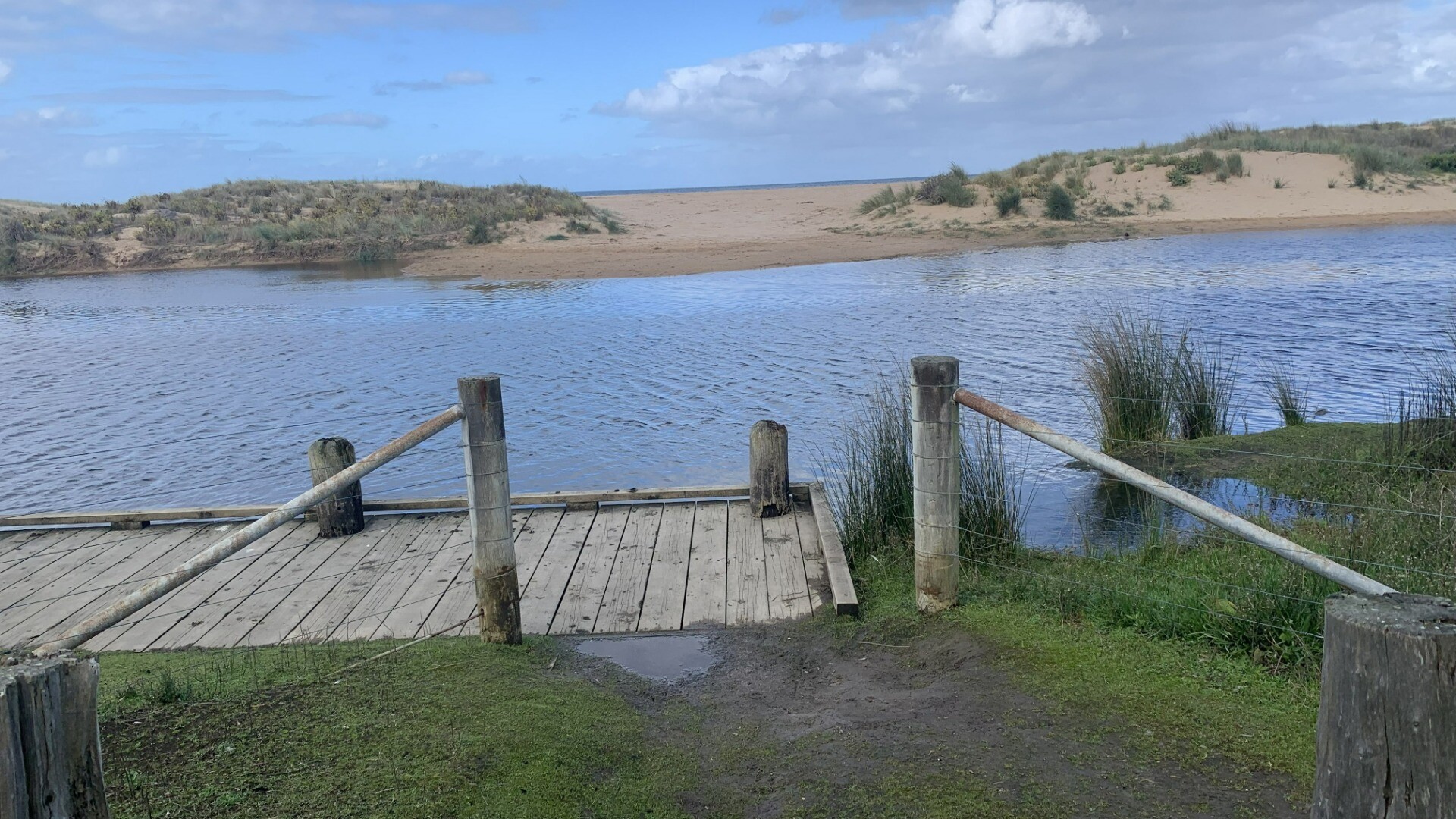
Barham River Gauge BoardActive Gauge BoardThe water level gauge board is located on the eastern river bank beside the Great Ocean Road bridge. |
BaMC |
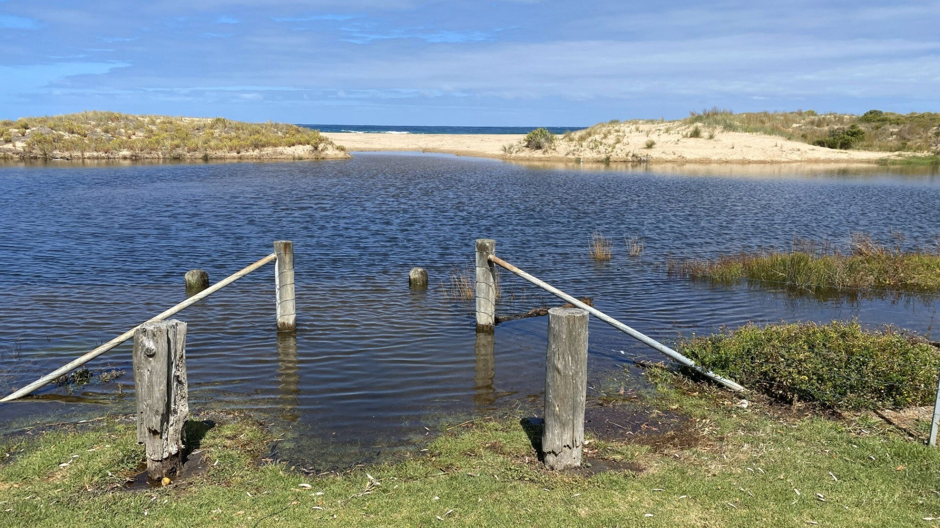
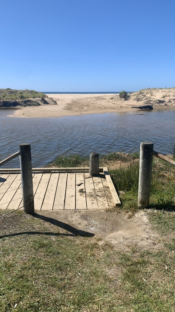
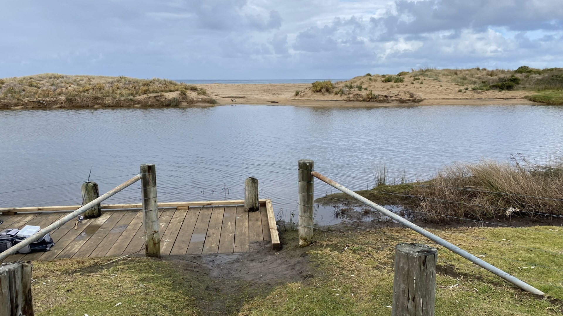
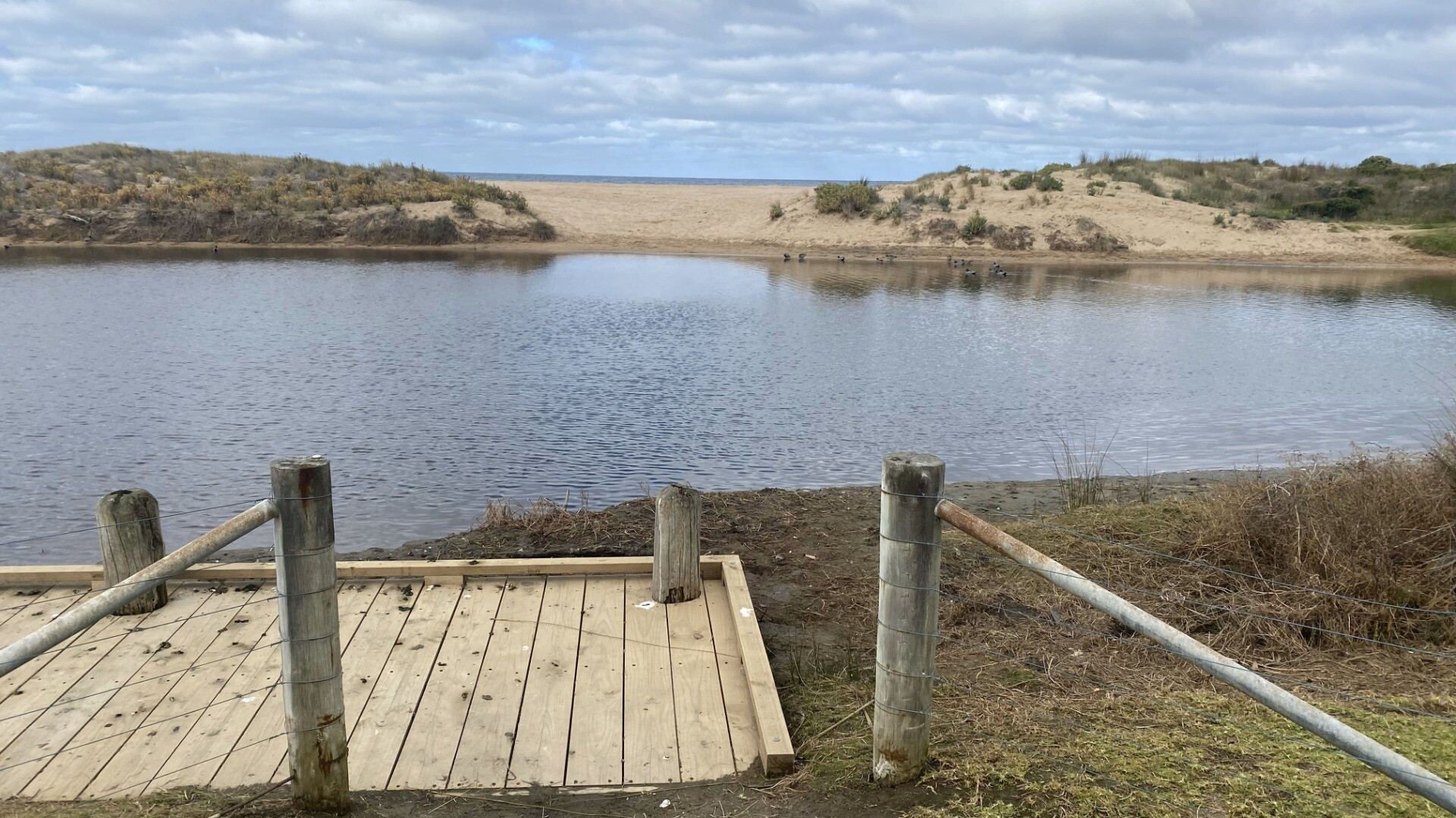
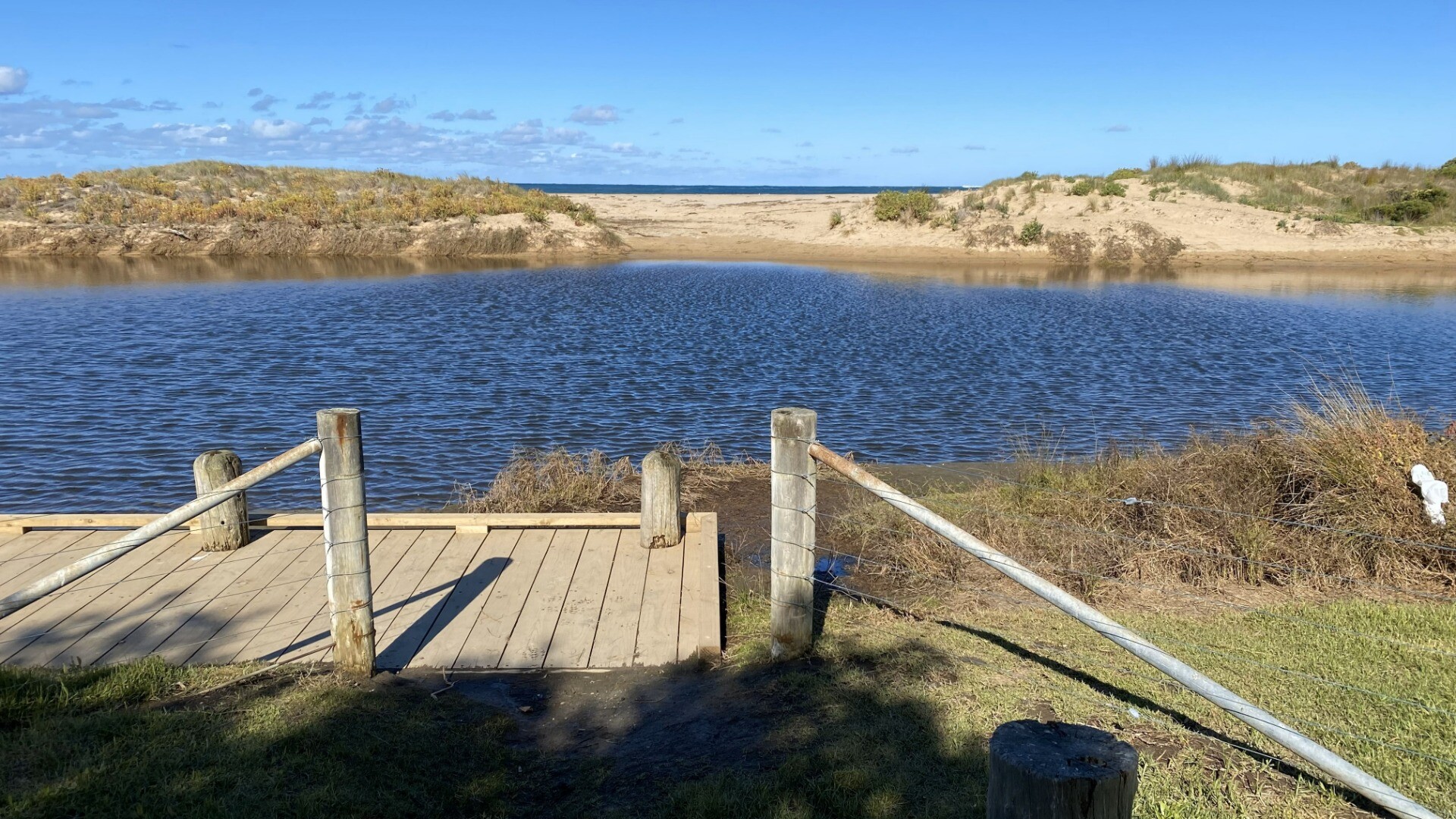
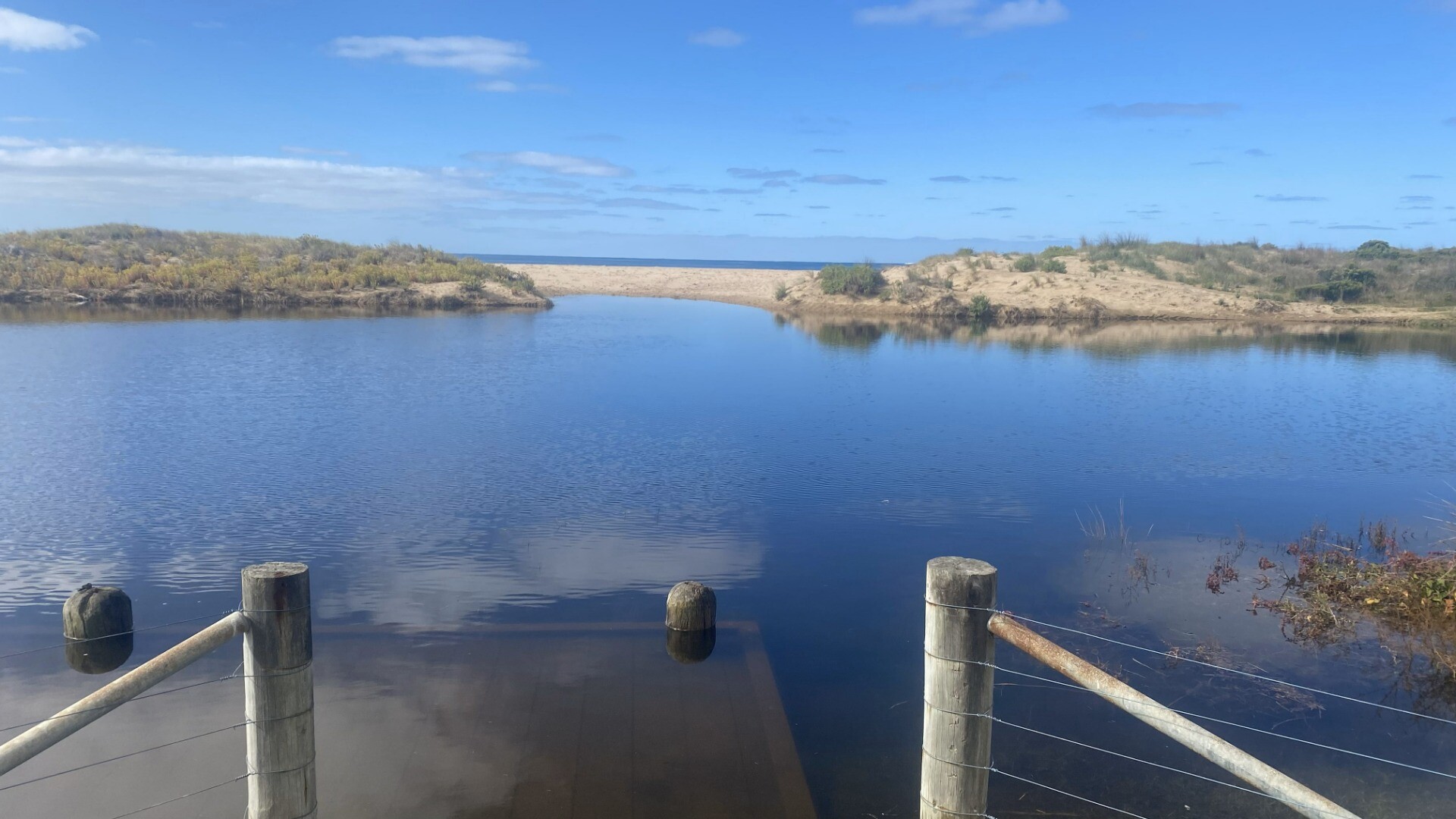
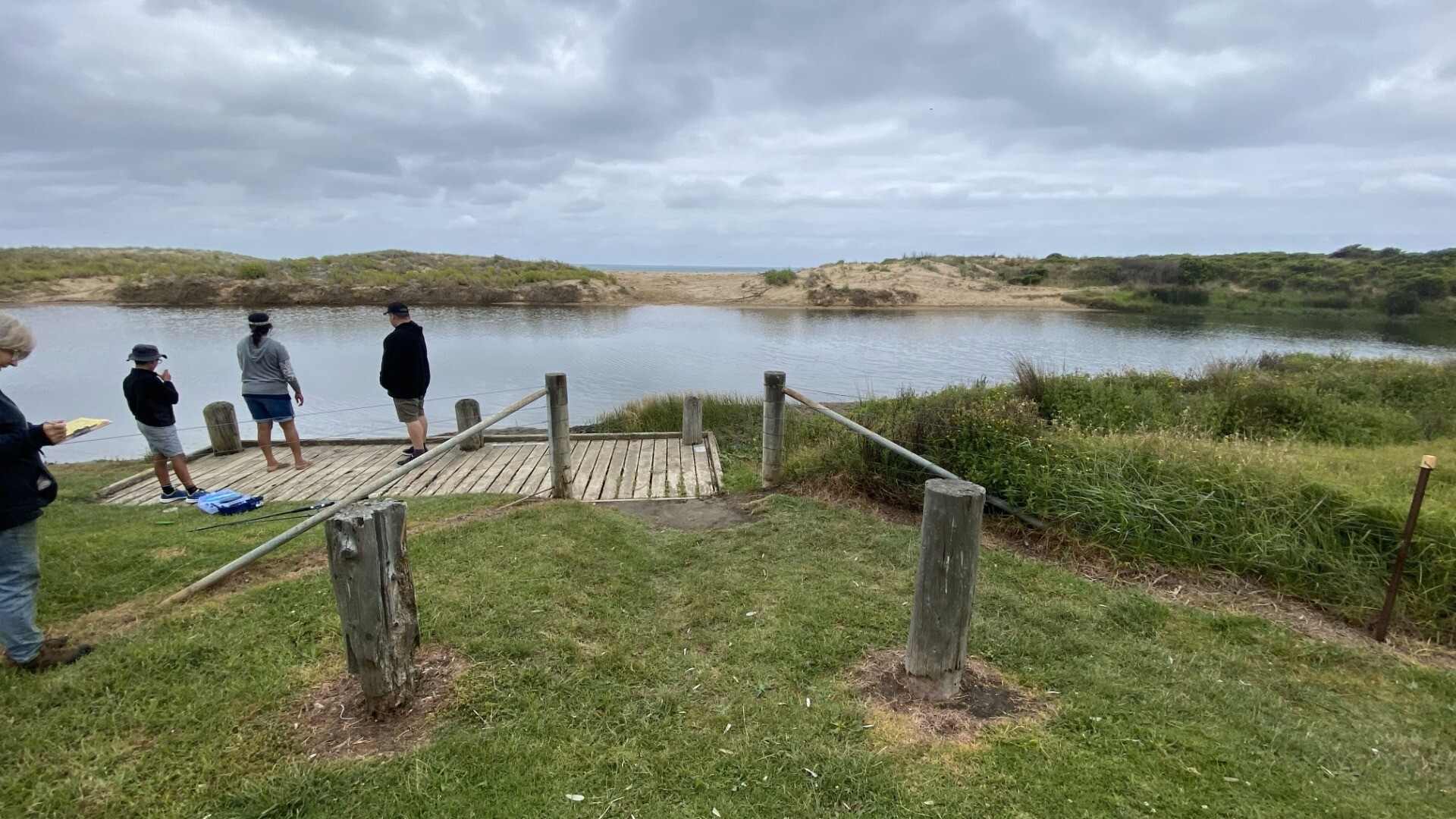
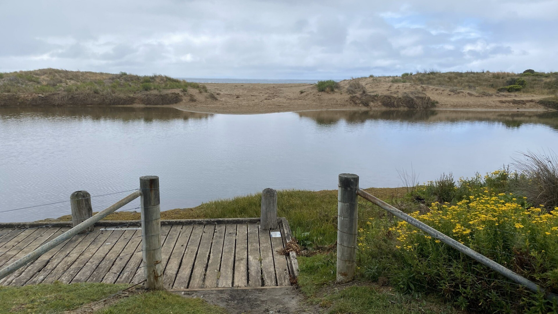
Barham River Mouth ConditionActive Mouth Condition 23-05-2008 - 22-07-2026Fence corner 17th hole. Observations 178 |
BaP1 |
Barham River Photopoint 1Active Photopoint 02-04-2010 - 22-07-2026Fence corner 17th hole. Photos 81 |
BaP2 |
Barham River Photopoint 2Active Photopoint 29-08-2010 - 01-01-2026Fishing platform Photos 148 |
BaP3 |
Barham River Photopoint 3Active Photopoint 01-01-2013 - 20-06-2026Enter via walking track from the carpark at the corner of Gambier and Trafalgar Street. Follow the track to the 6th hole of the golf course. Photos 190 |
BM1 - P |
Barham BM1- Phys/ChemInactive Physico-Chemical 12-12-2018 - 03-04-2019Observations 5 |
BM2-P |
Barham BM2-P Phys/ChemInactive Physico-Chemical 12-12-2018 - 03-04-2019Observations 5 |
Autumn 2025
Reload with full and partial snapshots to include snapshots that did not record every site on the same day.
Mouth Condition Snapshots


We honour Elders past and present whose knowledge and wisdom has ensured the continuation of culture and traditional practices.
 All content, files, data and images provided by the EstuaryWatch Data Portal subject to a Creative Commons Attribution License
Data portal by CeRDI
All content, files, data and images provided by the EstuaryWatch Data Portal subject to a Creative Commons Attribution License
Data portal by CeRDI