
Anglesea River Estuary
Corangamite CMA
DOWNLOAD DATAOverview
Active Anglesea River EstuaryWatchers
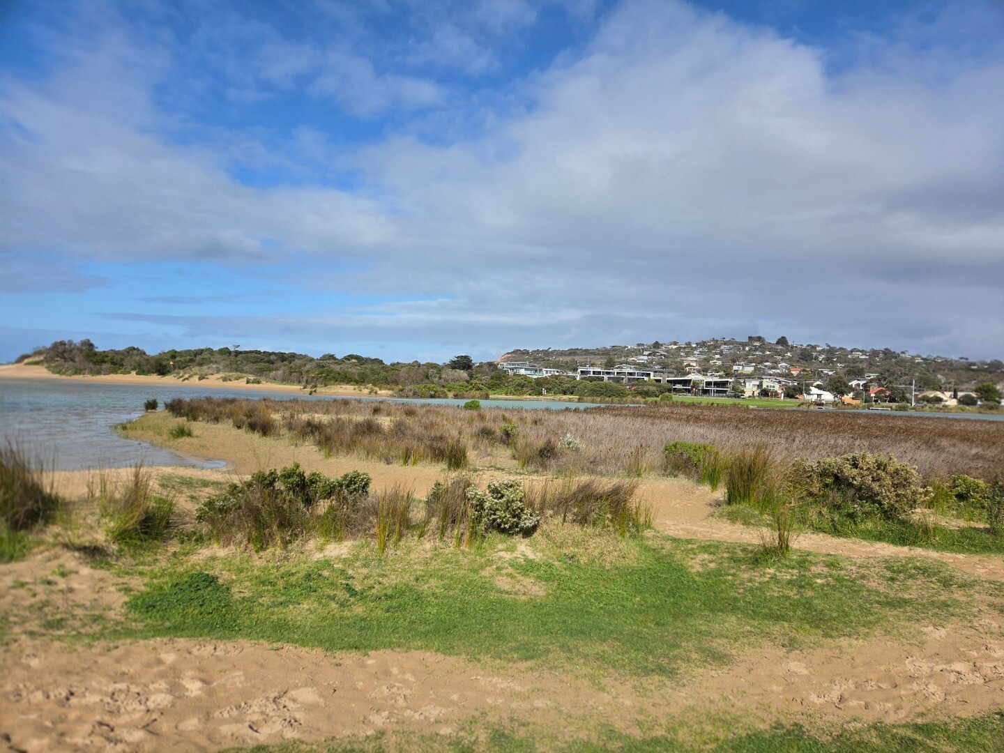
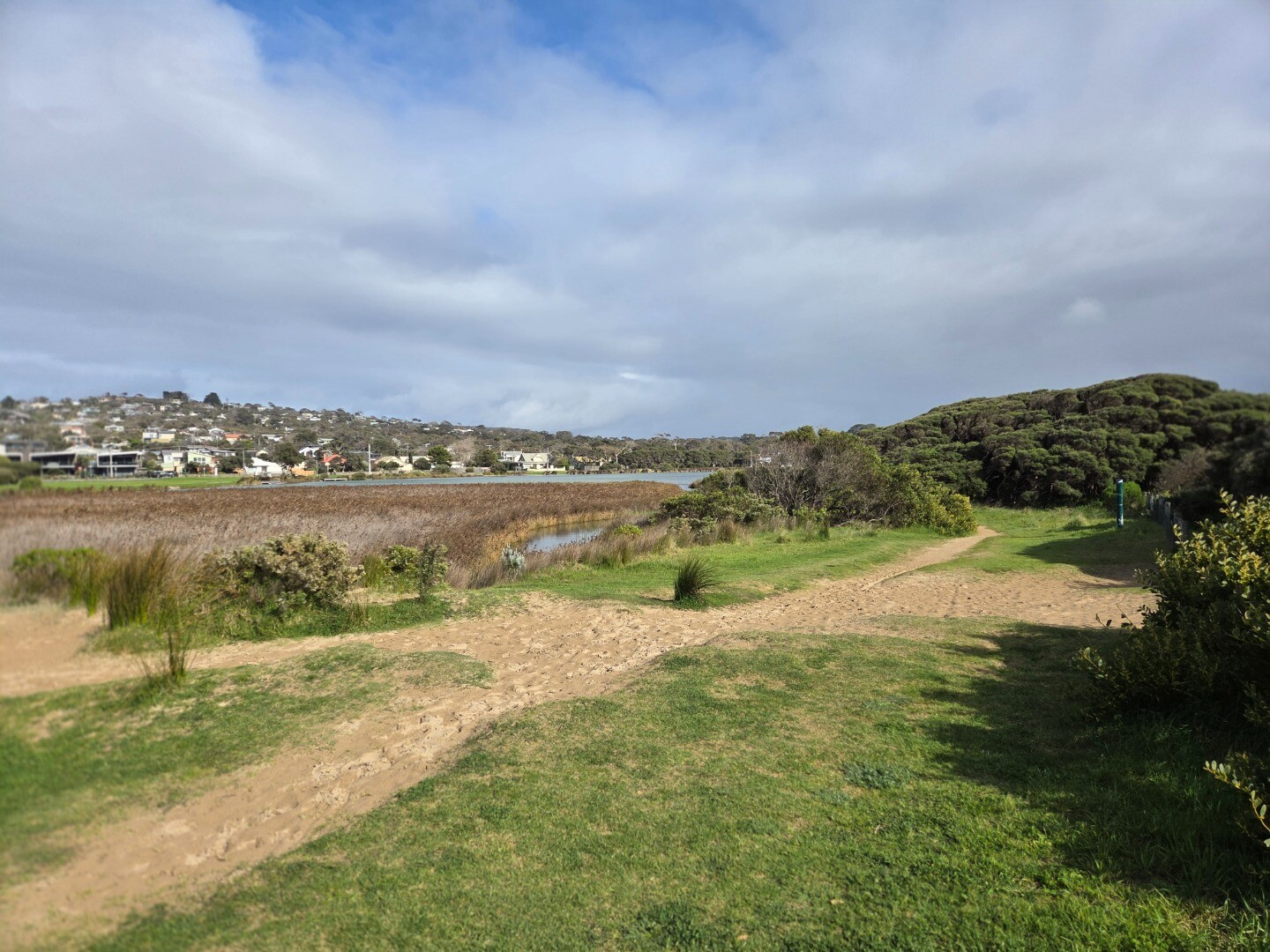
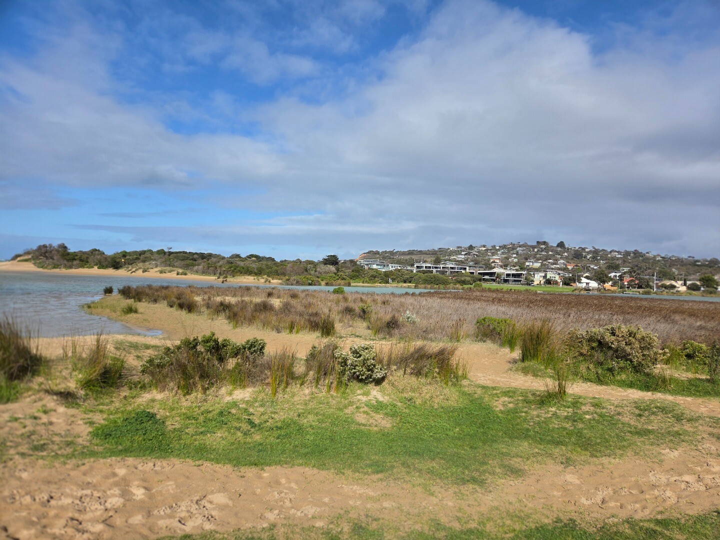
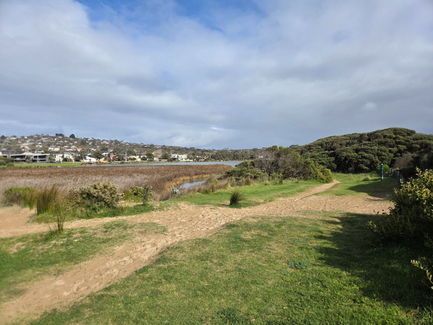
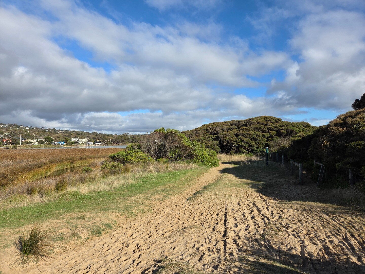
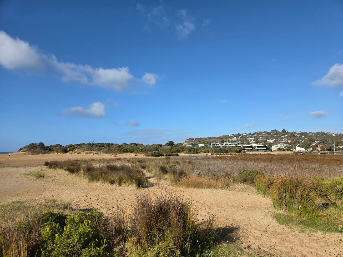
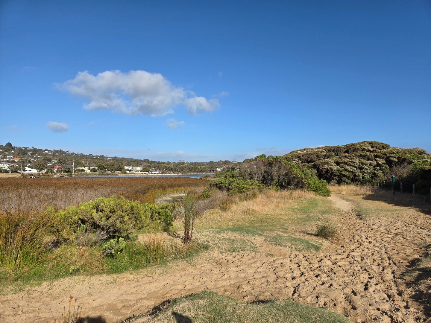
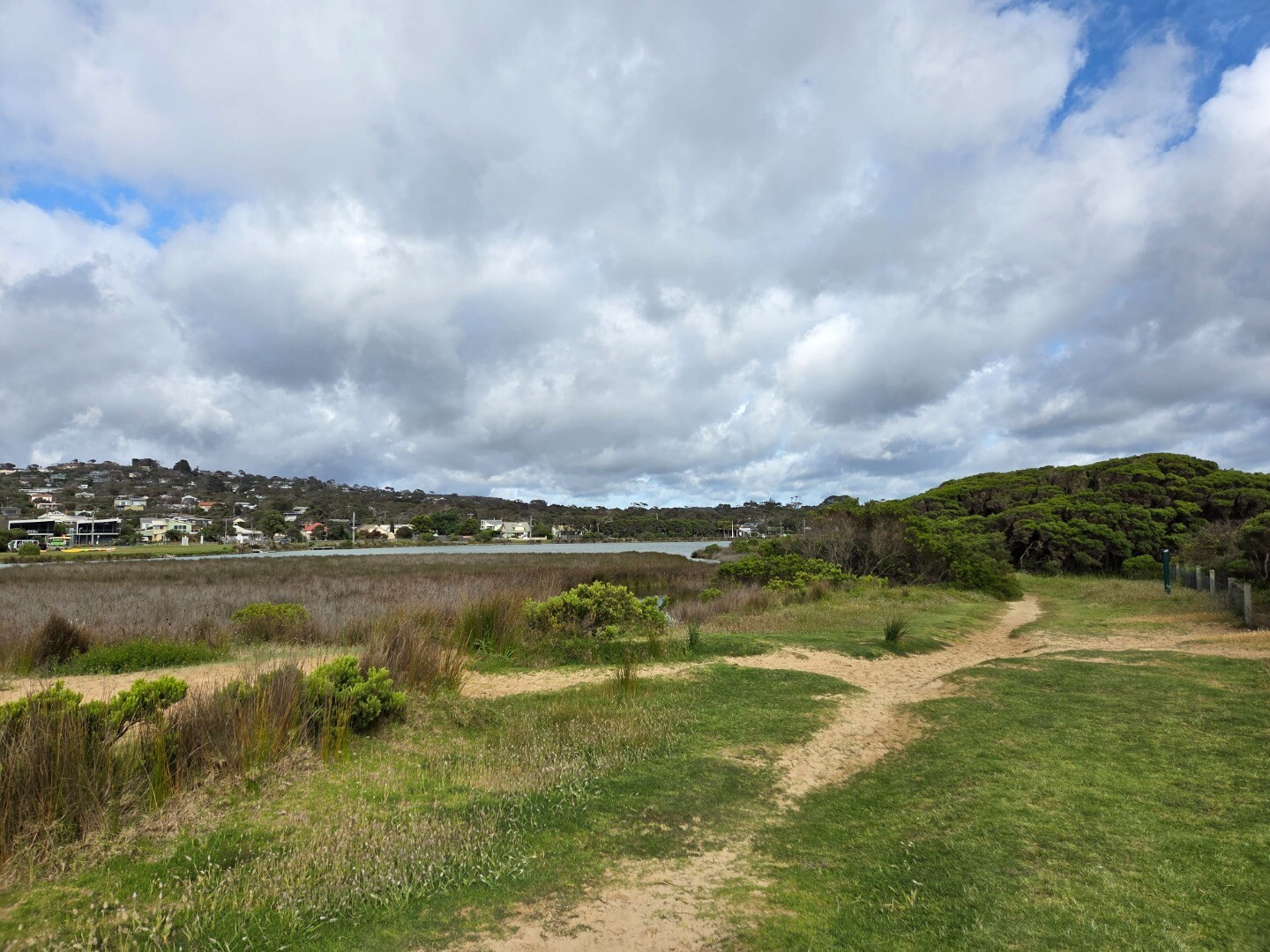
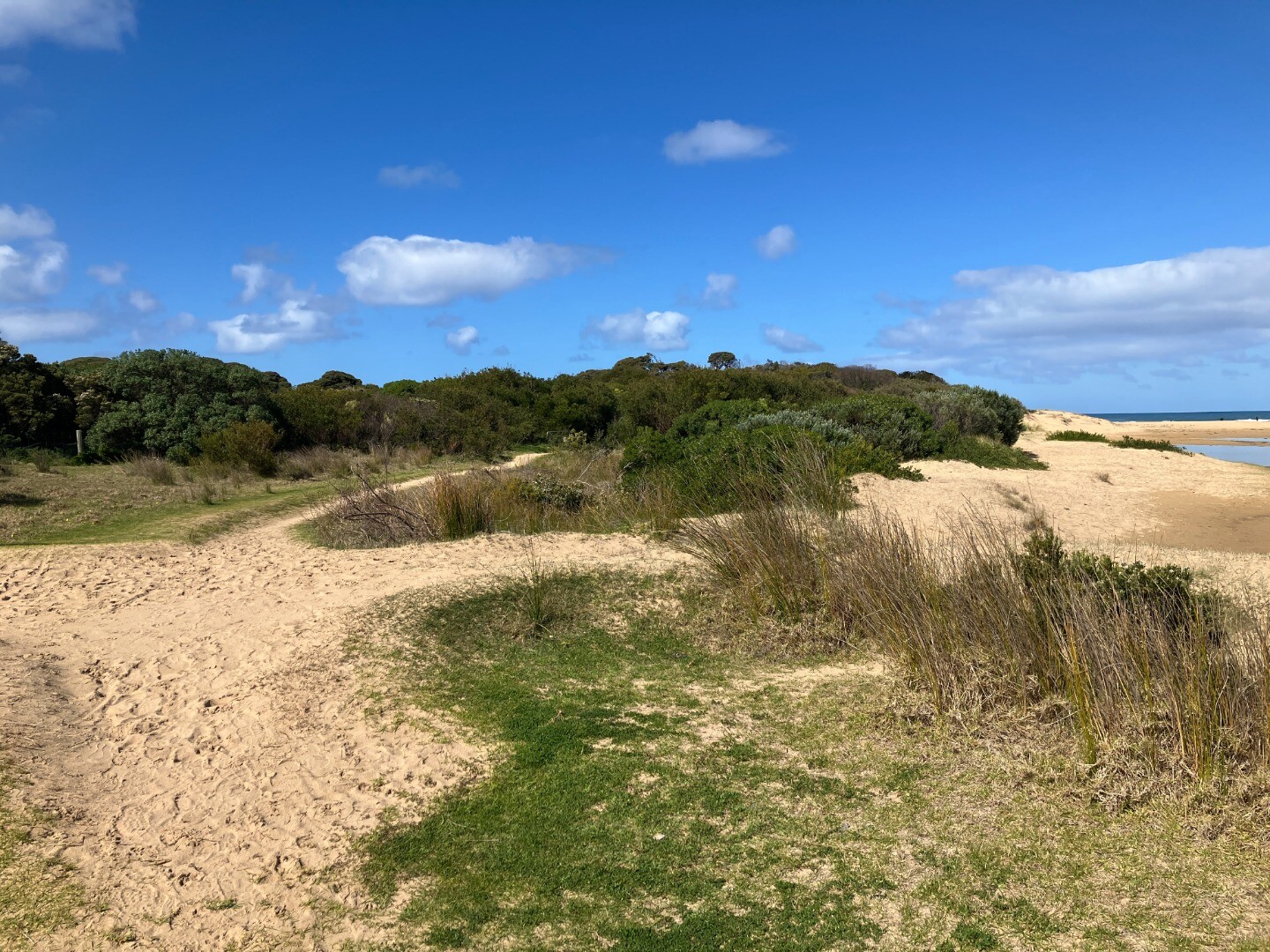
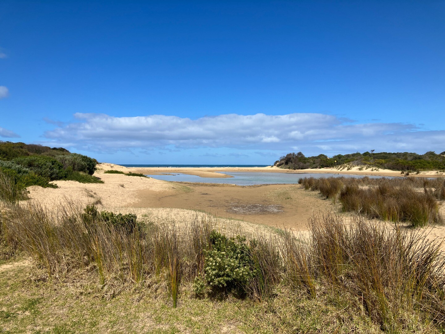
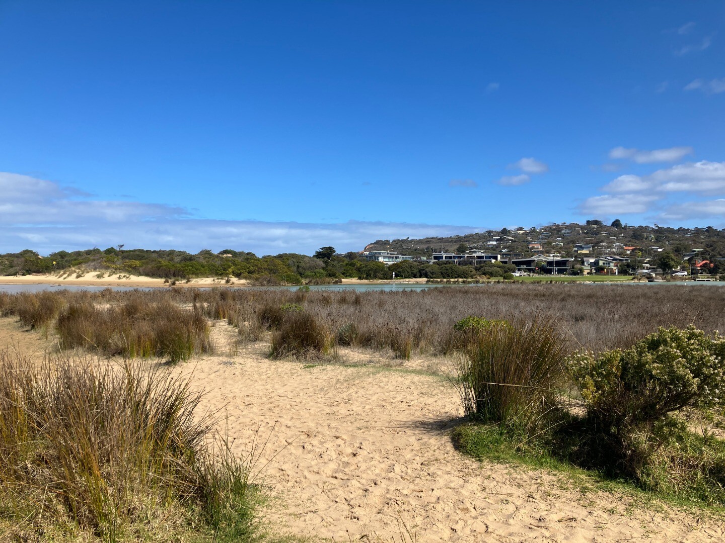
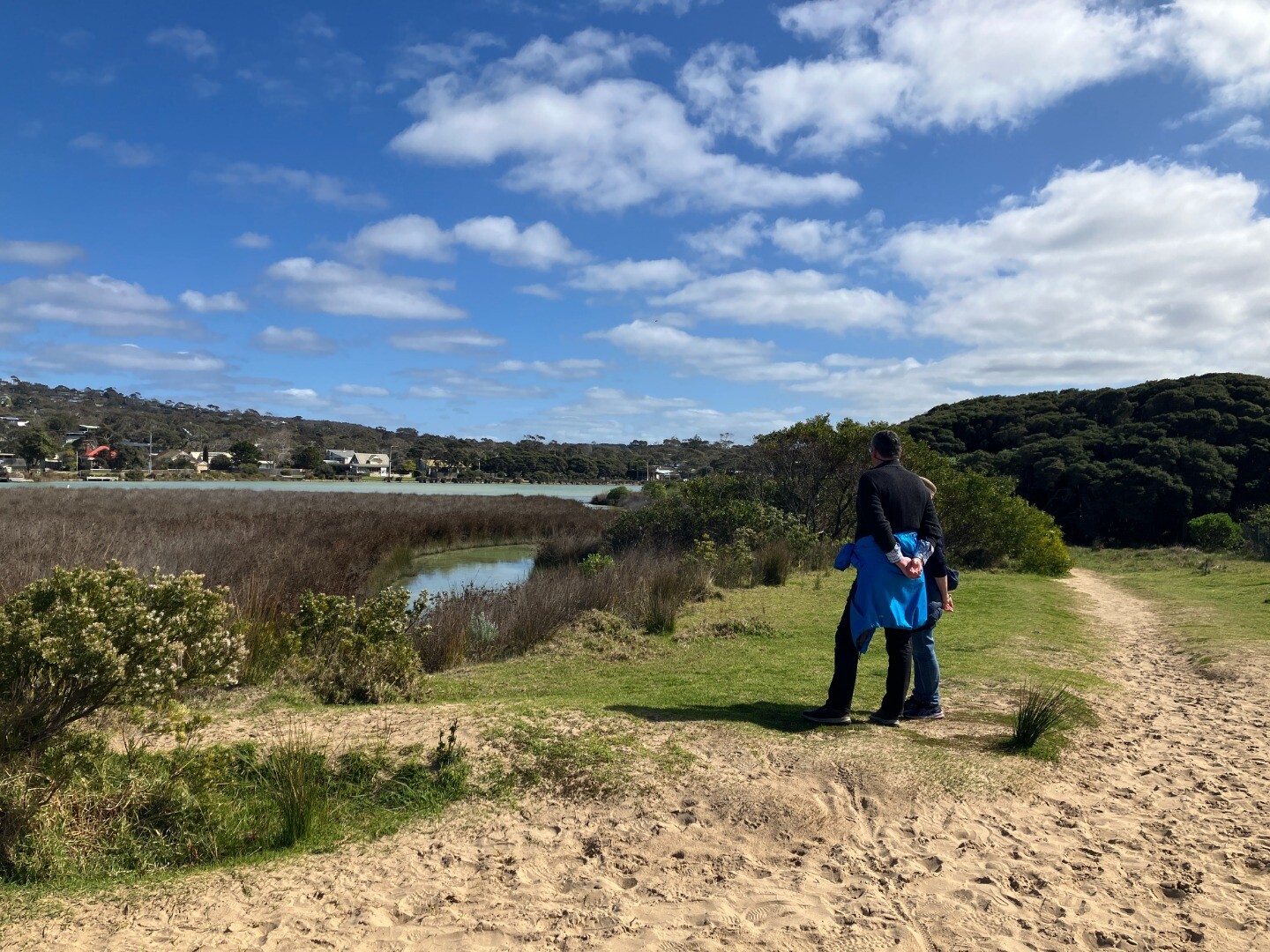
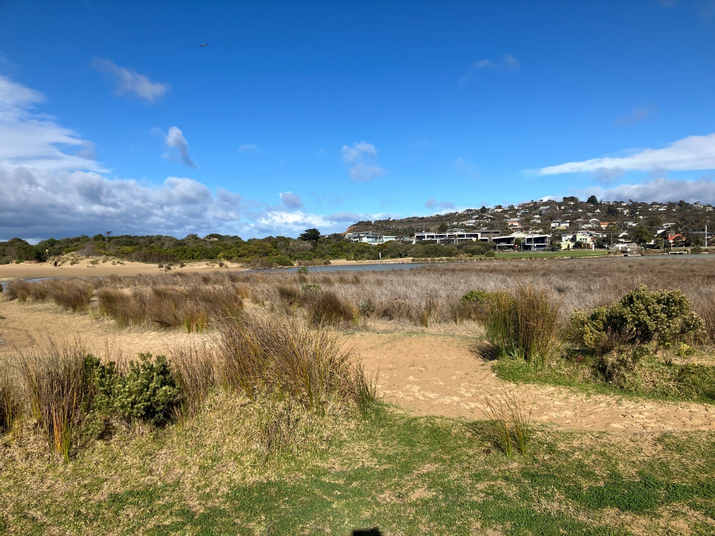
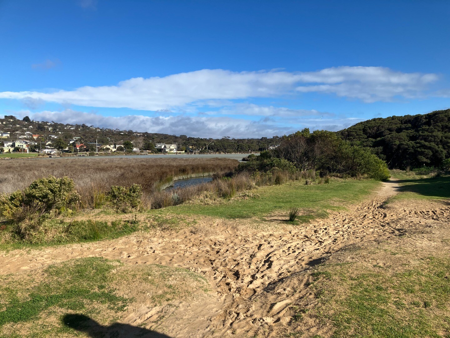
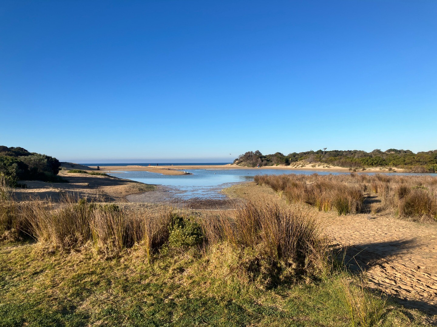
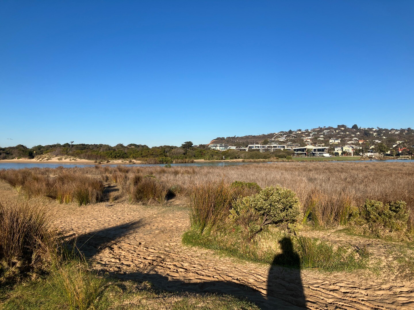
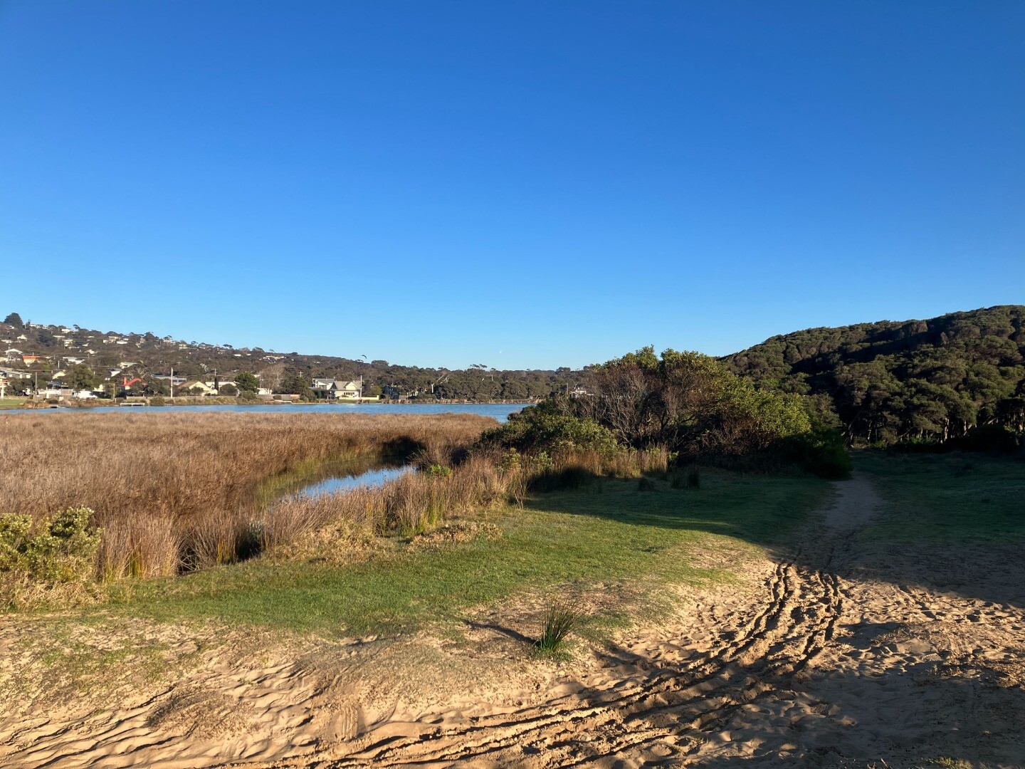
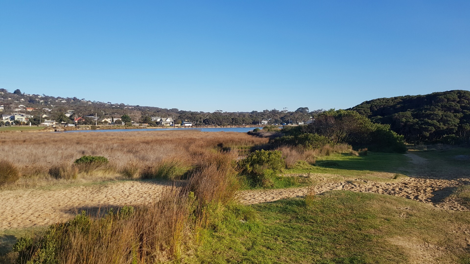
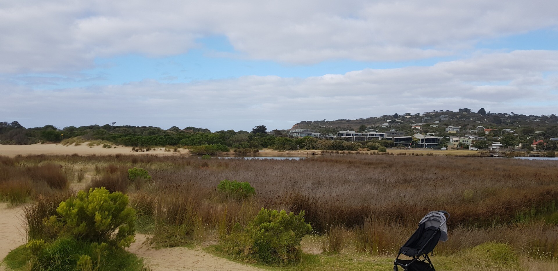
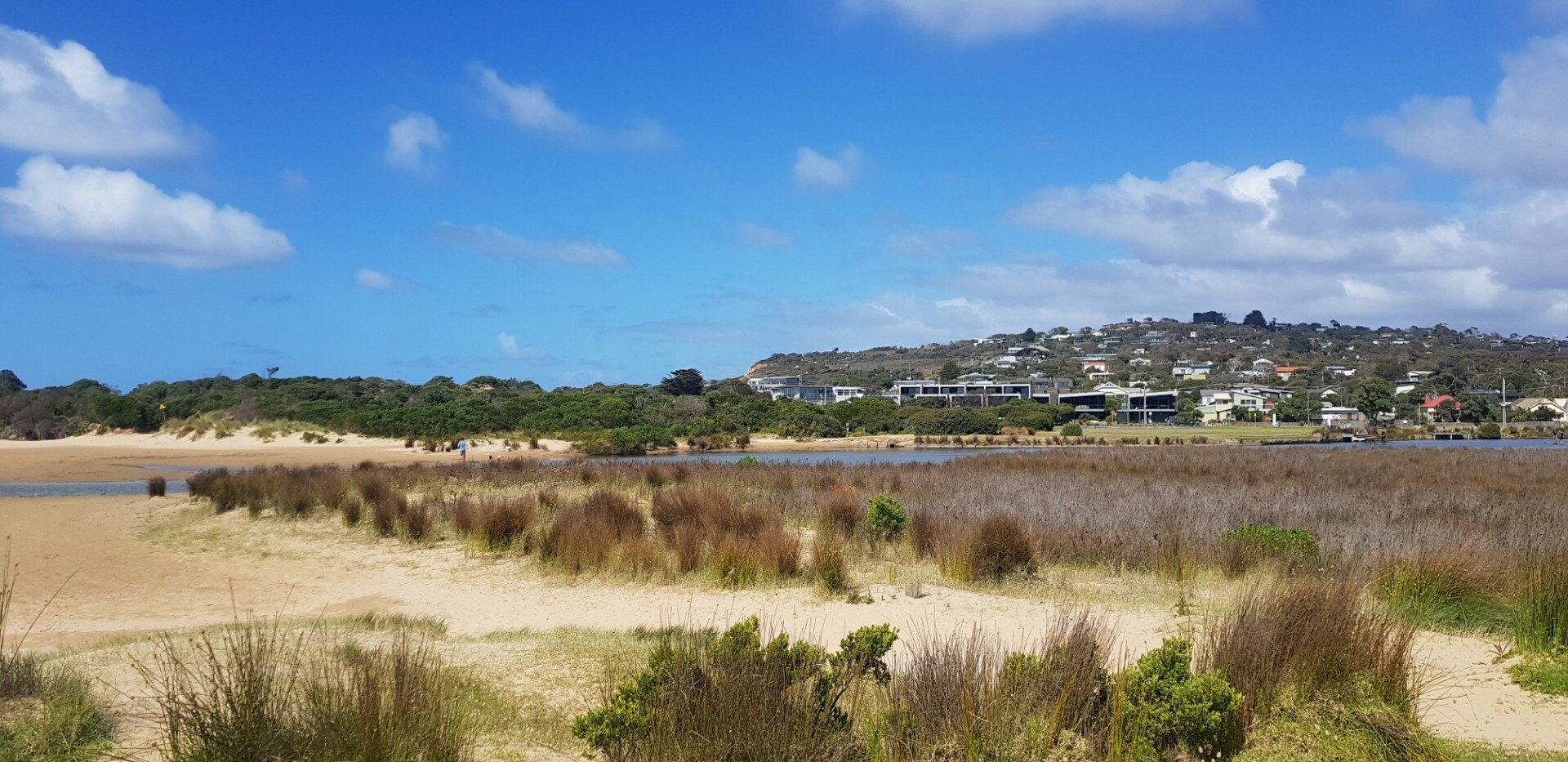
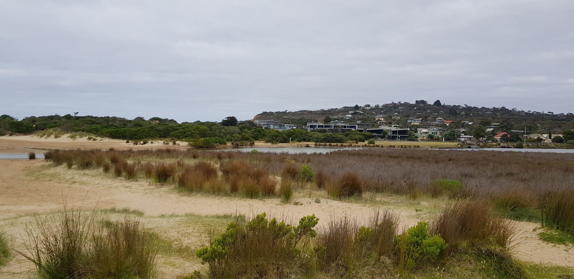
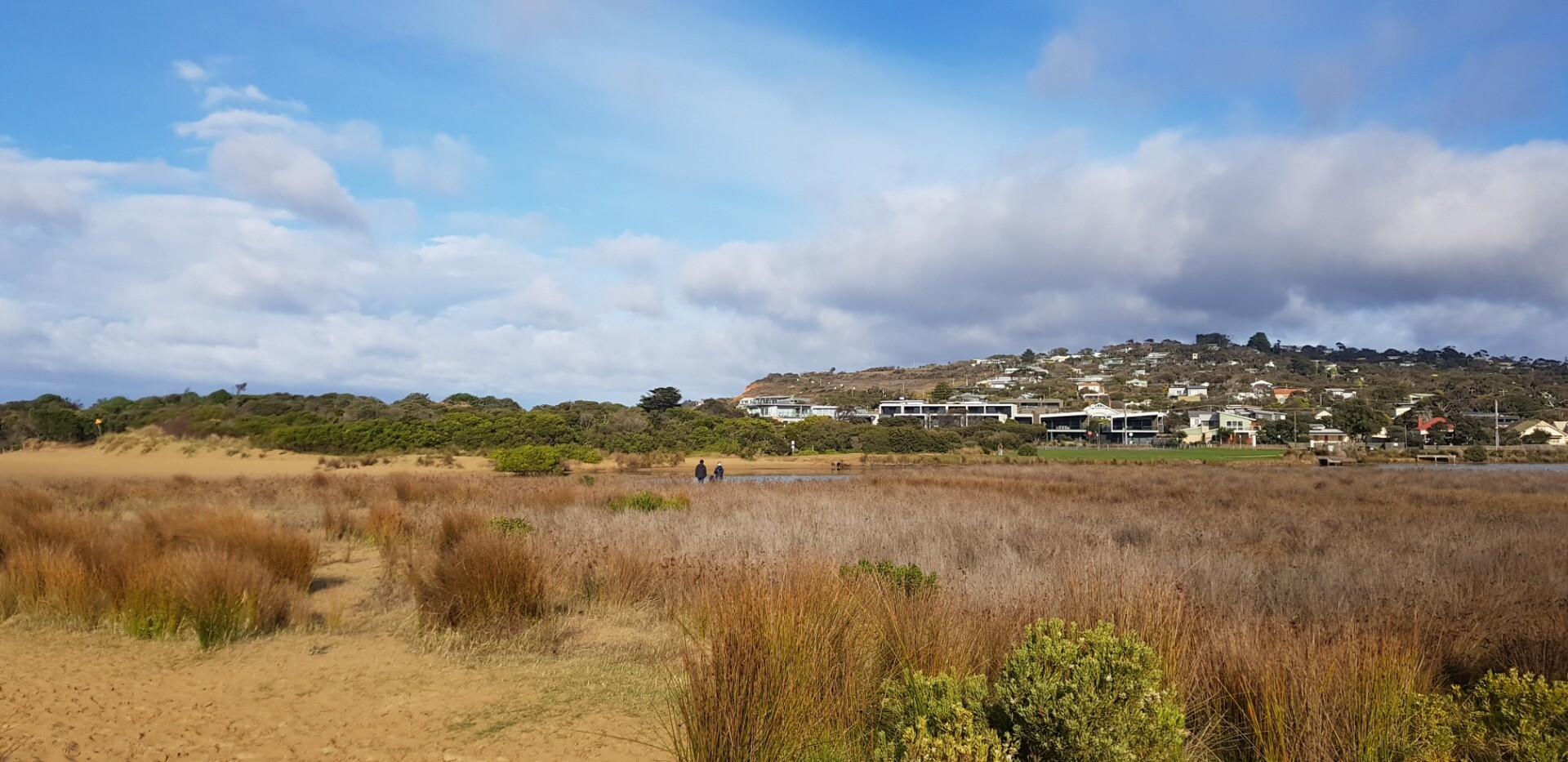
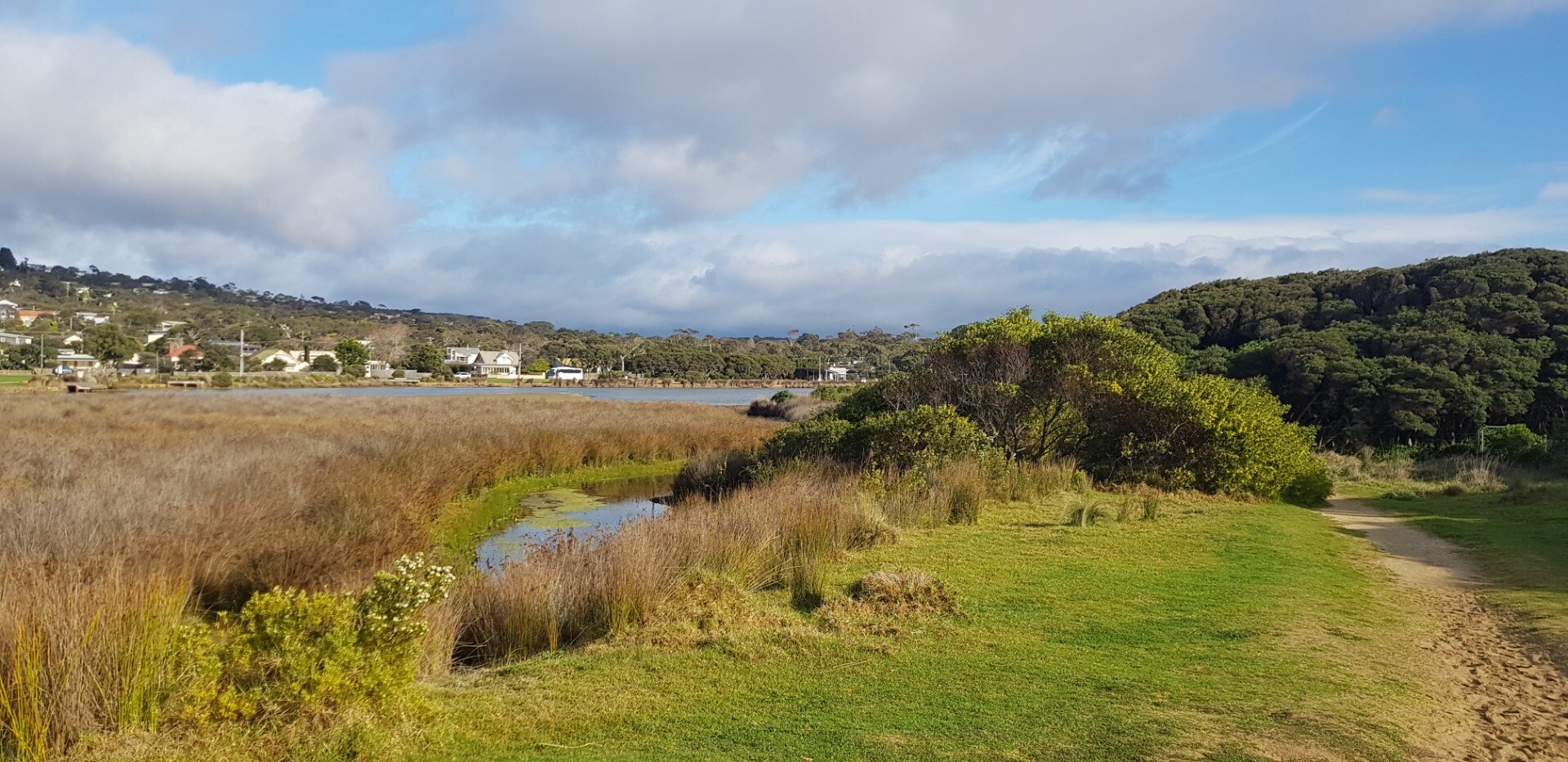
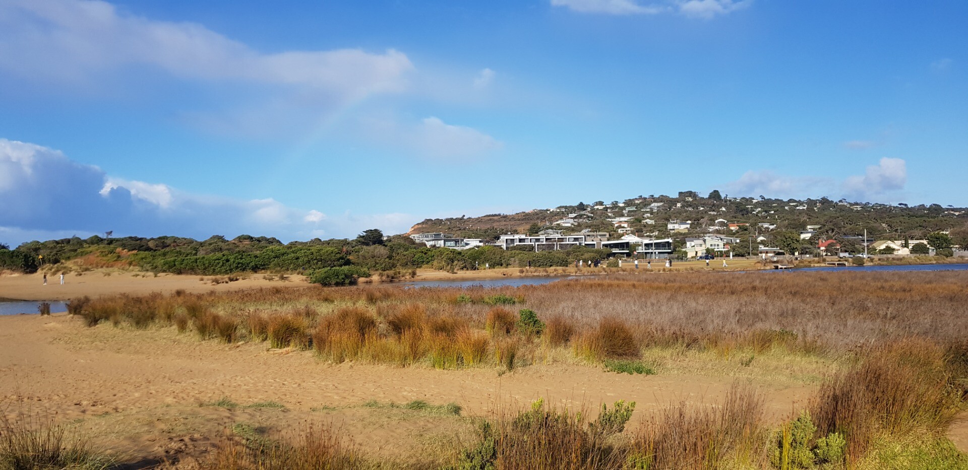
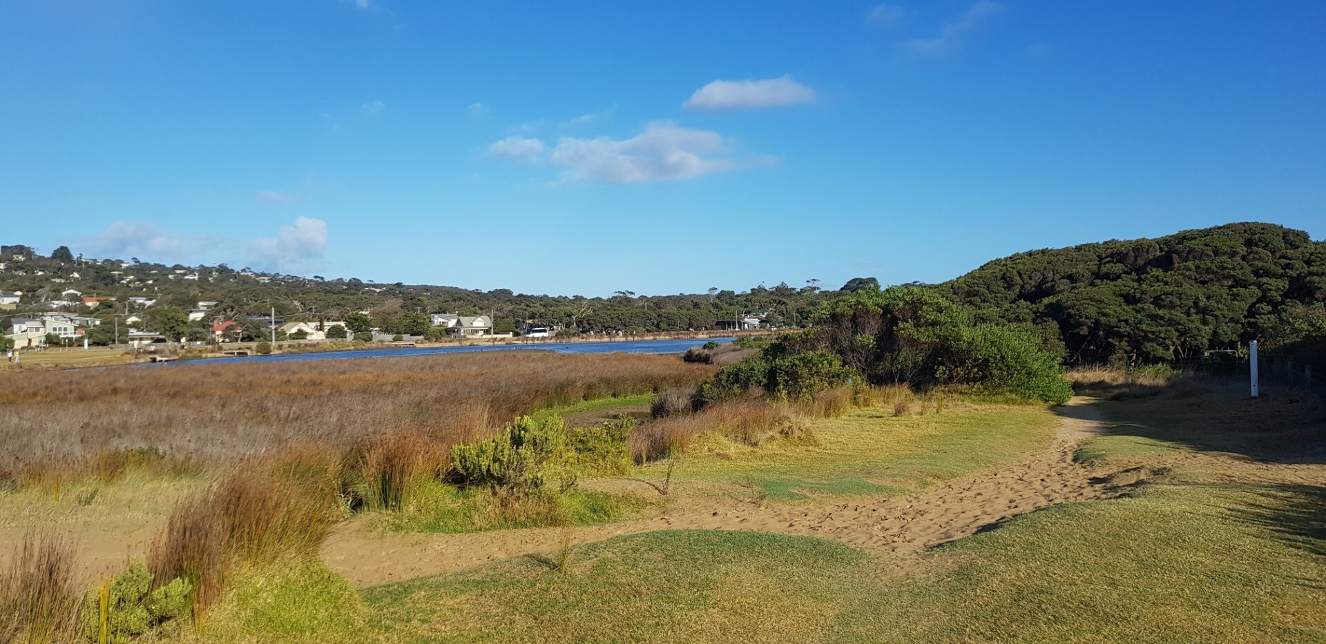
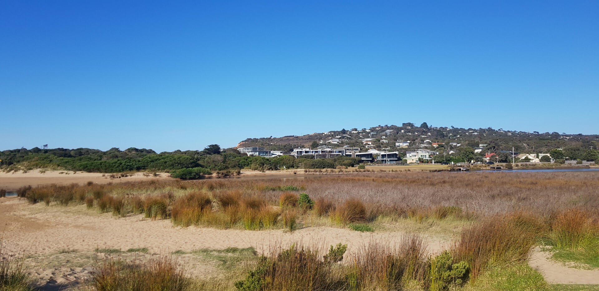
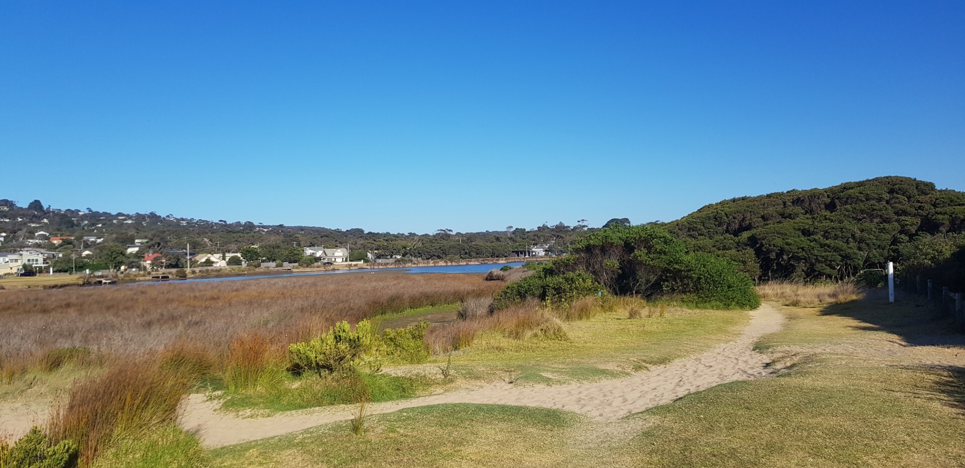
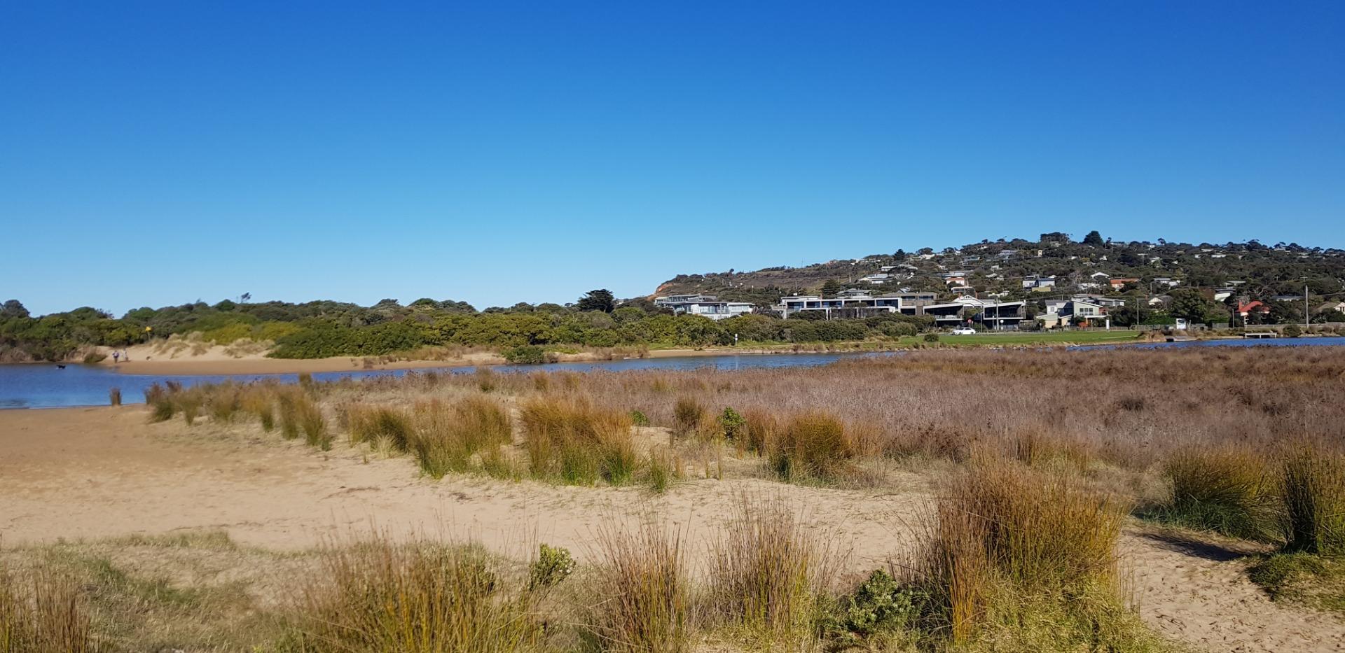
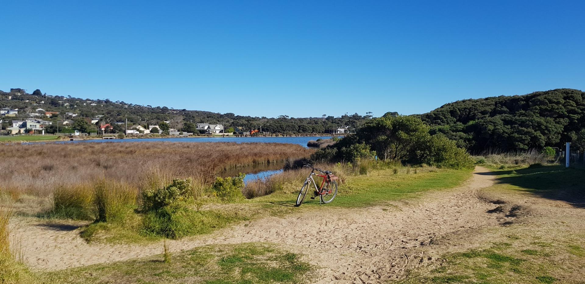
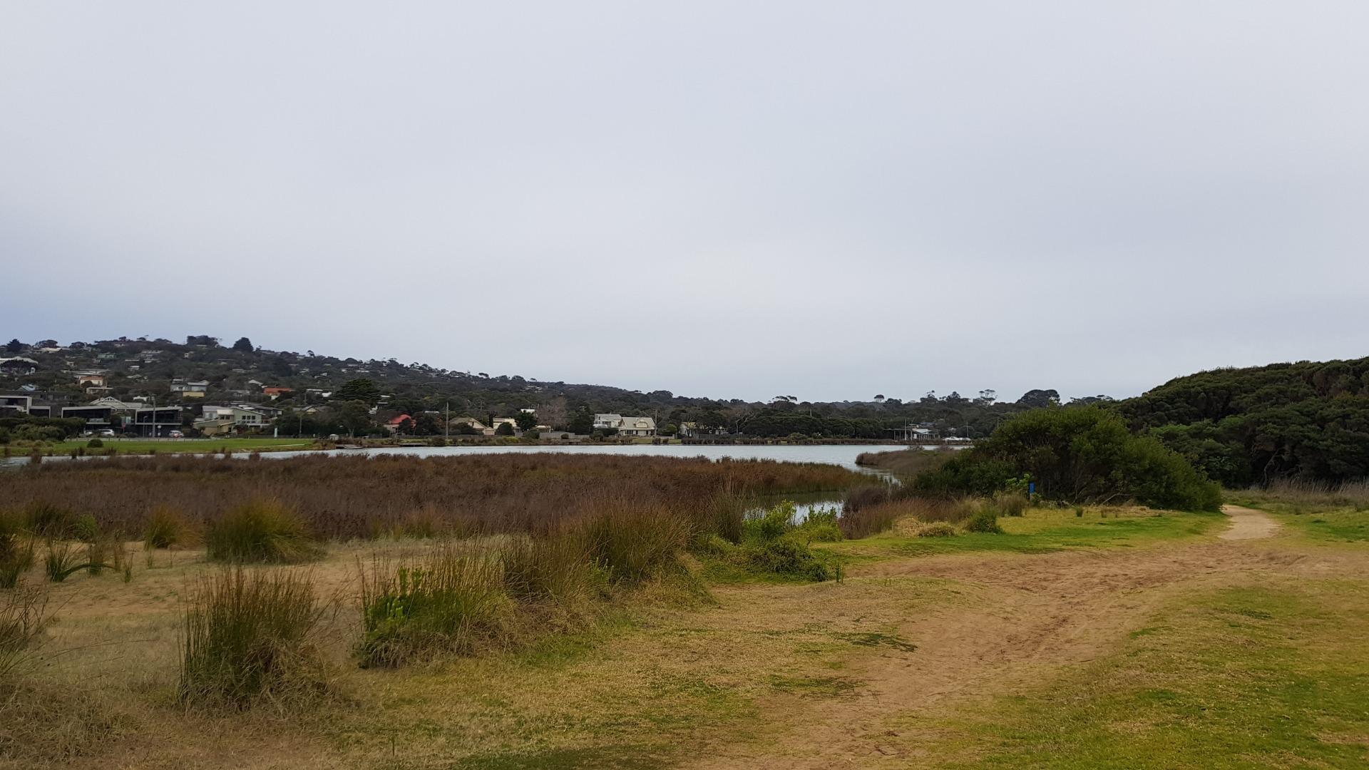
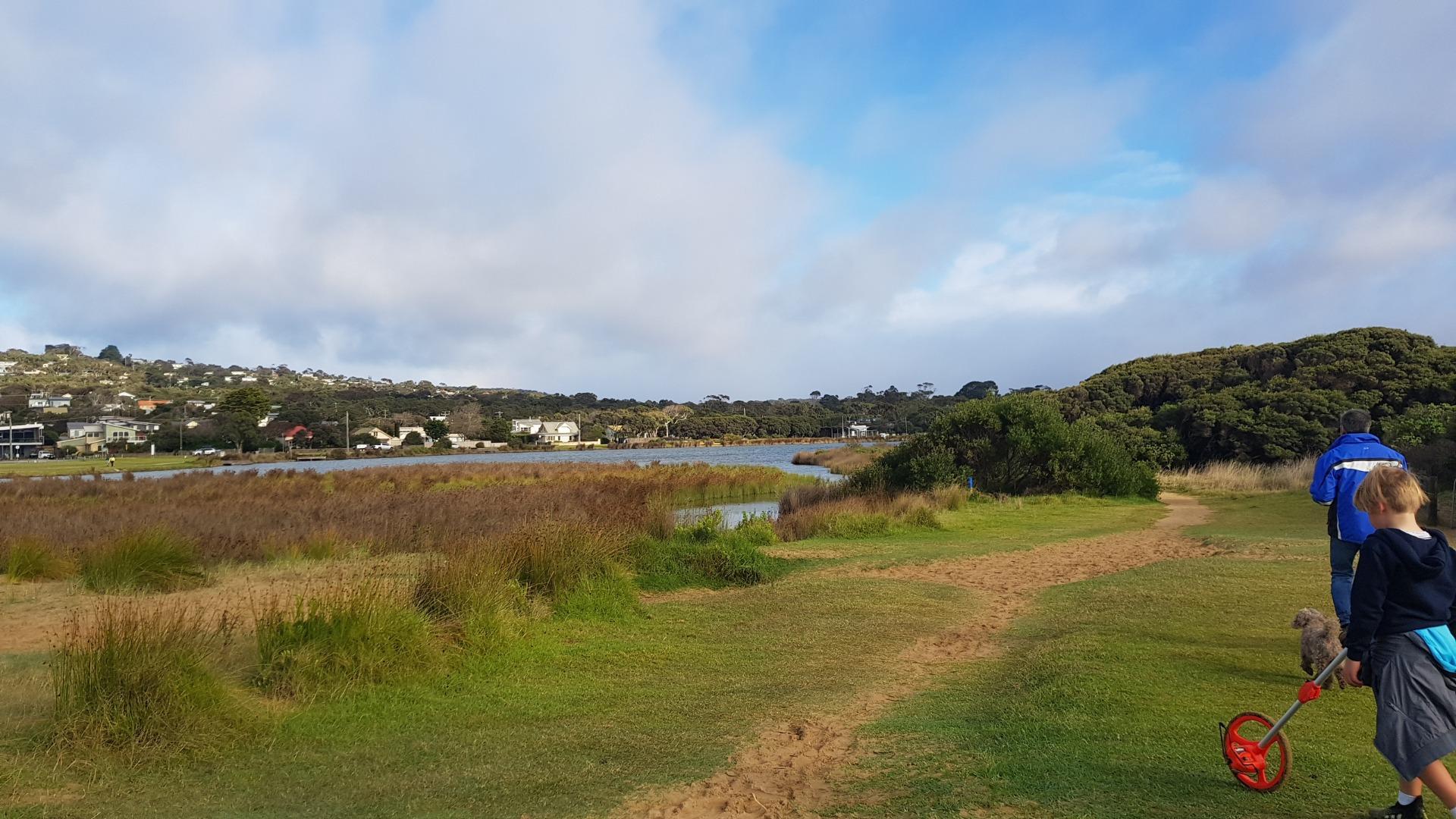
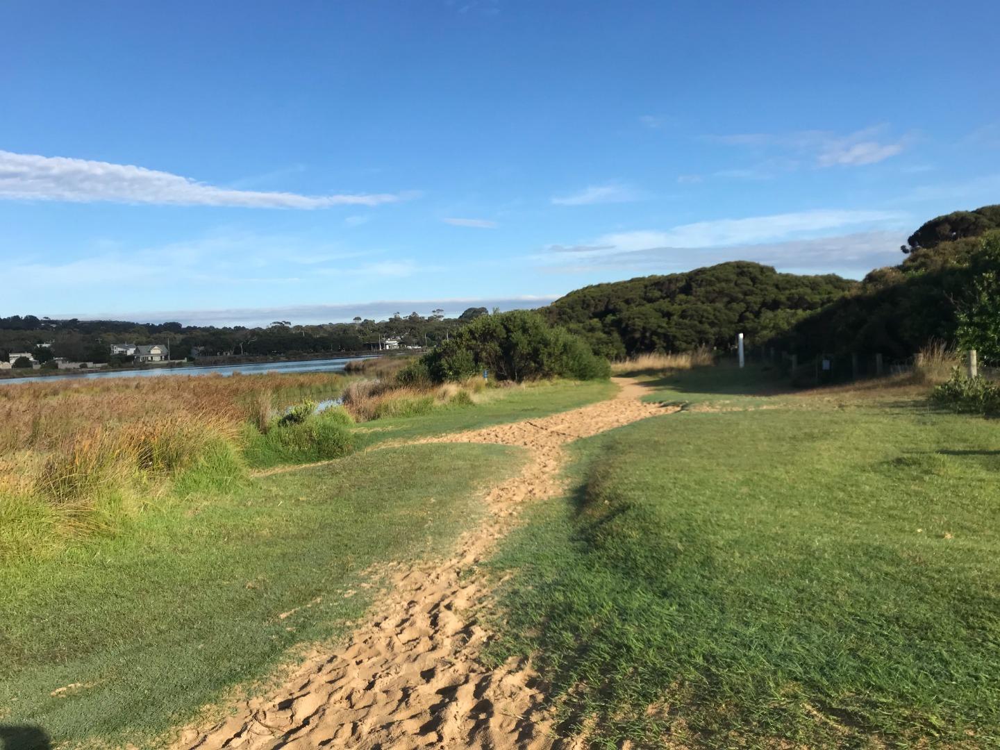
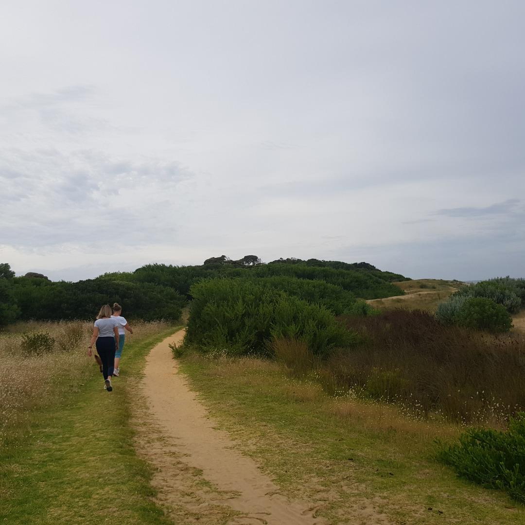
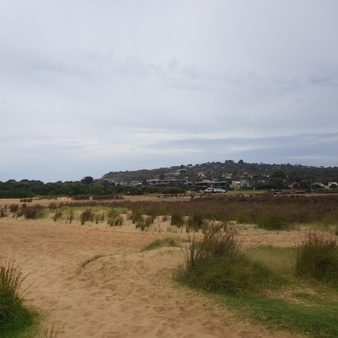
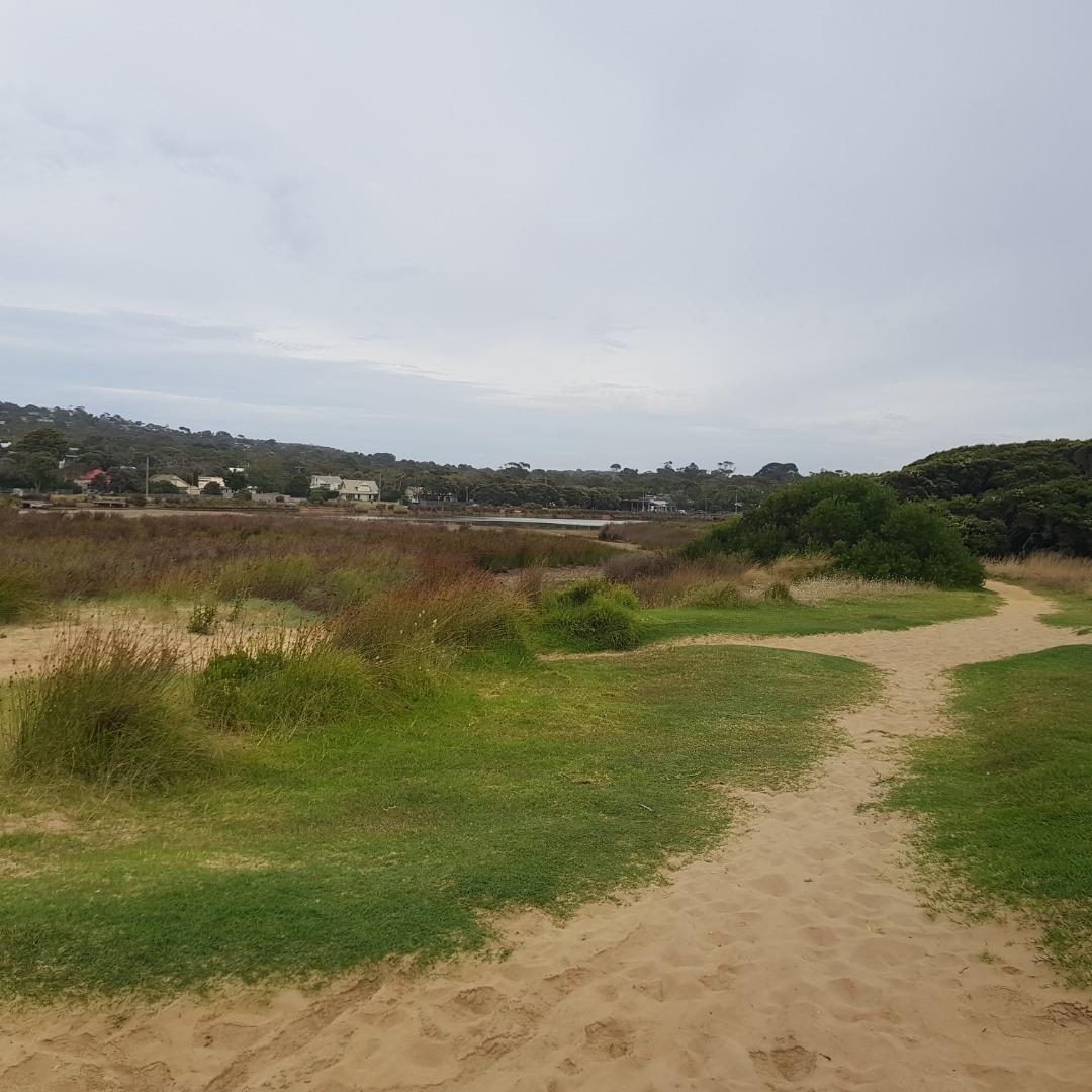
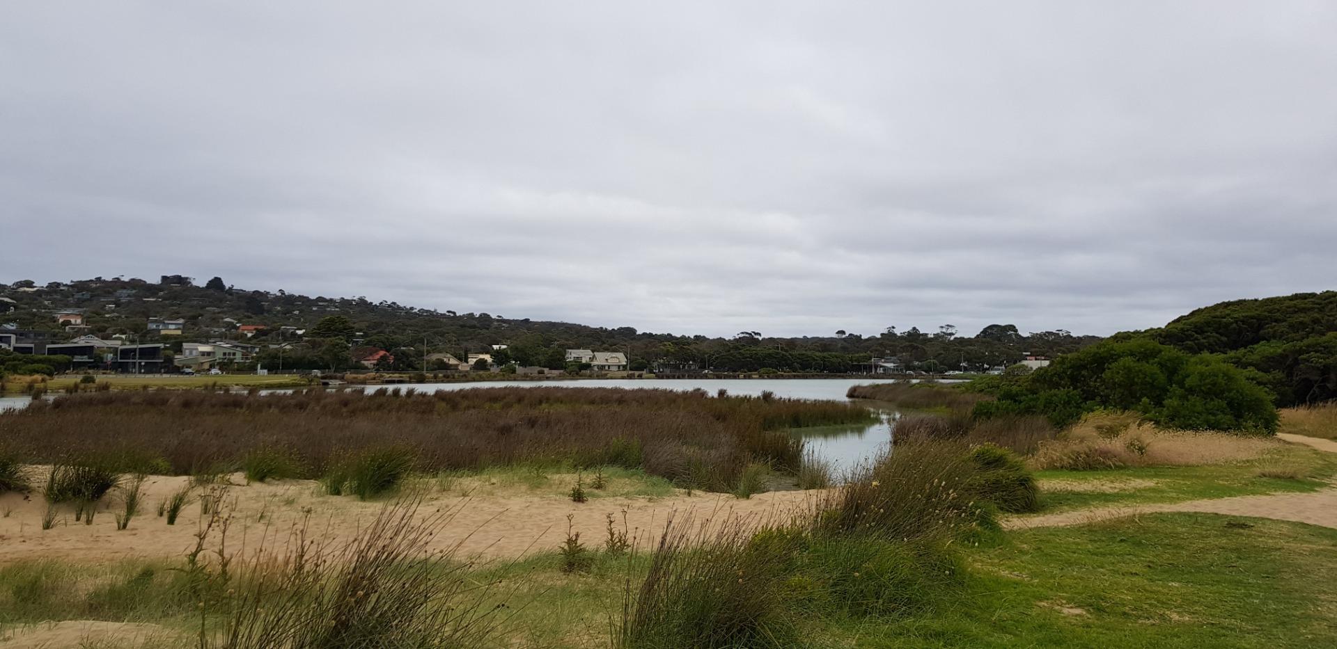
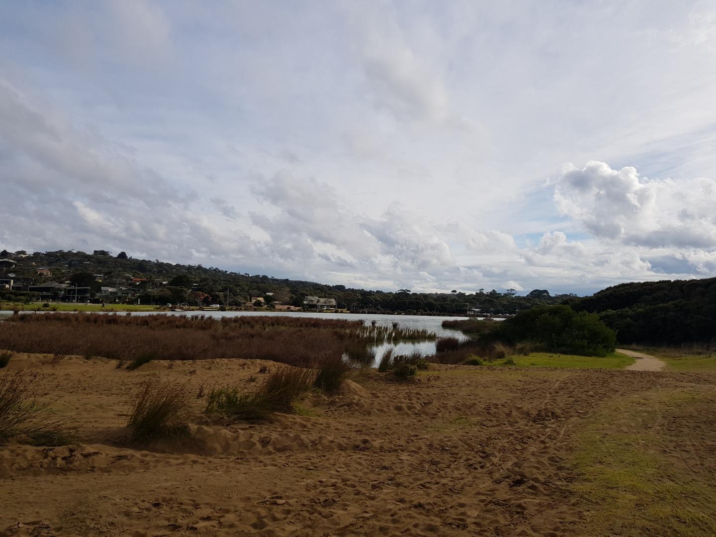
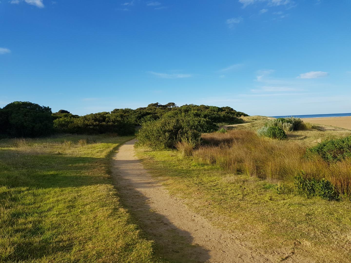
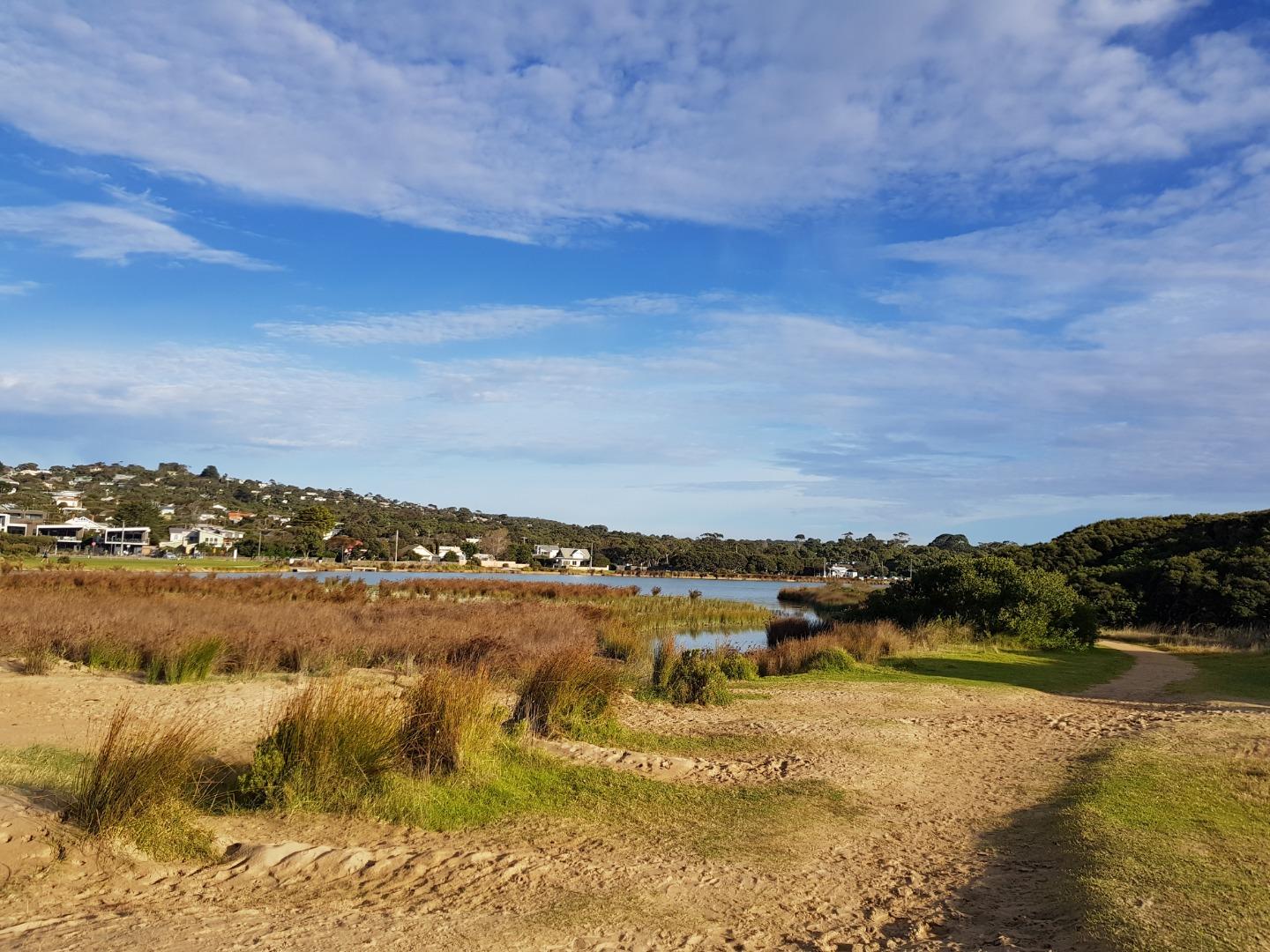
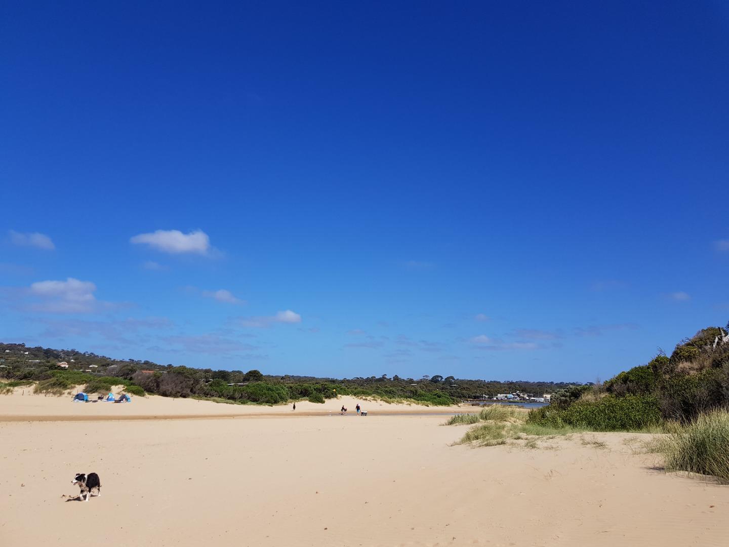
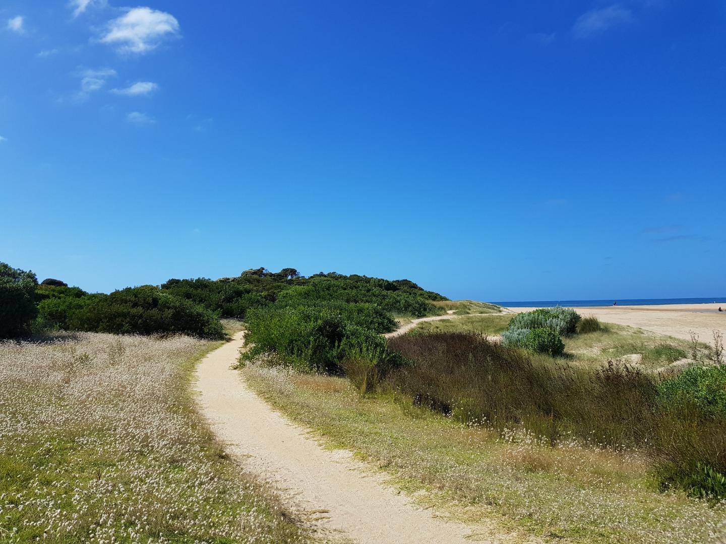
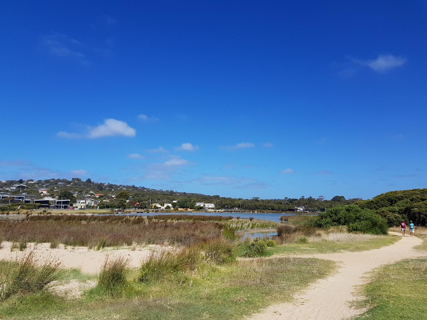
The Anglesea River Estuary is approximately 2.618km in length with a catchment area of 885.1 Ha. There are extensive boardwalks, bridges and trails around the estuary which provide many opportunities to get up close to the estuary.
Map
Estuary Values
- Estuarine Wetland Ecological Vegetation Class (Endangered)
- Eastern Great Egret (Adea modesta) Status: Vulnerable (Adv List)
- Nankeen Night Heron (Nycticorax caledonicus) Status: Near Threatened (Adv List)
- camping
- canoeing, kayaking and stand up paddling
- recreational fishing
- picnics and BBQs
- sightseeing
- swimming
- walking
Estuary Threats
- disturbance of Acid Sulphate Soils
- altered water regimes
- altered physical form
- poor water quality
- invasive flora and fauna
- reduced connectivity
Recent Events
| Event Details |
|---|
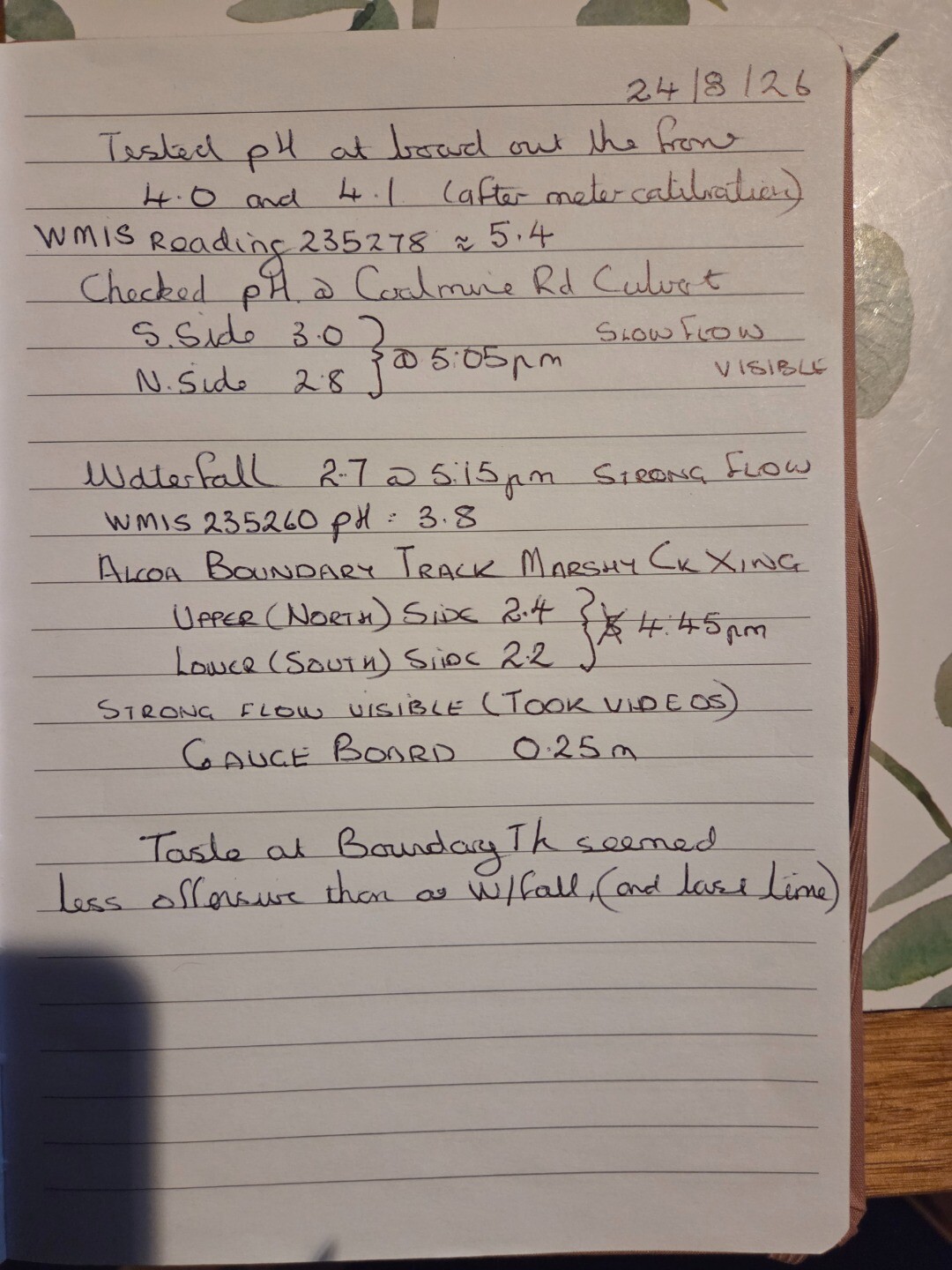
| 24-08-2026 Special pH monitoring See Report attached Marshy Ck flowing well under ALCOA Boundary Track pH =2.2 - 2.4 Marshy Ck pH measured at AV2 (Inside ALCOA) WMIS 235260 pH = 3.8 Combined Ck at Coalmine Road Culvert pH = 2.8-3.0 Estuary water at WMIS 235278 site pH= 4.0-4.1 pH indicated at WMIS 235278 ph = 5.4
Would seem that EW Laqua twin readings are not consistent with indications from permanently installed pH monitors.
Have some movies of Flow under ALCOA Boundary Tk and Waterfall. Couldn't transfer them
|
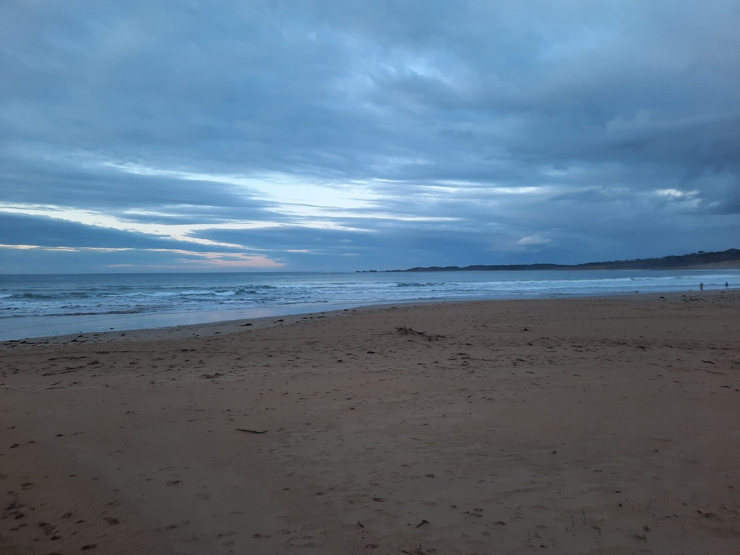
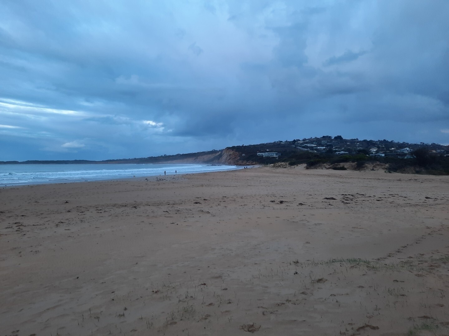
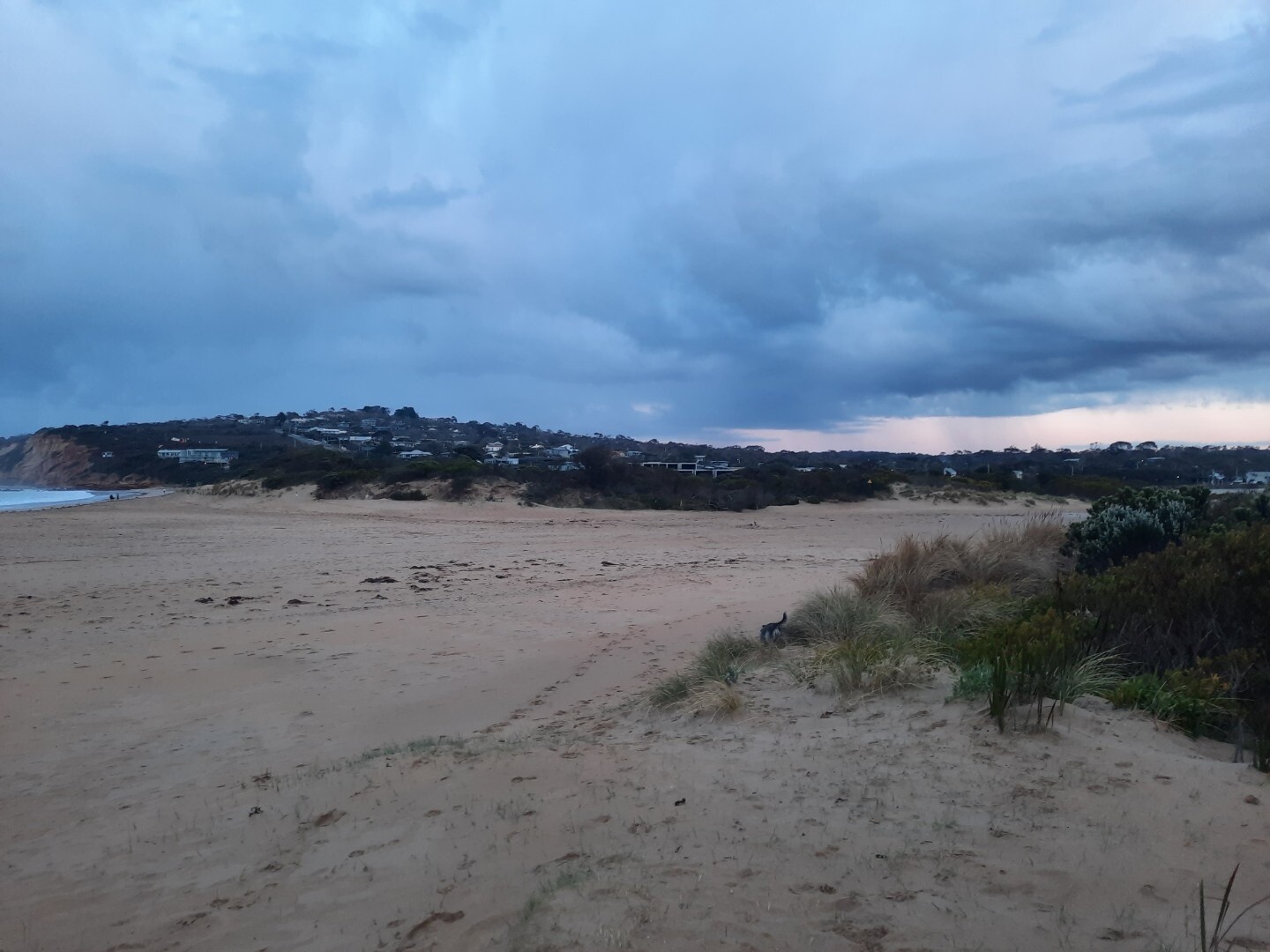
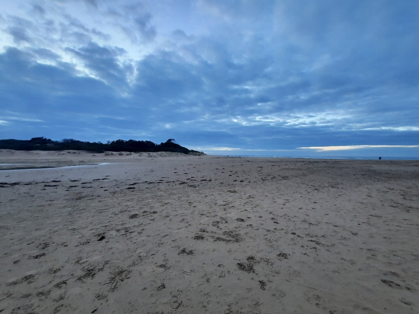
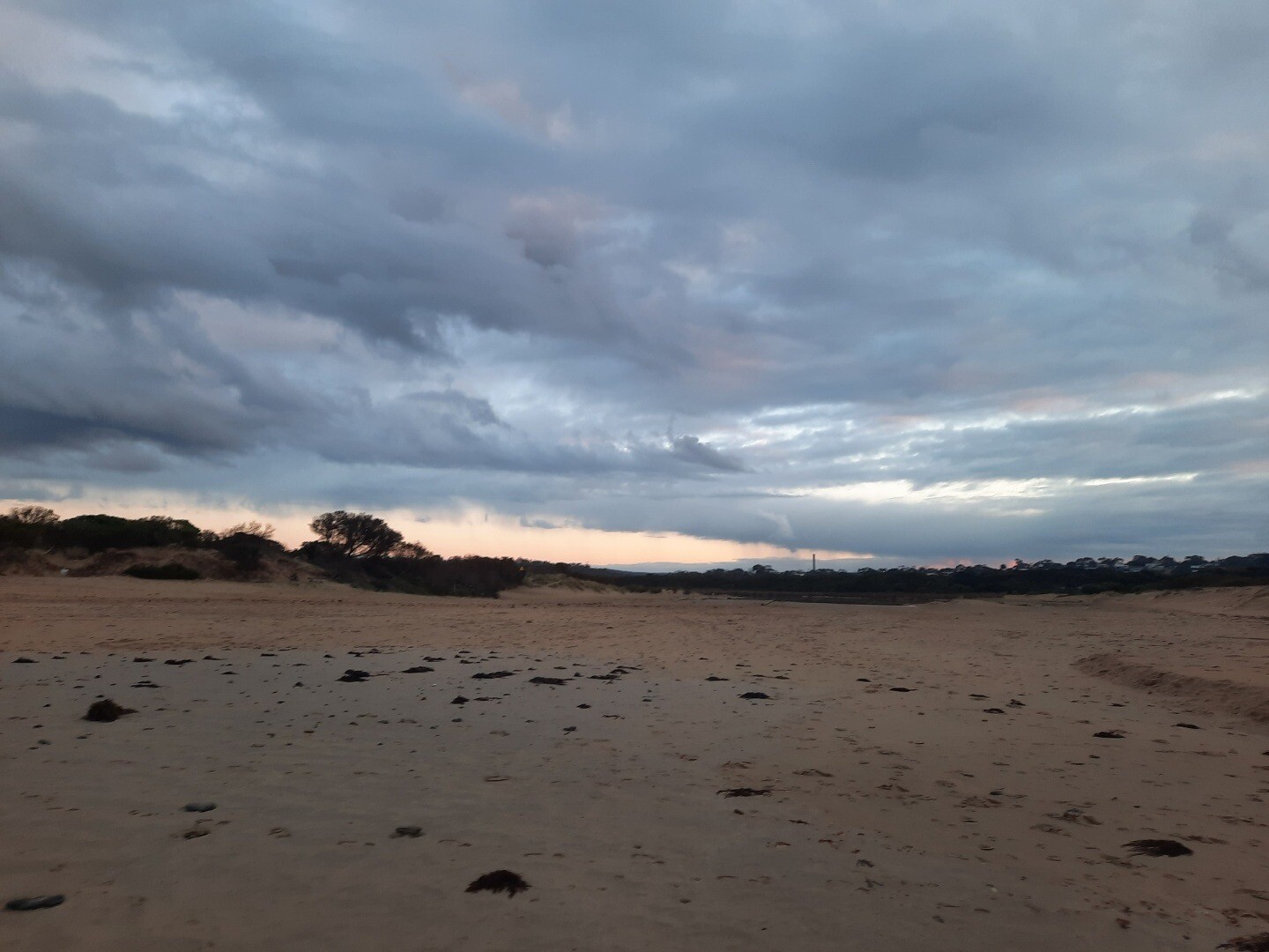
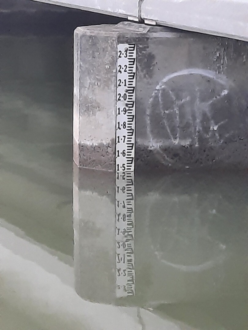
02-09-2025 Water level
|
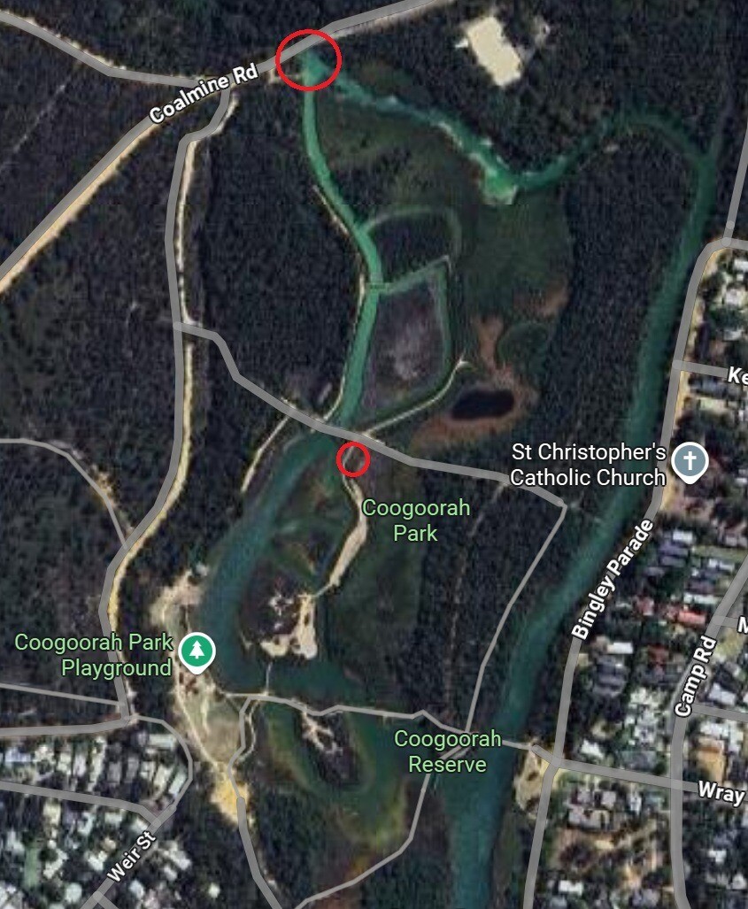
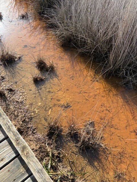
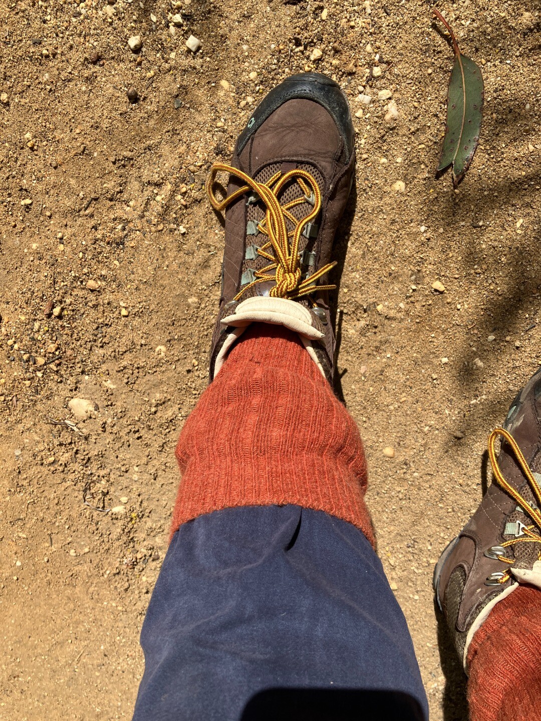
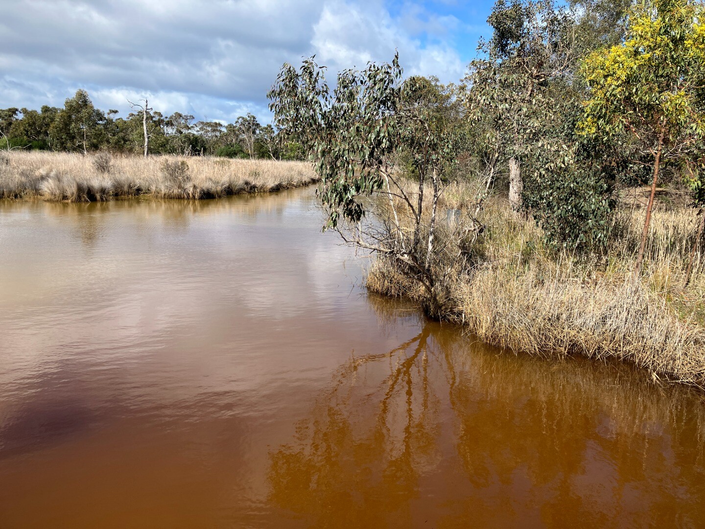
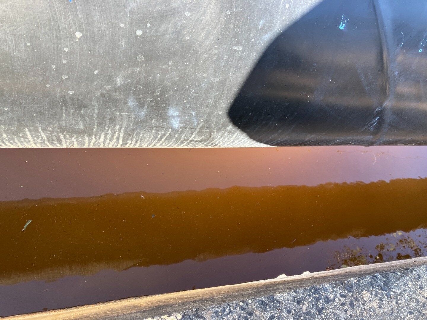
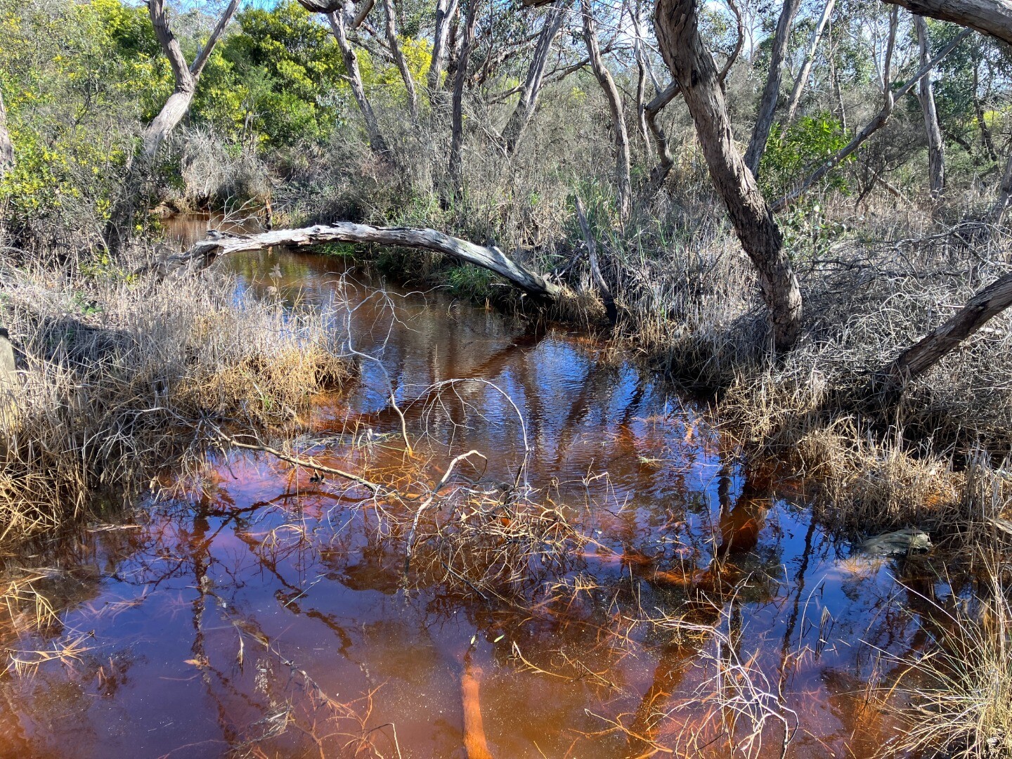
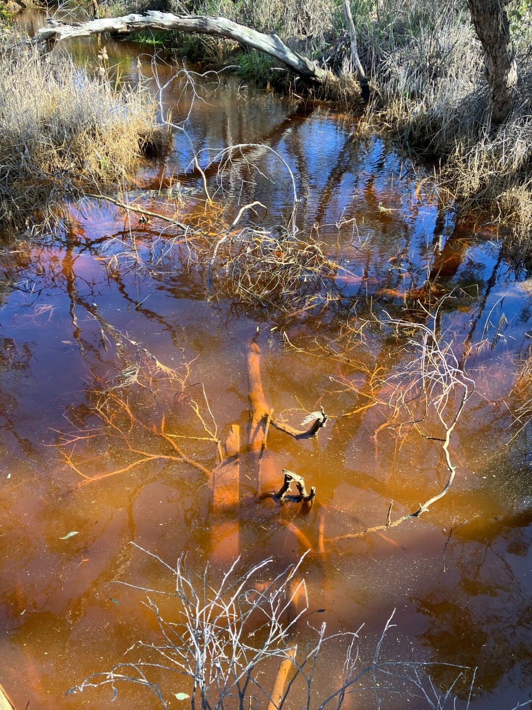
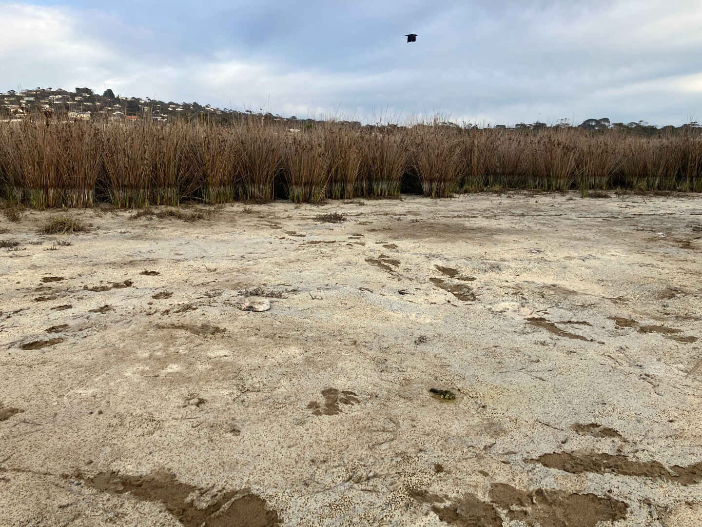
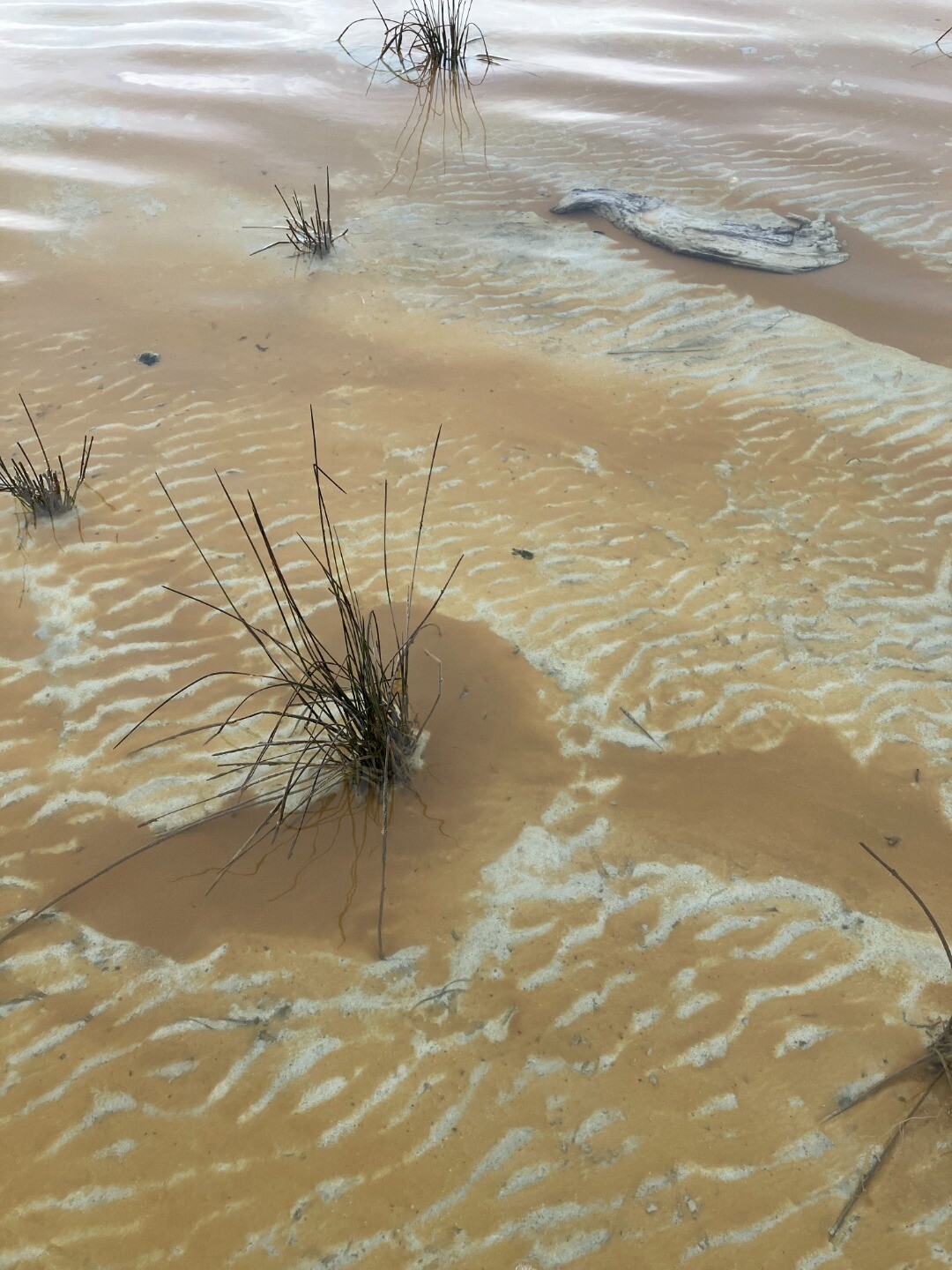
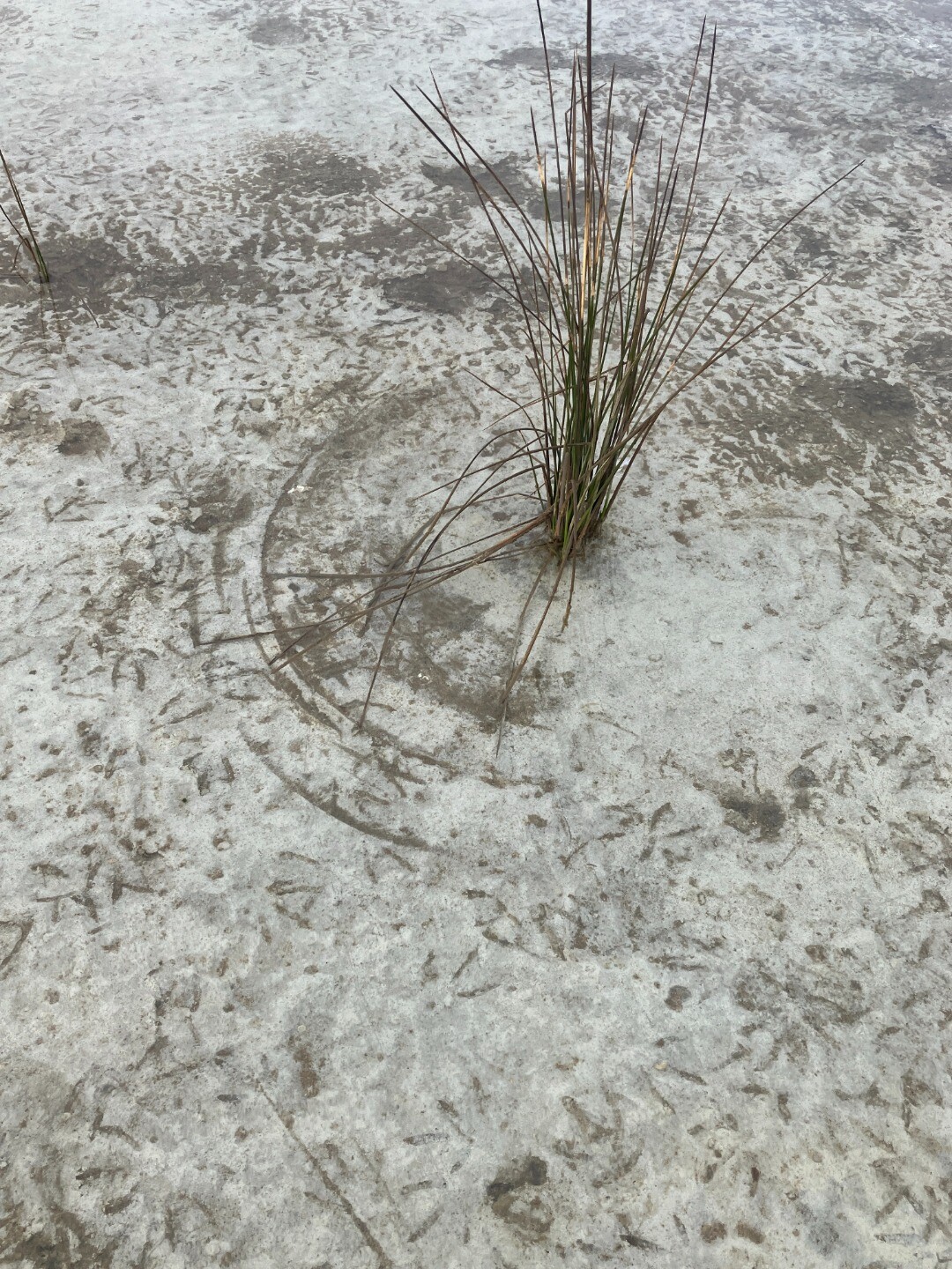
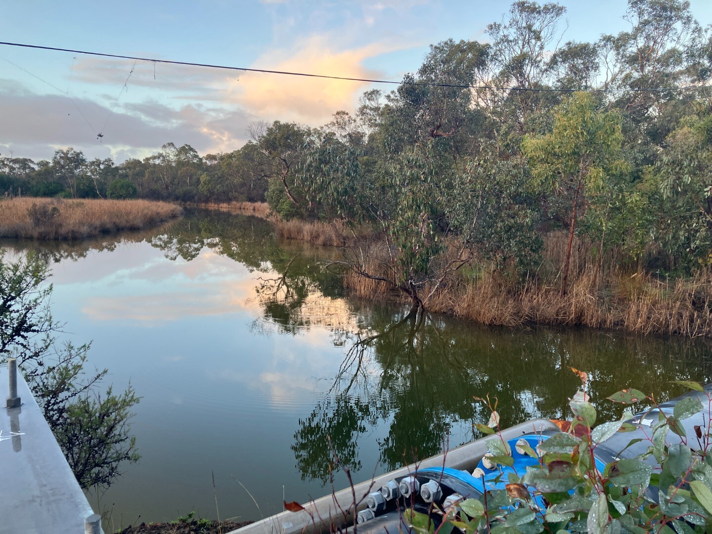
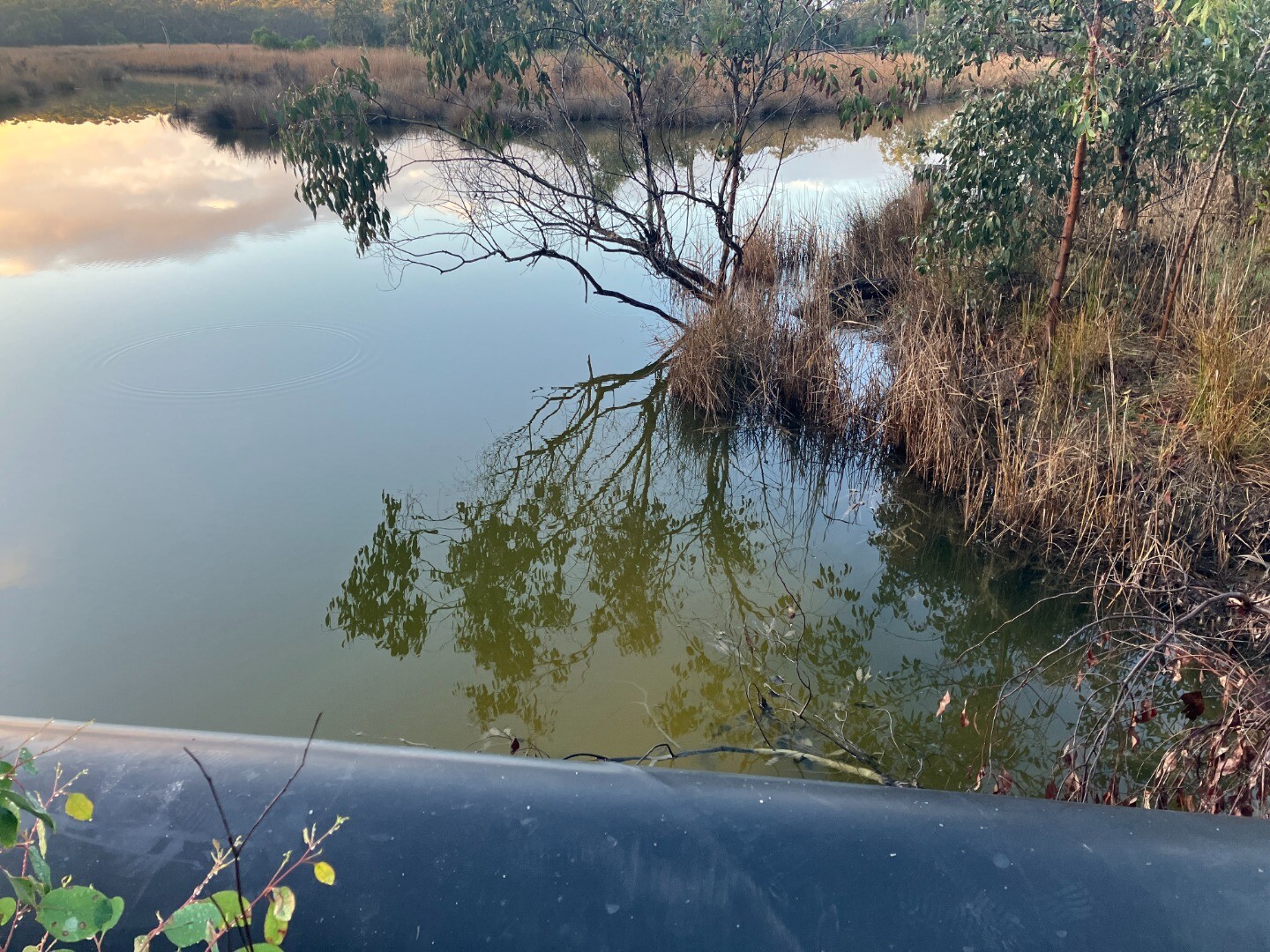
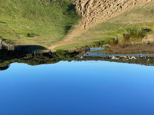
| 29-08-2025 EstuaryWatch Event Location: north side of Coalmine Road monitoring site 5 Dark red colouration of suspended solids in water. Seen flowing under Coalmine Road and detected when monitoring site 5. (pic 2) pH reading taken on this northern site of Coalmine Road = 3.1. Regular Estuary watch reading for site 5 will be reported as usual in separate report. This colouration also seen in shallow water near the middle of the estuary system as marked in the map. (pic 3) 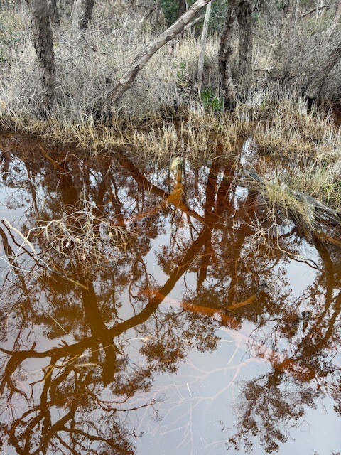
|
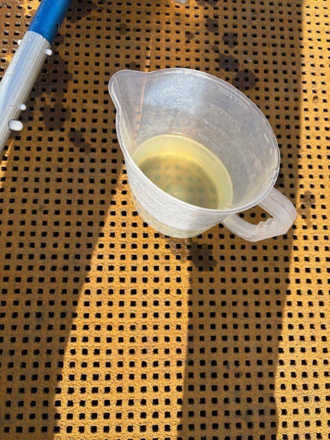
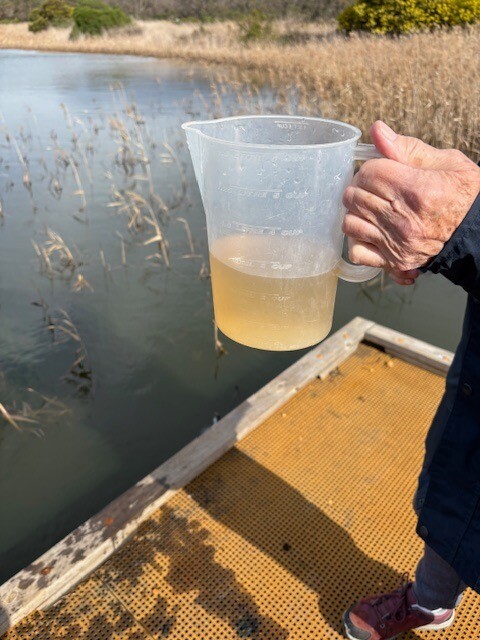
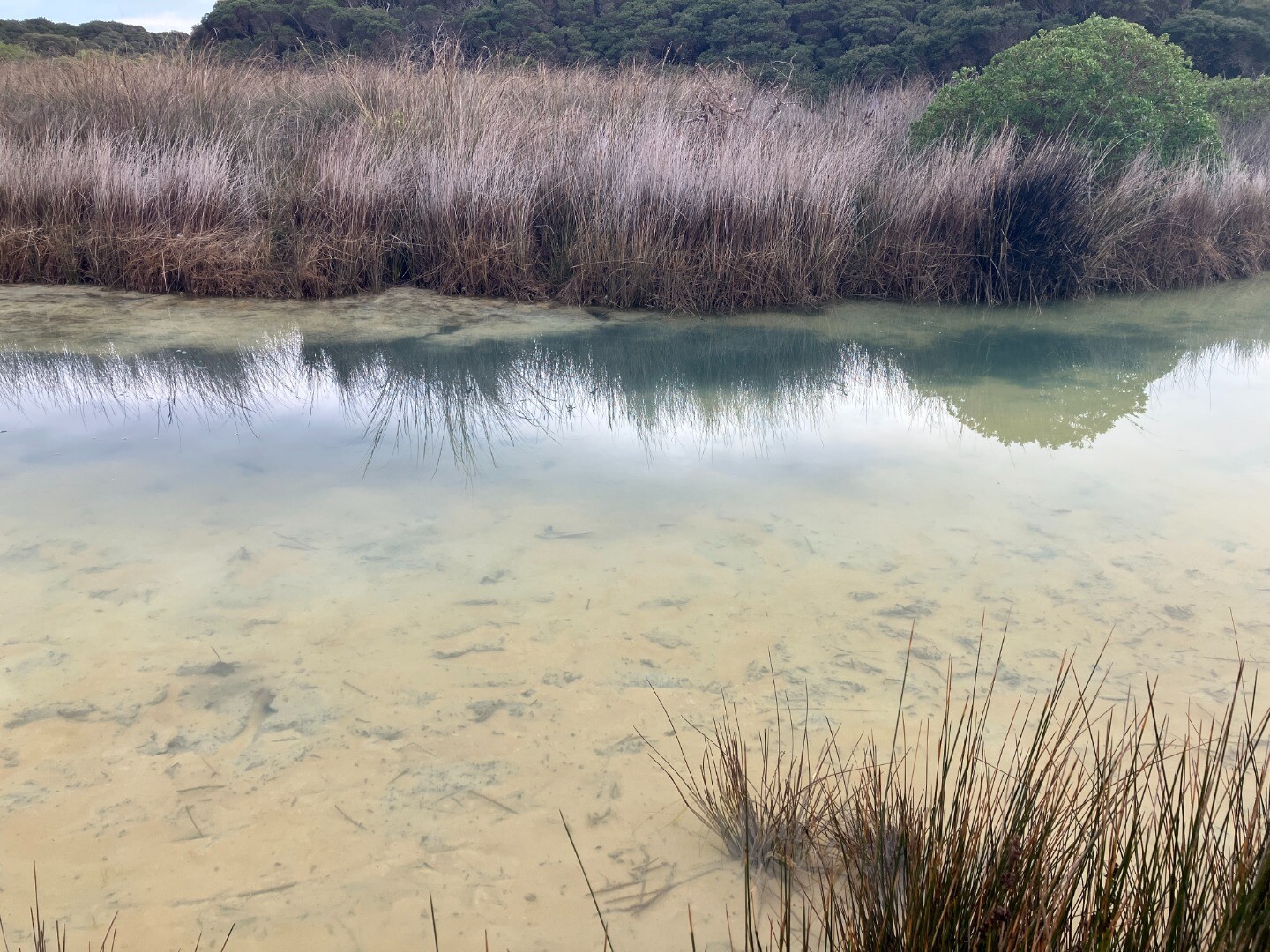
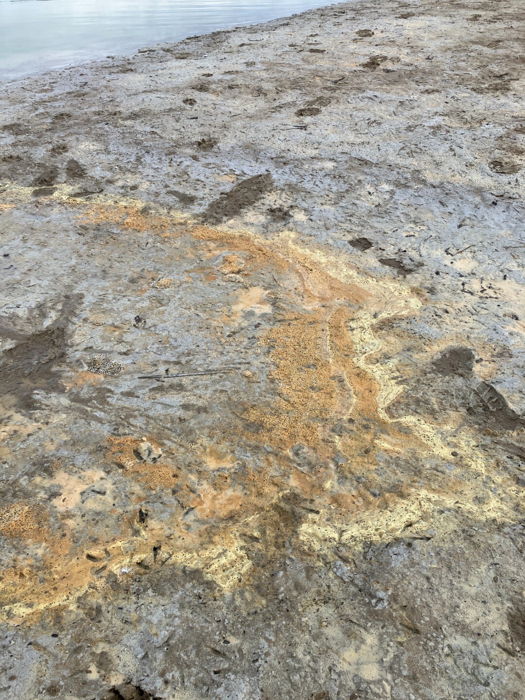
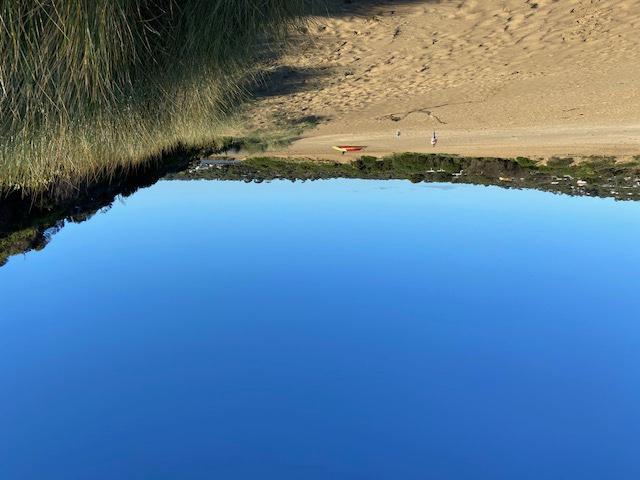
| 29-08-2025 EstuaryWatch Event Extra pH readings taken at water body known as the Duck Pond using Estuary Watch equipment. Observed red residue on boardwalk where that part of the boardwalk had previously been submerged in water due to high water levels in the estuary. (Pic 1) Water colour different in both samples. This water body is a distinctly different colour that the variations seen in the rest of the estuary system. Depth of water body estimated at 0.75m (water sampling stick used to reach bottom). pH of top water sample 5.1 (pic 2) pH of bottom water sample 3.3 (pic 3) 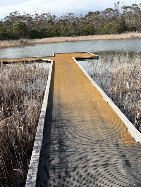
|
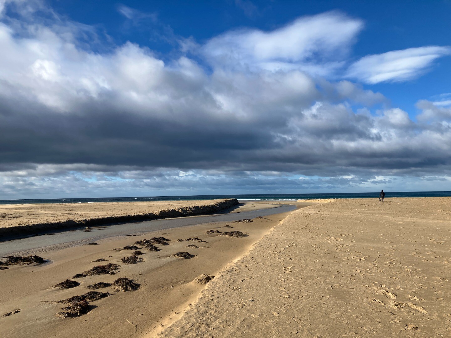
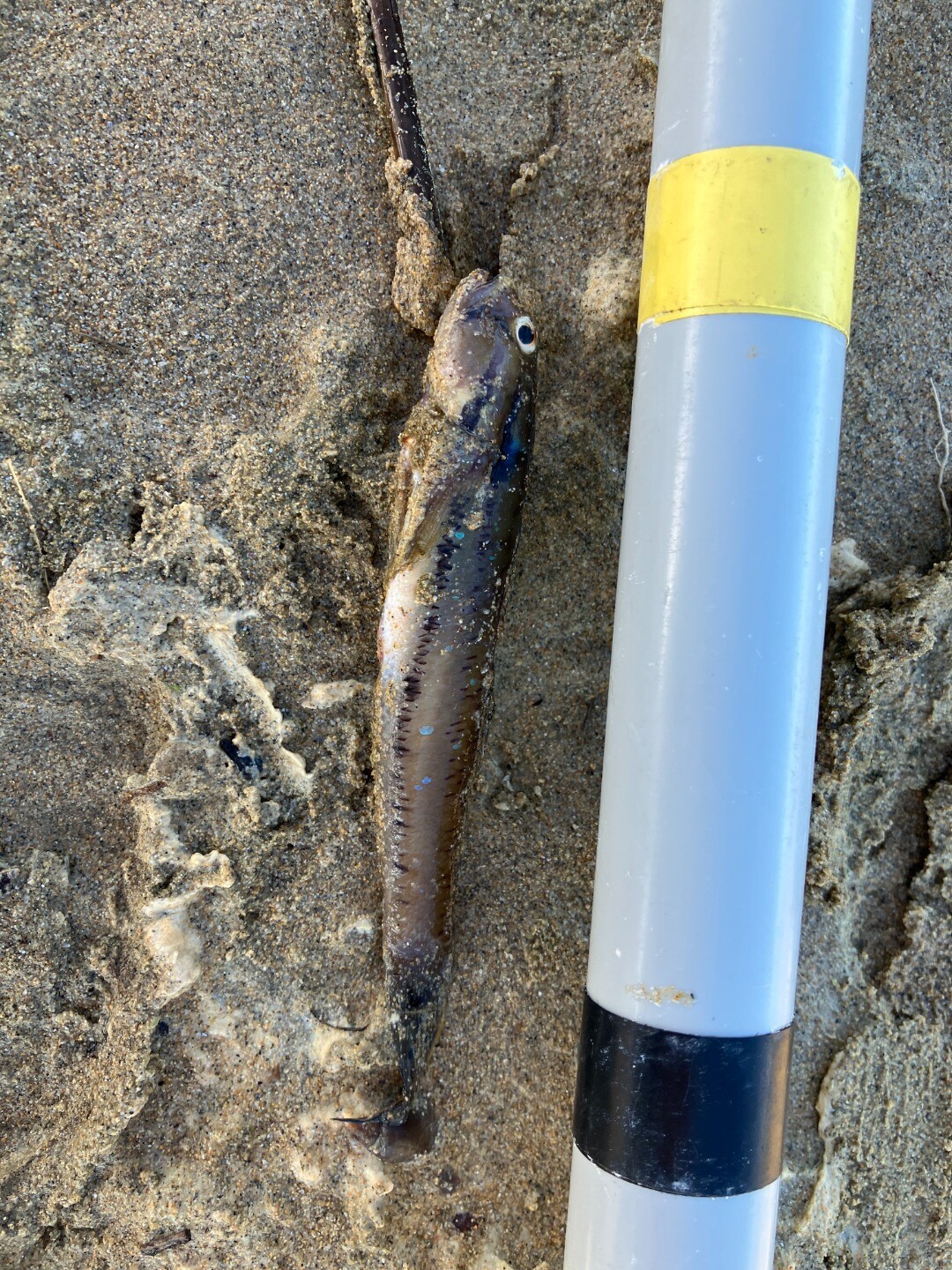
27-08-2025 water quality
|
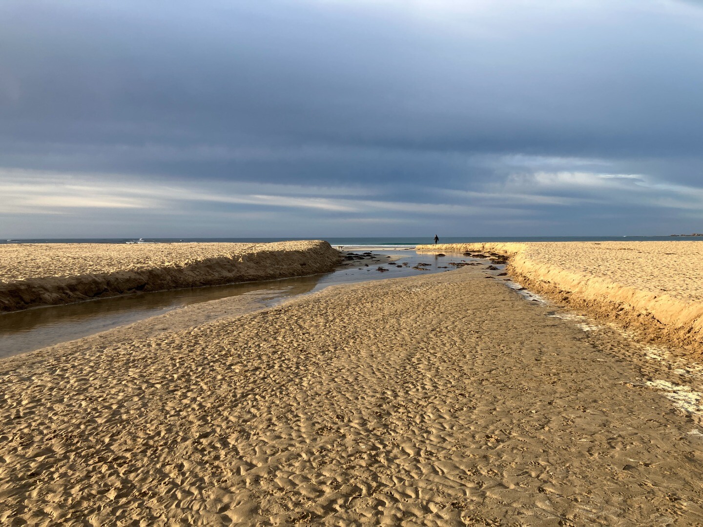
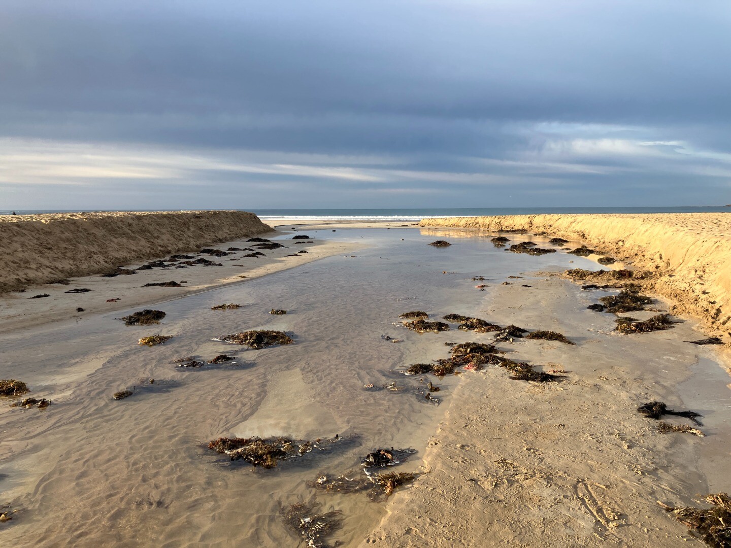
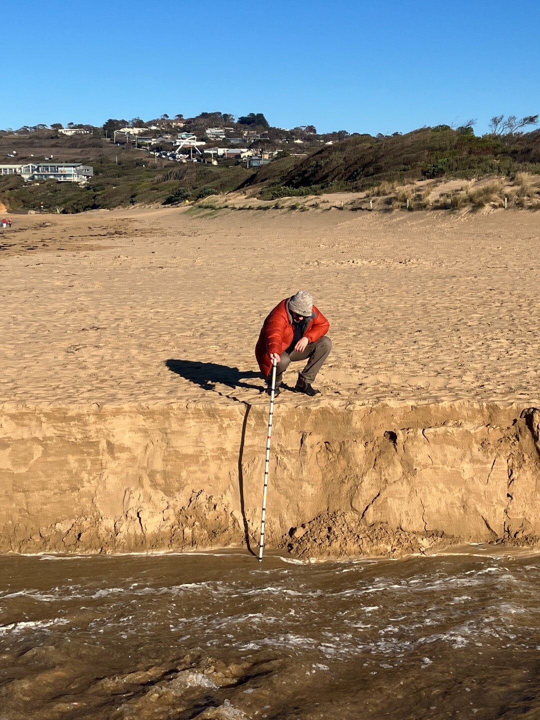
25-08-2025 Water level
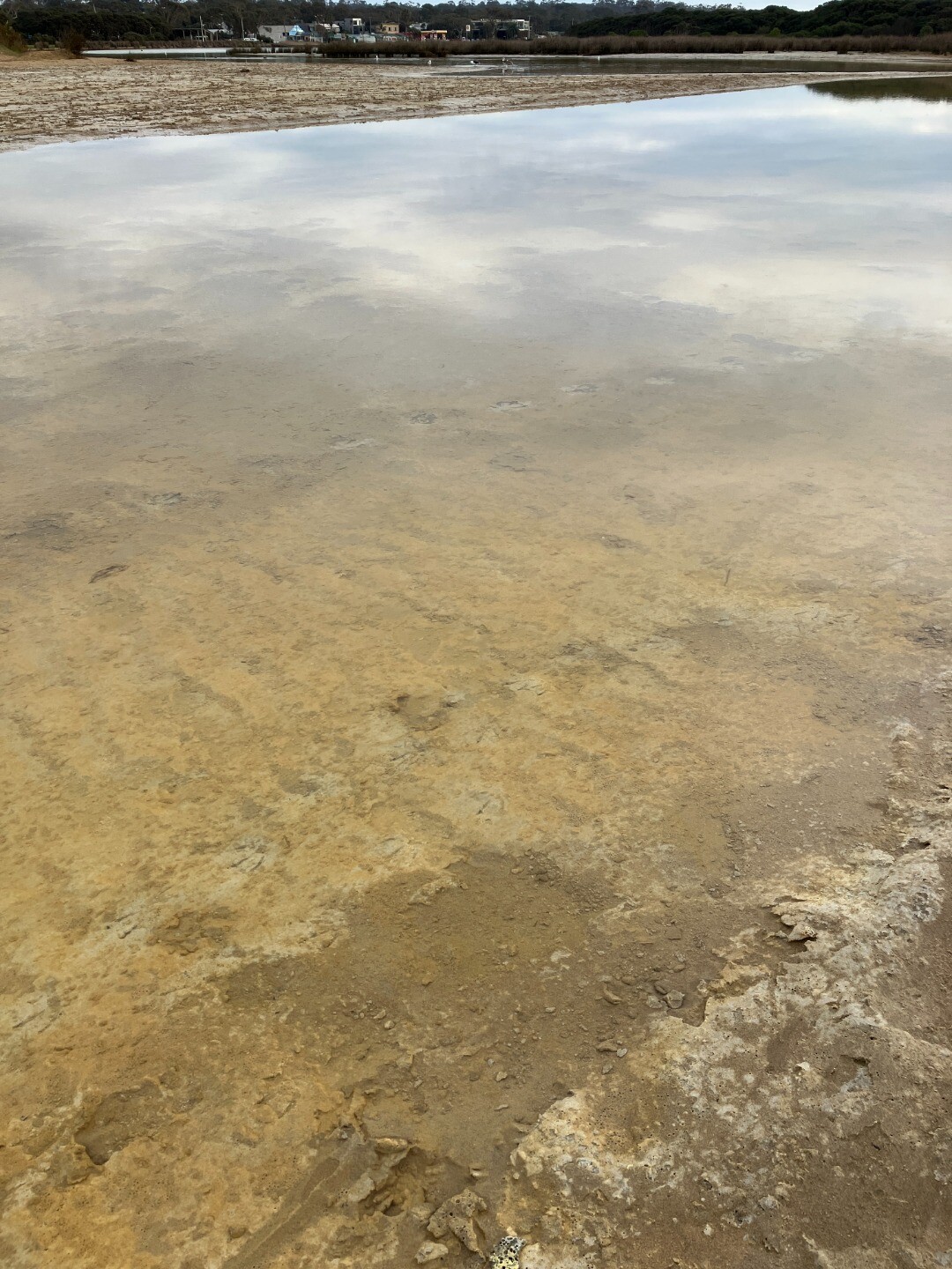
|
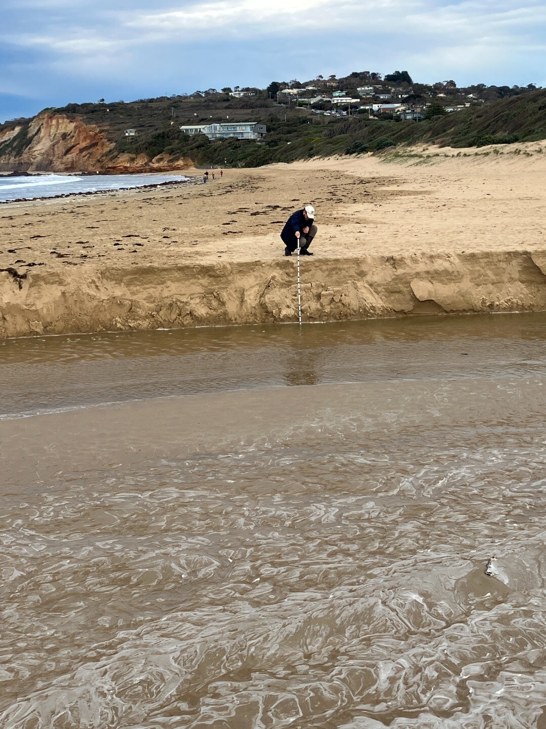
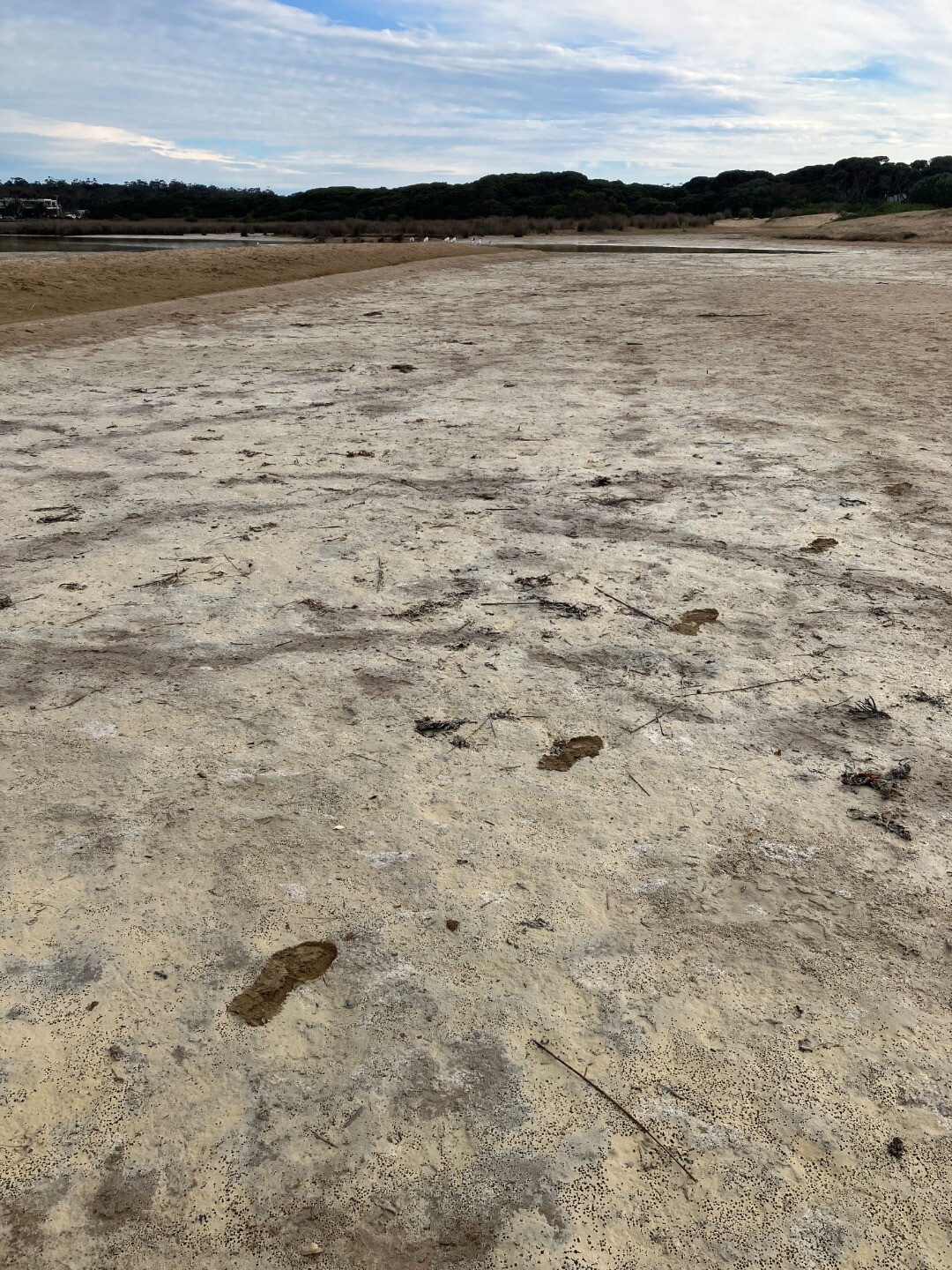
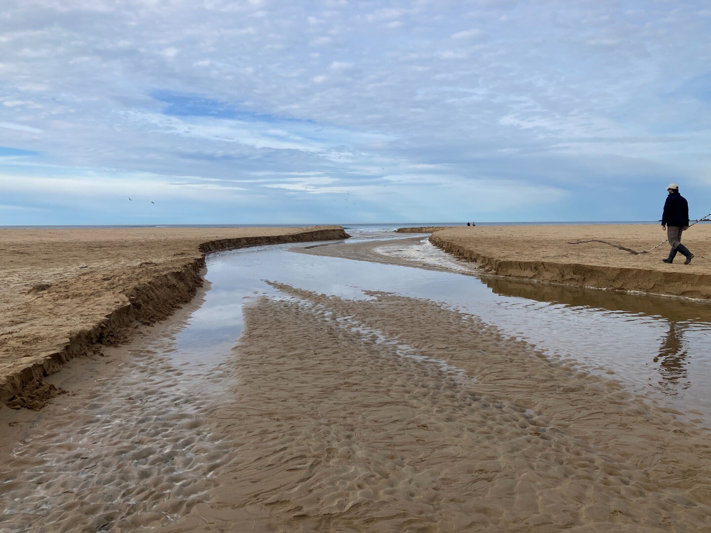
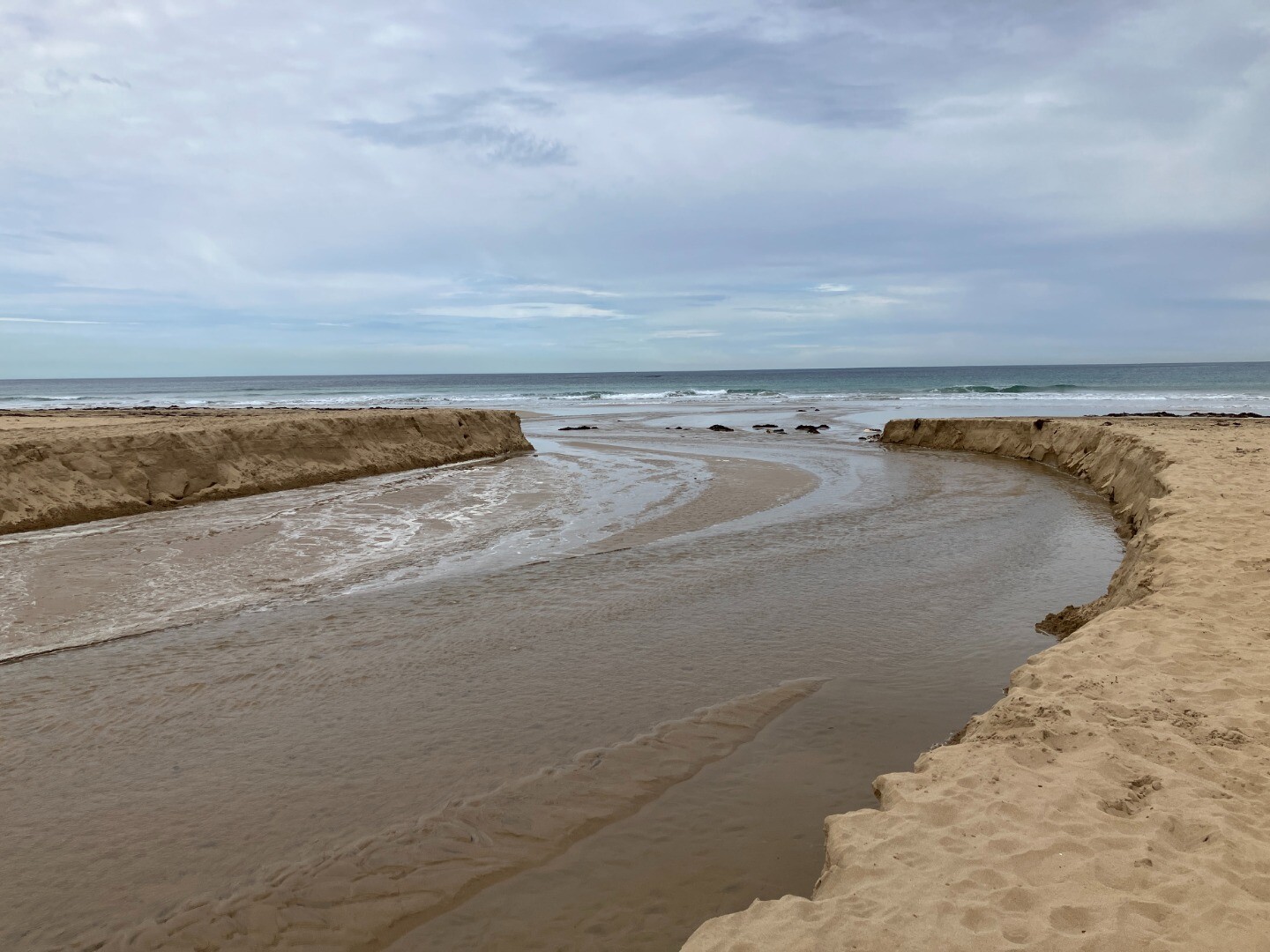
22-08-2025 Water level
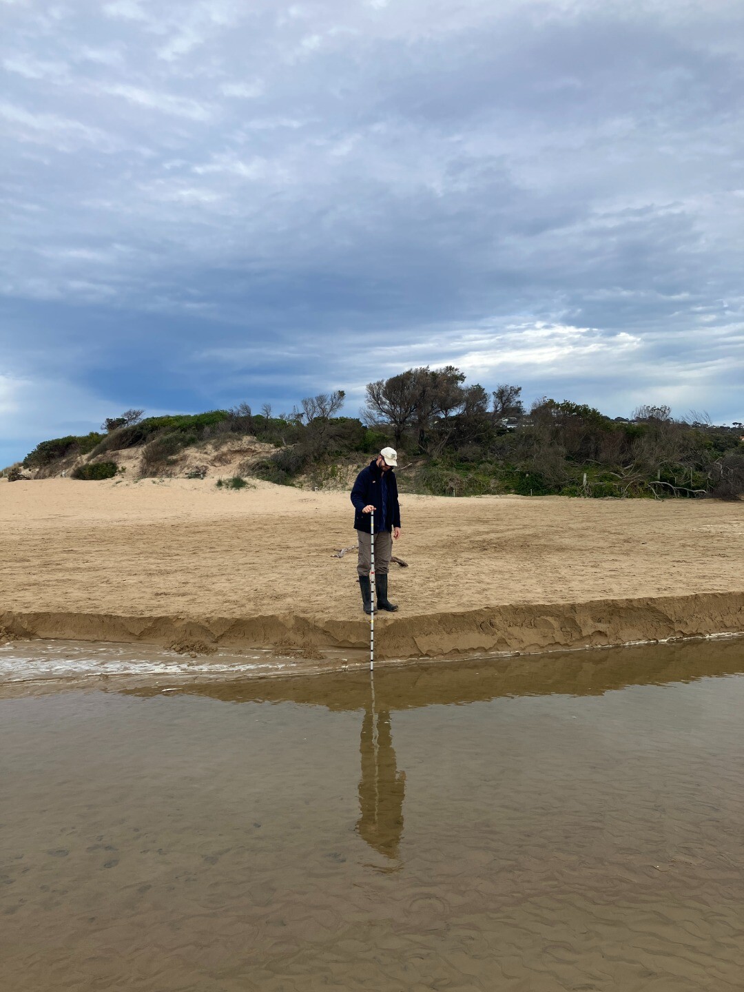
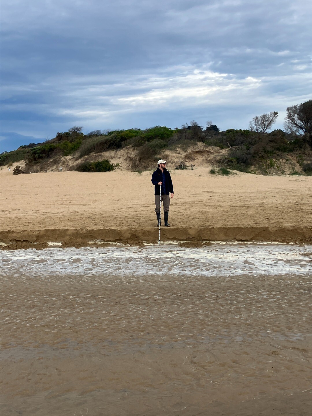
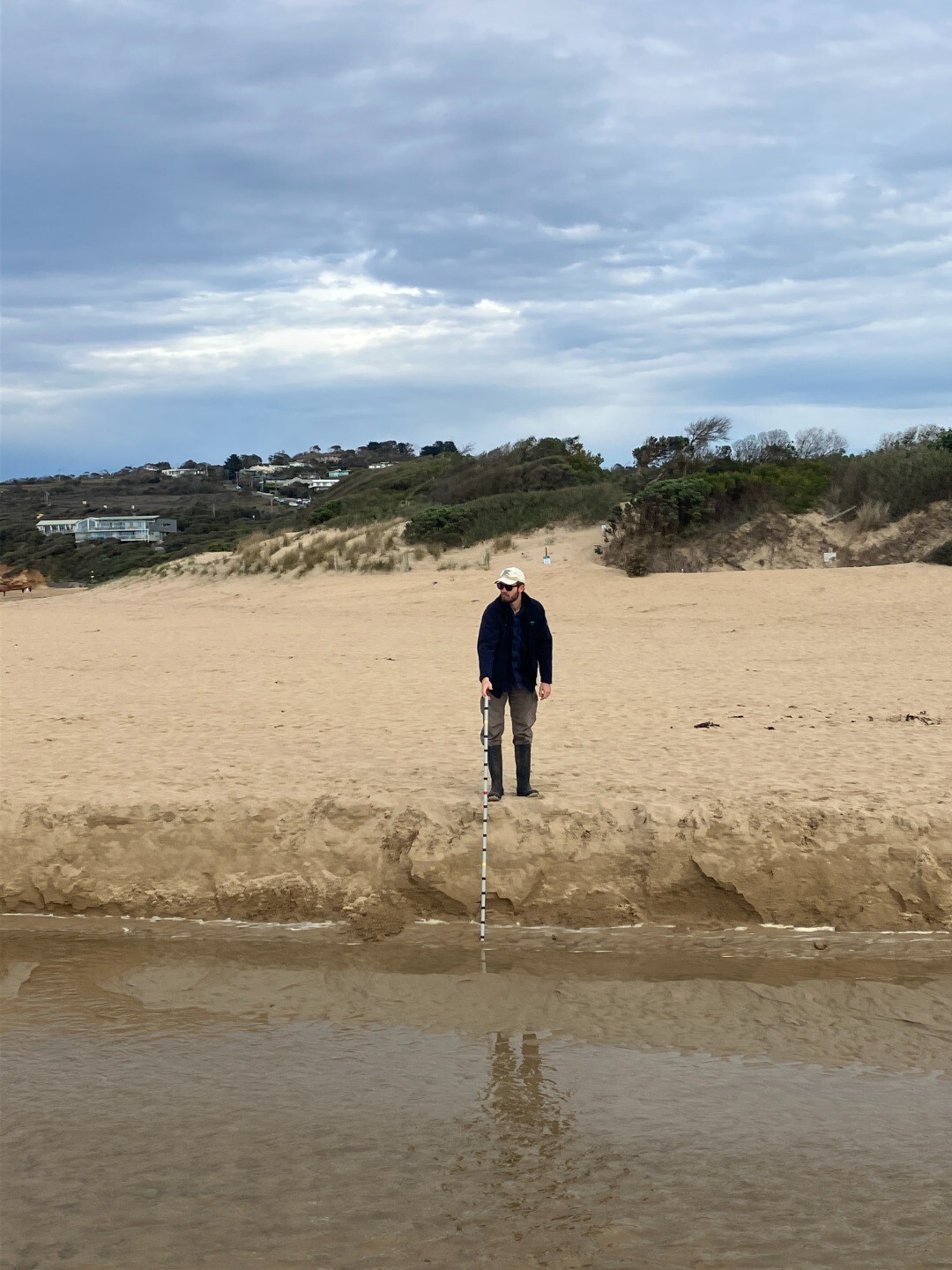
|
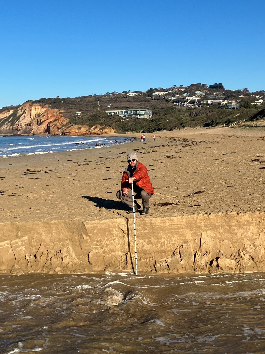
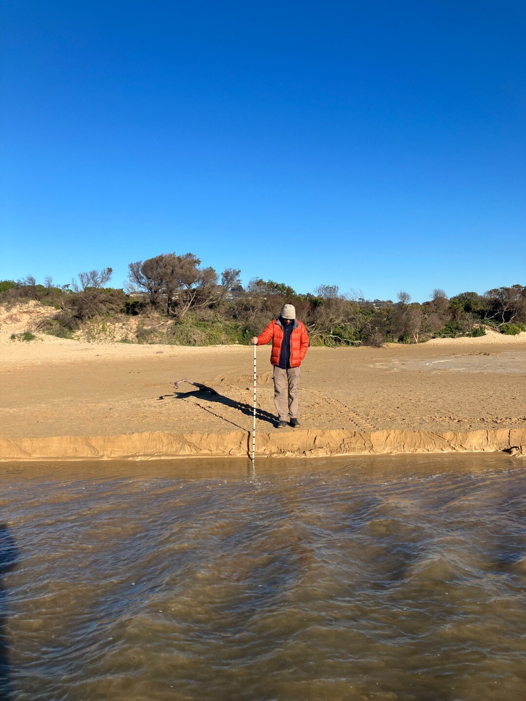
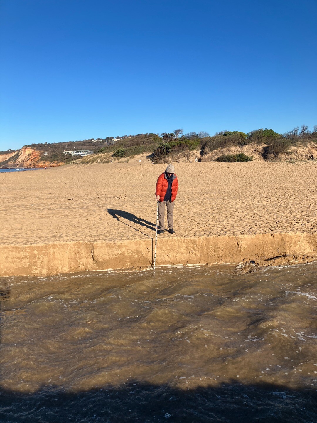
21-08-2025 Water level
|
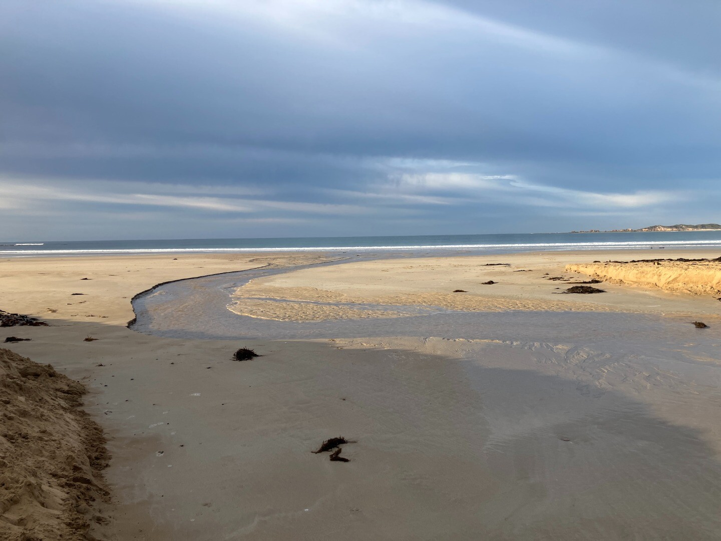
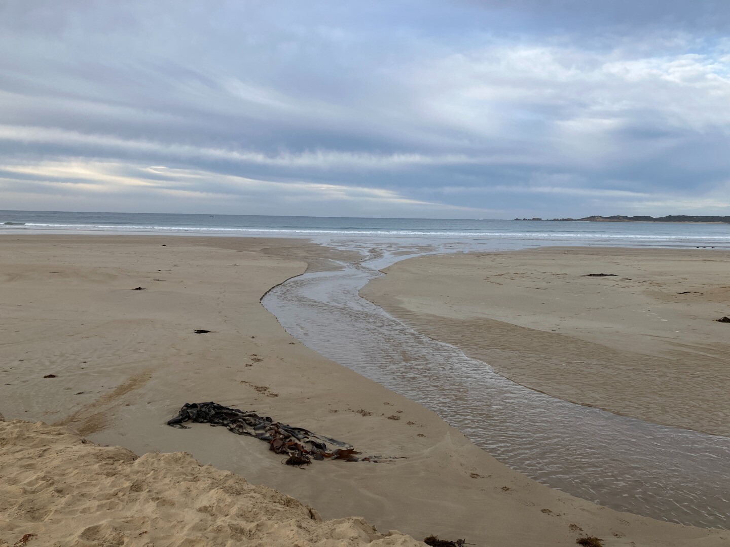
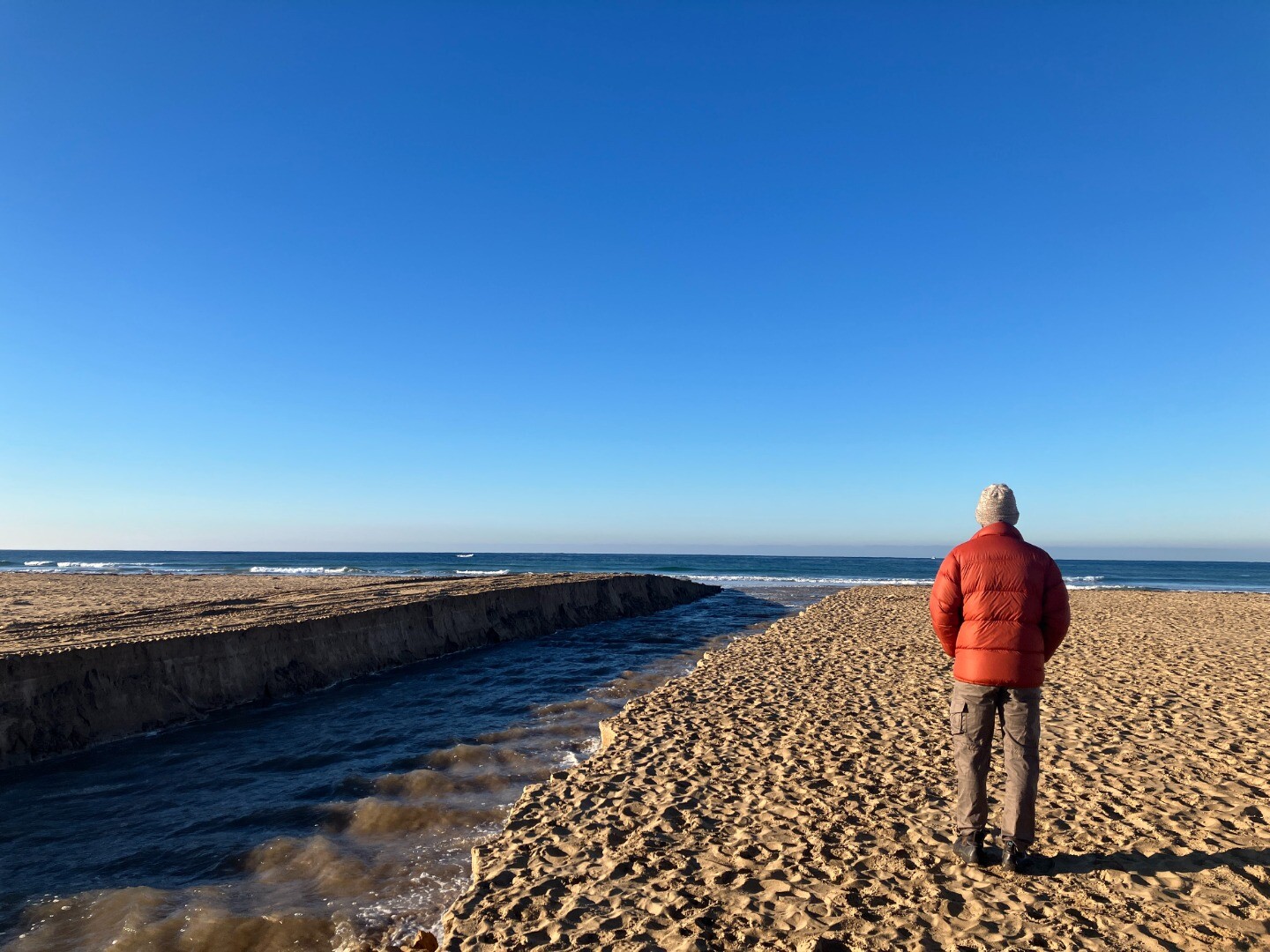
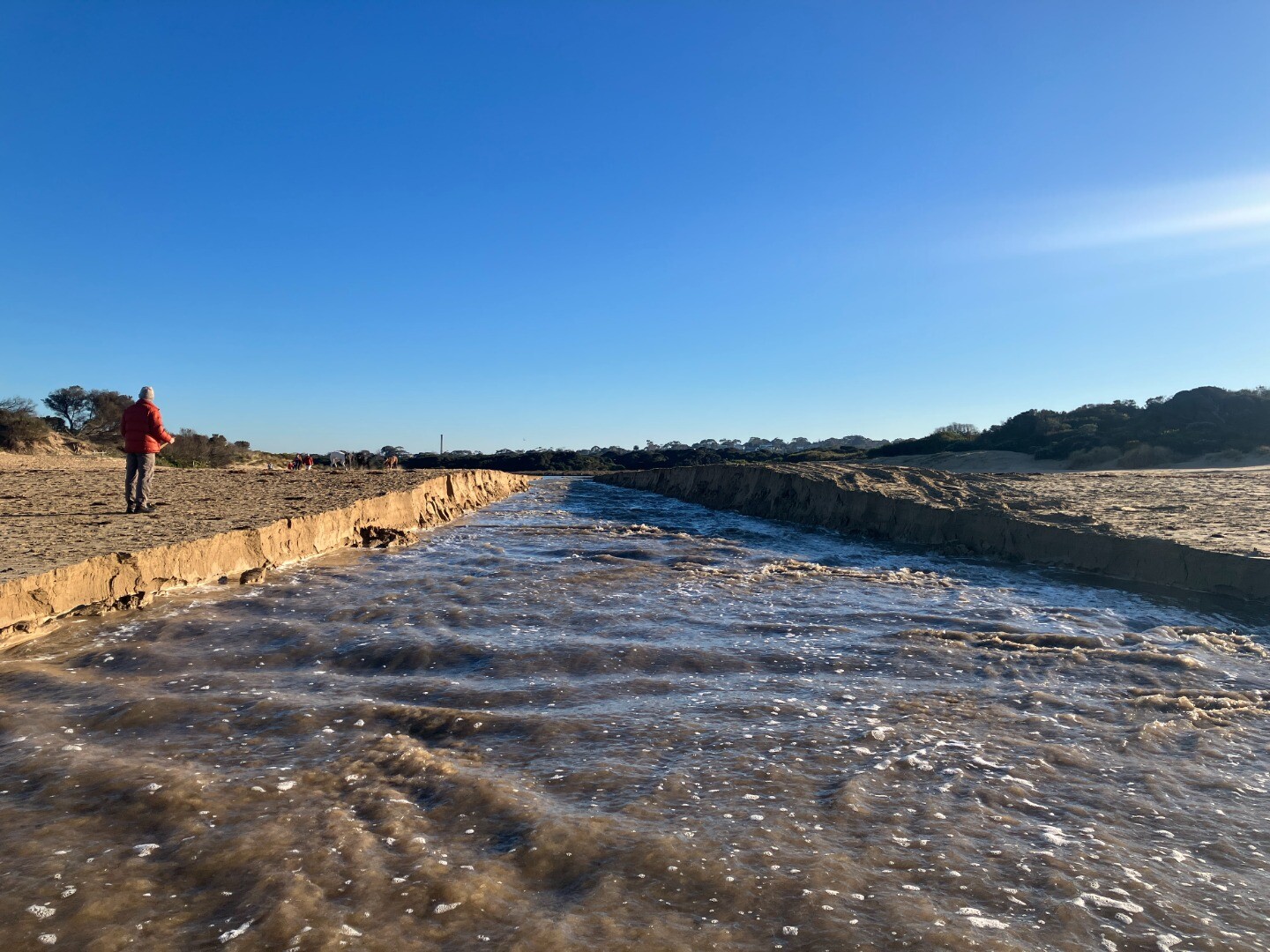
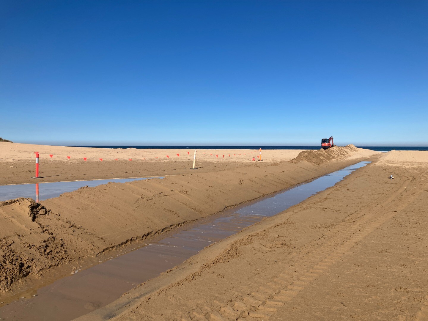
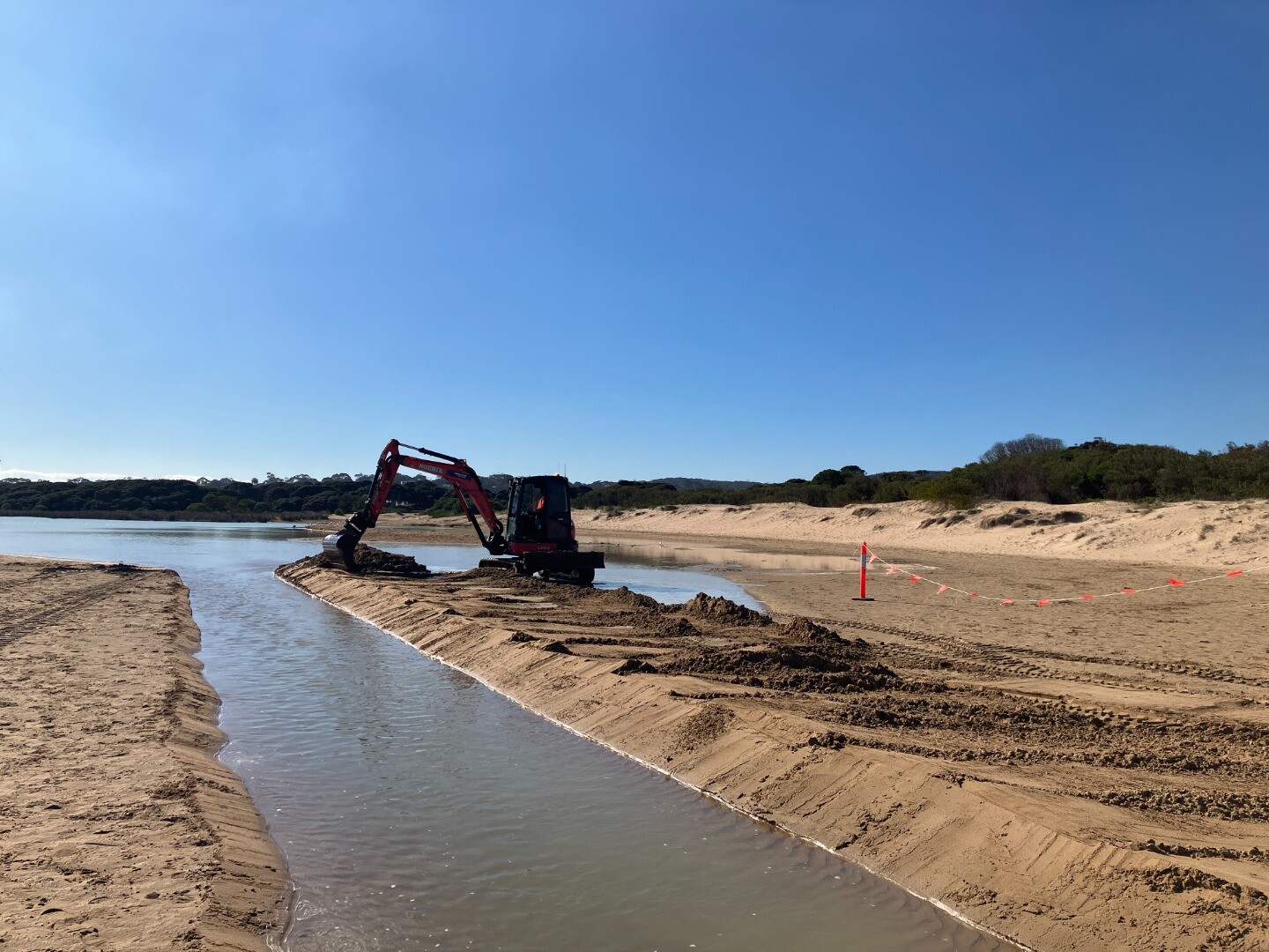
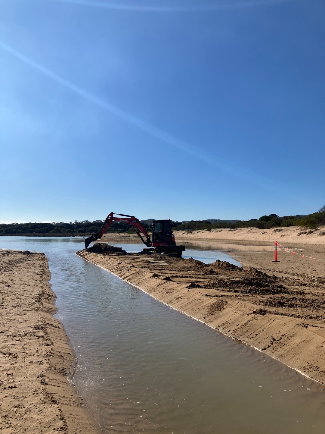
20-08-2025 Estuary Entrance Opening
|
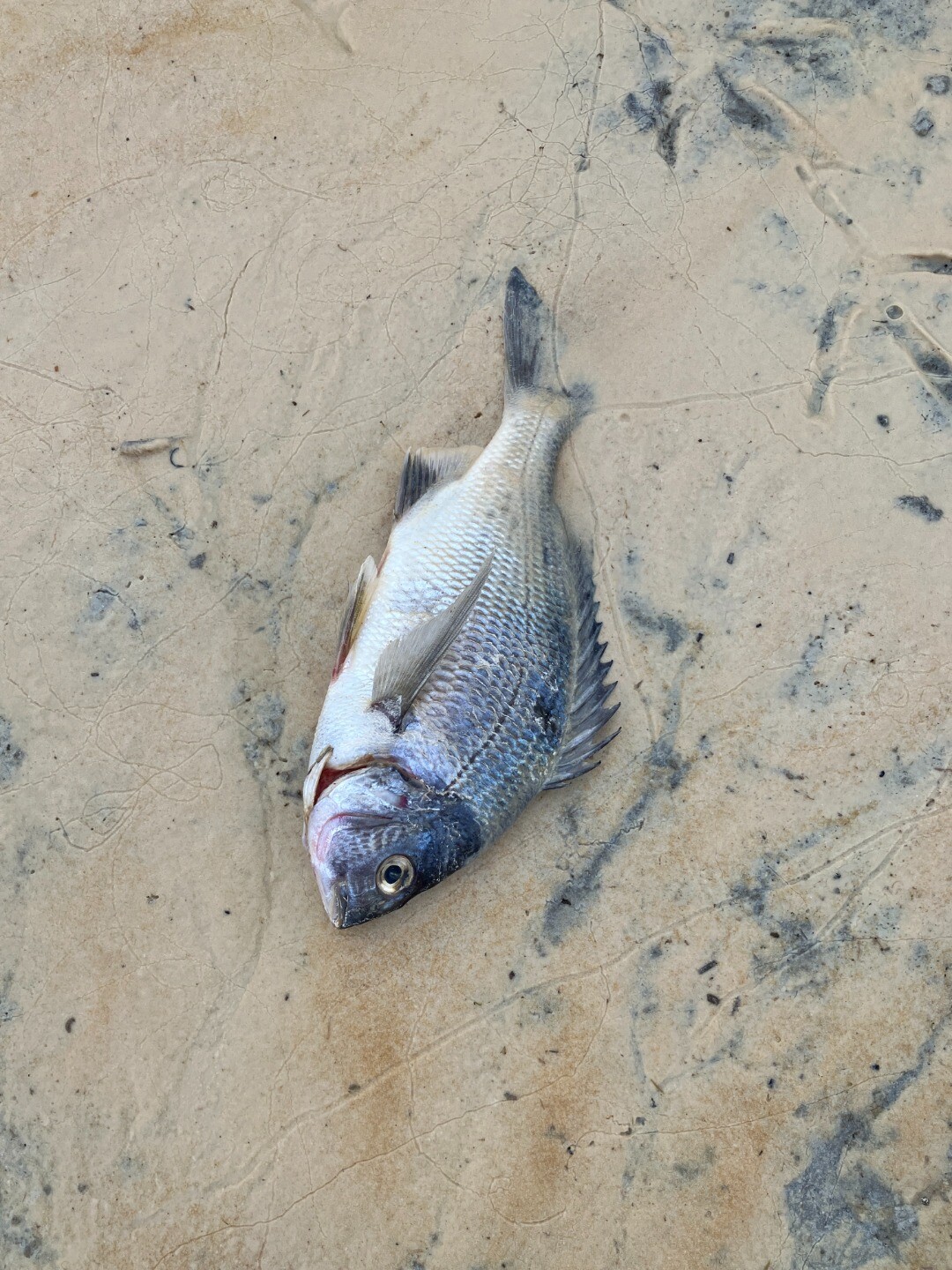
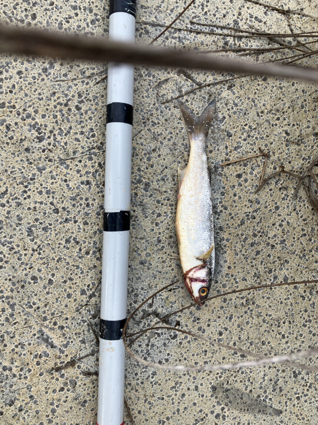
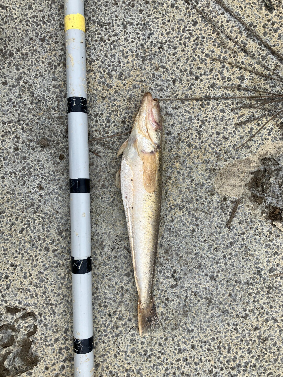
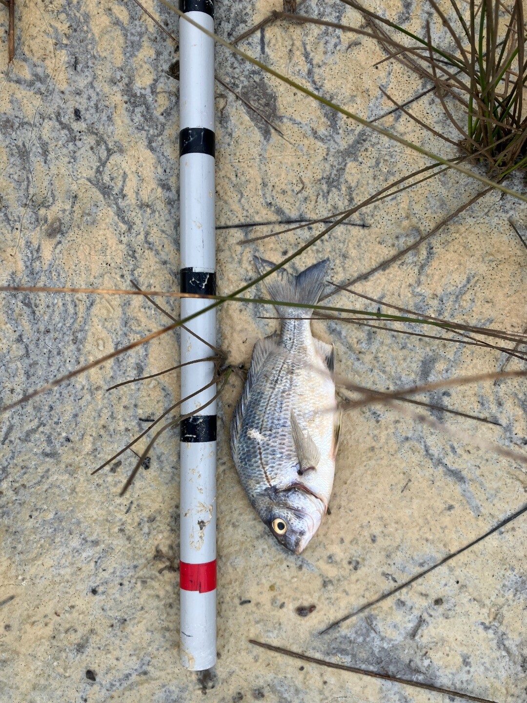
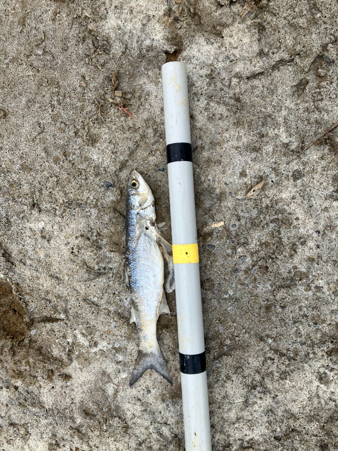
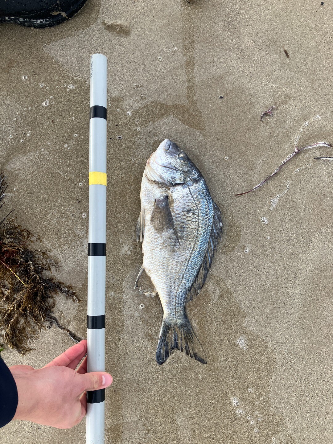
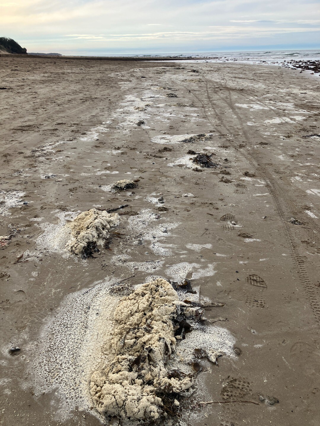
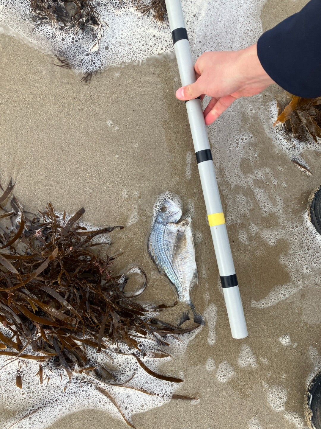
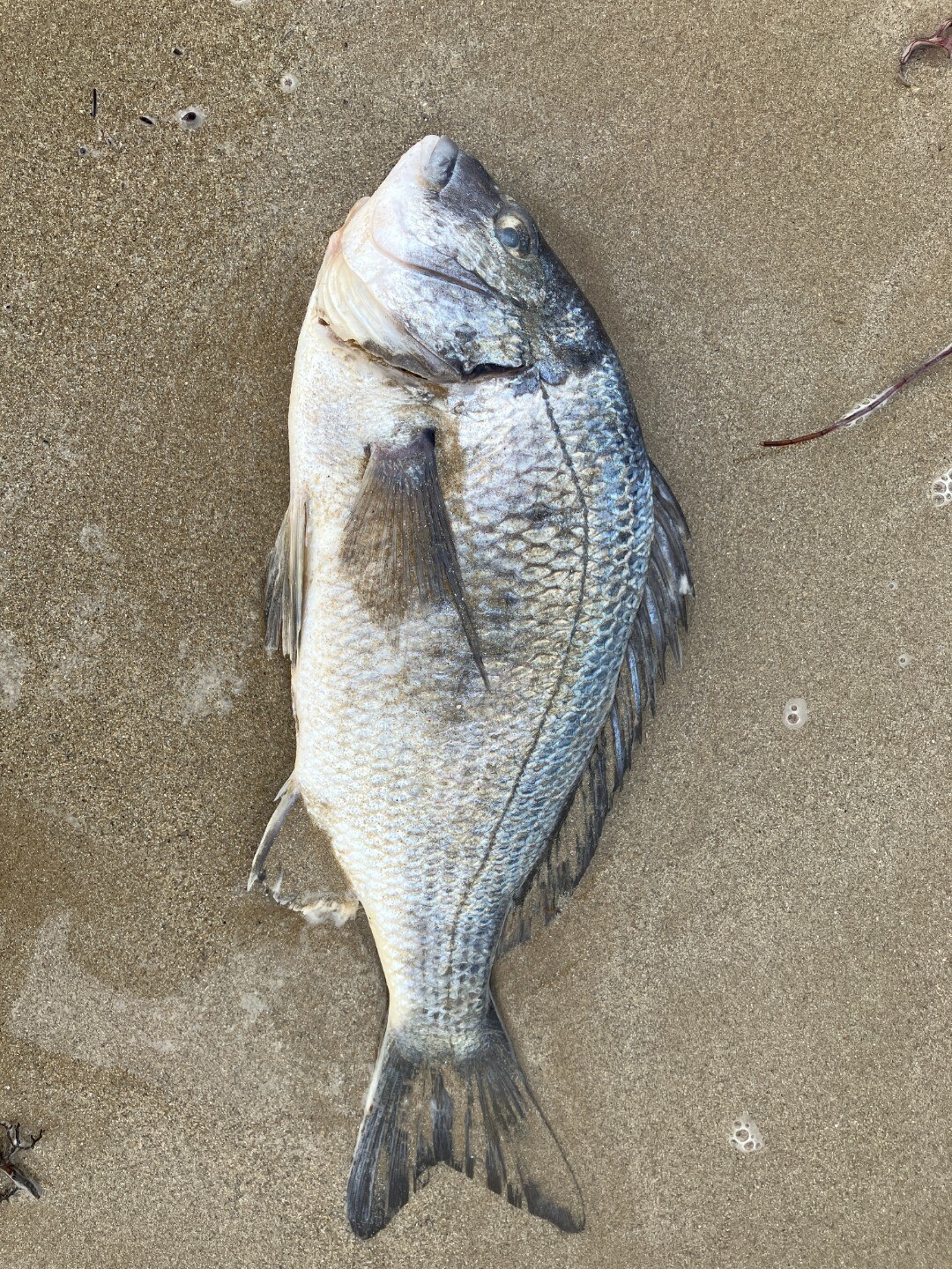
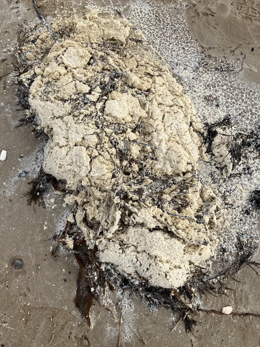
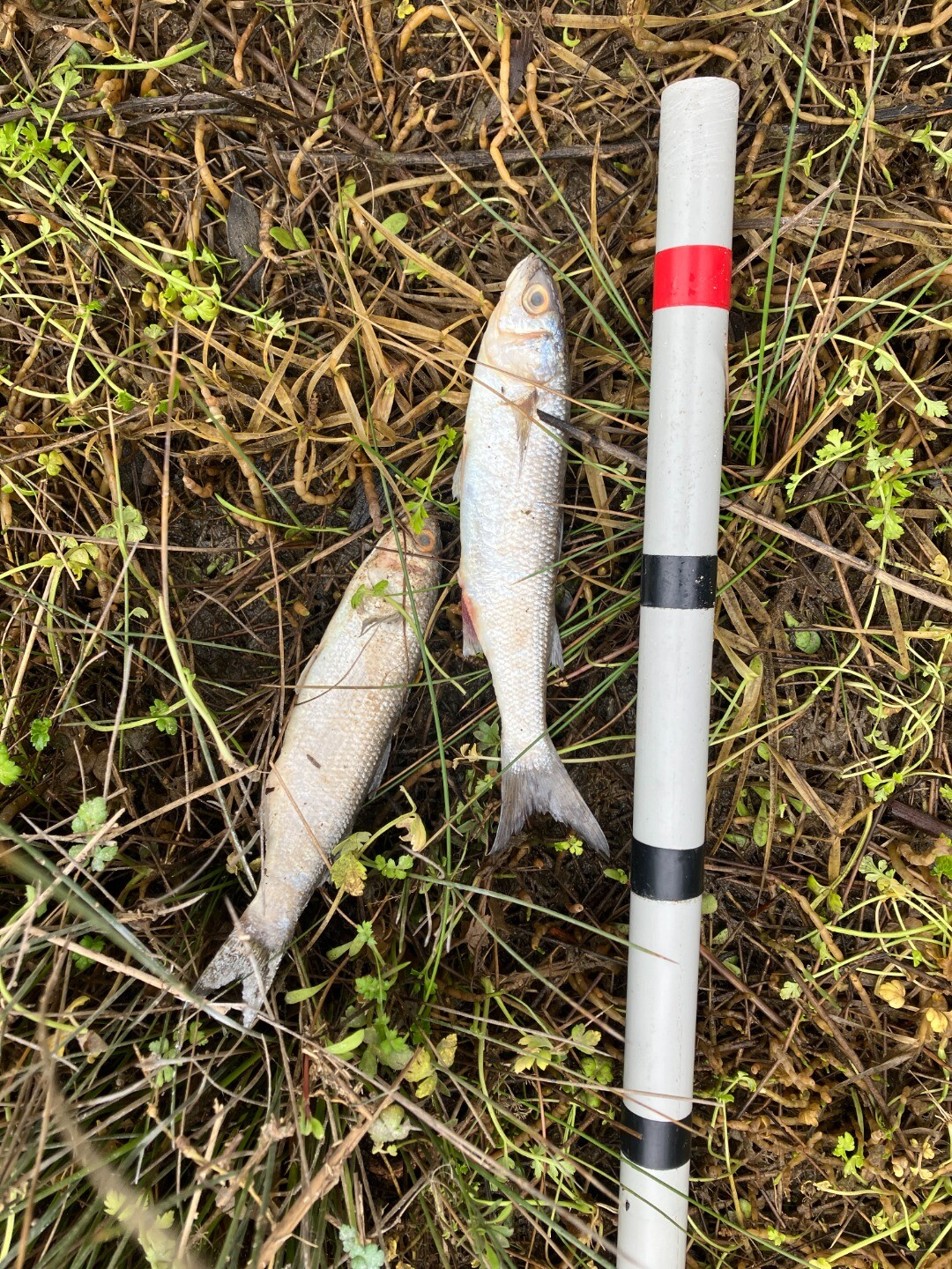
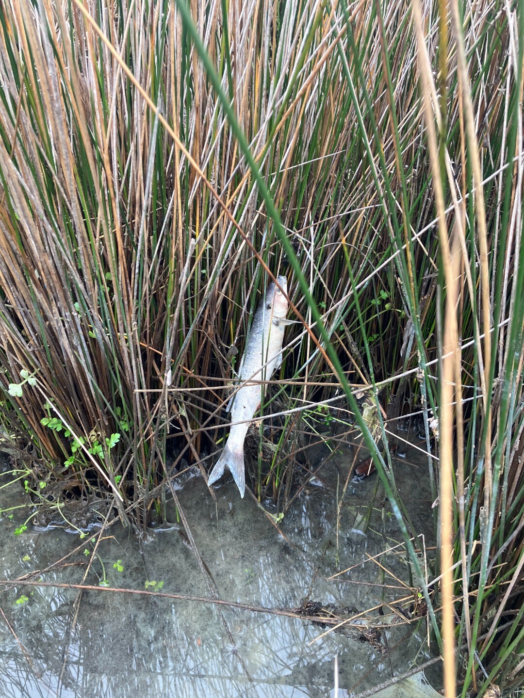
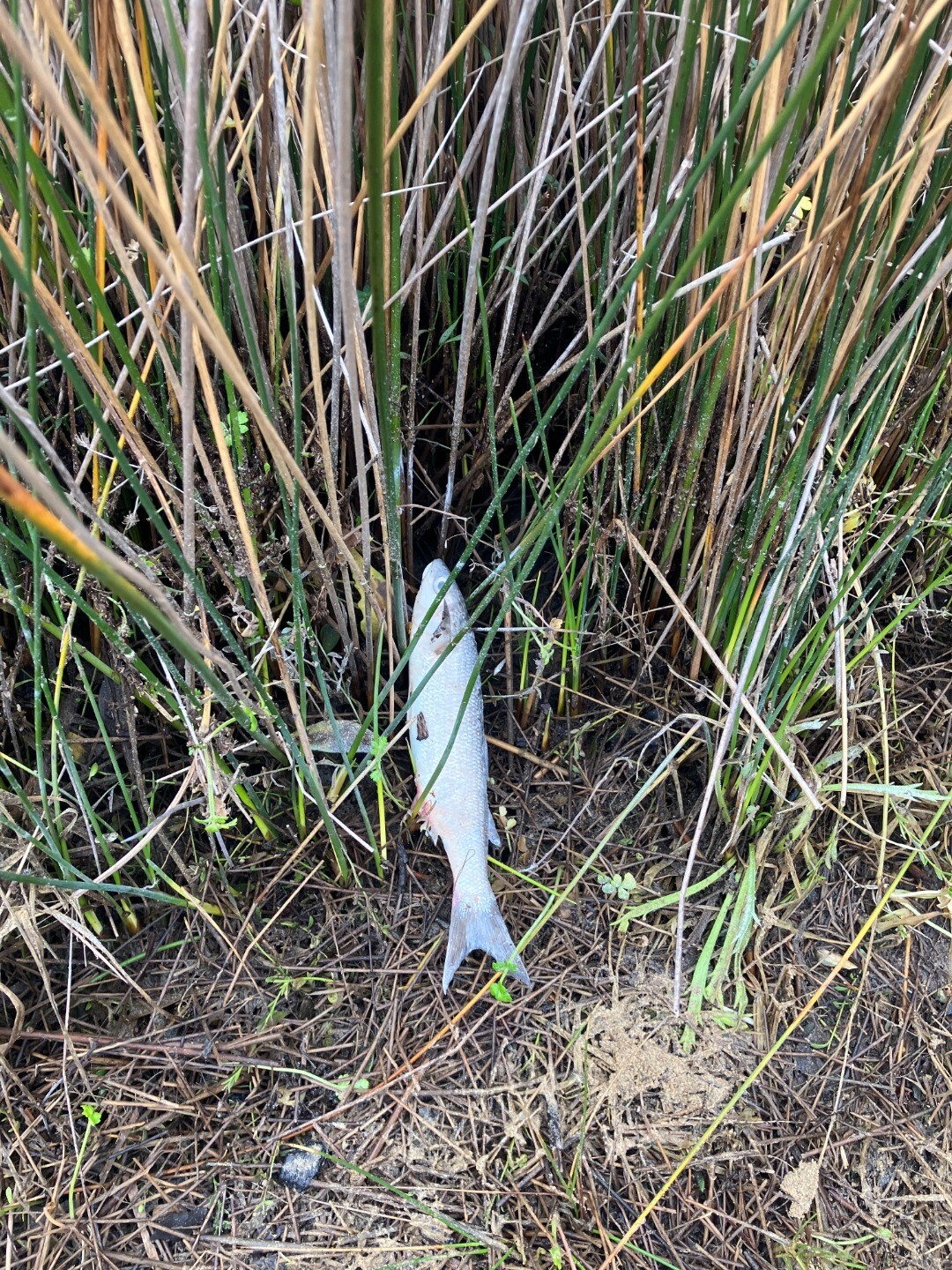
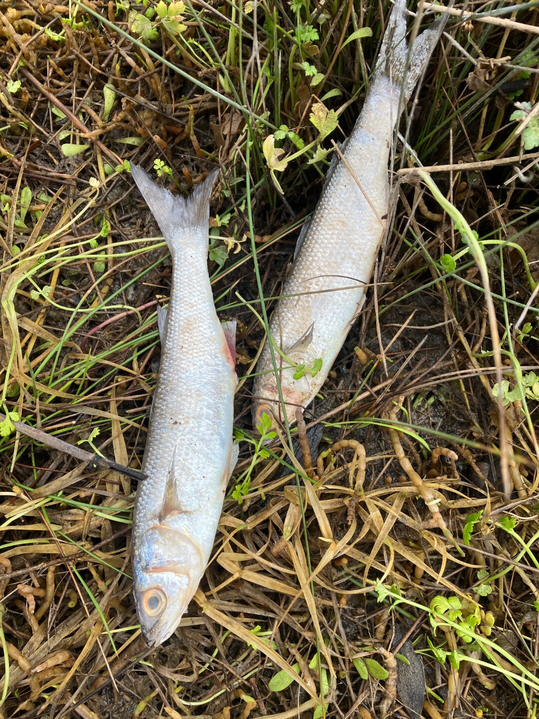
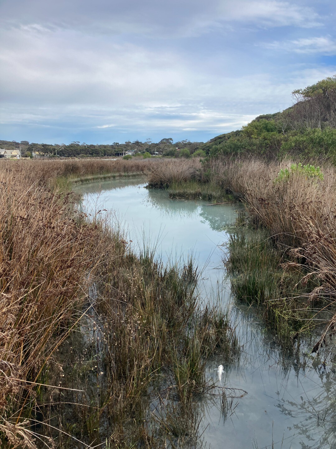
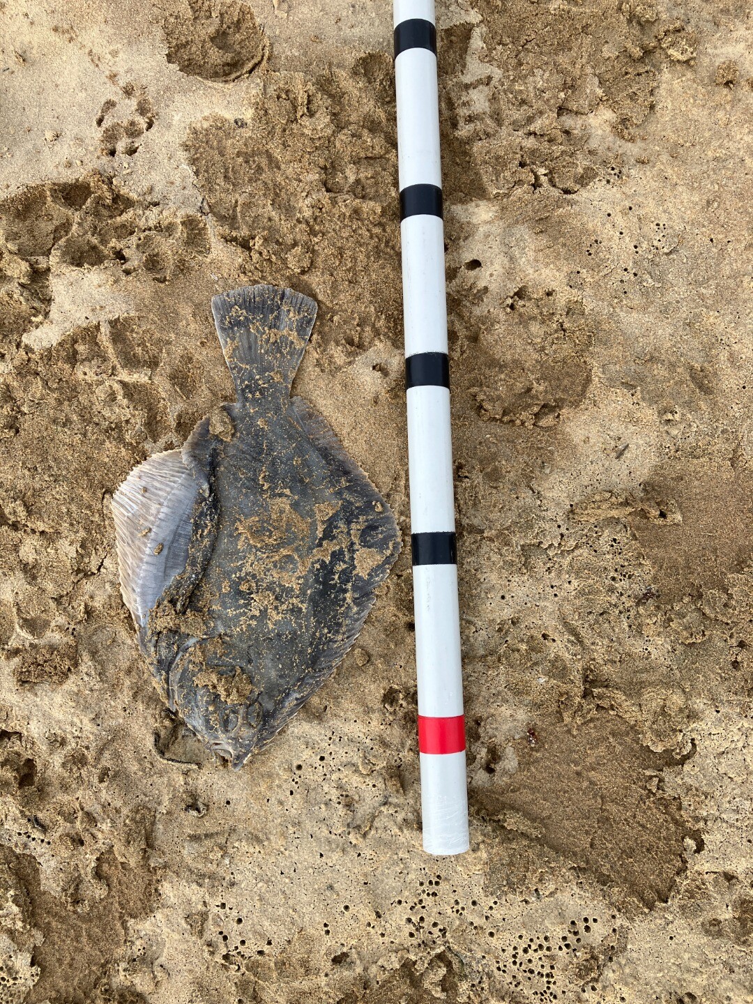
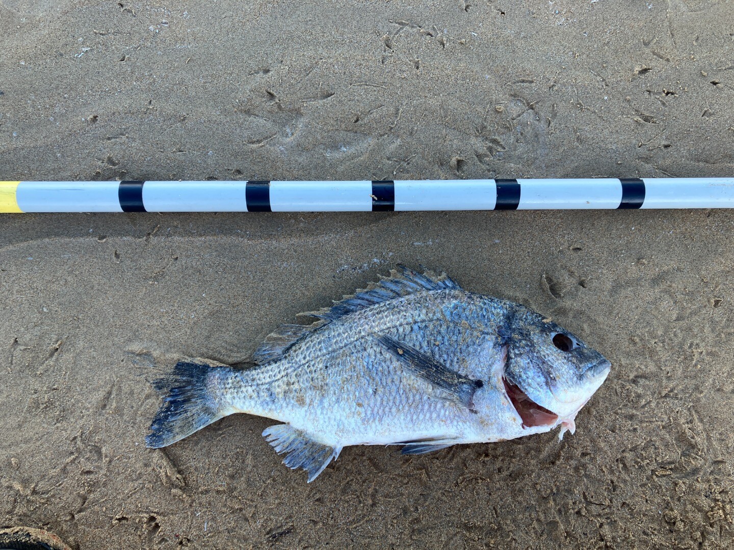
05-08-2025 Fish
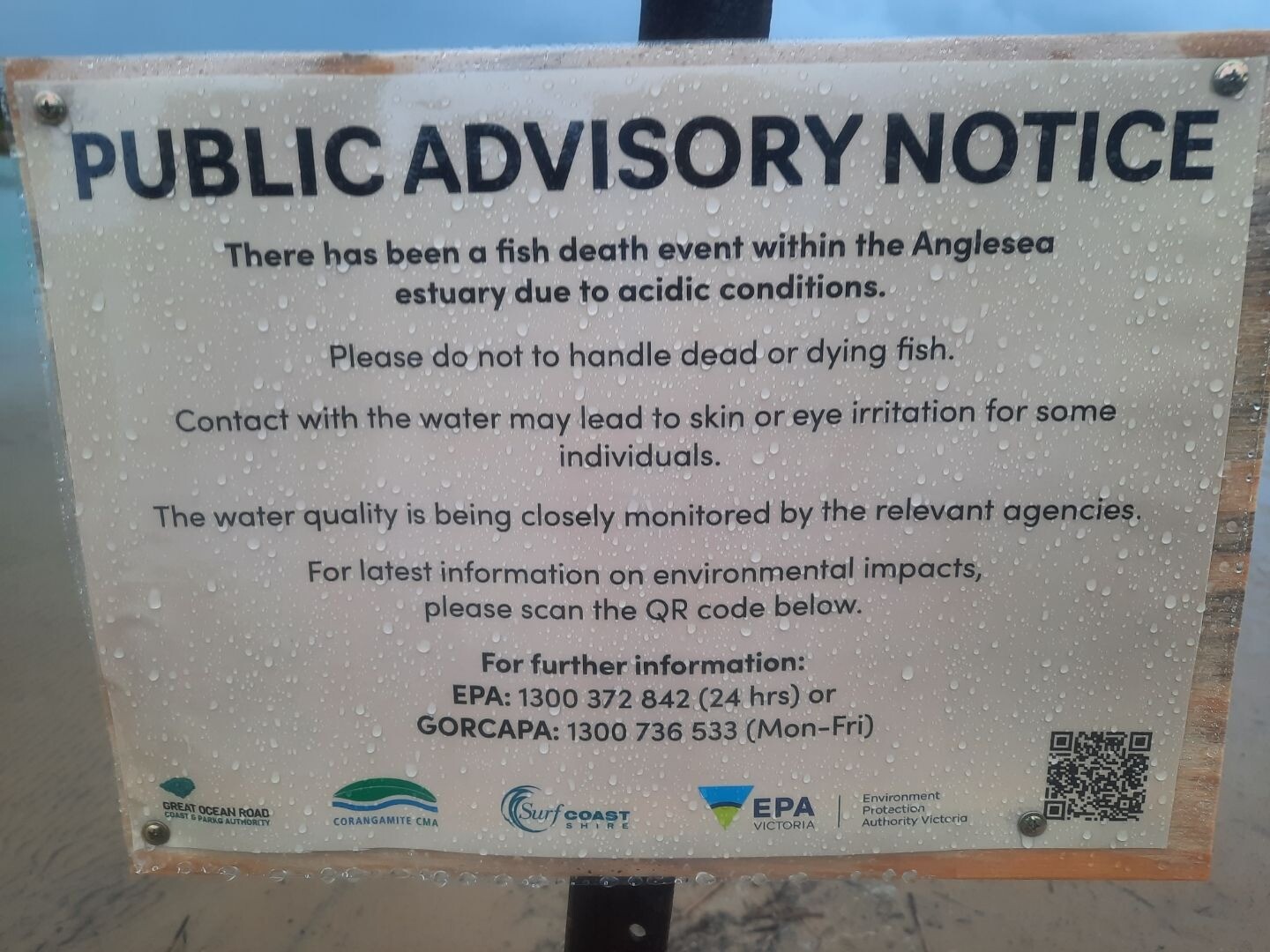
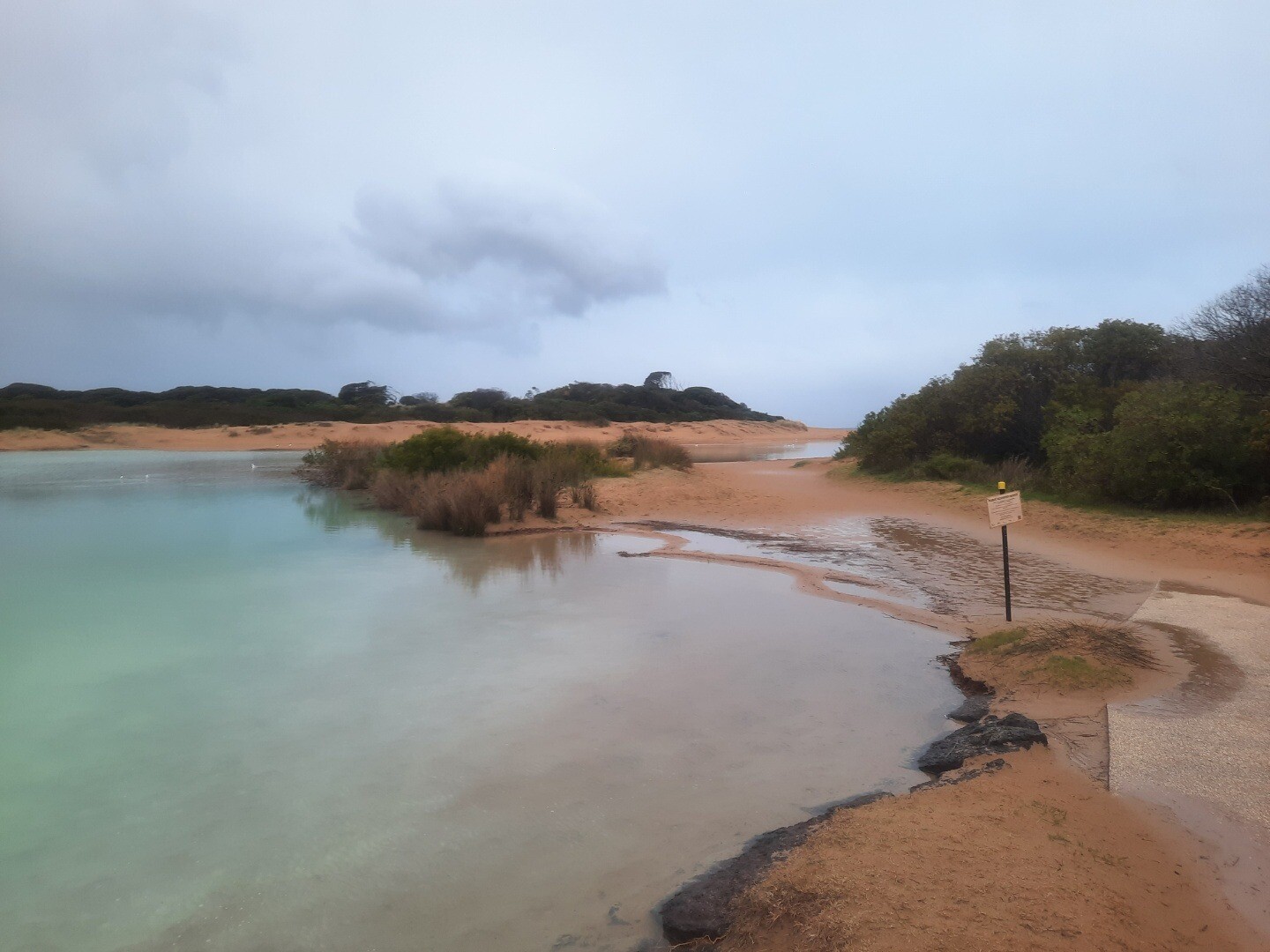
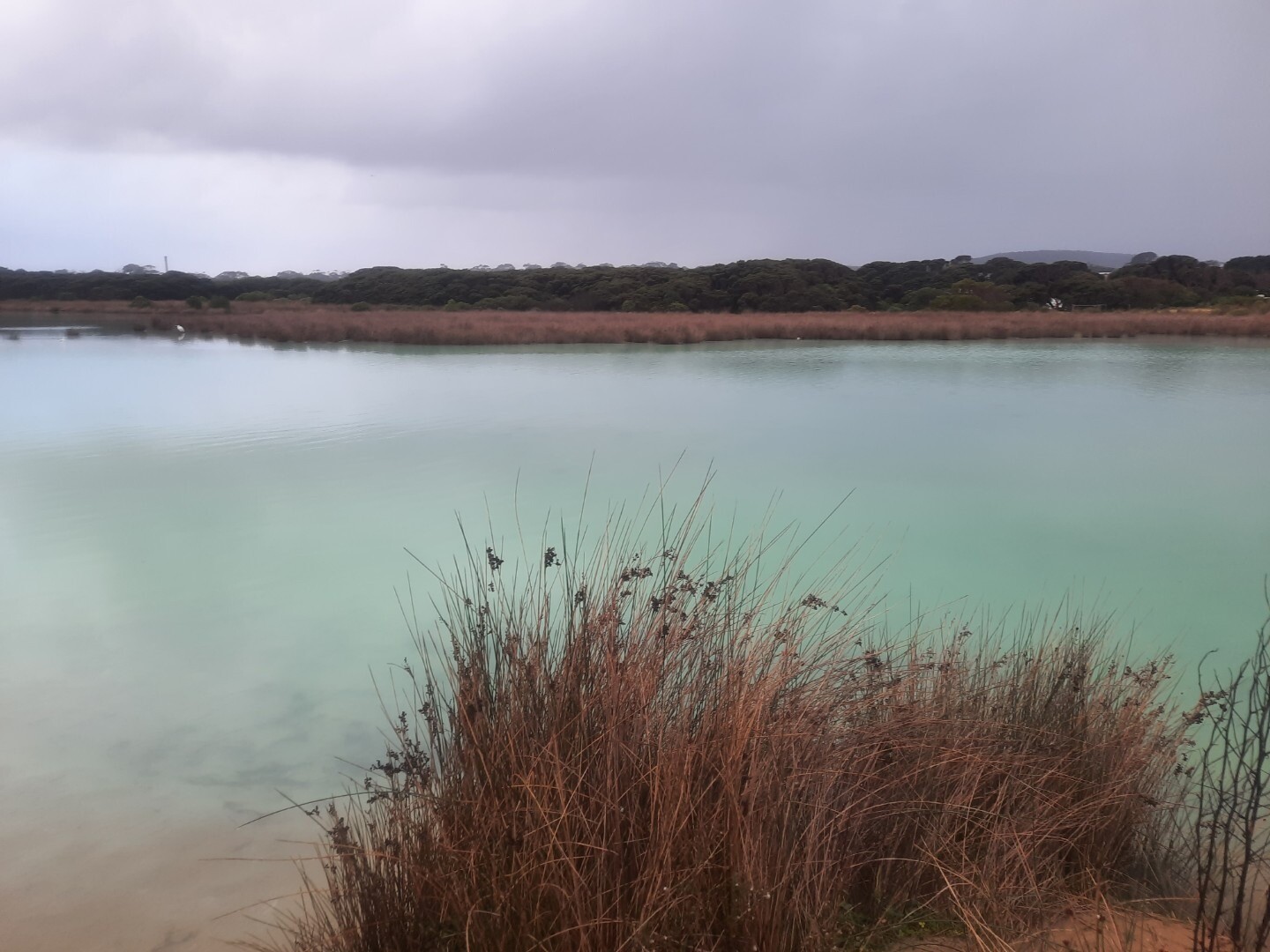
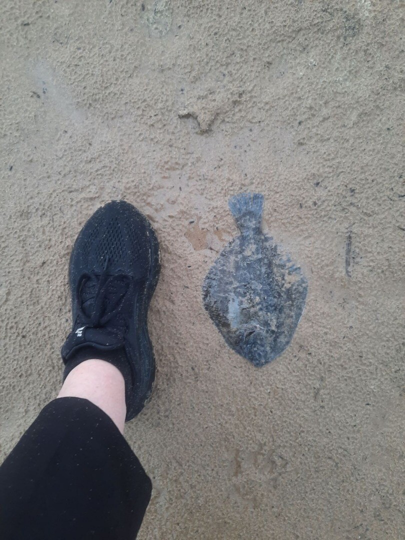
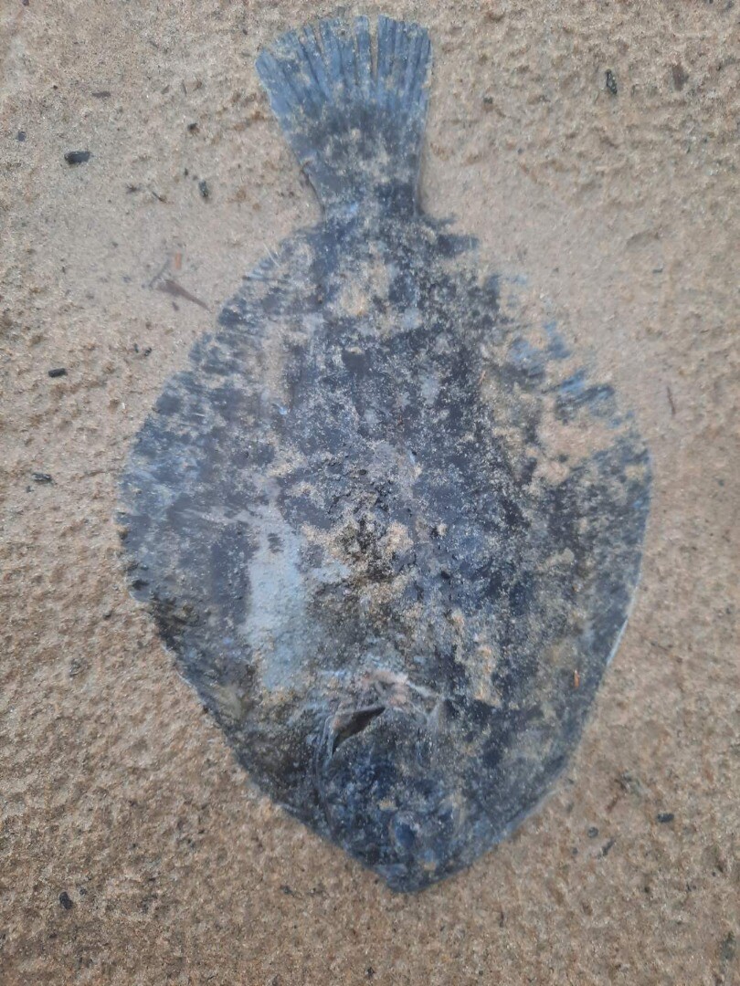
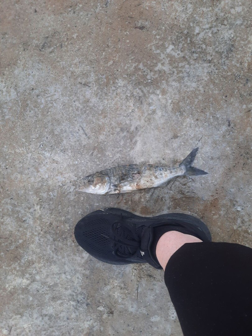
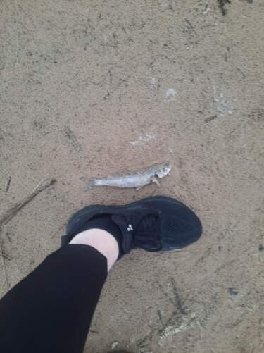
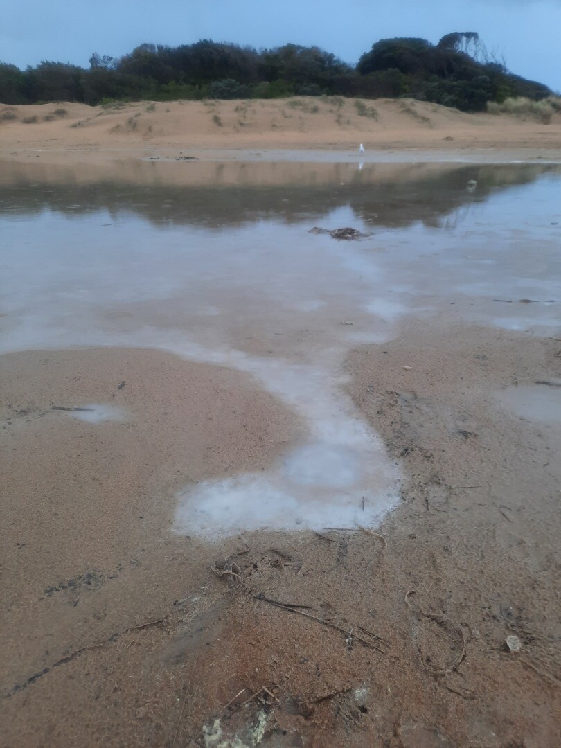
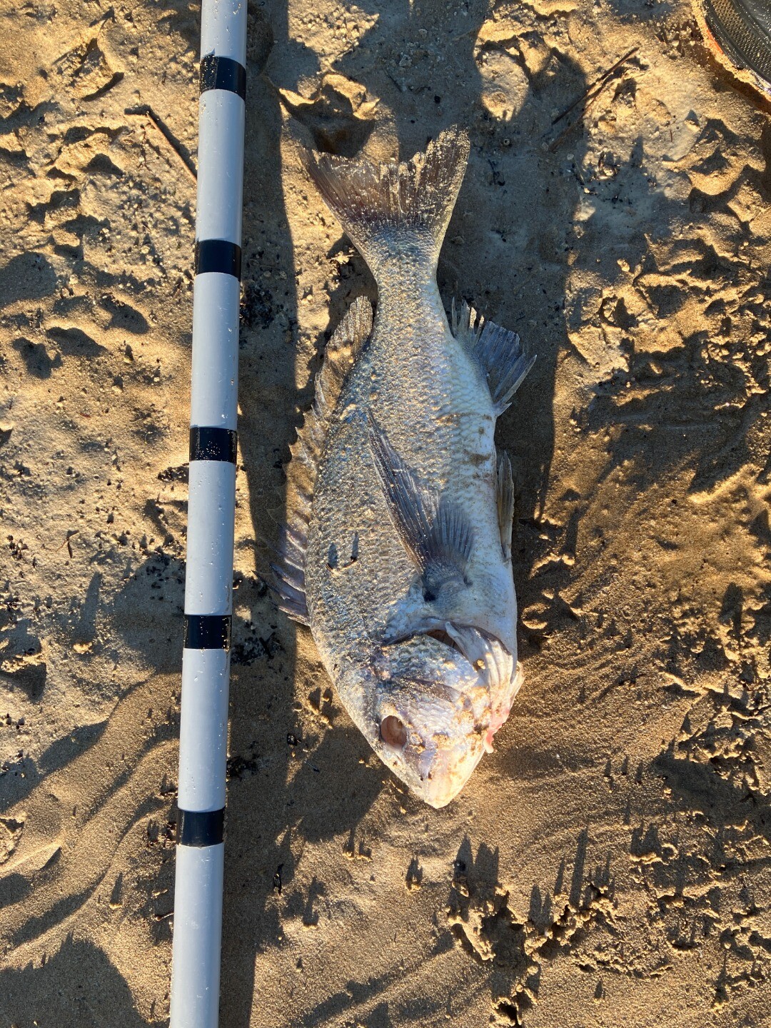
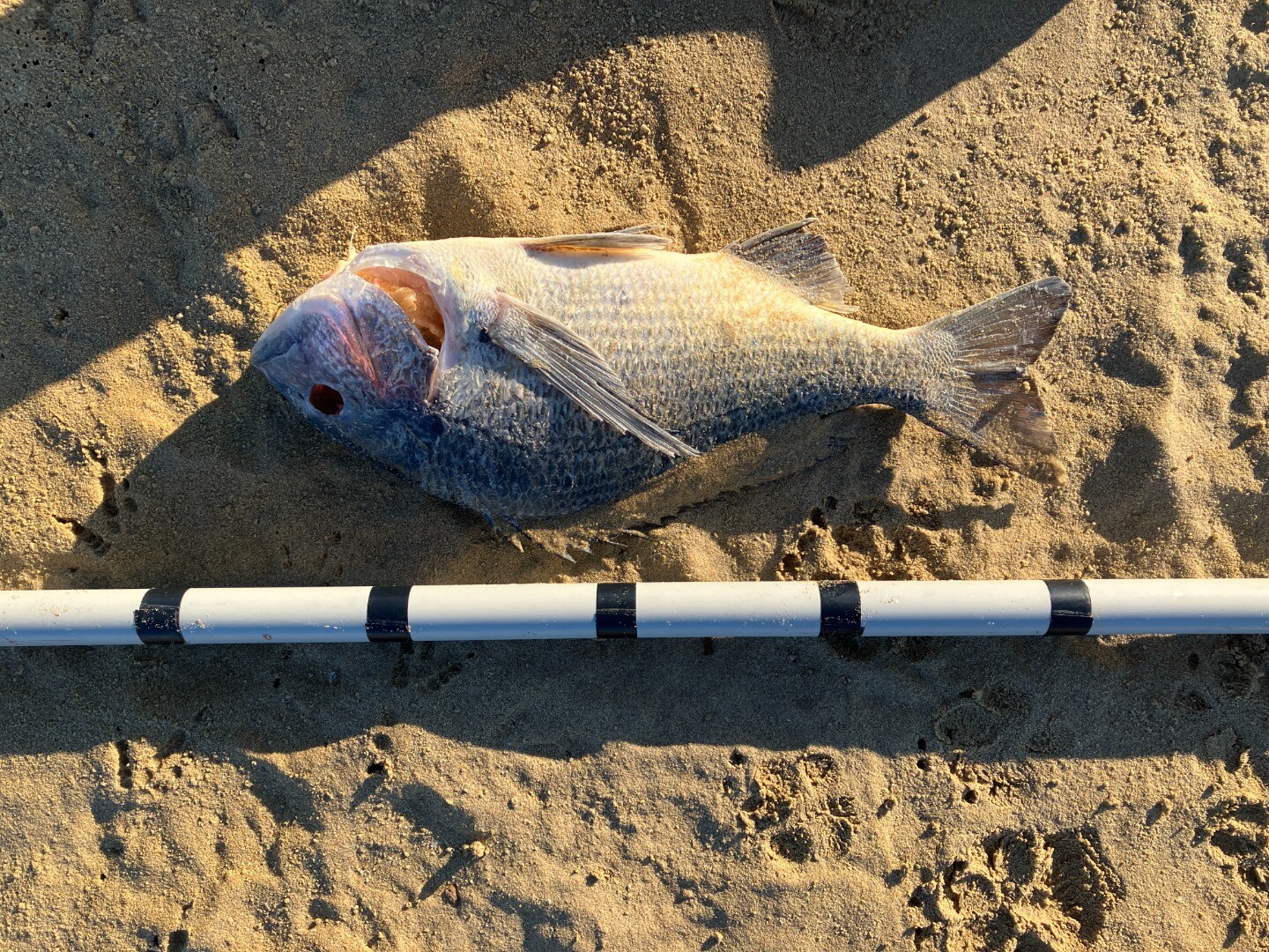
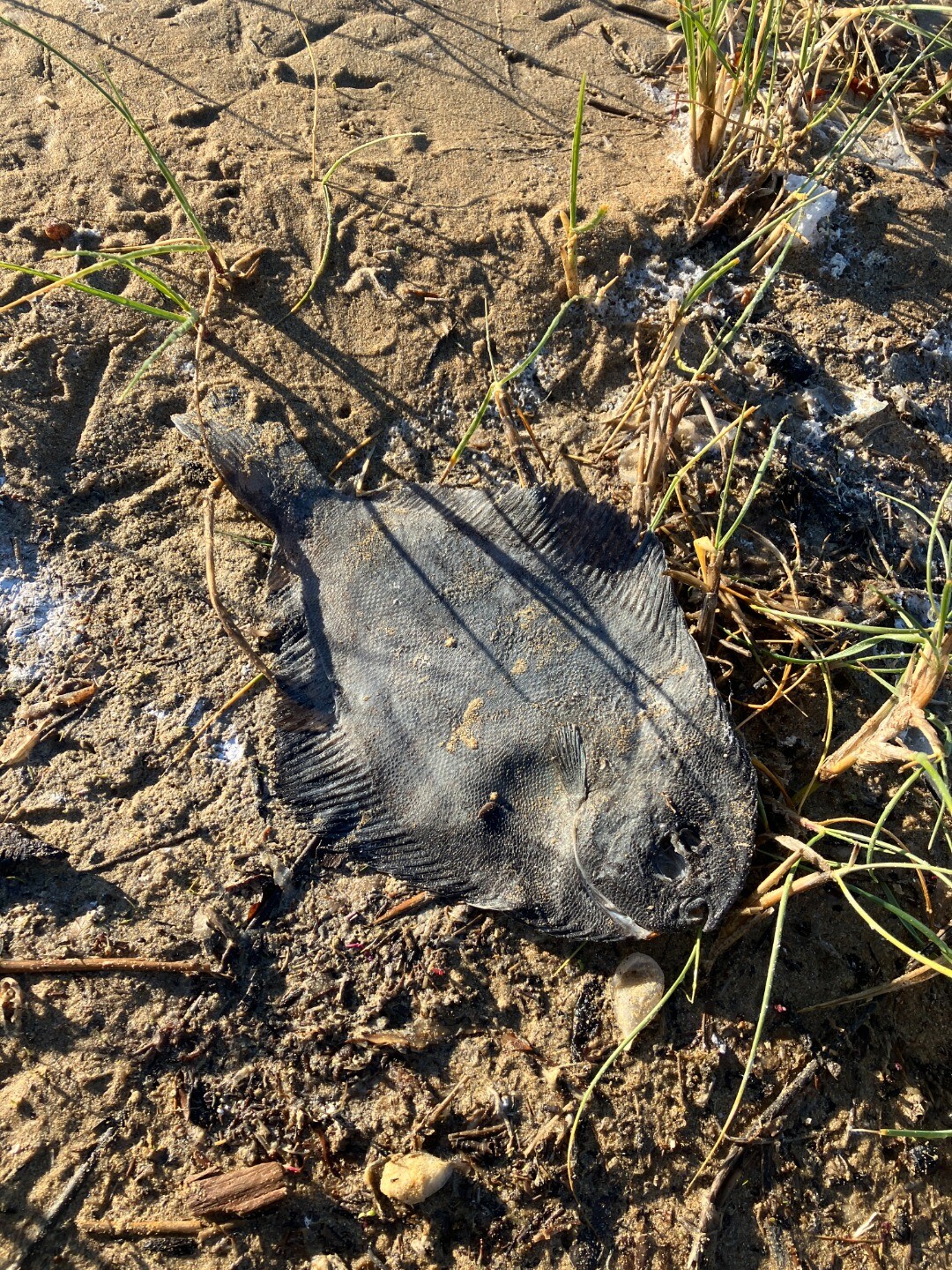
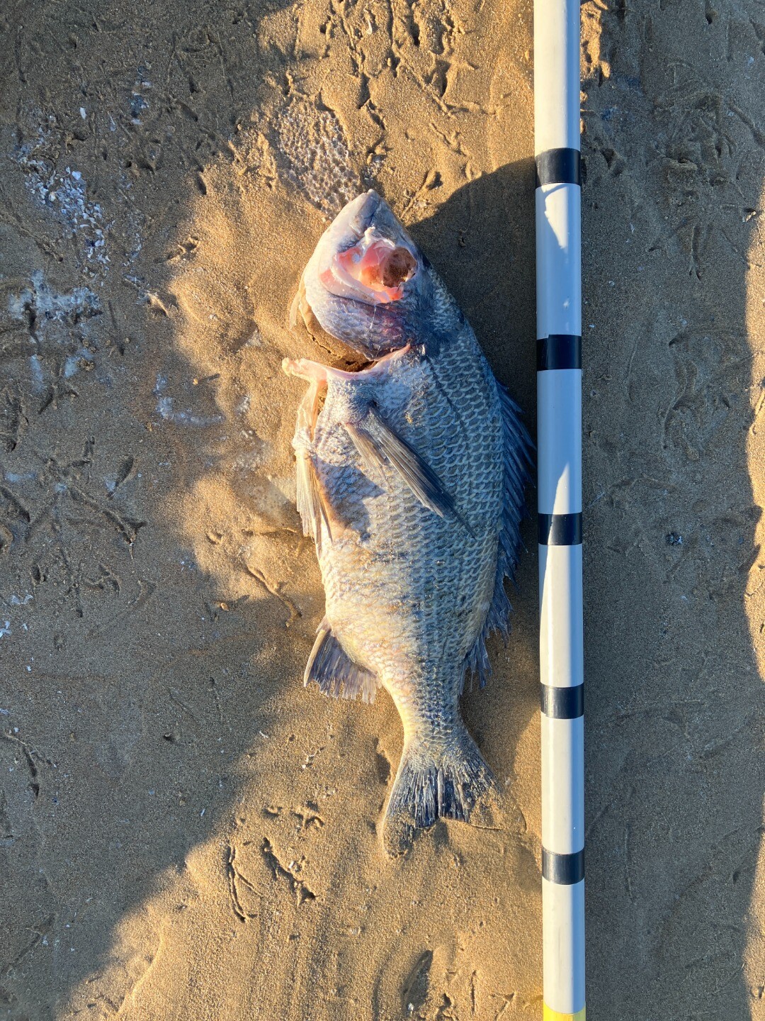
|
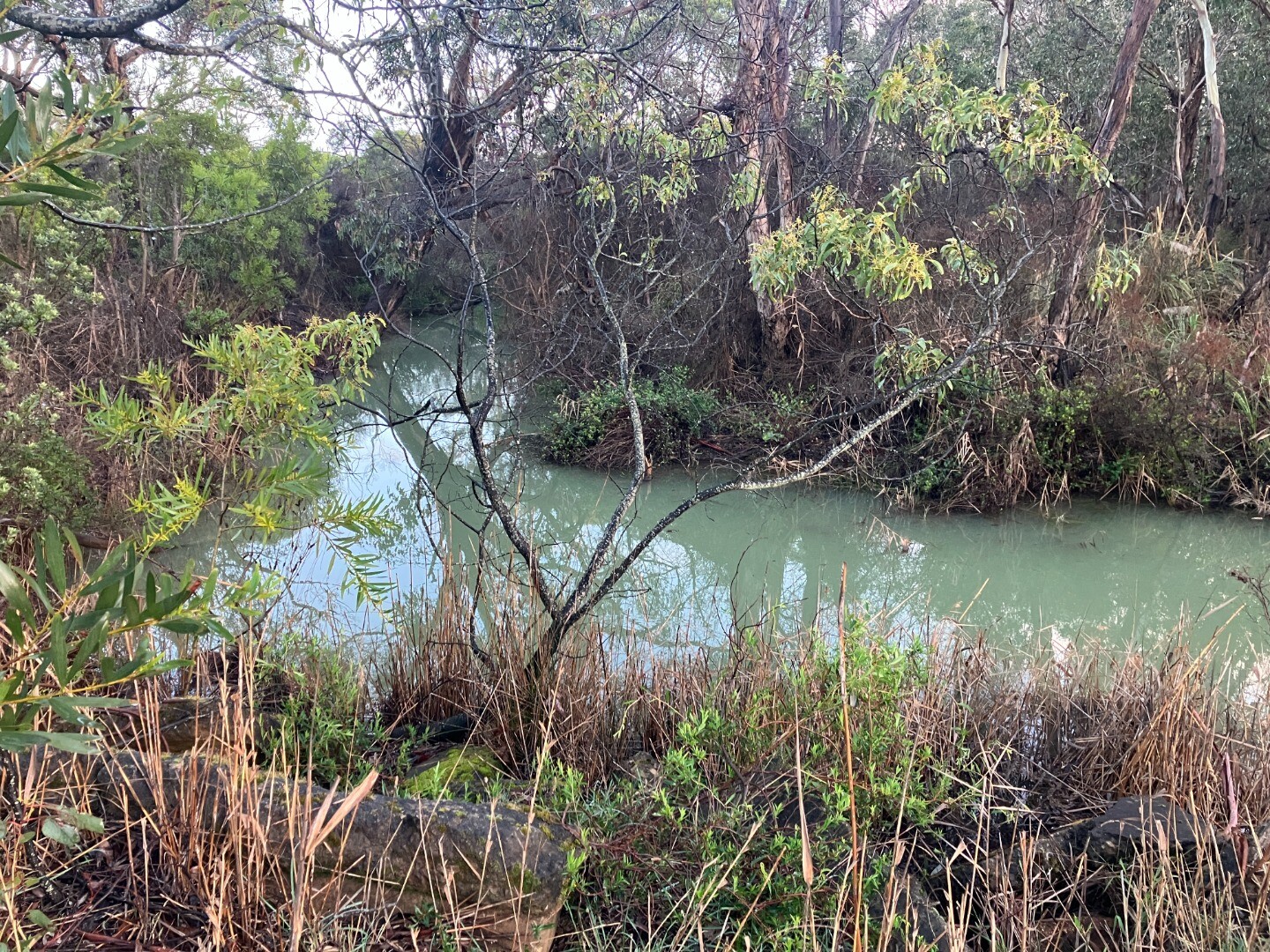
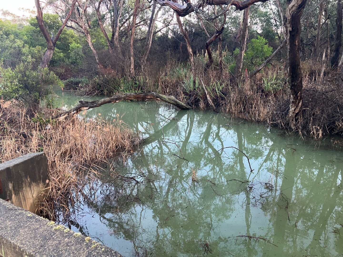
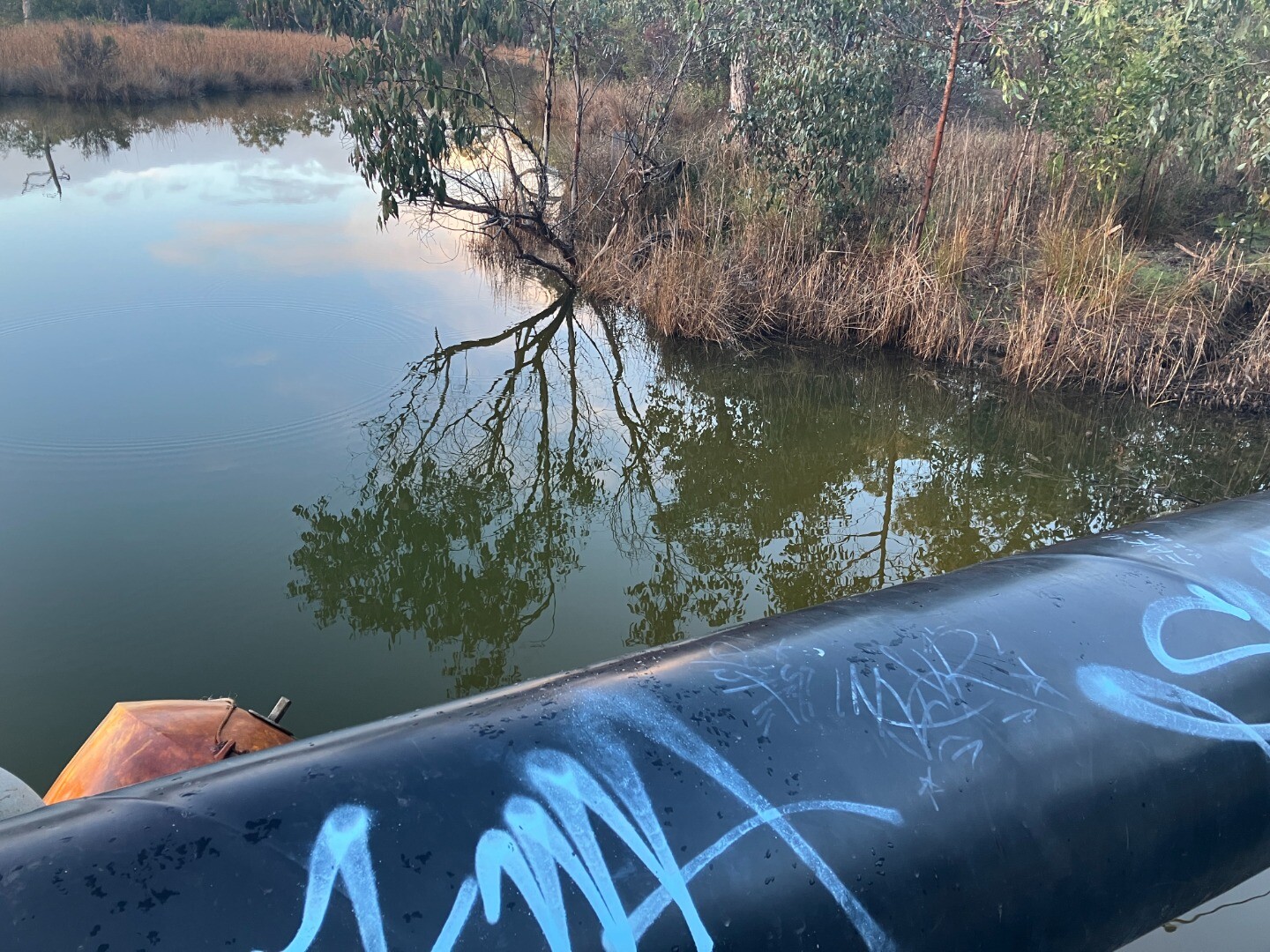
28-07-2025 water quality
|
Sites
A1 |
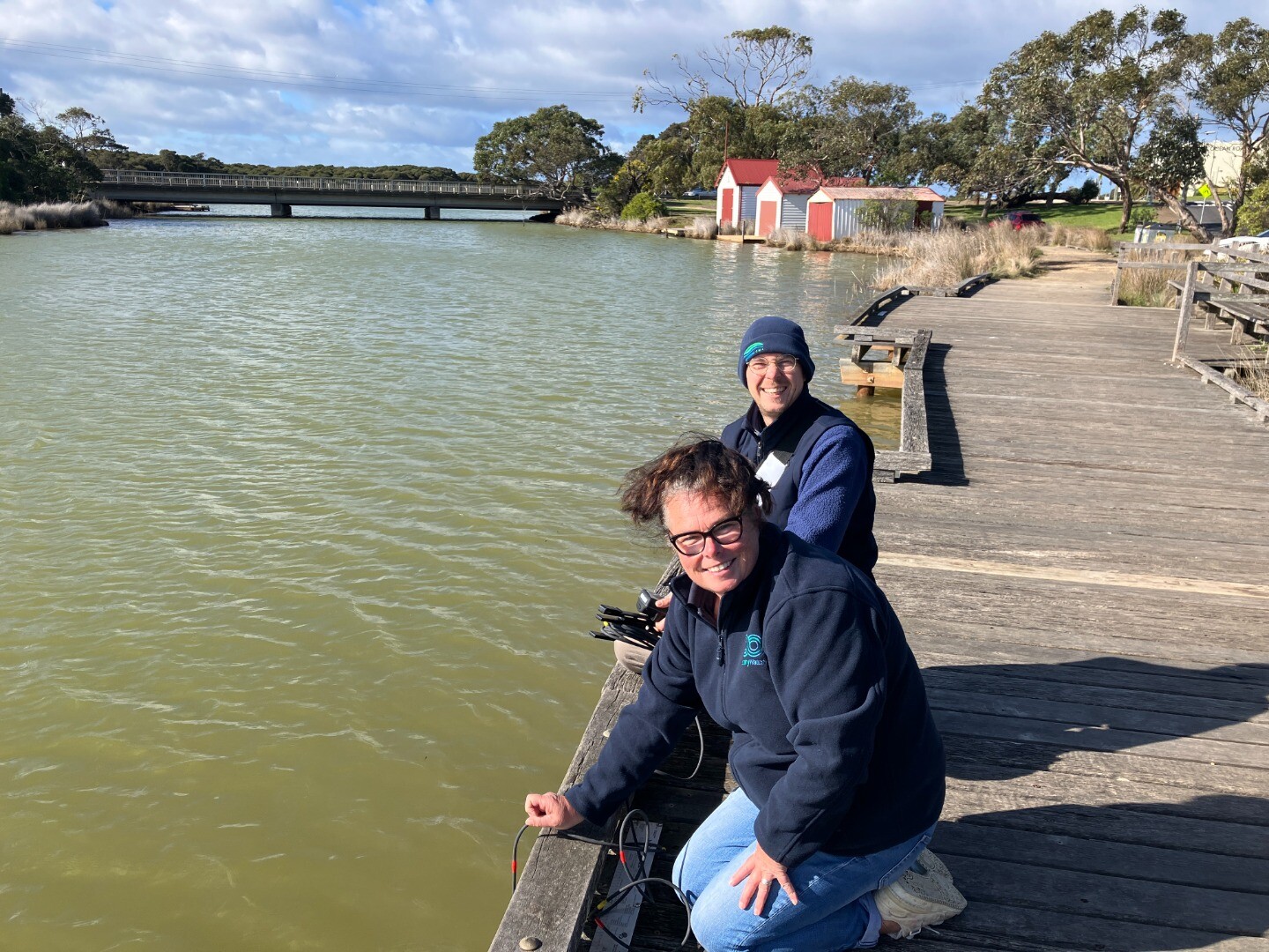
Angahook General Store JettyActive Physico-Chemical 29-04-2007 - 16-09-2026Sampling from Jetty opposite Minifie Avenue/ Angahook Cafe, adjacent to the information centre. Observations 220 |
A2 |
River Reserve Road Fishing PlatformActive Physico-Chemical 29-04-2007 - 16-09-2026Fishing Platform upstream of the Great Ocean Road bridge and boat houses located on the western bank. Observations 226 |
A3 |
Bingley Parade FootbridgeActive Physico-Chemical 29-04-2007 - 16-09-2026Footbridge that crosses estuary. Observations 233 |
A4 |
Coogoorah ParkActive Physico-Chemical 29-04-2007 - 16-09-2026Footbridge located adjacent to Coogarah Park. Observations 209 |
A5 |
Culvert on Coalmine RoadActive Physico-Chemical 29-04-2007 - 16-09-2026Culvert on Coalmine Road. Observations 203 |
AGB |
Anglesea River Gauge BoardActive Gauge BoardThe gauge board is located under the GOR bridge. Measurements are taken from the inland side of the bridge, off the western bank. |
AMC |
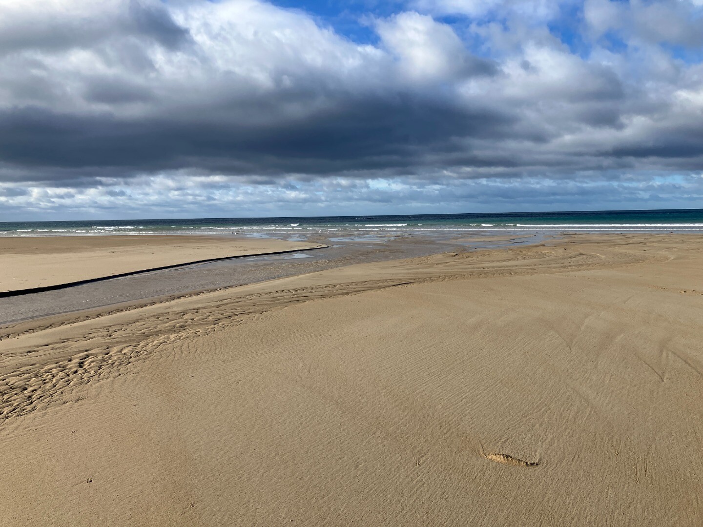
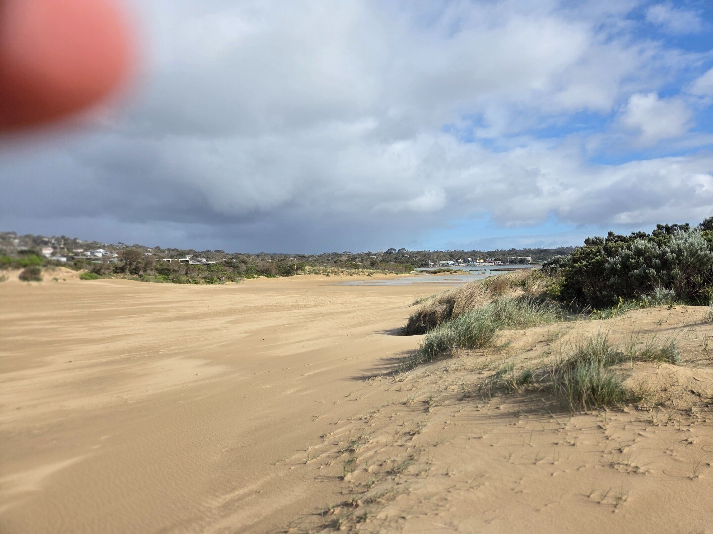
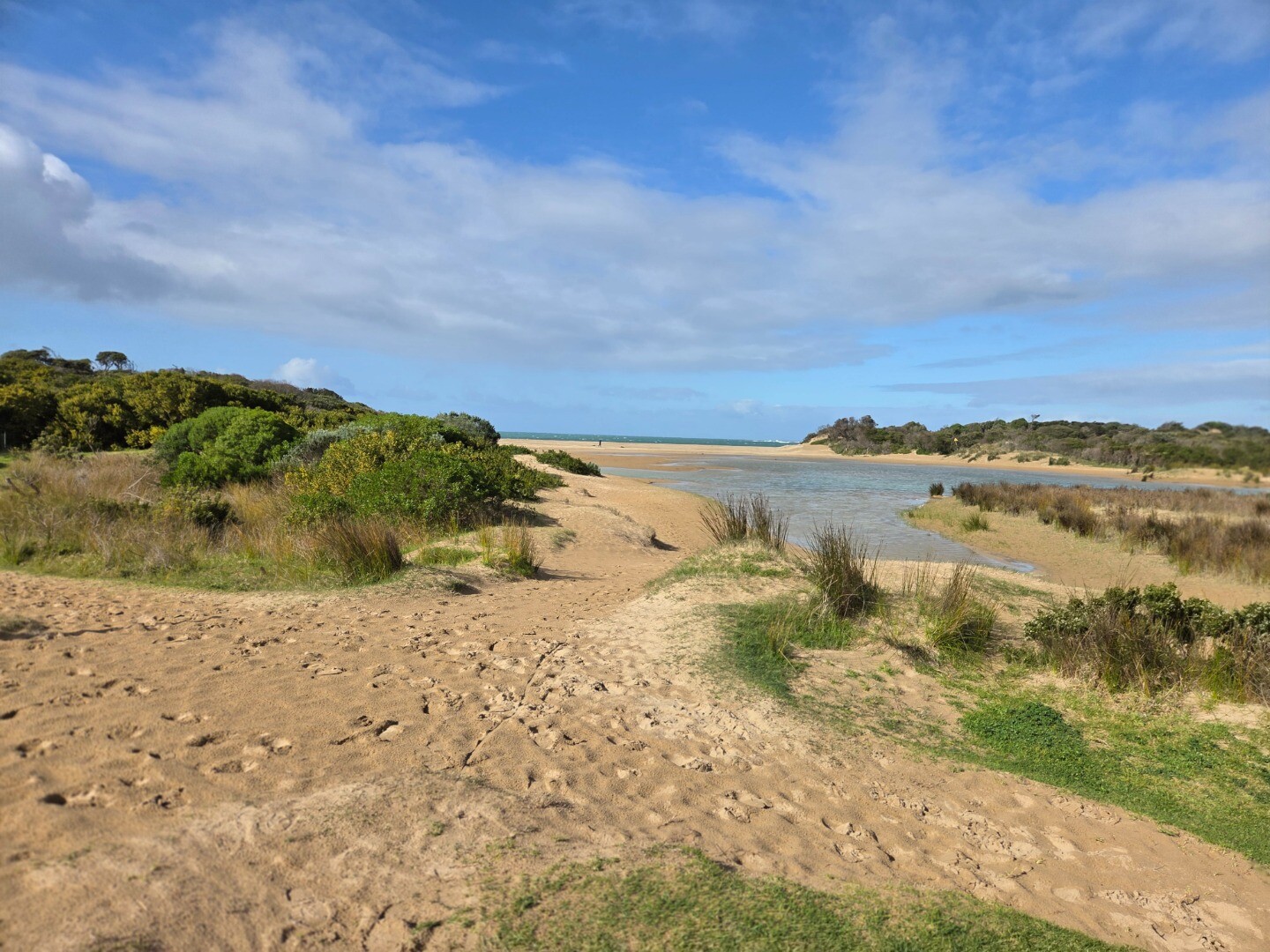
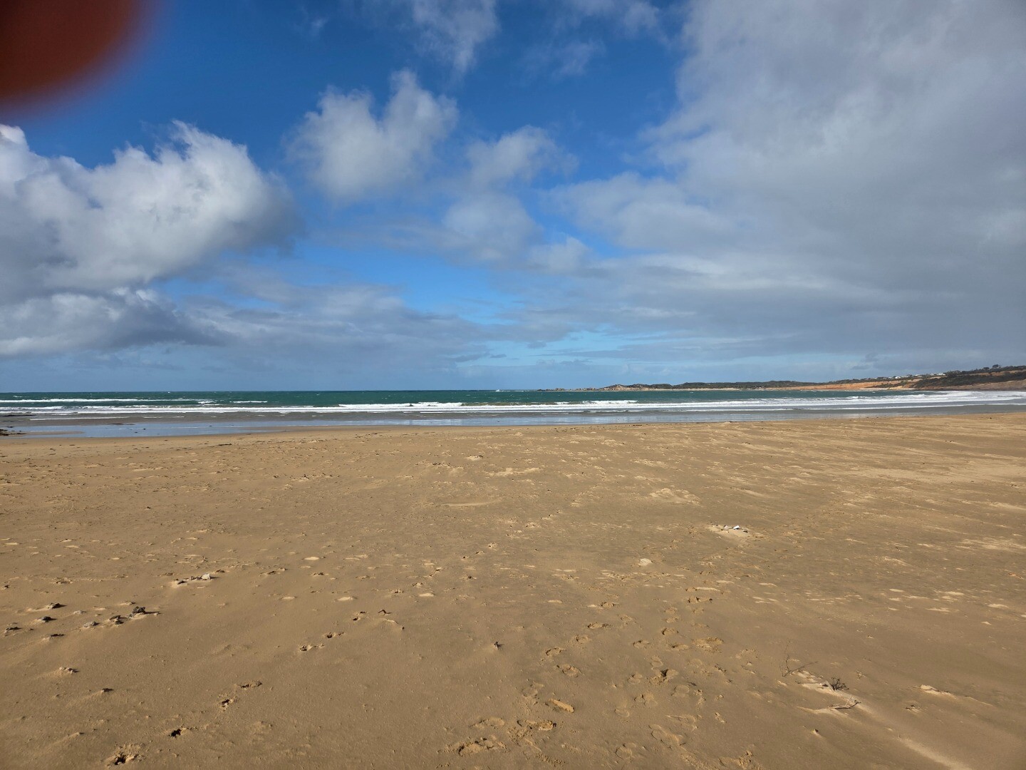
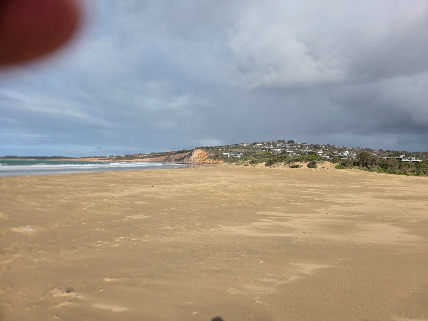
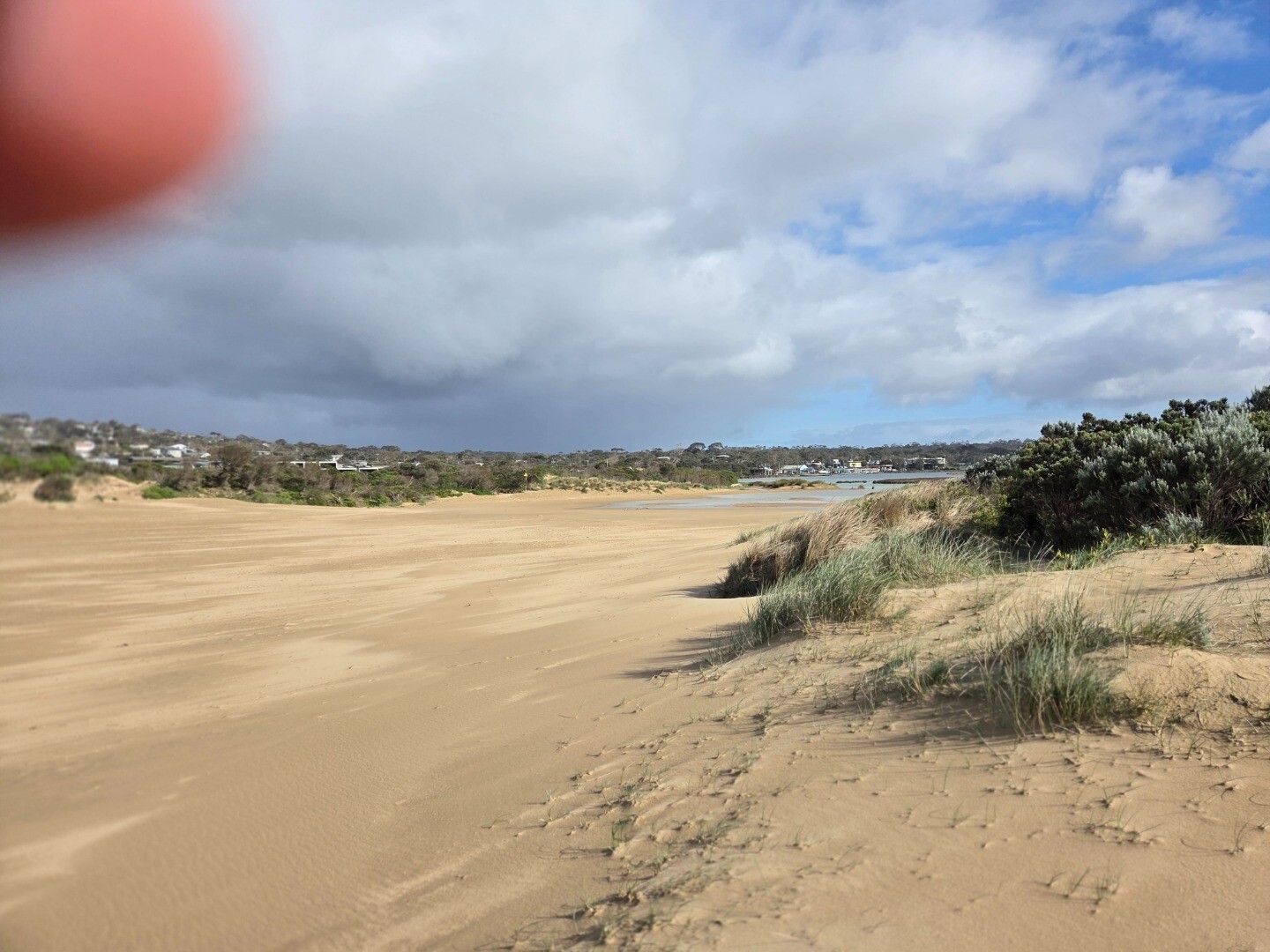
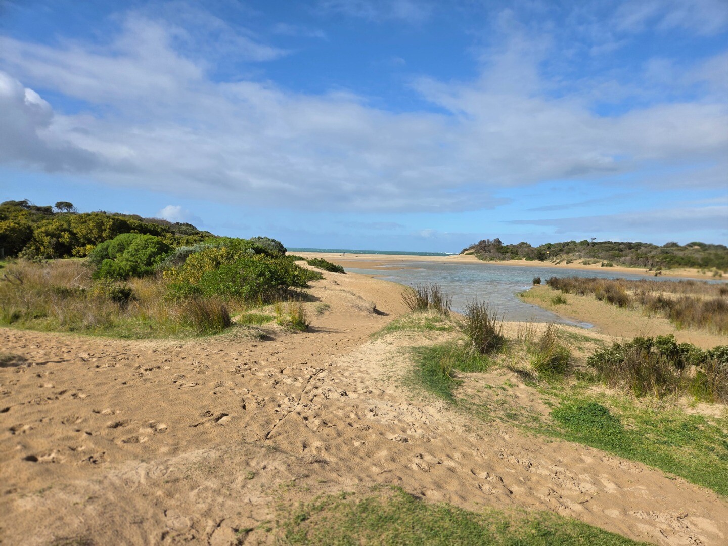
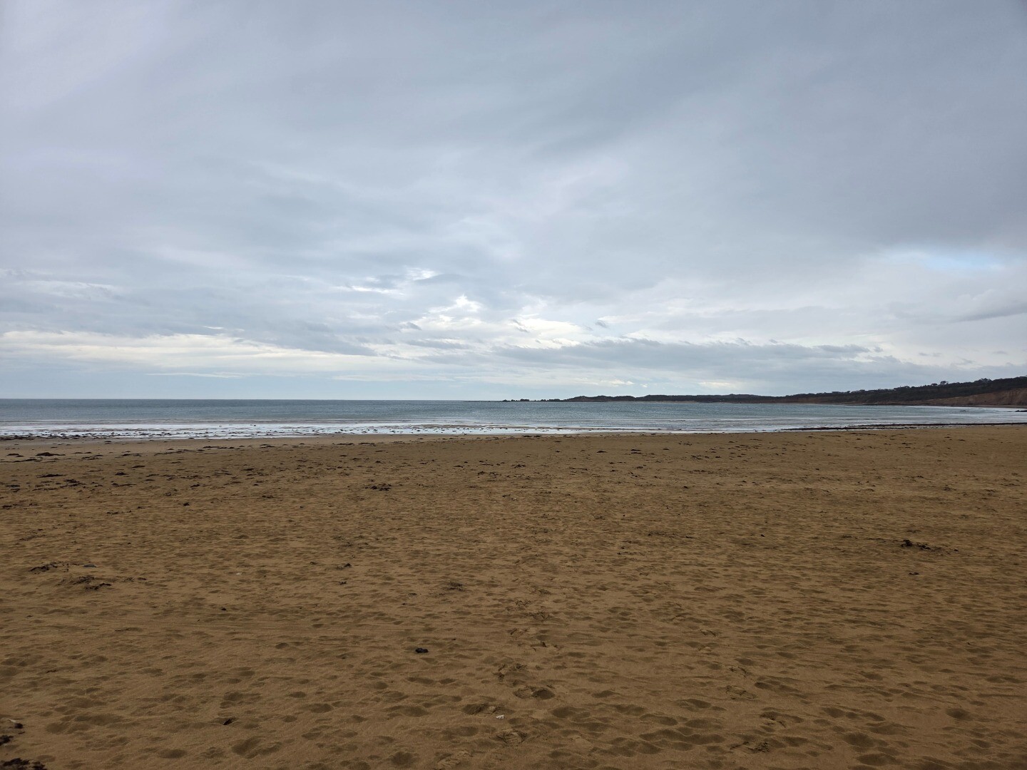
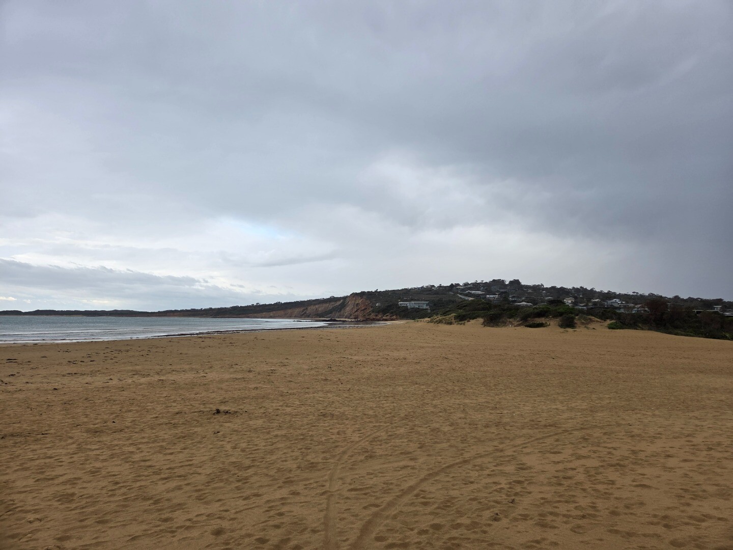
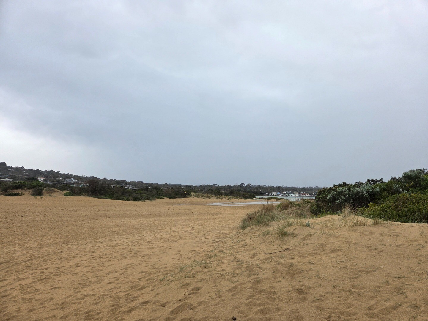
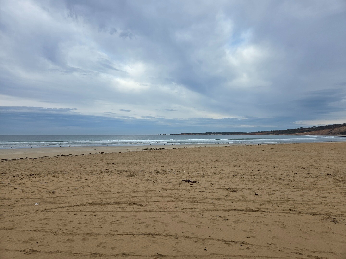
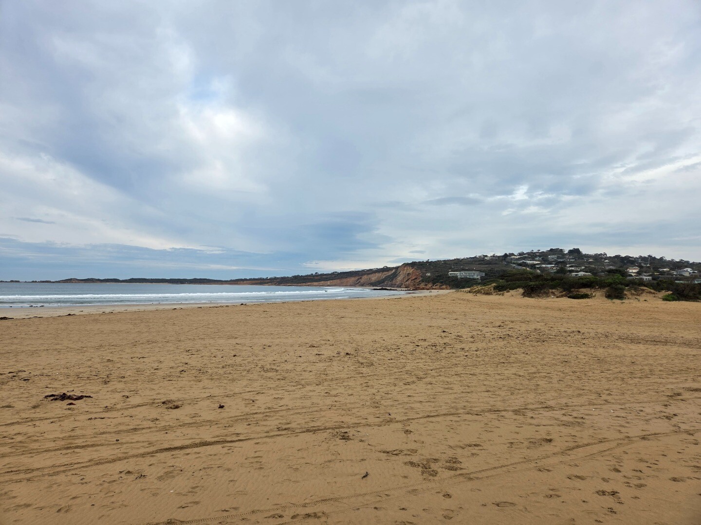
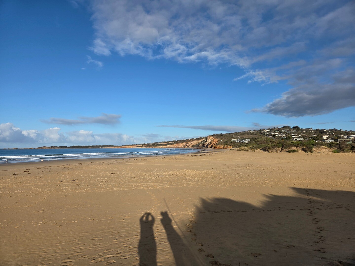
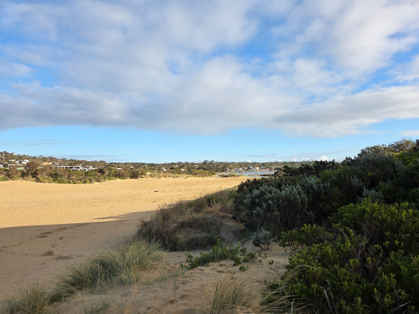
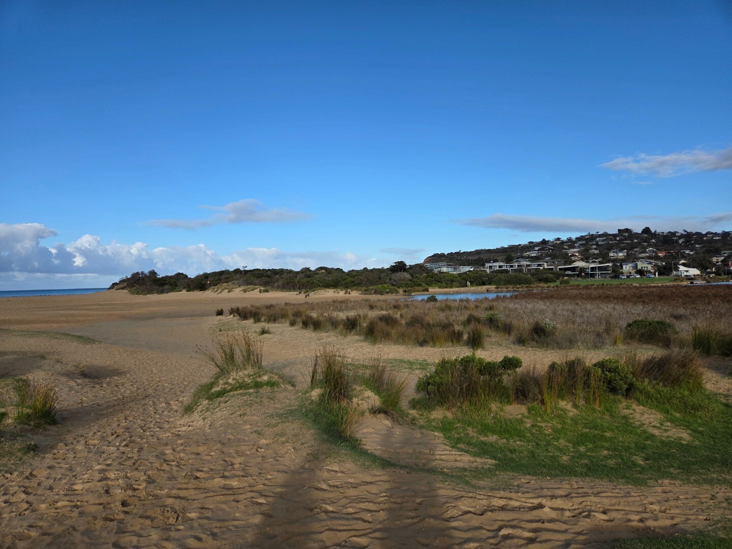
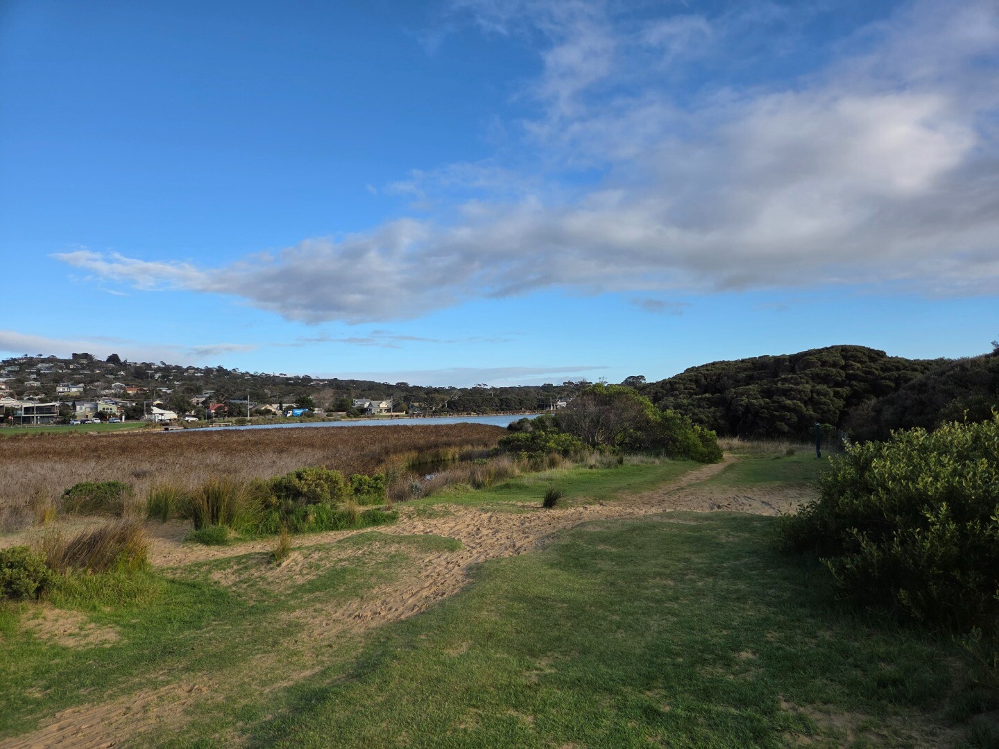
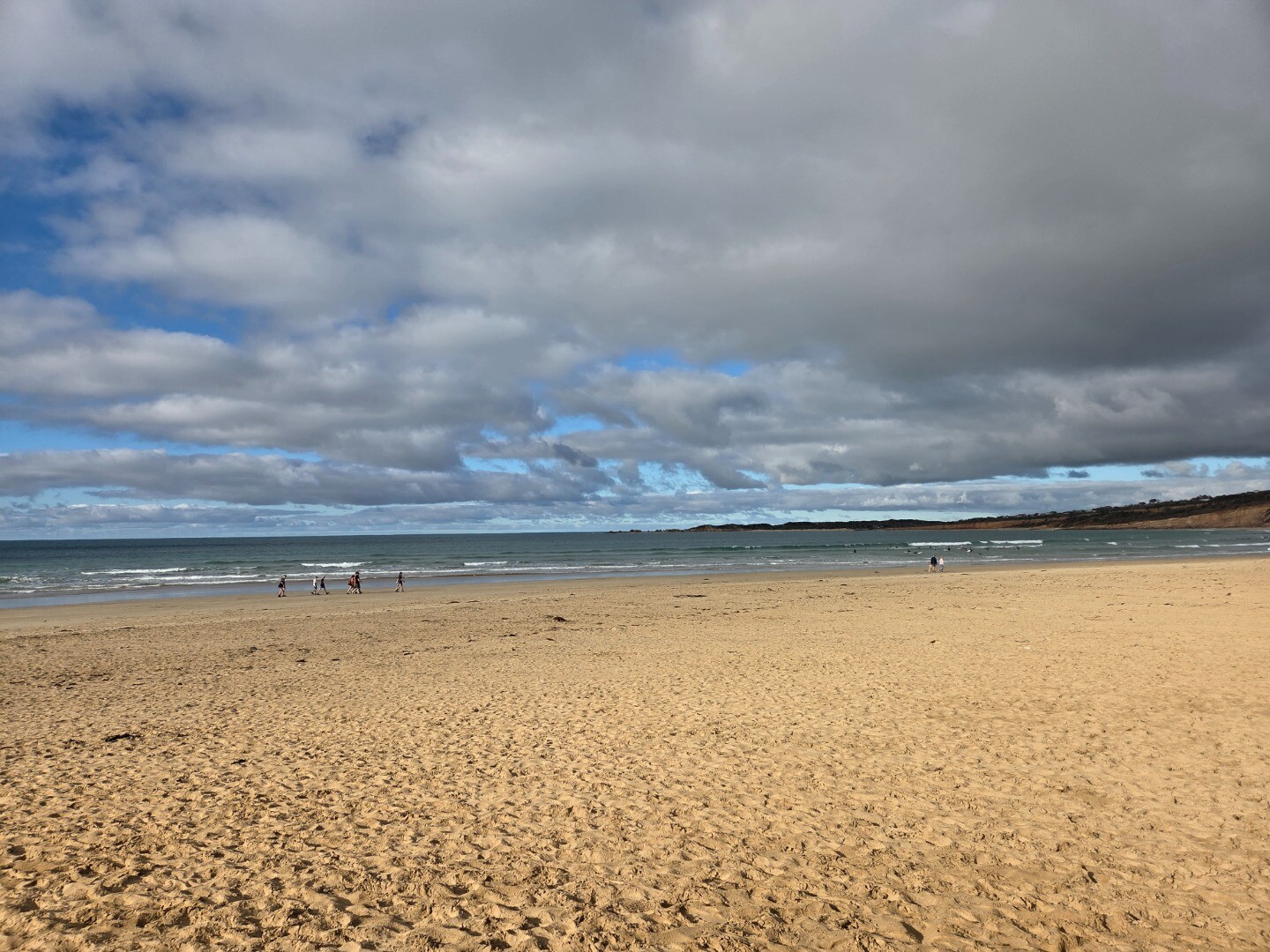
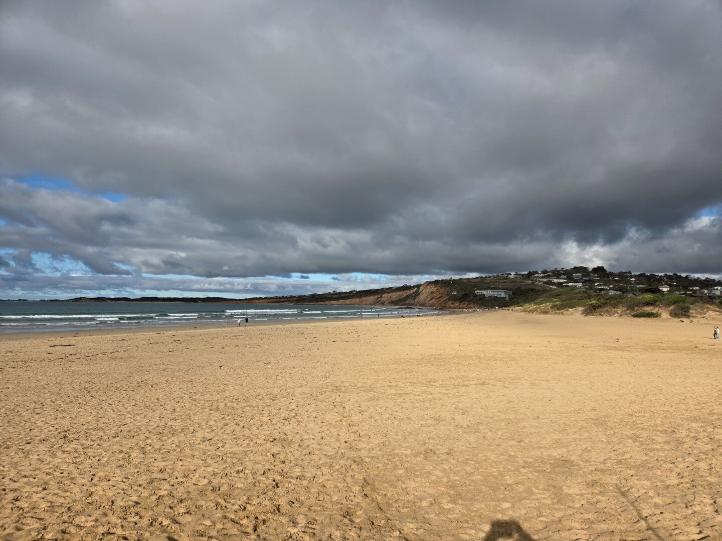
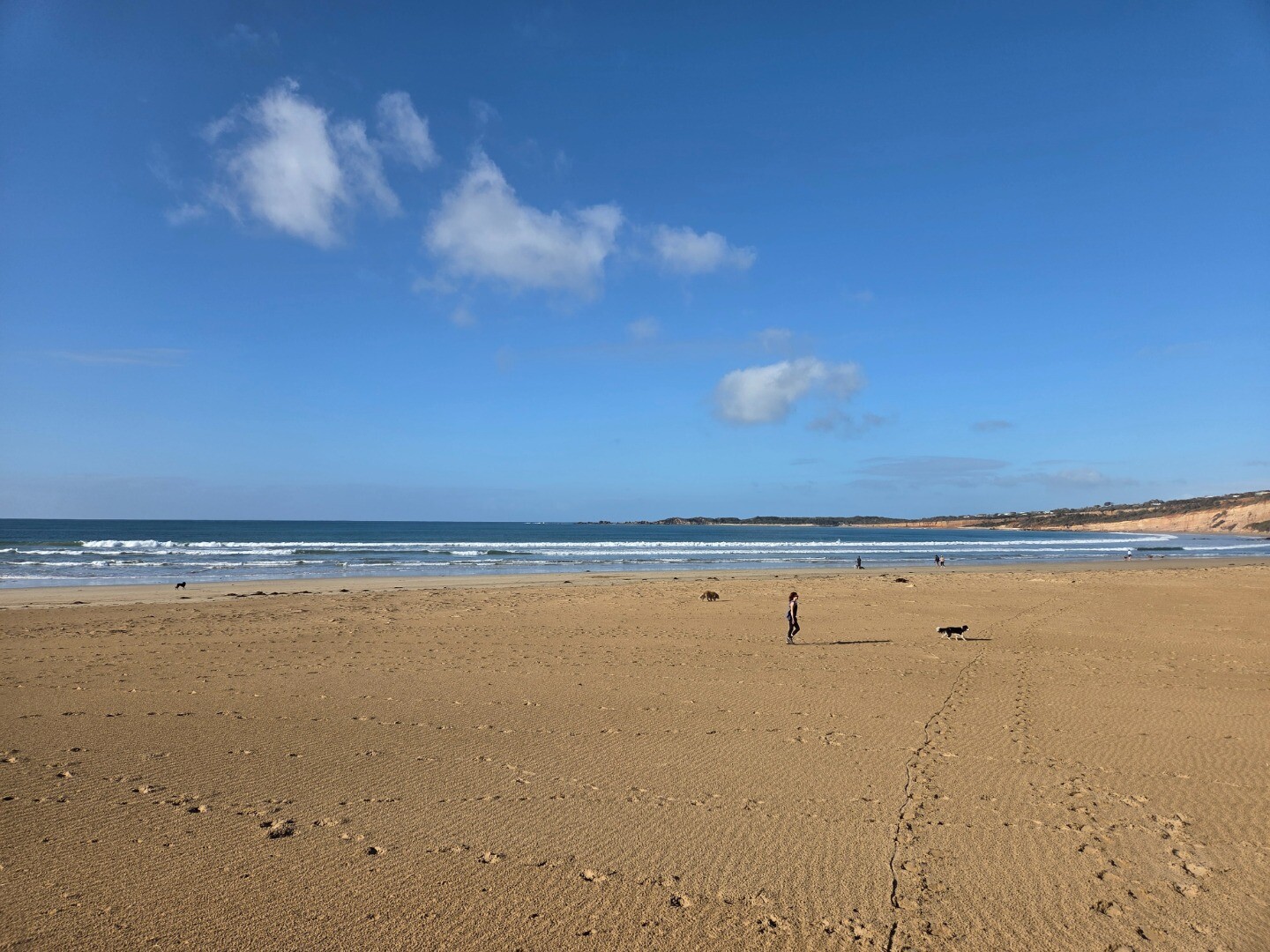
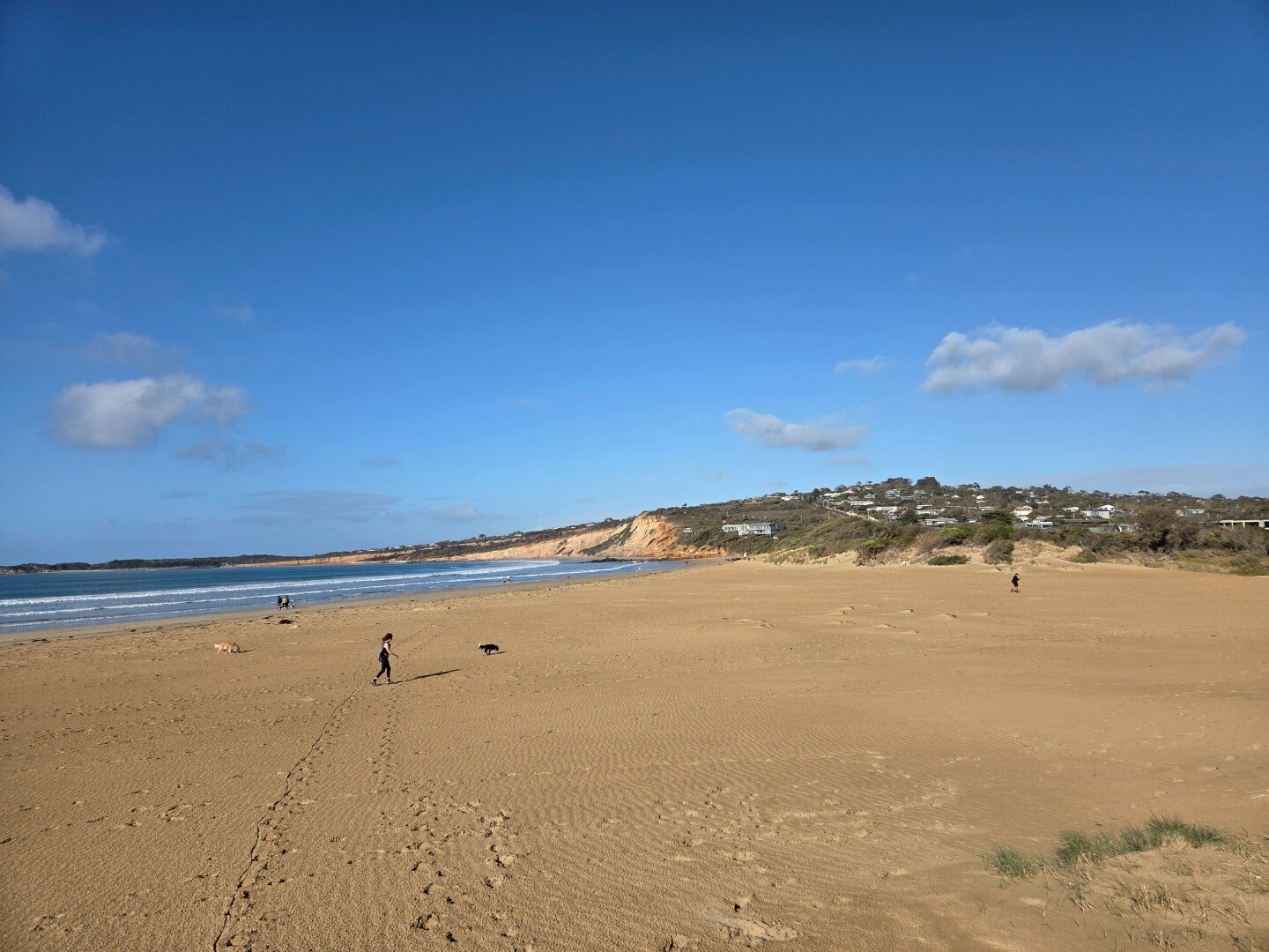
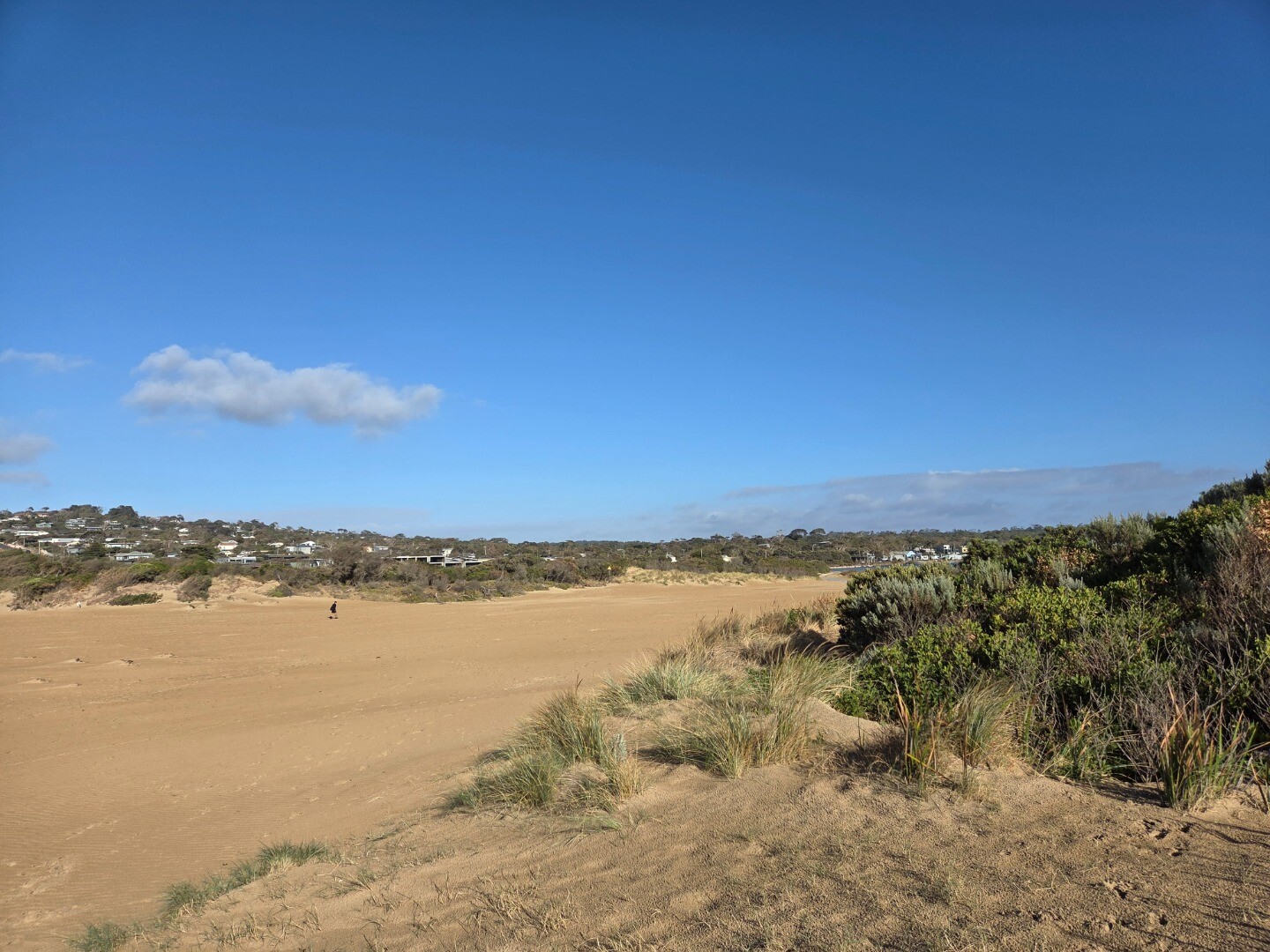
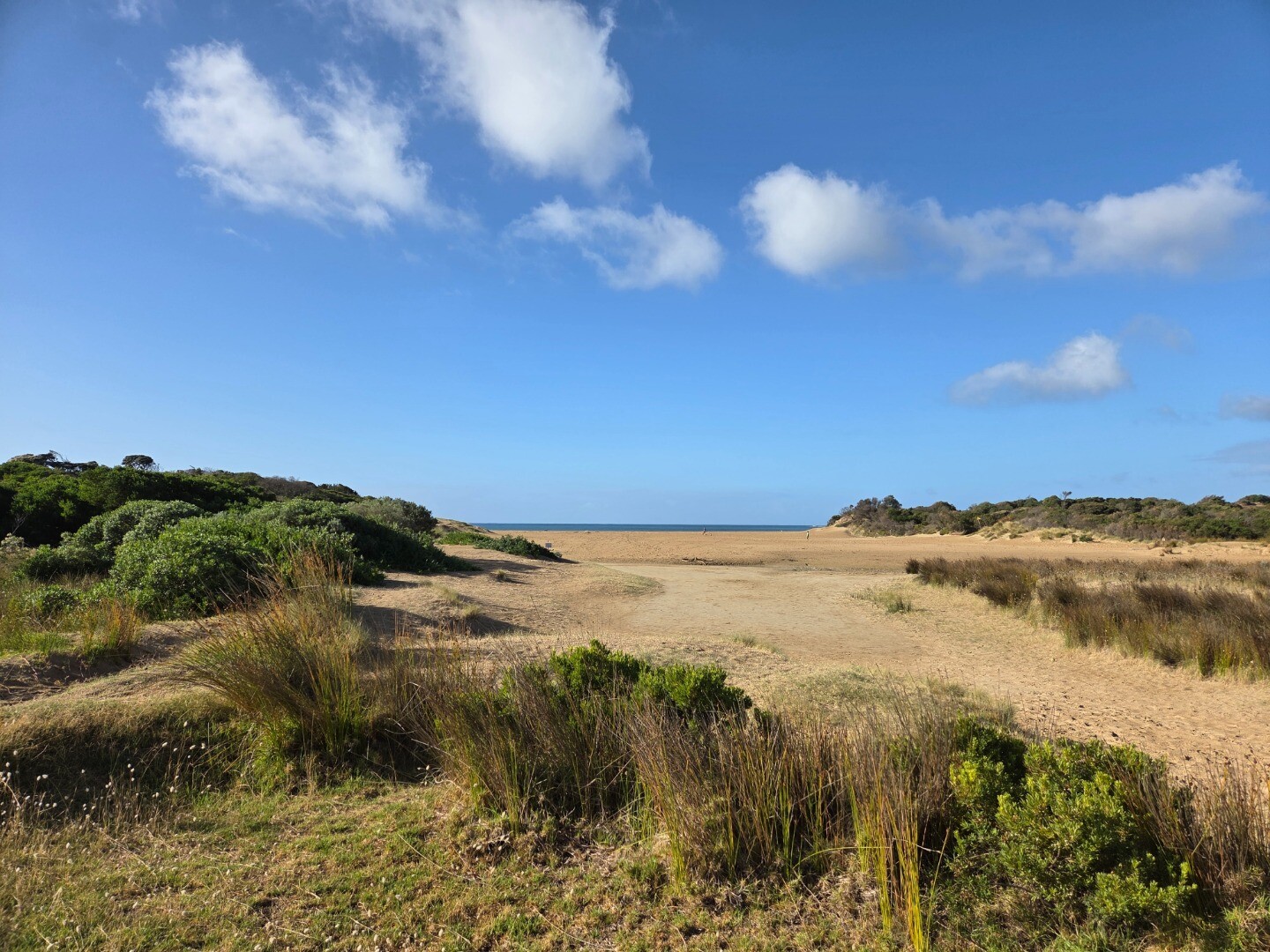
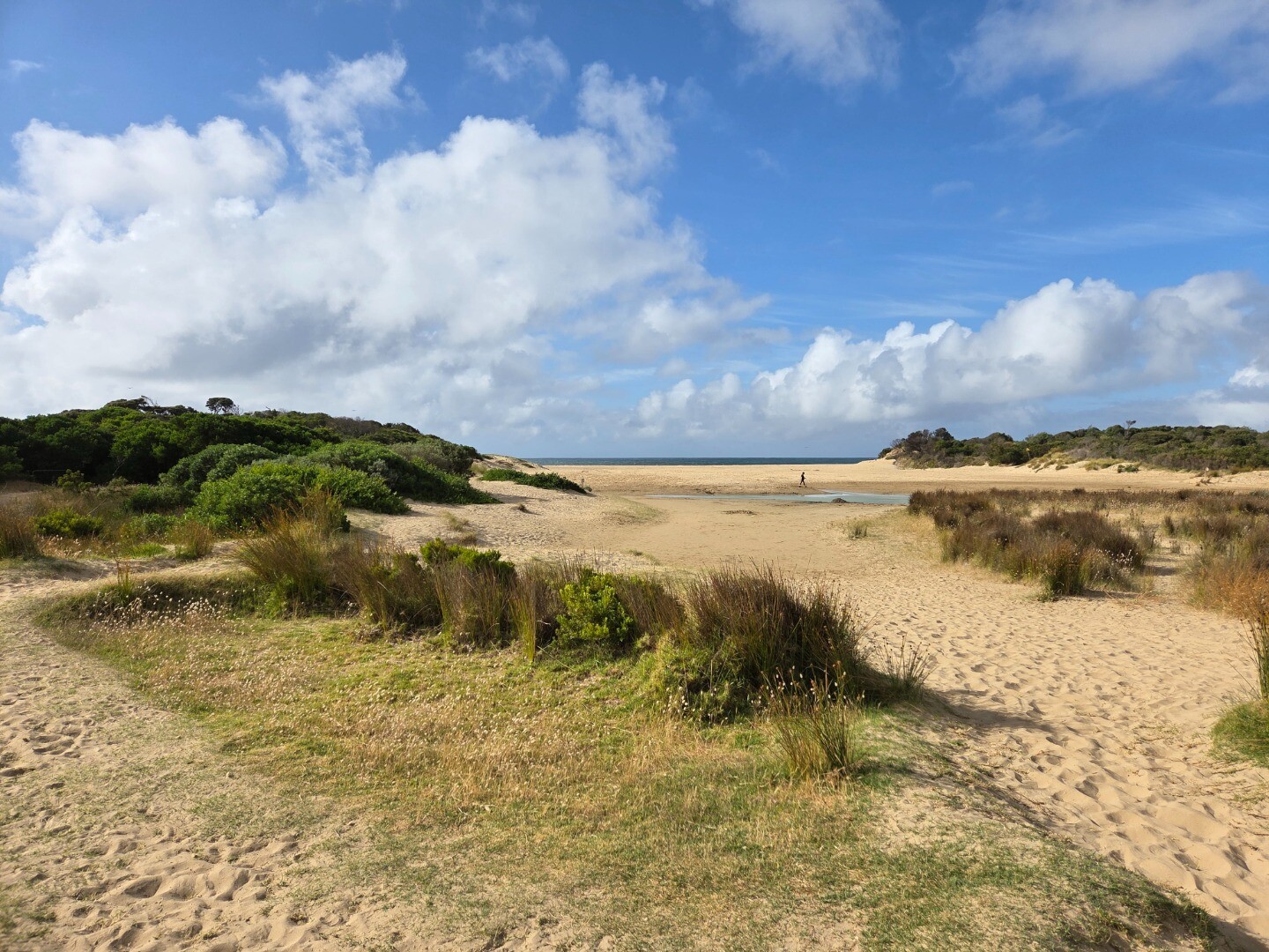
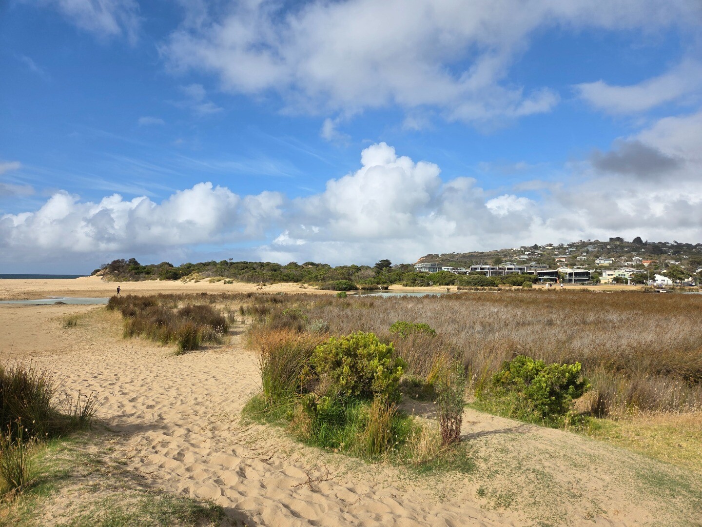
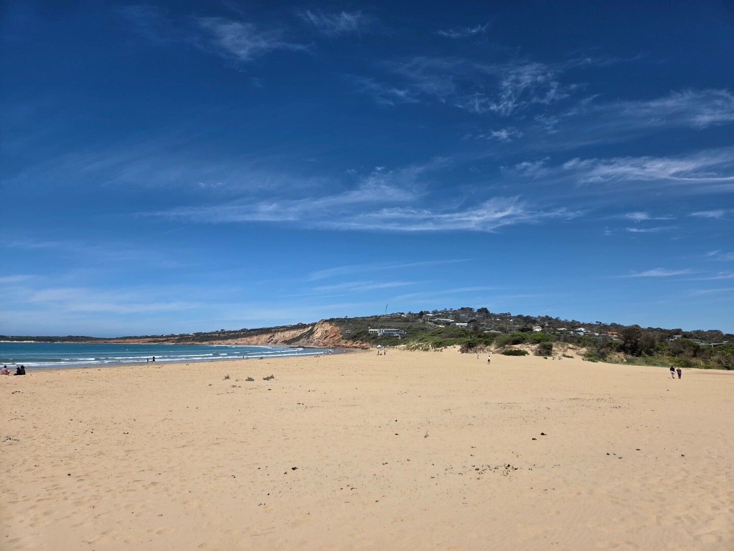
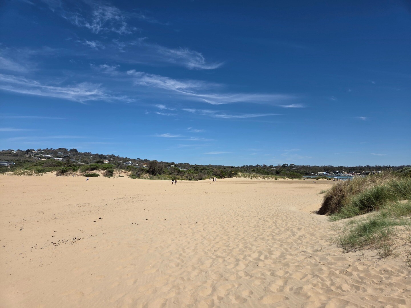
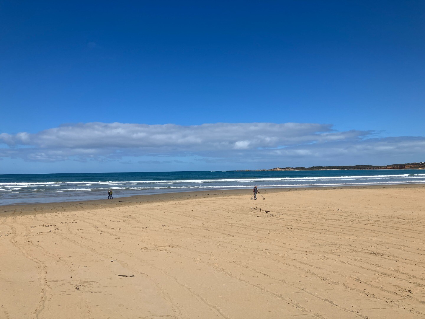
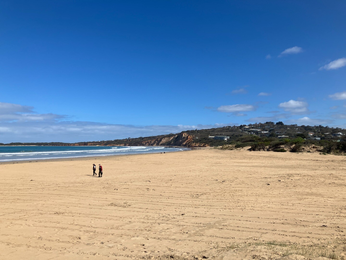
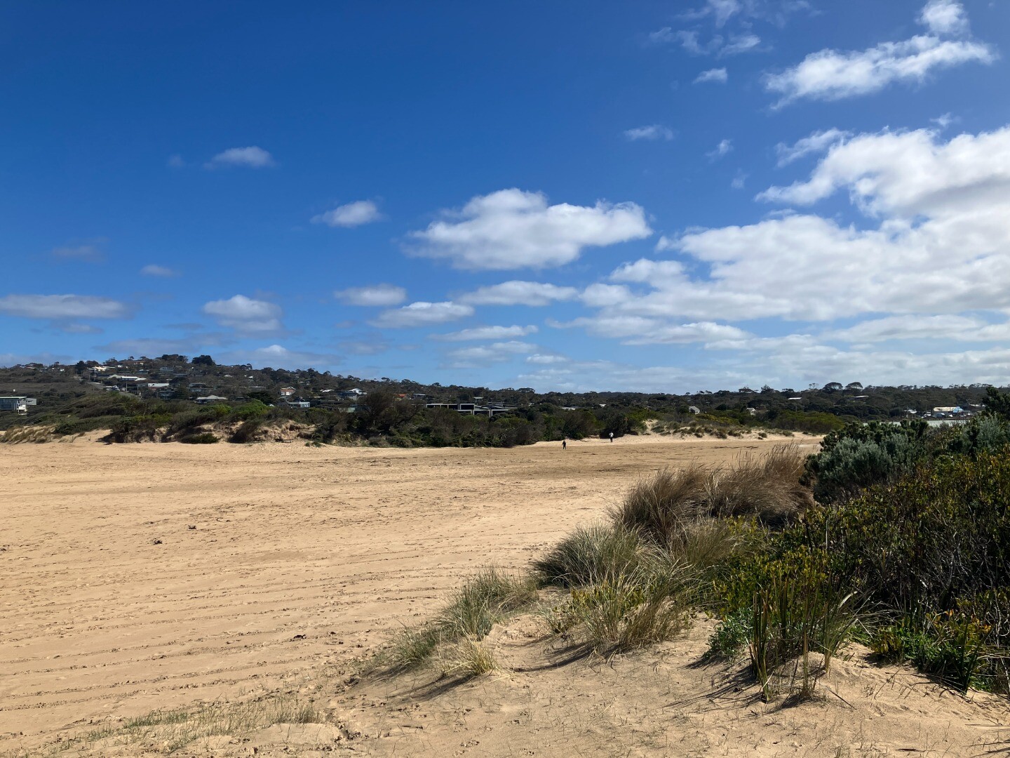
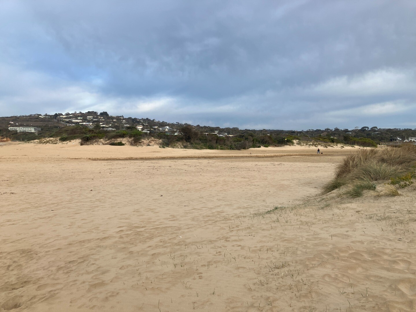
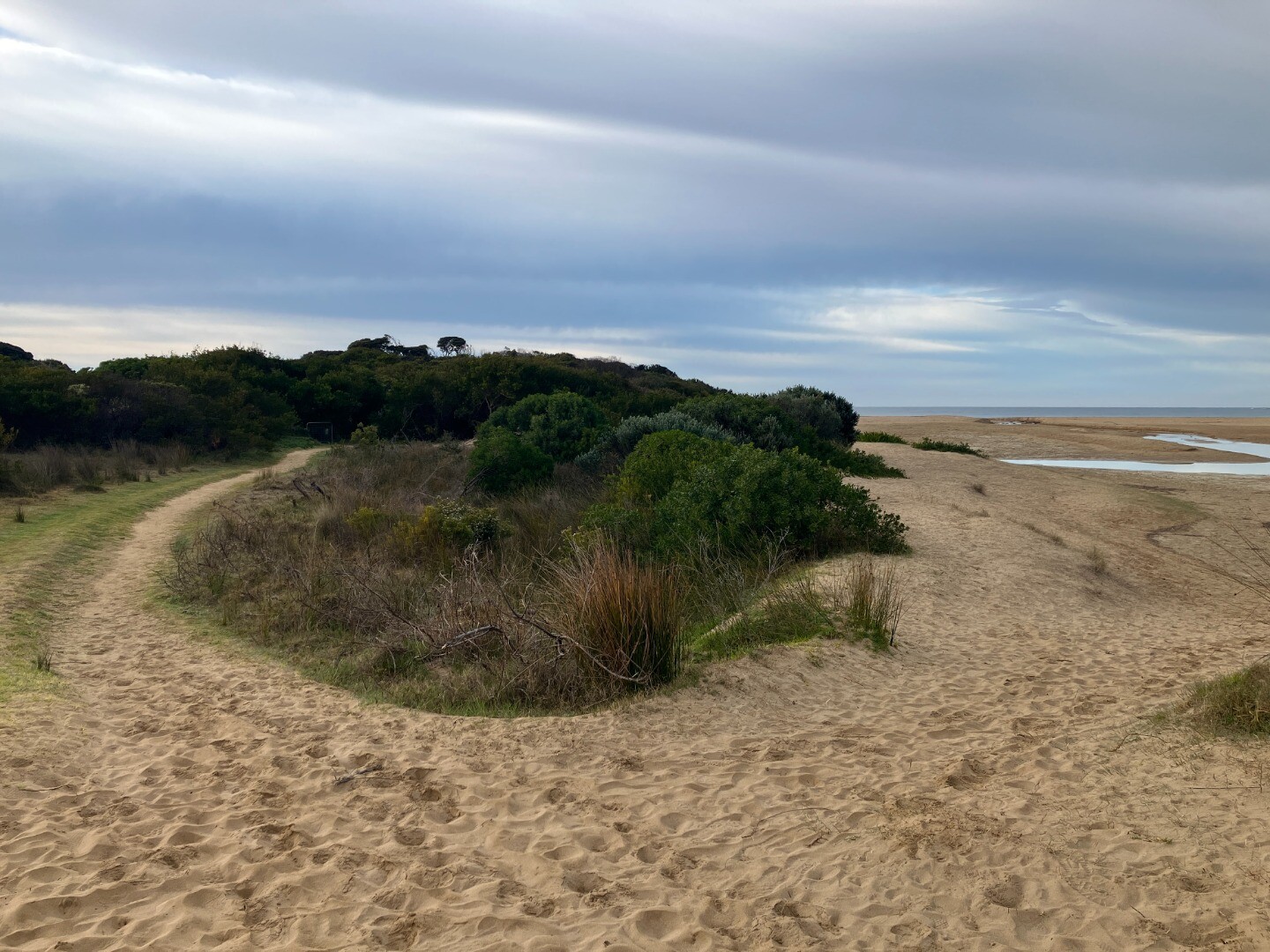
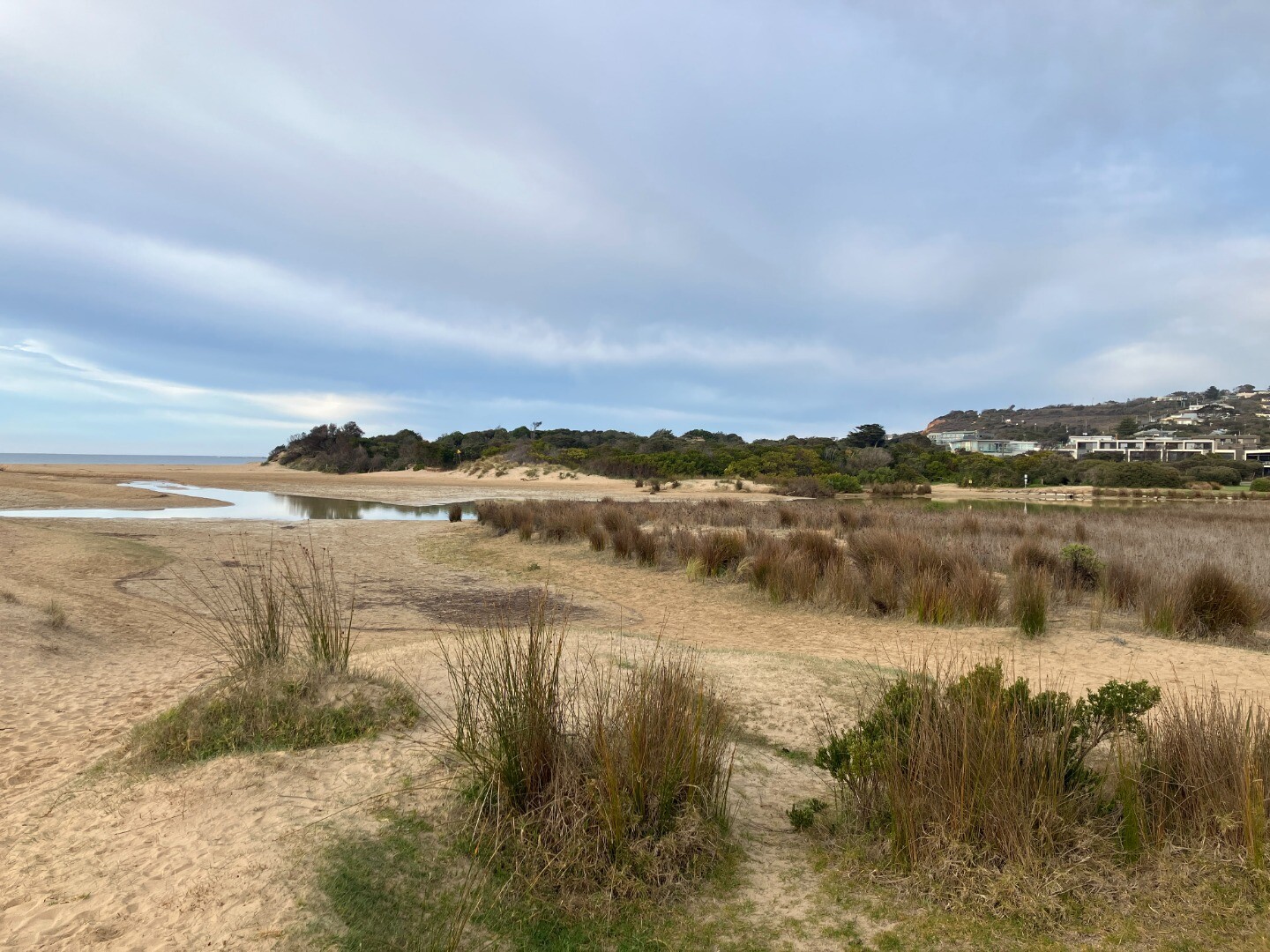
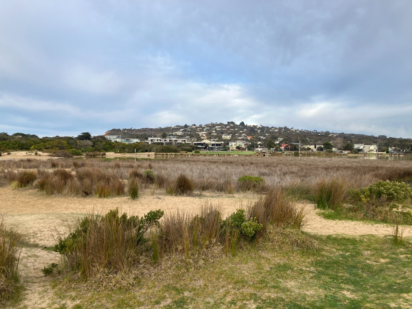
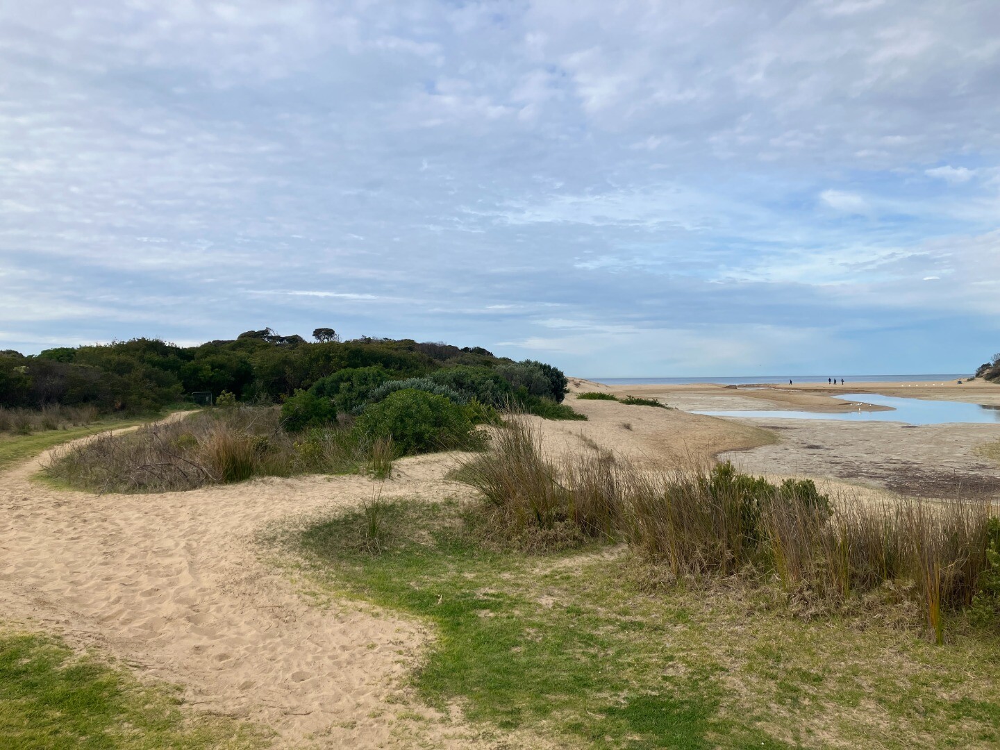
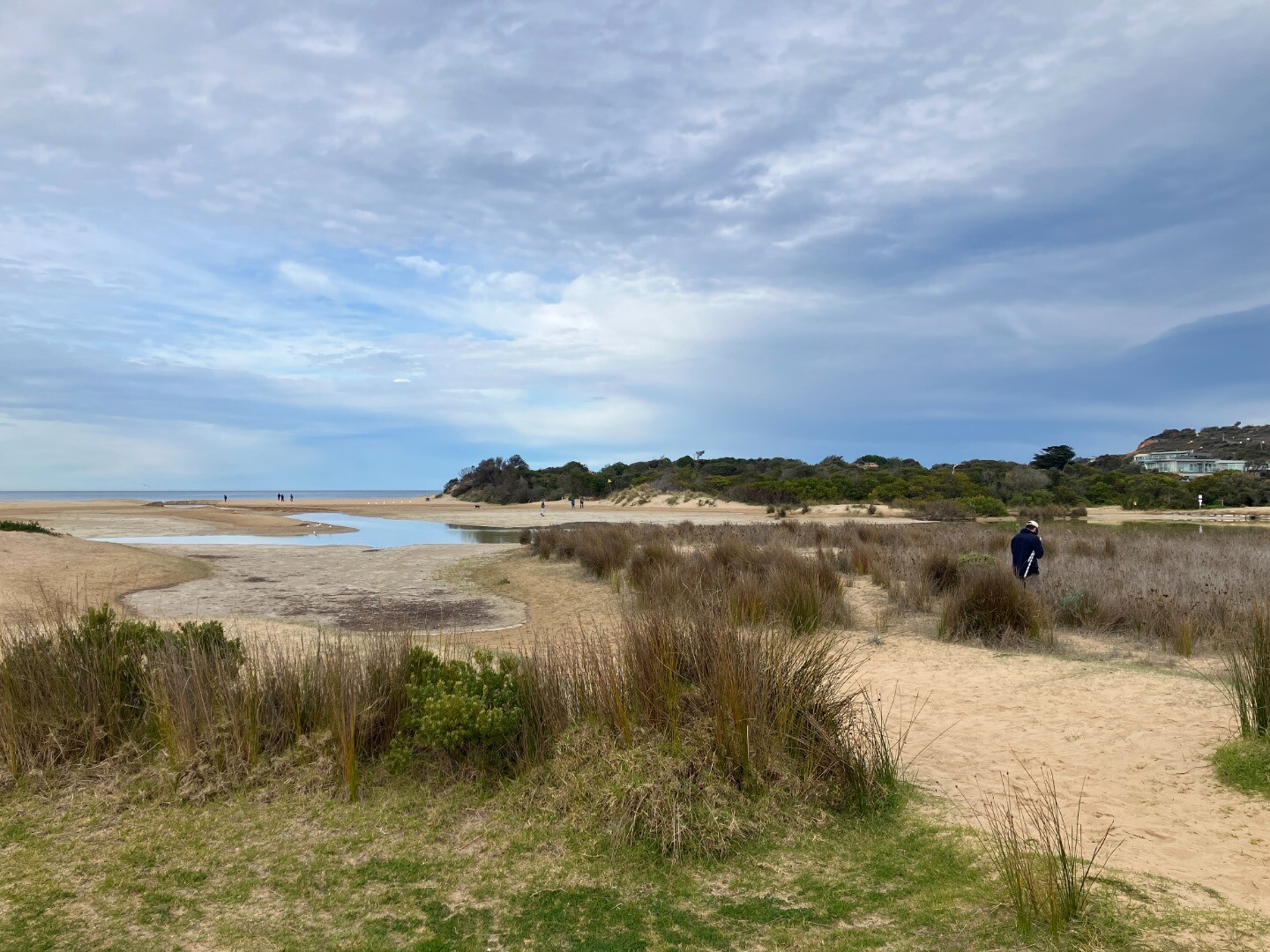
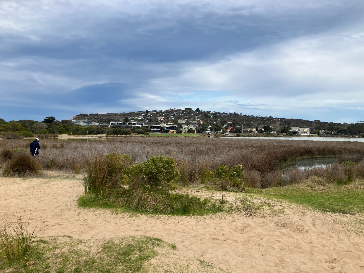
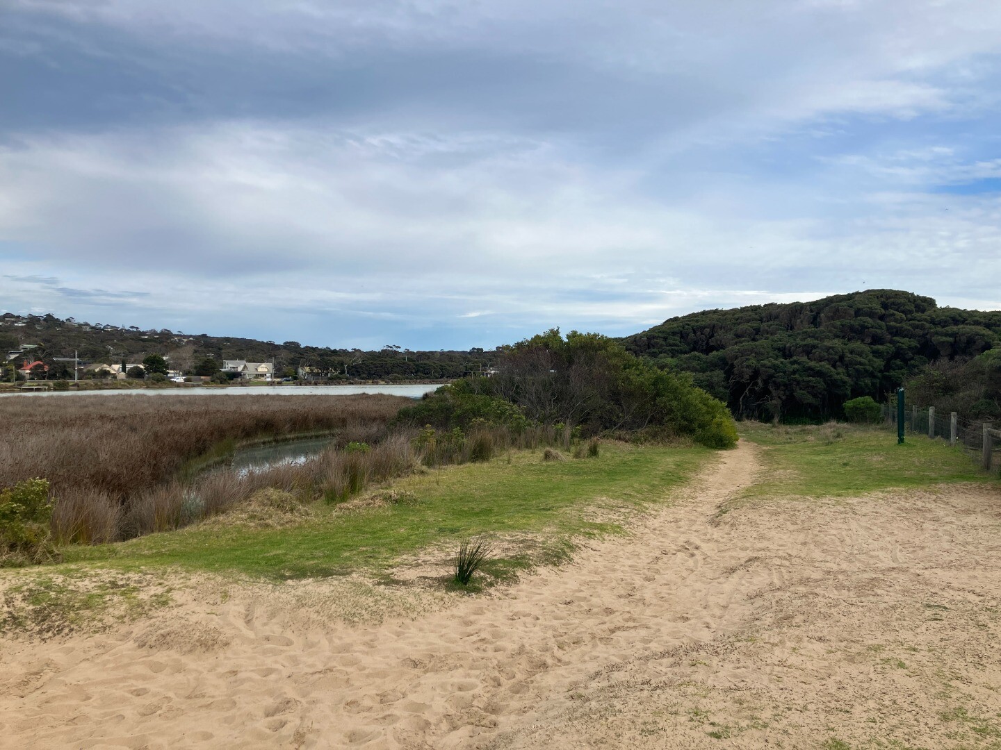
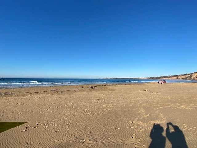
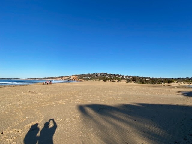
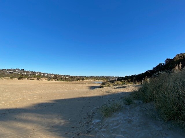
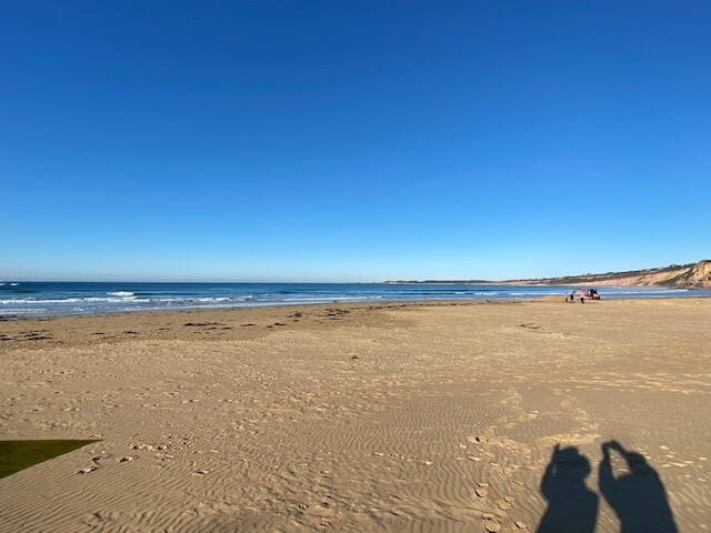
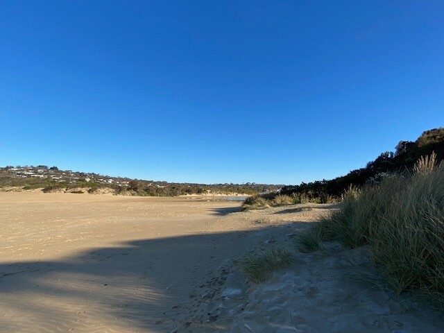
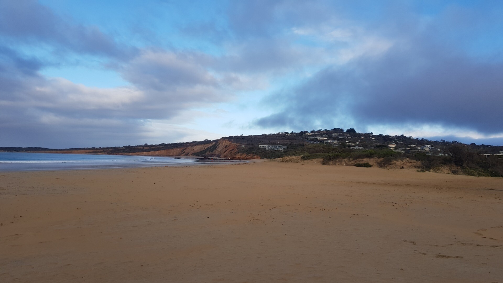
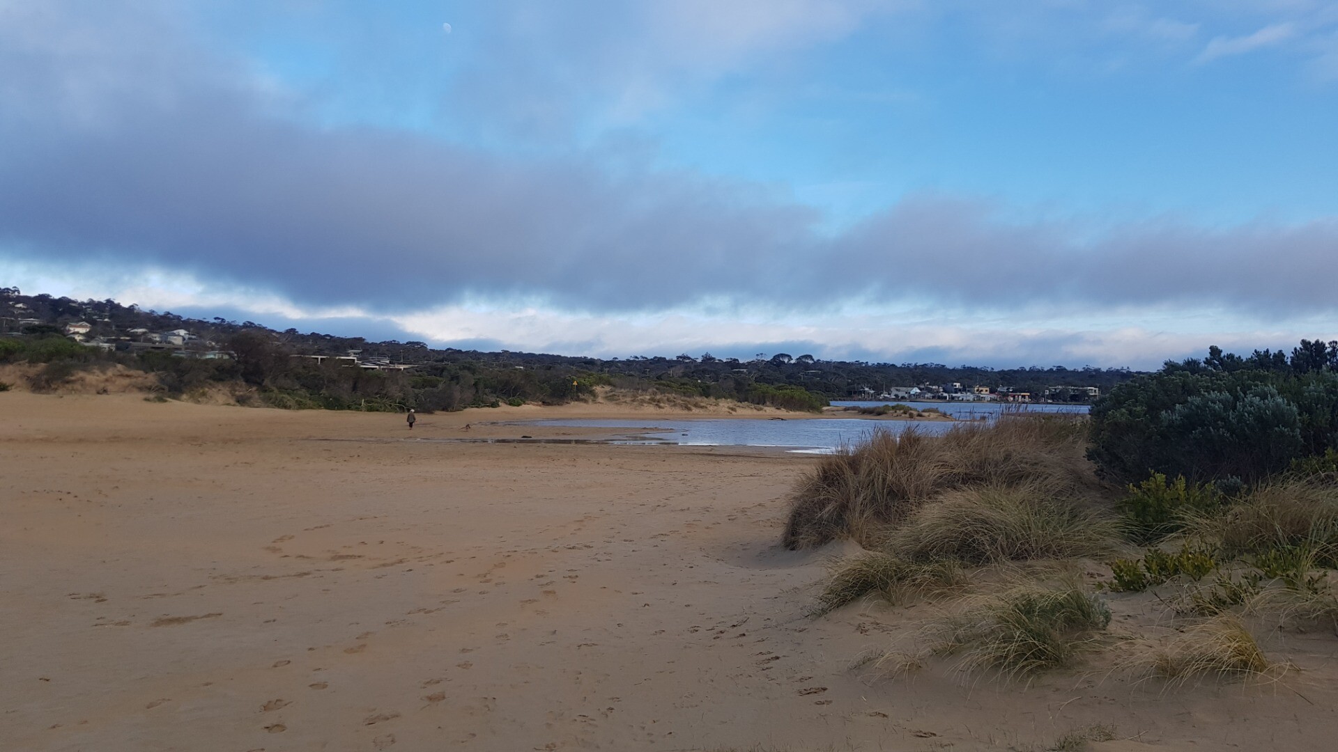
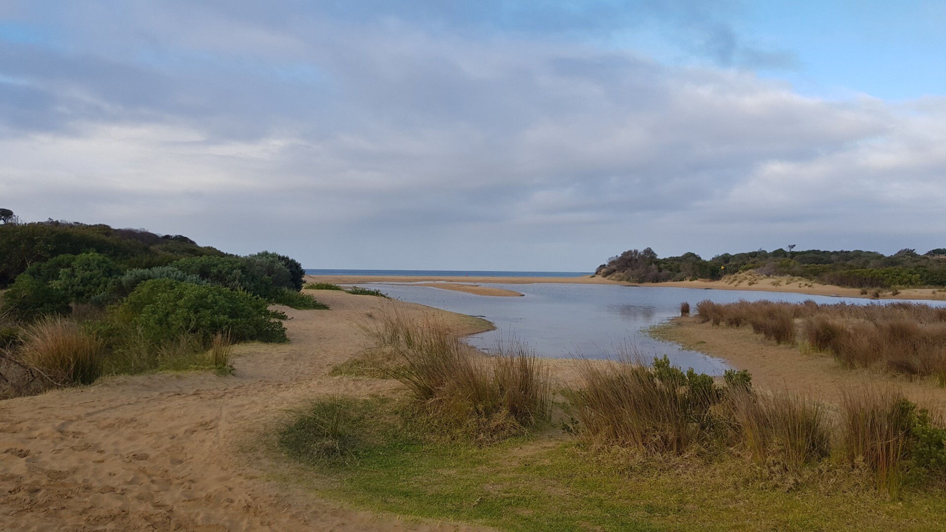
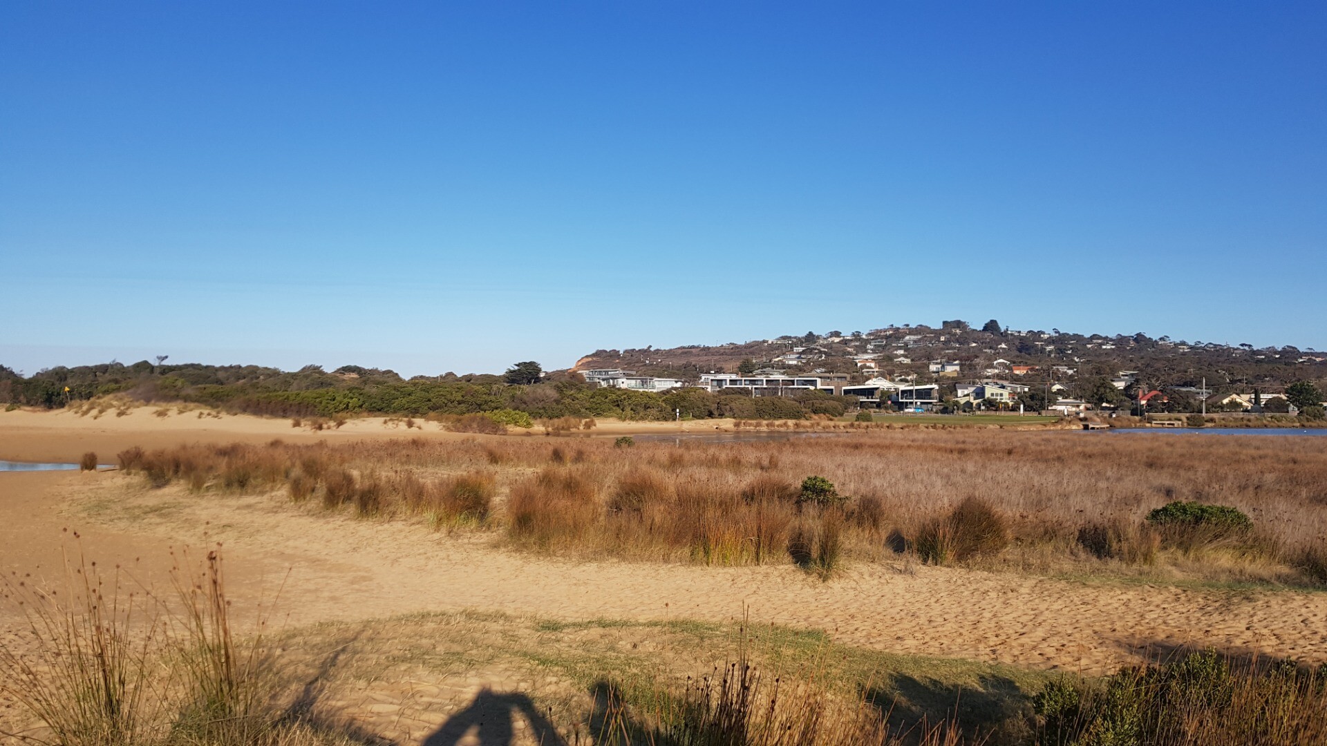
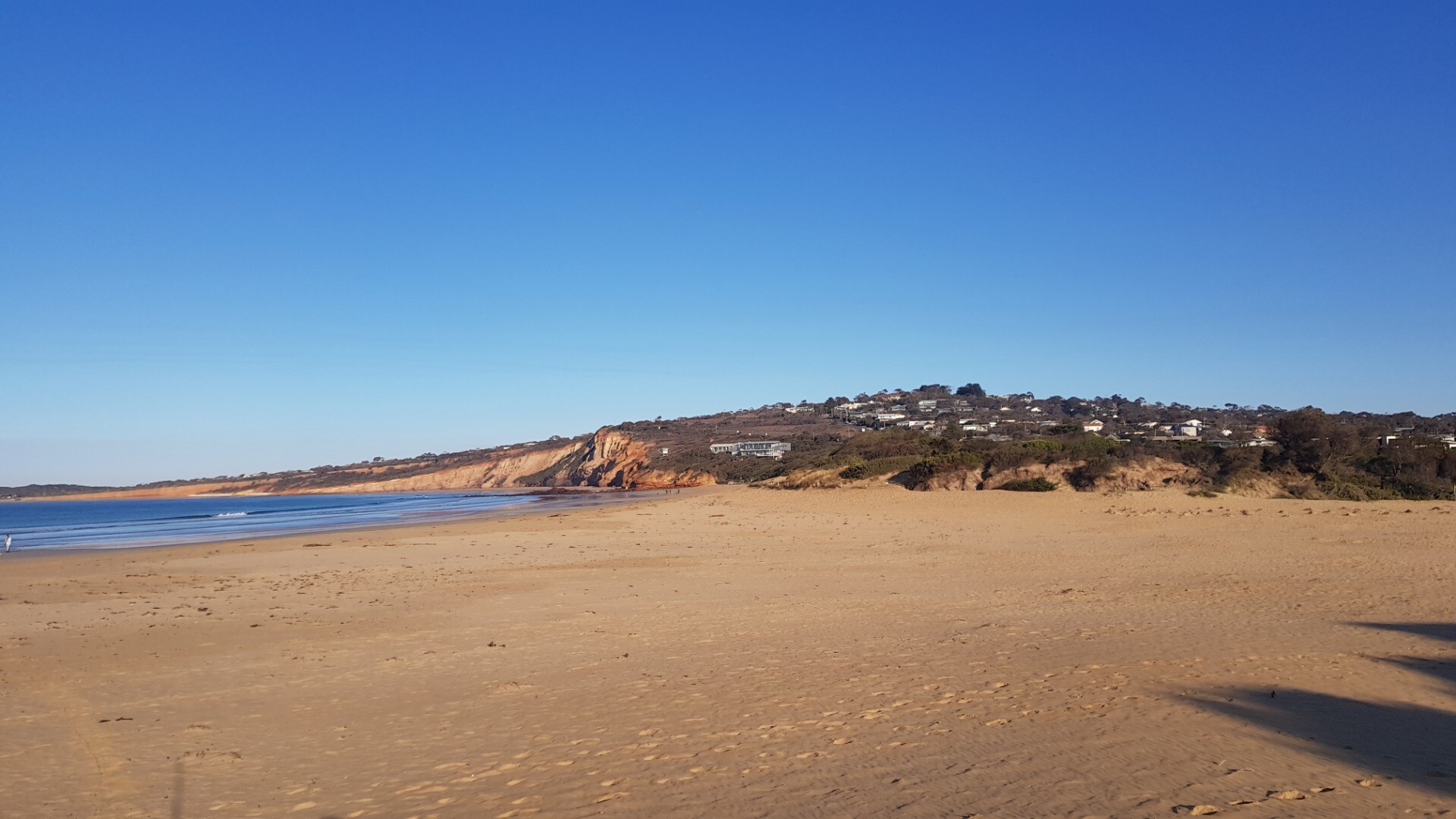
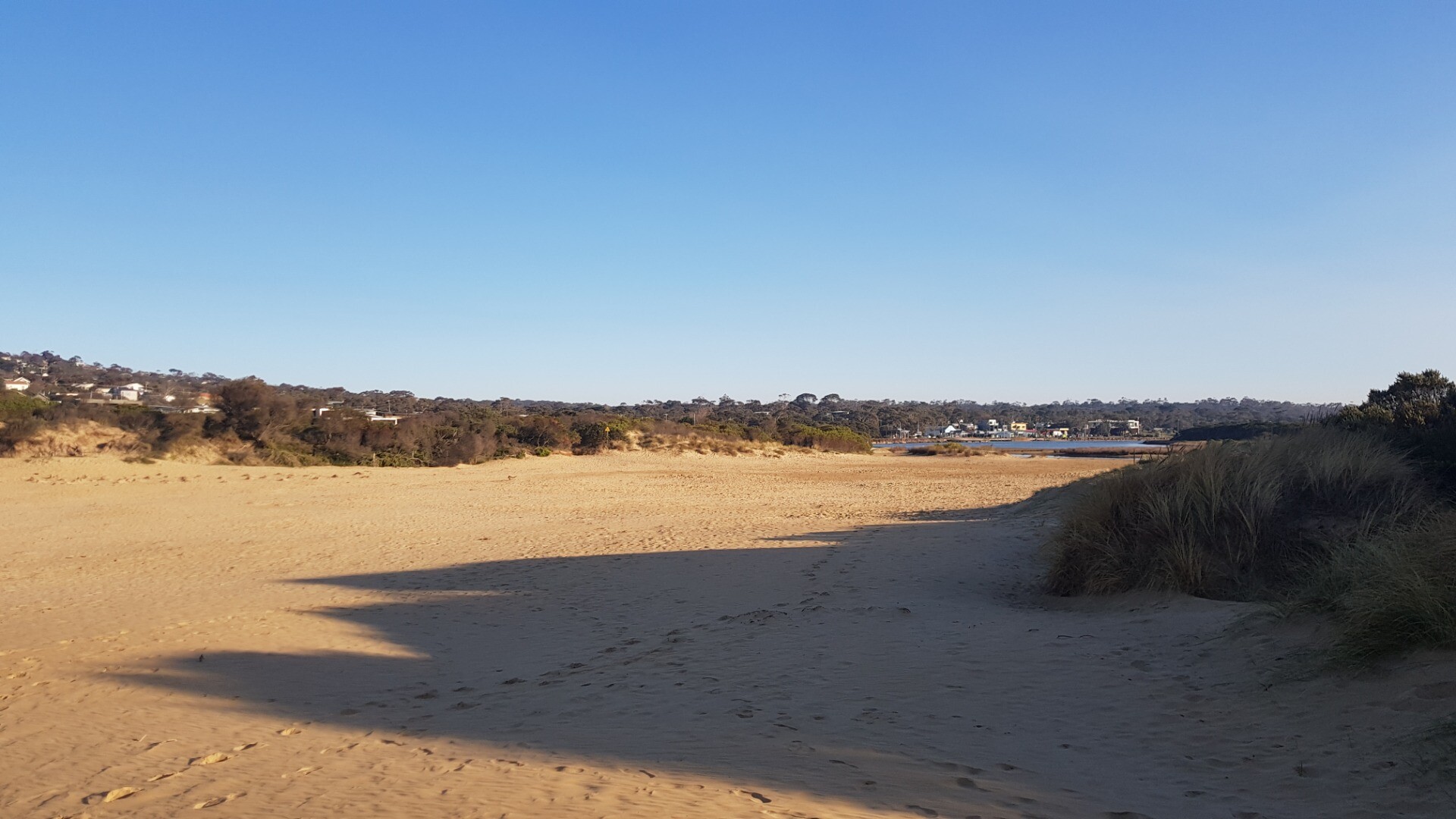
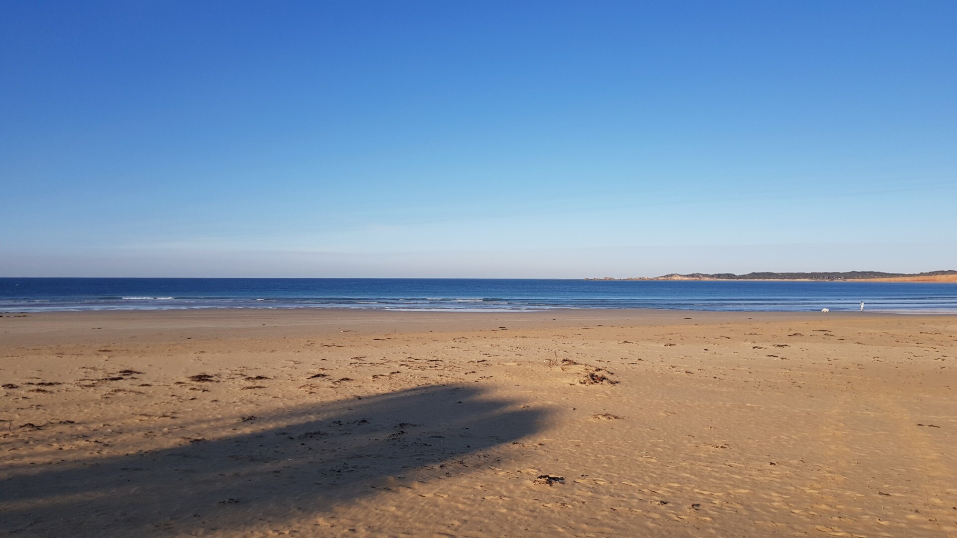
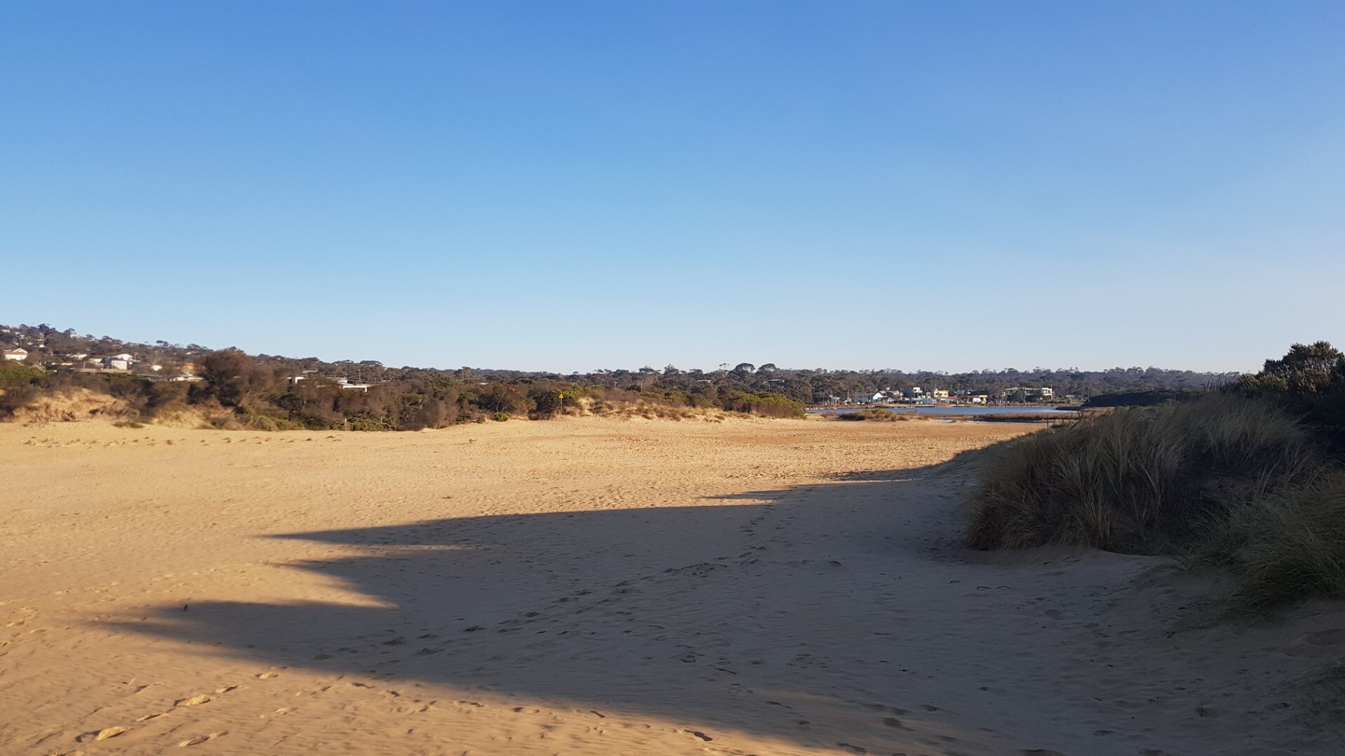
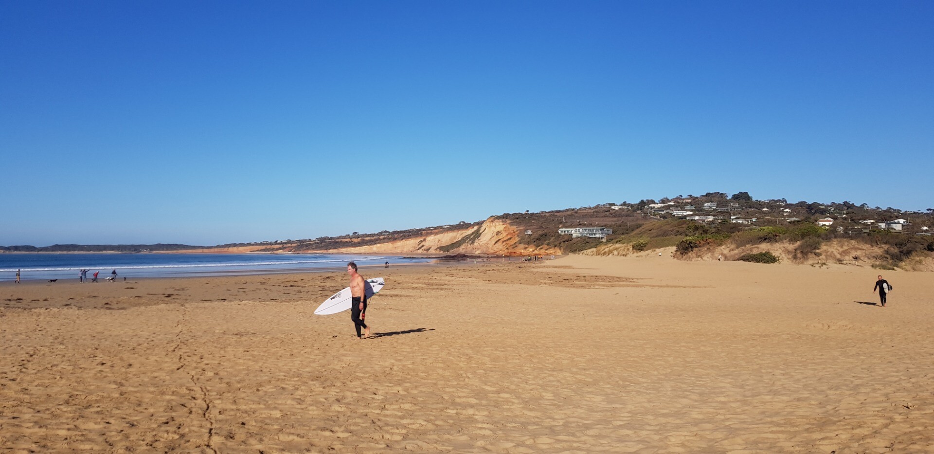
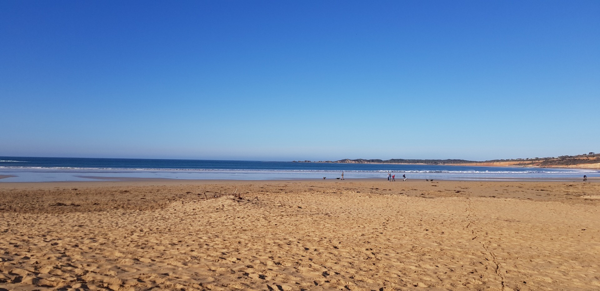
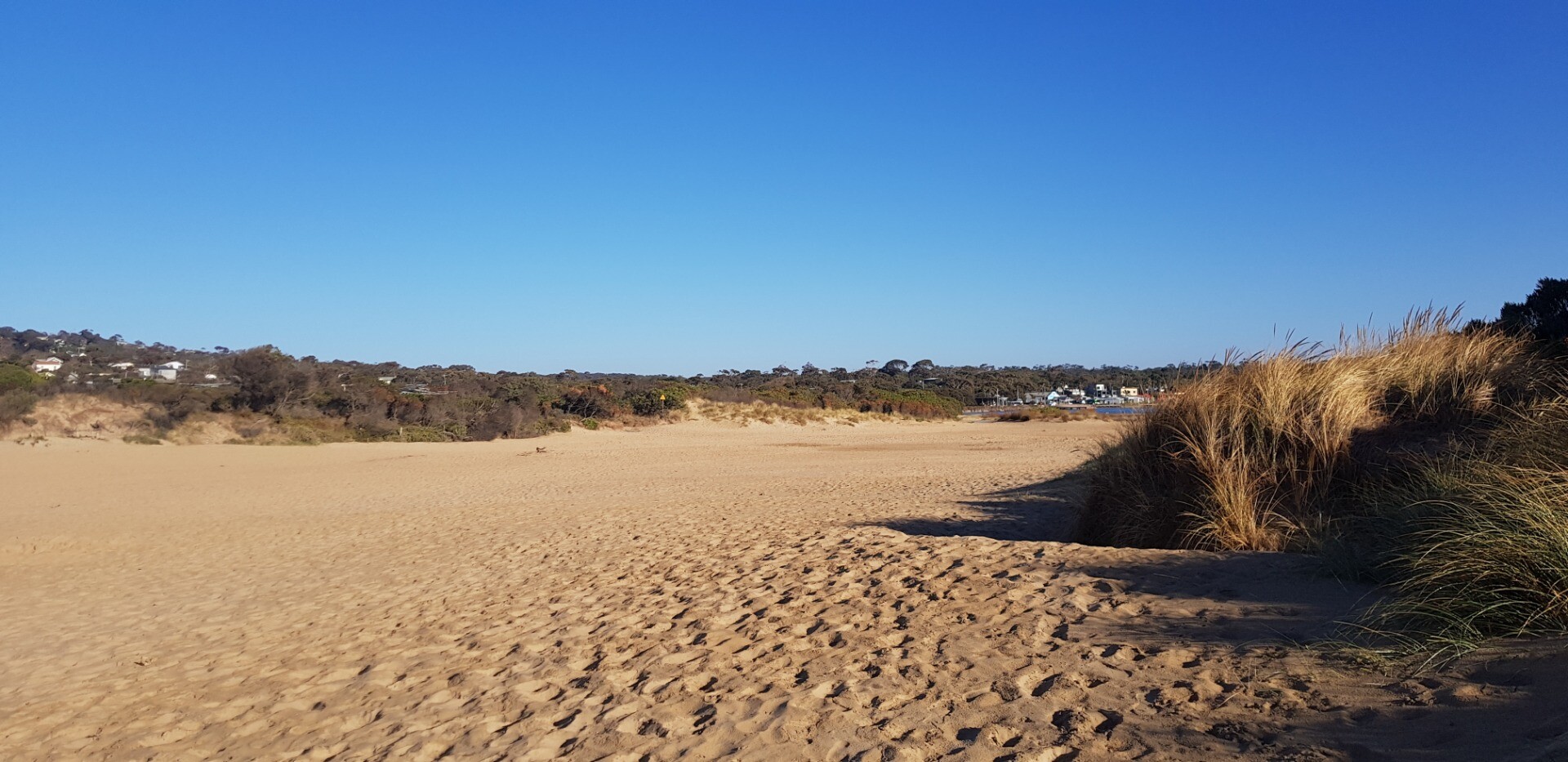
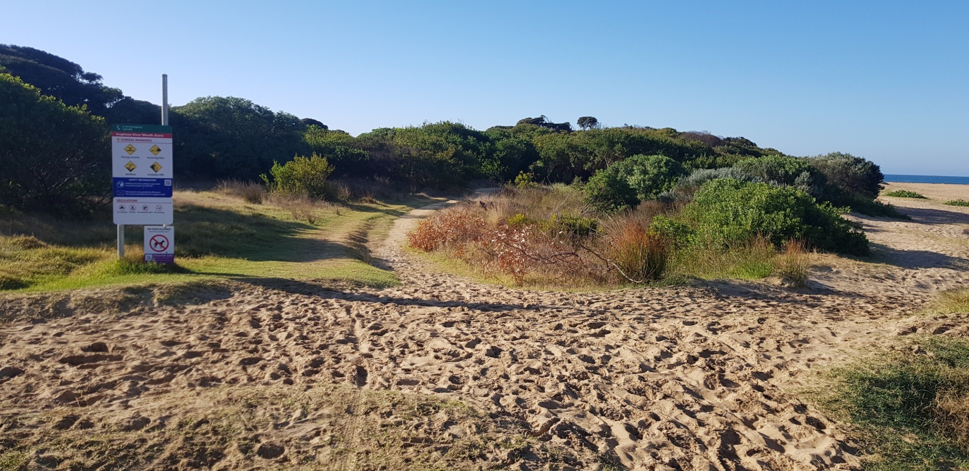
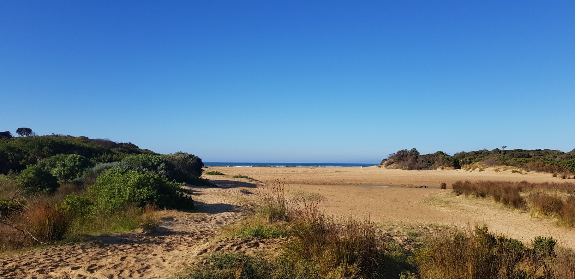
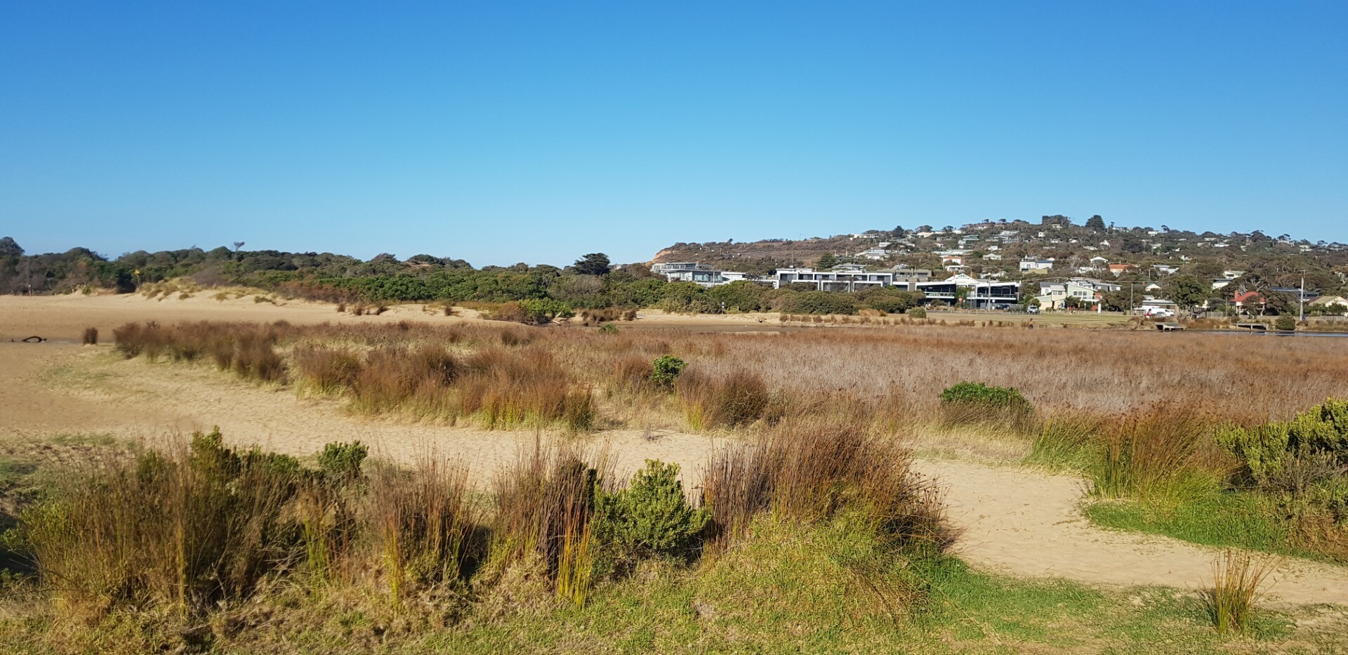
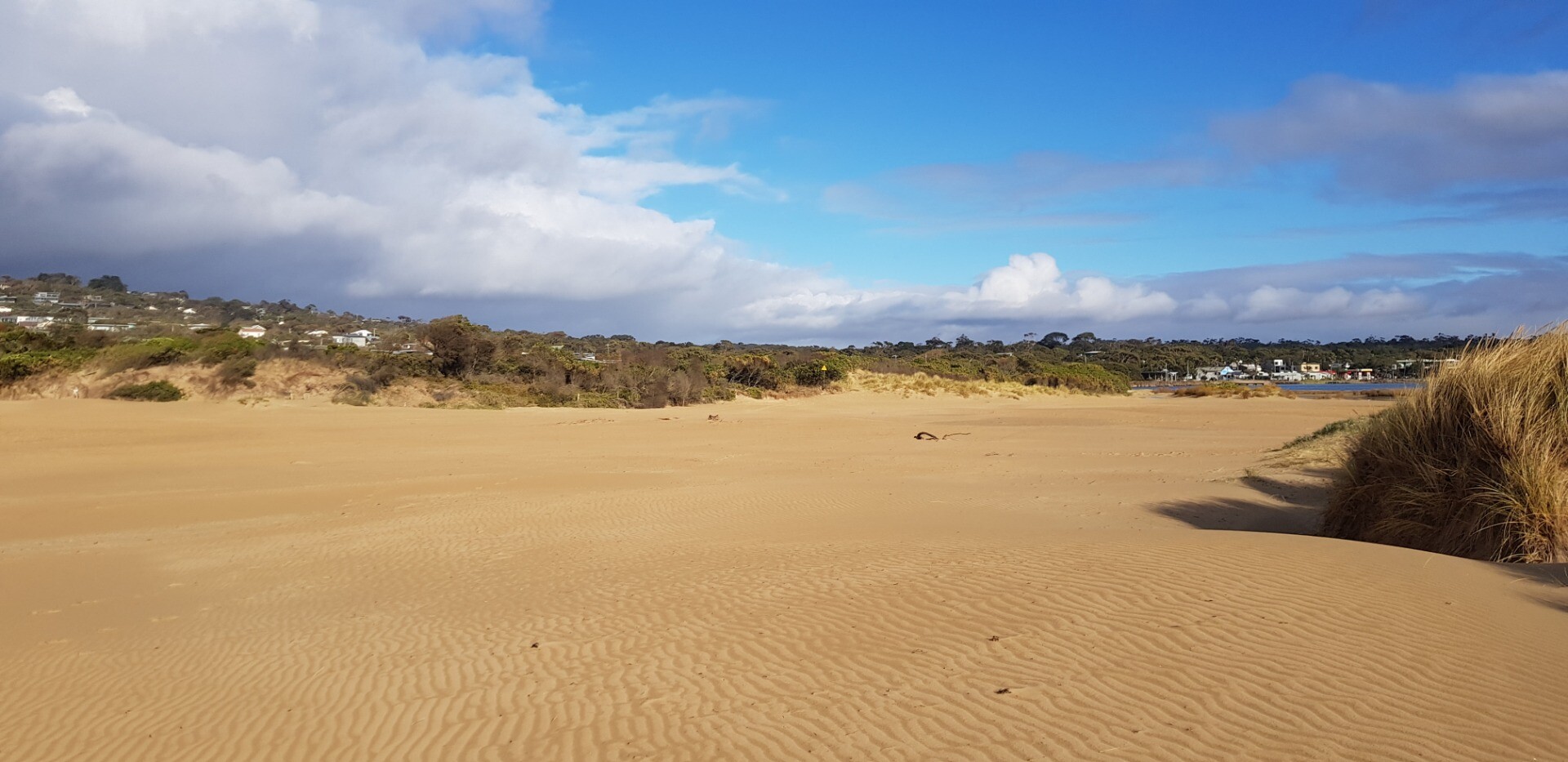
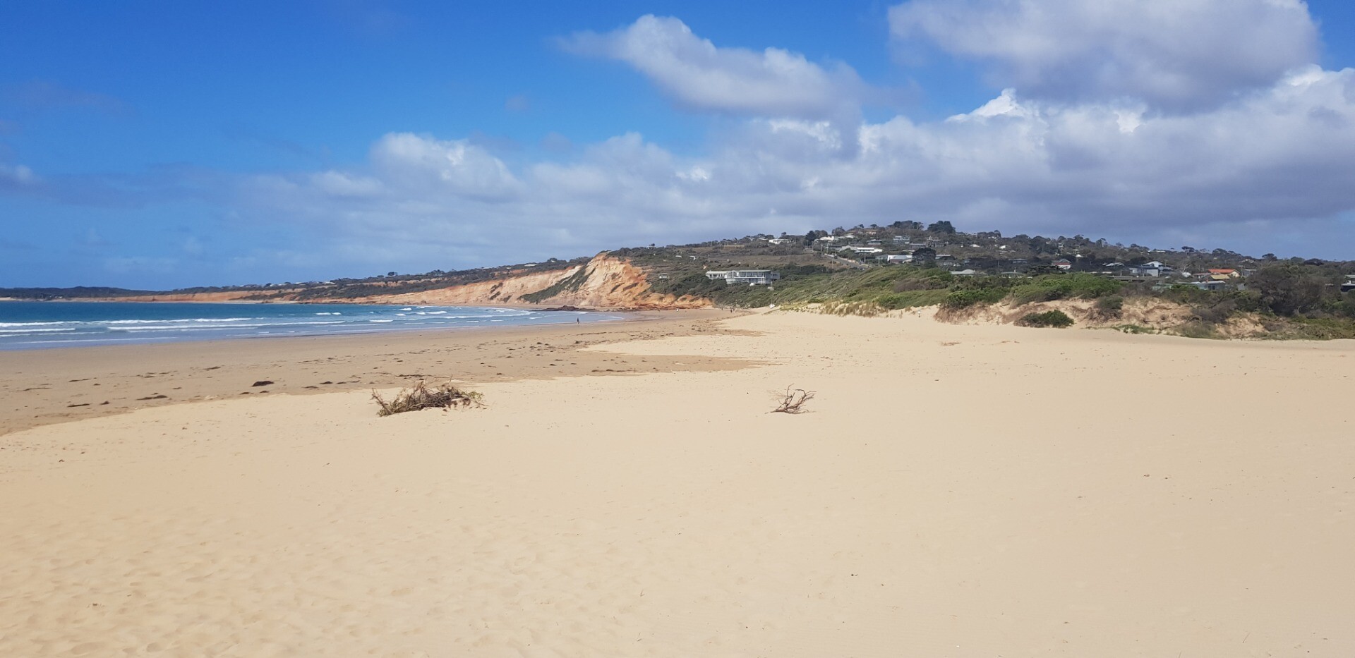
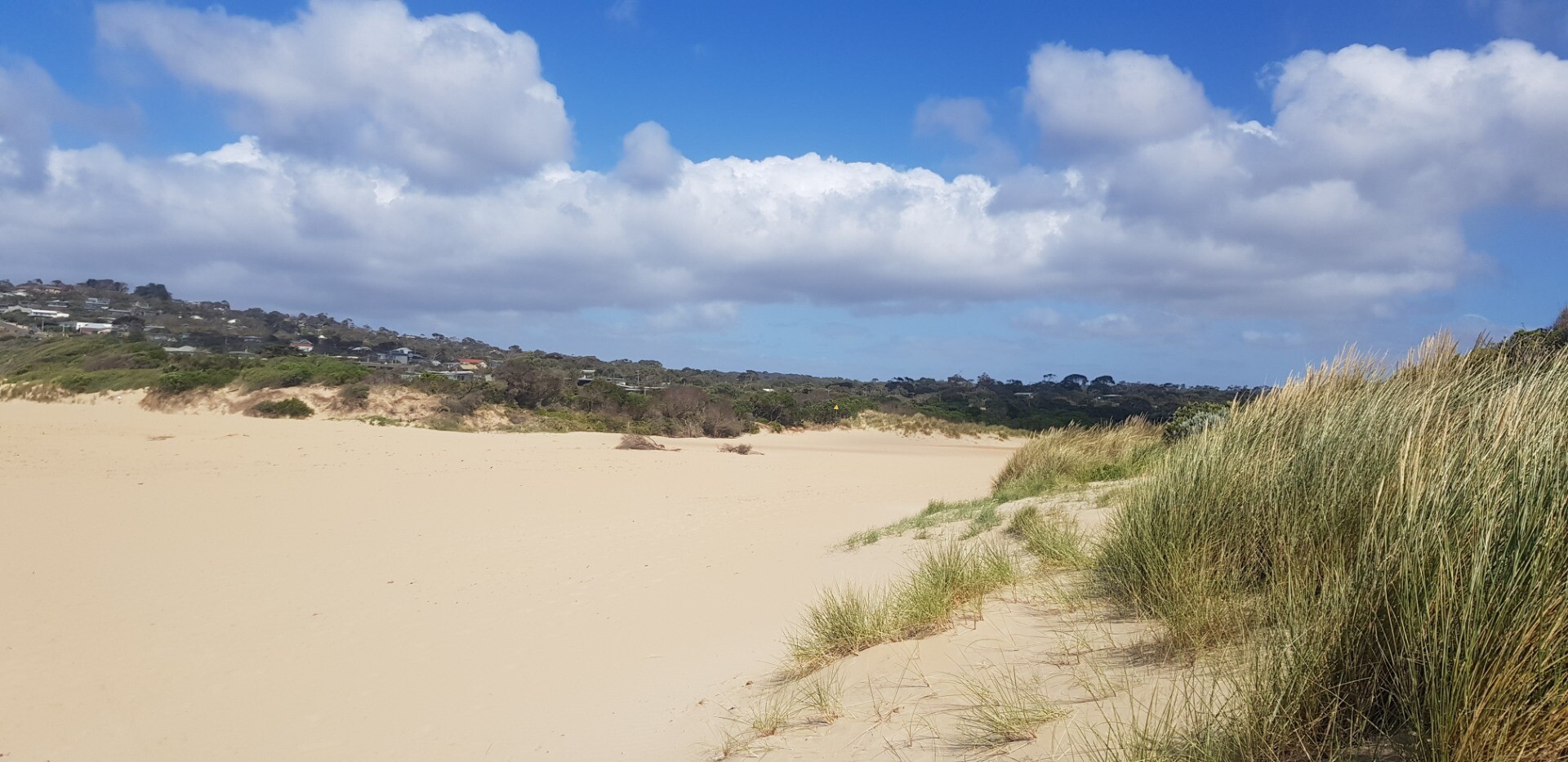
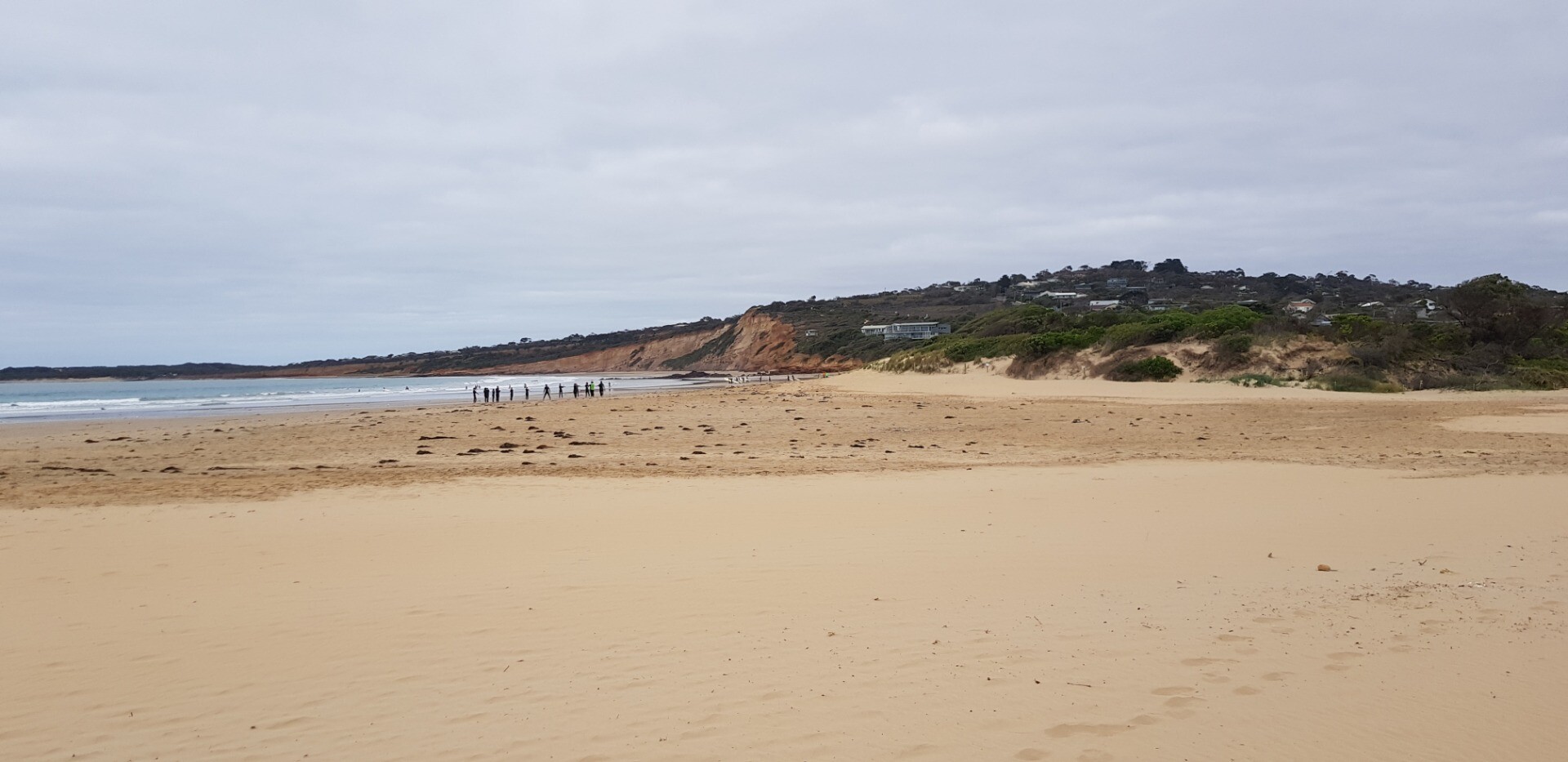
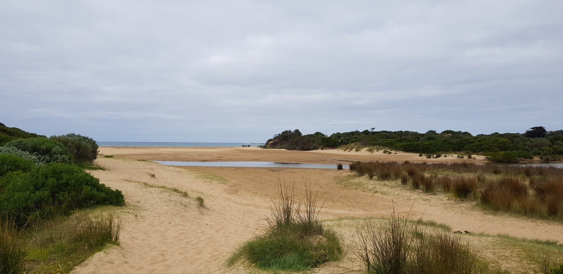
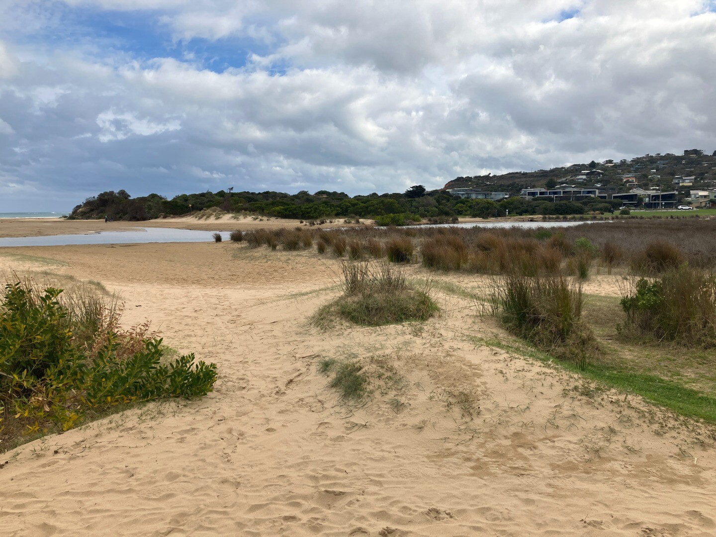
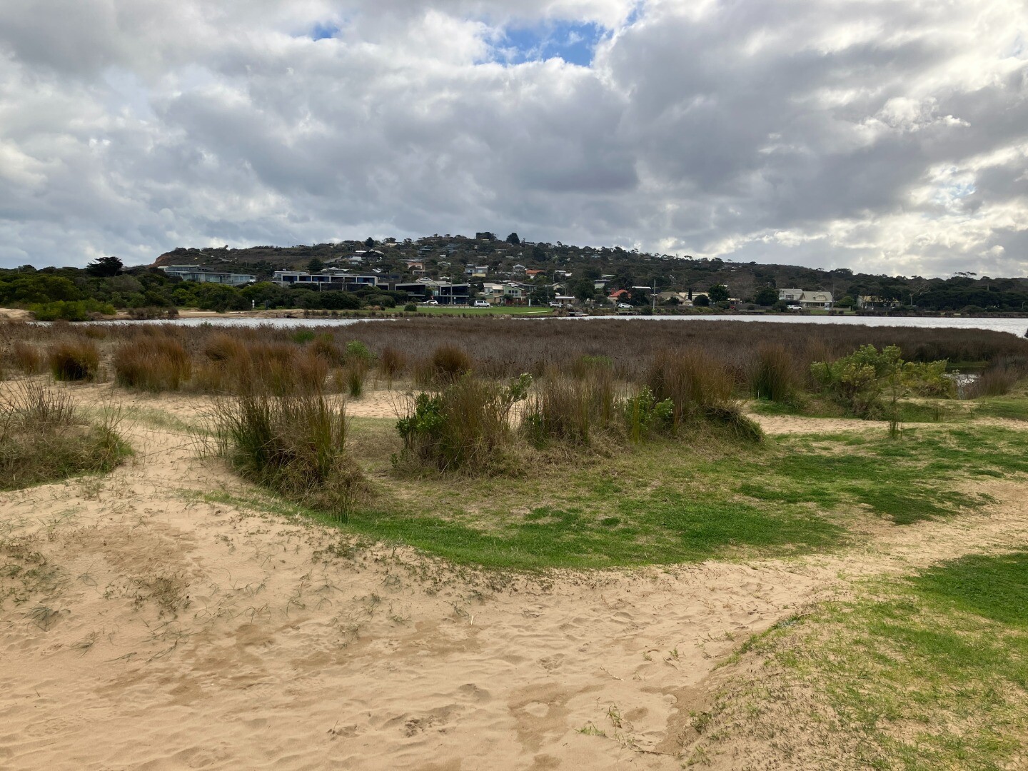
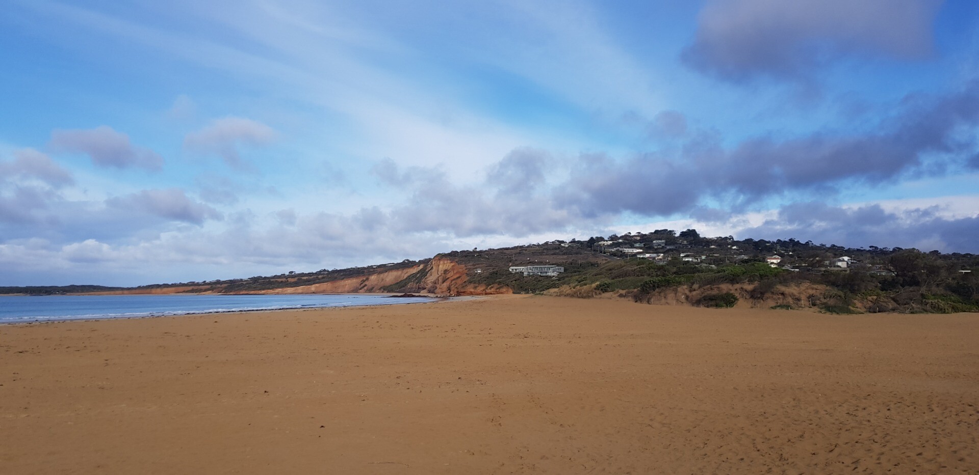
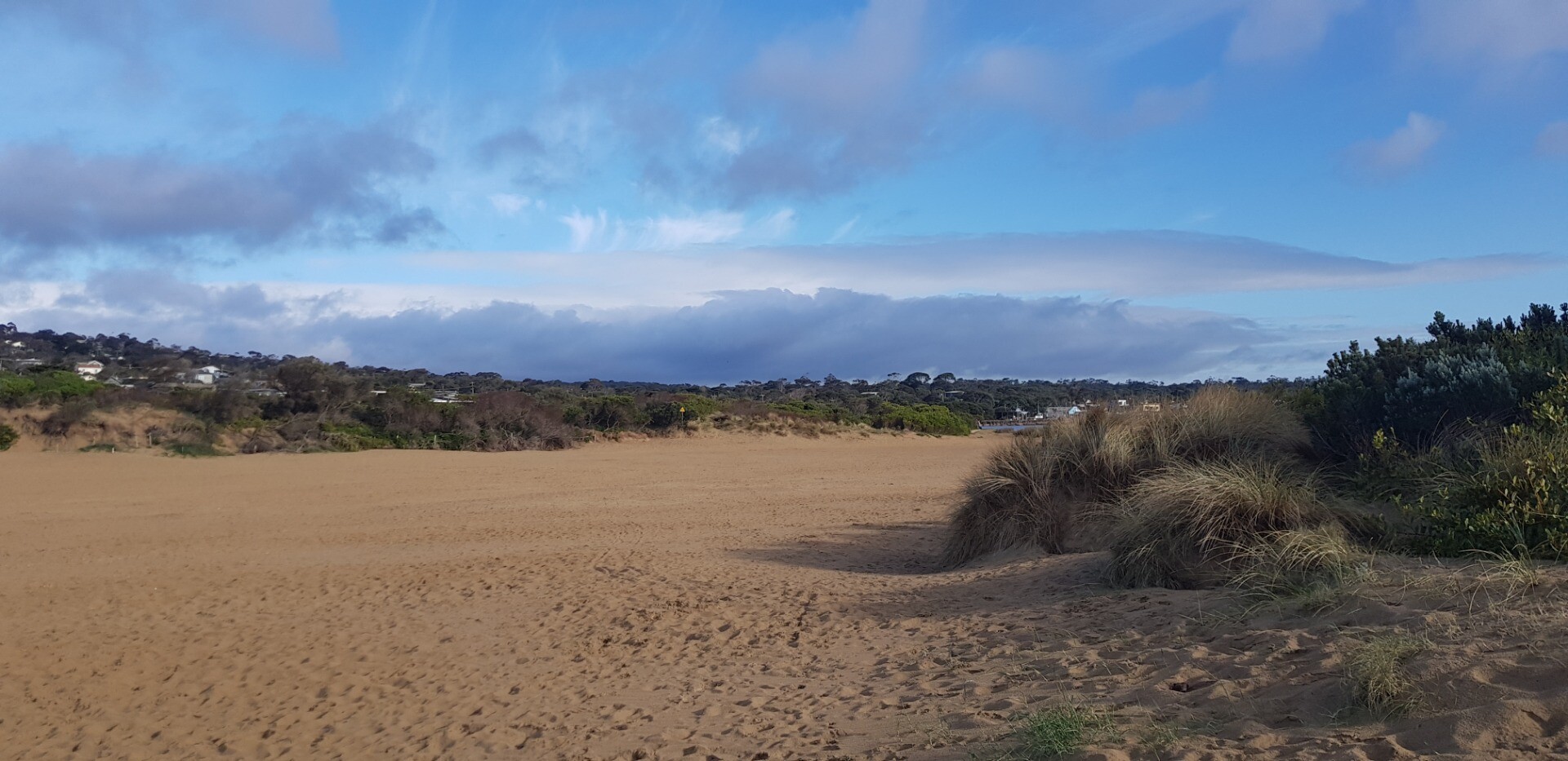
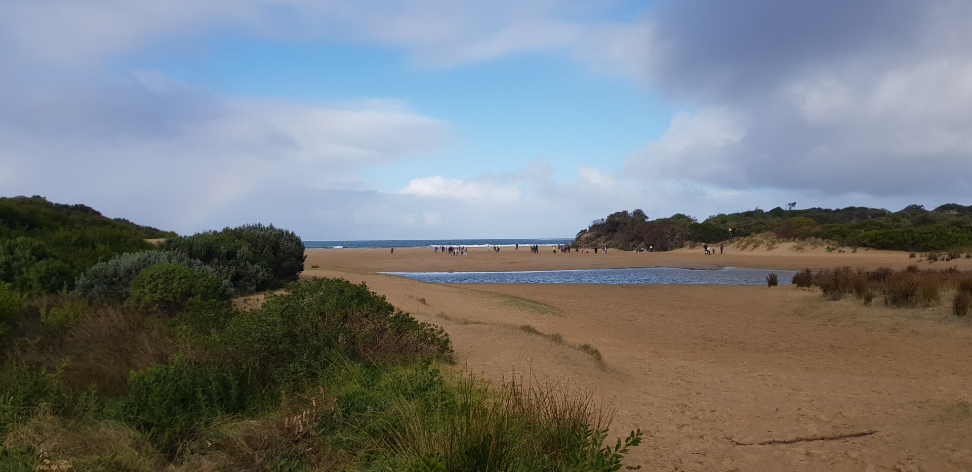
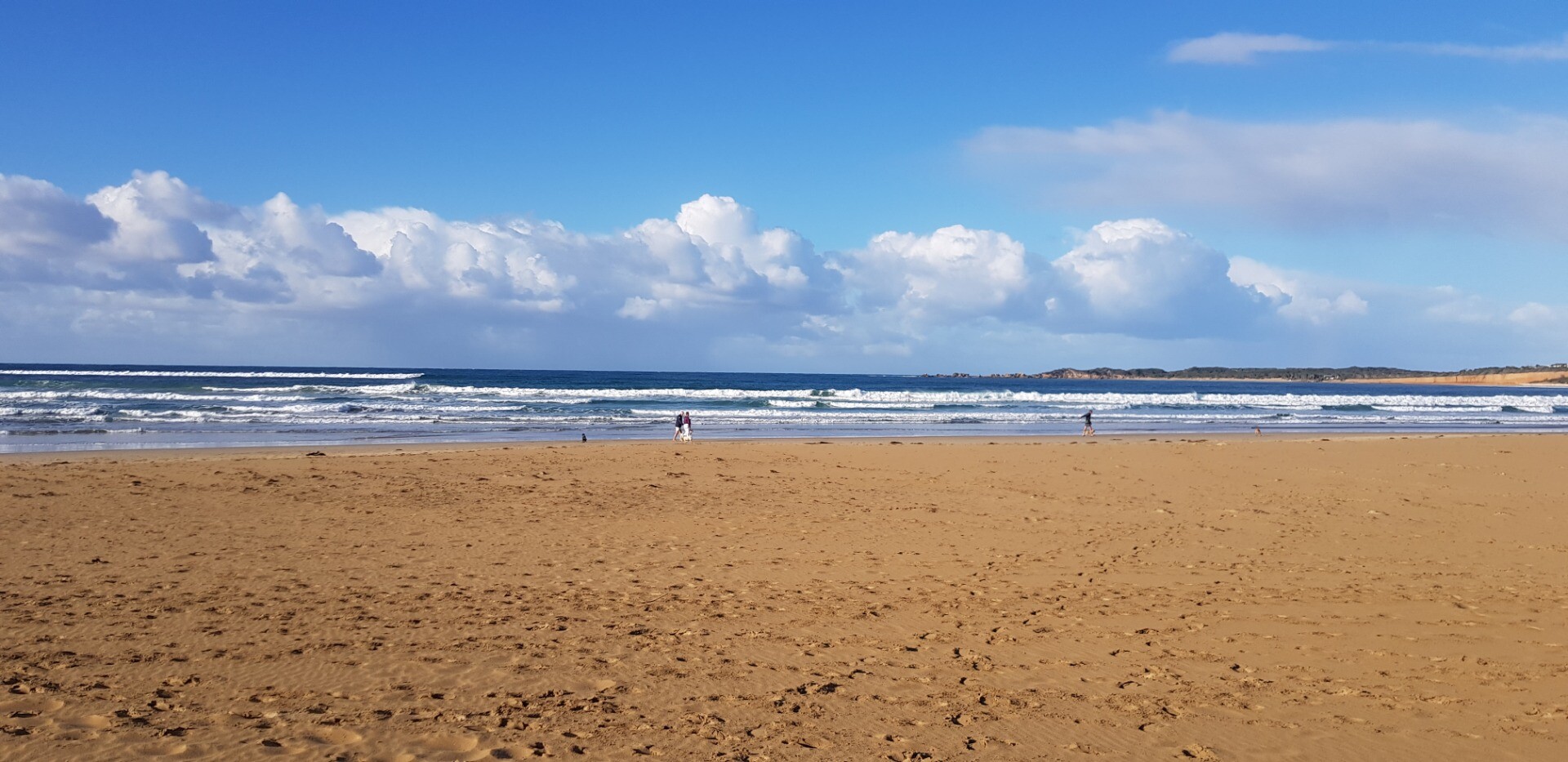
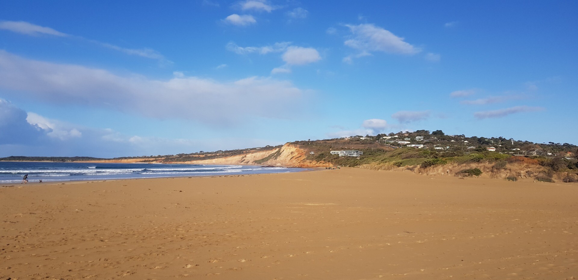
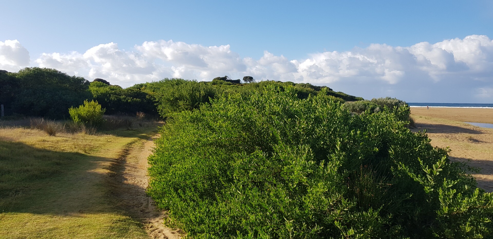
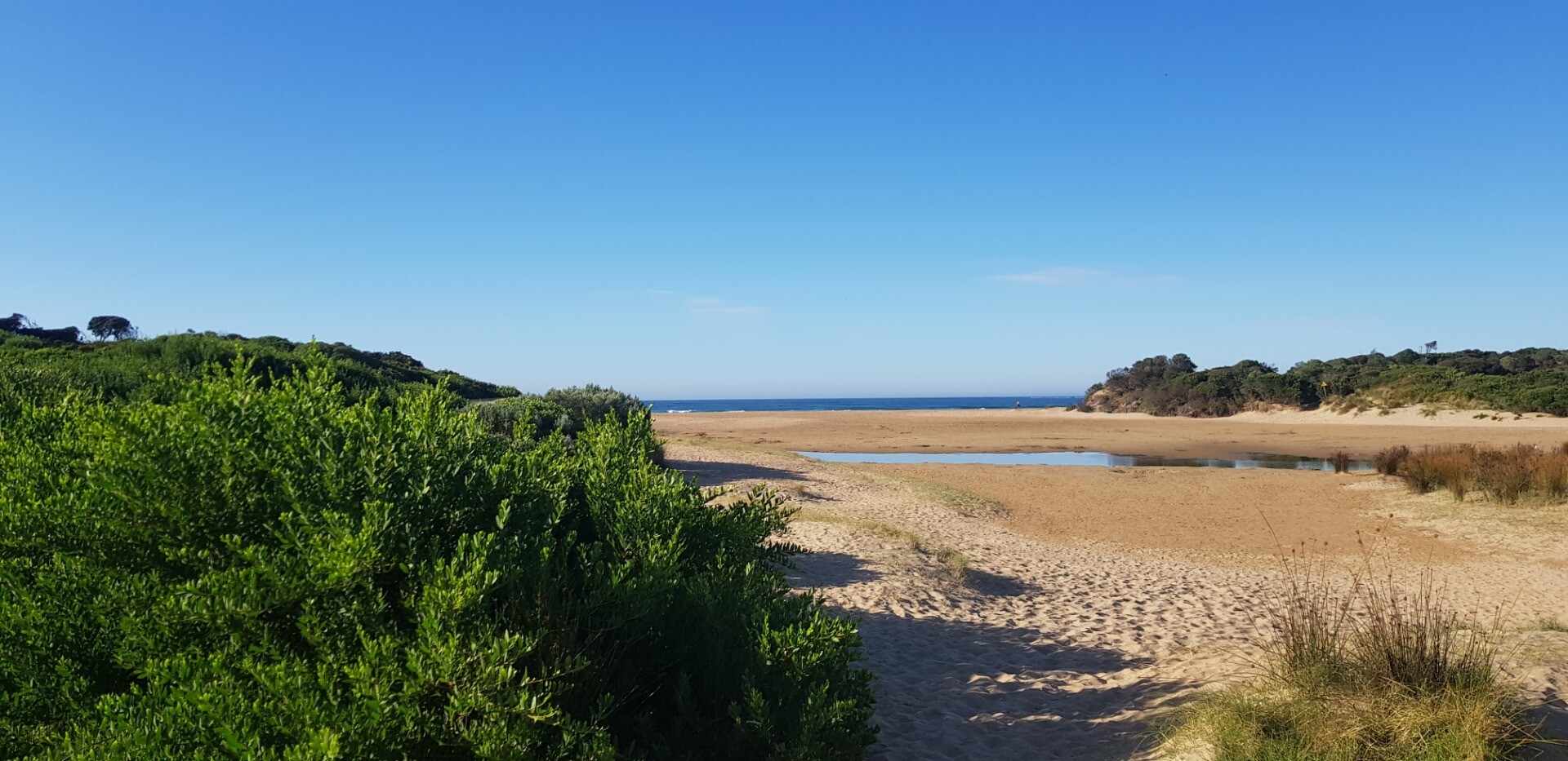
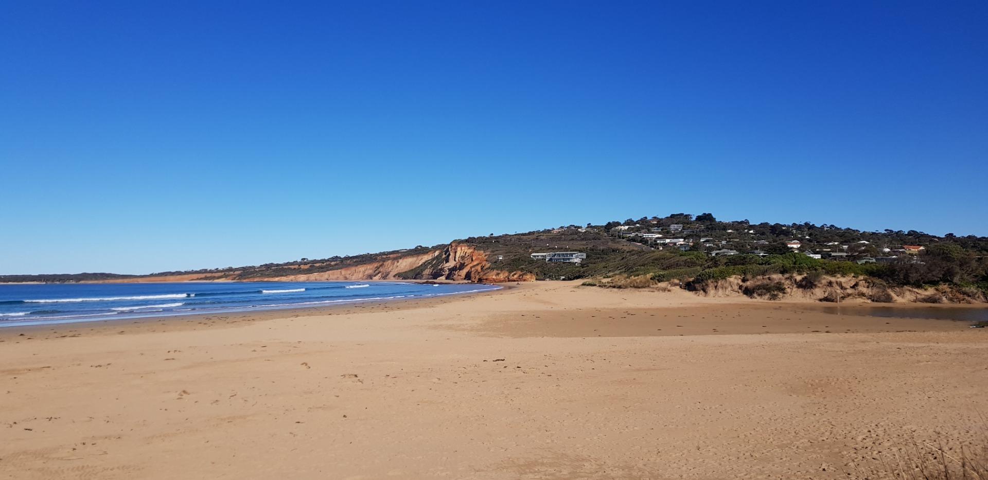
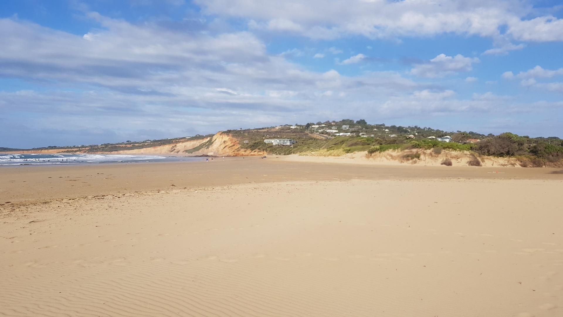
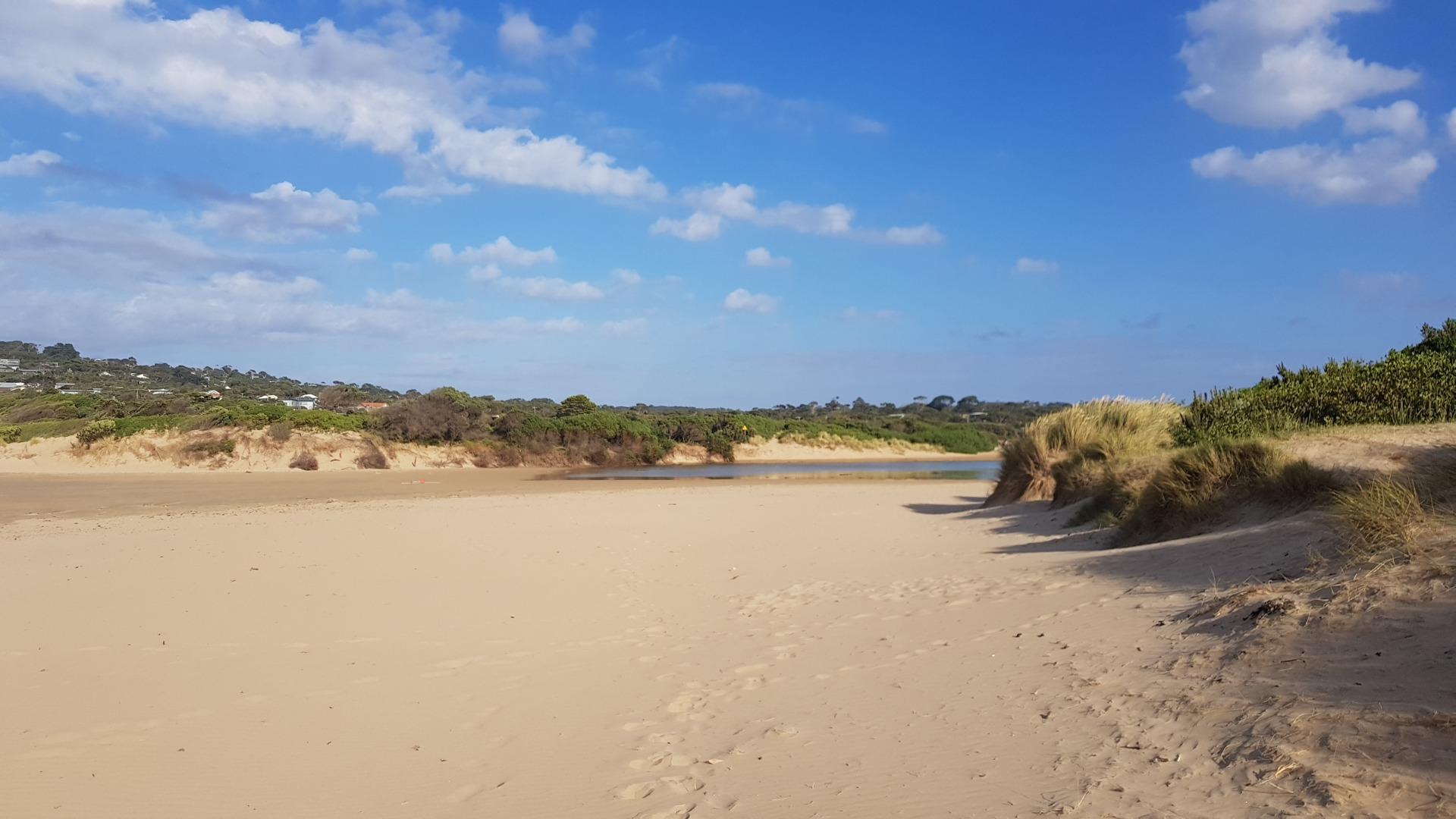
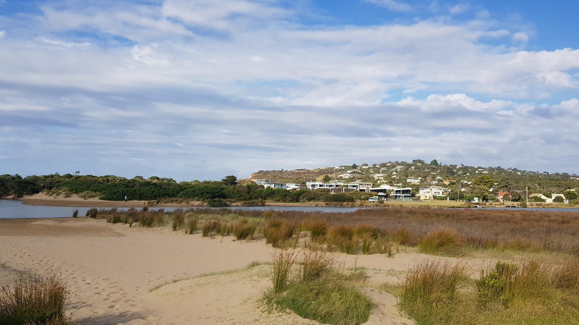
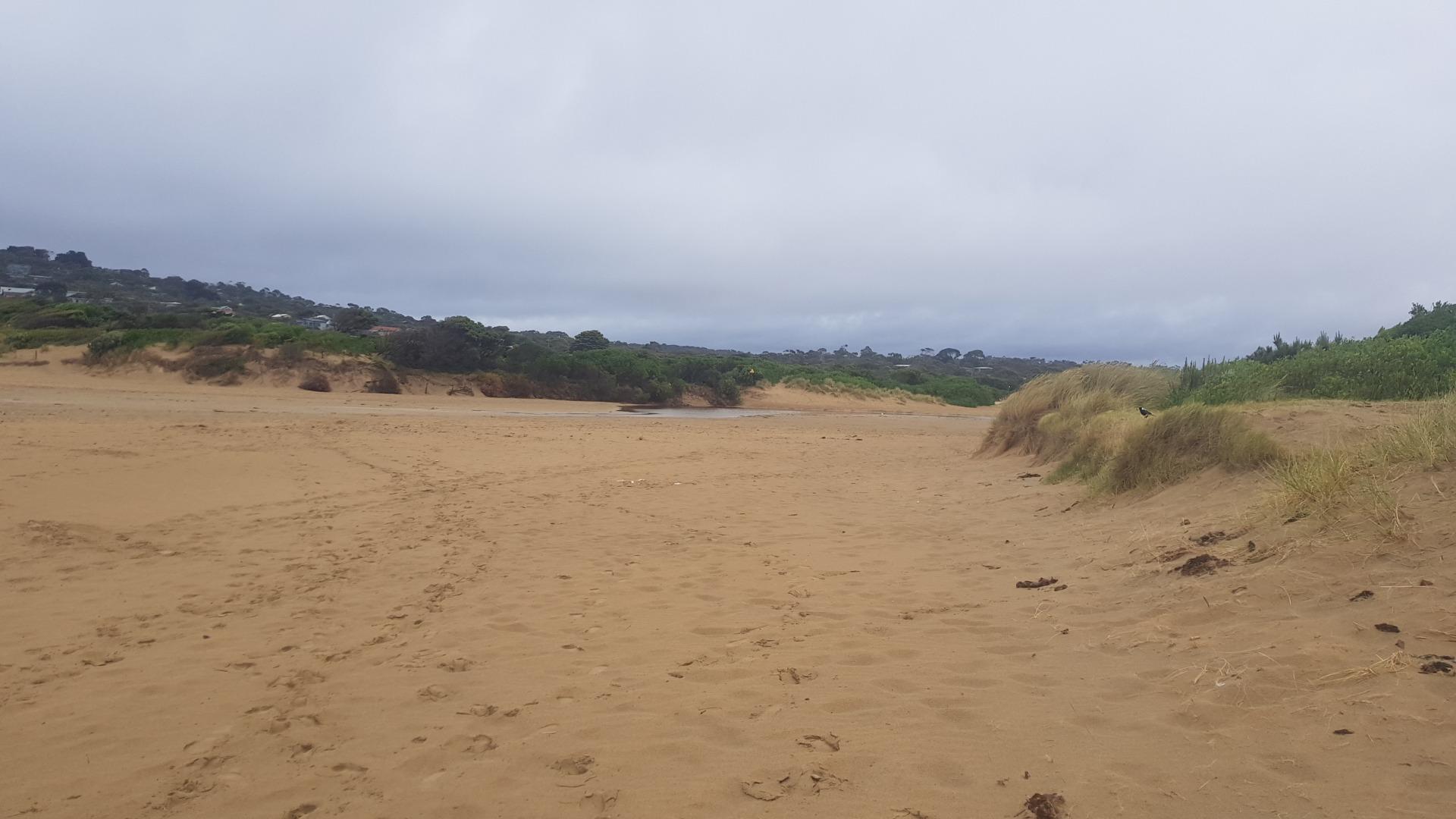
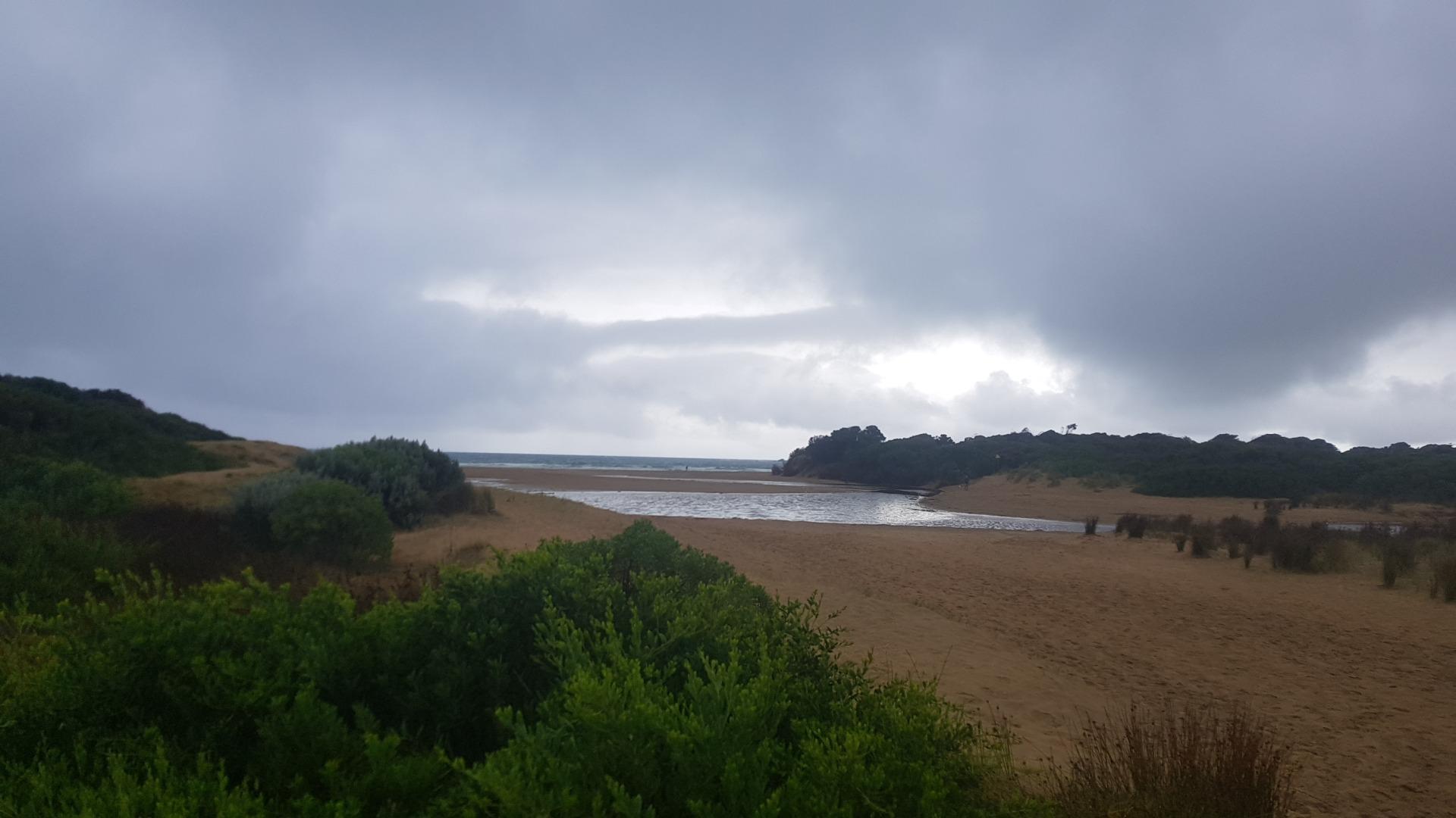
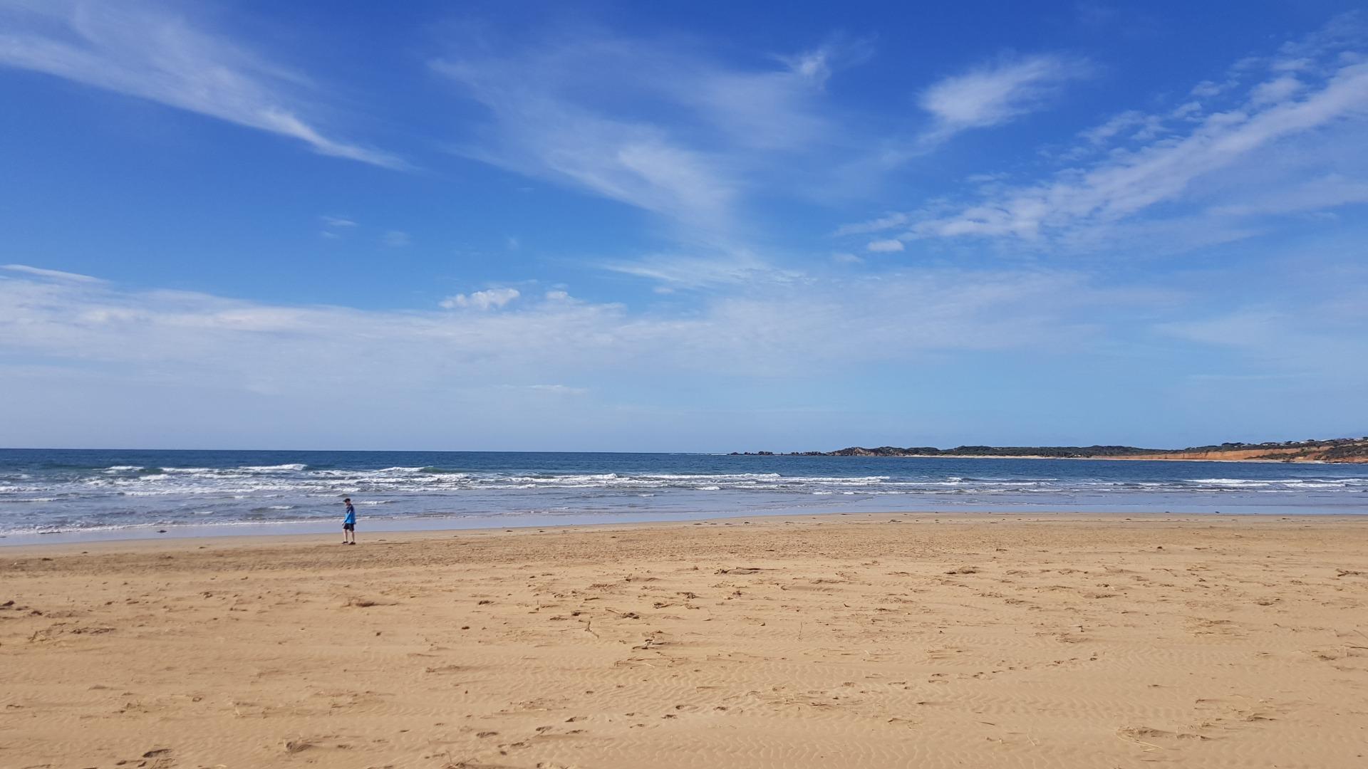
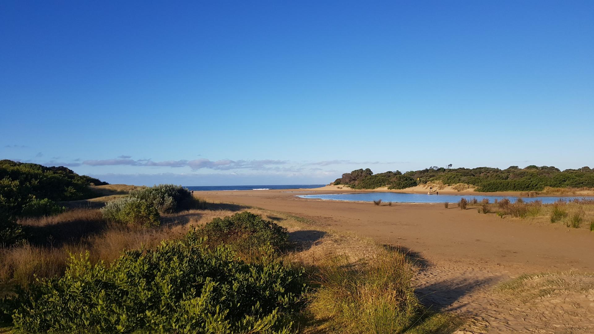
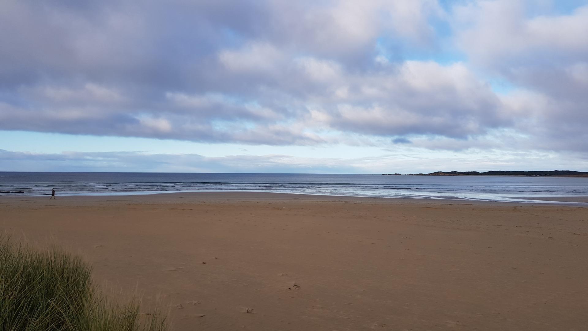
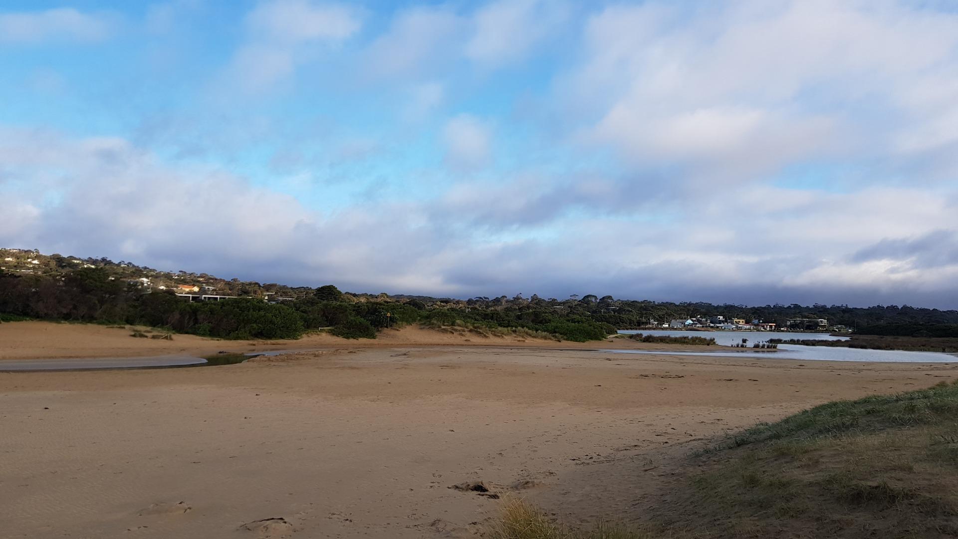
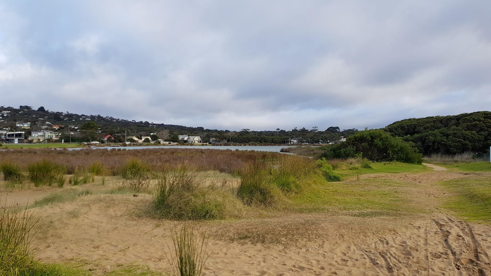
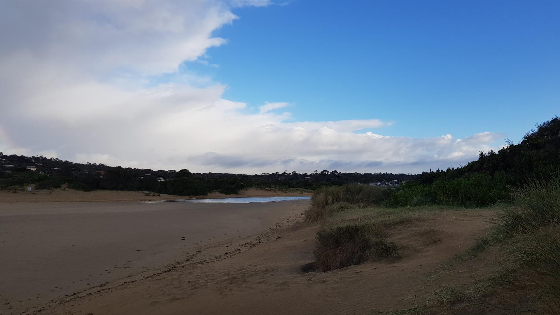
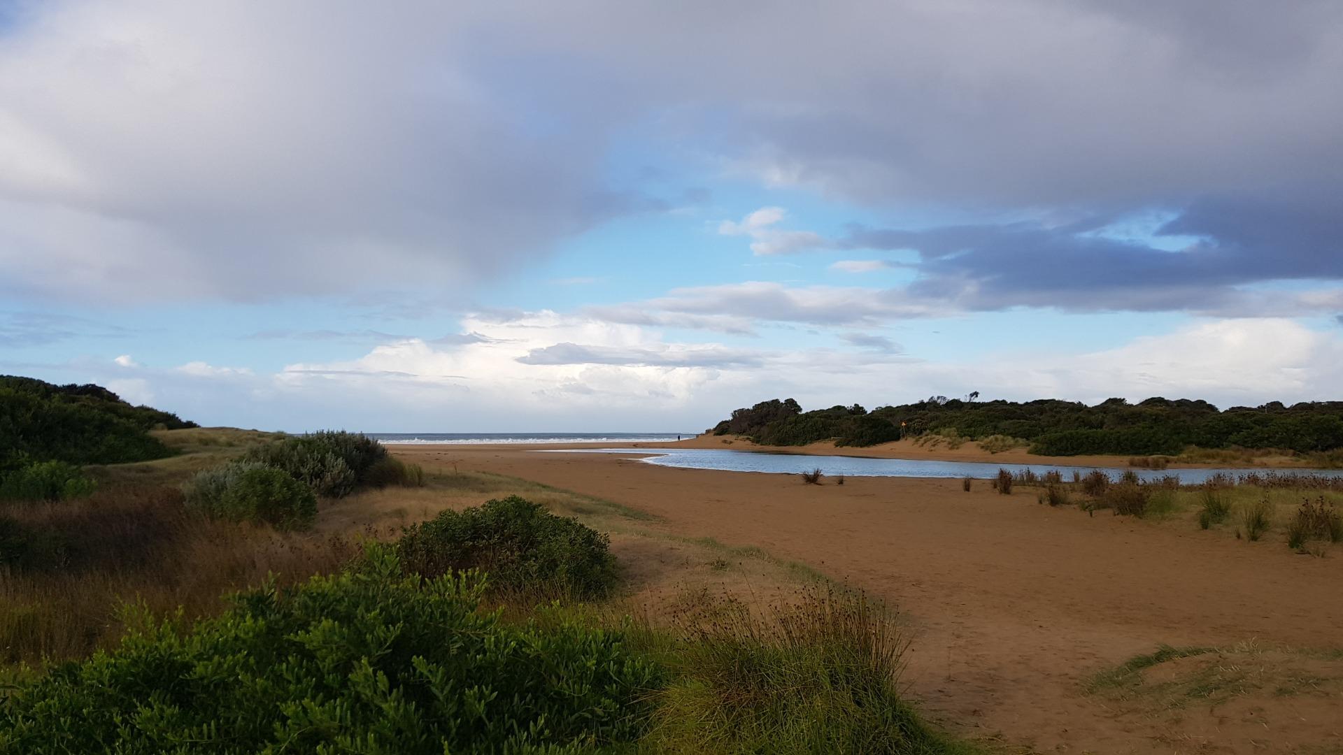
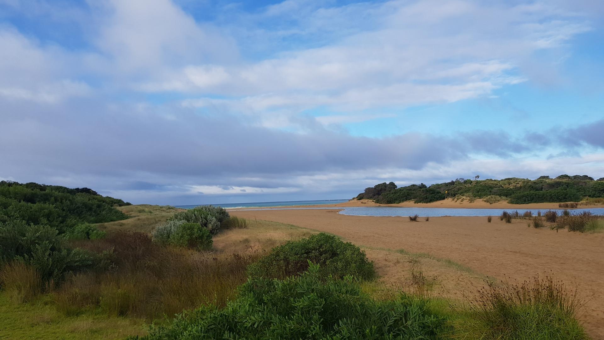
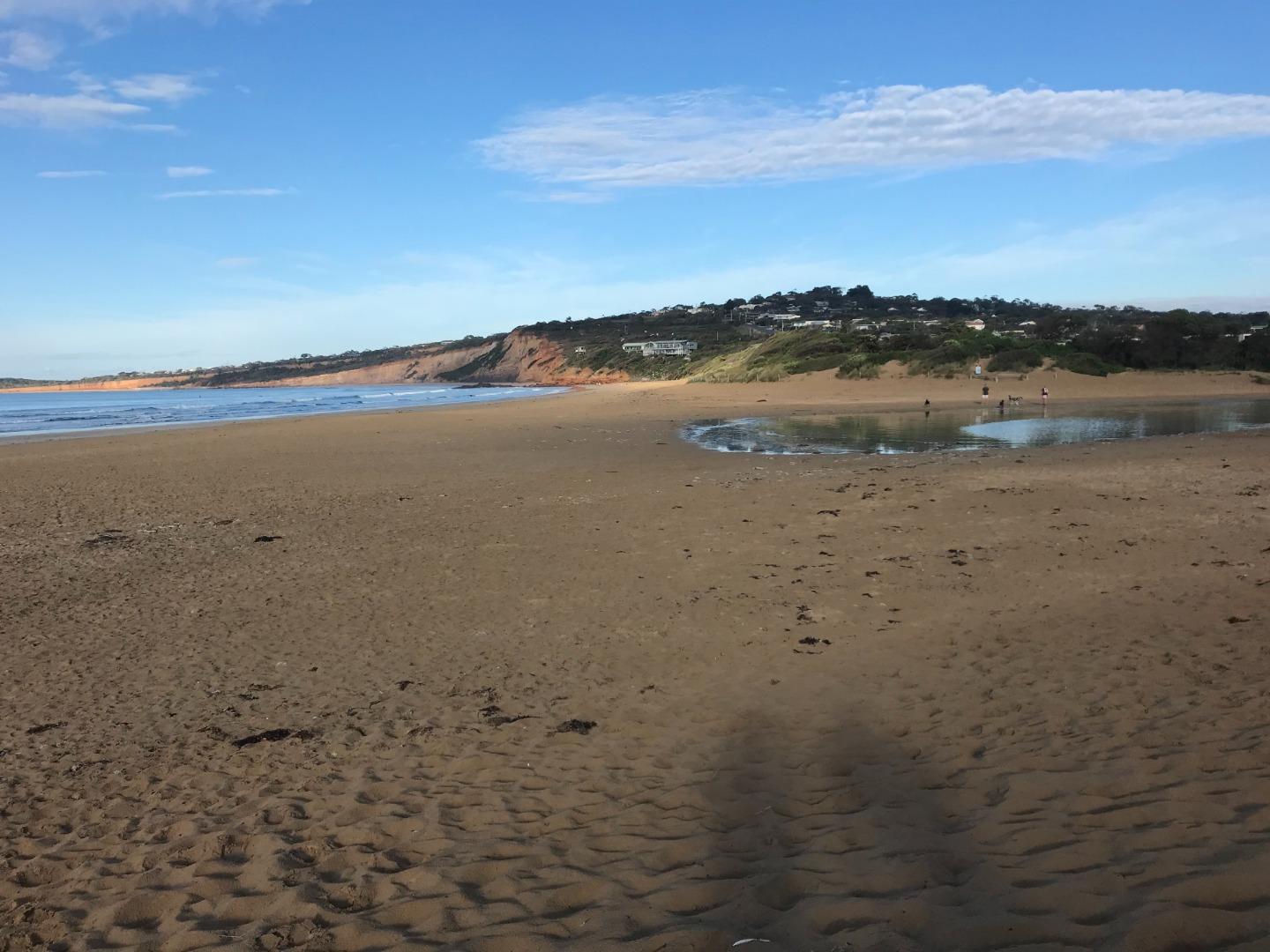
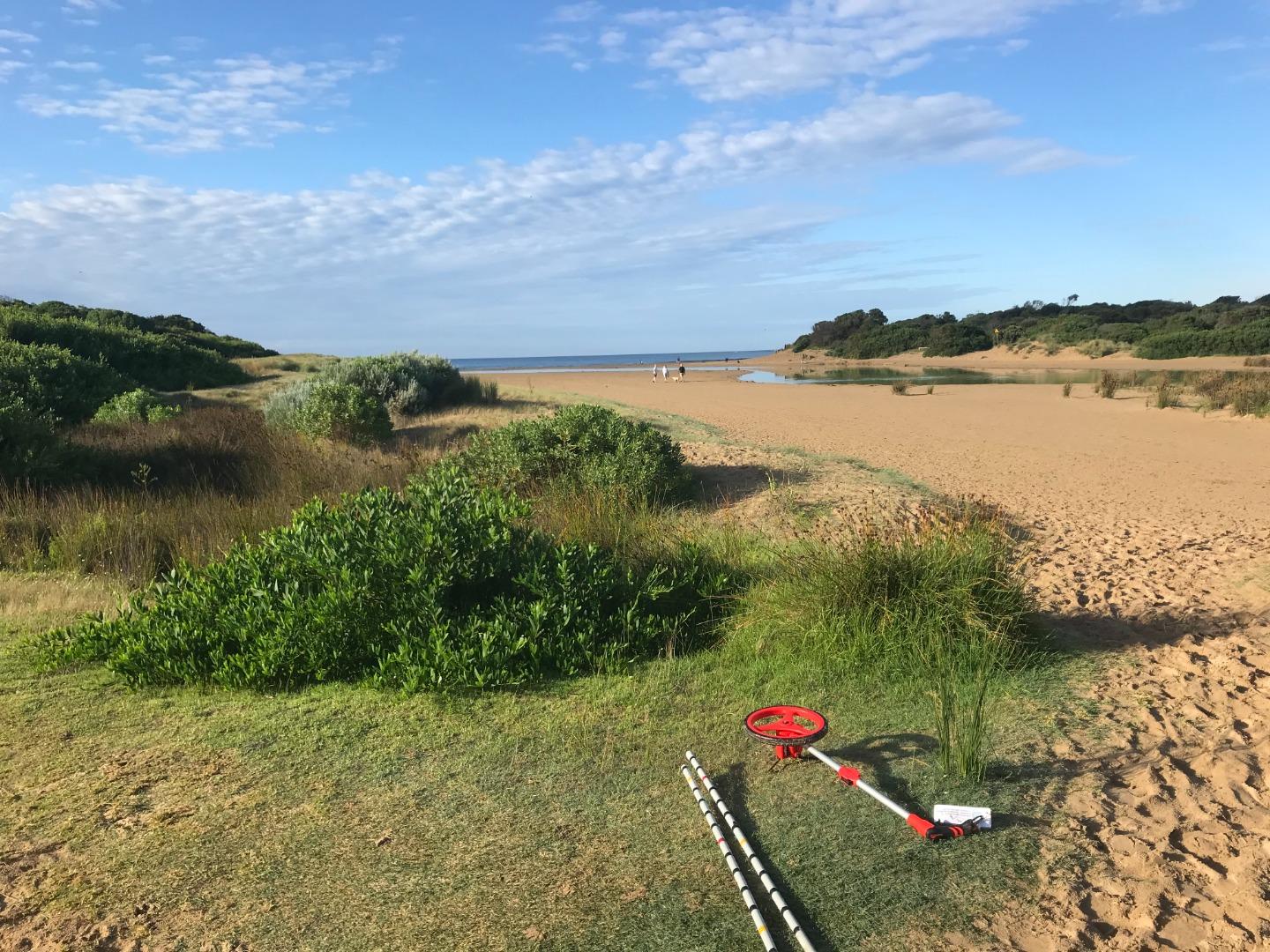
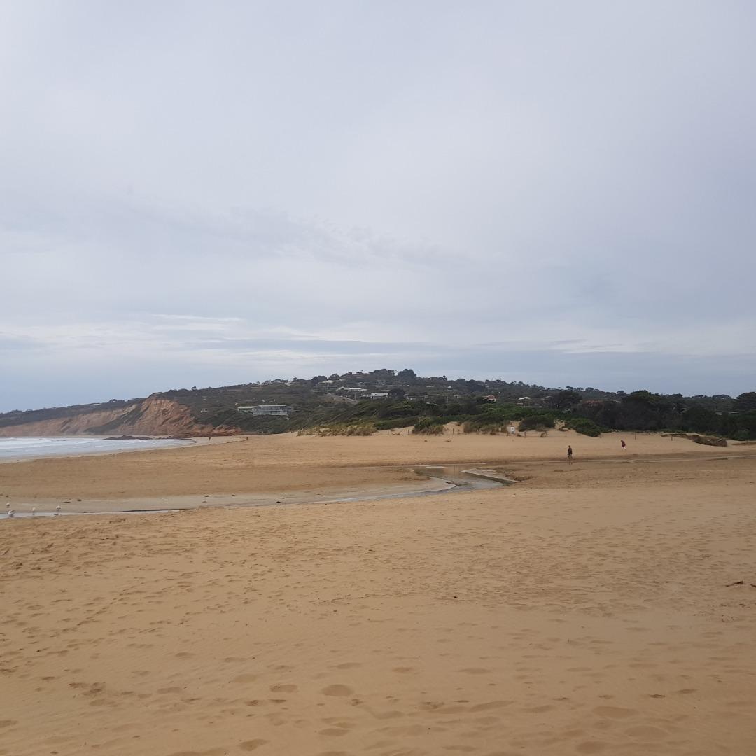
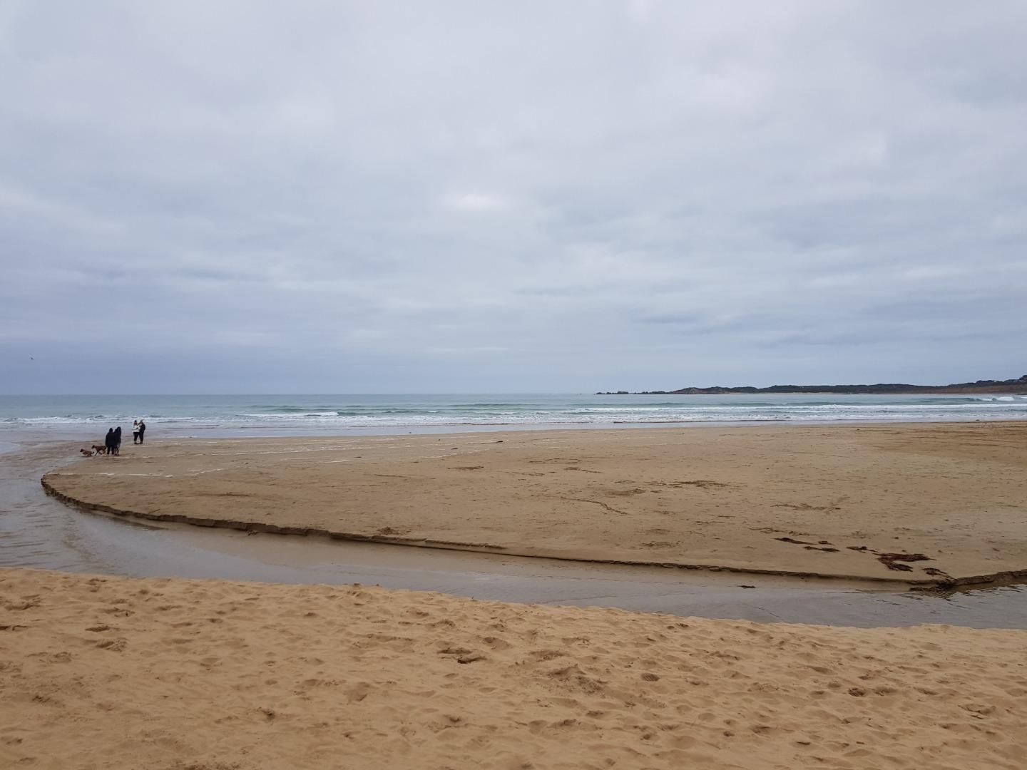
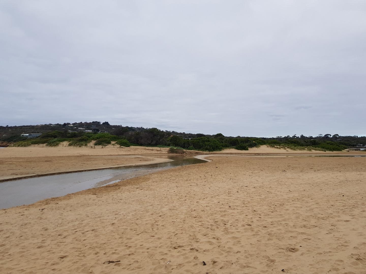
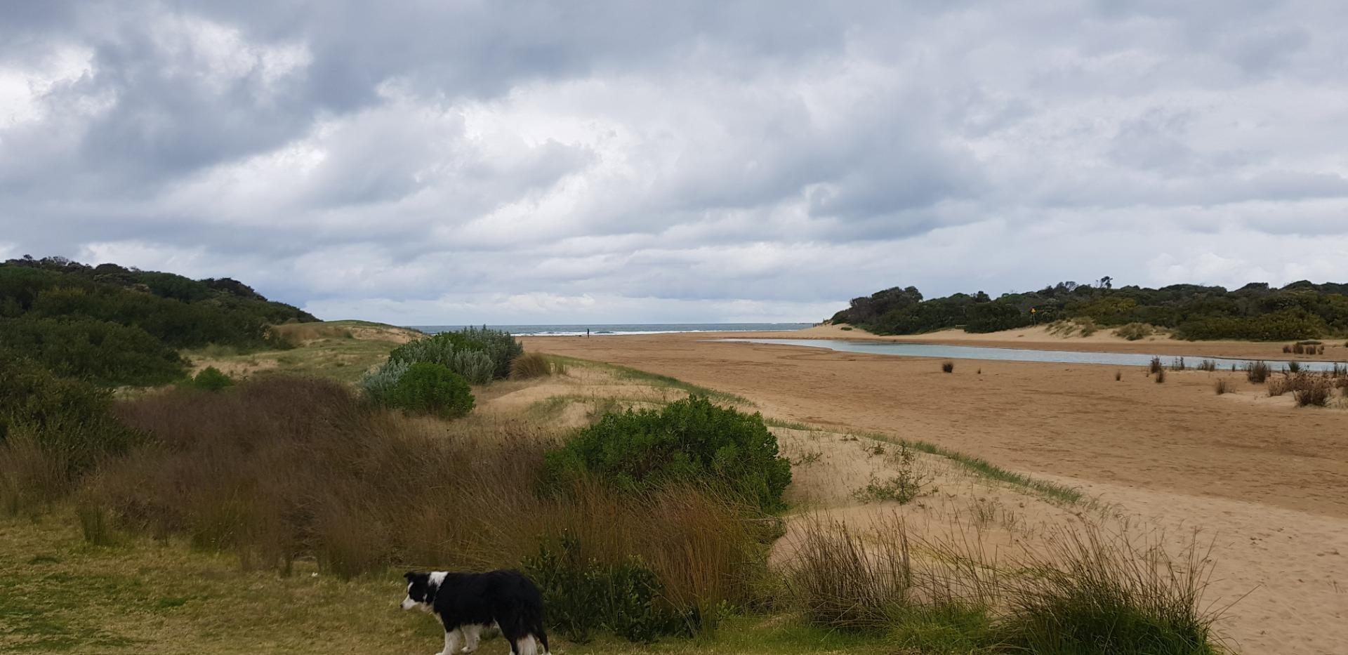
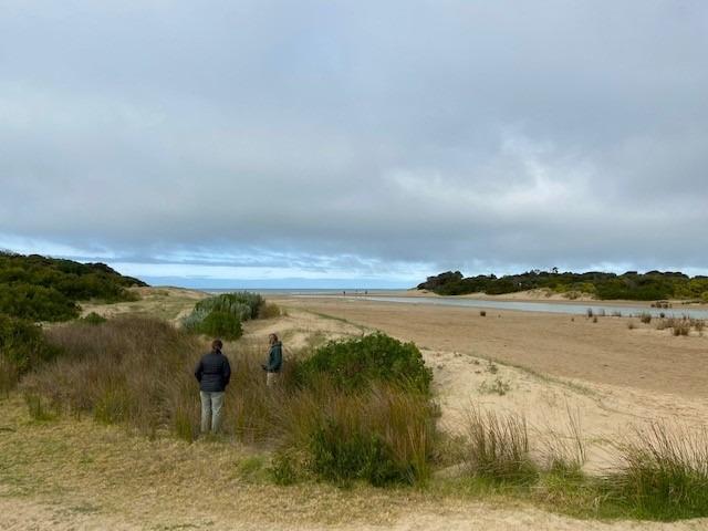
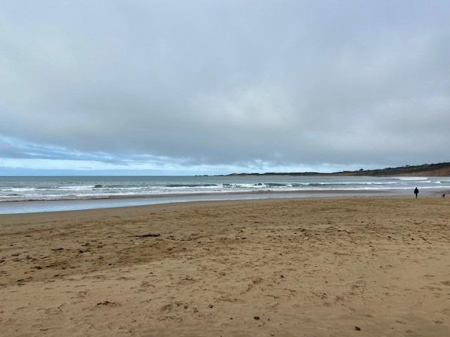
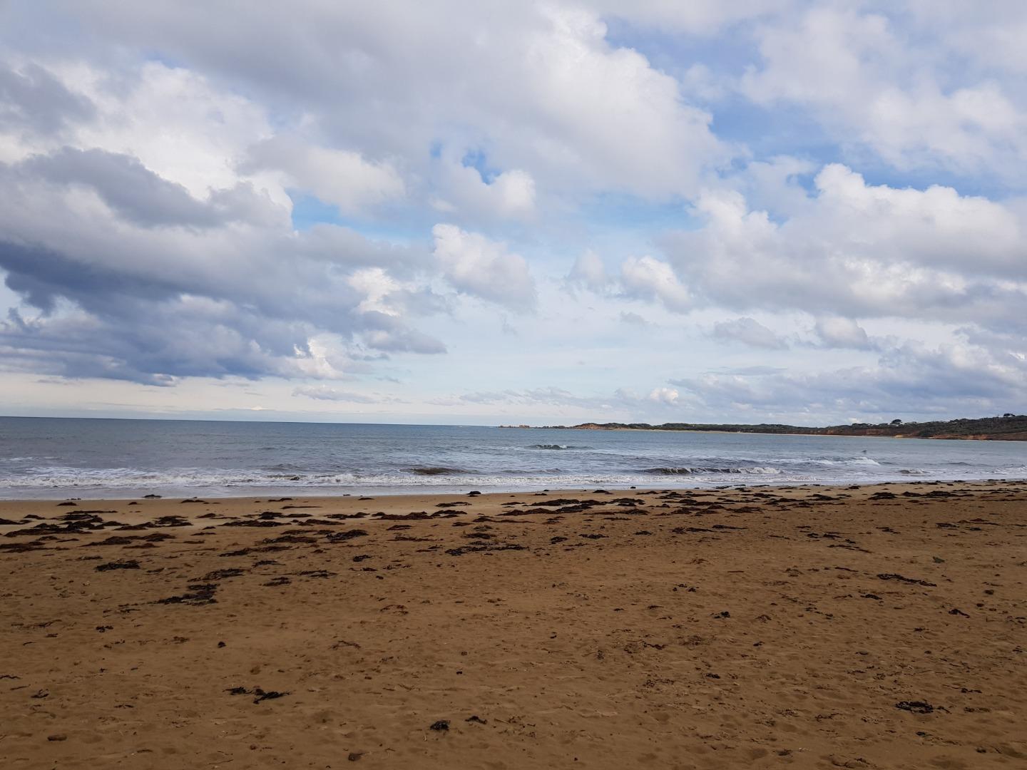
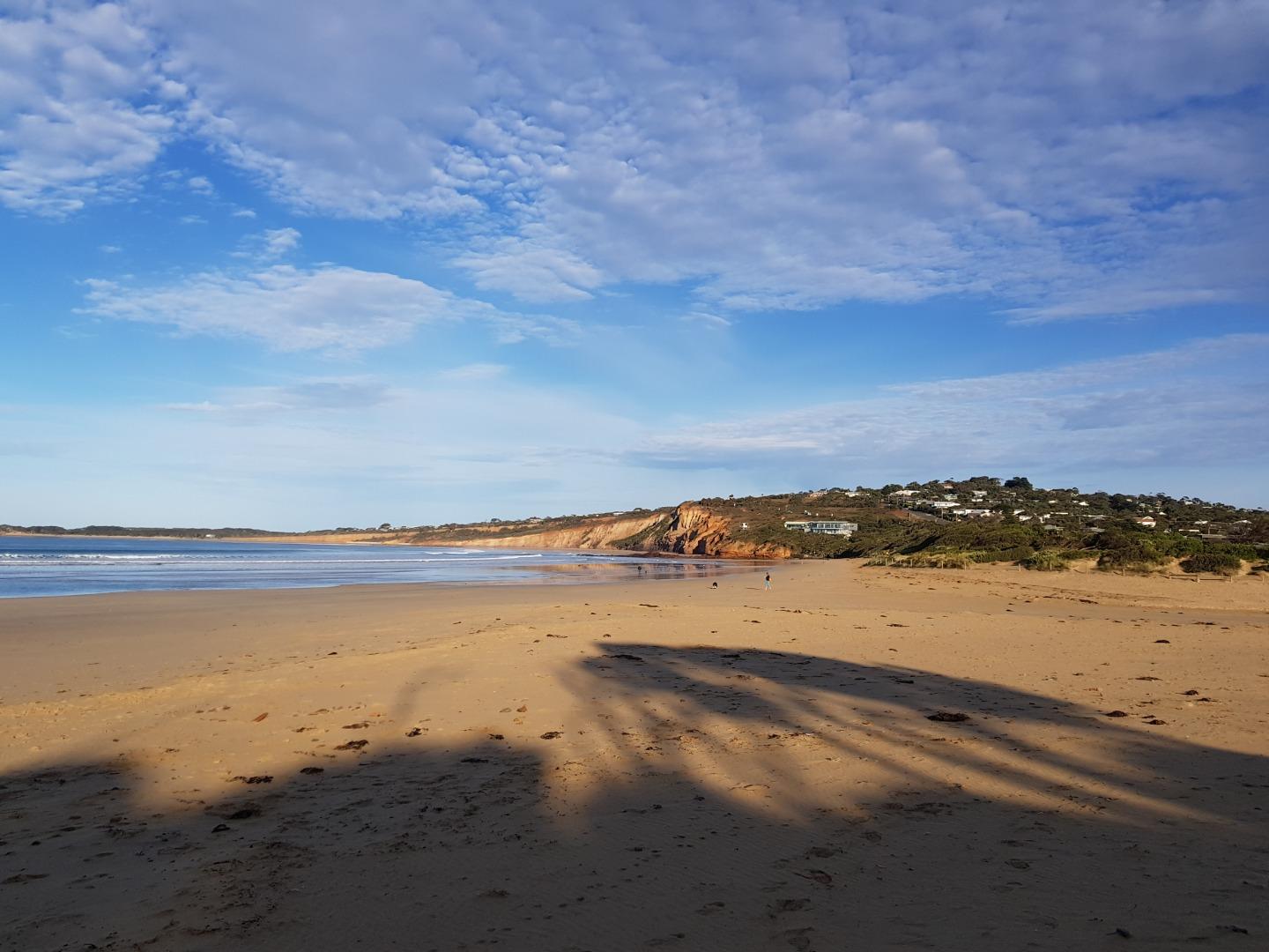
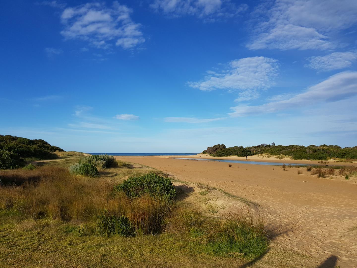
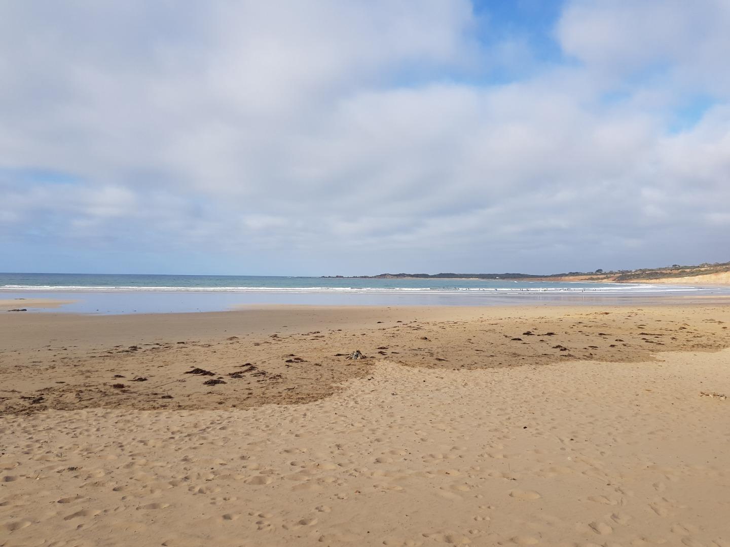
Anglesea River Mouth ConditionActive Mouth Condition 17-04-2007 - 16-09-2026Small sand dune hillock on eastern side of estuary mouth Observations 282 |
AP1 |
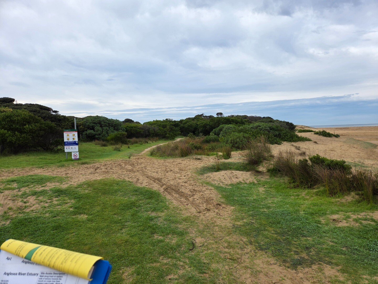
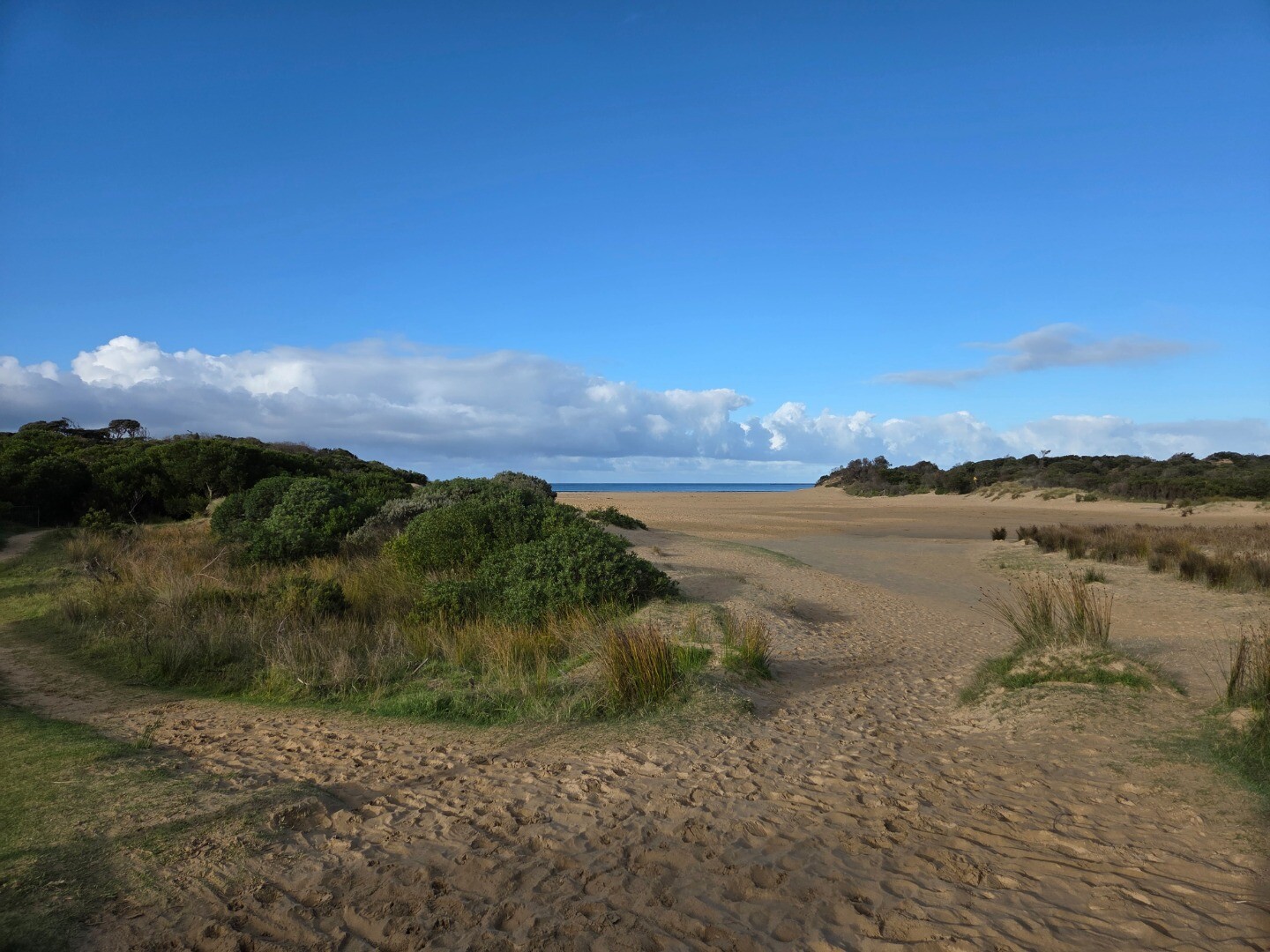
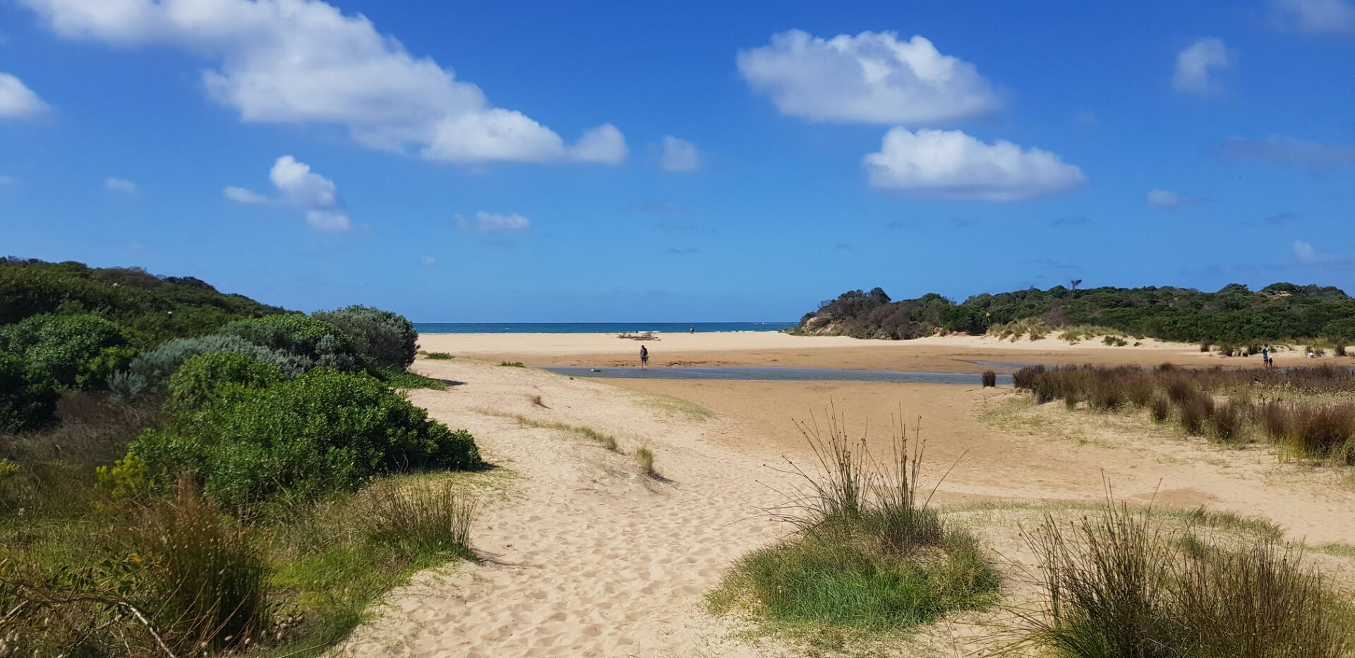
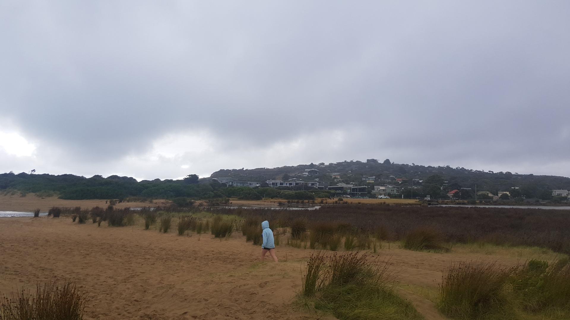
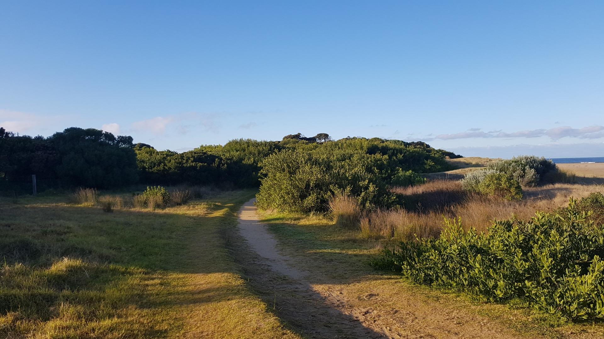
Anglesea River Photopoint 1Active Photopoint 10-05-2008 - 20-09-2026Adjacent to eastern bank of river mouth, southern most point. Photos 619 |
Ap2 |
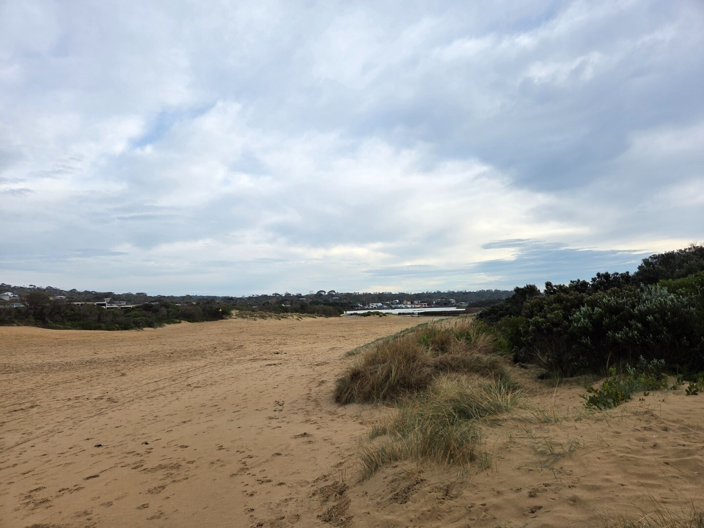
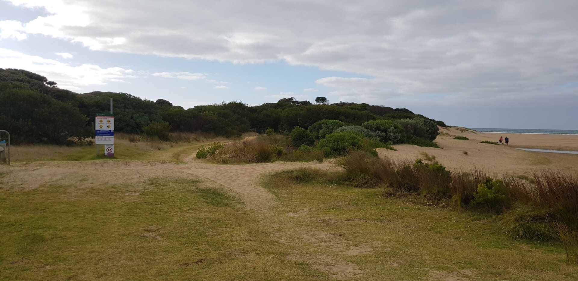
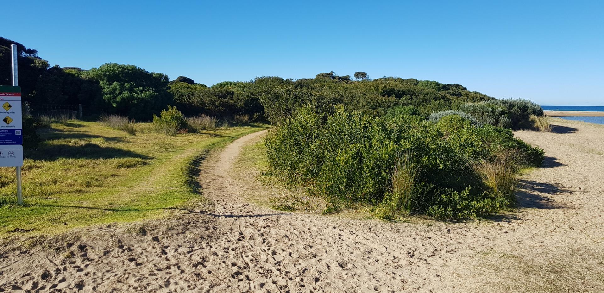
Anglesea River Estuary Mouth Photopoint 2Retired Photopoint 31-08-2008 - 20-08-2026Exit point of walking track onto estuary/beach. SW corner of Anglesea Family Holiday Park. Photos 349 |
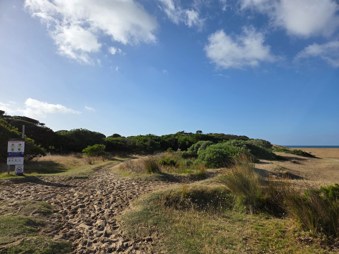
AP3 |
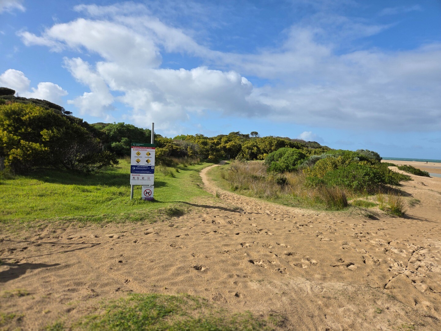
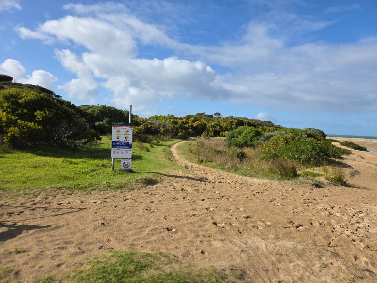
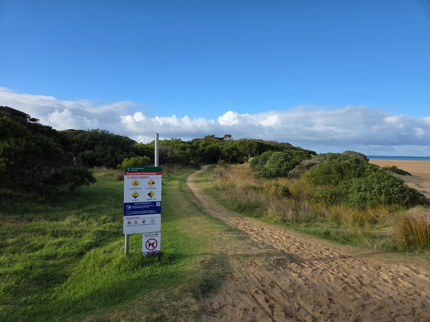
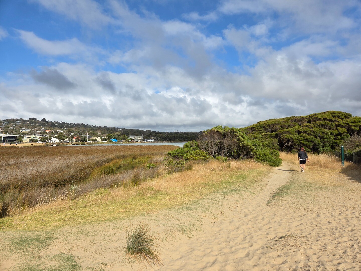
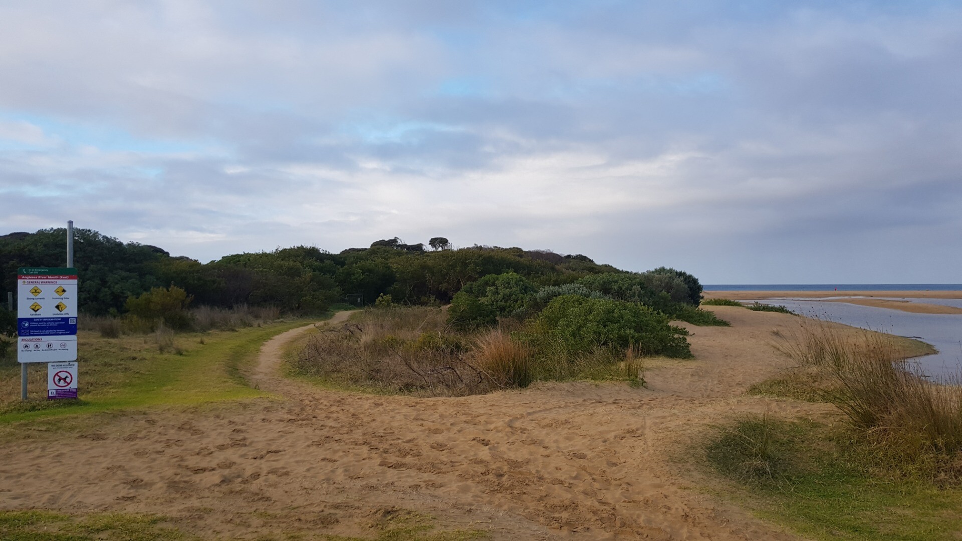
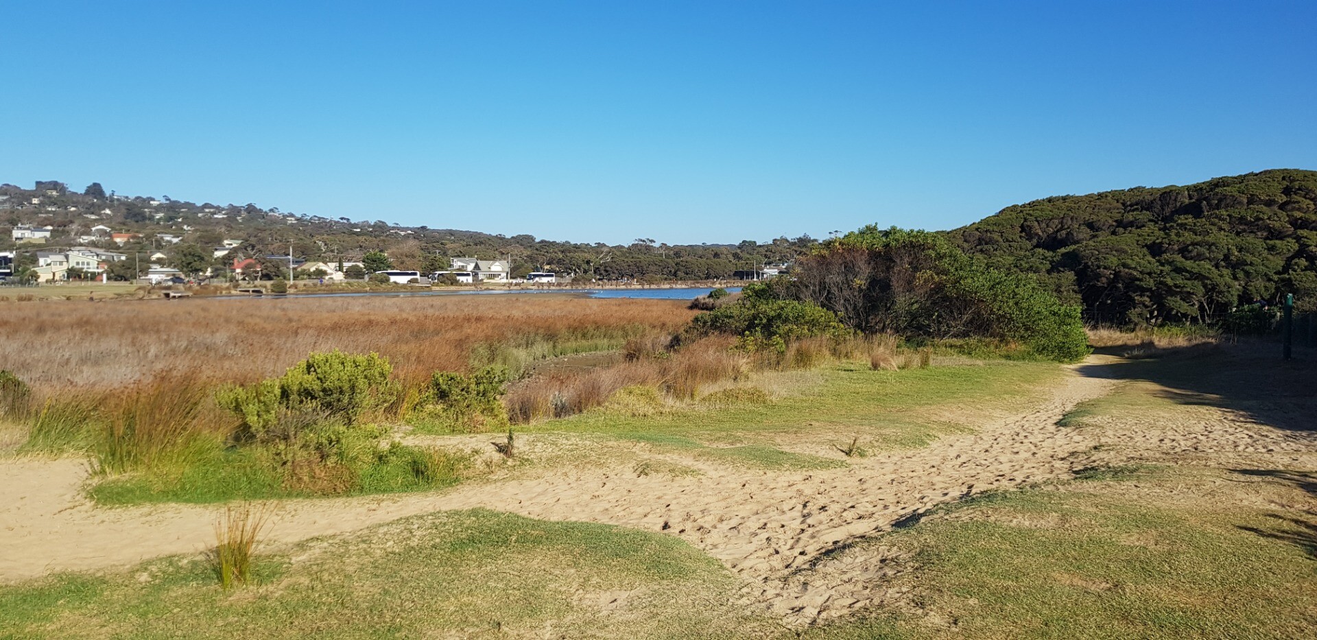
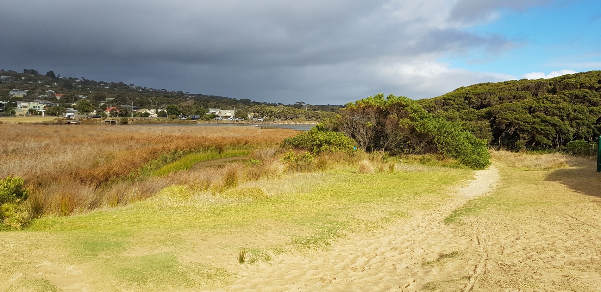
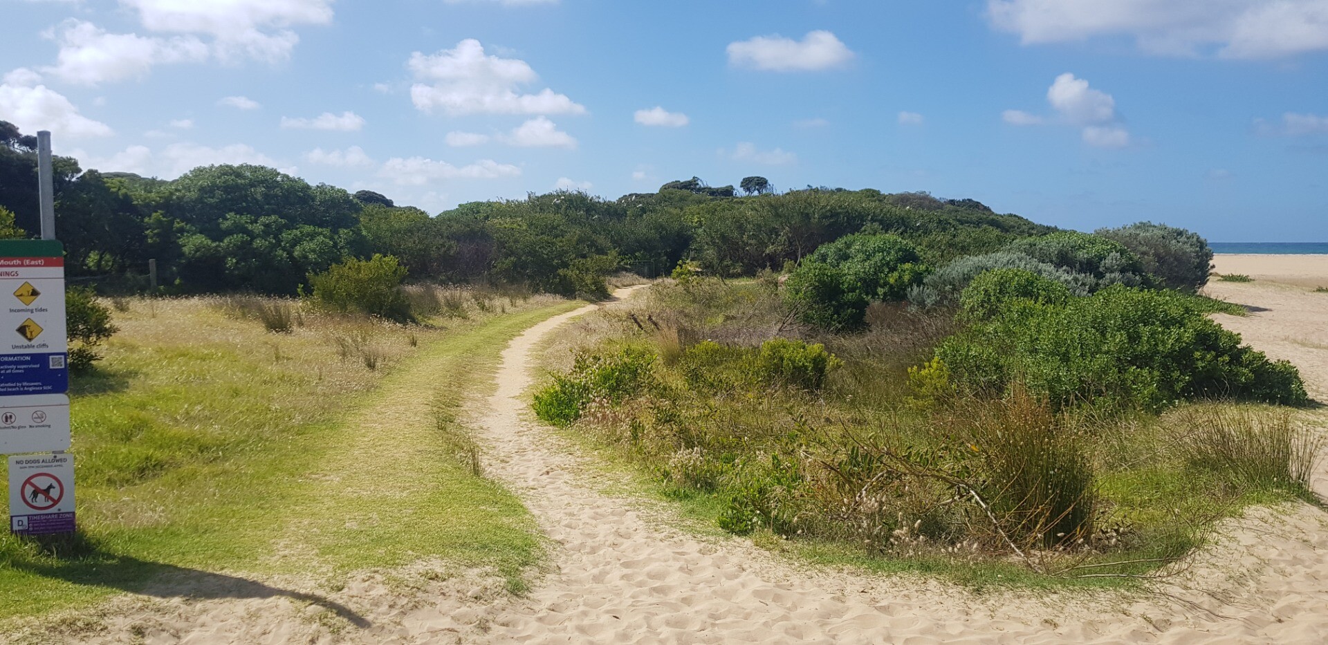
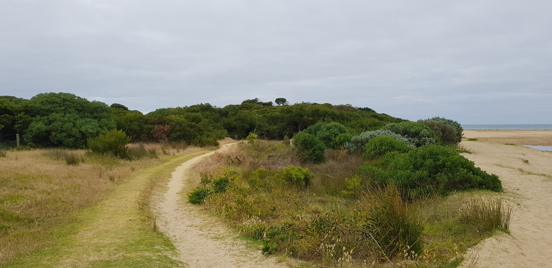
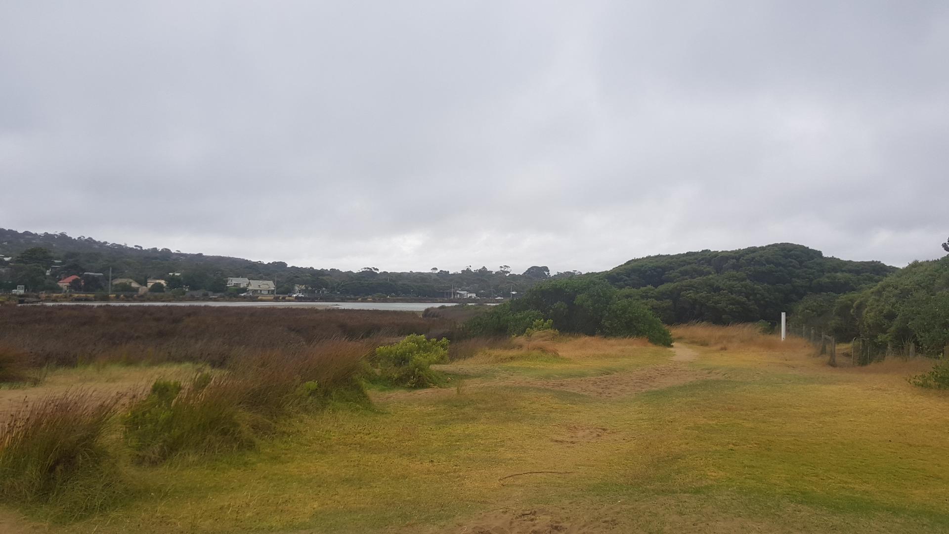
Anglesea River Photopoint 3Active Photopoint 25-11-2016 - 20-09-2026Photo is taken from the Anglesea Rivermouth (East) signage W89 that sits next to the walking track that follows the river. Photos 367 |
Spring 2025
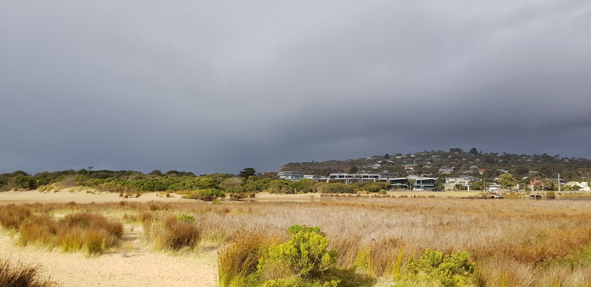
Winter 2025
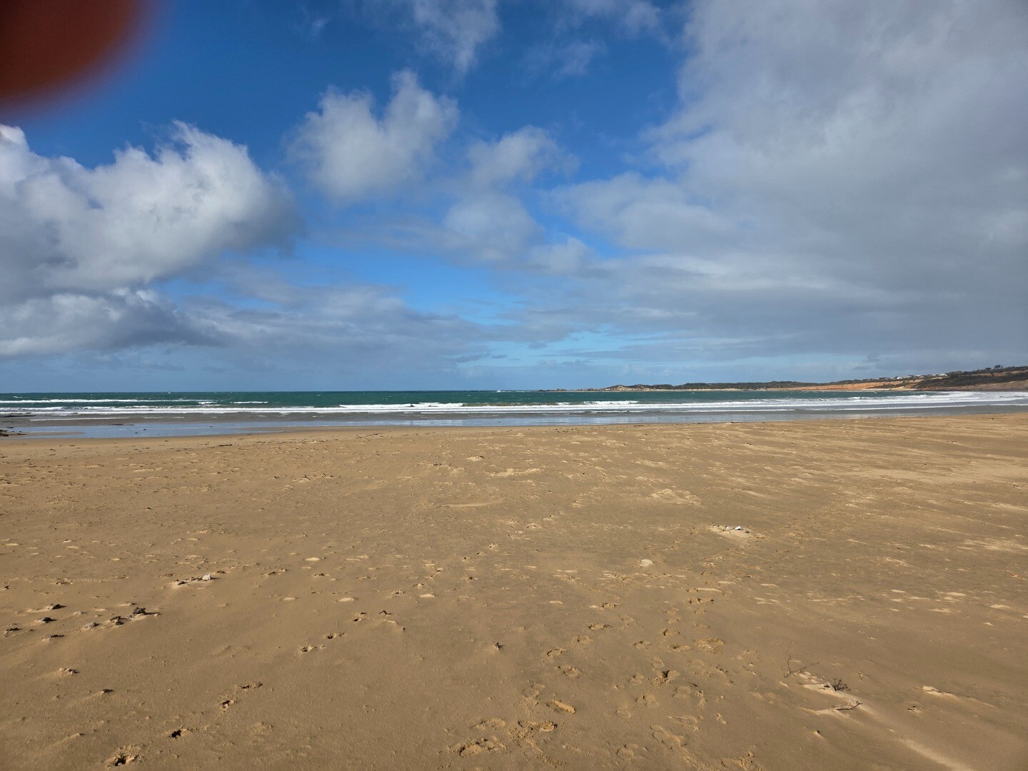
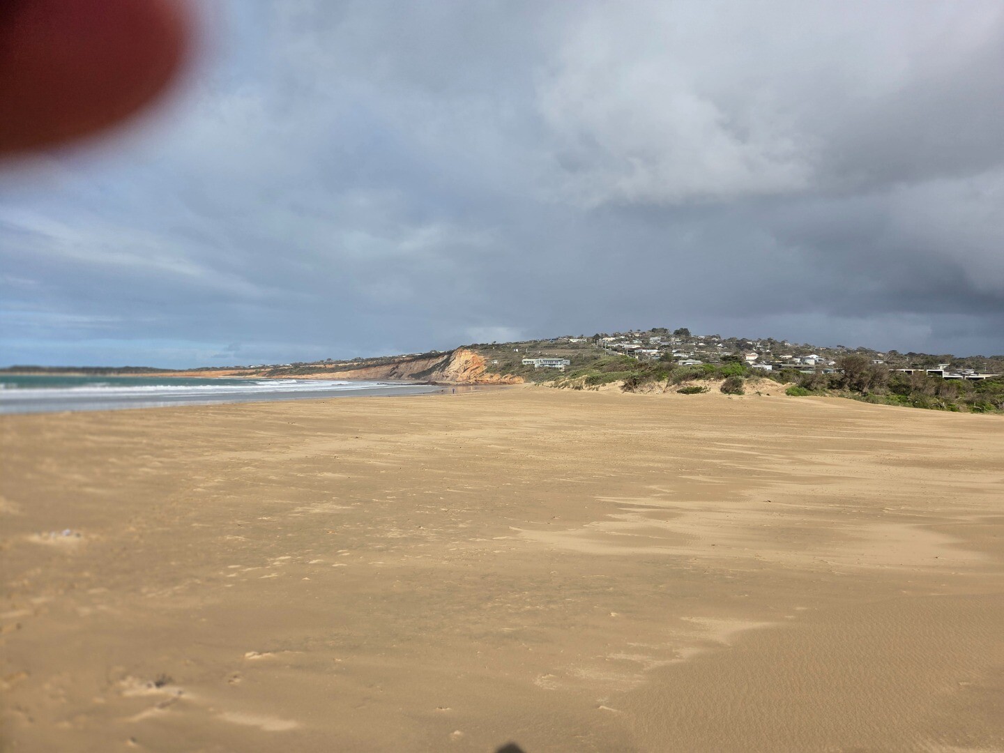
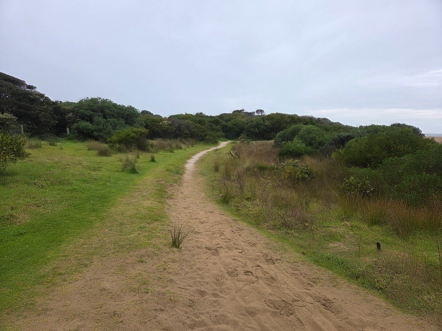
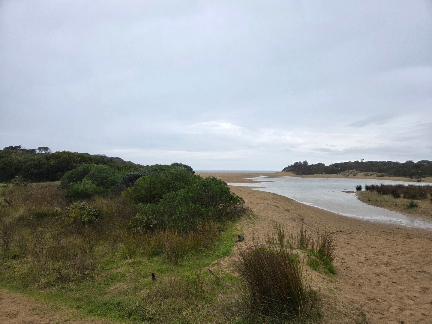
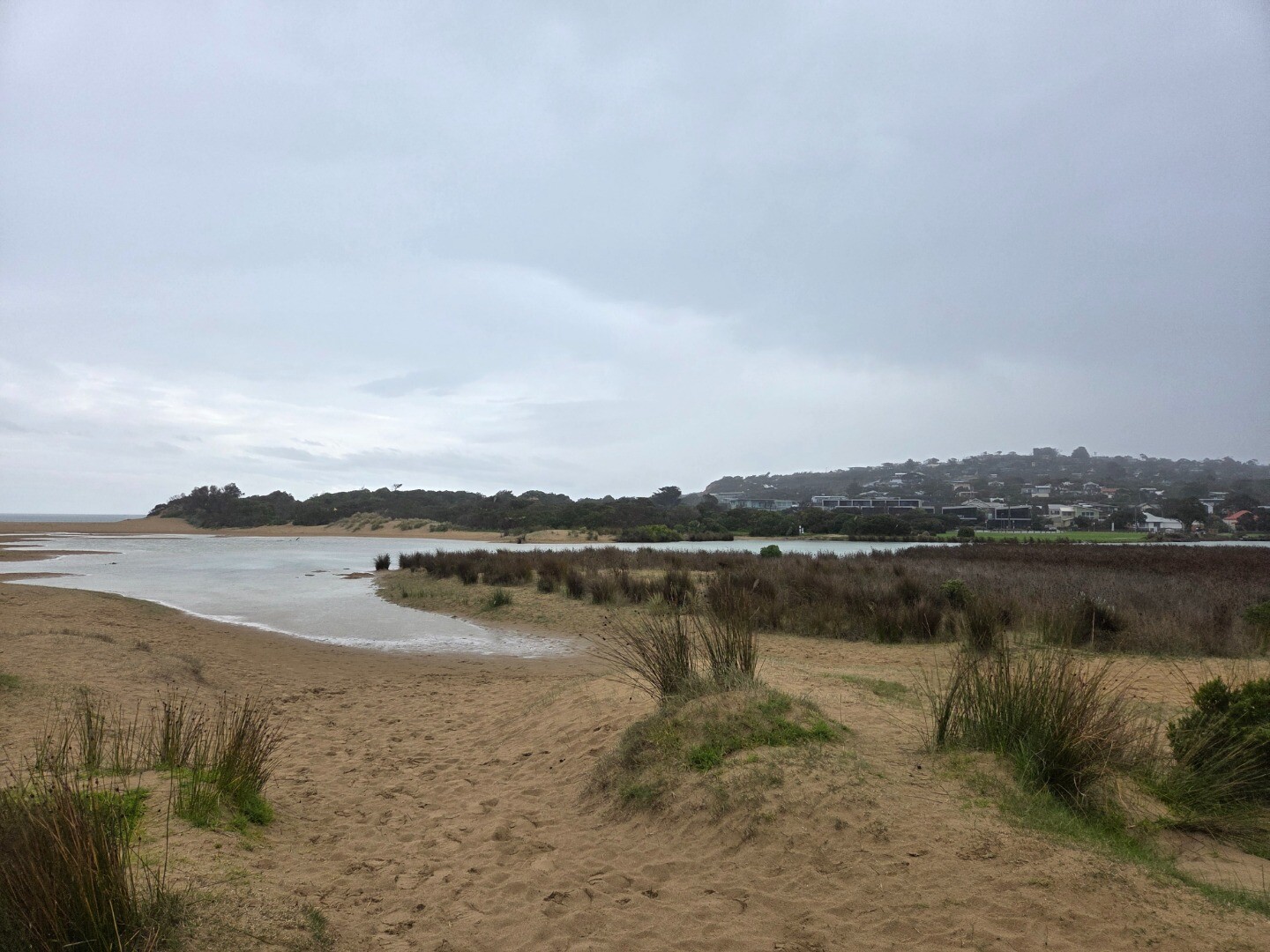
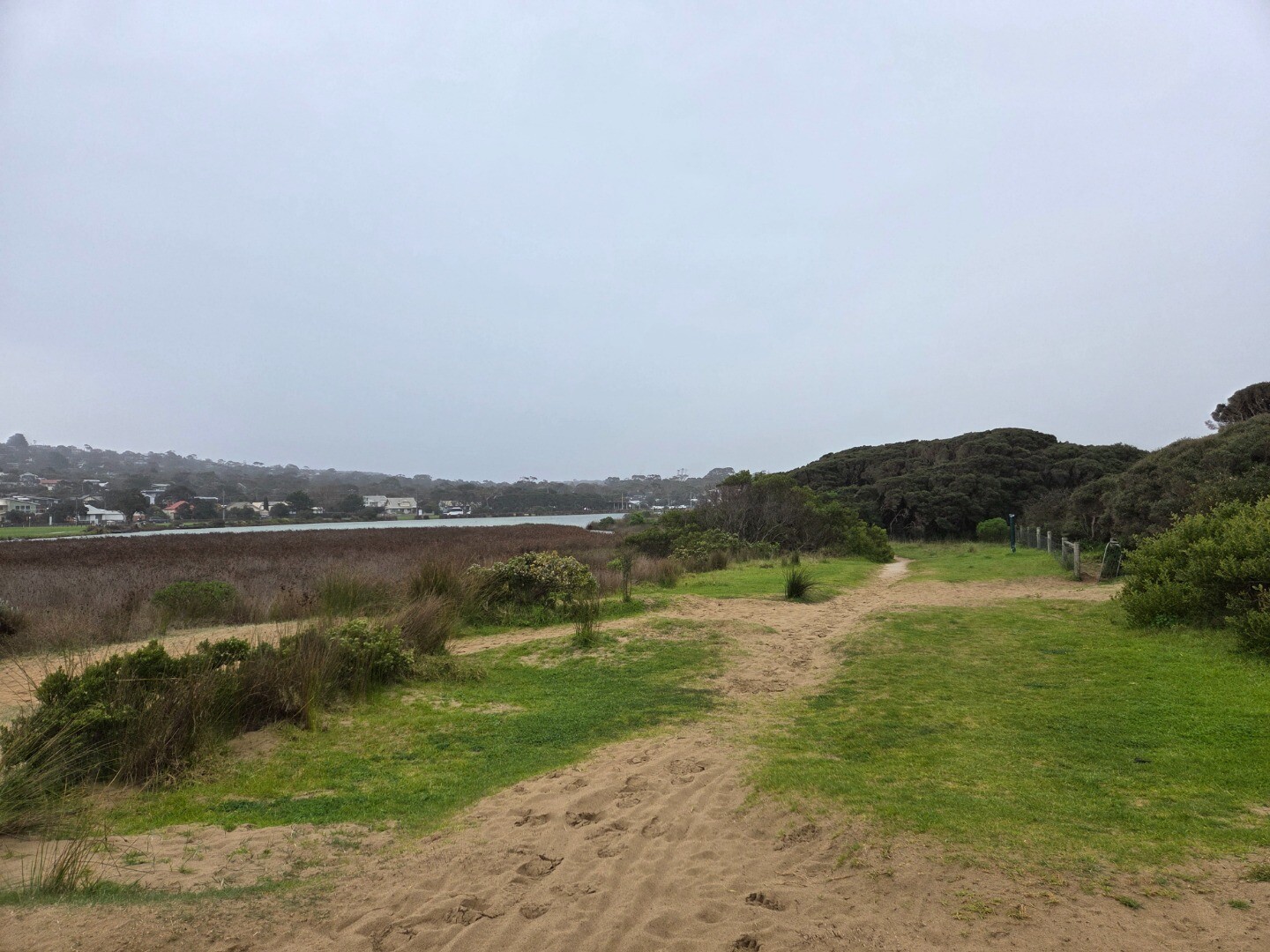
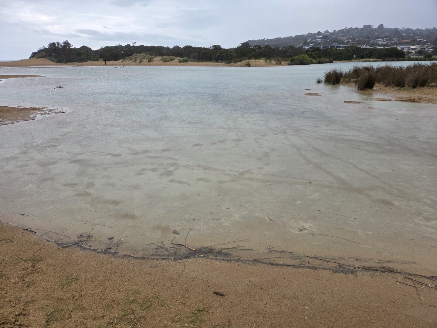
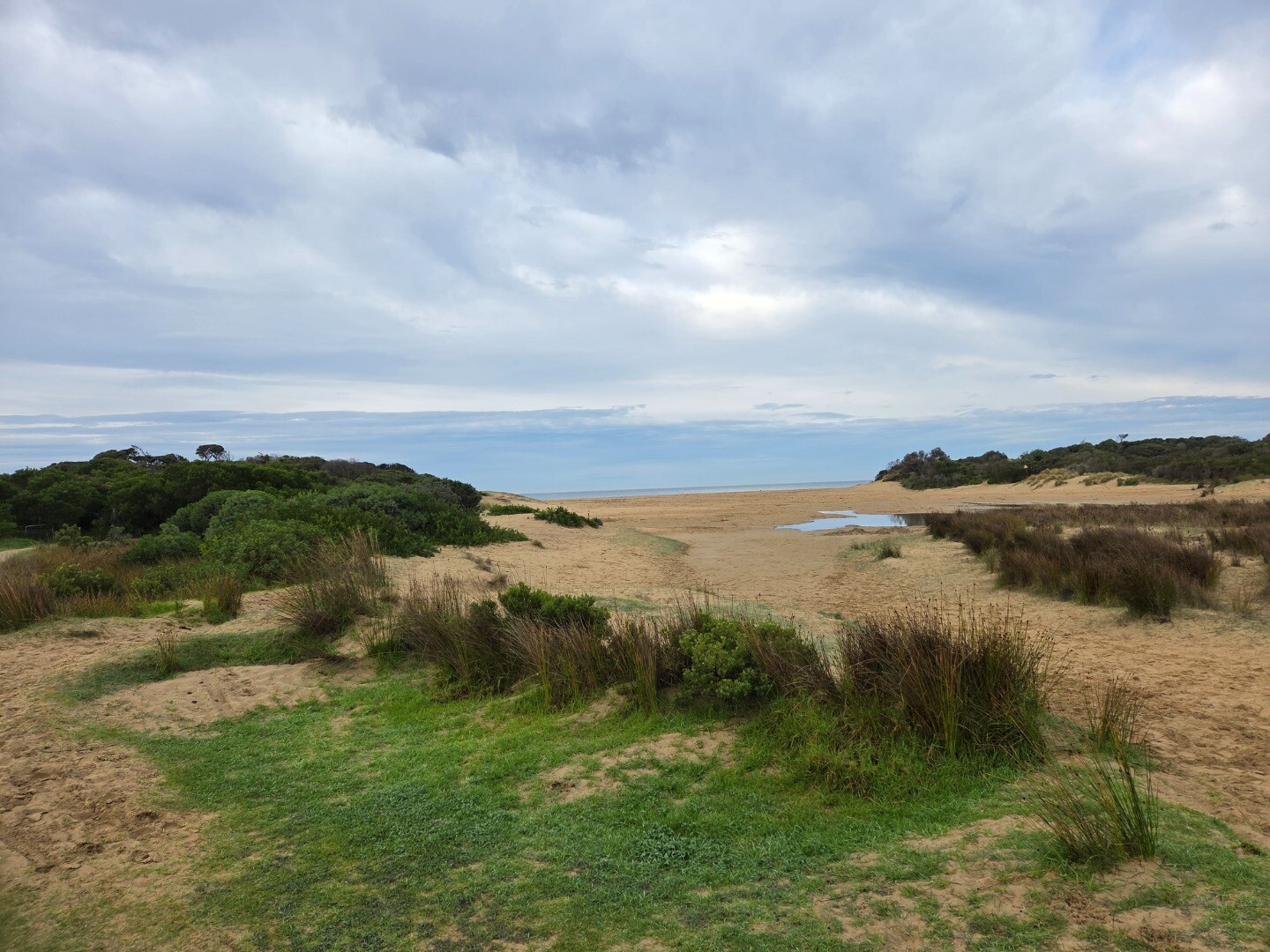
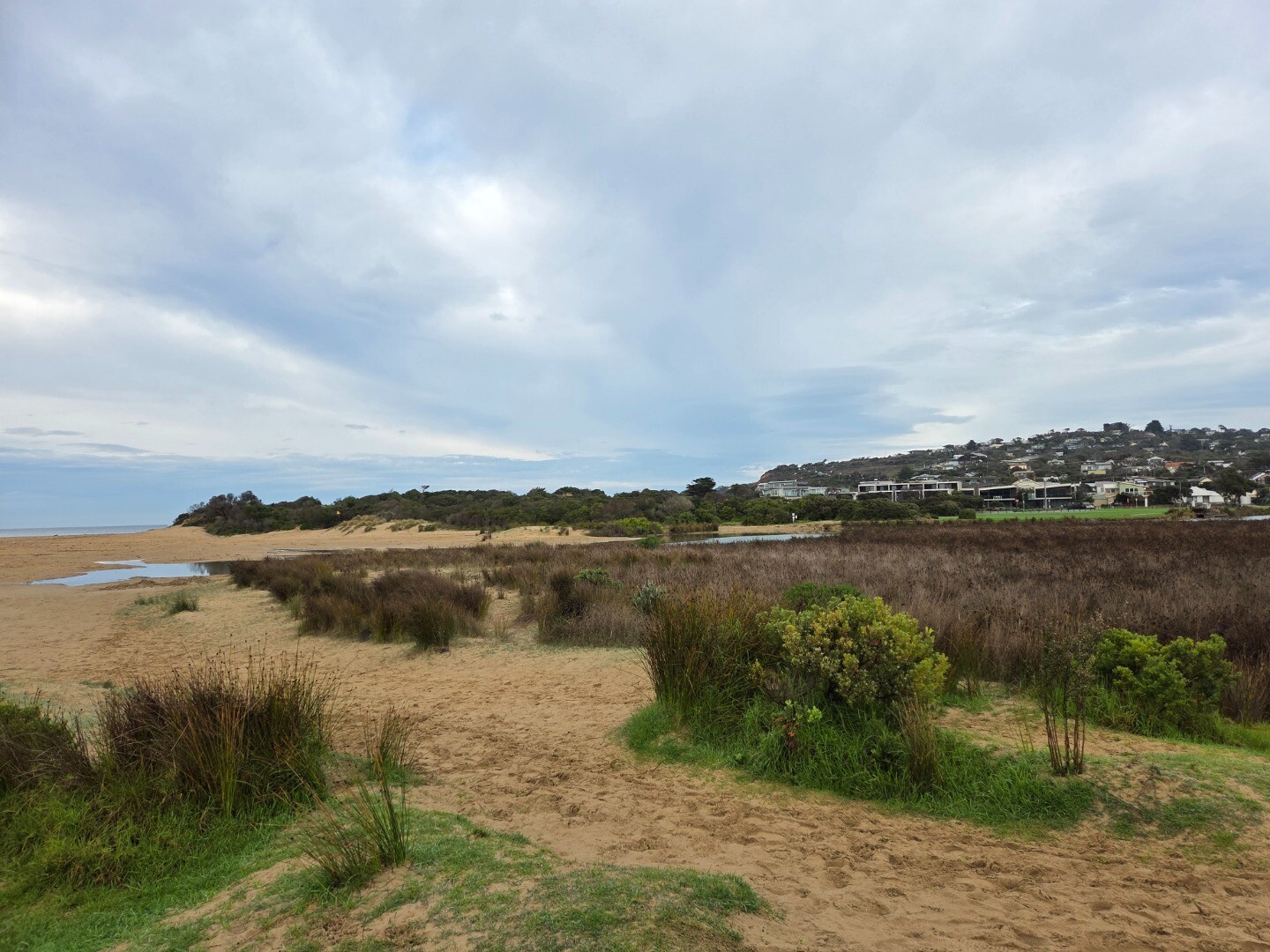
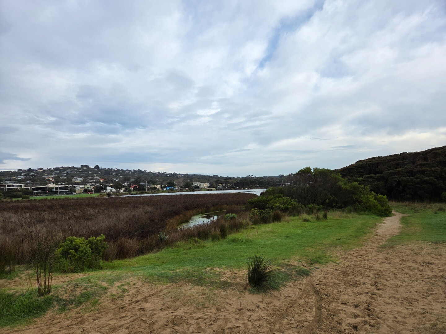
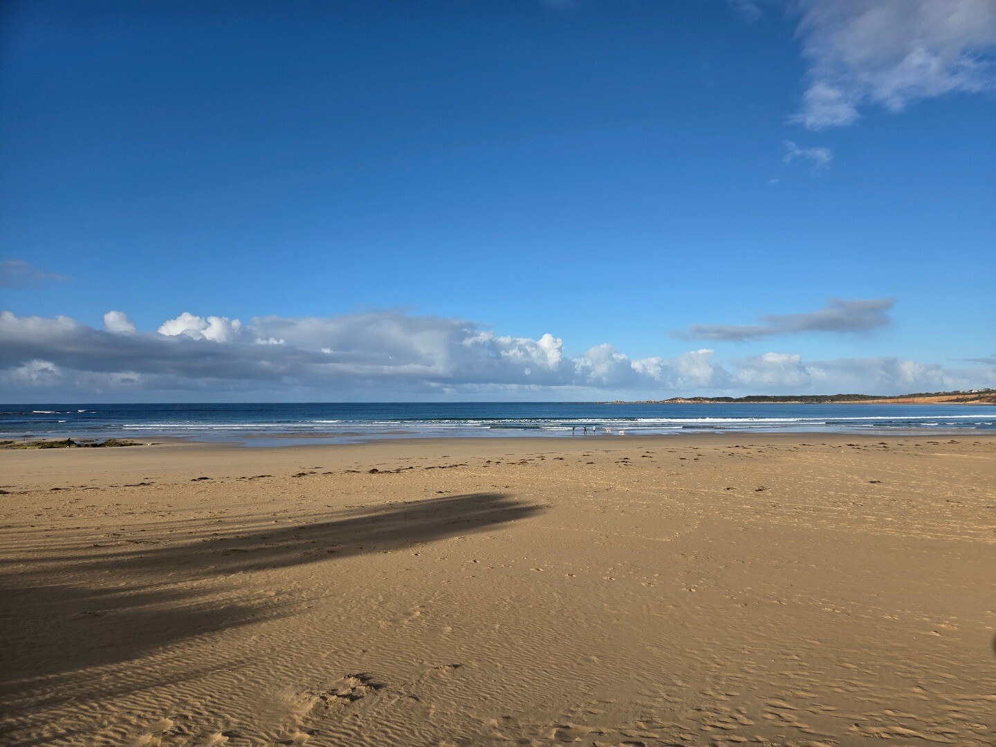
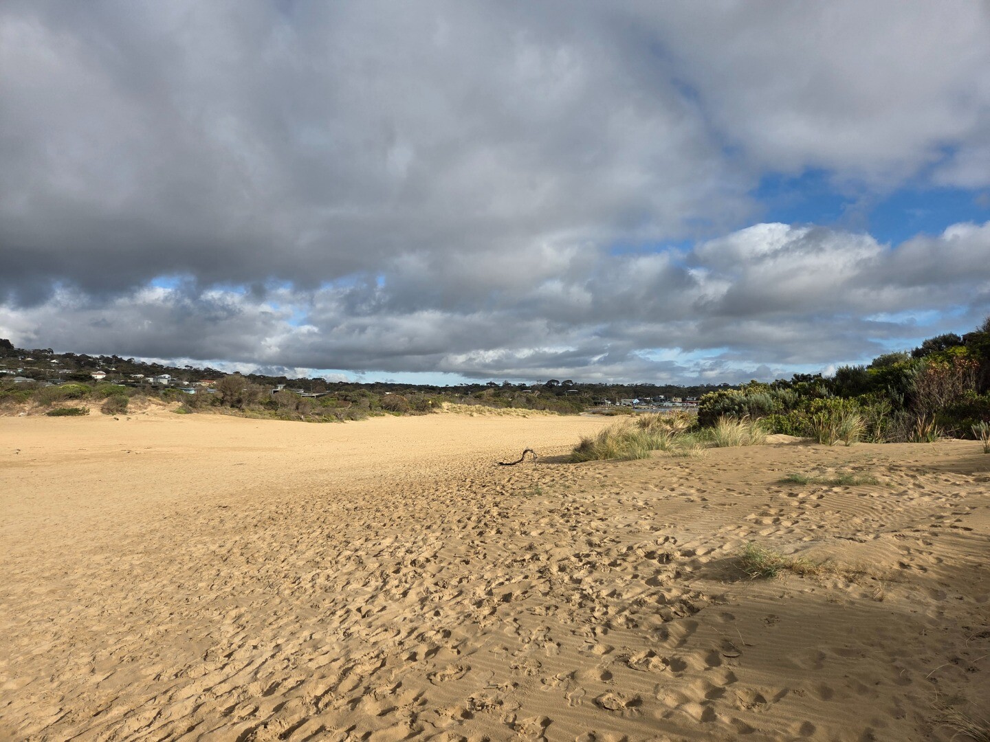
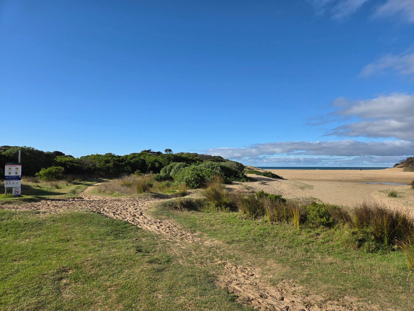
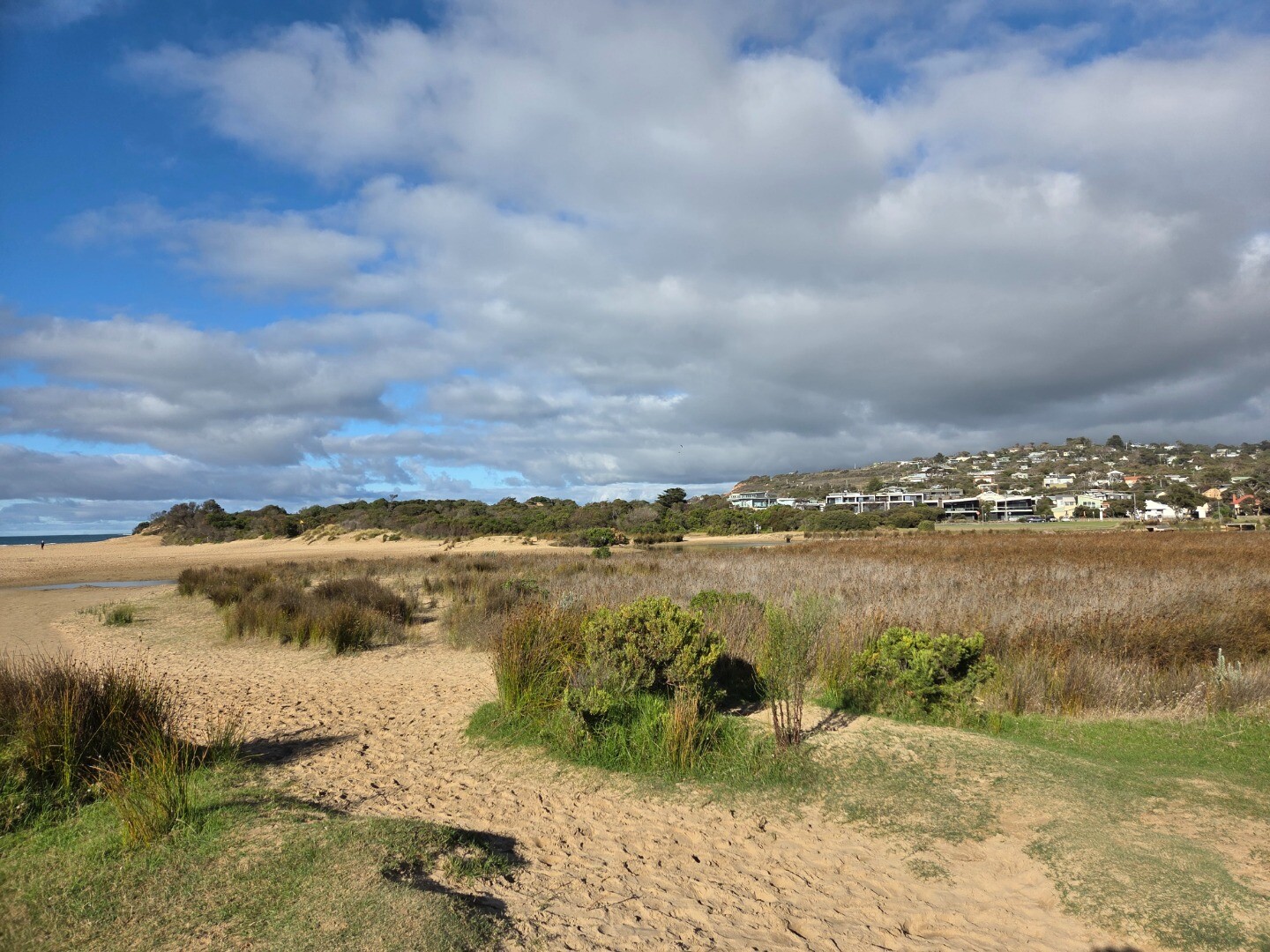
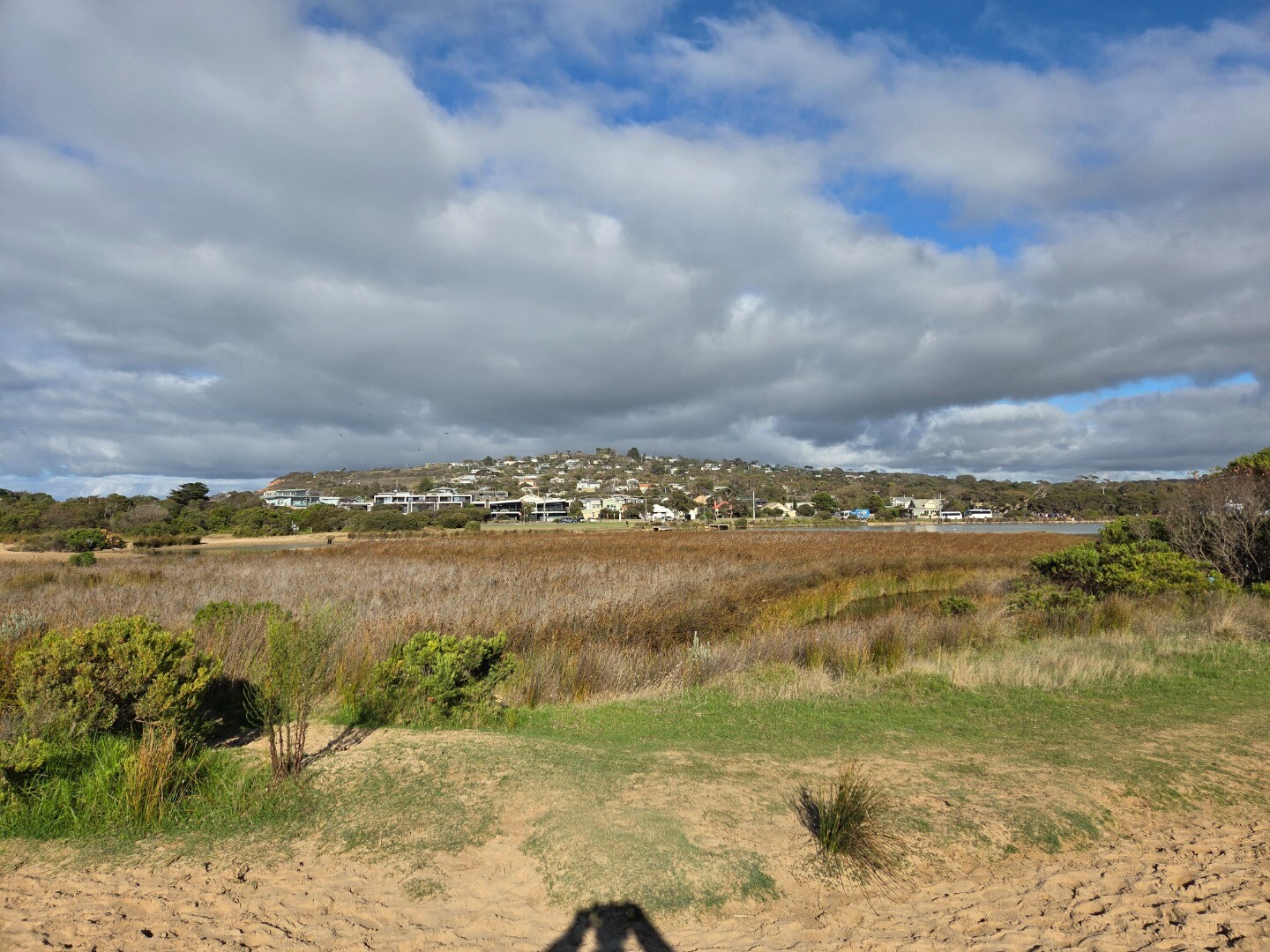
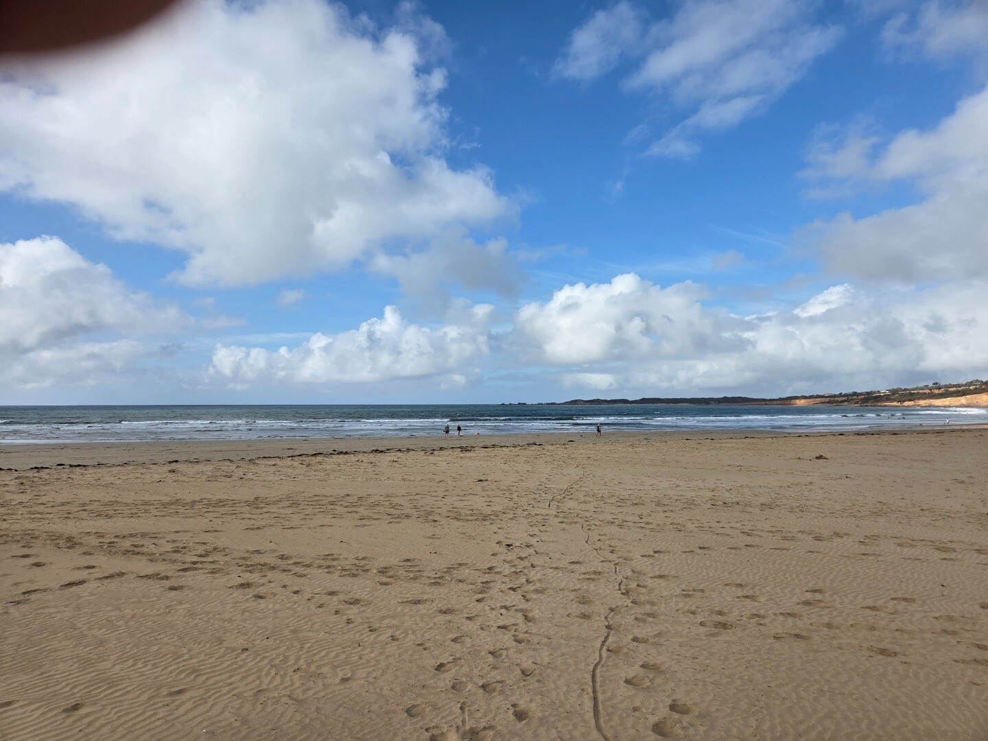
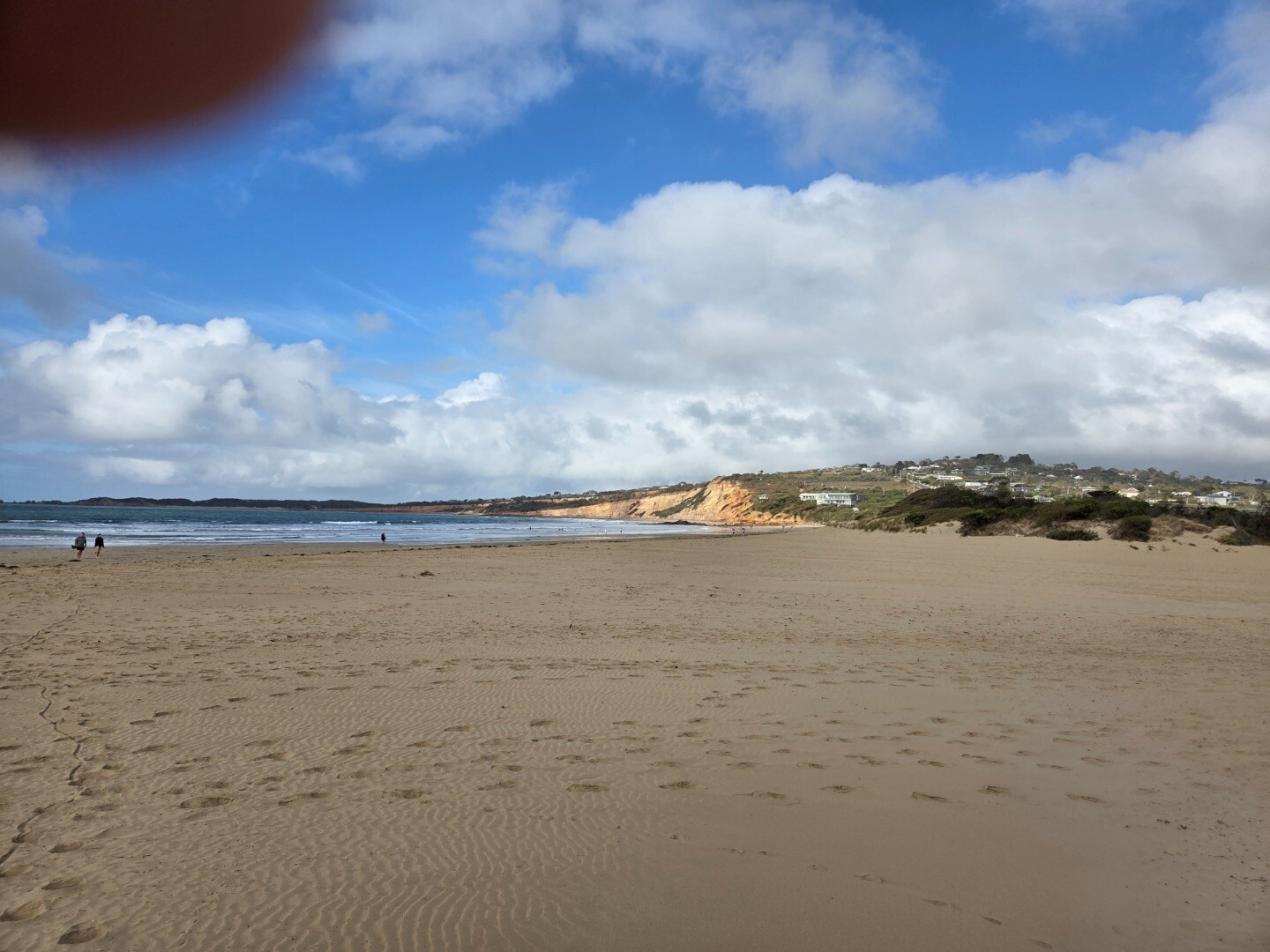
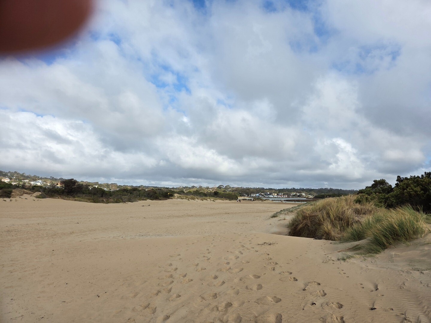
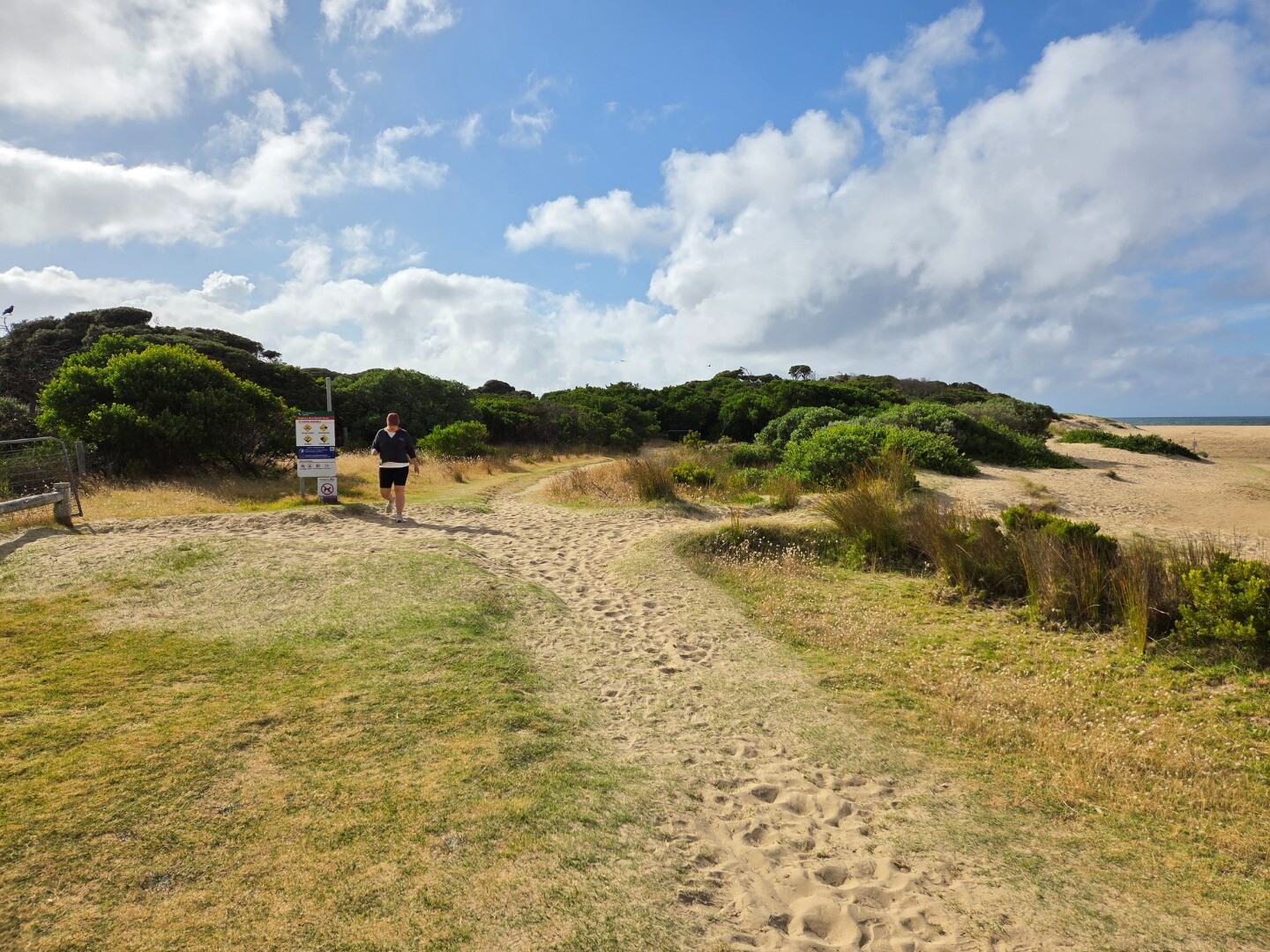
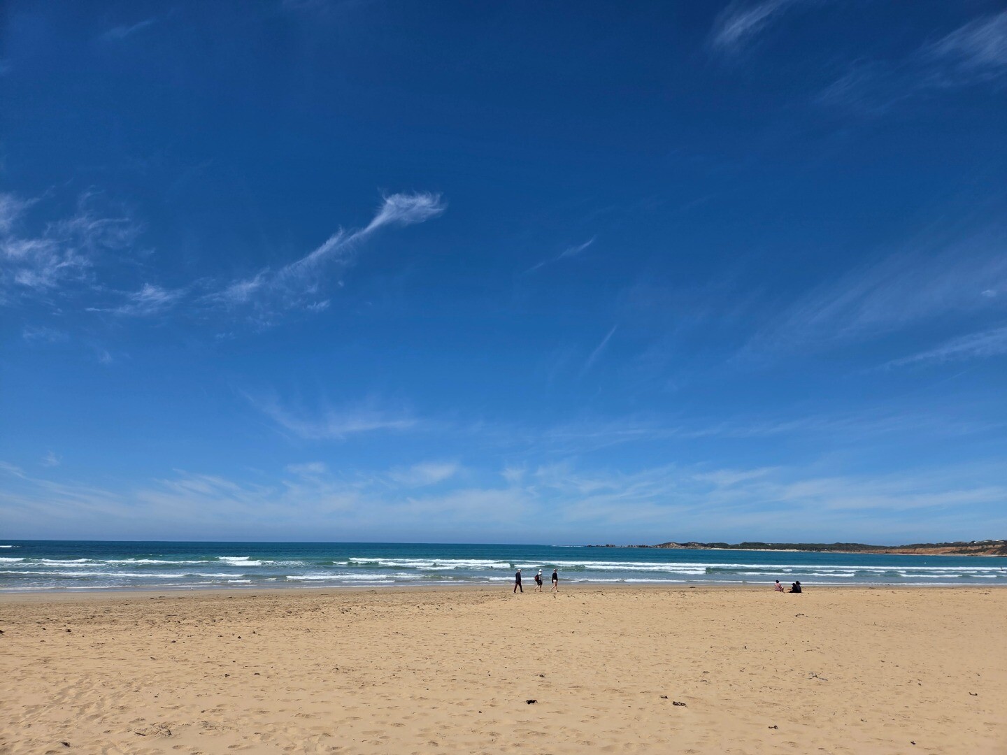
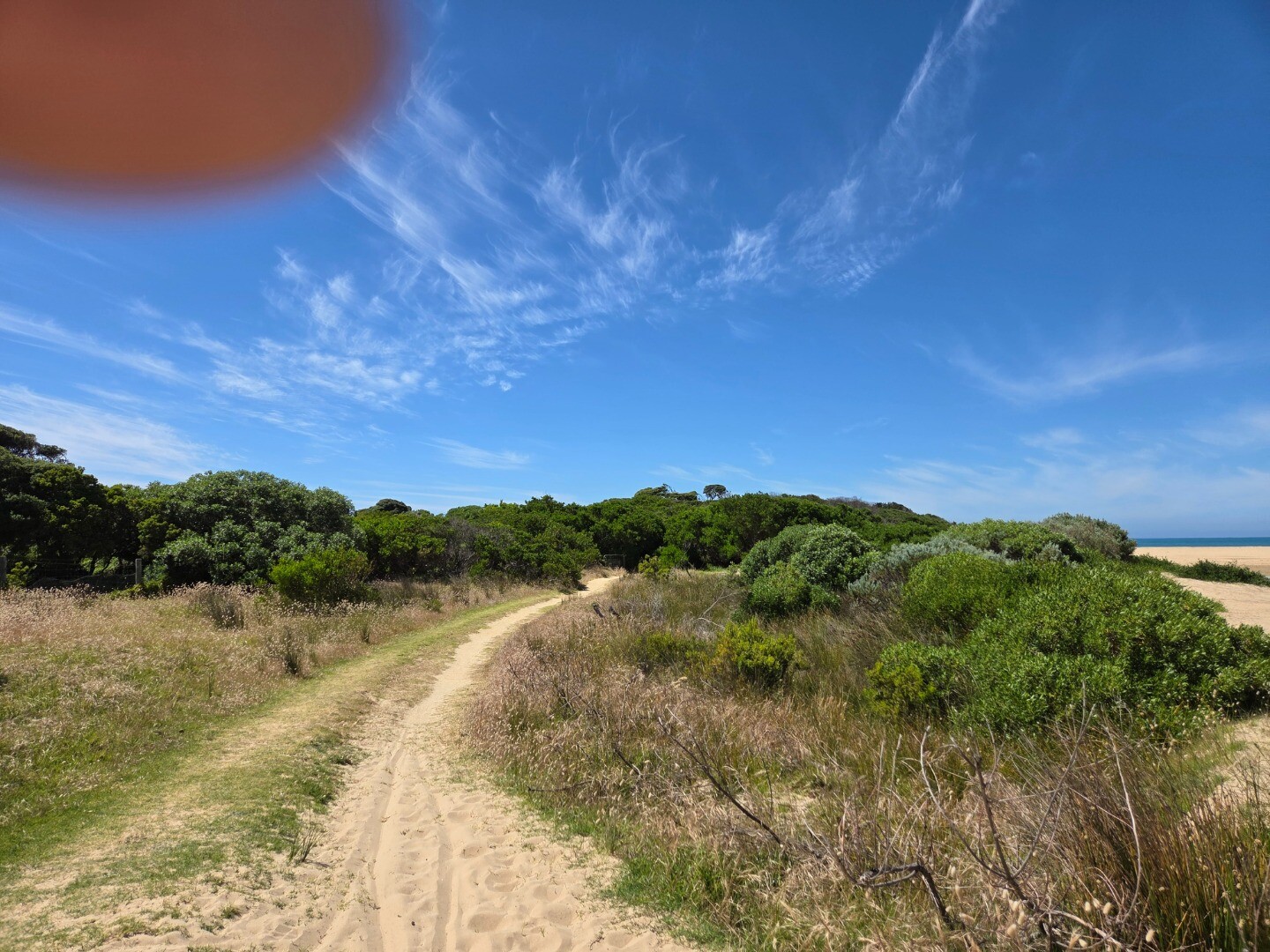
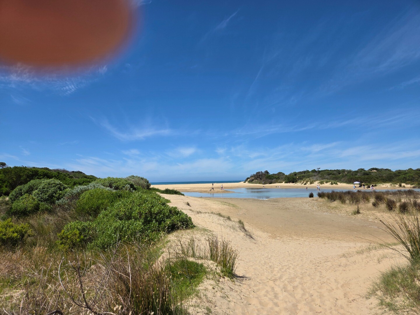
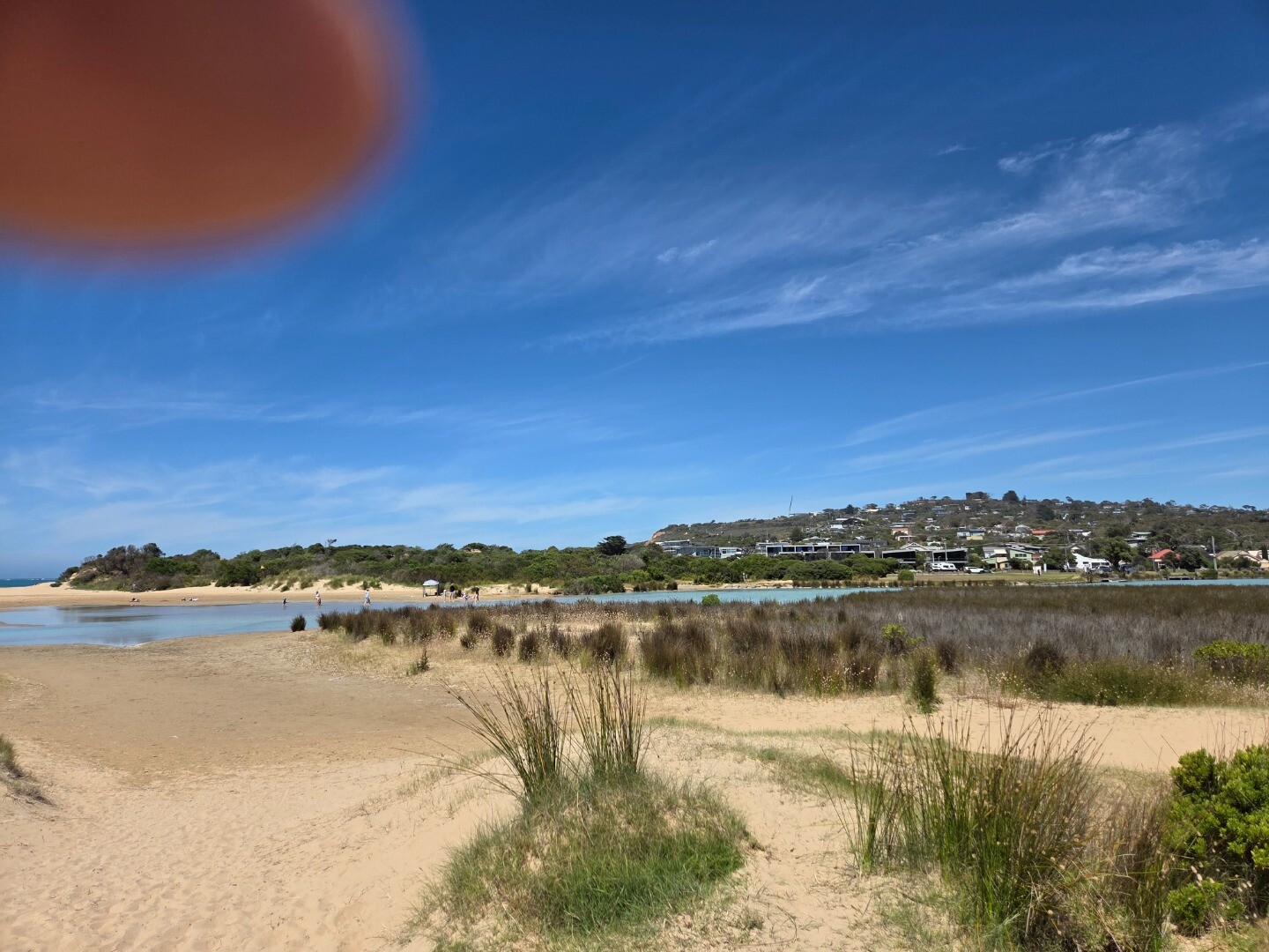
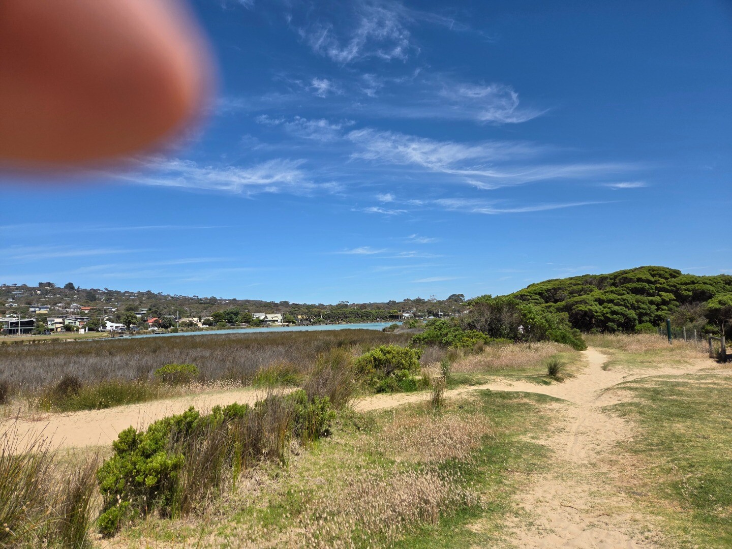
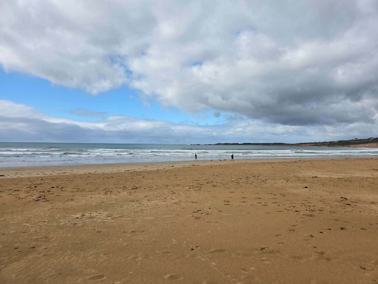
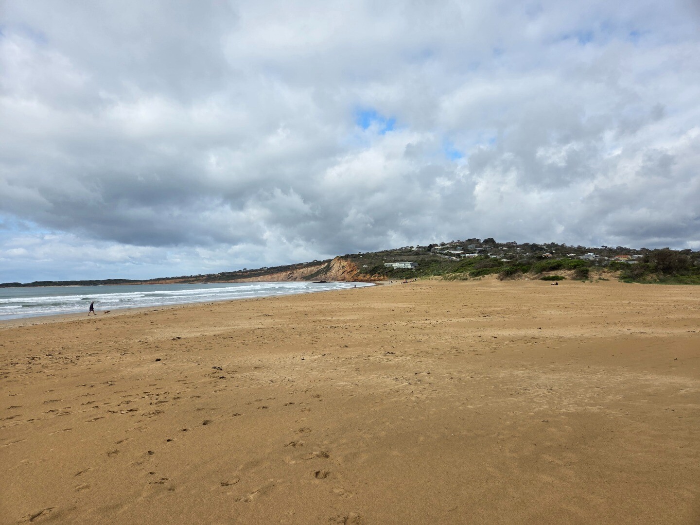
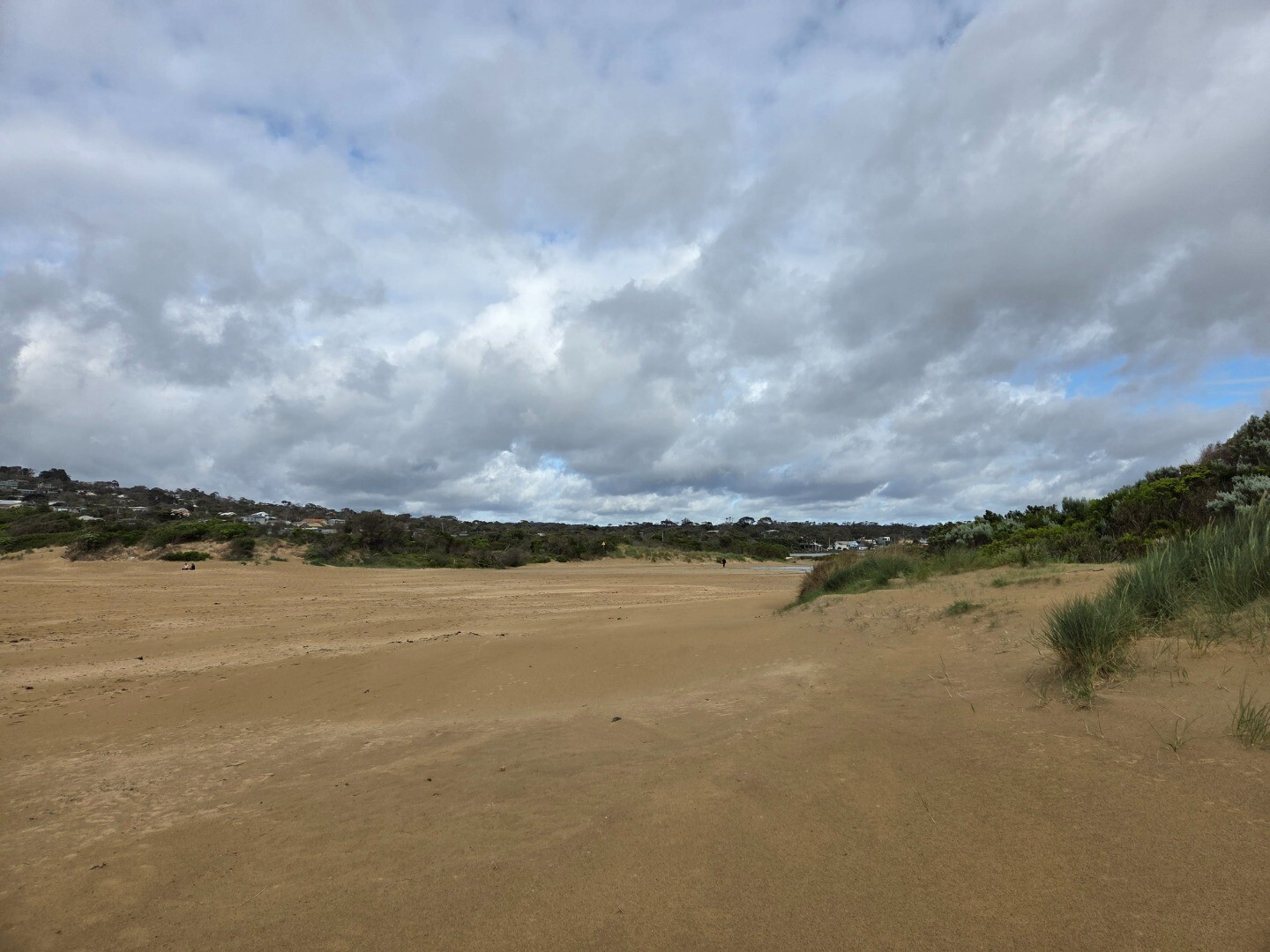
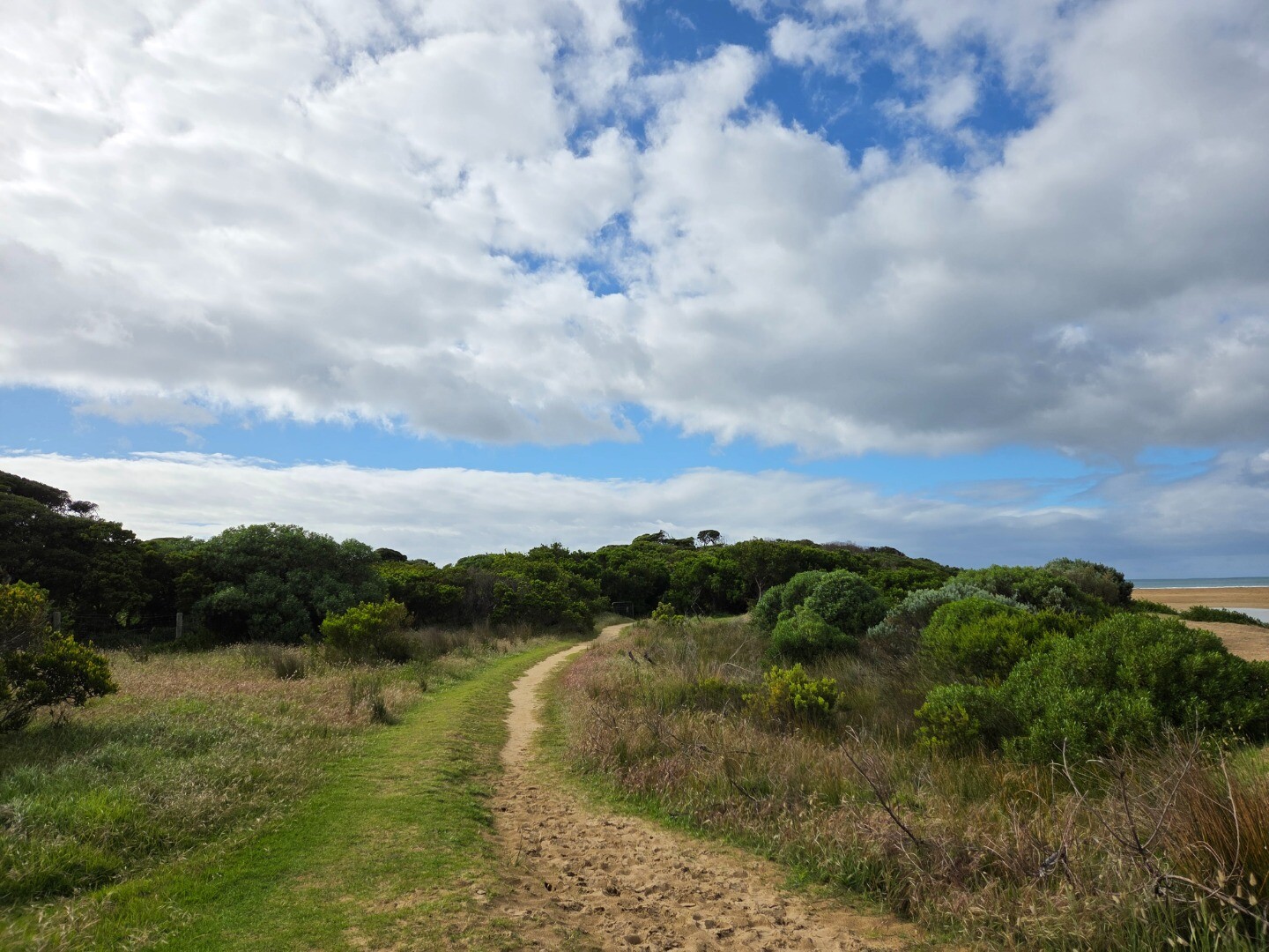
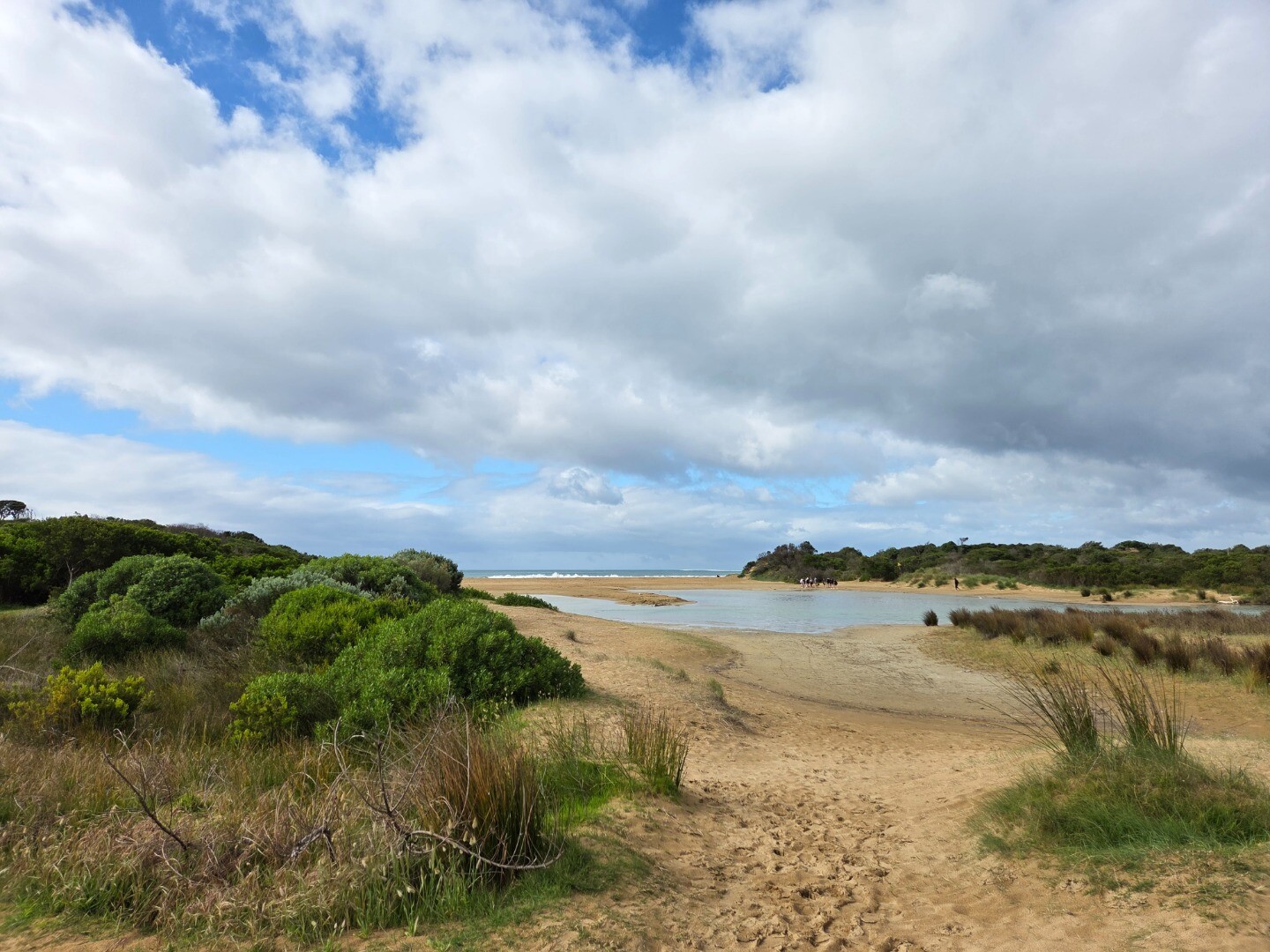
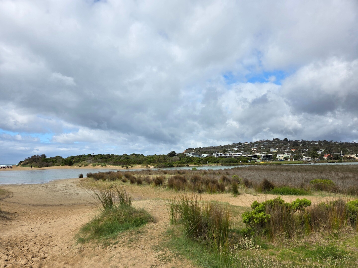
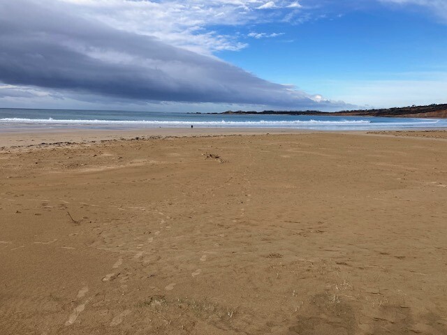
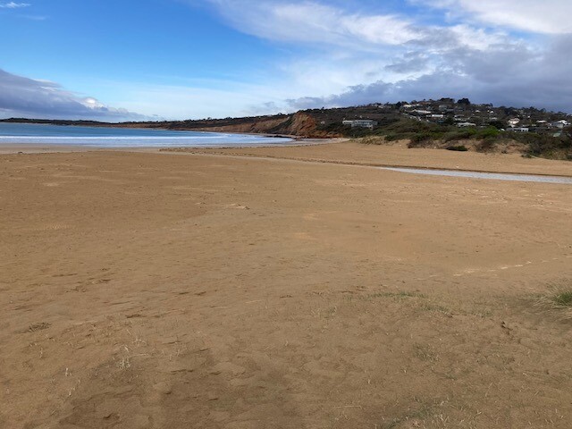
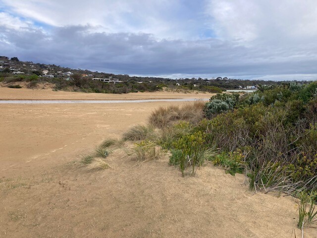
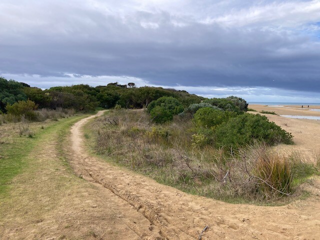
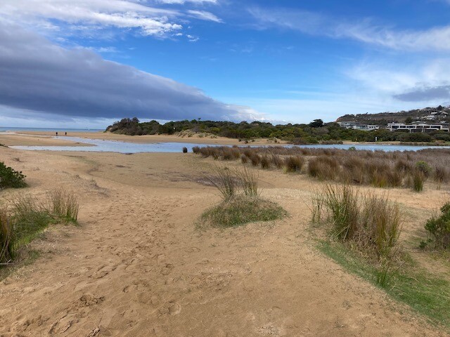
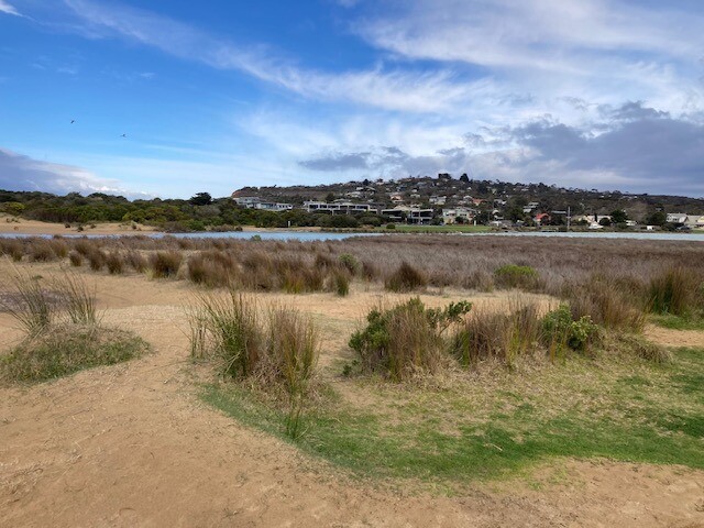
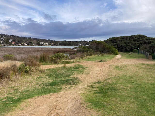
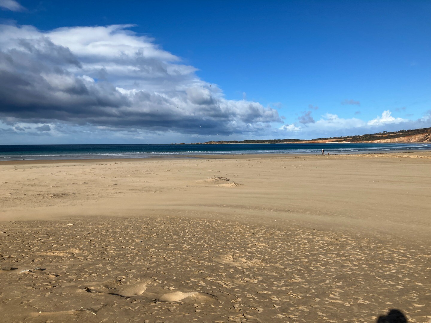
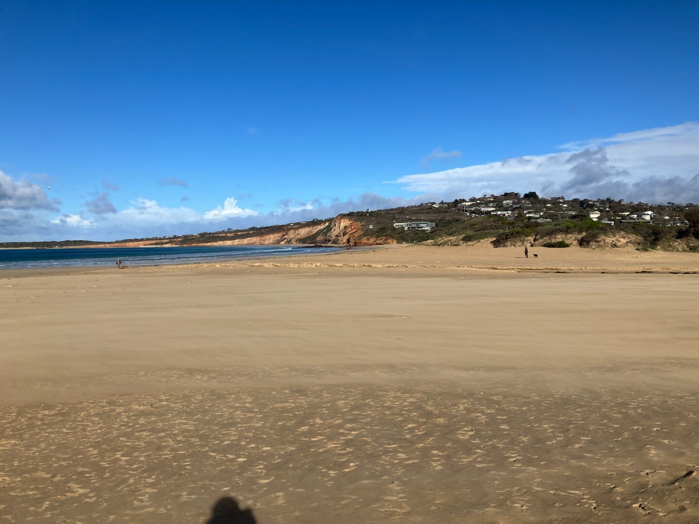
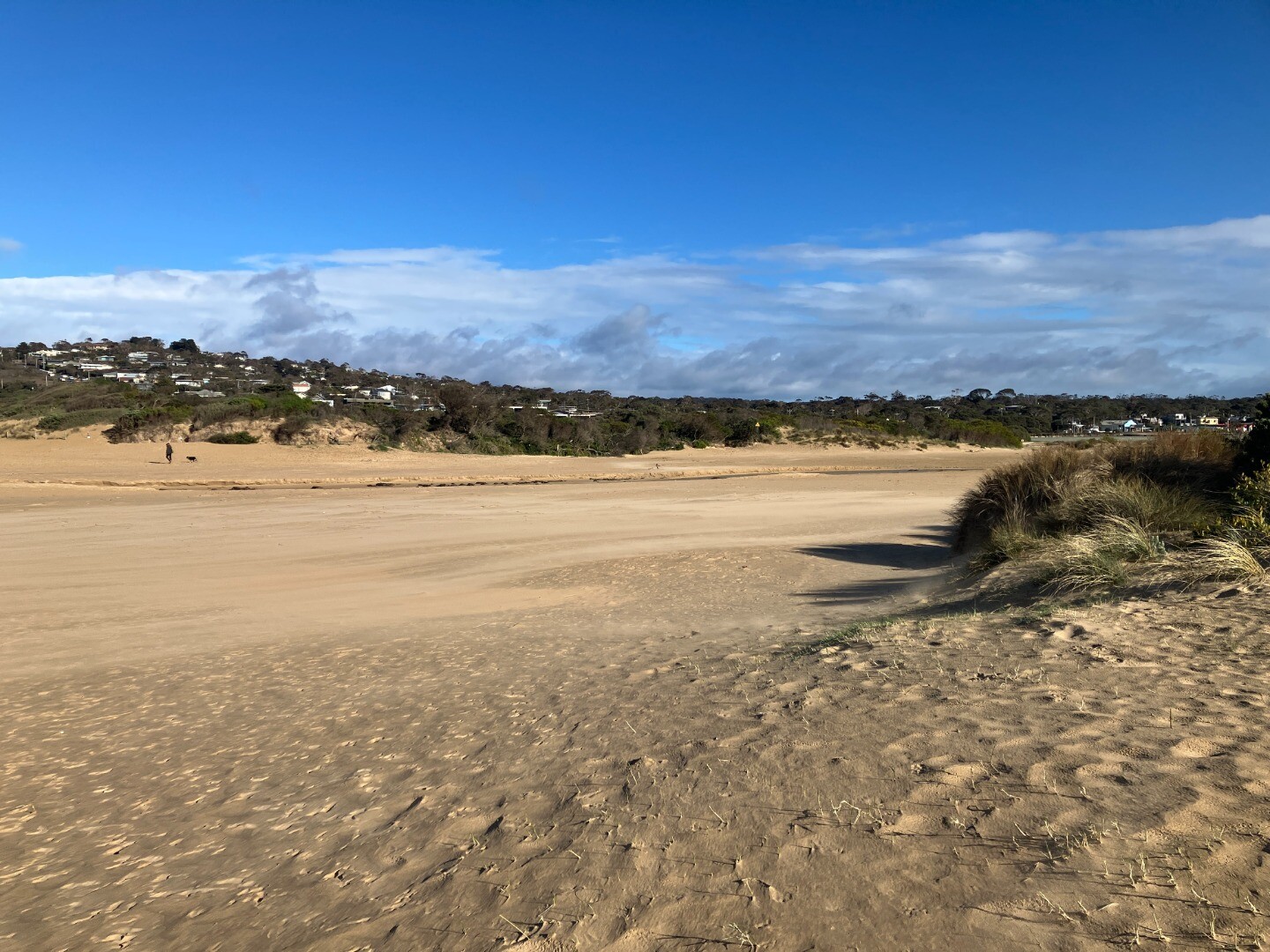
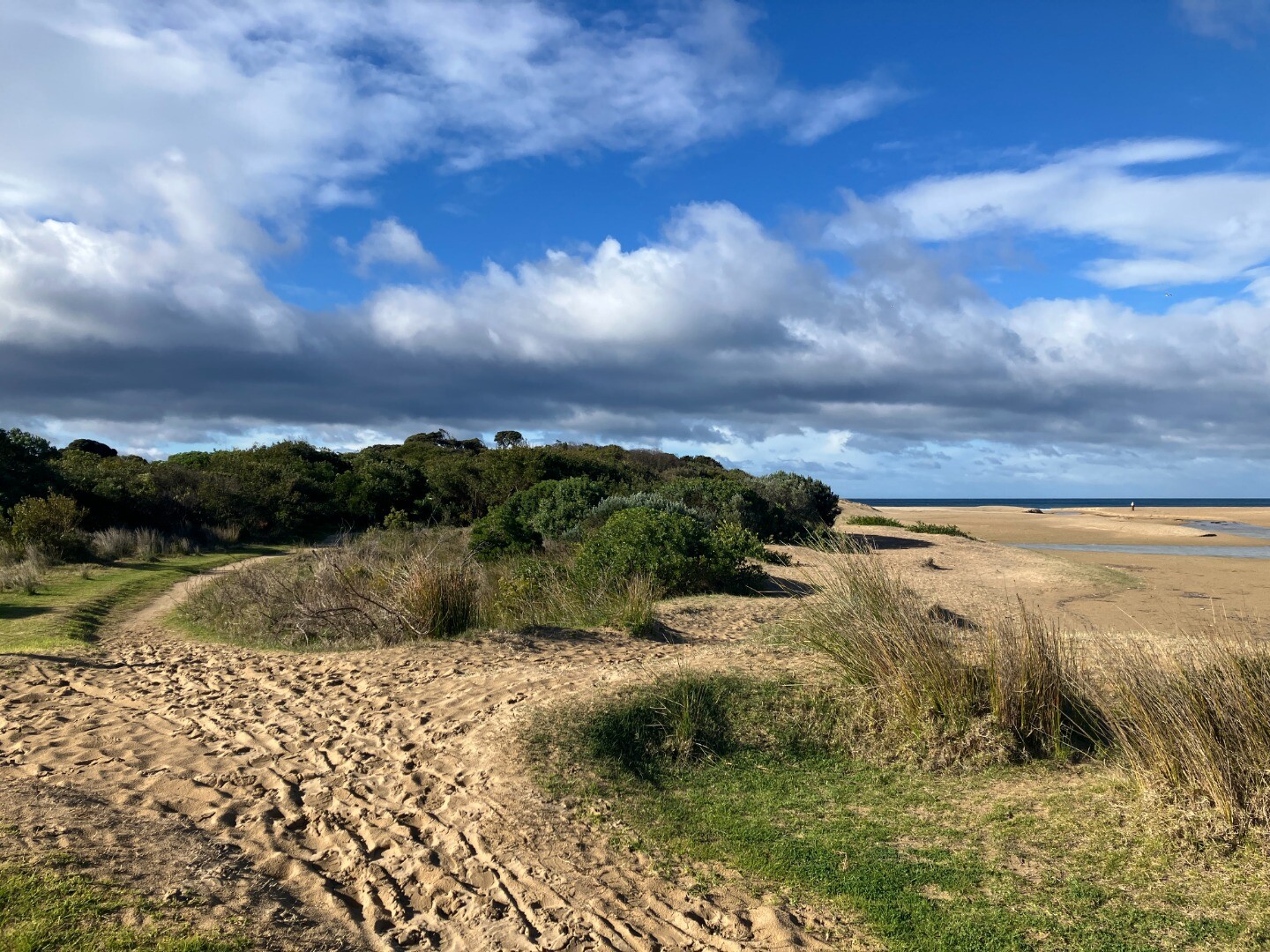
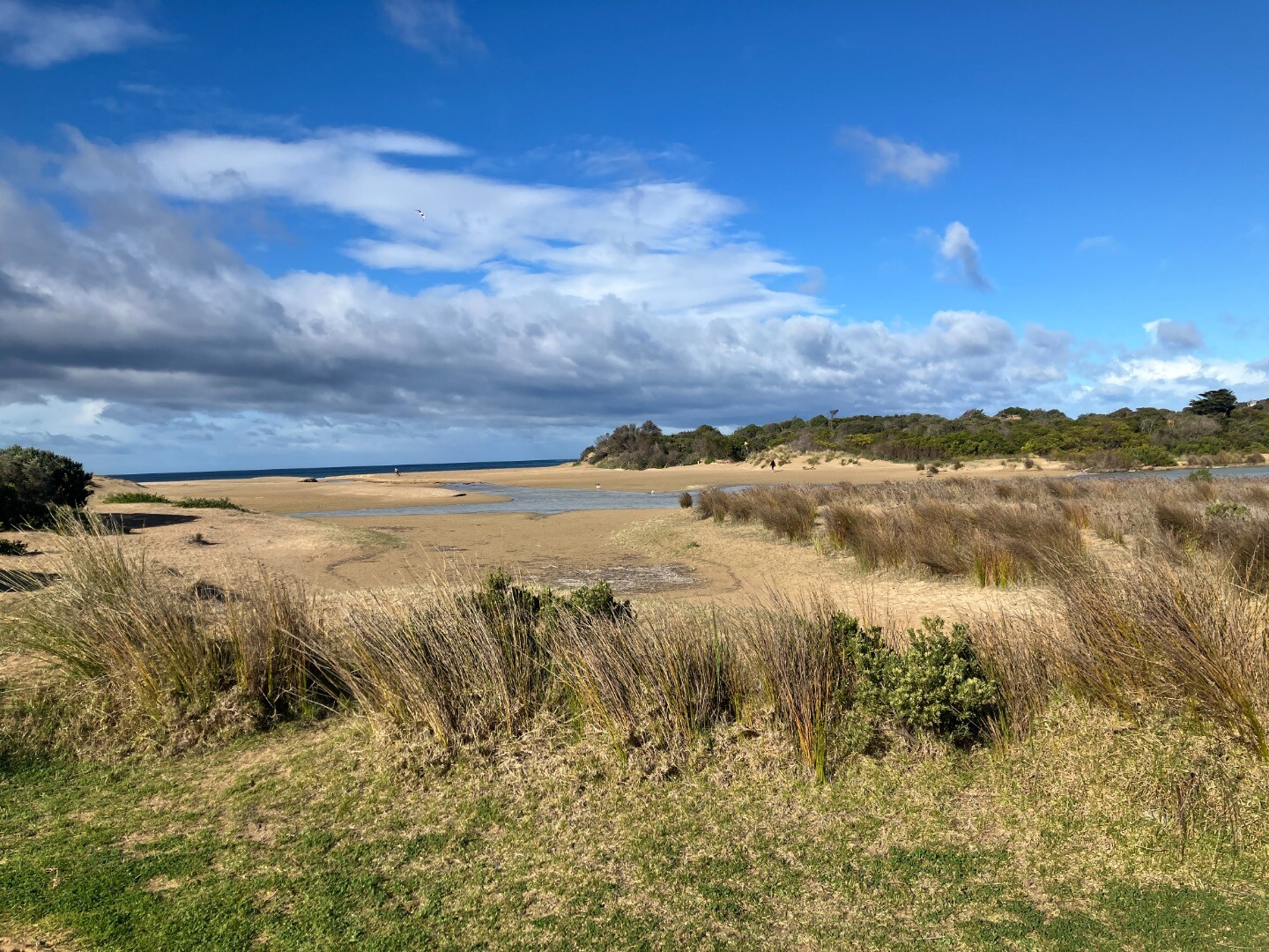
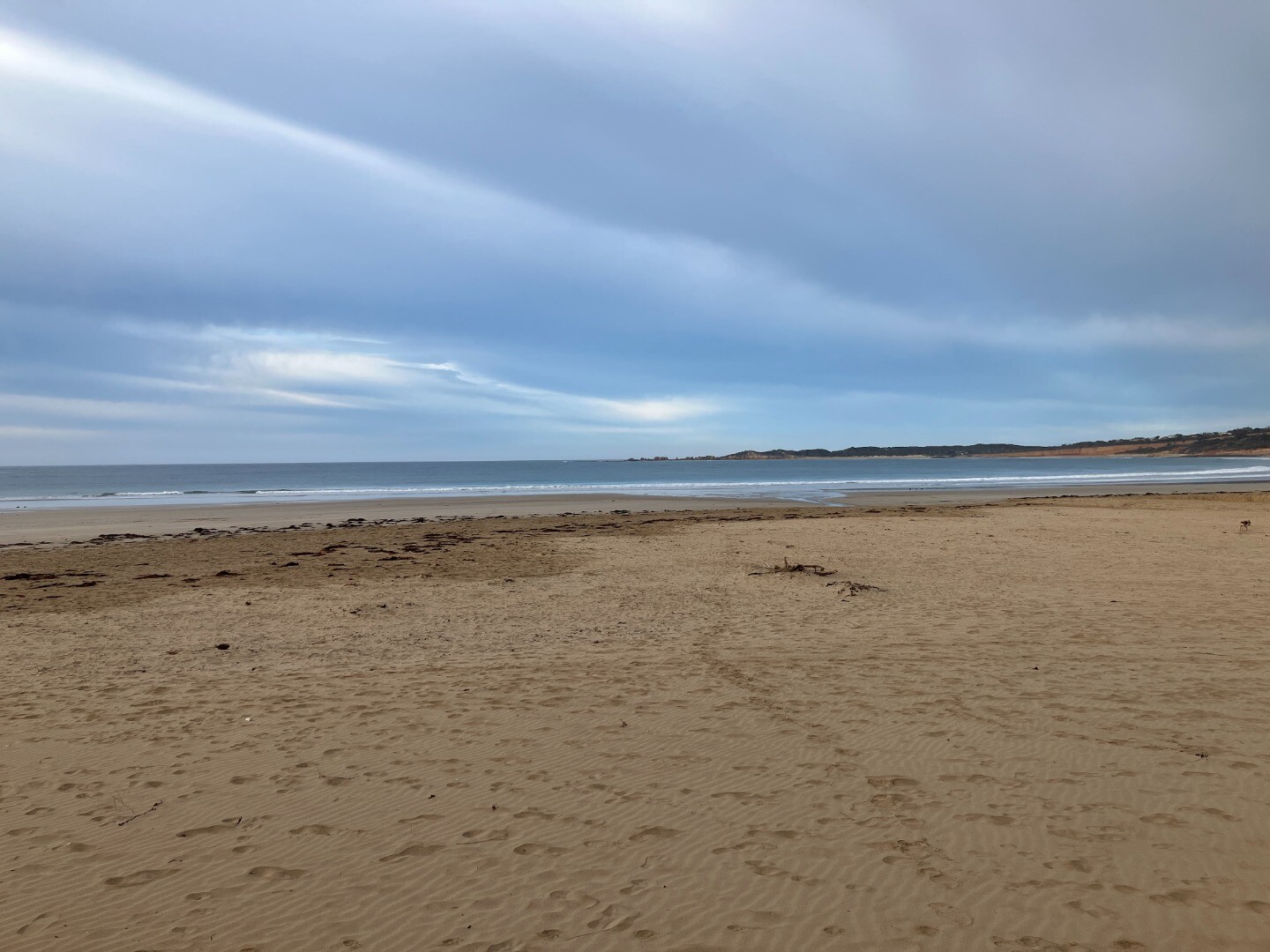
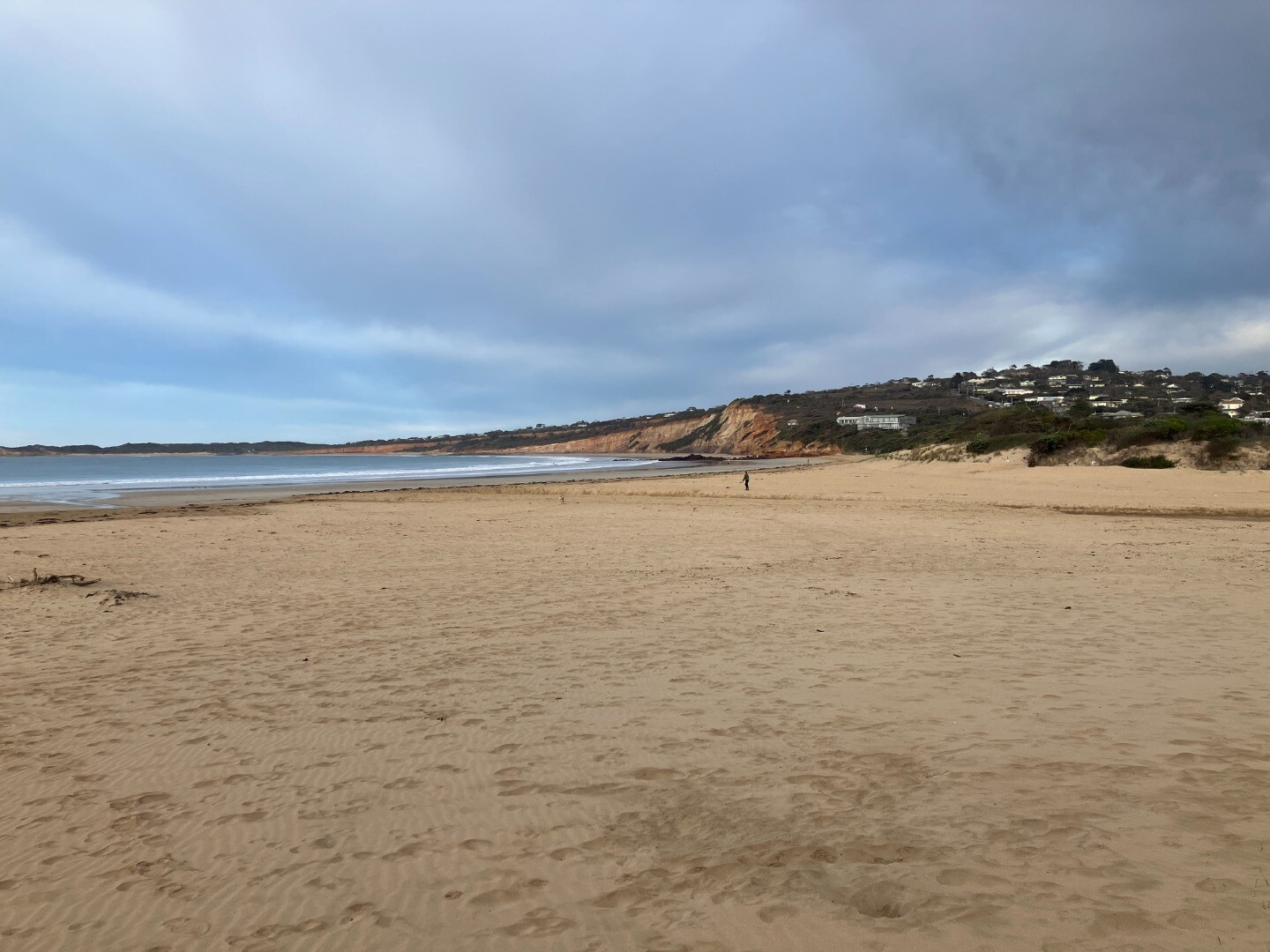
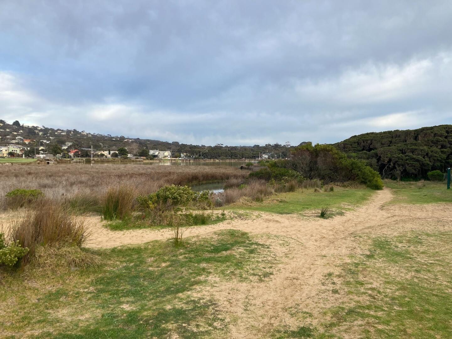
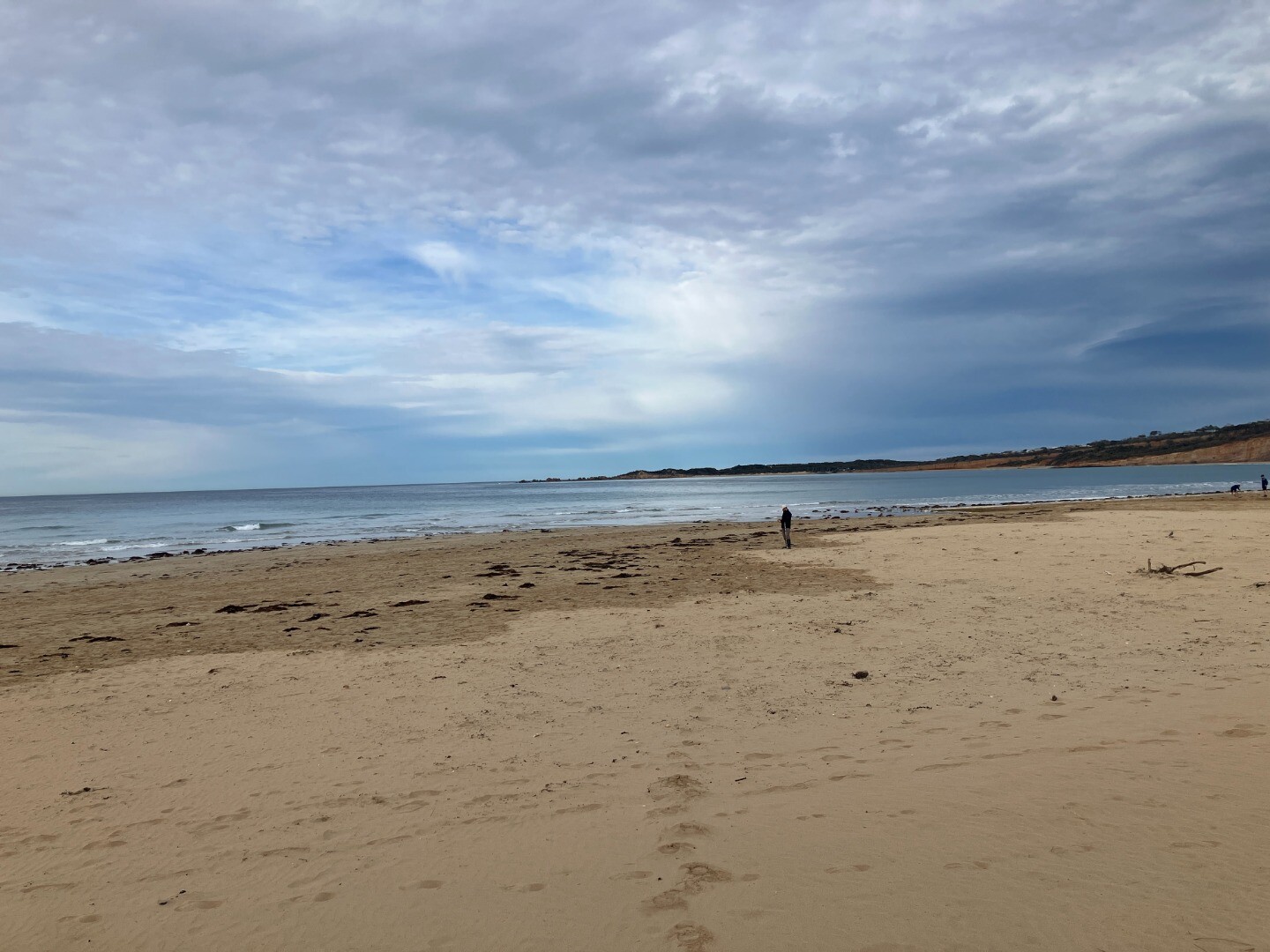
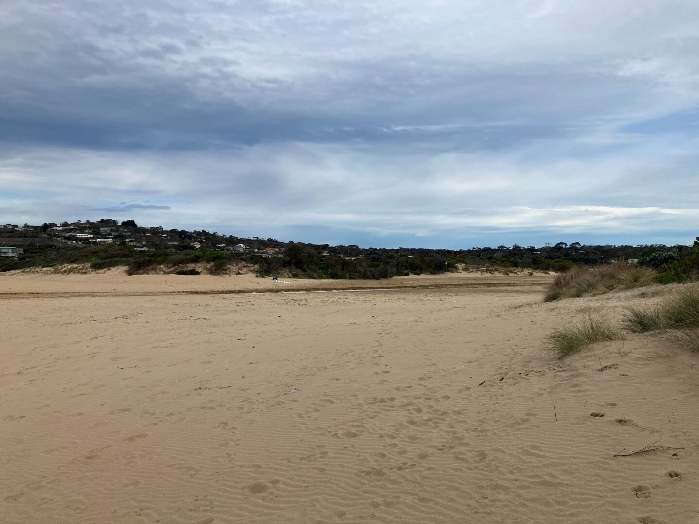
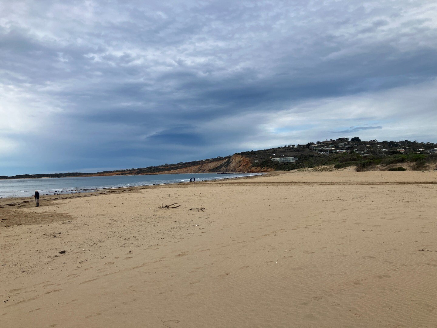
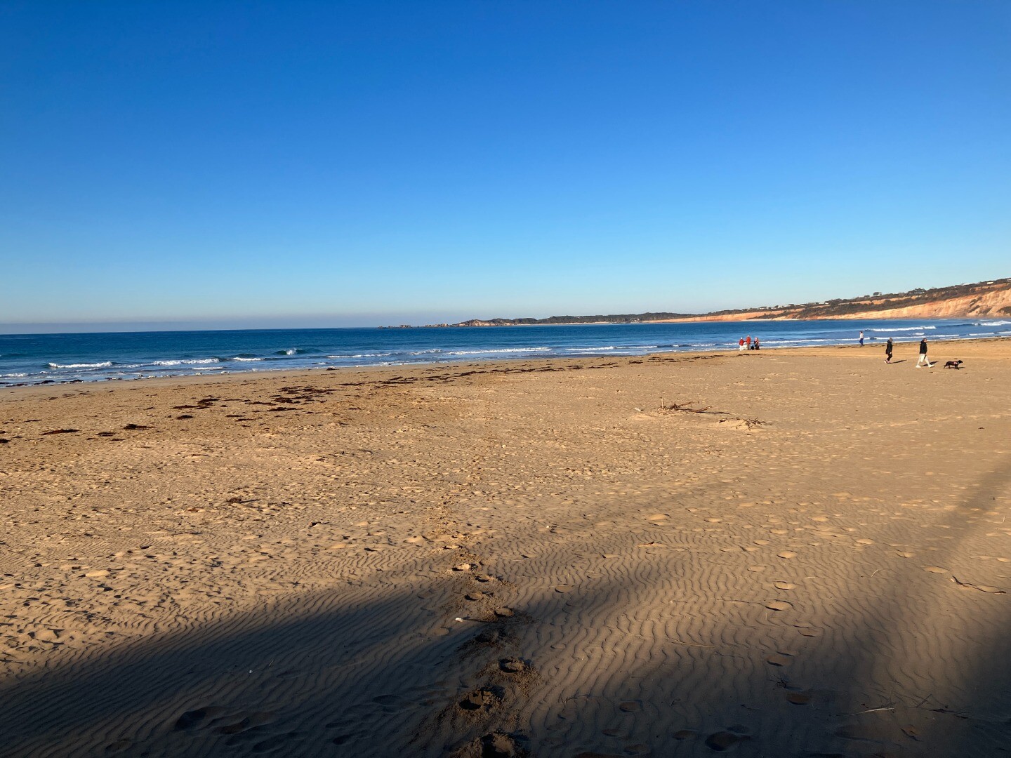
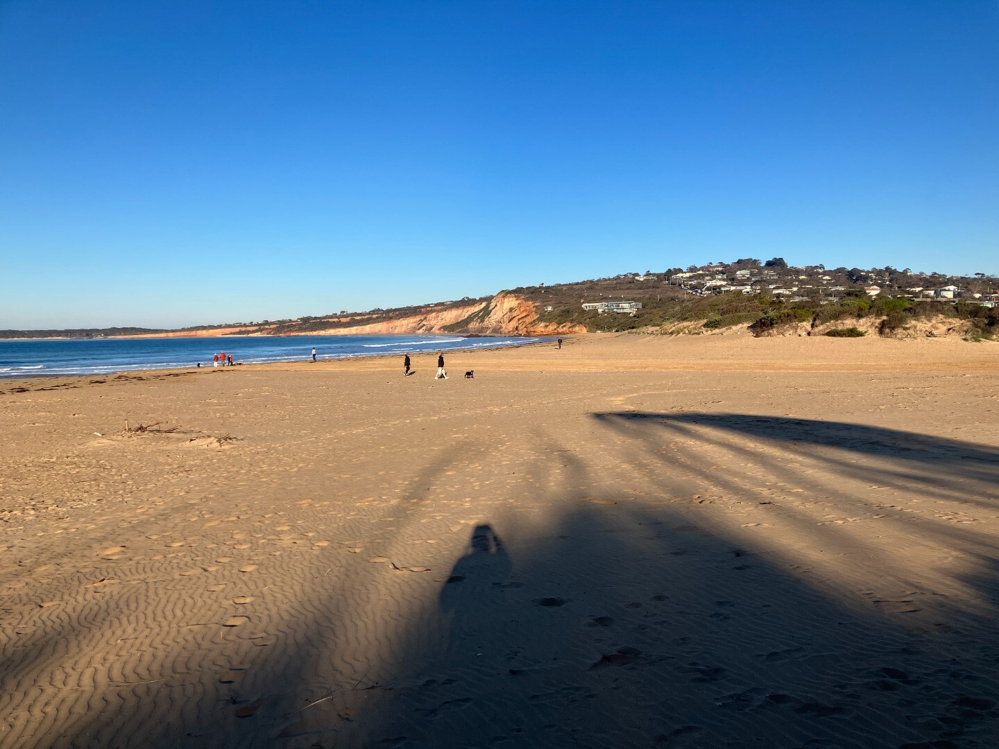
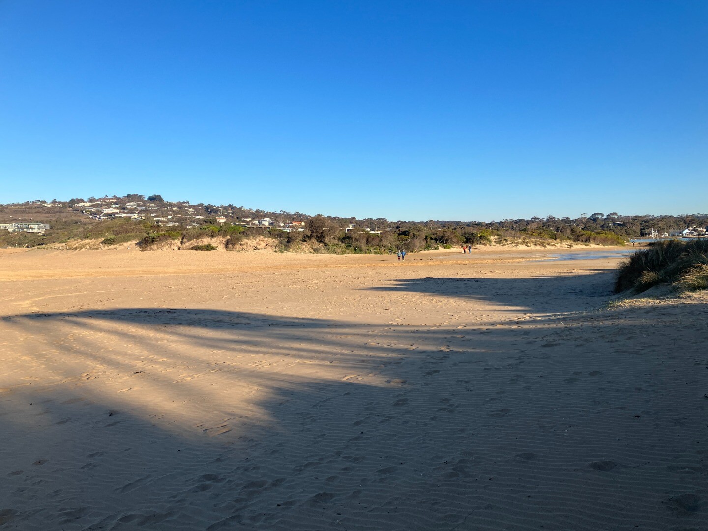
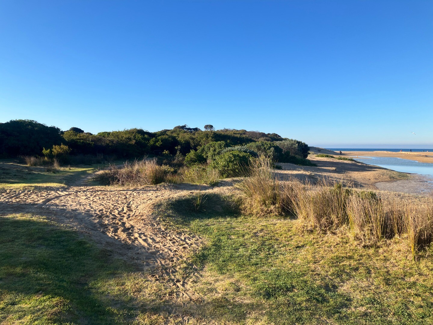
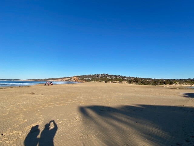
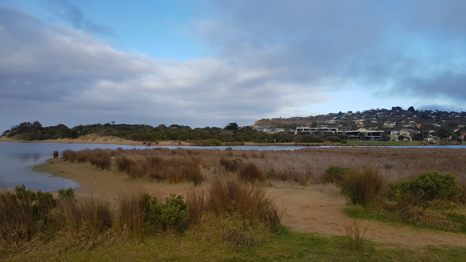
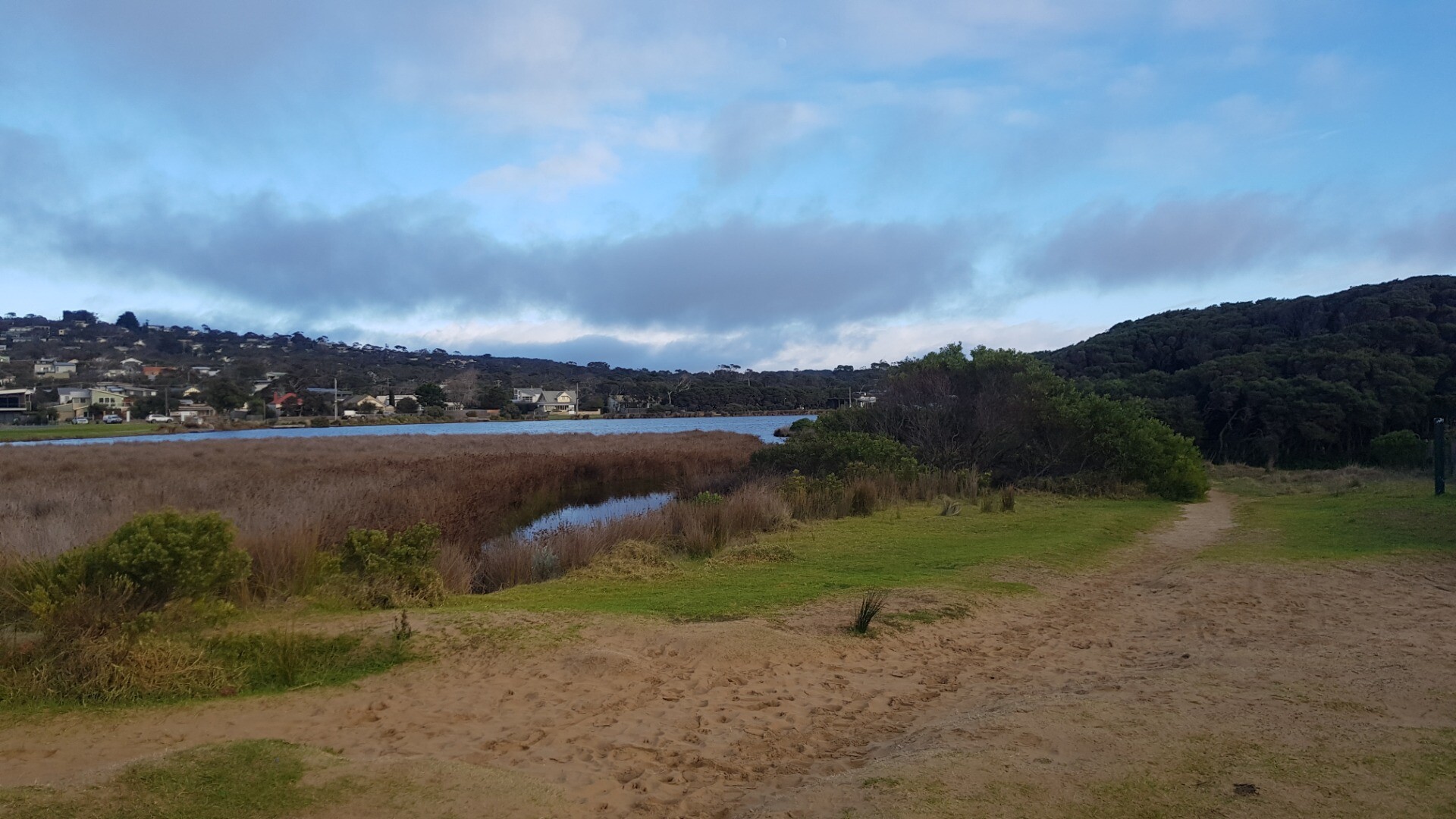
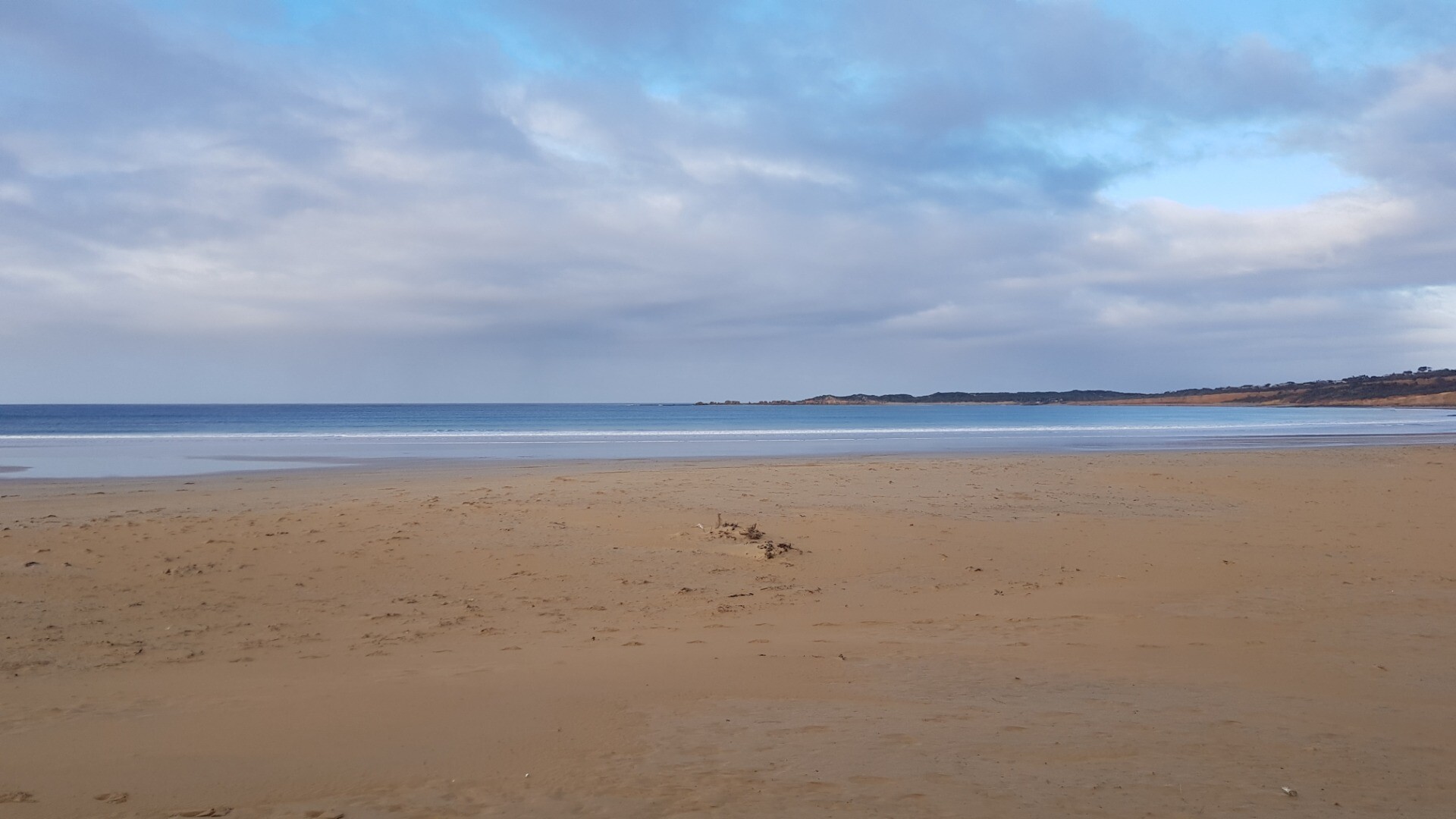
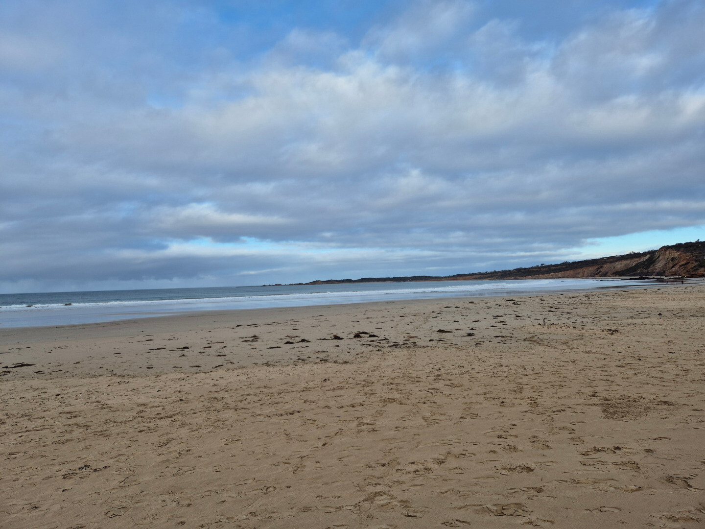
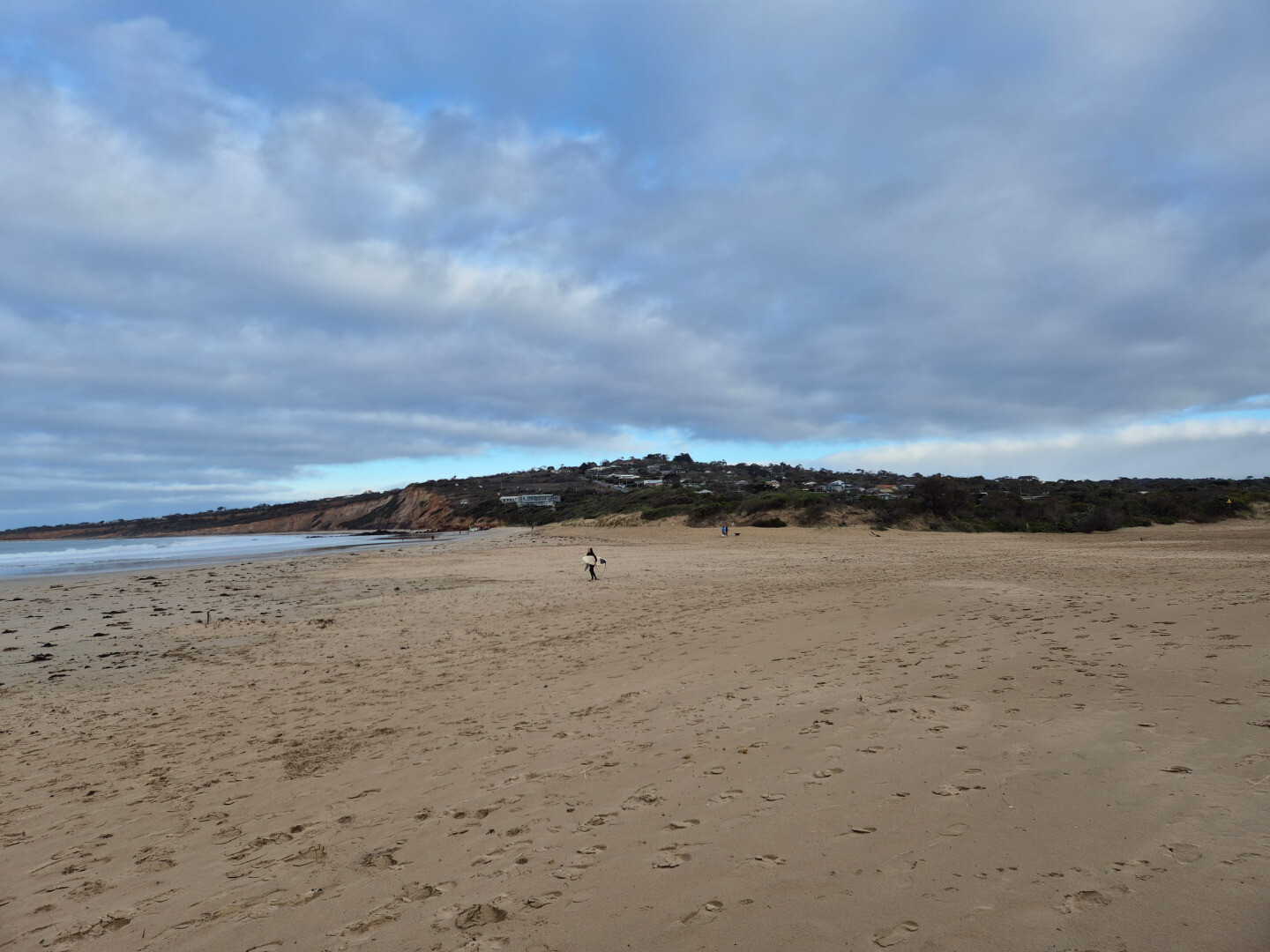
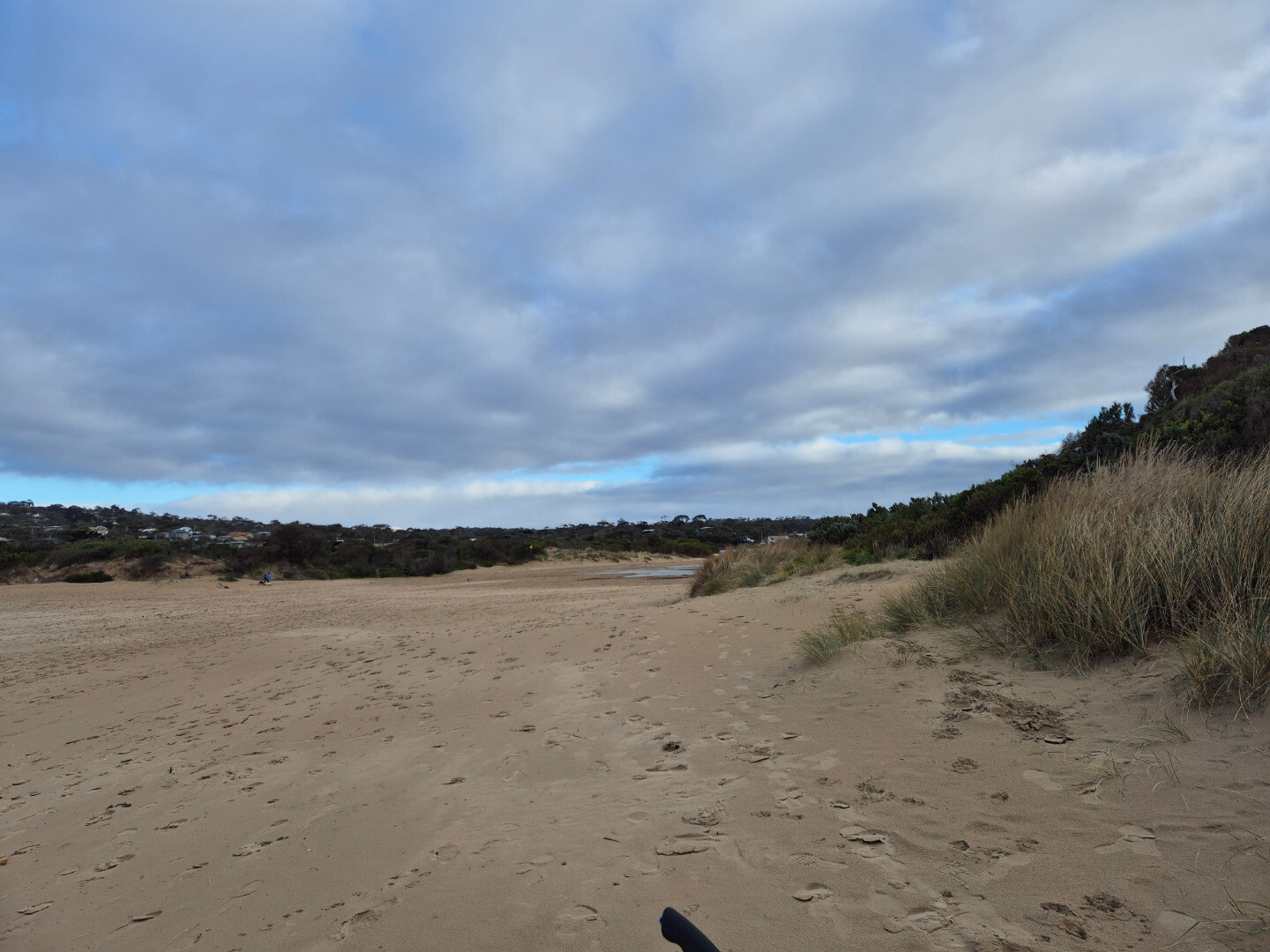
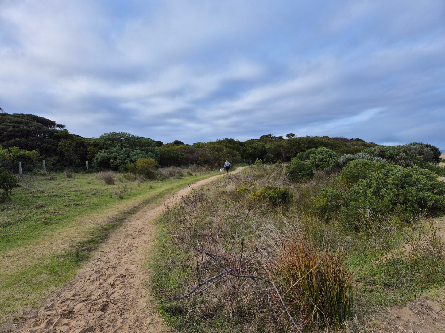
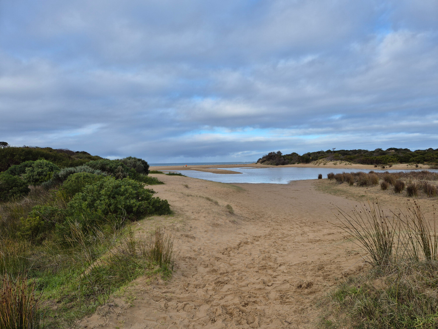
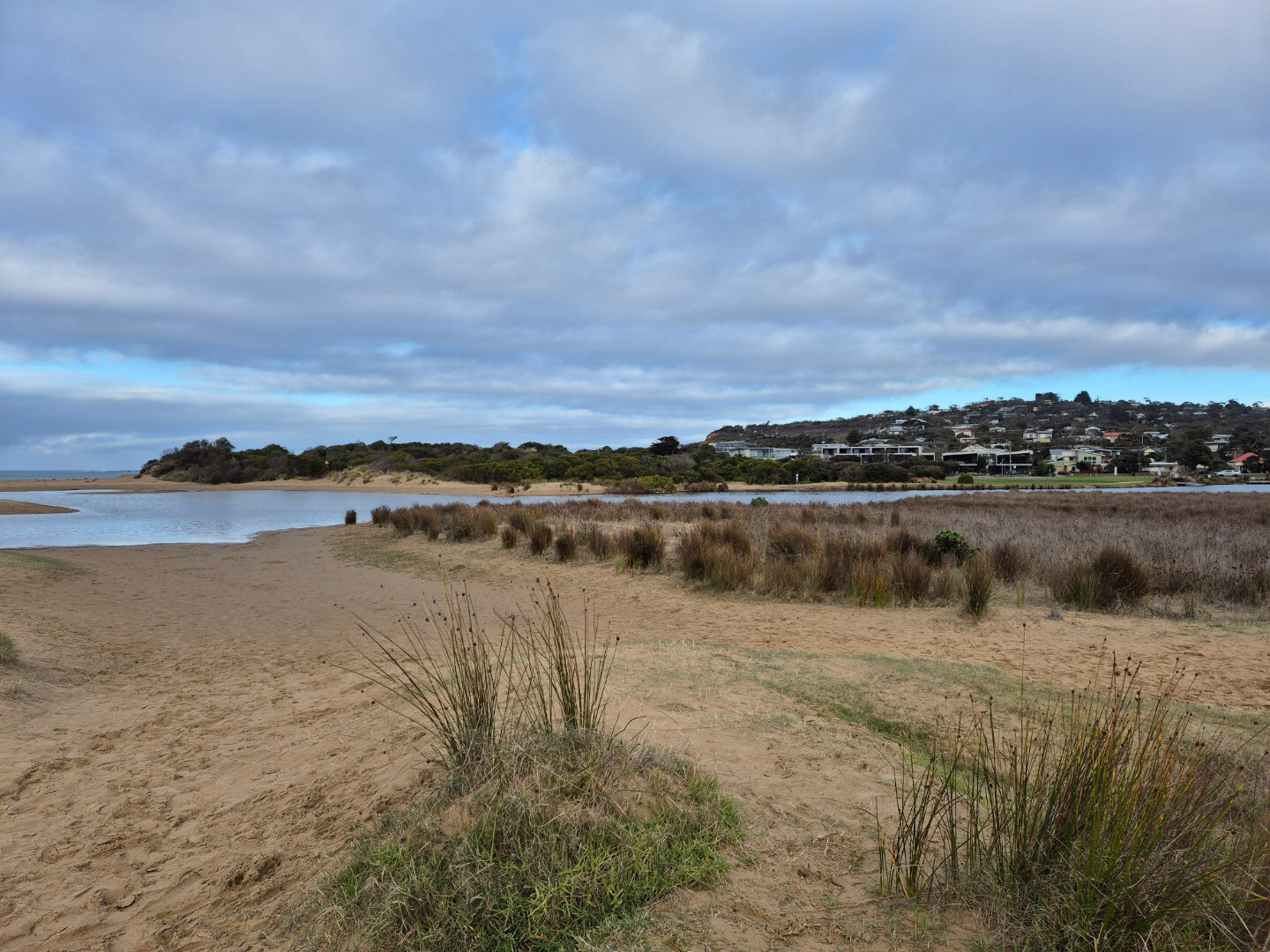
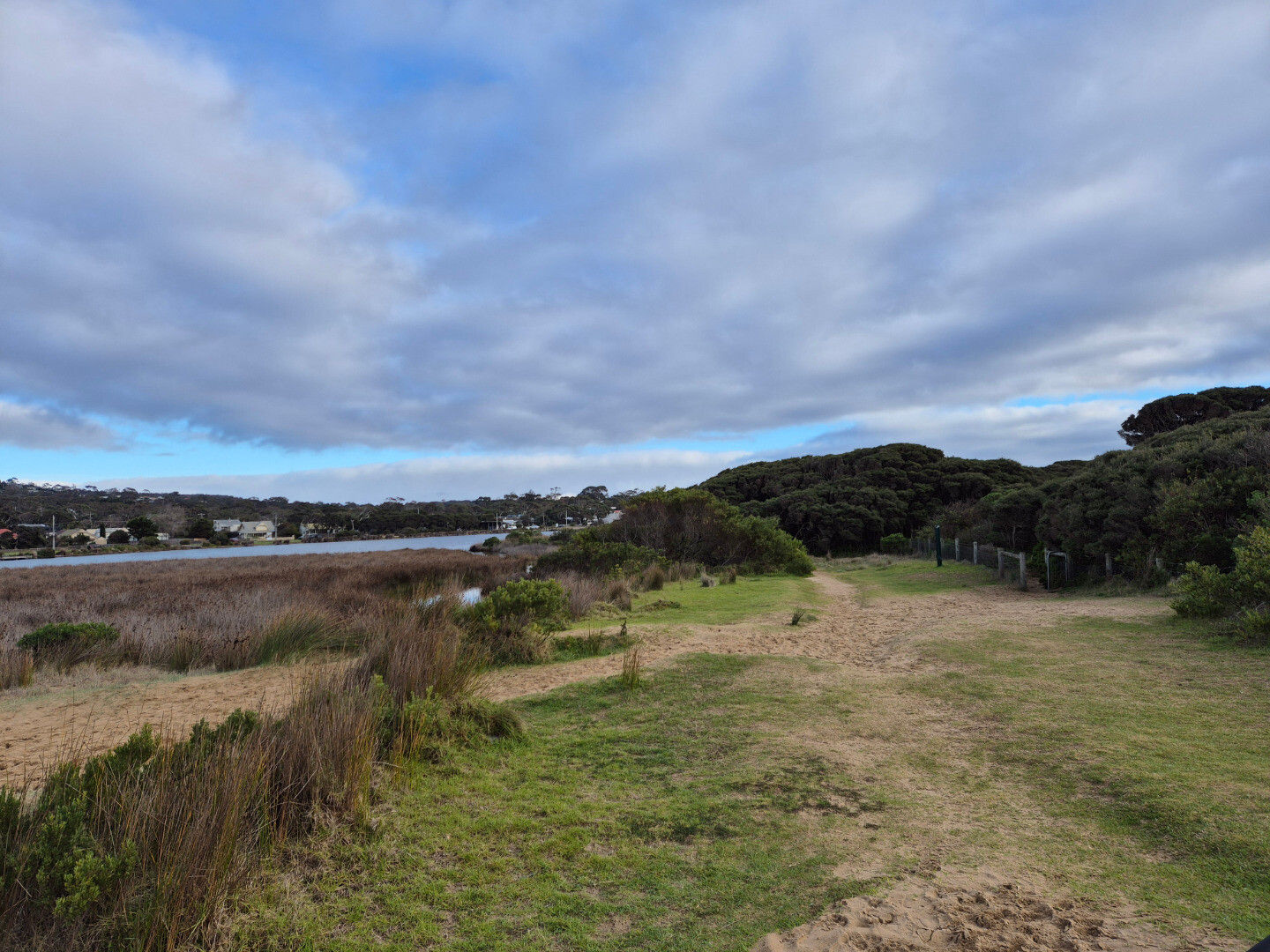
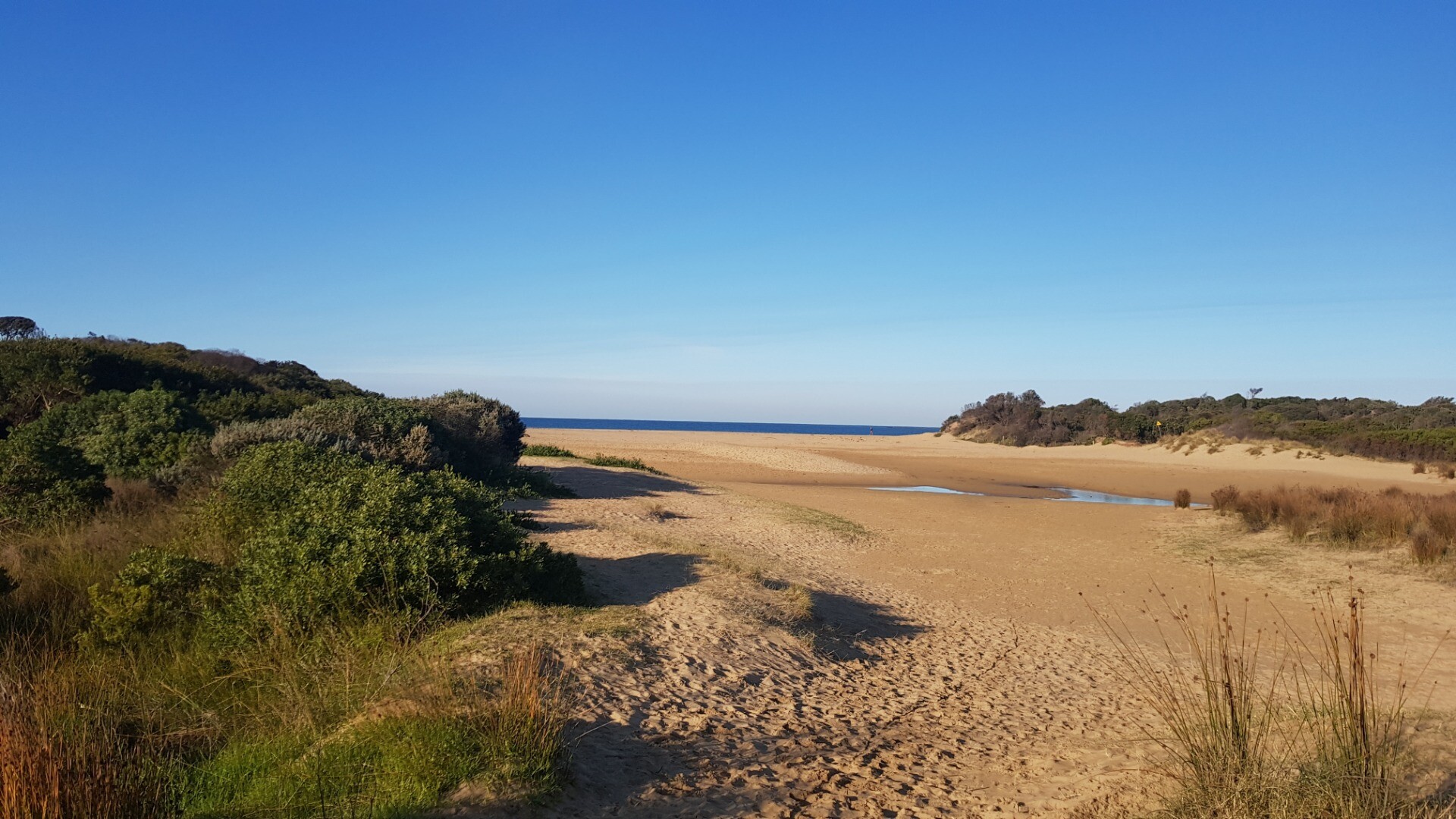
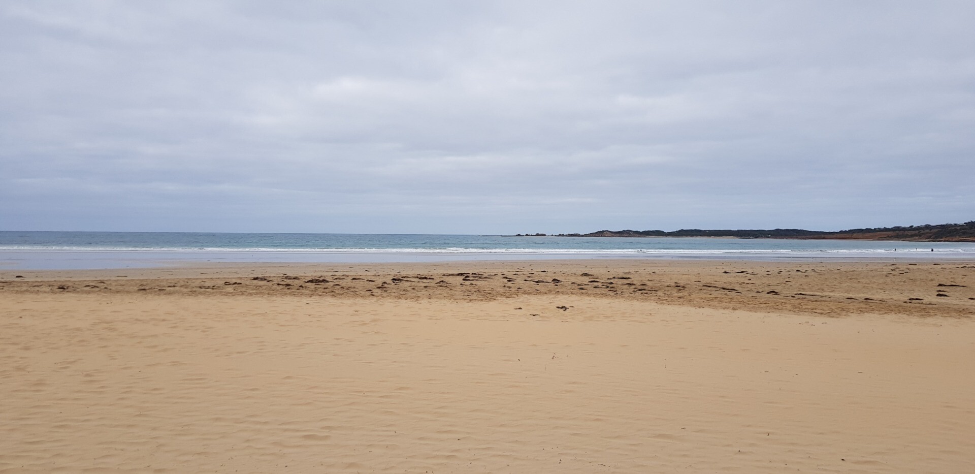
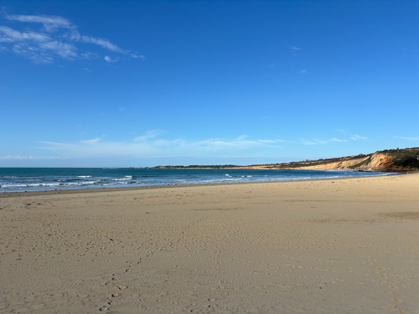
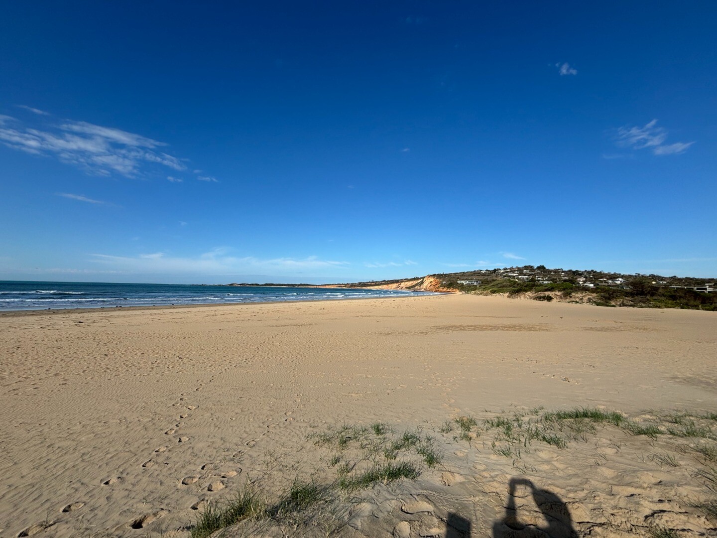
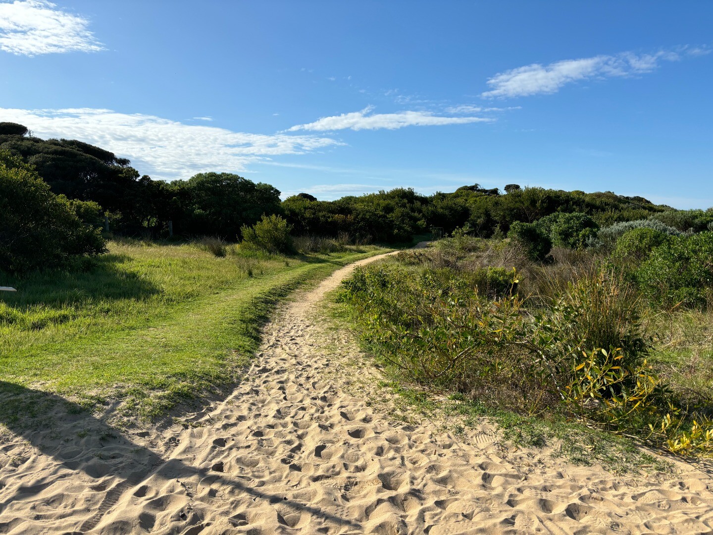
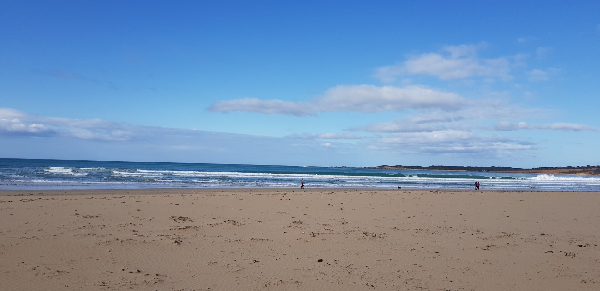
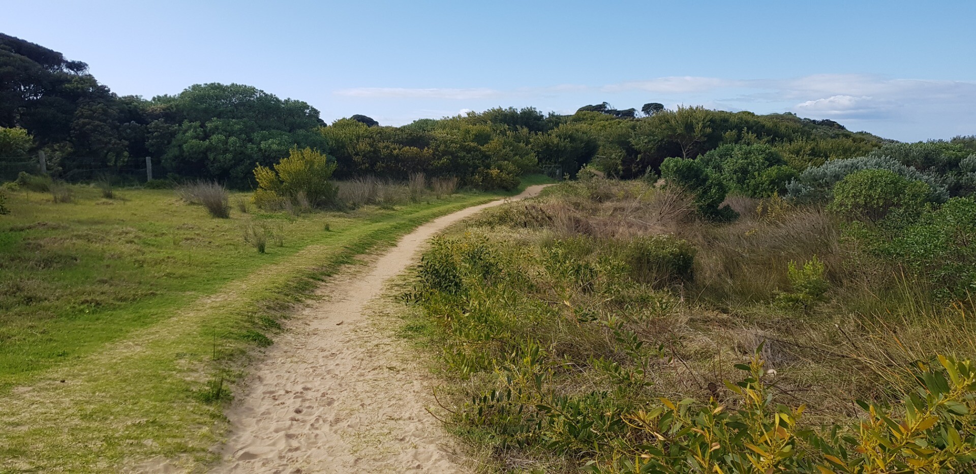
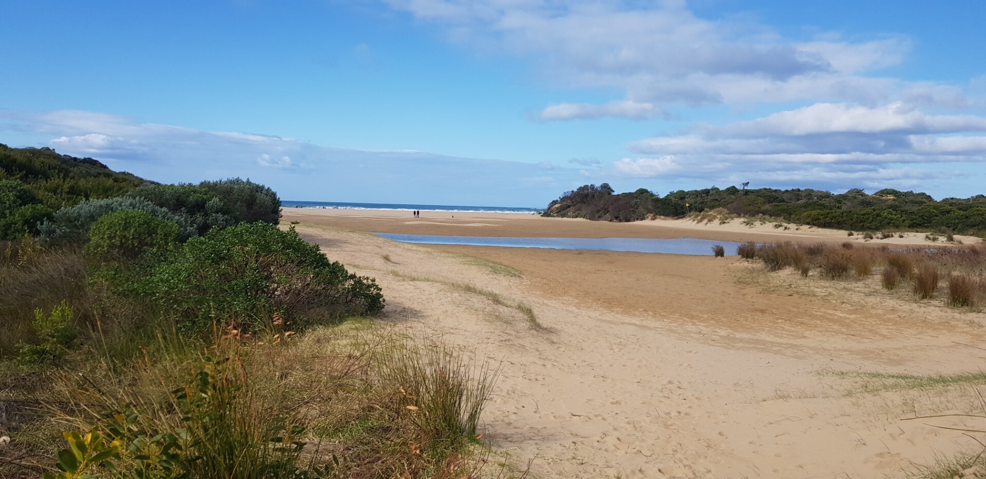
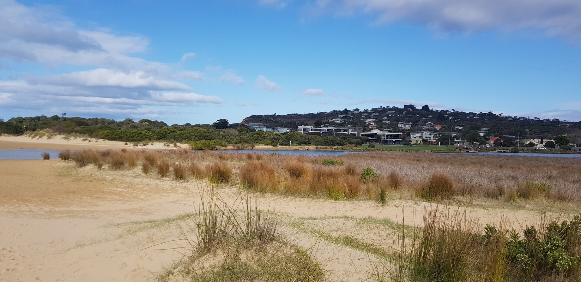
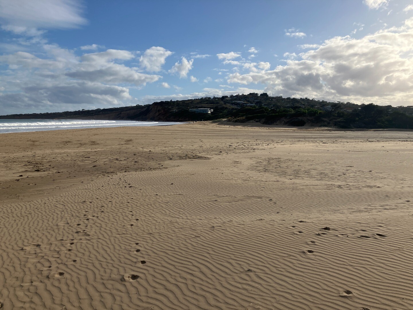
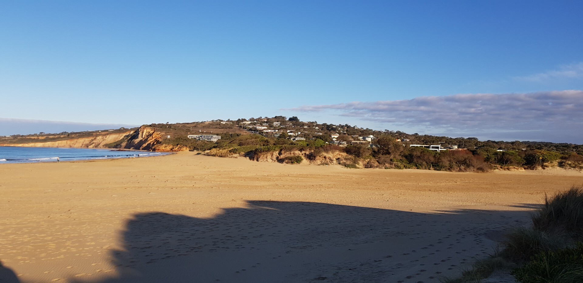
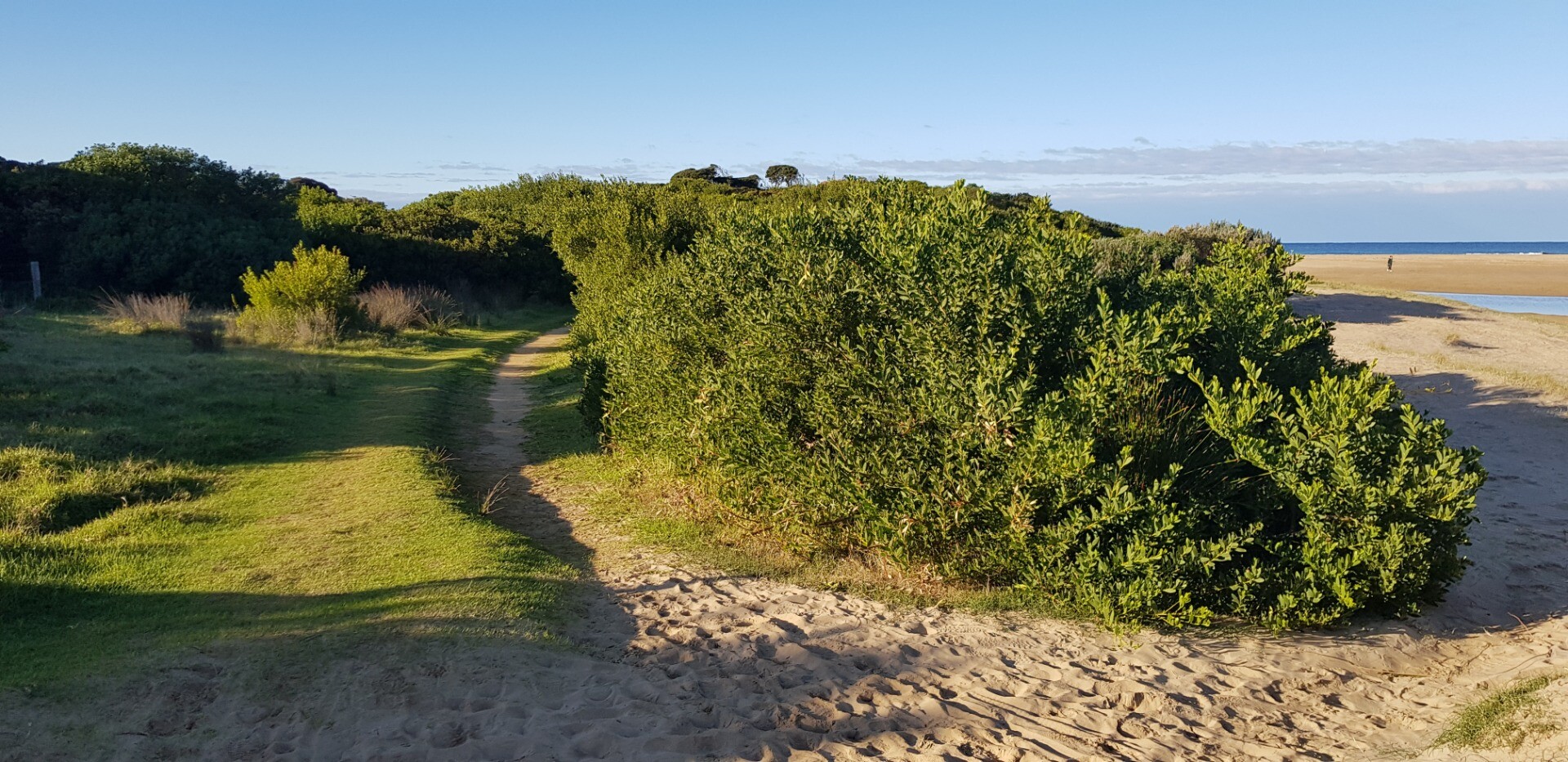
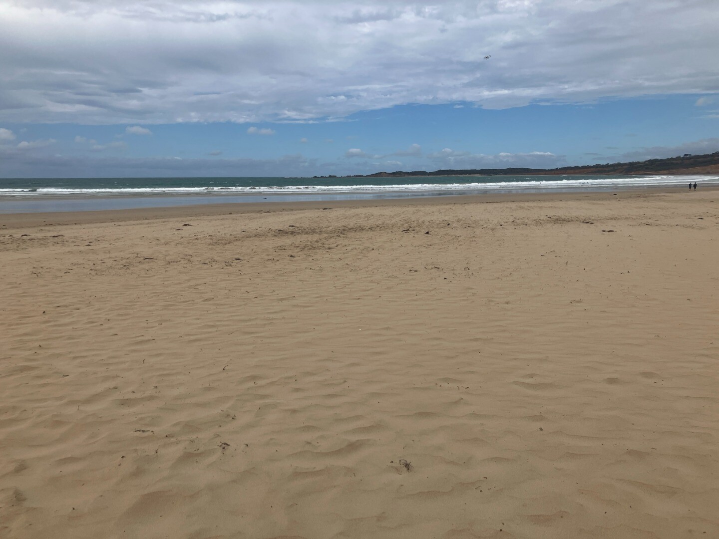
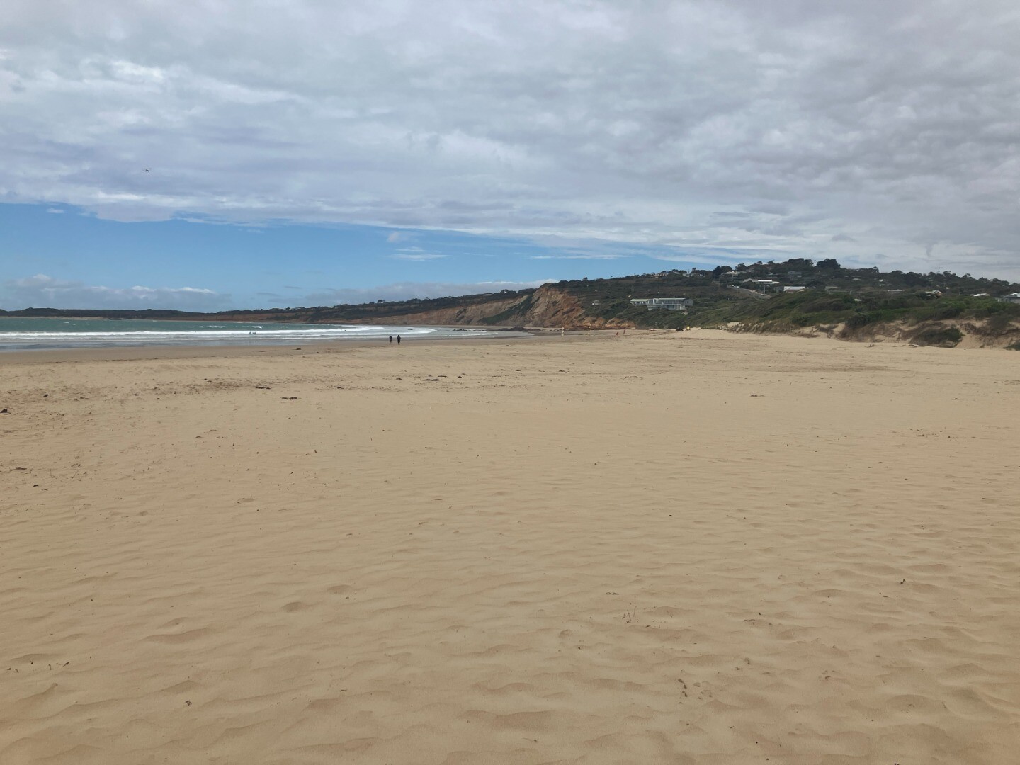
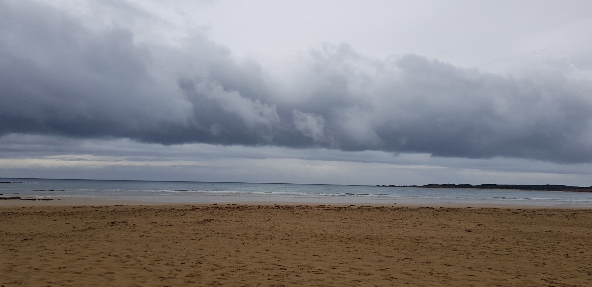
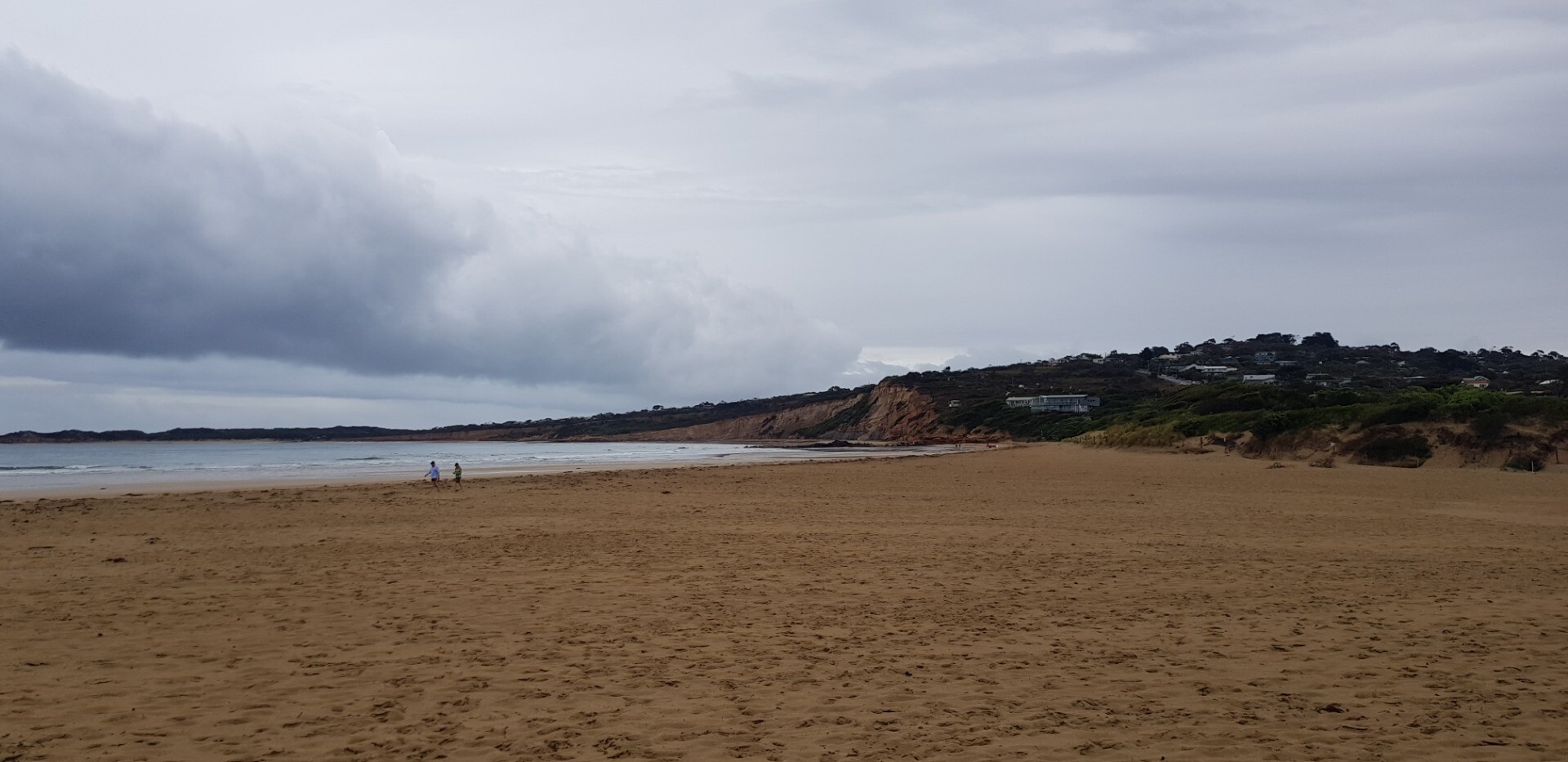
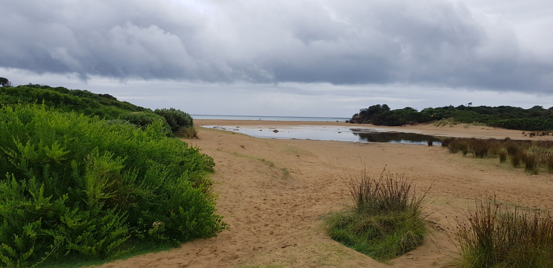
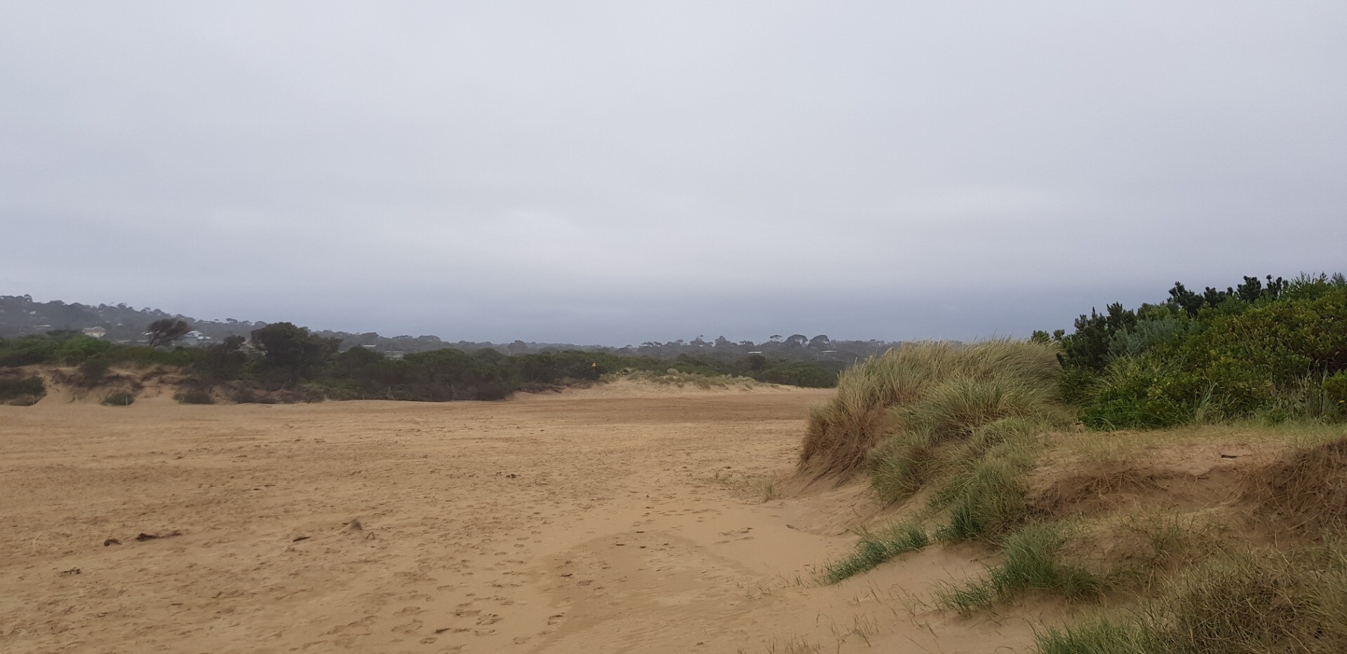
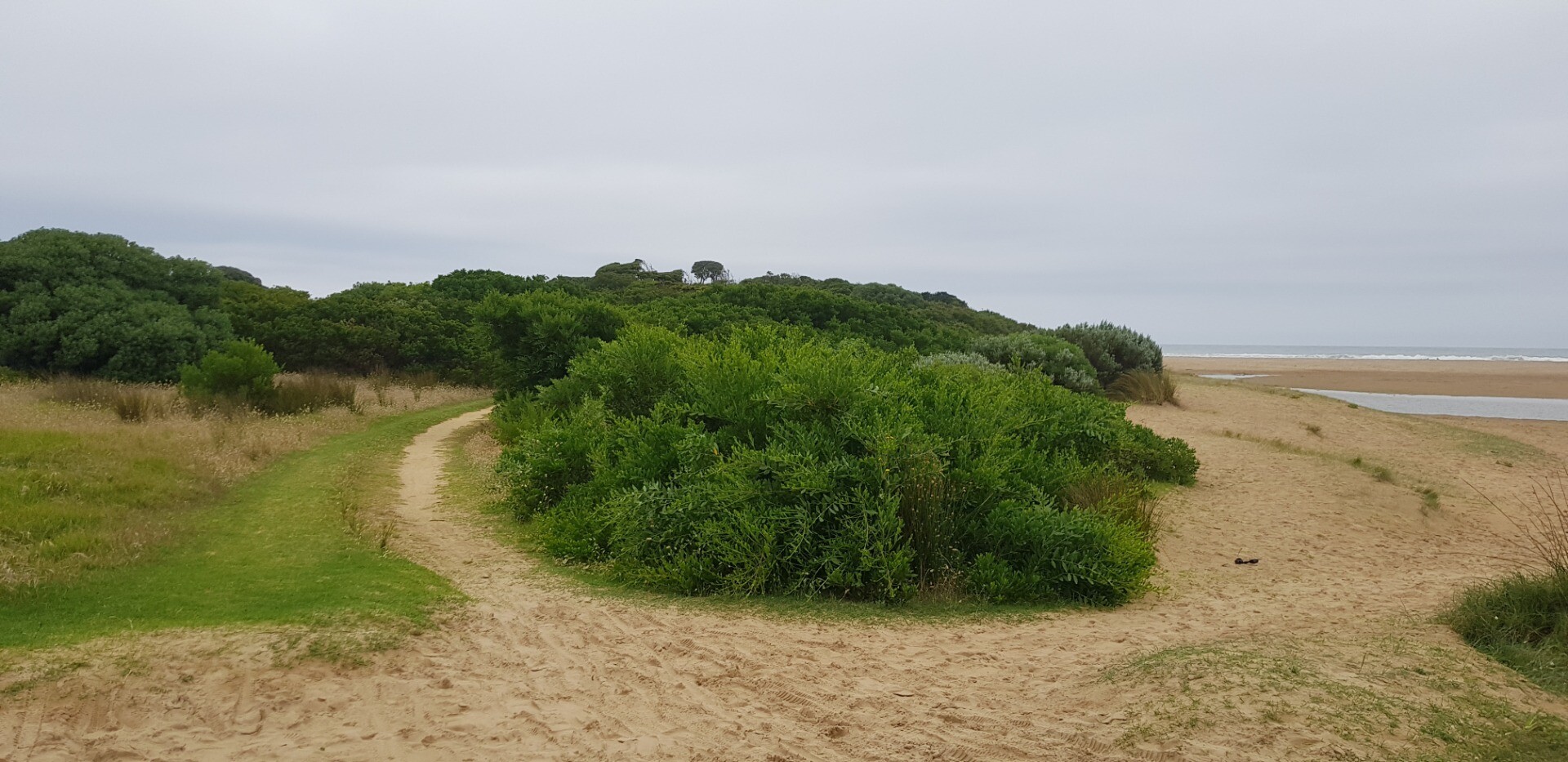
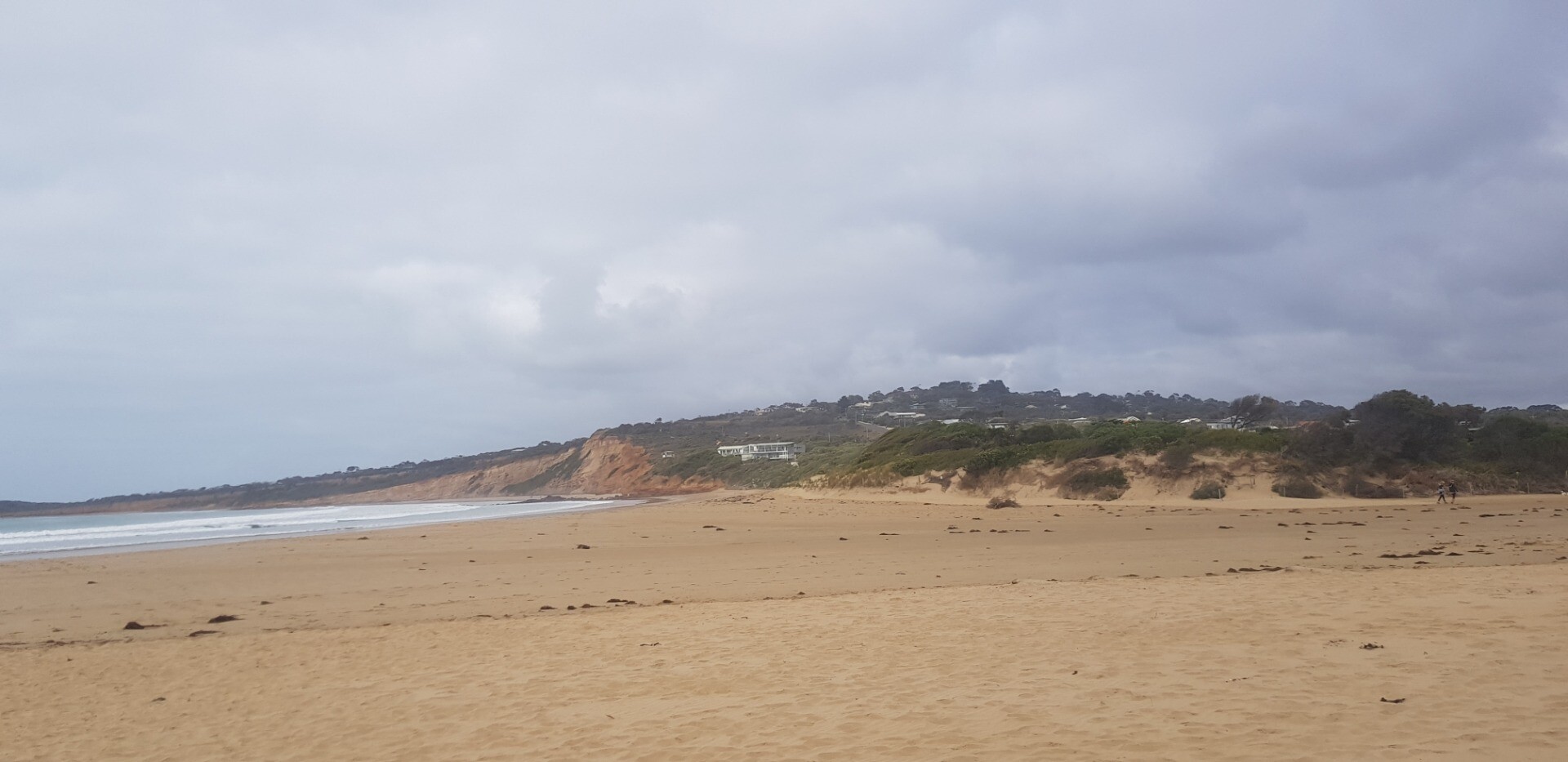
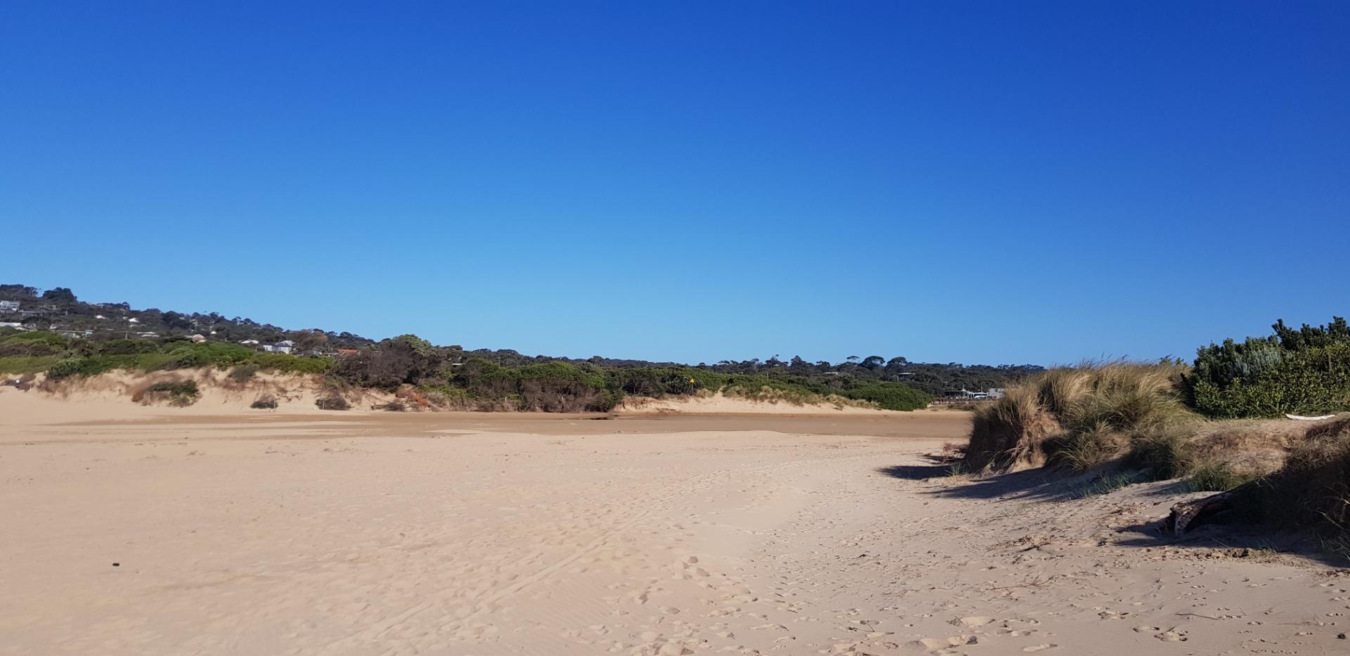
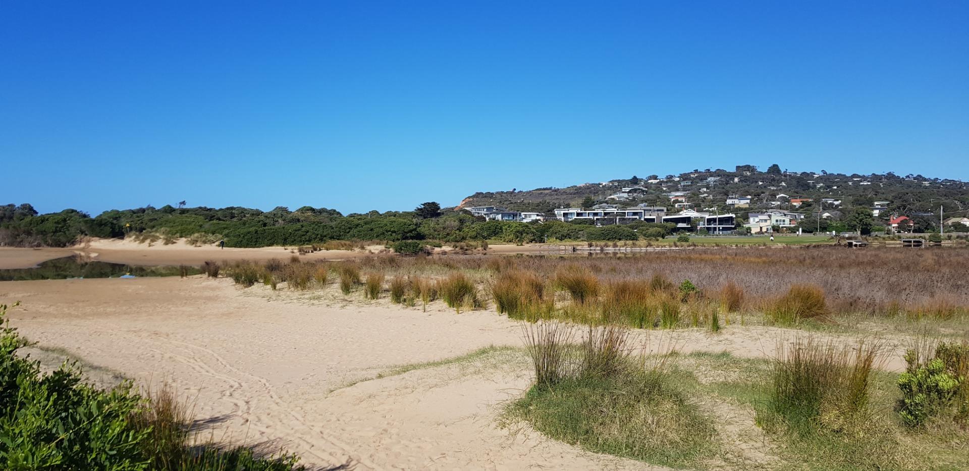
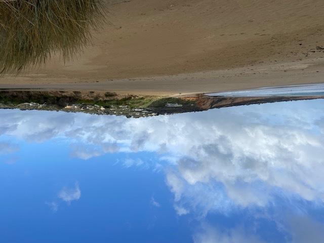
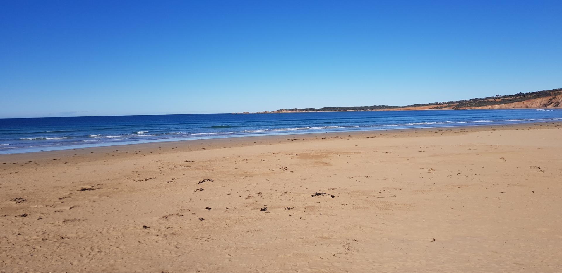
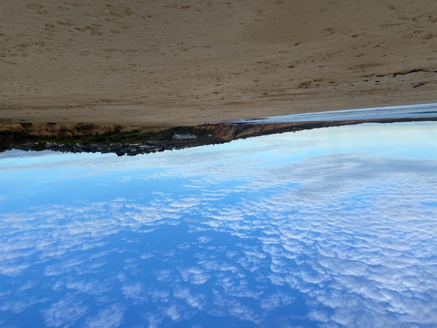
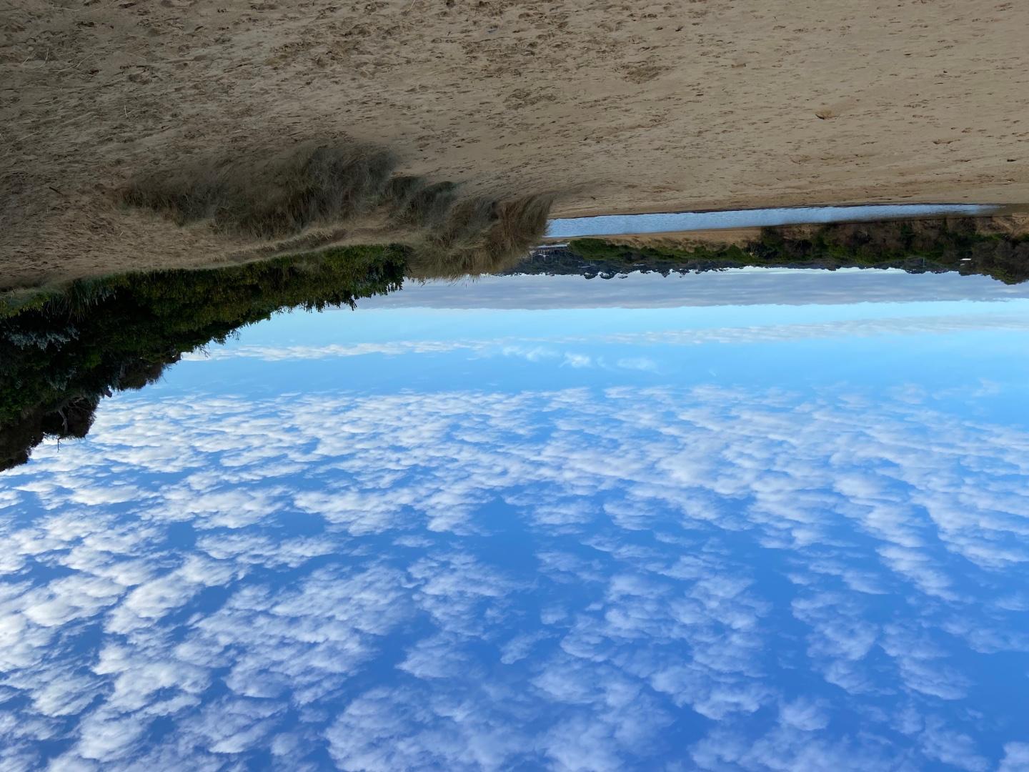
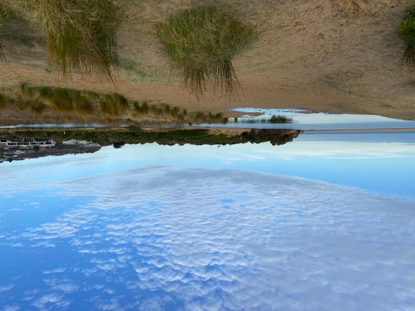
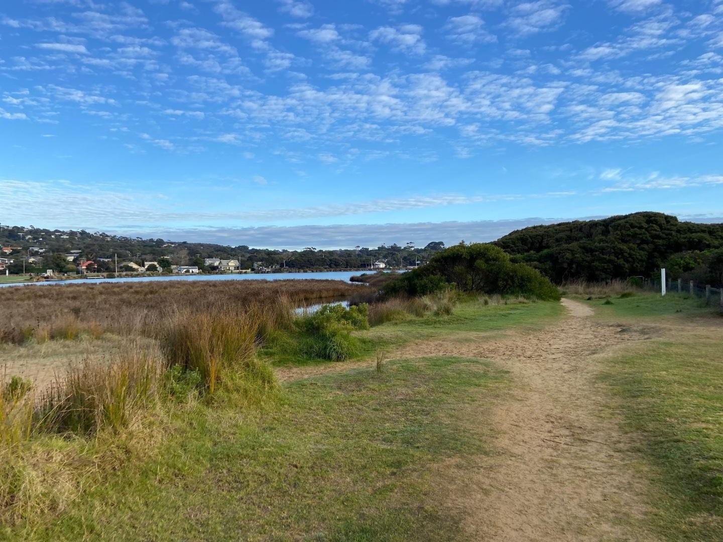
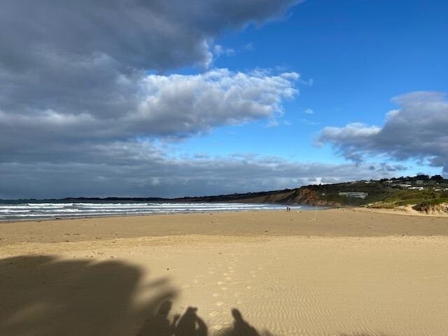
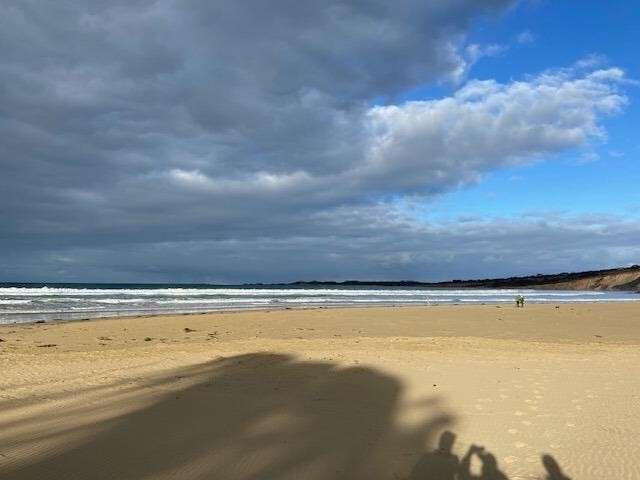
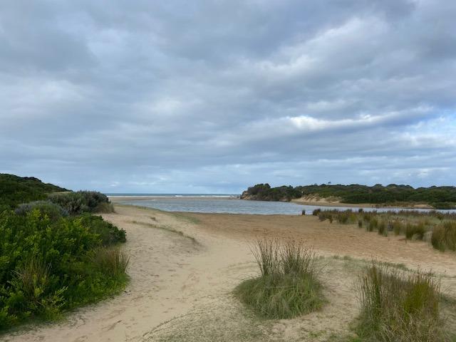
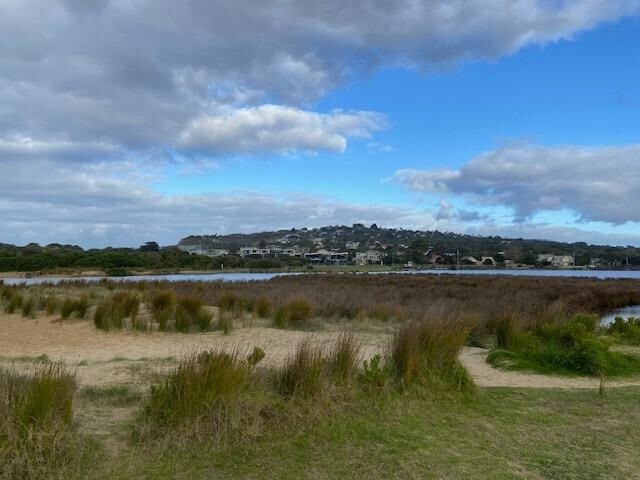
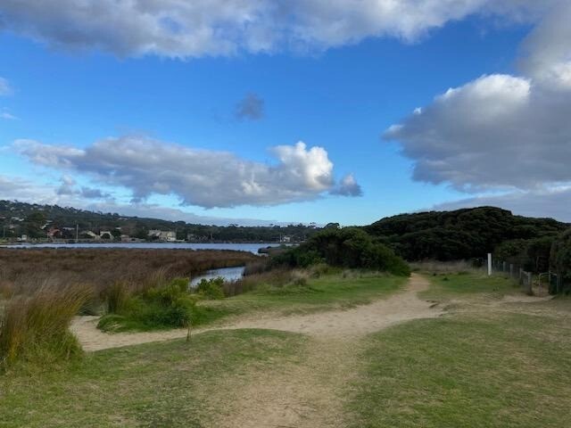
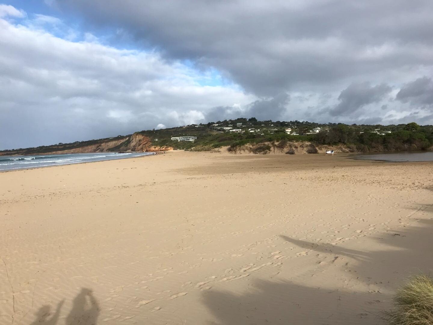
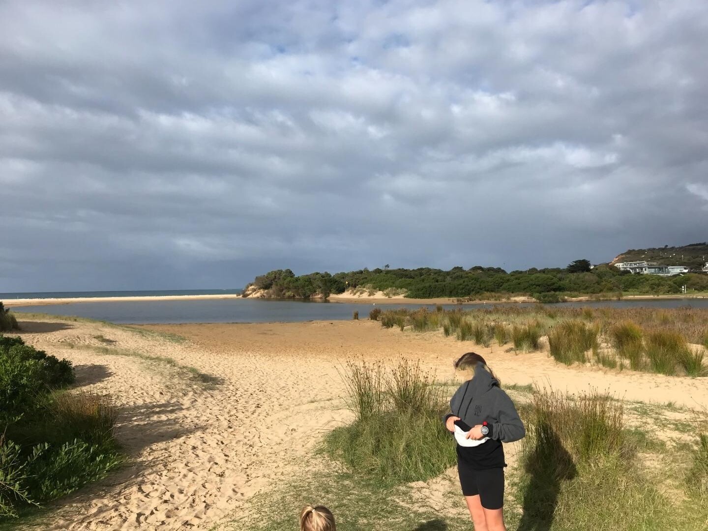
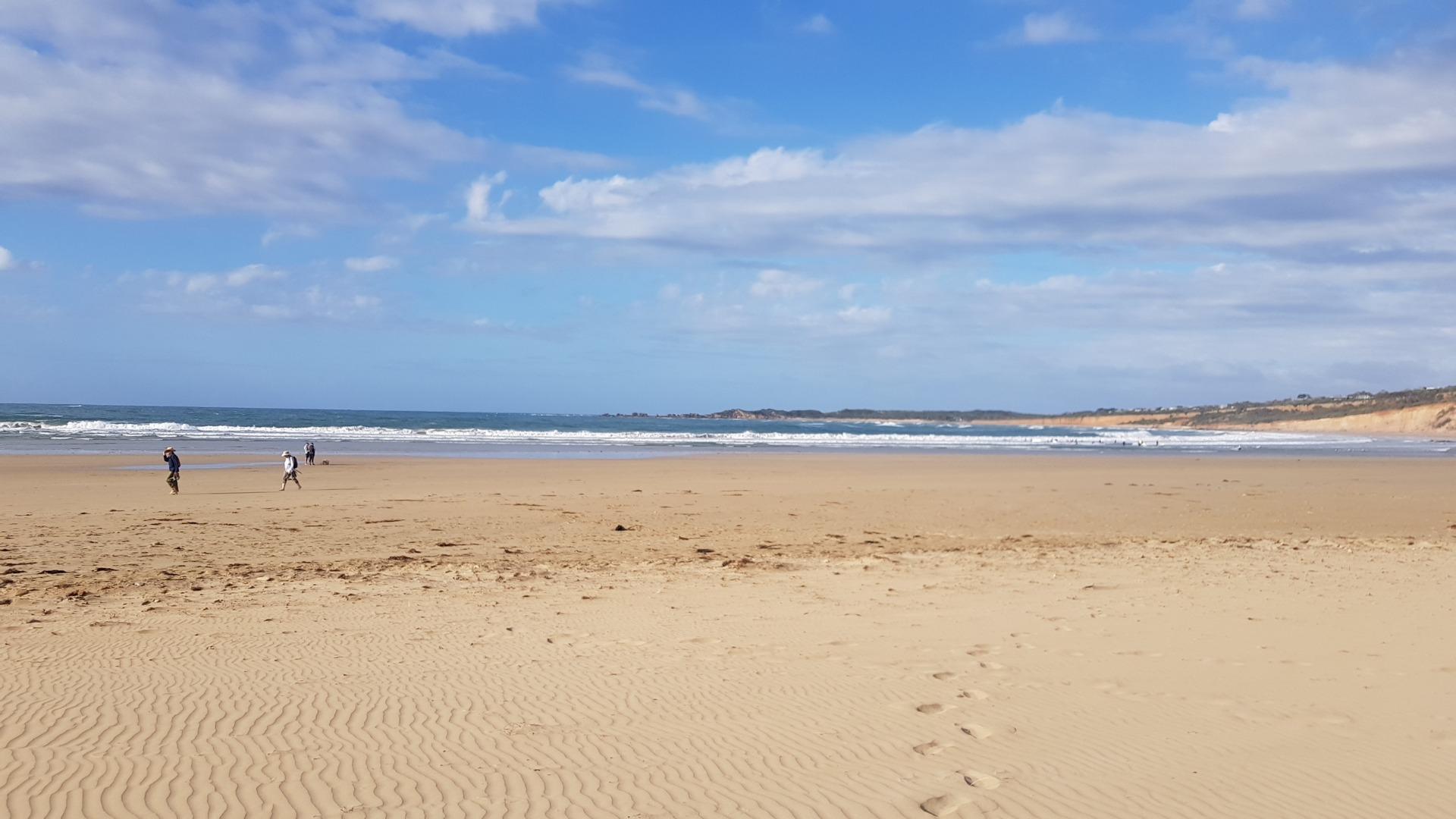
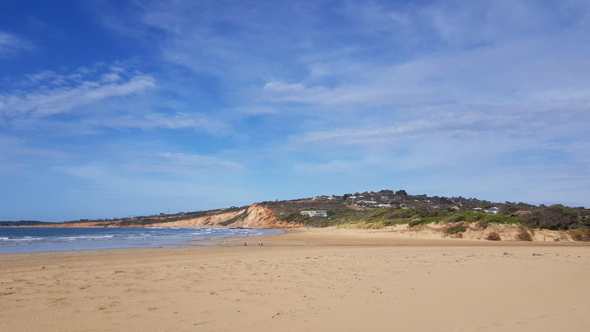
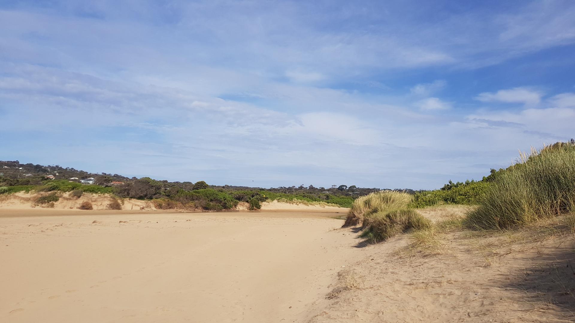
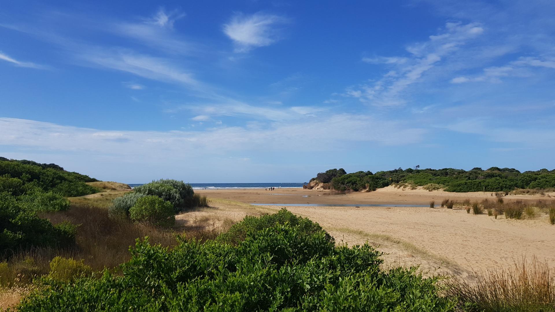
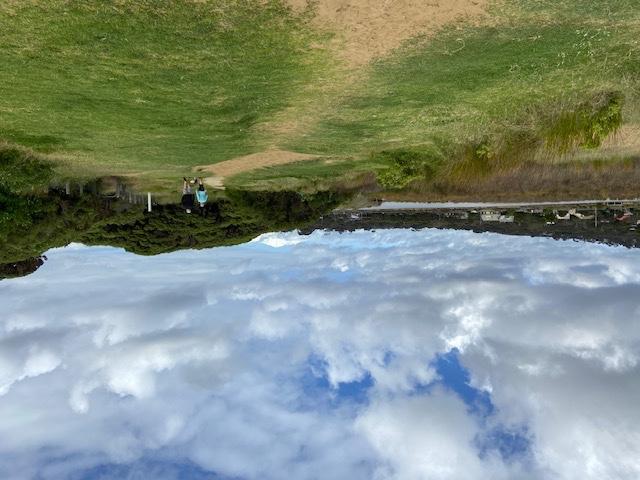
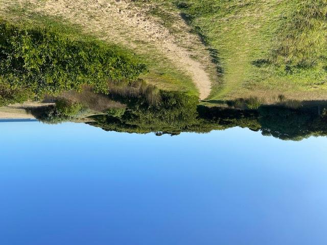
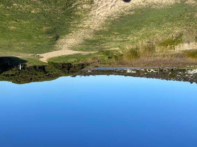
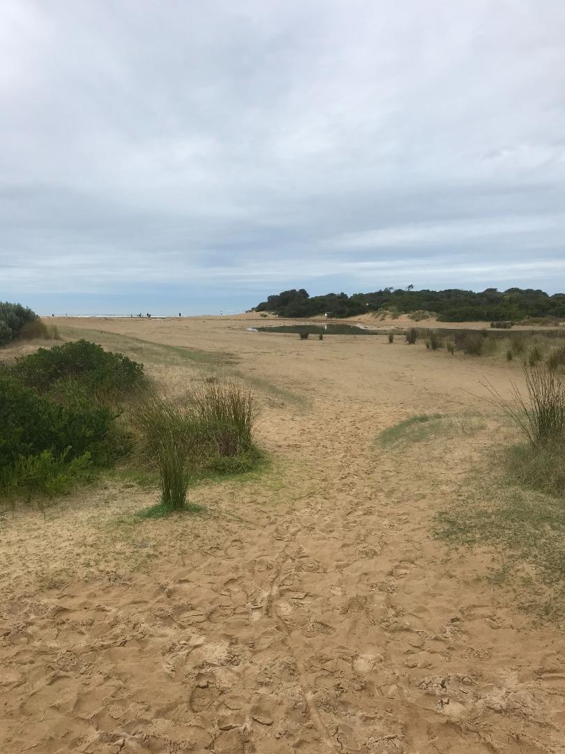
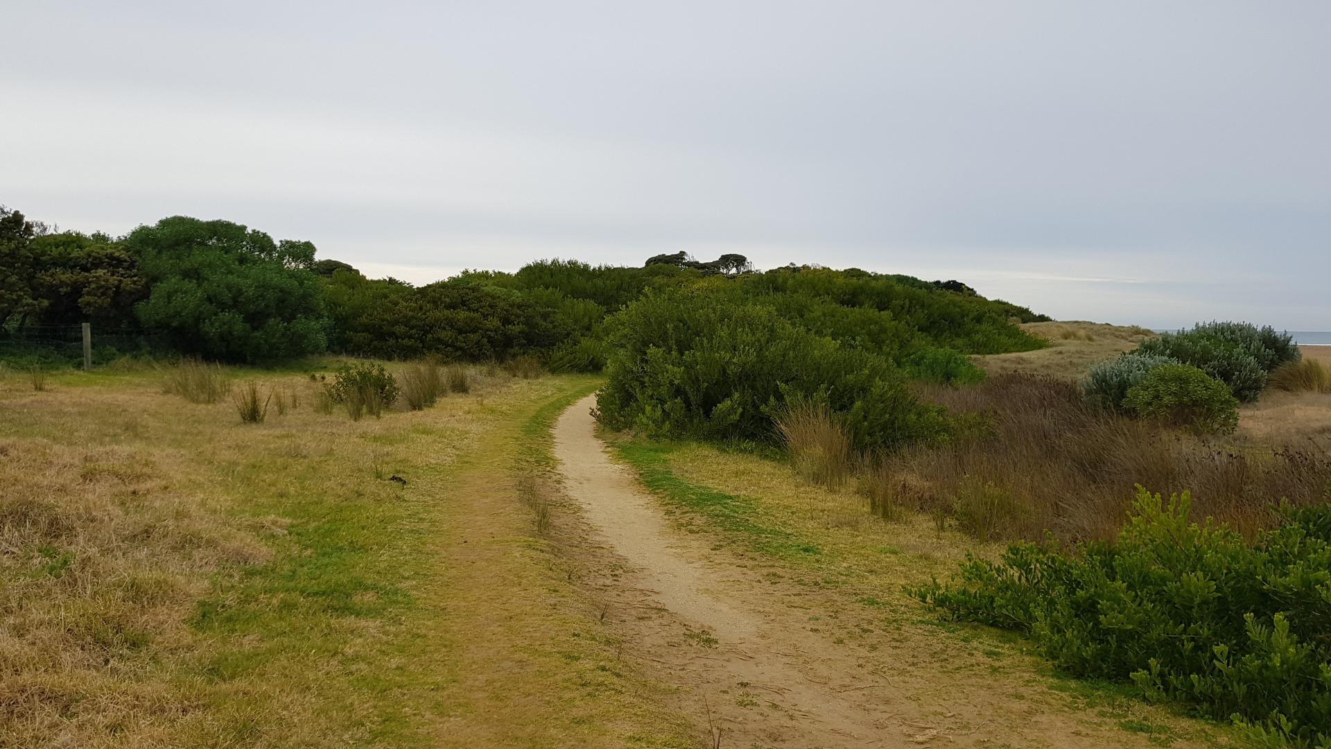
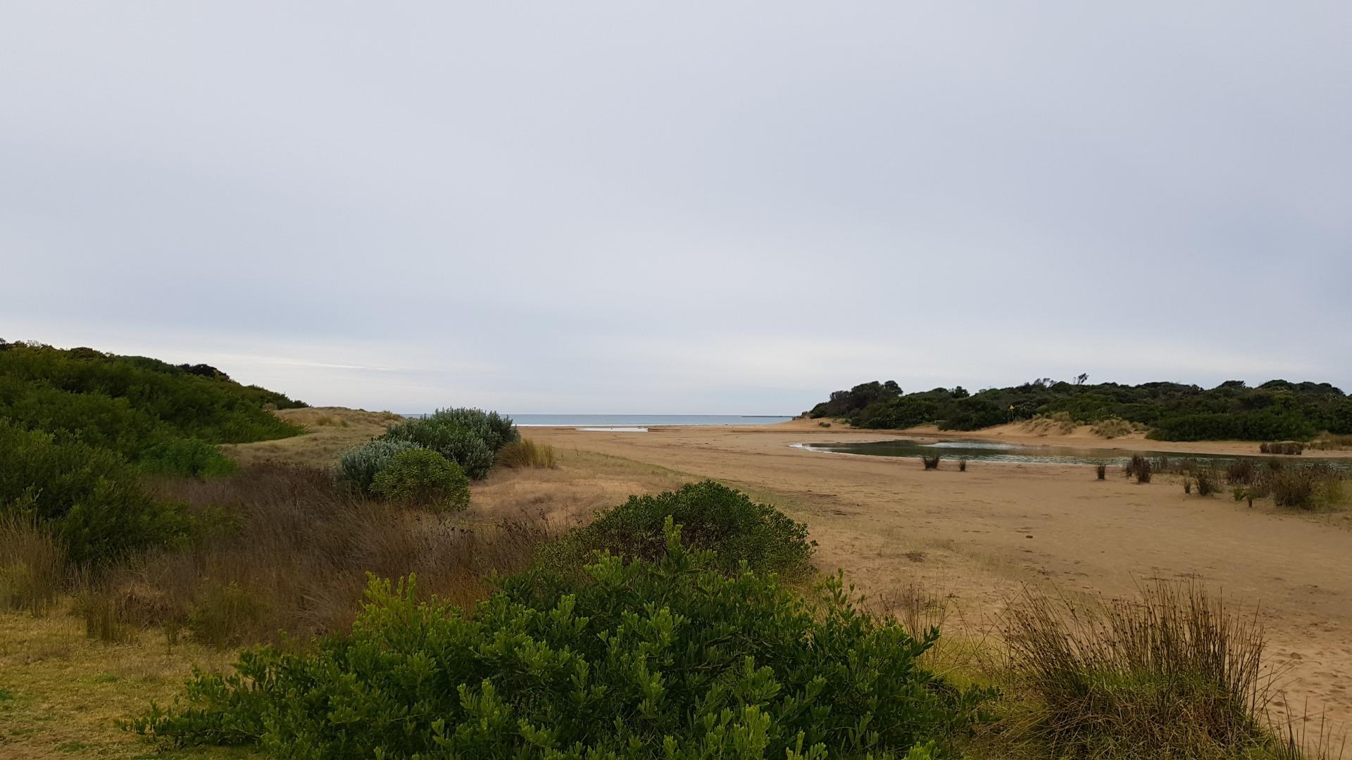
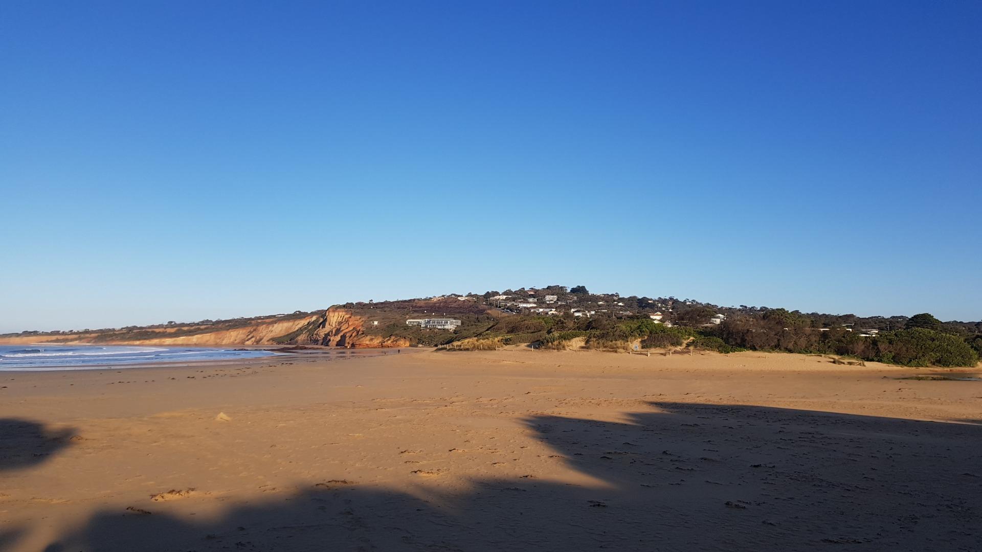
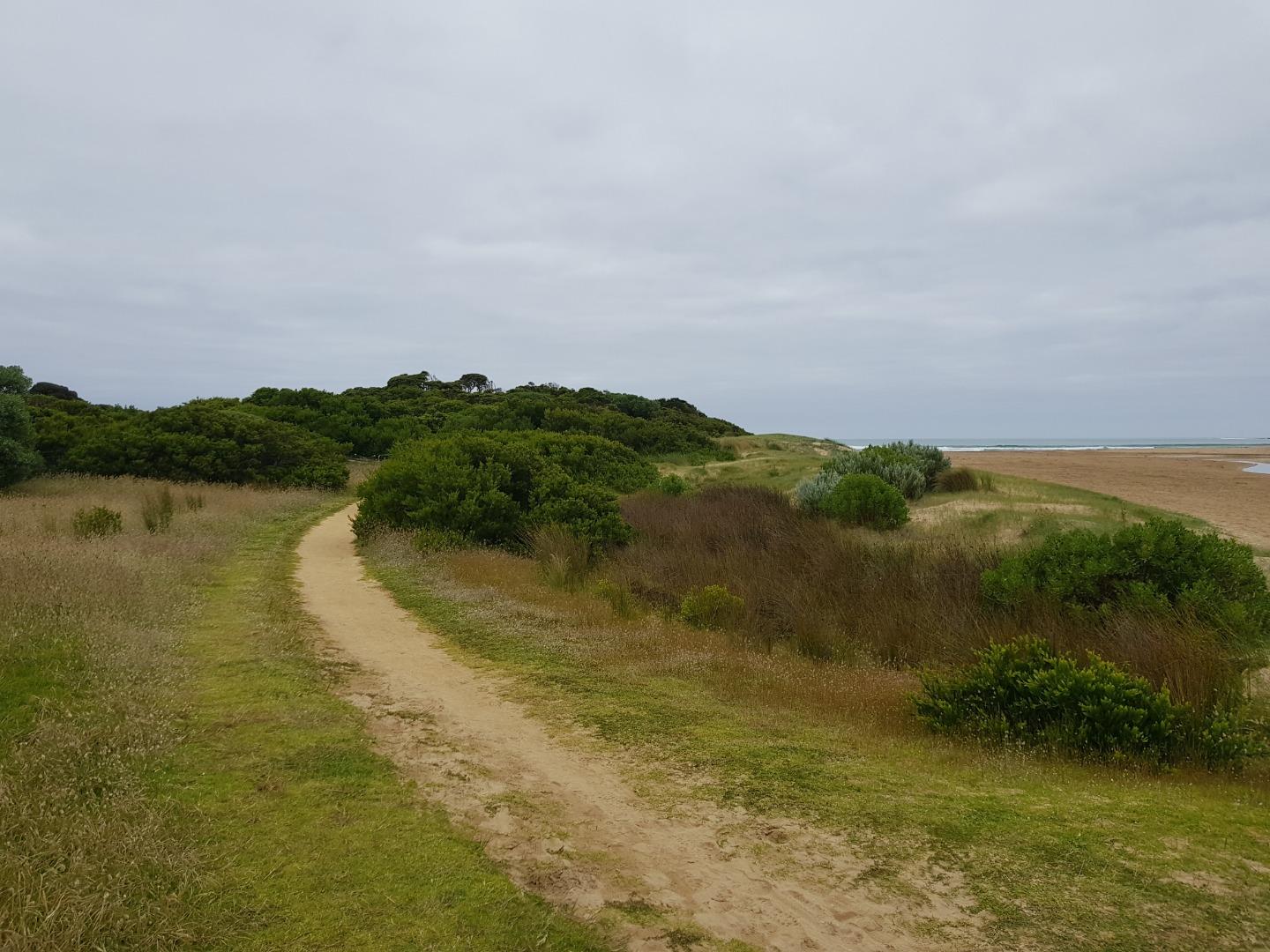
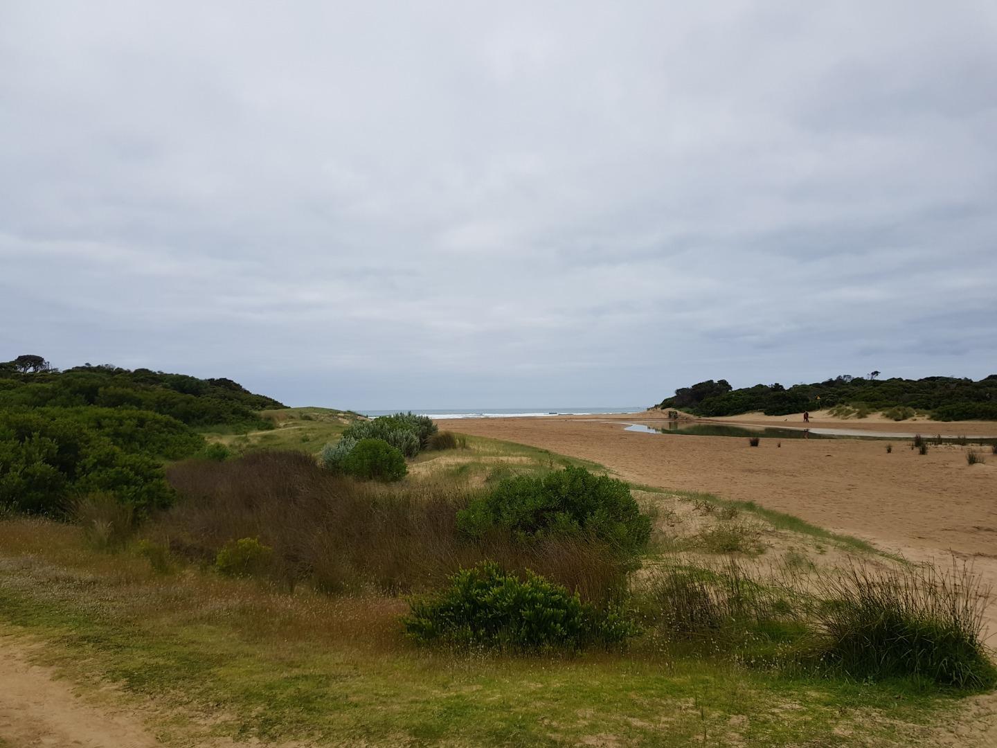
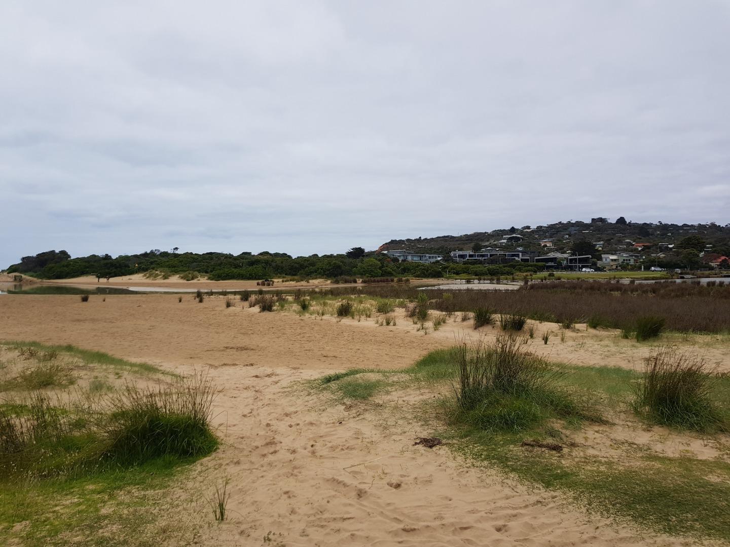
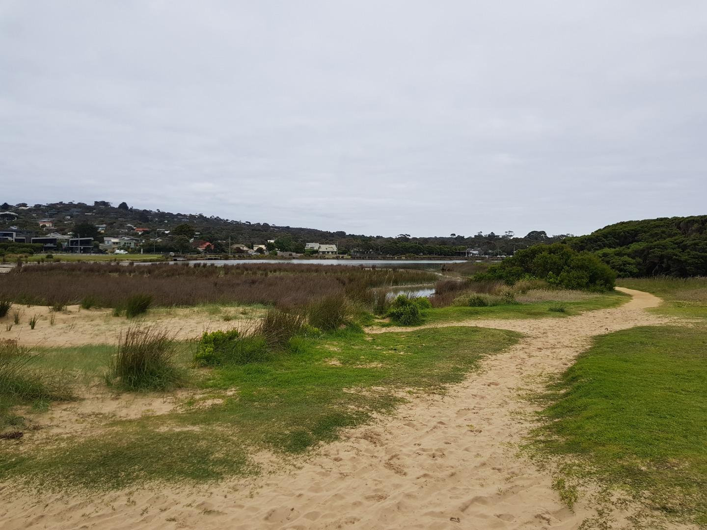
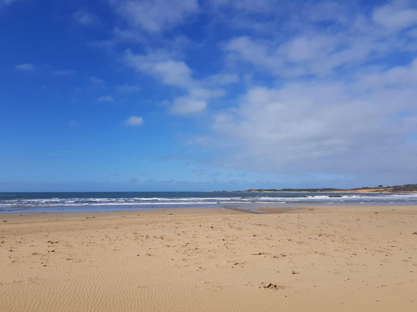
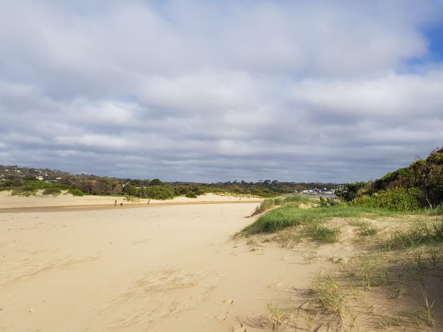
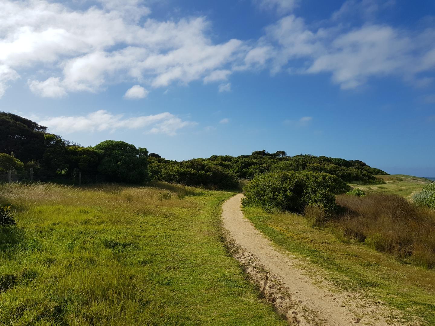
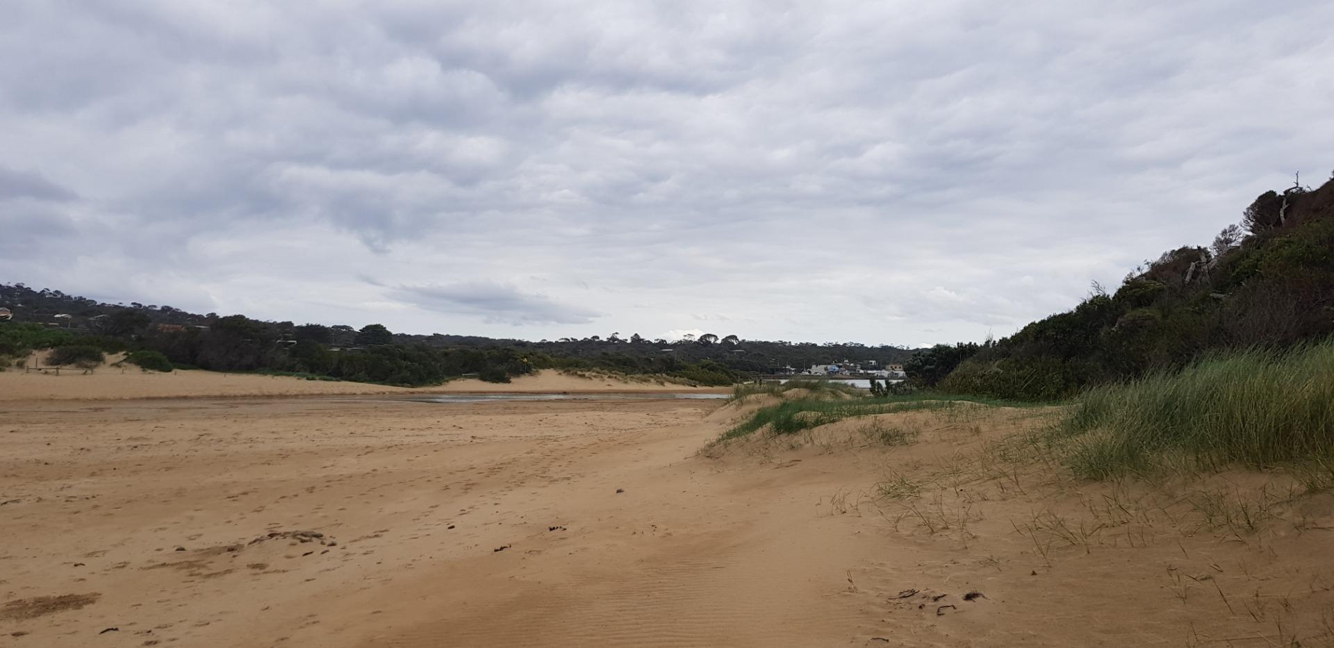
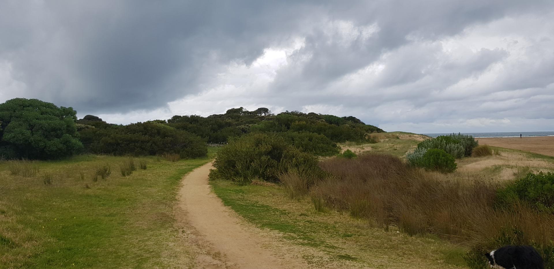
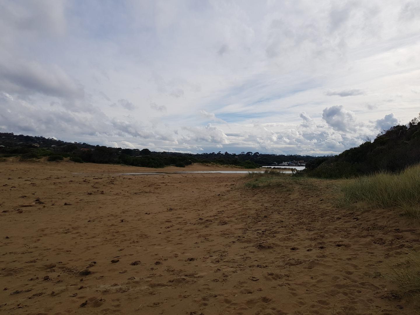
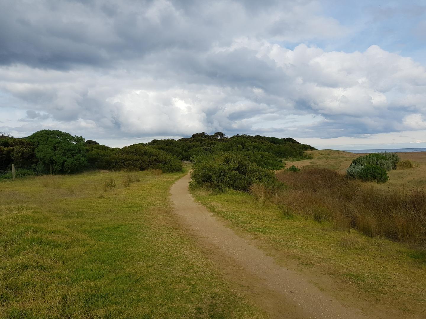
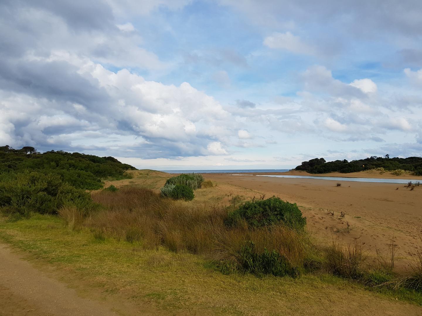
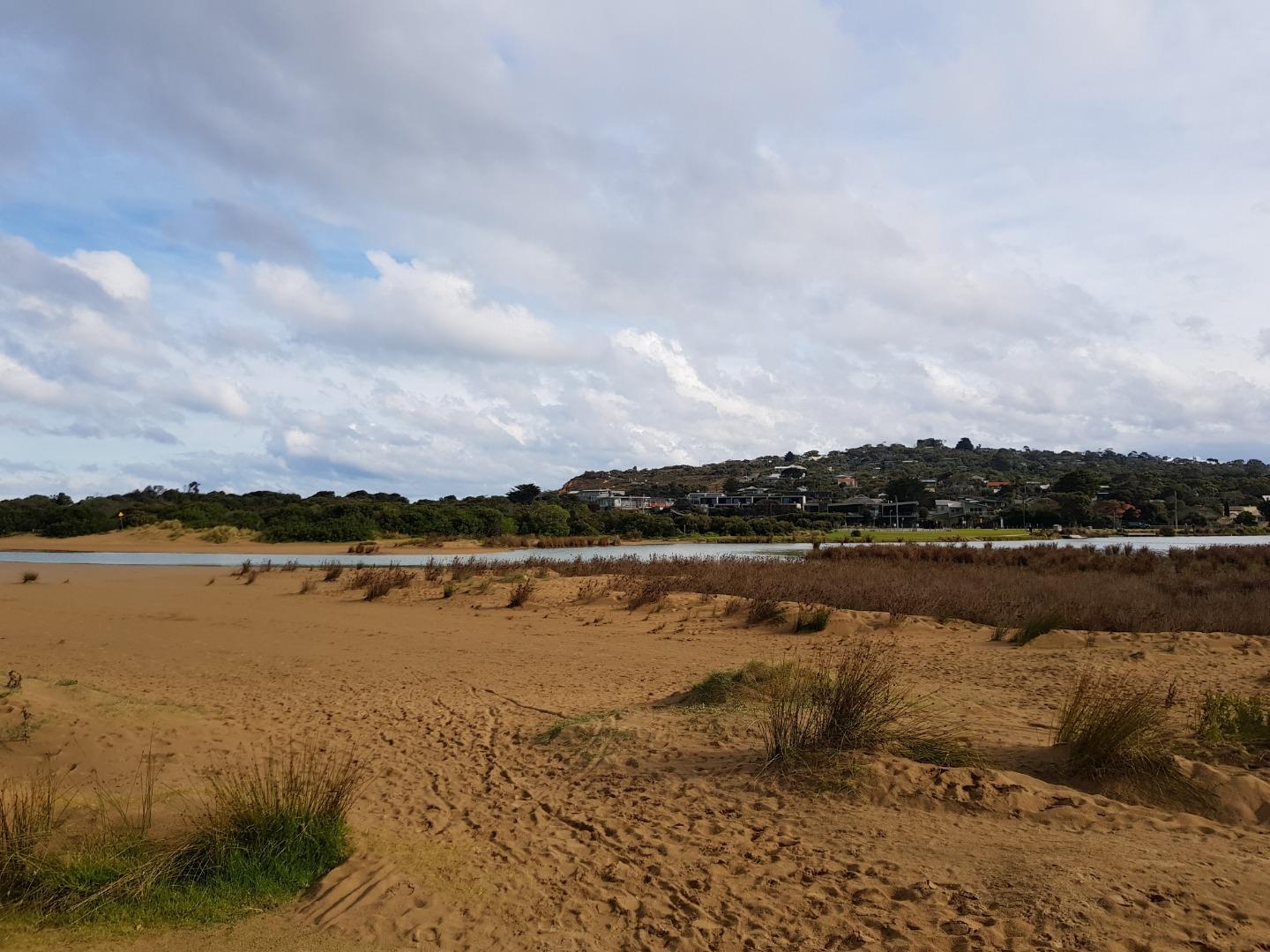
Mouth Condition Snapshots









































































































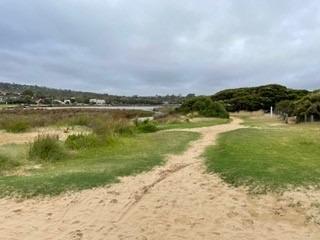

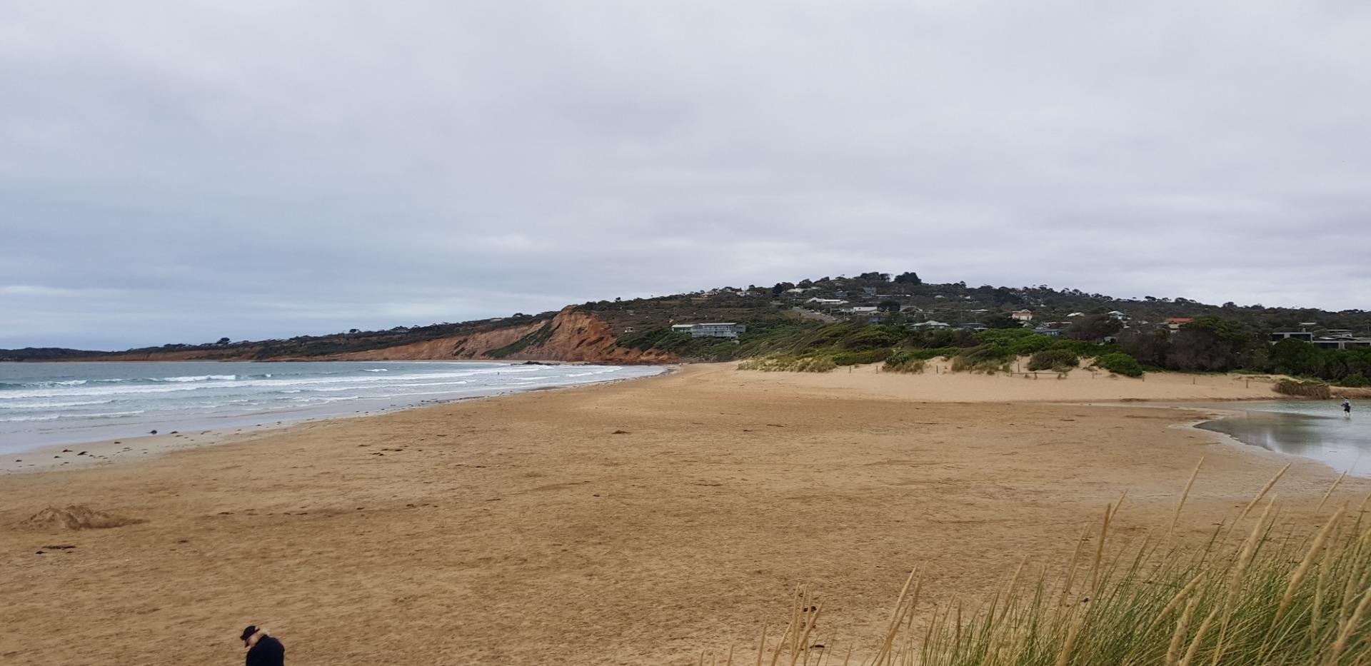

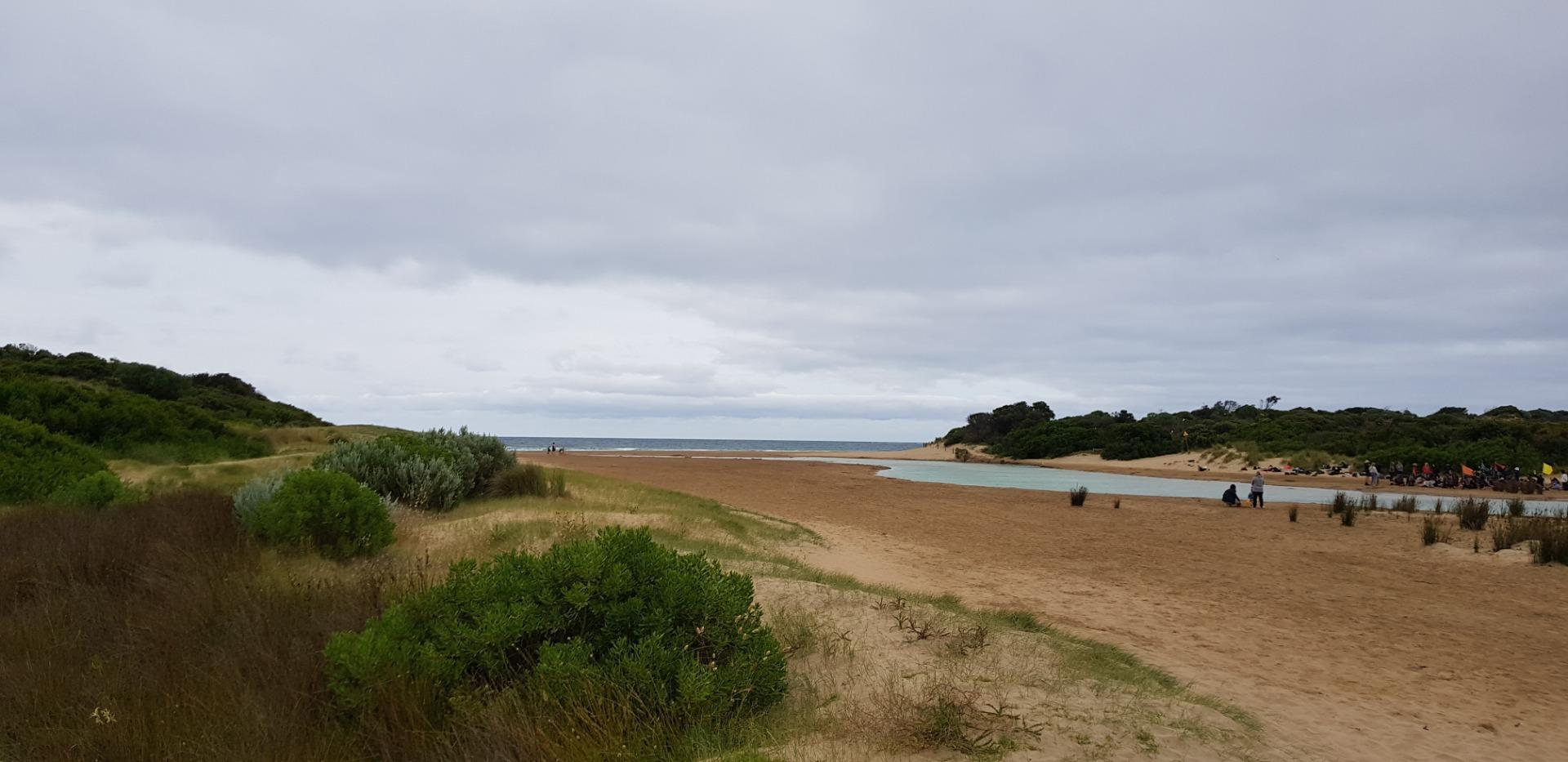
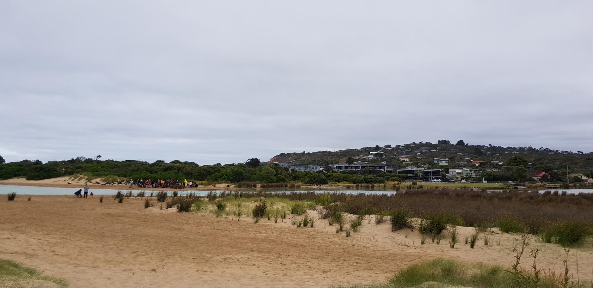






















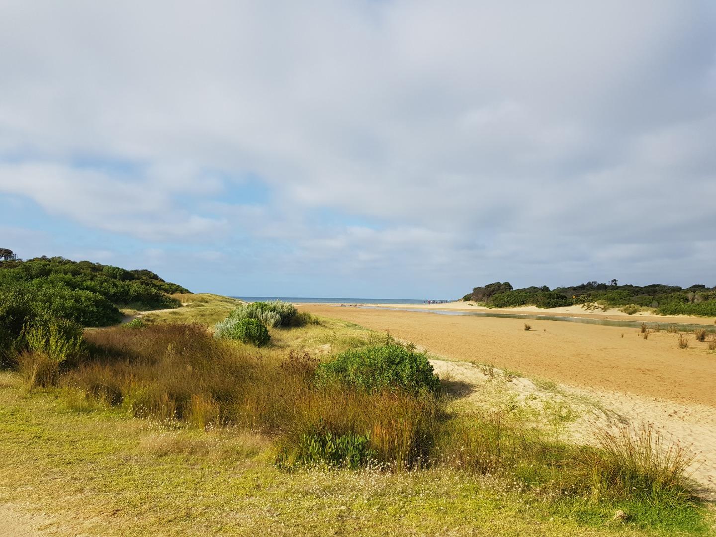
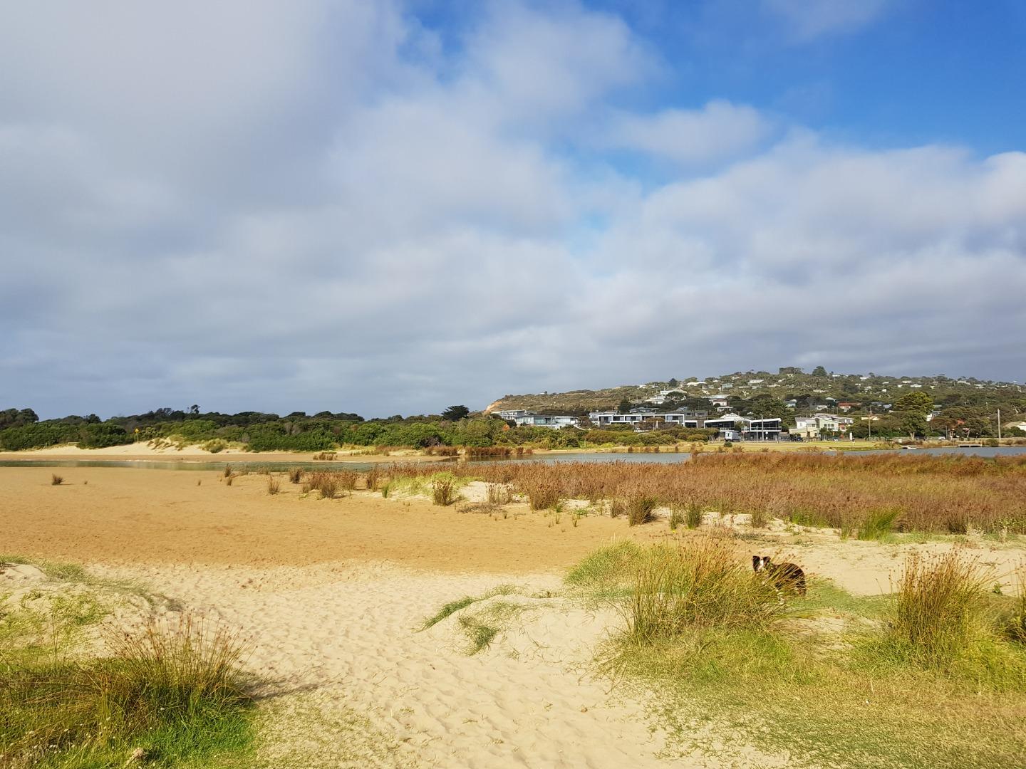

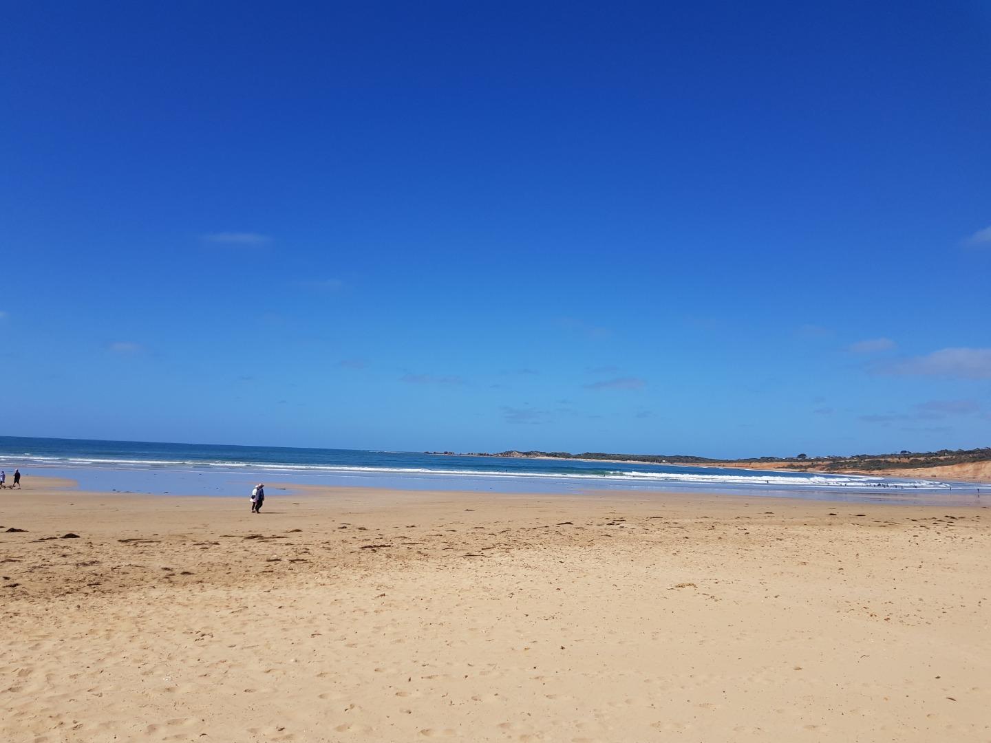
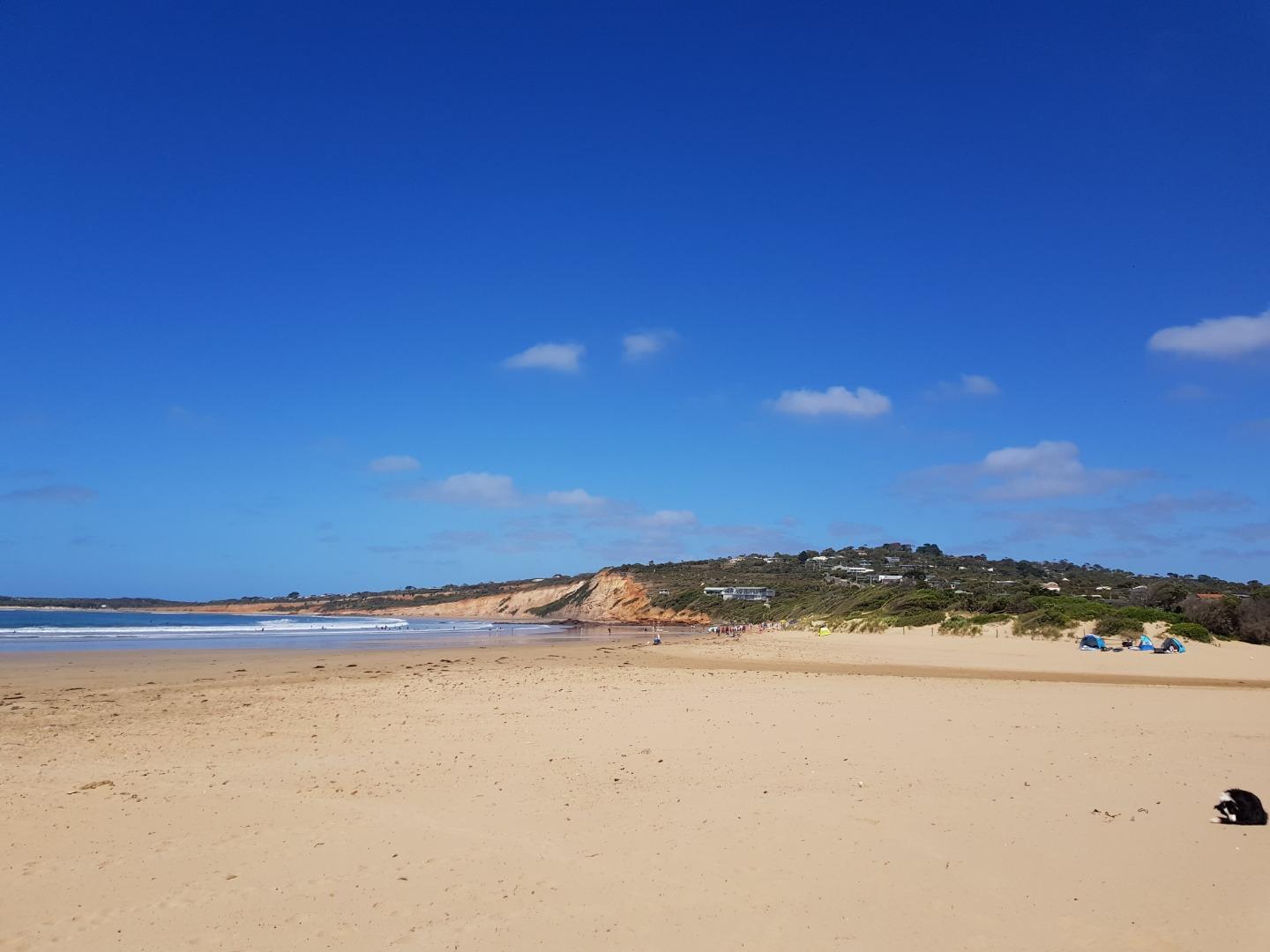


We honour Elders past and present whose knowledge and wisdom has ensured the continuation of culture and traditional practices.
 All content, files, data and images provided by the EstuaryWatch Data Portal subject to a Creative Commons Attribution License
Data portal by CeRDI
All content, files, data and images provided by the EstuaryWatch Data Portal subject to a Creative Commons Attribution License
Data portal by CeRDI