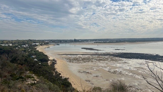
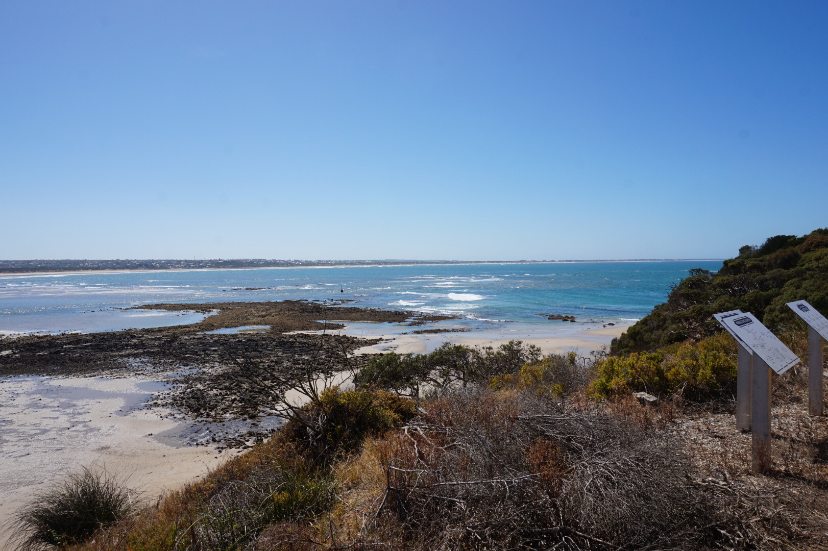
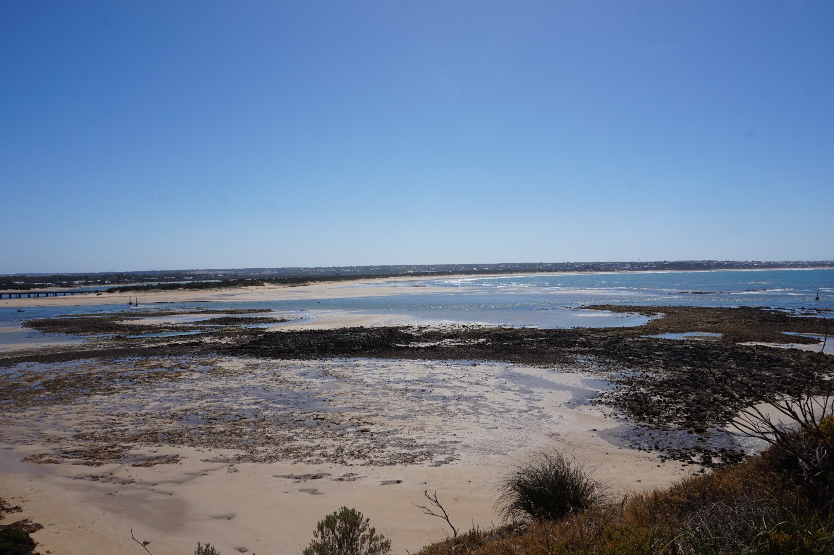
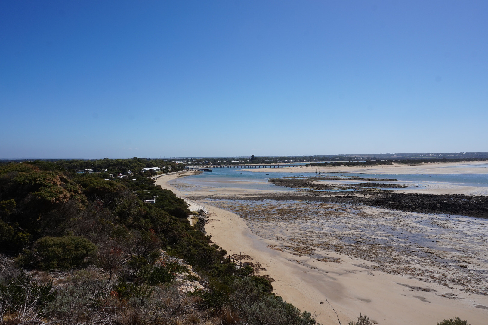
Barwon River Estuary
Corangamite CMA
DOWNLOAD DATAOverview
Active Barwon River EstuaryWatchers
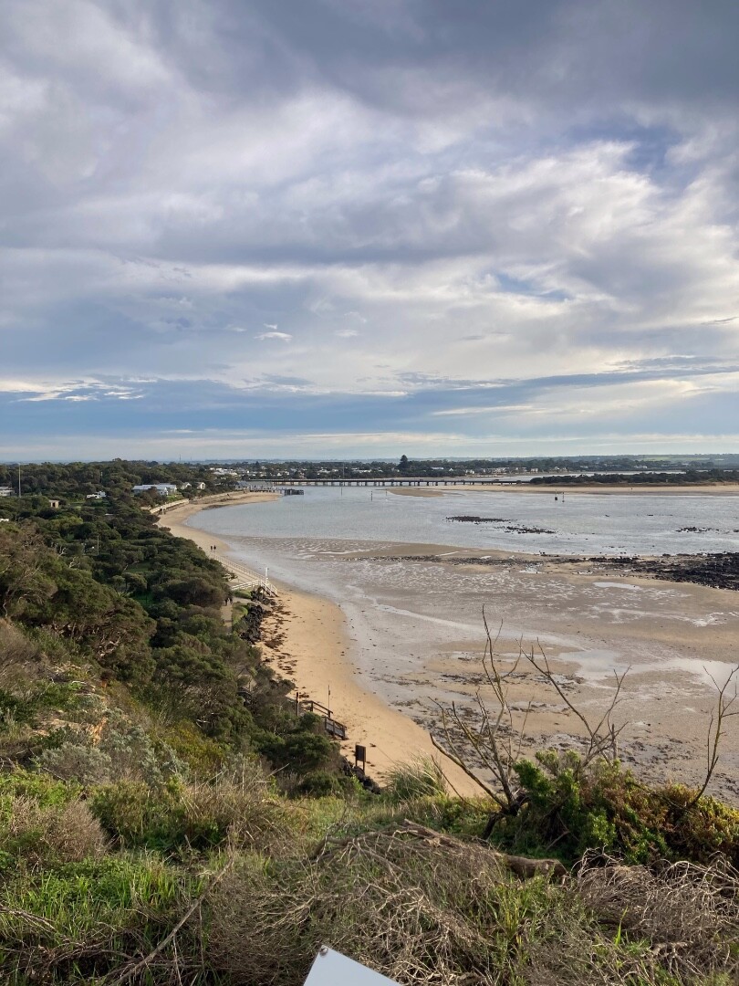
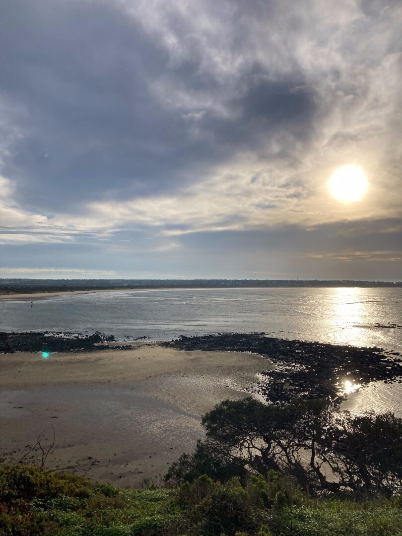
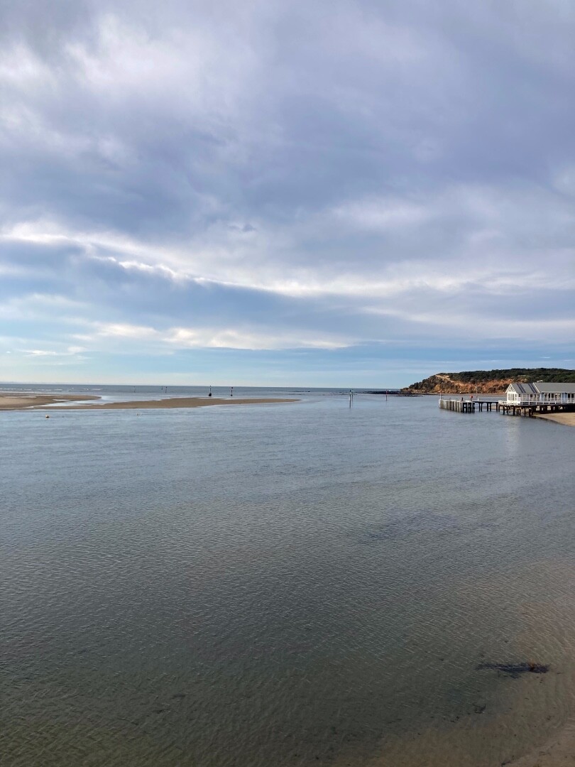
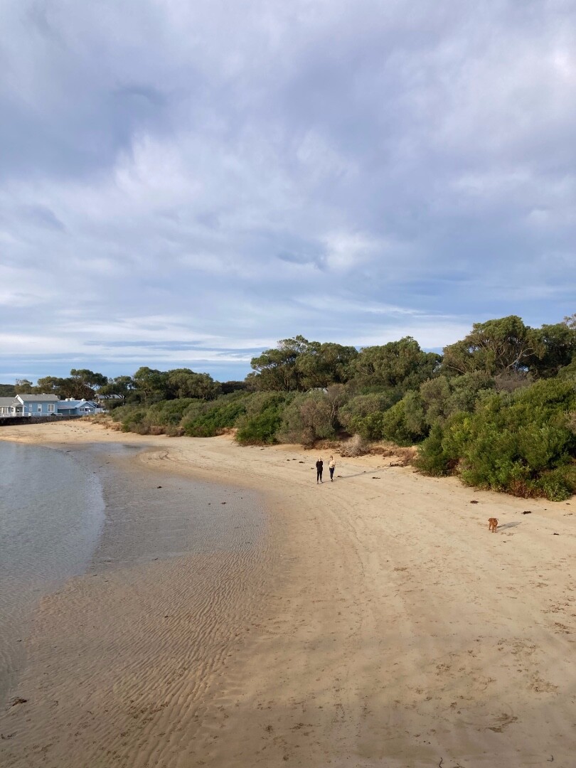
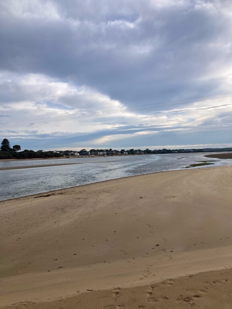
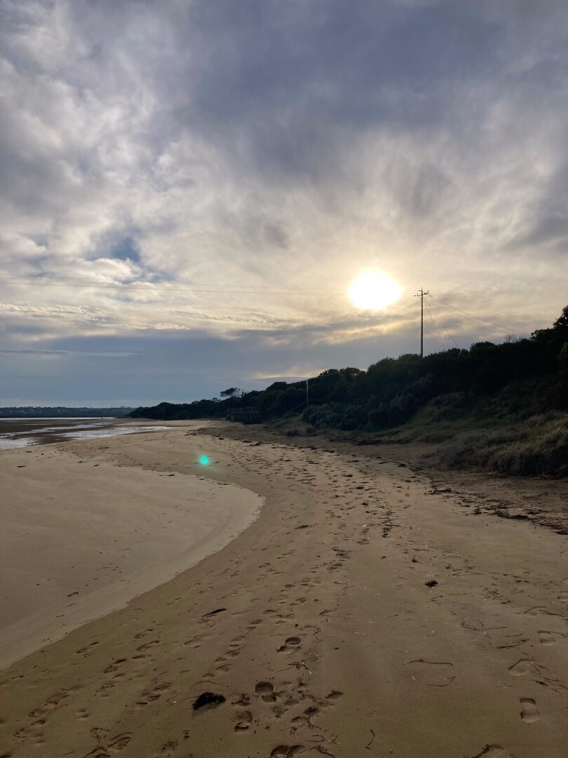
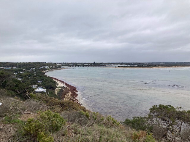
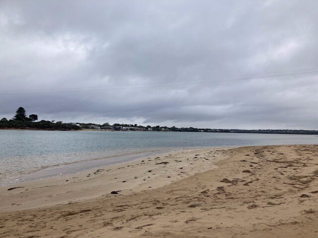
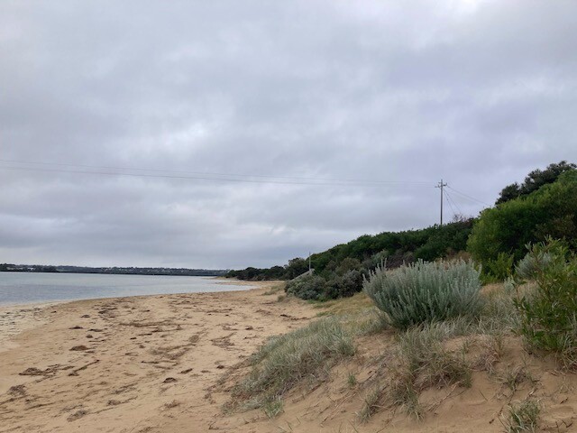
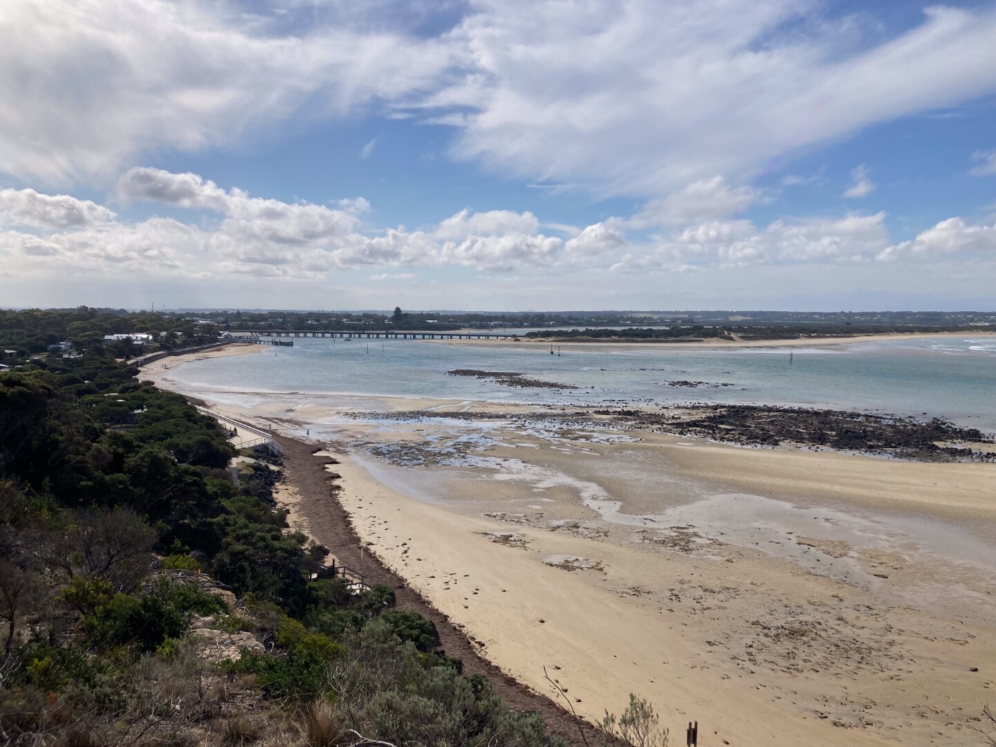
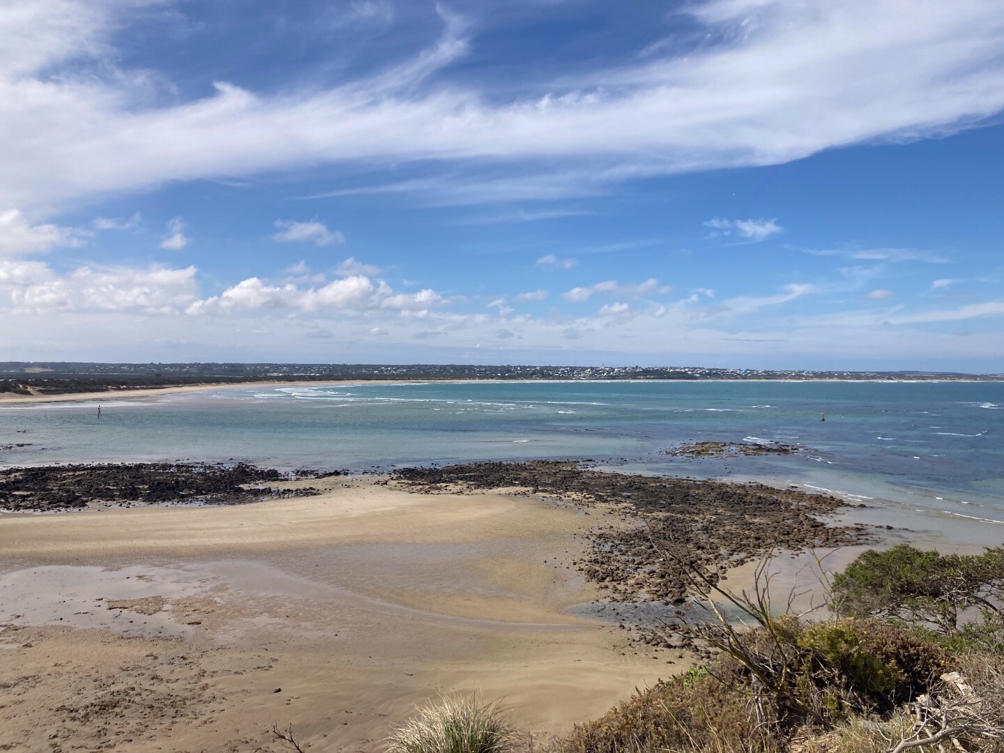
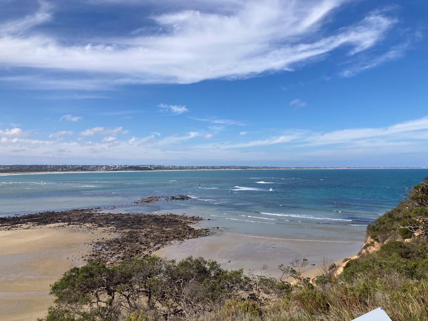
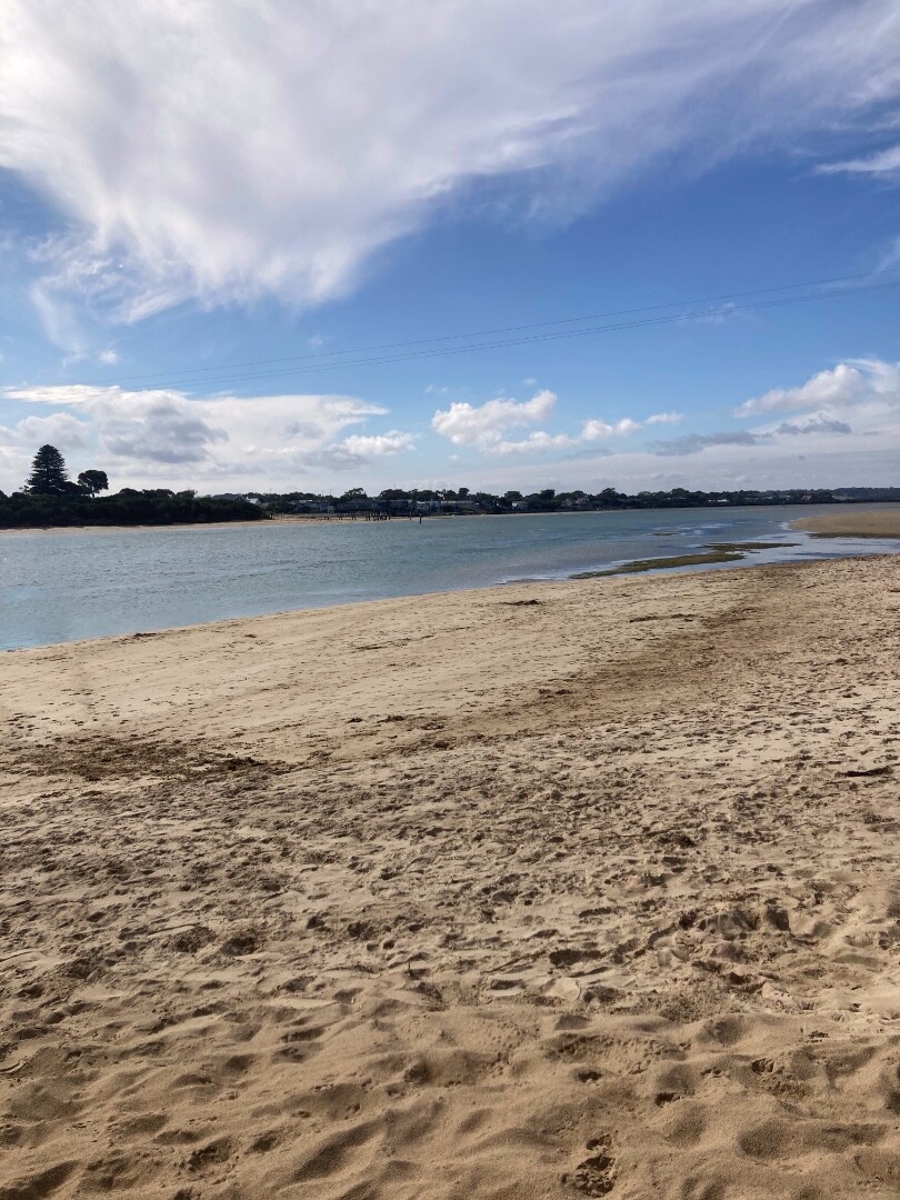
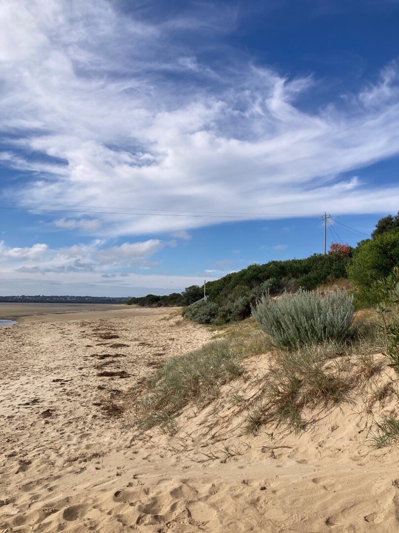
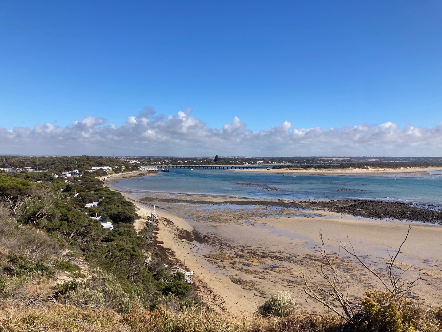
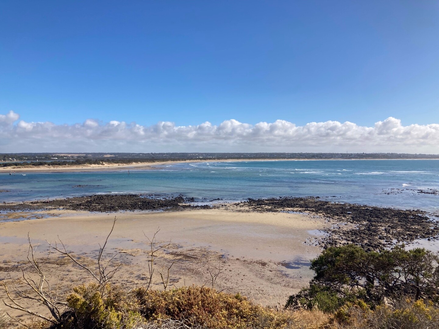
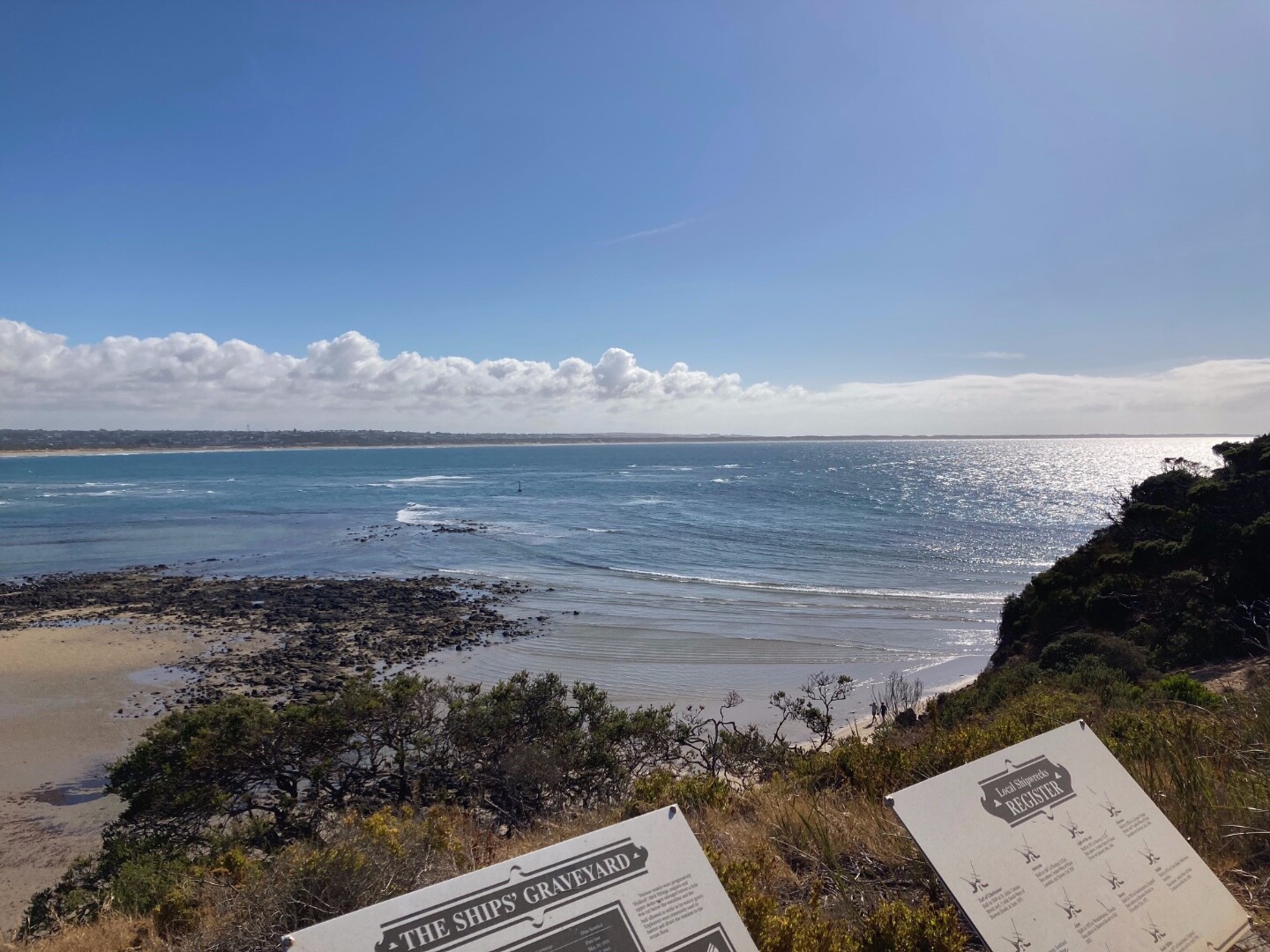
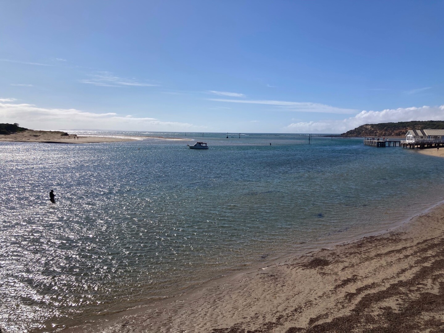
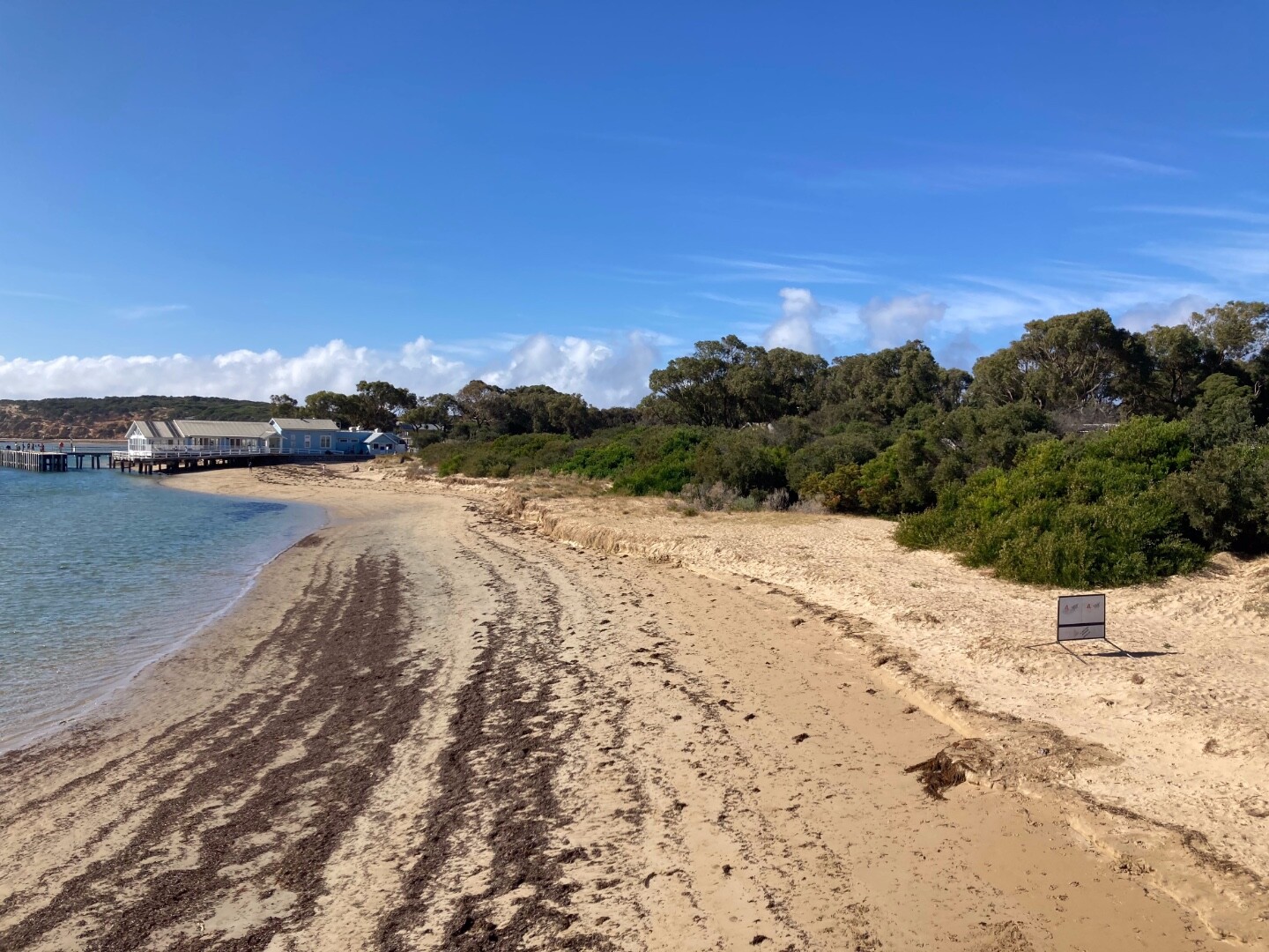
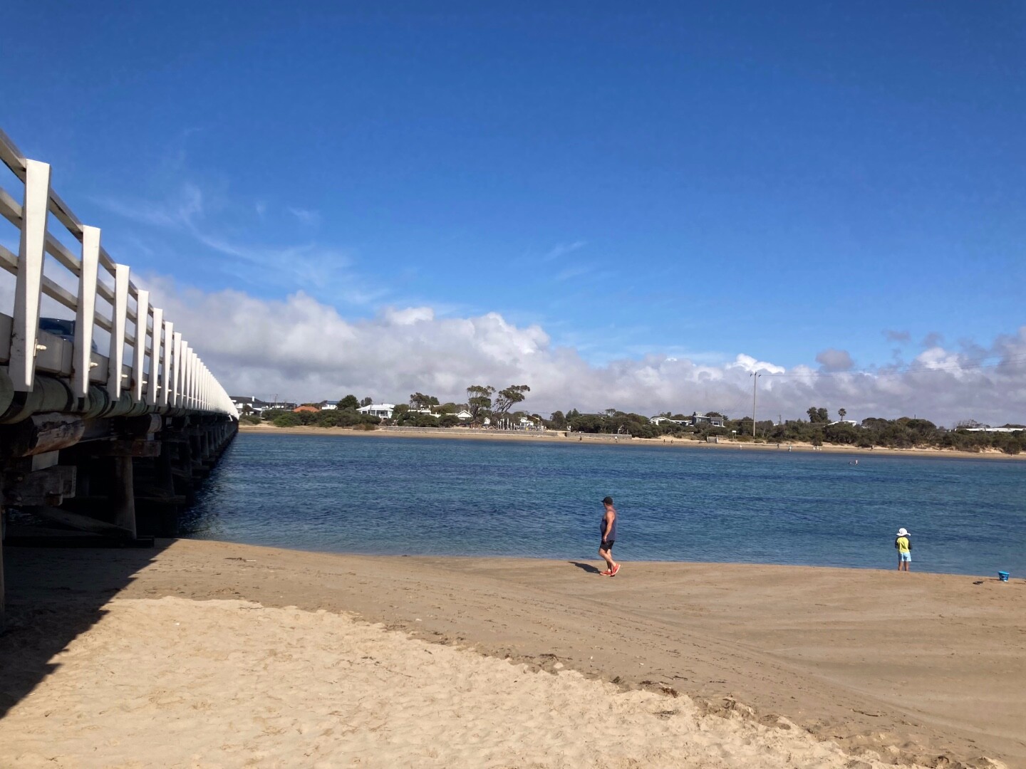
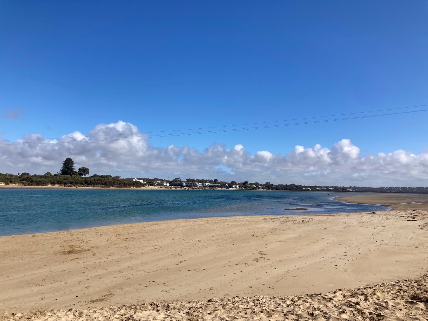
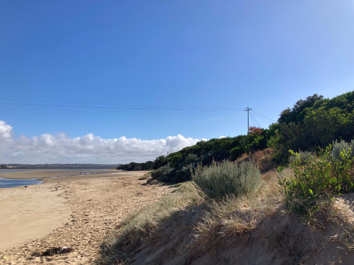
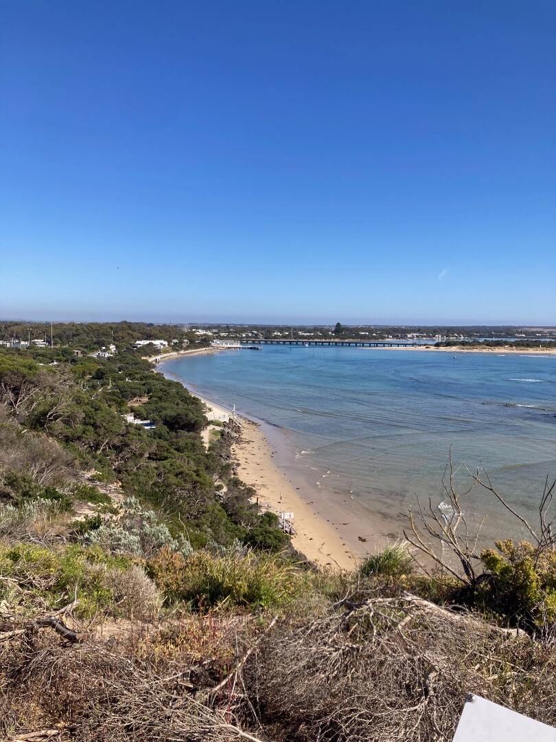
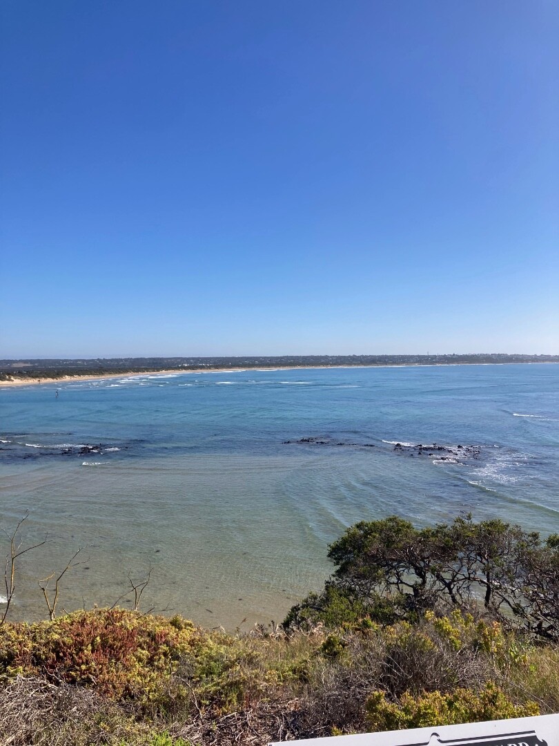
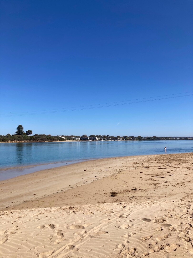
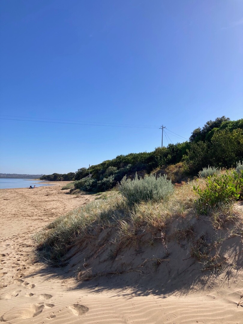
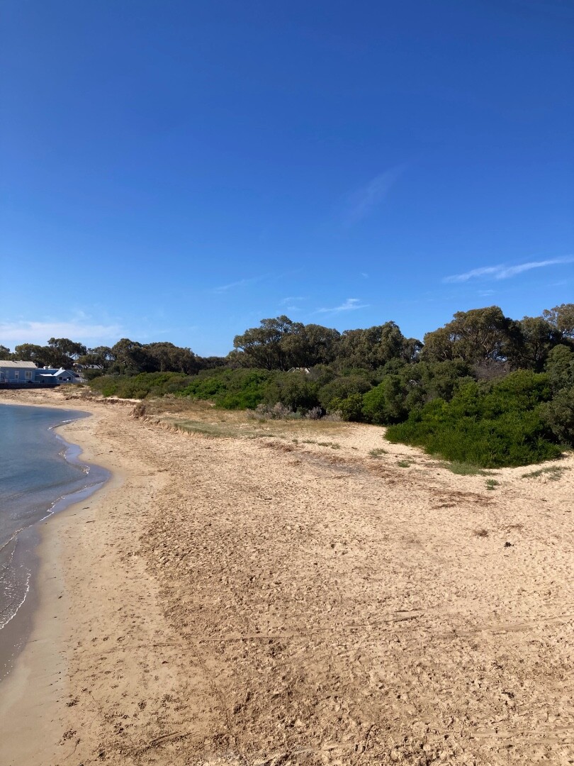
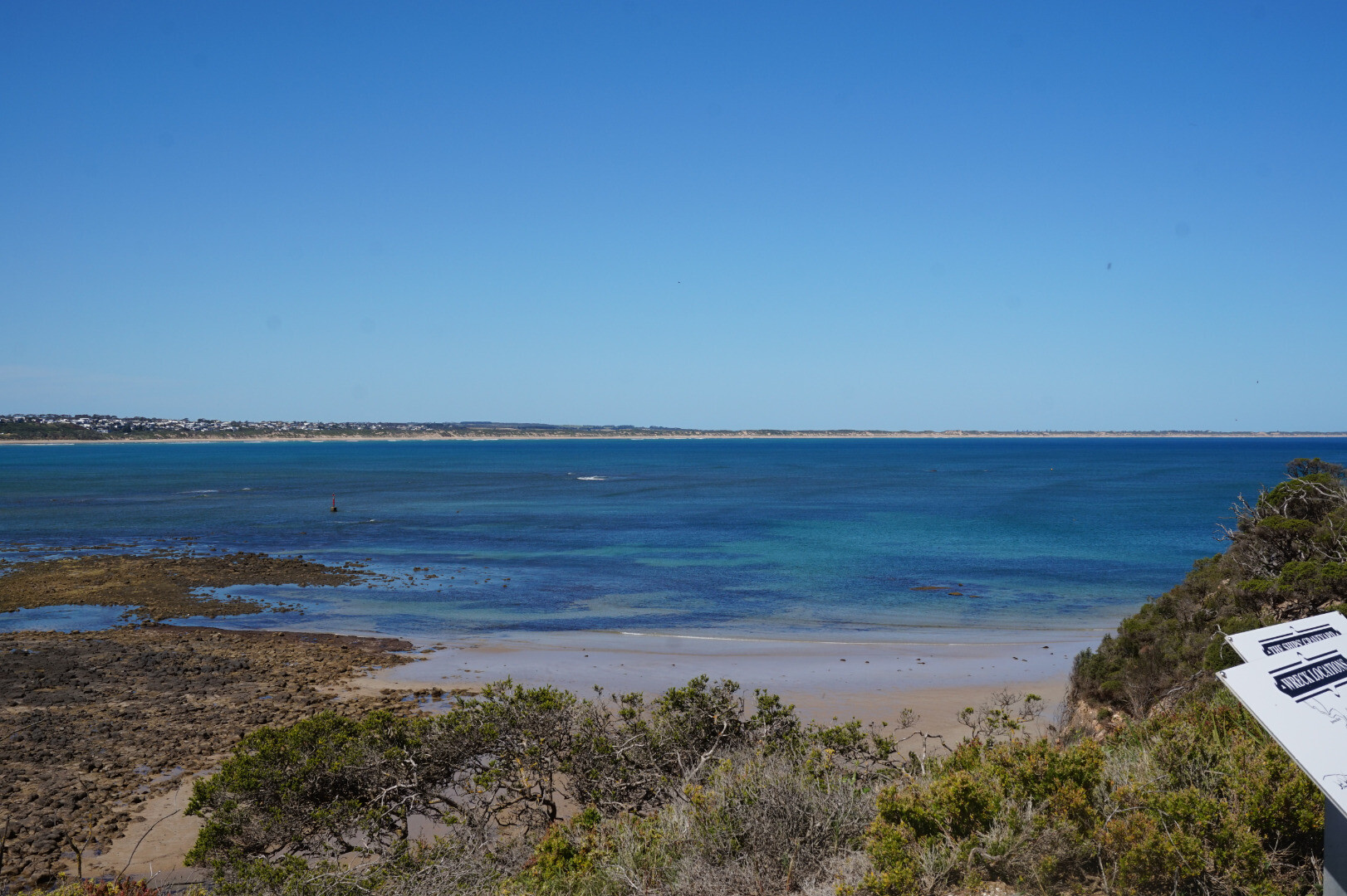
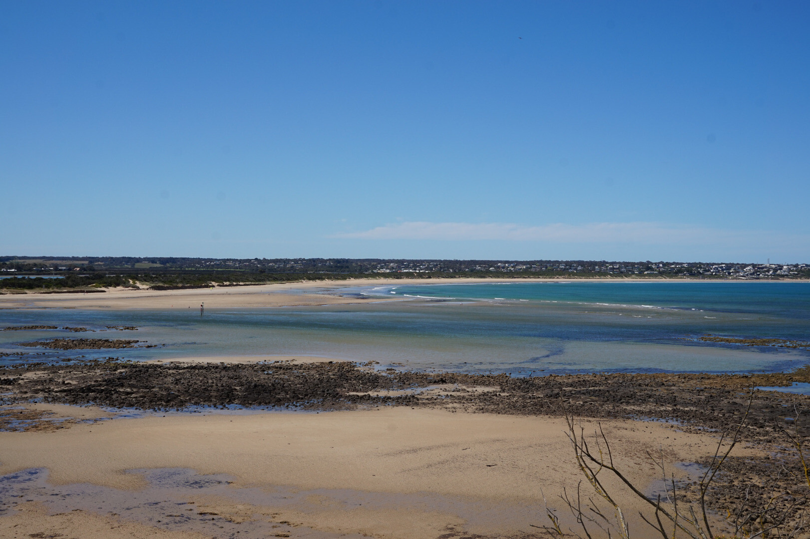
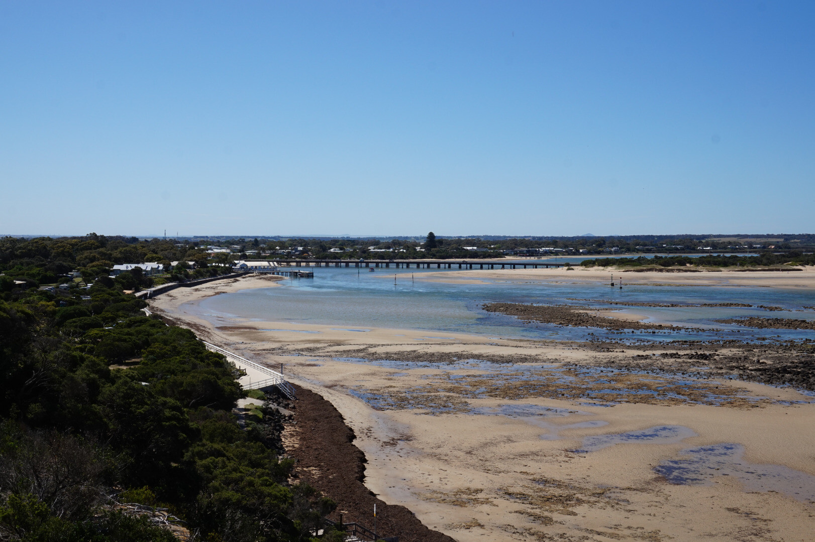
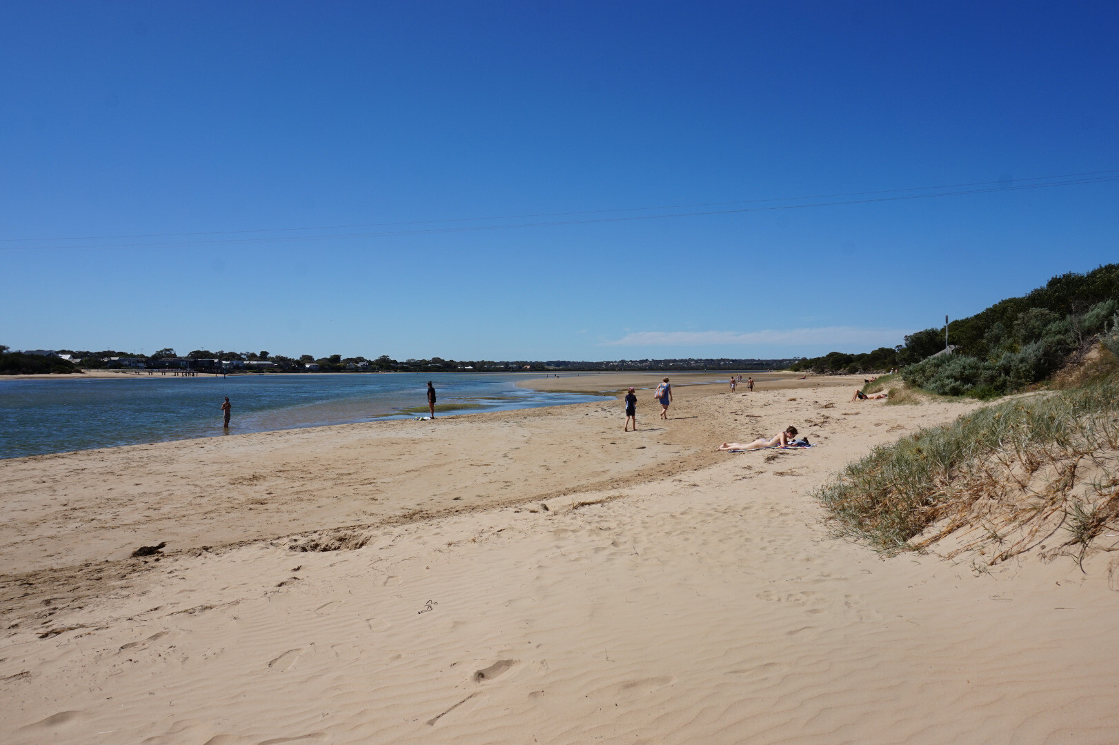
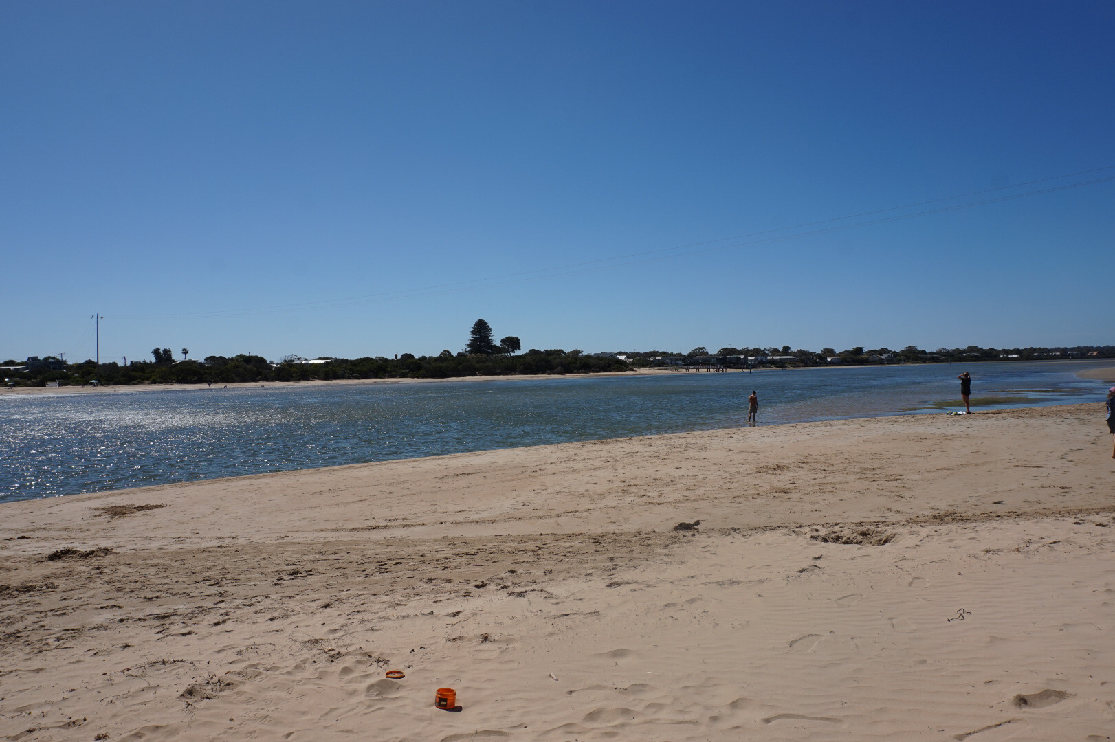
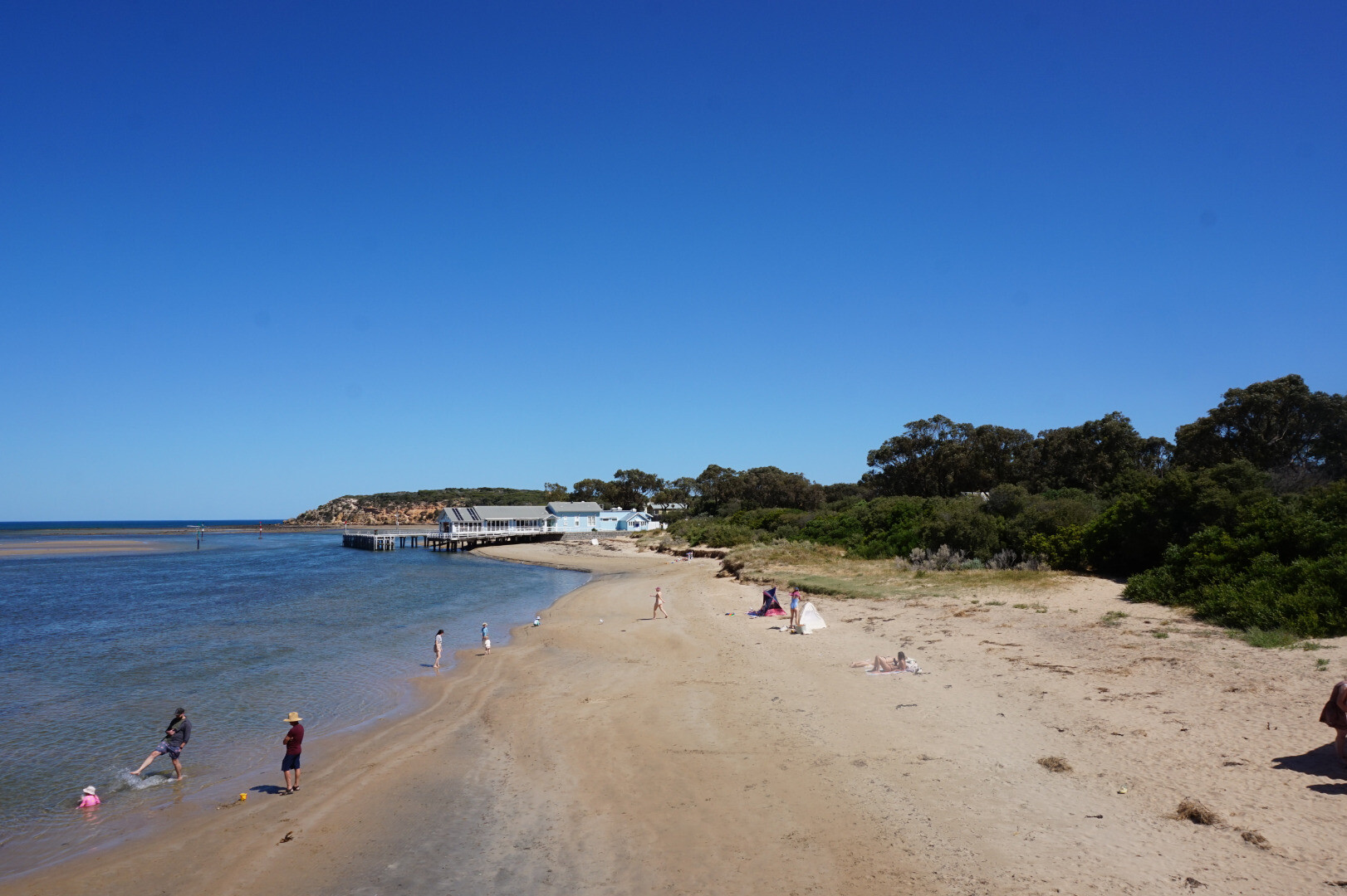
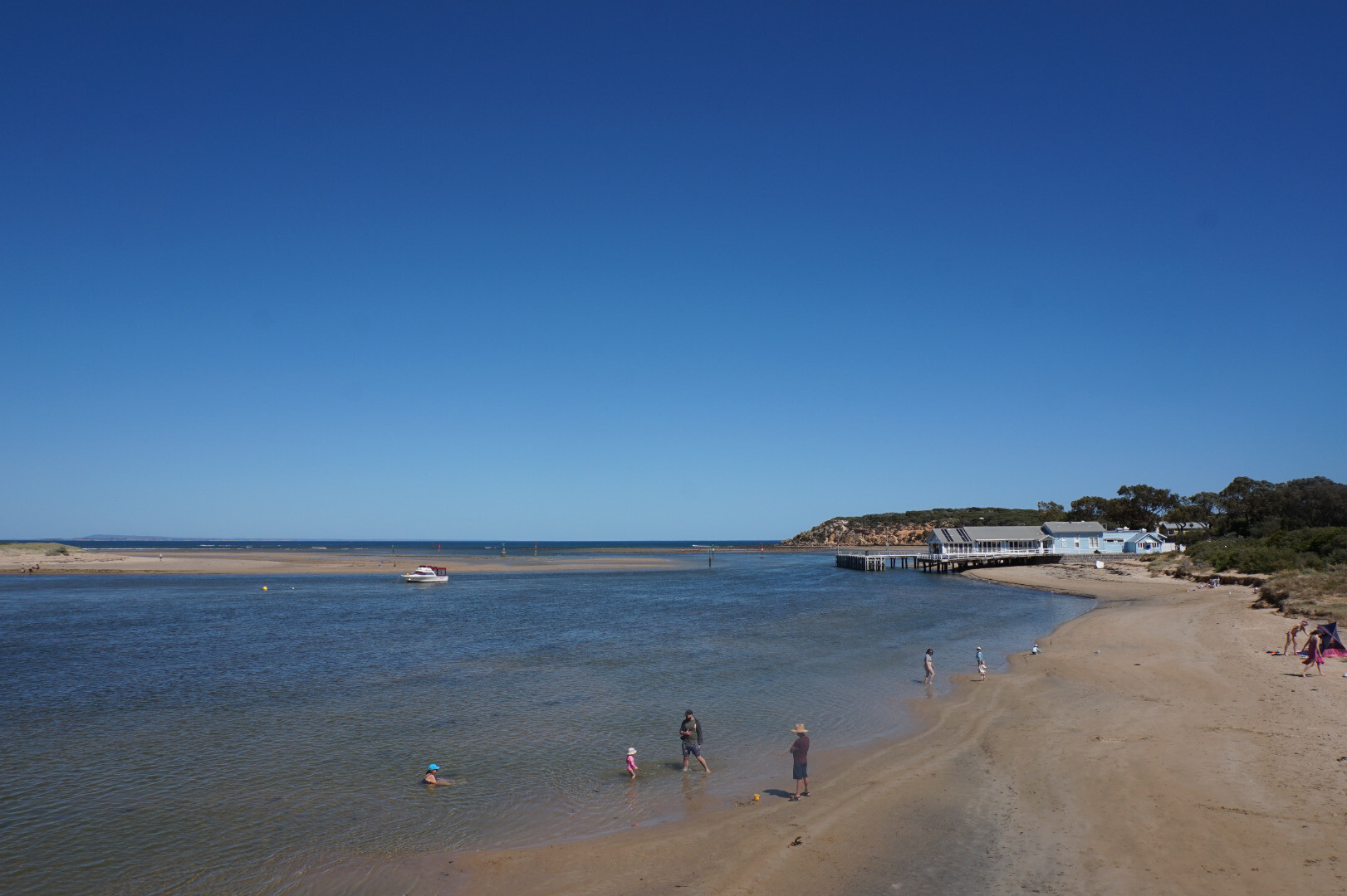
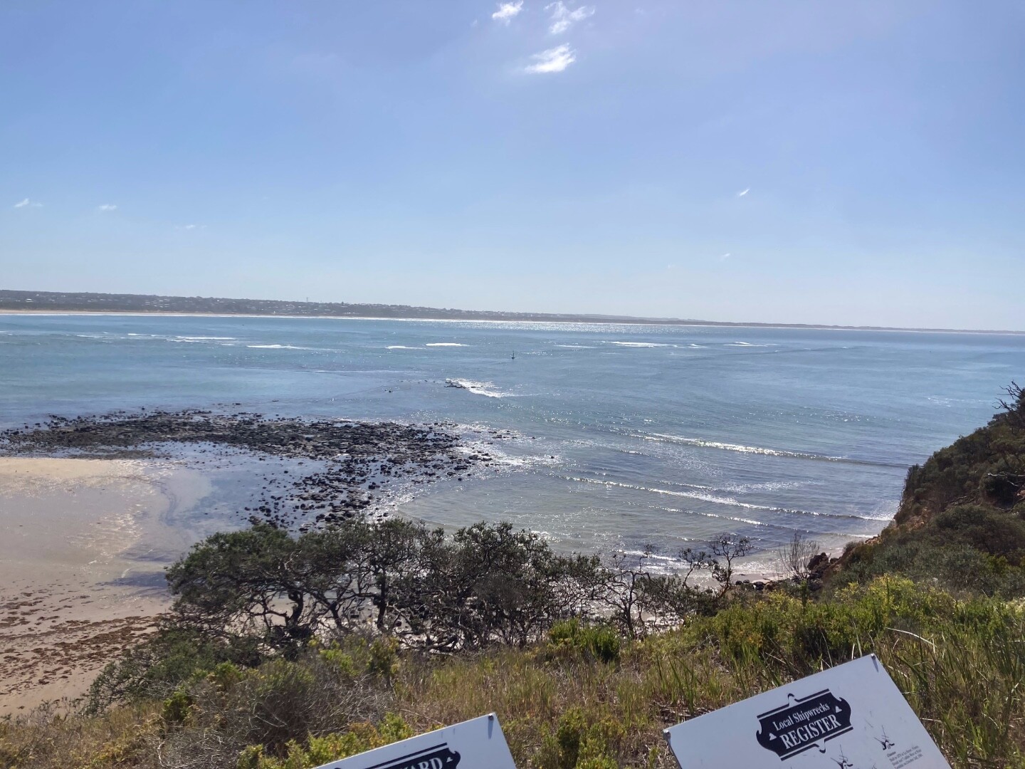
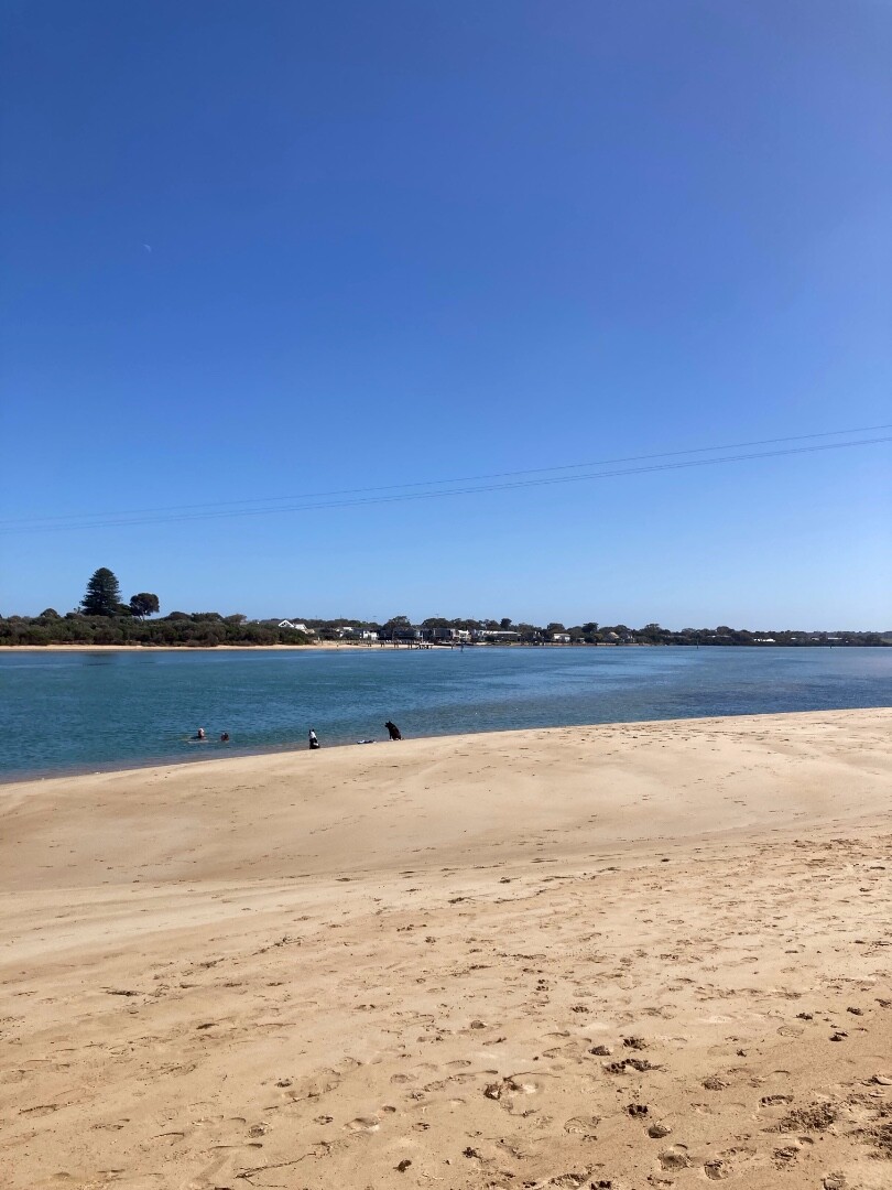
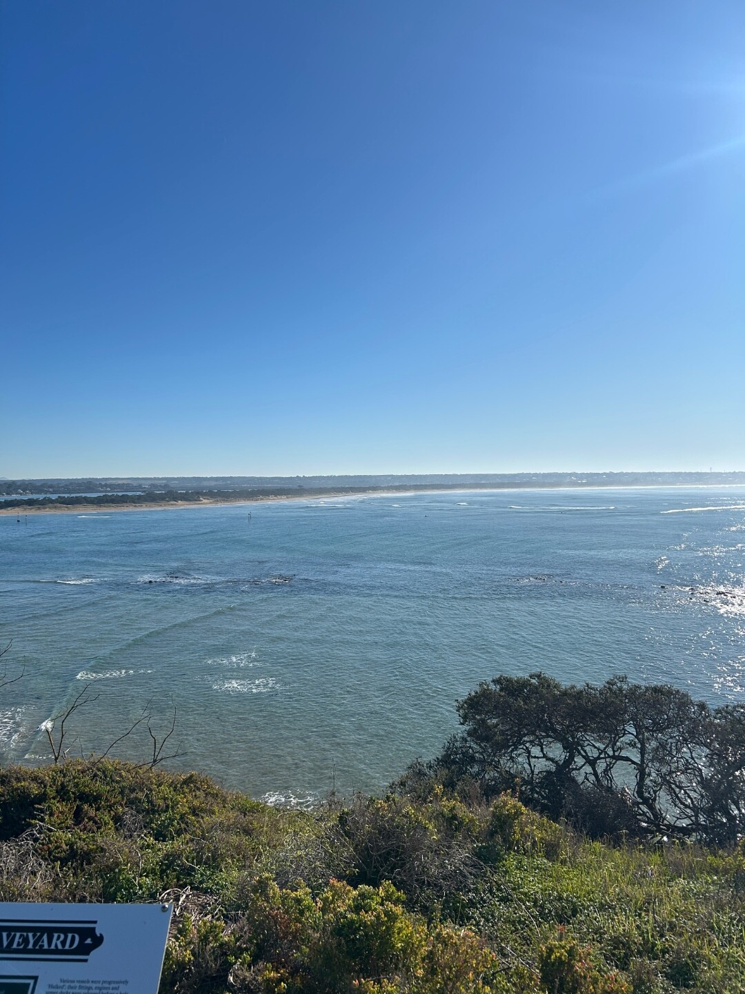
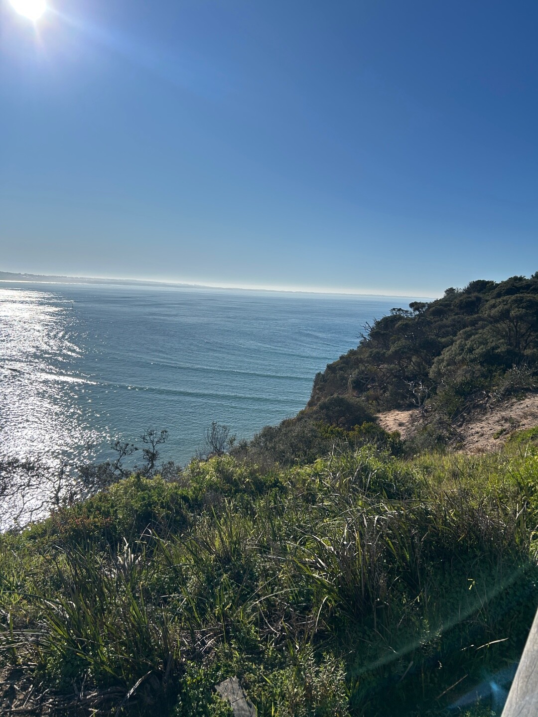
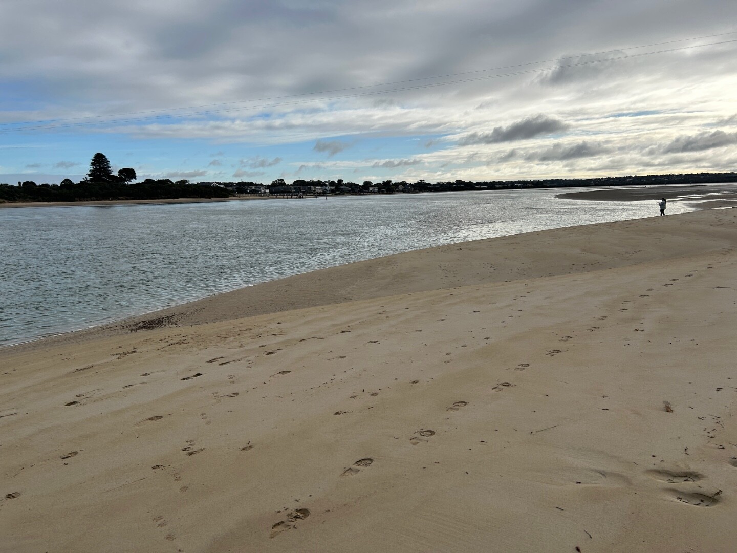
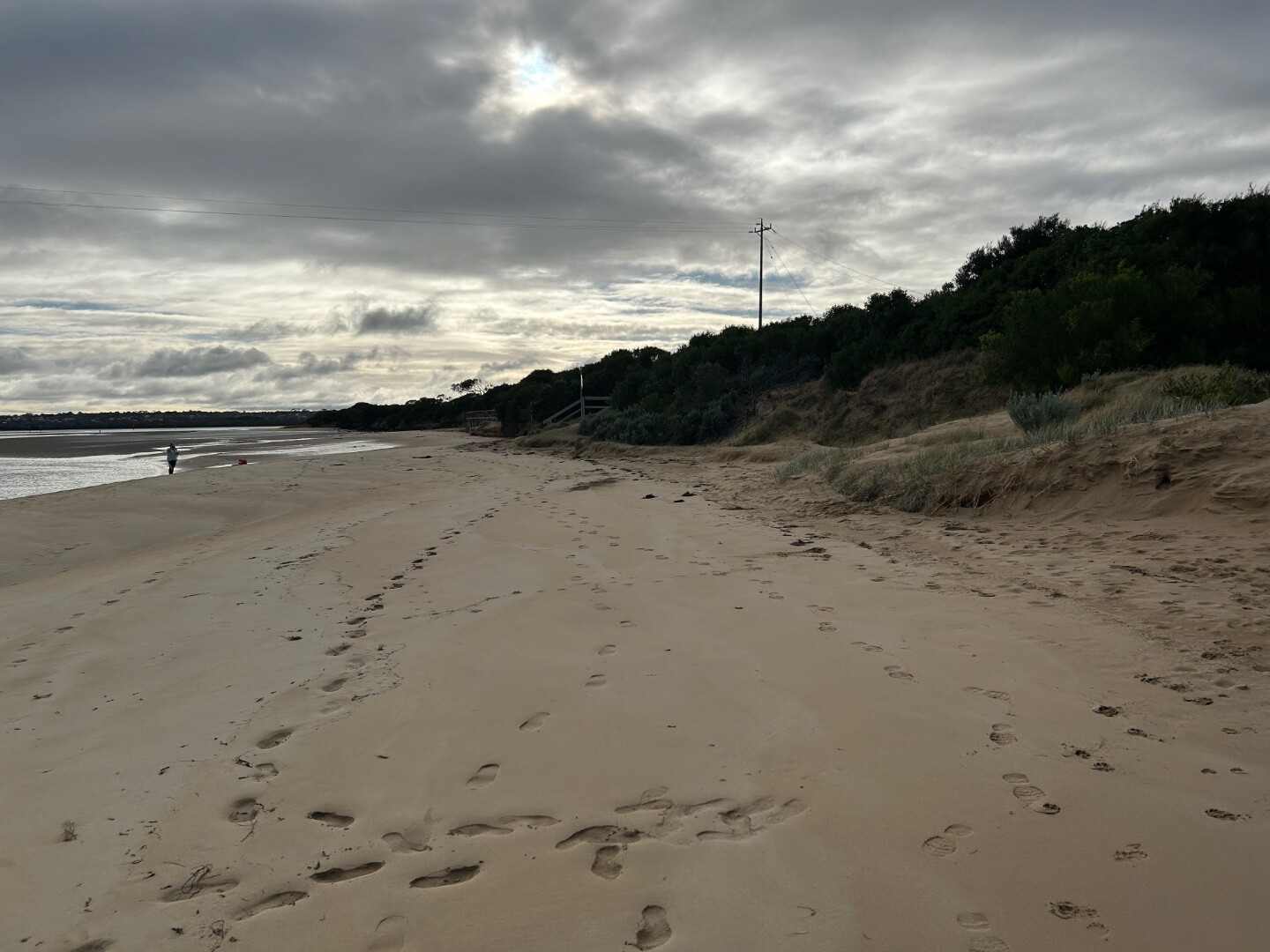
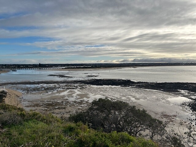
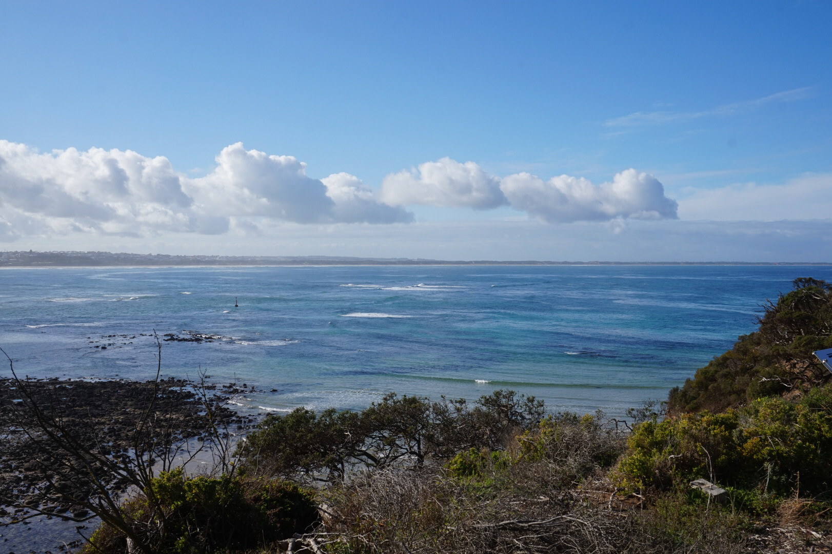
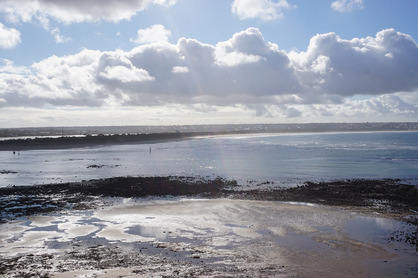
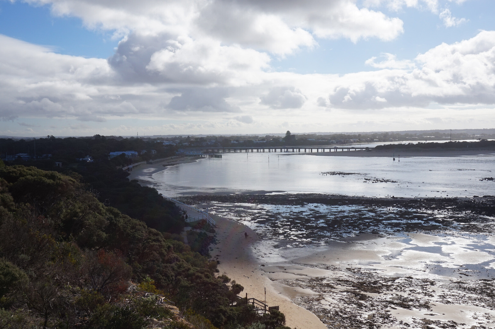
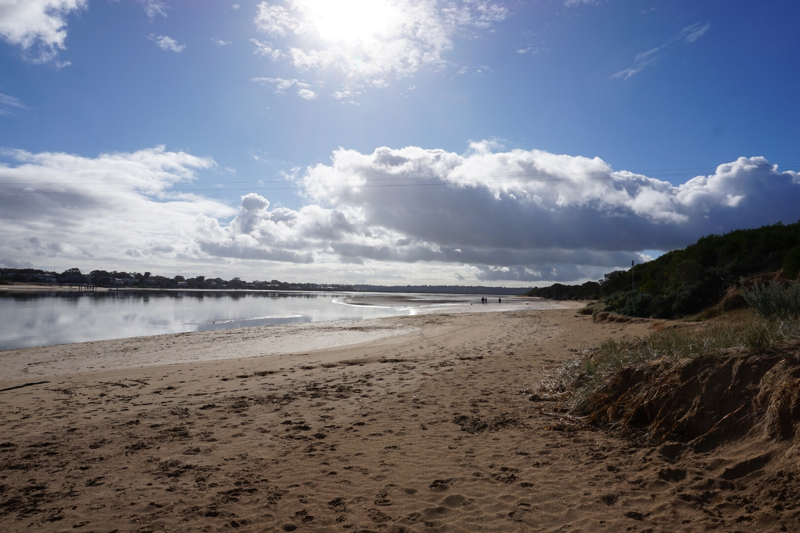
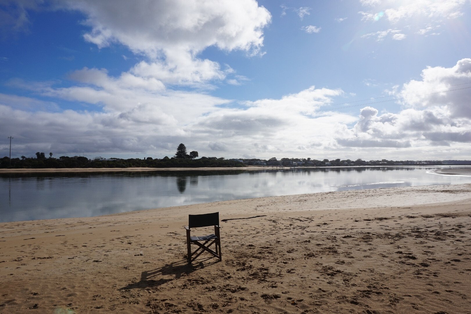
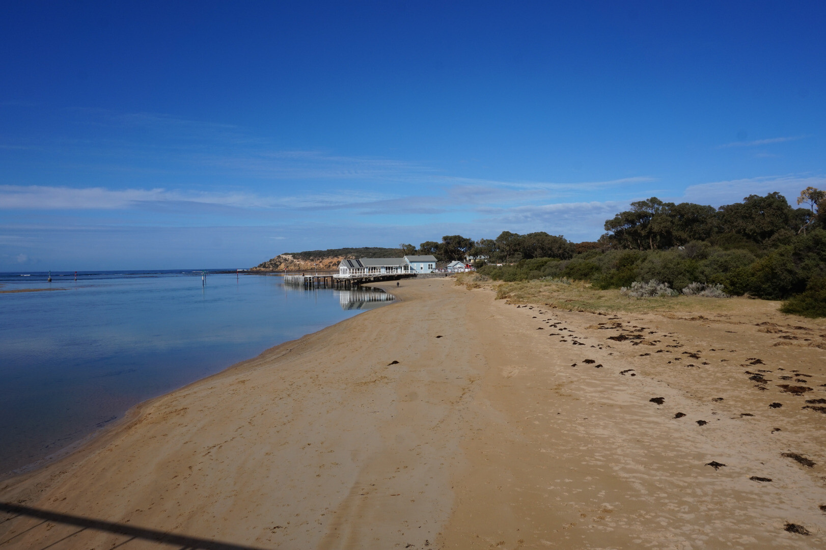
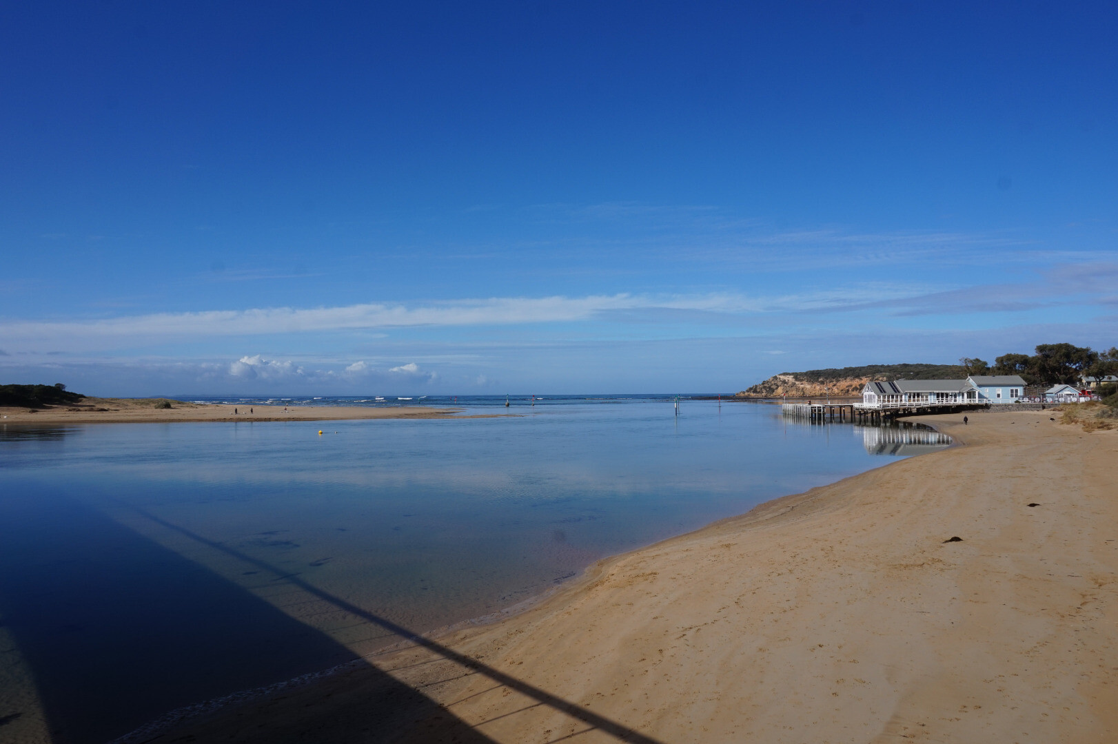
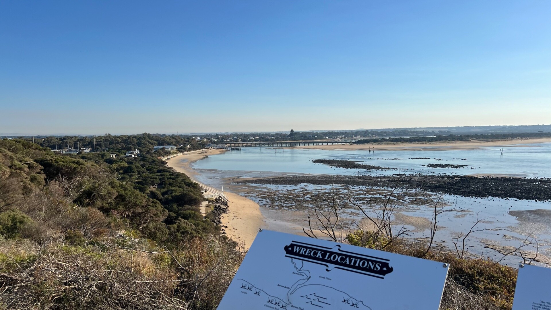
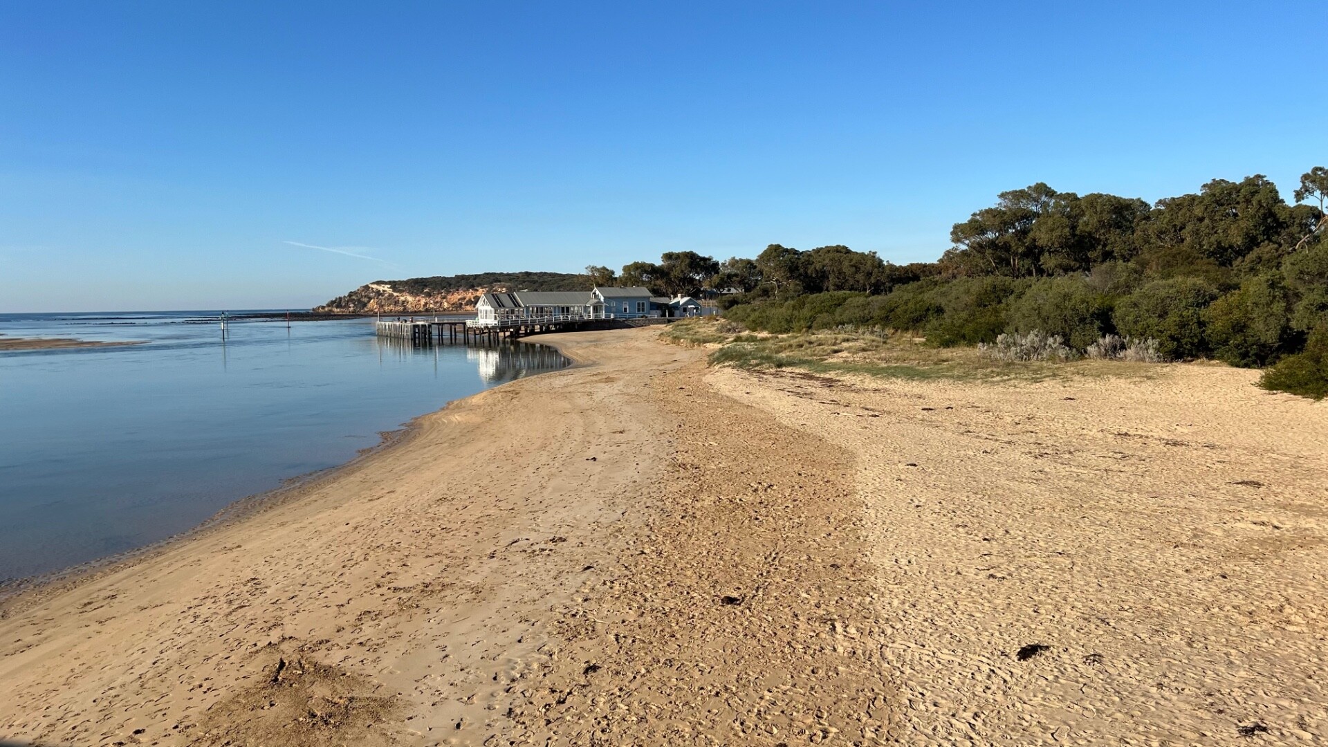
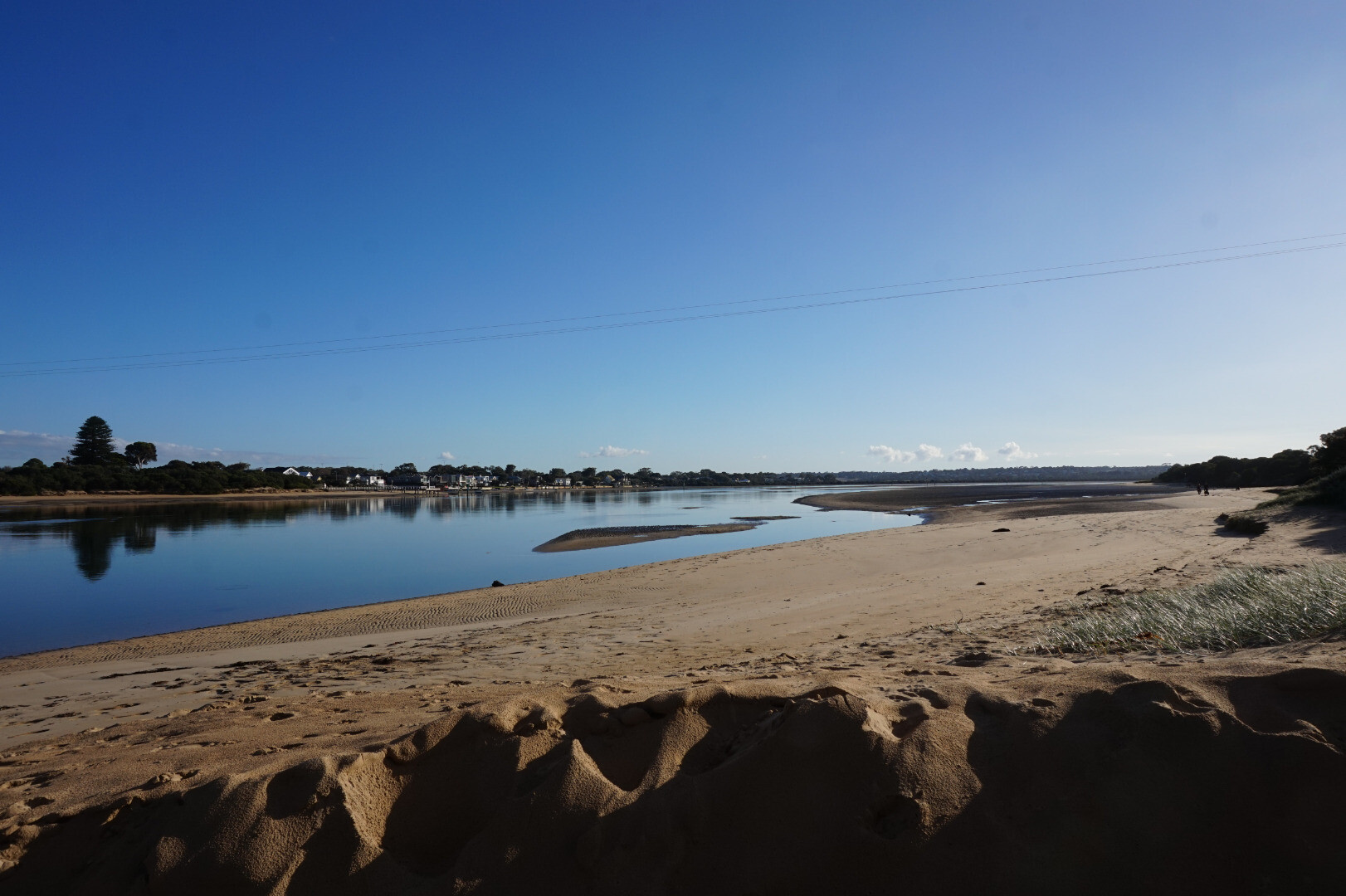
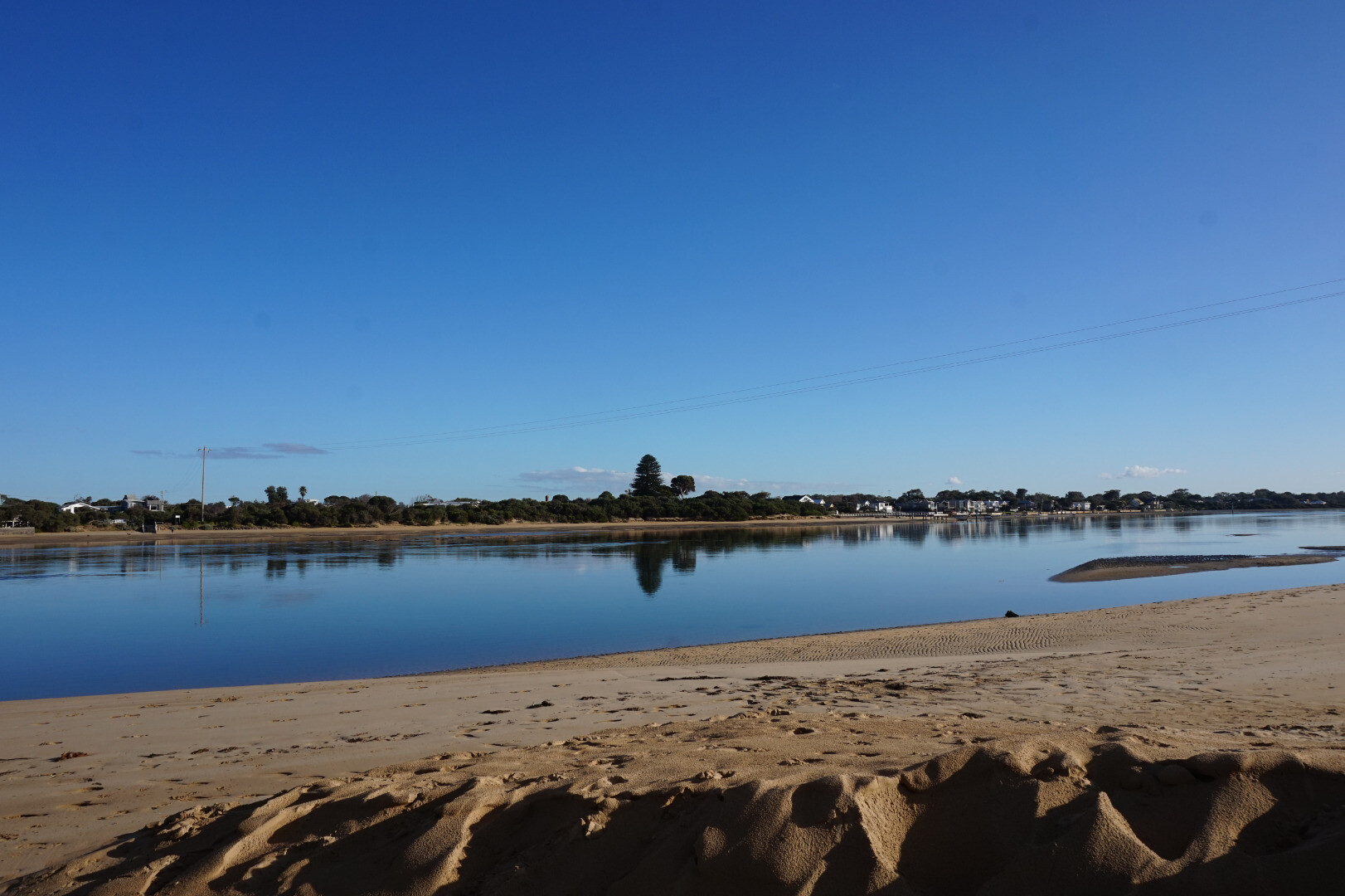
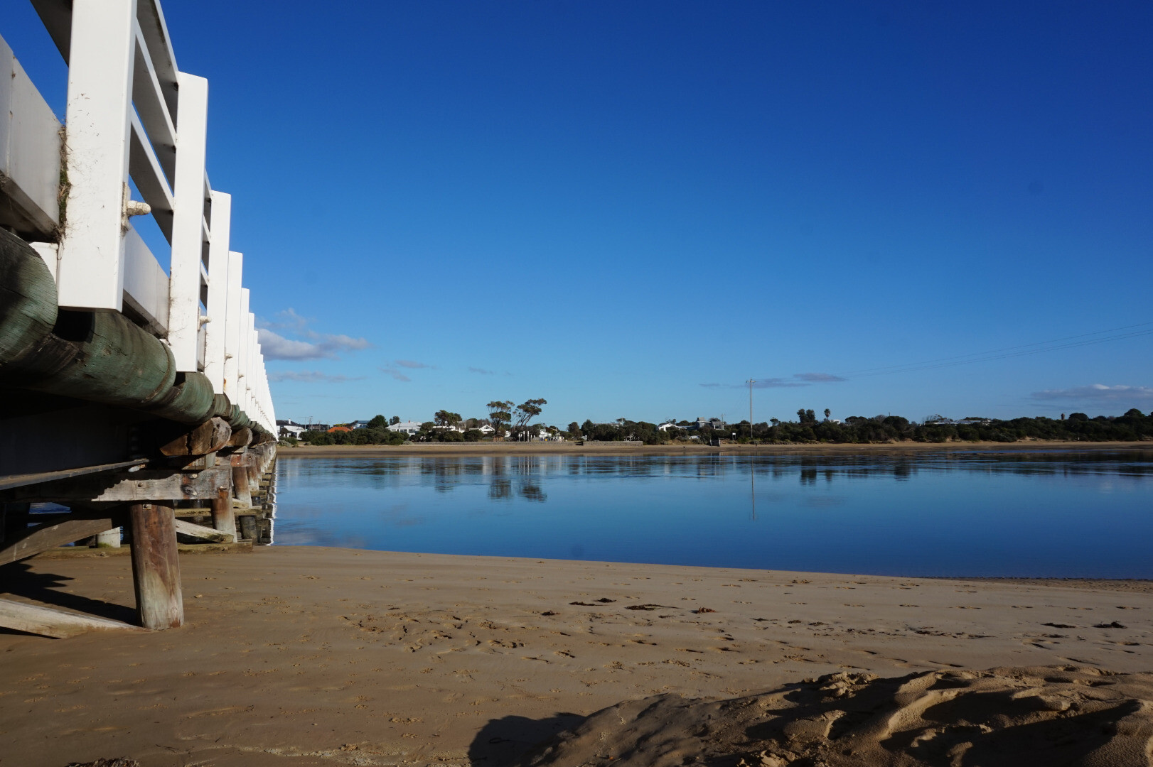
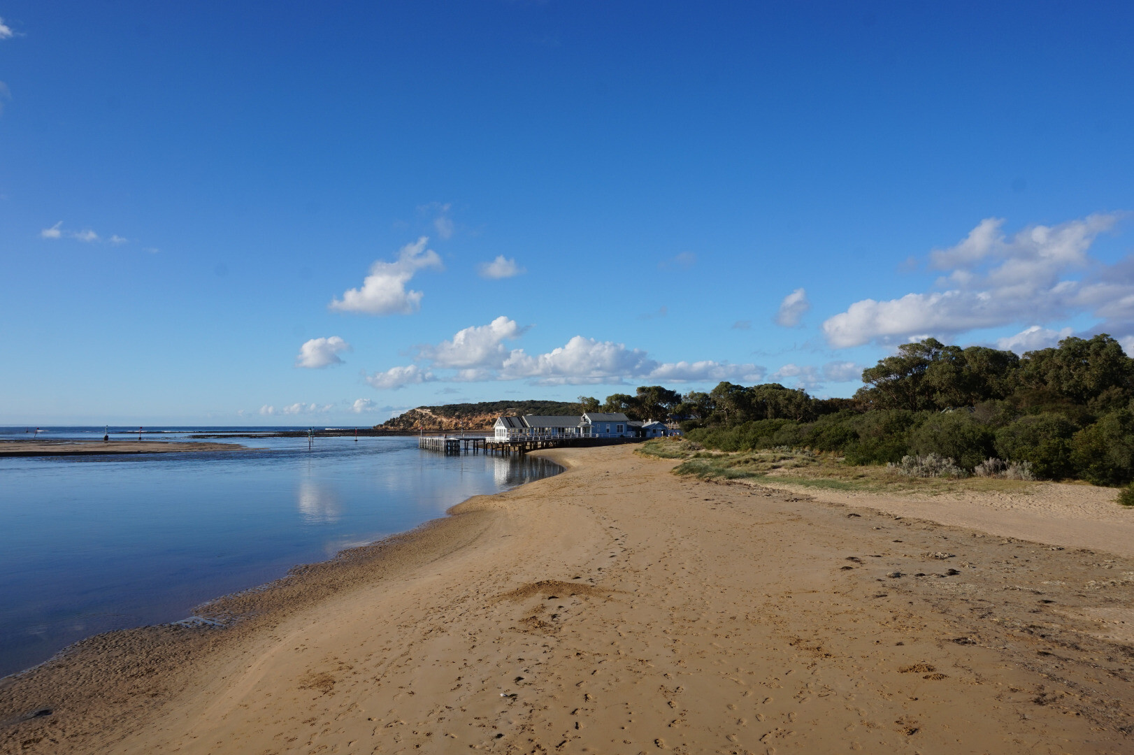
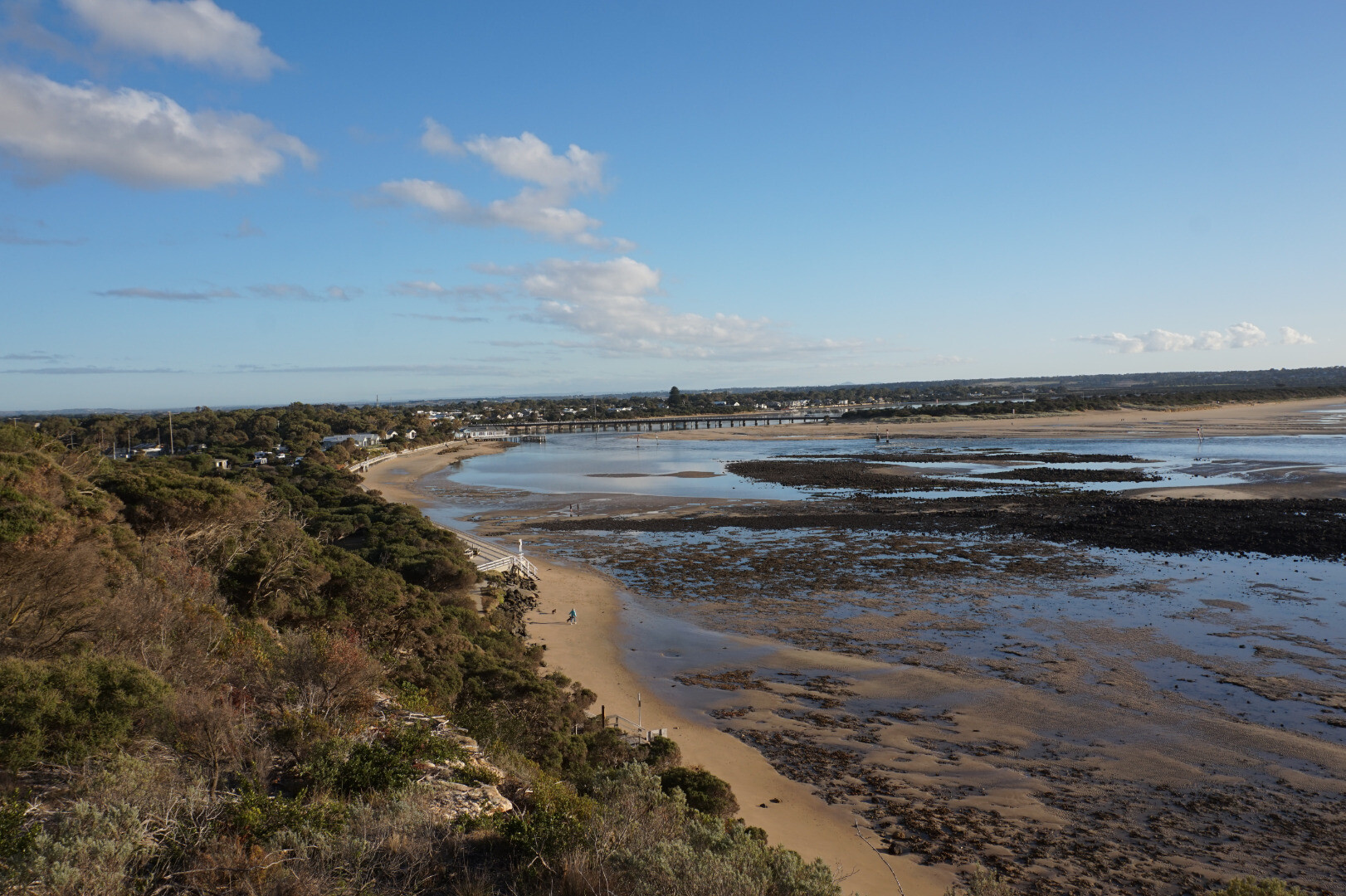
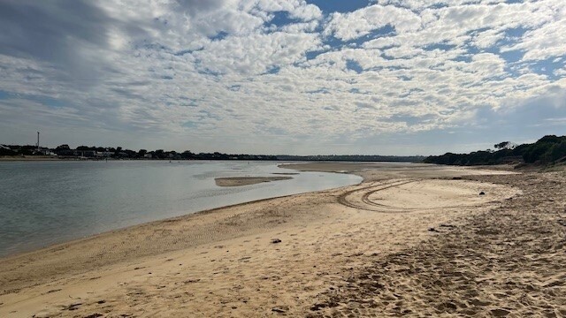
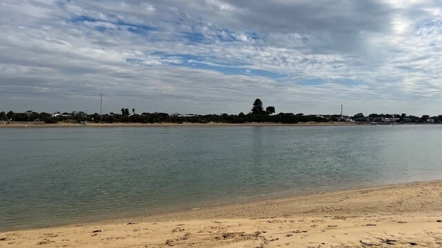
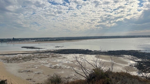
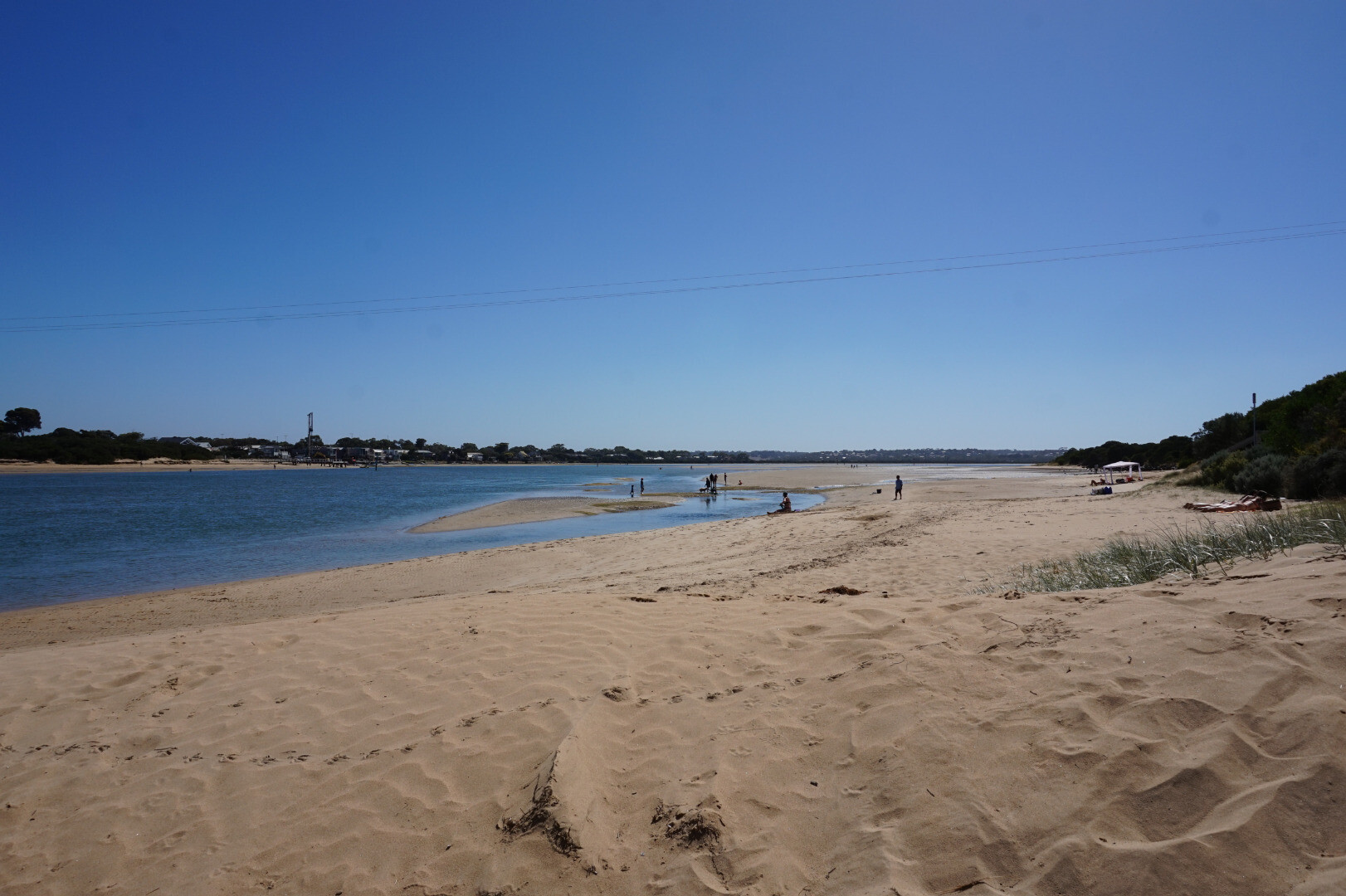
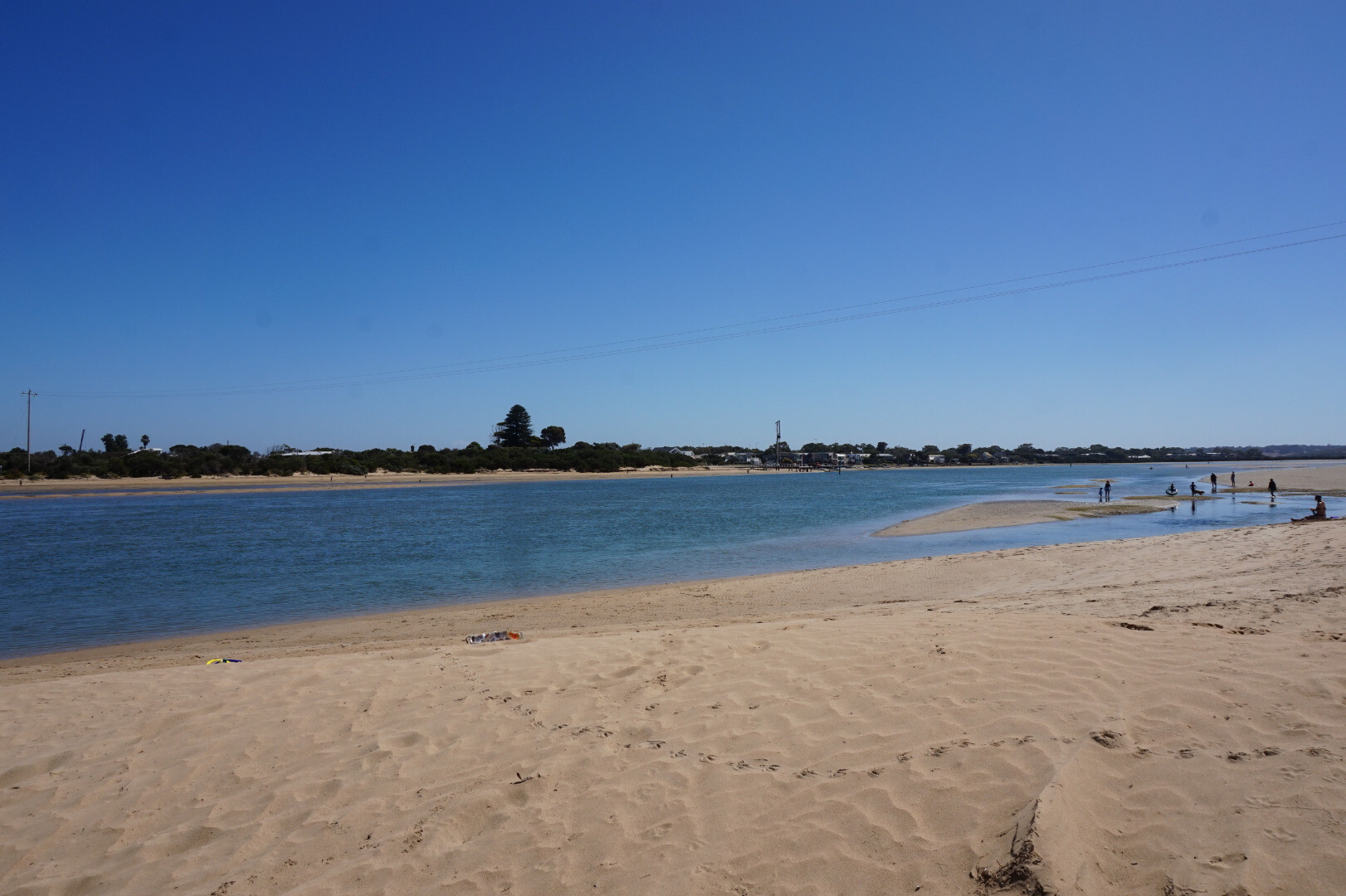
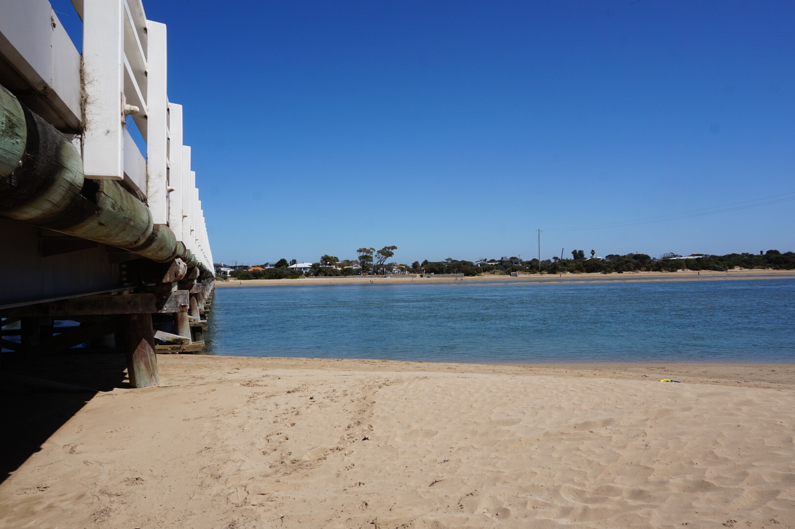
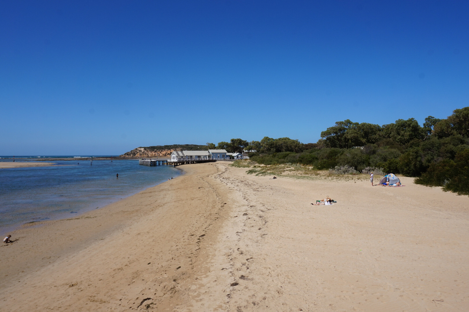
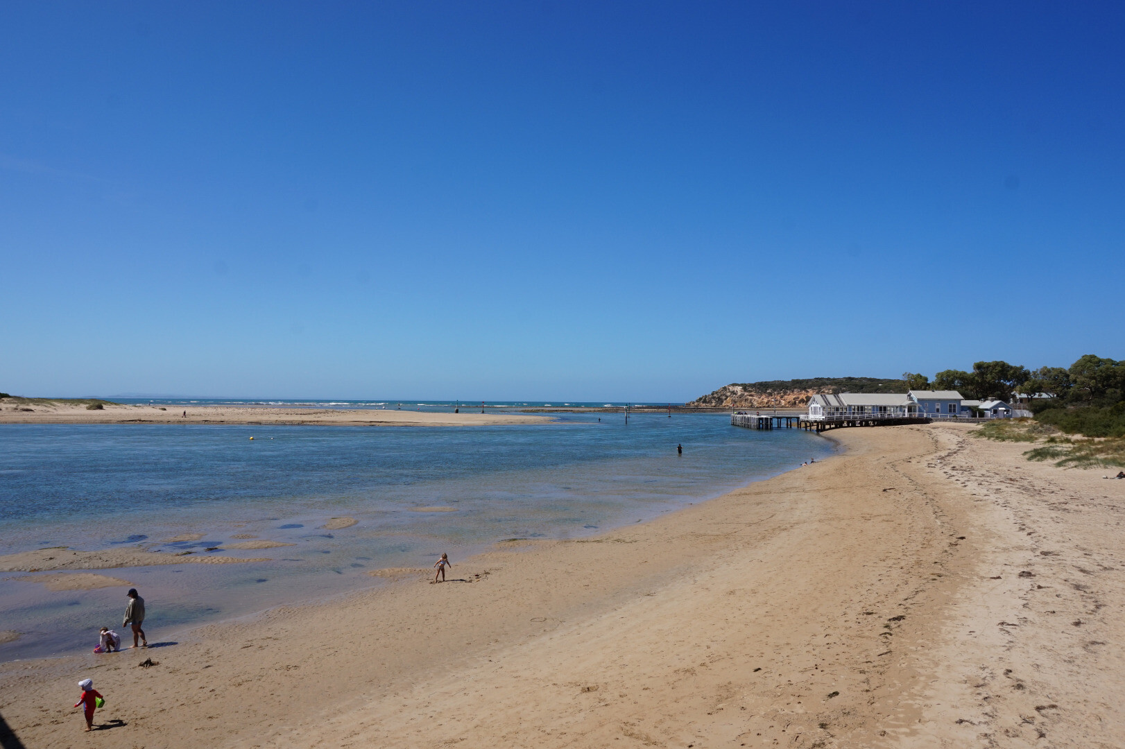
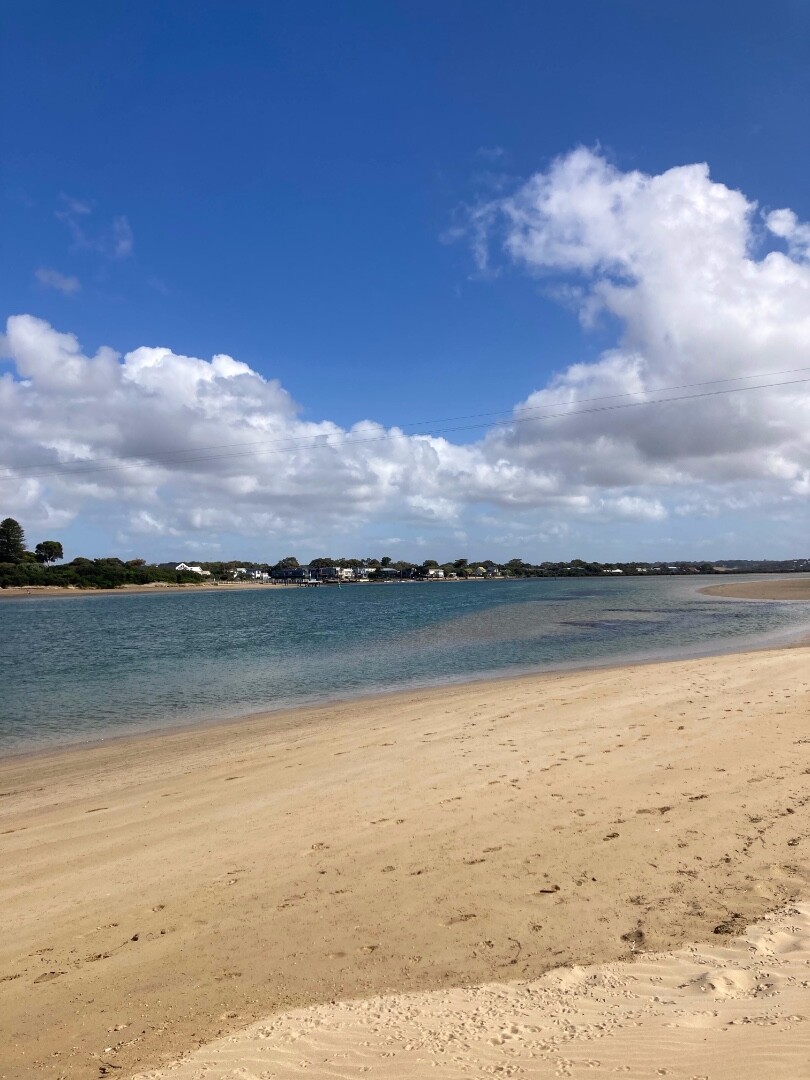
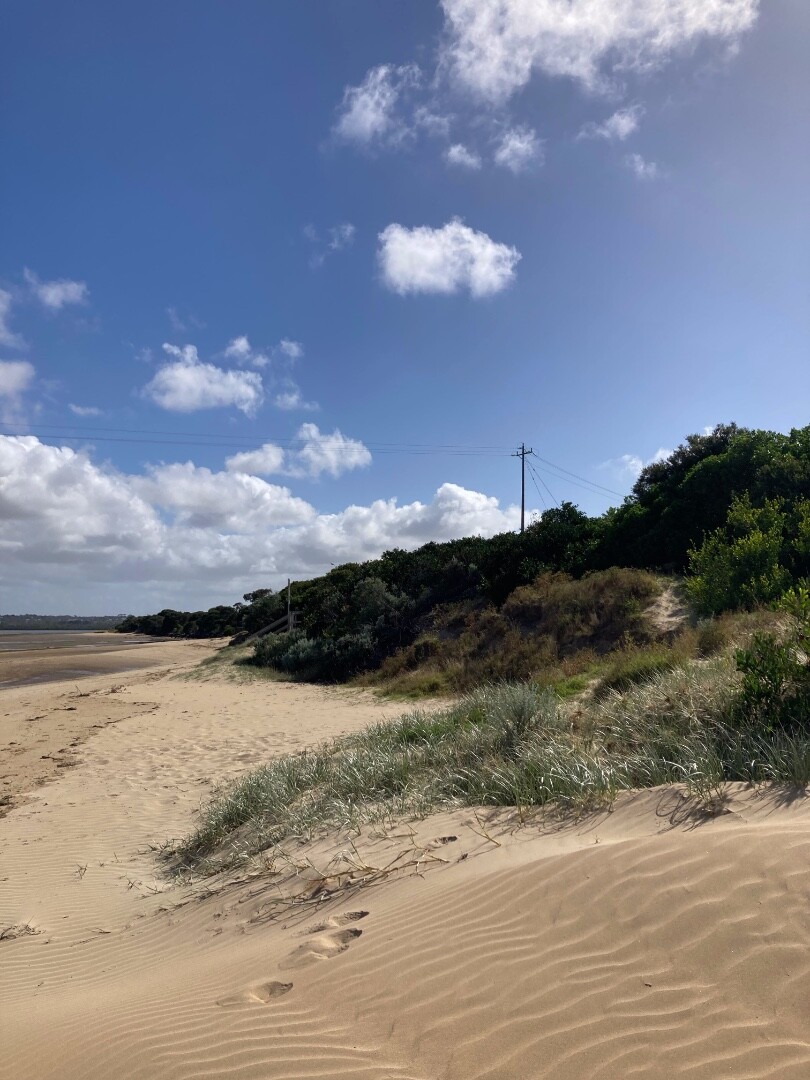
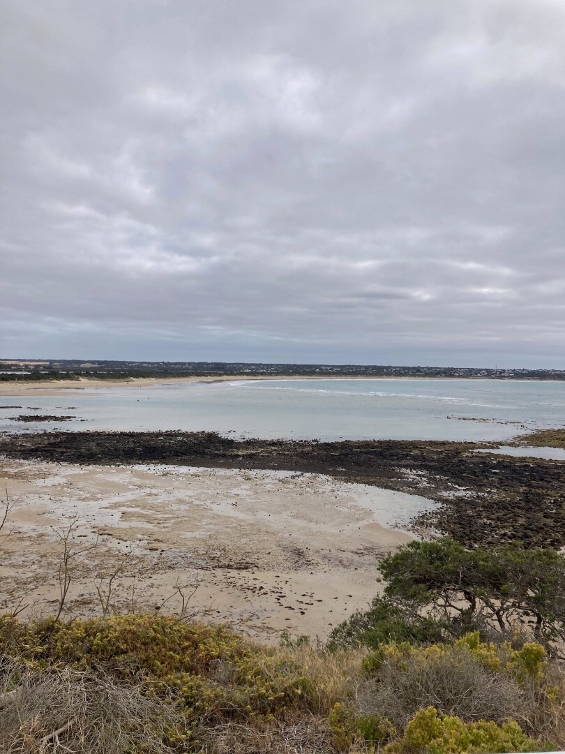
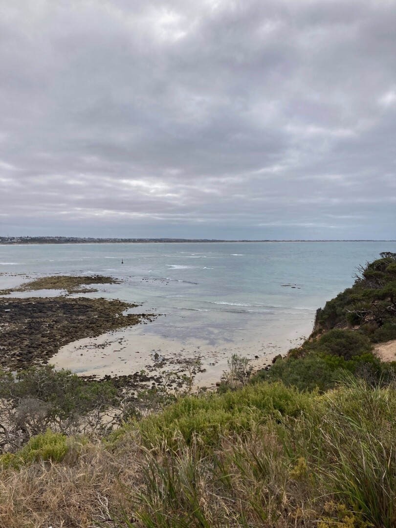
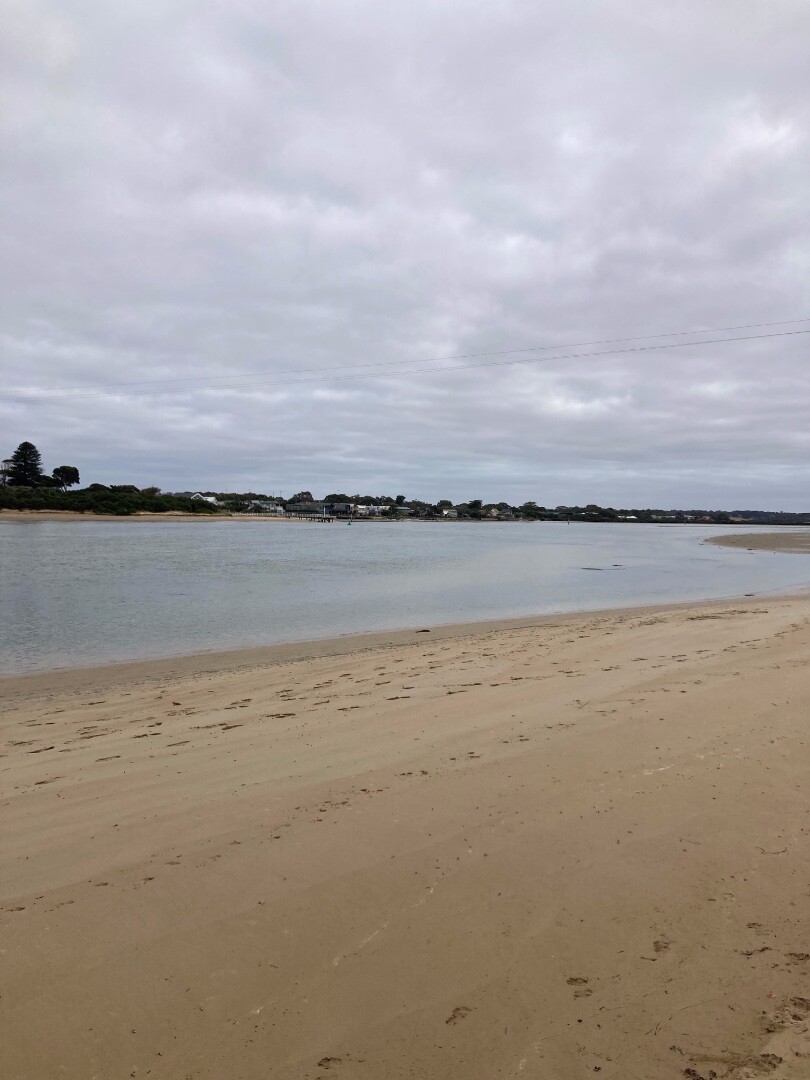
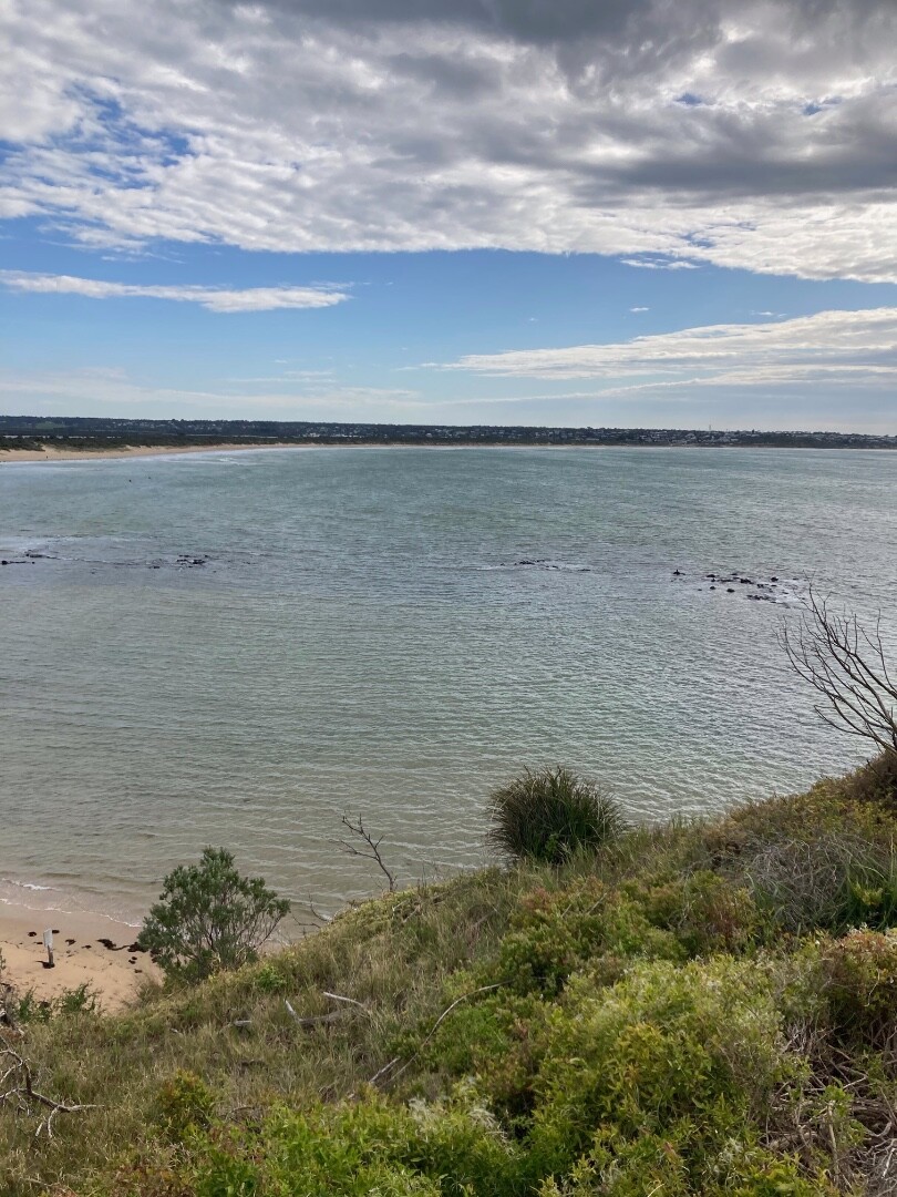
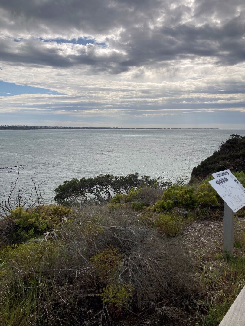
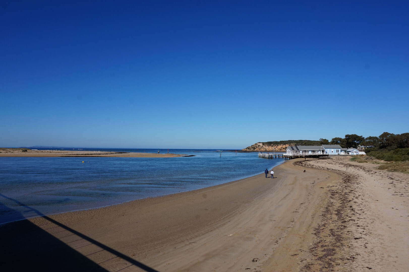
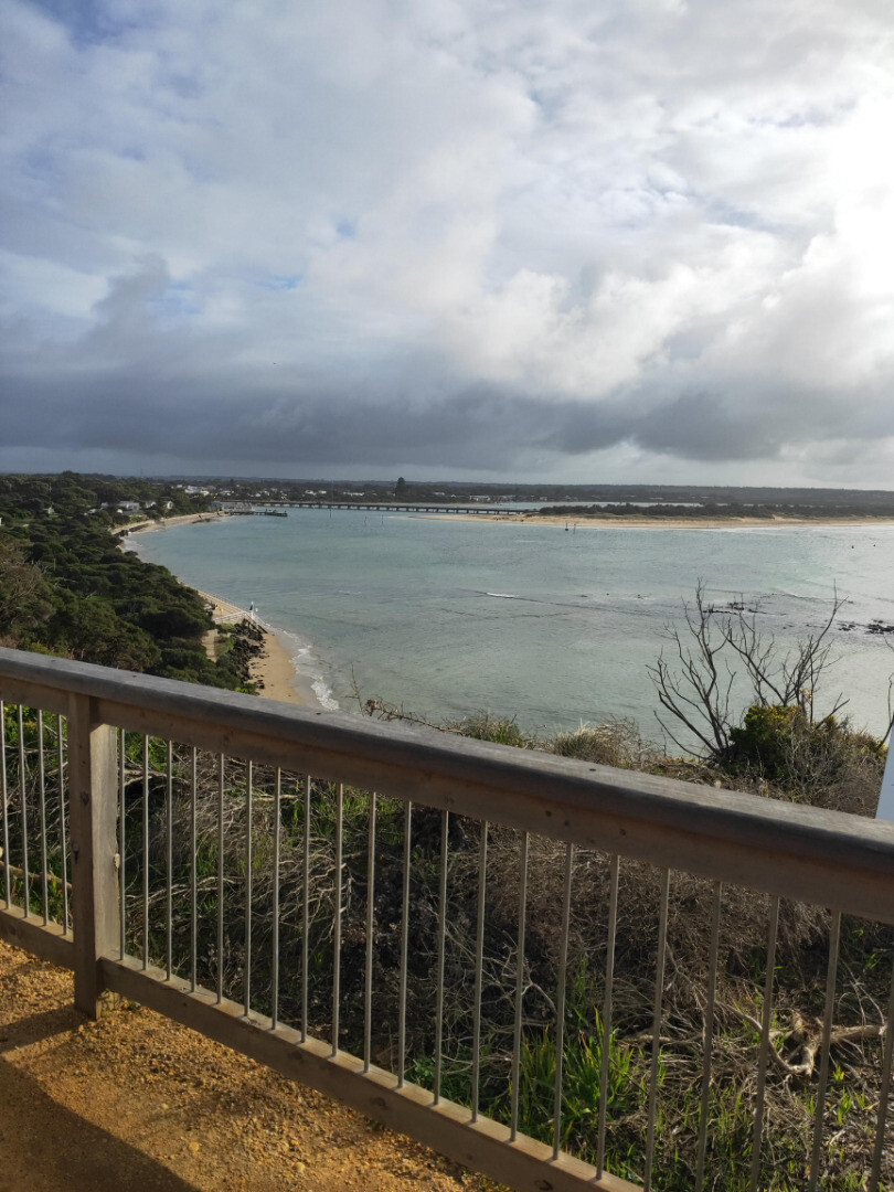
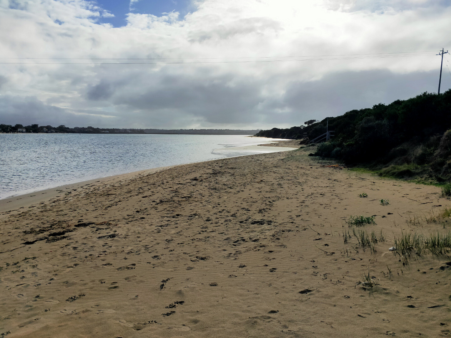
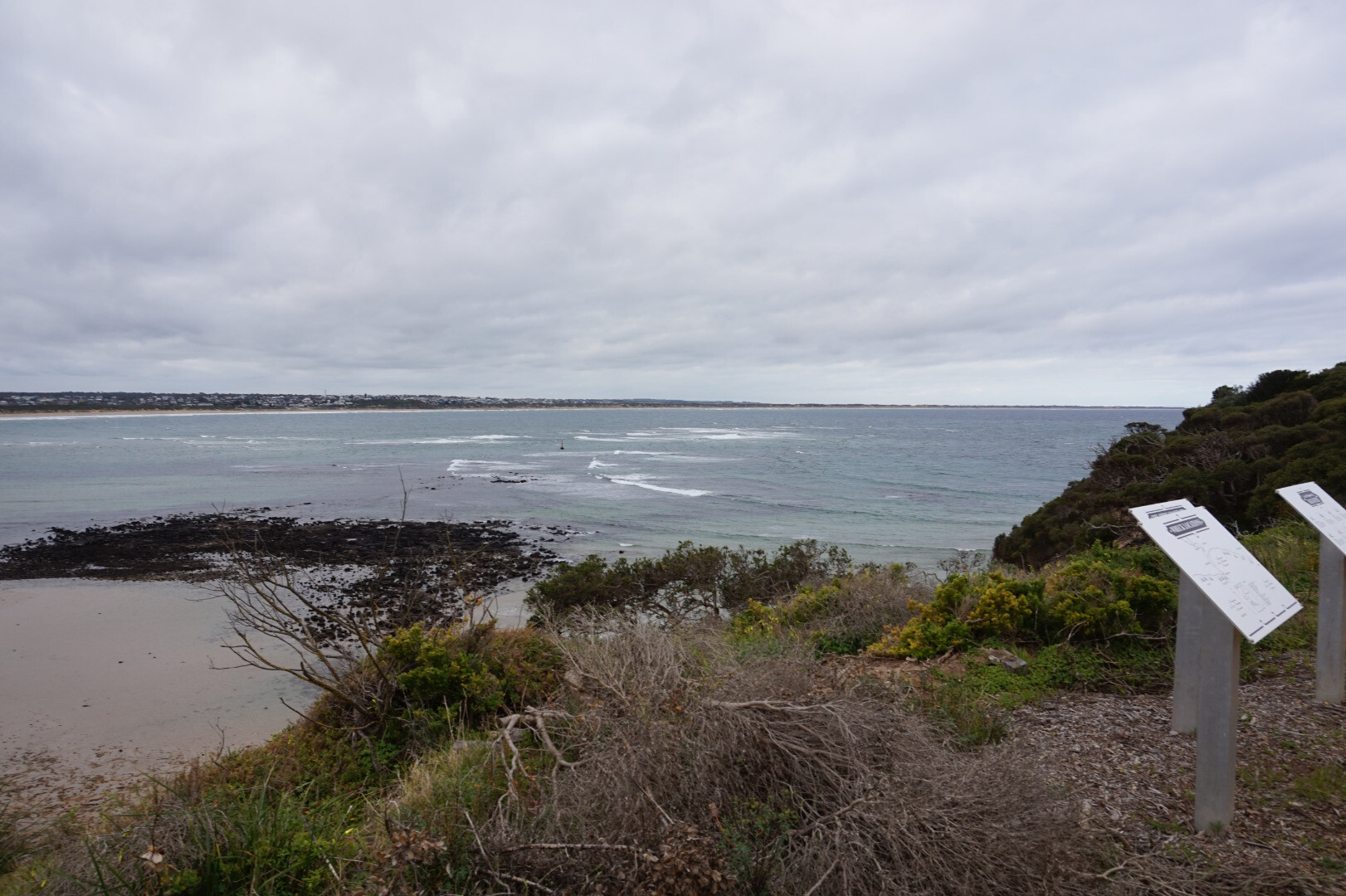
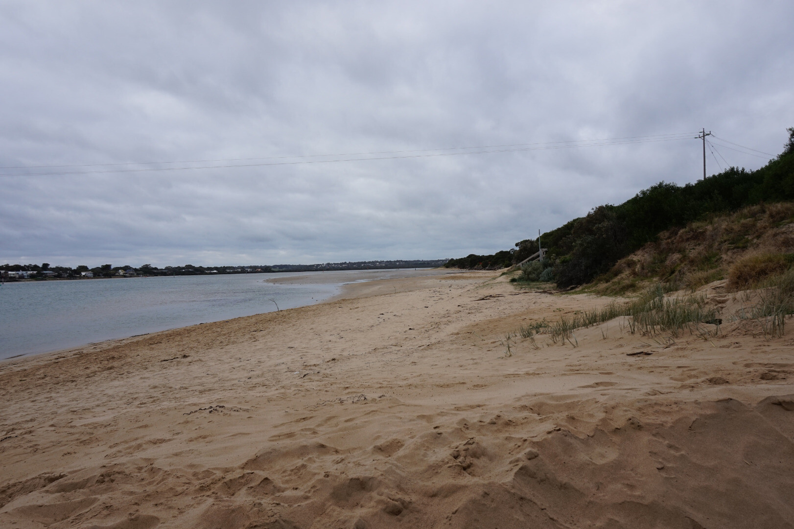
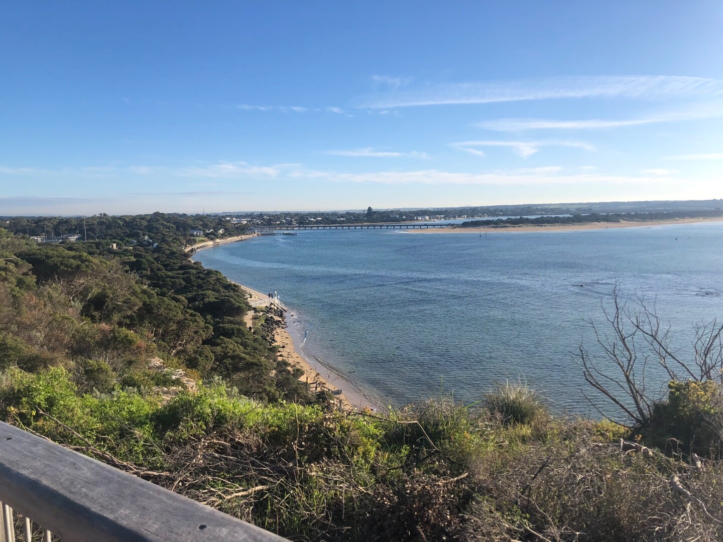
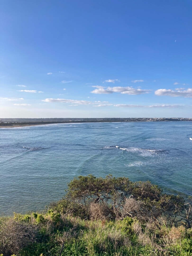
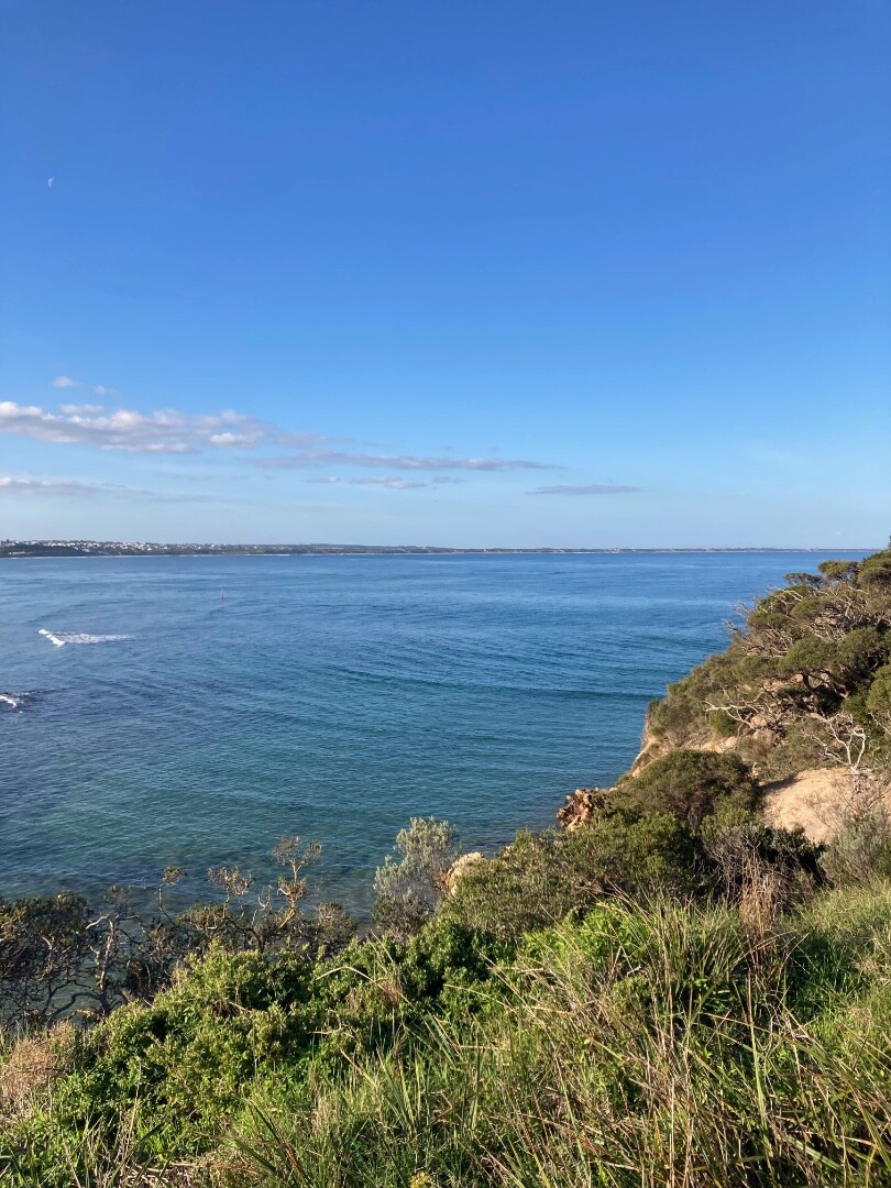
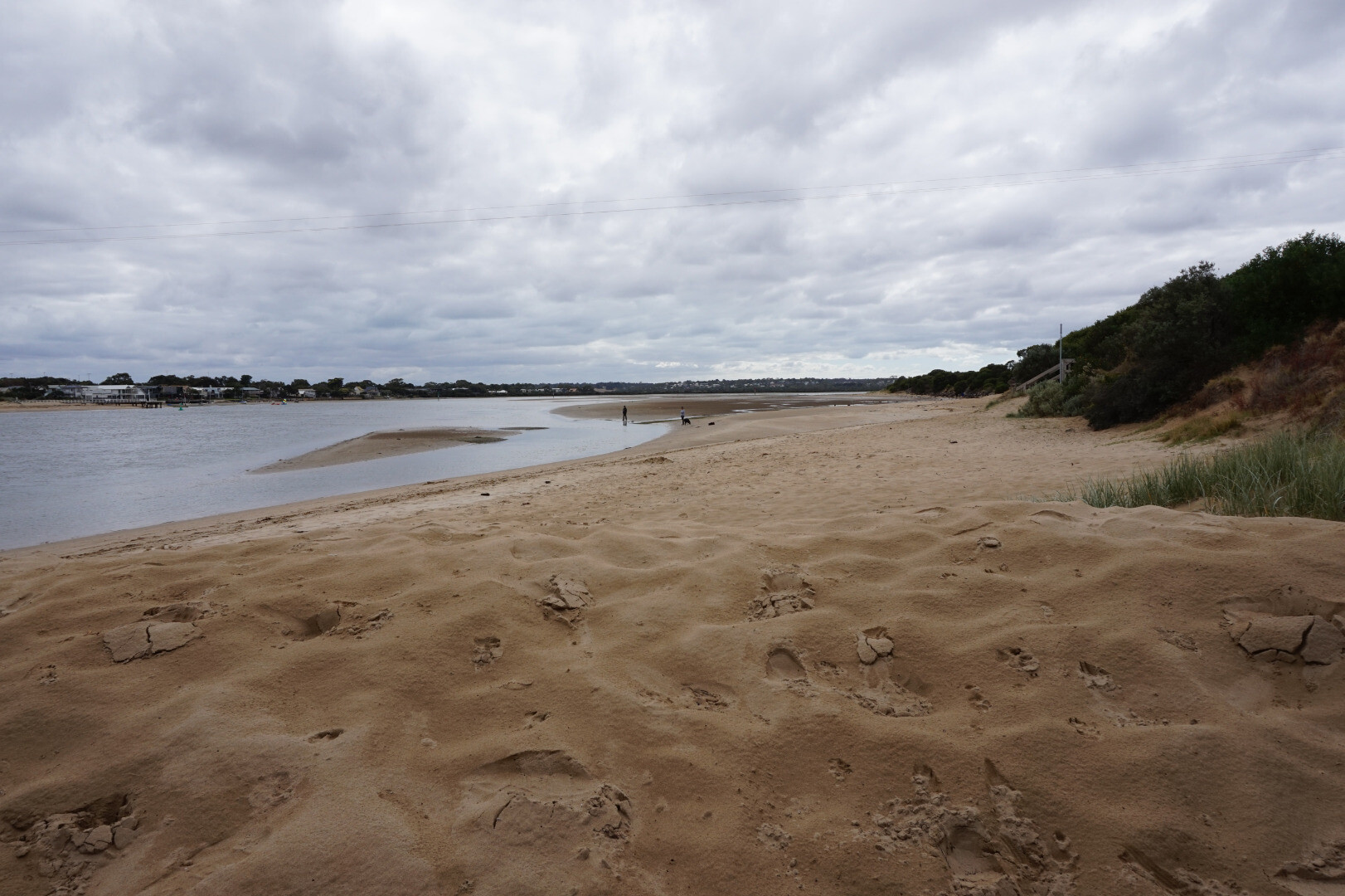
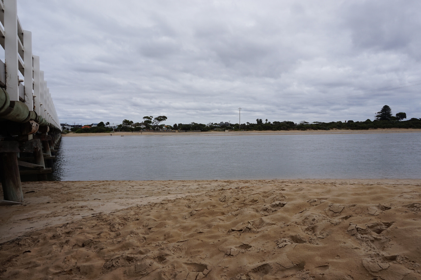
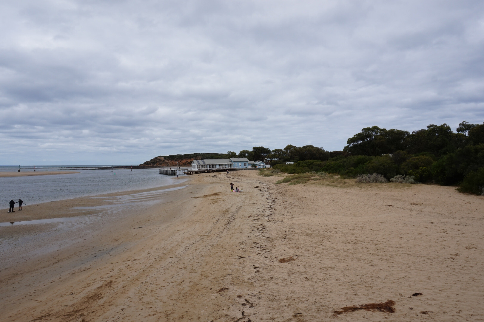
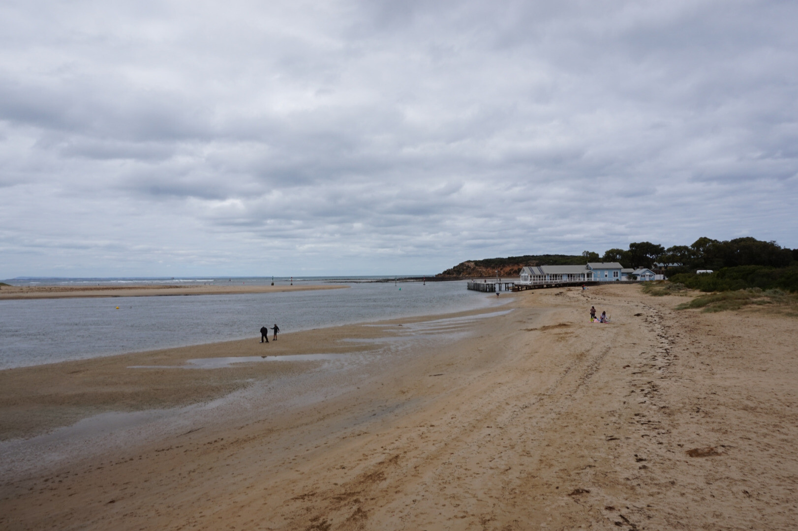
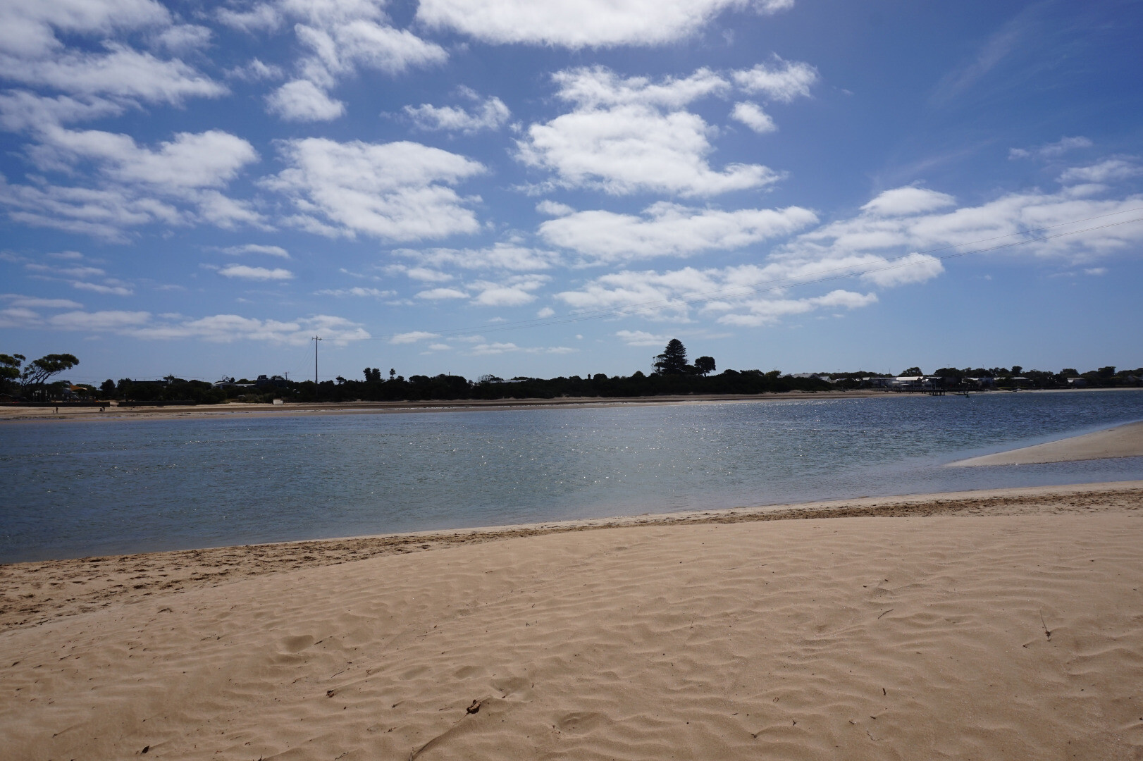
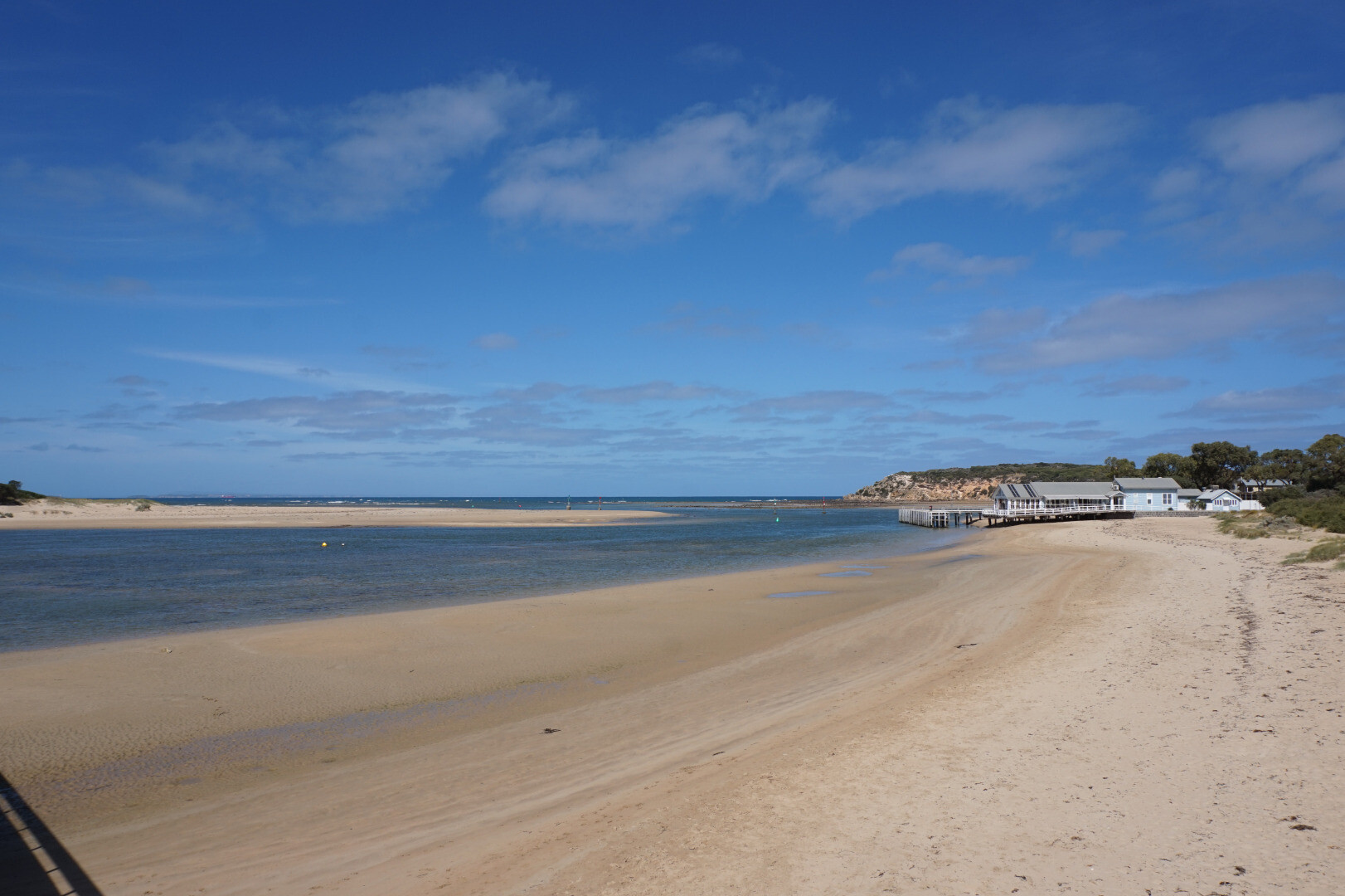
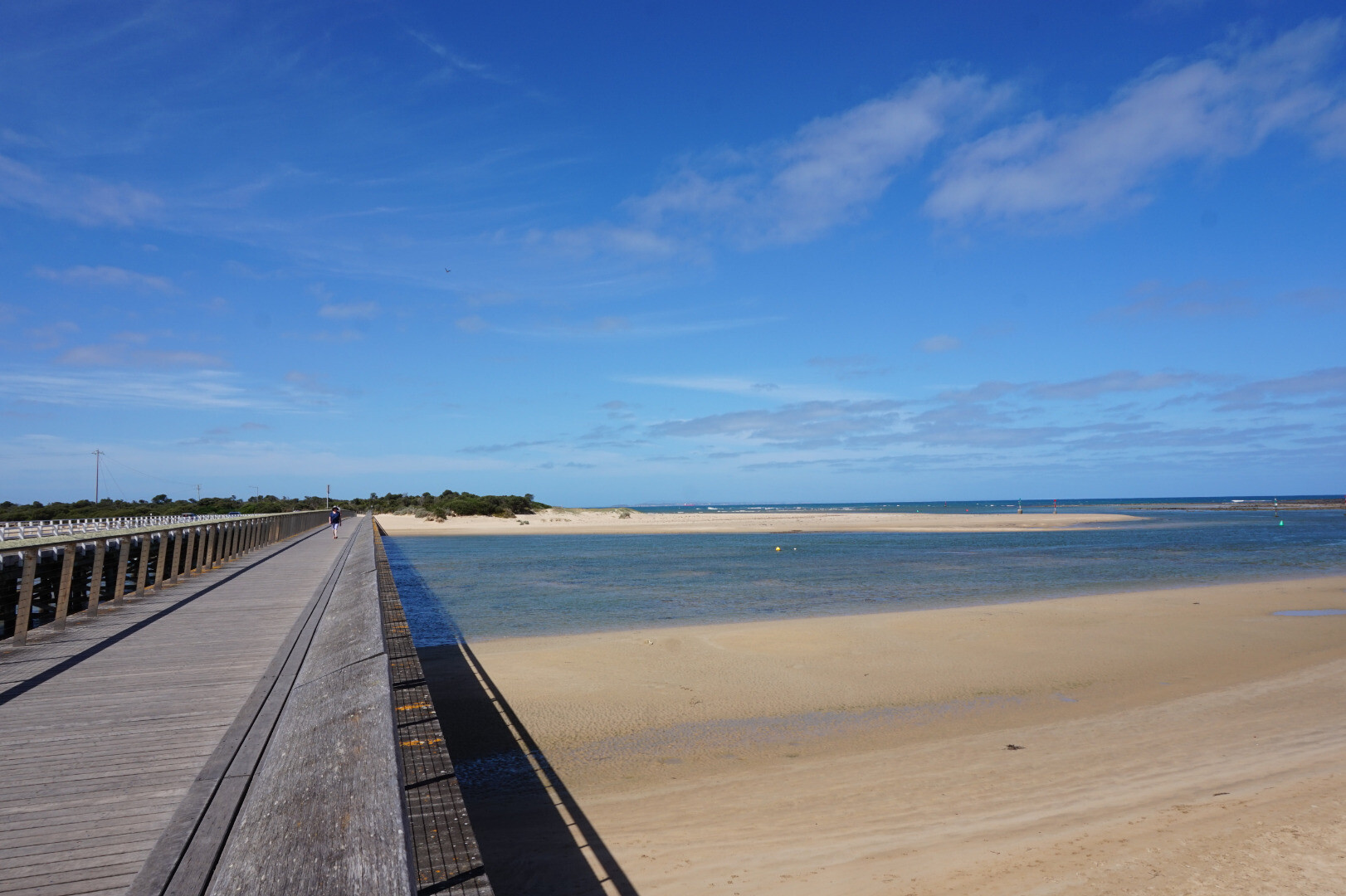
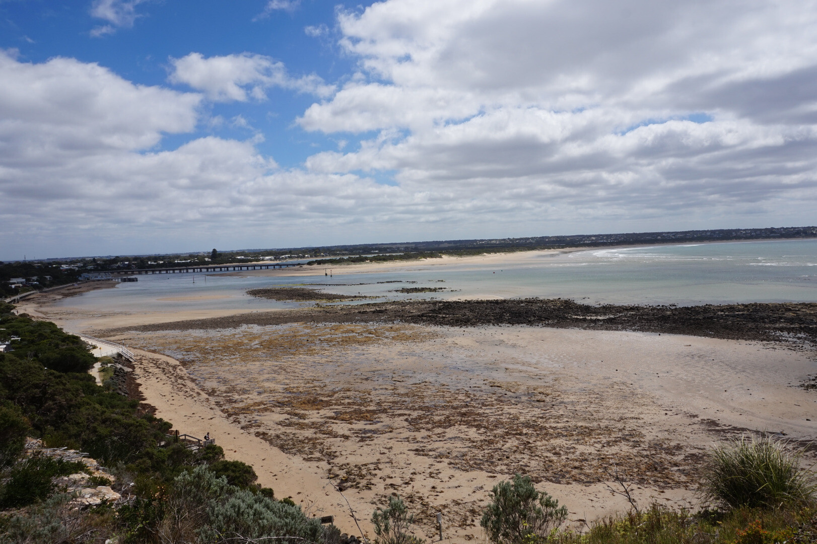
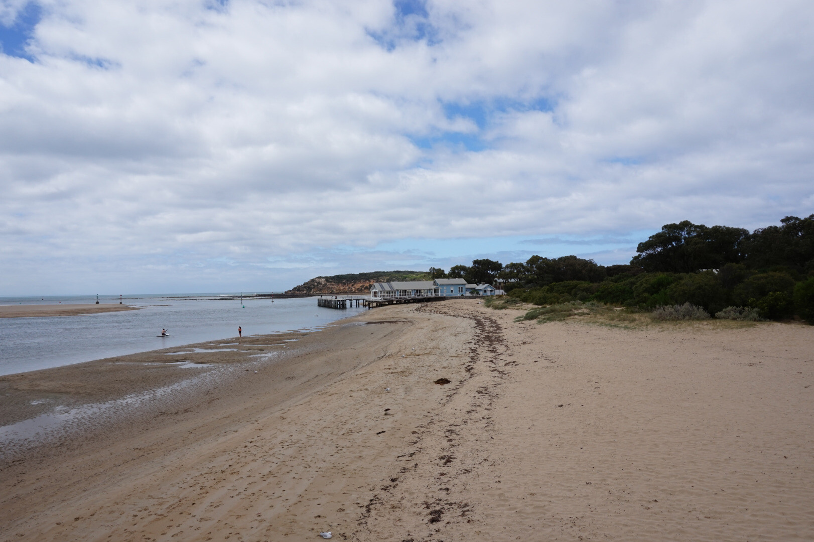
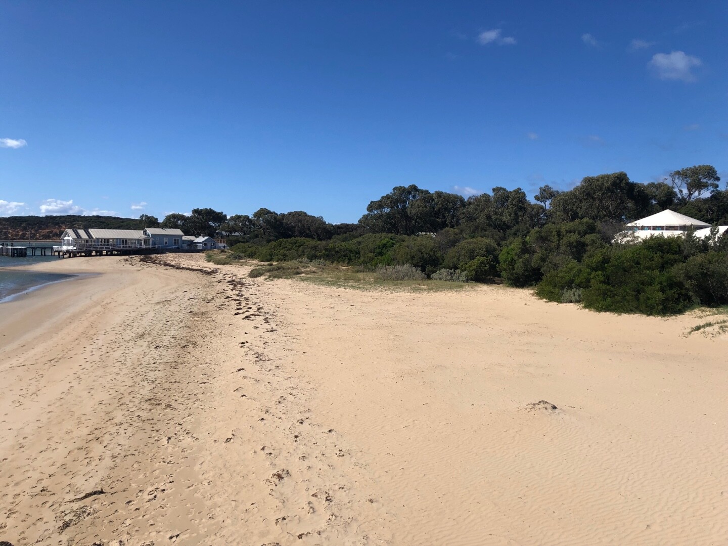
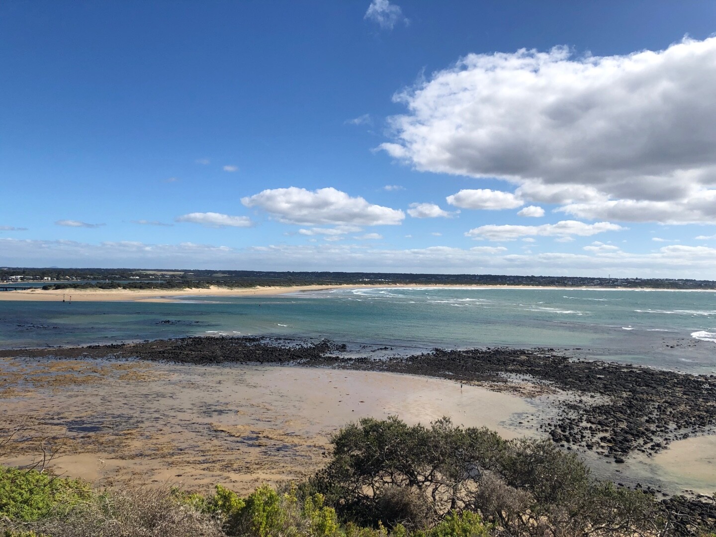
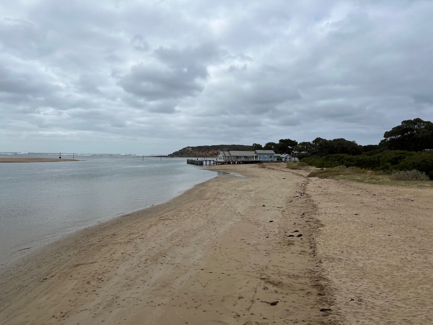
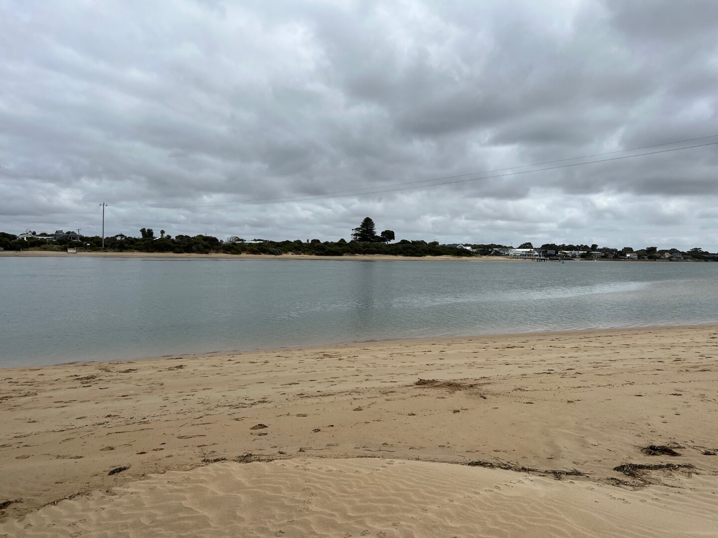
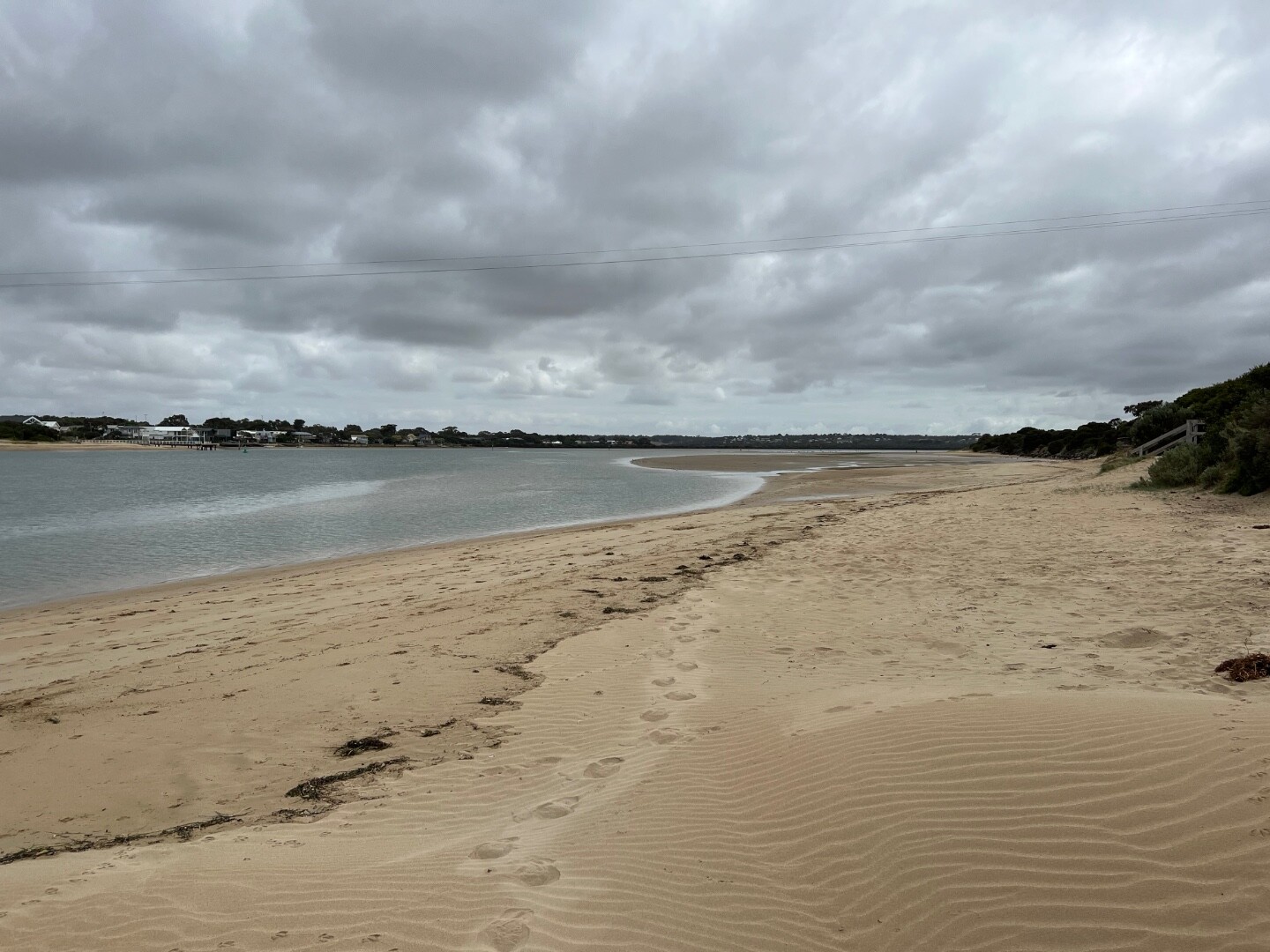
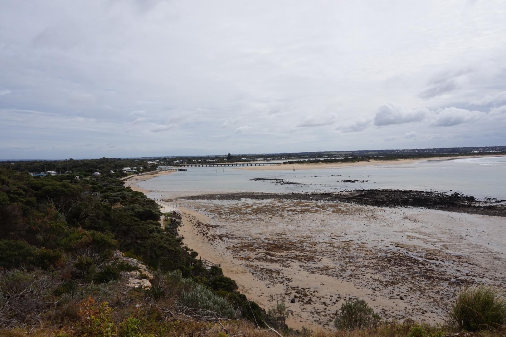
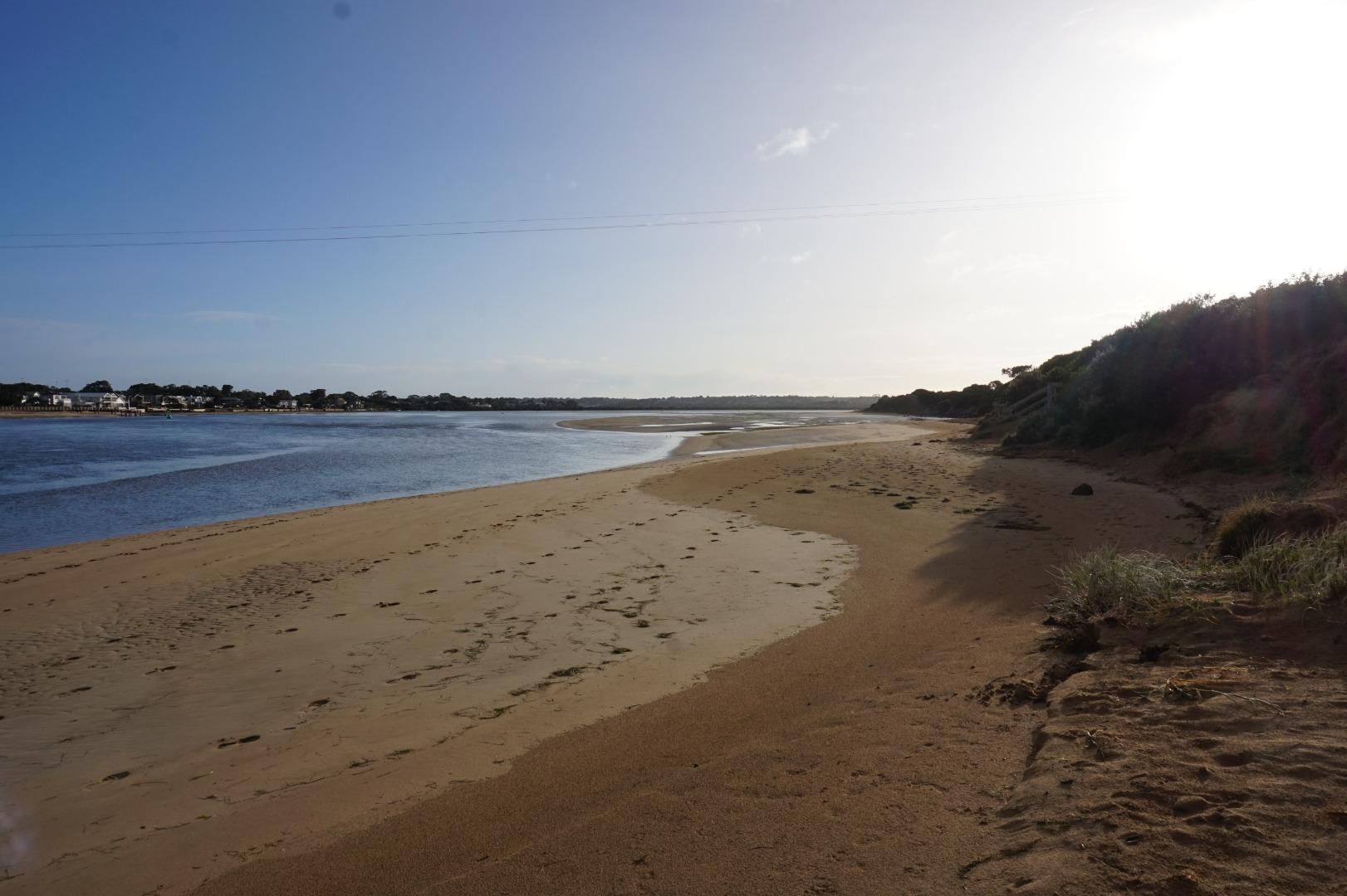
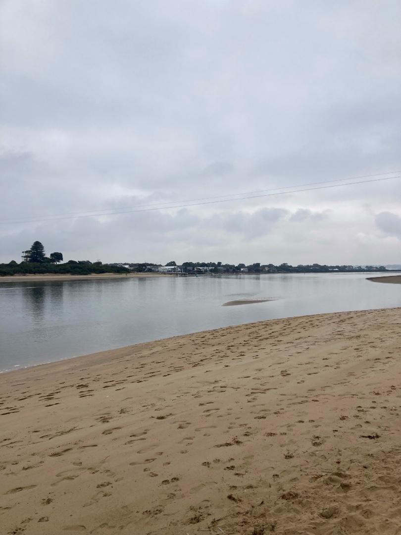
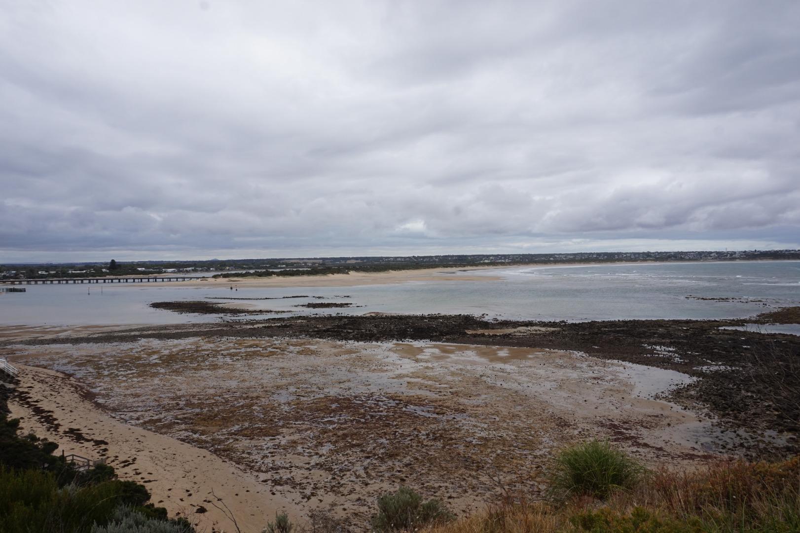
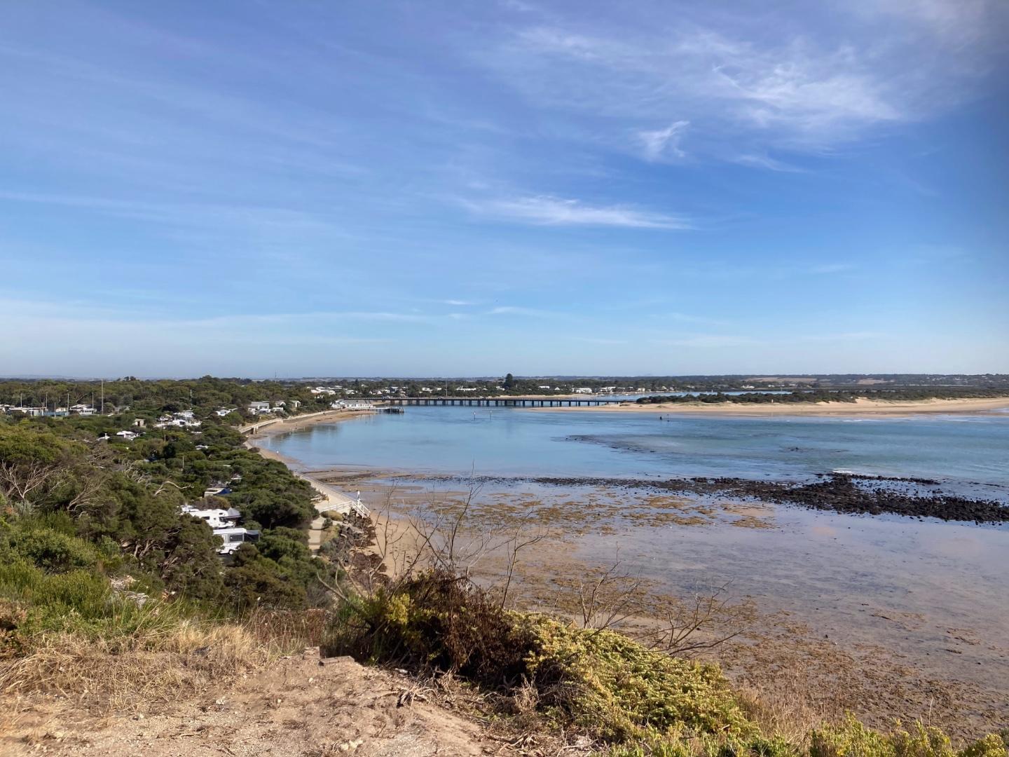
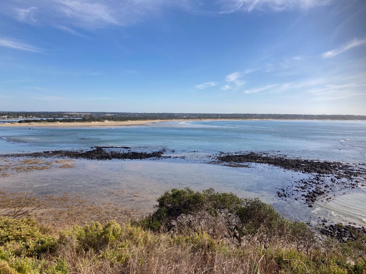
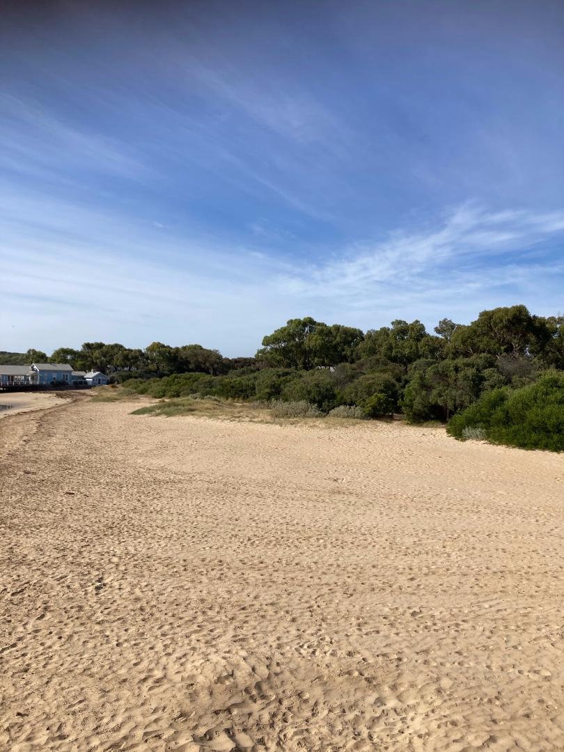
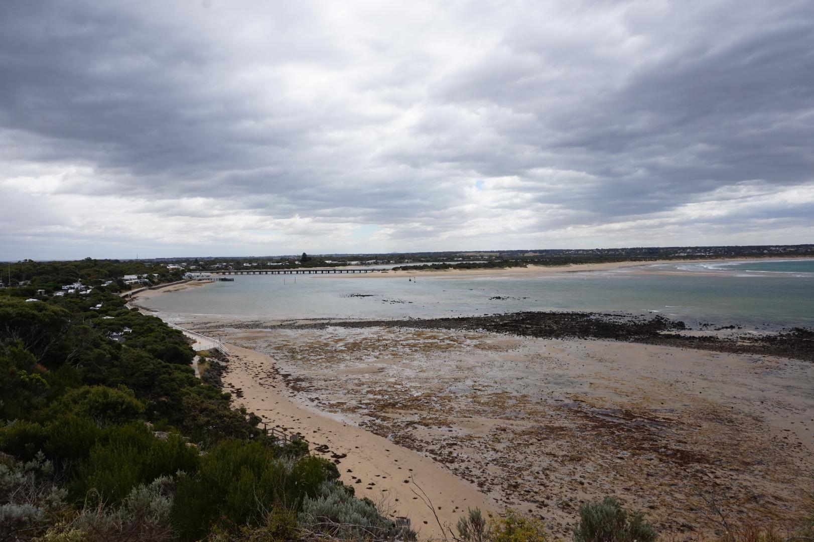
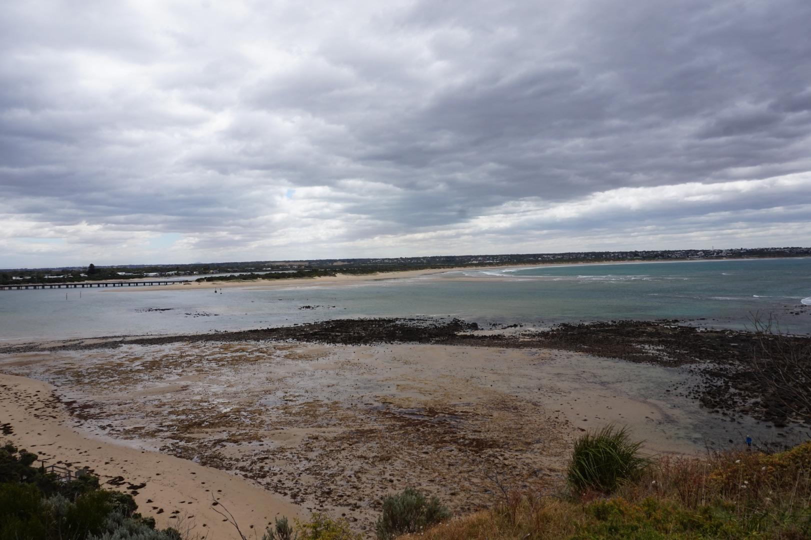
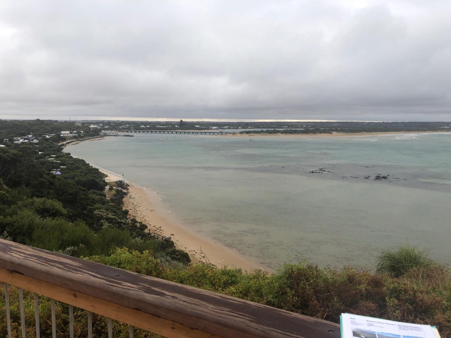
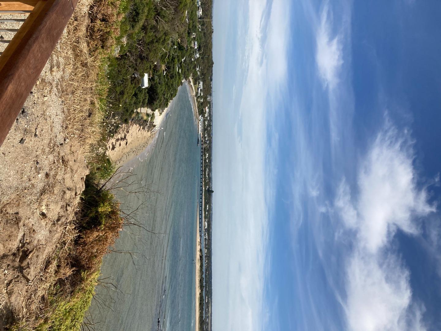
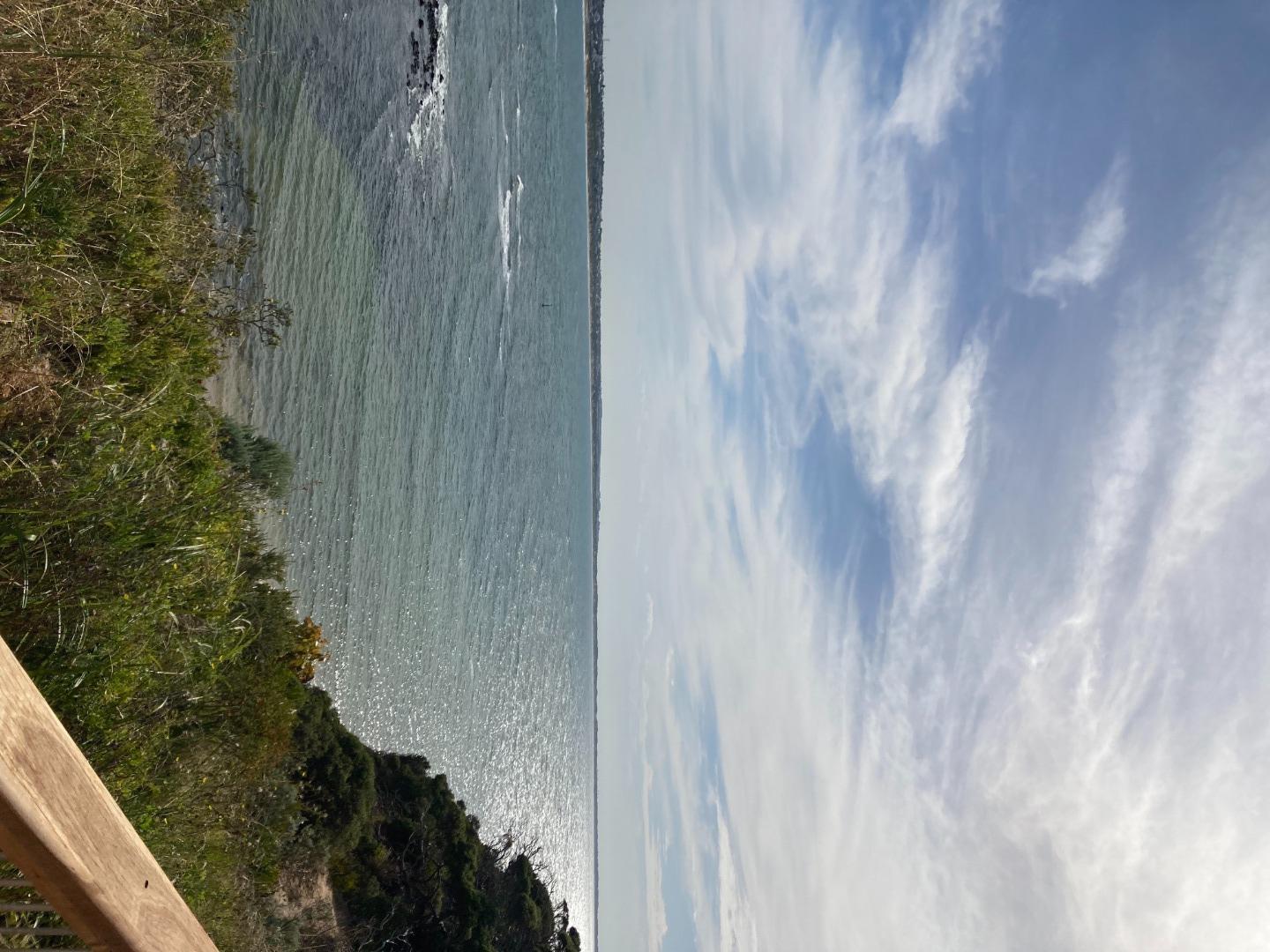
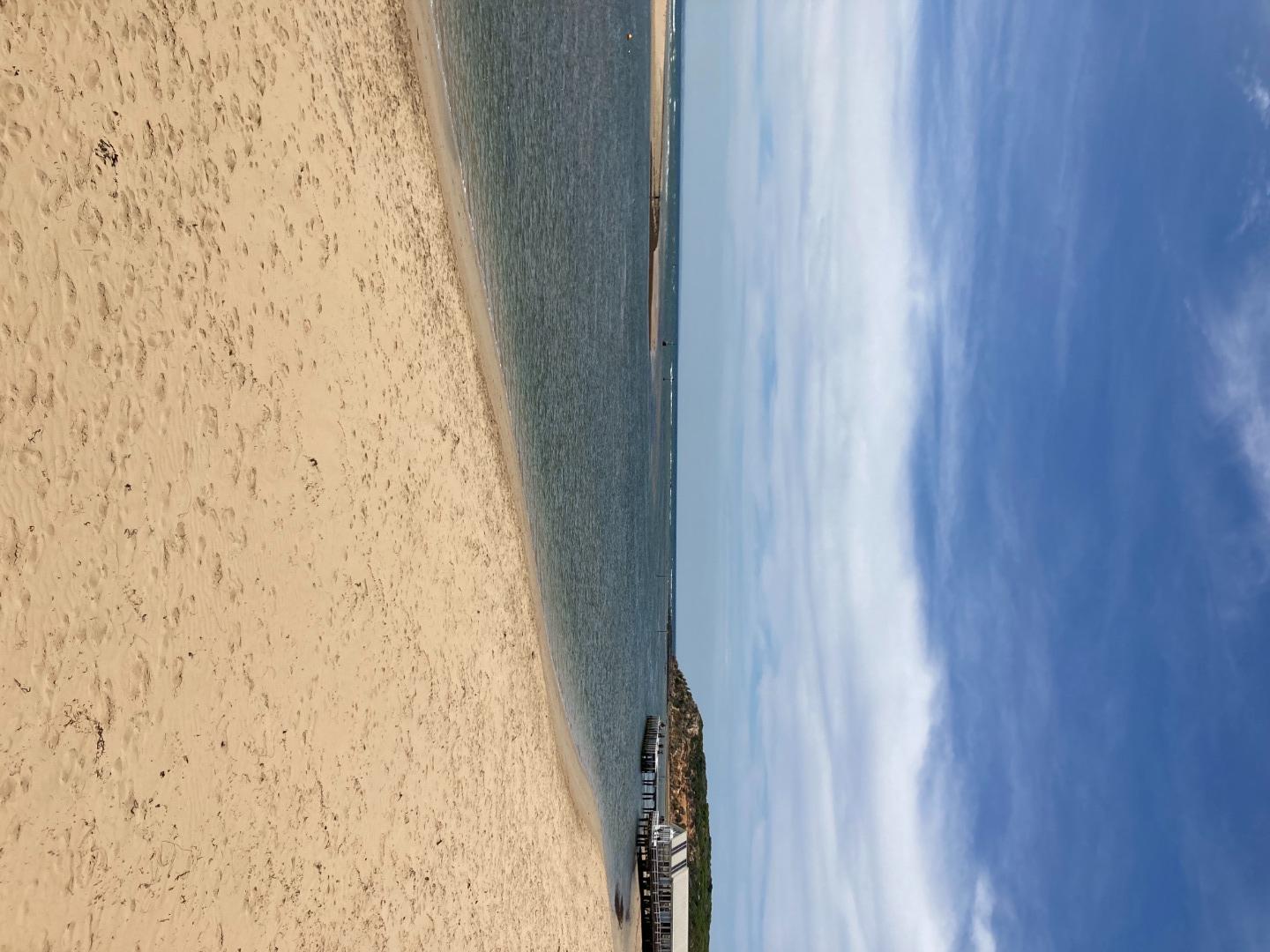
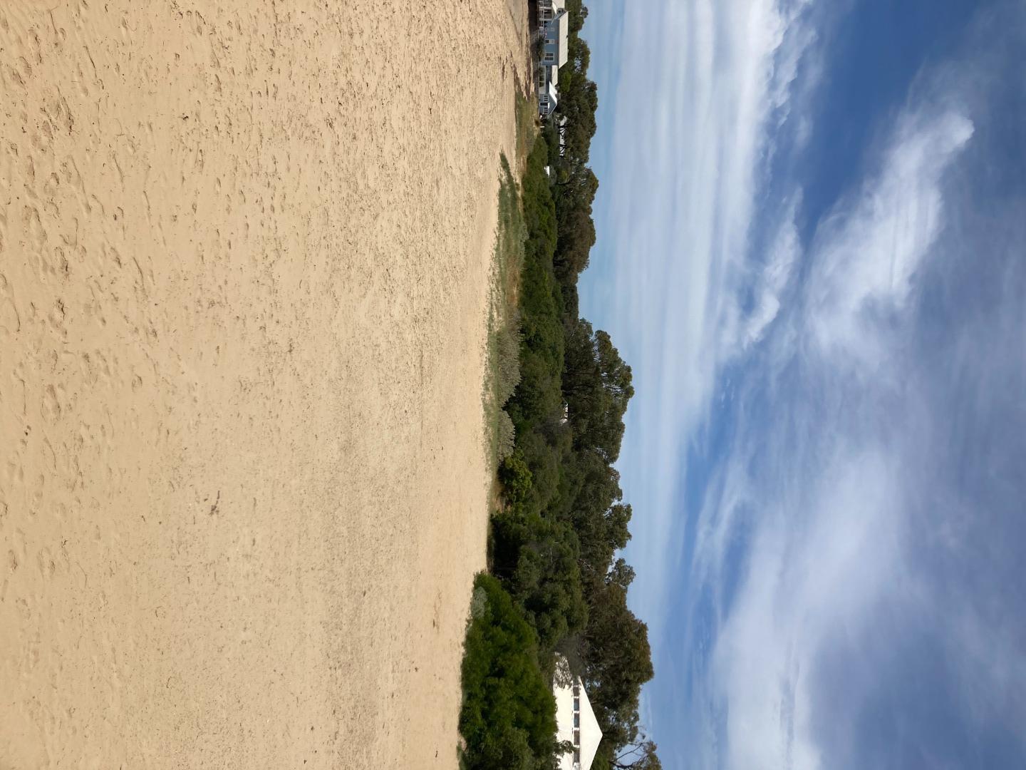
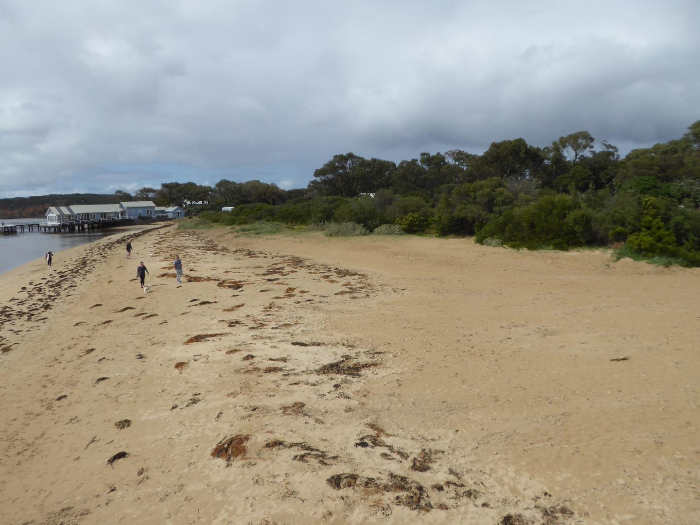
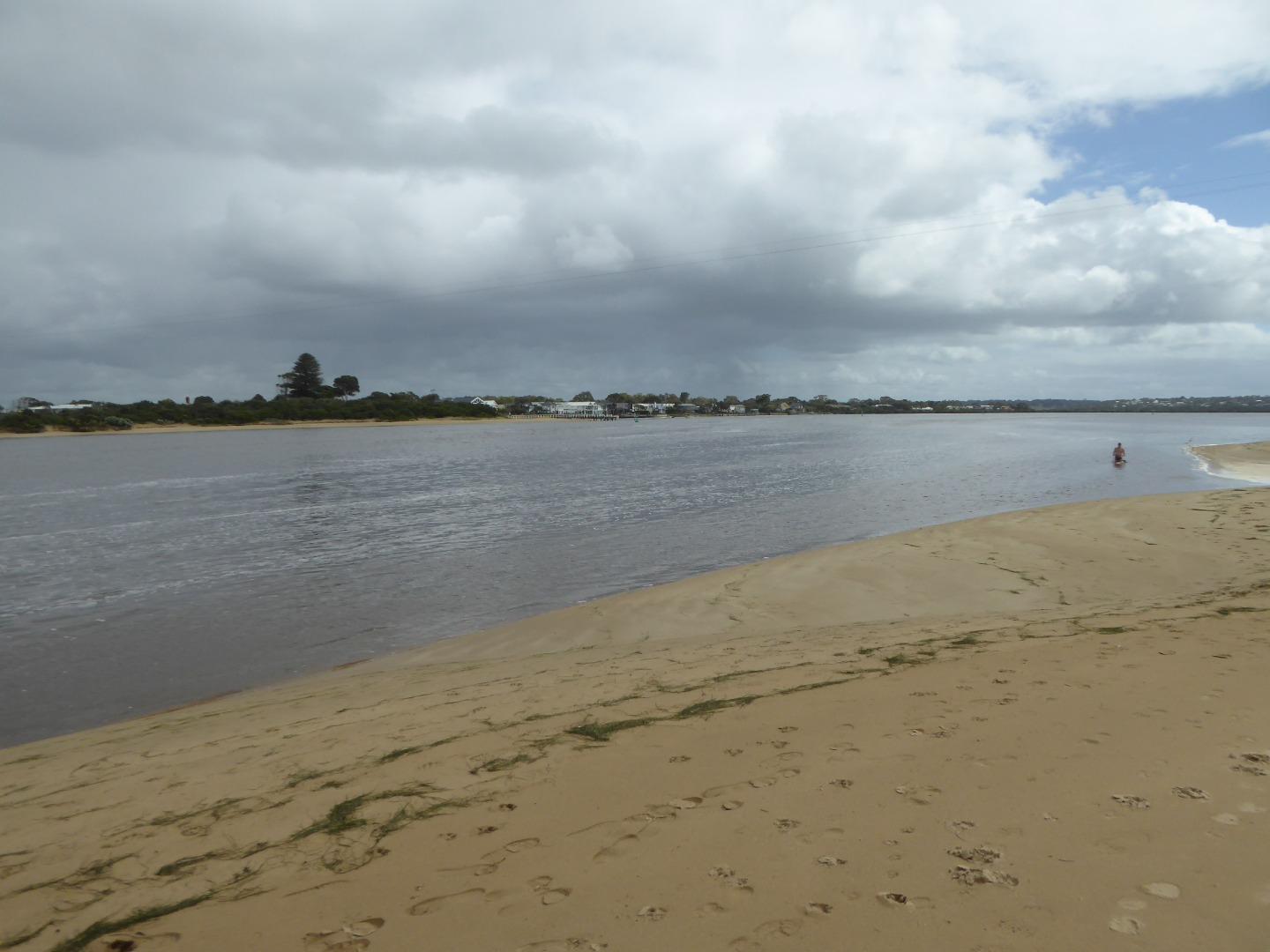
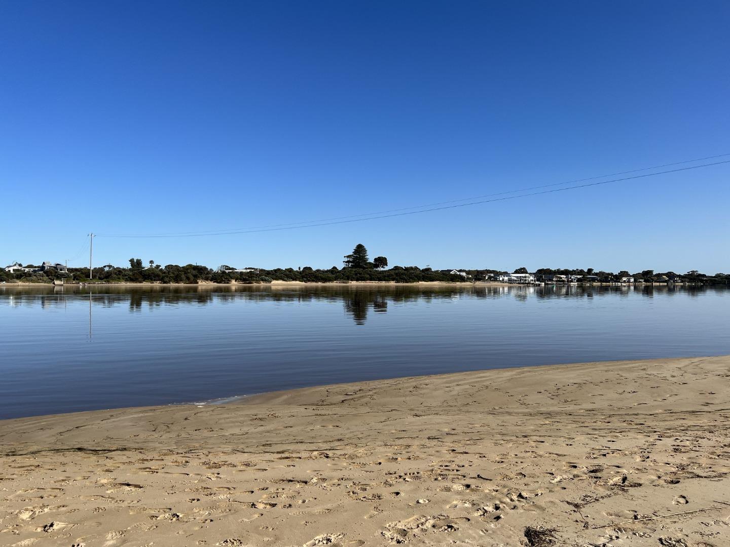
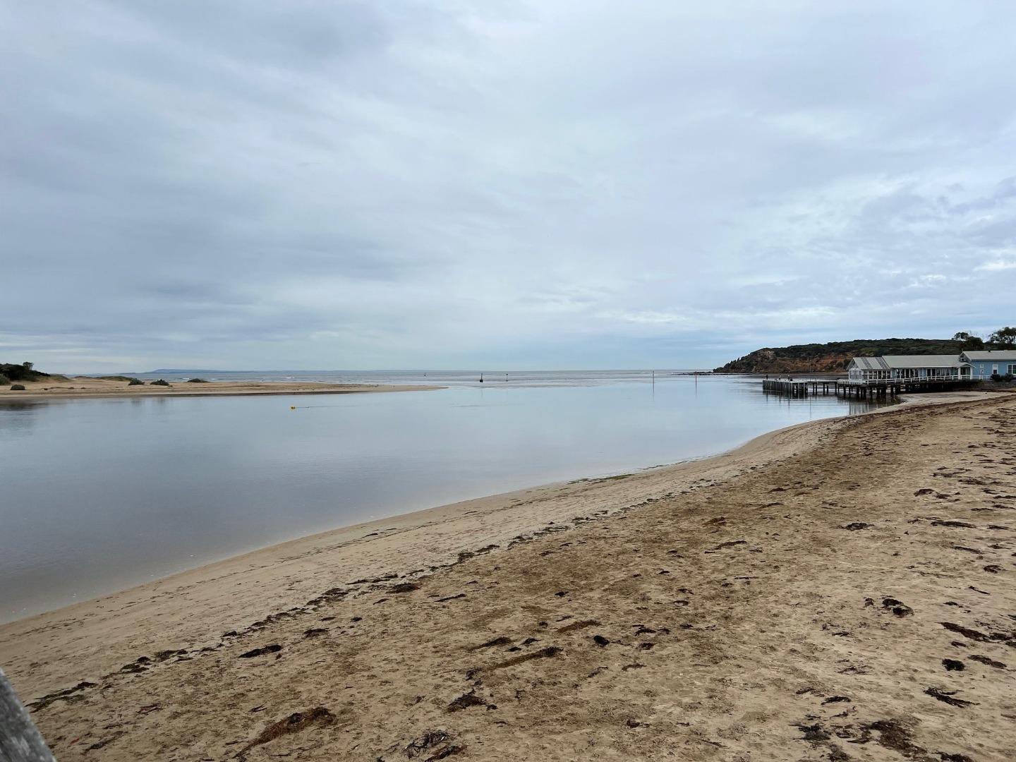
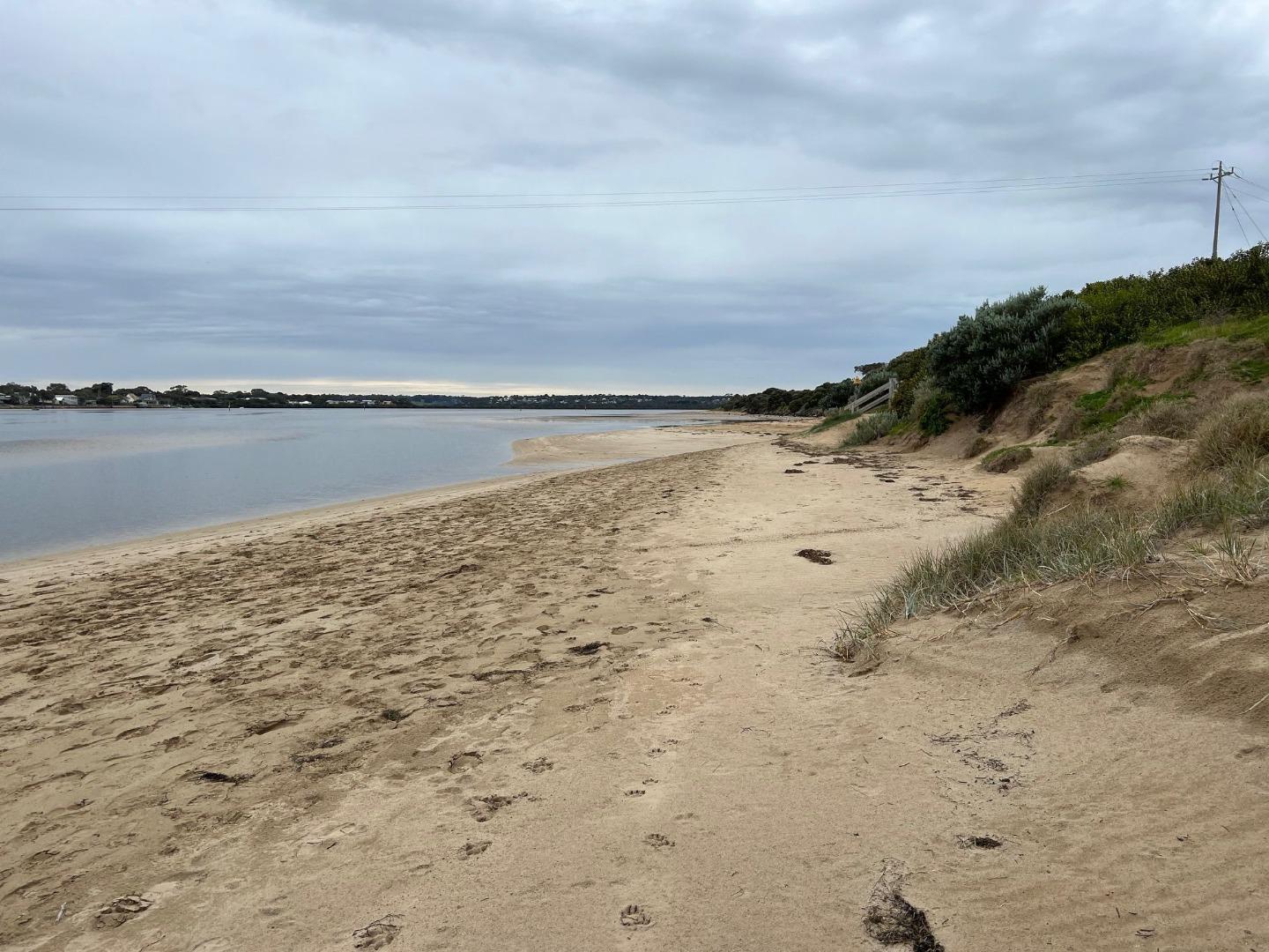
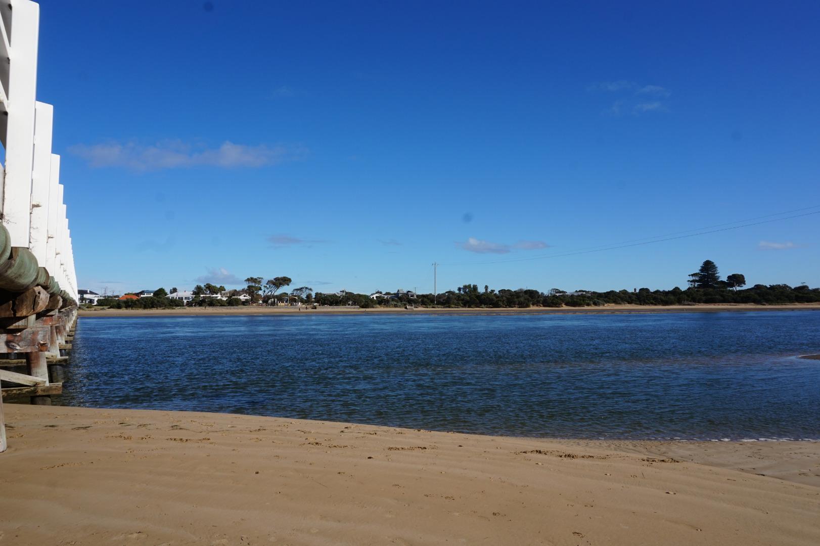
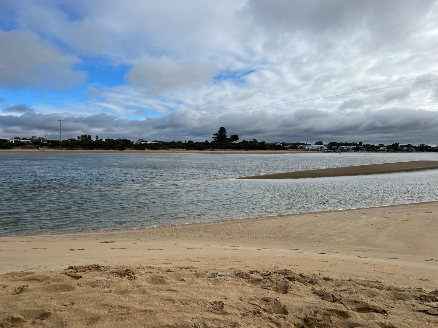
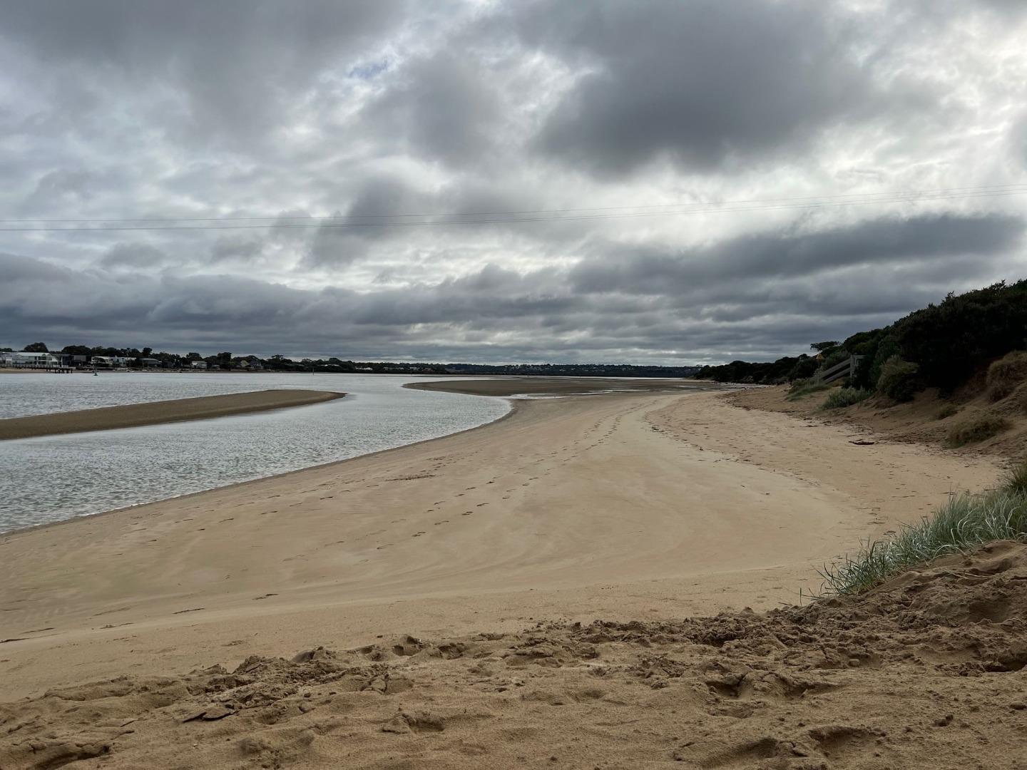
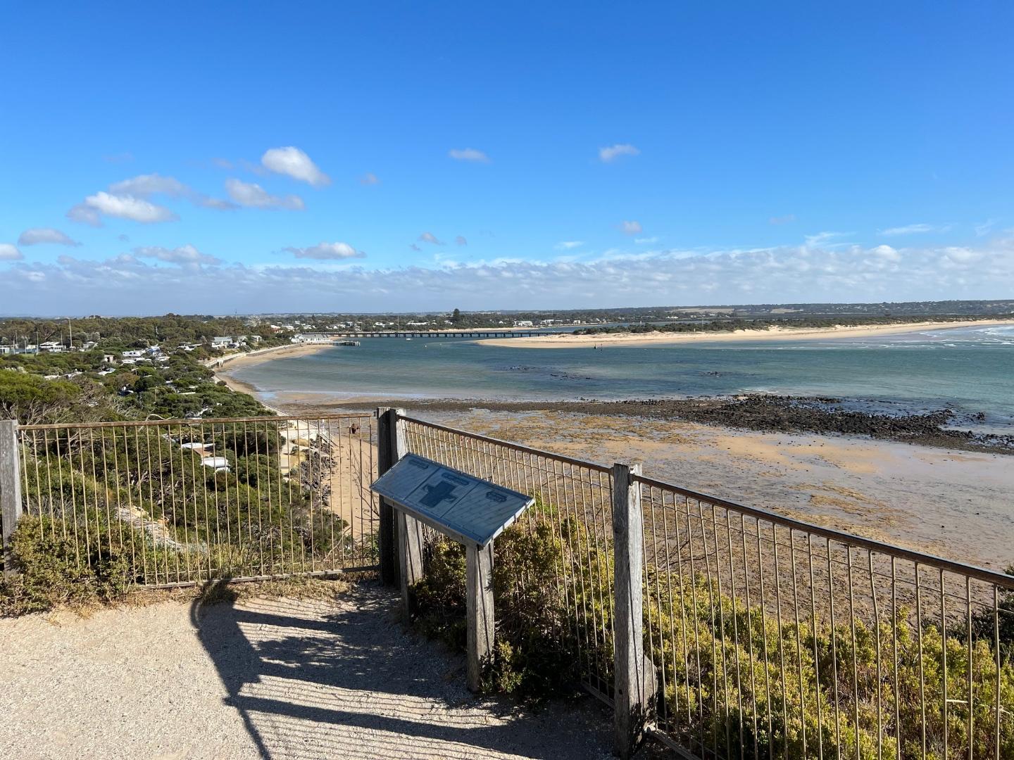
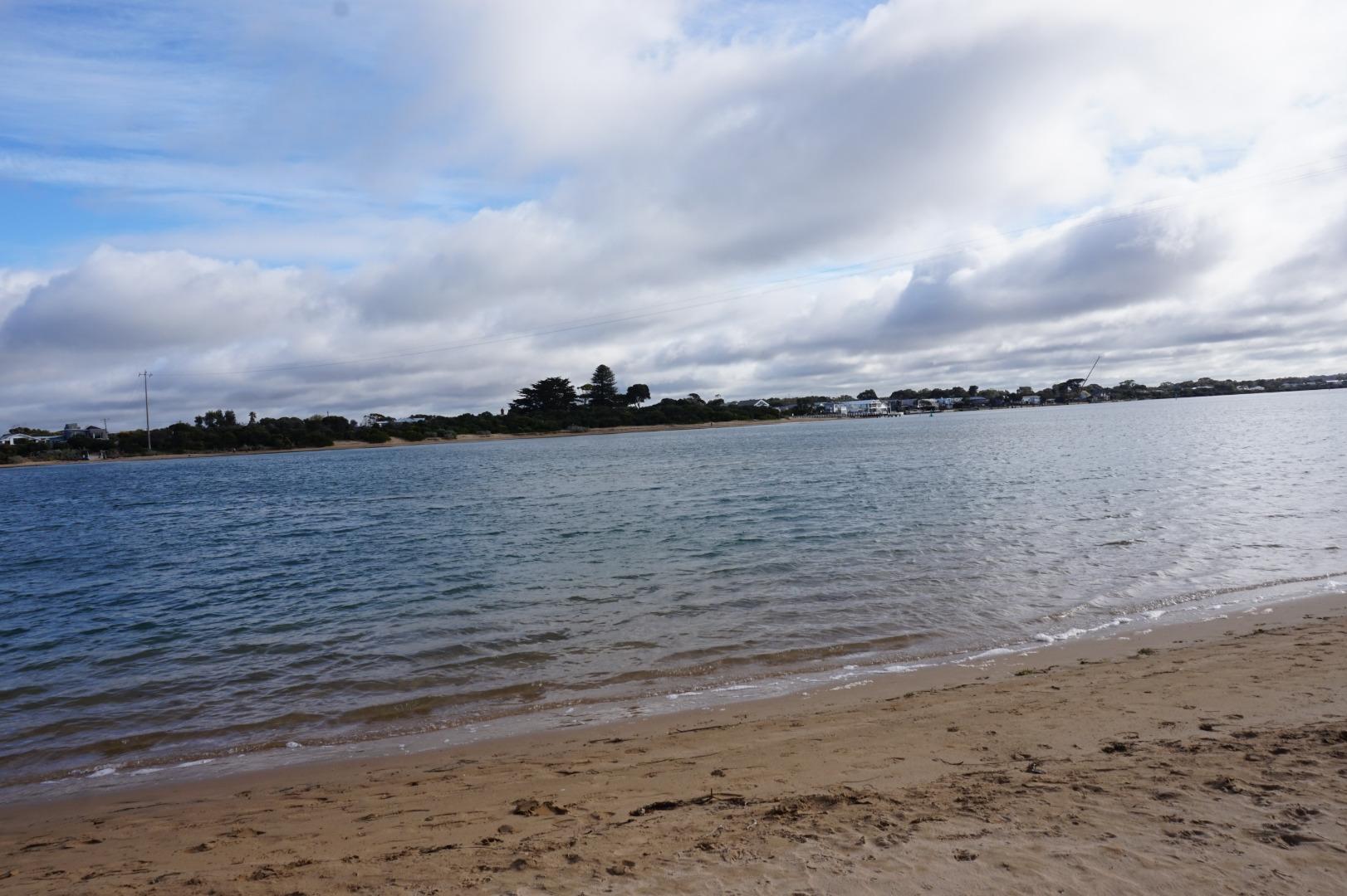
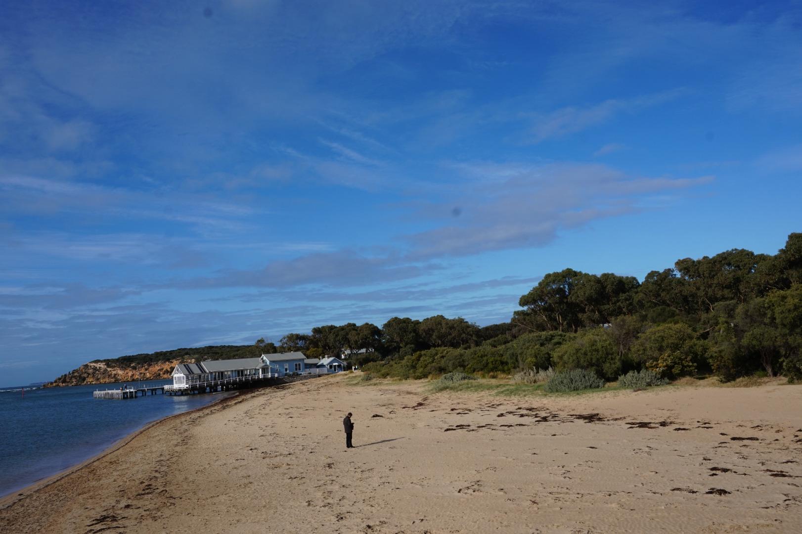
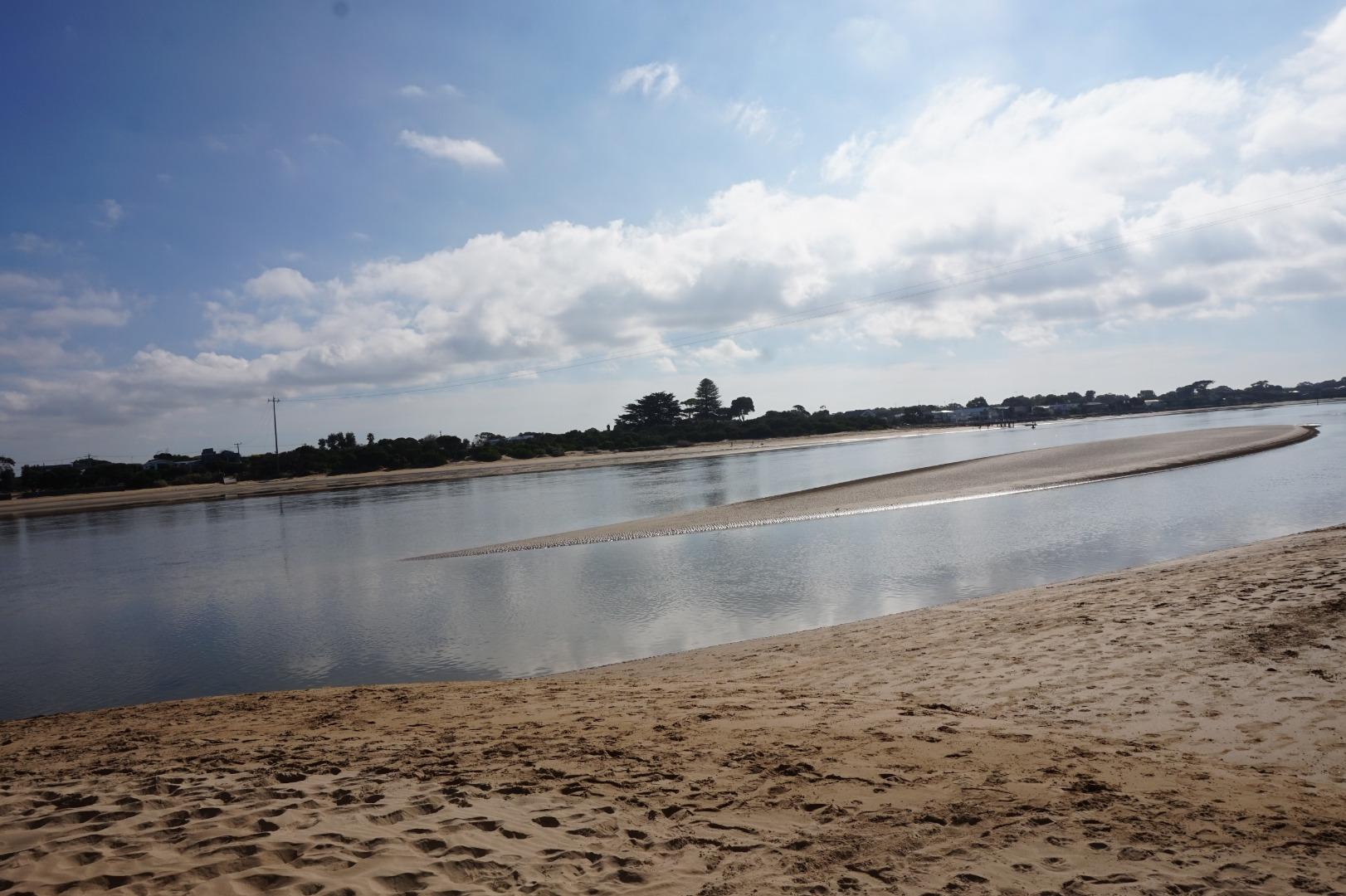
The Barwon River Estuary is the largest in the region at approximately 19km in length and with a catchment area of 17,310Ha and extends from the internationally significant wetland at Lake Connewarre to the sea at Barwon Heads. The Barwon Estuary supports the westernmost occurrence of the White Mangrove in Victoria.
Map
Estuary Values
- drought refuge for one or more significant fish species
- the Barwon estuary forms part of the Port Phillip Bay (Western Shoreline) and Bellarine Peninsula Ramsar Site
- significant birds can be found on the Barwon River estuary such as the Australasian Bittern (Botaurus poiciloptilus) Status:Endangered (EPBC) and the Terek Sandpiper (Xenus cinereus) Status: Endangered (Adv List)
- Mangrove Shrubland Ecological Vegetation Class (Vulnerable)
- a significant fish species found on the Barwon River estuary is the Australian Grayling.
- game hunting
- motor boating
- non motor boating
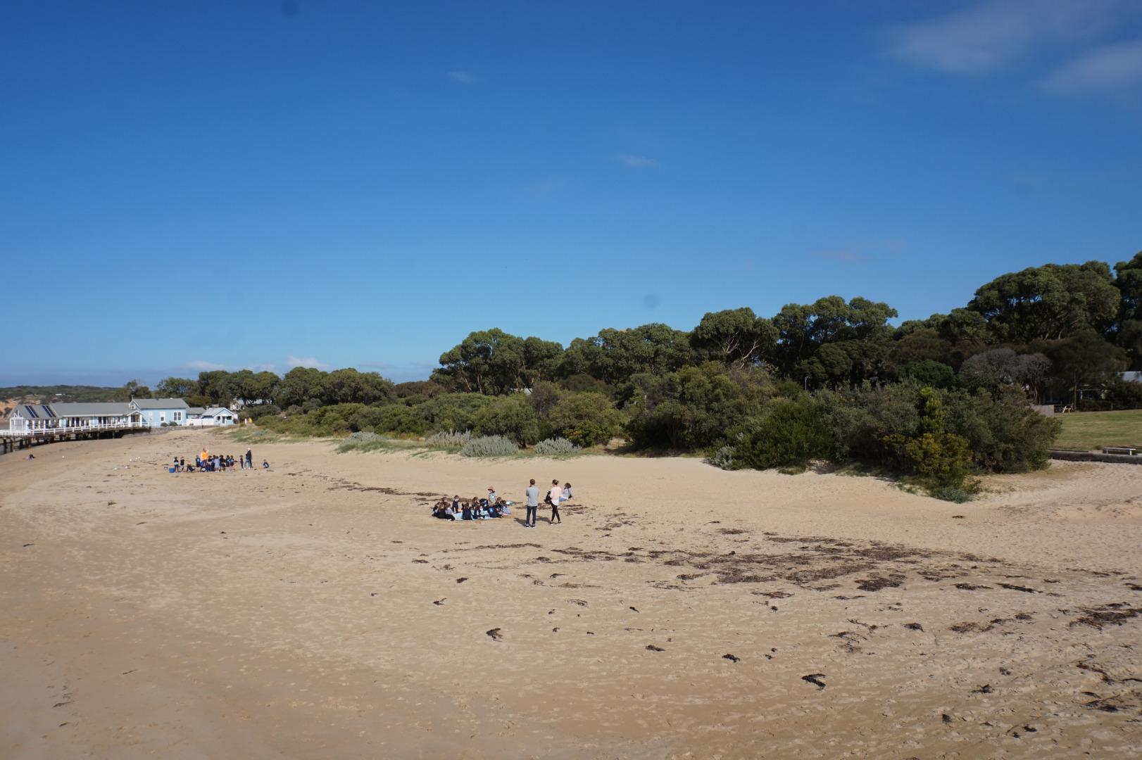
- picnics and barbecues
- recreational fishing
- sightseeing
- swimming
- walking tracks
Estuary Threats
- barriers to estuary biota
- degraded estuarine vegetation
- degraded water quality
- disturbance of Acid Sulphate Soils
- change in flow regime
- invasive terrestrial fauna
- reduced estuary extent
- reduced floodplain and wetland connectivity
Recent Events
Sites
B1 |
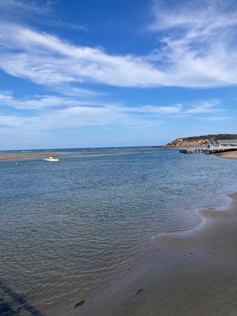
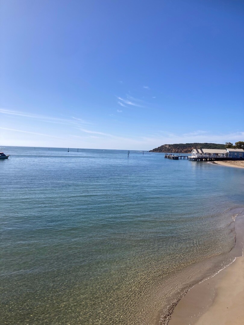
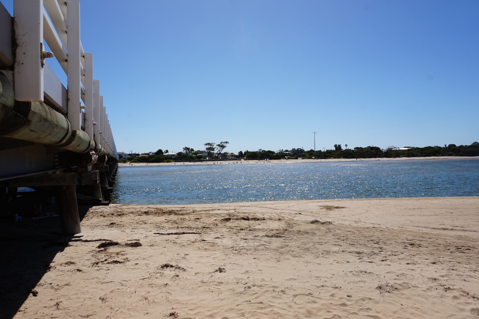
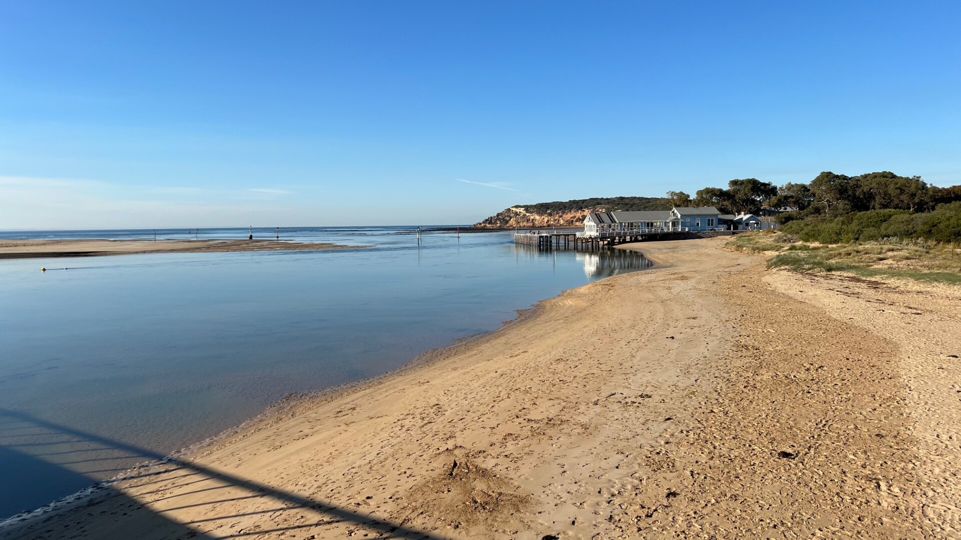
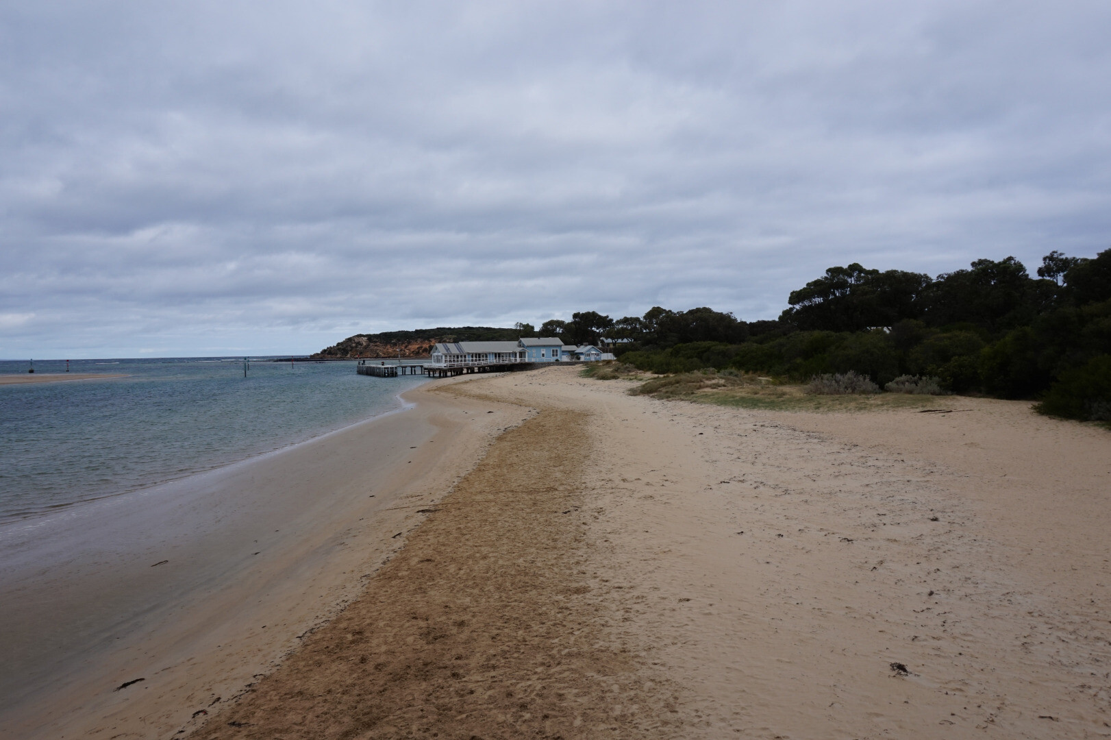
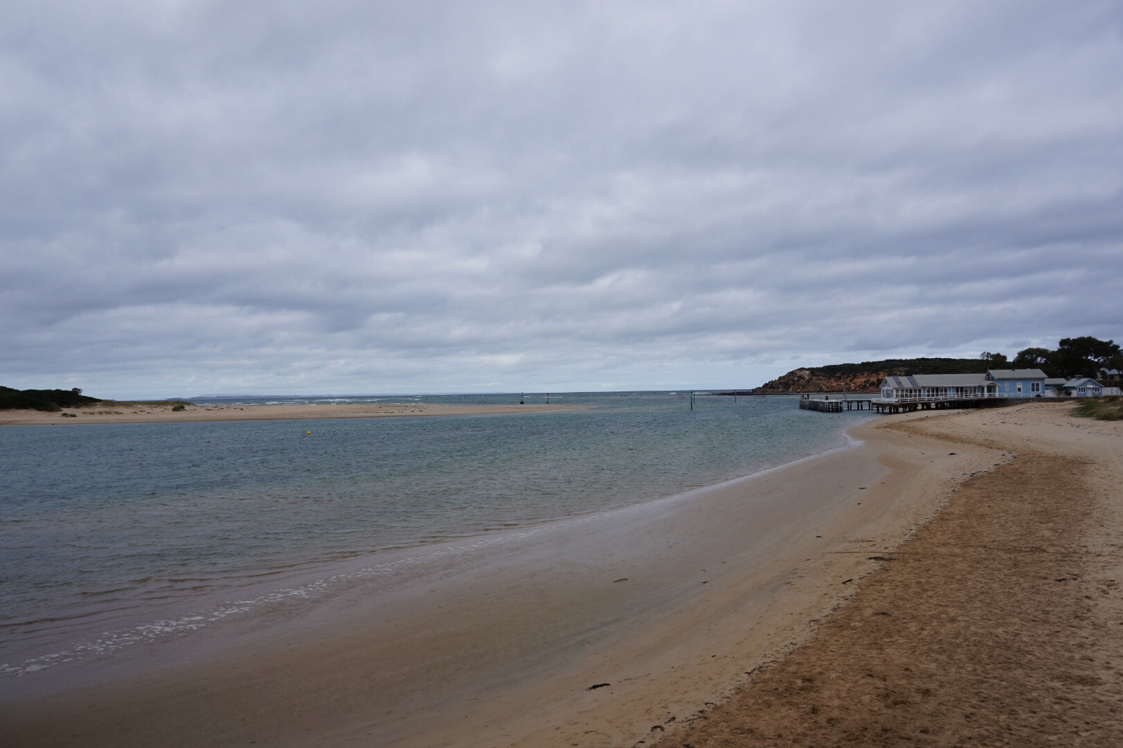
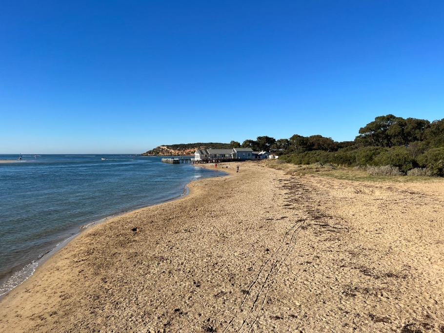
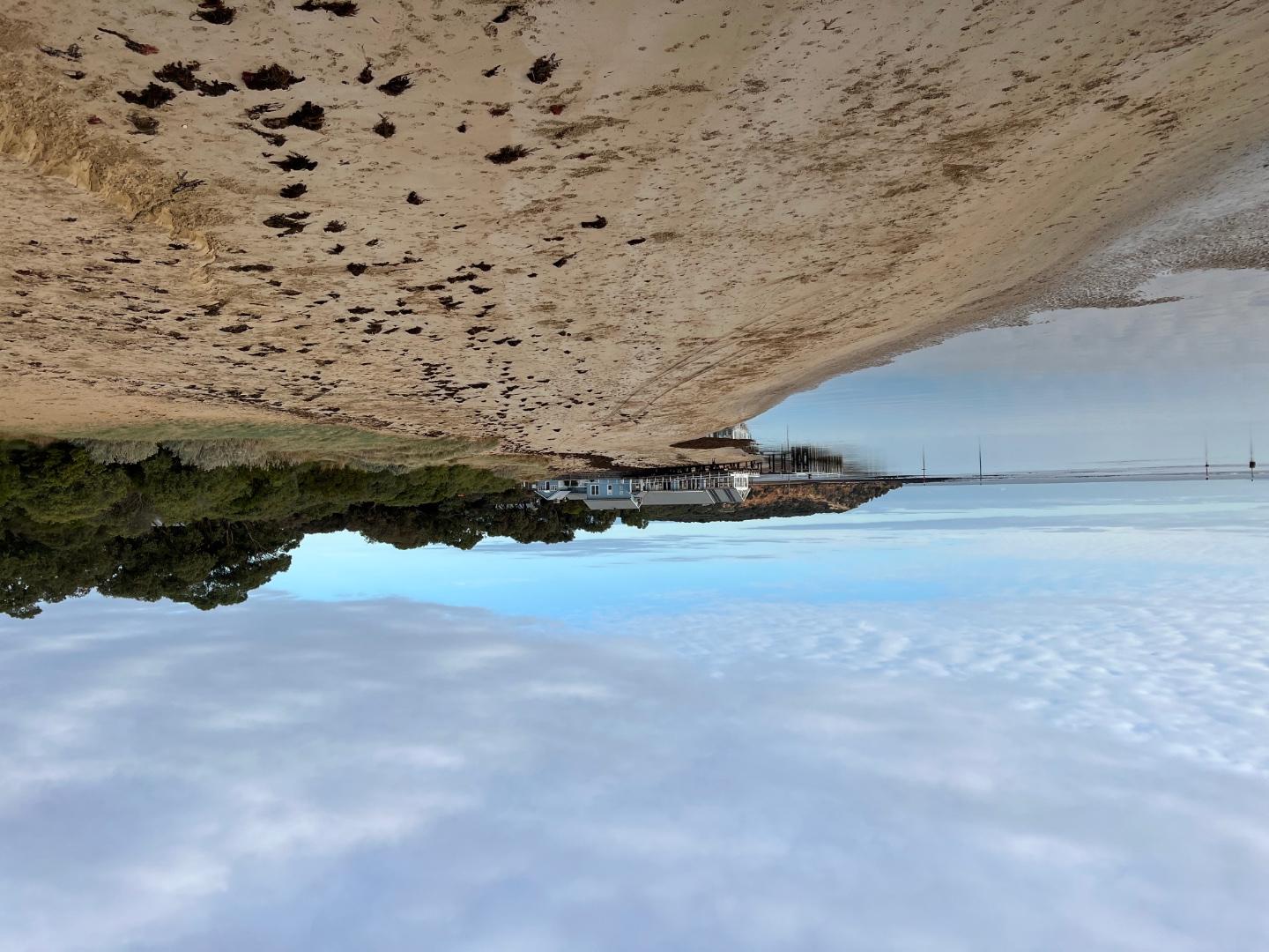
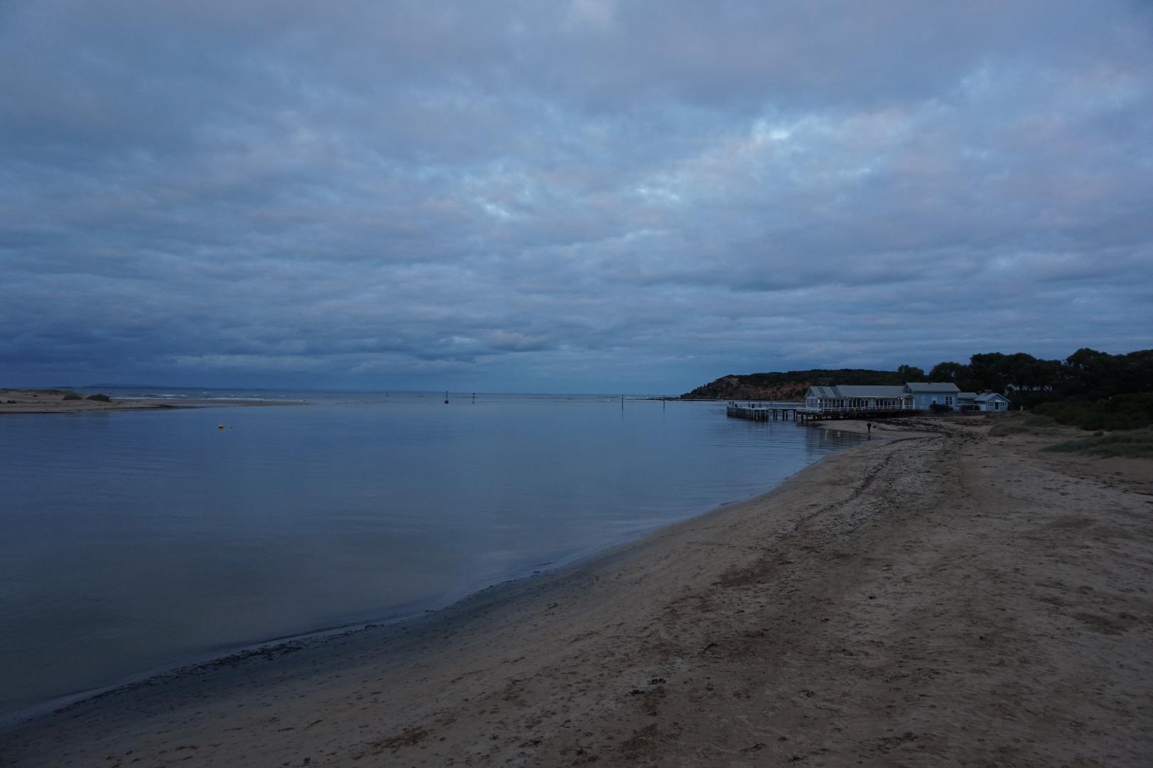
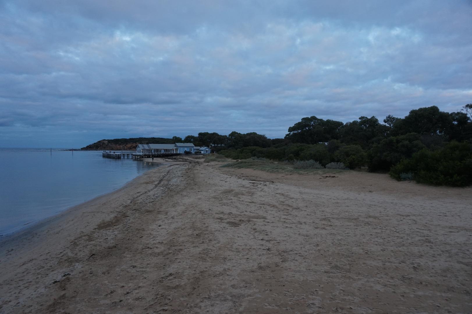
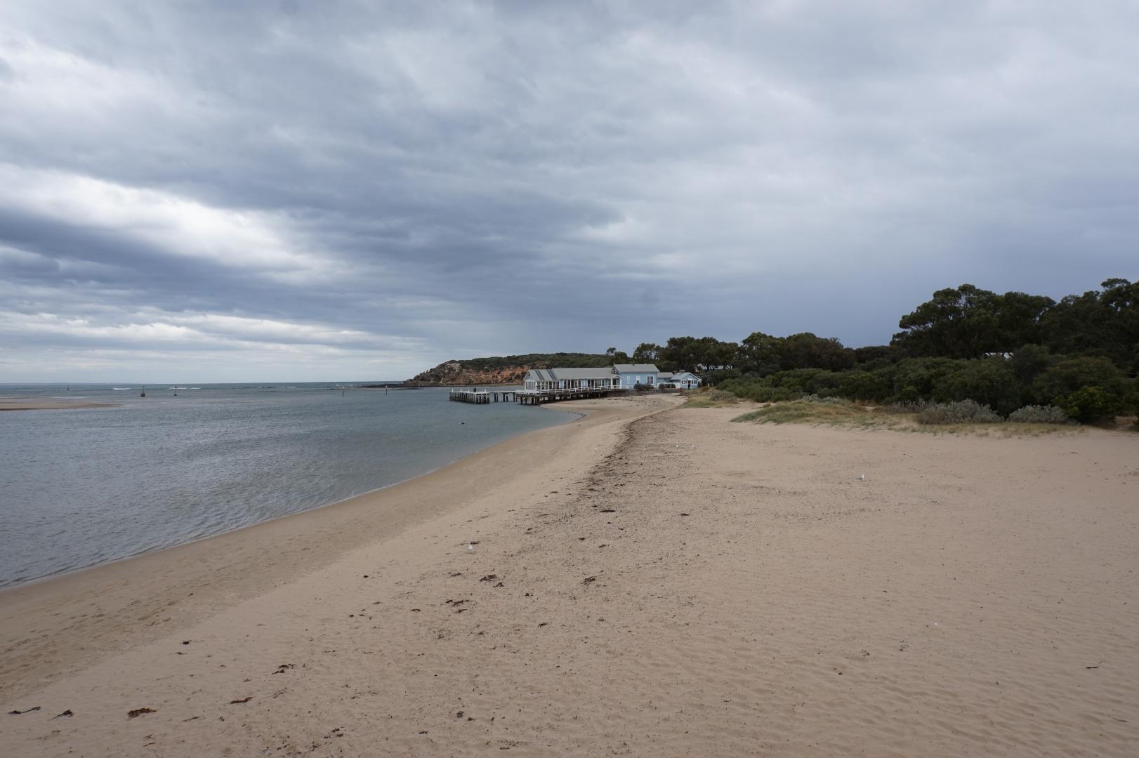
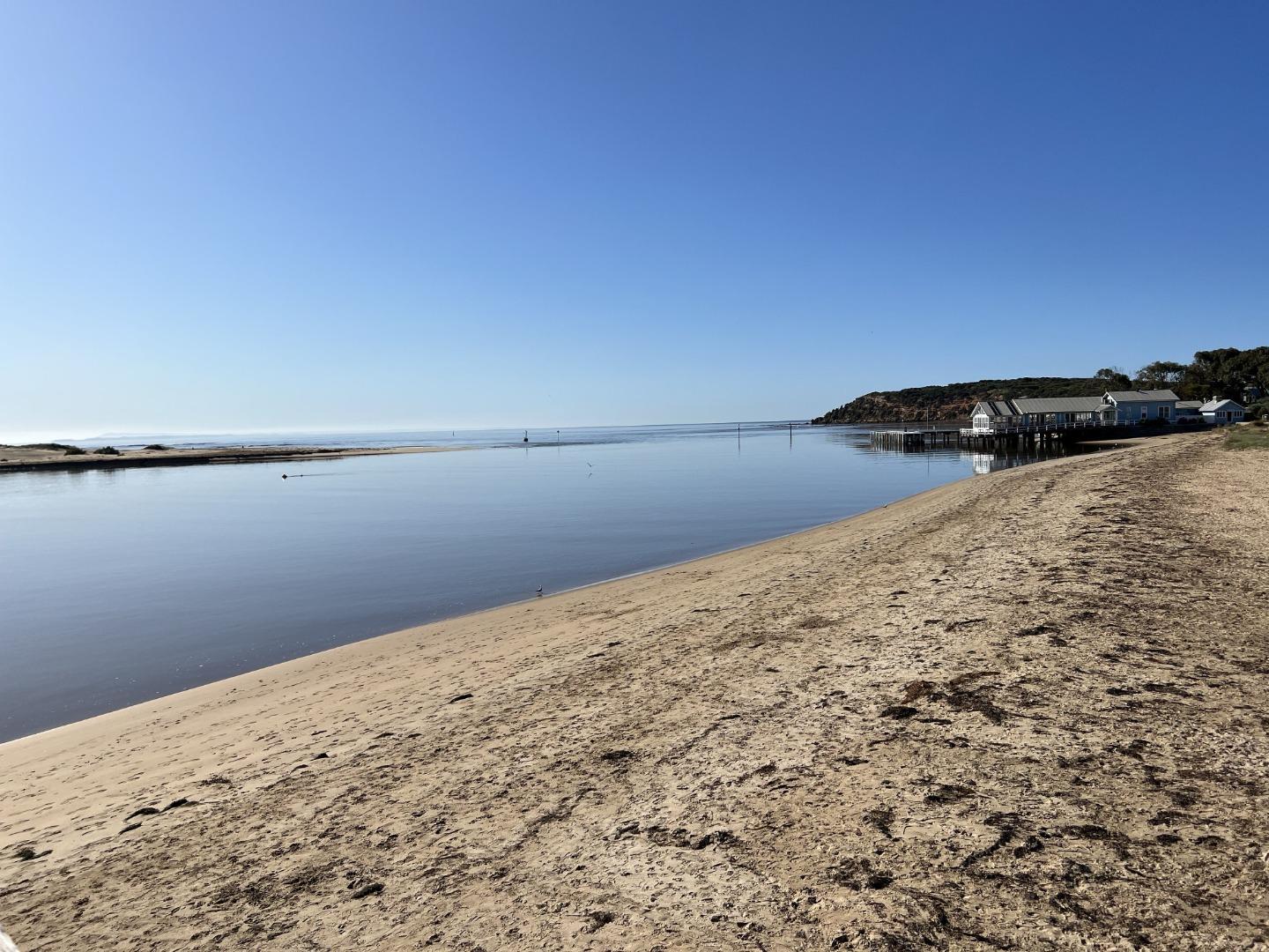
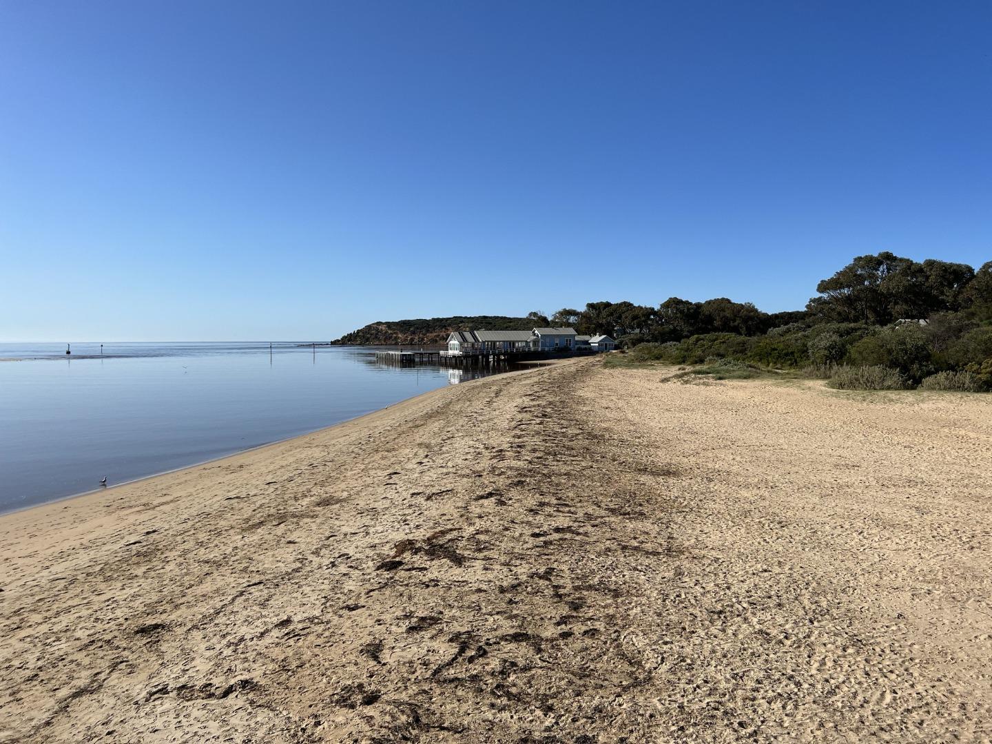
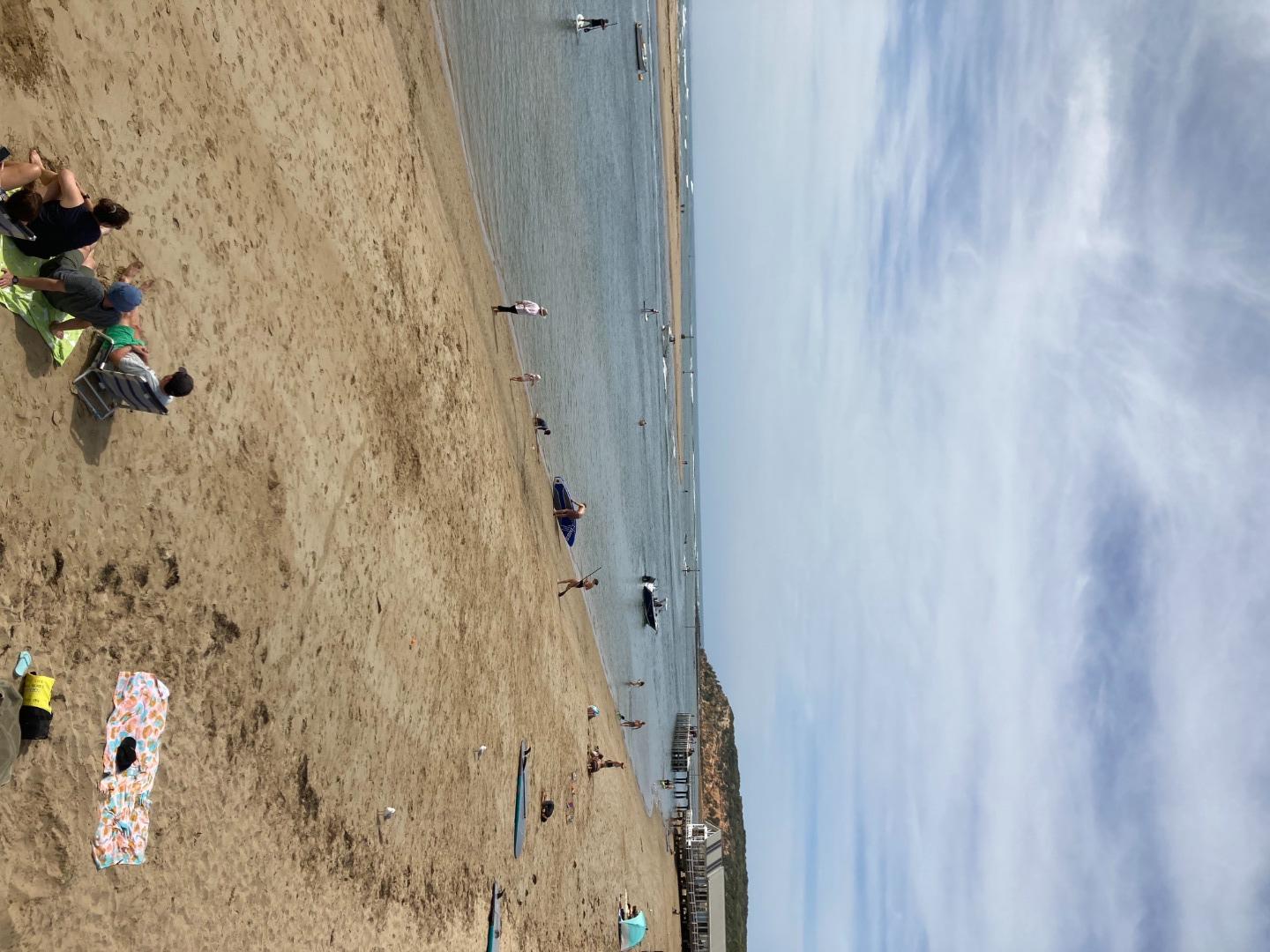
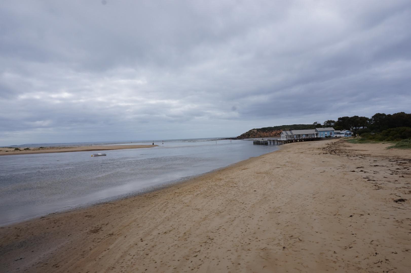
The HeadsActive Physico-Chemical 09-11-2007 - 17-06-2026Jetty adjacent to "At the Heads" restaurant Observations 269 |
B2 |
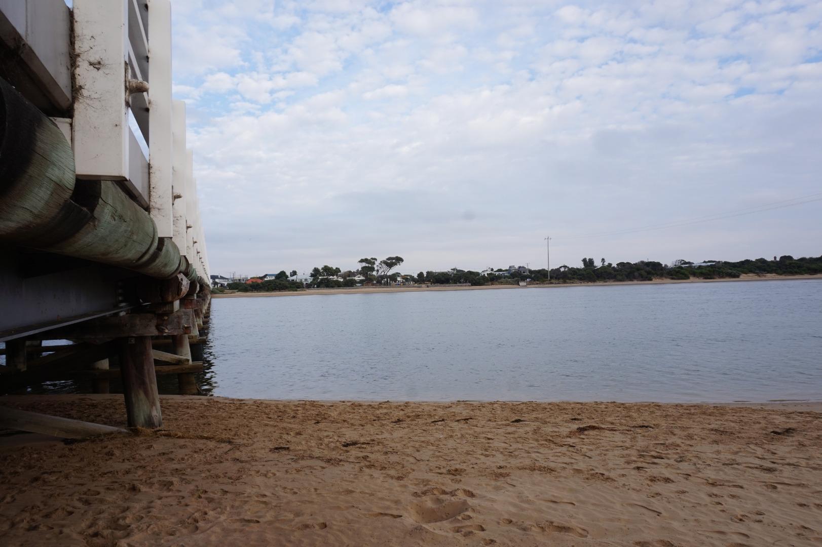
Boat Ramp JettyActive Physico-Chemical 20-01-2008 - 17-06-2026Fishing jetty adjacent boat ramp. Observations 271 |
B3 |
Ocean Grove Boat RampRetired Physico-Chemical 09-11-2007 - 08-03-2012Ocean Grove Boat Ramp Jetty. Observations 11 |
B4 |
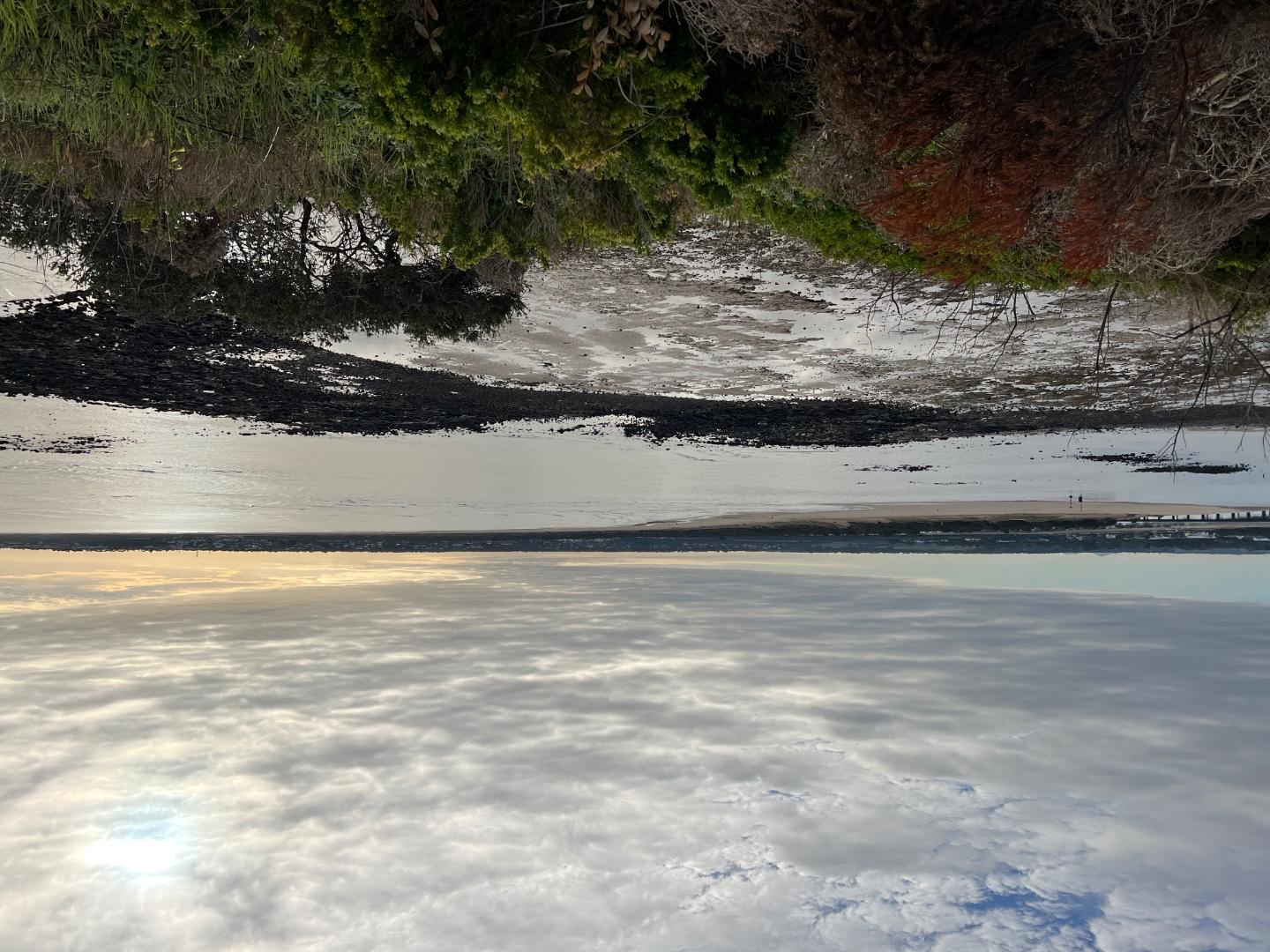
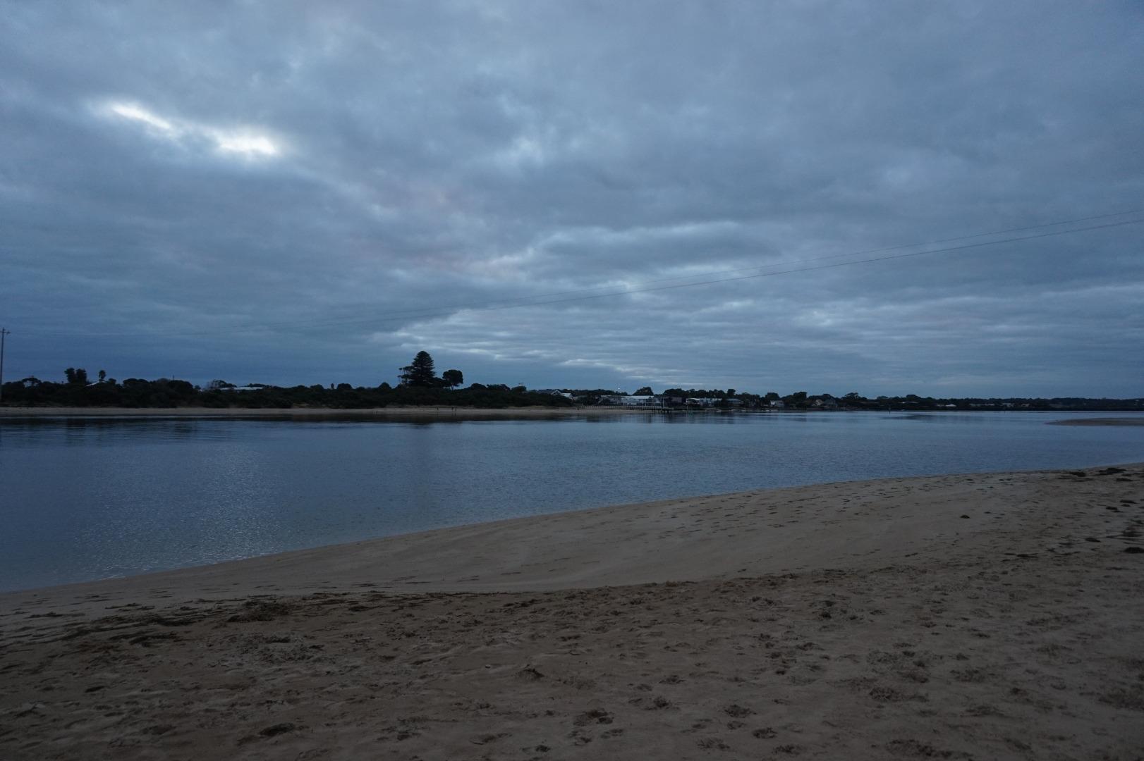
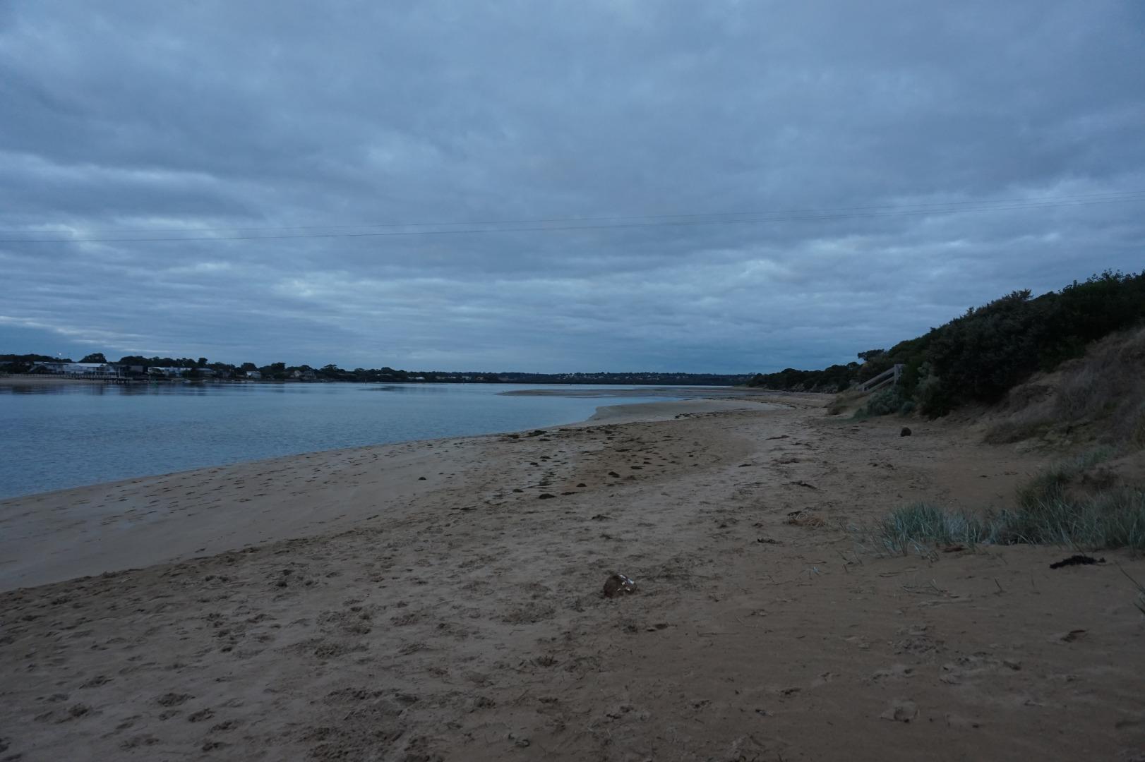
The ThunderboltInactive Physico-Chemical 09-11-2007 - 01-04-2021The thunderbolt is a deep section of water that links Lake Connewarre and the Barwon River Estuary. Observations 56 |
B5 |
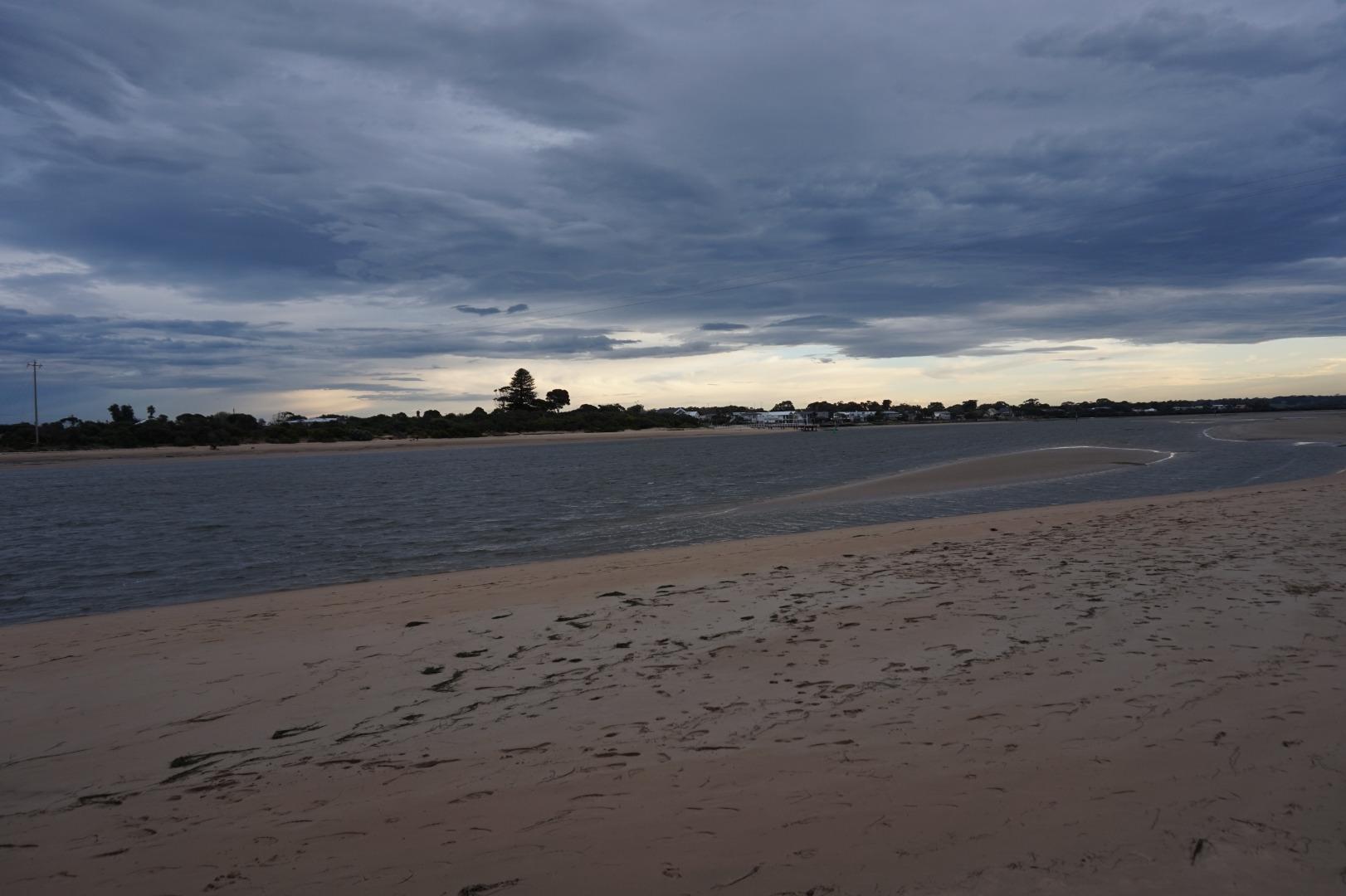
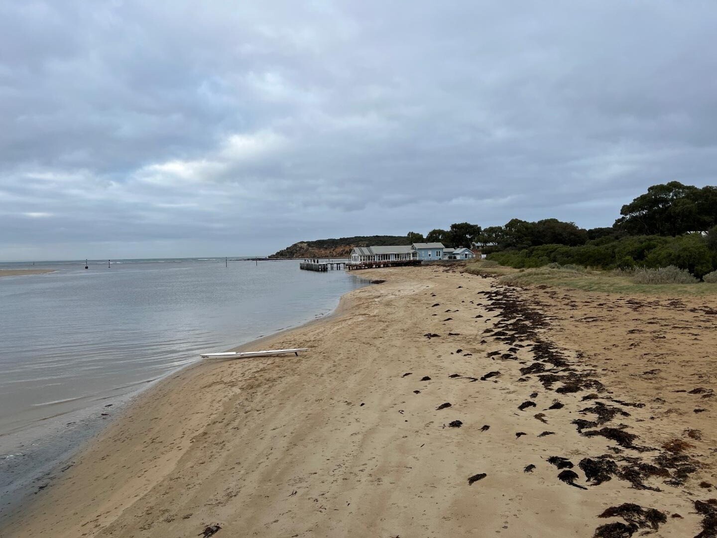
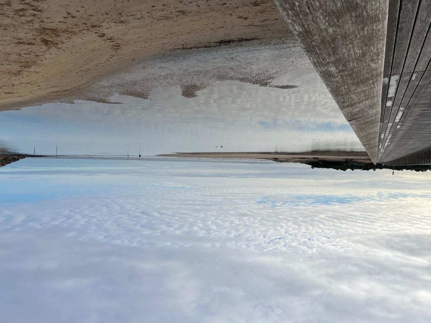
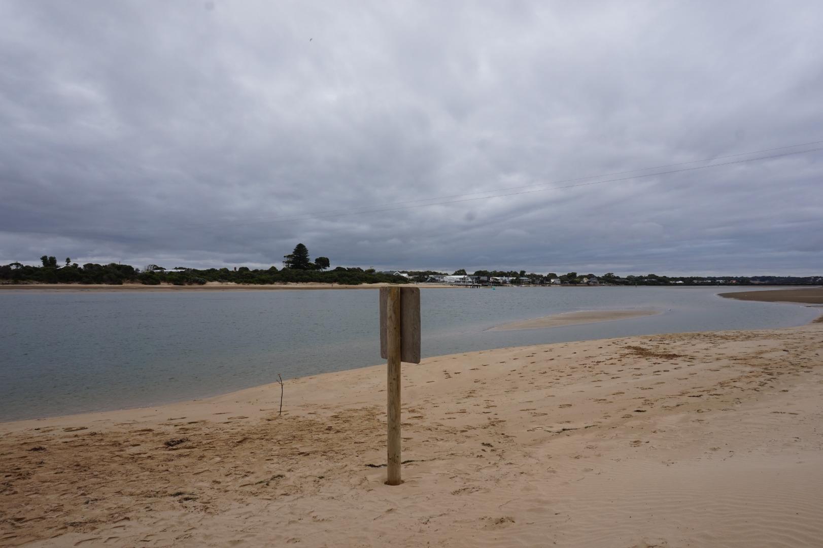
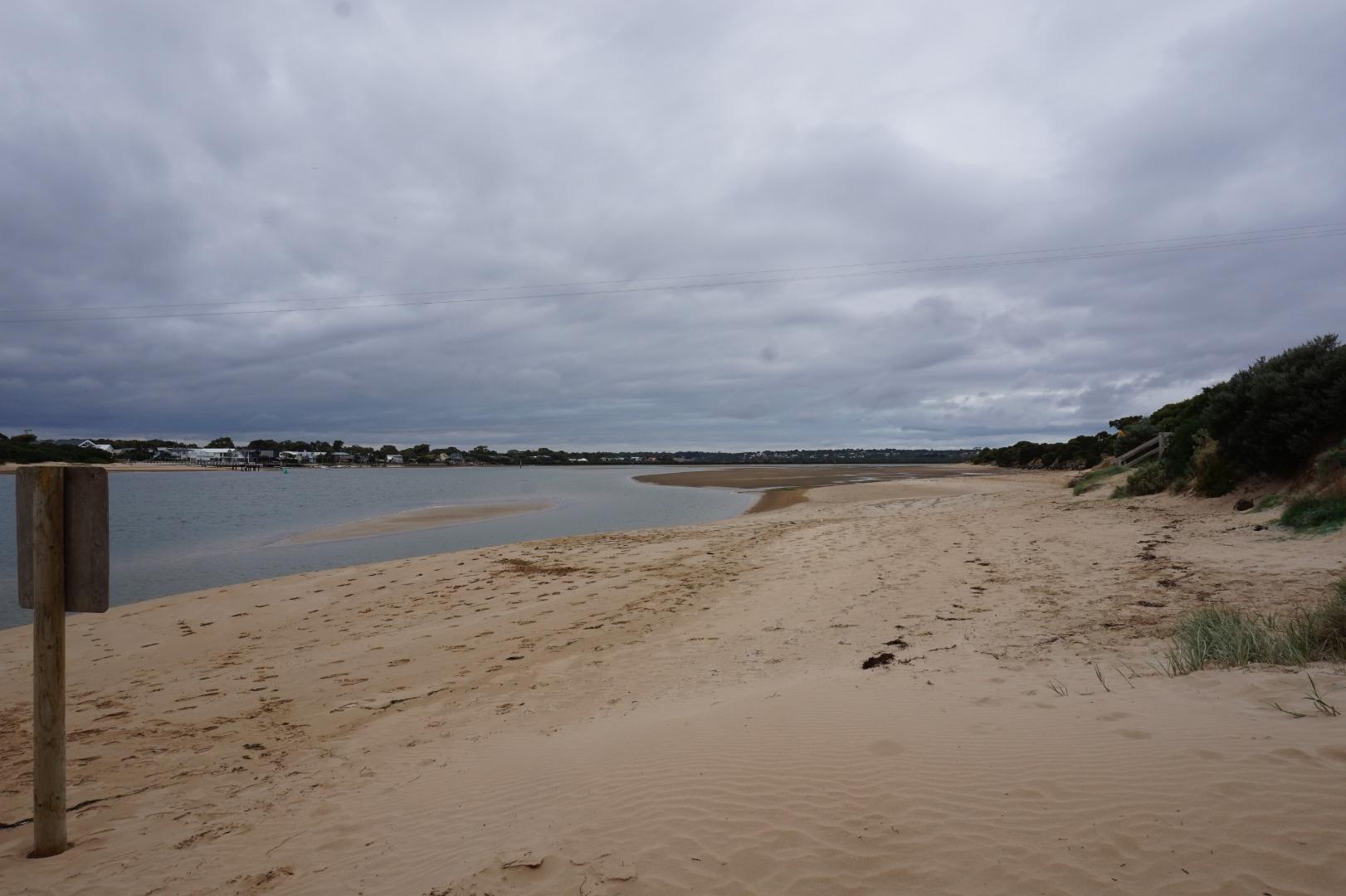
Tait PointActive Physico-Chemical 10-12-2007 - 17-06-2026This site is located to the north of the picnic table located at the end of Lake Road. Observations 261 |
B6 |
Lower BreakwaterRetired Physico-Chemical 15-08-2008 - 20-03-2019Lower breakwater viewing platform adjacent to fish ladder. Monitor off the estuary side of the platform. Observations 32 |
B7 |
Reedy Lake Gate South SideInactive Physico-Chemical 06-02-2017 - 25-05-2018The Reedy Lake Gate South Side monitoring site has been added to the Barwon EstuaryWatch Monitoring Plan to provide ongoing water quality data to assist in the management of the watering regime for Reedy Lake. Water flow between the lake and the wider Barwon estuary can be controlled via gated access points. This monitoring site is located at the Reedy Lake outlet gate, that is, where water from Reedy Lake flows out through the gate when it is lowered. This site is only monitored by EstuaryWatch volunteers when accompanied by an EstuaryWatch Coordinator. It is a physical/chemical monitoring site, but photopoint monitoring will also be undertaken in an effort to track vegetation change aligned with changes in the water regime. Observations 4 |
B8 |
Reedy Lake Gate North SideInactive Physico-Chemical 06-02-2017 - 15-03-2017The Reedy Lake Gate North Side monitoring site has been added to the Barwon EstuaryWatch Monitoring Plan to provide ongoing water quality data to assist in the management of the watering regime for Reedy Lake. Water flow between the lake and the wider Barwon estuary can be controlled via gated access points. This monitoring site is located at the Reedy Lake outlet gate, that is, where water from Reedy Lake flows out through the gate when it is lowered. This site is only monitored by EstuaryWatch volunteers when accompanied by an EstuaryWatch Coordinator. It is a physical/chemical monitoring site, but photopoint monitoring will also be undertaken in an effort to track vegetation change aligned with changes in the water regime. Observations 3 |
B9 |
Fitzgeralds Road Boat RampInactive Physico-Chemical 06-02-2017 - 25-05-2018The monitoring site is located at an unstructured boat ramp which is adjacent to a 5 Knot sign. As water levels in Reedy Lake alter, monitors will need to adjust where they stand on the boat ramp to monitor the water safely. This site is only monitored by EstuaryWatch volunteers when accompanied by an EstuaryWatch Coordinator. It is a physical/chemical monitoring site, but photopoint monitoring will also be undertaken in an effort to track vegetation change aligned with changes in the water regime. Observations 4 |
BEMPP2 |
Barwon Heads bridge, Barwon HeadsInactive Physico-Chemical N/A - N/ABeach monitoring beside the northern aspect of the bridge Observations 0 |
BEMPP3 |
Beach at Ozone jetty, Barwon HeadsInactive Physico-Chemical N/A - N/ABeach monitoring left of jetty (northern aspect), between pole (part of drain structure) and jetty Observations 0 |
BEMPP4 |
Talbot St drain outlets, Barwon HeadsInactive Physico-Chemical N/A - N/AObservations 0 |
BEMPP6 |
Sheepwash drain outlet, Barwon HeadsInactive Physico-Chemical N/A - N/AConcrete stormwater drain/s (900mm width). Twin black outlets. Observations 0 |
BEMPP7 |
BEMPP Ocean Grove beach opposite Ozone Jetty, Ocean GroveInactive Physico-Chemical N/A - N/ABeach Observations 0 |
BEMPP8 |
Dare St Outlet, Ocean GroveInactive Physico-Chemical N/A - N/ABEMPP site 8 Drain outfall Observations 0 |
BGB1 |
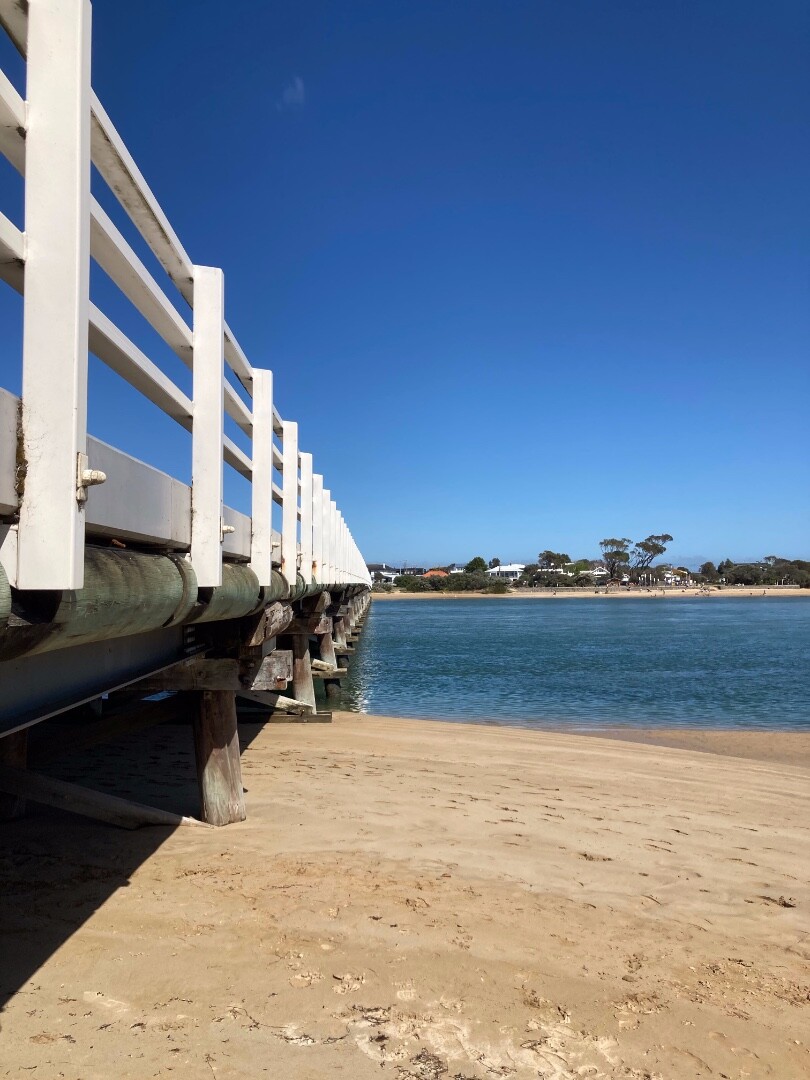
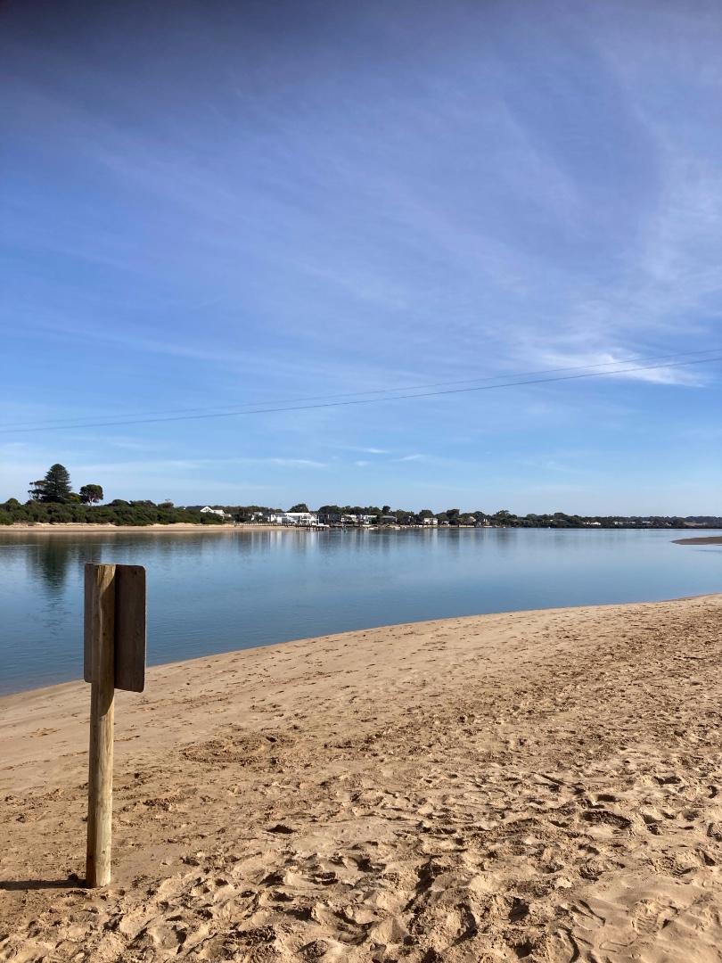
Barwon River Gauge Board (at mouth)Active Gauge BoardThe water level gauge board is found on the 'At The Heads' jetty. |
BGB2 |
Gauge Board (upstream)Retired Gauge BoardThis particular gauge board is surrounded by a fenced off riparian rehabilitation site, that adjoins walking paths the meander through sections of Moonah Woodland. Photos 1 |
BMC |
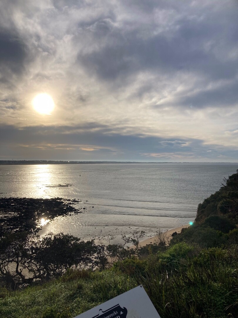
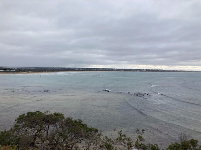
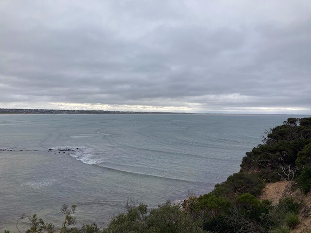
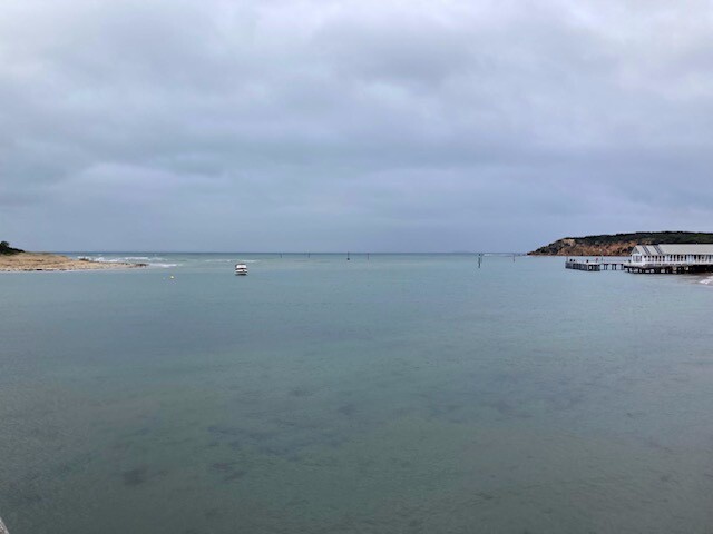
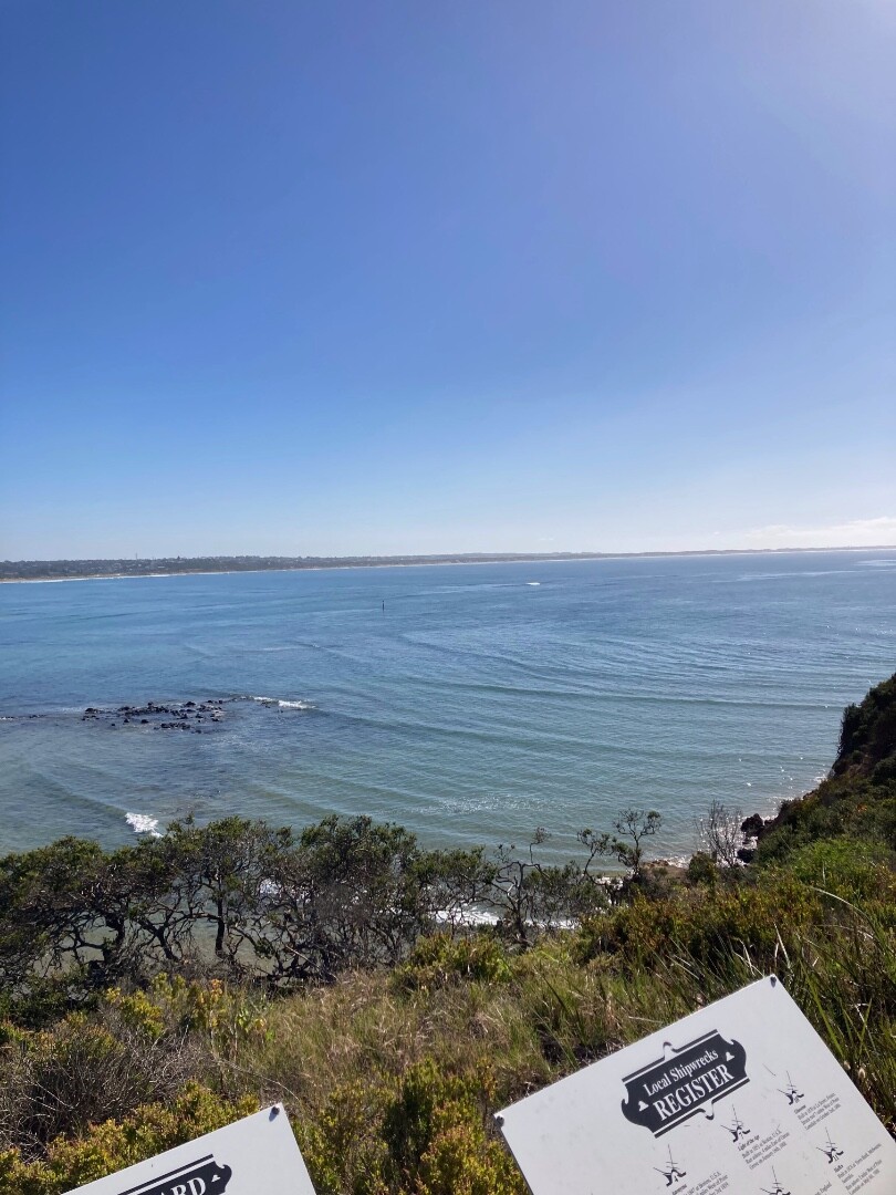
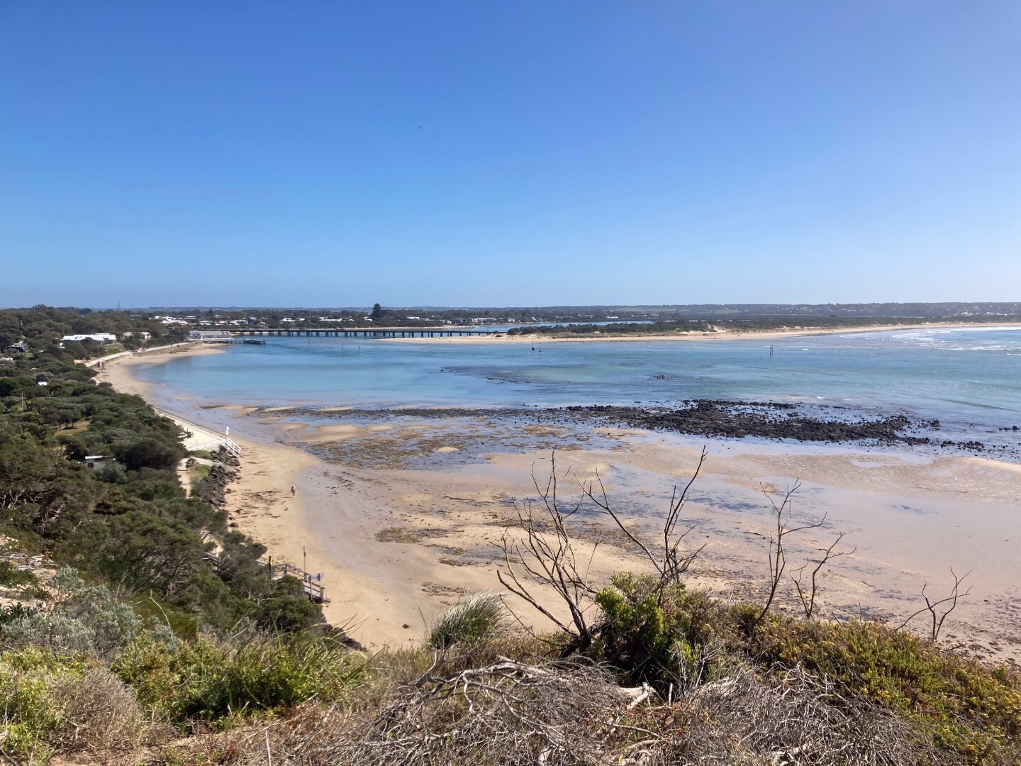
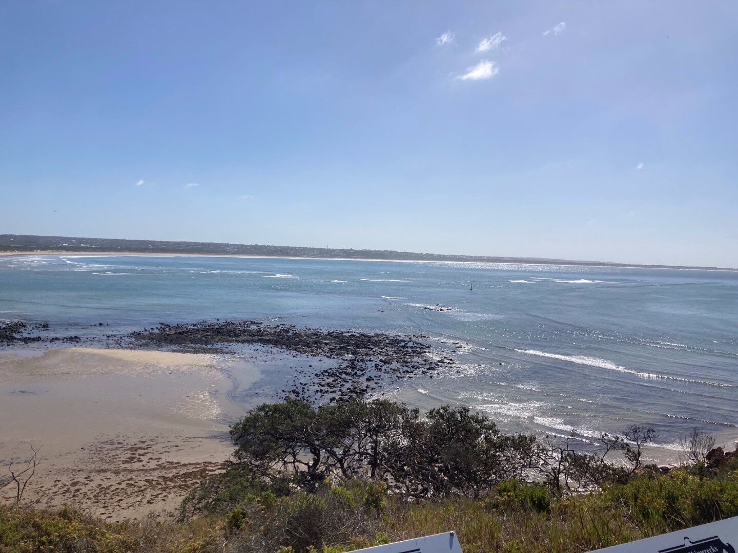
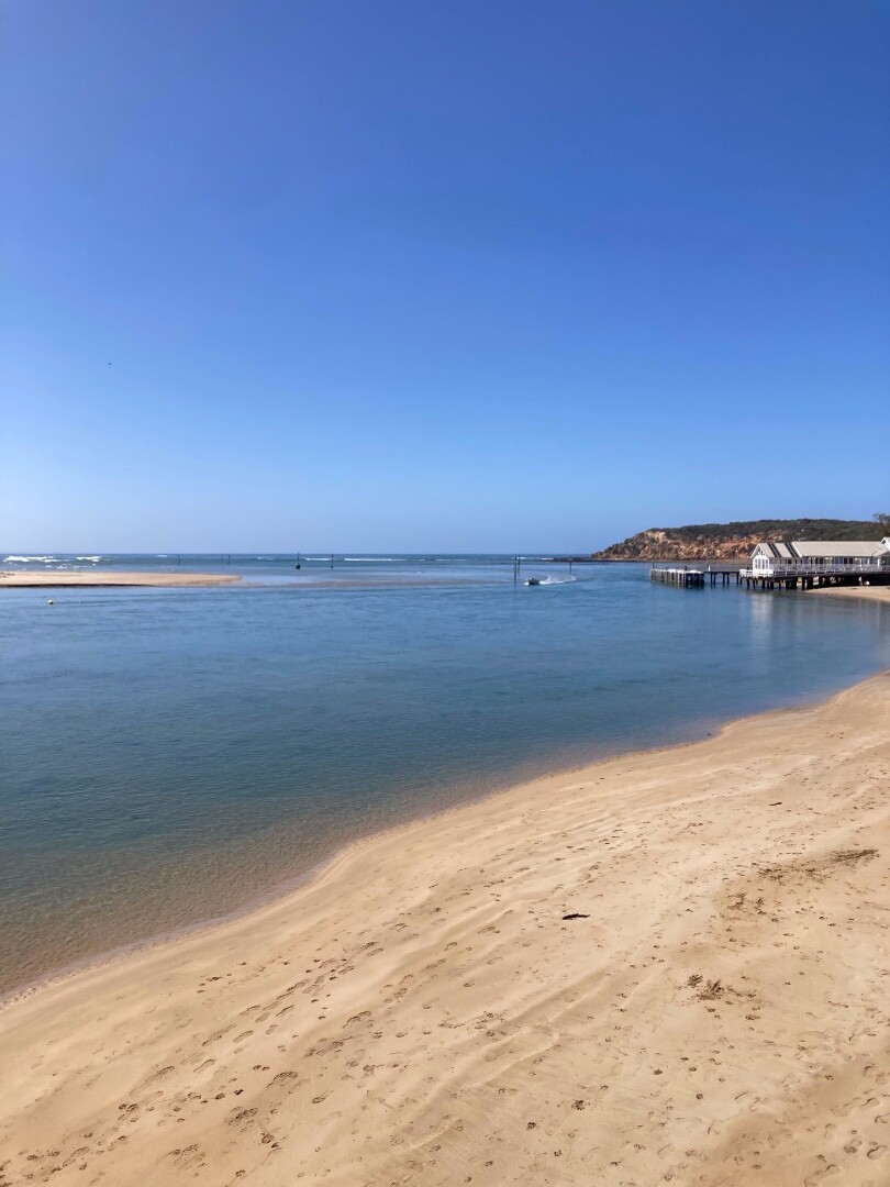
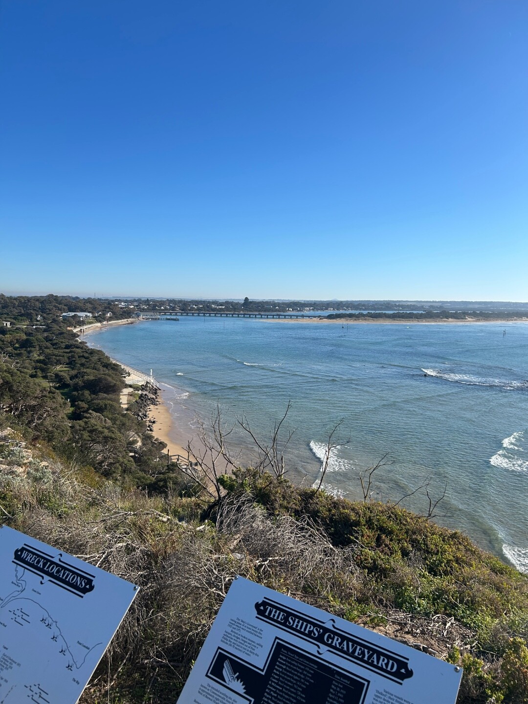
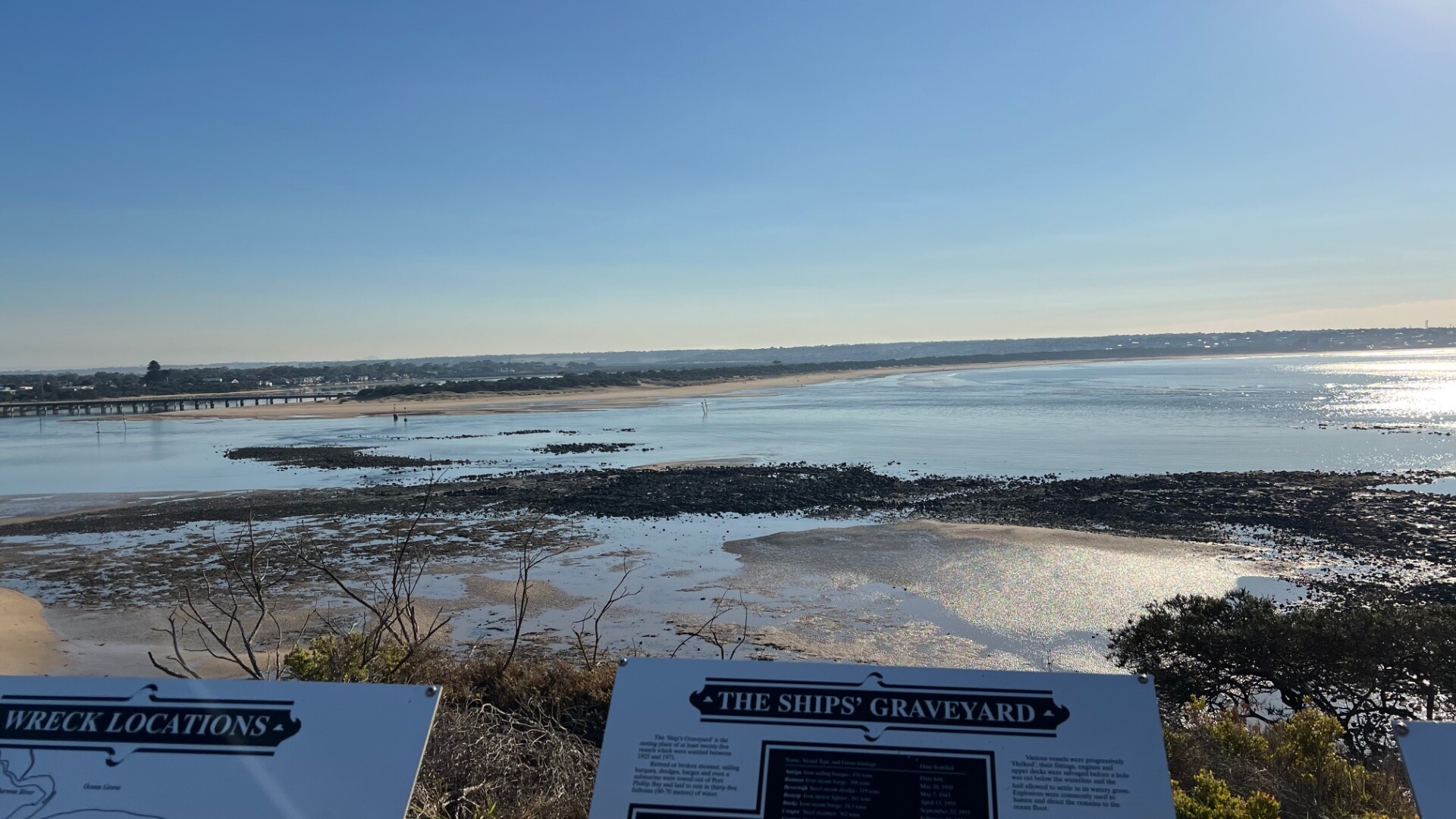
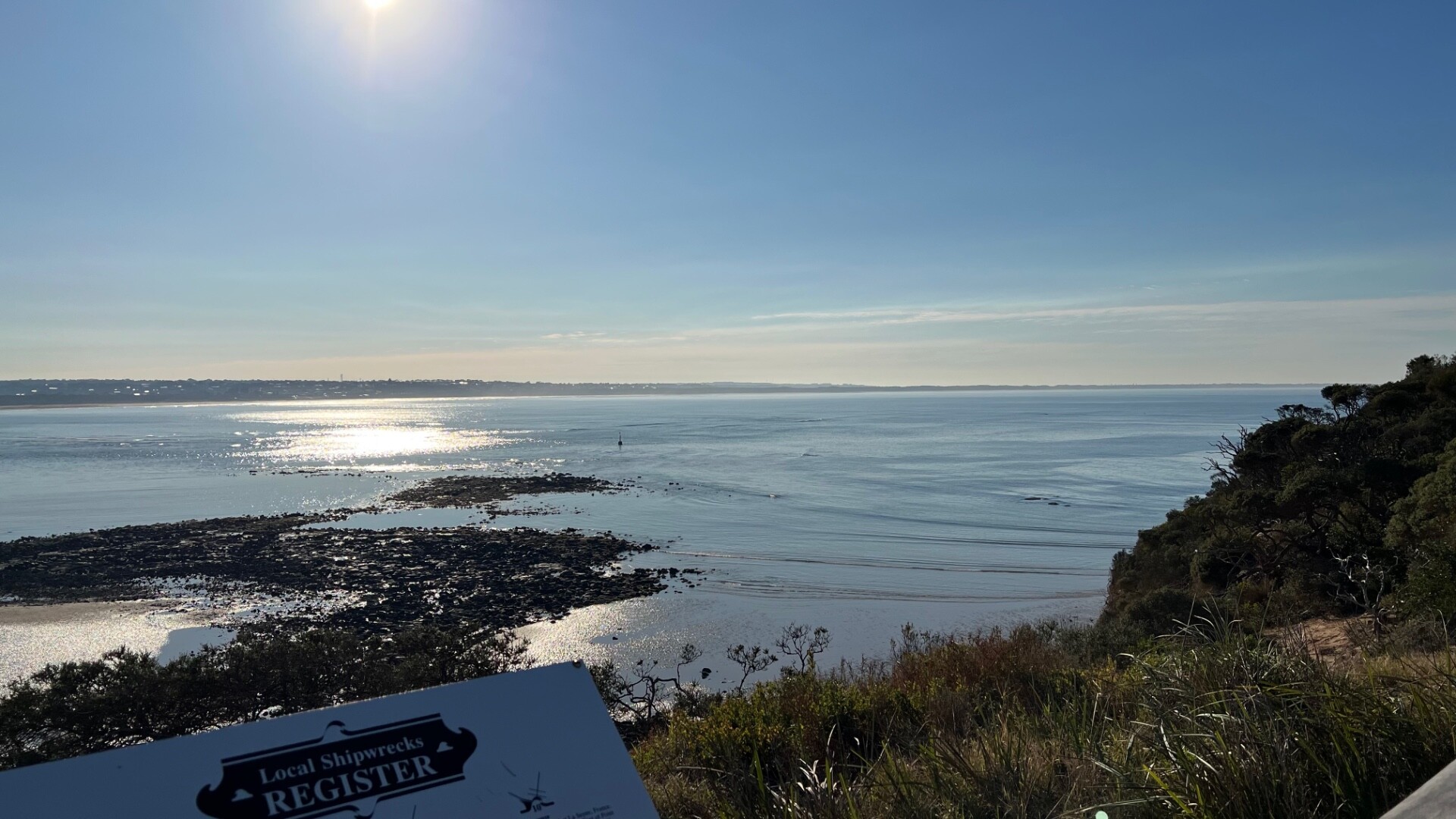
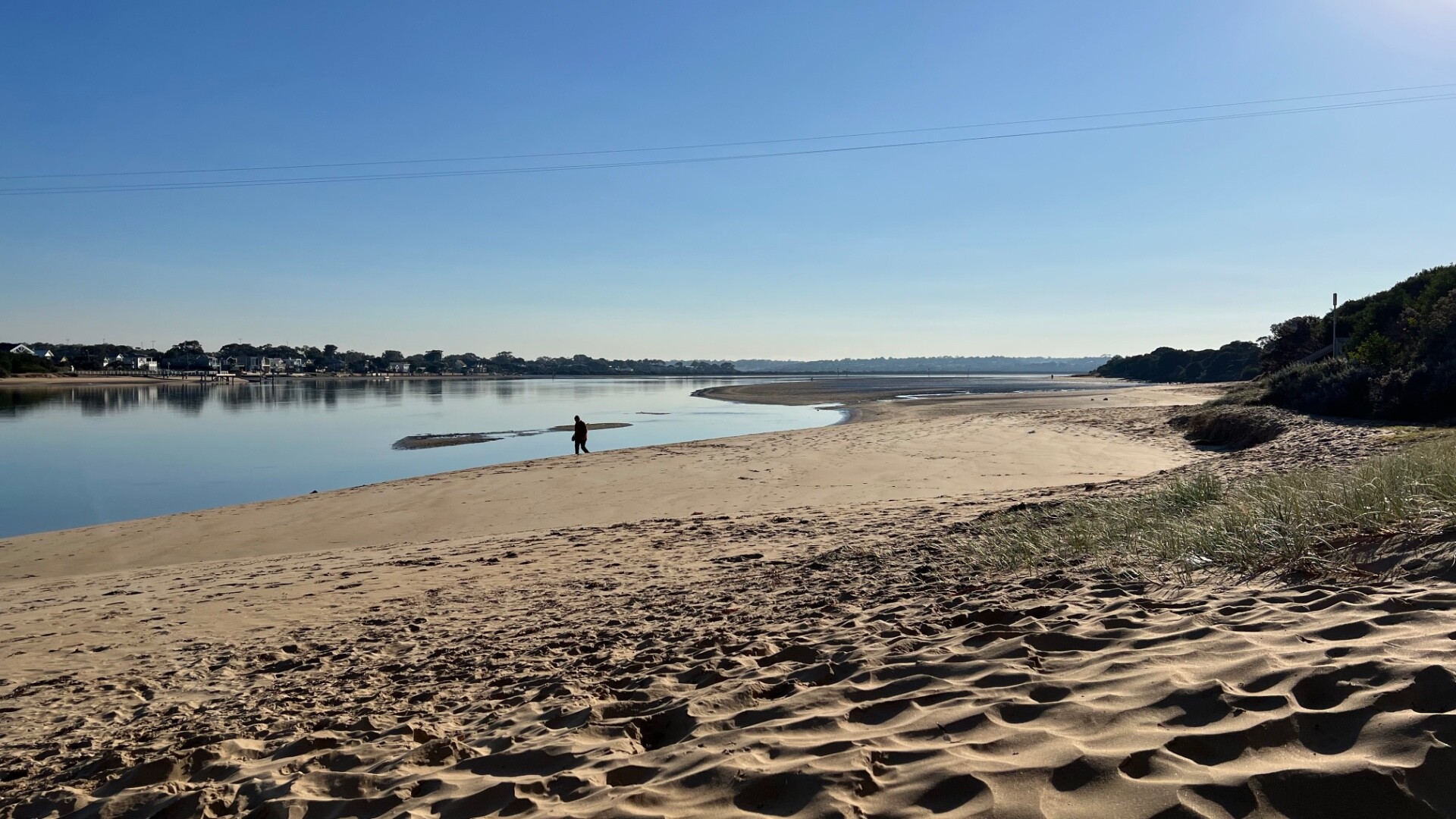
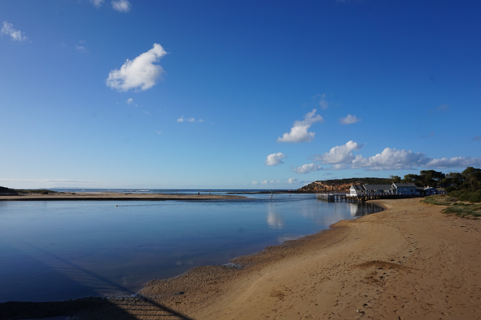
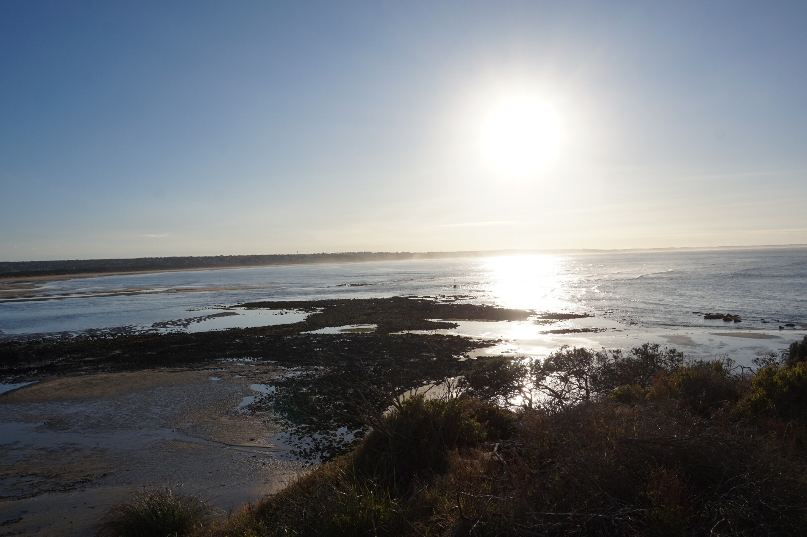
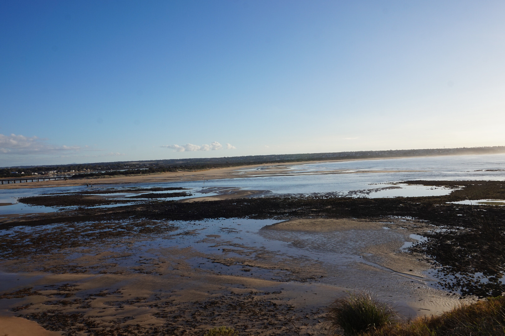
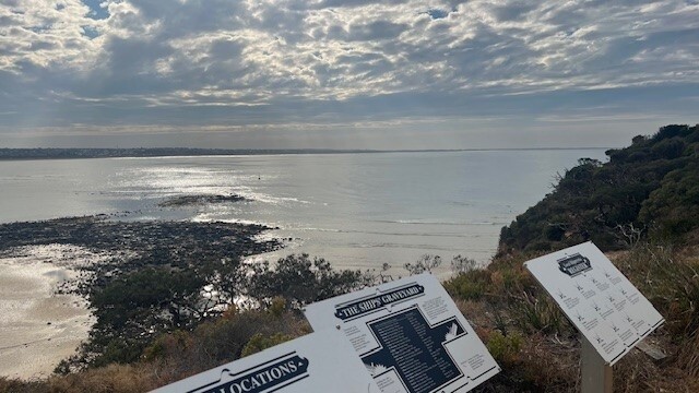
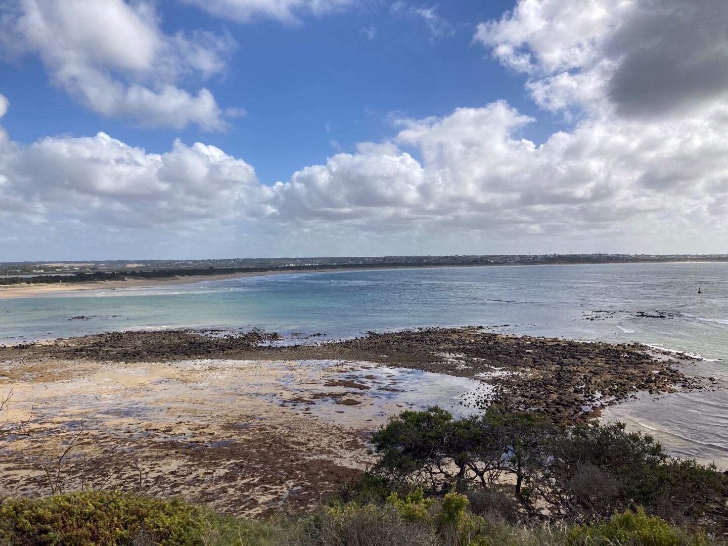
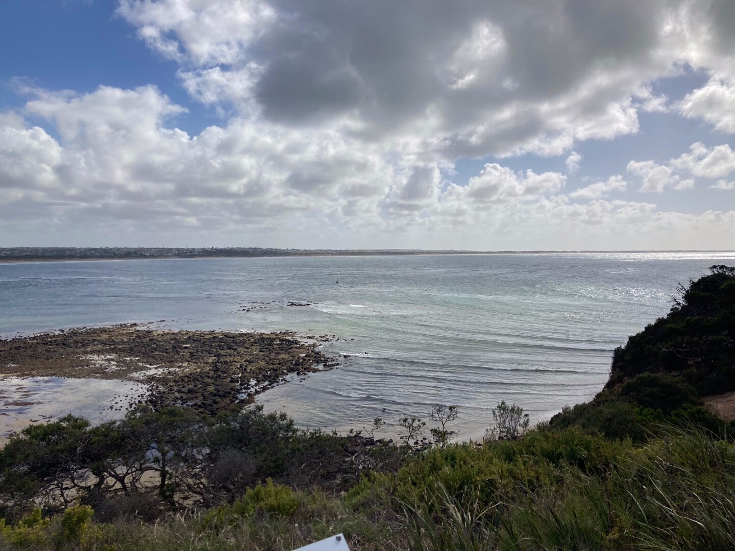
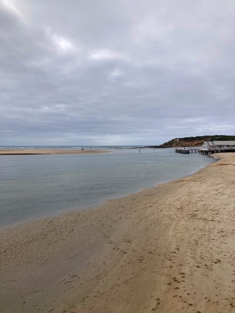
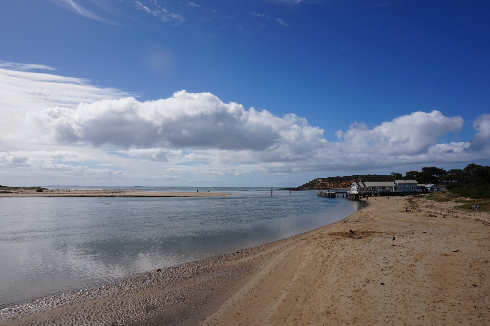
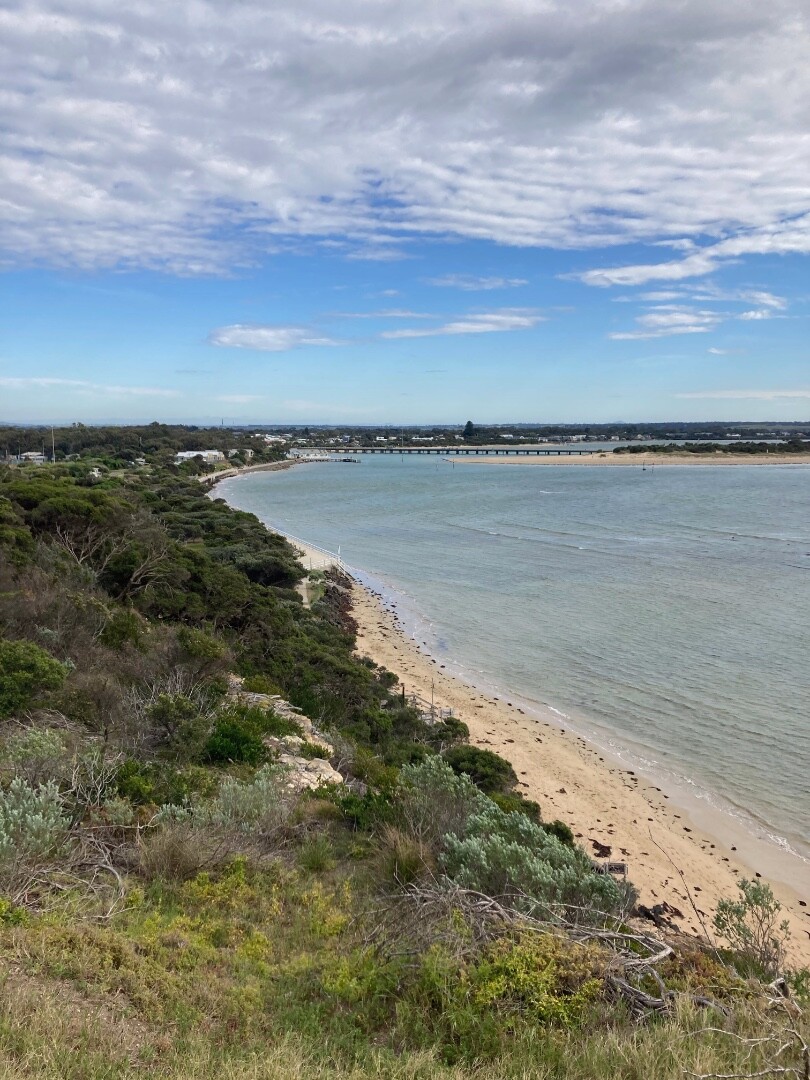
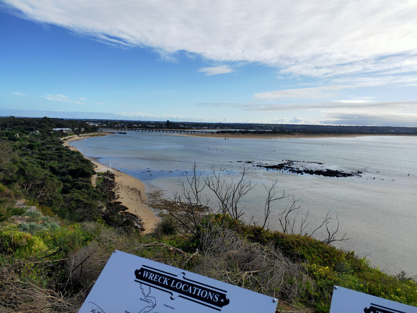
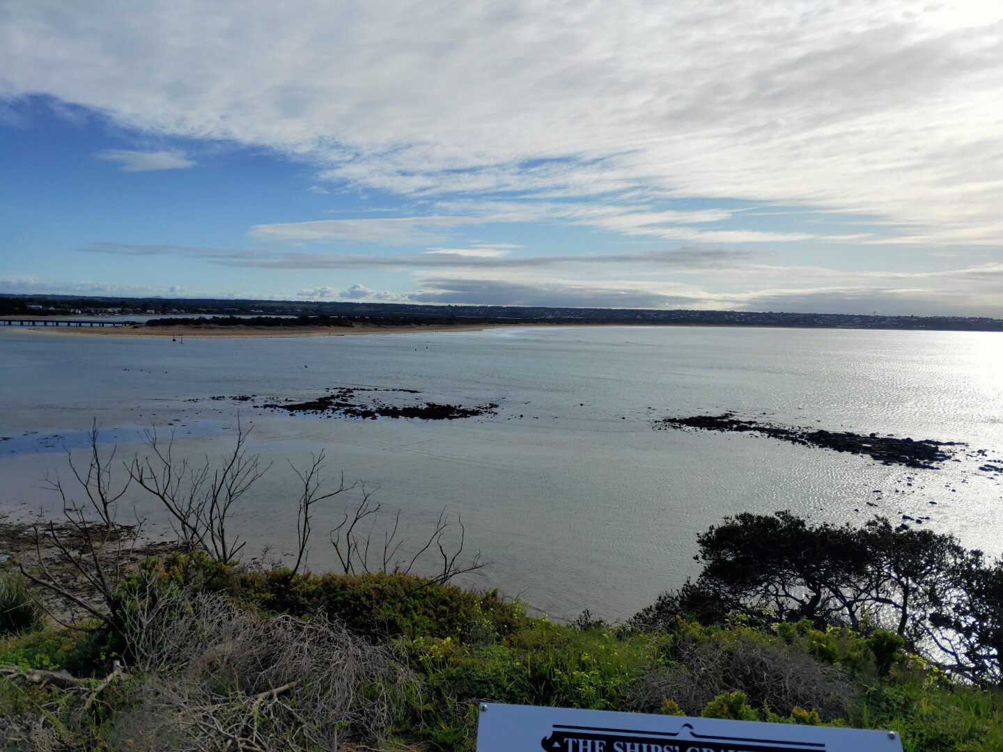
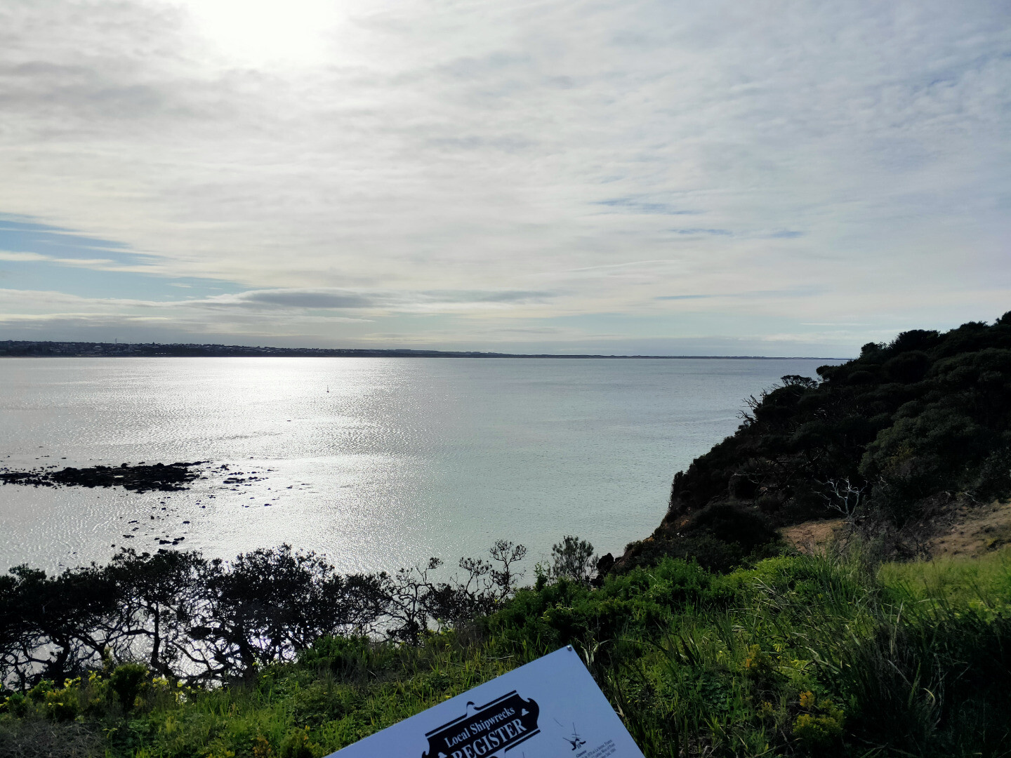
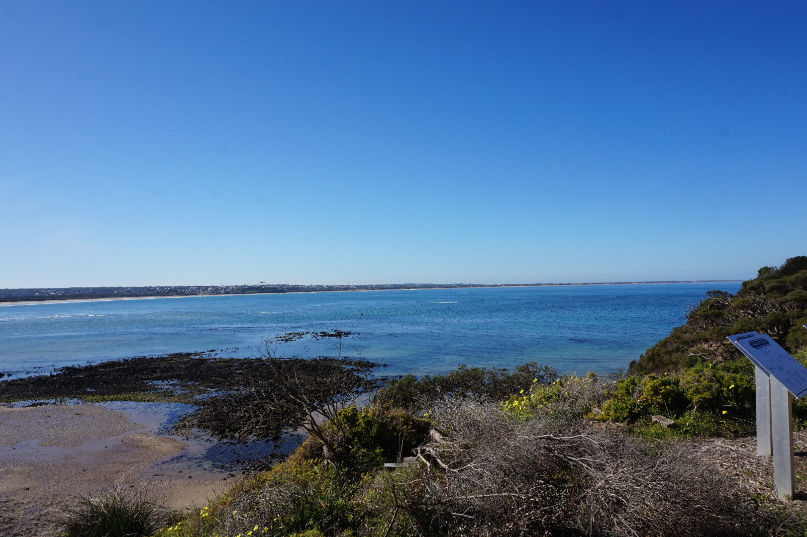
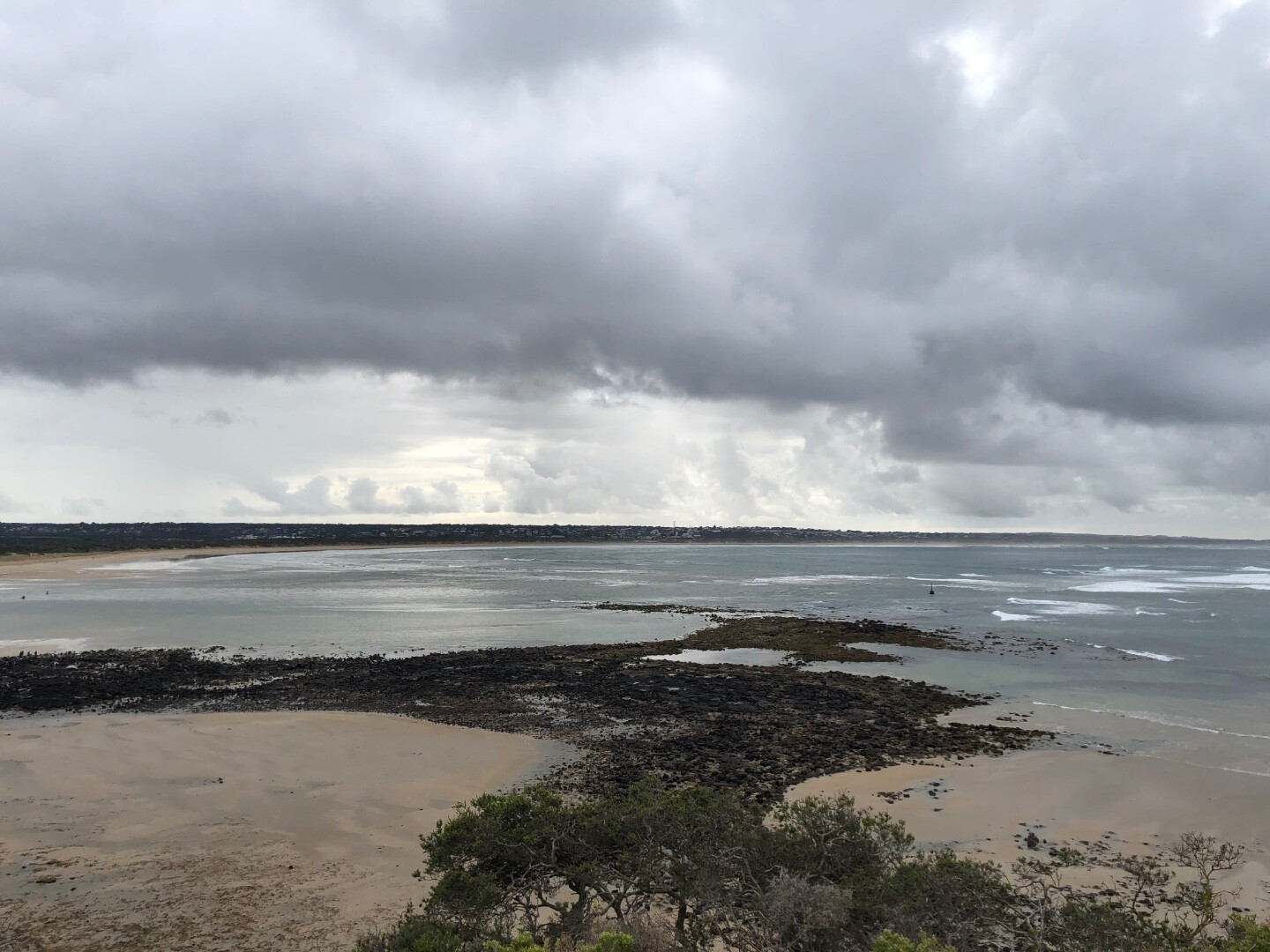
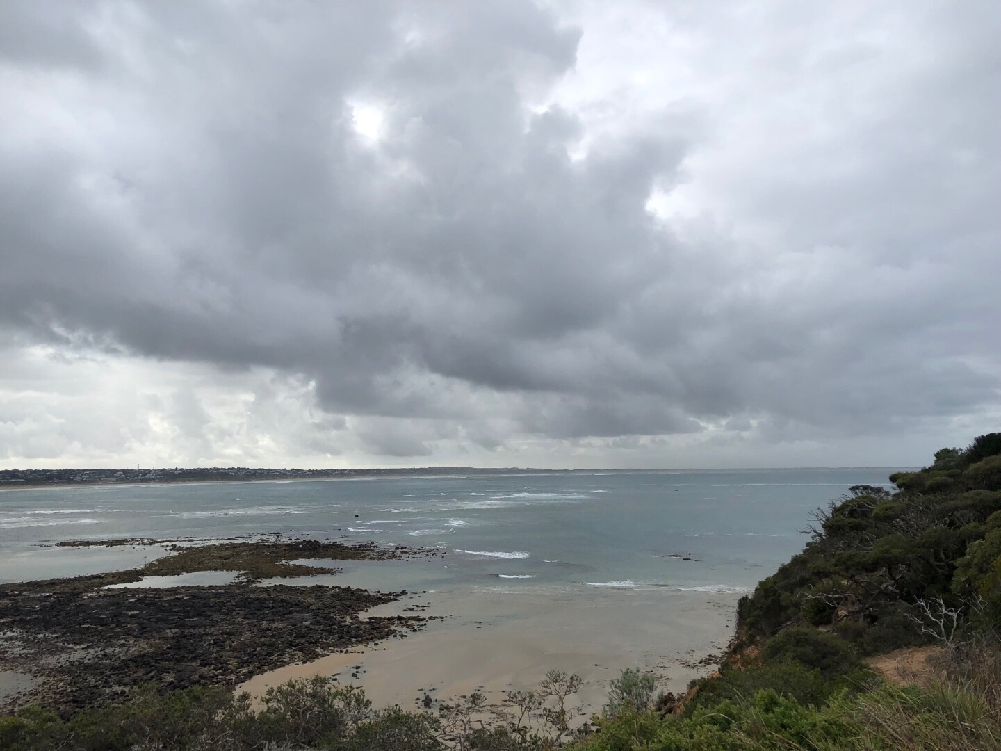
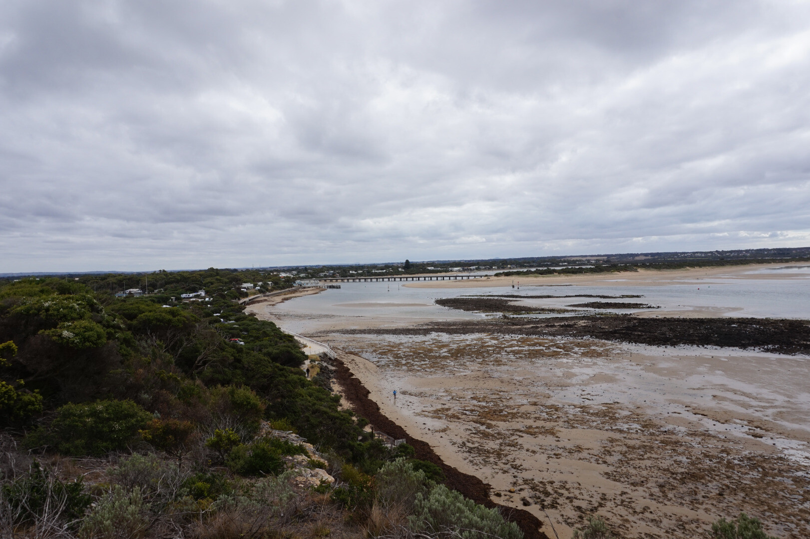
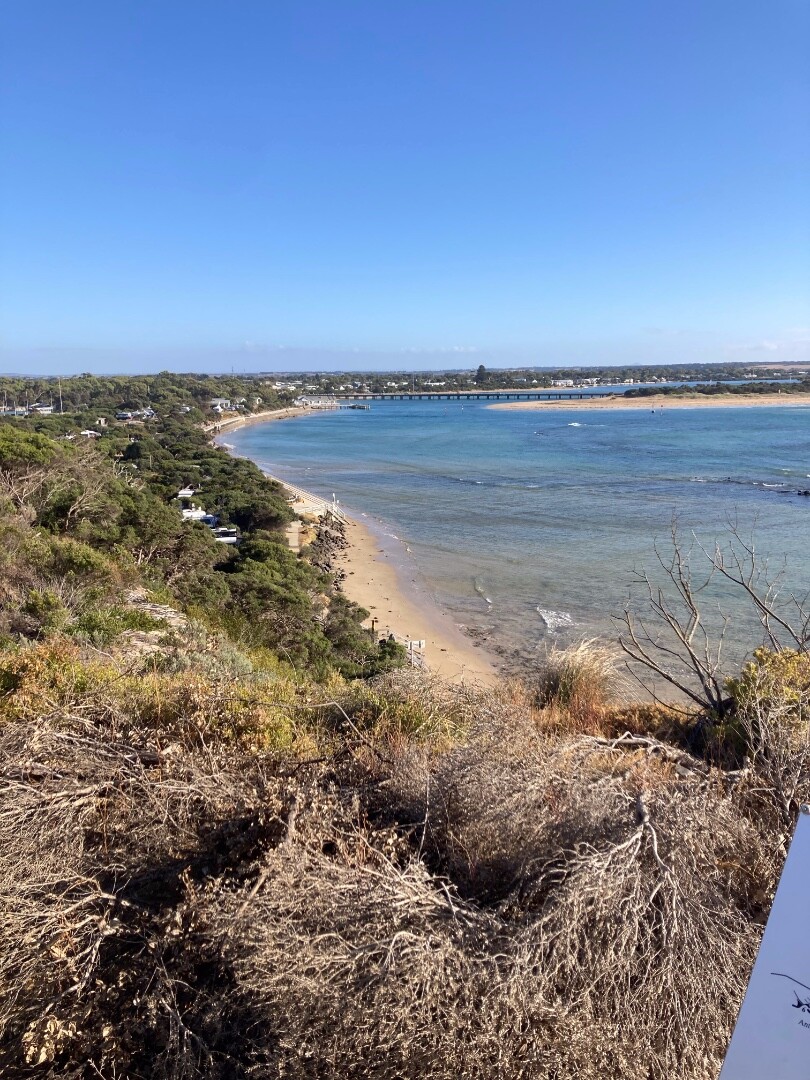
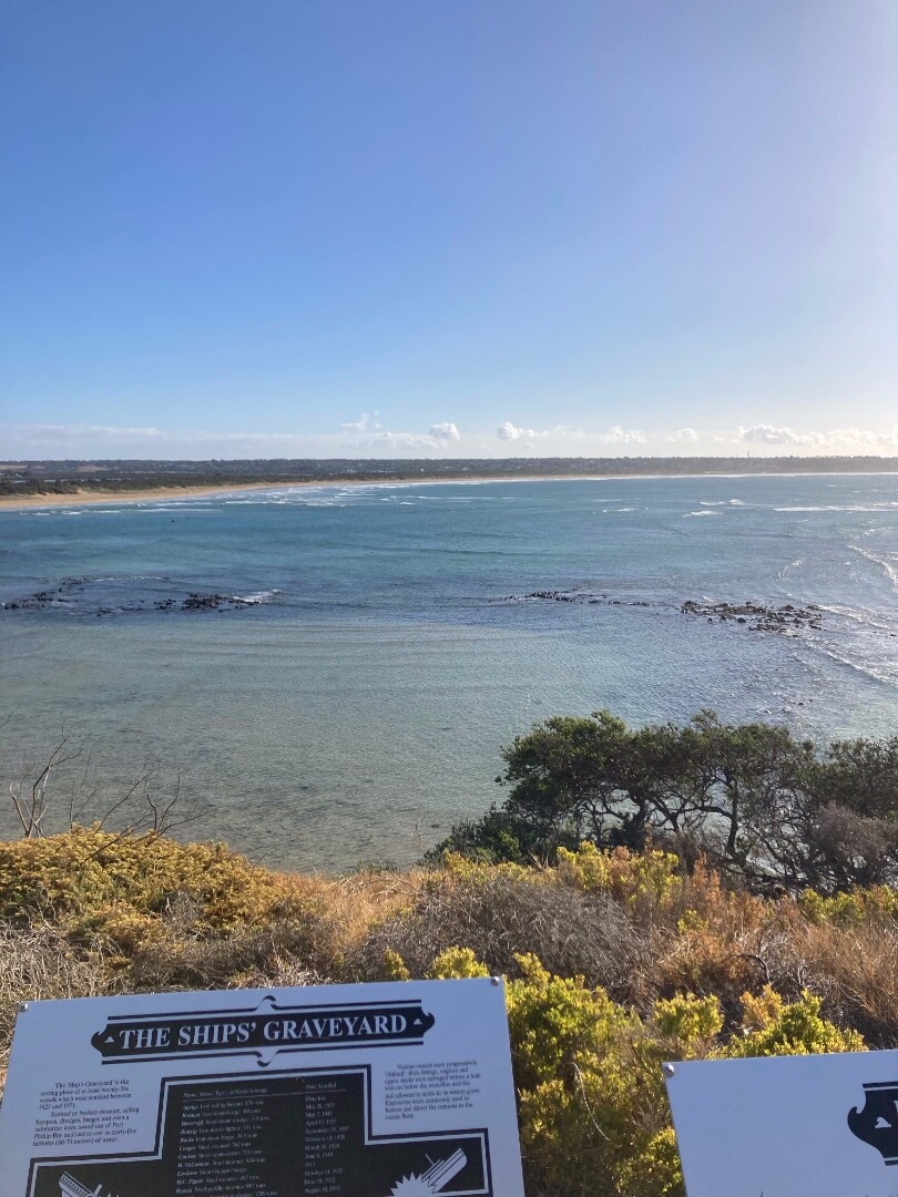
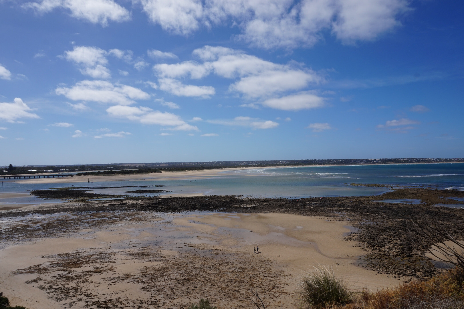
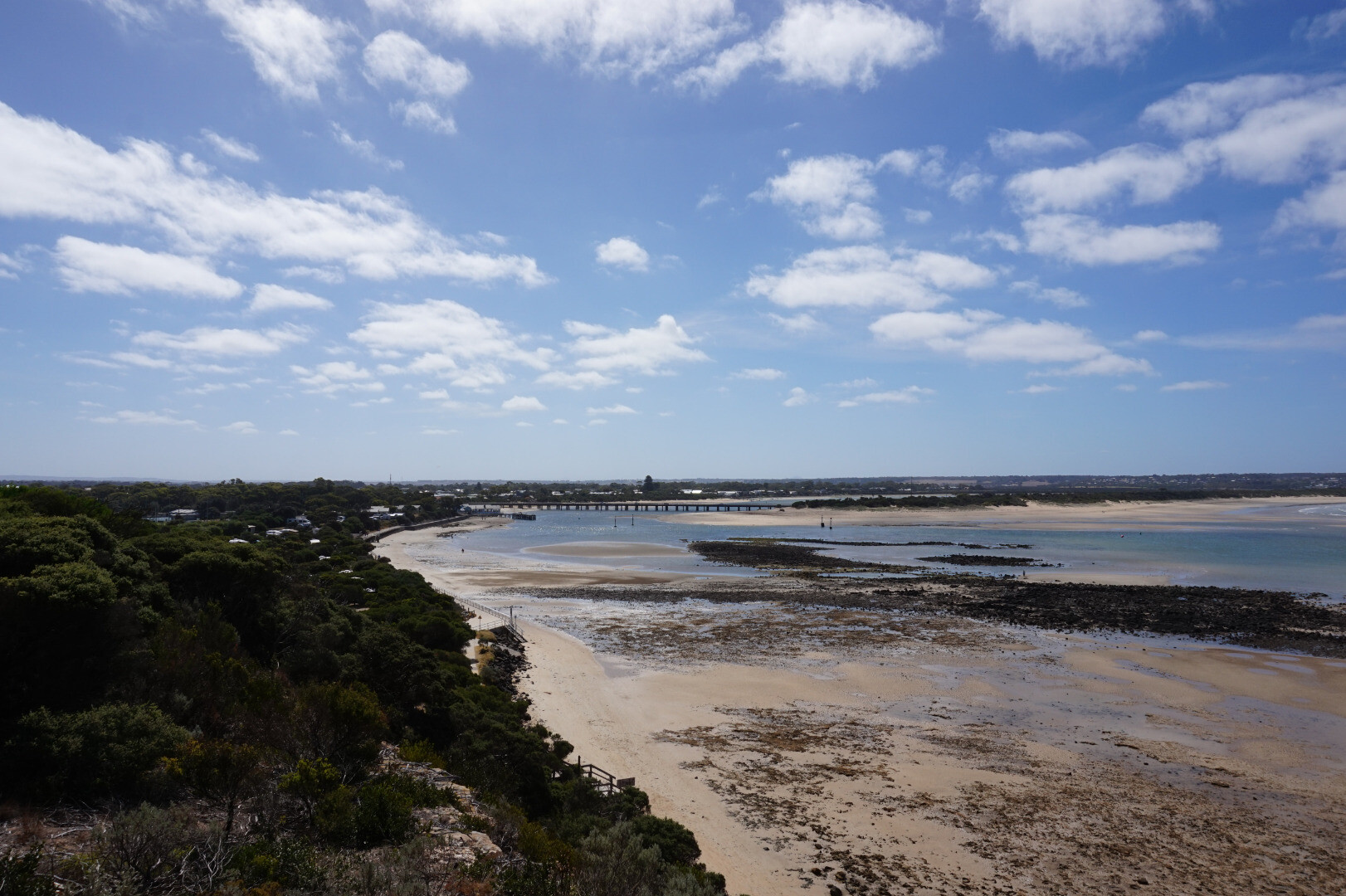
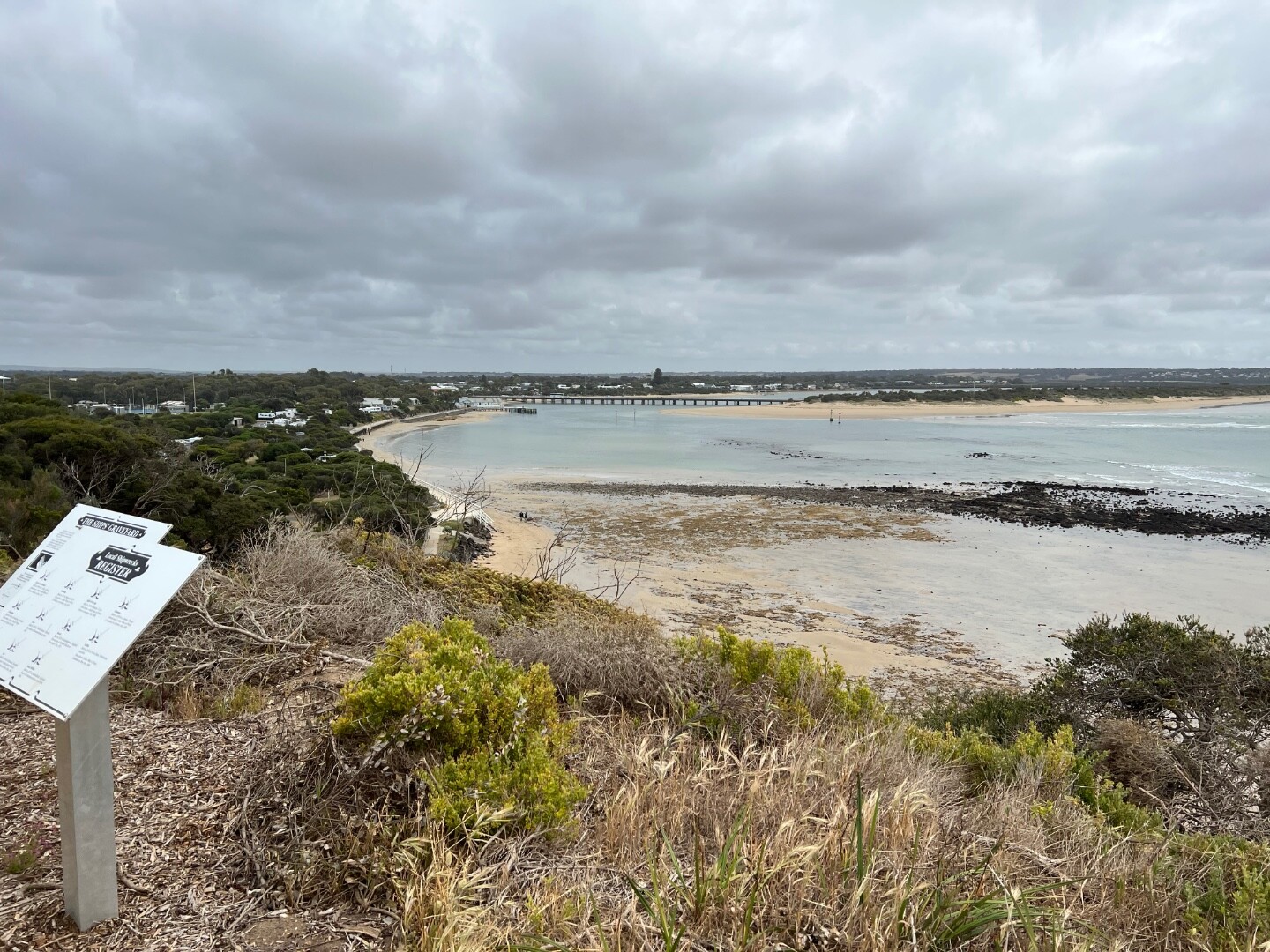
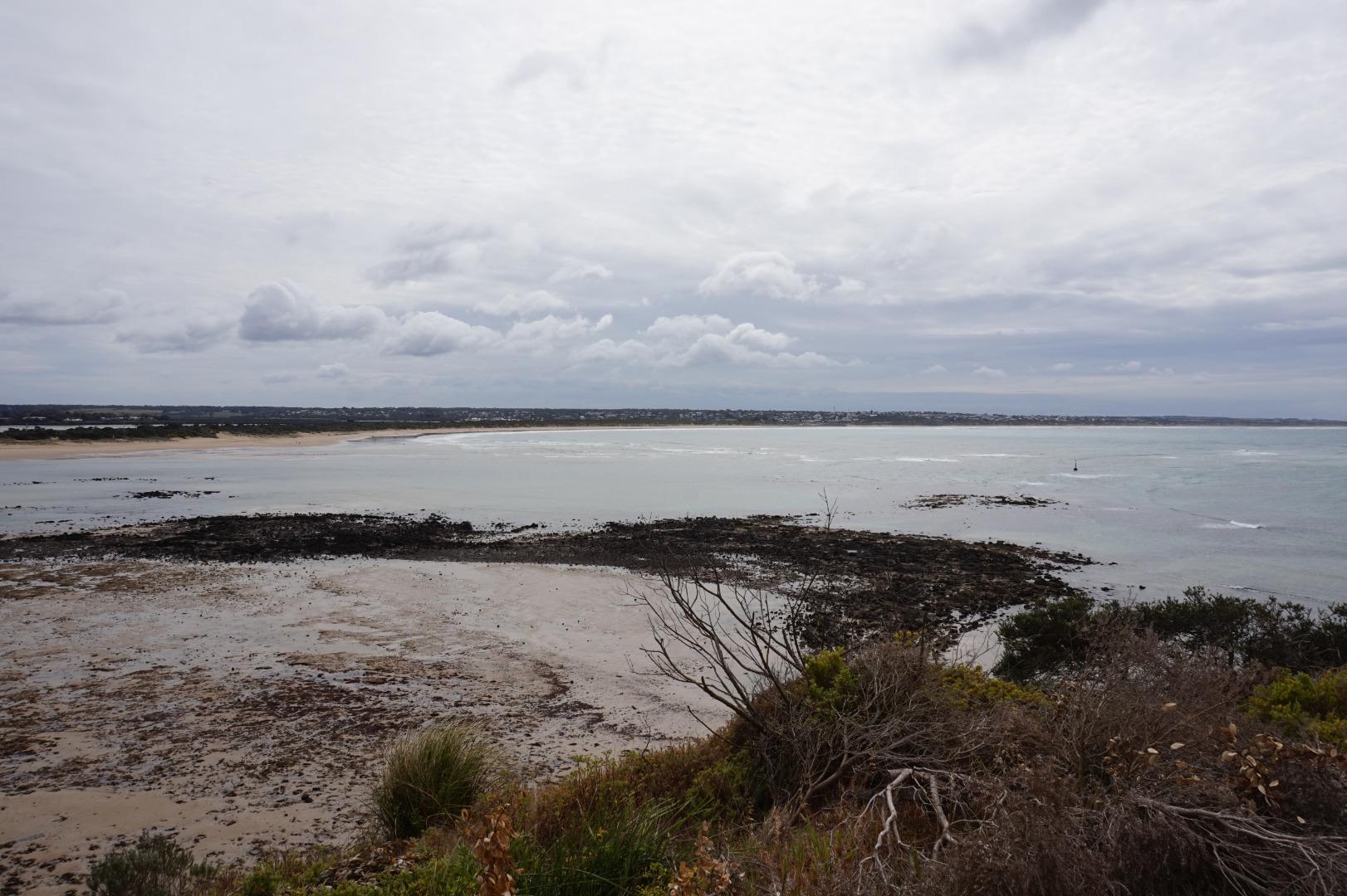
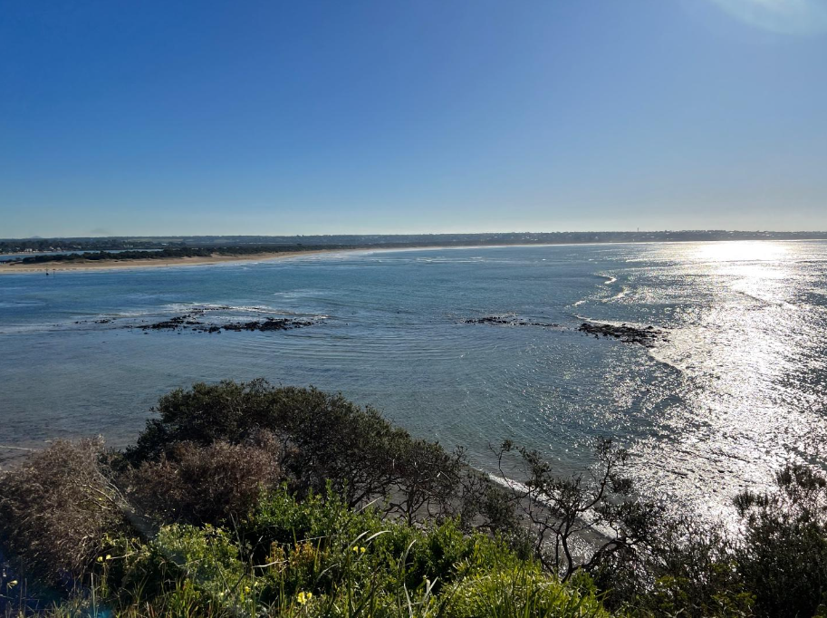
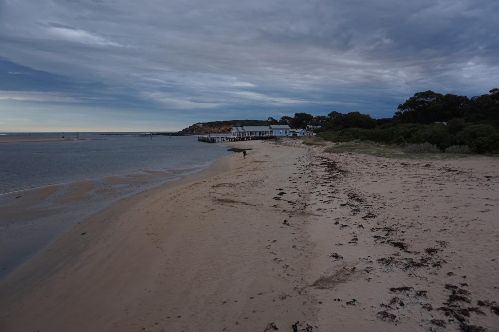
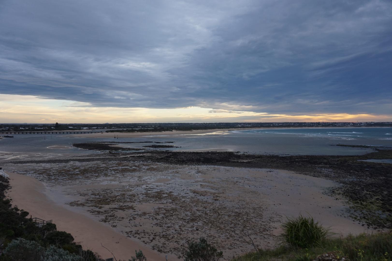
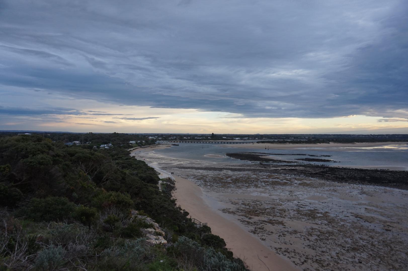
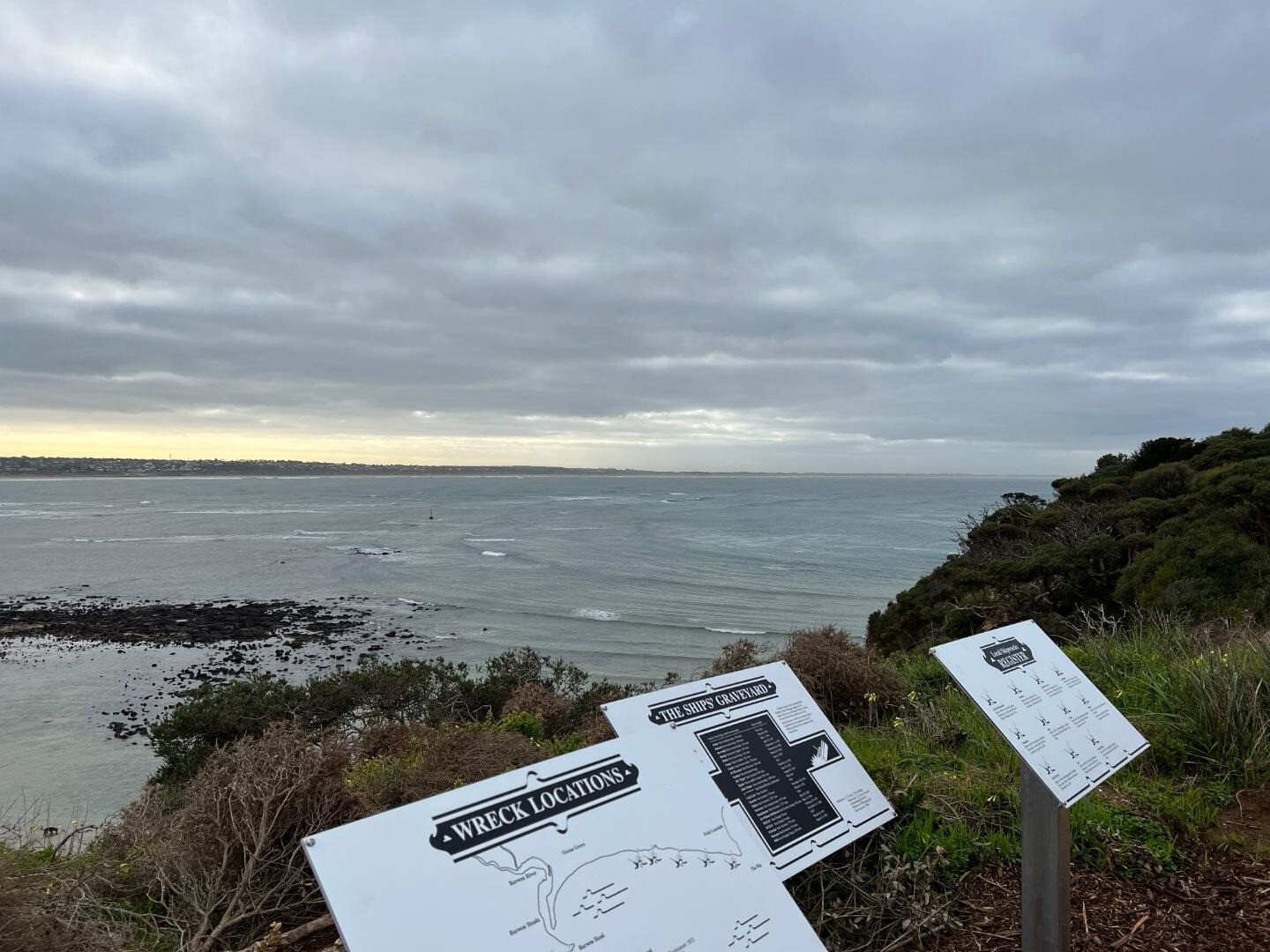
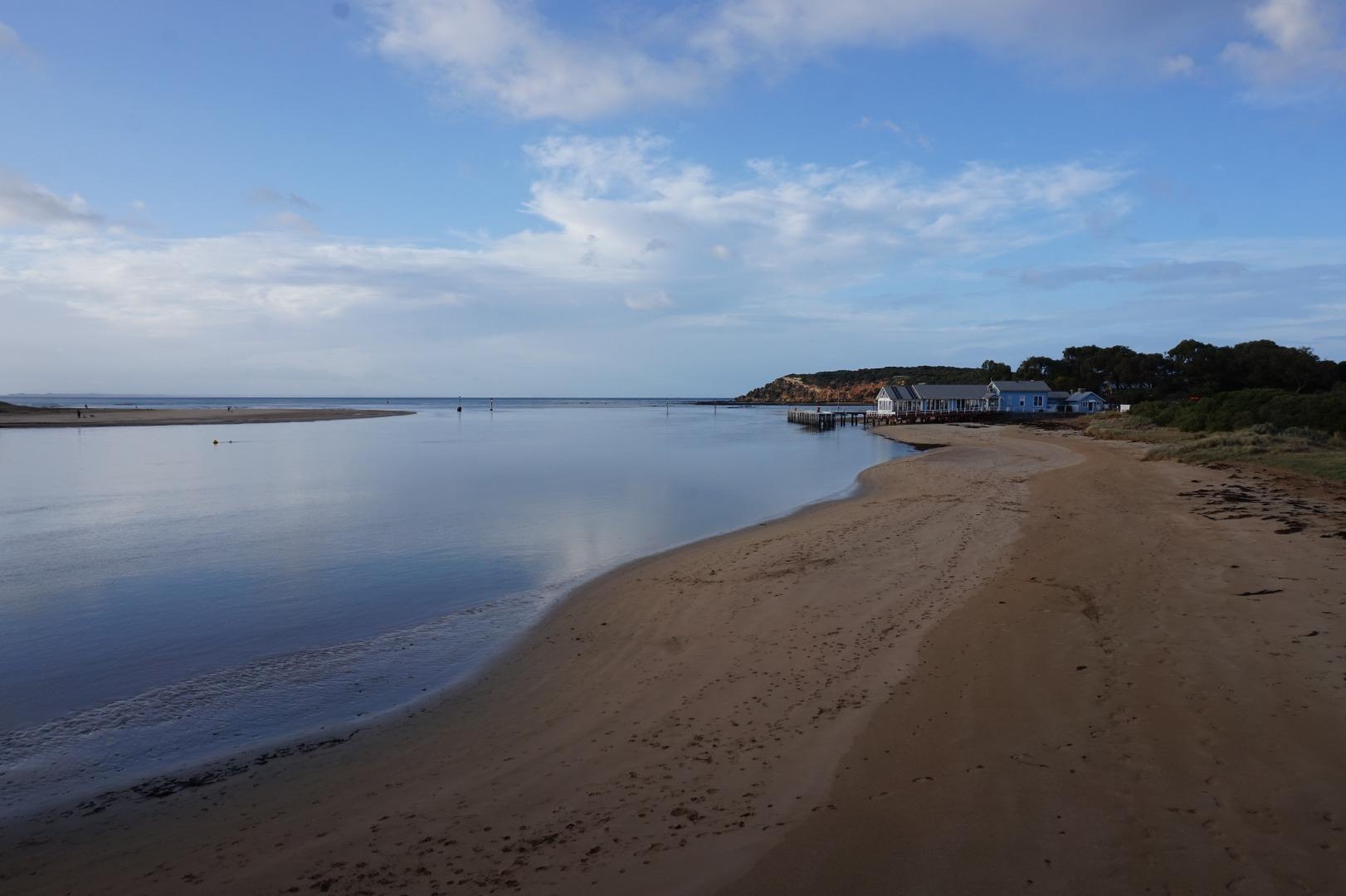
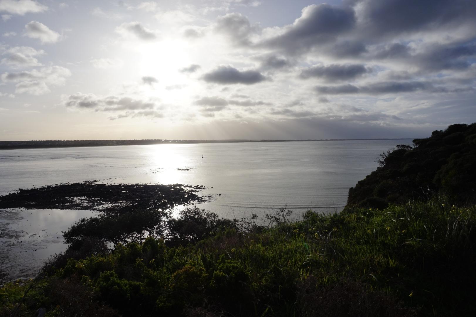
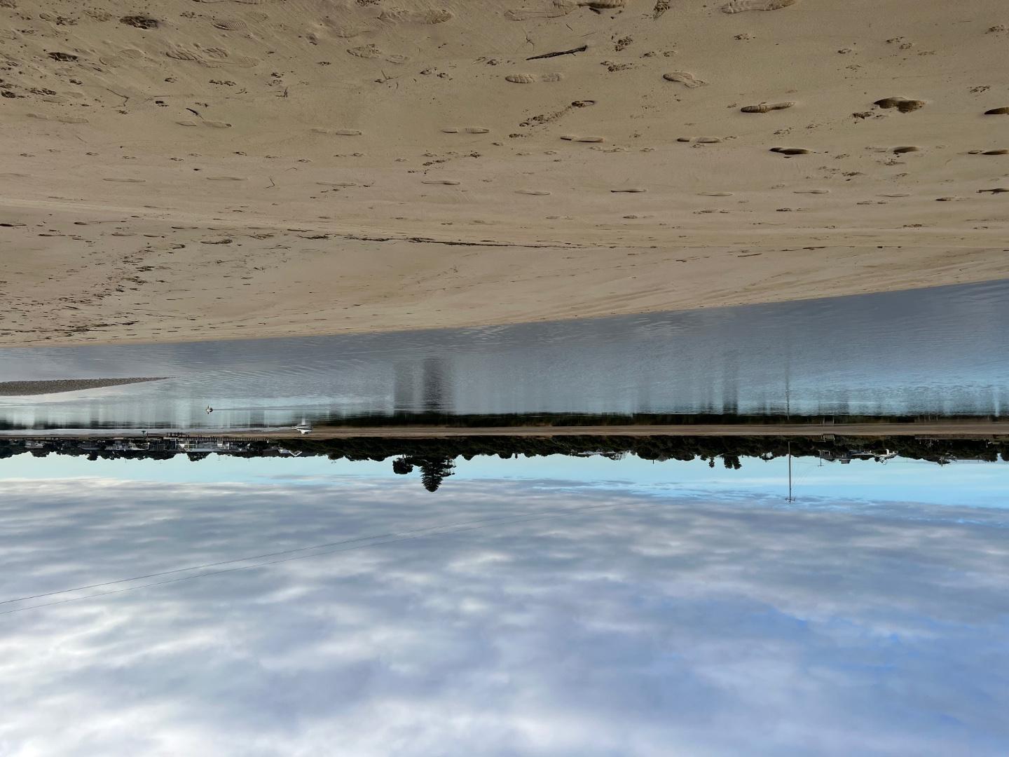
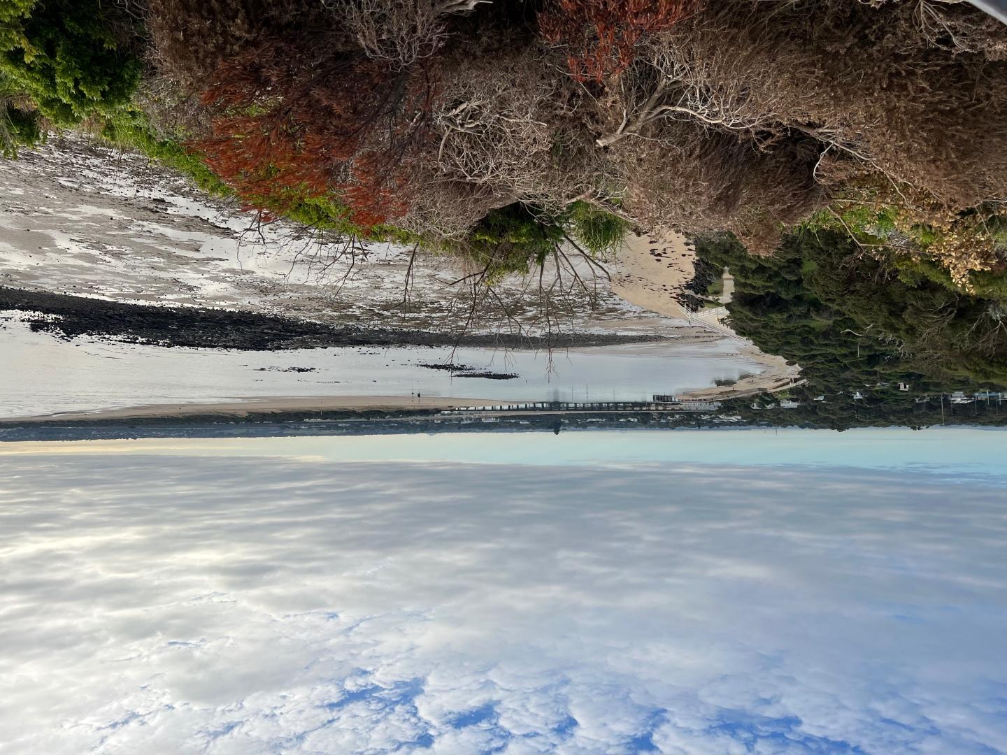
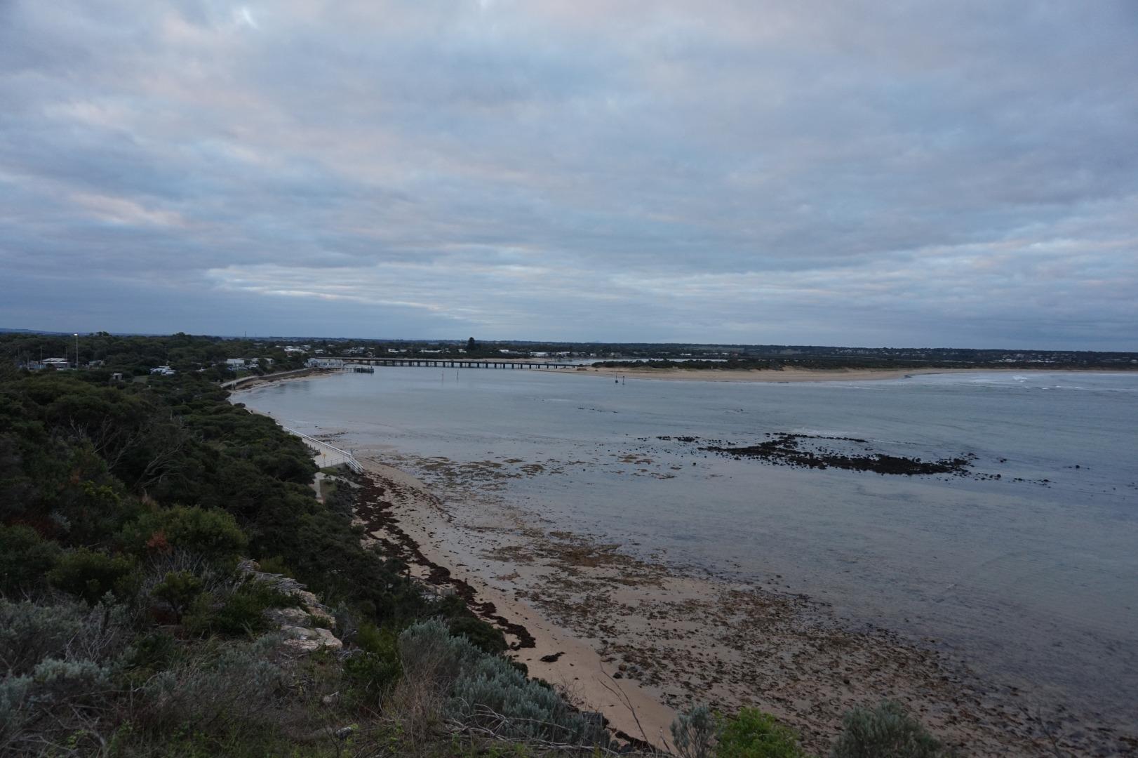
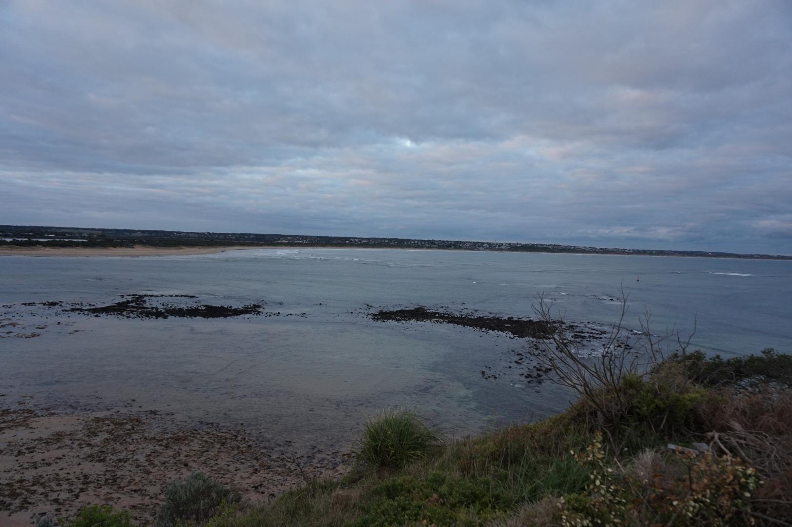
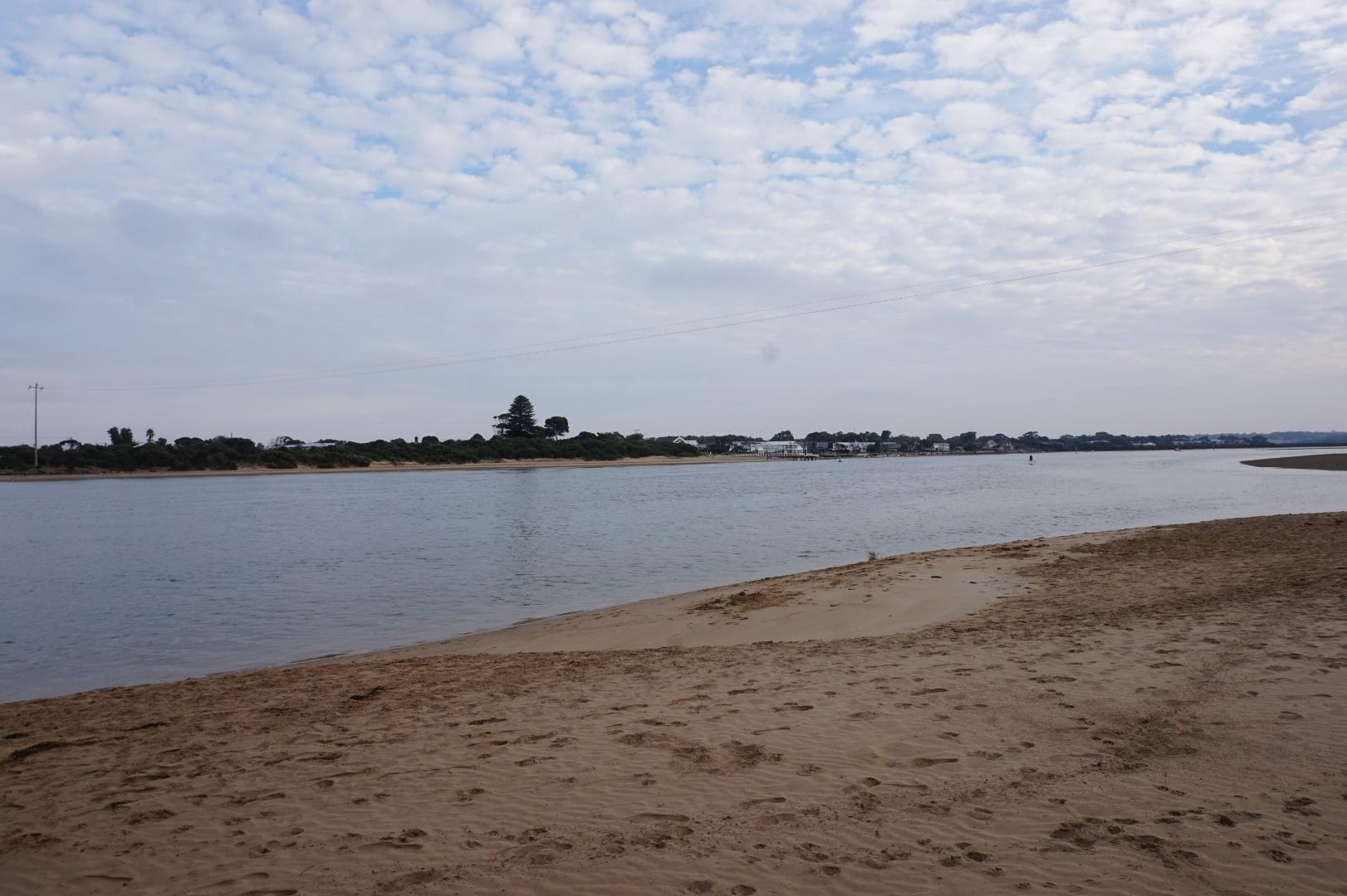
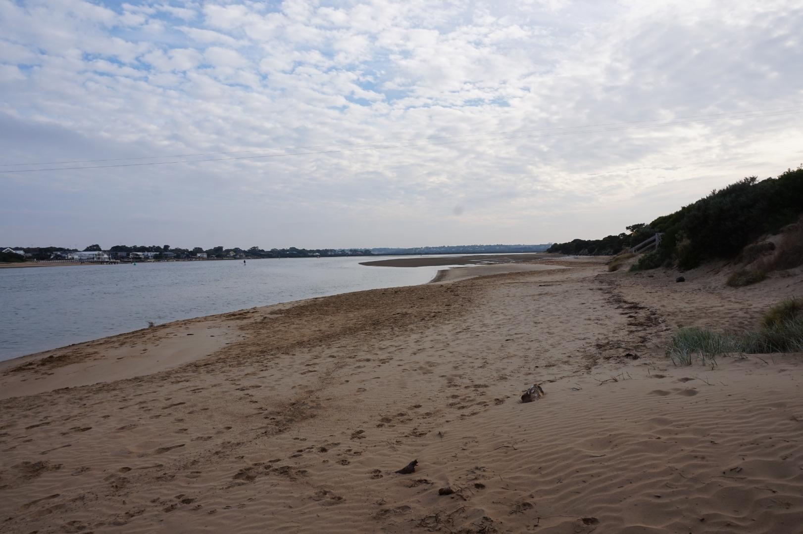
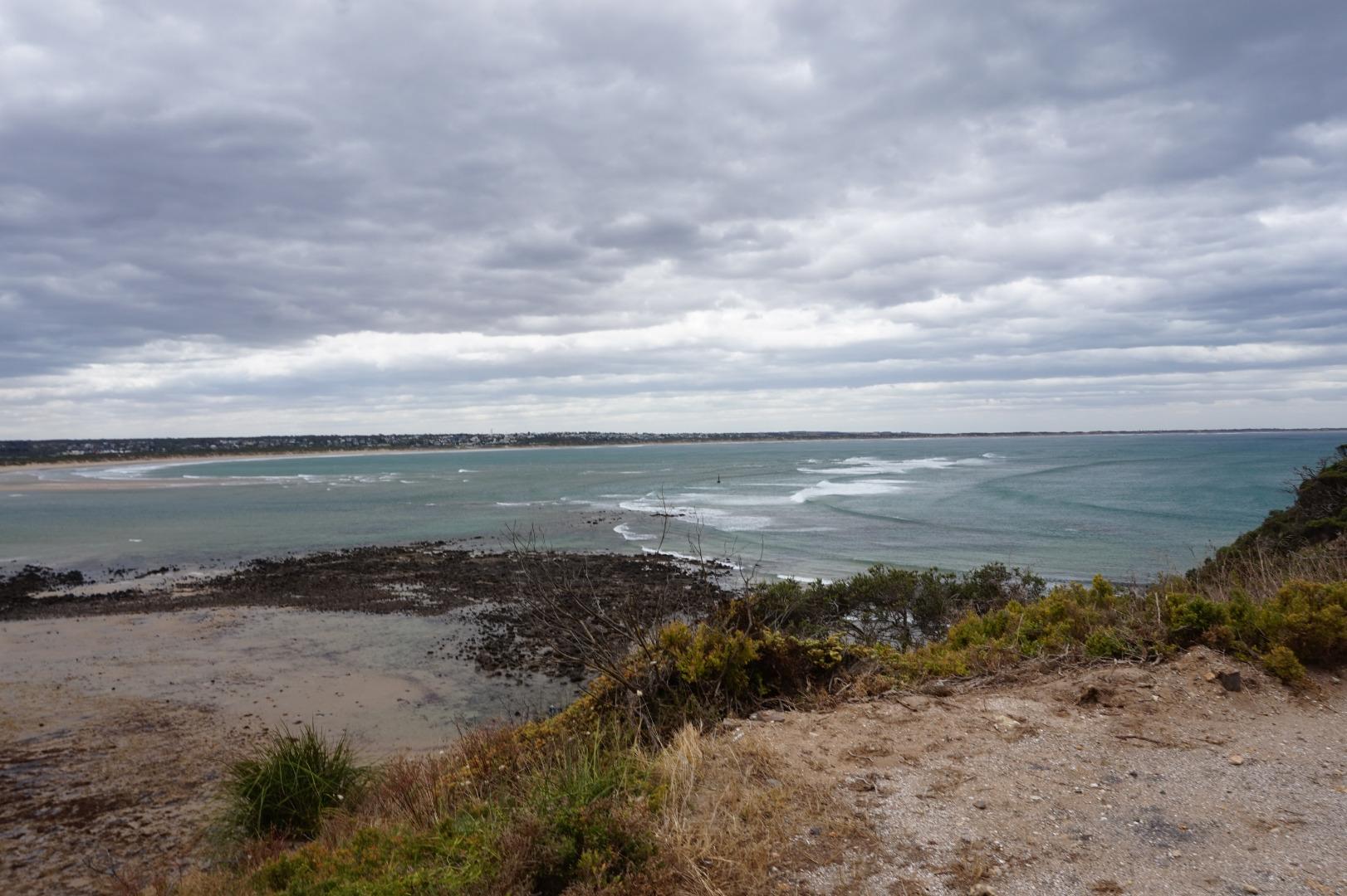
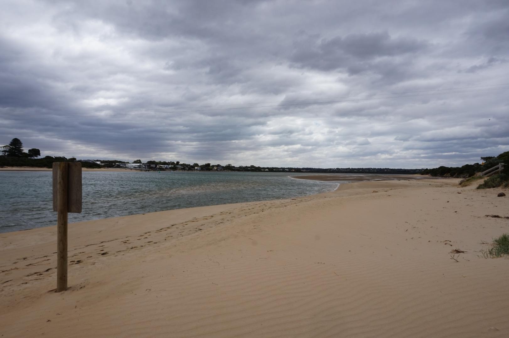
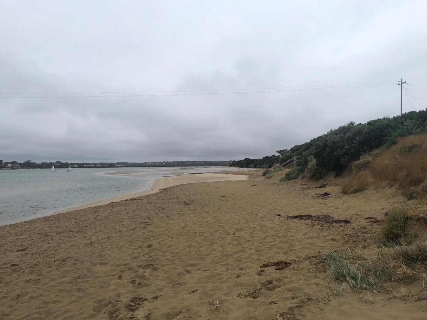
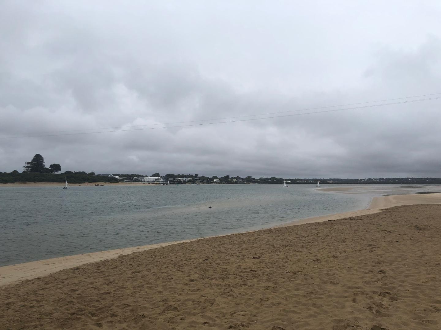
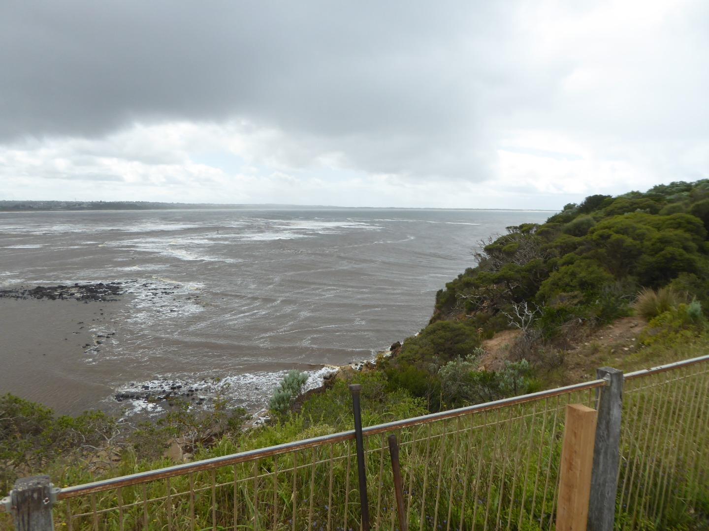
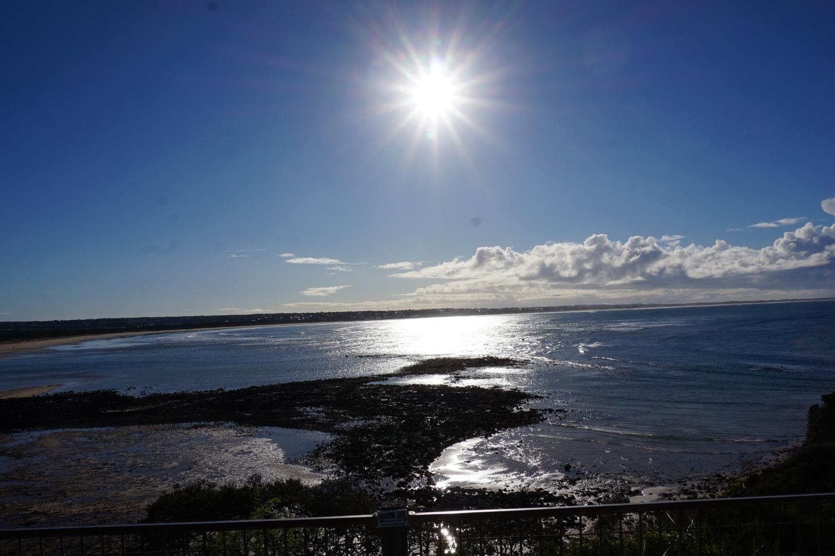
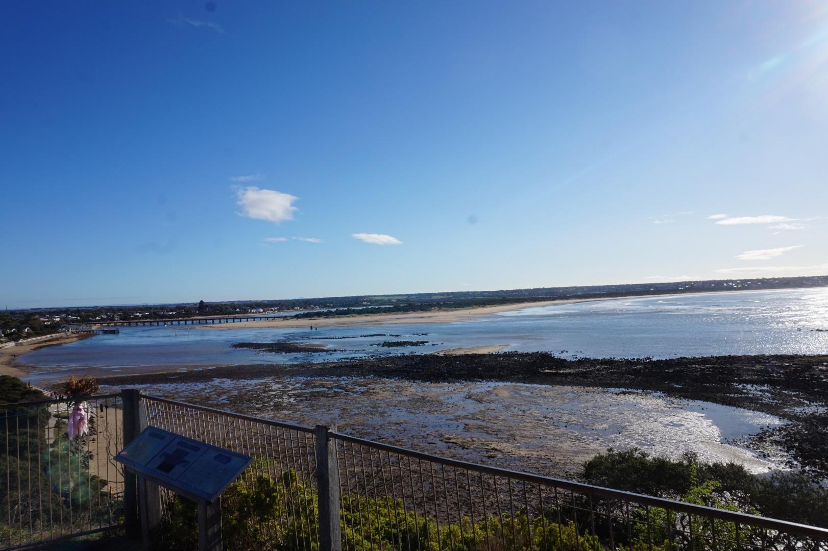
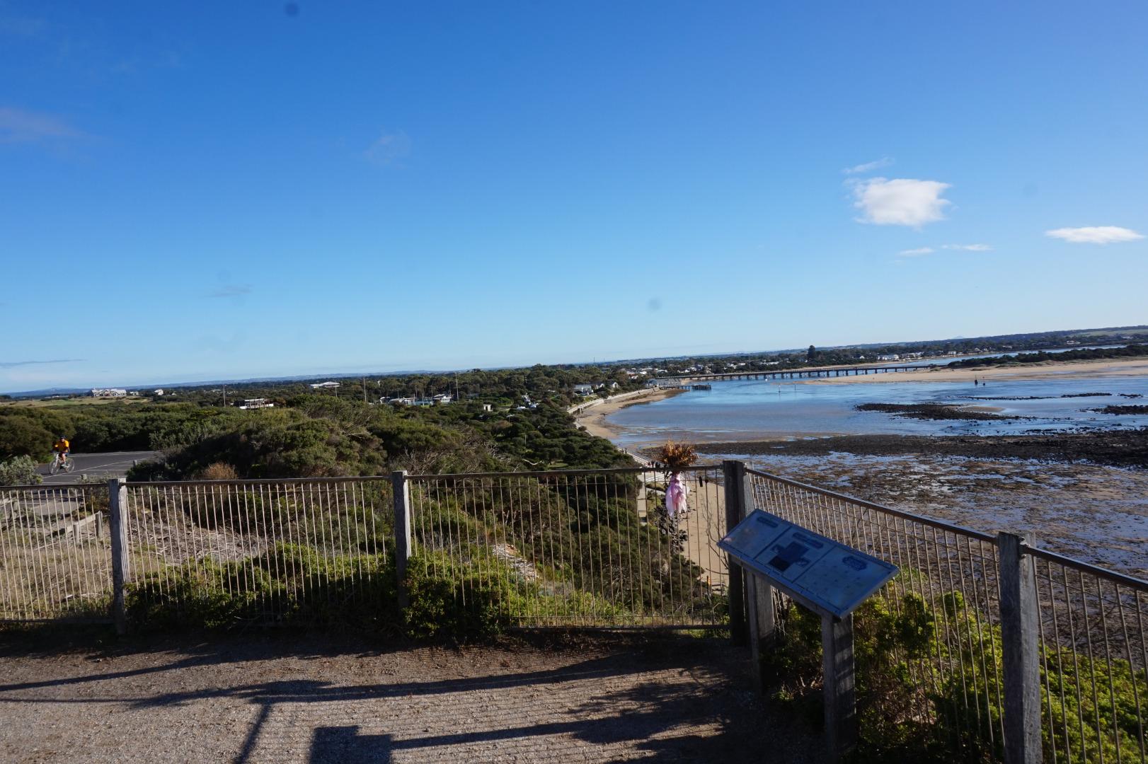
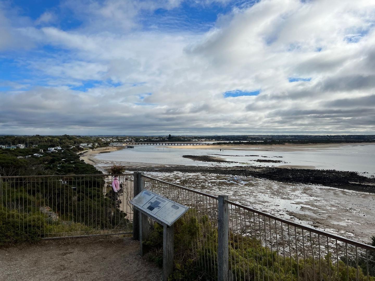
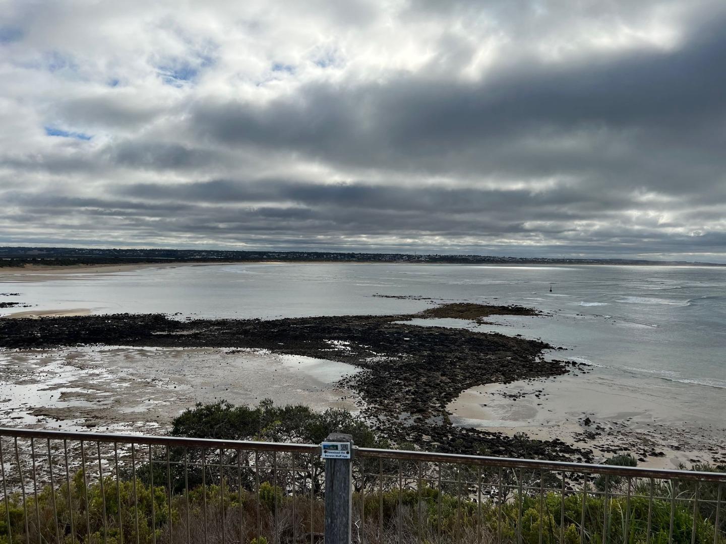
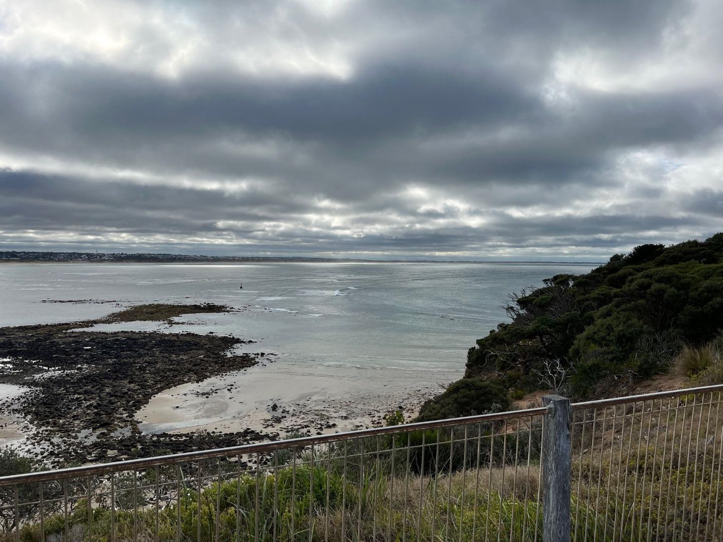
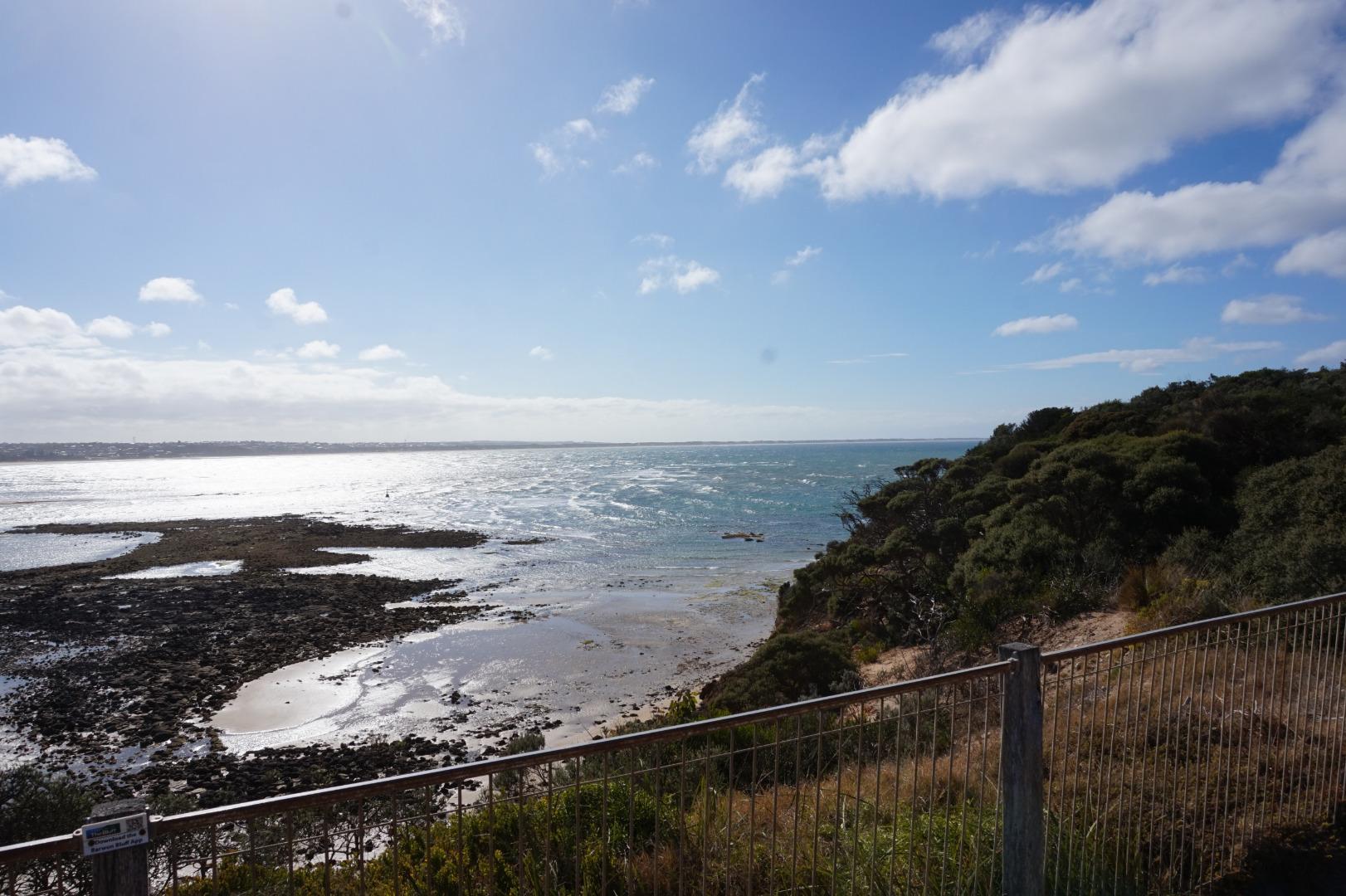
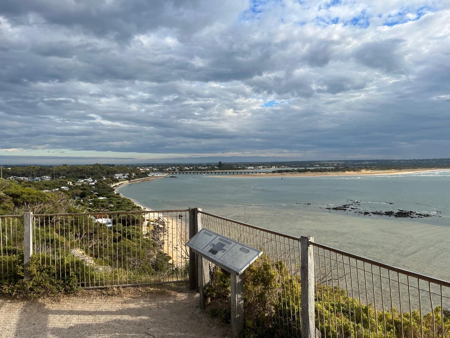
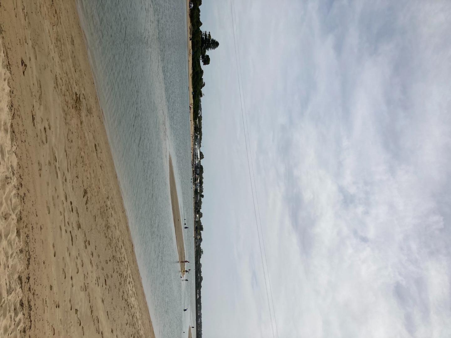
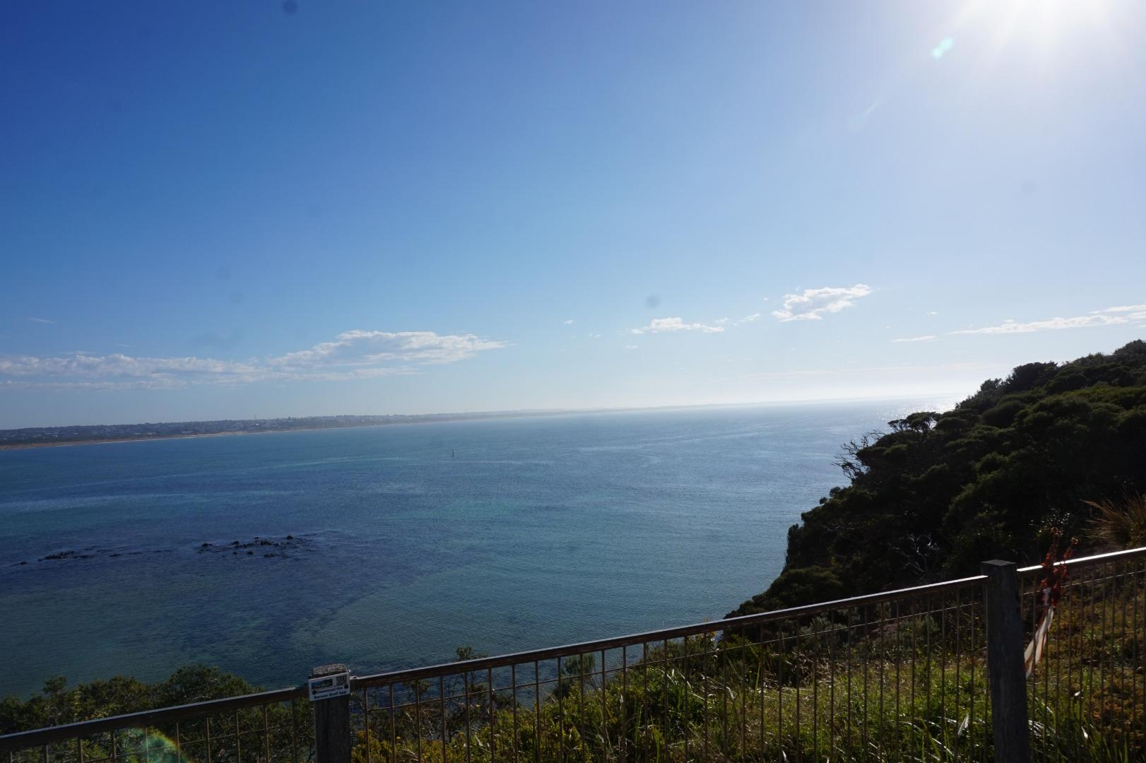
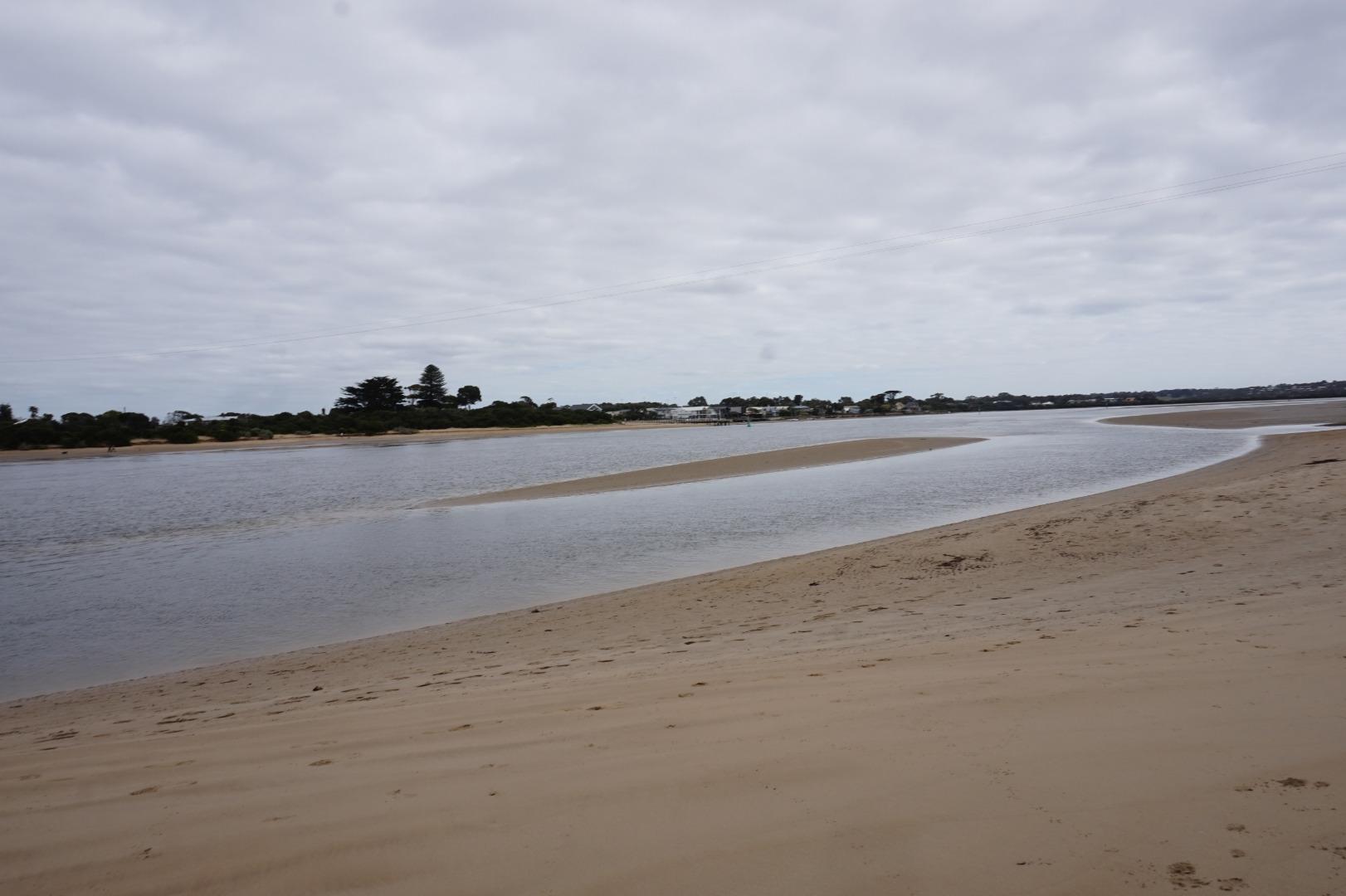
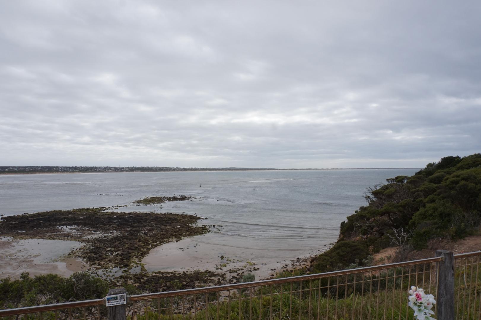
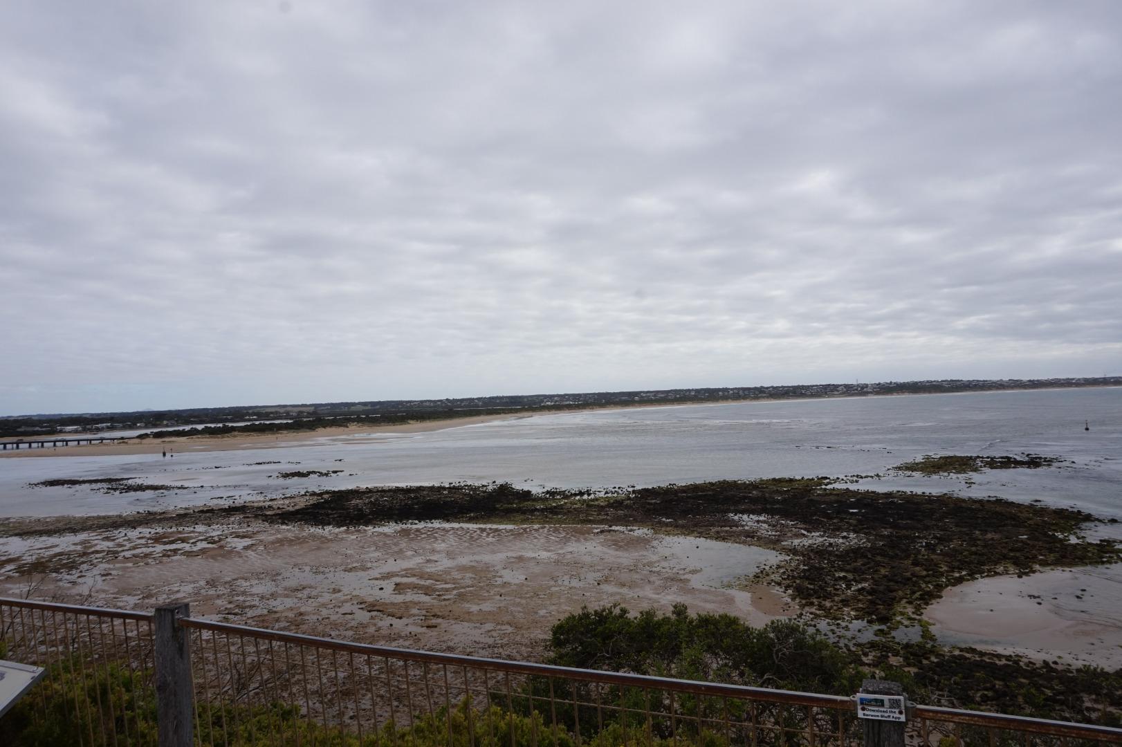
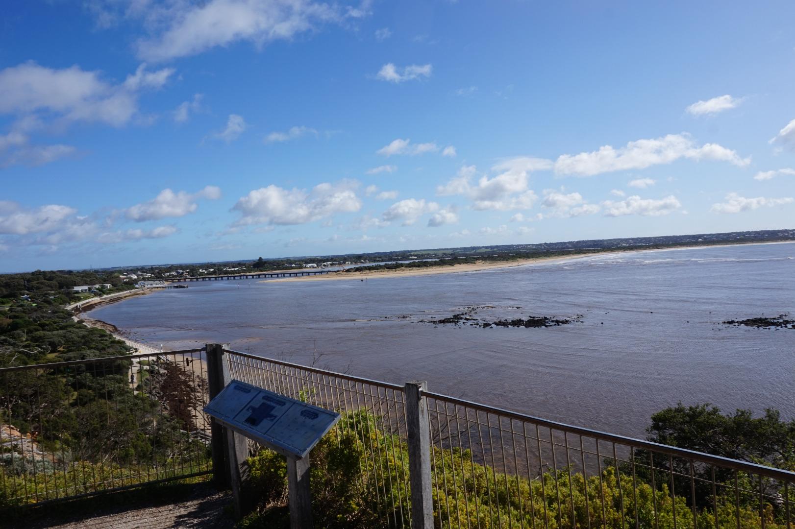
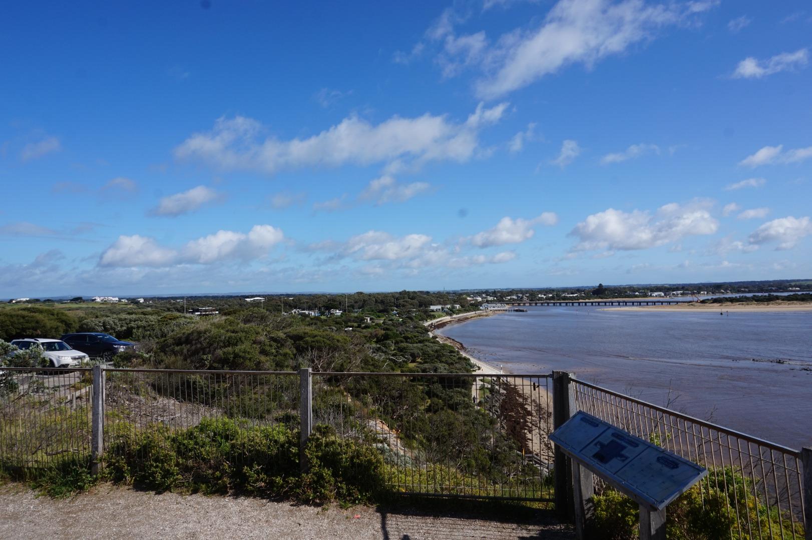
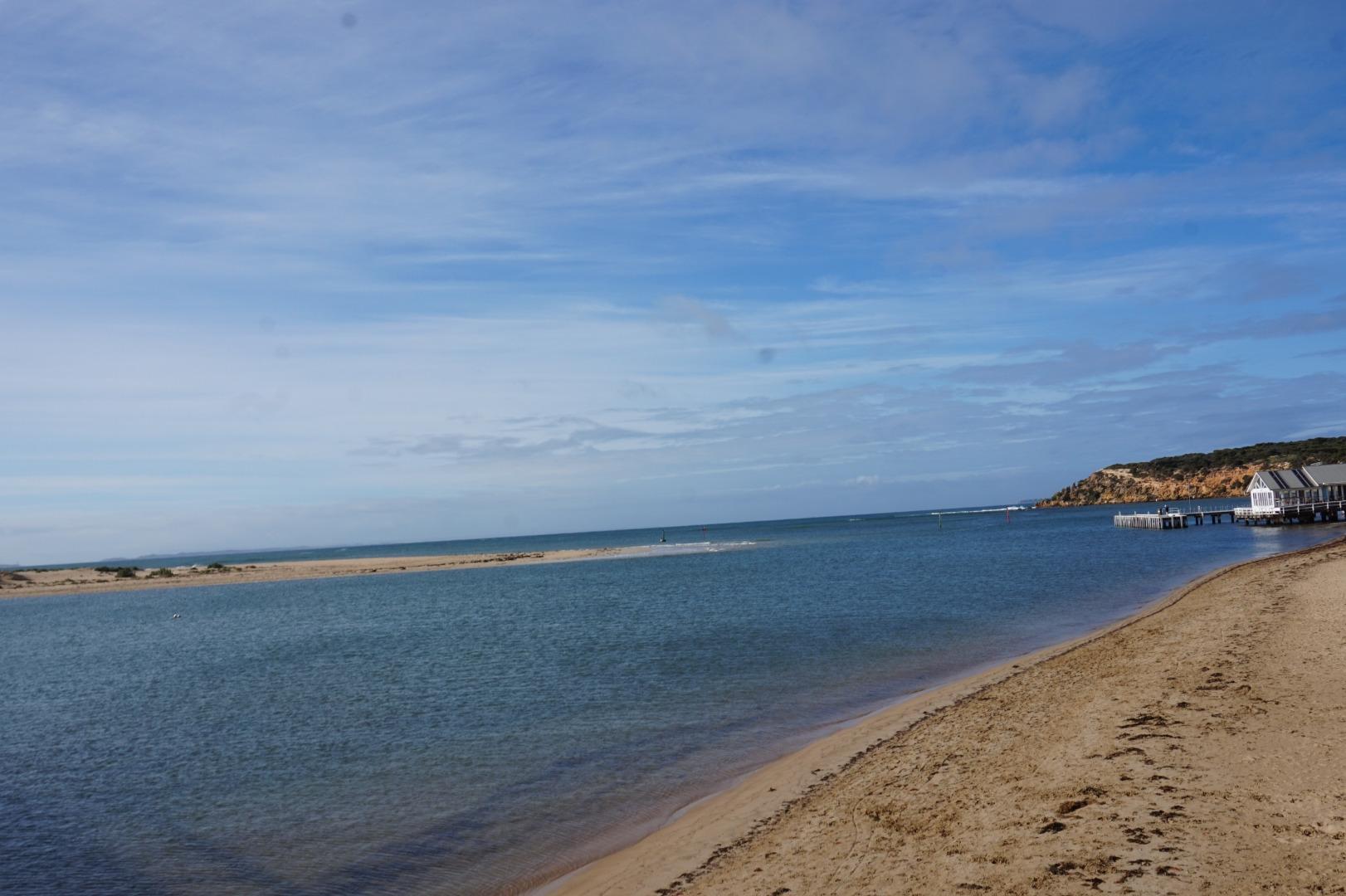
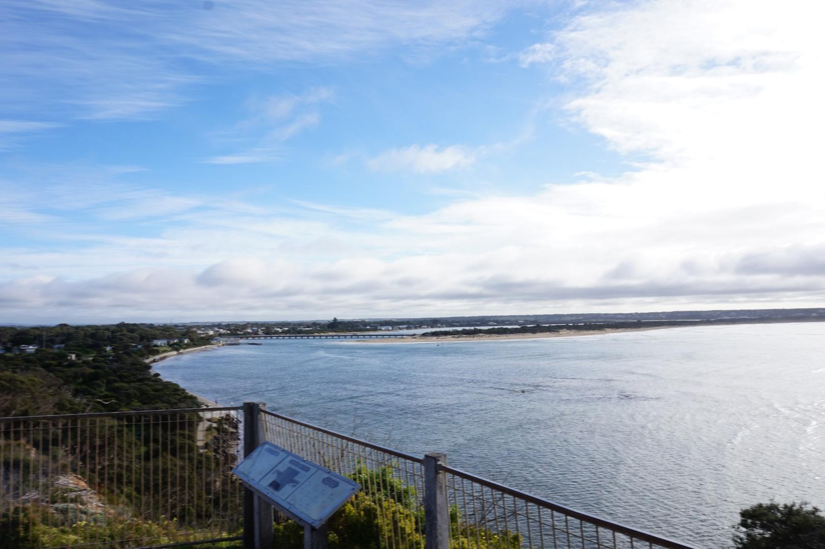
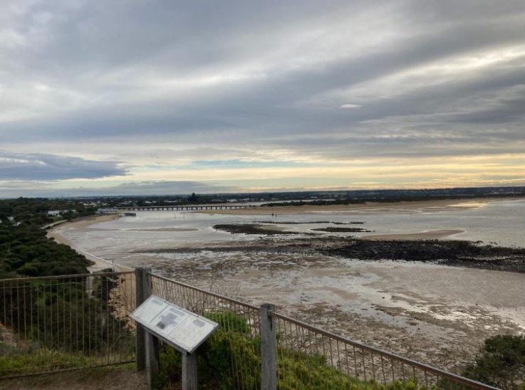
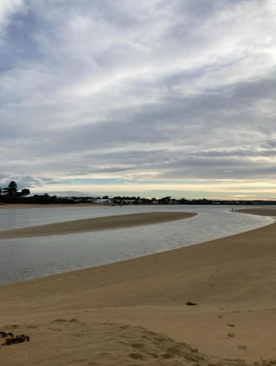
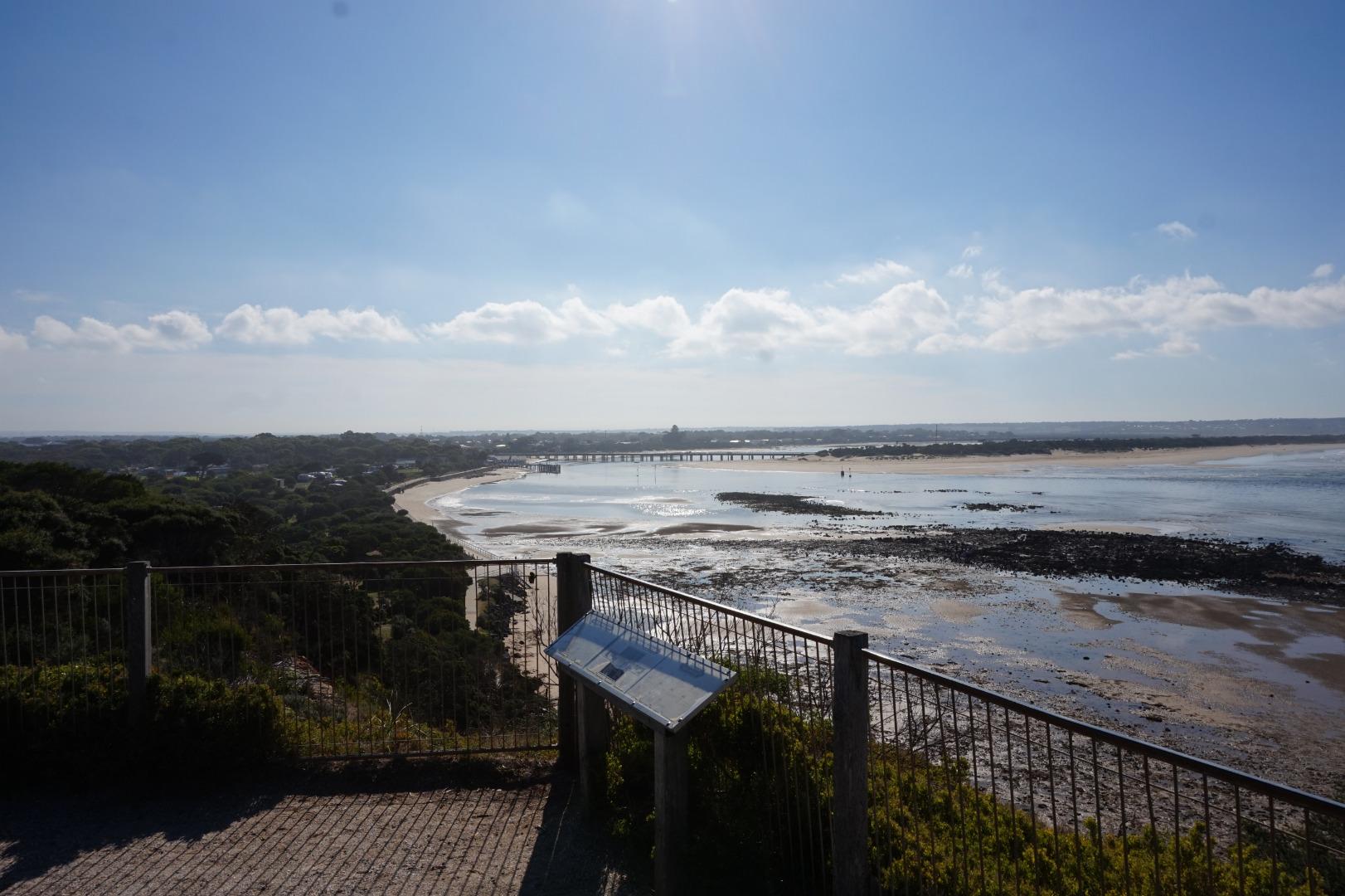
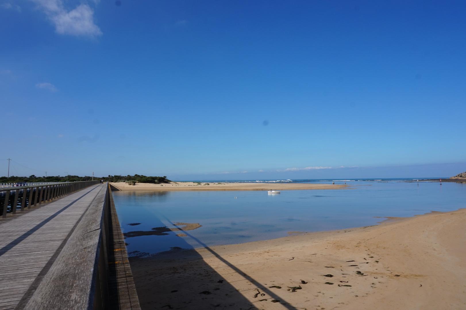
Barwon River Mouth ConditionActive Mouth Condition 15-12-2007 - 17-06-2026Bluff Lookout. Observations 271 |
BP1 |
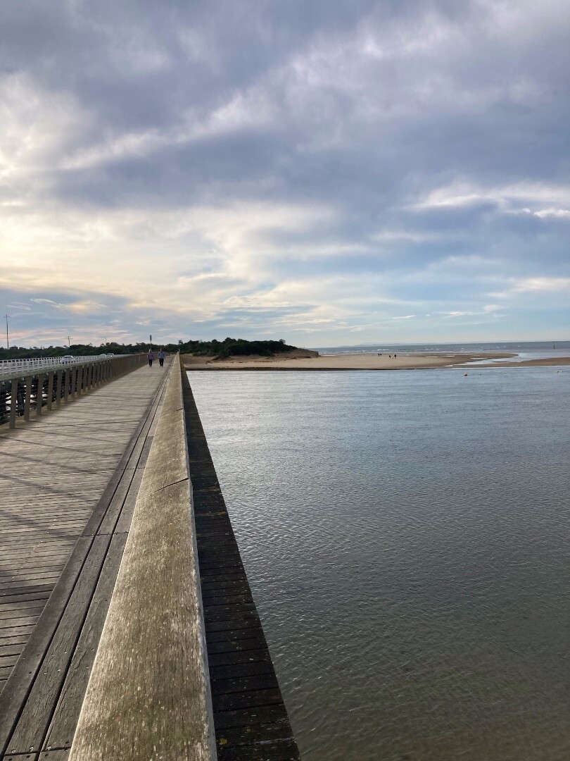
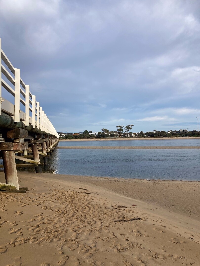
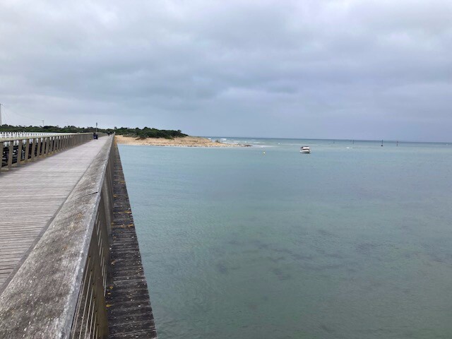
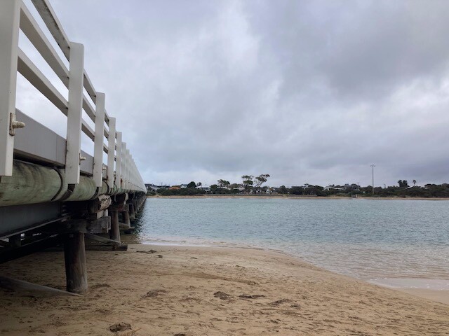
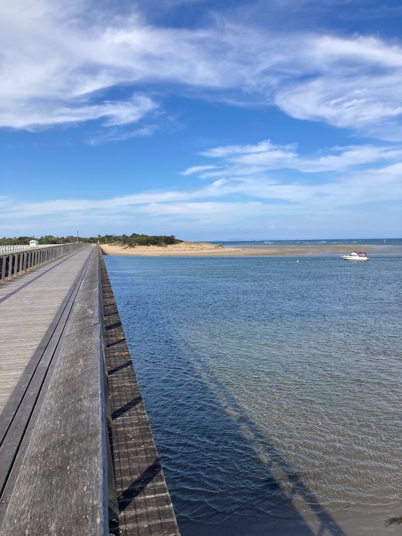
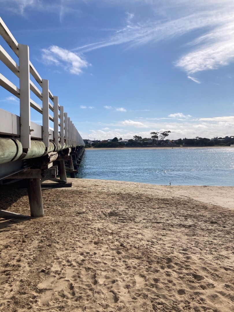
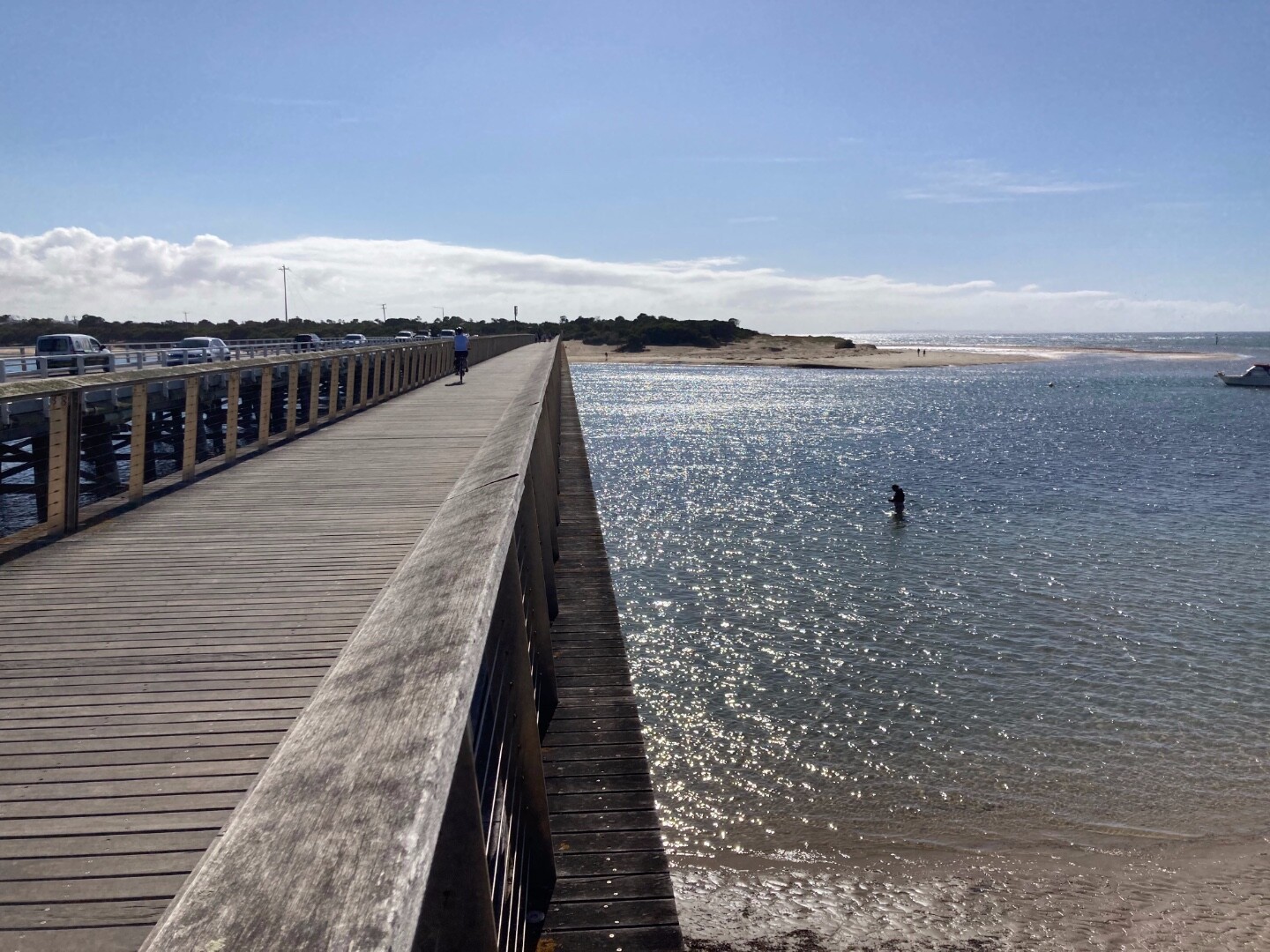
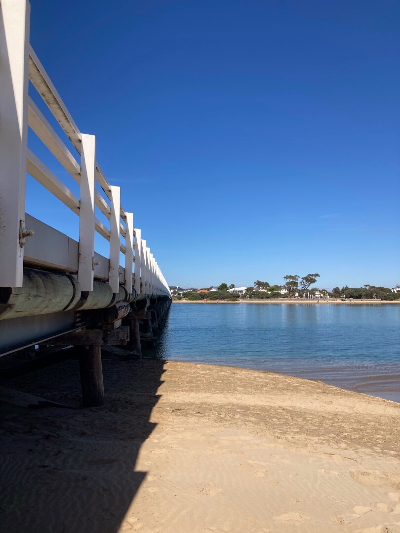
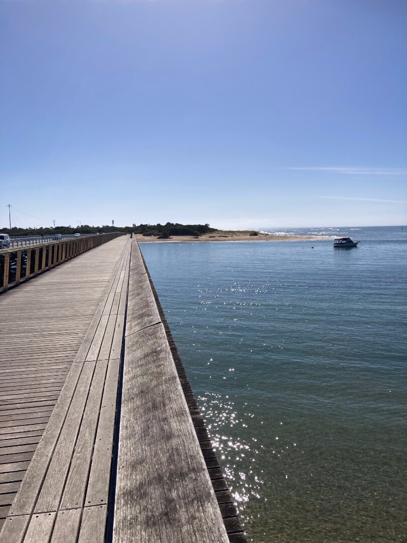
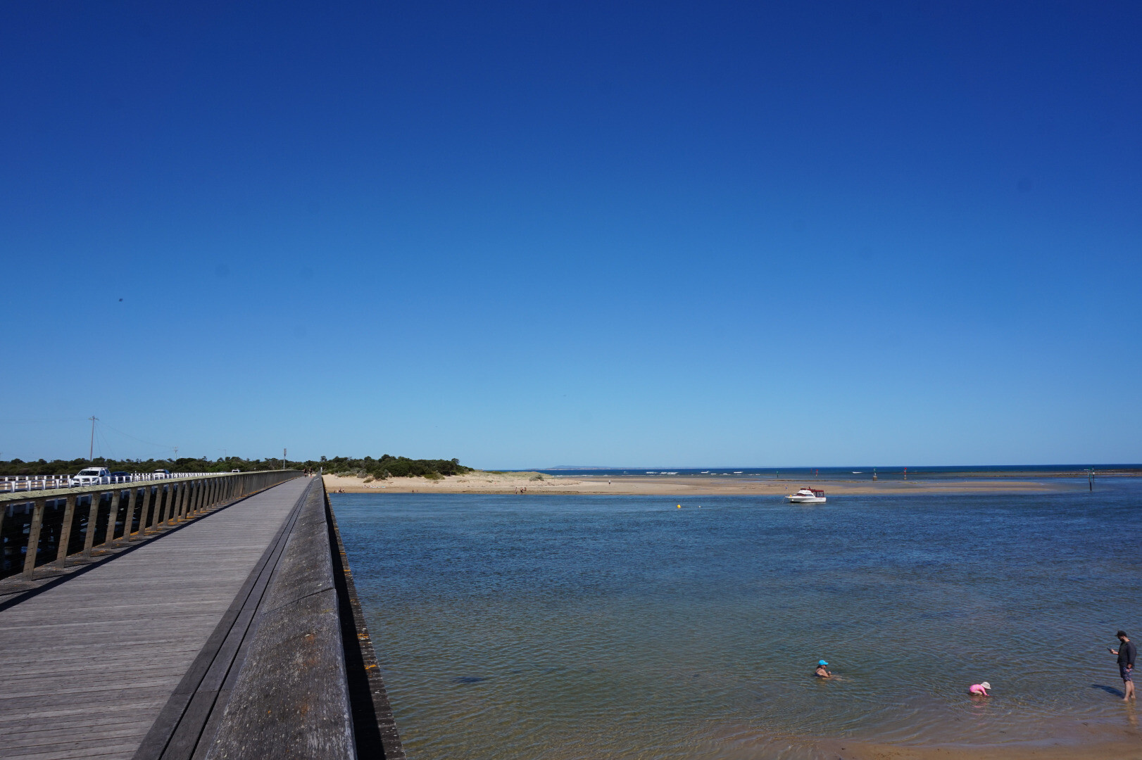
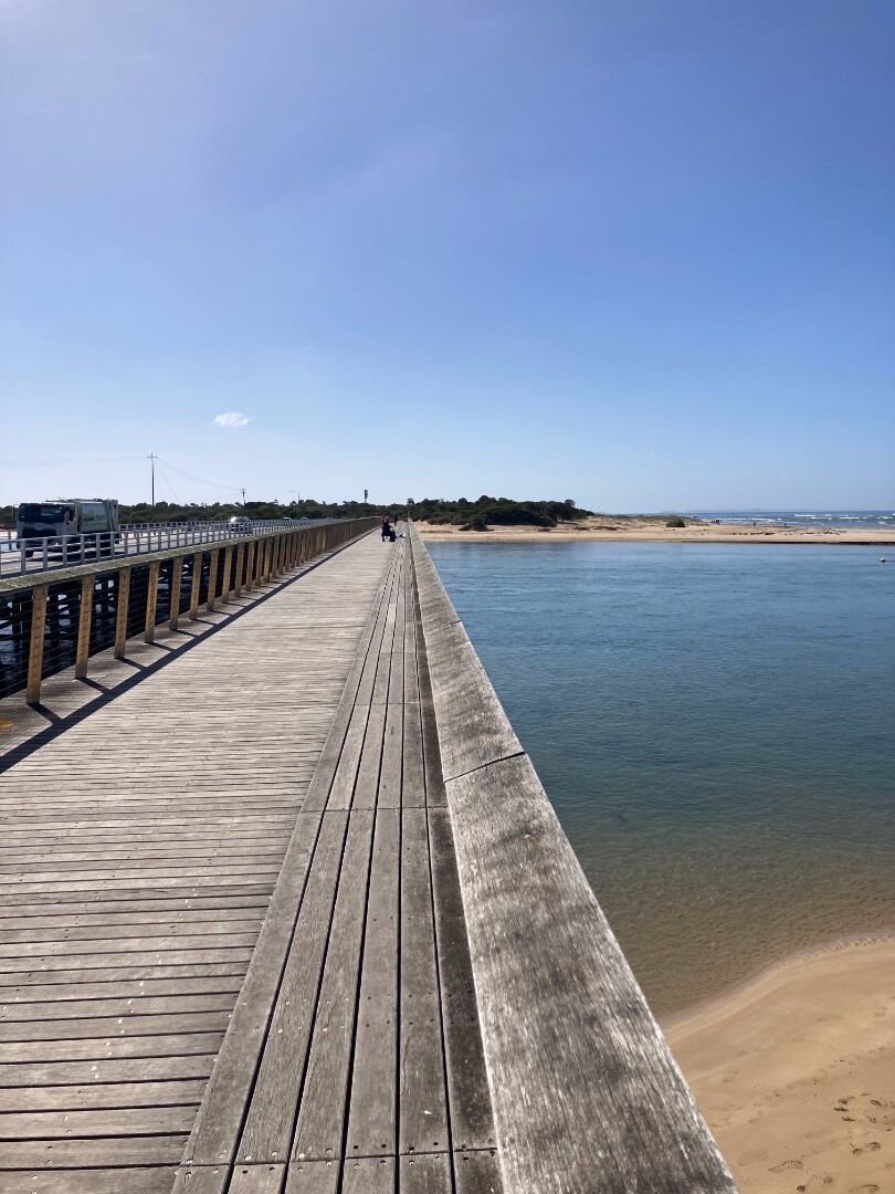
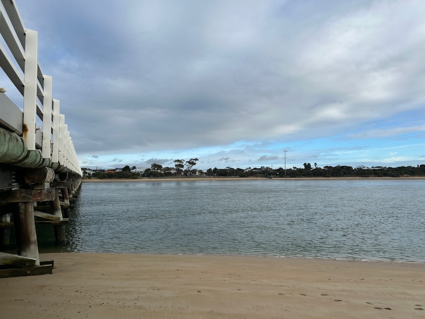
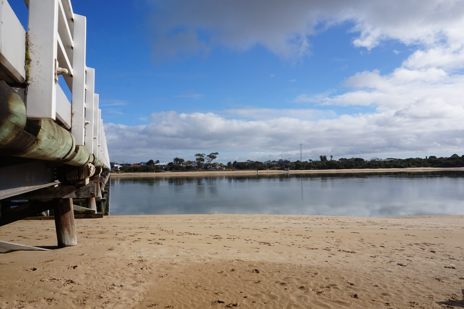
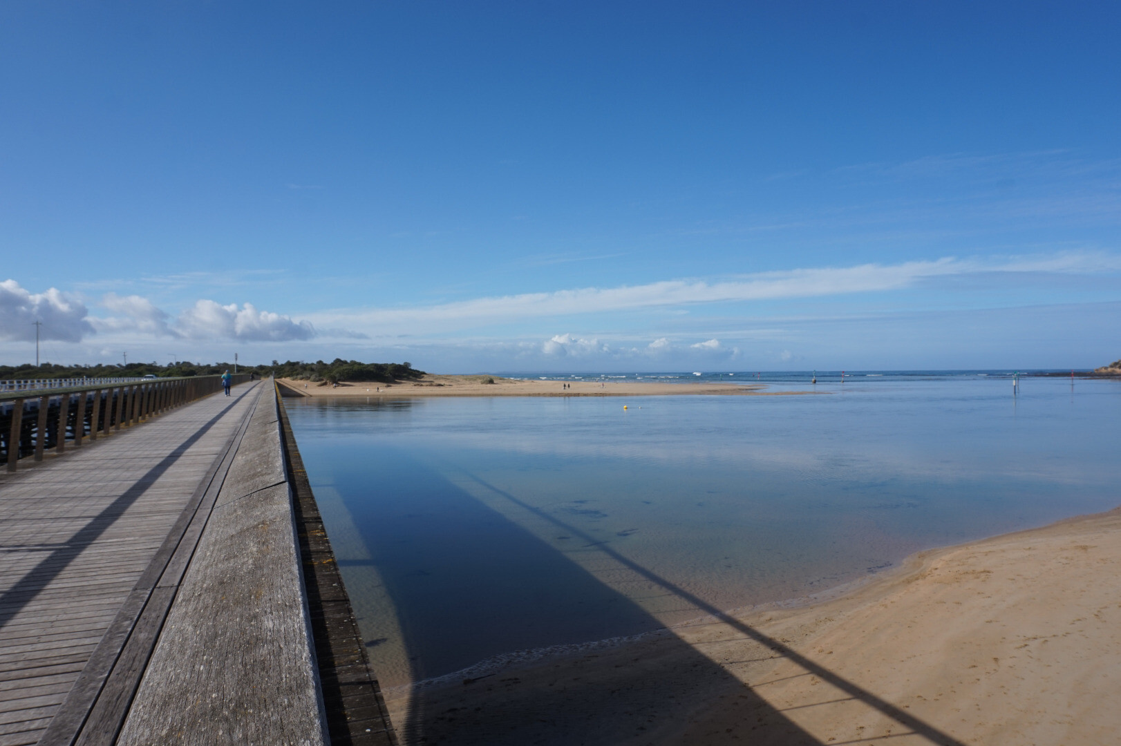
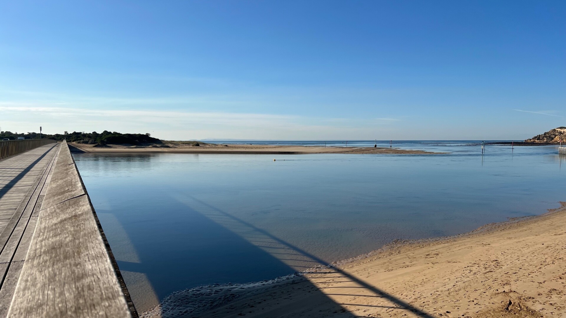
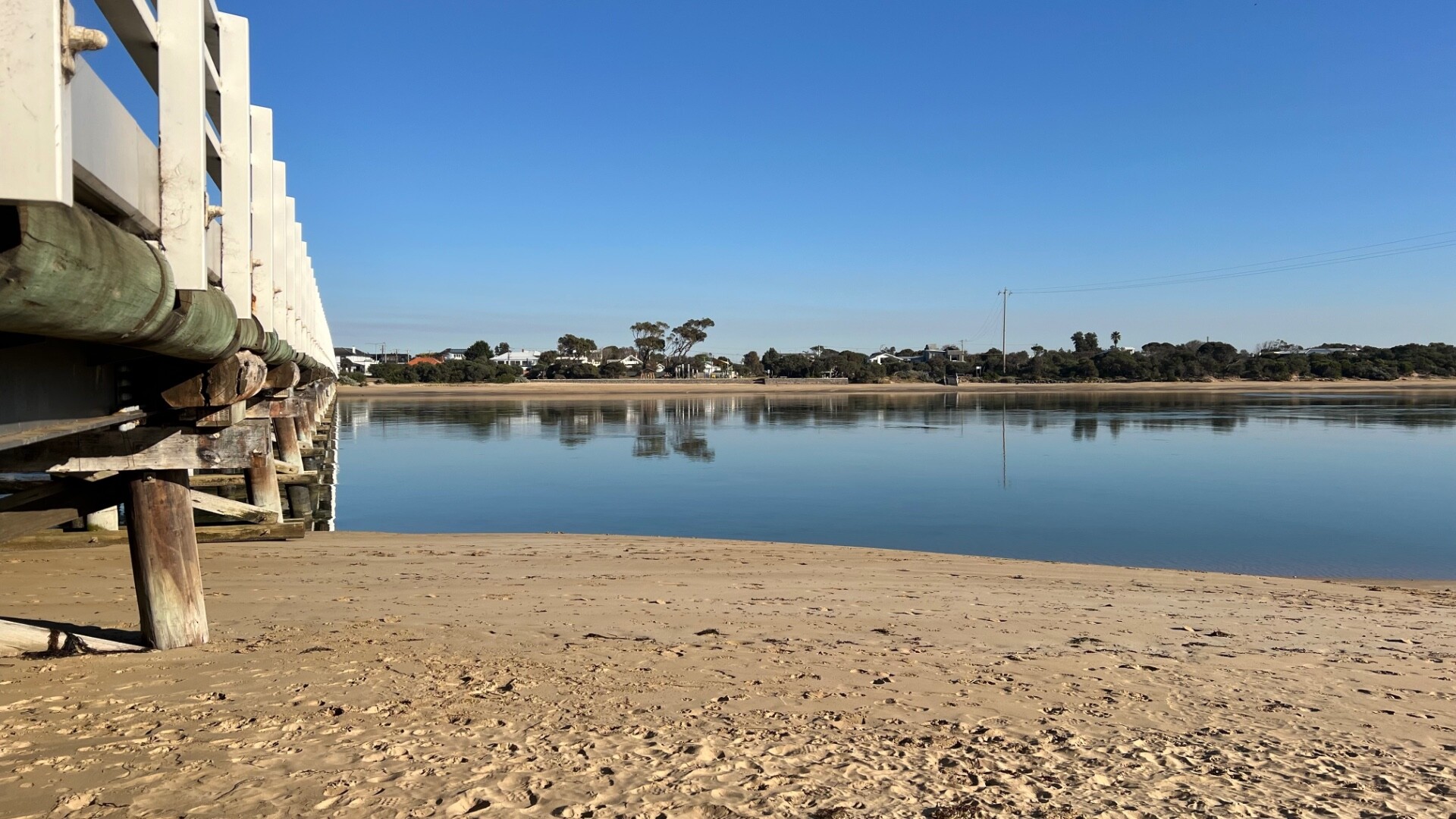
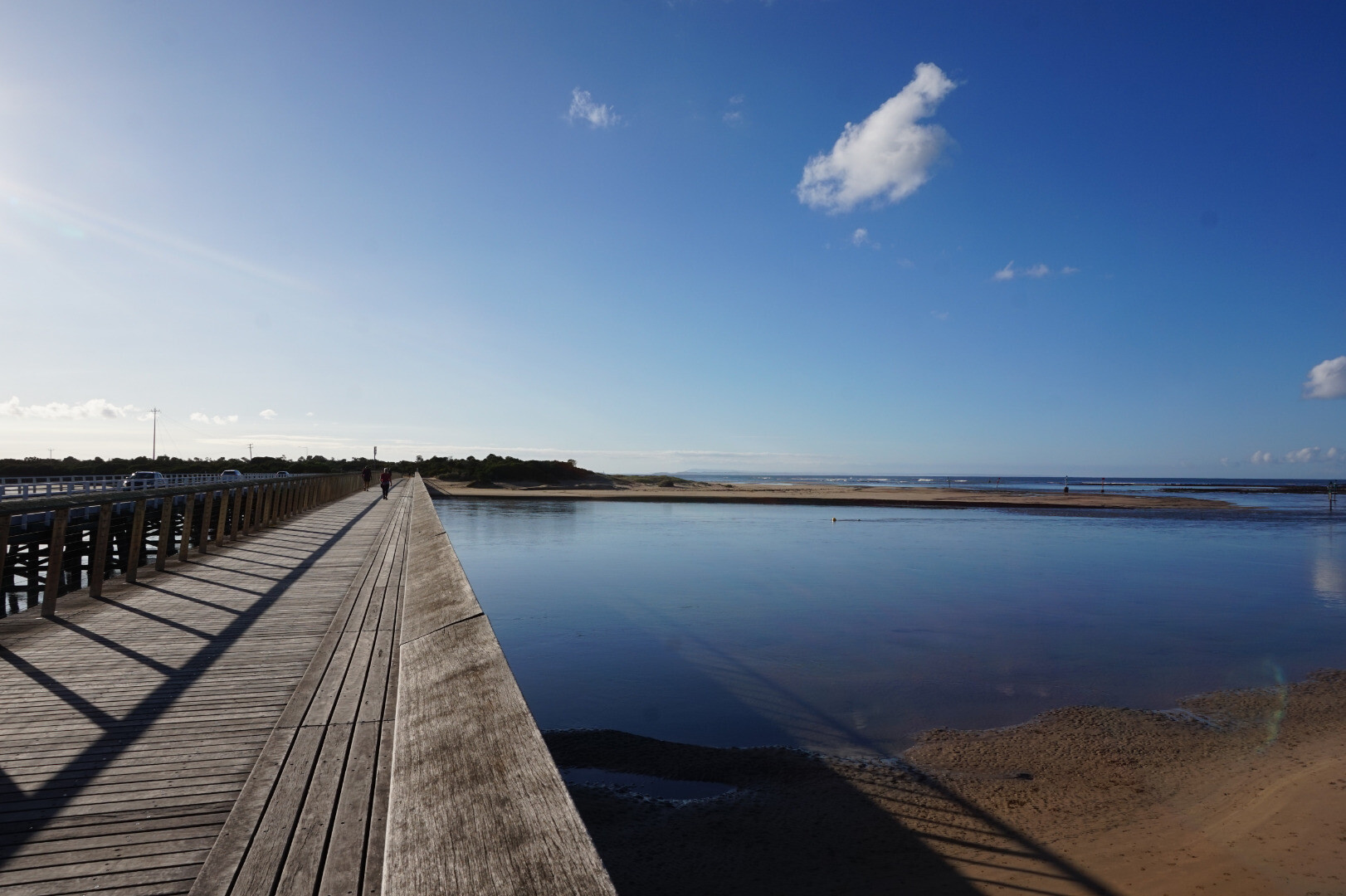
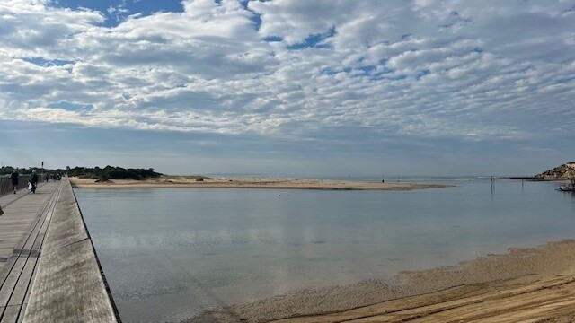
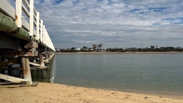
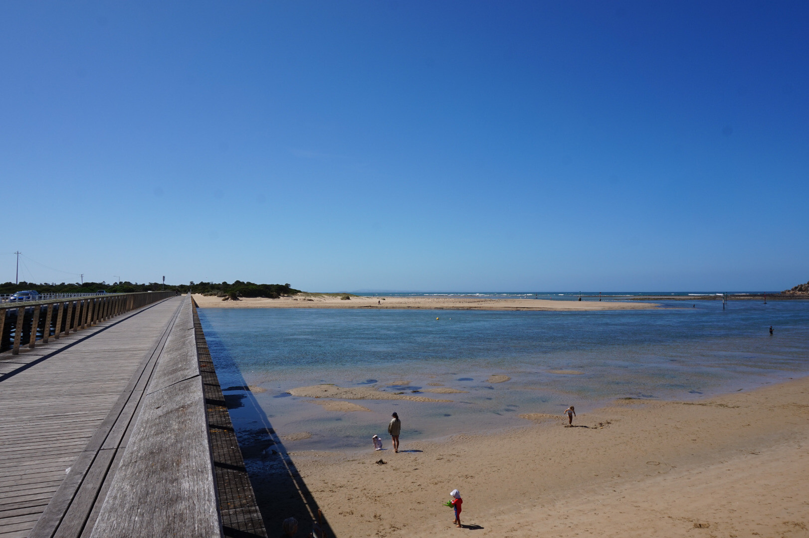
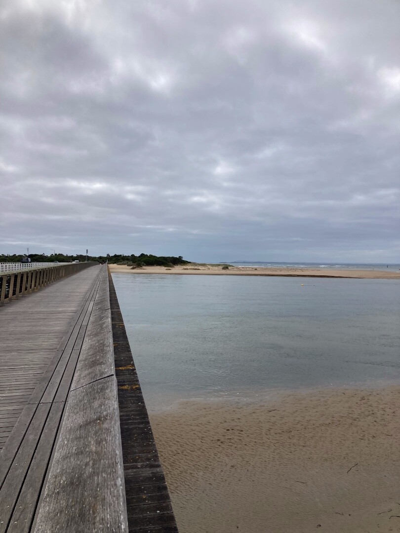
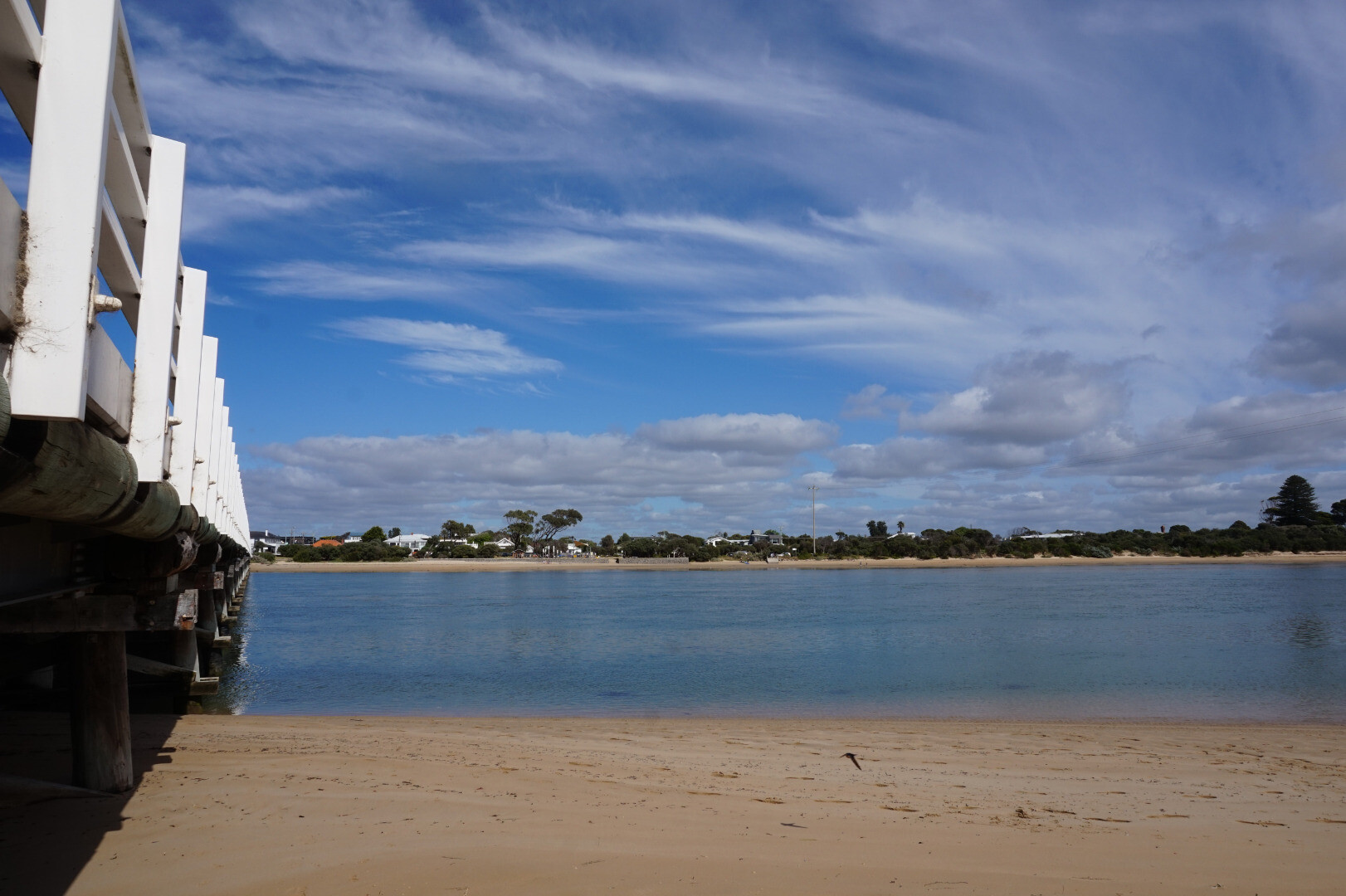
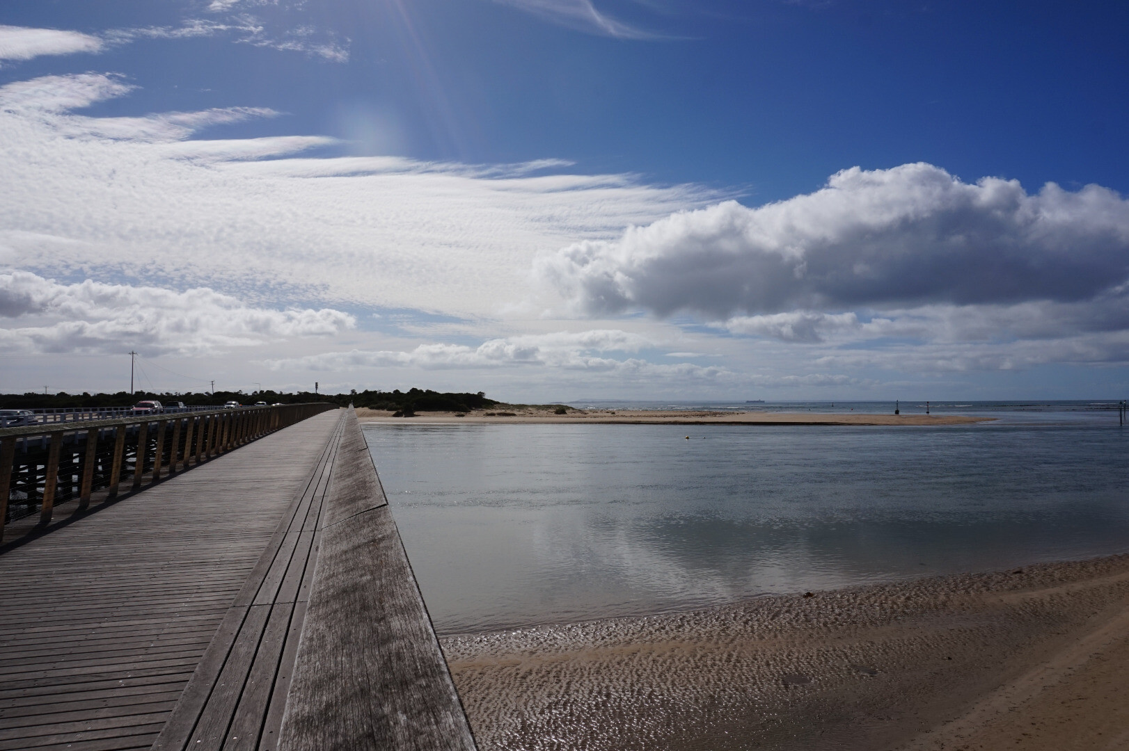
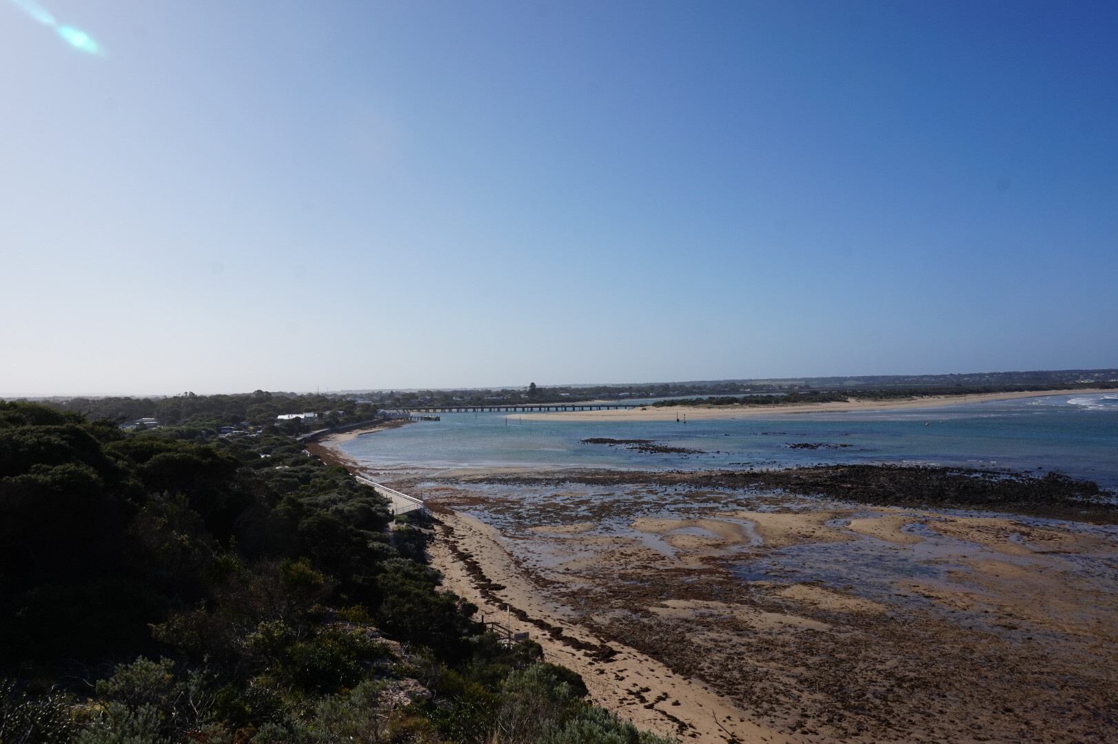
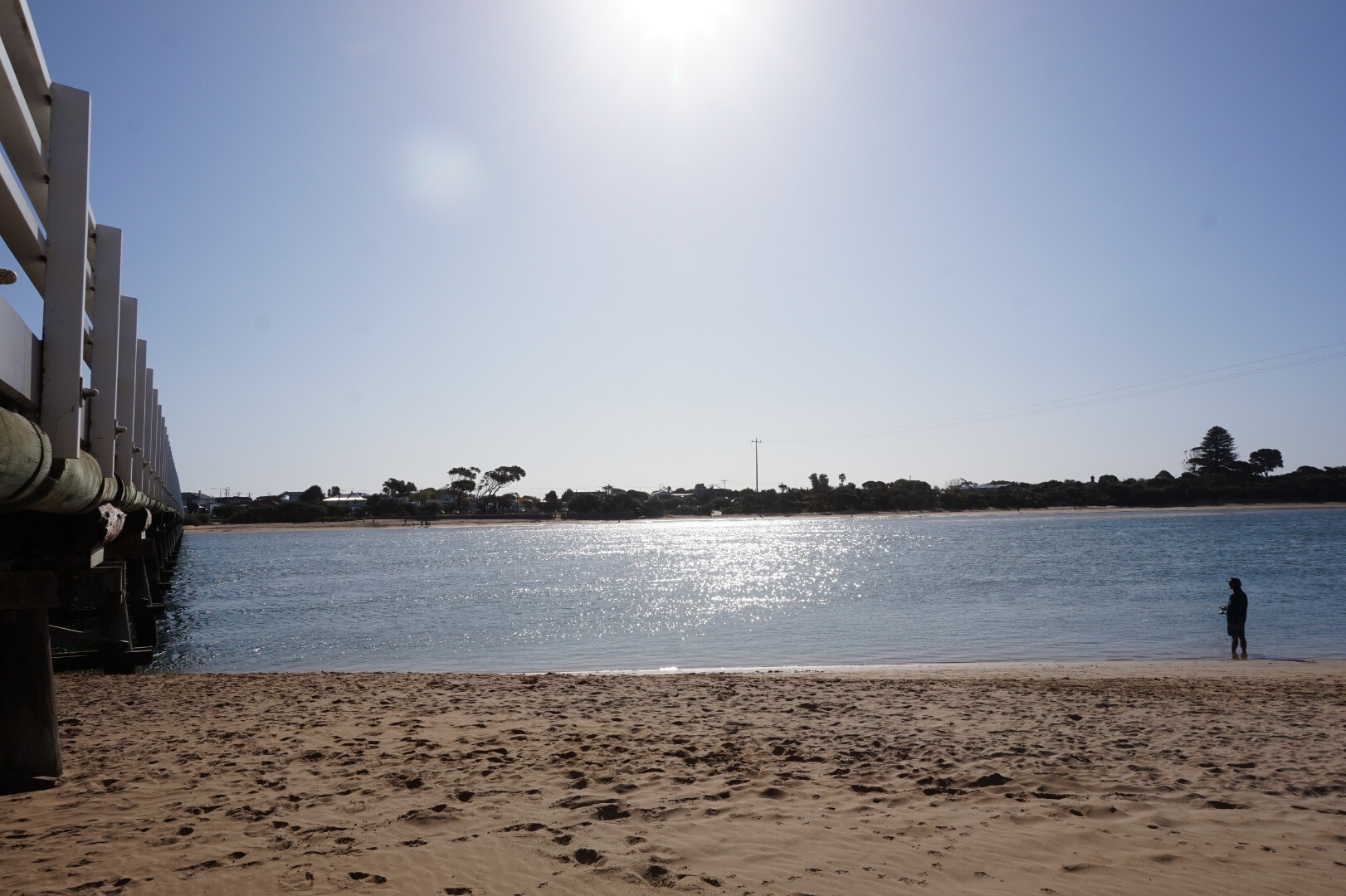
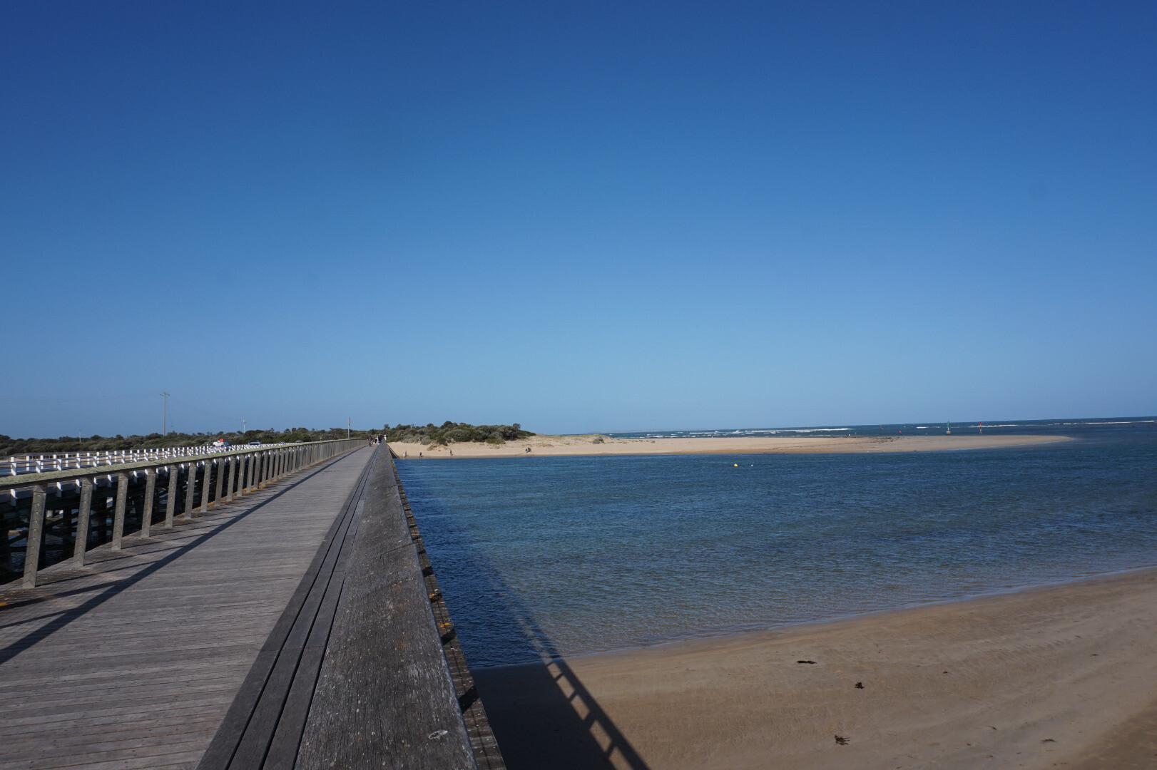
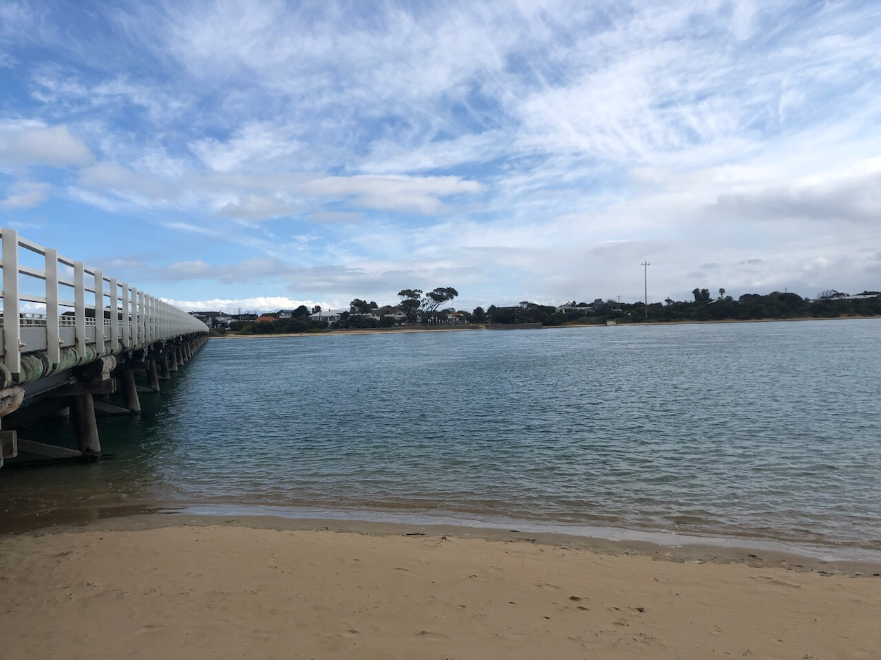
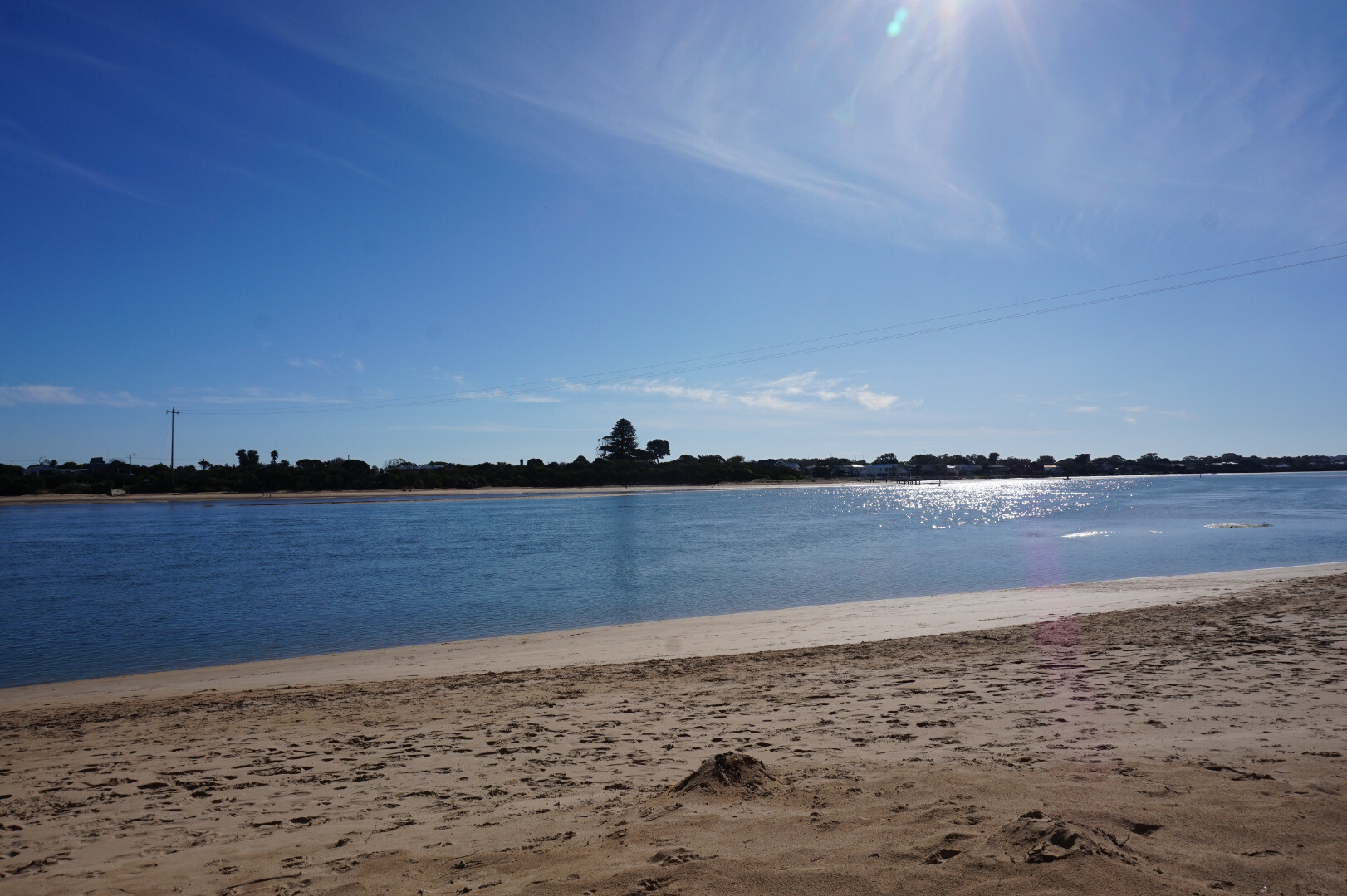
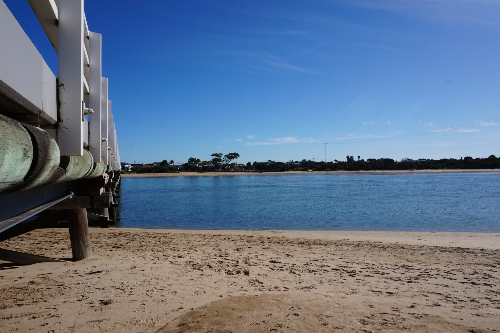
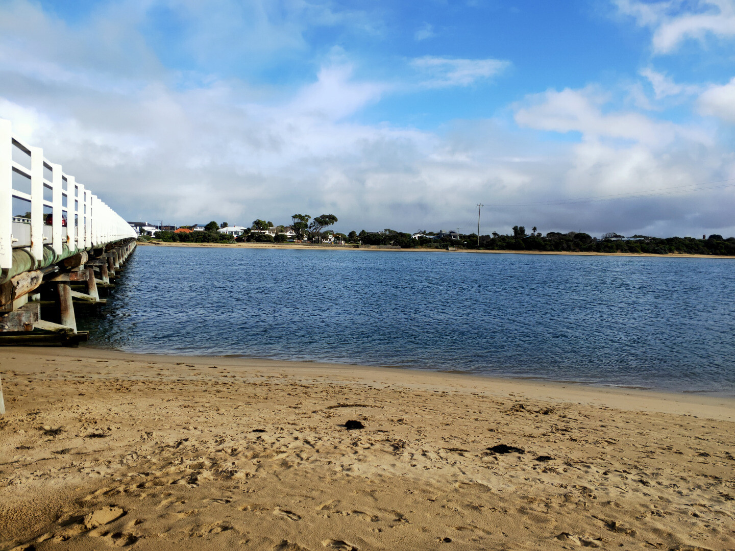
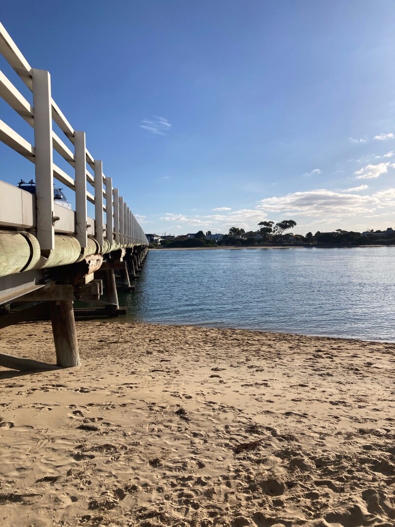
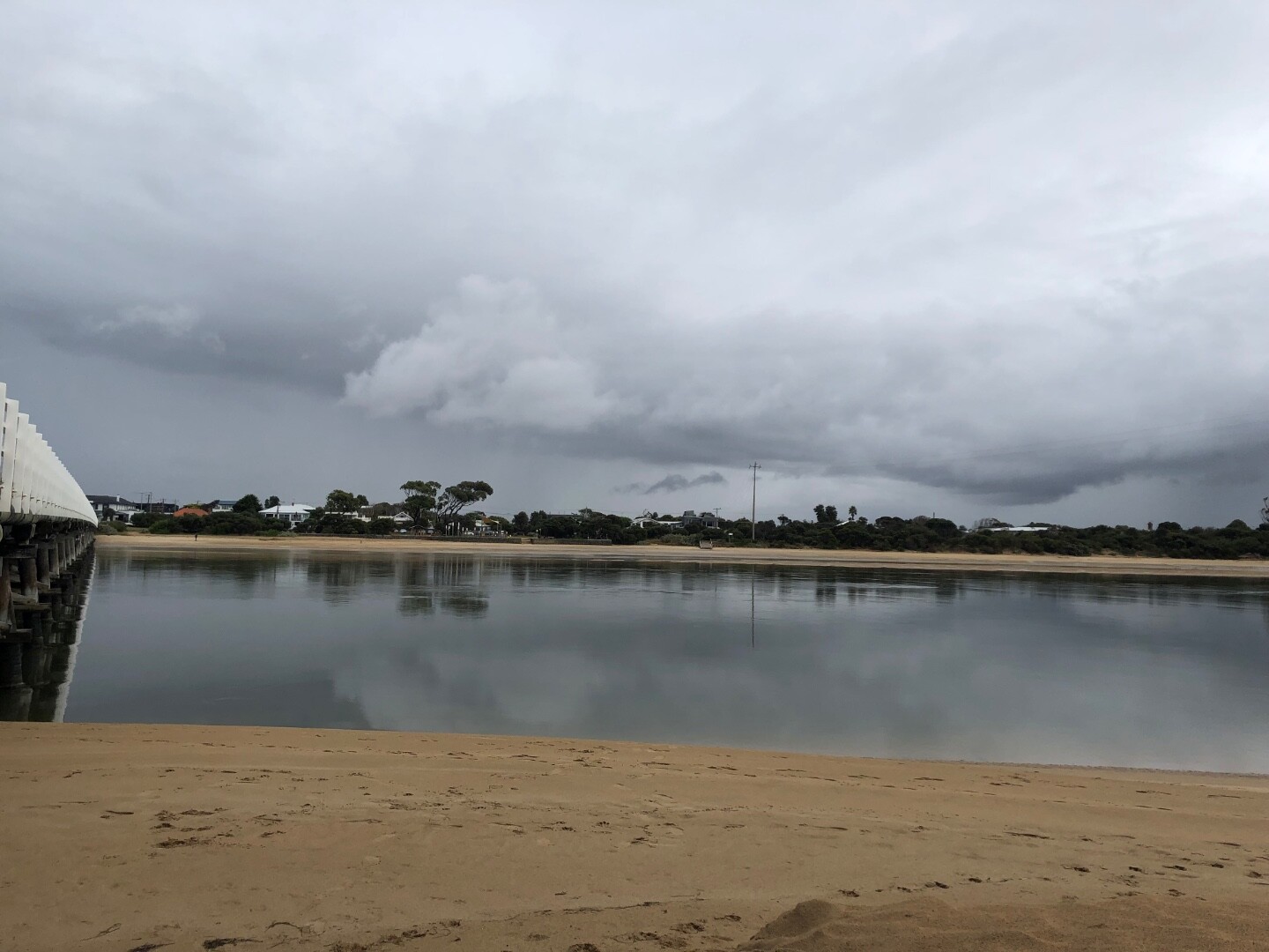
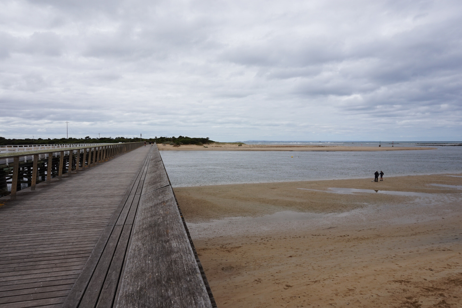
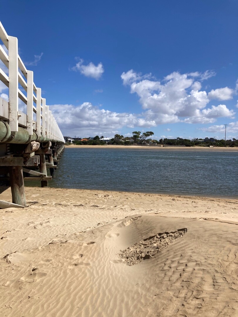
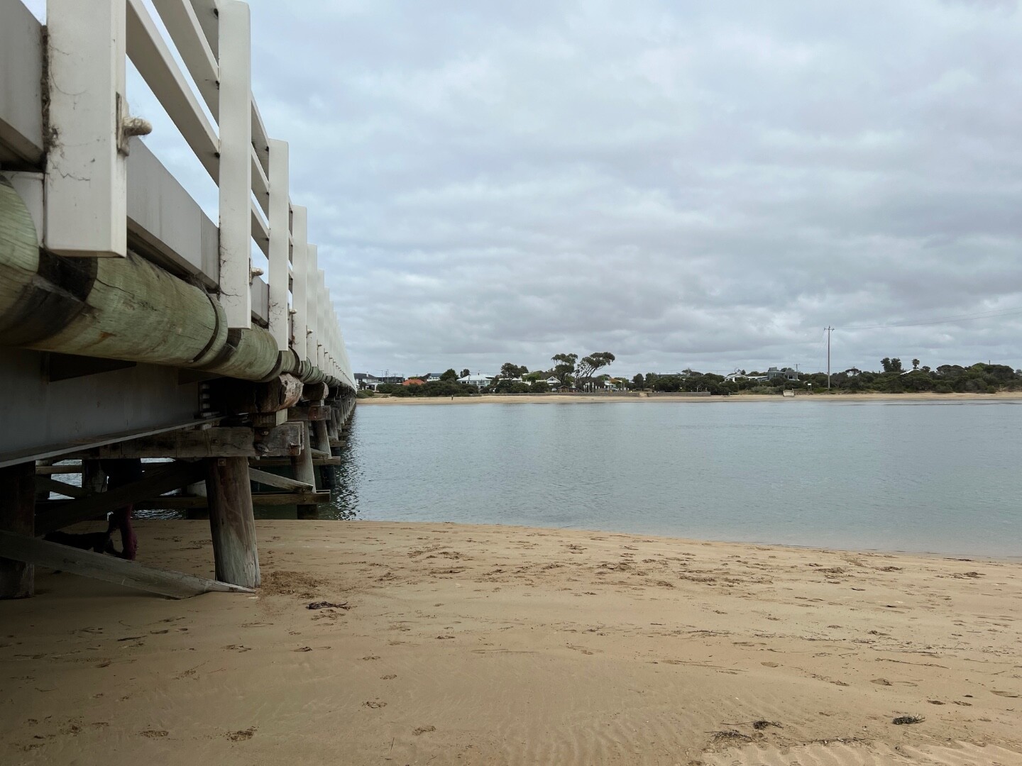
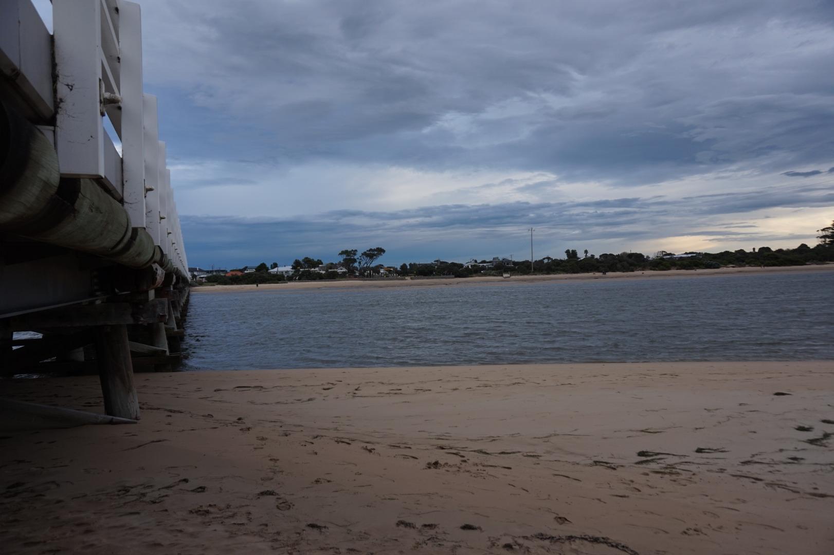
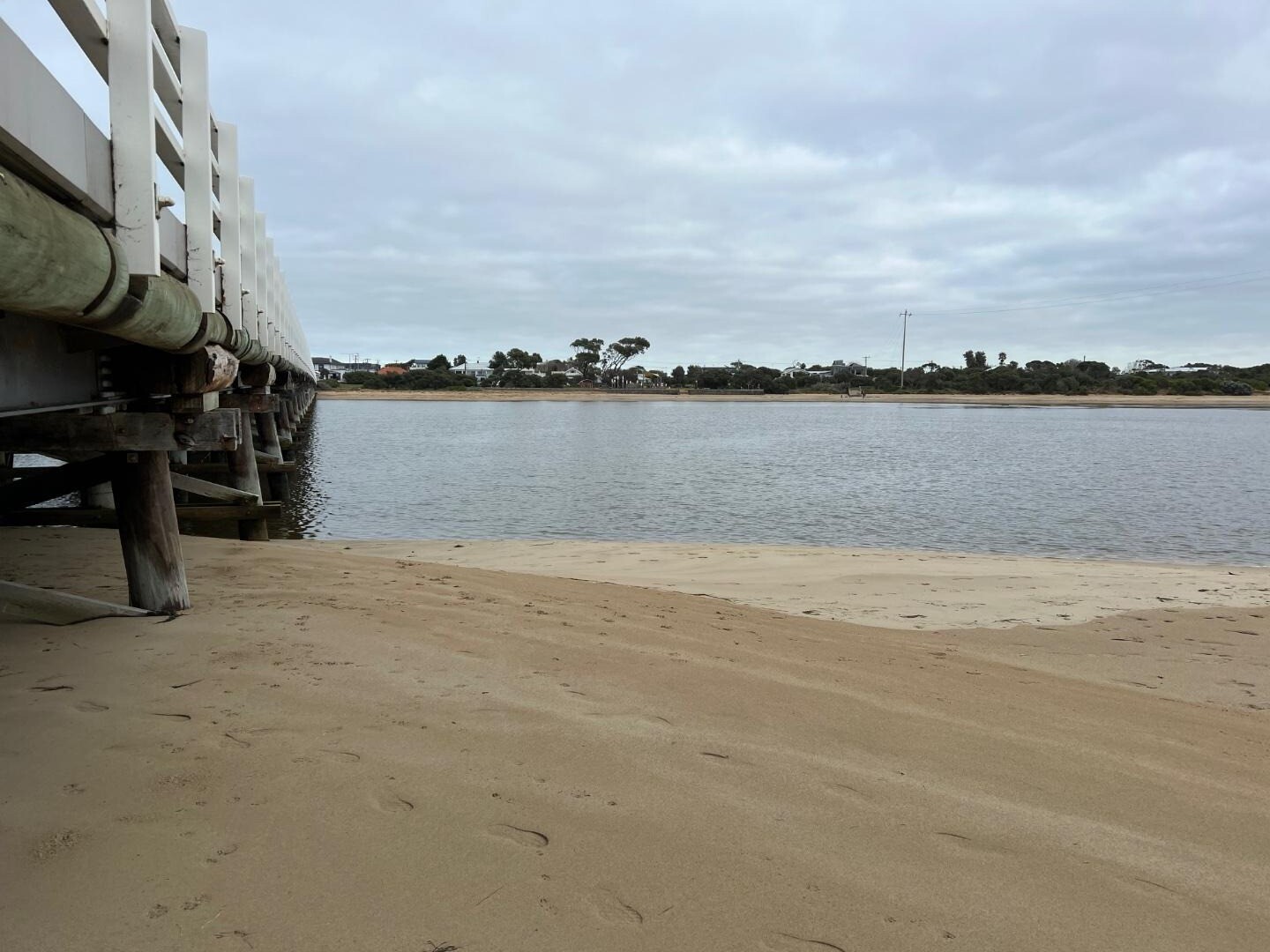
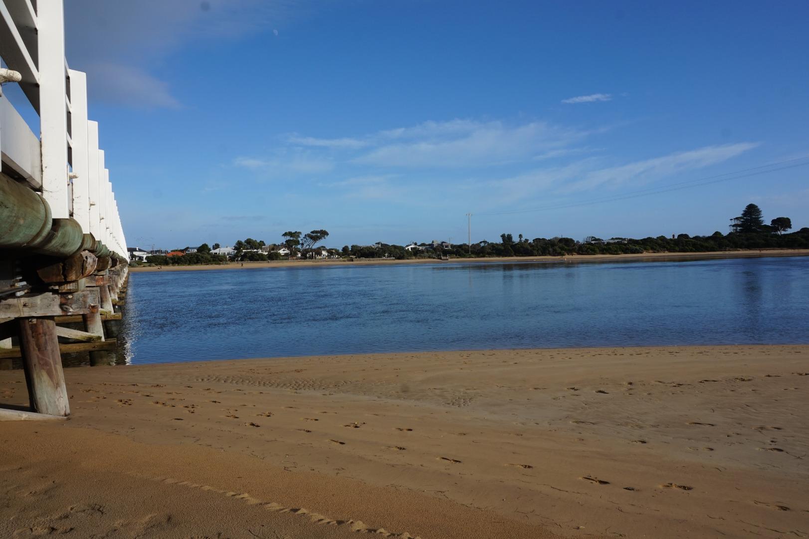
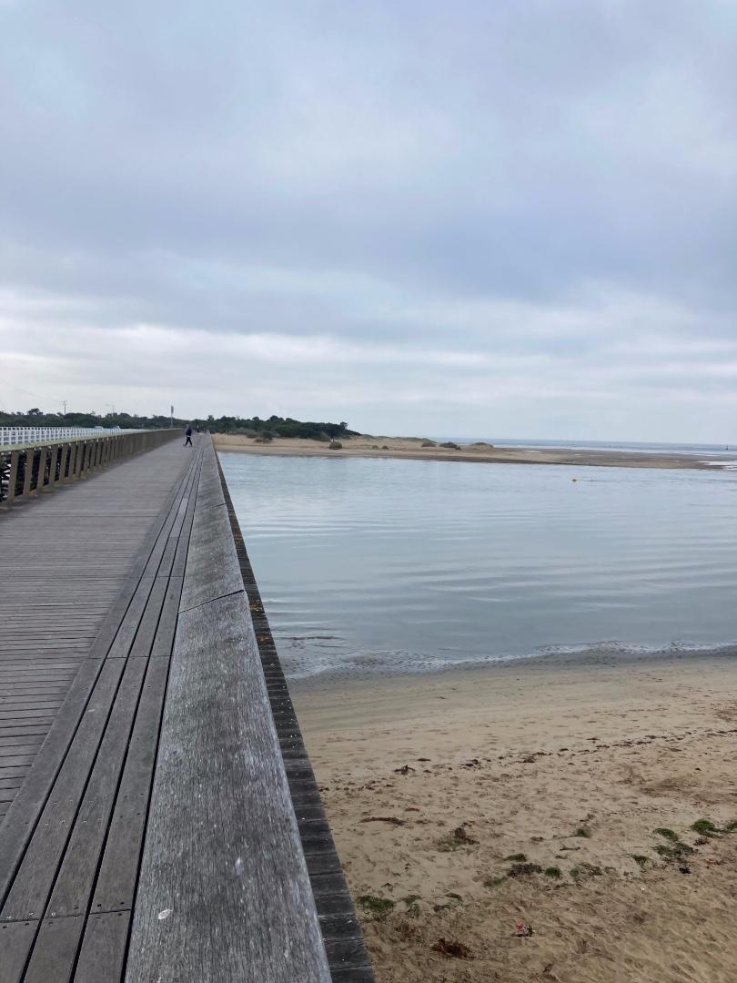
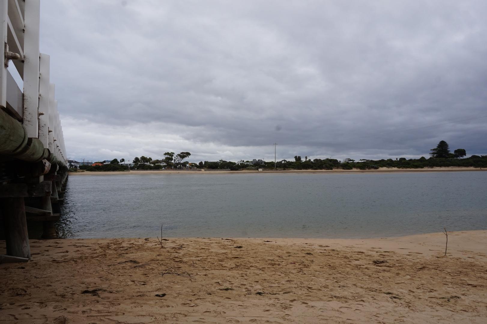
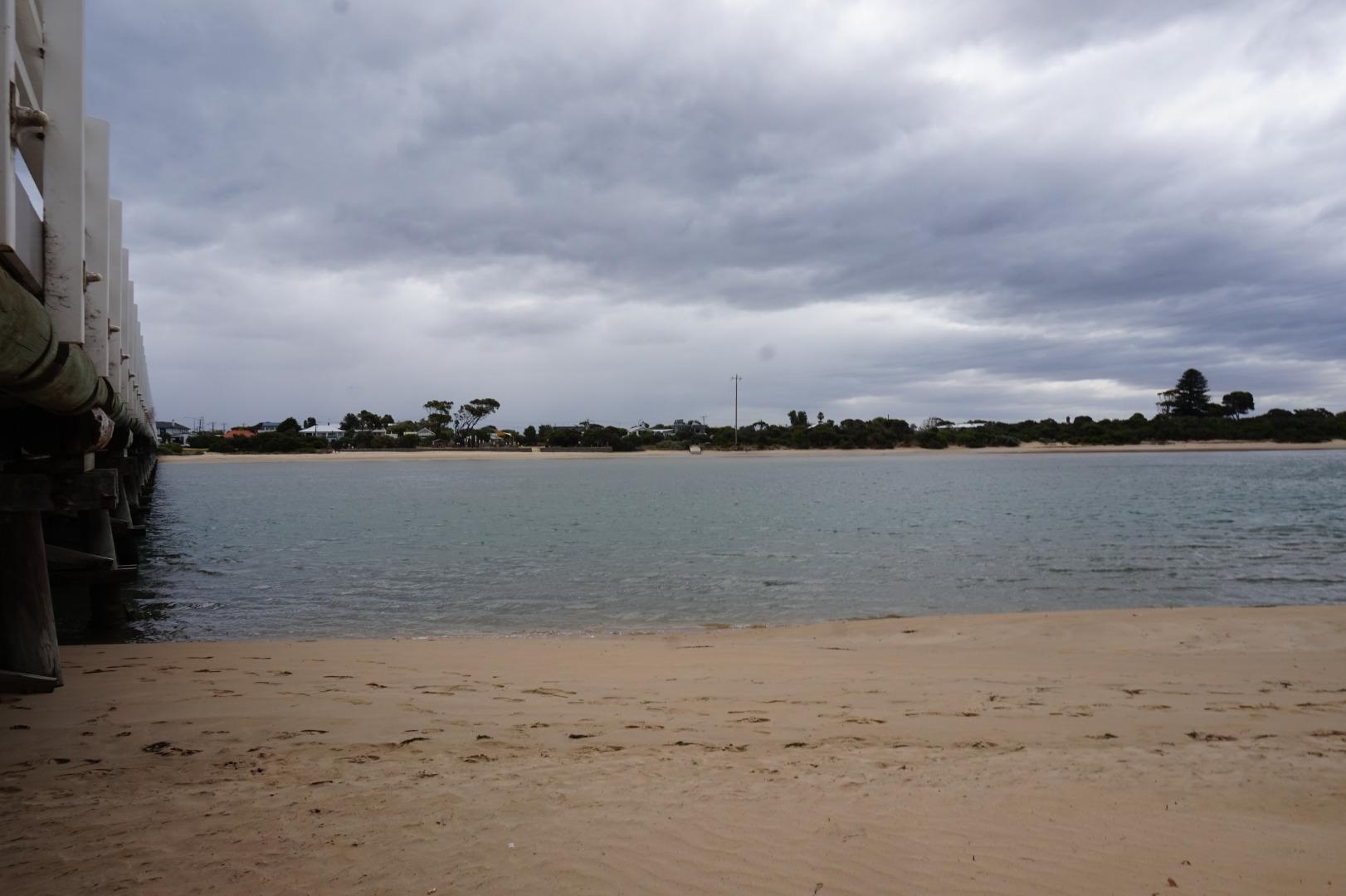
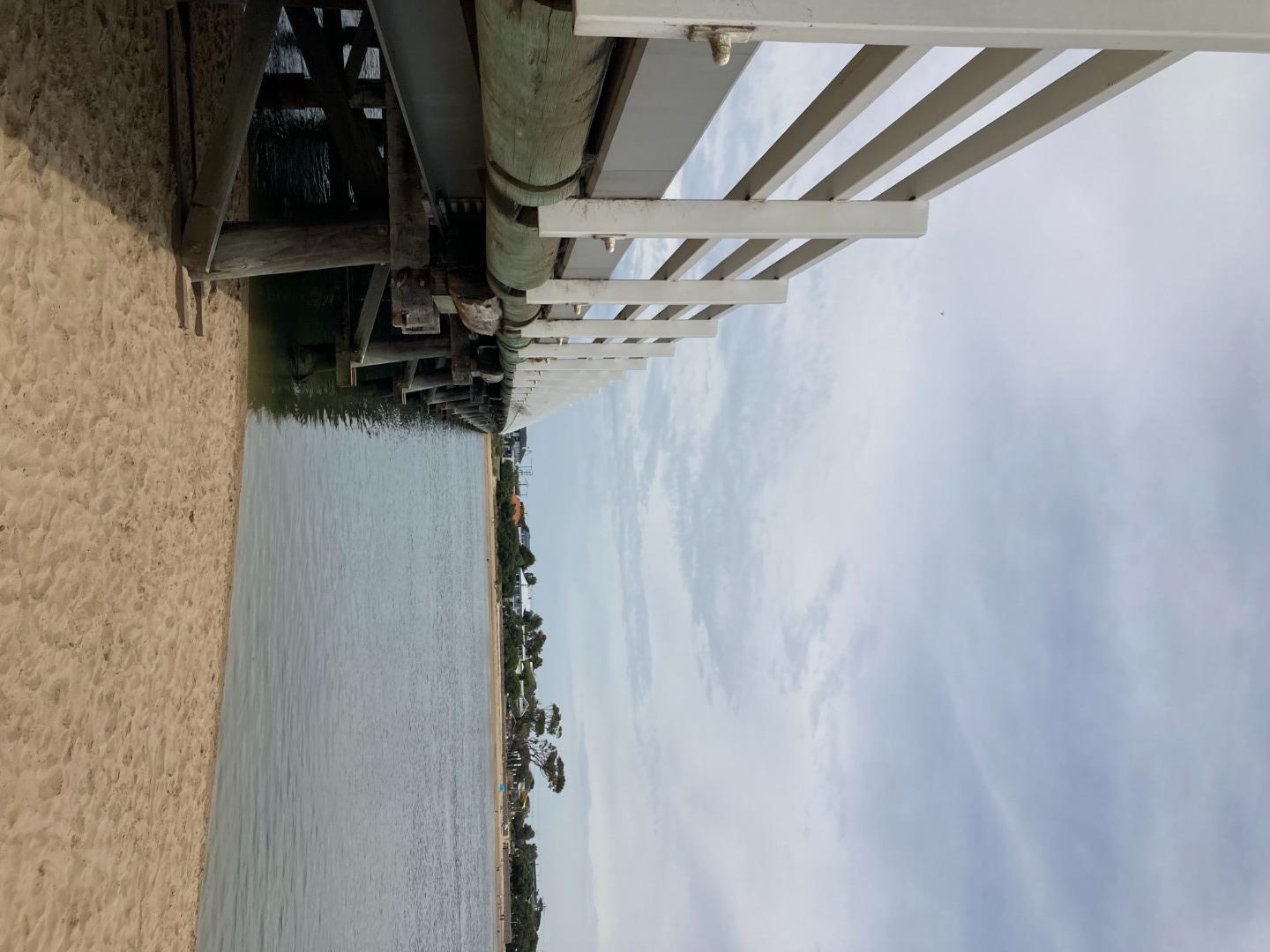
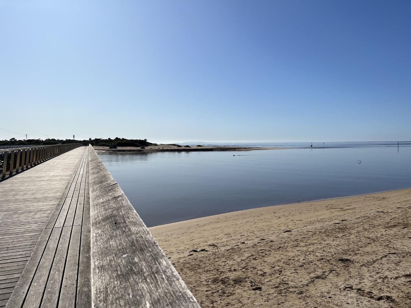
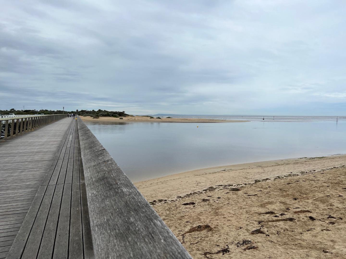
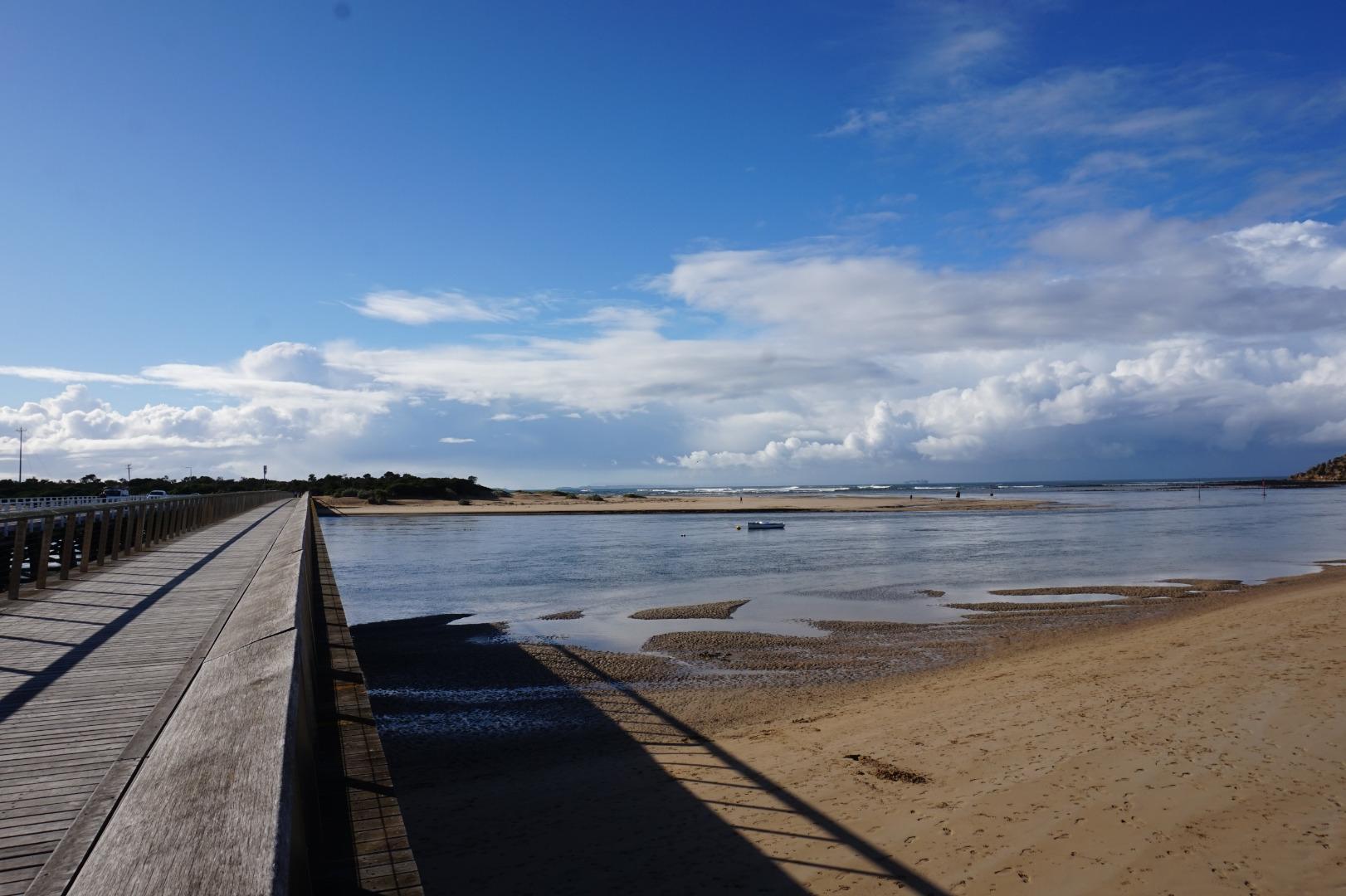
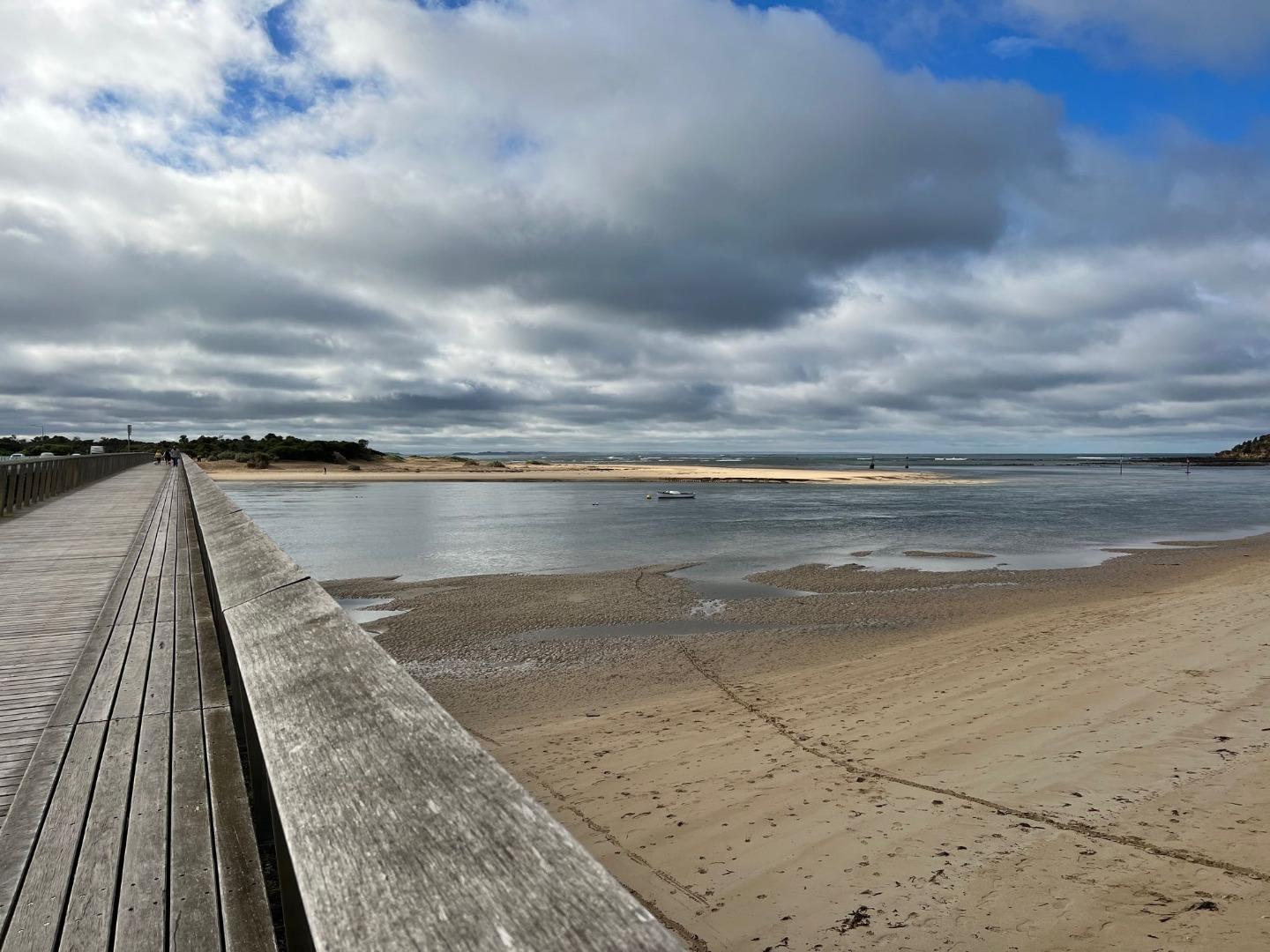
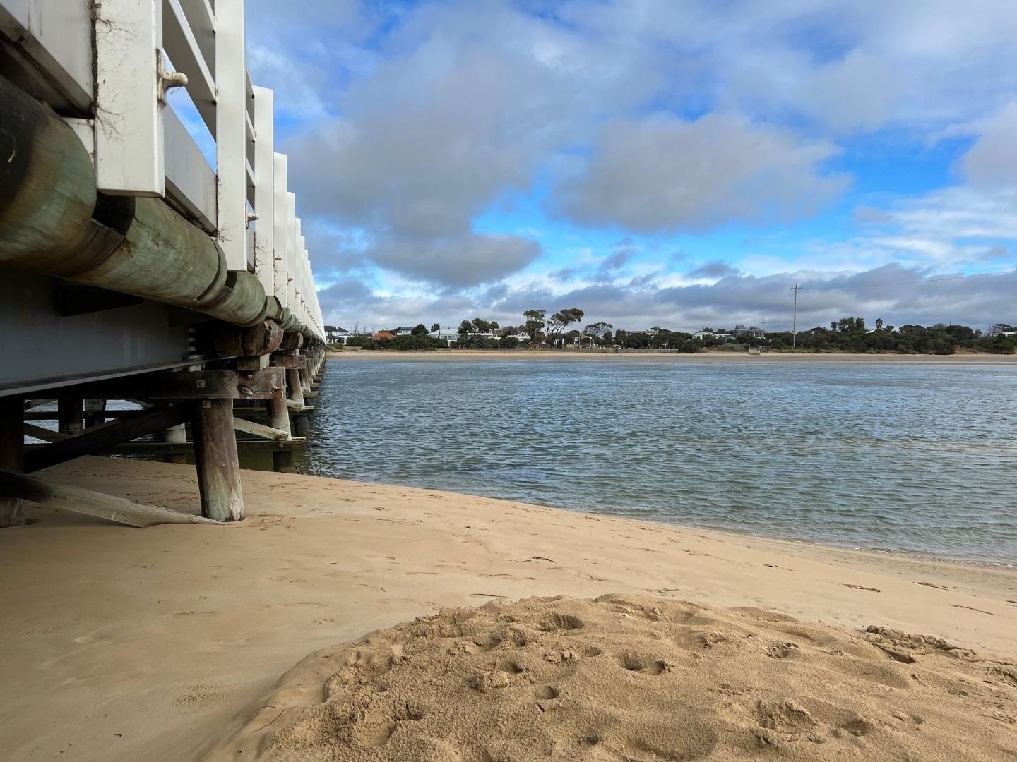
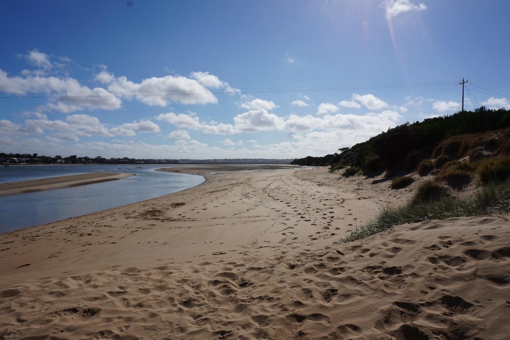
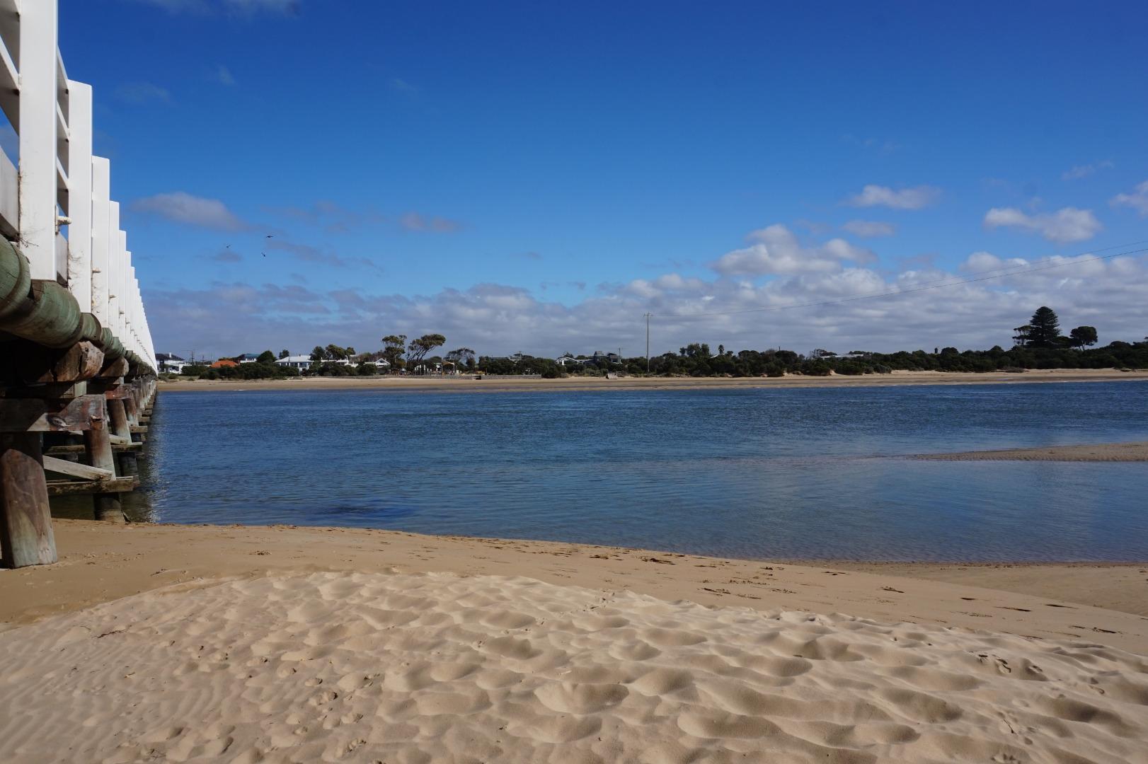
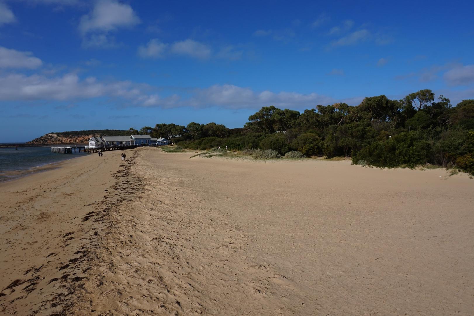
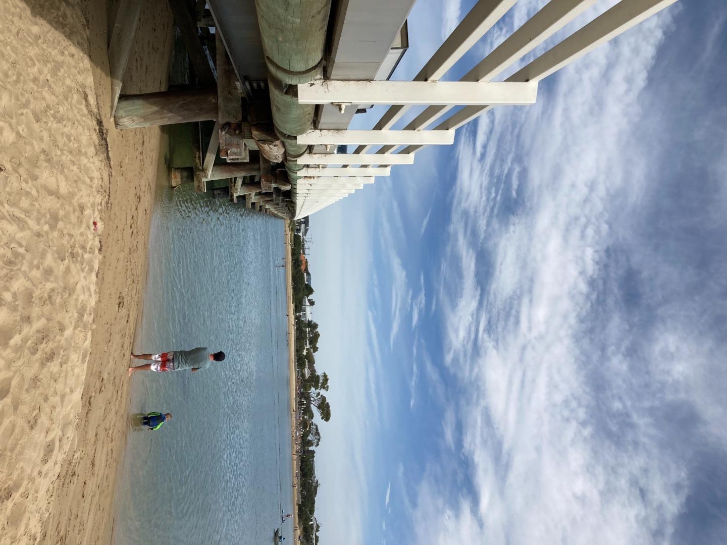
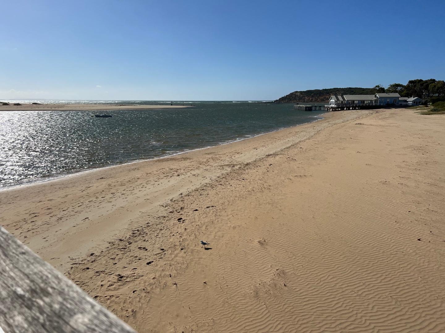
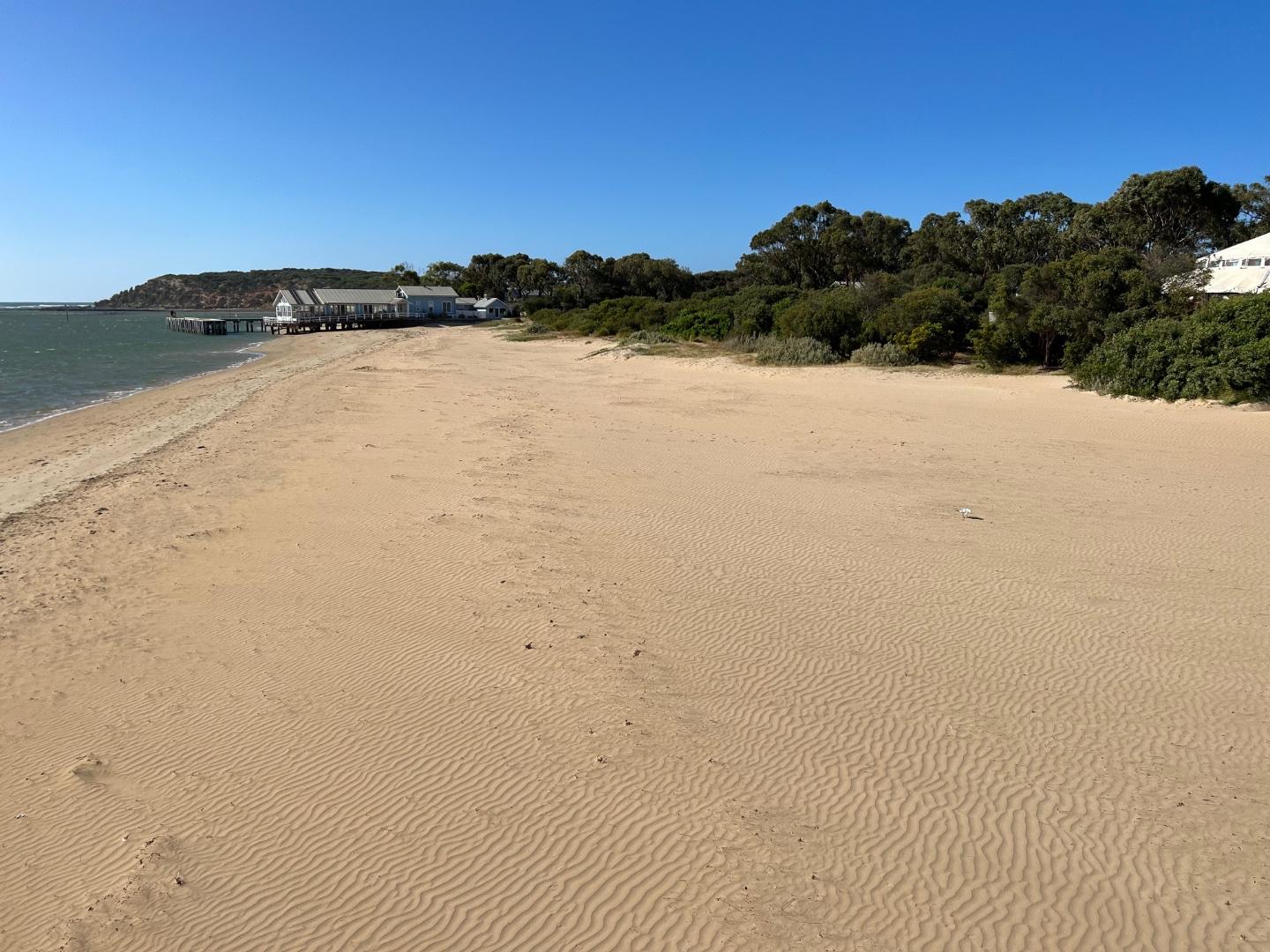
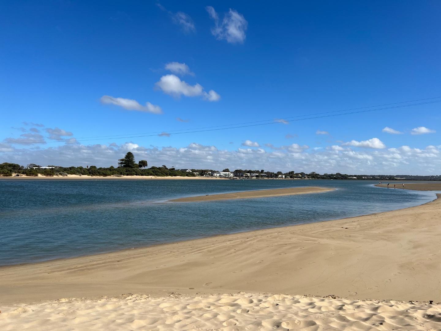
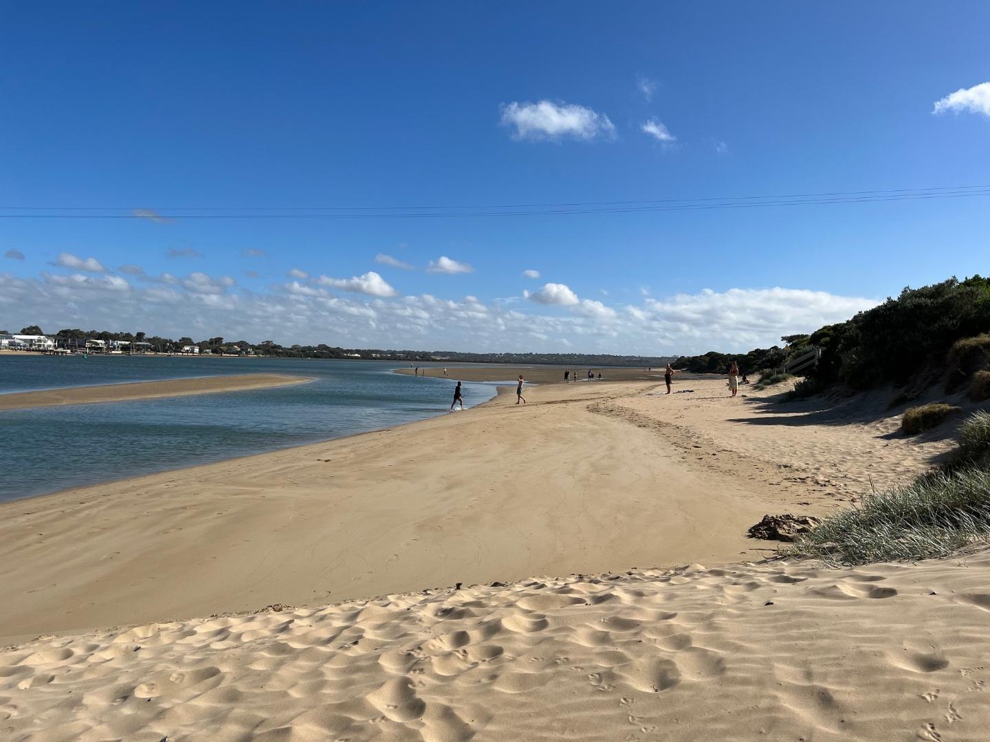
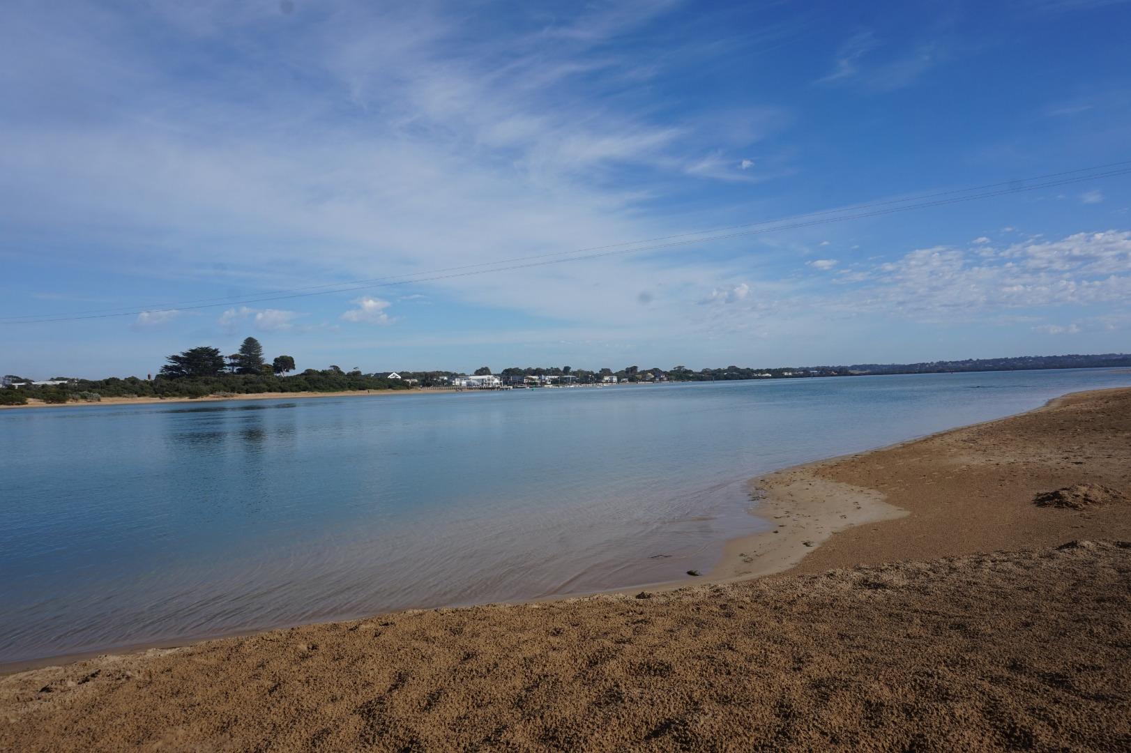
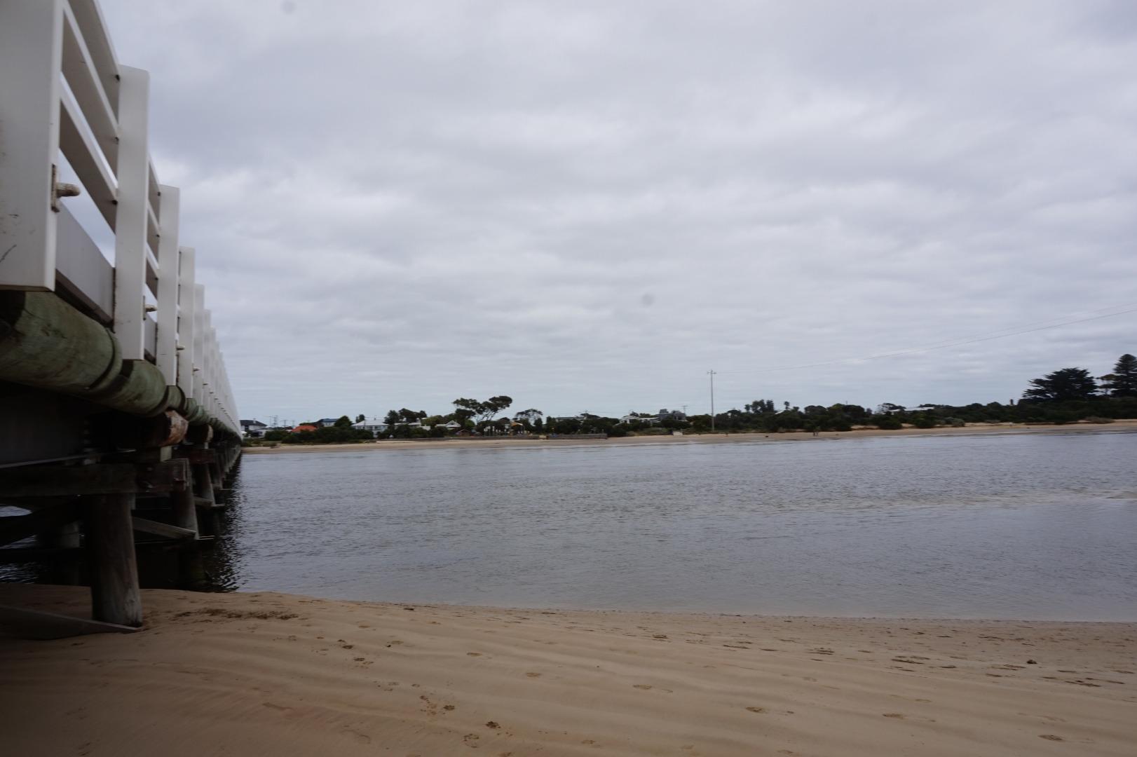
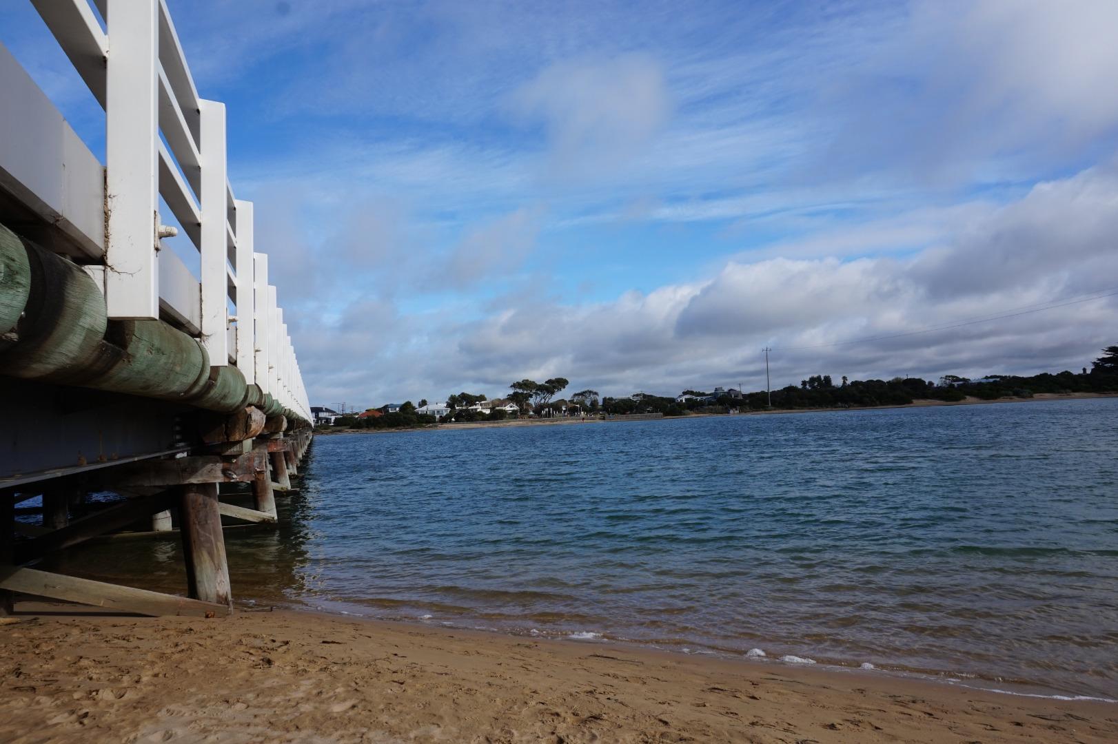
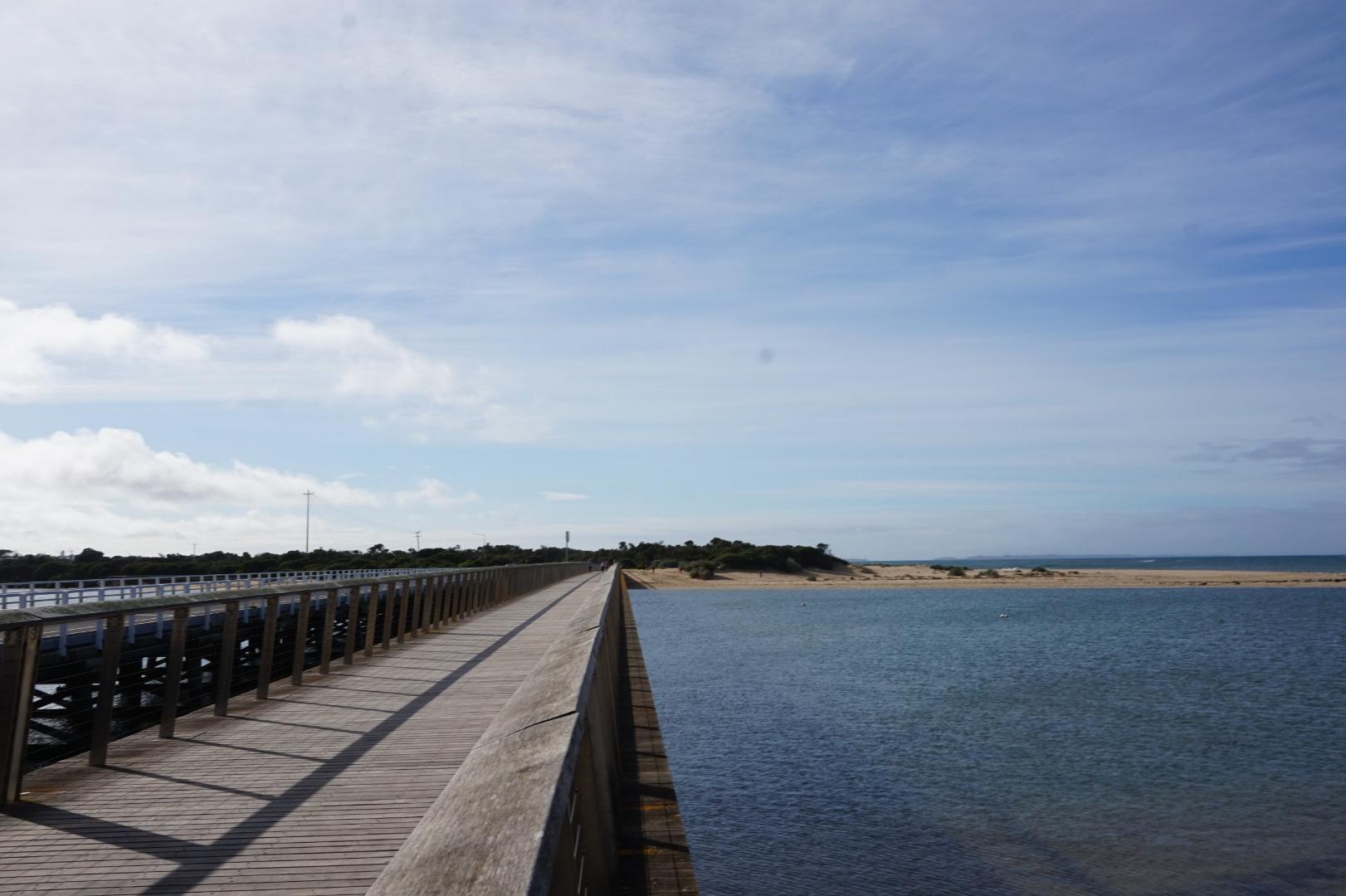
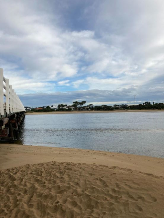
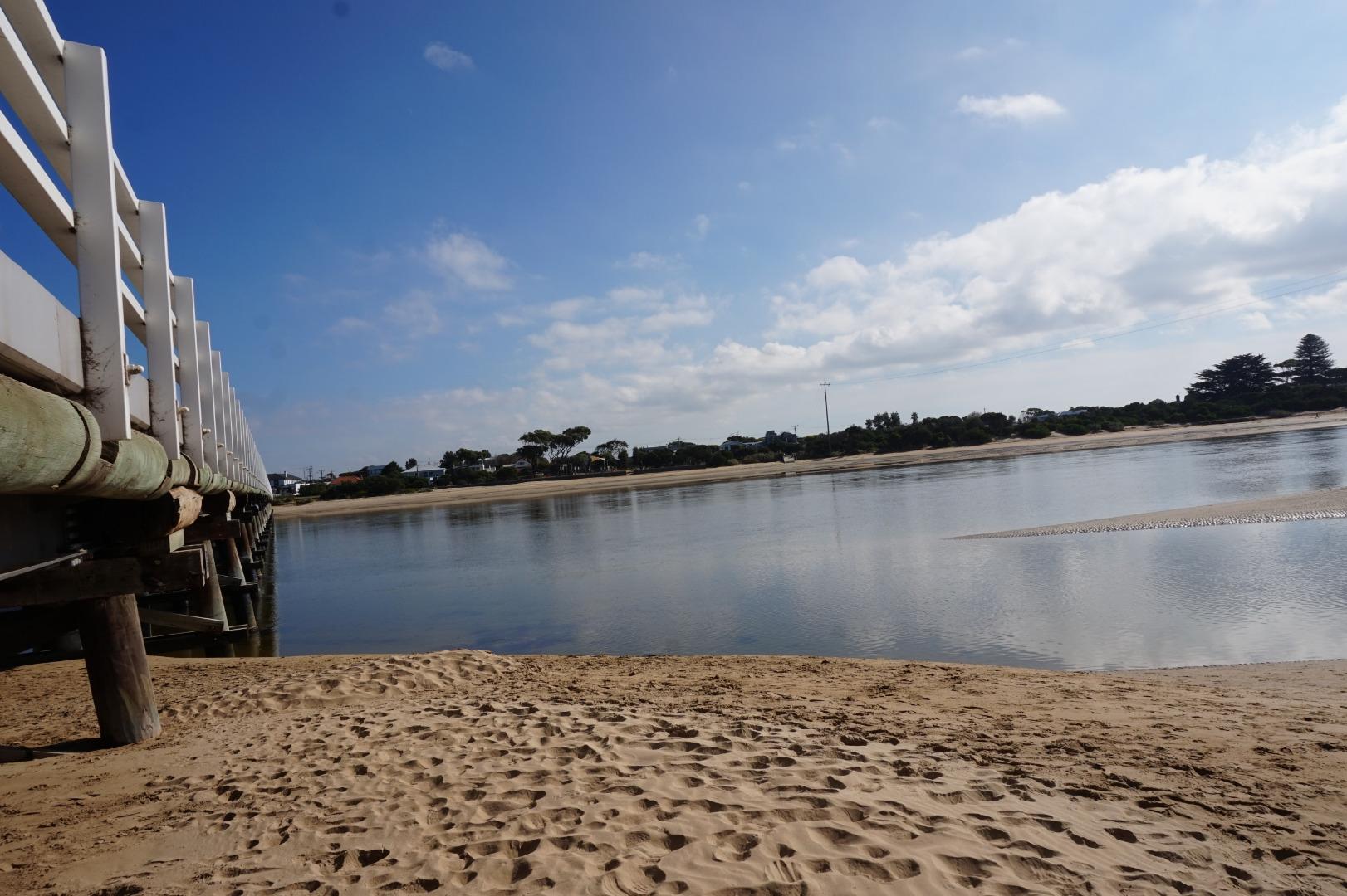
Barwon River Photopoint 1Active Photopoint 28-06-2010 - 13-07-2026Barwon Heads - Ocean Grove Pedestrian Bridge. East end of 15th handrail plank from Barwon Heads side of the bridge. Photos 633 |
BP2 |
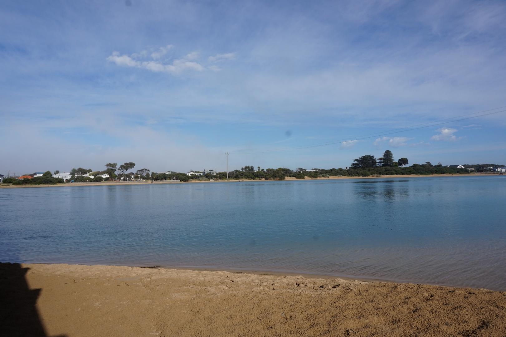
Barwon River Photopoint 2Active Photopoint 27-07-2010 - 13-07-20262metres out from 2nd pylon located at the eastern end of the Barwon Heads - Ocean Grove Road bridge (landward side of the bridge) Photos 567 |
Bp3 |
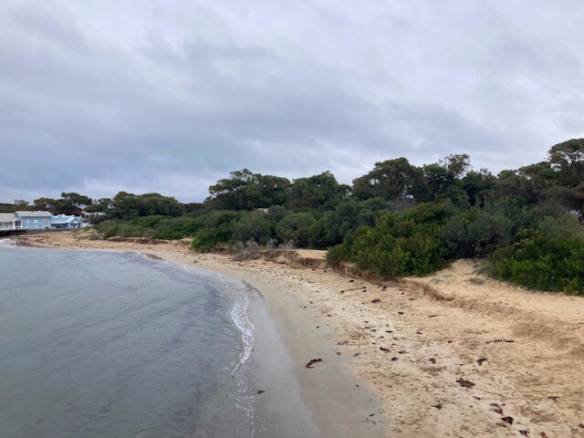
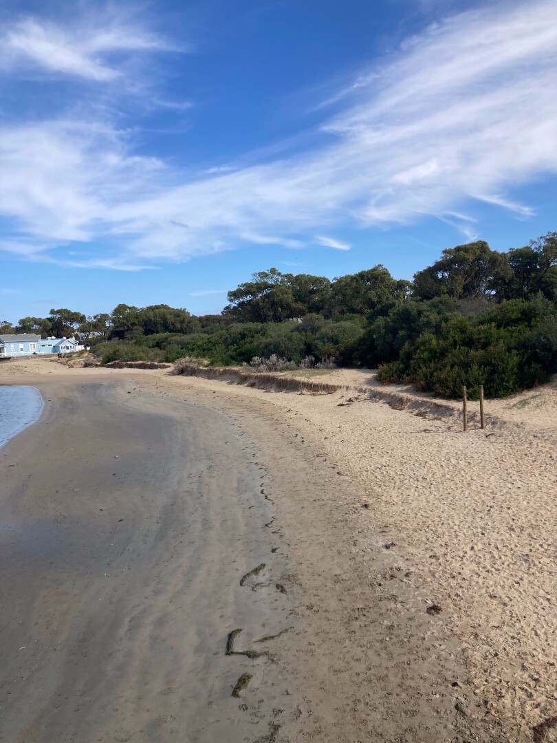
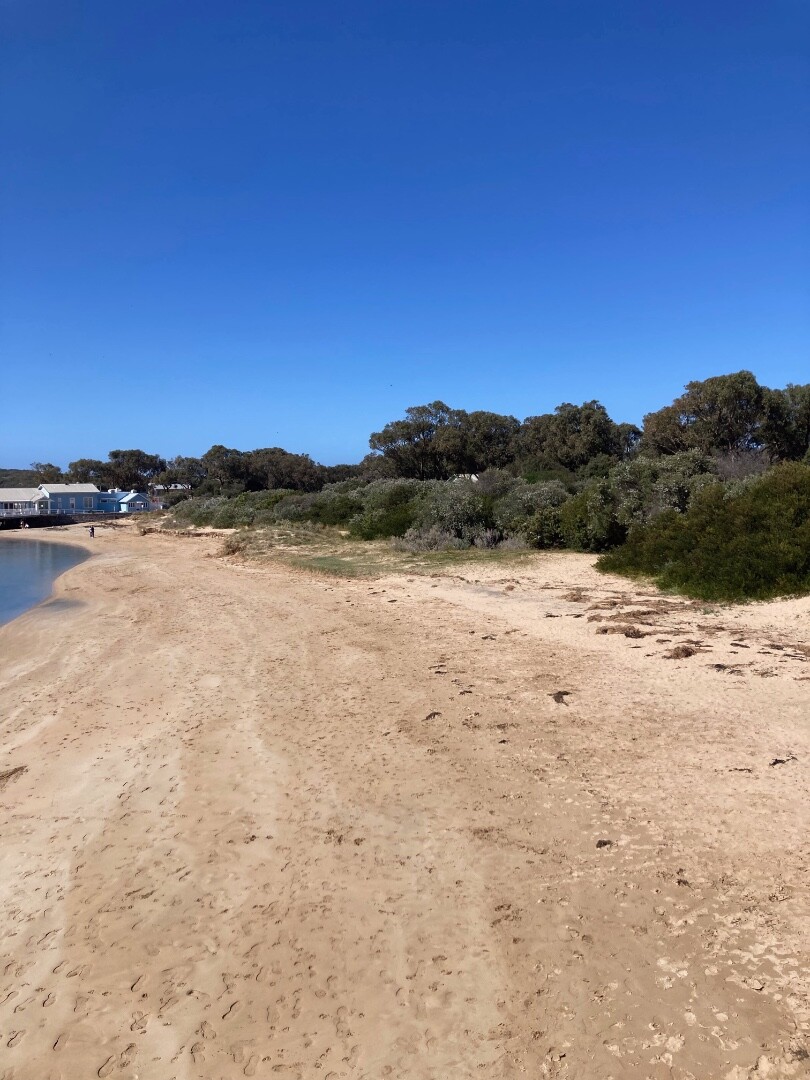
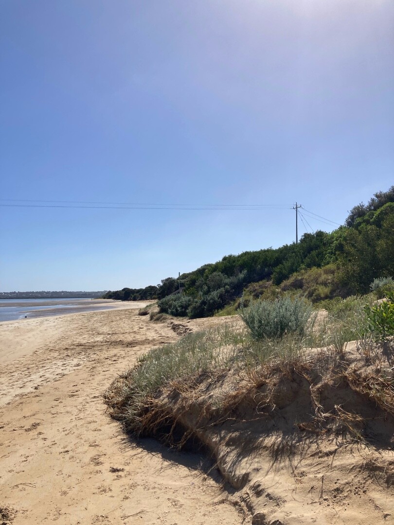
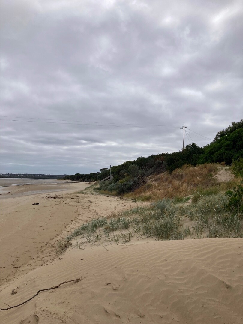
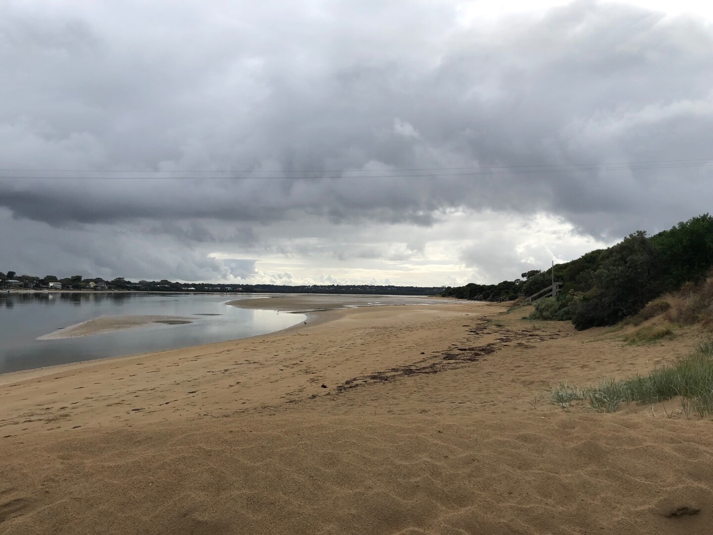
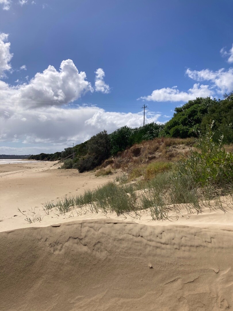
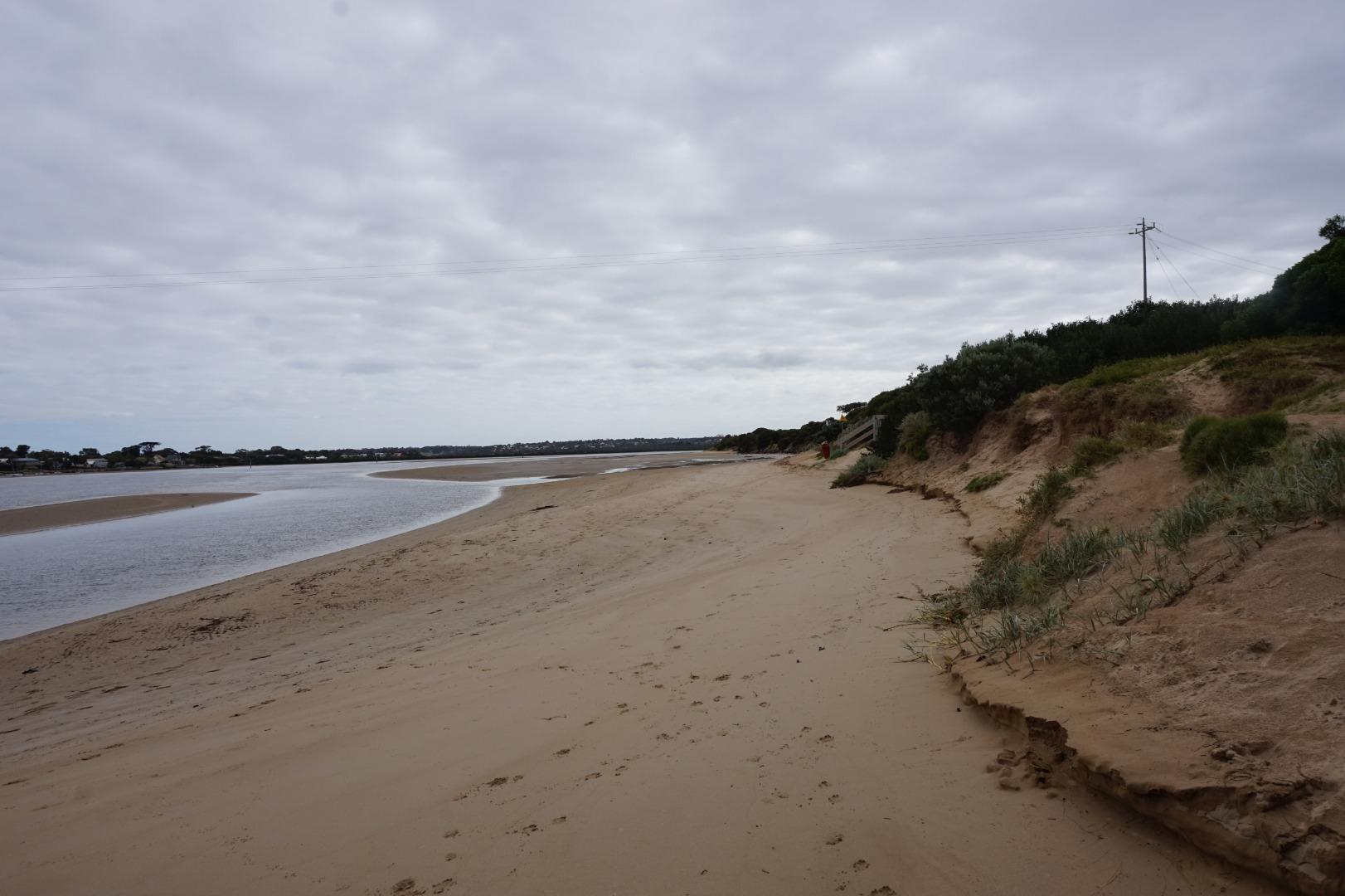
Barwon River photopoint site 3Inactive Photopoint 27-07-2010 - 21-09-2022Primary dune located approximately 200 meters to the ENE of the Barwon Coast Office. Photos 106 |
BP4 |
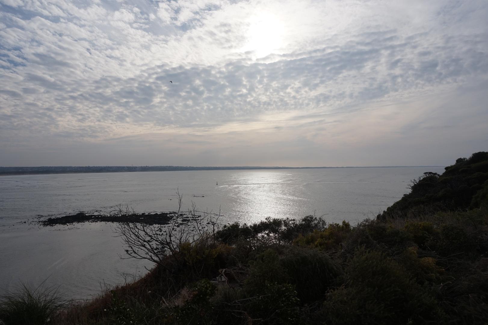
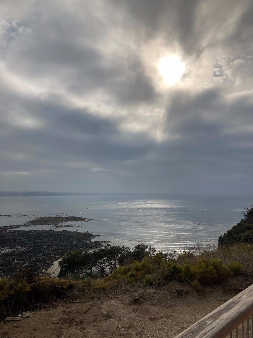
Barwon River Photopoint 4Active Photopoint 27-07-2010 - 13-07-2026Bluff Lookout. Photos 654 |
Winter 2026
Autumn 2026
Summer 2026
Spring 2025
Winter 2025
Autumn 2025
Summer 2025
Spring 2024
Winter 2024
Autumn 2024
Summer 2024
Spring 2023
Winter 2023
Autumn 2023
Summer 2023
Spring 2022
Winter 2022
Autumn 2022
Summer 2022
Spring 2021
Winter 2021
Autumn 2021
Mouth Condition Snapshots


We honour Elders past and present whose knowledge and wisdom has ensured the continuation of culture and traditional practices.
 All content, files, data and images provided by the EstuaryWatch Data Portal subject to a Creative Commons Attribution License
Data portal by CeRDI
All content, files, data and images provided by the EstuaryWatch Data Portal subject to a Creative Commons Attribution License
Data portal by CeRDI