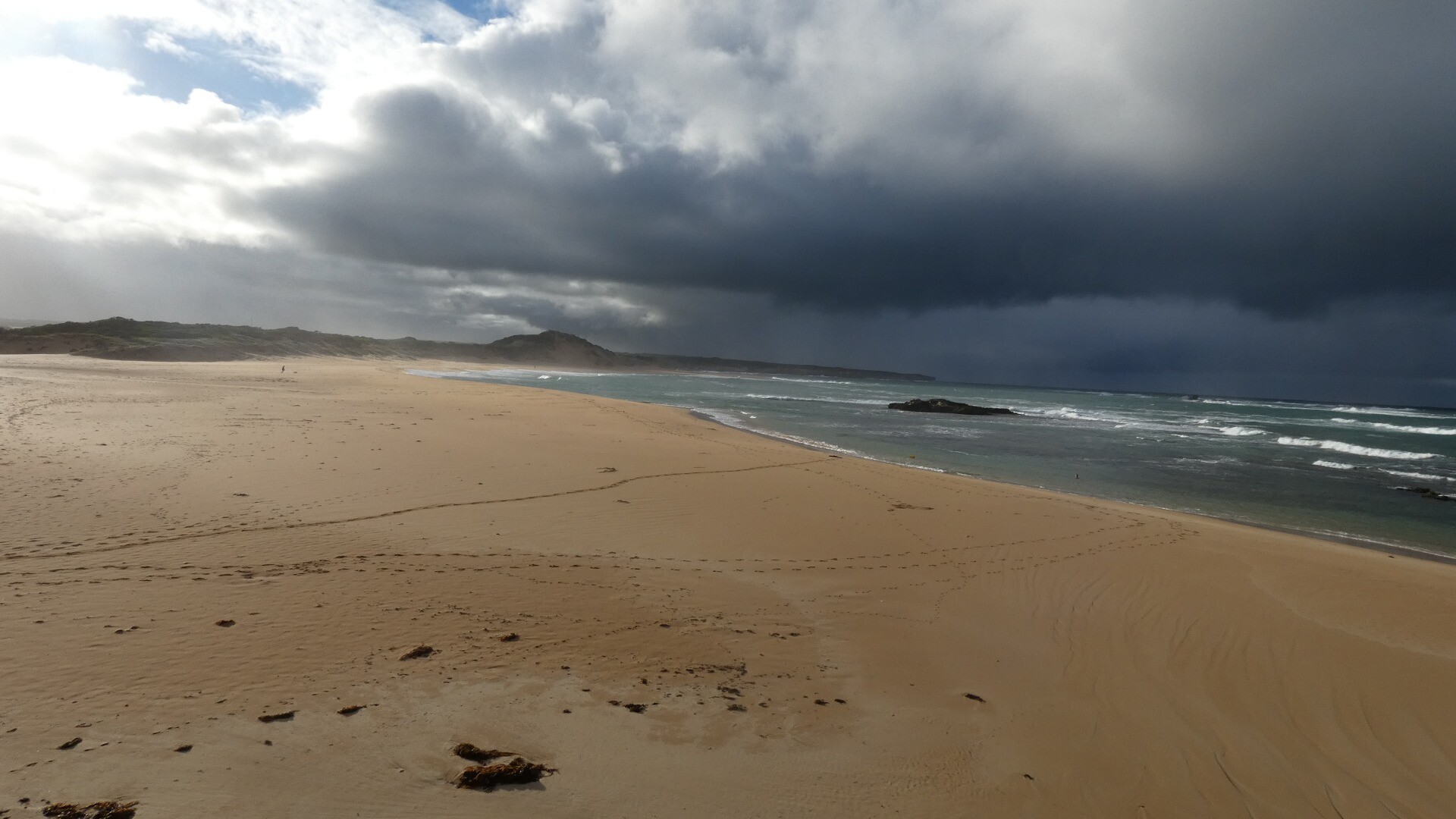
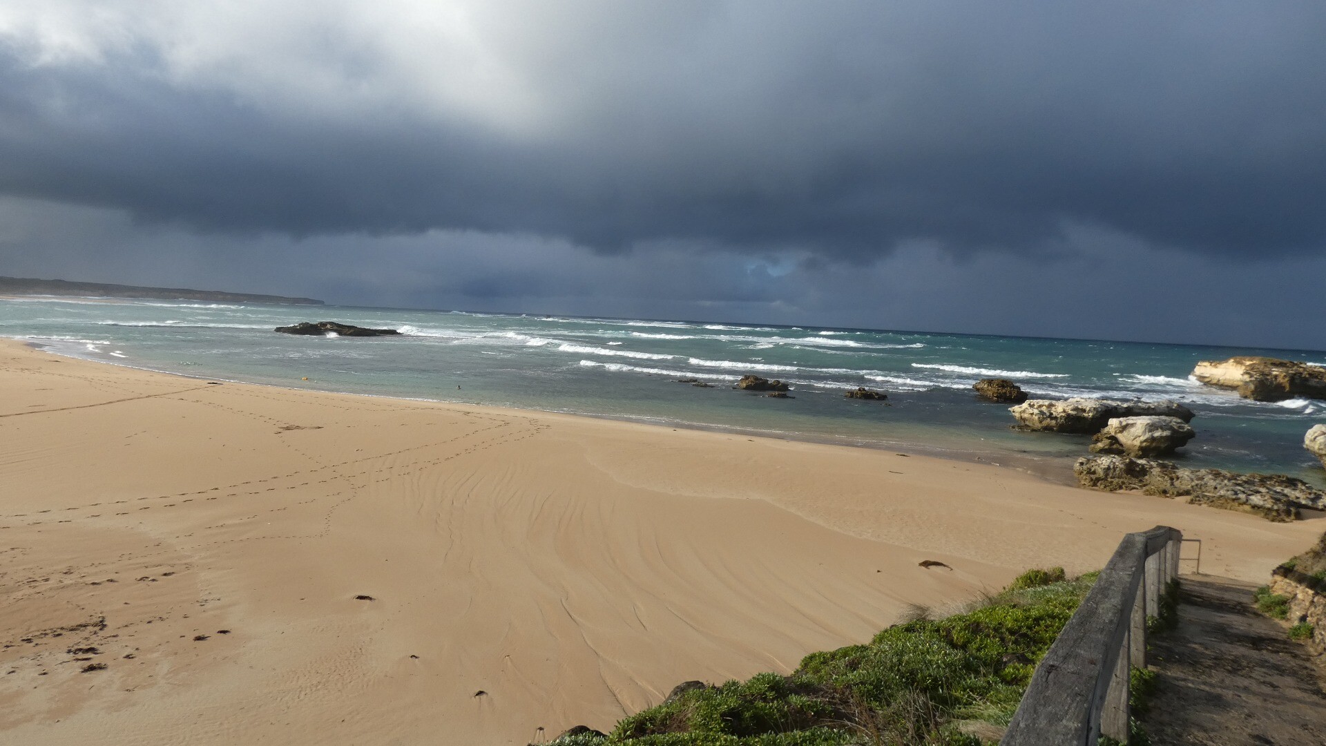
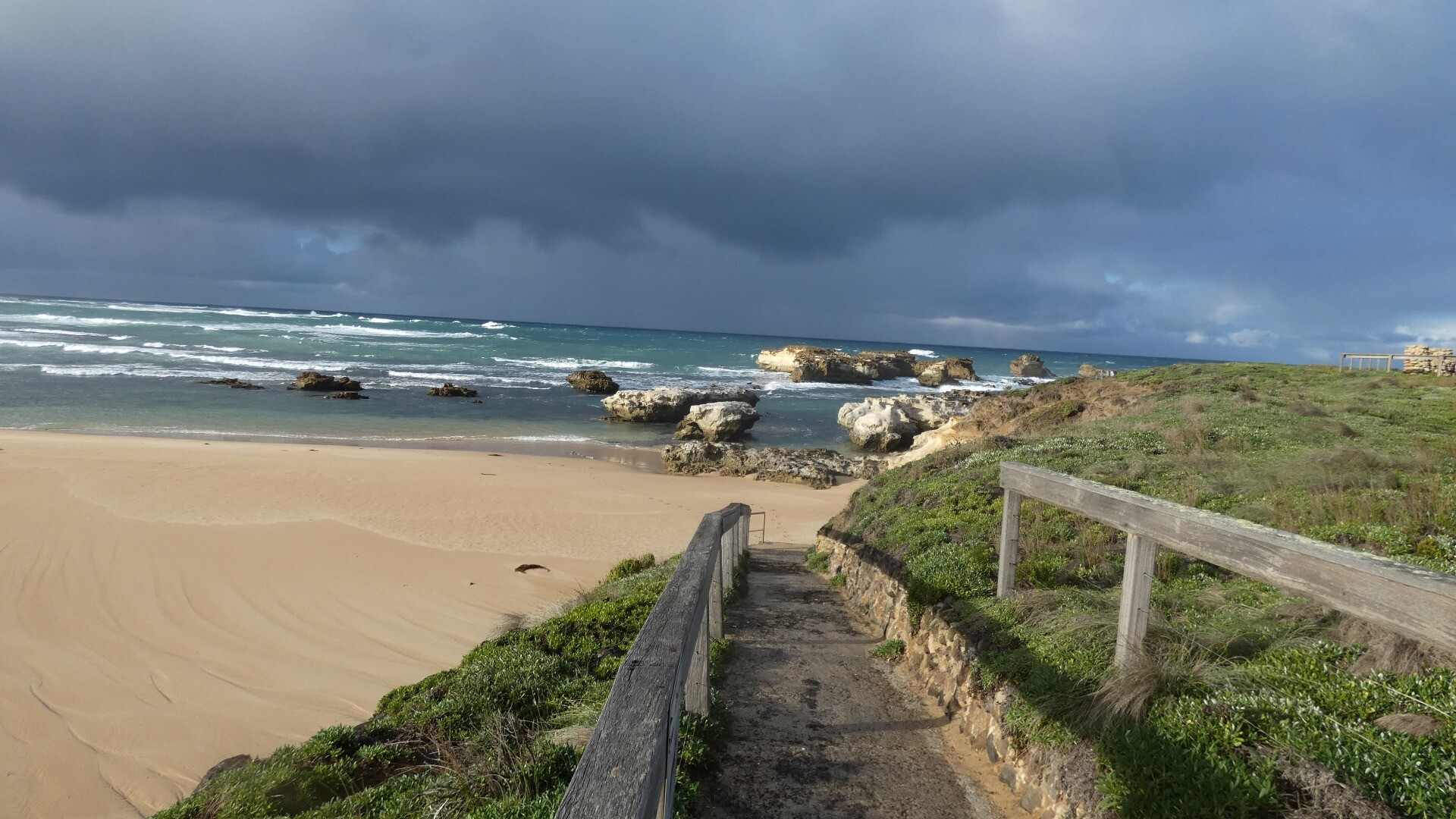
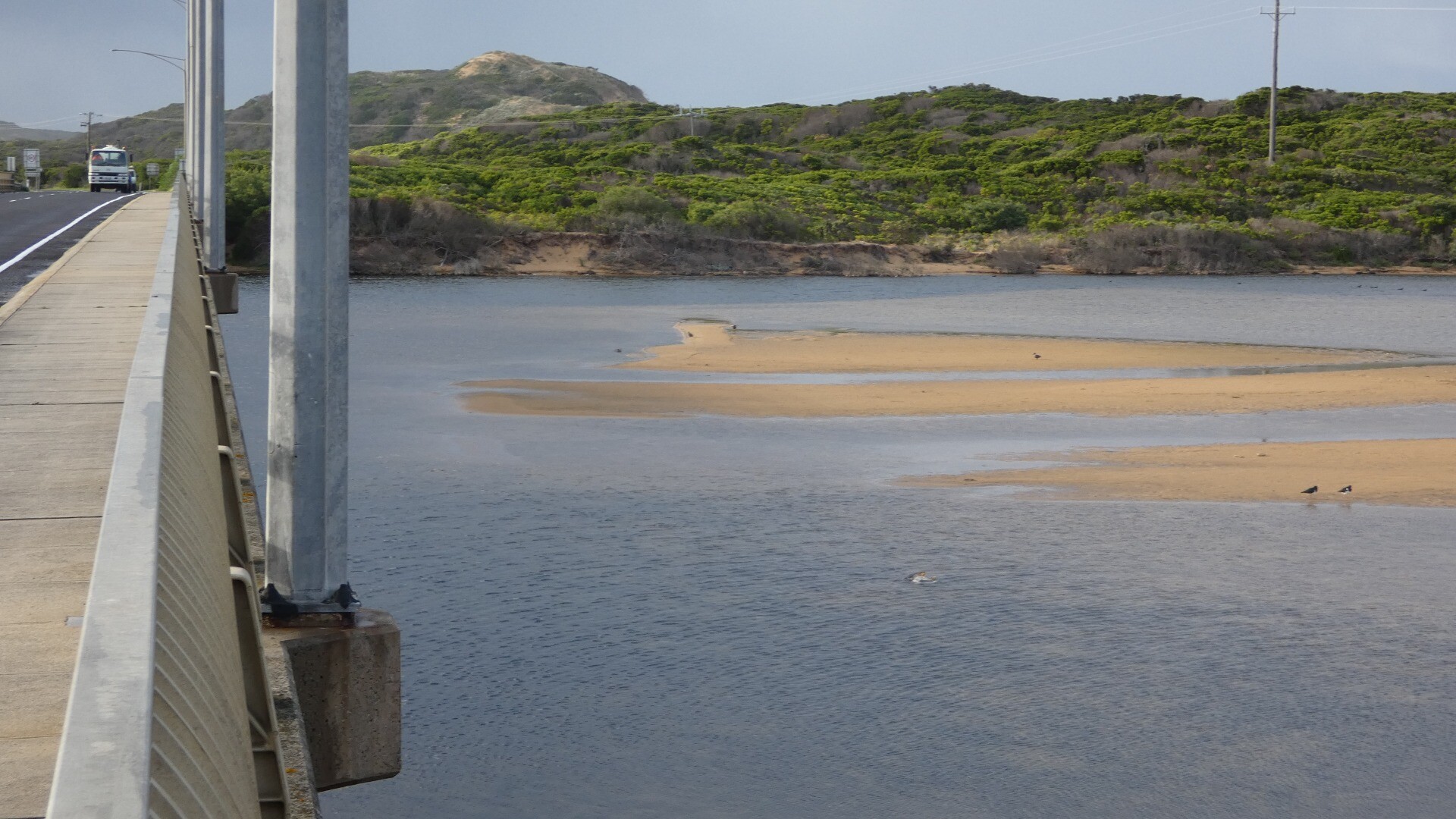
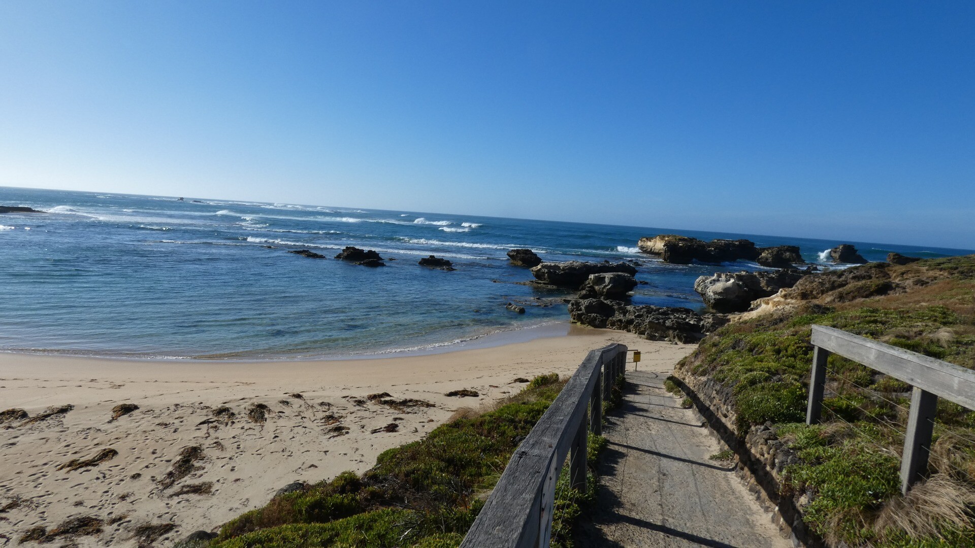
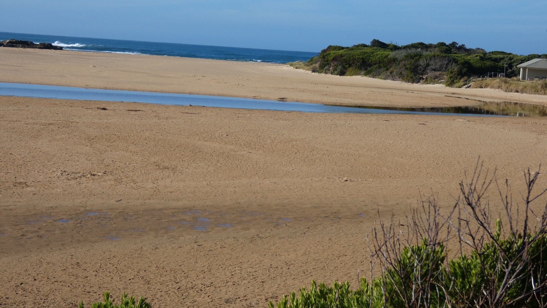
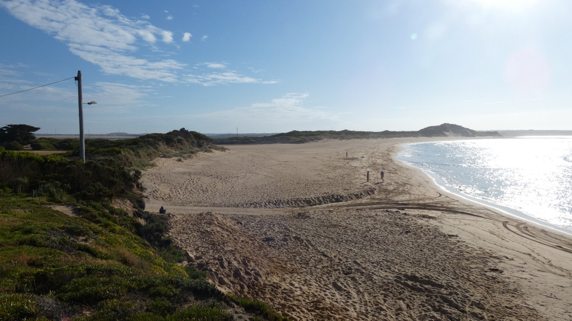
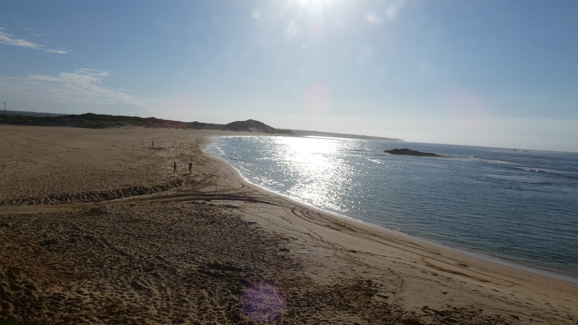
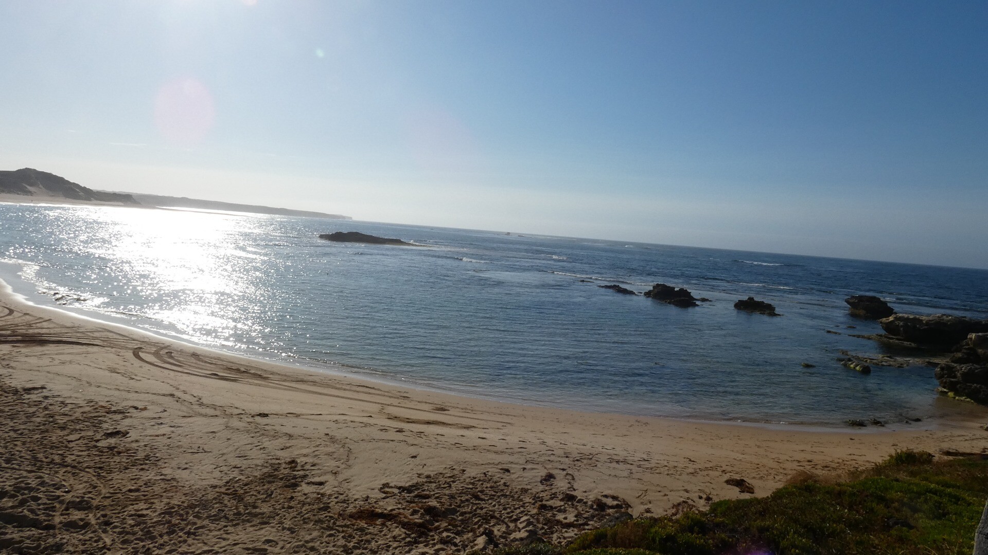
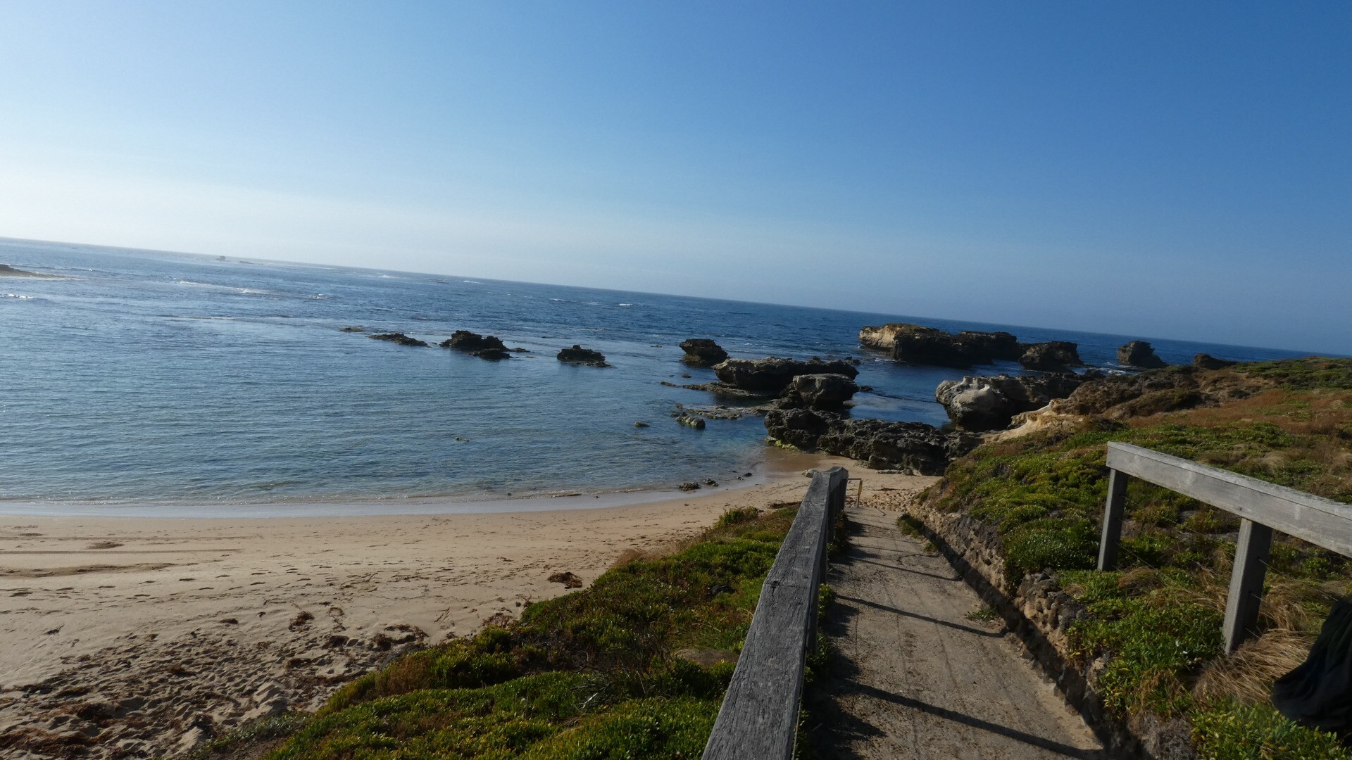
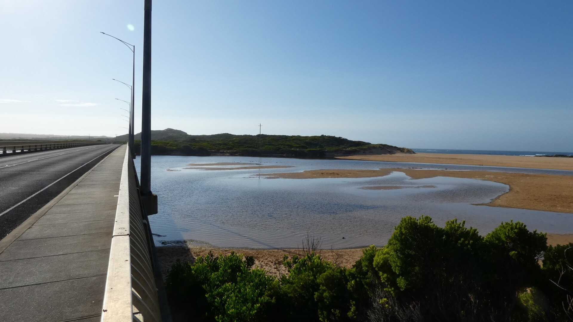
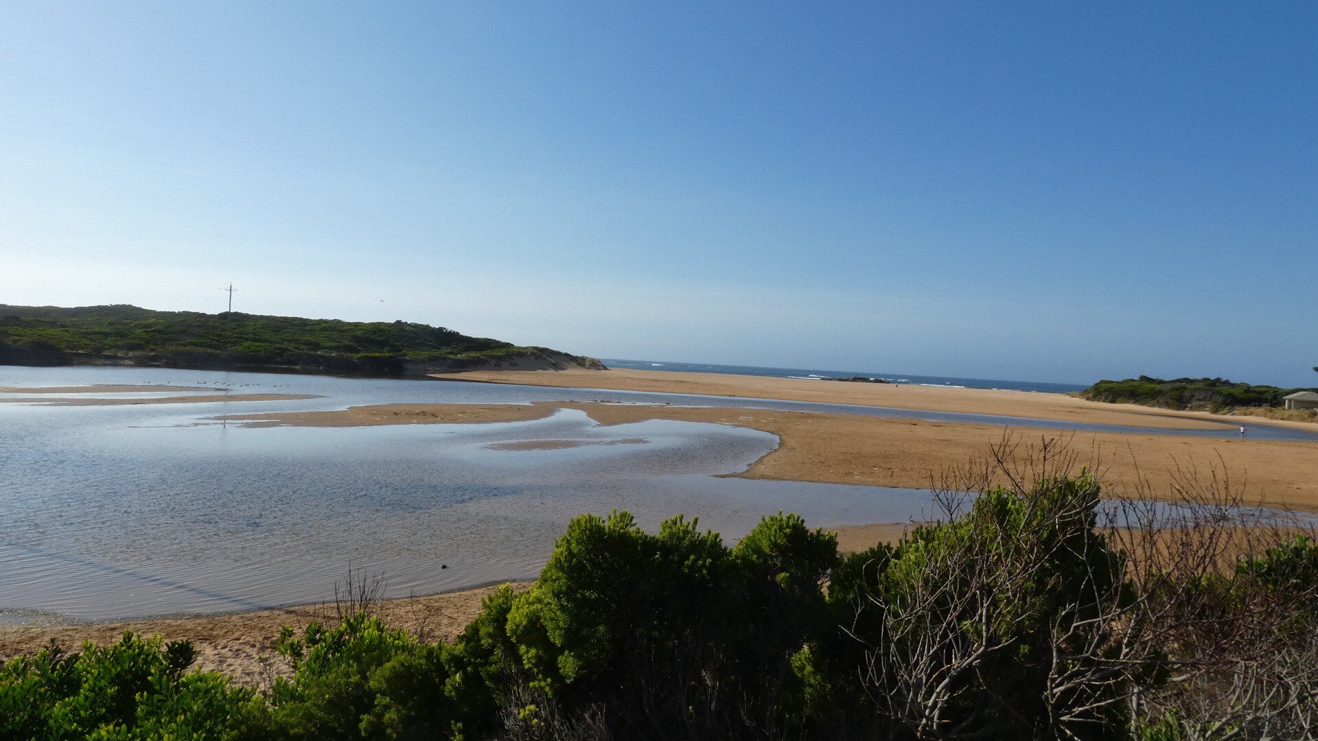
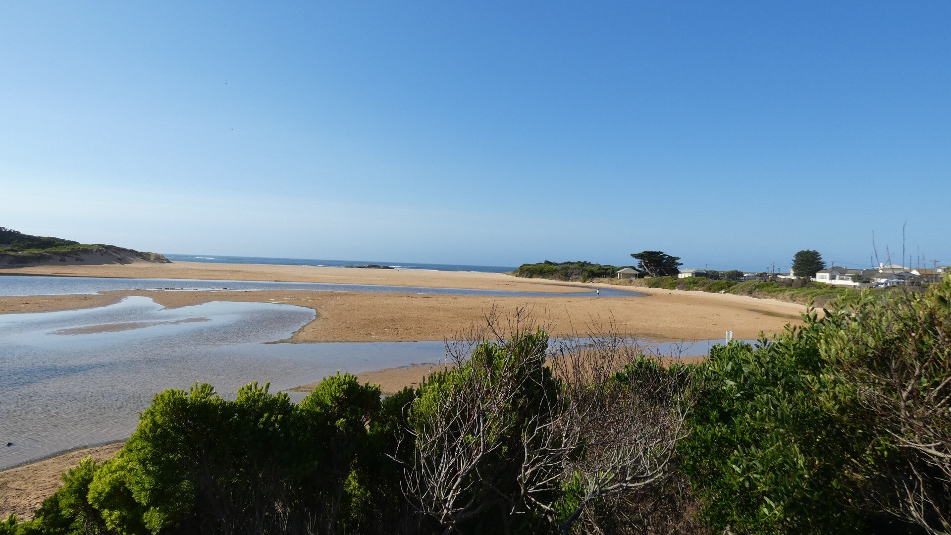
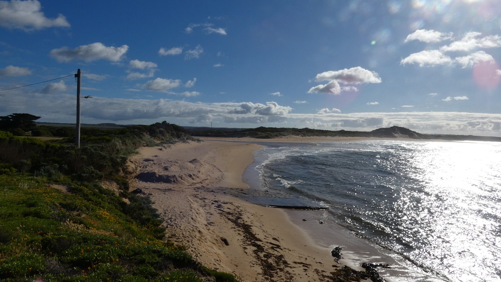
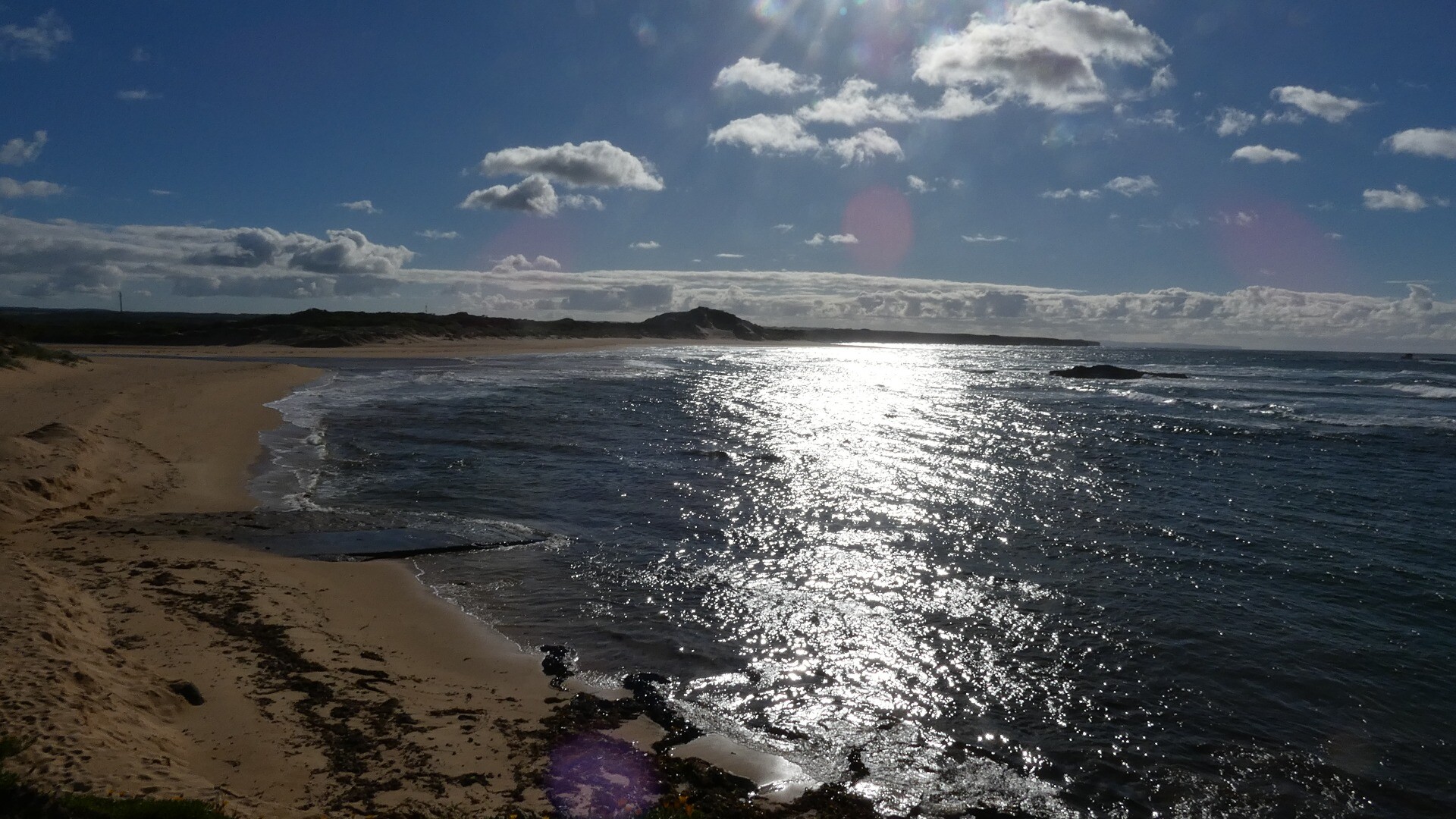
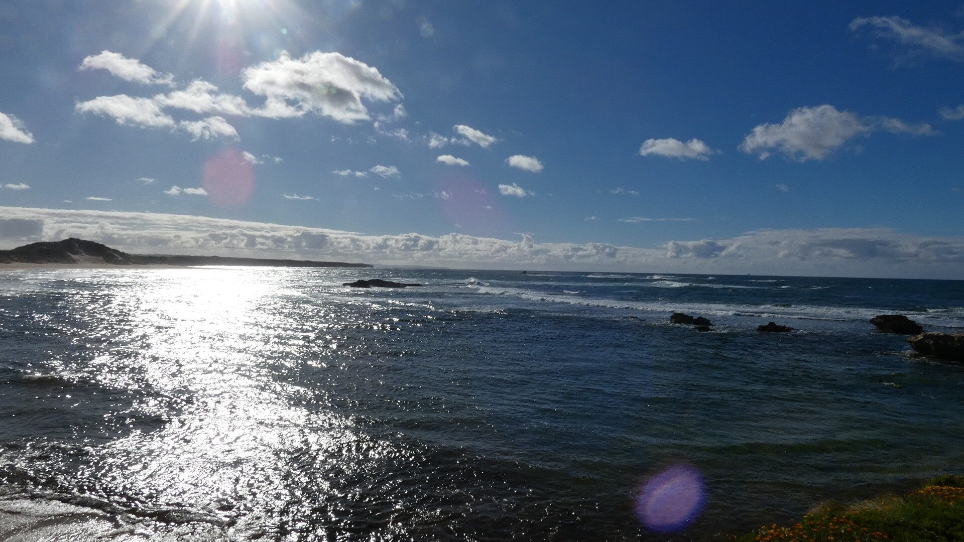
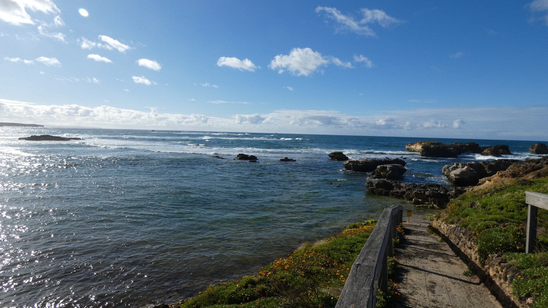
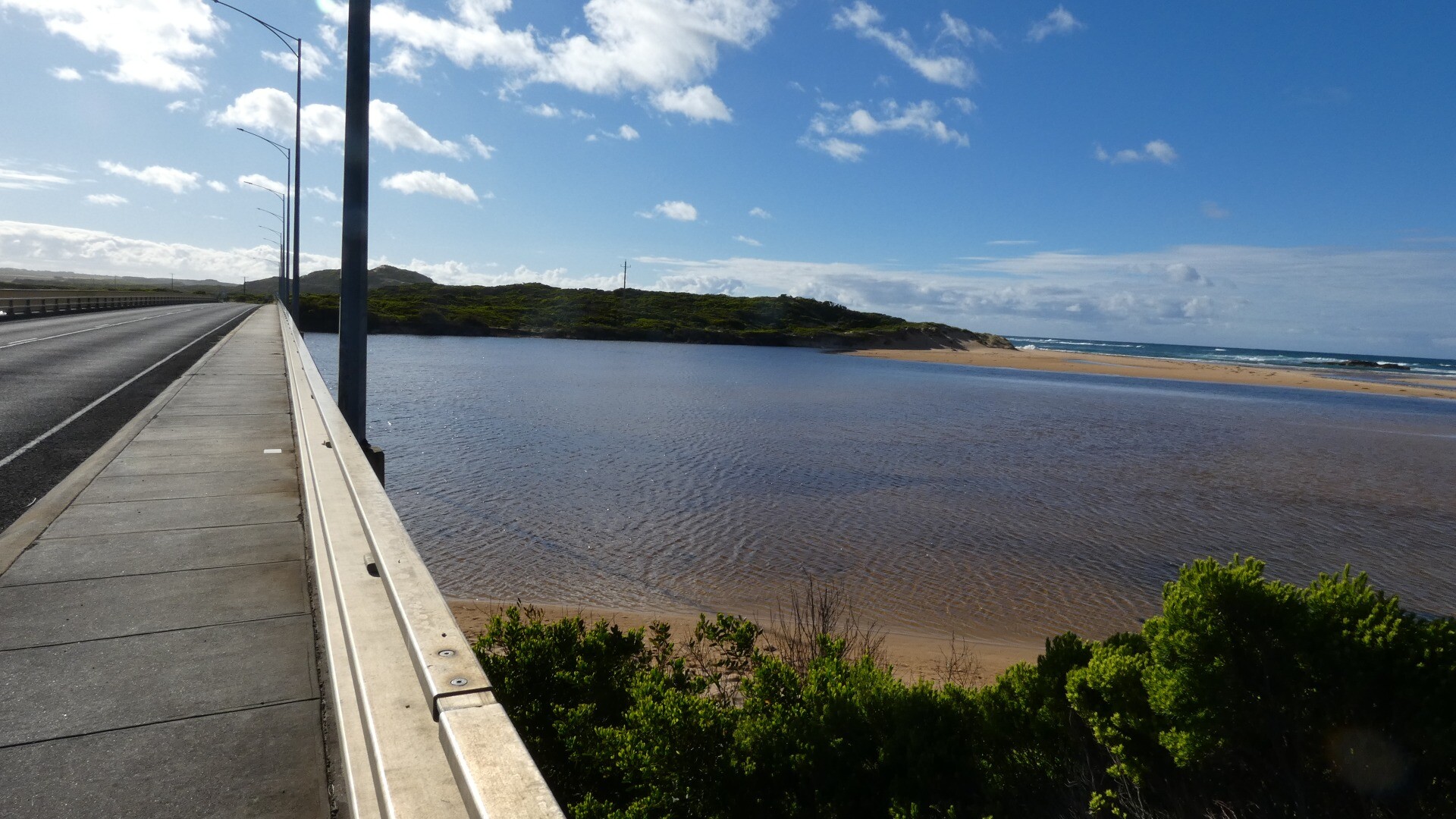
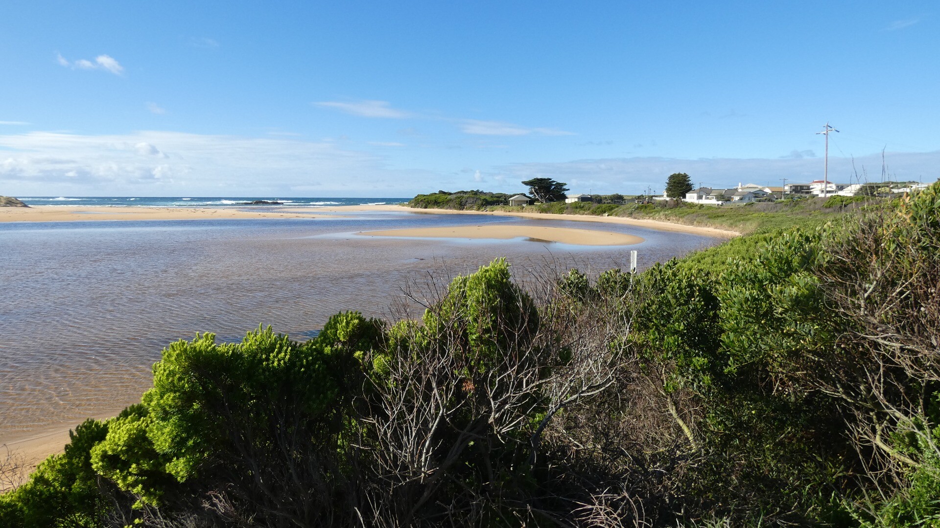
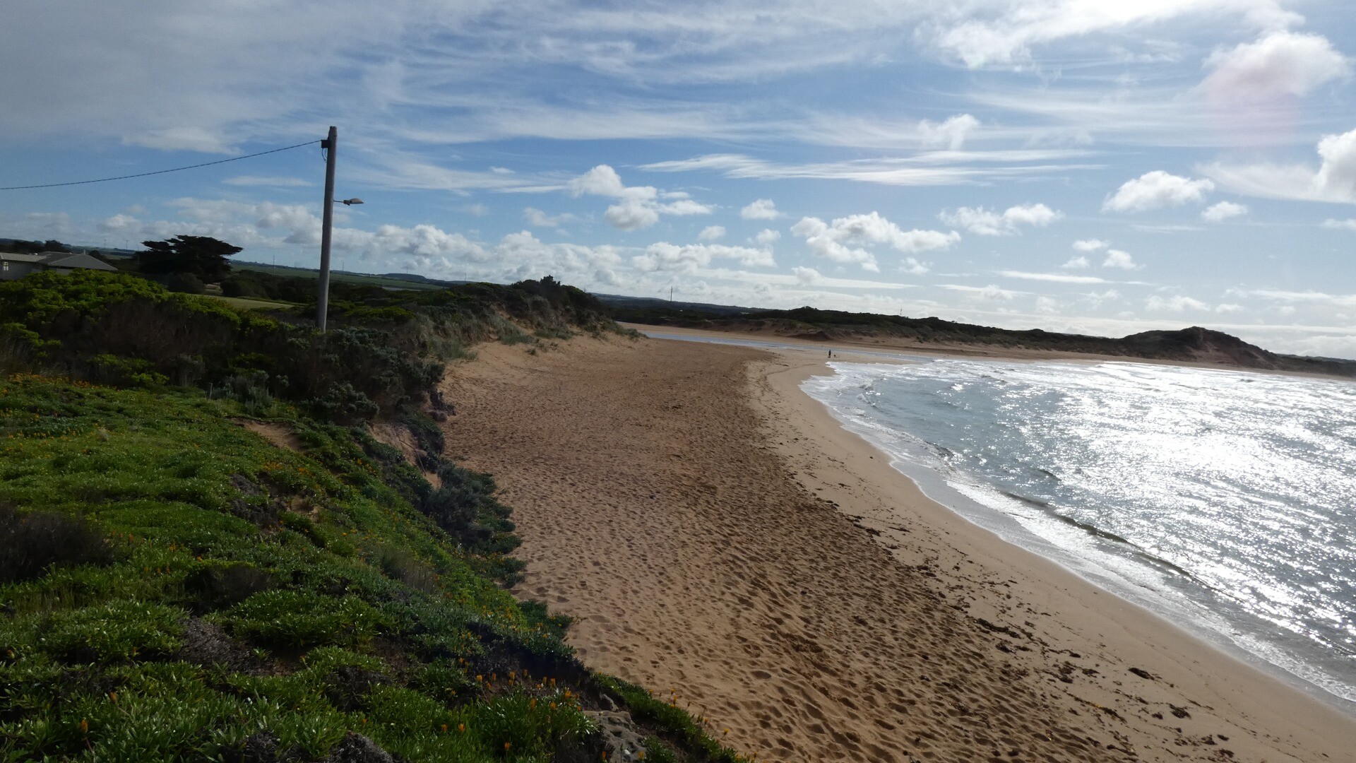
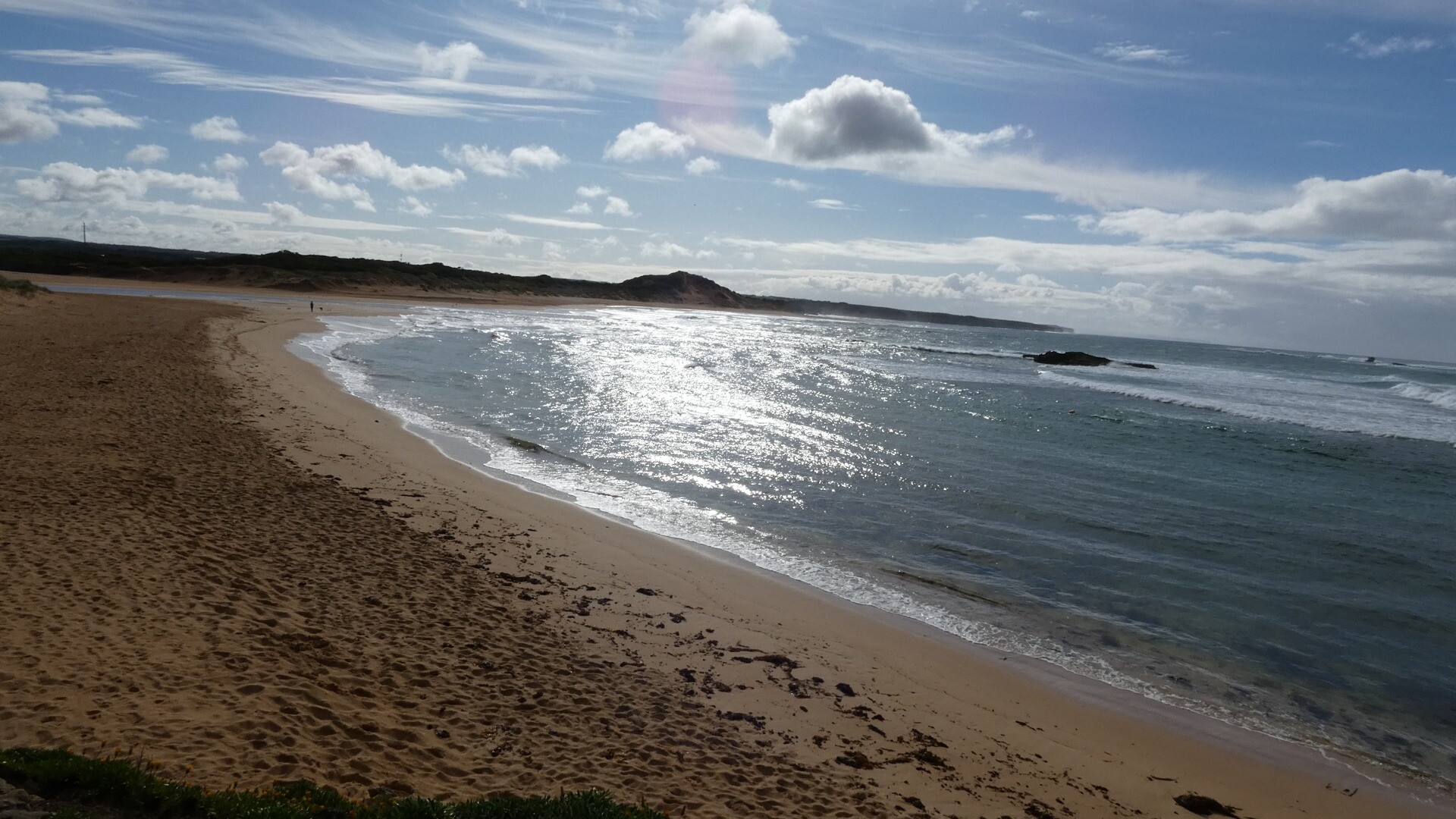
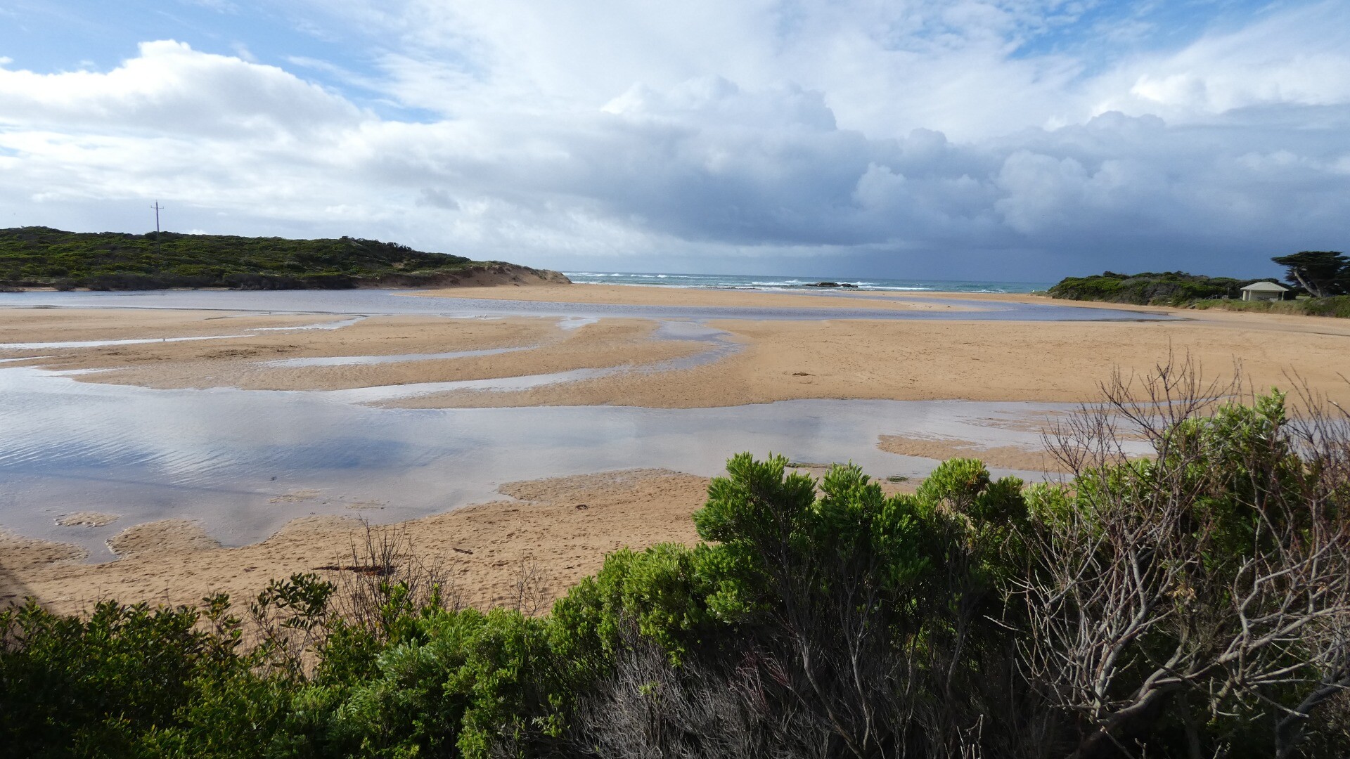
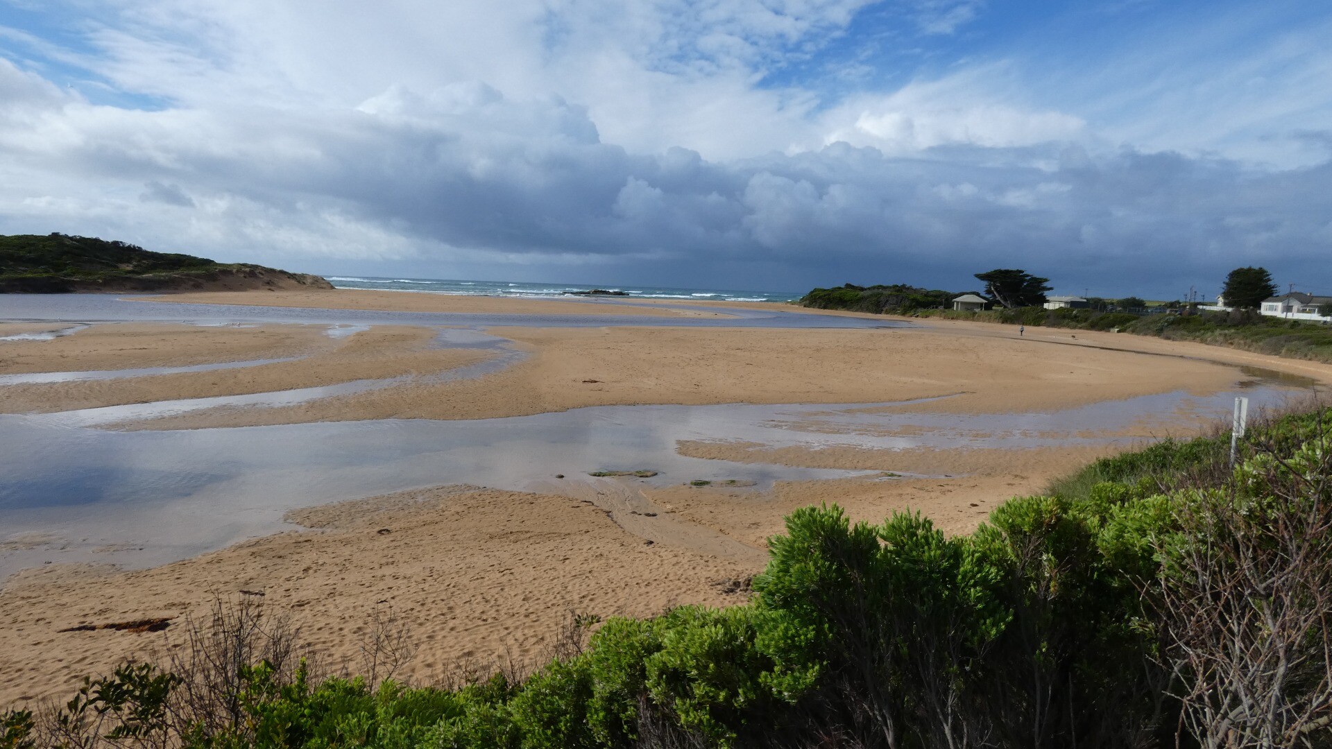
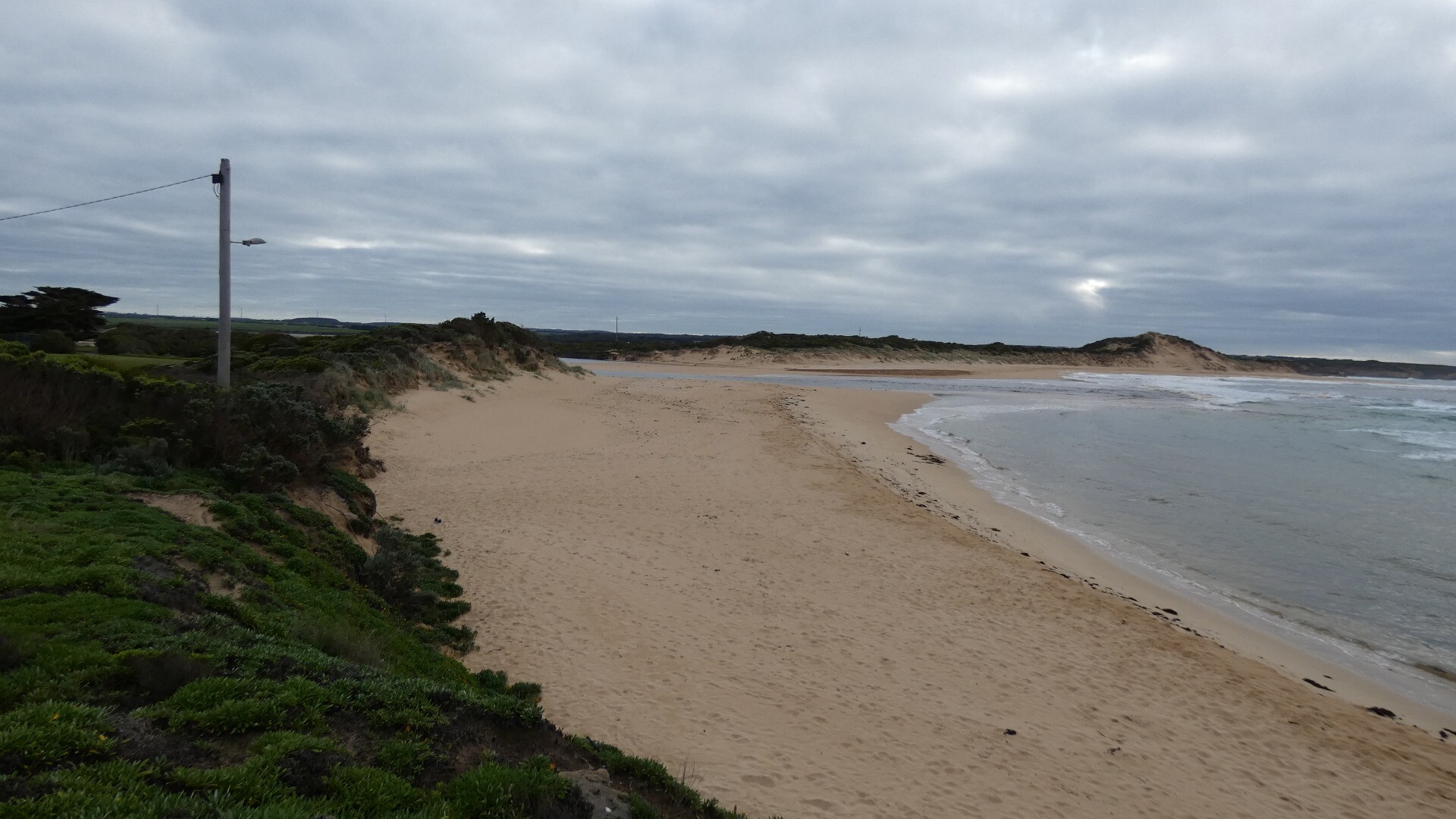
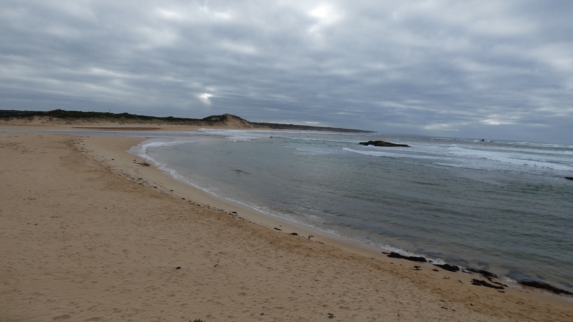
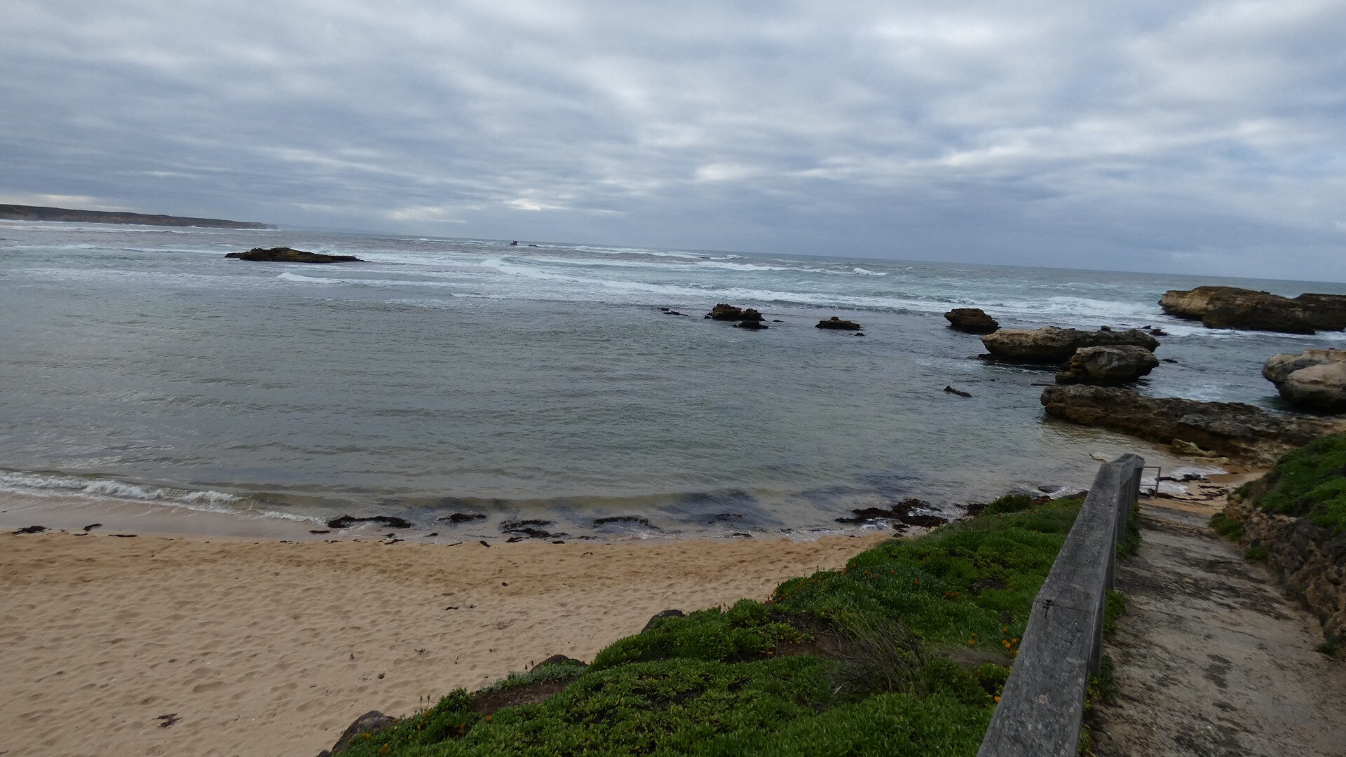
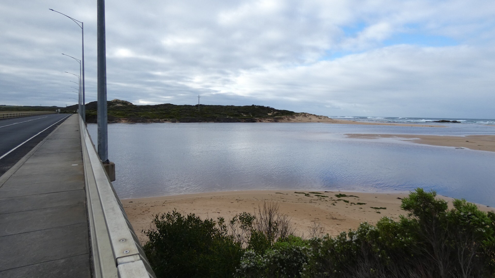
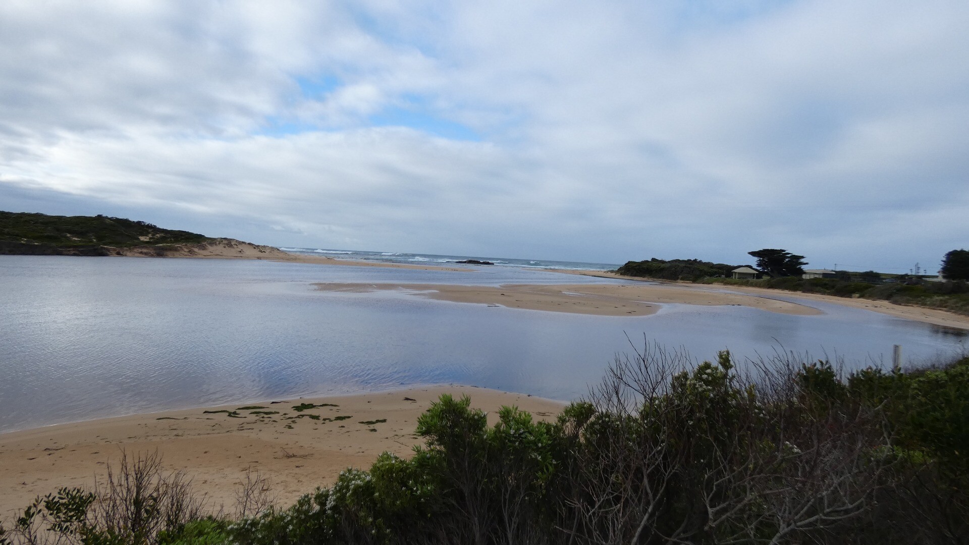
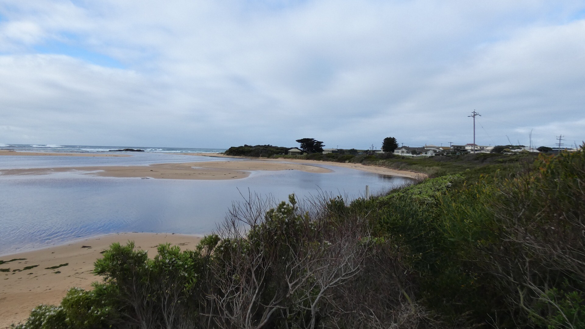
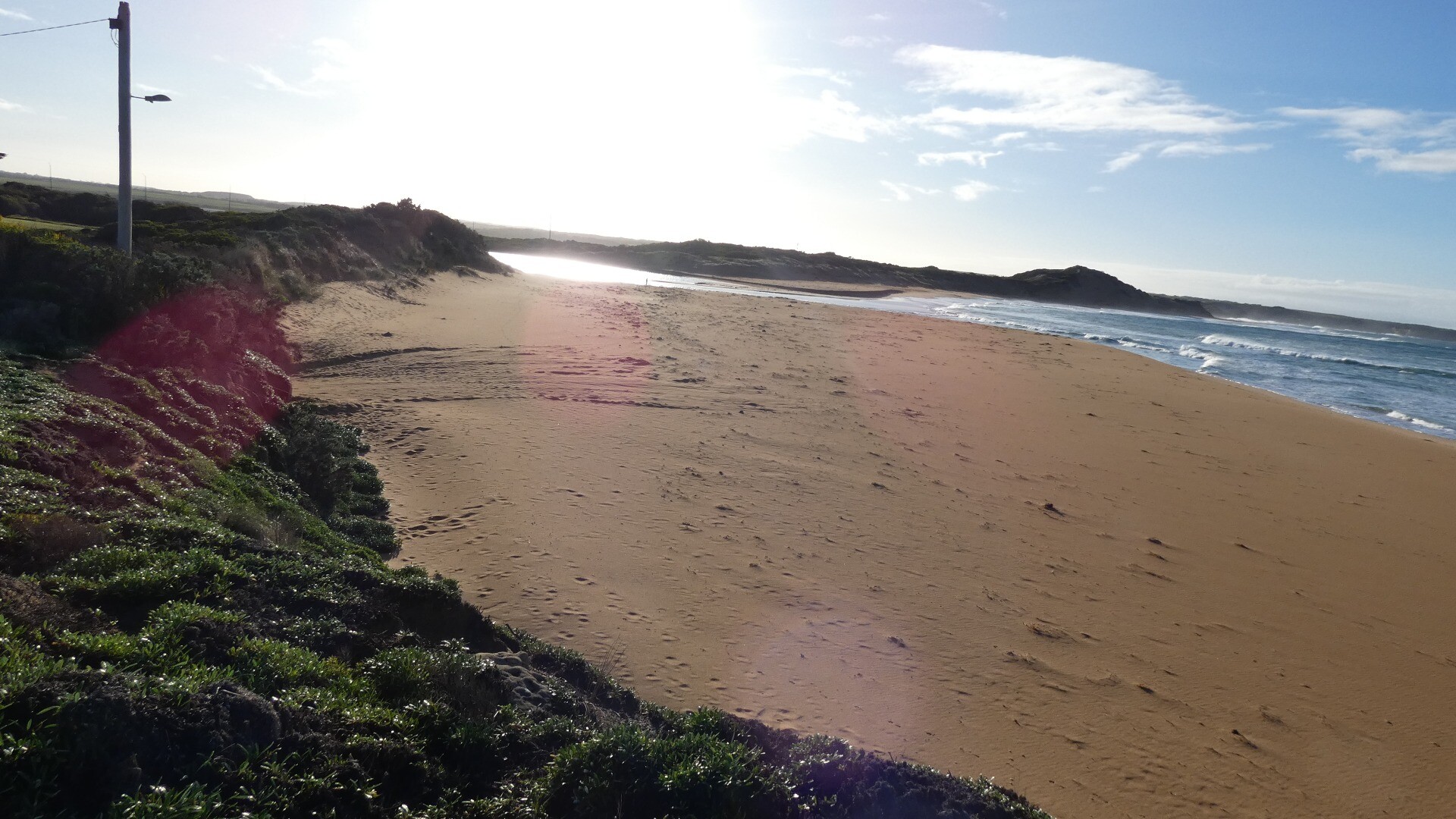
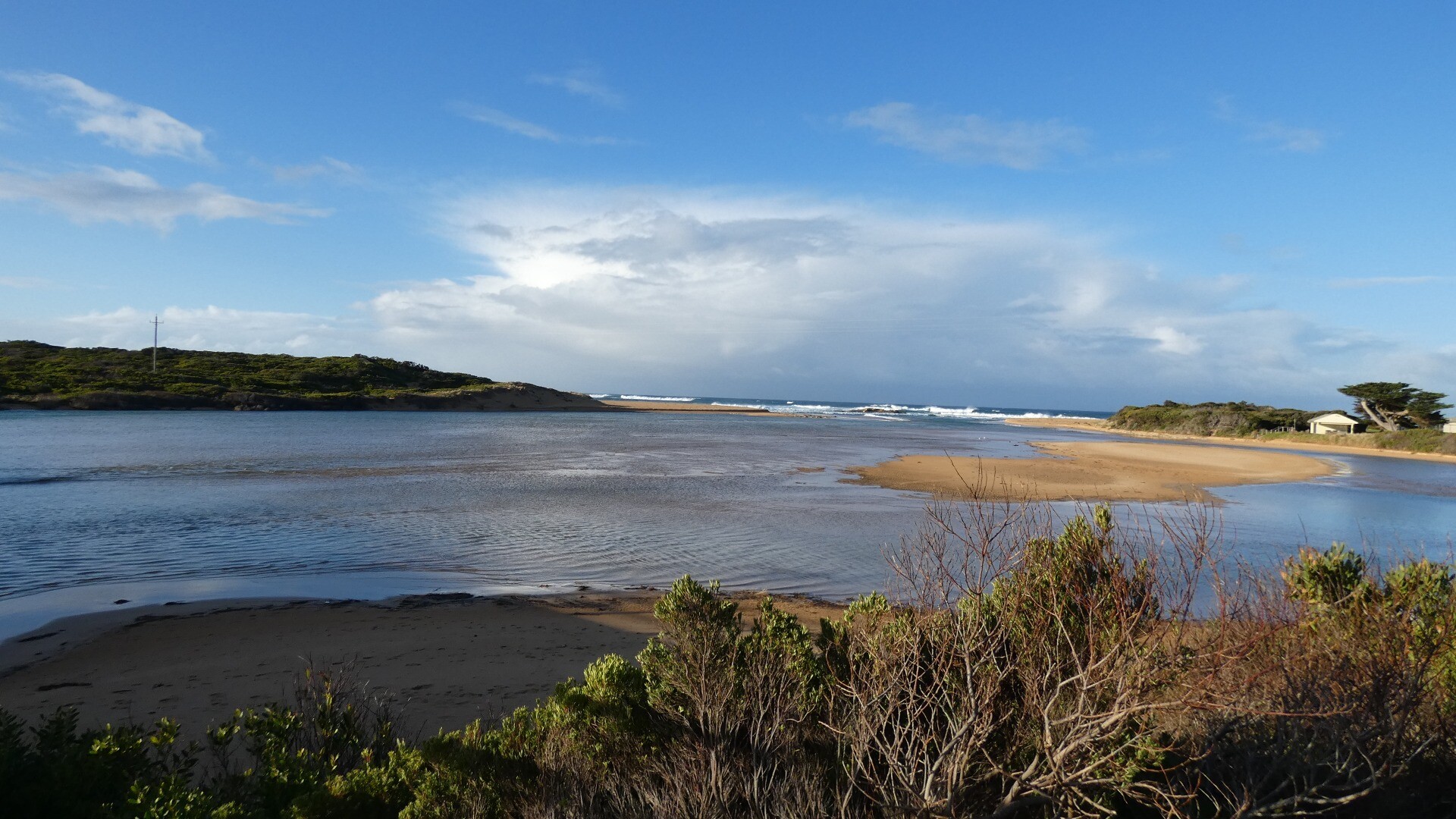
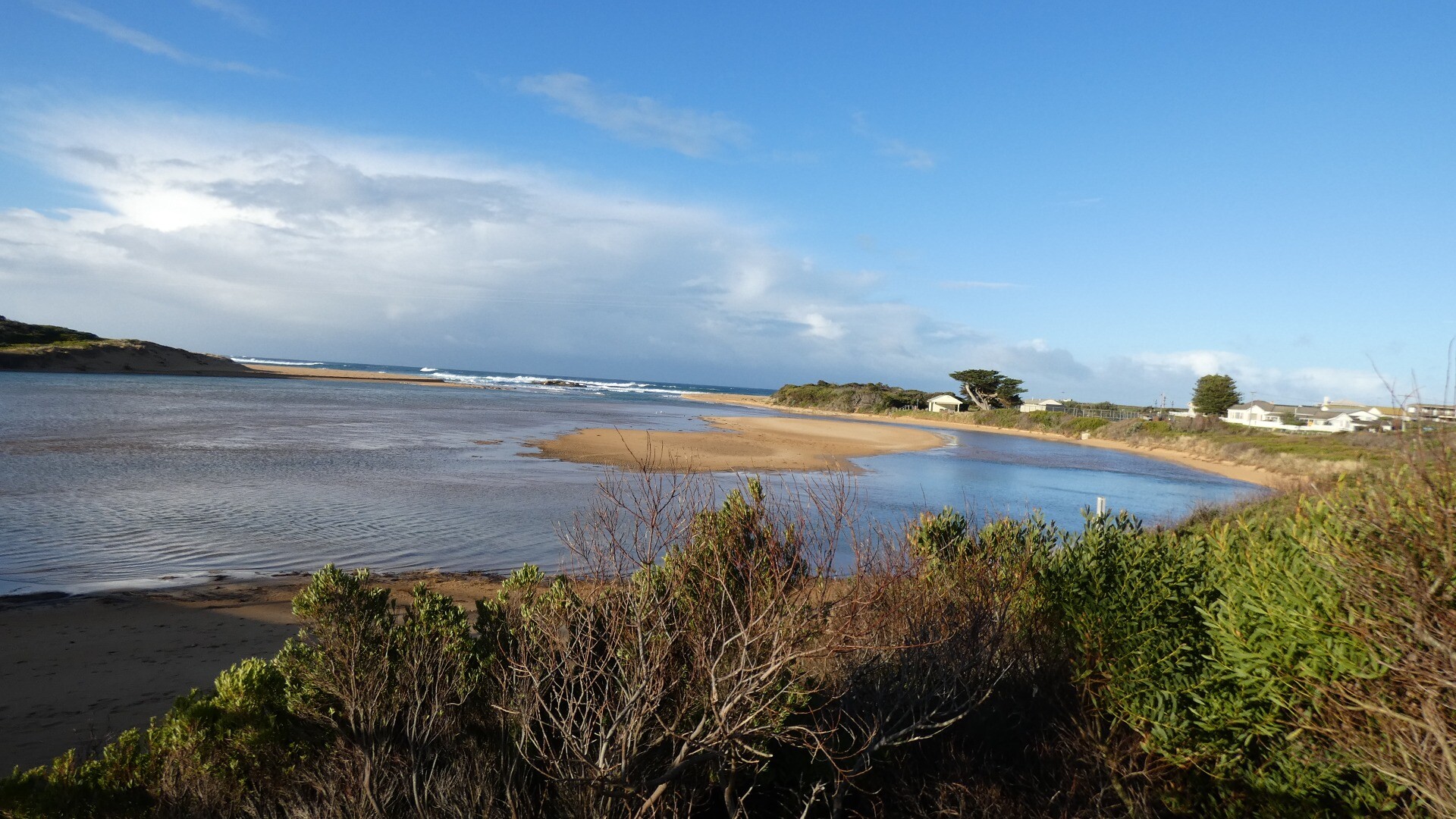
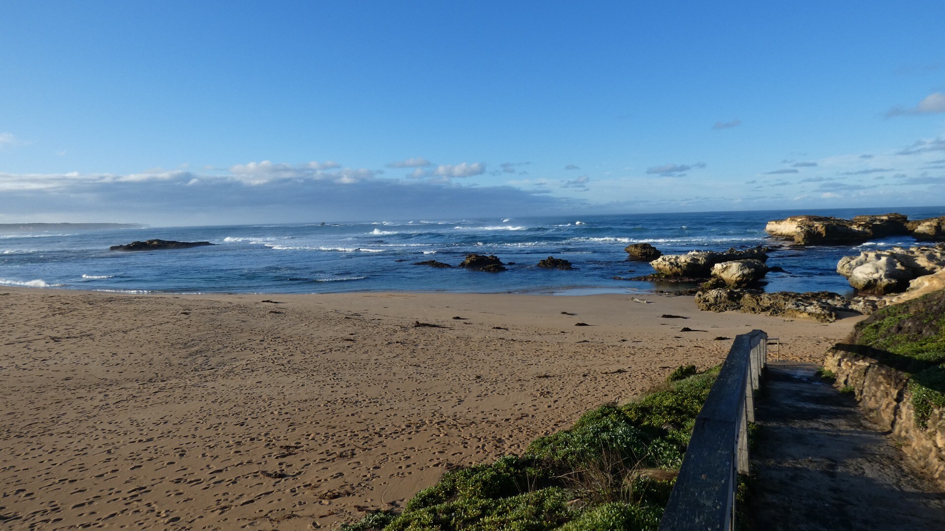
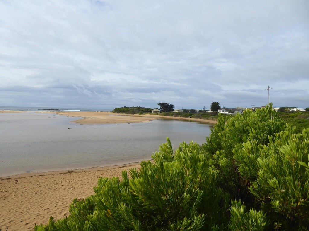
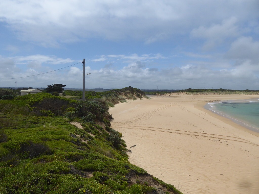
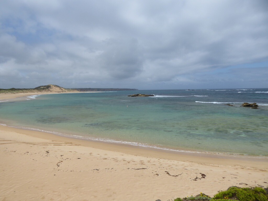
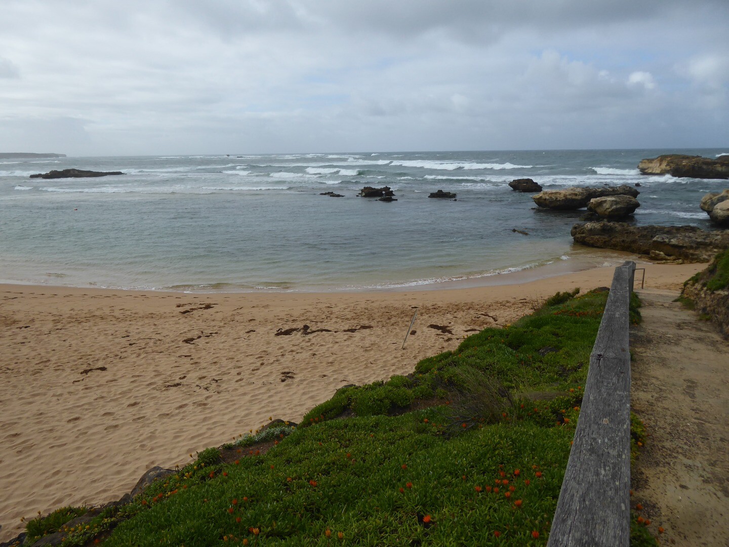
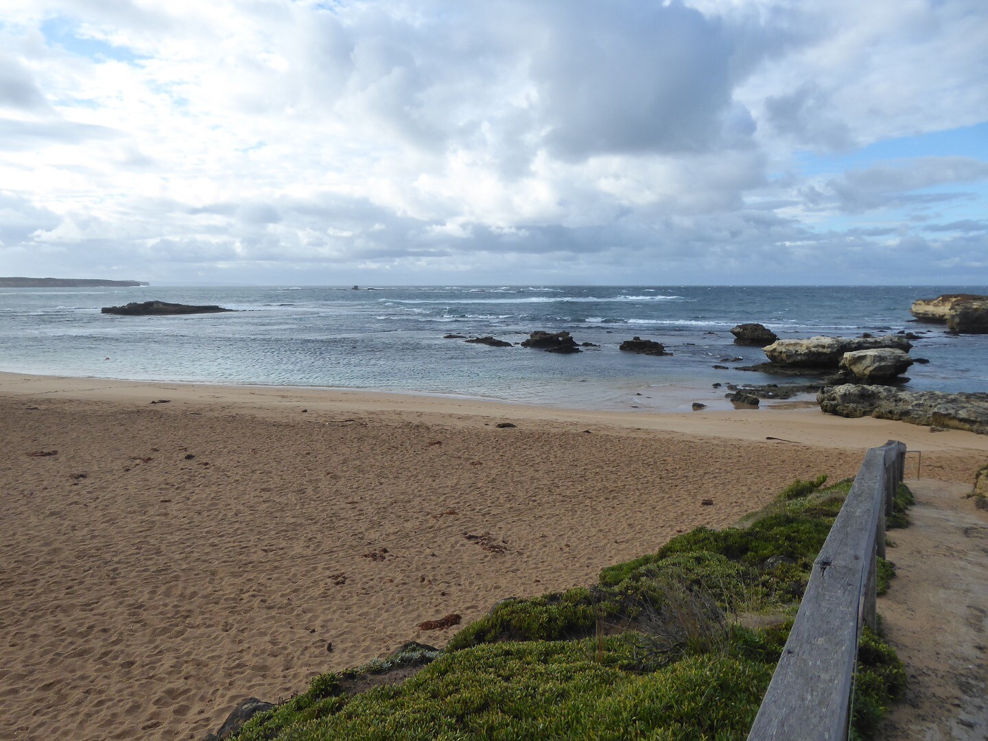
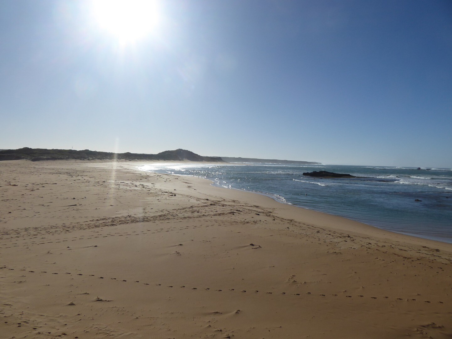
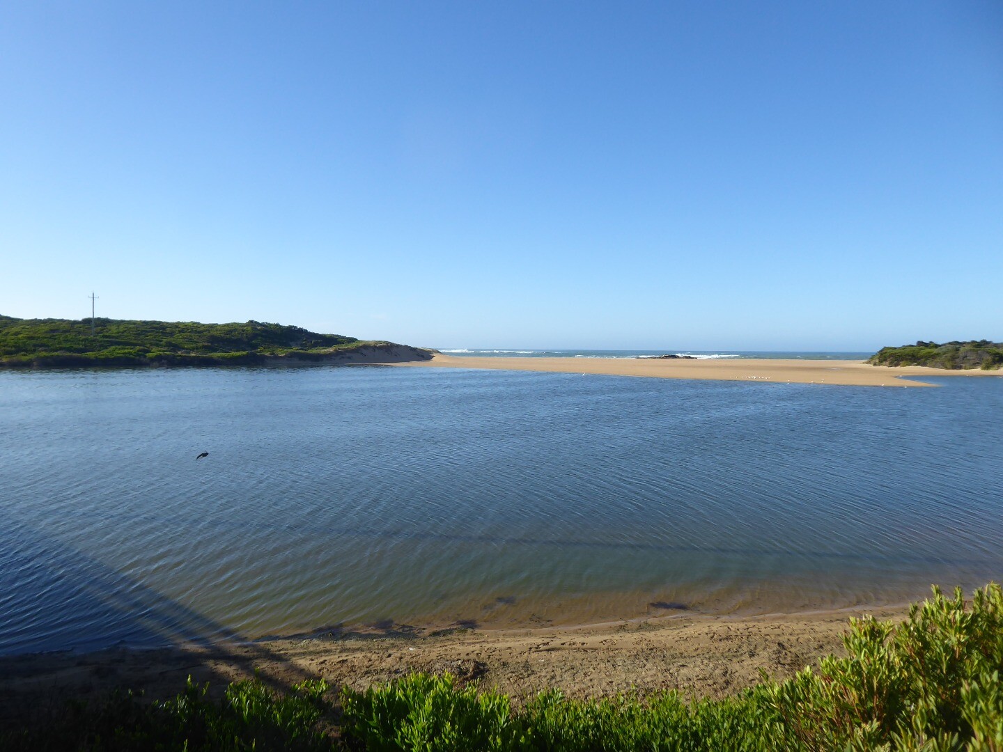
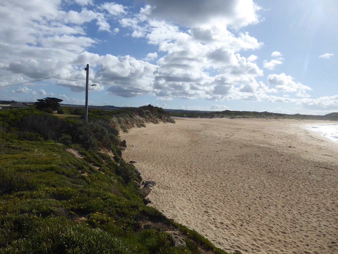
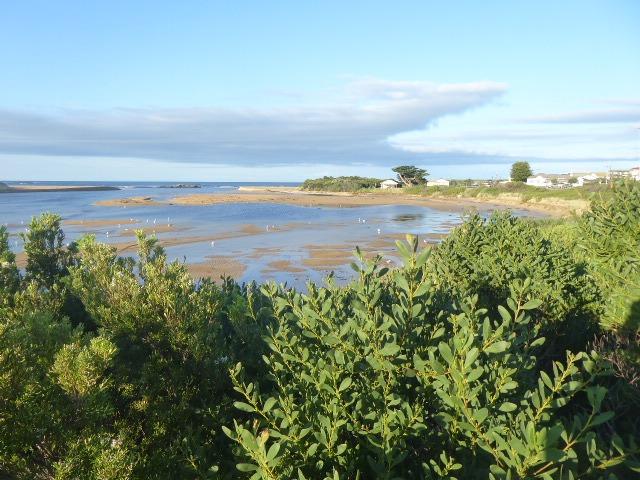
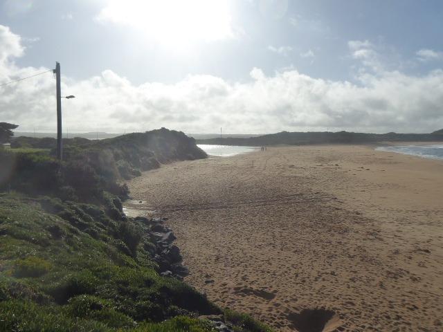
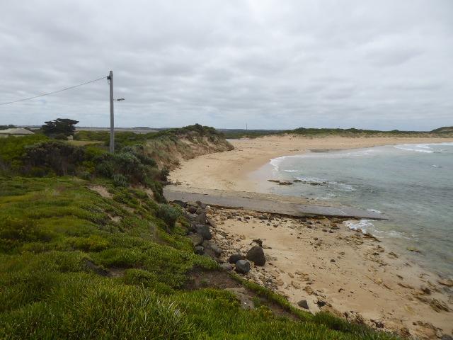
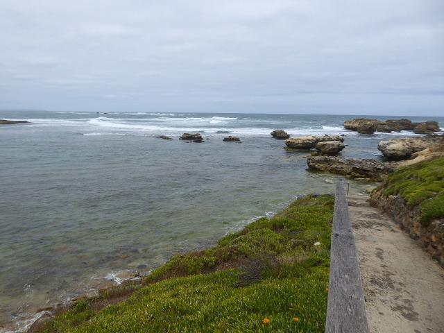
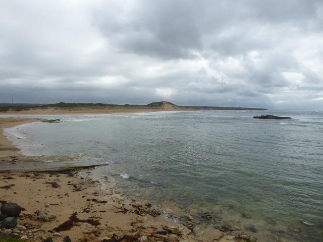
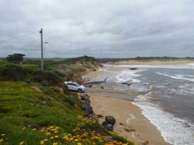
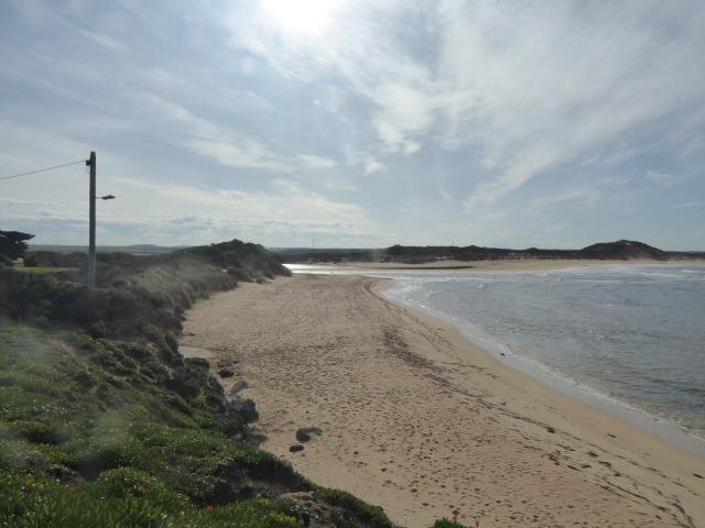
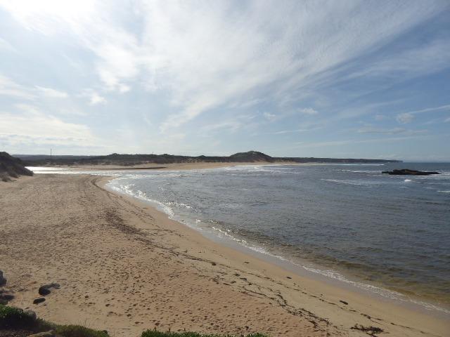
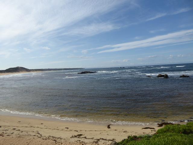
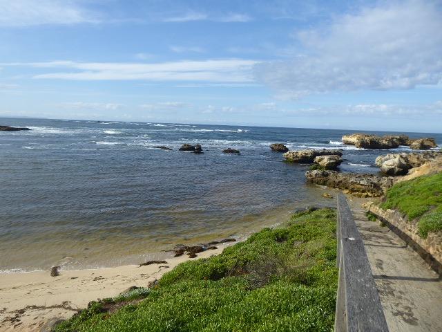
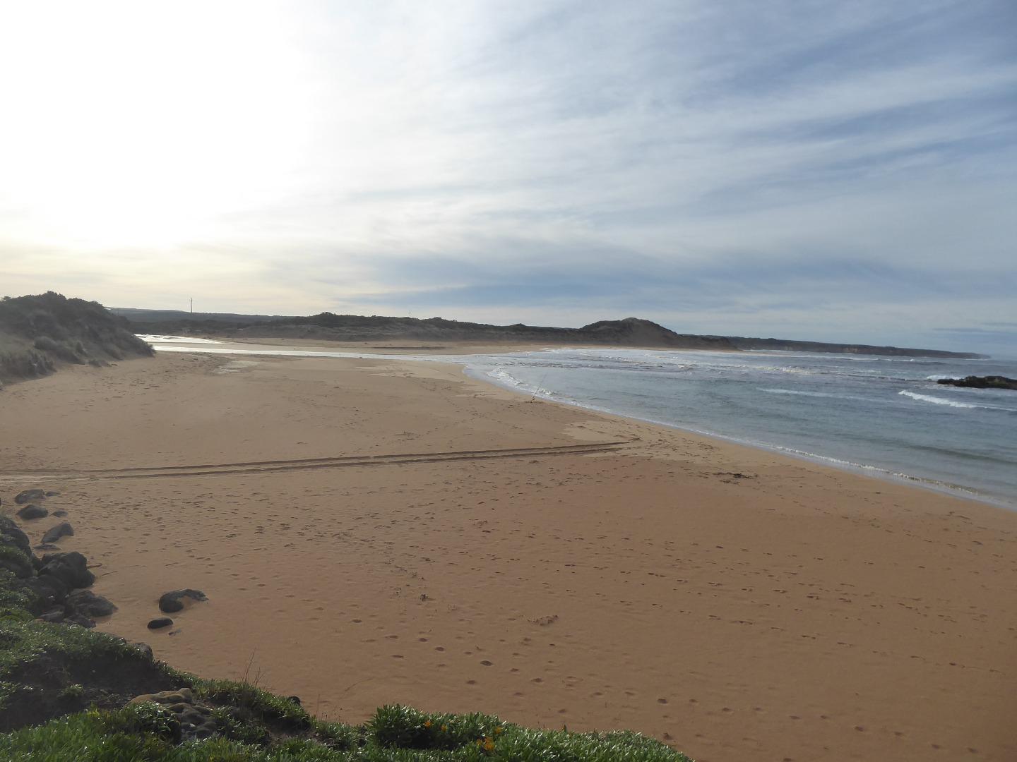
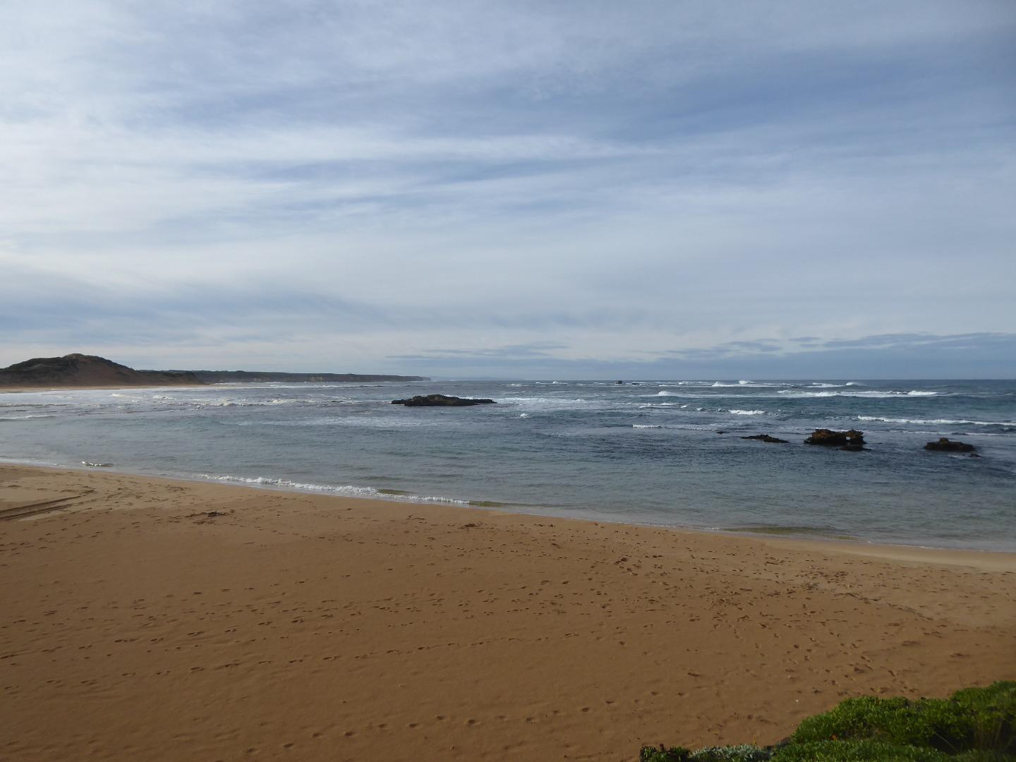
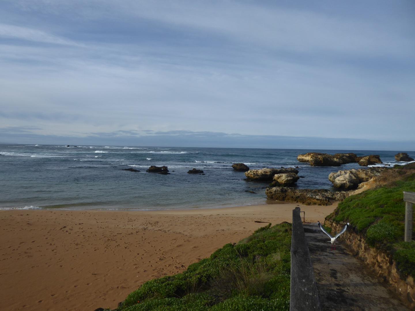
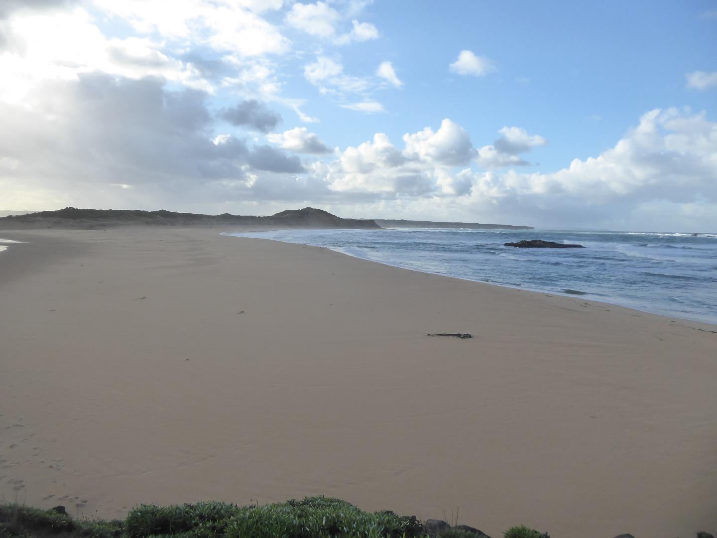
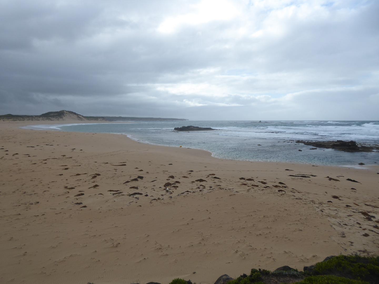
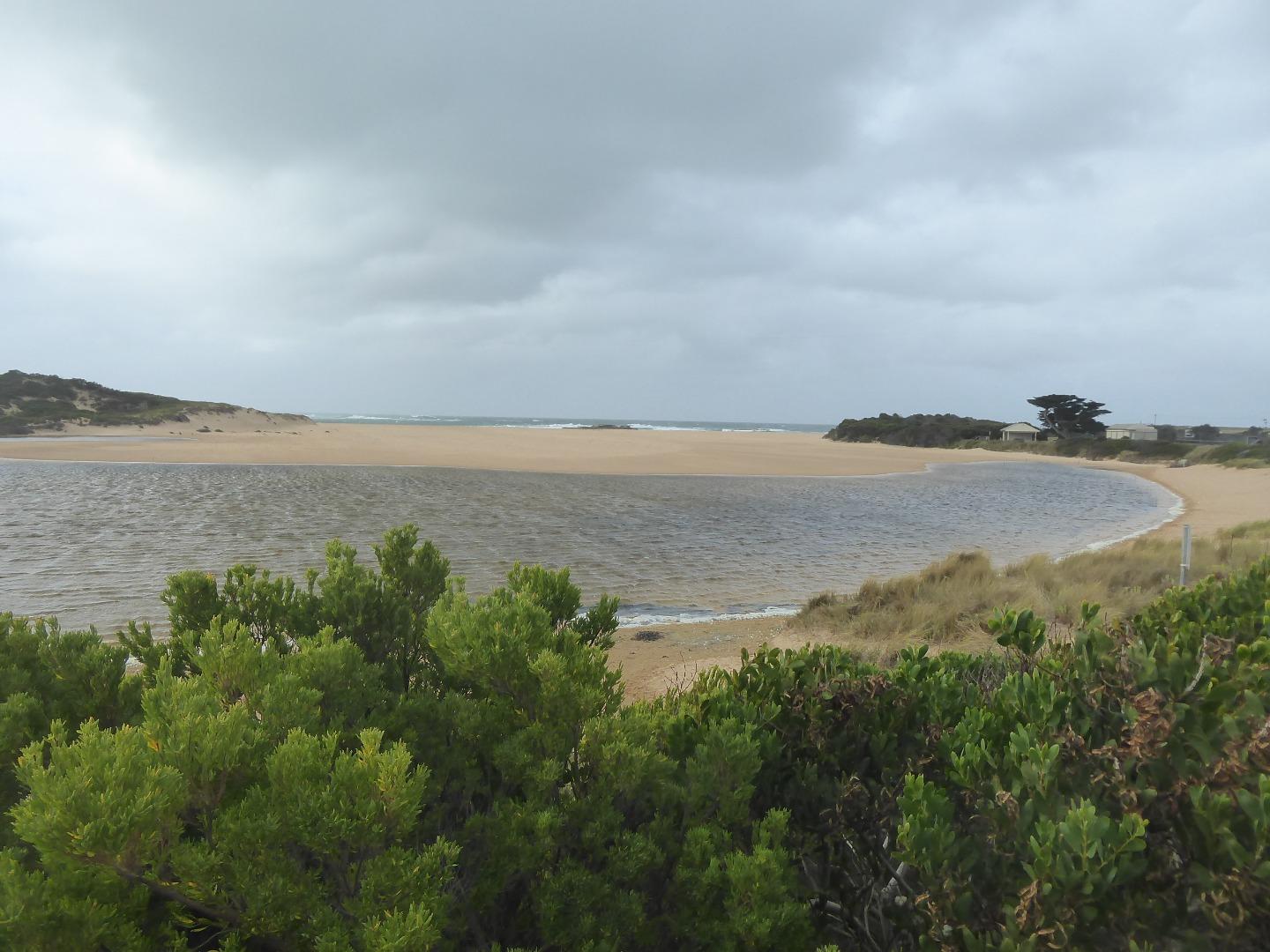
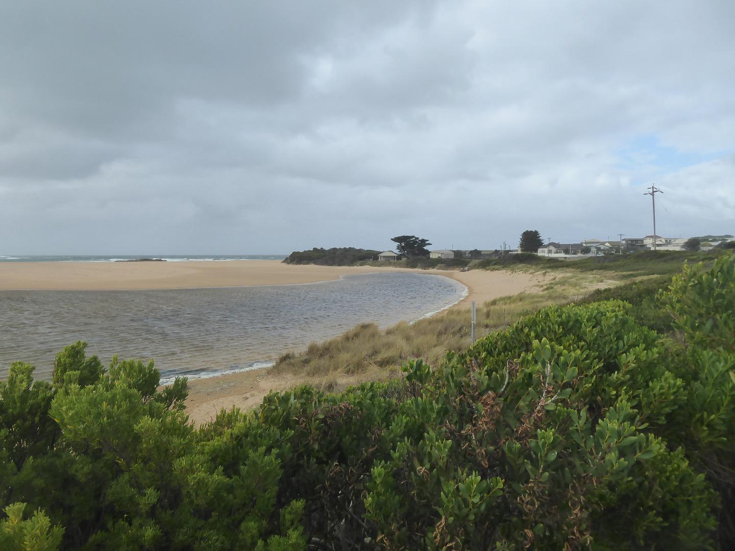
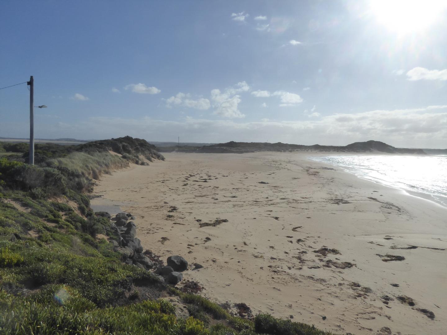
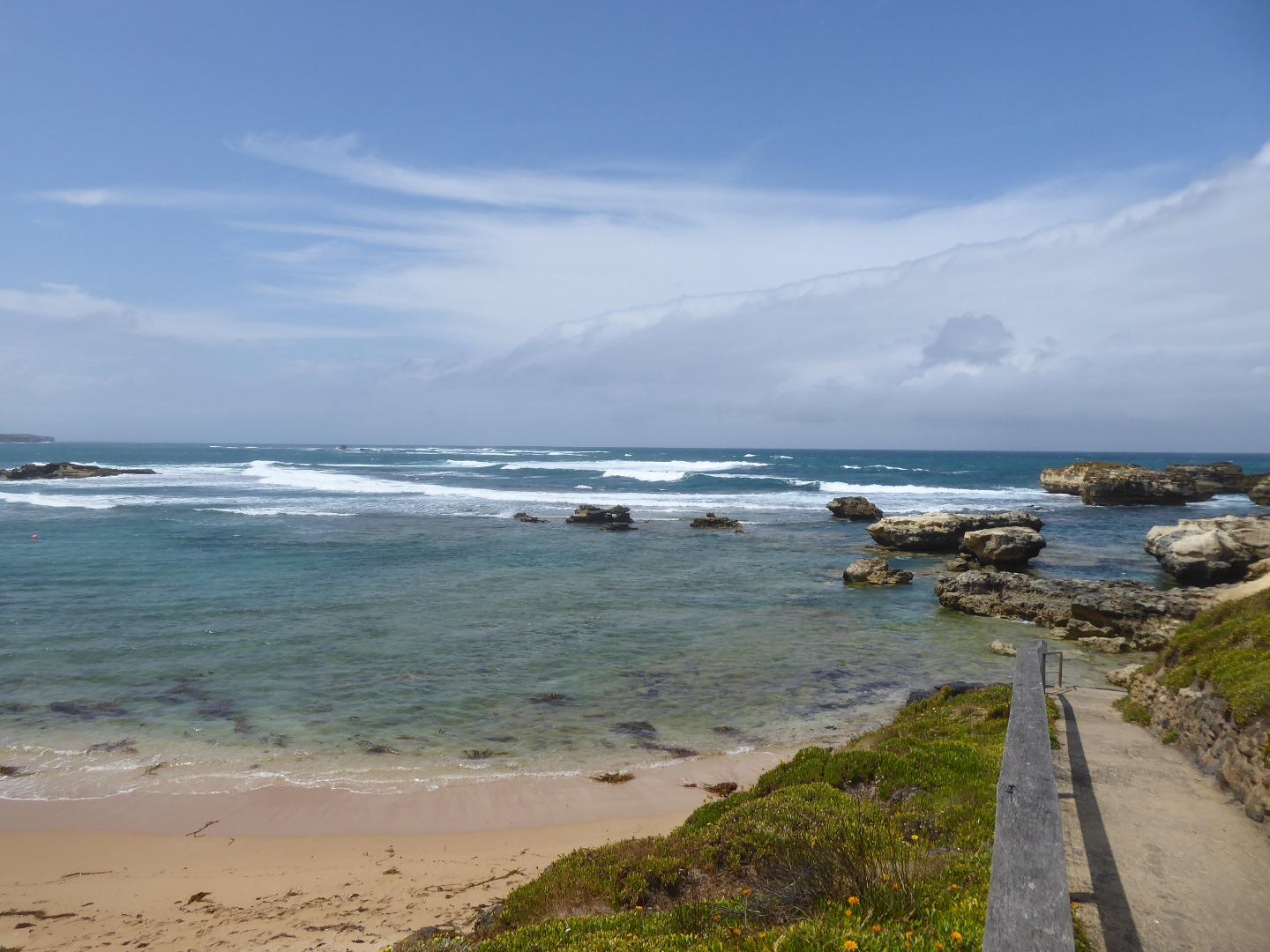
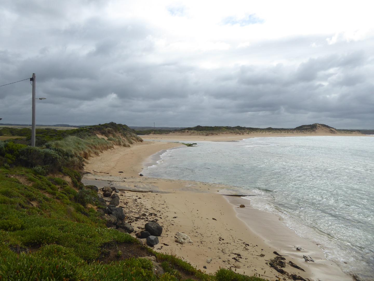
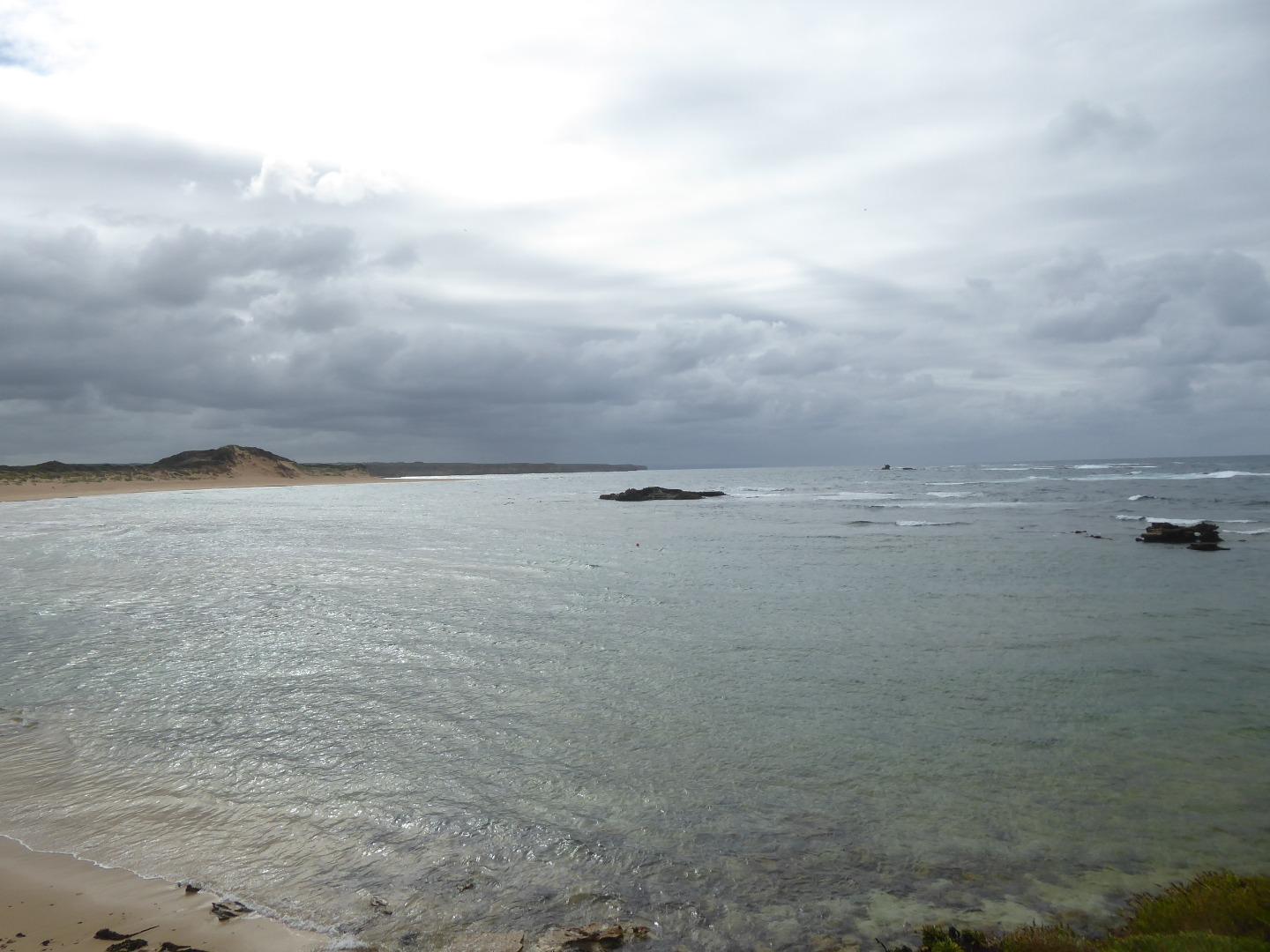
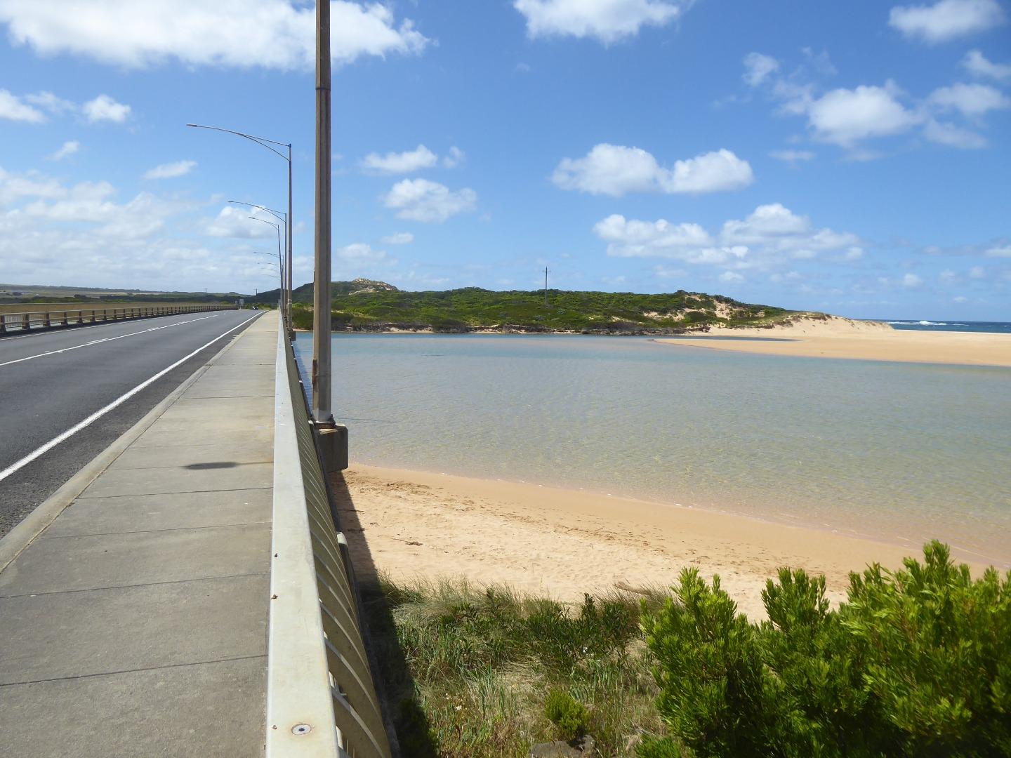
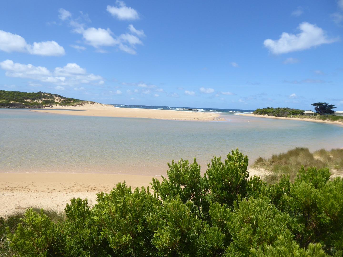
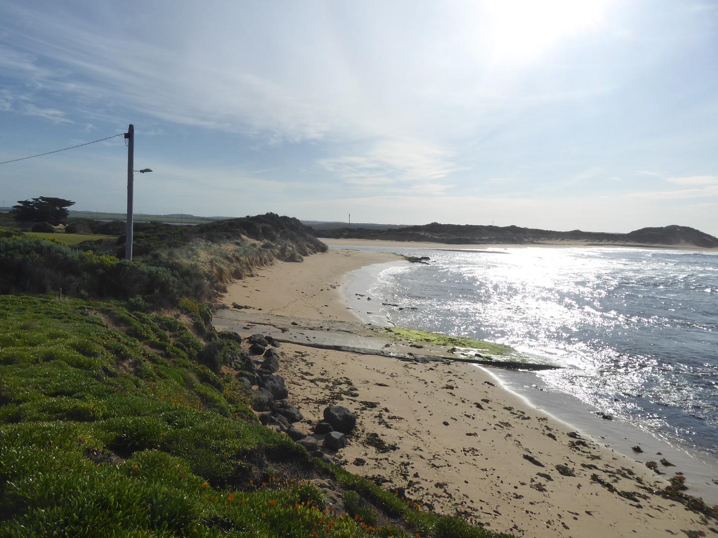
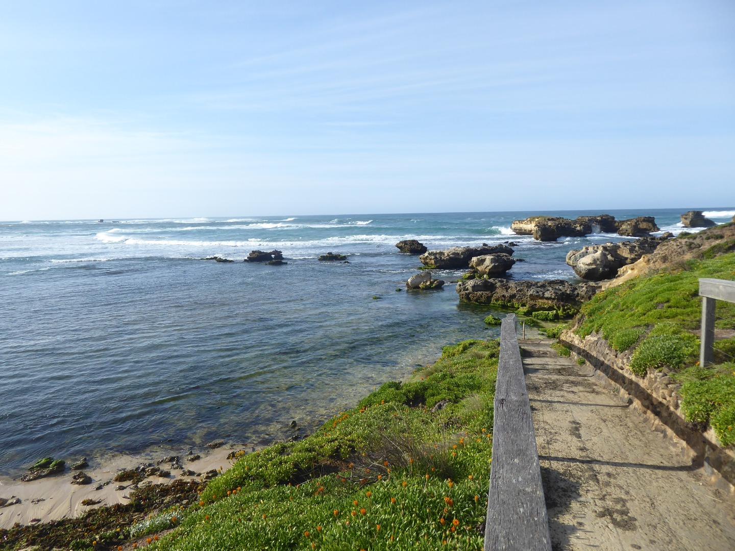
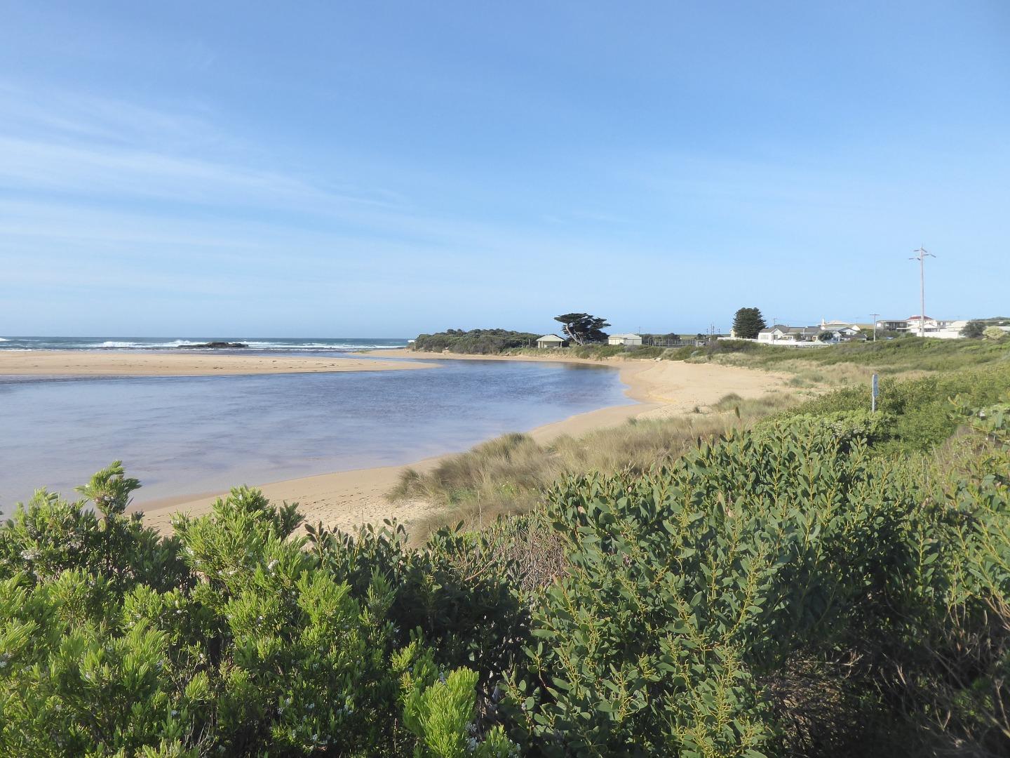
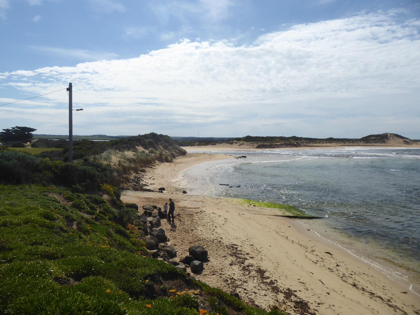
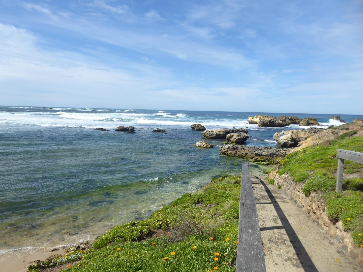
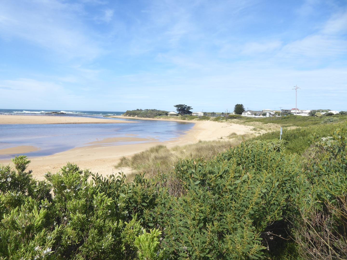
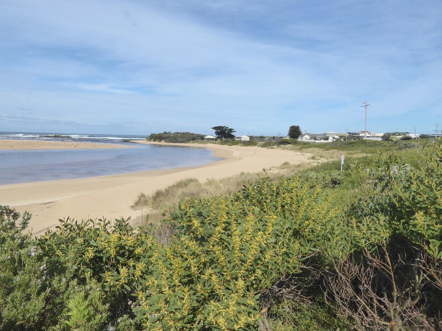
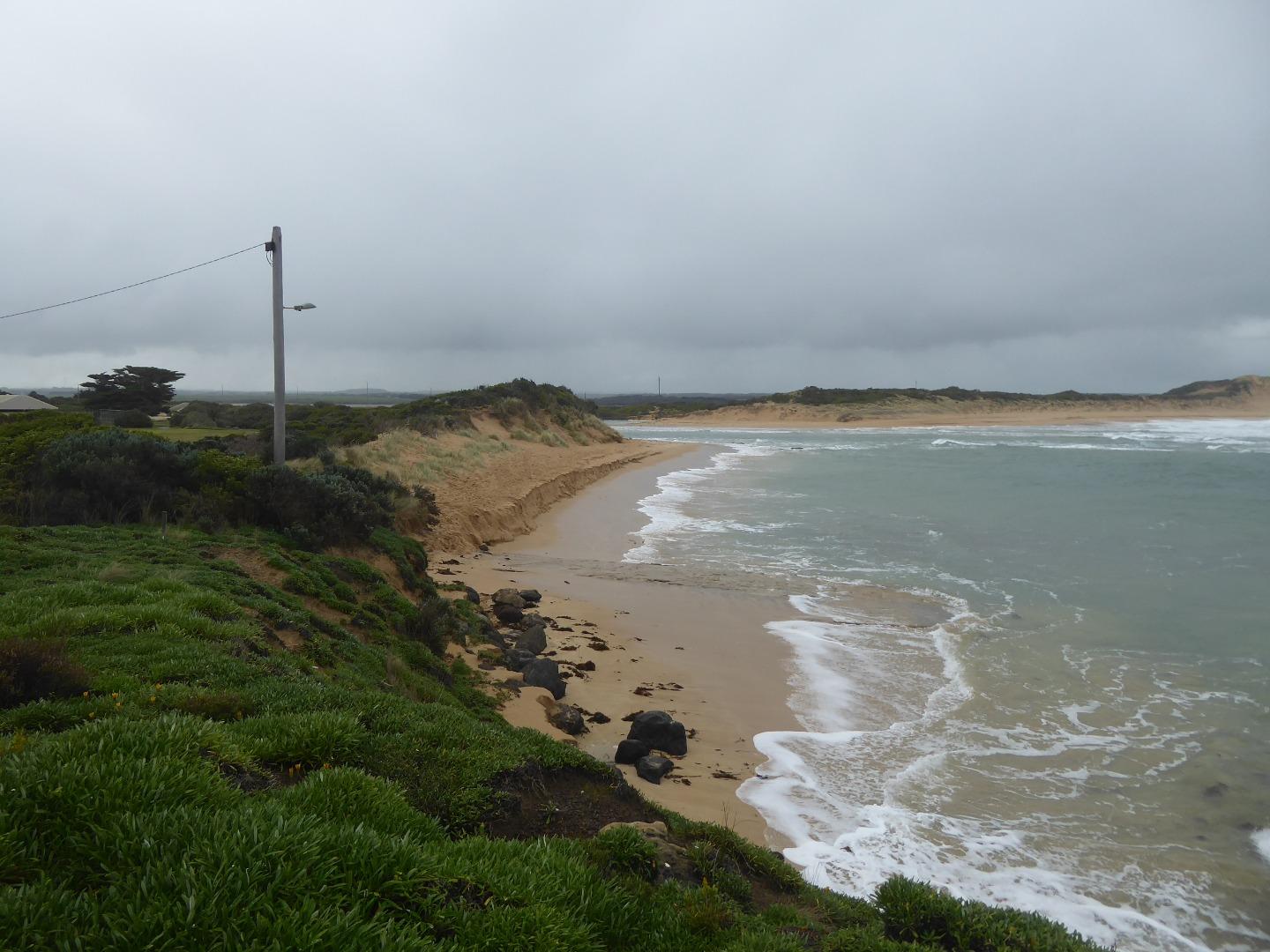
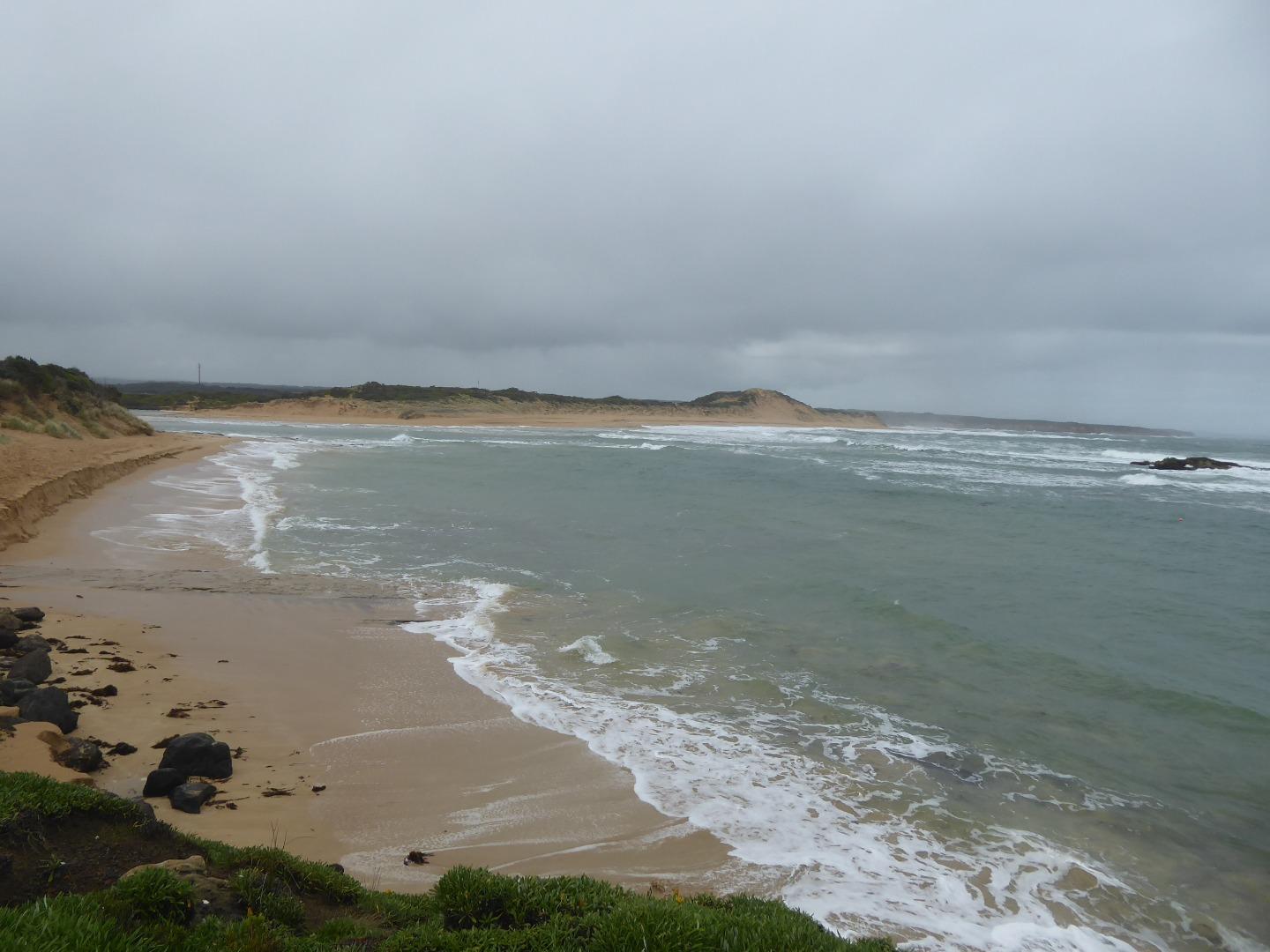
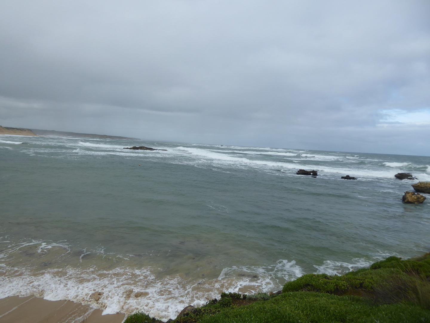
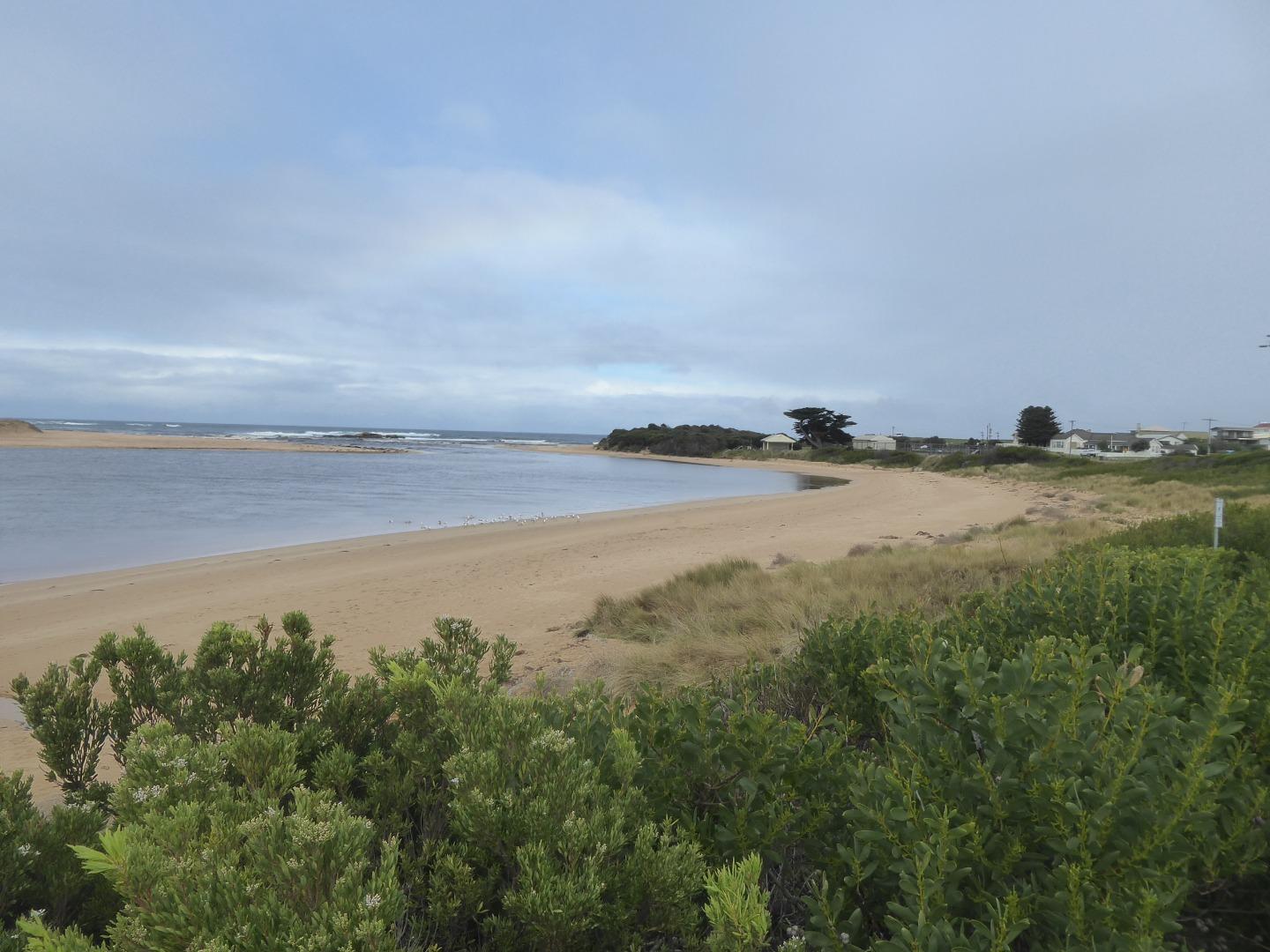
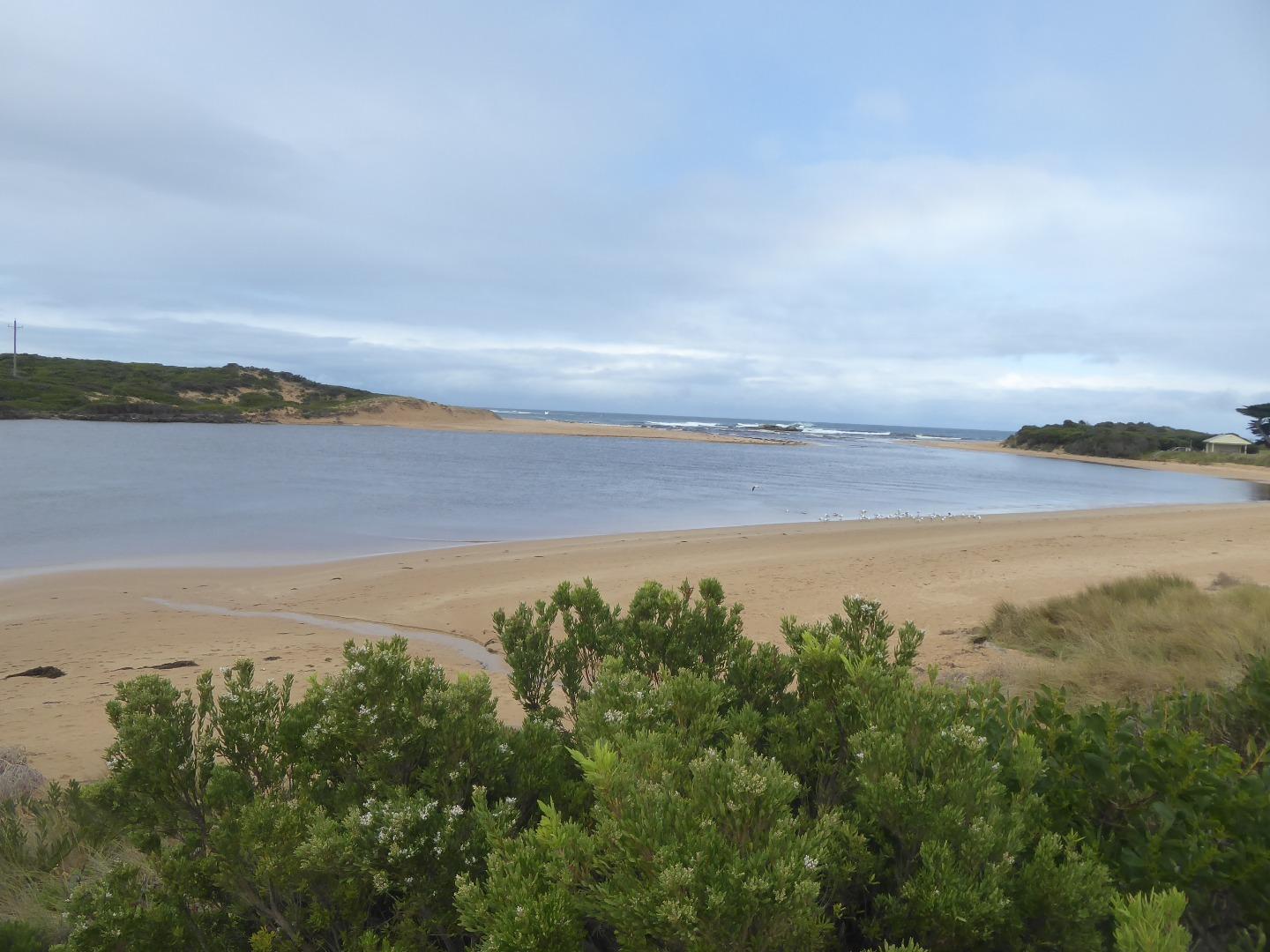
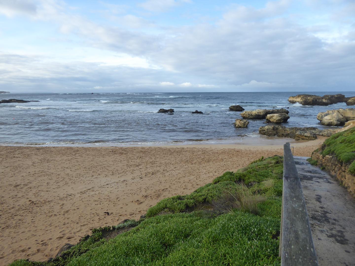
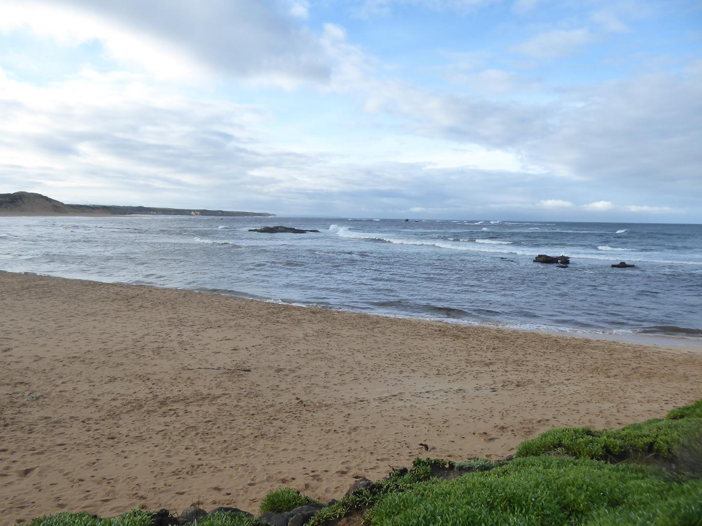
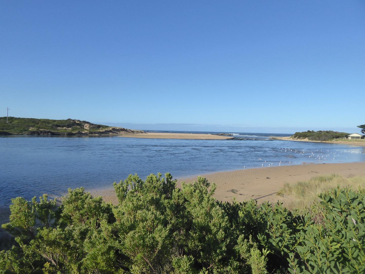
Curdies River Estuary
Corangamite CMA
DOWNLOAD DATAOverview
Active Curdies River EstuaryWatchers
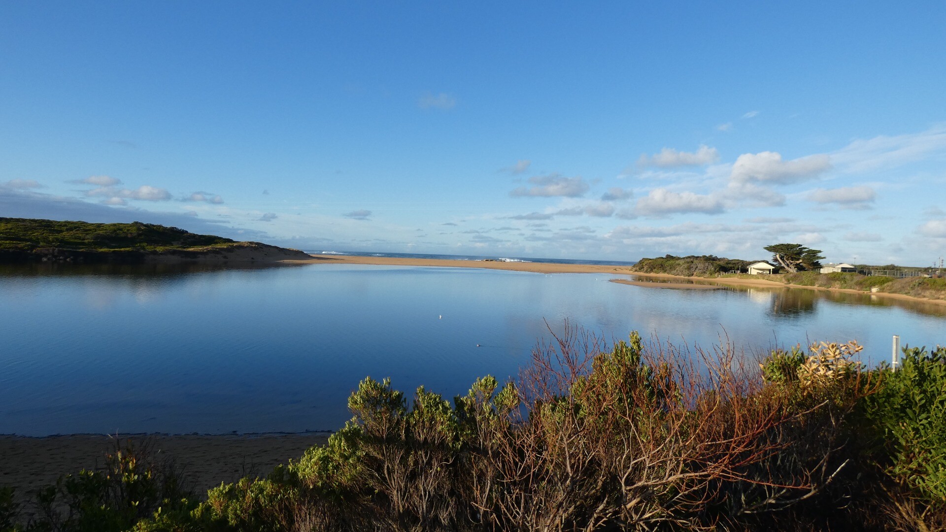
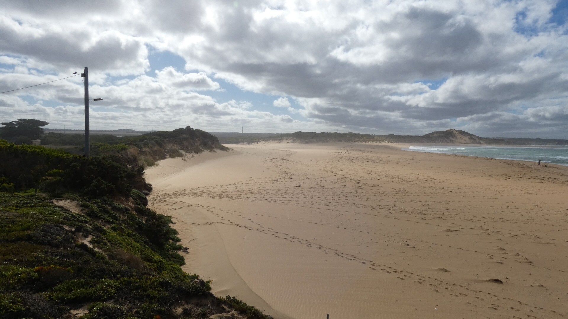
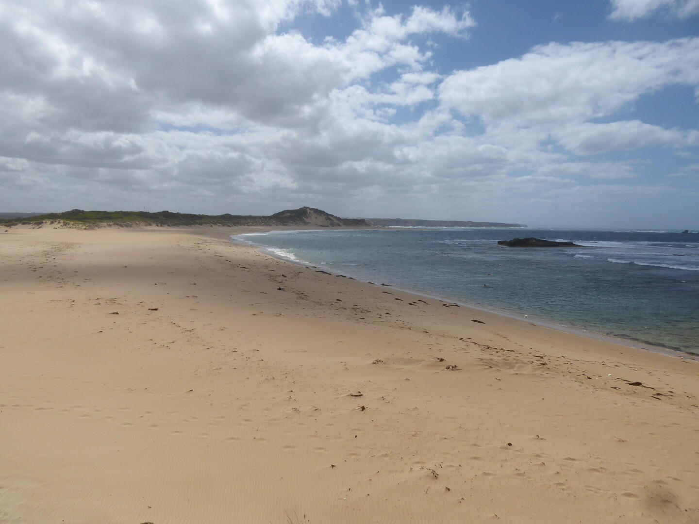
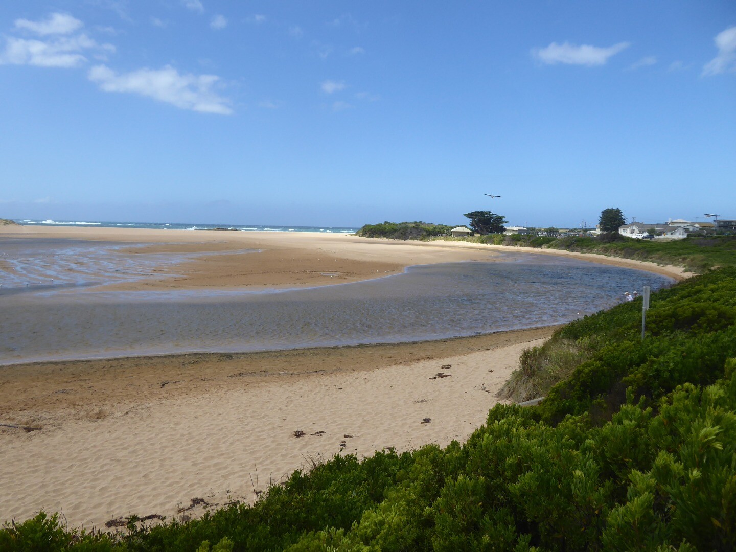
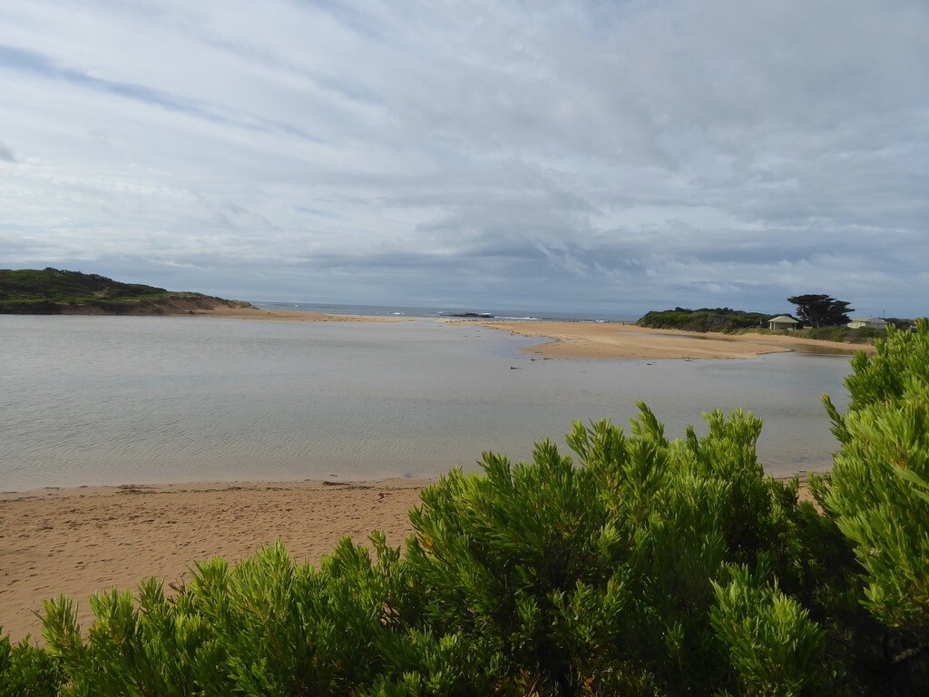
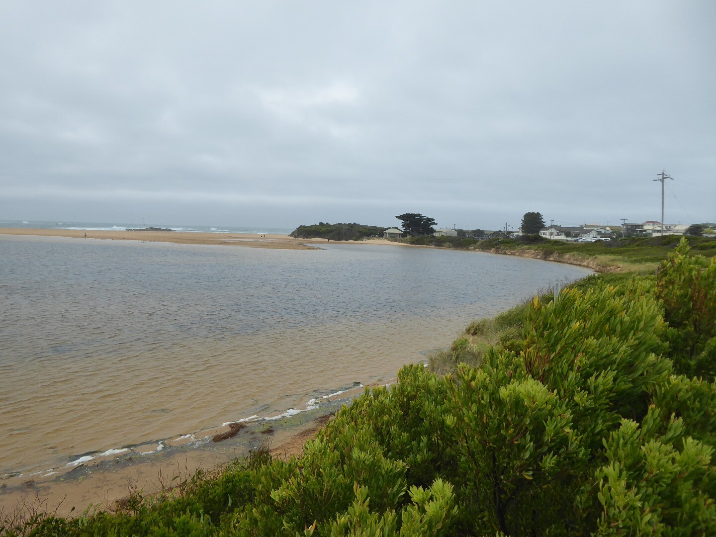
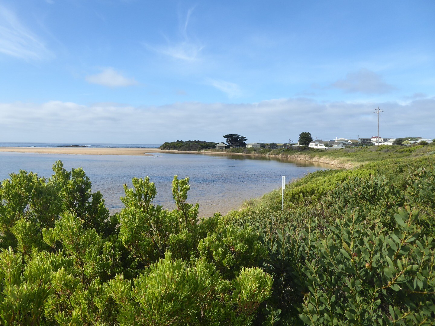
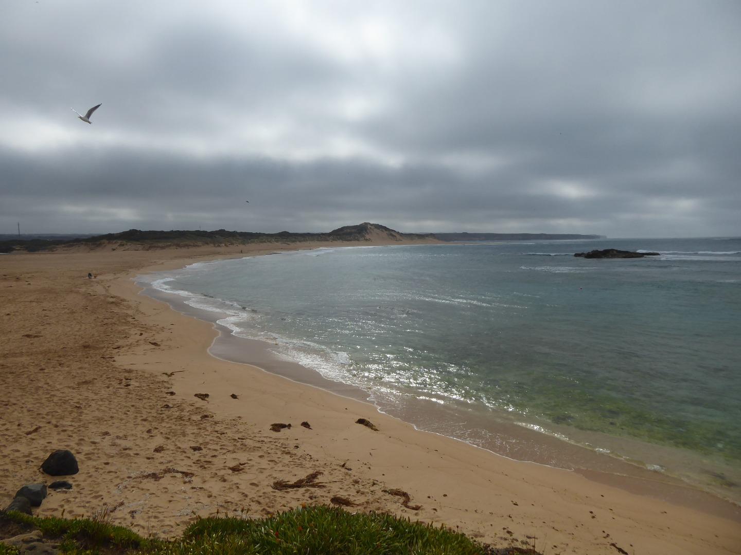
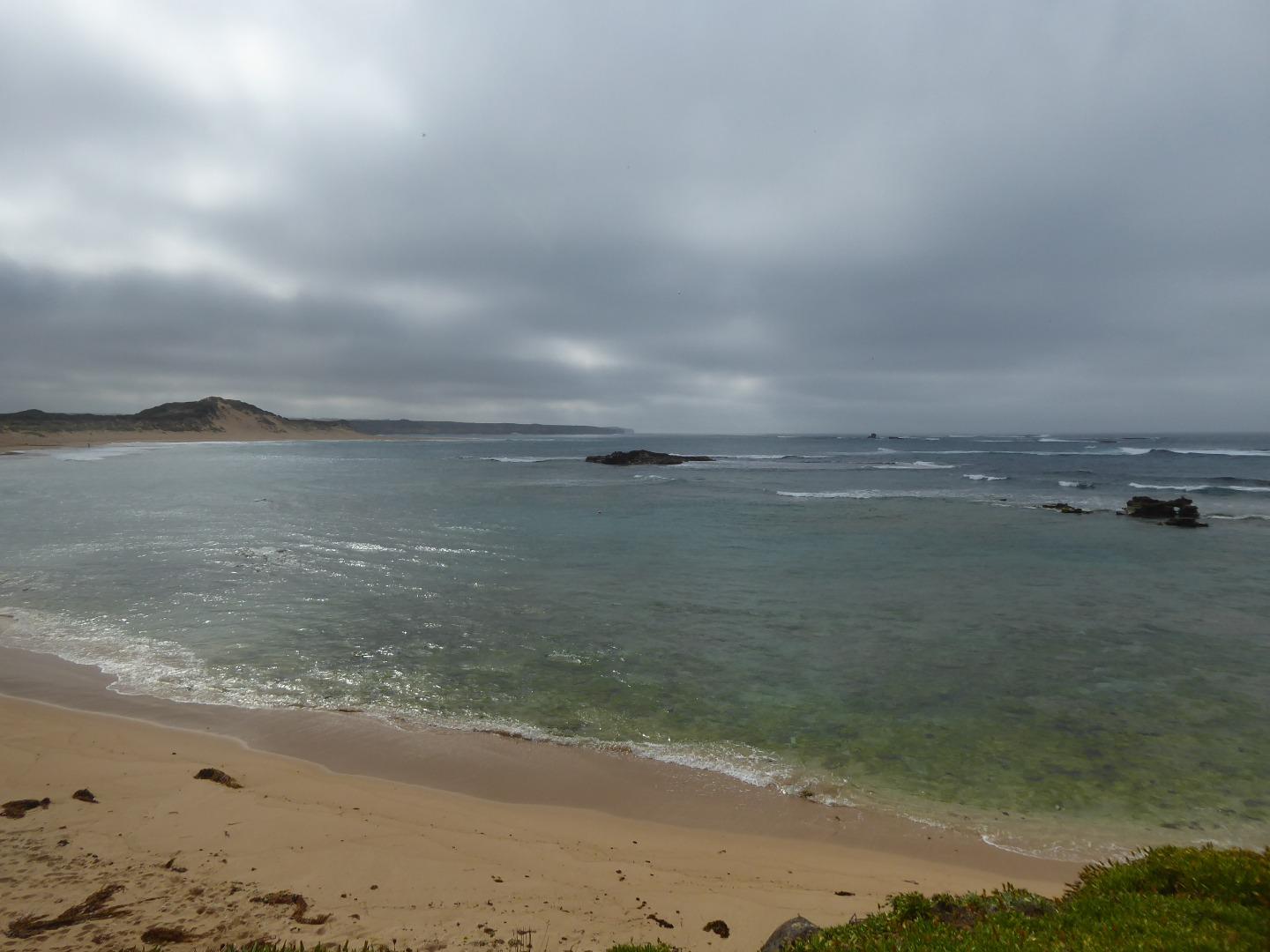
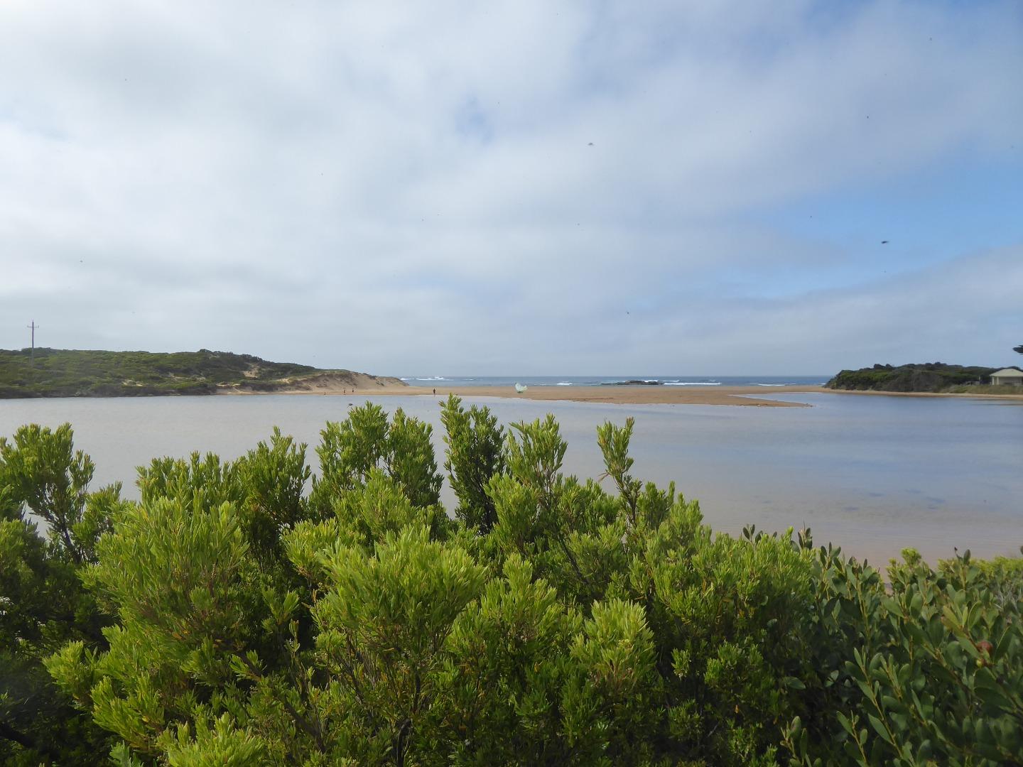
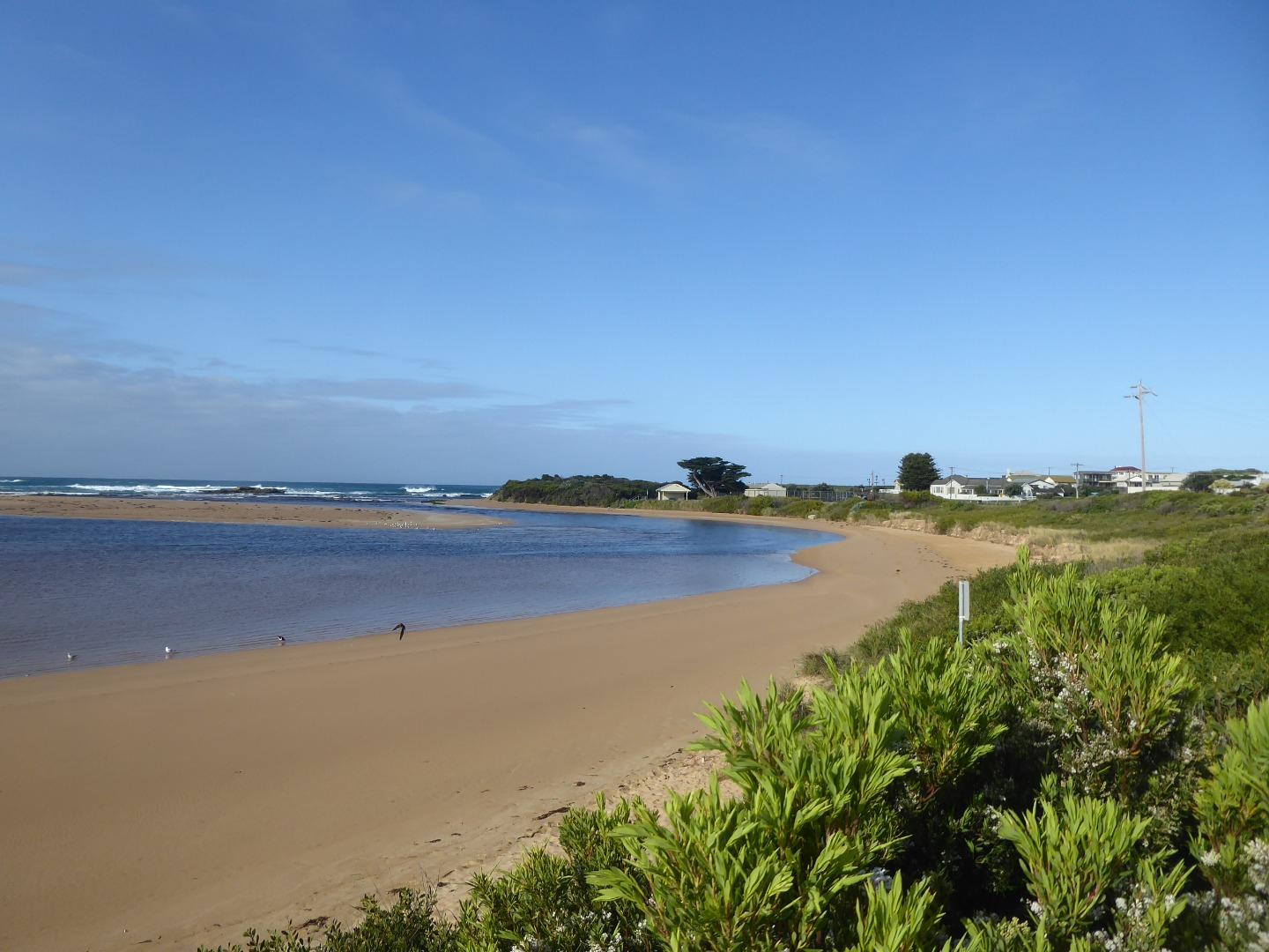
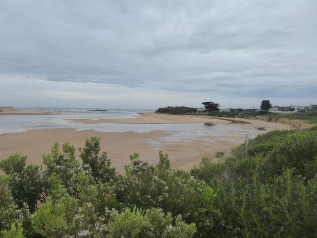
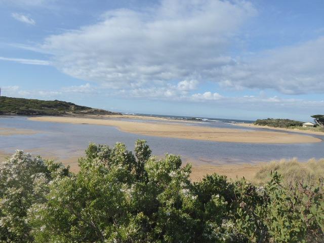
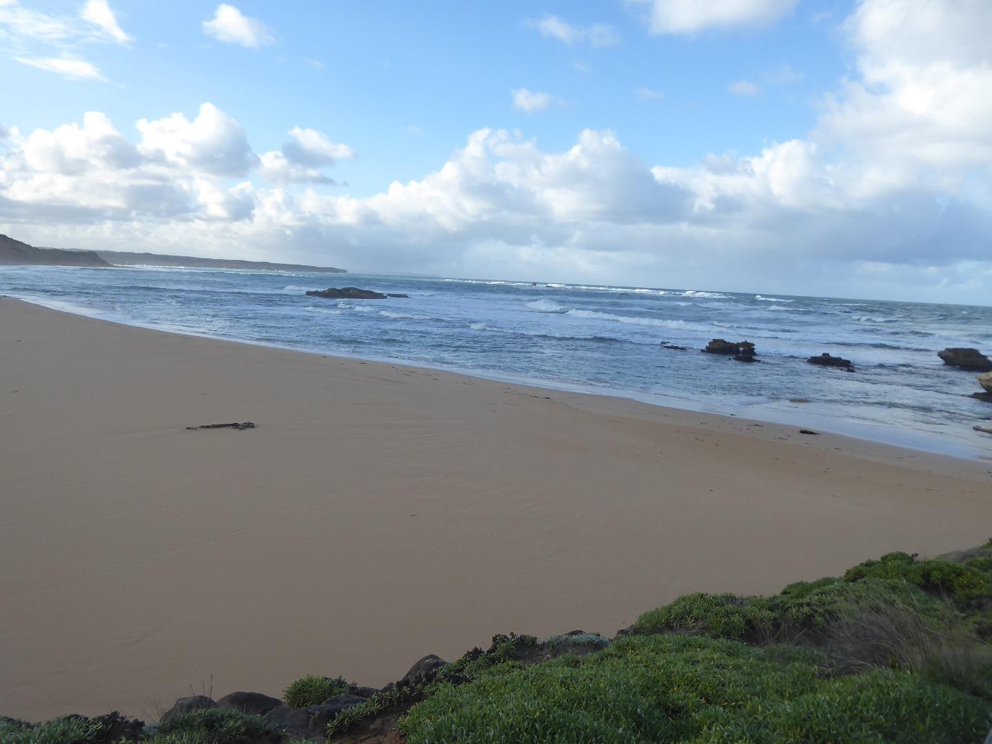
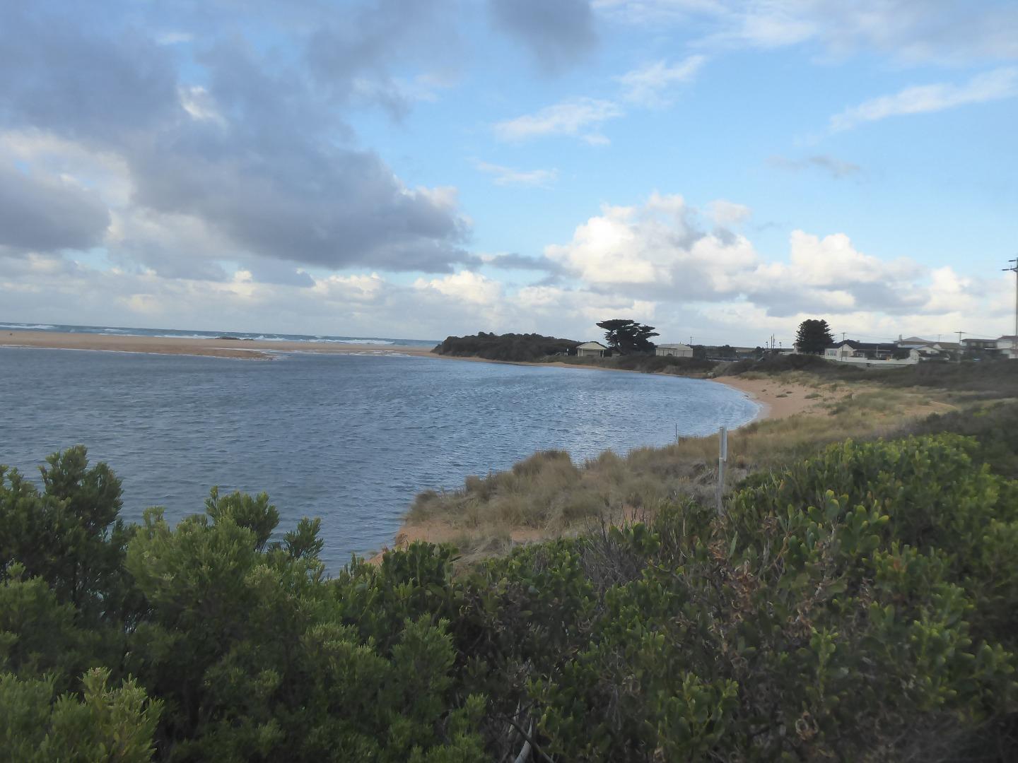
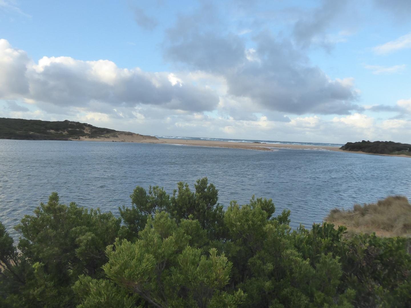
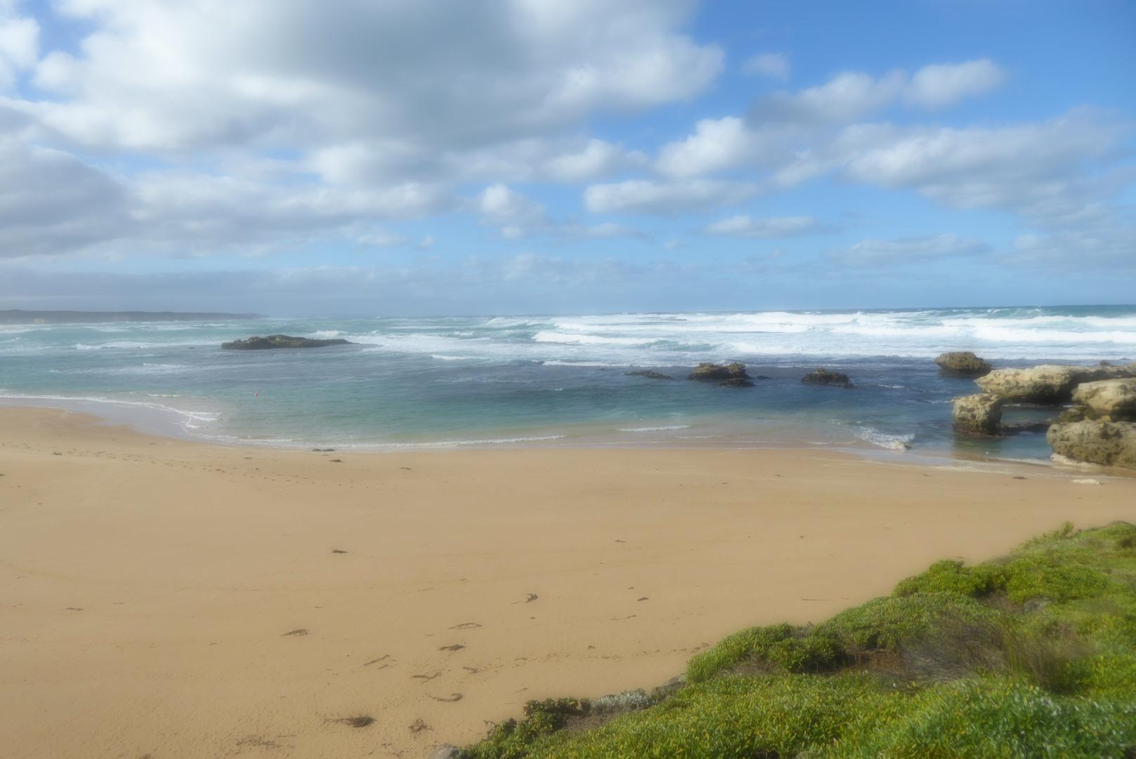
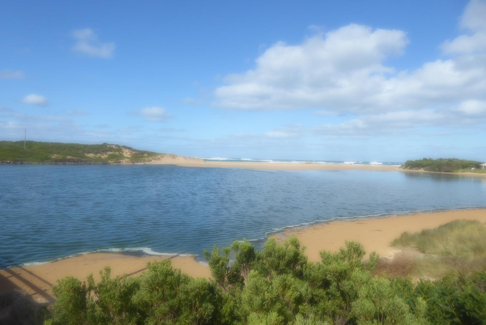
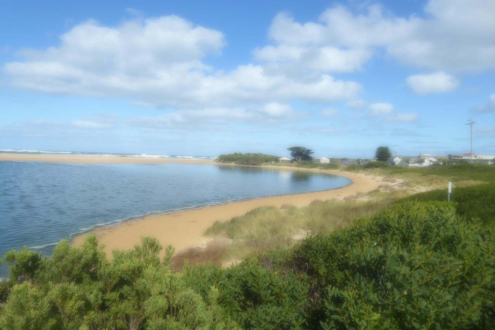
Curdies Inlet is the estuarine lagoon of the Curdies River at Peterborough in south western Victoria. Curdies River catchment and its major tributaries, Scotts Creek and Cooriemungle Creek, enclose an area cited as 1245 square km.
Map
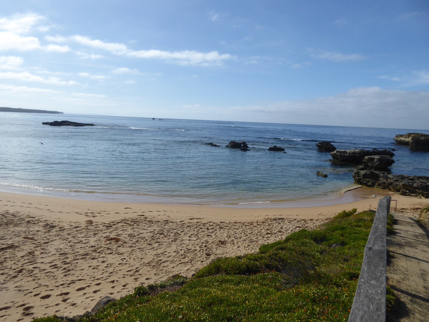
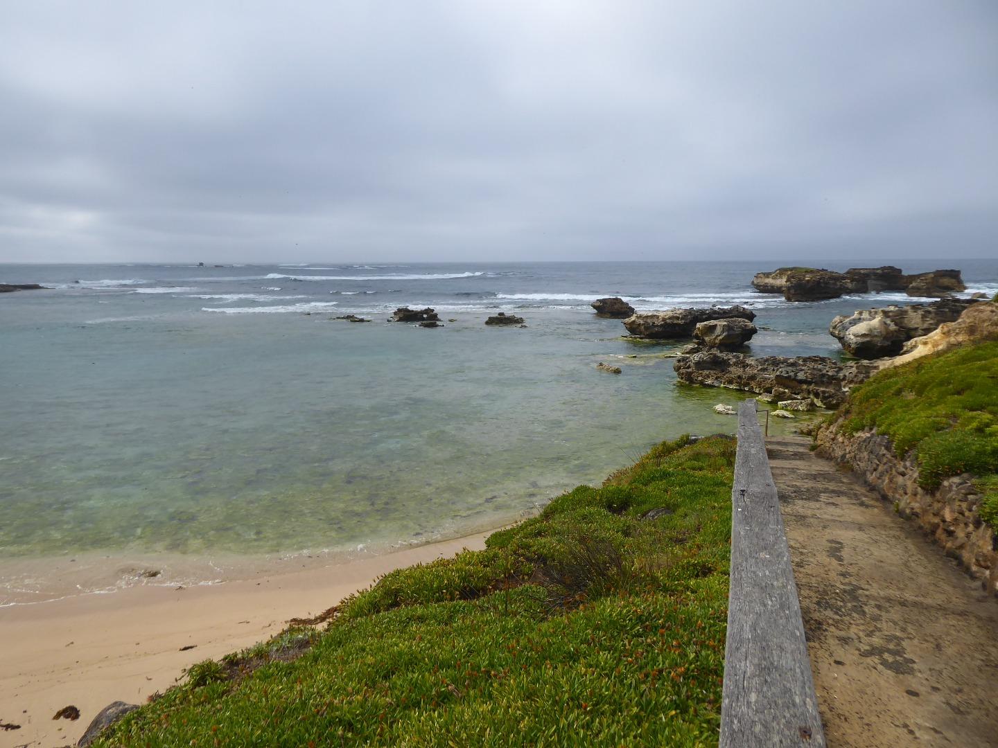
Estuary Values
- significant birds species such as Australasian Bittern (Botaurus poiciloptilus) Status: Endangered (IUCN, Adv List) and the Great Knot (Calidris tenuirostris) Status: Endangered (Adv List)
- Mangrove Shrubland Ecological Vegetation Class (Vulnerable)
- Estuarine Wetland Ecological Vegetation Class (Depleted)
- Riparian Forest Ecological Vegetation Class (Vulnerable)
- Swamp Scrub Ecological Vegetation Class (Endangered)
- game hunting
- motor boating
- non motor boating
- picnics and barbecues
- recreational fishing
- sightseeing
- swimming
Estuary Threats
- degraded Estuarine Vegetation
- degraded Water Quality
- disturbance of Acid Sulphate Soils
- artificial estuary openings
- invasive terrestrial fauna
- livestock access
-

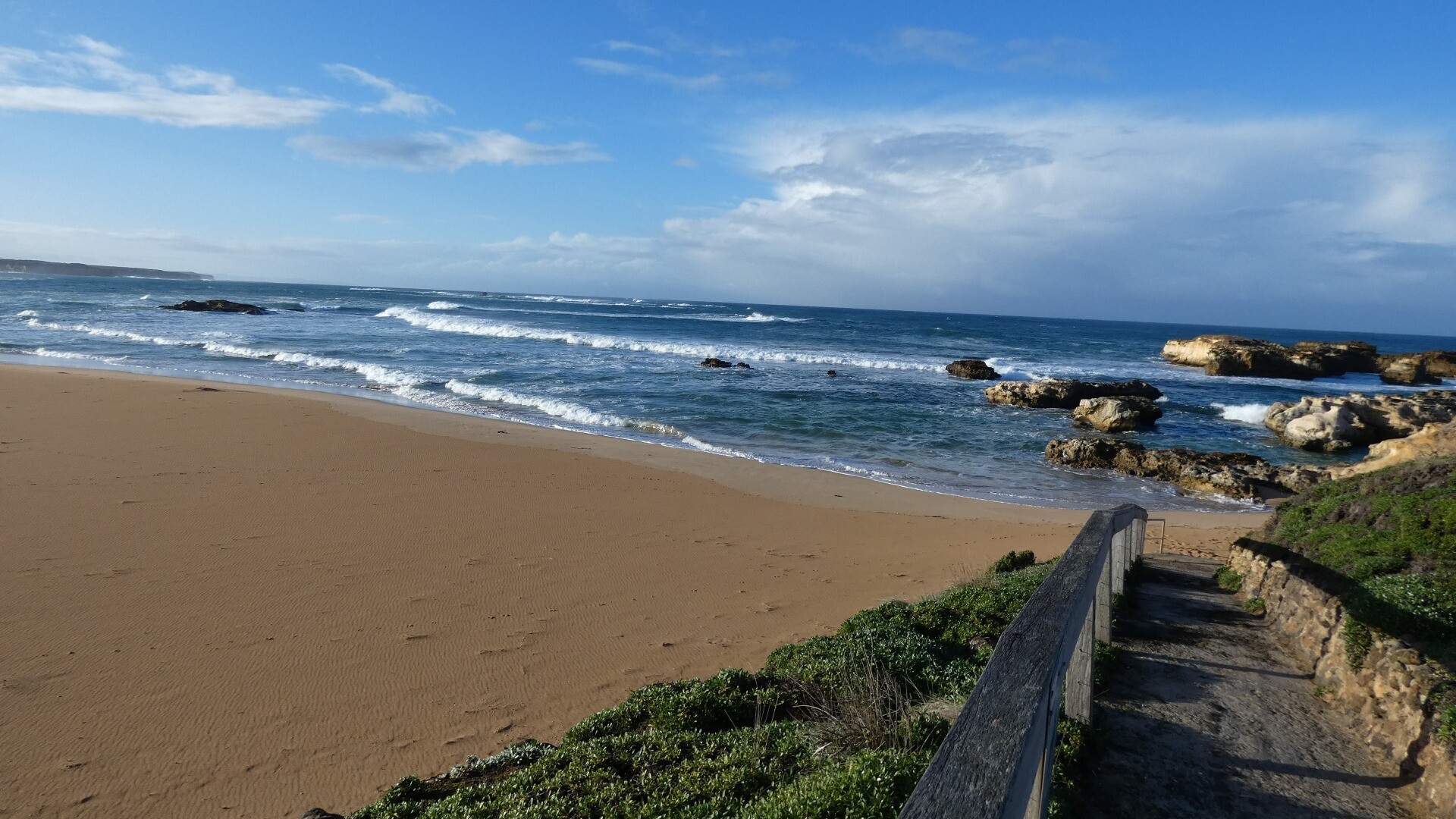
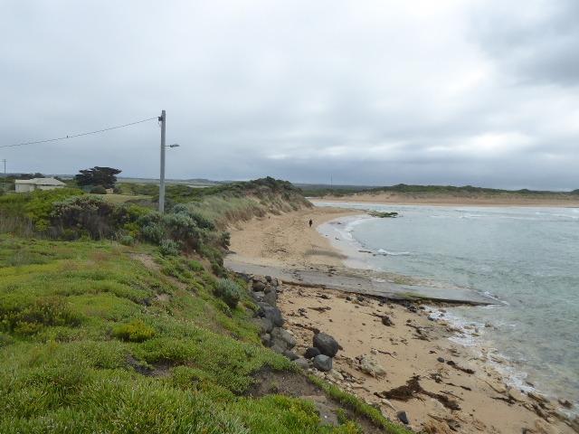
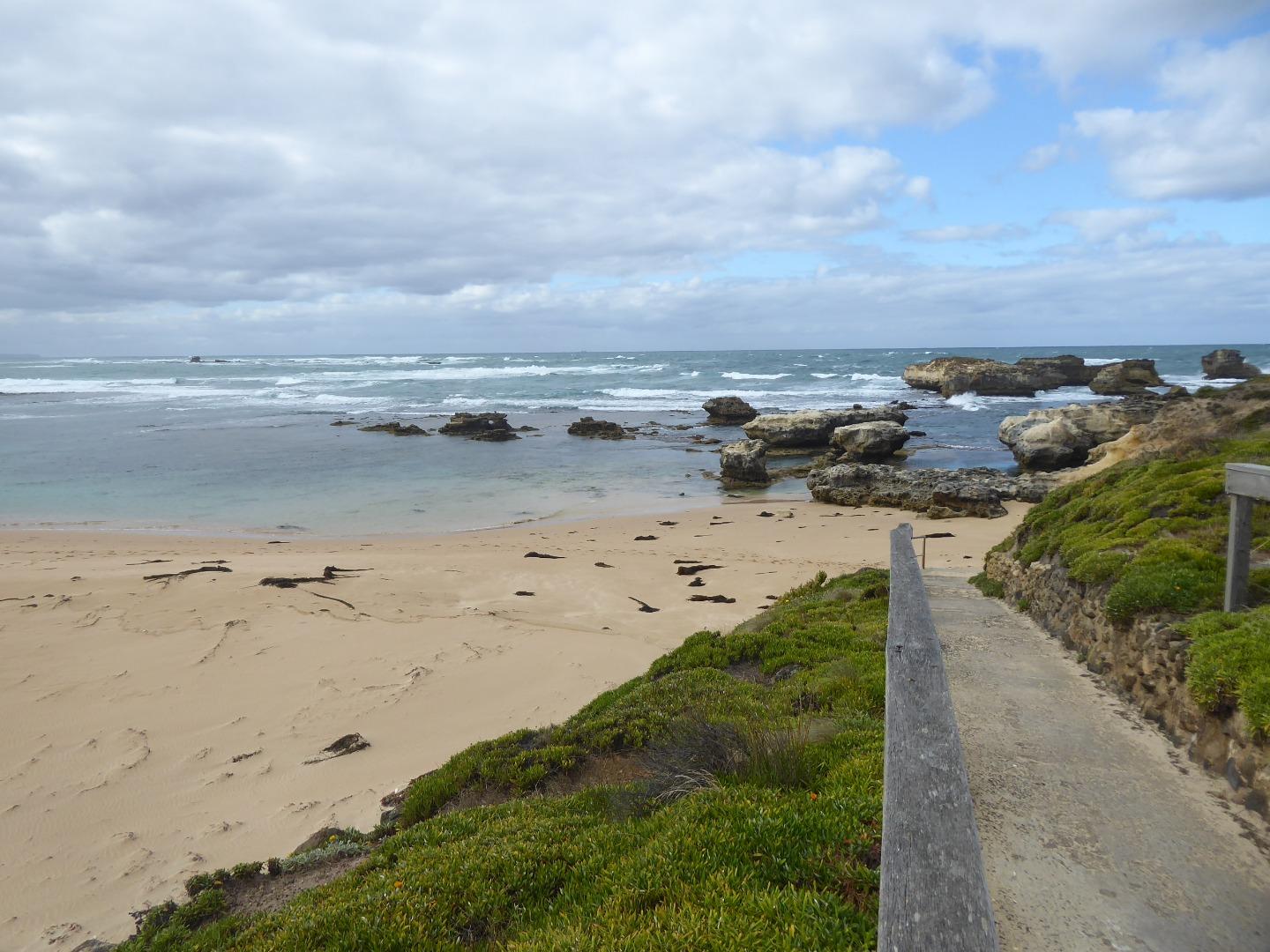
Boggy Creek fishing jetty
Recent Events
| Event Details |
|---|
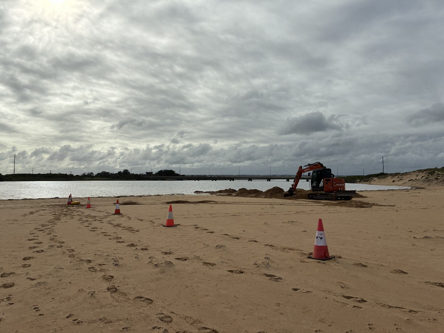
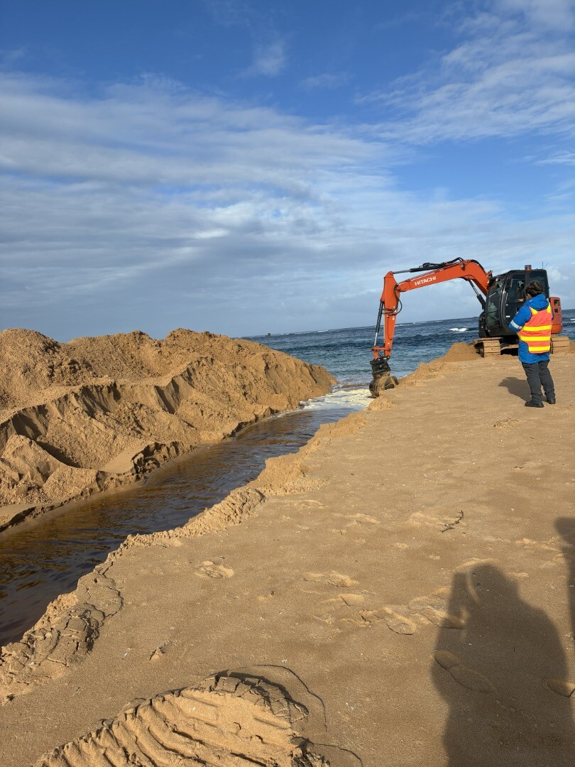
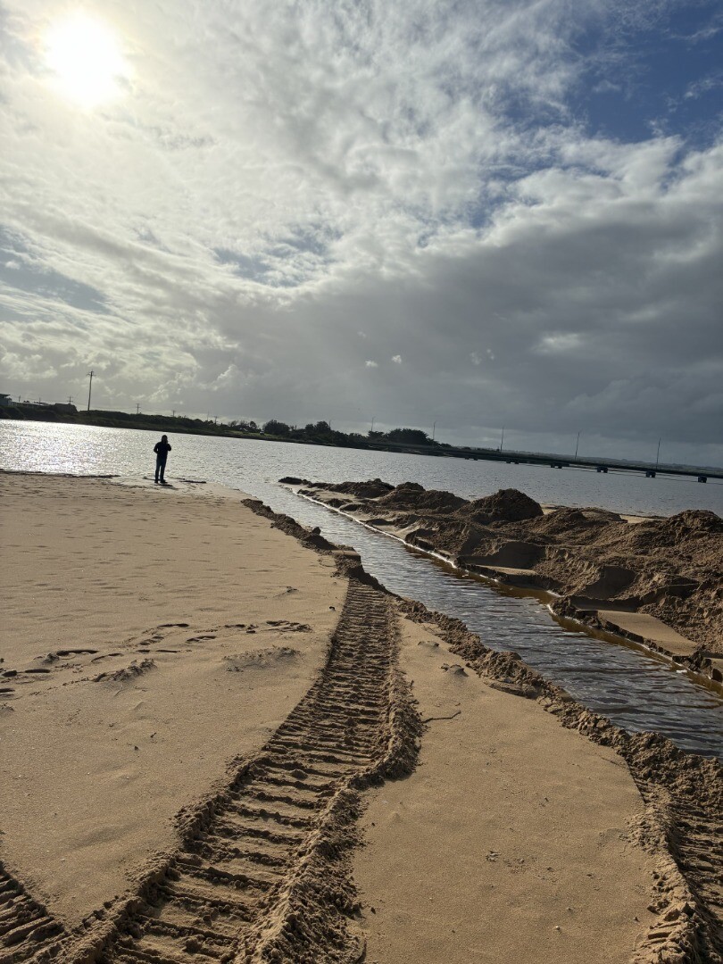
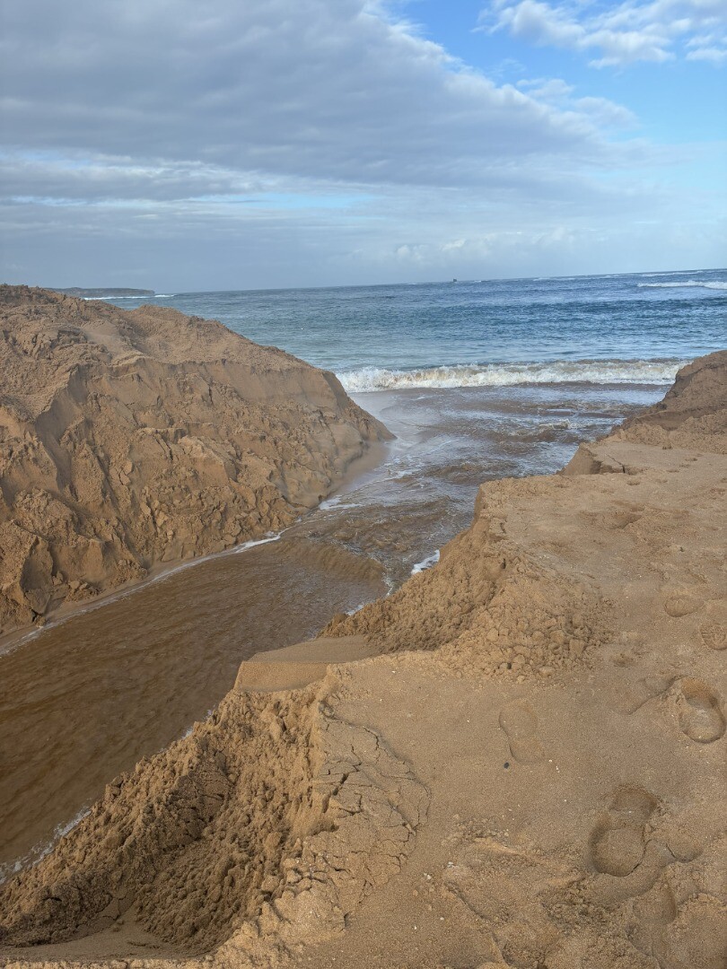
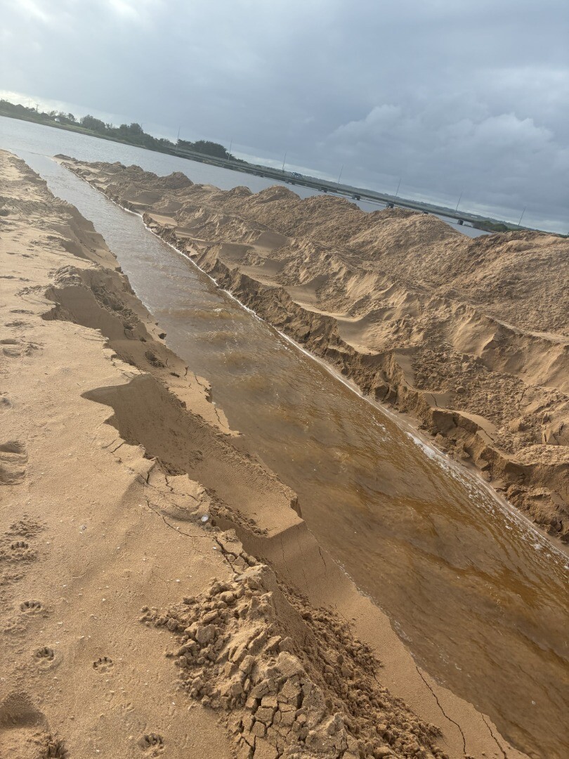
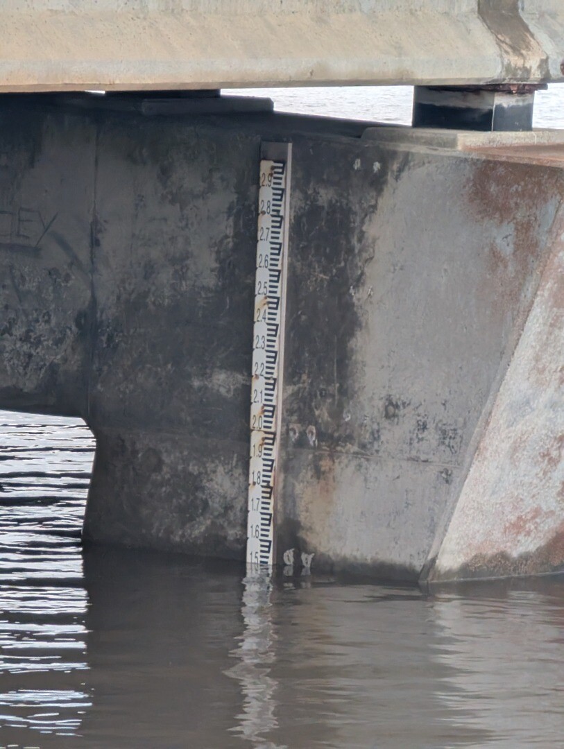
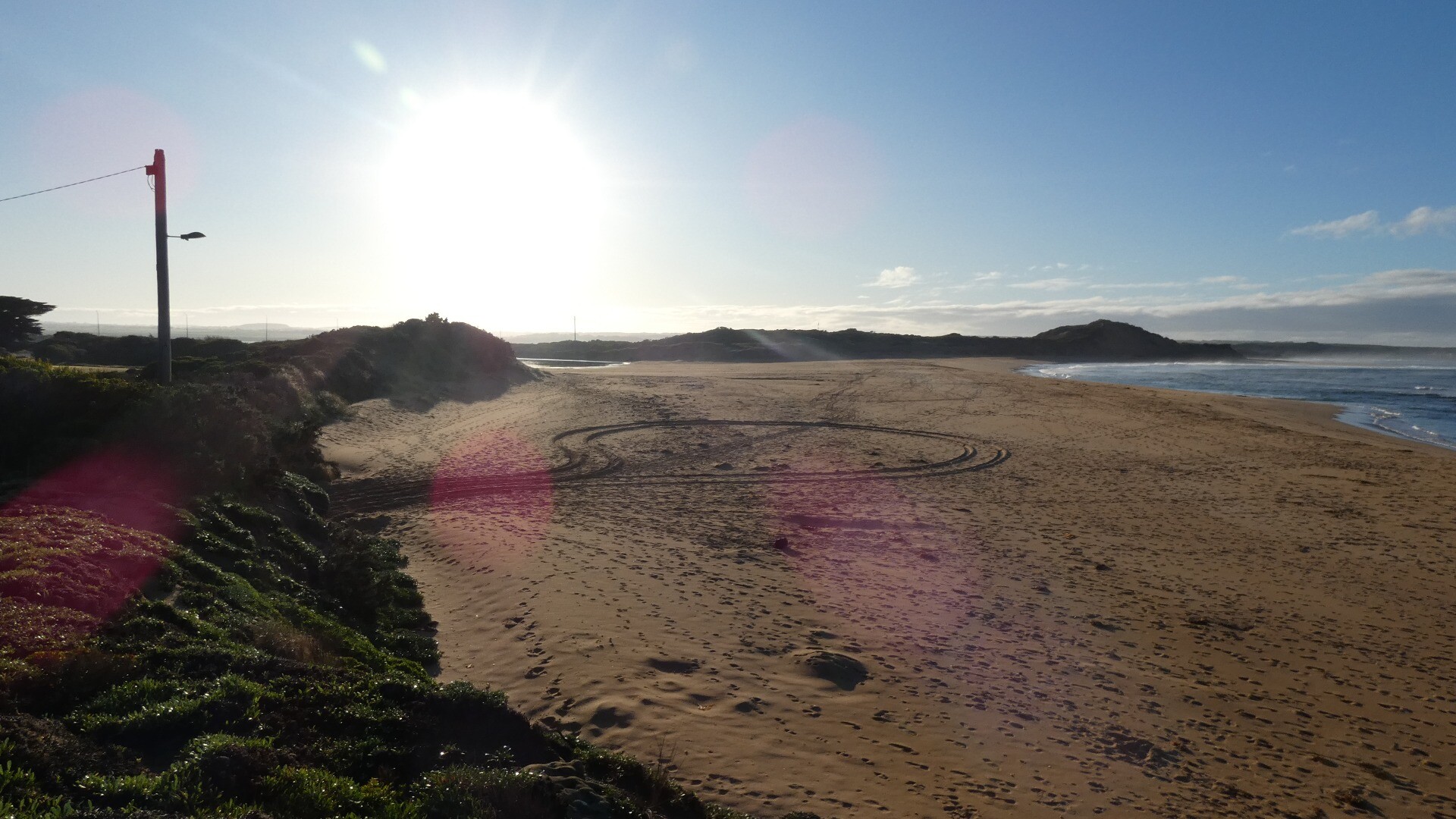
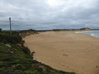
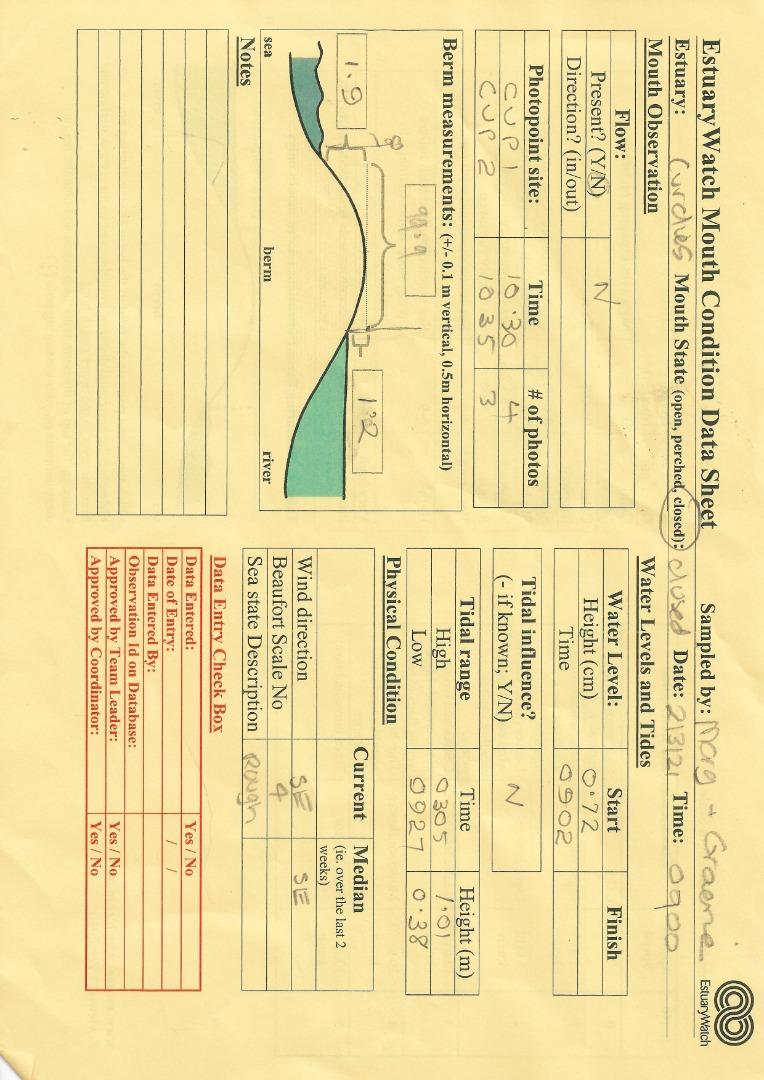
| 10-06-2026 Estuary Entrance Opening Artificial estuary opening. Water level was 1.53. 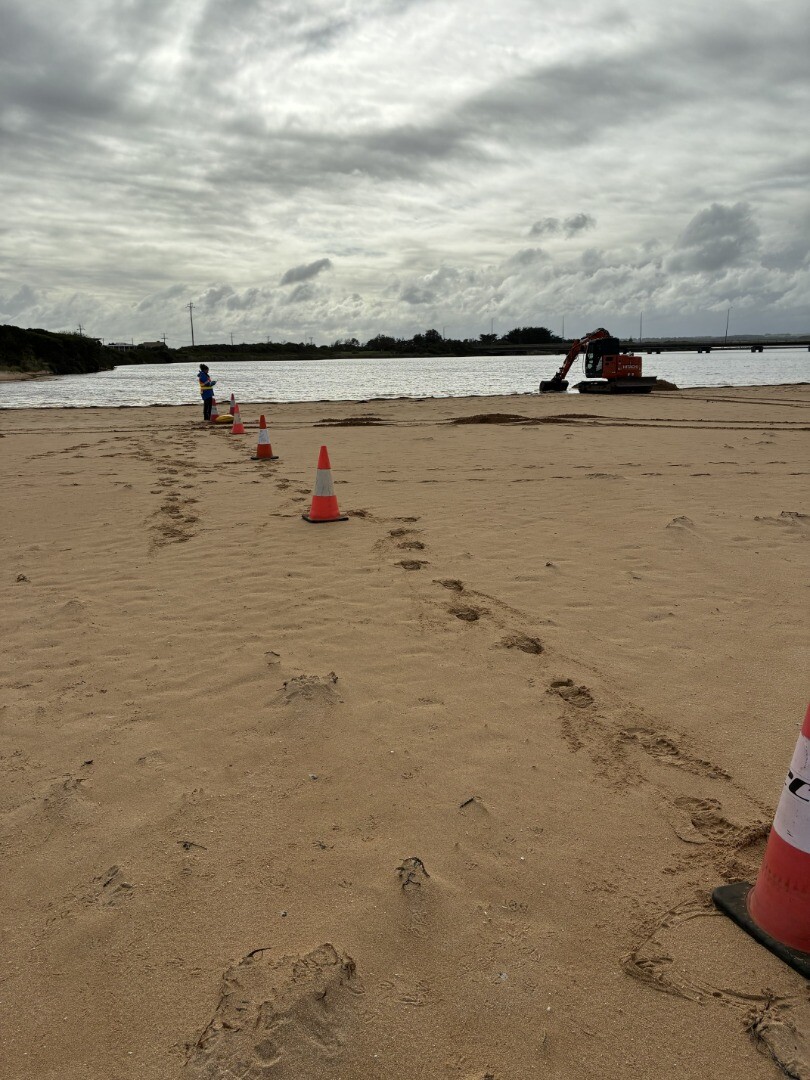
|
Sites
Cu1 |
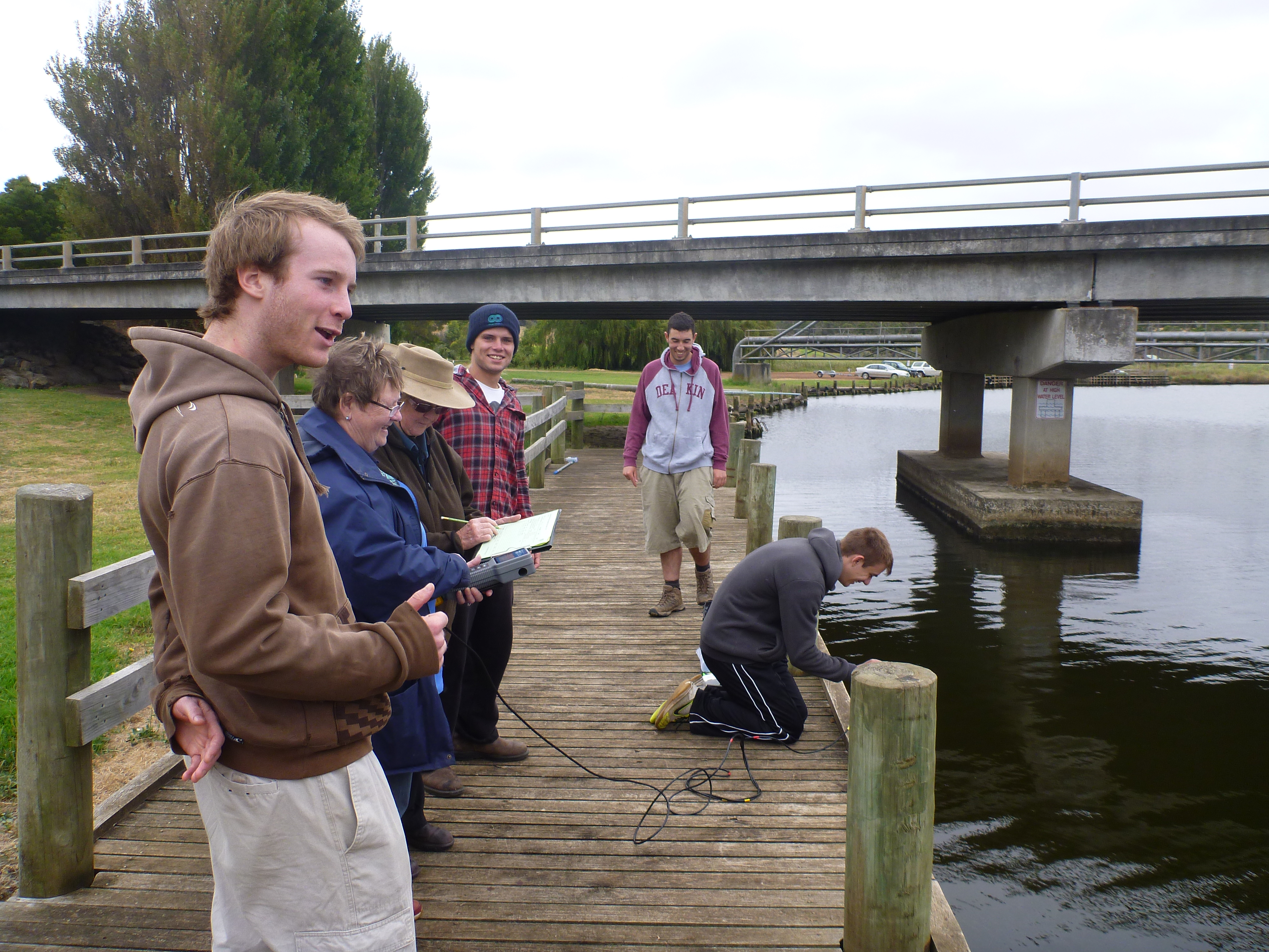
Dorey Street Floating PontoonActive Physico-Chemical 11-12-2013 - 11-06-2026Floating pontoon at the end of Dorey Street, Peterborough. The floating pontoon is next to the Curdies River boat ramp. Monitoring is conducted in front of the first wooden pylon on the floating jetty. Observations 151 |
Cu2 |
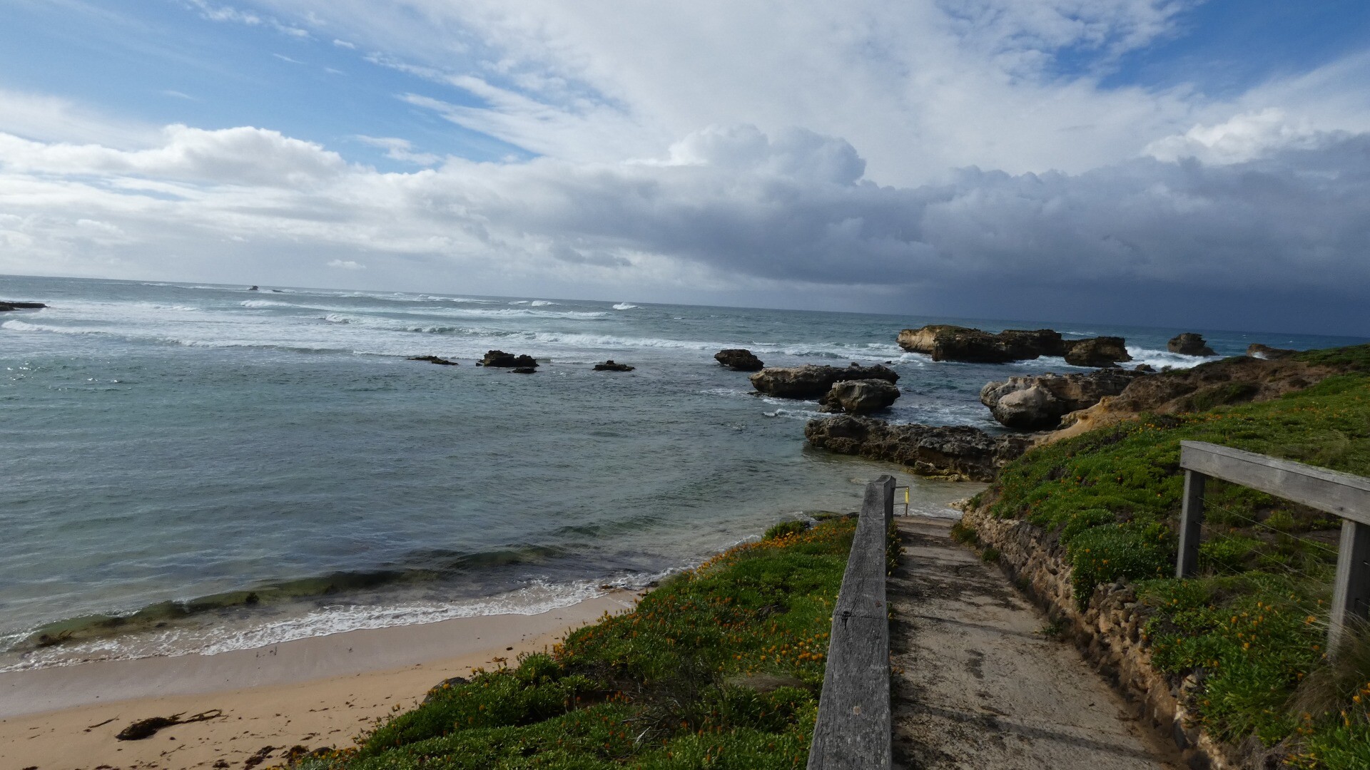
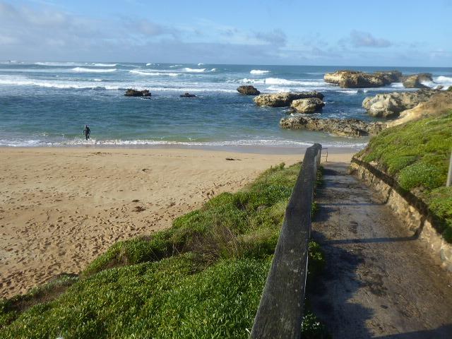
Boggy Creek Road Fishing JettyActive Physico-Chemical 11-12-2013 - 05-05-2026Fishing jetty downstream of Boggy Creek Rd bridge, Curdievale. Monitoring is conducted in front of the fish ruler. Observations 137 |
CuGB |
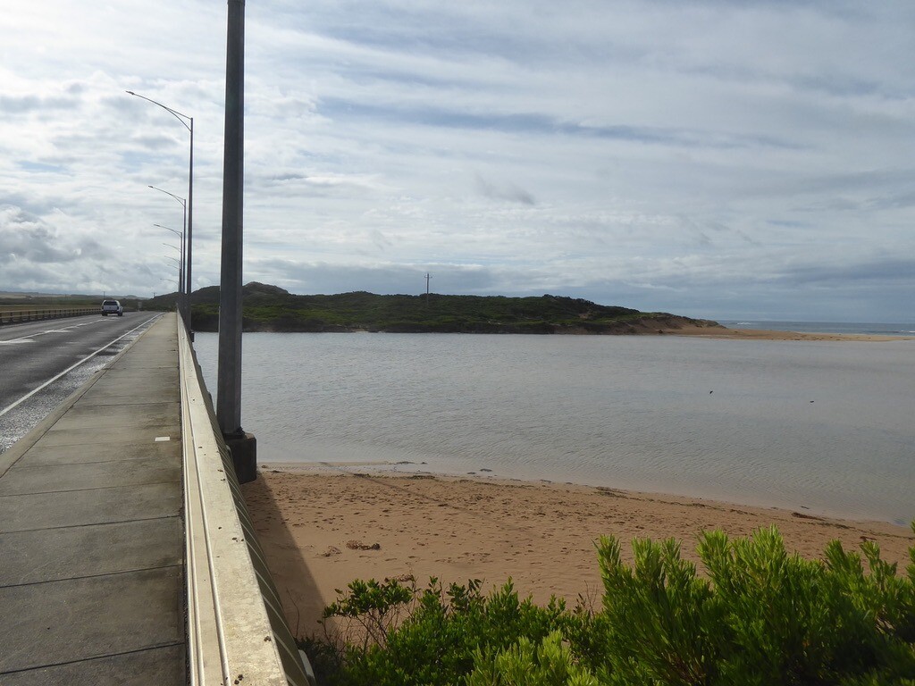
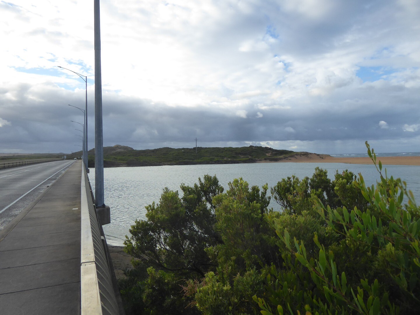
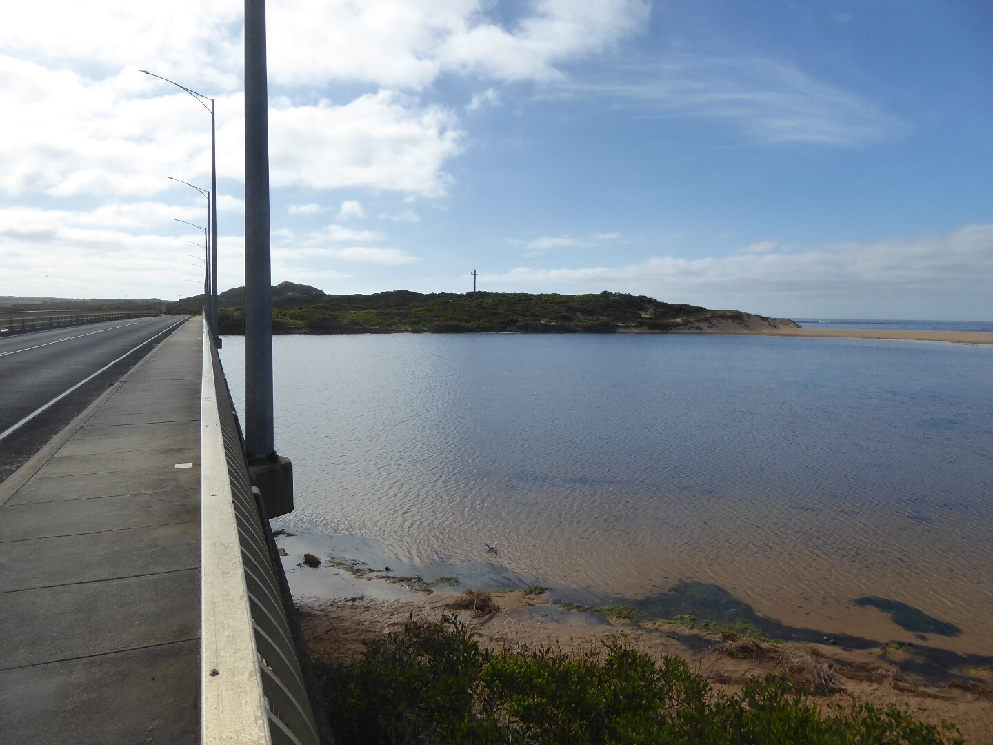
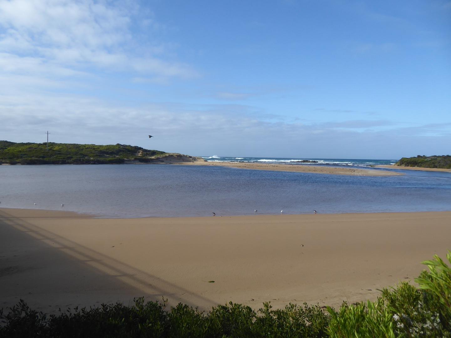
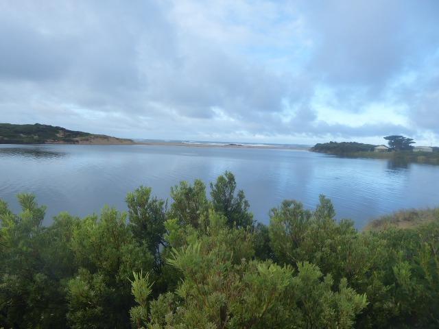
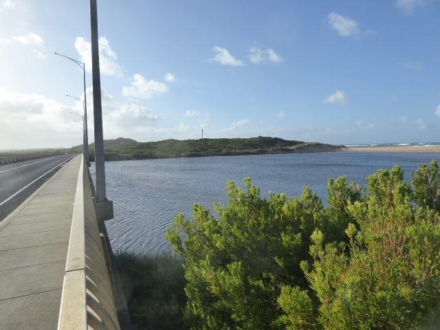
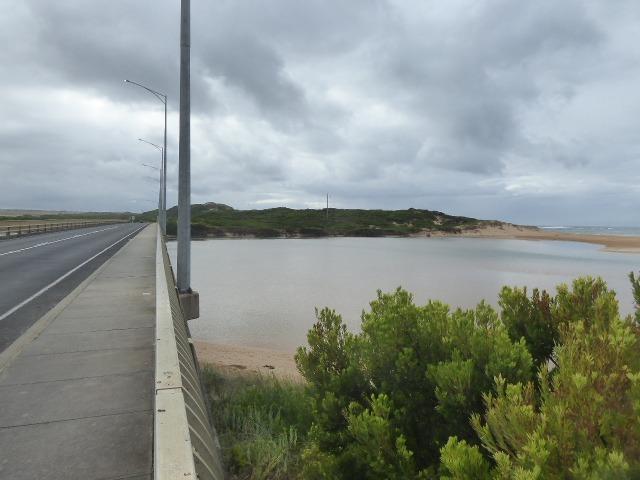
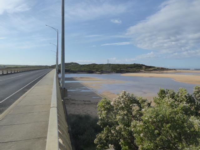
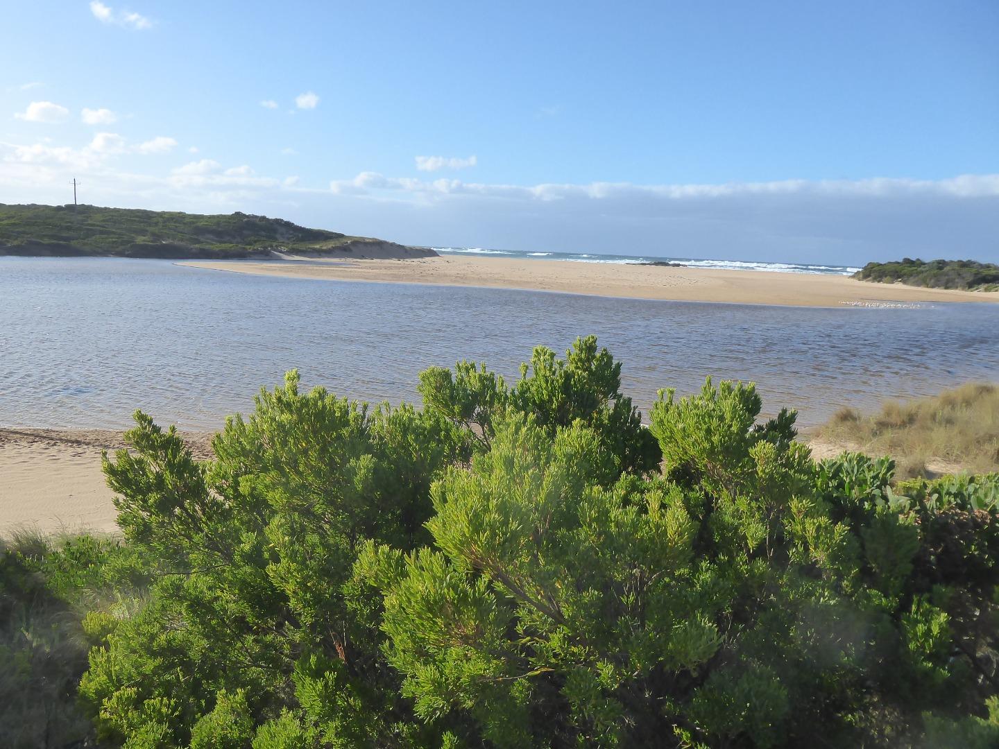
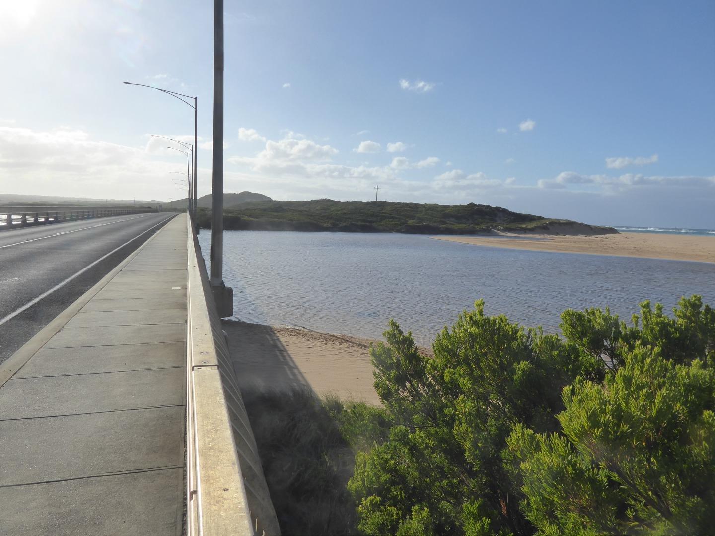
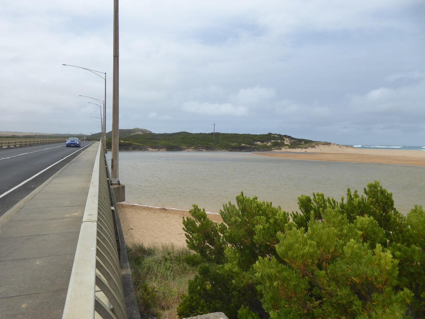
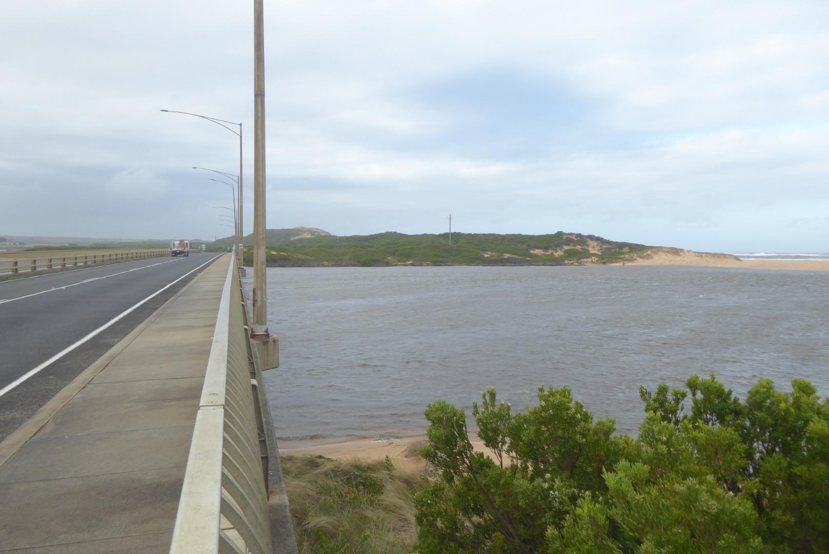
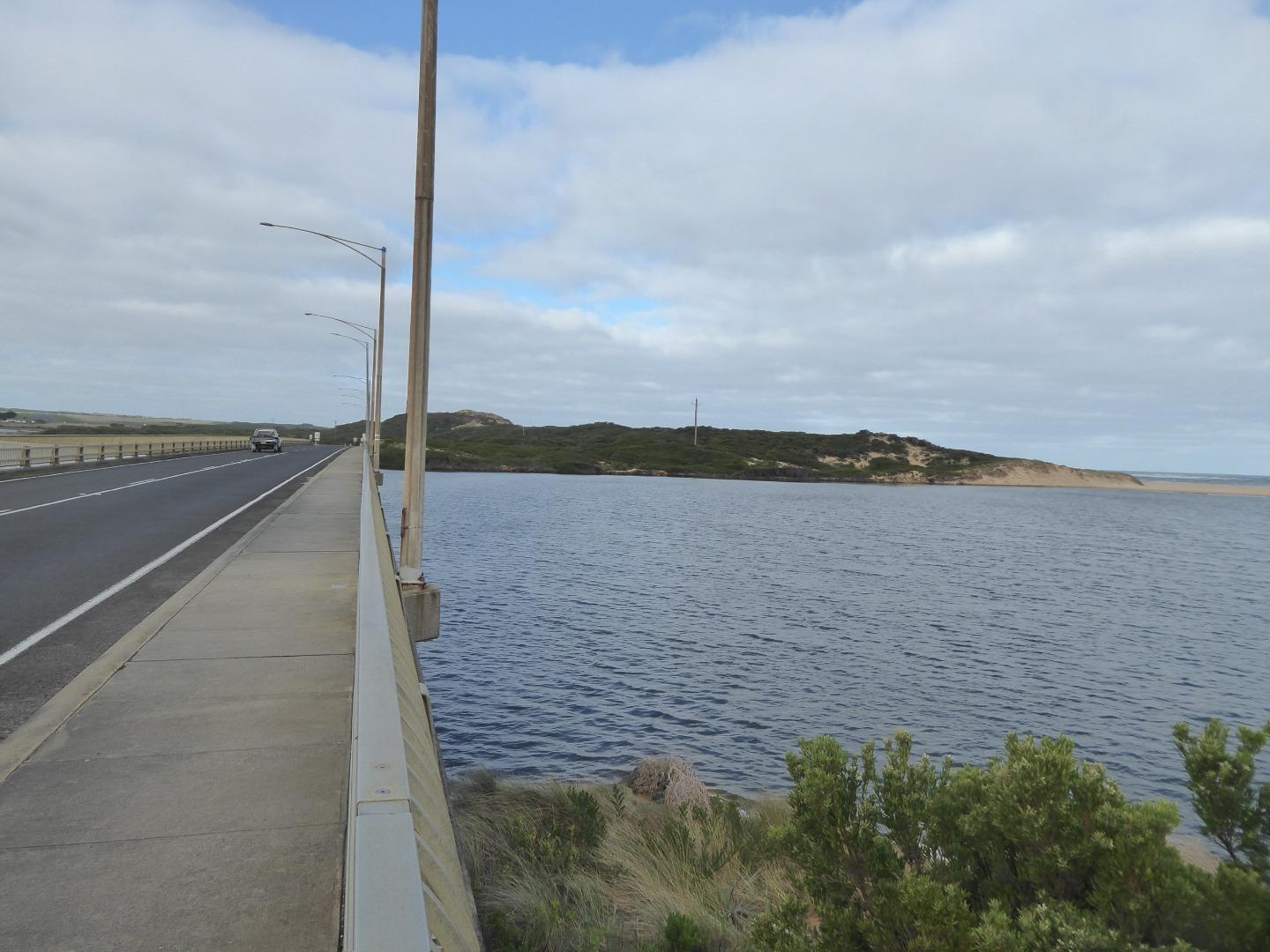
Curdies River Gauge BoardActive Gauge BoardThe gauge board can be found on a pylon of the GOR bridge and can be viewed from the eastern side of the estuary. |
CuMC |
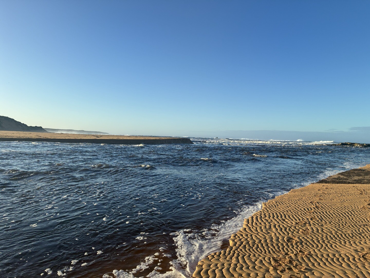
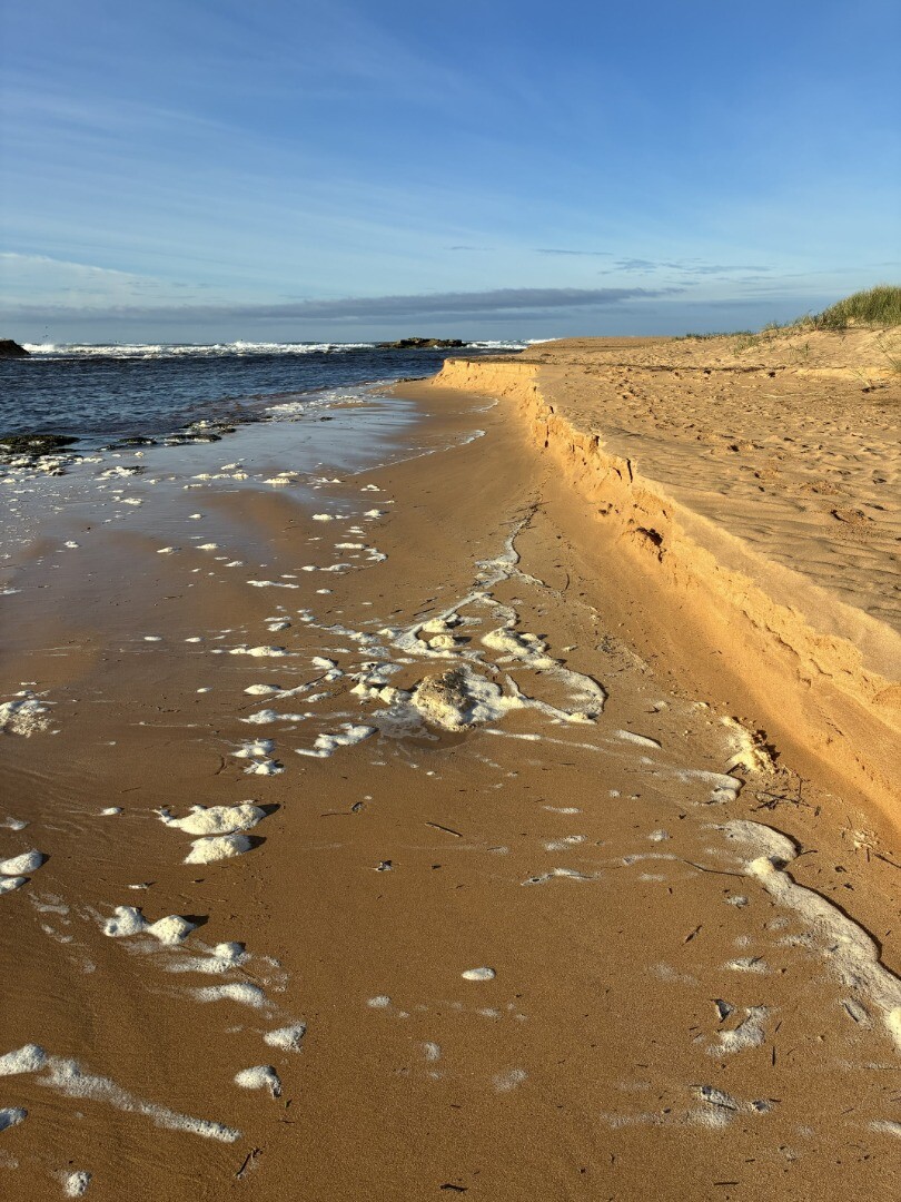
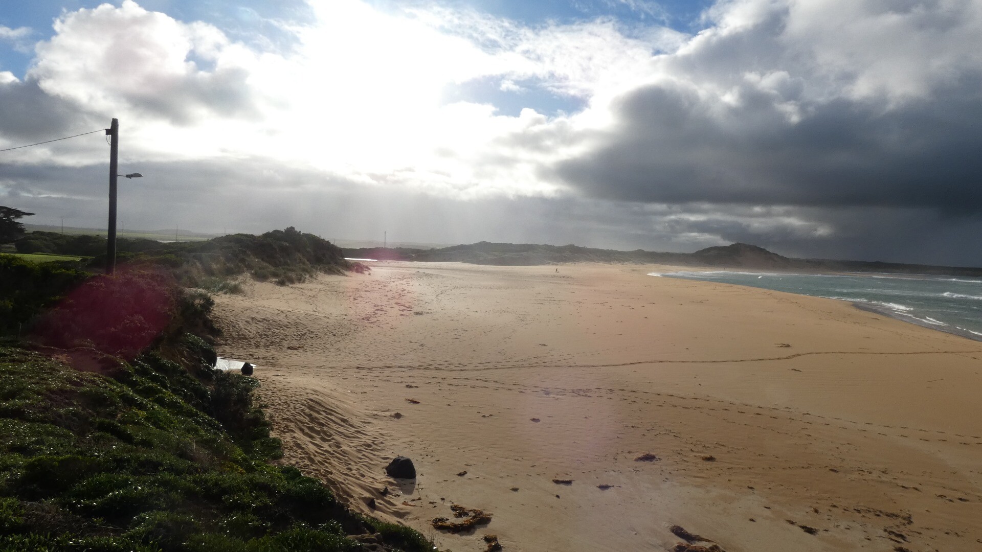
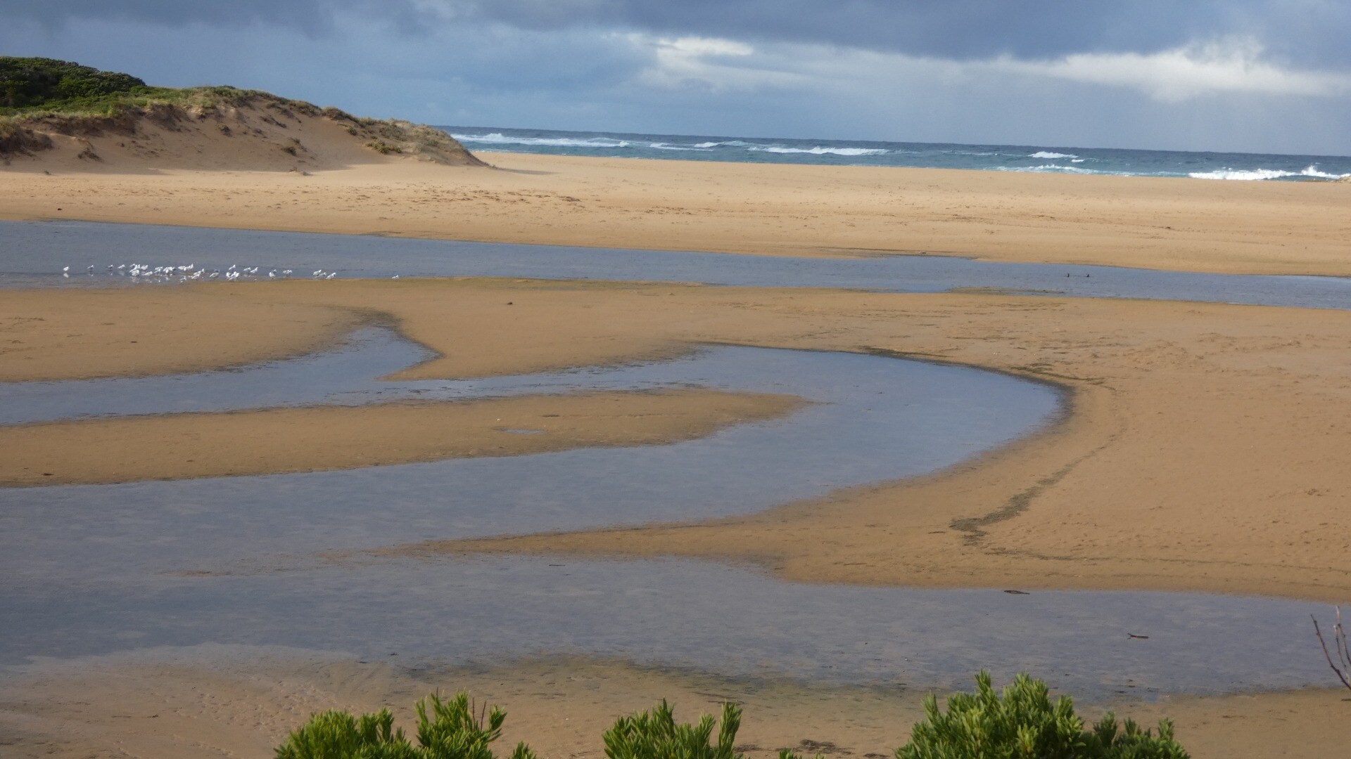
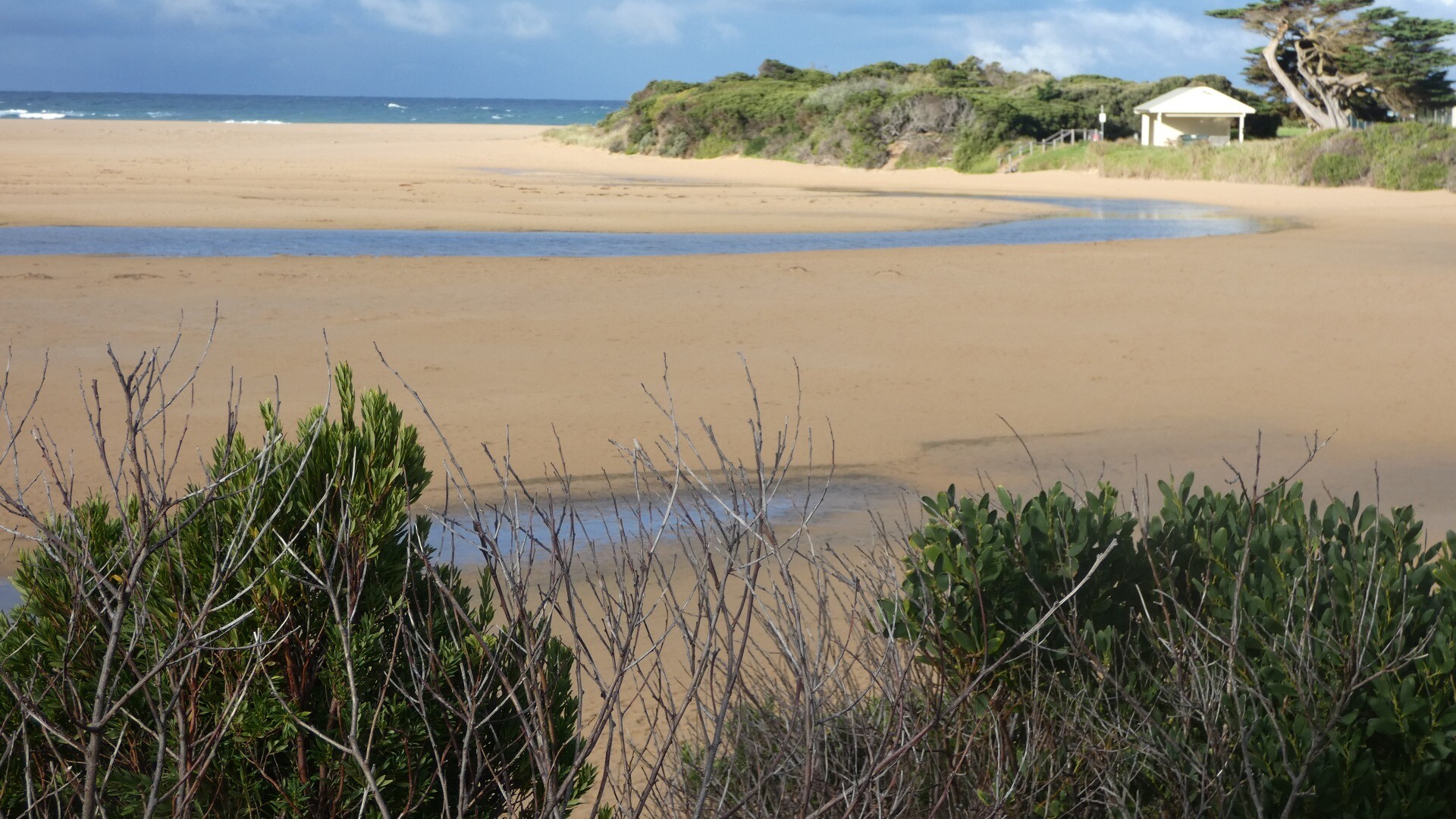
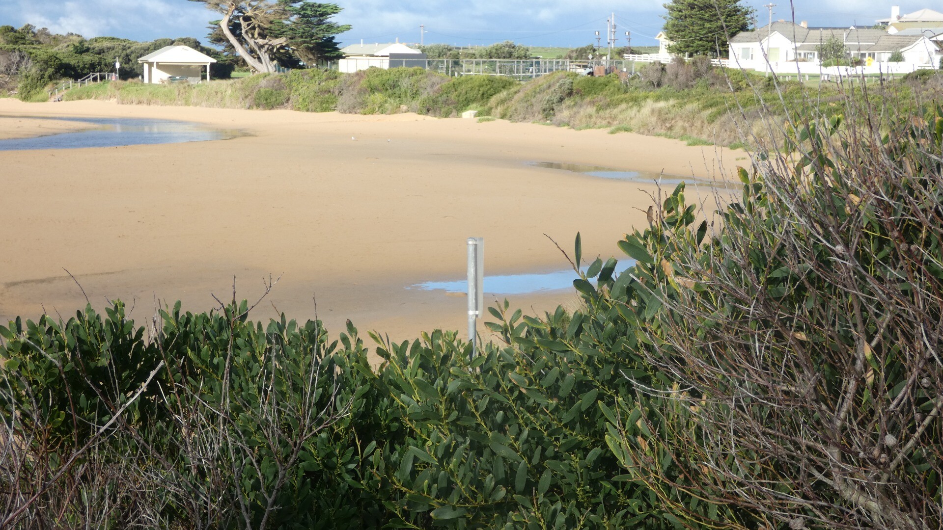
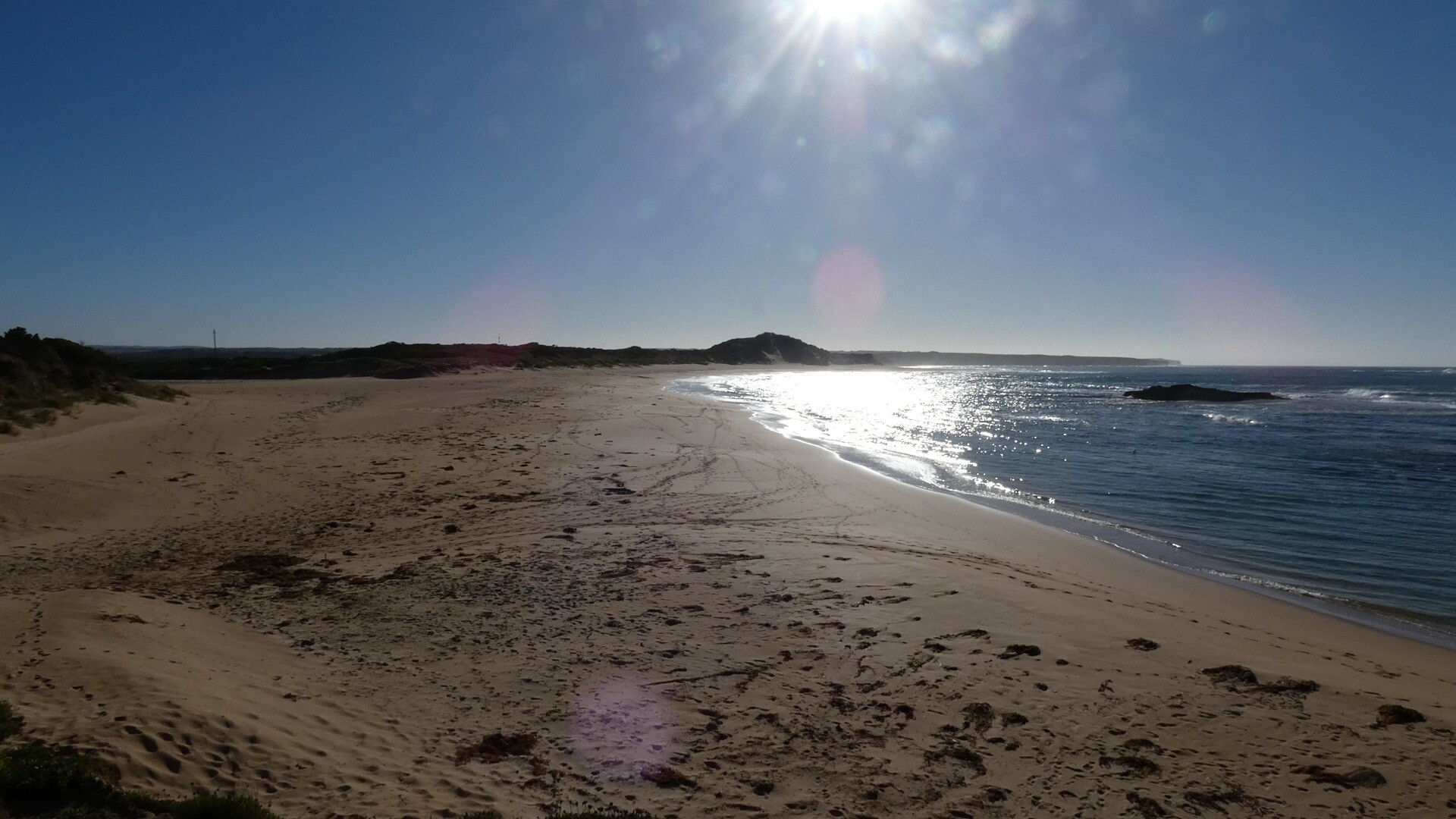
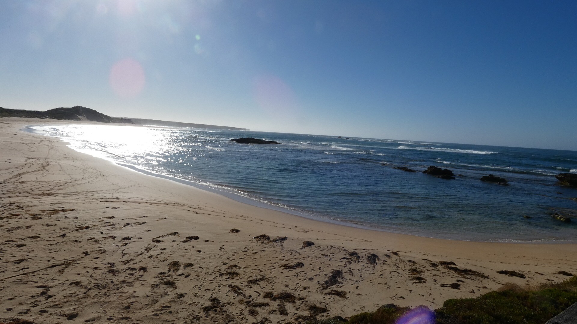
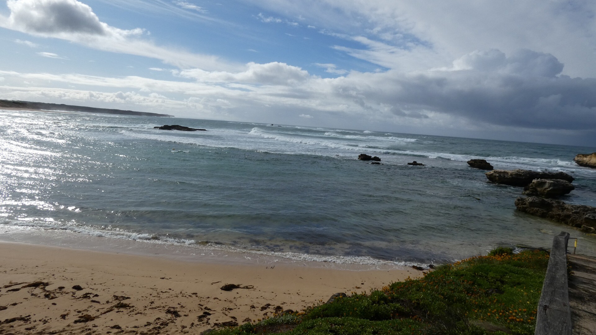
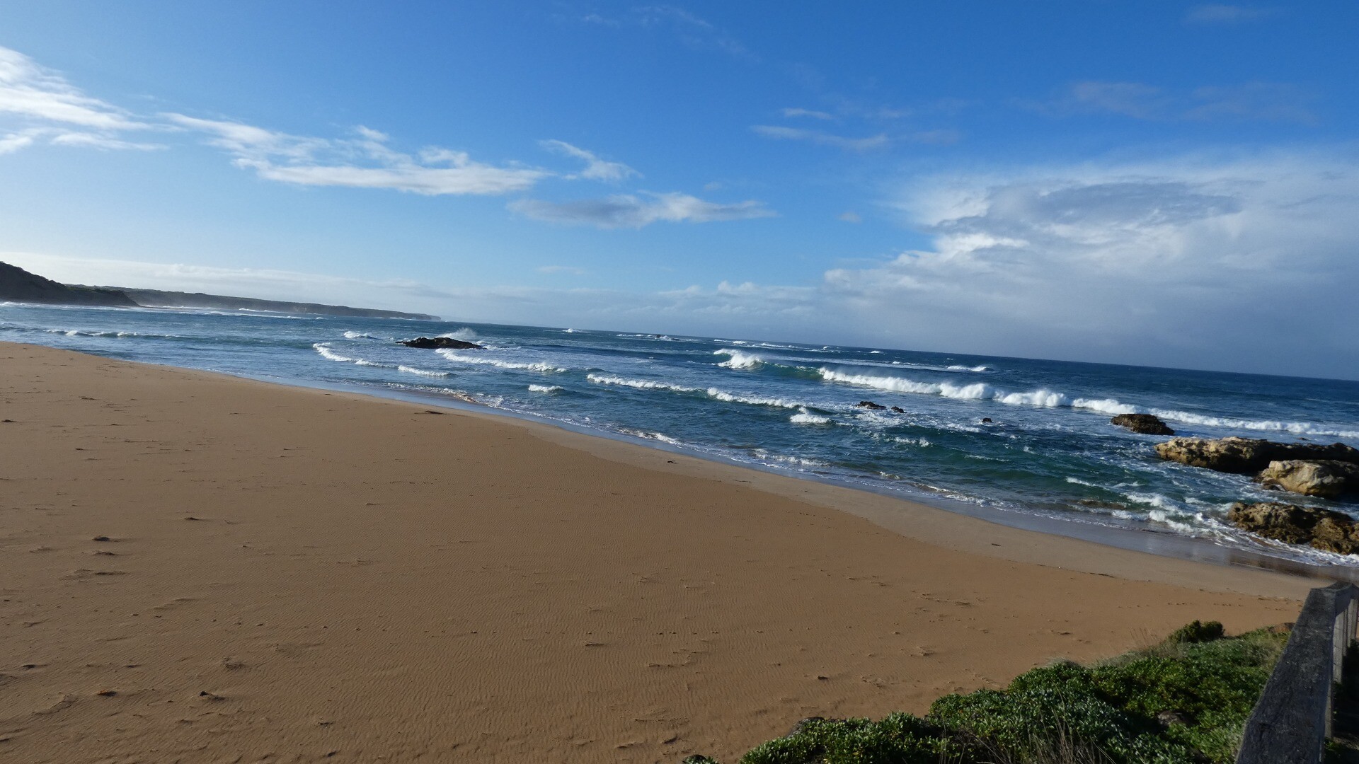
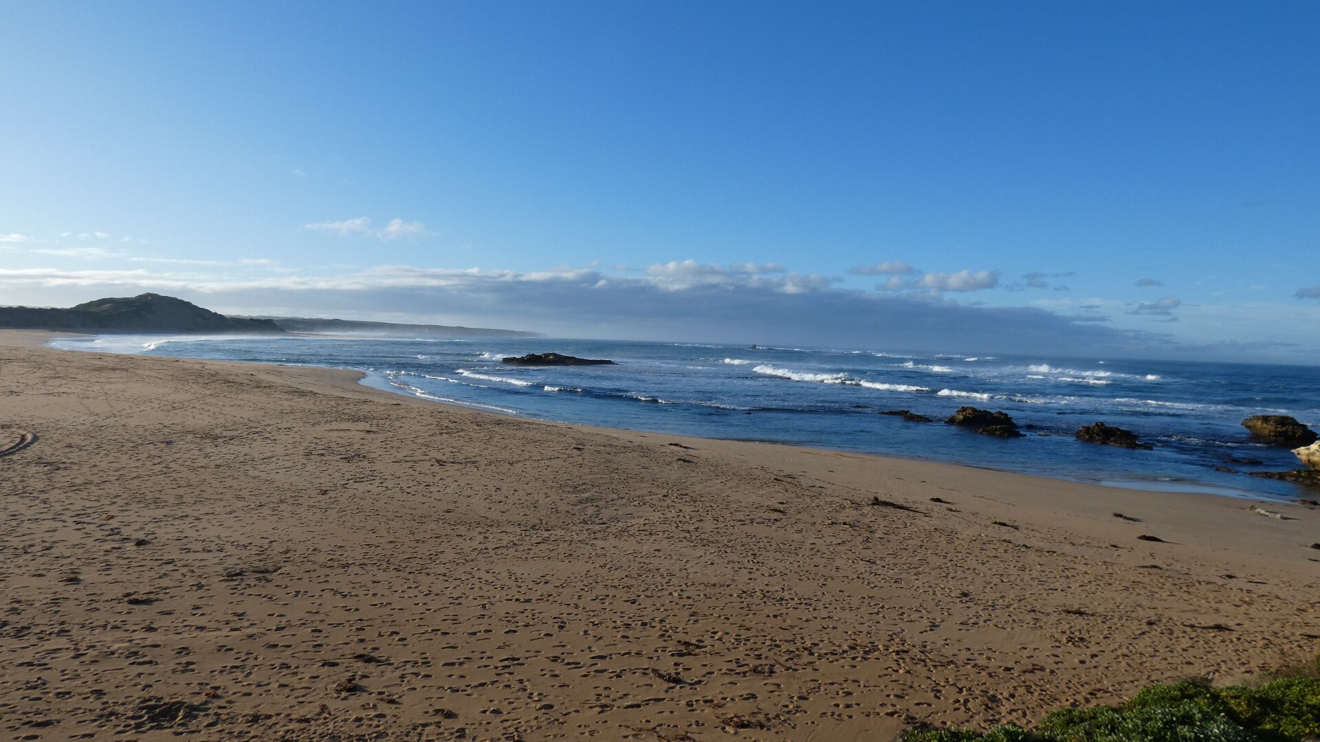
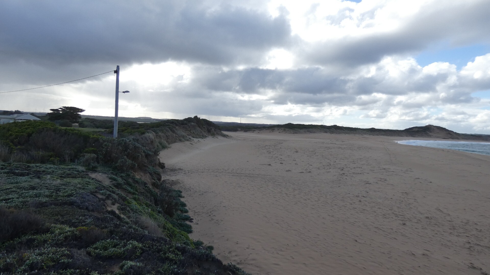
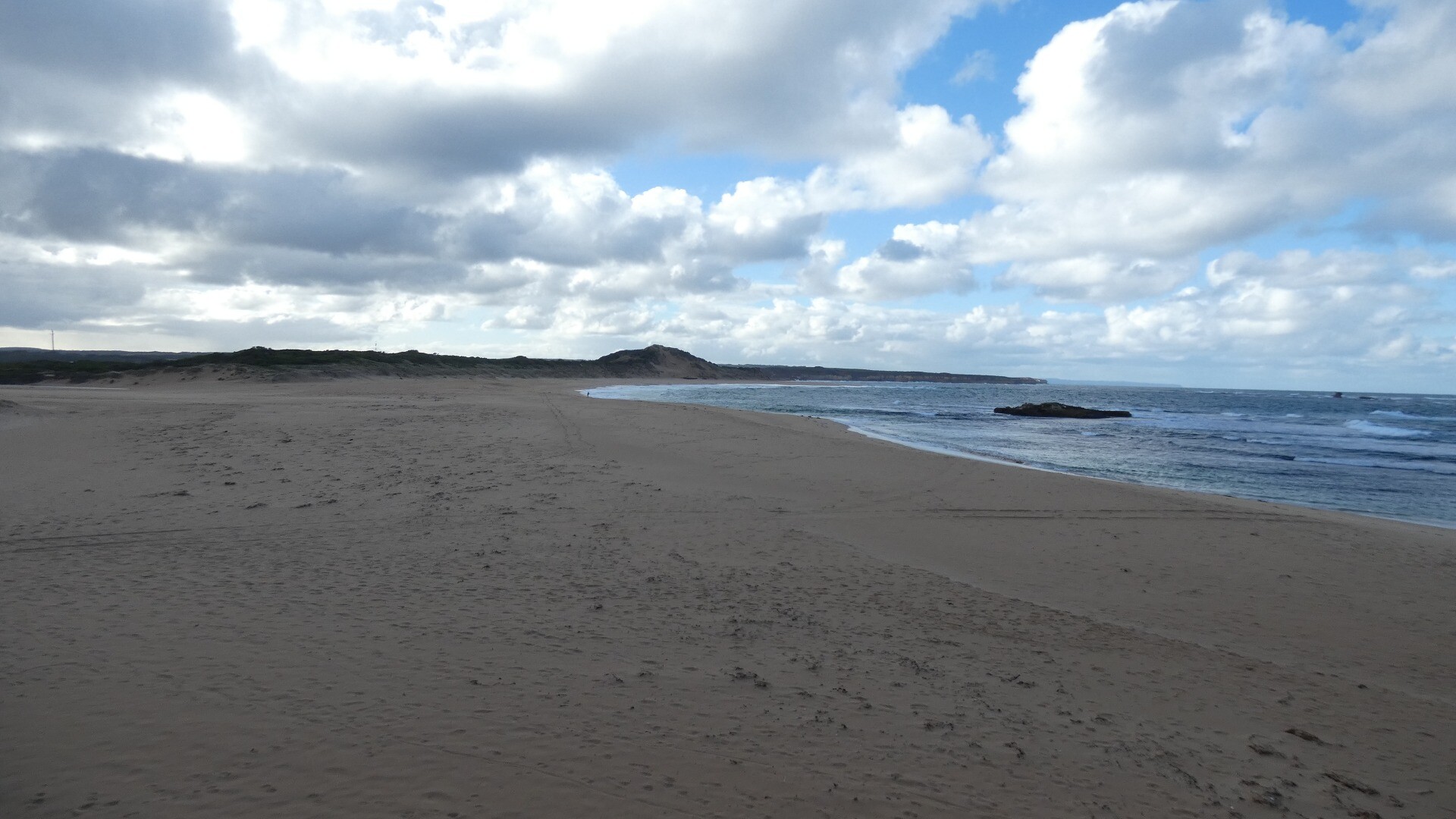
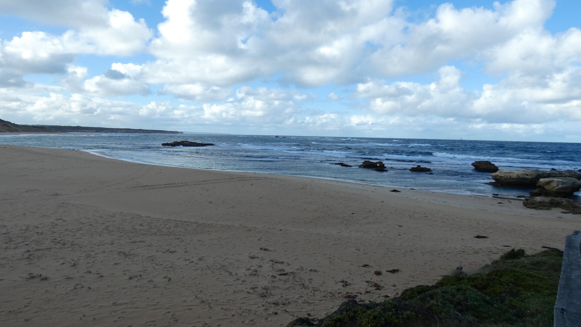
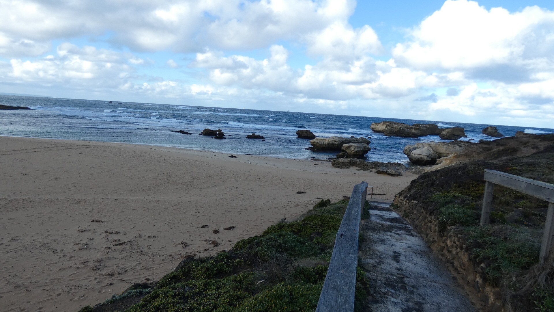
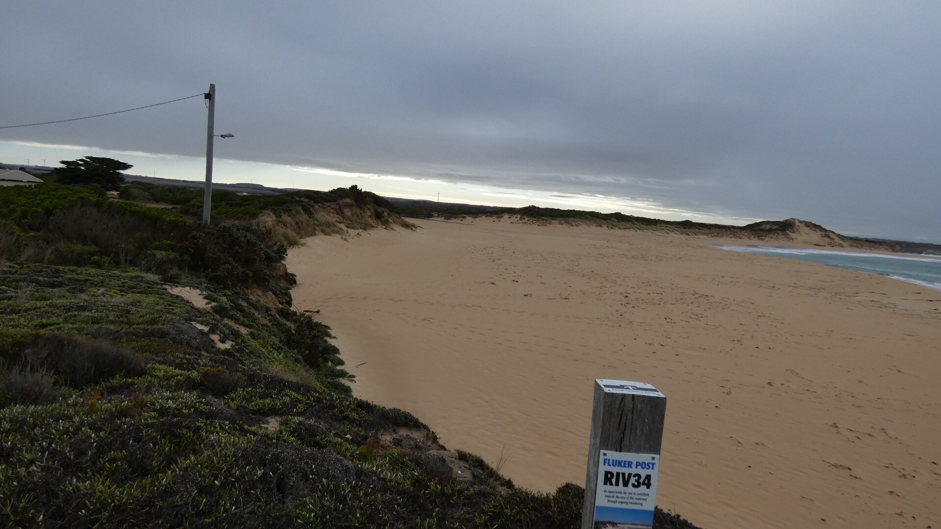
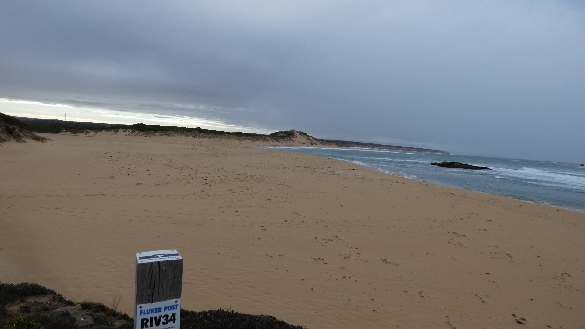
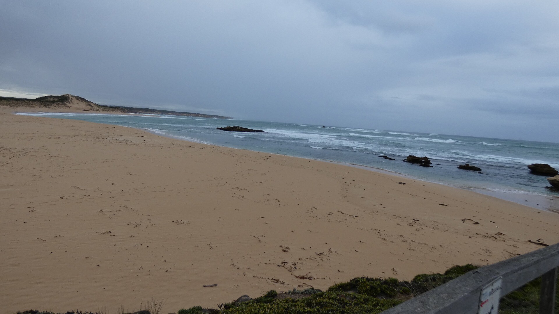
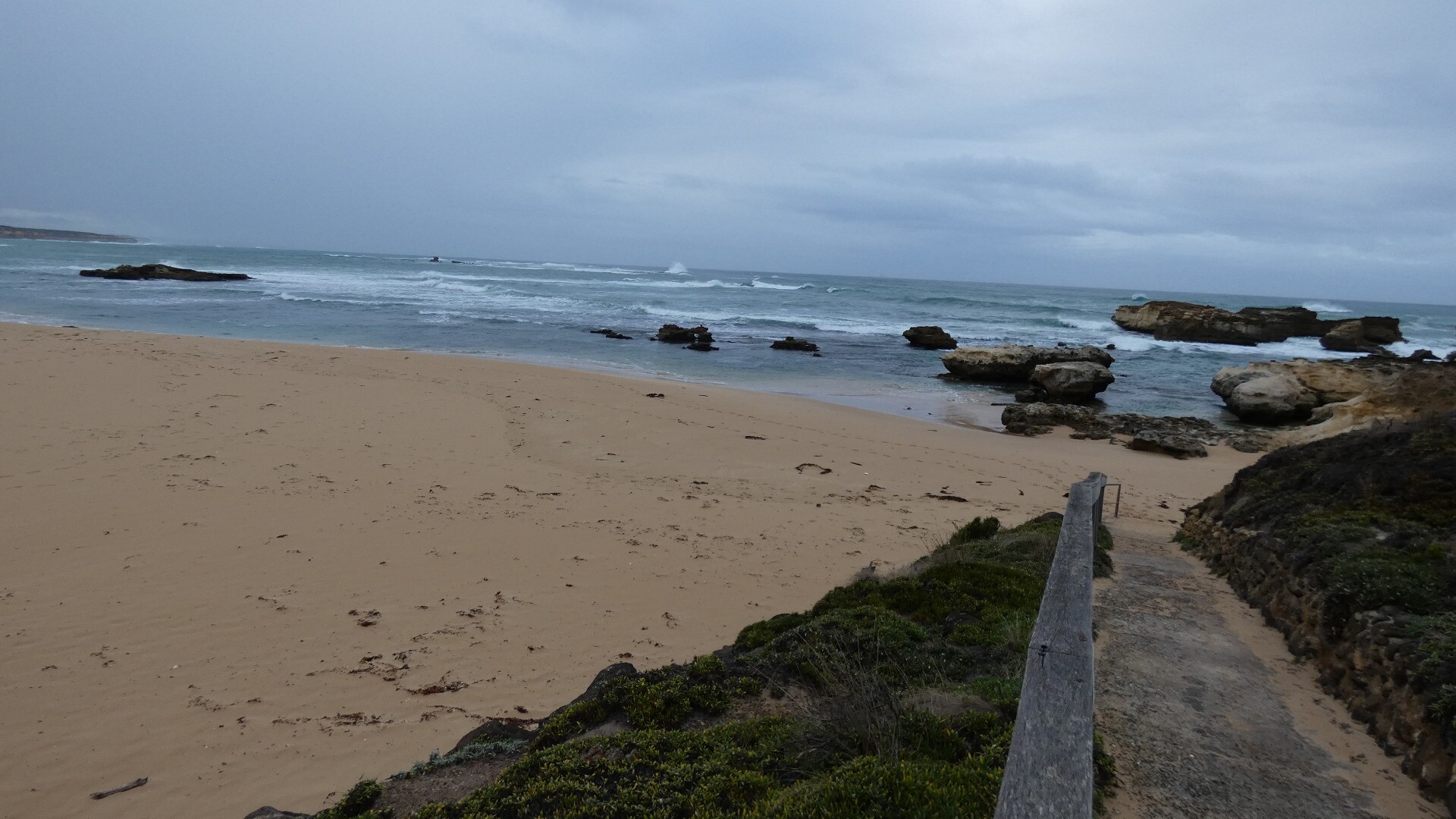
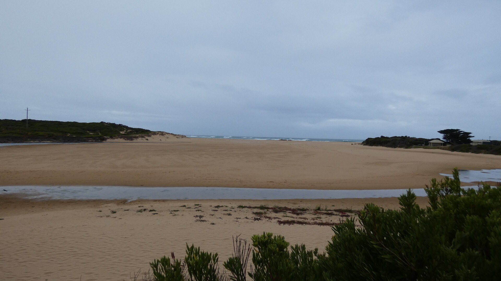
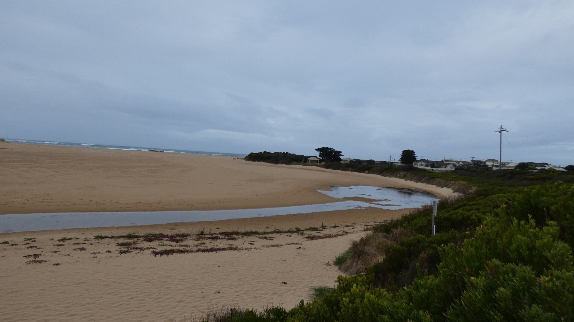
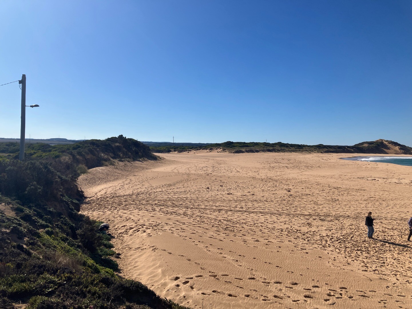
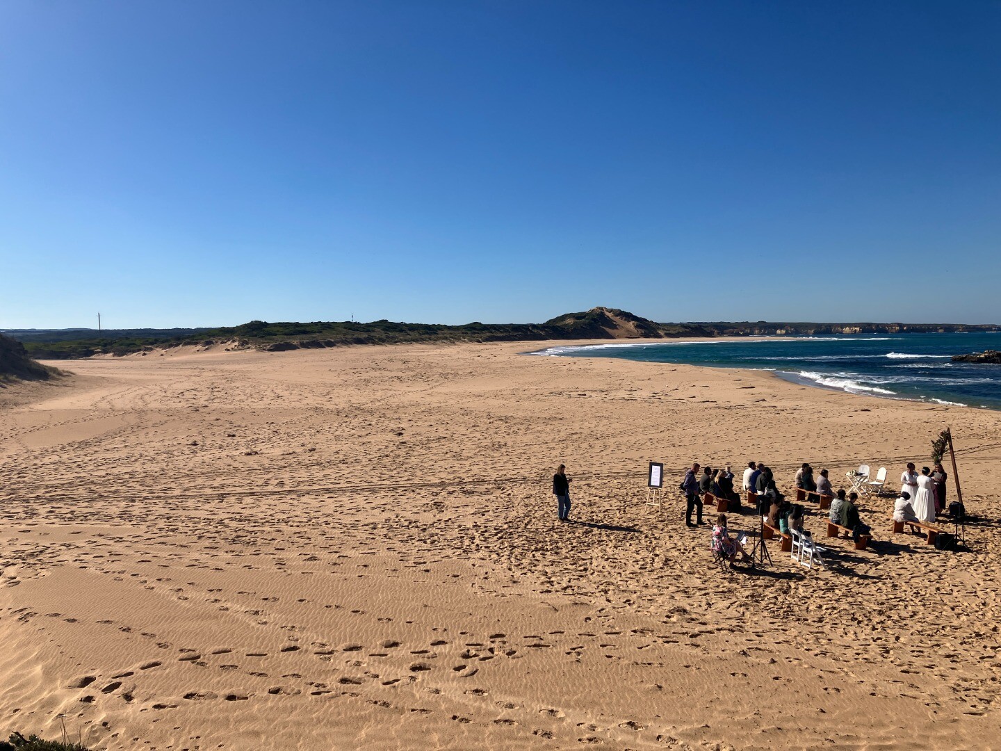
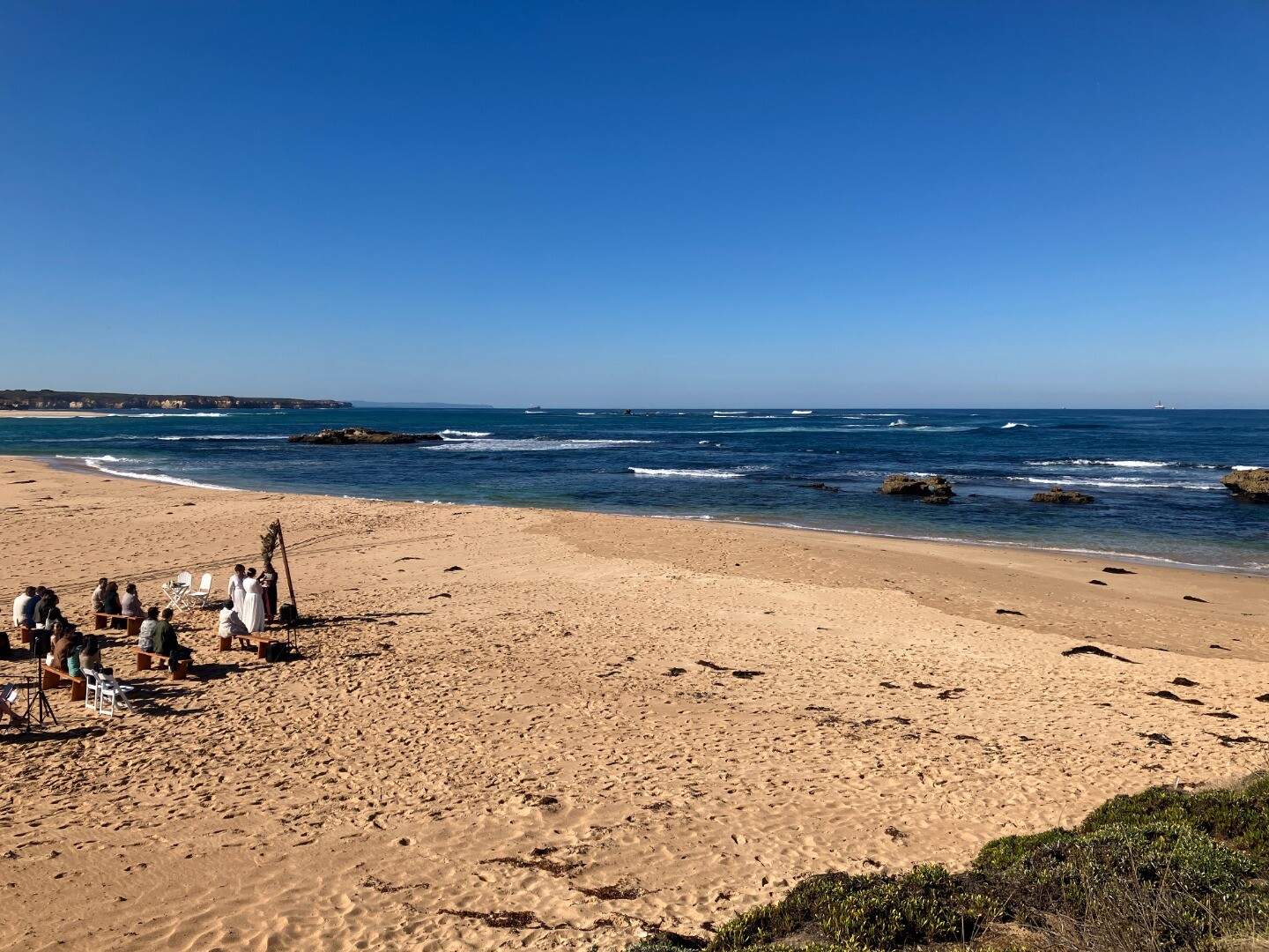
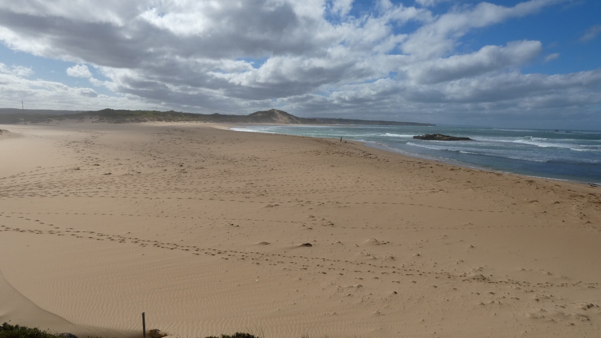
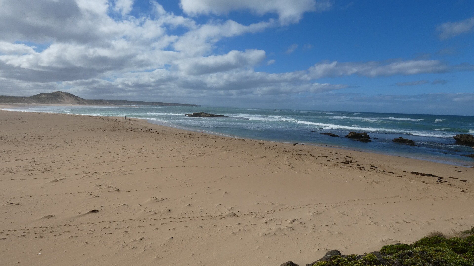
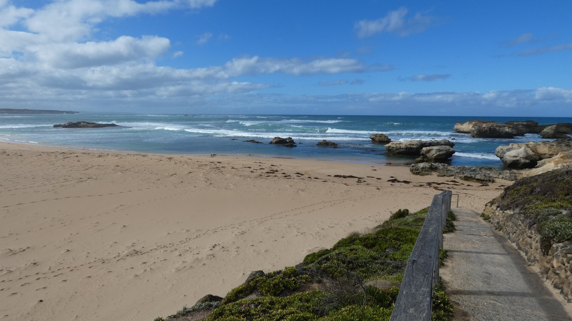
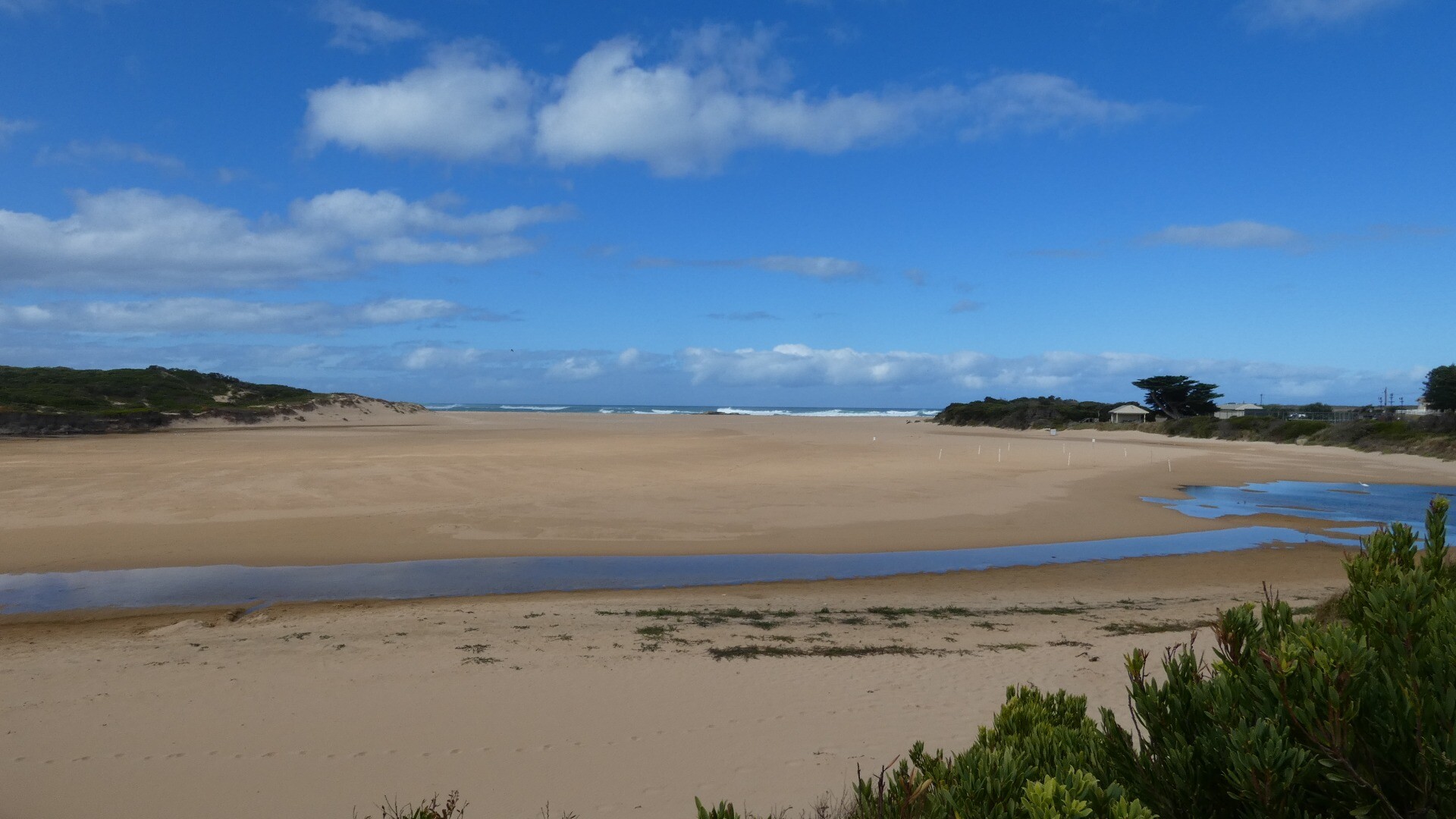
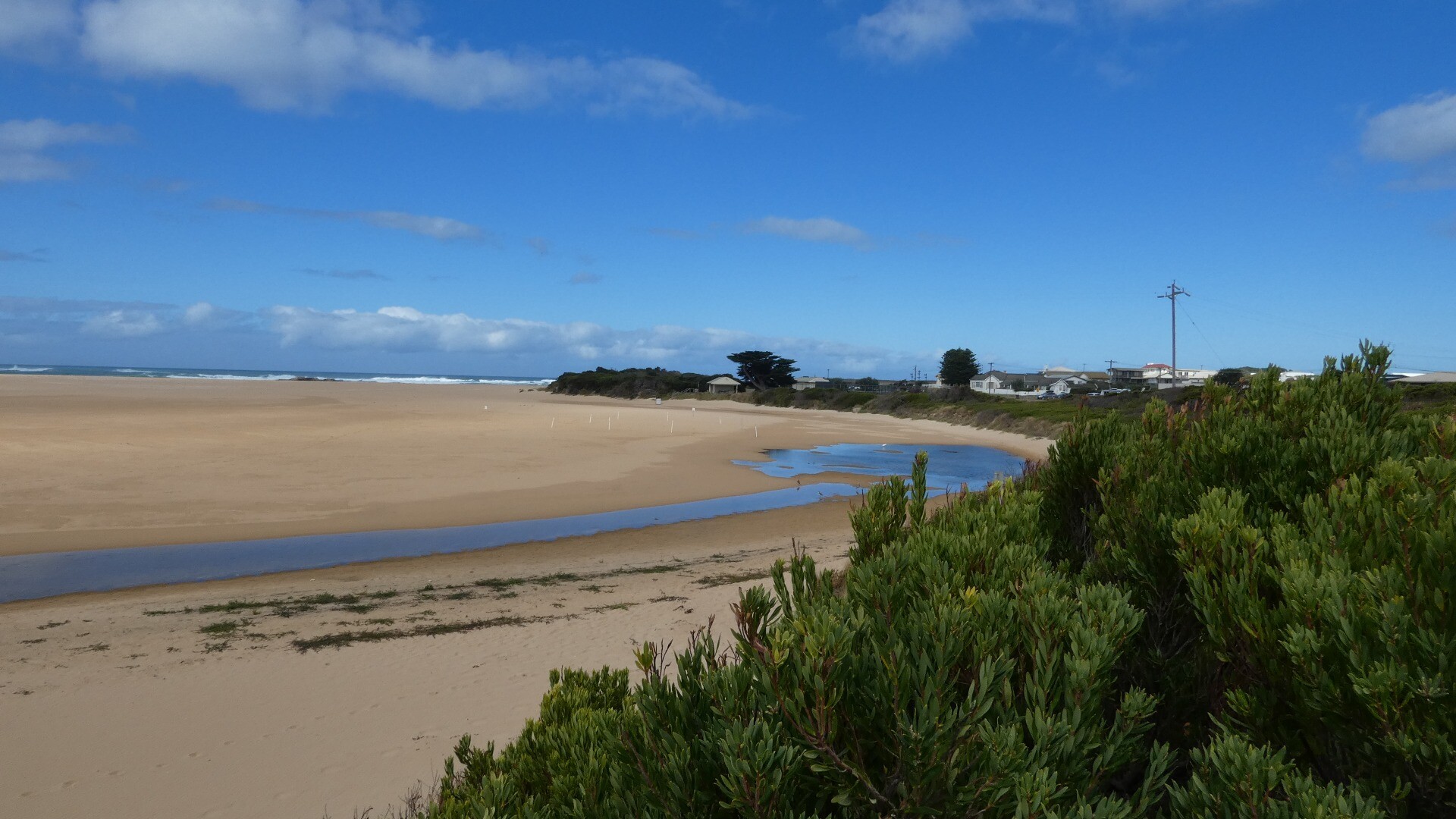
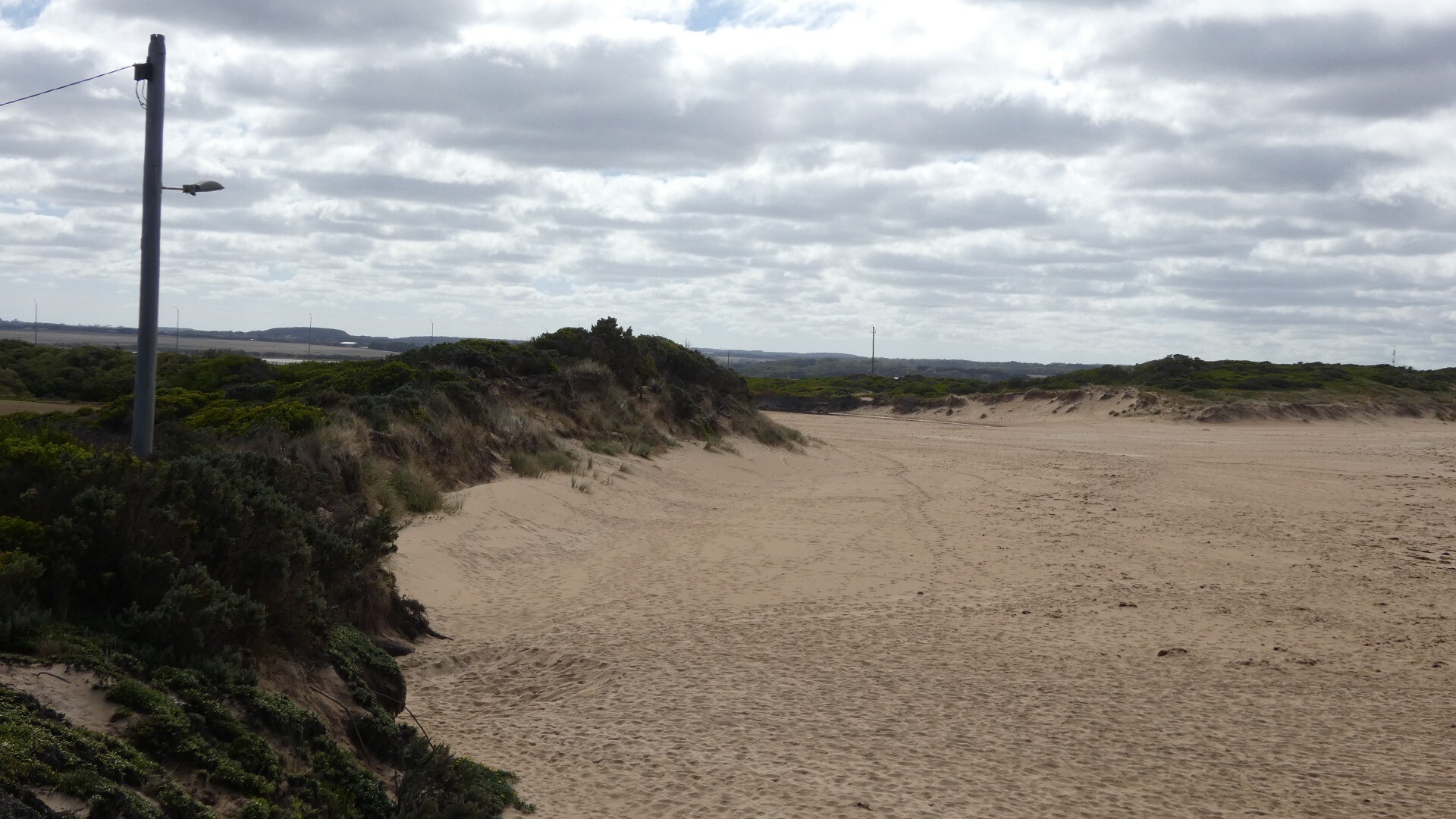
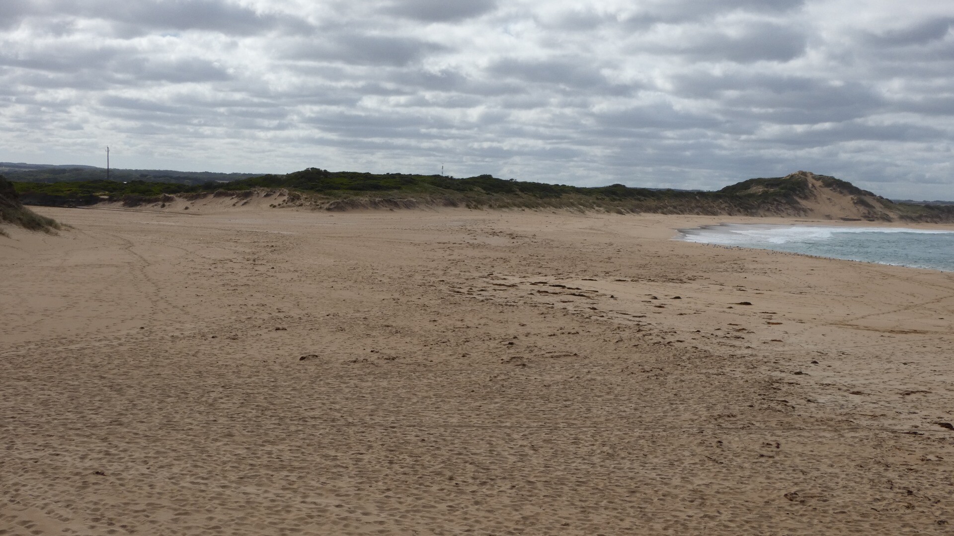
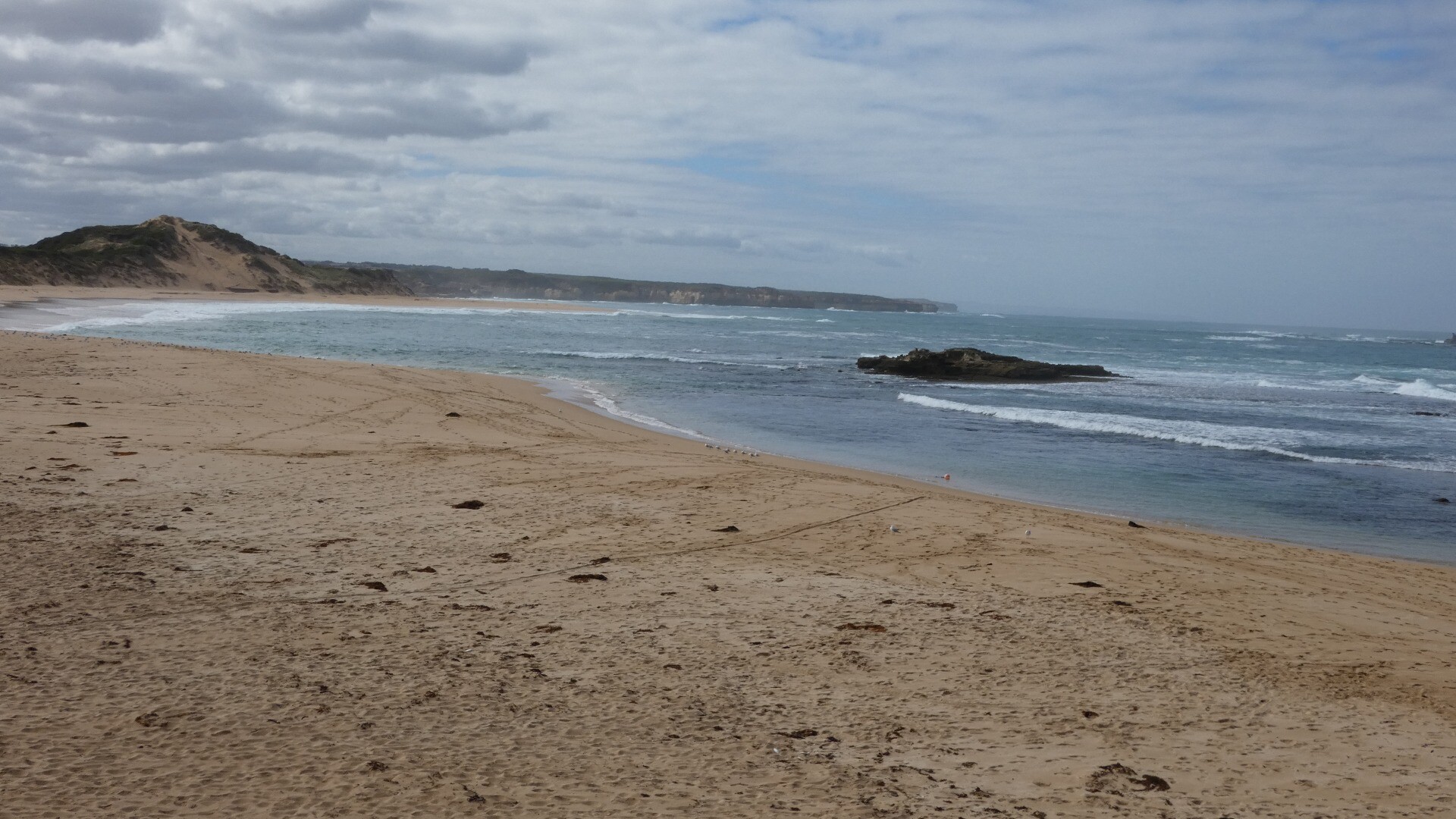
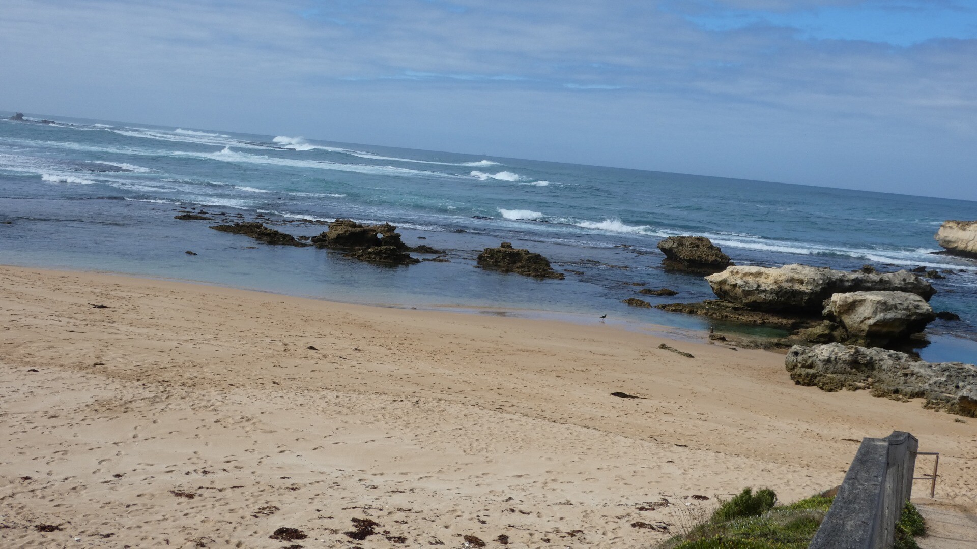
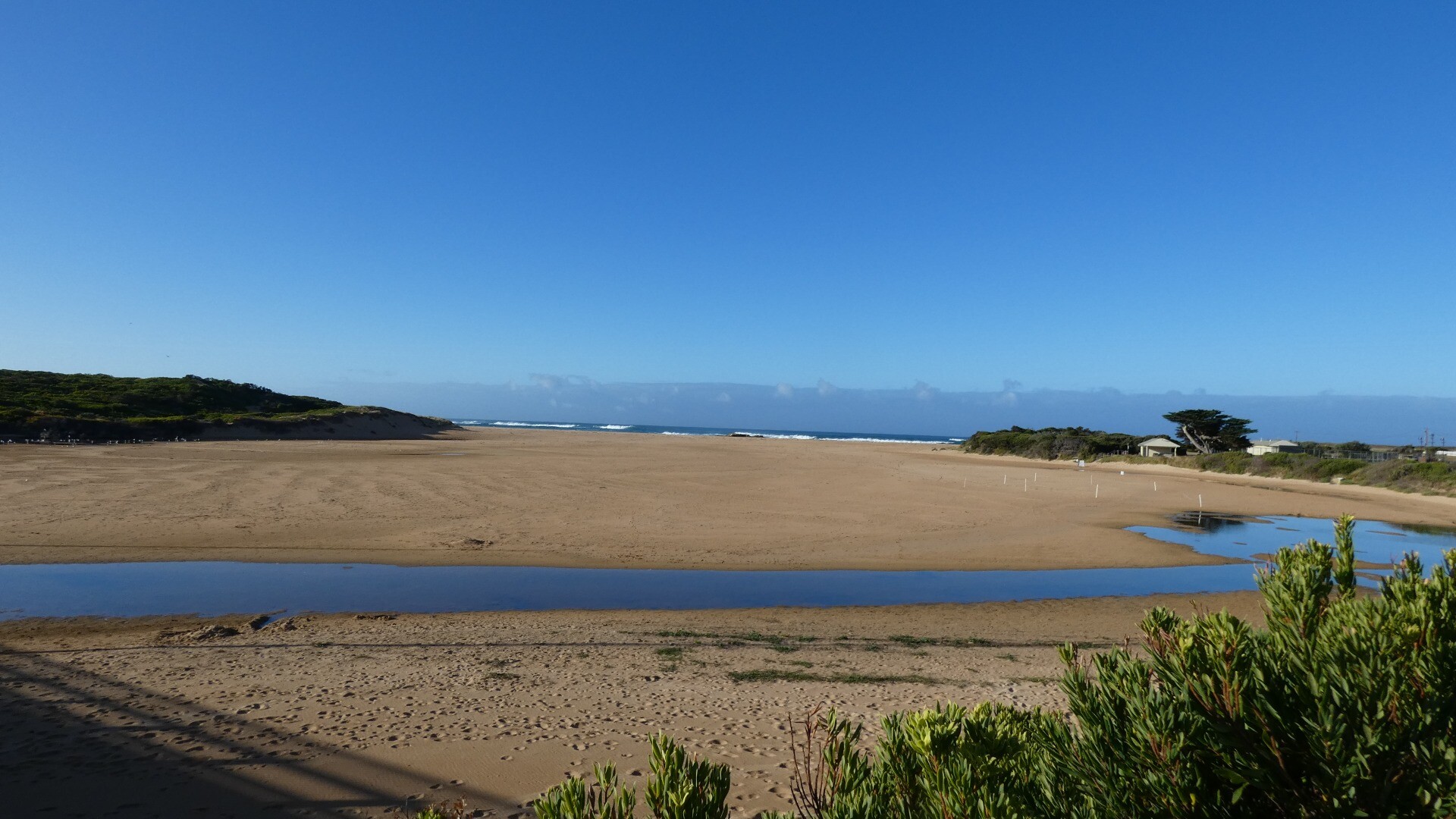
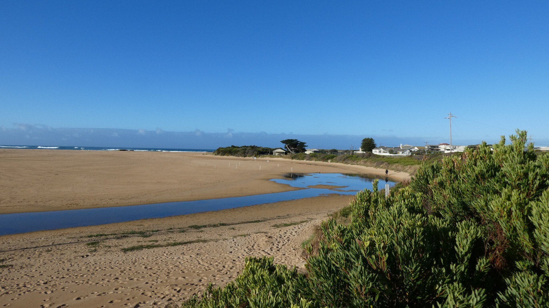
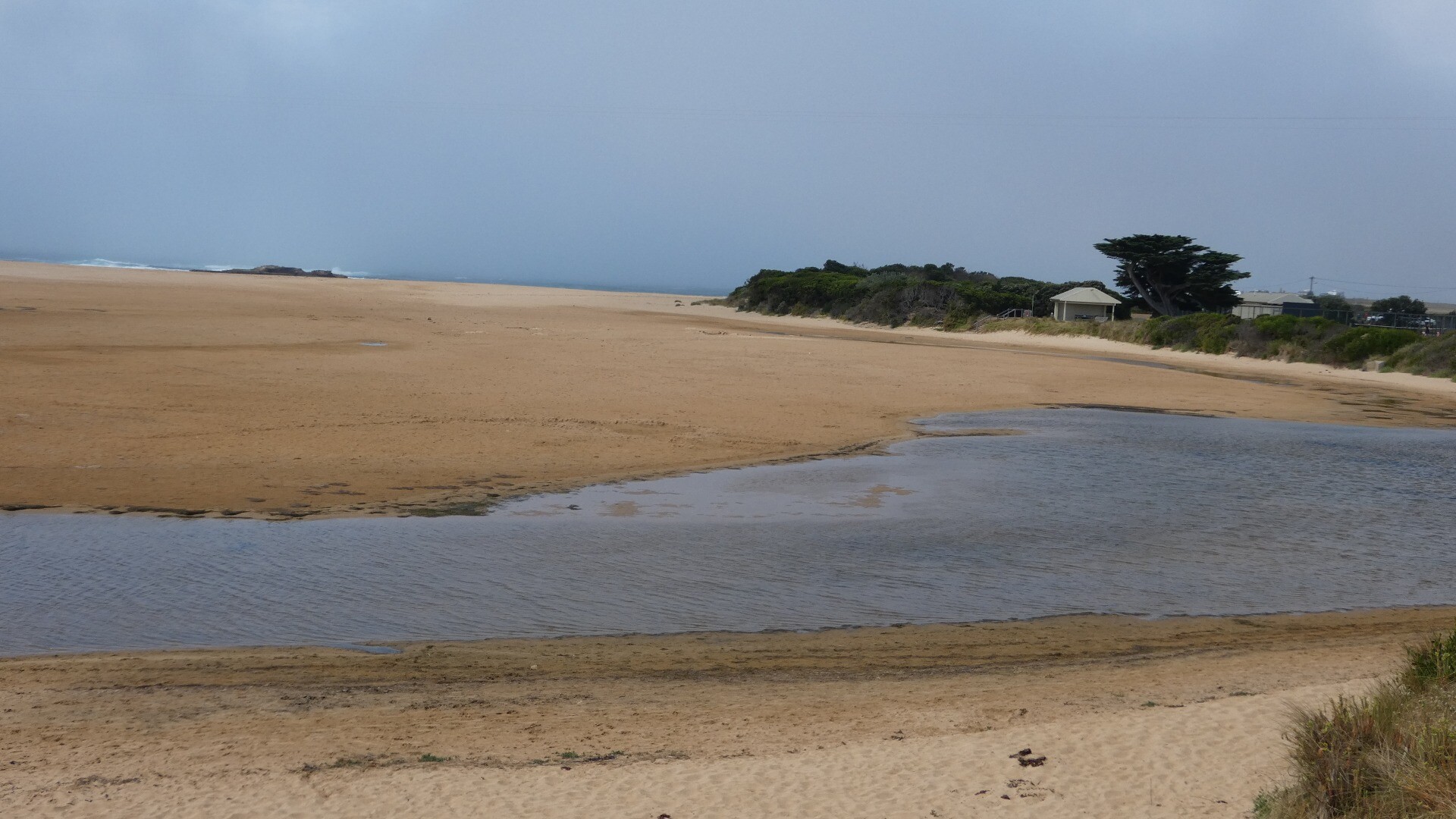
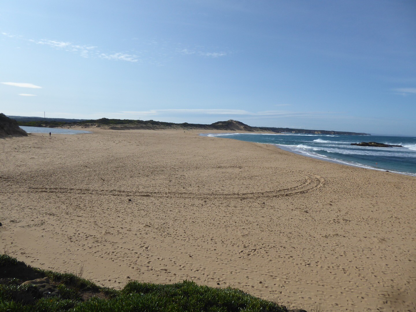
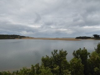
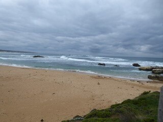
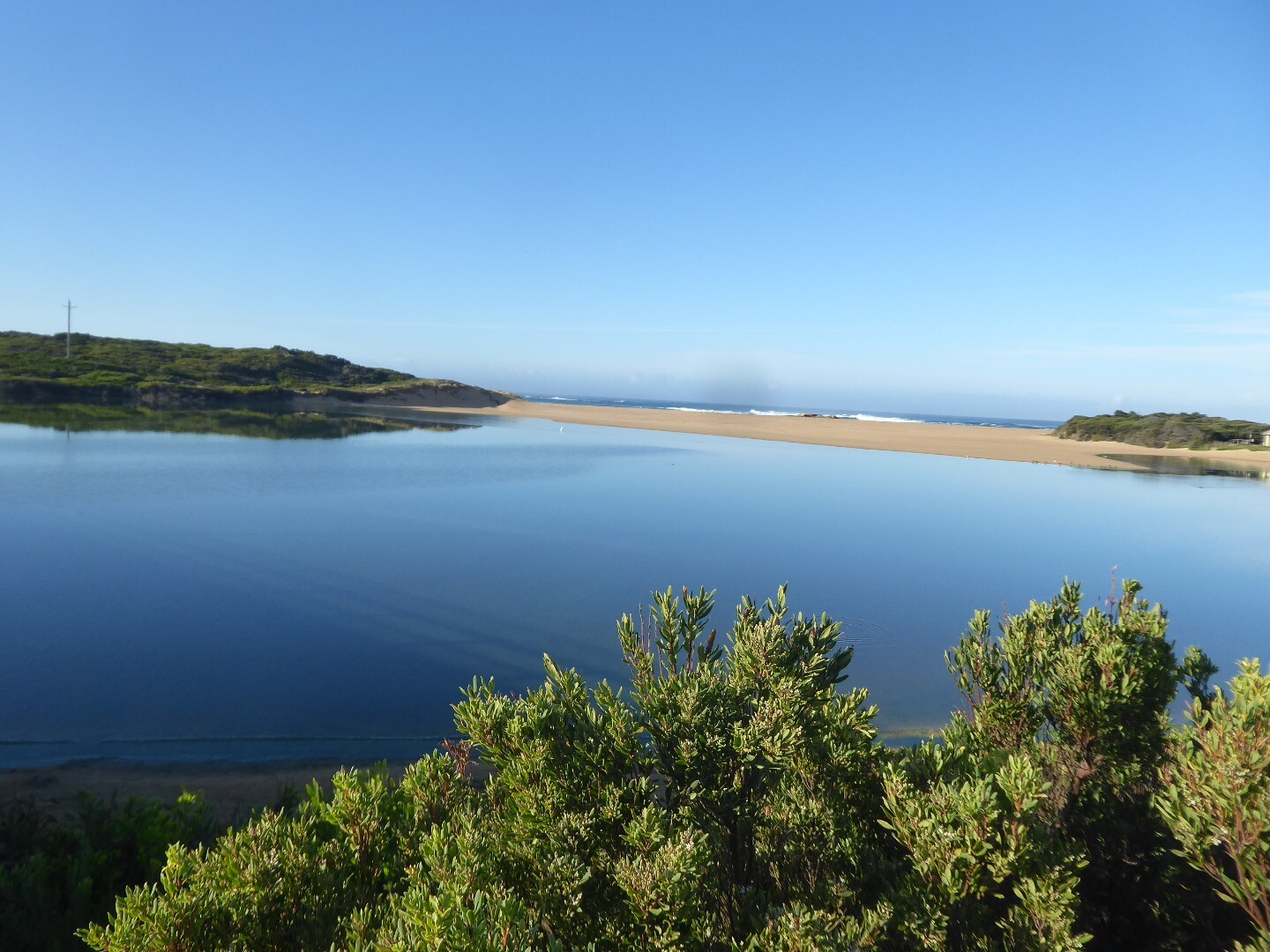
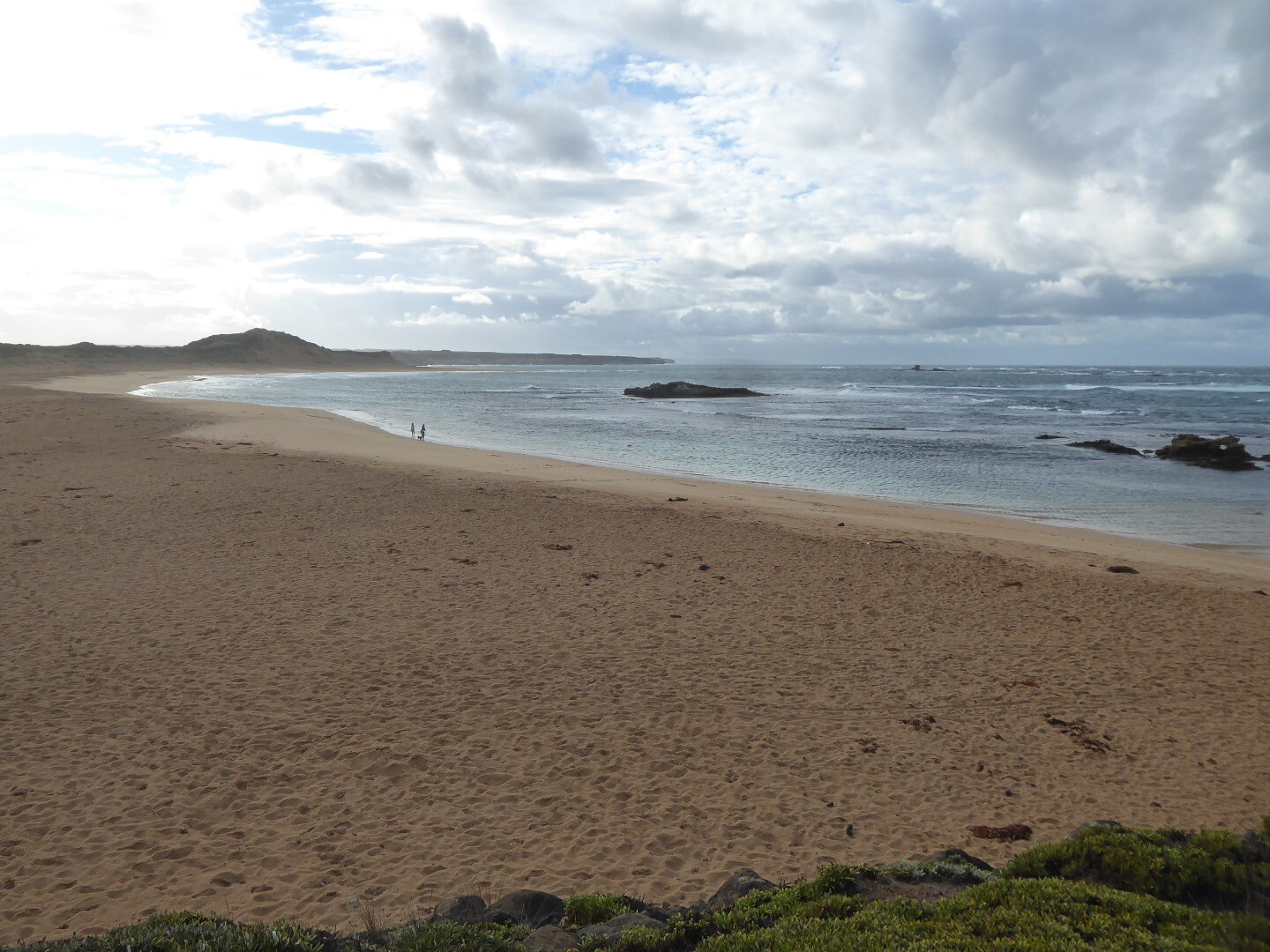
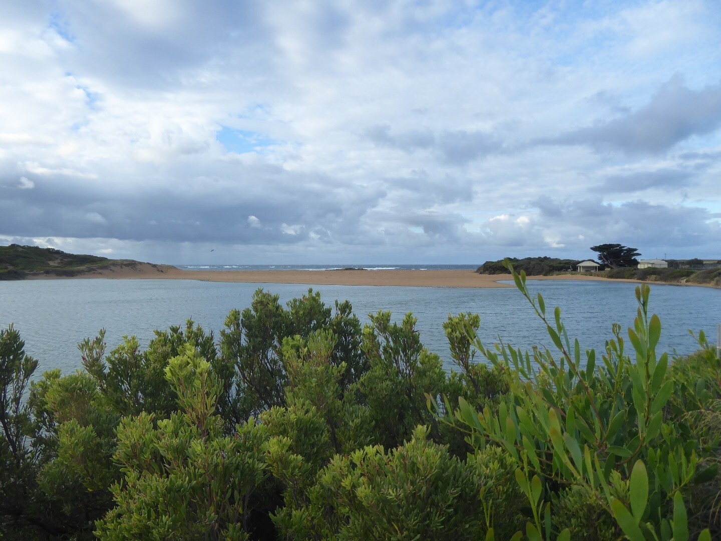
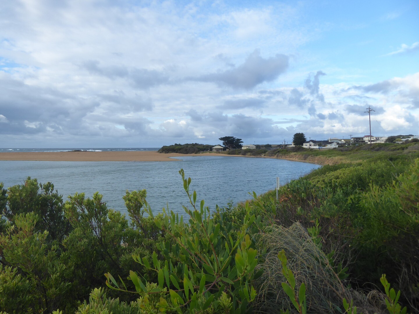
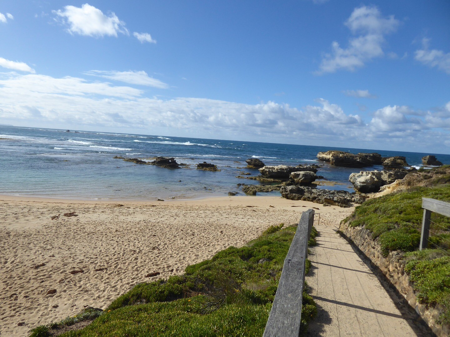
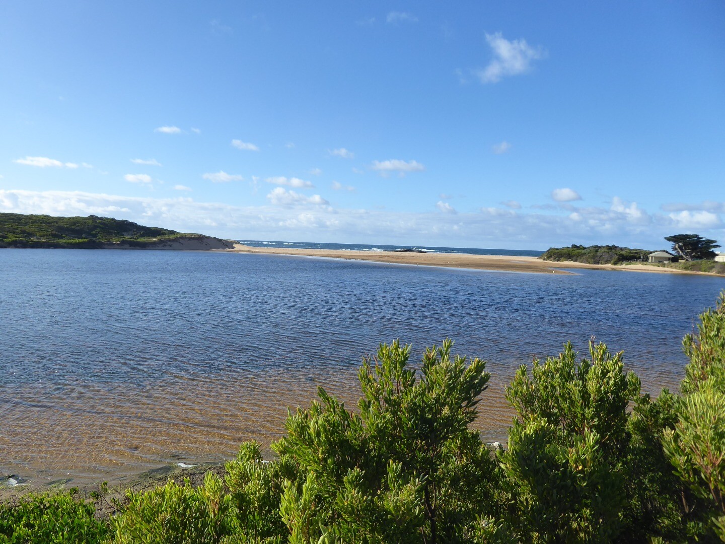
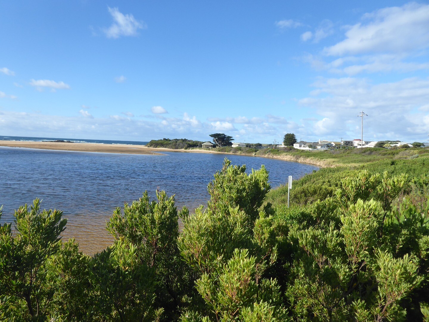
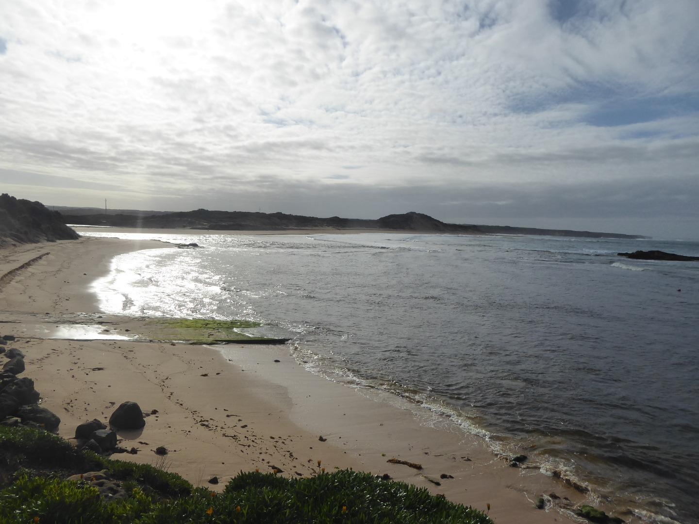
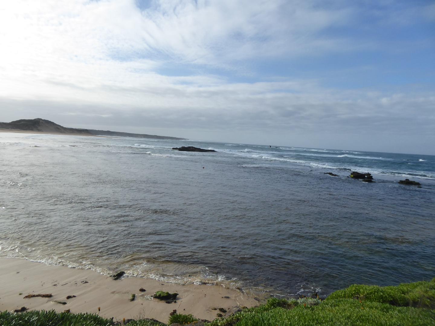
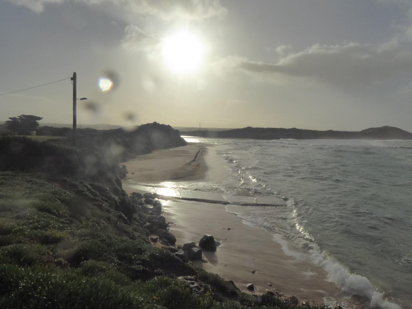
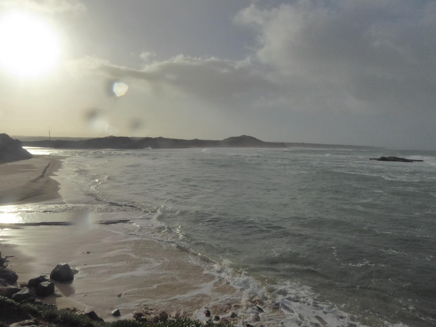
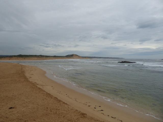
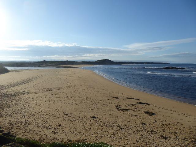
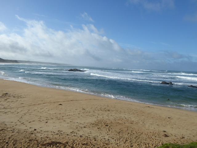
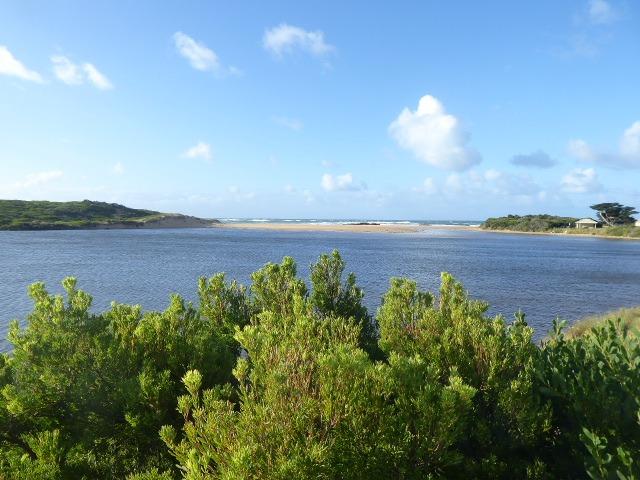
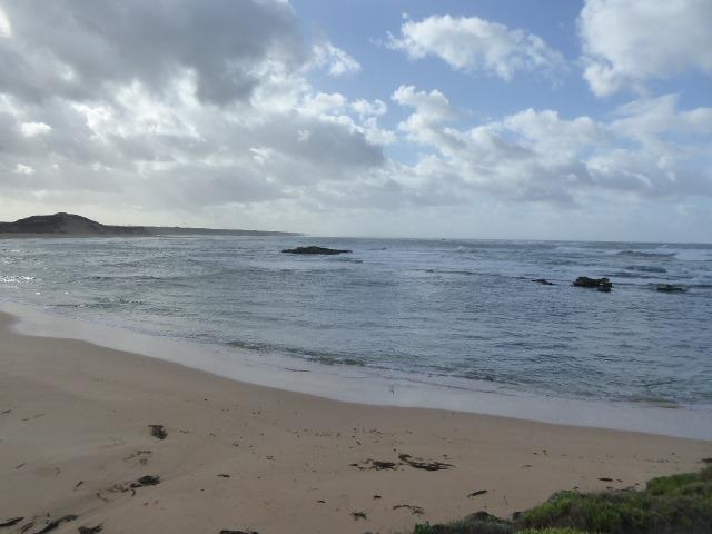
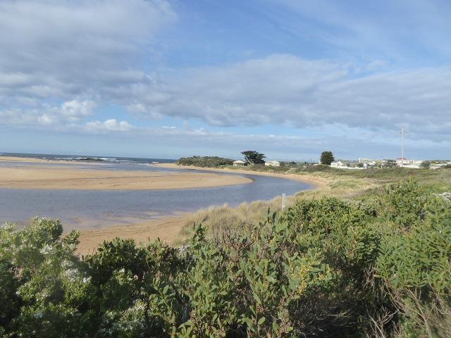
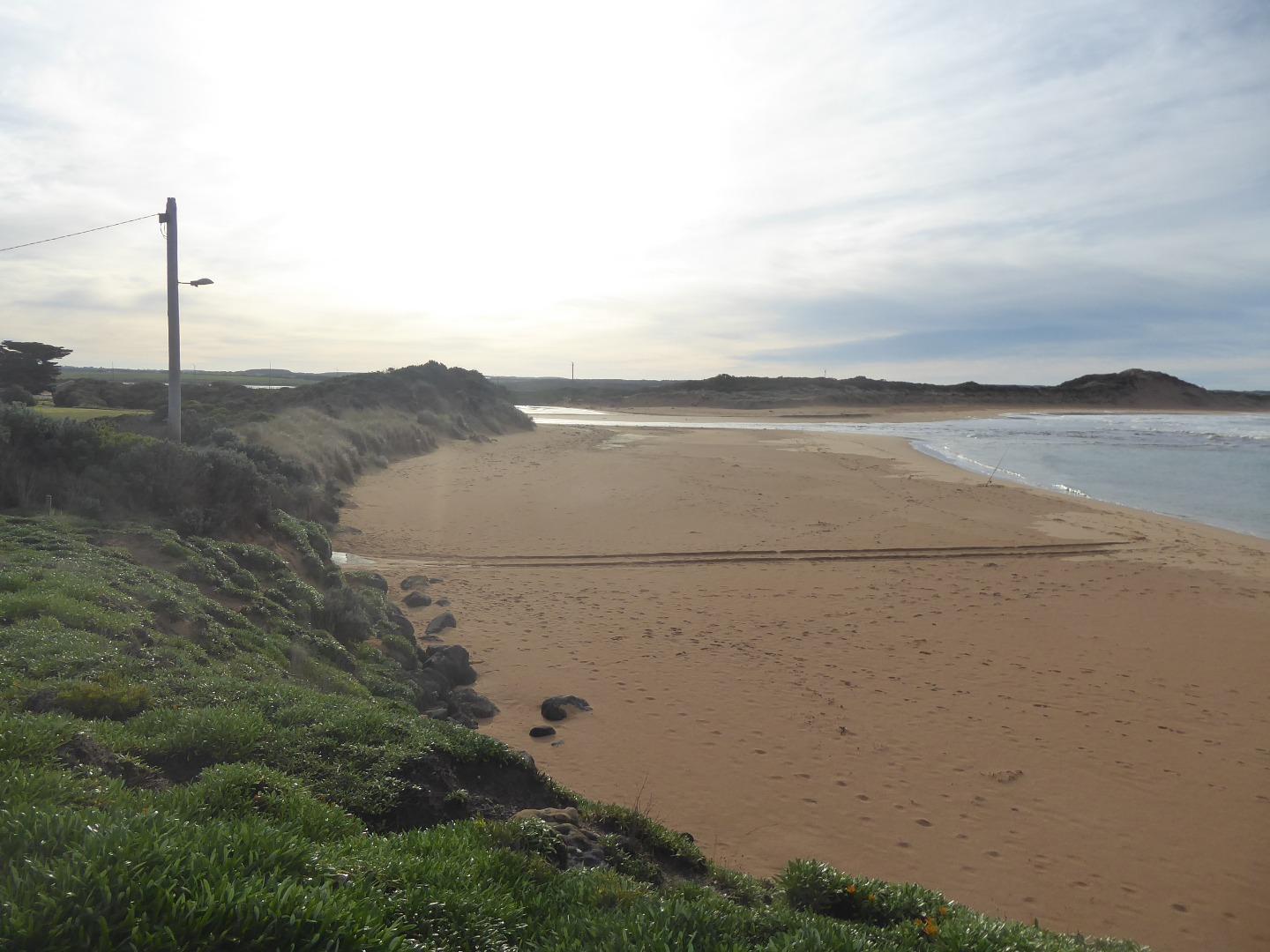
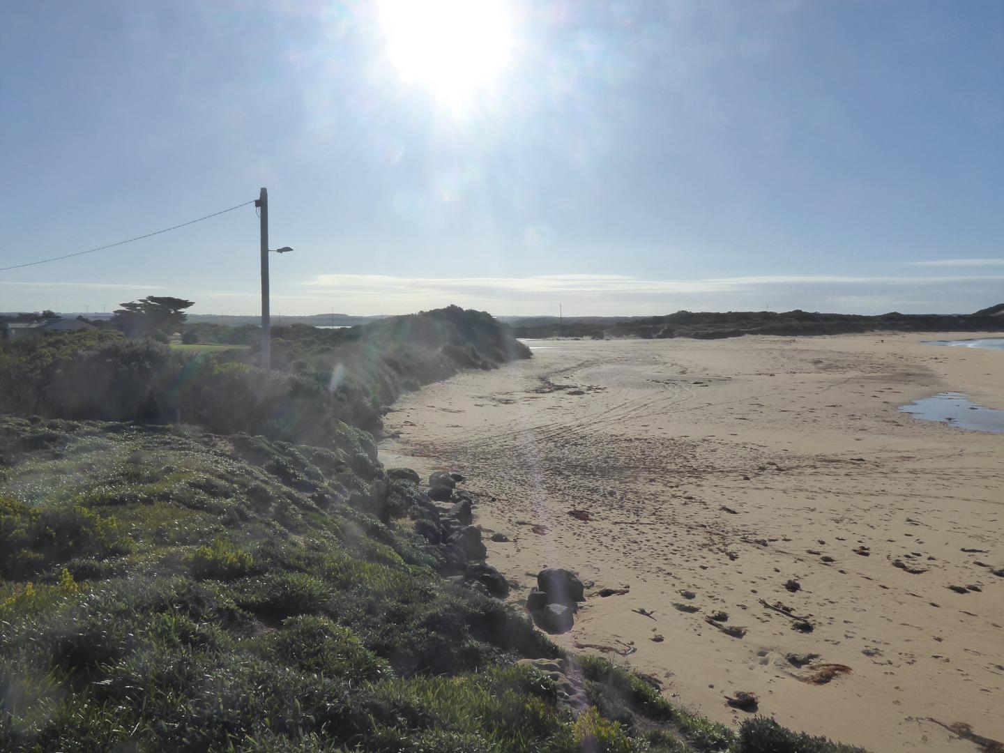
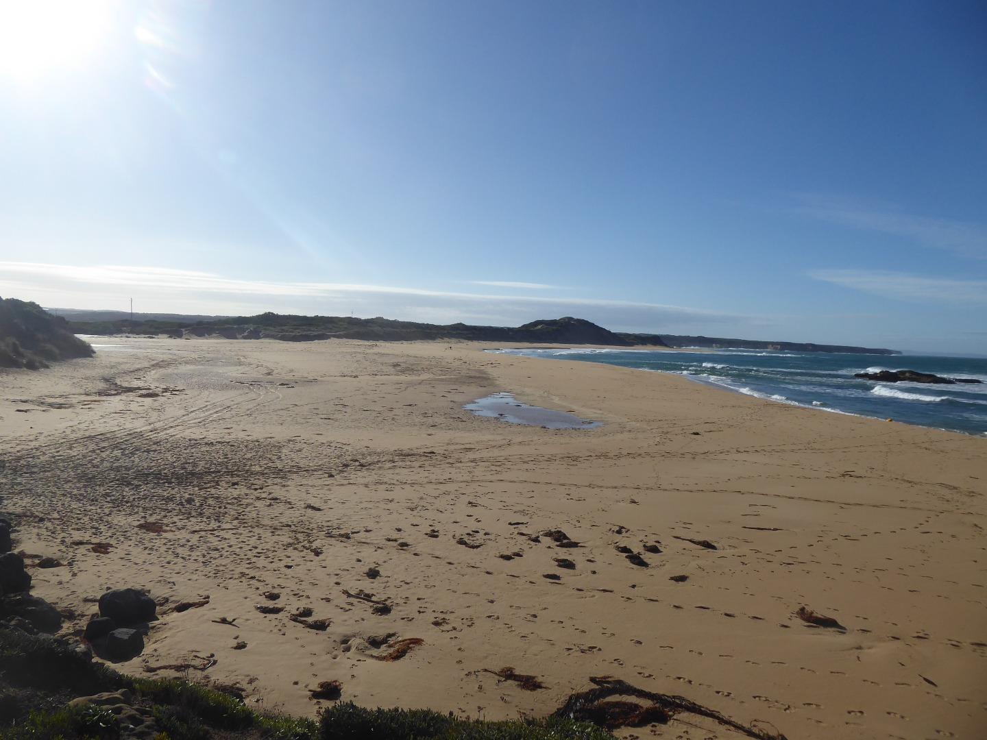
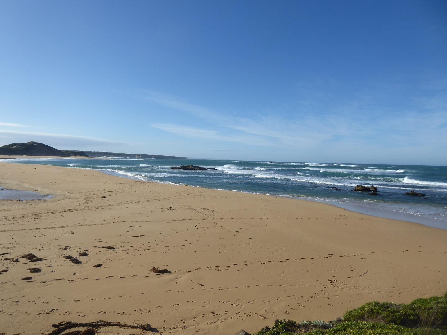
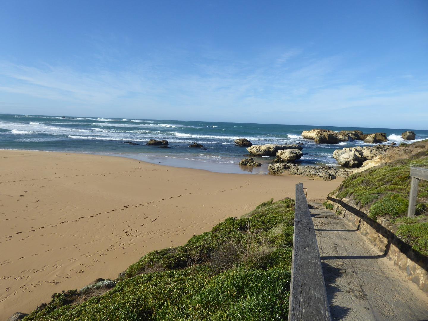
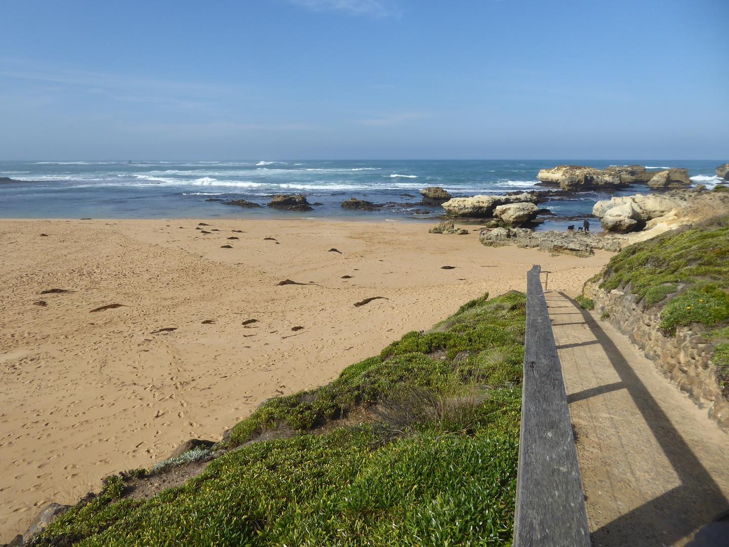
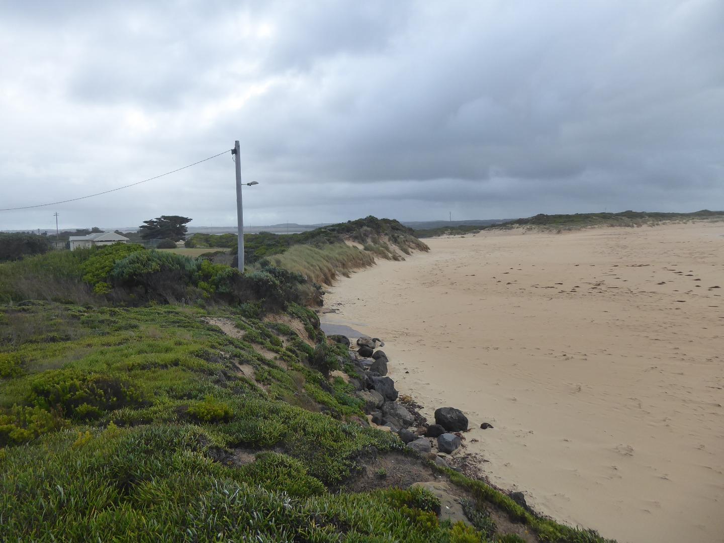
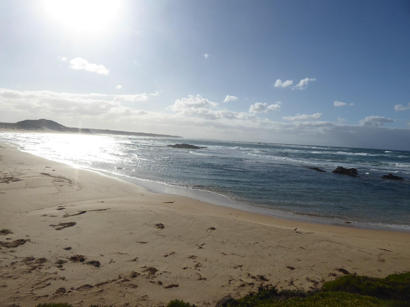
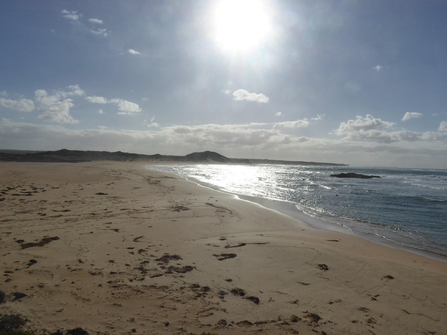
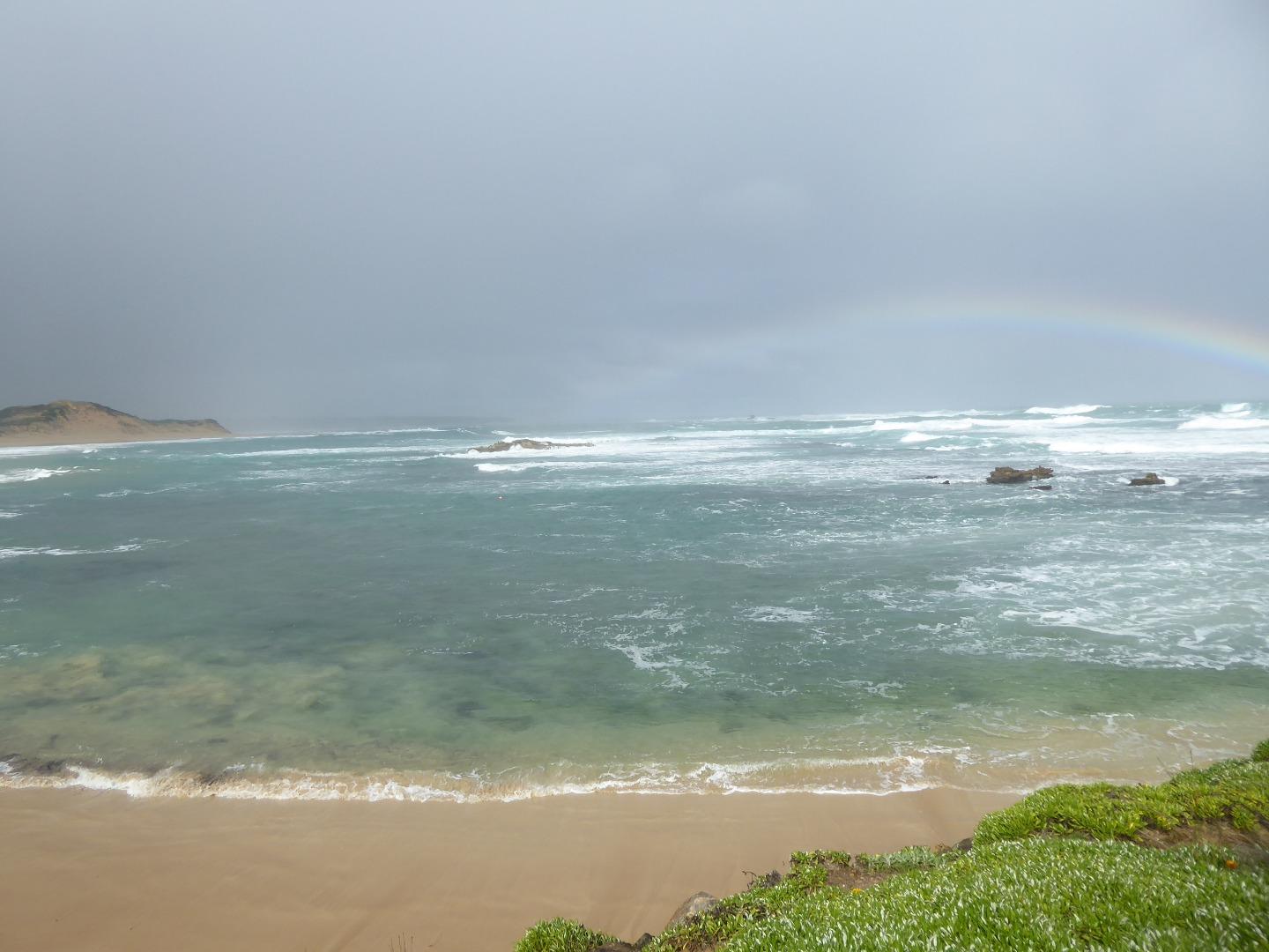
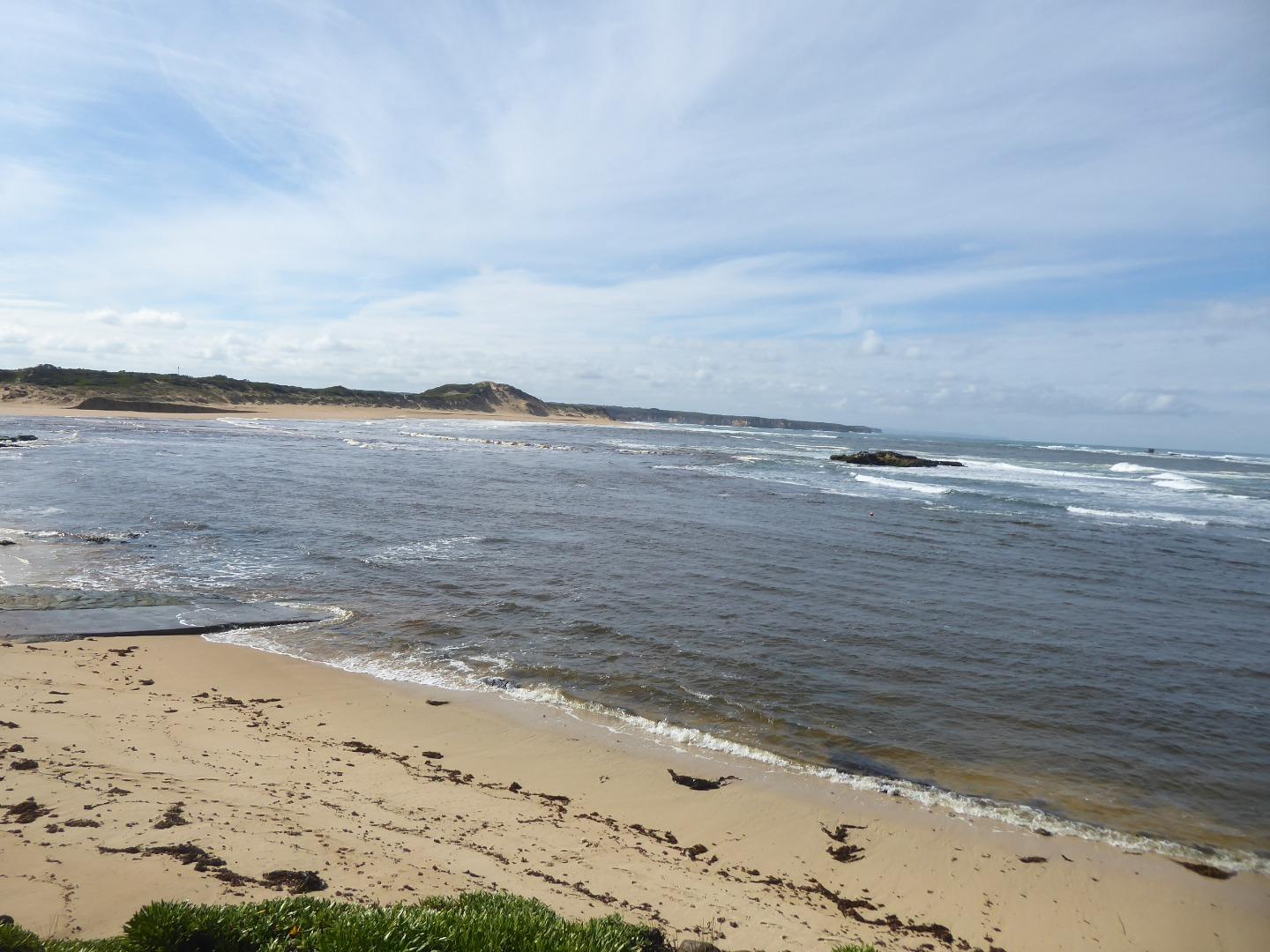
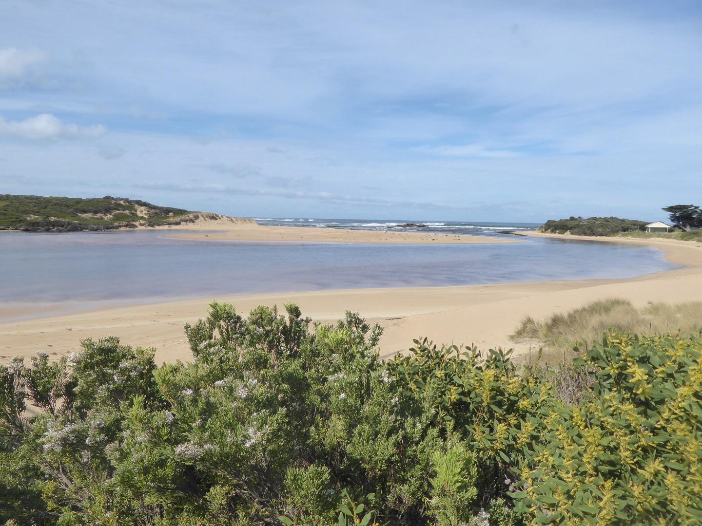
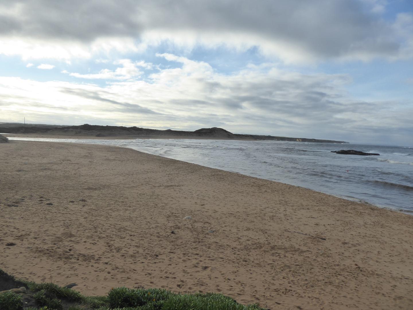
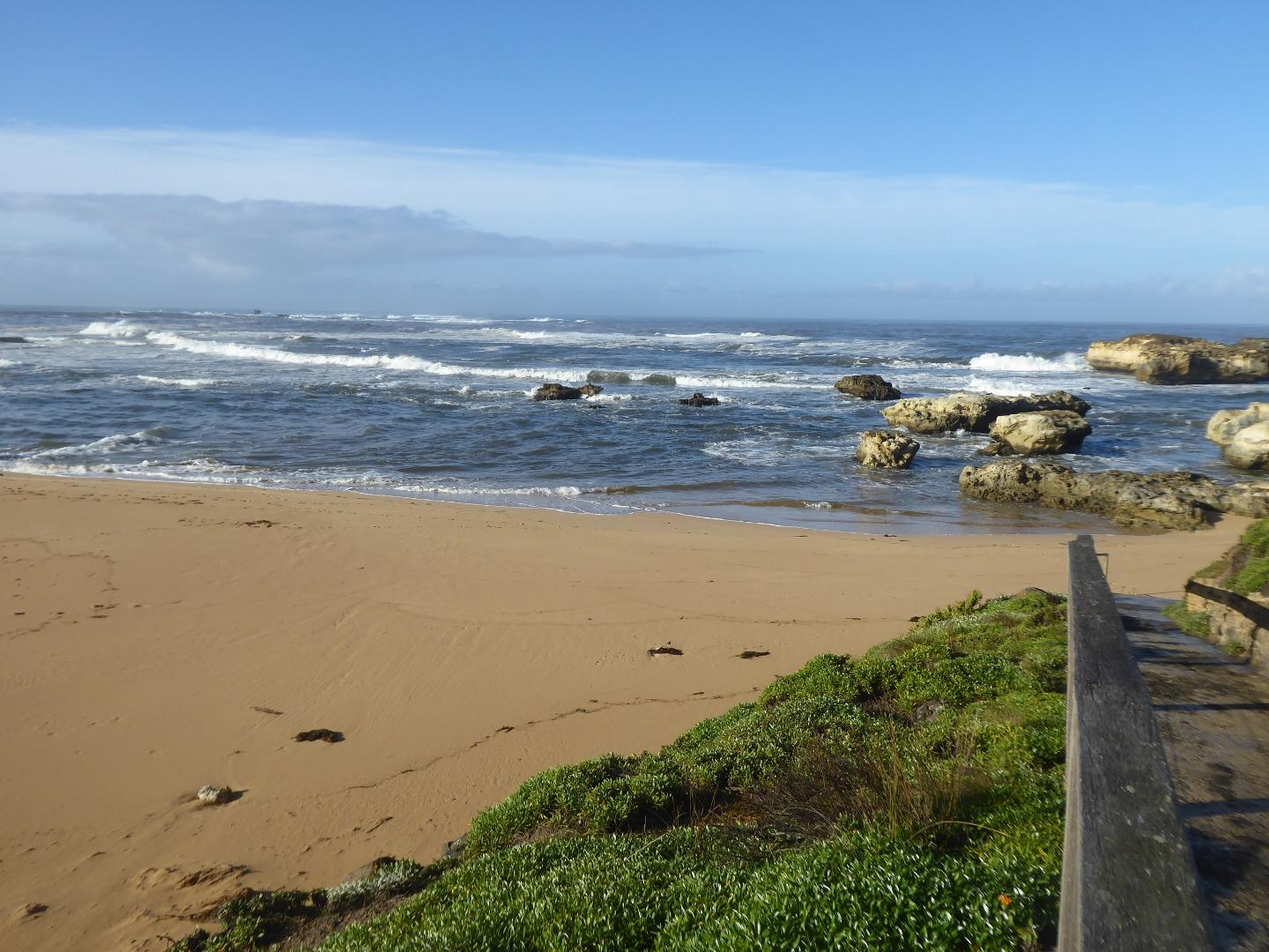
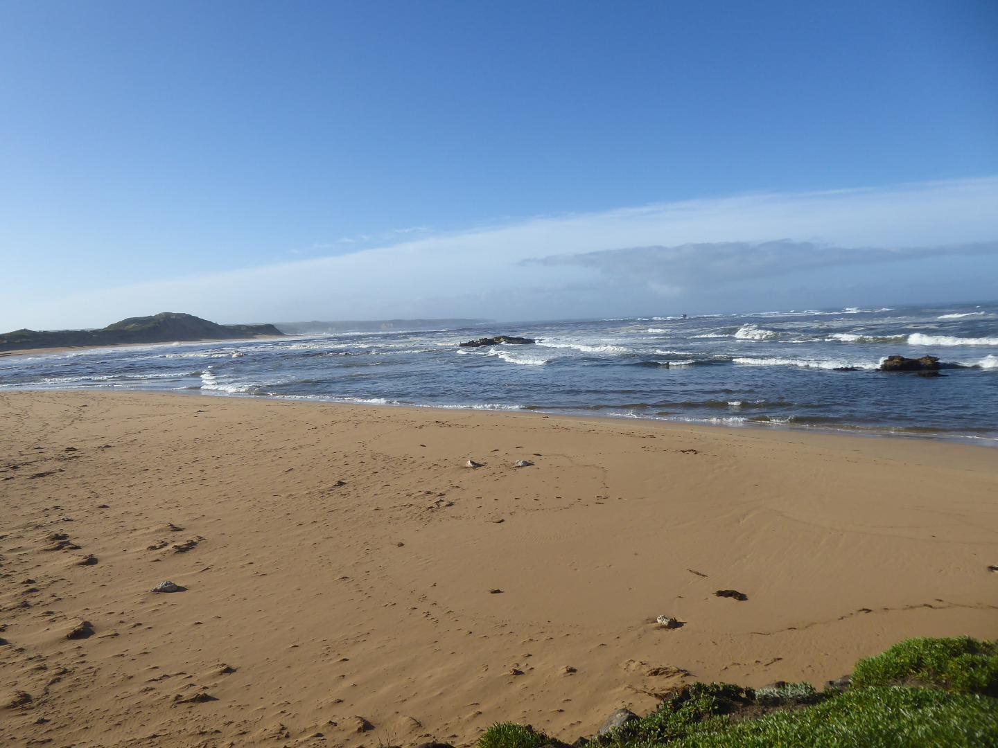
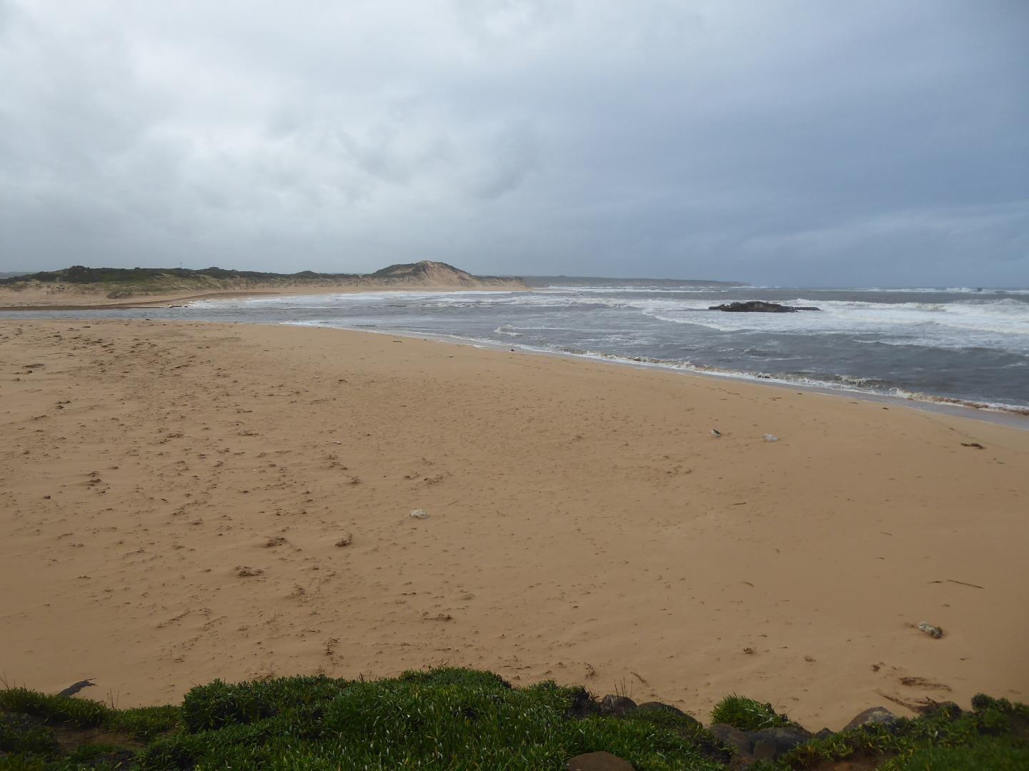
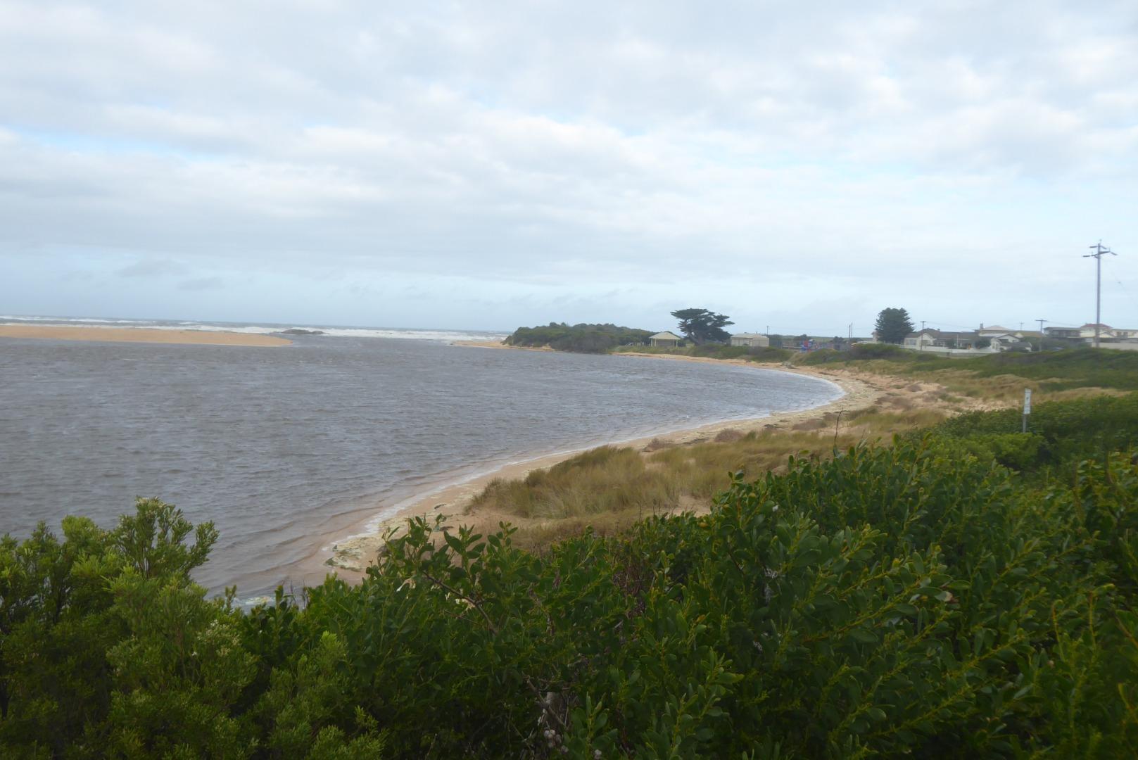
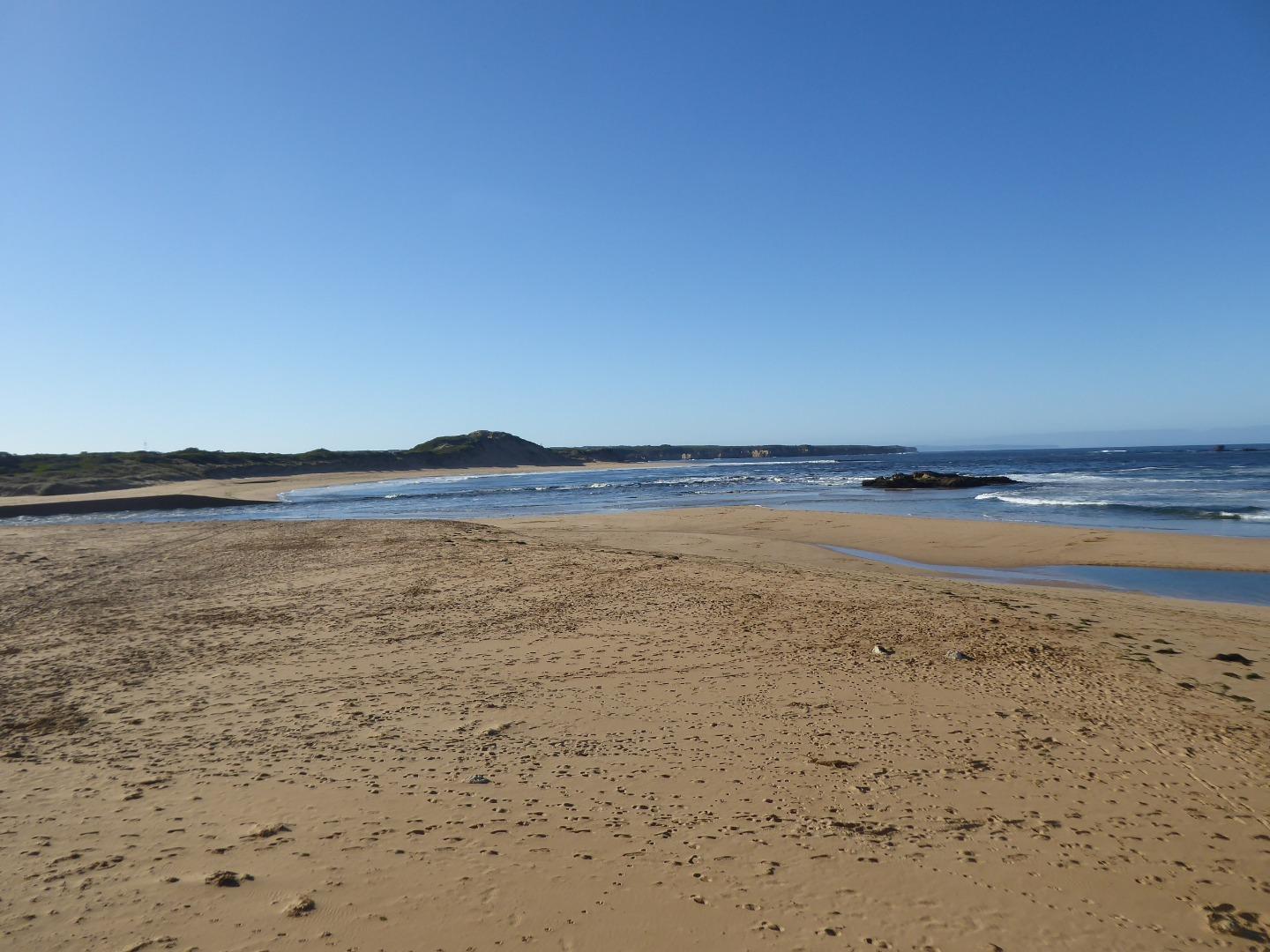
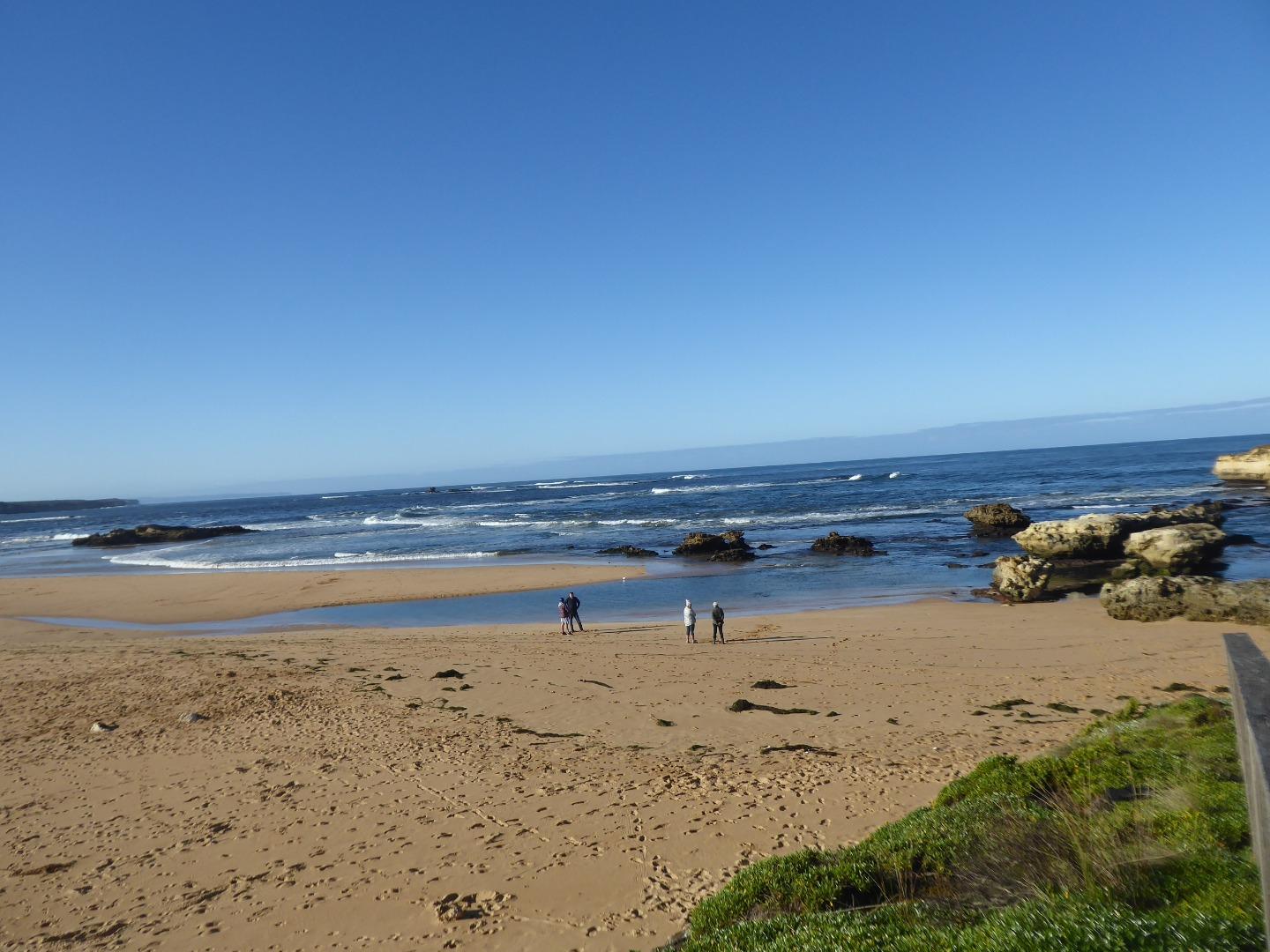
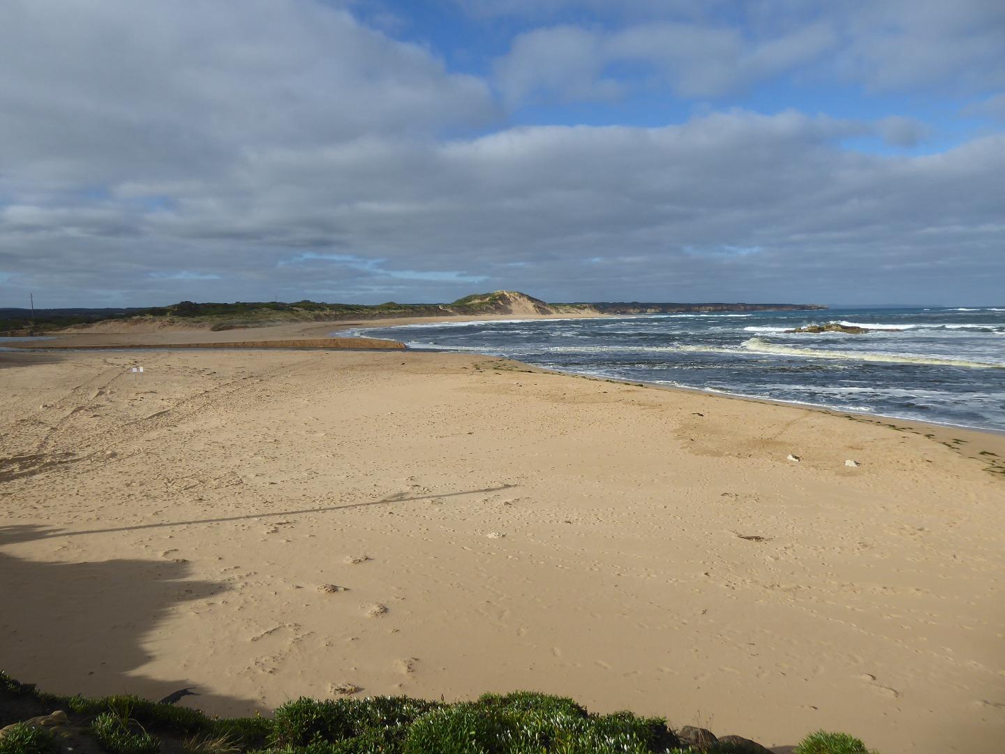
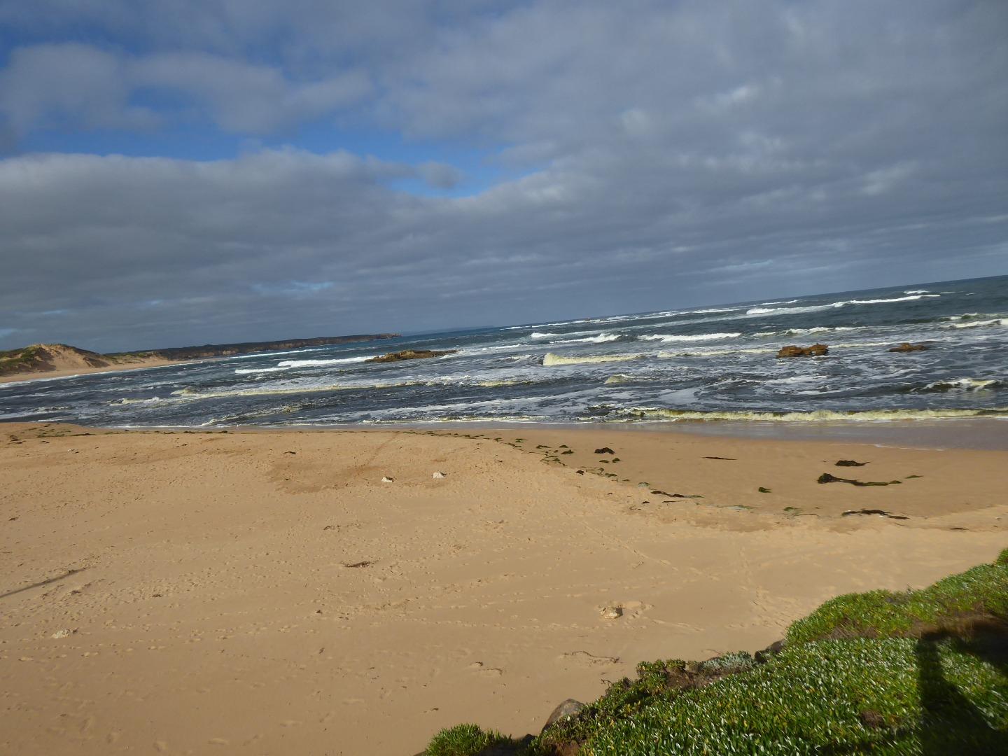
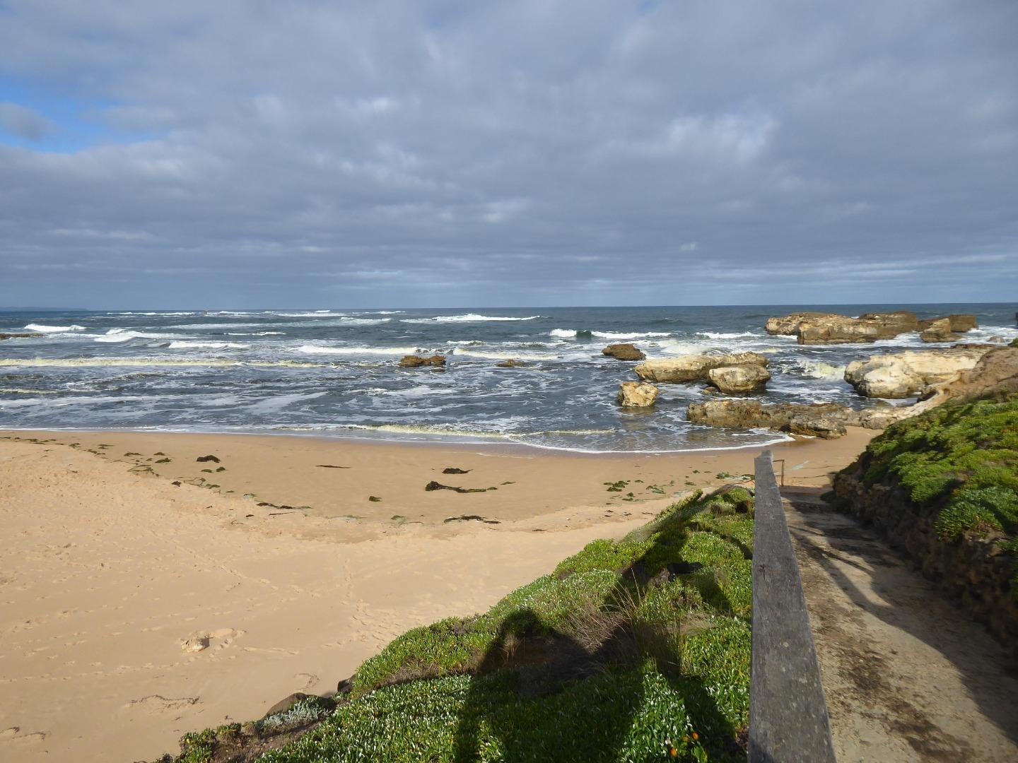
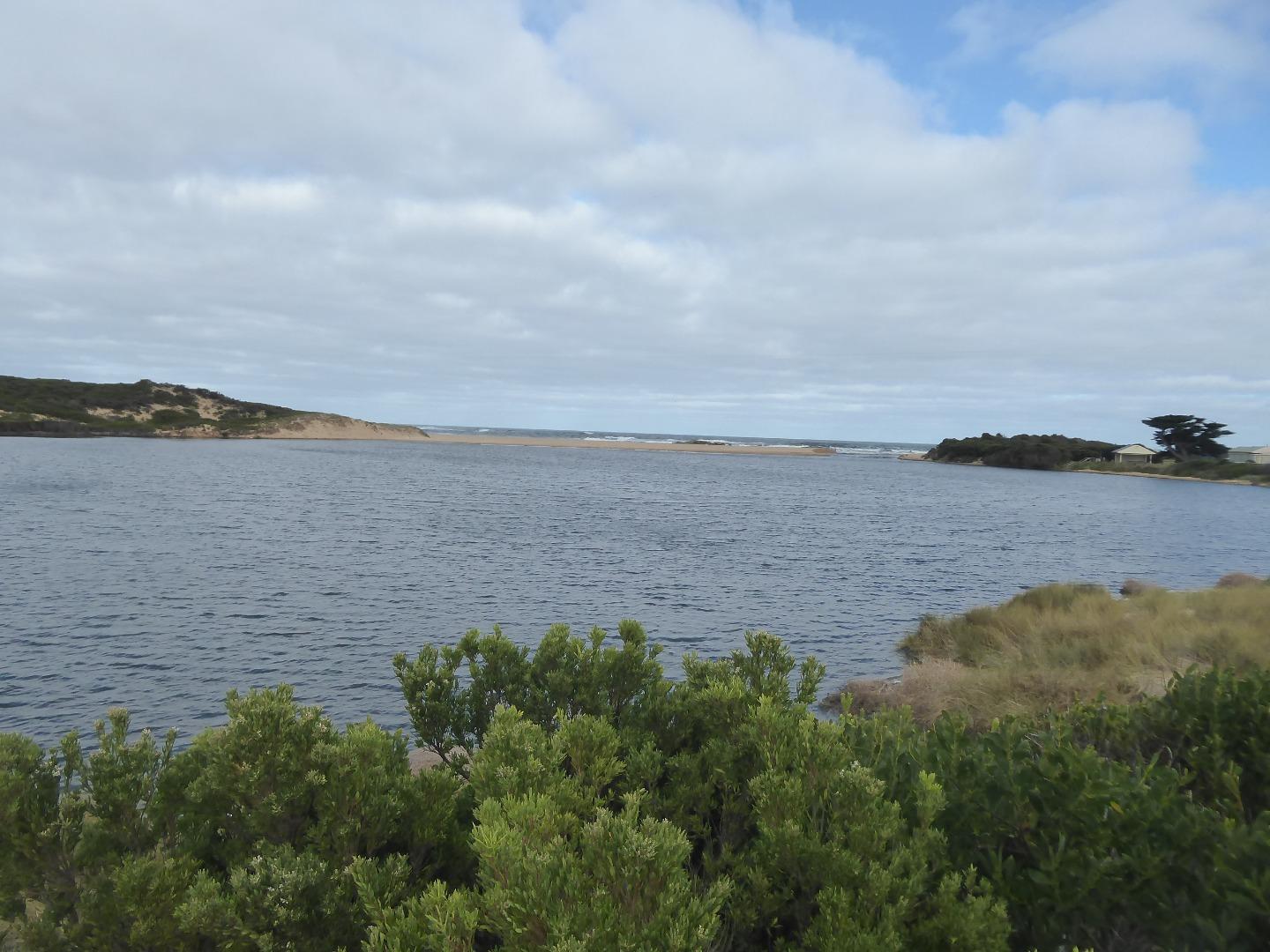
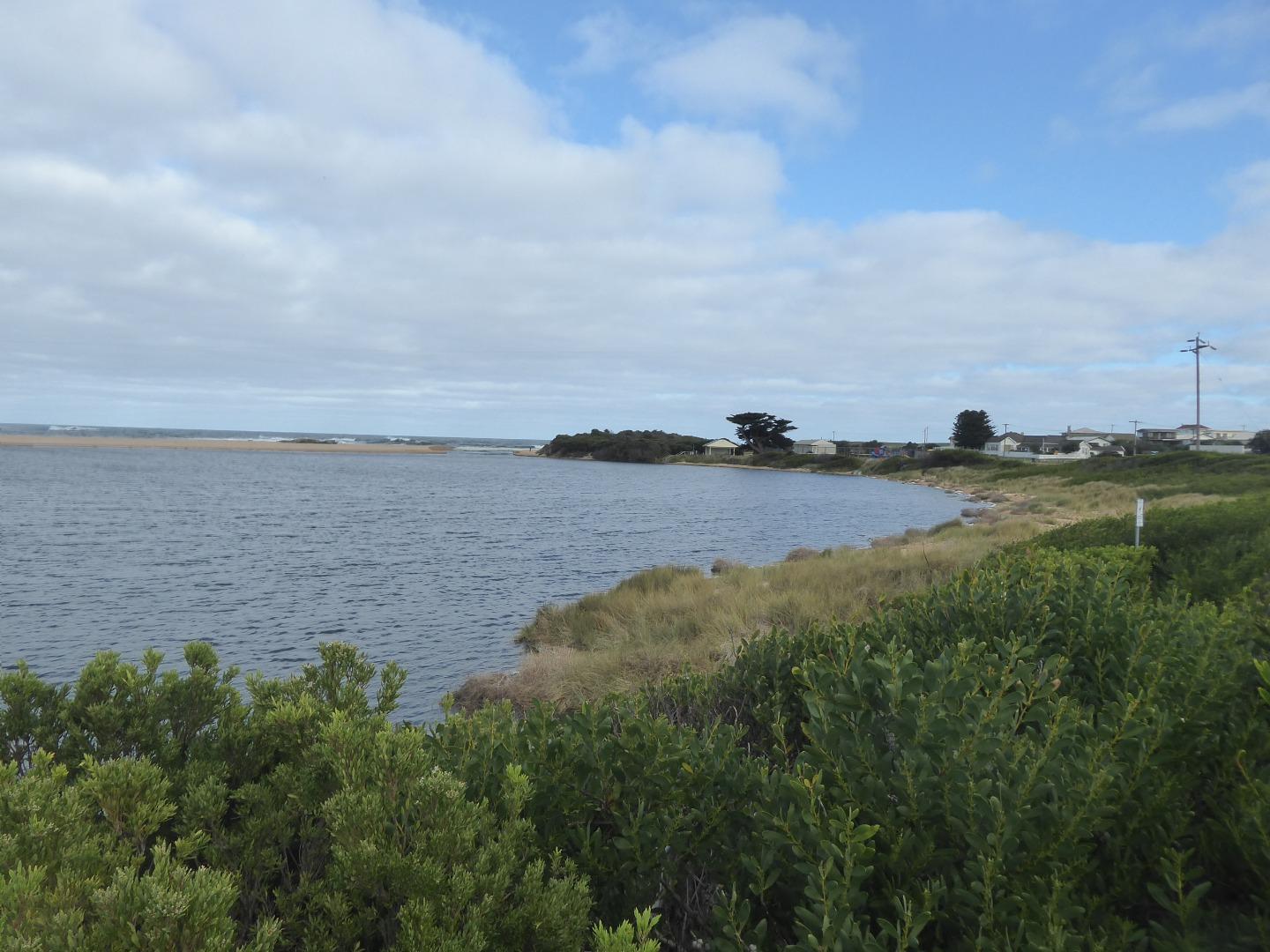
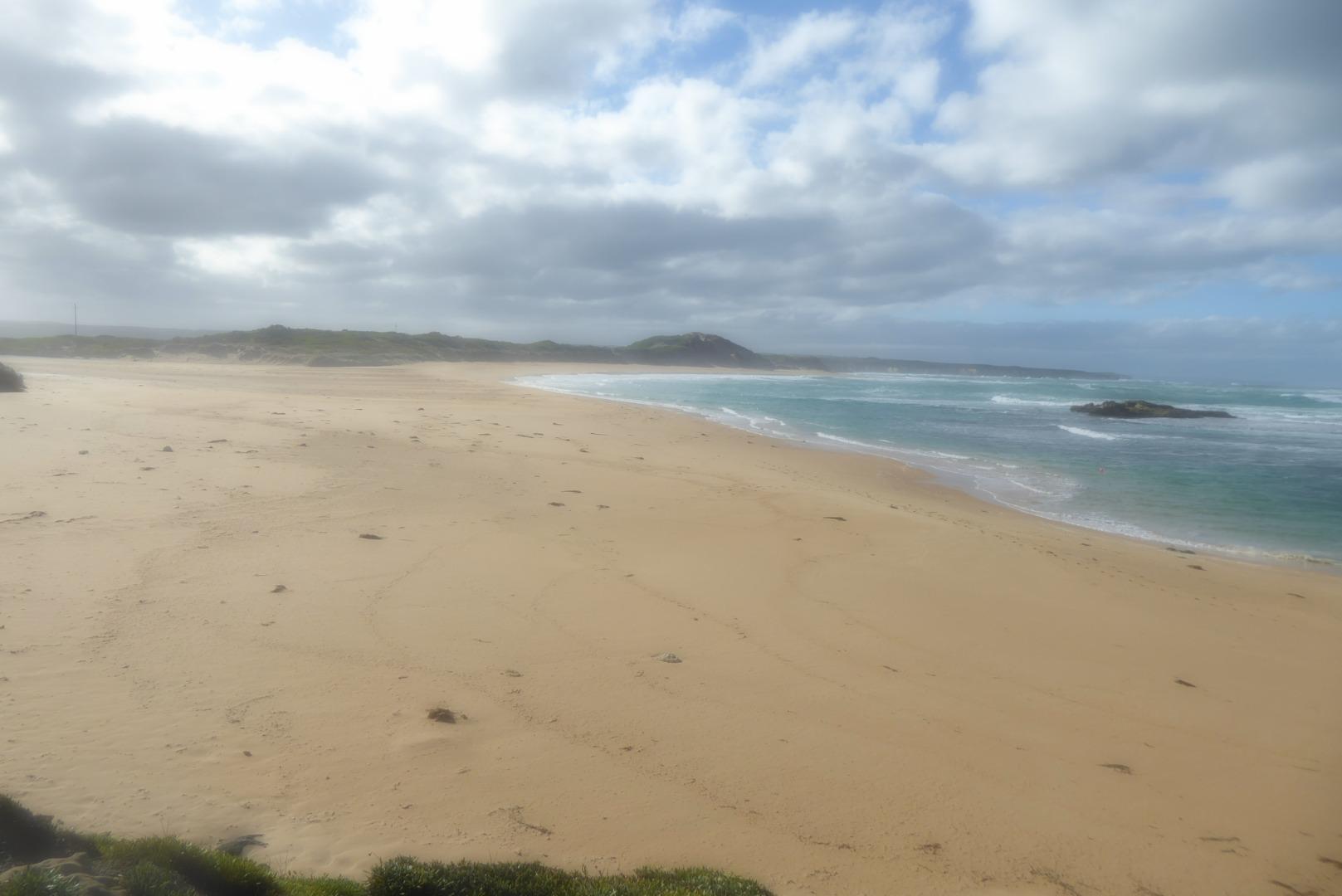
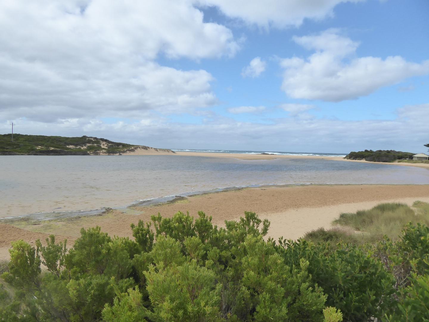
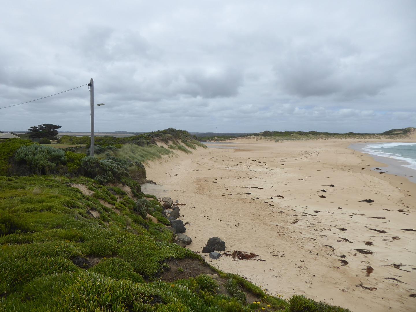
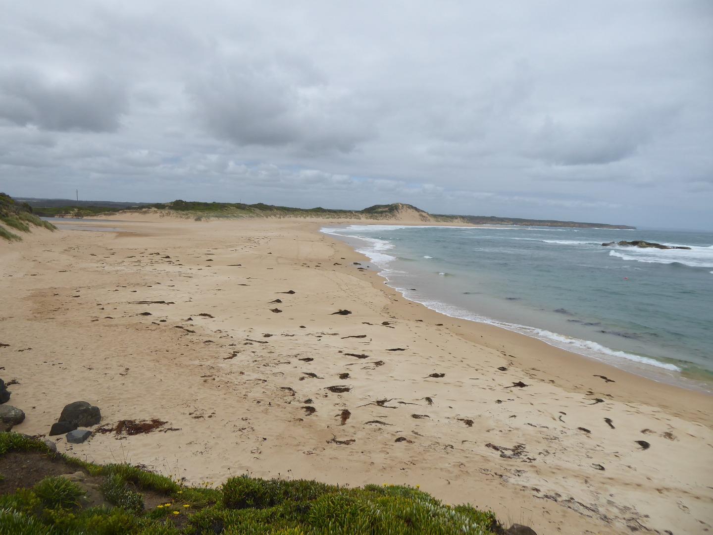
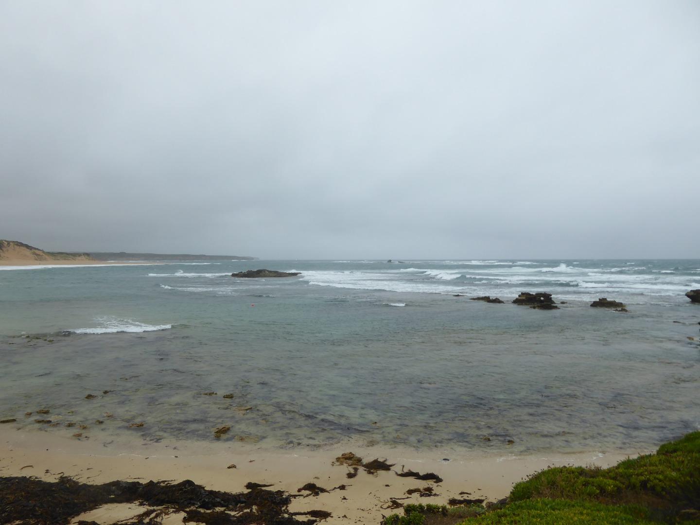
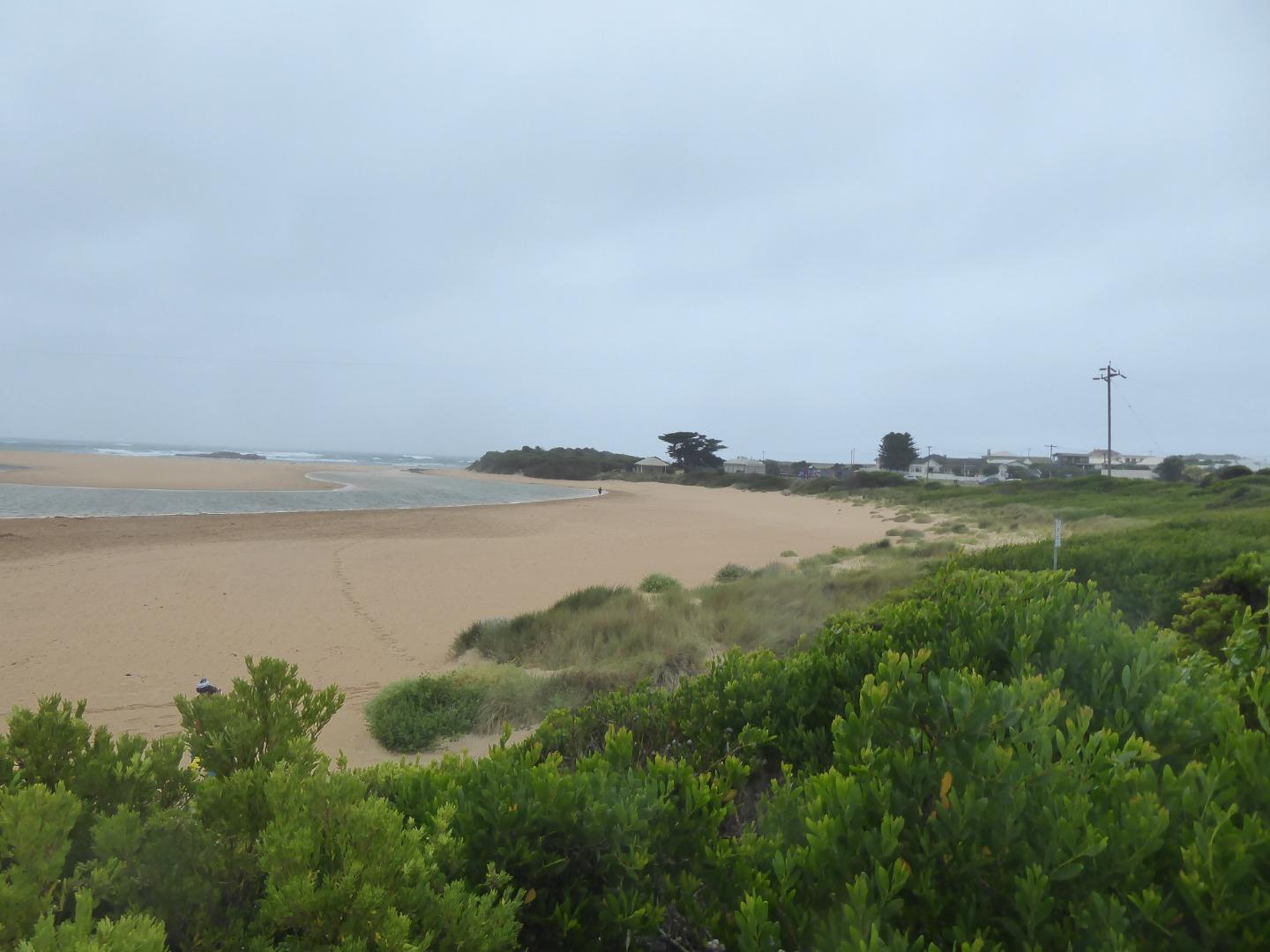
Curdies River Mouth ConditionActive Mouth Condition 21-02-2014 - 11-06-2026Behind the no disabled access sign at the top of the beach access track opposite the disabled car parks in the James Irvine memorial car park, Peterborough. Observations 181 |
CuP1 |
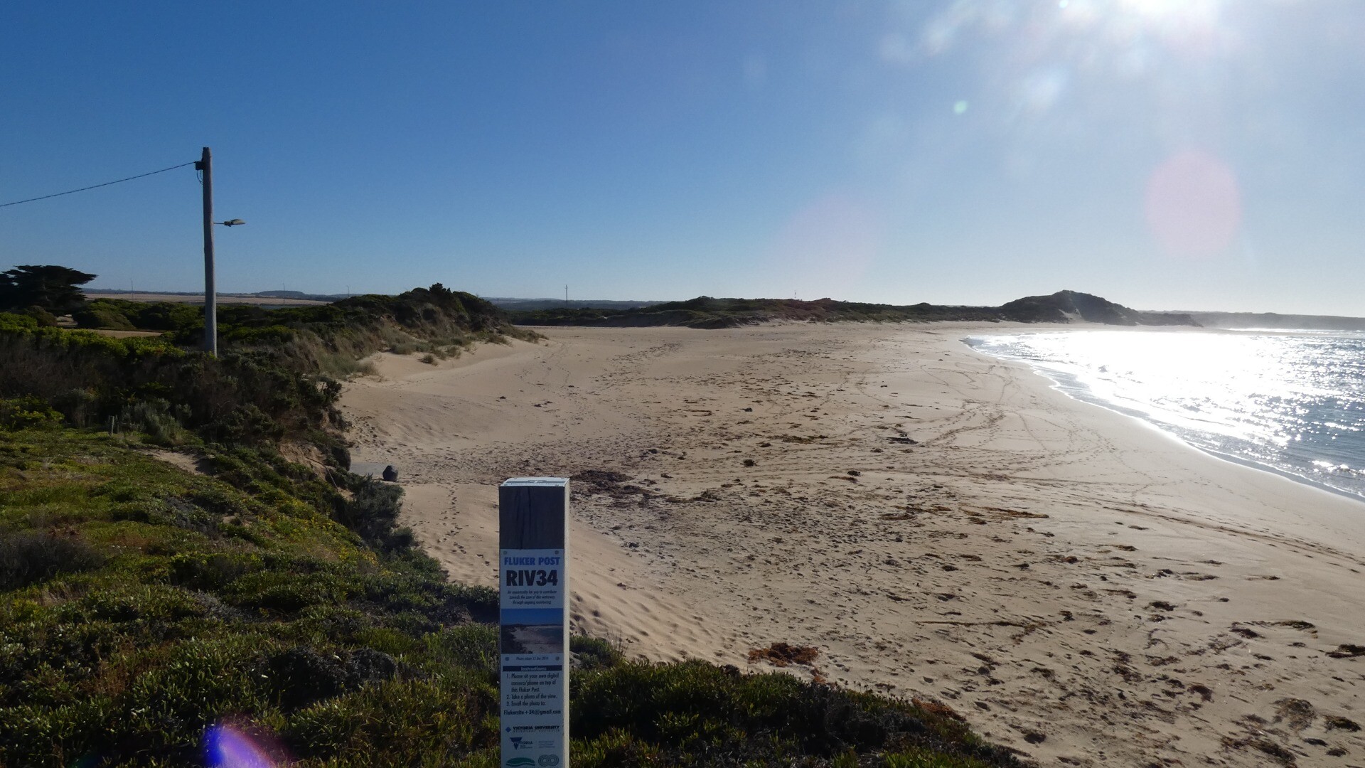
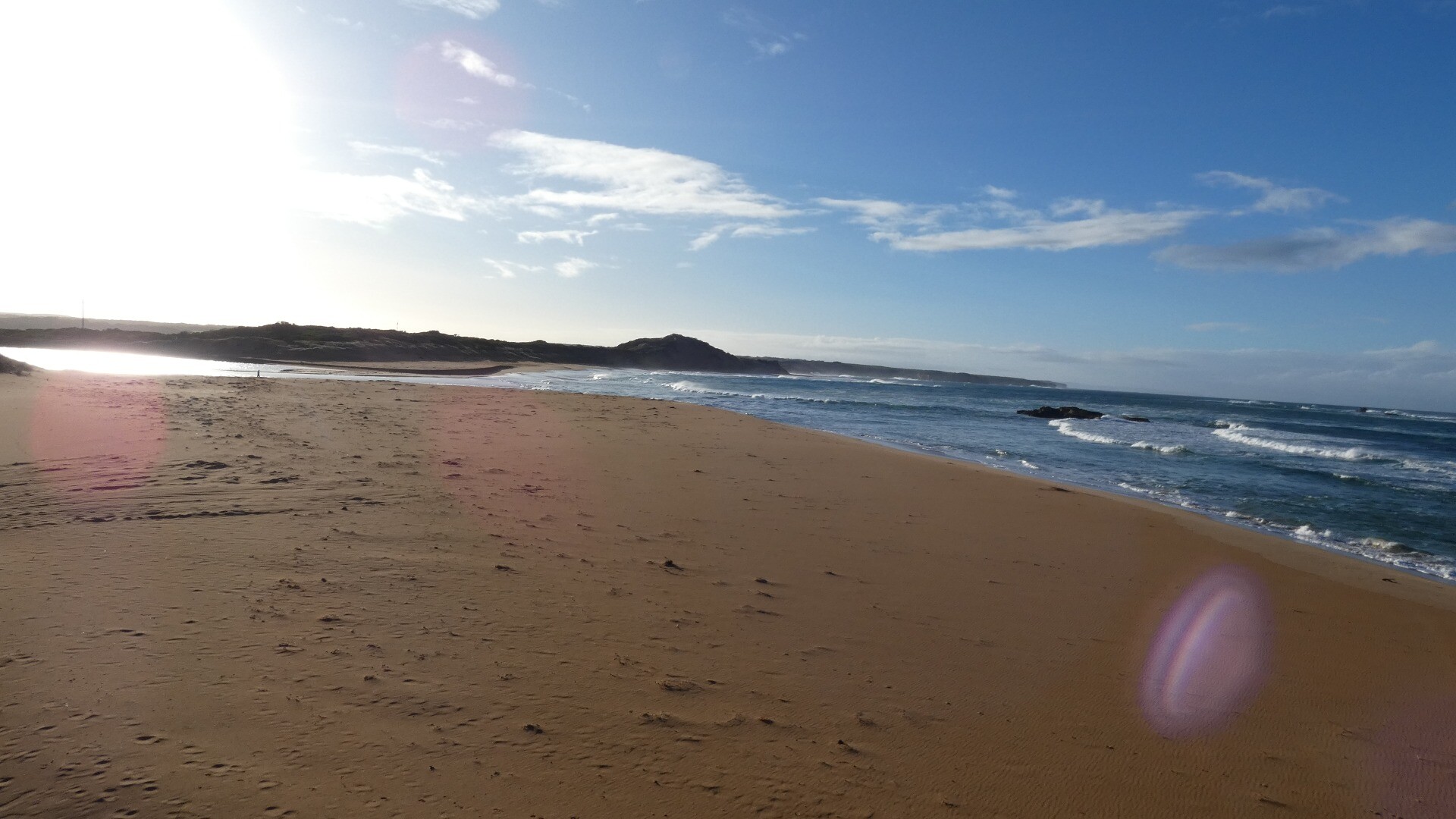
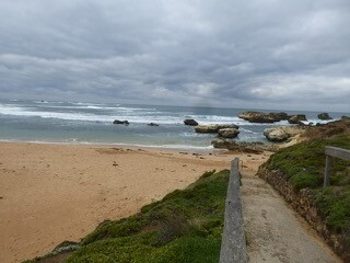
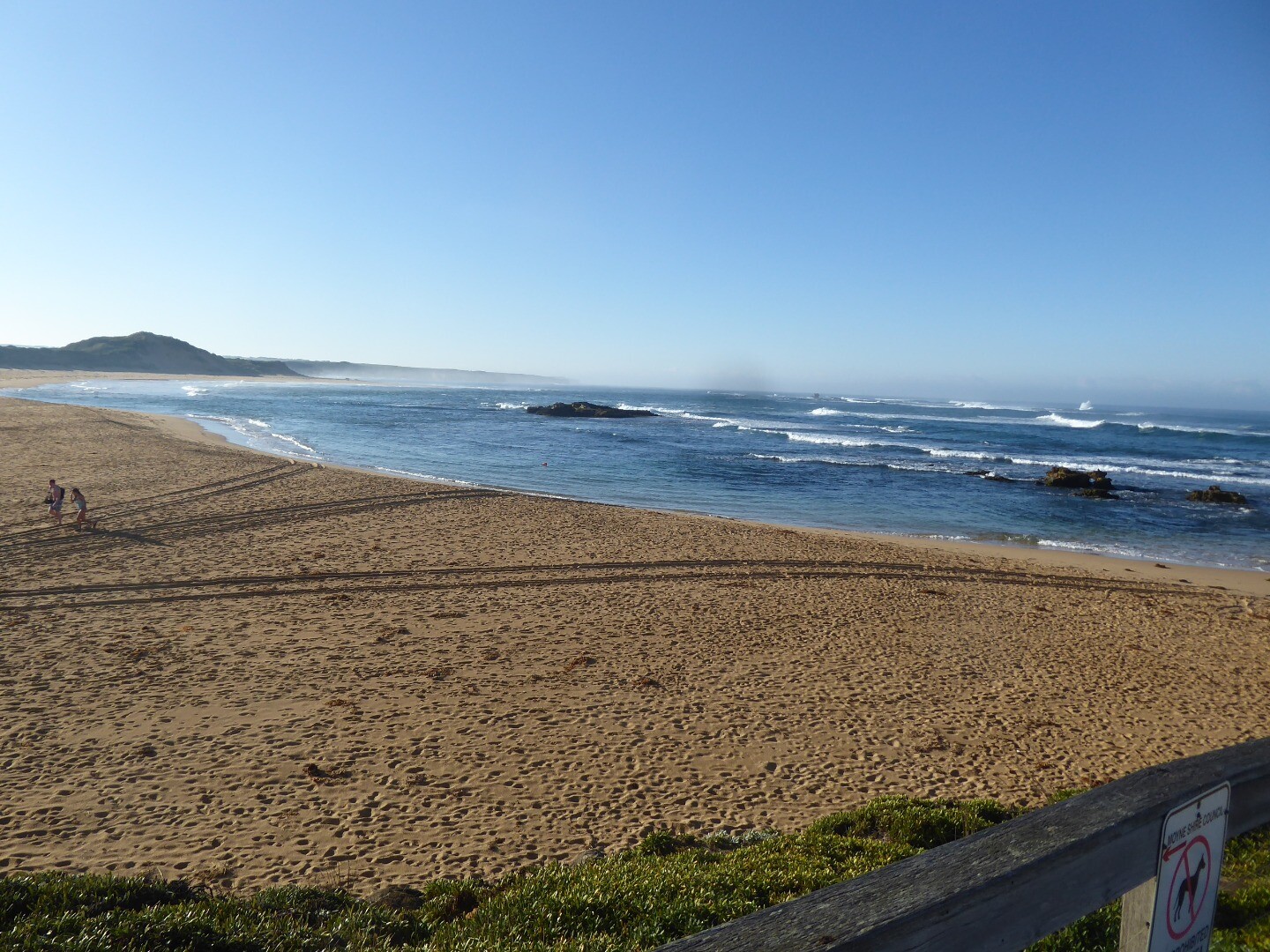
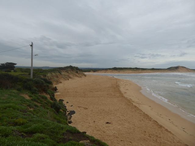
Curdies River Photopoint 1Active Photopoint 14-05-2014 - 05-05-2026Behind the no disabled access sign at the top of the beach access track opposite the disabled car parks in the James Irvine memorial car park, Peterborough. Photos 632 |
CuP2 |
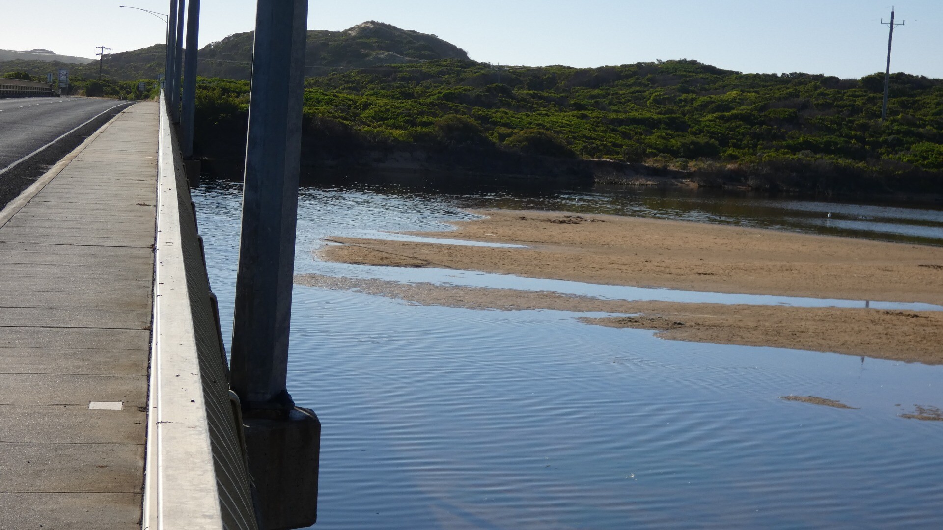
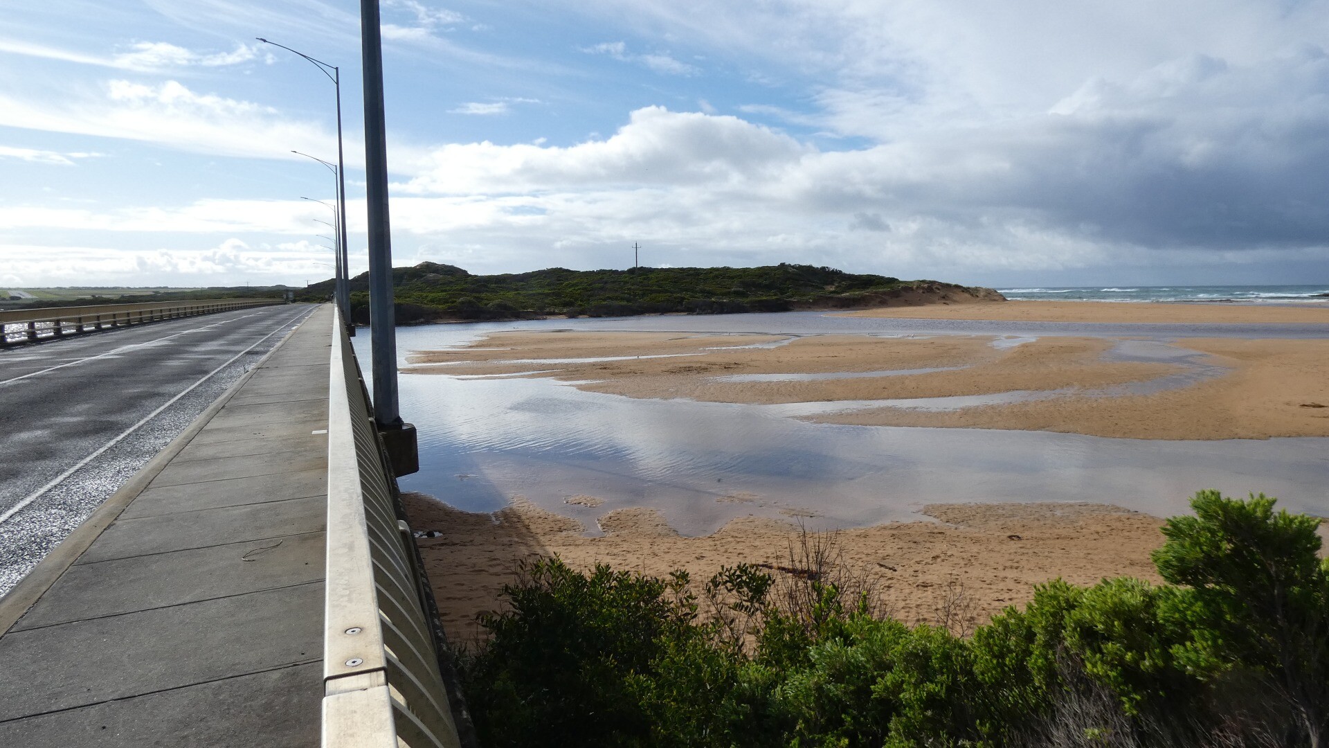
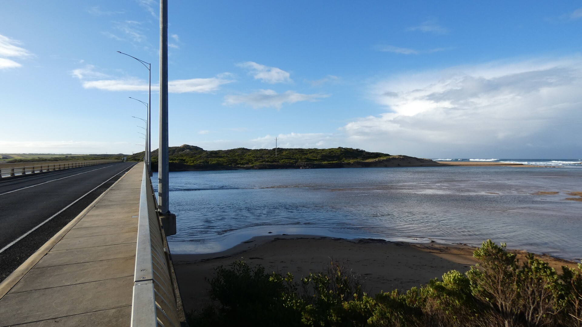
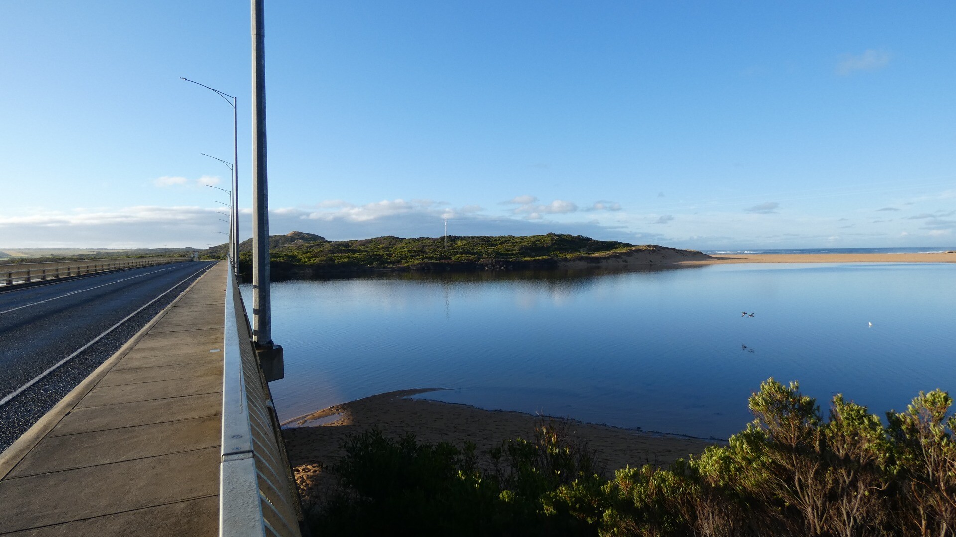
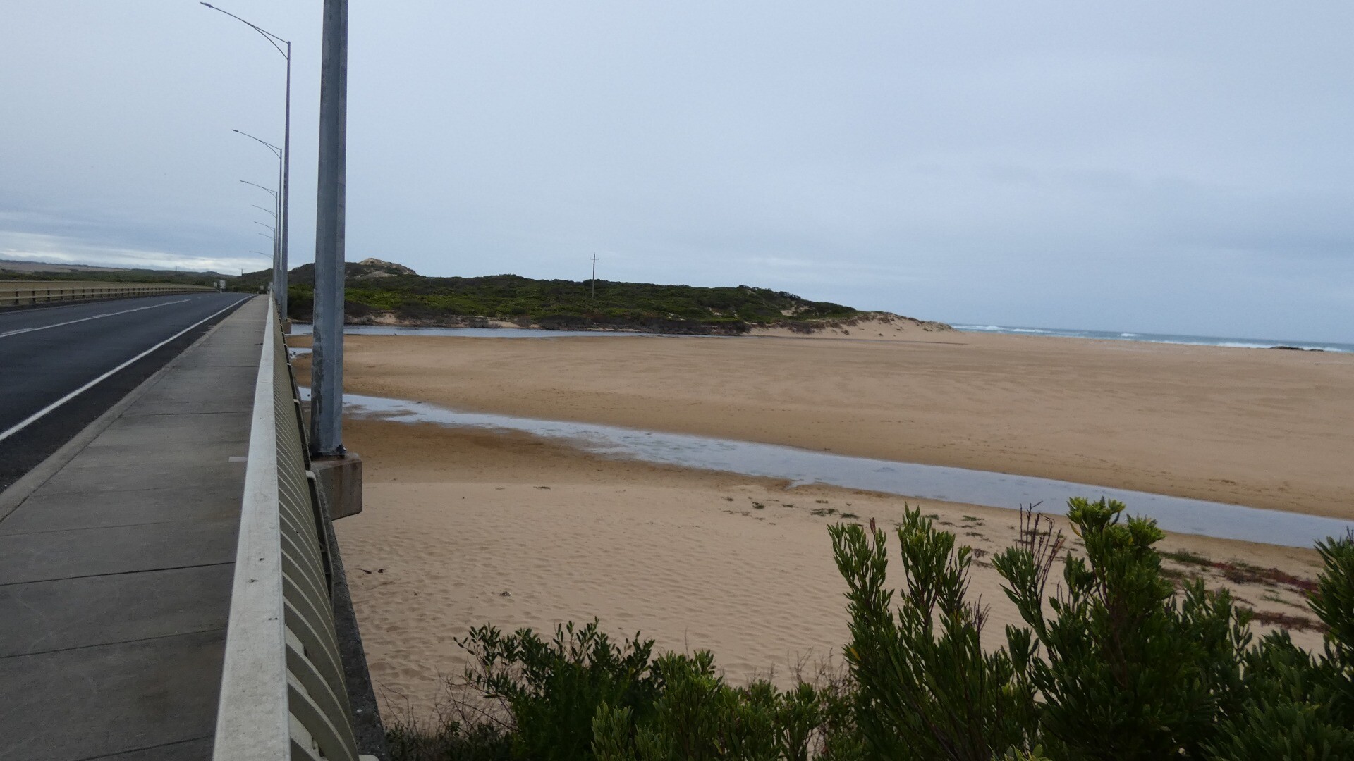
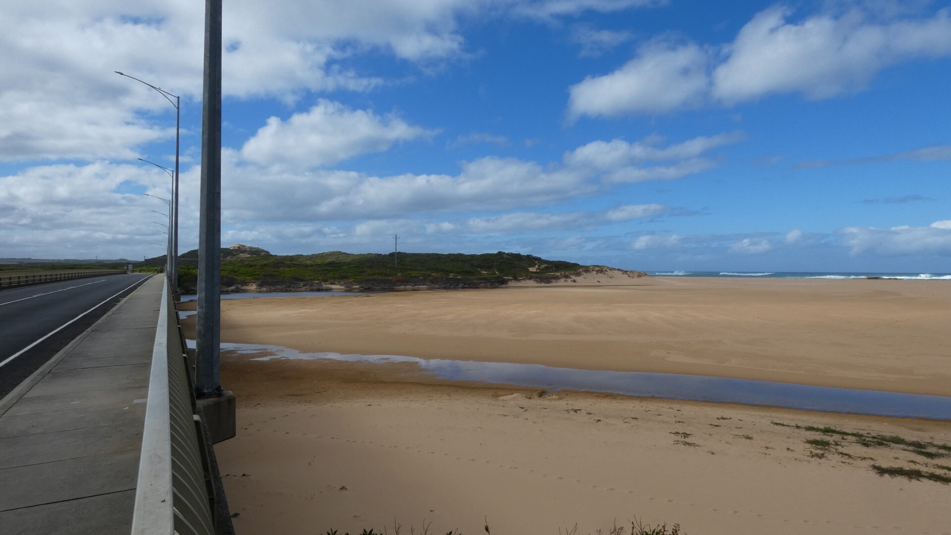
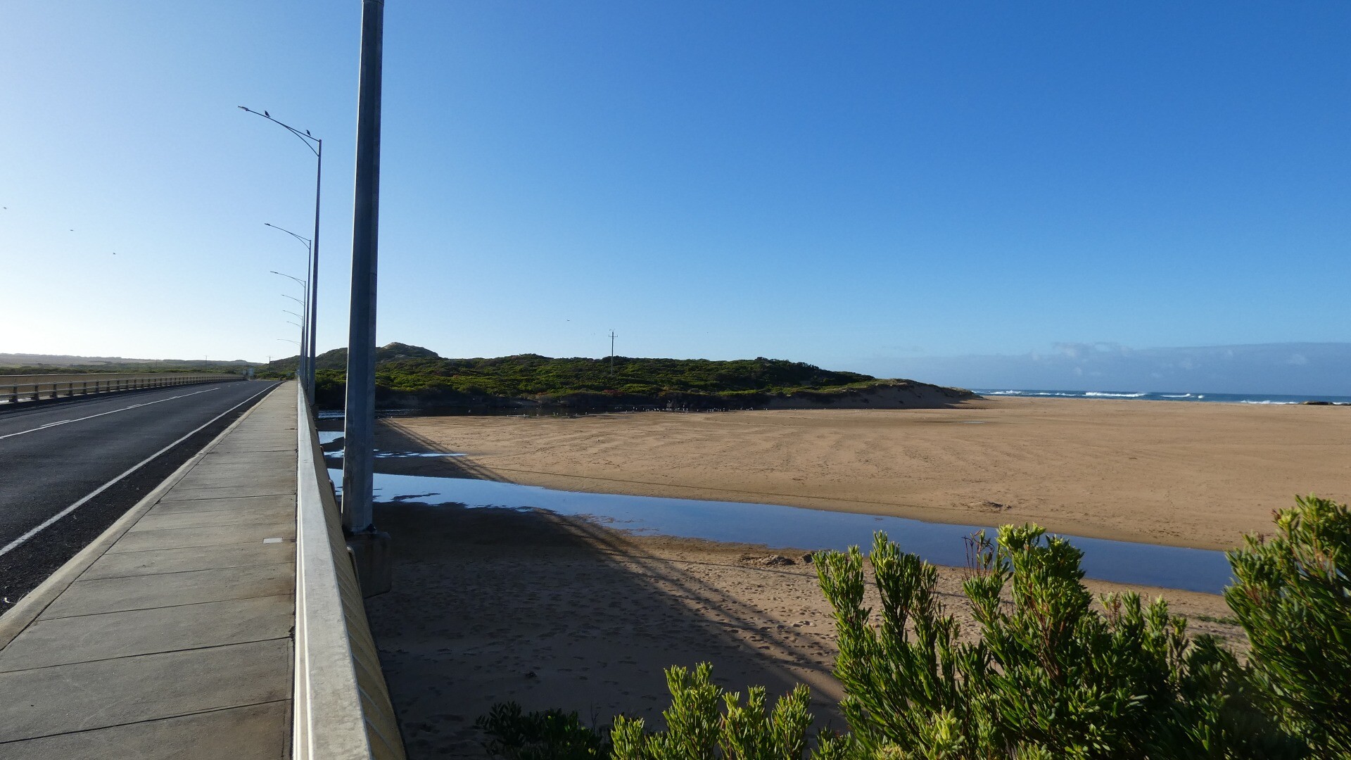
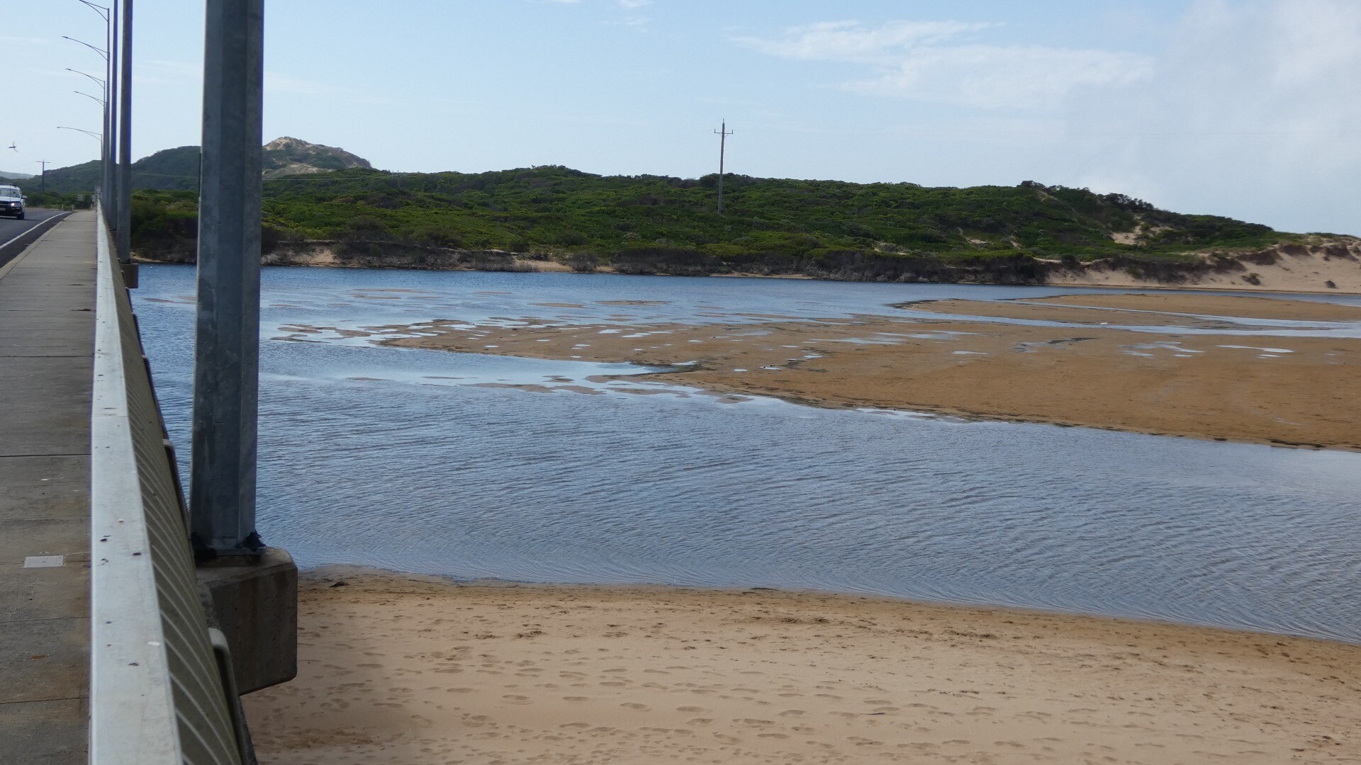
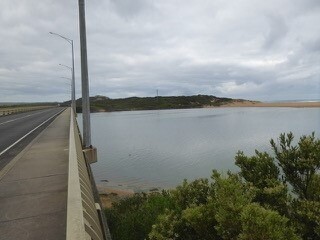
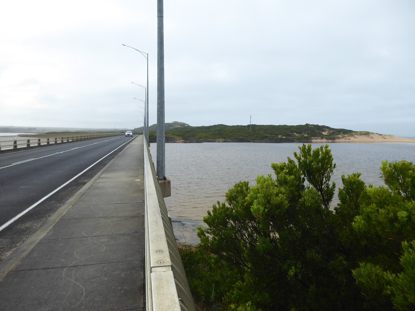
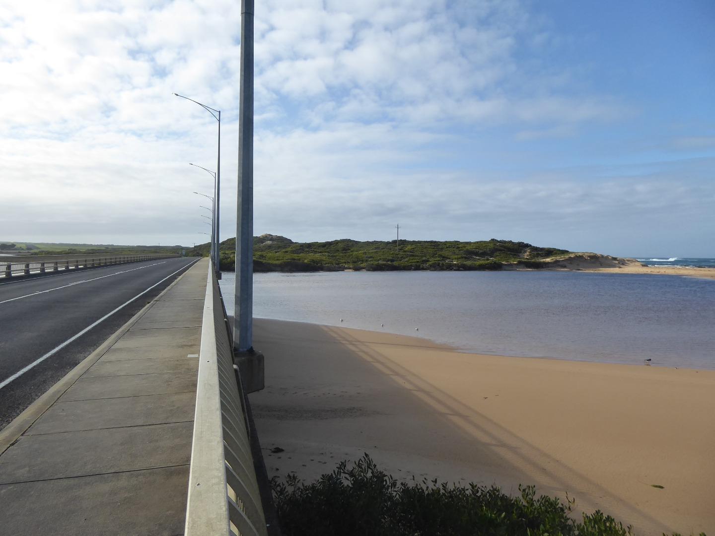
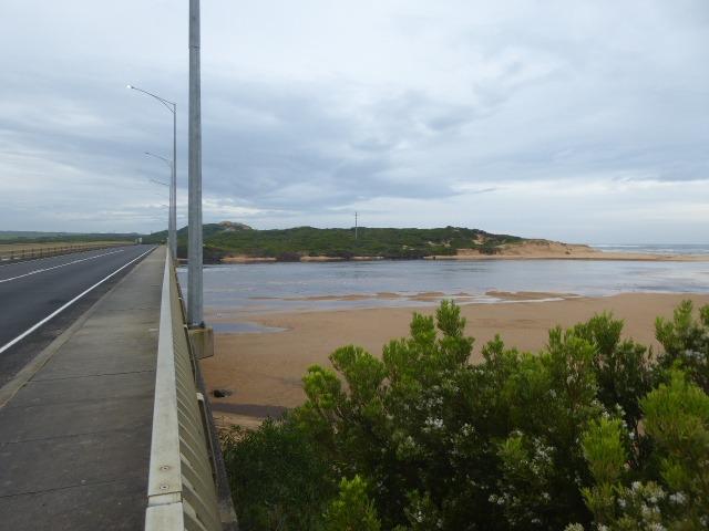
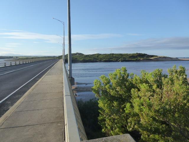
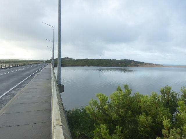
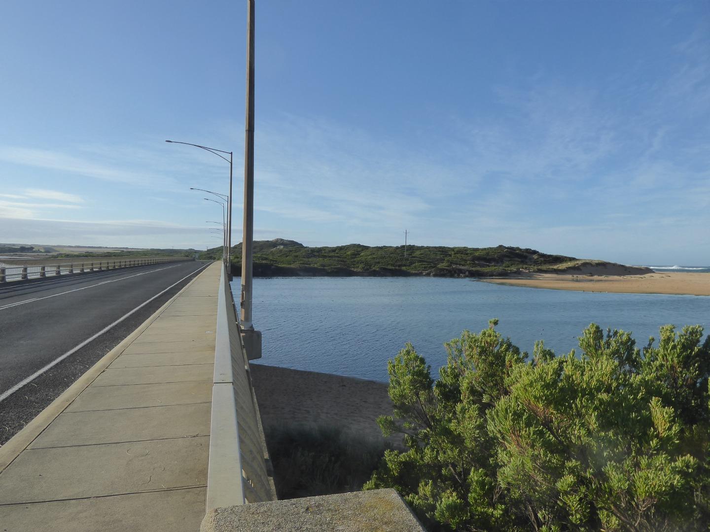
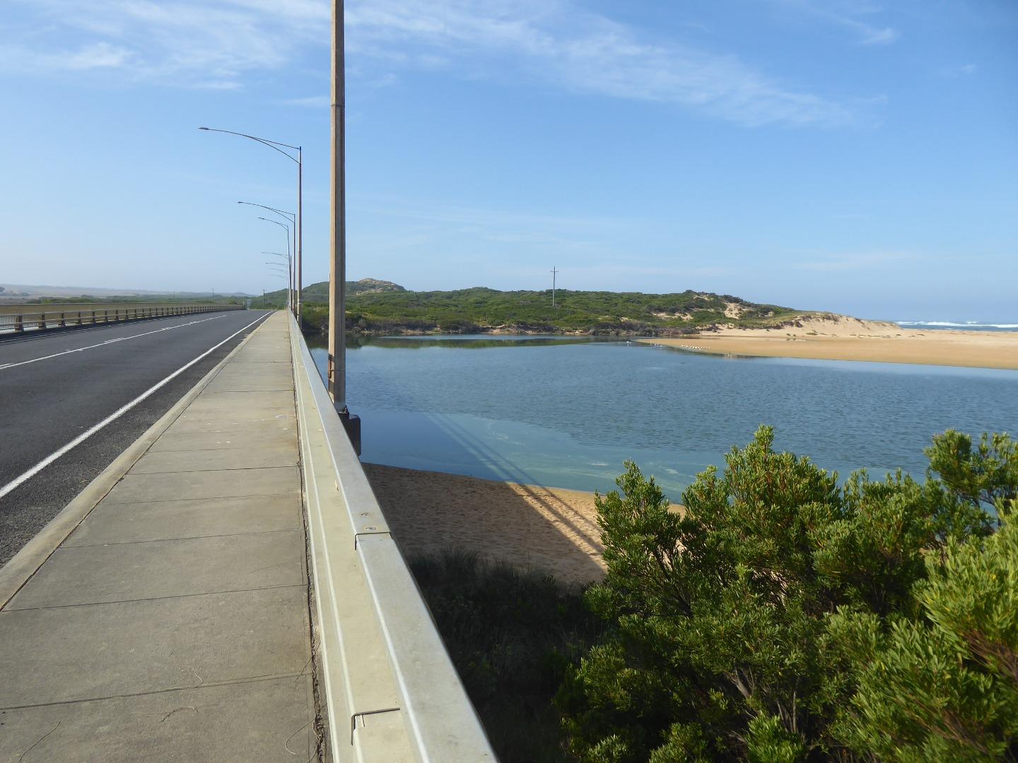
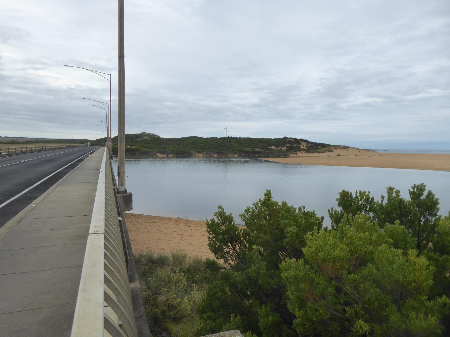
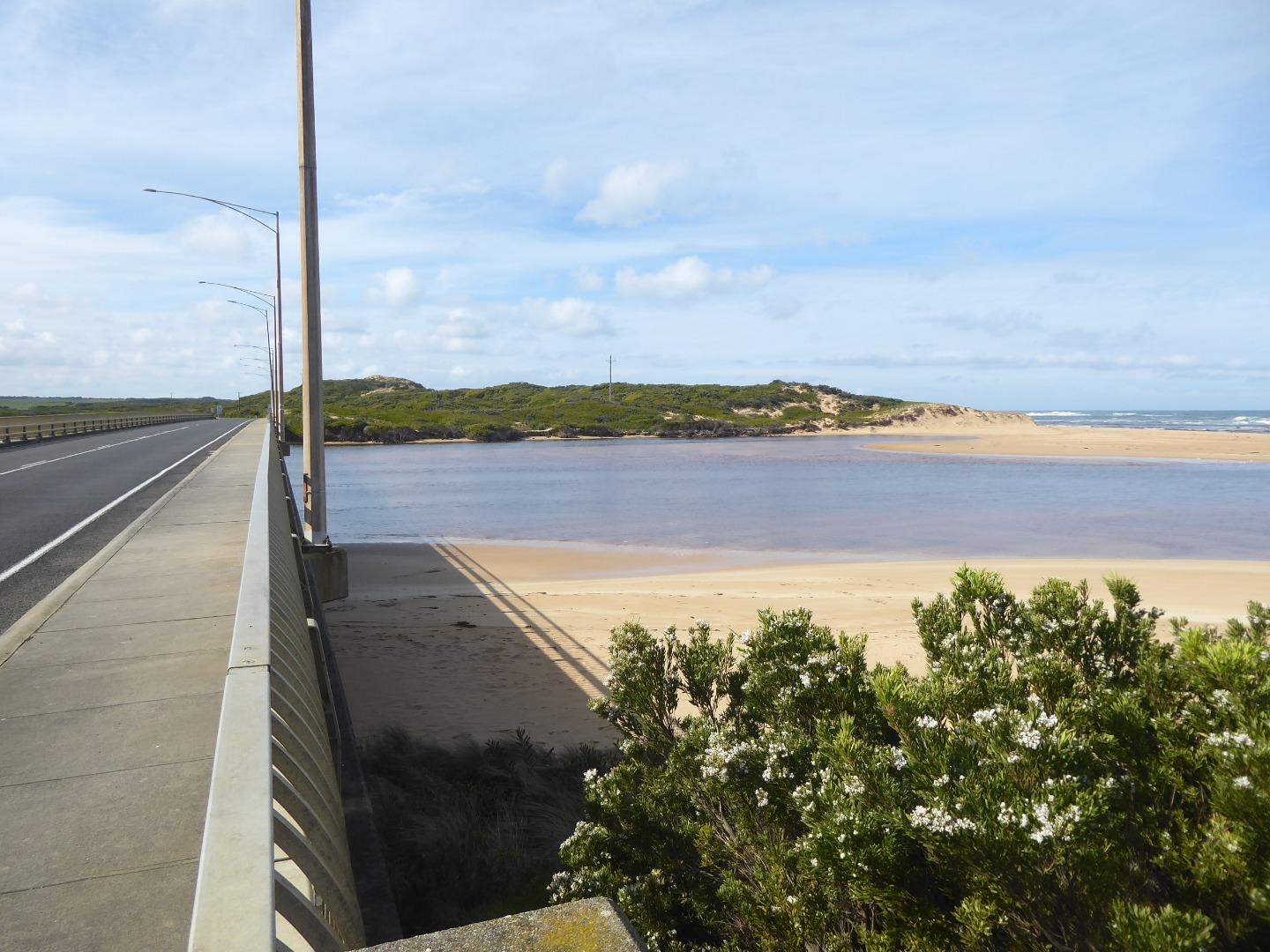
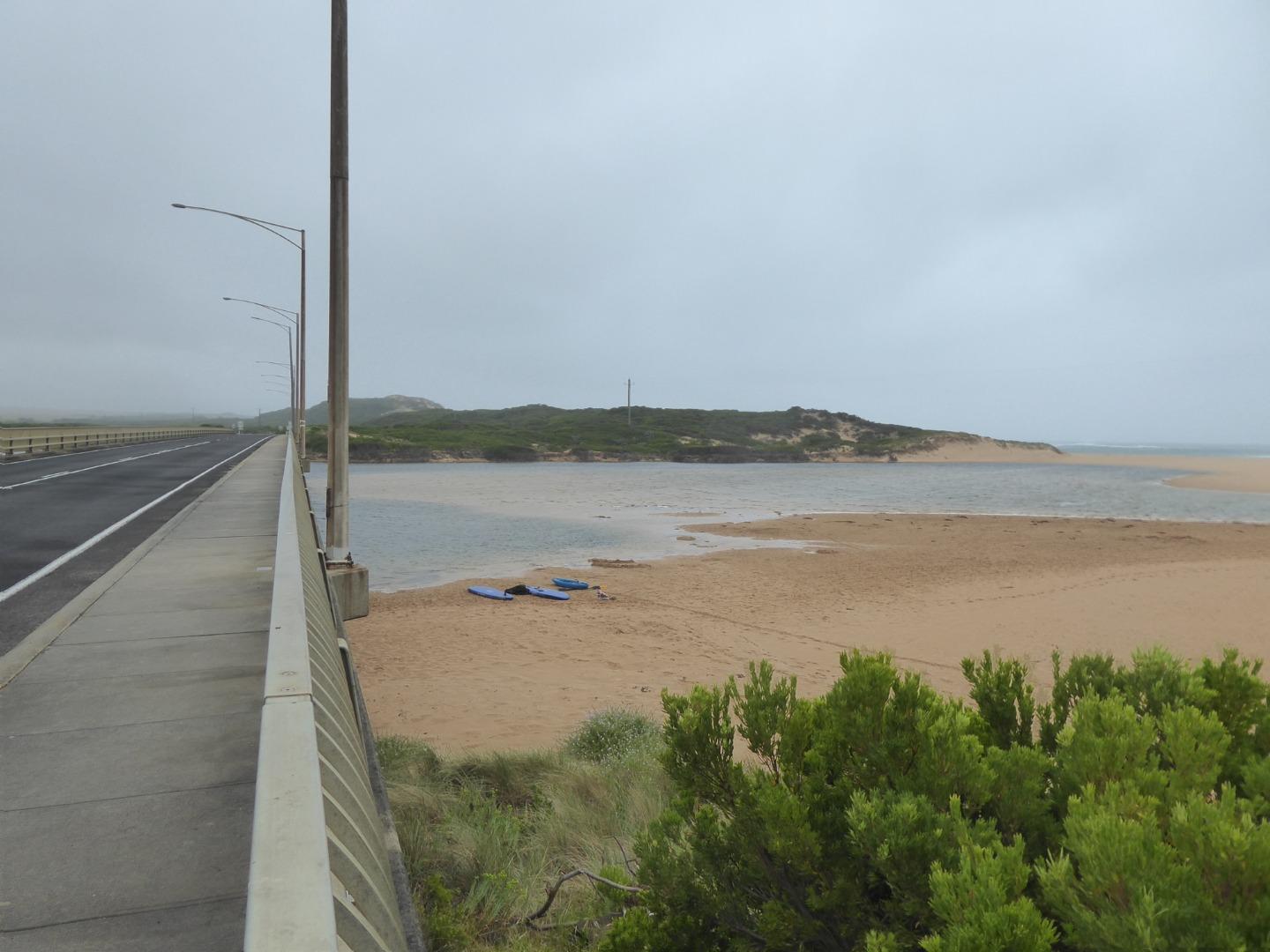
Curdies River Photopoint 2Active Photopoint 14-05-2014 - 05-05-2026Concrete pylon at the start of the Great Ocean Road Bridge on the western side. Photos 460 |
Winter 2026
Autumn 2026
Summer 2026
Spring 2025
Winter 2025
Autumn 2025
Summer 2025
Spring 2024
Winter 2024
Autumn 2024
Summer 2024
Spring 2023
Winter 2023
Autumn 2023
Spring 2022
Autumn 2021
Summer 2021
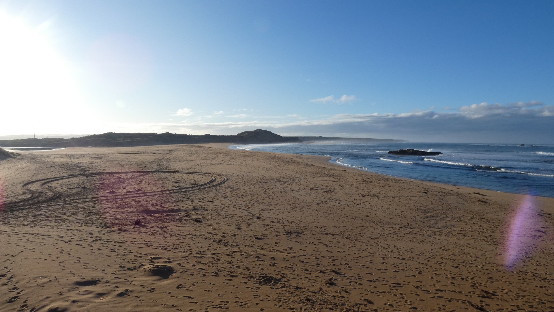
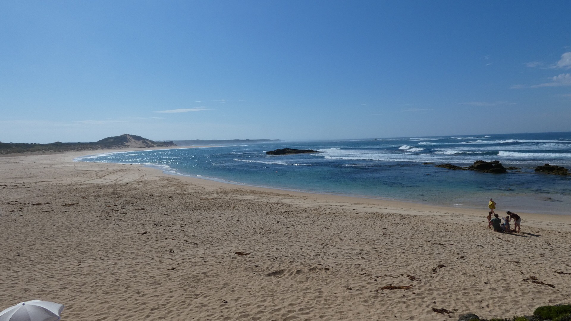
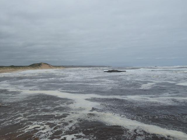
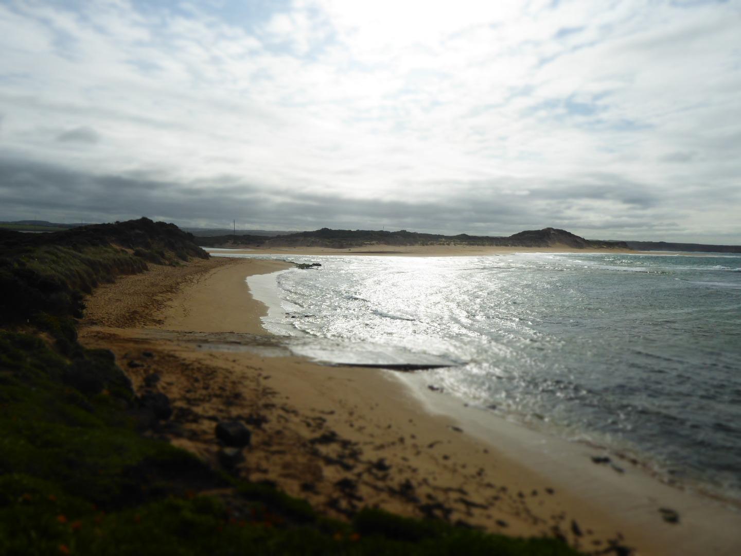
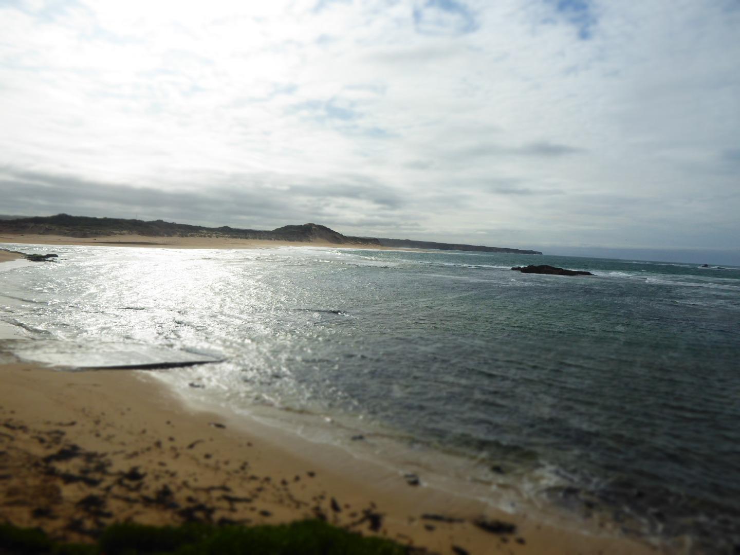
Mouth Condition Snapshots


We honour Elders past and present whose knowledge and wisdom has ensured the continuation of culture and traditional practices.
 All content, files, data and images provided by the EstuaryWatch Data Portal subject to a Creative Commons Attribution License
Data portal by CeRDI
All content, files, data and images provided by the EstuaryWatch Data Portal subject to a Creative Commons Attribution License
Data portal by CeRDI