CuMC Curdies Mouth Condition
2 February 2021
Observation details
Overview
| Estuary | Curdies River Estuary |
|---|---|
| Site | Curdies Mouth Condition |
| Observation ID | #13968 |
| Date and Time | Tuesday 2nd February 2021 09:00am |
| Approved | Approved |
Mouth Observation
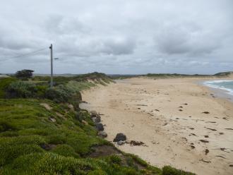
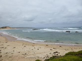
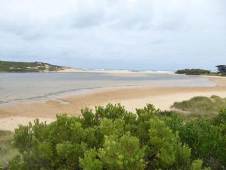
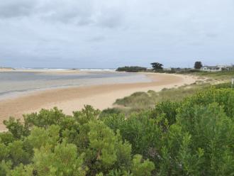
| Mouth state | Closed |
|---|---|
| Previous | C |
| Flow Present? | No |
| Previous | N |
| Flow Direction | N/A |
| Previous | N |
| Above Sea | Above Estuary | |
|---|---|---|
| Berm Height (m) | 1.5m | 1.3m |
| Berm Length (m) | 73.0m |
Physical Condition
| Current | Mode | |
|---|---|---|
| Wind Direction | South | South-East |
| Beaufort Scale | Fresh breeze | Gentle breeze |
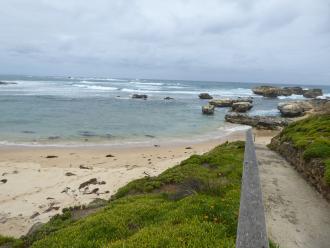
| Sea State | Moderate | Moderate |



 All content, files, data and images provided by the EstuaryWatch Data Portal subject to a