CuMC Curdies River Mouth Condition
4 February 2025
Observation details
Overview
| Estuary | Curdies River Estuary |
|---|---|
| Site | Curdies River Mouth Condition |
| Observation ID | #16709 |
| Date and Time | Tuesday 4th February 2025 10:00am |
| Approved | Approved |
Notes
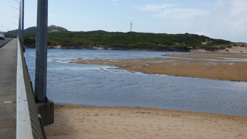
We were unable to determine the berm height above the estuary.
The Height Gauge on the Bridge Pylon is encrusted with coral and other debris, and is impossible to read accurately. I photograph the gauge, then enlarge it on my computer and scale the gauge to get approximate values, but this is becoming more difficult as the encrustations on the gauge increase.
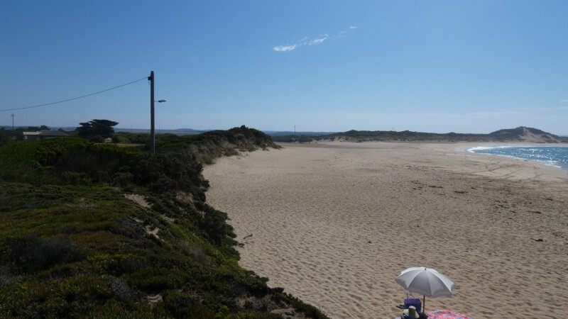
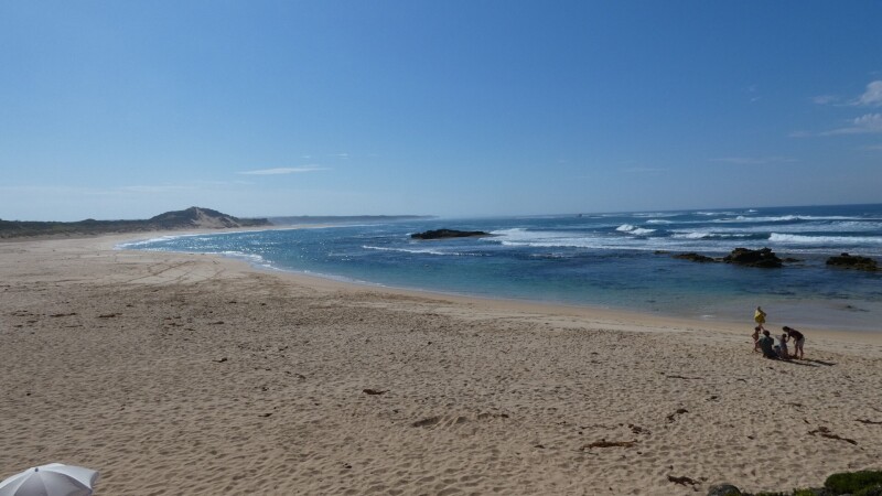
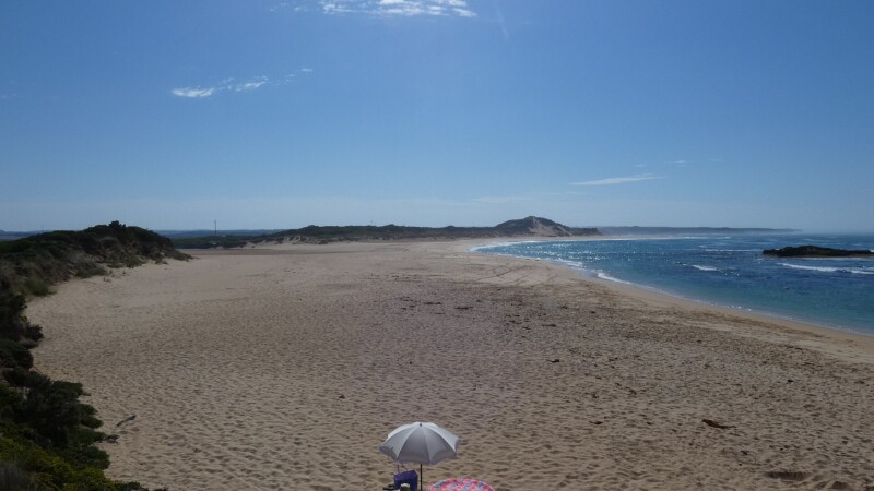
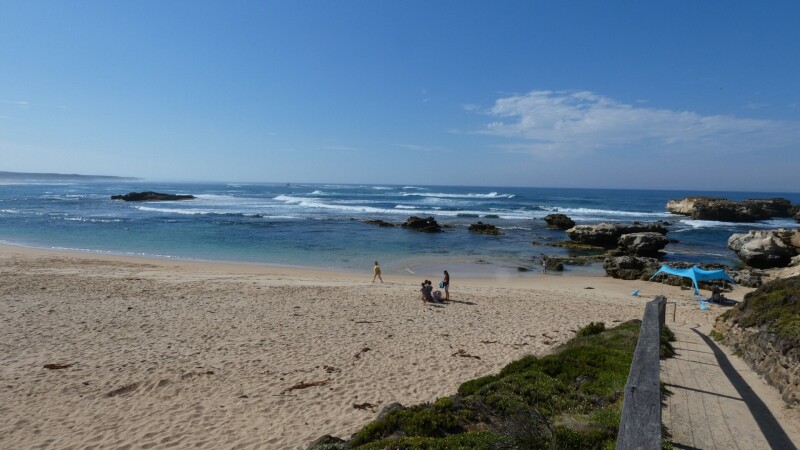
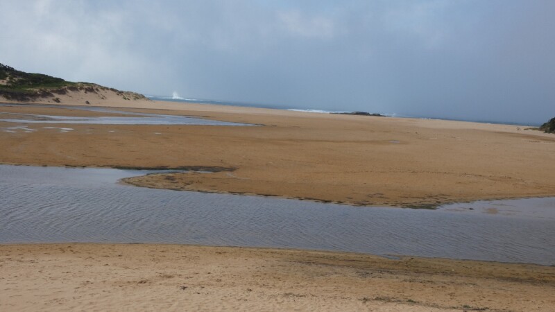
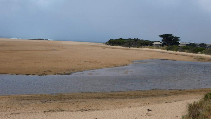
Mouth Observation
| Mouth state | Closed |
|---|---|
| Previous | C C C C C O O O O O O O O O O O O O C C C C C C C O O O O O O C C C C O O O O O C C C C C C C C C C O O P C |
| Flow Present? | No |
| Previous | N N N N N Y Y Y Y Y Y Y Y Y Y Y Y Y N N N N N N N Y Y Y Y Y Y N N N N Y Y Y Y Y N N N N N N N N N N Y Y N N |
| Flow Direction | N/A |
| Previous | N N N N N O O O I O I I O I O O O I N N N N N N N O O O O O I N N N N O I I I S N N N N N N N N N N I O N N |
| Above Sea | Above Estuary | |
|---|---|---|
| Berm Height (m) | 1.4m | |
| Berm Length (m) | 97.0m |
Physical Condition
| Current | Mode | |
|---|---|---|
| Wind Direction | West | North |
| Beaufort Scale | Light Breeze | Strong breeze |
| Sea State | Slight | Very Rough |

We acknowledge and respect Victorian Traditional Owners as the original custodians of Victoria’s land and waters, their unique ability to care for Country and deep spiritual connection to it.
We honour Elders past and present whose knowledge and wisdom has ensured the continuation of culture and traditional practices.
We honour Elders past and present whose knowledge and wisdom has ensured the continuation of culture and traditional practices.
 All content, files, data and images provided by the EstuaryWatch Data Portal subject to a Creative Commons Attribution License
Data portal by CeRDI
All content, files, data and images provided by the EstuaryWatch Data Portal subject to a Creative Commons Attribution License
Data portal by CeRDI