Merri River Estuary
Glenelg Hopkins CMA
DOWNLOAD DATAOverview
Active Merri River EstuaryWatch Group
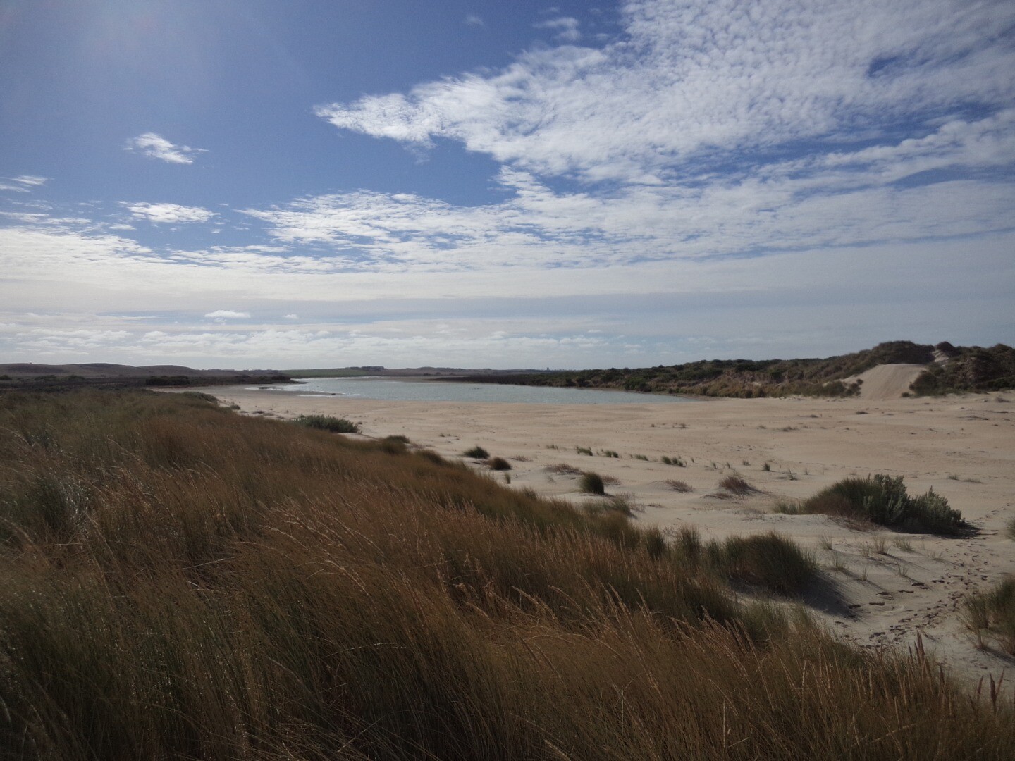
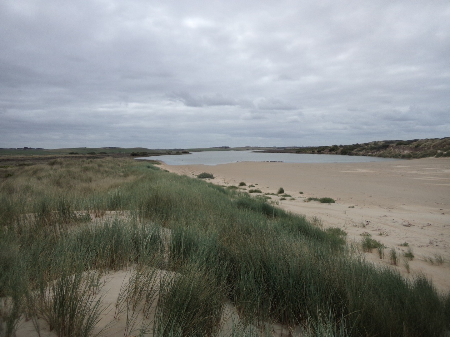
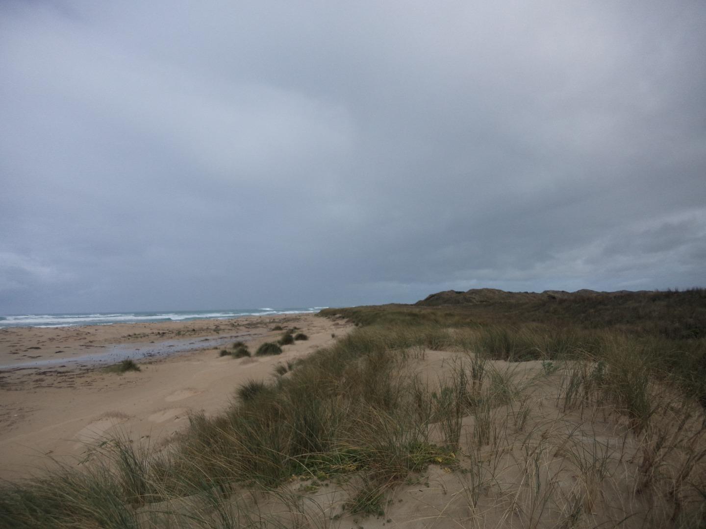
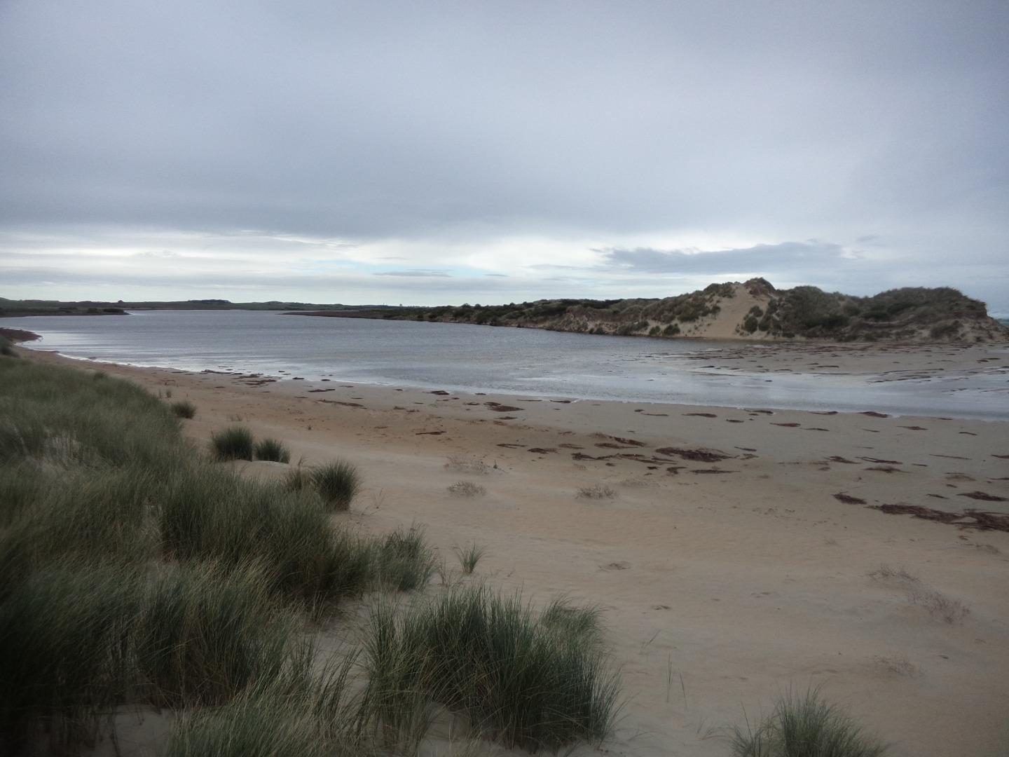
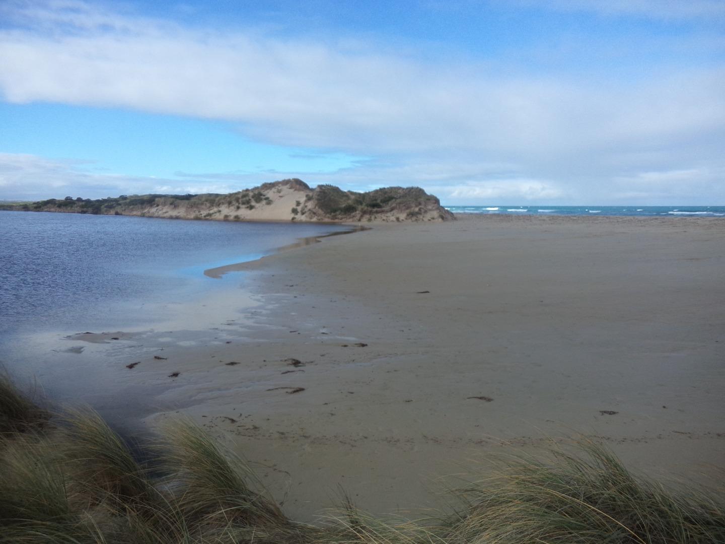
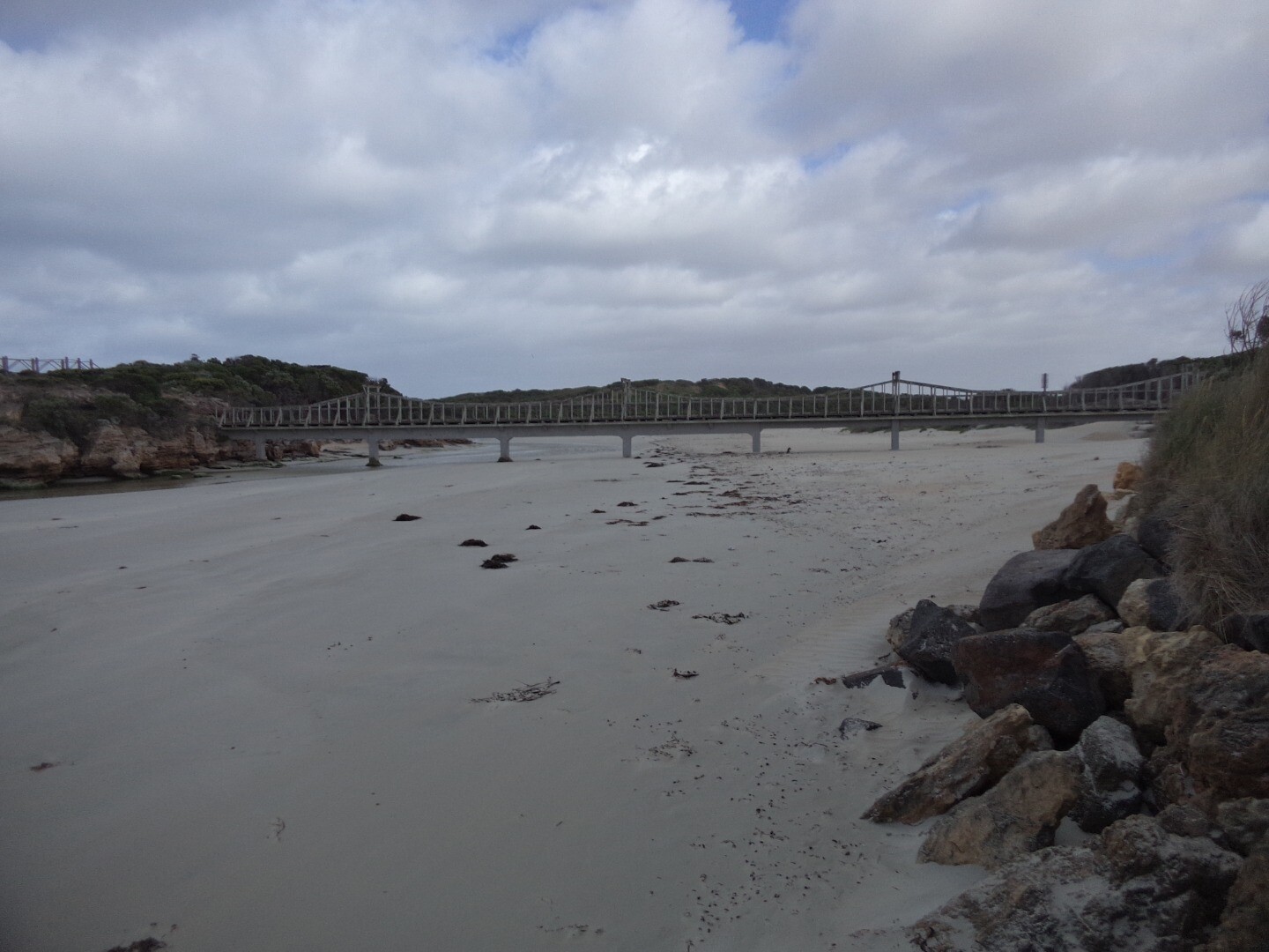
The Merri Estuary is located near Warrnambool in southwest Victoria. The river has two openings to the sea, both artificially modified. In 1859, the course of the Merri River was diverted in an attempt to prevent sedimentation in Lady Bay (Gill 1984). The main channel of the Merri River now discharges into the sea at Stingray Bay east of Pickering Point.
Map
Estuary Values
Estuary Threats
Recent Events
Sites
M1 |
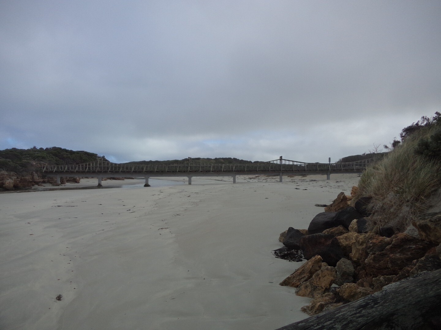
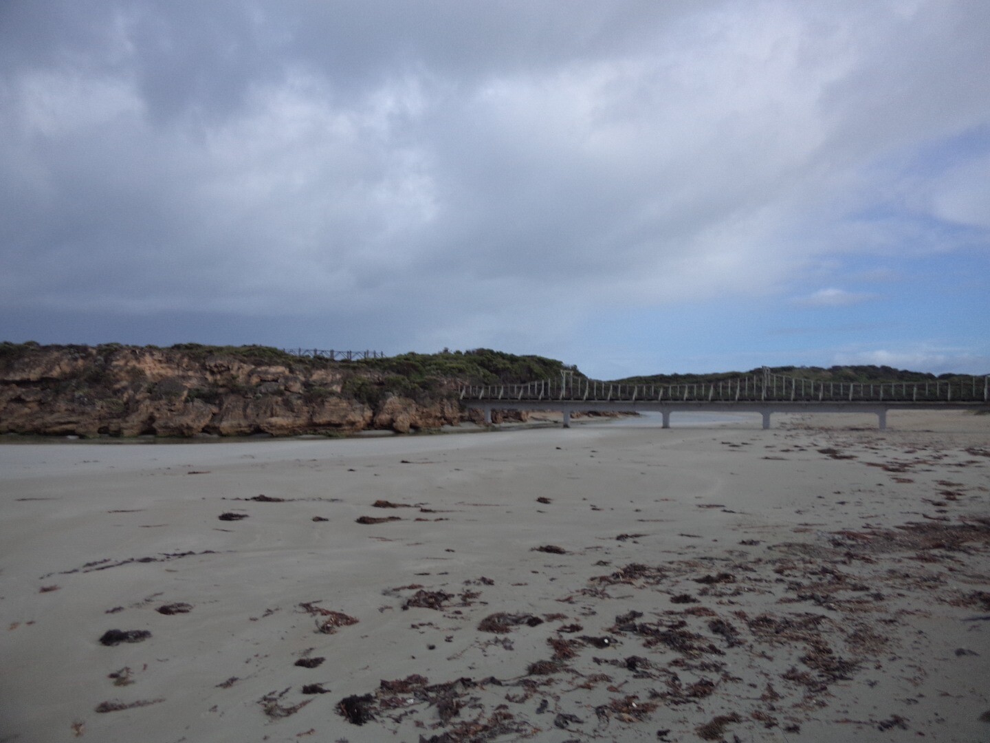
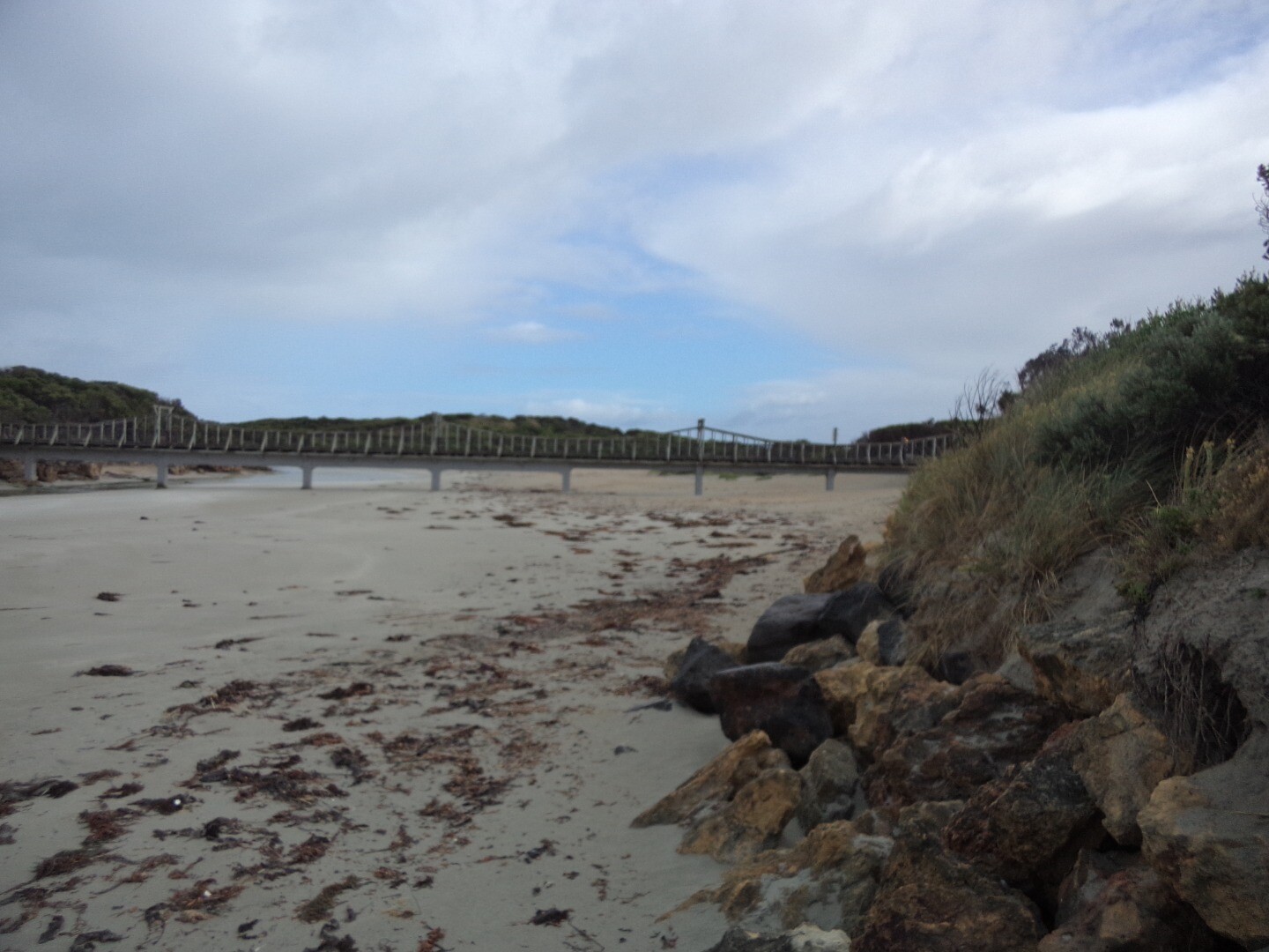
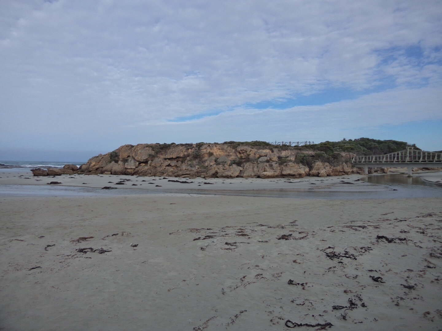
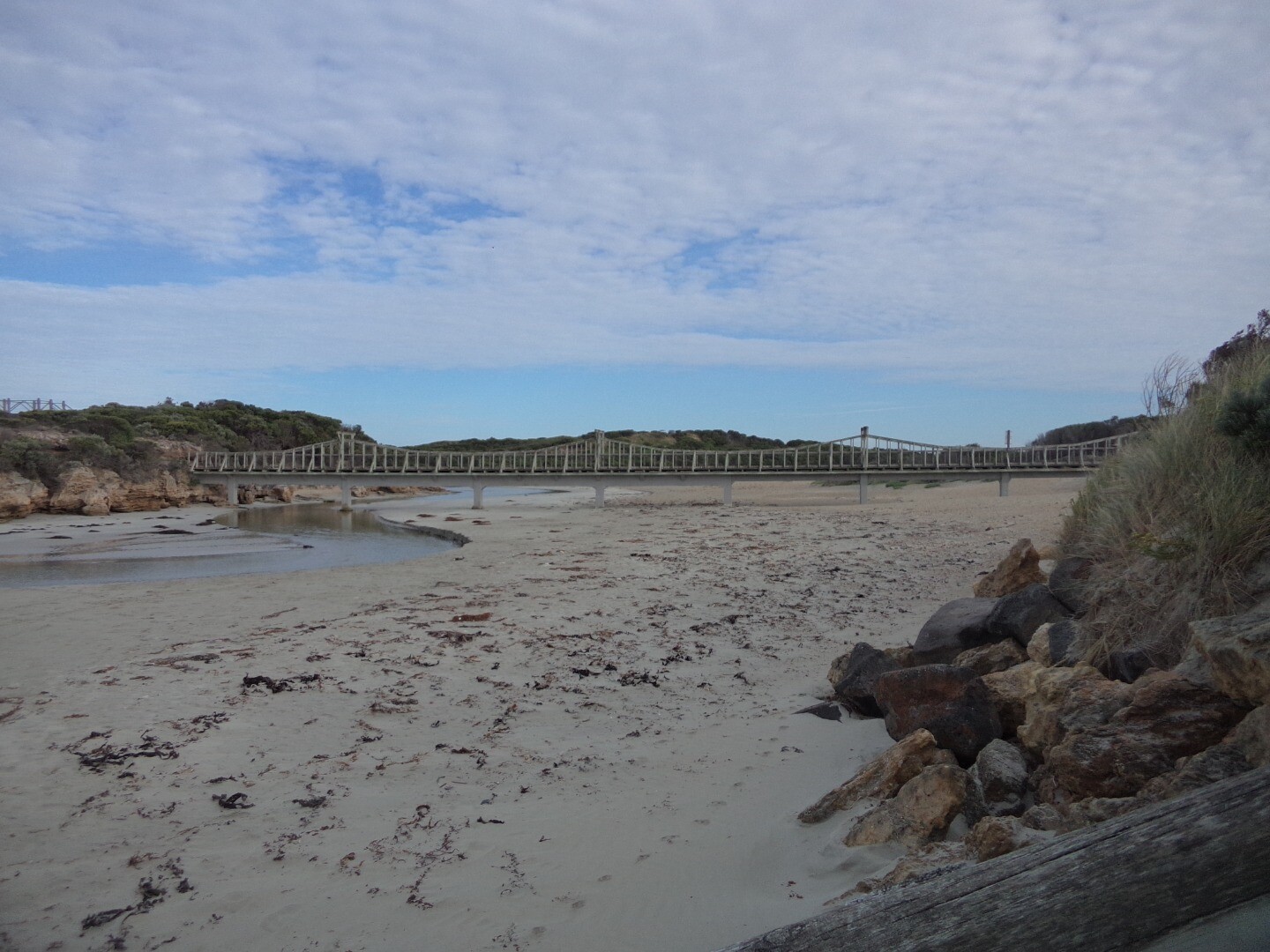
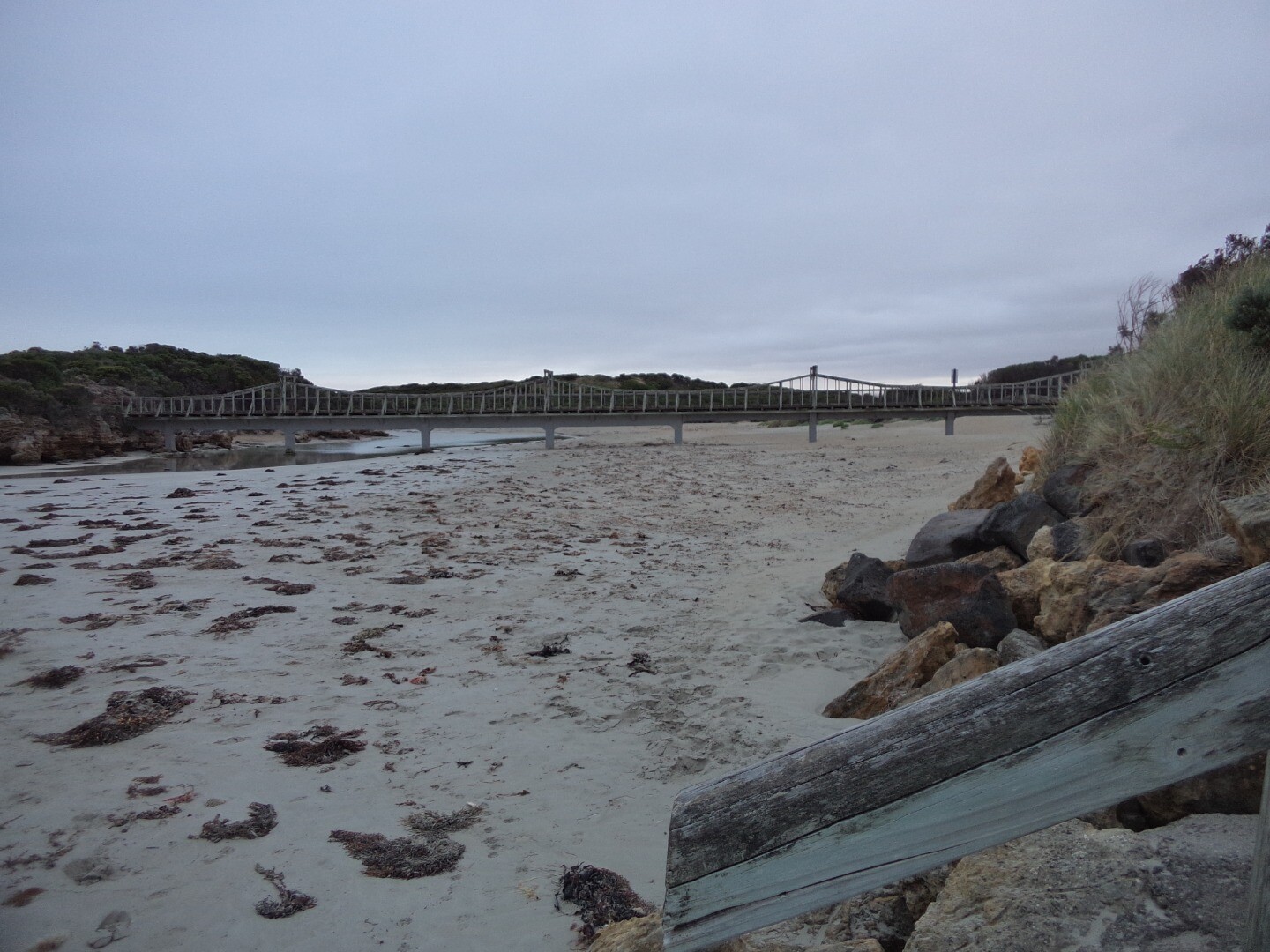
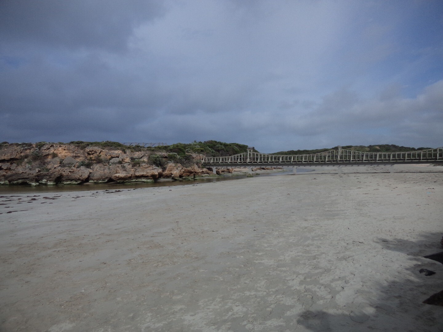
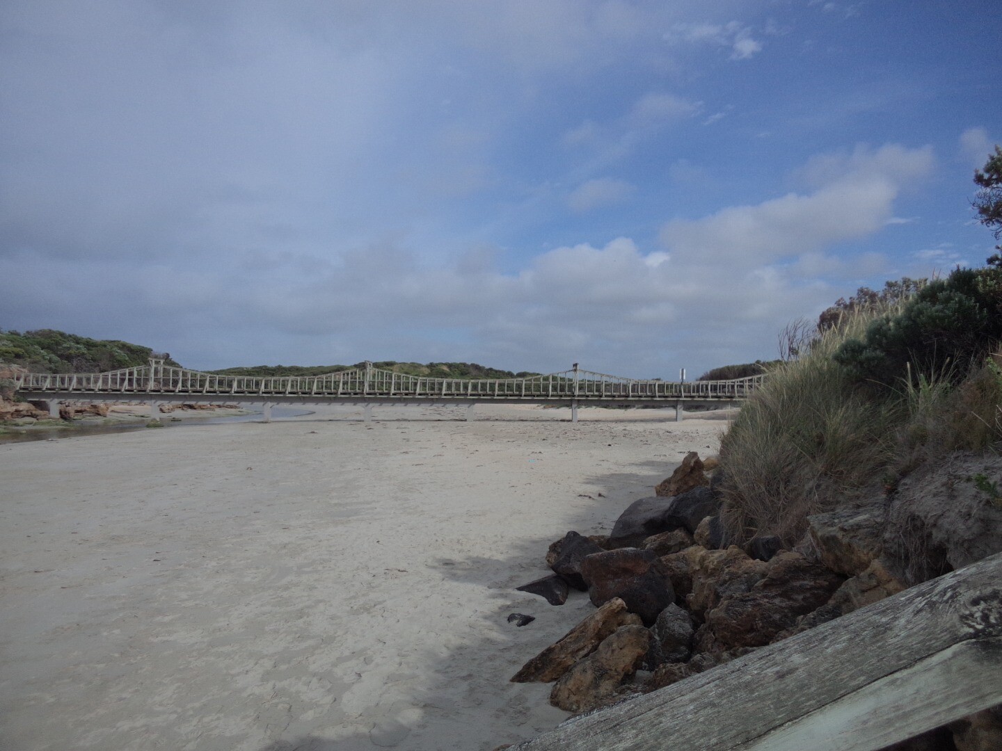
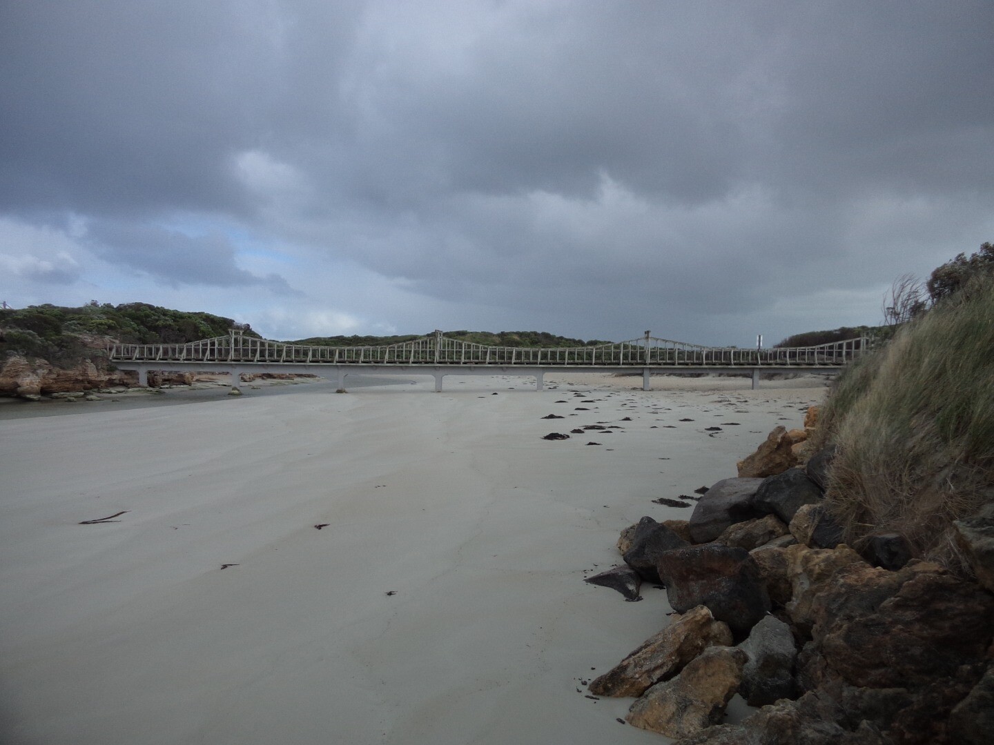
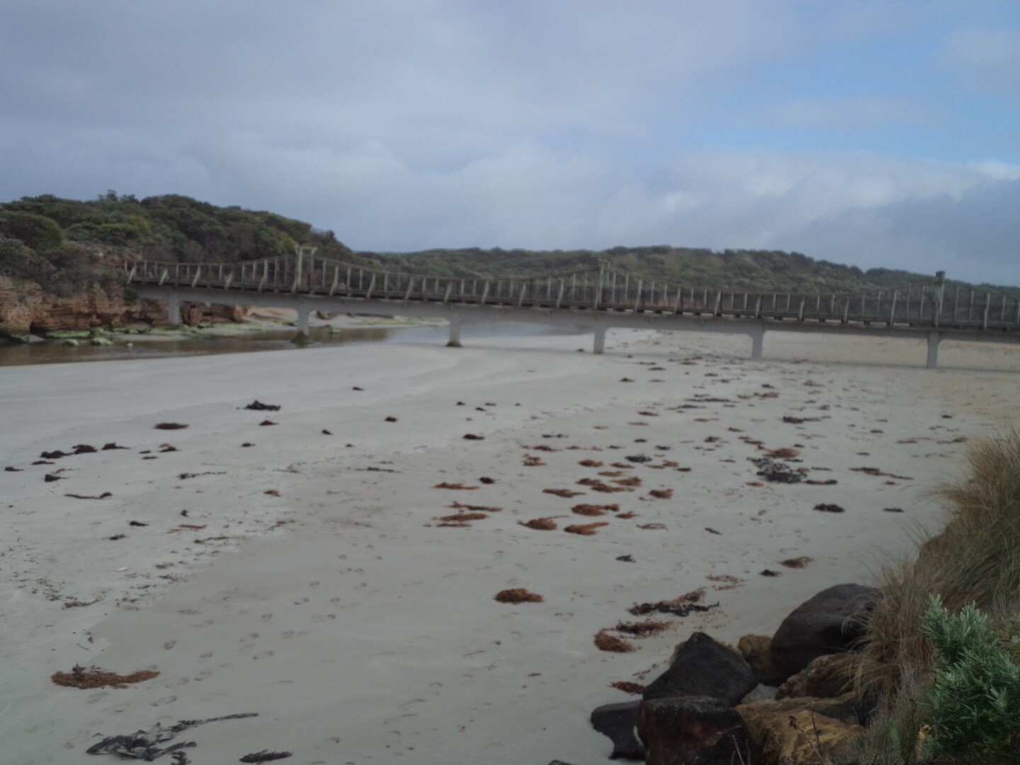
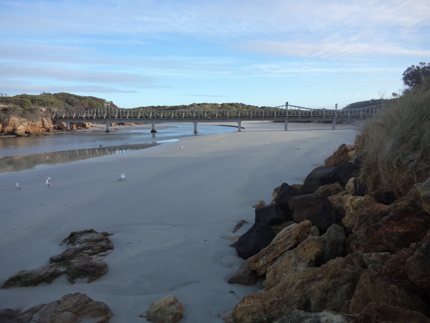
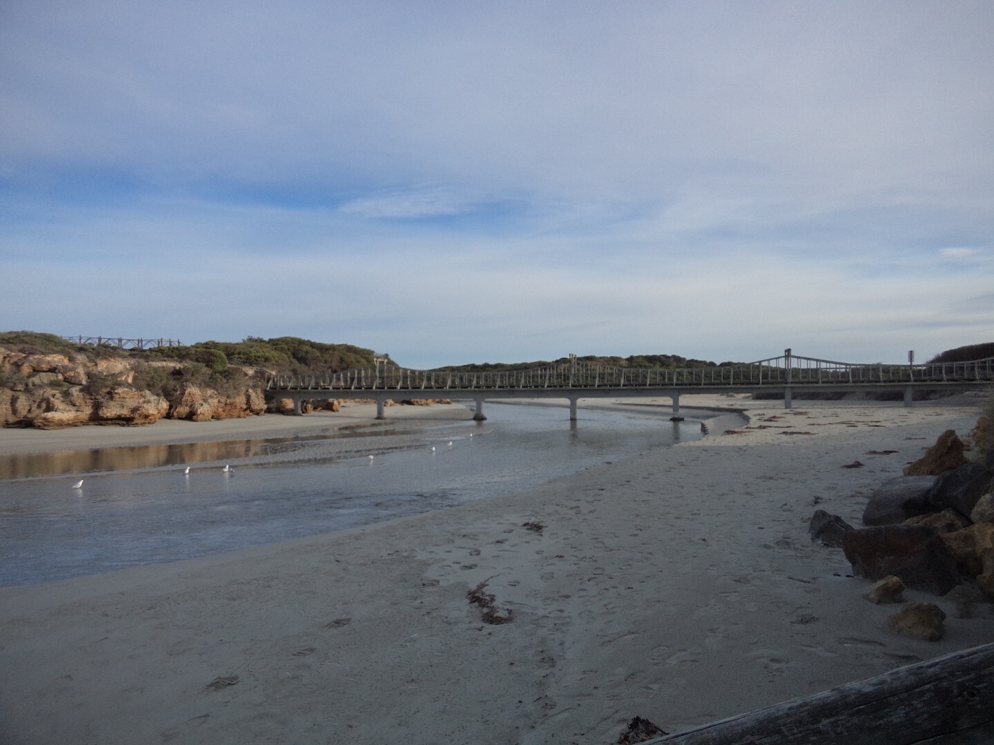
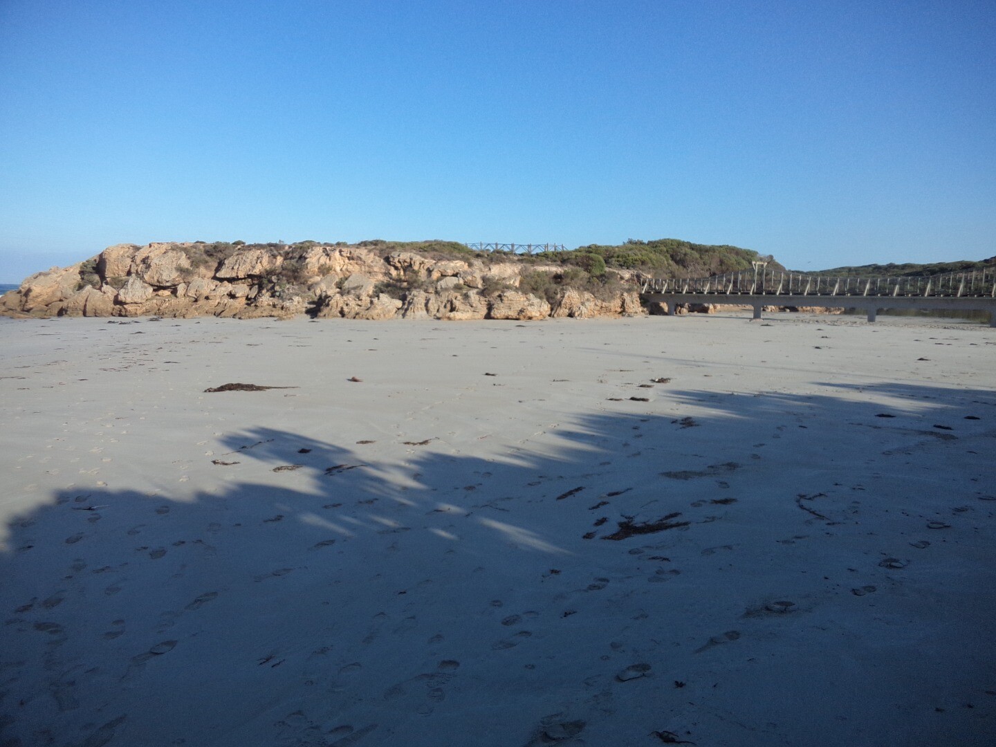
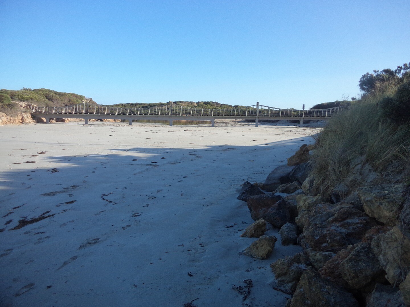
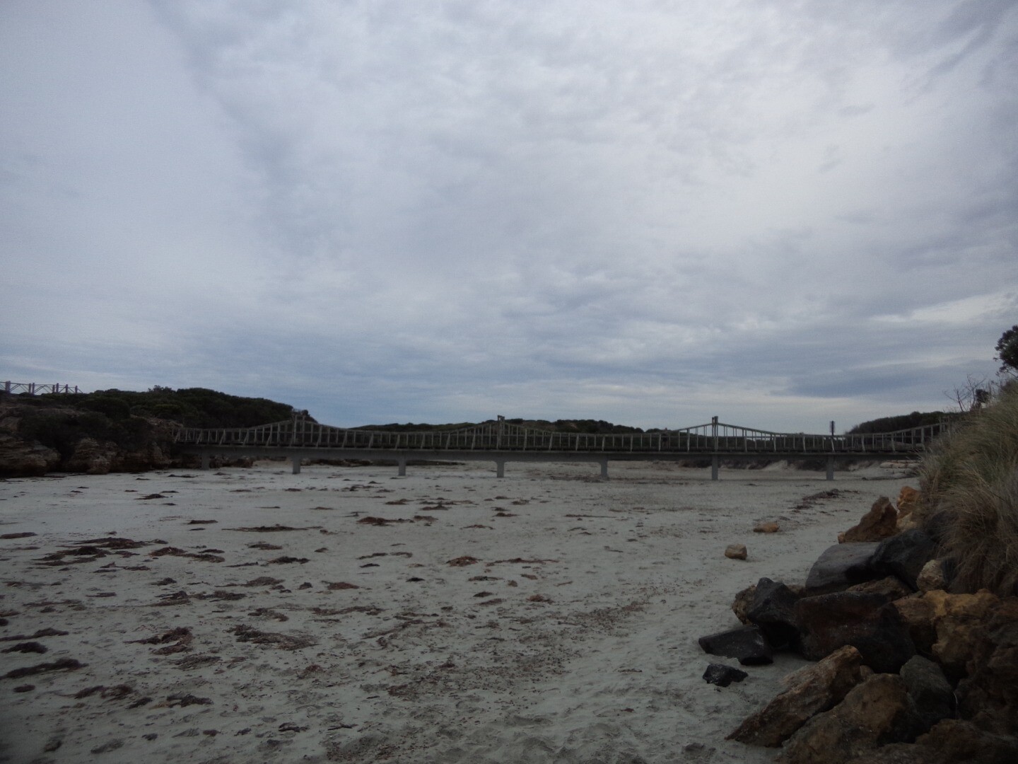
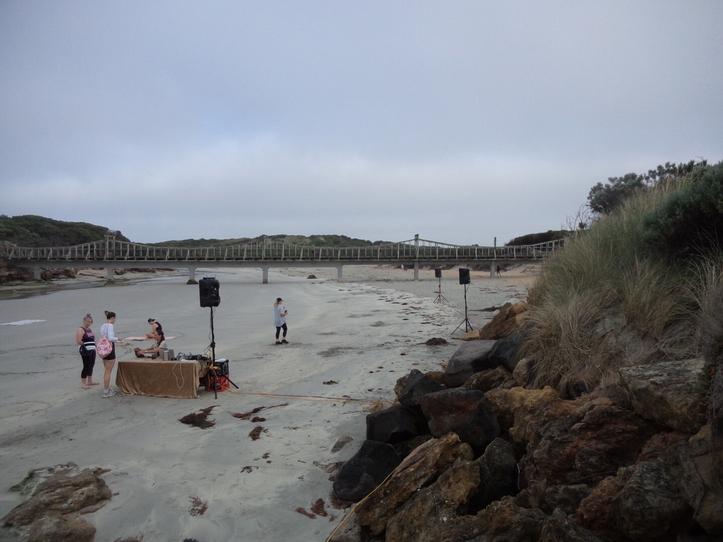
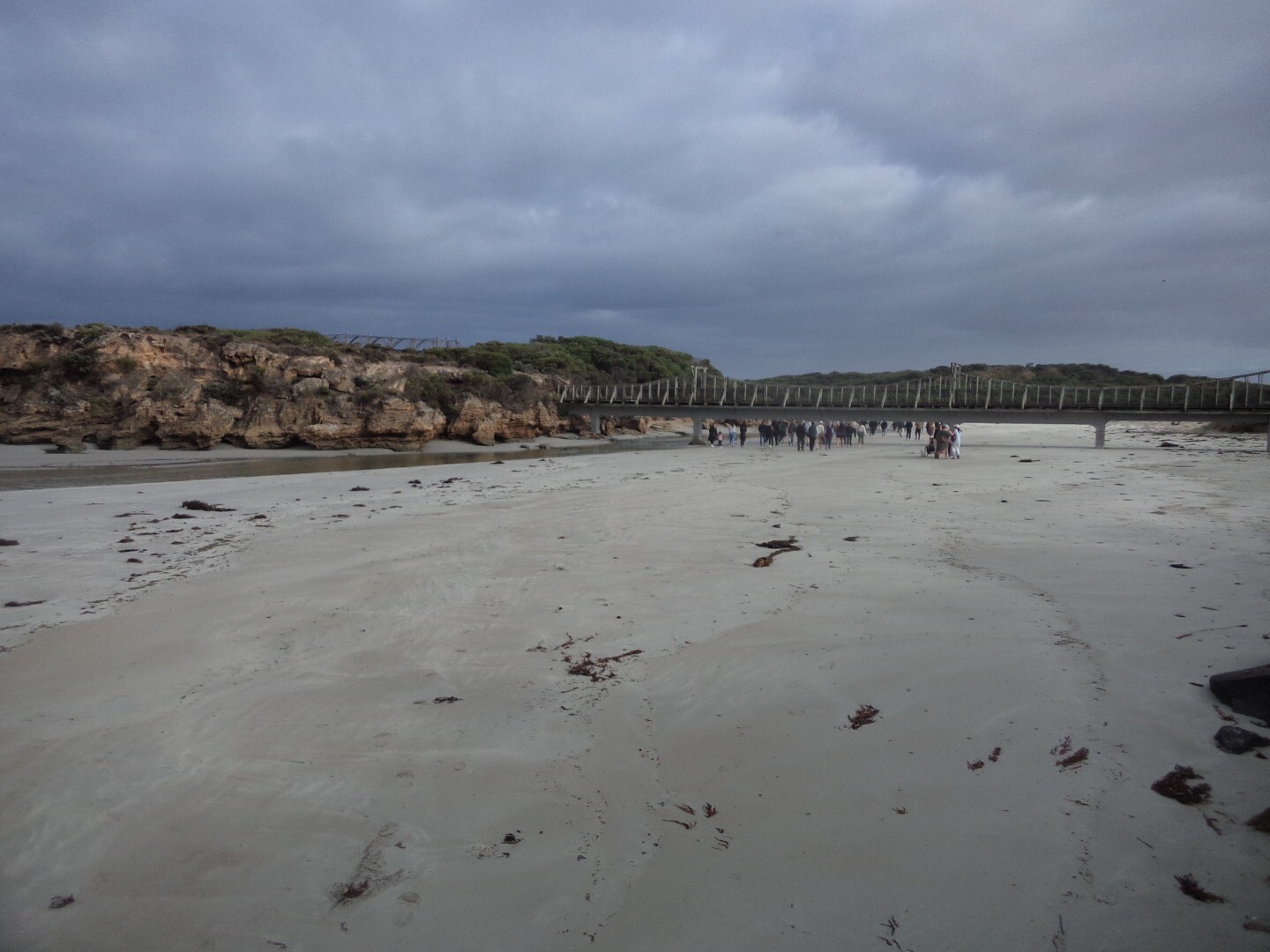
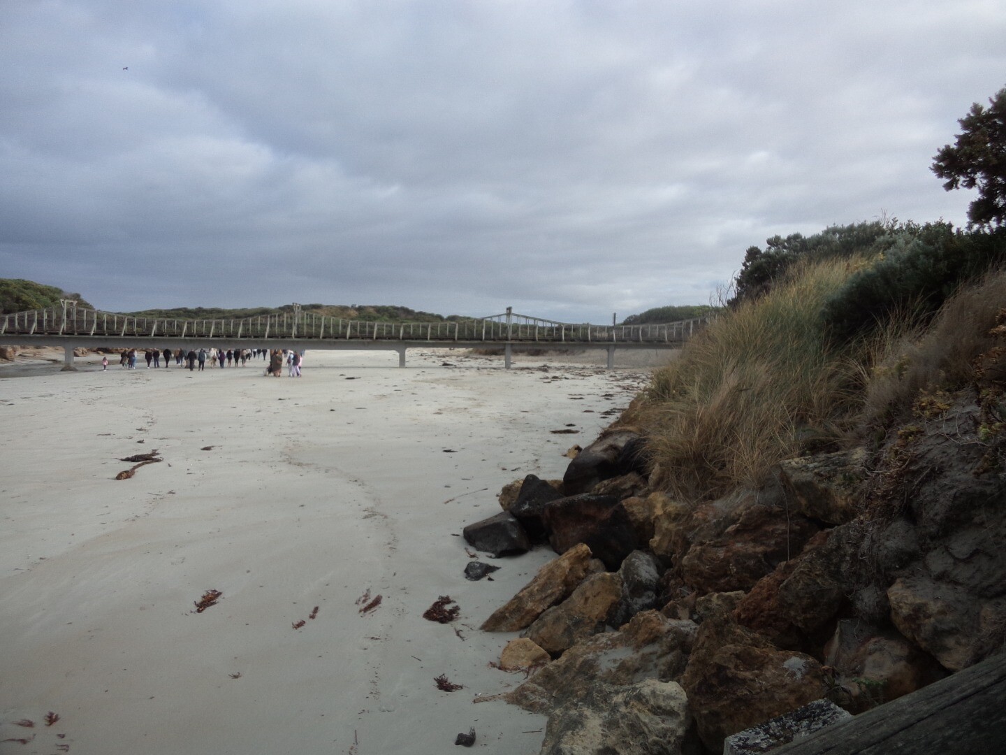
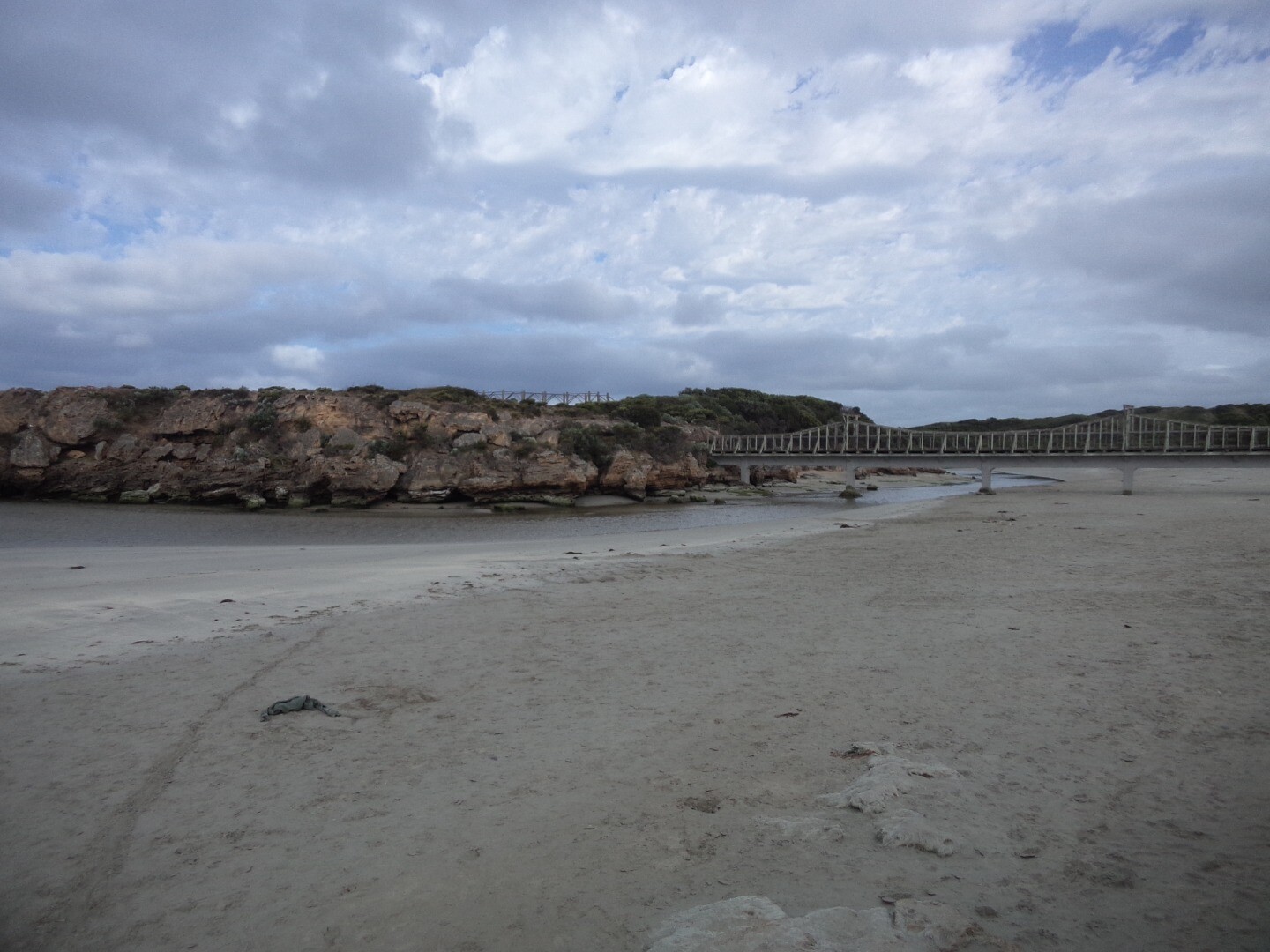
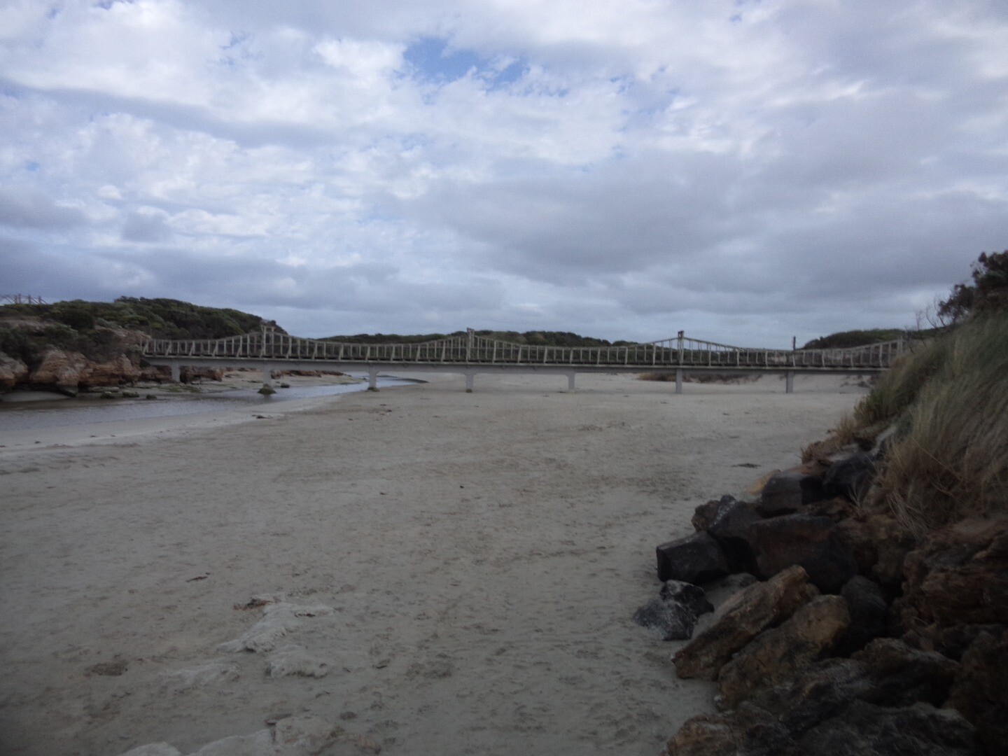
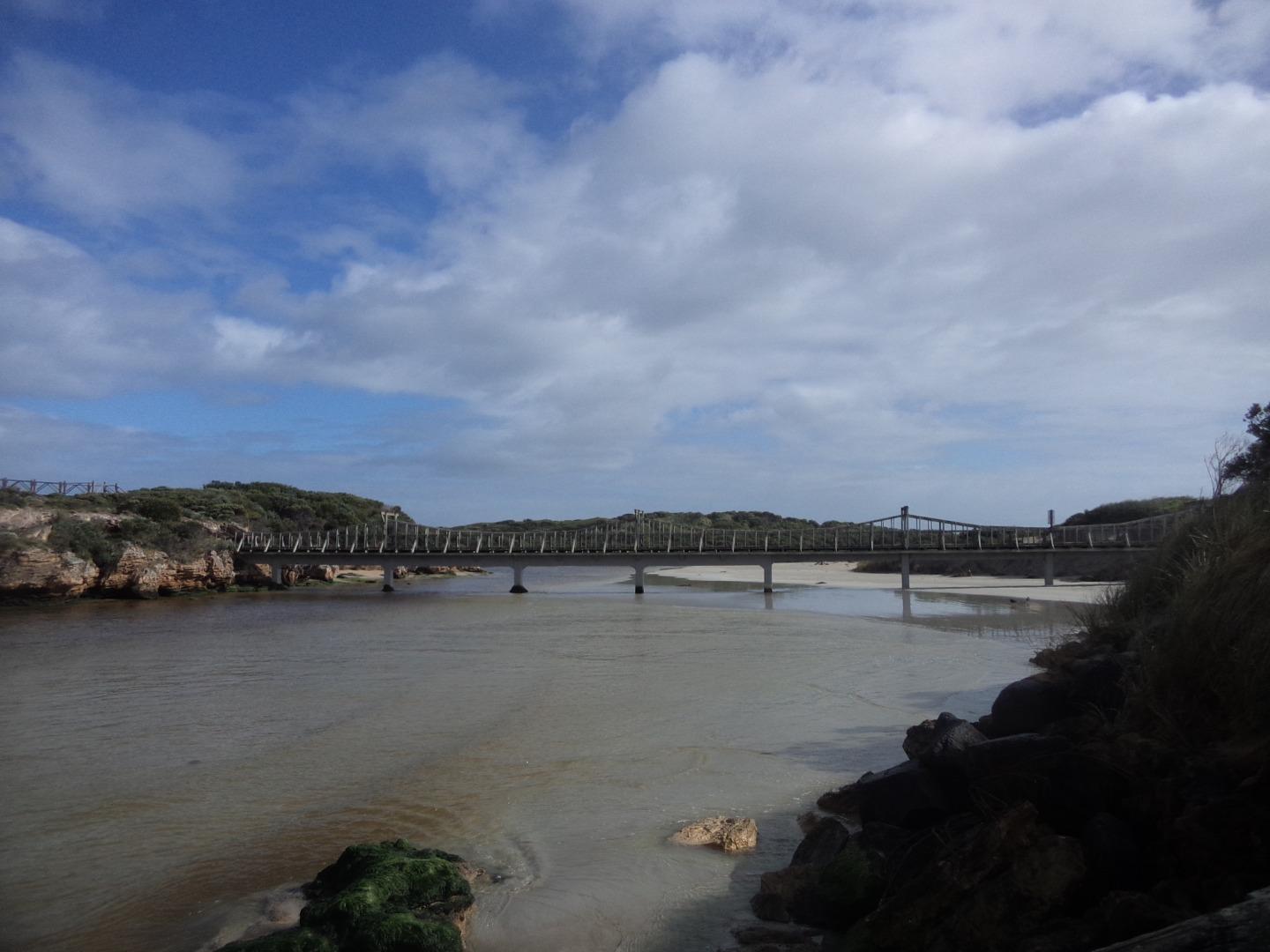
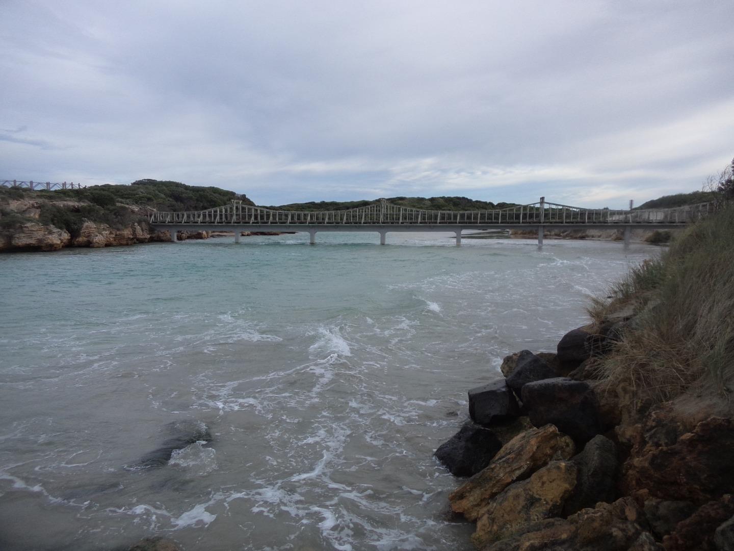
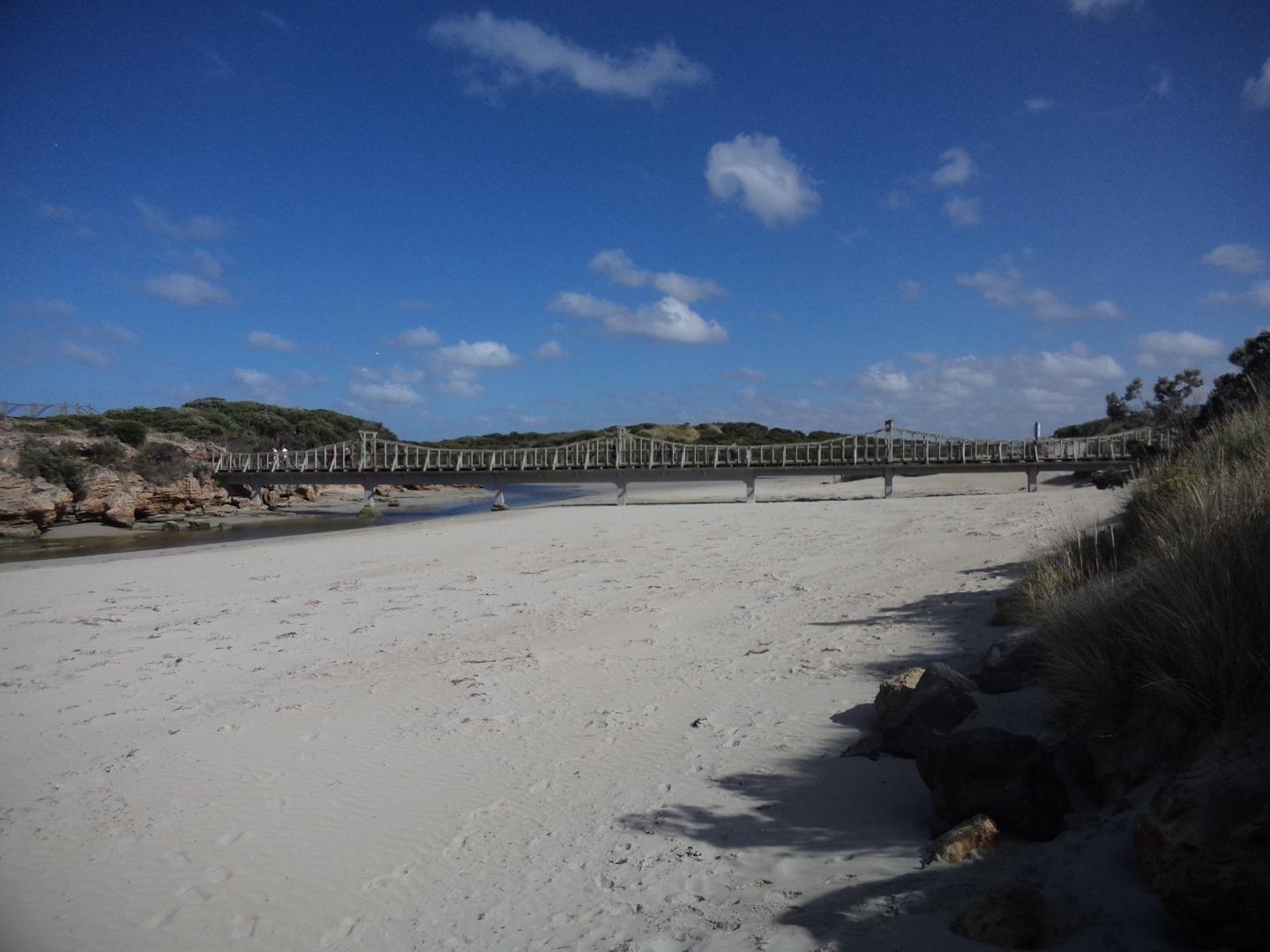
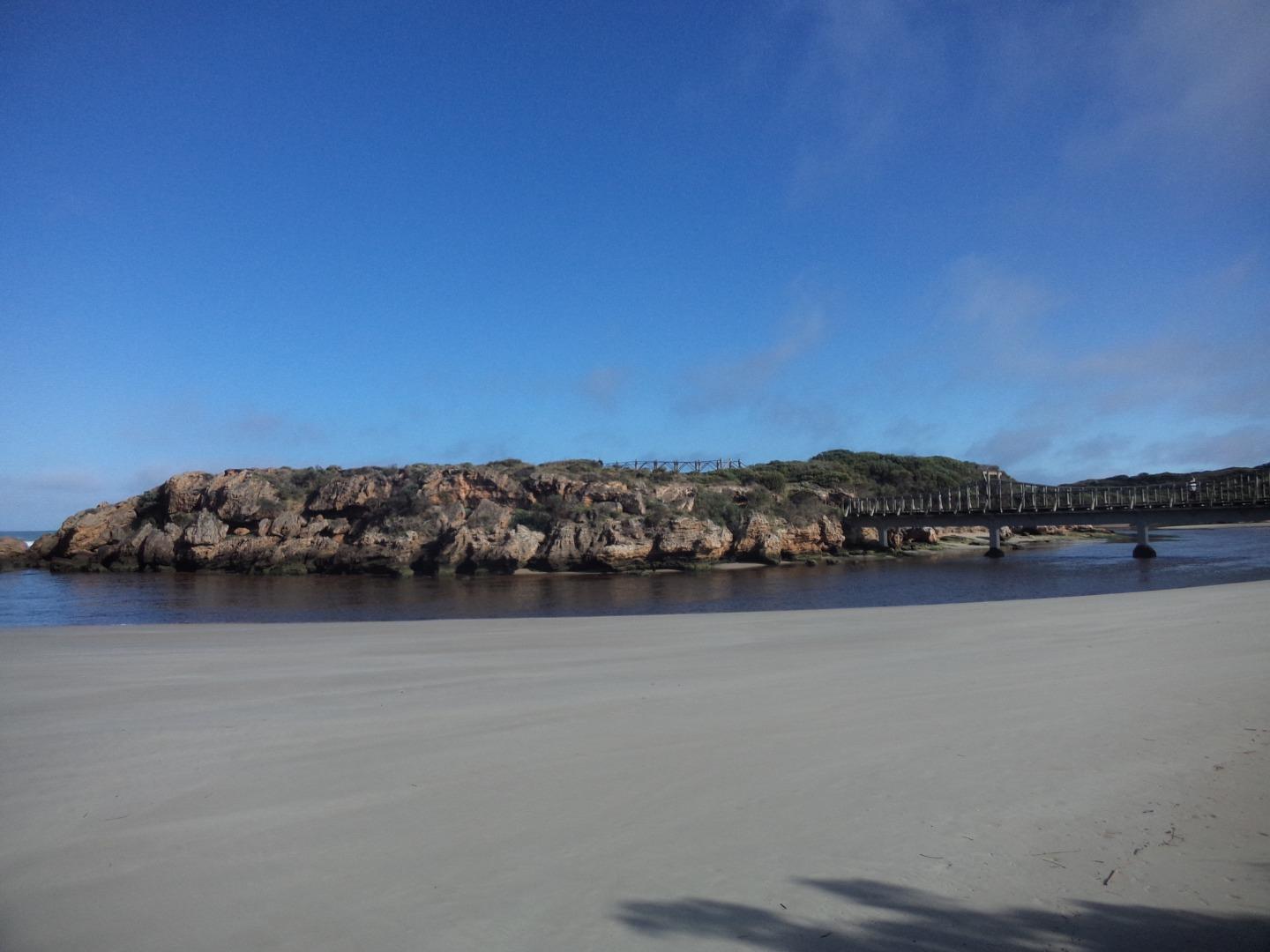
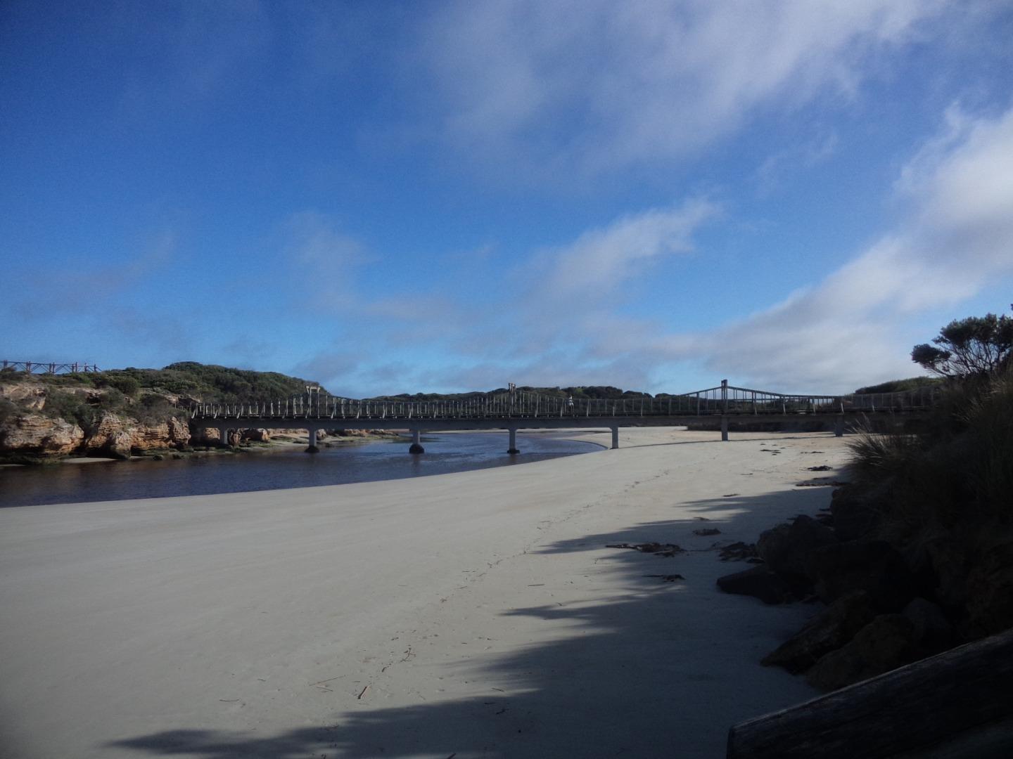
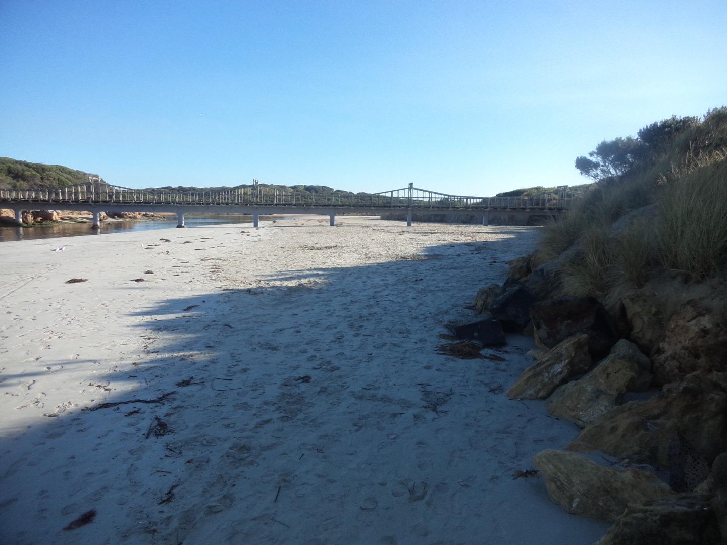
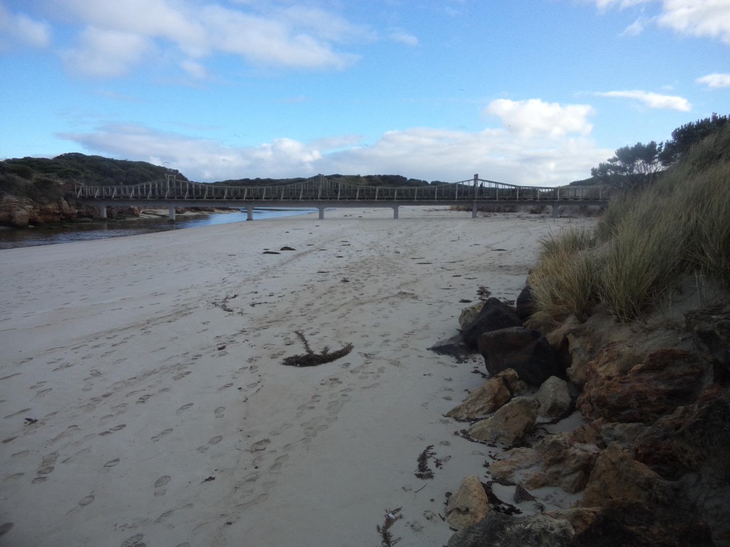
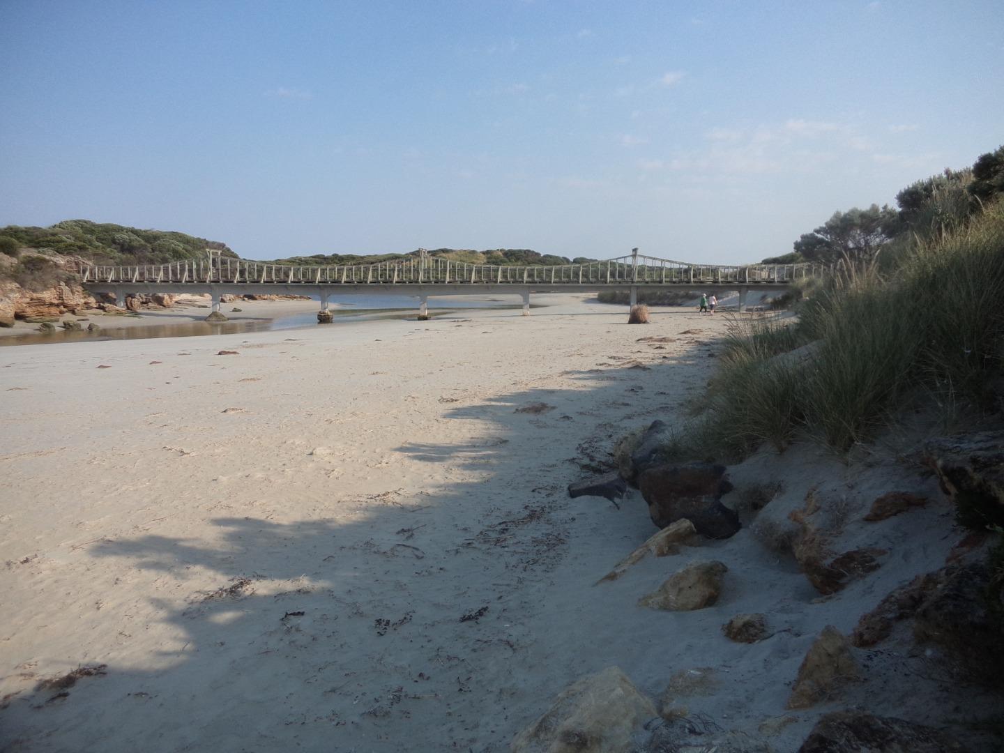
Stanley StreetActive Physico-Chemical 27-10-2013 - 11-07-2026Monitoring has historically been conducted from the pedestrian crossing on the downstream side of the Stanley Street (Edwards Bridge), Warrnambool. In February 2022, this site was temporarily moved 100m upstream onto the left bank of the Merri River, with sampling occurring from the new floating pontoon while the new bridge was under construction. Sampling has since returned to the Edwards Bridge in 2024 once the new bridge was completed; undertaken on the downstream (southern) side pedestrian access. Observations 140 |
M2 |
Fonterra Floating PontoonActive Physico-Chemical 17-11-2013 - 11-07-2026The floating pontoon at the end of the Esplanade, Warrnambool. Observations 140 |
MGB |
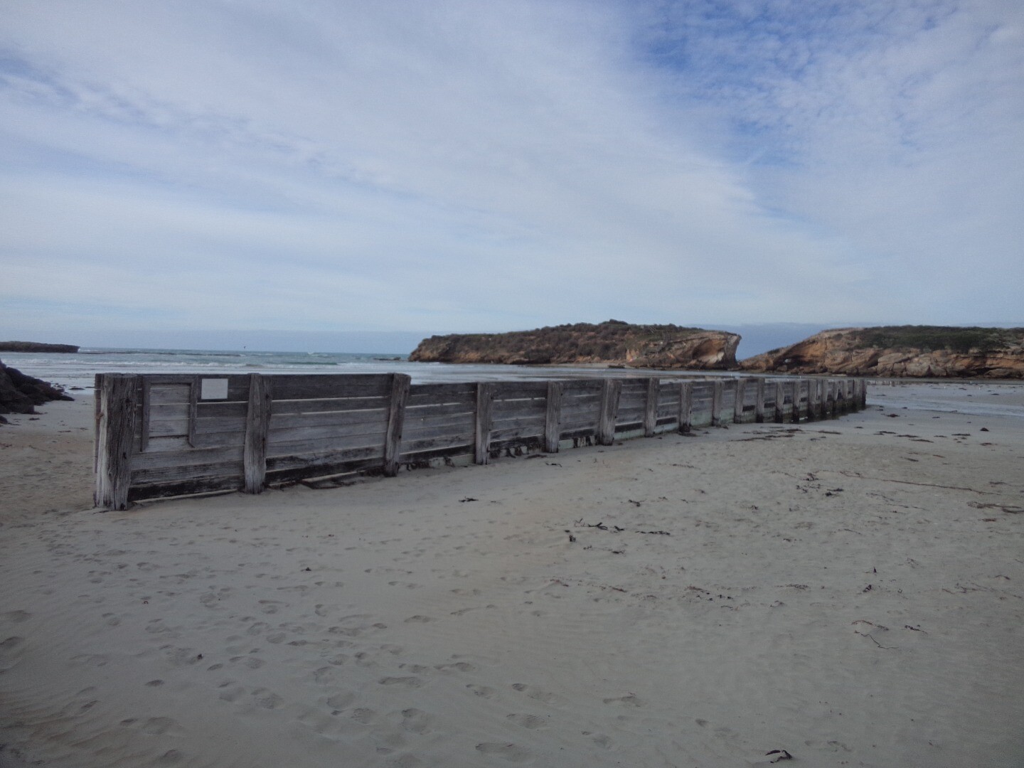
Merri River Water Level Gauge BoardActive Gauge BoardGauge board can be found on the retaining wall downstream of the Stanley Street Bridge. When looking downstream from the pedestrian bridge you will see it on the right. |
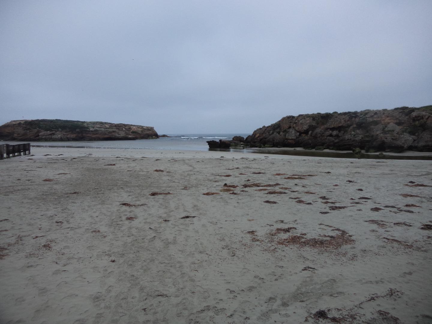
MMC1 |
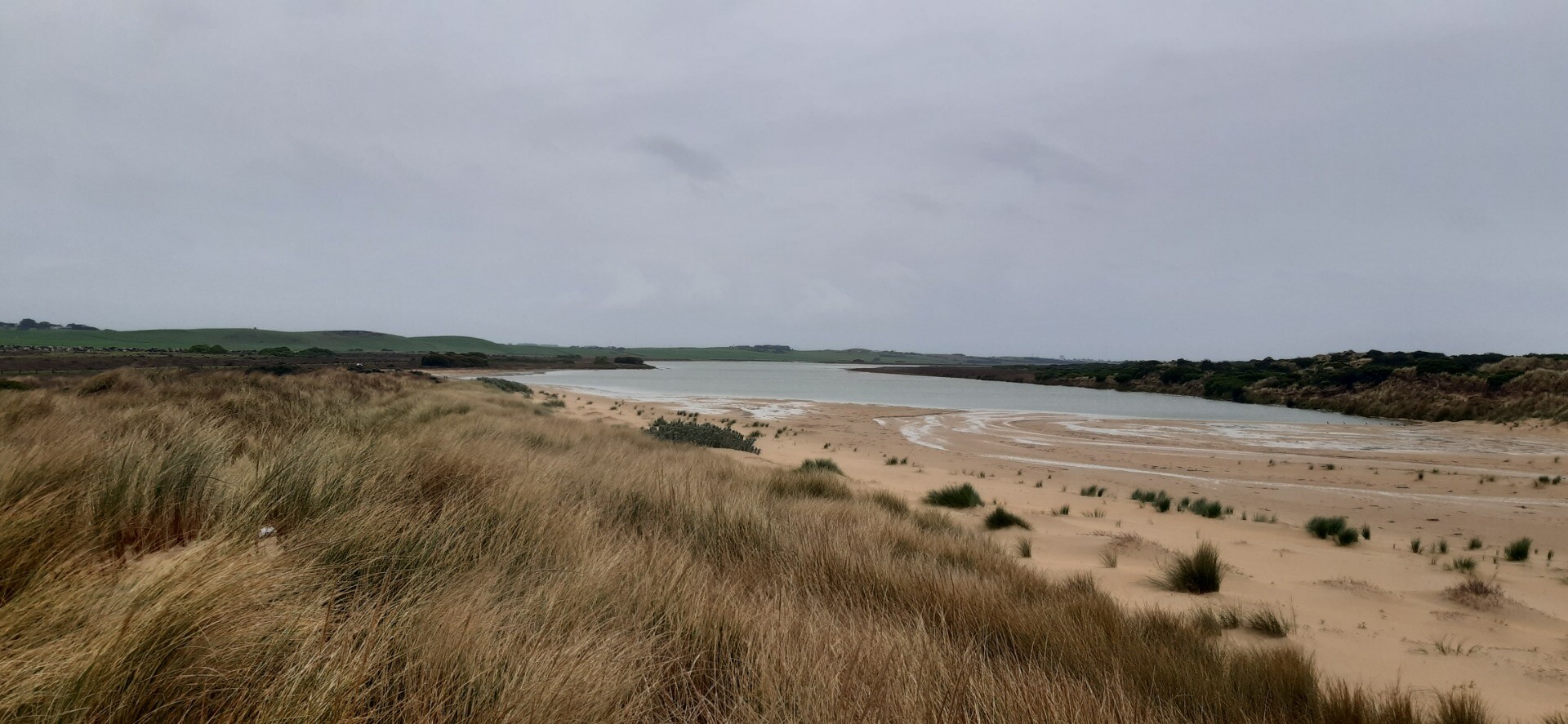
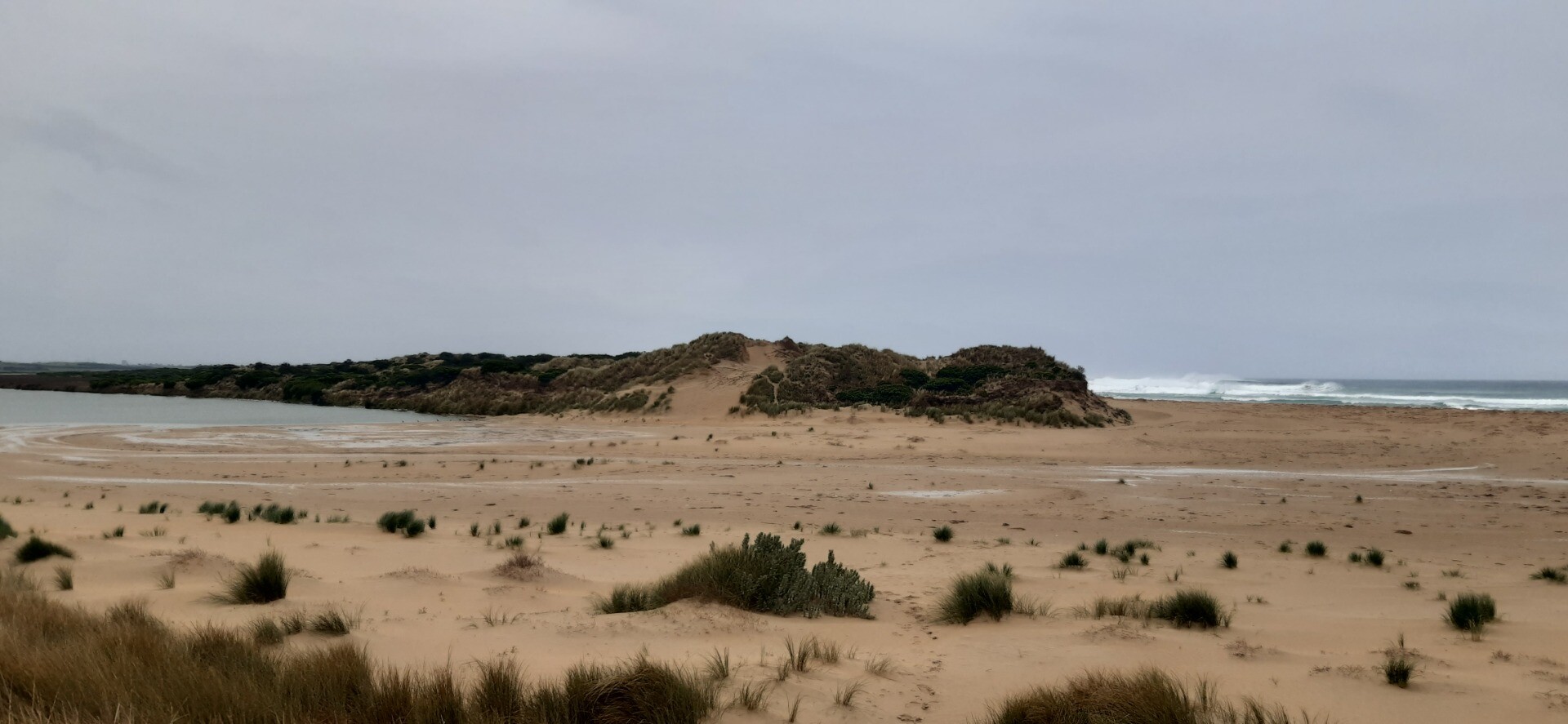
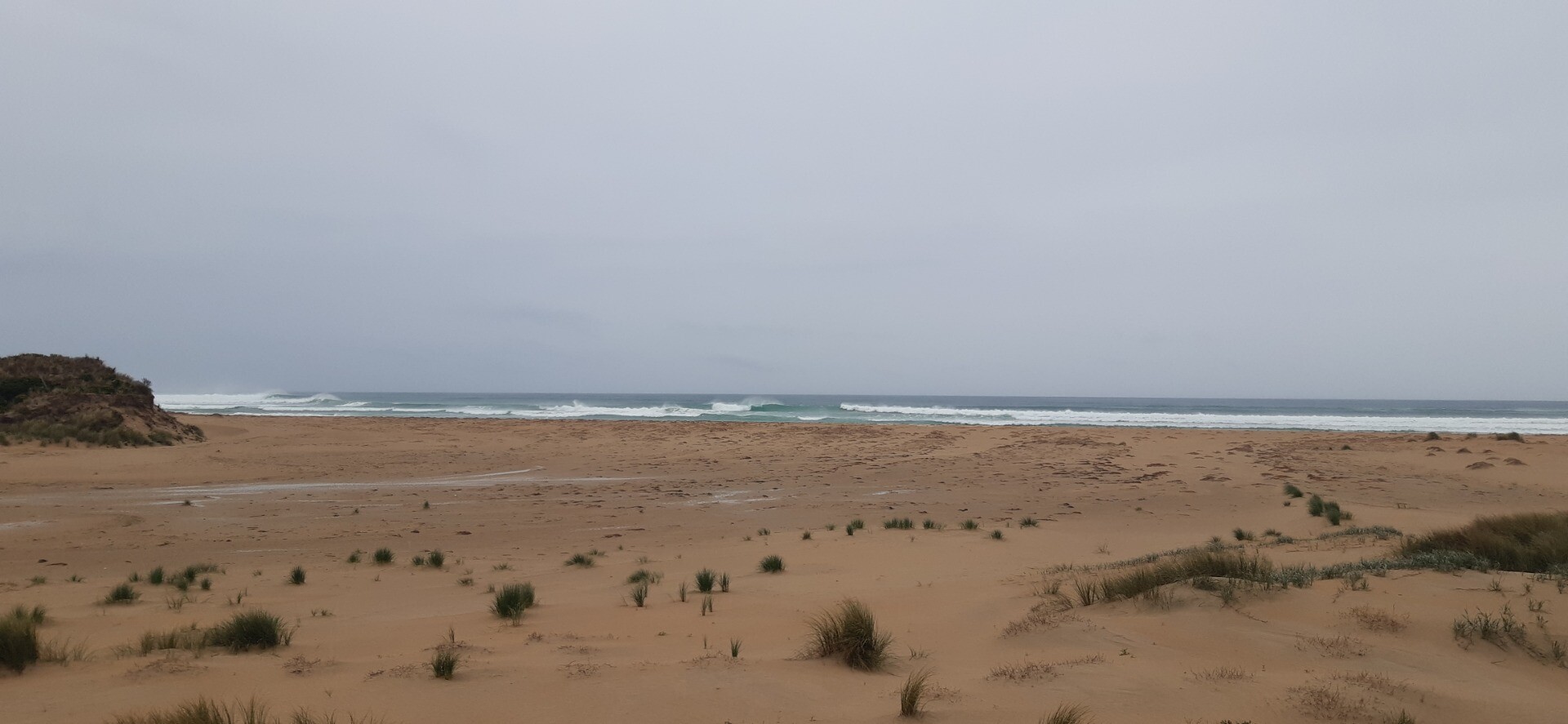
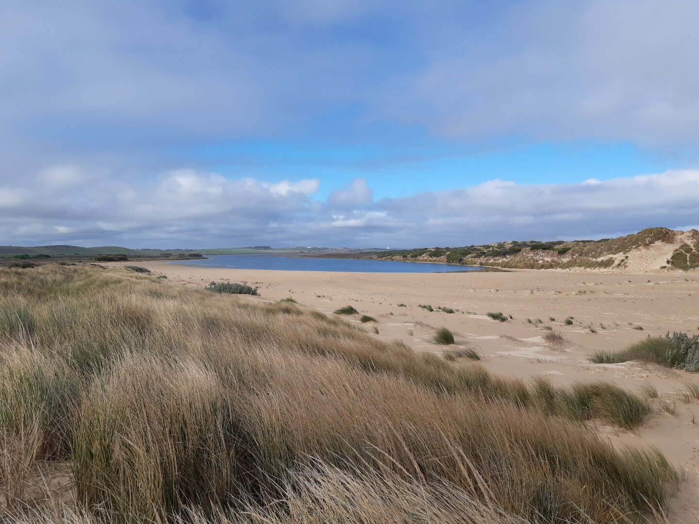
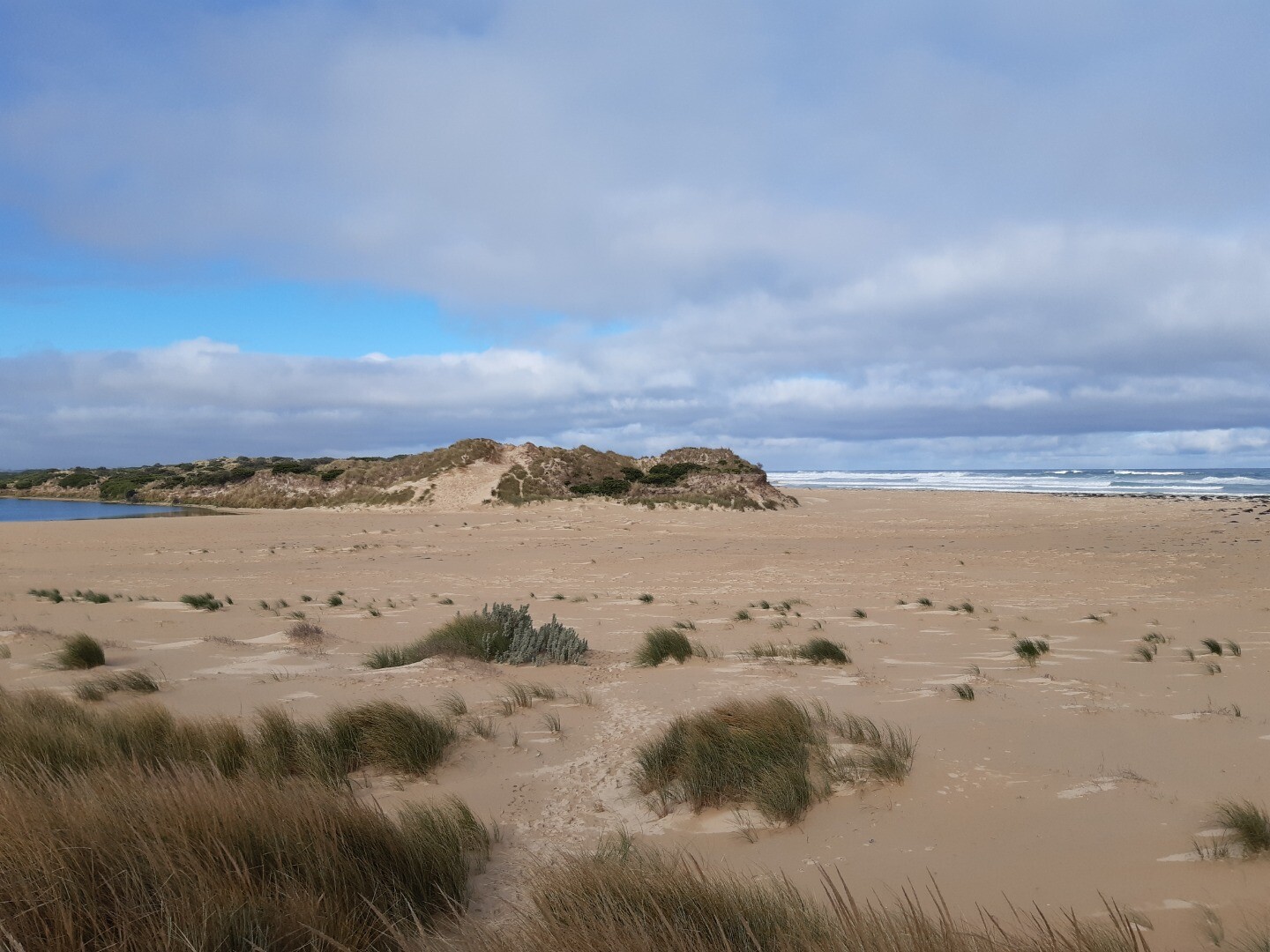
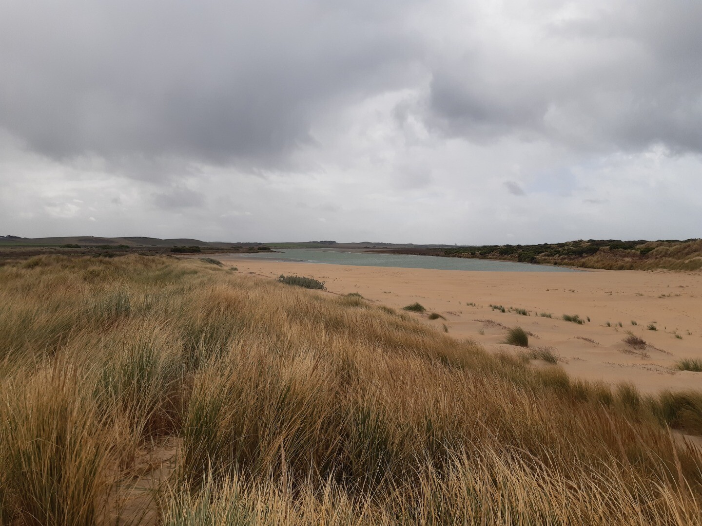
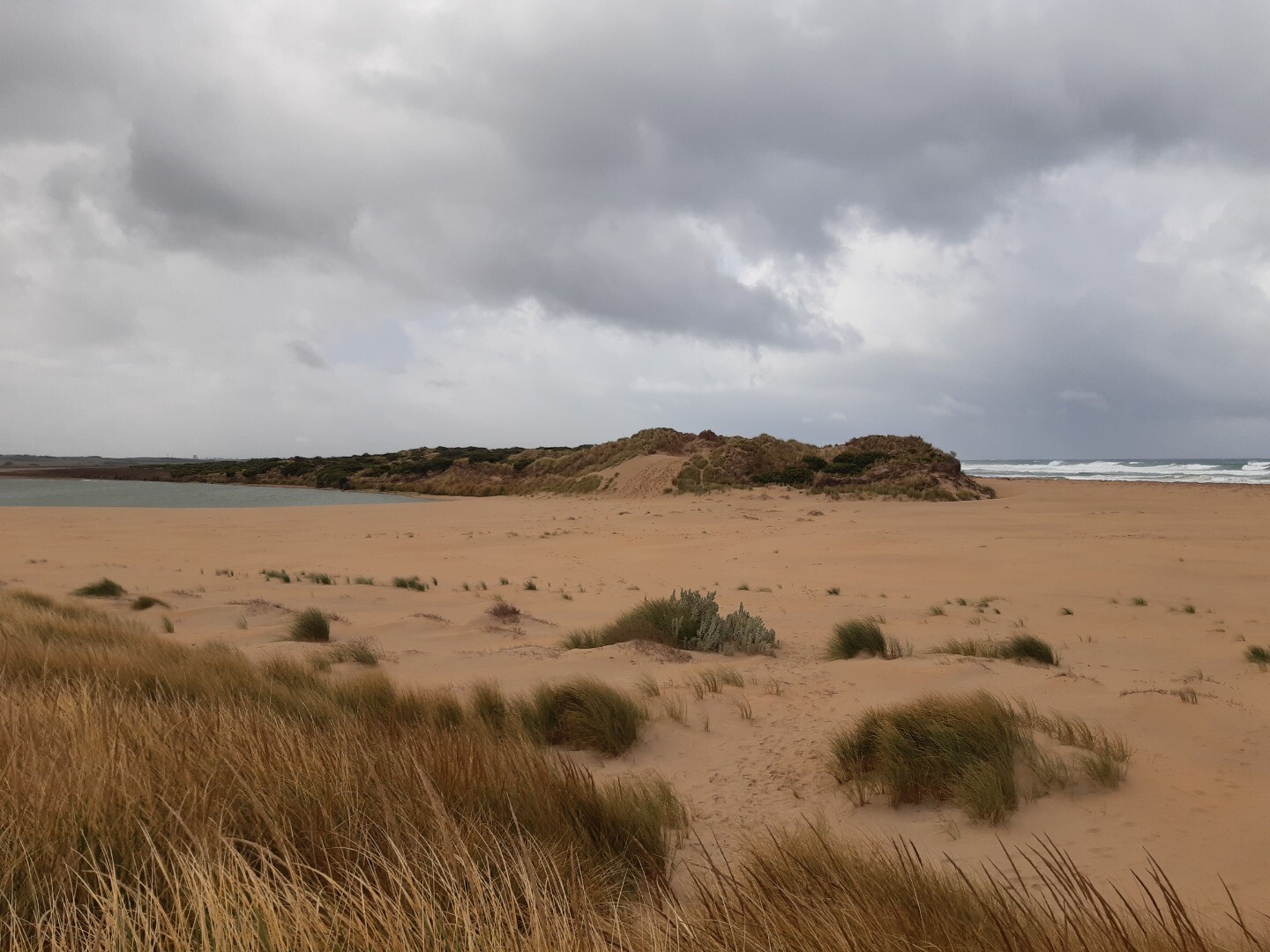
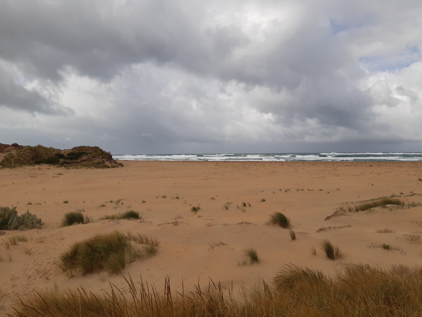
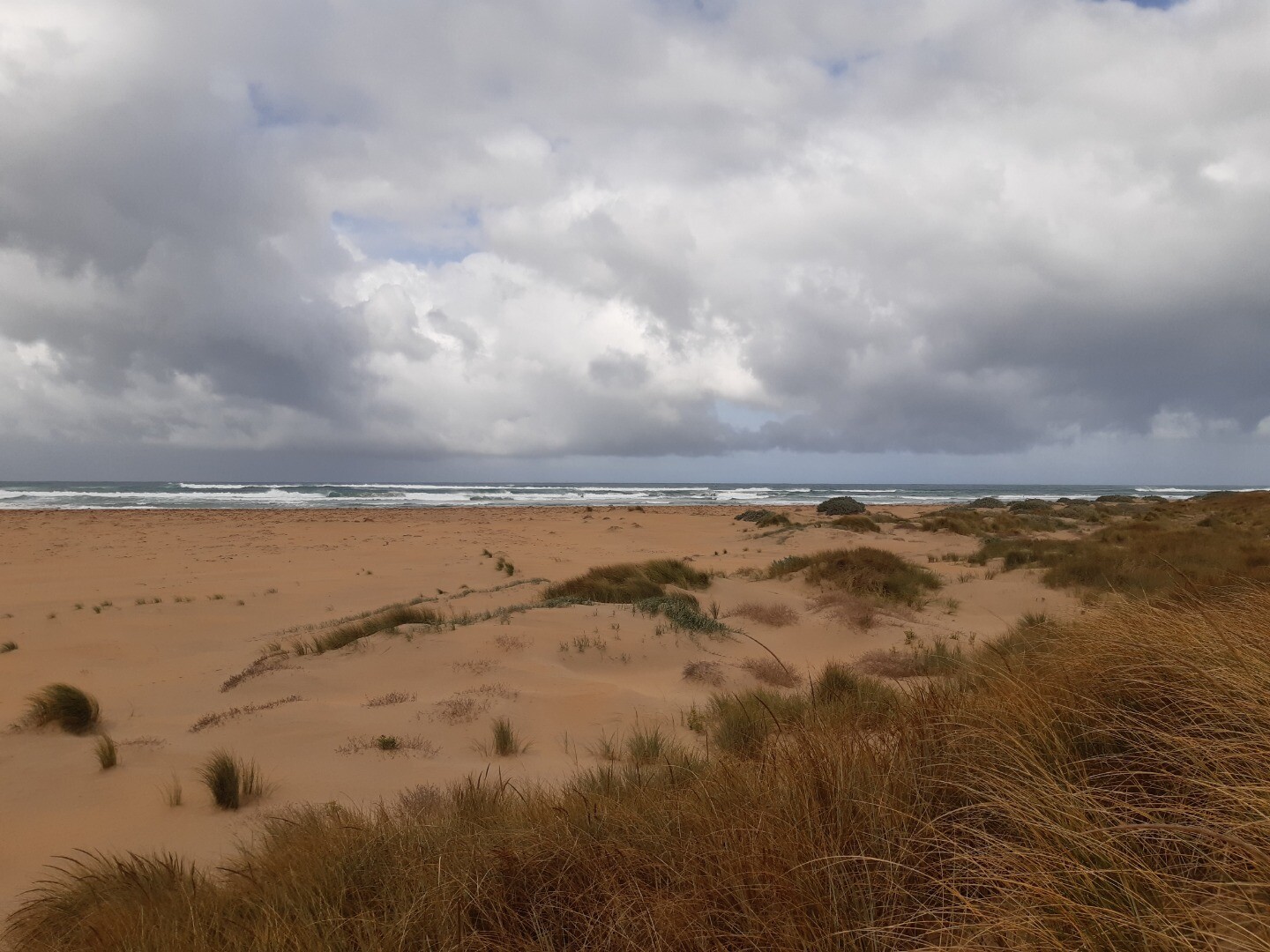
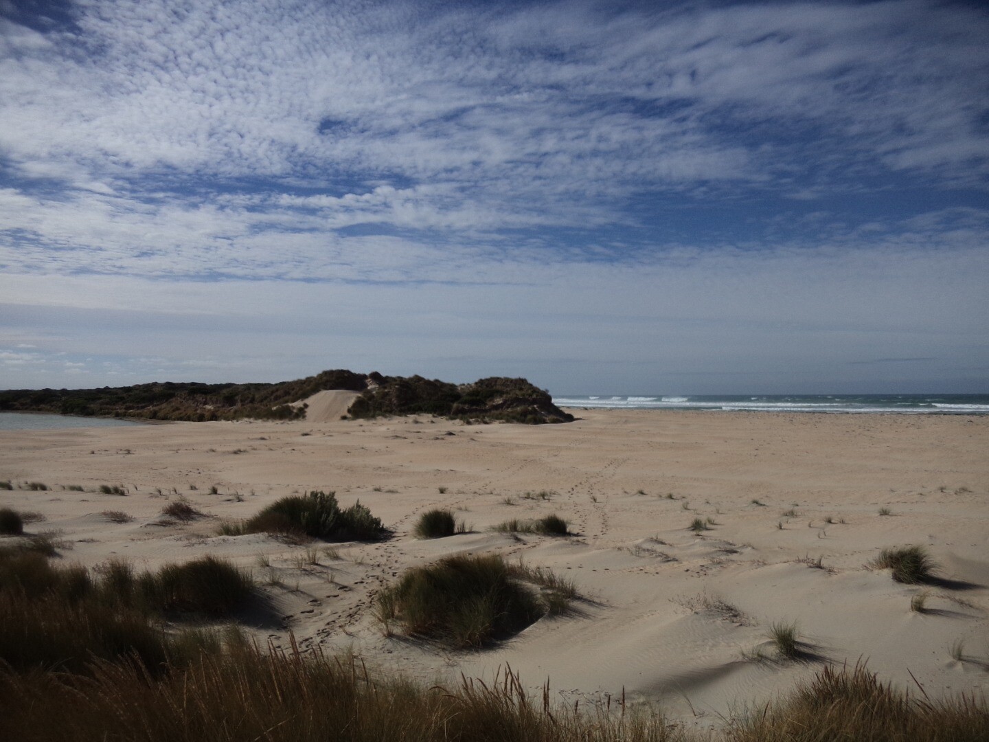
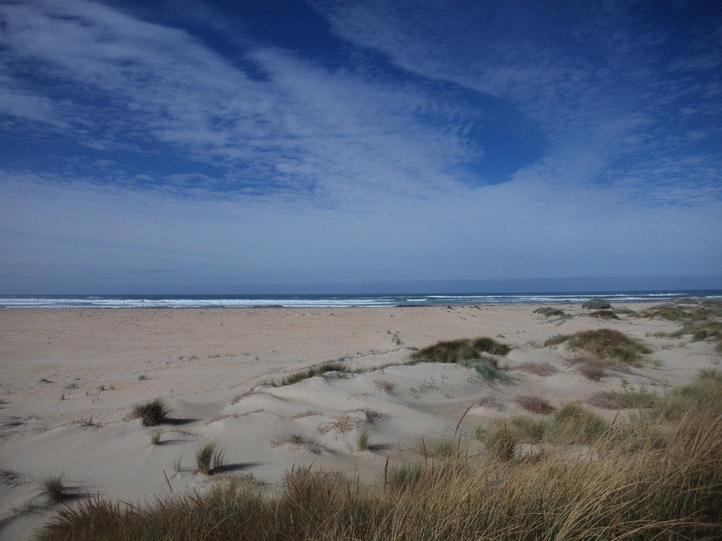
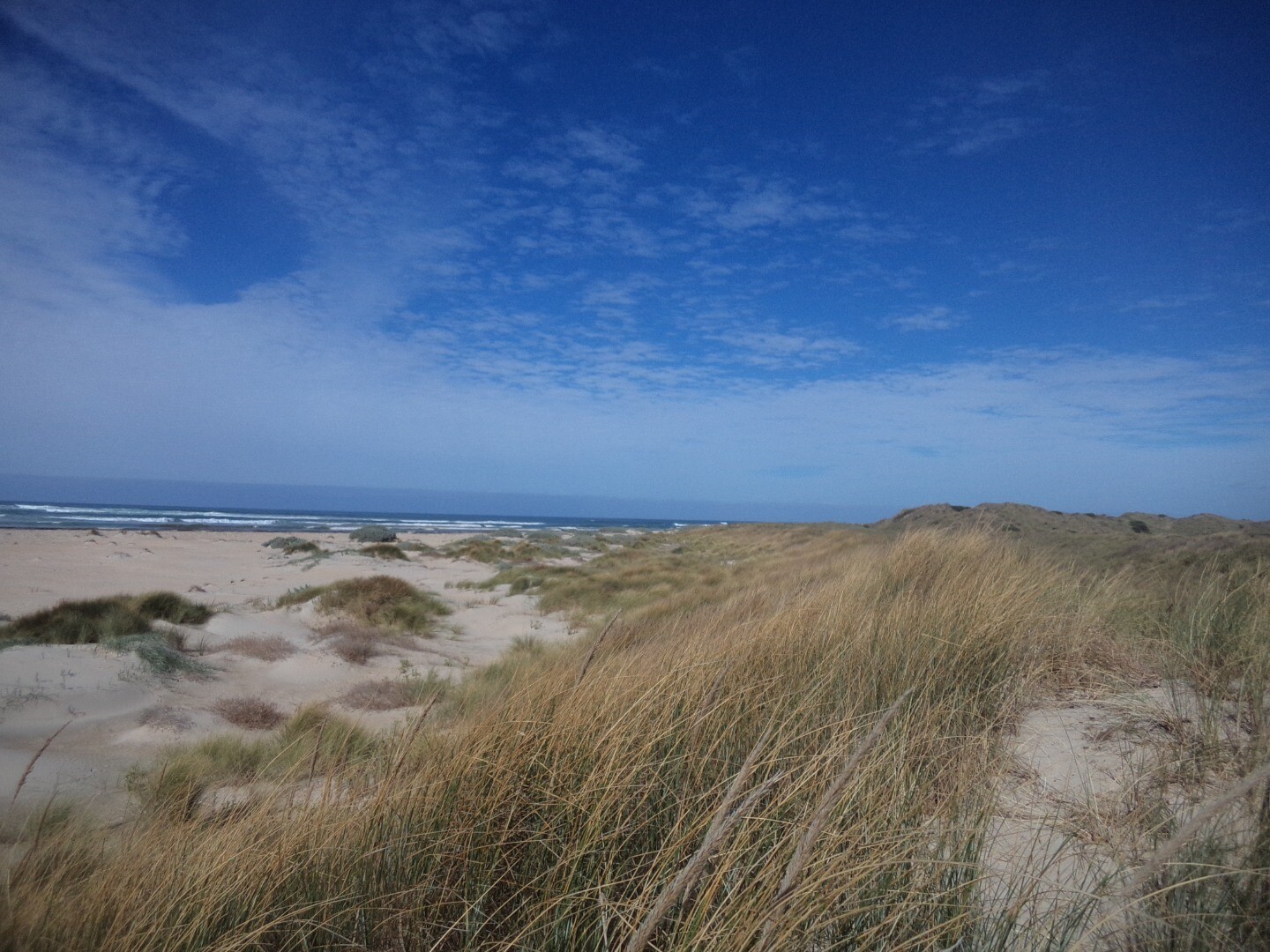
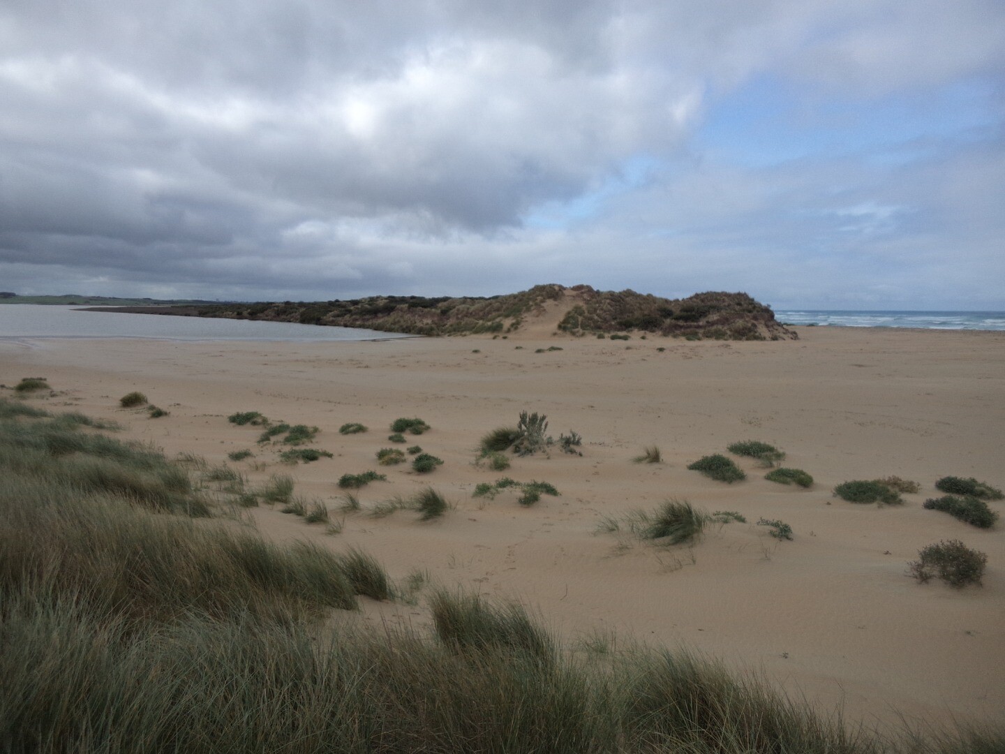
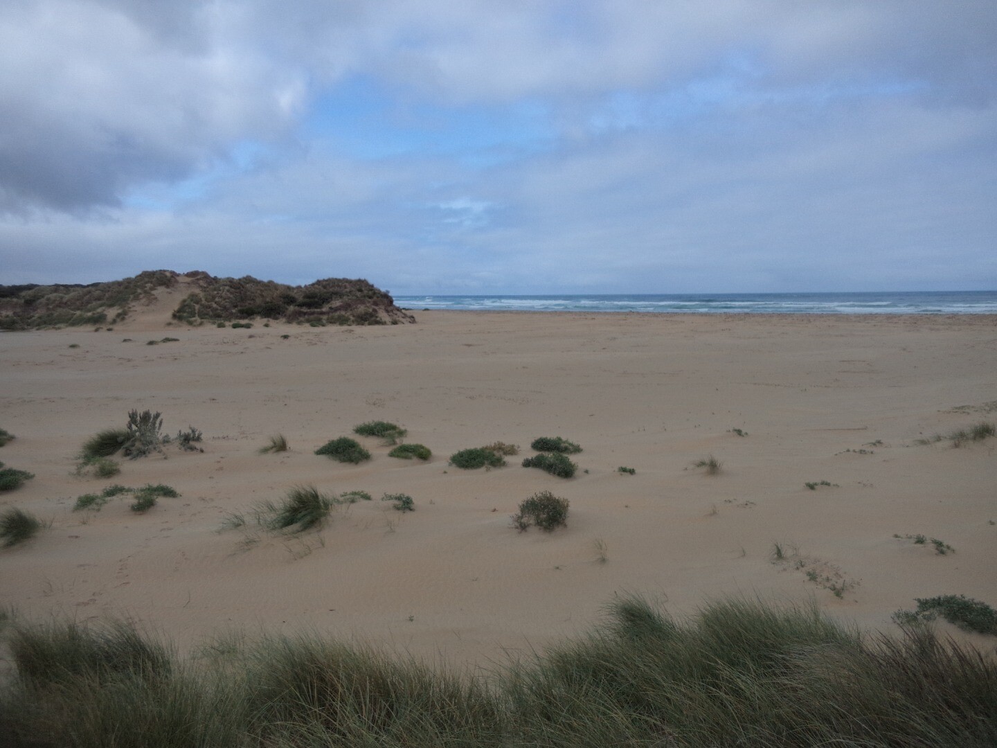
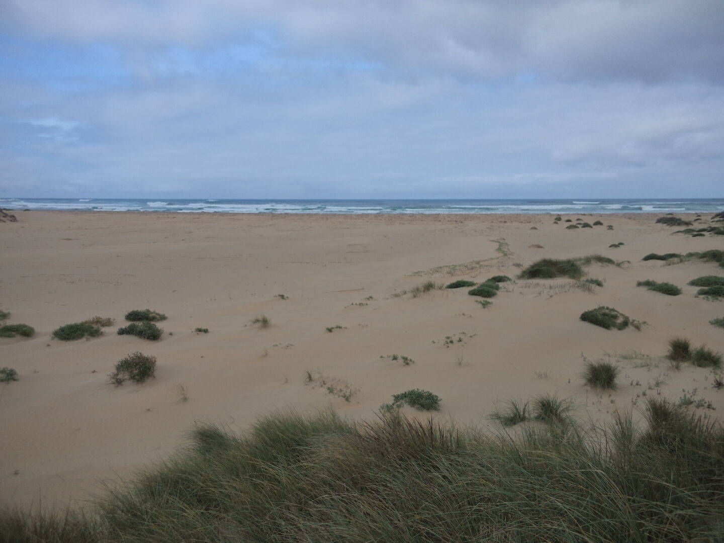
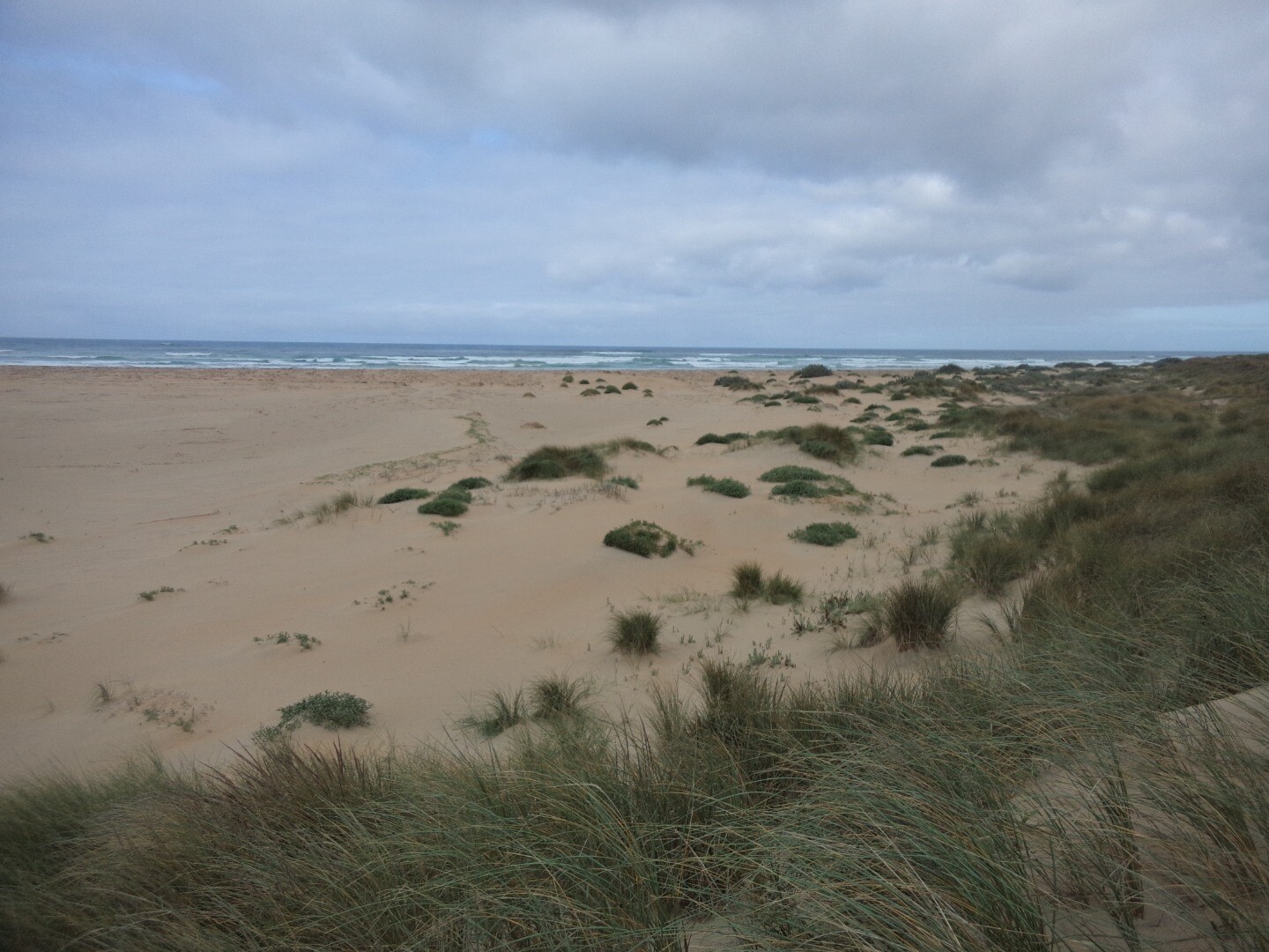
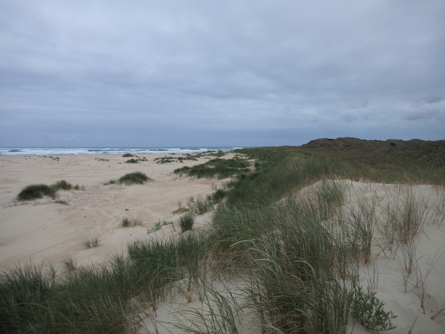
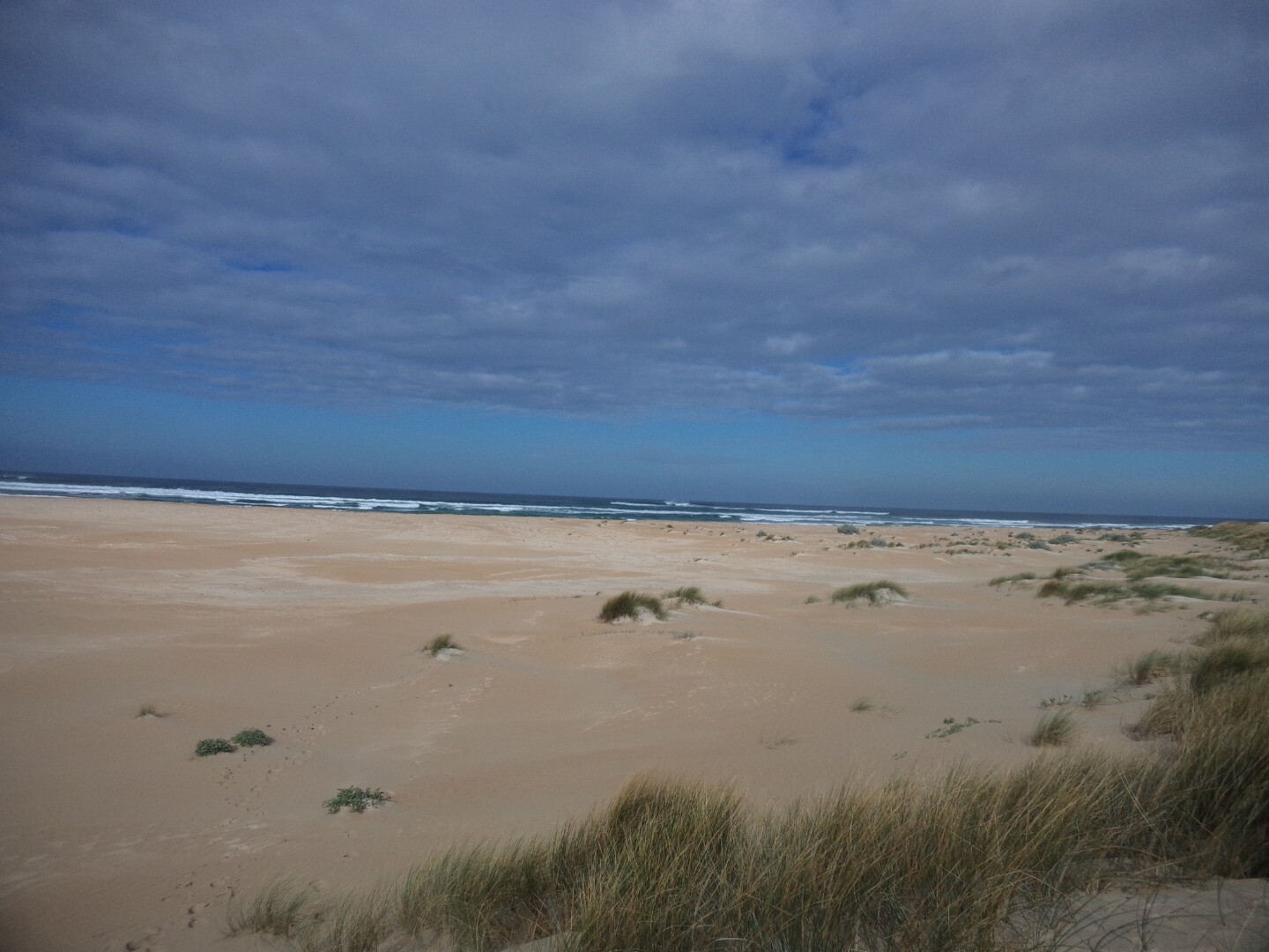
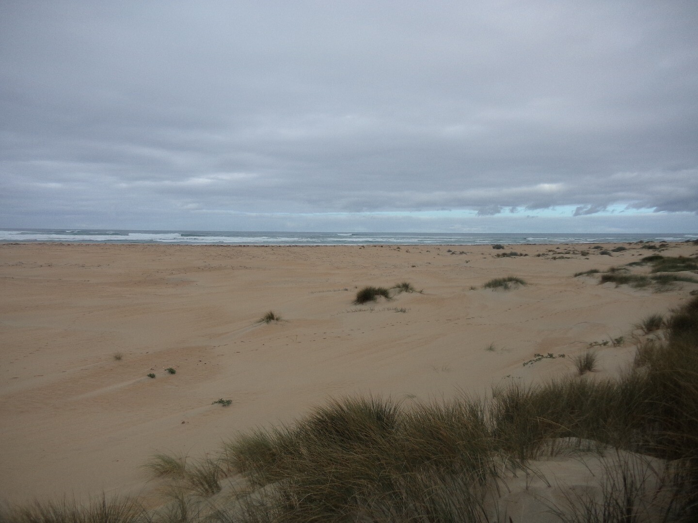
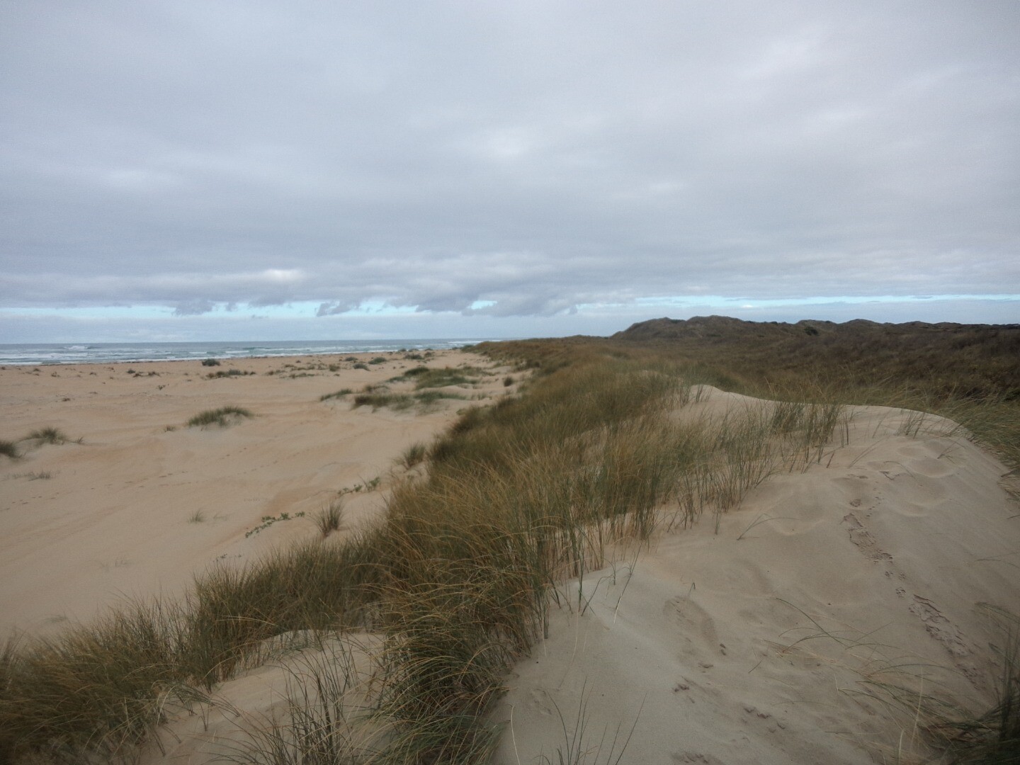
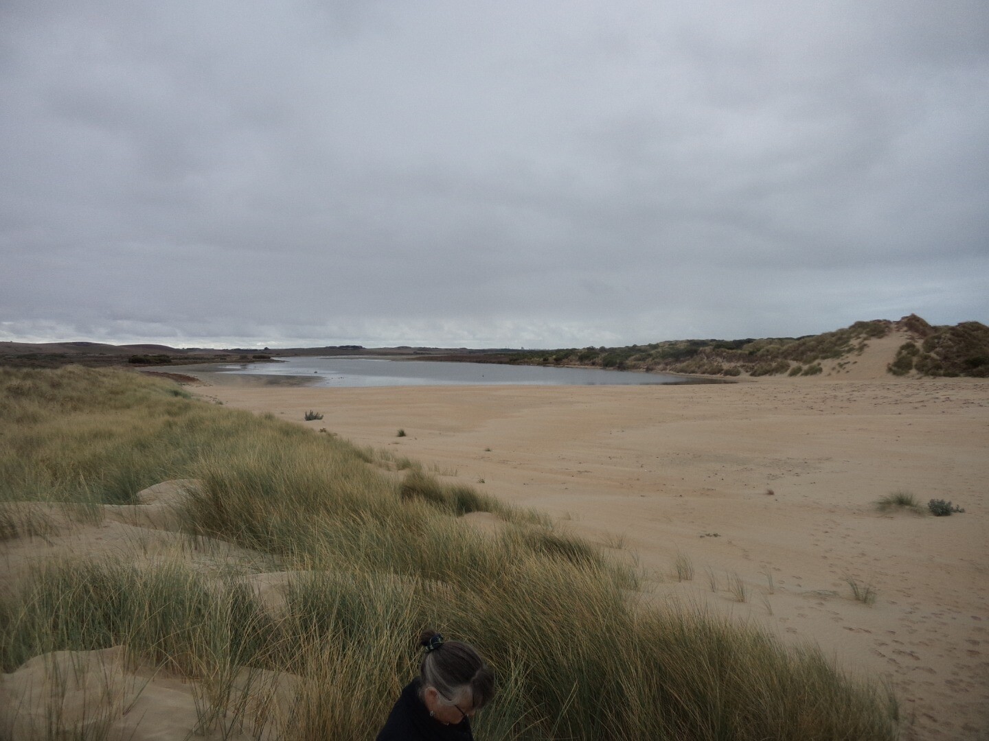
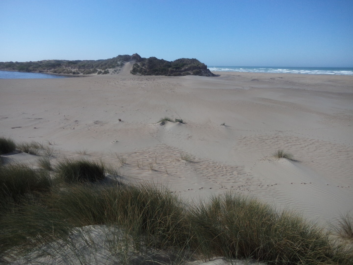
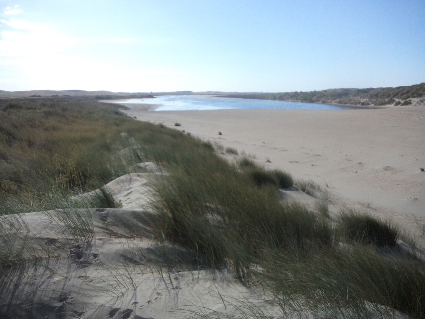
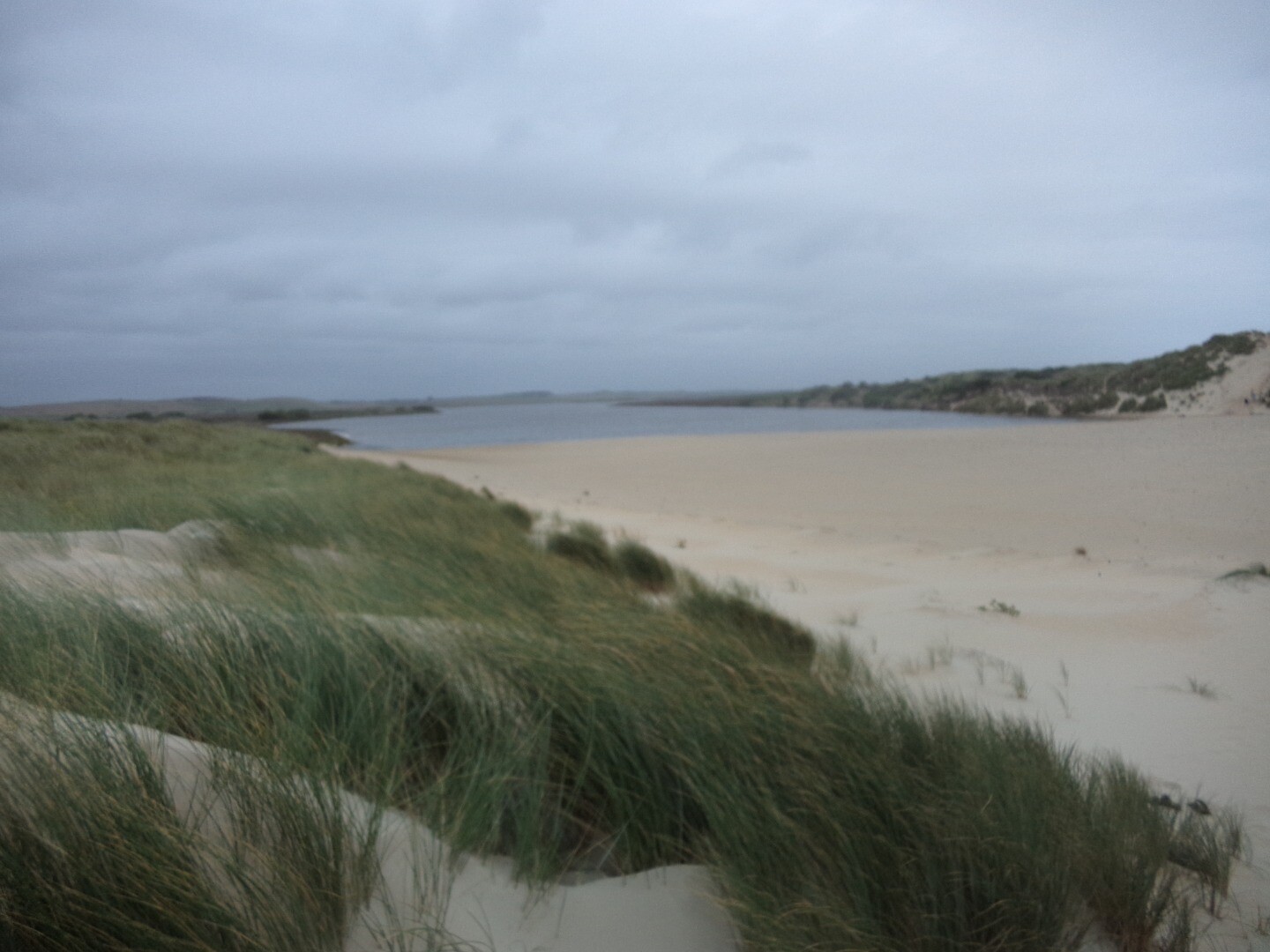
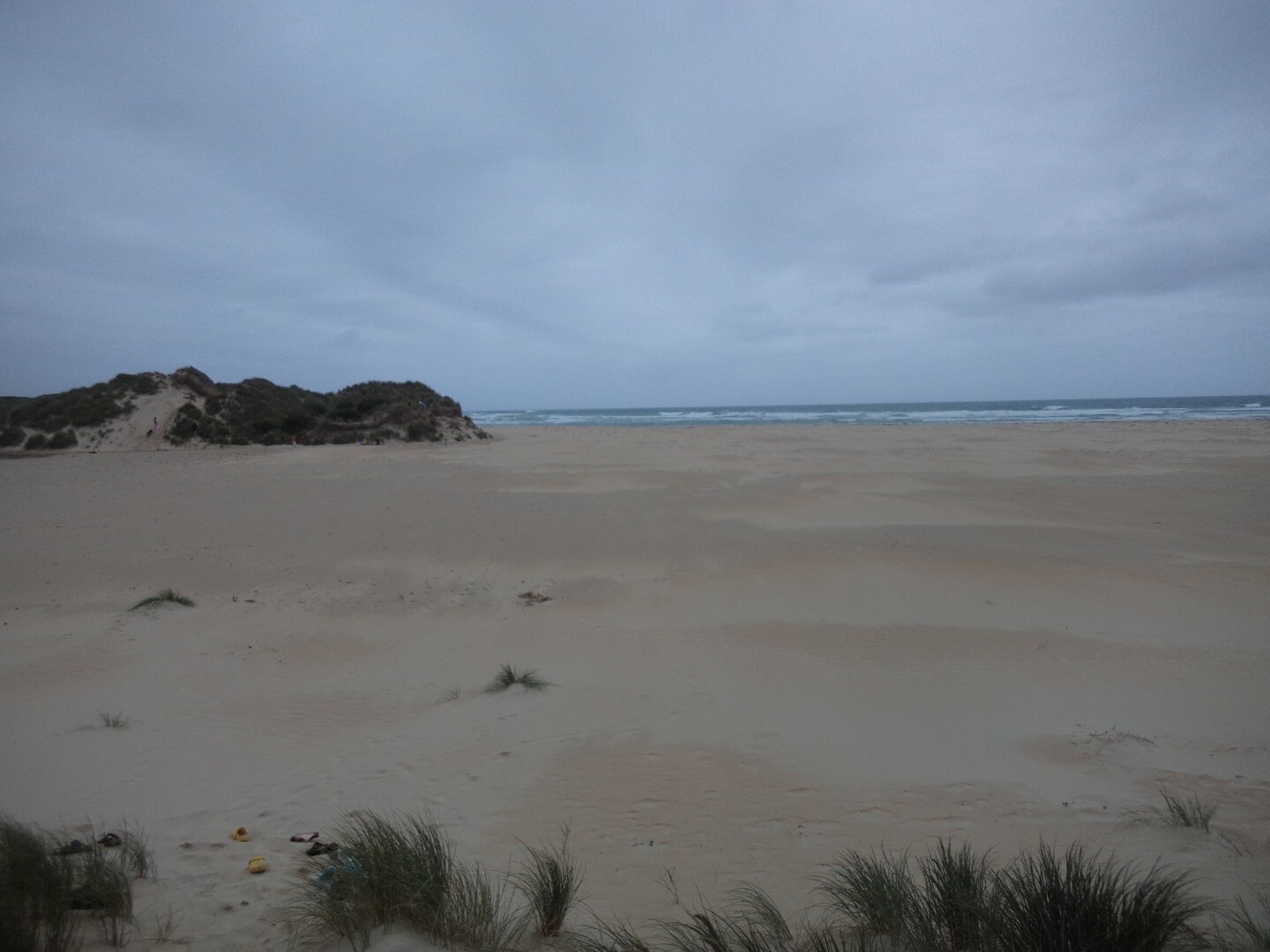
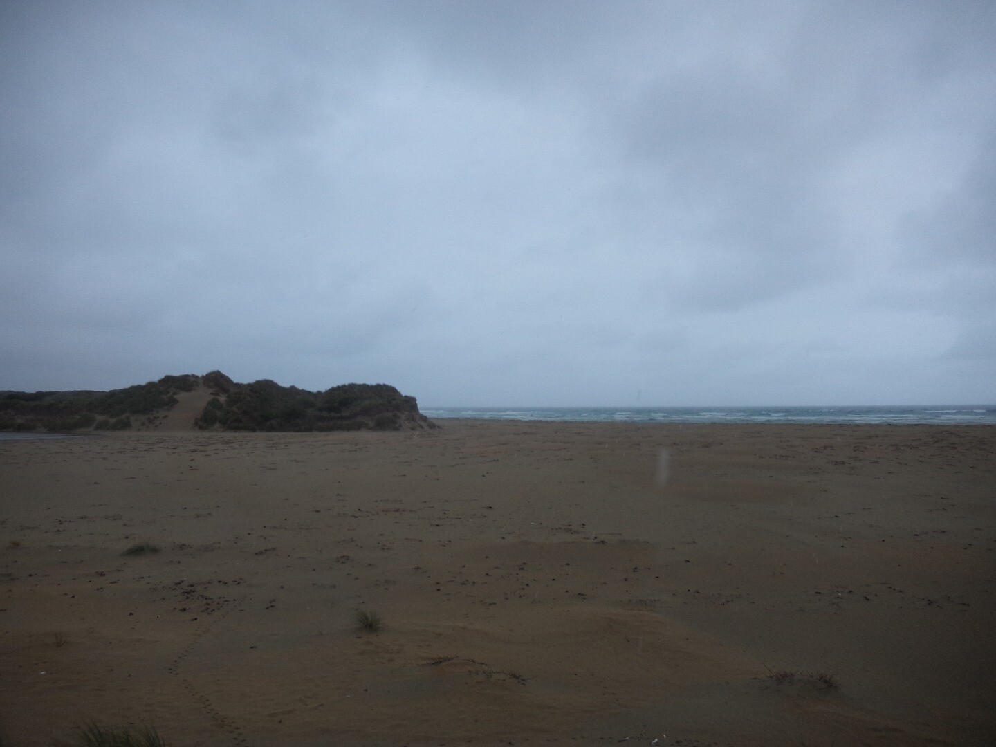
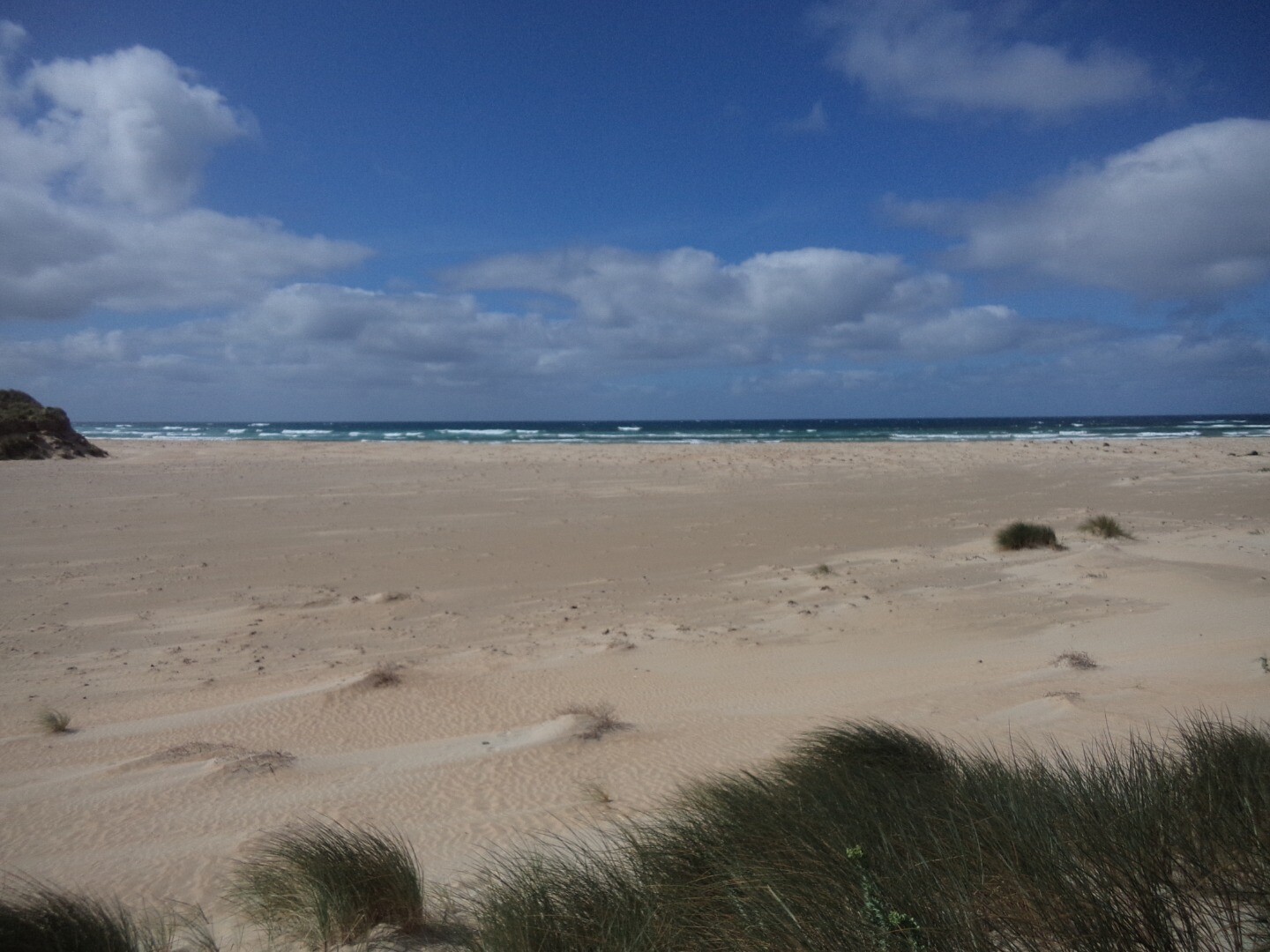
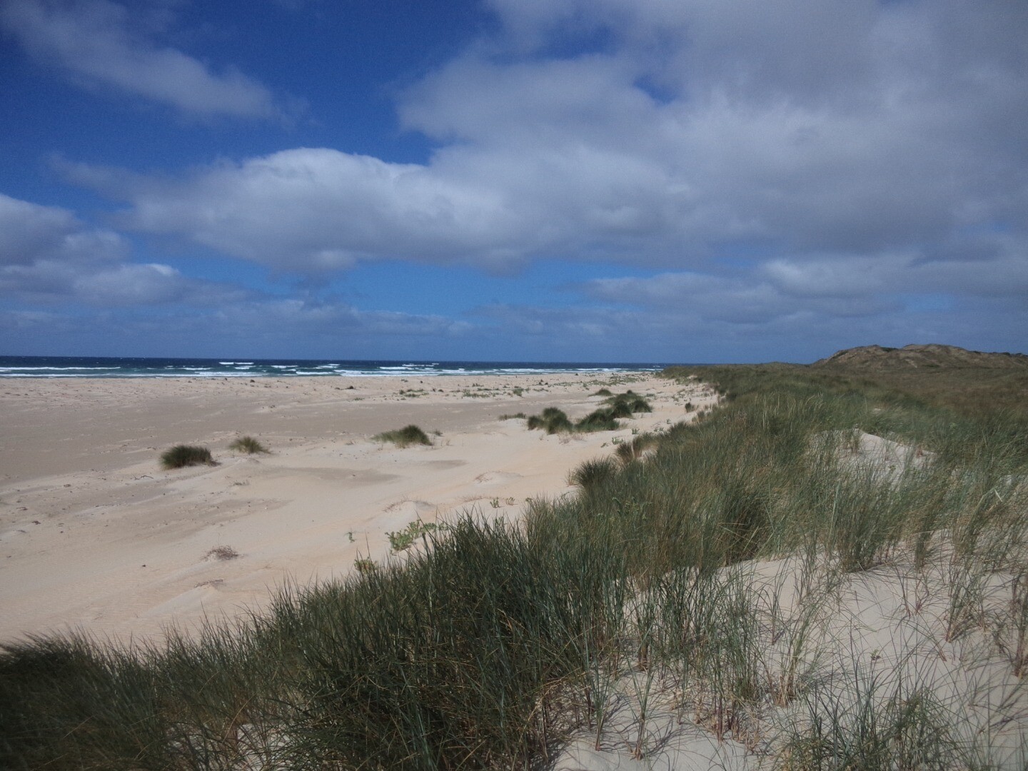
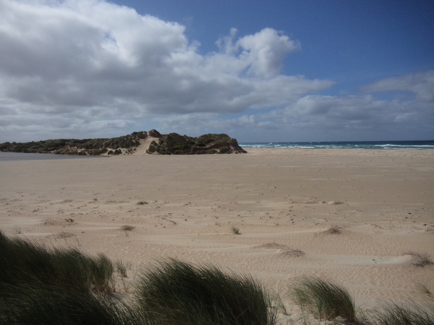
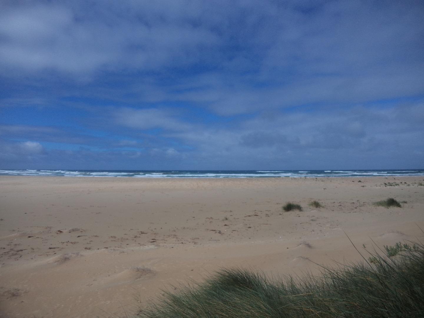
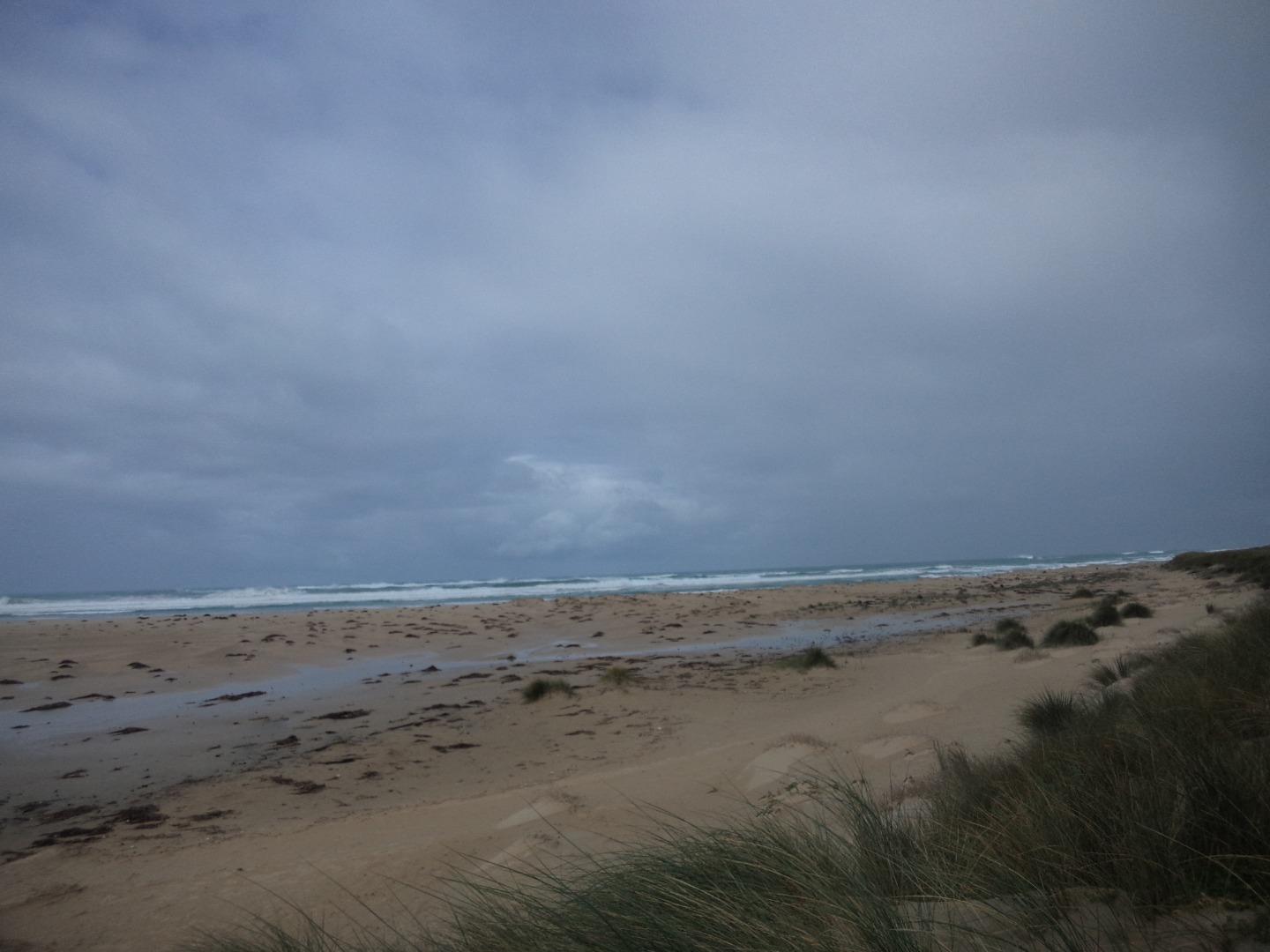
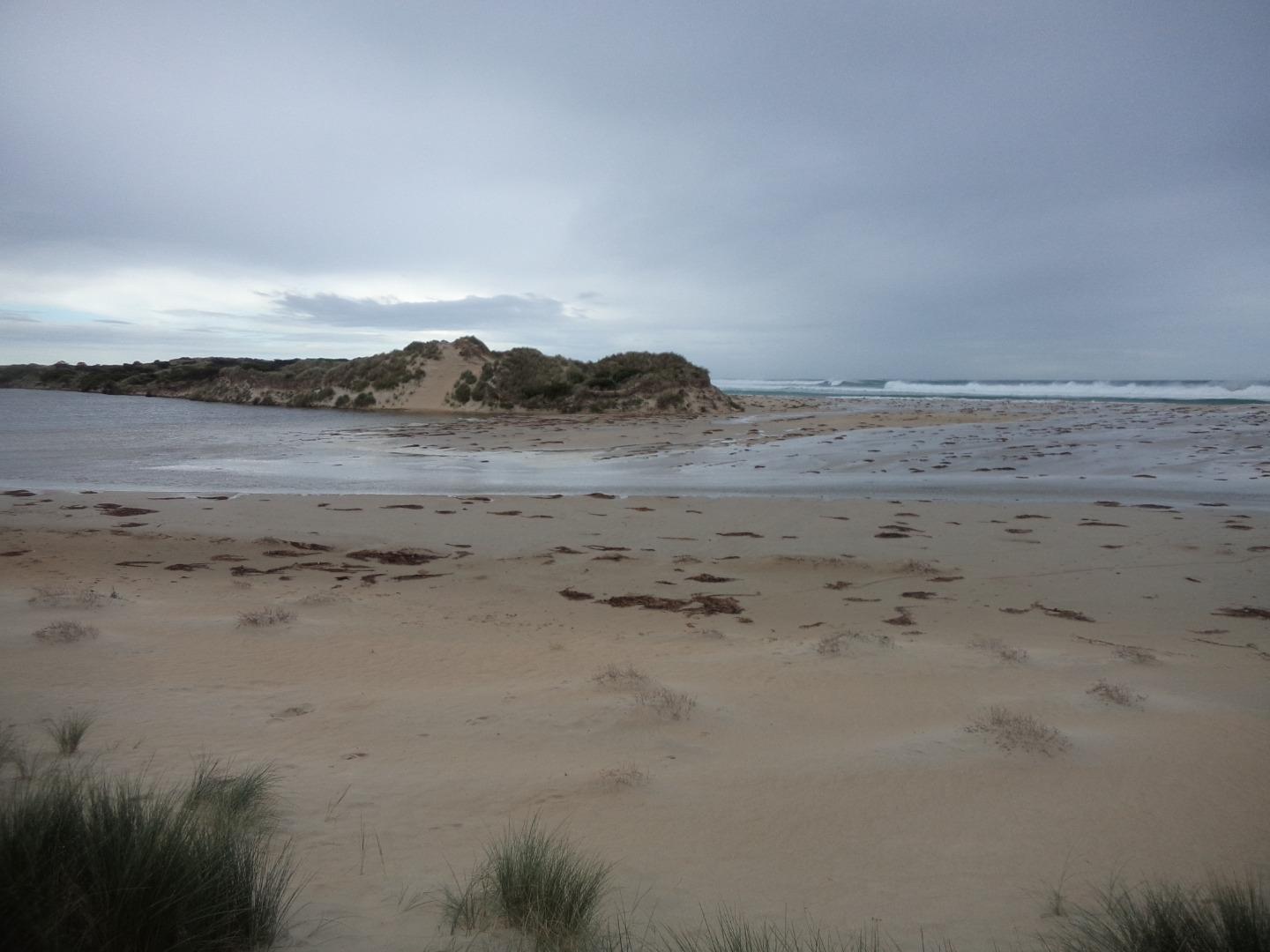
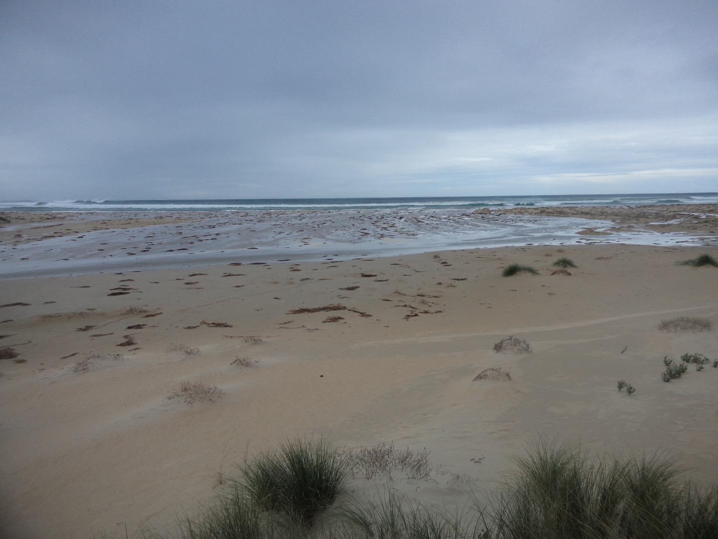
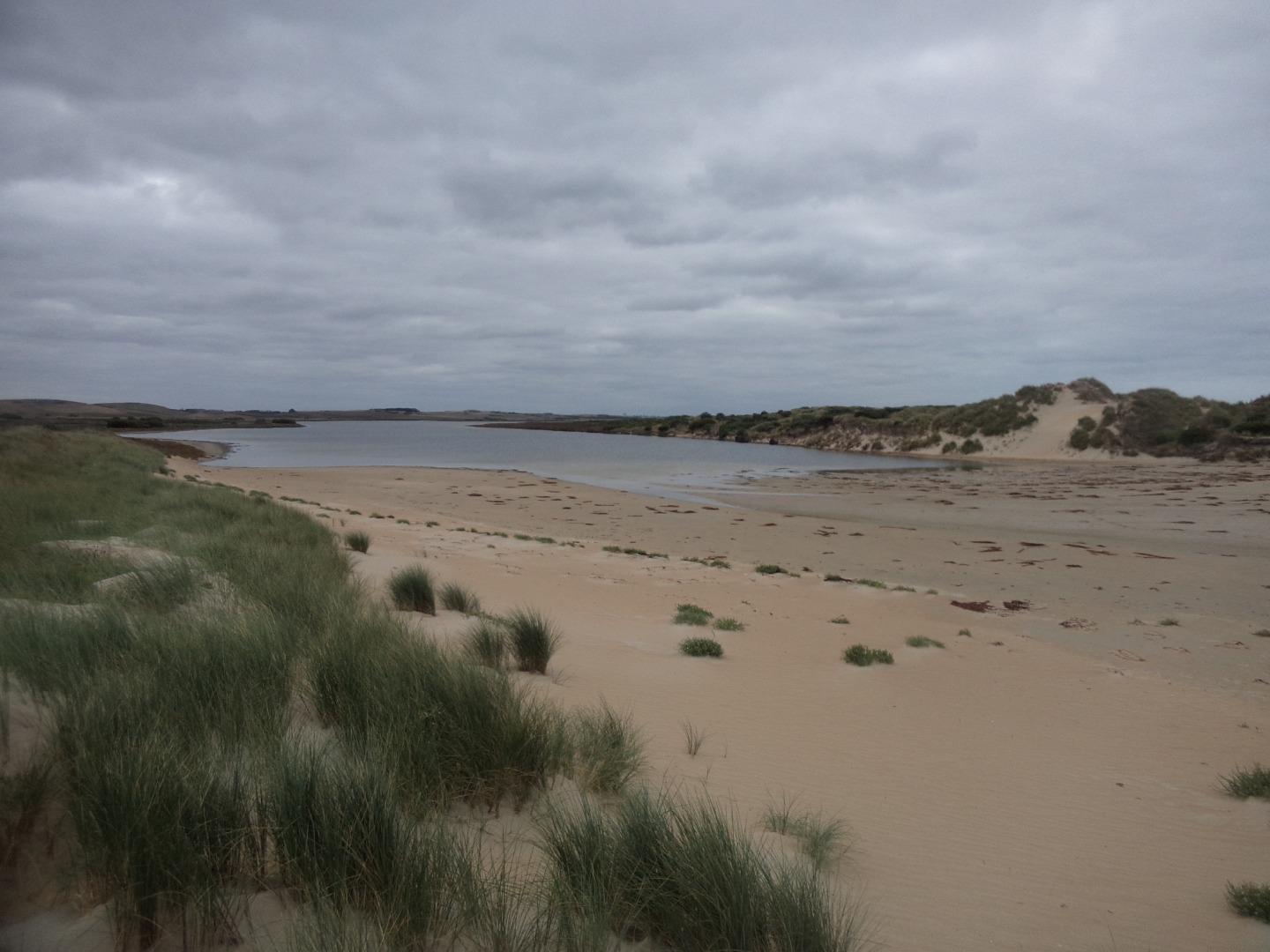
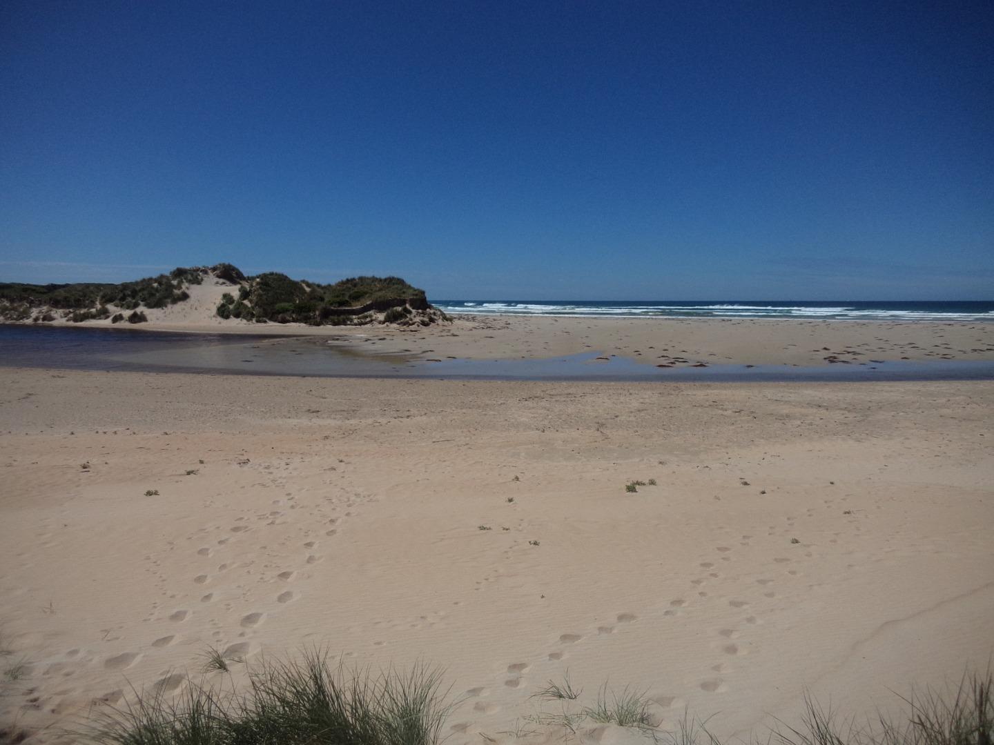
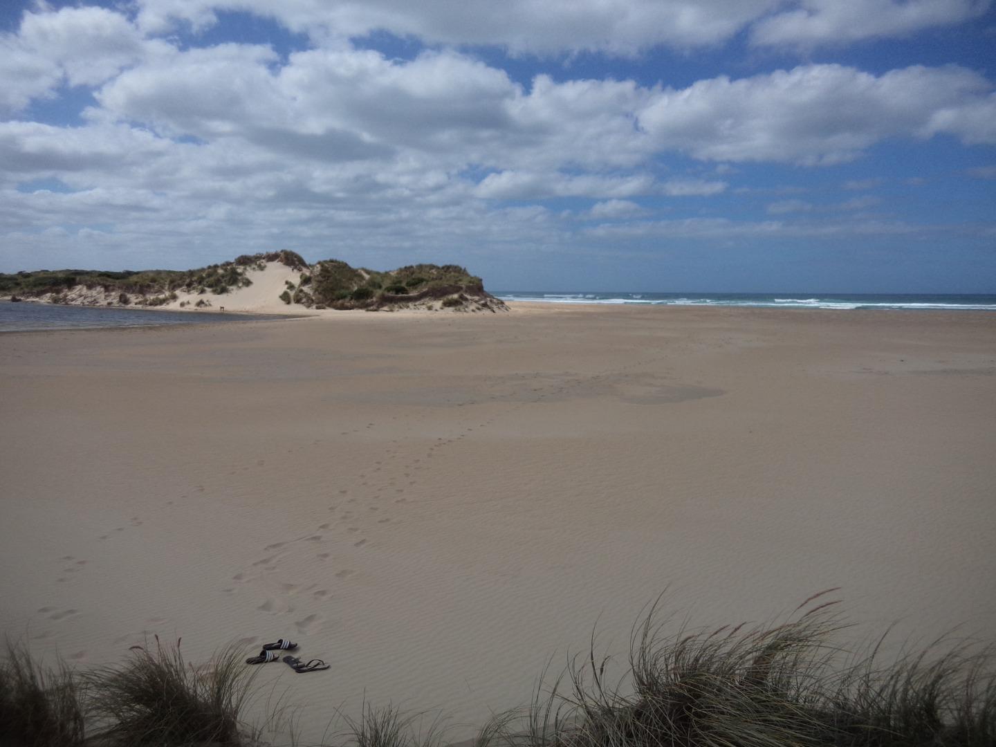
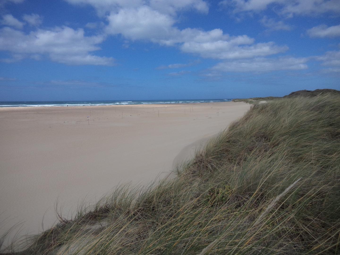
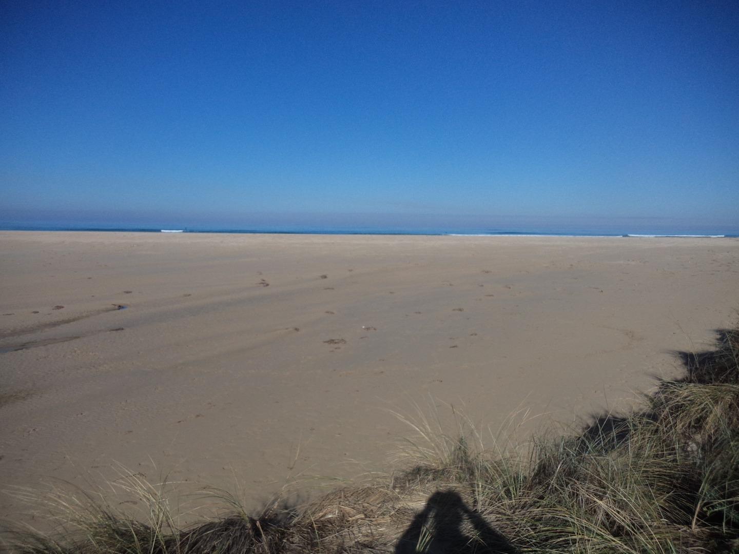
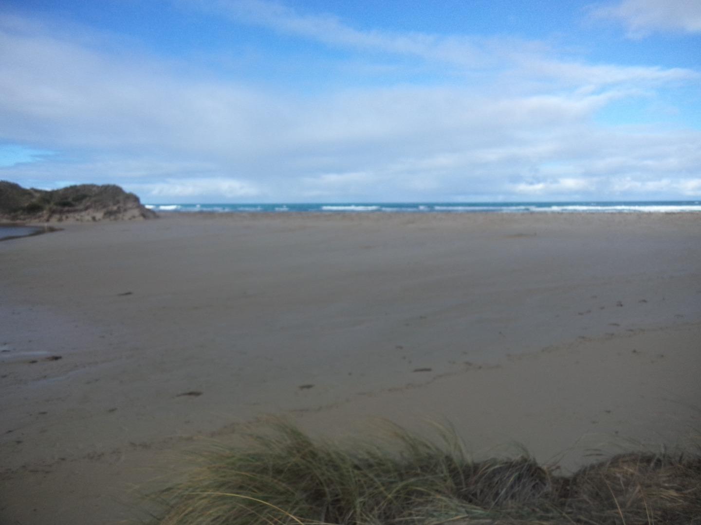
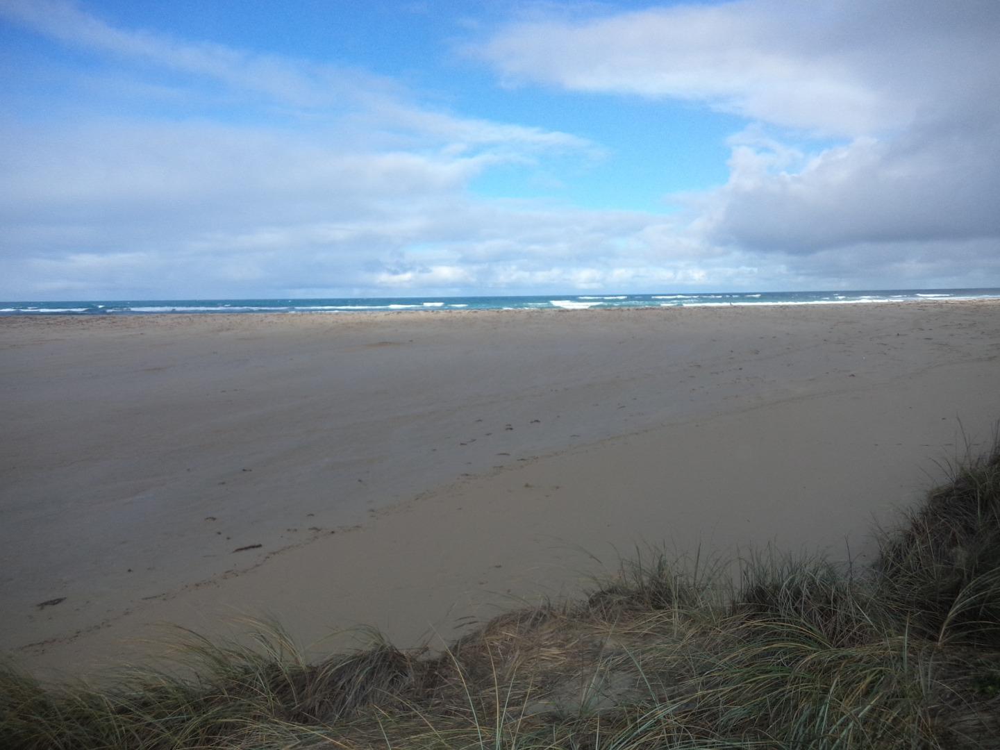
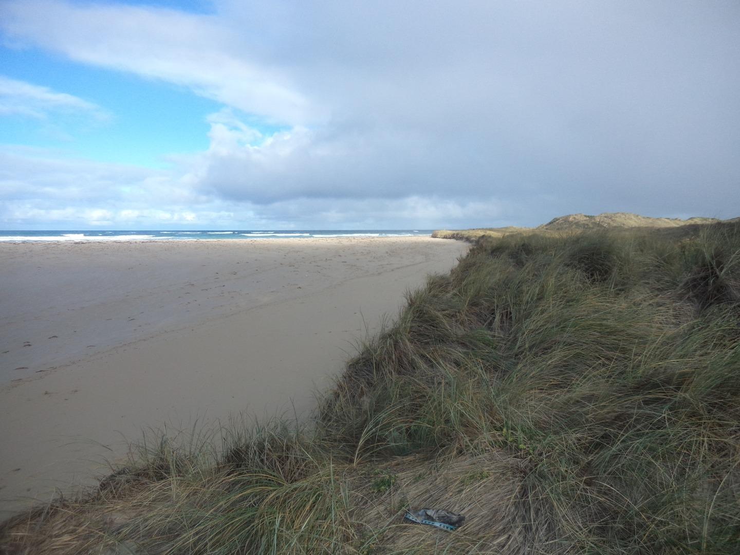
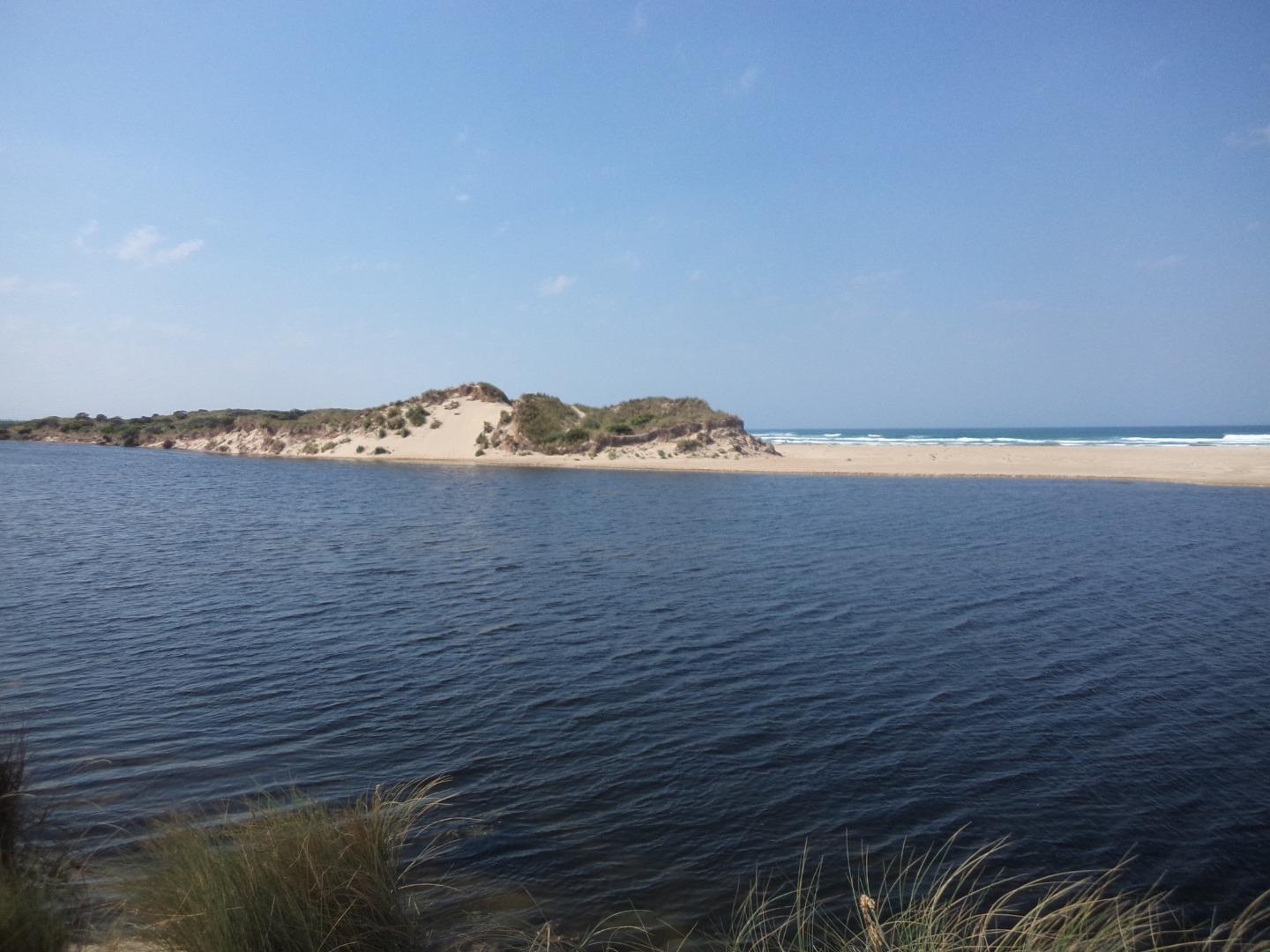
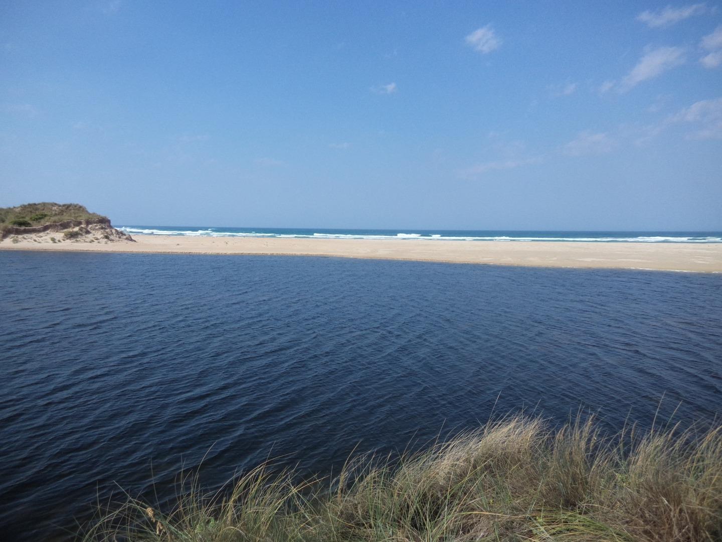
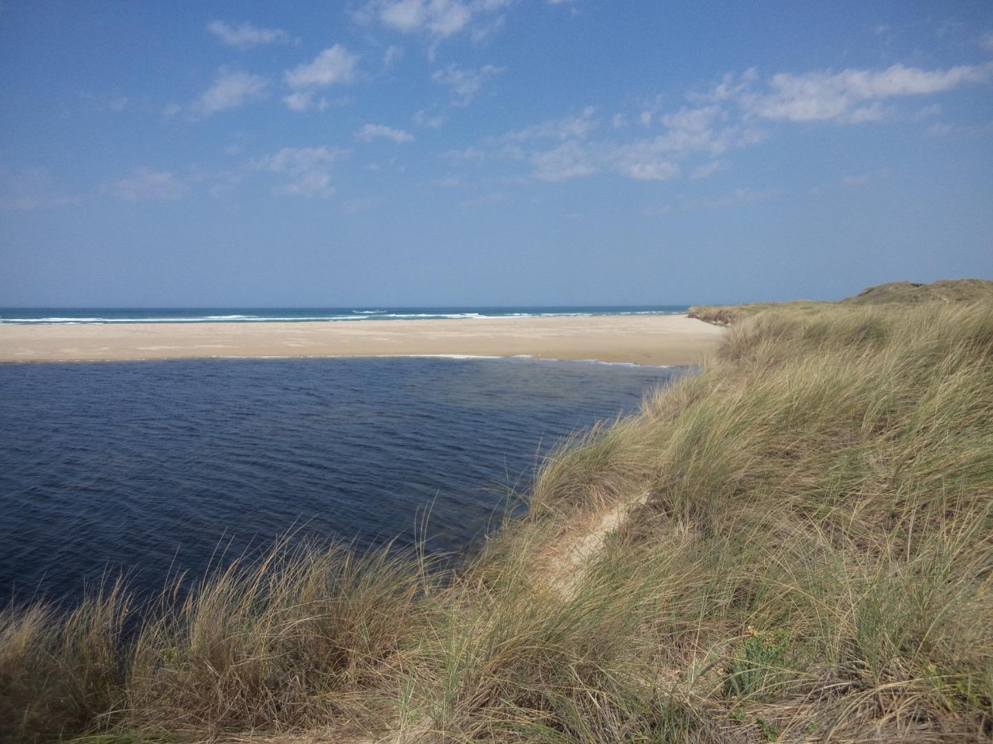
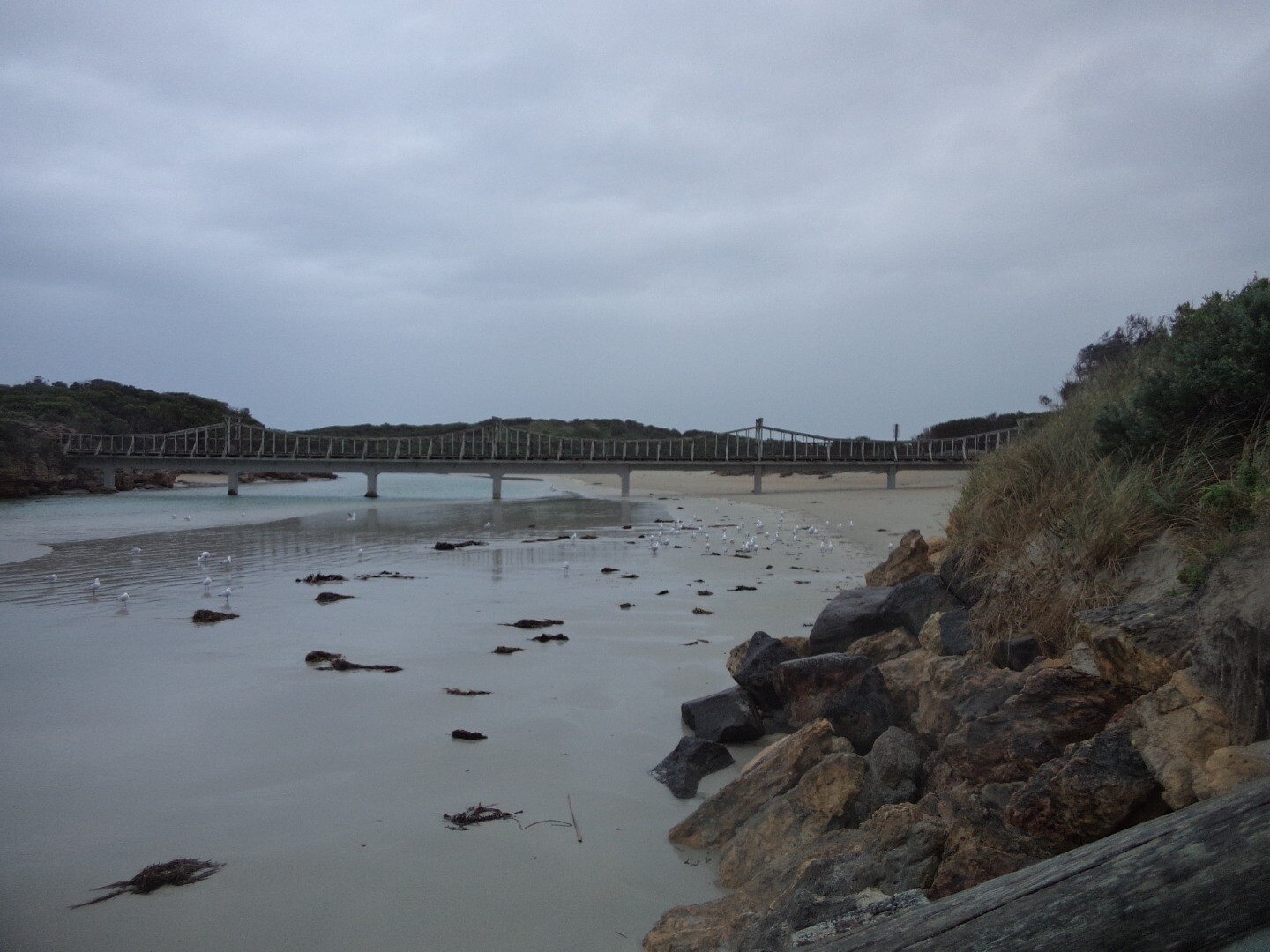
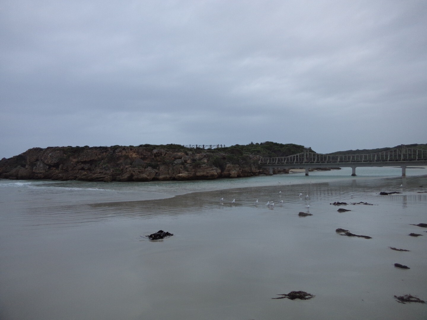
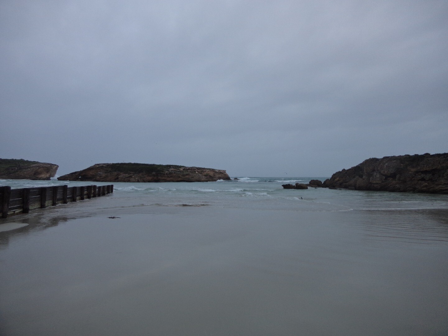
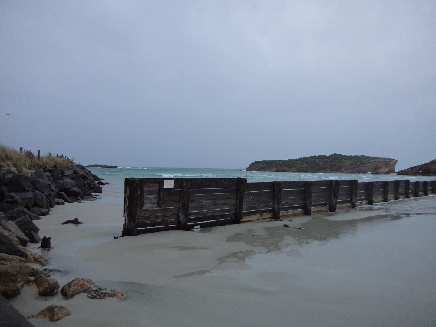
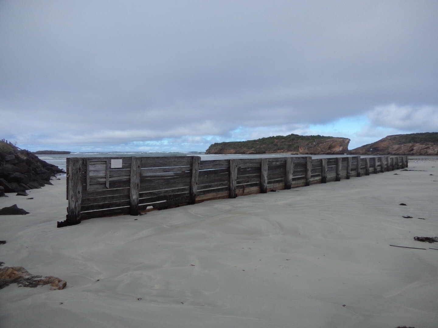
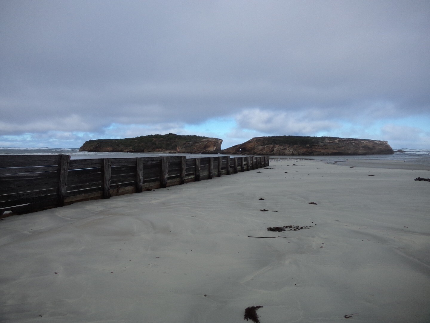
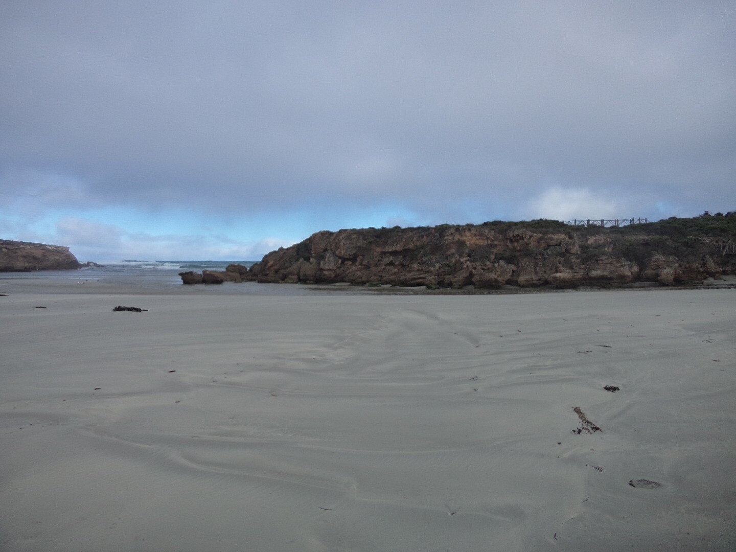
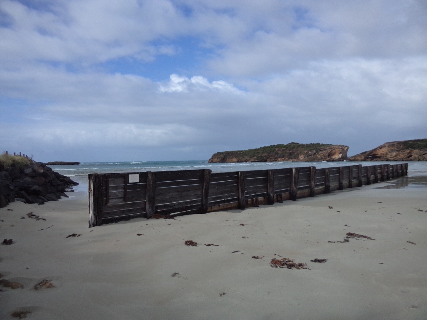
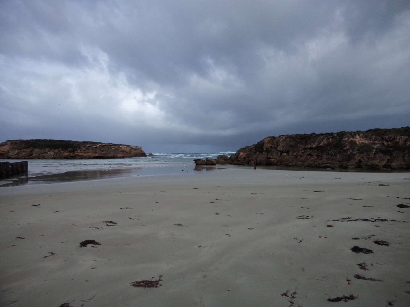
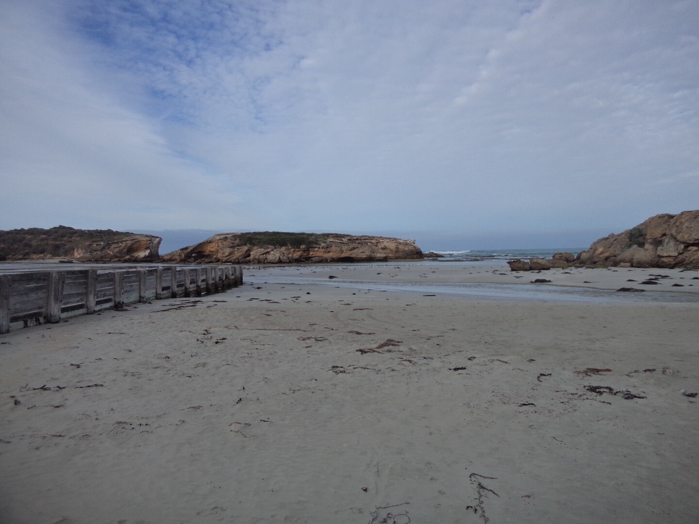
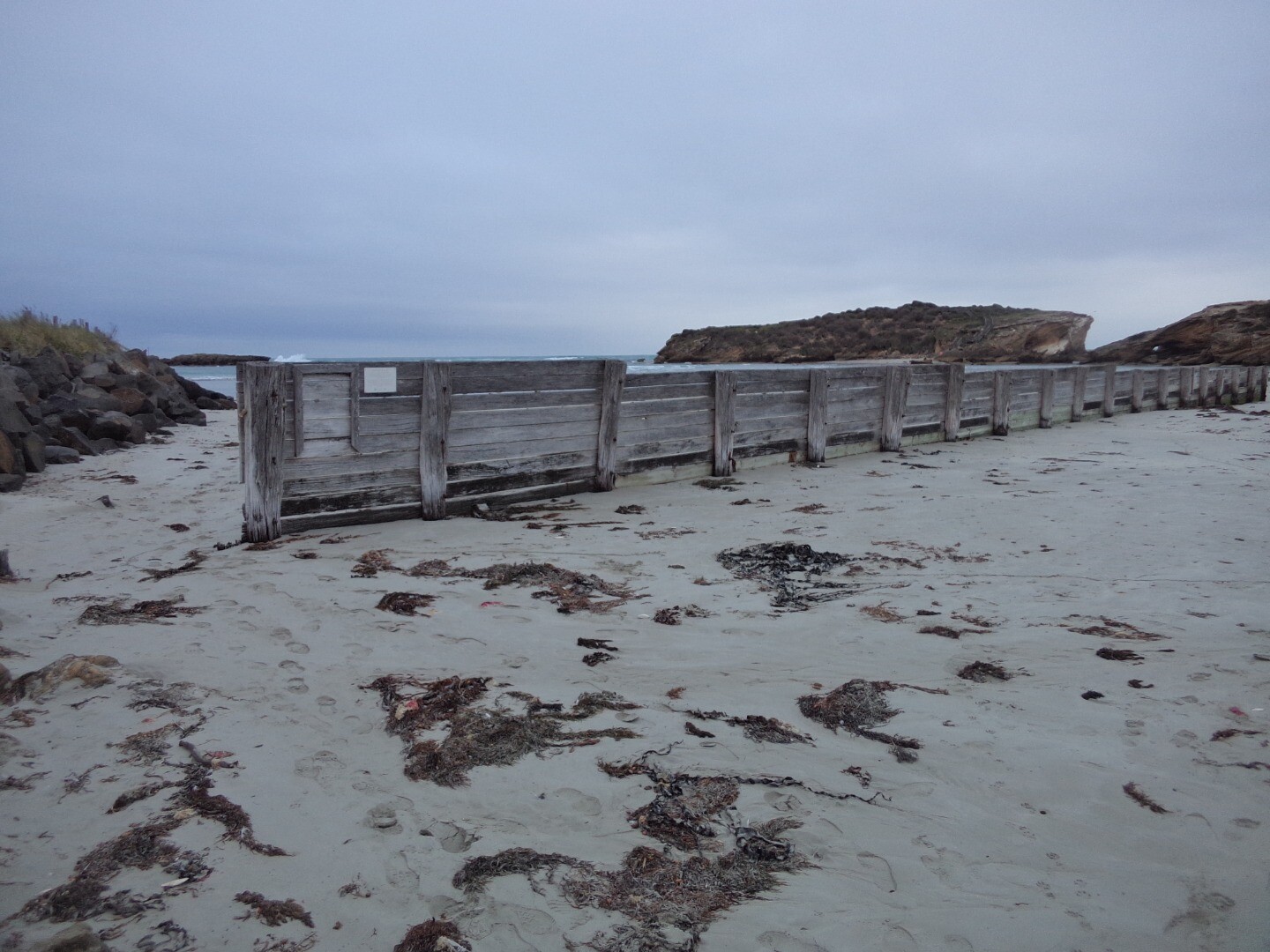
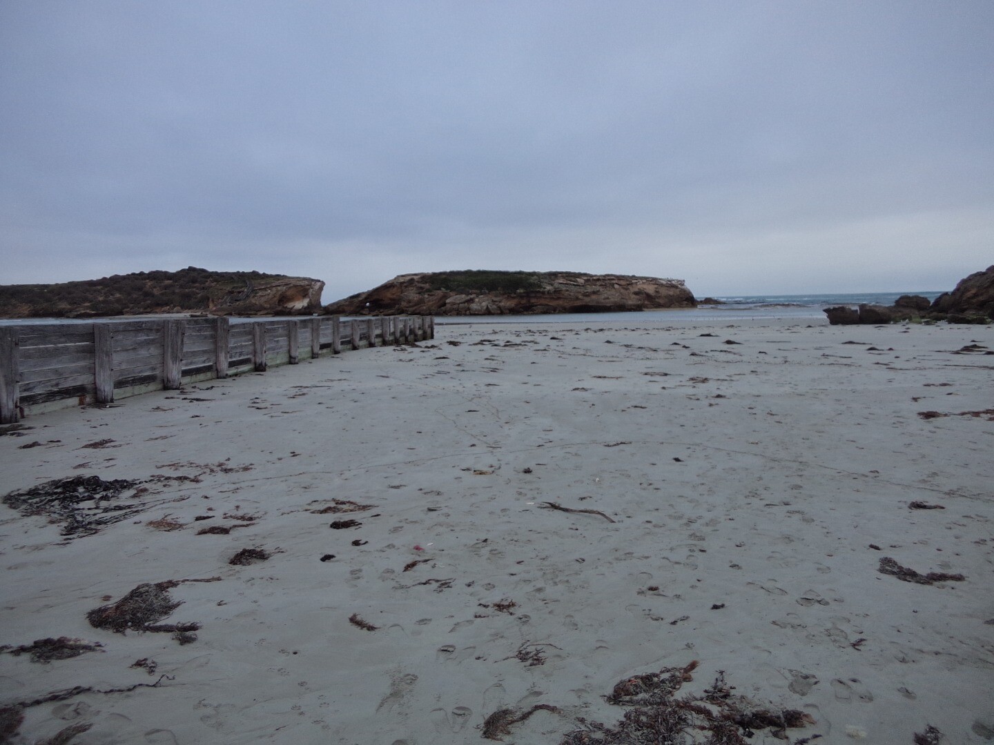
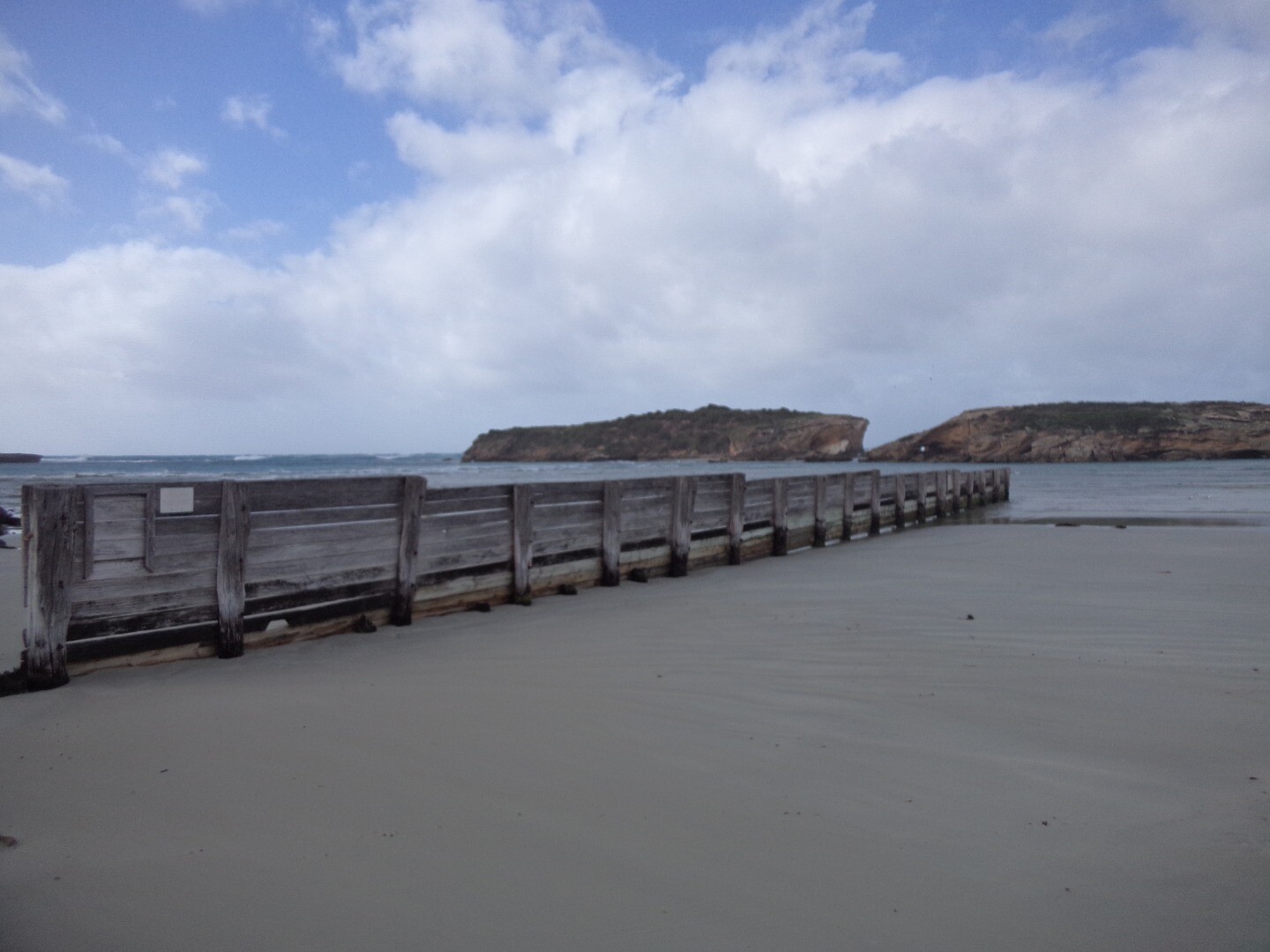
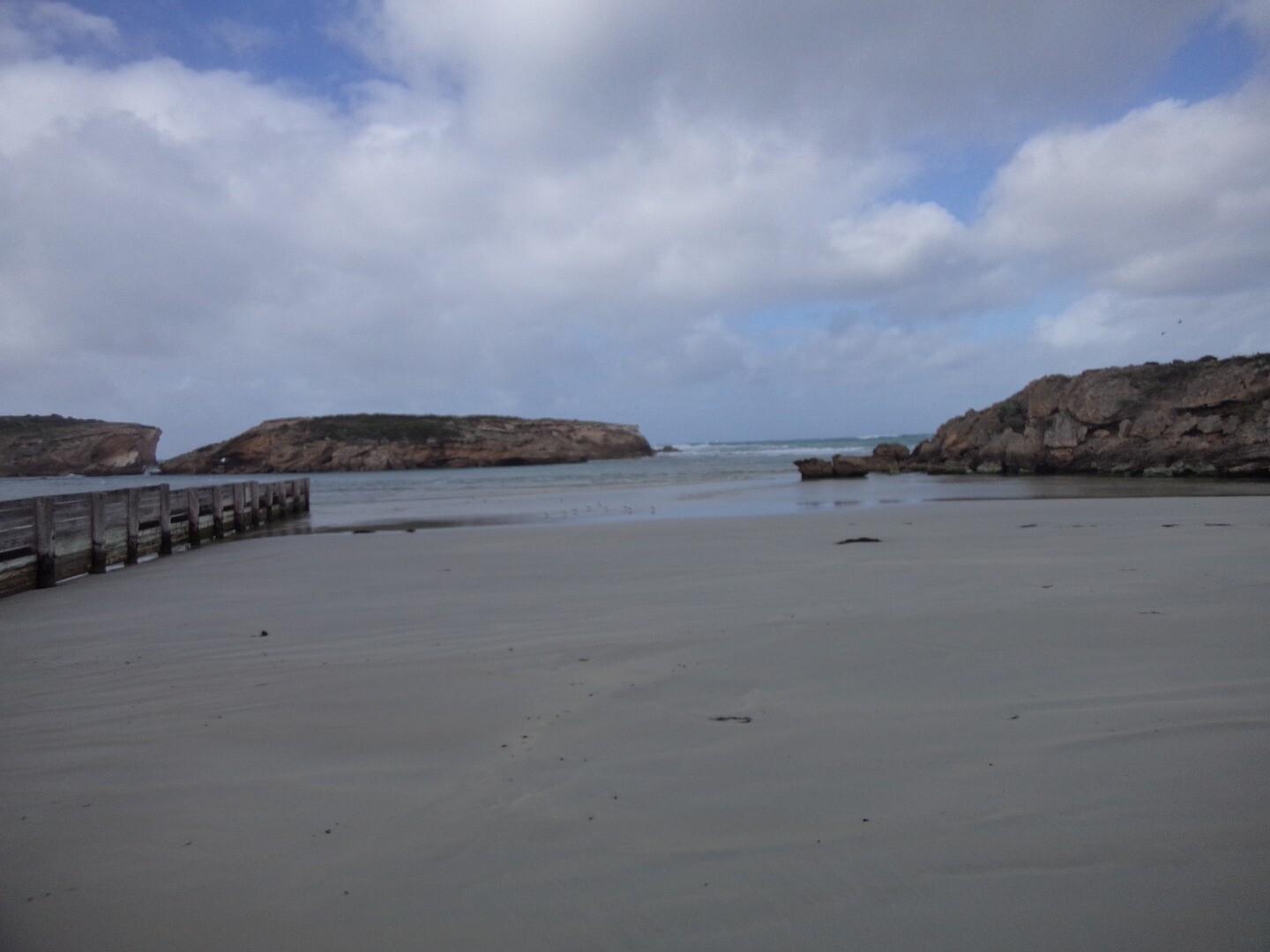
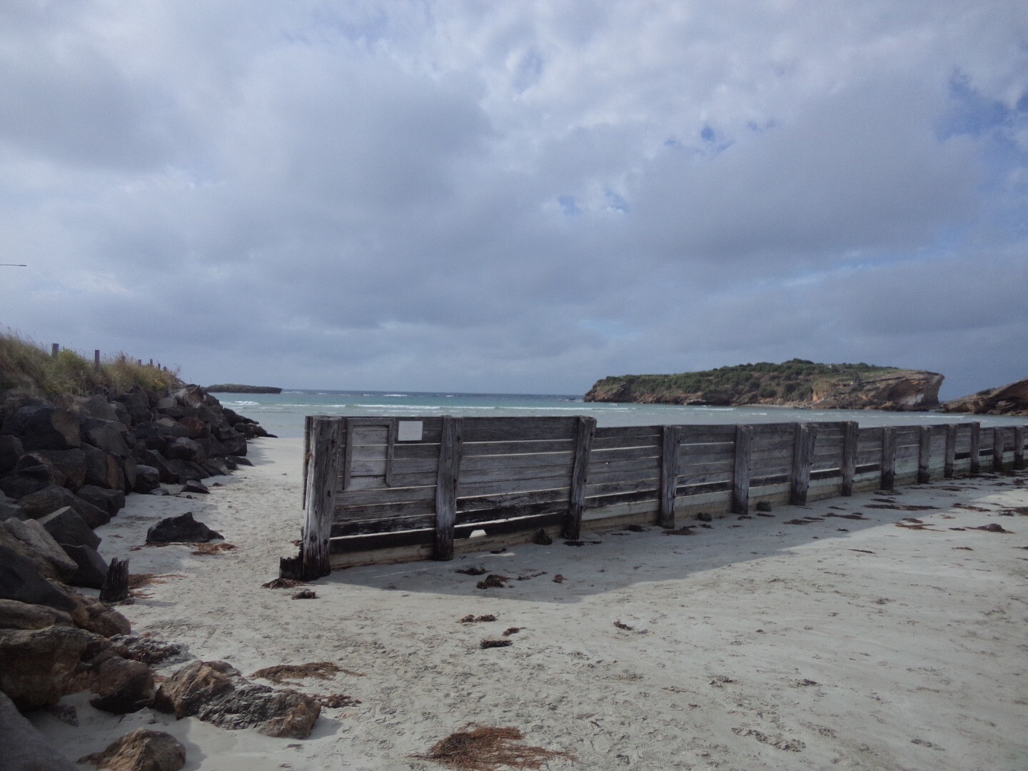
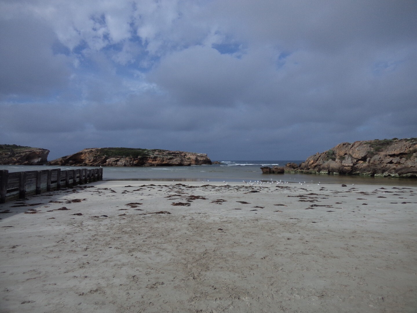
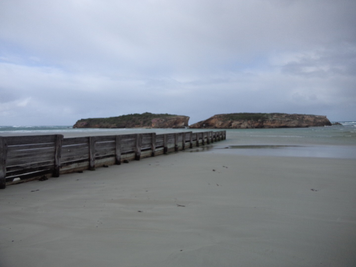
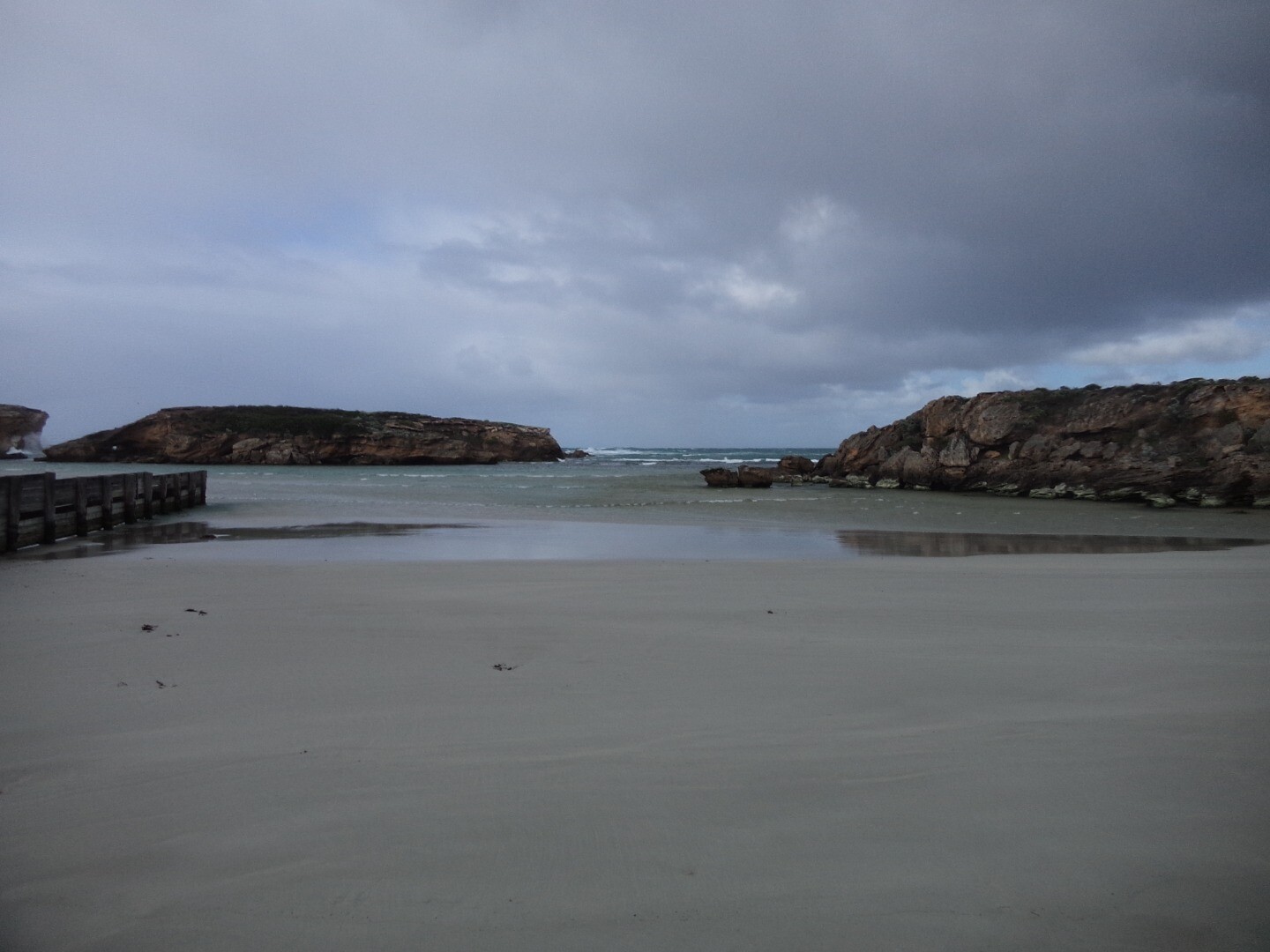
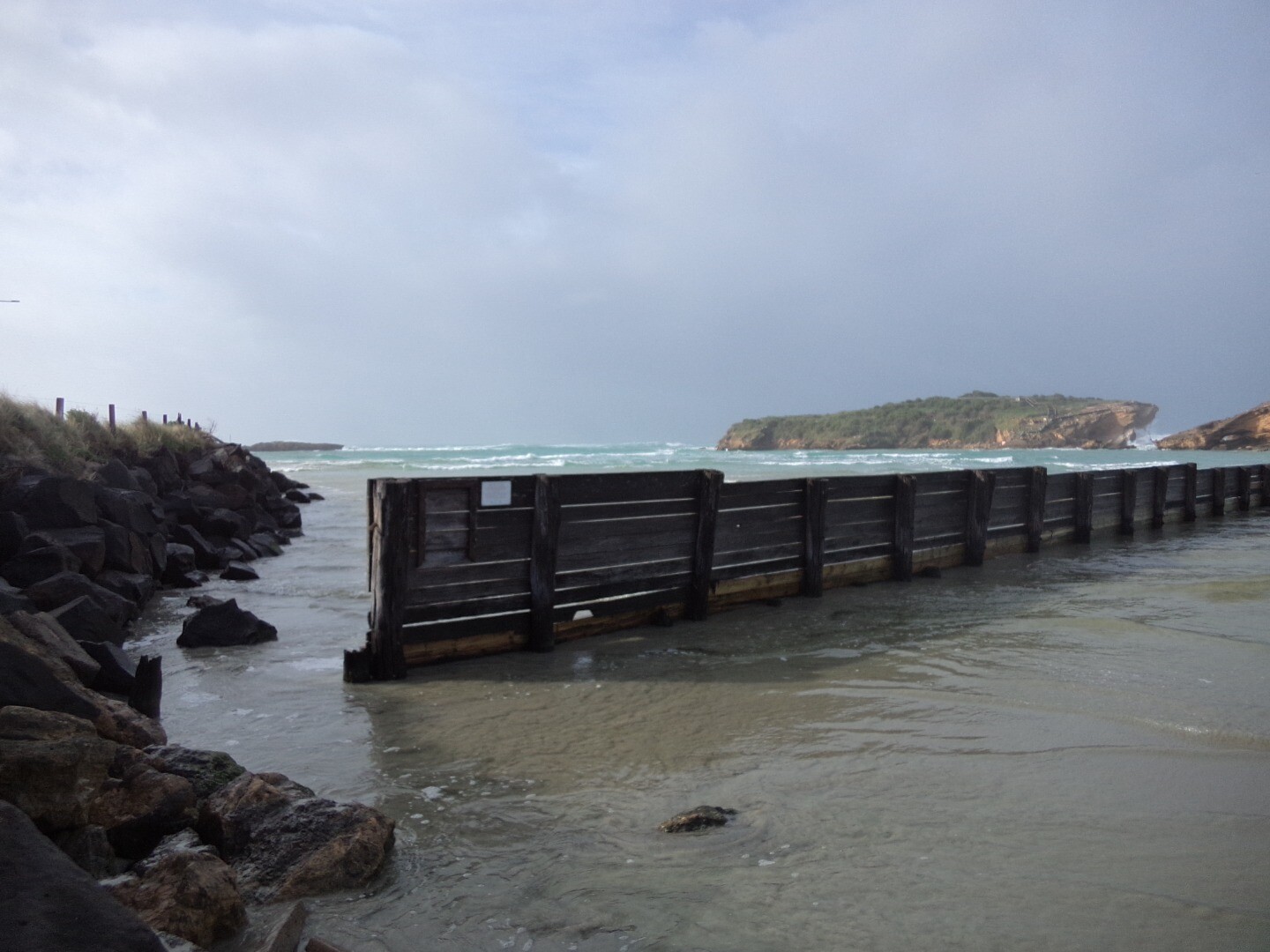
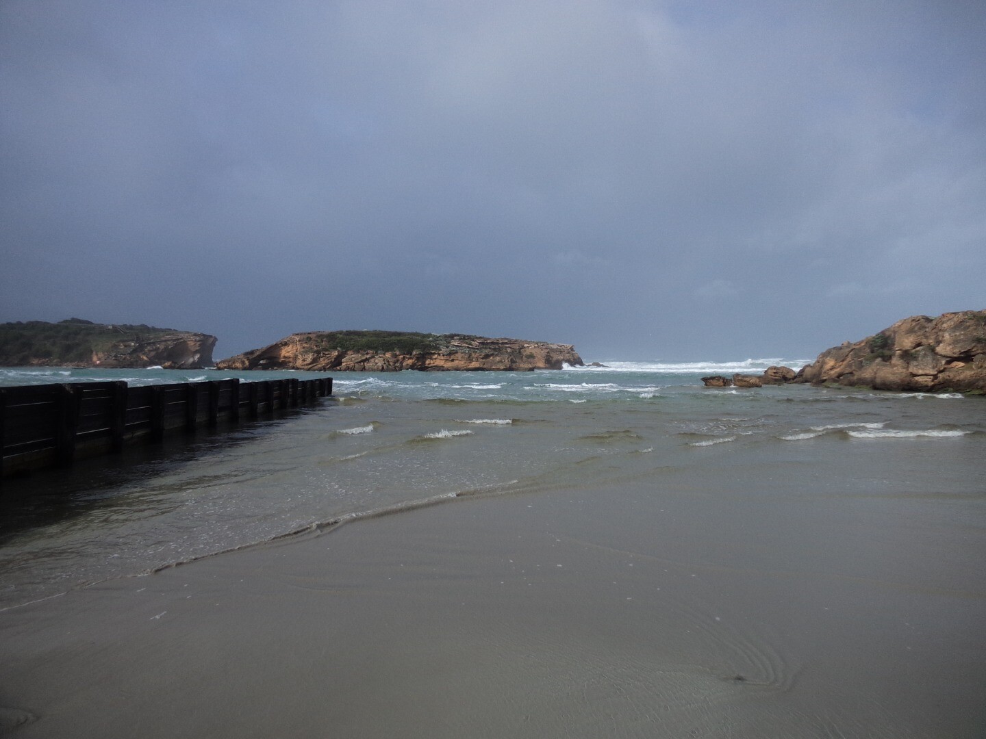
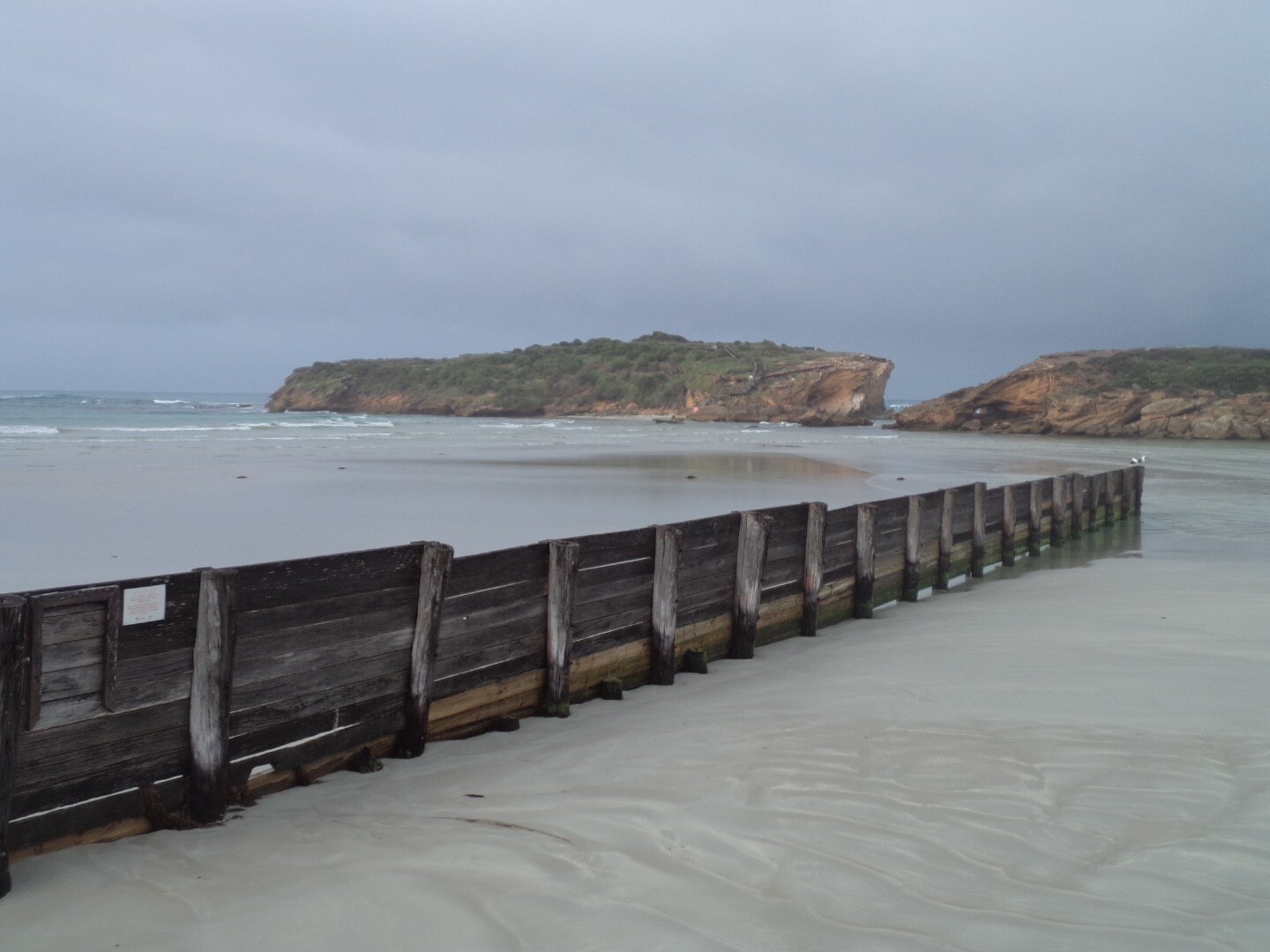
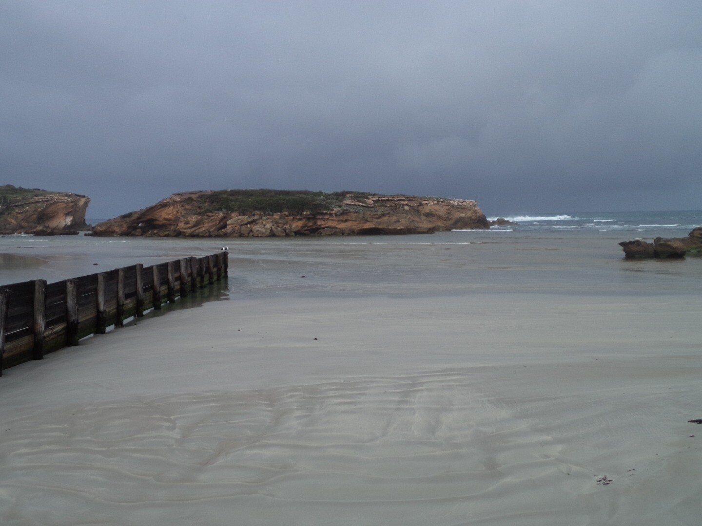
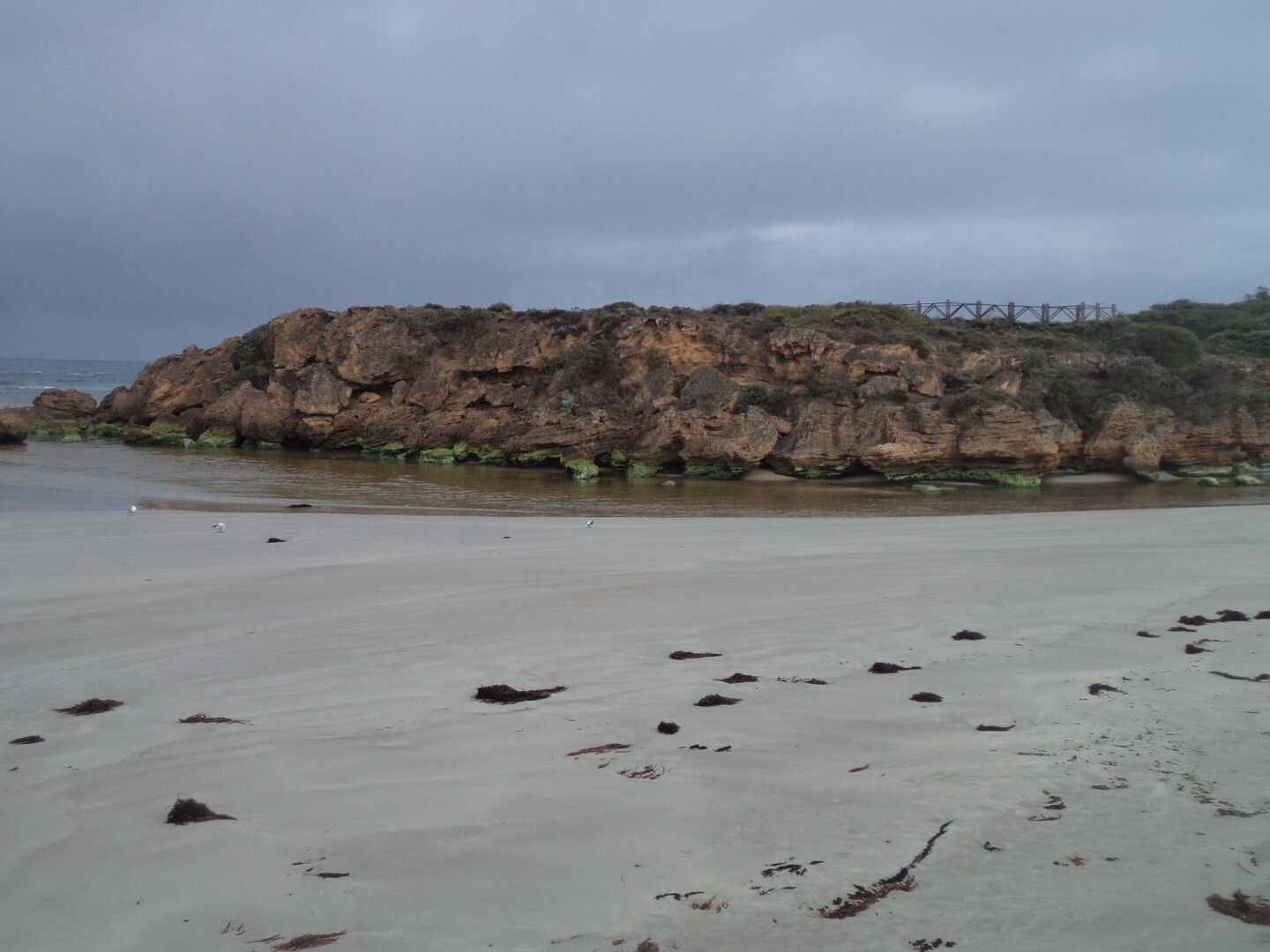
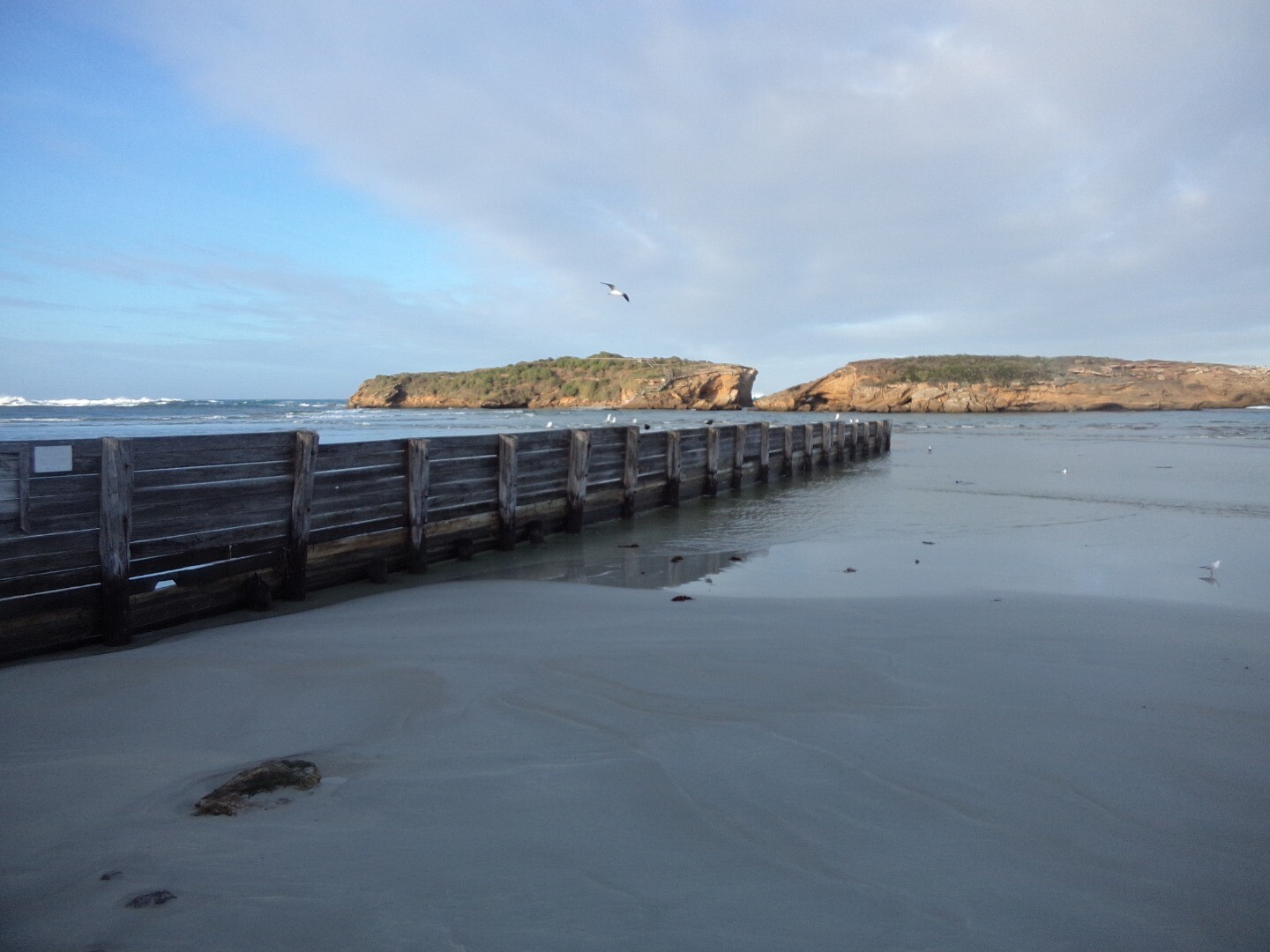
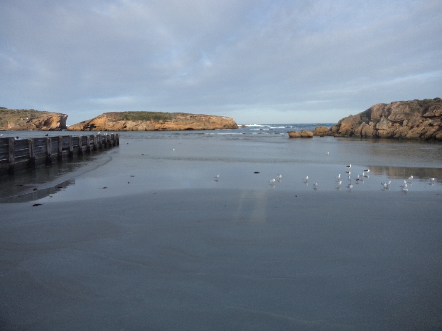
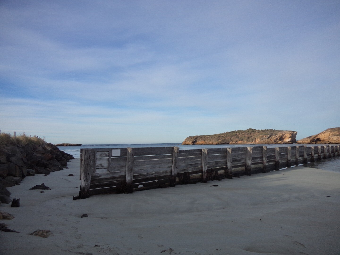
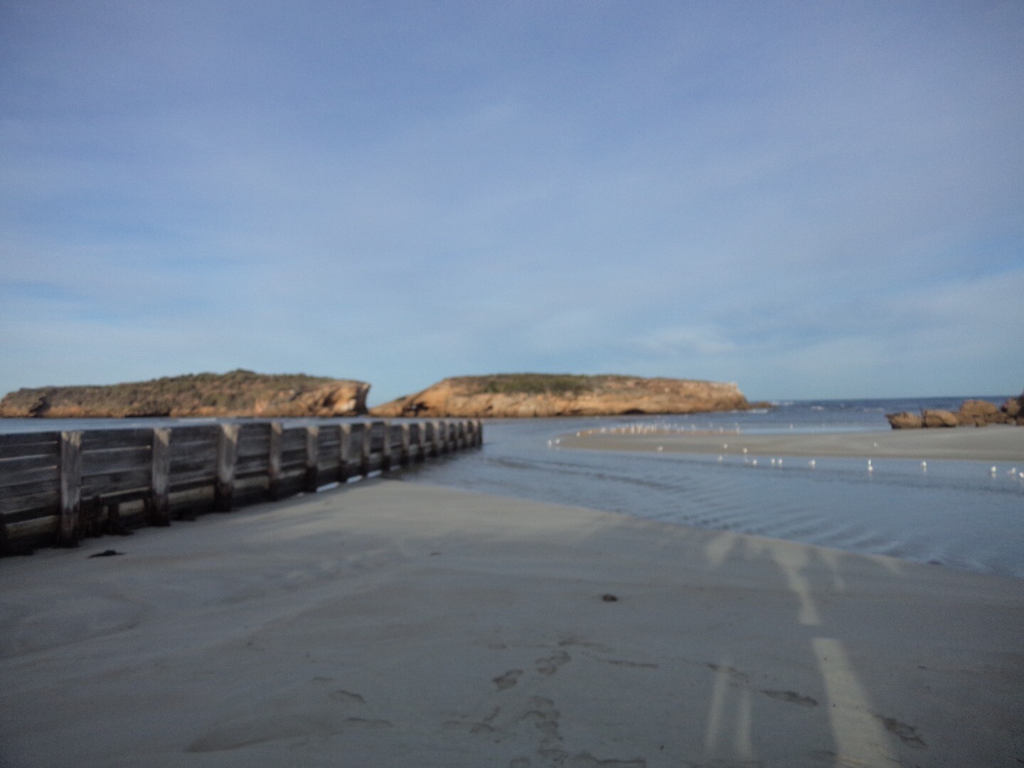
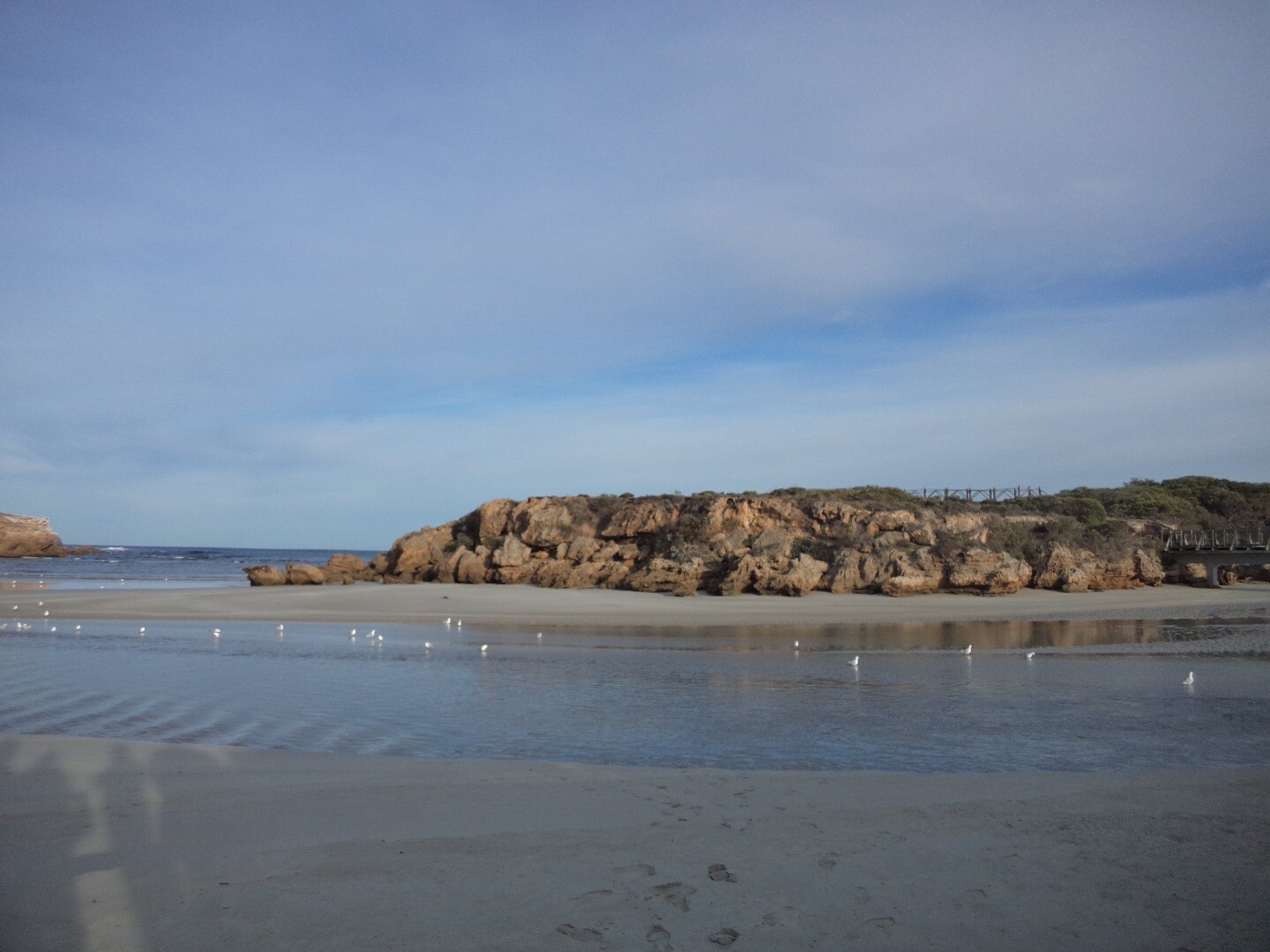
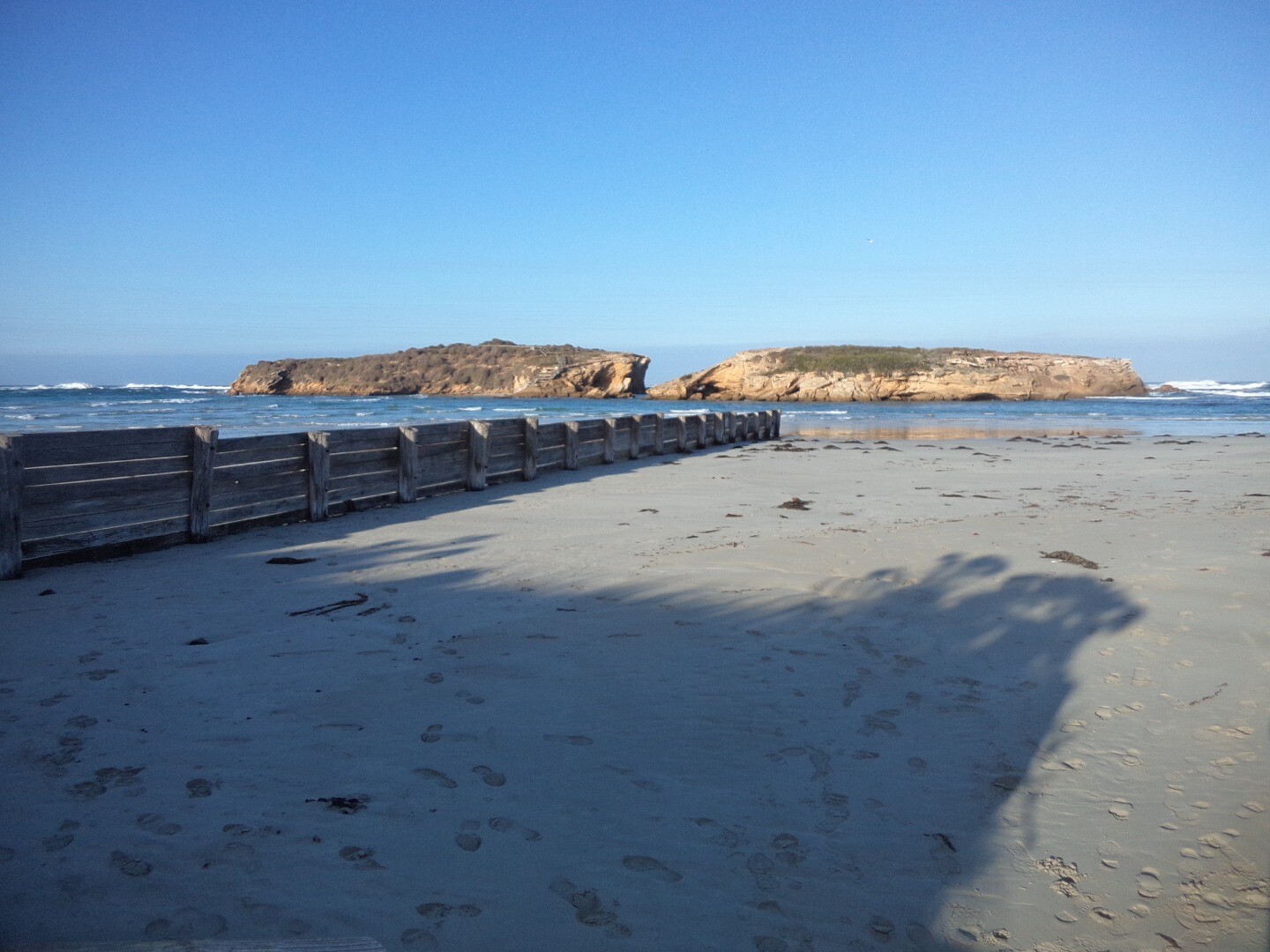
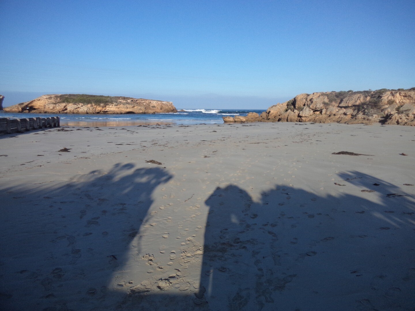
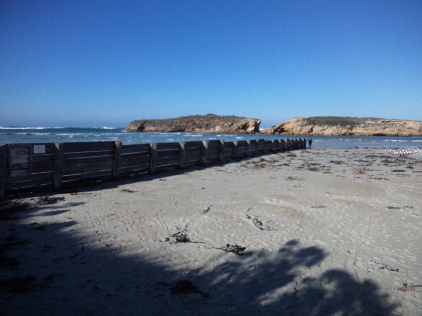
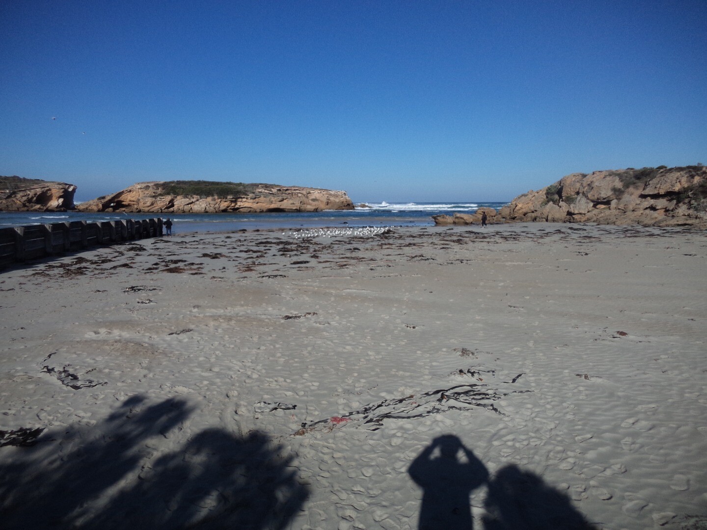
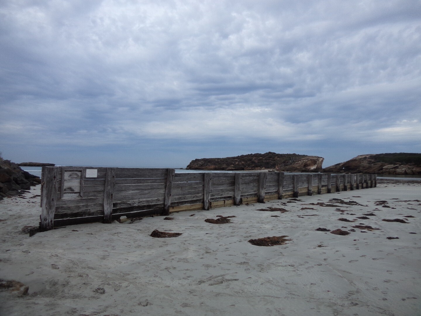
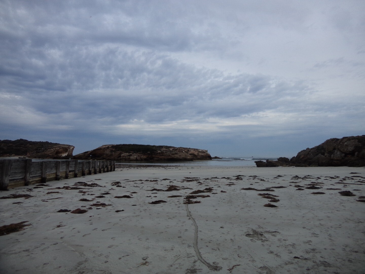
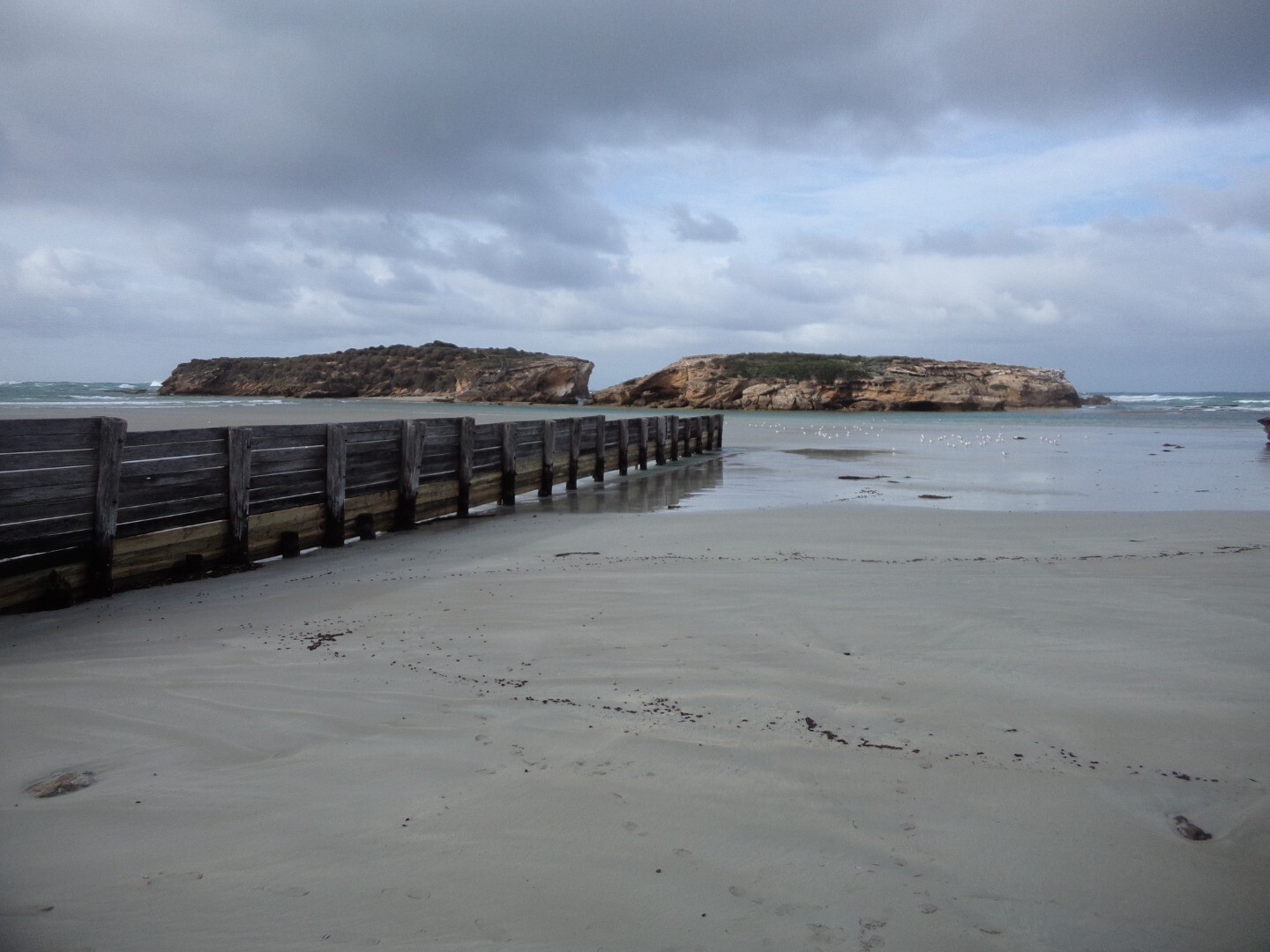
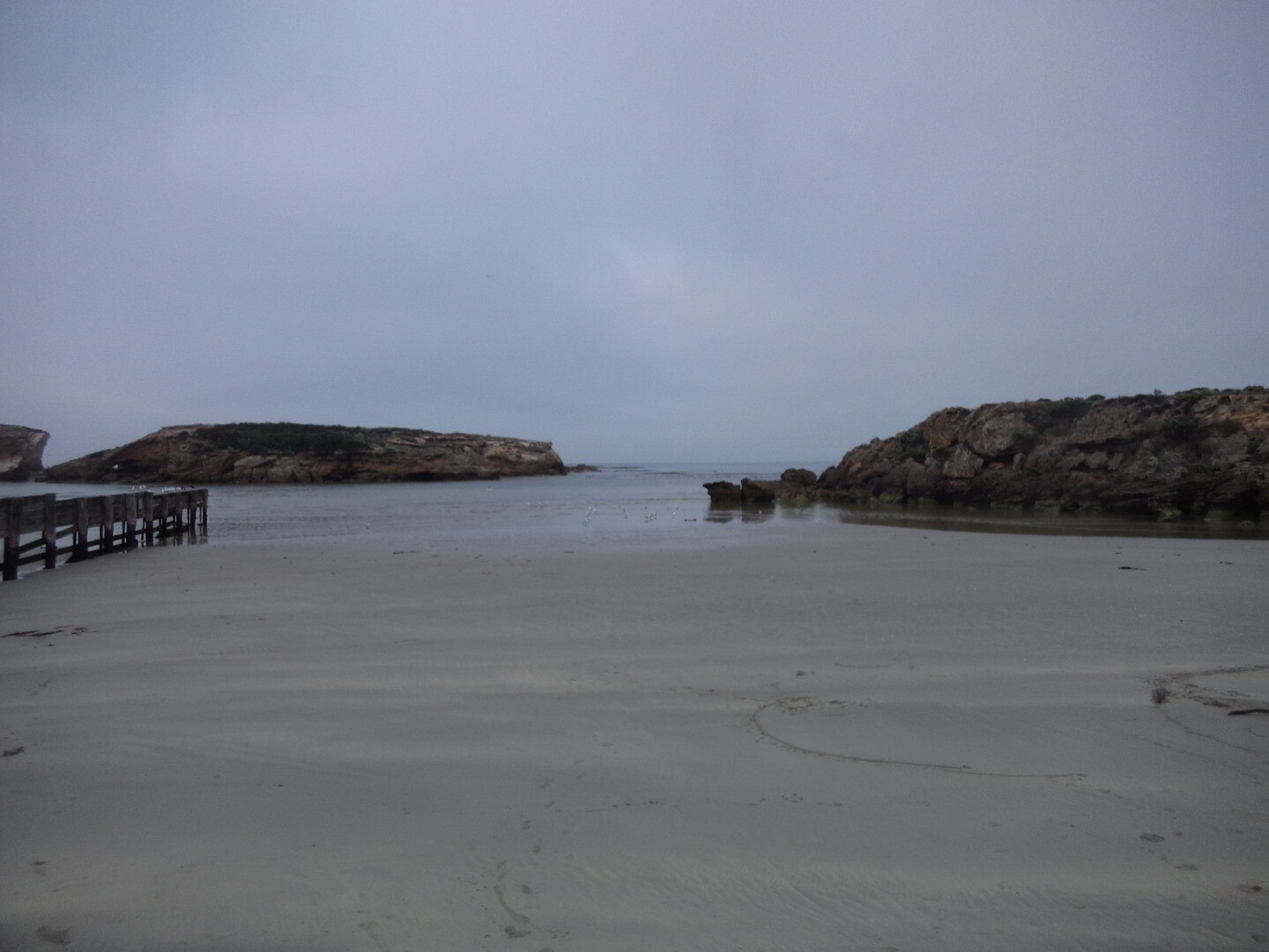
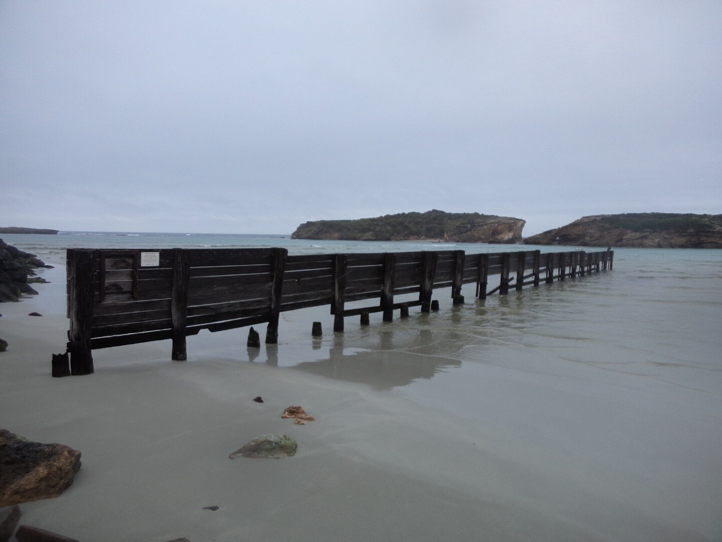
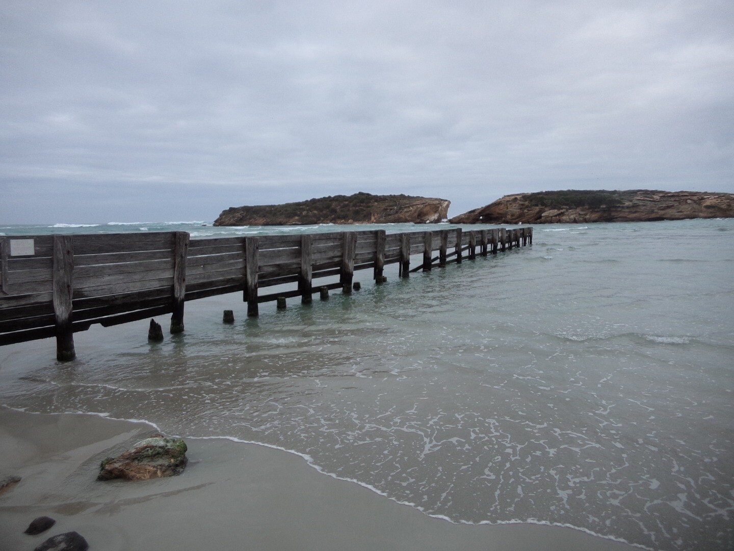
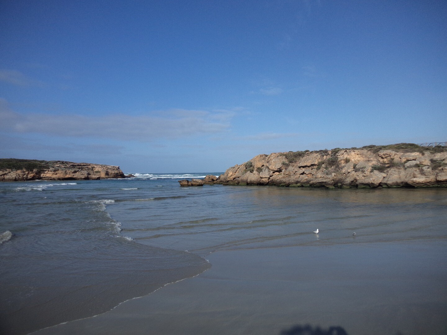
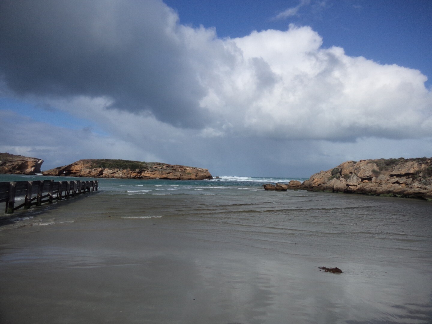
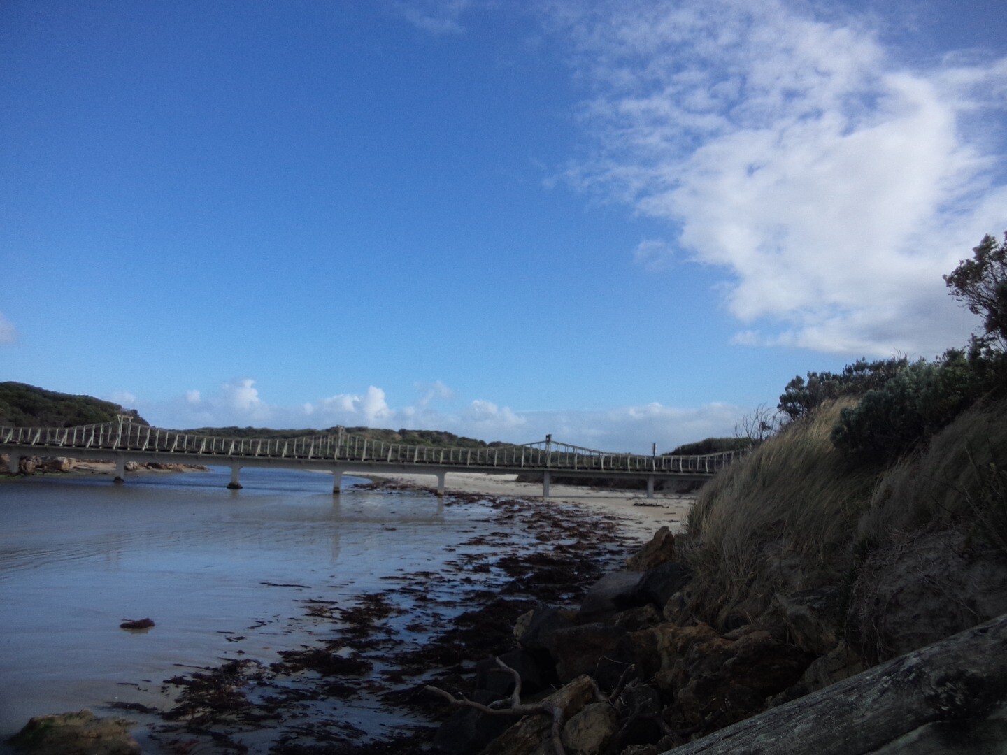
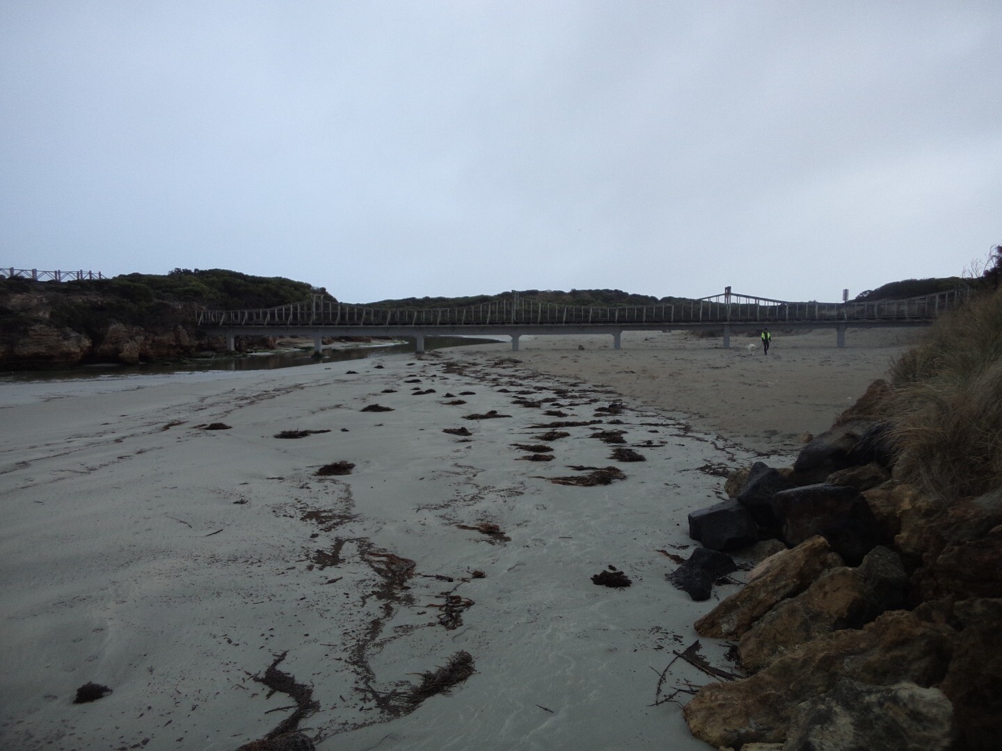
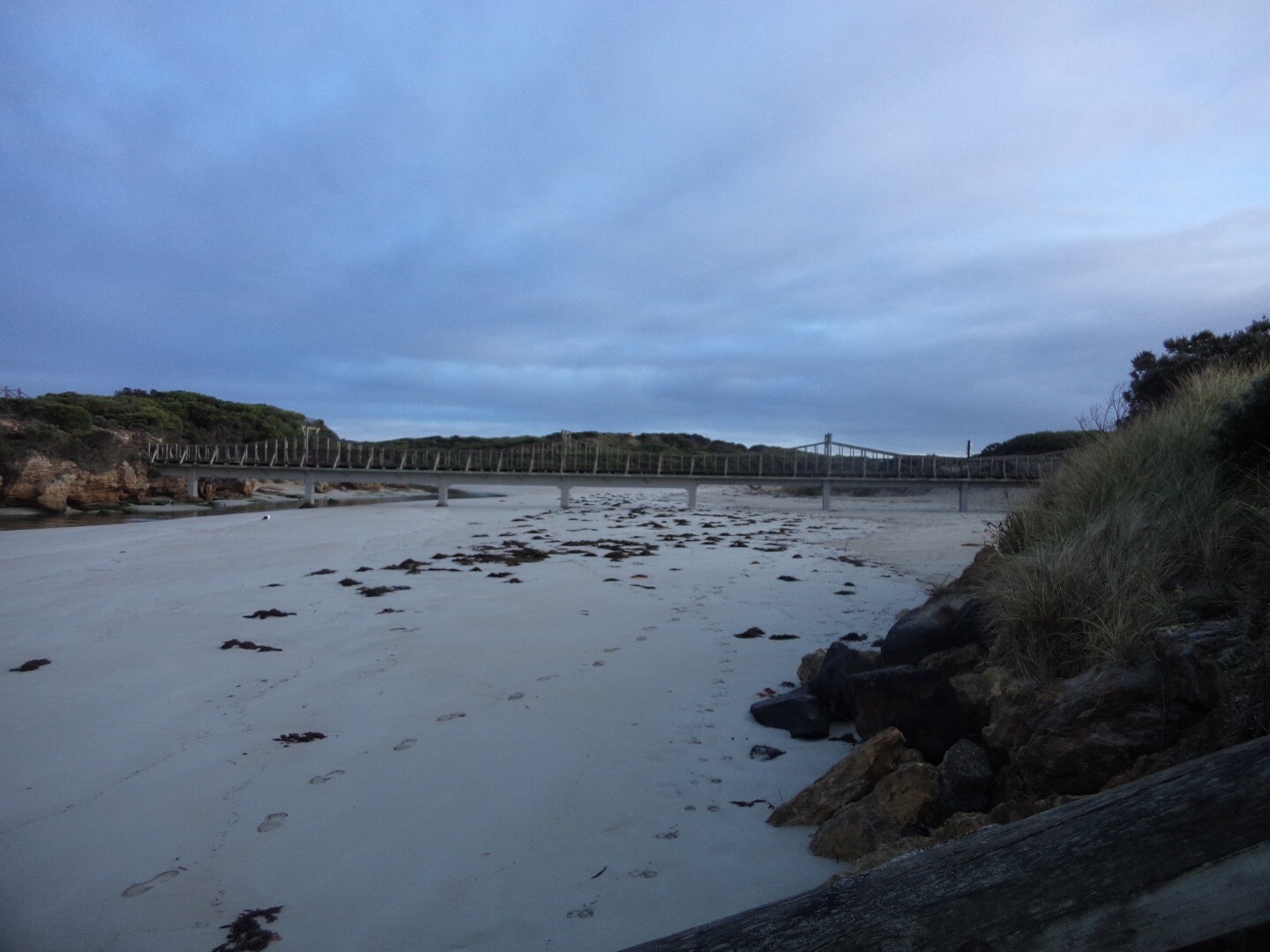
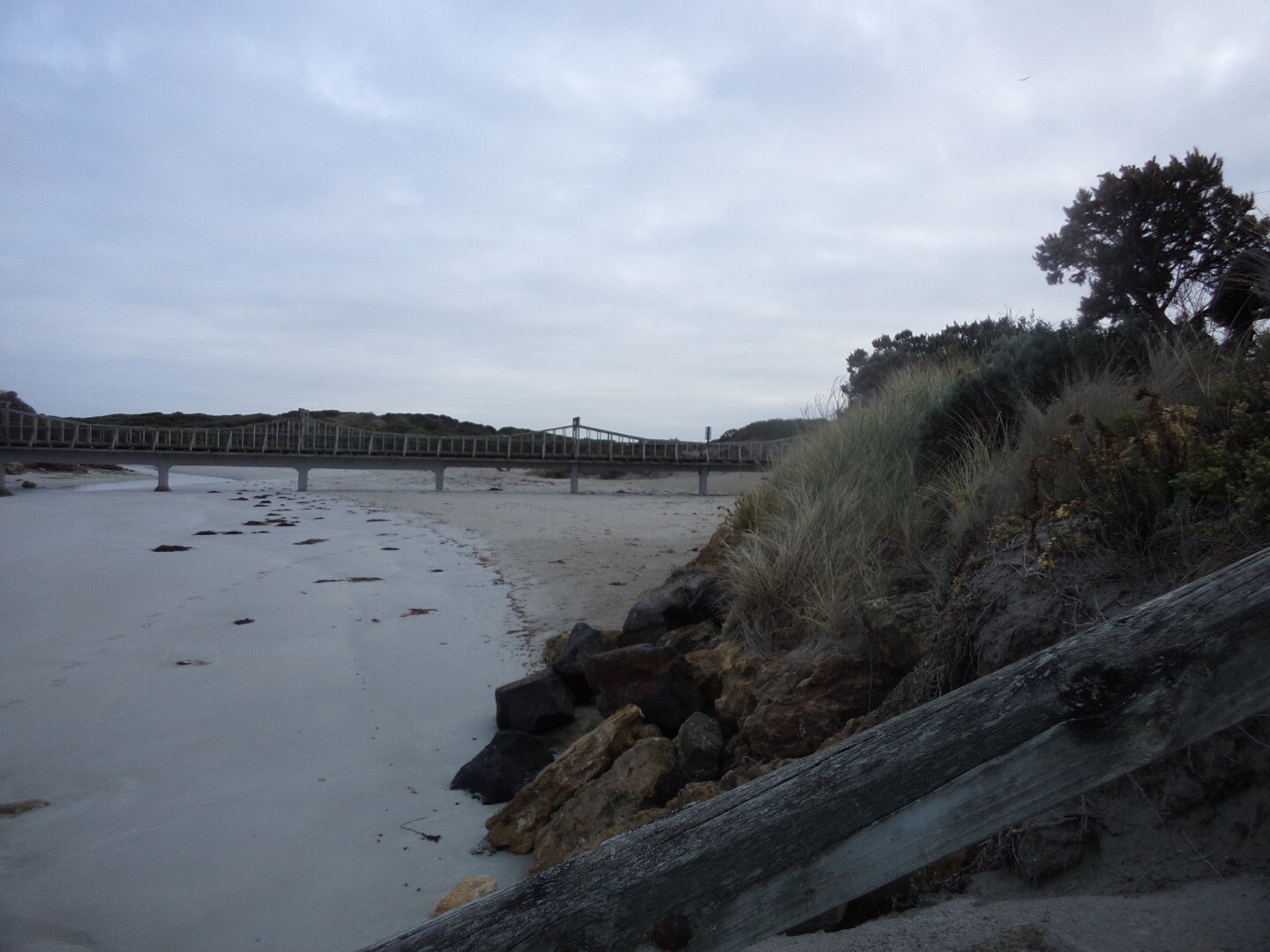
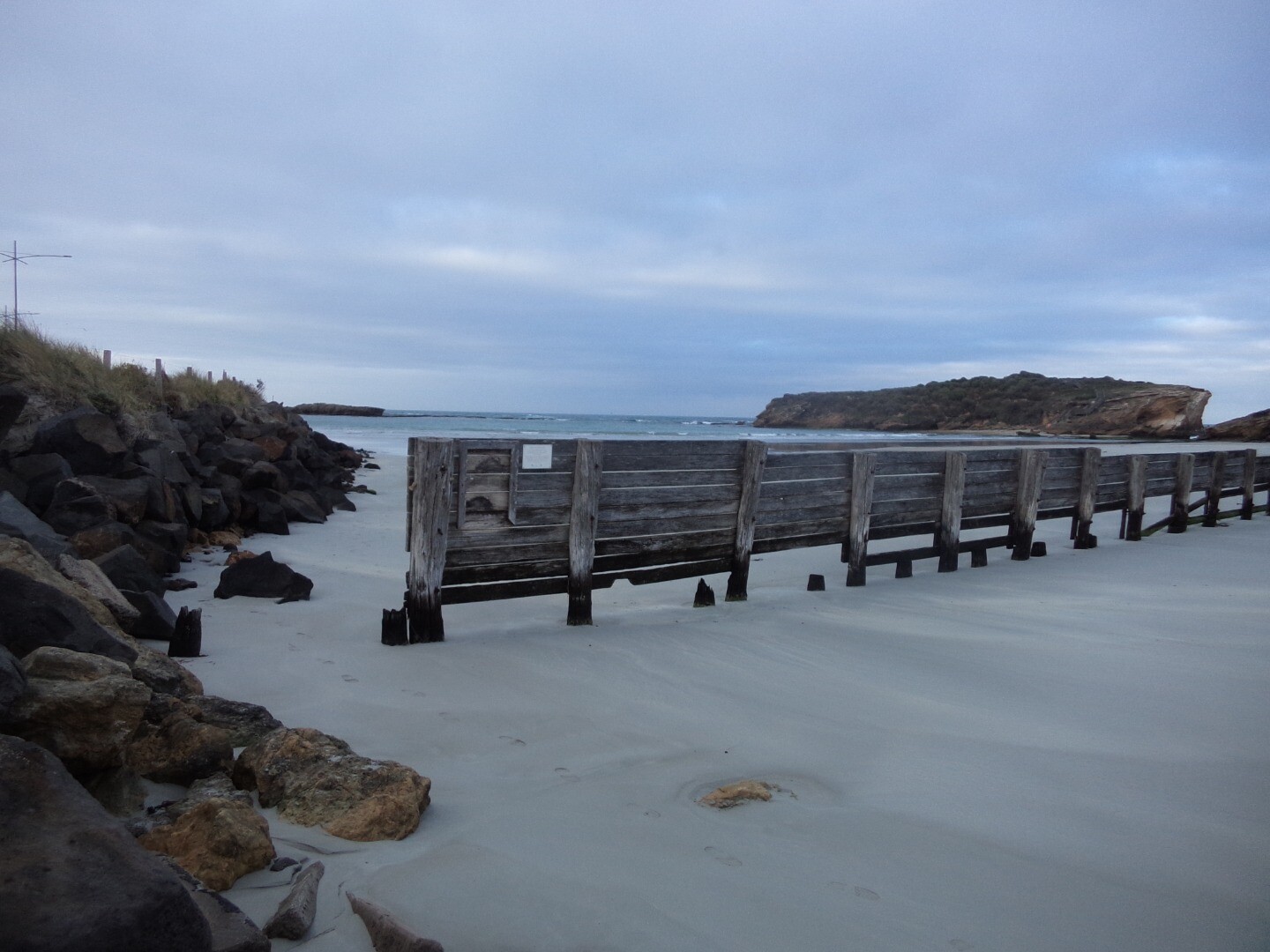
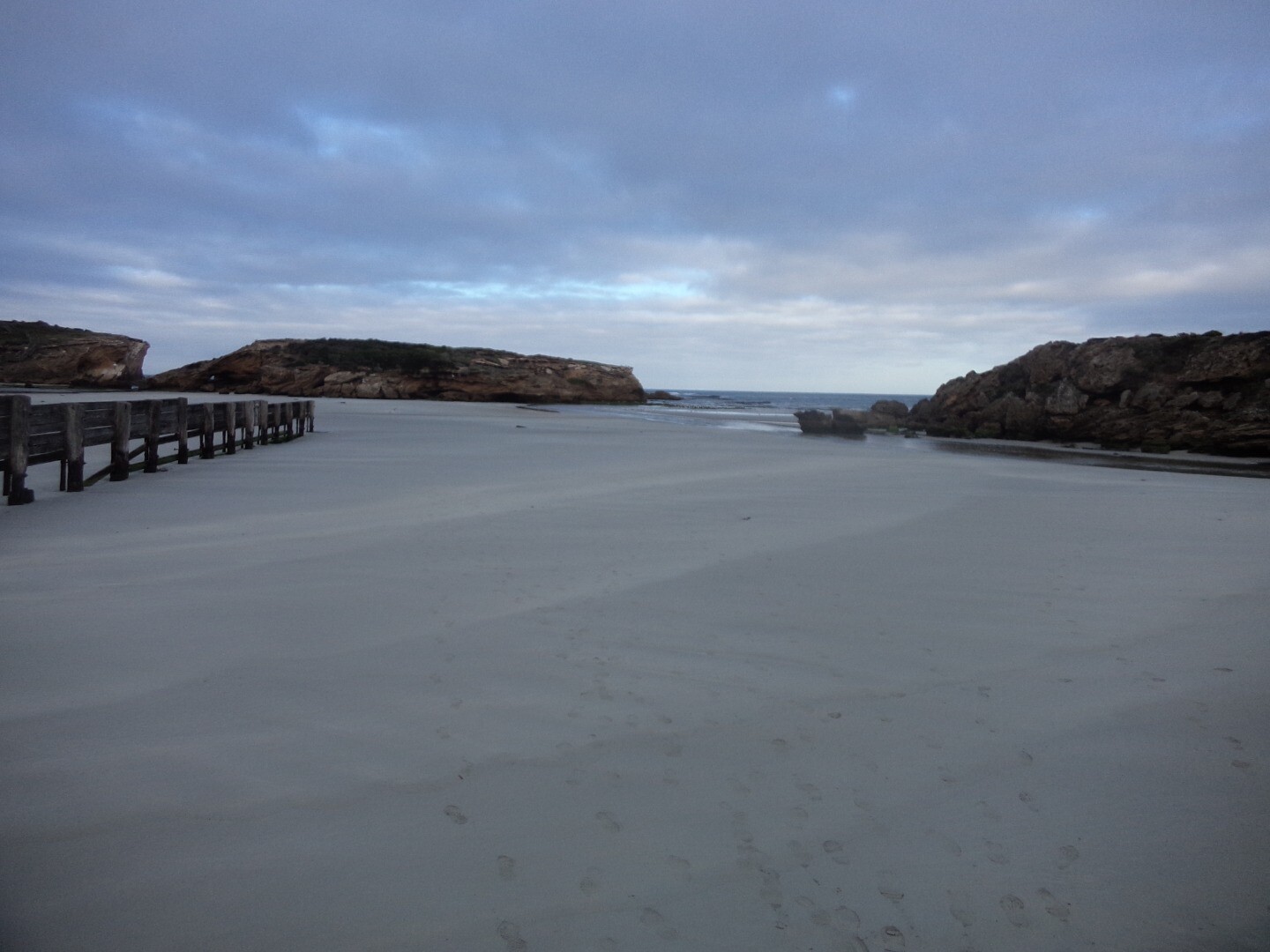
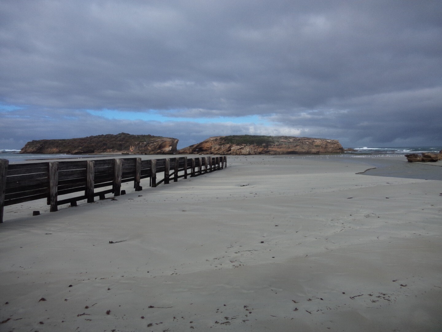
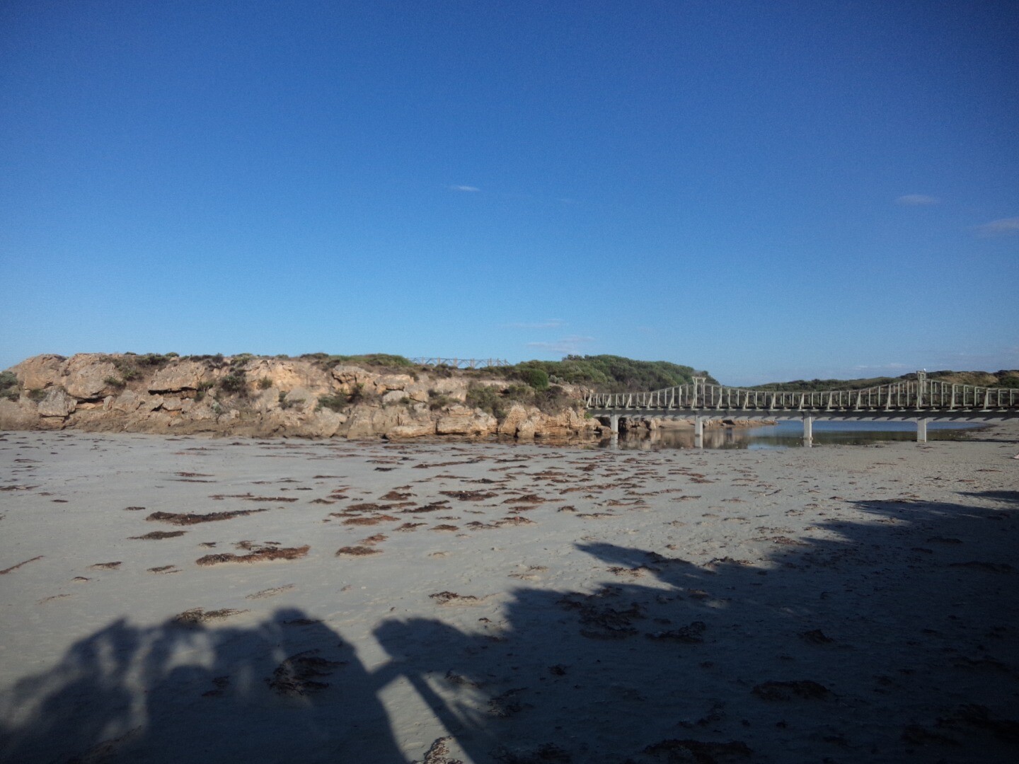
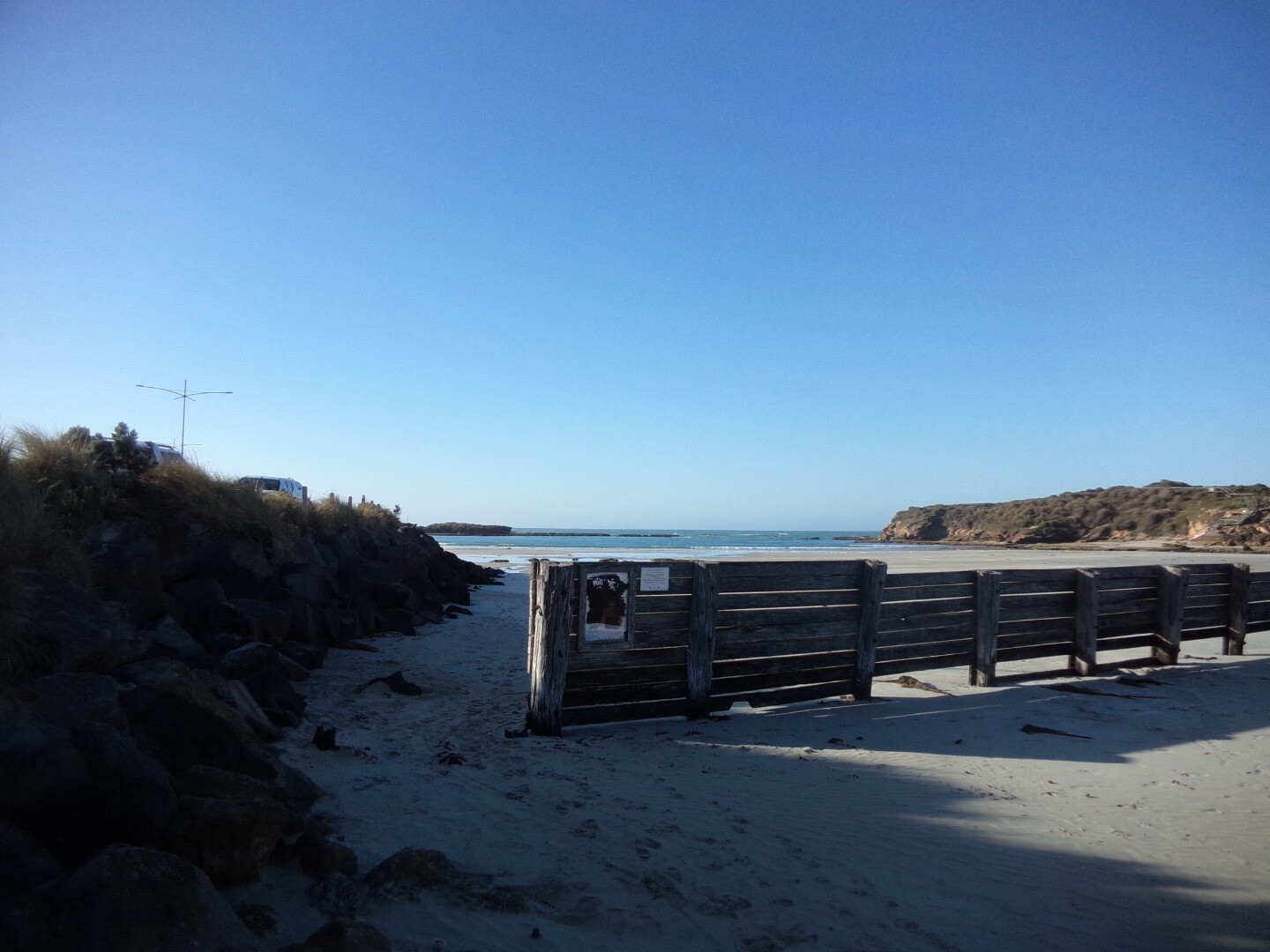
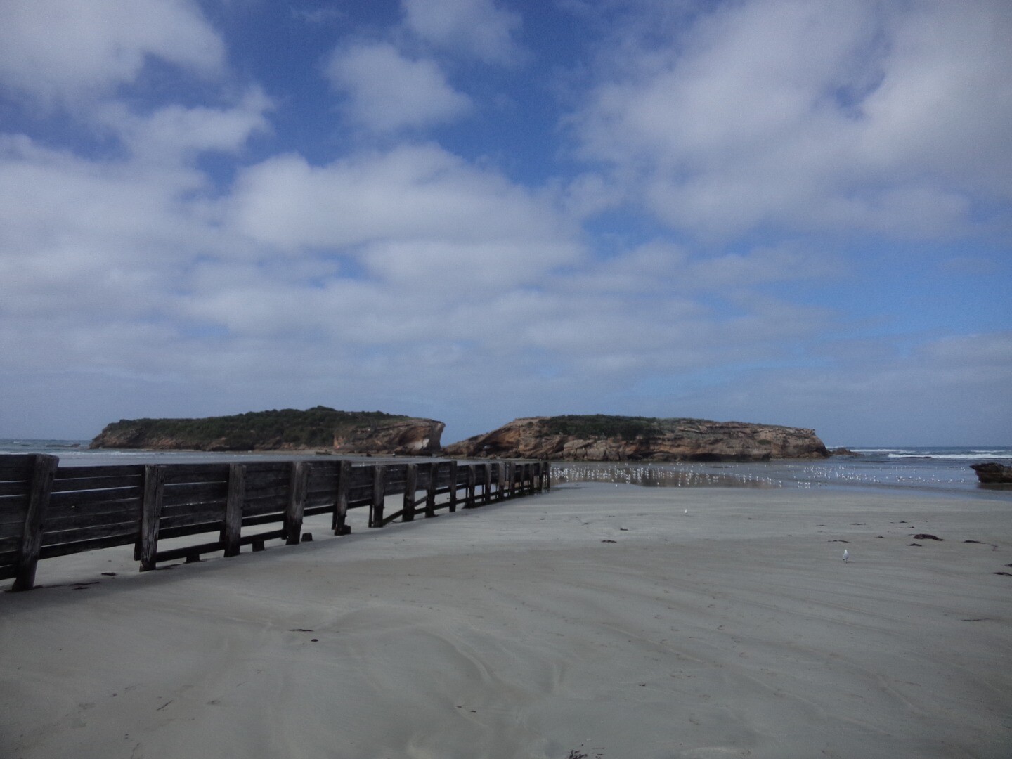
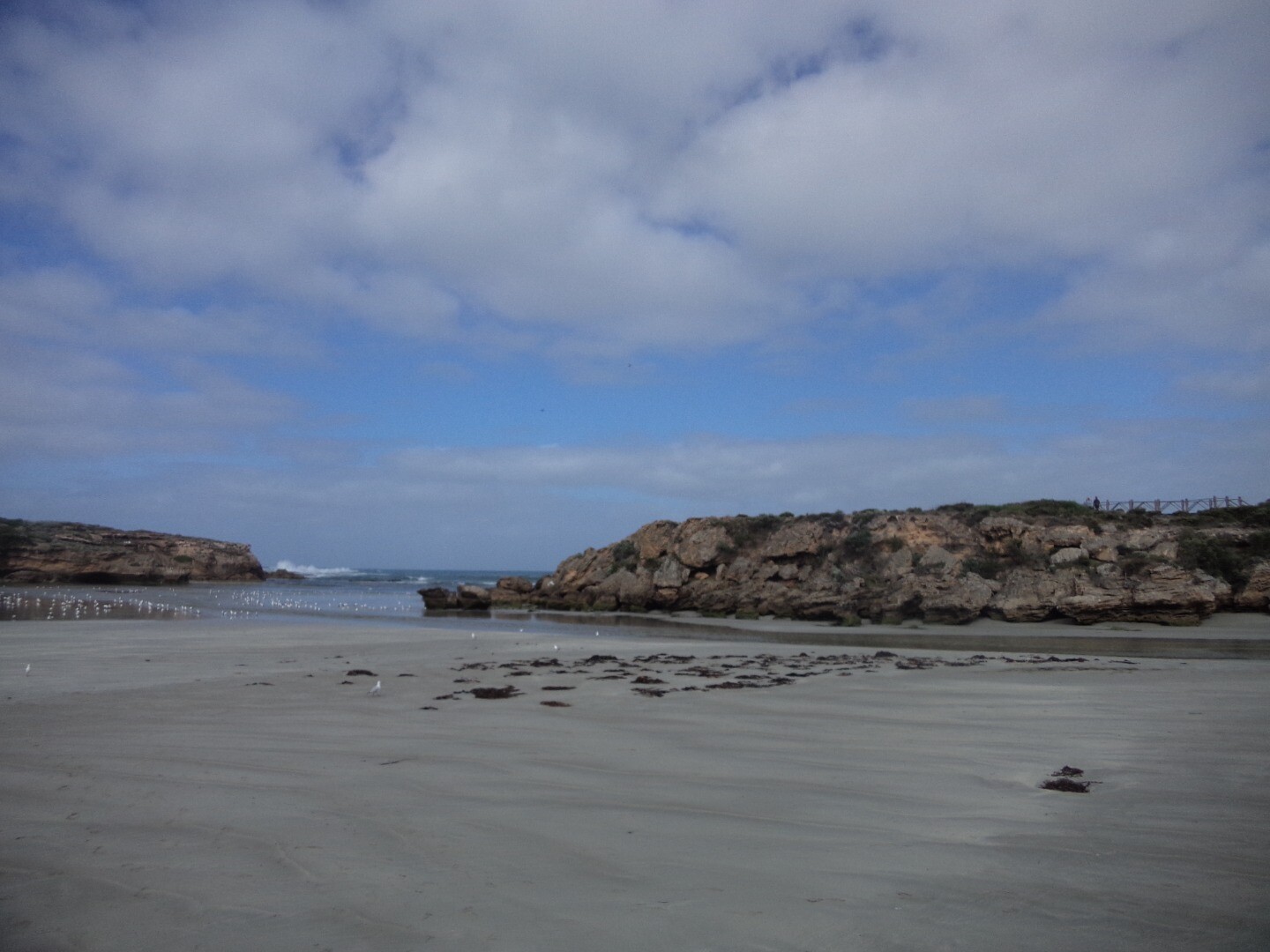
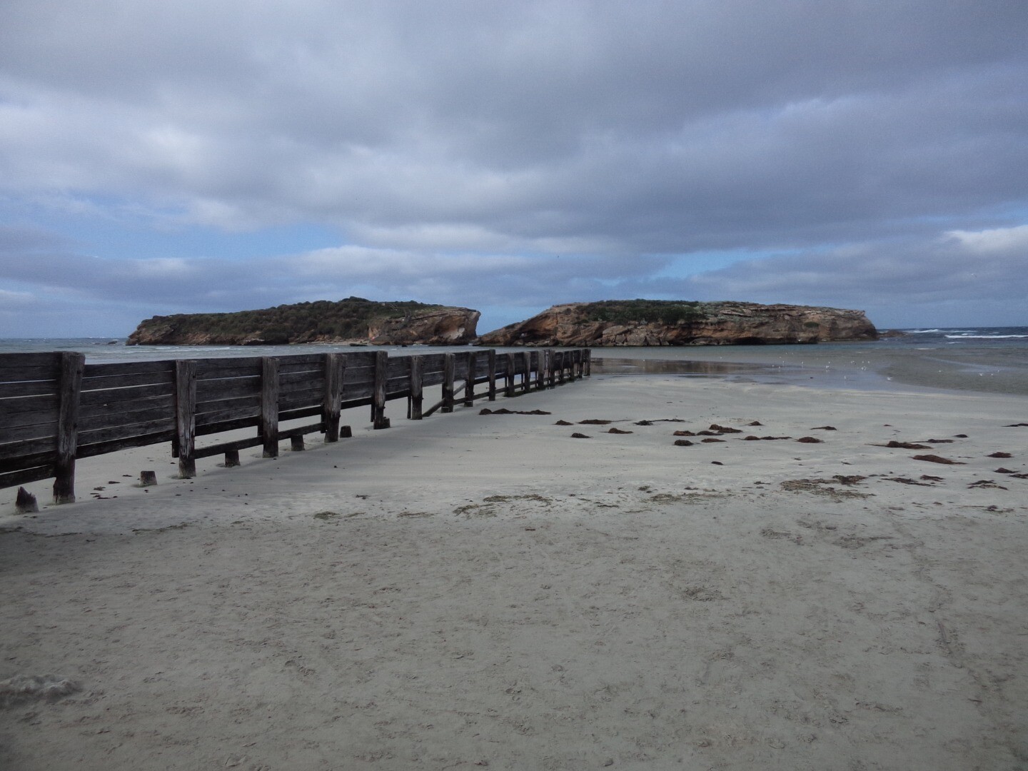
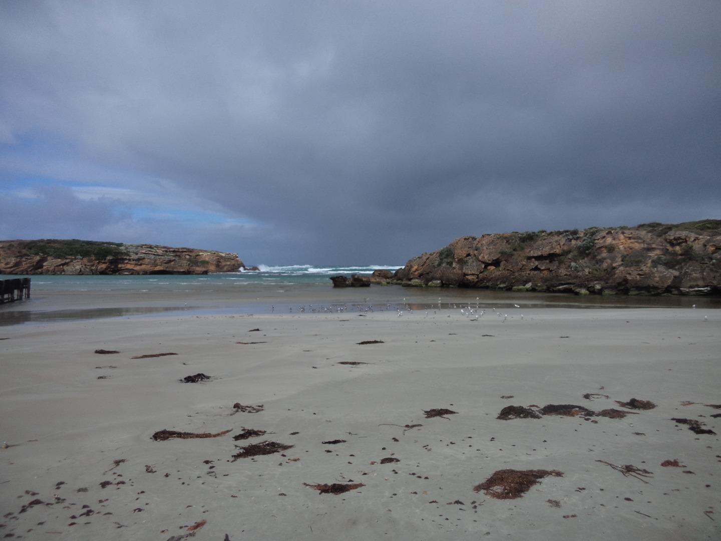
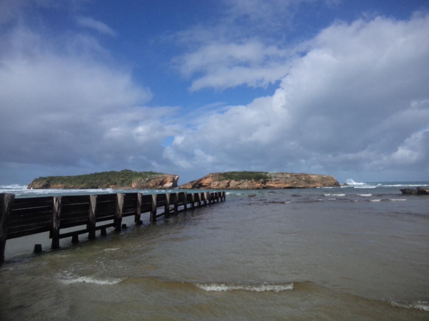
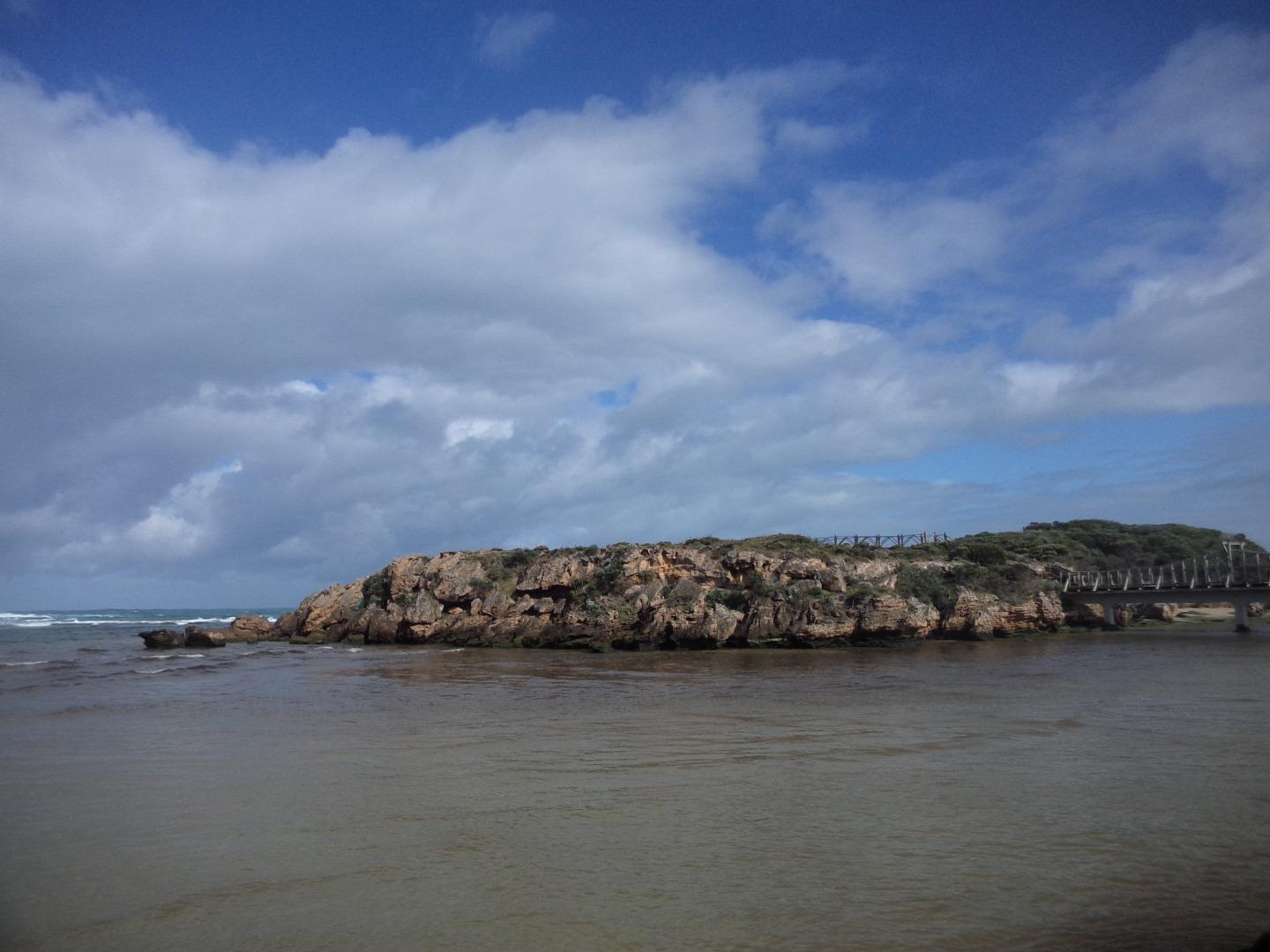
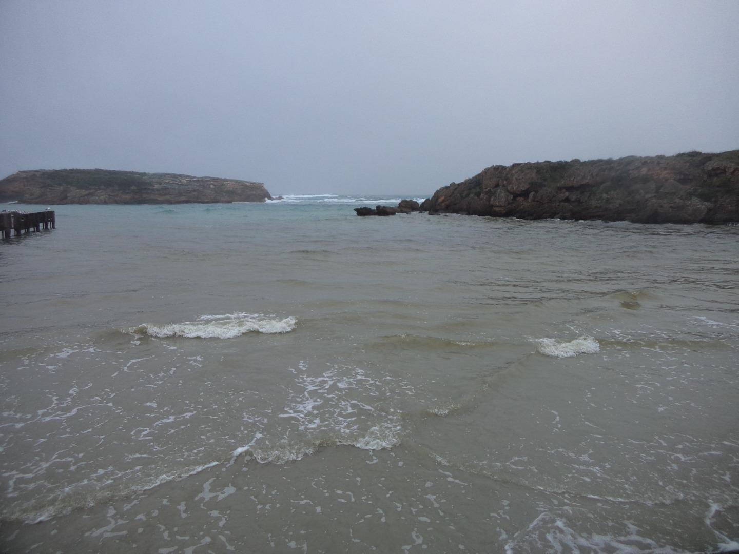
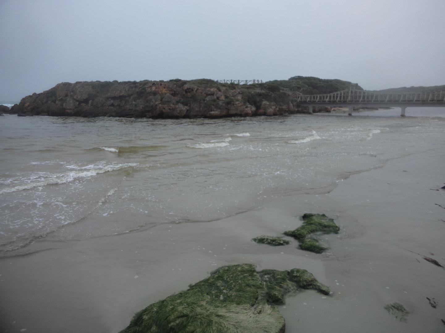
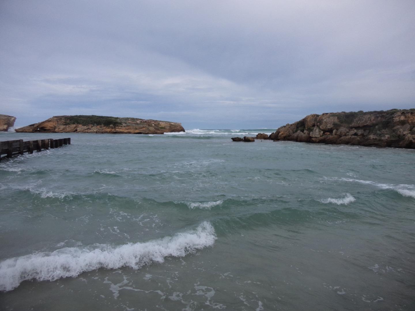
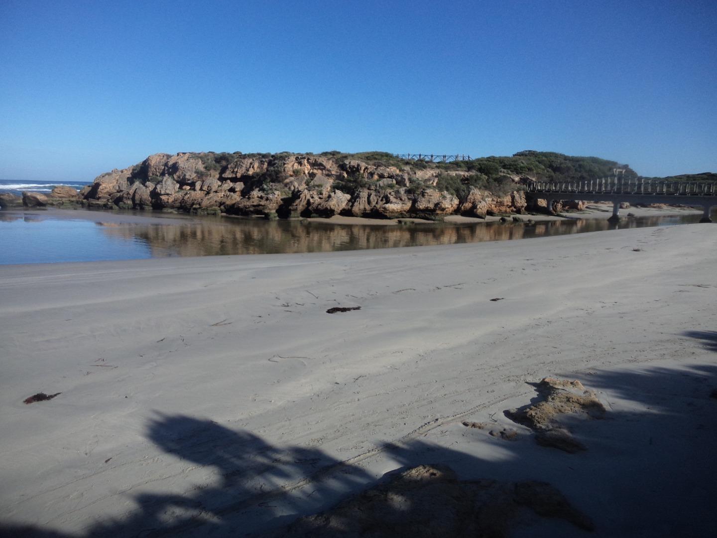
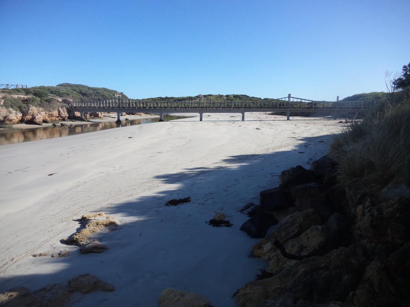
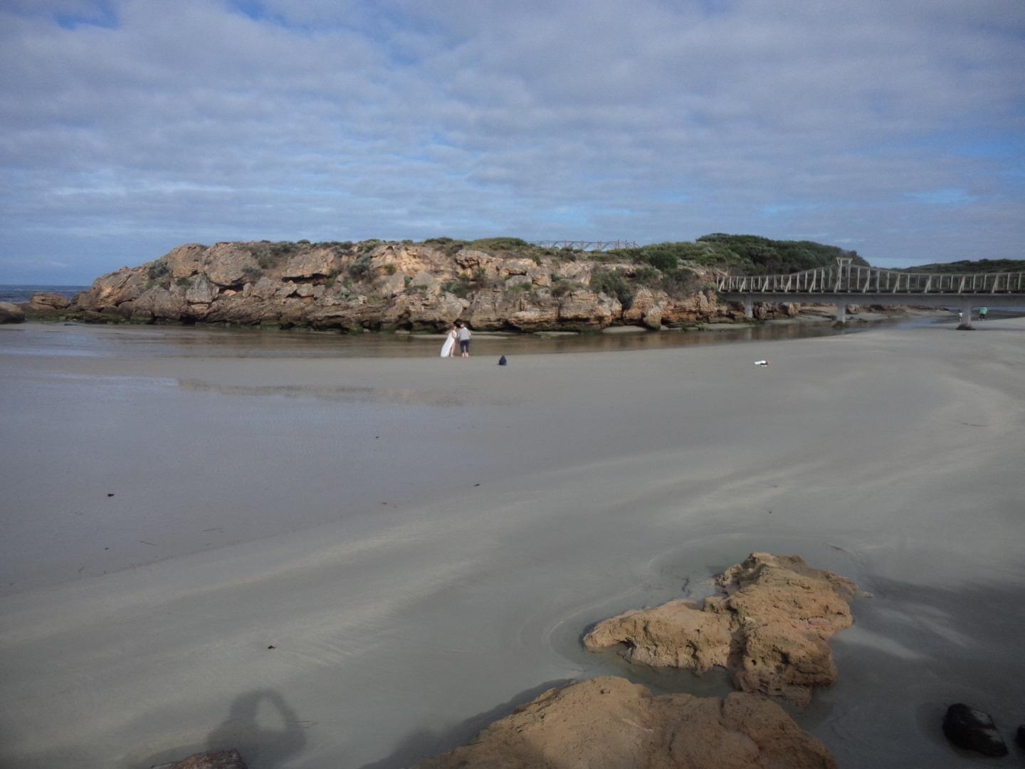
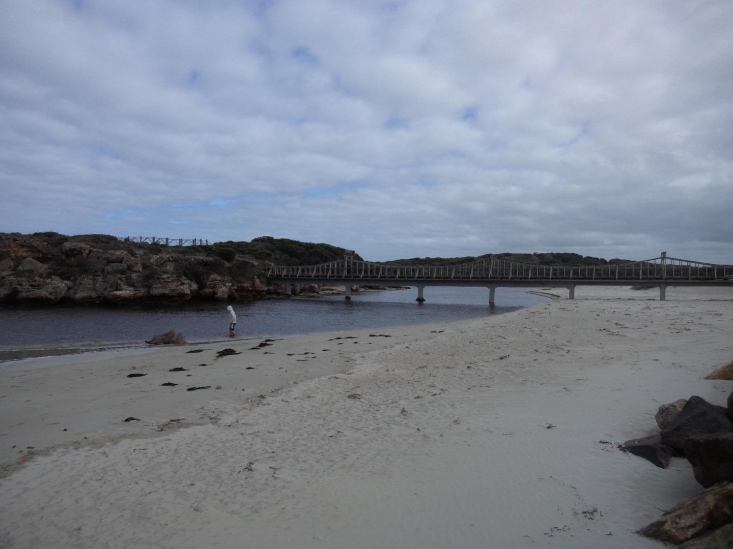
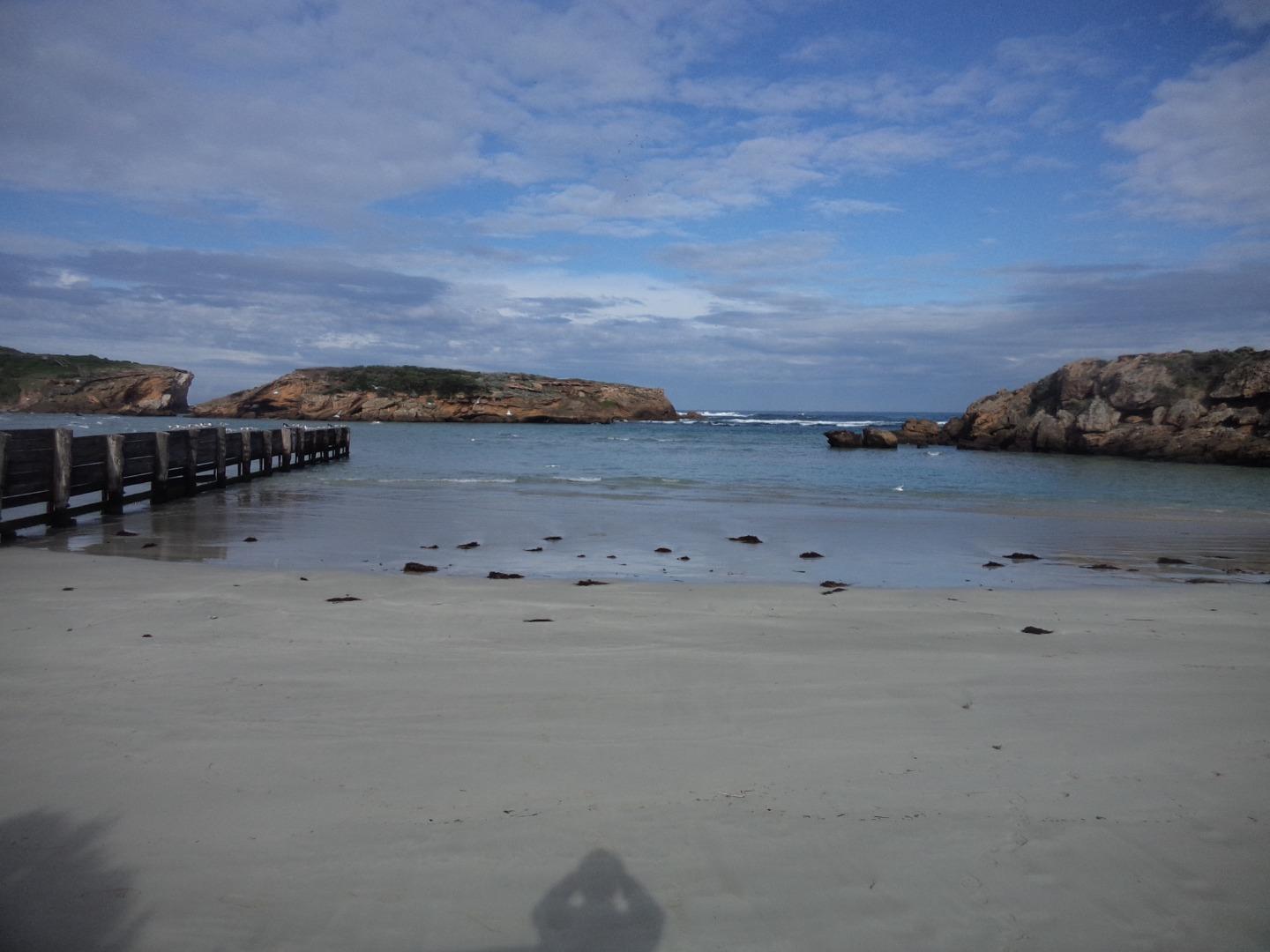
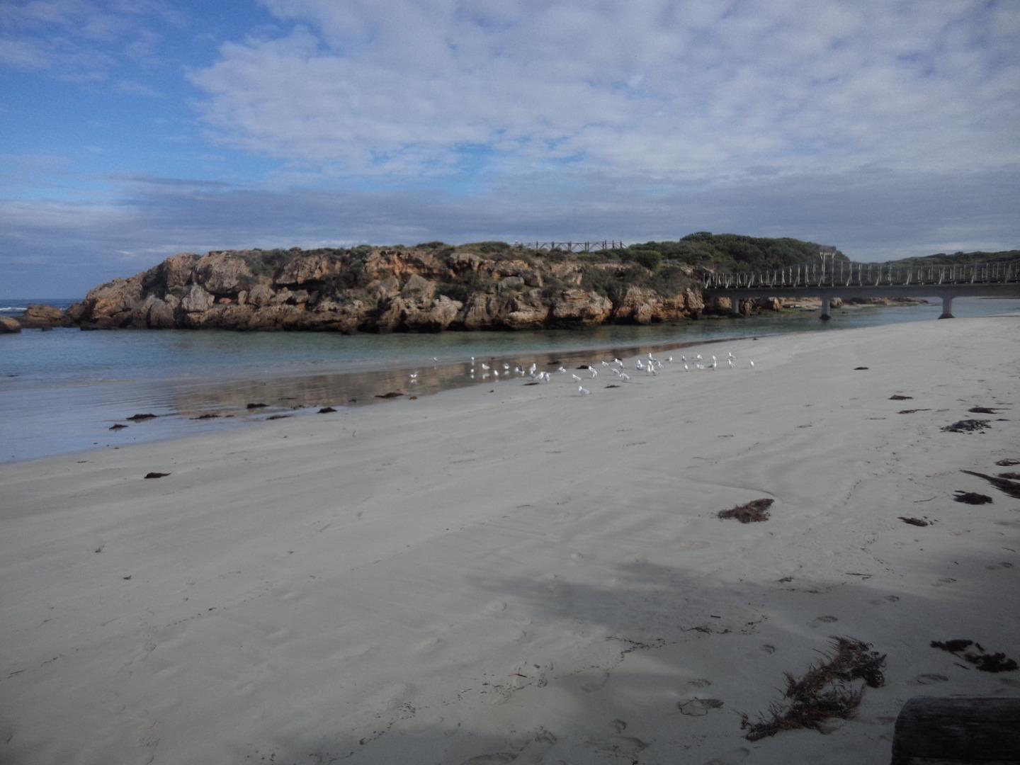
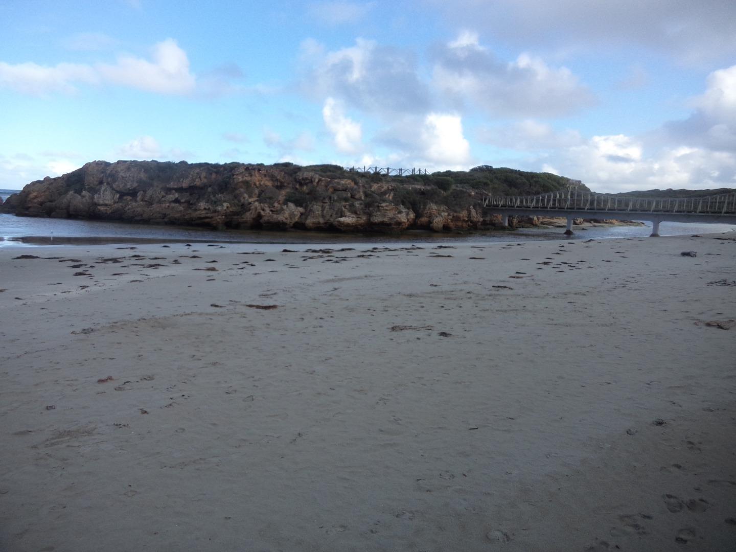
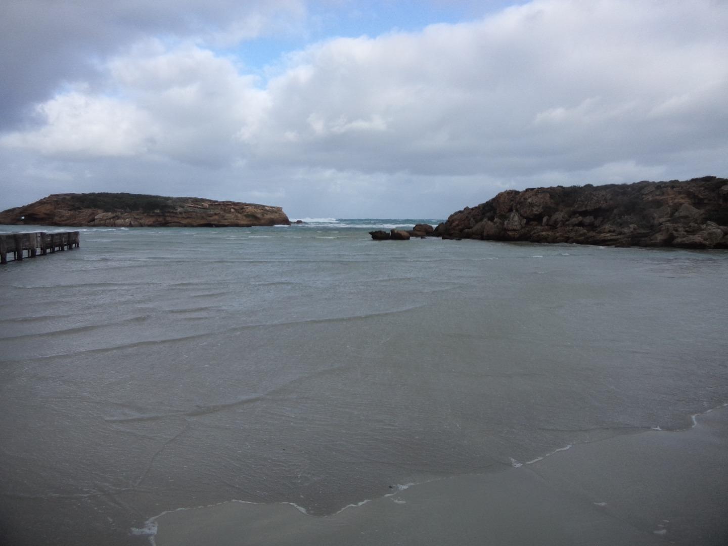
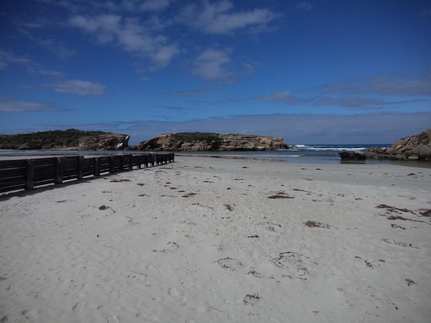
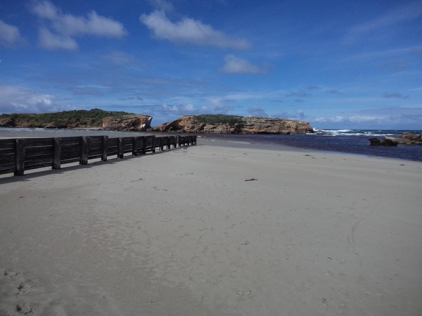
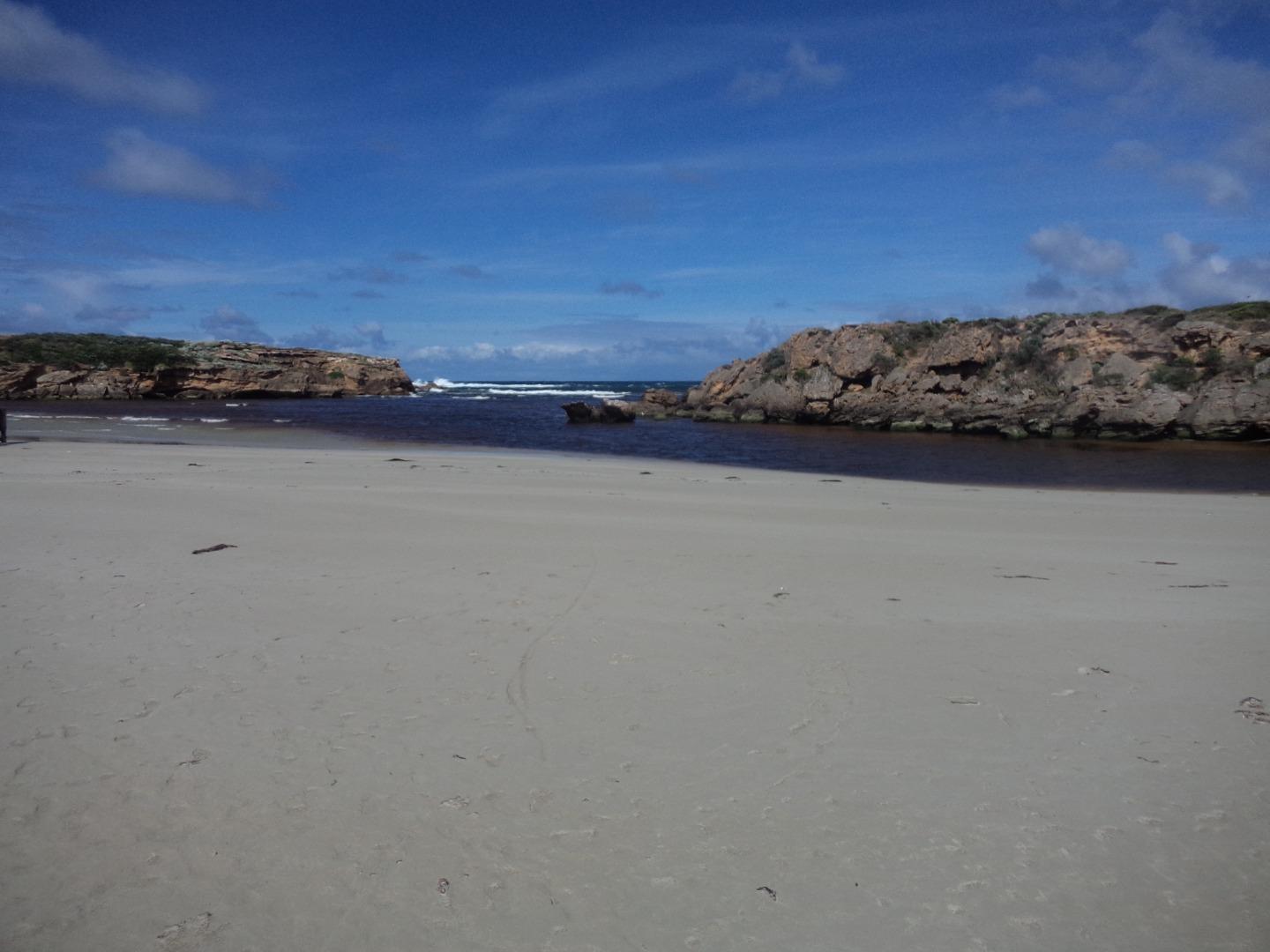
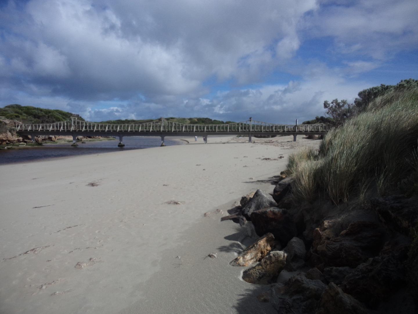
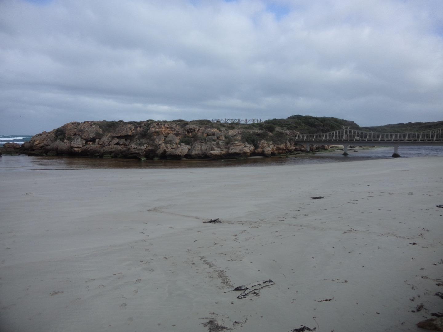
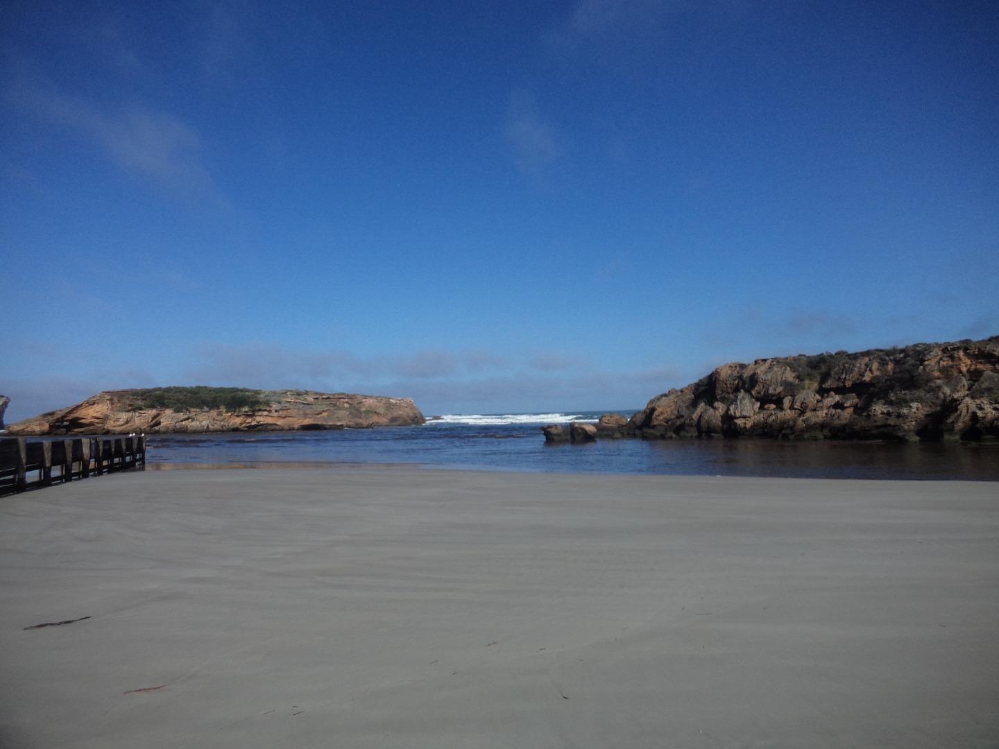
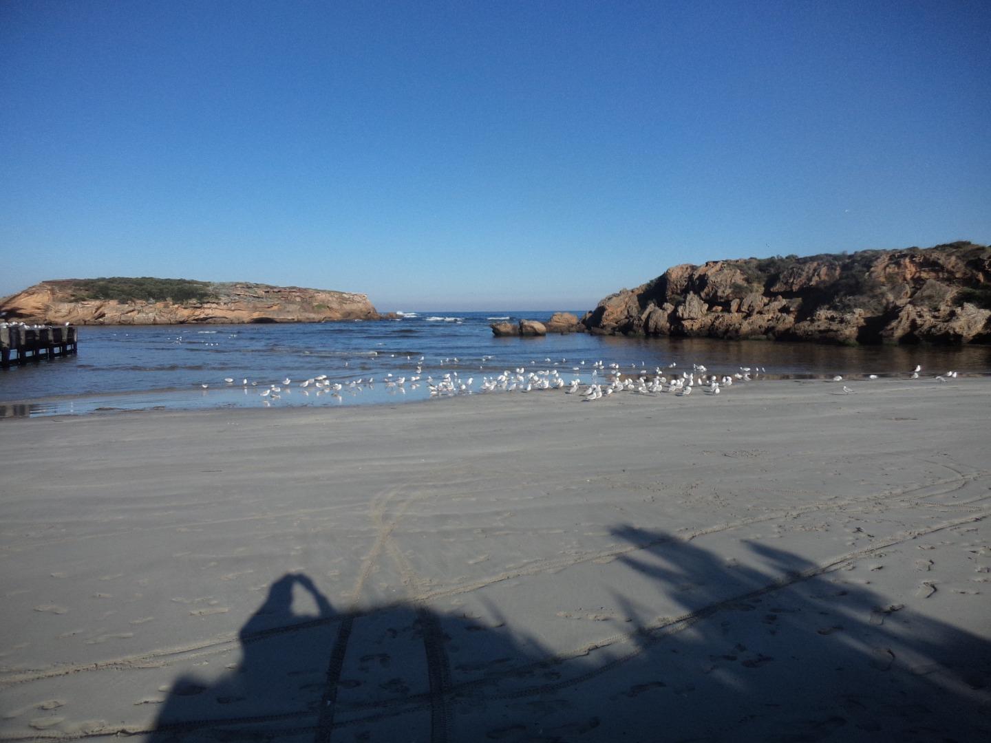
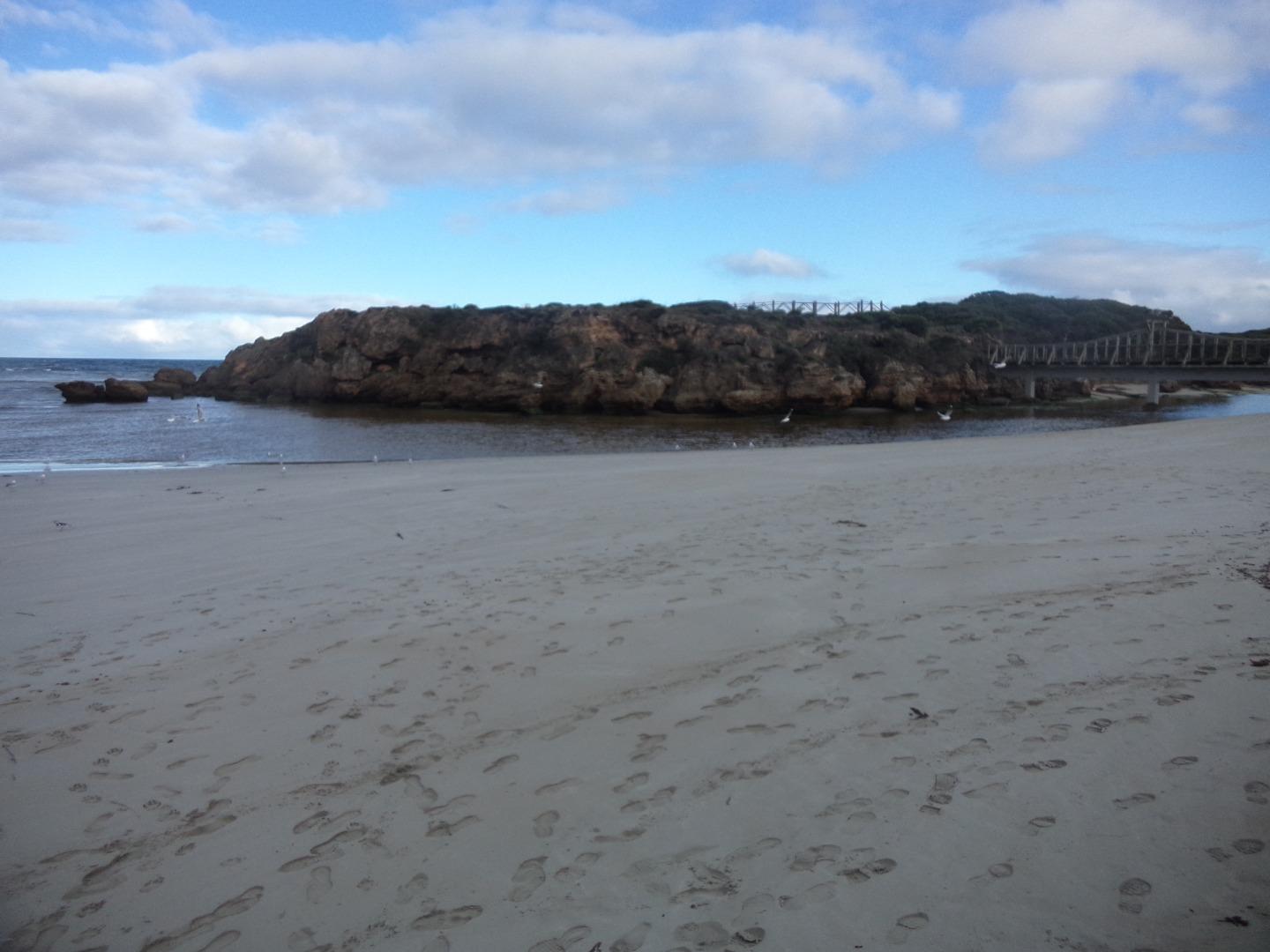
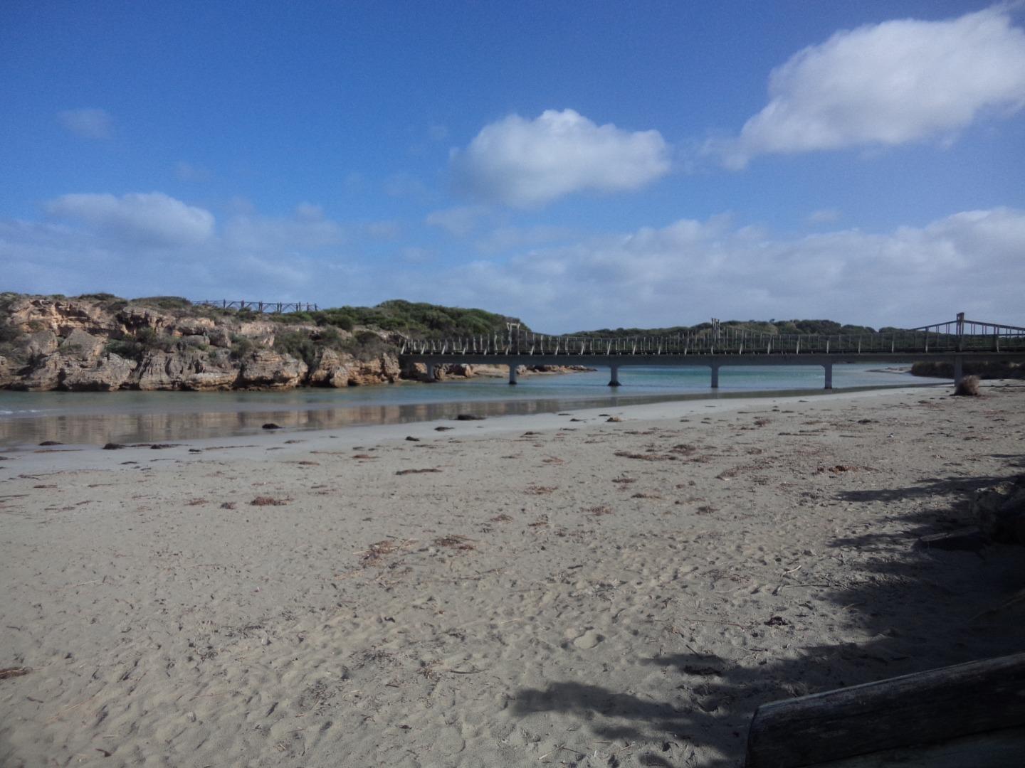
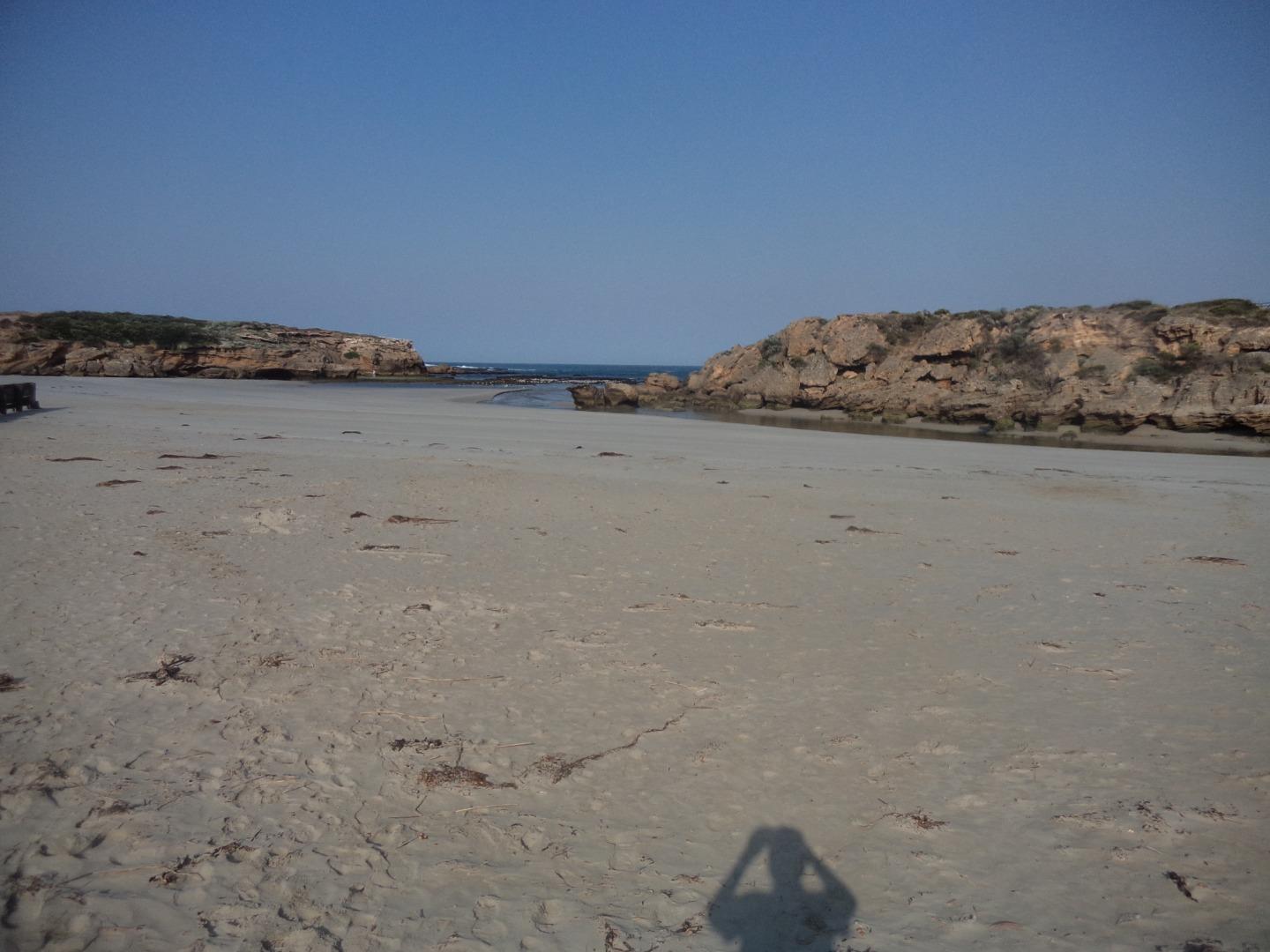
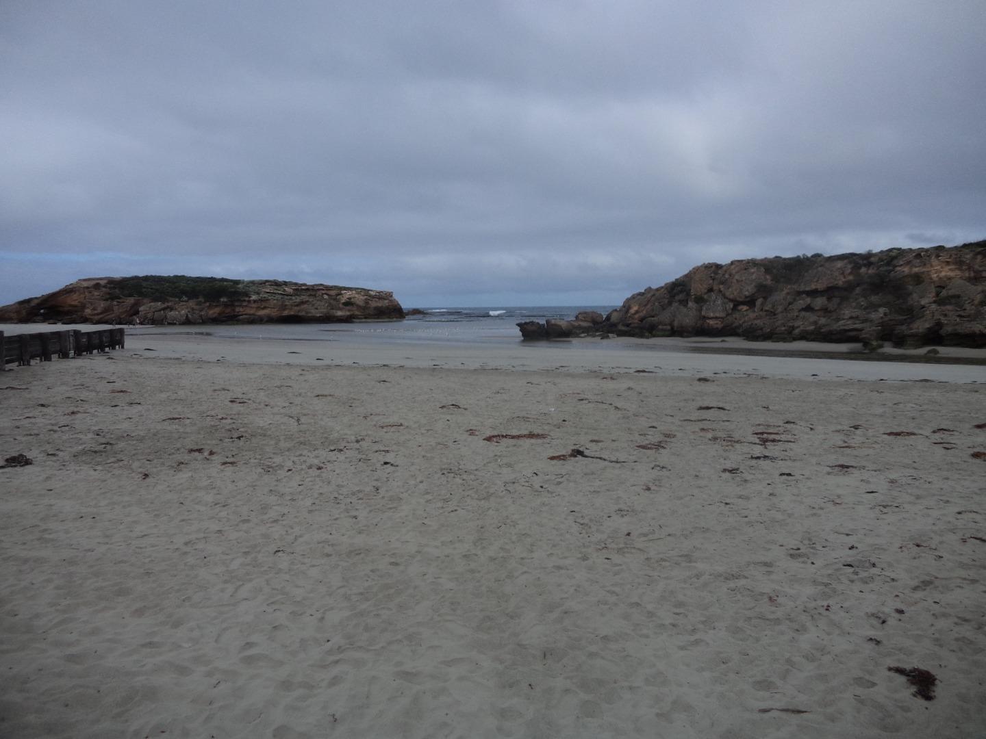
Sting Ray BayActive Mouth Condition 27-10-2013 - 11-07-2026Where the Merri River exits into Sting Ray Bay. Observations 148 |
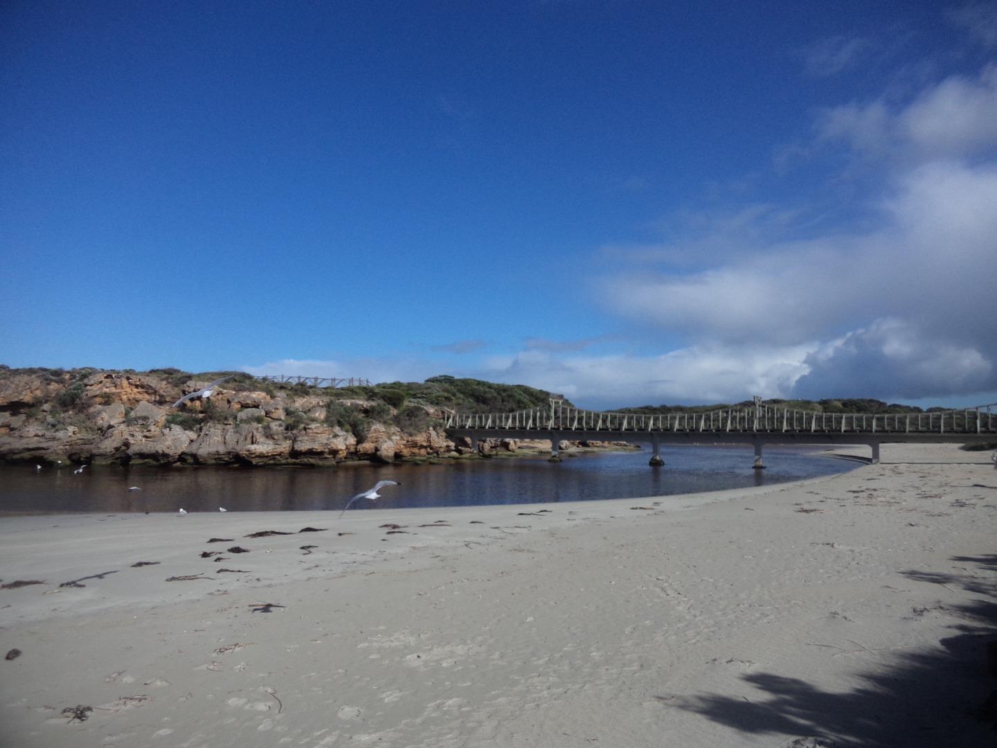
MMC2 |
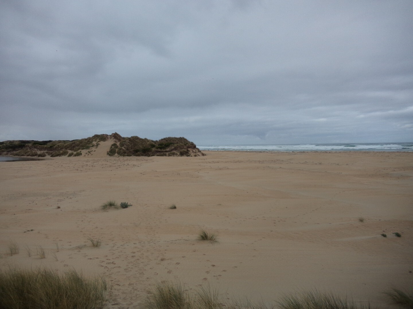
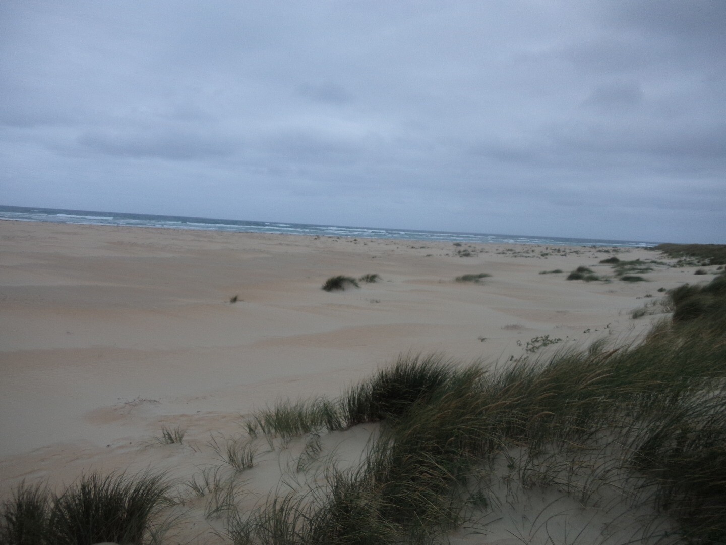
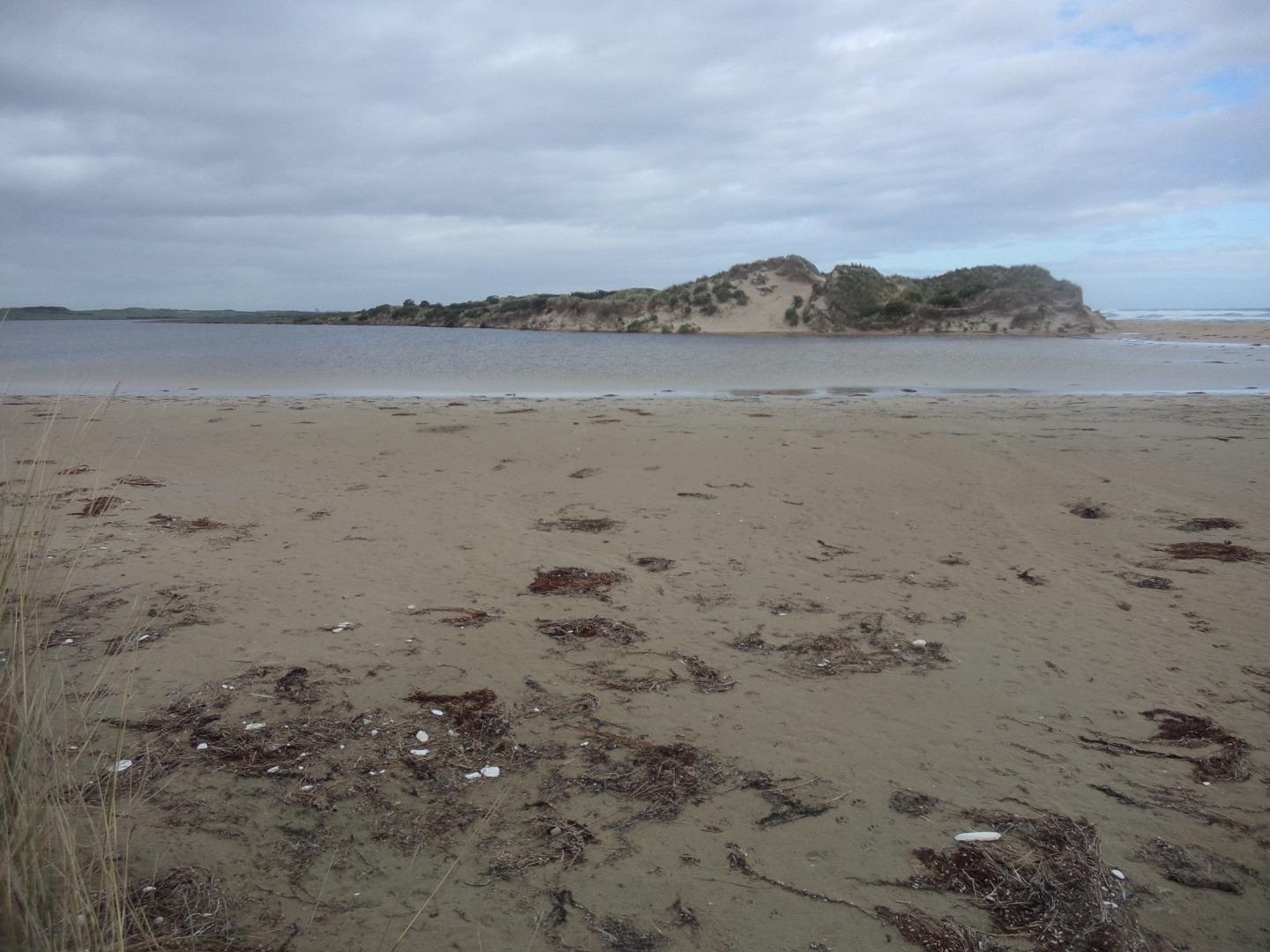
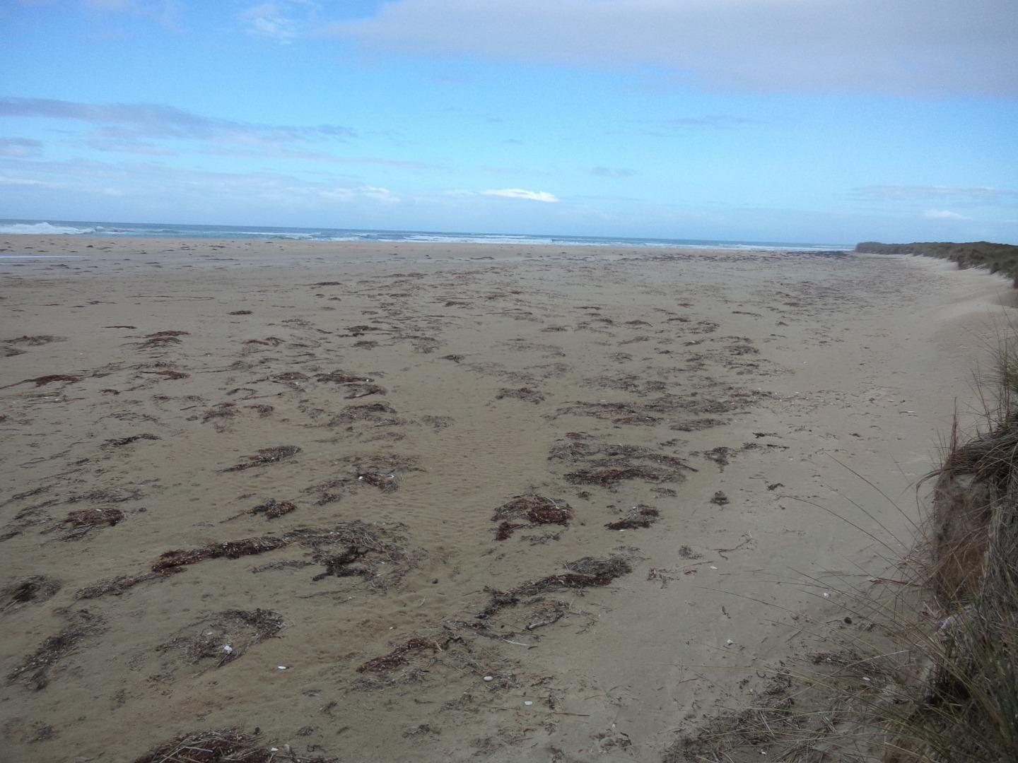
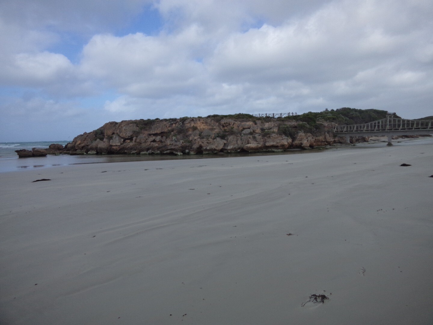
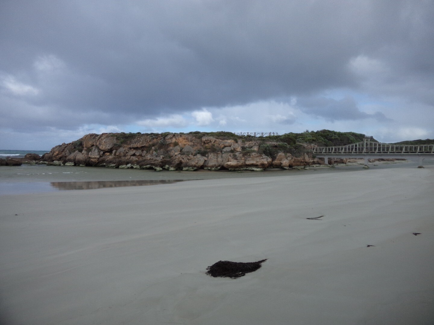
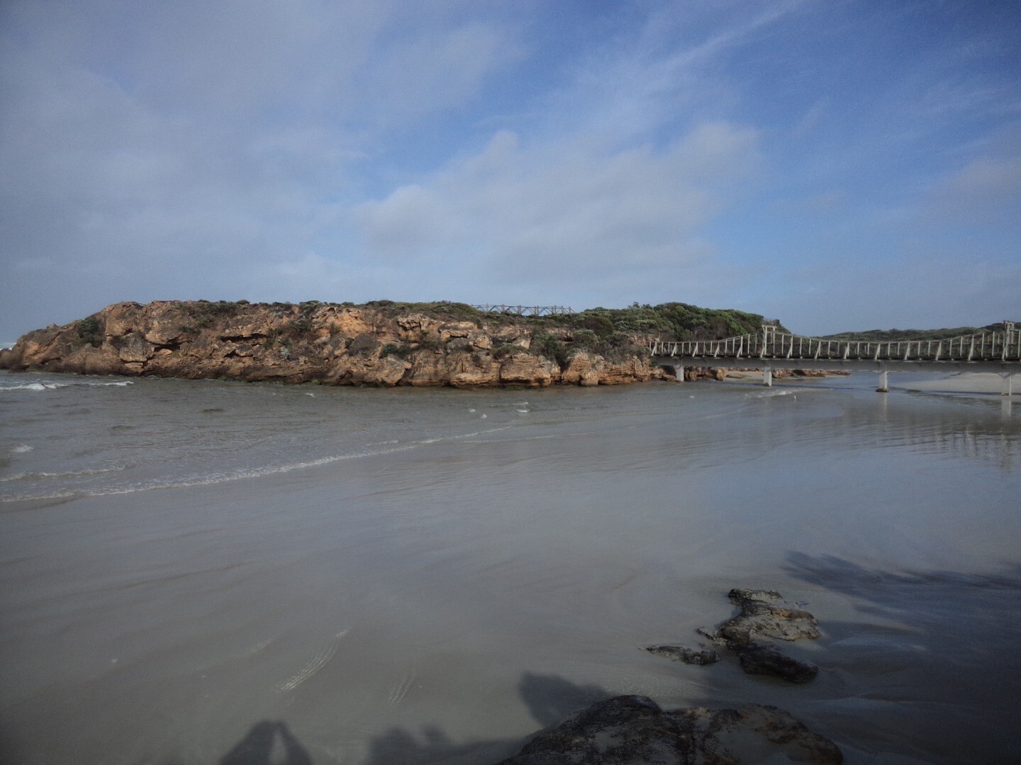
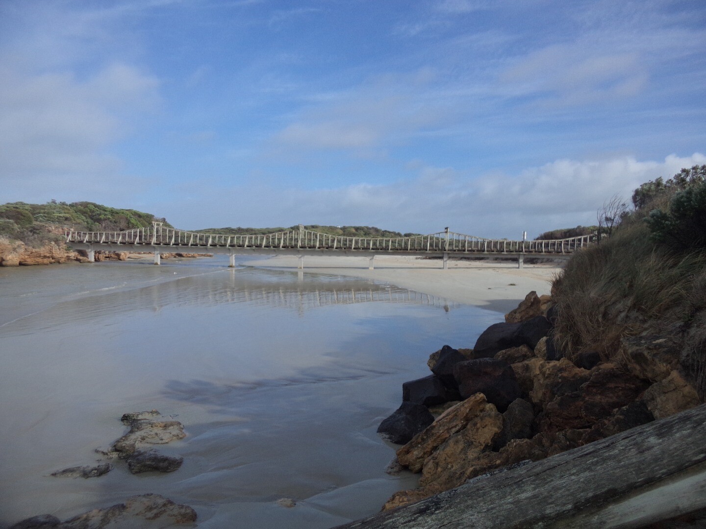
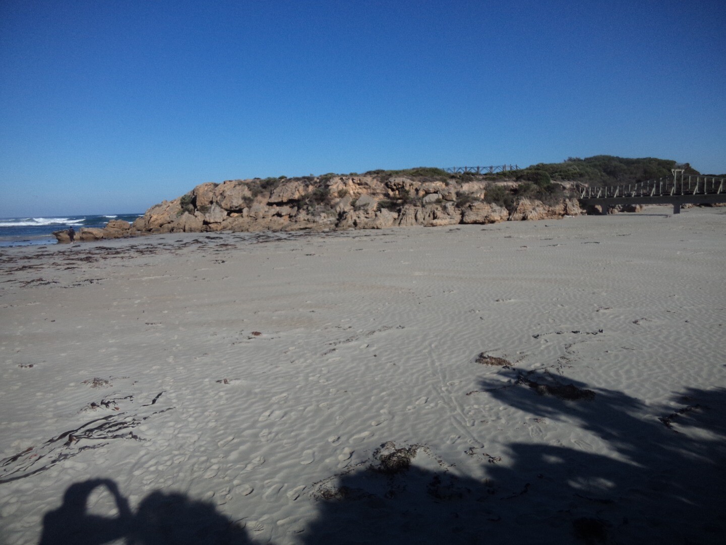
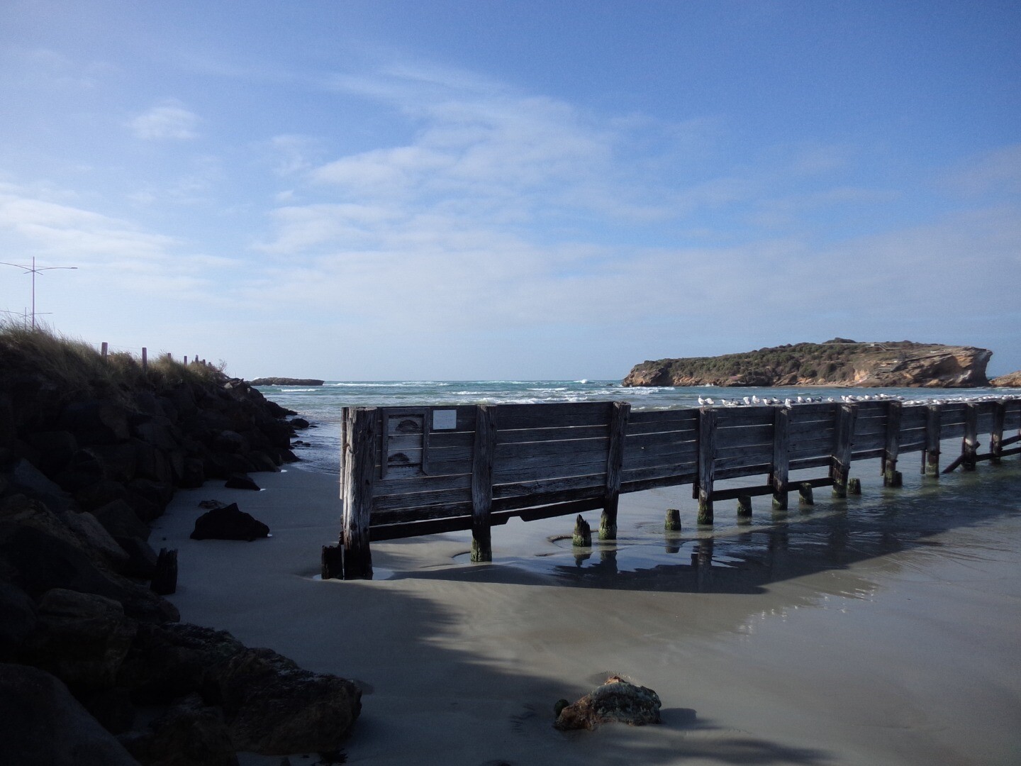
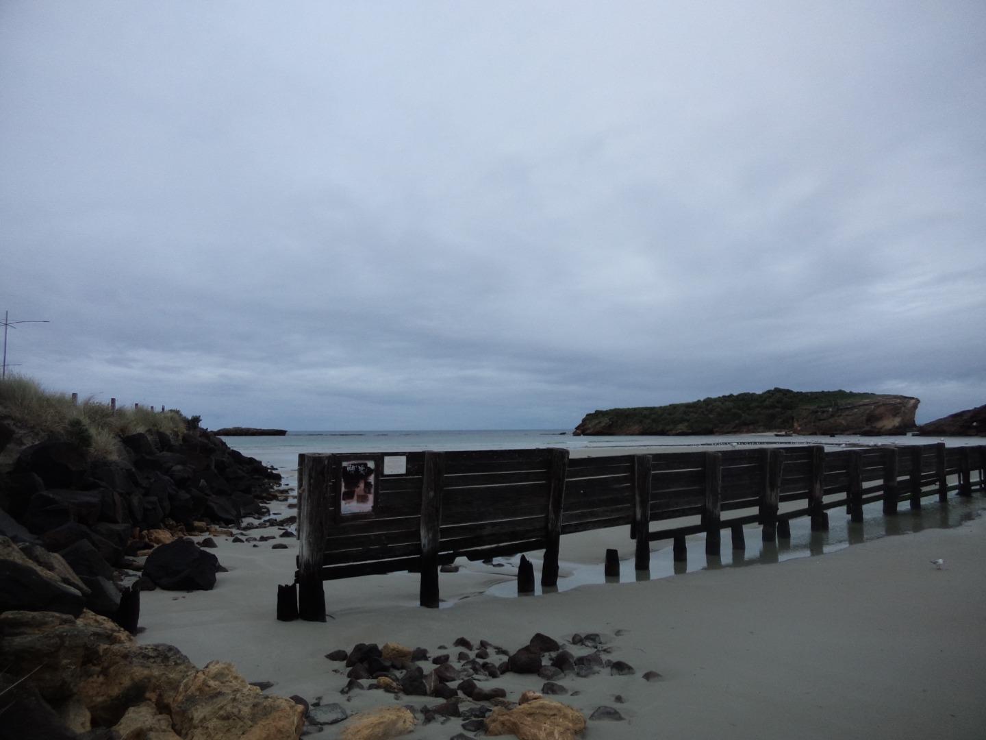
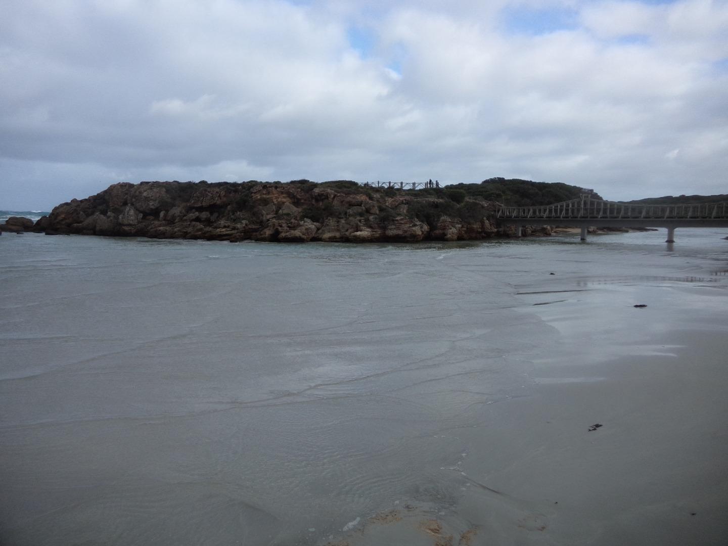
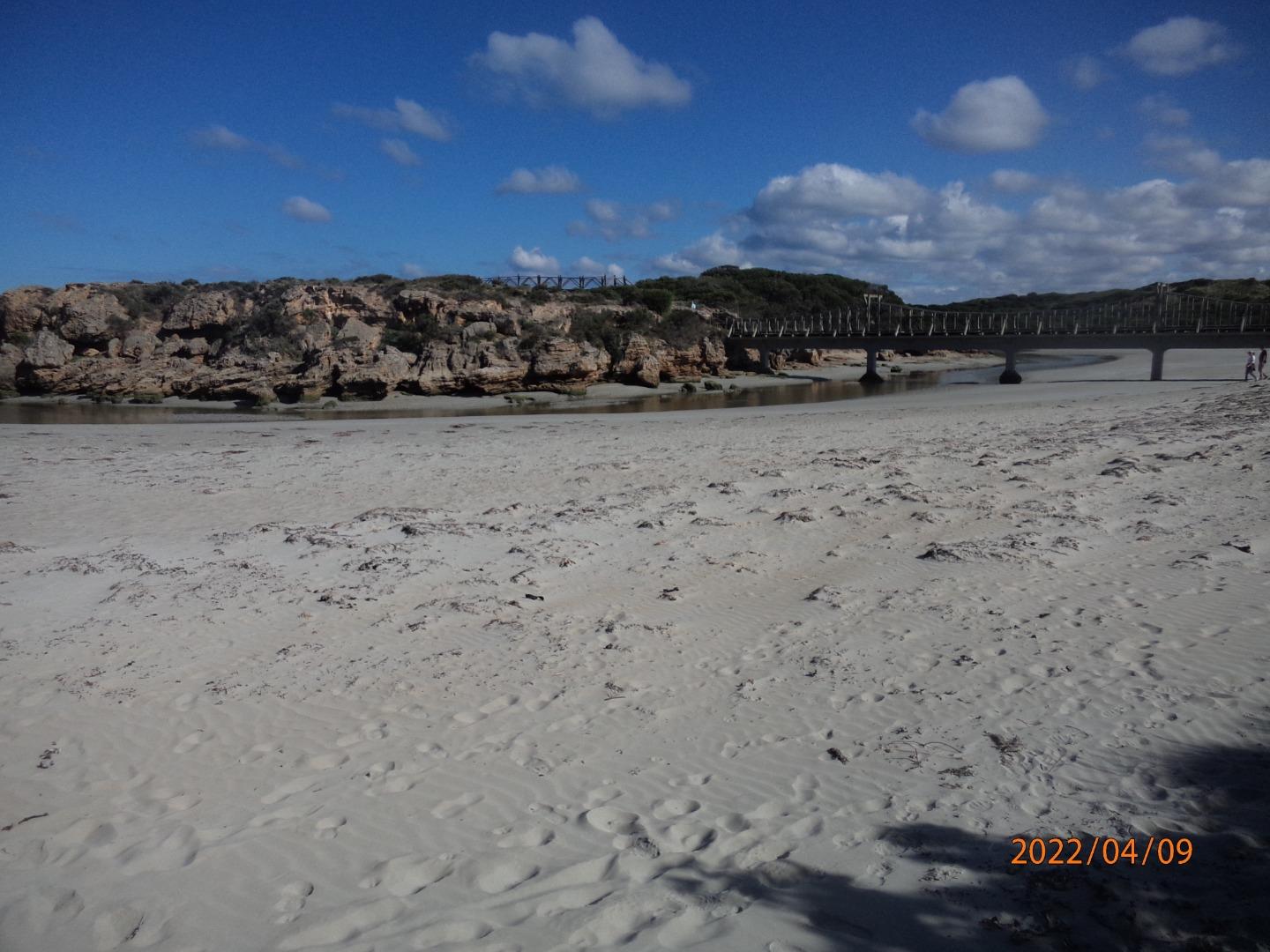
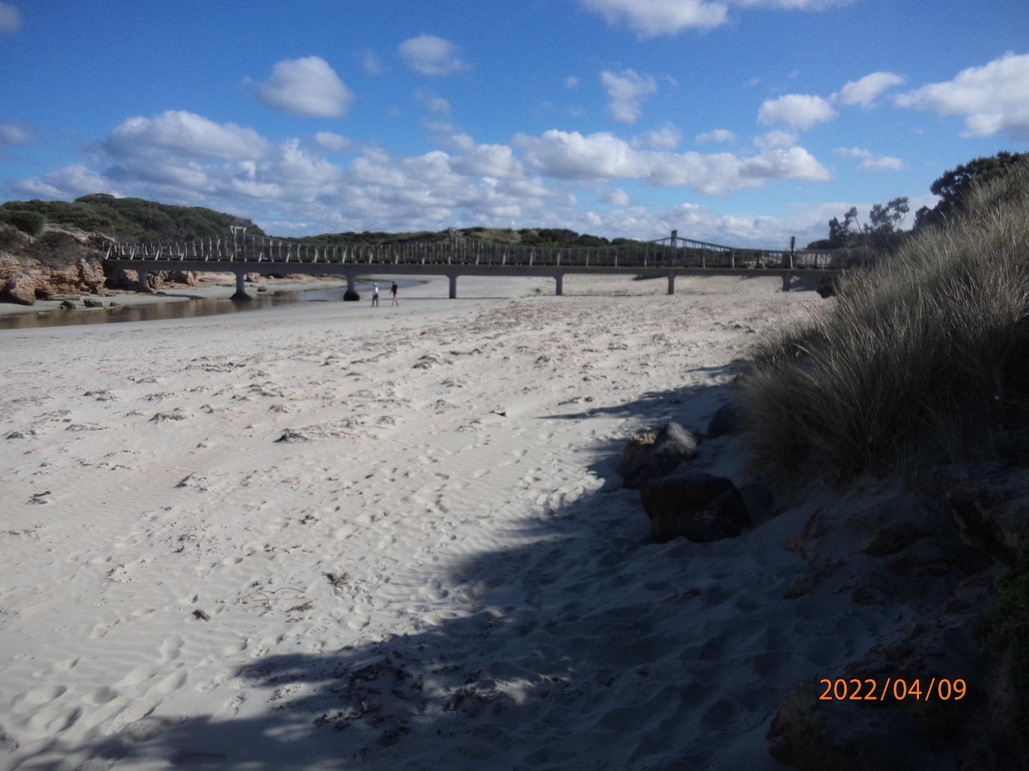
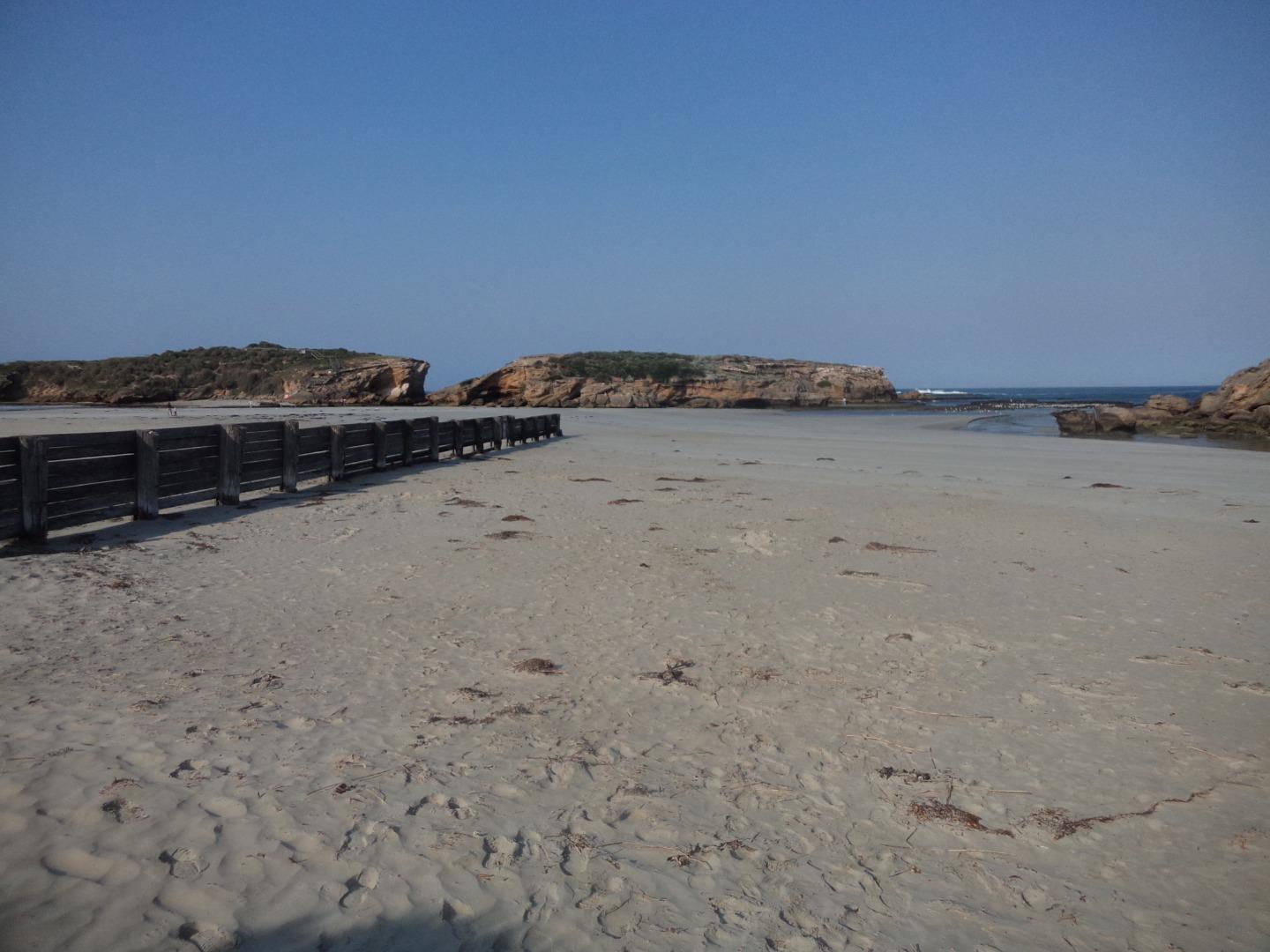
Rutledges CuttingActive Mouth Condition 07-12-2013 - 11-07-2026Beach access track at the most eastern carpark in Belfast Coastal Reserve. Observations 141 |
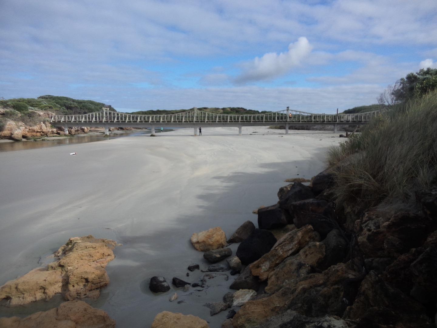
Mp1 |
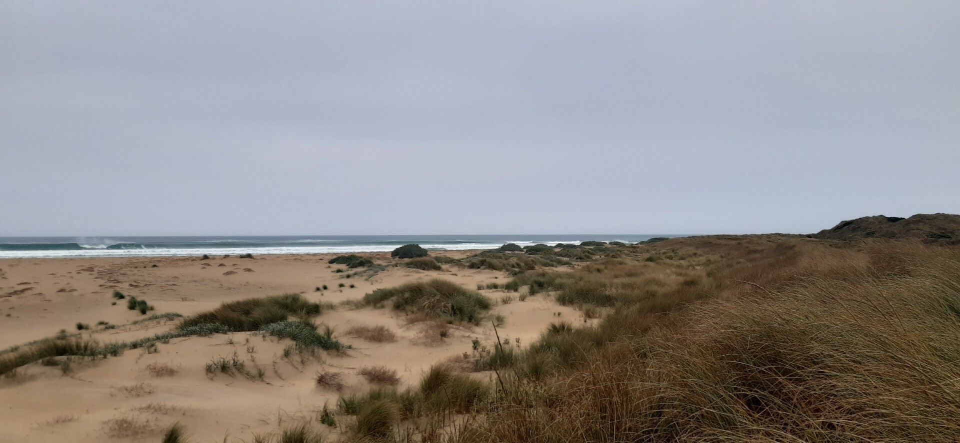
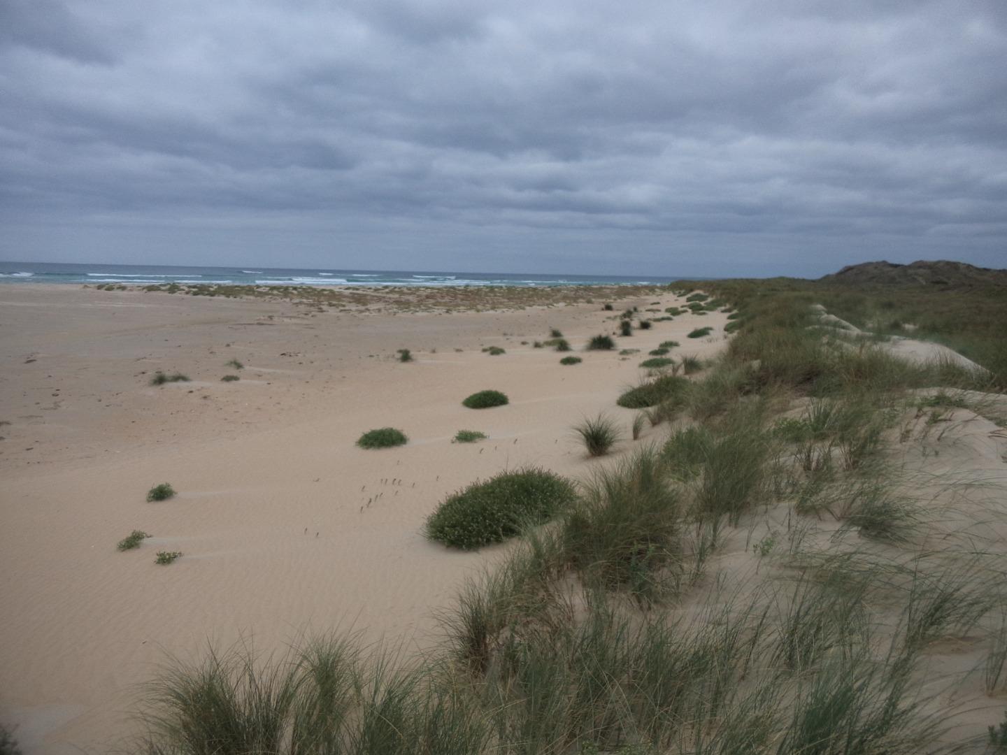
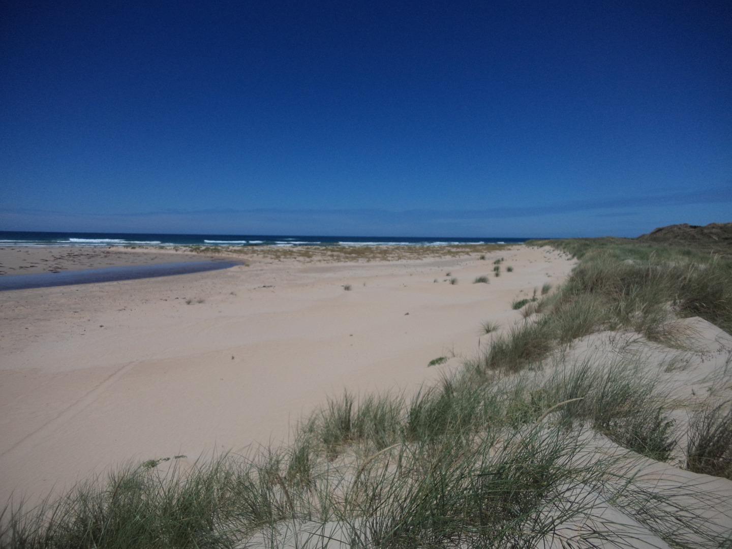
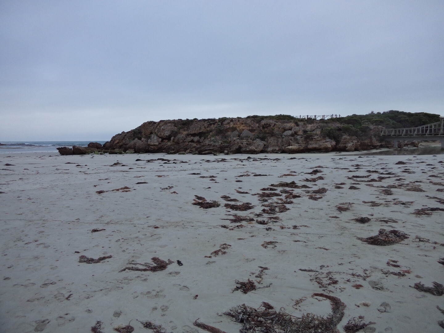
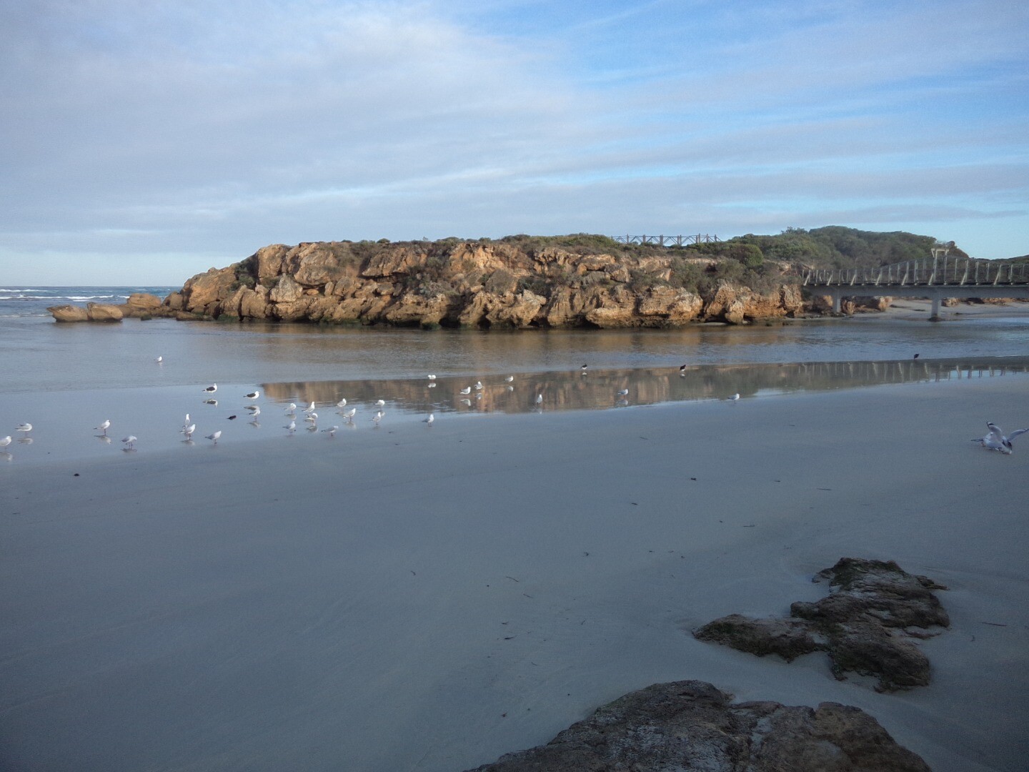
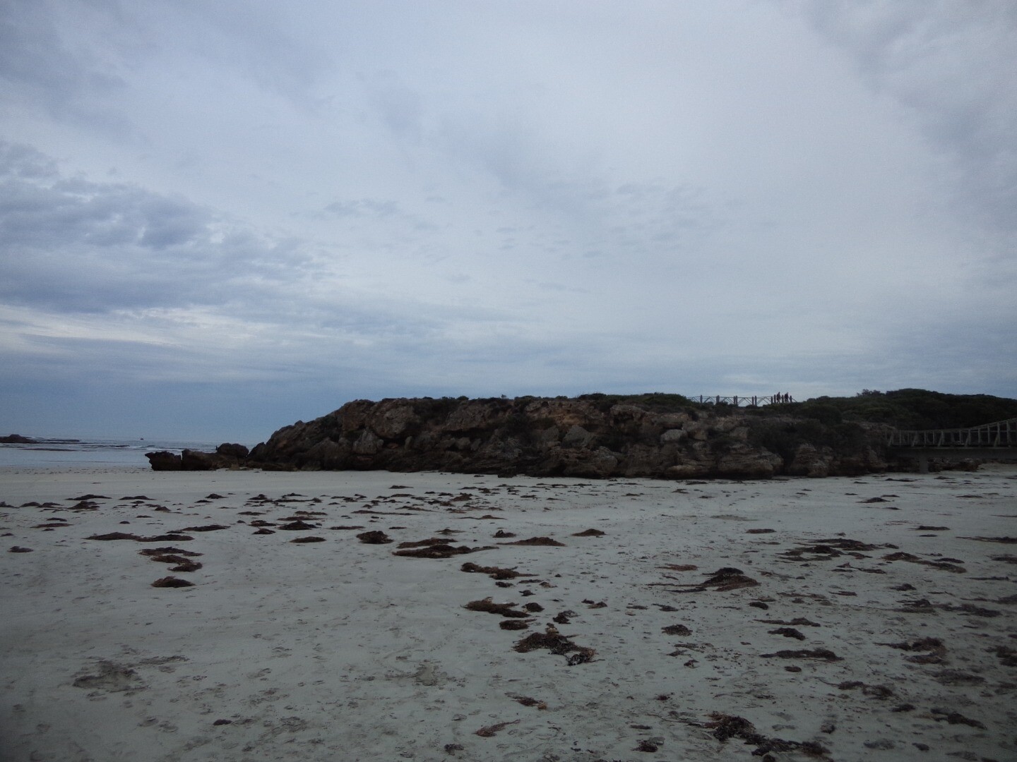
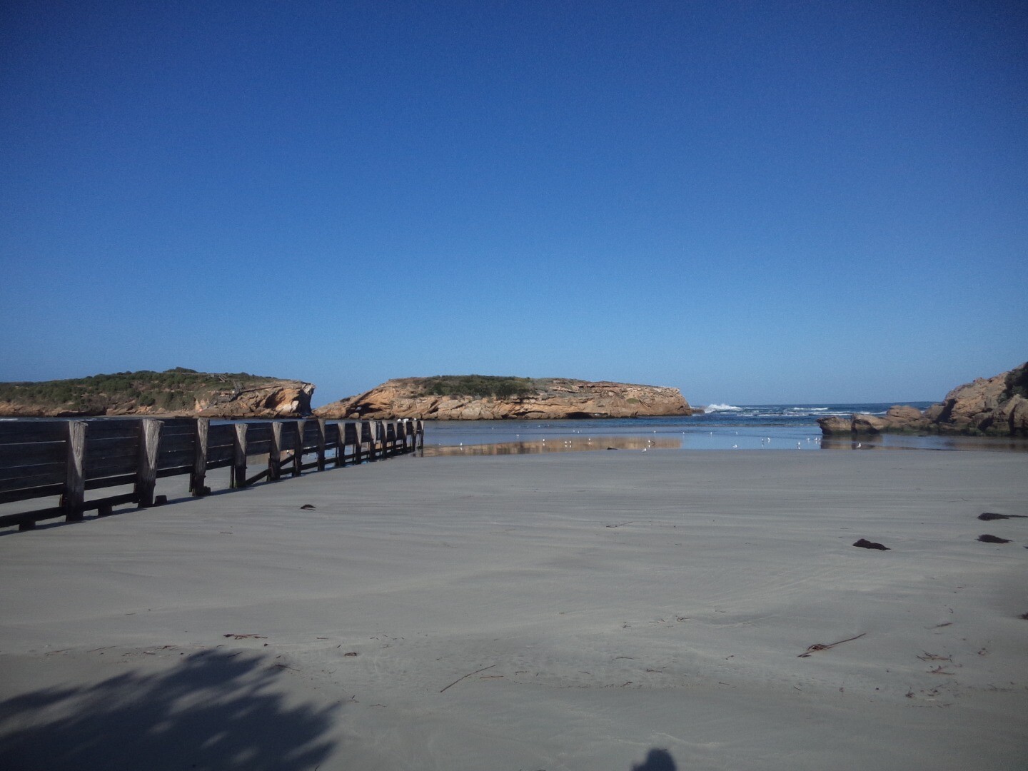
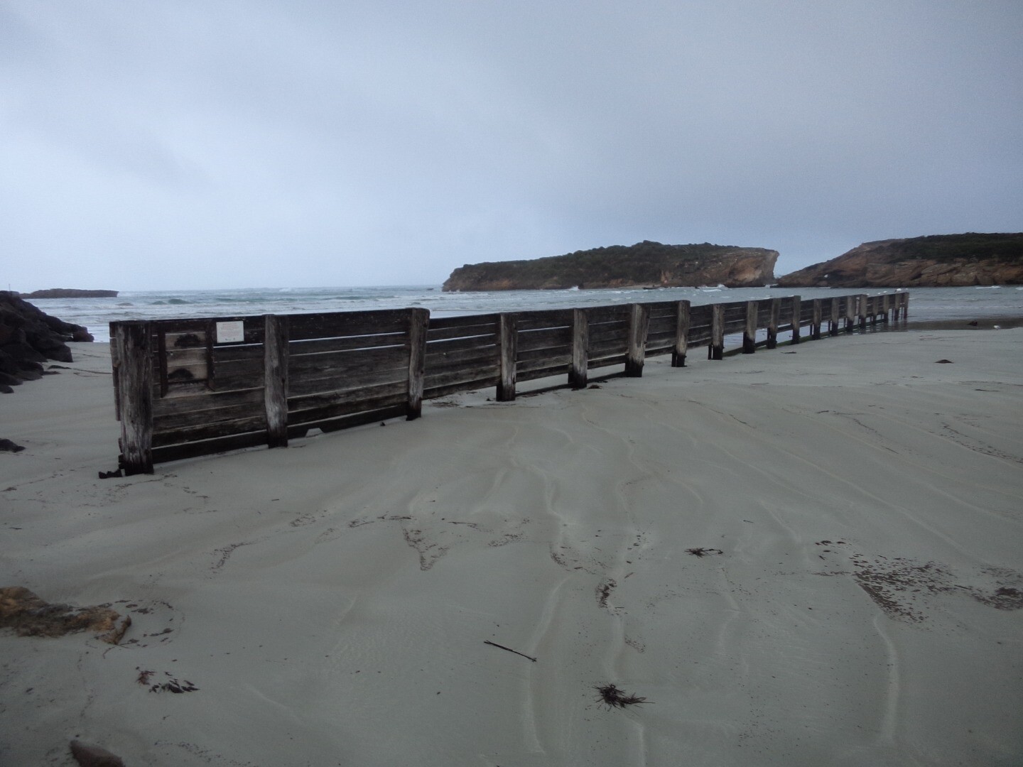
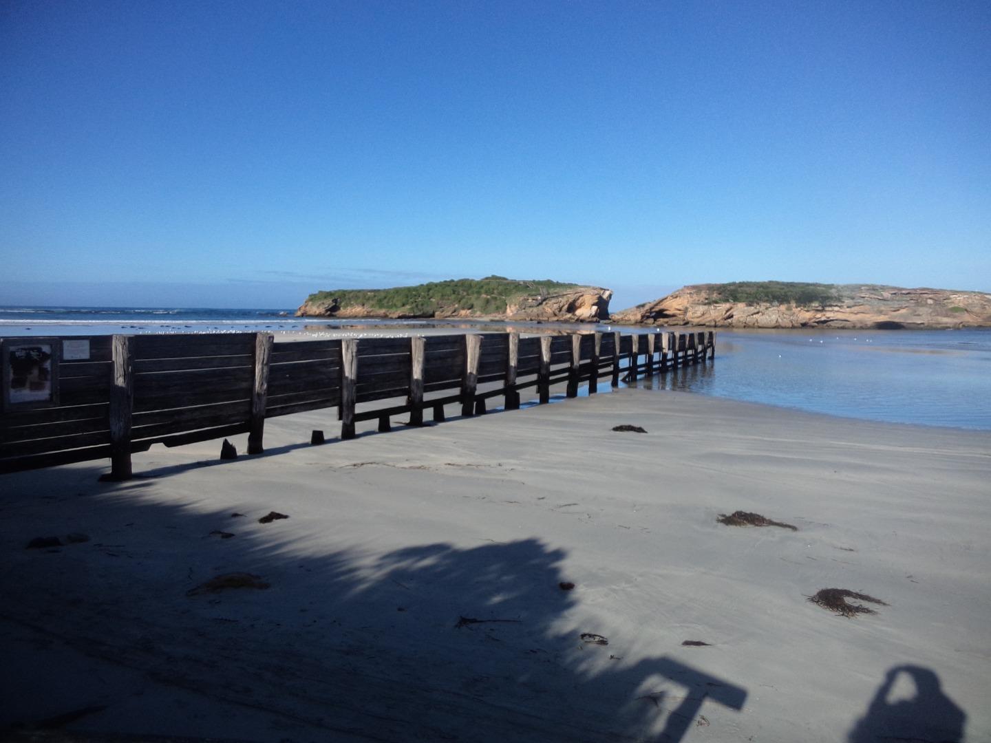
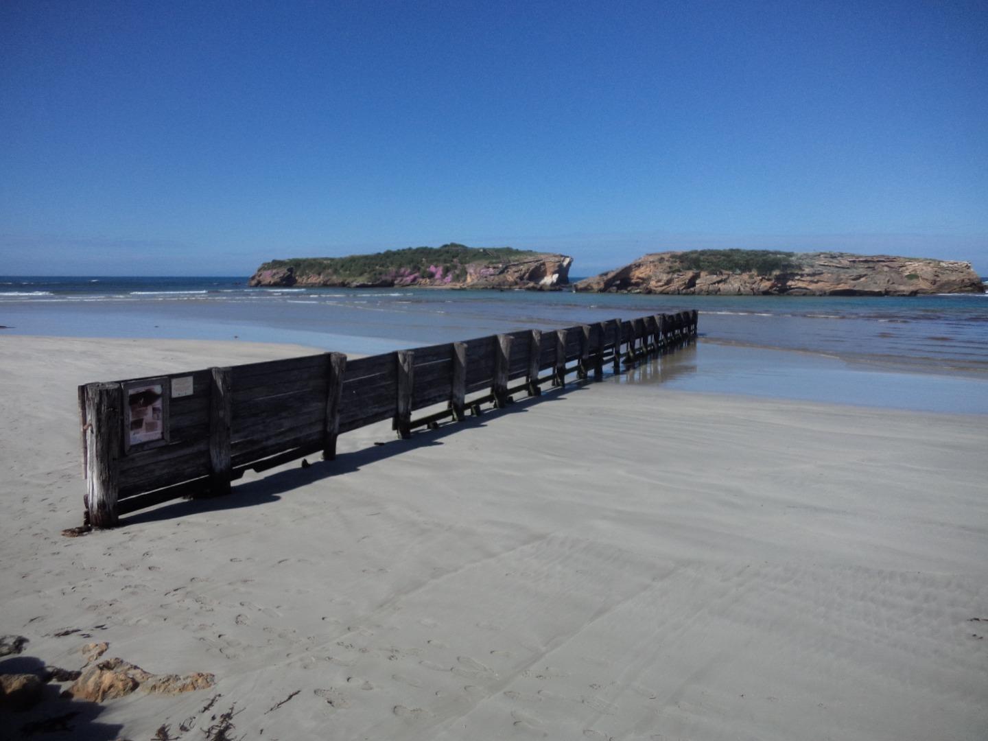
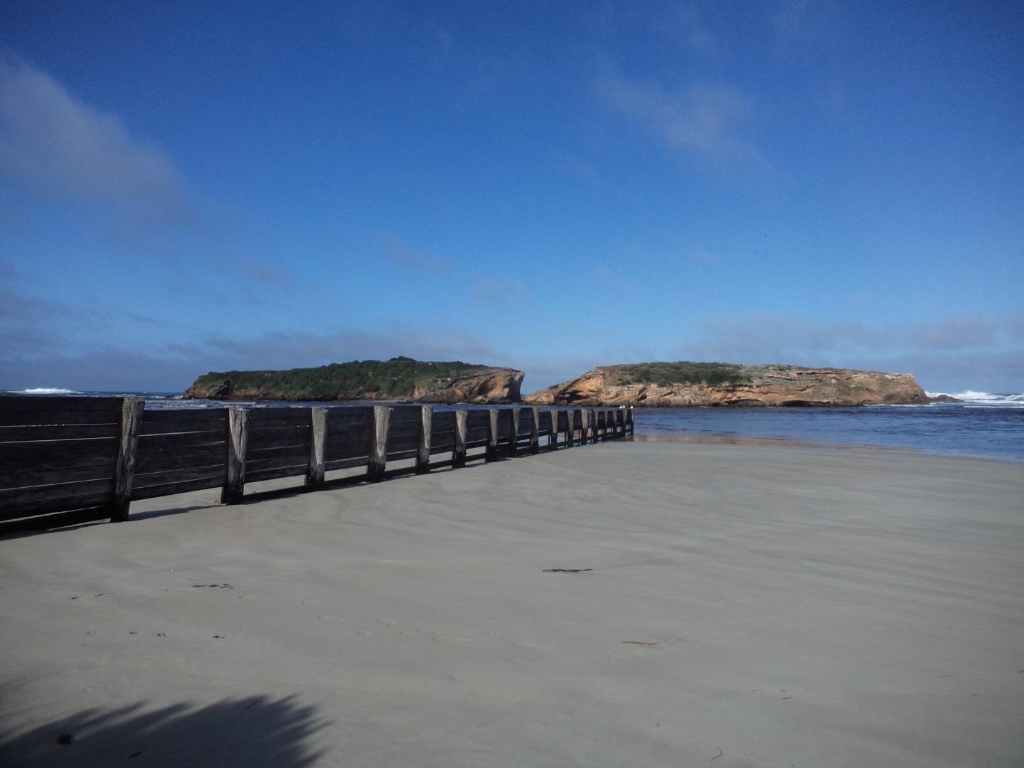
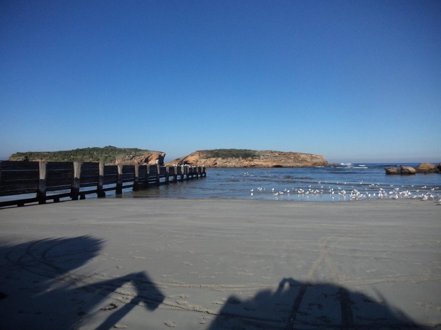
Stingray BayActive Photopoint 27-03-2014 - 14-06-2026Photo is taken at the bottom of the beach access stairs near Emergency marker WCC112, Sting Ray Bay. Photos 526 |
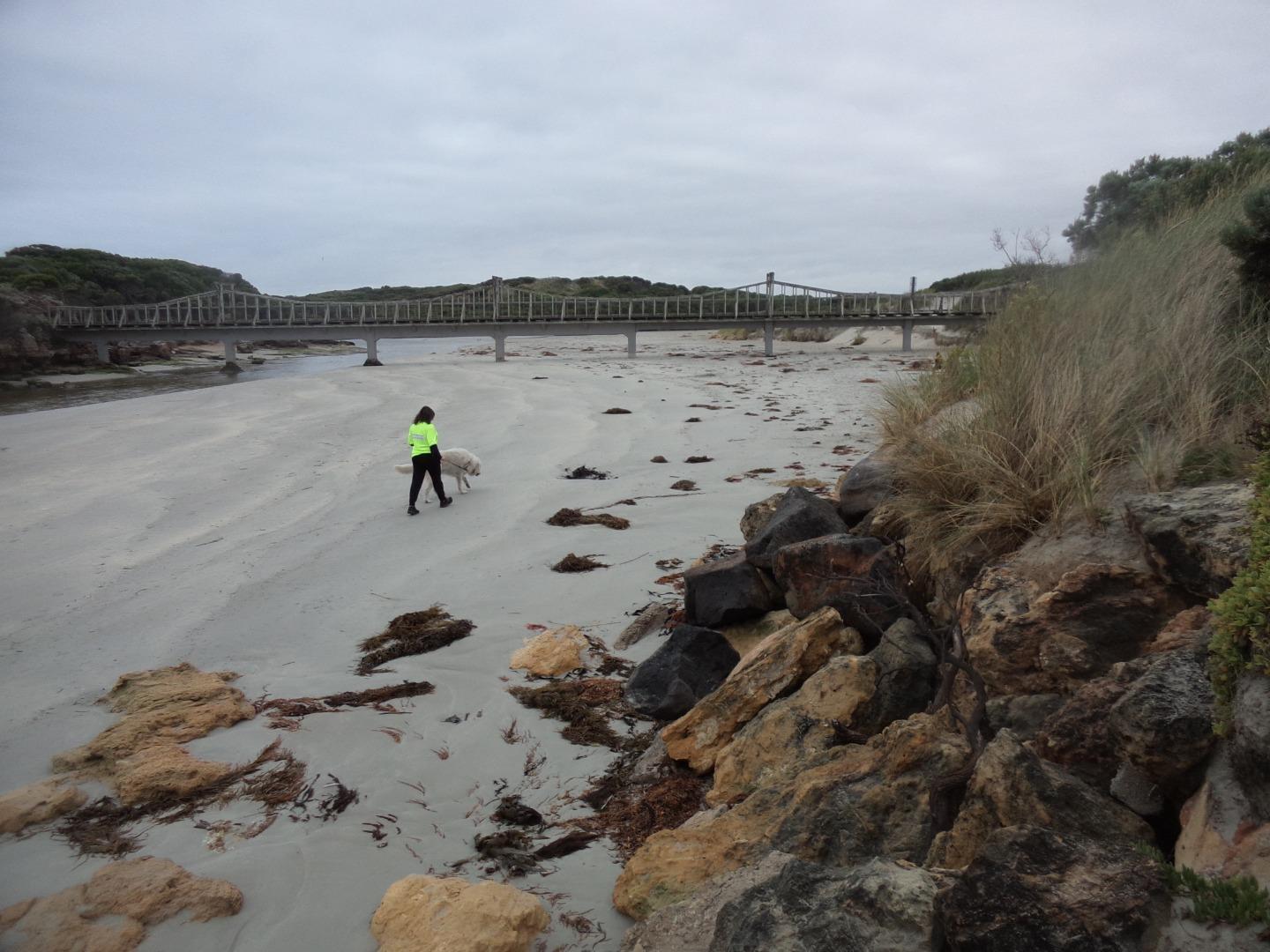
Mp2 |
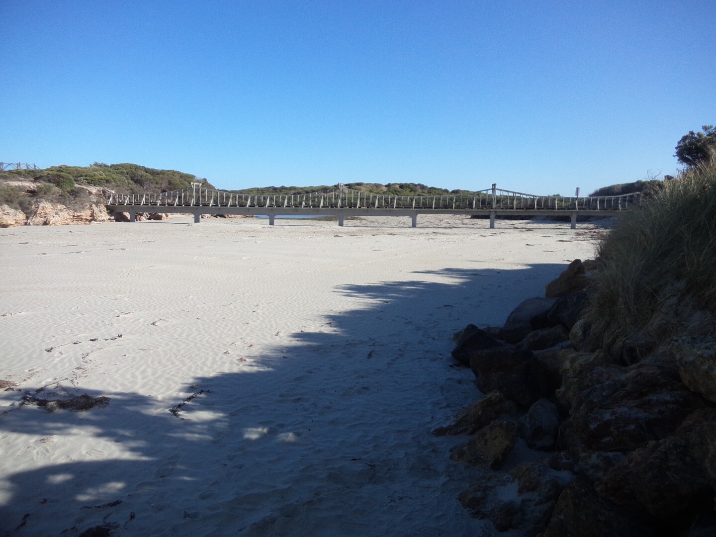
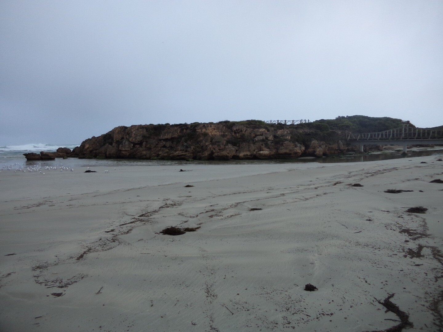
Rutledges CuttingActive Photopoint 10-02-2017 - 14-06-2026At the end of the beach access track from the easter carpark in Belfast Coastal Reserve. Photos 267 |
Winter 2026
Autumn 2026


Summer 2026
Spring 2025
Winter 2025
Autumn 2025
Summer 2025
Spring 2024


Winter 2024
Autumn 2024


Summer 2024


Spring 2023


Winter 2023

Autumn 2023
Summer 2023


Spring 2022
Winter 2022
Autumn 2022
Summer 2022


Spring 2021


Winter 2021


Autumn 2021

Summer 2021


Mouth Condition Snapshots


We honour Elders past and present whose knowledge and wisdom has ensured the continuation of culture and traditional practices.
 All content, files, data and images provided by the EstuaryWatch Data Portal subject to a Creative Commons Attribution License
Data portal by CeRDI
All content, files, data and images provided by the EstuaryWatch Data Portal subject to a Creative Commons Attribution License
Data portal by CeRDI