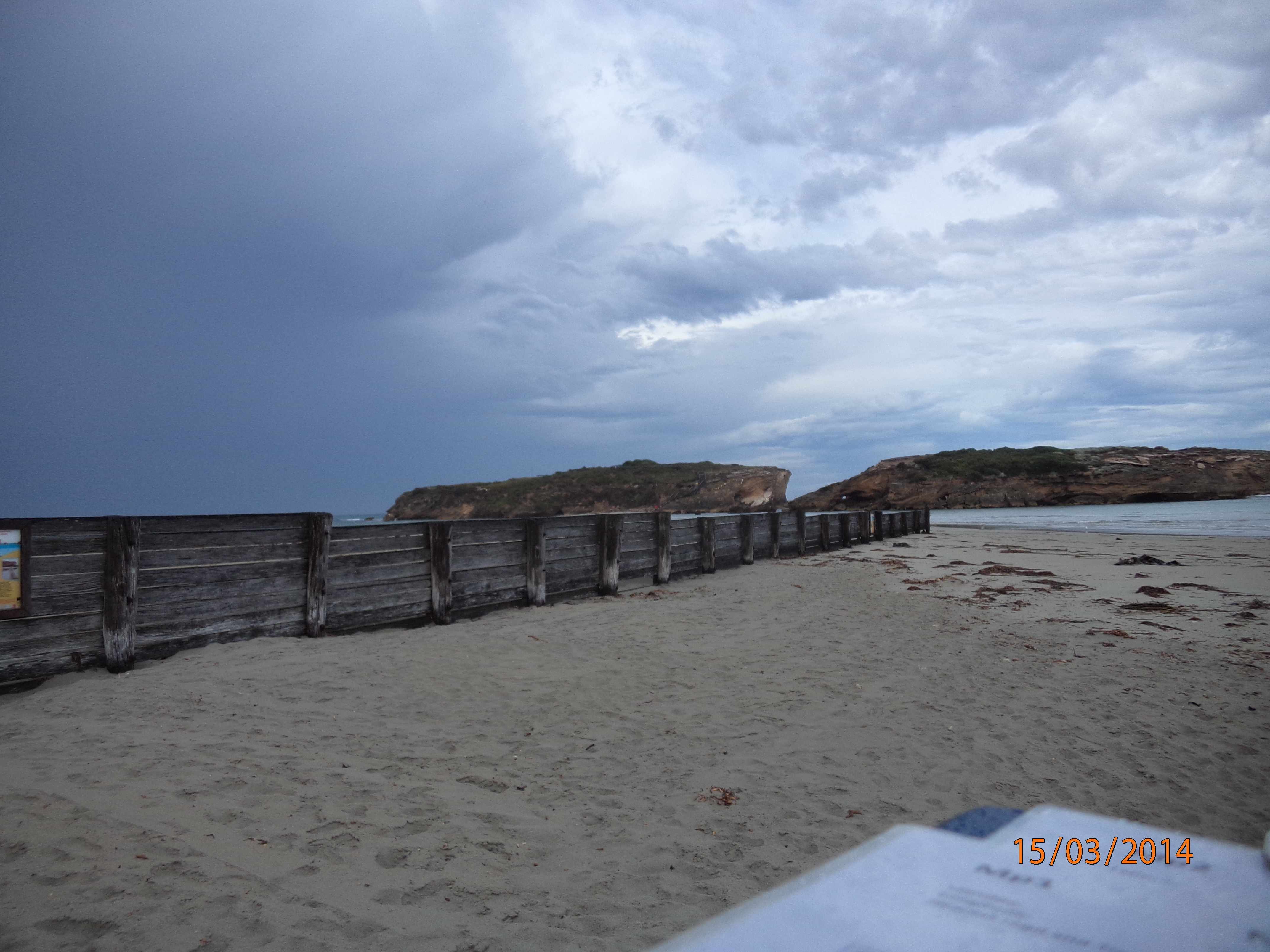
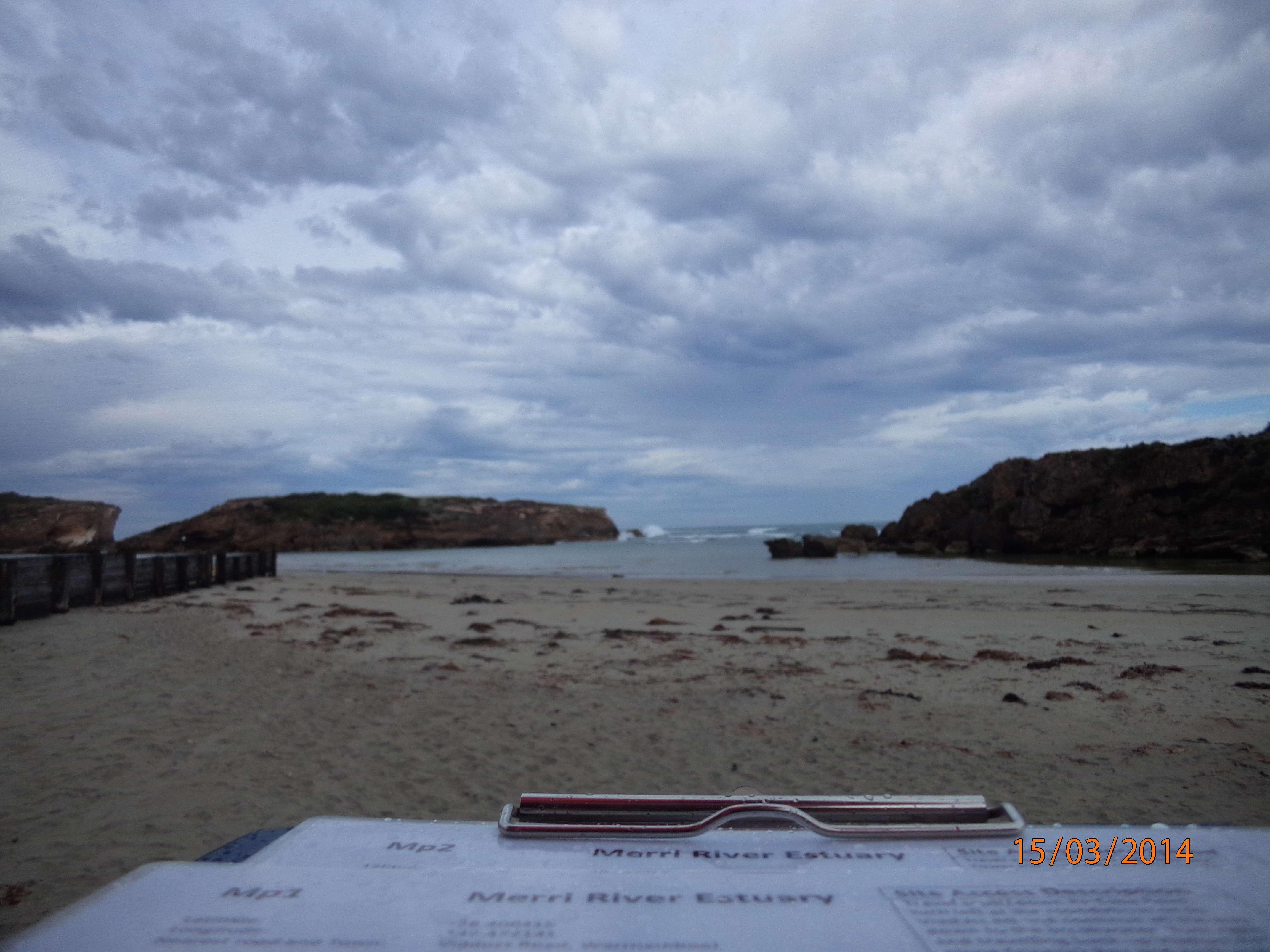
Merri River Estuary
Glenelg Hopkins CMA
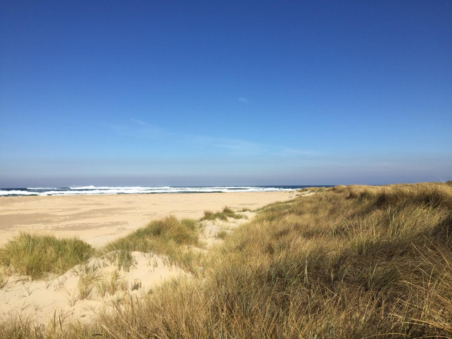
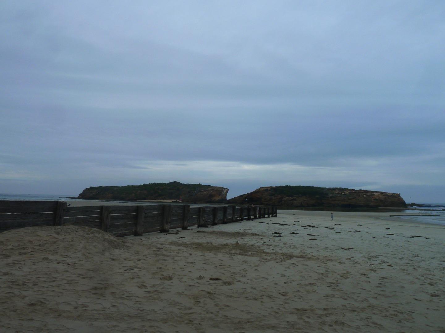
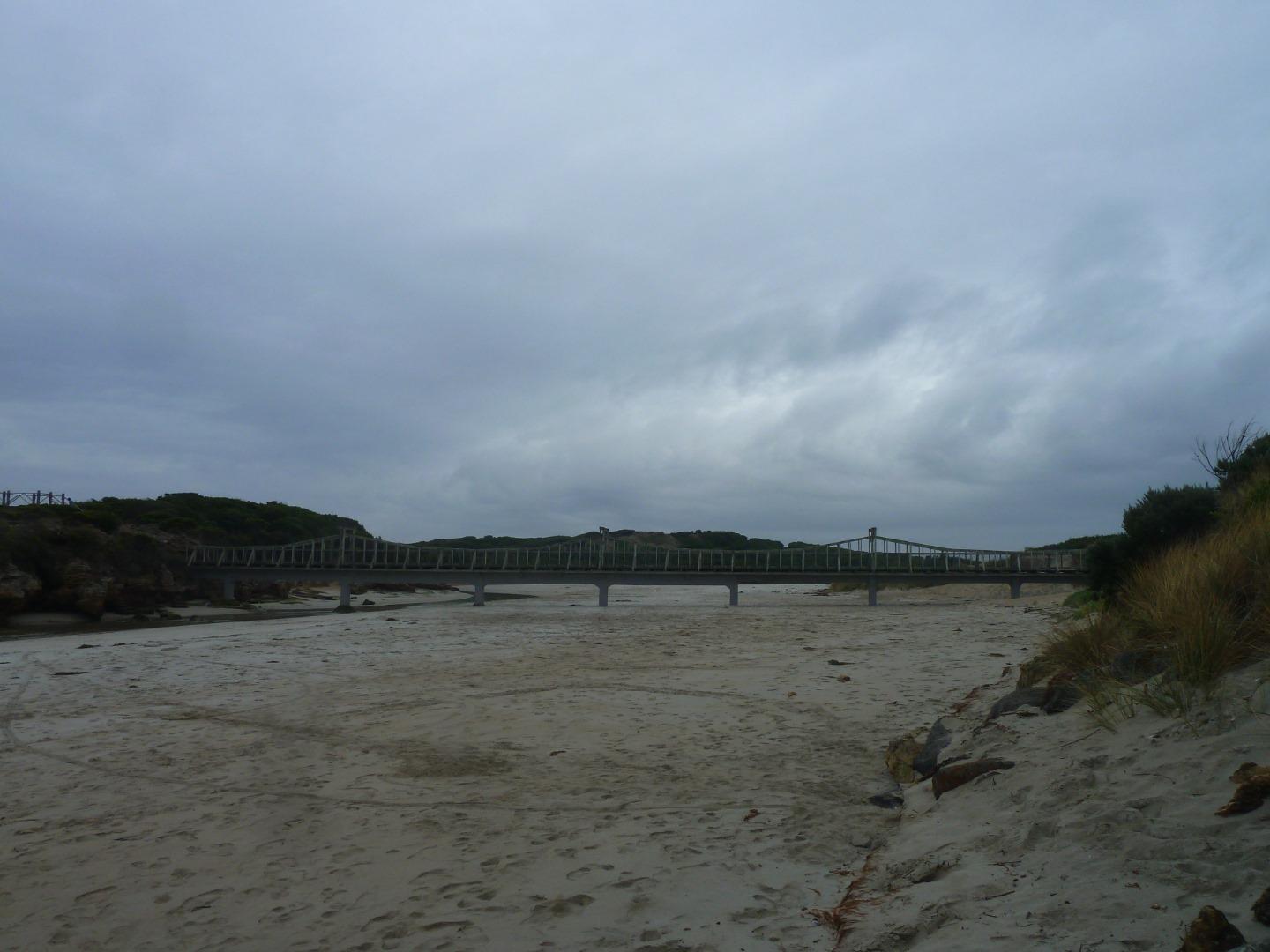
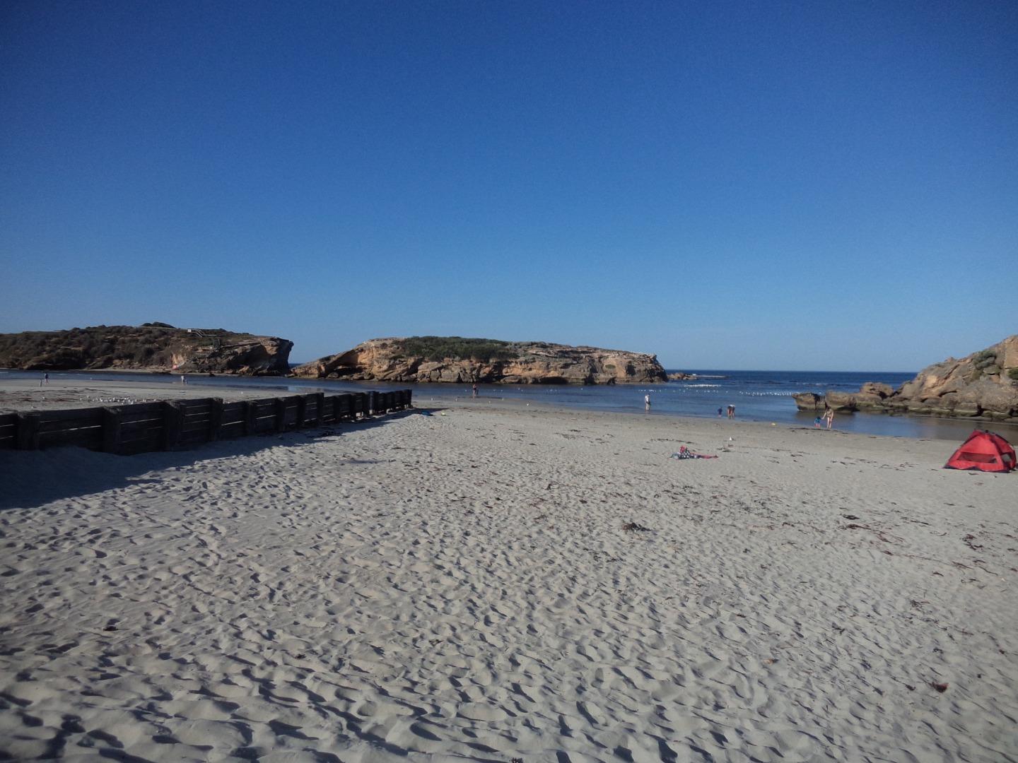
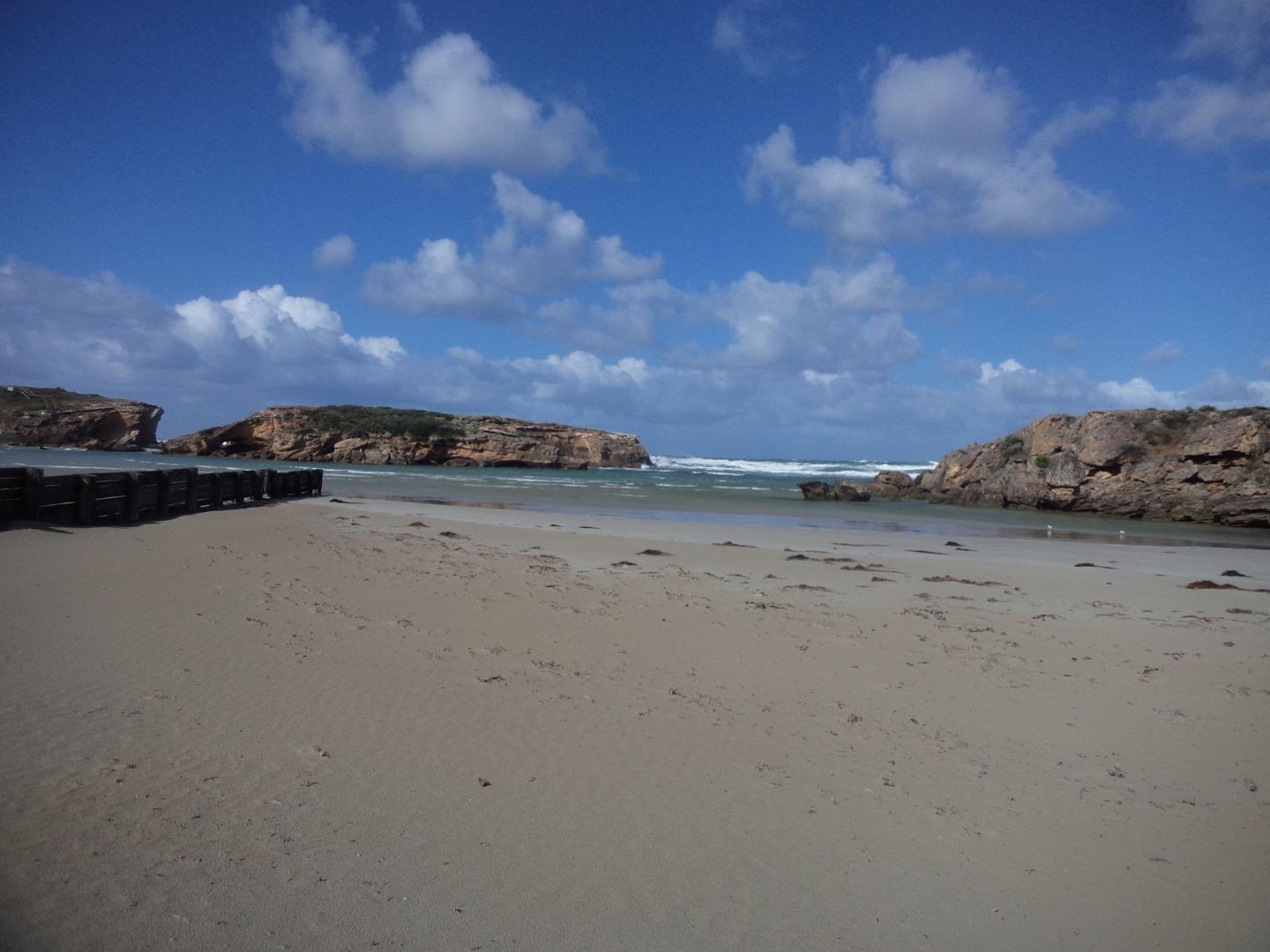
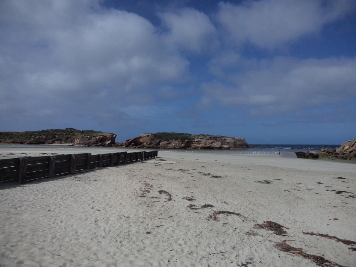
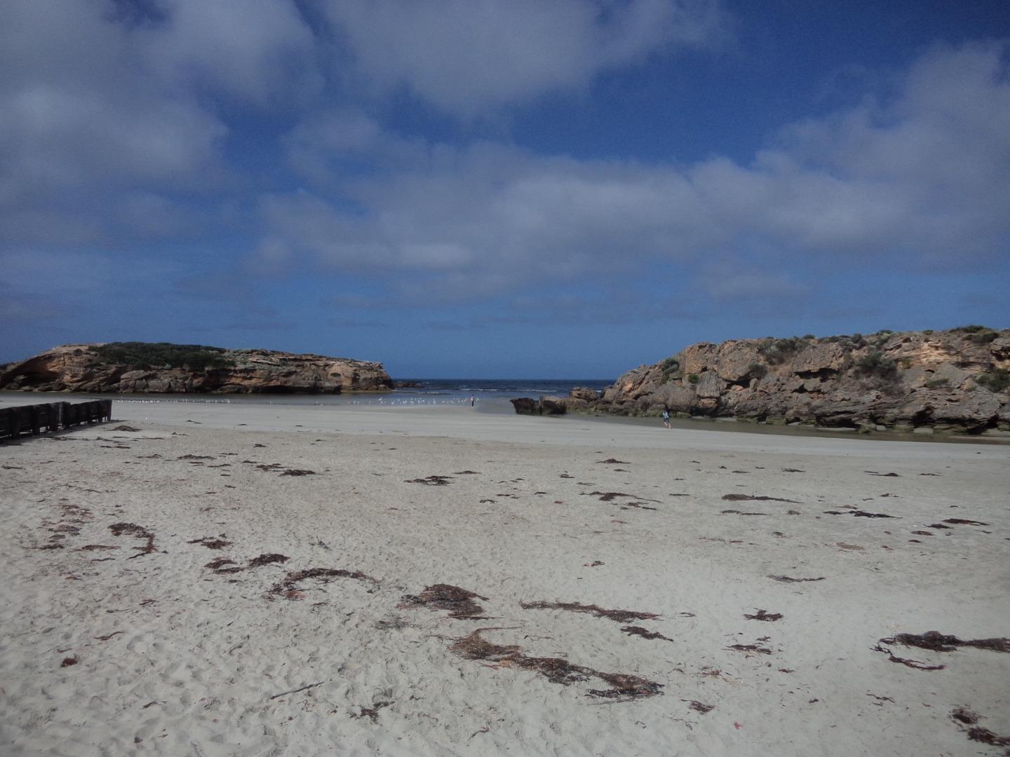
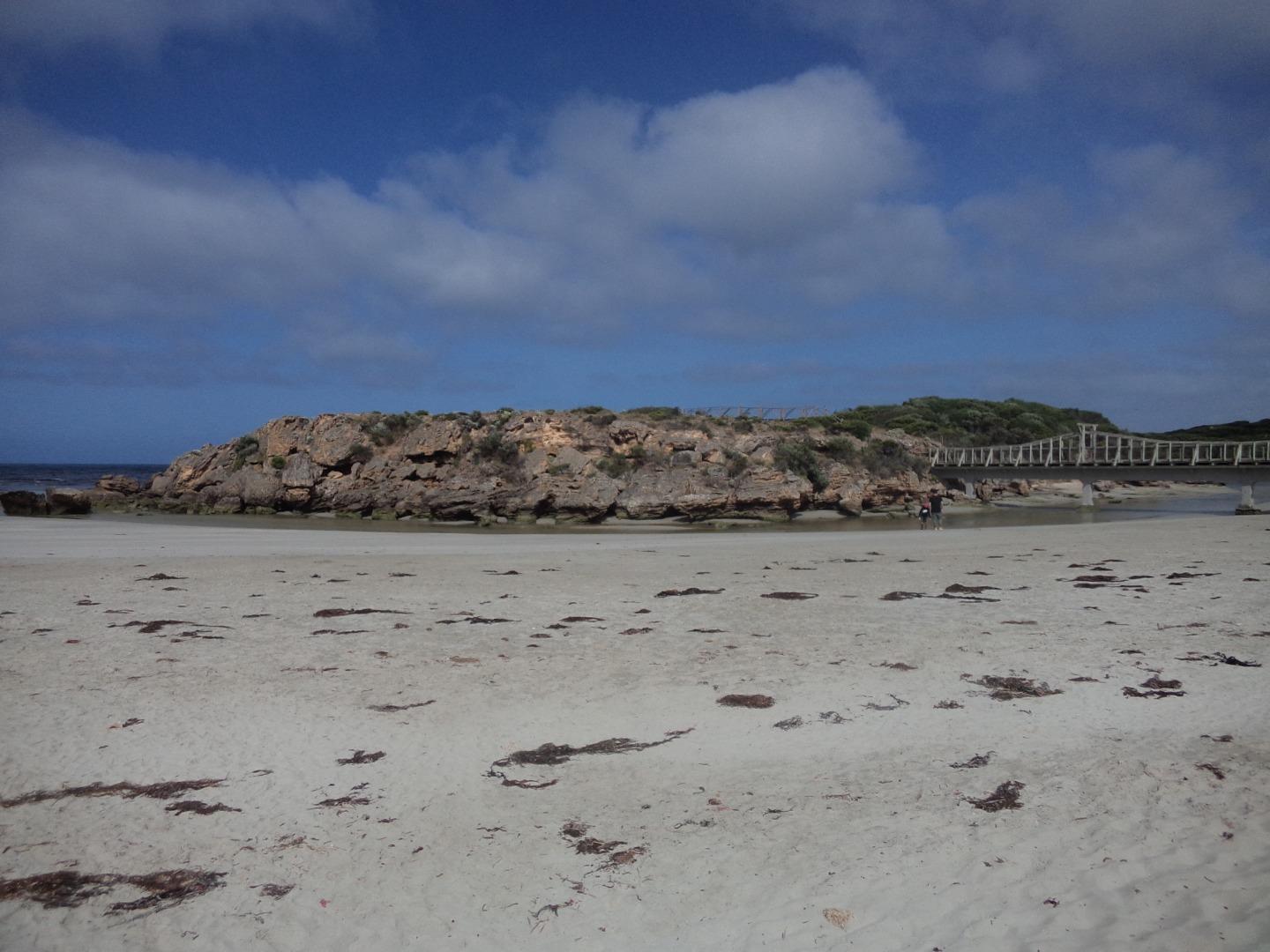
DOWNLOAD DATAMp1 Stingray Bay
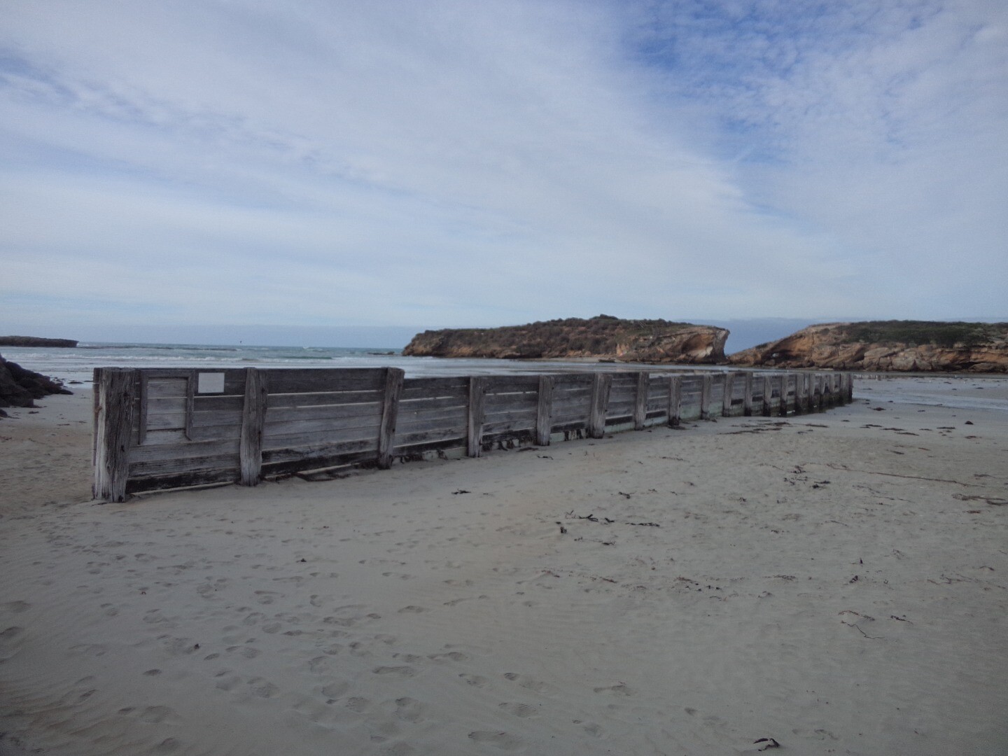
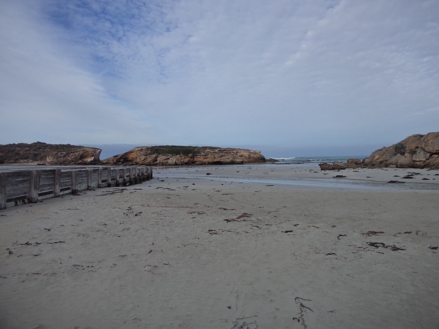
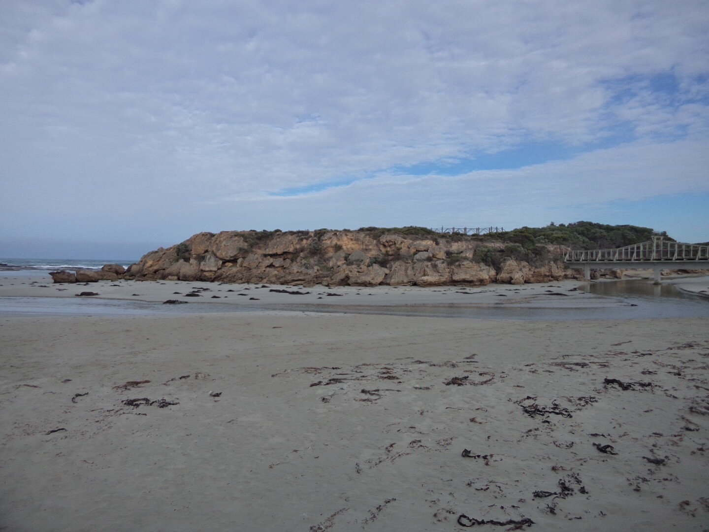
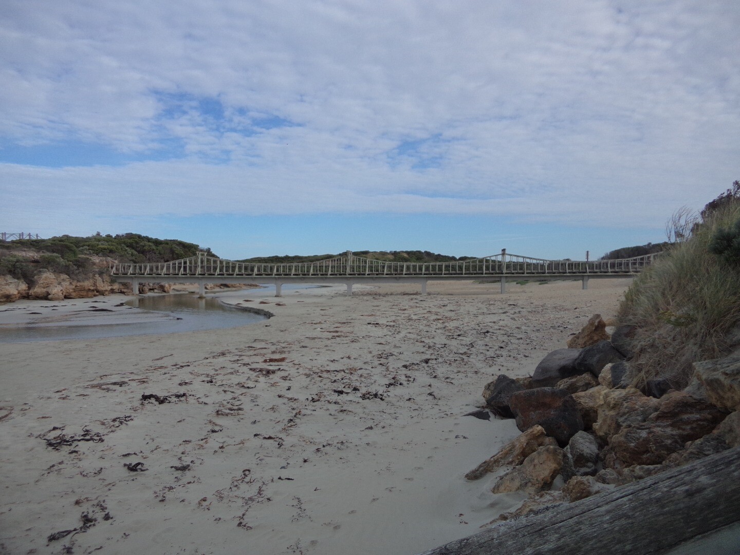
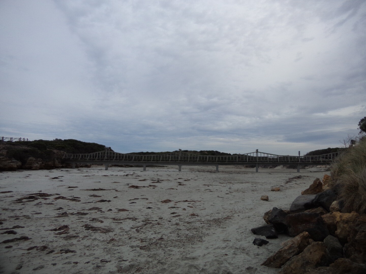
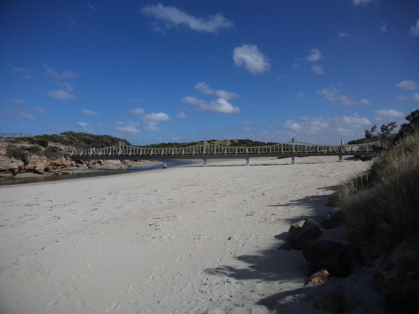
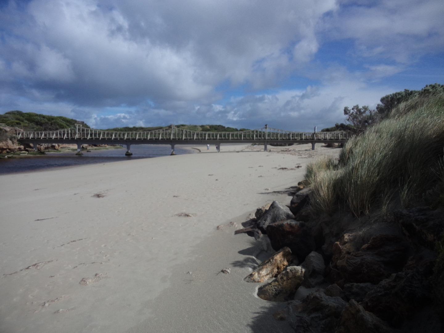
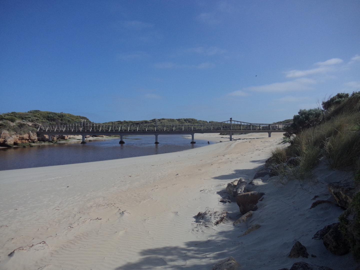
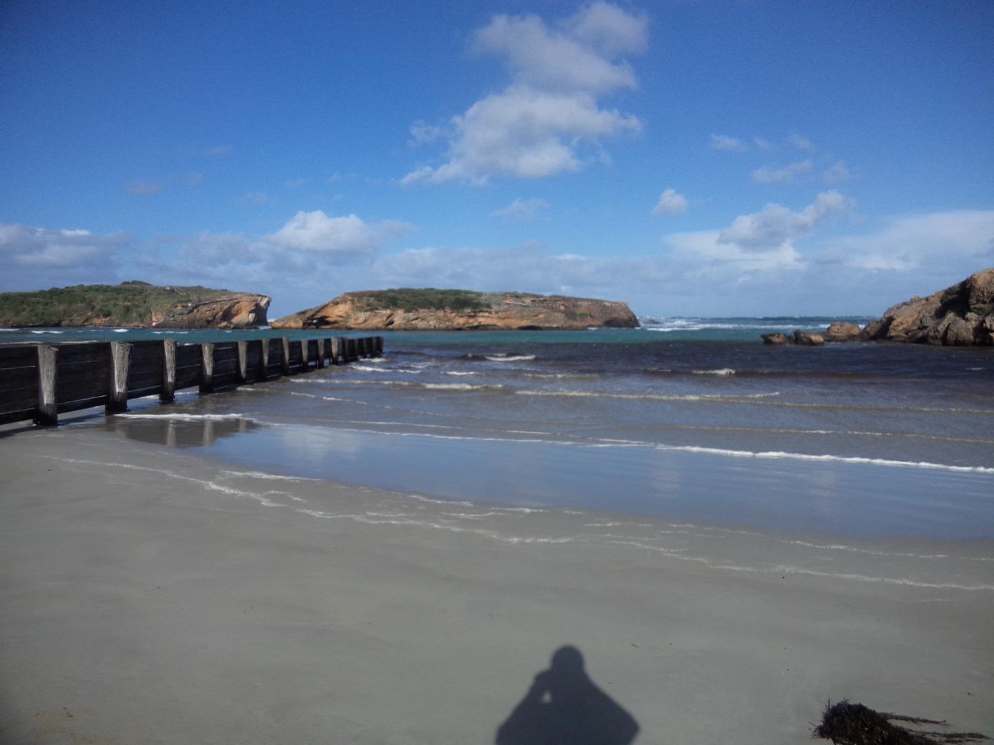
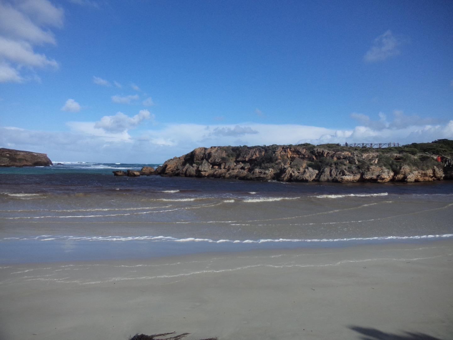
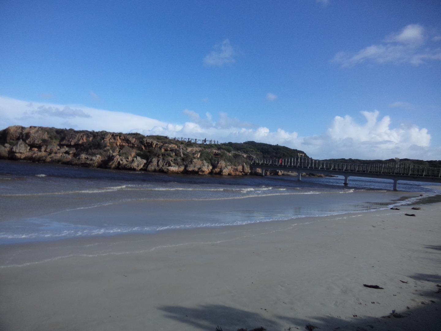
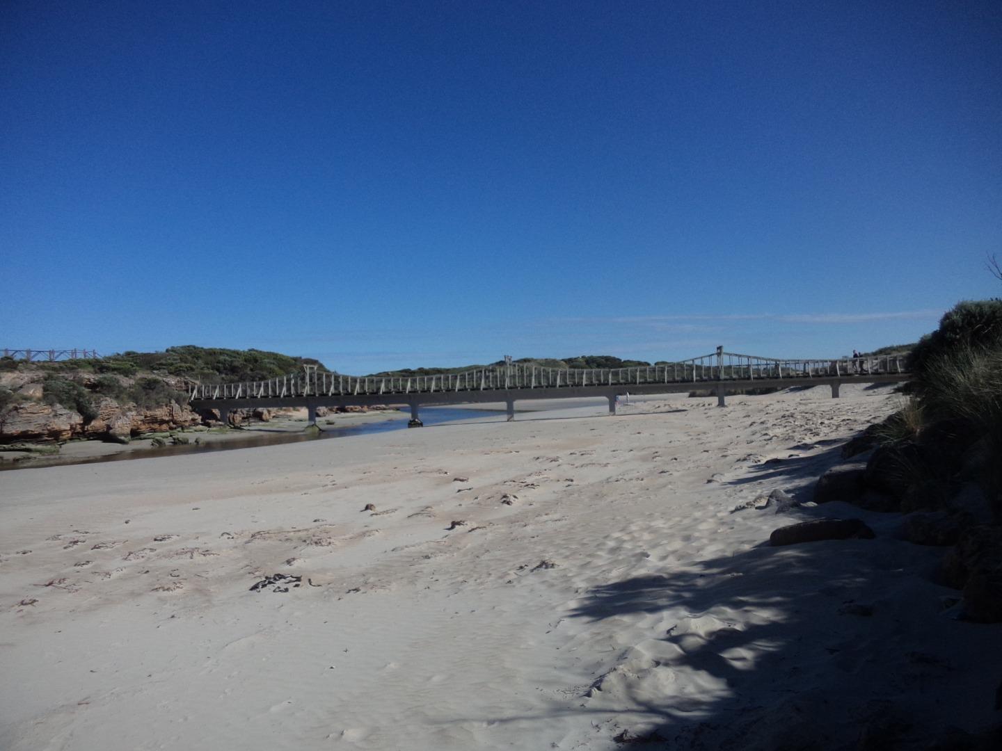
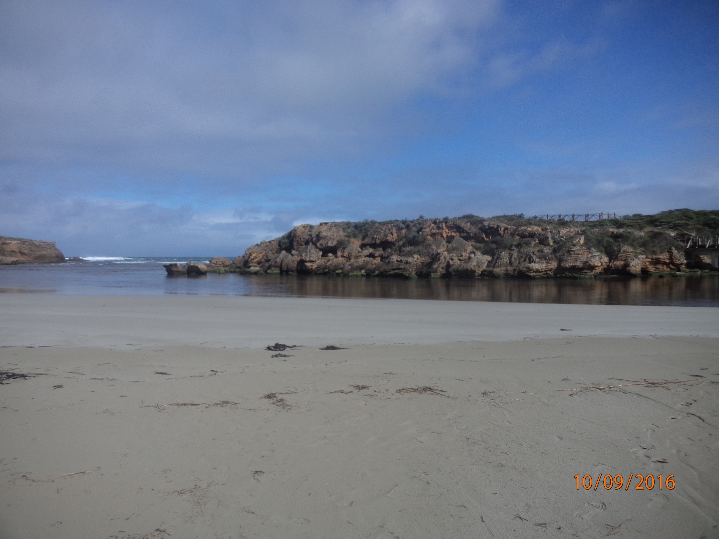
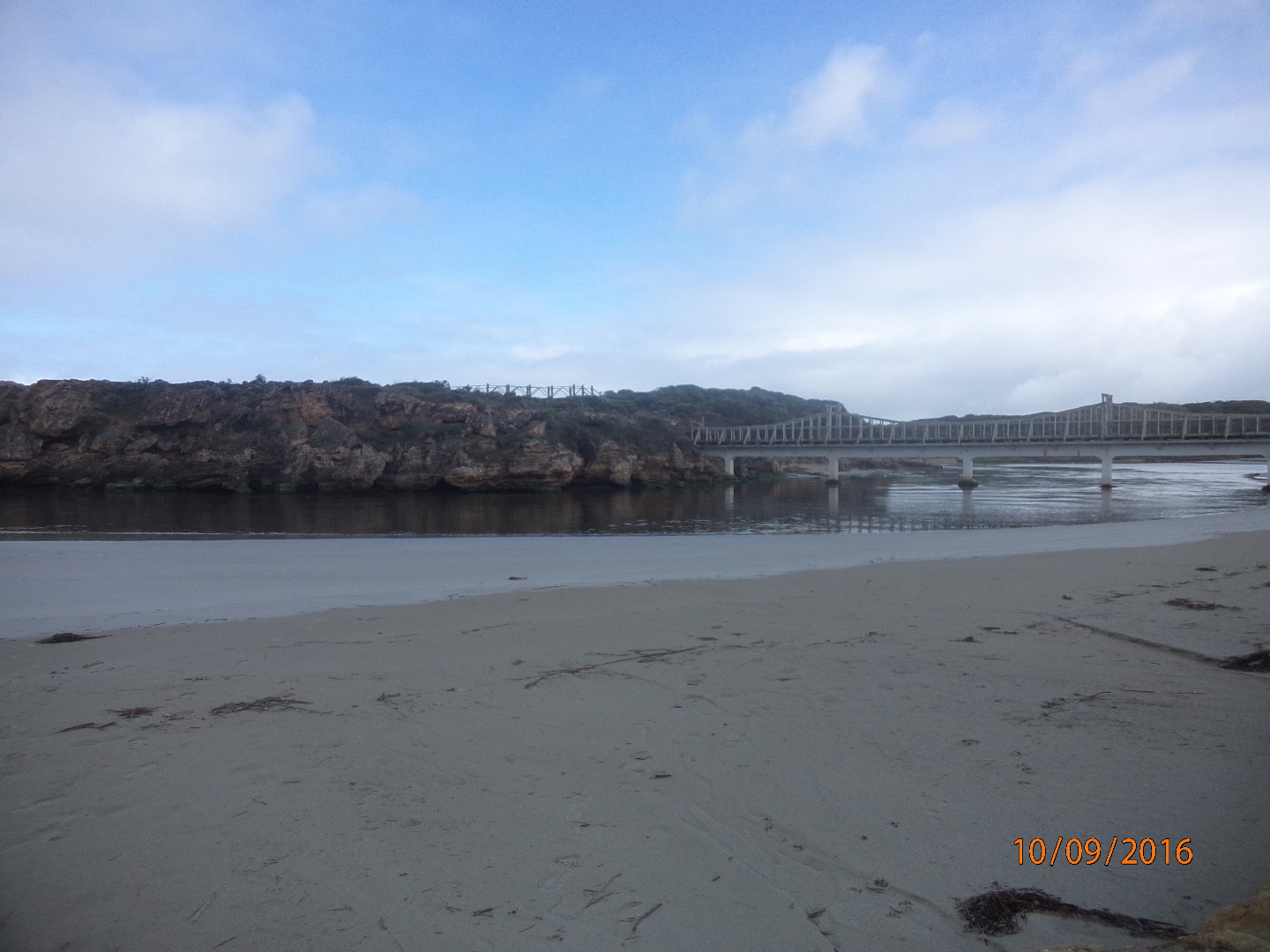
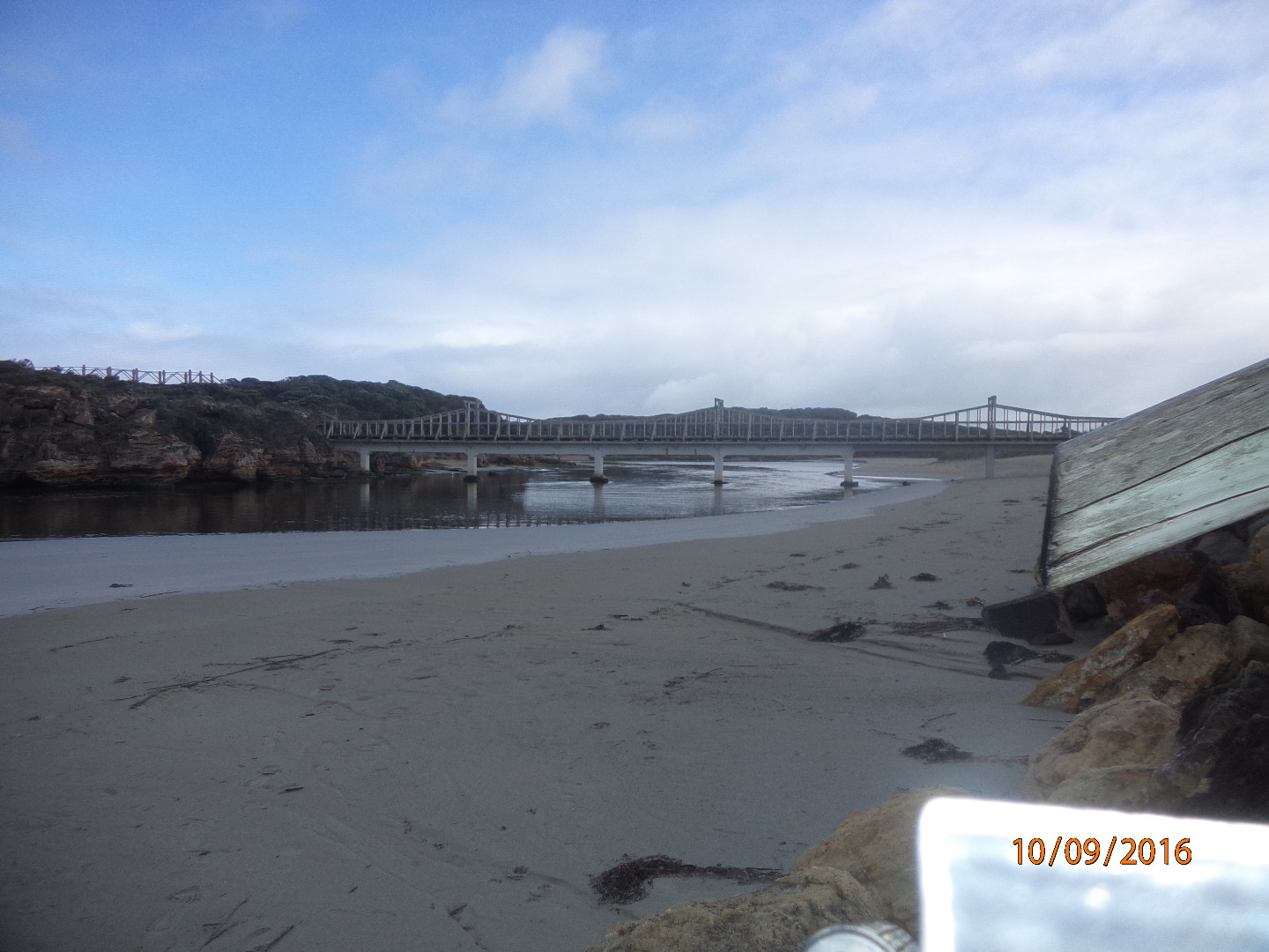
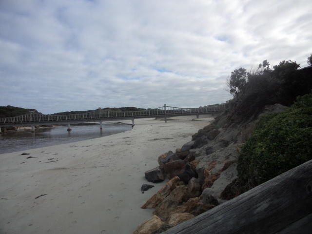
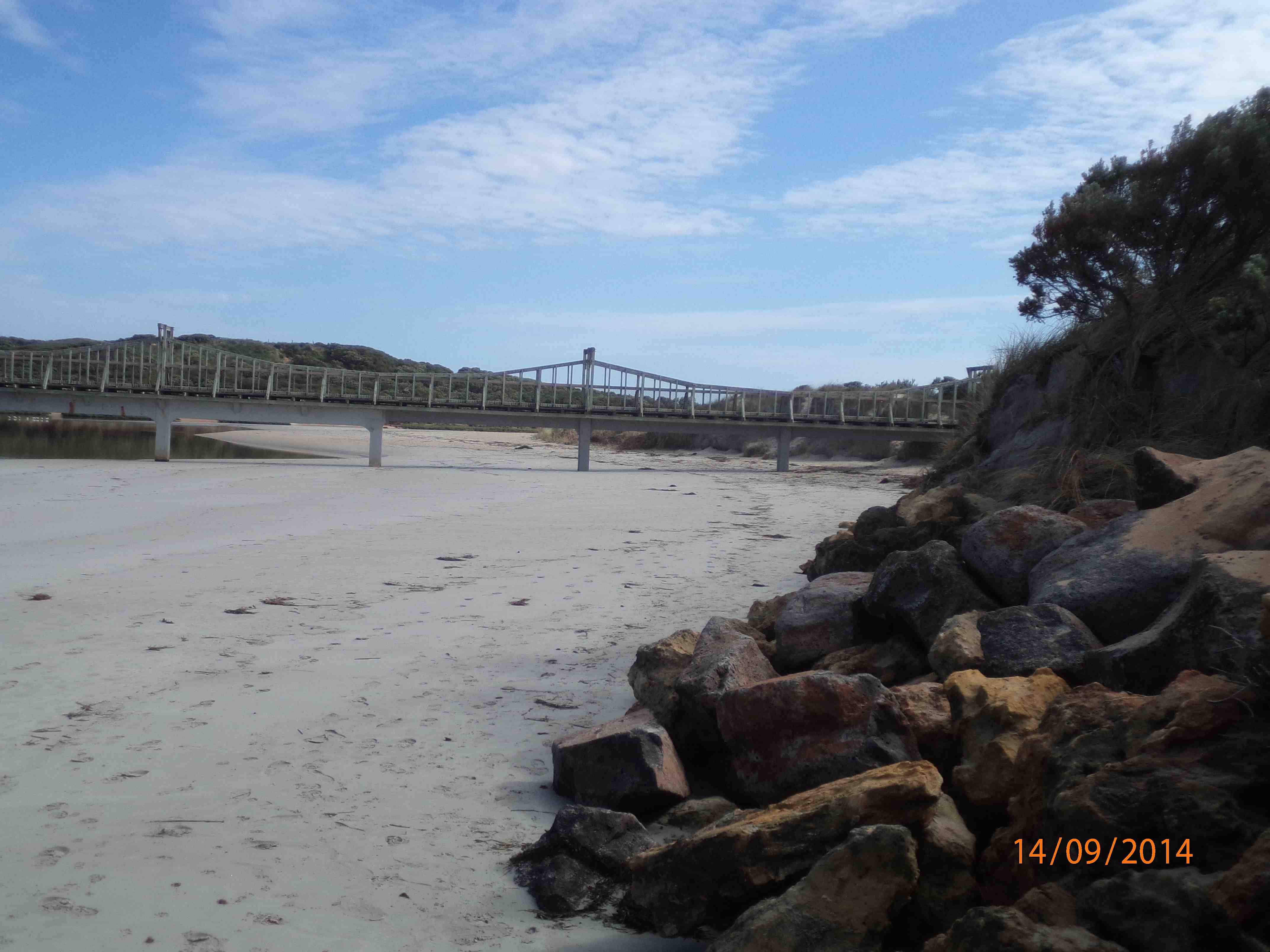
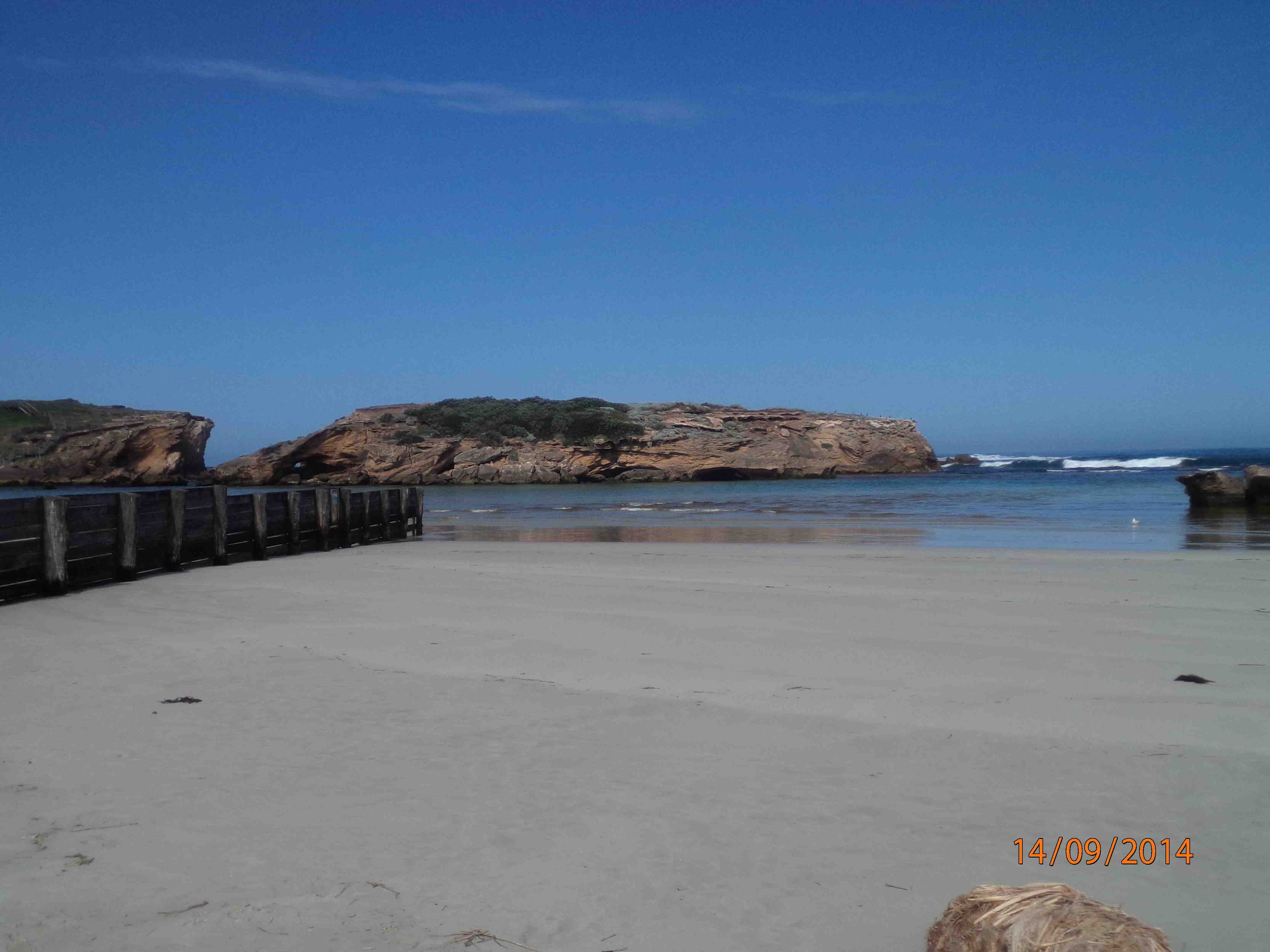
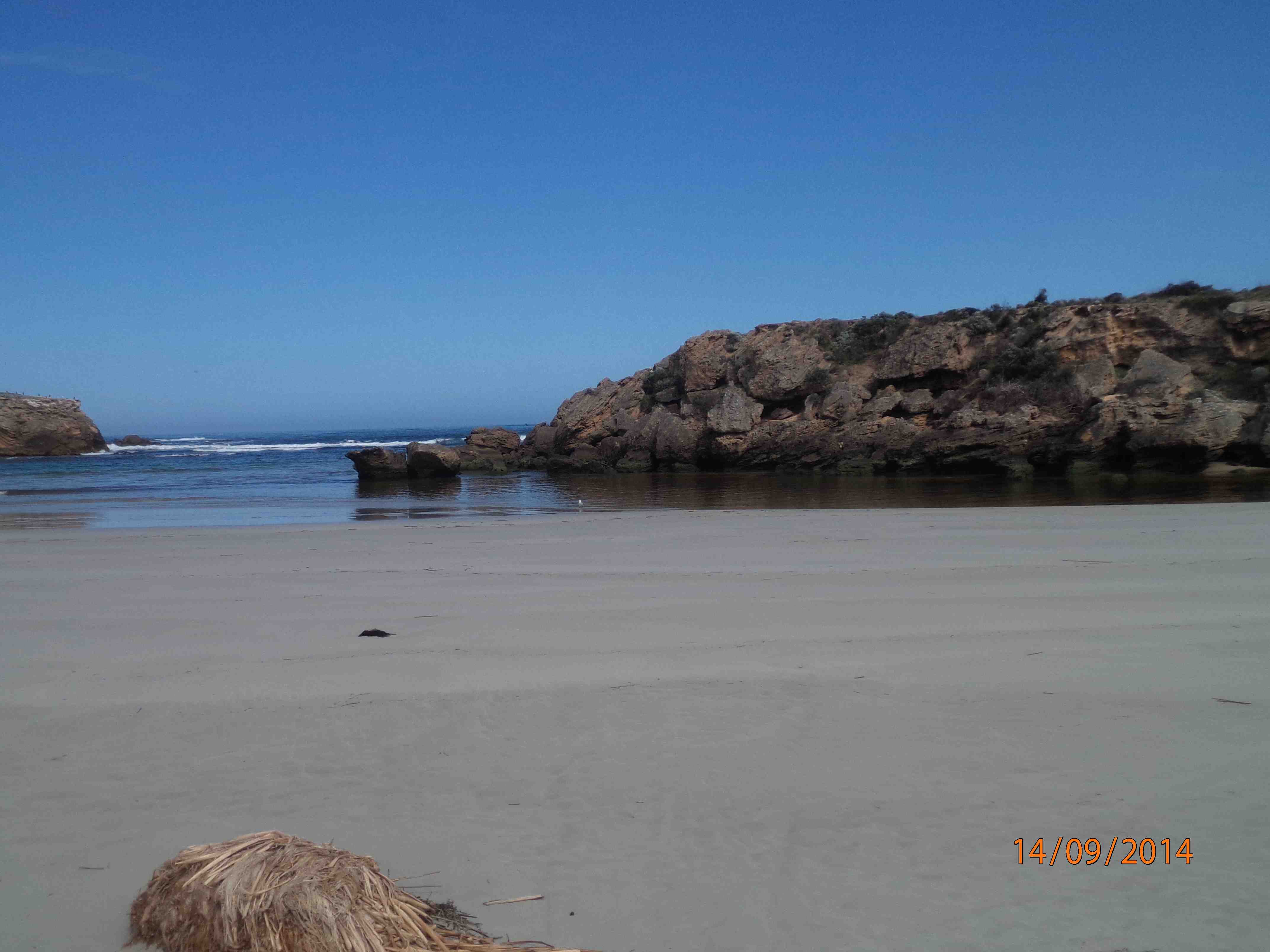
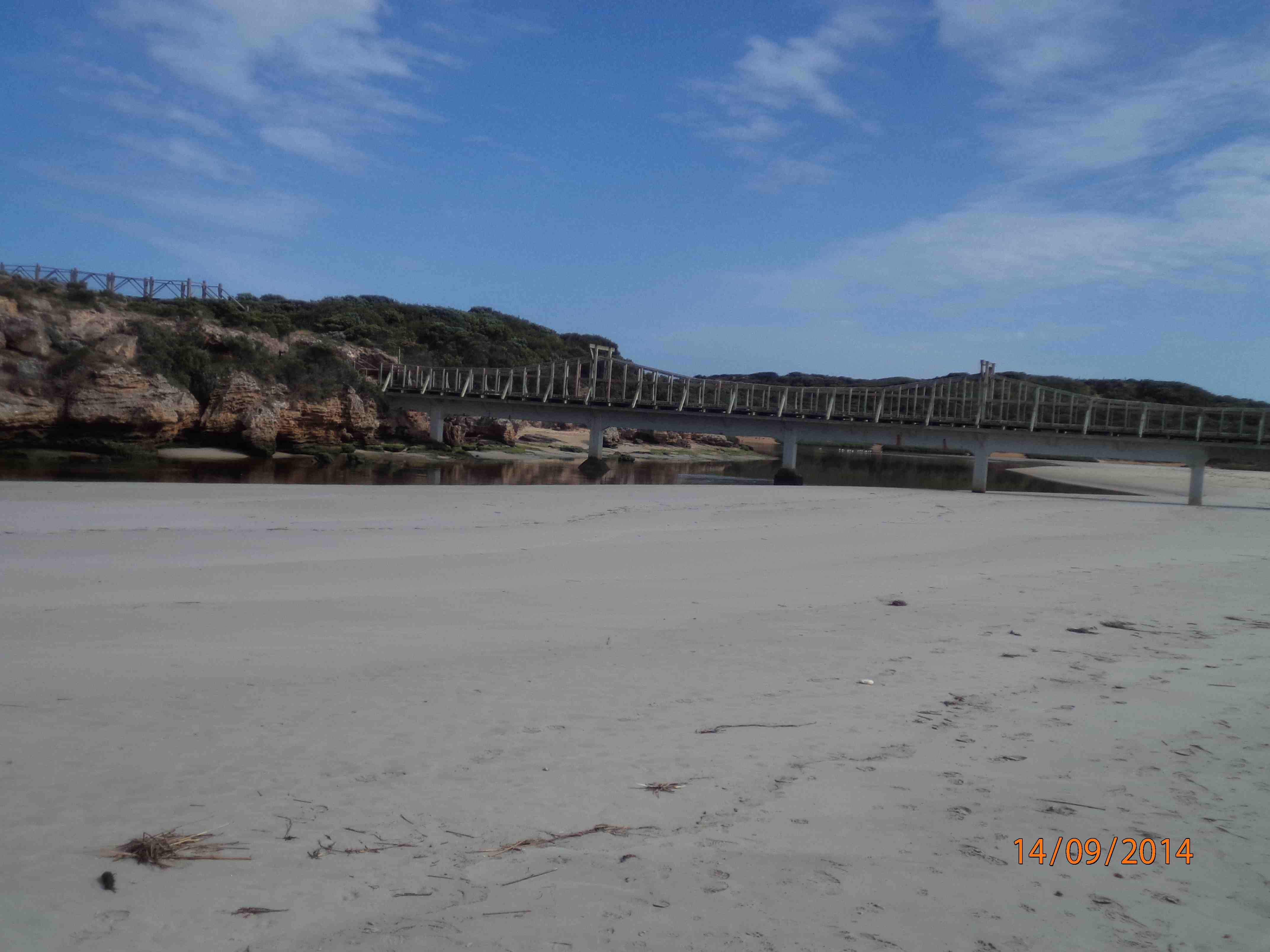
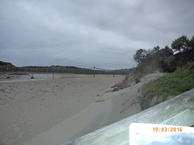
Active Photopoint Viaduct Road
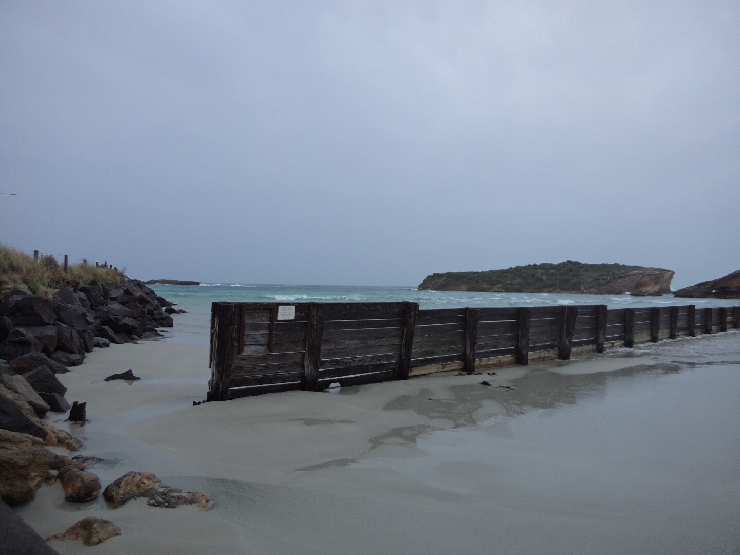
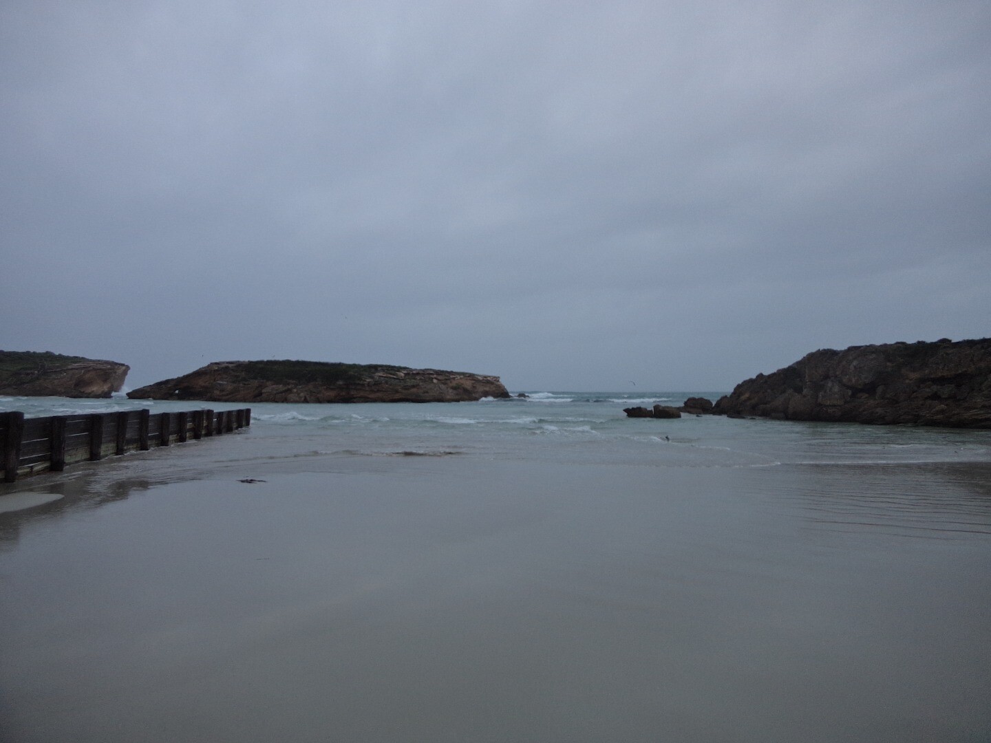
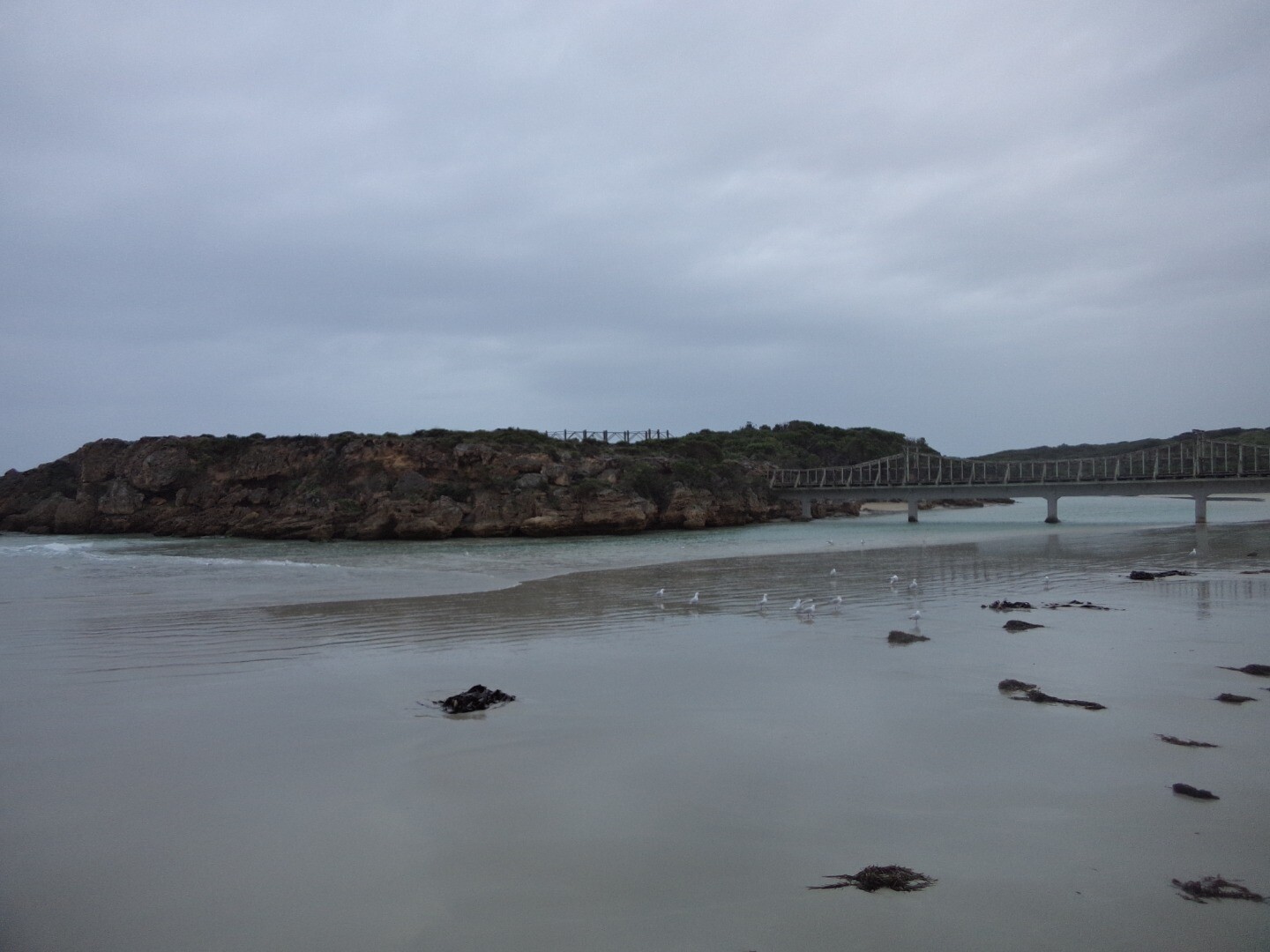
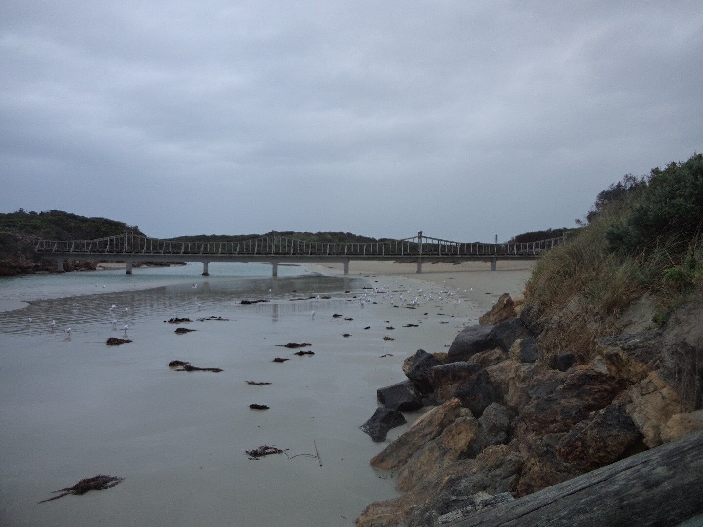
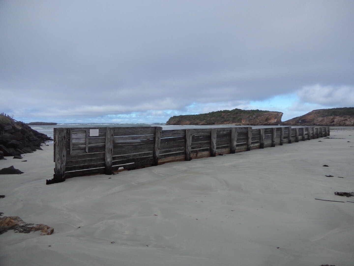
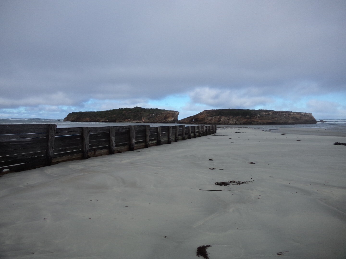
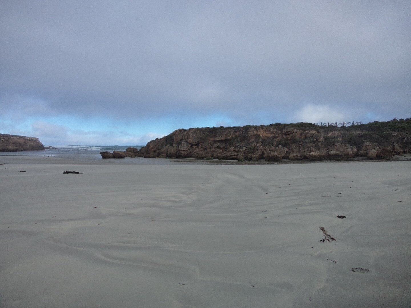
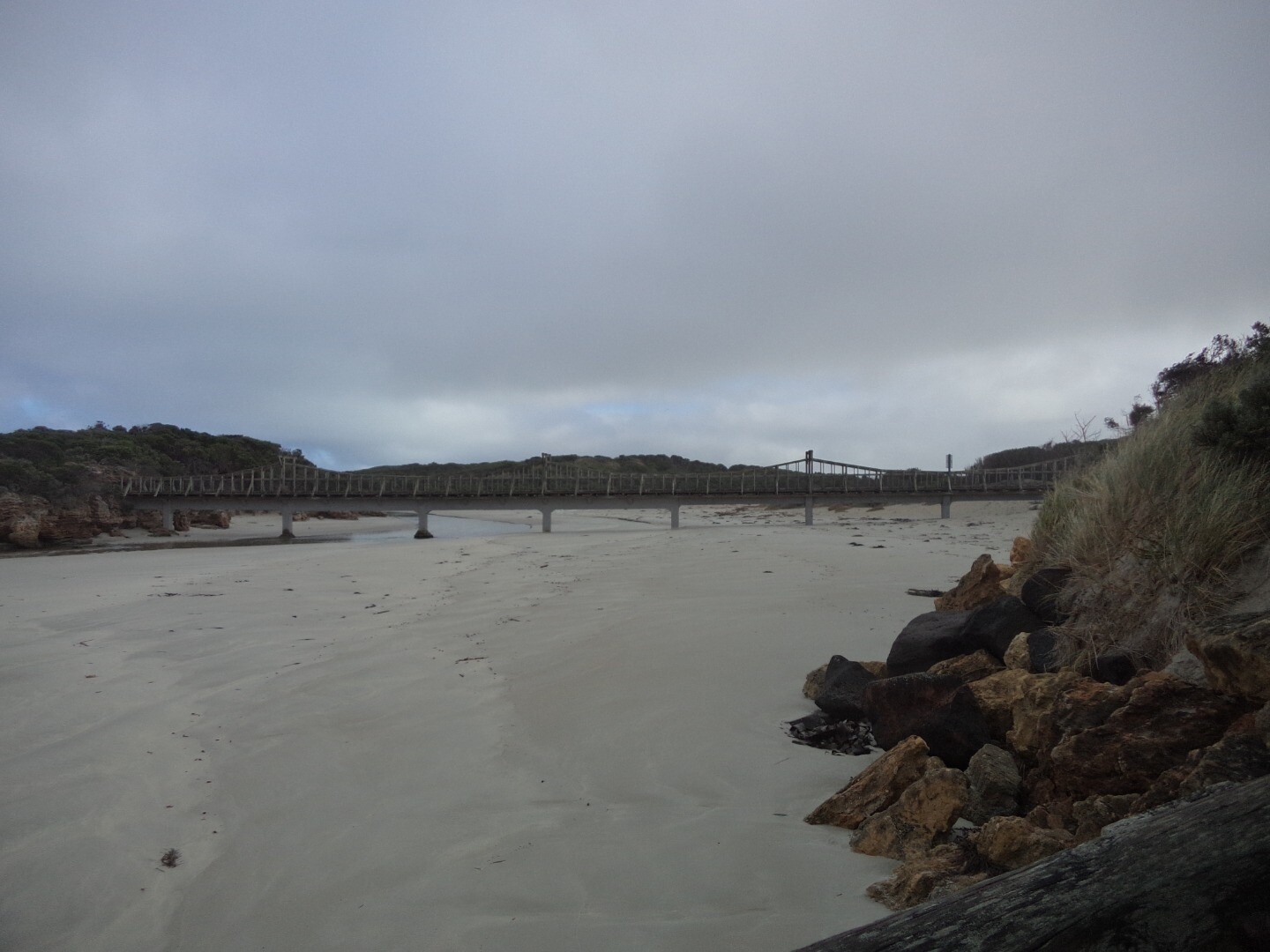
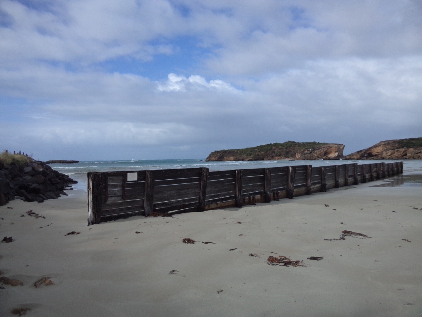
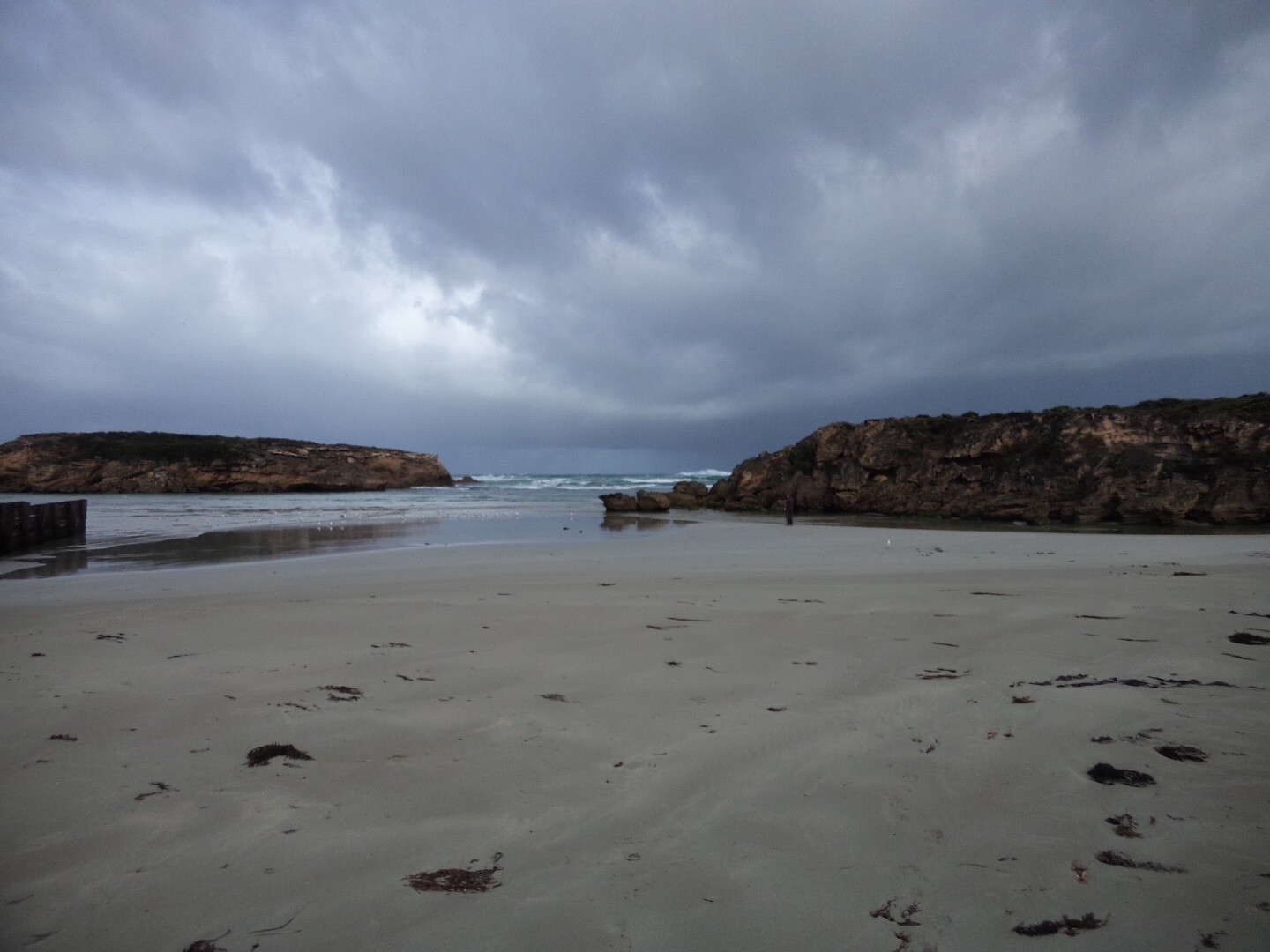
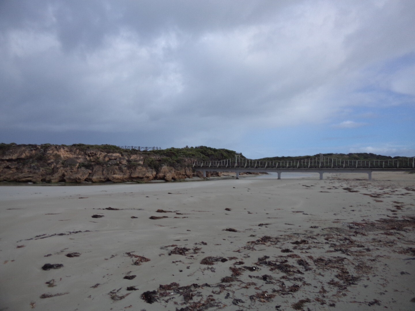
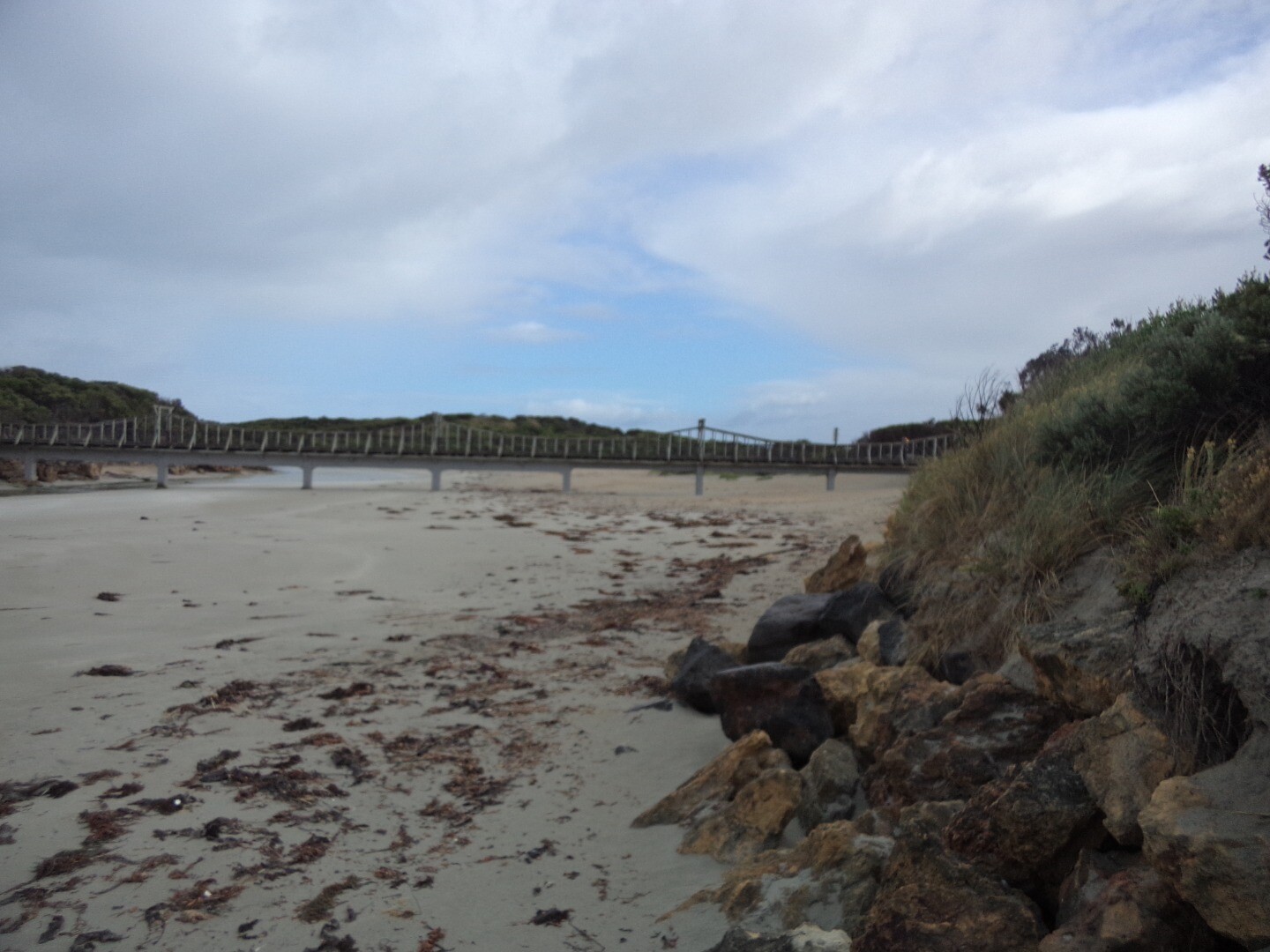
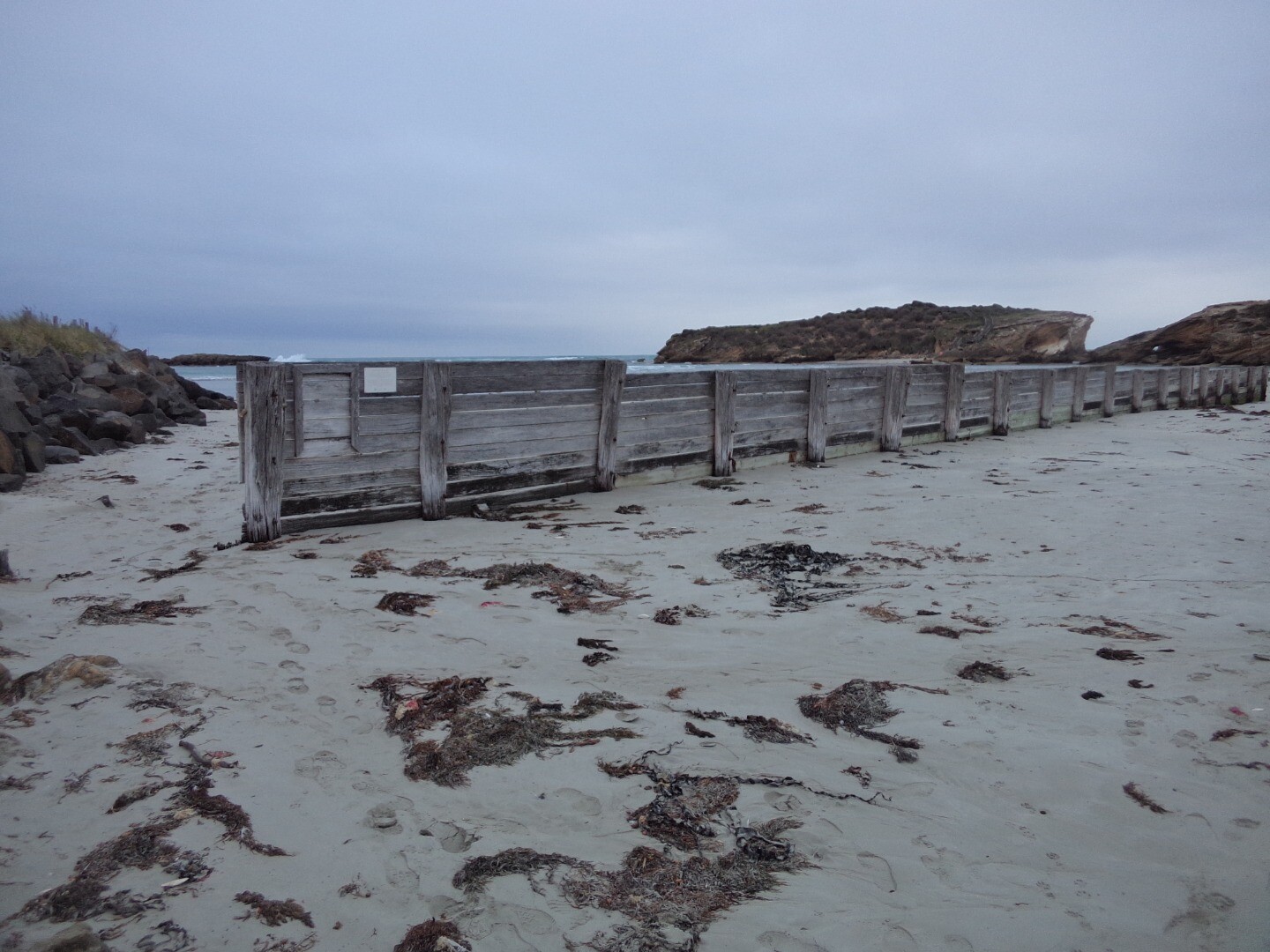
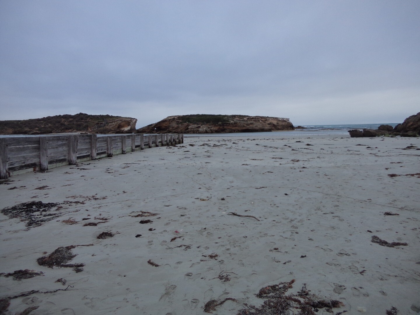
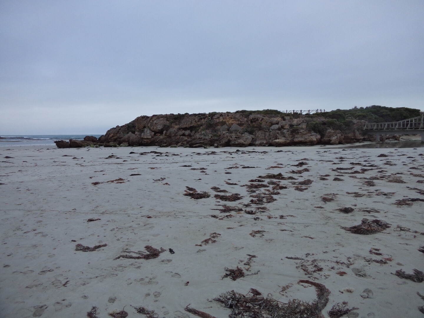
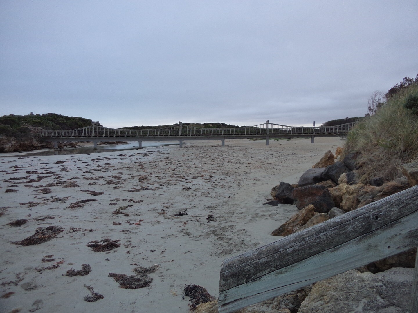
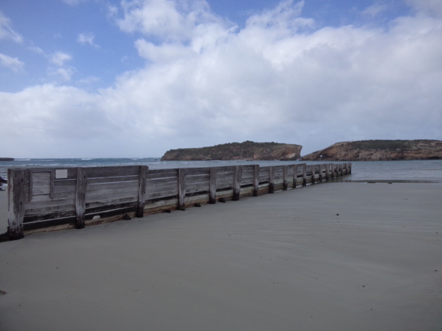
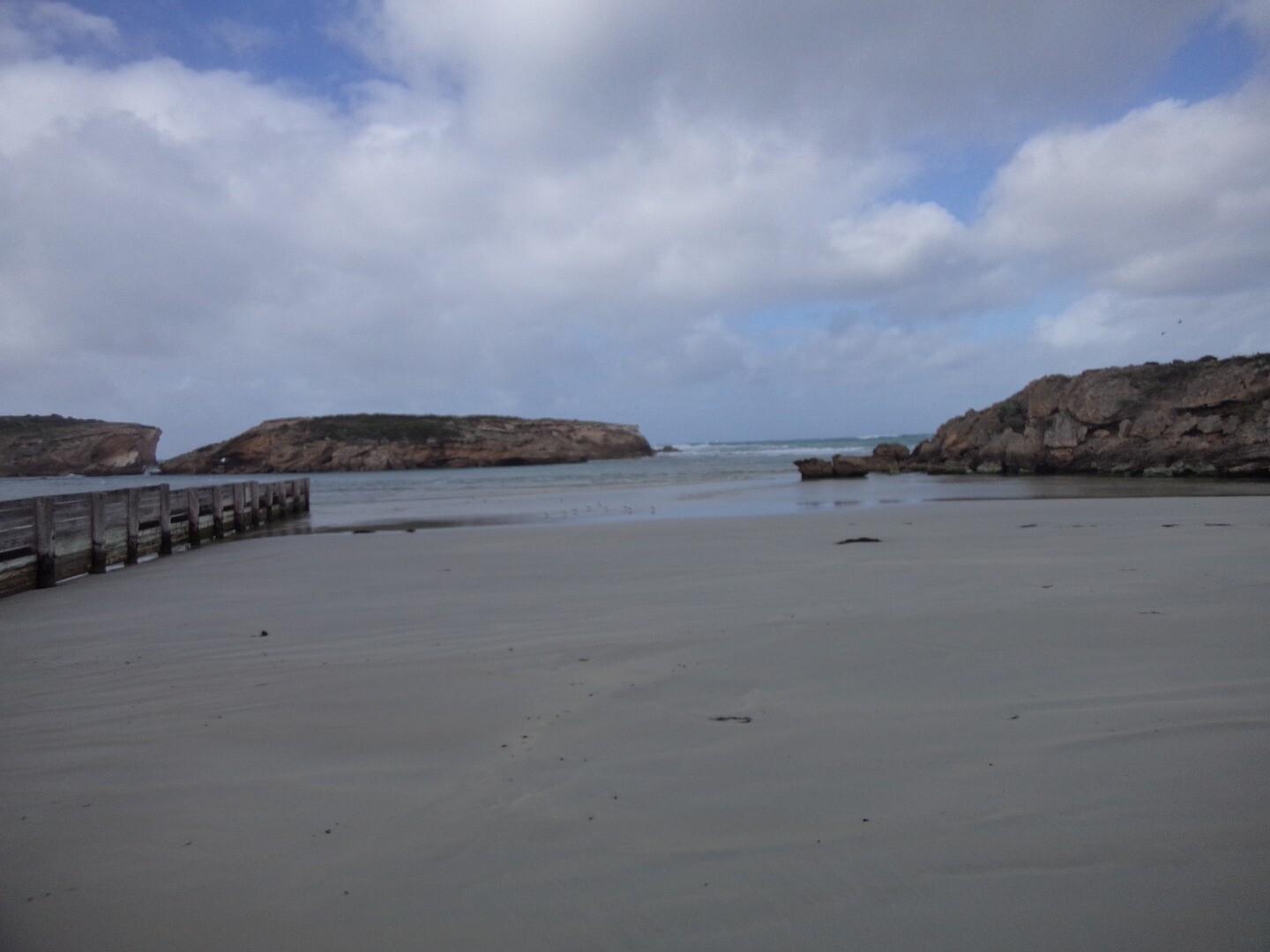
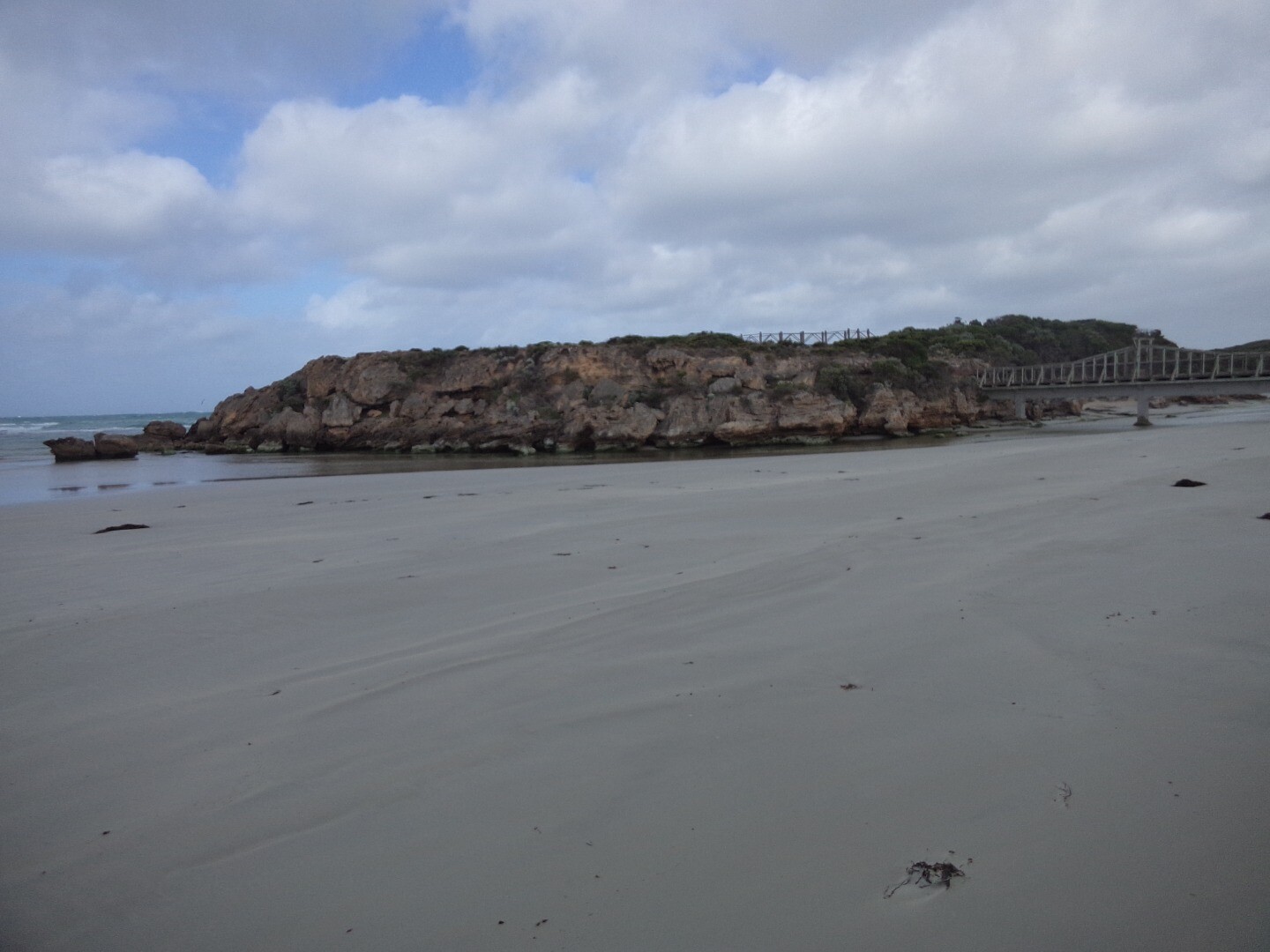
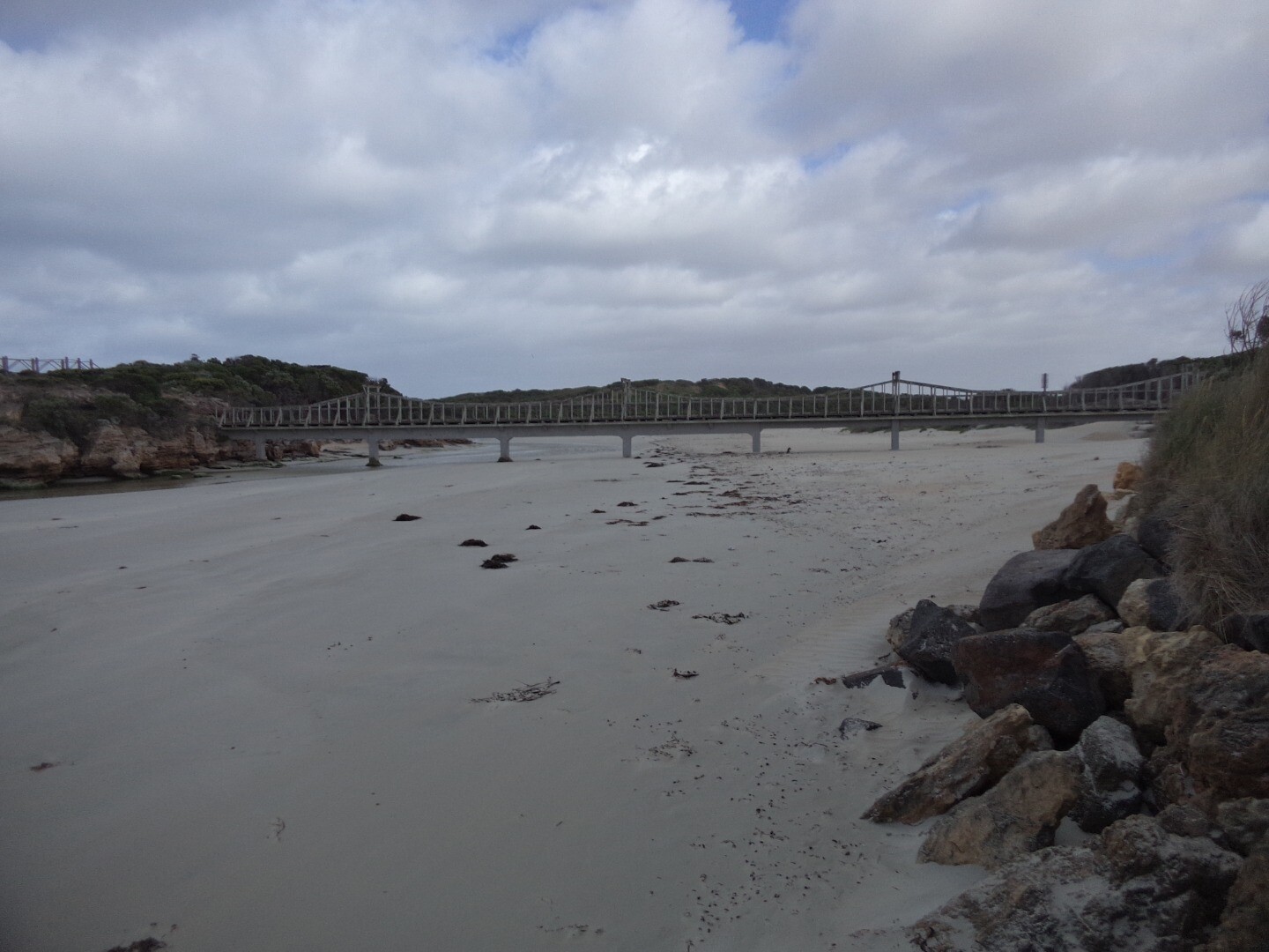
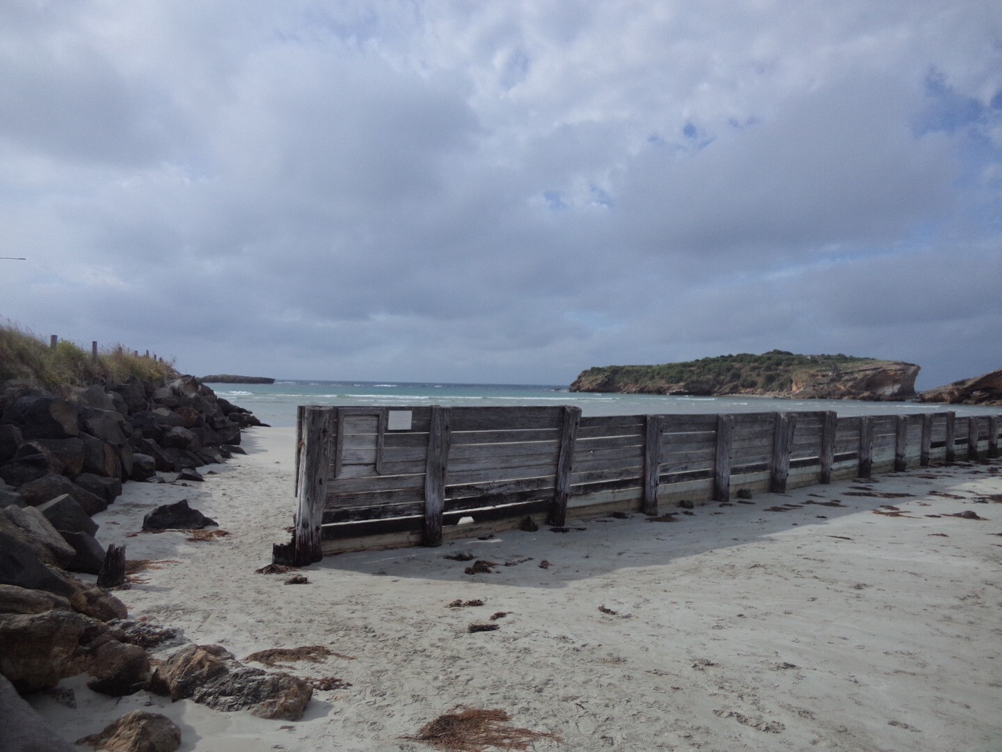
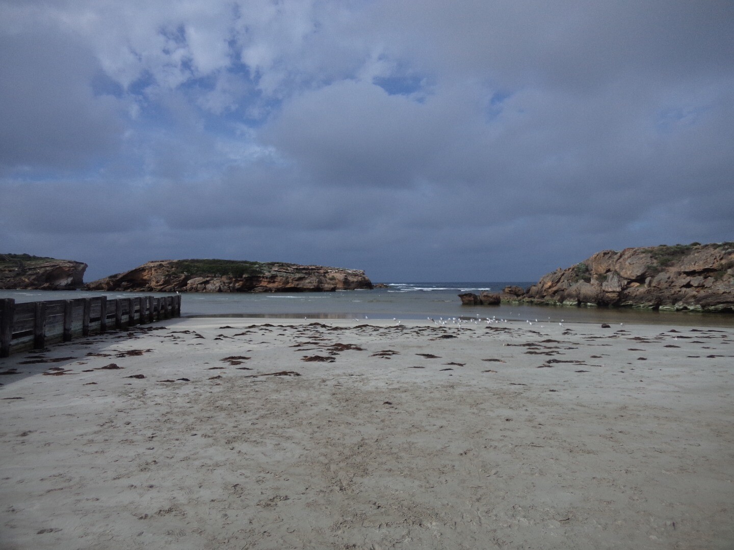
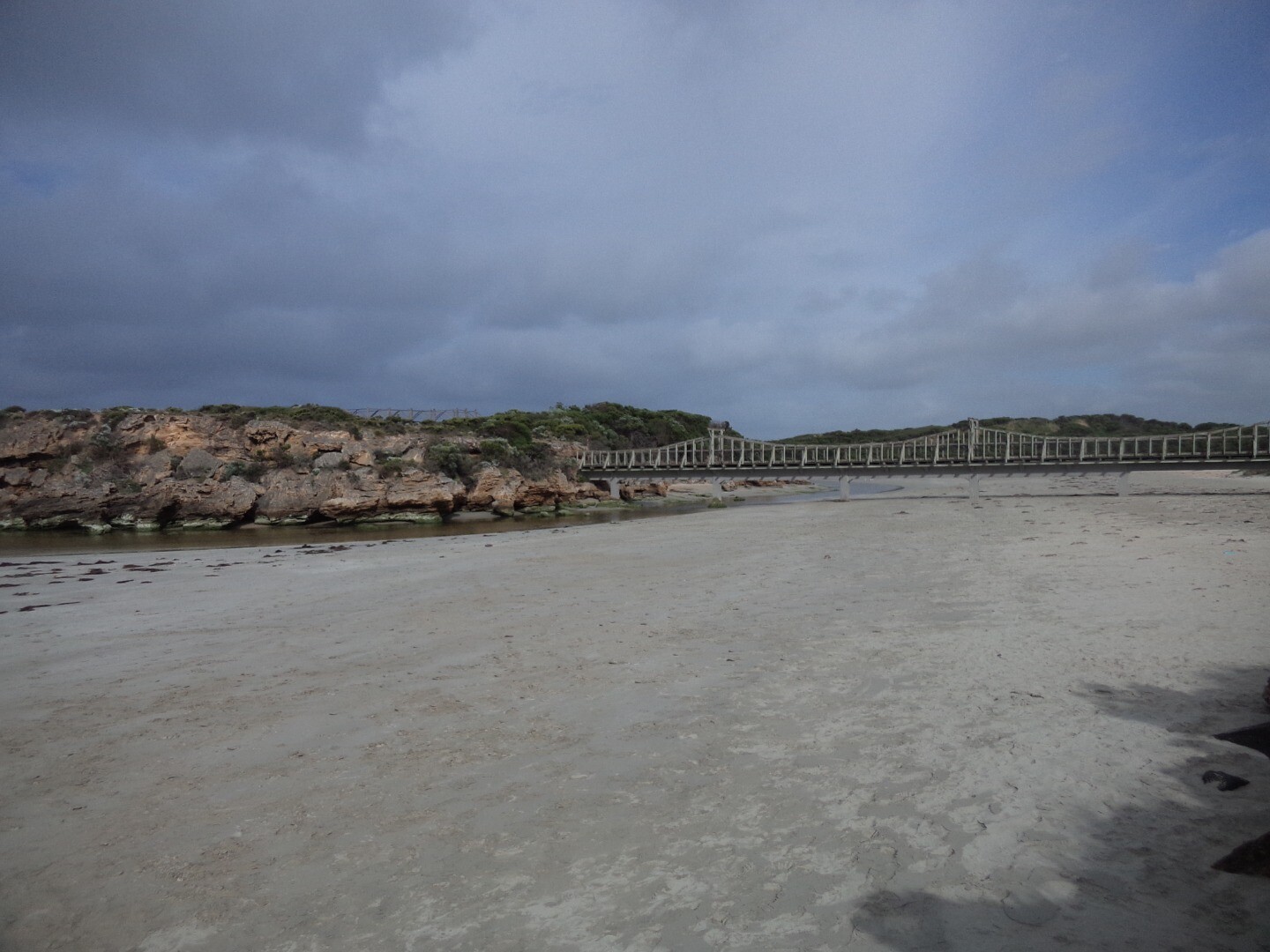
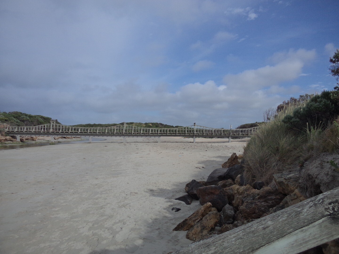
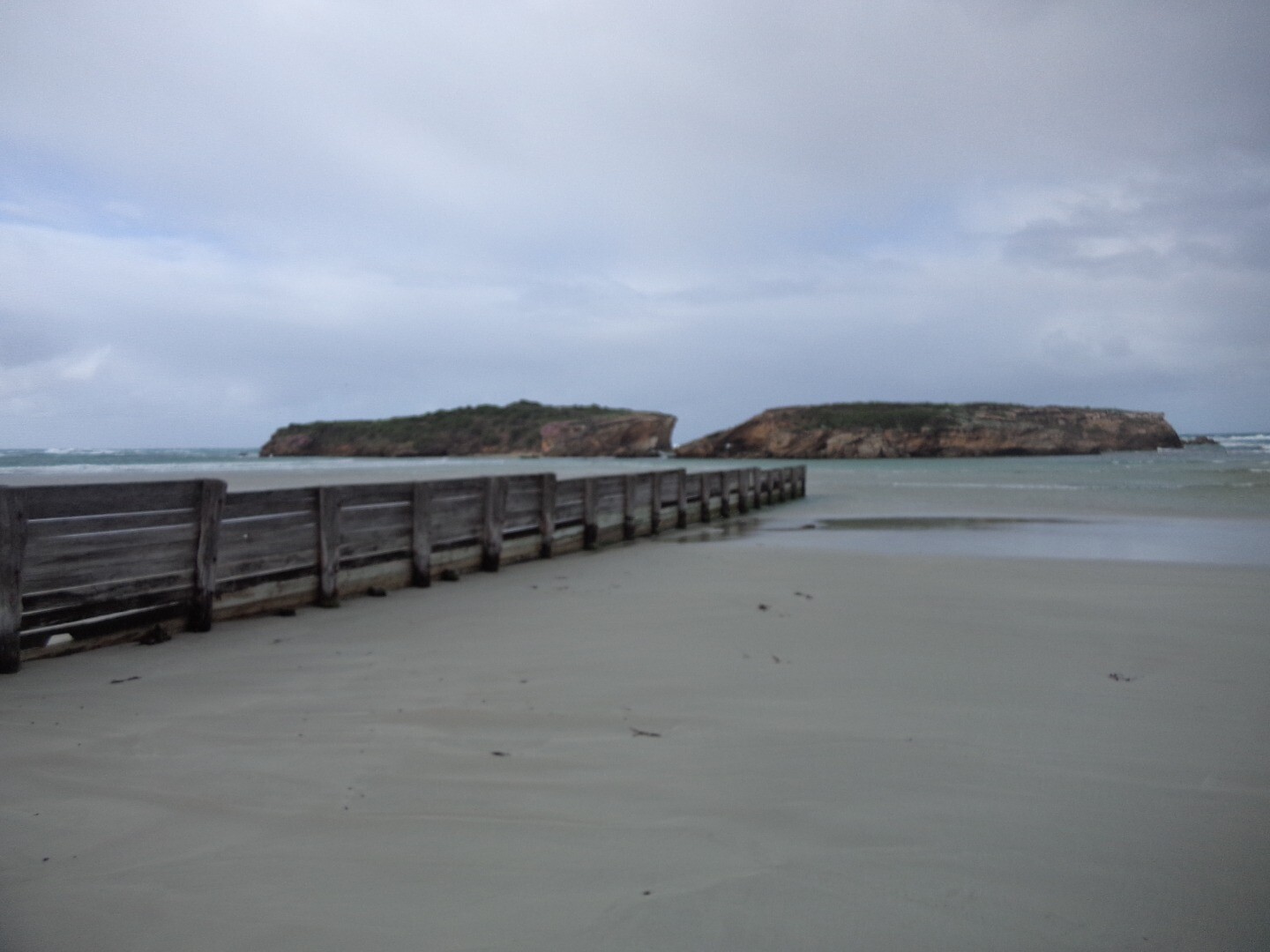
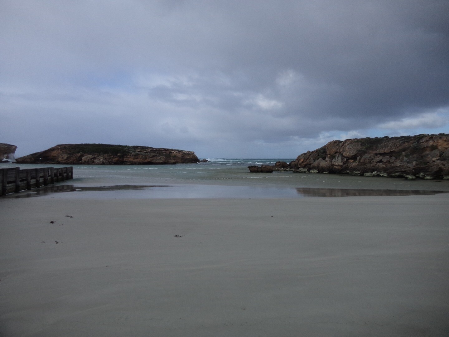
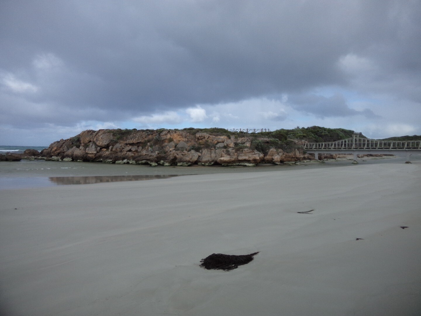
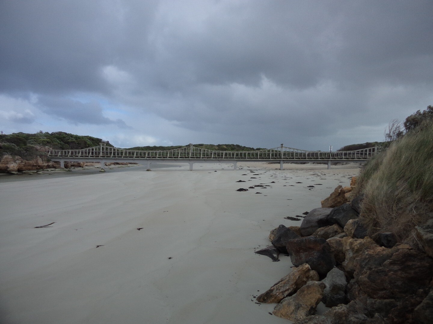
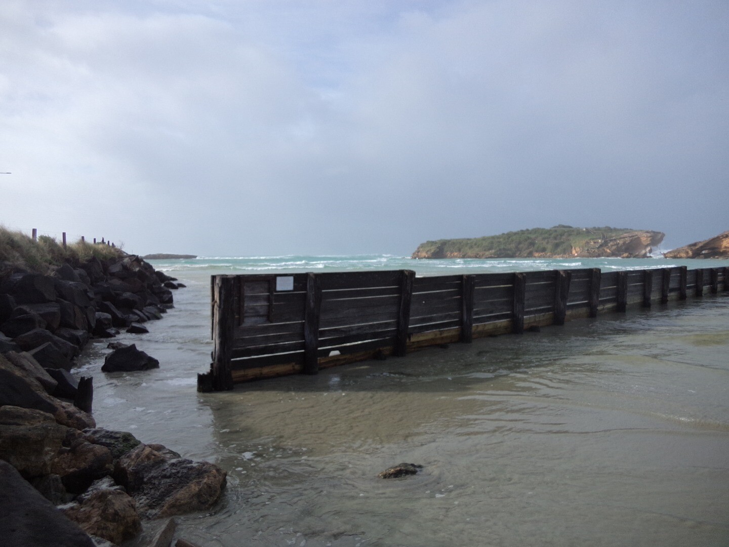
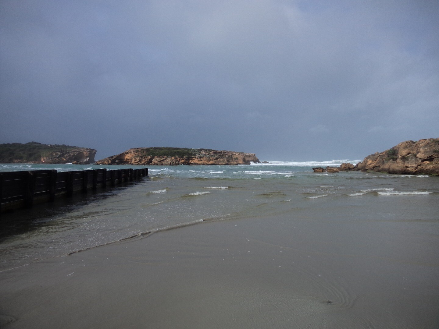
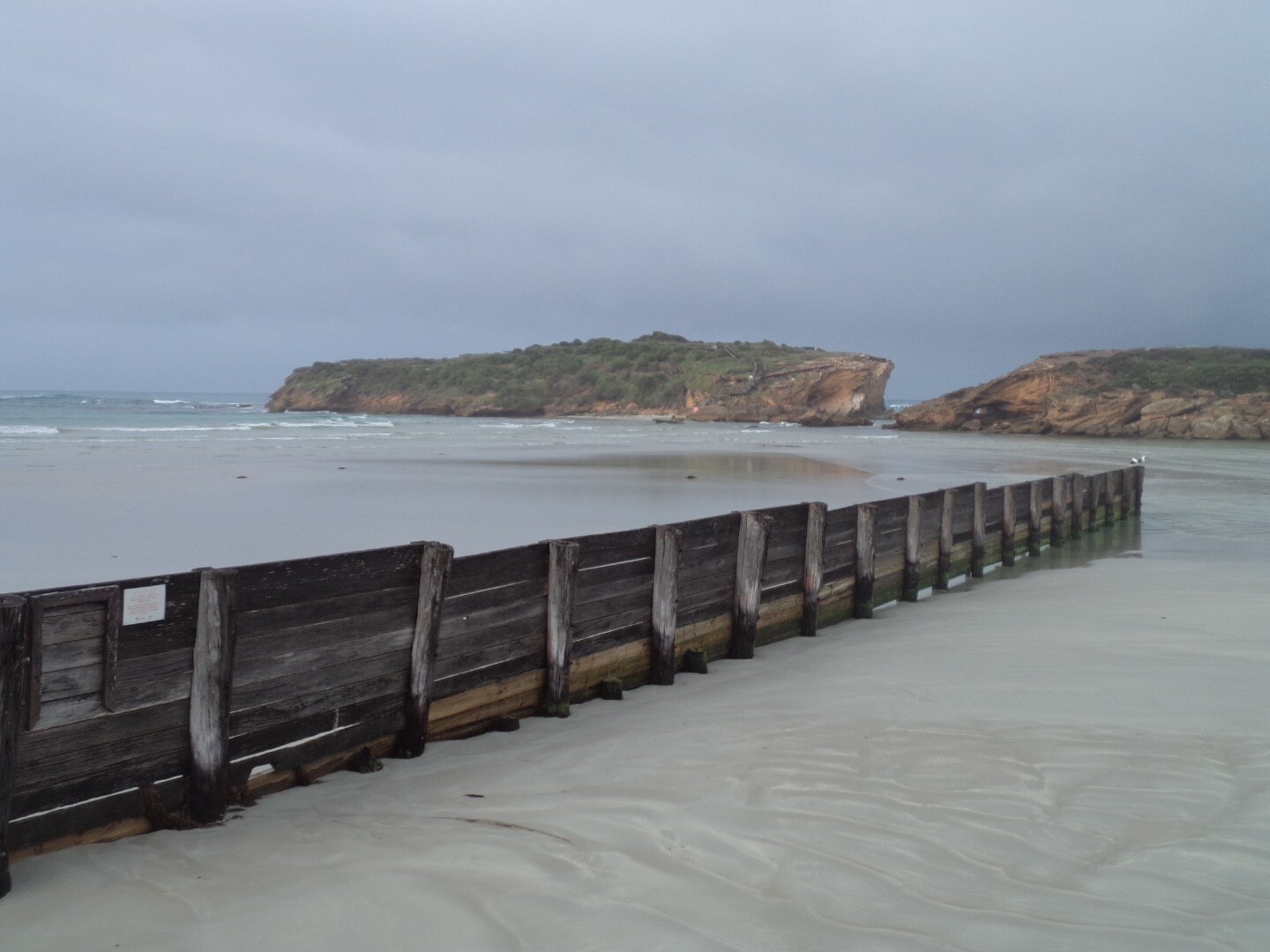
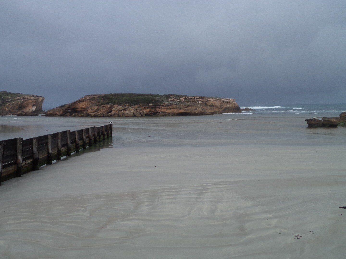
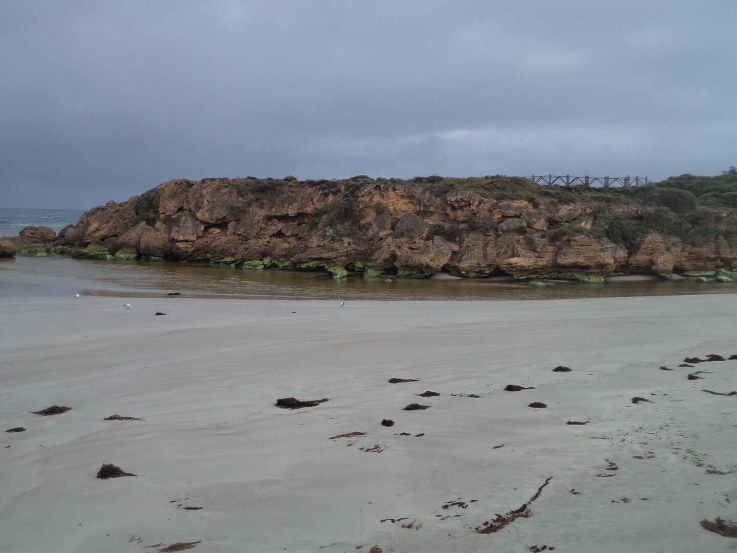
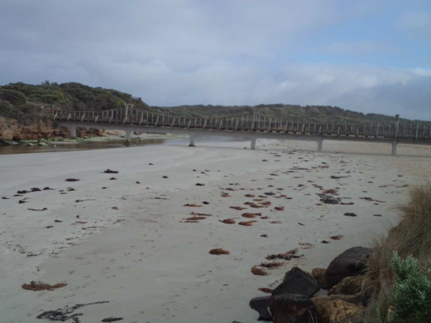
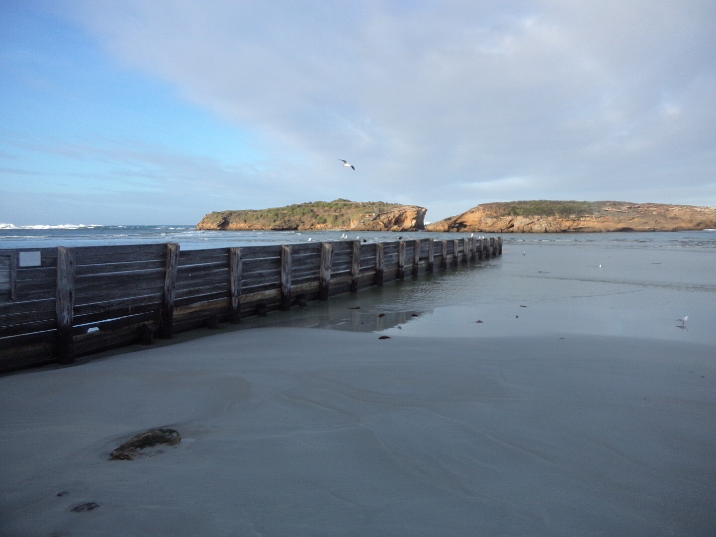
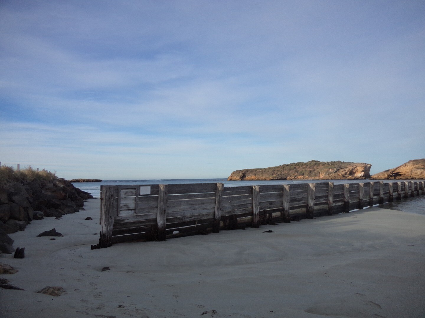
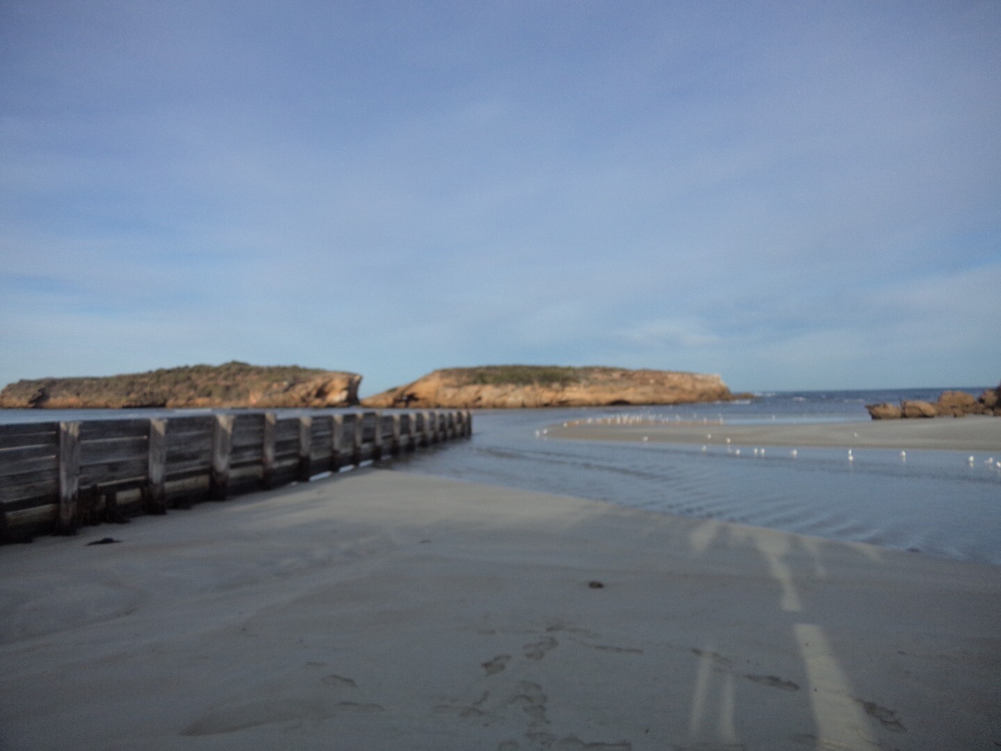
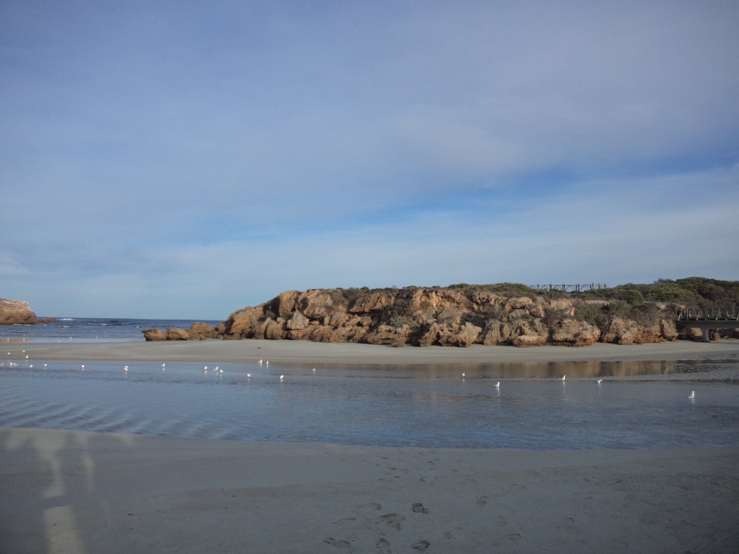
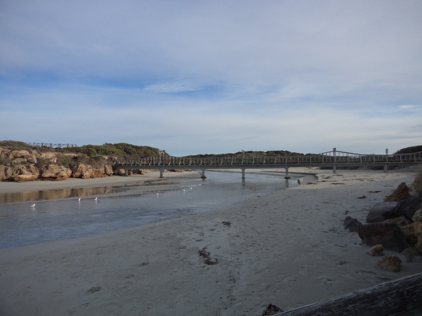
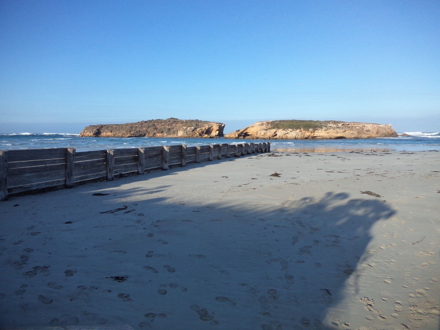
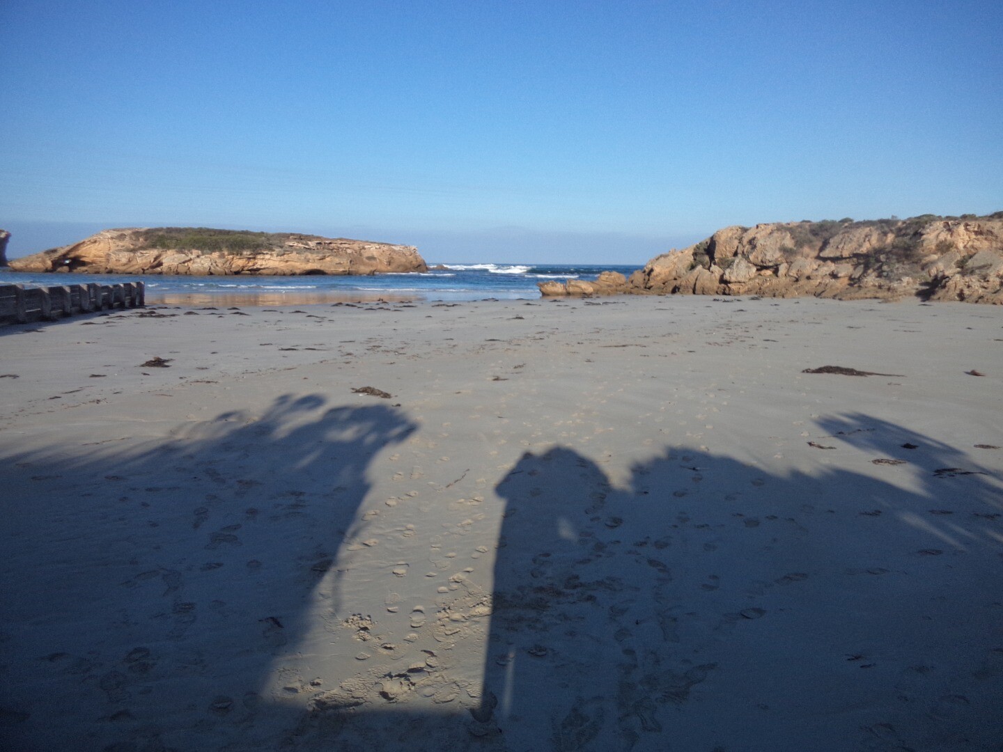
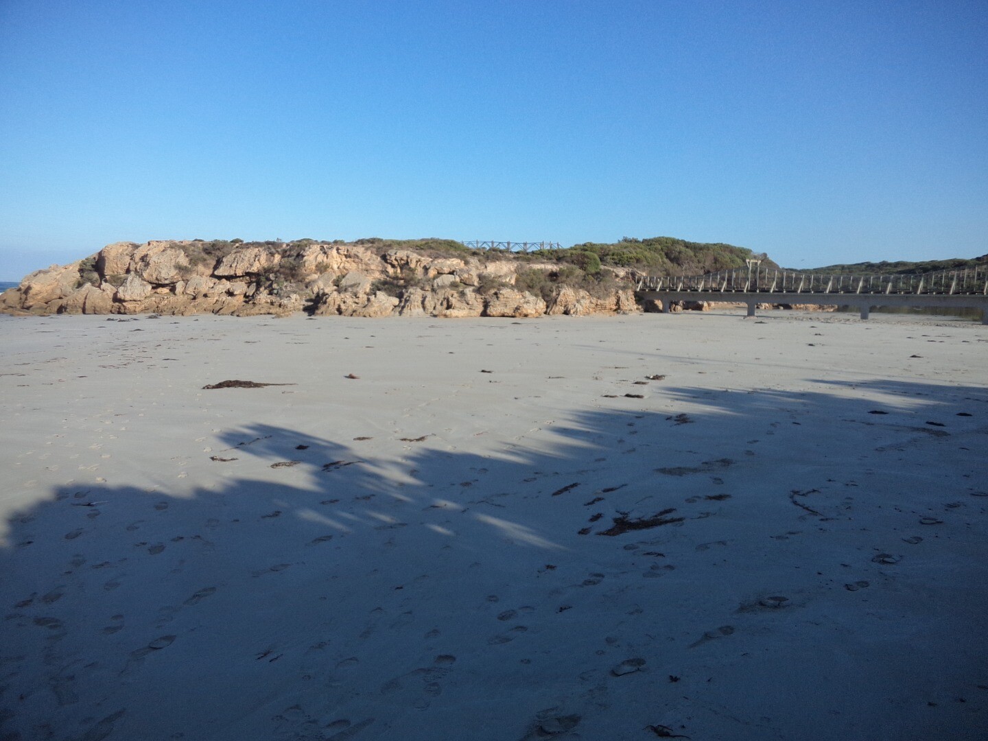
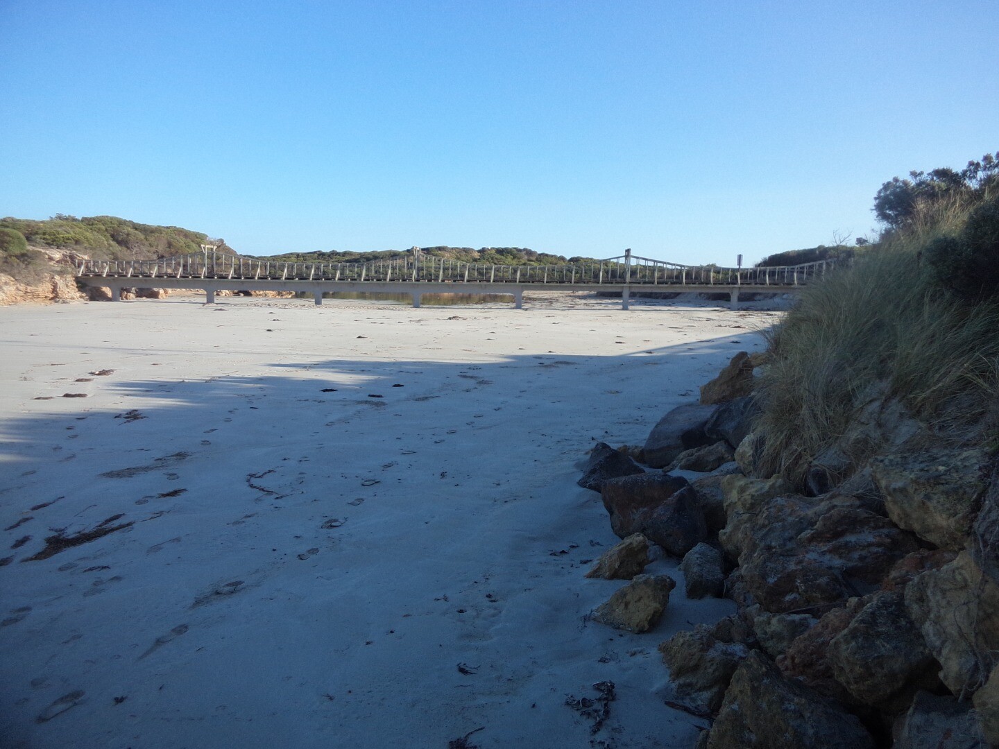
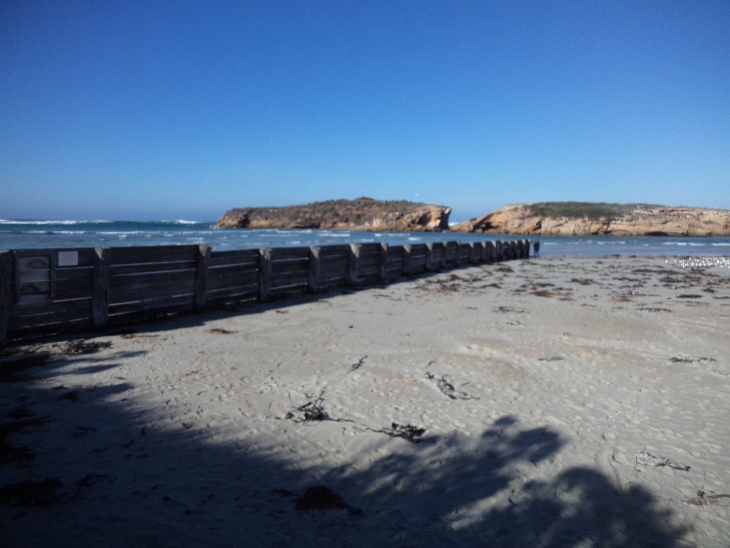
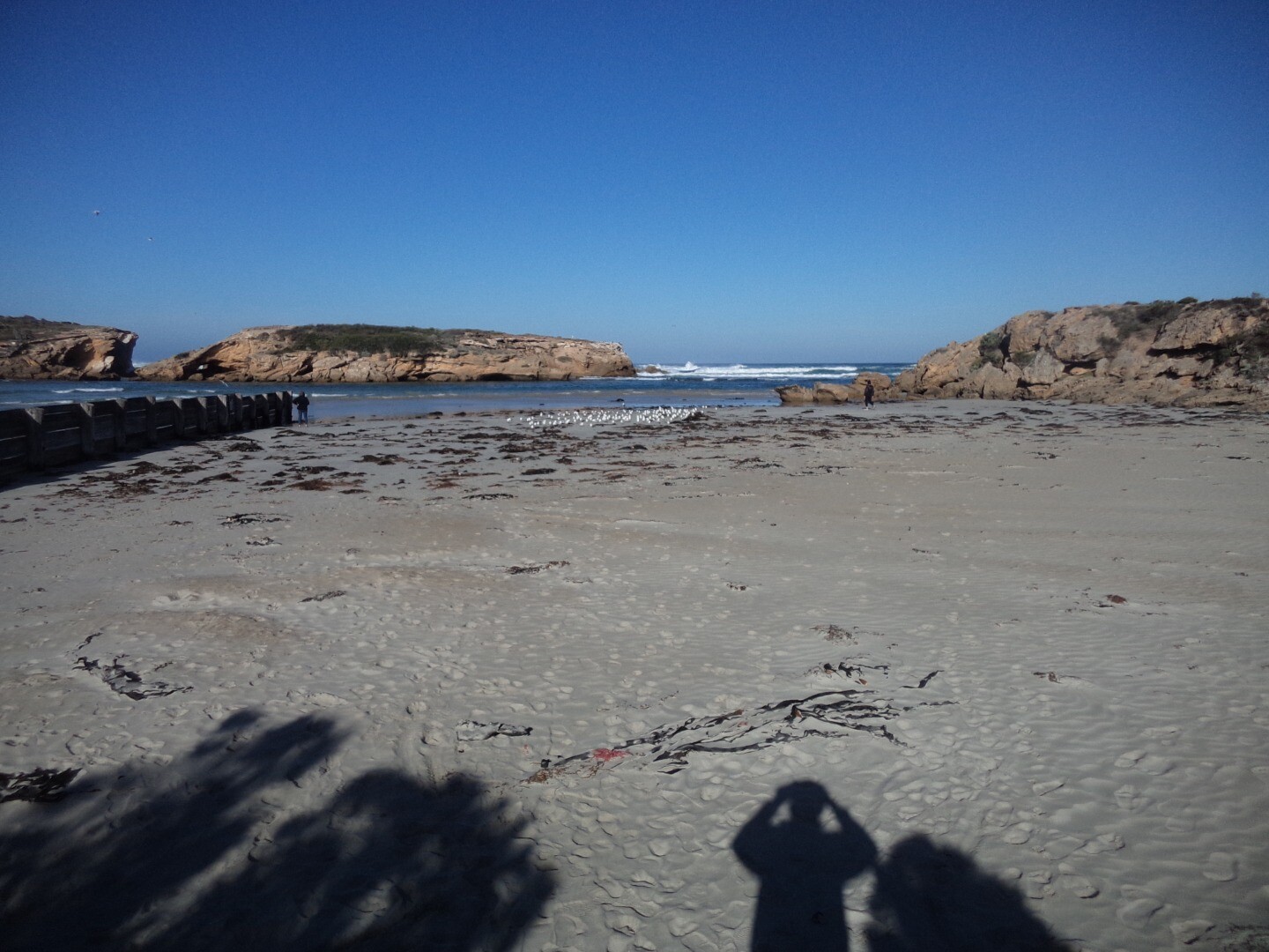
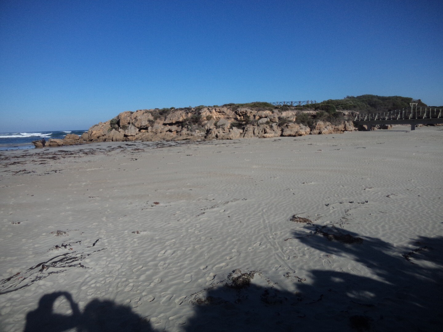
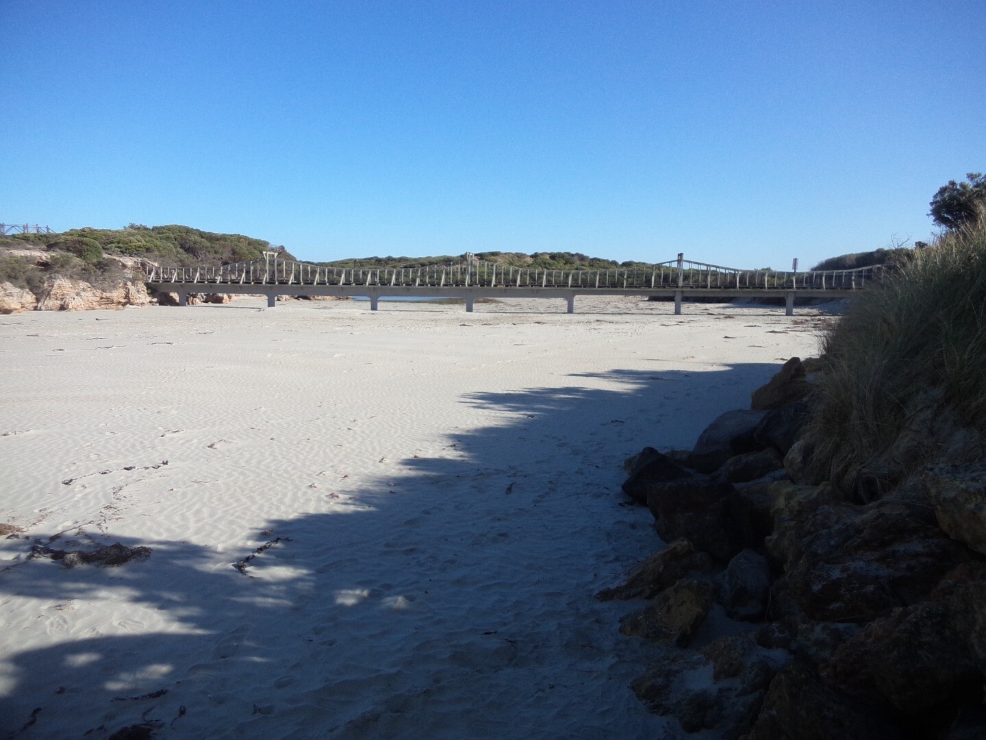
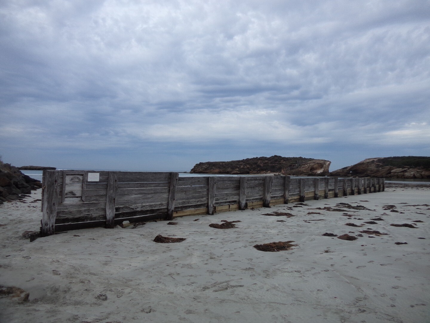
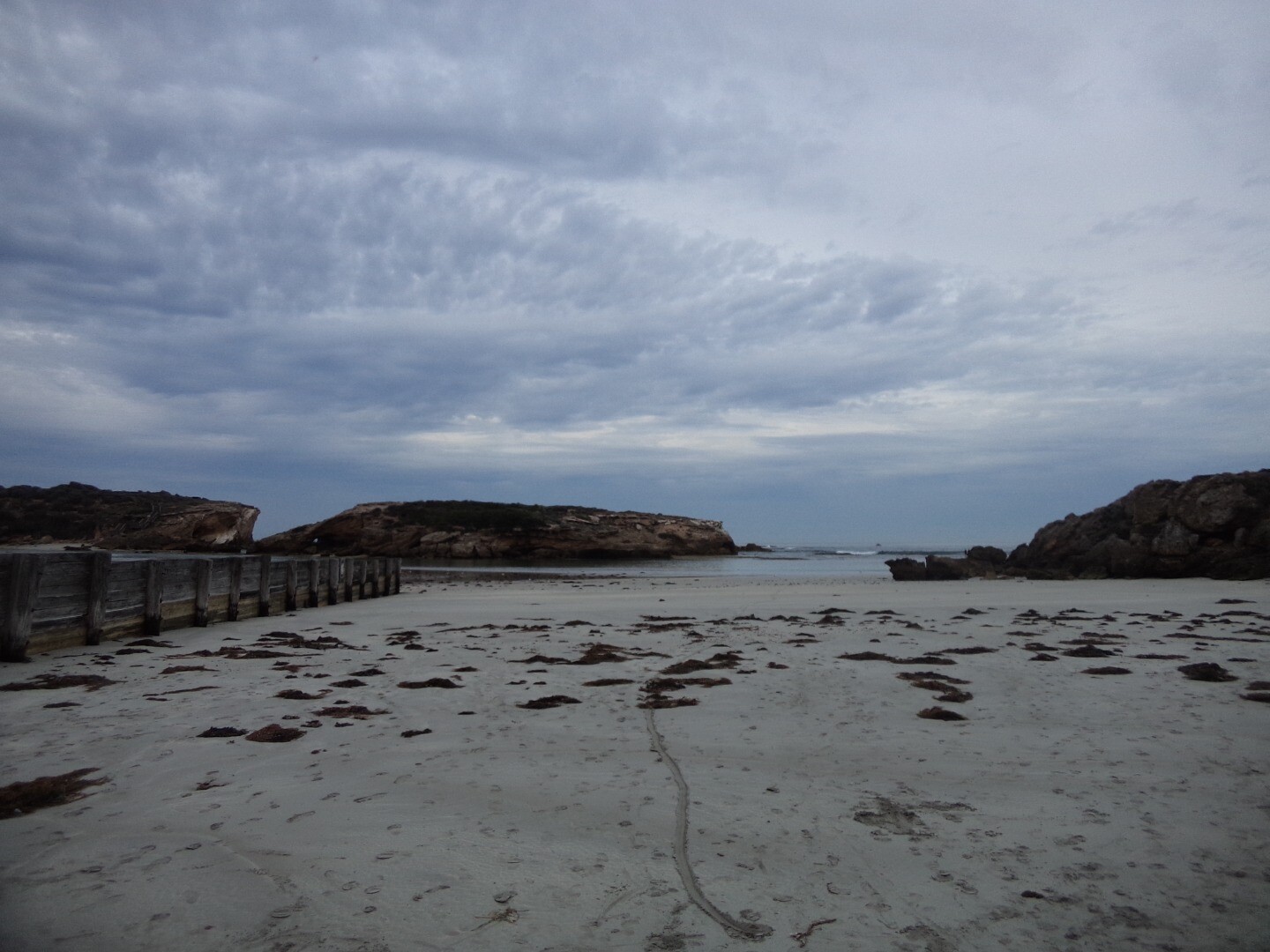
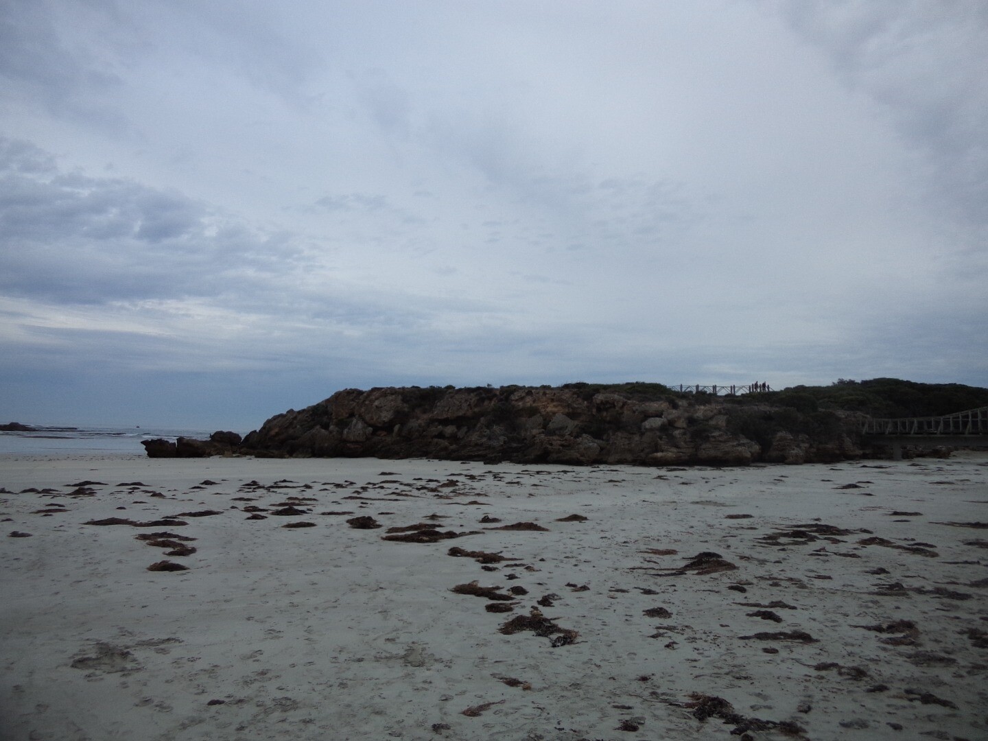
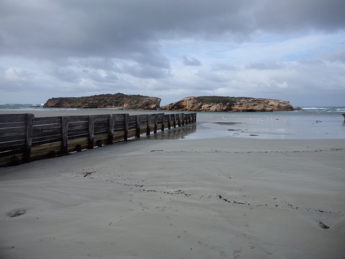
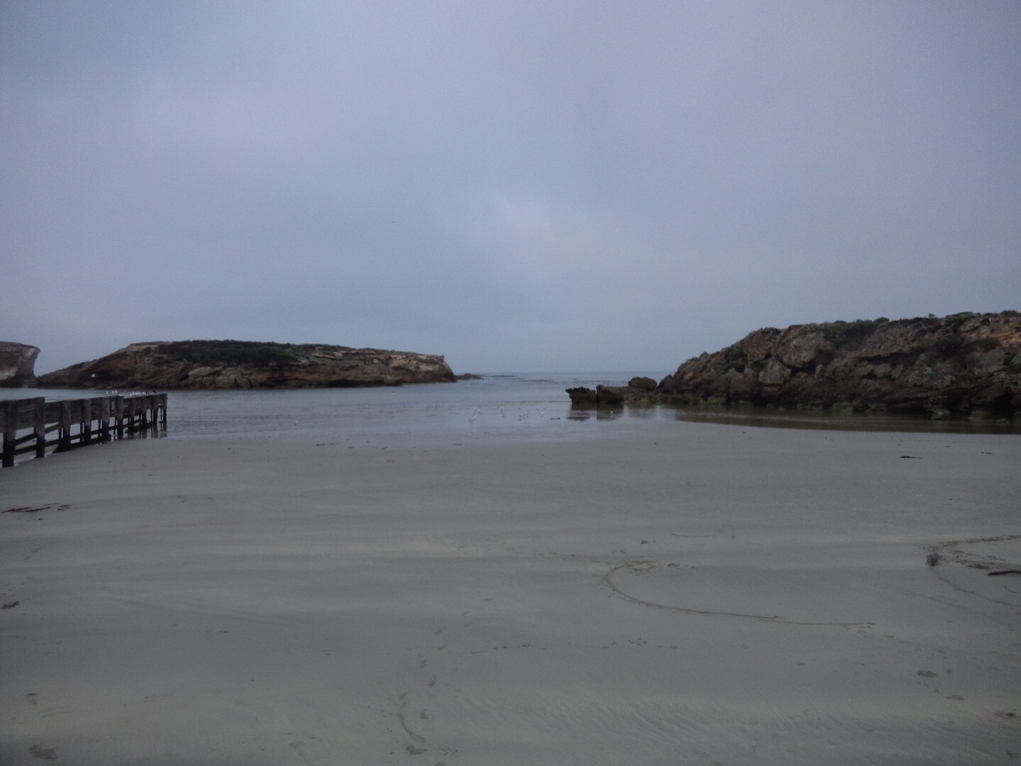
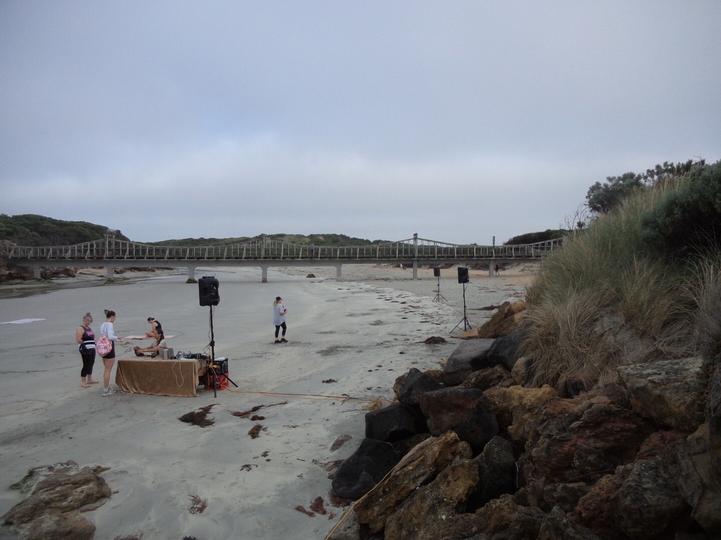
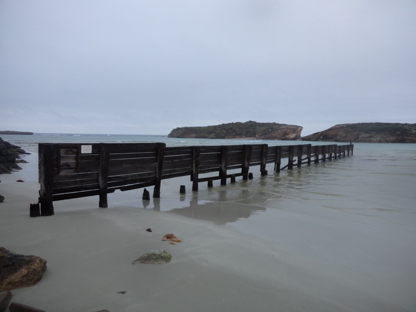
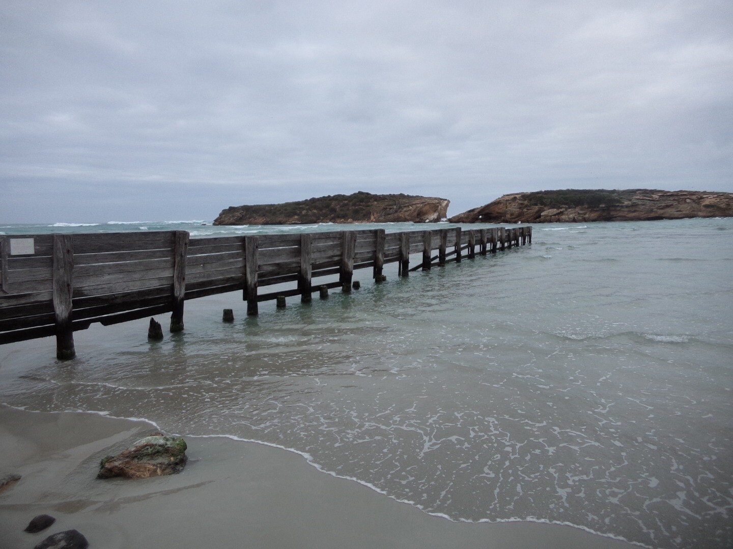
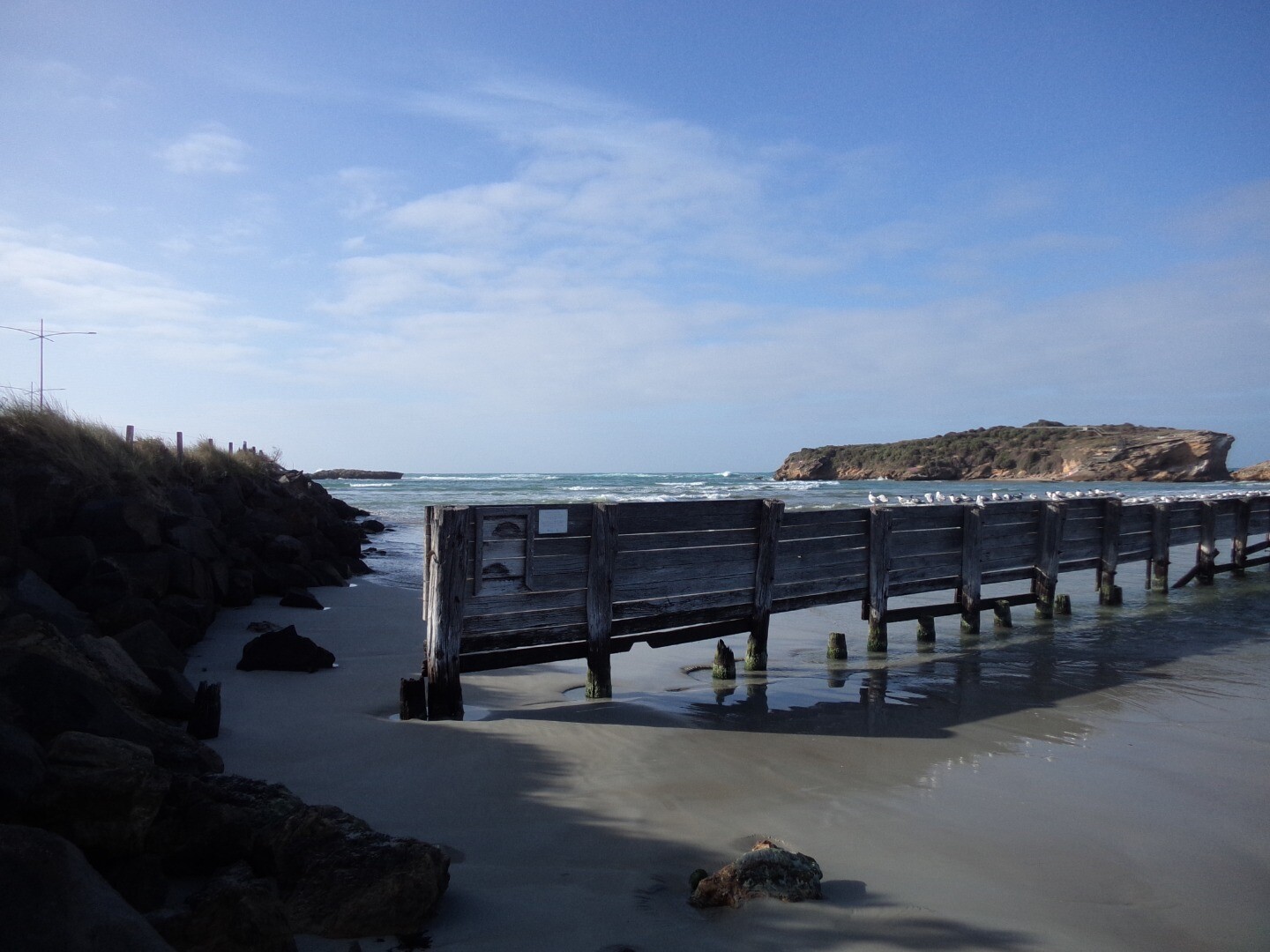
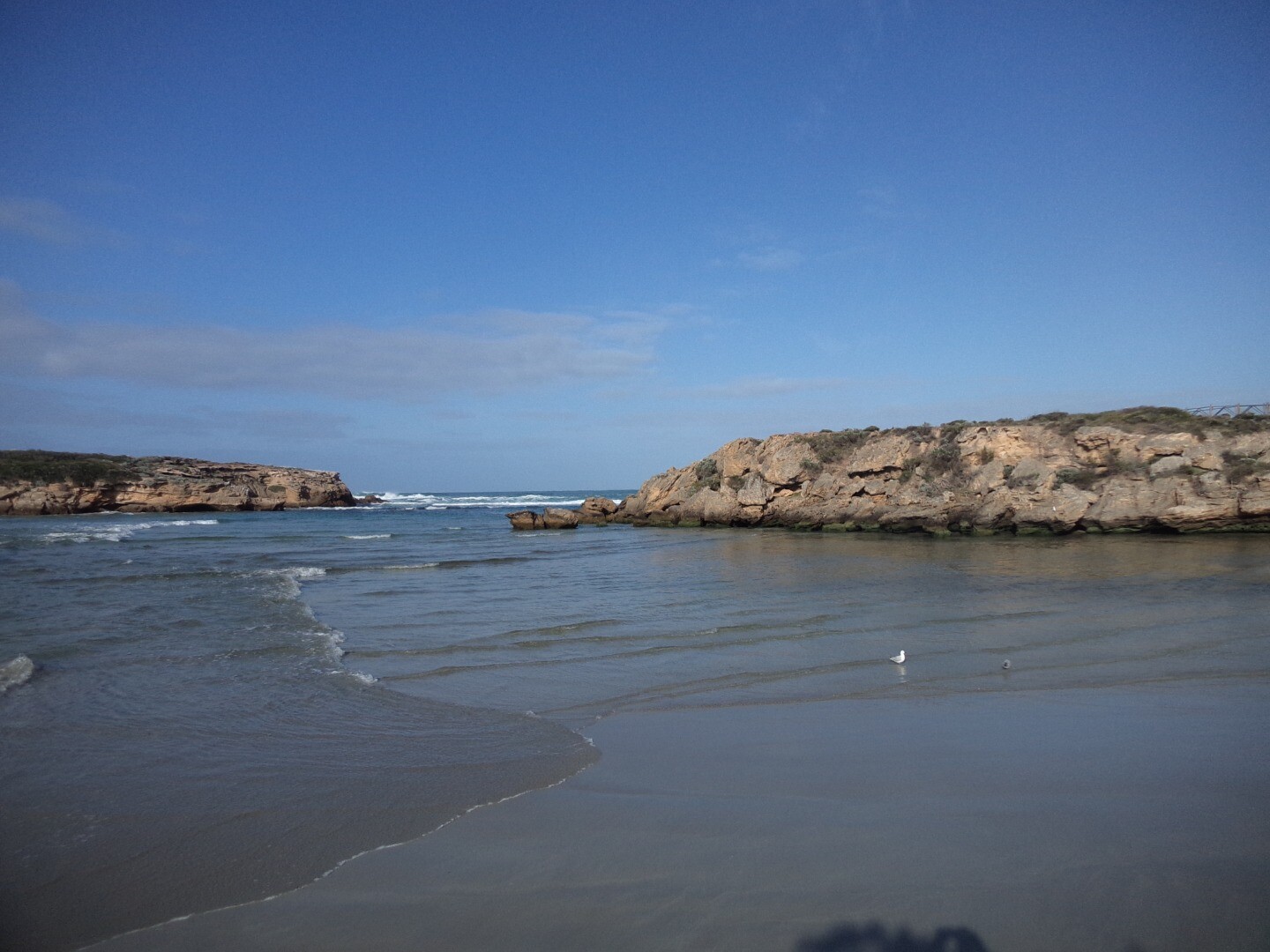
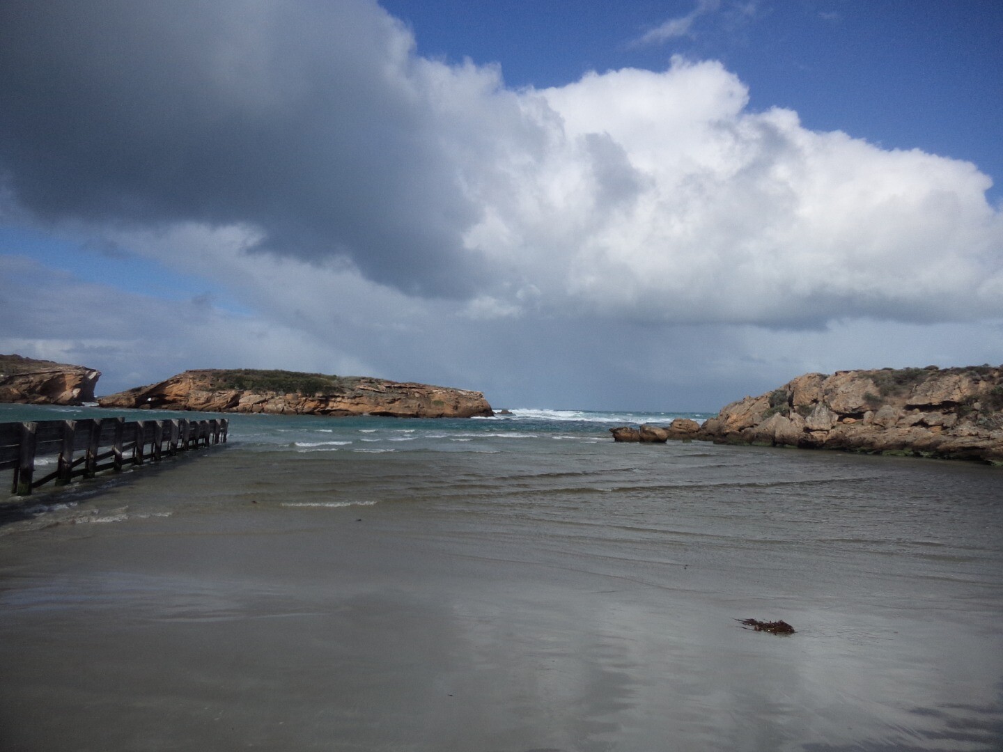
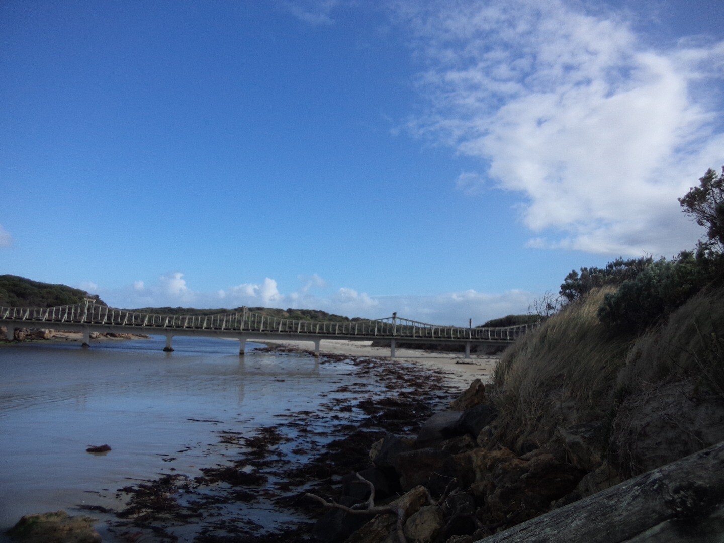
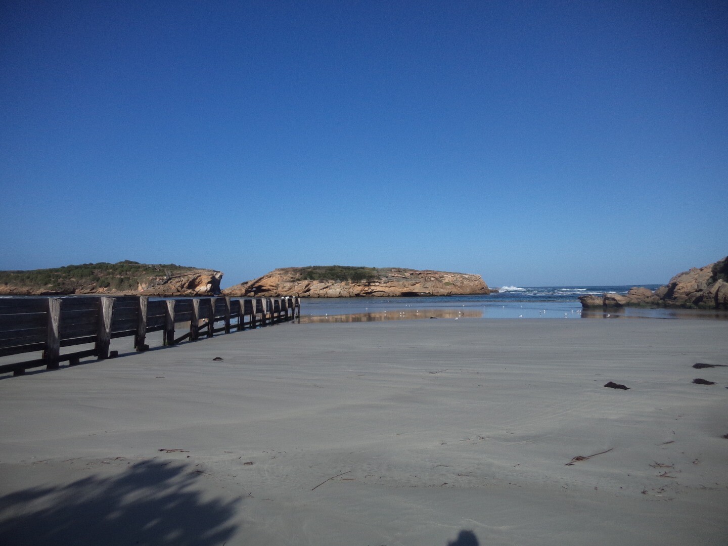
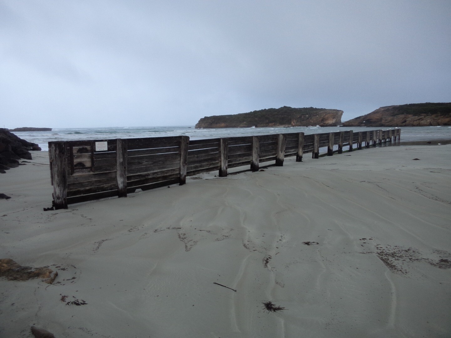
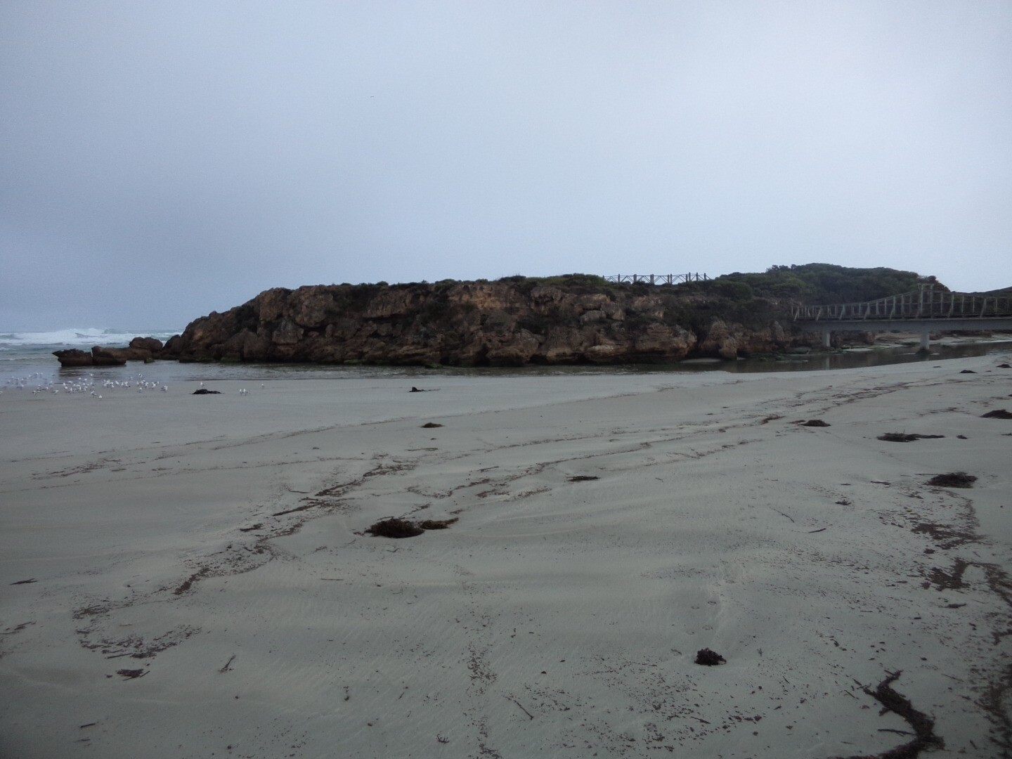
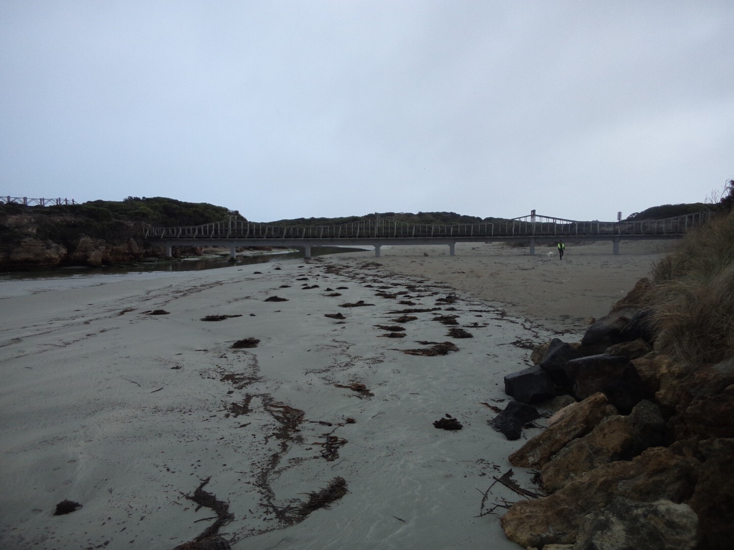
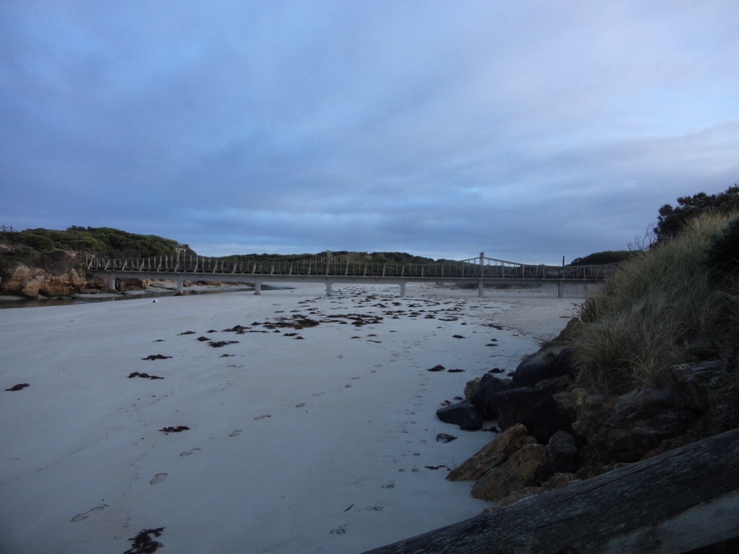
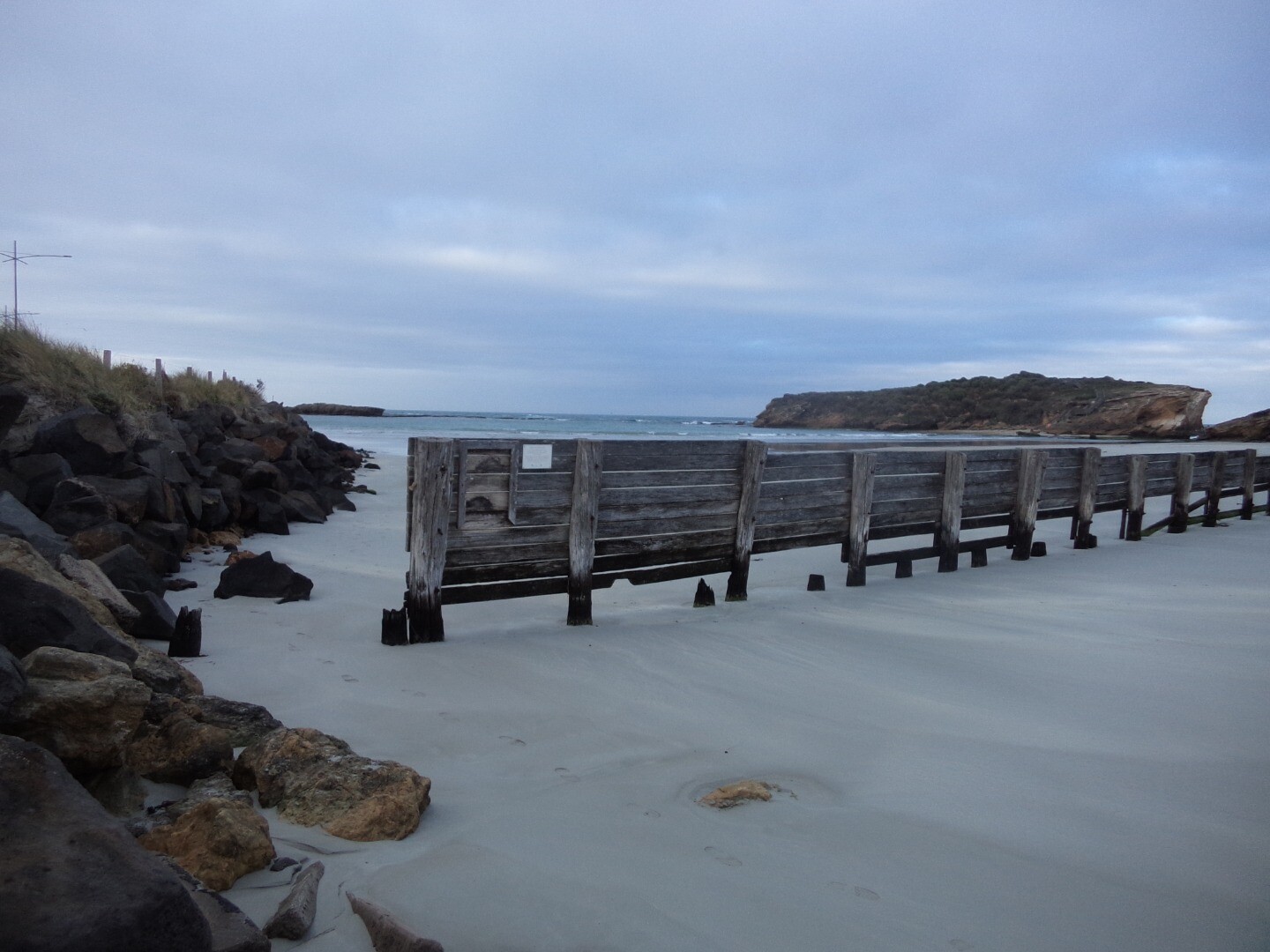
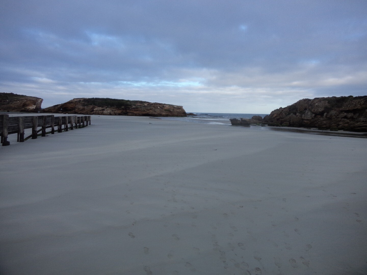
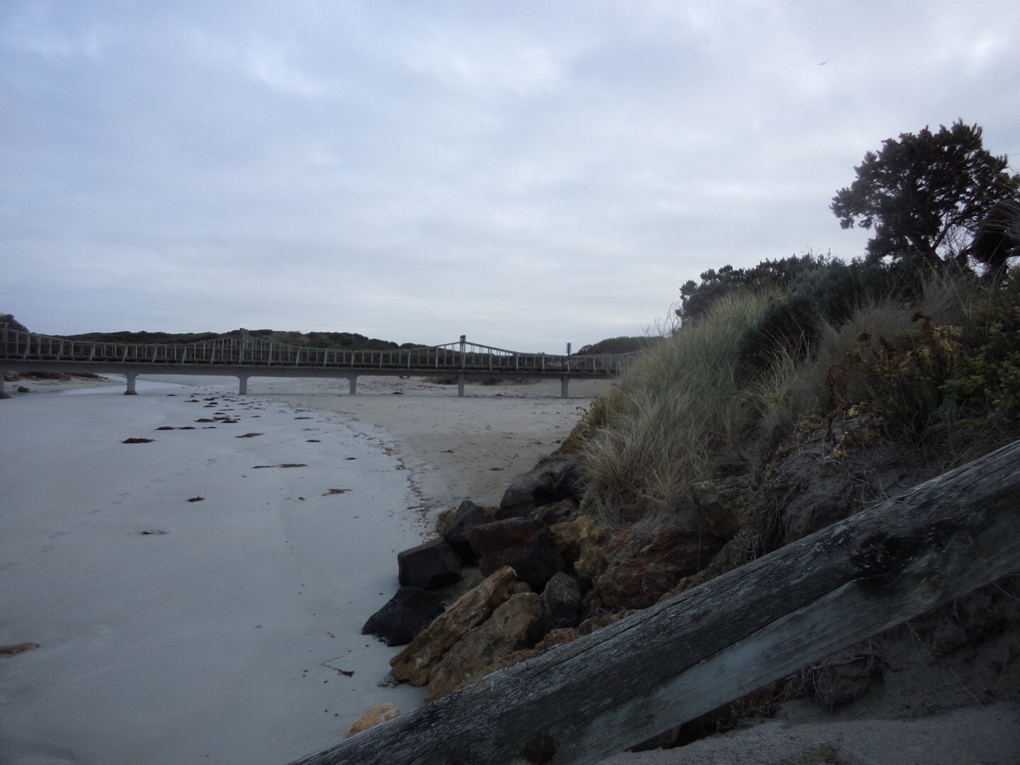
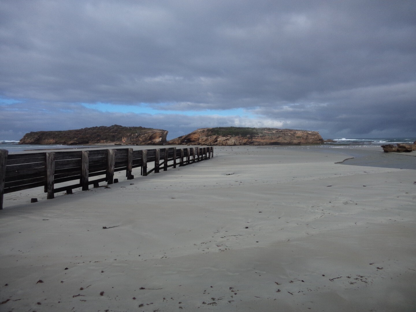
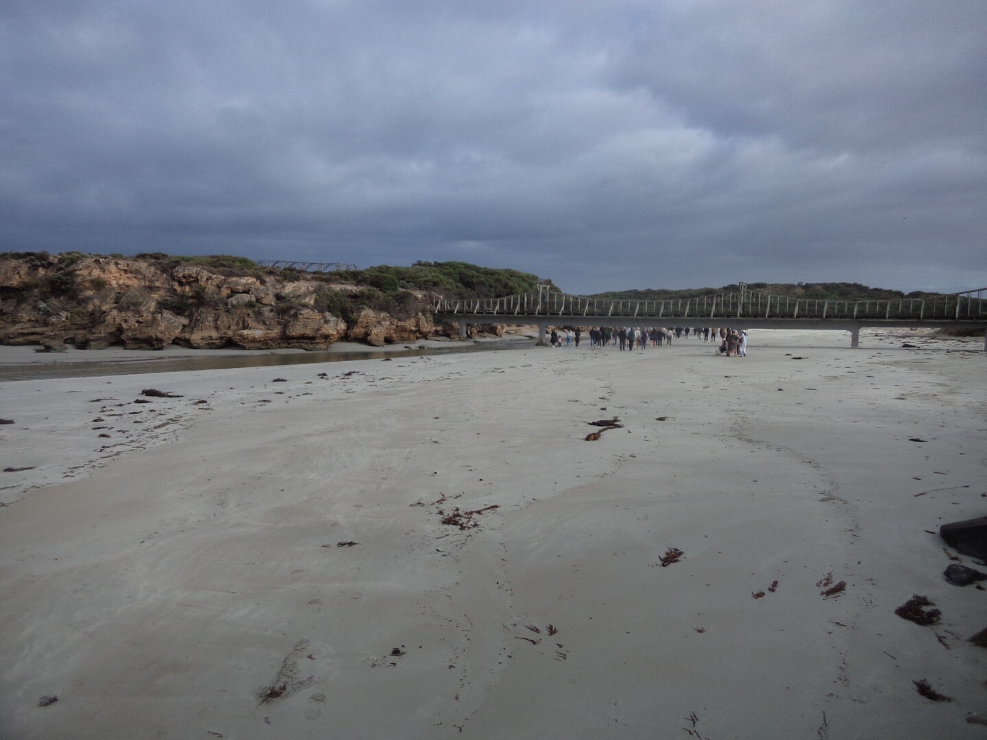
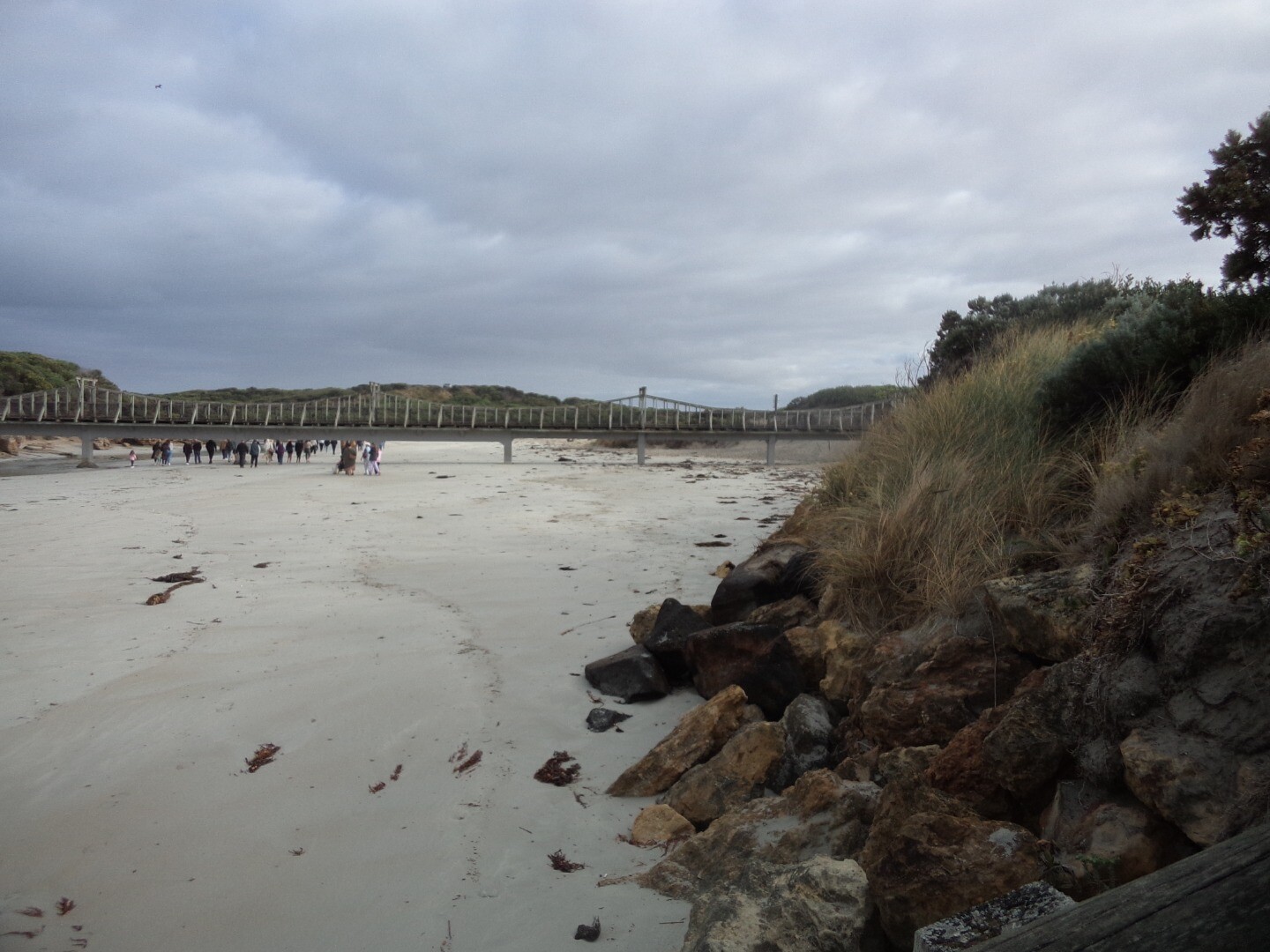
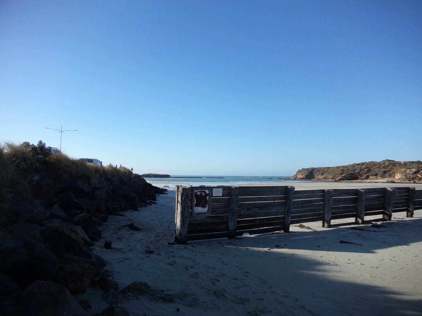
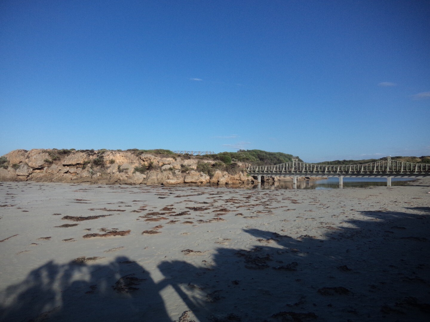
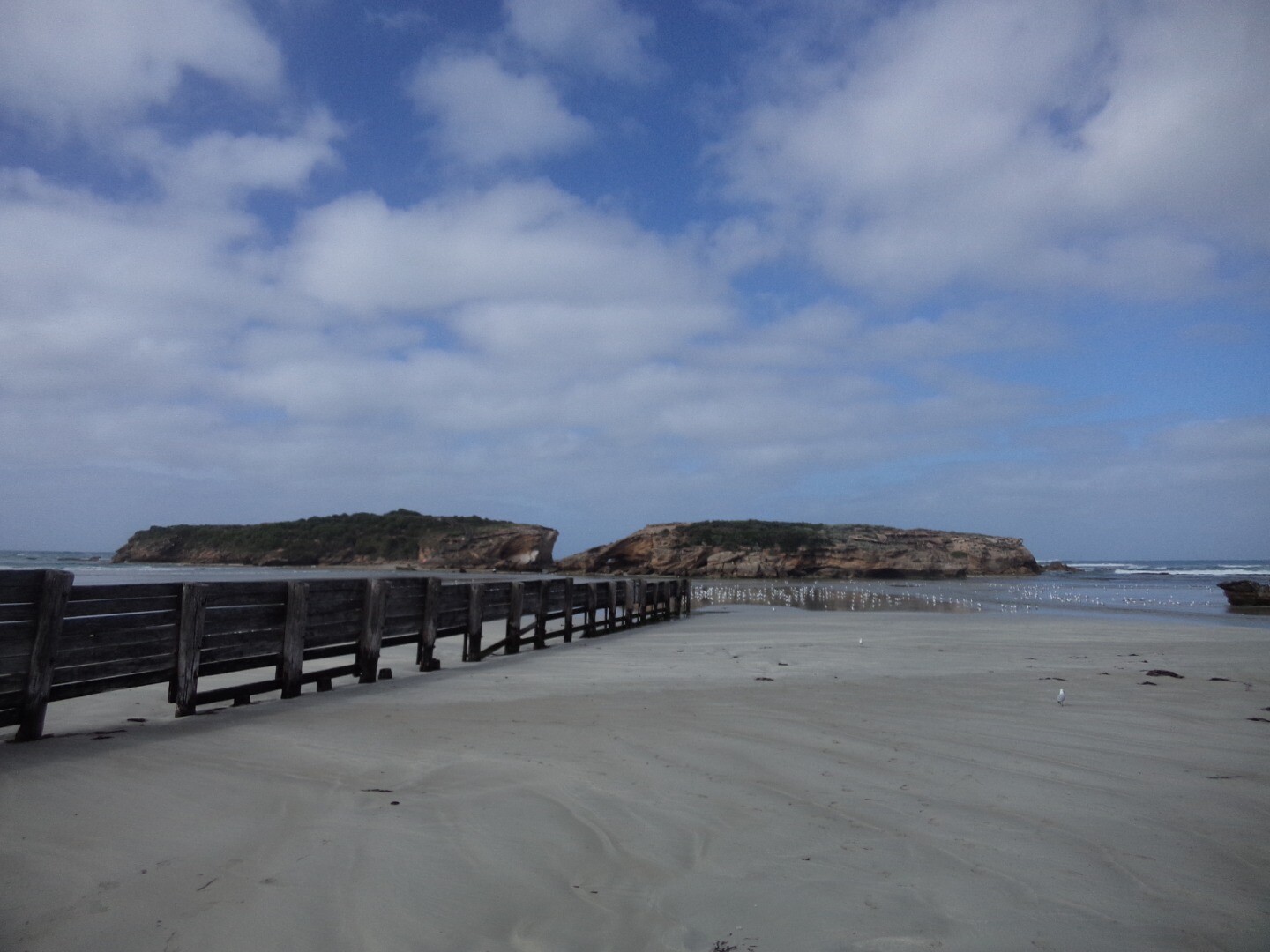
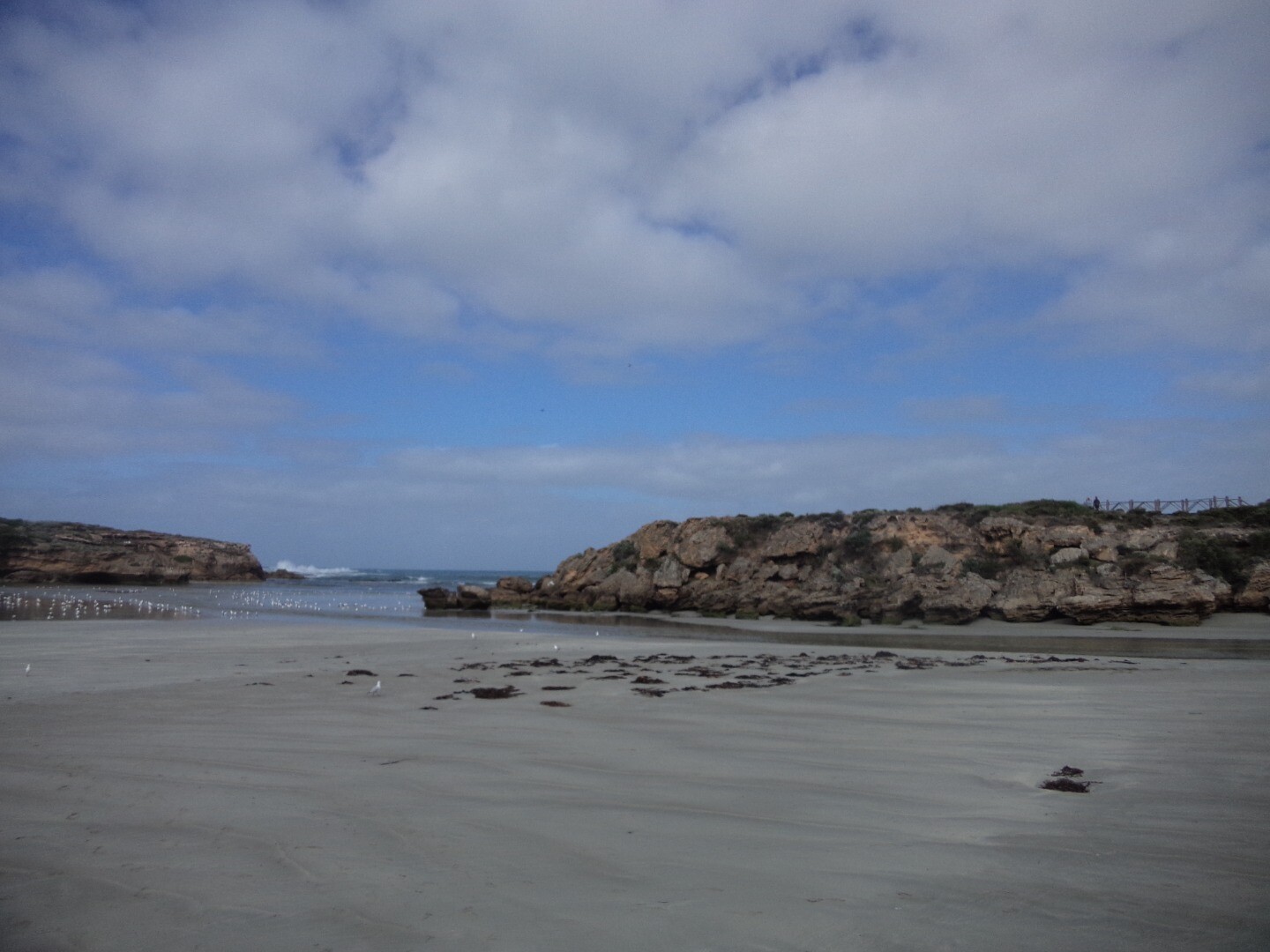
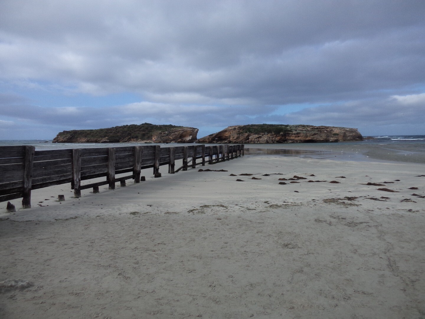
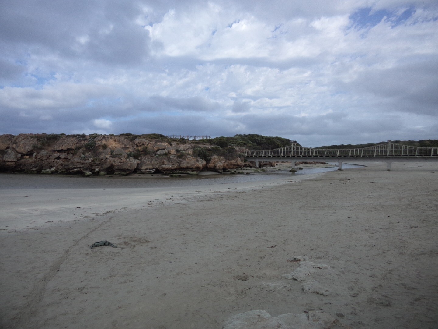
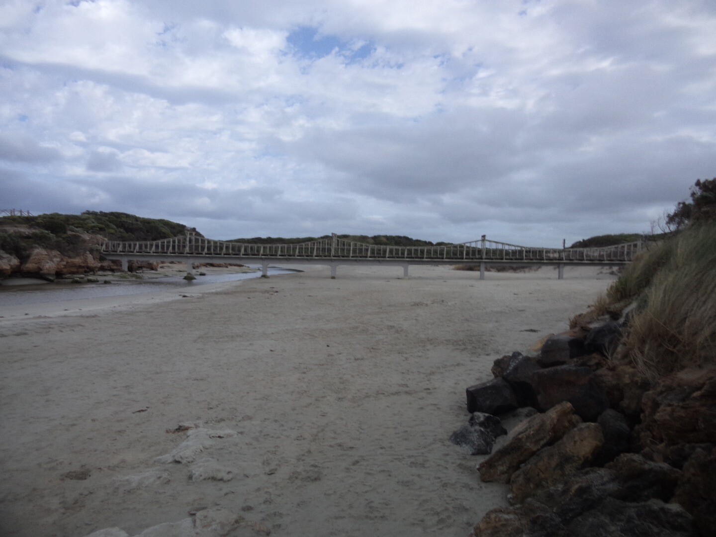
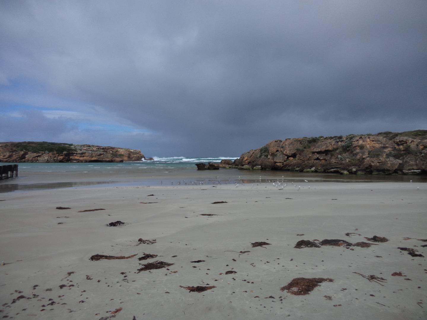
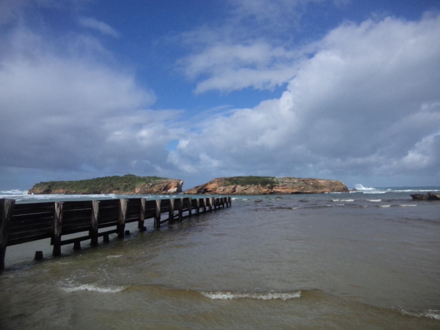
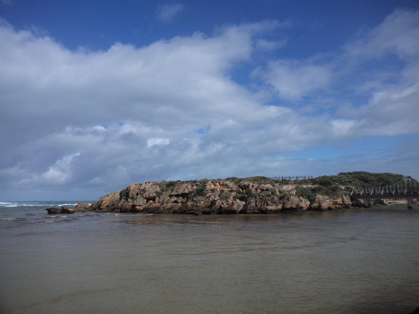
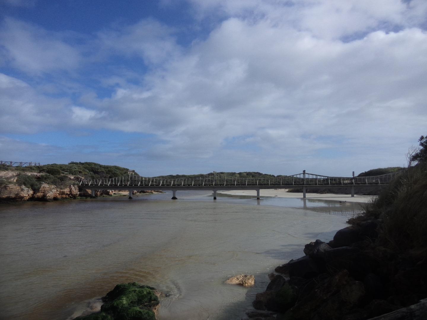
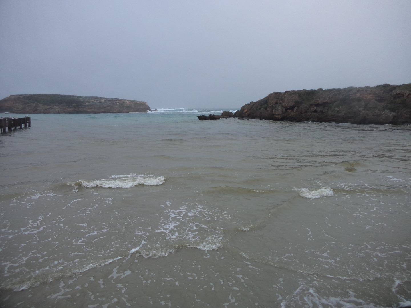
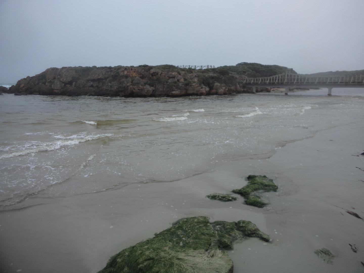
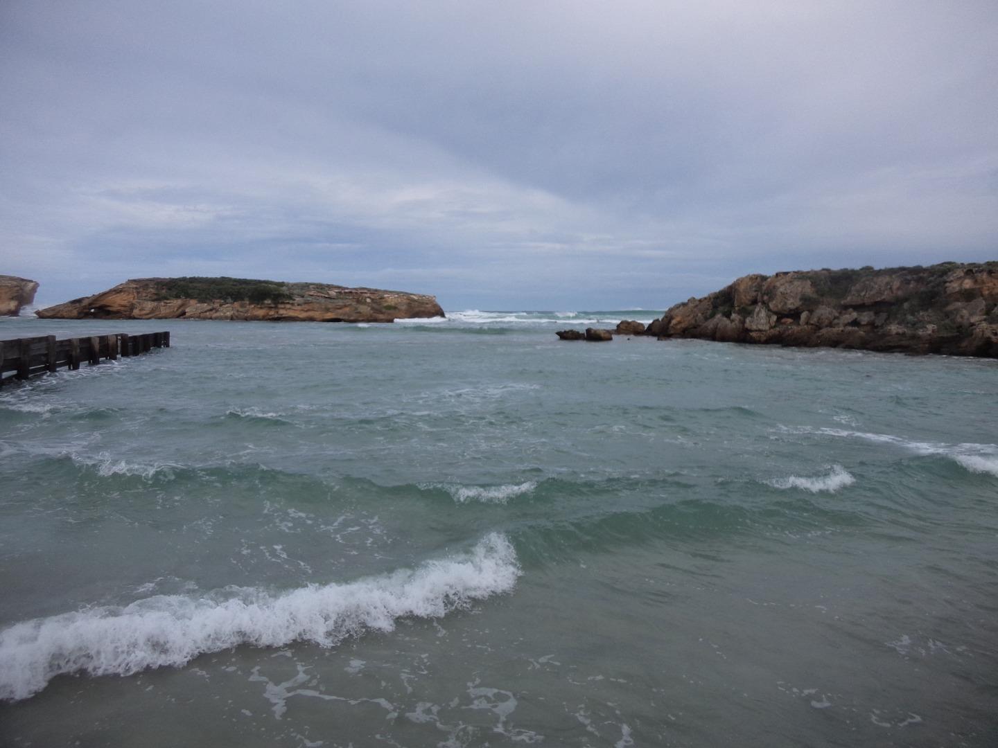
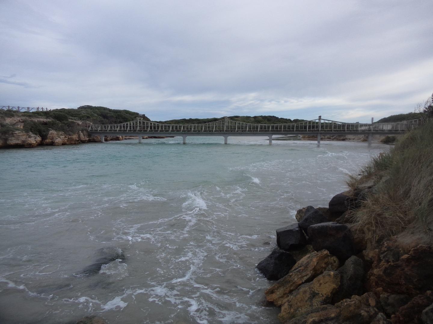
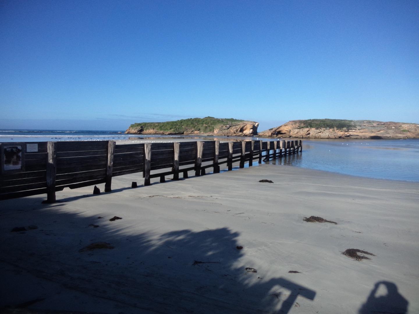
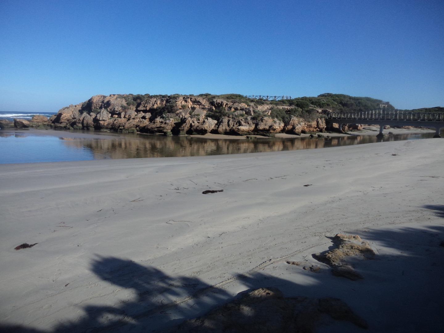
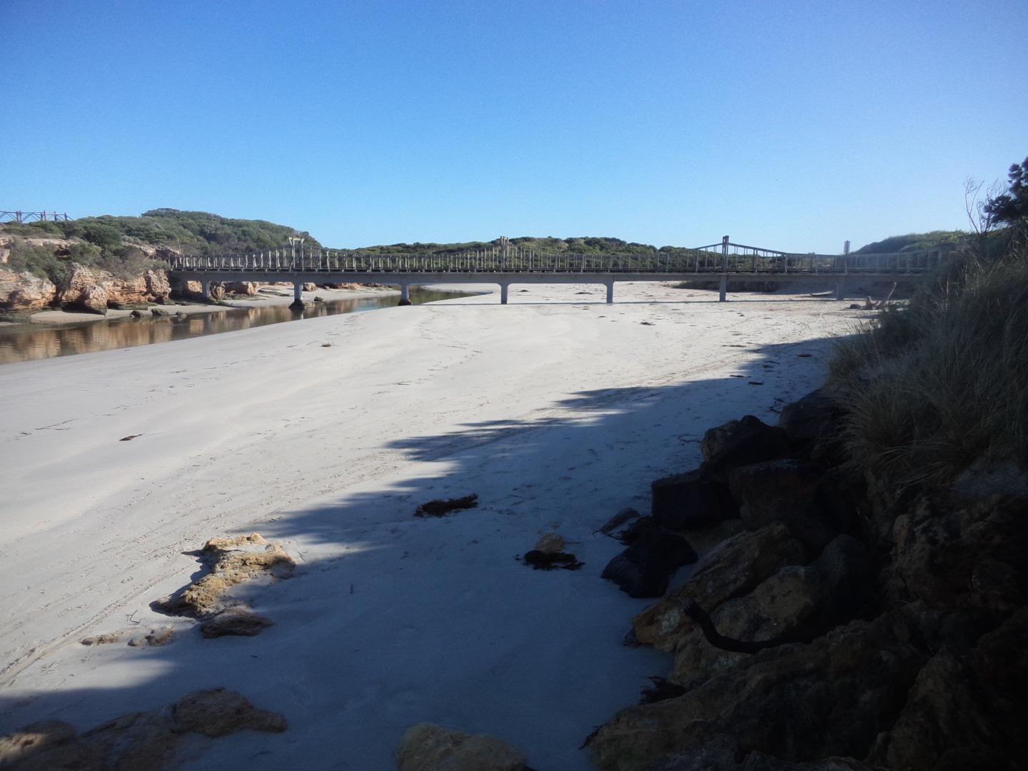
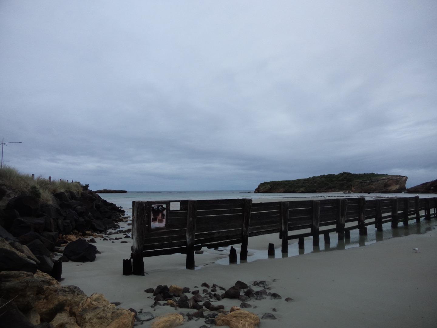
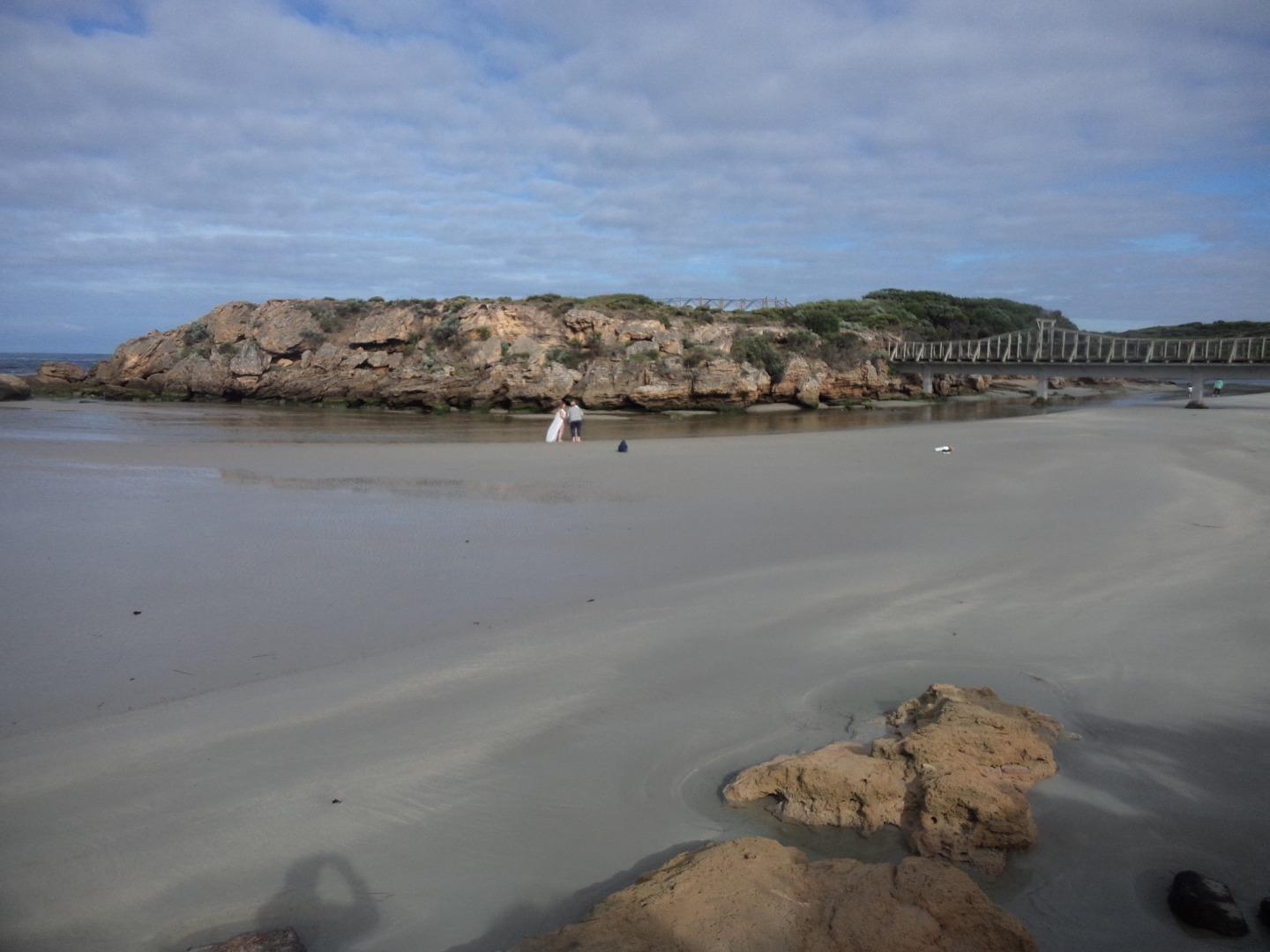
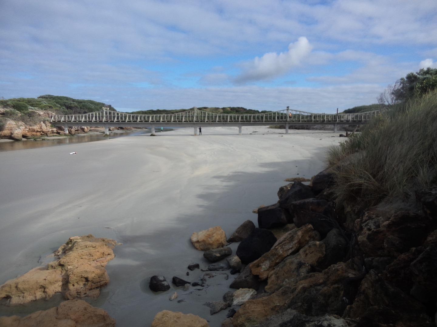
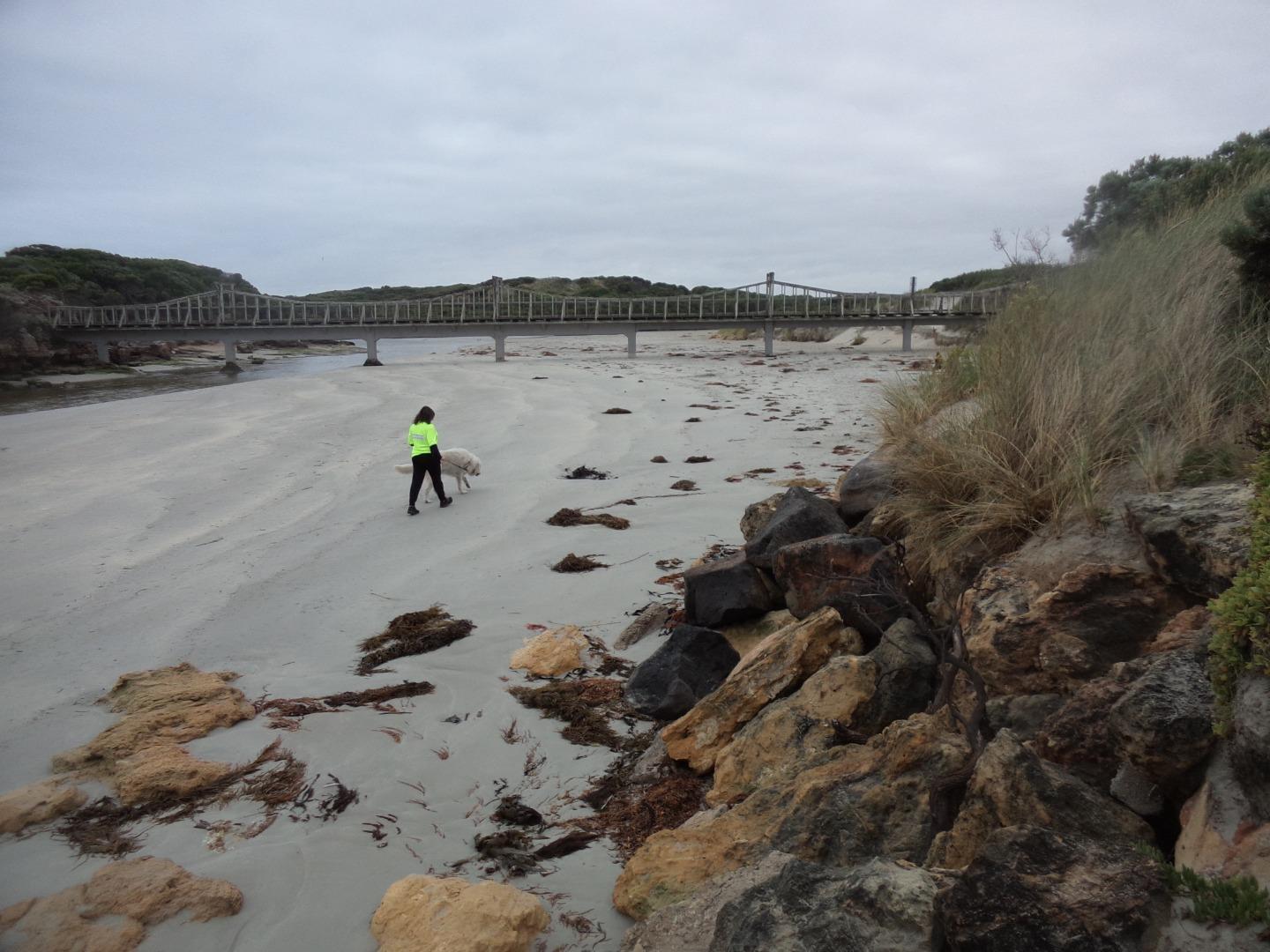
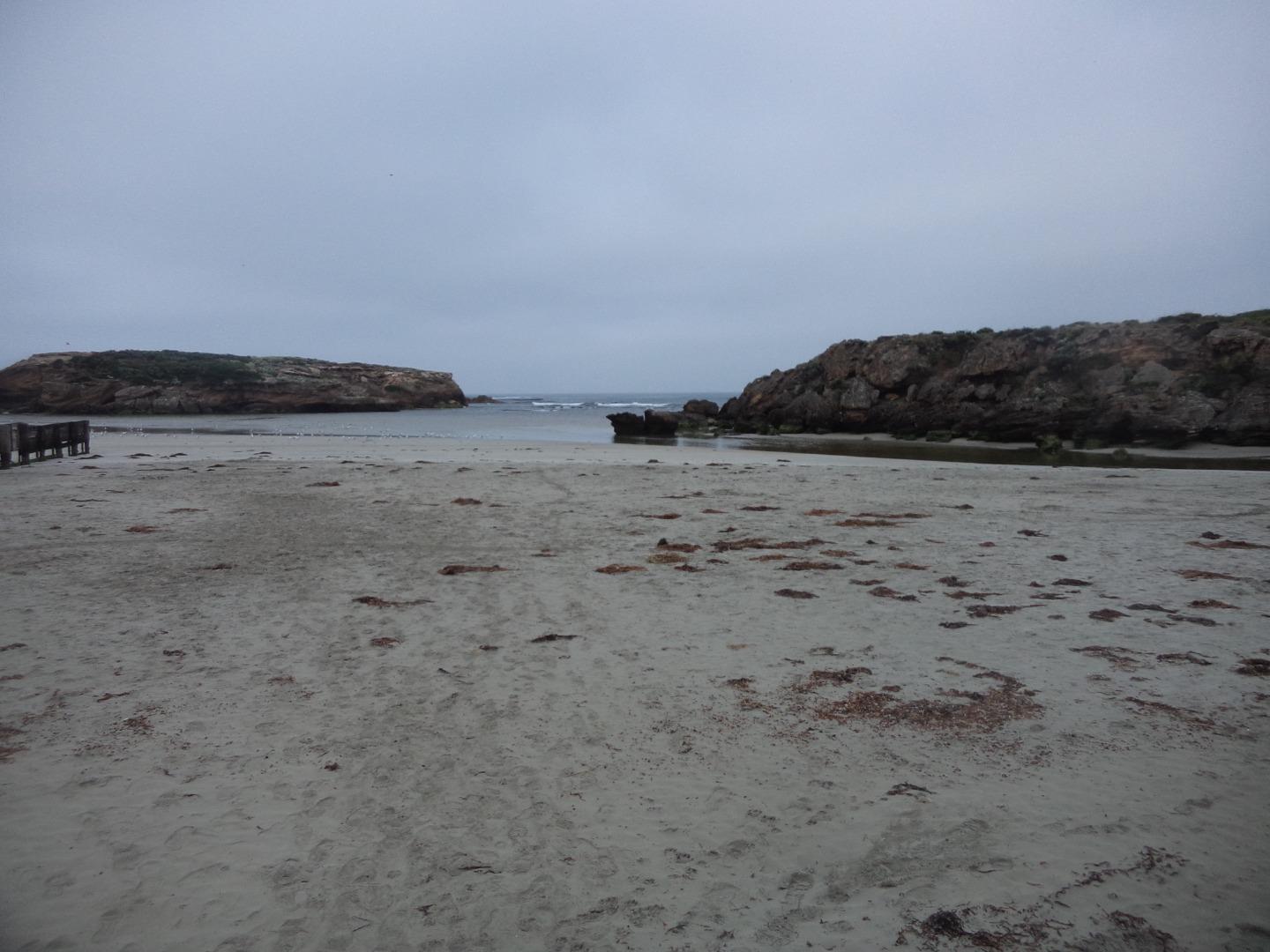
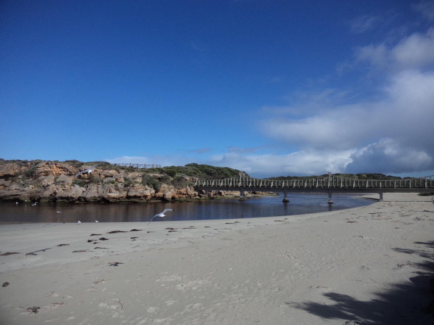
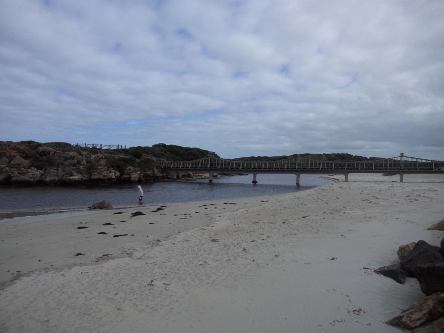
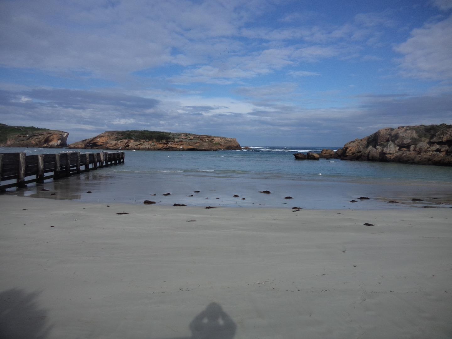
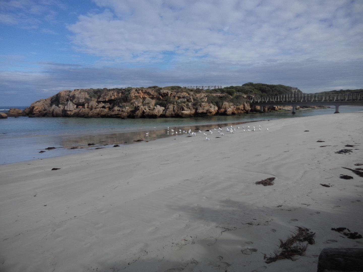
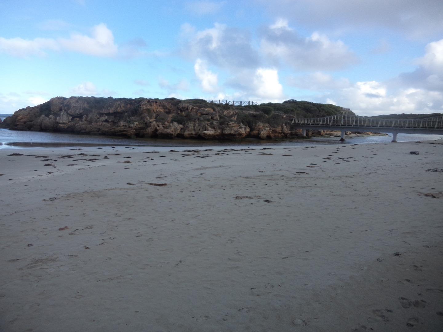
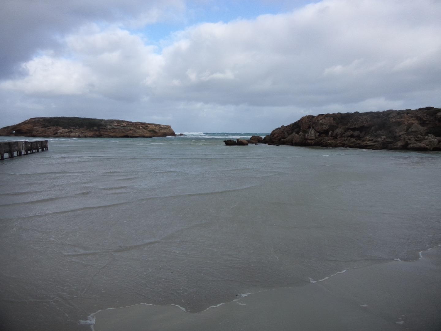
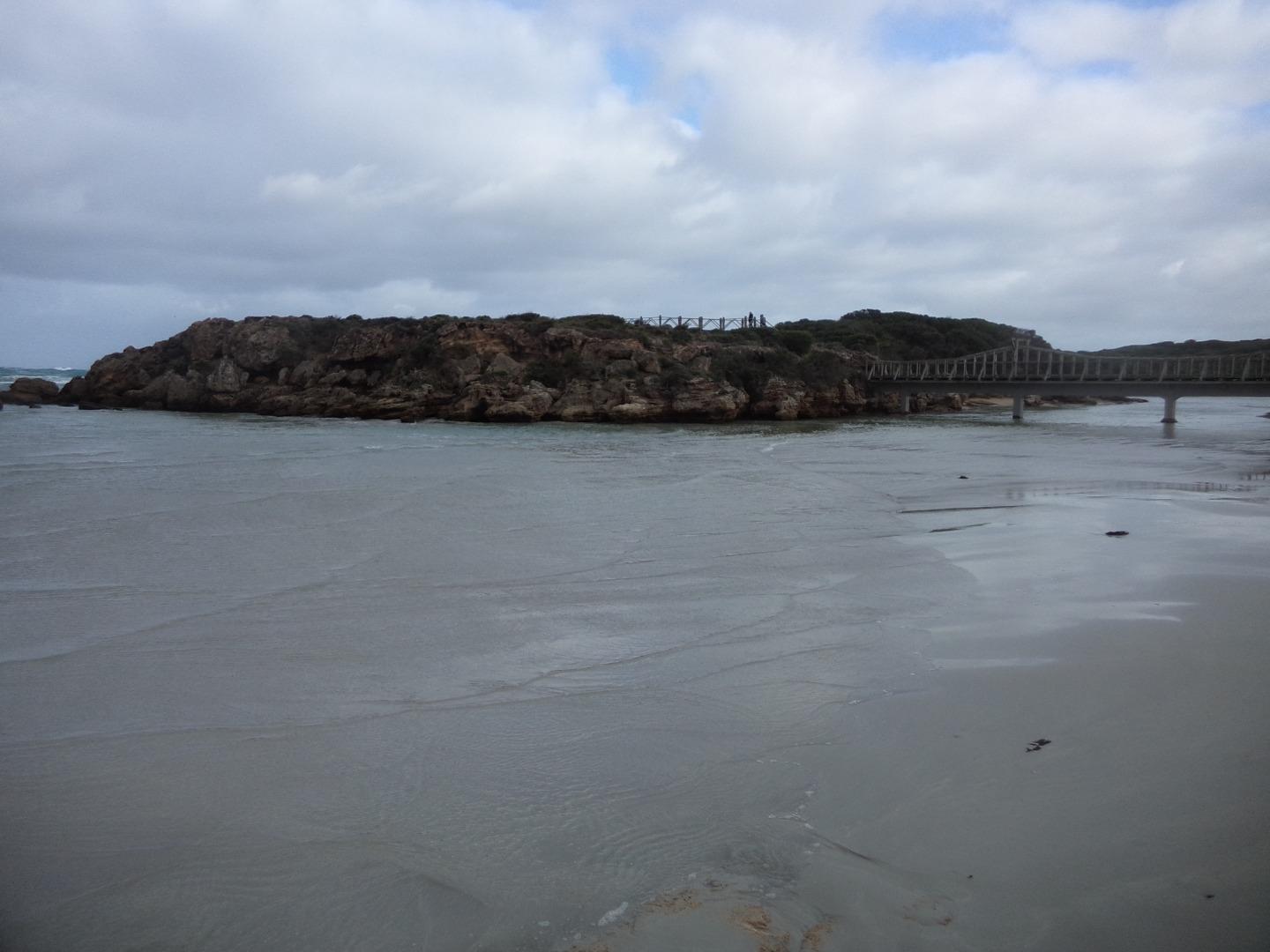
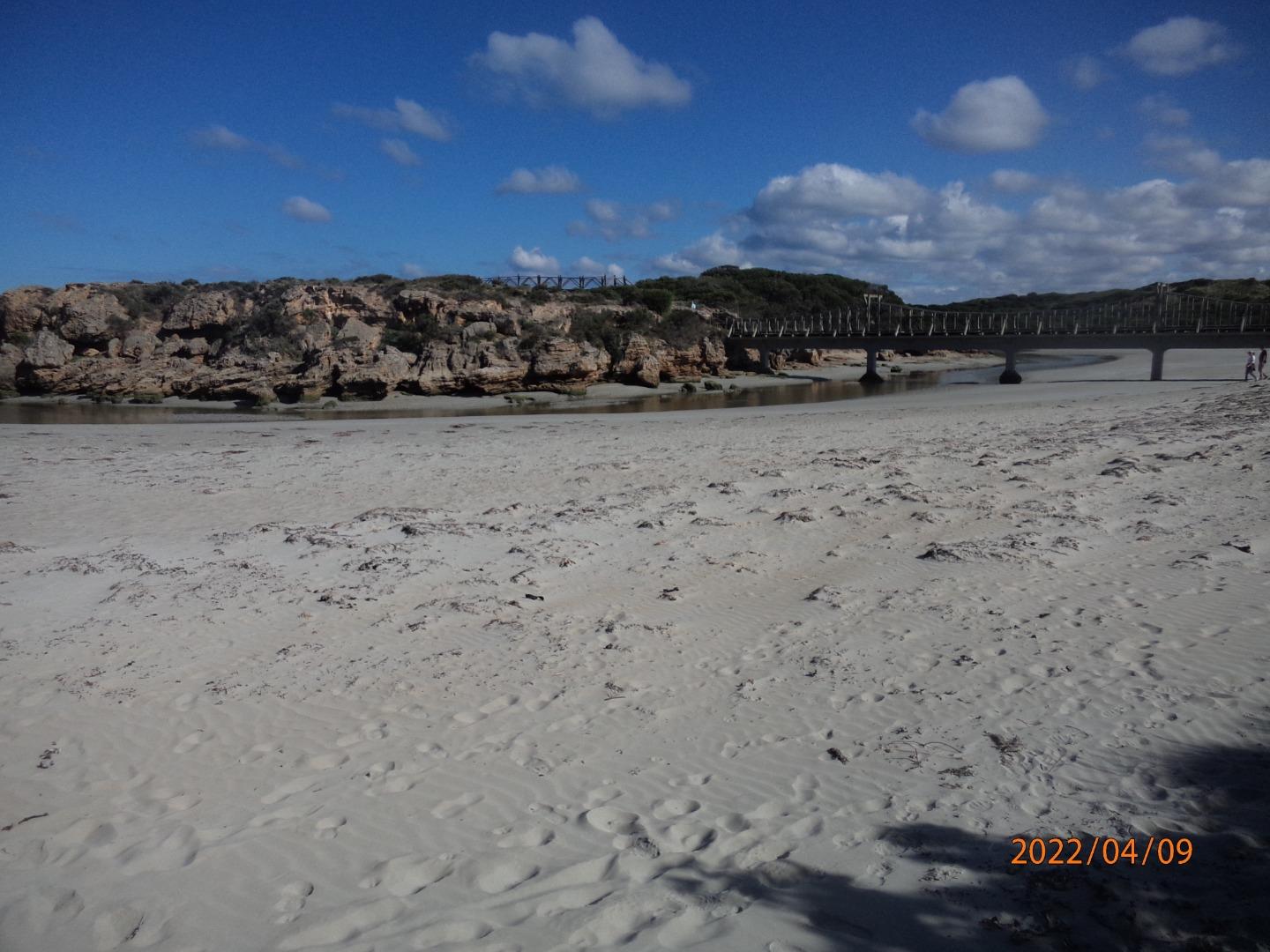
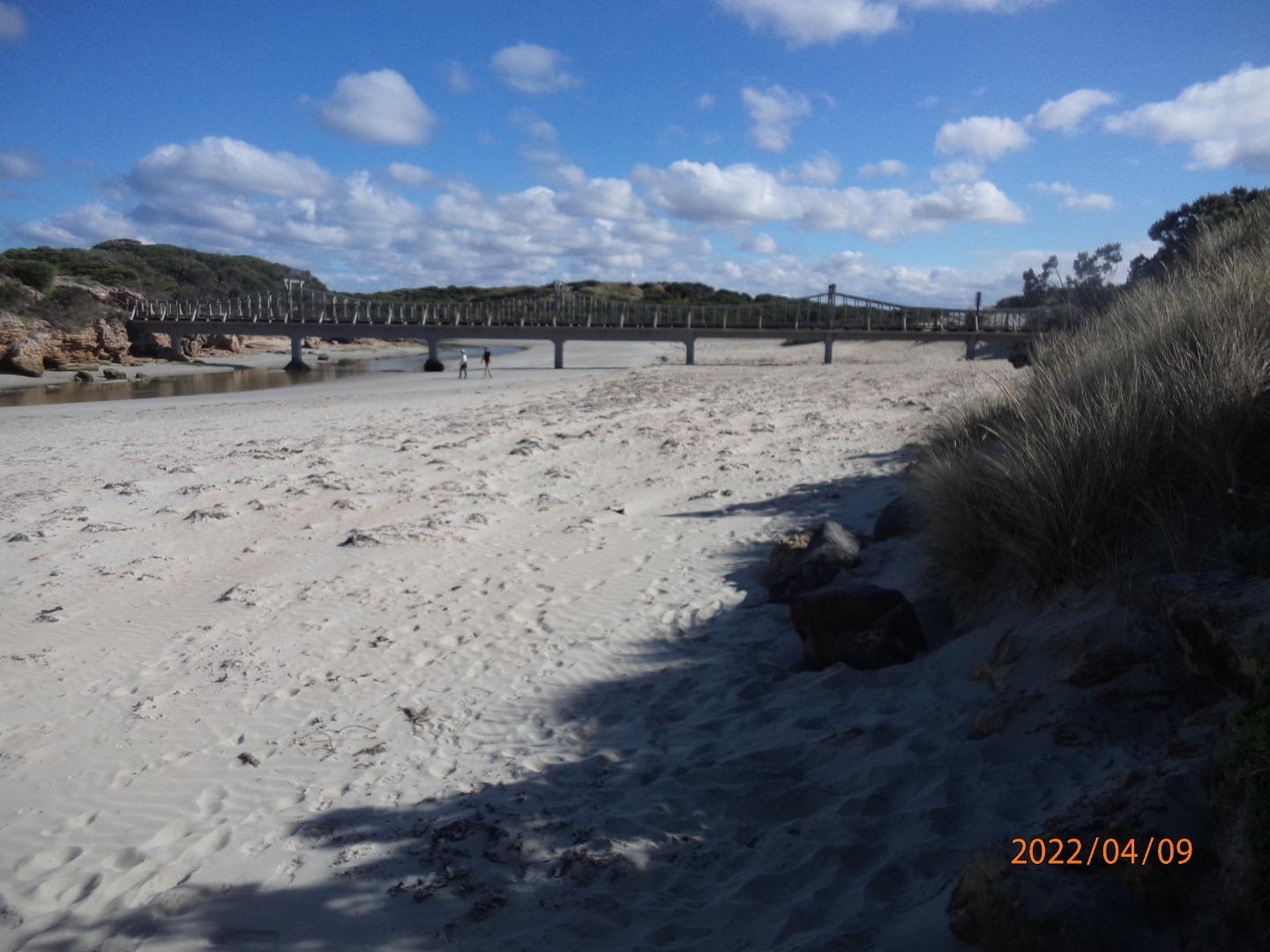
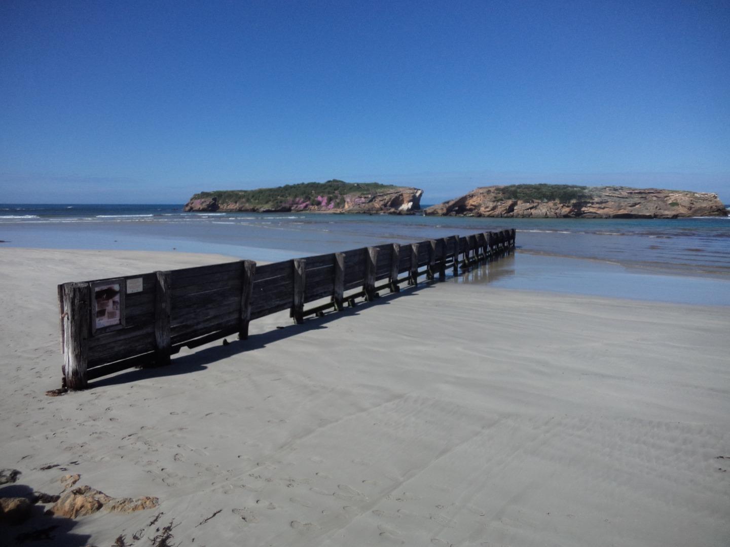
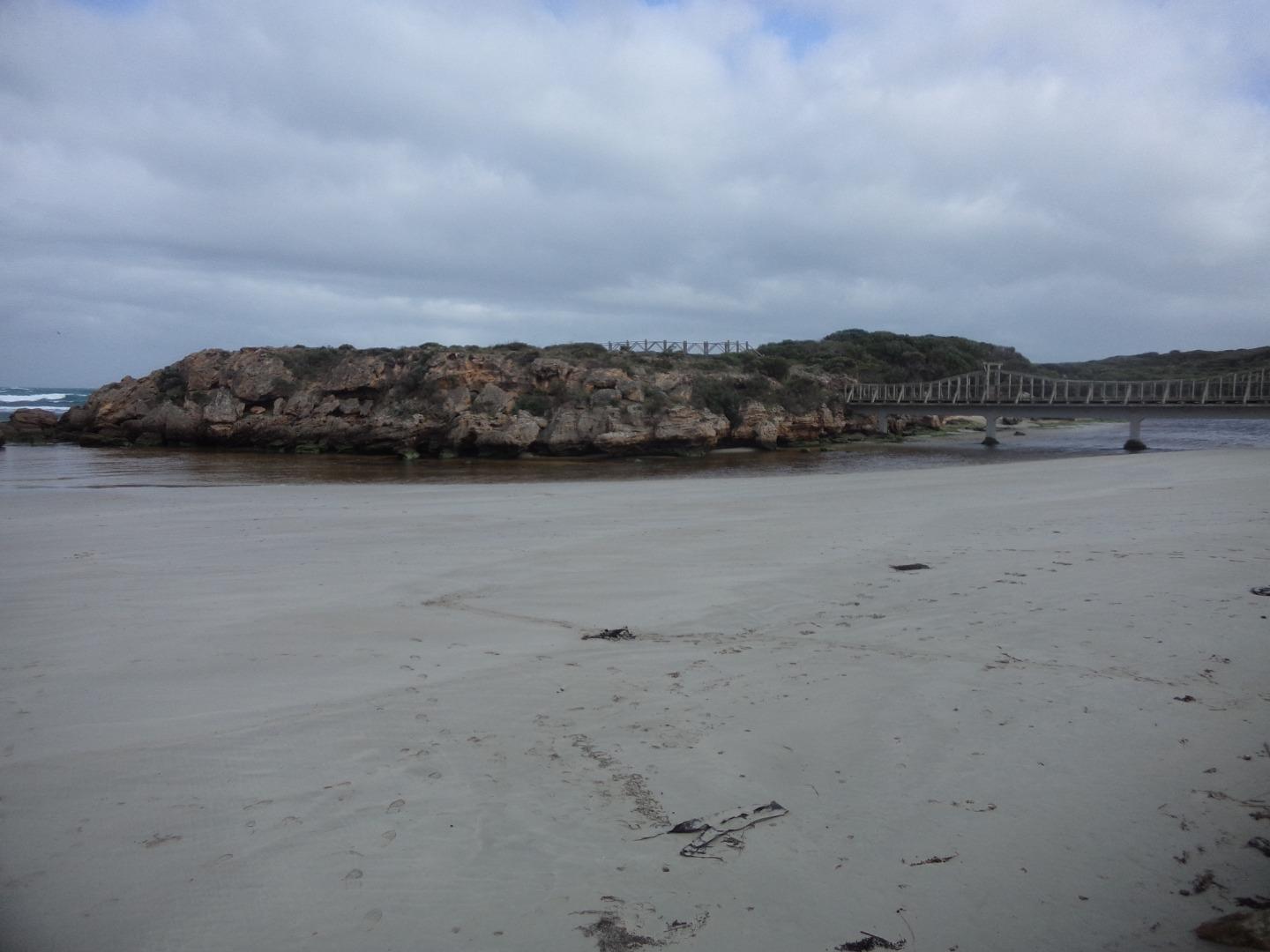
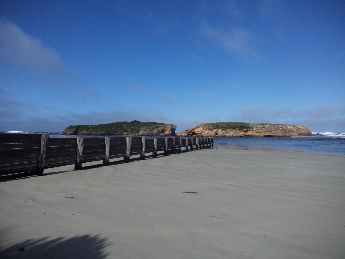
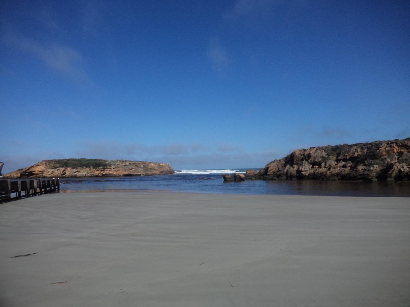
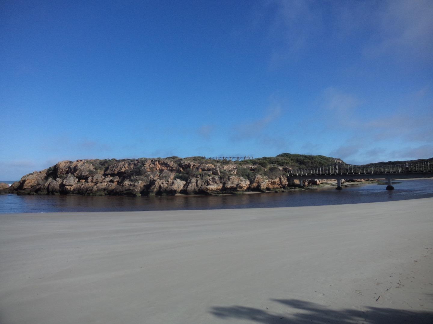
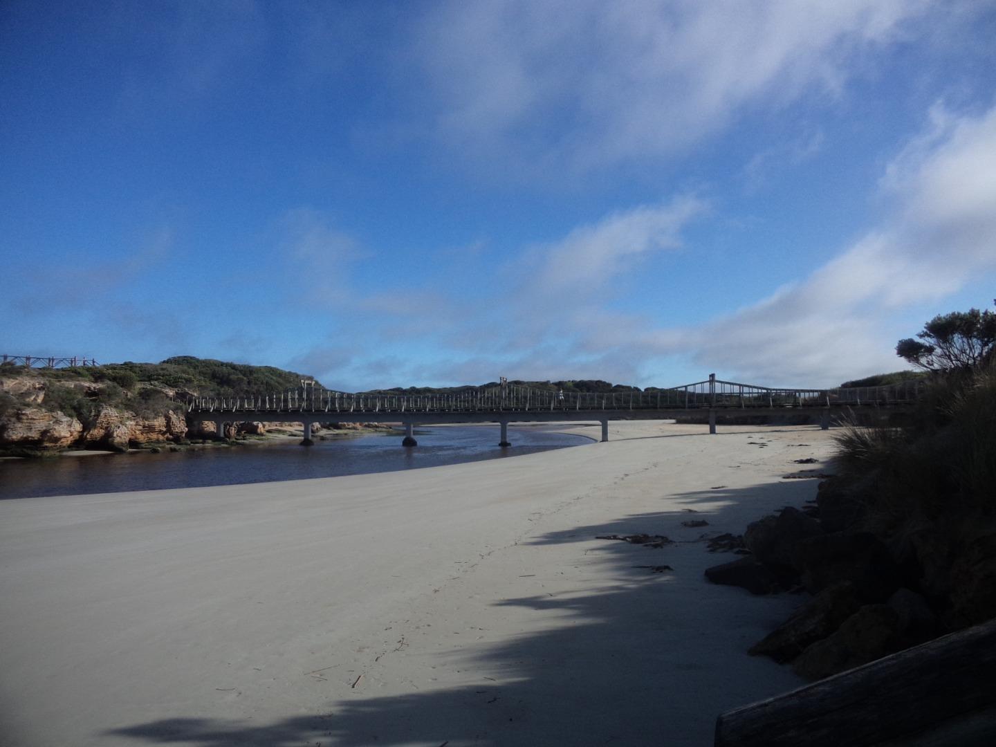
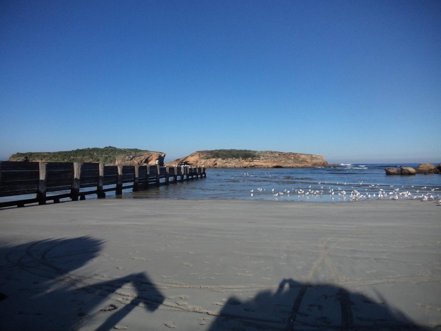
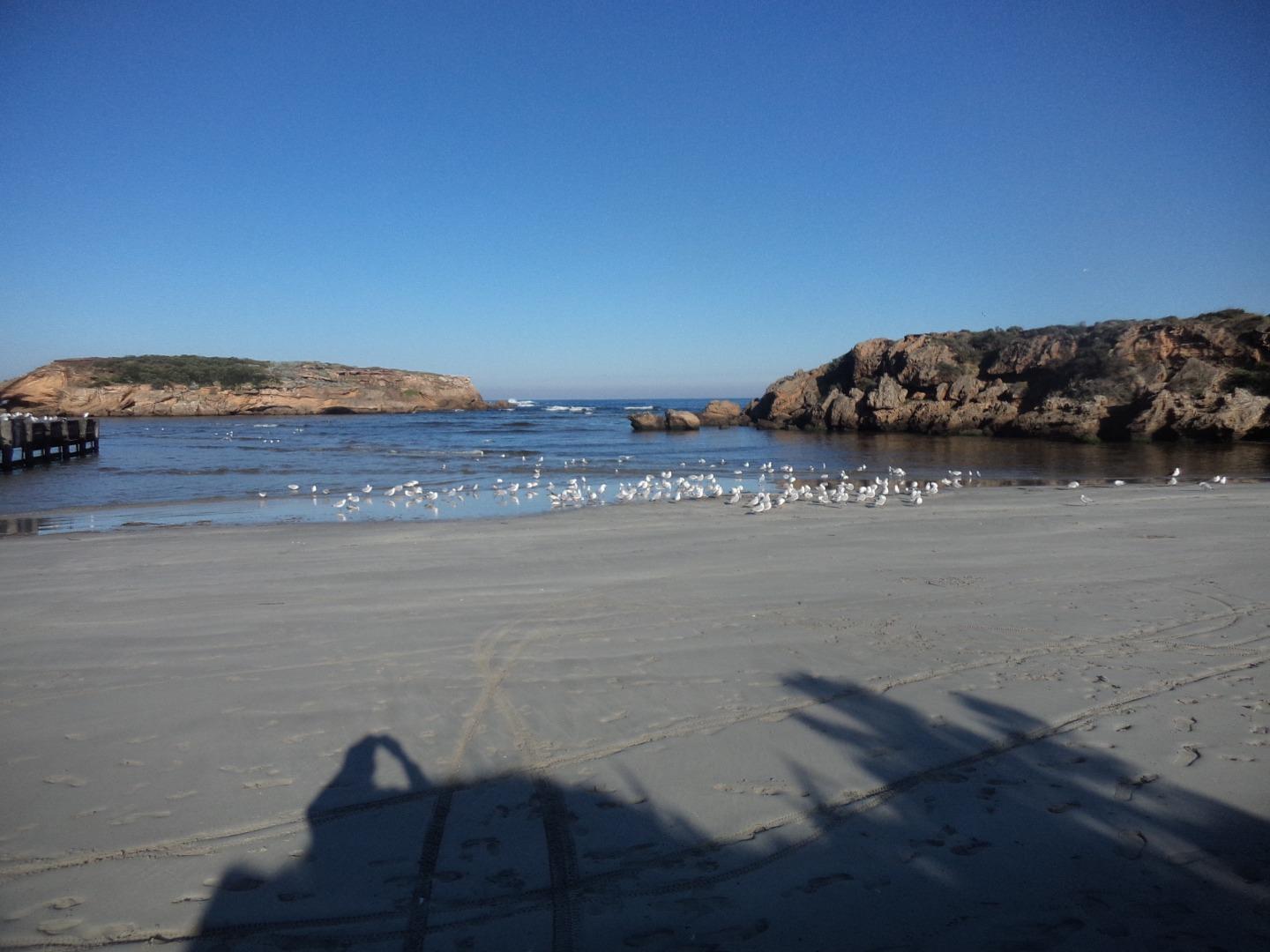
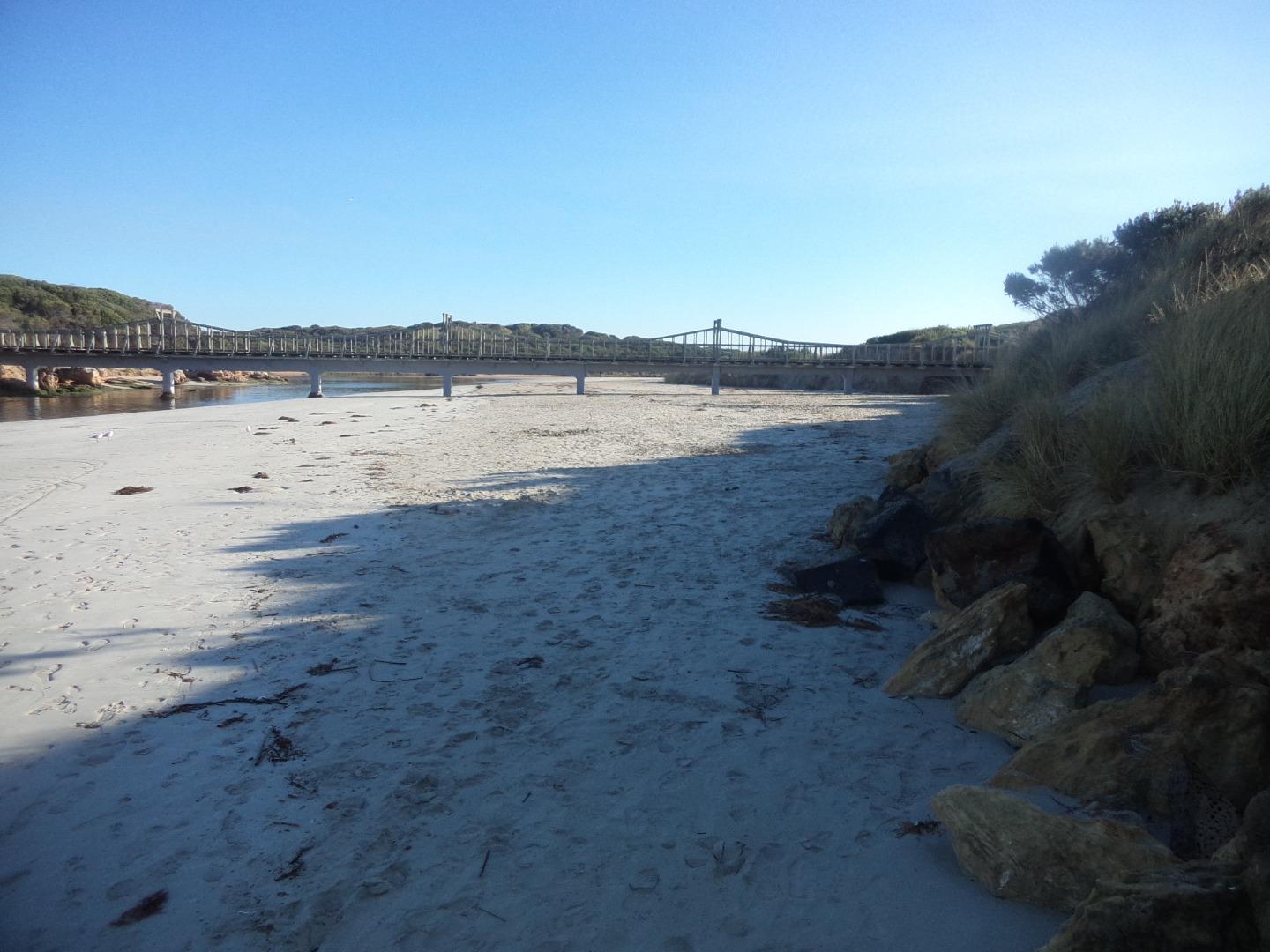
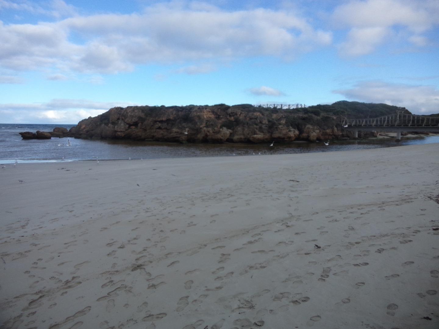
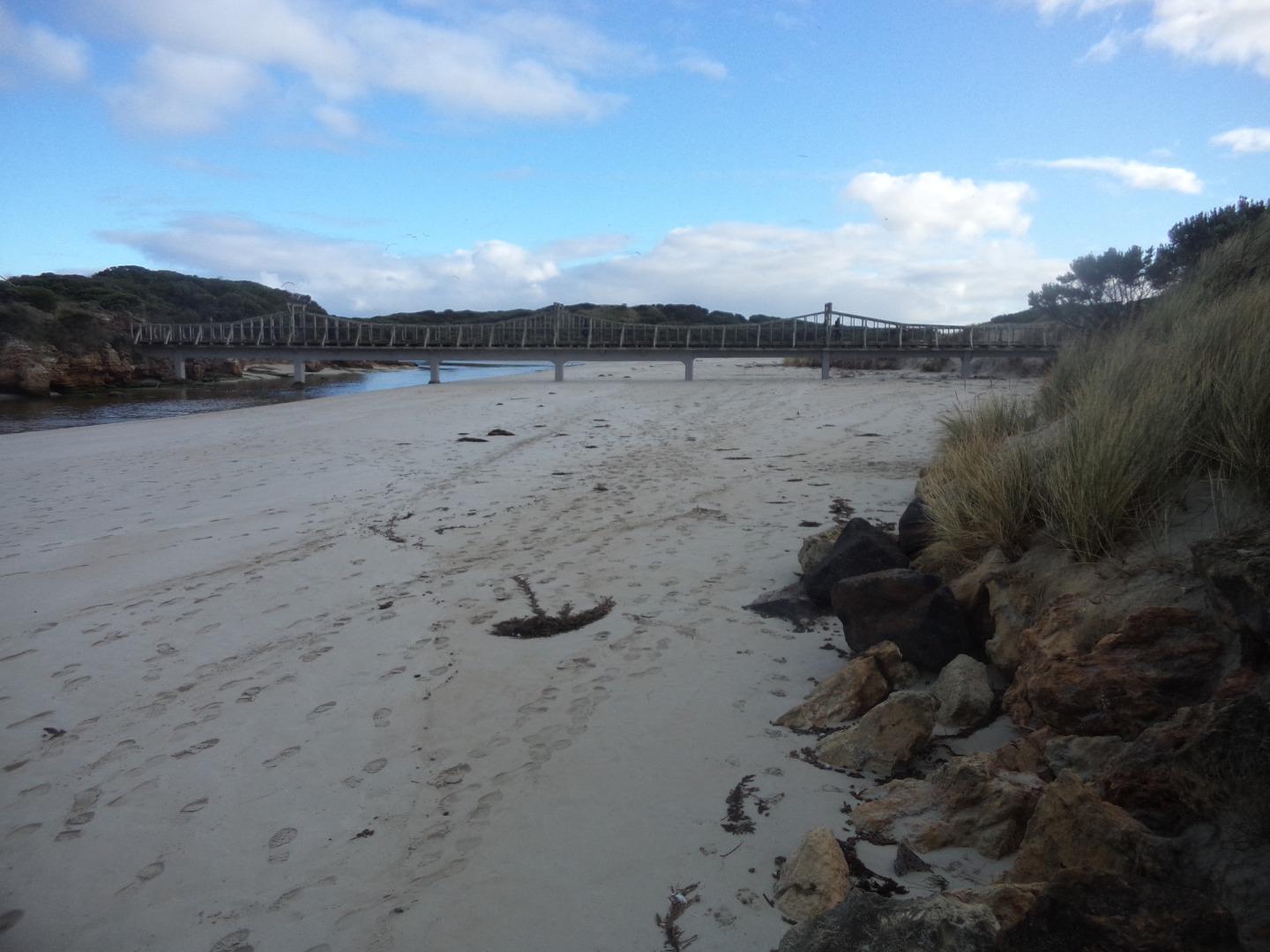
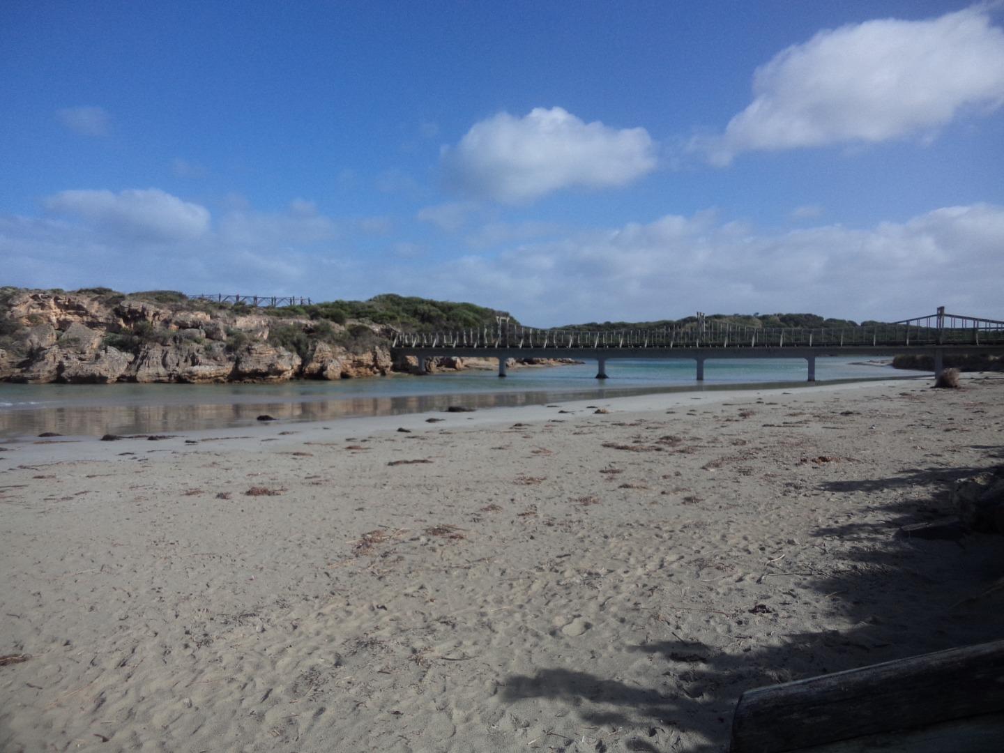
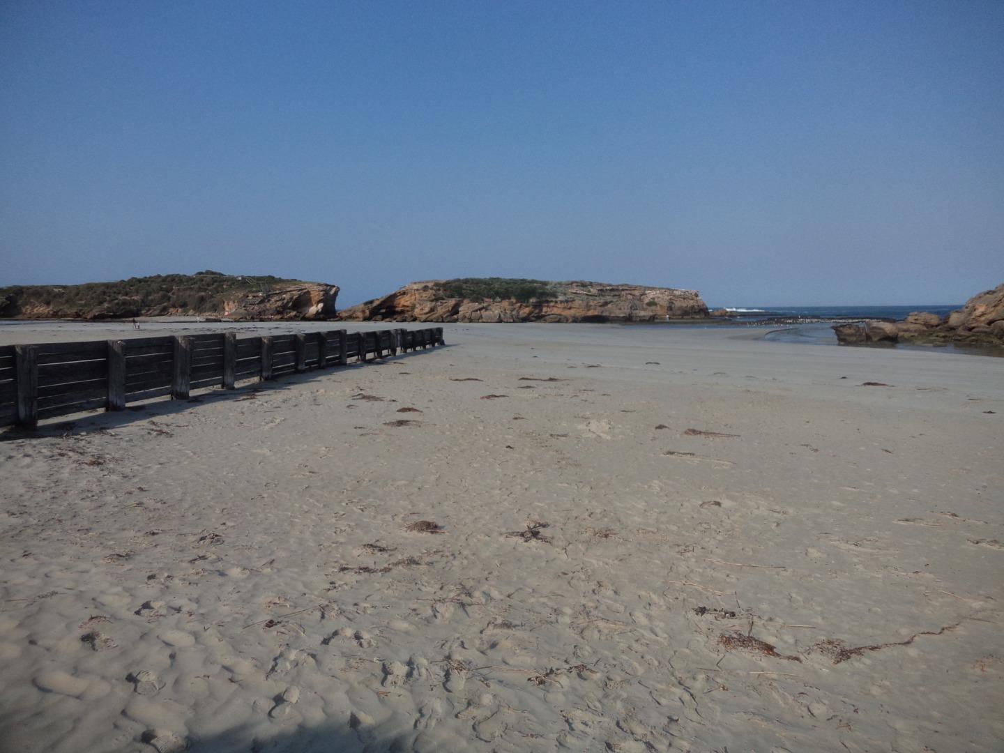
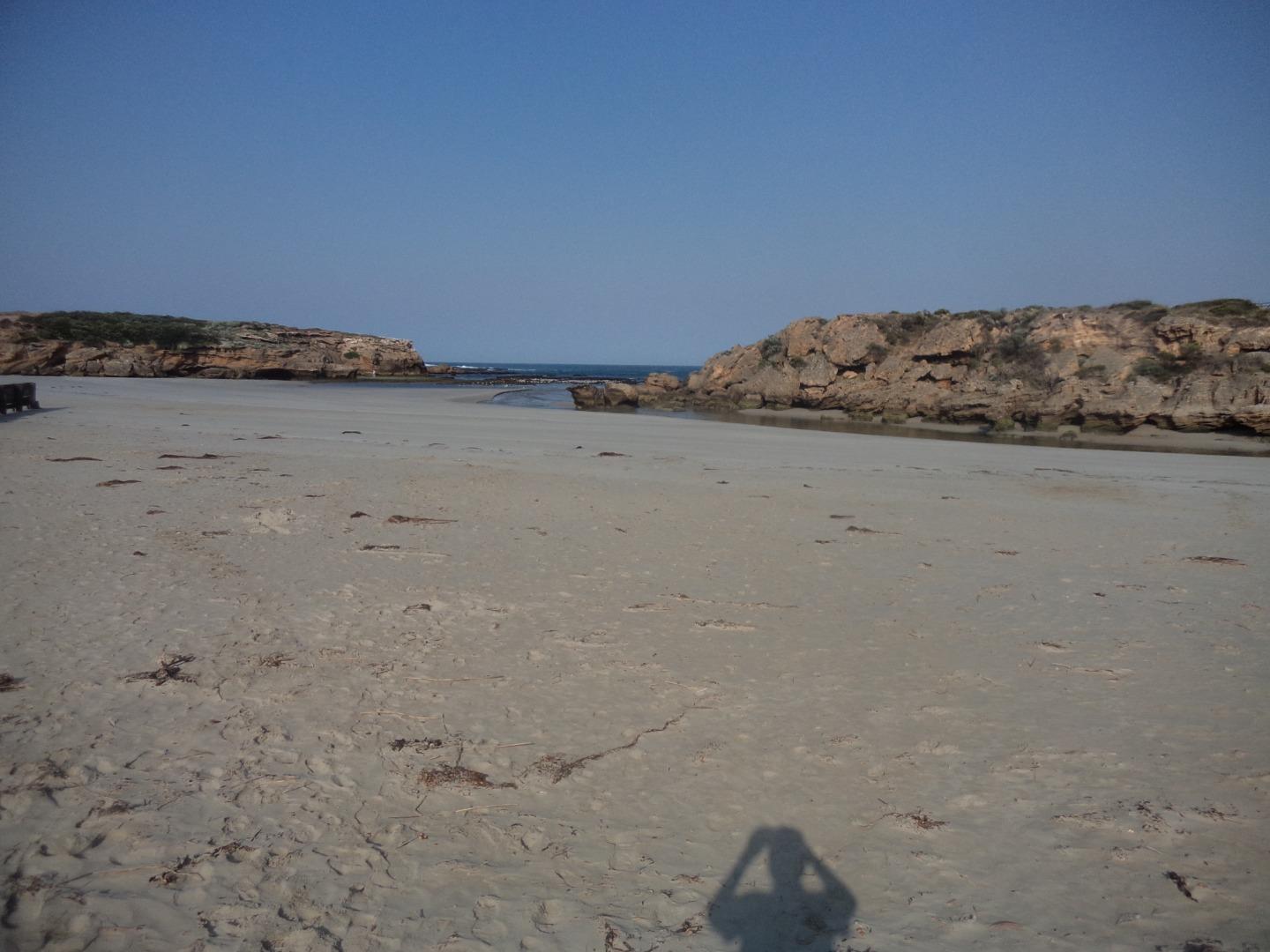
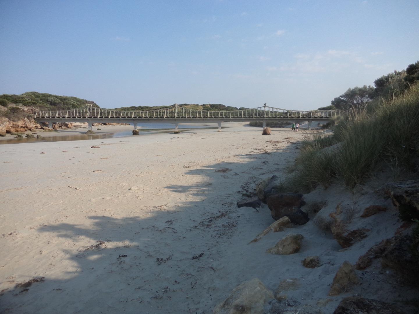
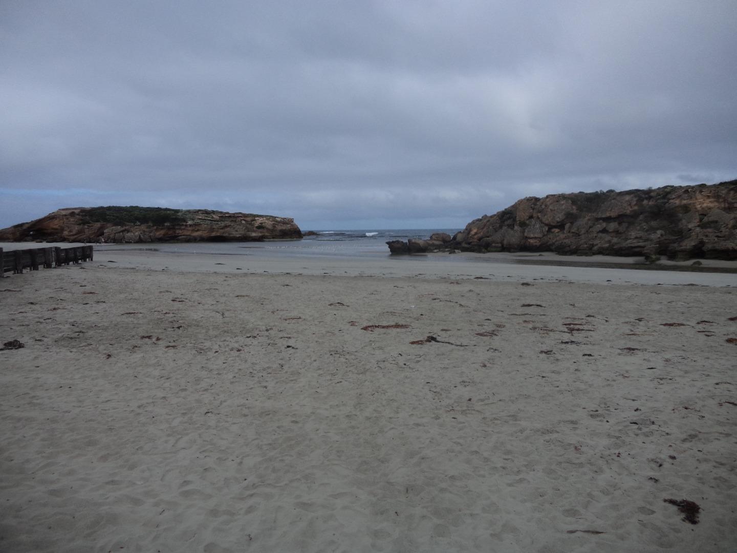
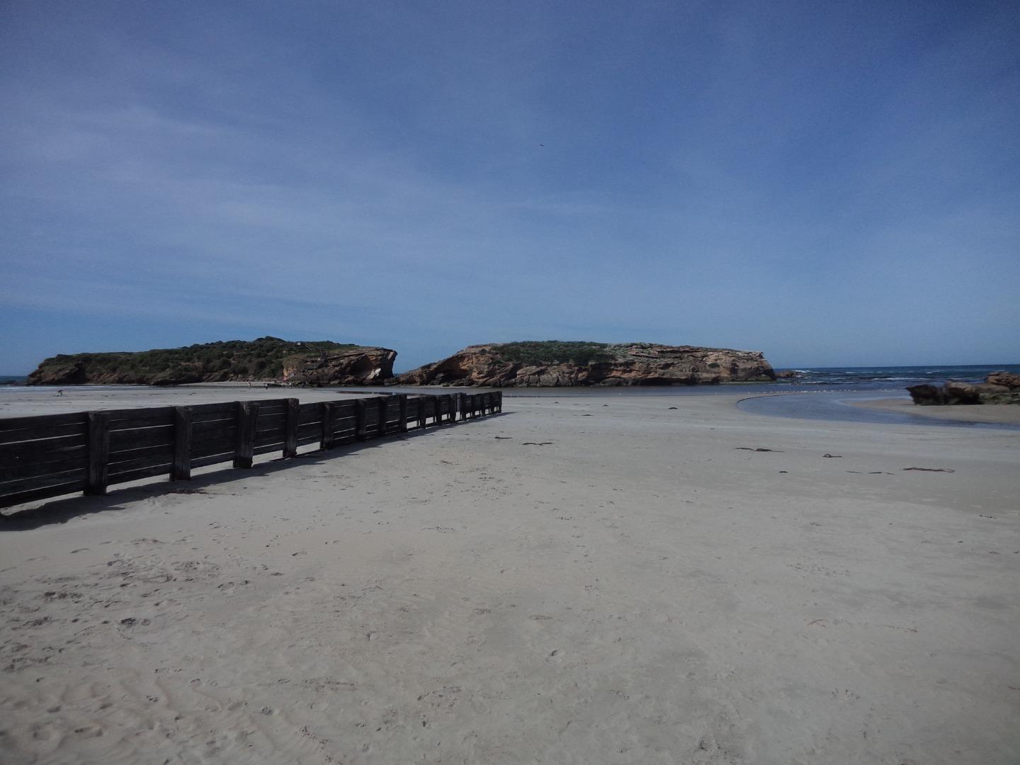
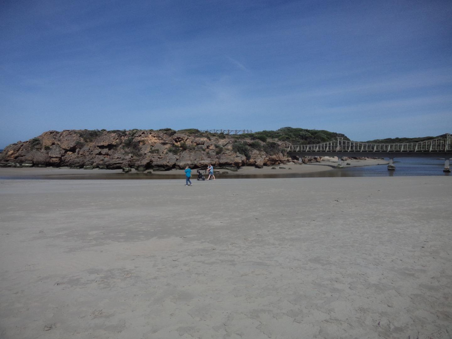
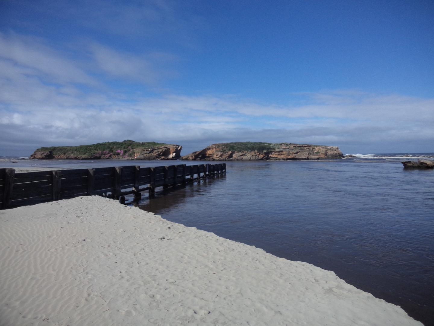
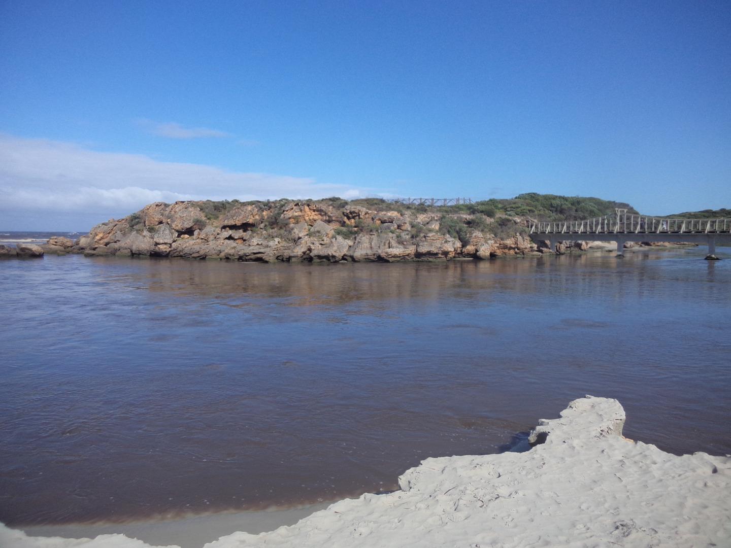
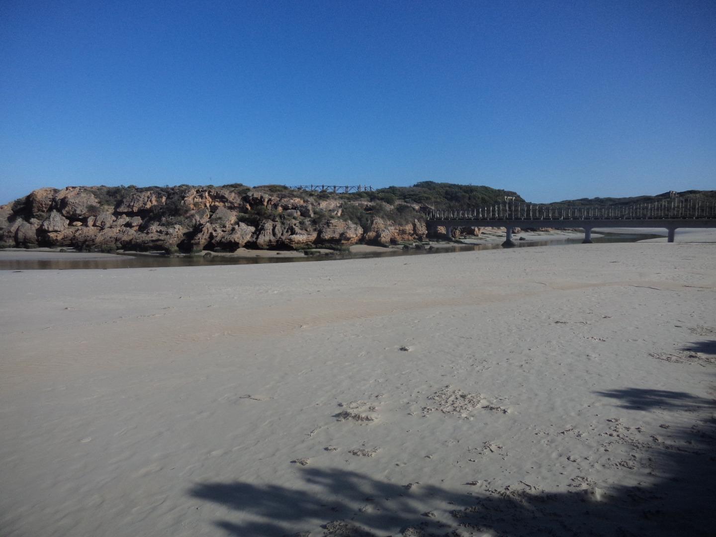
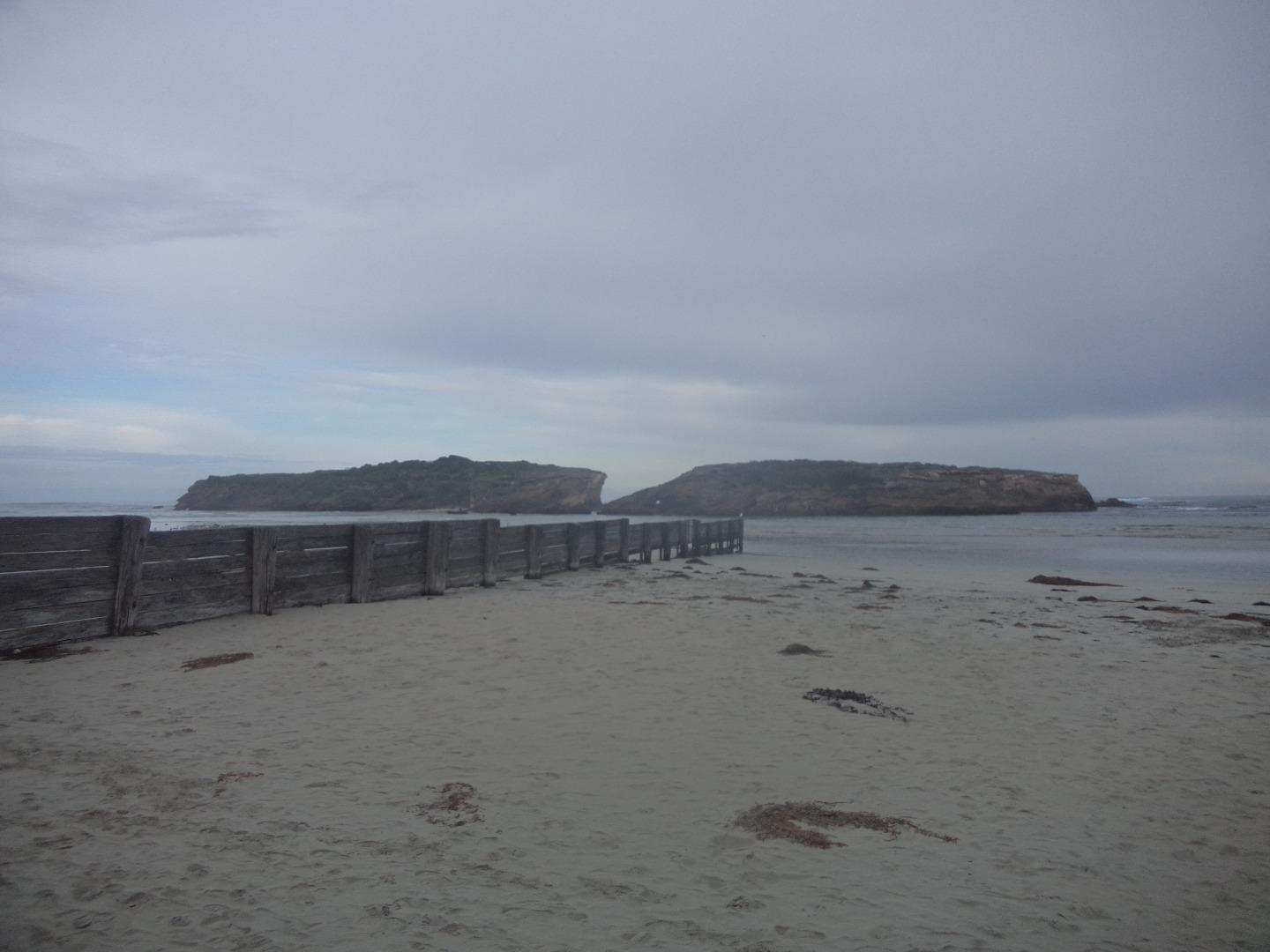
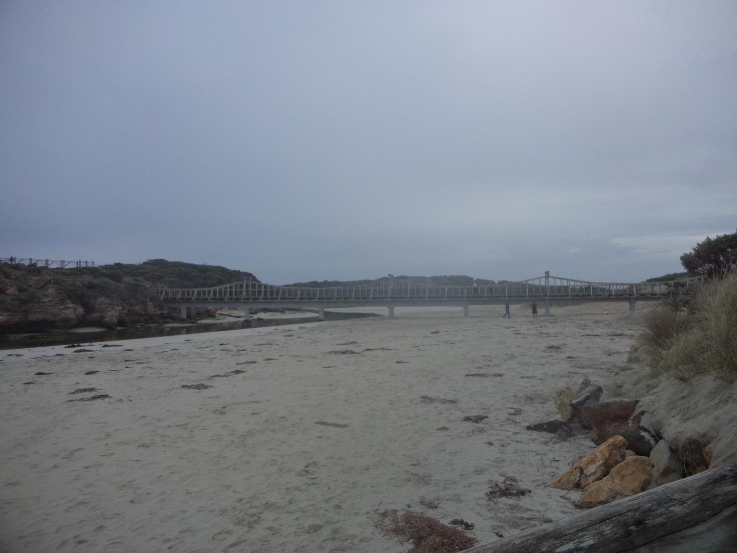
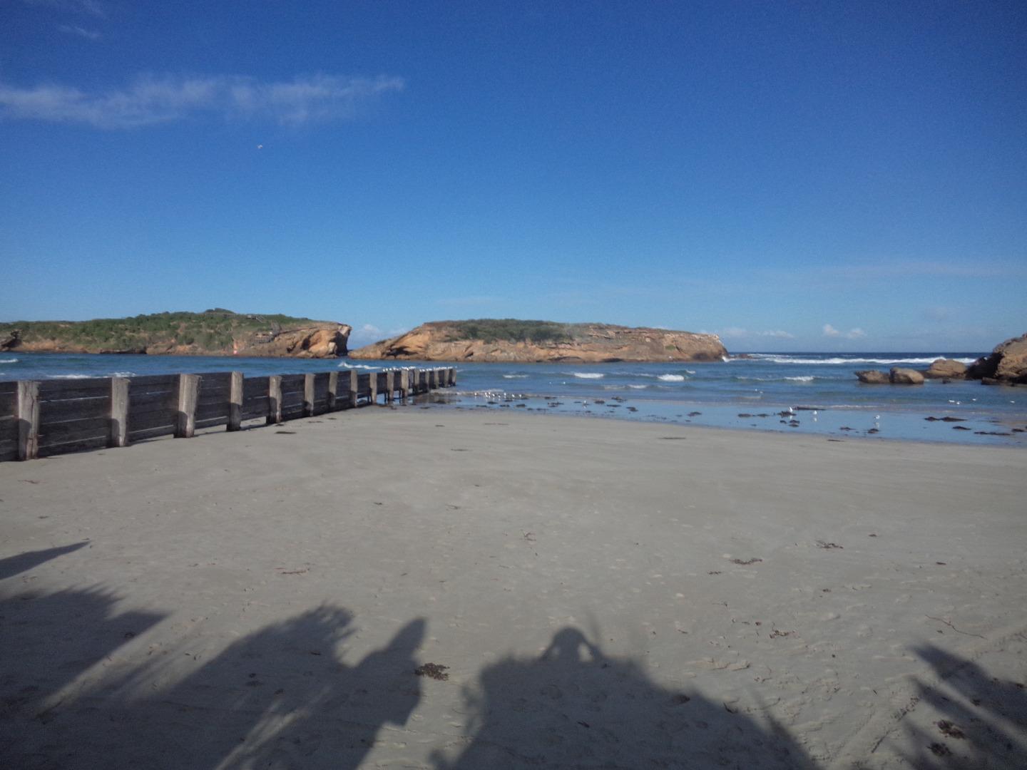
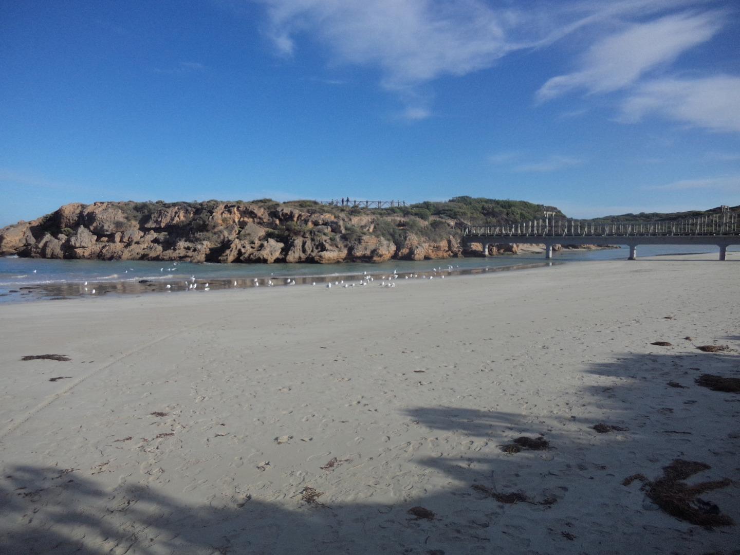
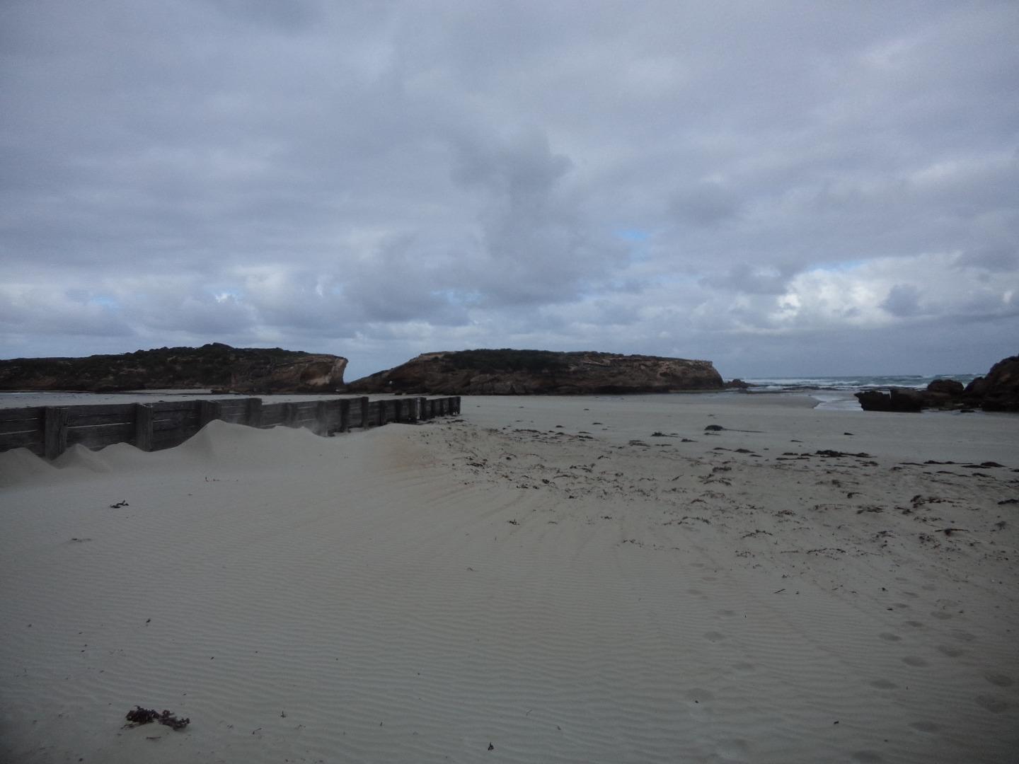
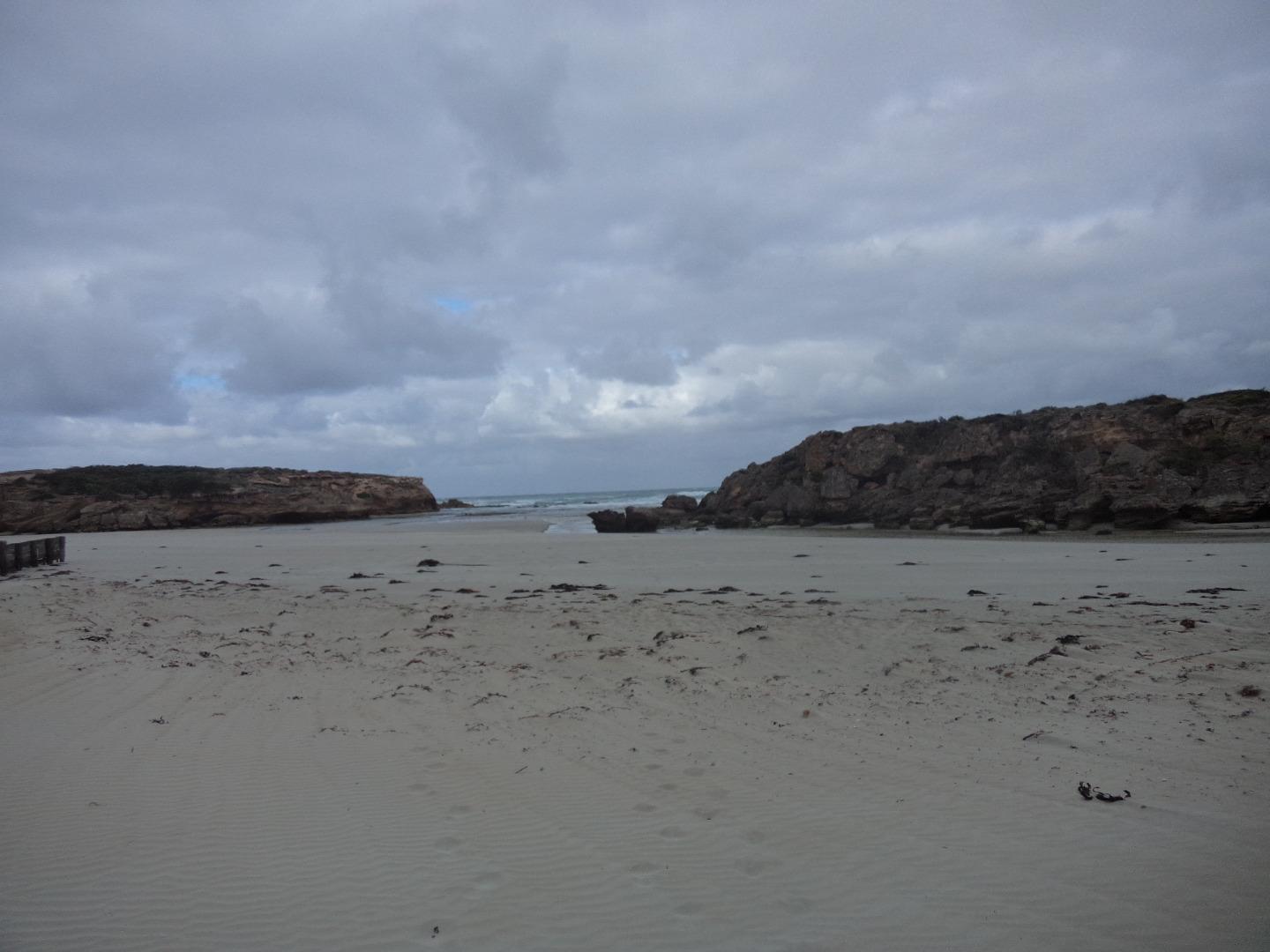
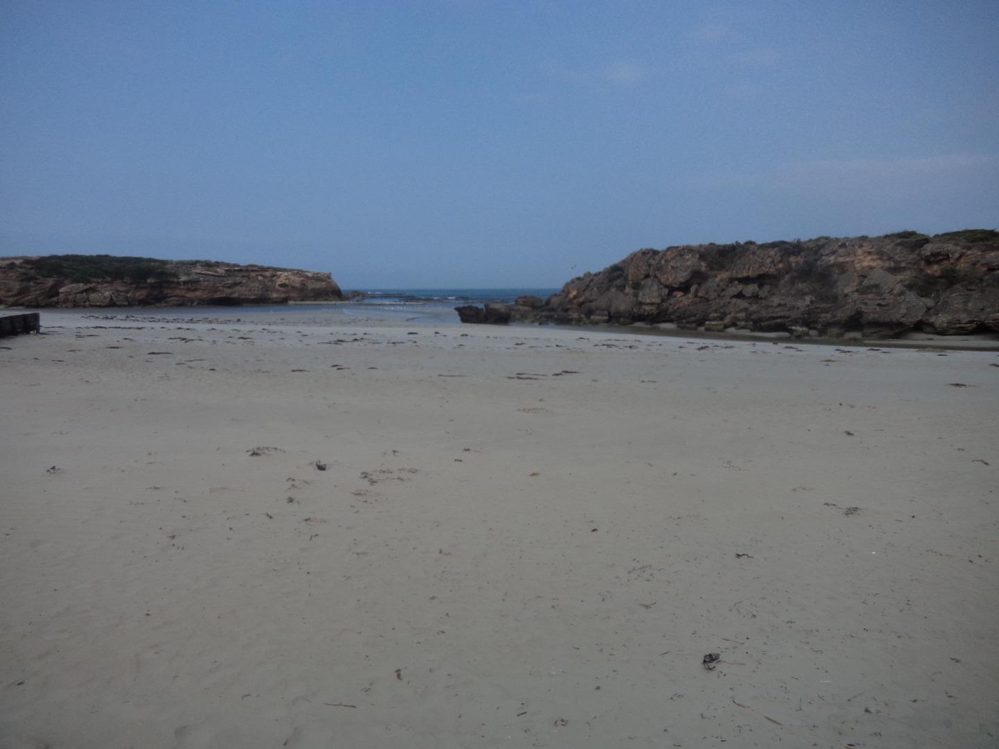
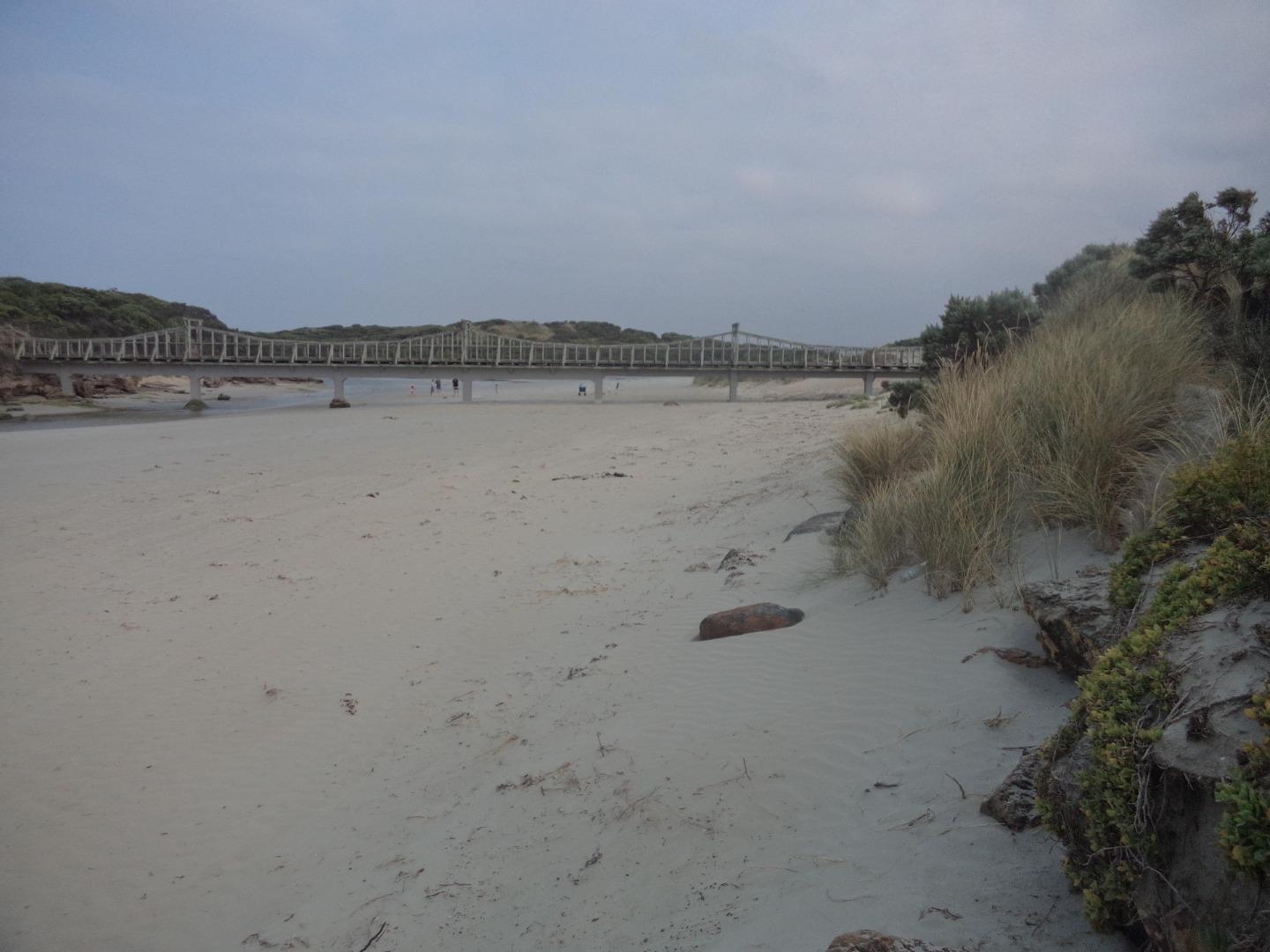
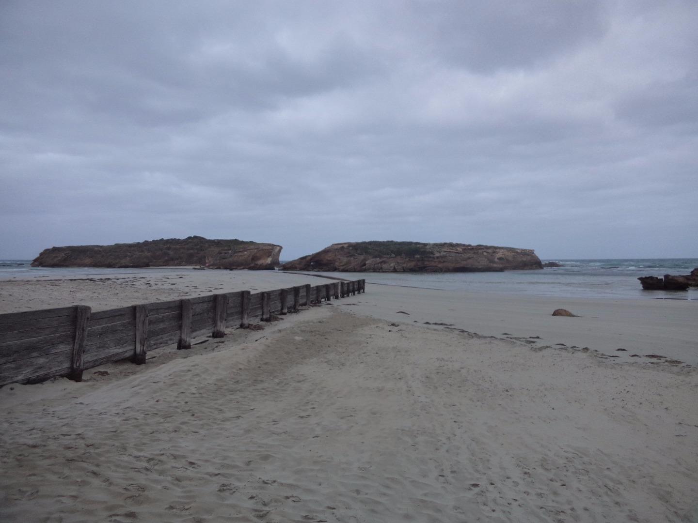
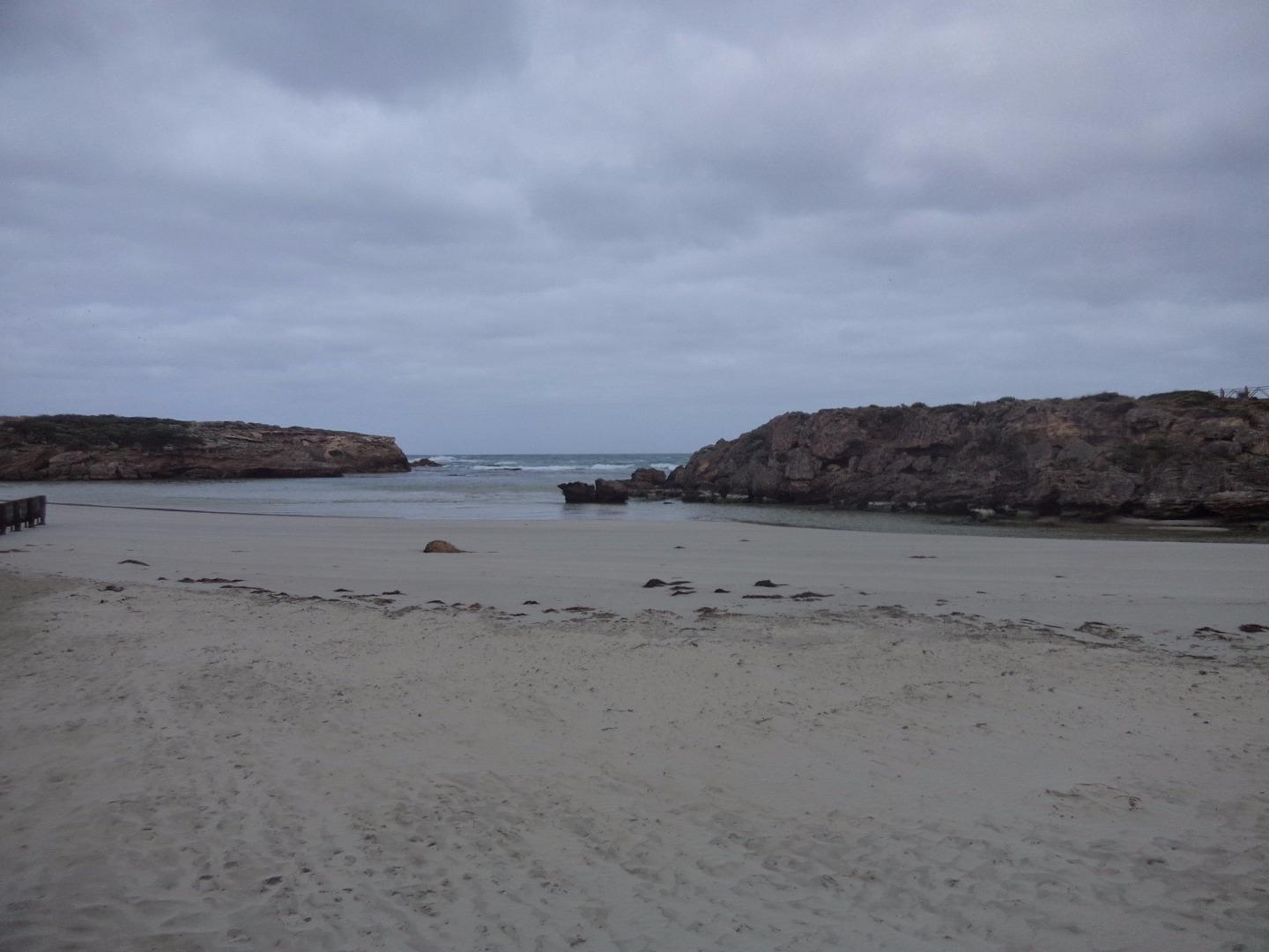
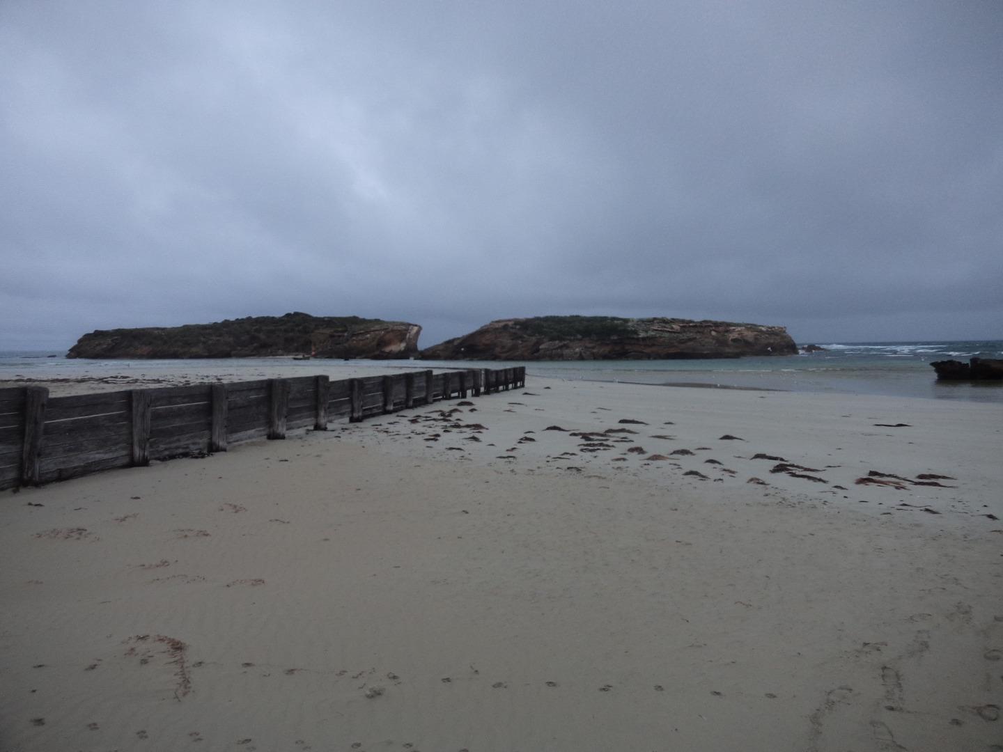
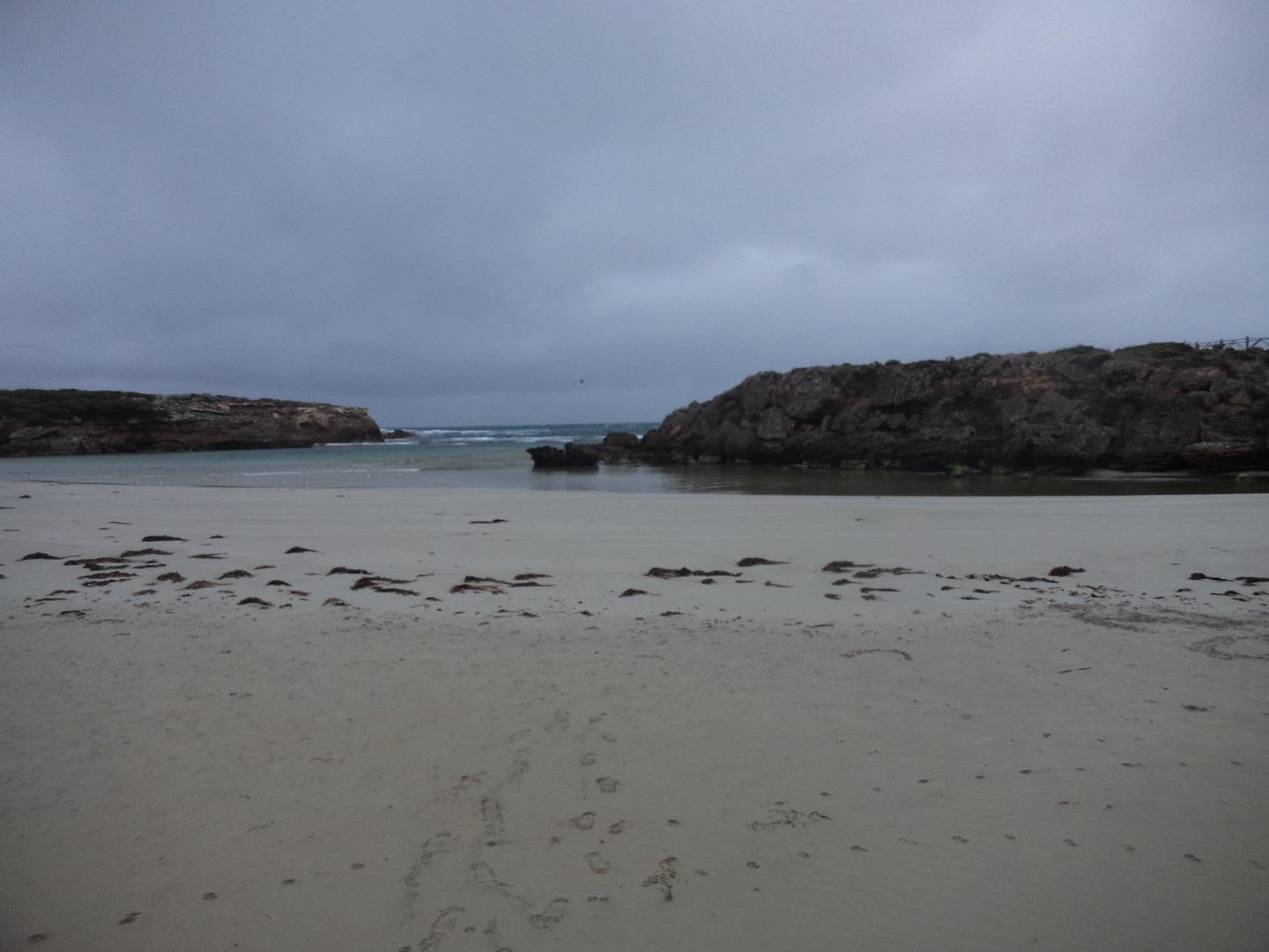
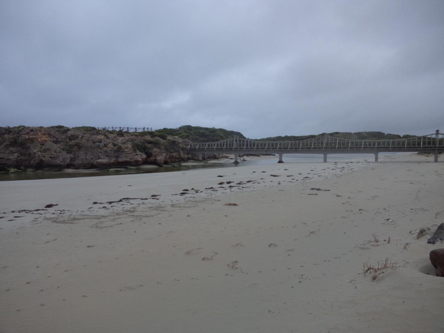
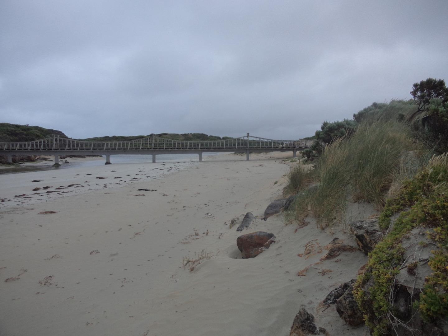
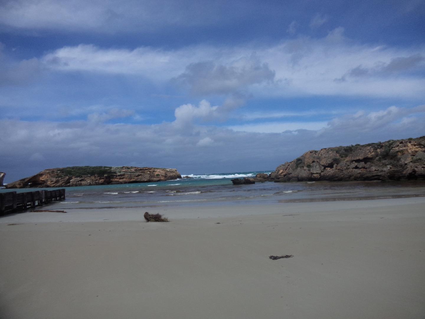
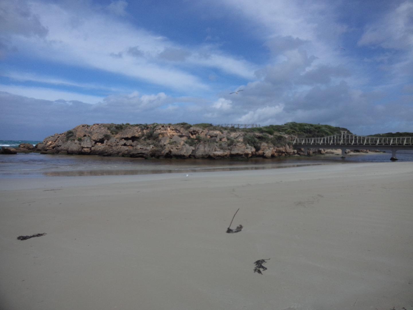
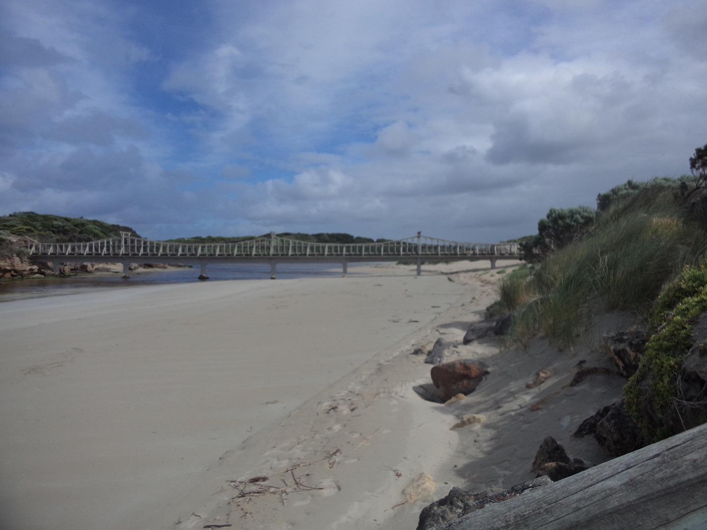
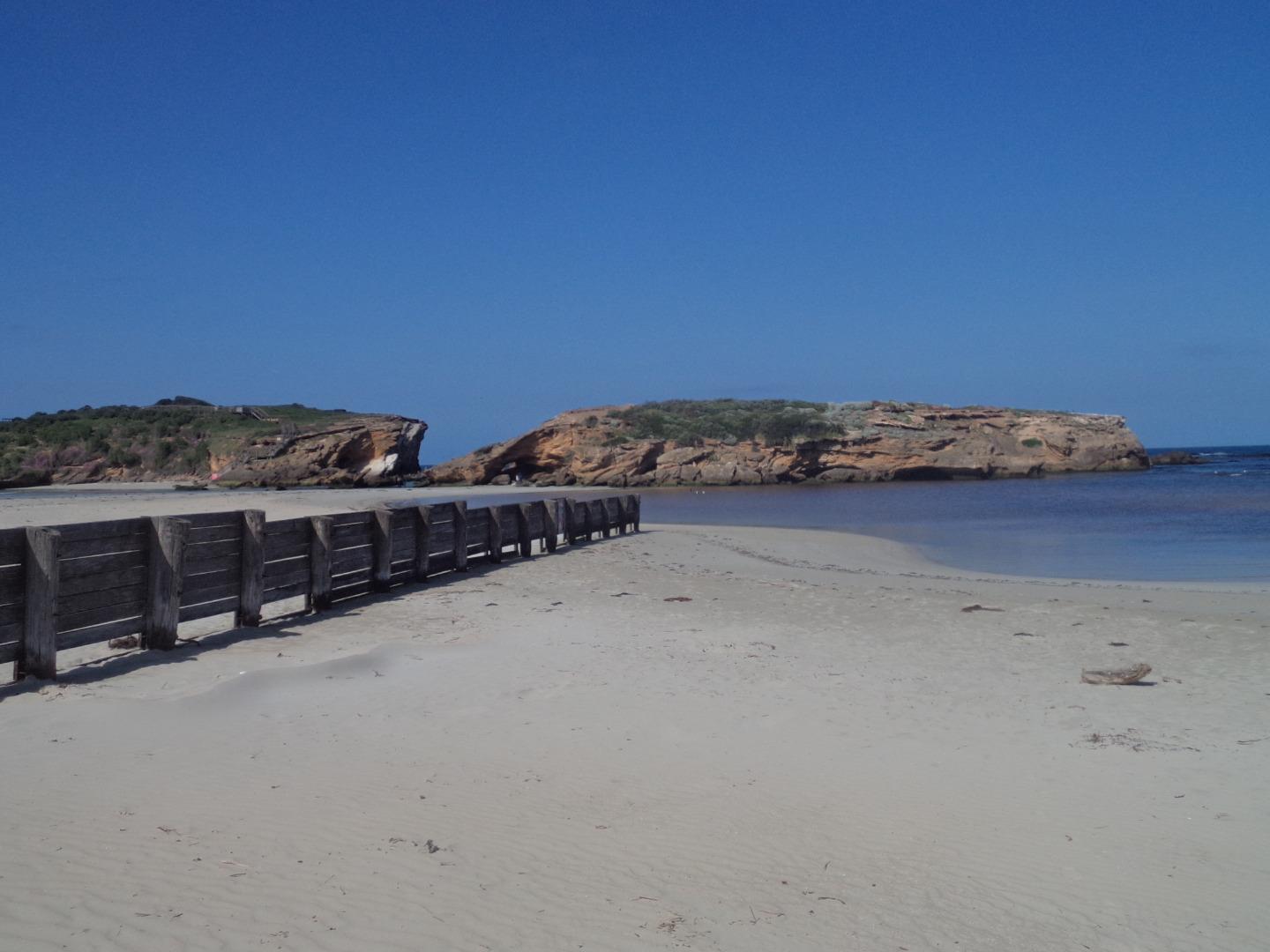
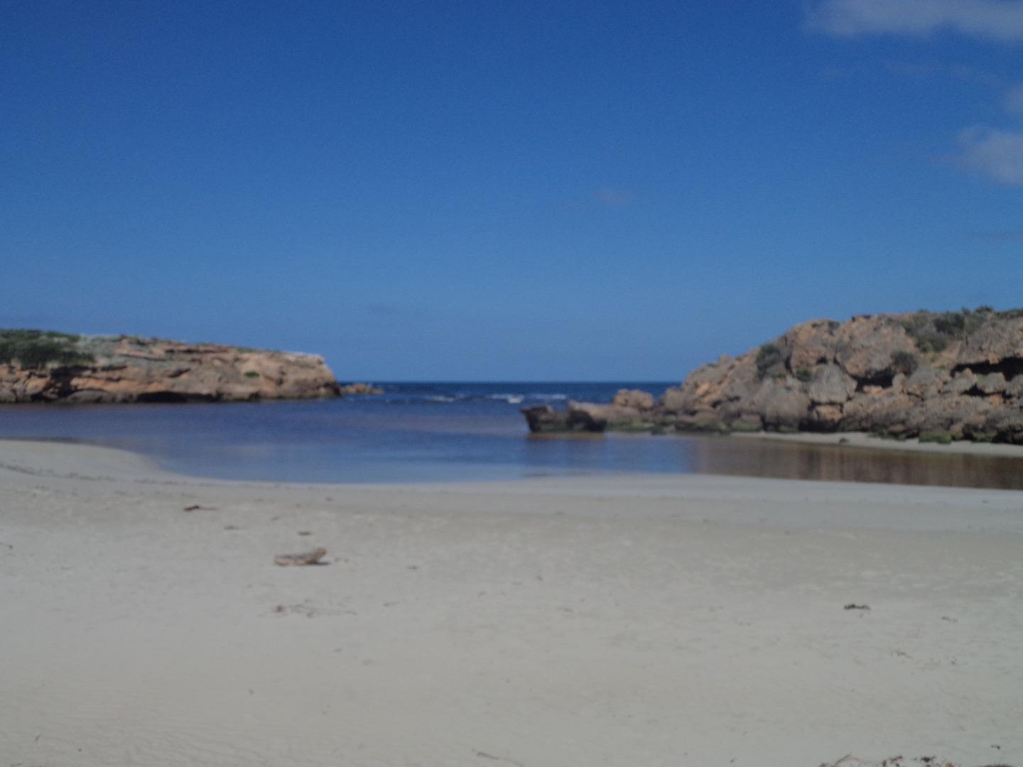
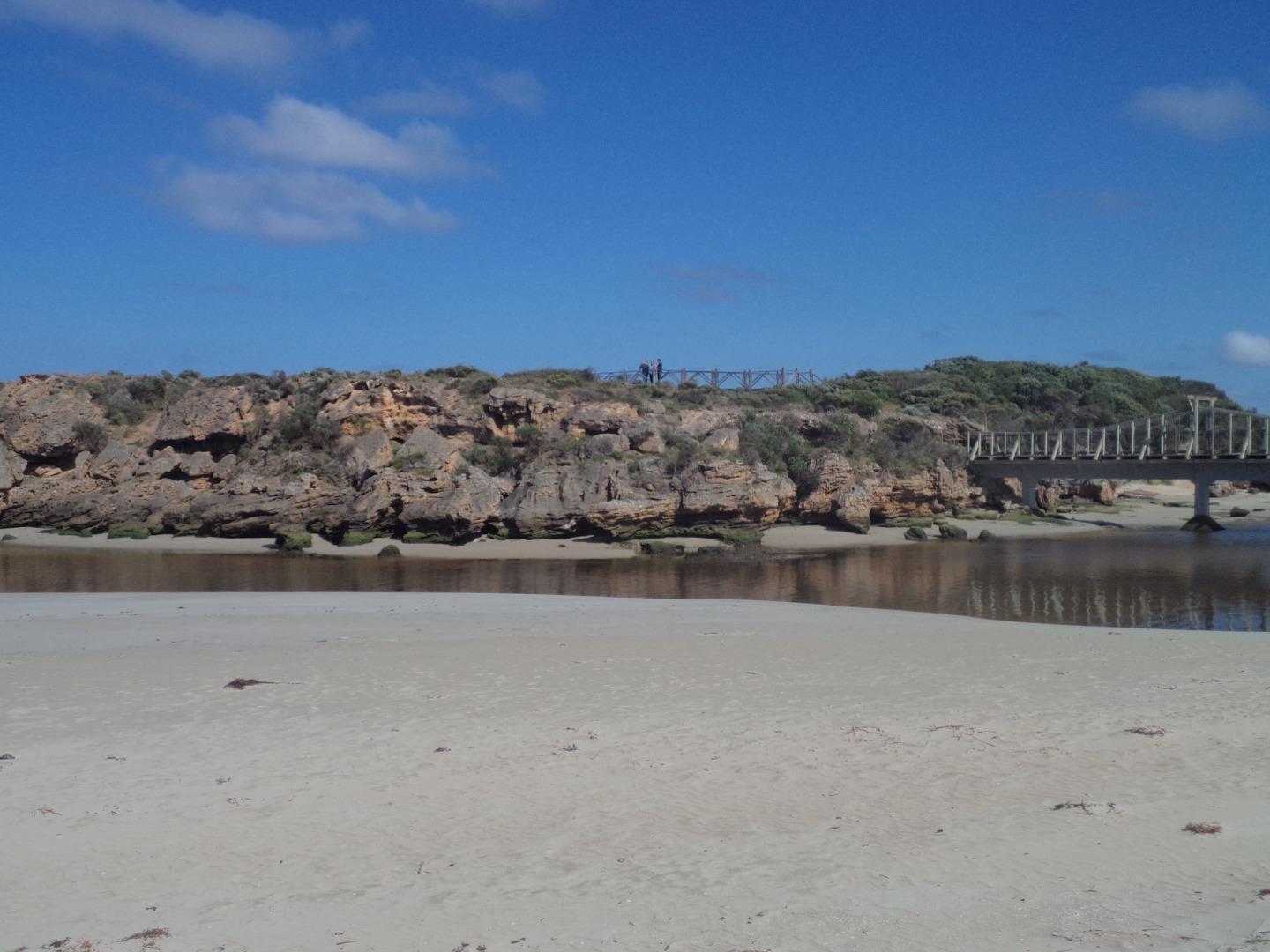
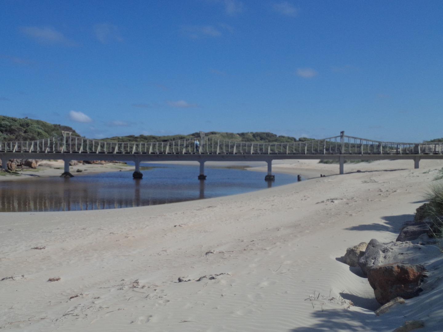
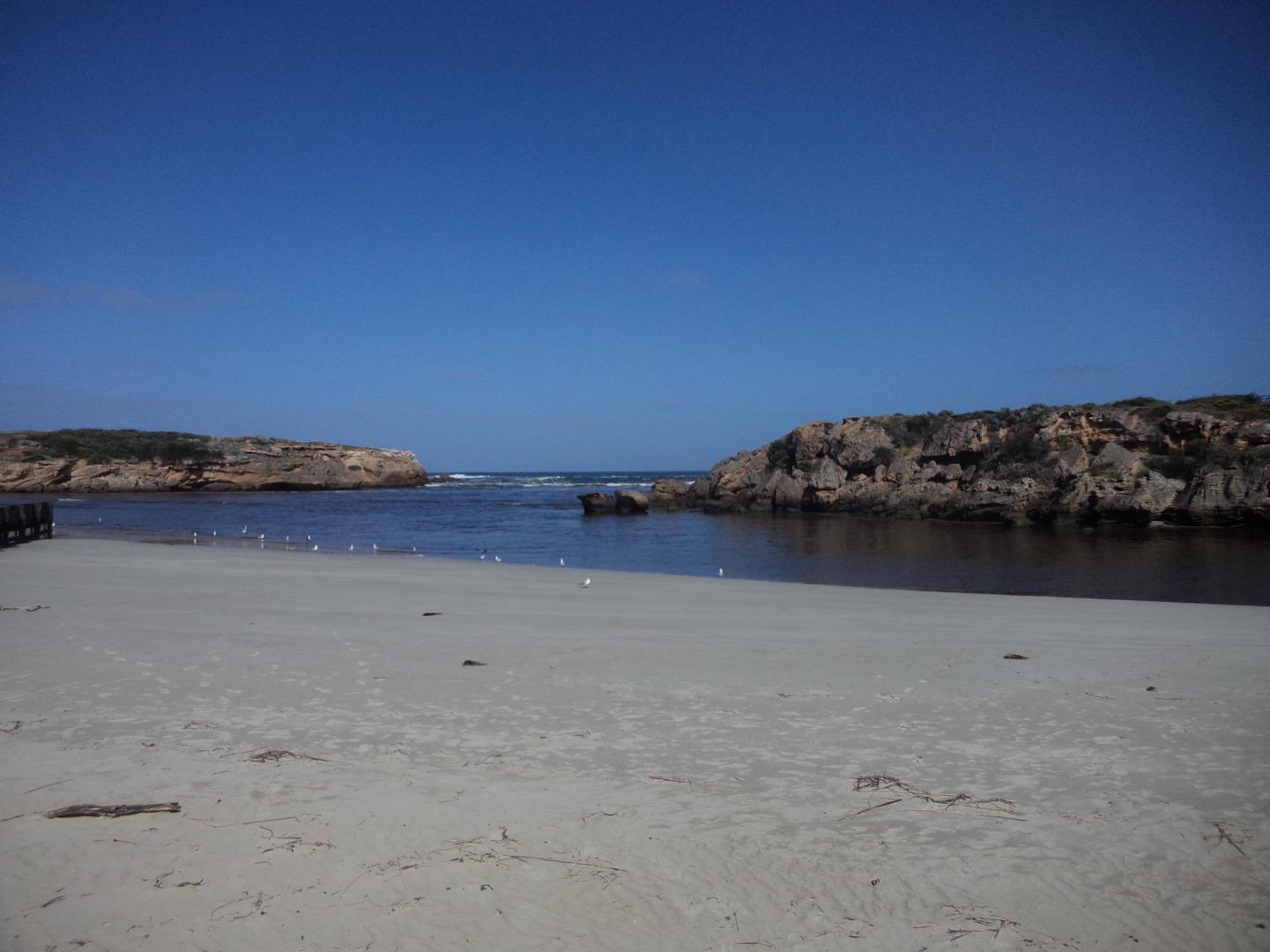
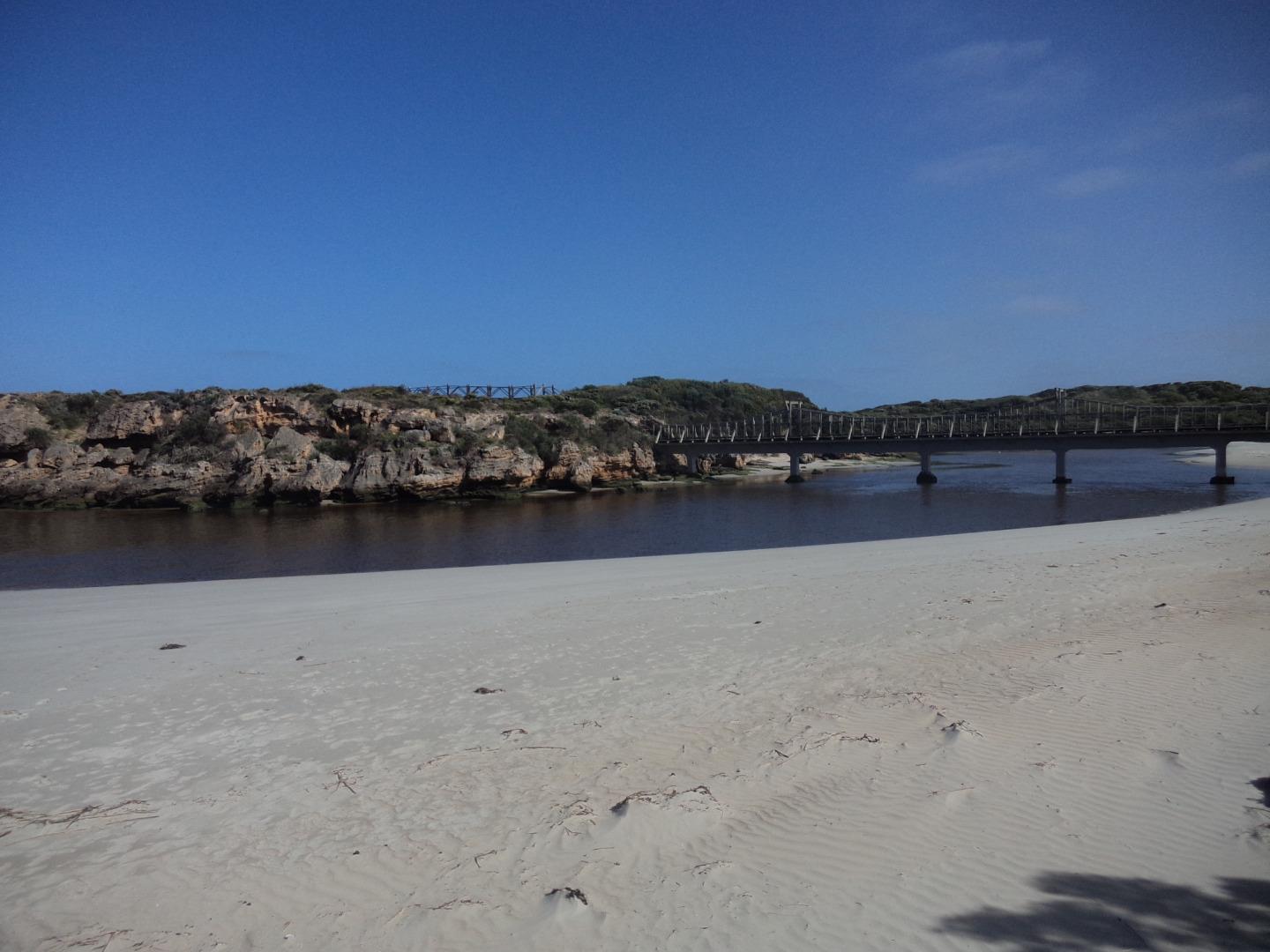
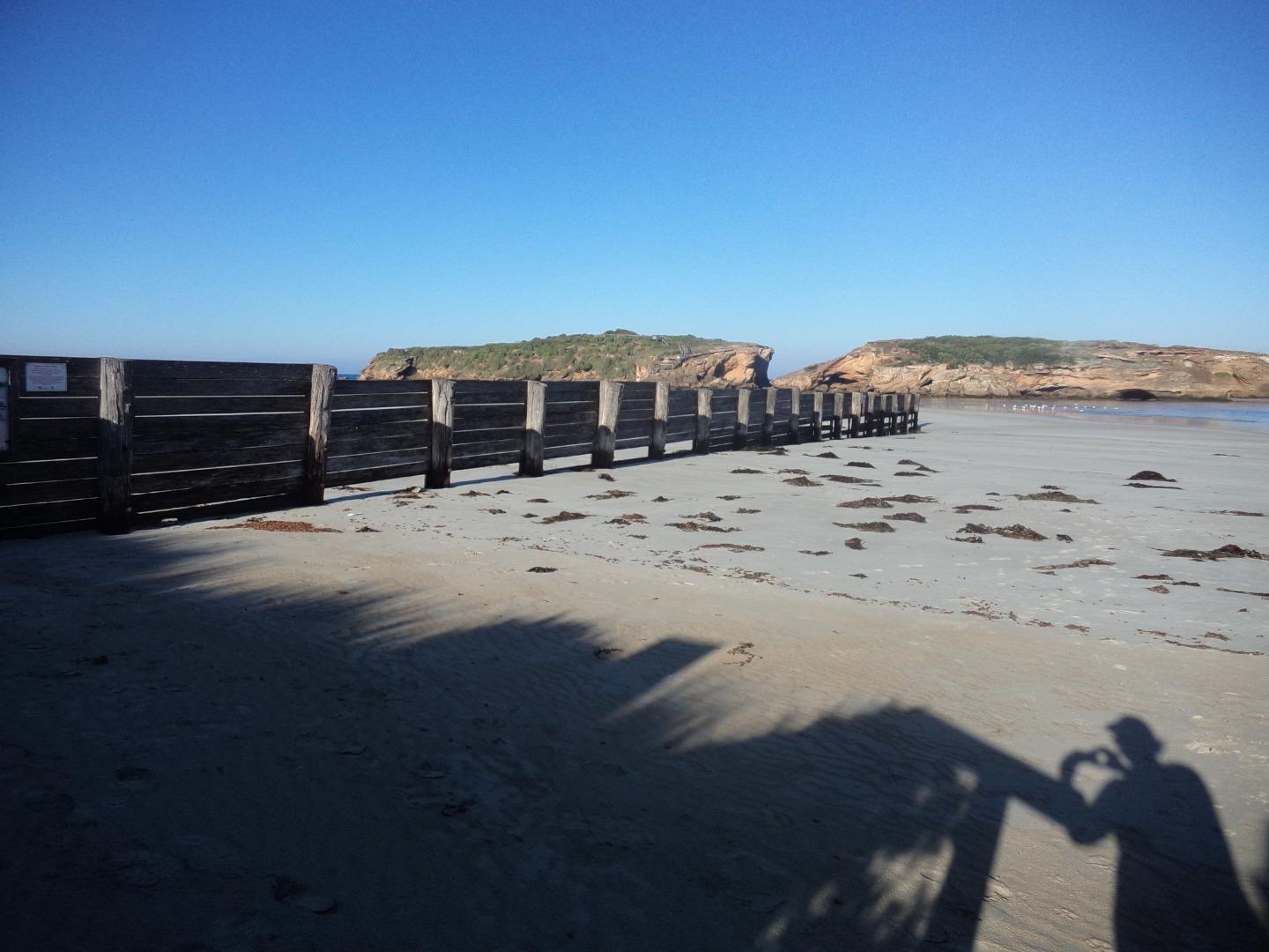
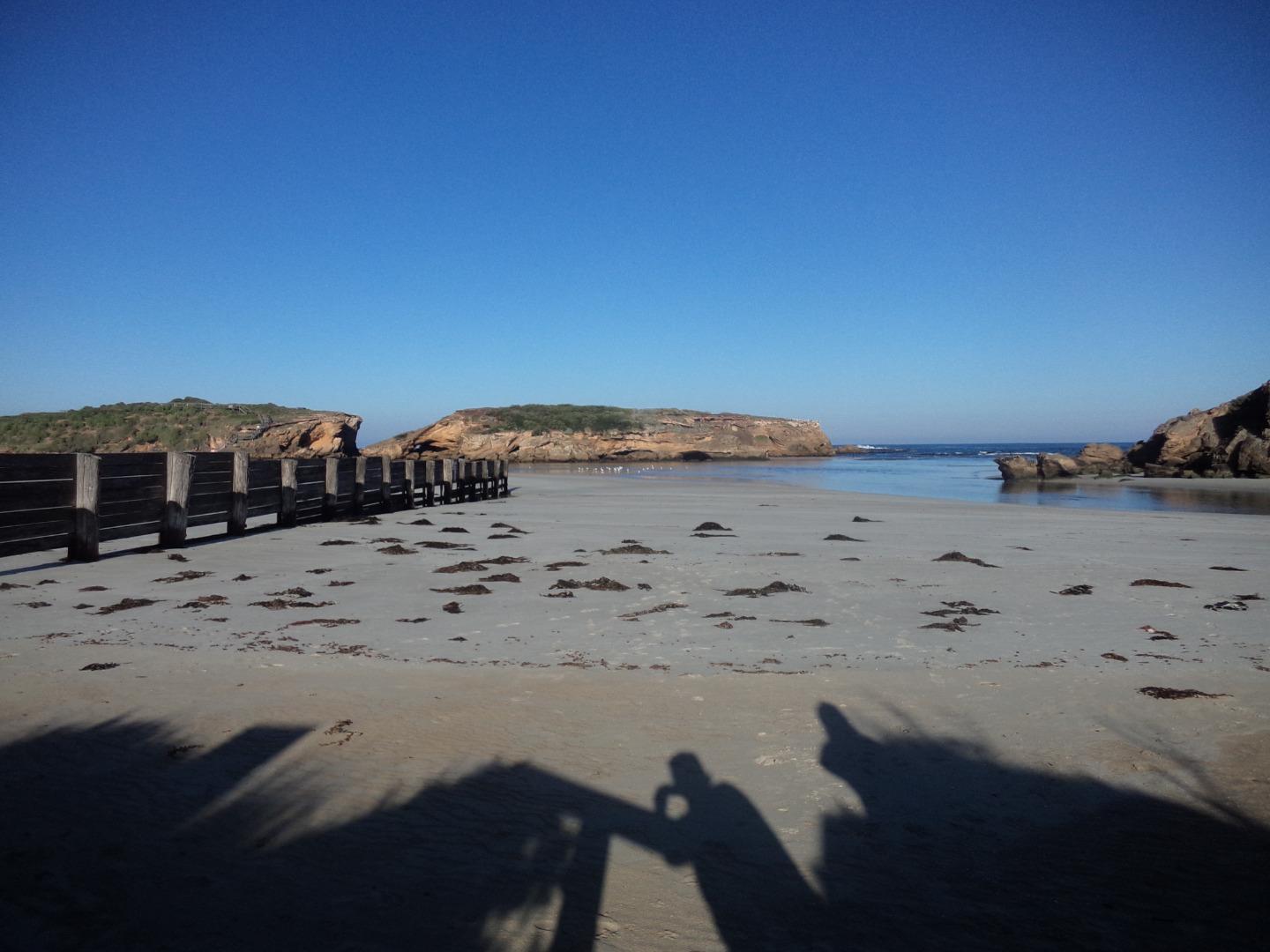
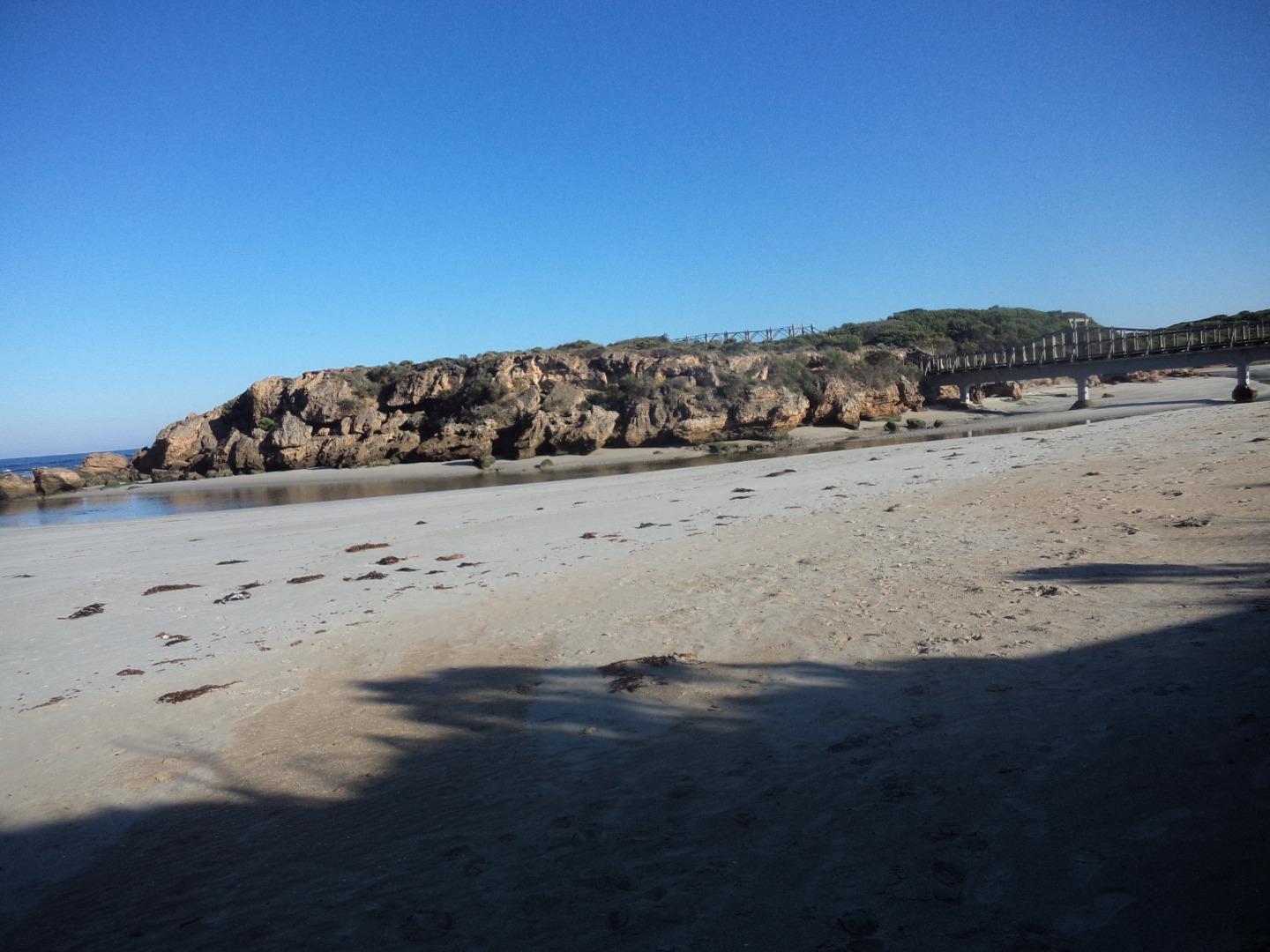
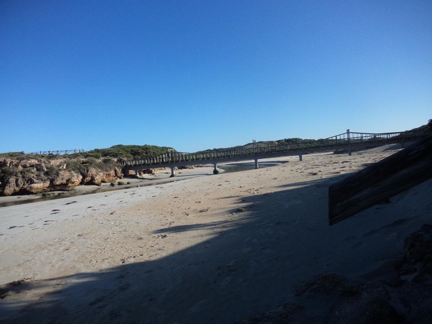
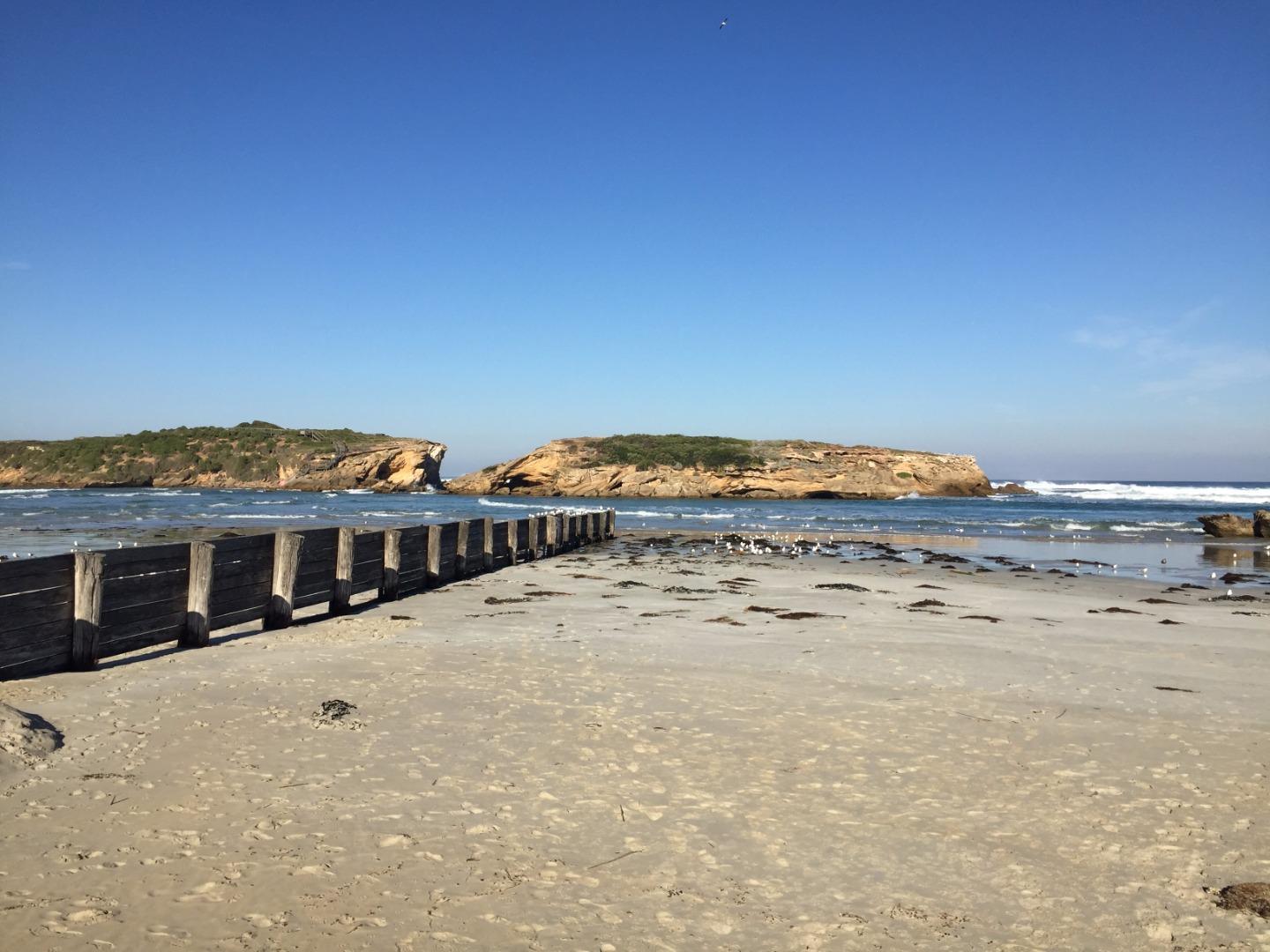
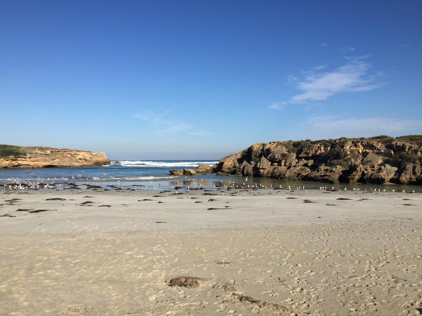
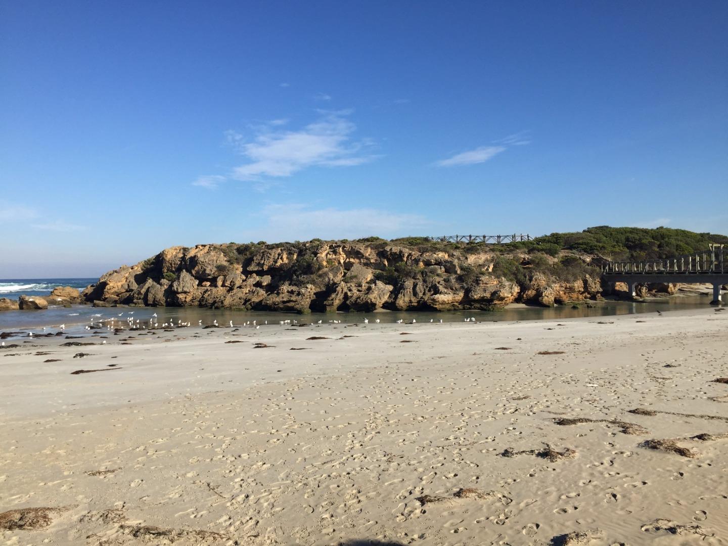
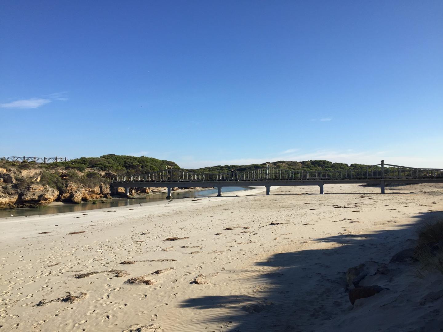
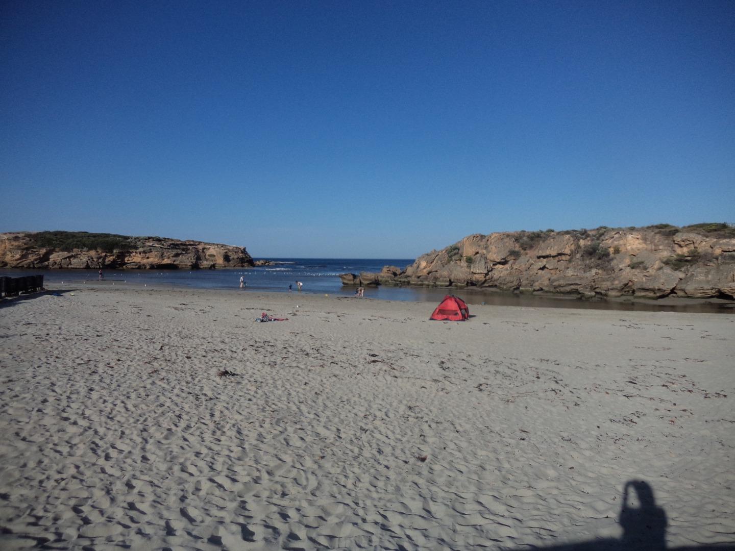
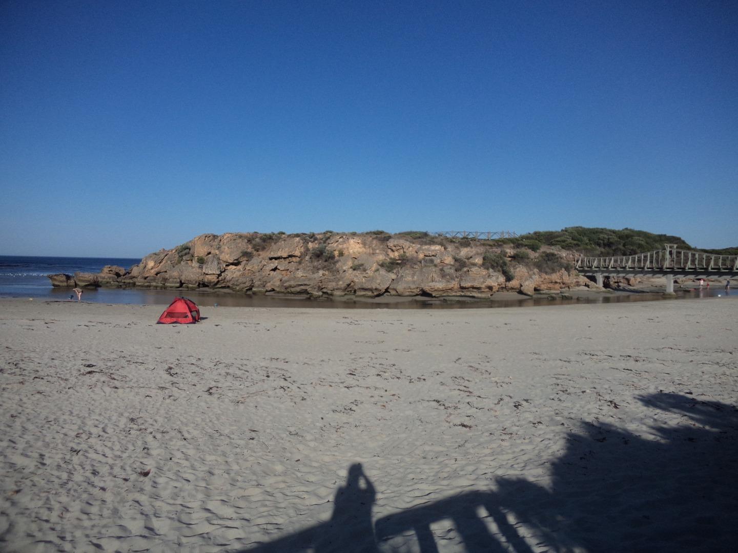
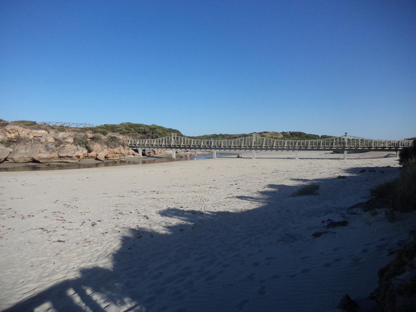
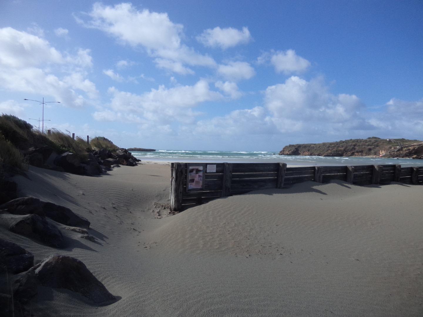
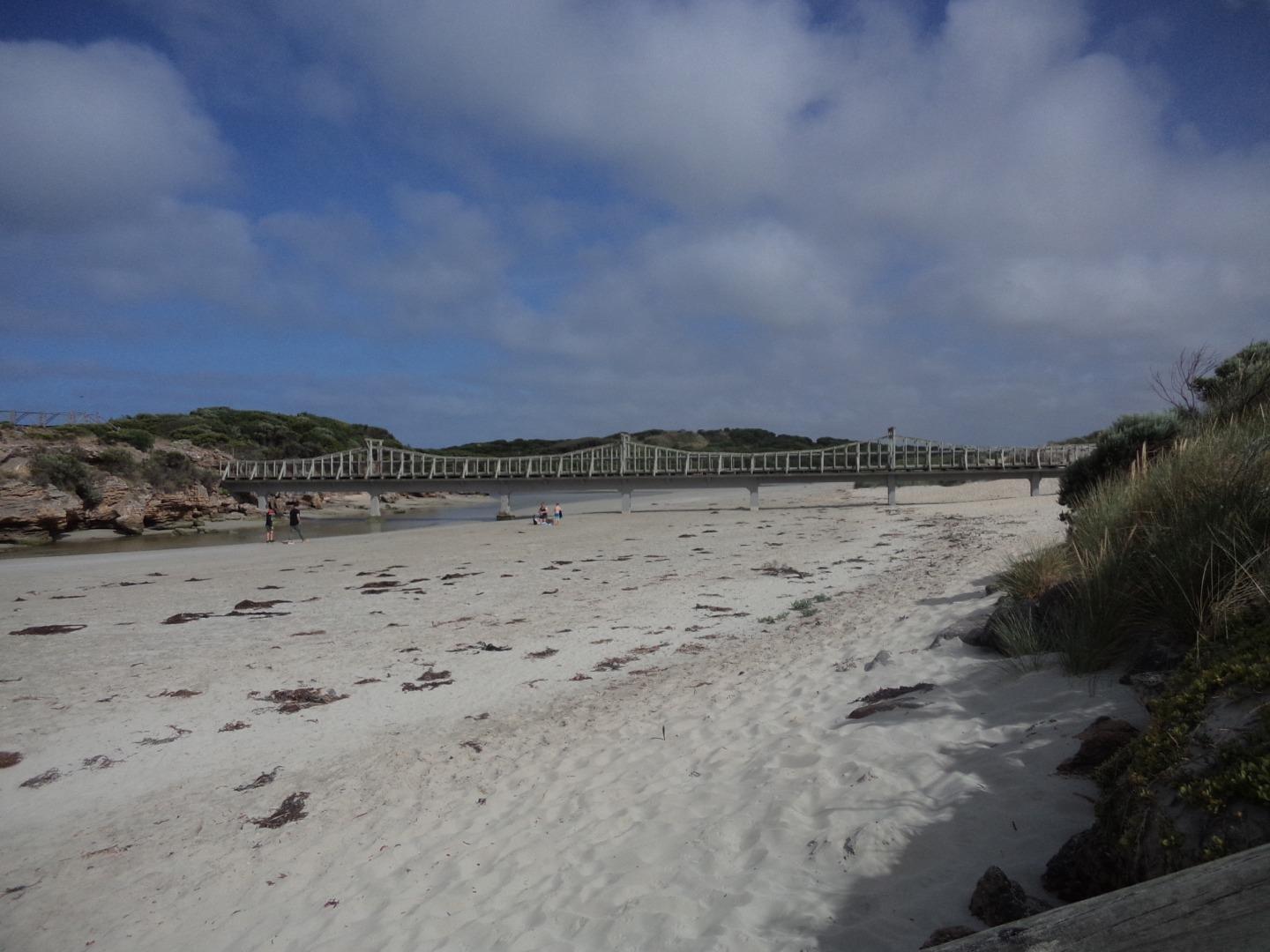
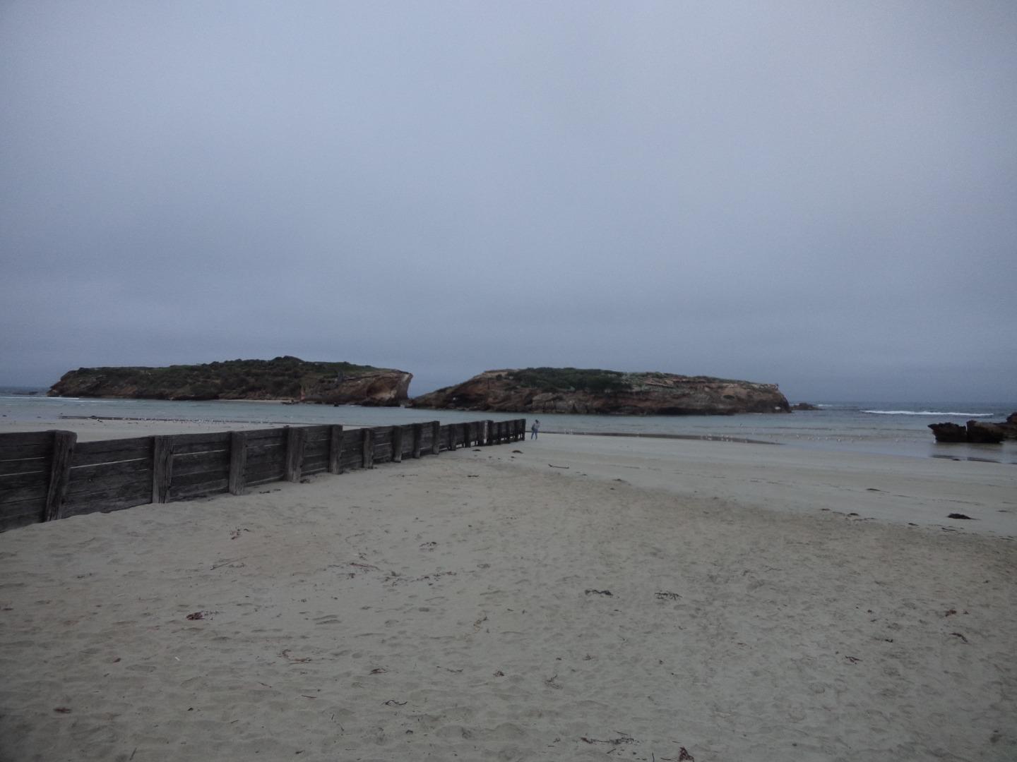
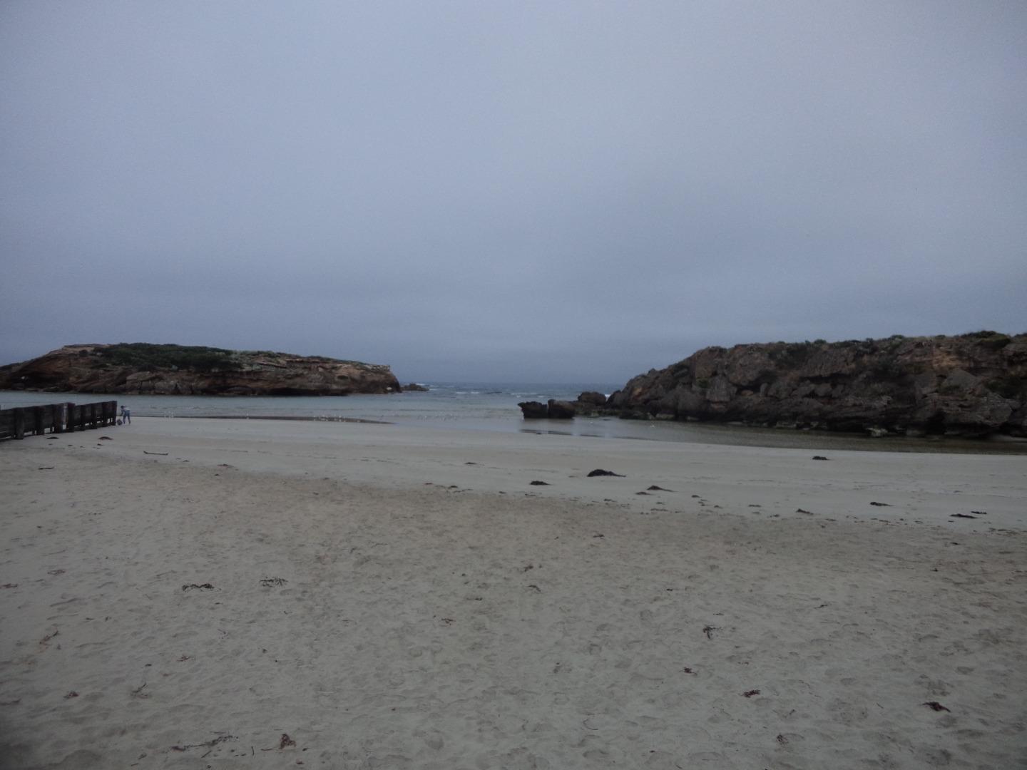
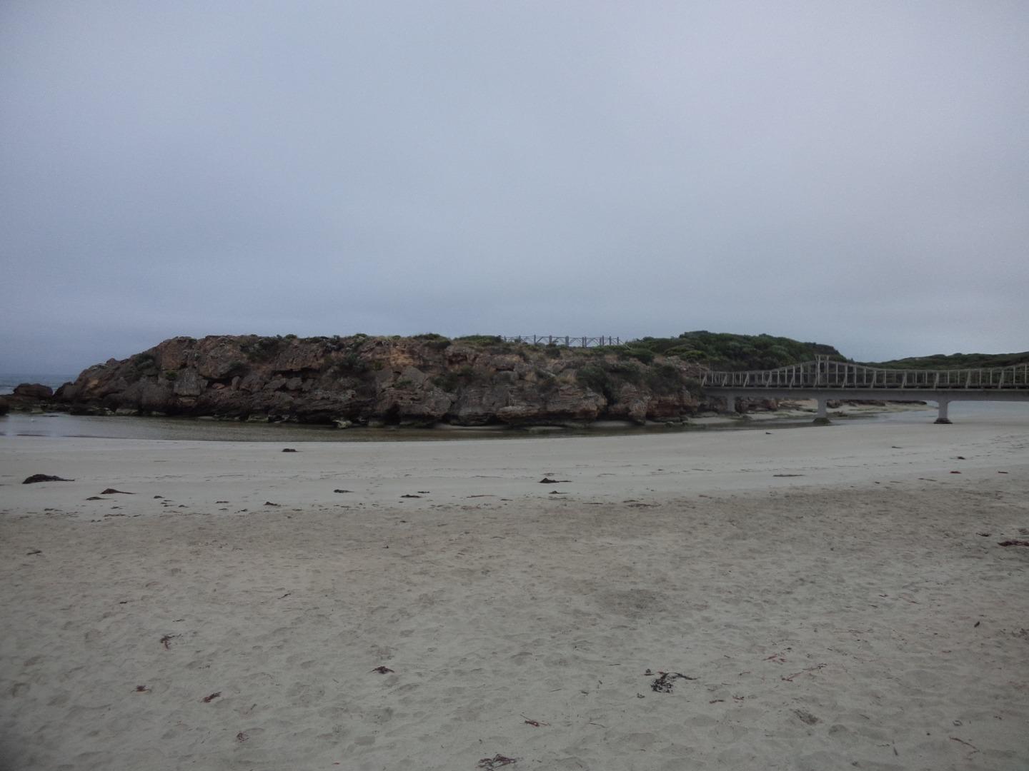
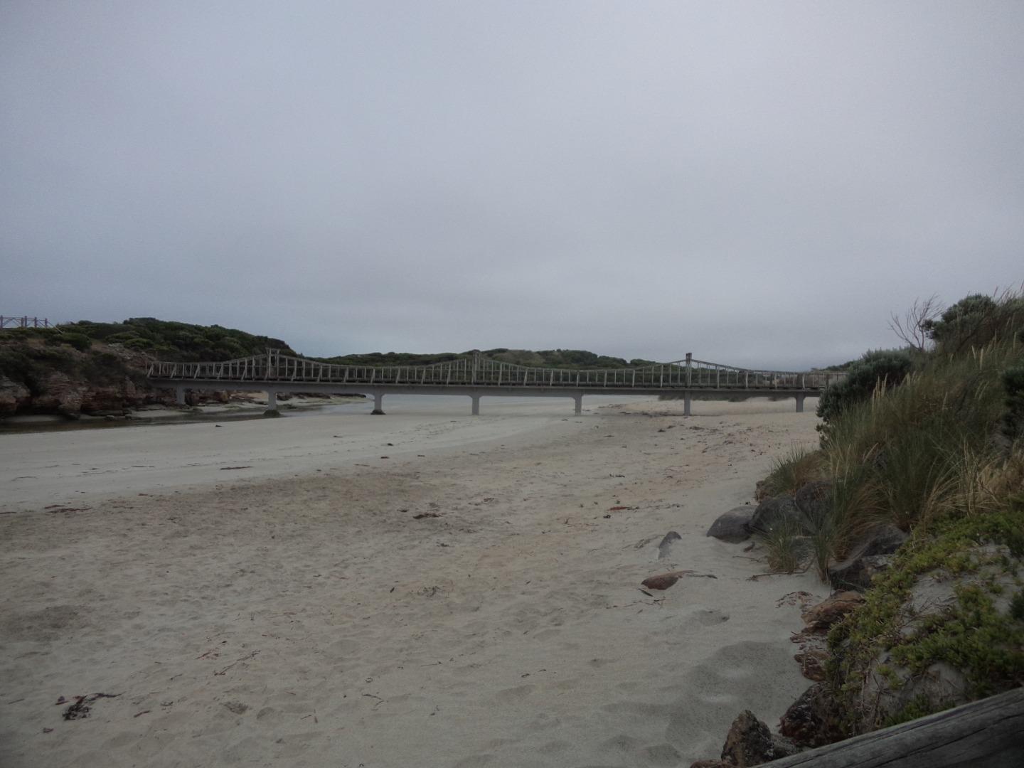
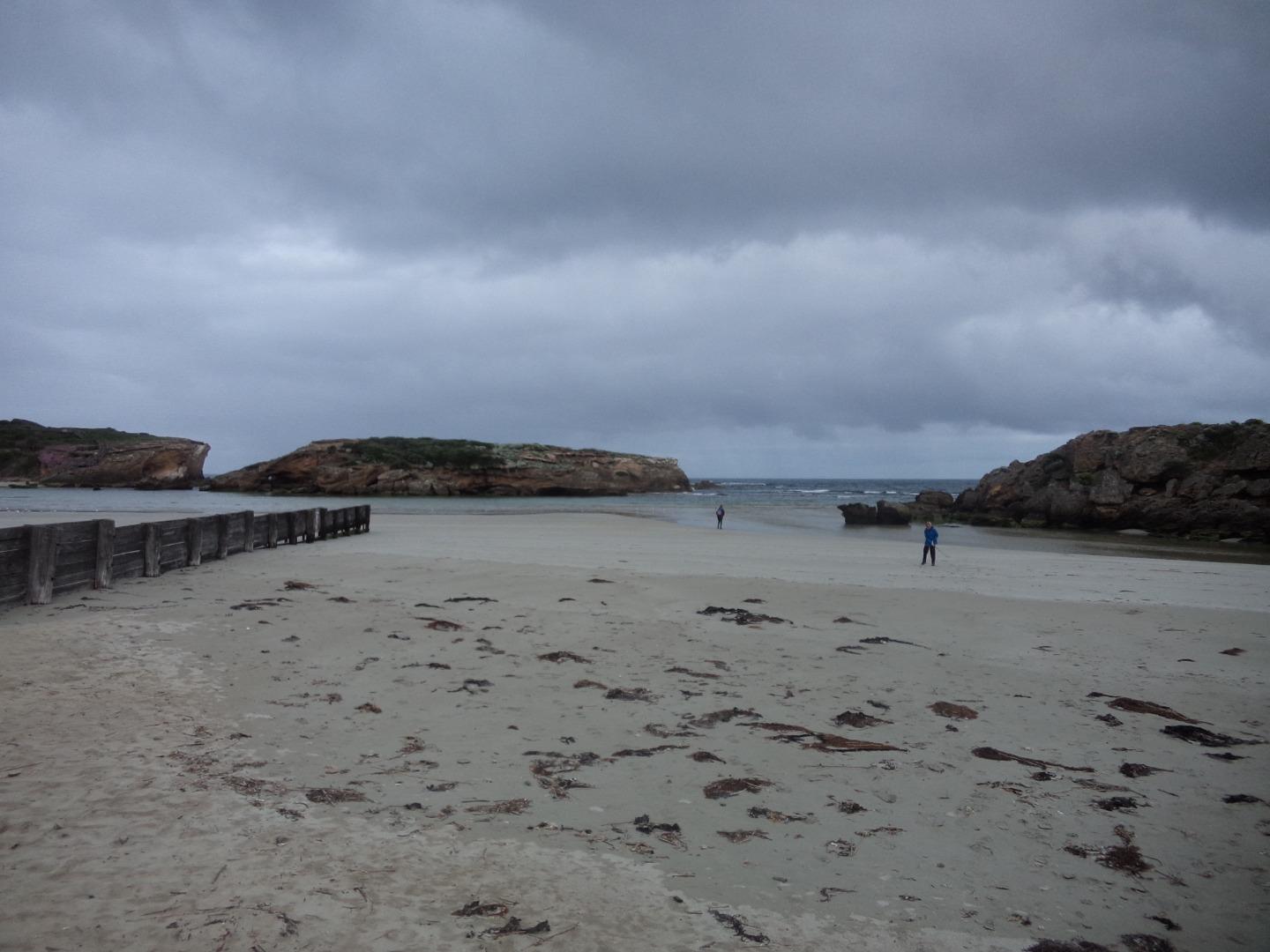
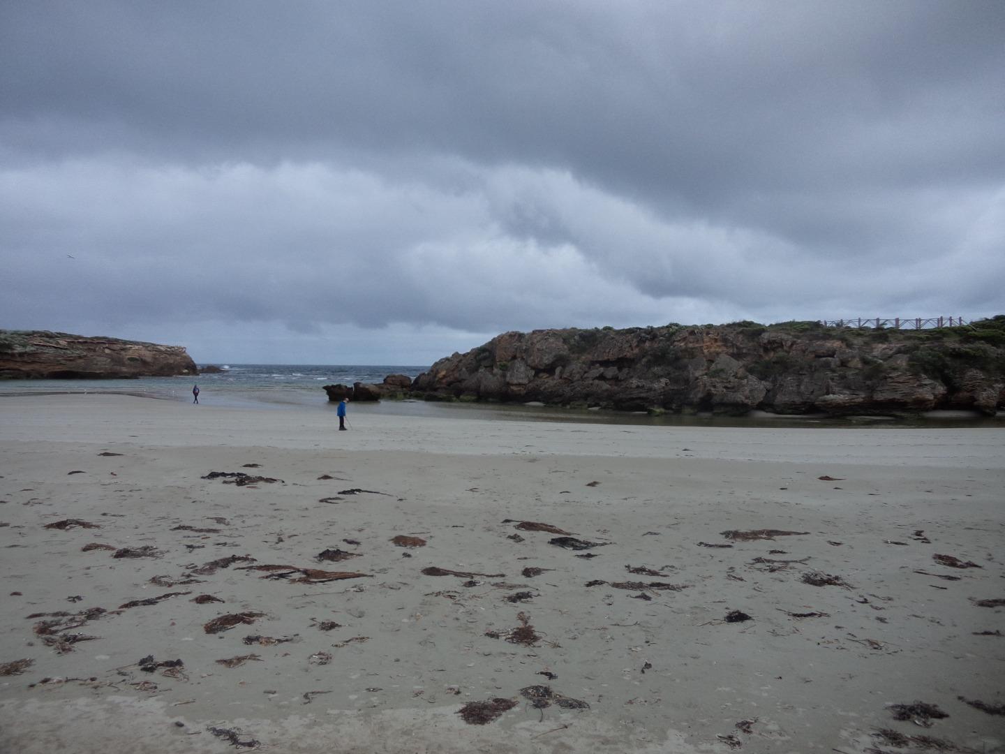
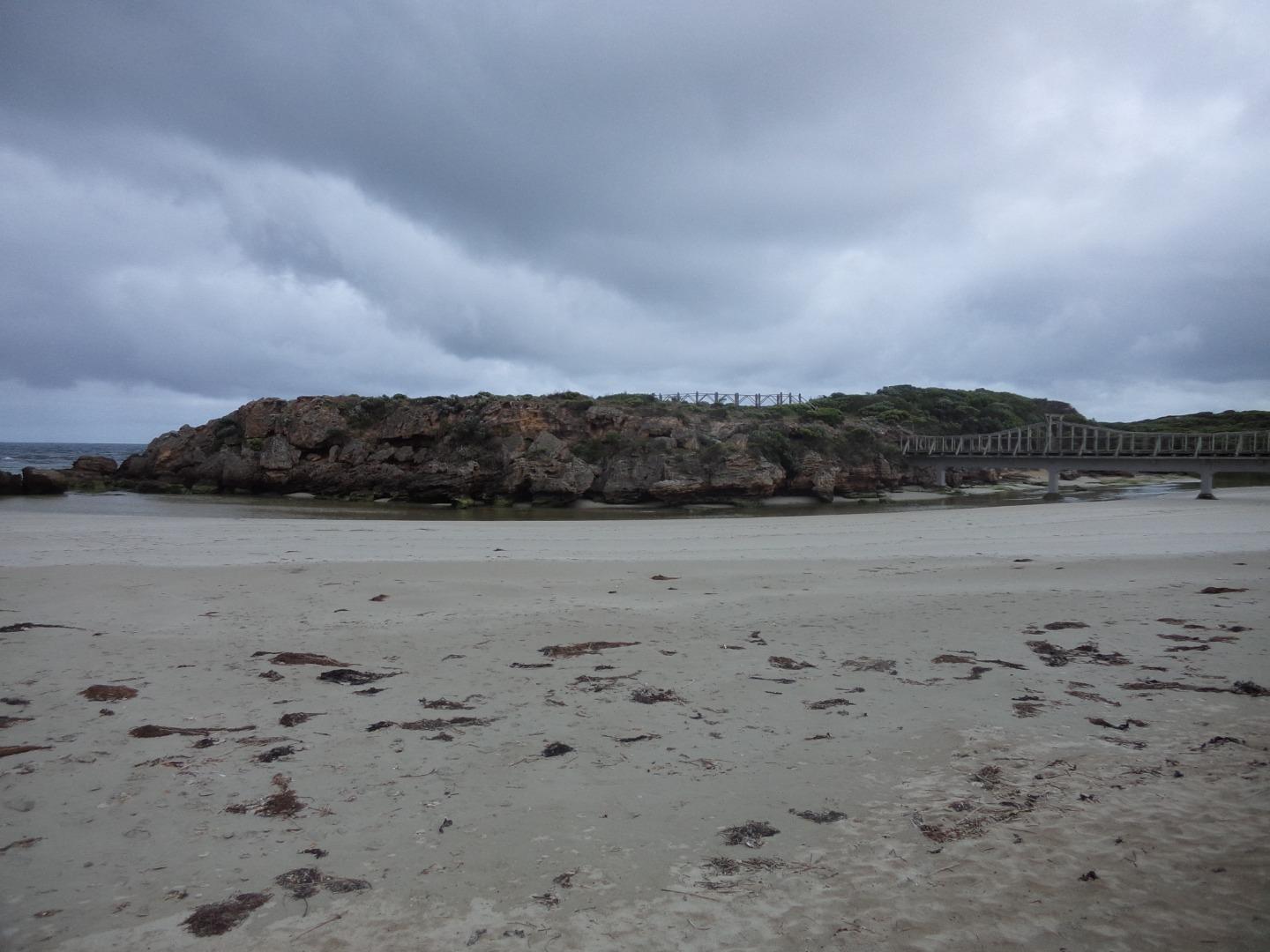
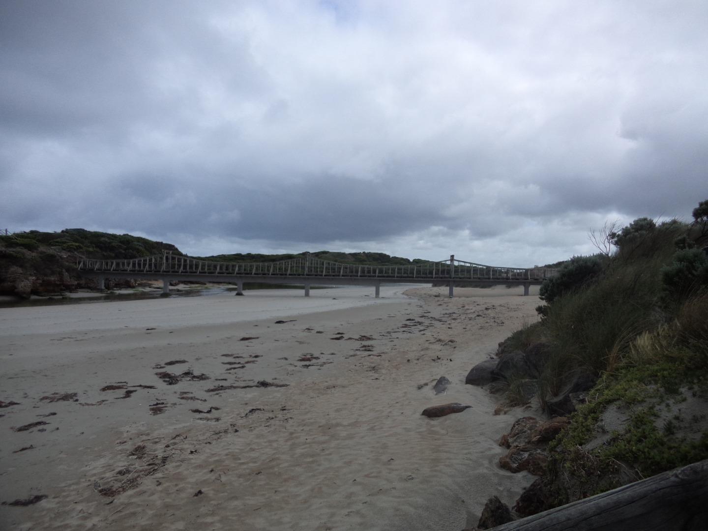
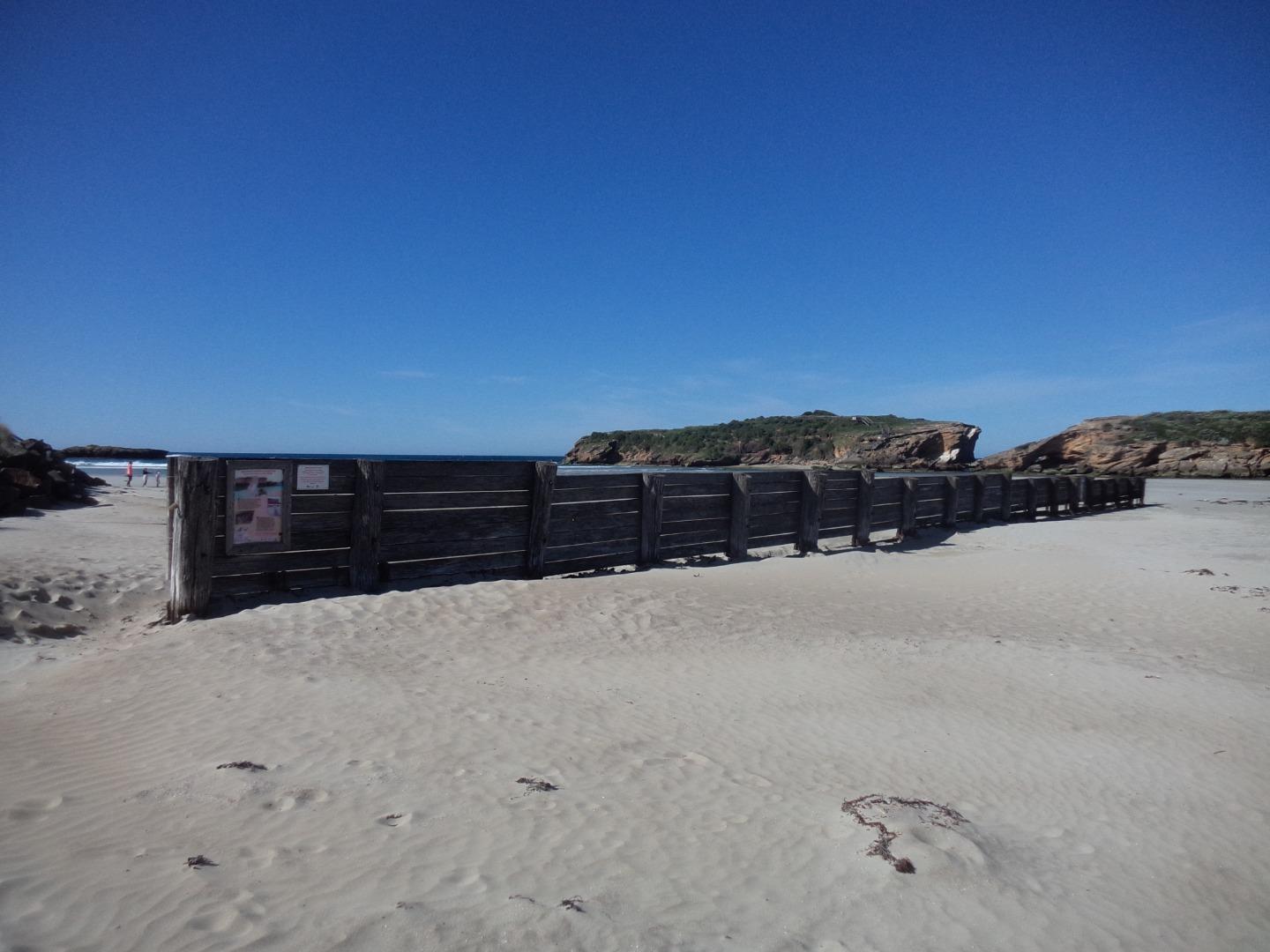
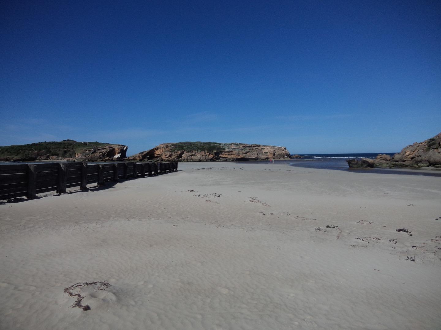
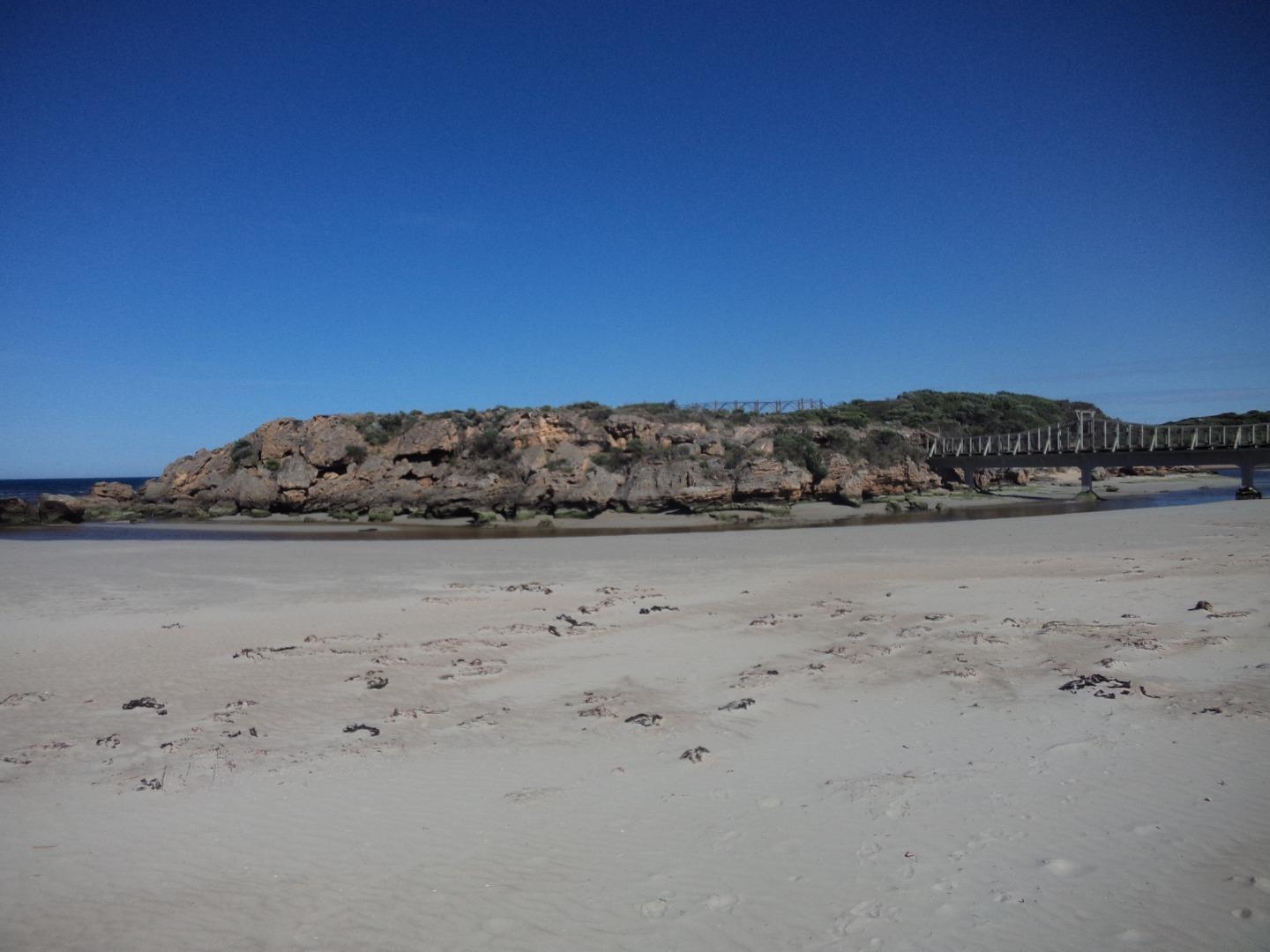
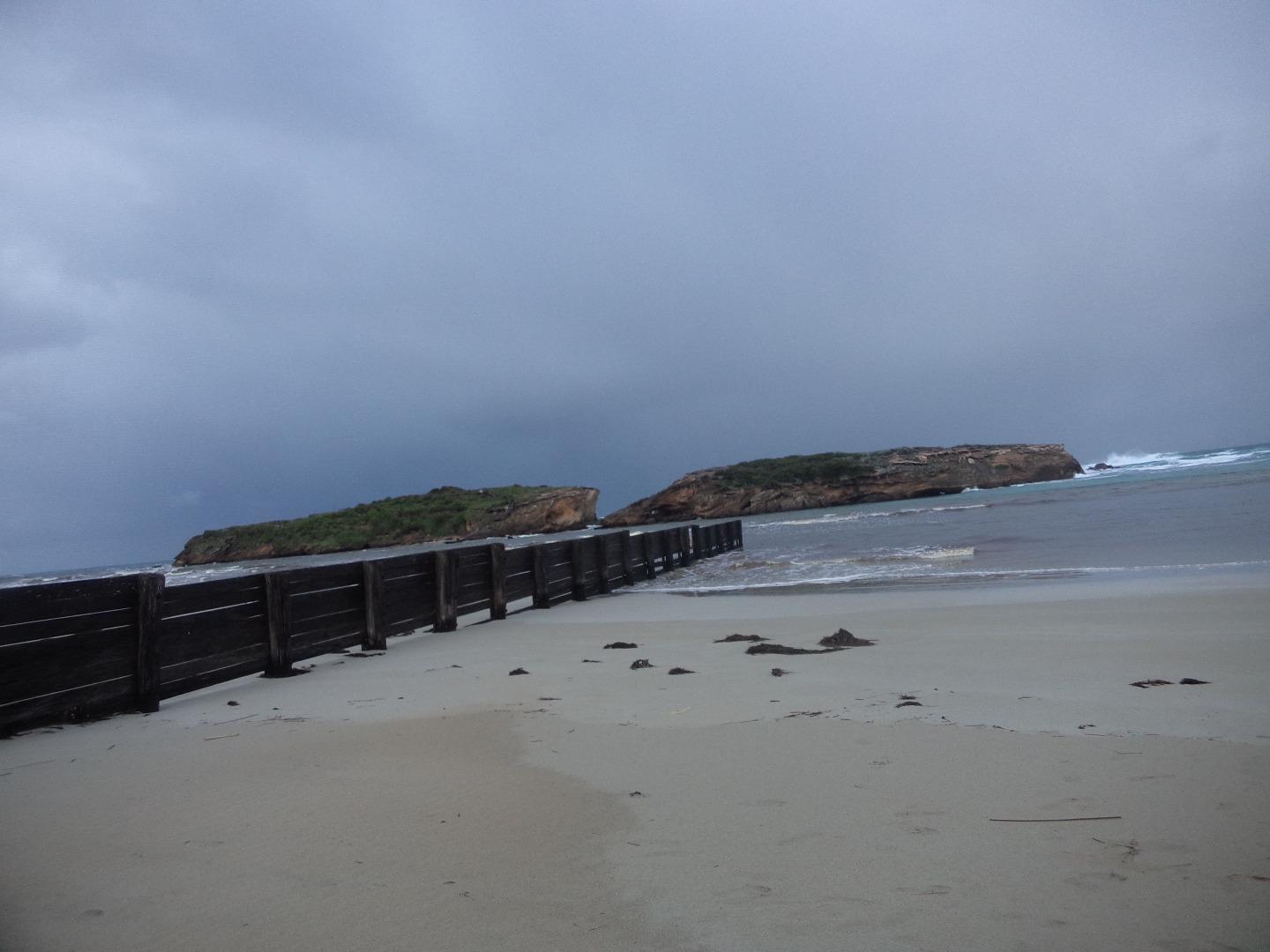
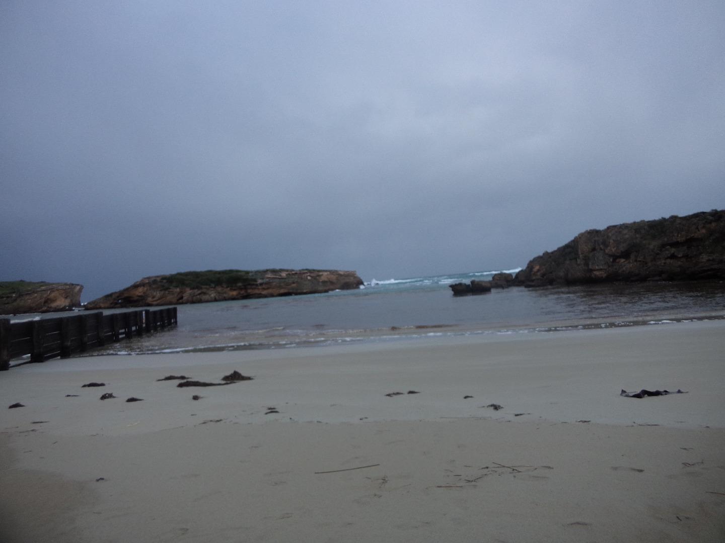
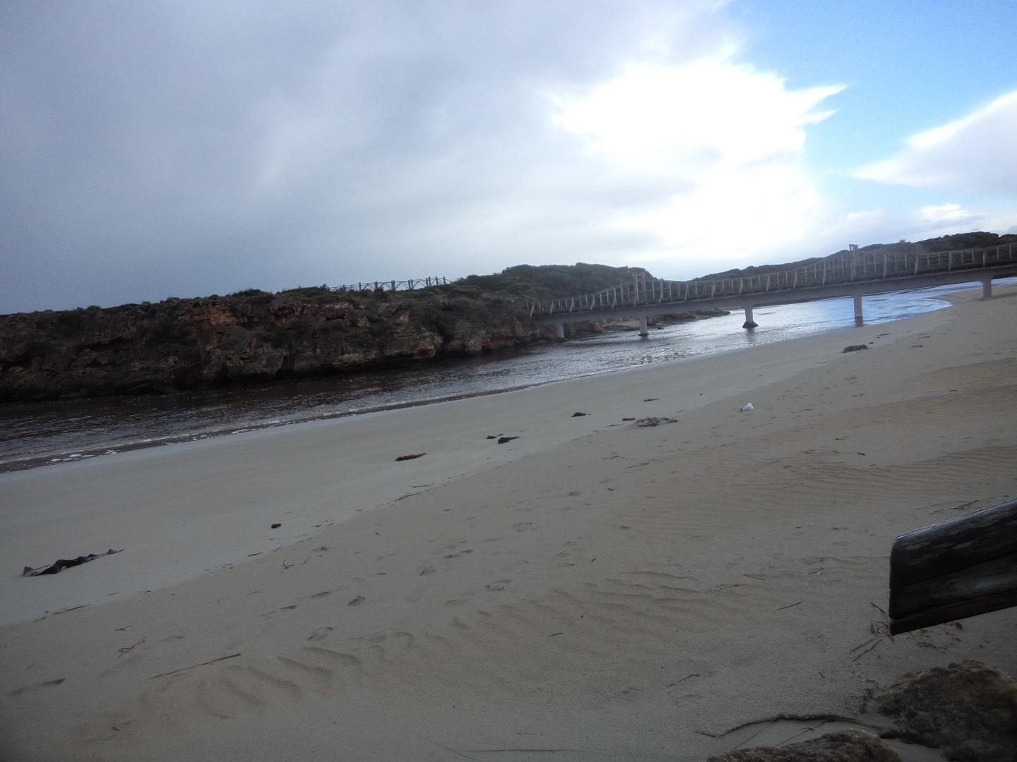
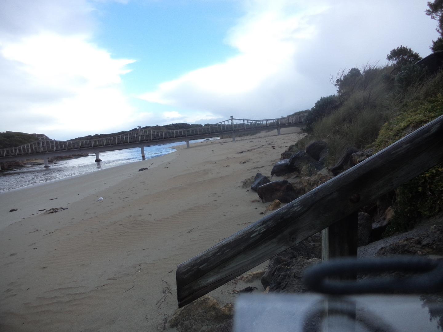
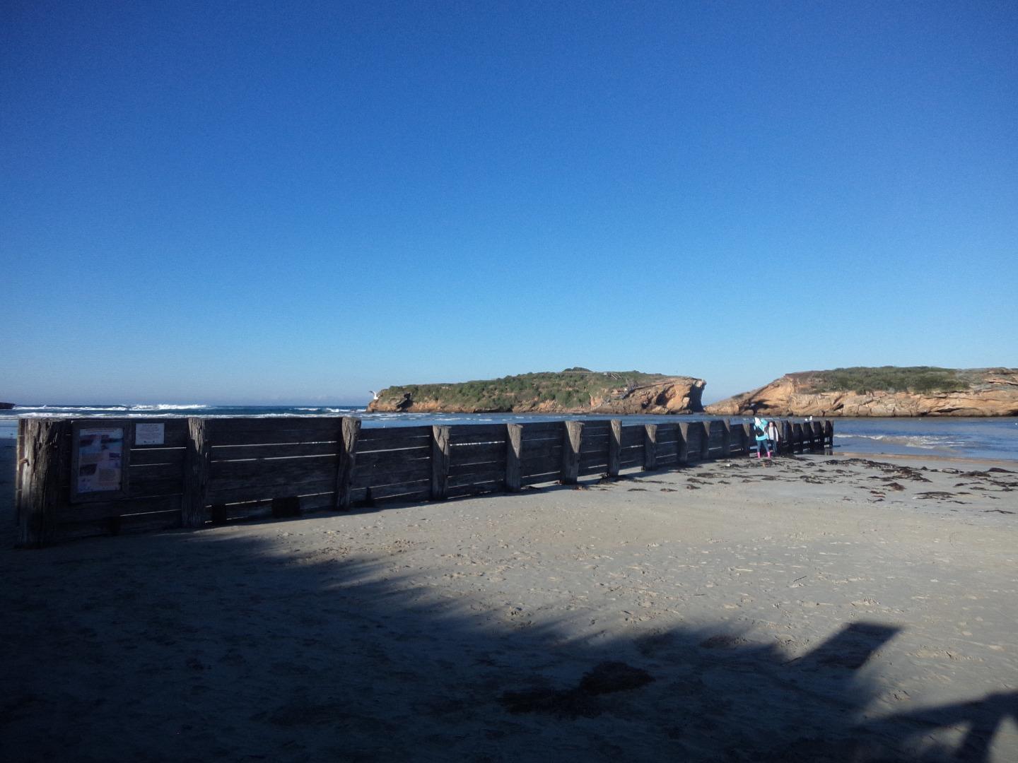
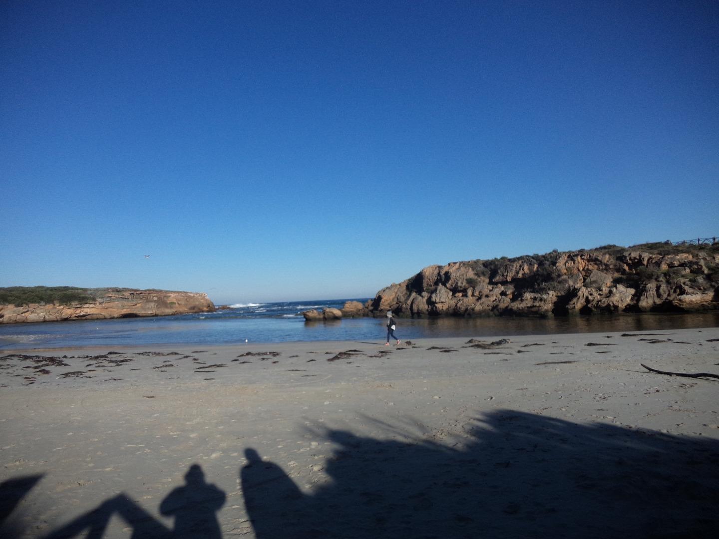
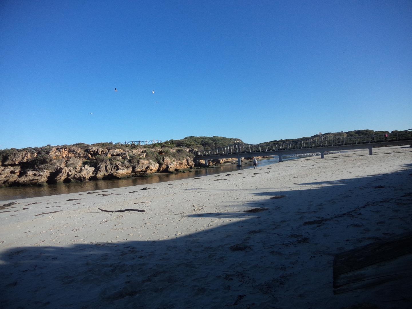
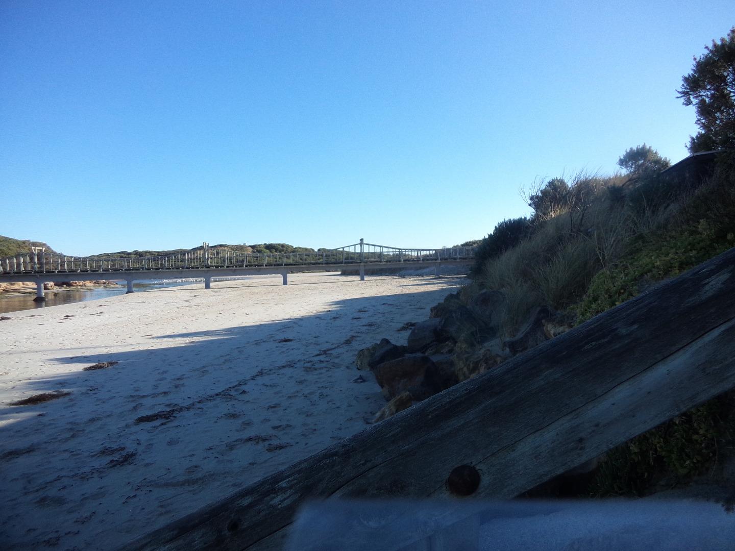
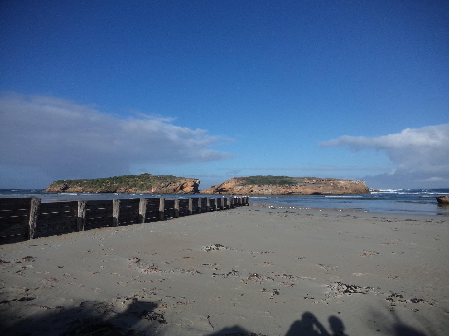
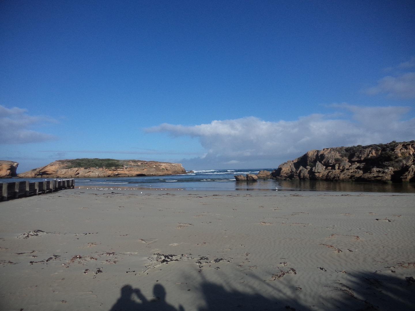
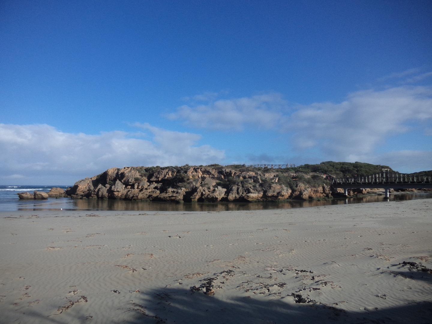
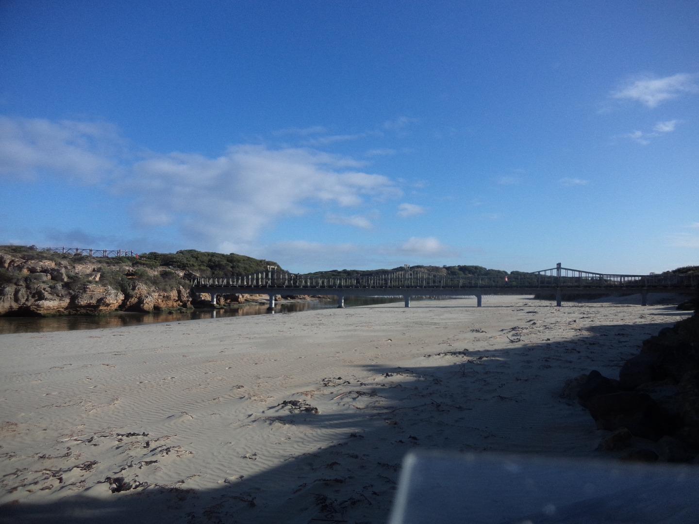
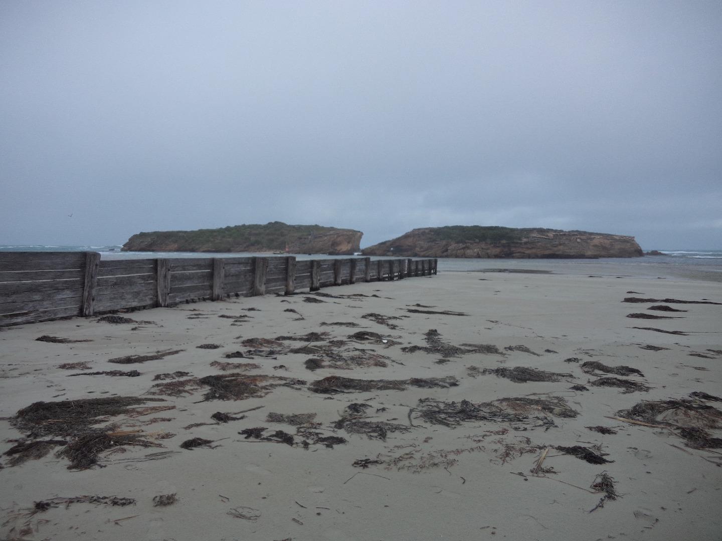
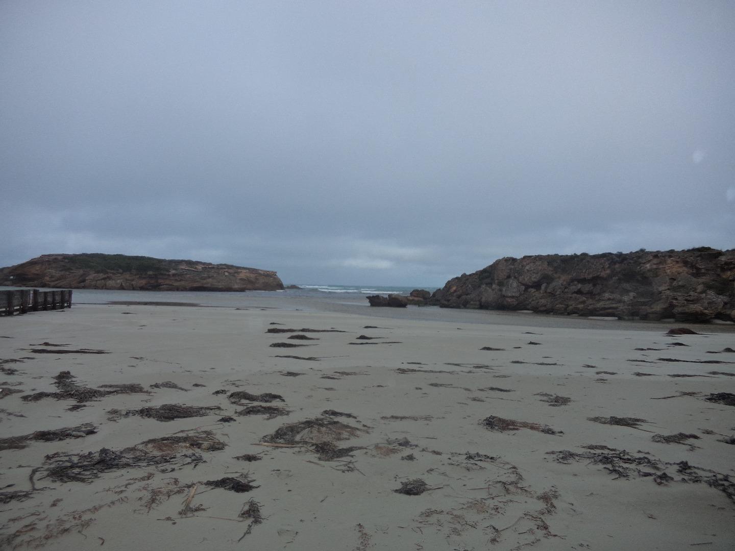
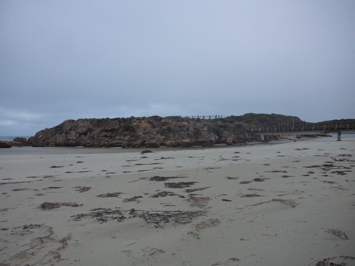
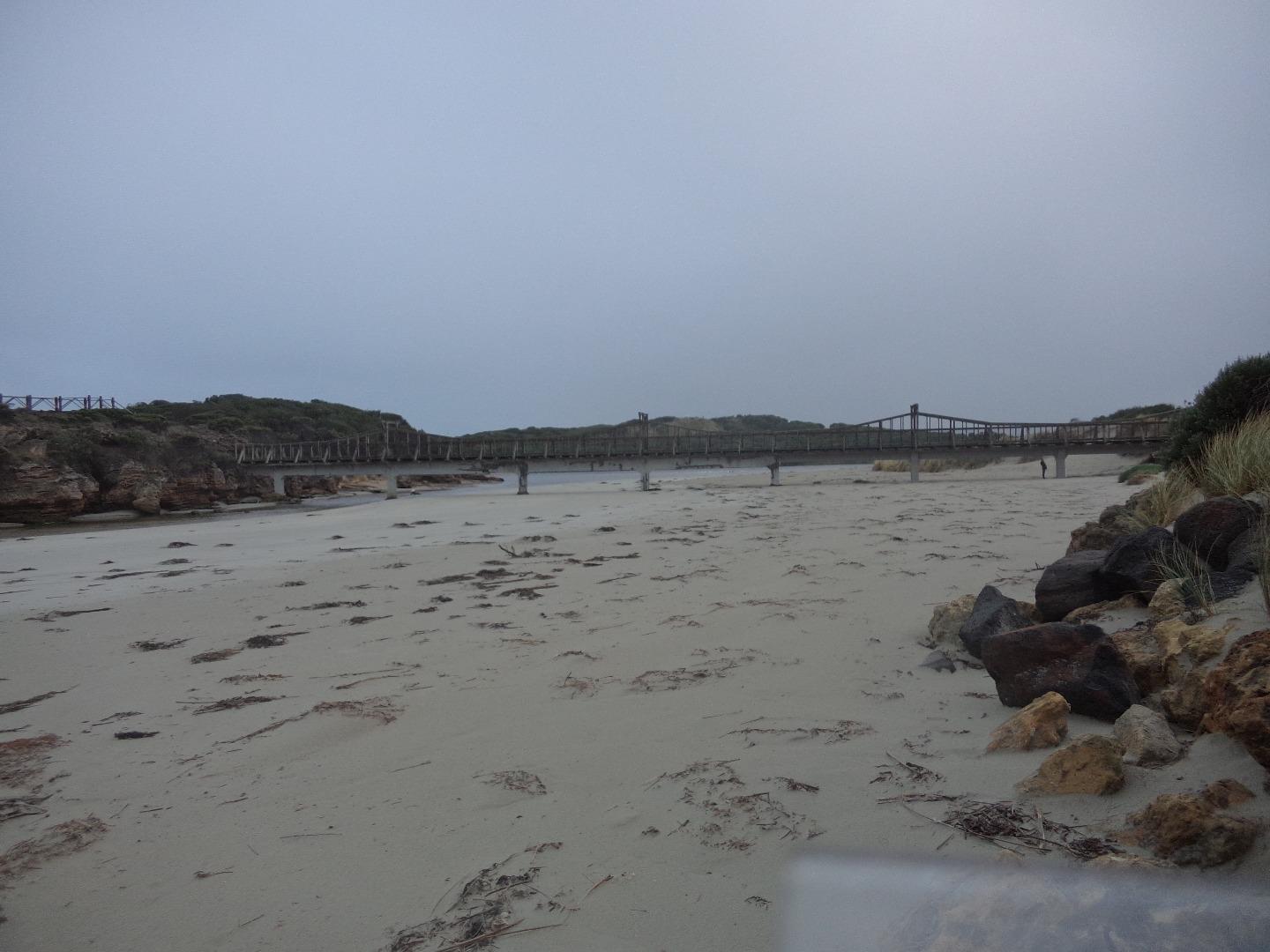
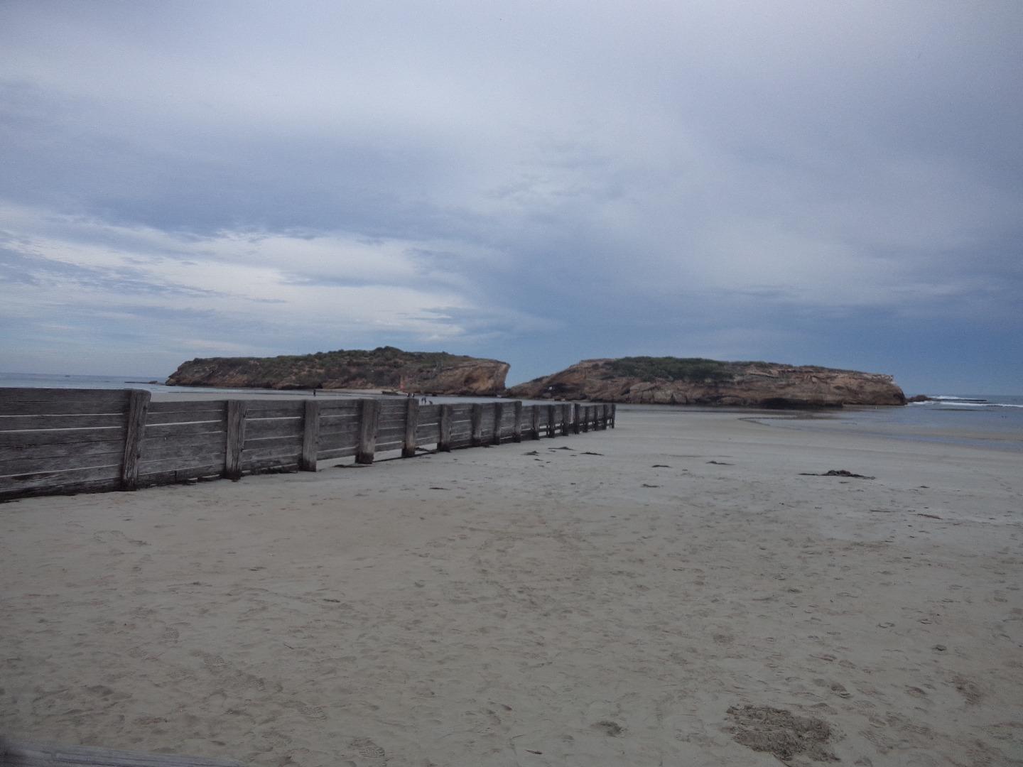
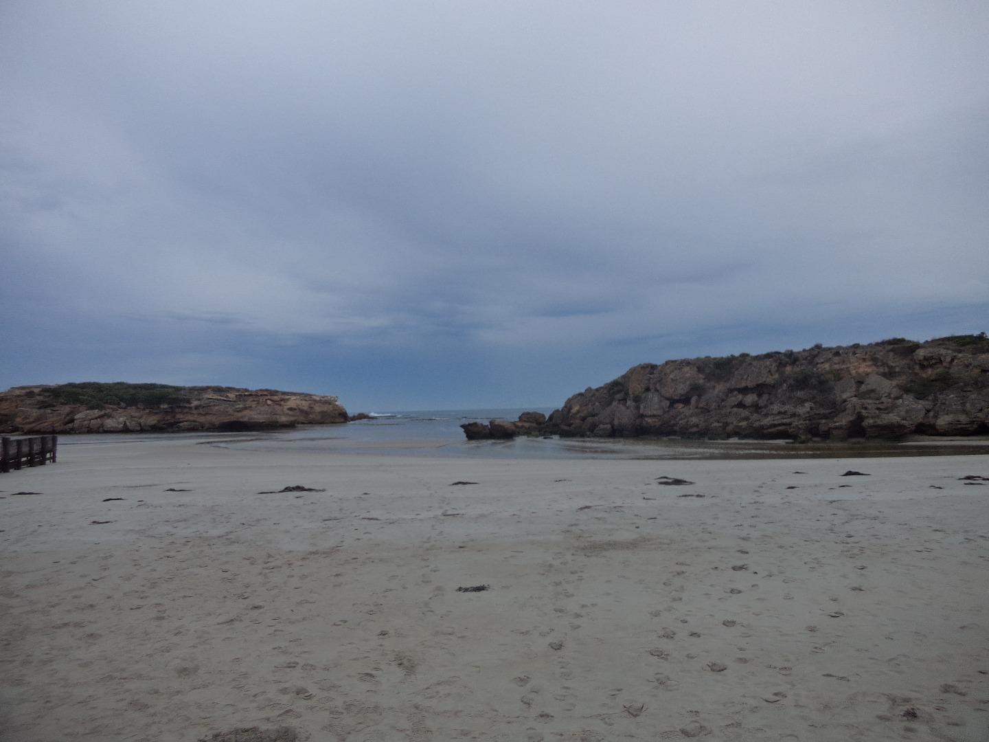
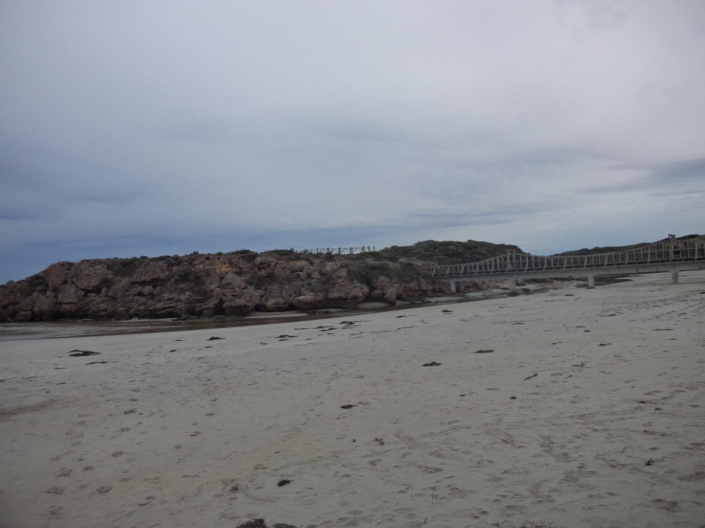
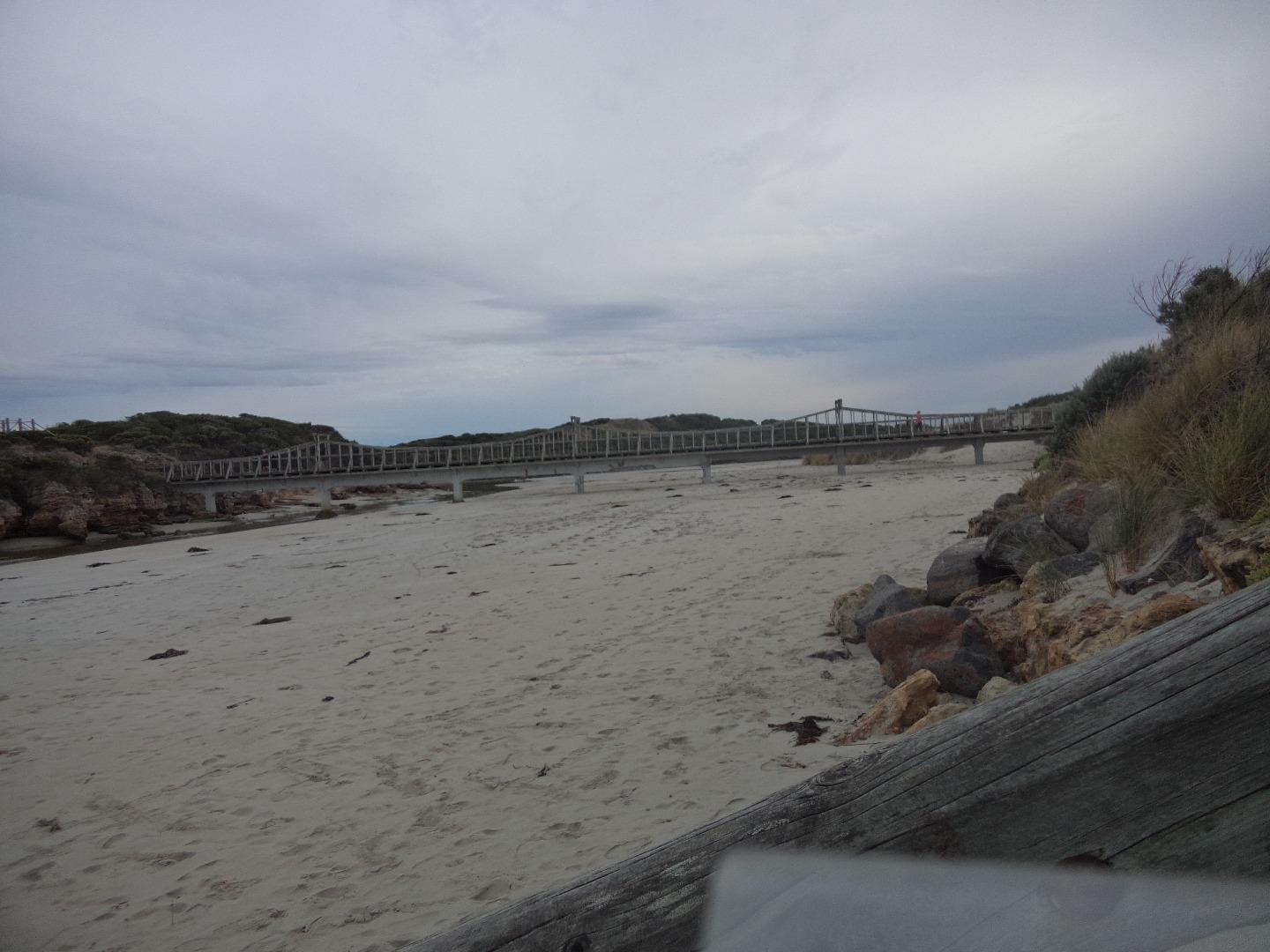
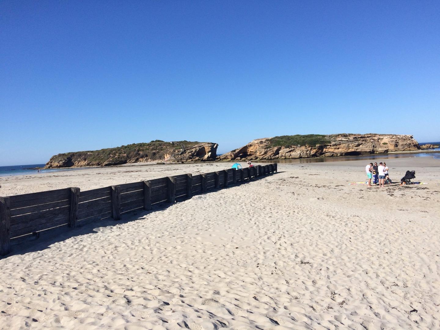
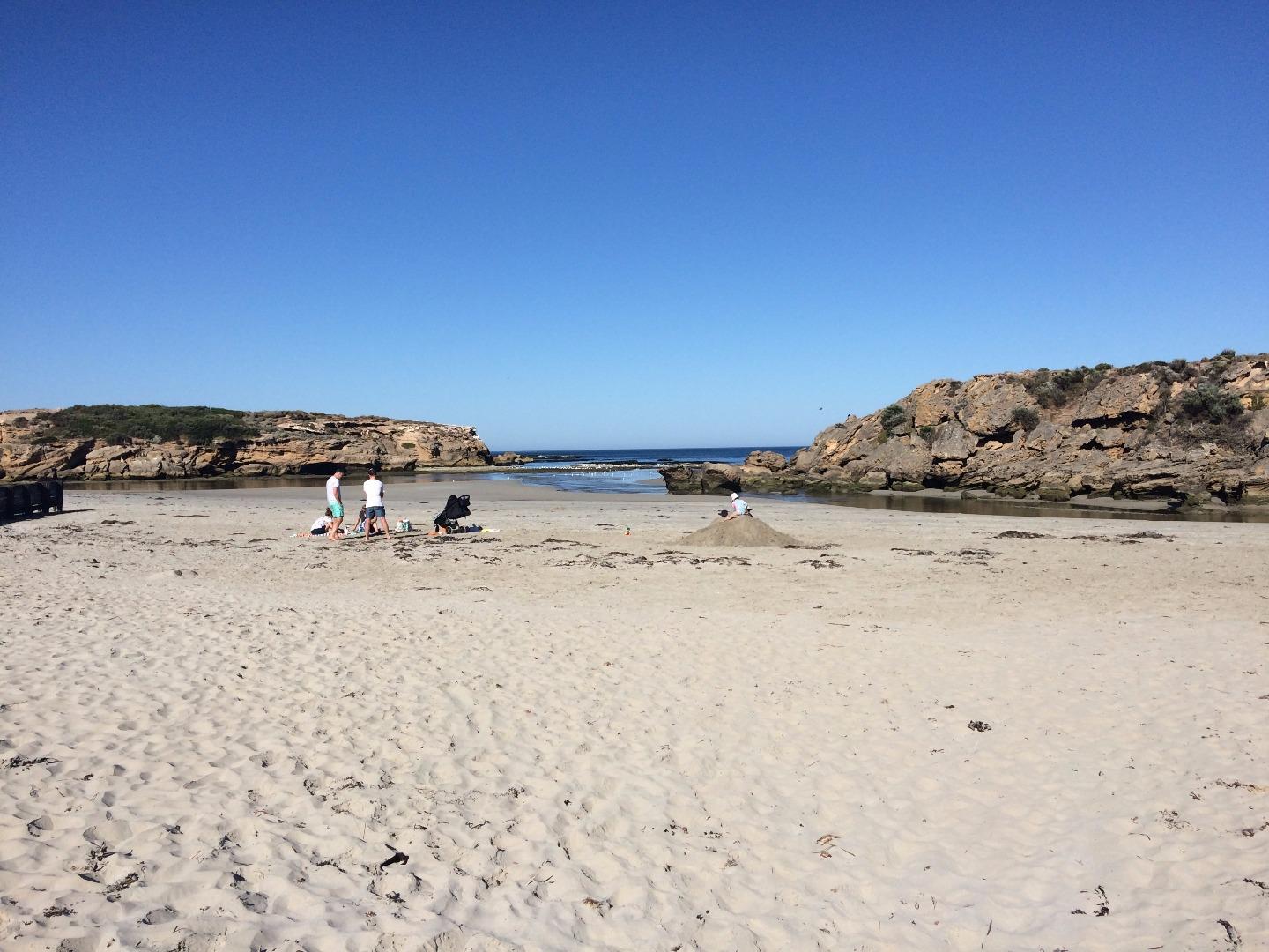
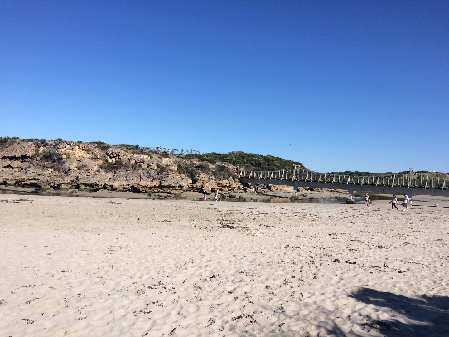
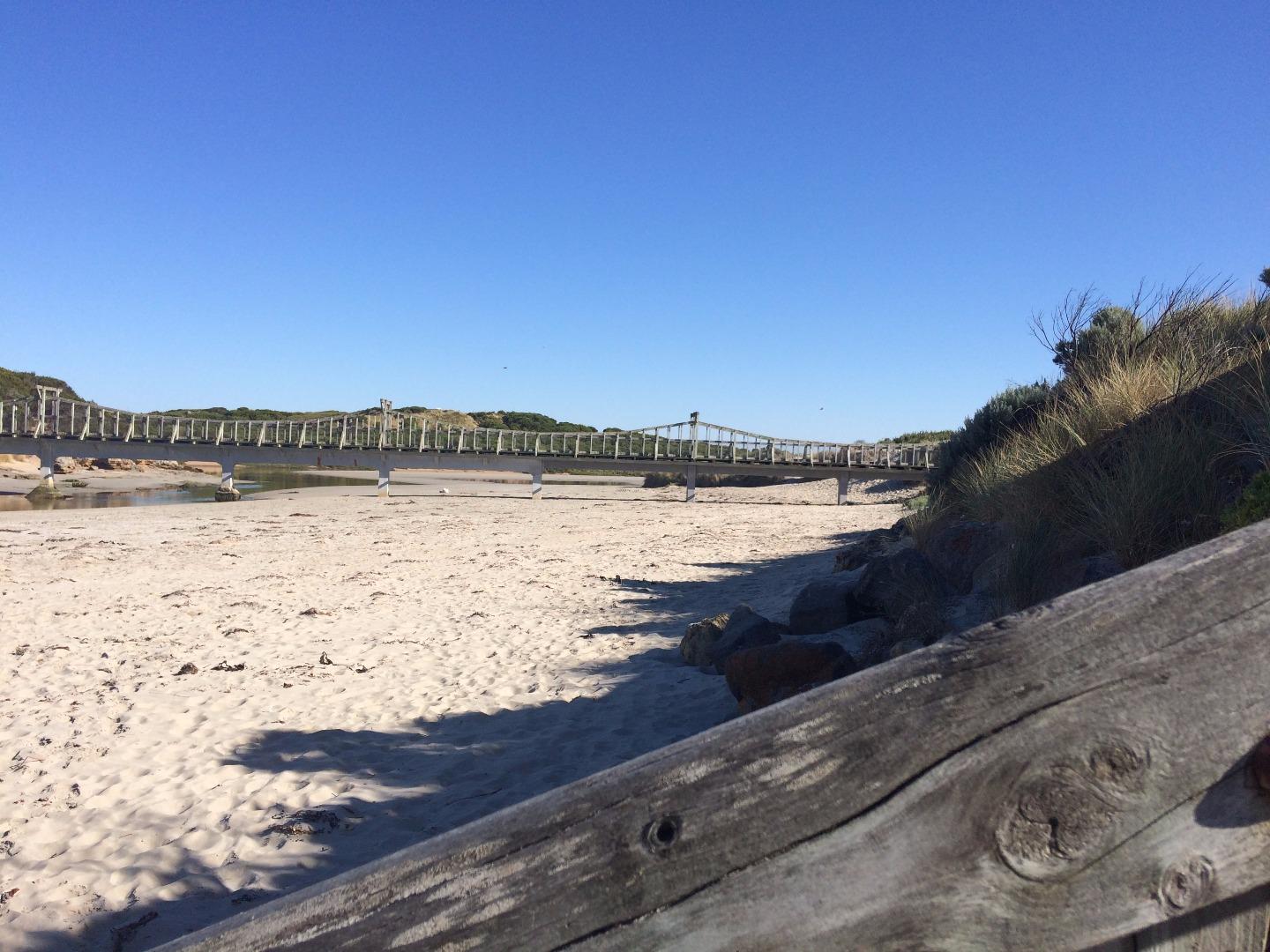
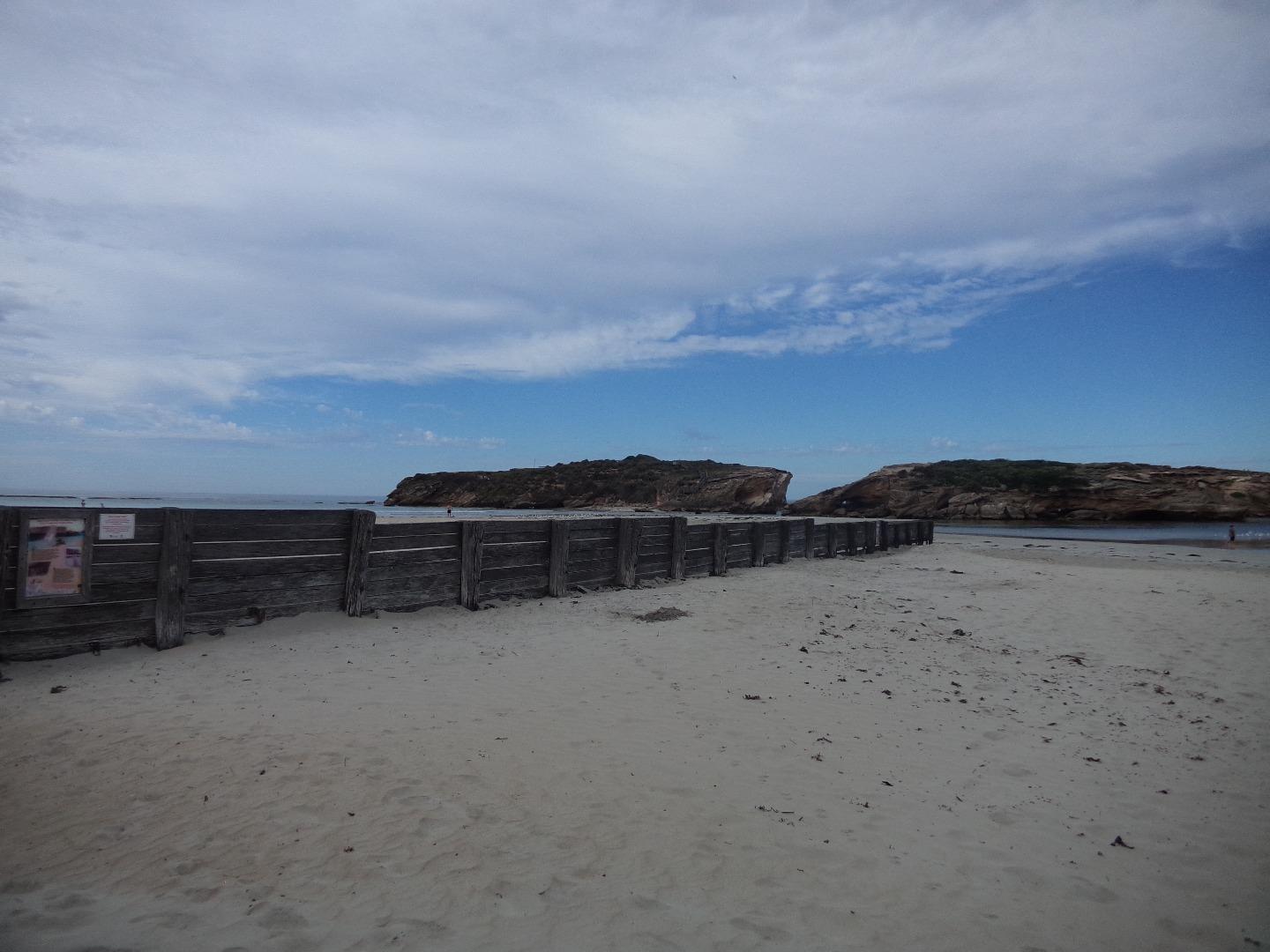
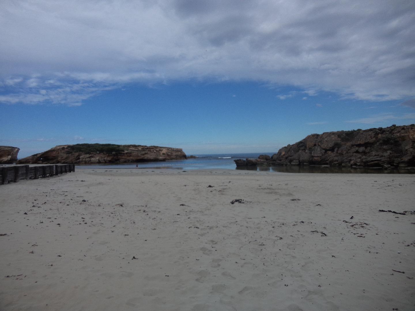
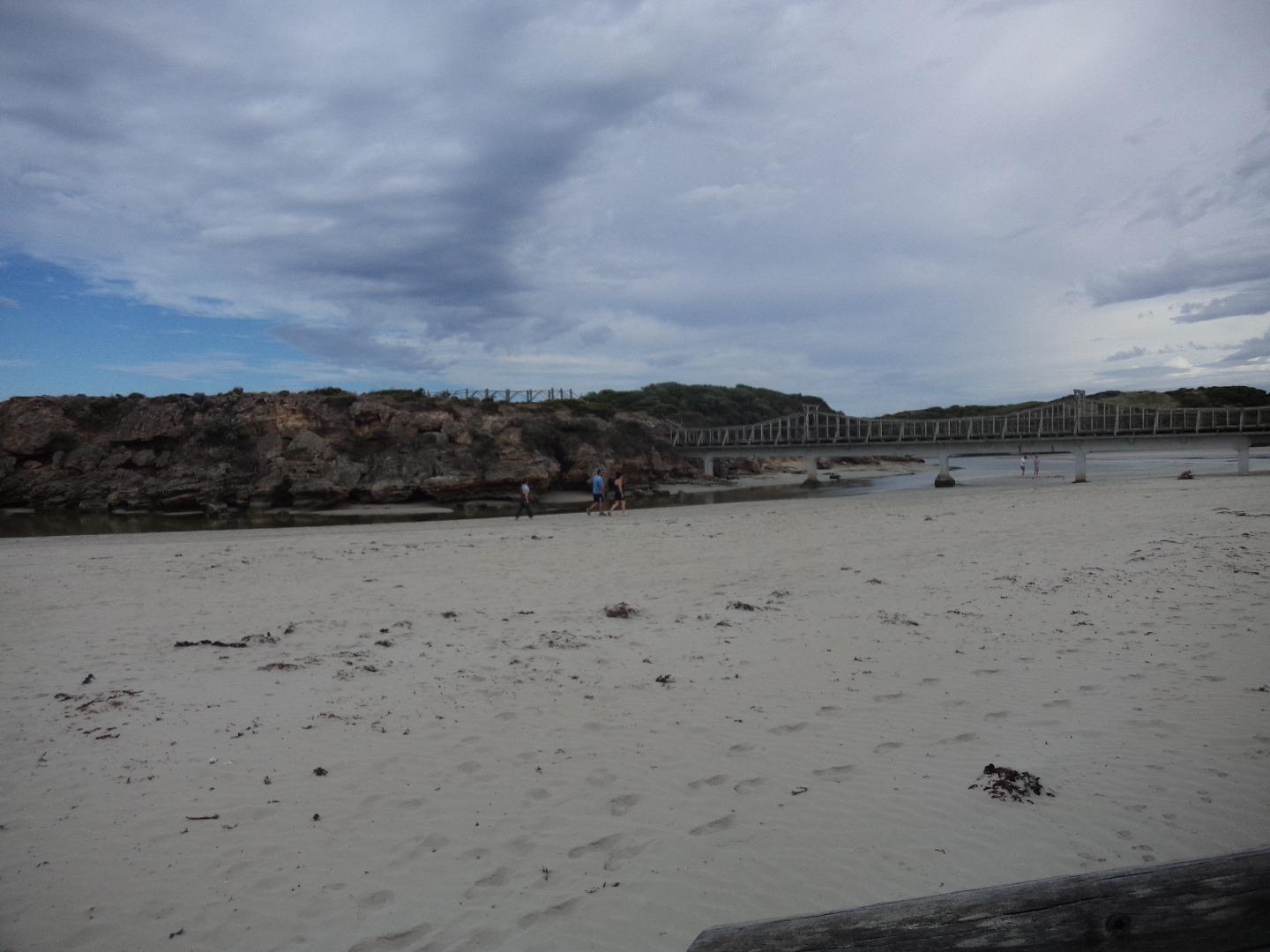
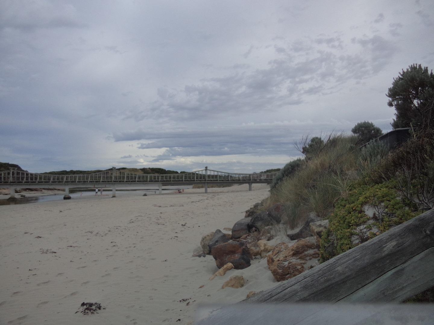
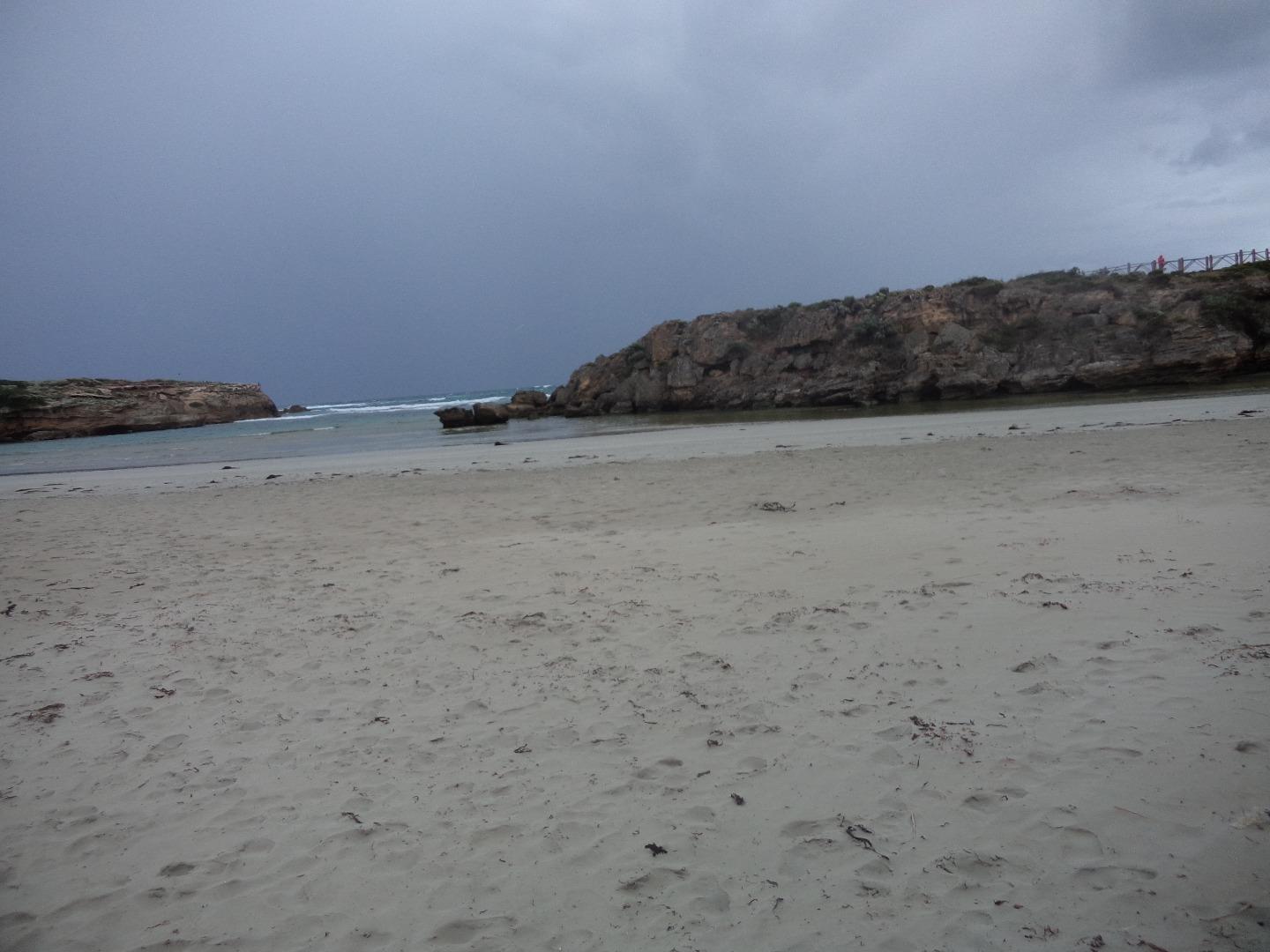
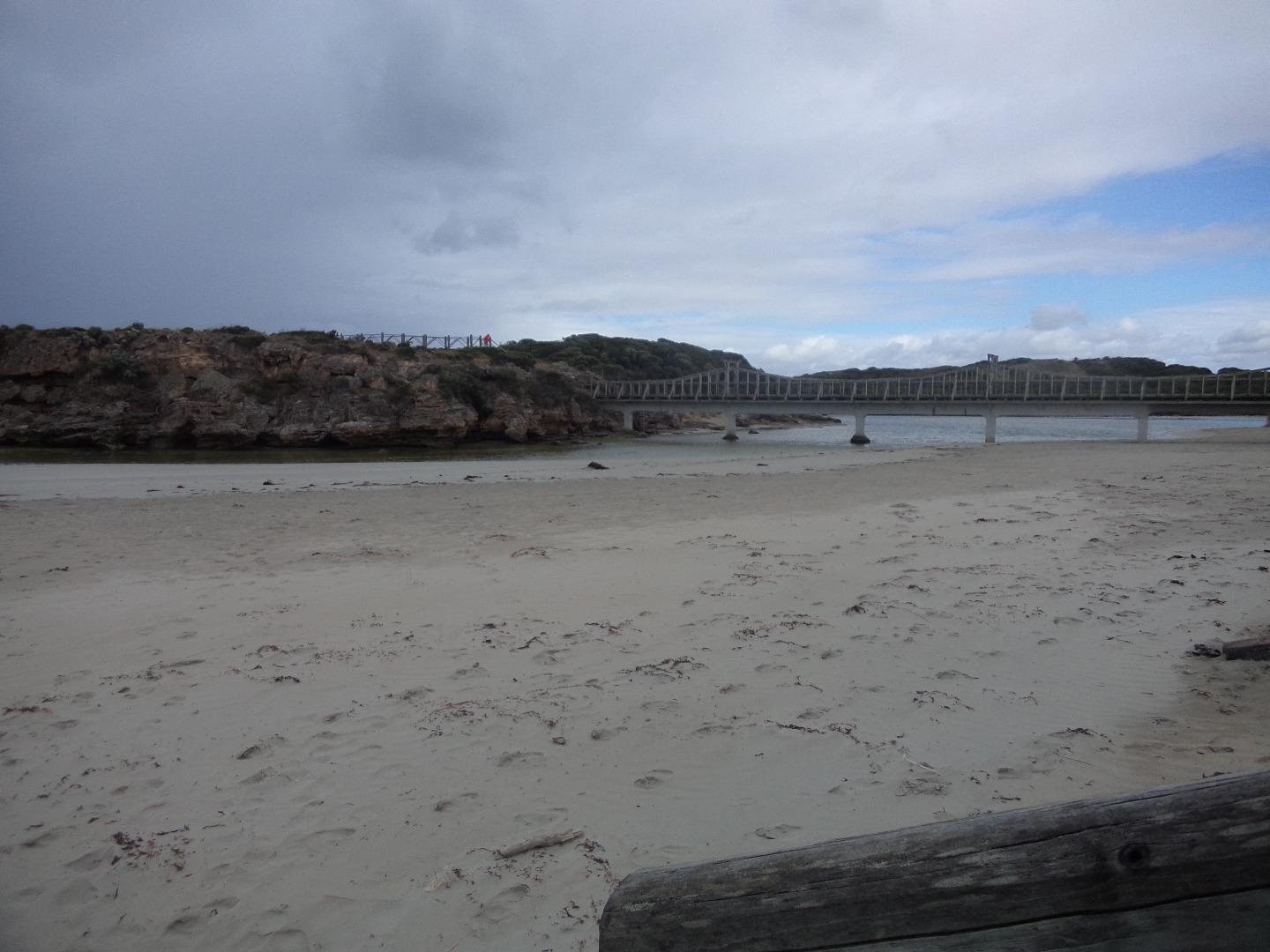
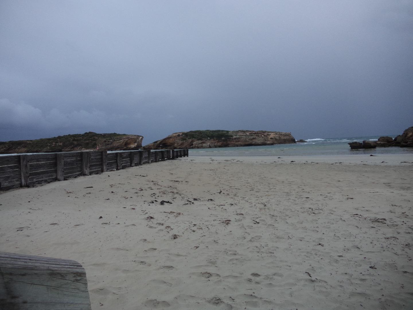
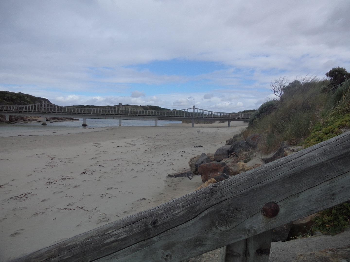
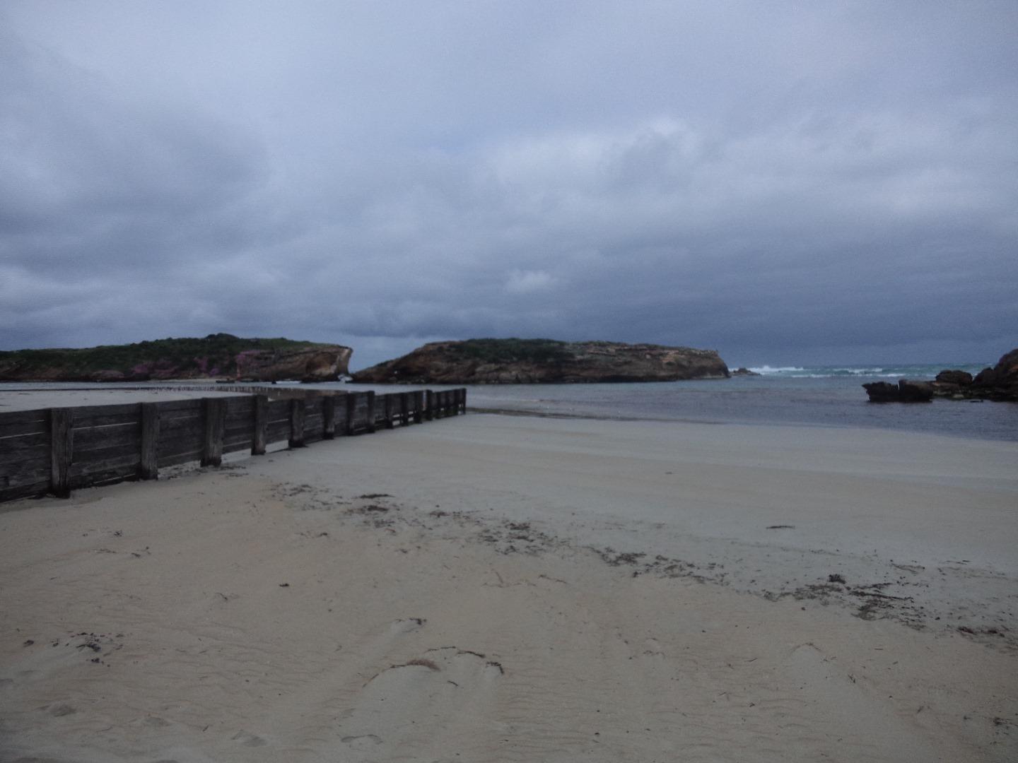
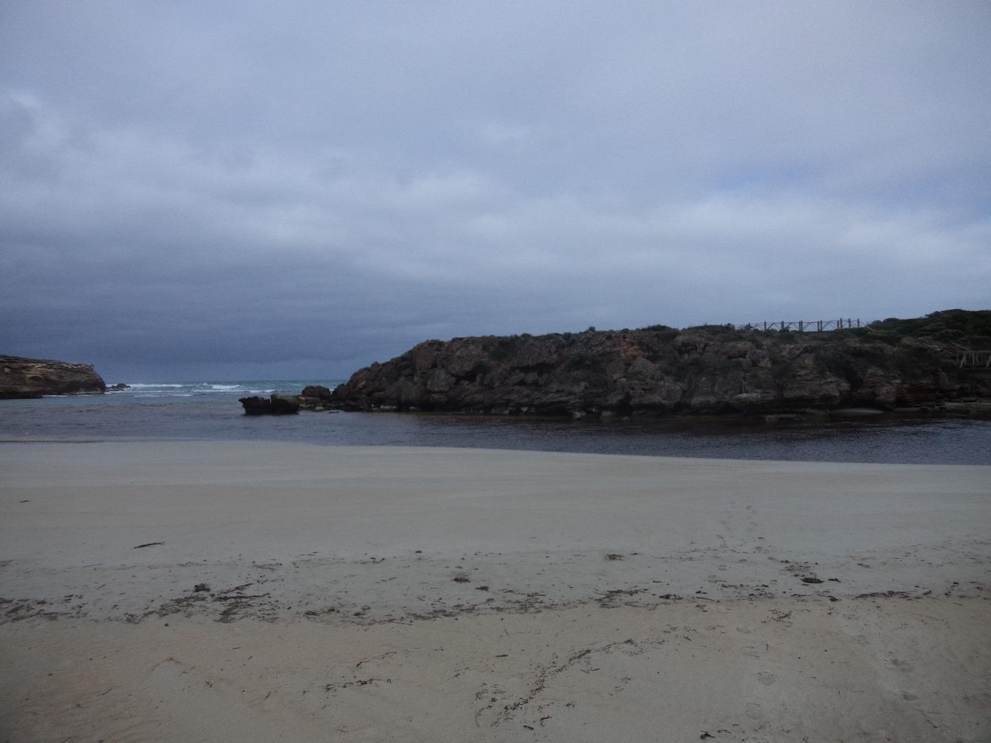
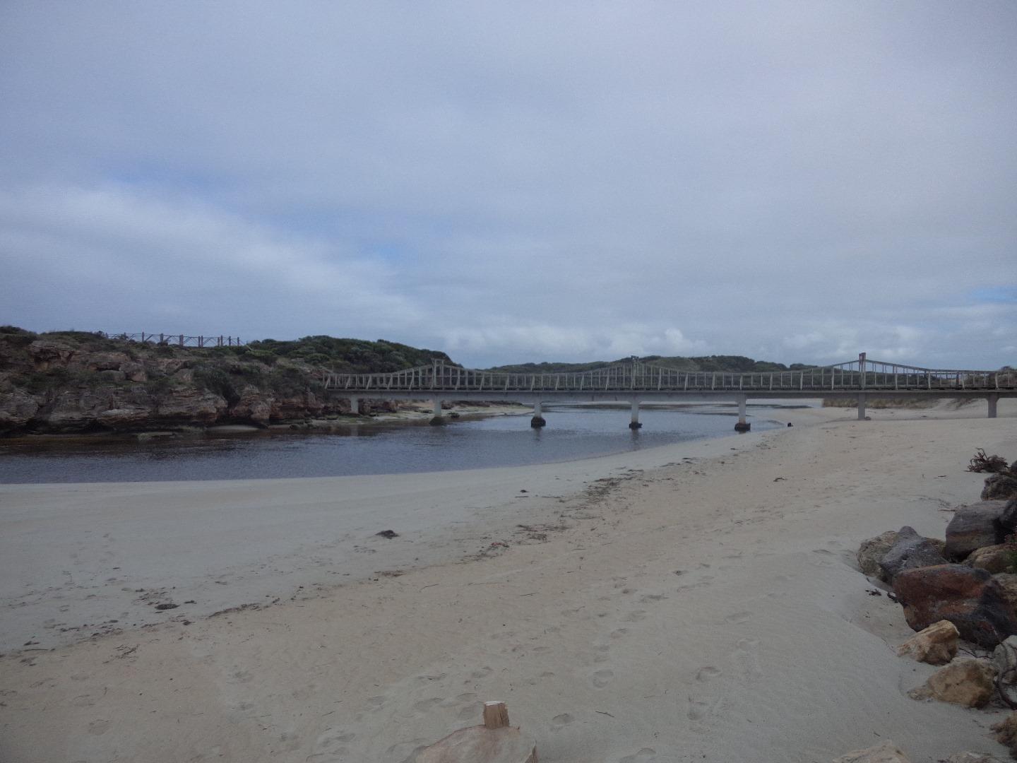
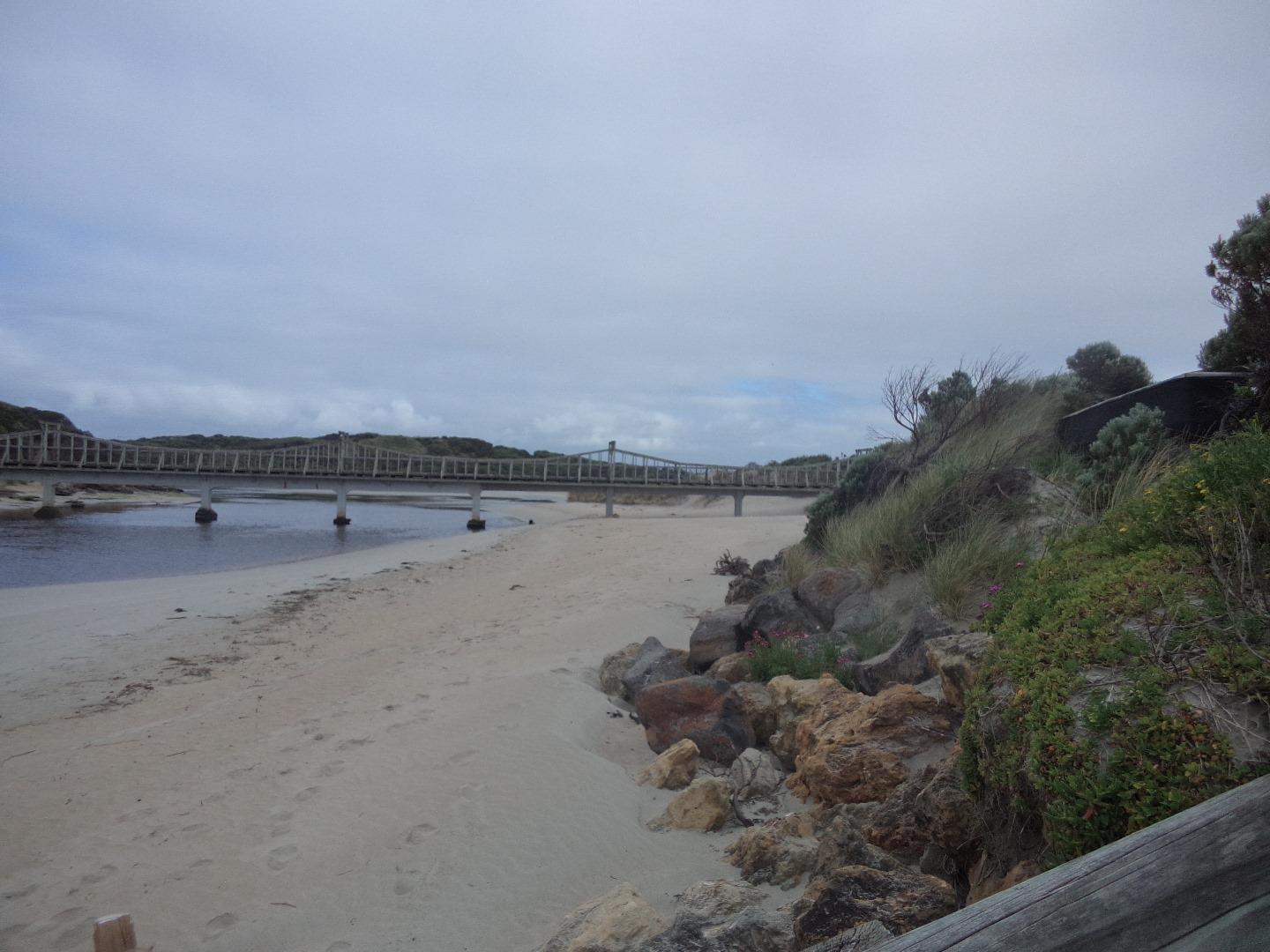
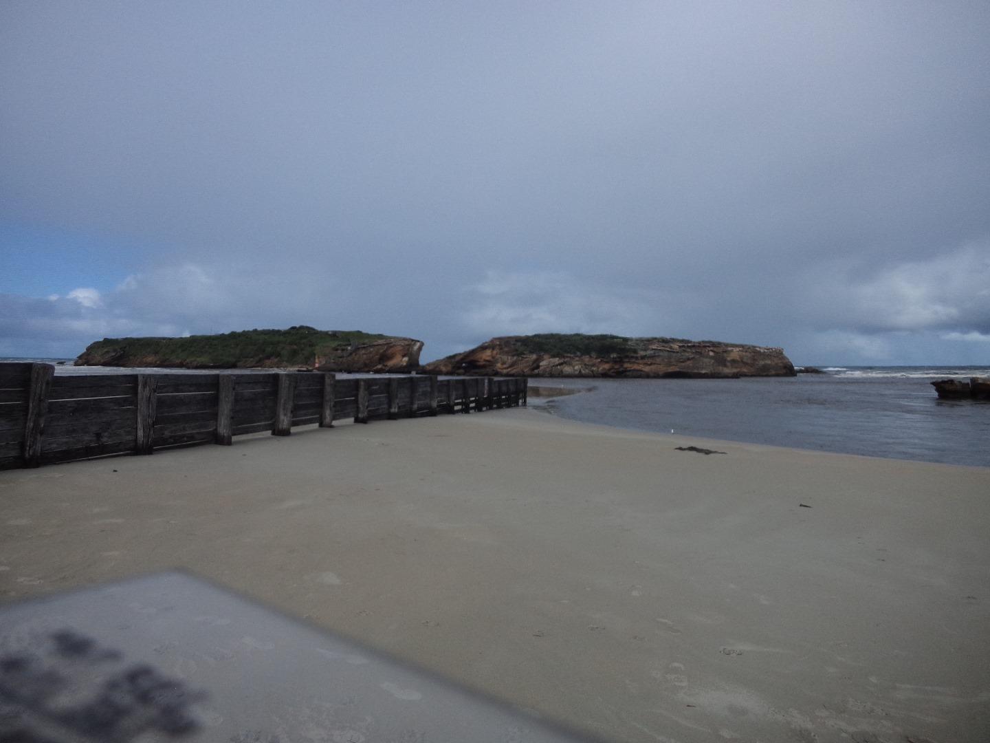
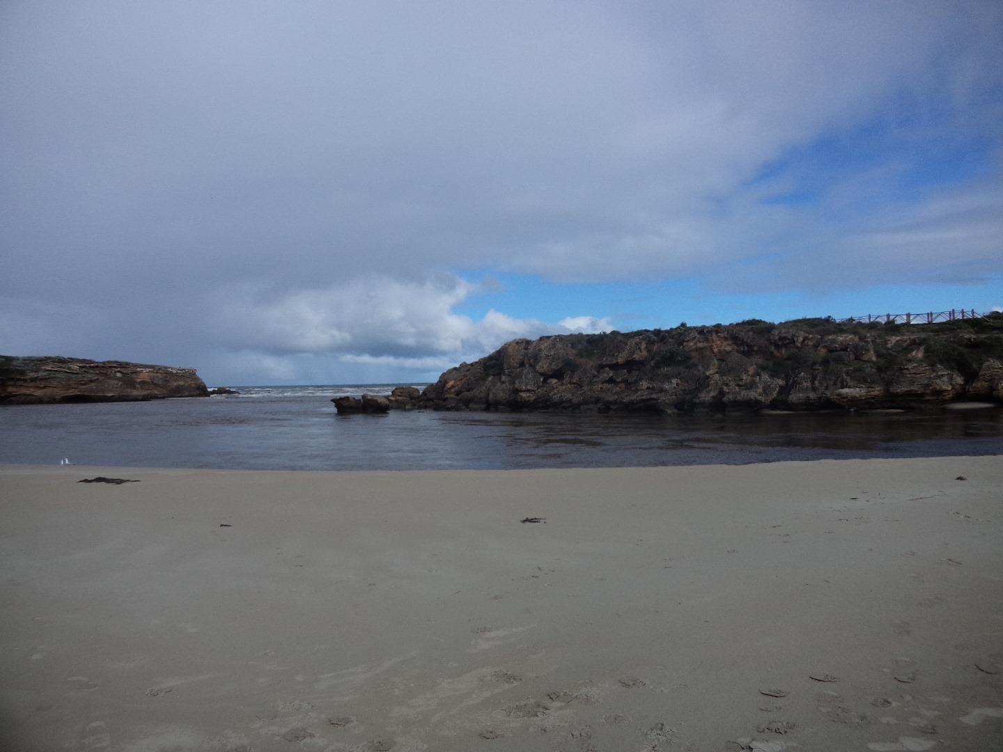
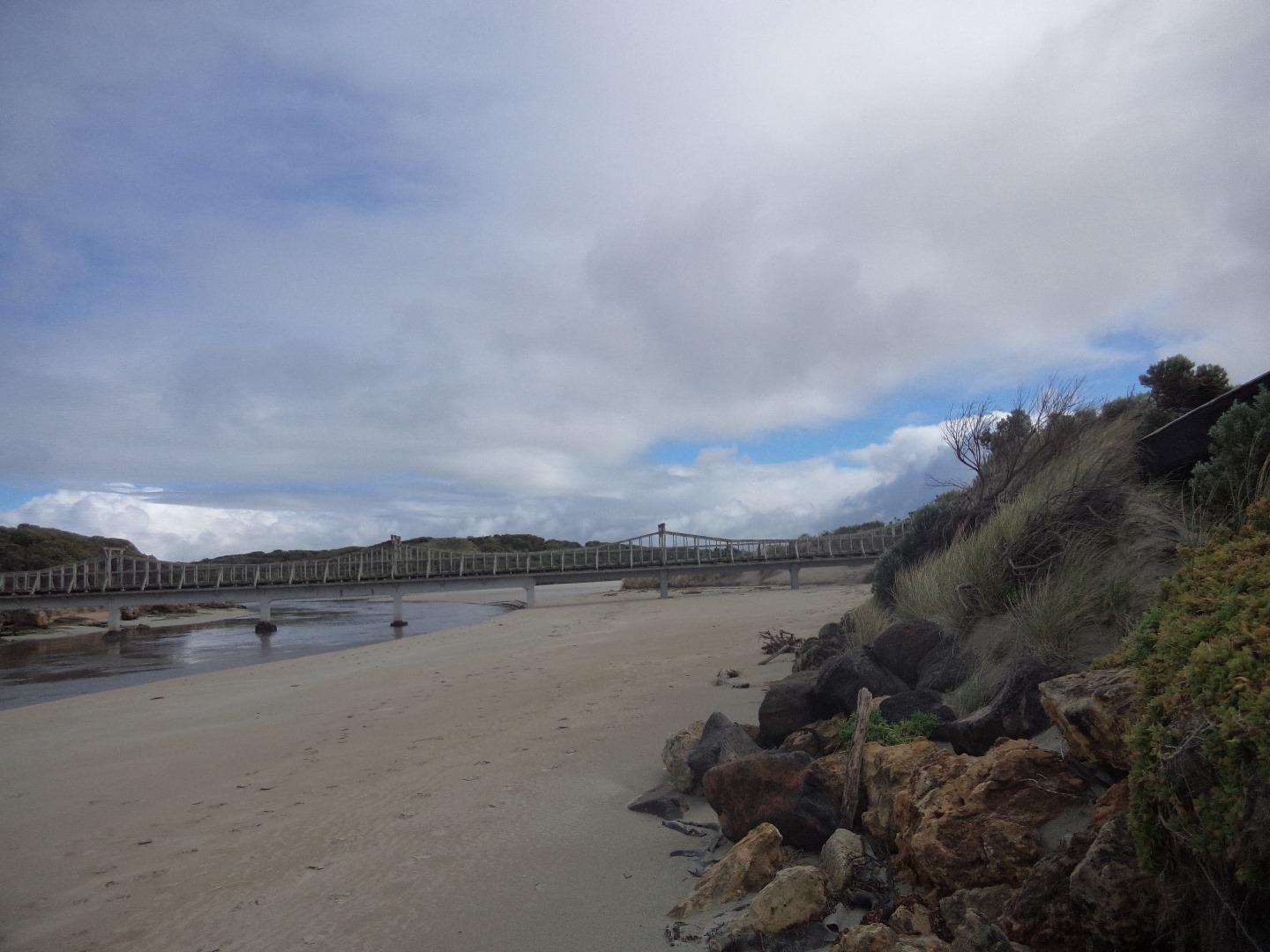
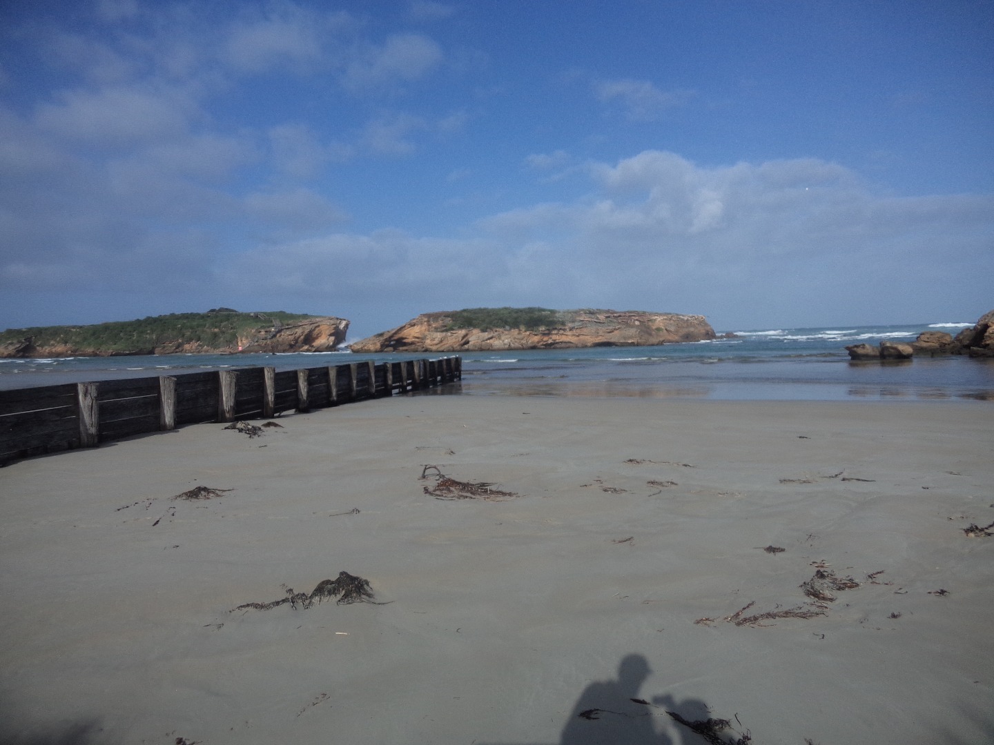
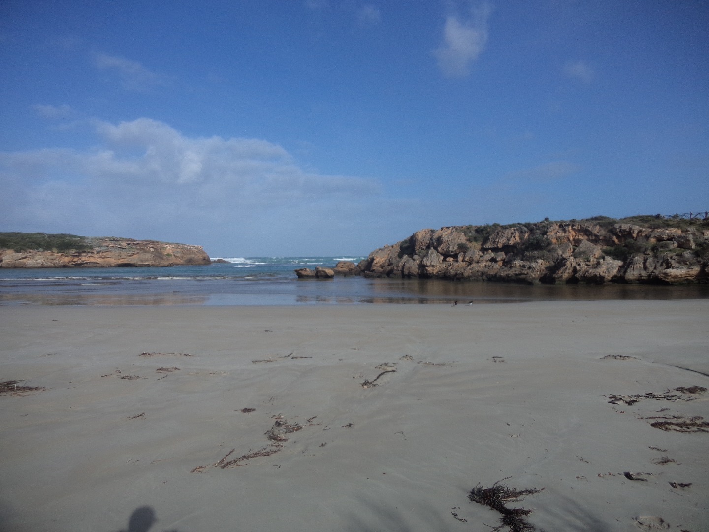
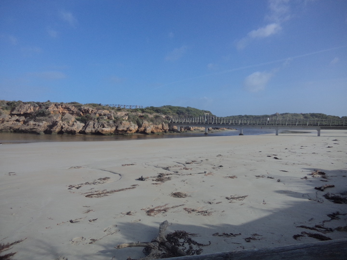
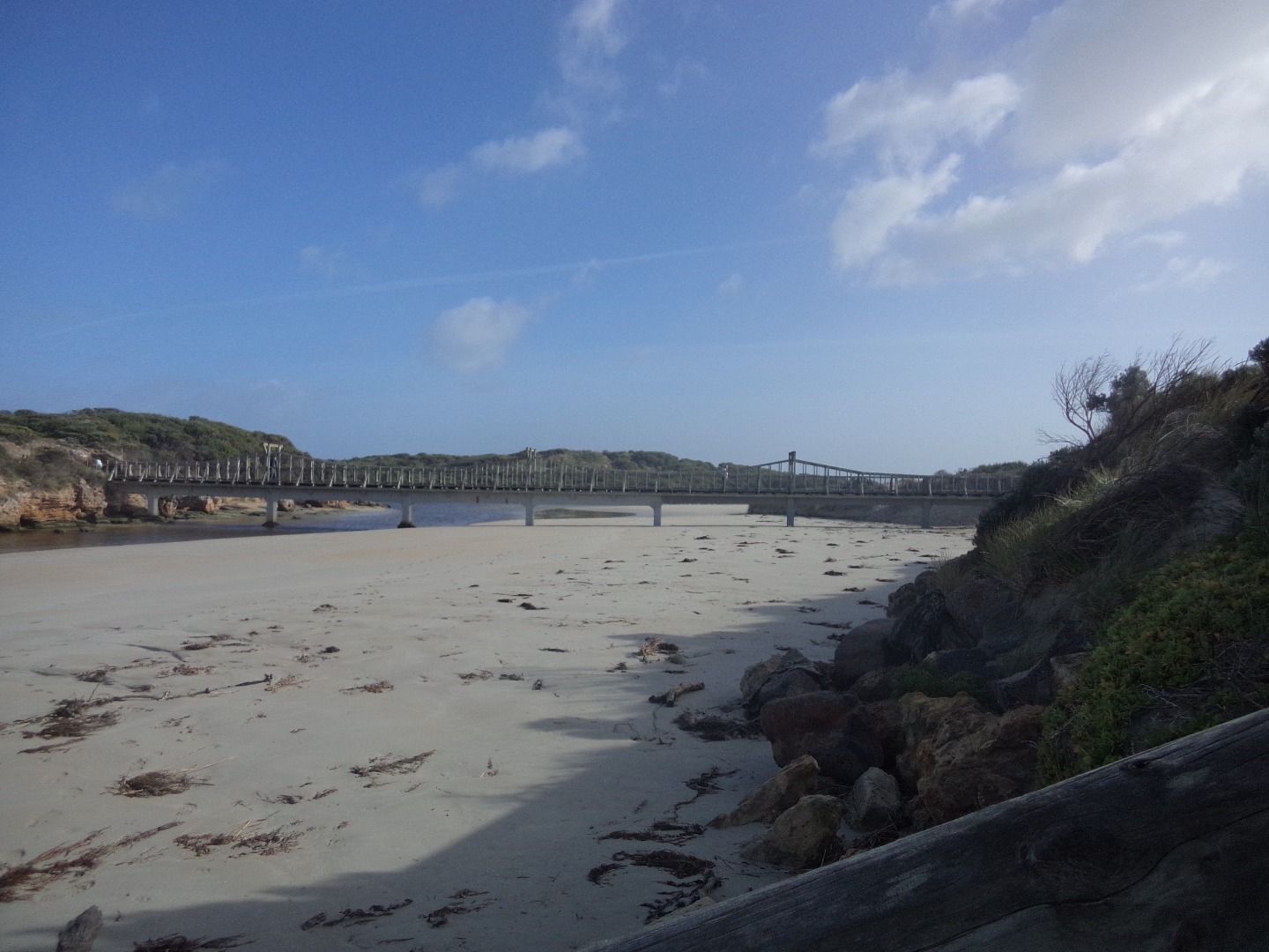
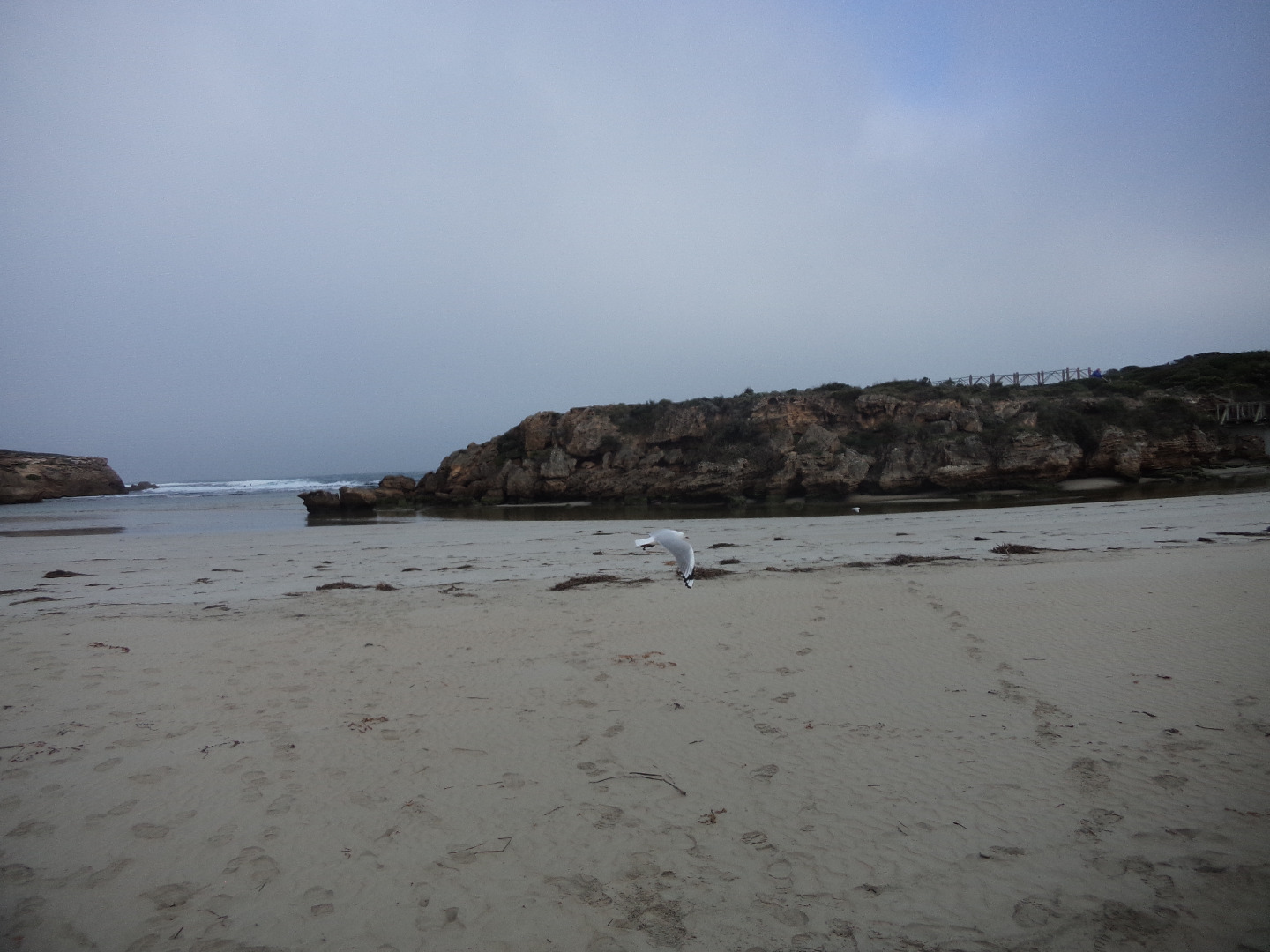
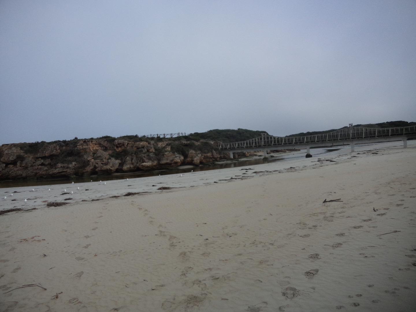
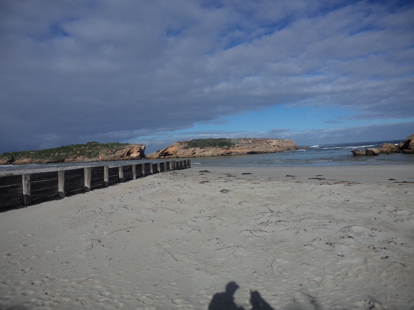
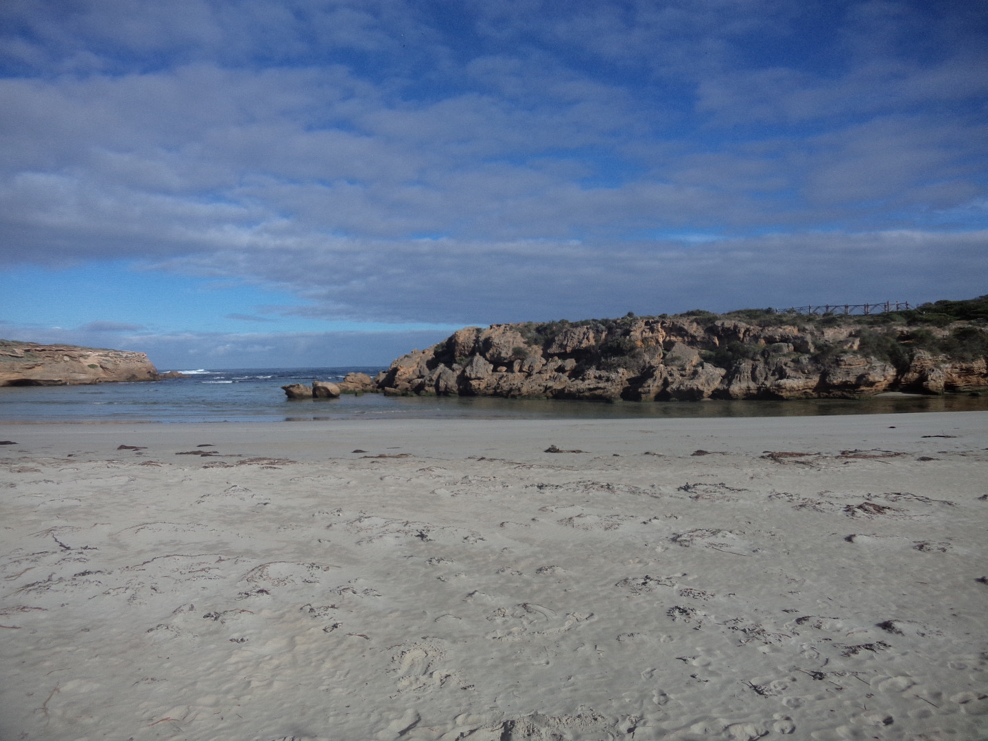
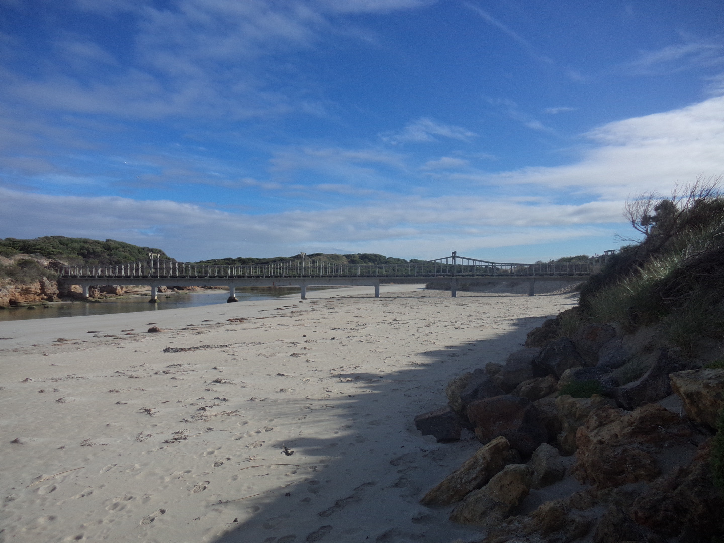
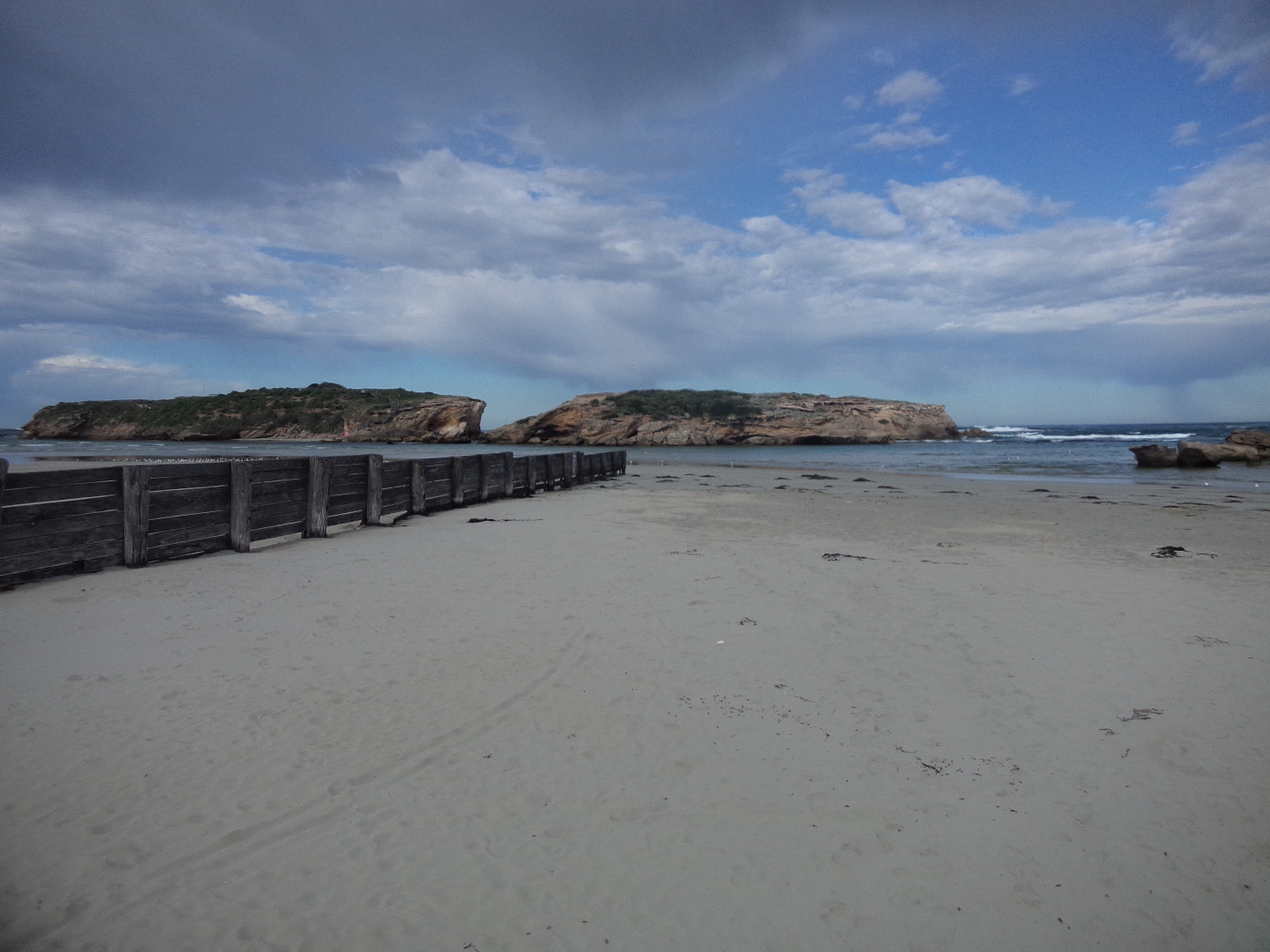
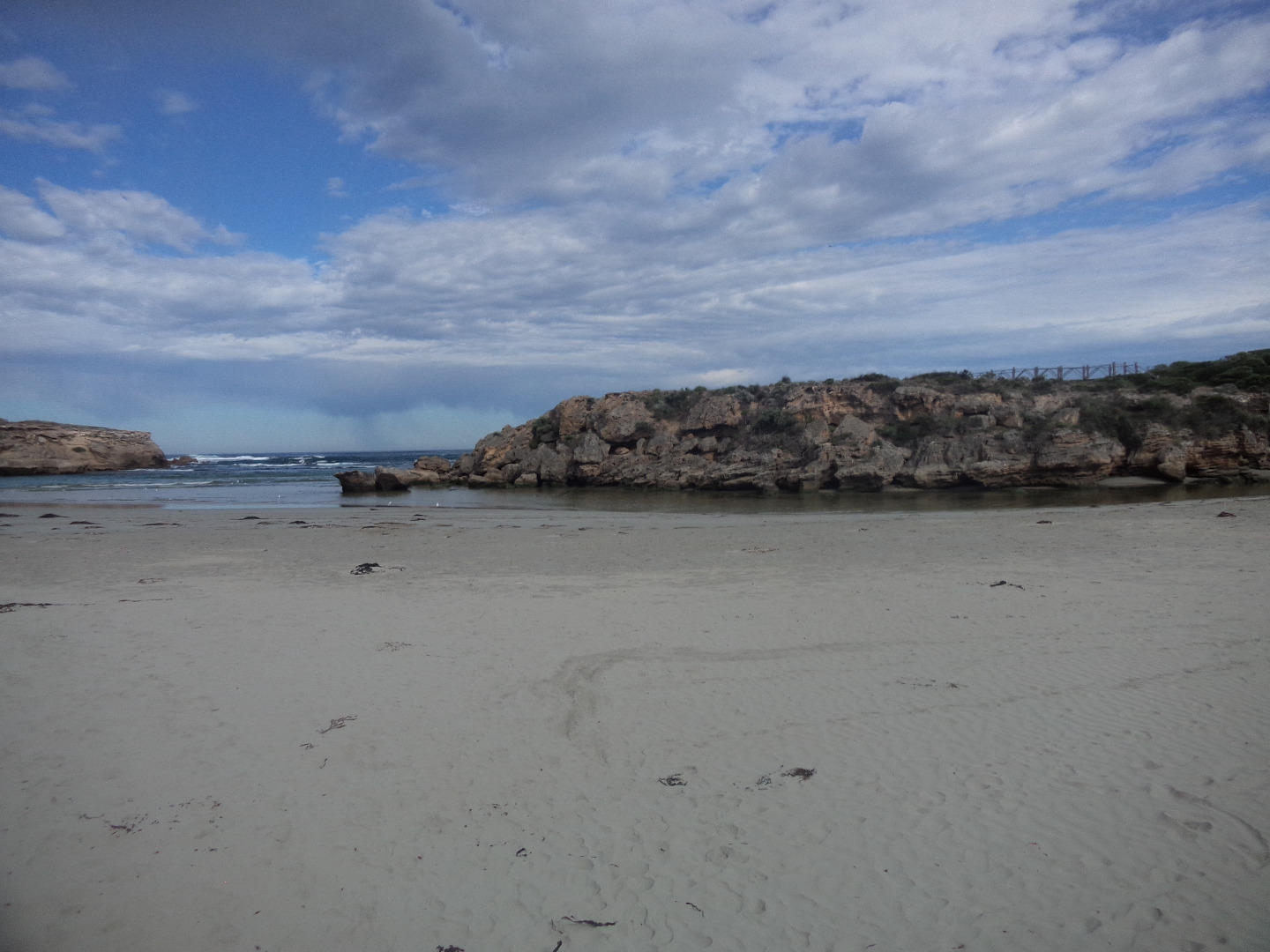
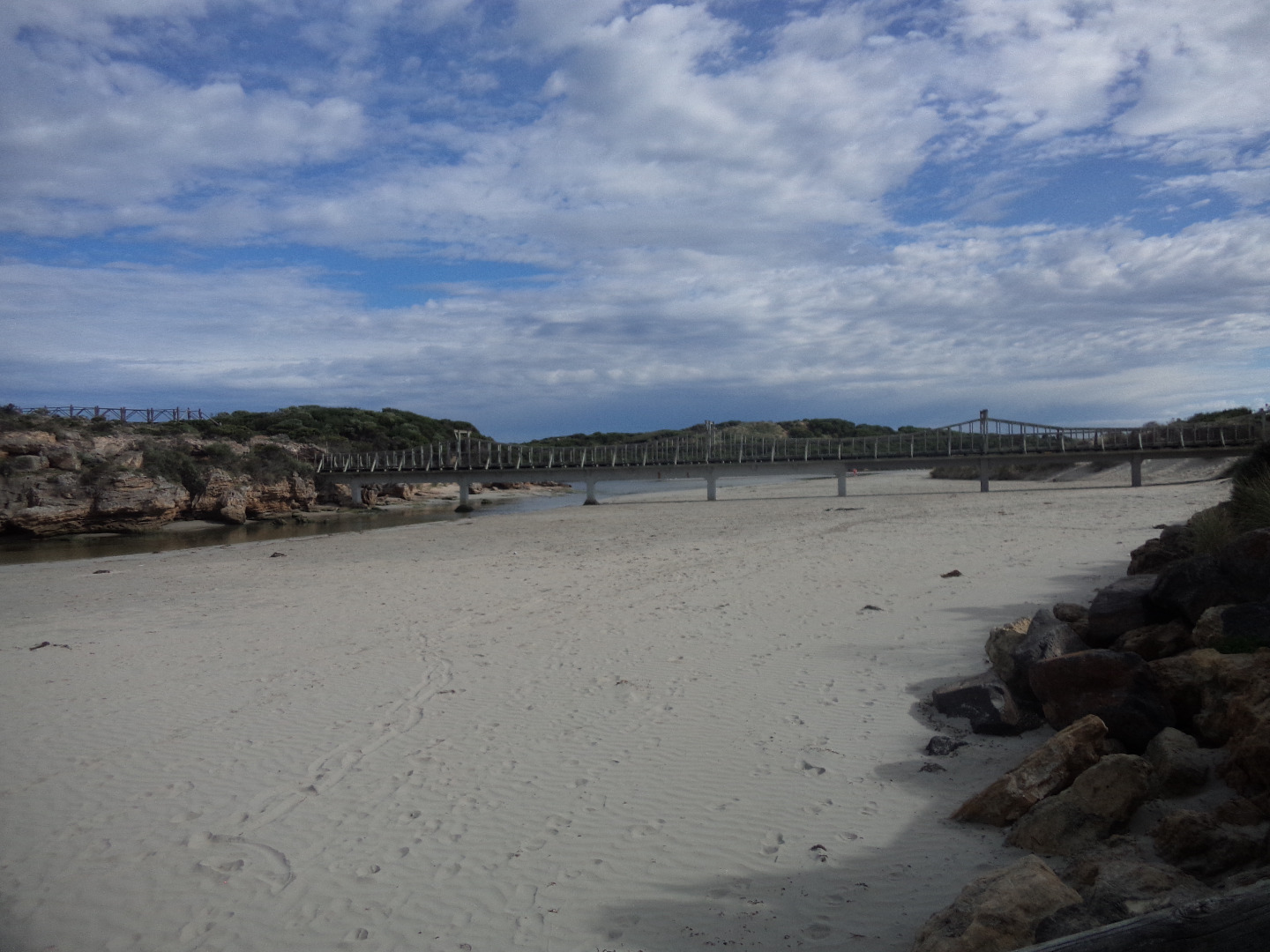
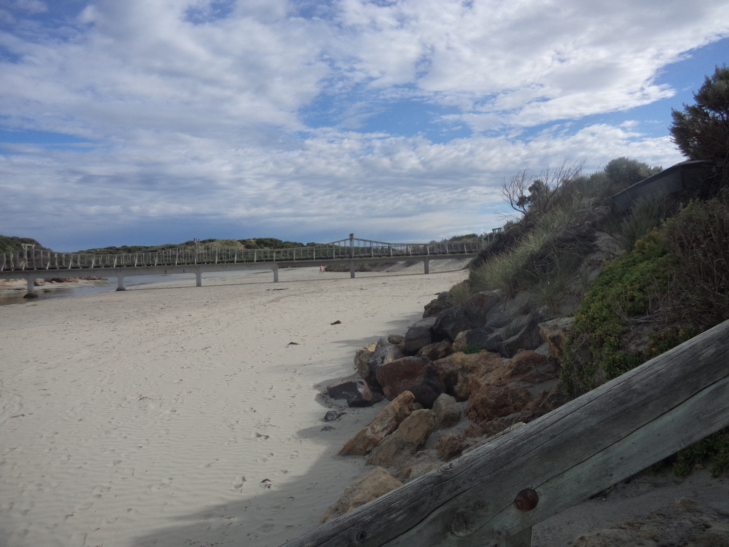
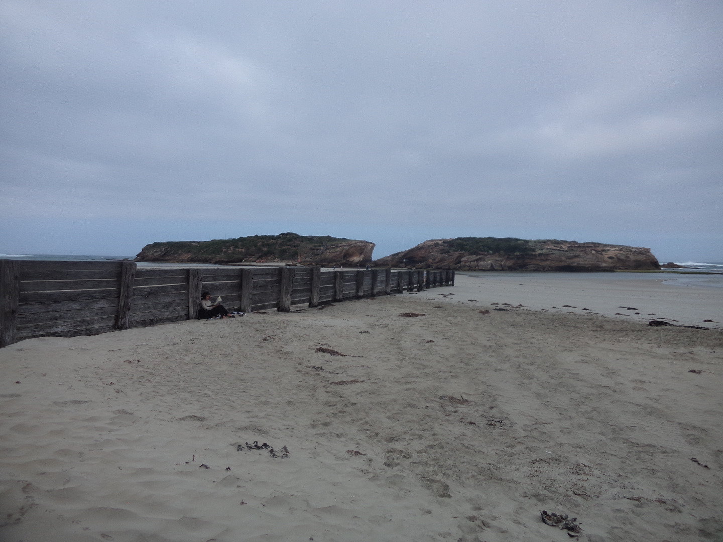
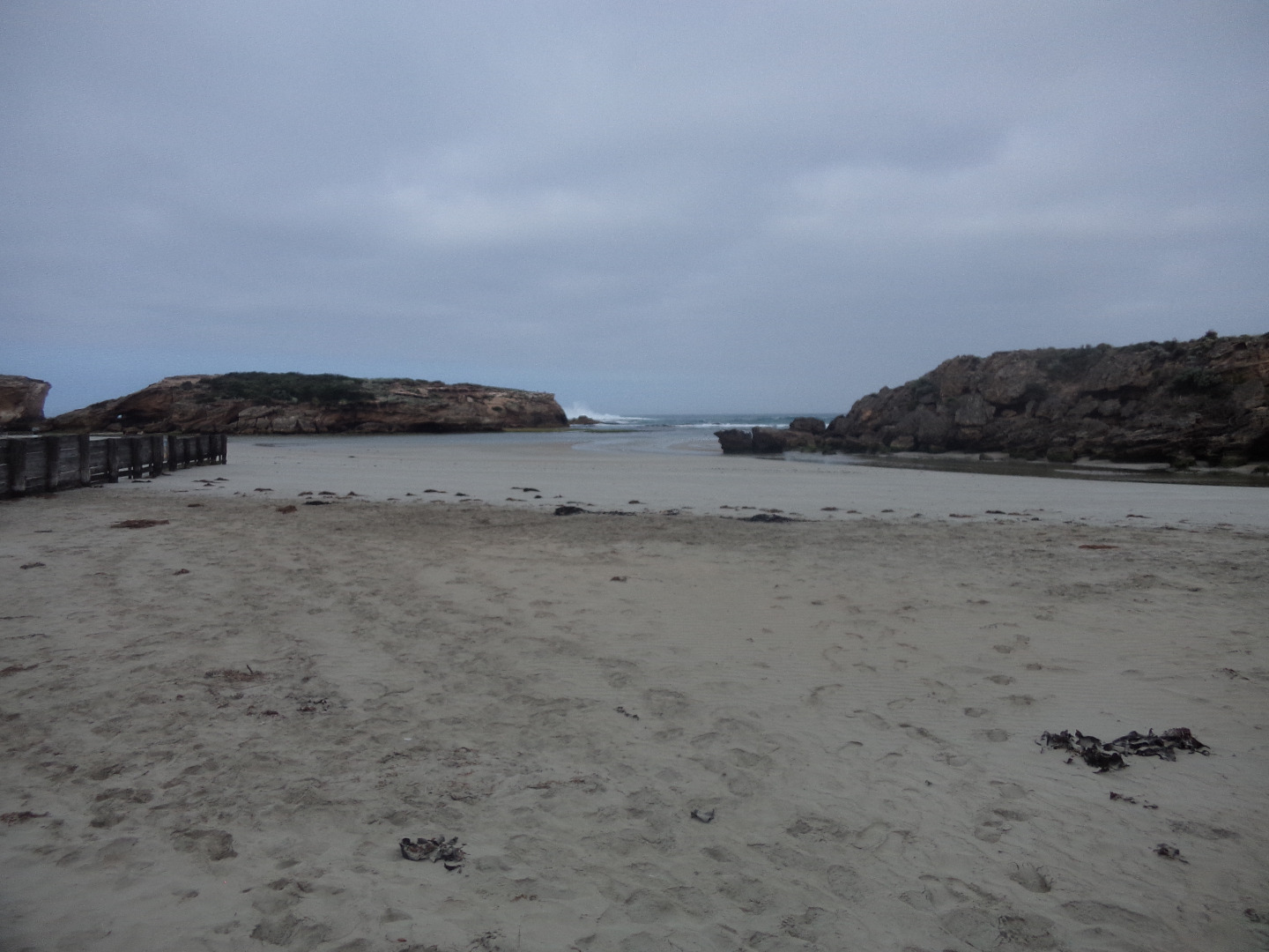
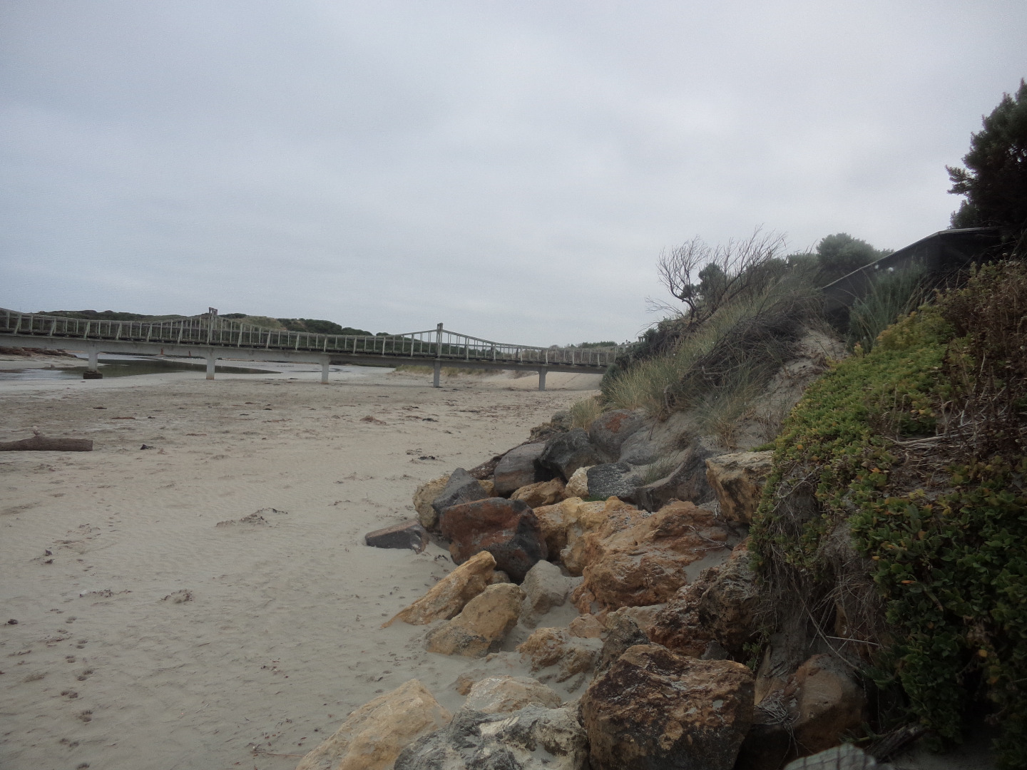
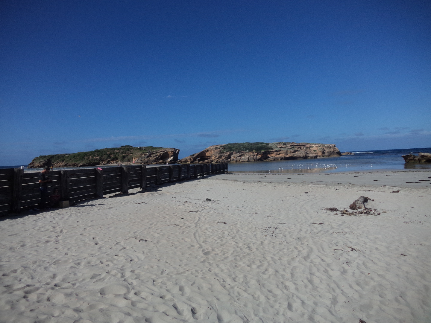
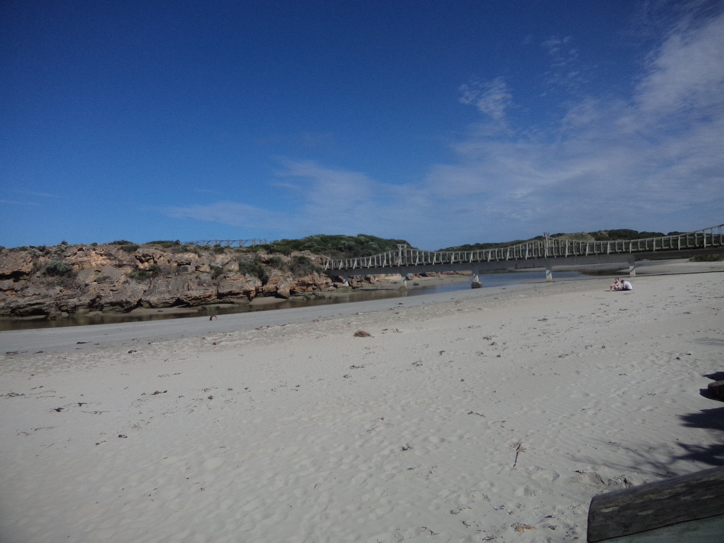
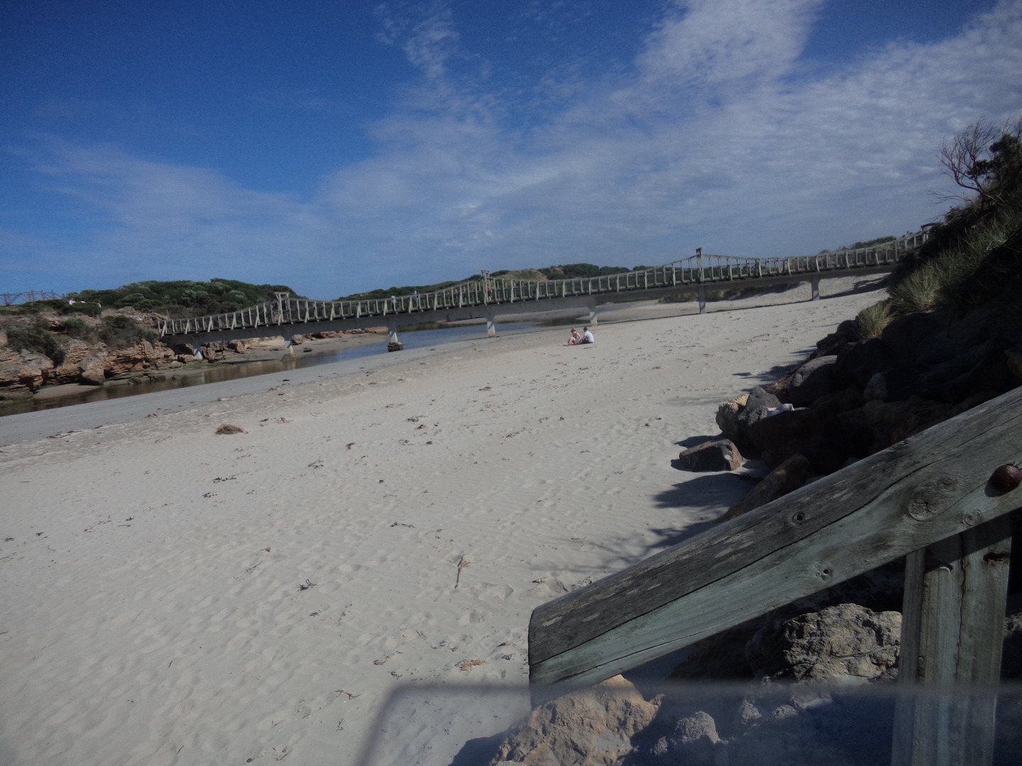
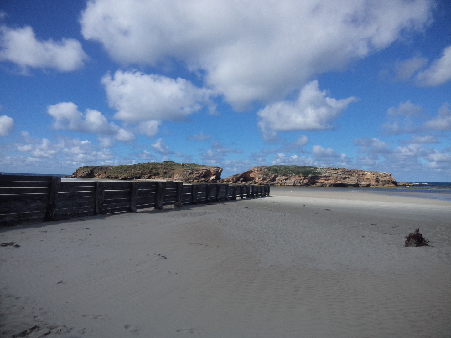
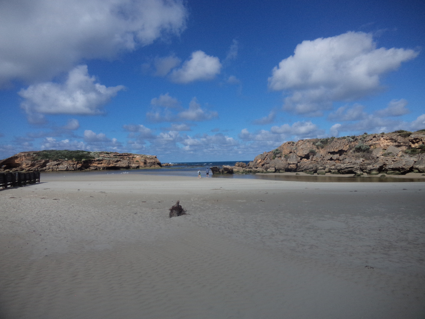
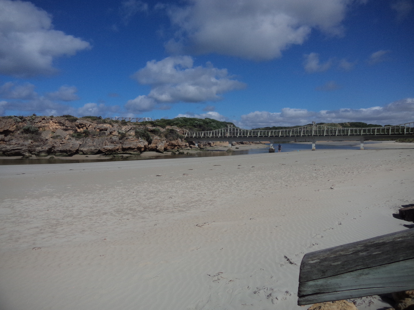
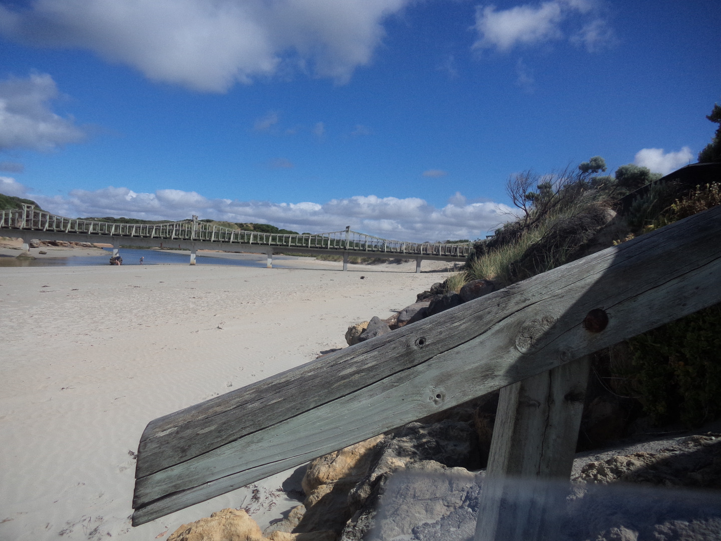
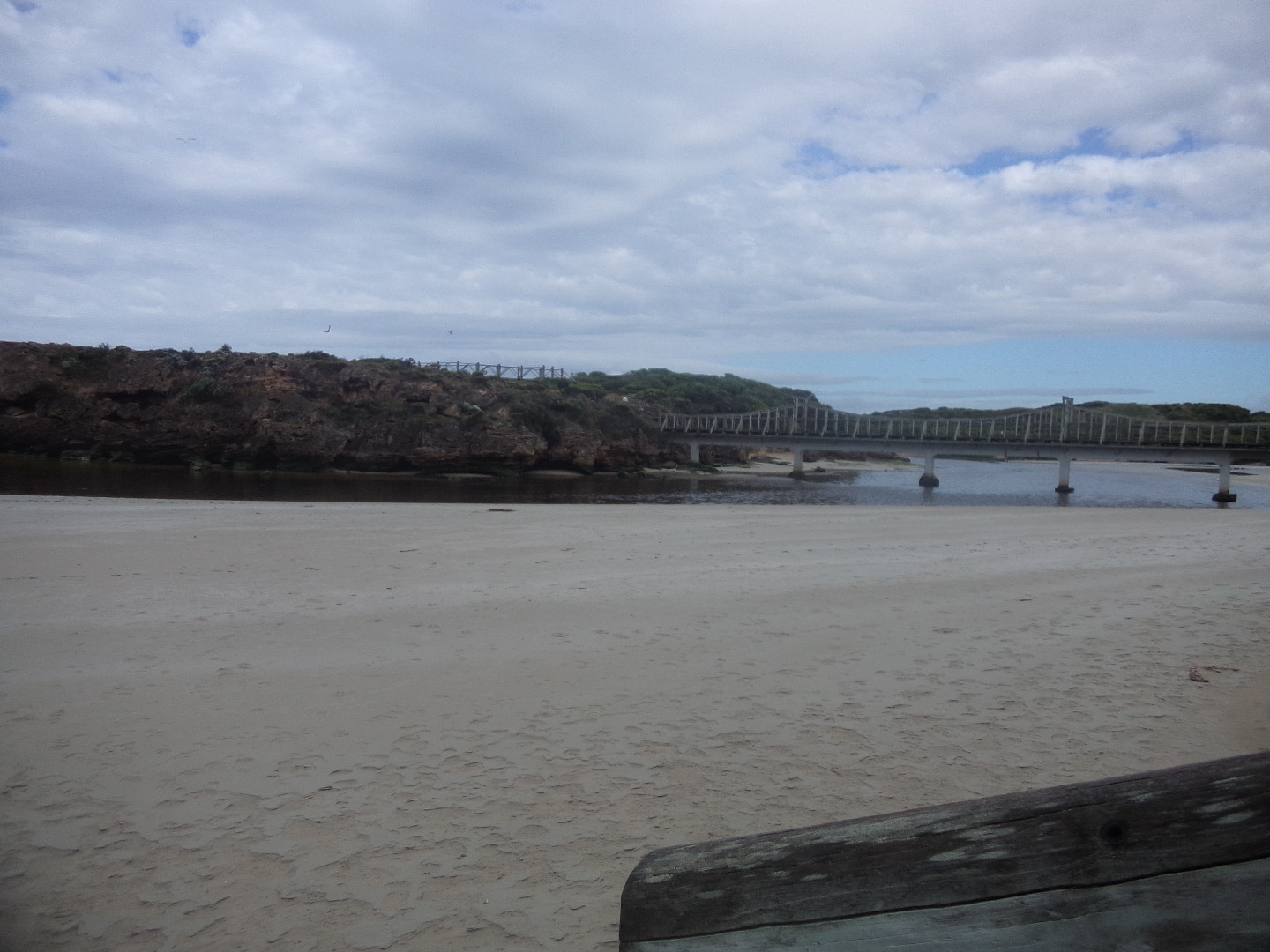
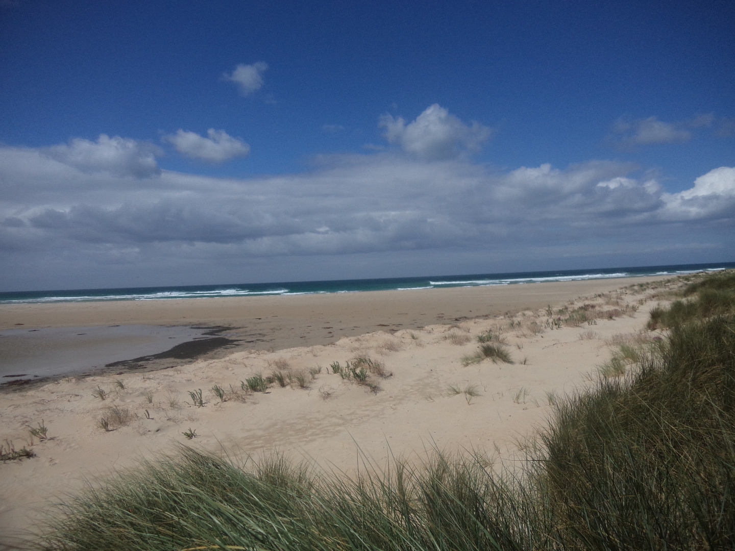
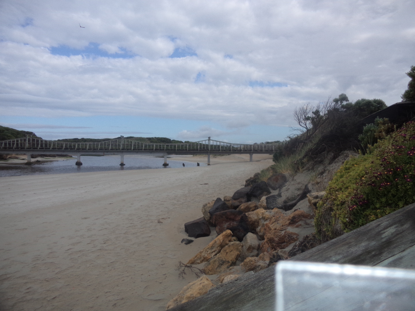
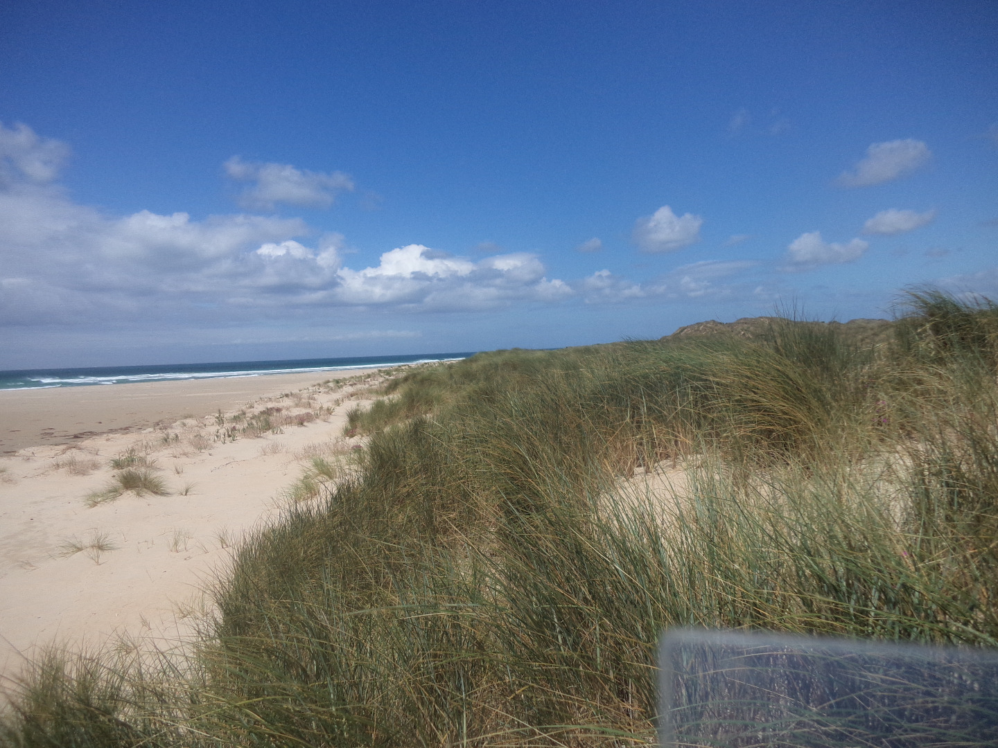
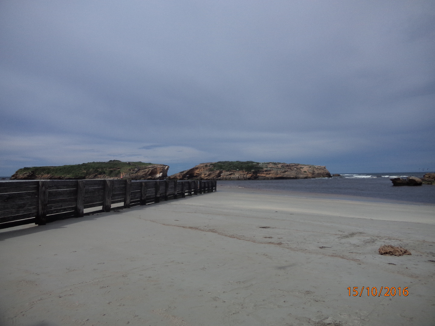
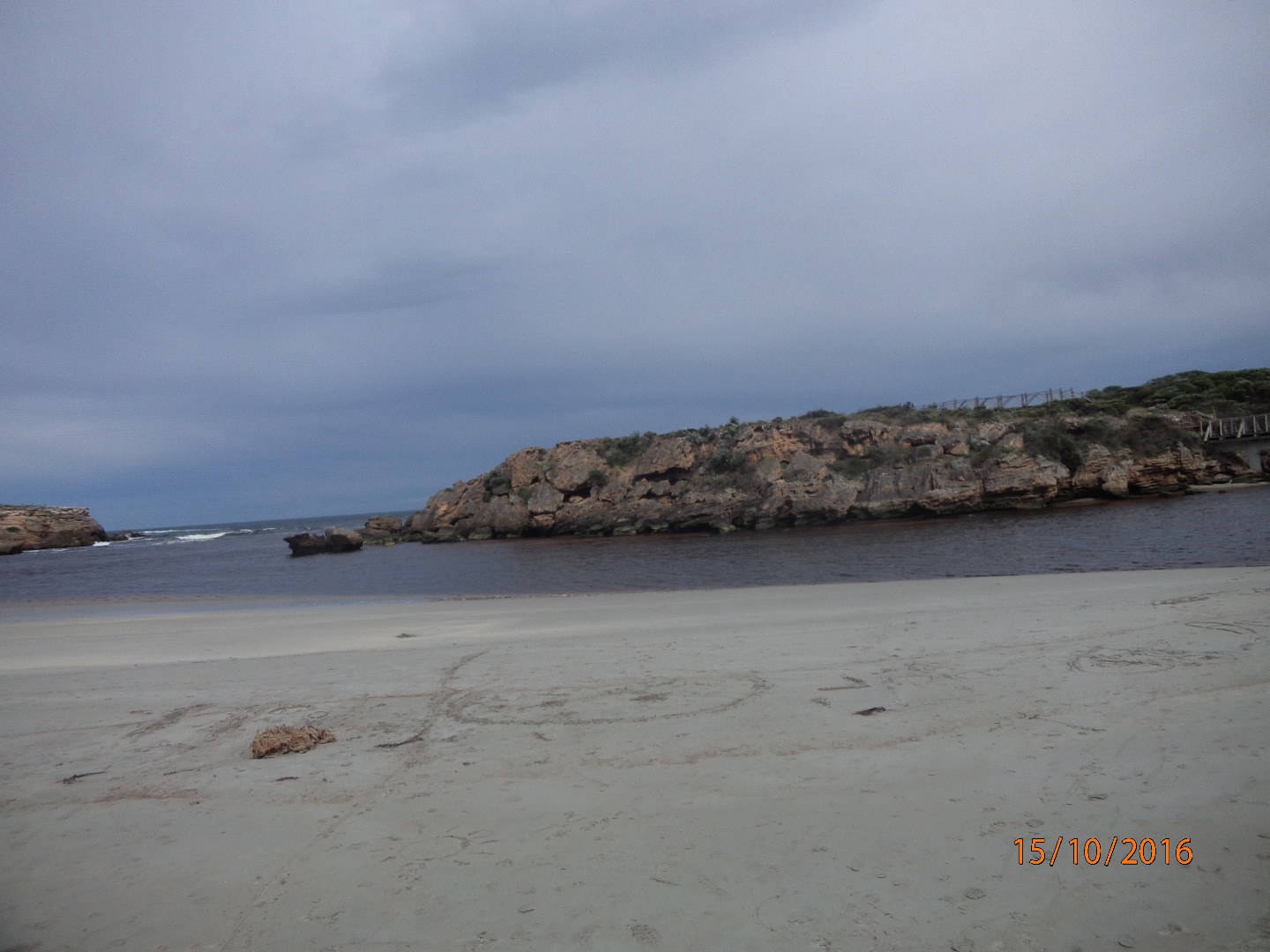
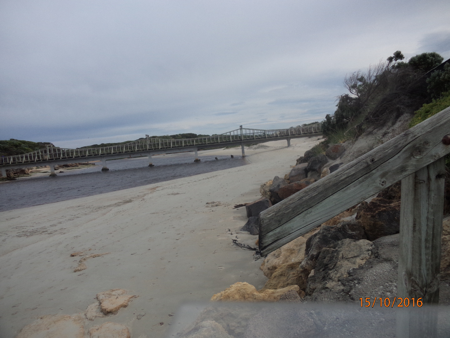
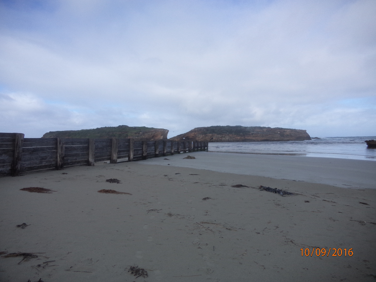
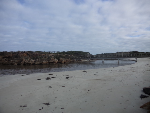
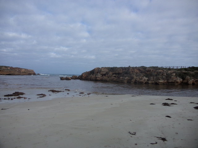
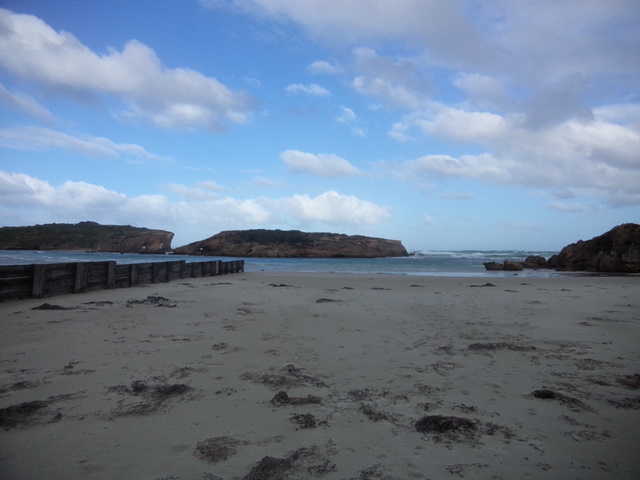
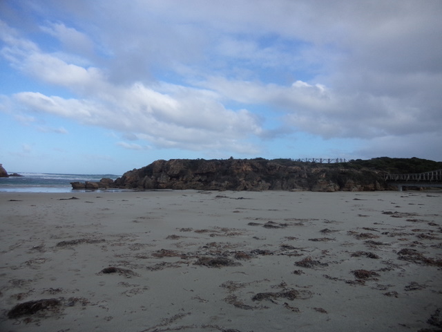
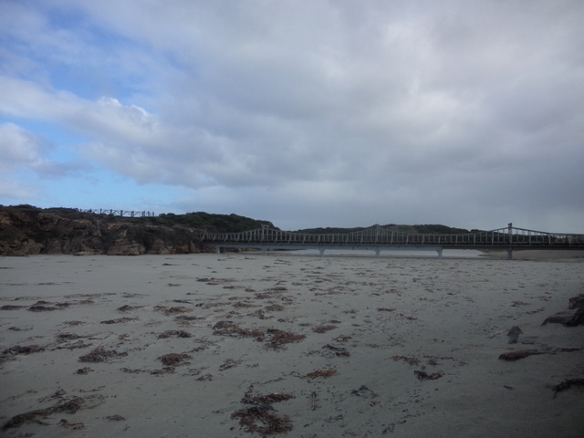
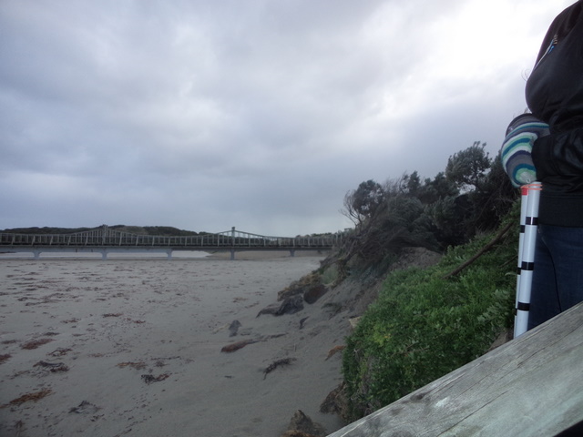
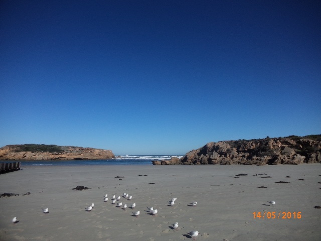
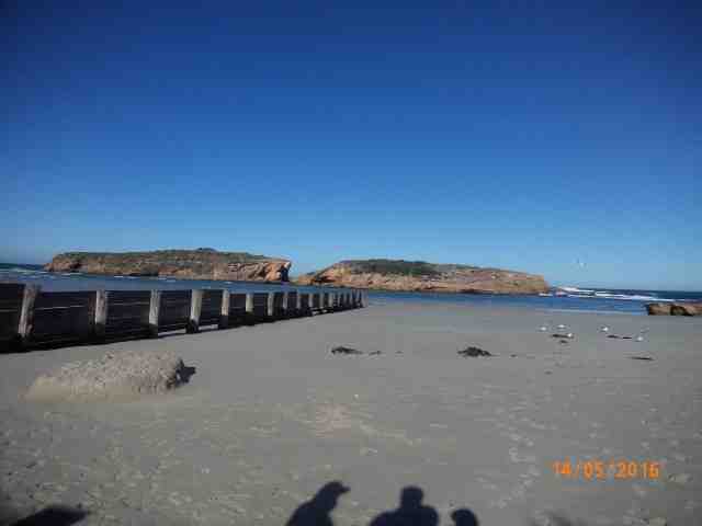
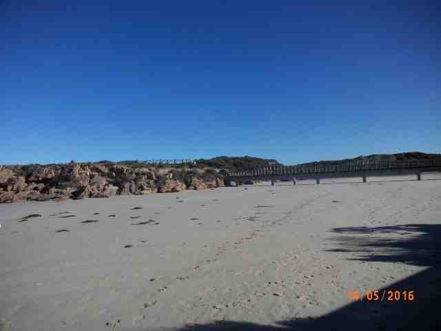
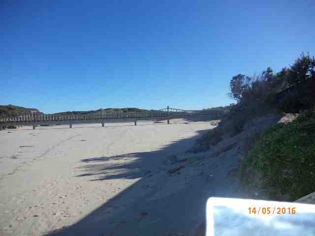
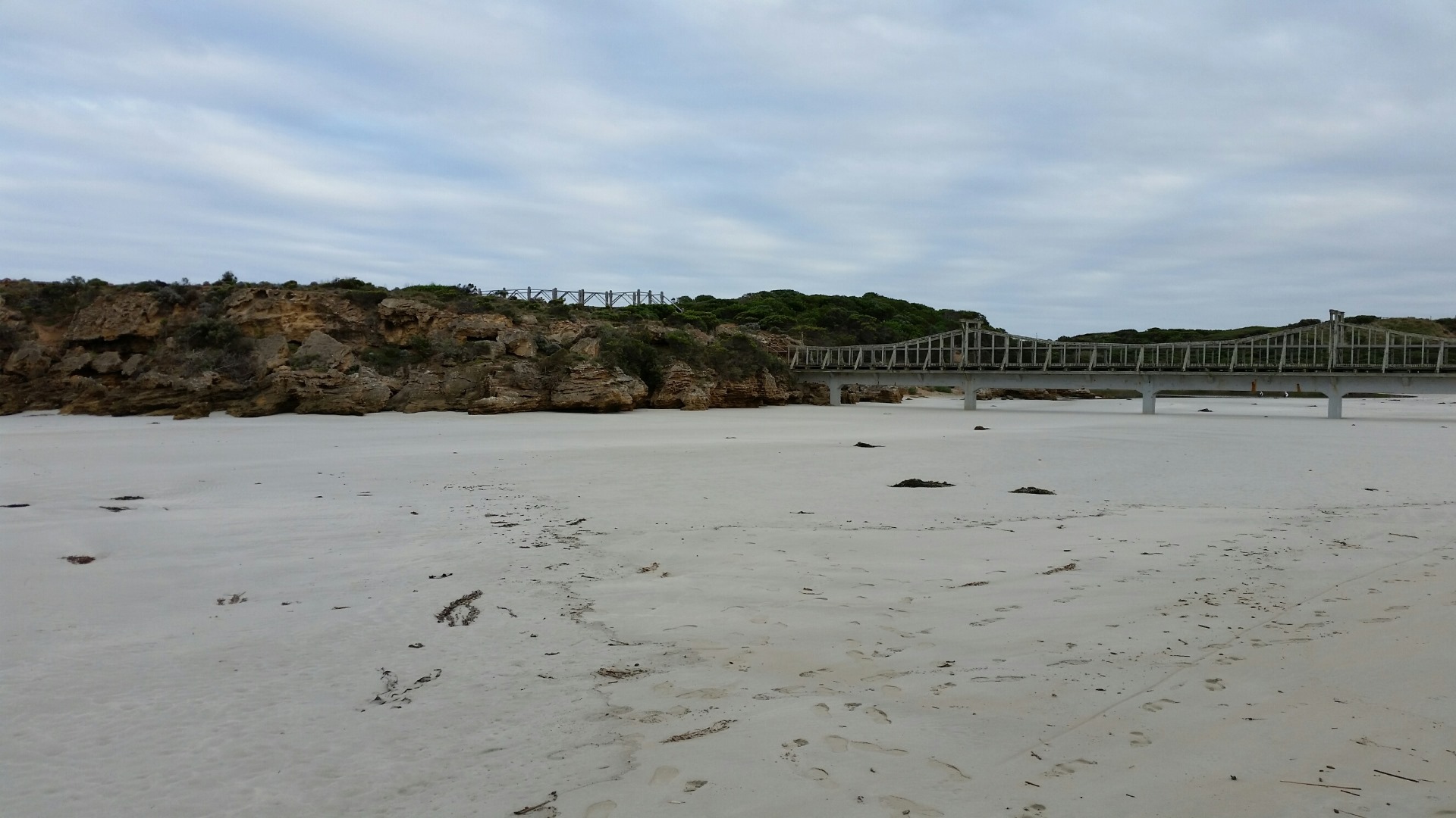
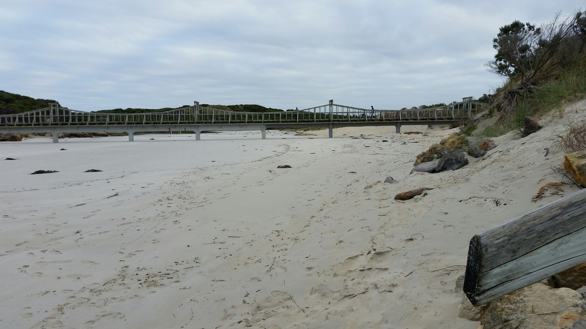
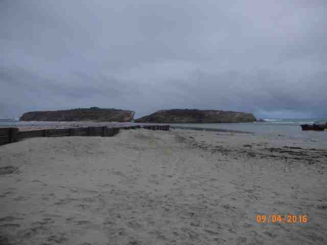
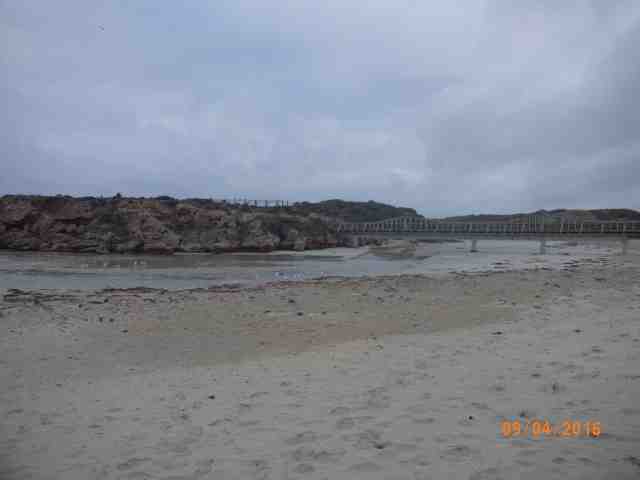
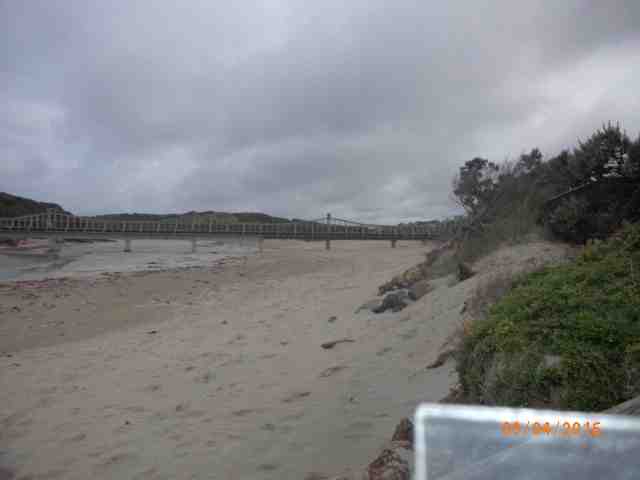
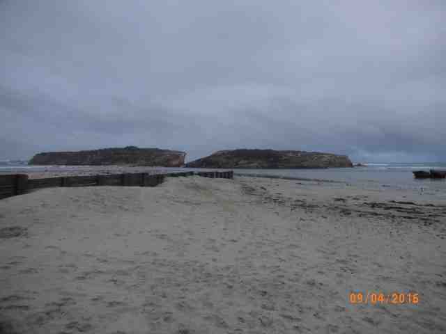
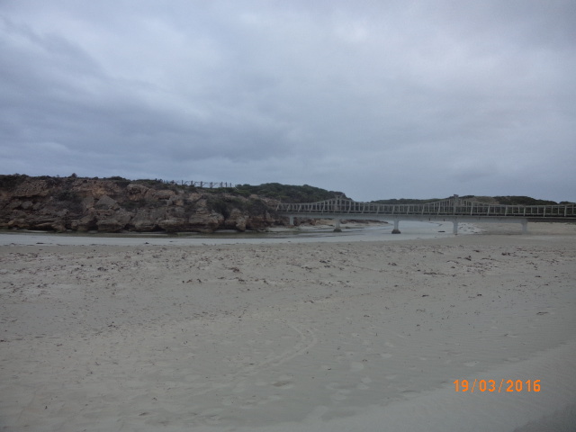
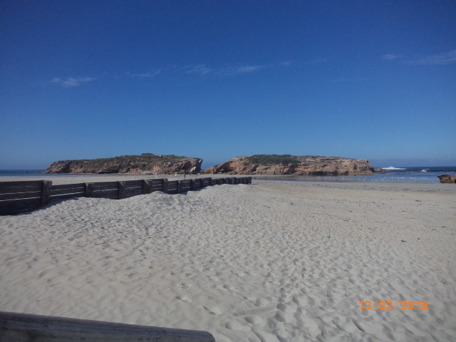
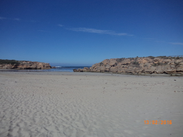
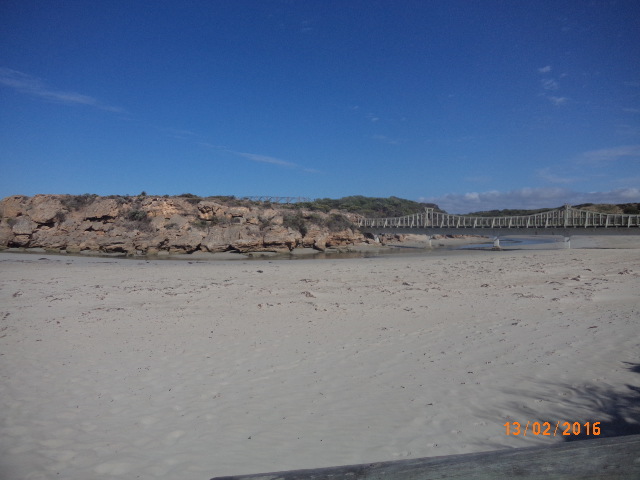
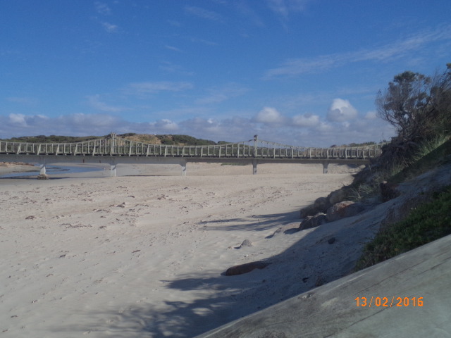
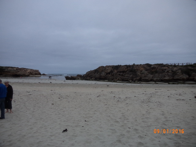
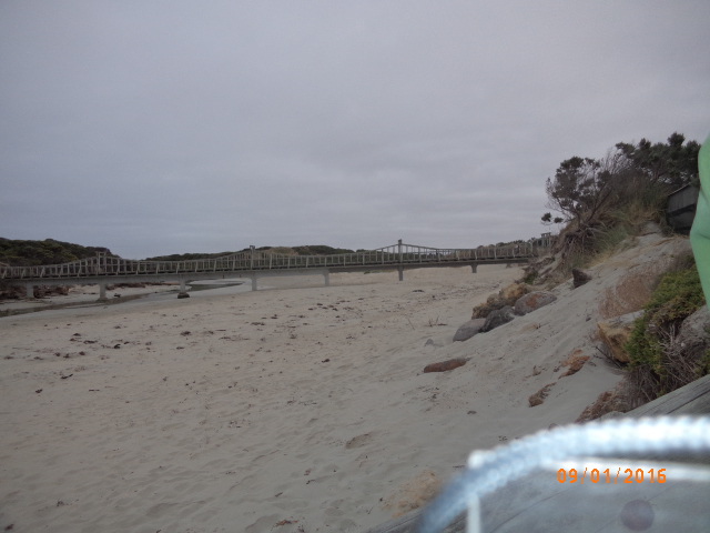
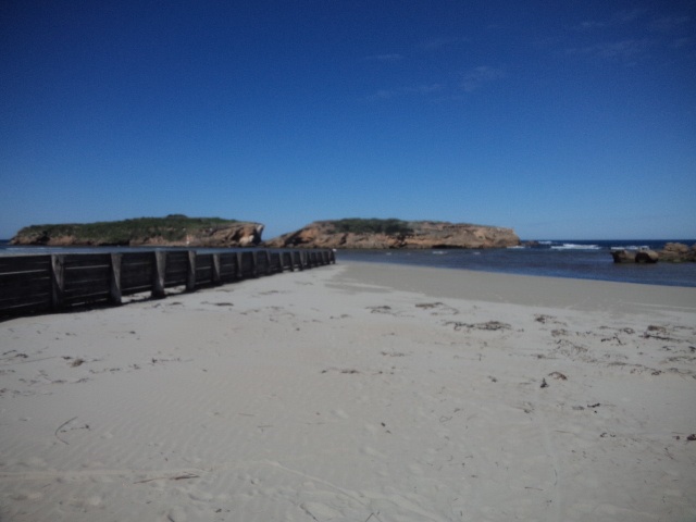
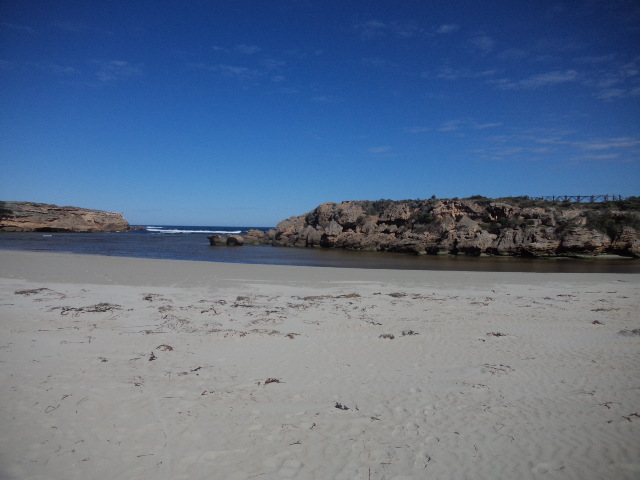
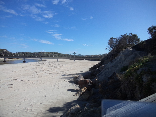
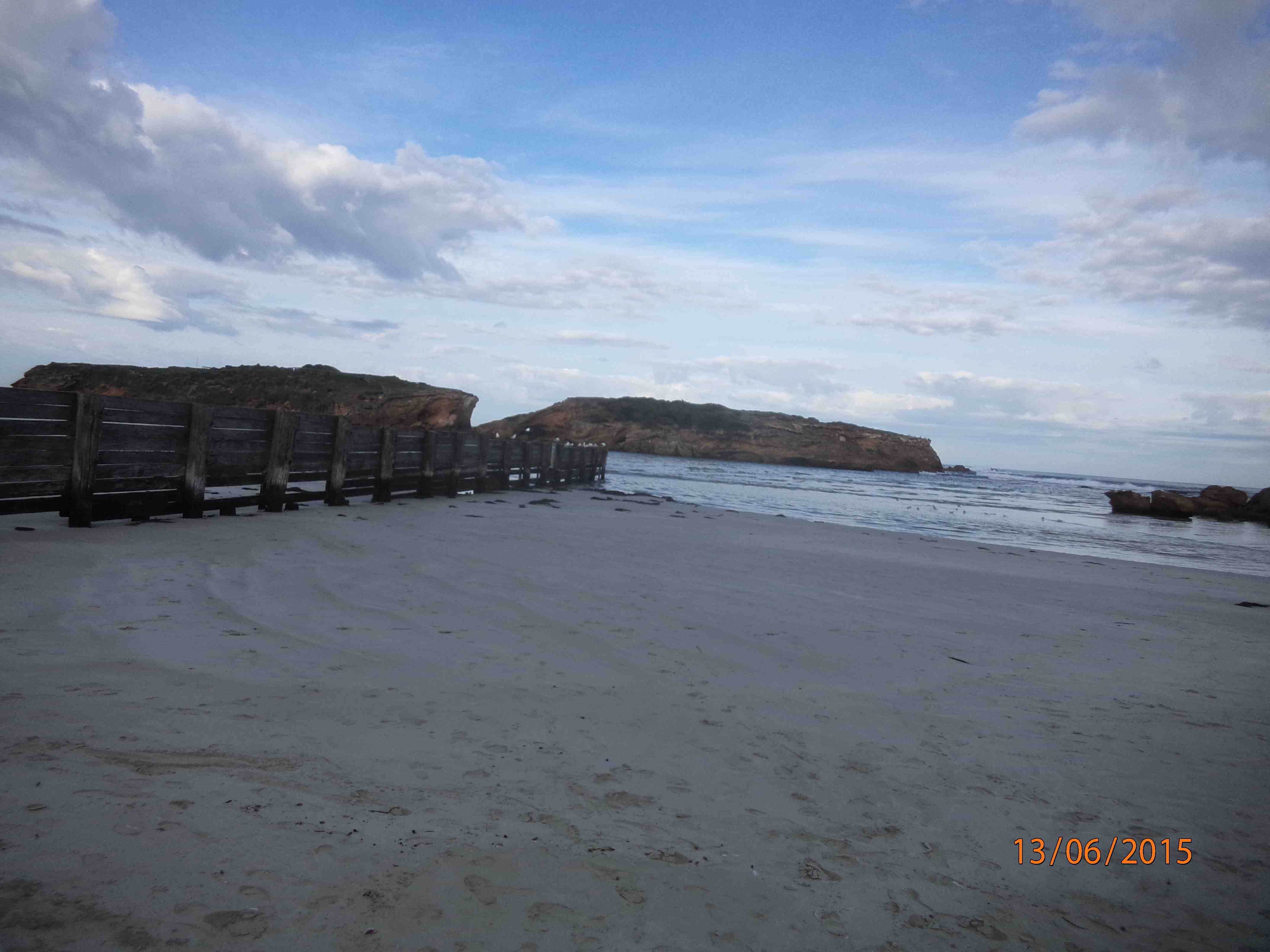
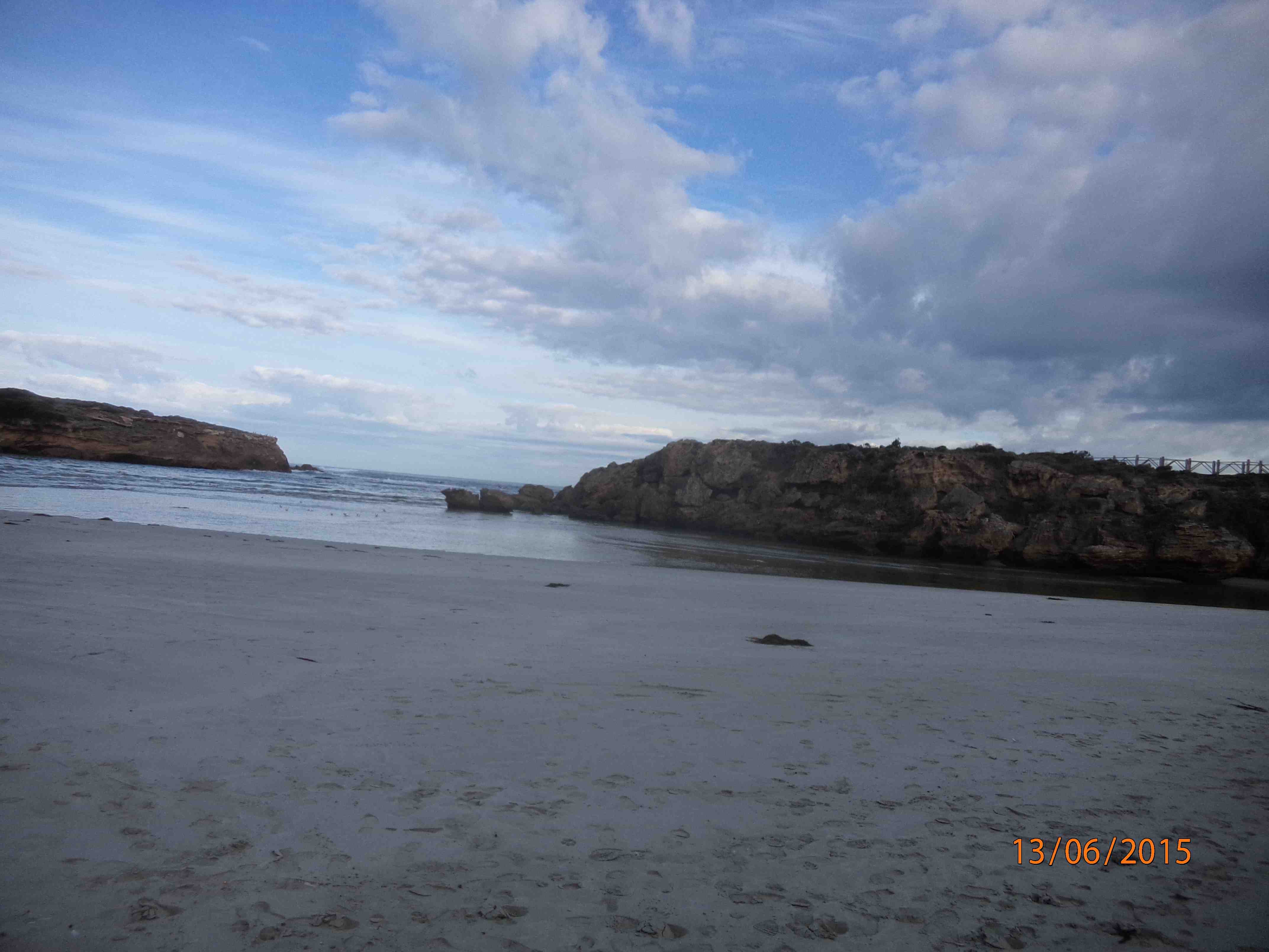
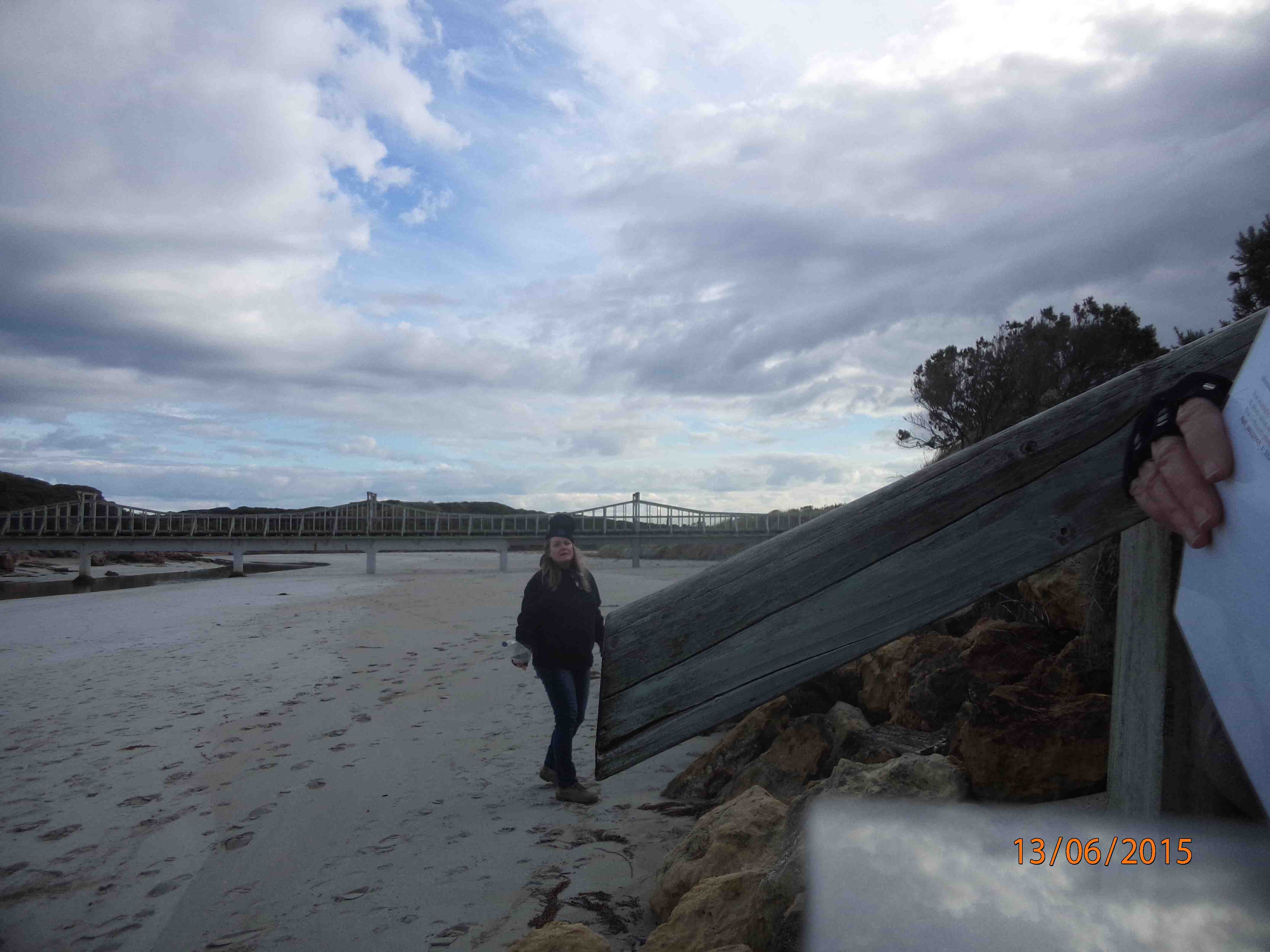
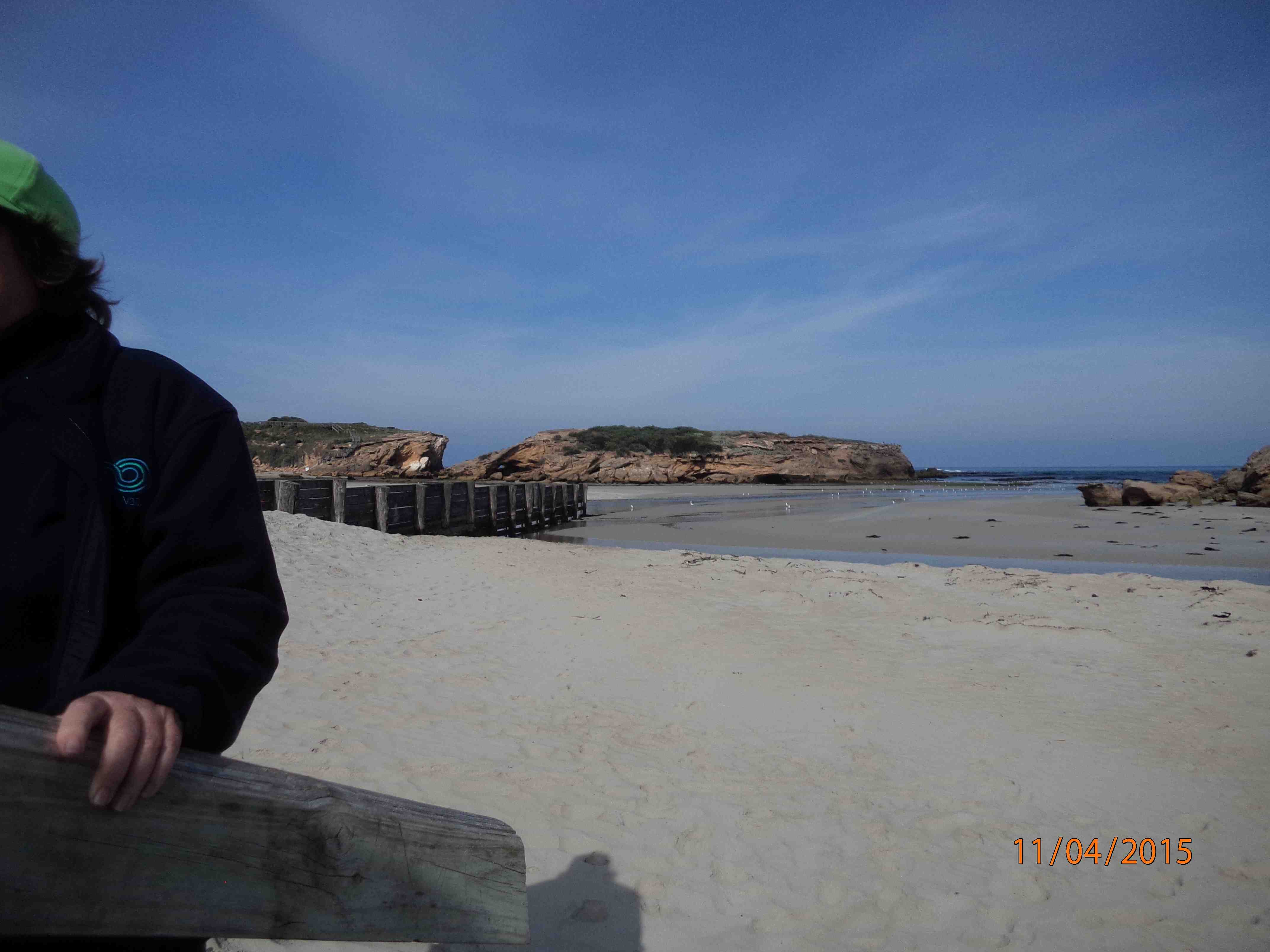
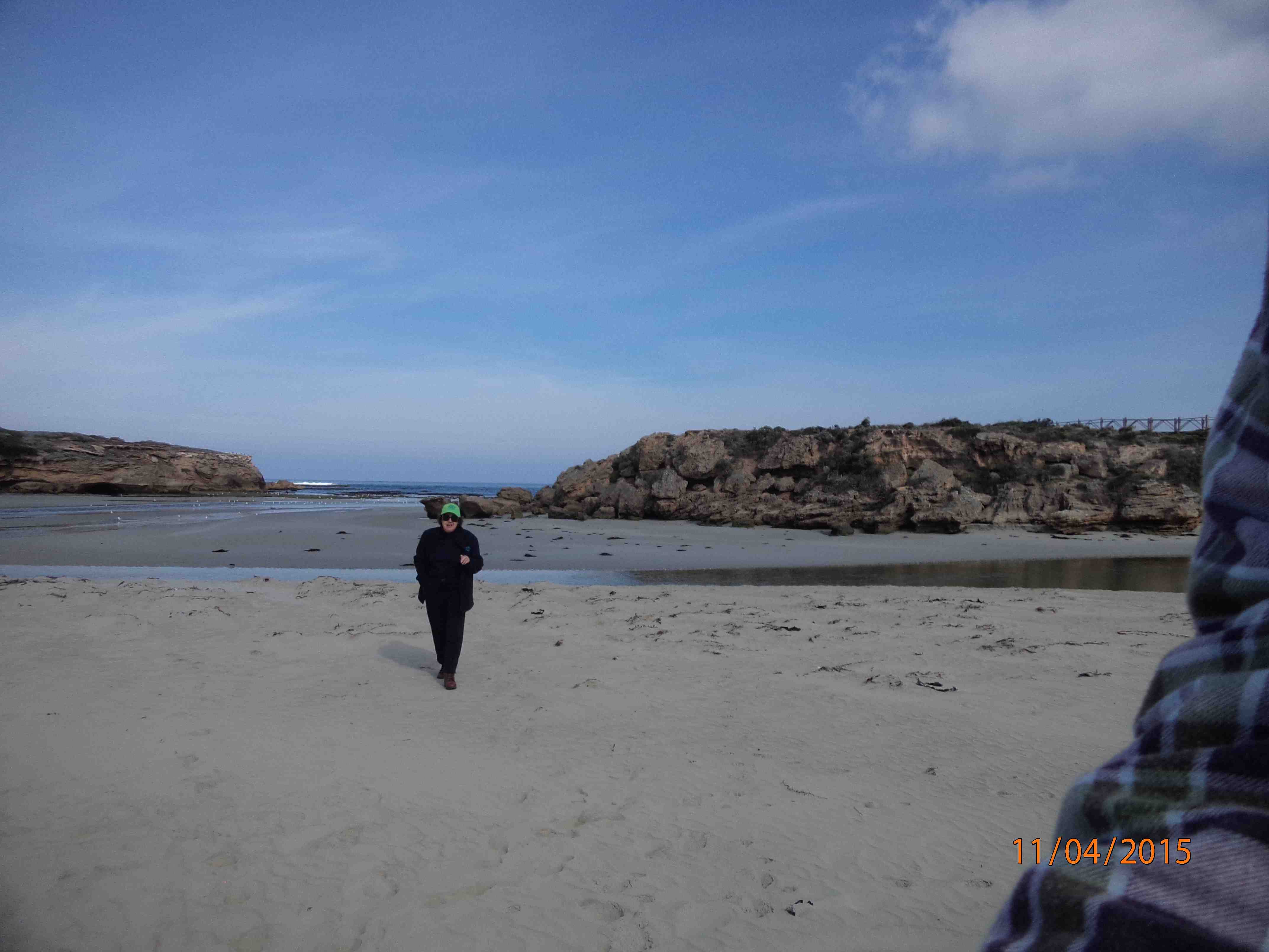
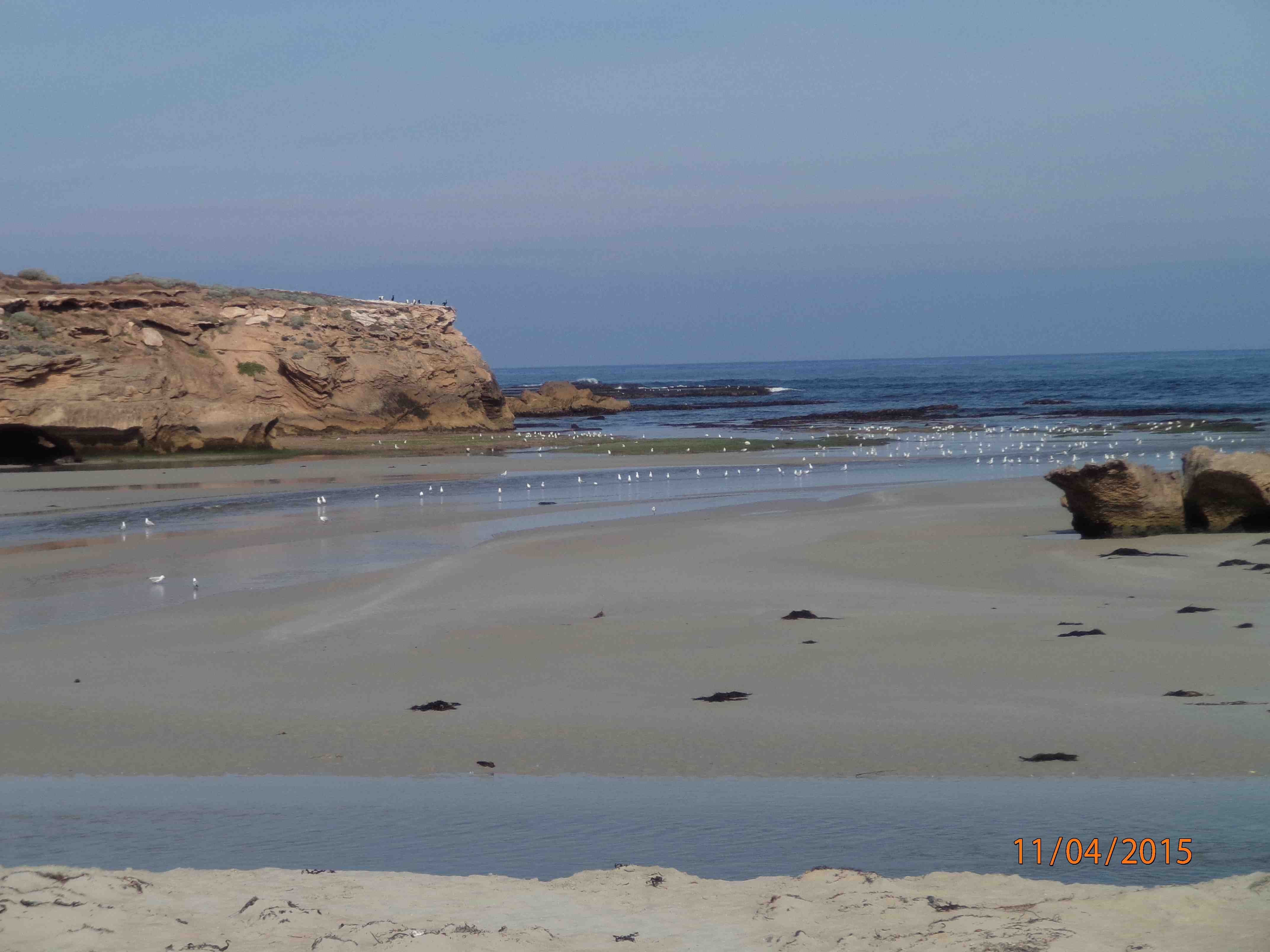
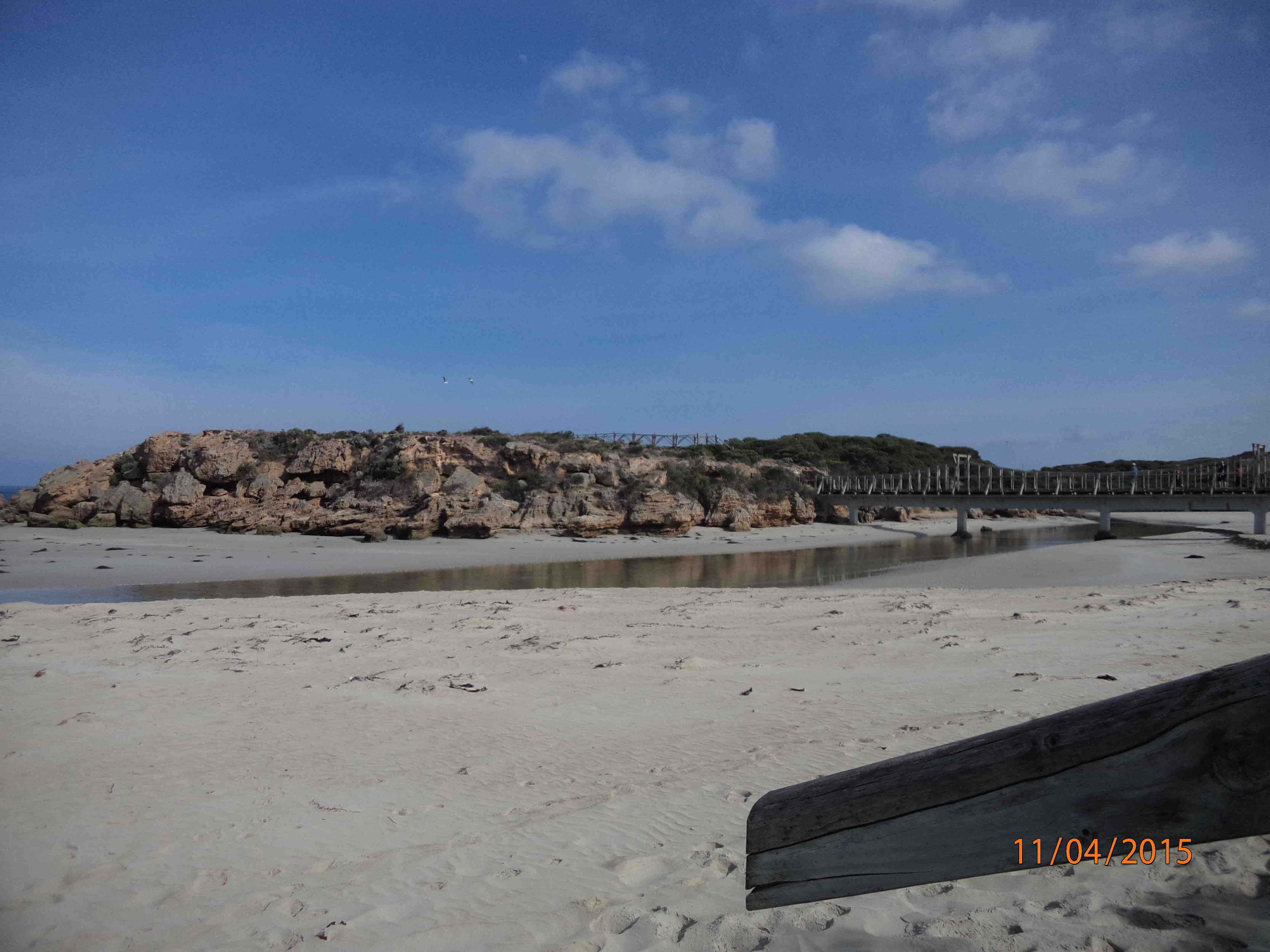
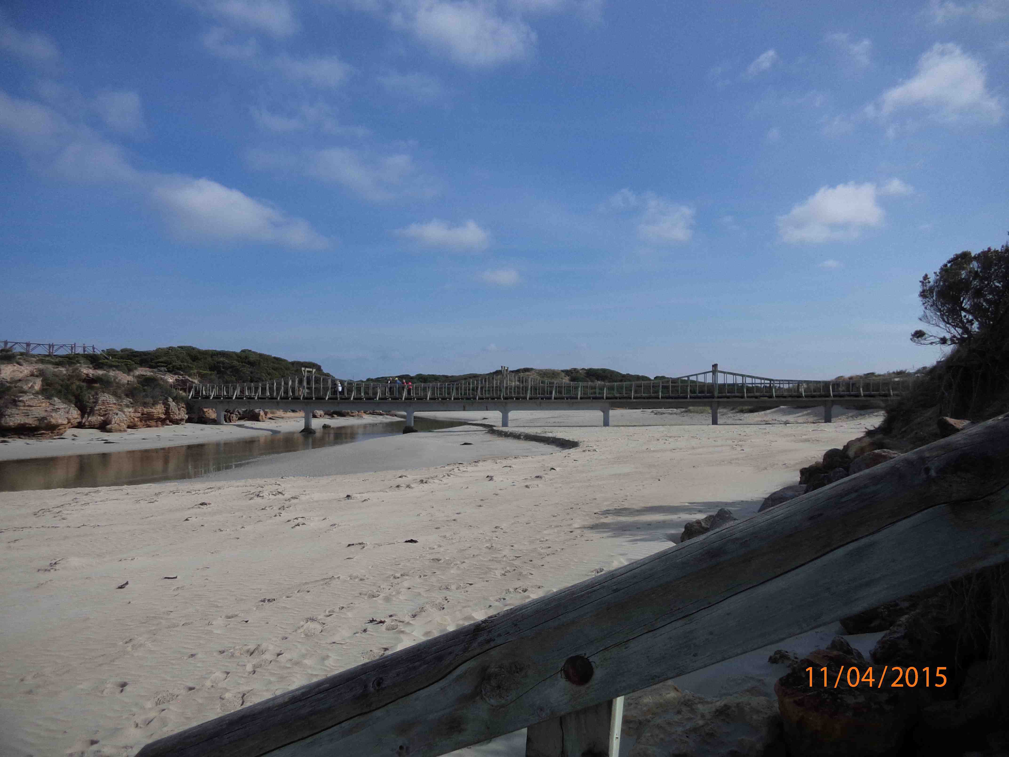
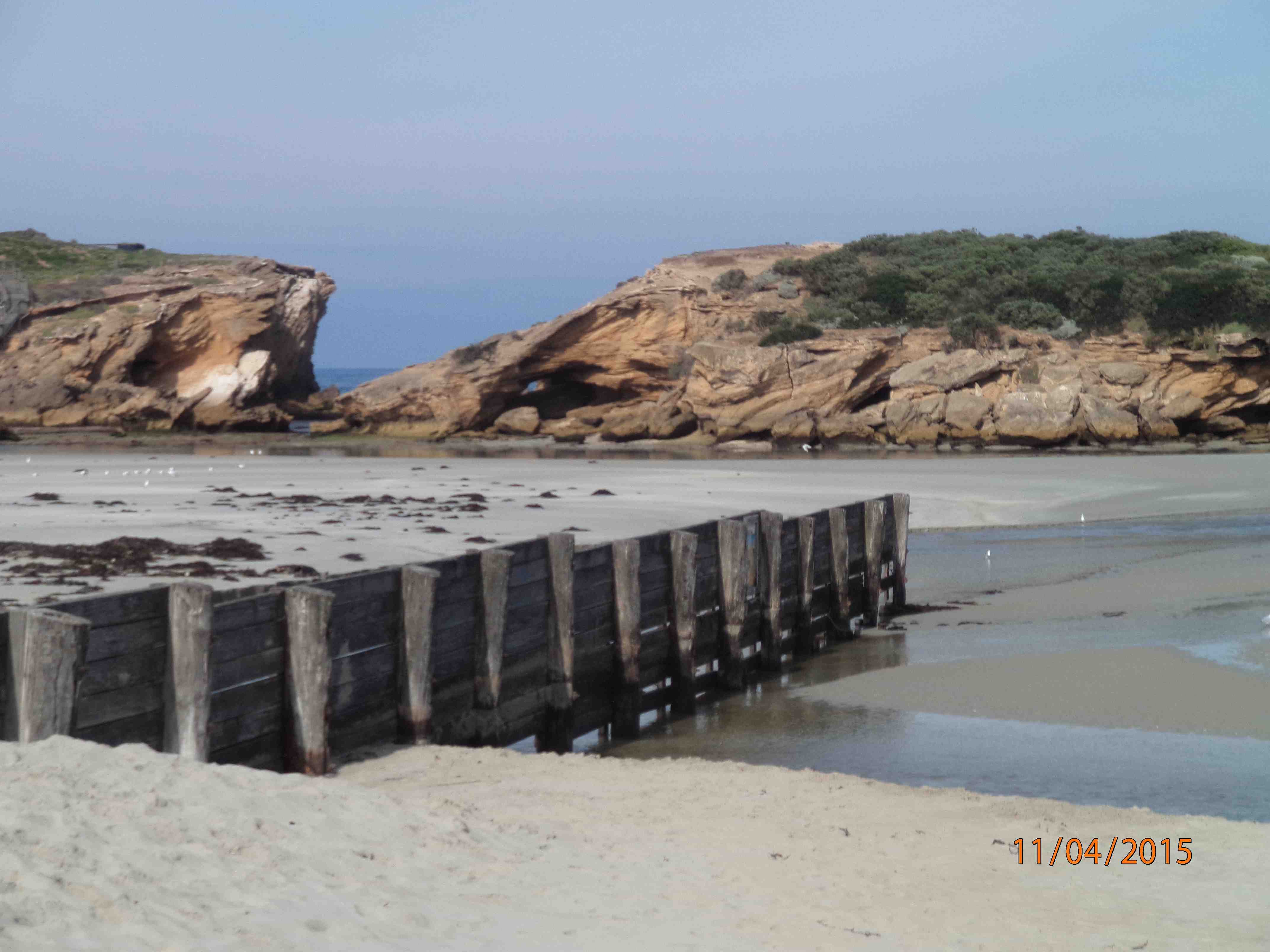
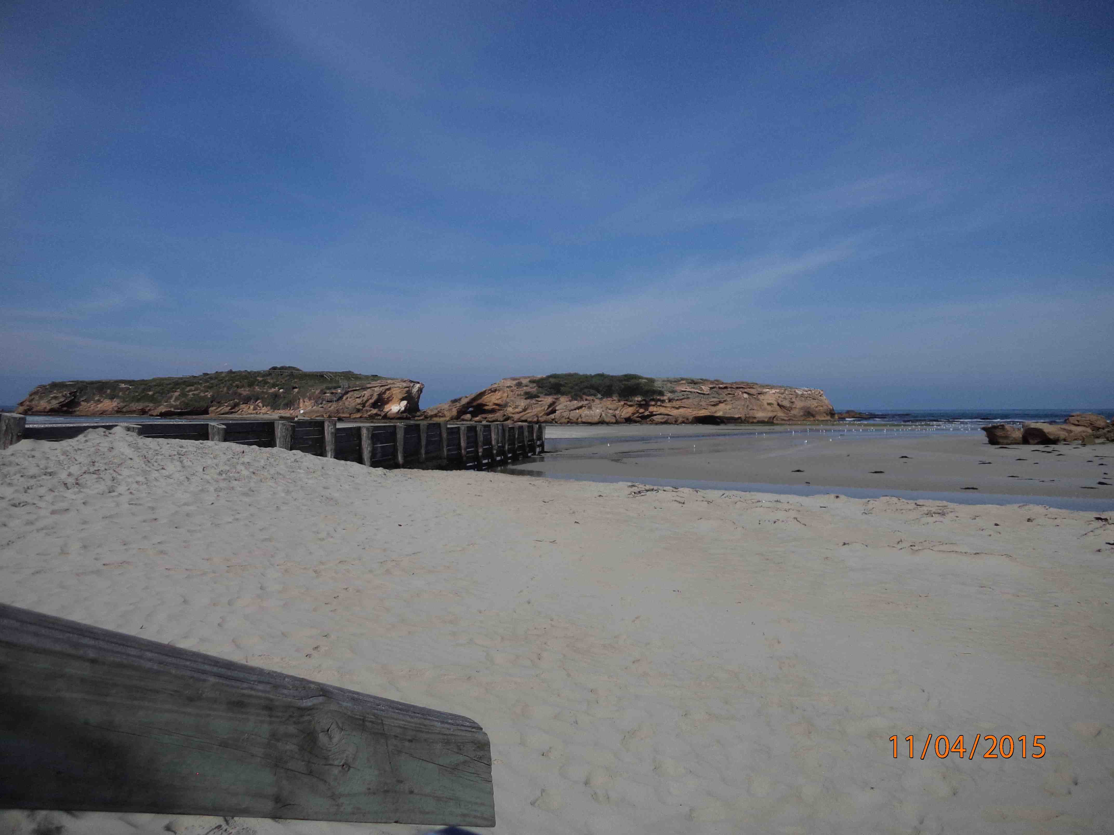
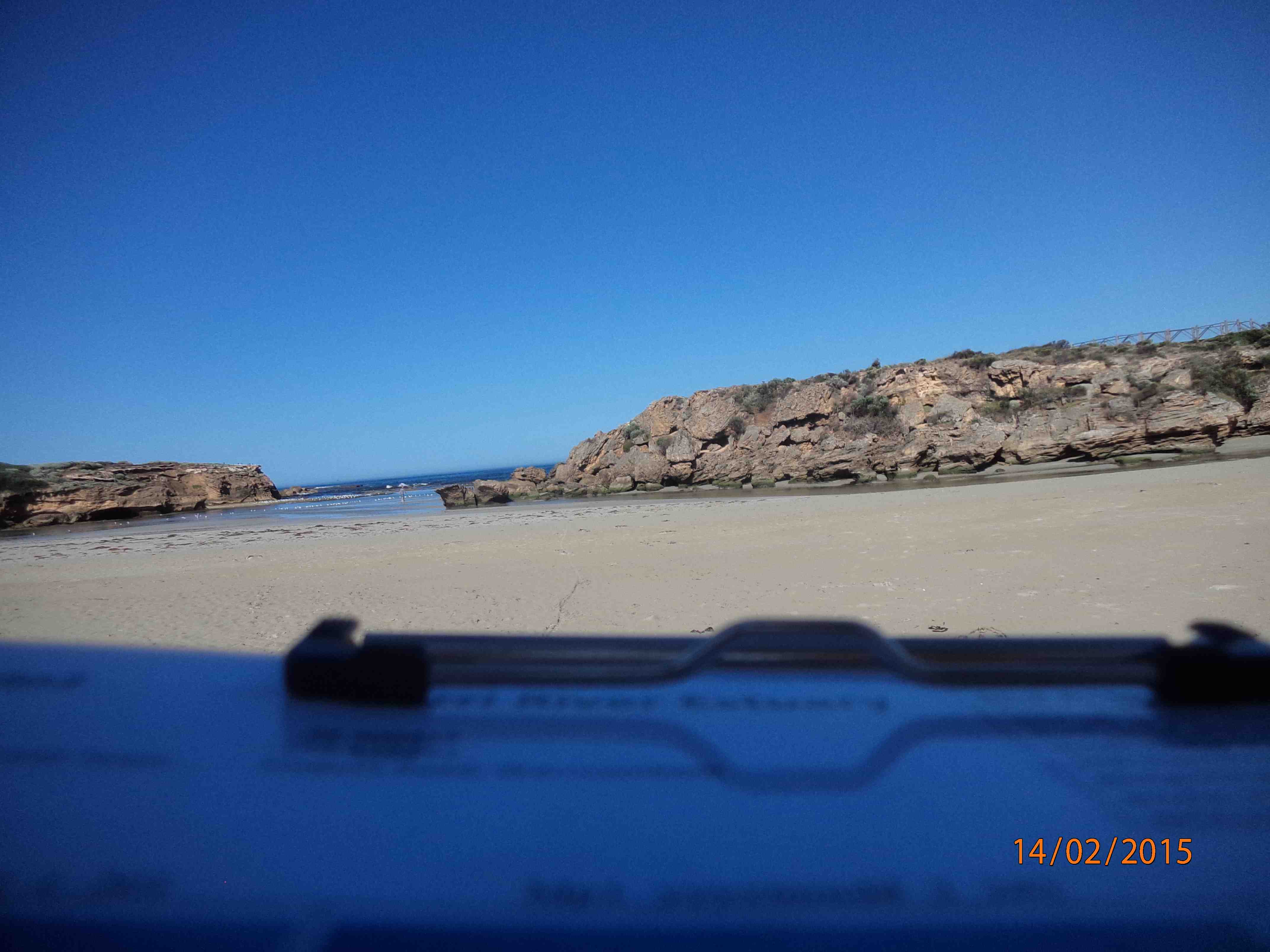
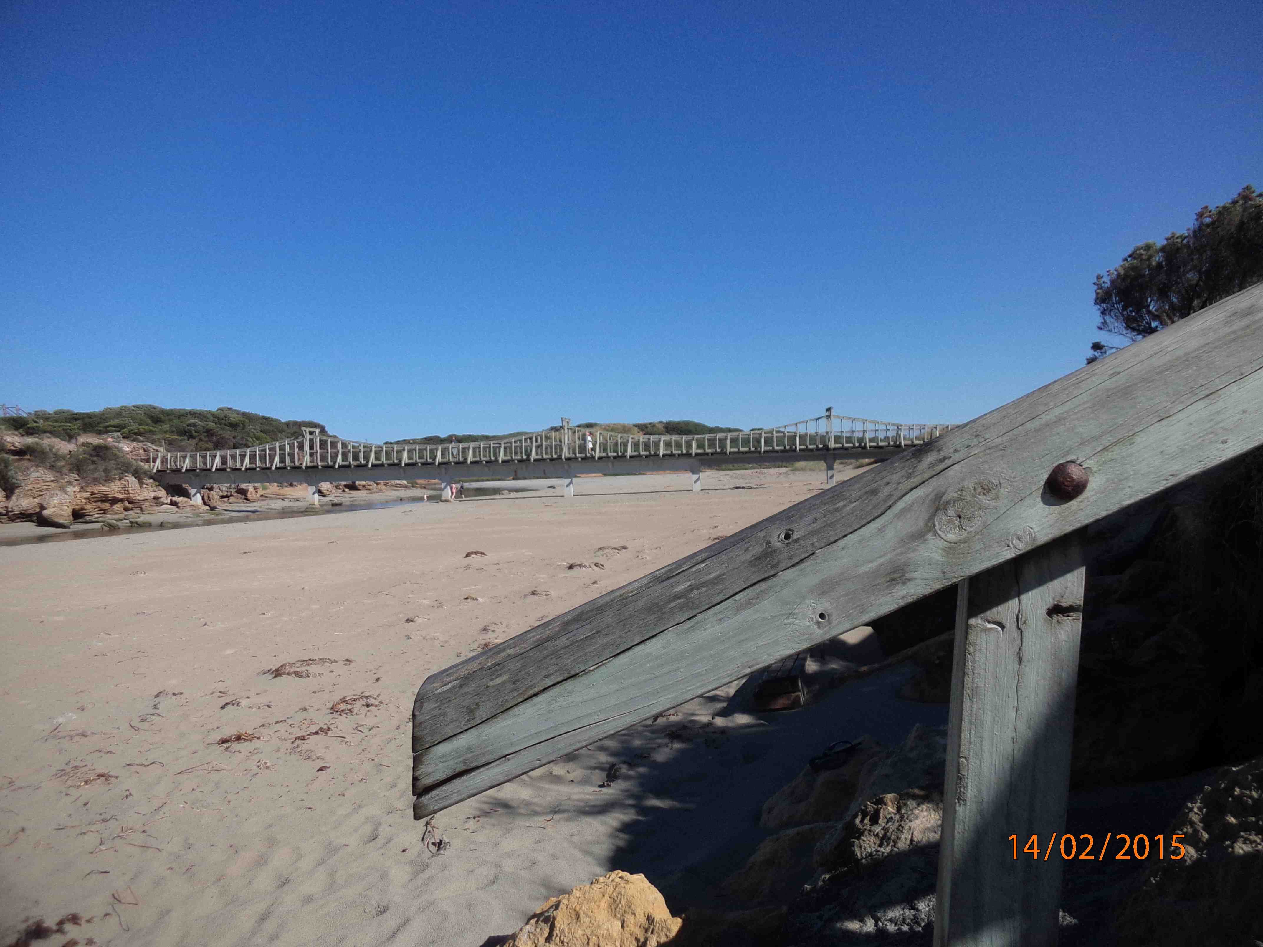
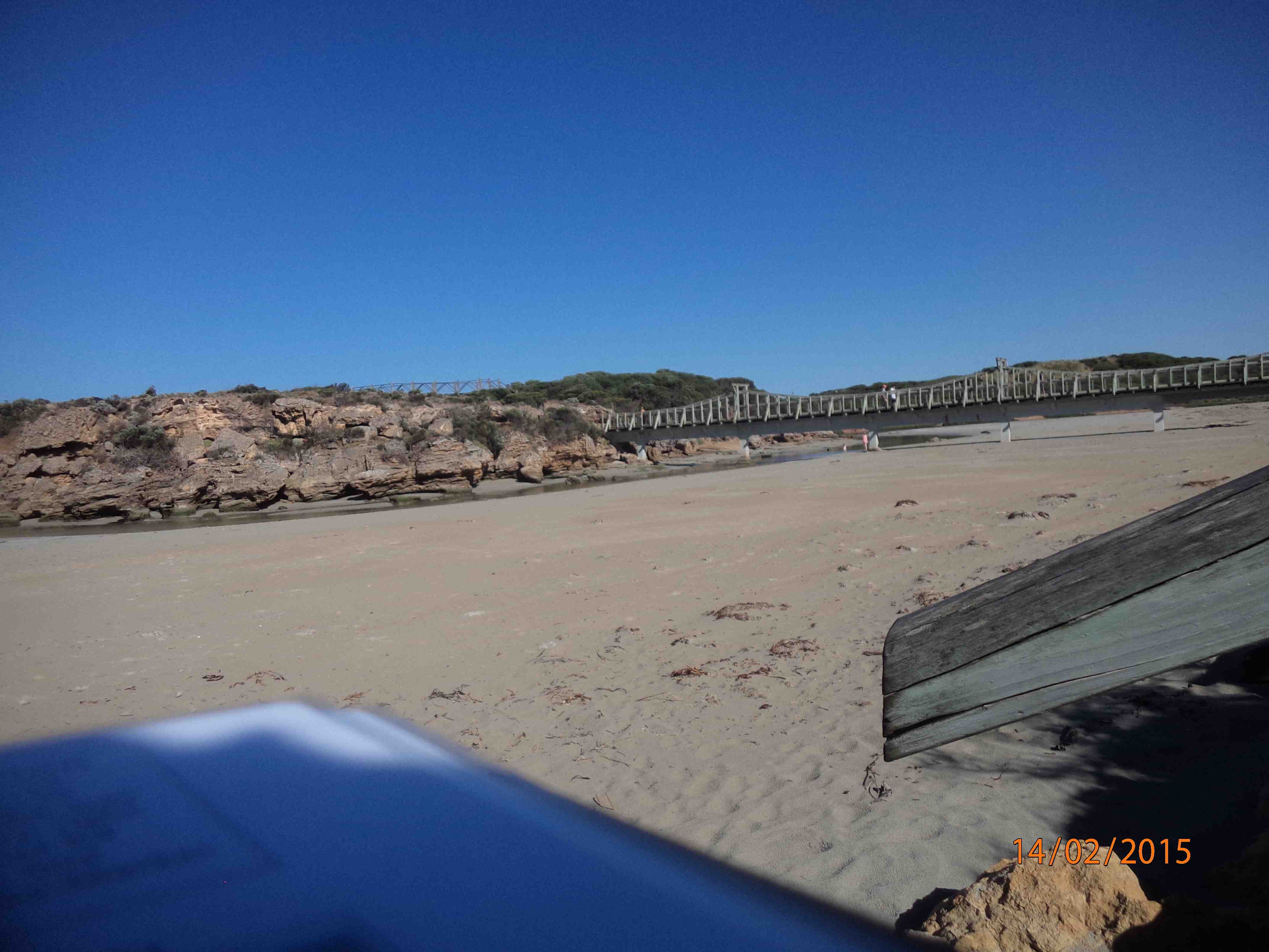
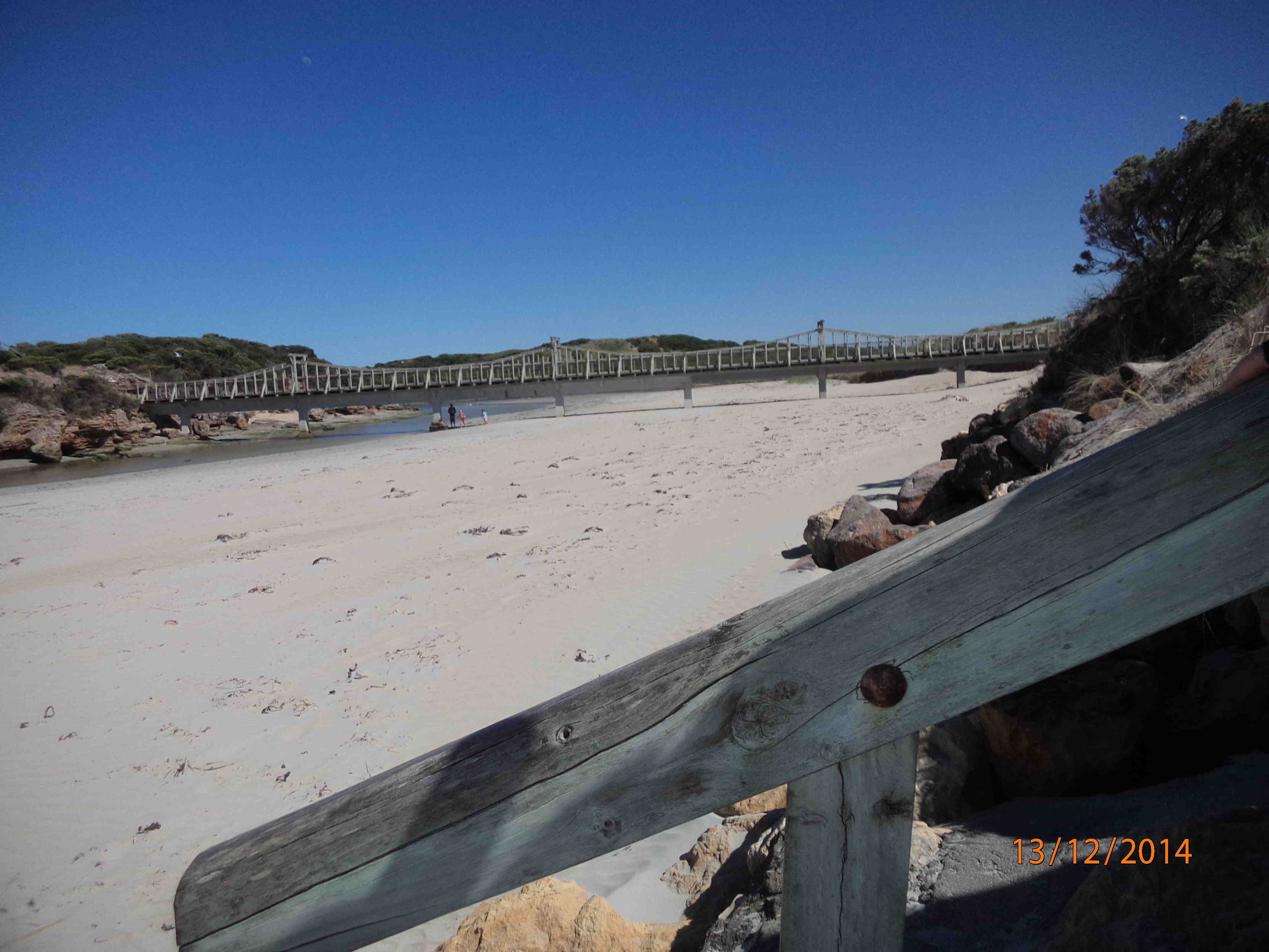
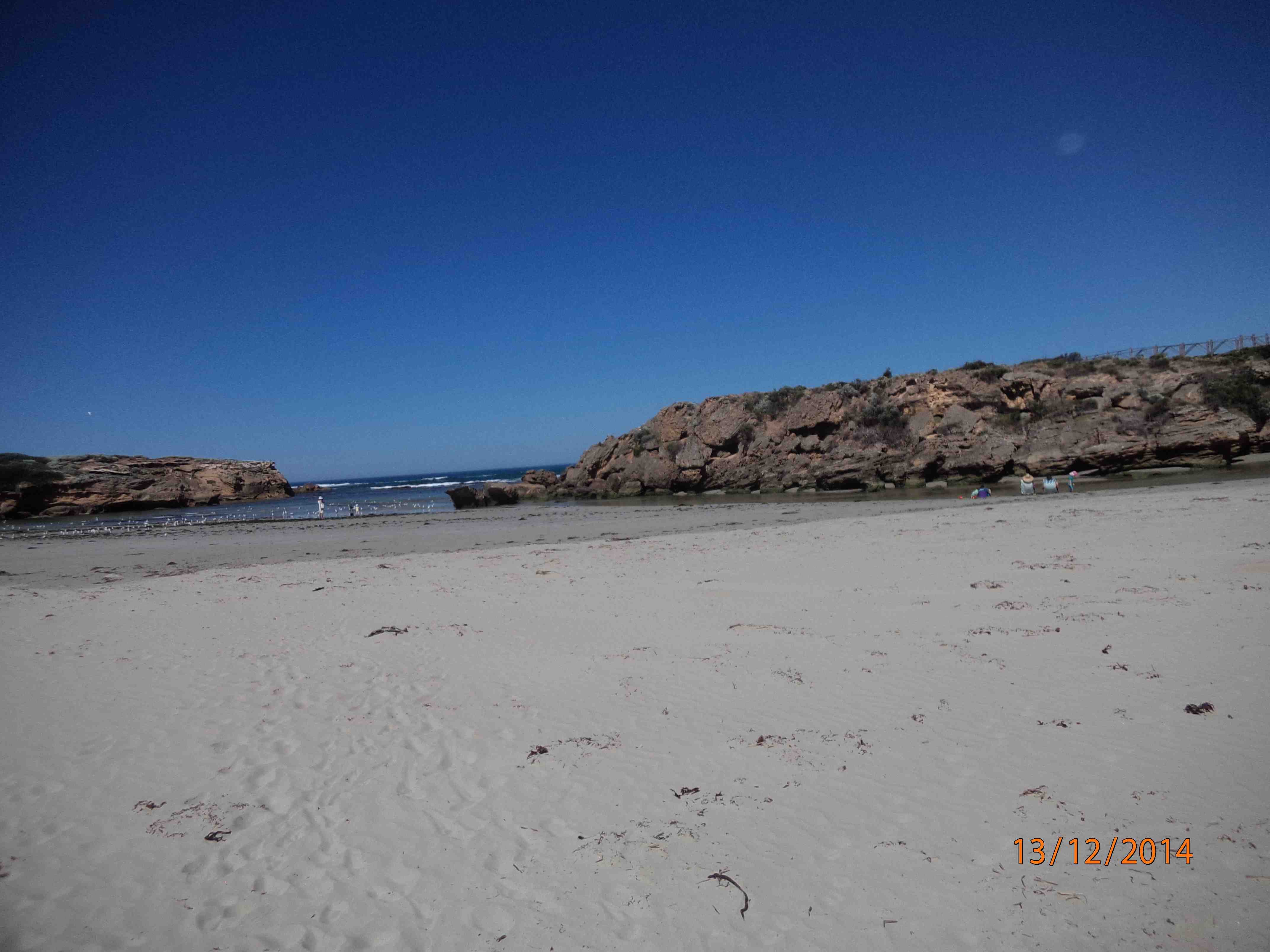
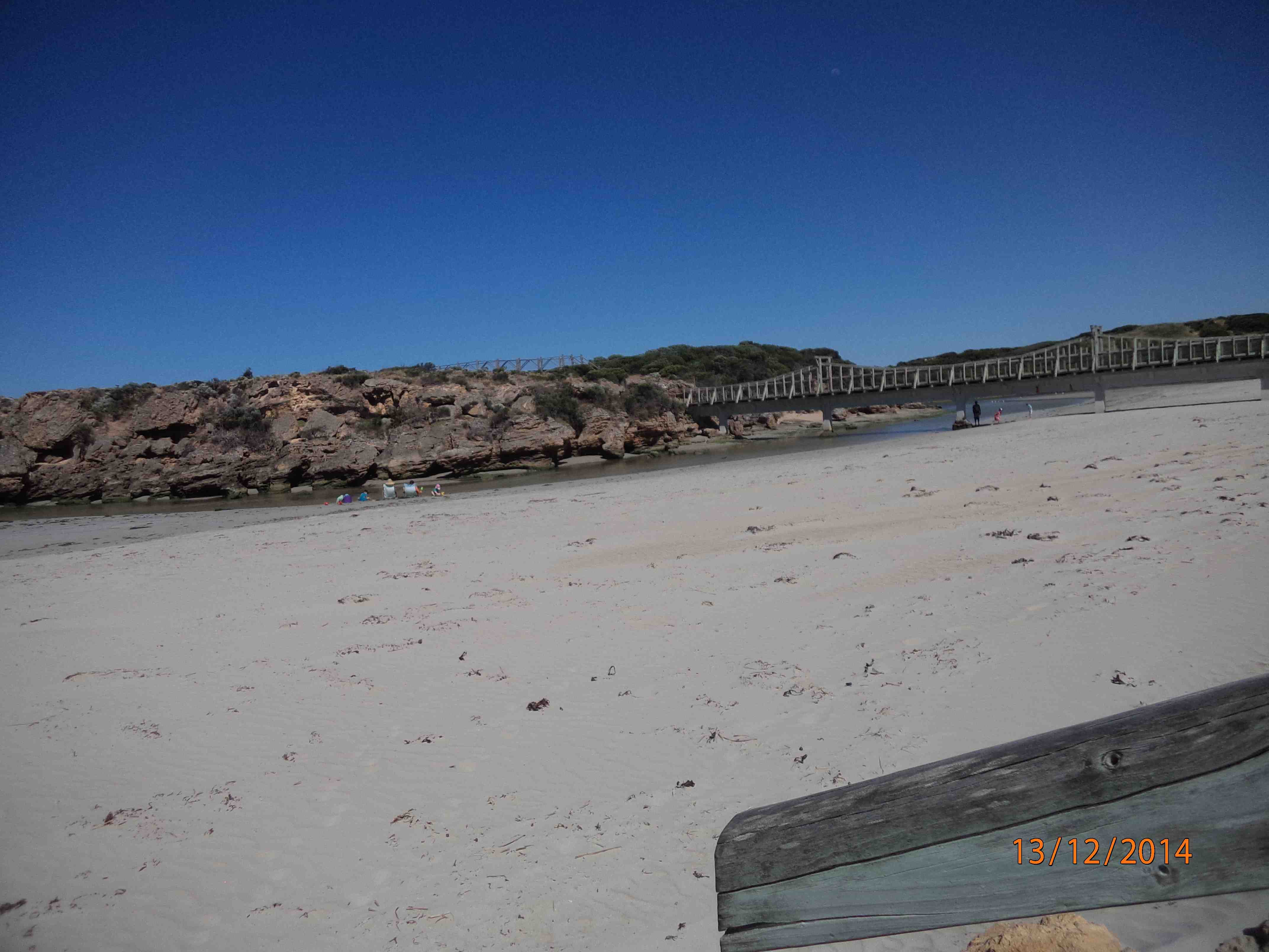
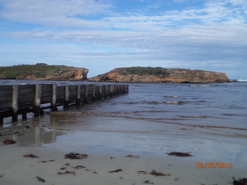
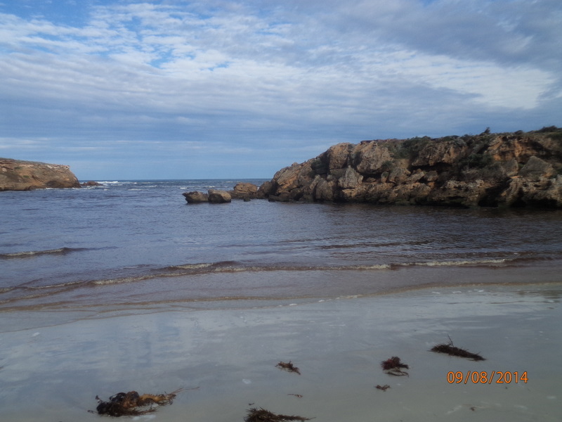
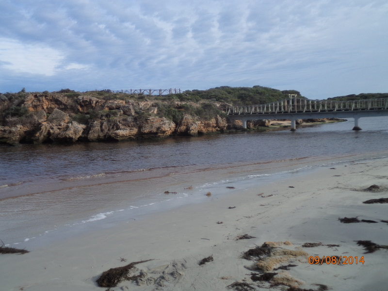
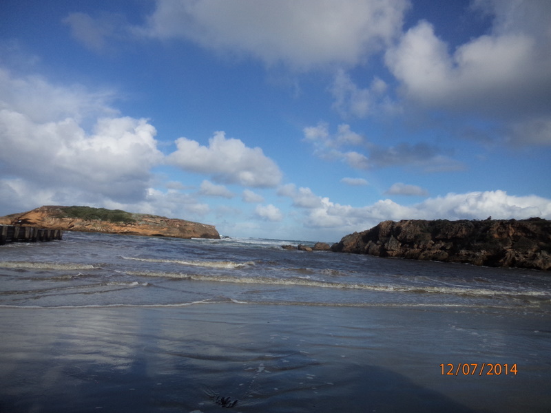
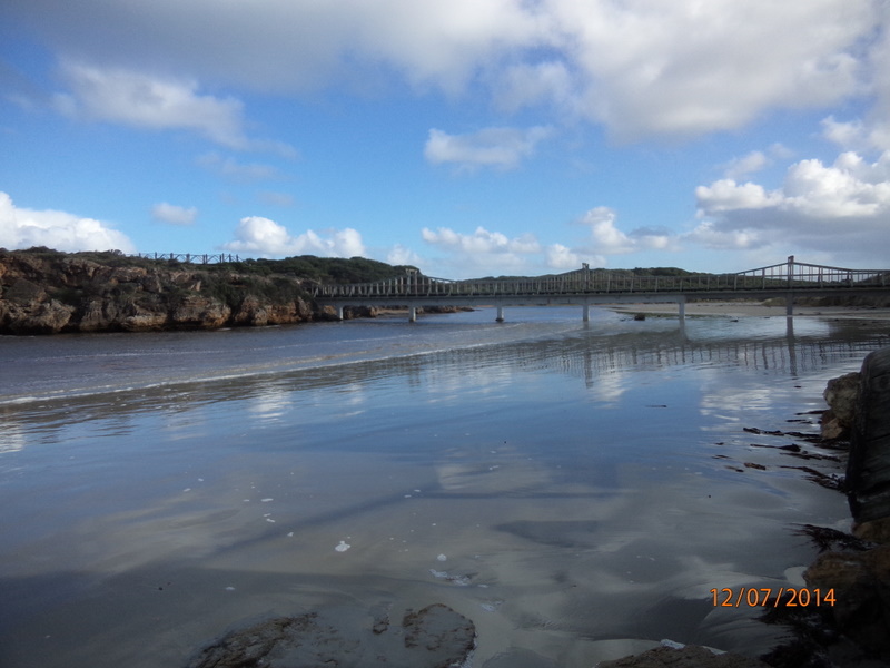
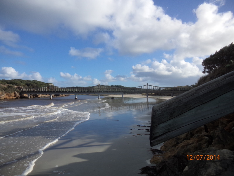
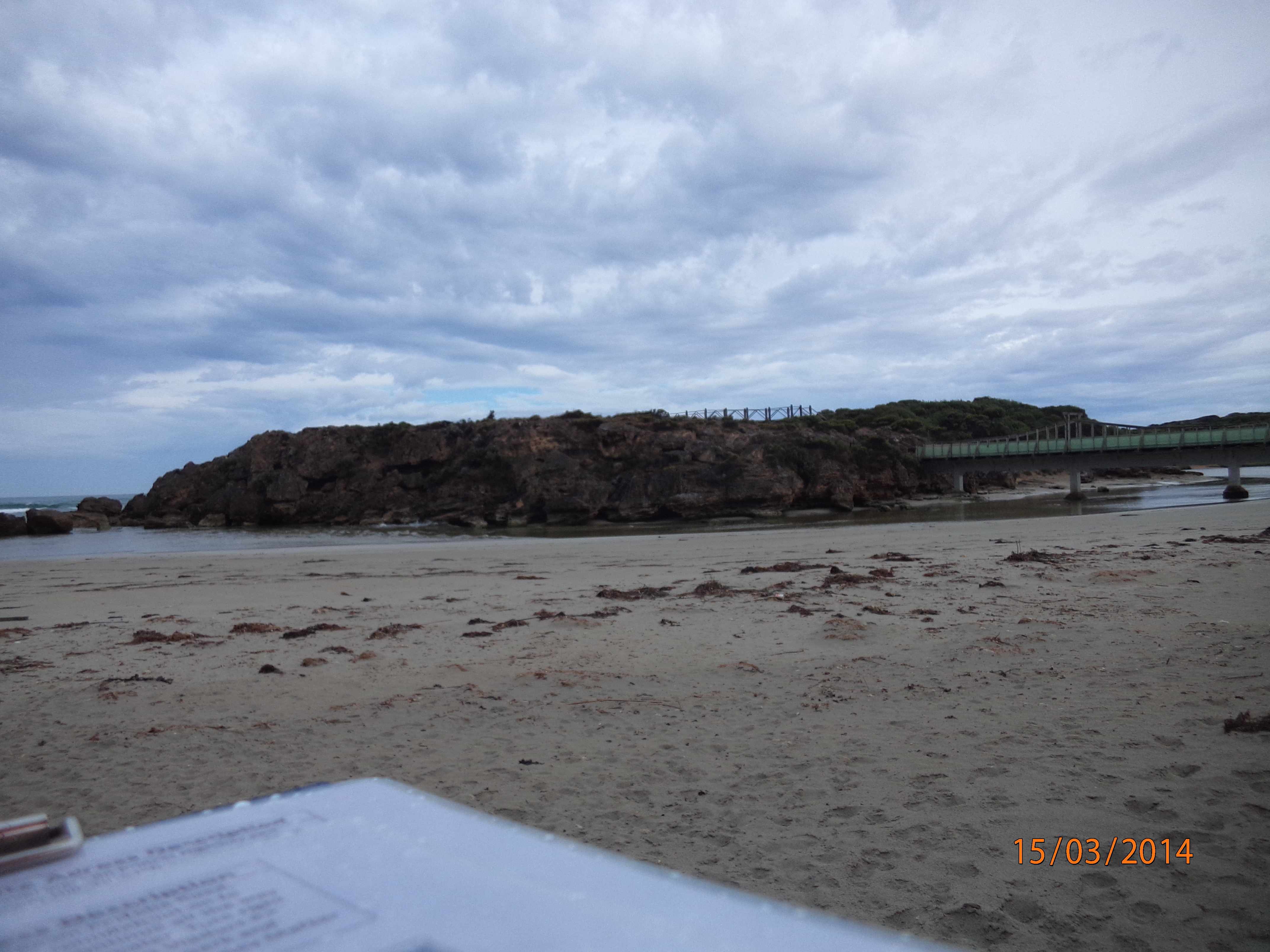
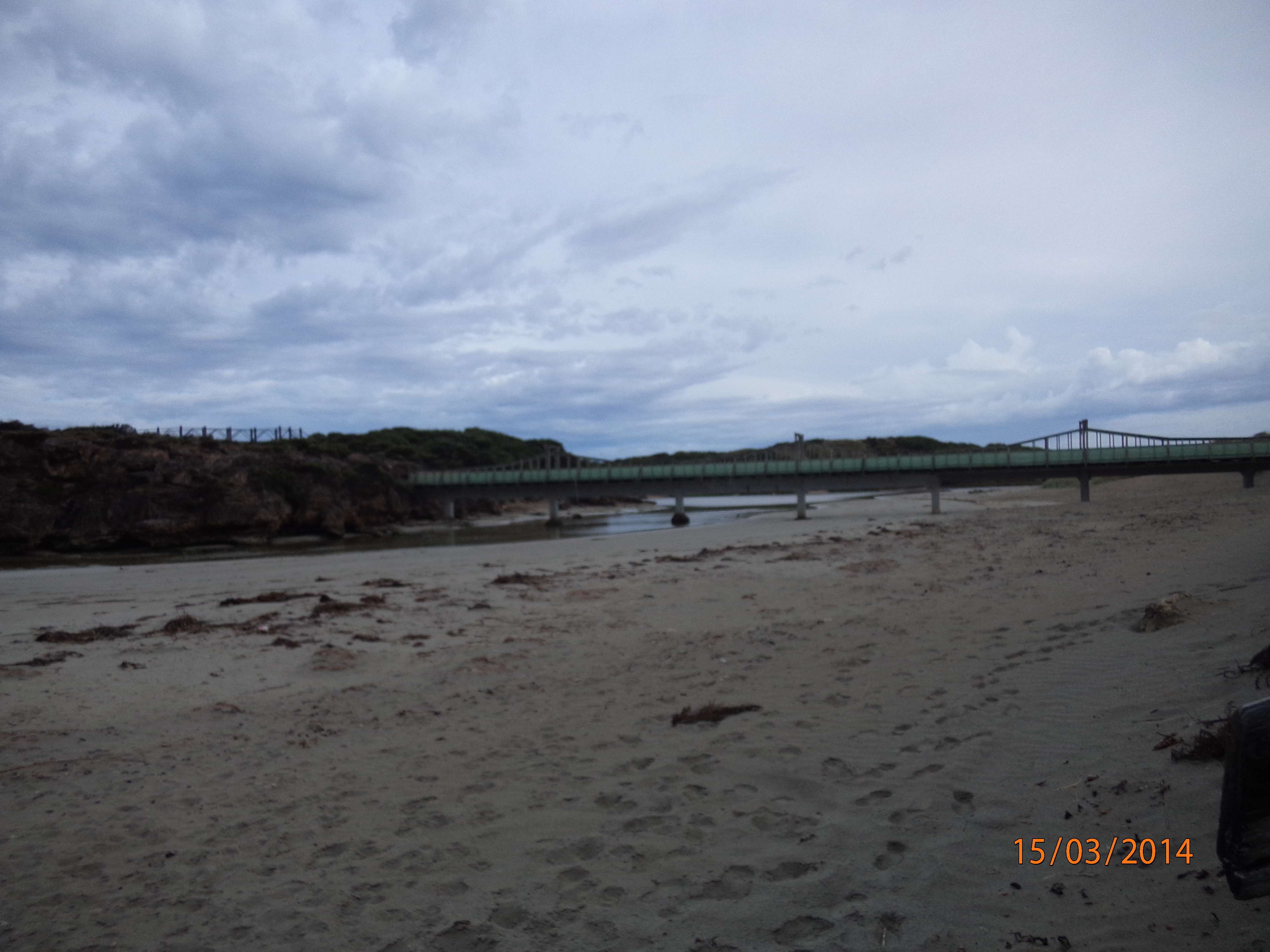
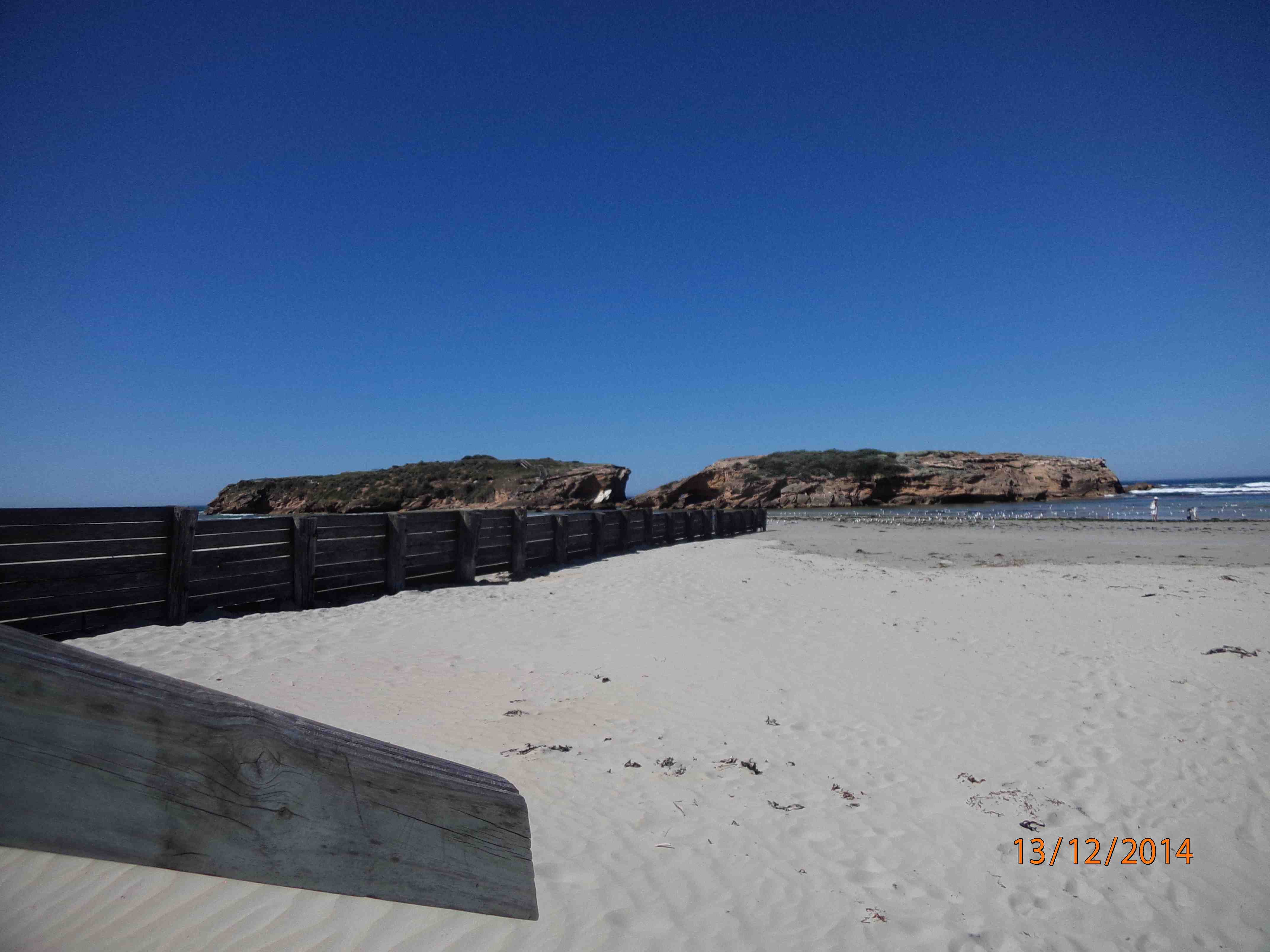
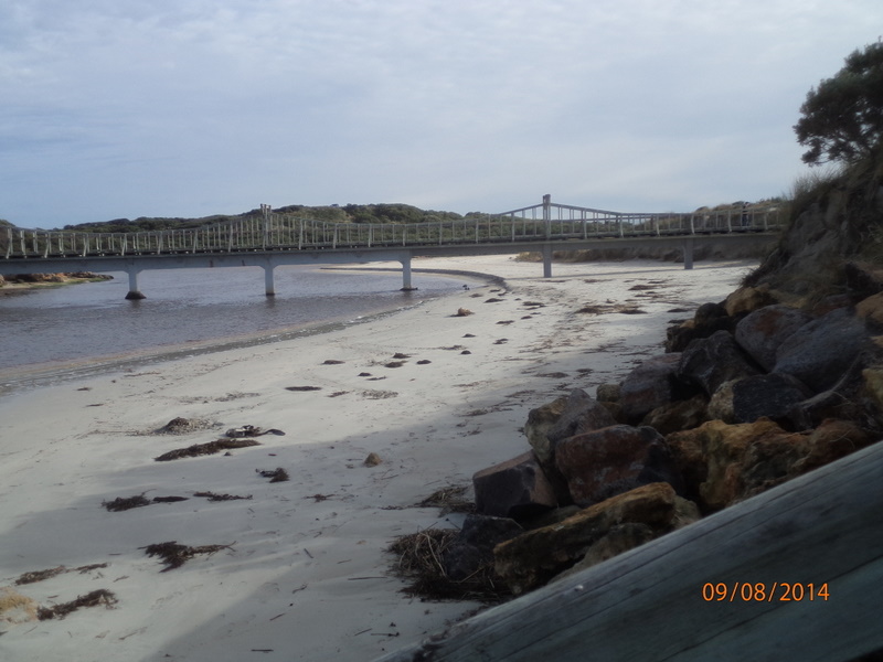
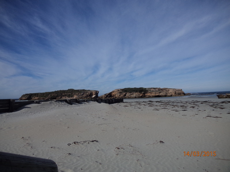
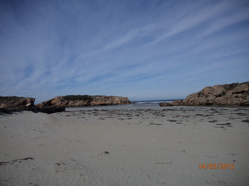
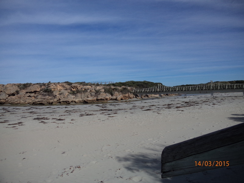
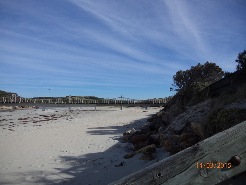
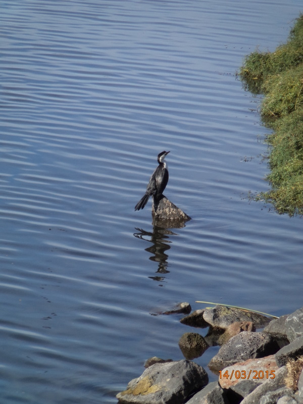
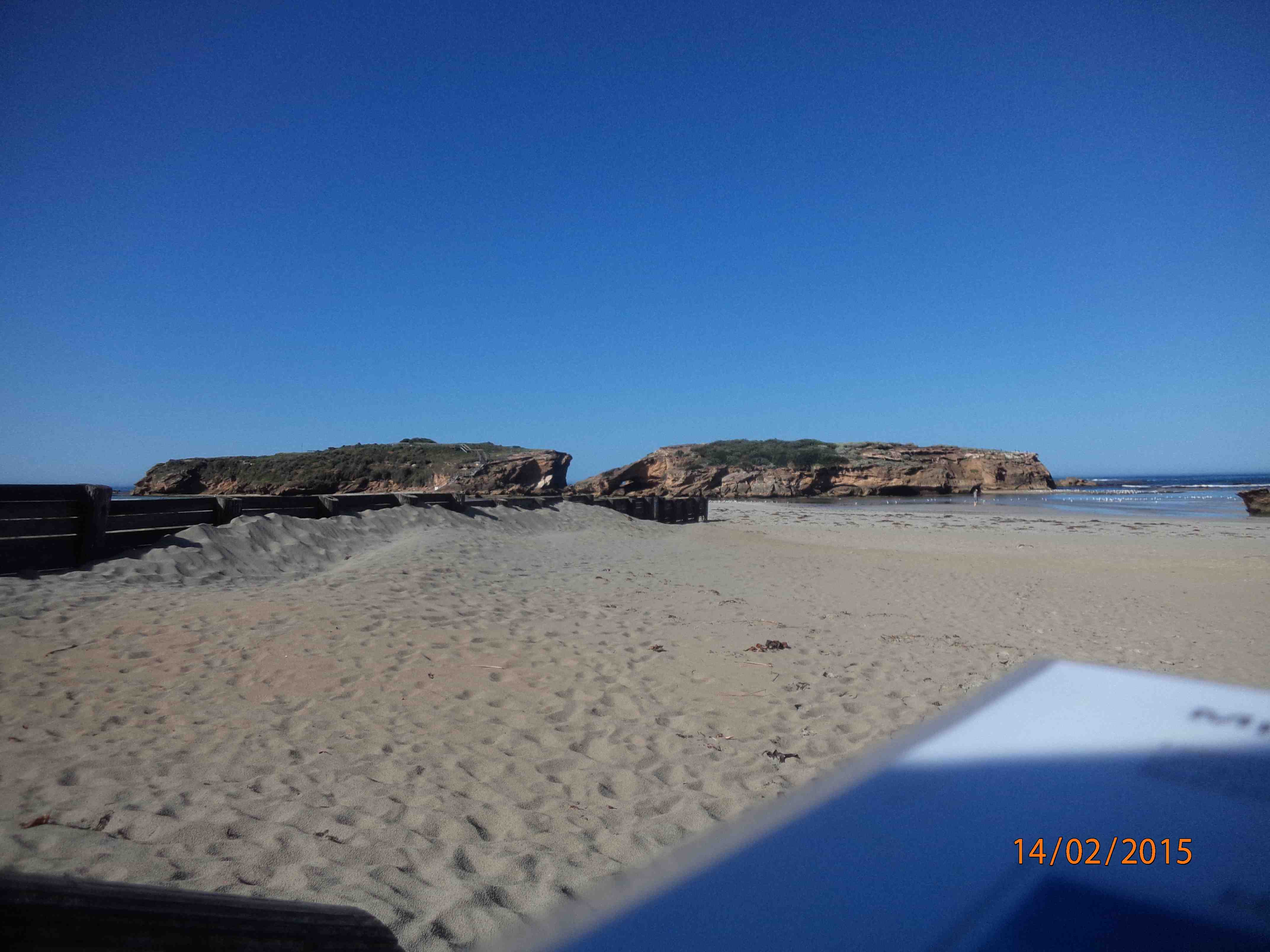
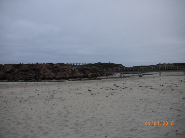
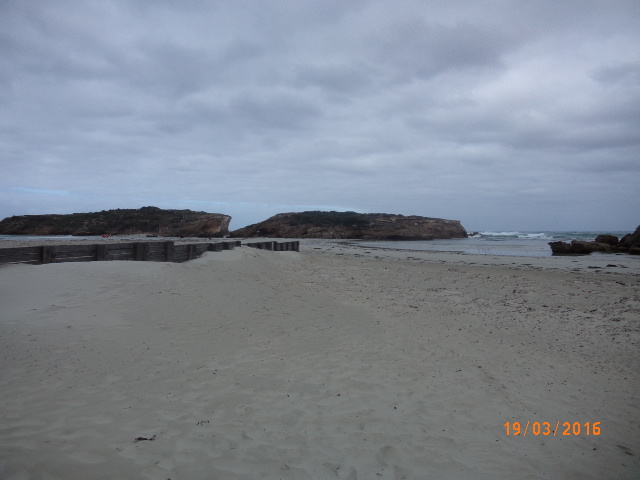
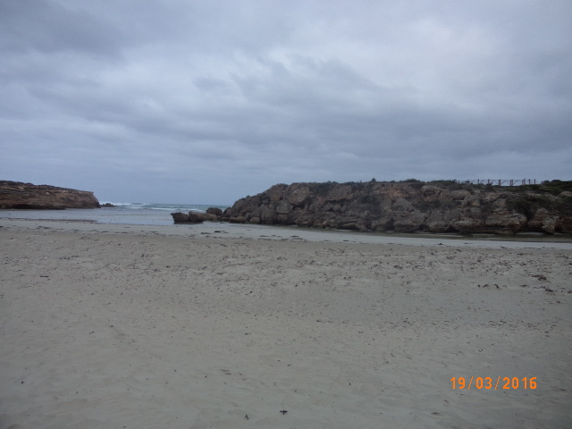
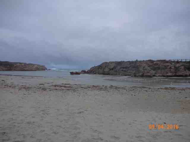
Photo is taken at the bottom of the beach access stairs near Emergency marker WCC112, Sting Ray Bay.Travel south down Pertobe Road, turn left at the roundabout on to Viaduct Road and continue all the way down to the breakwater. Turn right and travel back up Viaduct Road along Sting Ray Bay and park at beach access stairs near Emergency Marker WCC112.
Land Use
- Native Bushland
- Urban Residential
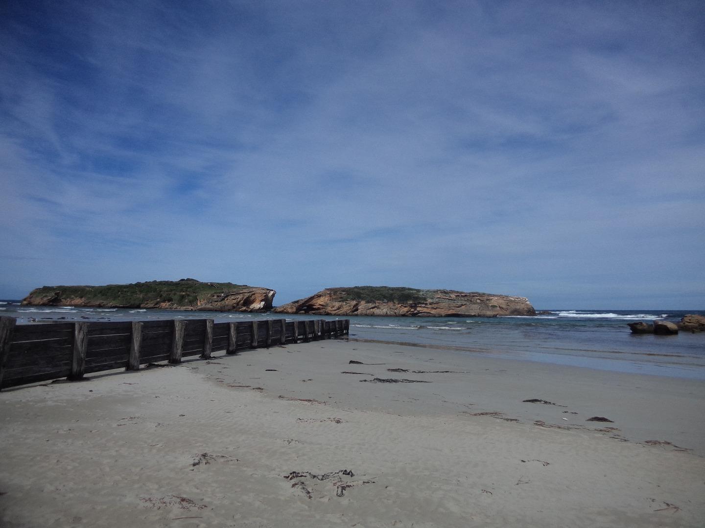
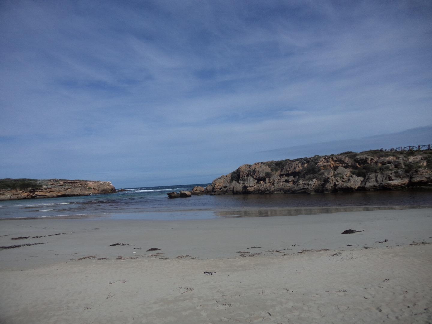
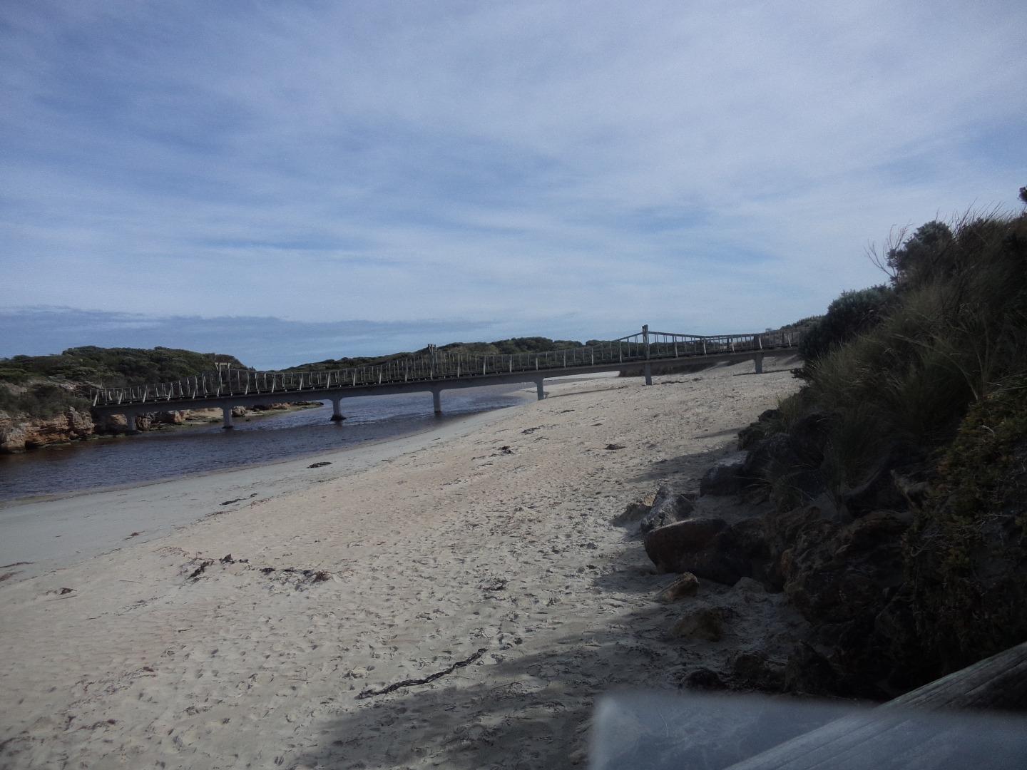
Photopoint site
This is a Photopoint site.
No observational data is recorded at this location.
No observational data is recorded at this location.
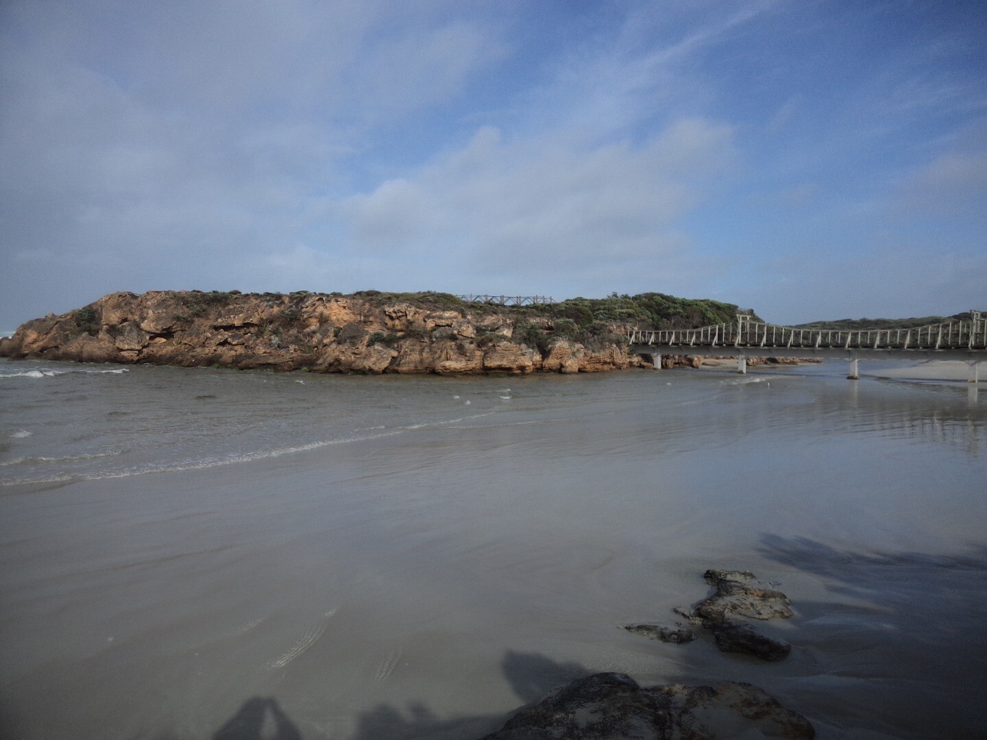
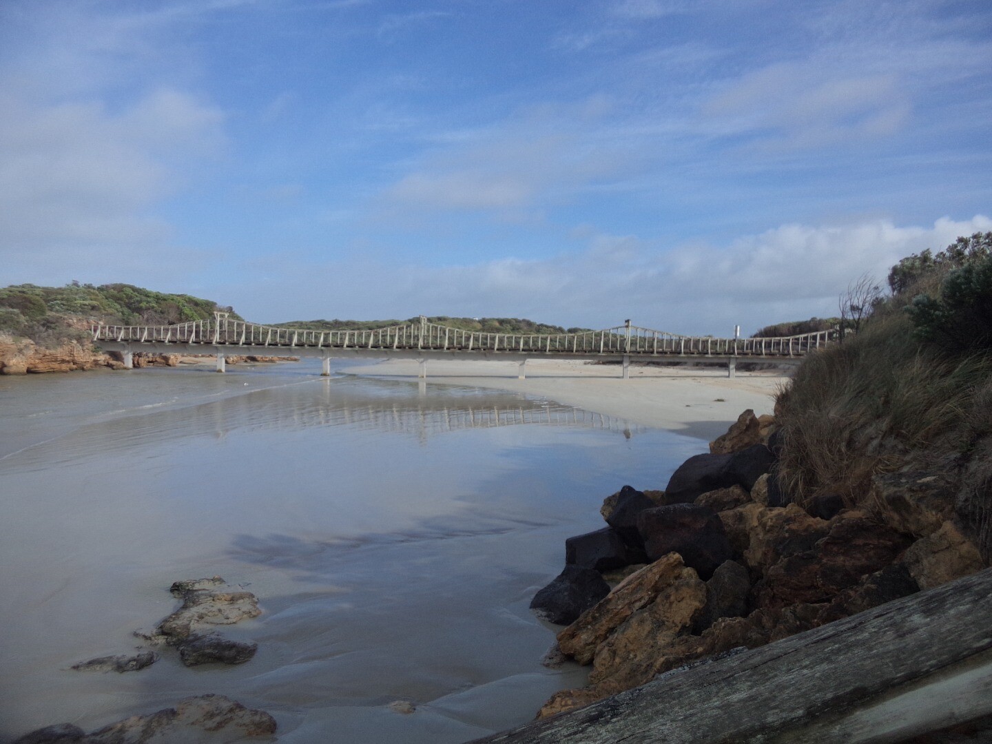
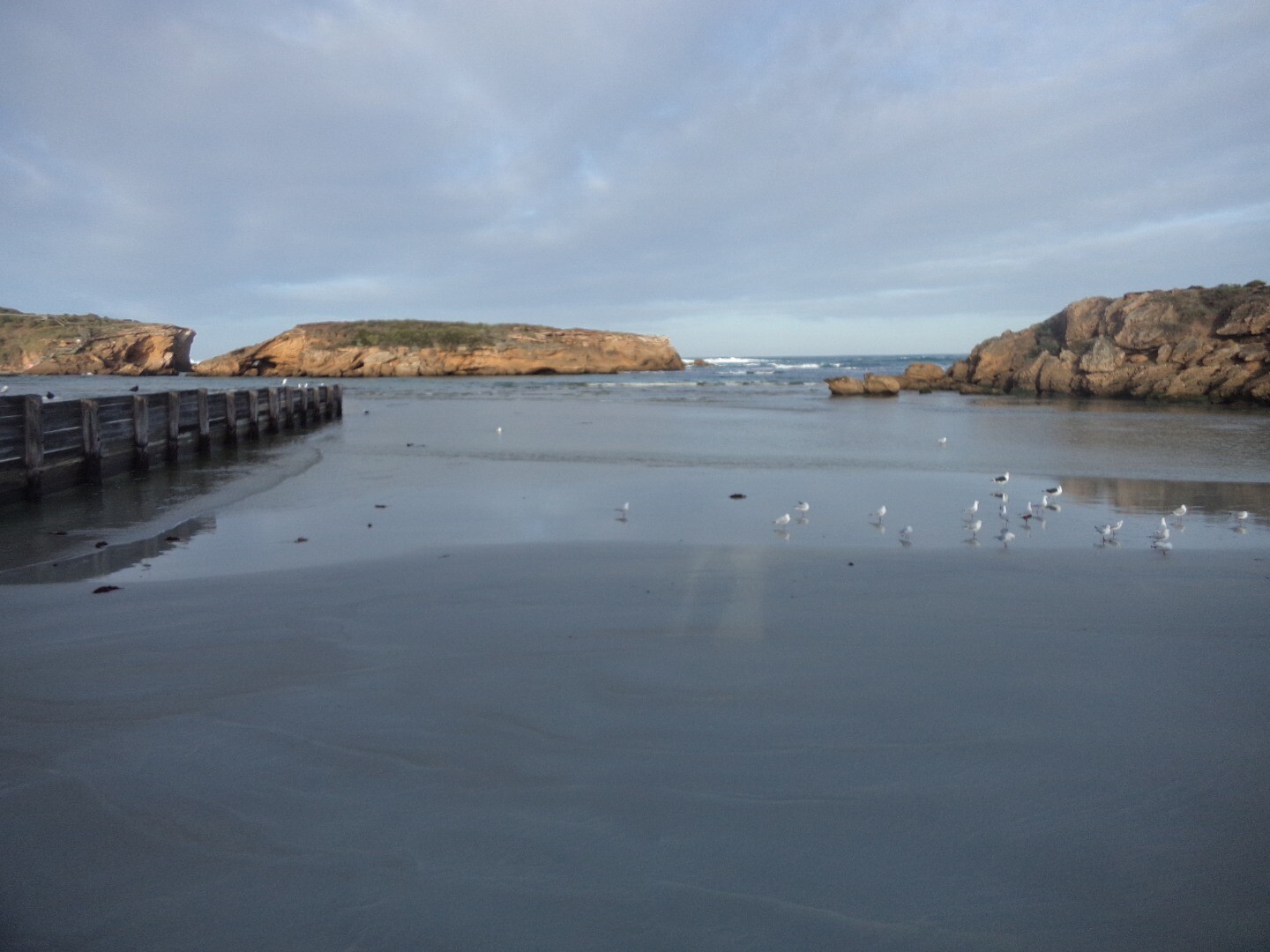
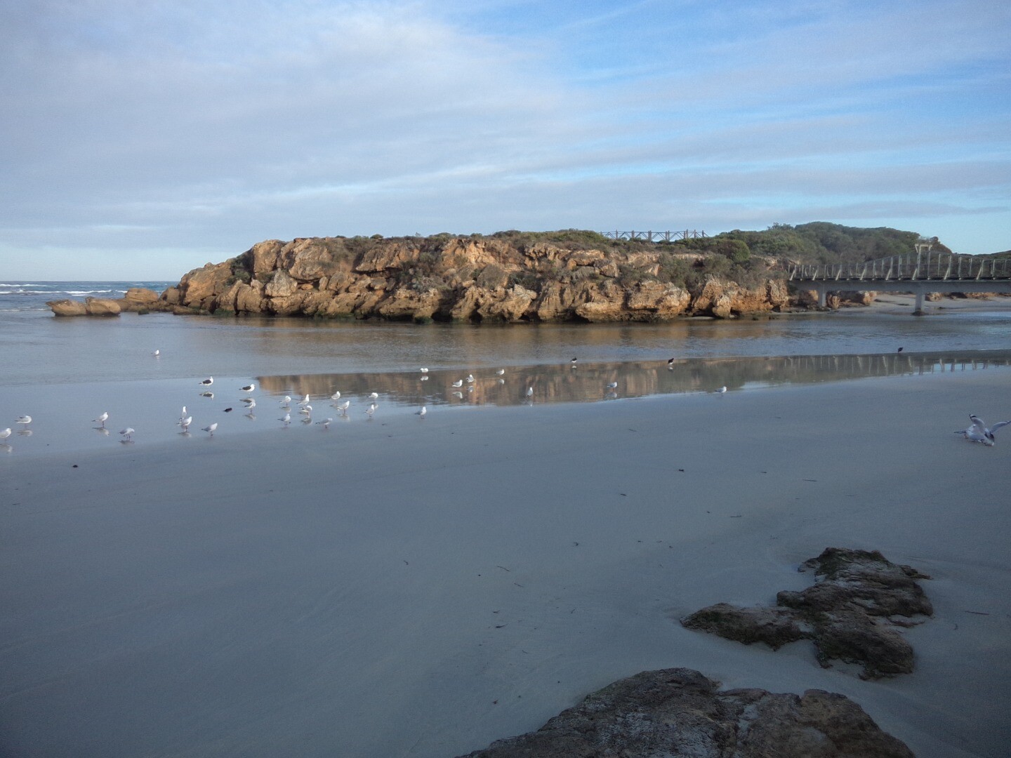
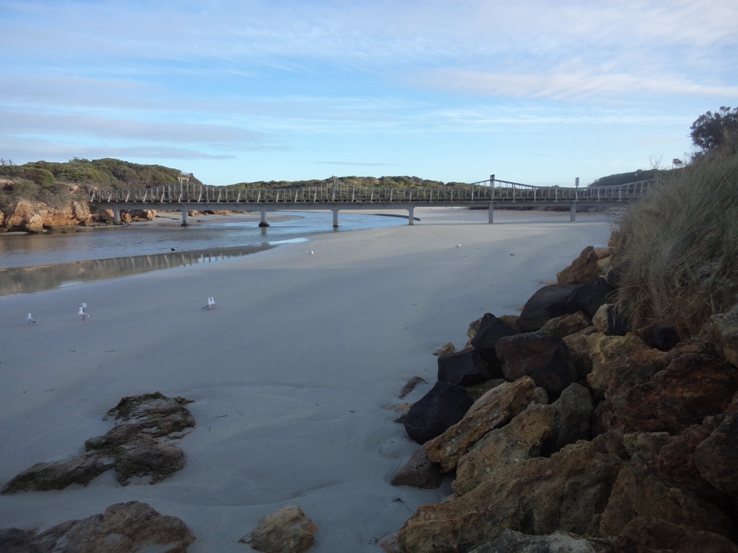
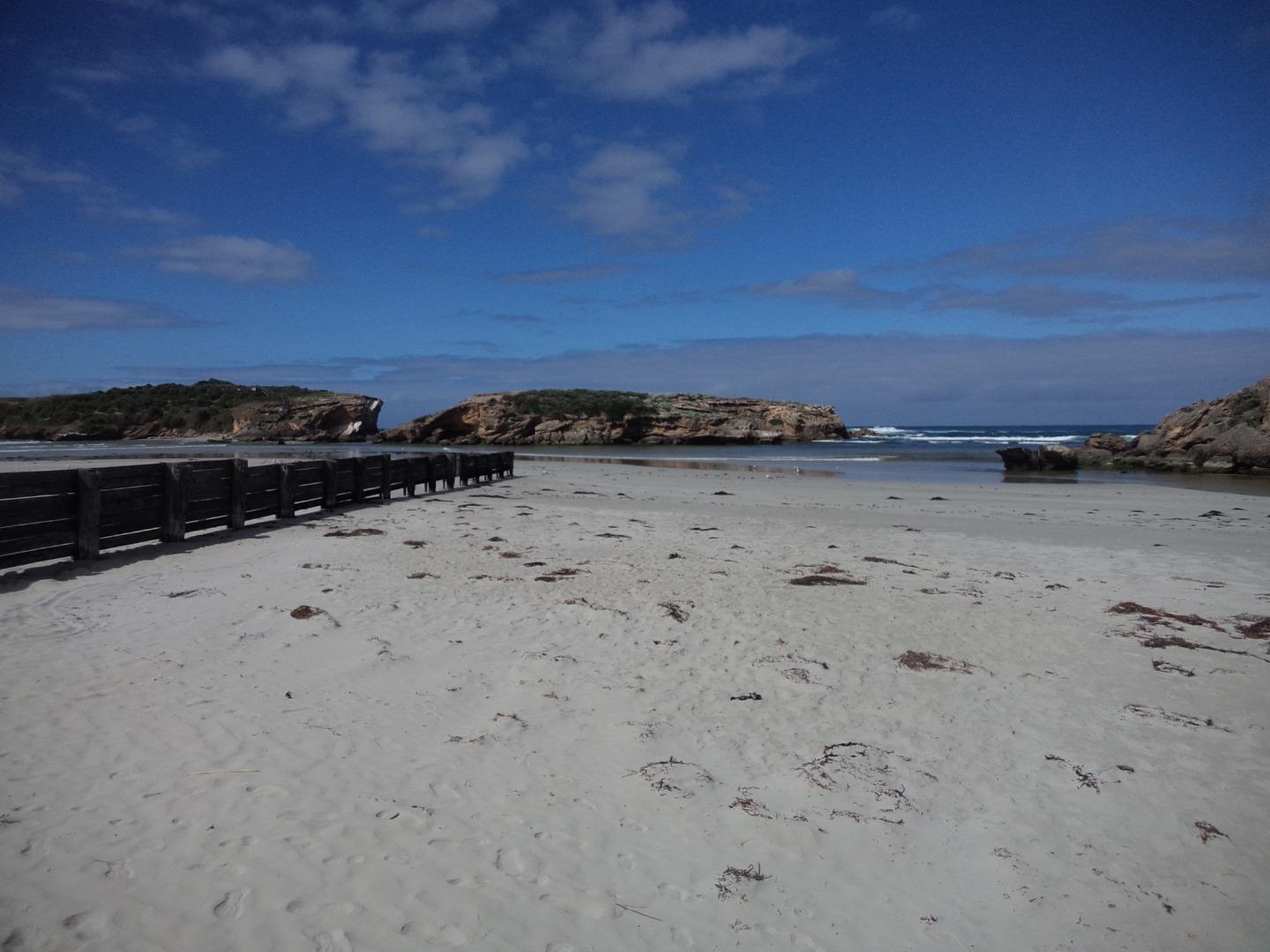
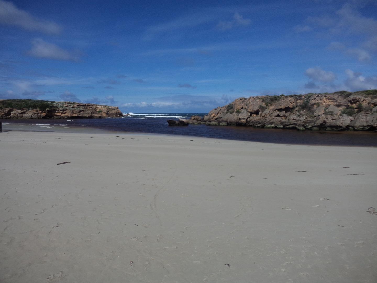
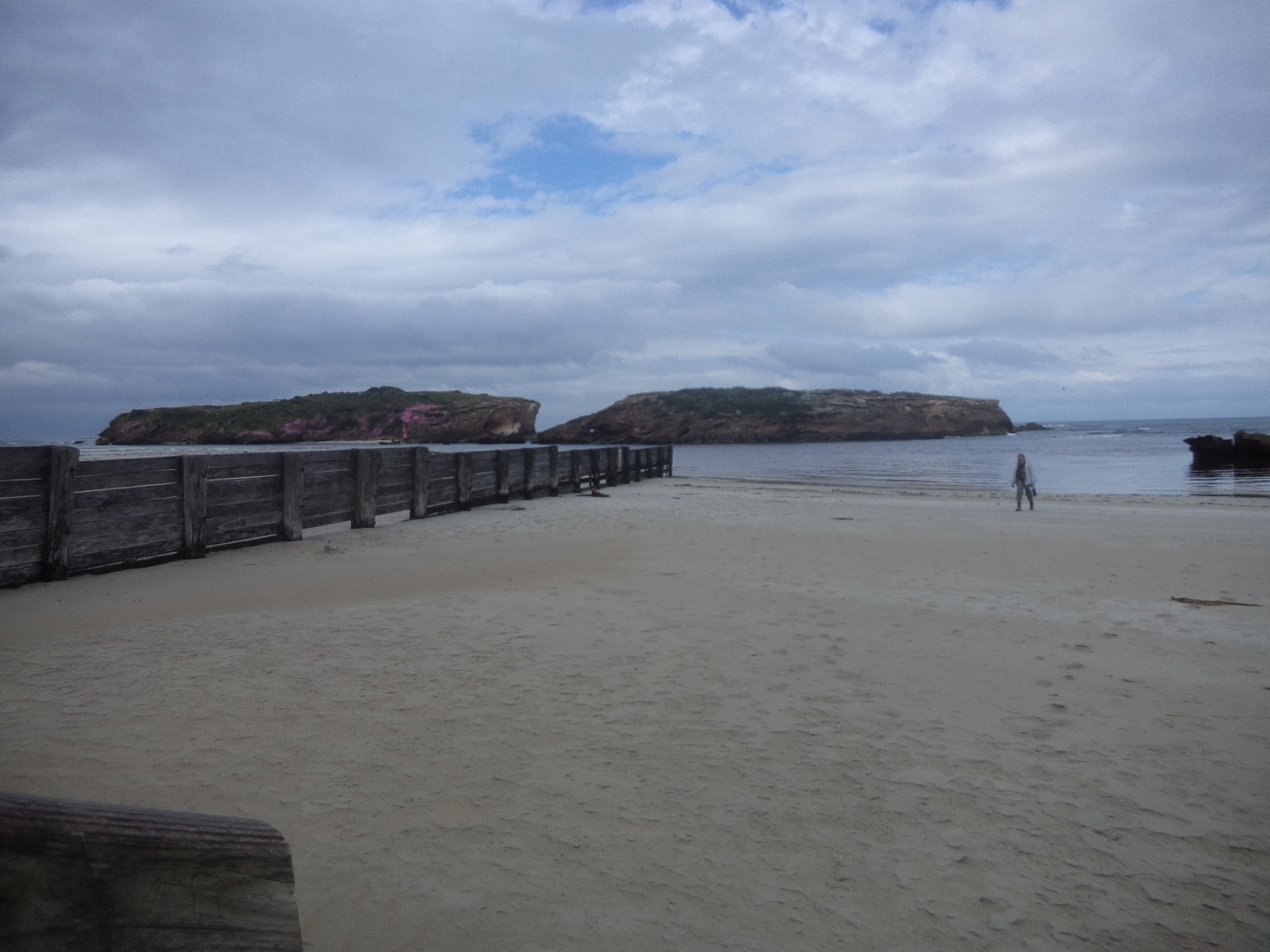
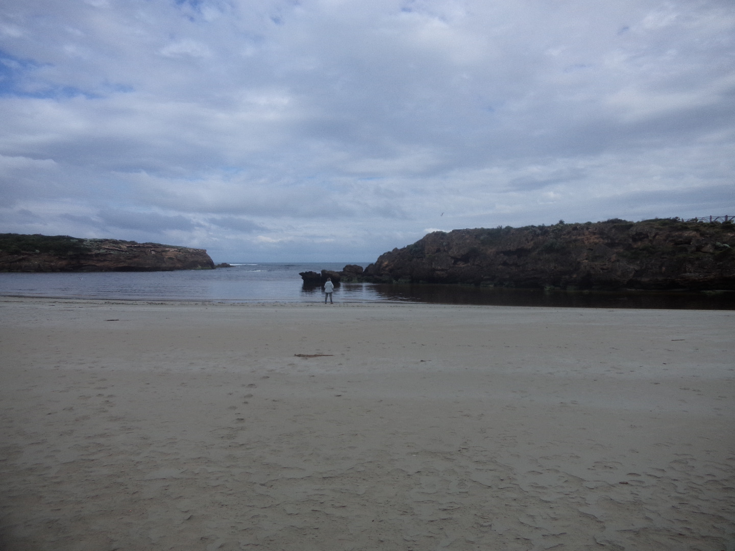
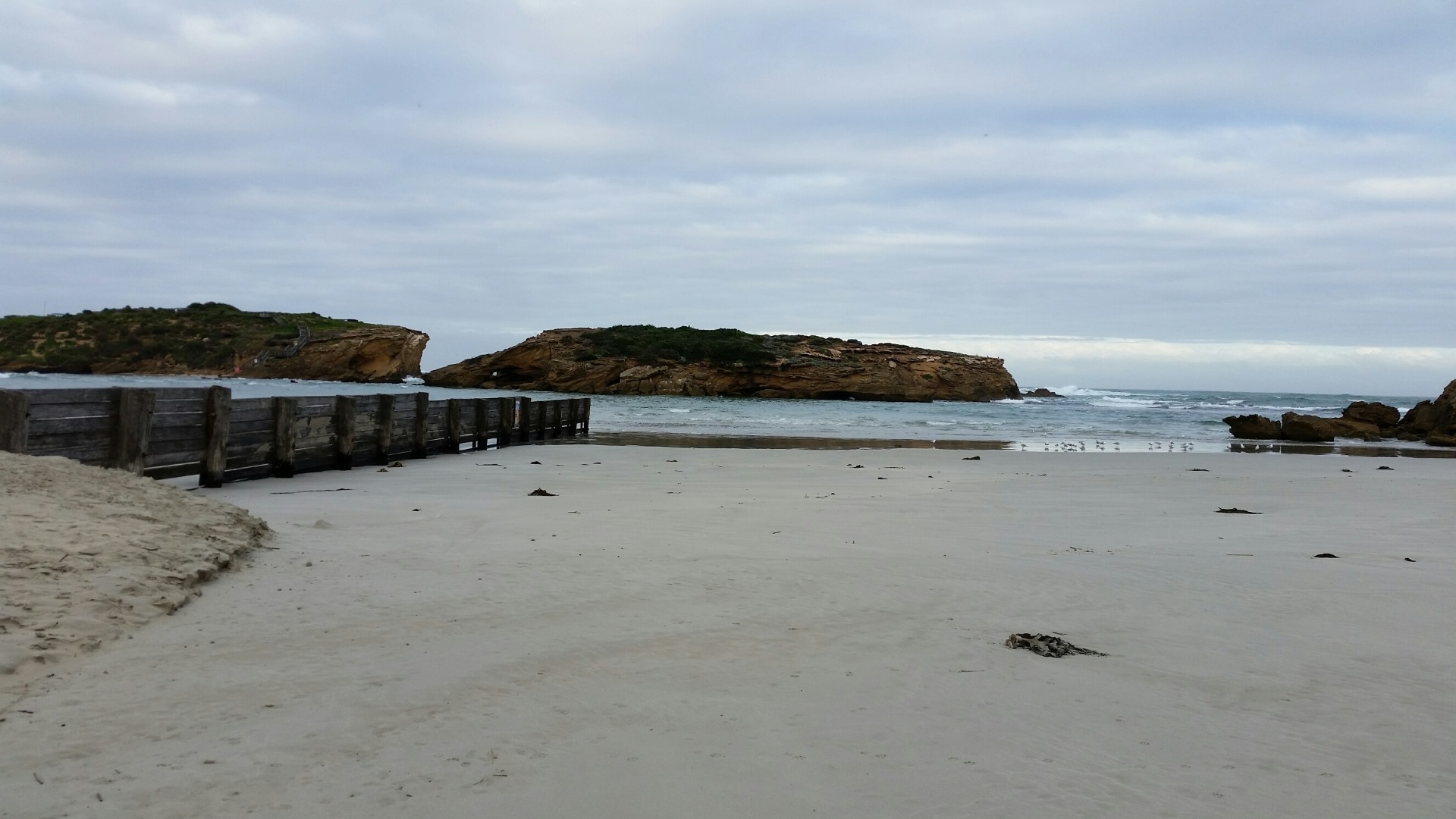
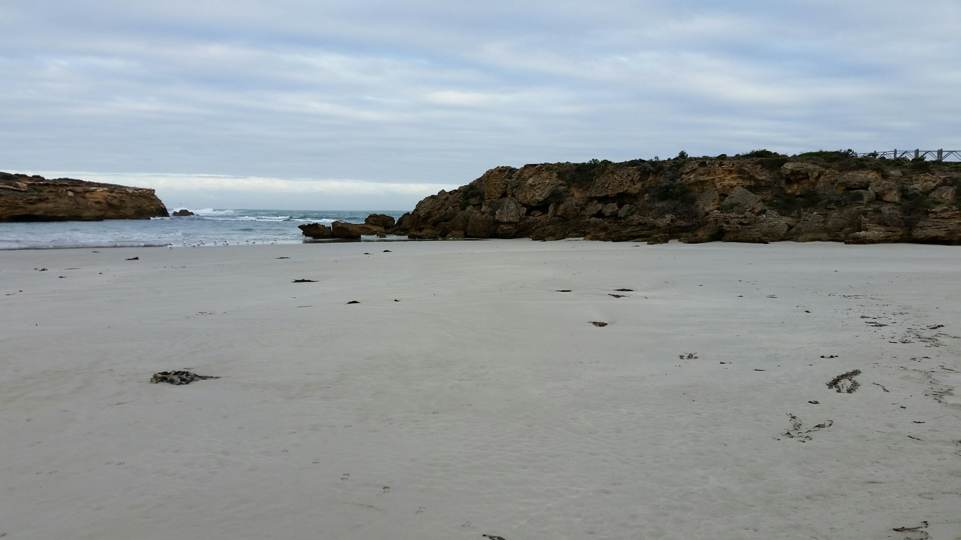
Photopoint photos


We acknowledge and respect Victorian Traditional Owners as the original custodians of Victoria’s land and waters, their unique ability to care for Country and deep spiritual connection to it.
We honour Elders past and present whose knowledge and wisdom has ensured the continuation of culture and traditional practices.
We honour Elders past and present whose knowledge and wisdom has ensured the continuation of culture and traditional practices.
 All content, files, data and images provided by the EstuaryWatch Data Portal subject to a Creative Commons Attribution License
Data portal by CeRDI
All content, files, data and images provided by the EstuaryWatch Data Portal subject to a Creative Commons Attribution License
Data portal by CeRDI