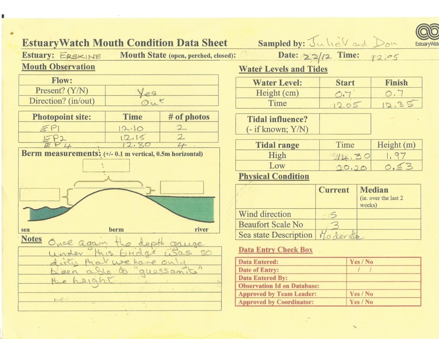
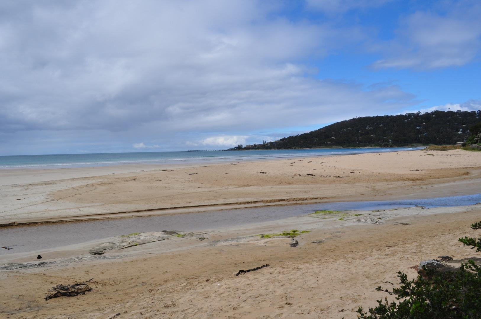
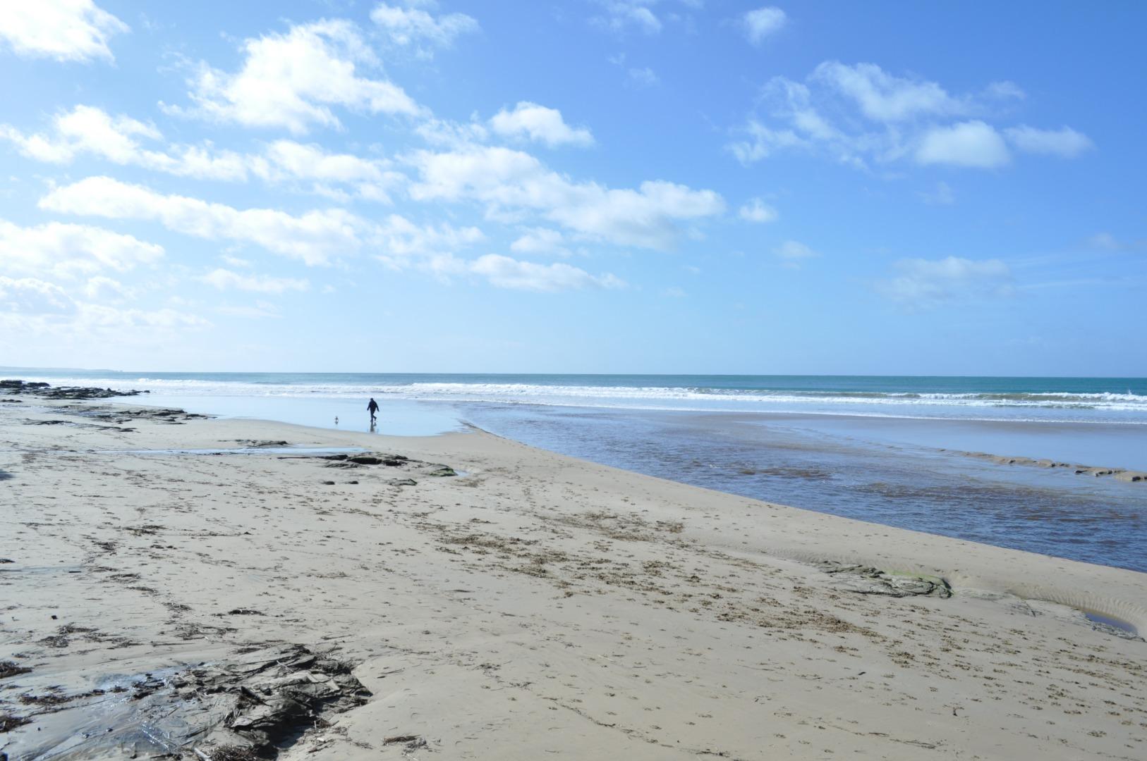
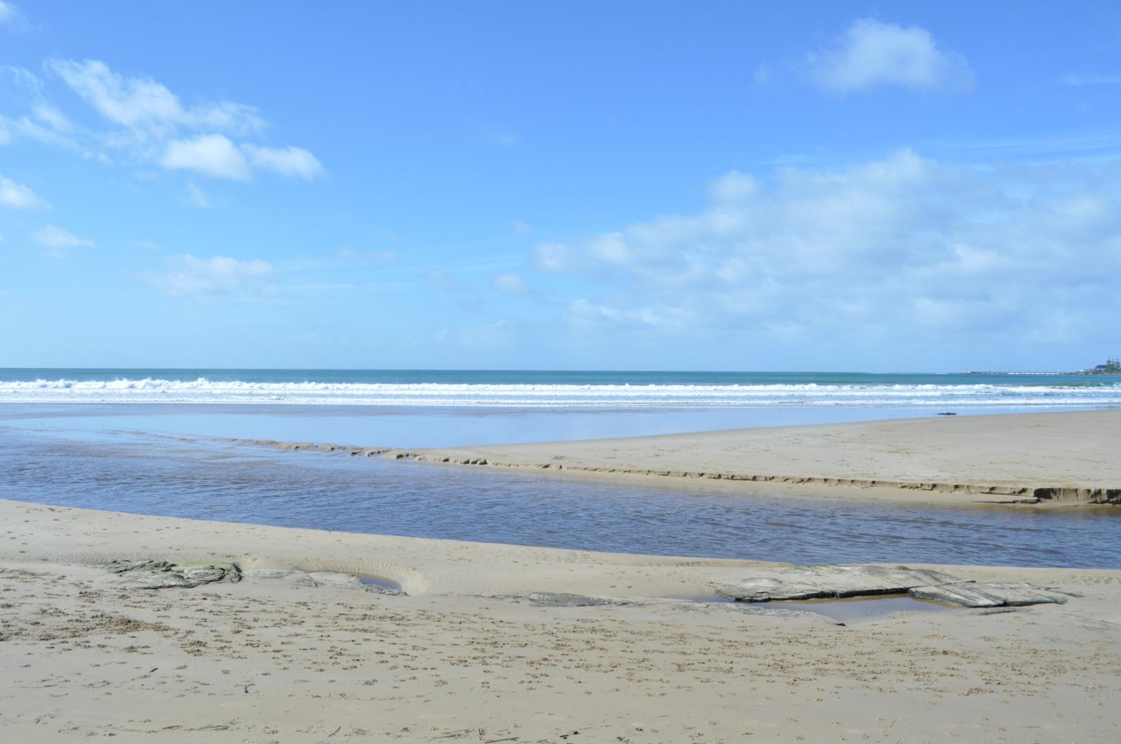
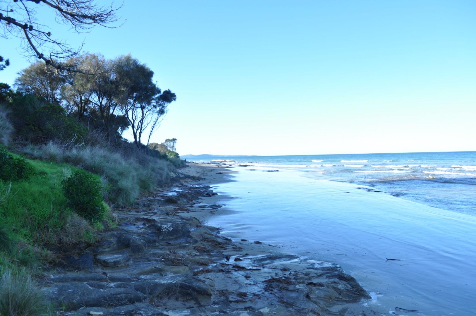
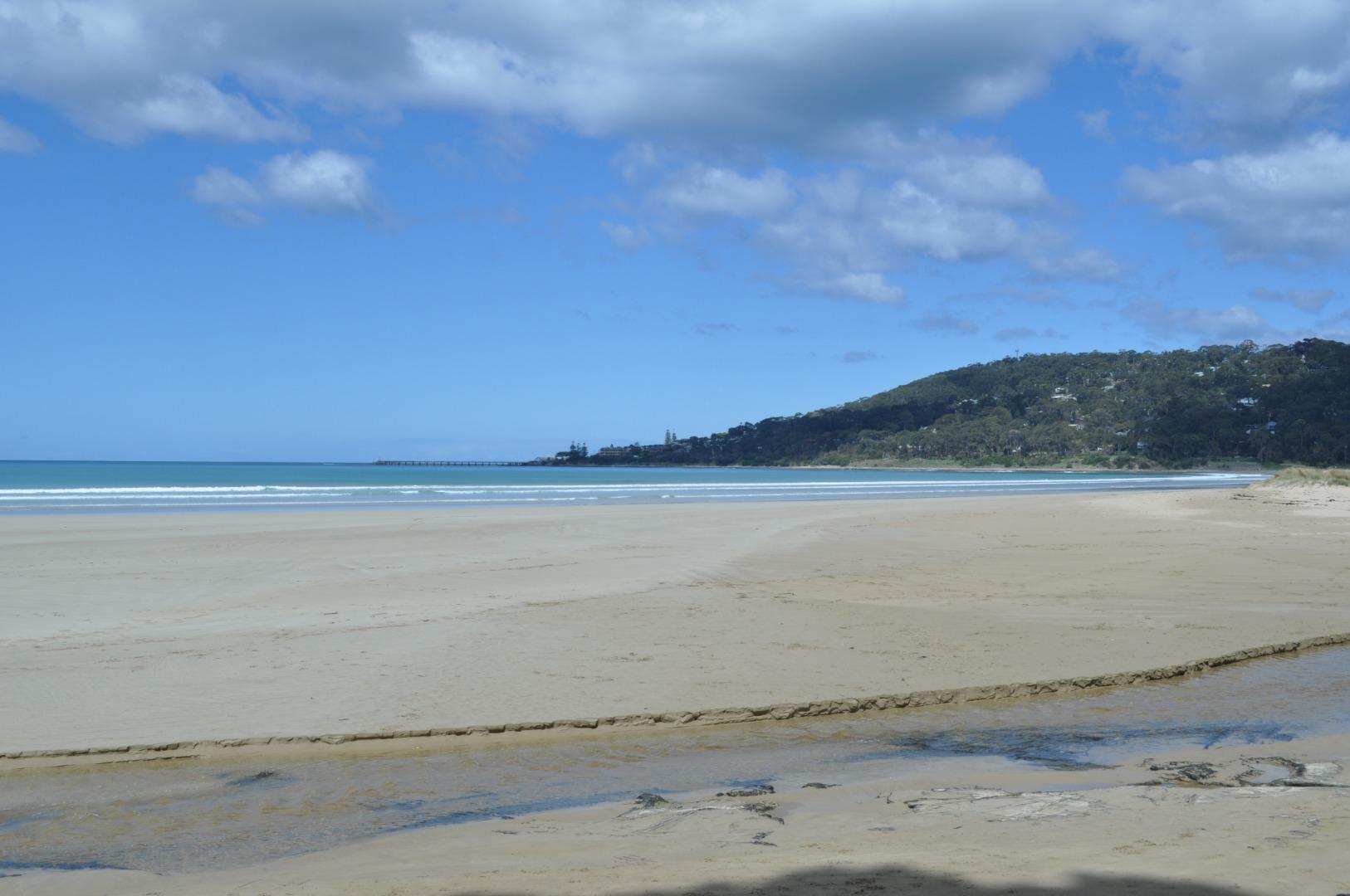
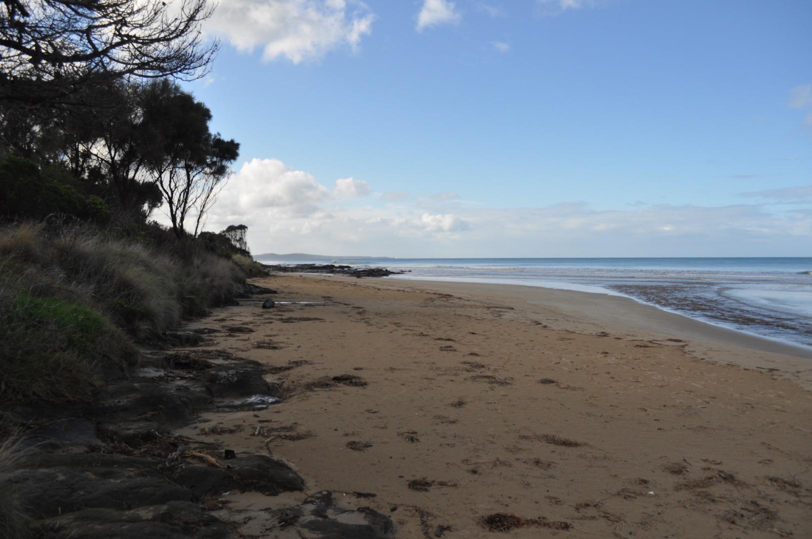
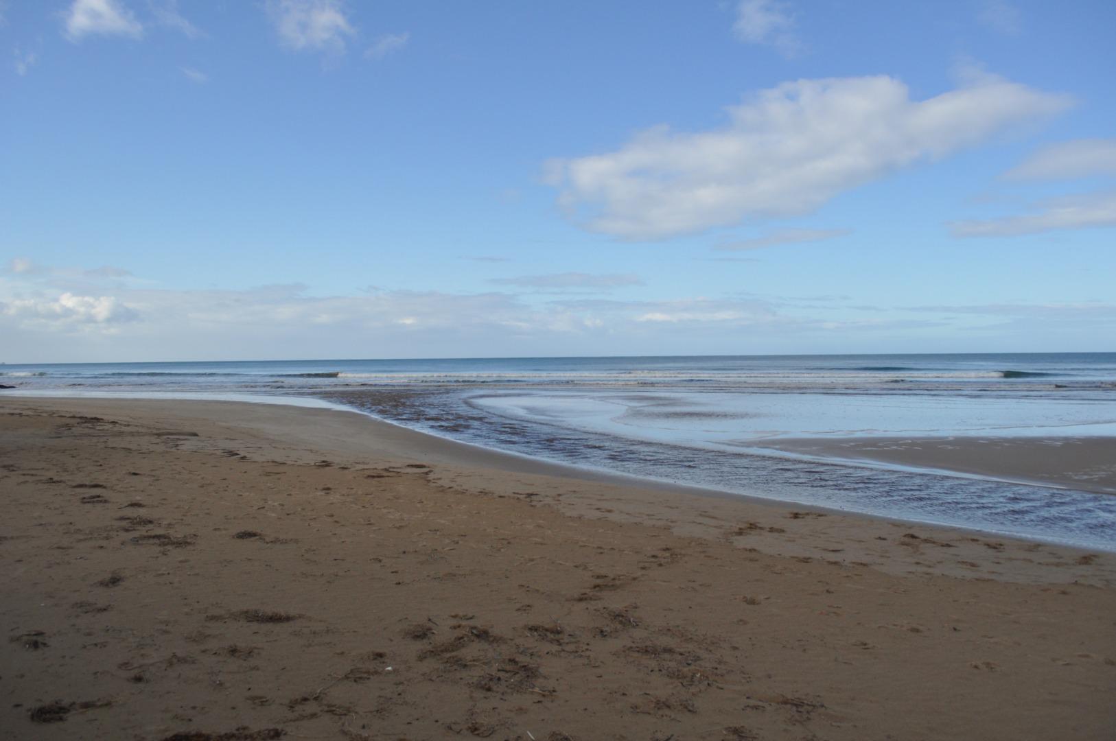
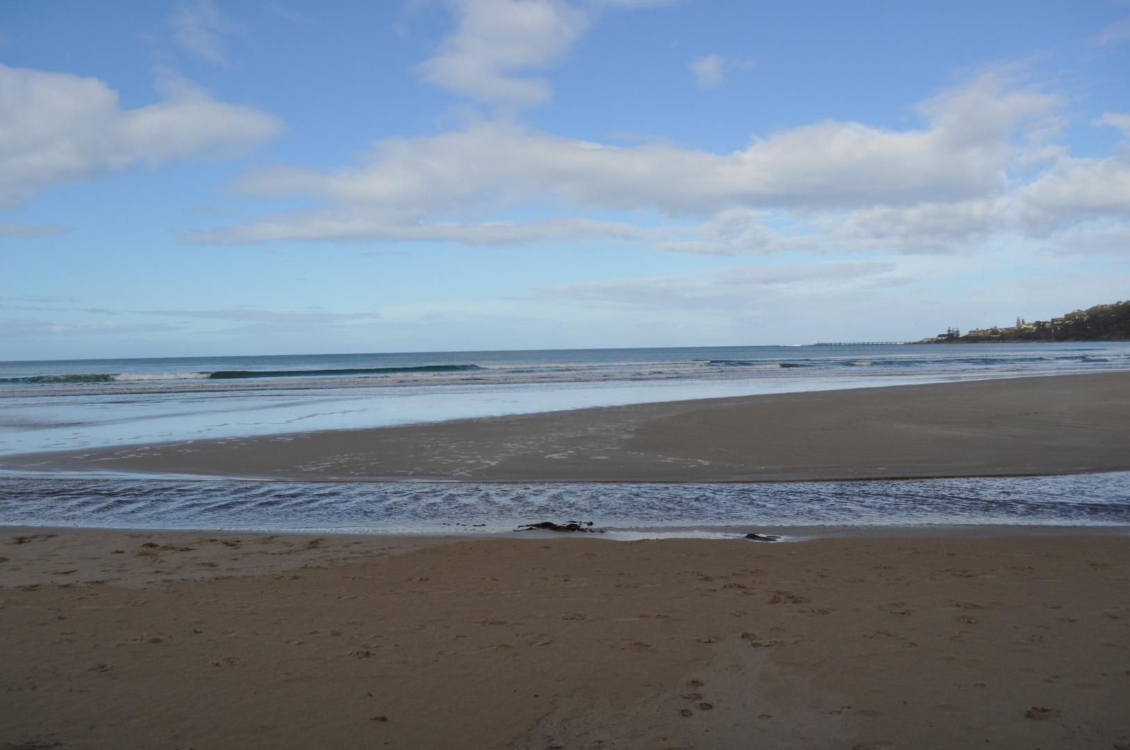
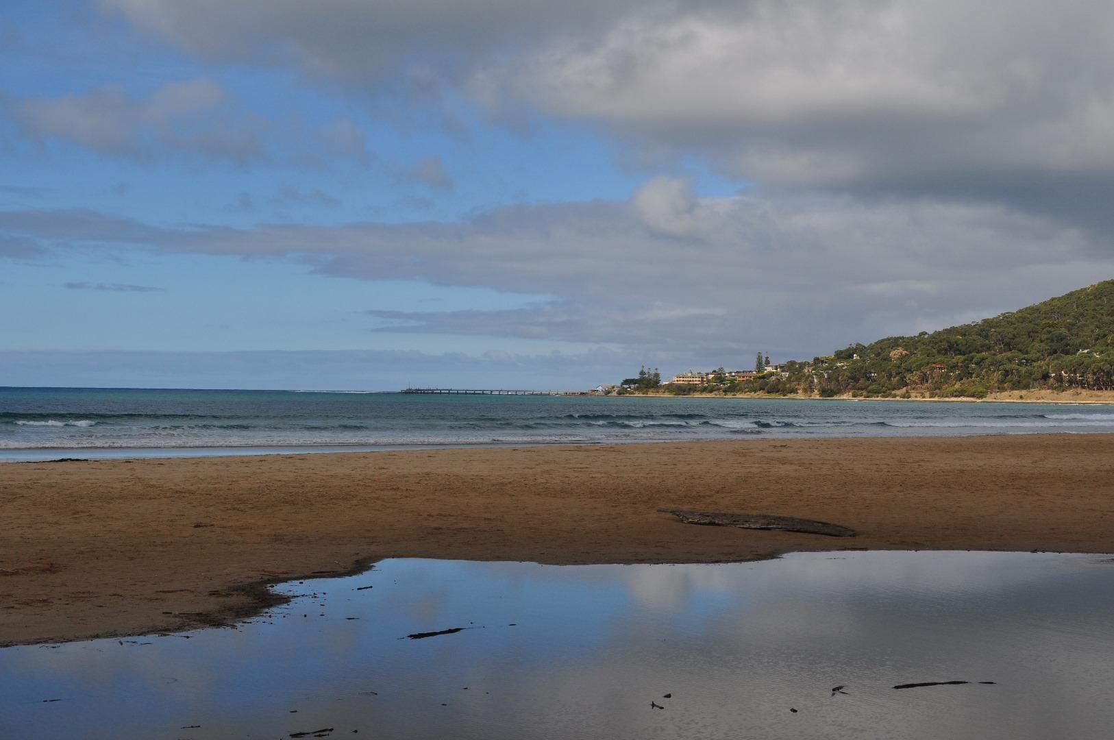
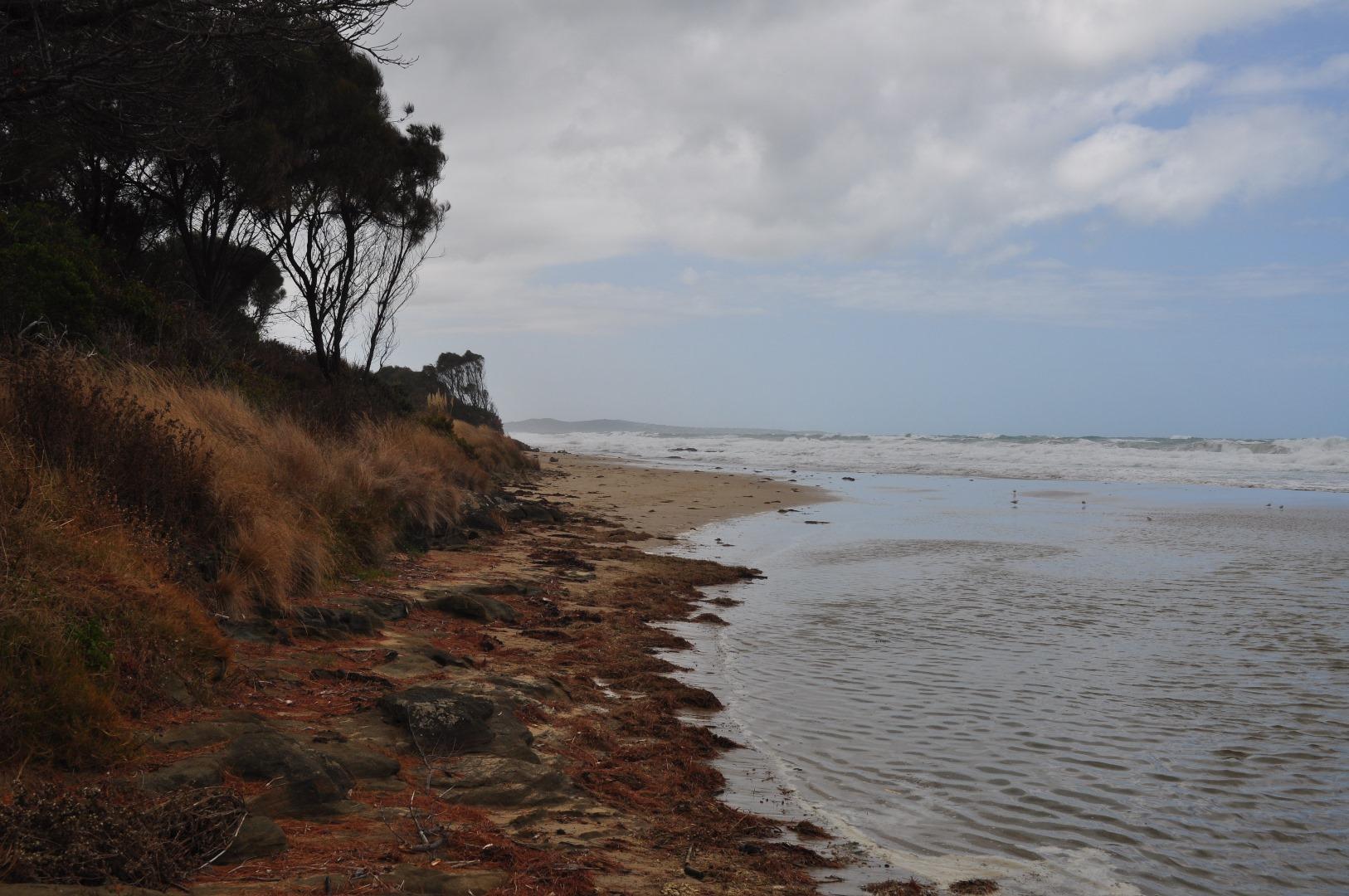
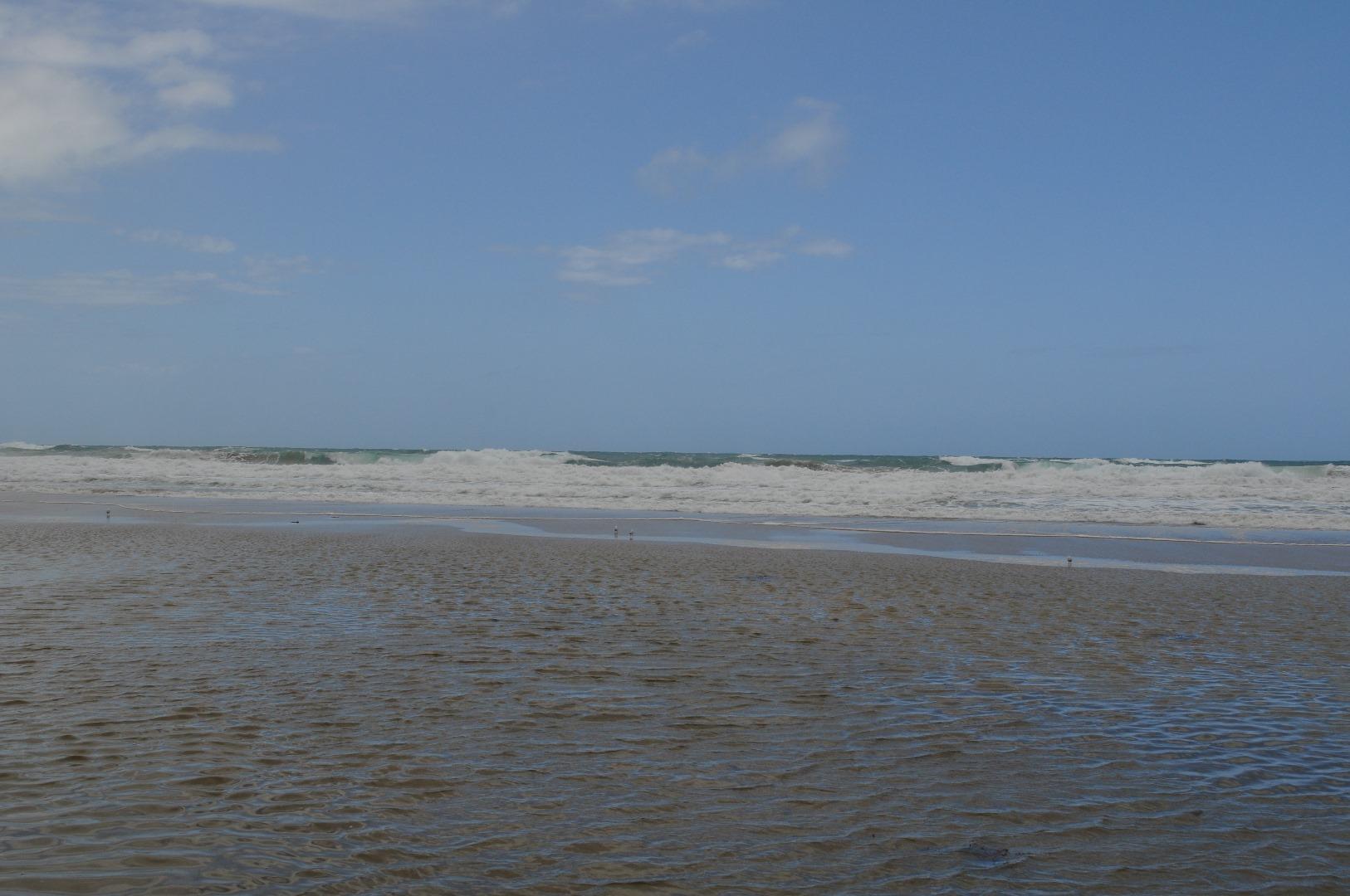
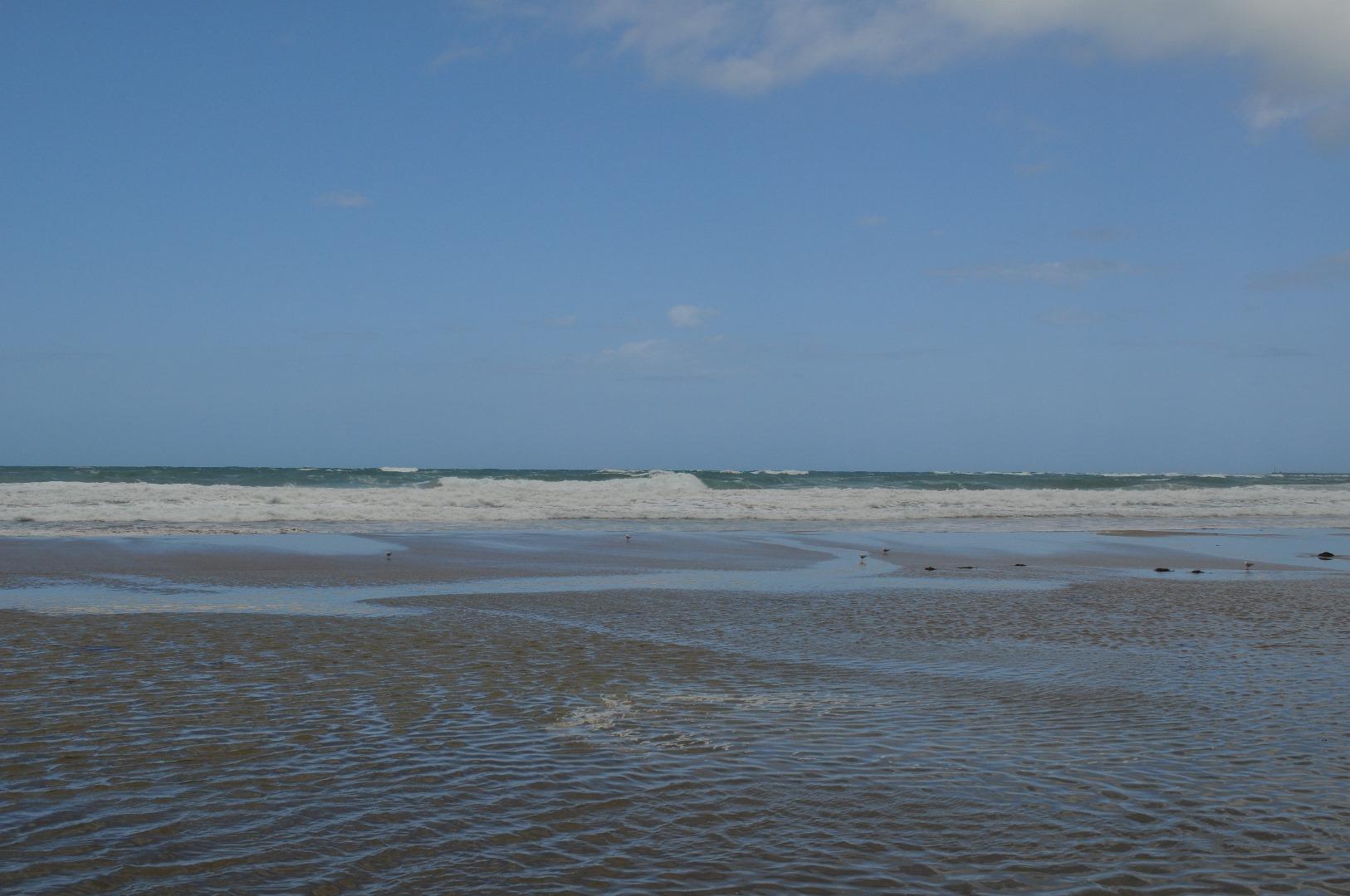
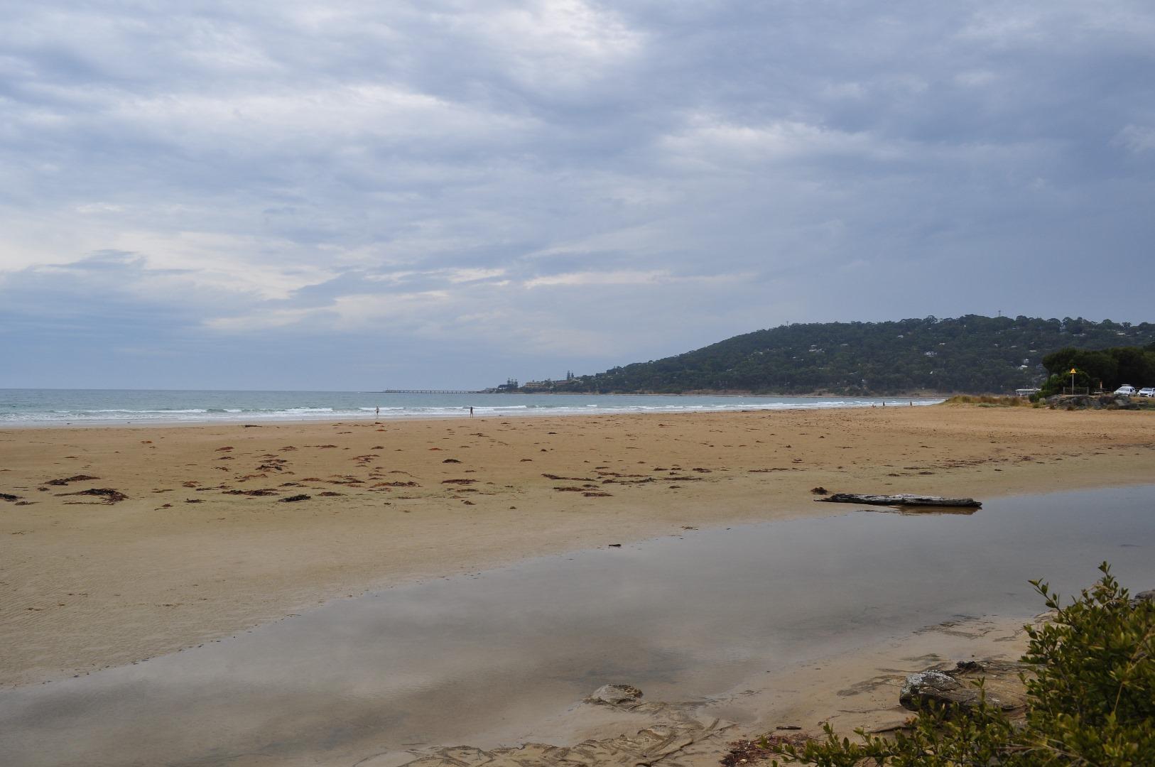
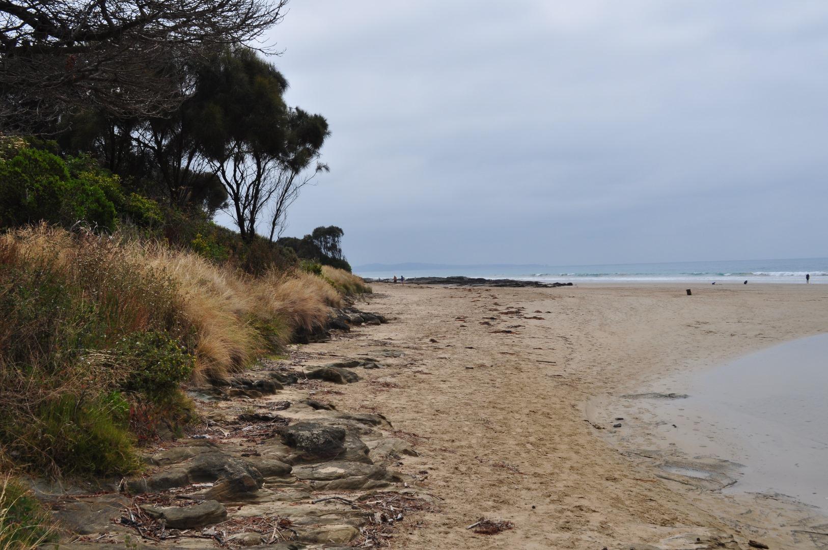
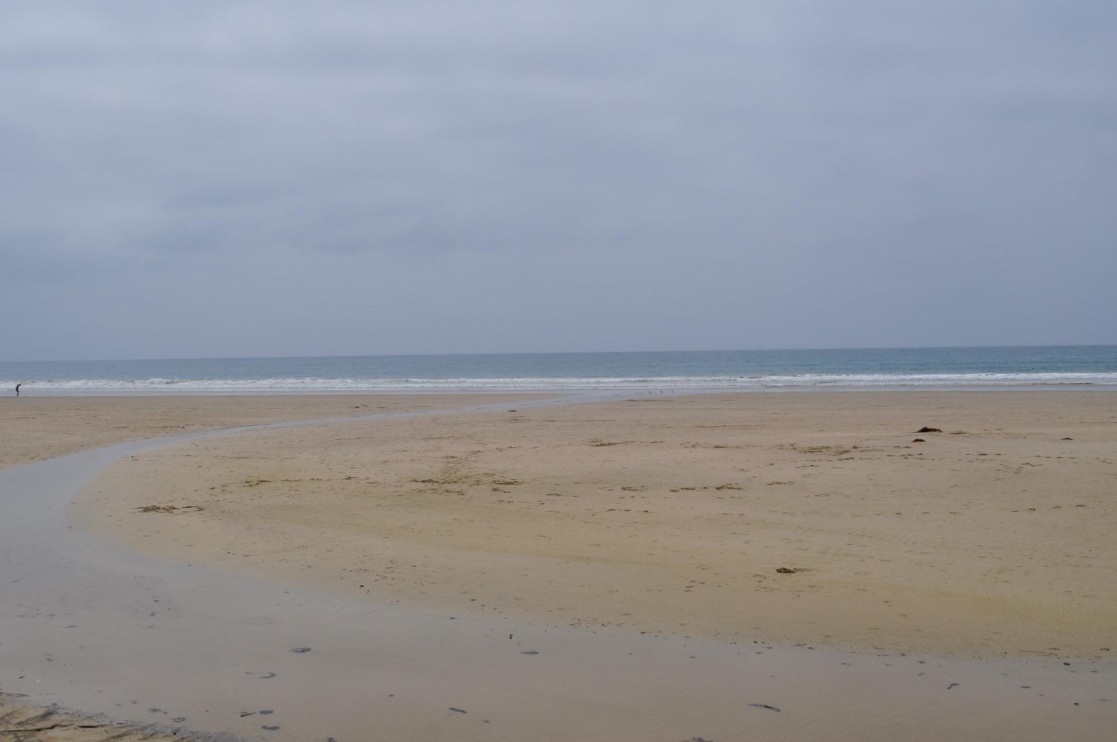
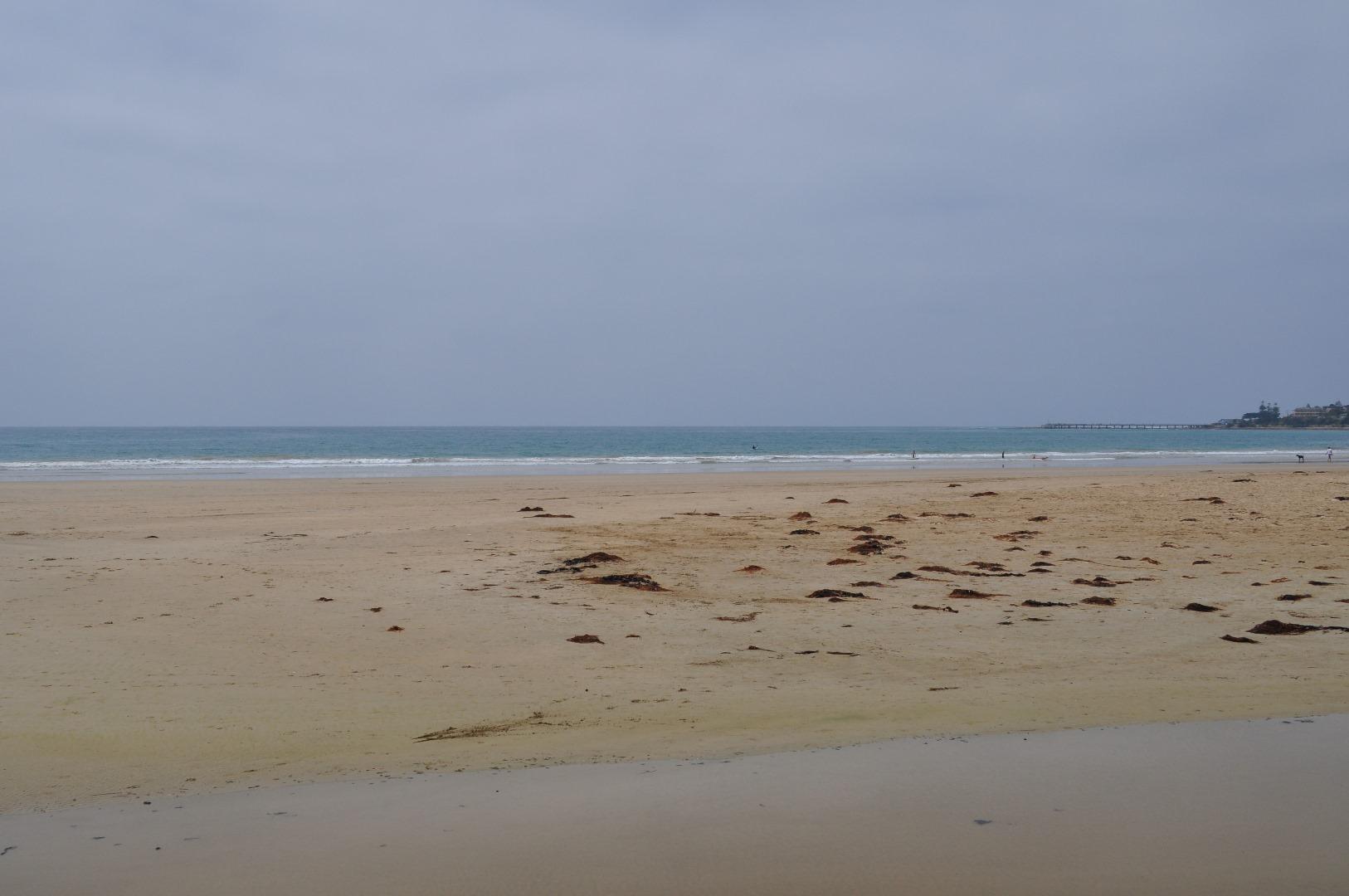
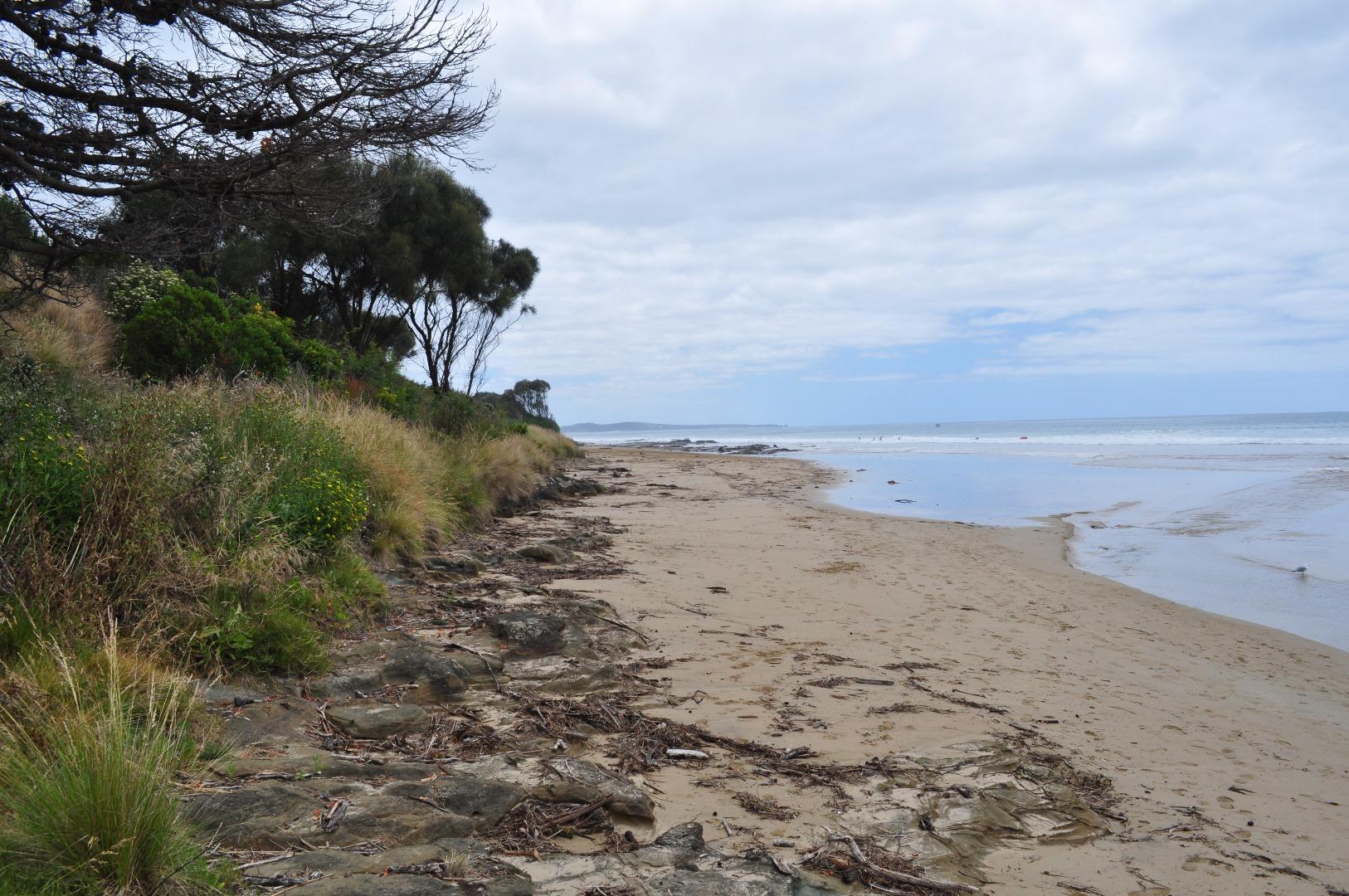
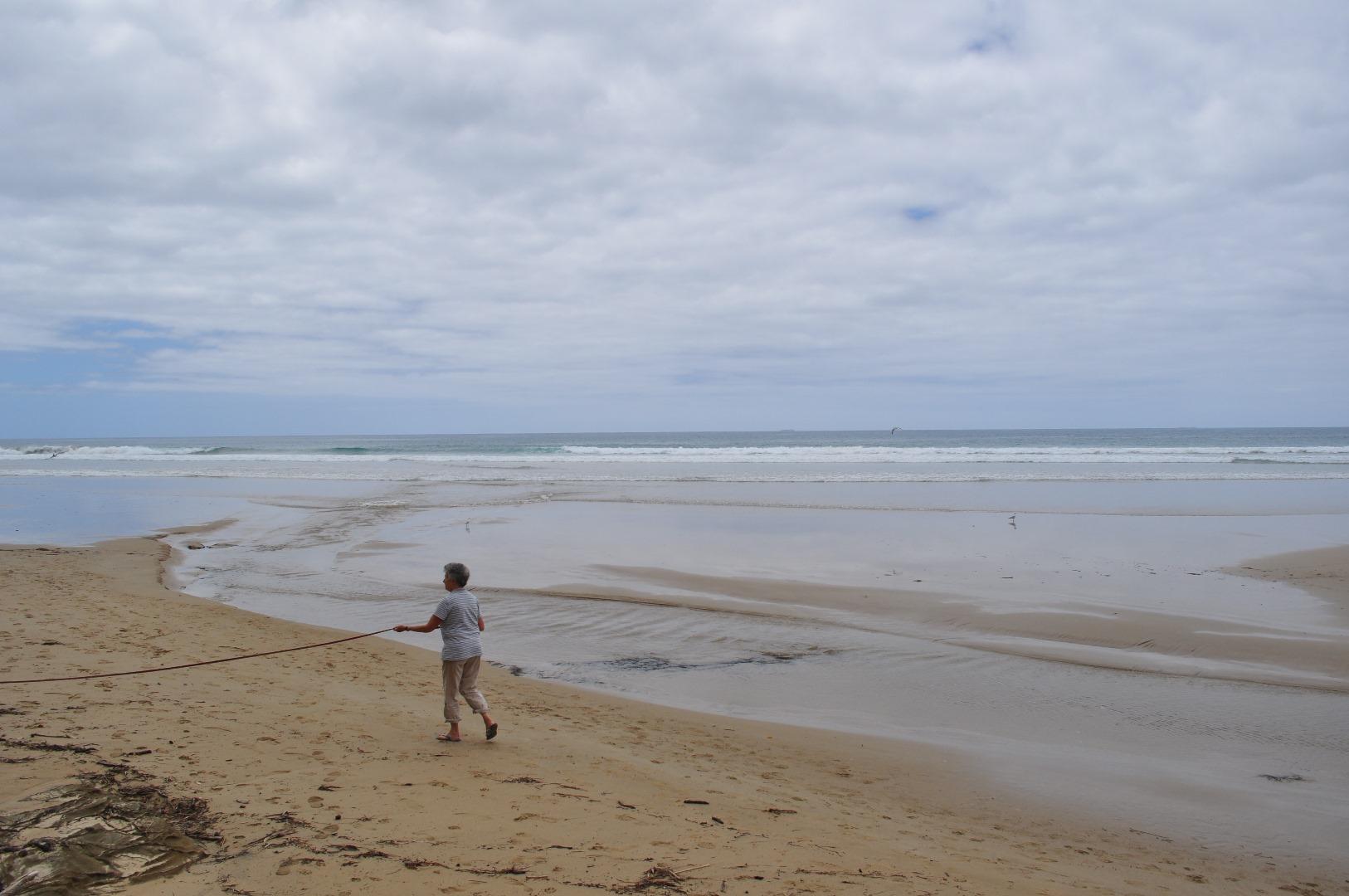
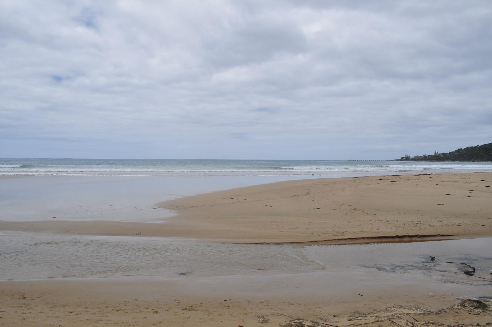
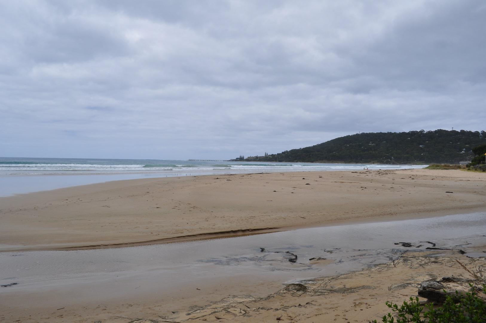
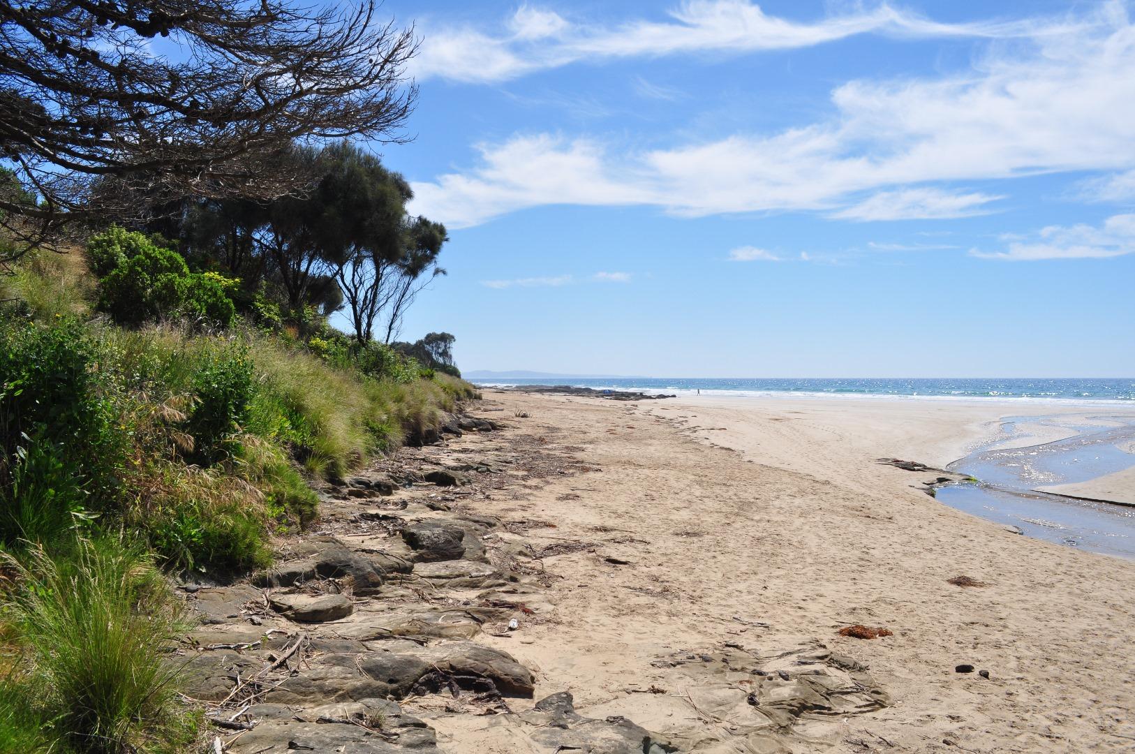
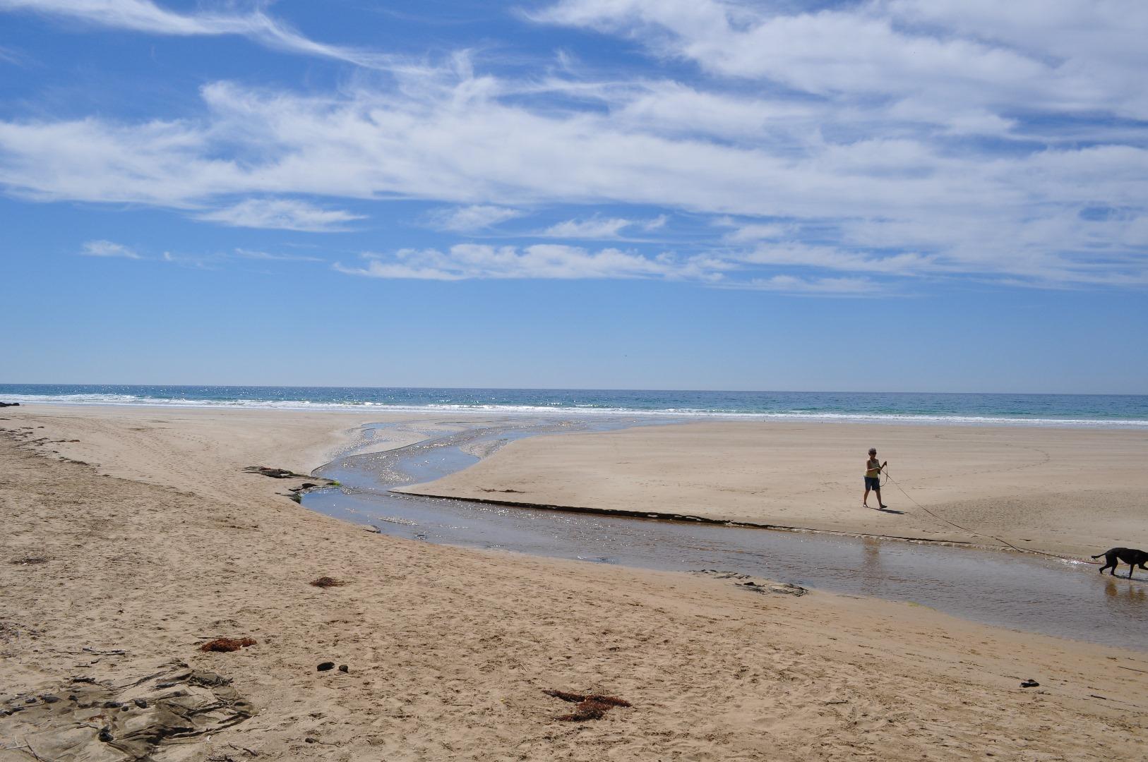
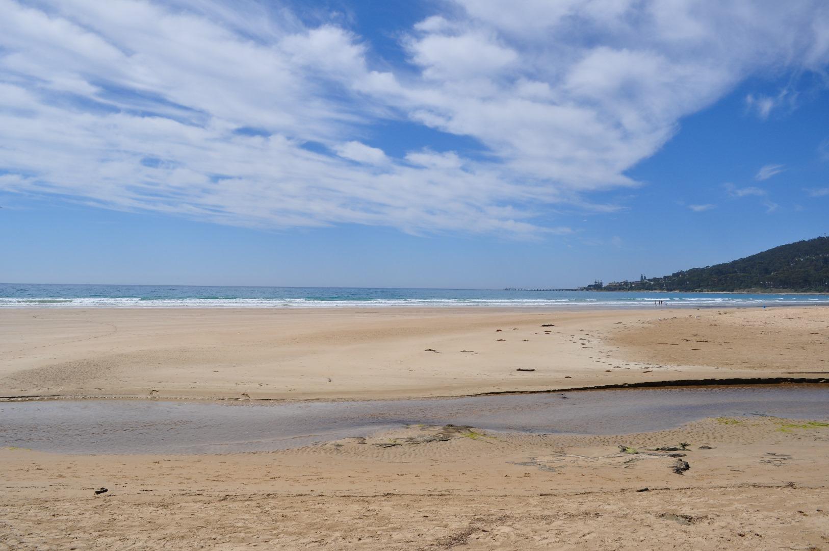
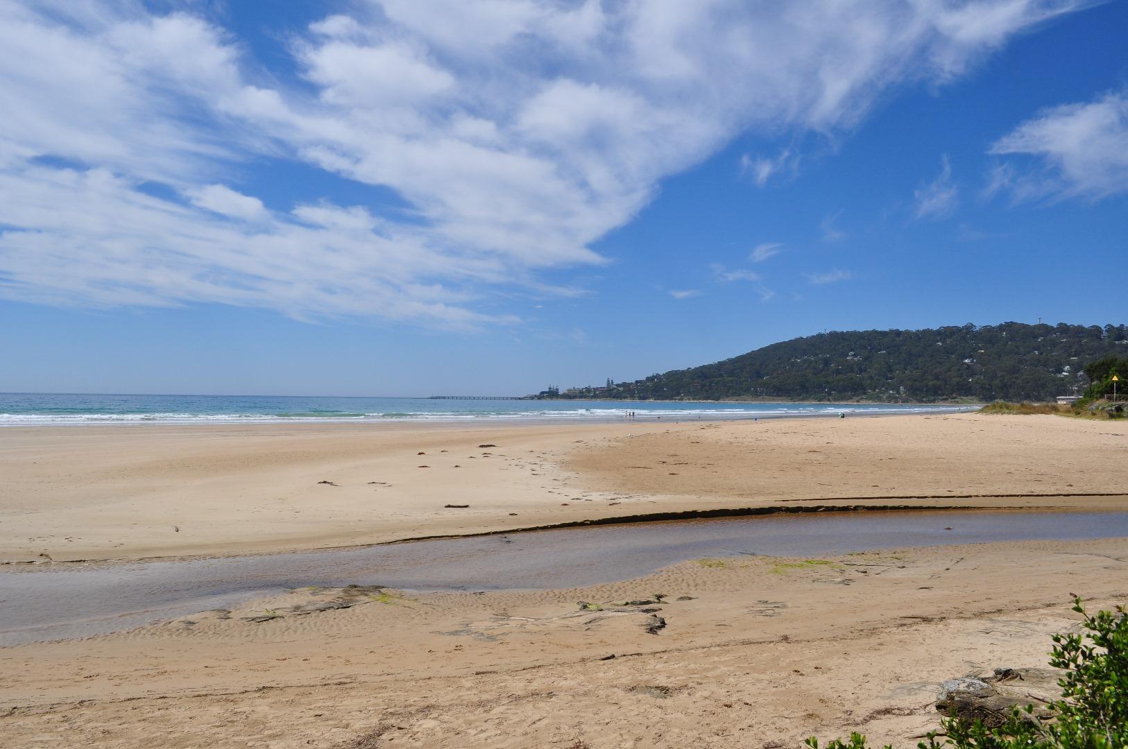
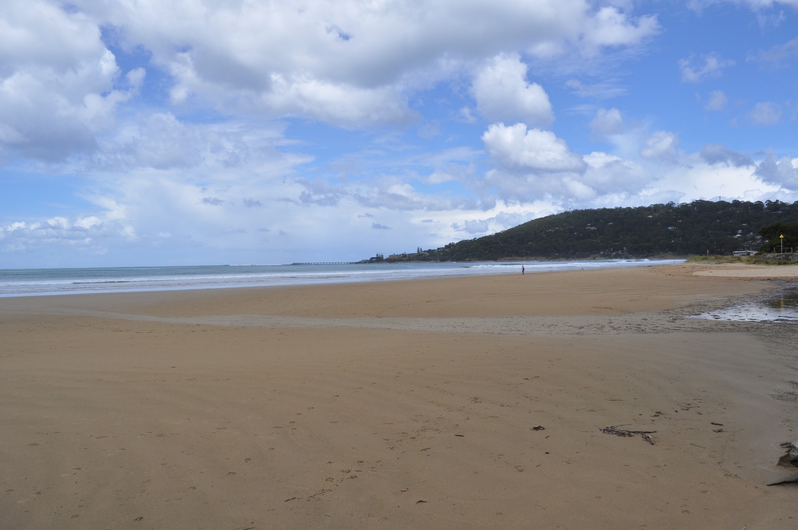
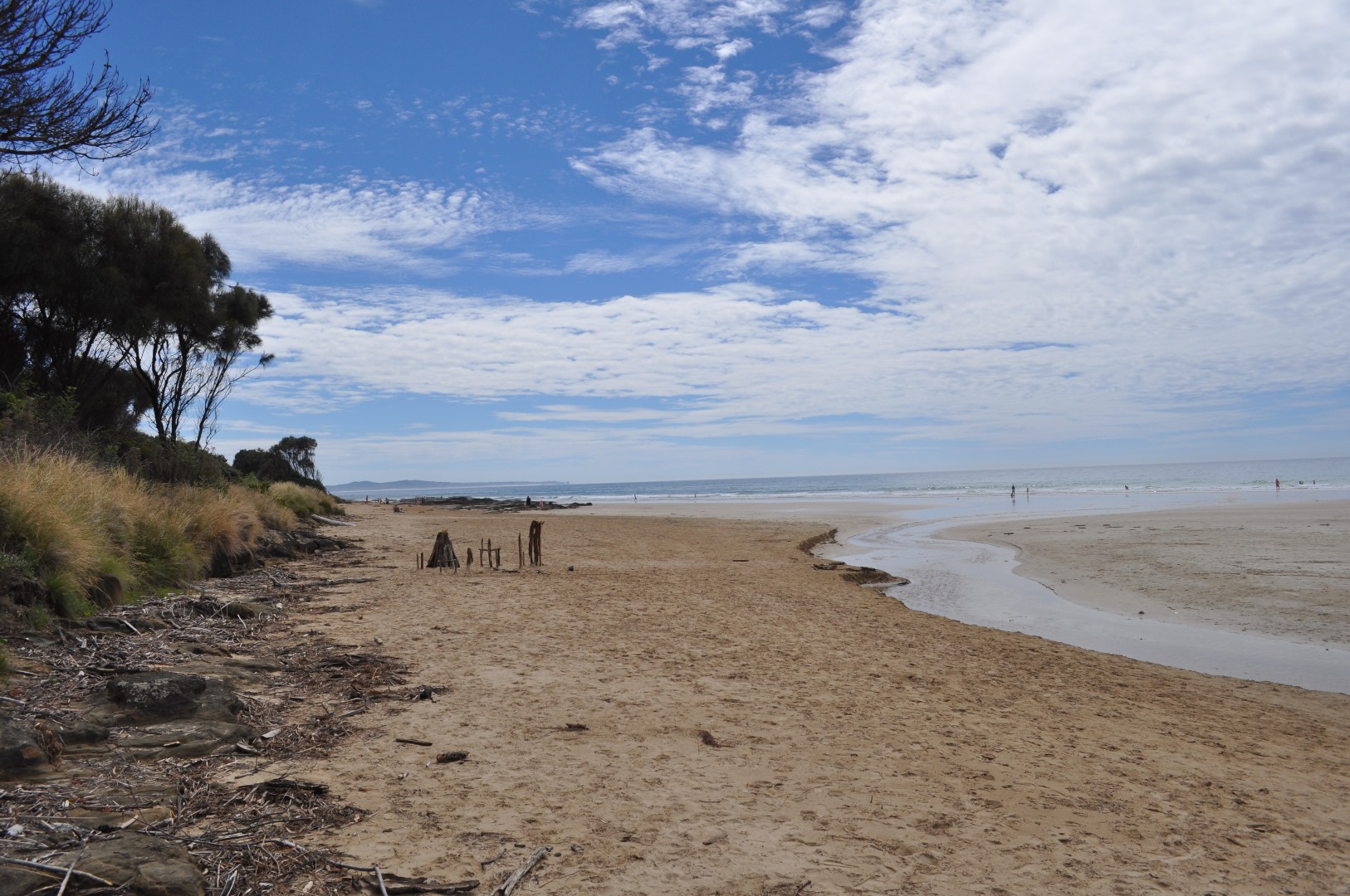
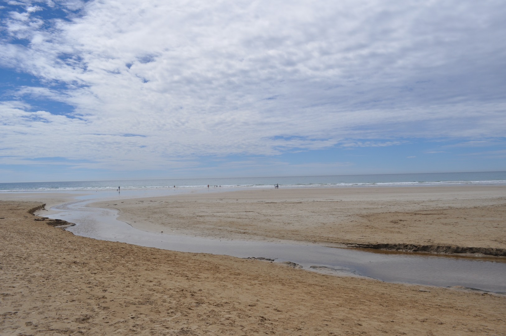
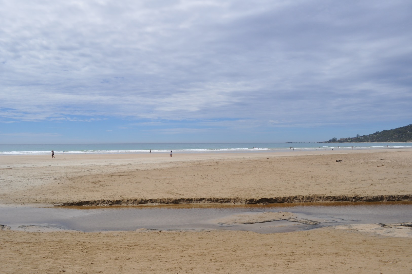
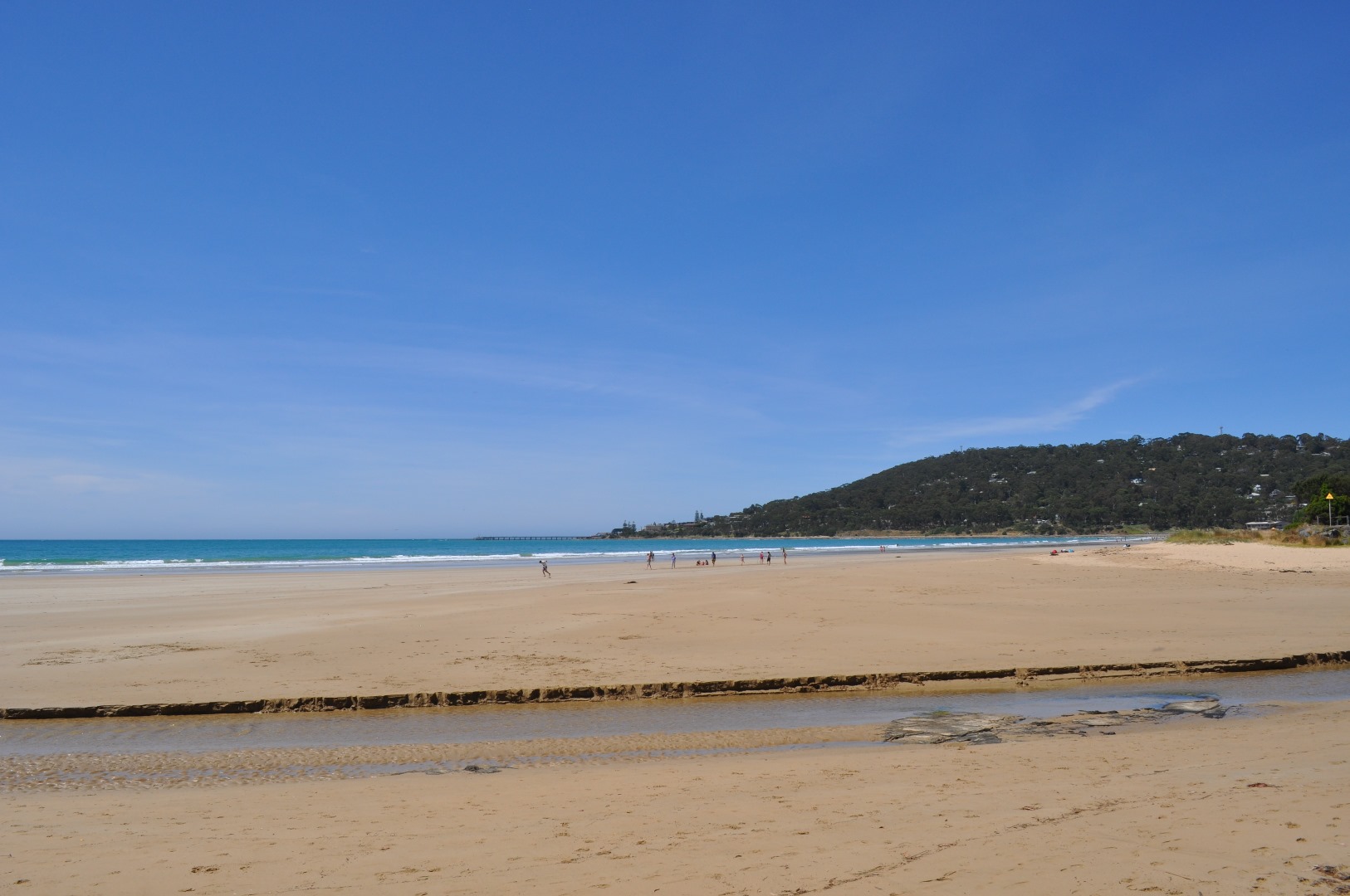
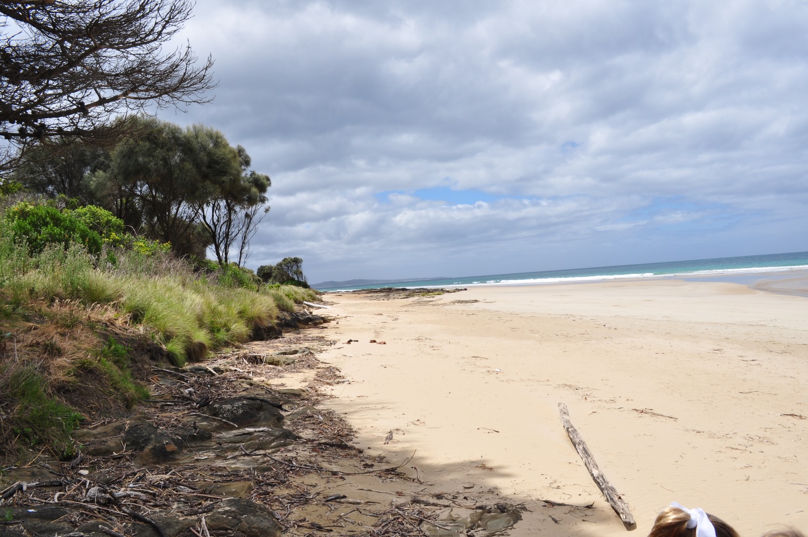
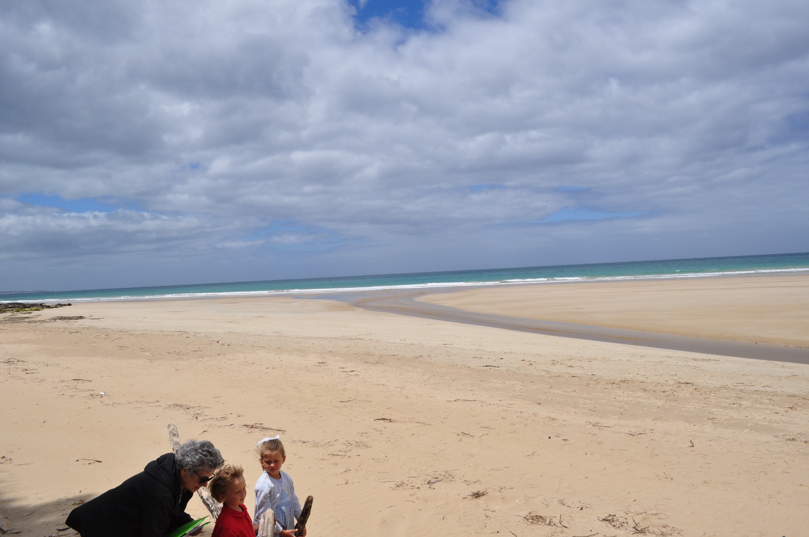
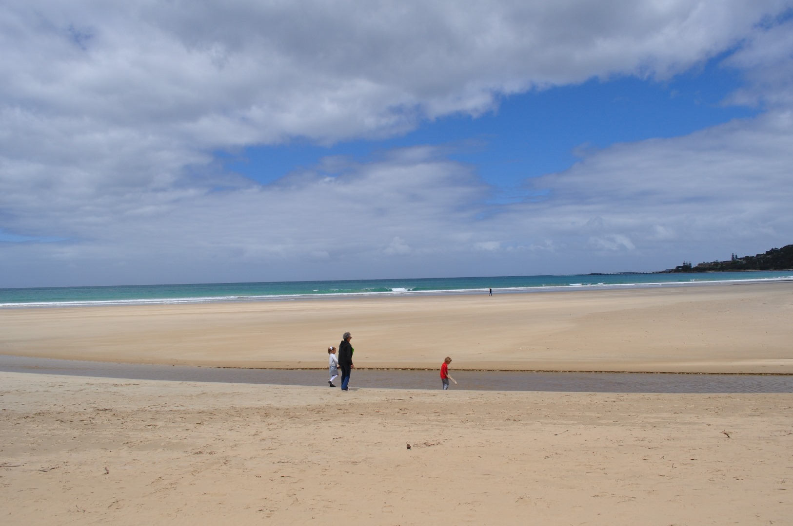
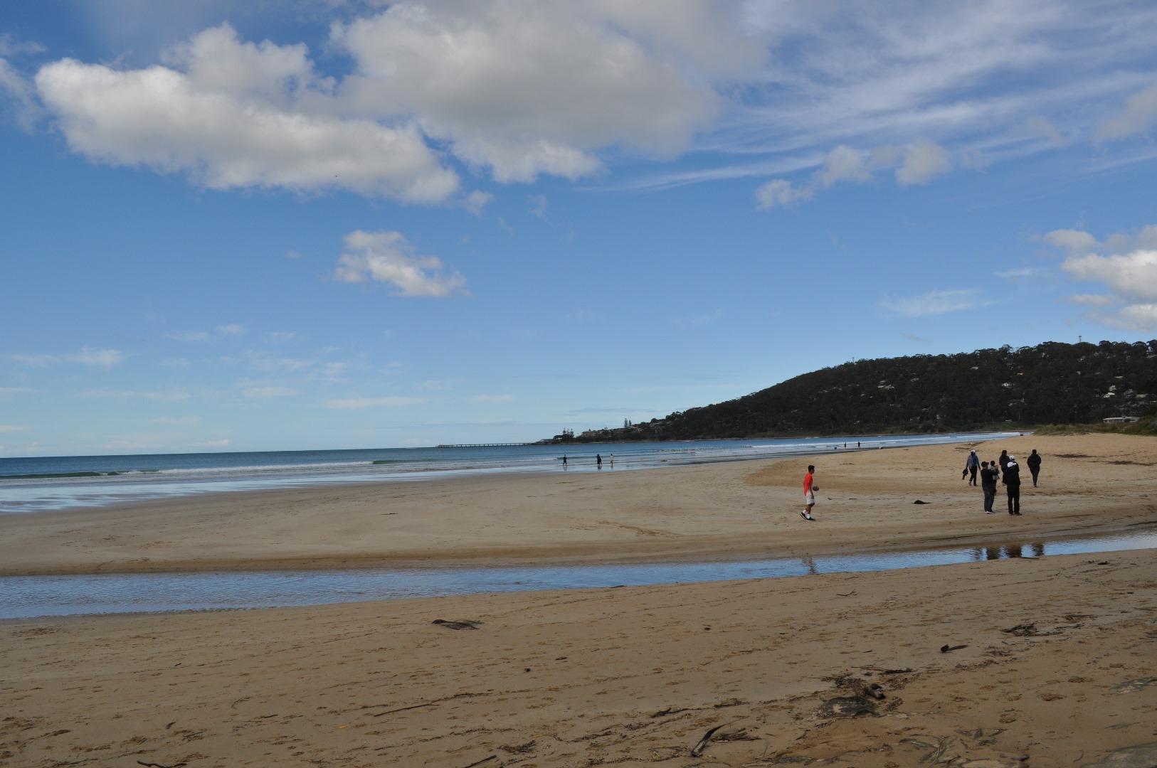
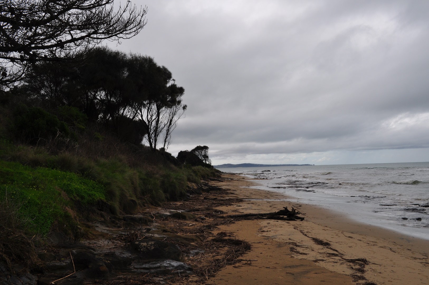
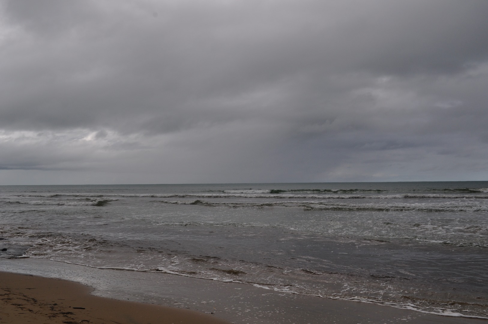
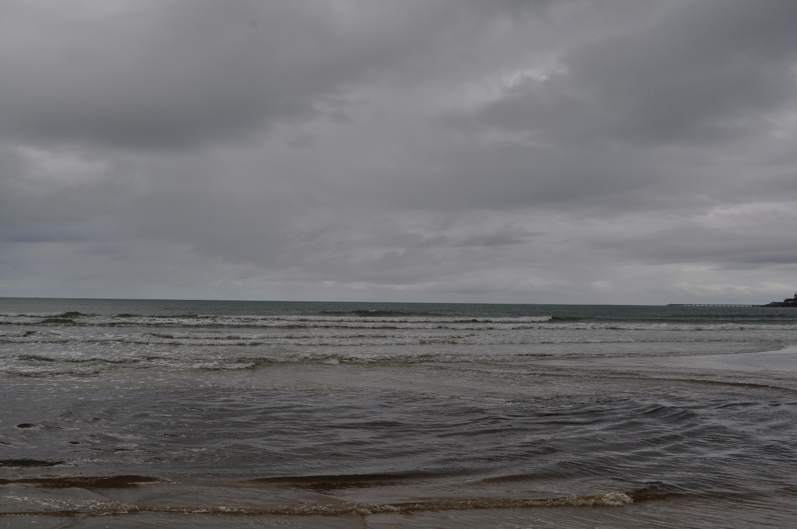
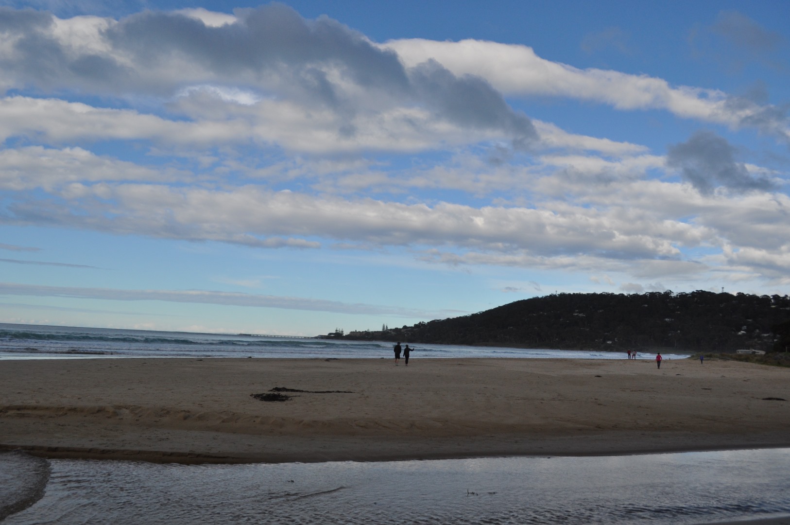
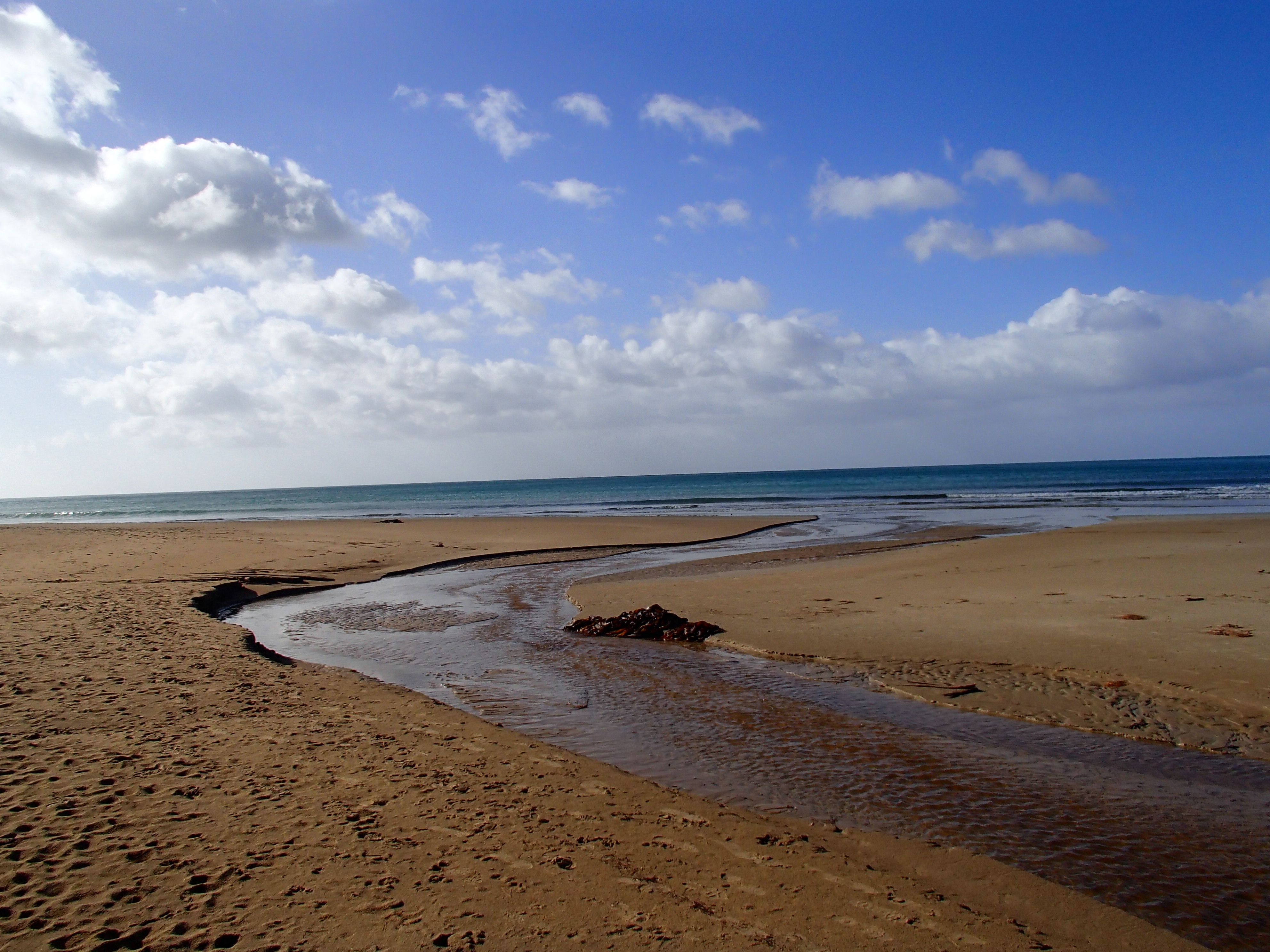
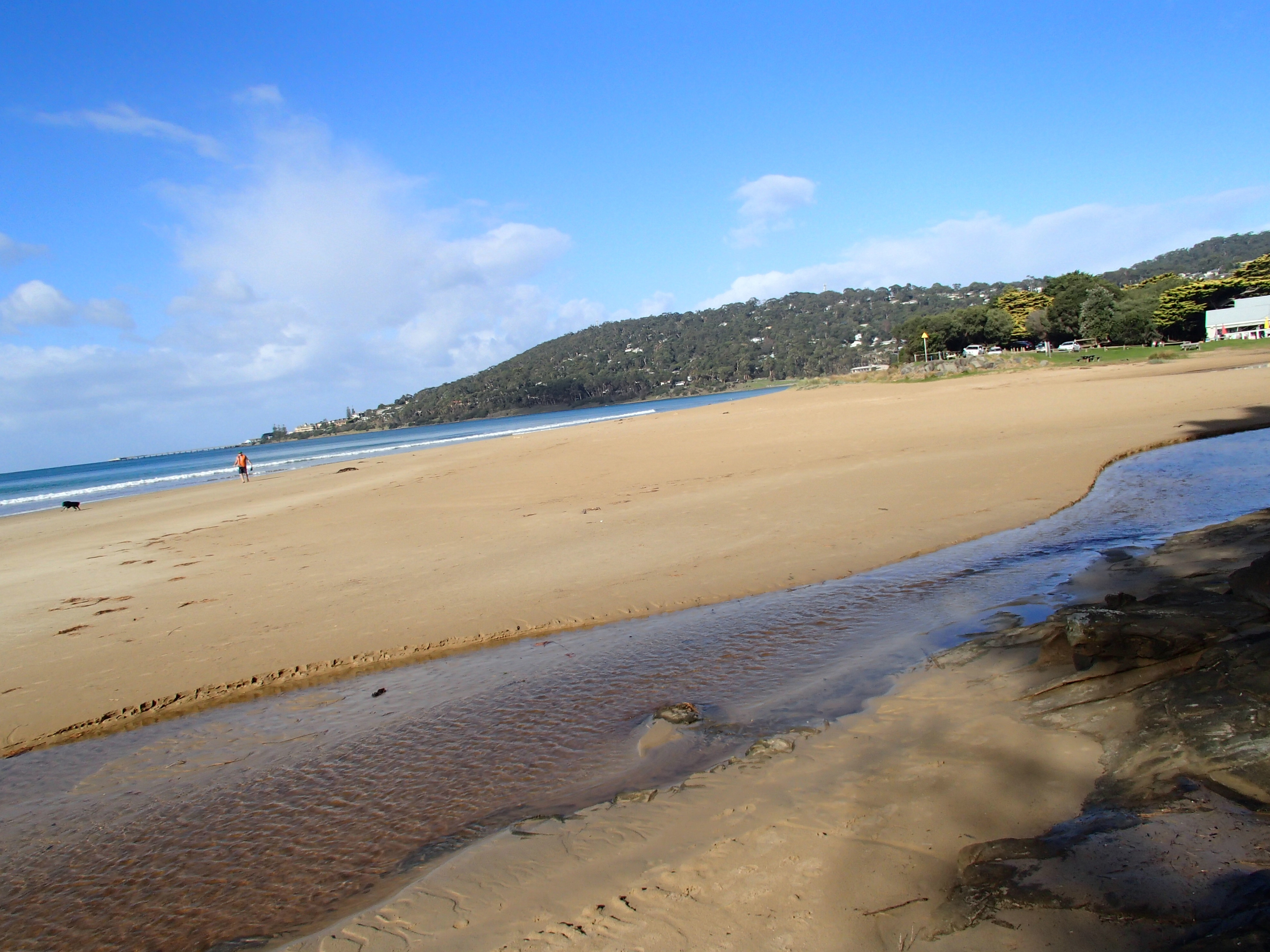
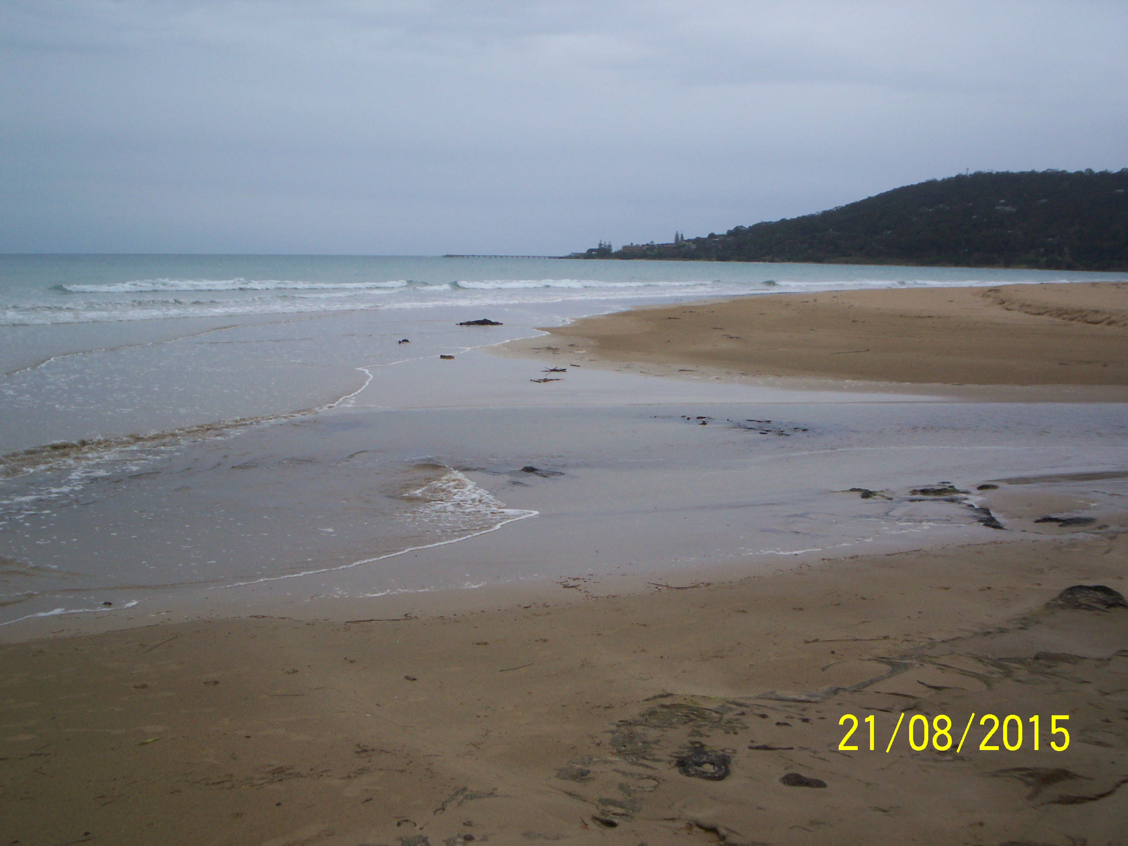
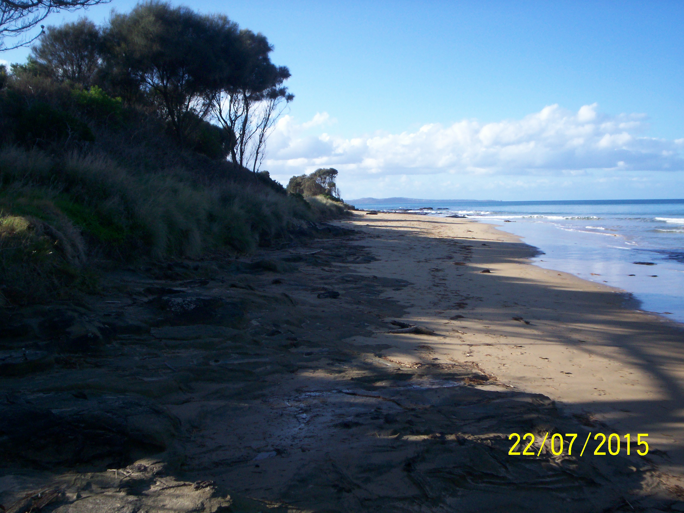
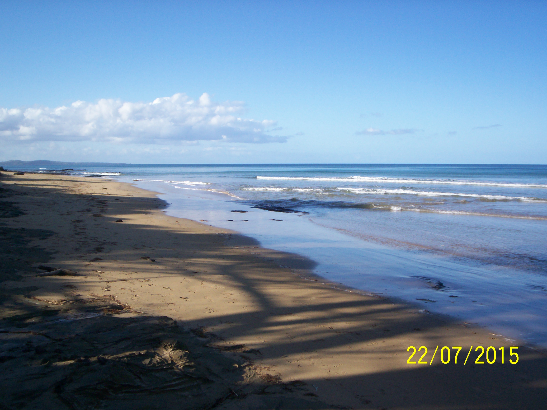
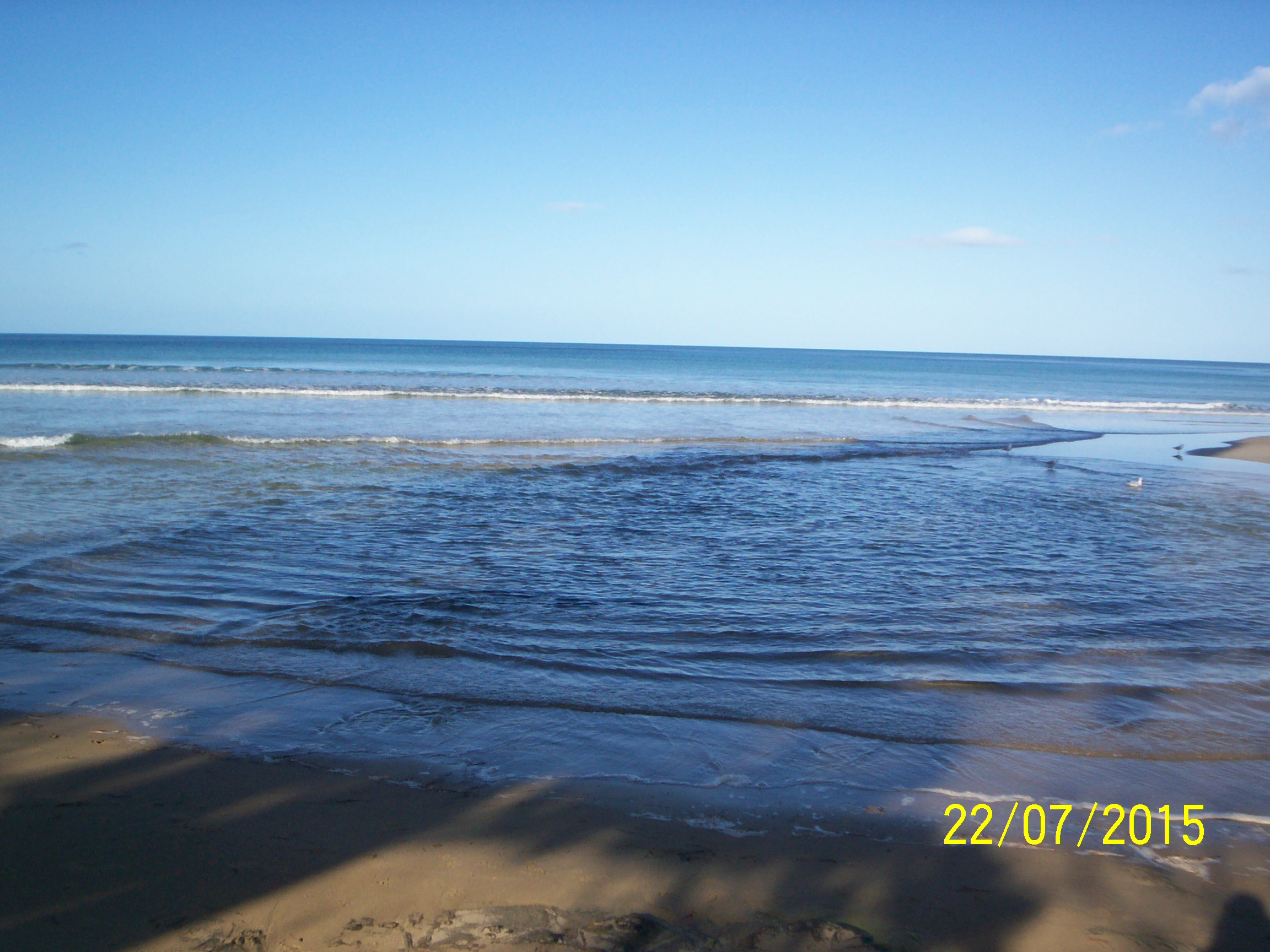
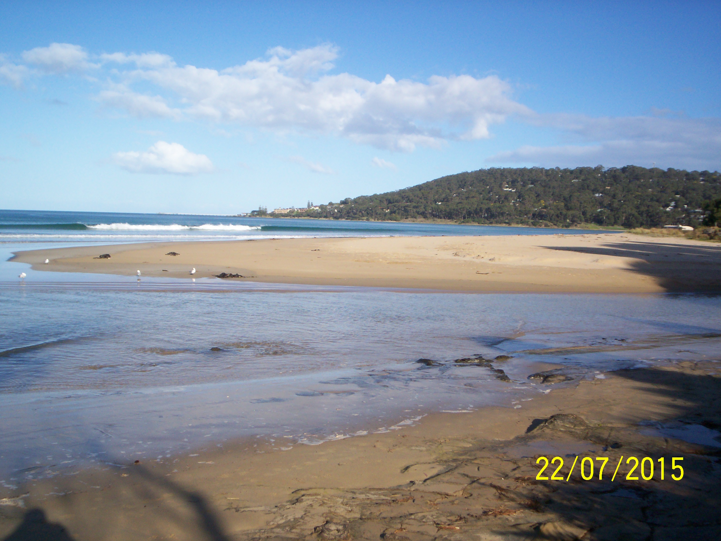
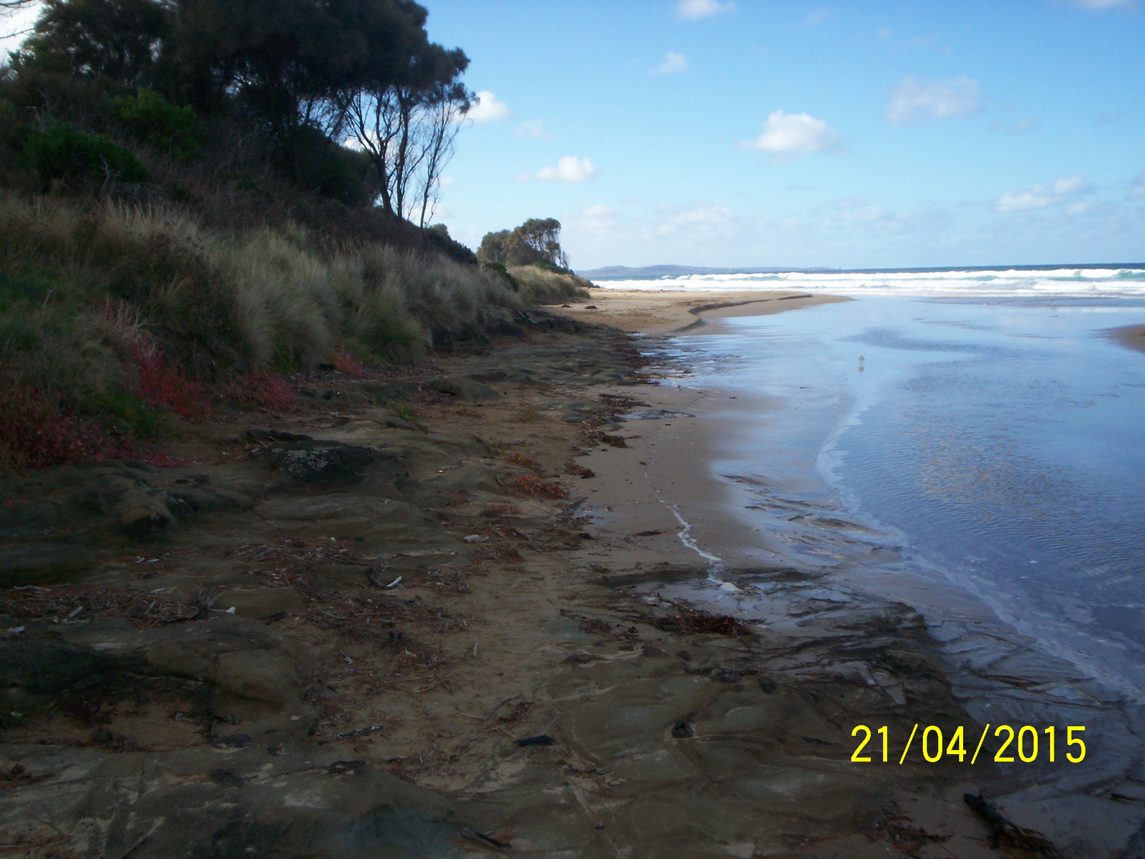
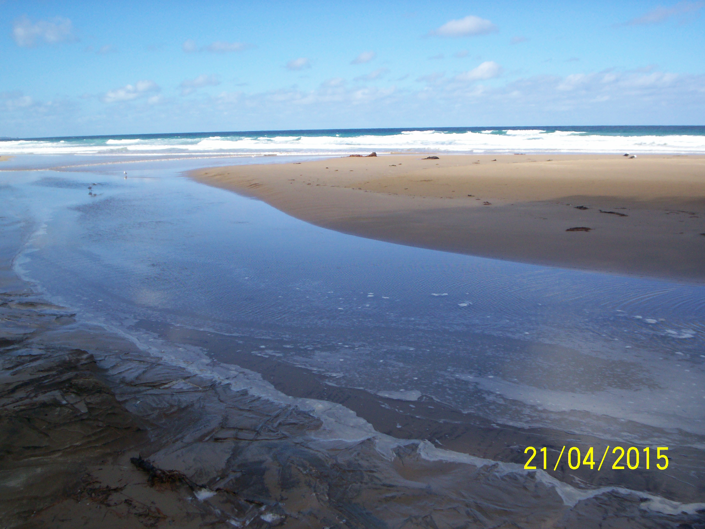
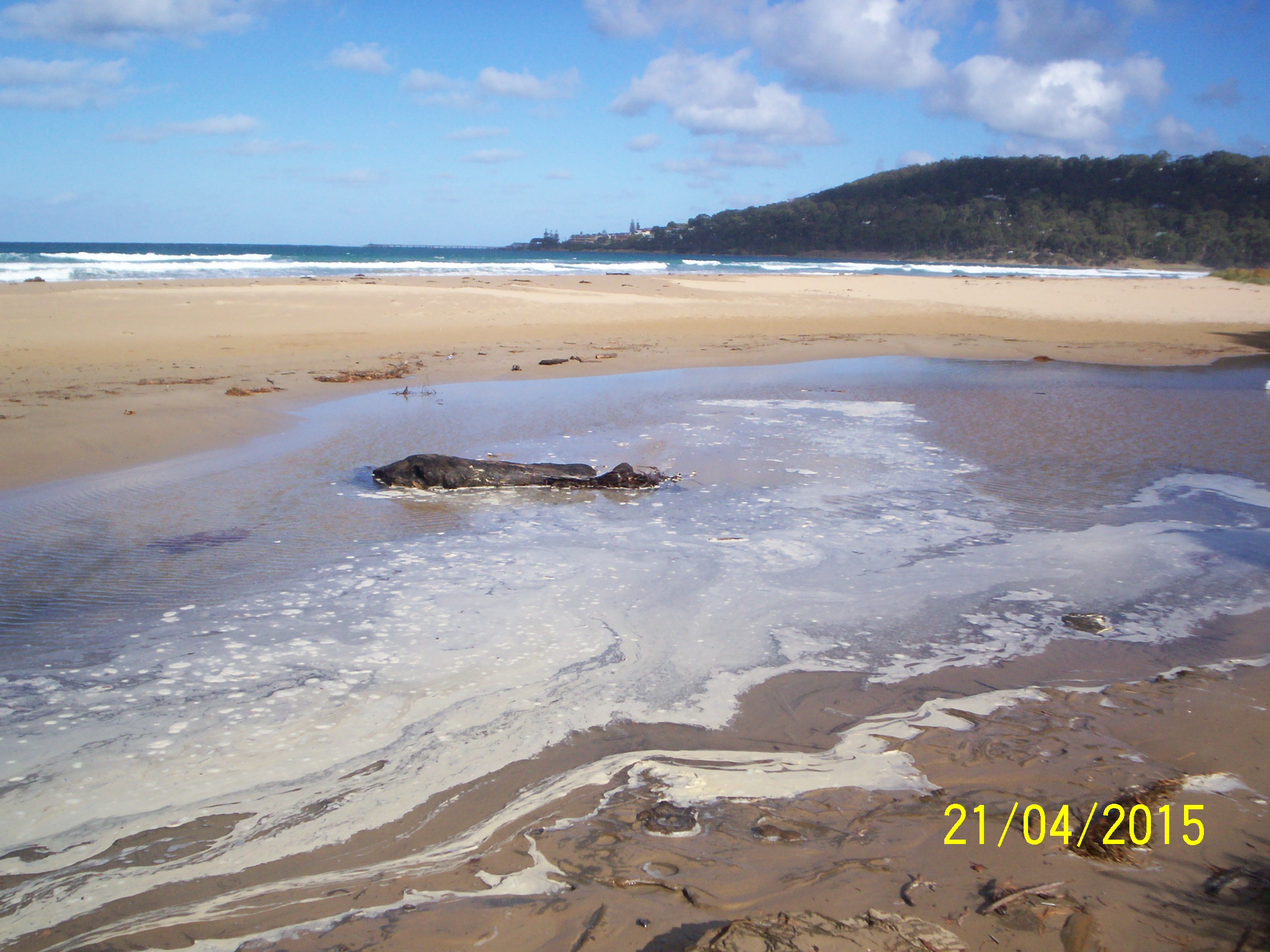
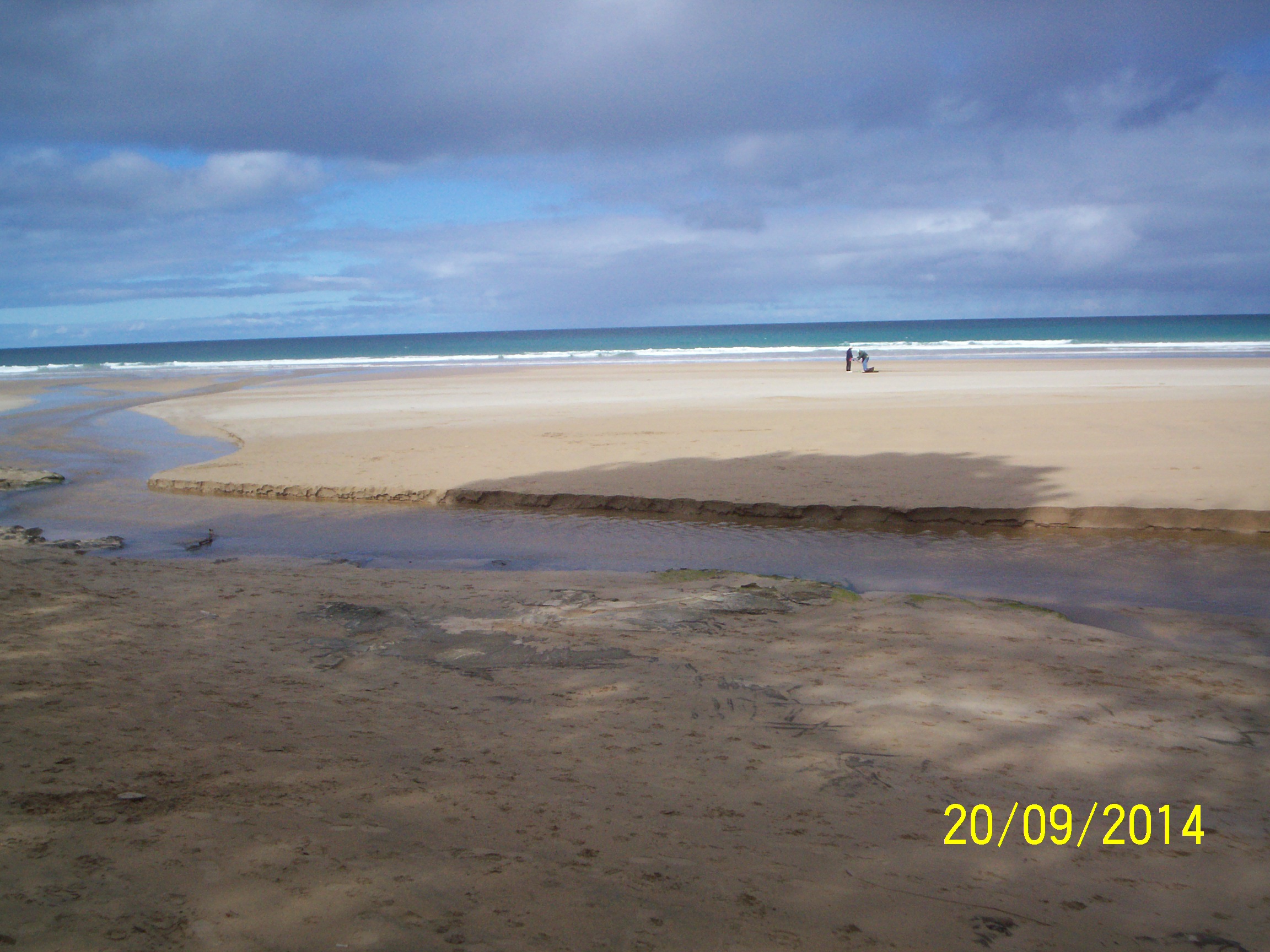
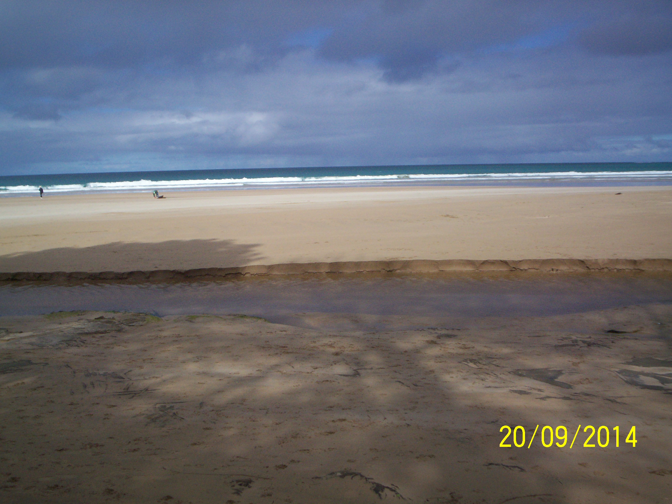
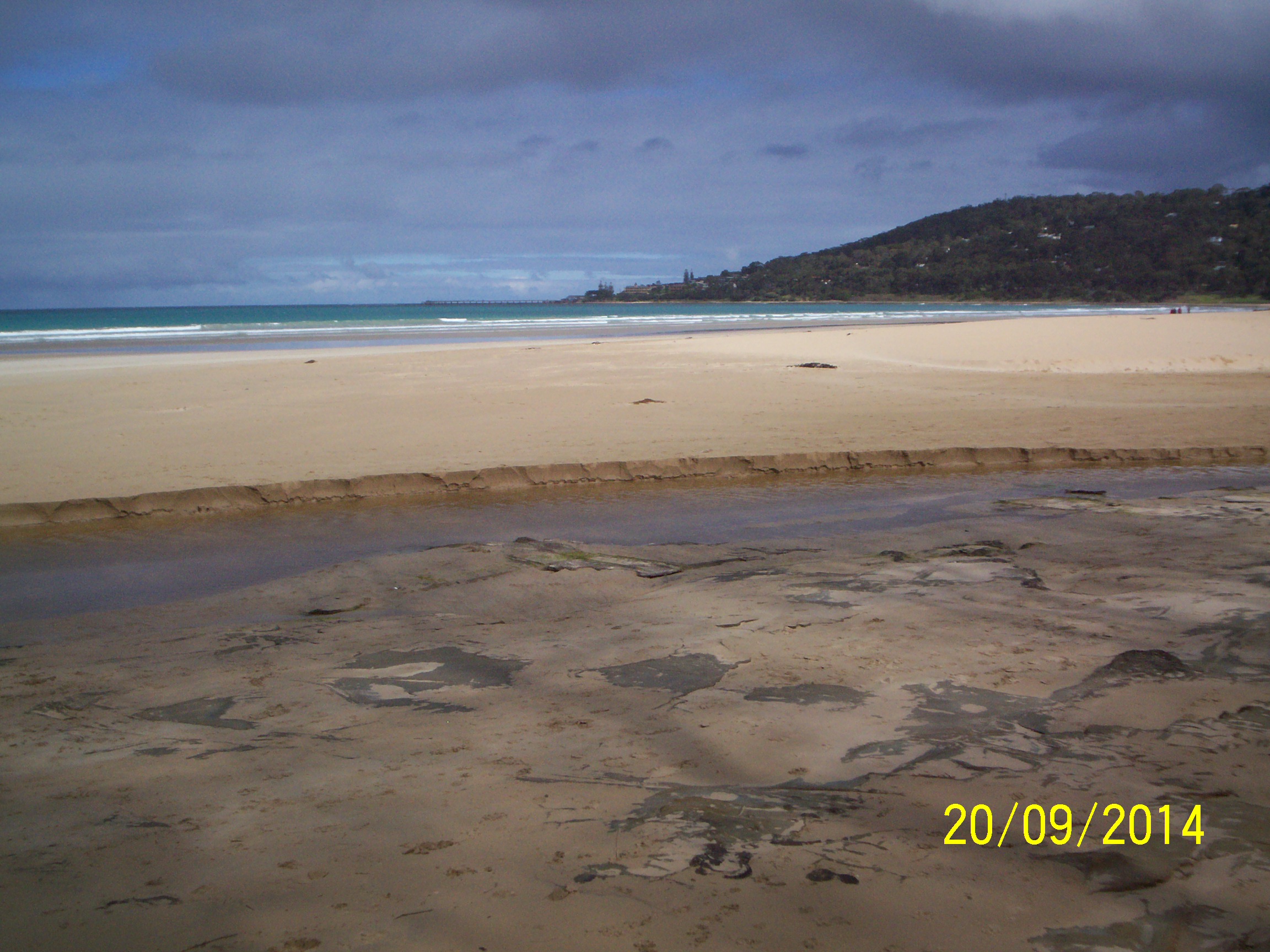
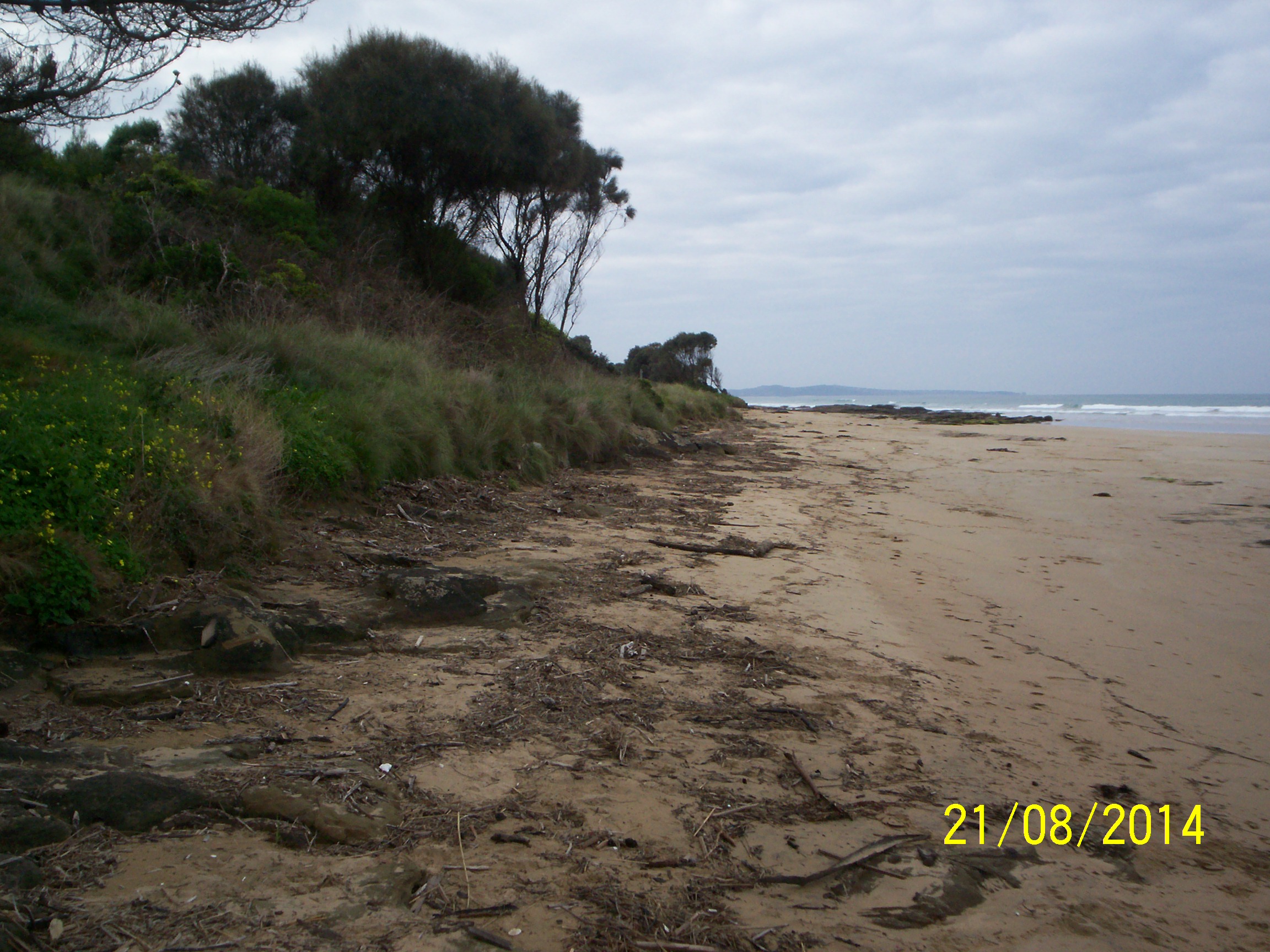
Erskine River Estuary
Corangamite CMA
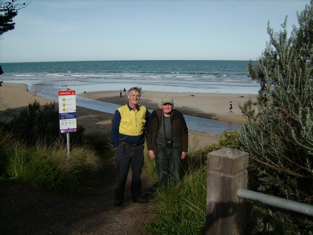
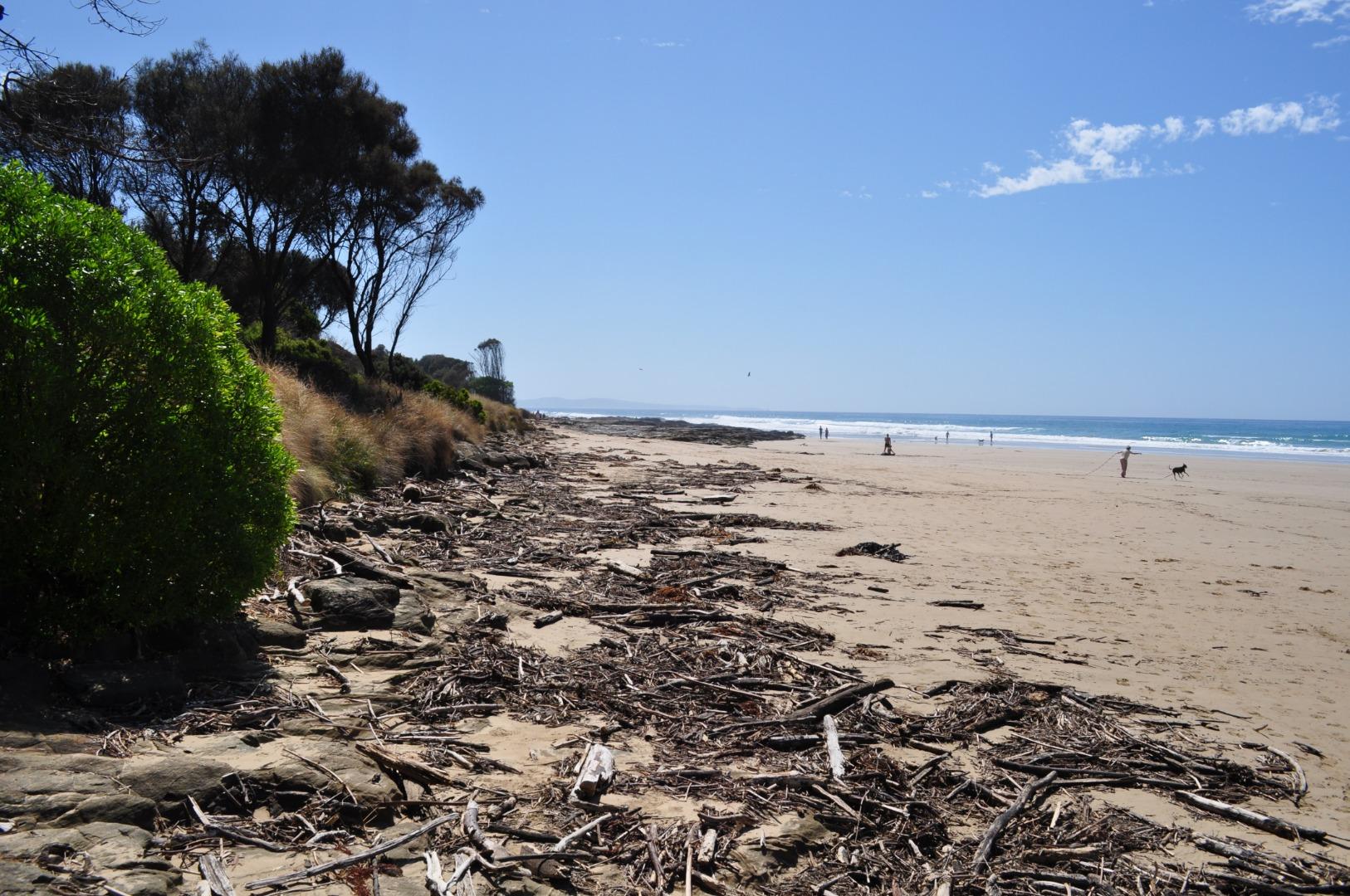
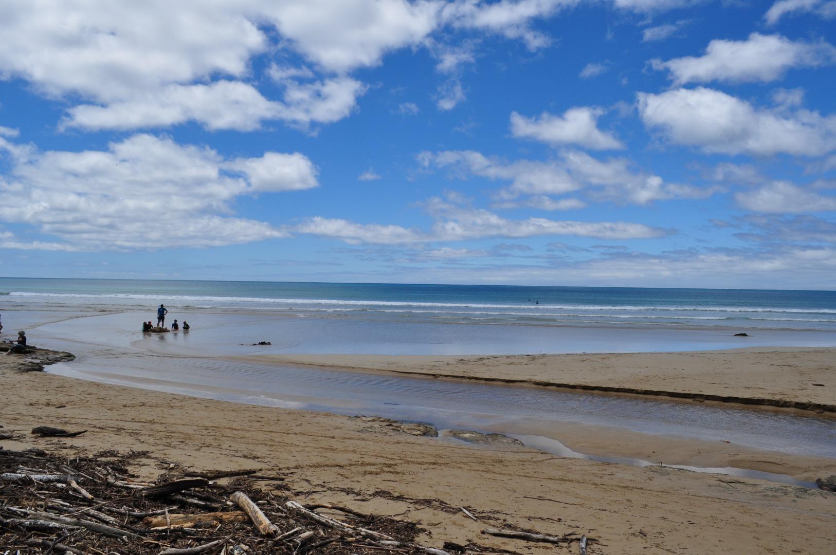
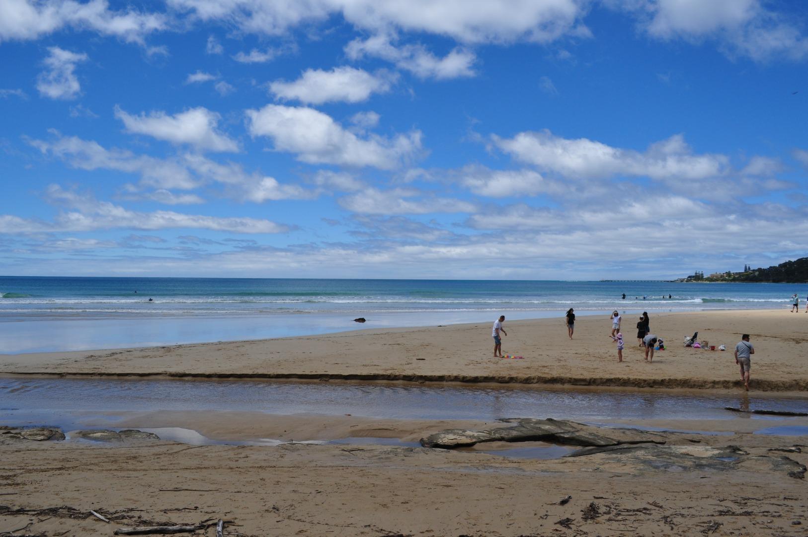
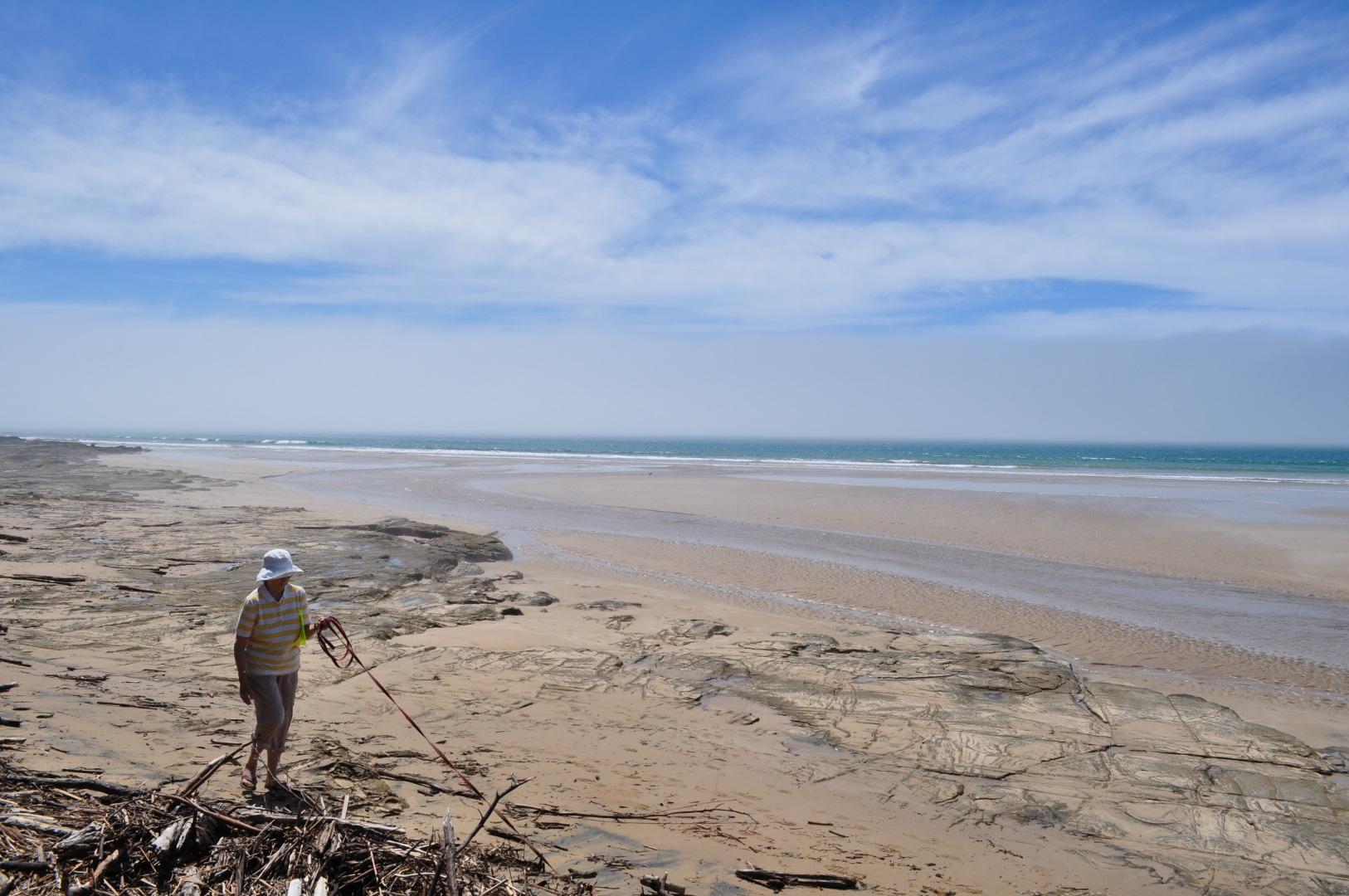
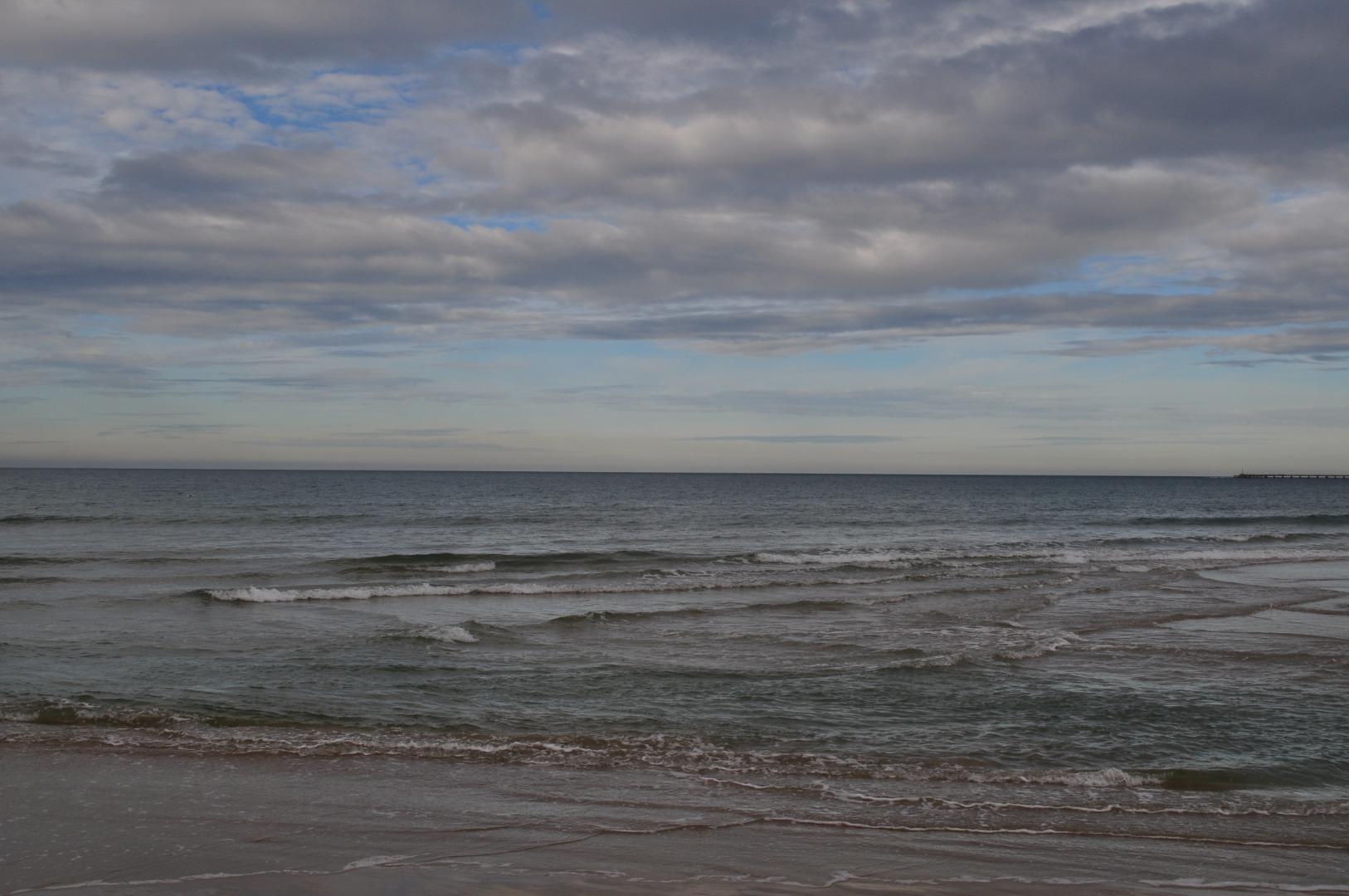
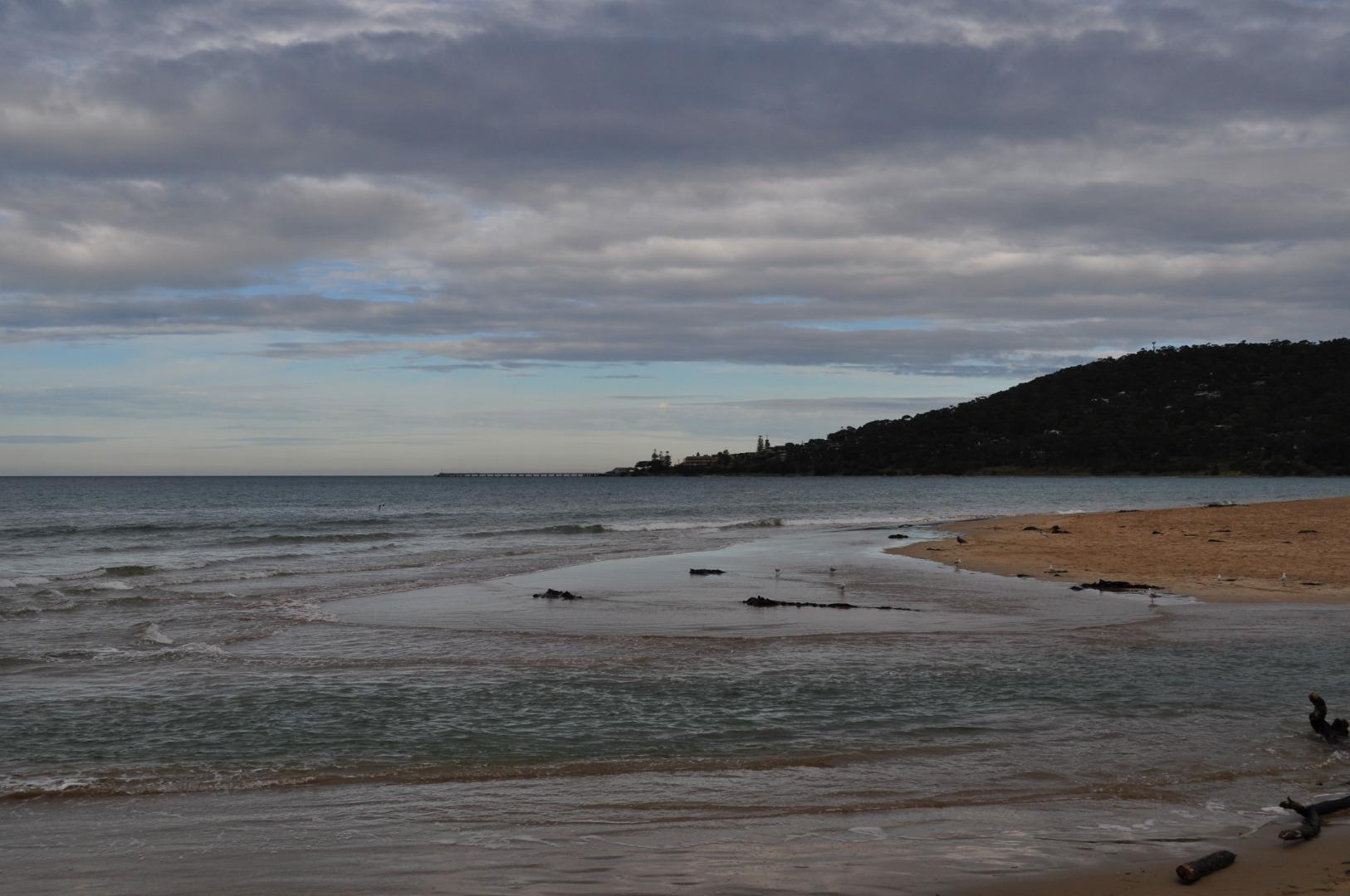
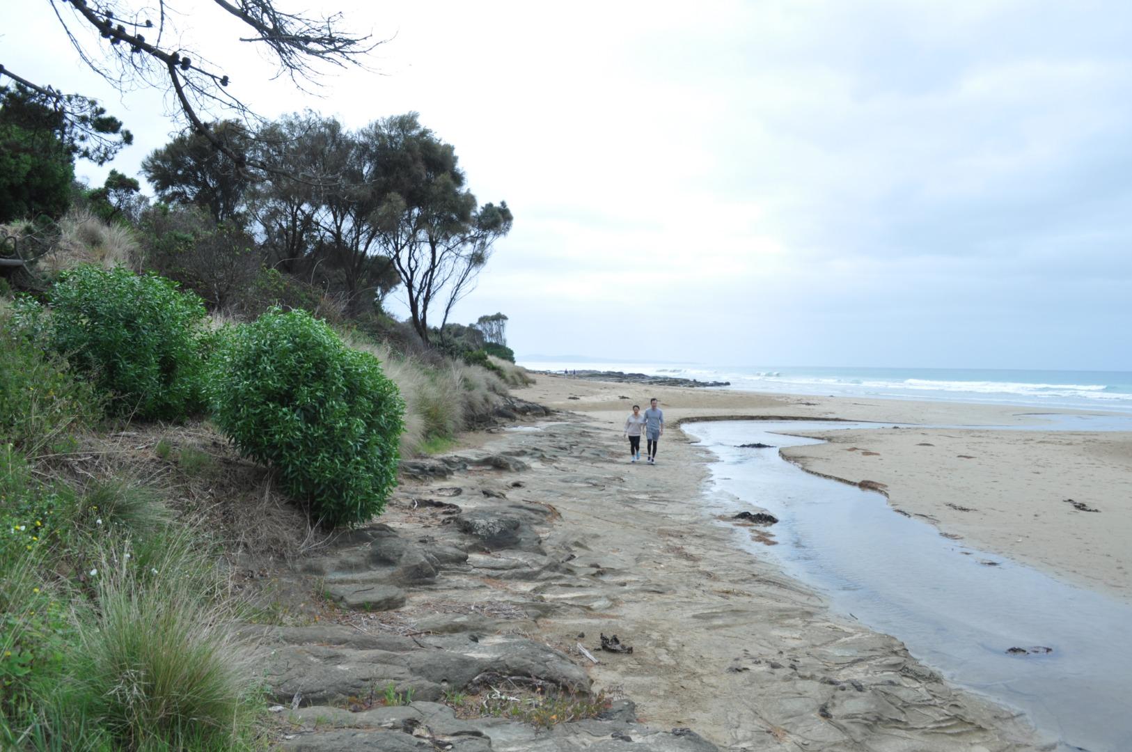
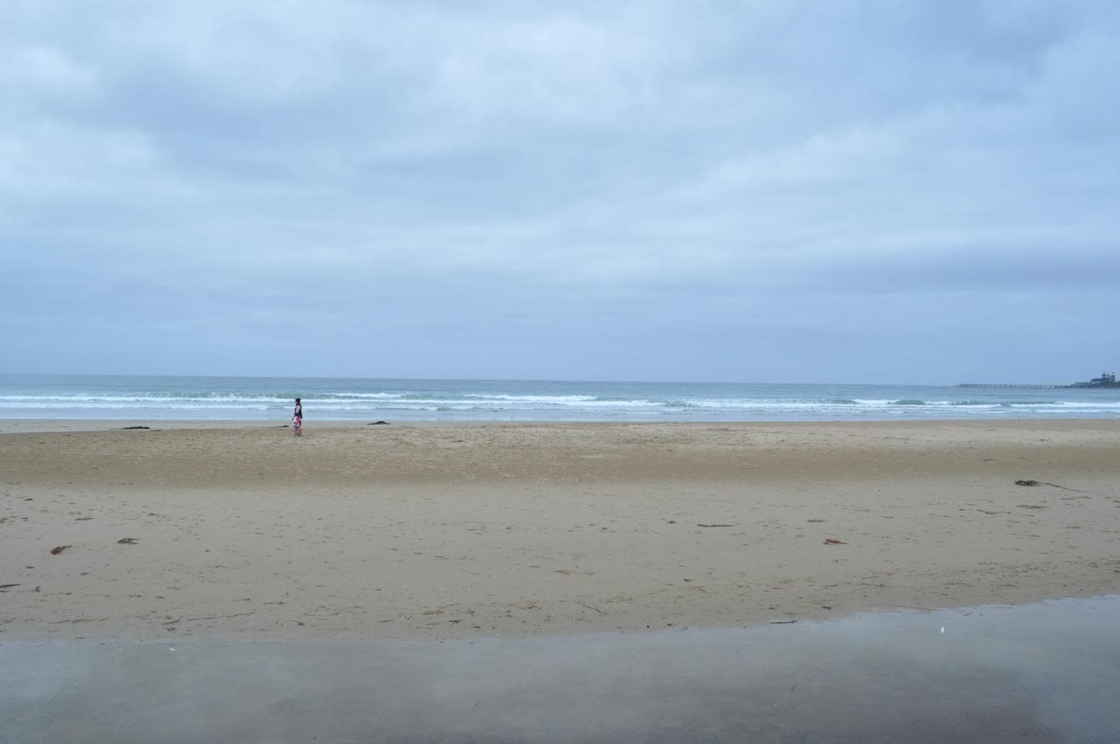
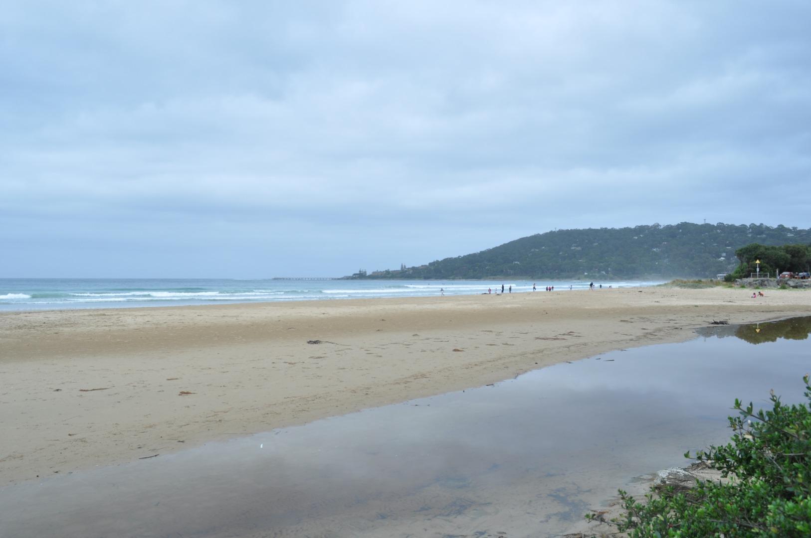
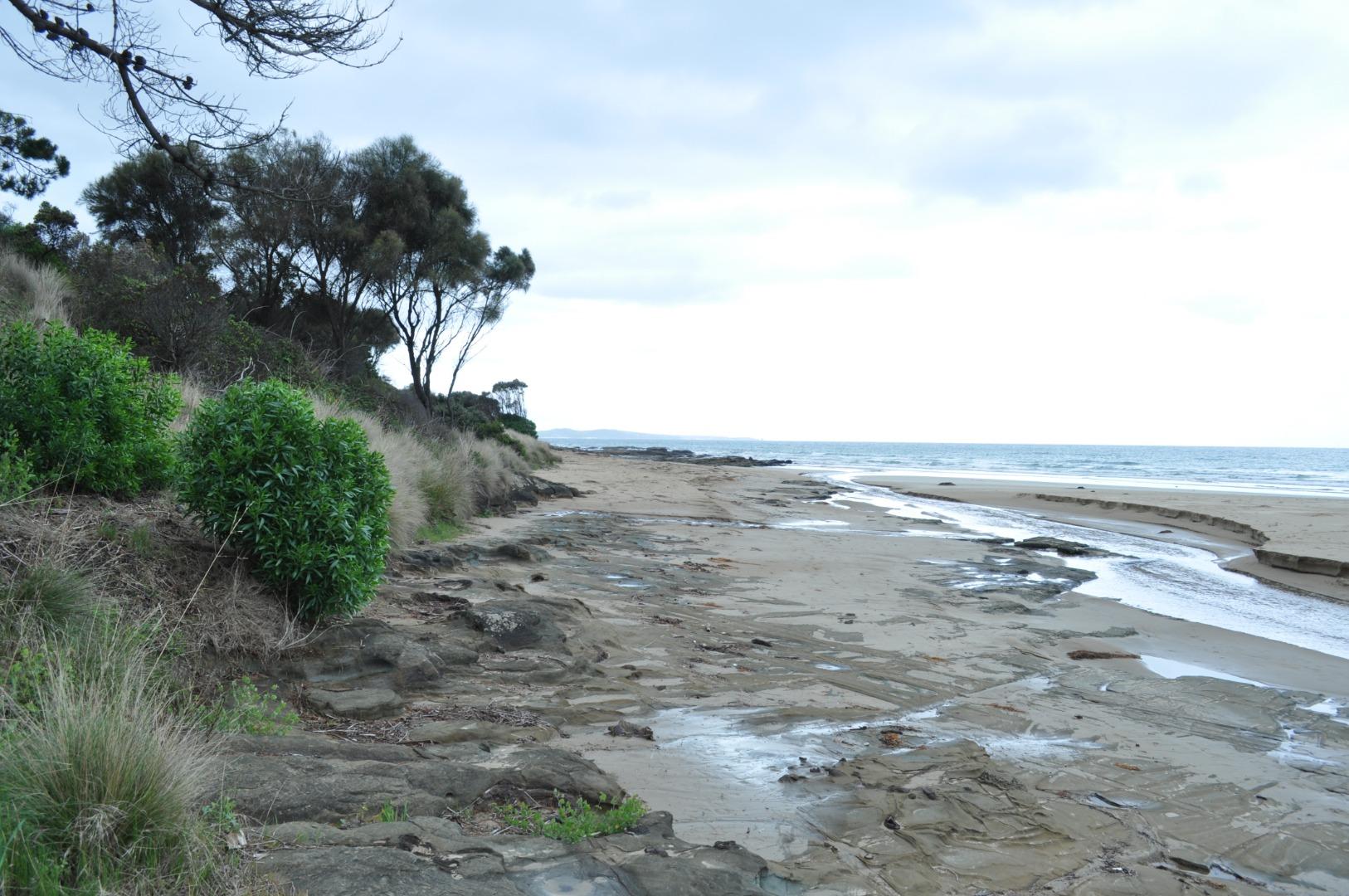
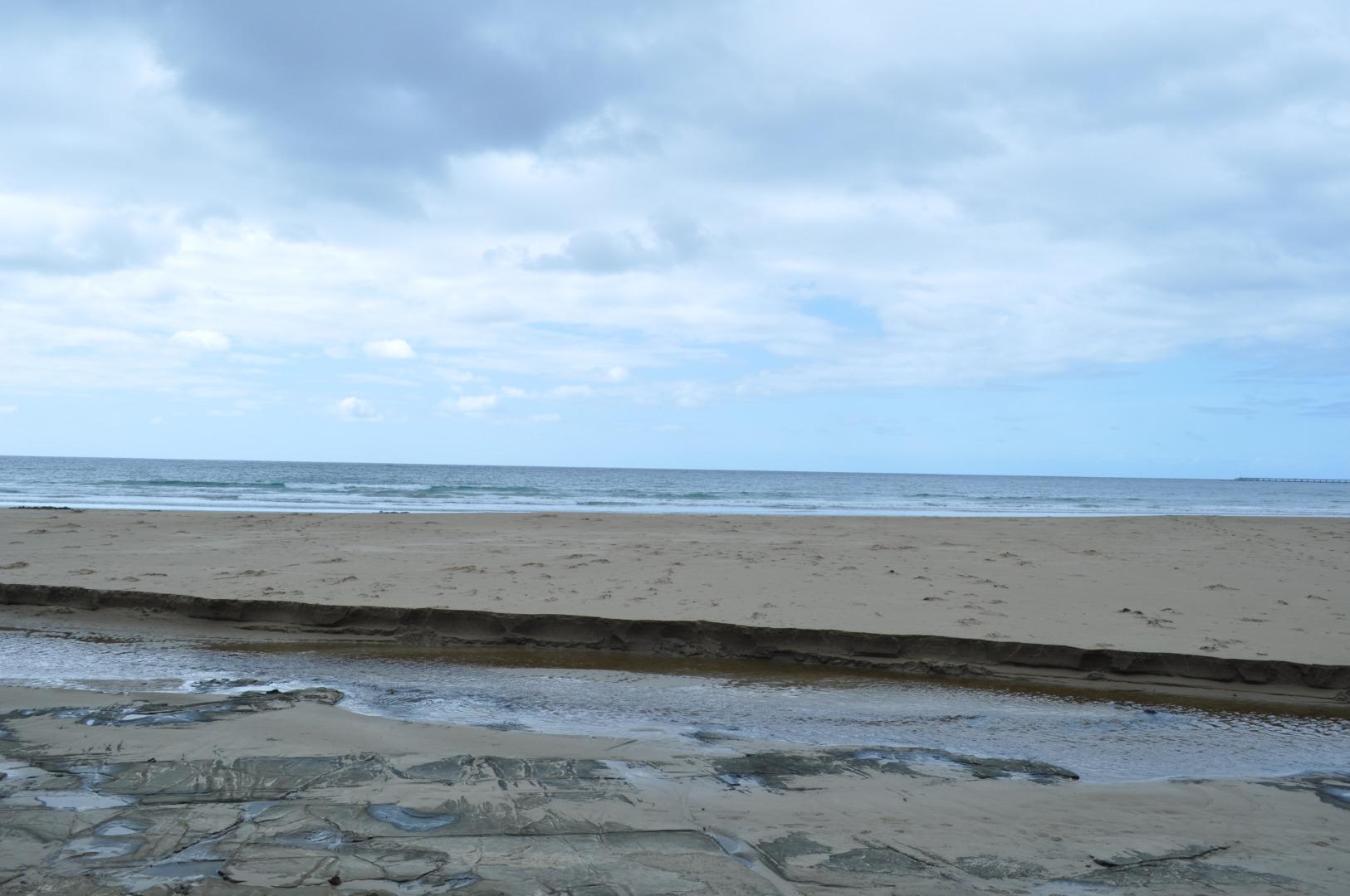
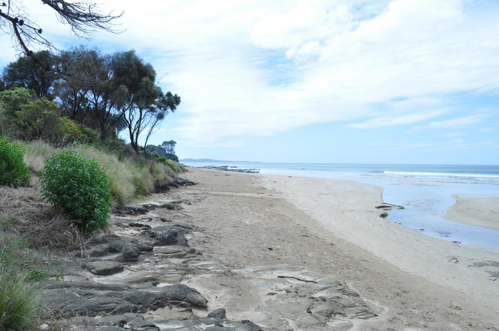
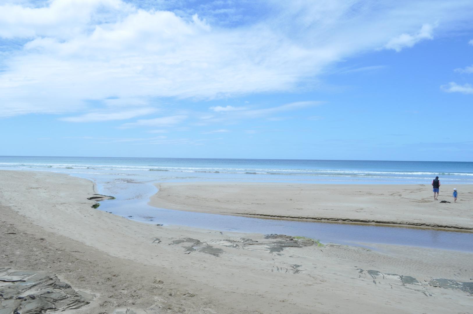
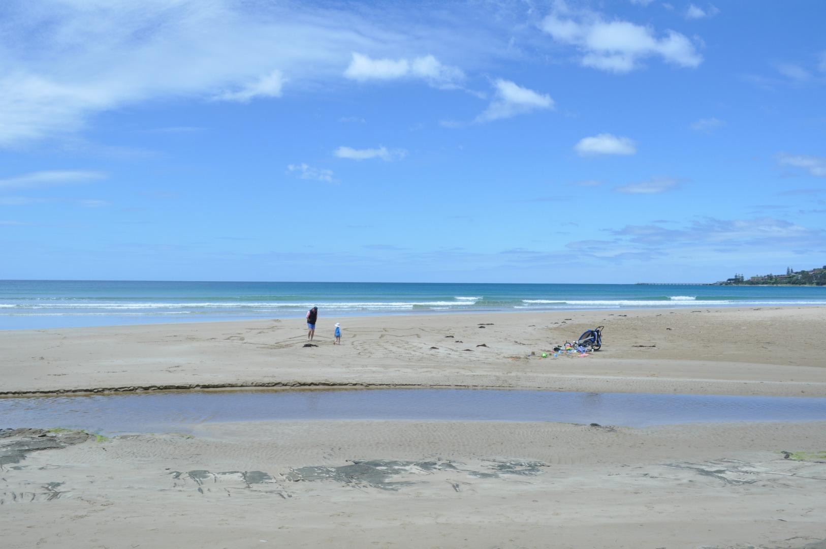
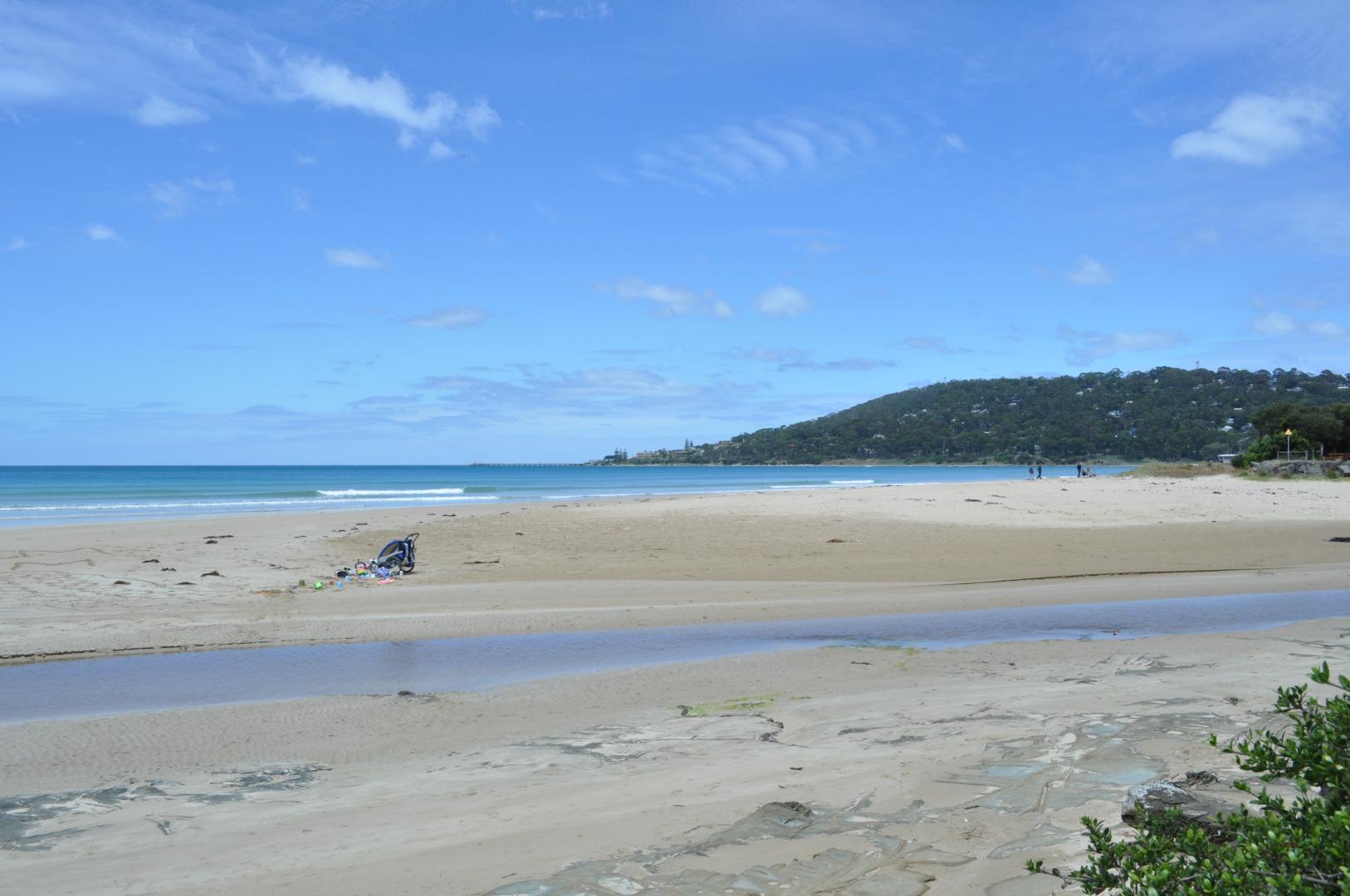
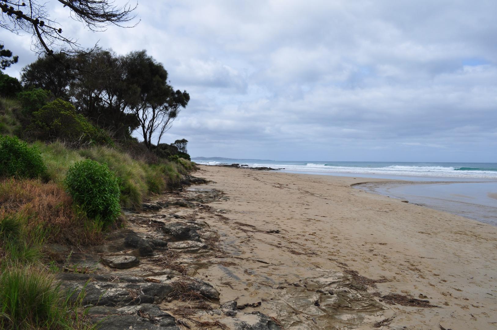
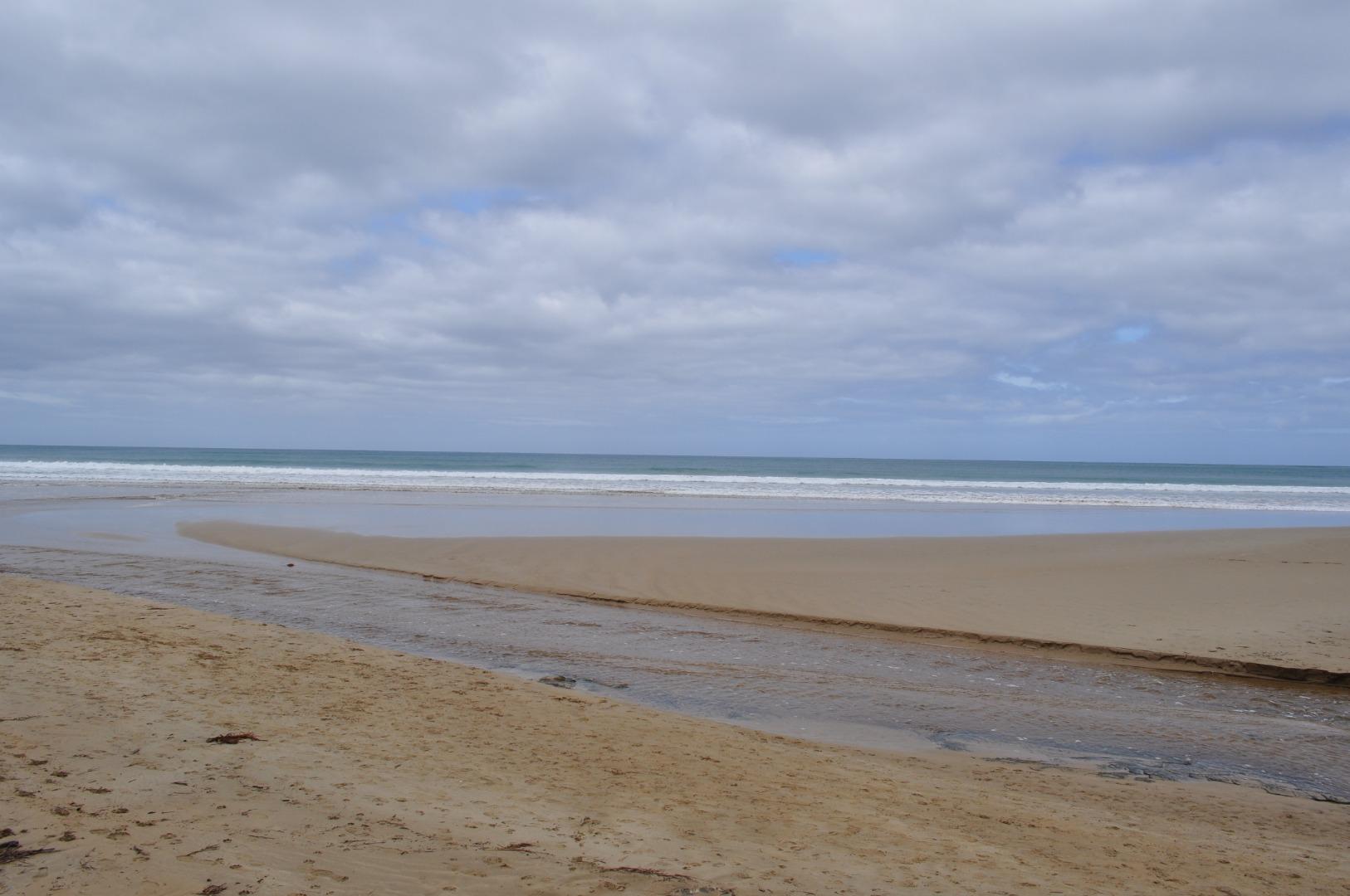
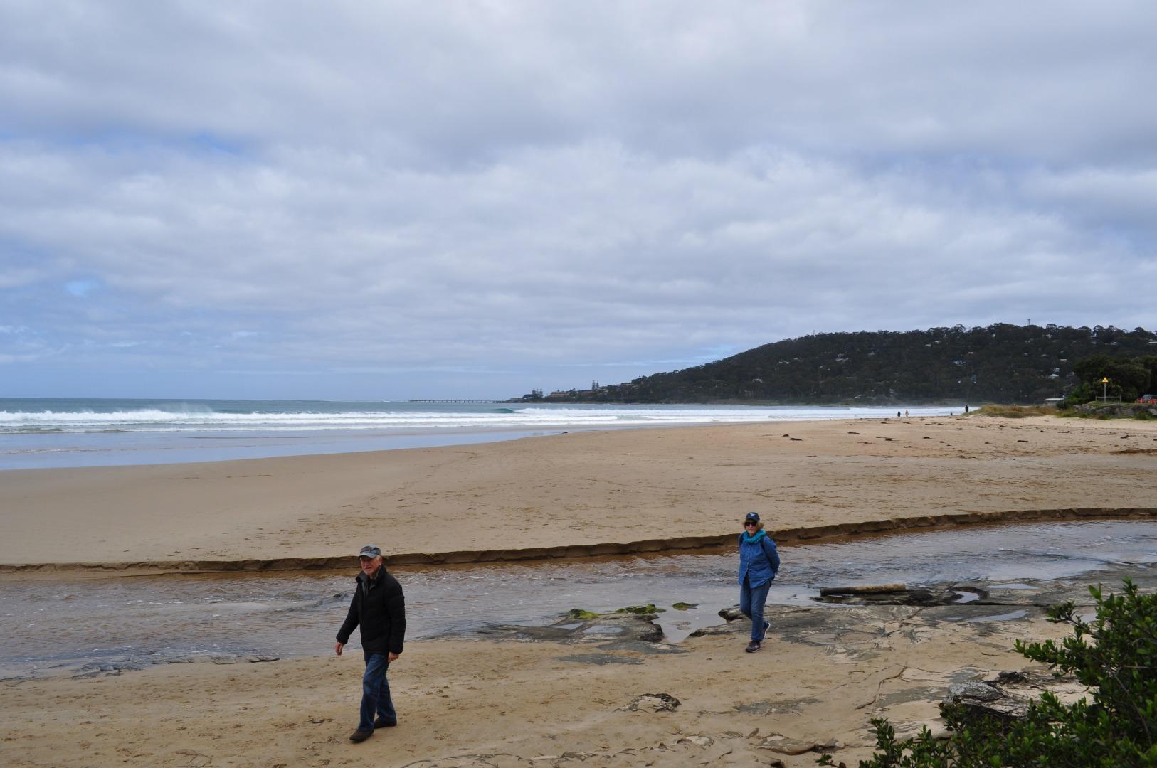
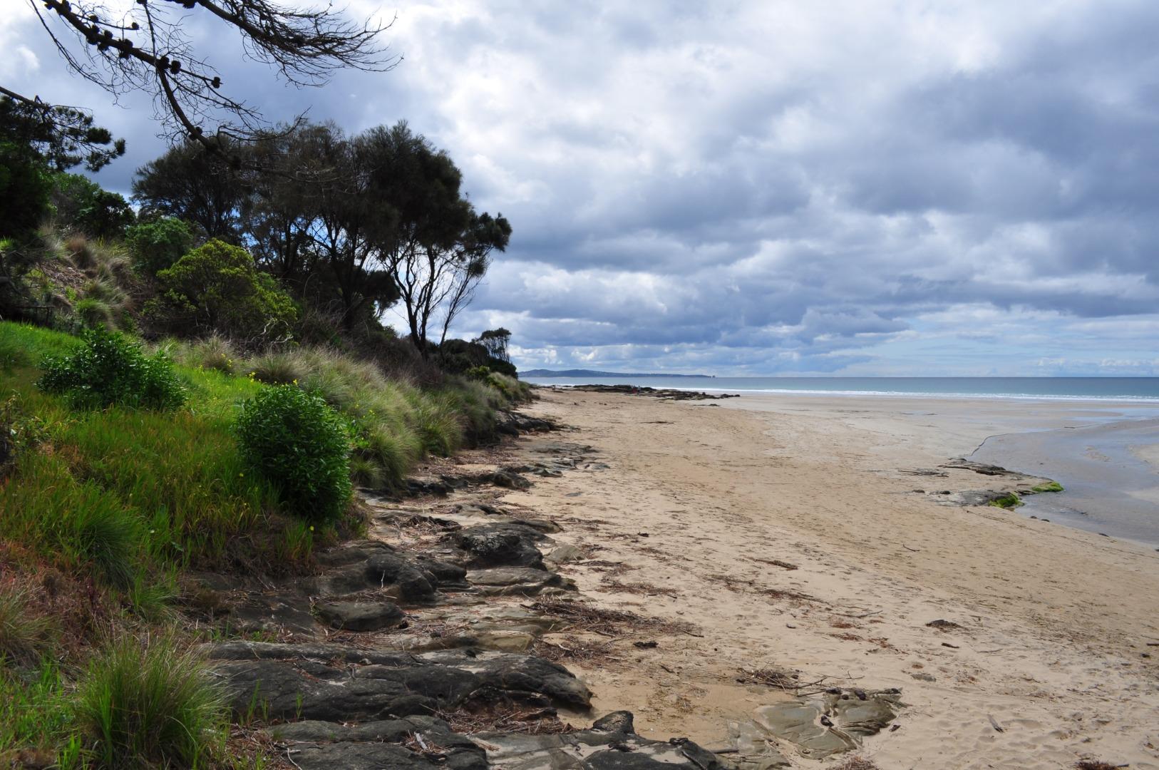
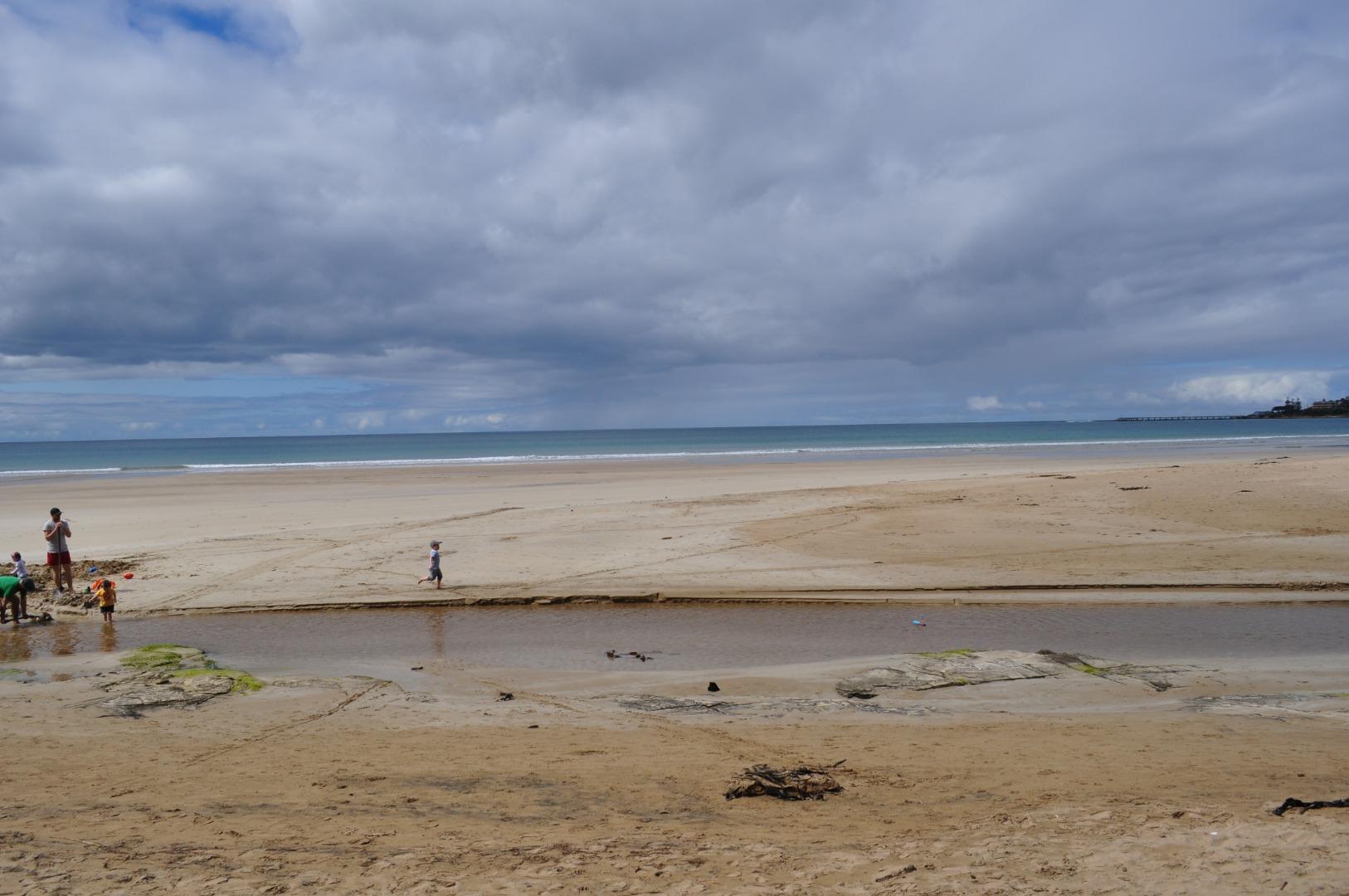
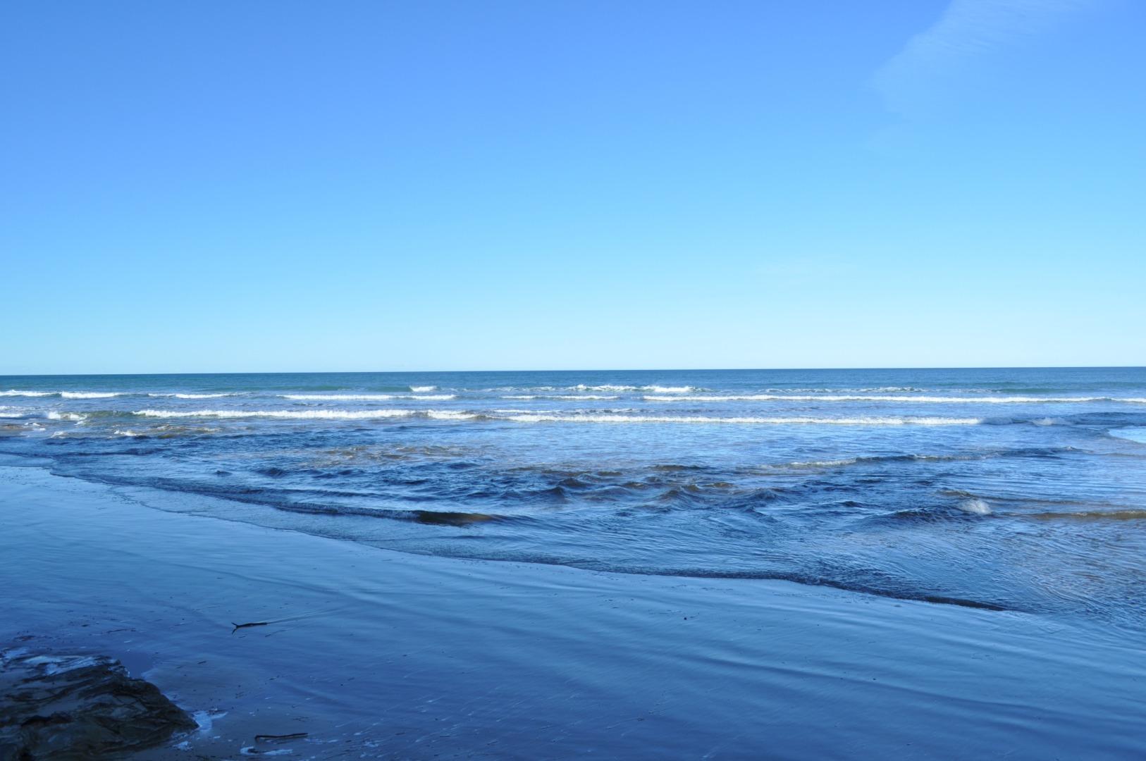
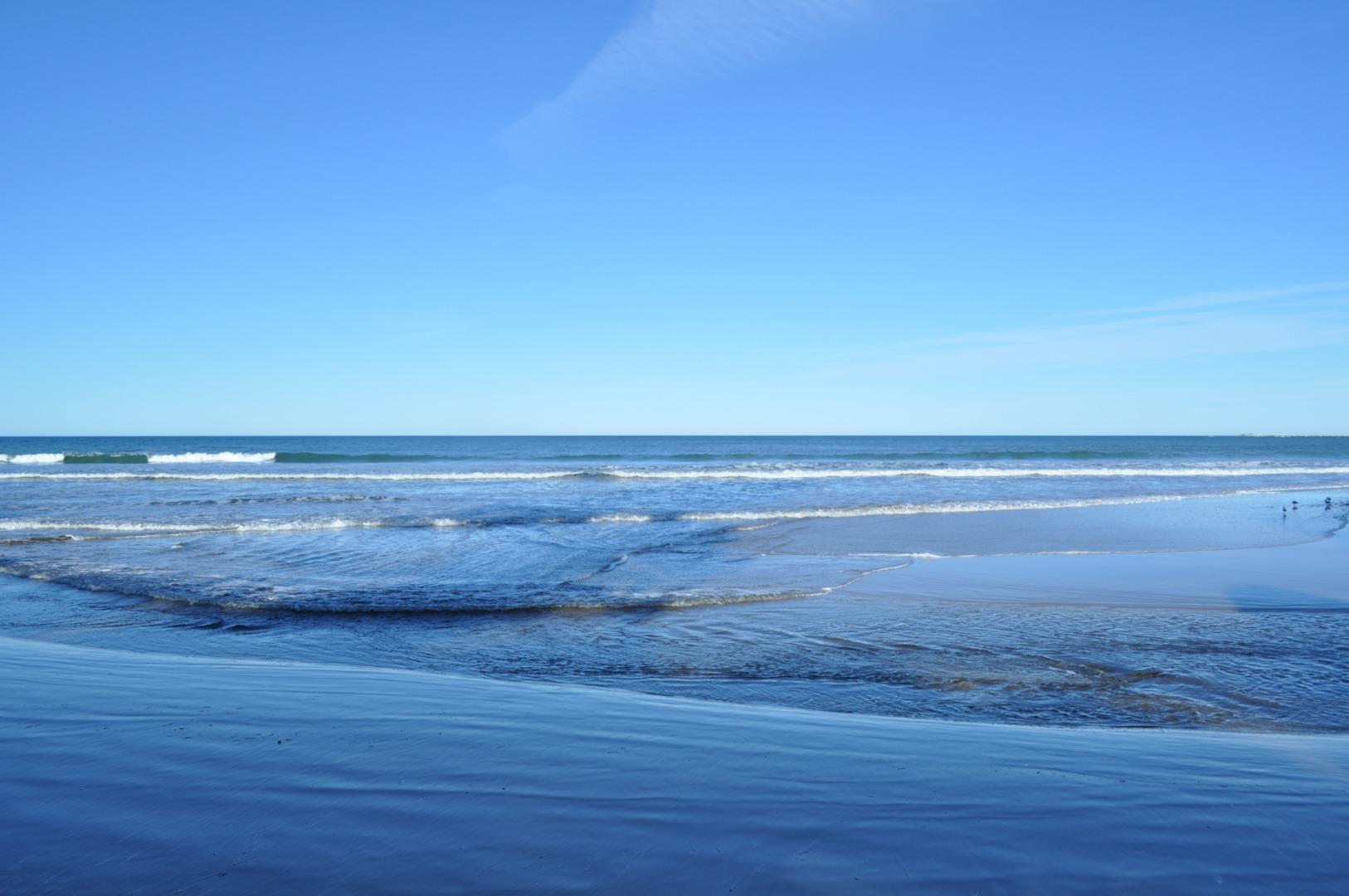
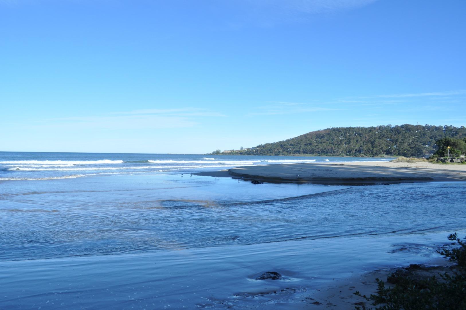
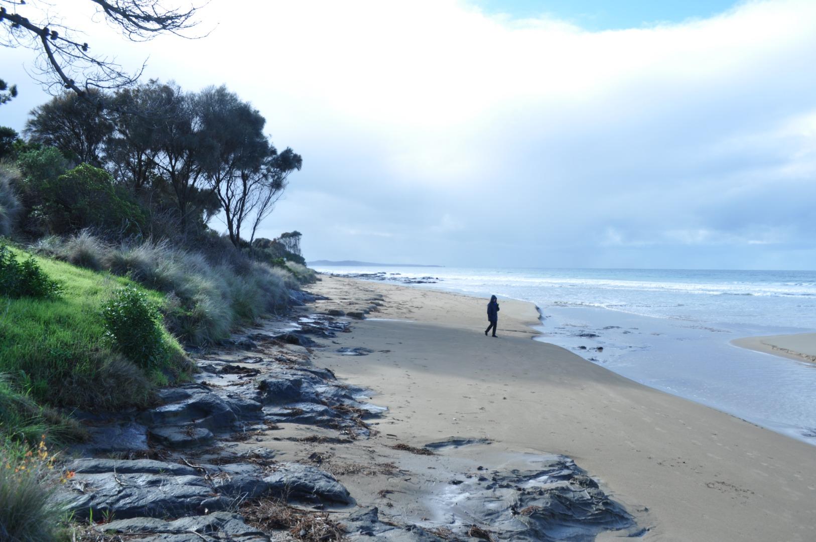
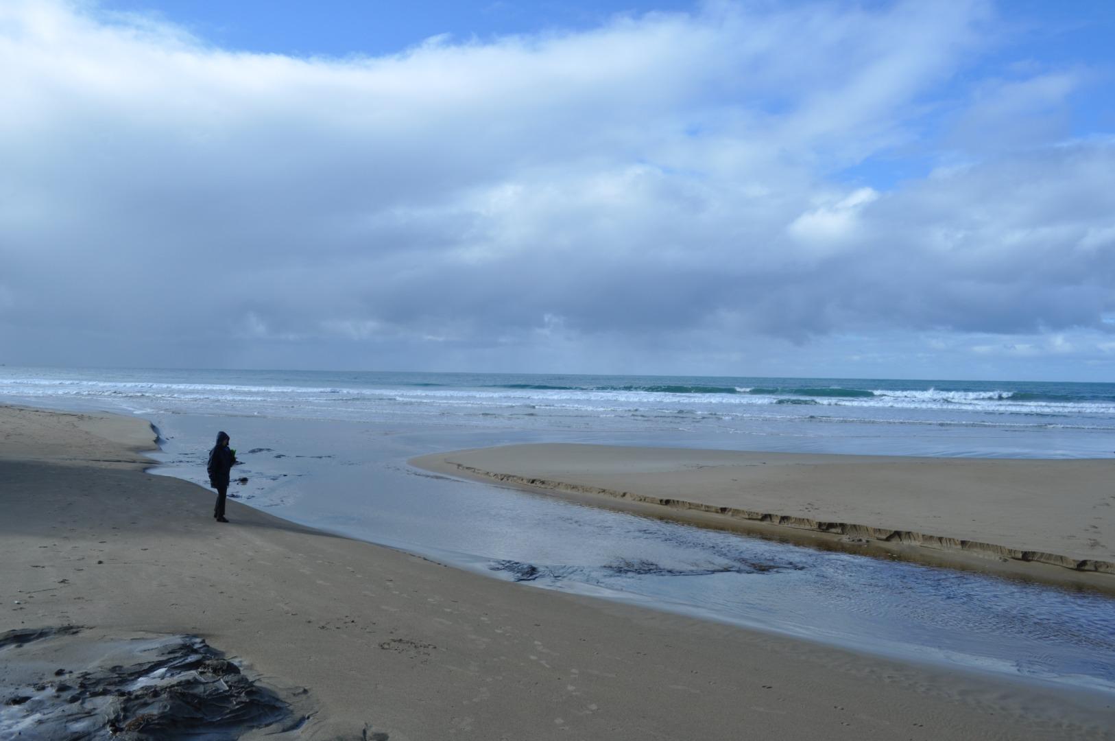
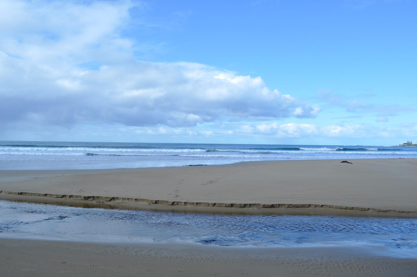
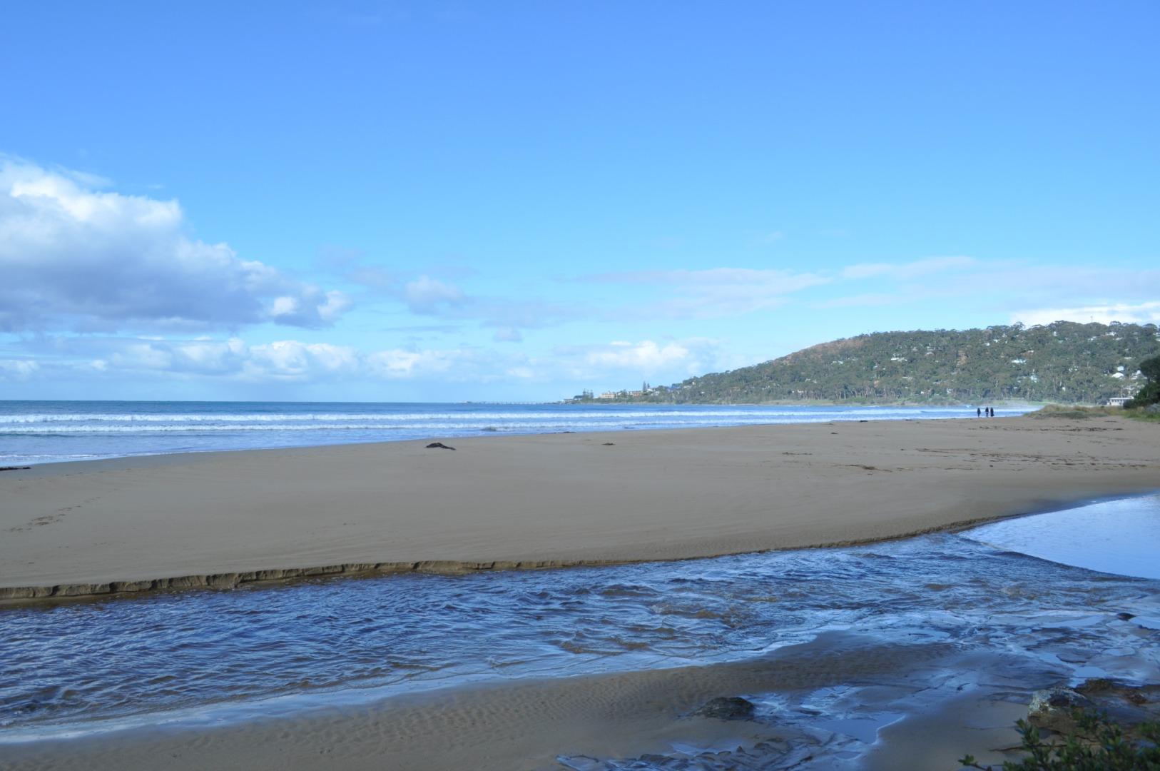
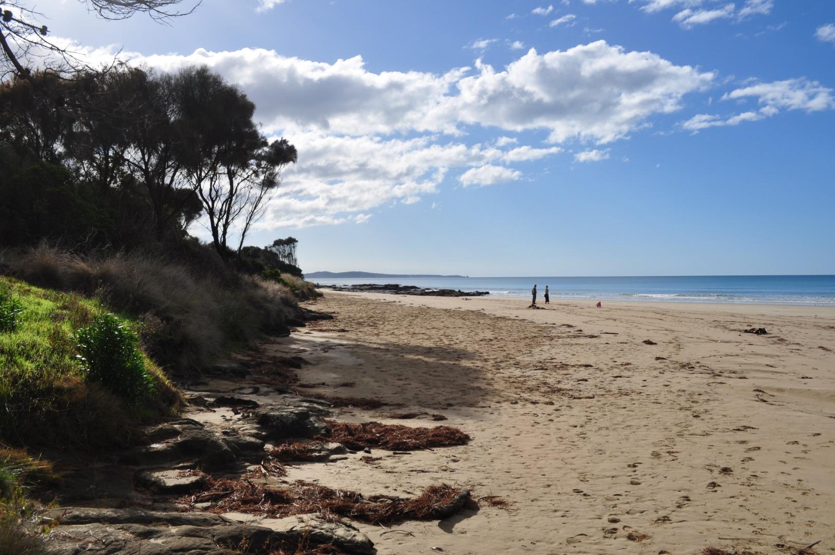
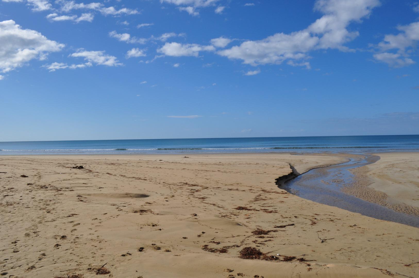
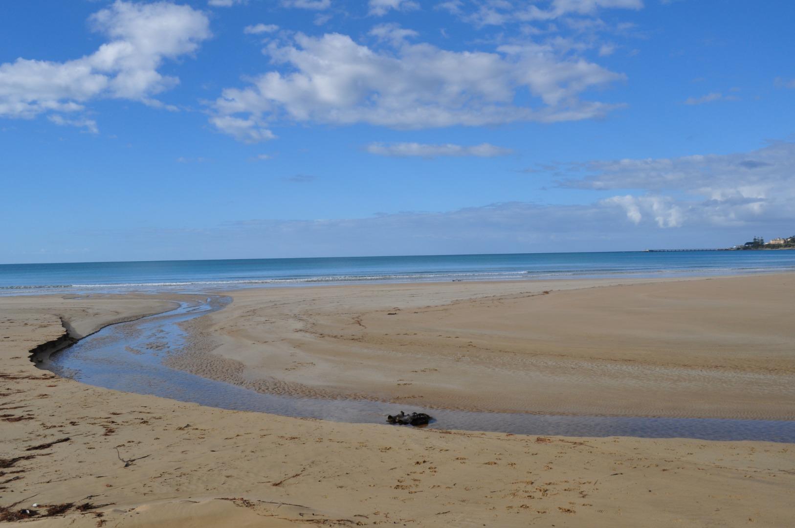
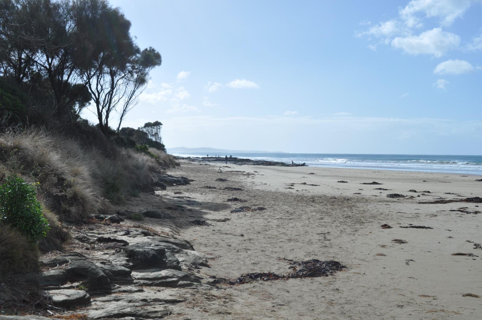
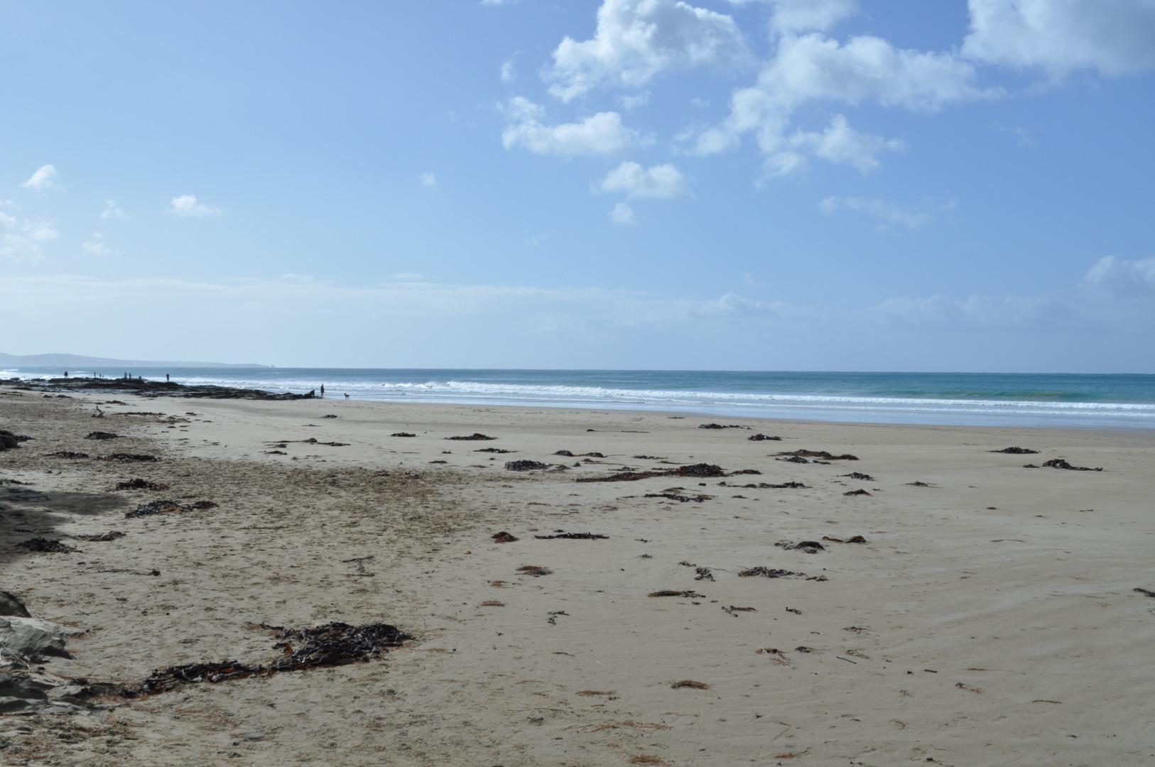
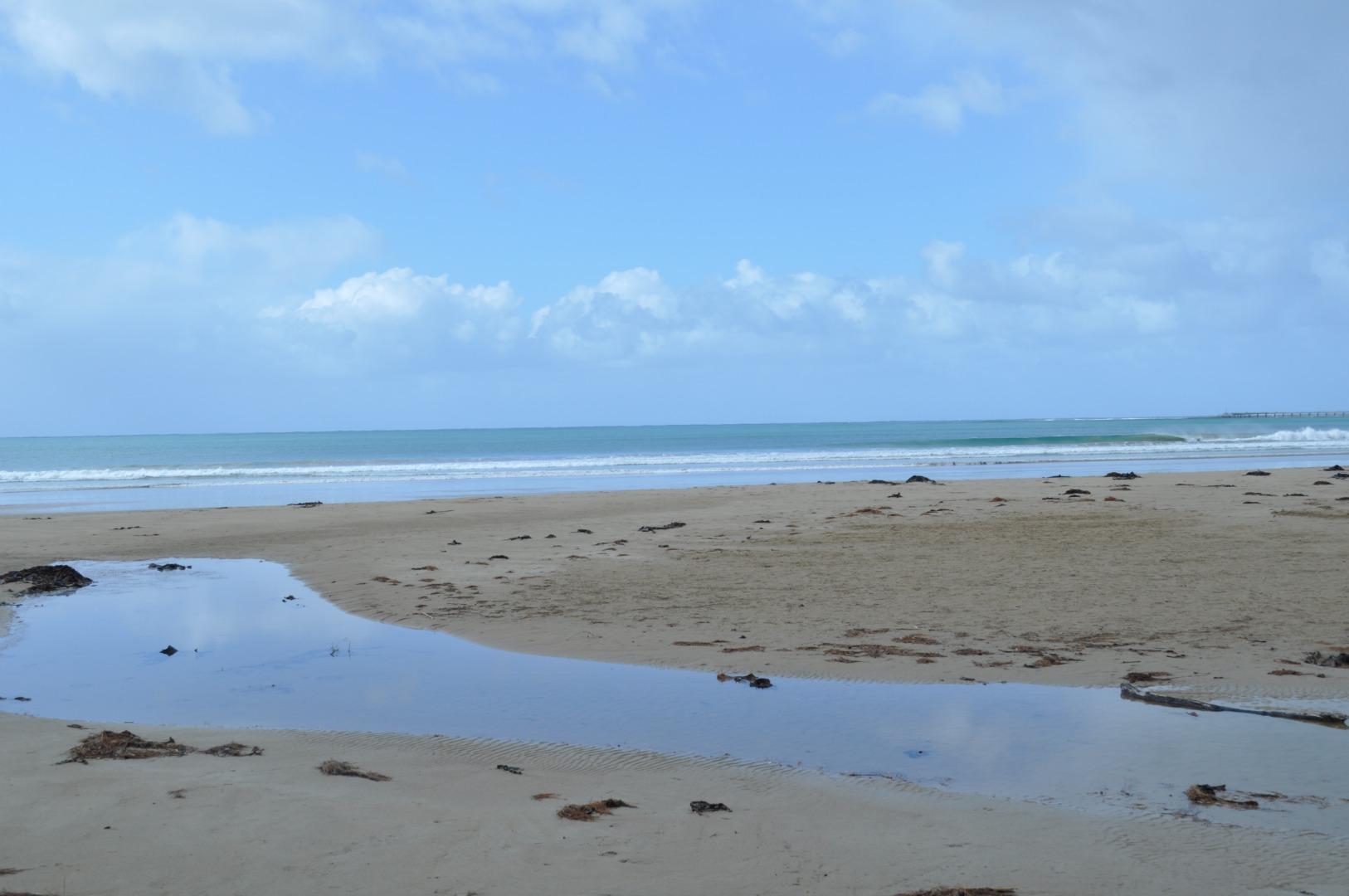
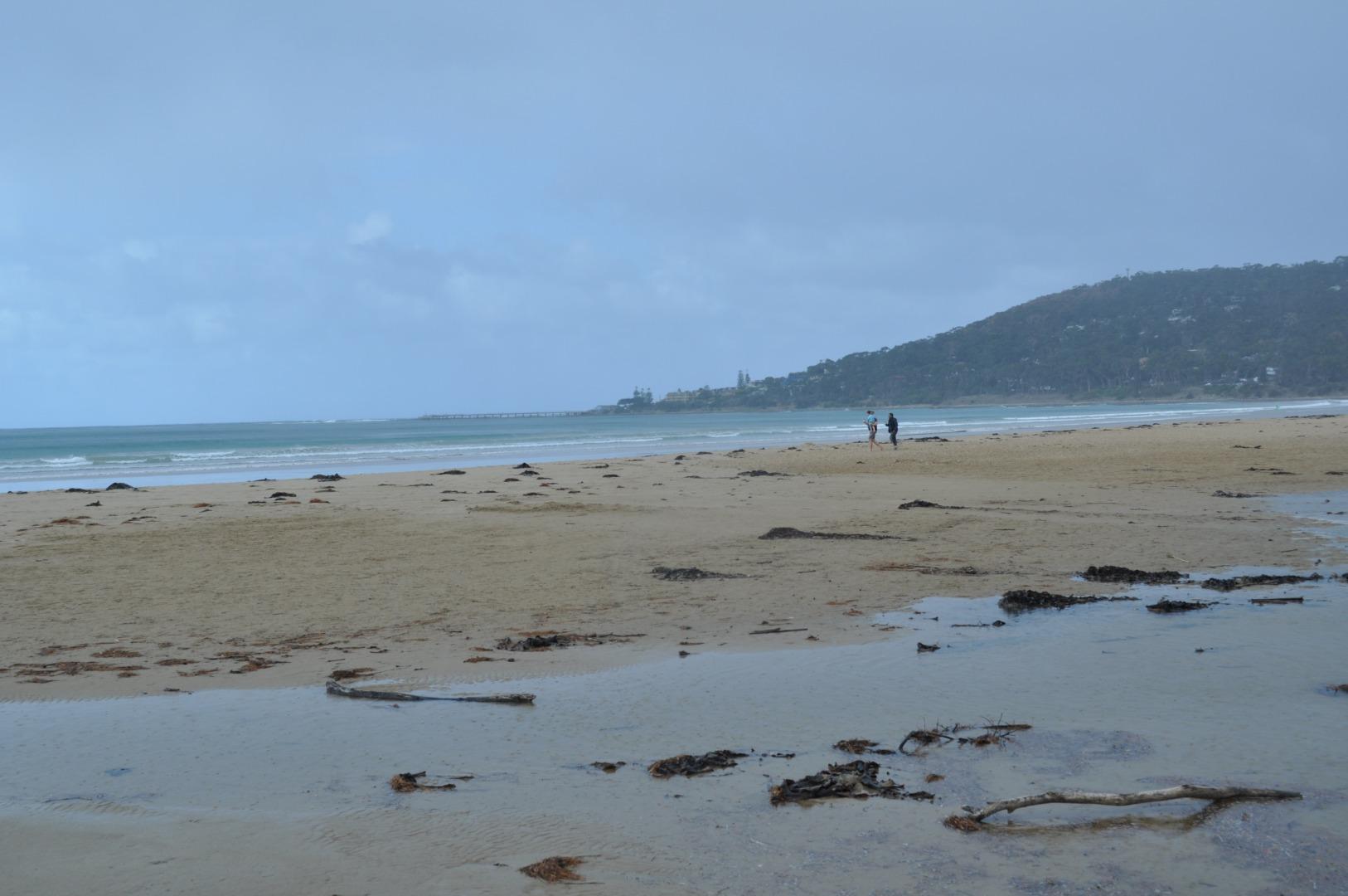
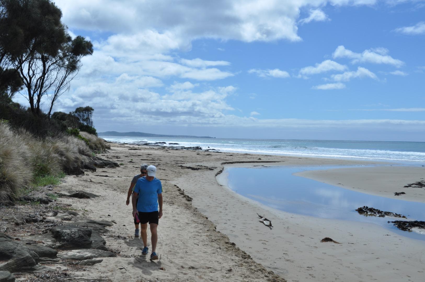
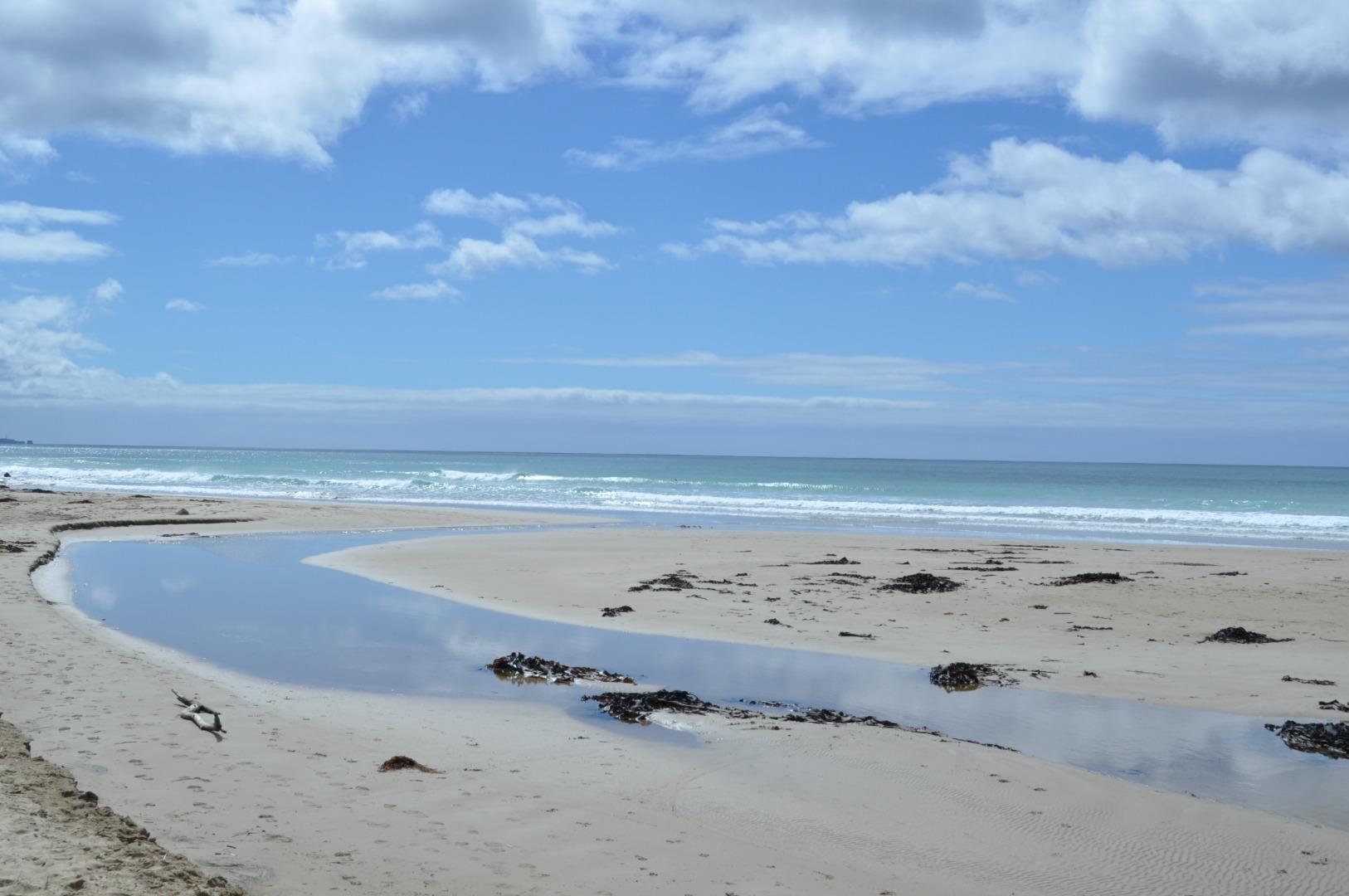
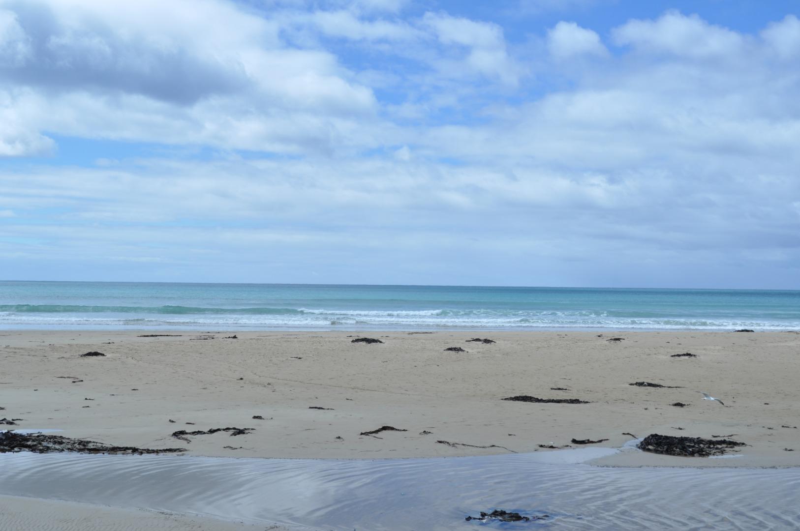
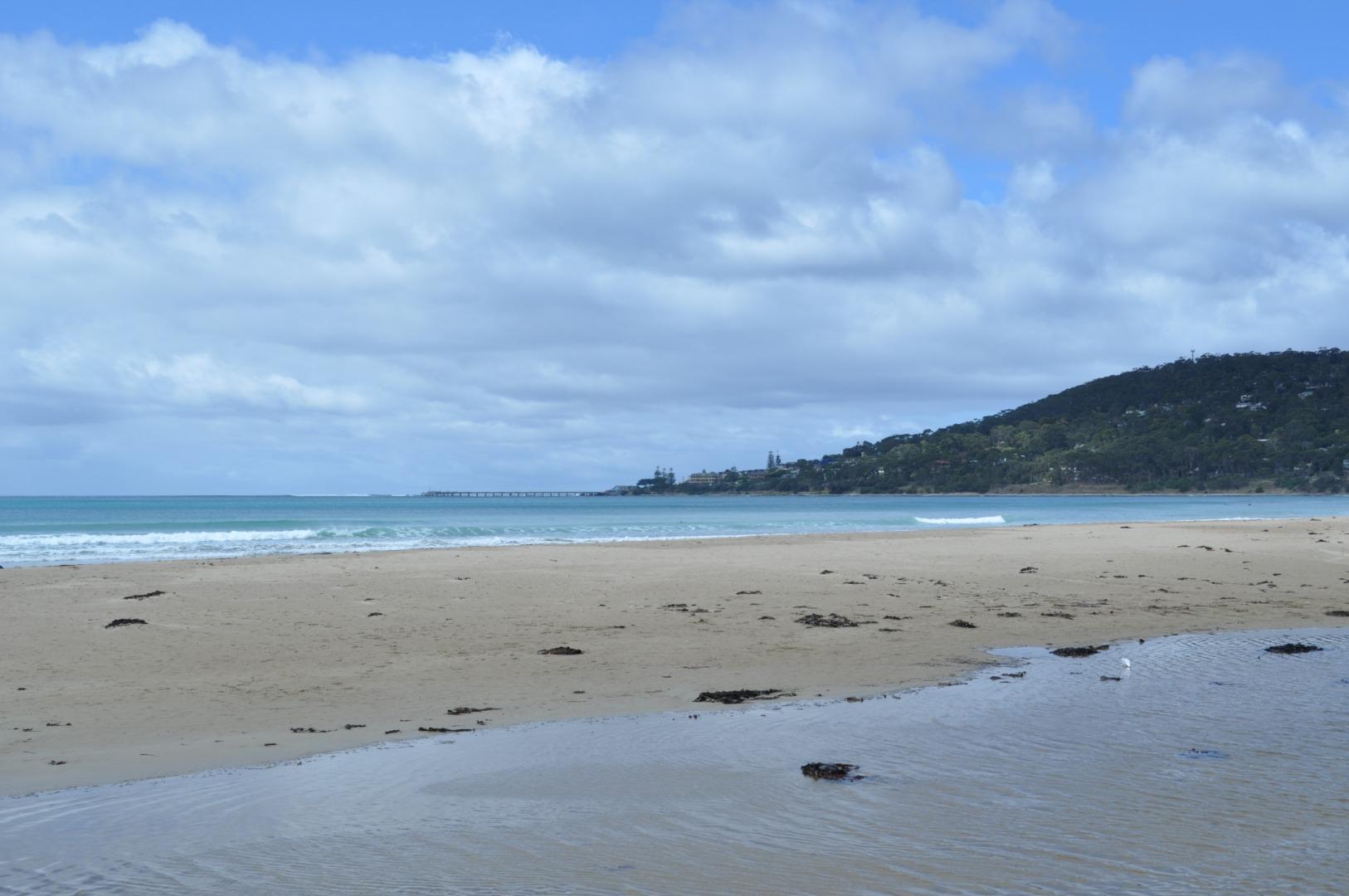
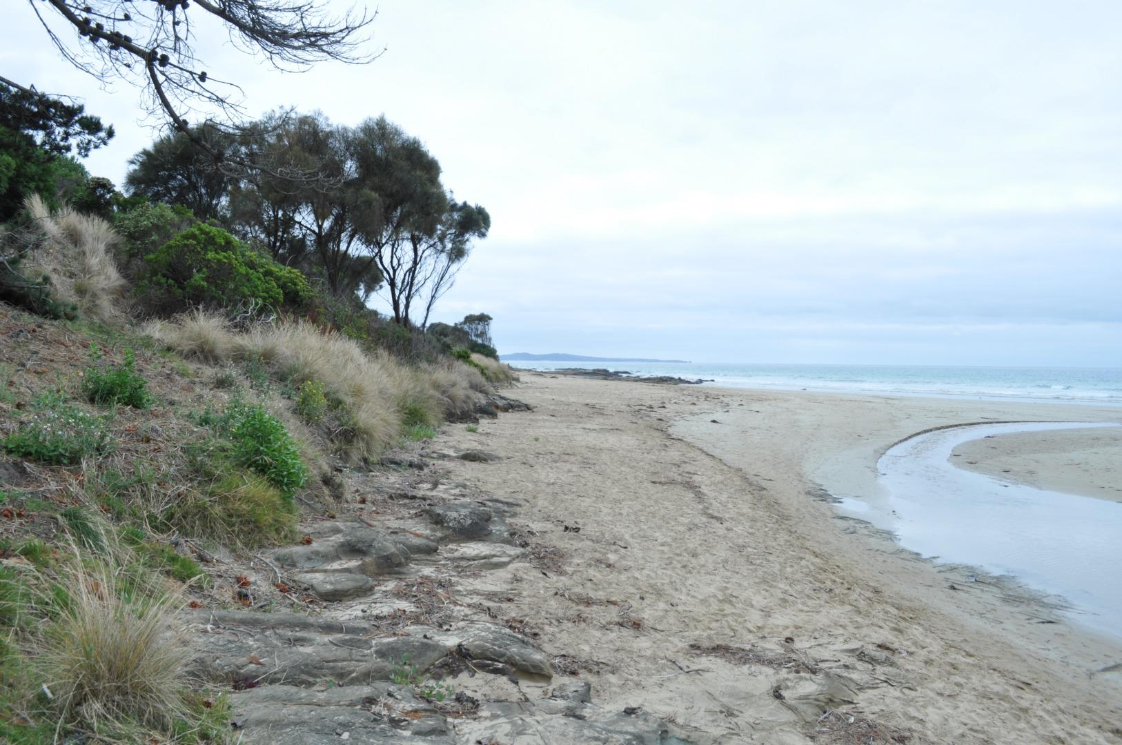
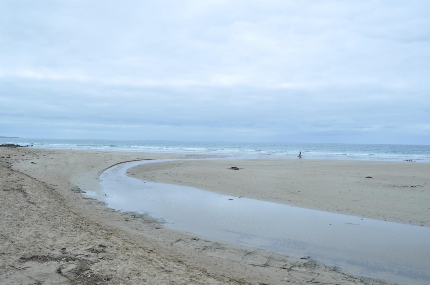
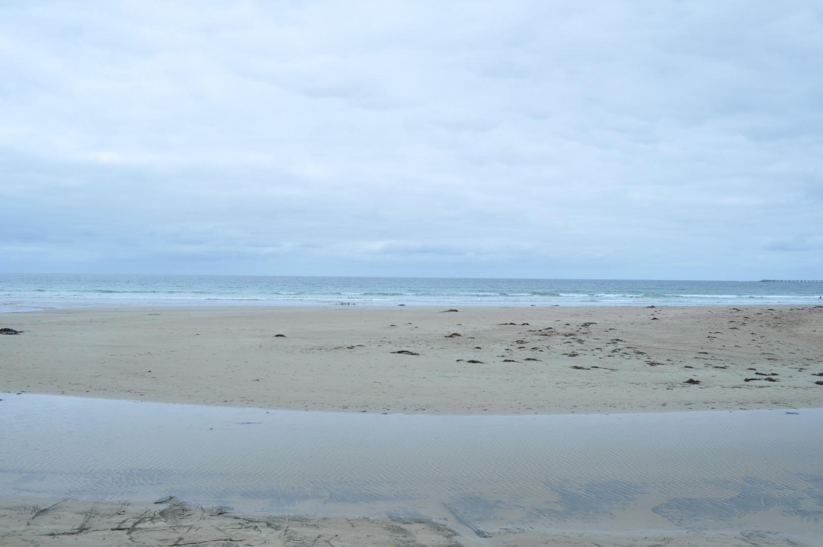
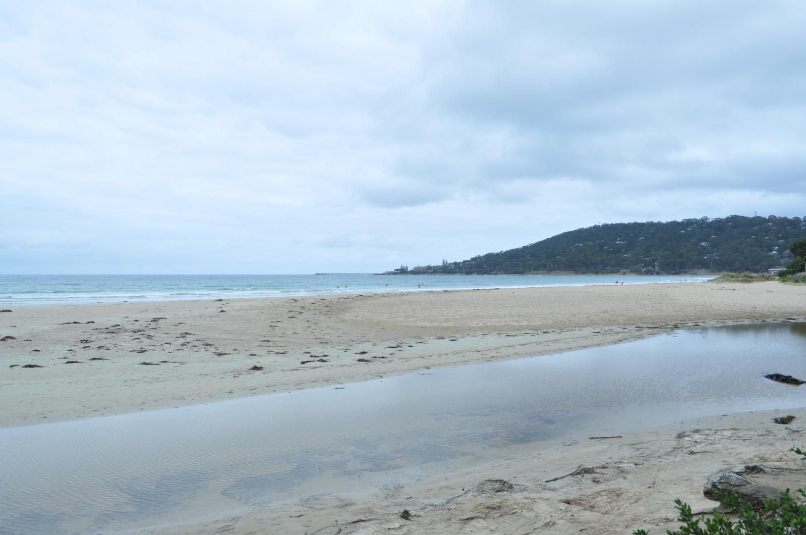
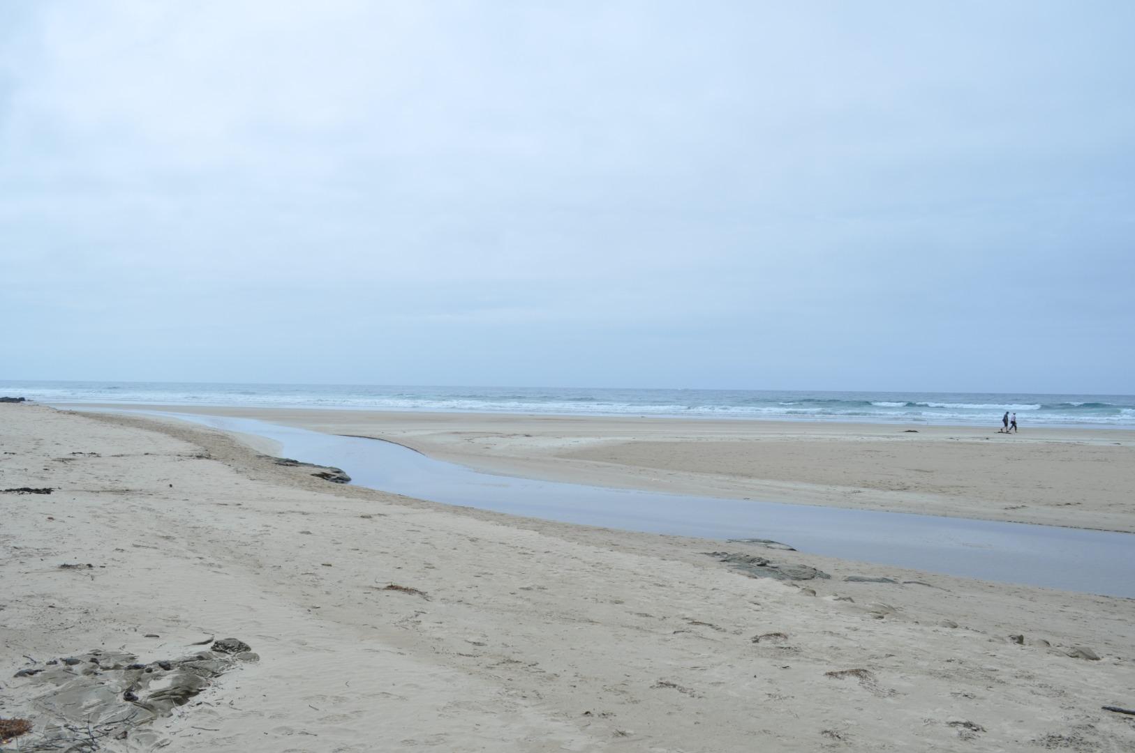
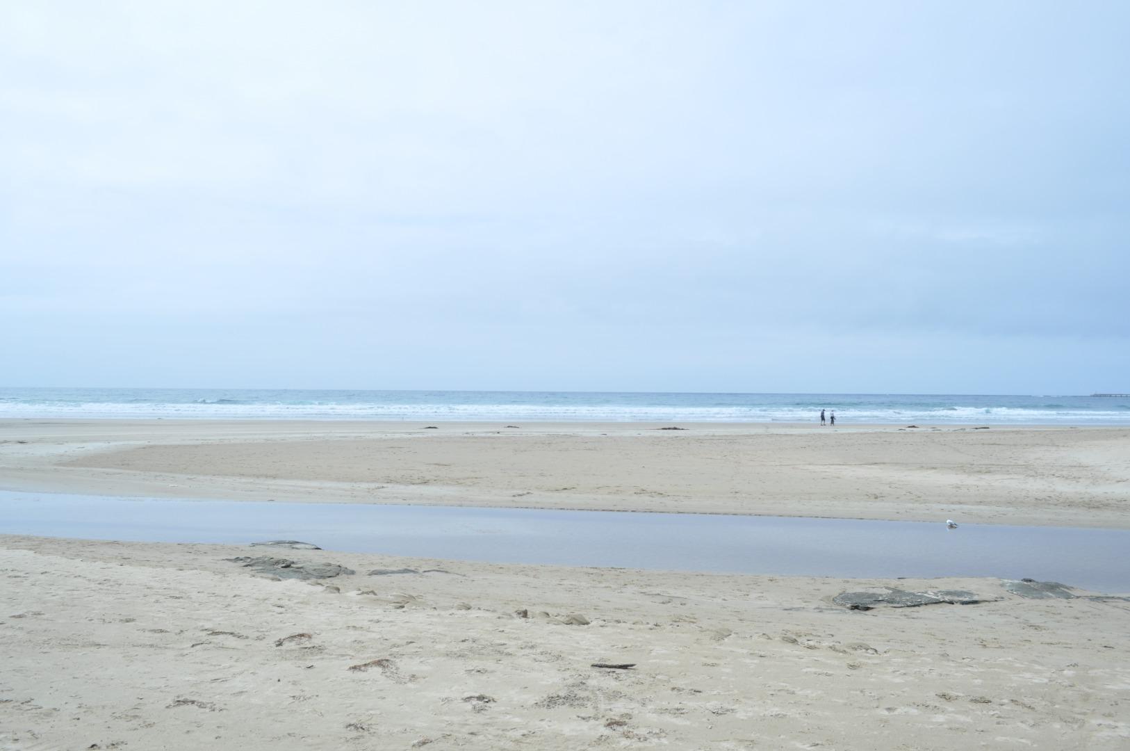
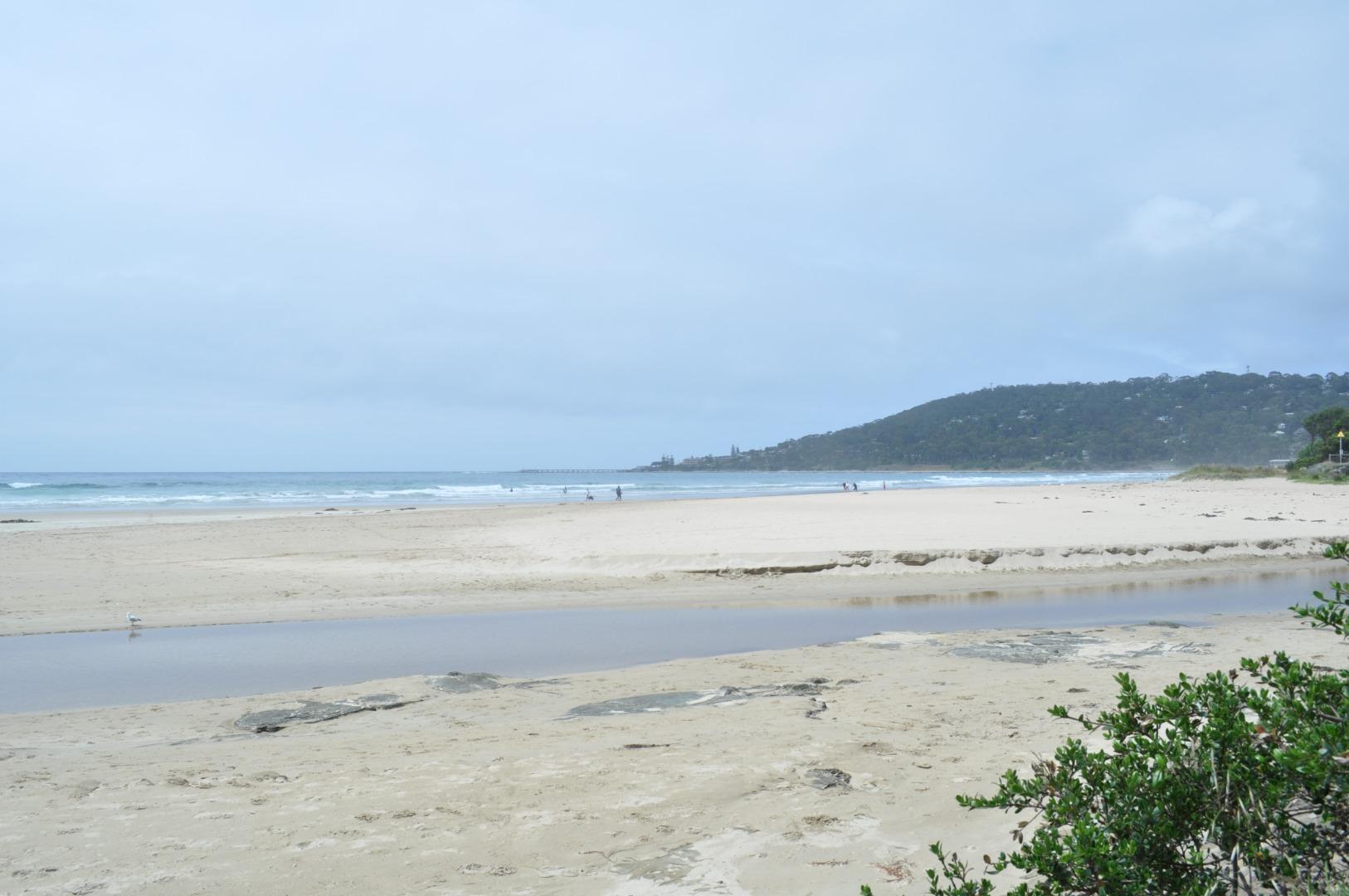
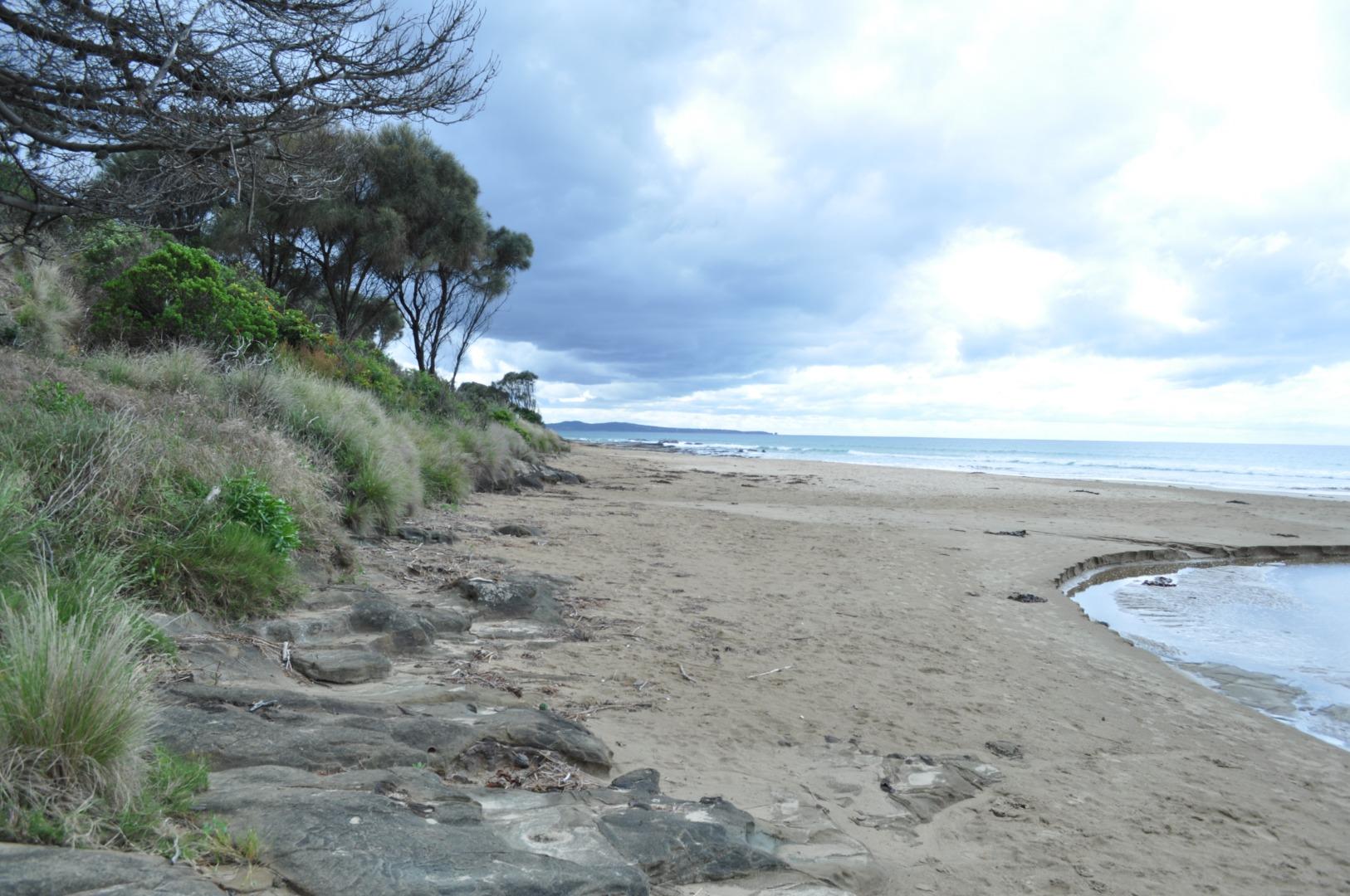
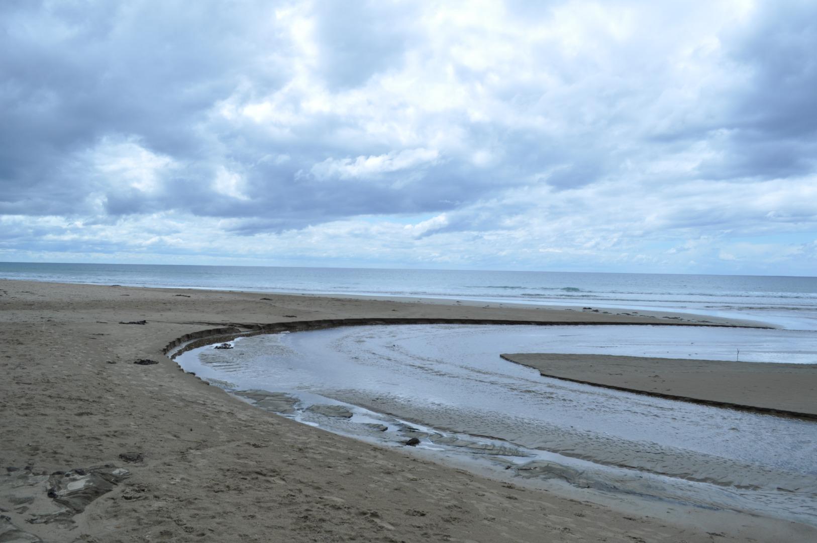
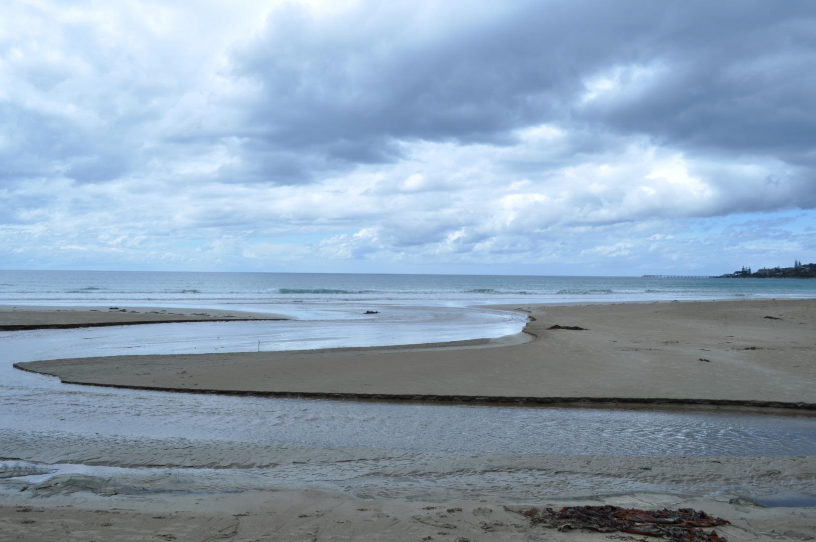
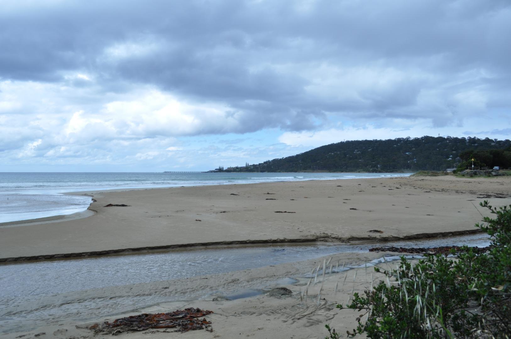
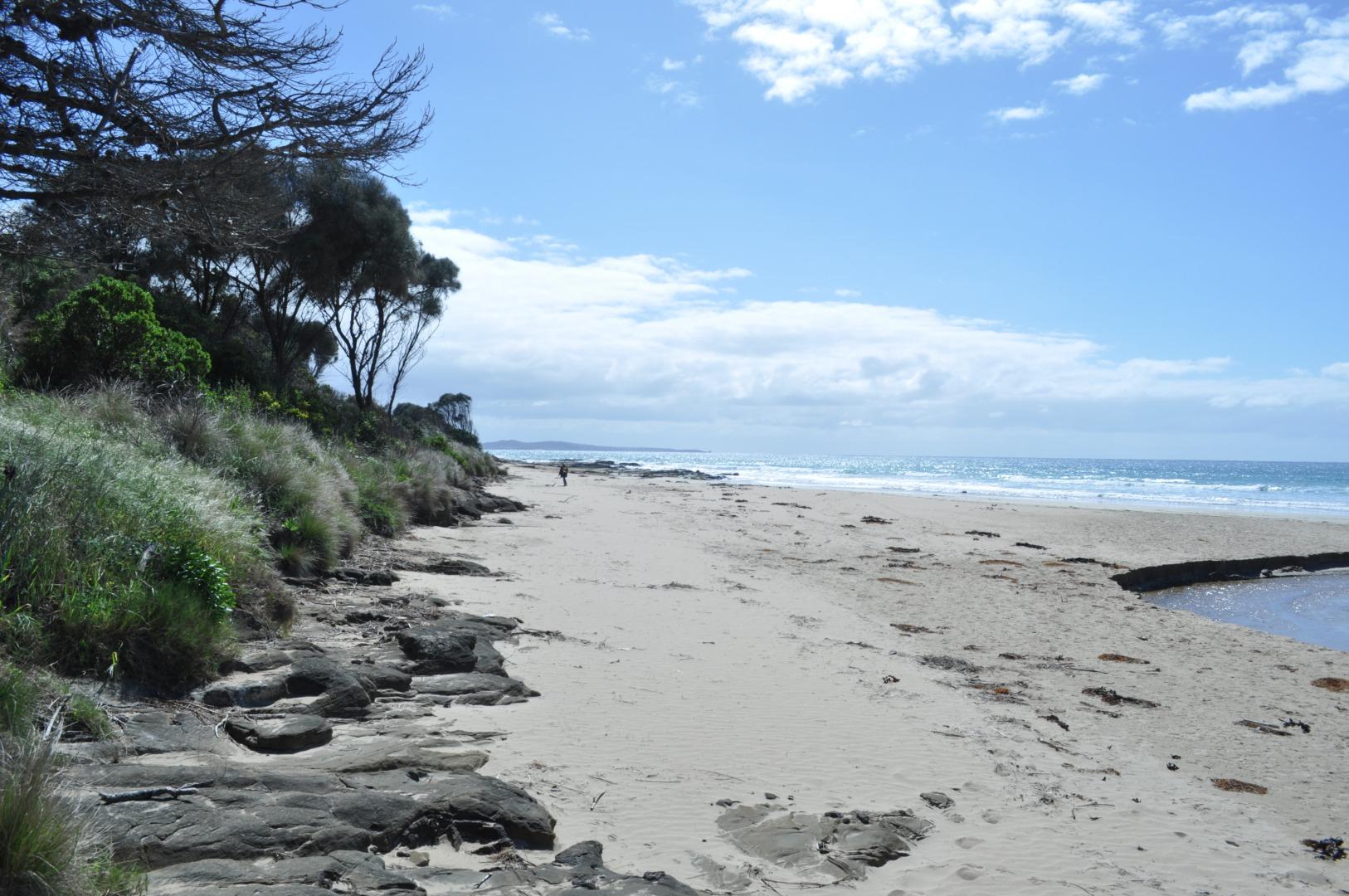
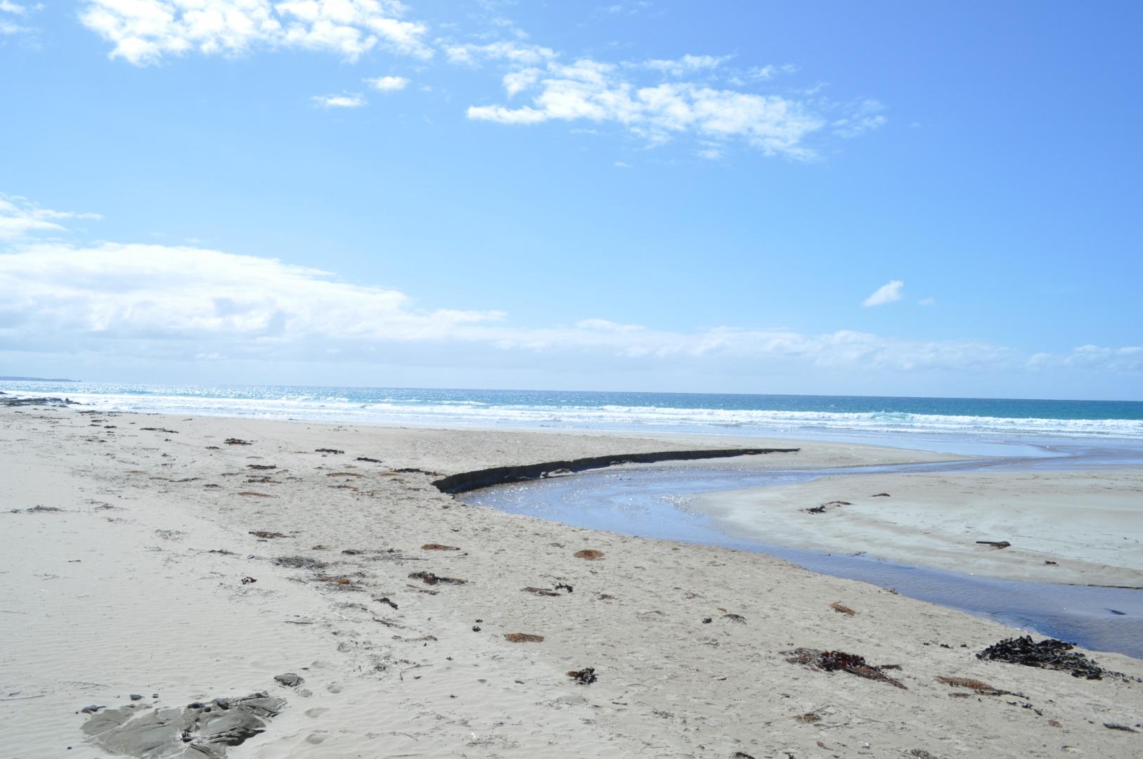
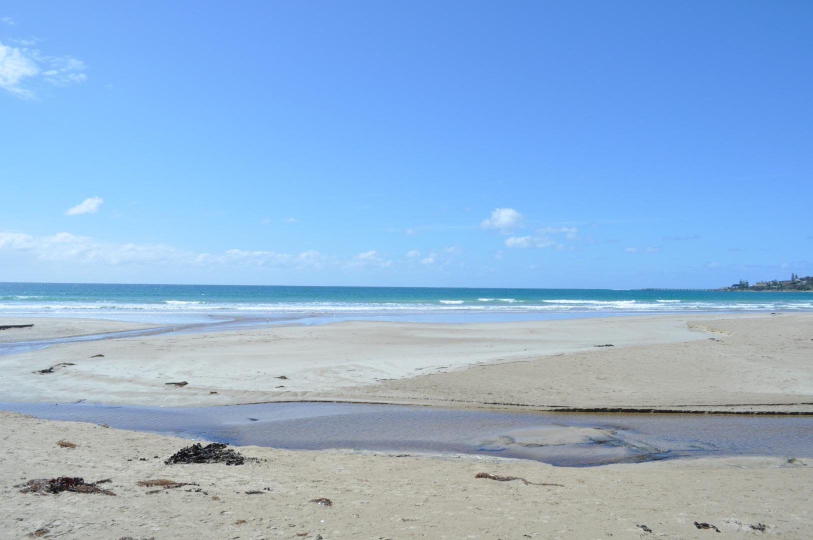
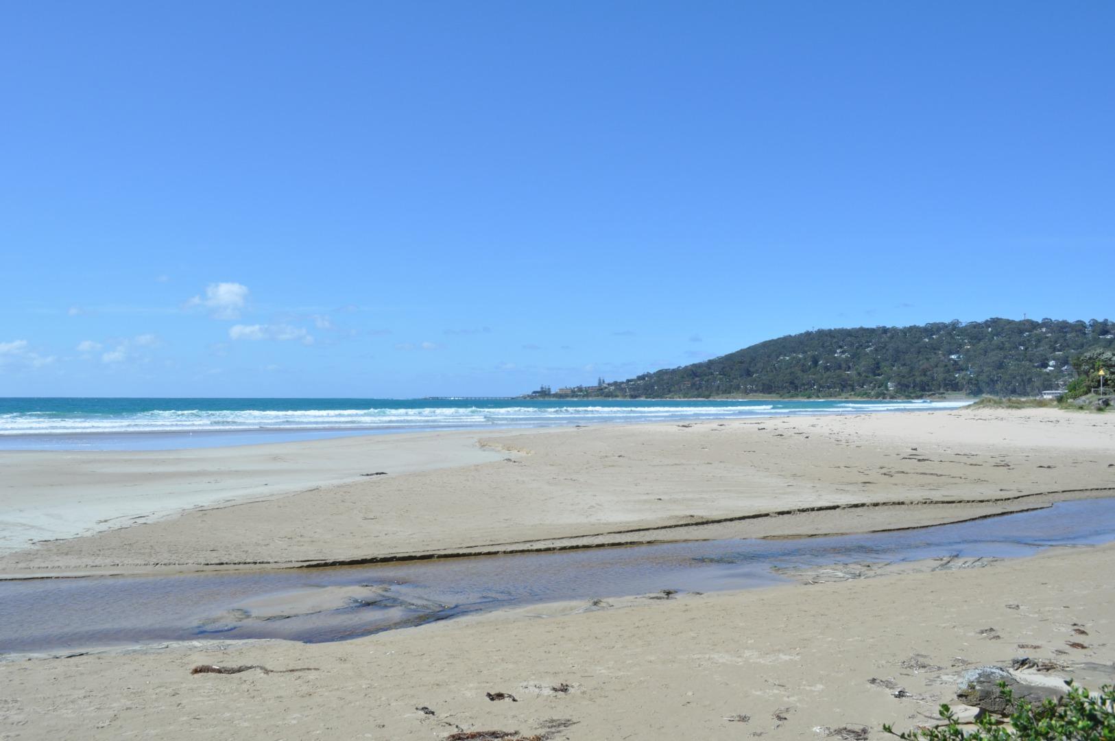
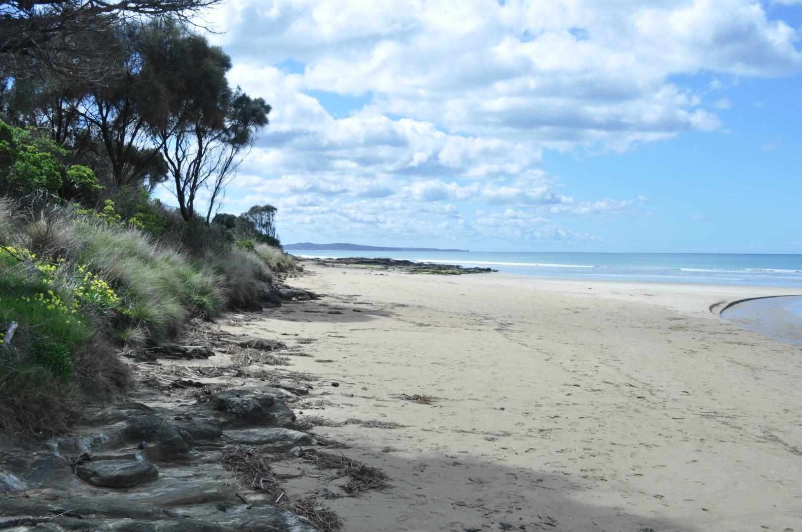
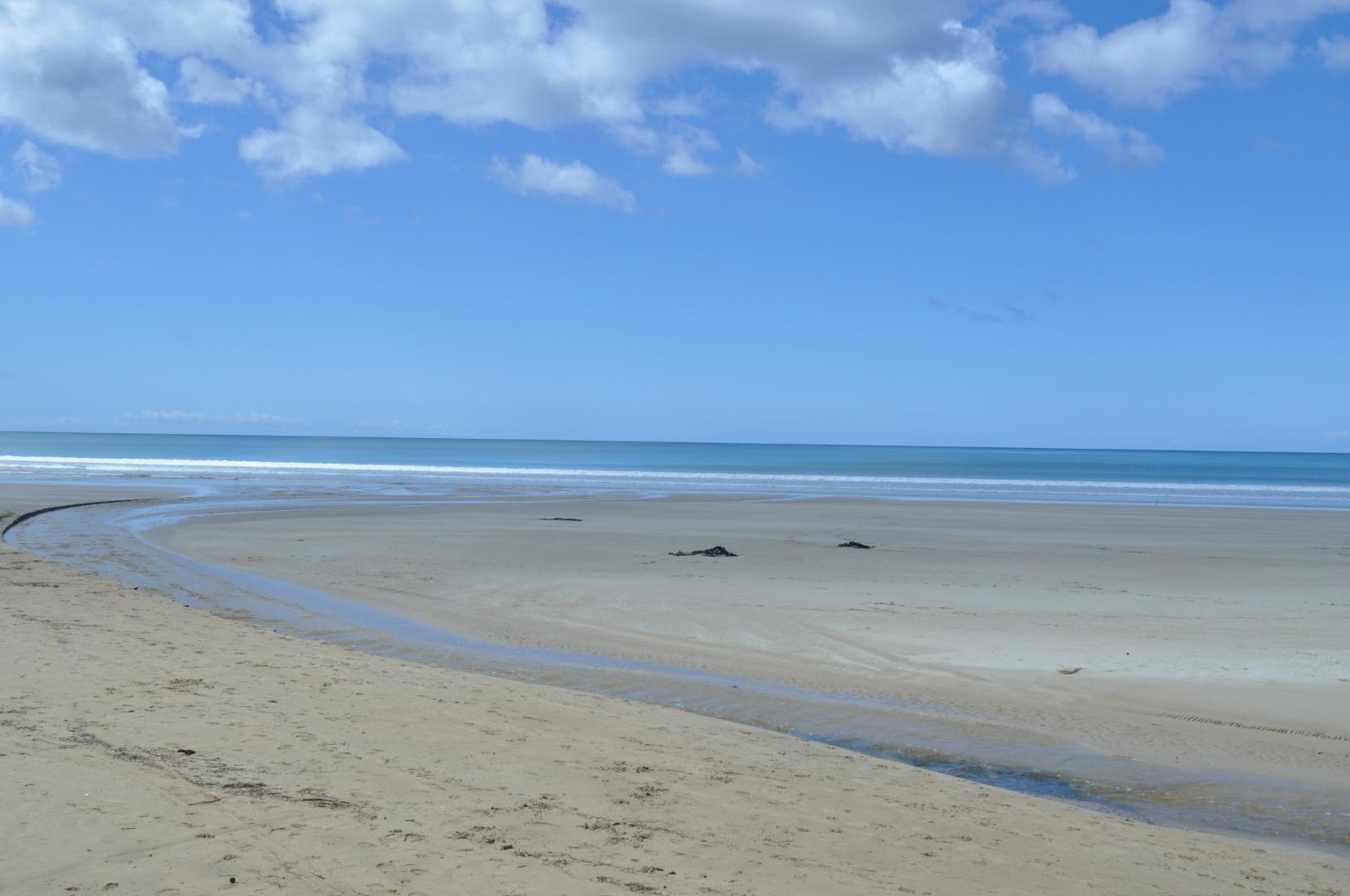
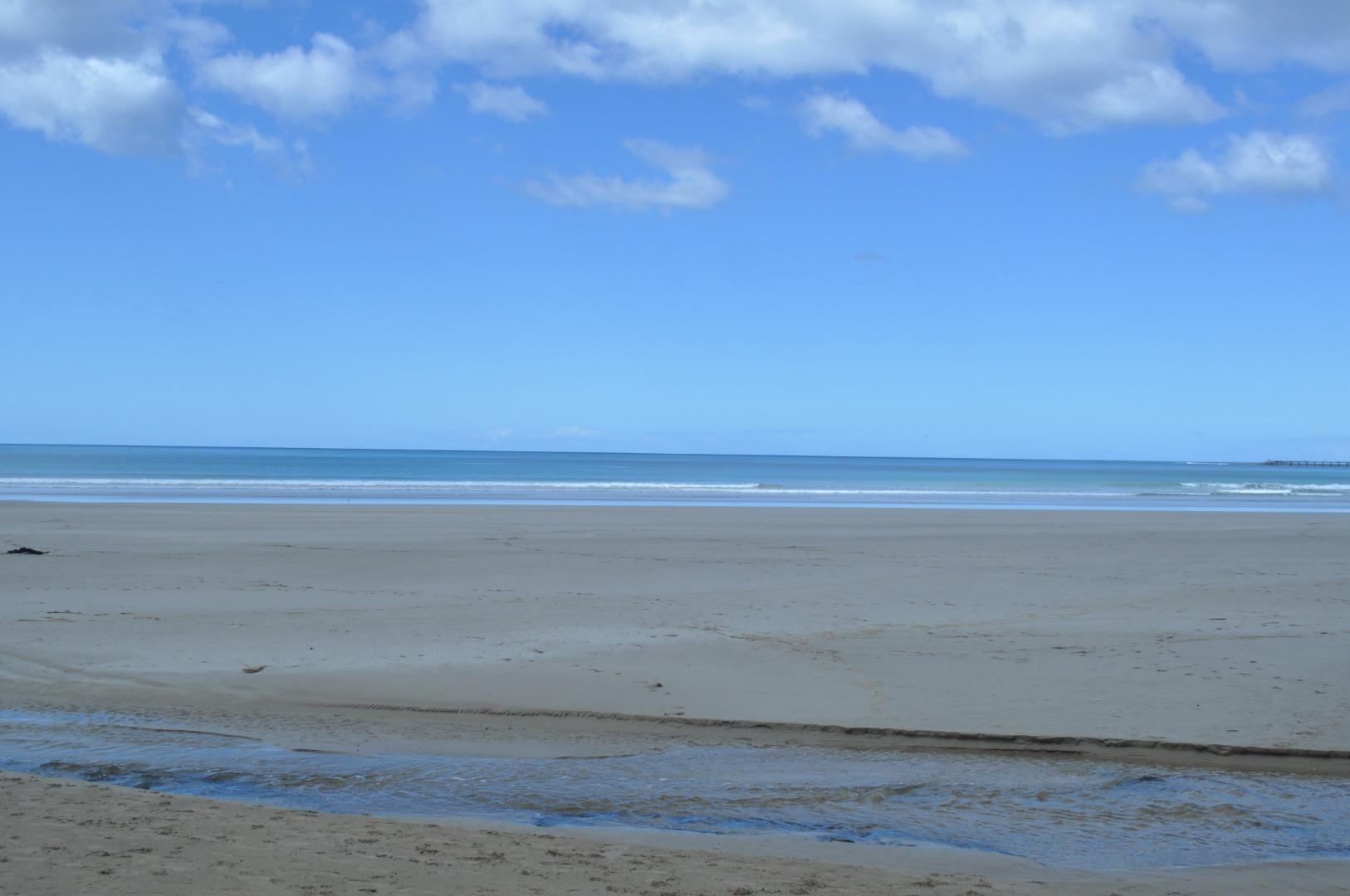
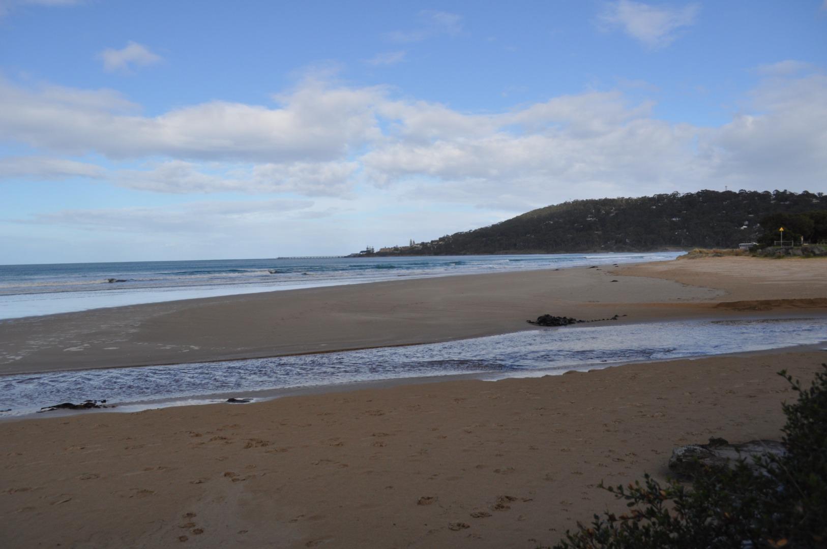
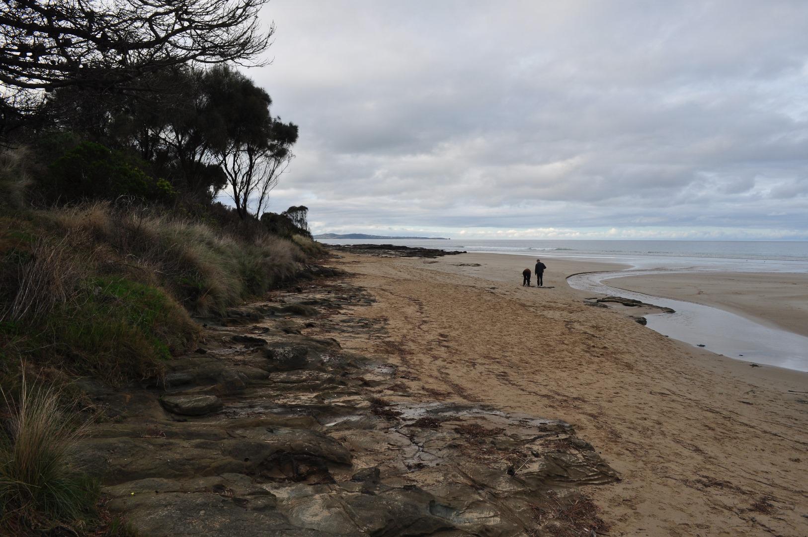
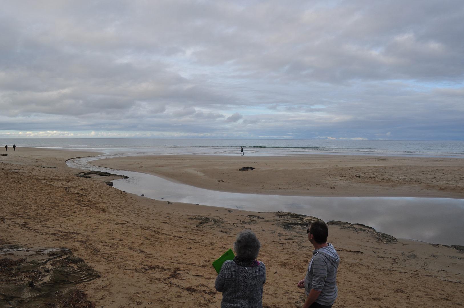
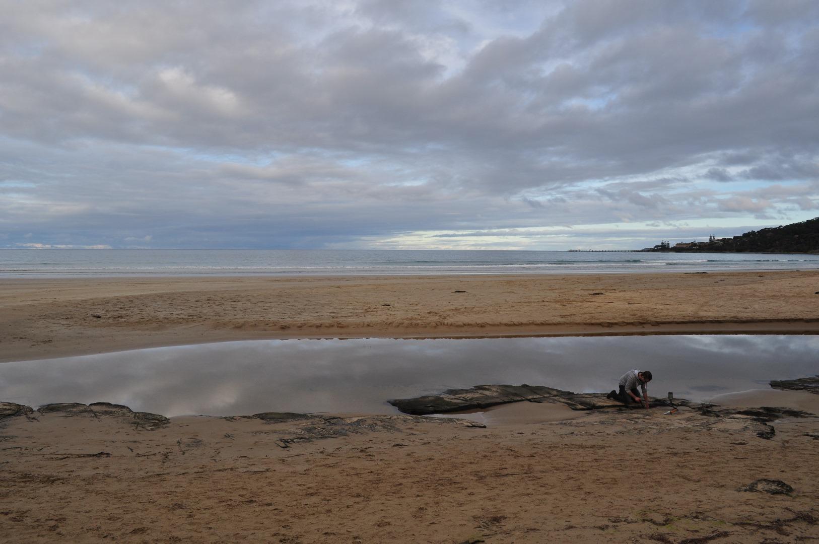
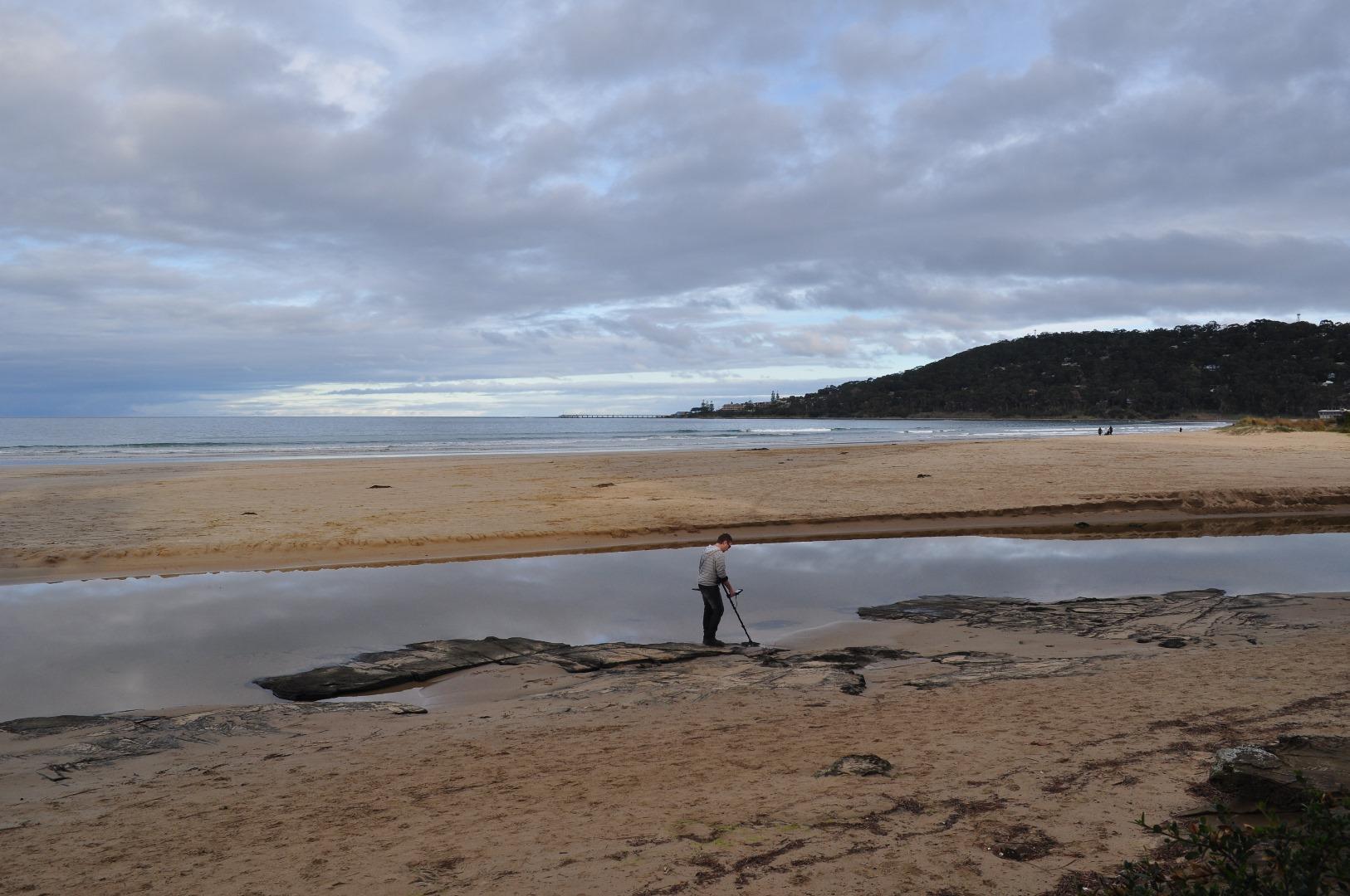
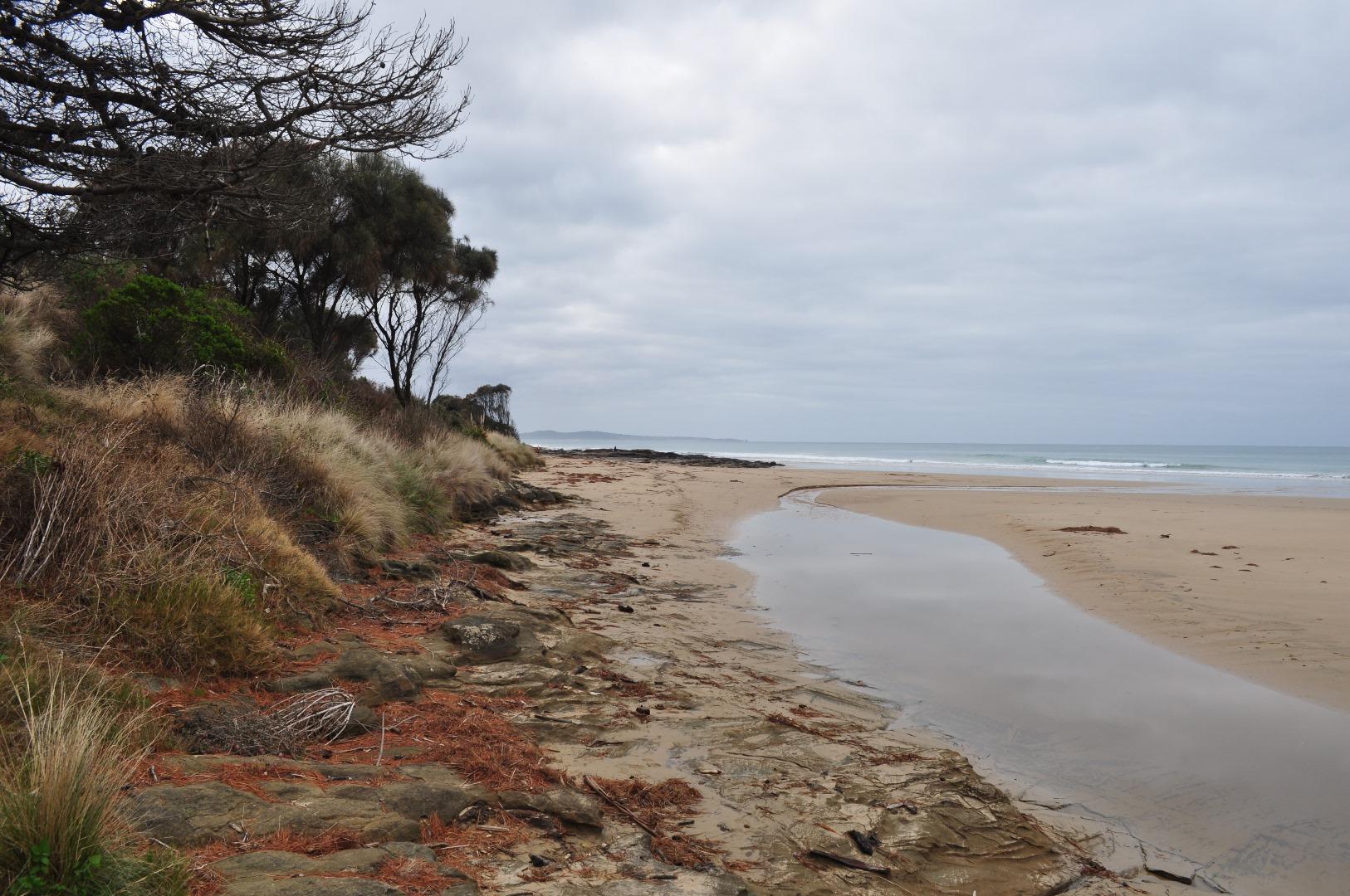
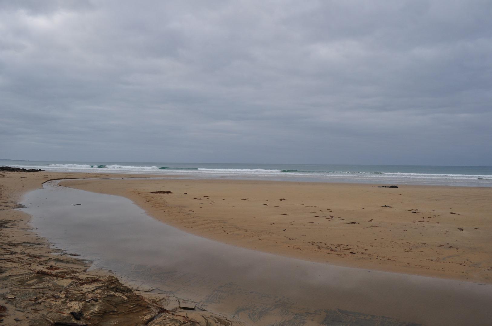
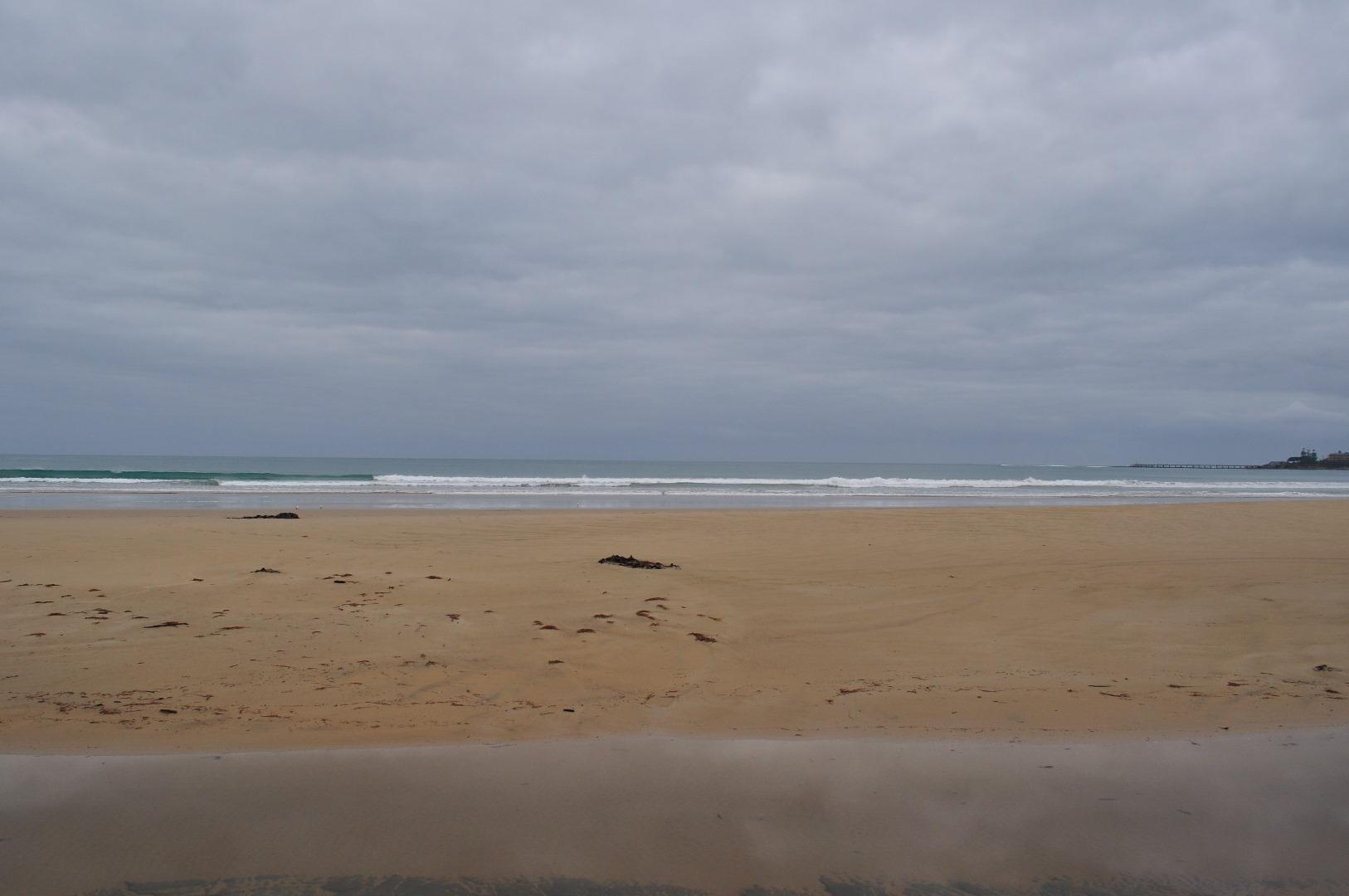
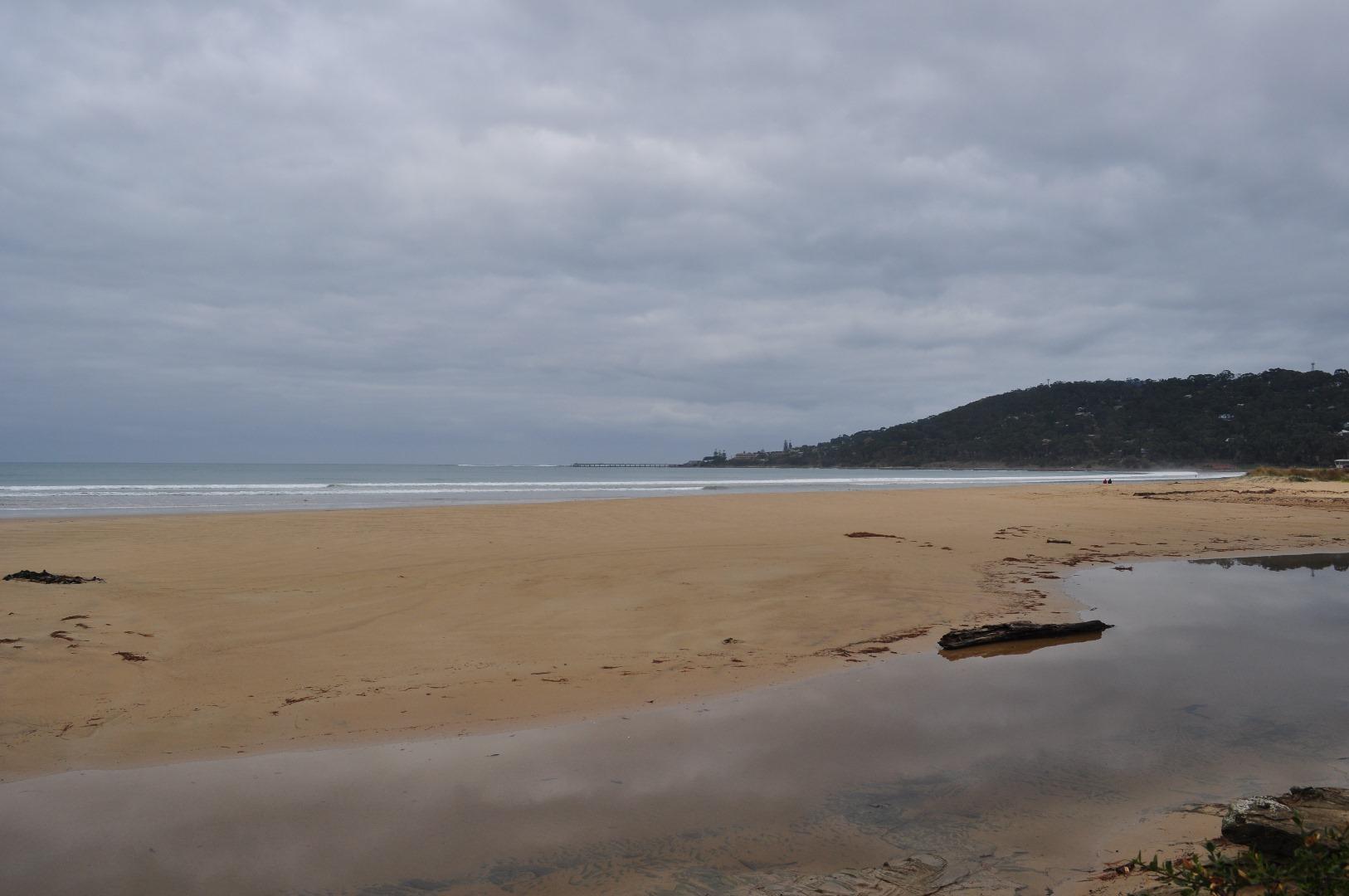
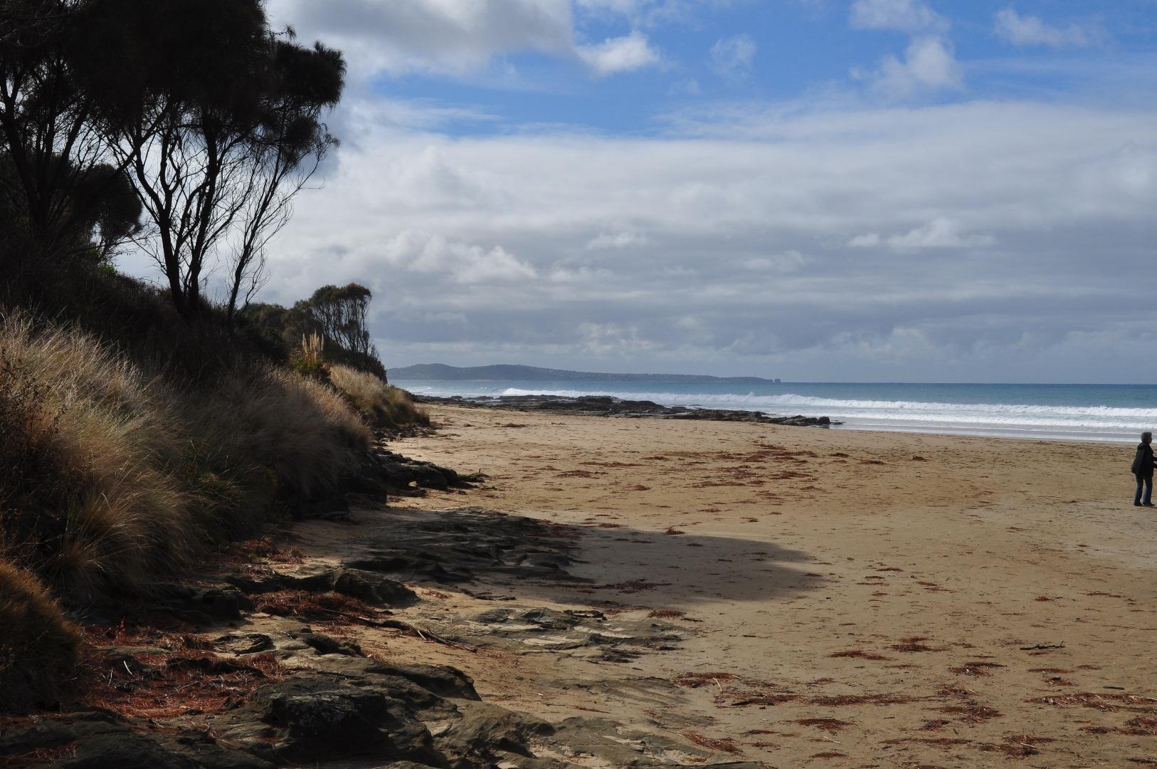
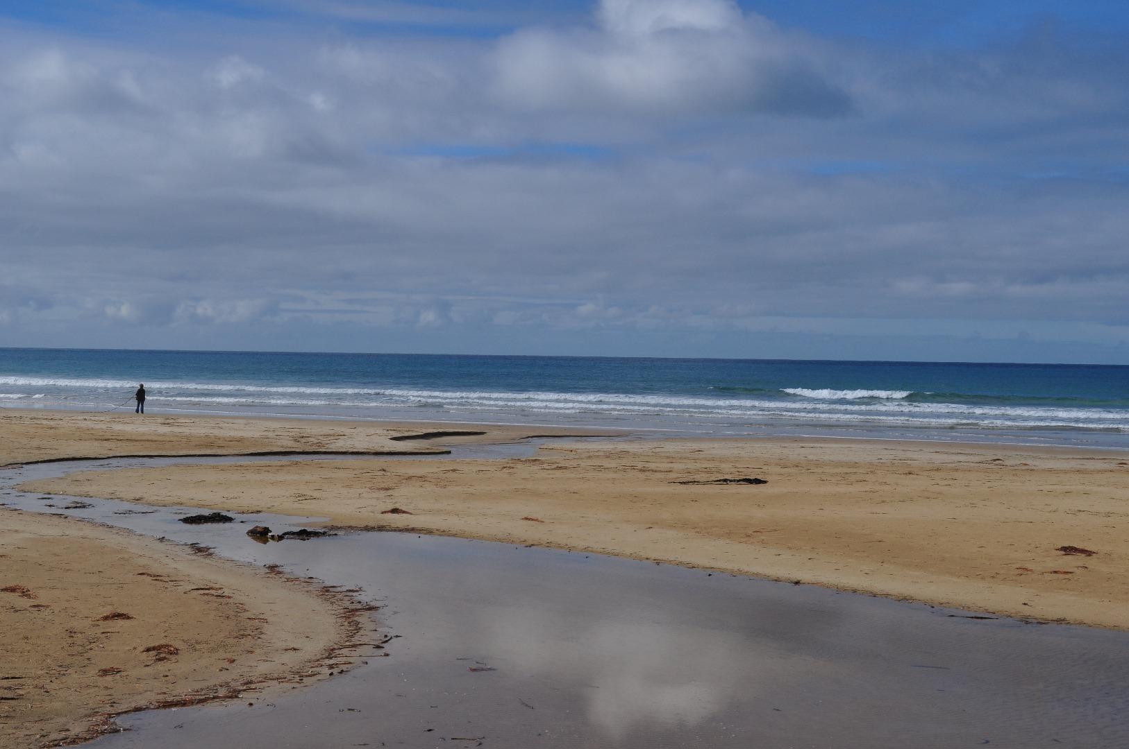
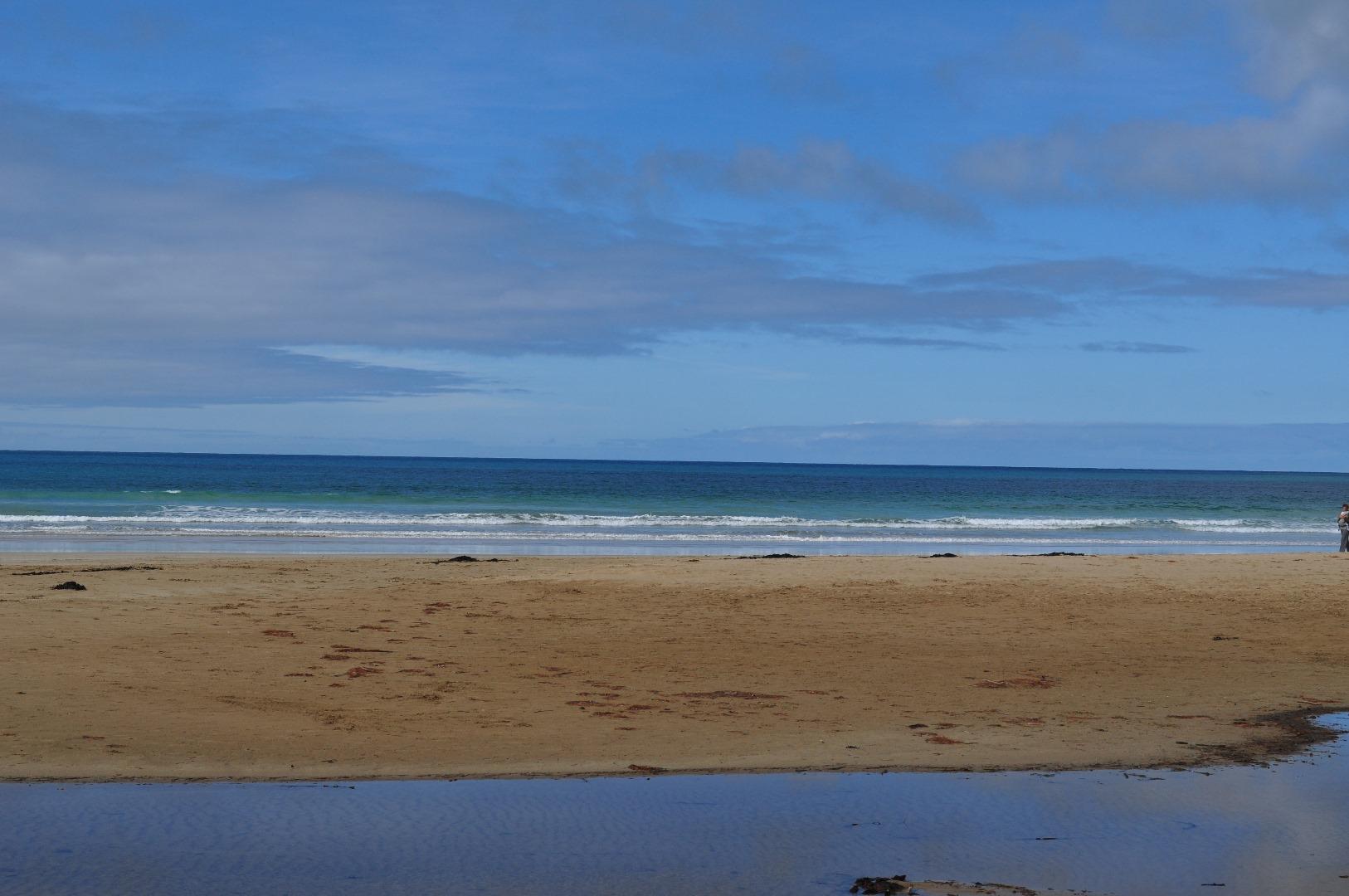
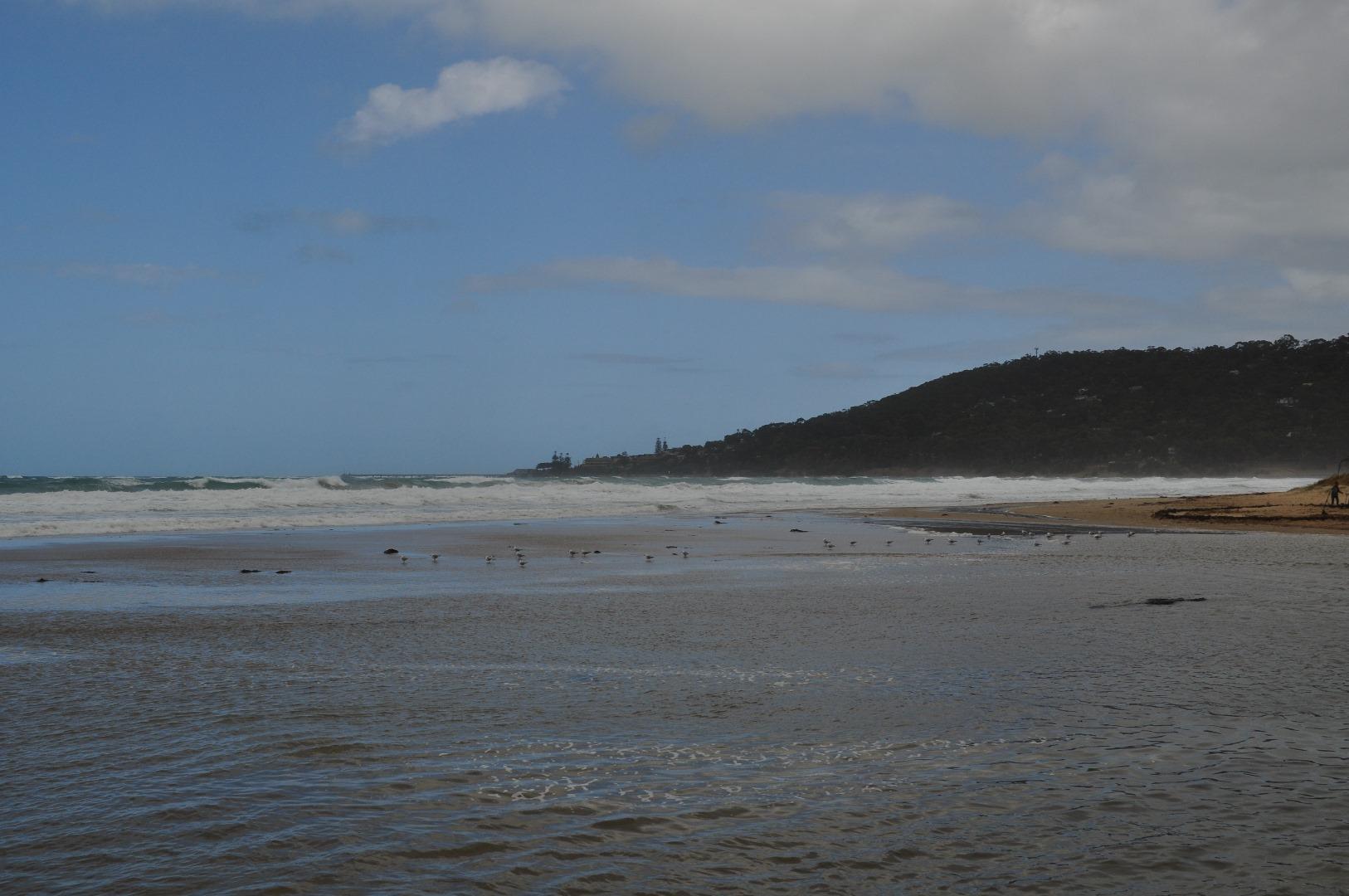
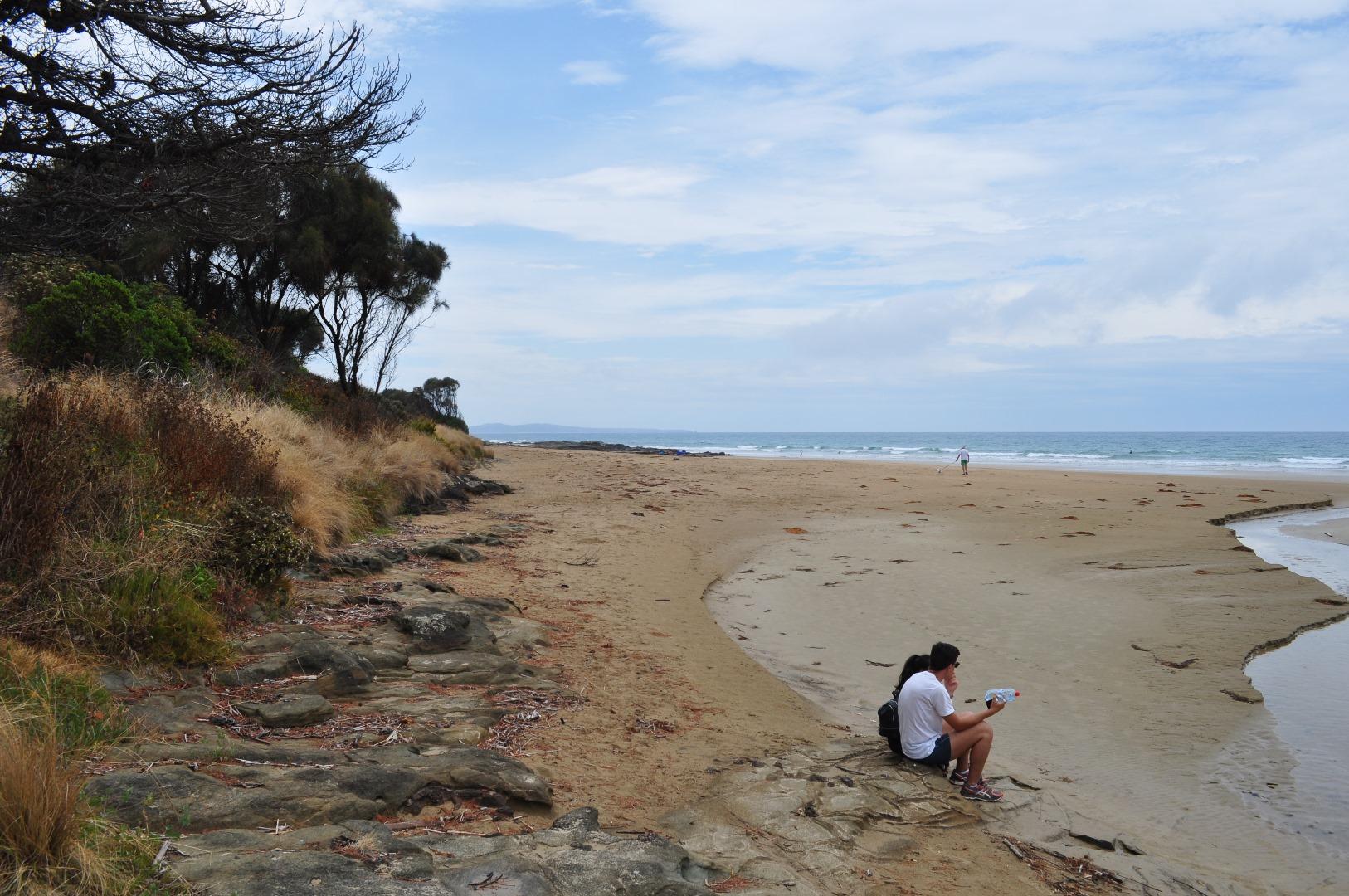
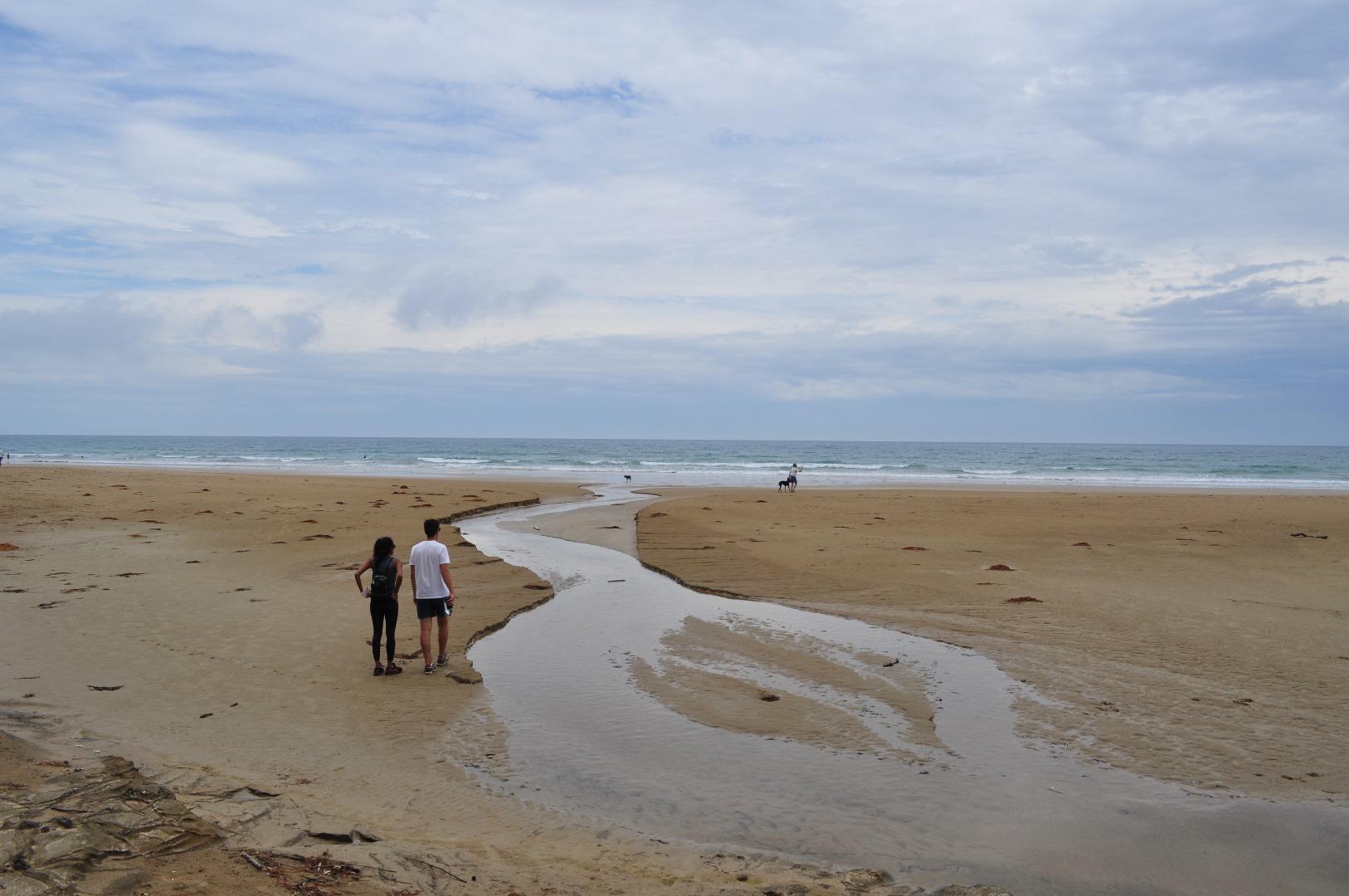
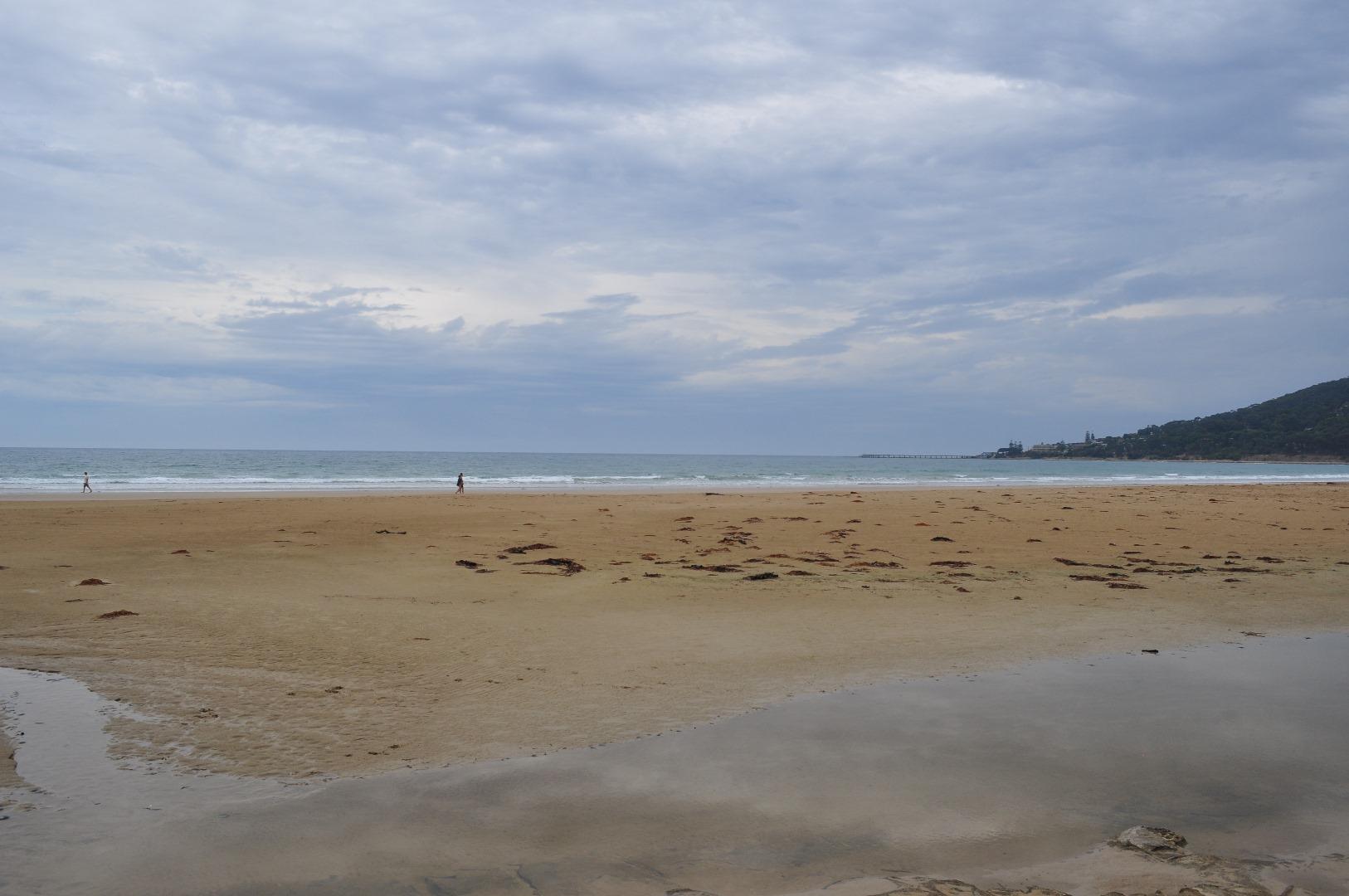
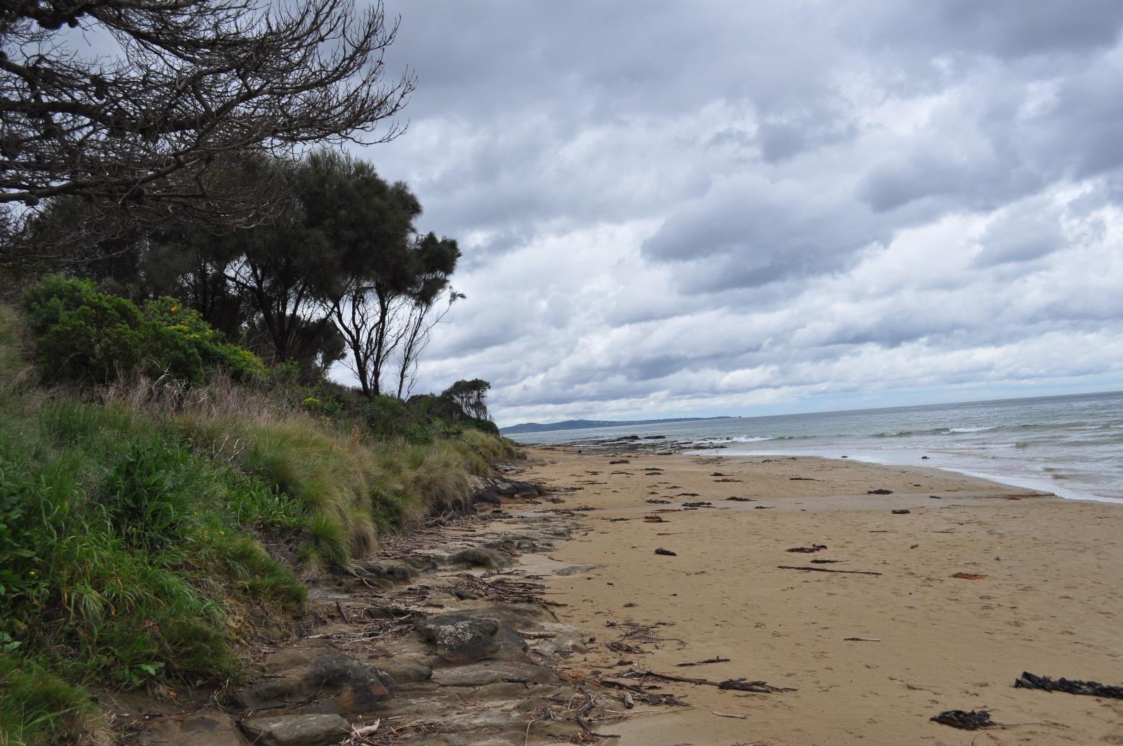
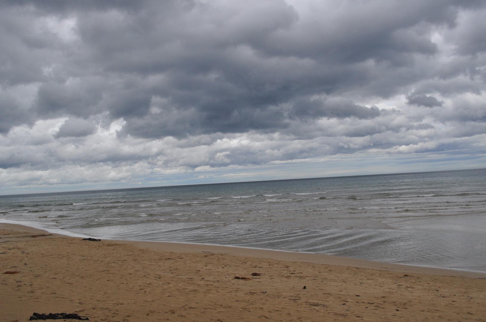
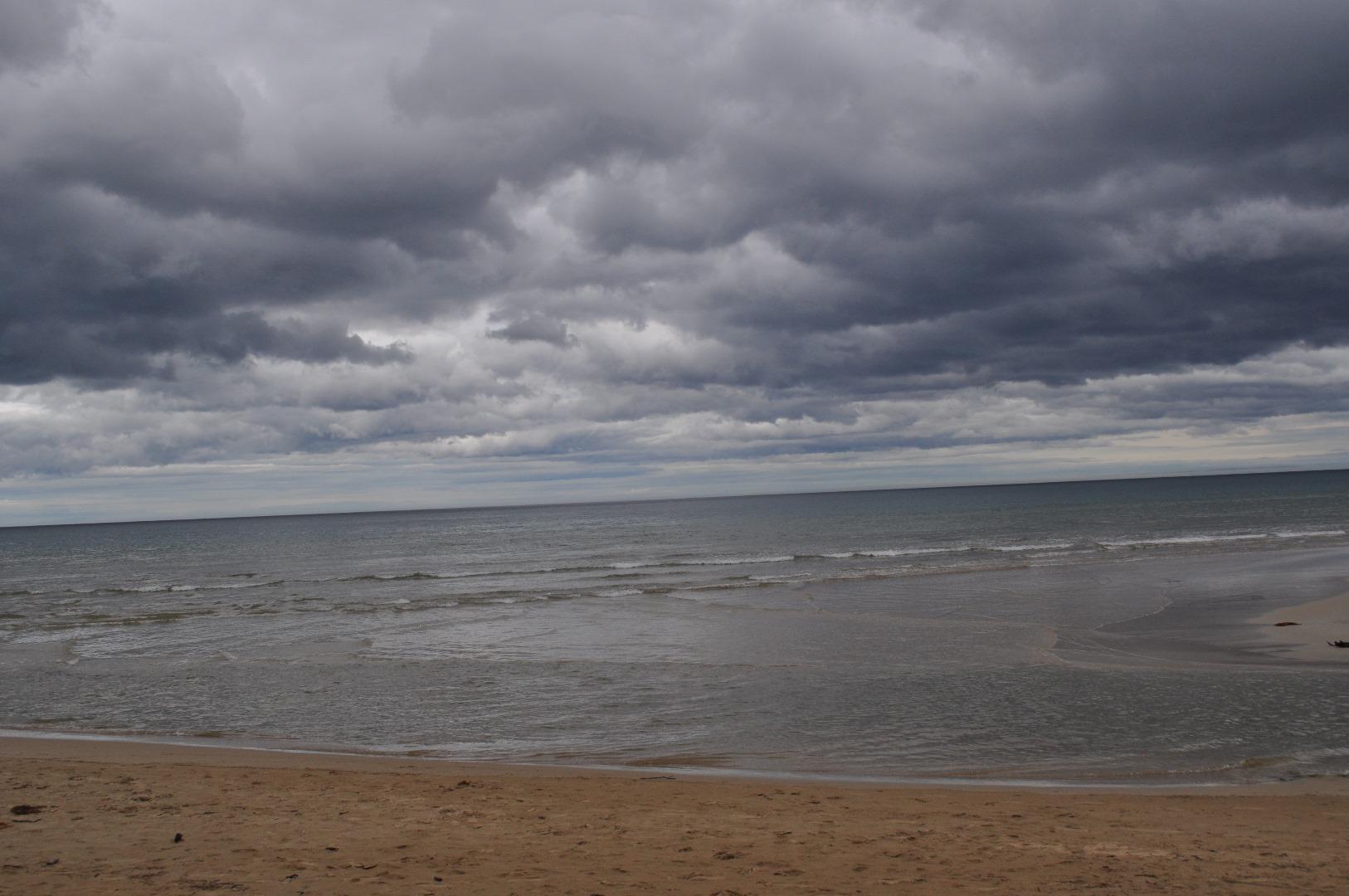
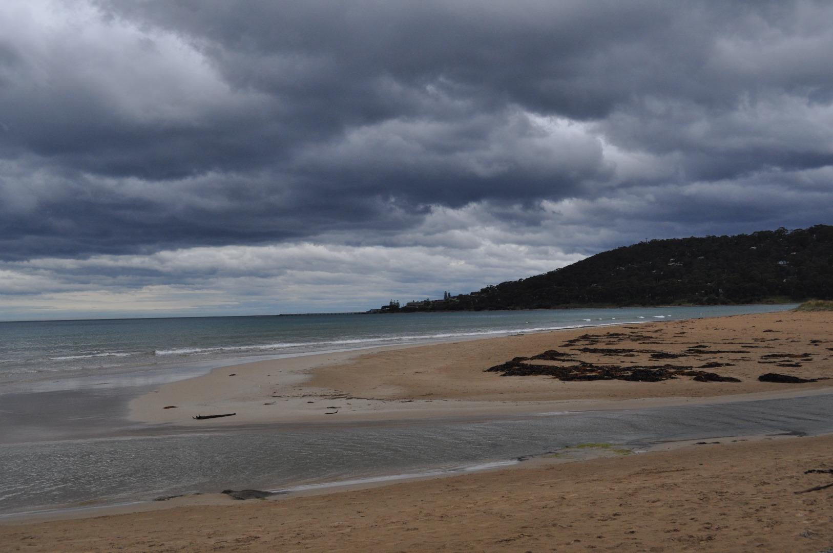
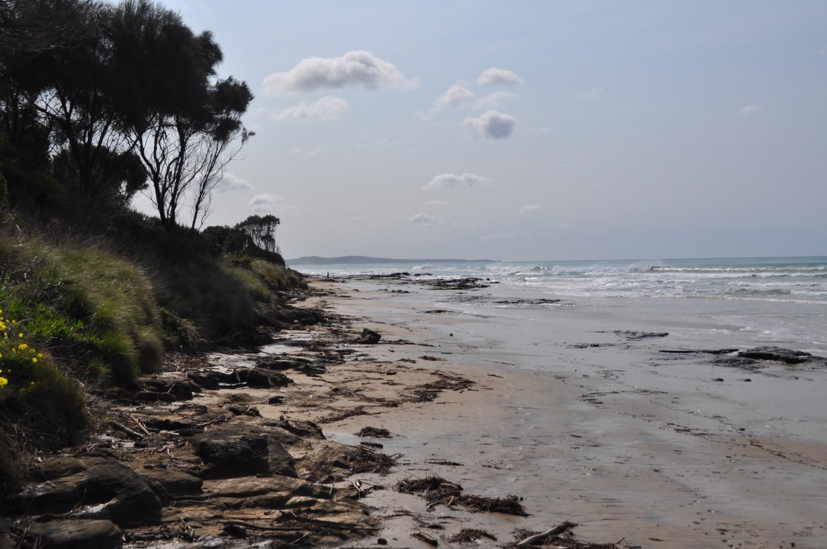
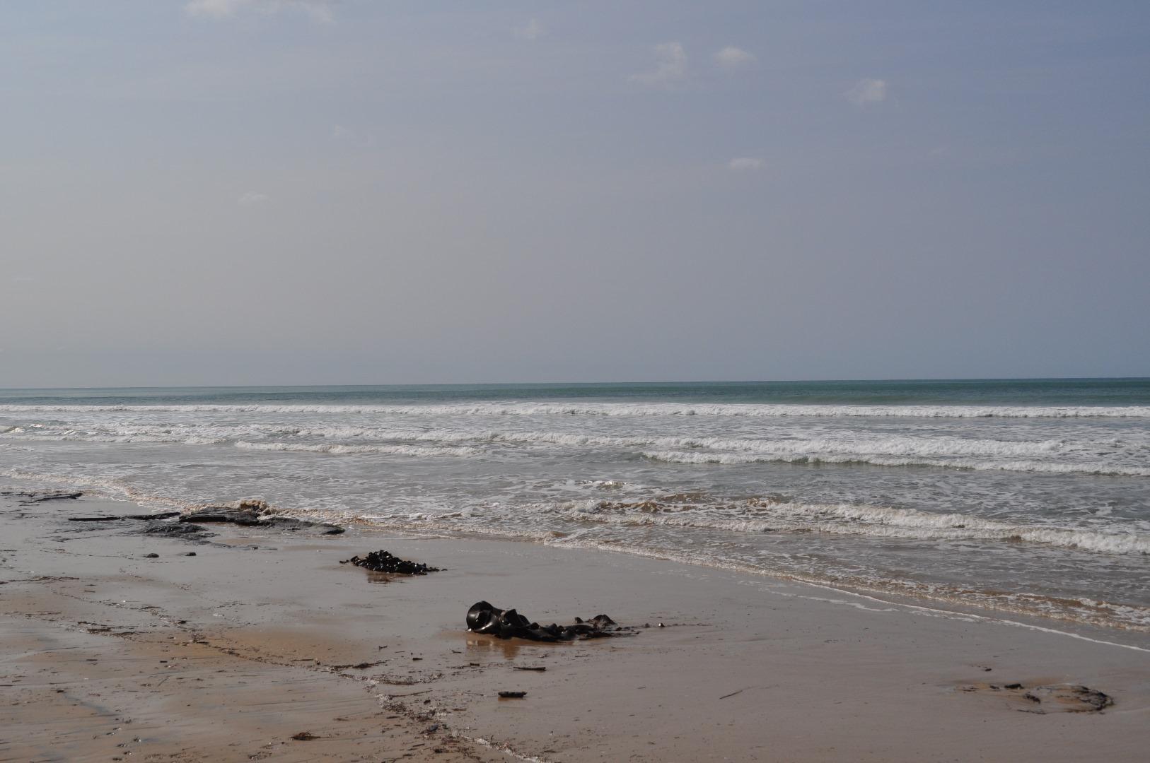
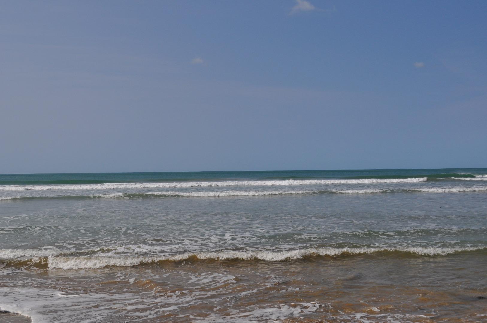
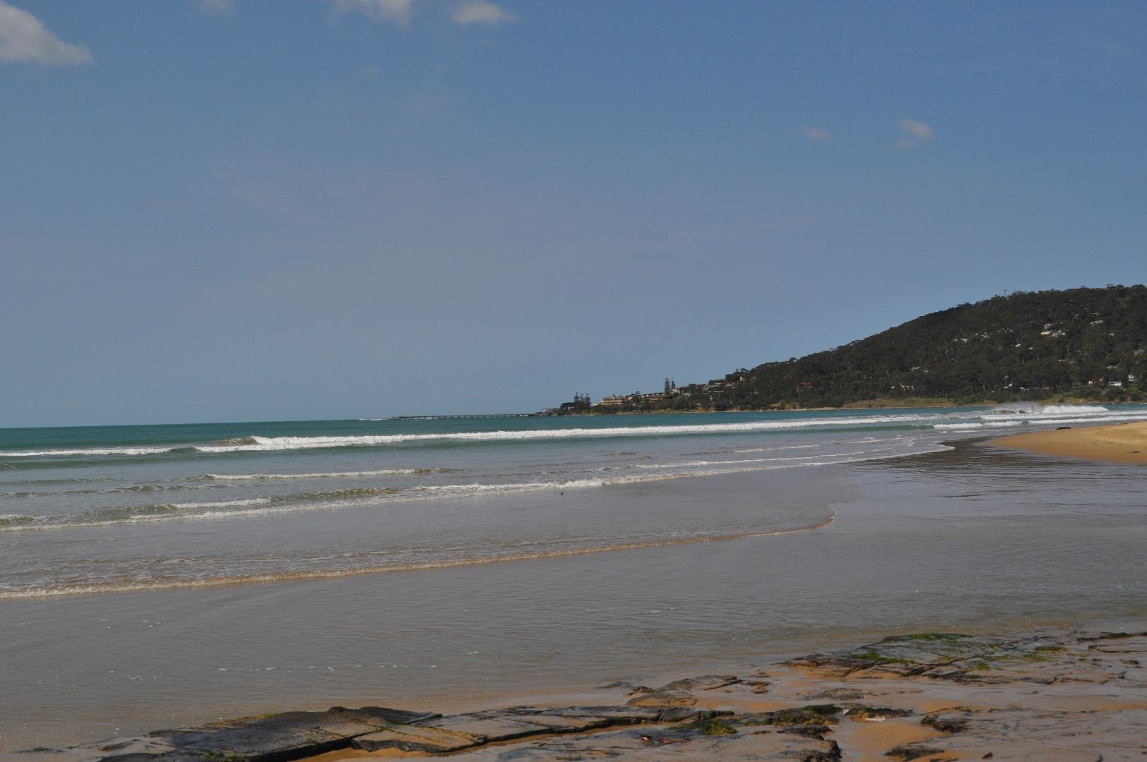
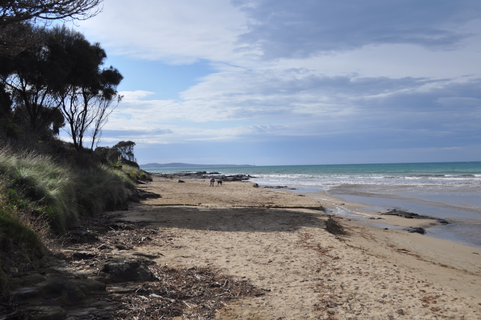
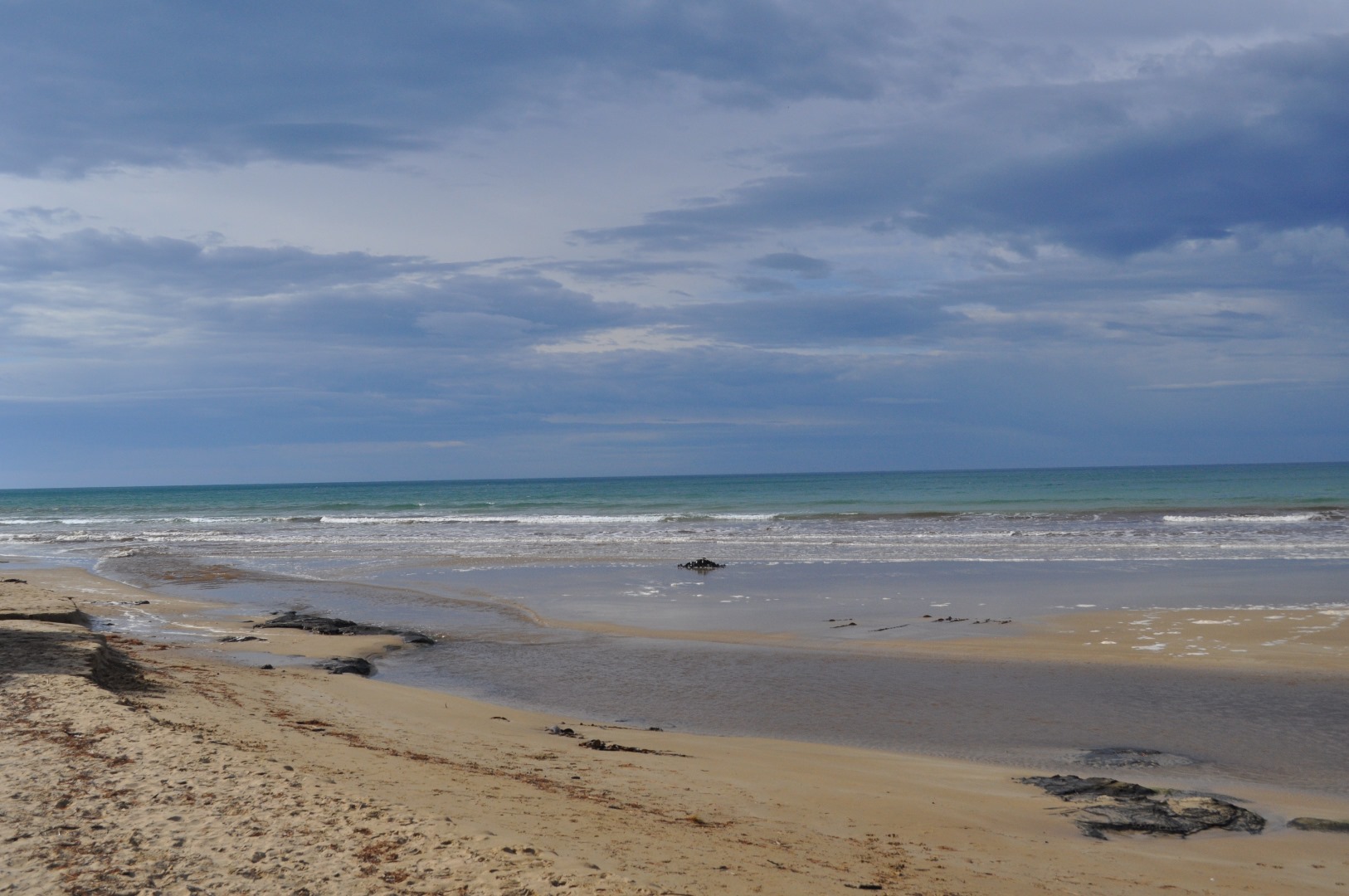
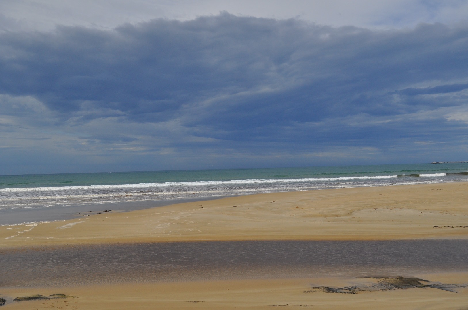
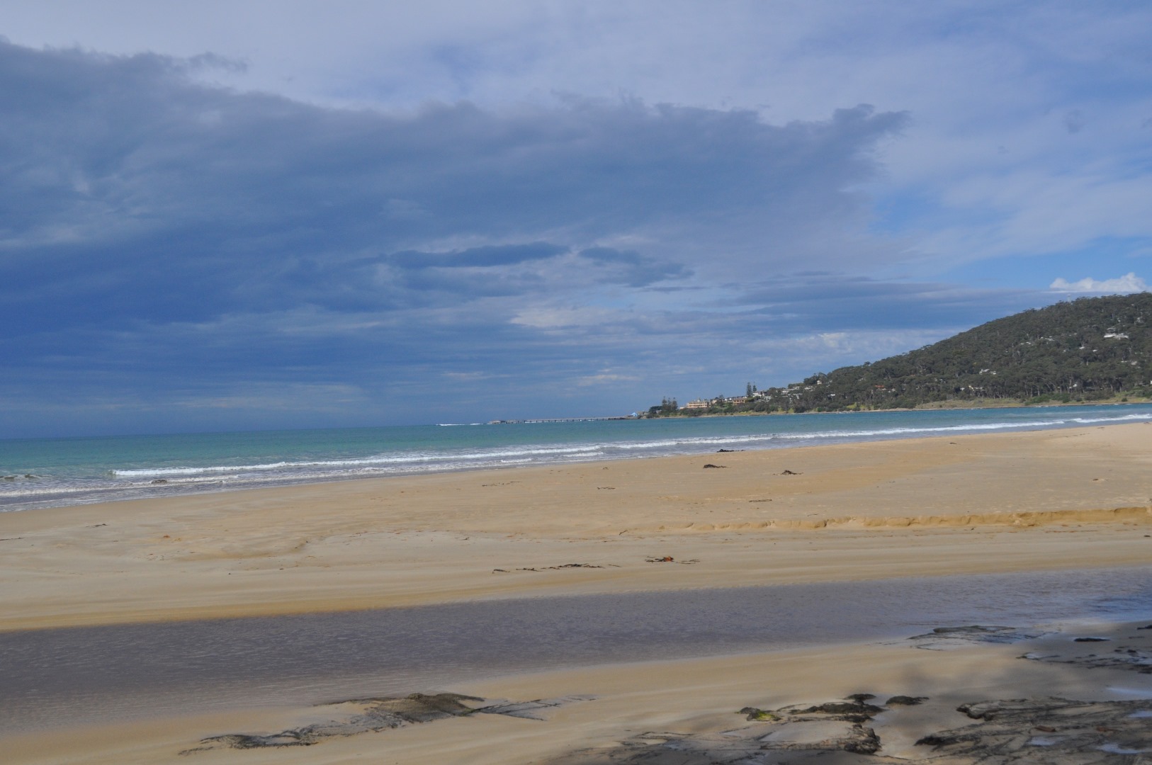
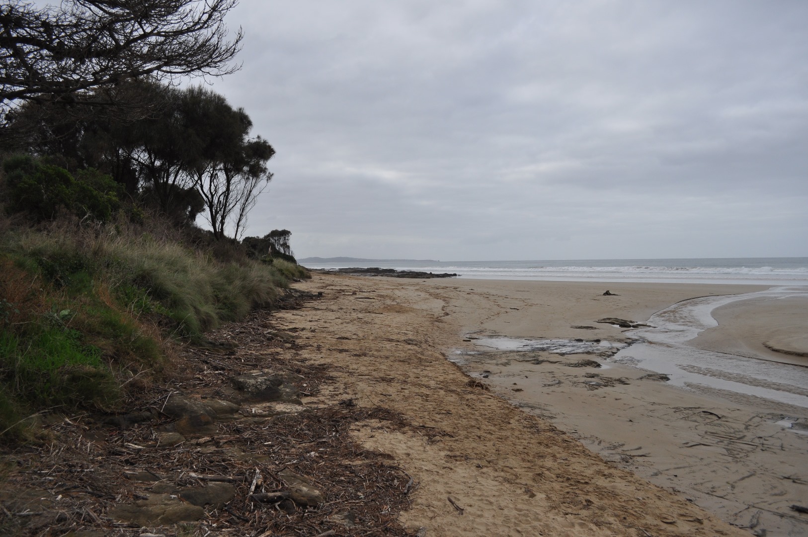
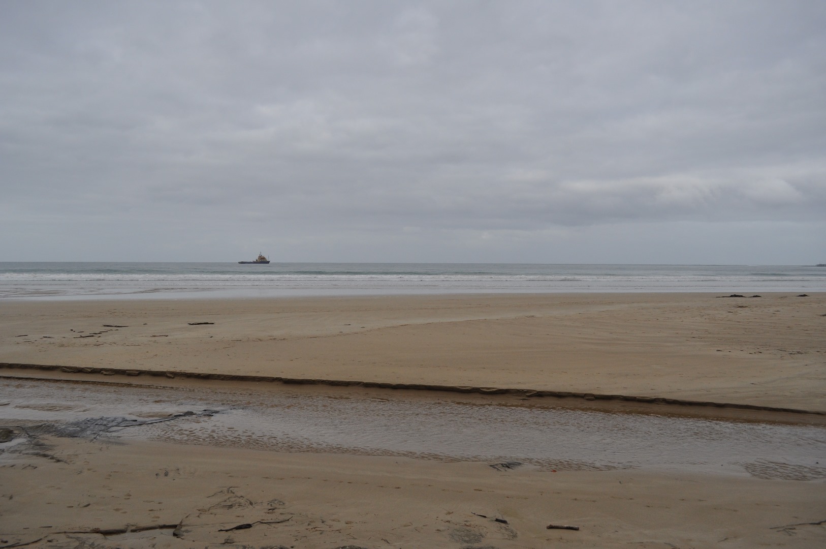
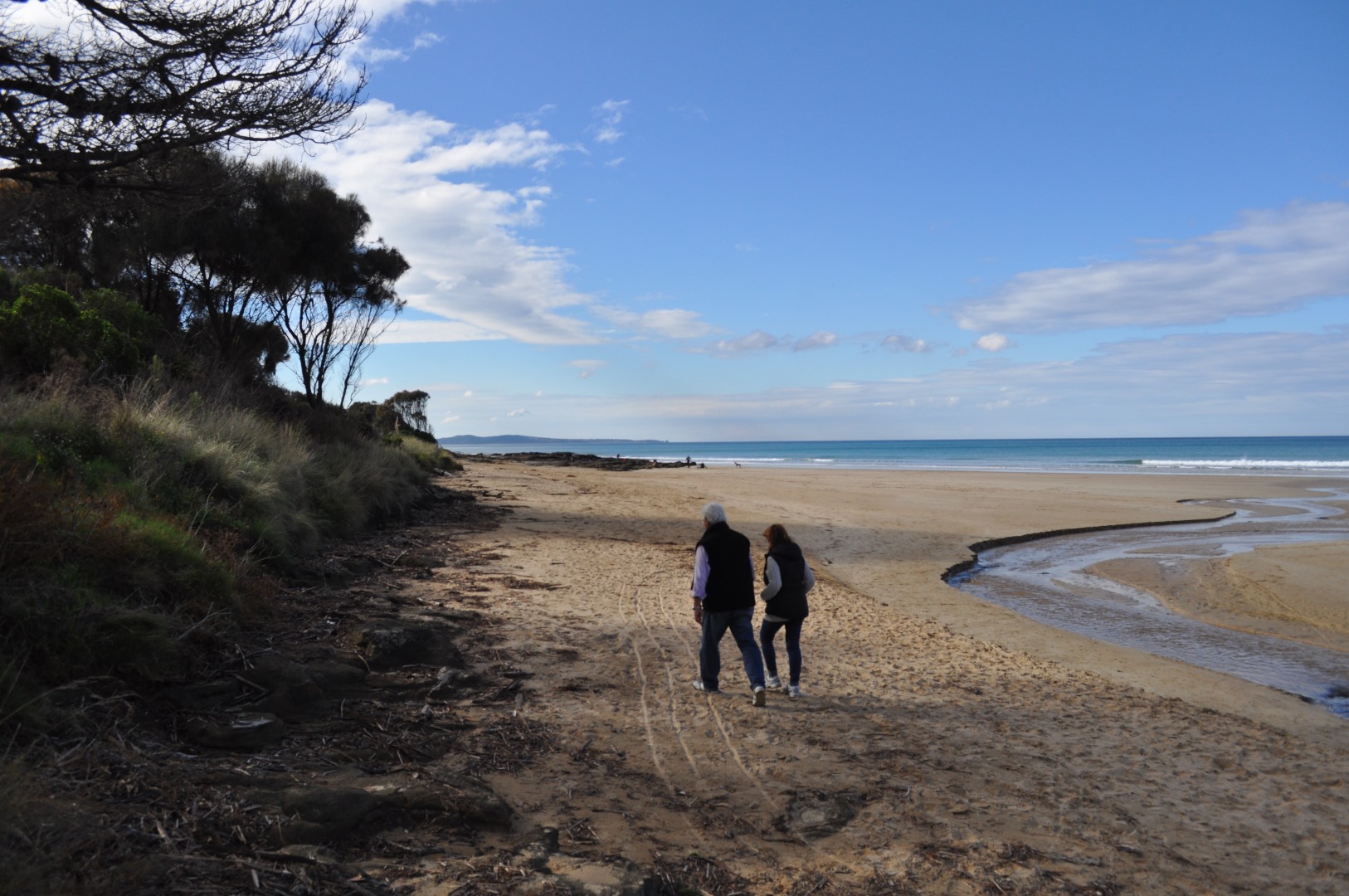
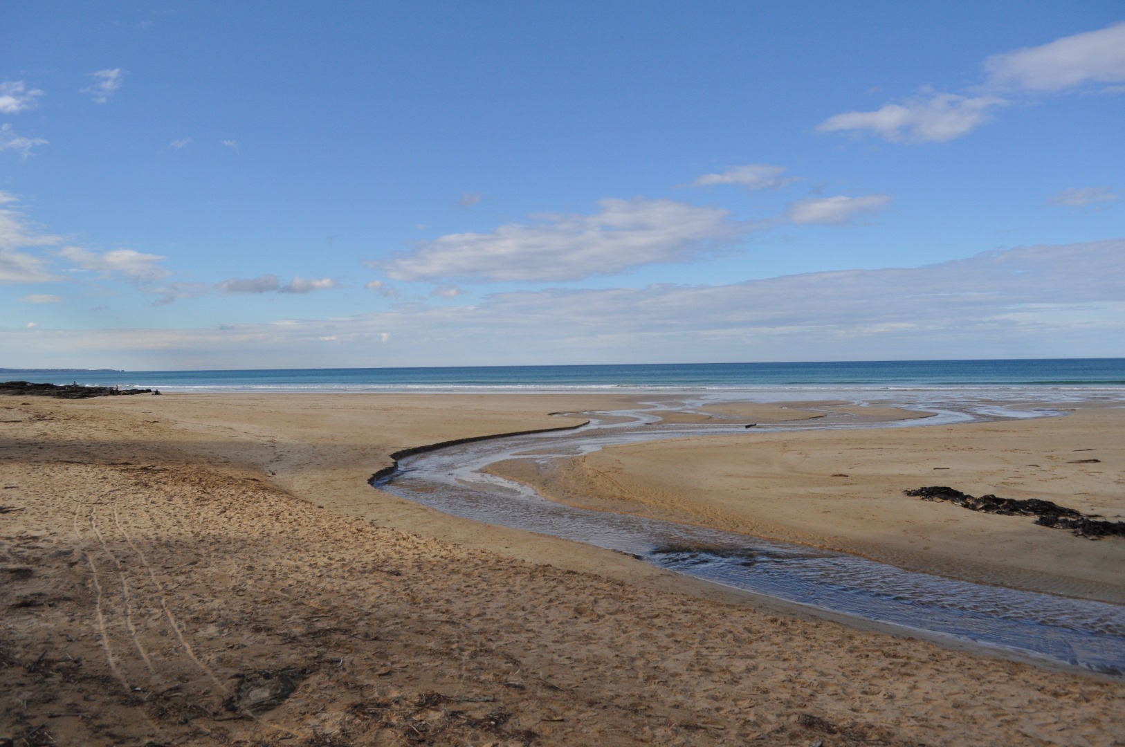
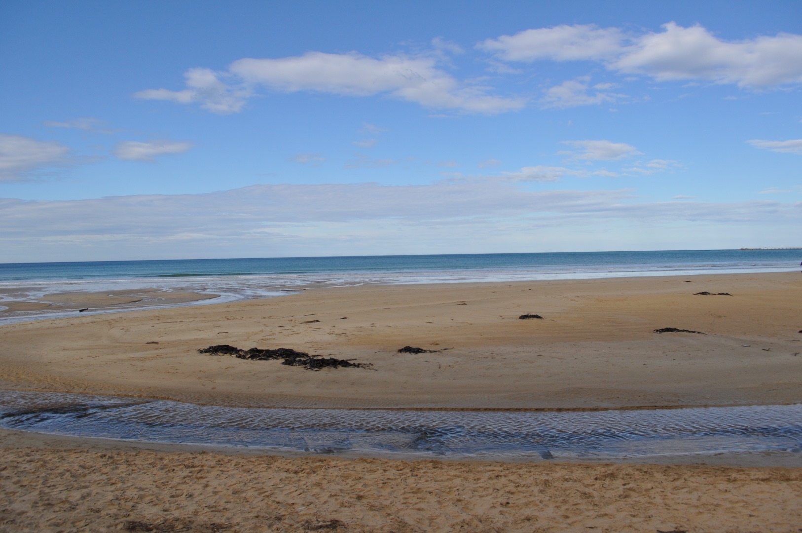
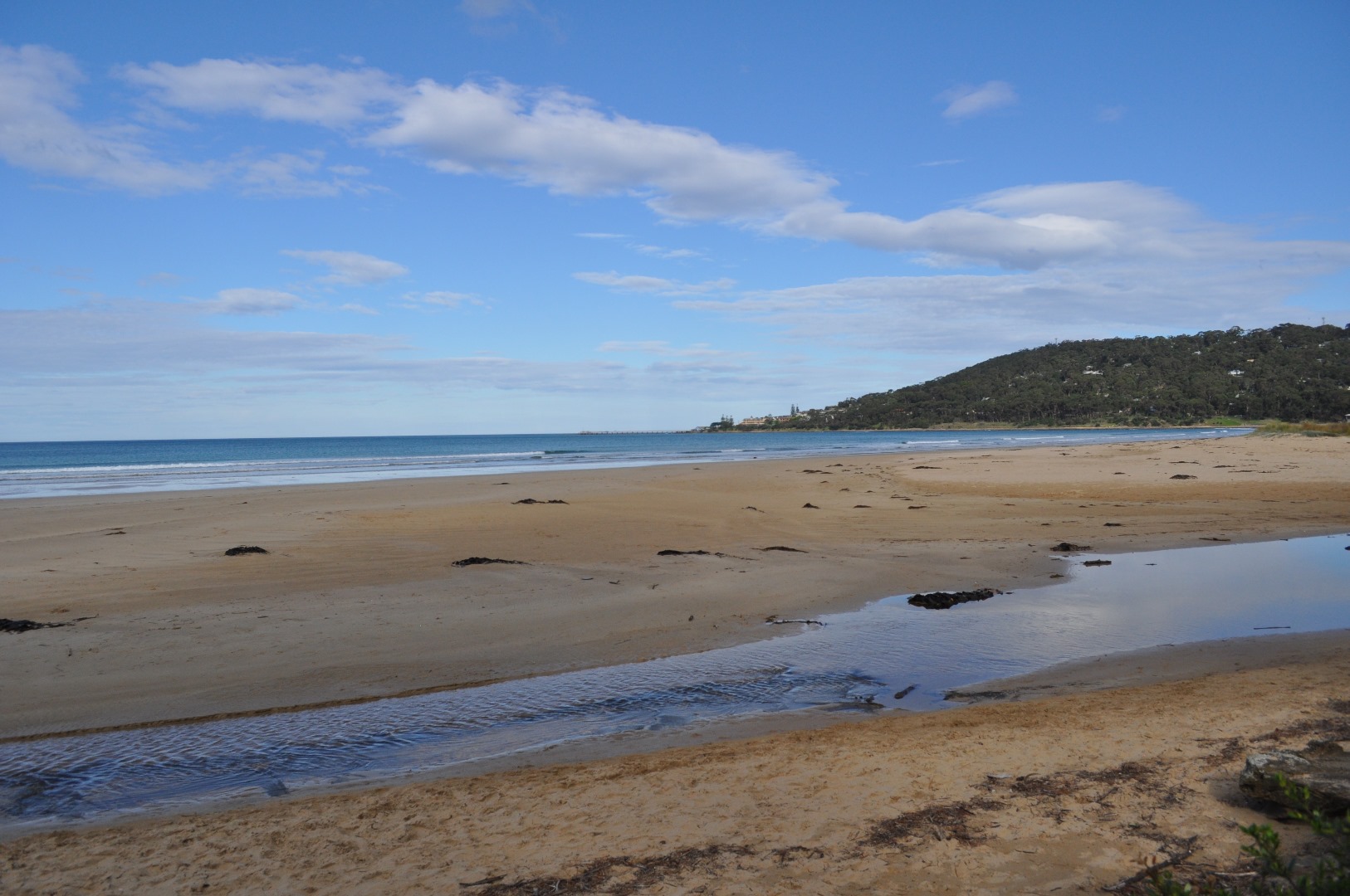
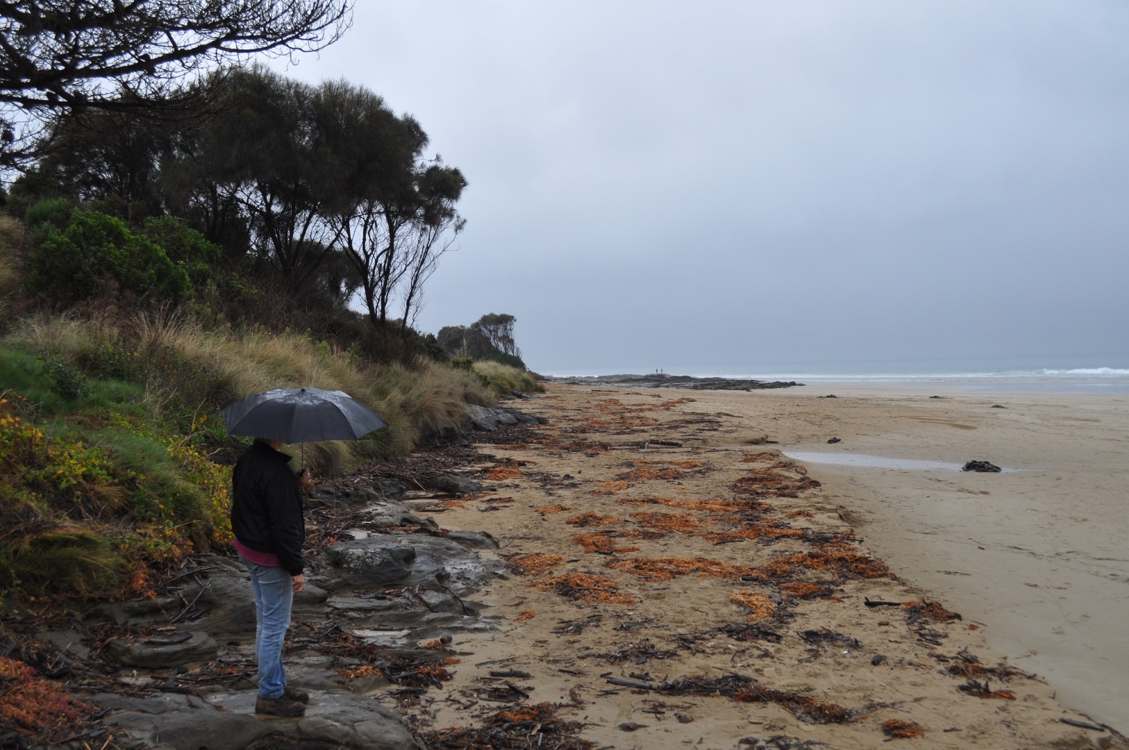
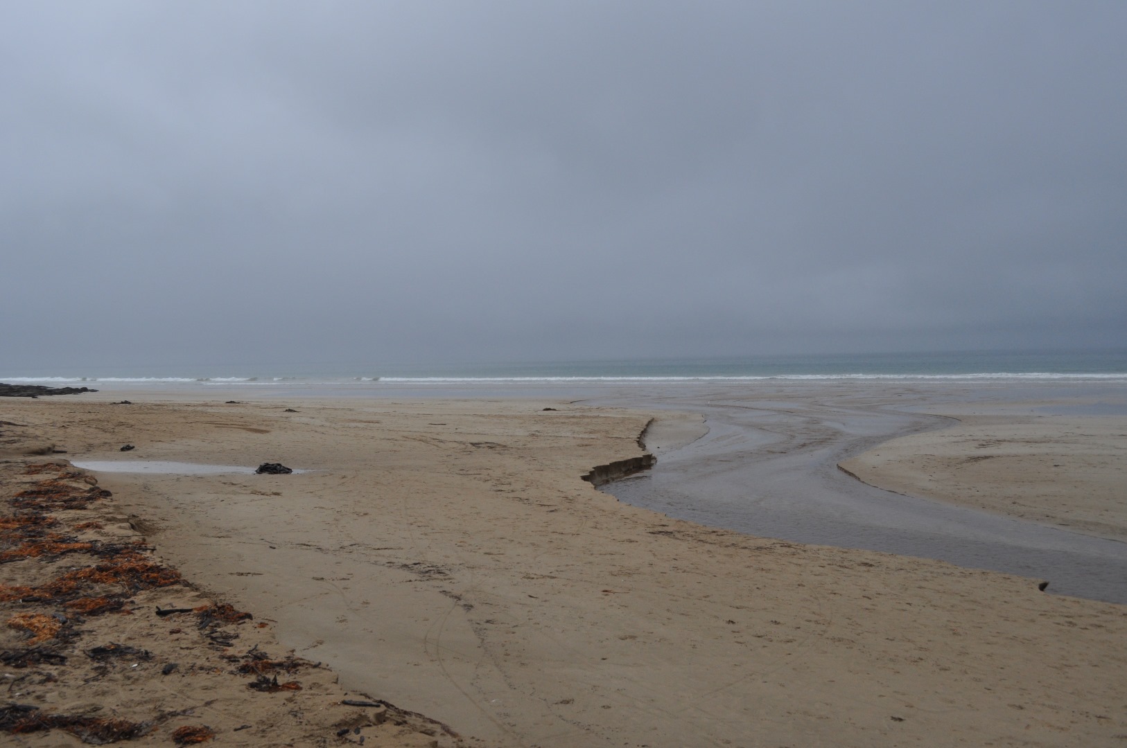
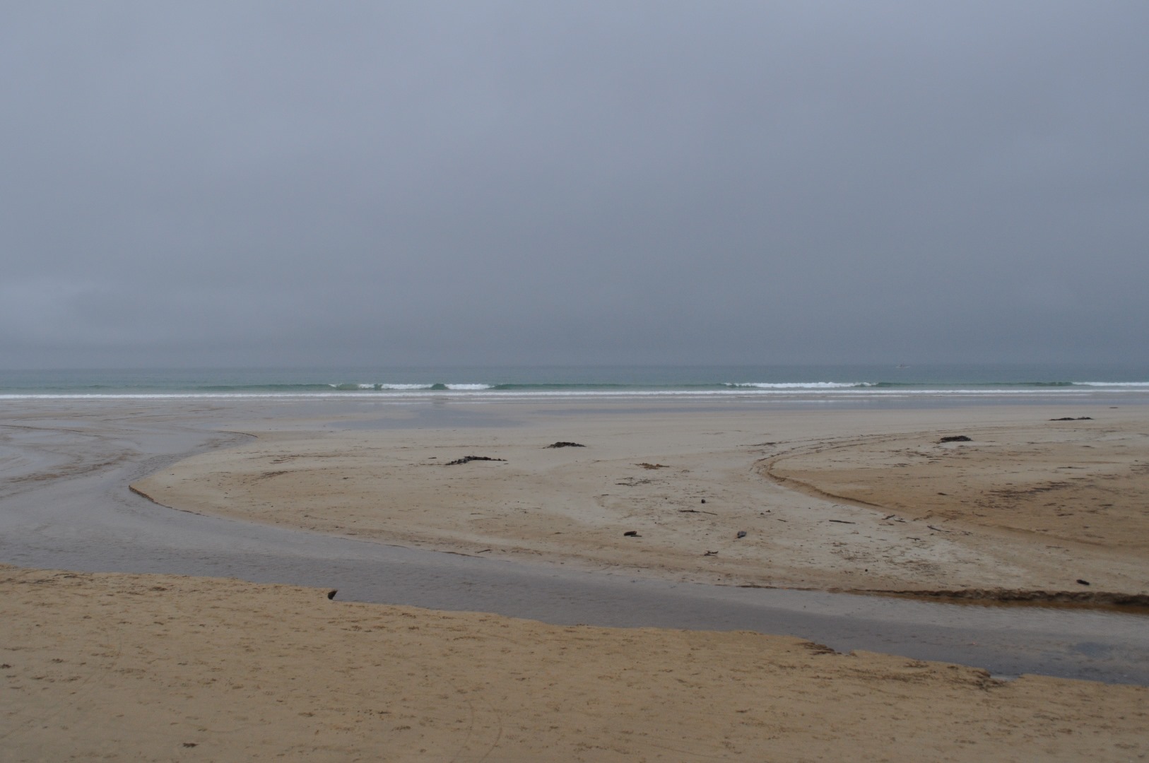
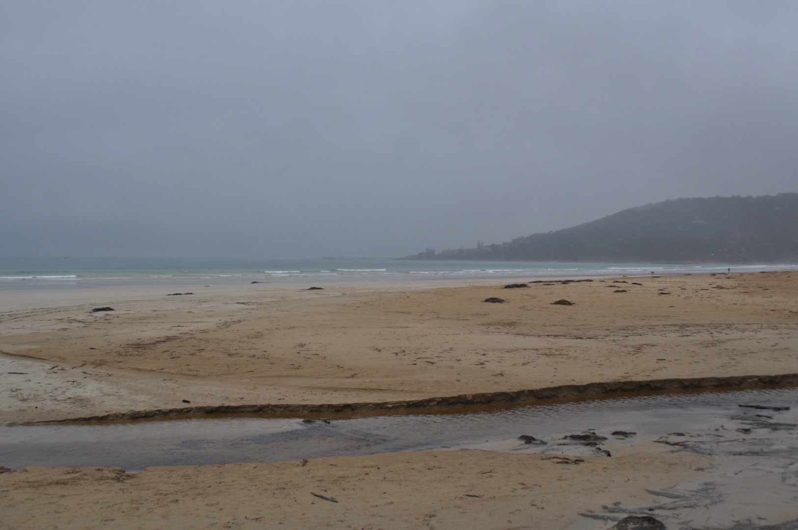
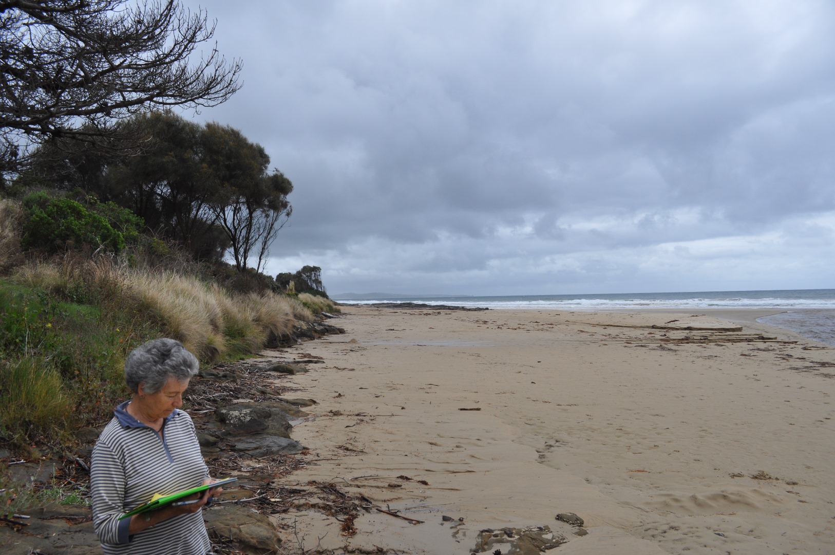
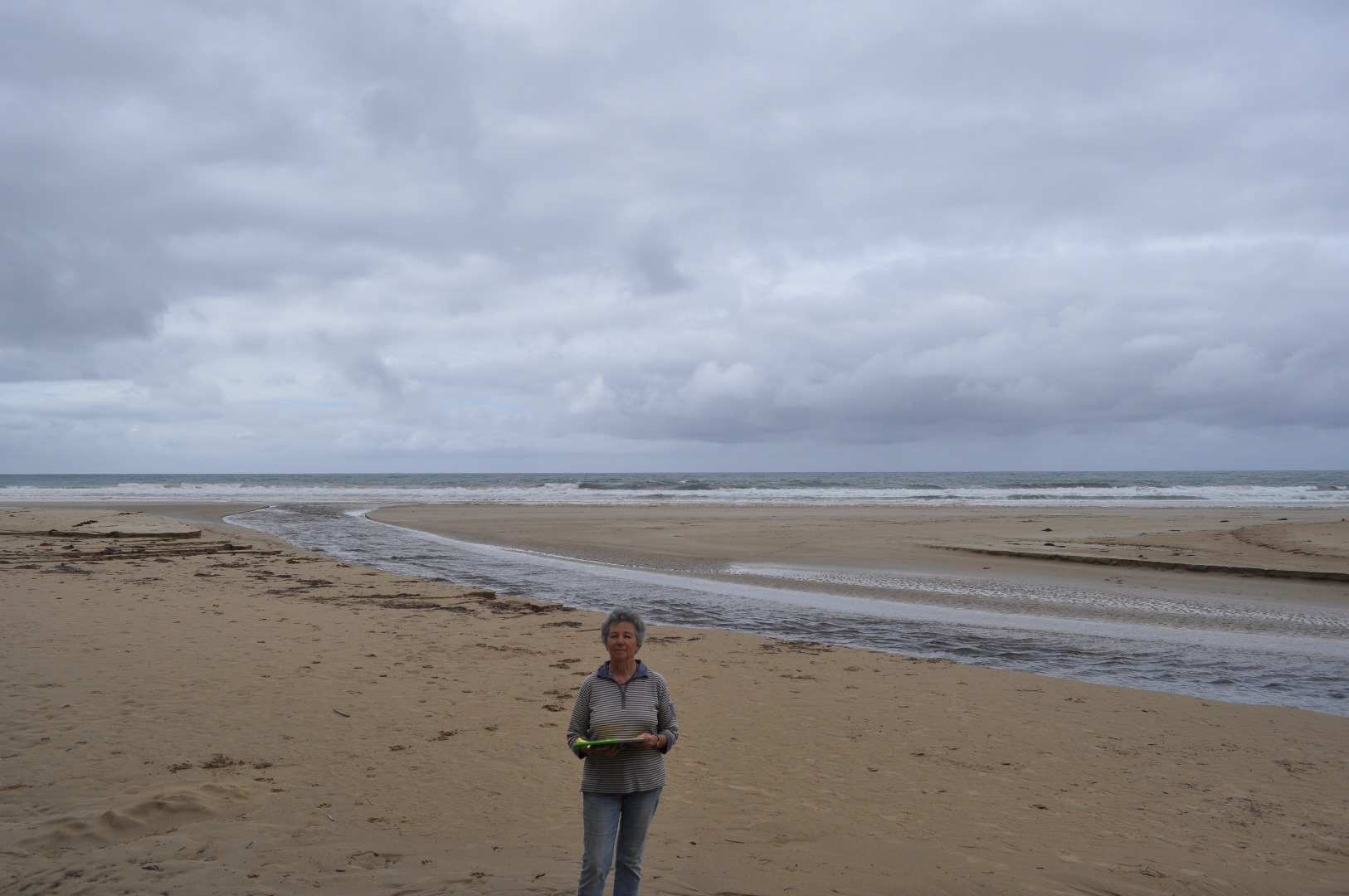
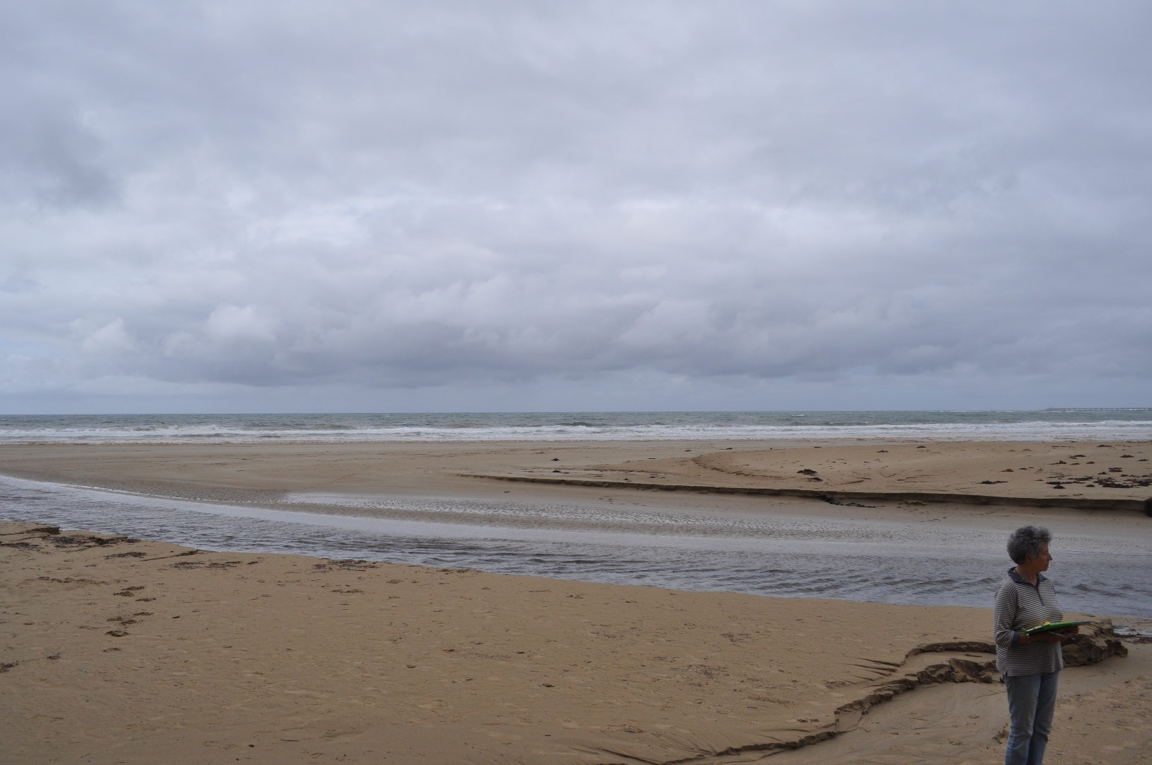
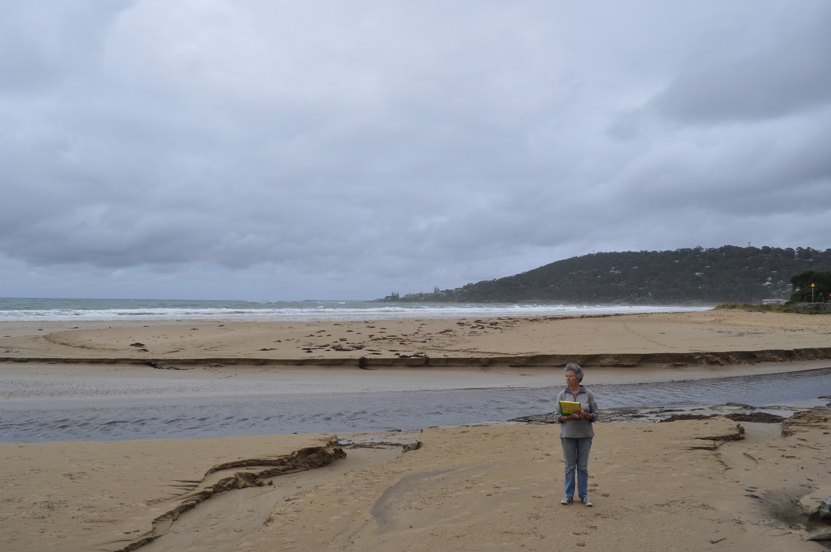
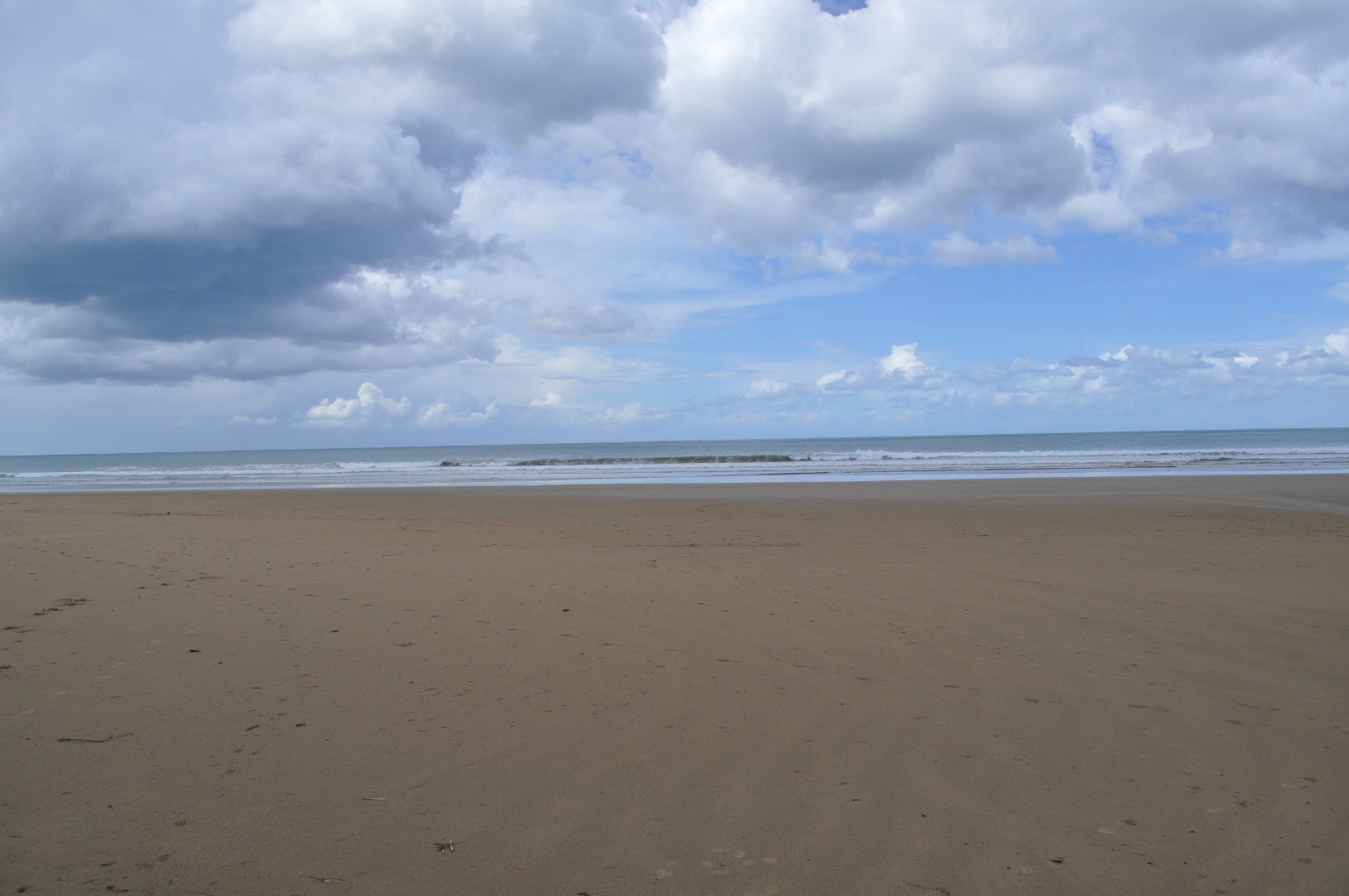
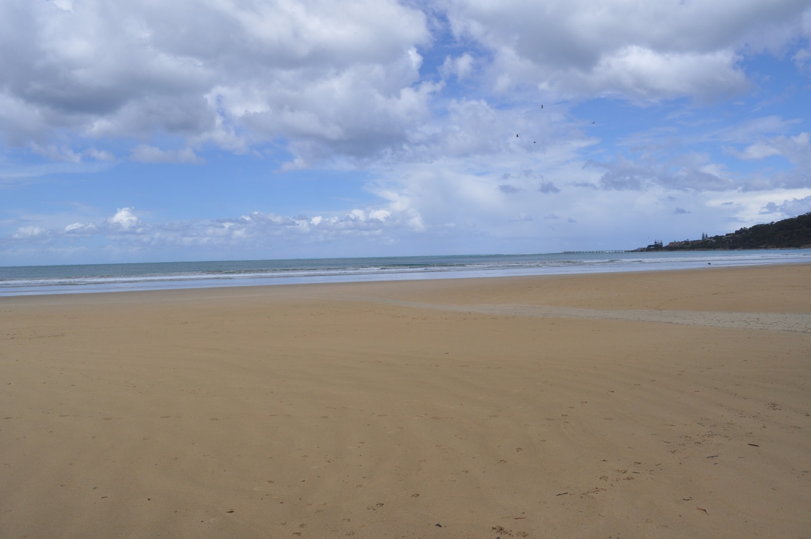
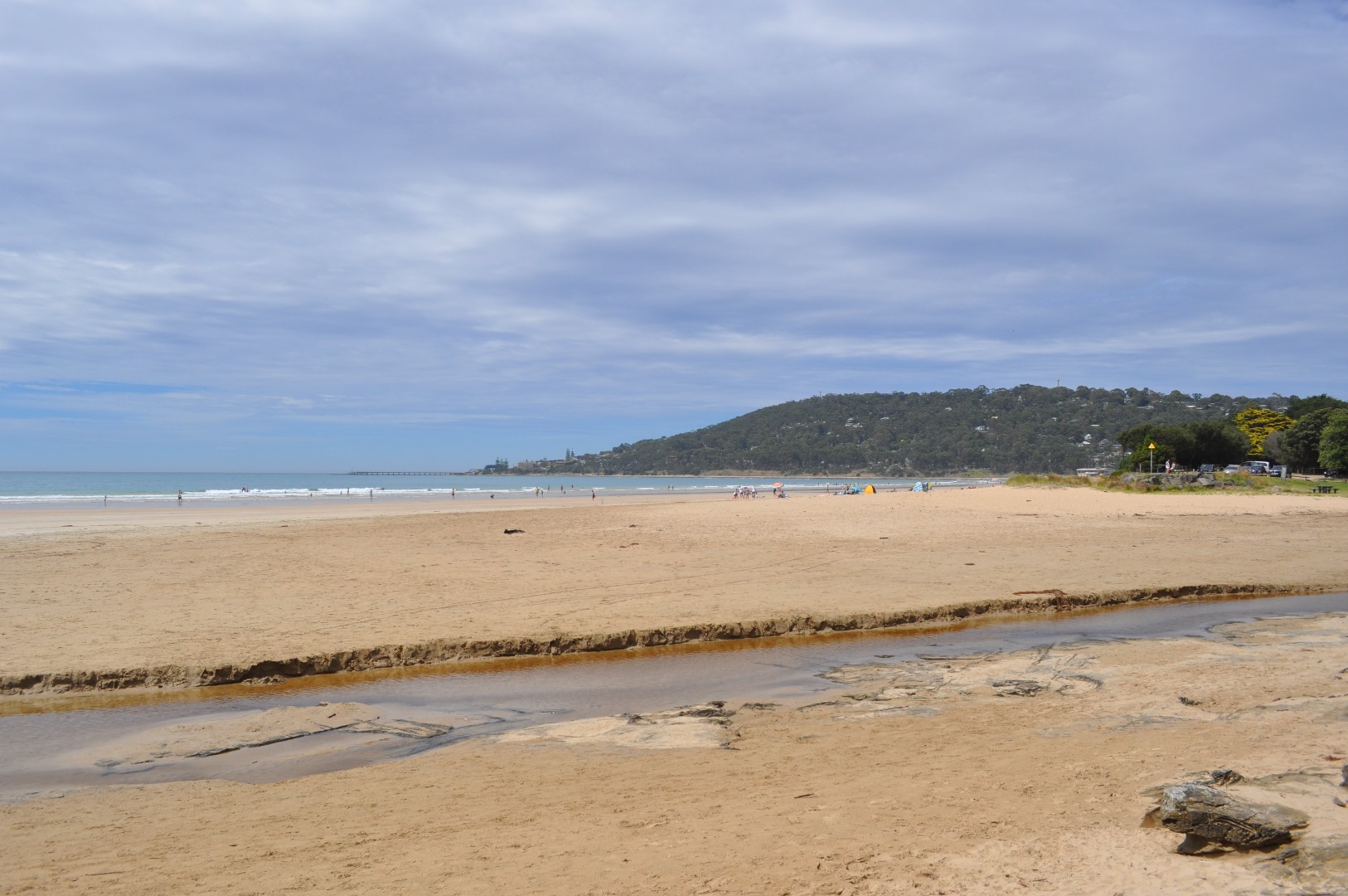
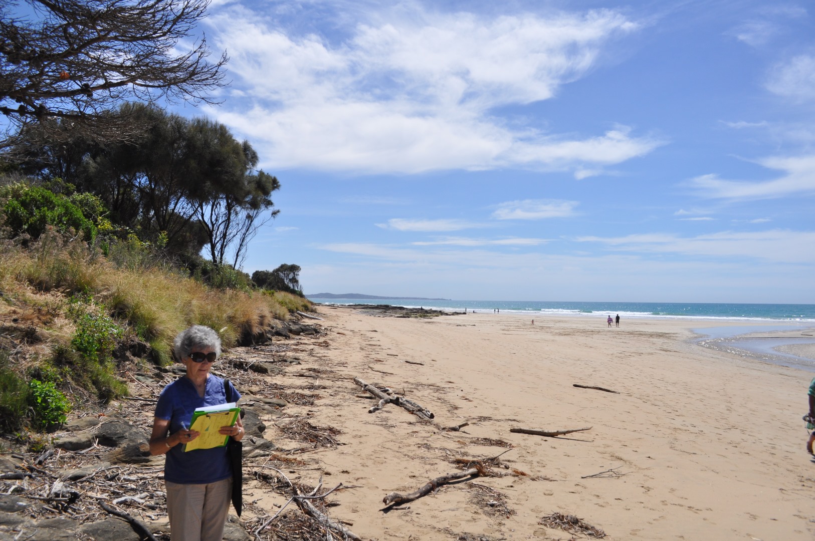
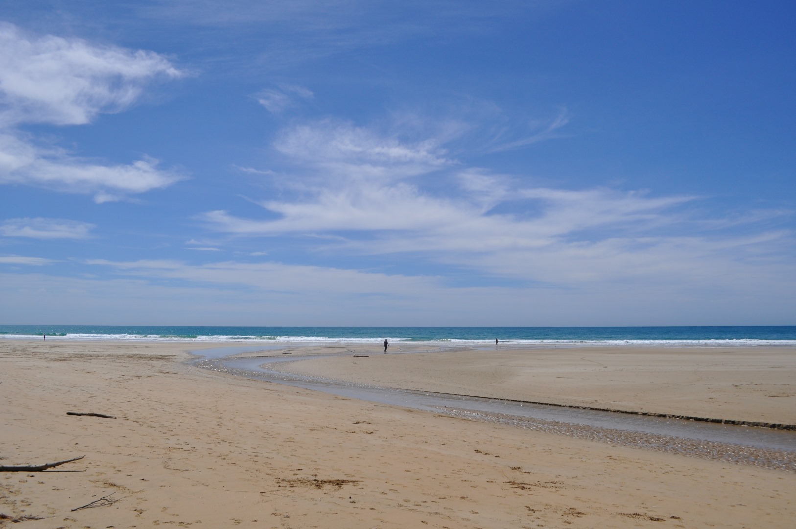
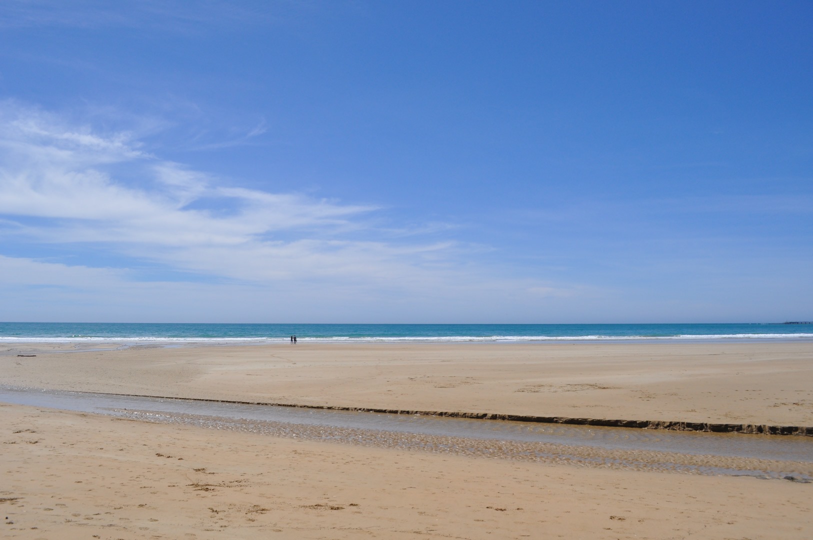
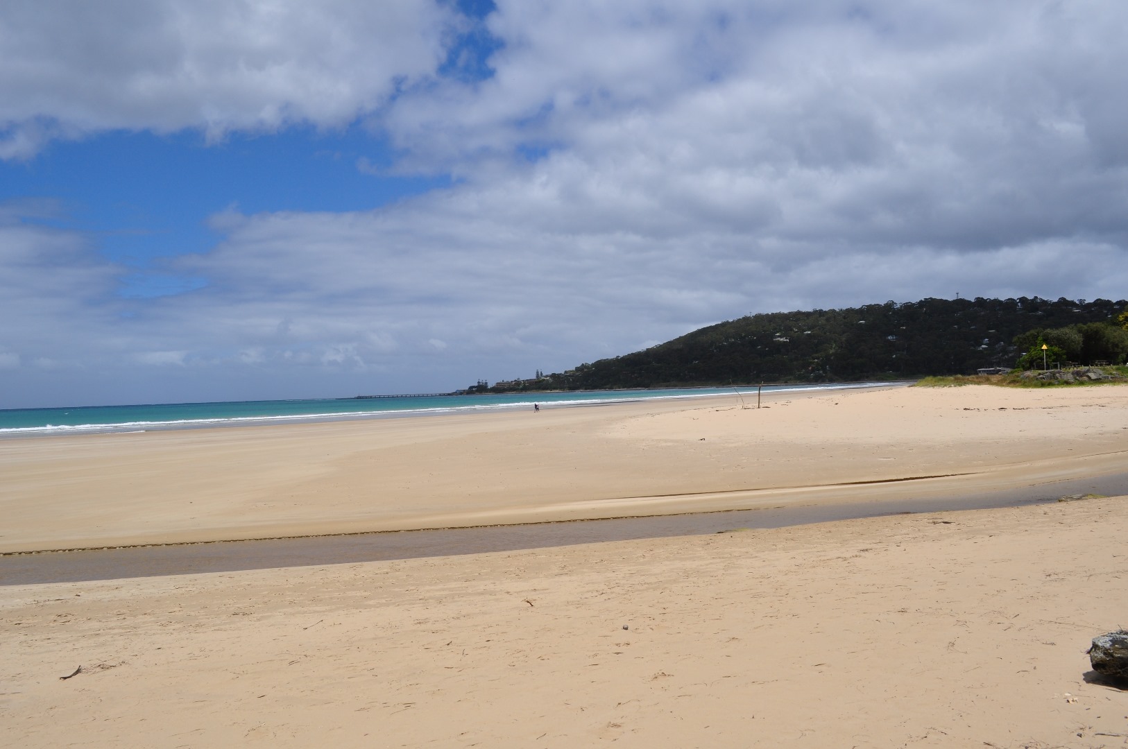
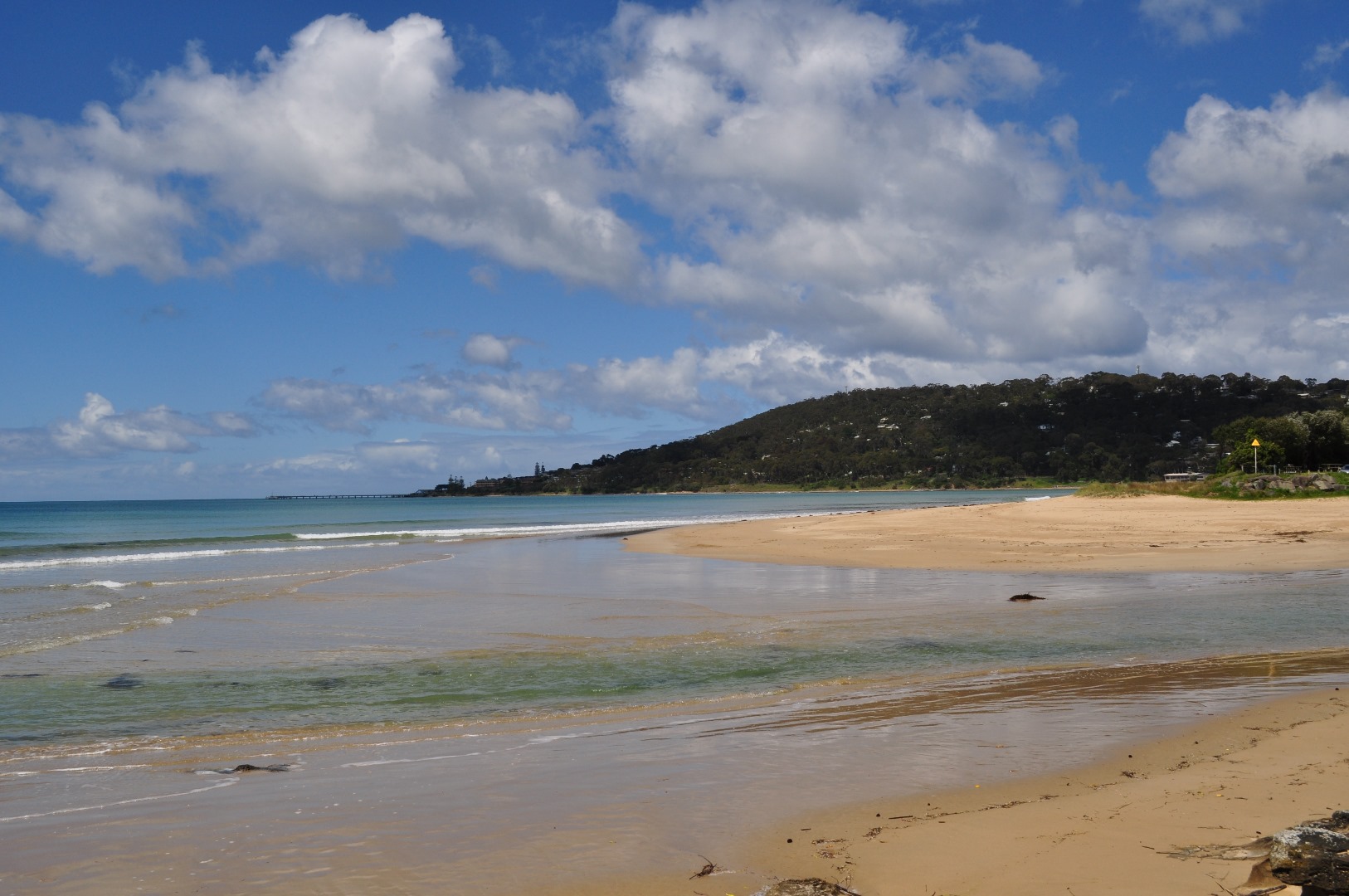
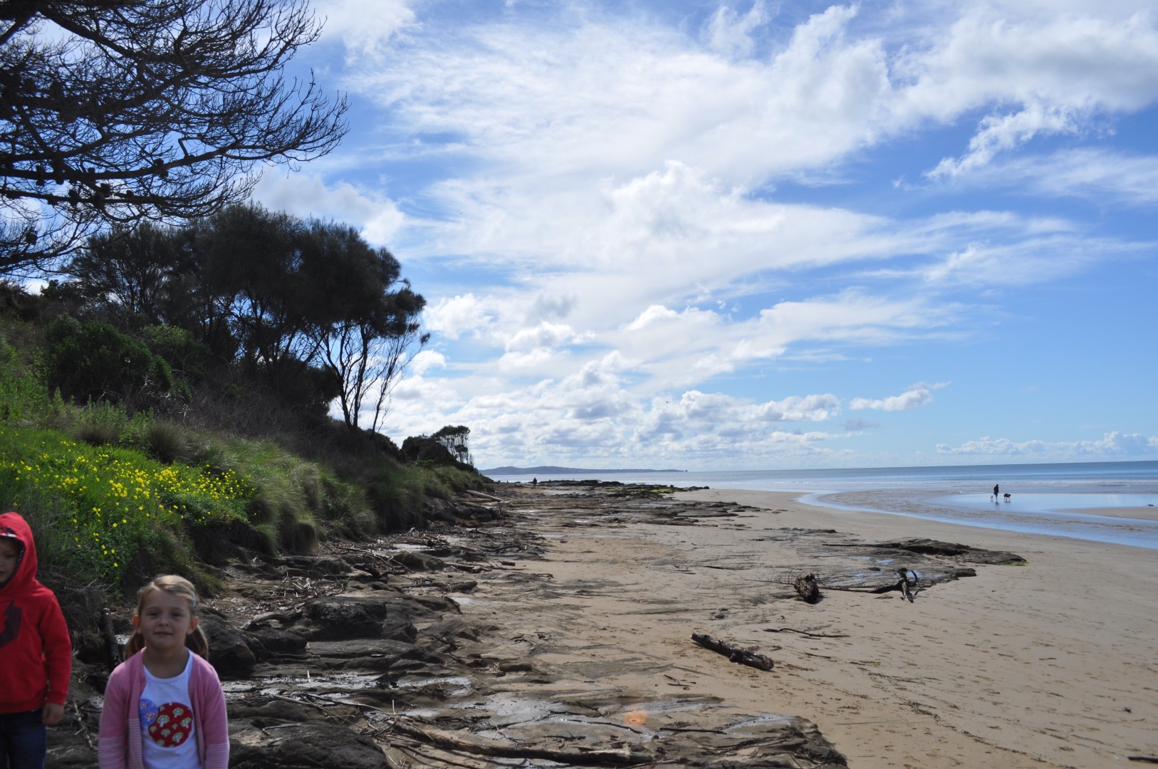
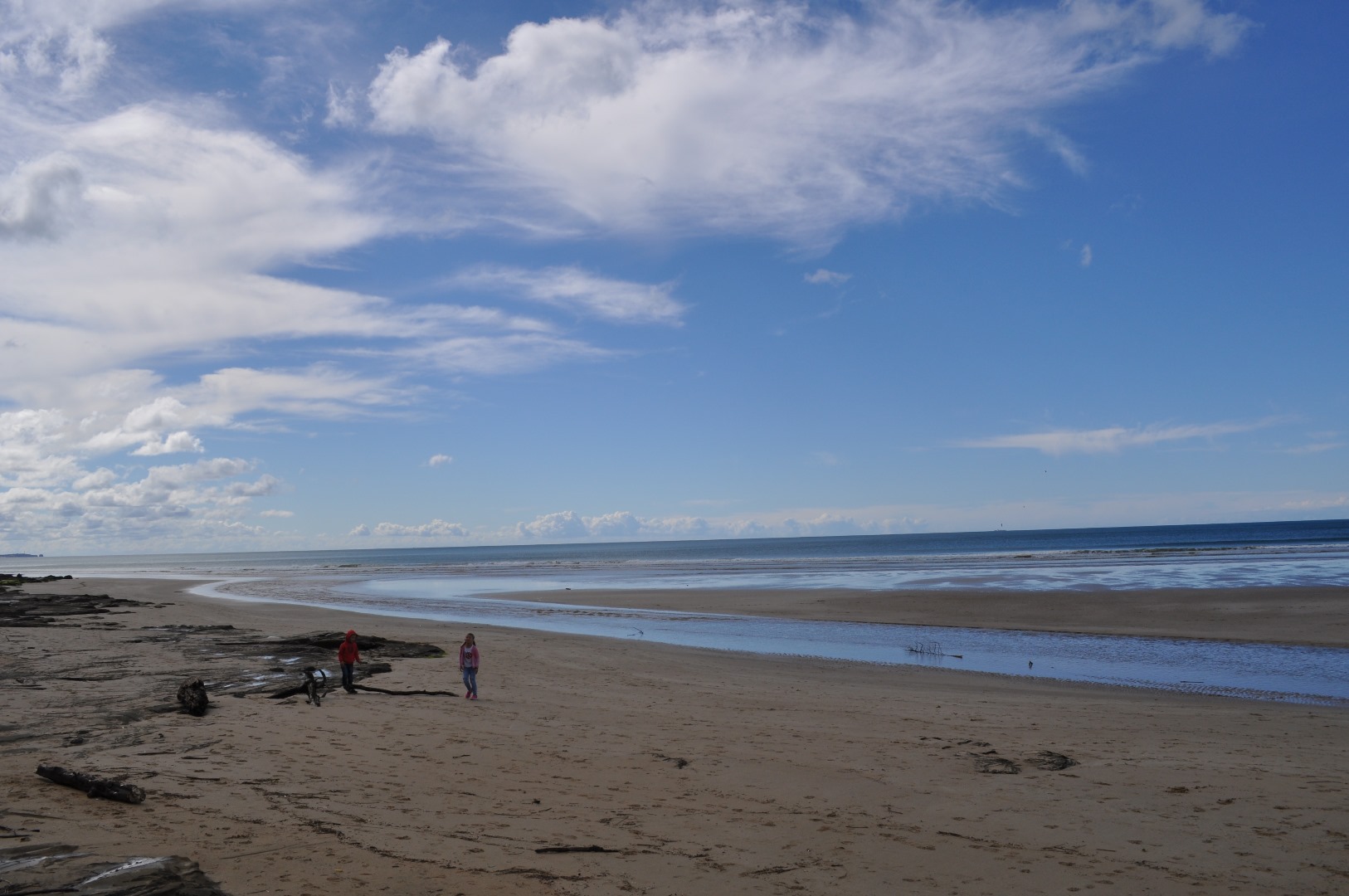
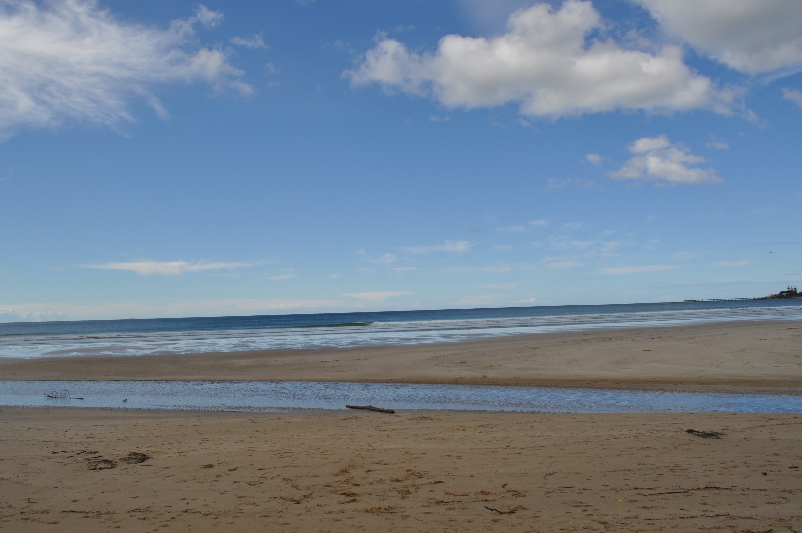
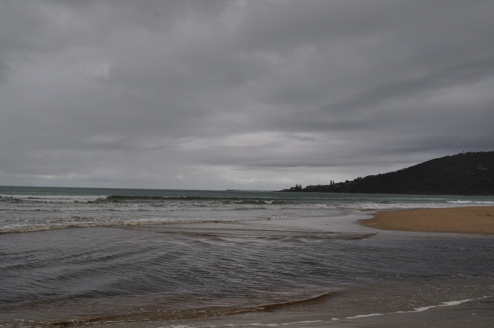
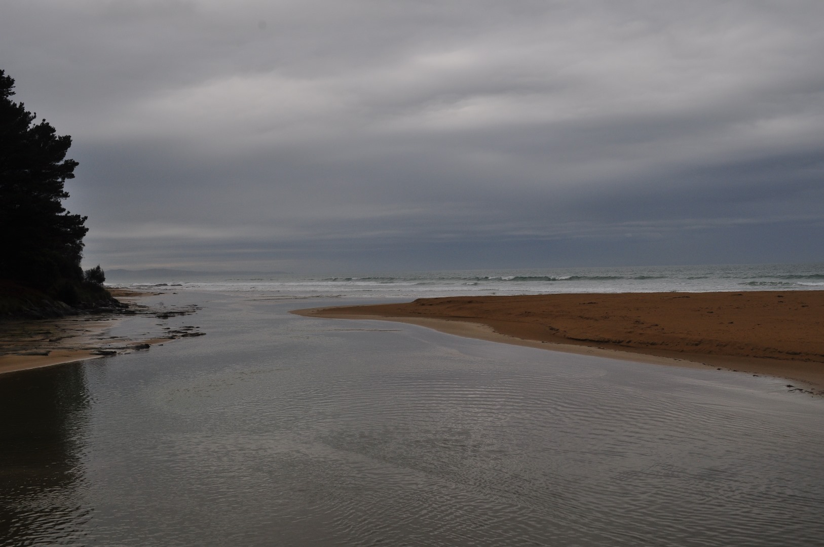
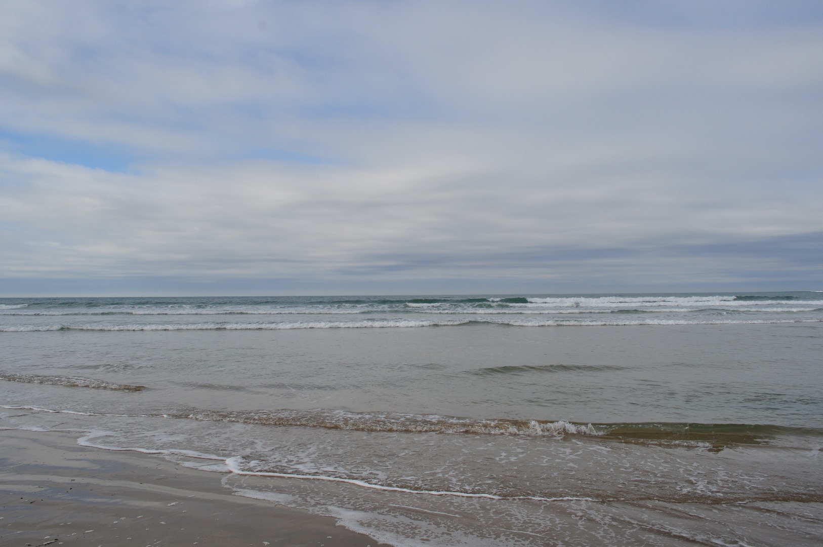
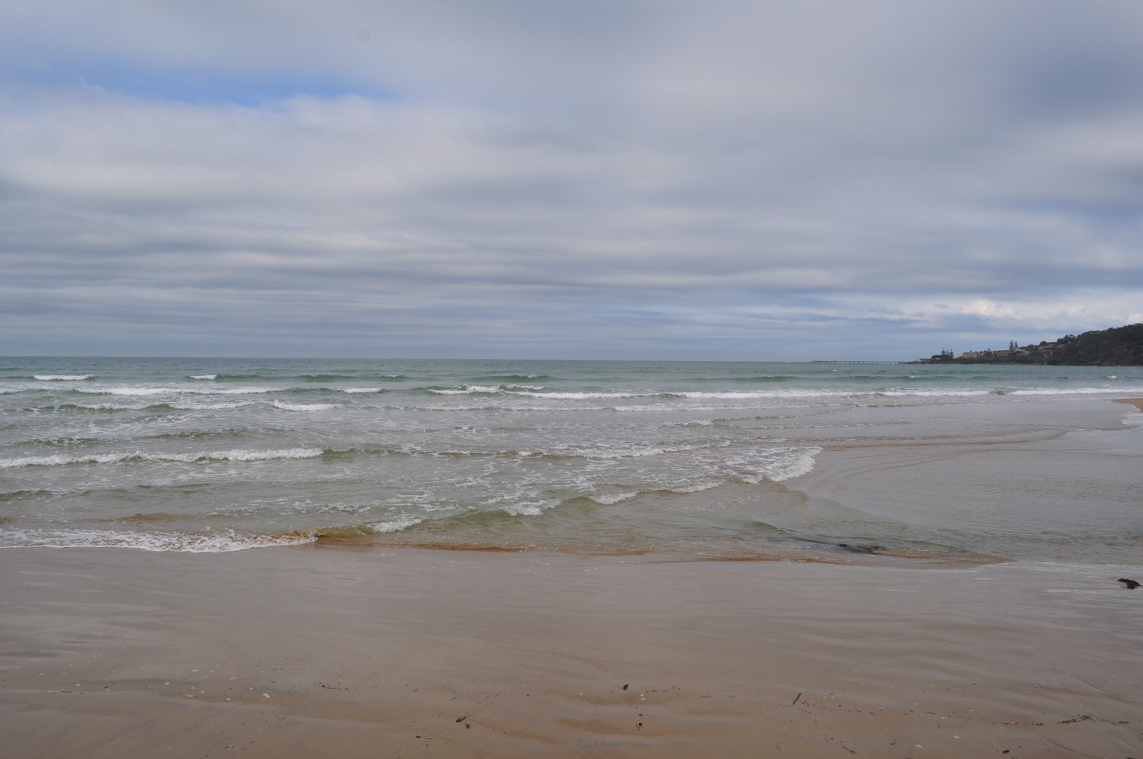
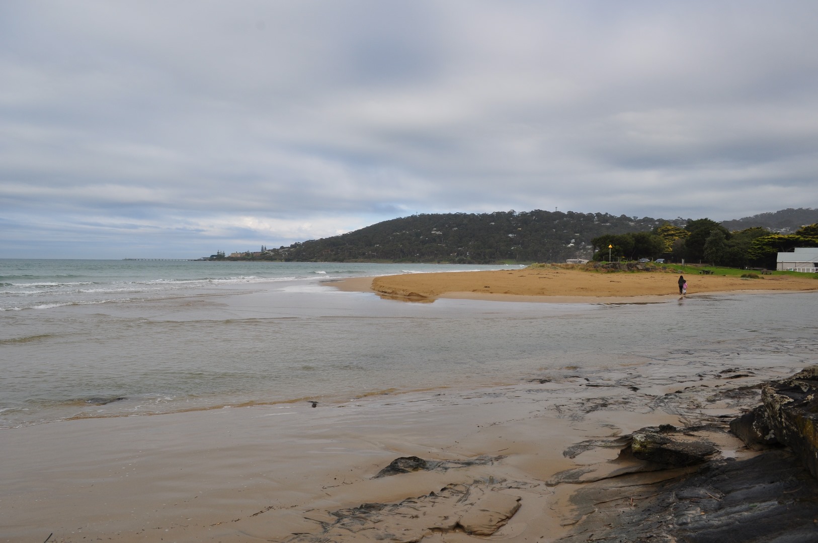
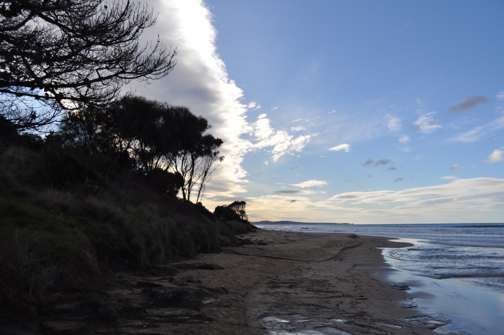
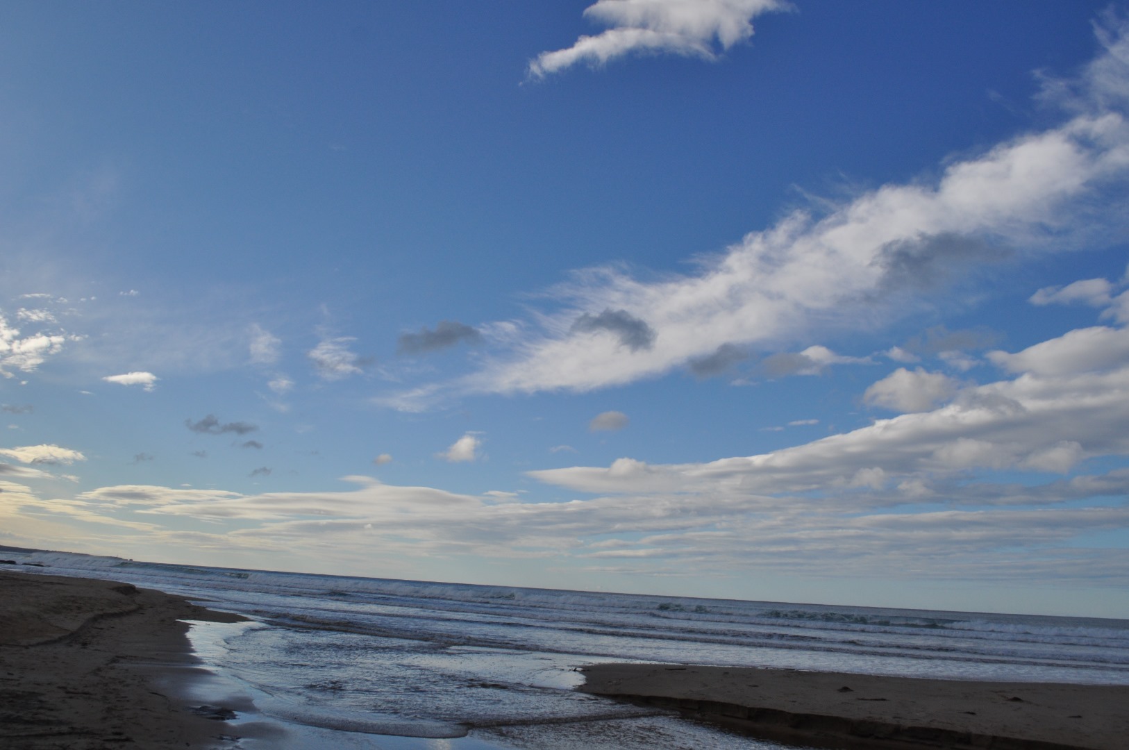
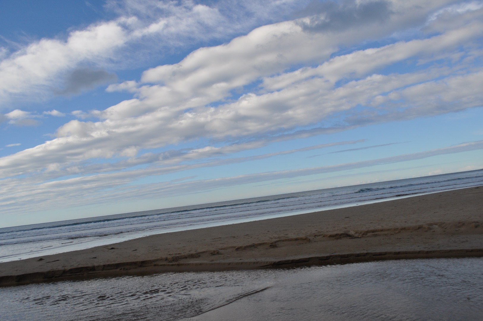
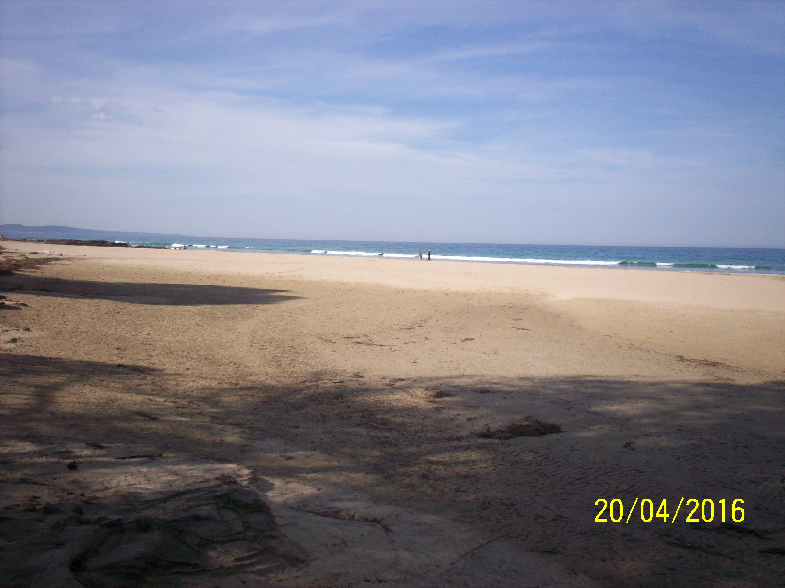
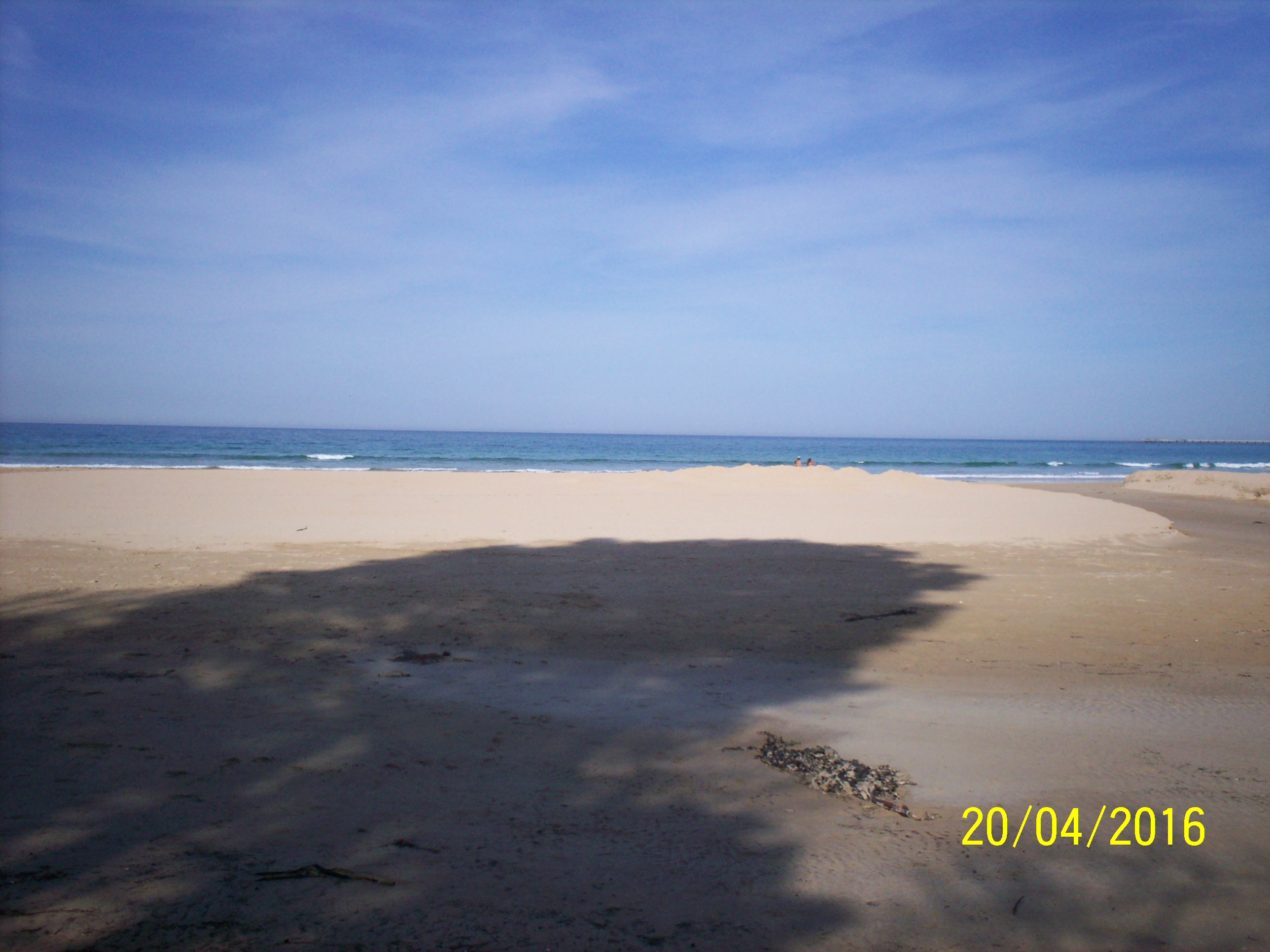
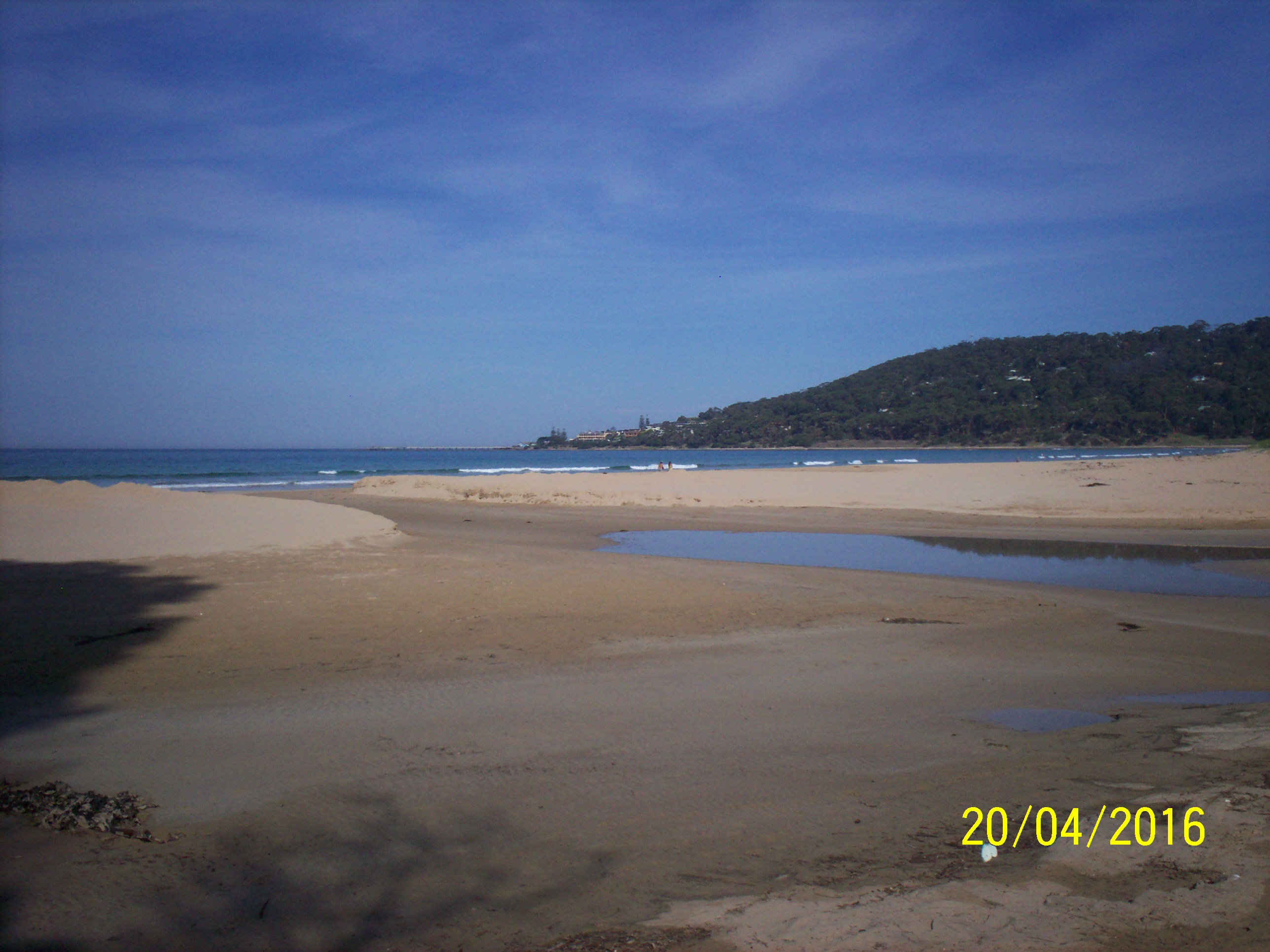
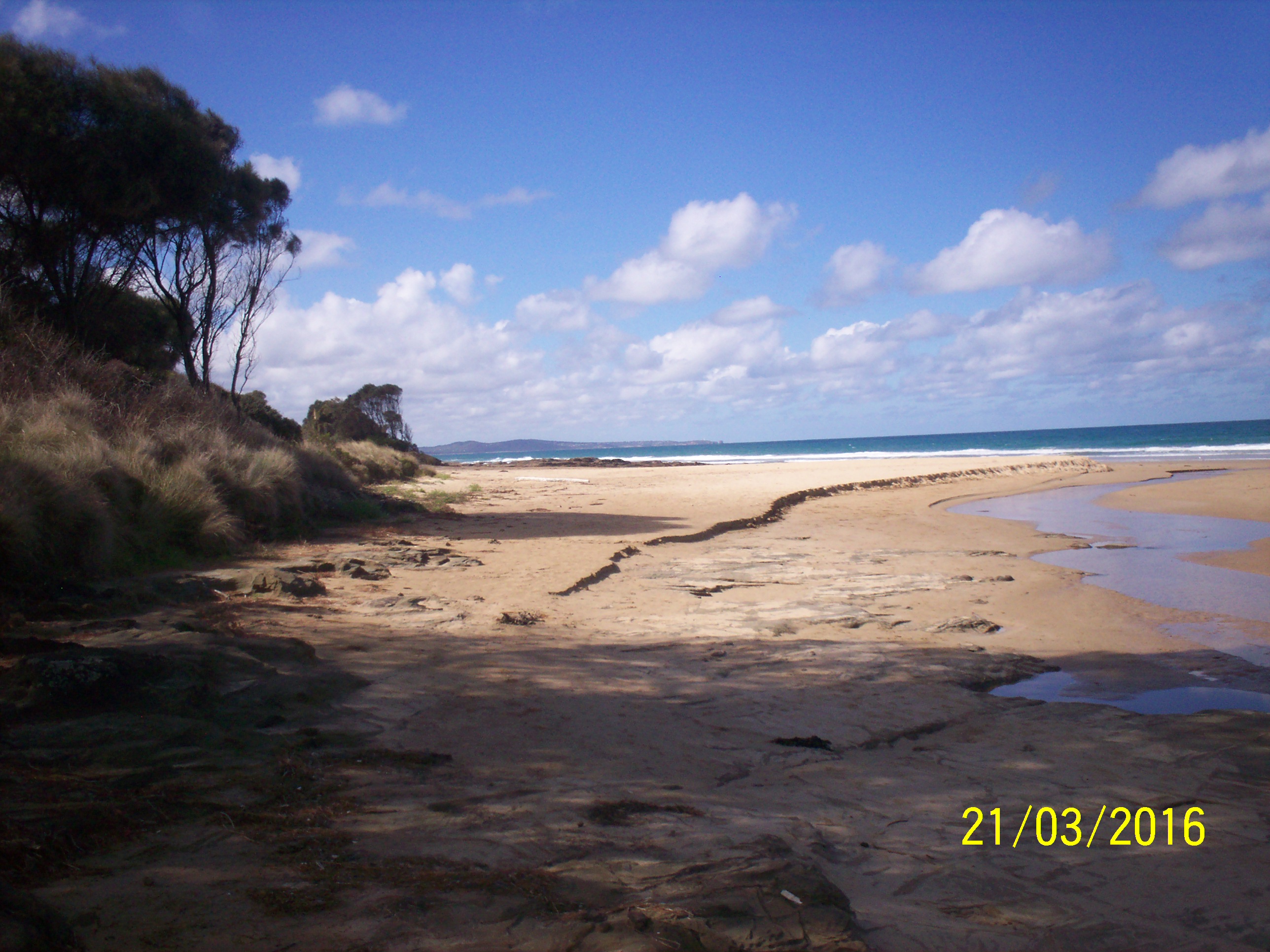
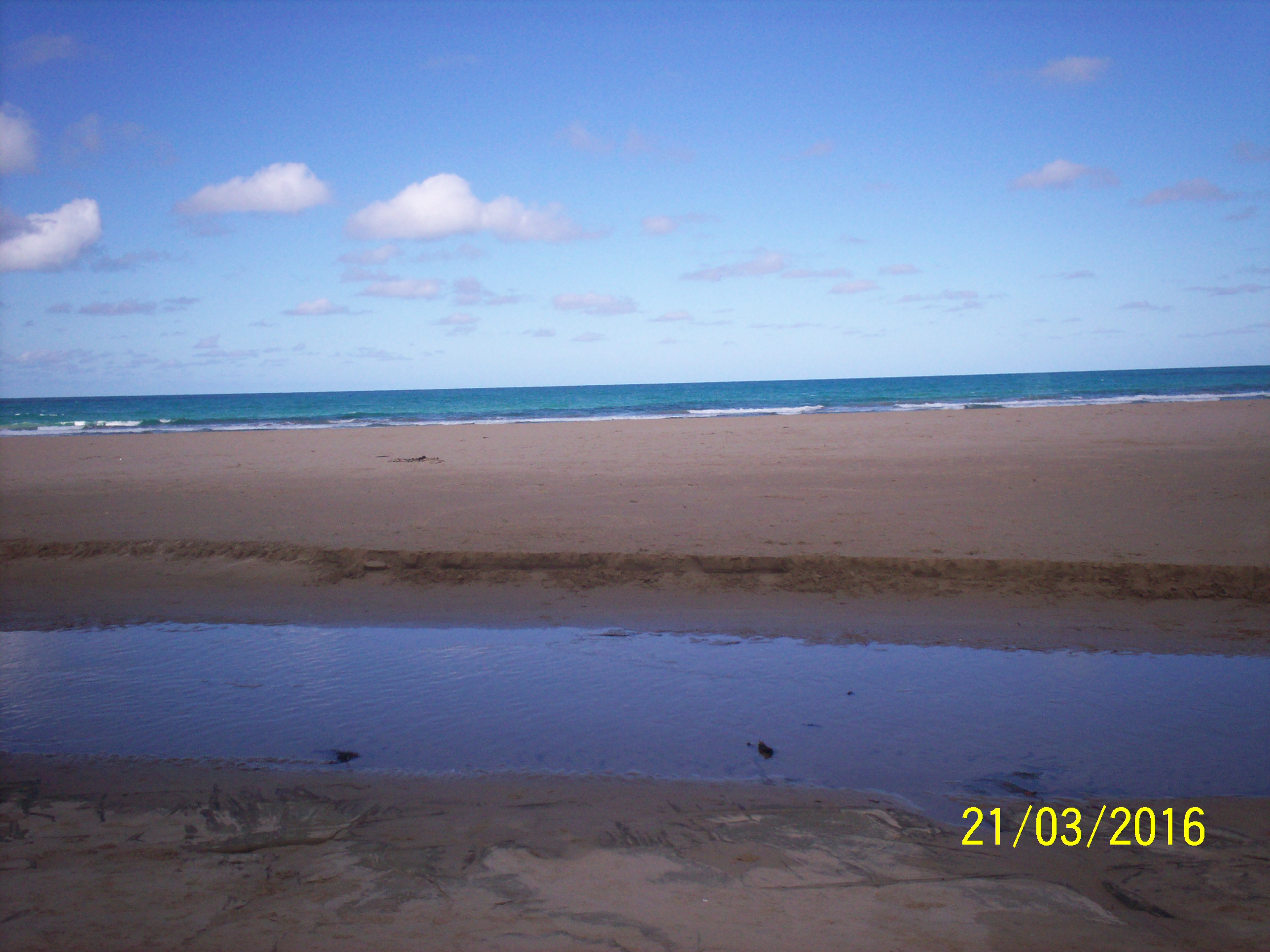
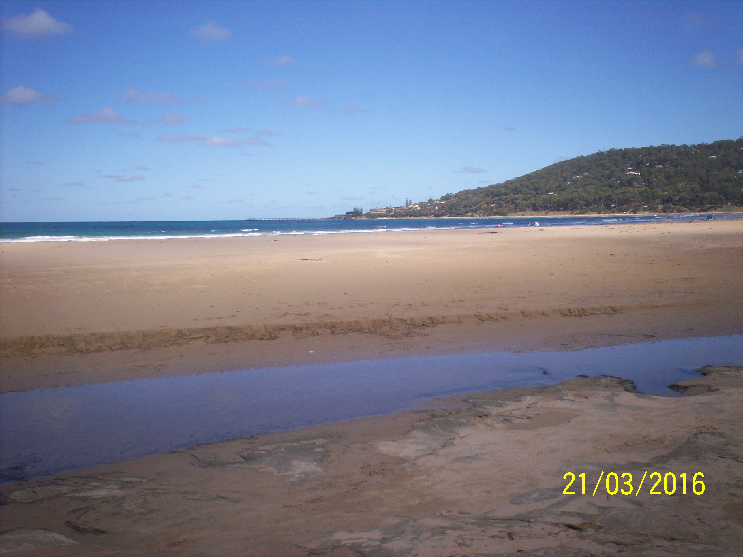
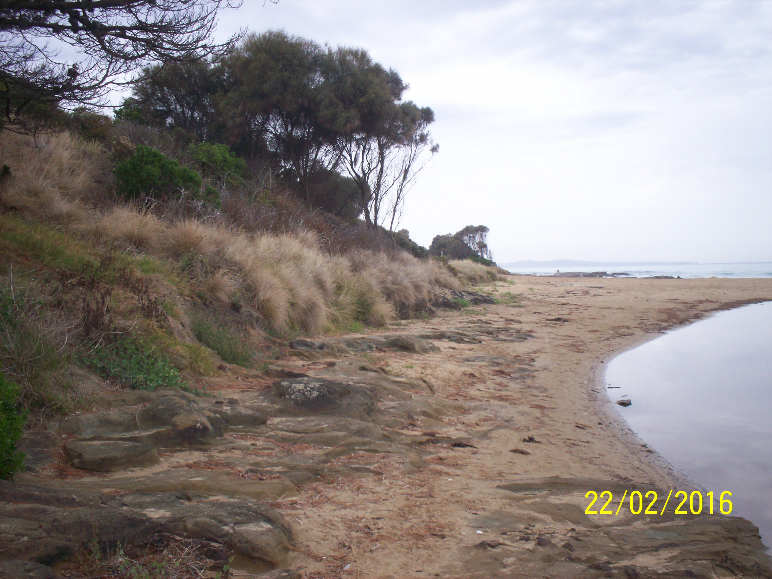
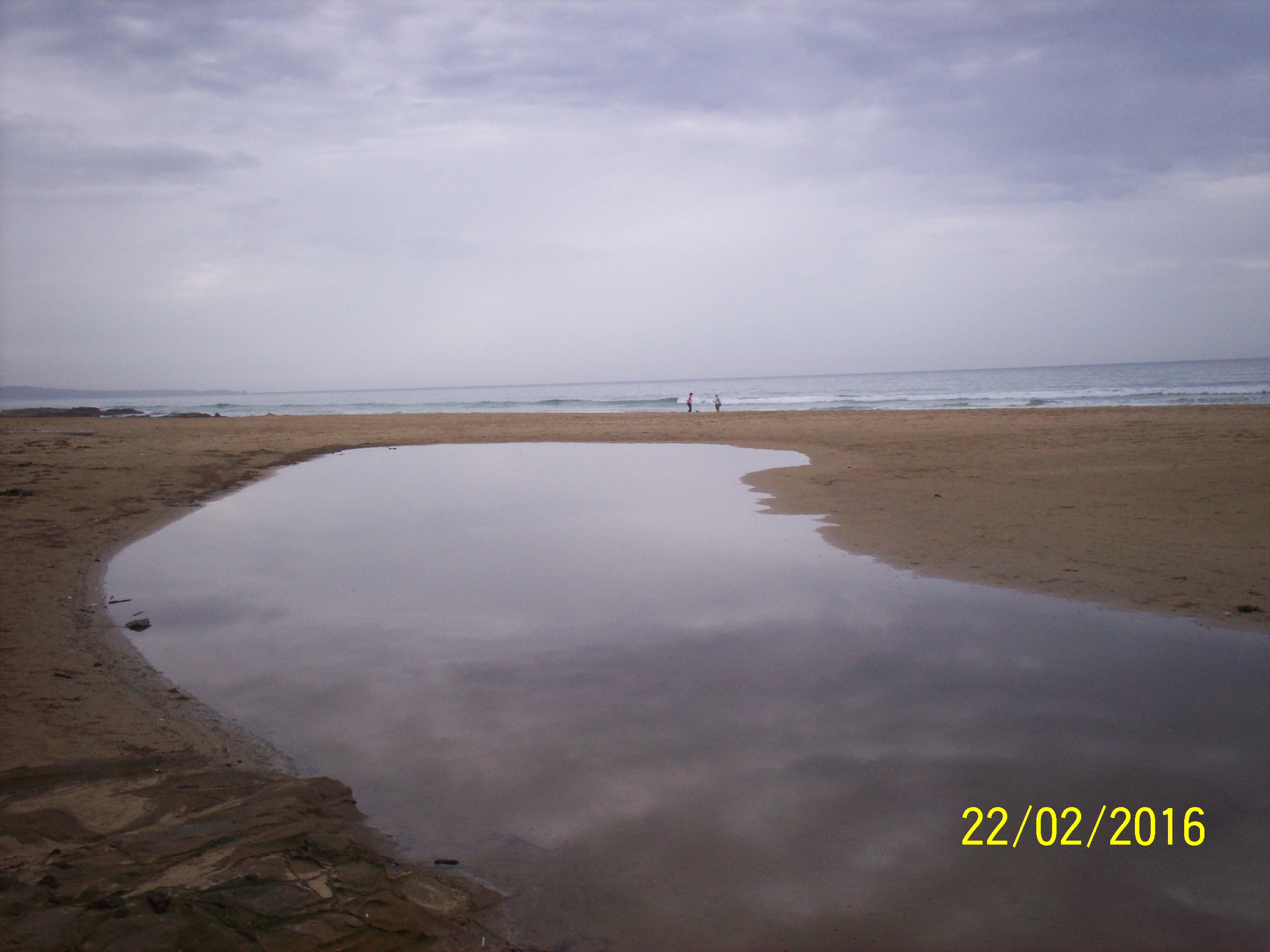
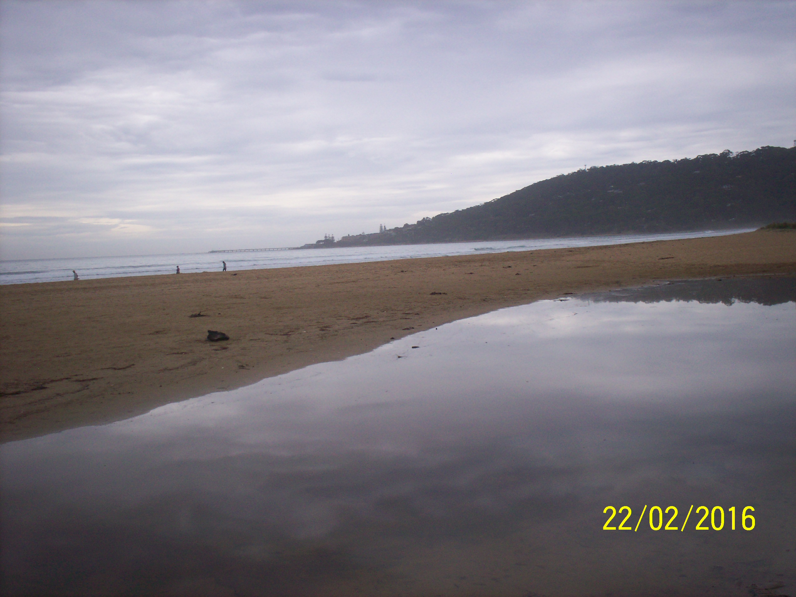
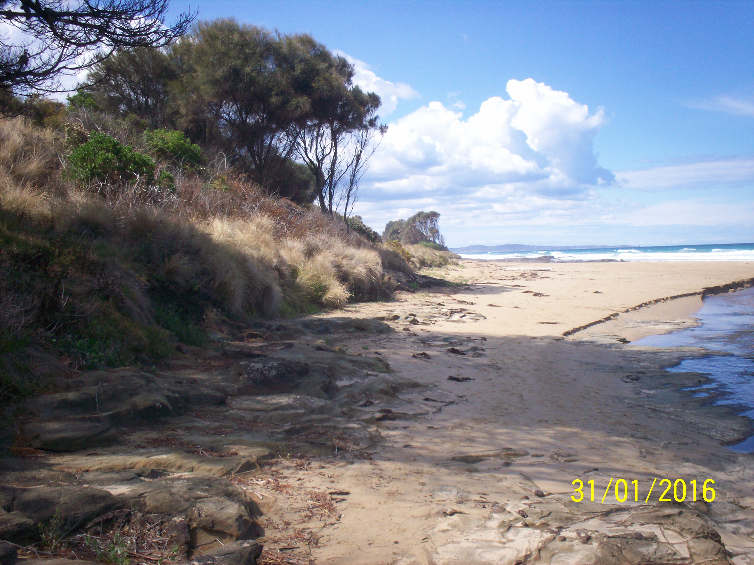
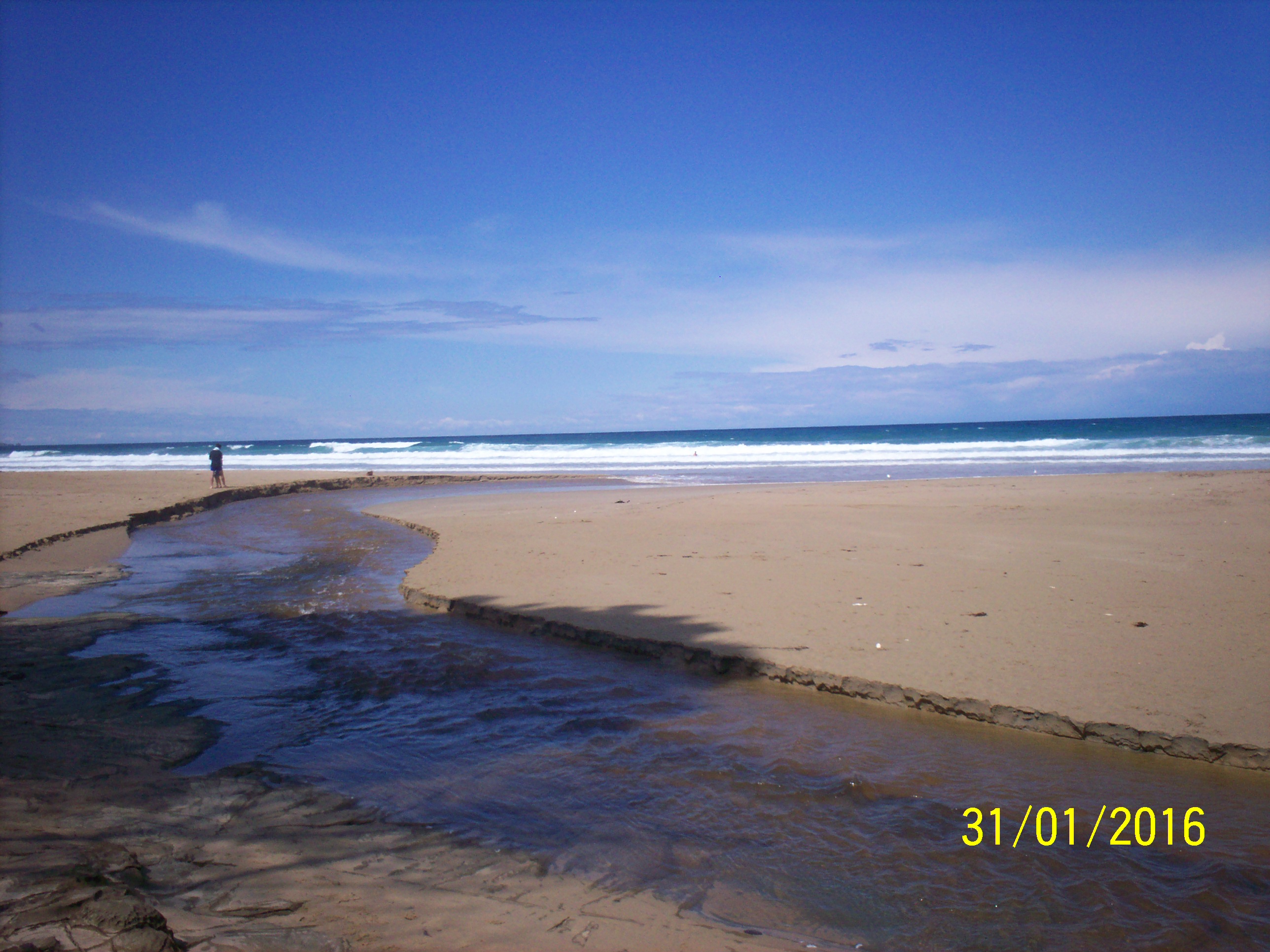
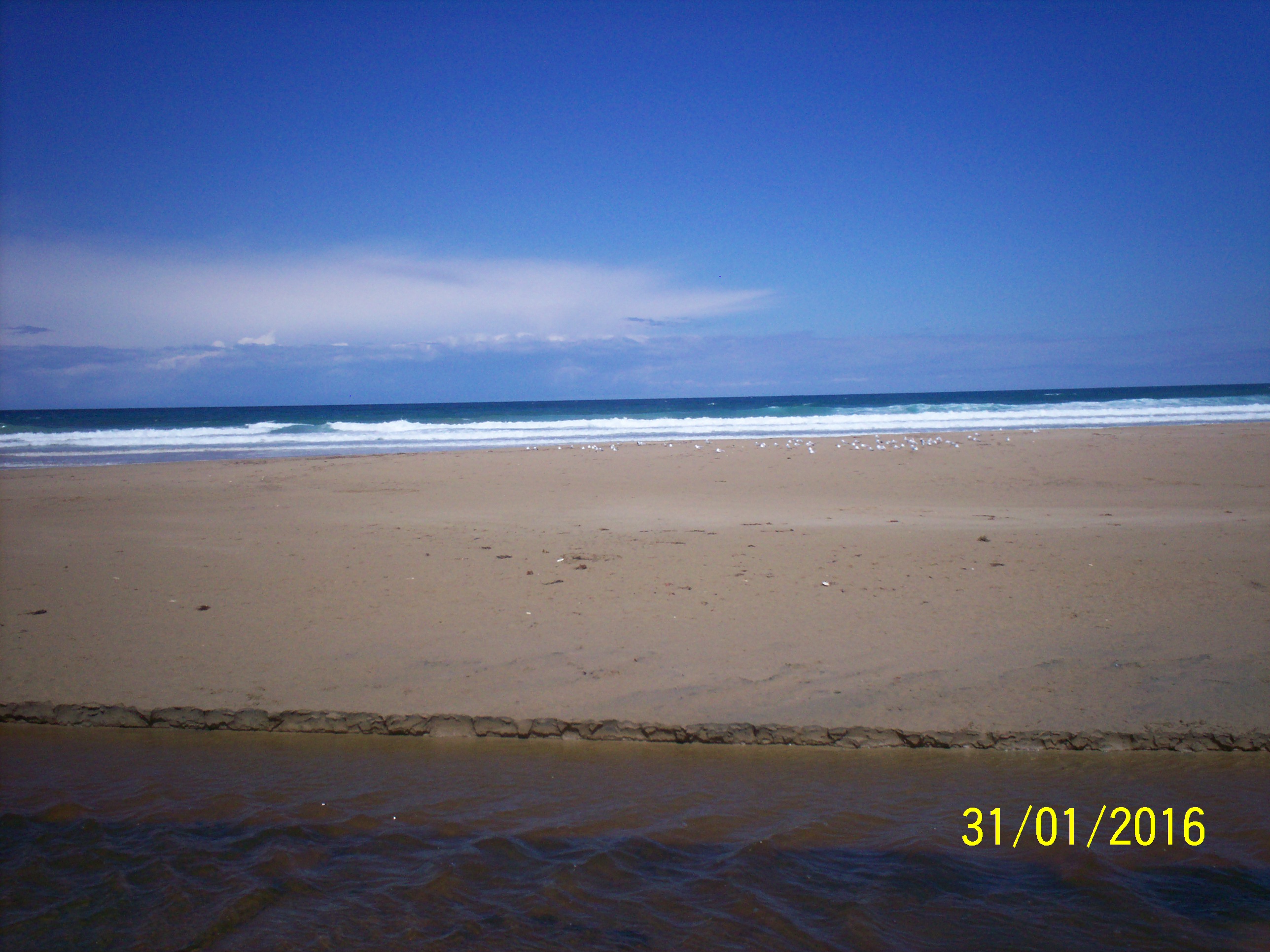
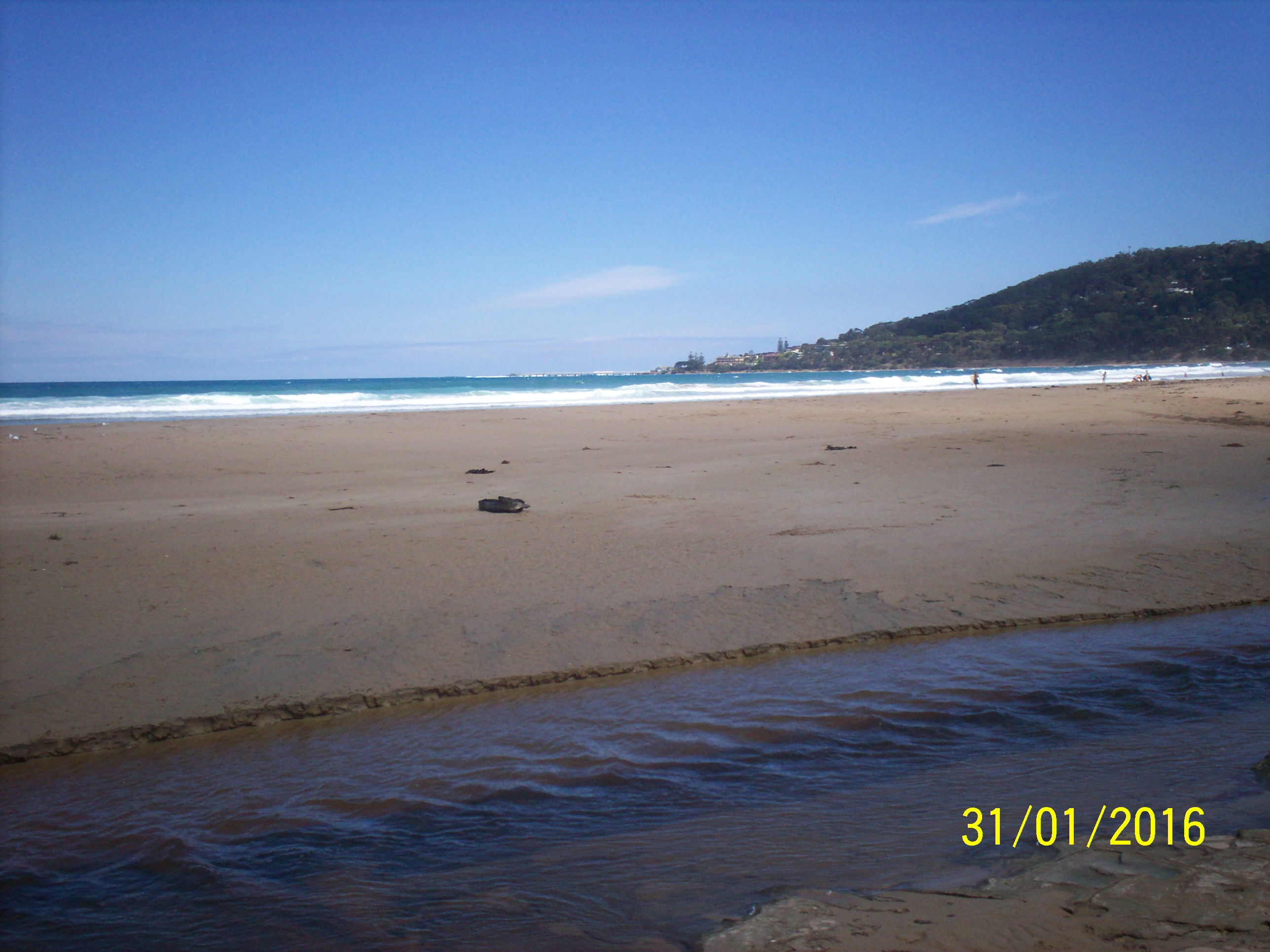
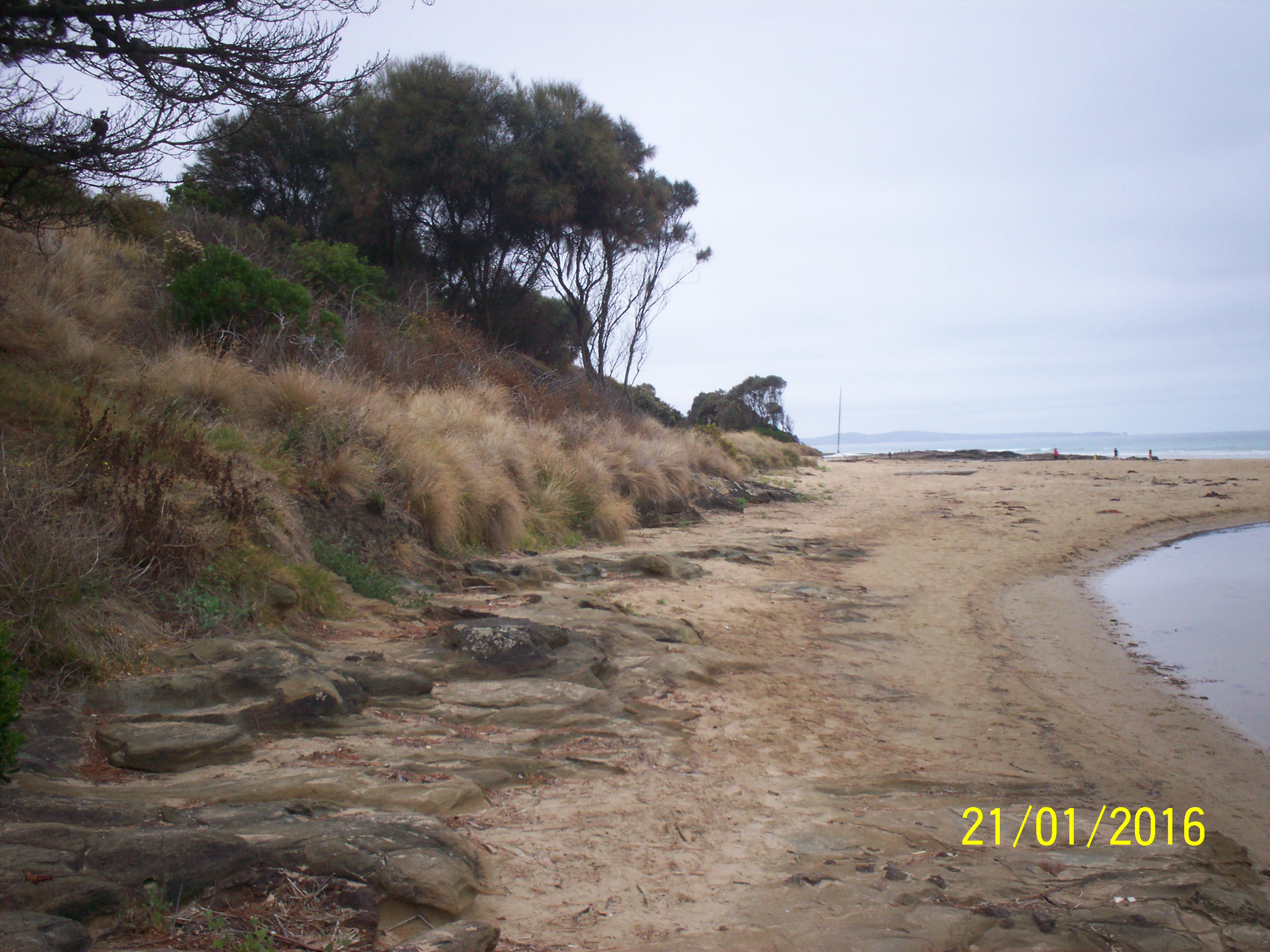
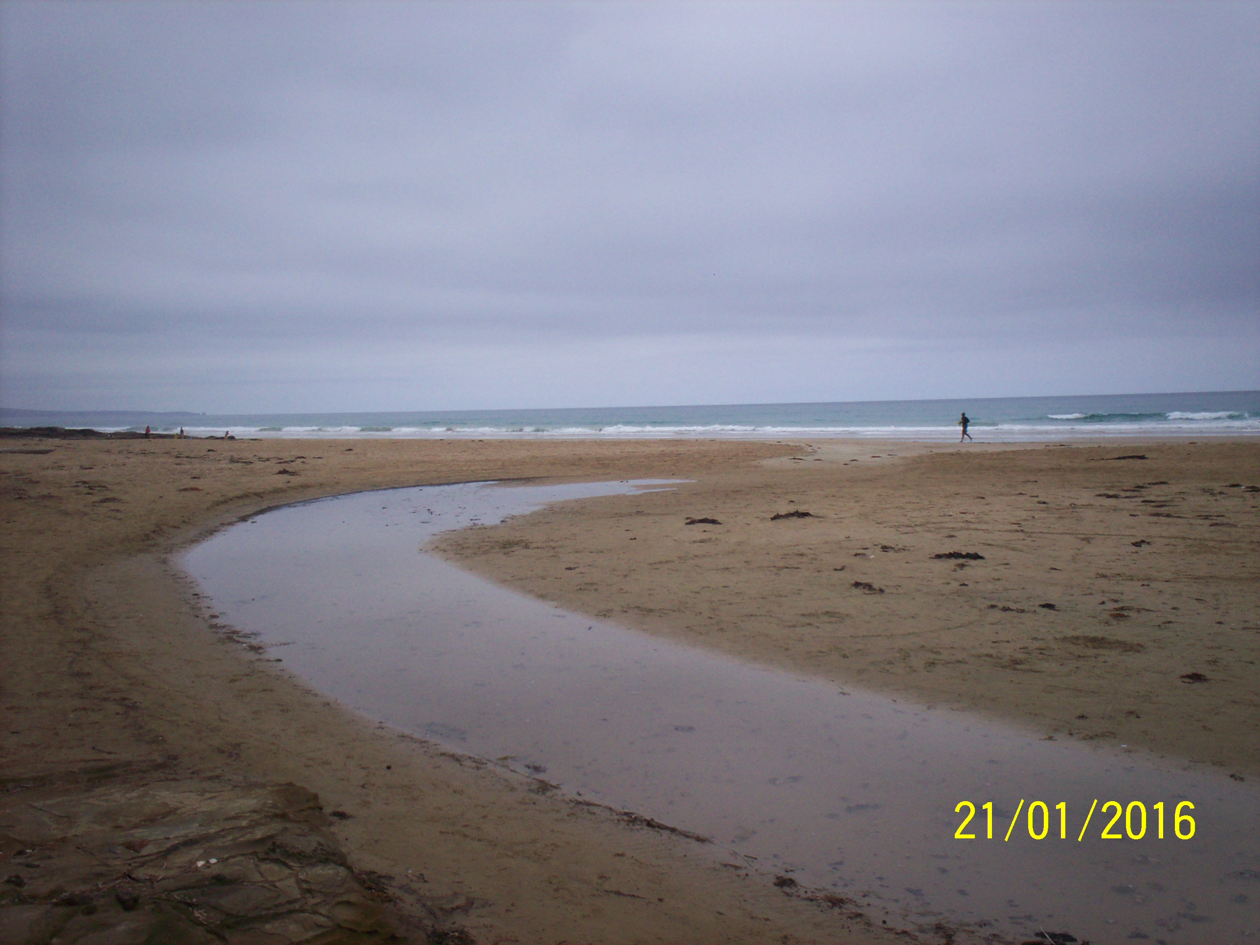
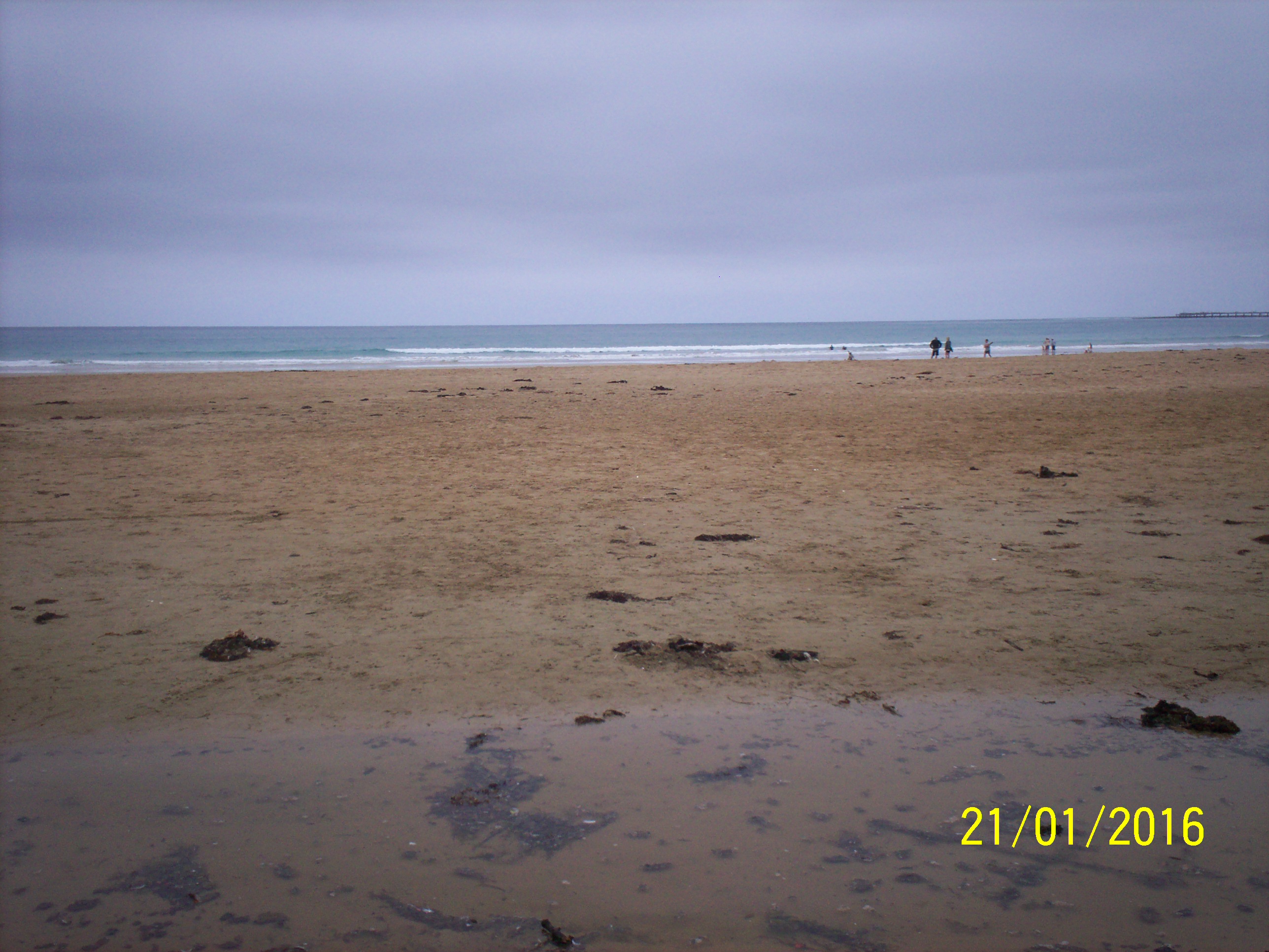
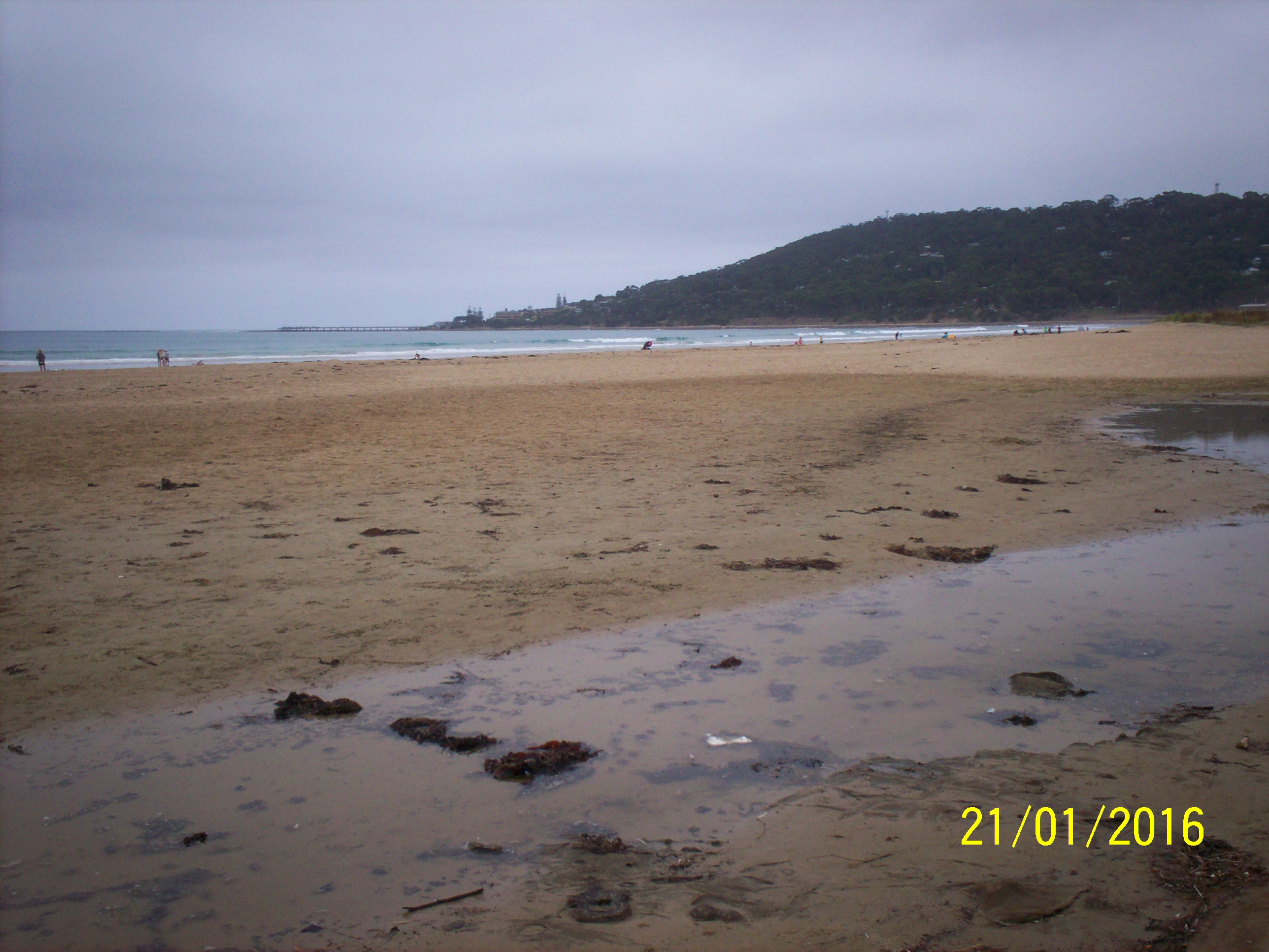
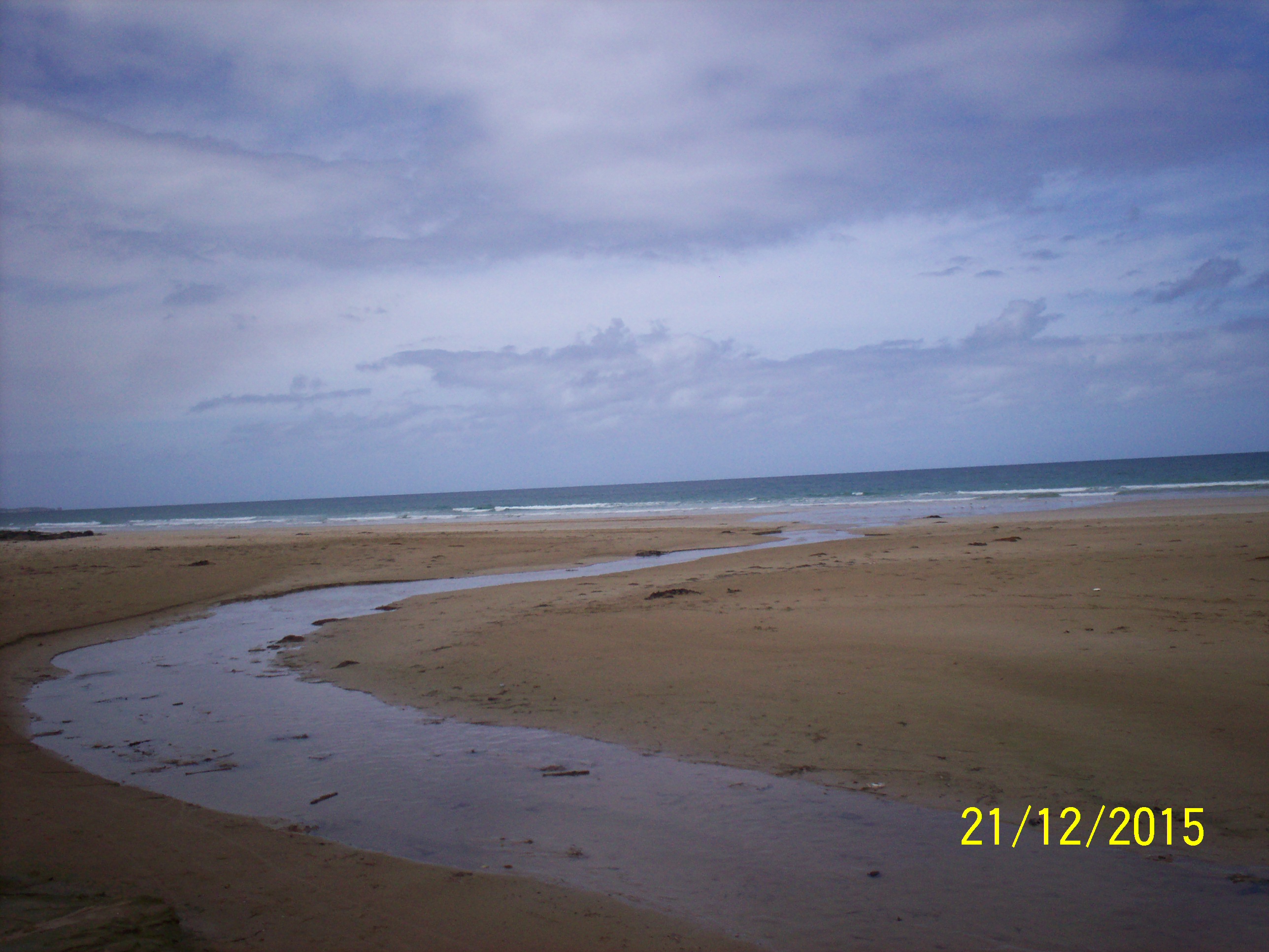
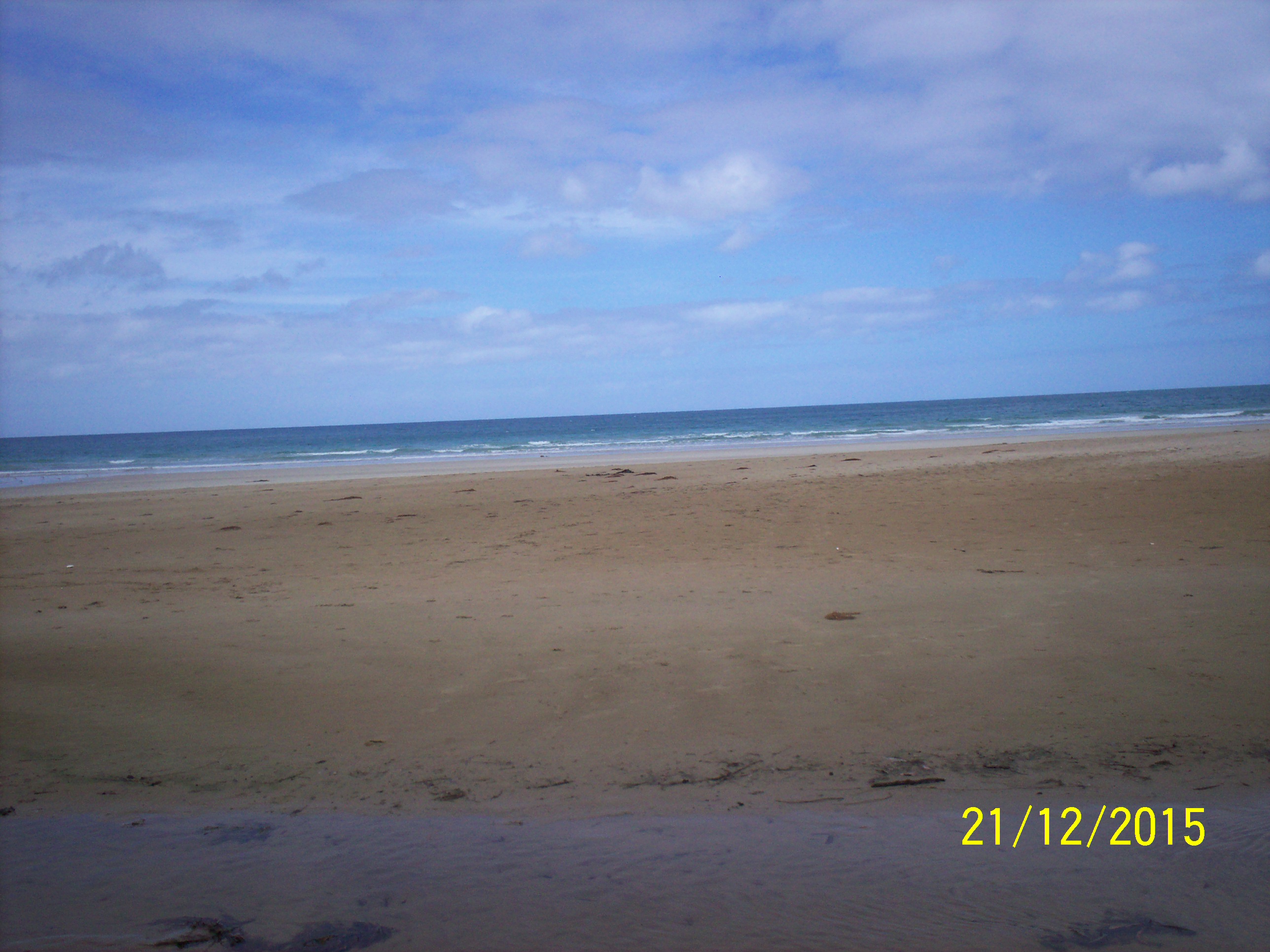
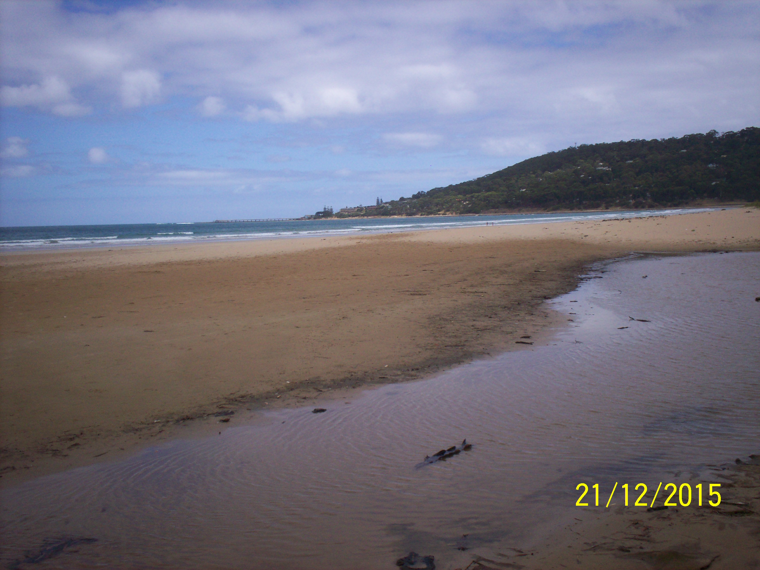
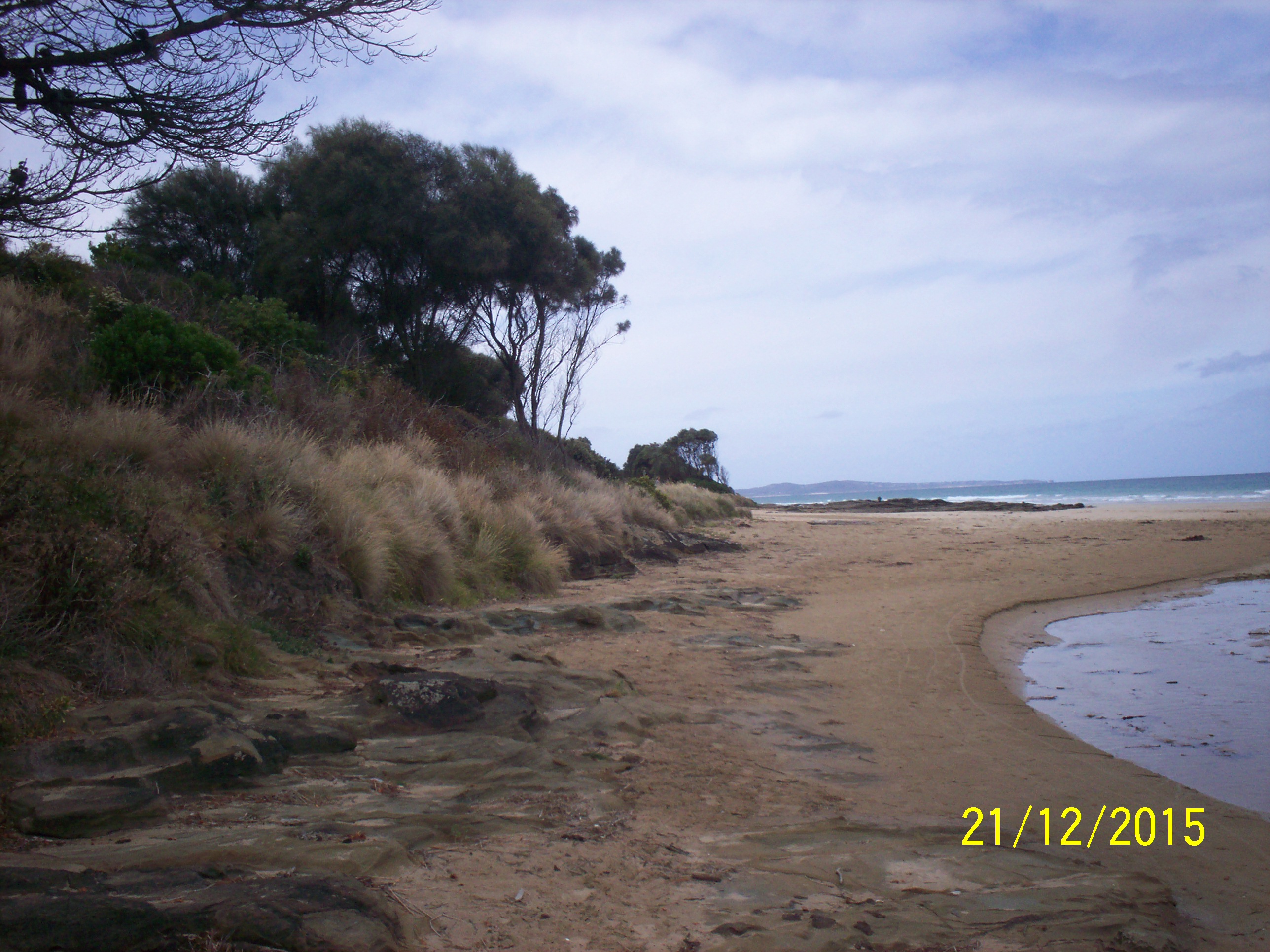
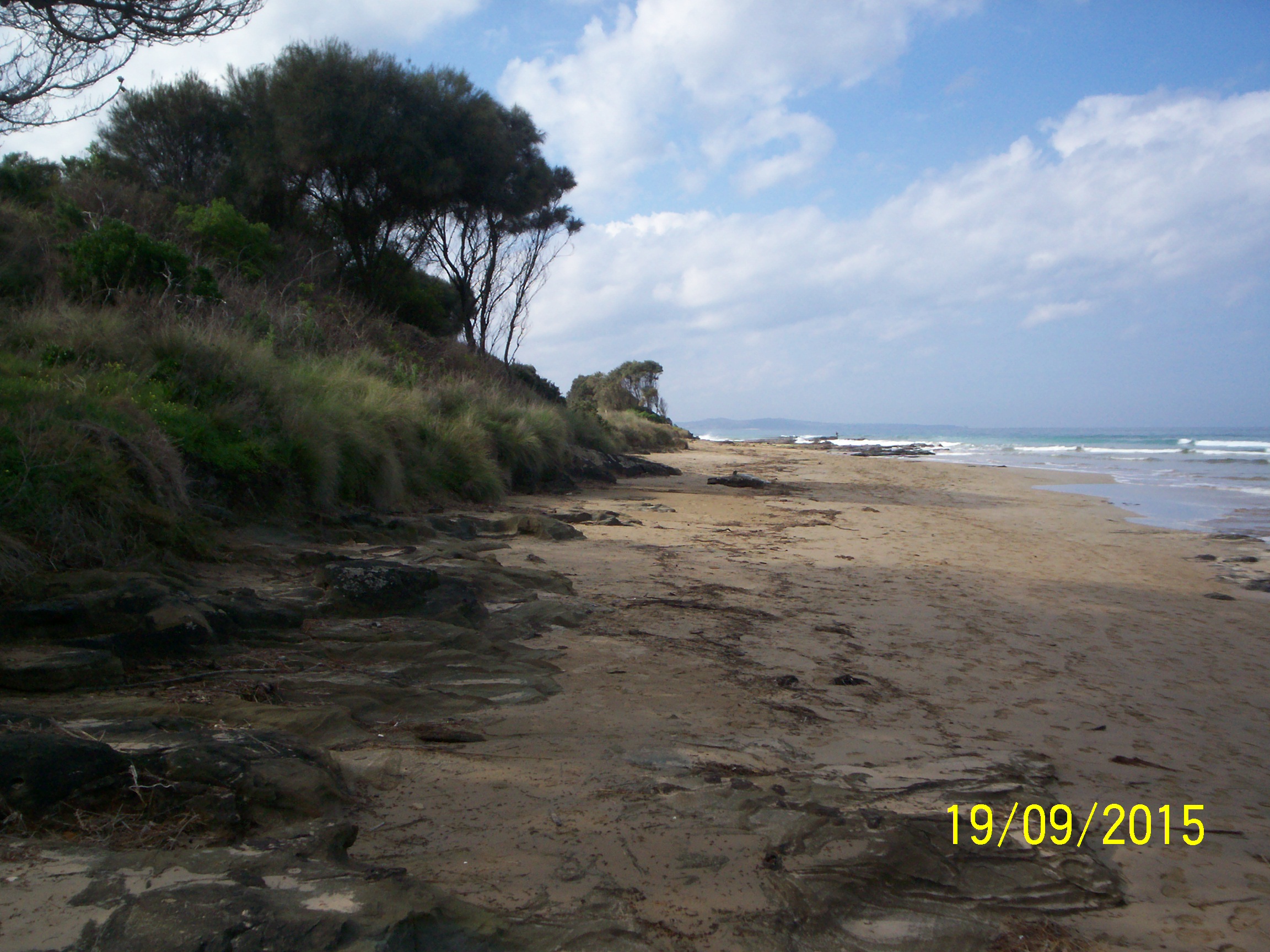
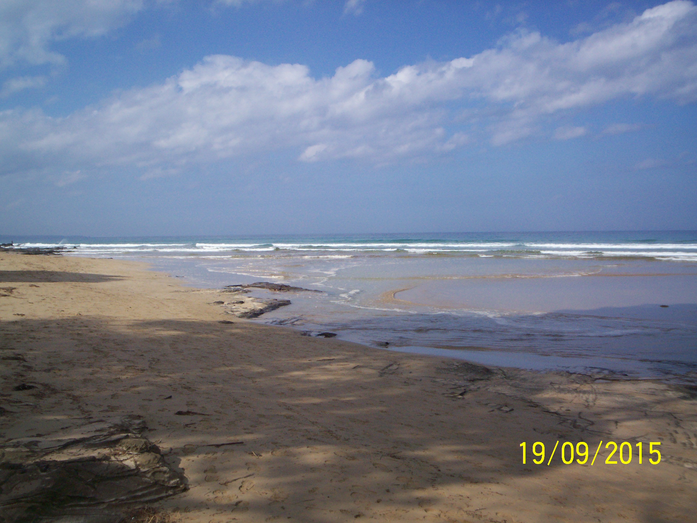
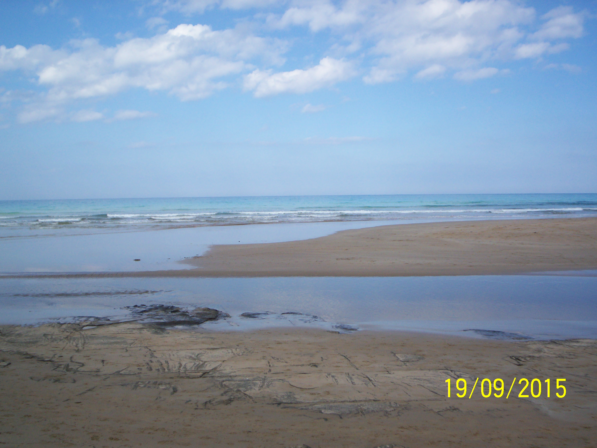
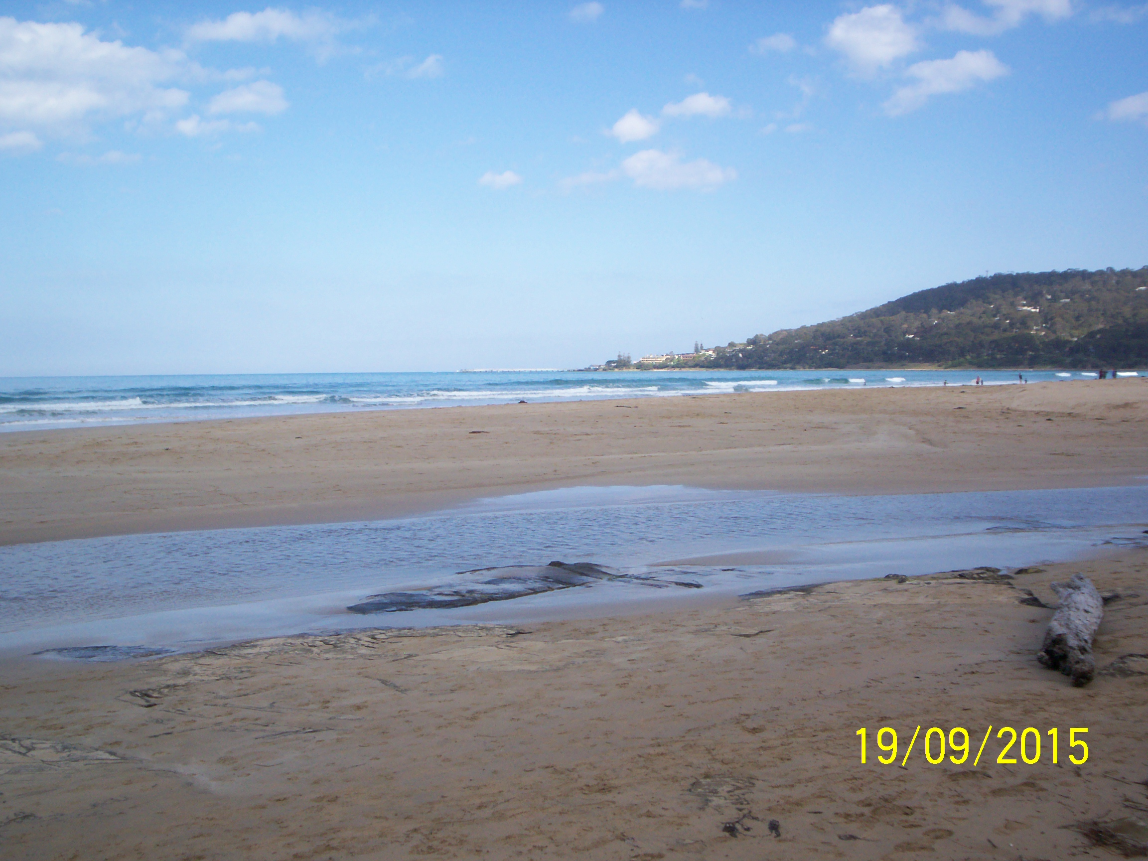
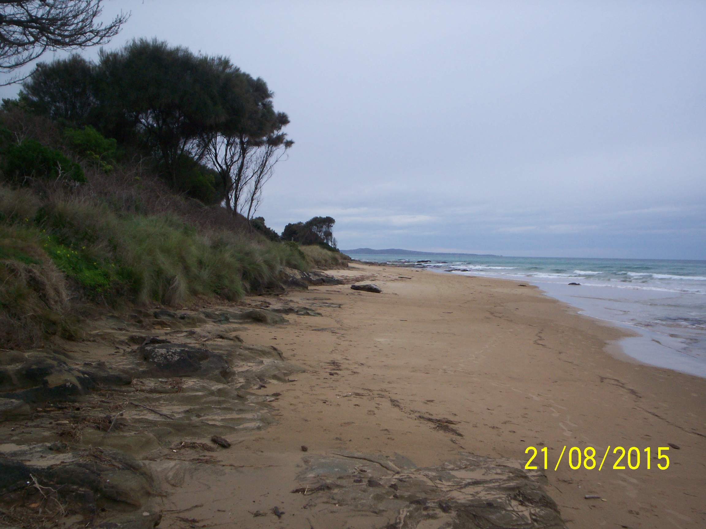
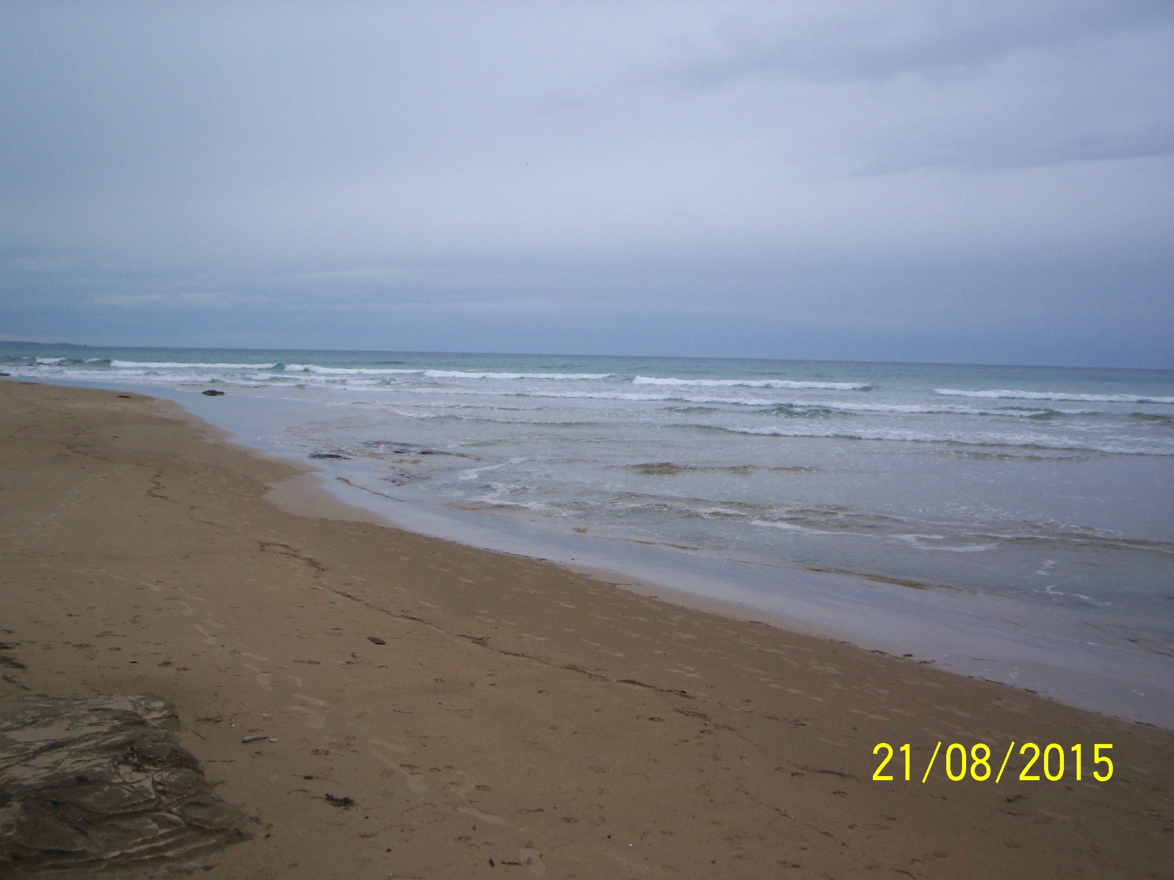
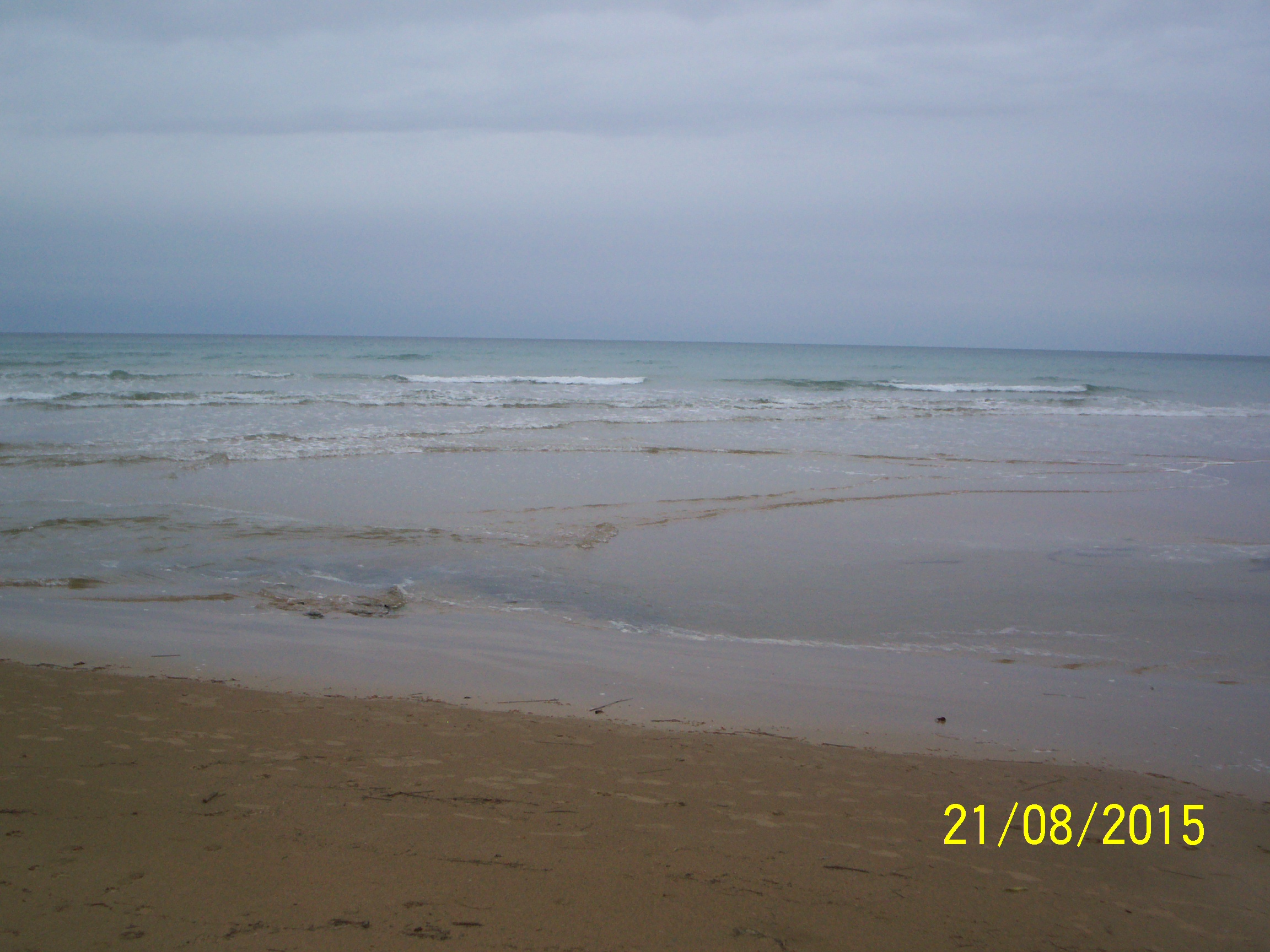
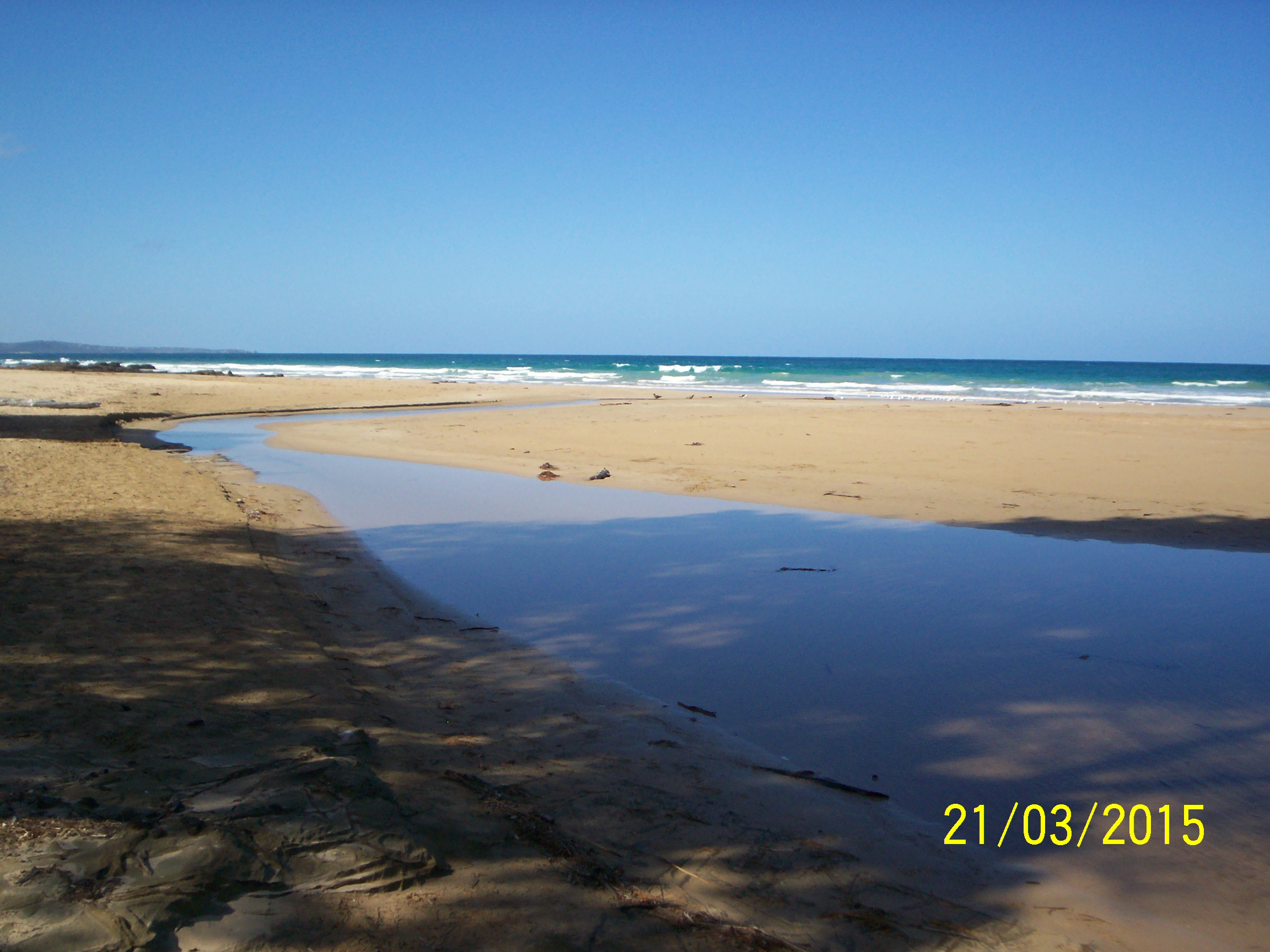
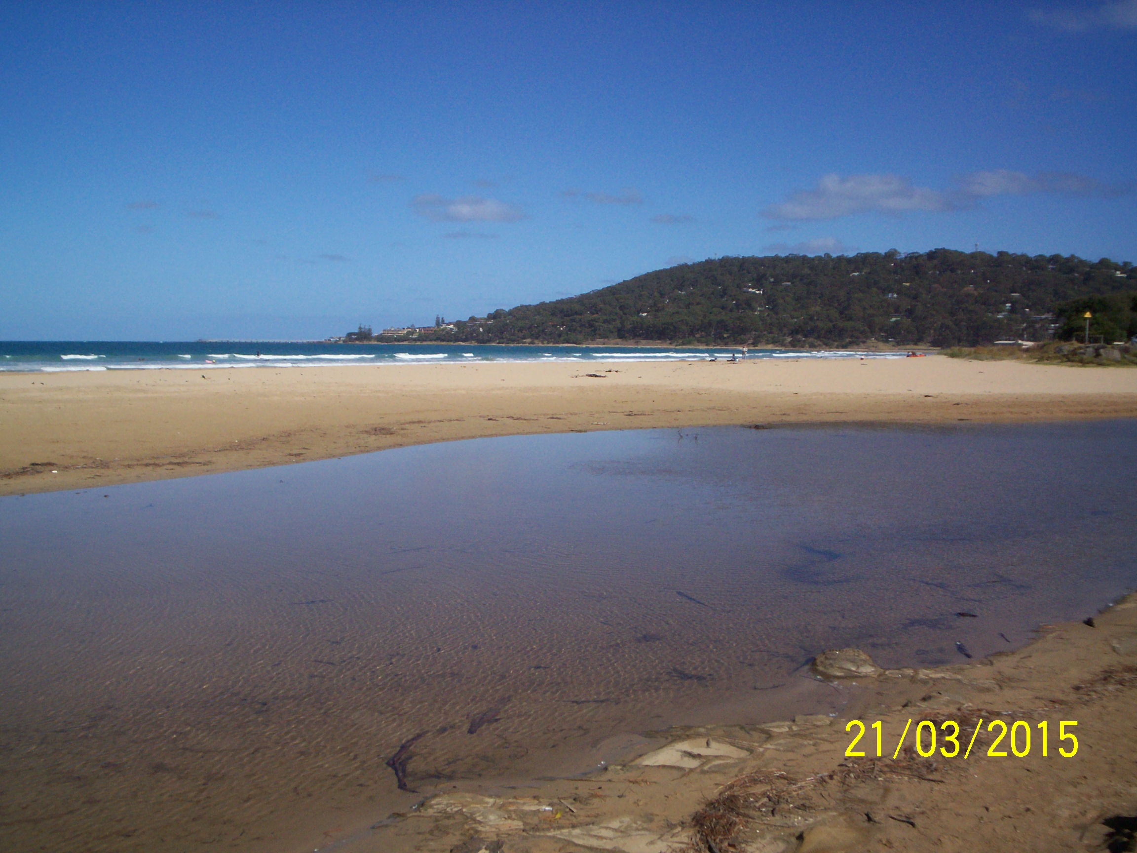
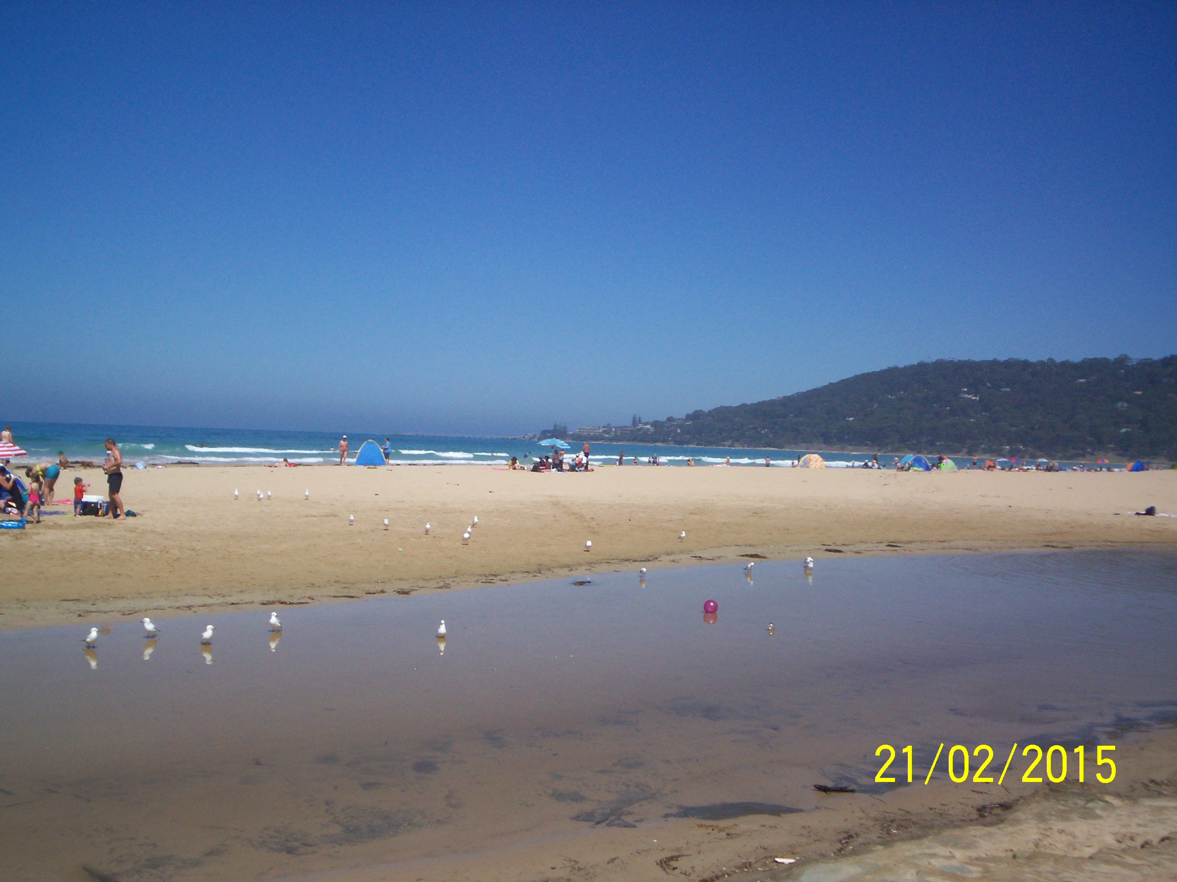
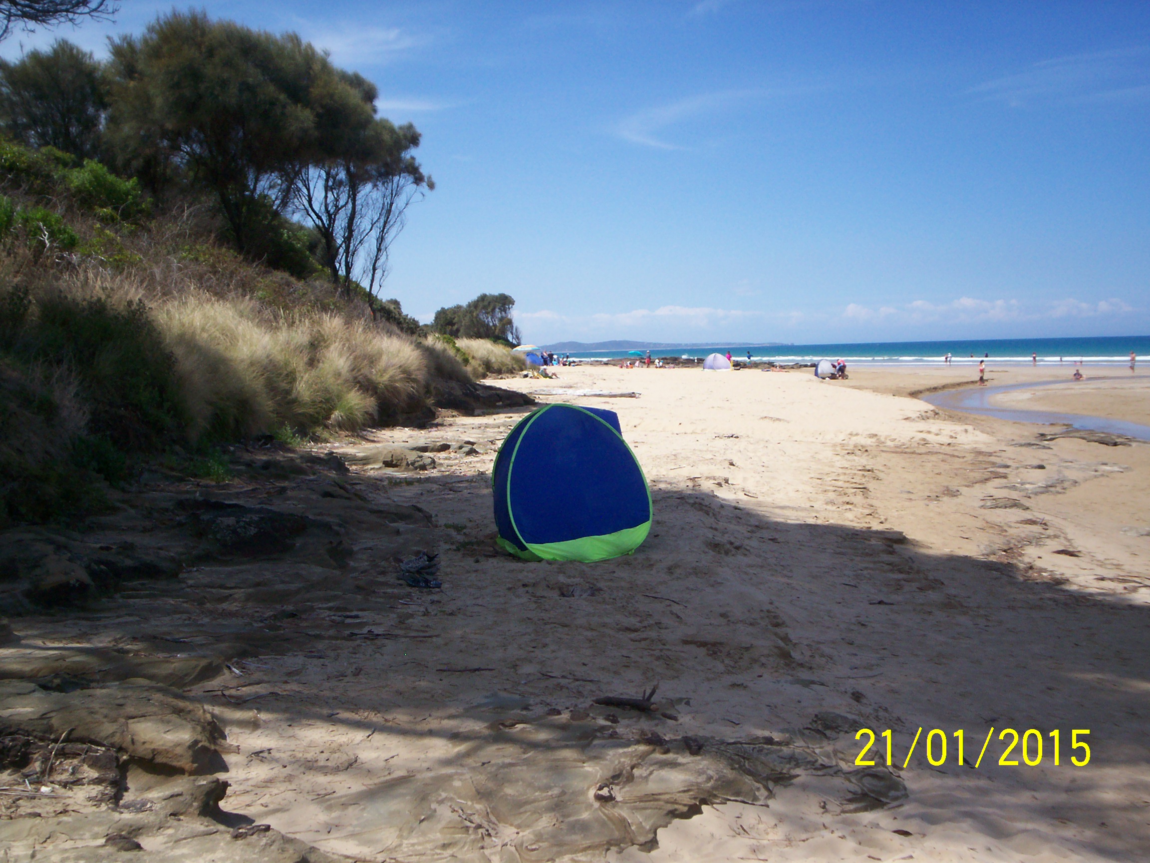
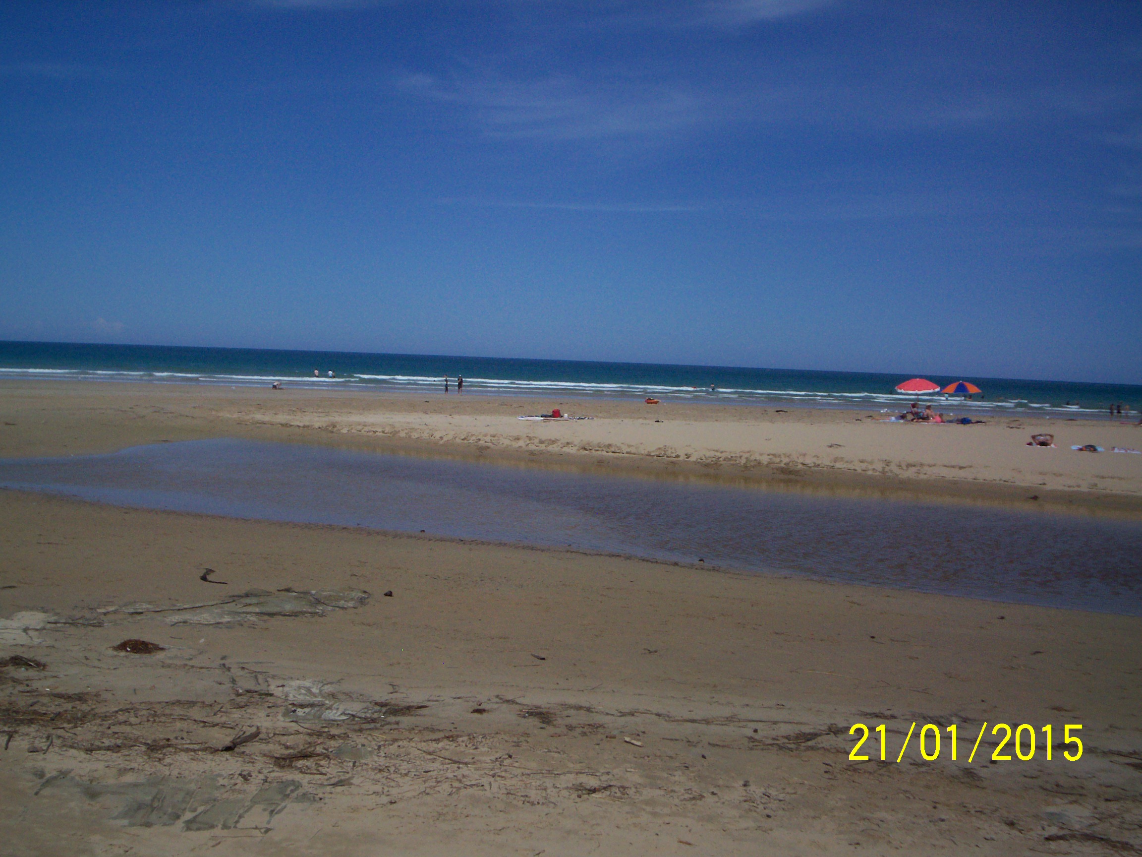
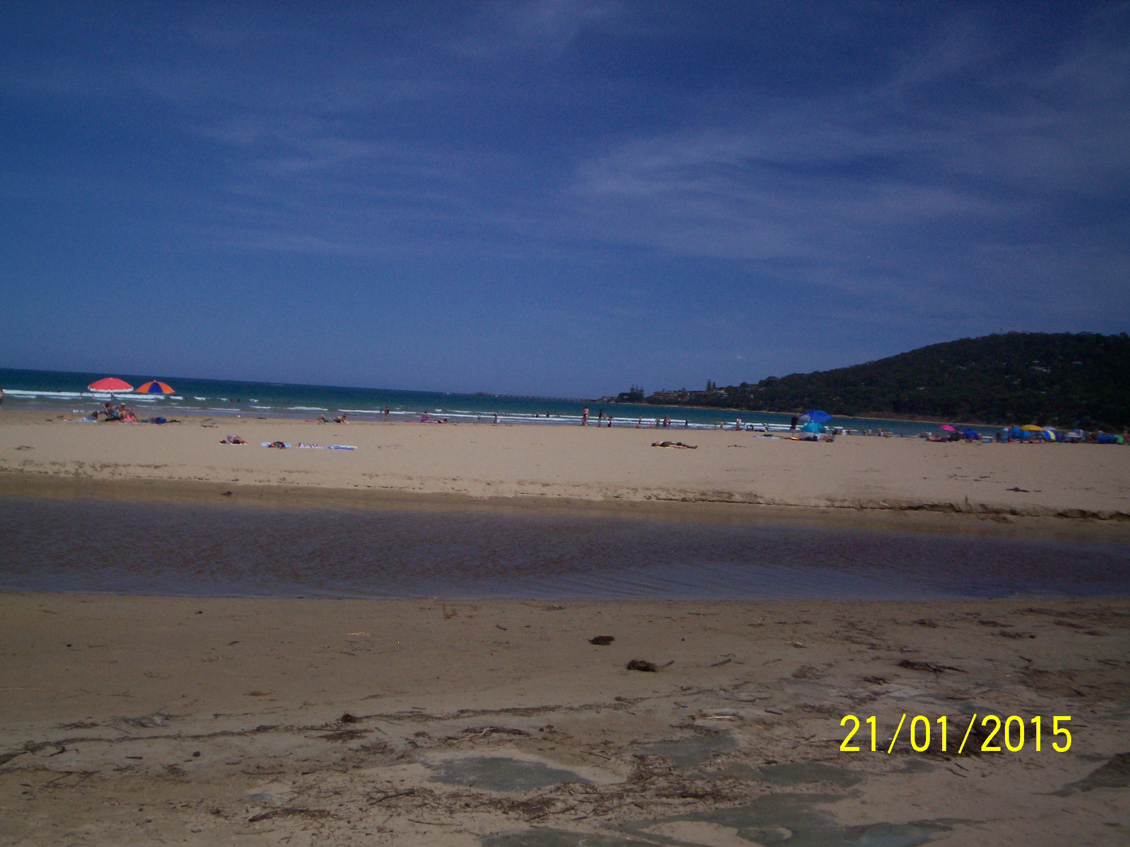
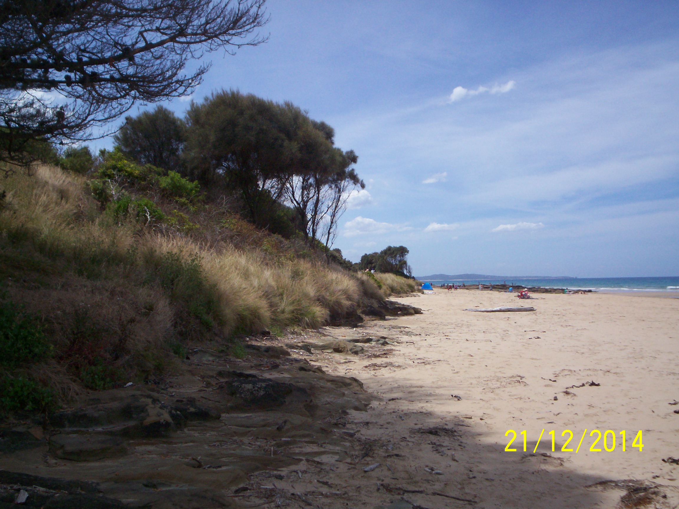
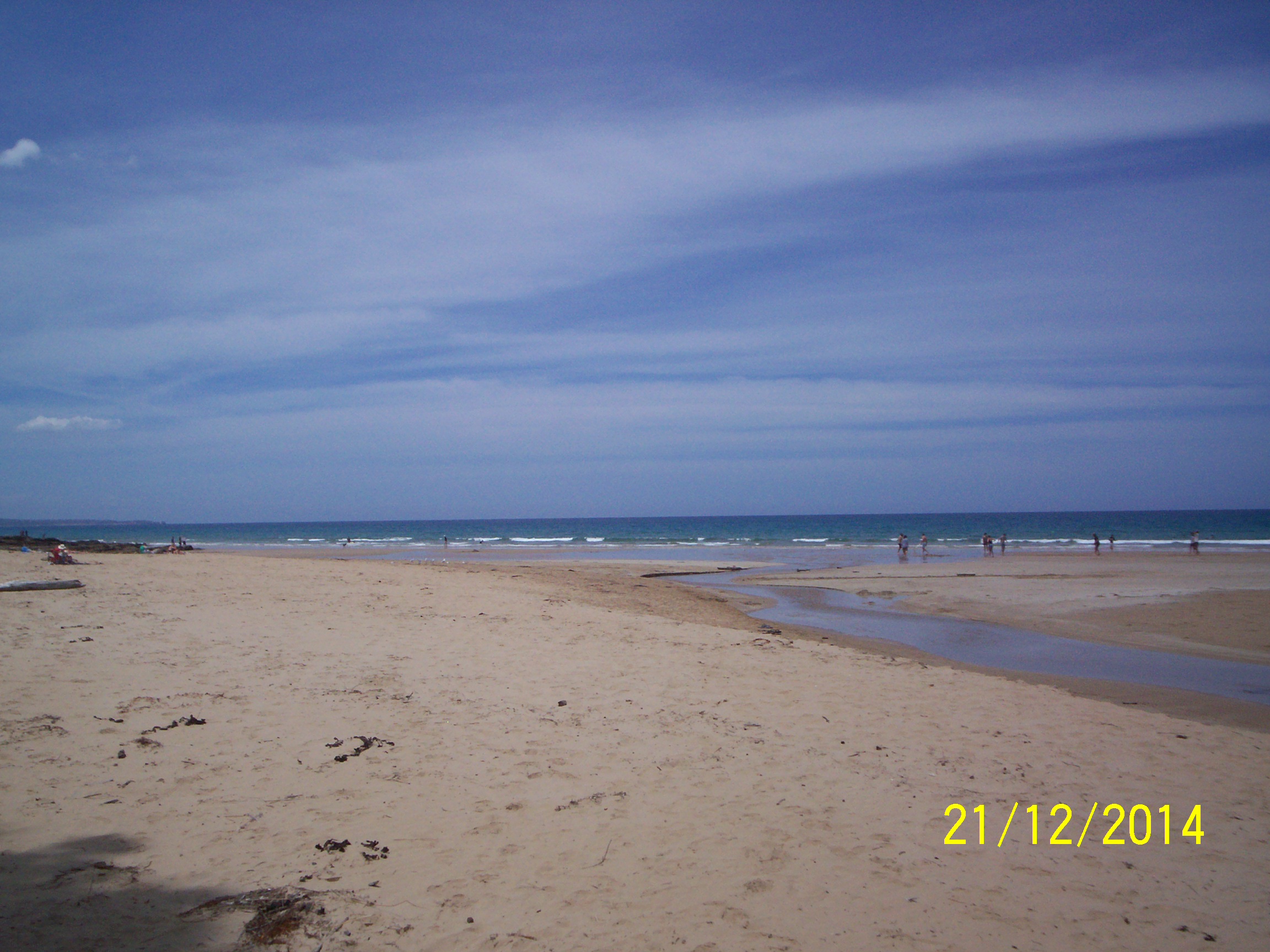
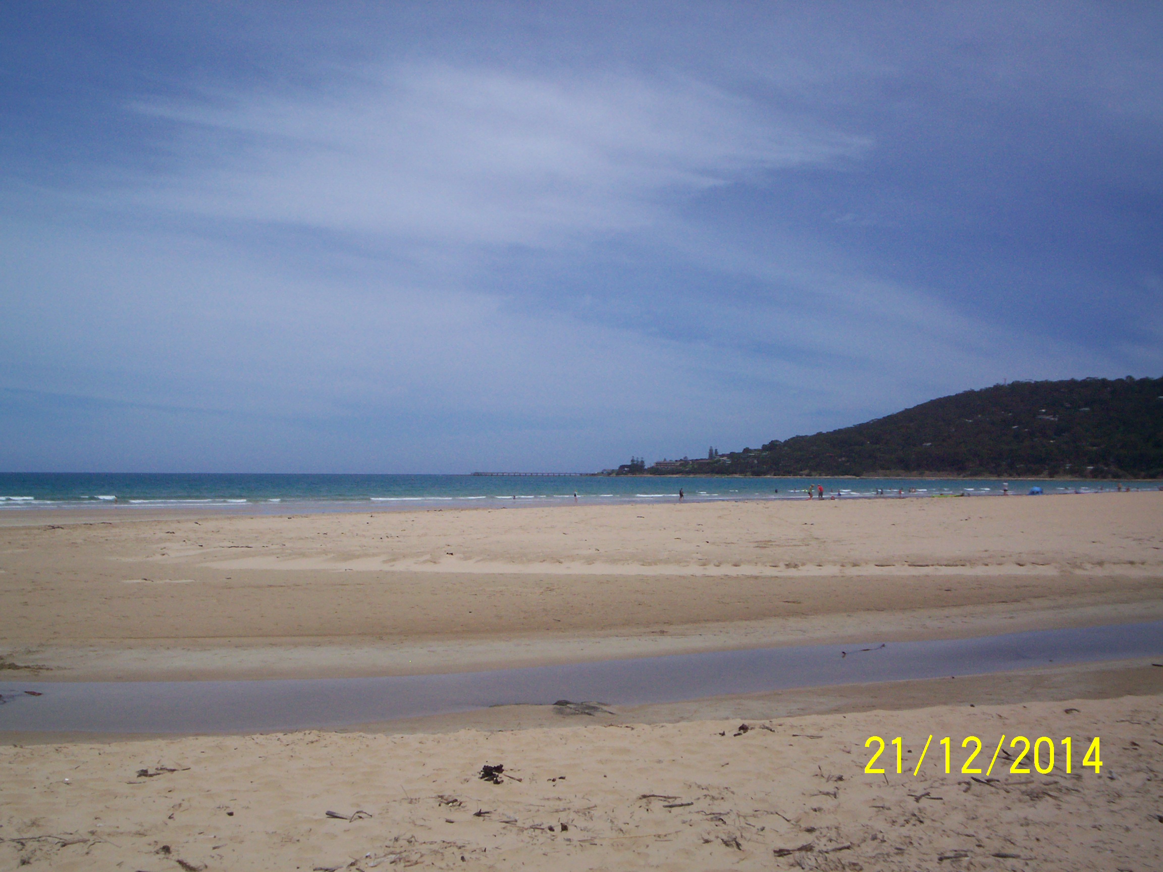
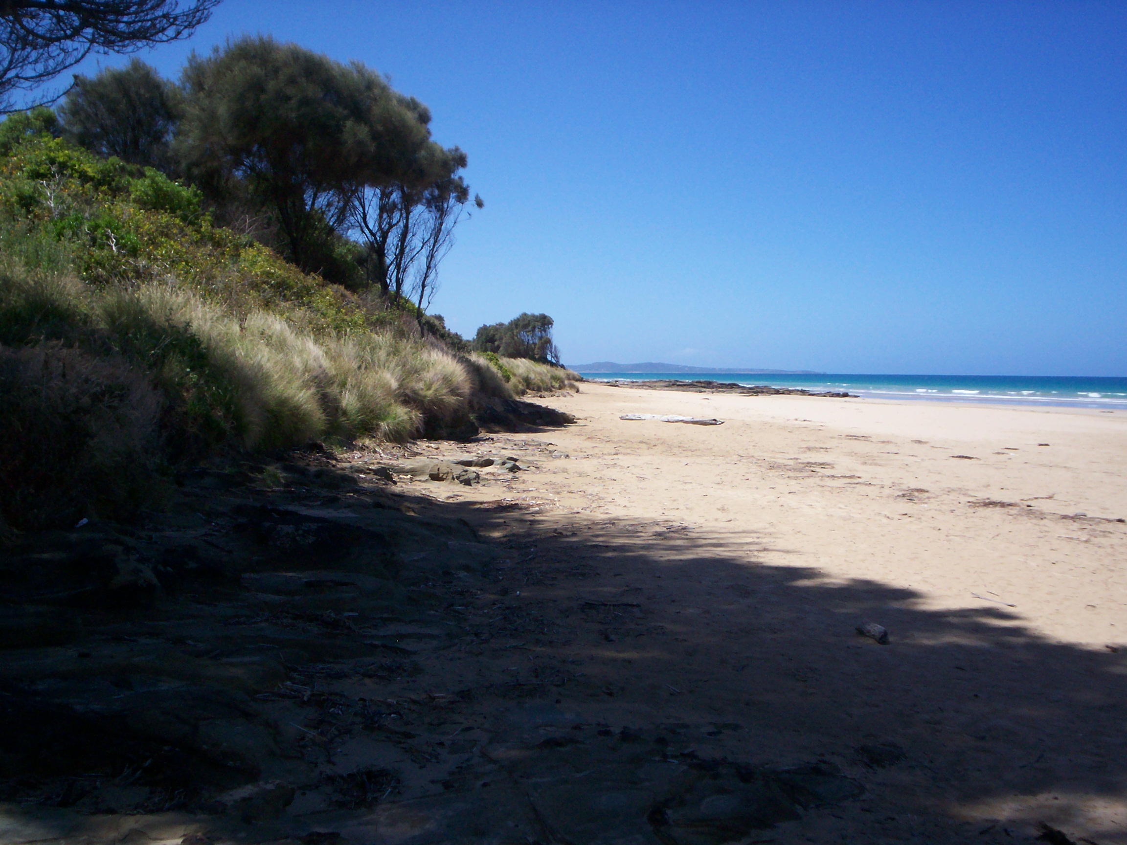
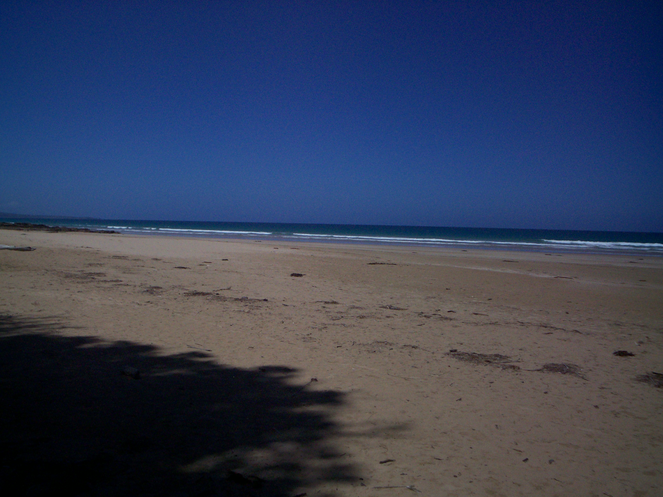
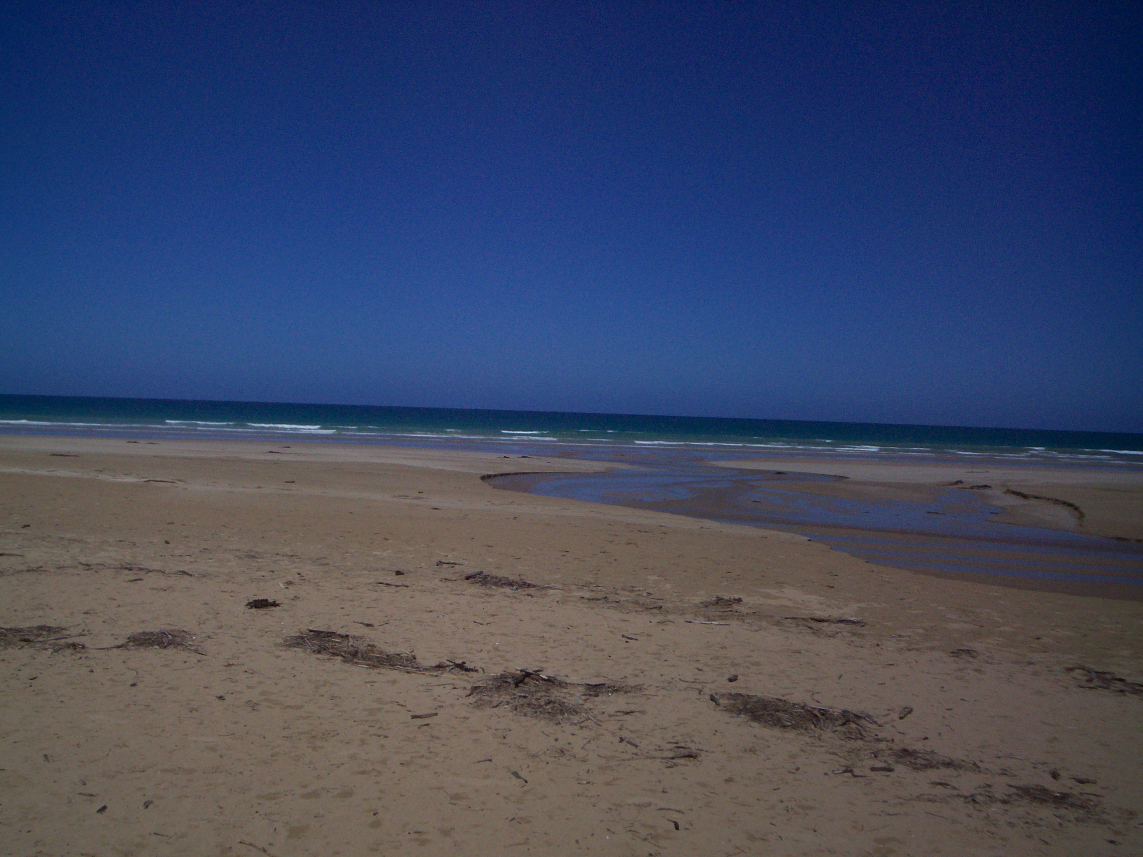
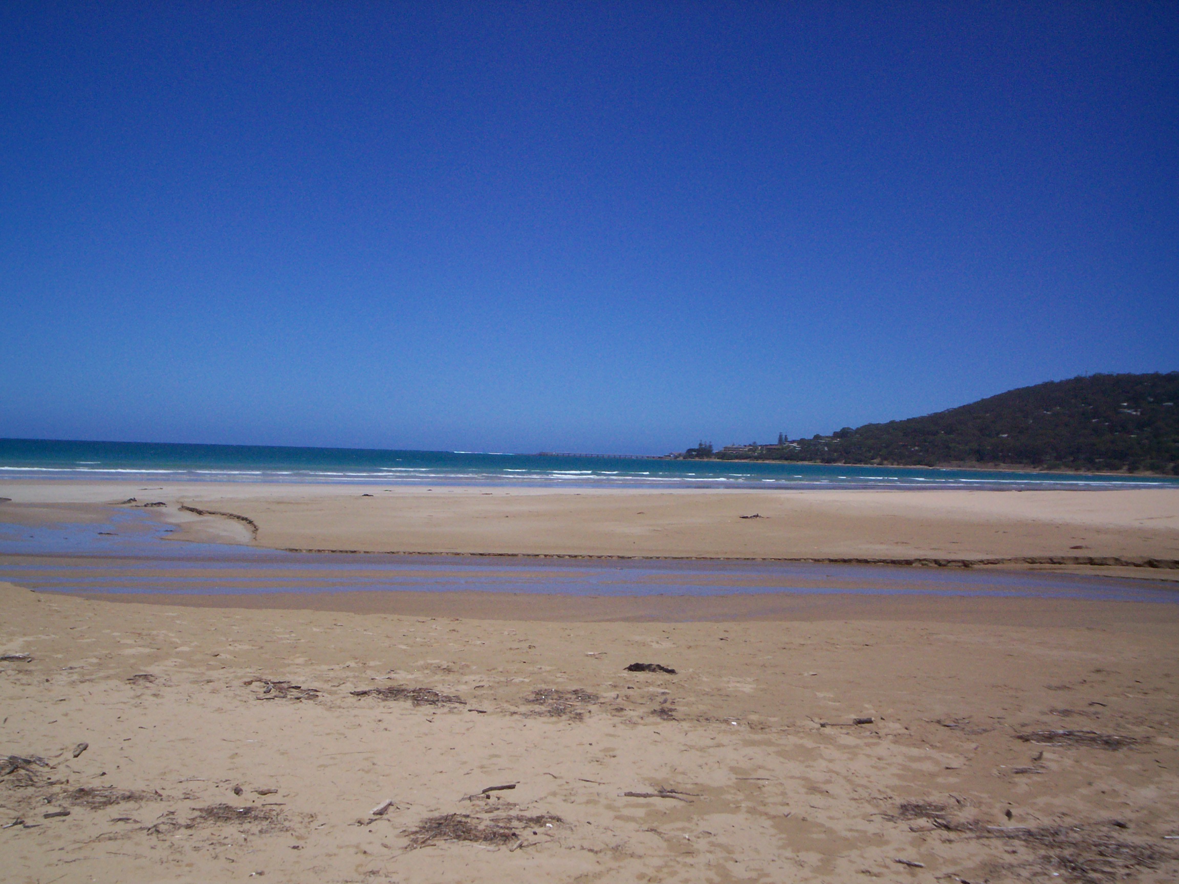
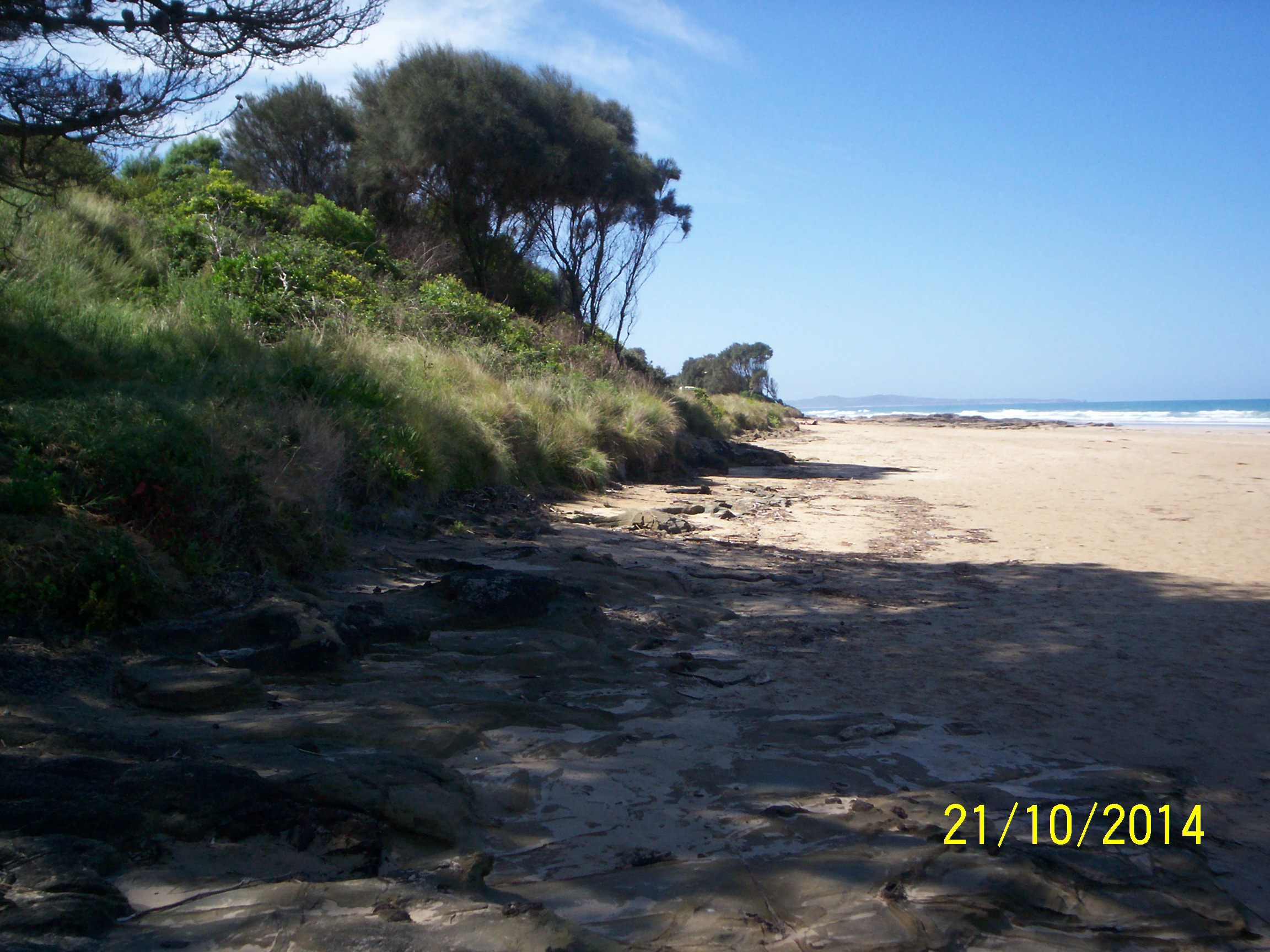
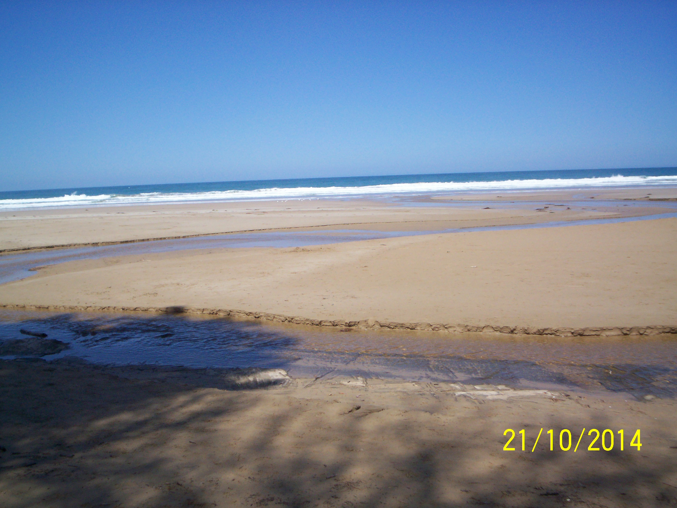
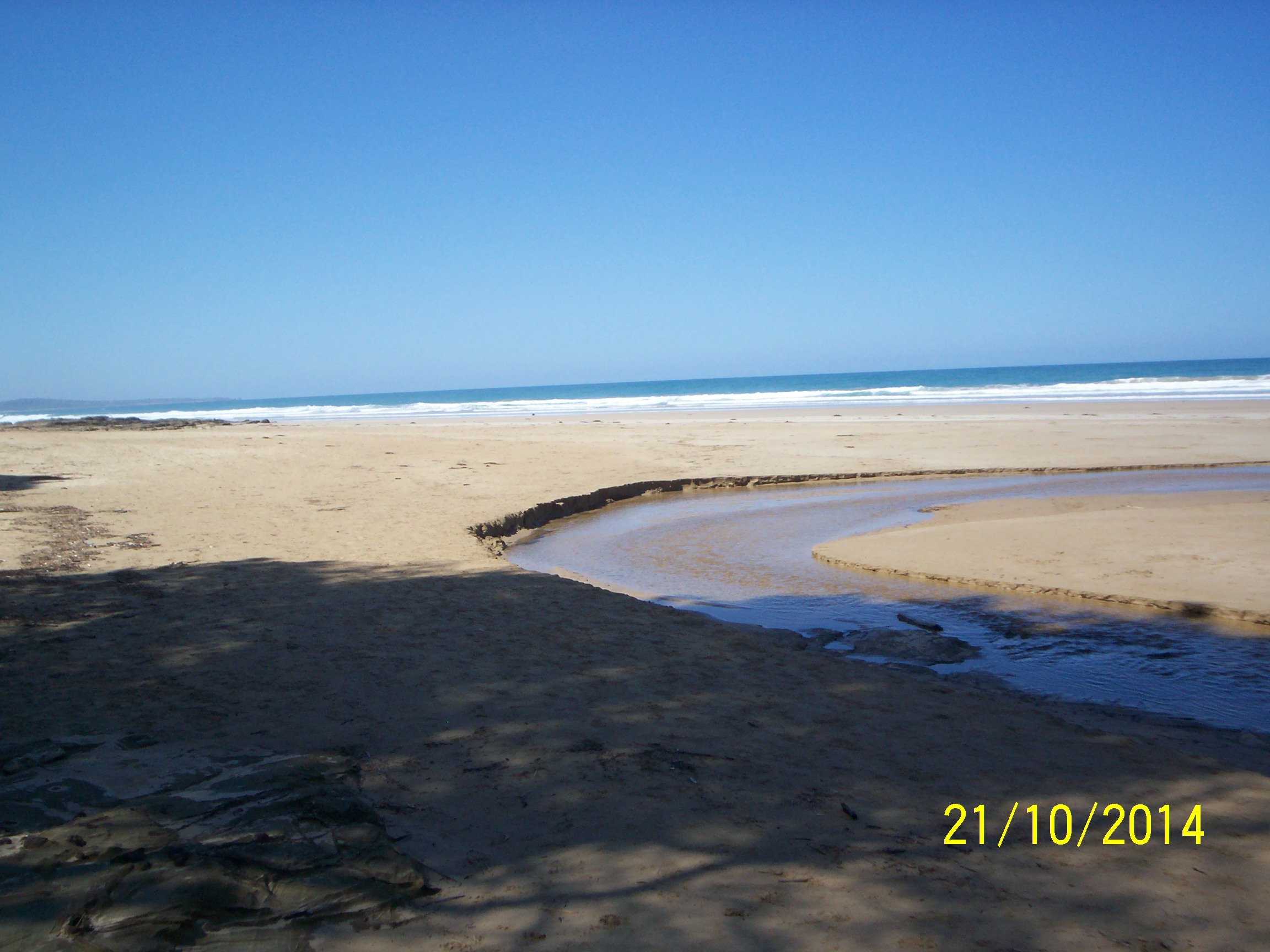
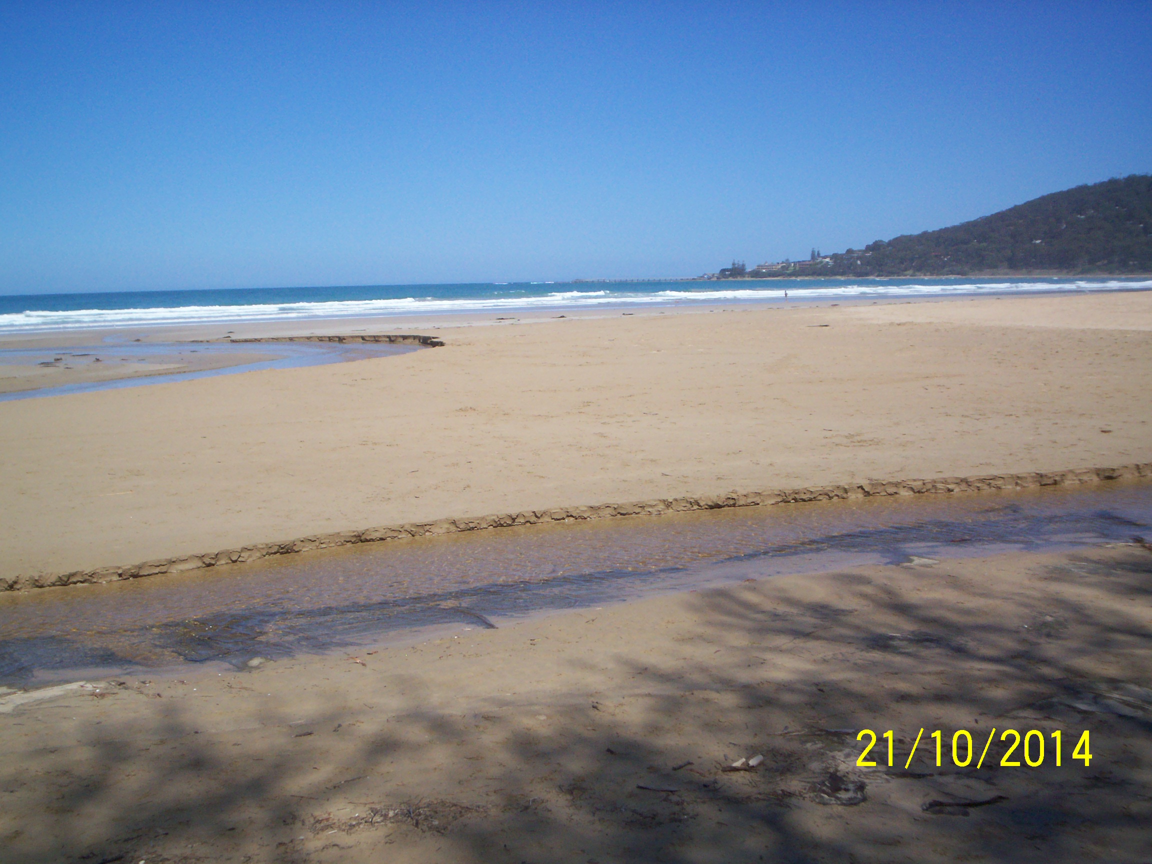
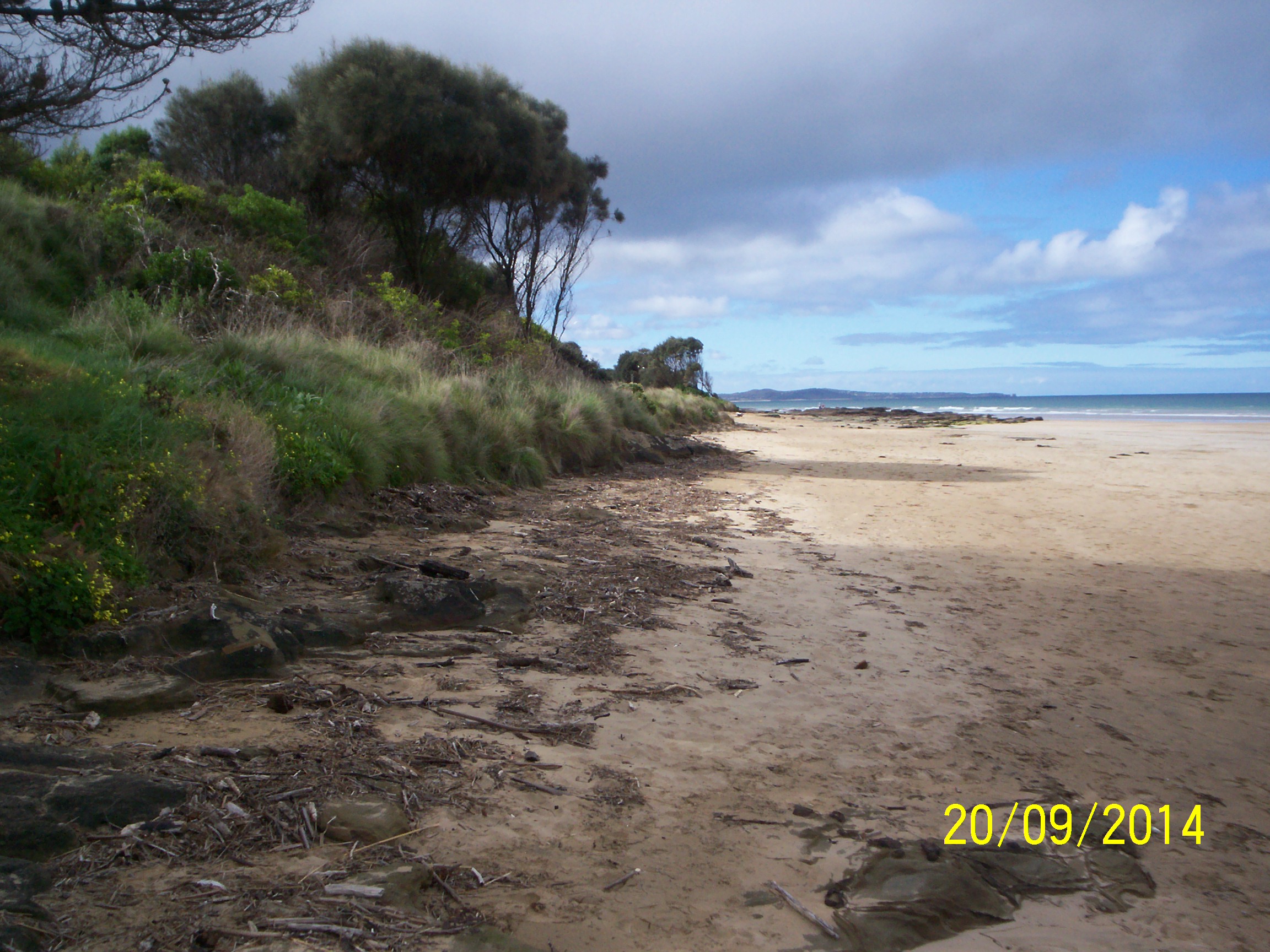
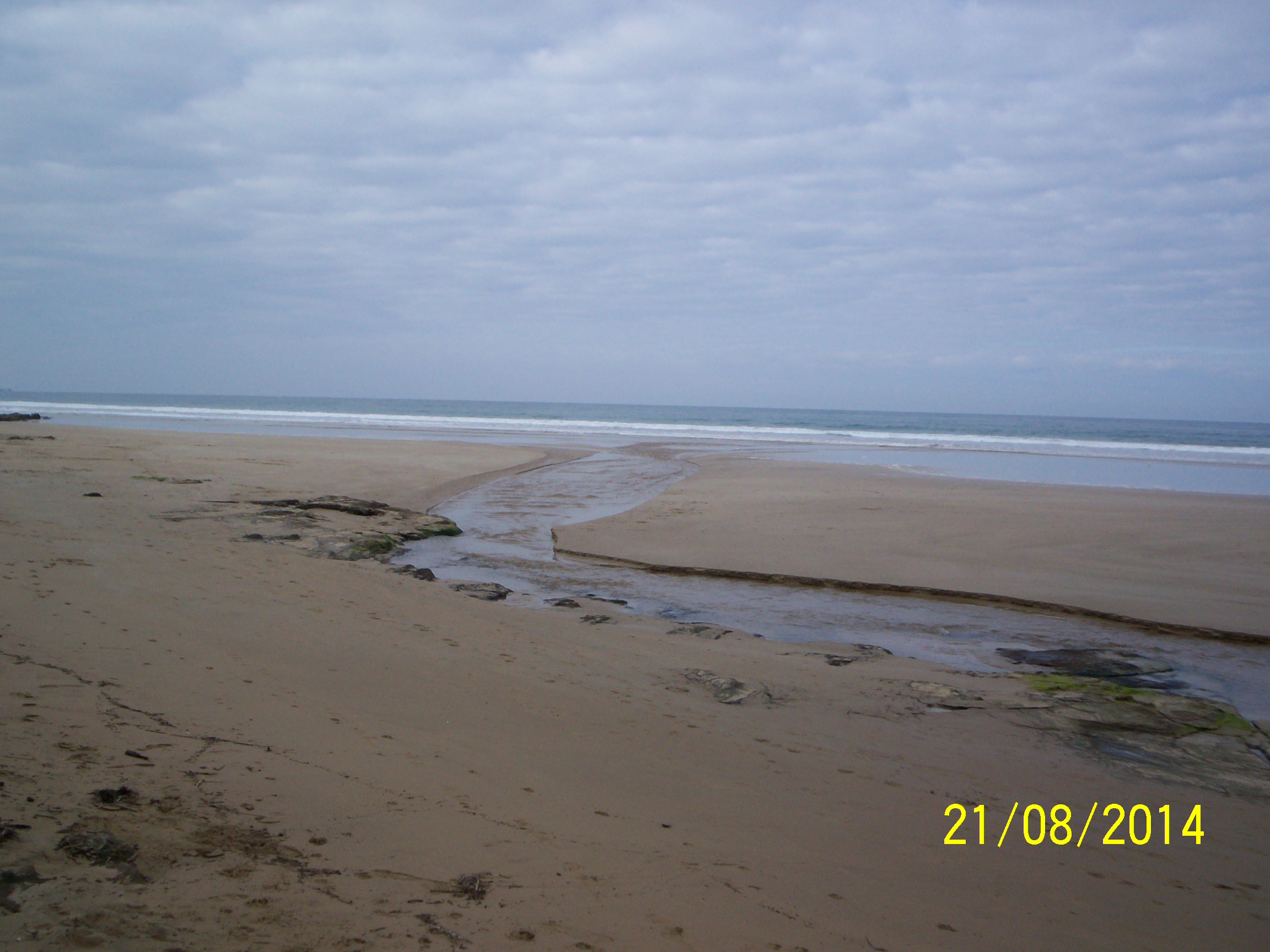
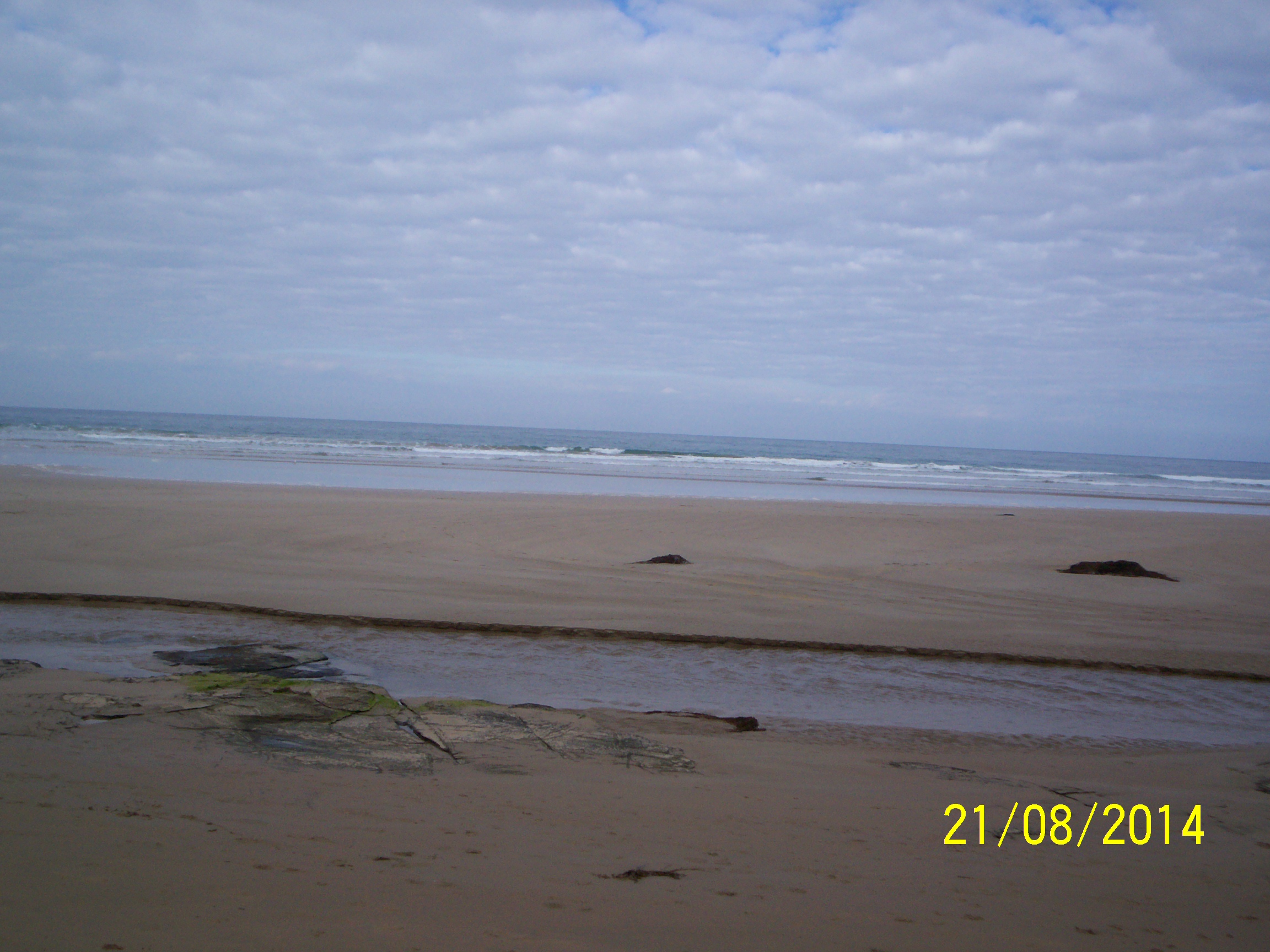
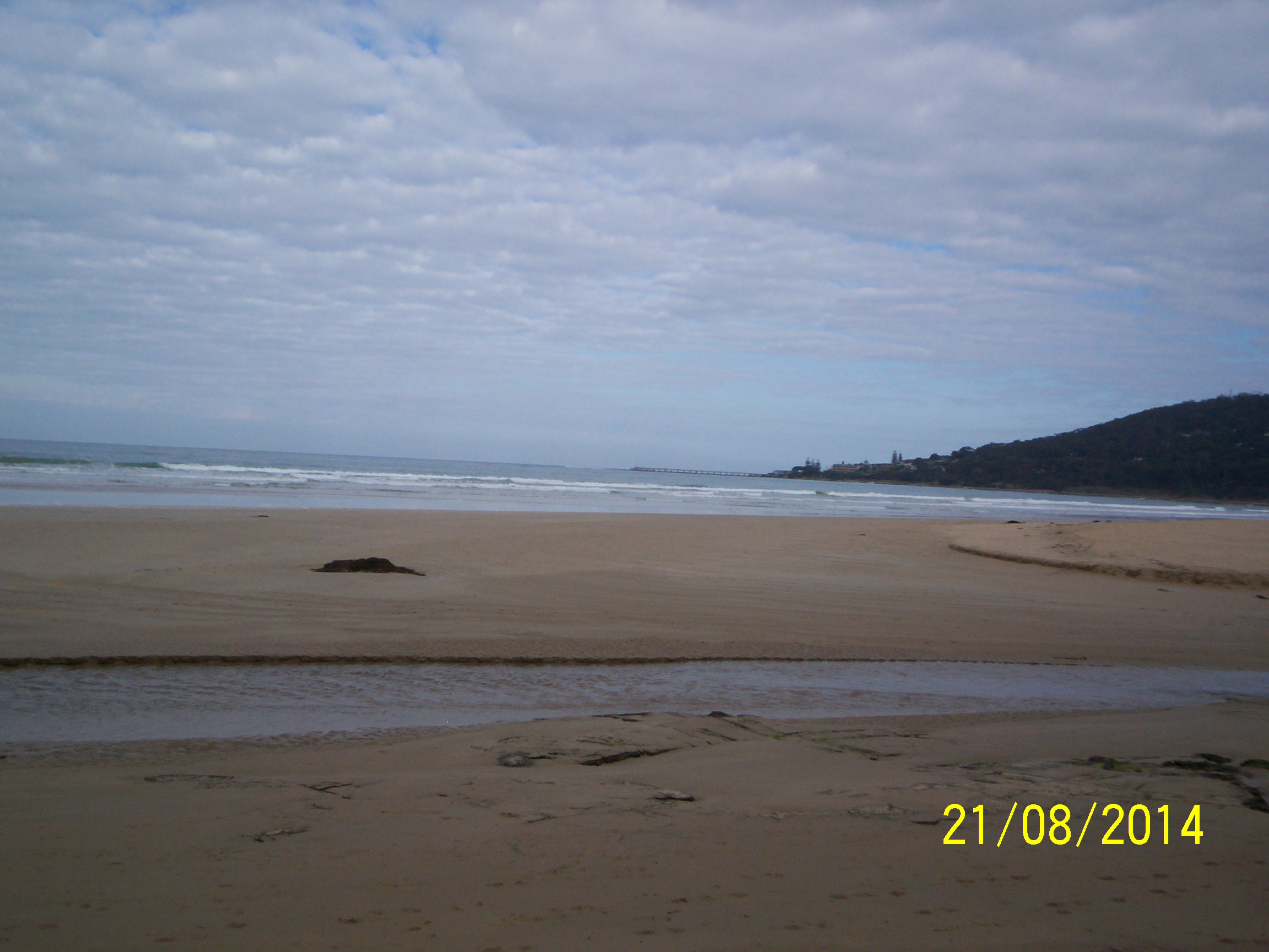
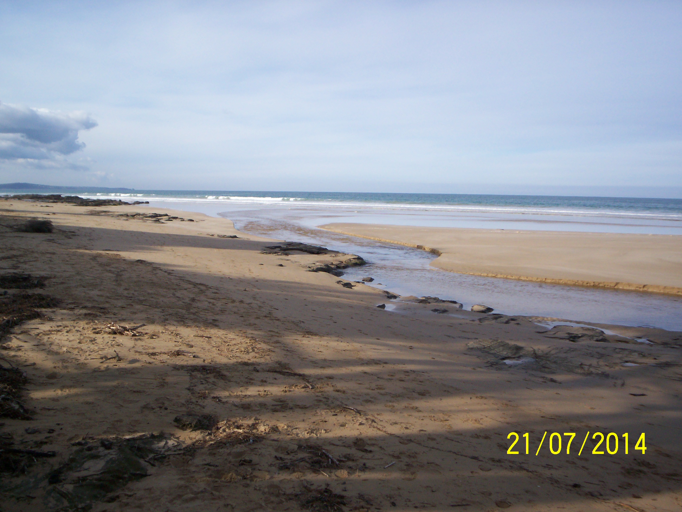
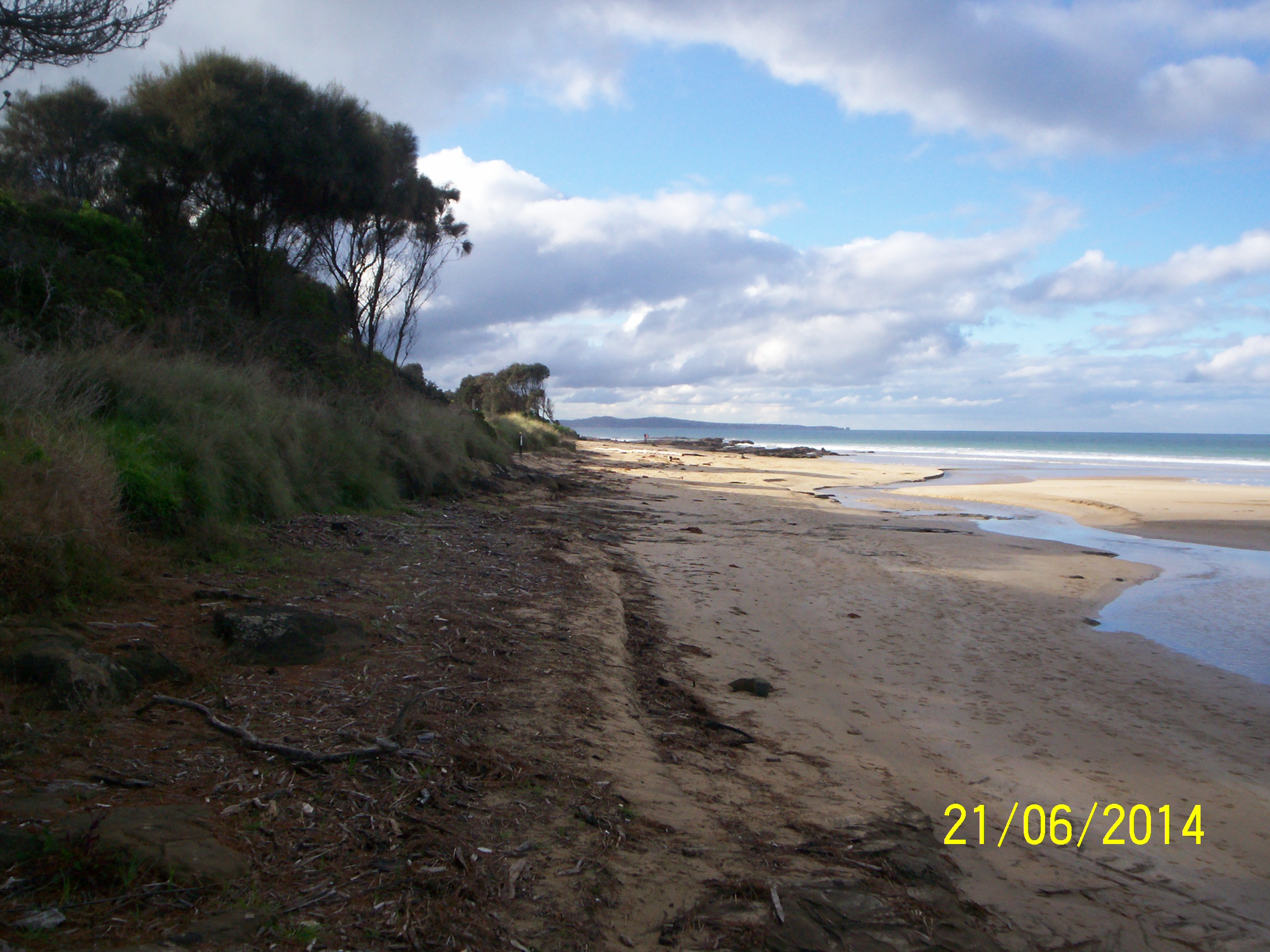
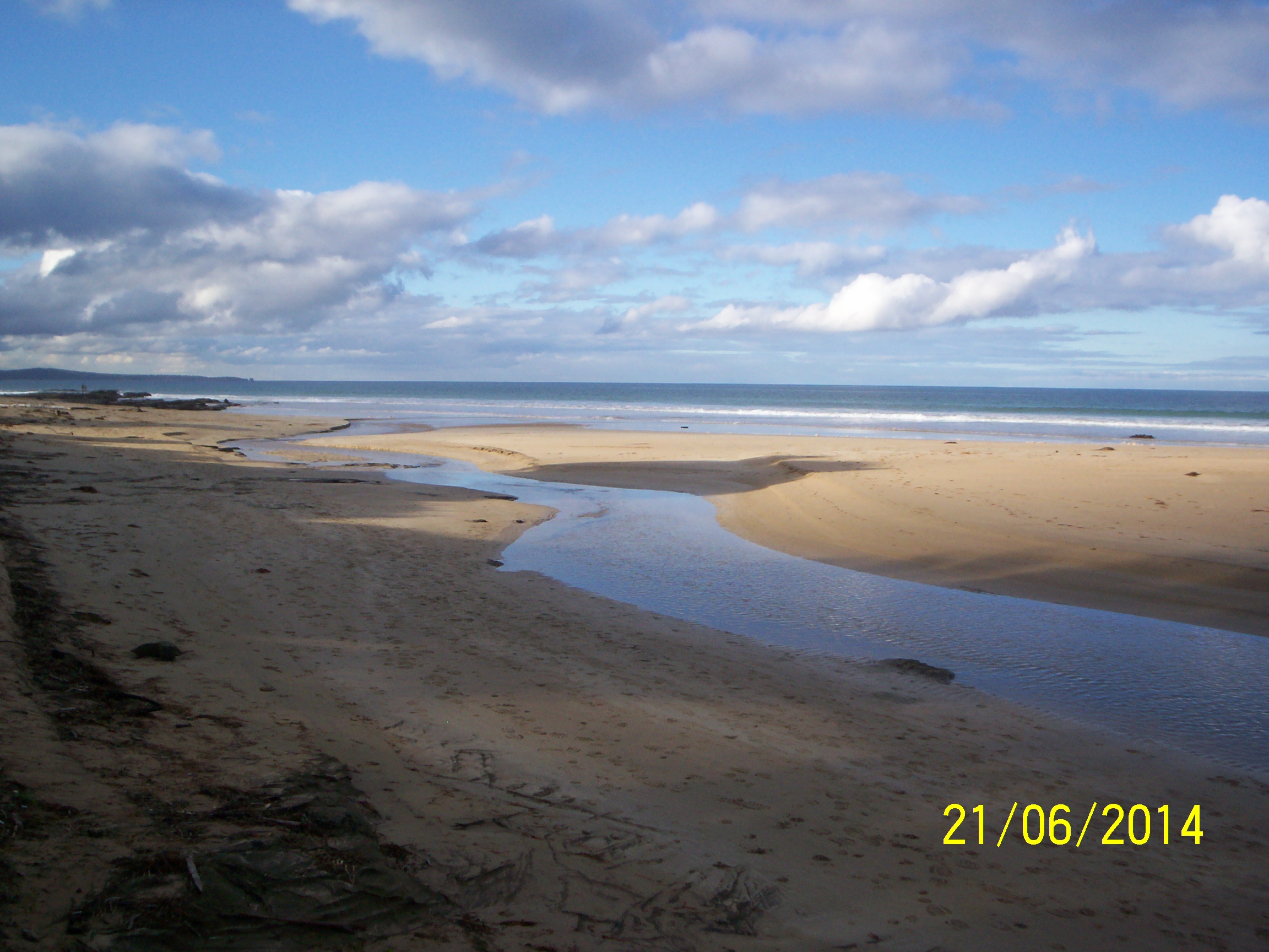
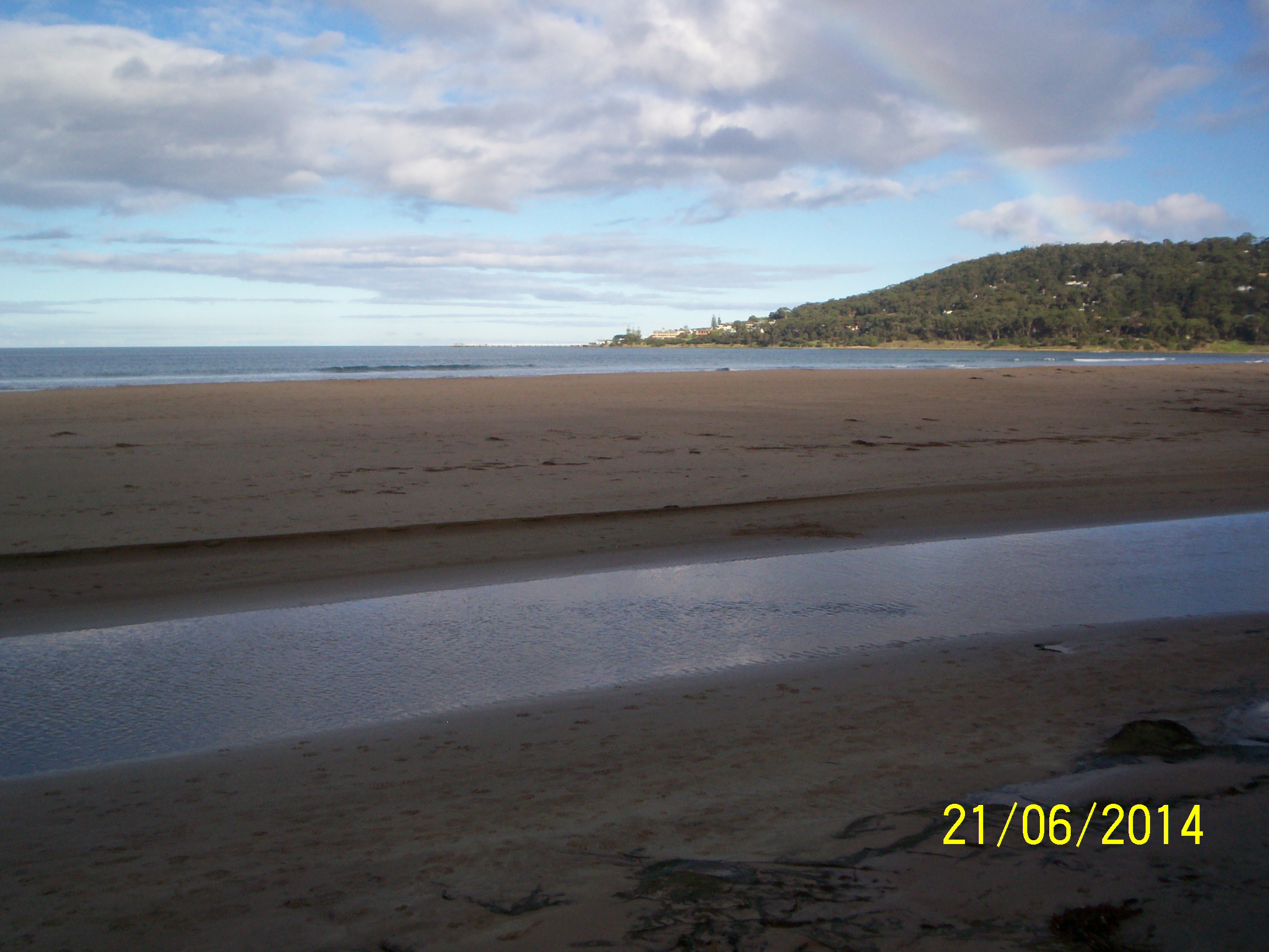
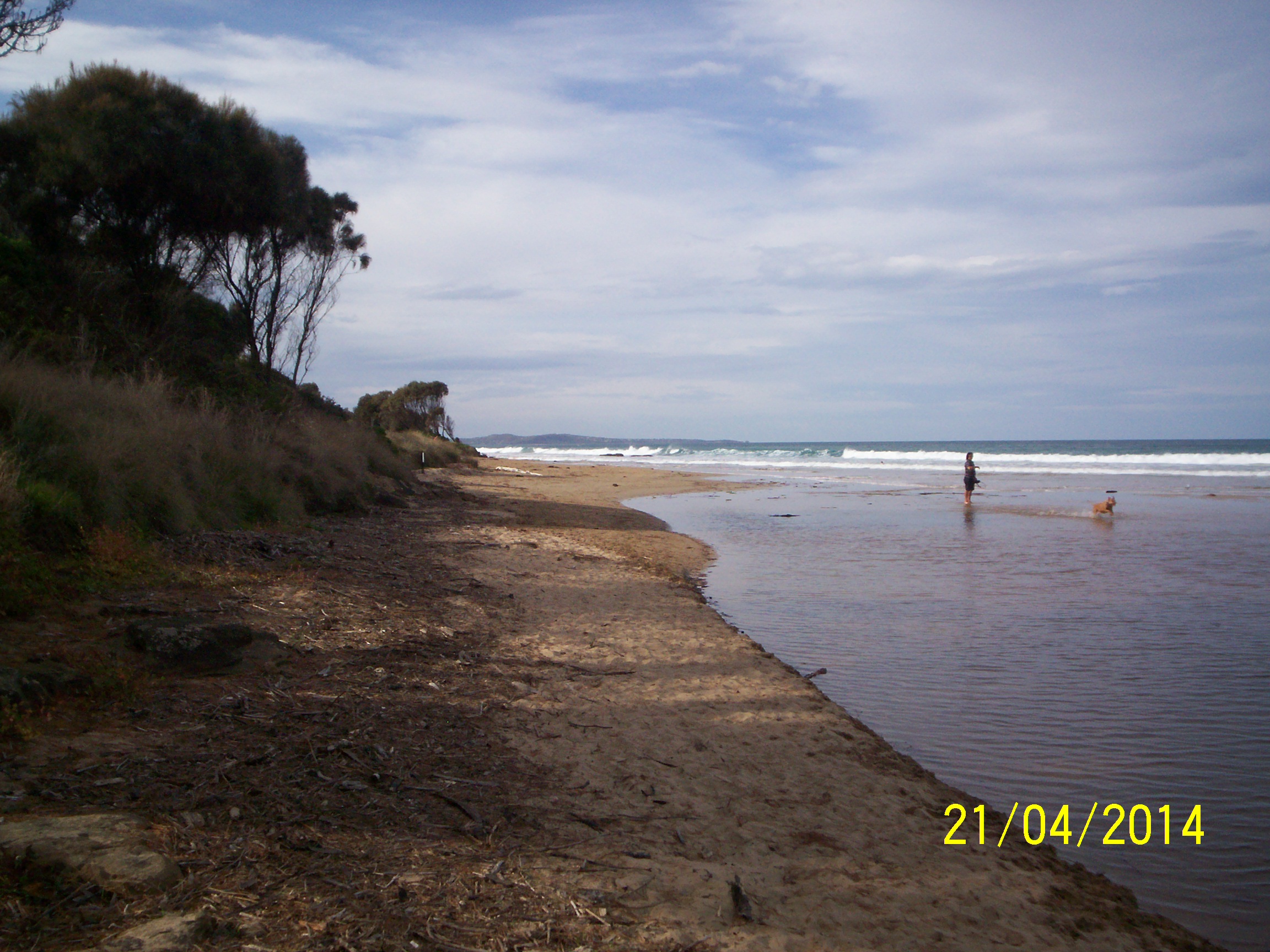
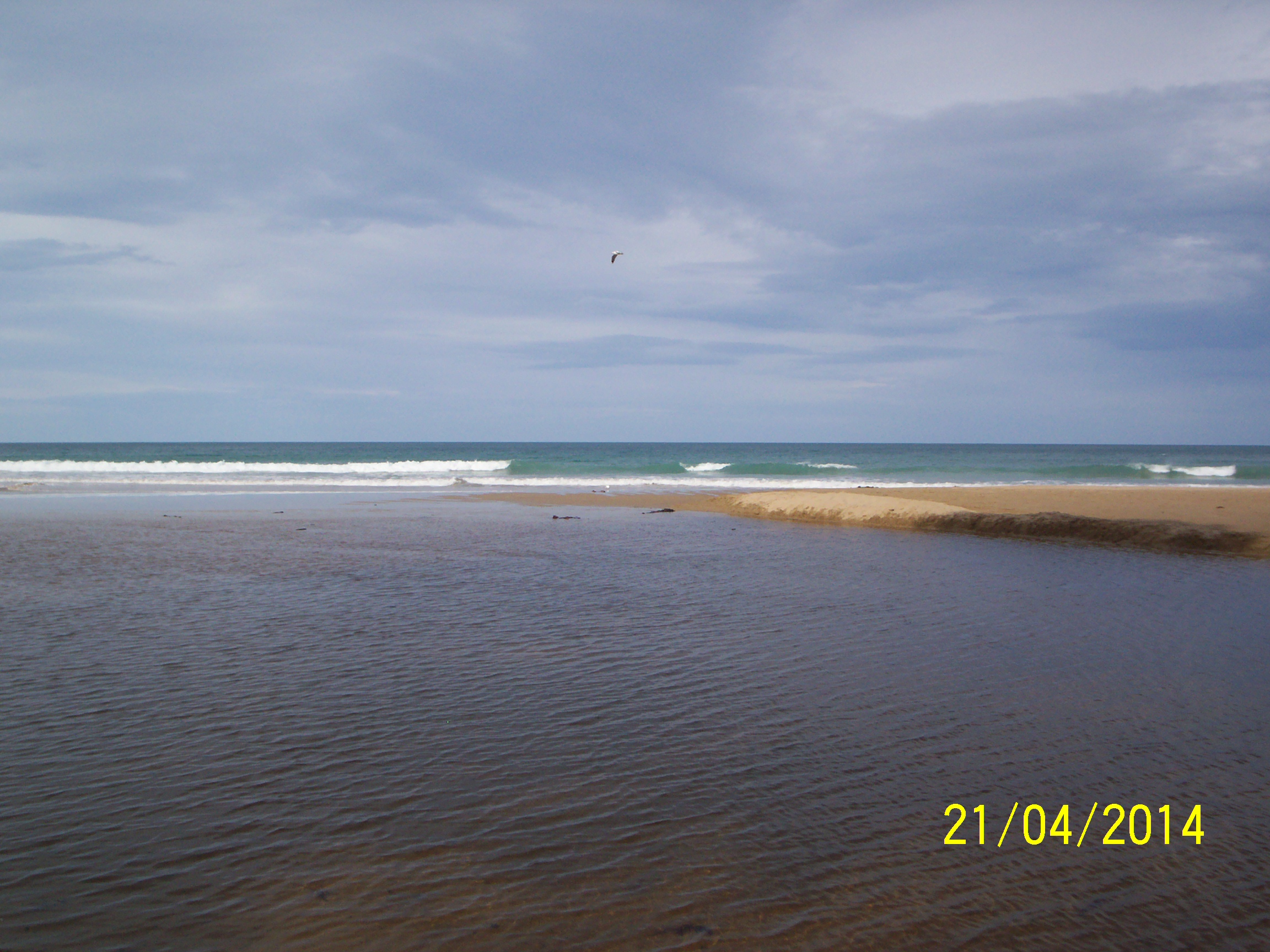
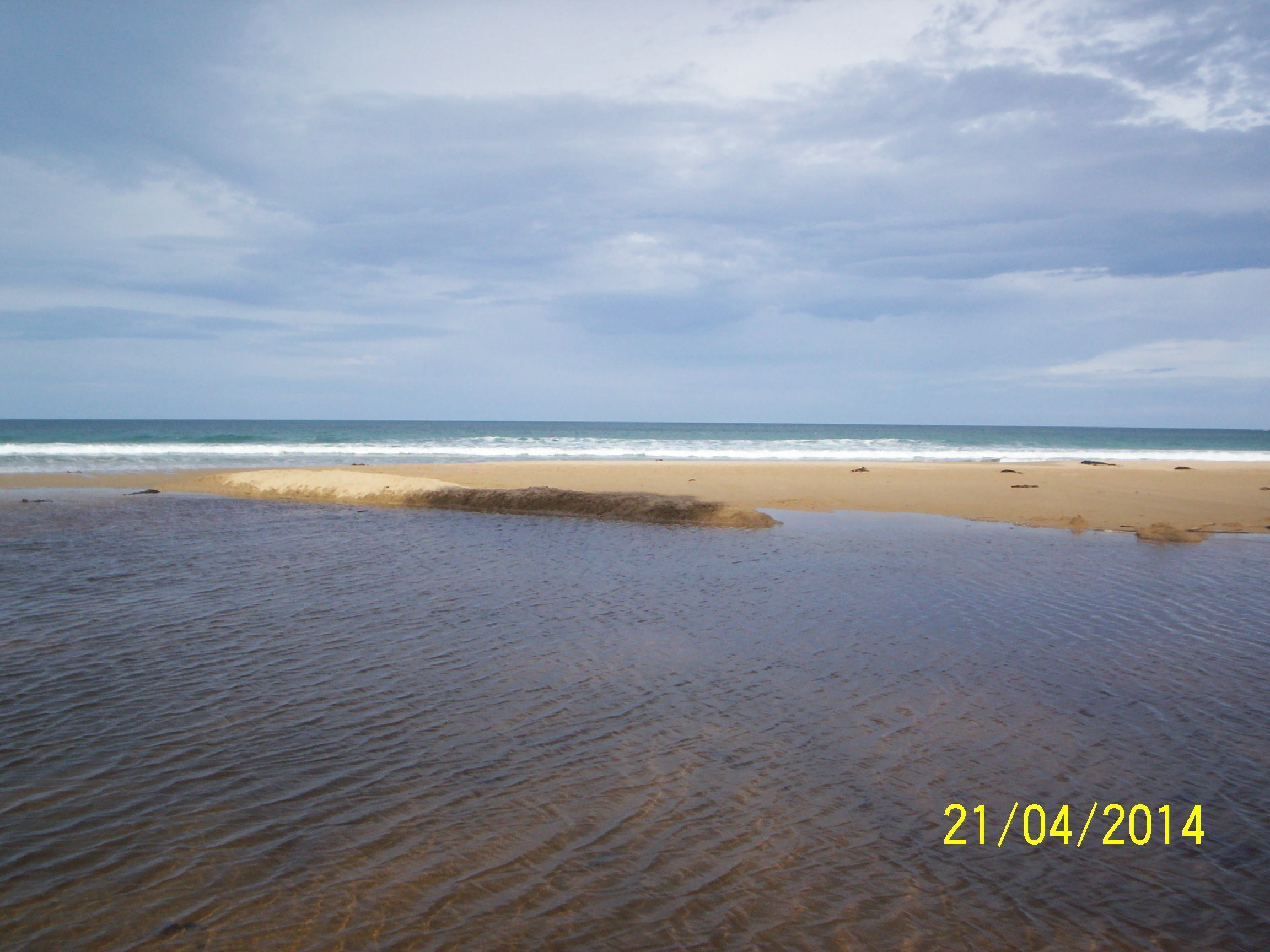
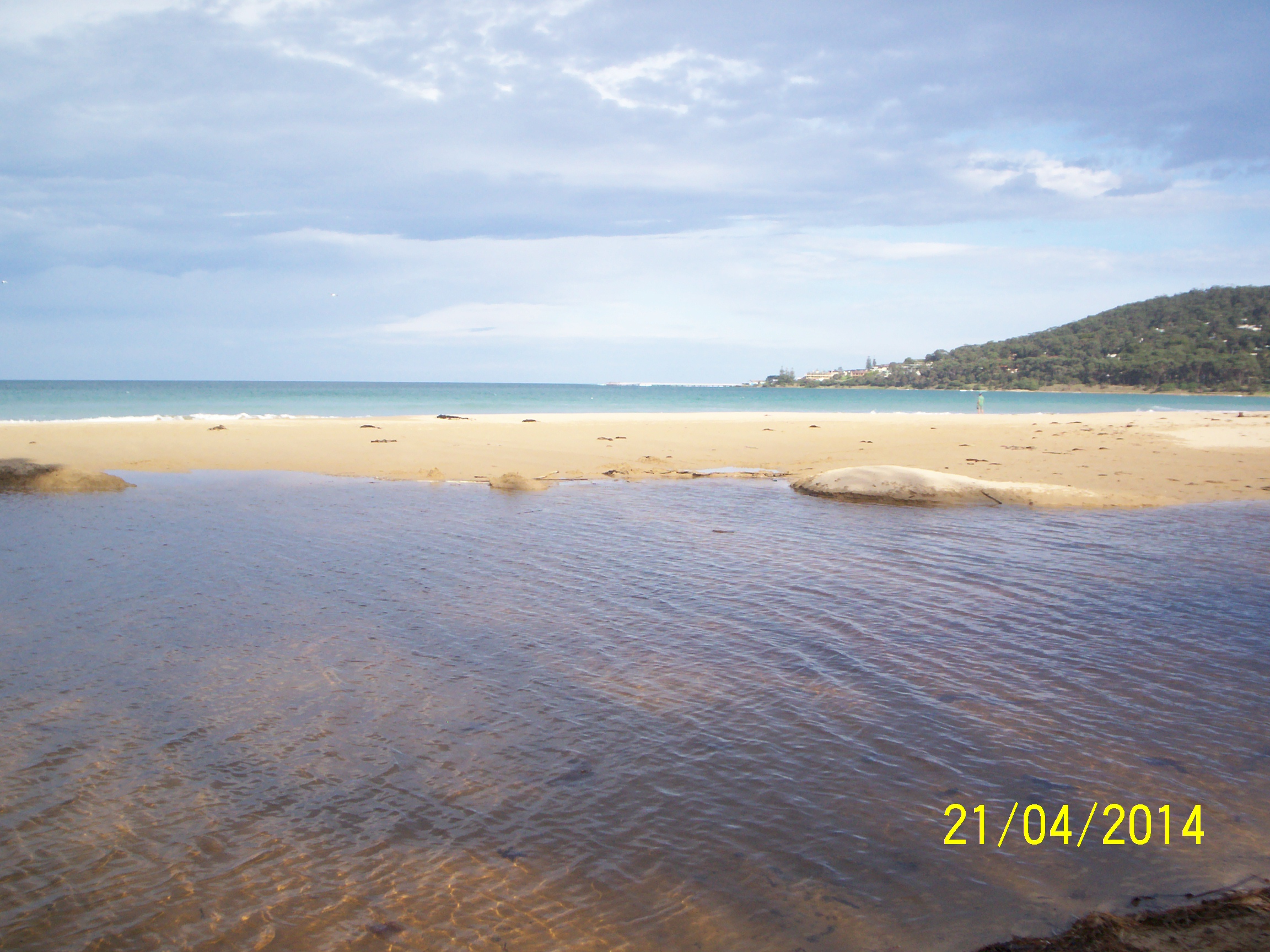
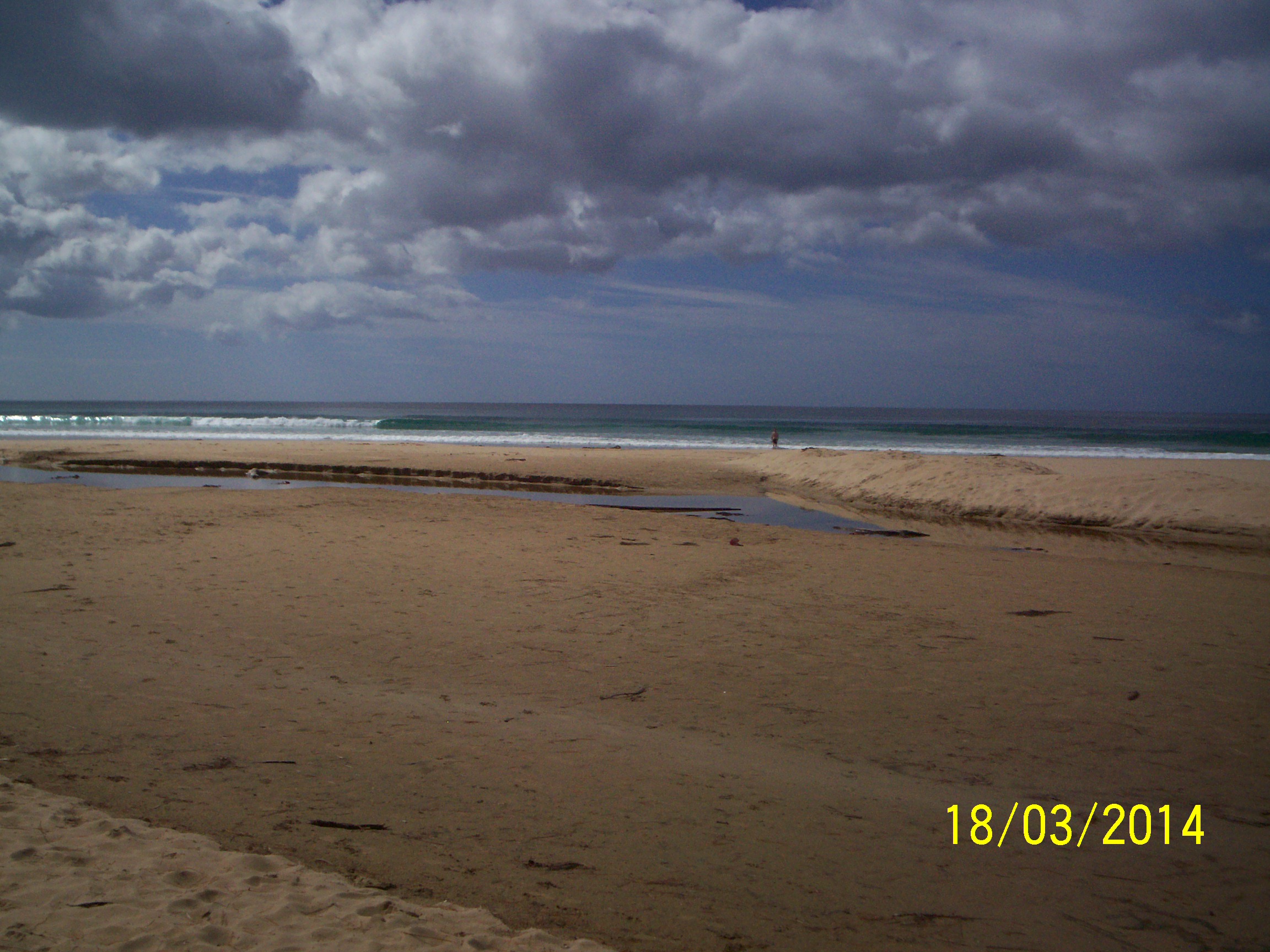
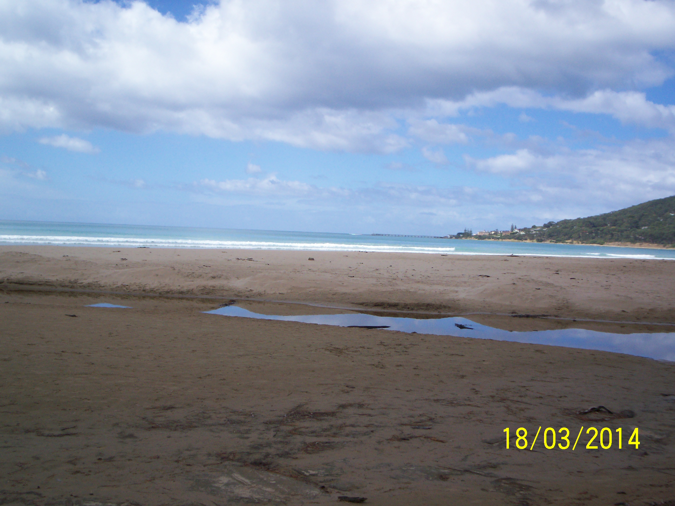
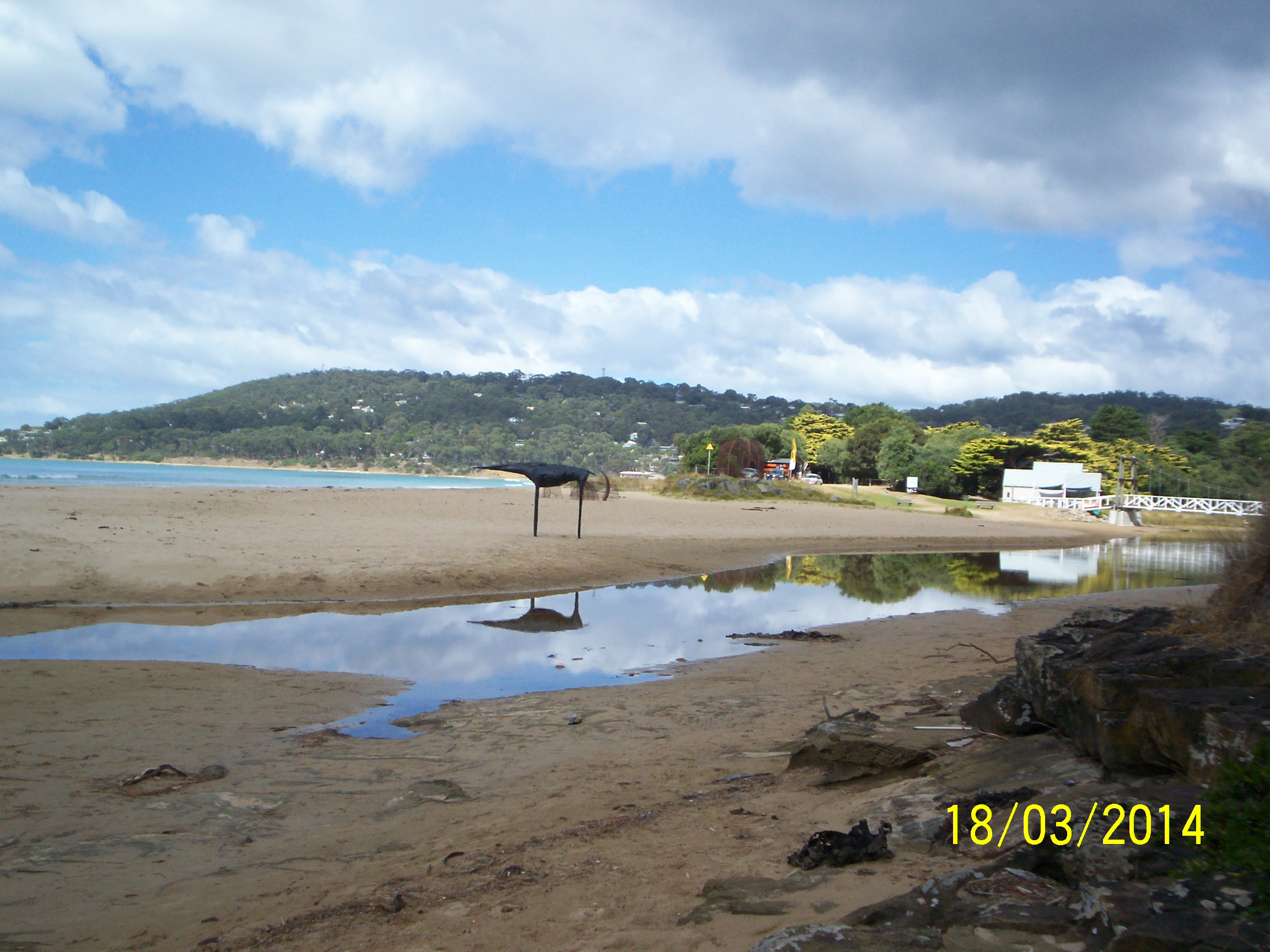
DOWNLOAD DATAEp4 Erskine River Estuary Mouth Photopoint 4
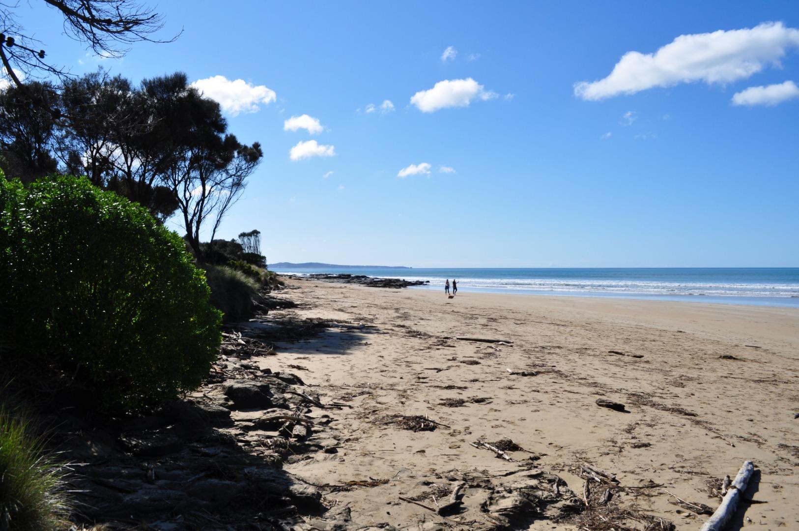
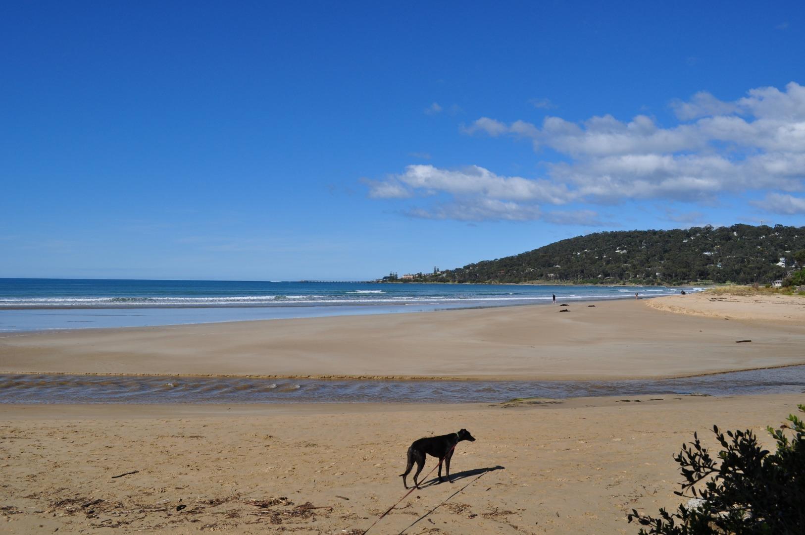
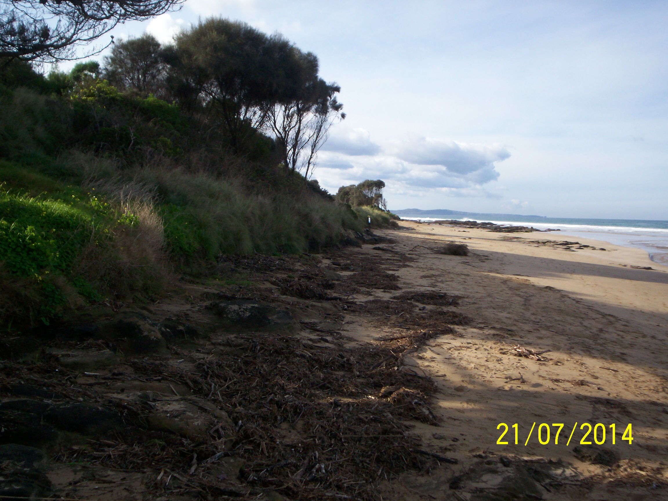
Inactive Photopoint Lorne
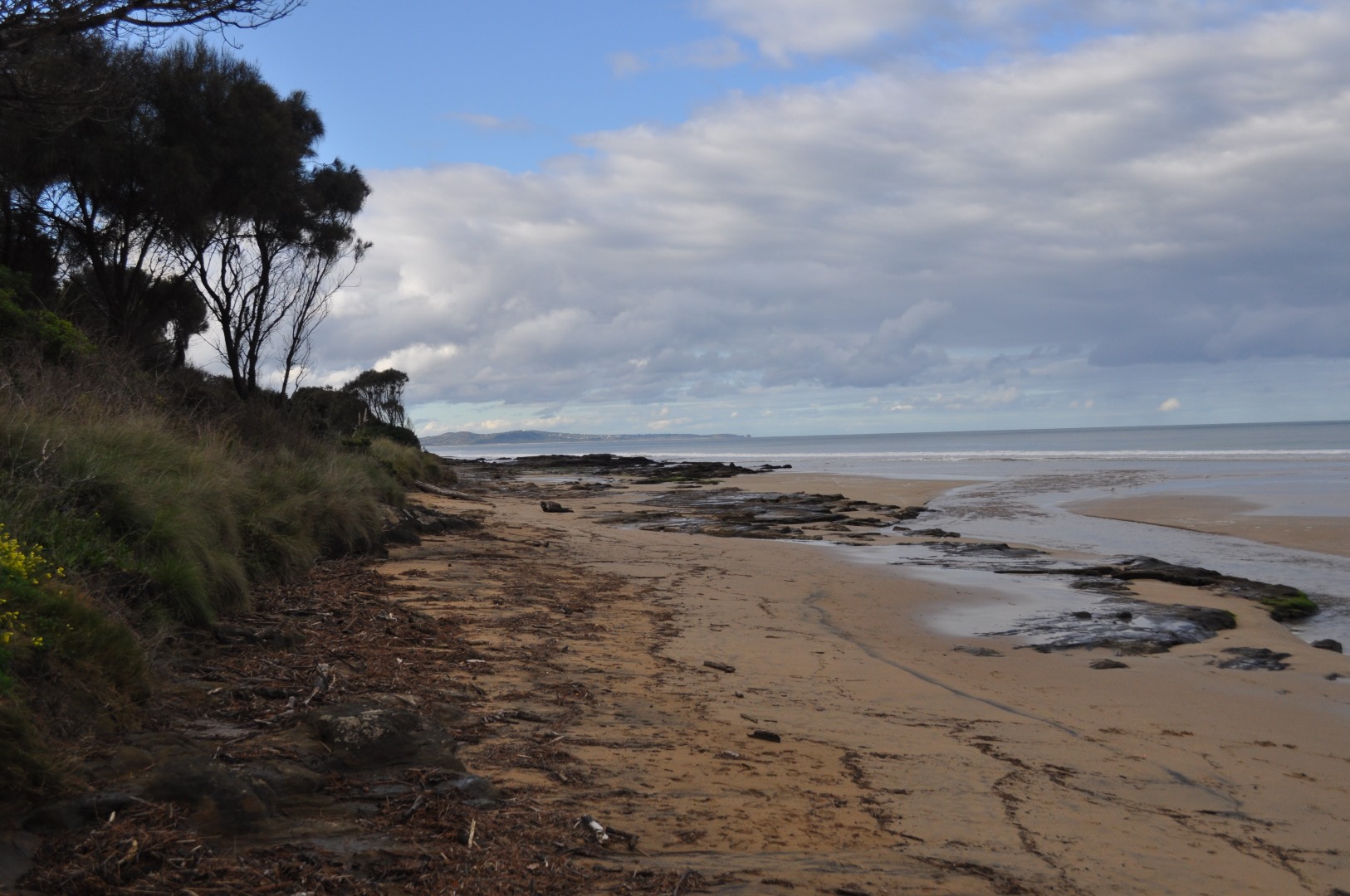
End of beach access track east of the swing bridge.
Follow the track from the swing bridge on the eastern side of the estuary. Take the first right hand turn to the beach.
Land Use
- Native Bushland
- Recreational
- Urban Industrial
Site information
Photopoint site
This is a Photopoint site.
No observational data is recorded at this location.
No observational data is recorded at this location.
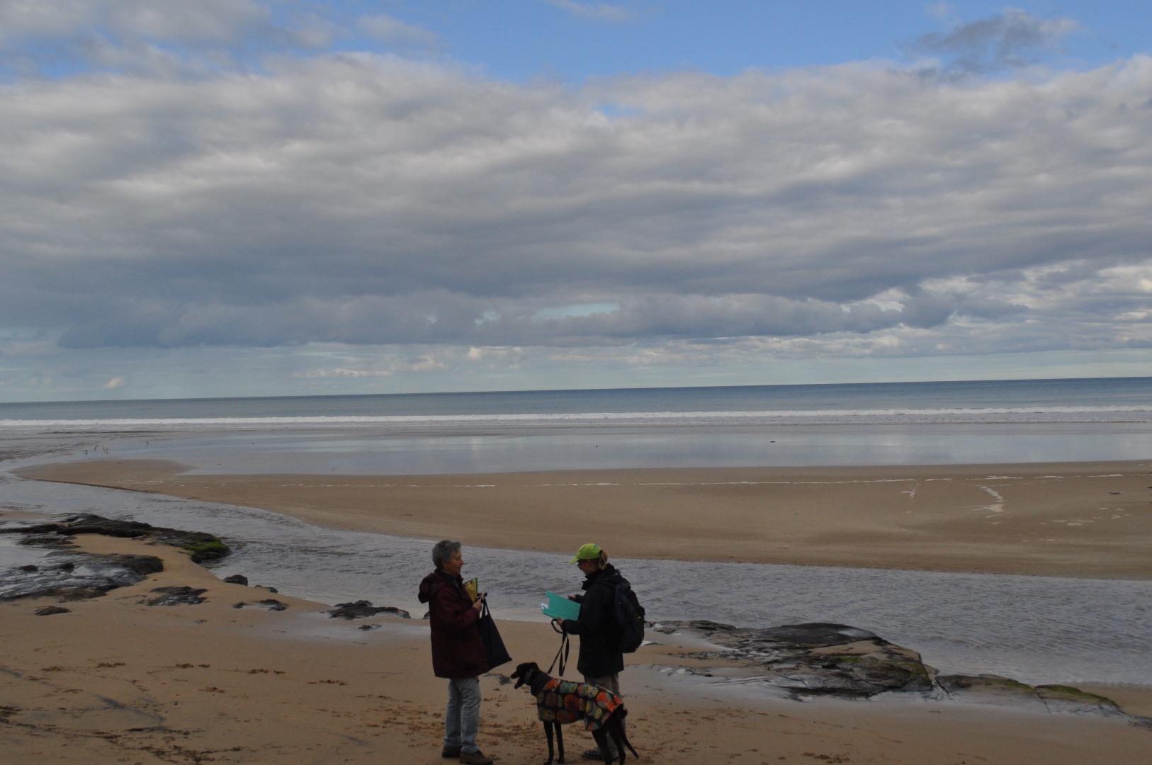
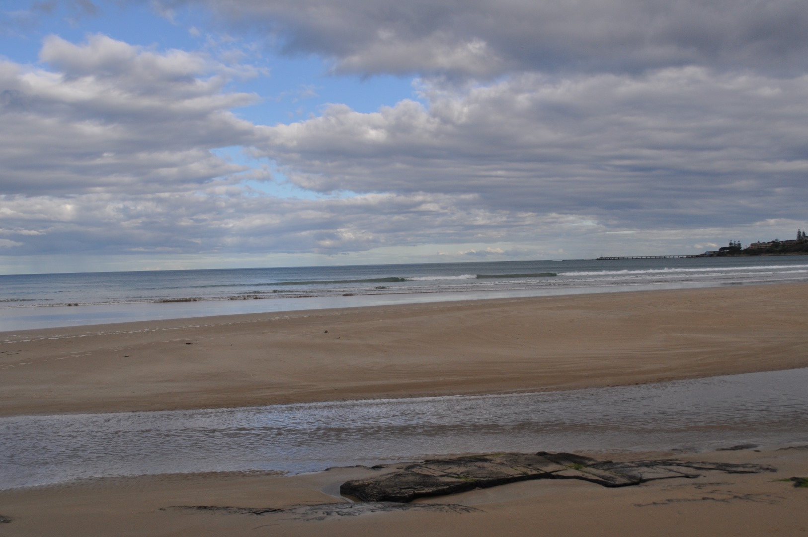
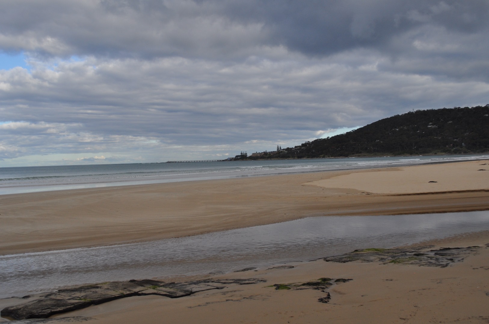
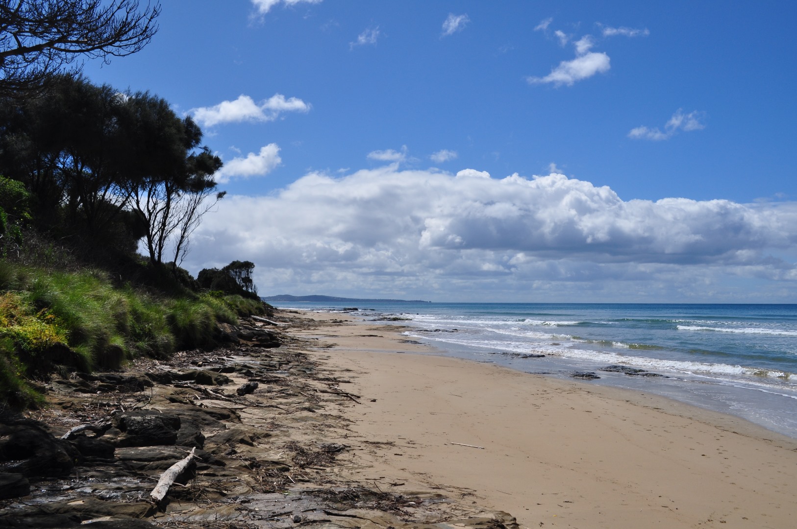
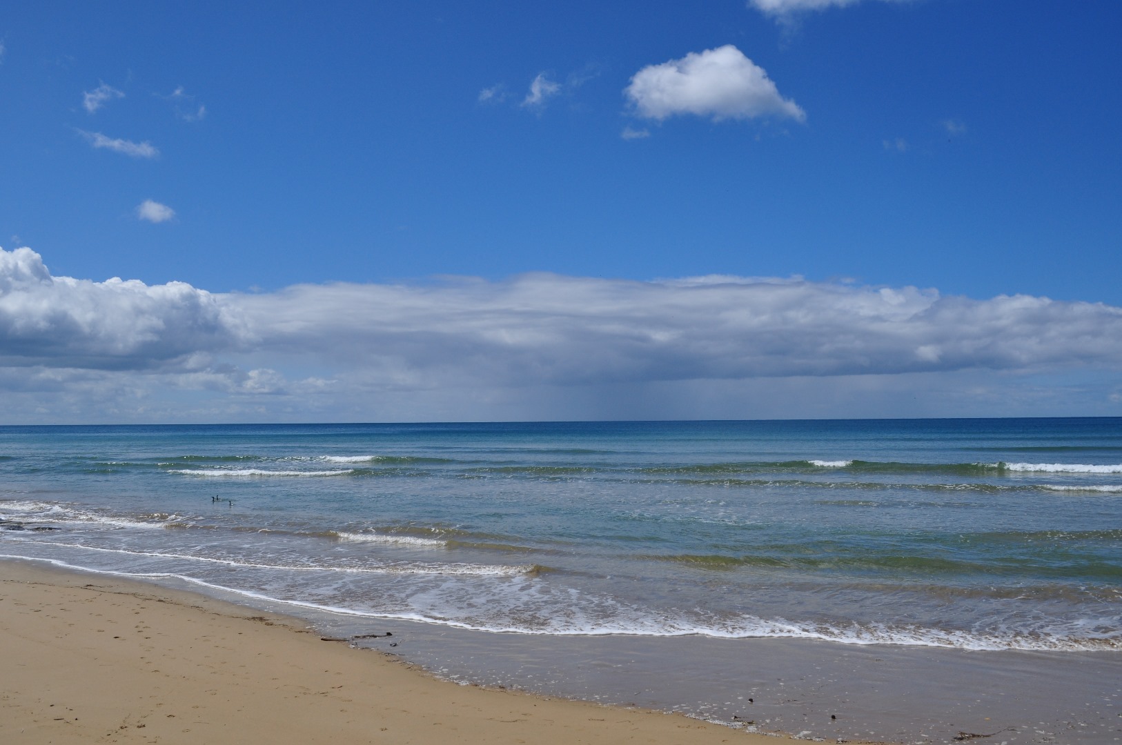
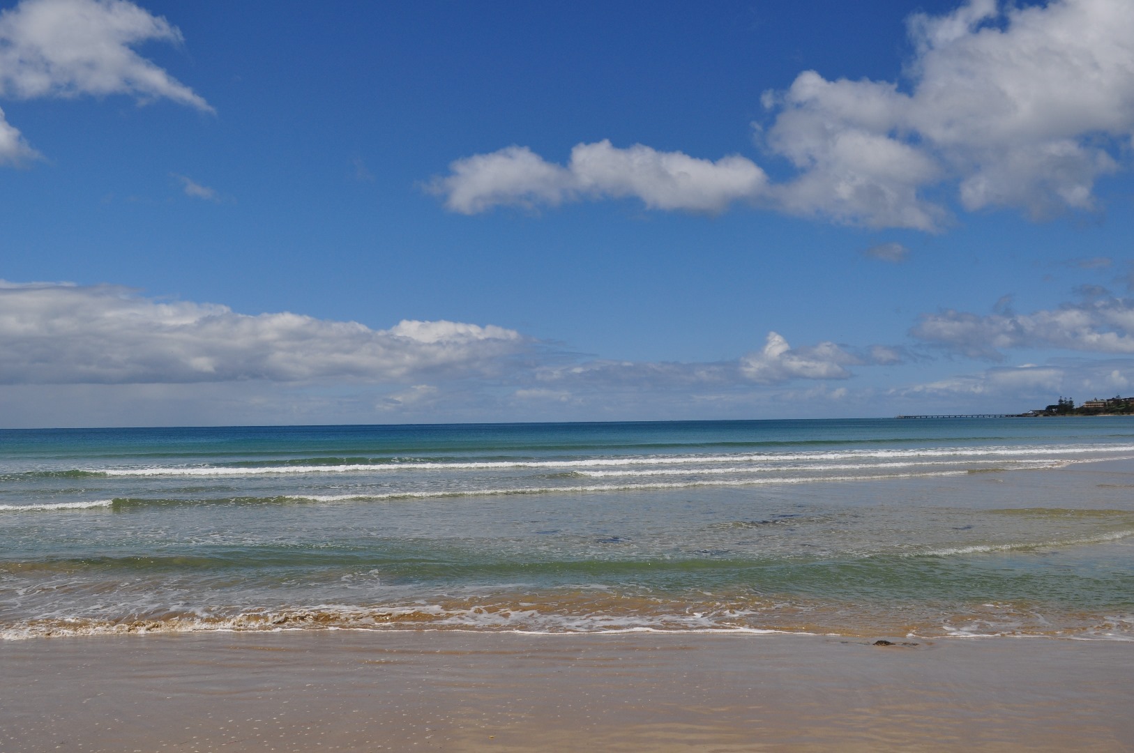
Photopoint photos


We acknowledge and respect Victorian Traditional Owners as the original custodians of Victoria’s land and waters, their unique ability to care for Country and deep spiritual connection to it.
We honour Elders past and present whose knowledge and wisdom has ensured the continuation of culture and traditional practices.
We honour Elders past and present whose knowledge and wisdom has ensured the continuation of culture and traditional practices.
 All content, files, data and images provided by the EstuaryWatch Data Portal subject to a Creative Commons Attribution License
Data portal by CeRDI
All content, files, data and images provided by the EstuaryWatch Data Portal subject to a Creative Commons Attribution License
Data portal by CeRDI