Erskine River Estuary
Corangamite CMA
DOWNLOAD DATAOverview
Inactive Erskine River EstuaryWatchers
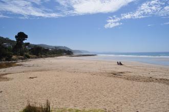
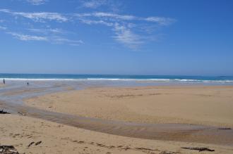
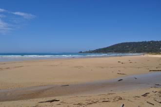
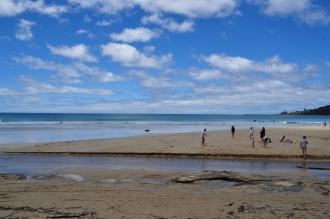
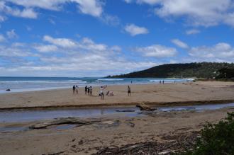
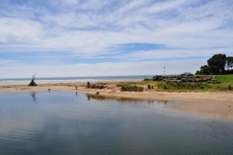
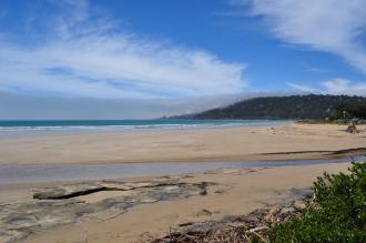
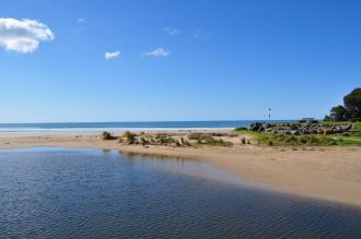
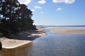
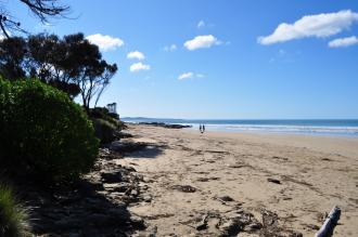
The Erskine River Estuary is very short in length at approximately 0.85km, with a small catchment area of 72Ha. Around 80% of this catchment area is in the Great Otway National Park. The estuary flows through the popular tourist town of Lorne.
Map
Estuary Values
- a significant fish species found on the Erskine River estuary is the Australian Grayling.
- Estuarine Wetland Ecological Vegetation Class (Endangered)
- Wet Forest Ecological Vegetation Class (Least Concern)
- drought refuge for one or more significant fish
- the Erskine River is identified as an Important Bird Area
- camping
- non-motor boating
- picnics and barbecues
- tracks
- sightseeing
Estuary Threats
- bank instability
- degraded water quality
- disturbance of acid sulfate soils
- intermittently open estuary
- Erskine River Estuary Fact Sheet
Recent Events
No recent estuary events found
View all events
Sites
E1 |
Erskin 1 Phys/ChemActive Physico-Chemical 10-12-2018 - 01-04-2019Observations 5 |
E2 |
Erskin Phys/ChemActive Physico-Chemical 10-12-2018 - 11-03-2025Observations 6 |
EGB |
Erskines River Water Level Gauge BoardActive Gauge BoardGauge board found under the western side of the bridge on the ocean side. |
EMC |
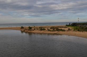
Erskine River Estuary Mouth Observation SiteActive Mouth Condition 08-10-2007 - 23-02-2022Grassy knoll on headland adjacent to Swing Bridge Café. Observations 145 |
Ep1 |
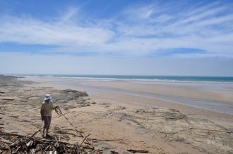
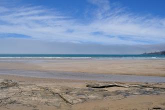
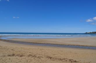
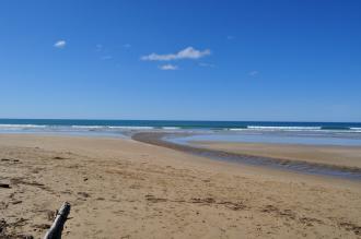
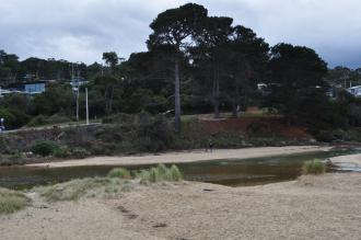
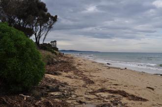
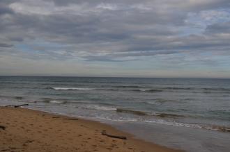
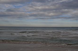
Camel's Photopoint siteActive Photopoint 14-09-2010 - 28-02-2022Grassy knoll on headland adjacent to Swing Bridge Café. Photos are taken from the emergency marker 120W. Photos 350 |
Ep2 |
Erskine River Estuary Mouth Photopoint 2Active Photopoint 14-09-2010 - 28-02-2022Centre location on swing bridge across estuary Photos 187 |
Ep3 |
Erskine River Estuary Mouth Photopoint 3Retired Photopoint 14-09-2010 - 29-06-2021Adjacent to the Erskine River sign on the ocean side of the walking path located on the western side of the river, north of the swing bridge. Photos 111 |
Ep4 |
Erskine River Estuary Mouth Photopoint 4Active Photopoint 16-07-2014 - 28-02-2022End of beach access track east of the swing bridge. Photos 287 |
Full estuary snapshots below use dates where samples at every active monitoring site were recorded.
View full and partial snapshots
Autumn 2025
Snapshot charts unavailable No snapshots were recorded at every active site on the same day for this estuary.
Reload with full and partial snapshots to include snapshots that did not record every site on the same day.
Reload with full and partial snapshots to include snapshots that did not record every site on the same day.



















 All content, files, data and images provided by the EstuaryWatch Data Portal subject to a