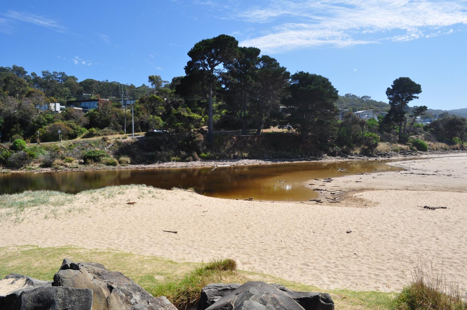
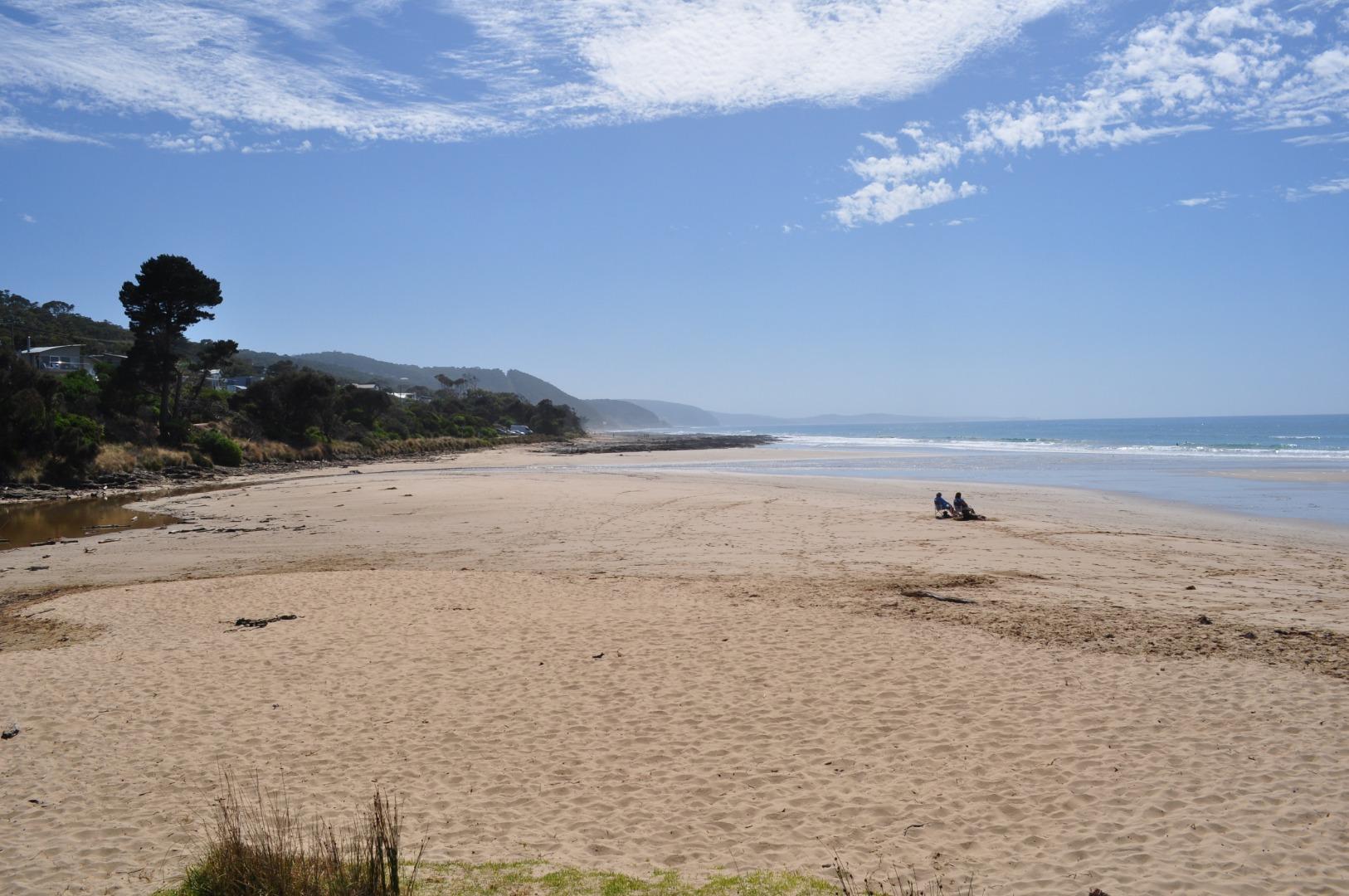
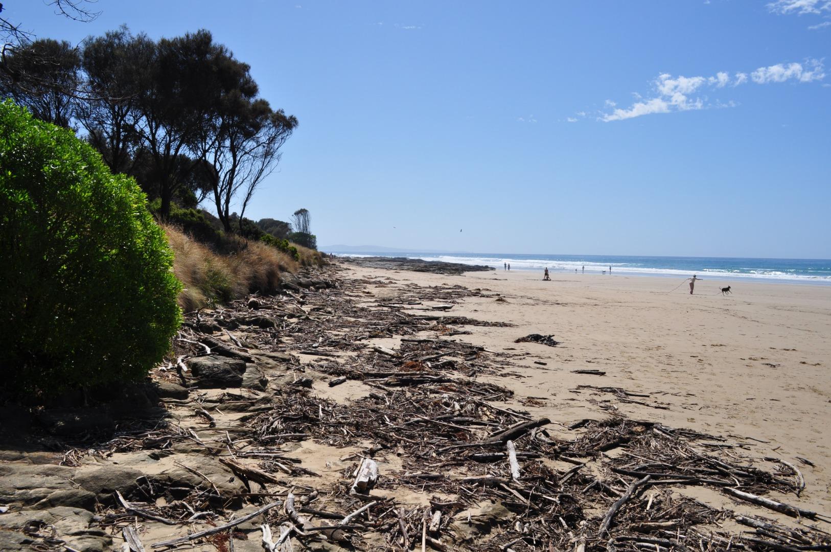
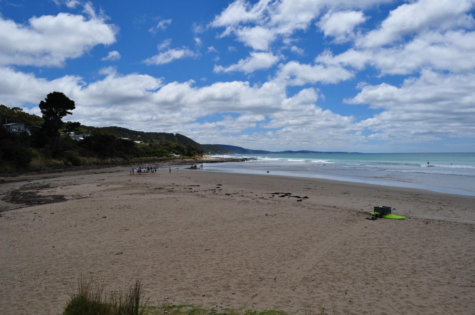
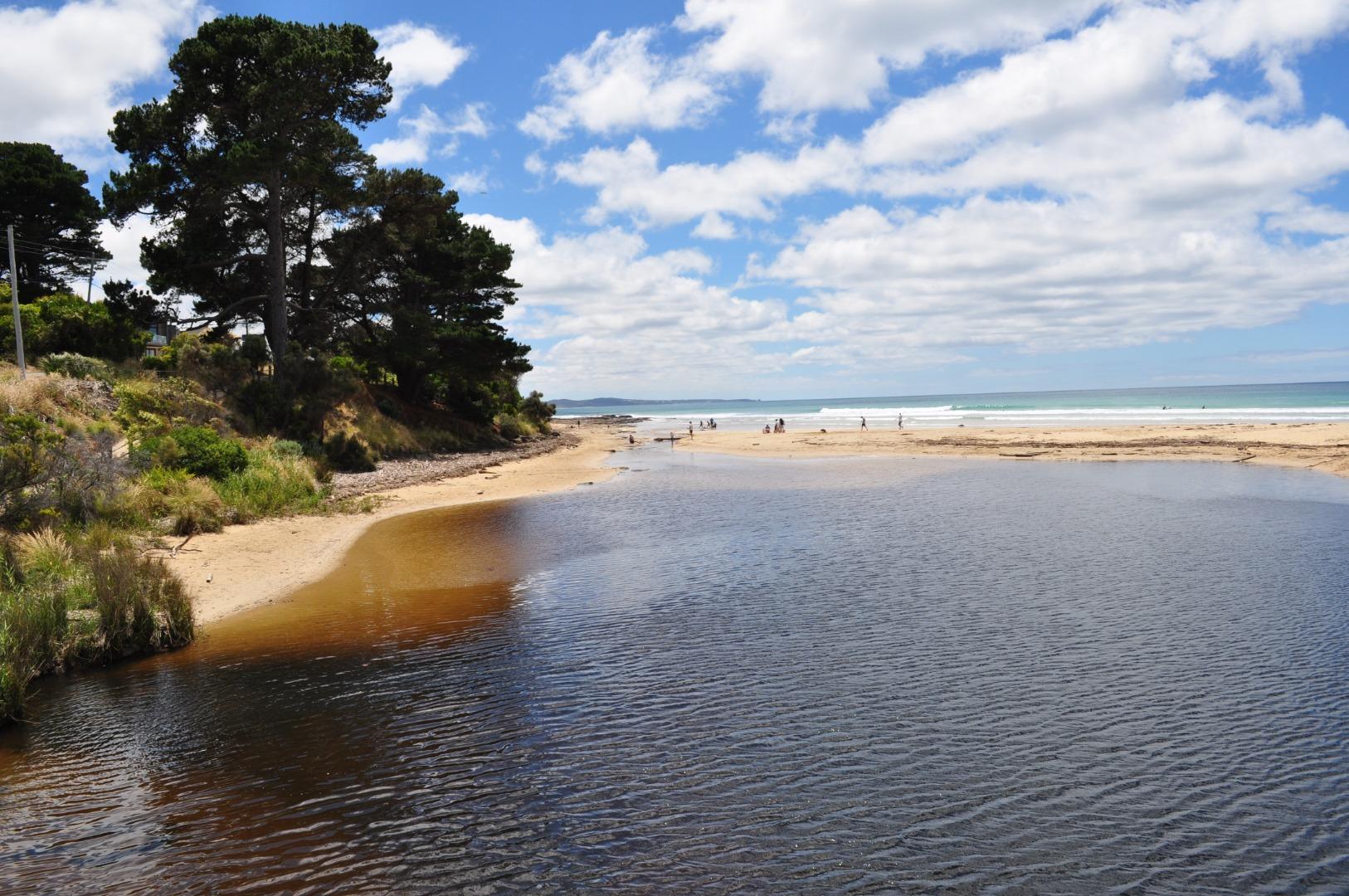
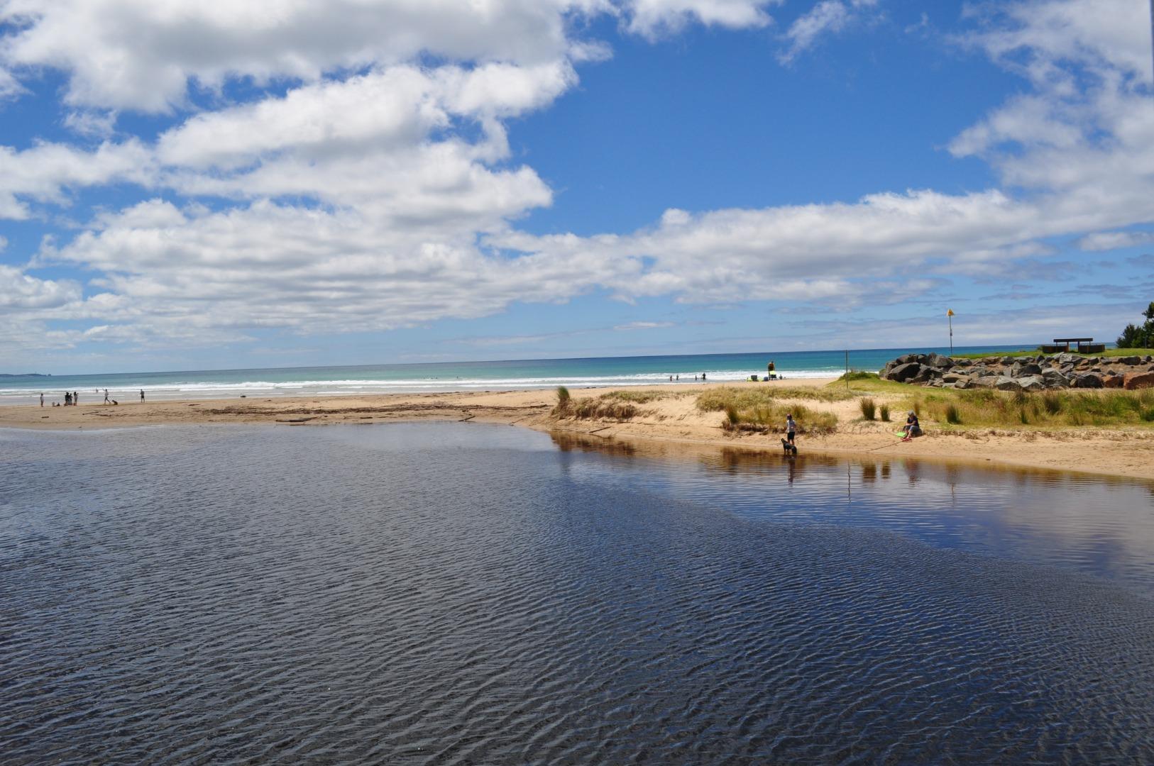
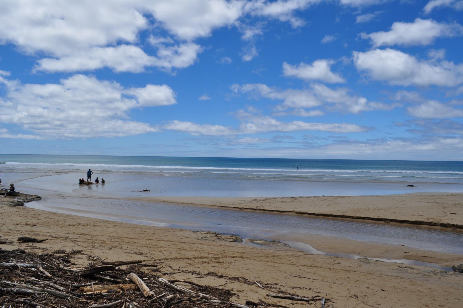
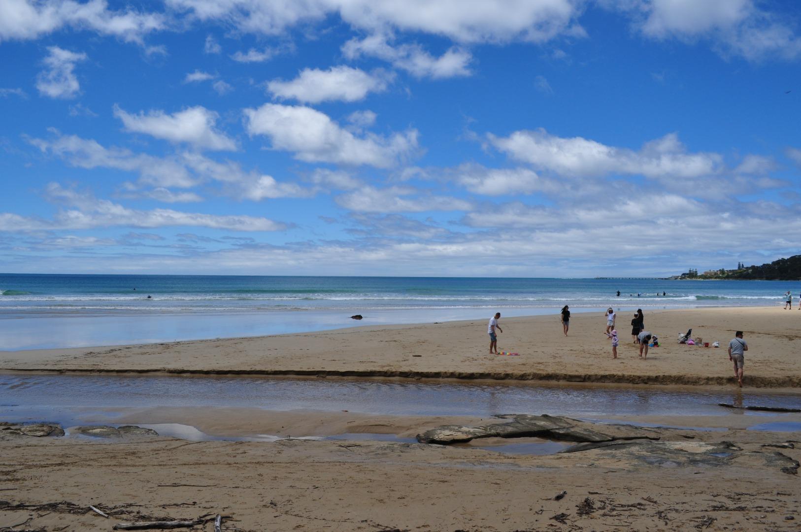
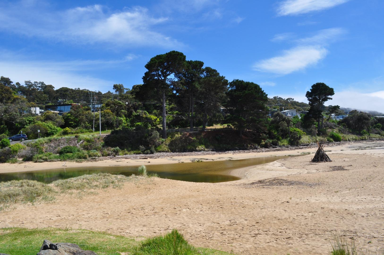
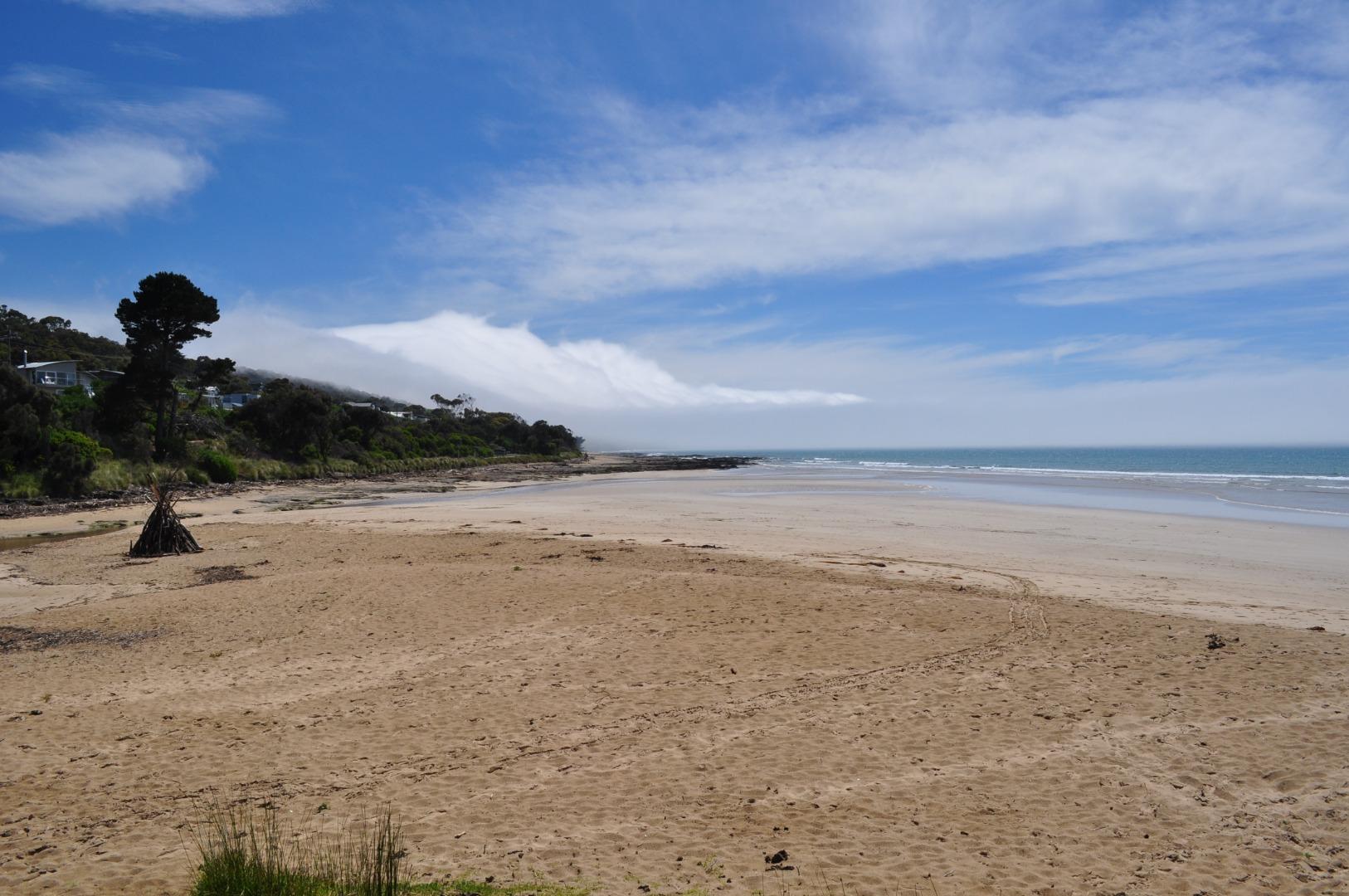
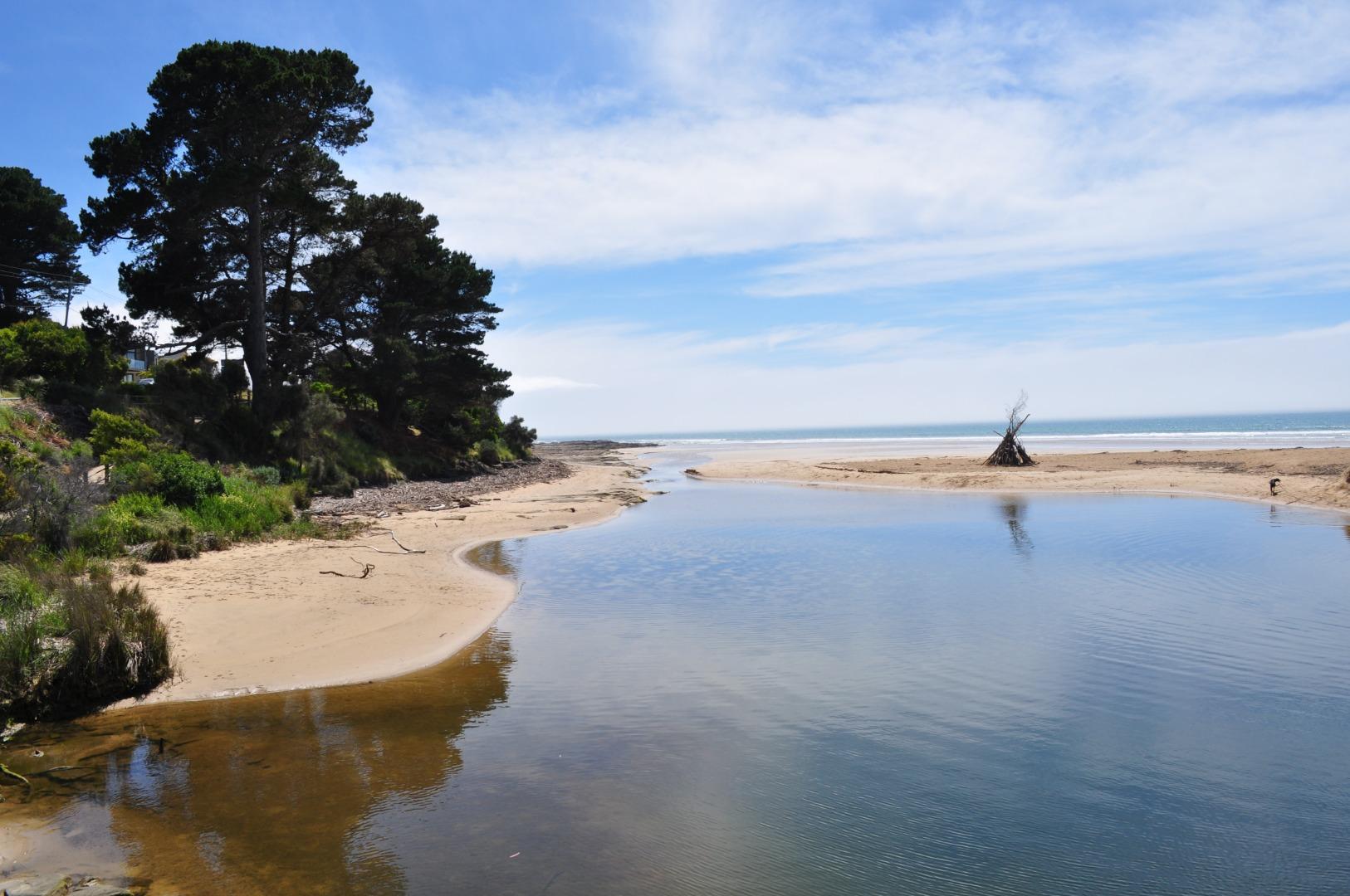
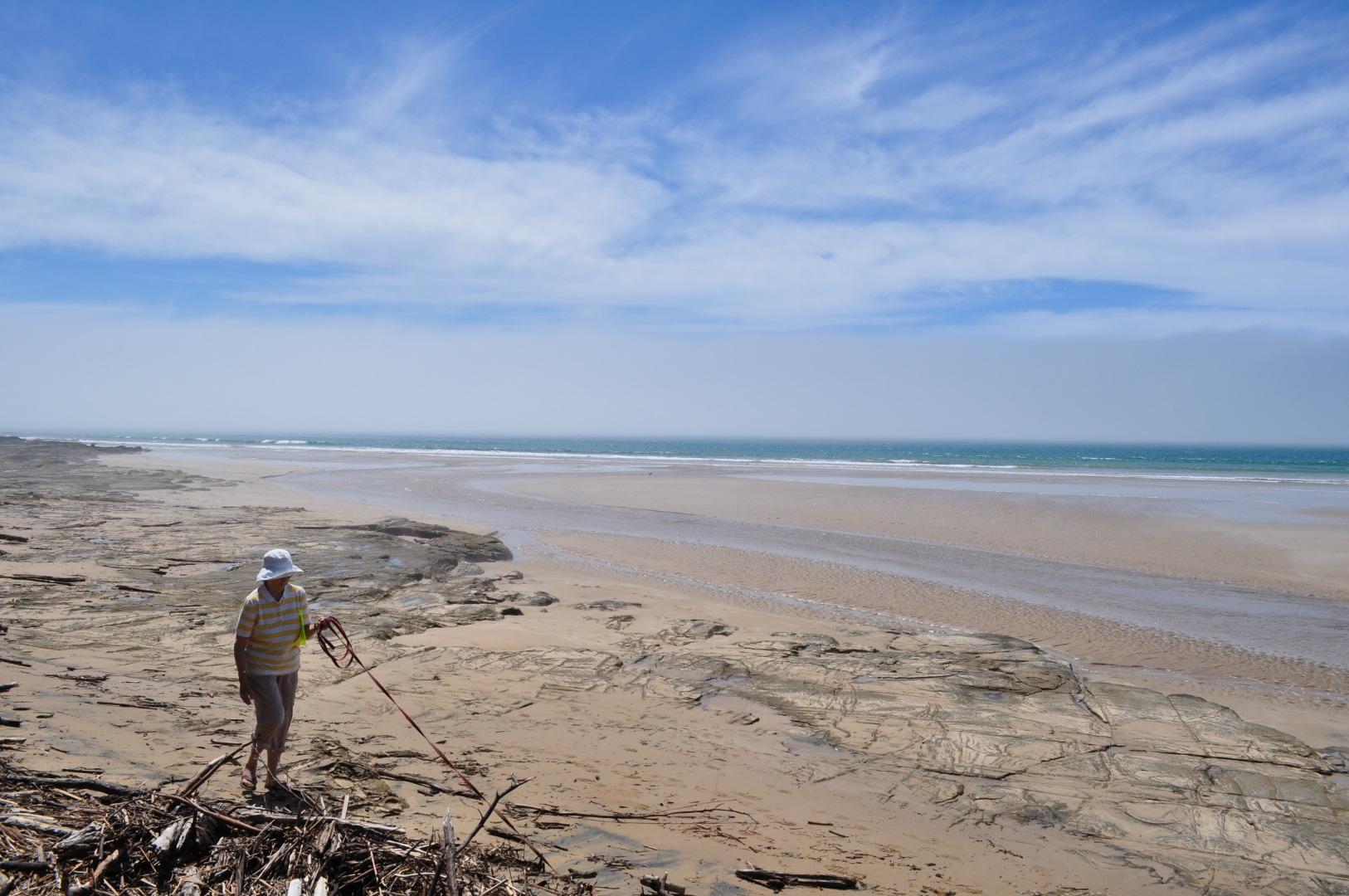
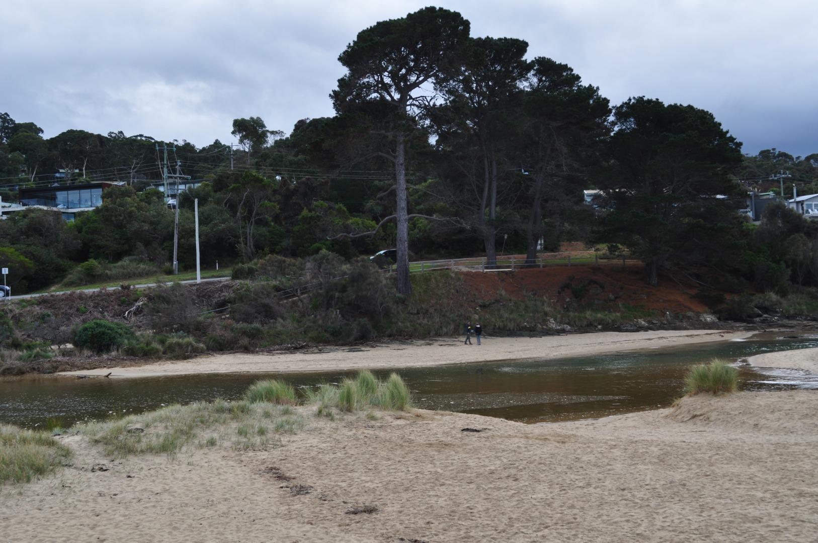
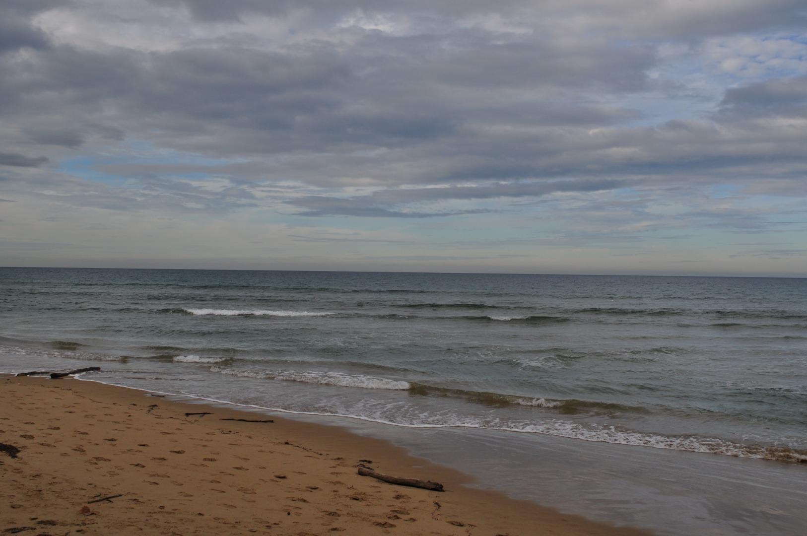
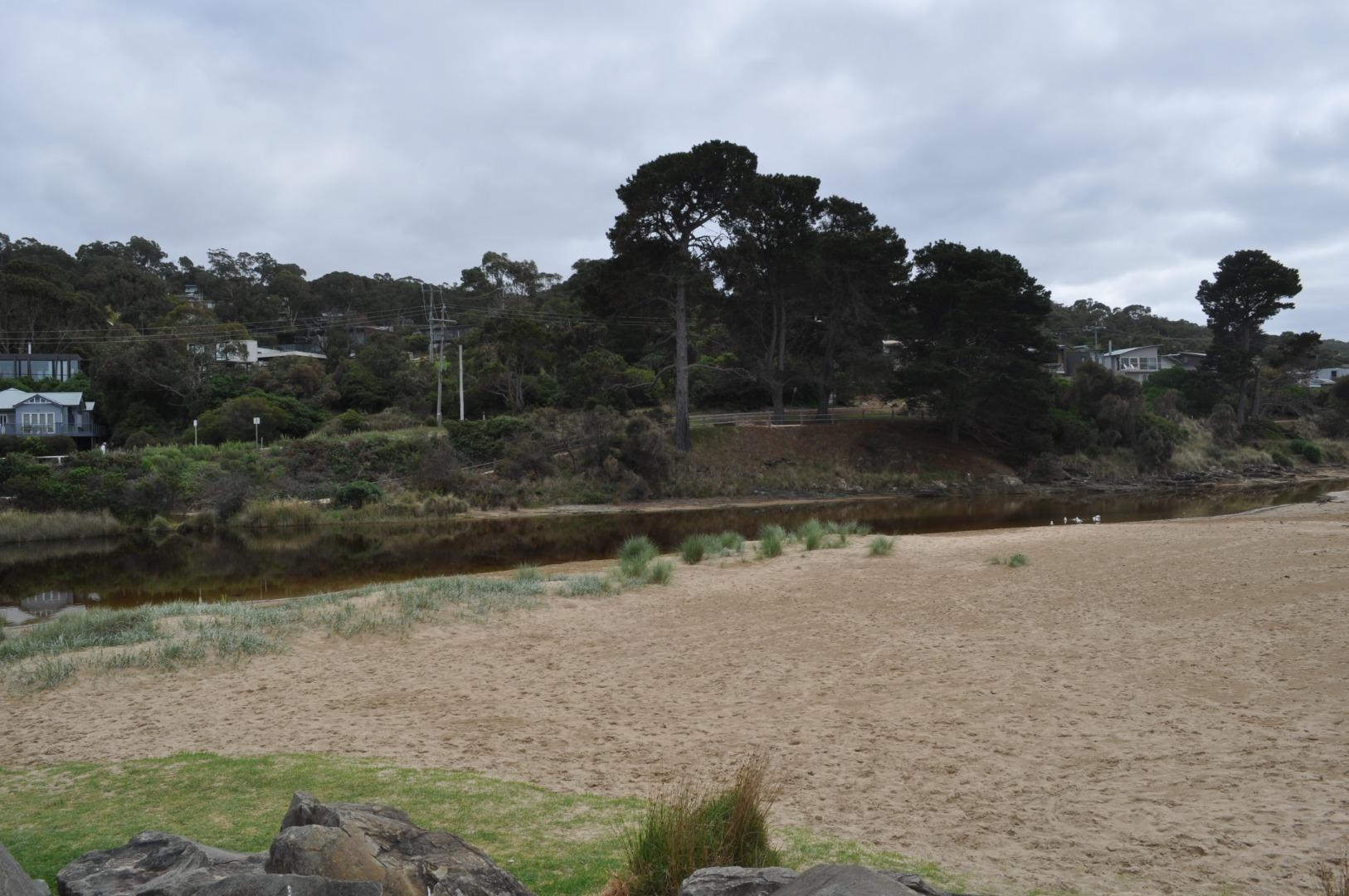
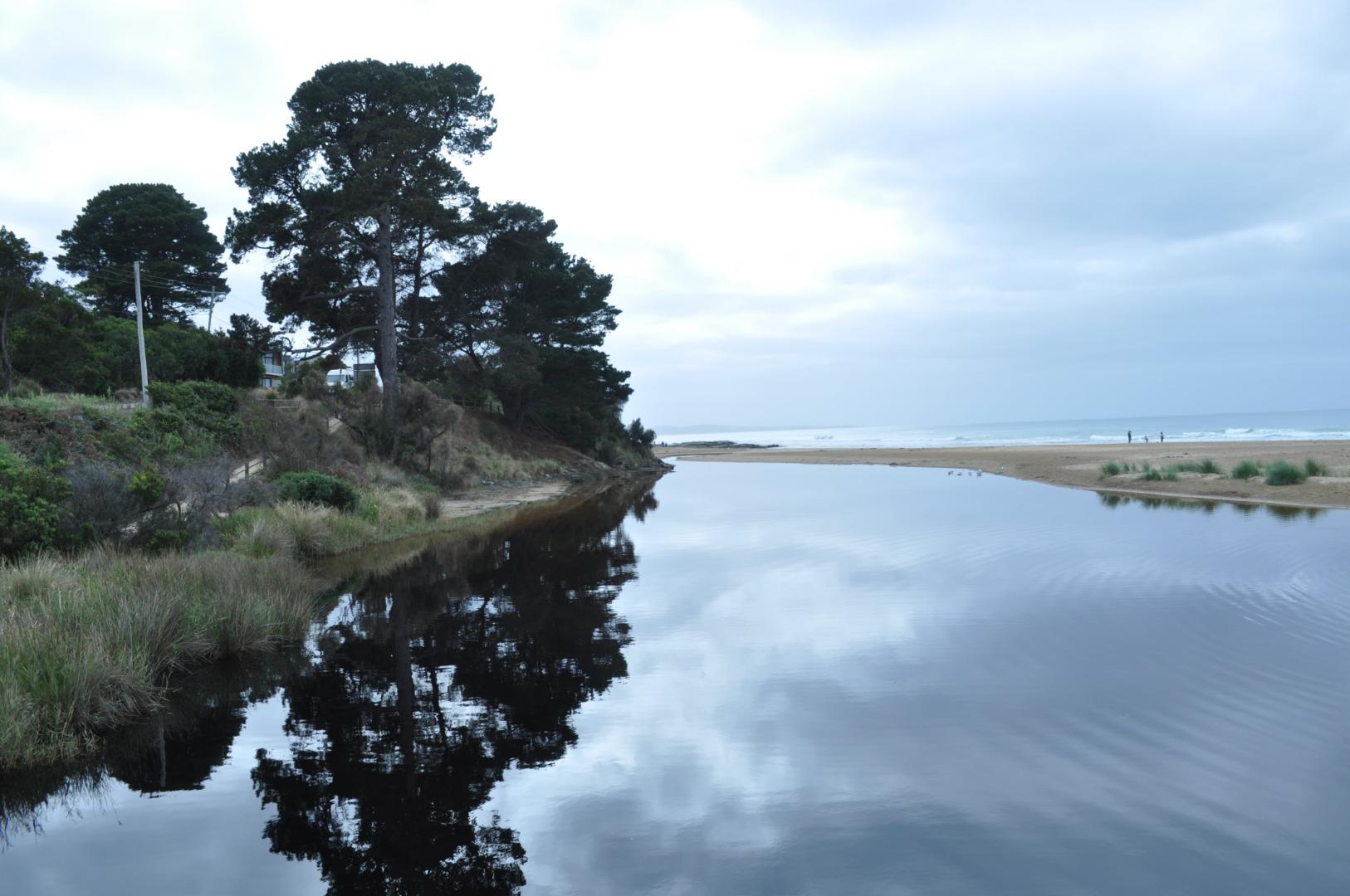
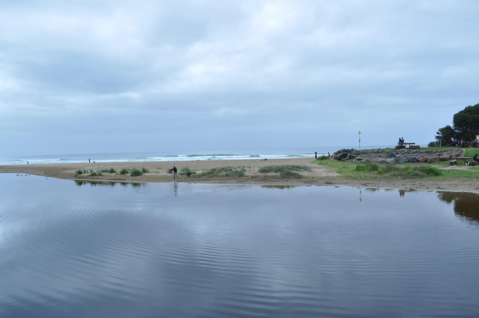
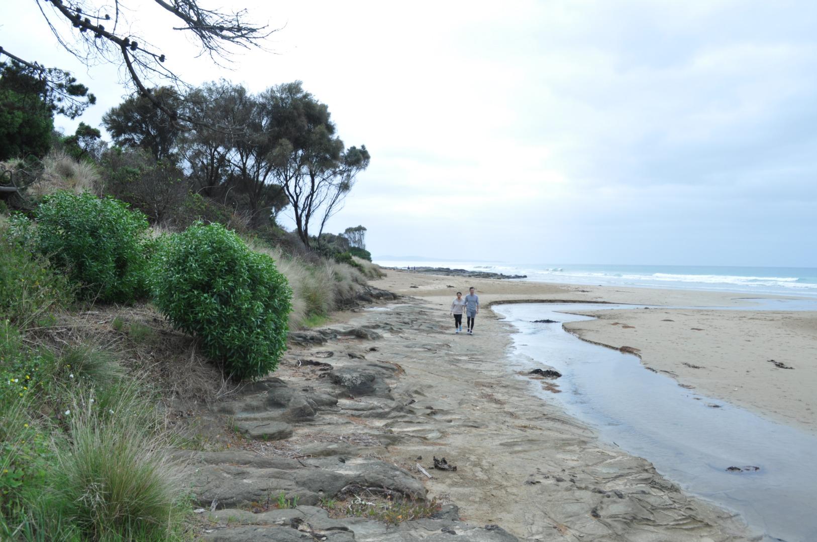
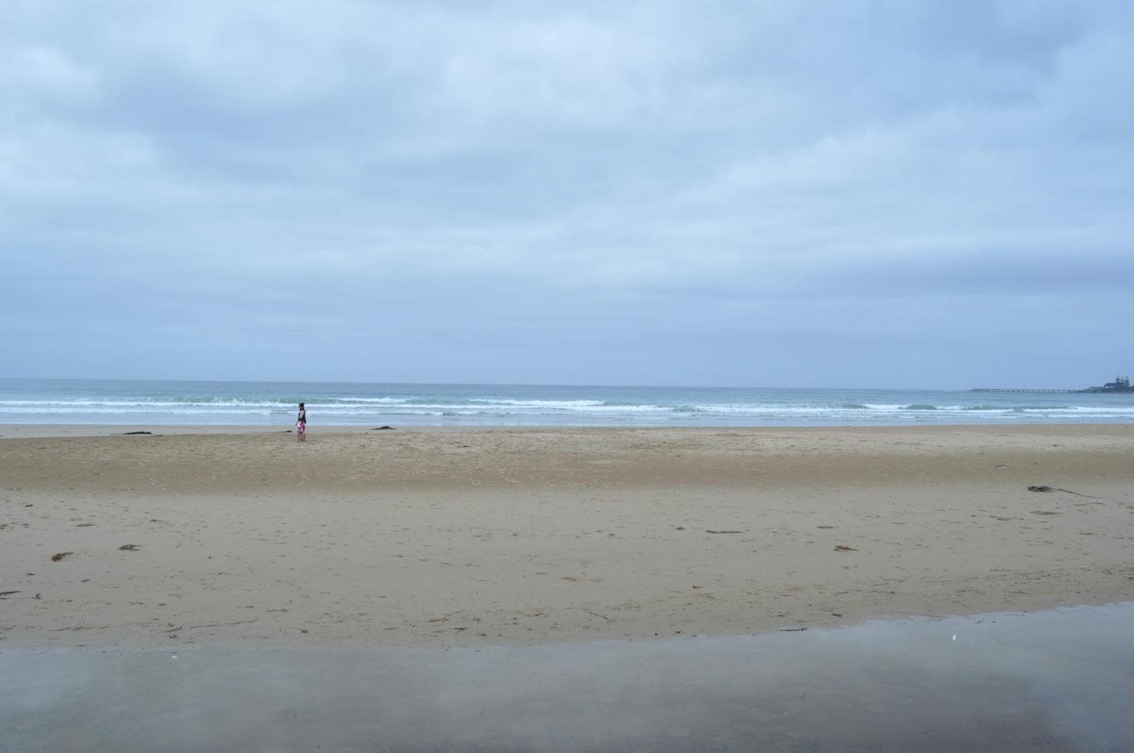
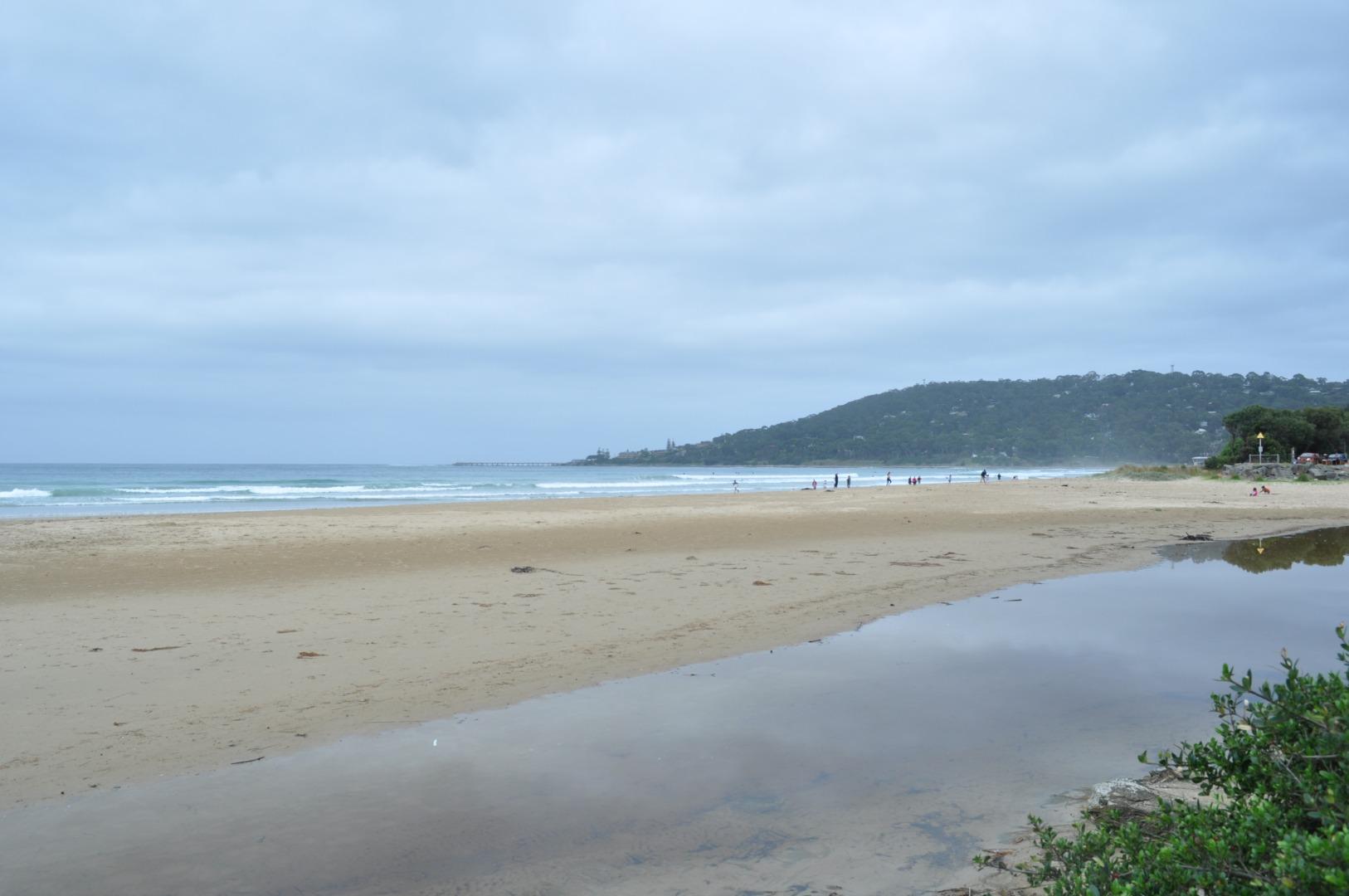
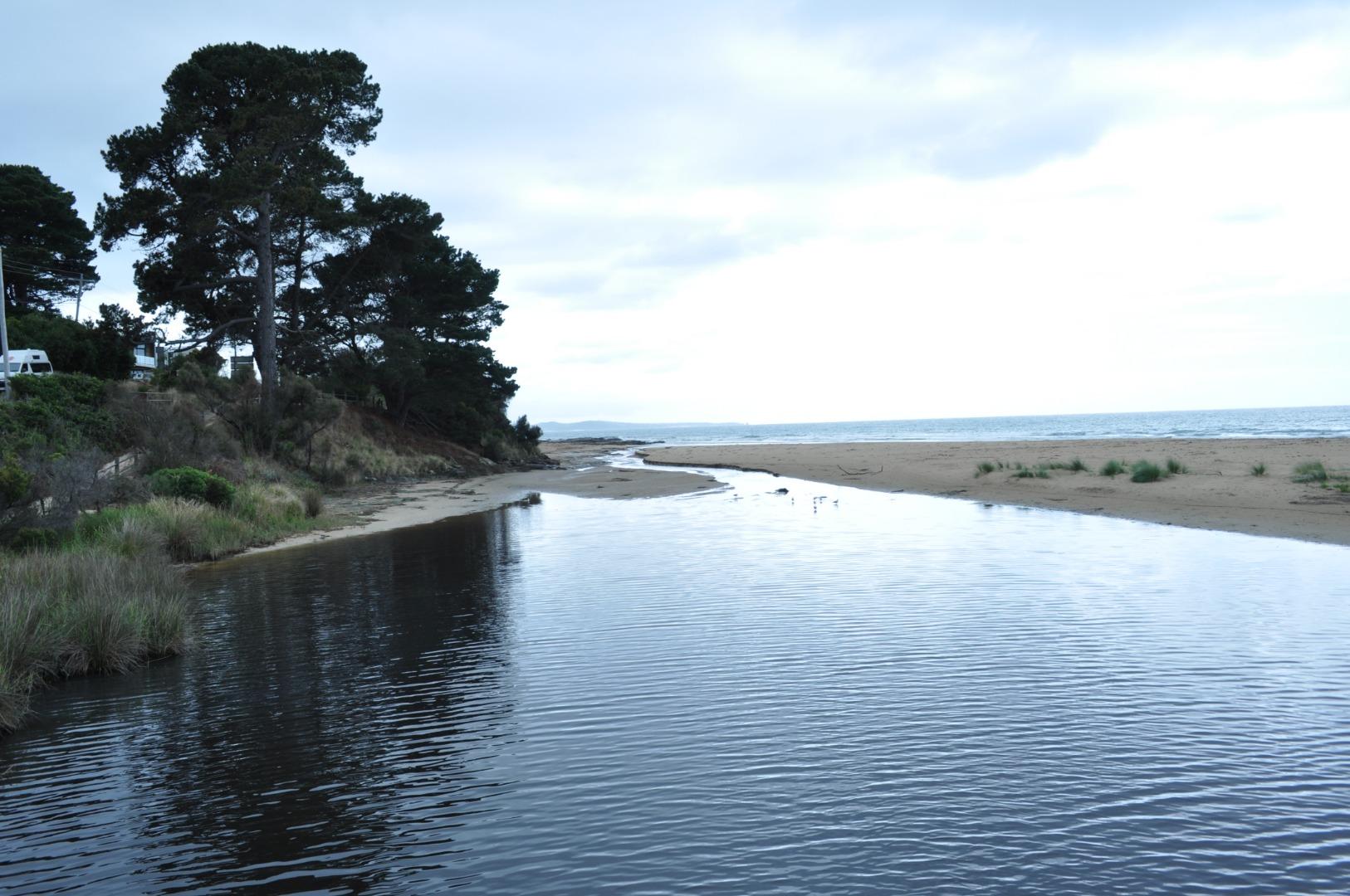
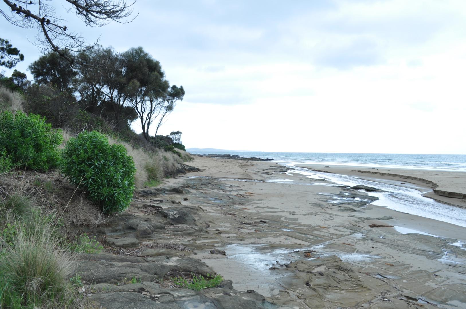
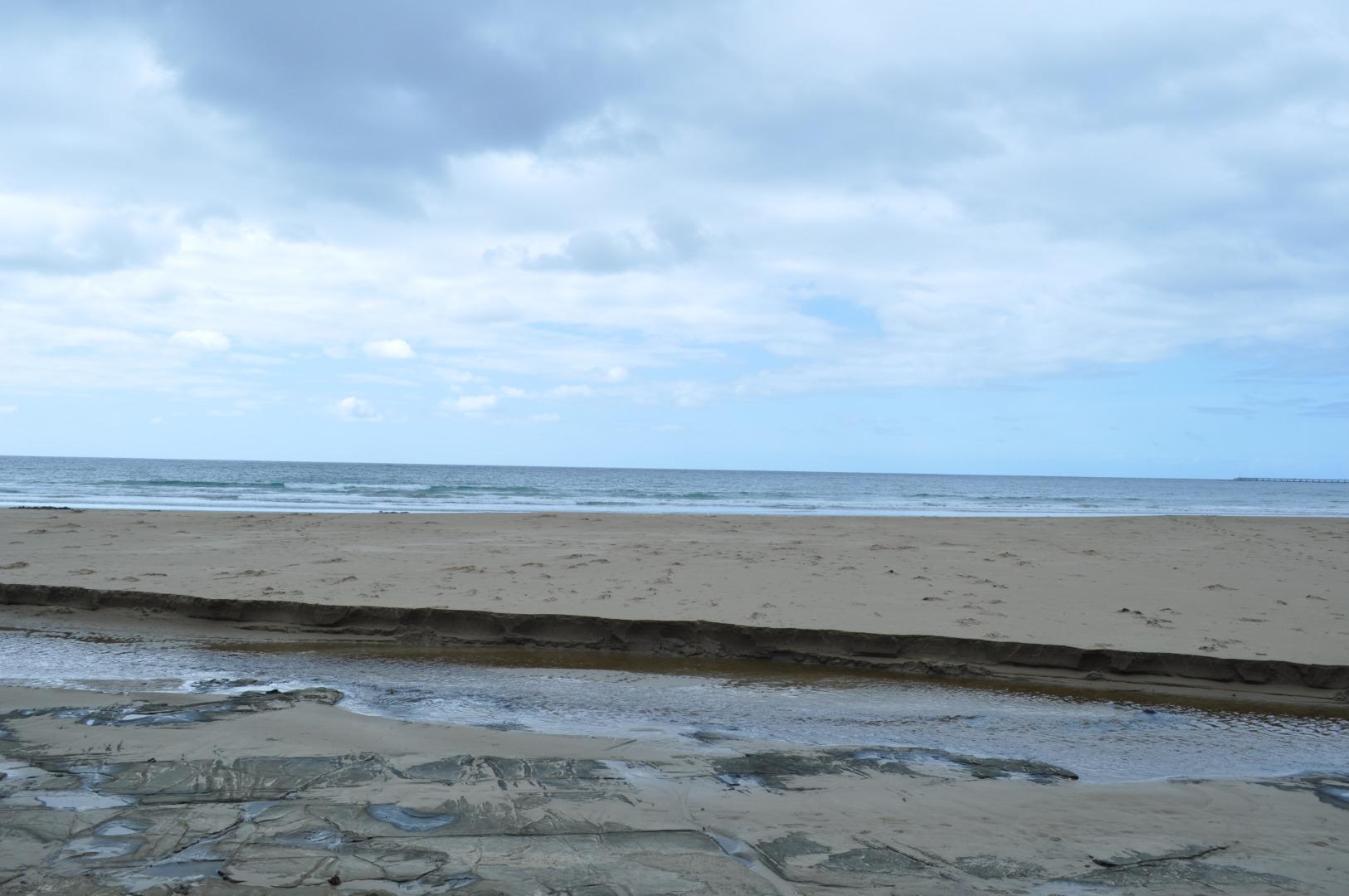
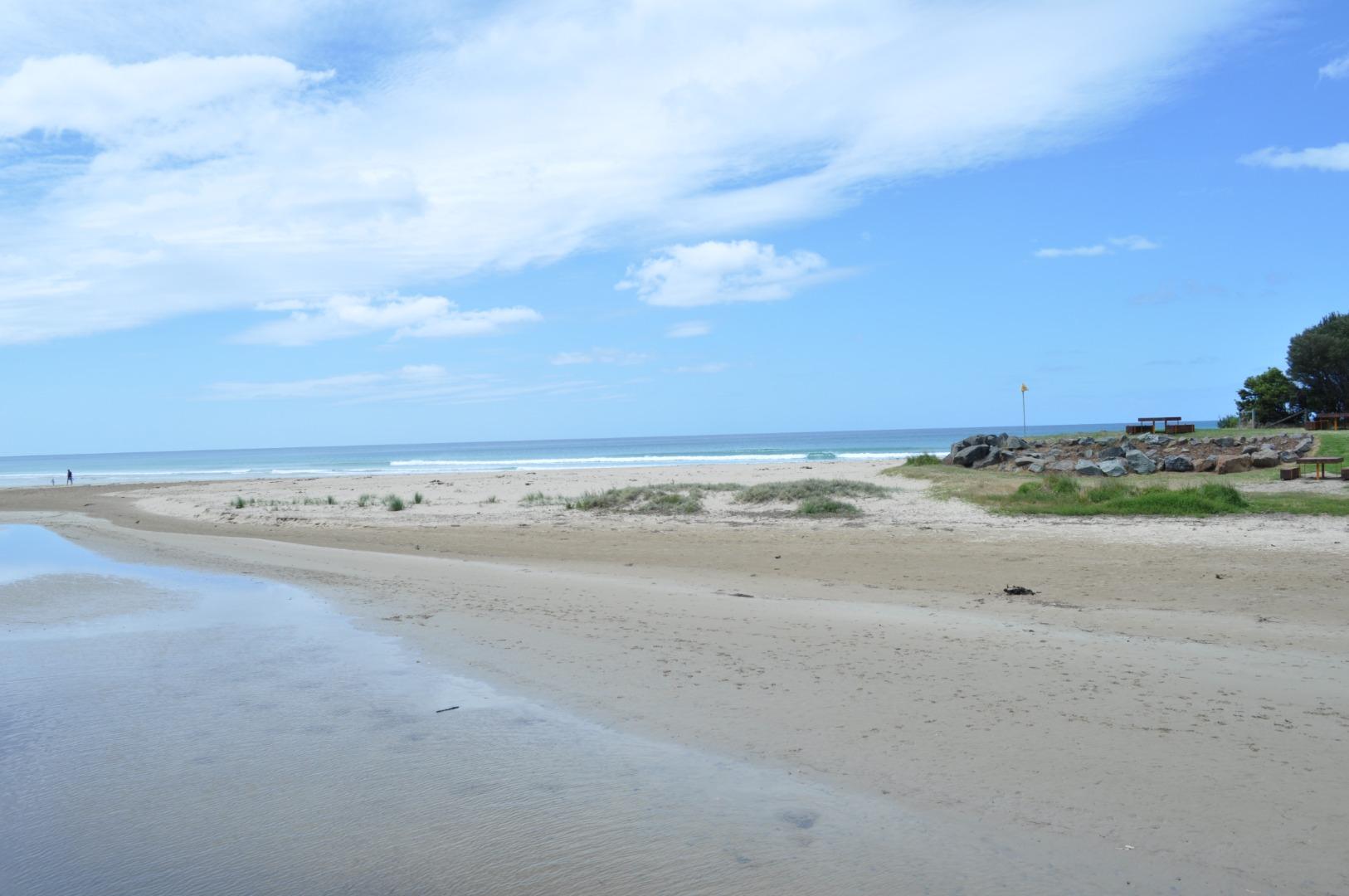
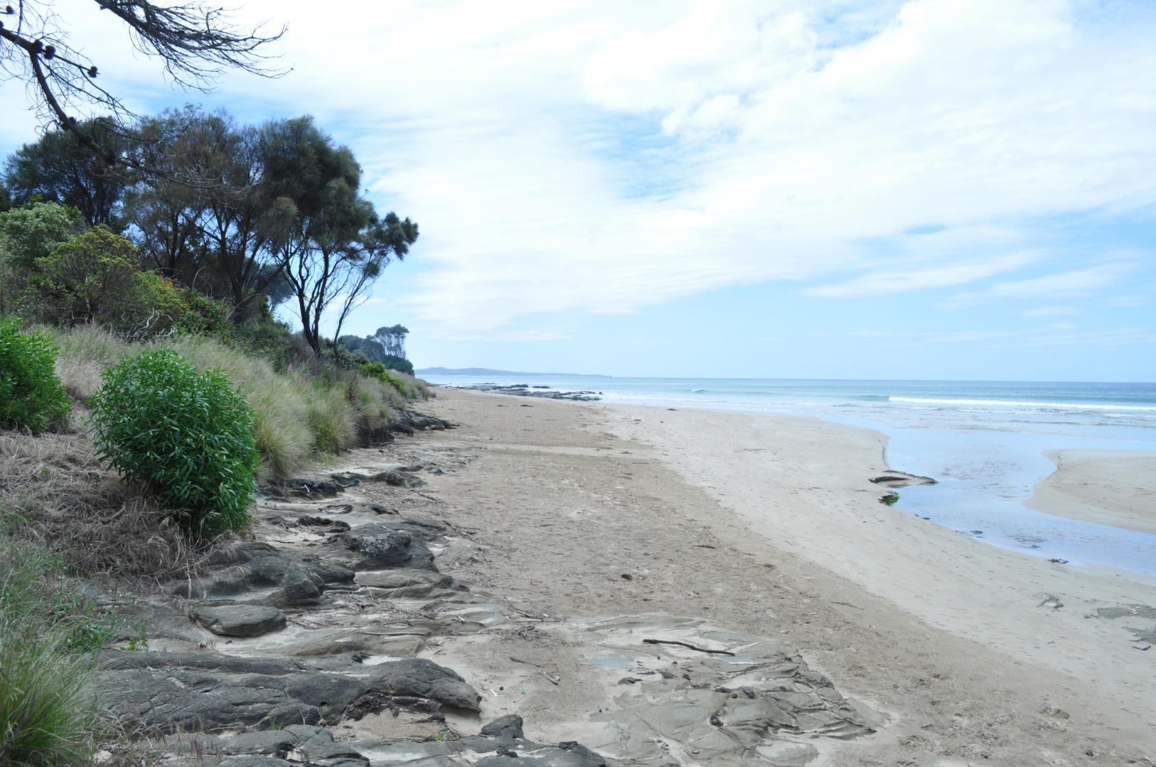
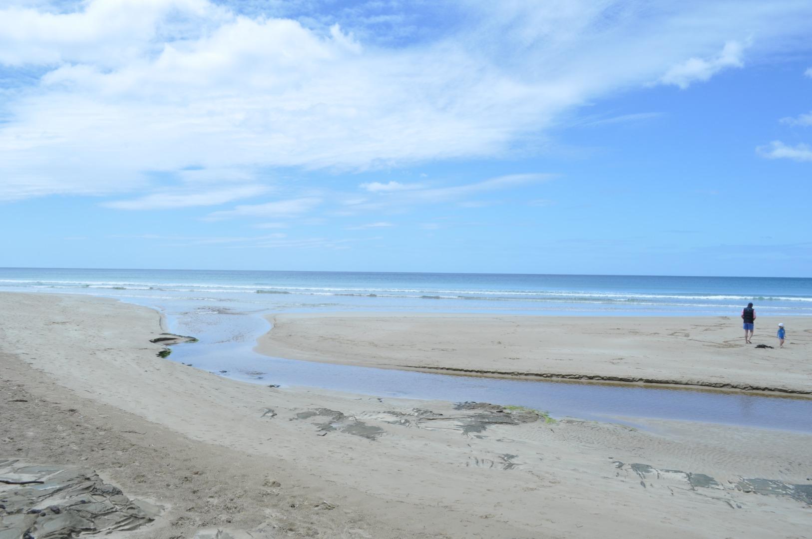
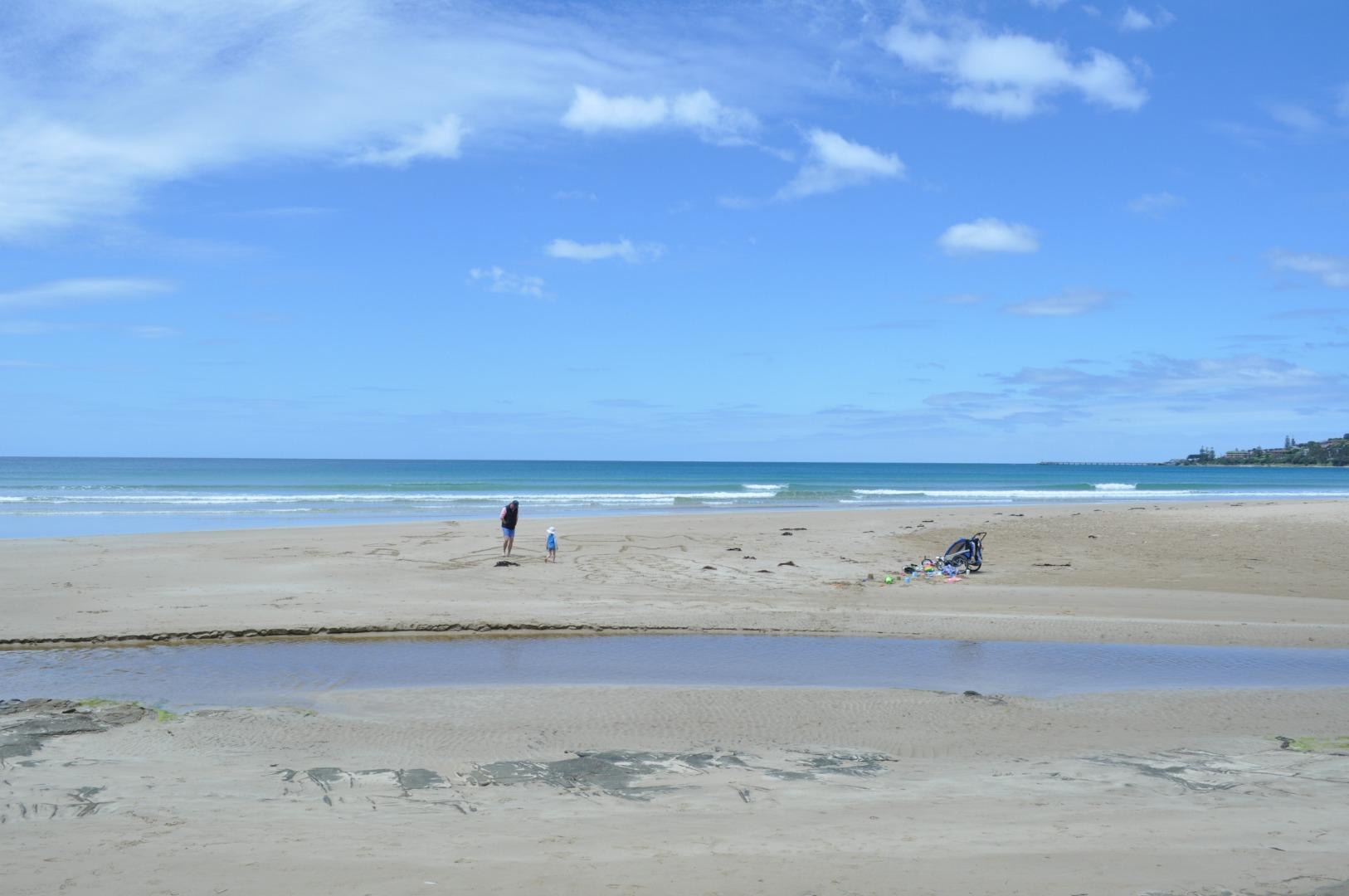
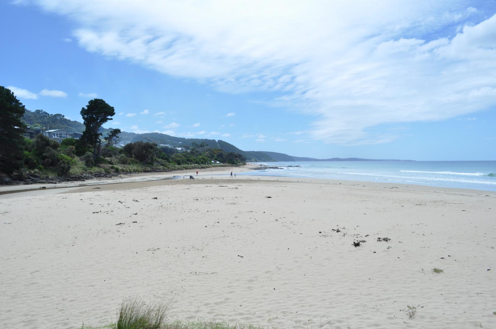
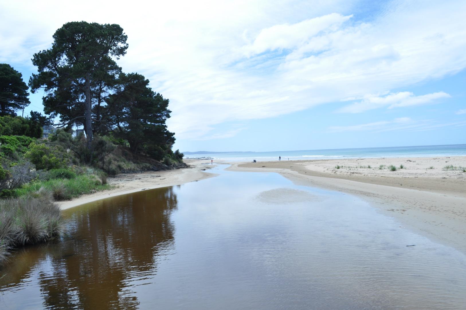
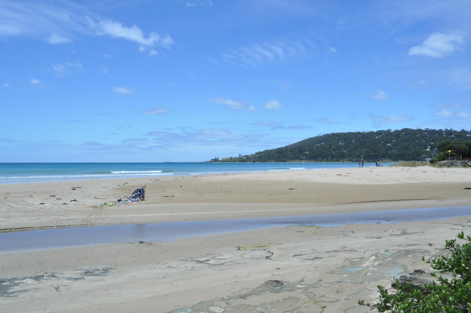
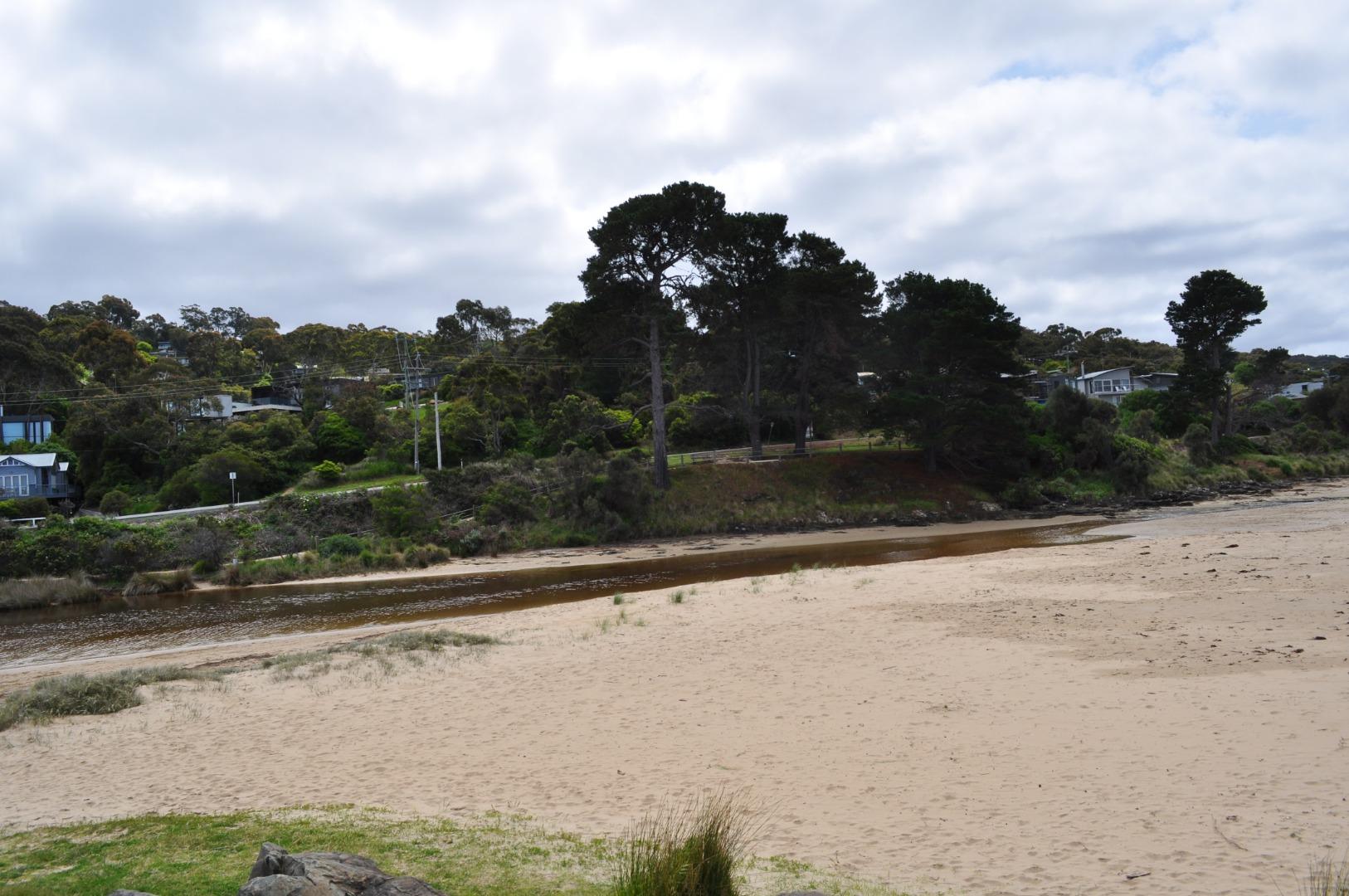
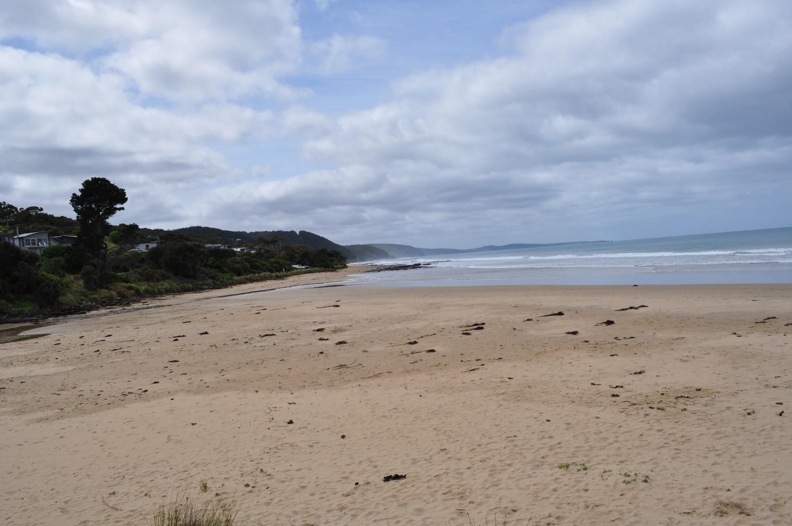
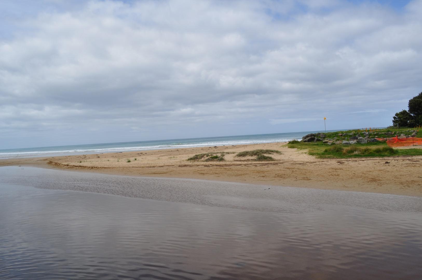
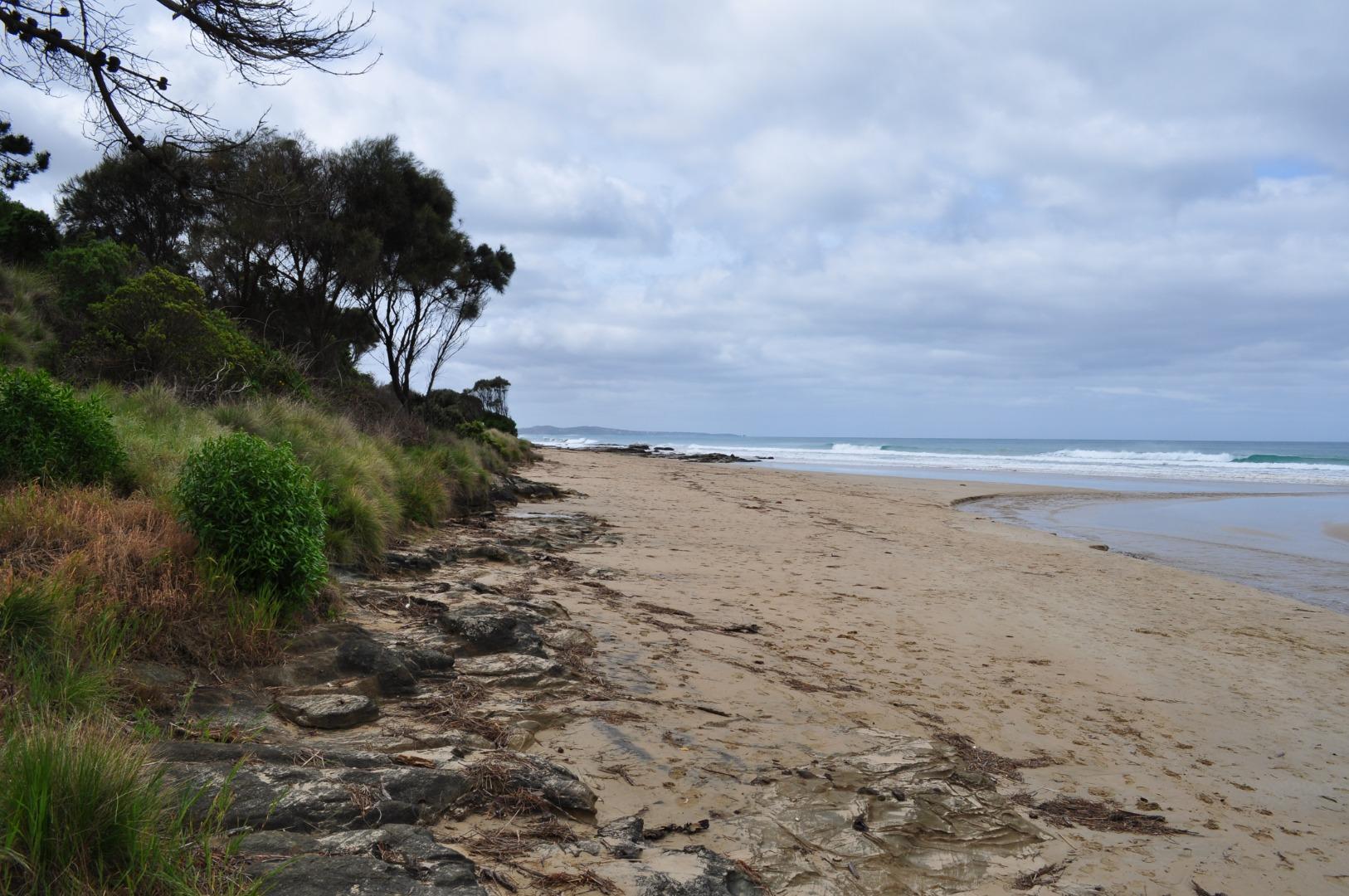
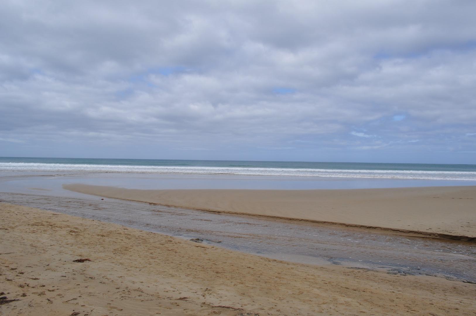
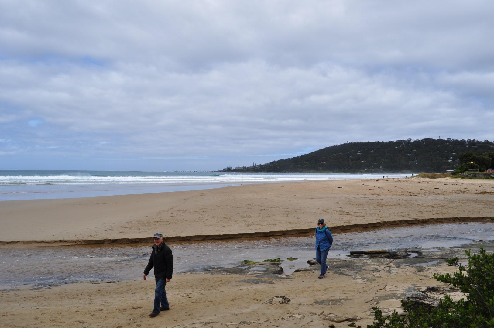
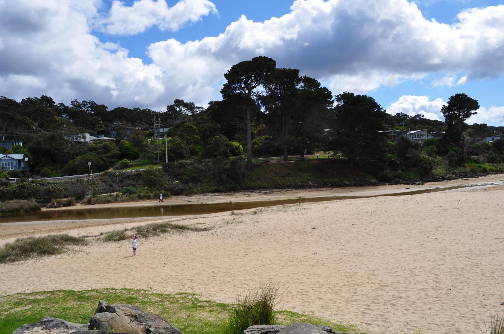
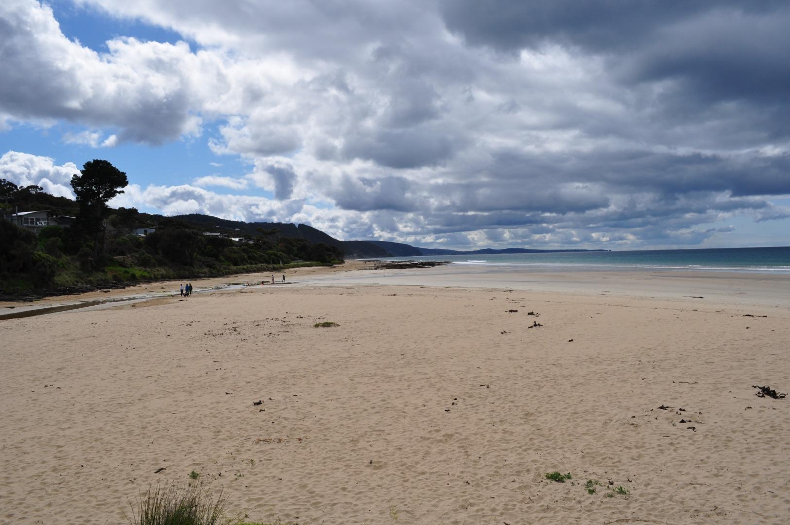
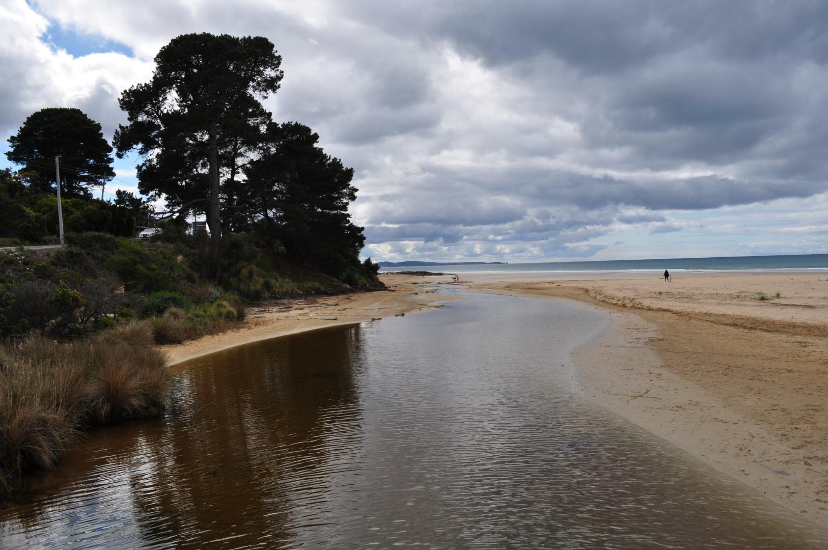
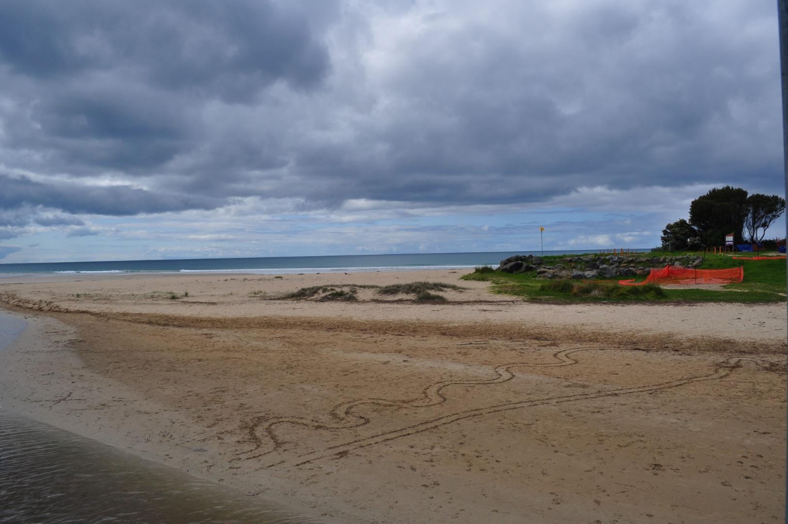
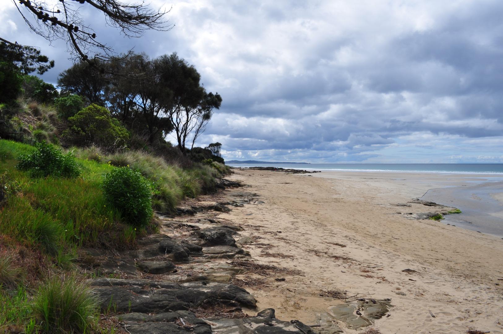
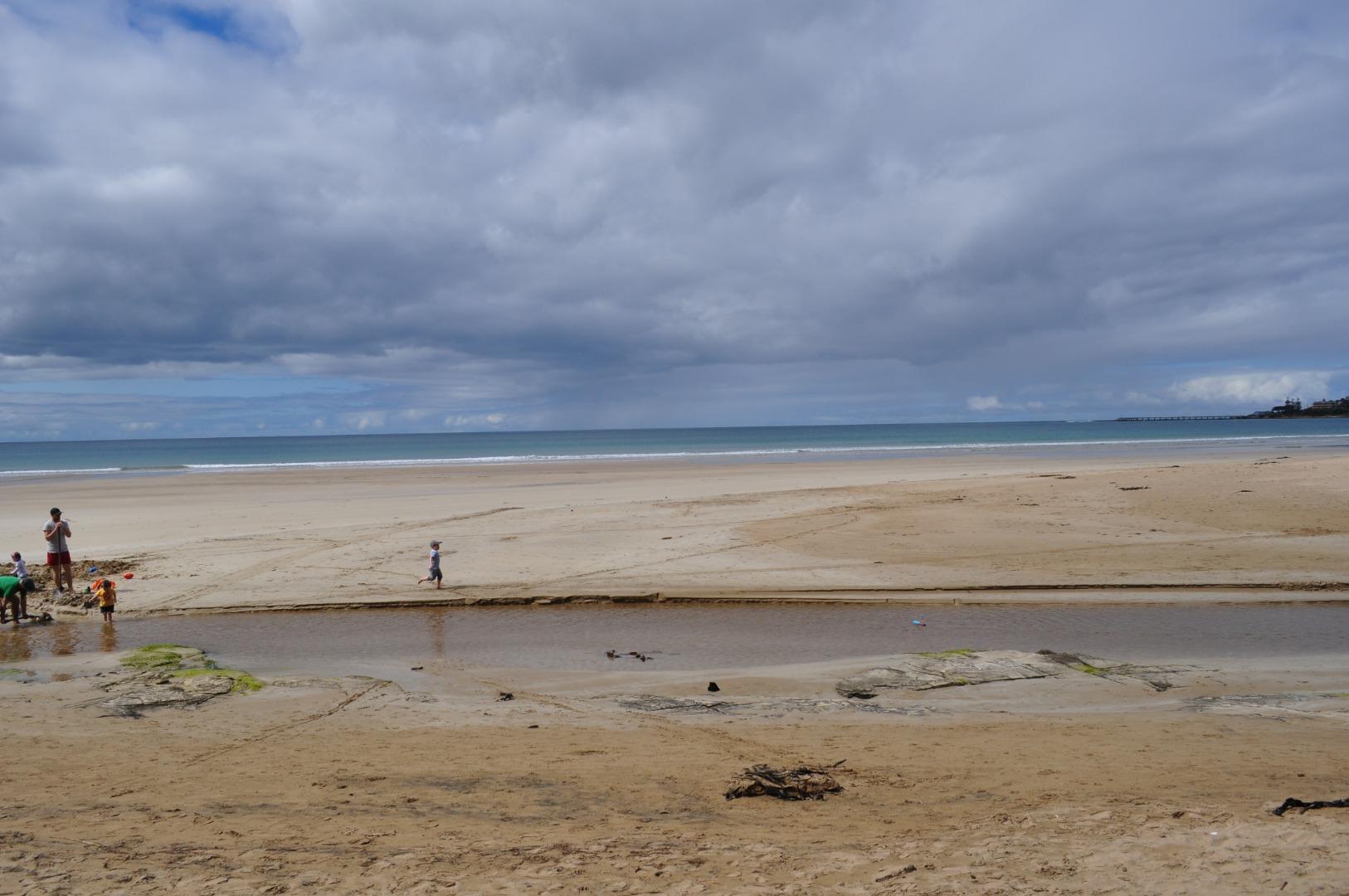
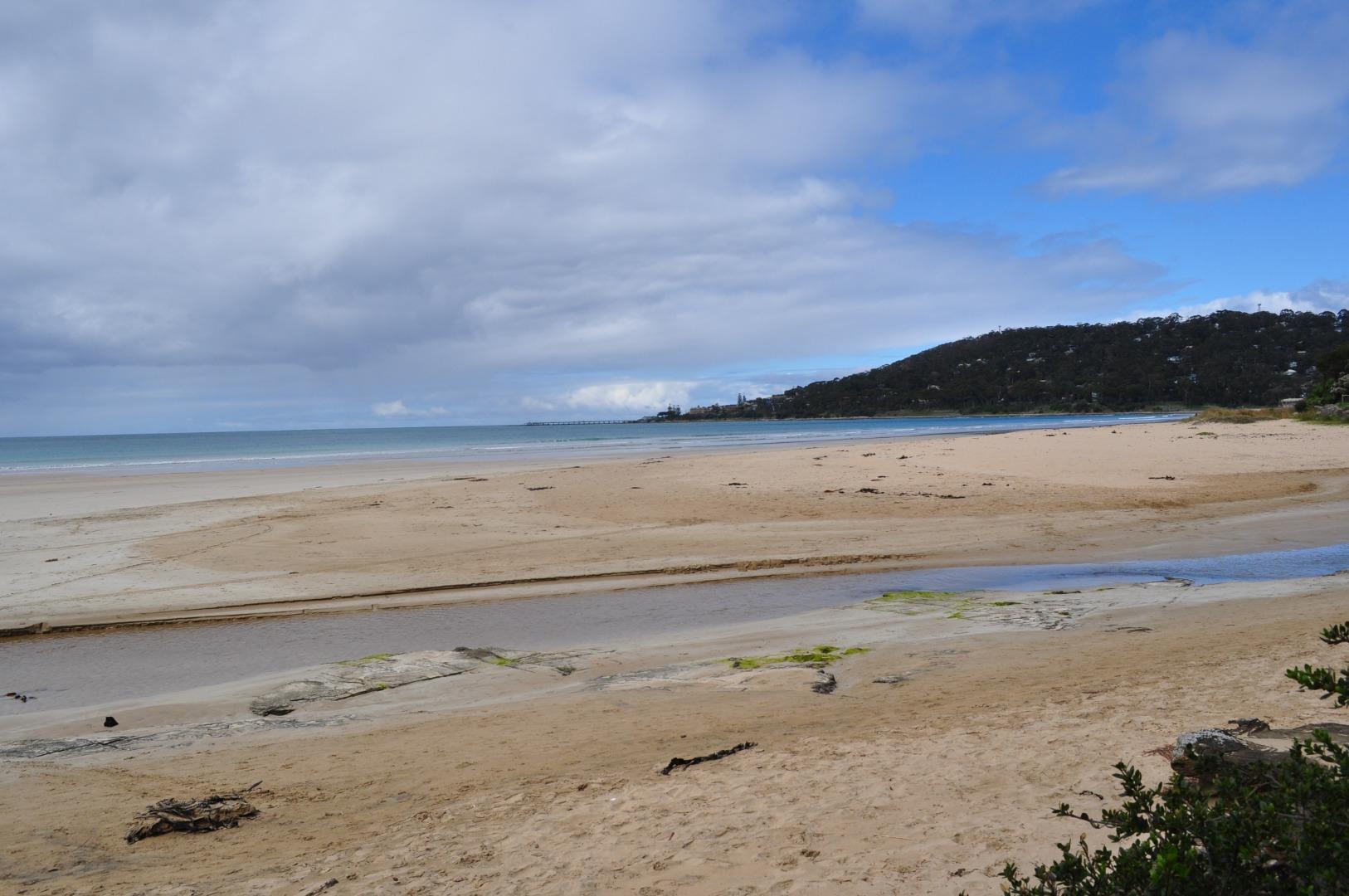
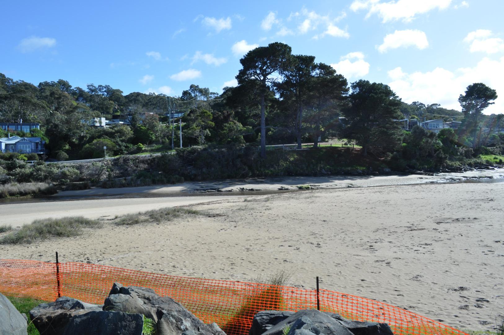
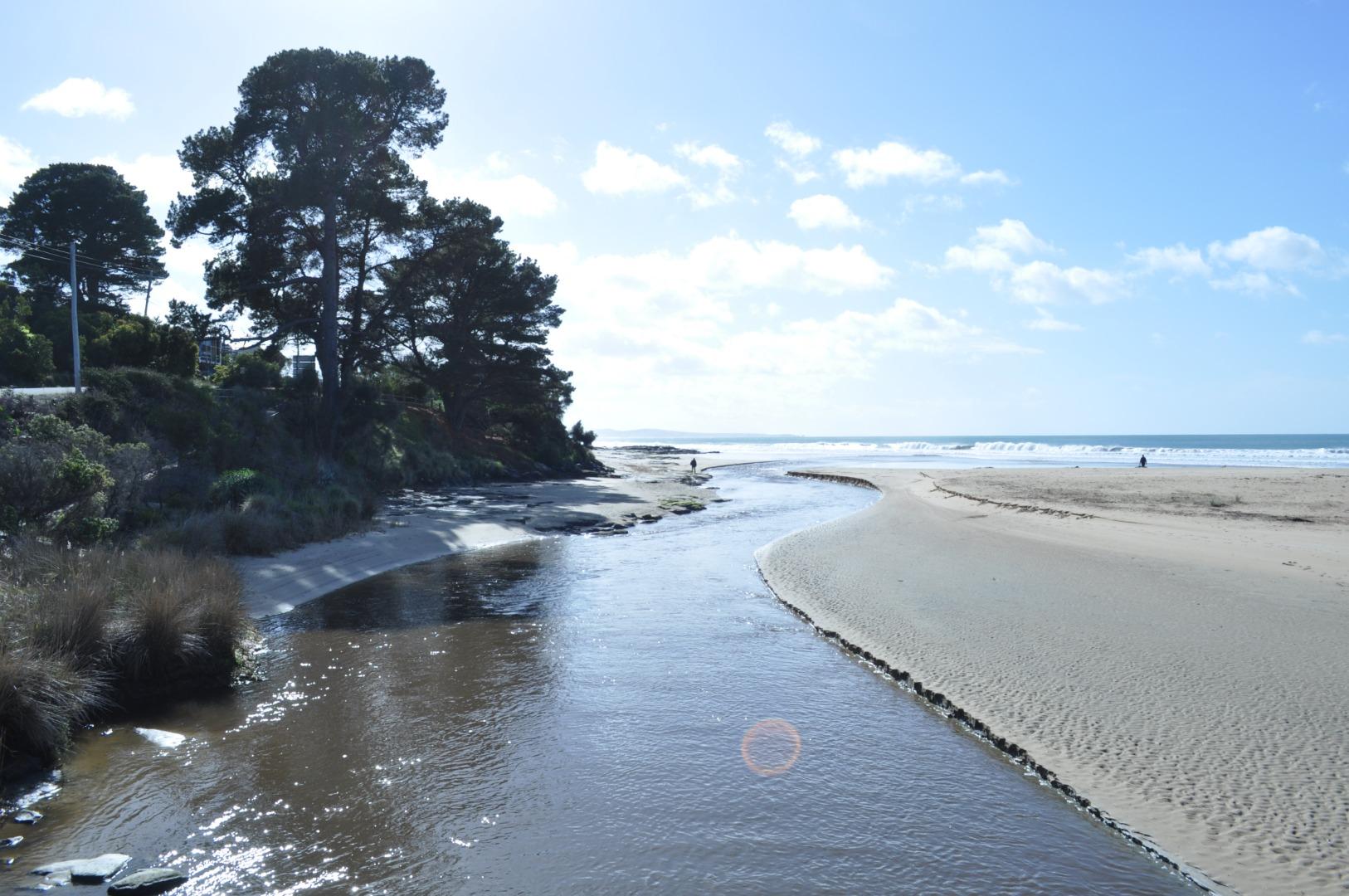
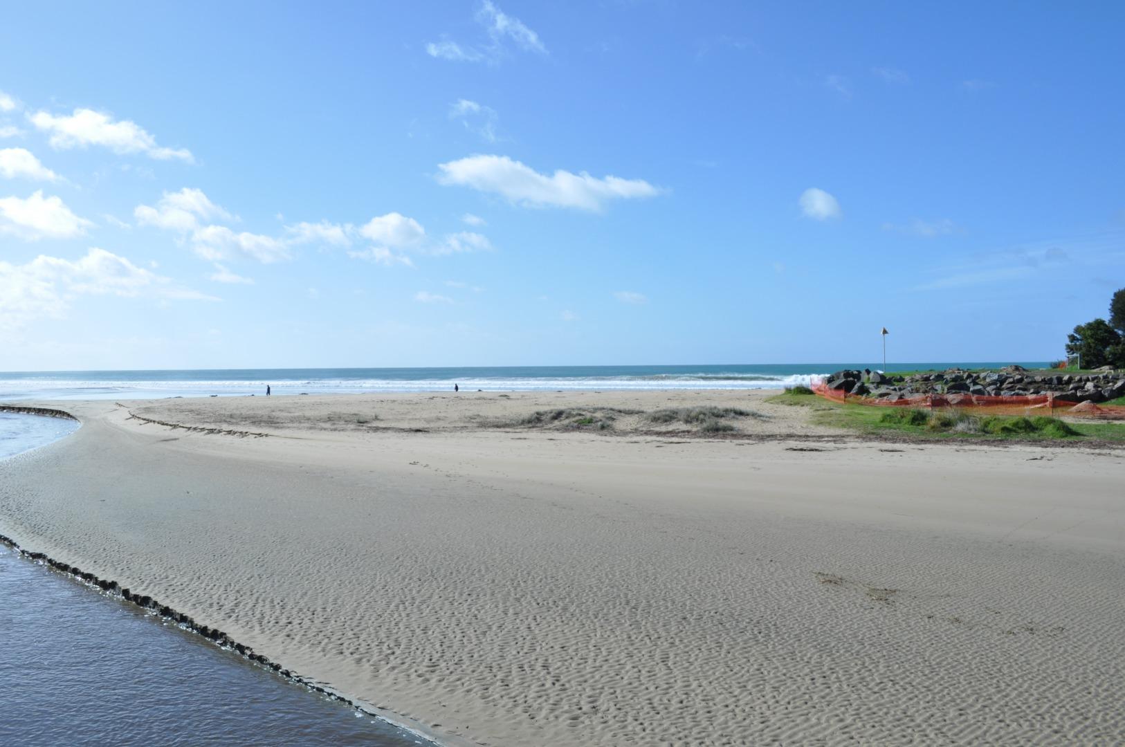
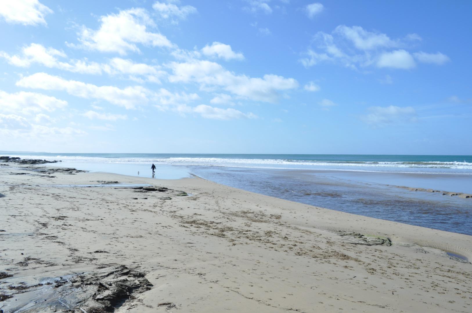
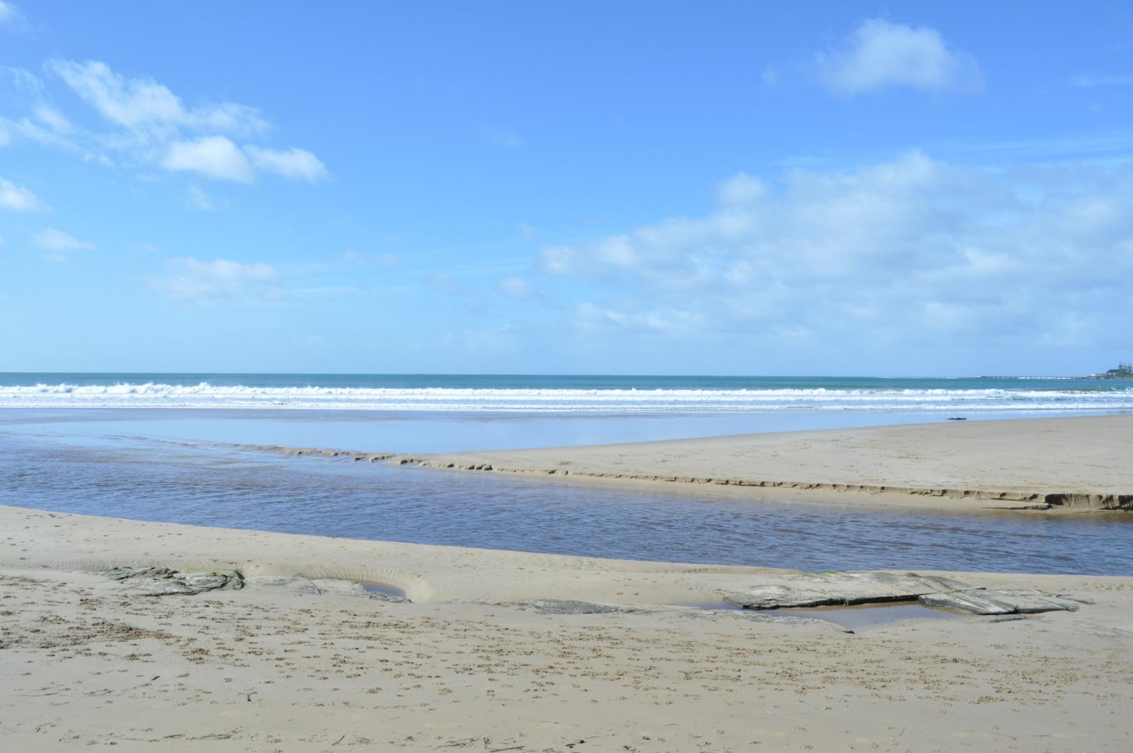
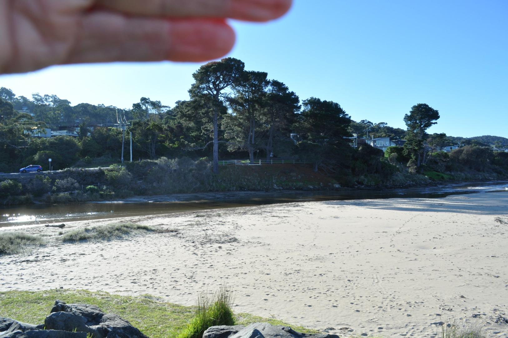
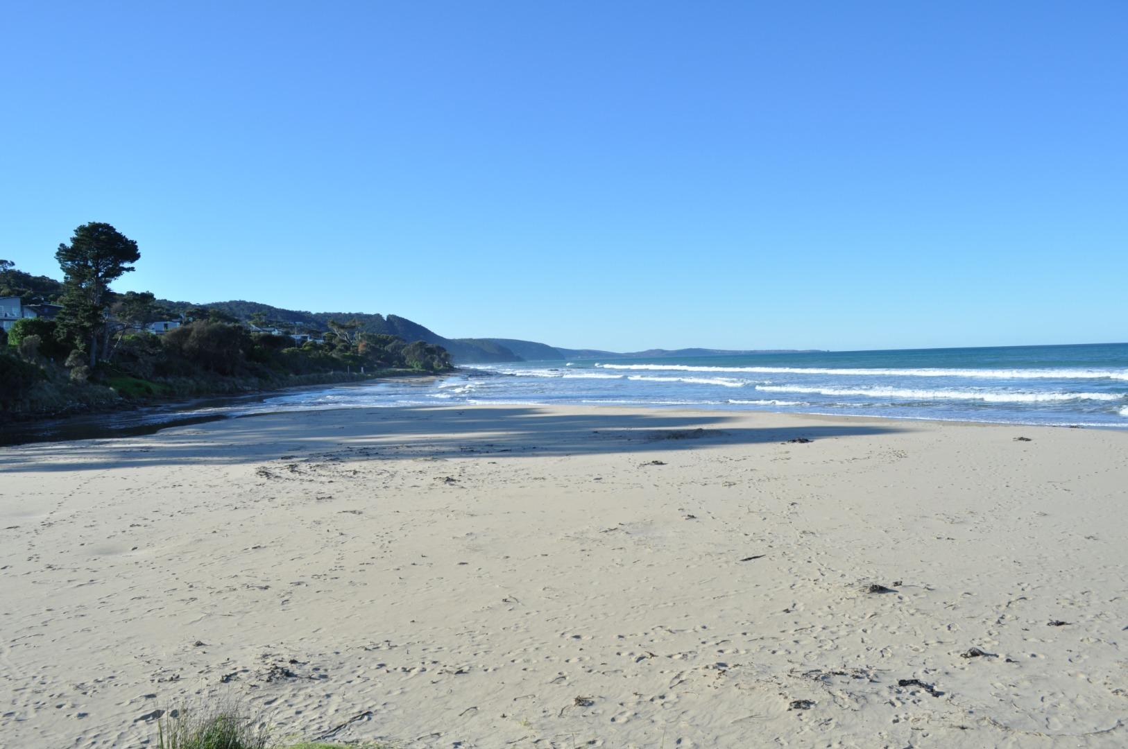
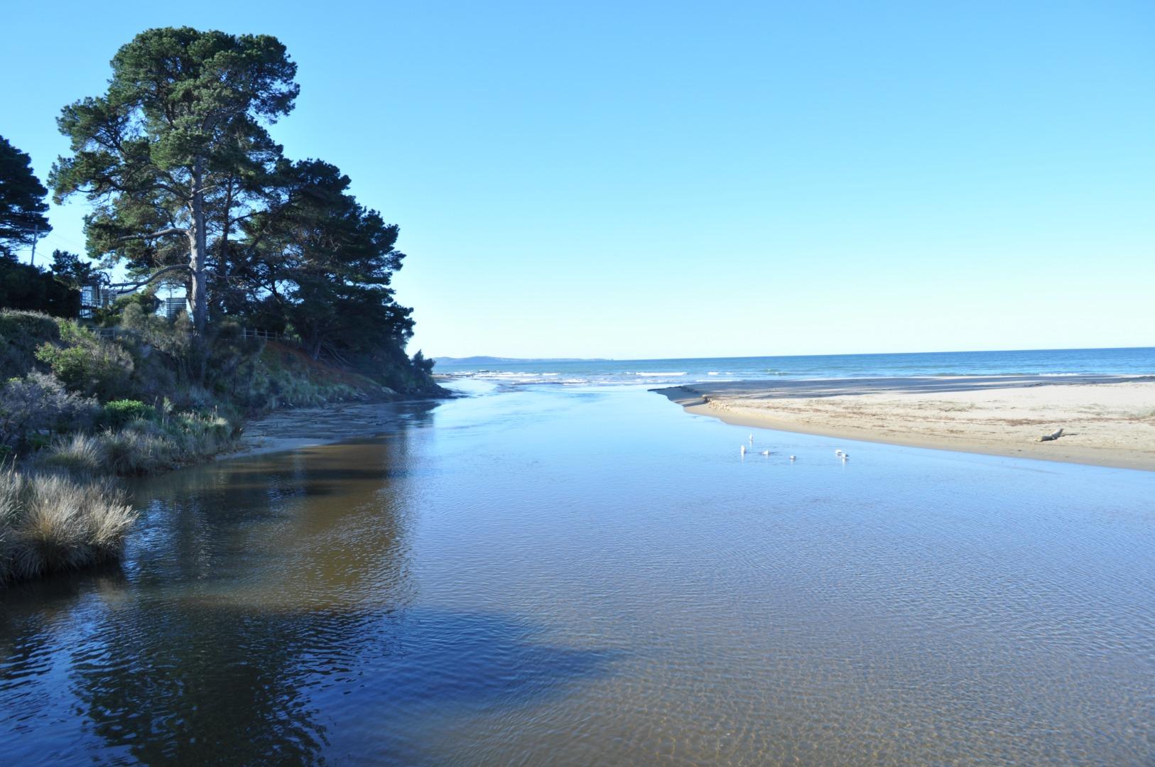
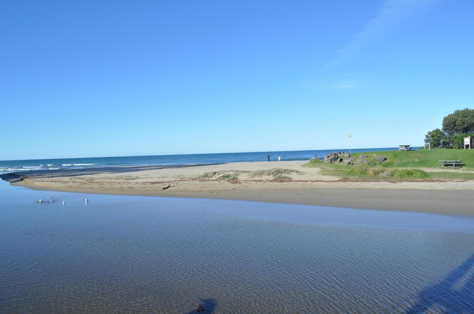
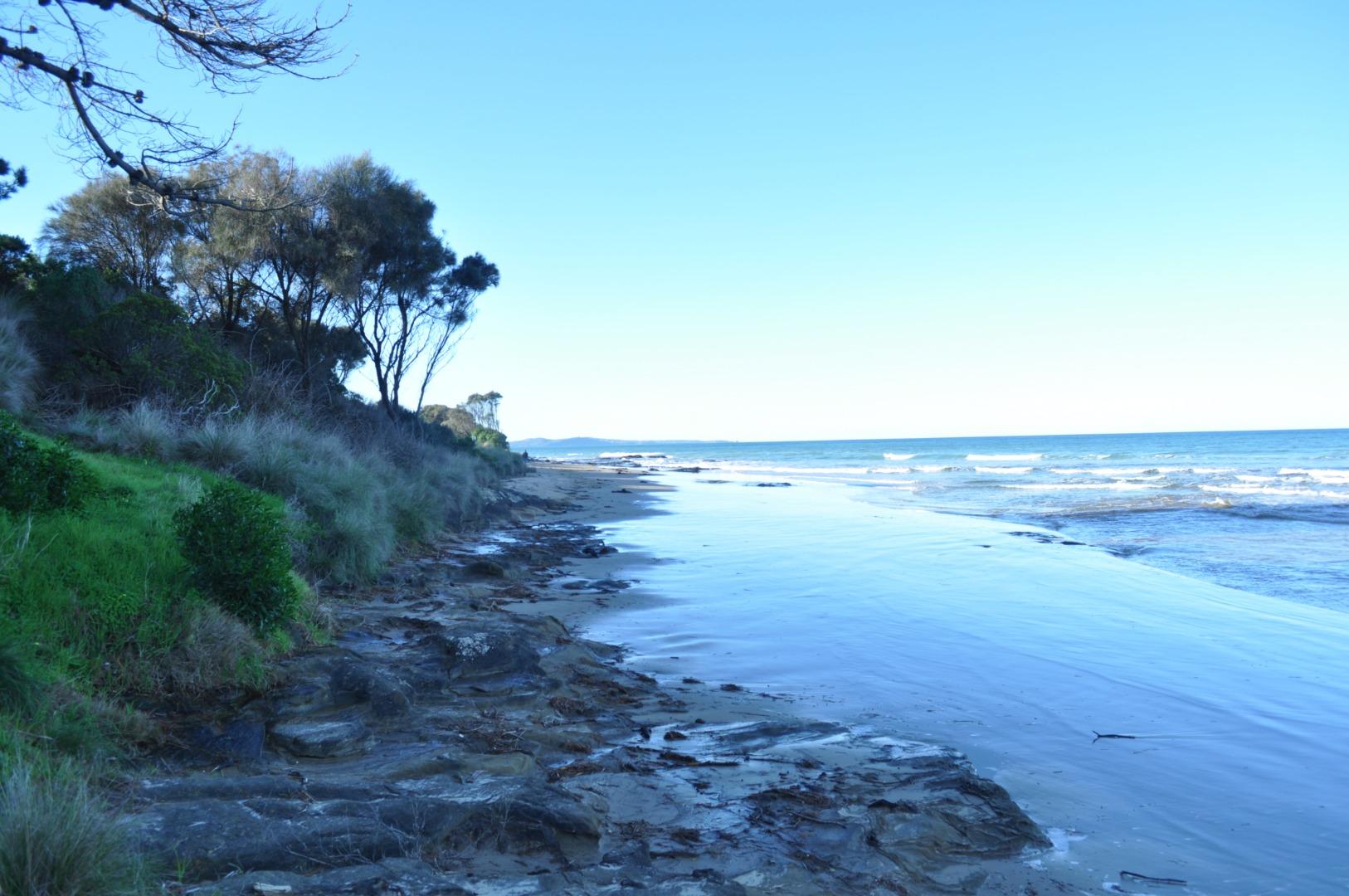
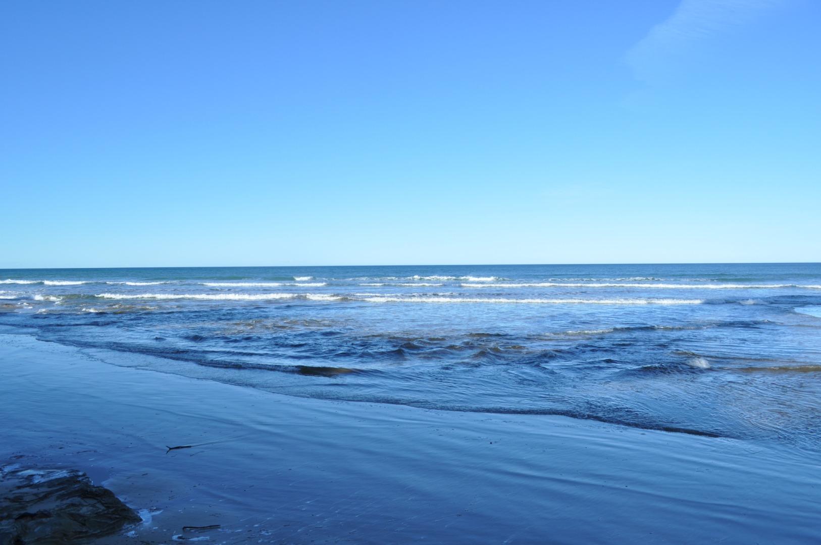
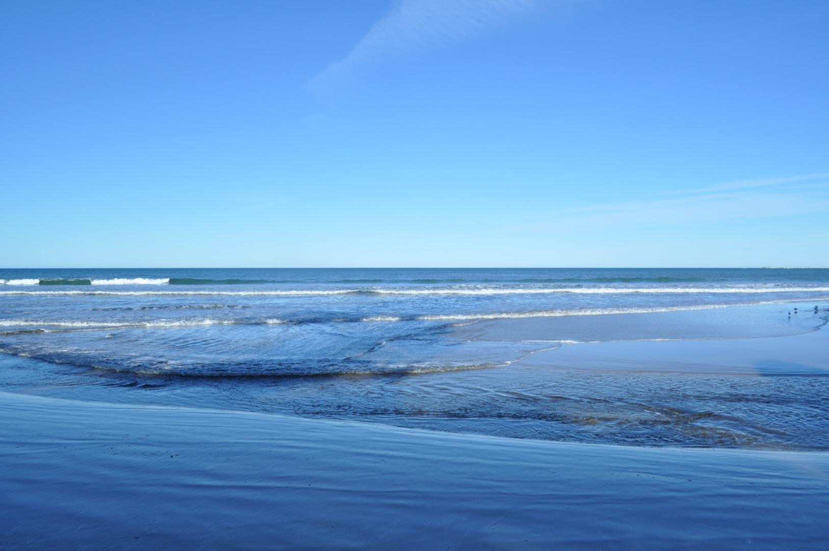
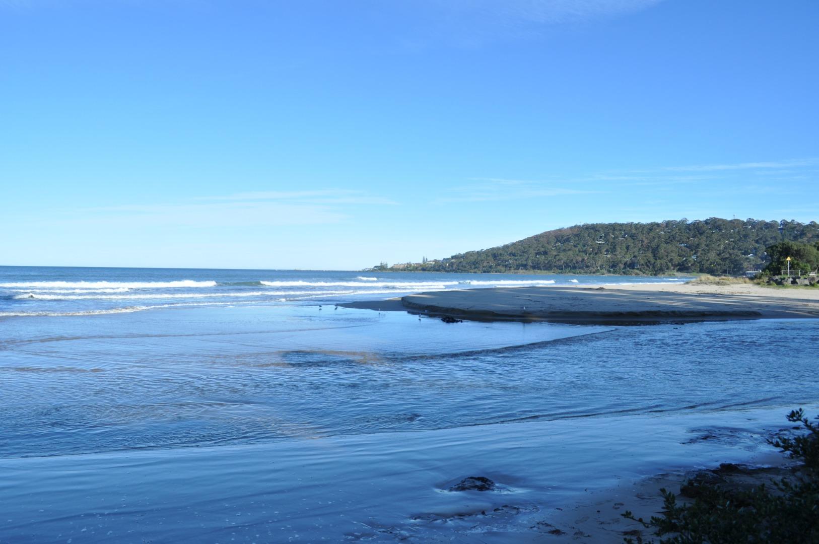
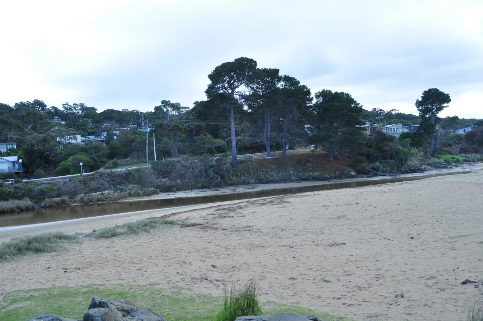
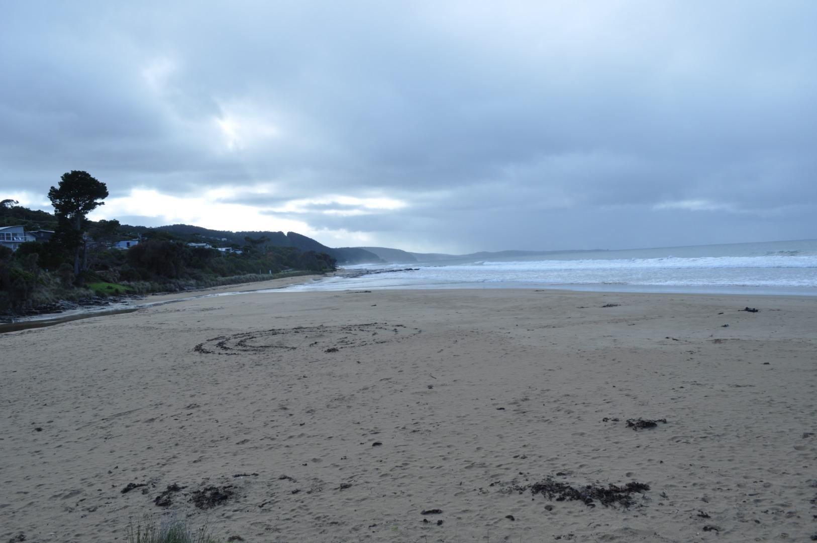
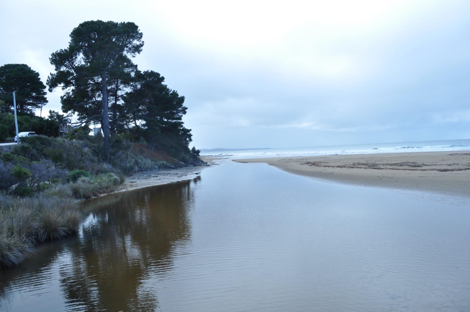
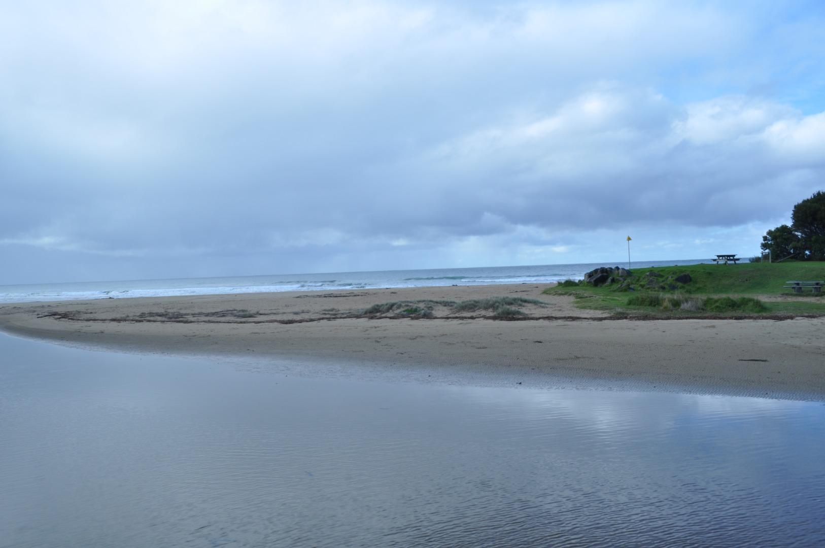
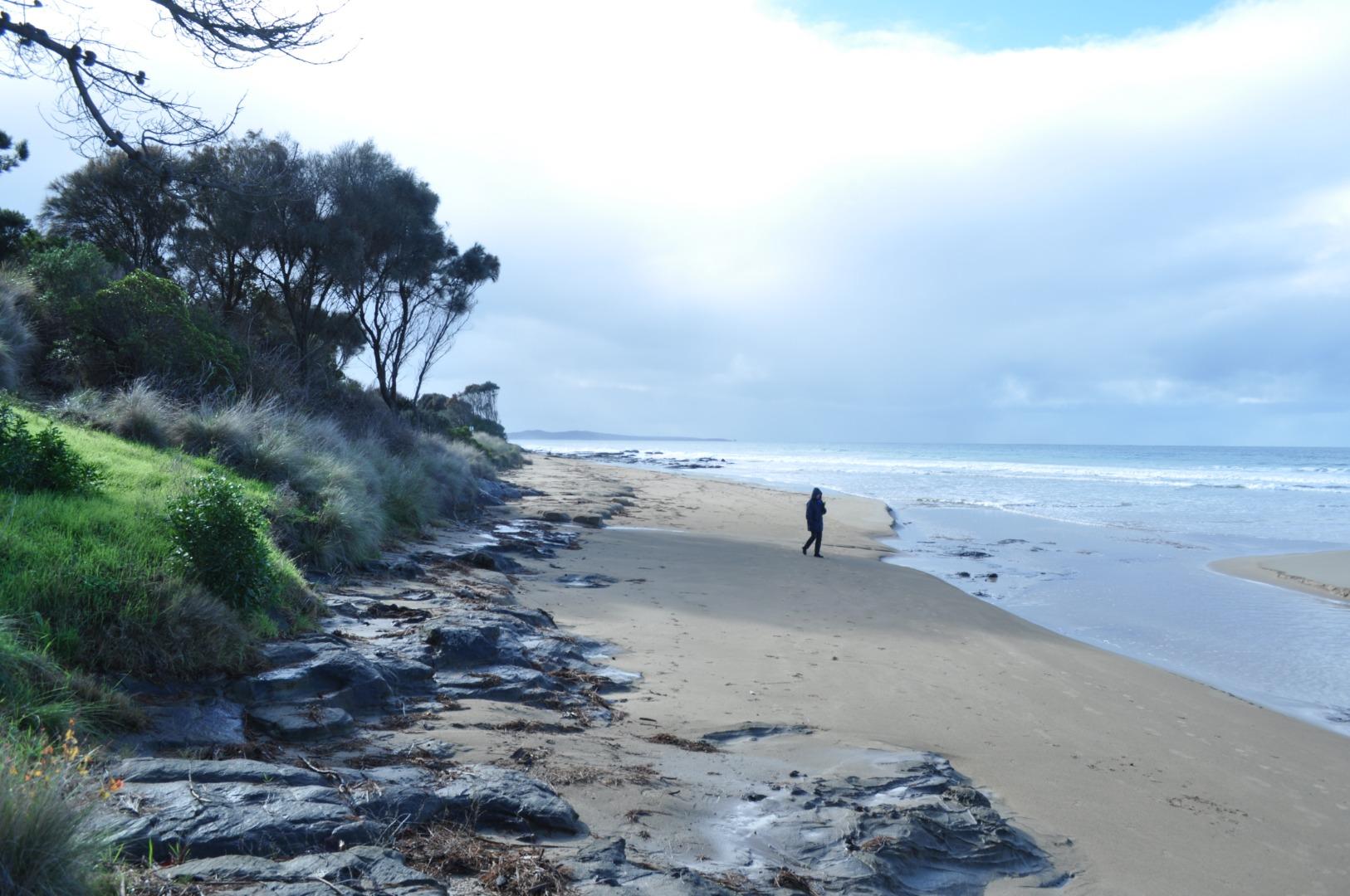
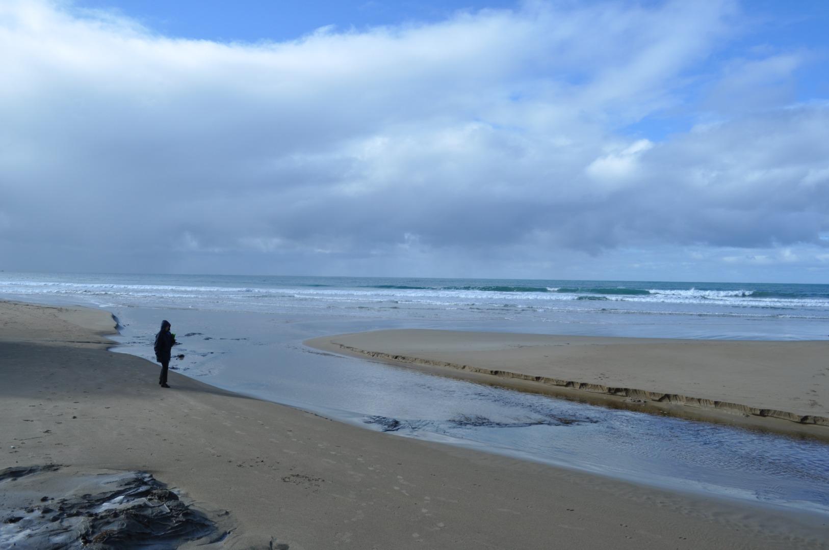
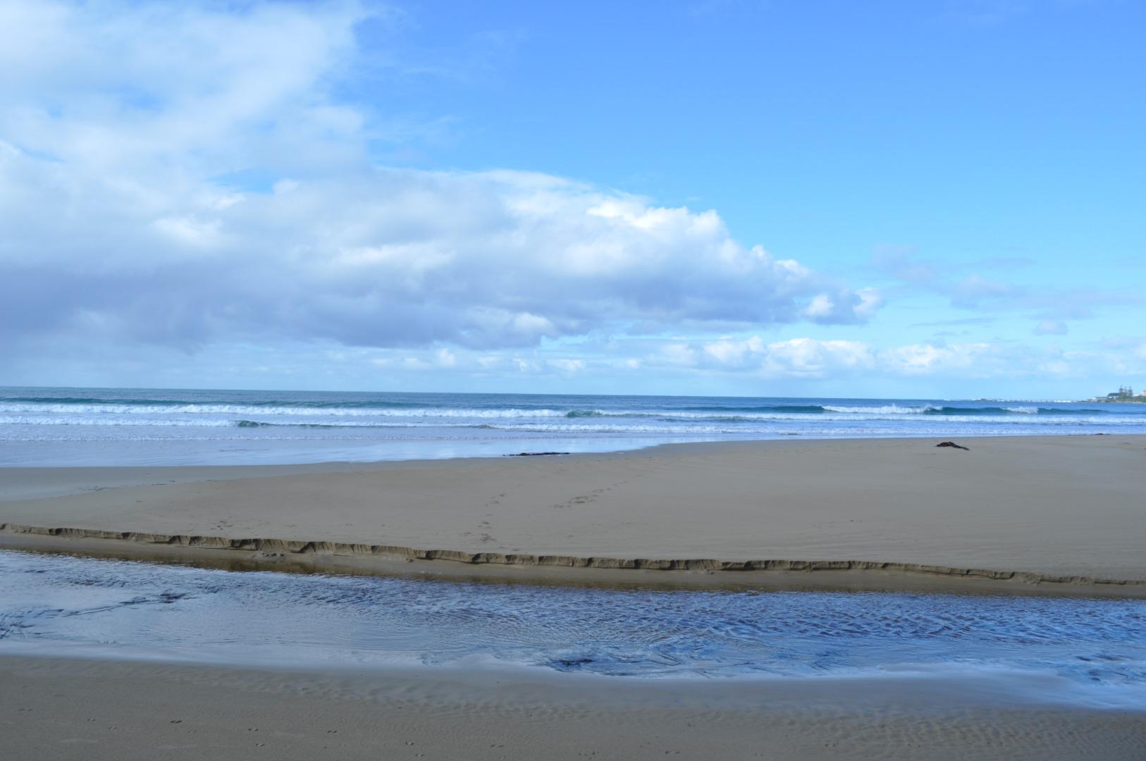
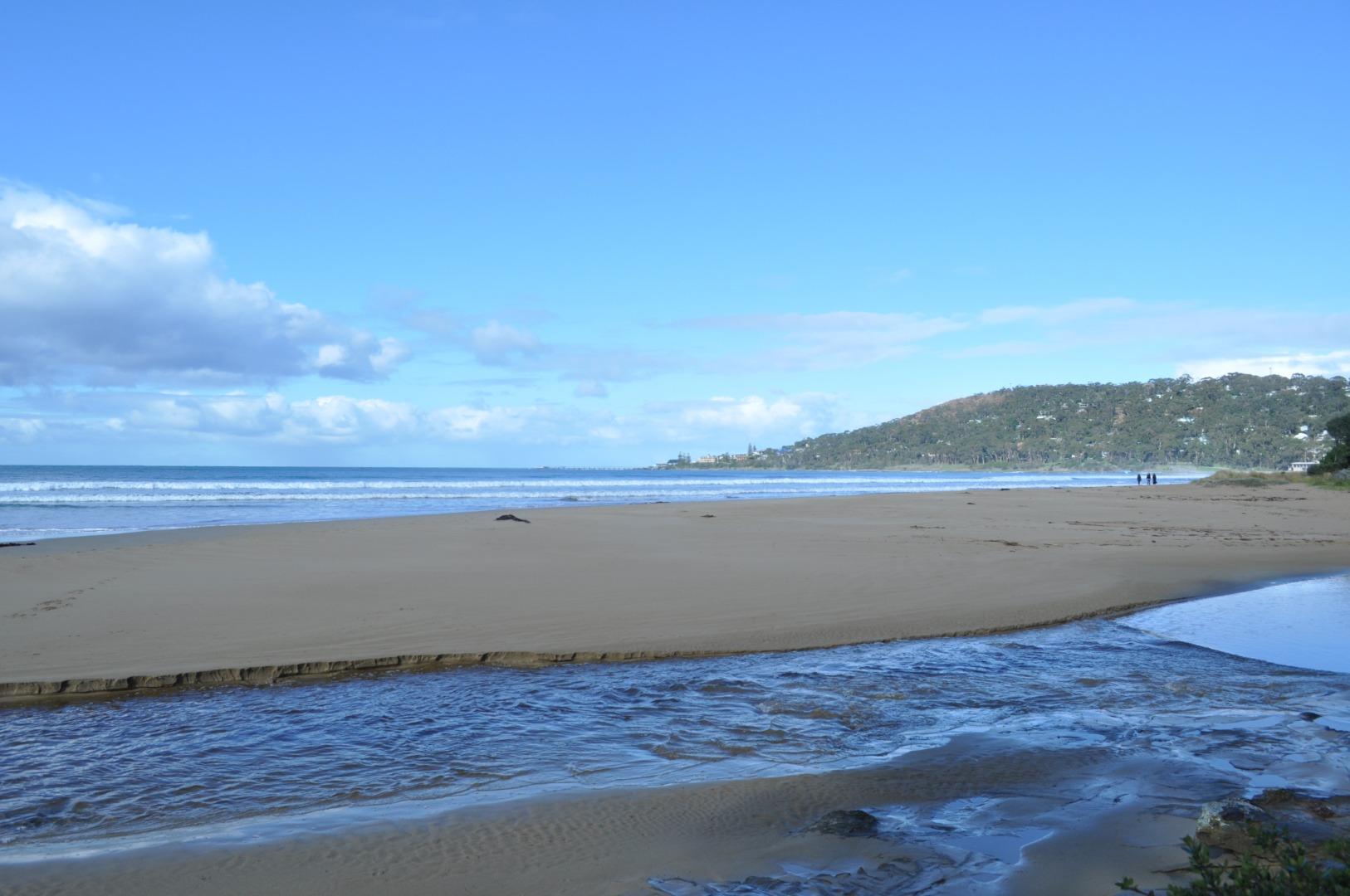
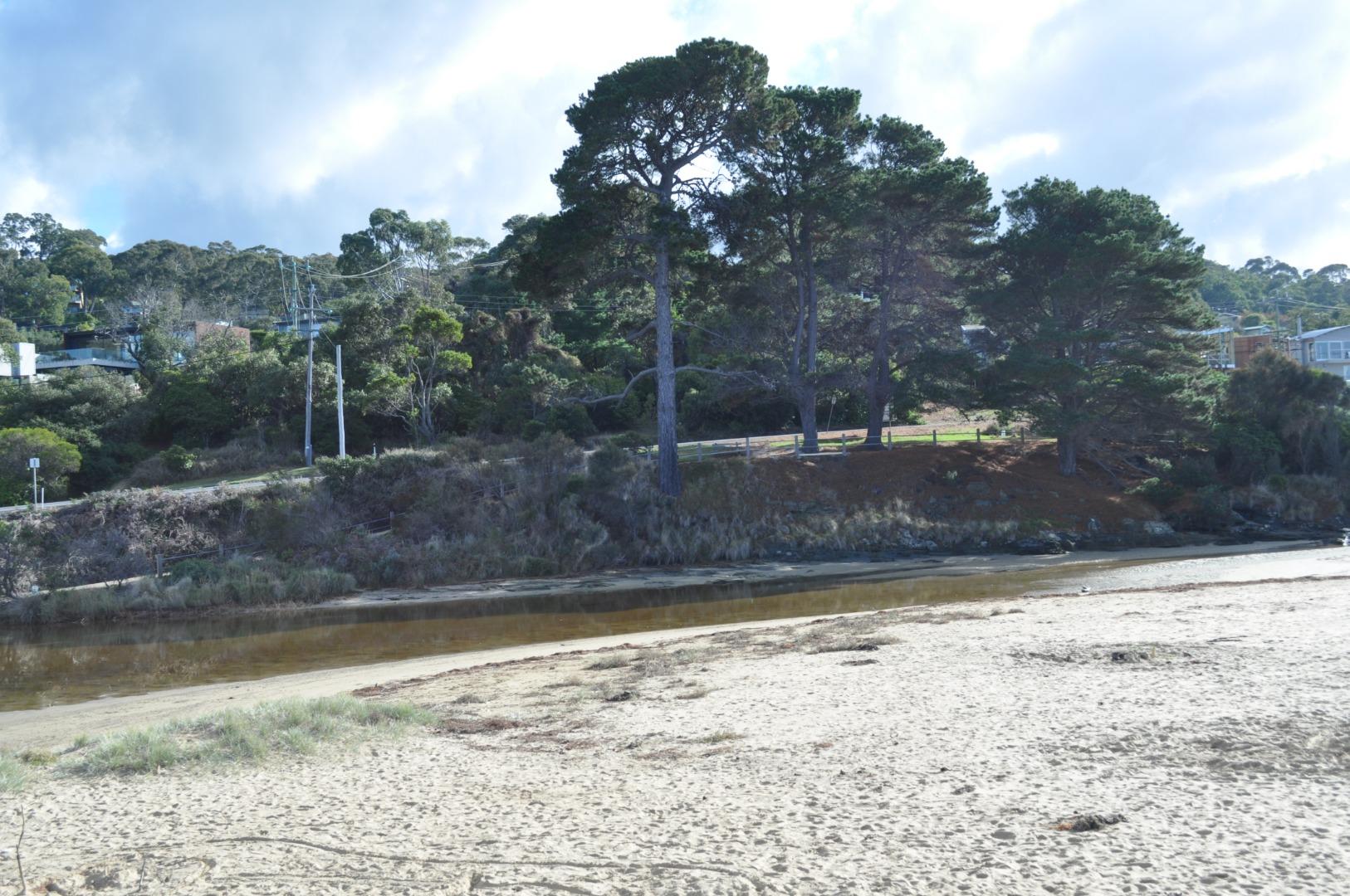
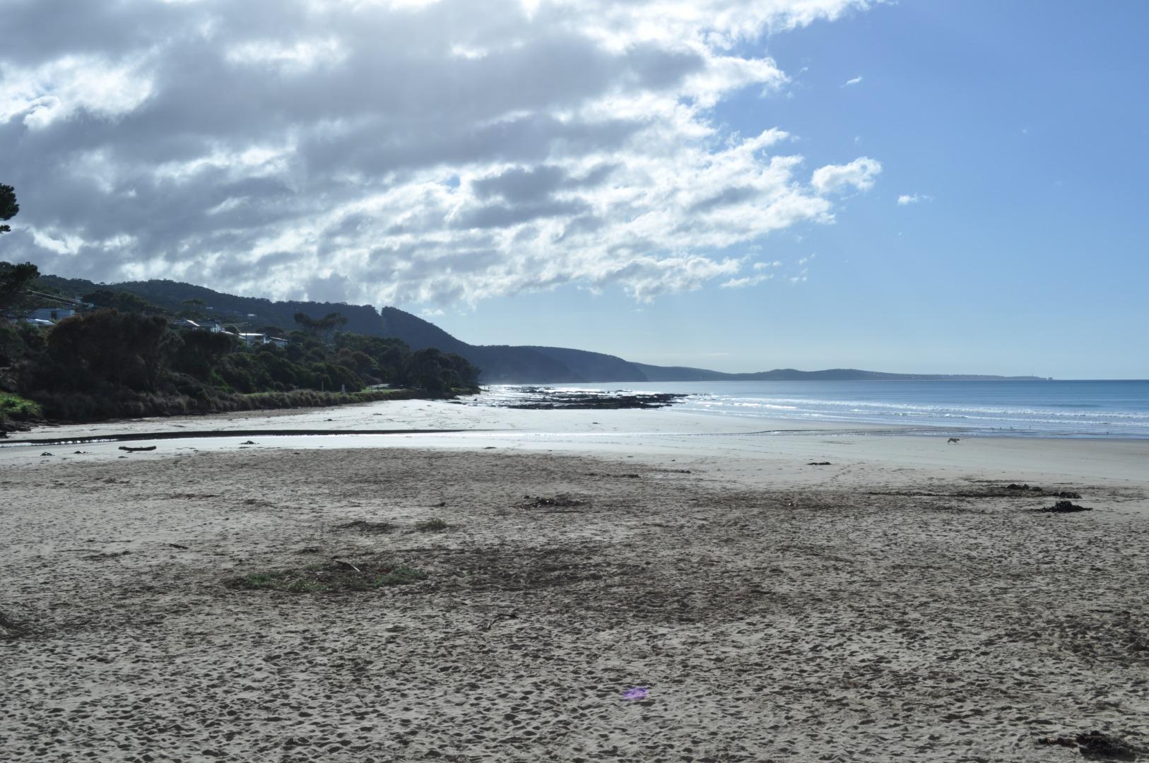
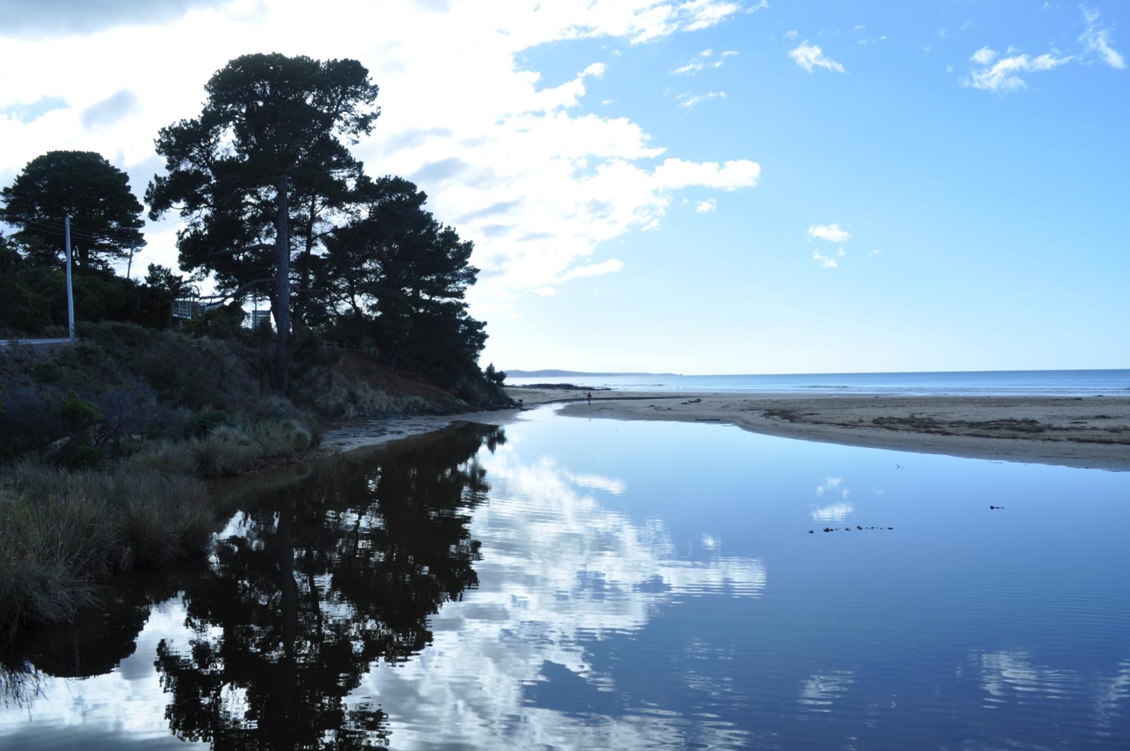
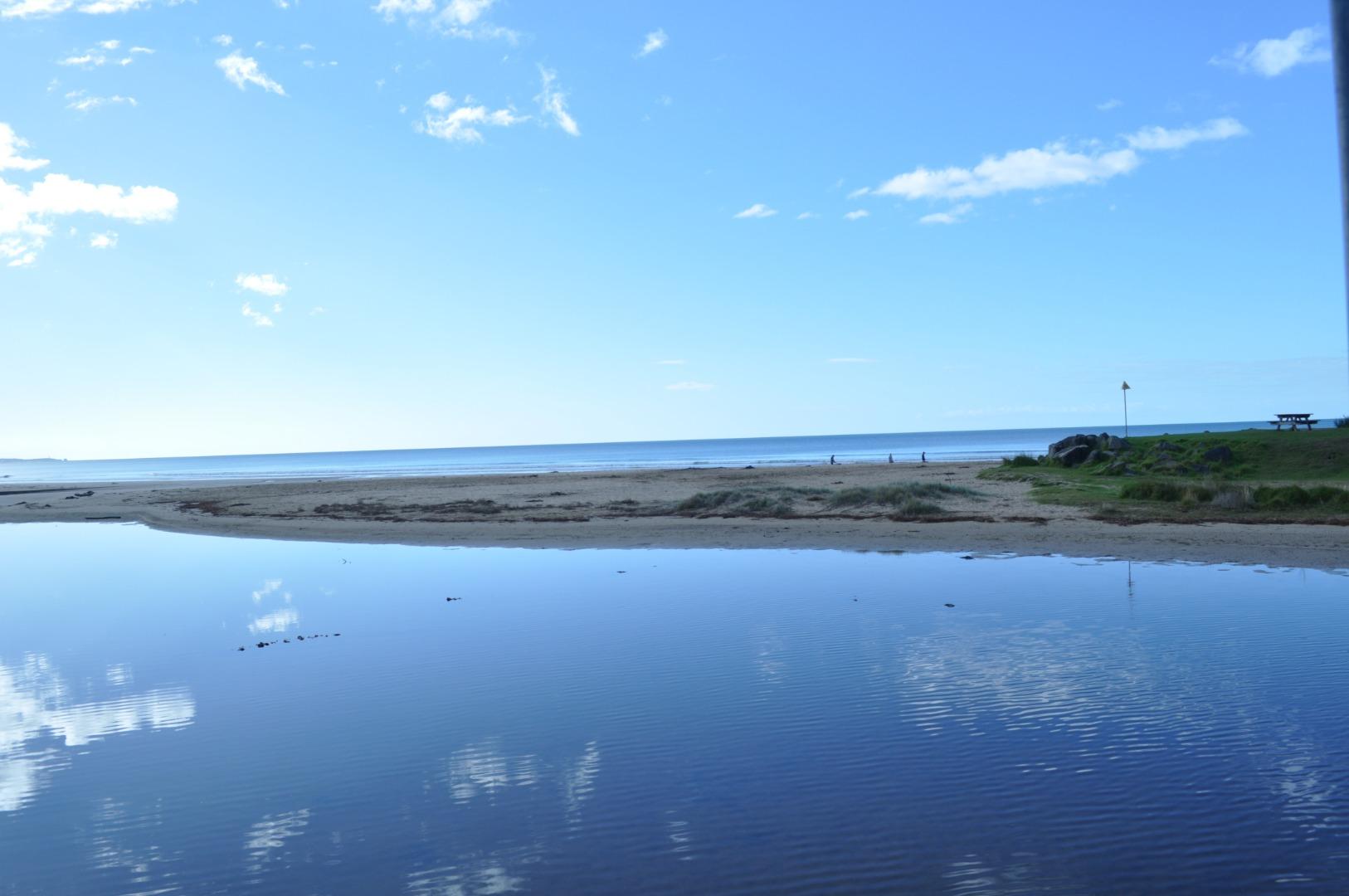
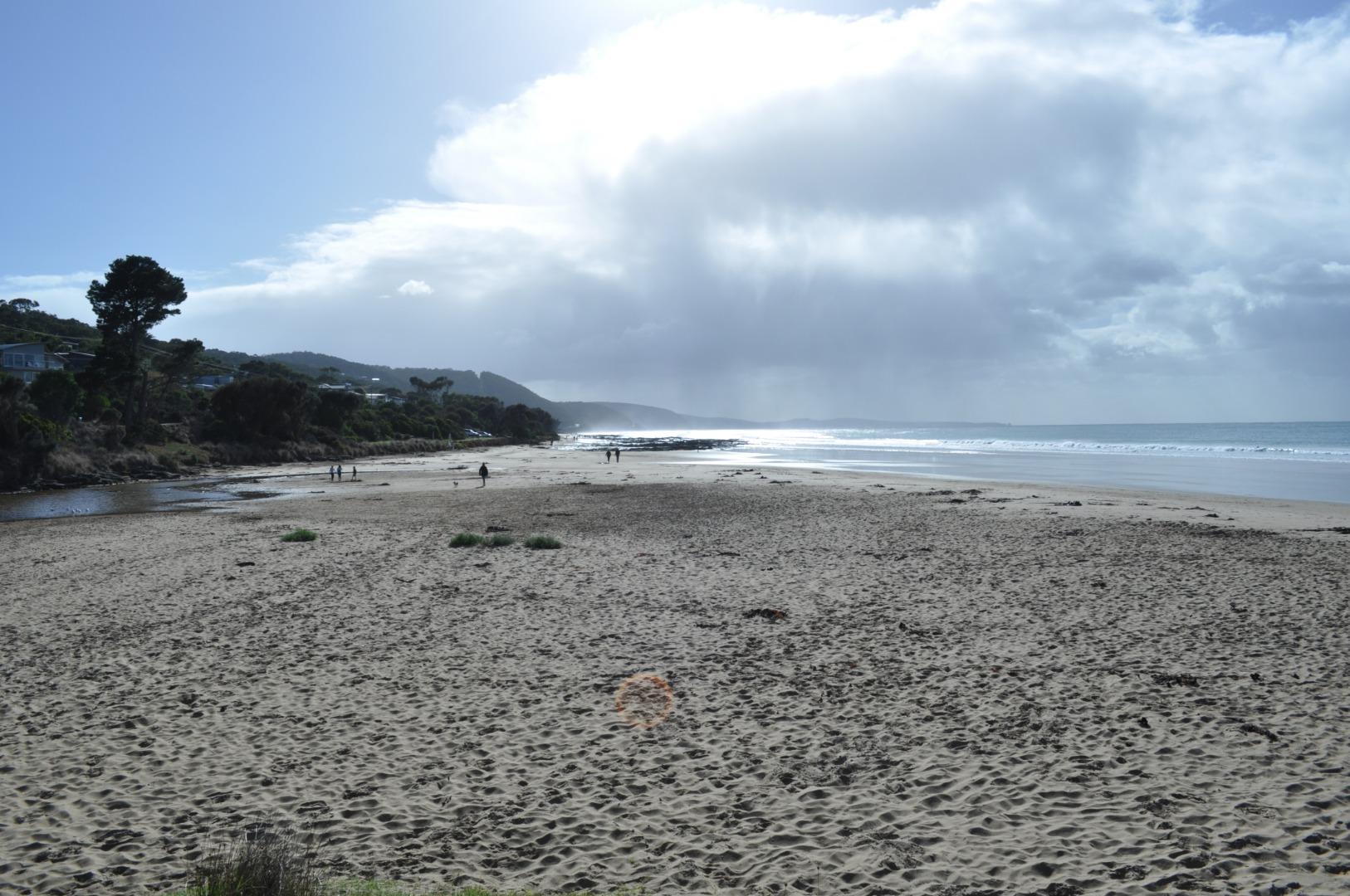
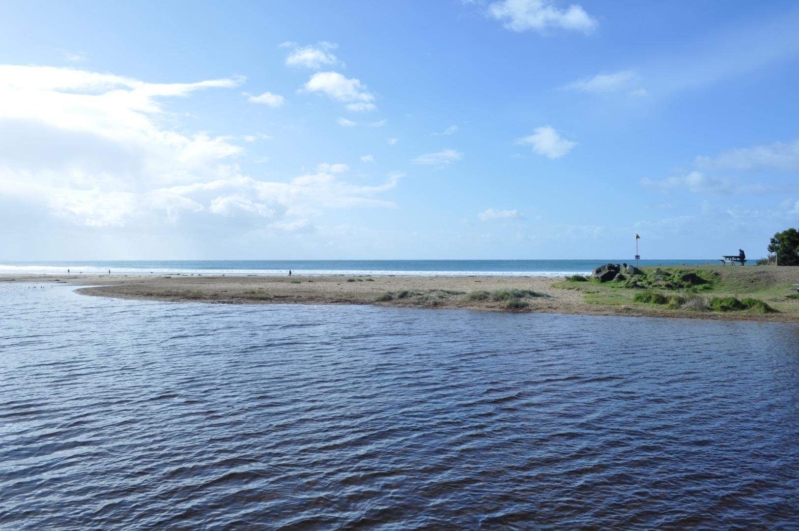
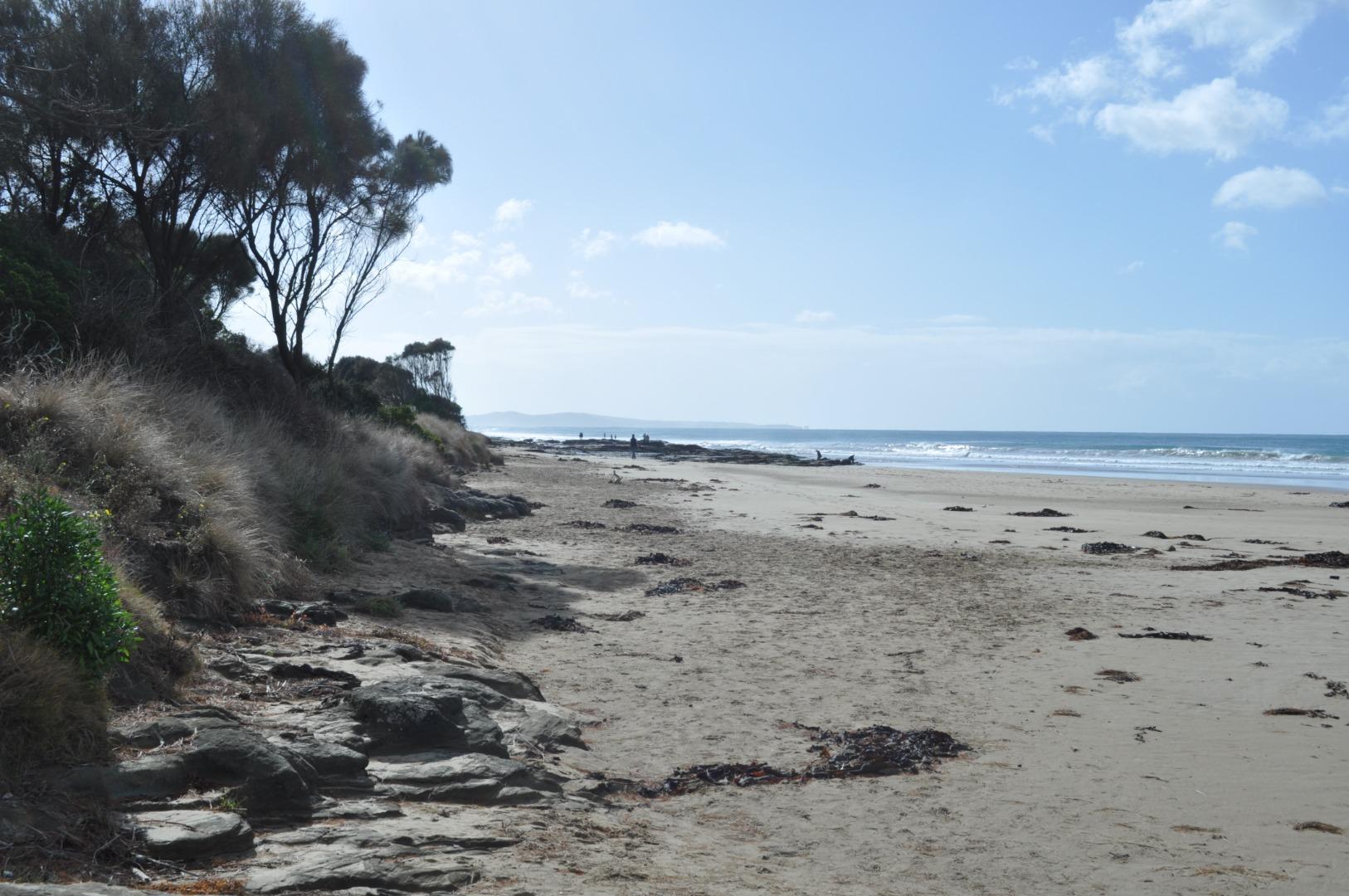
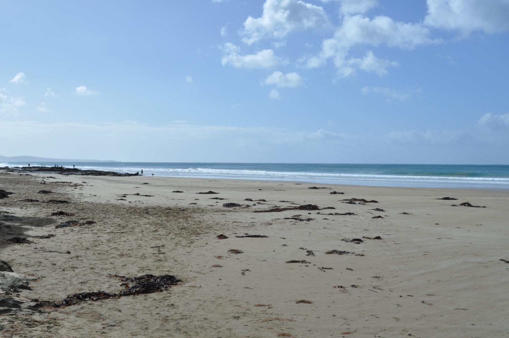
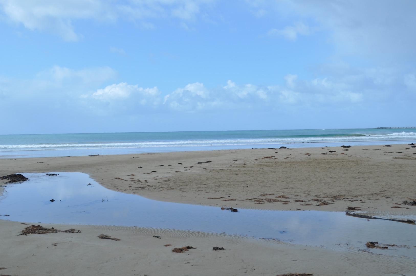
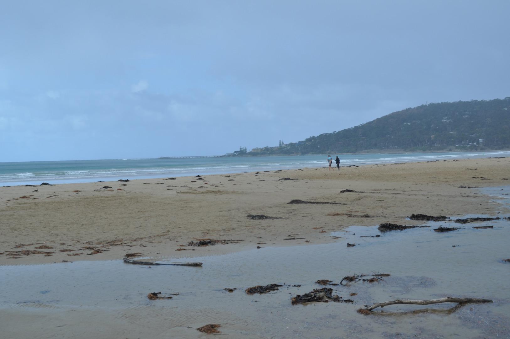
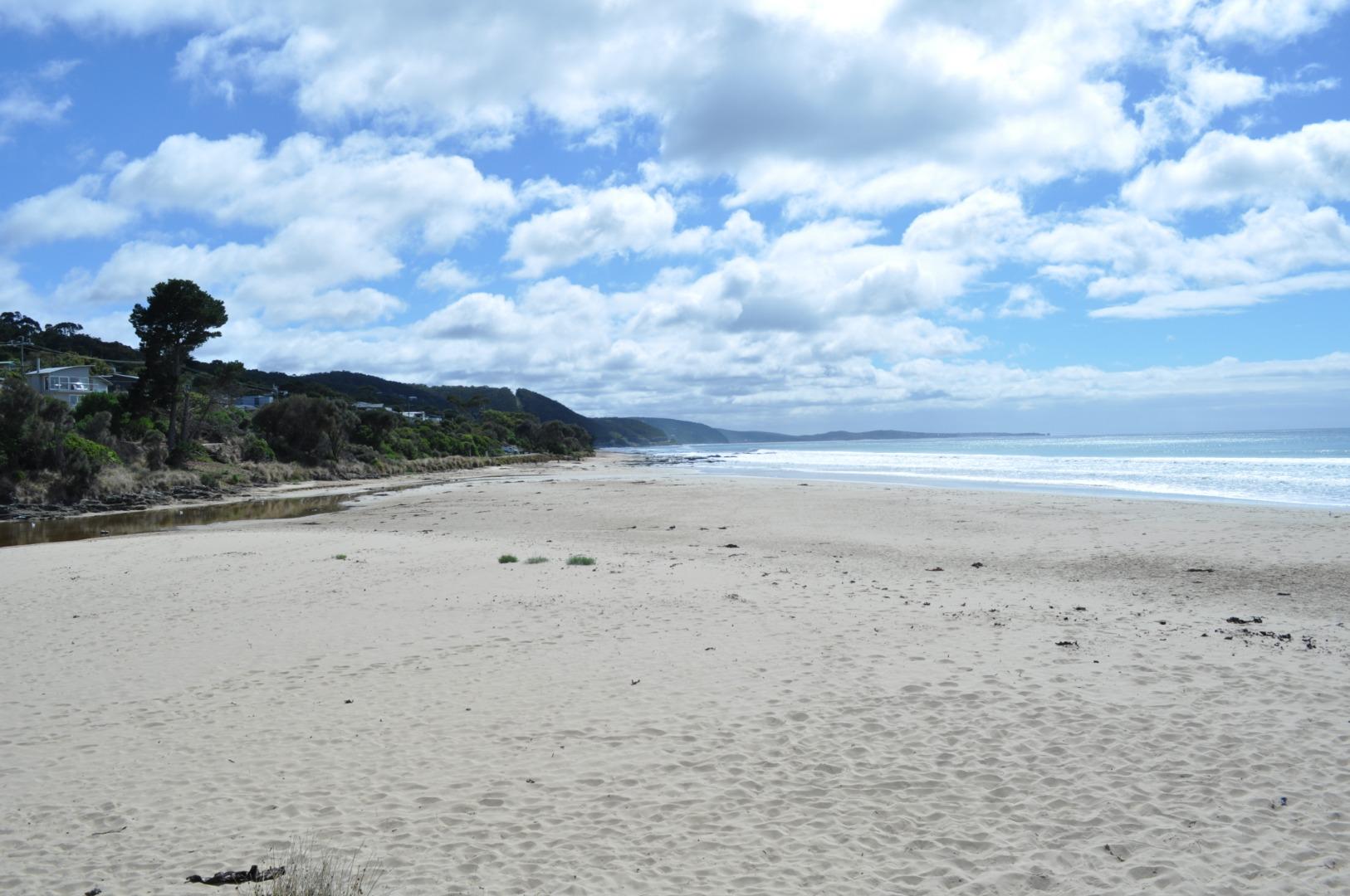
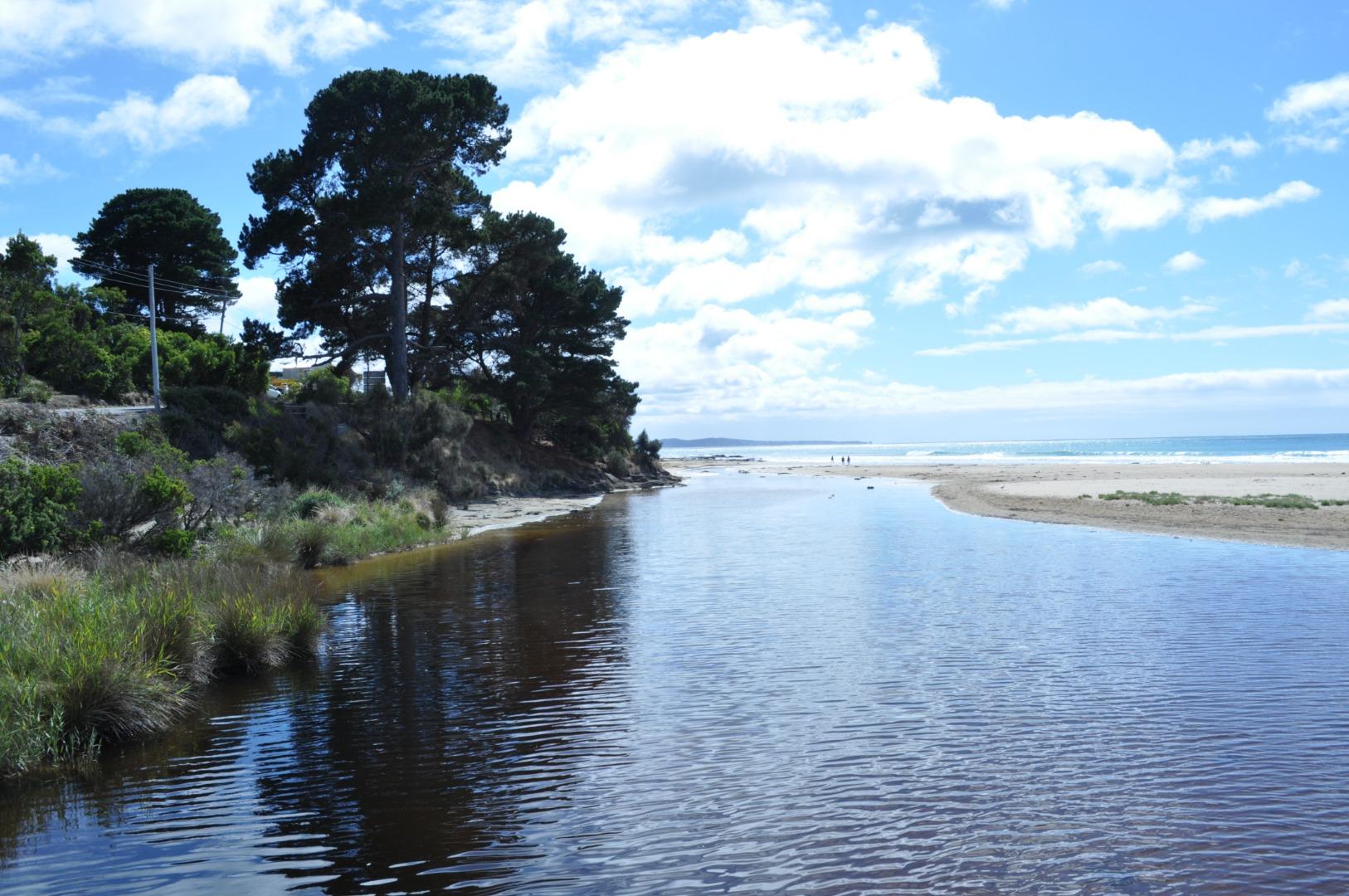
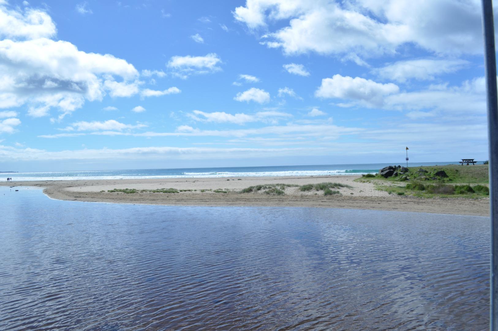
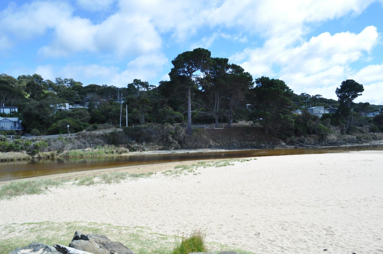
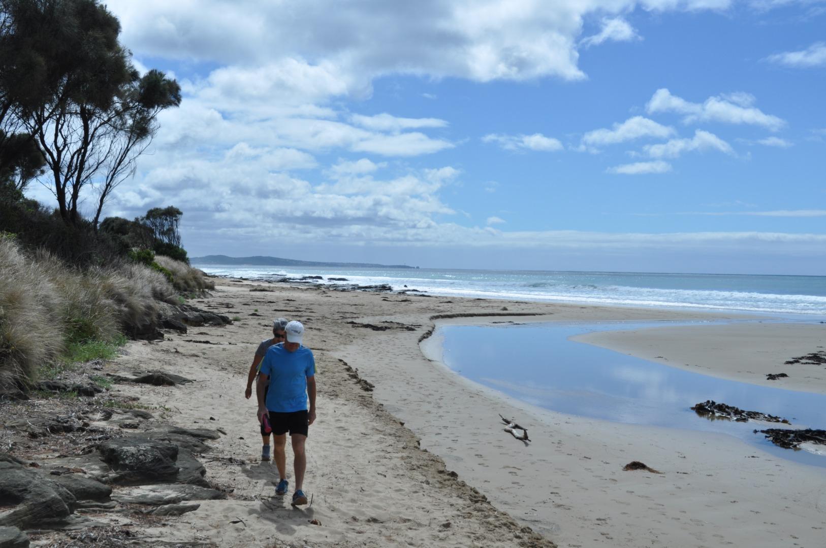
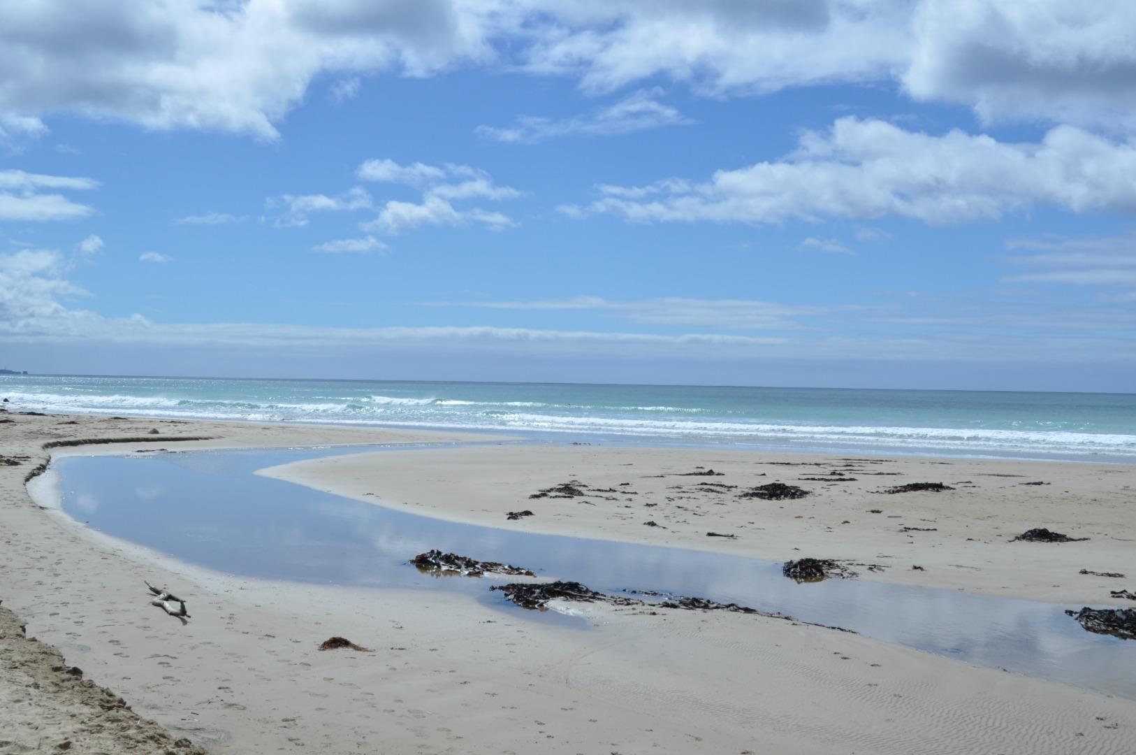
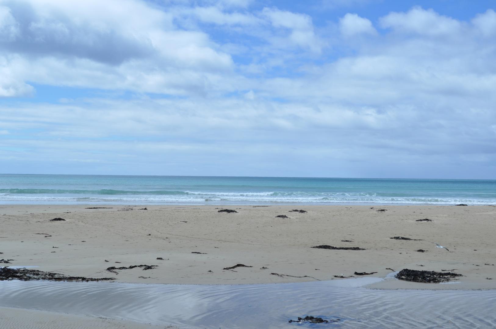
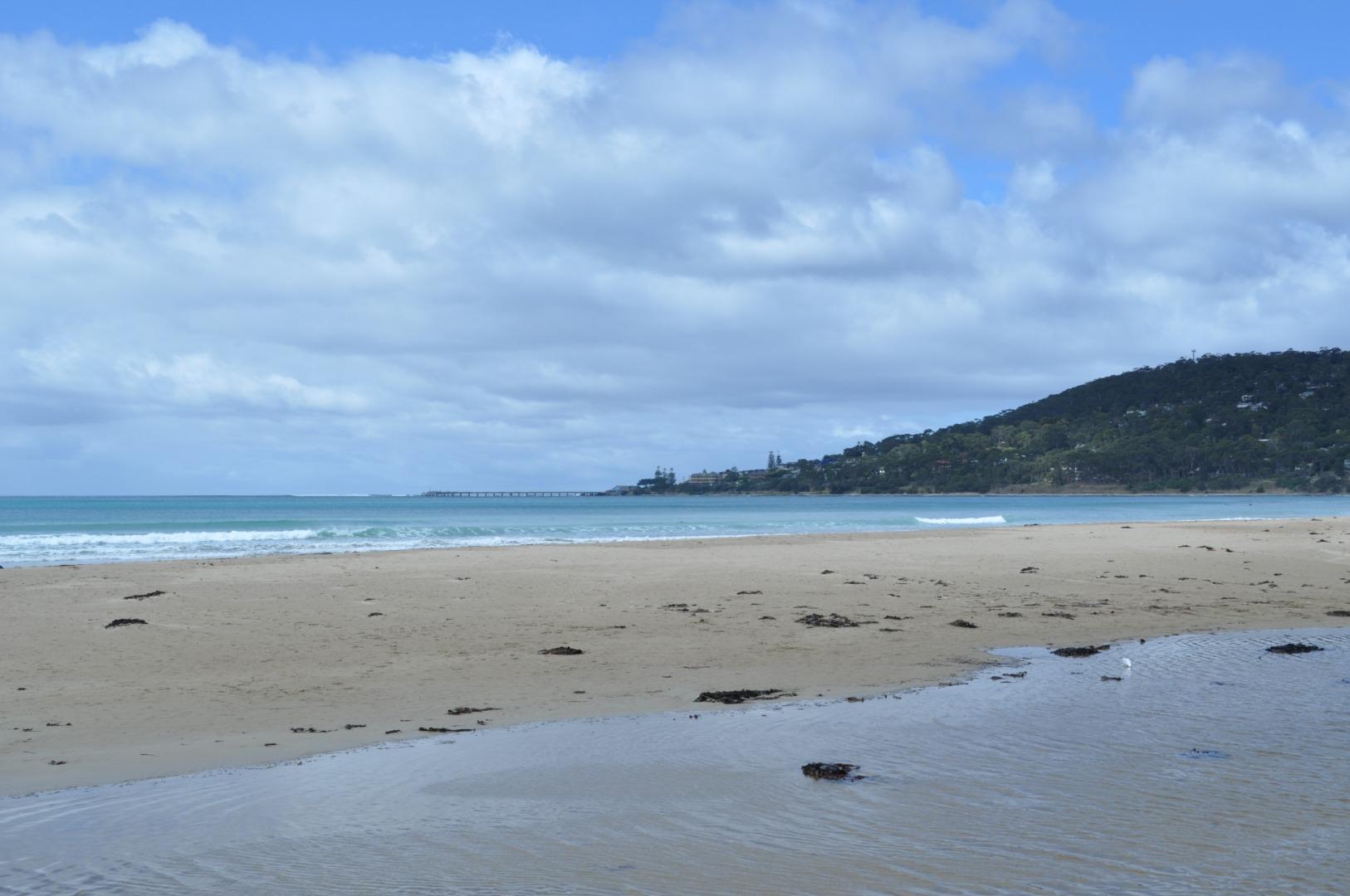
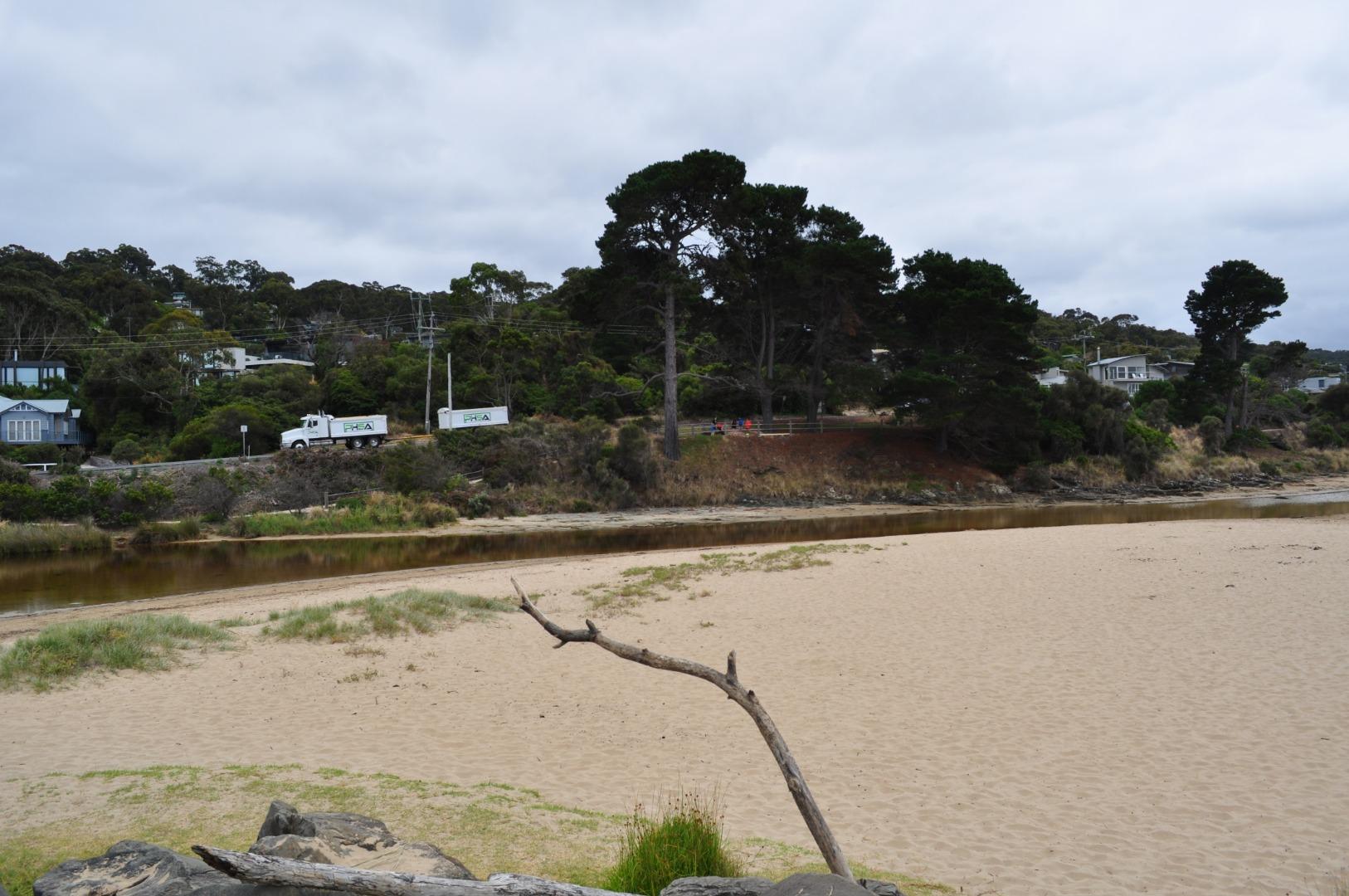
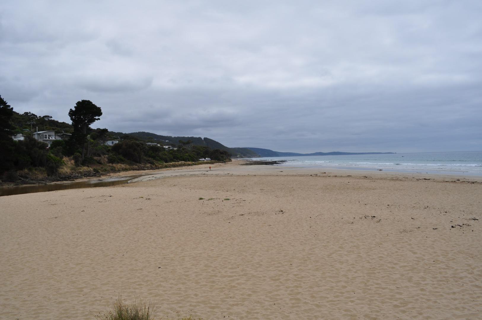
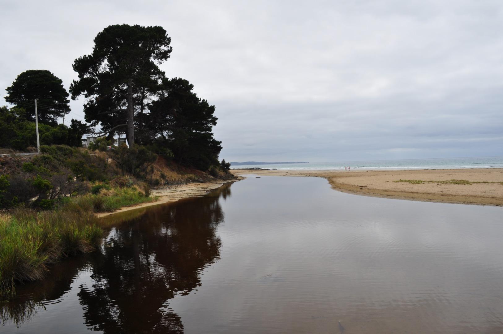
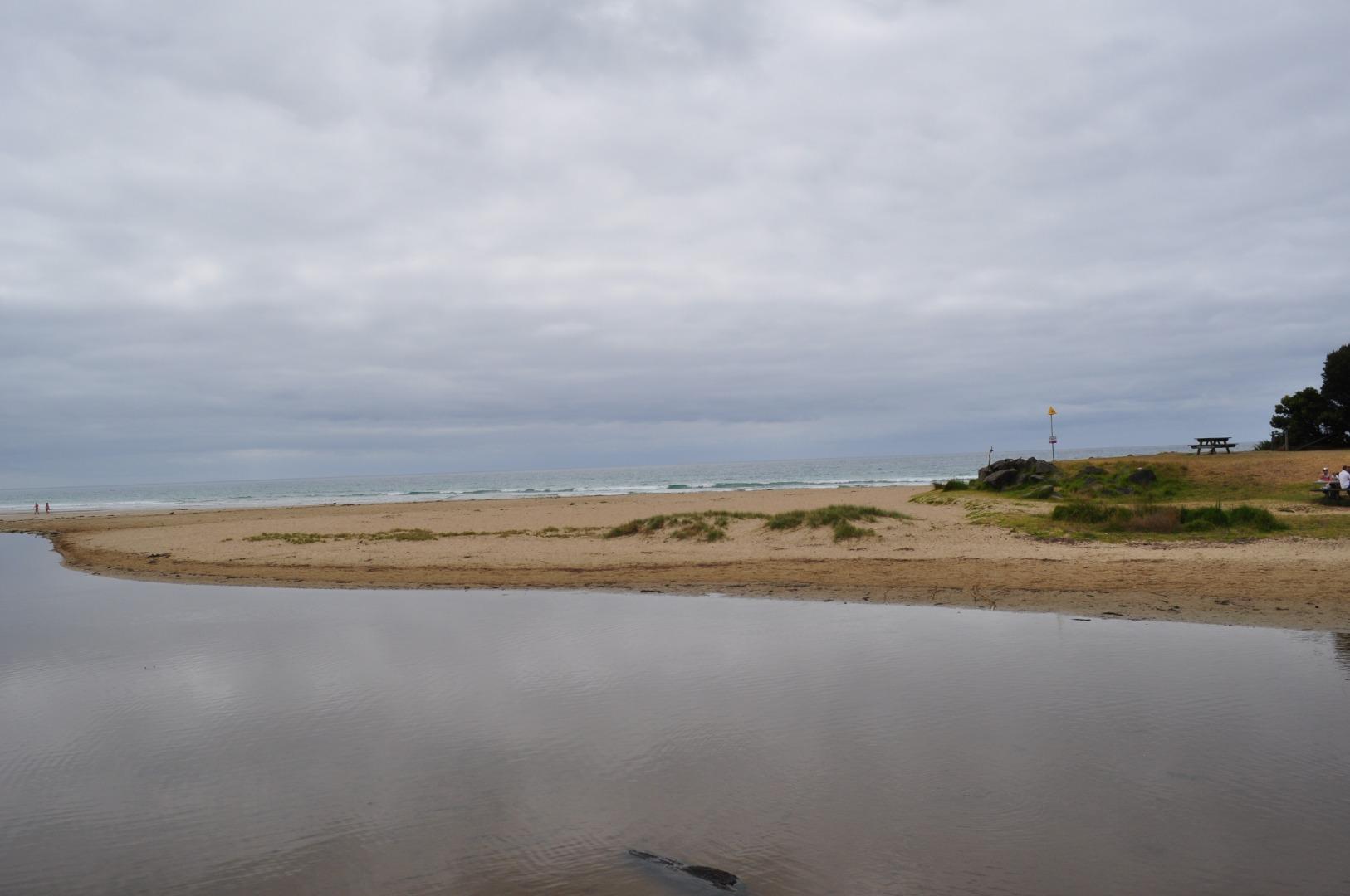
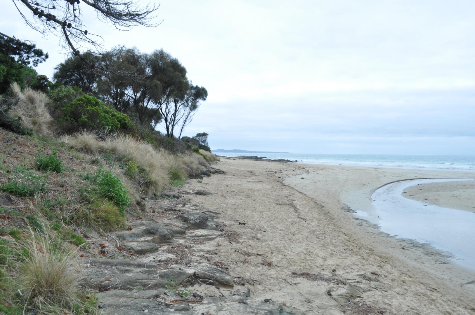
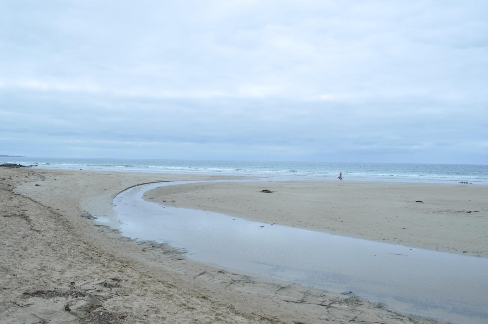
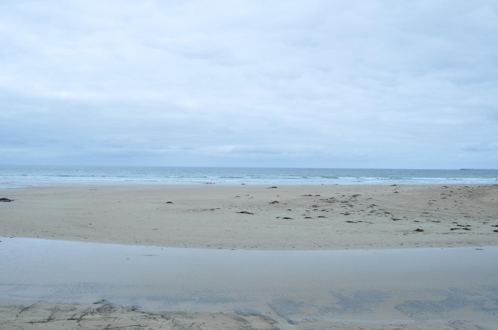
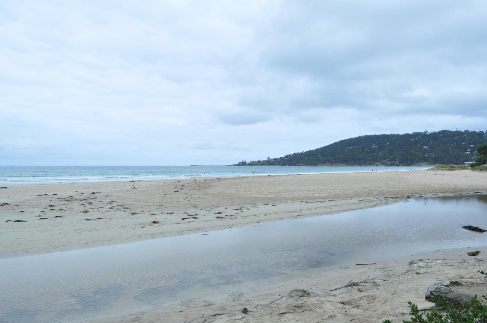
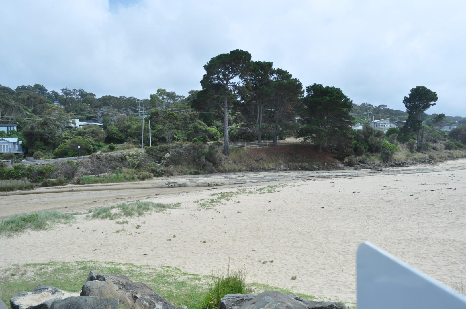
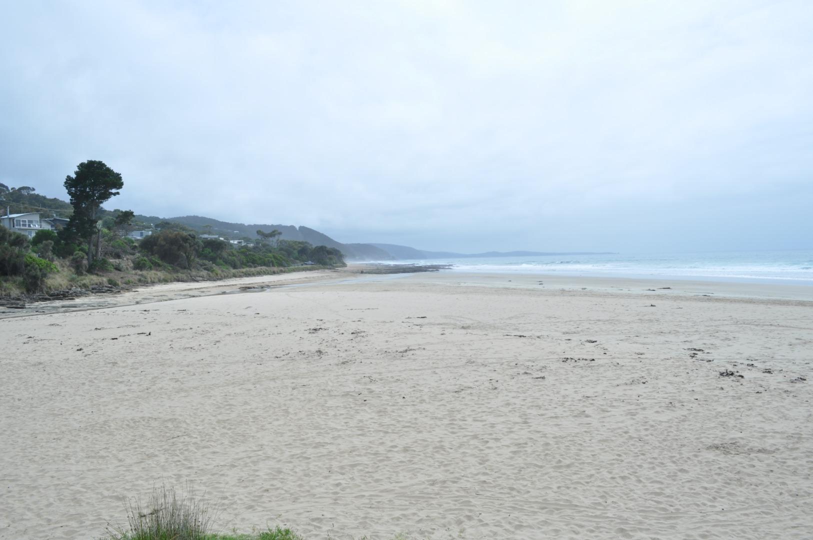
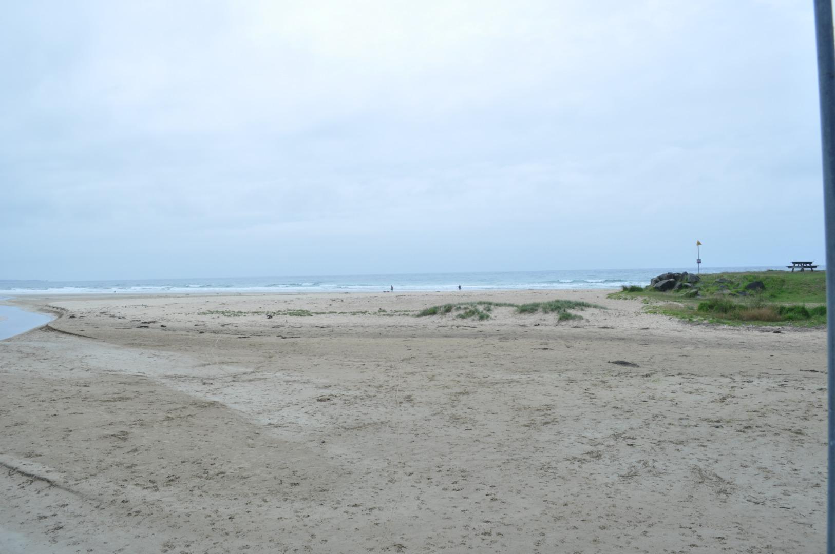
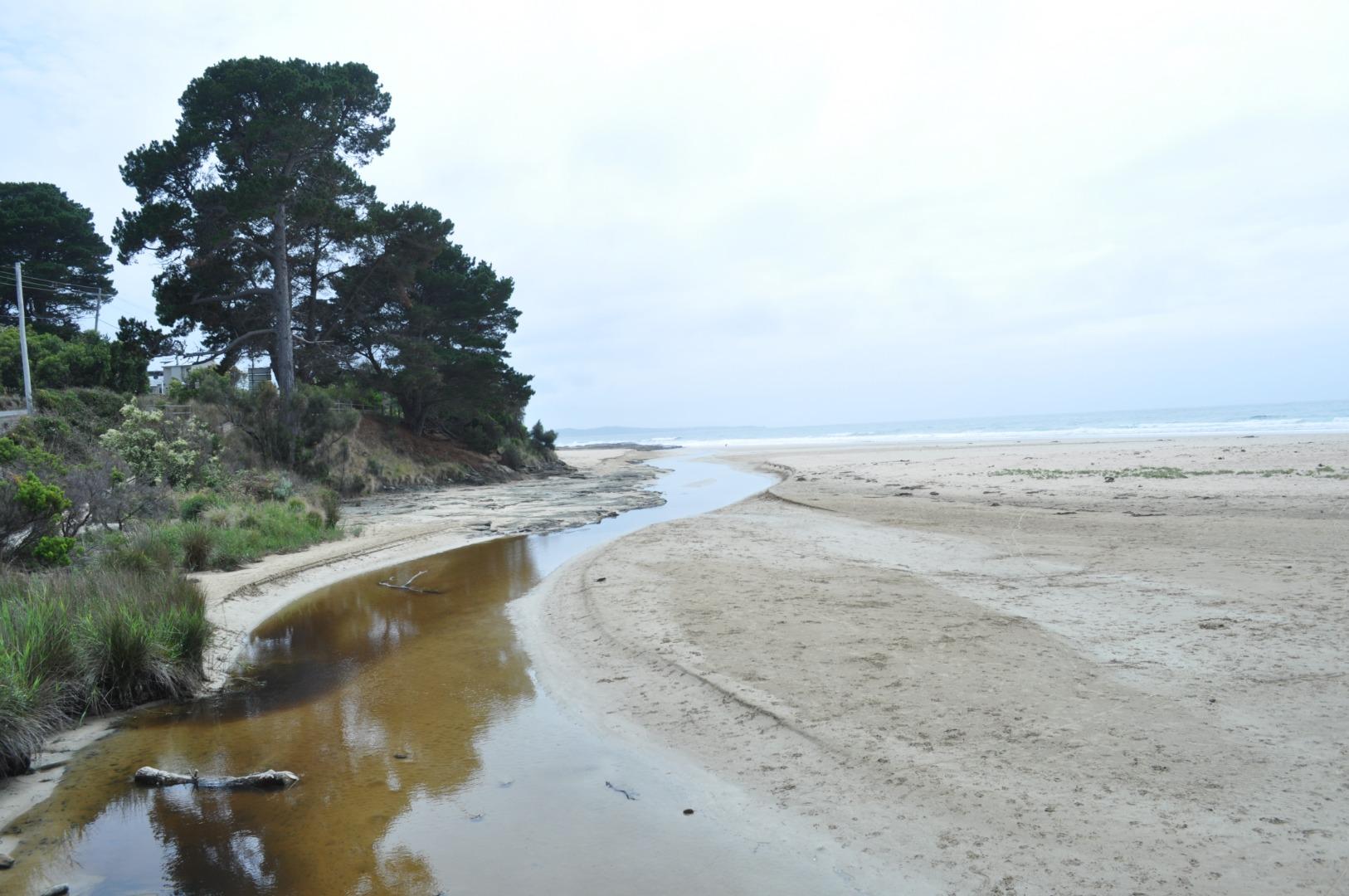
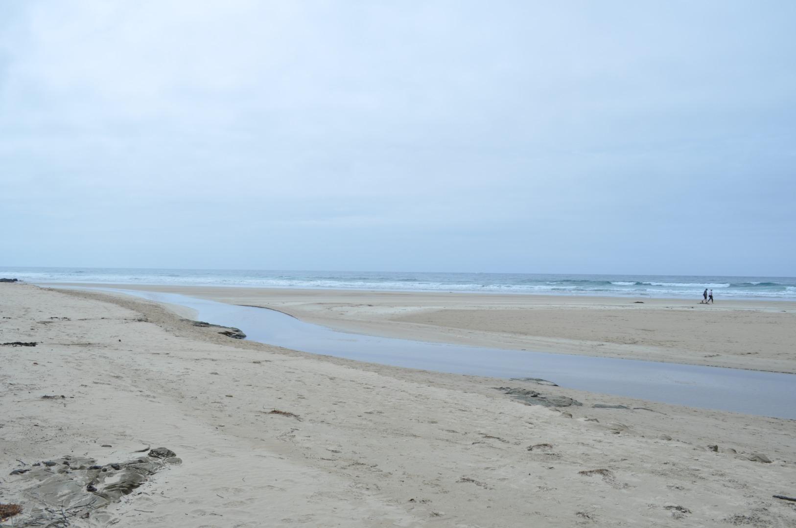
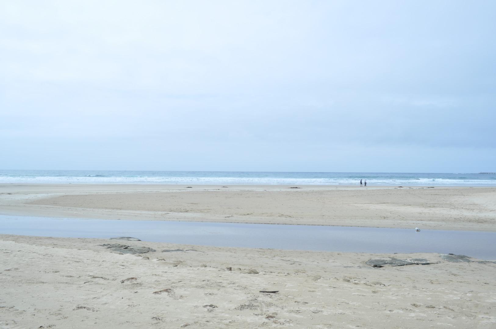
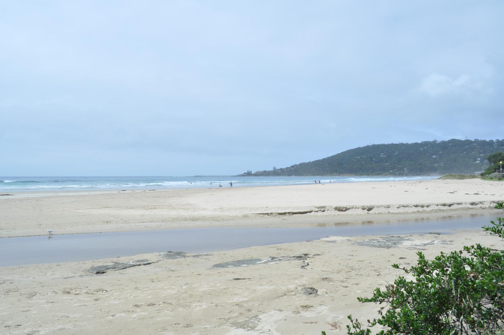
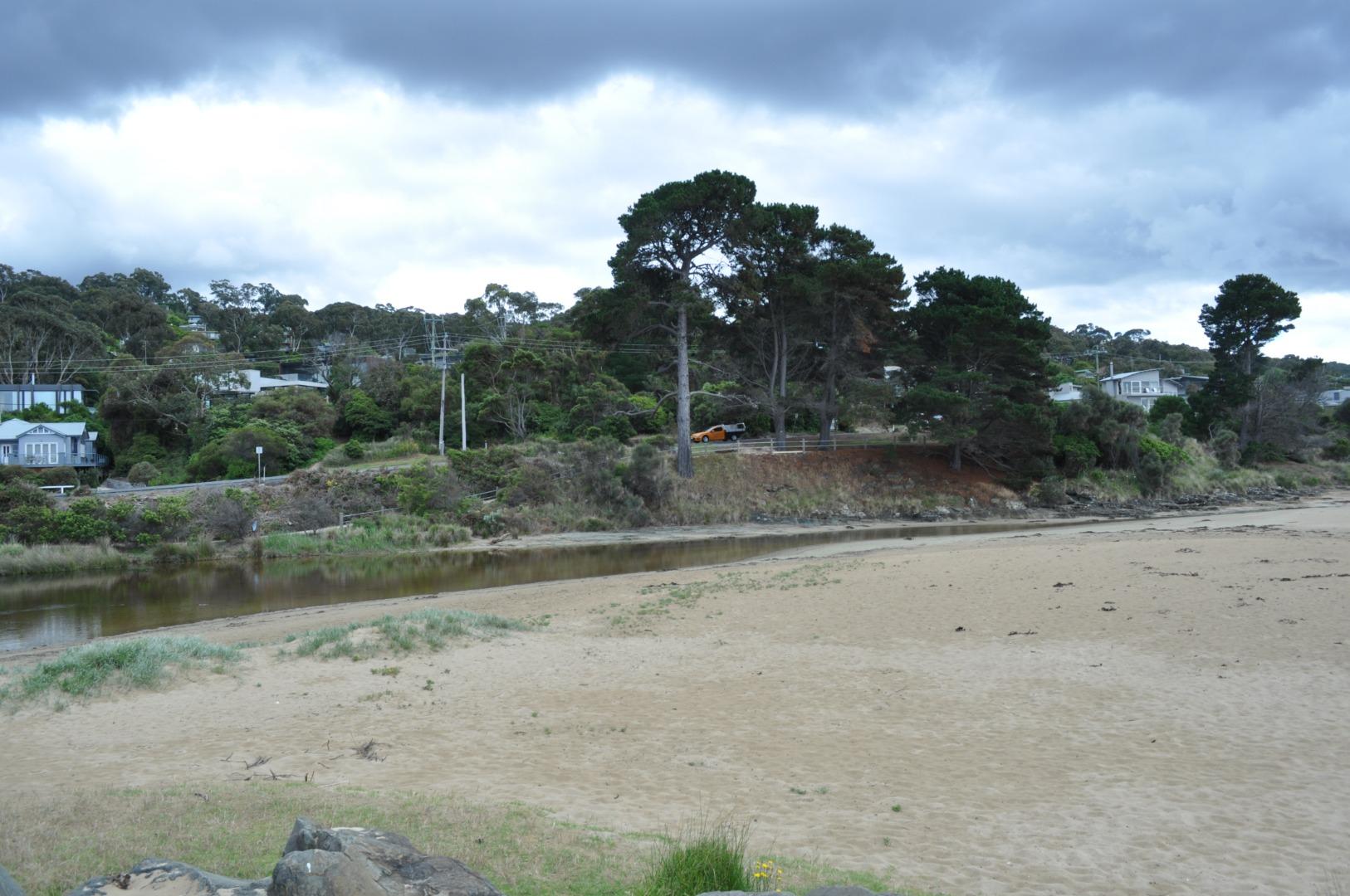
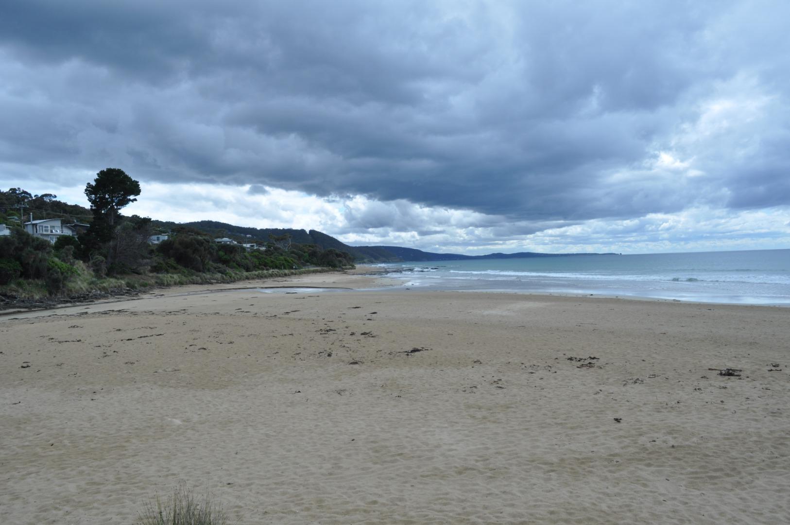
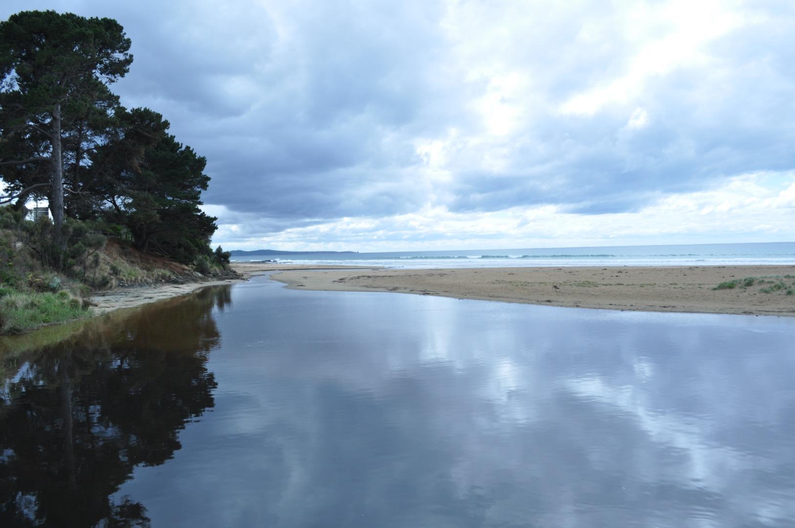
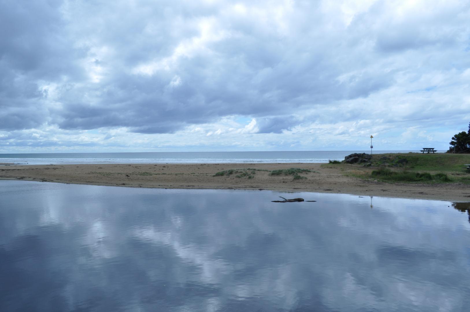
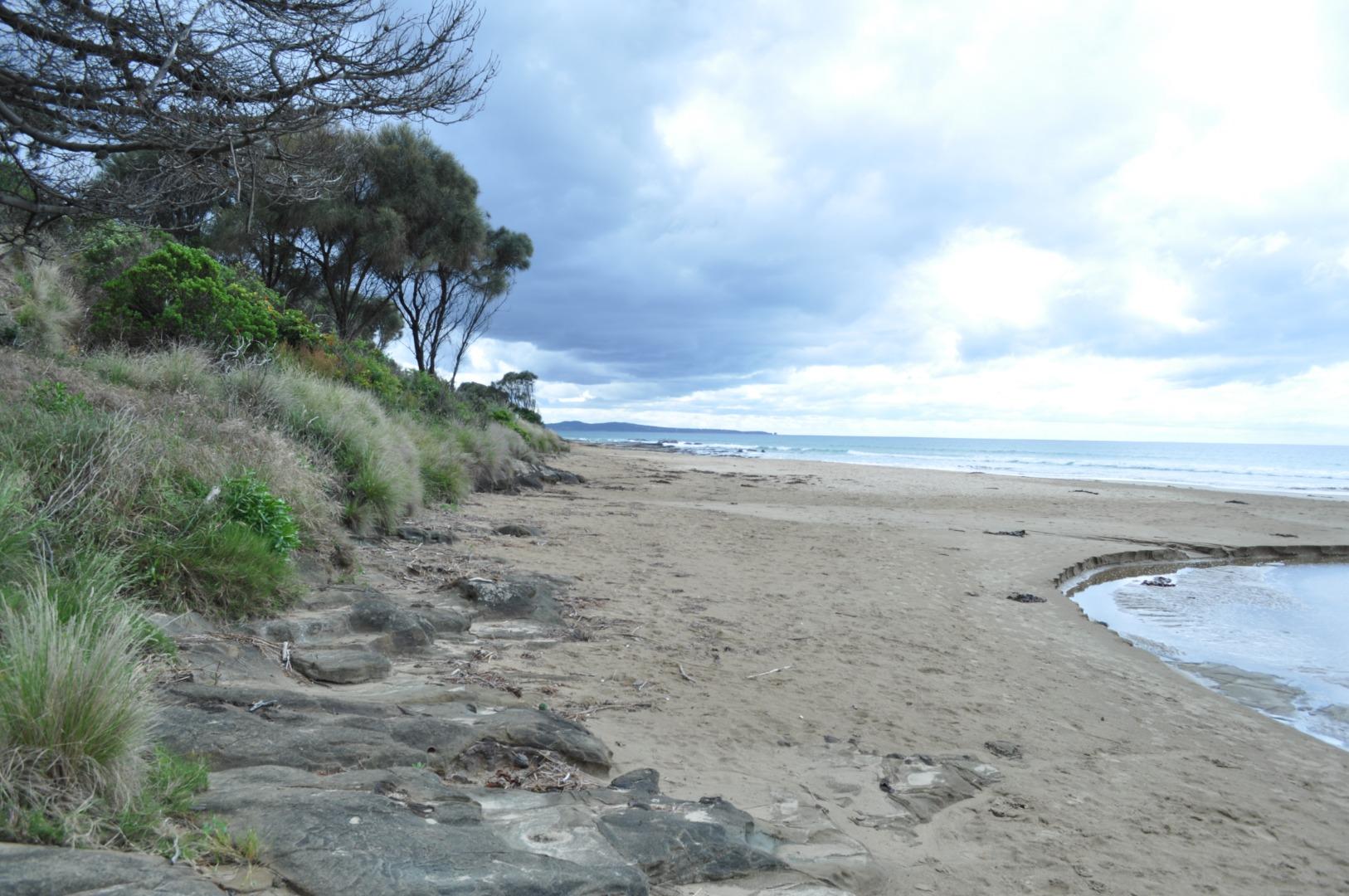
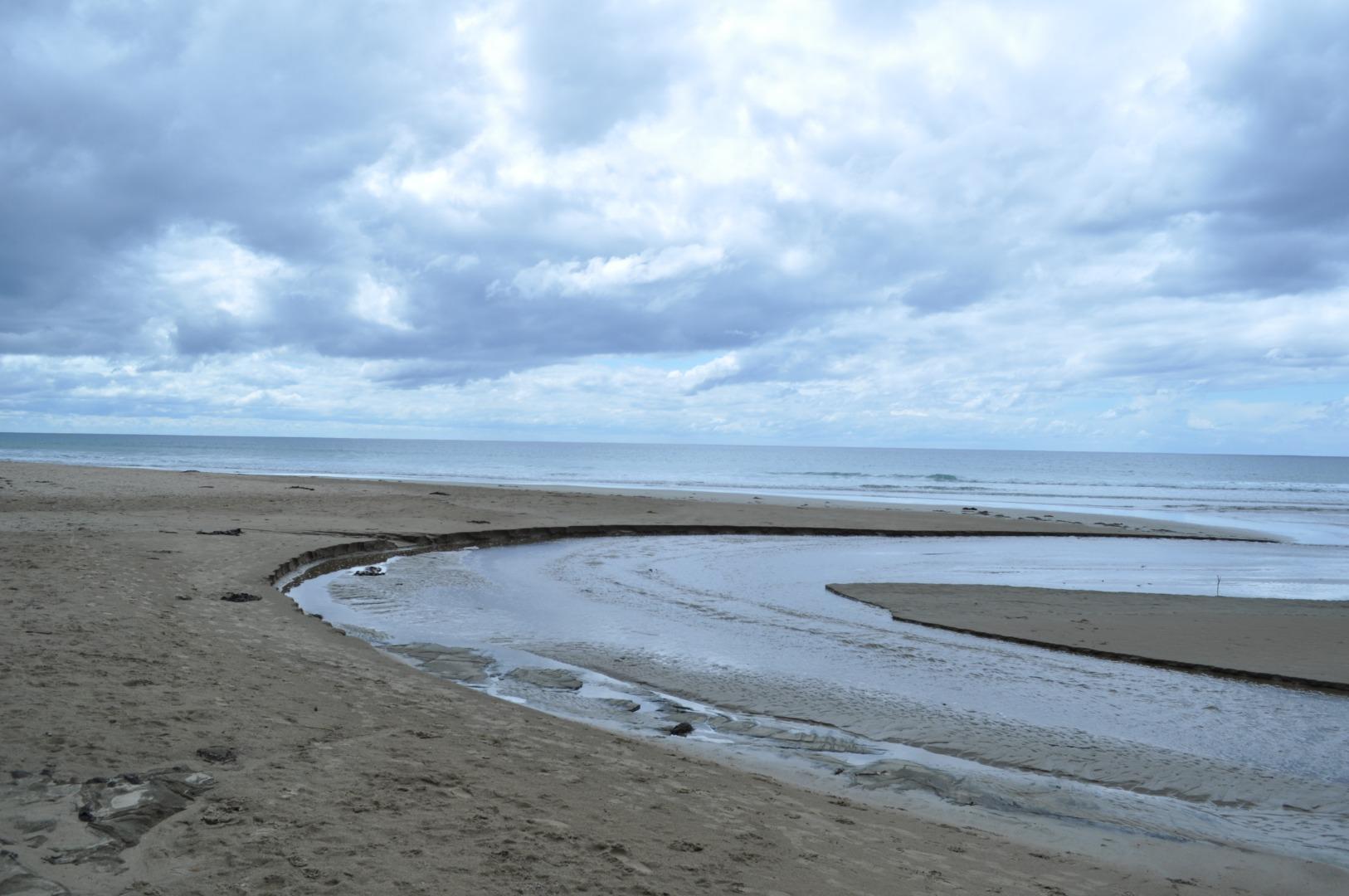
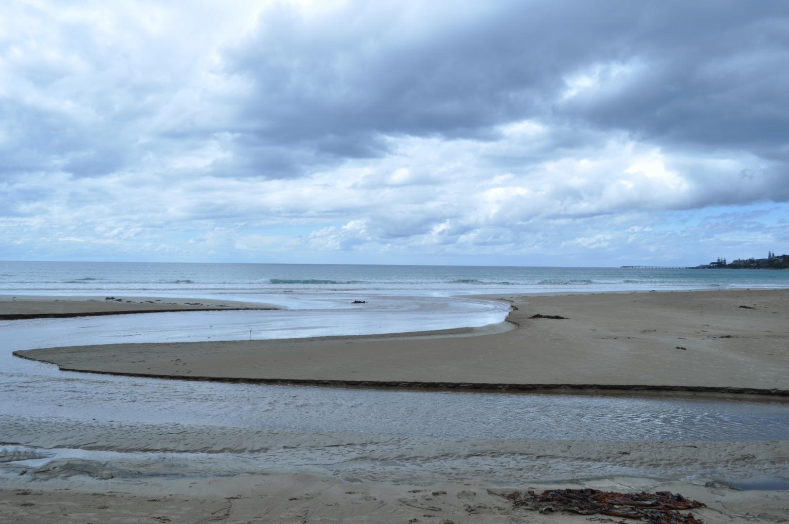
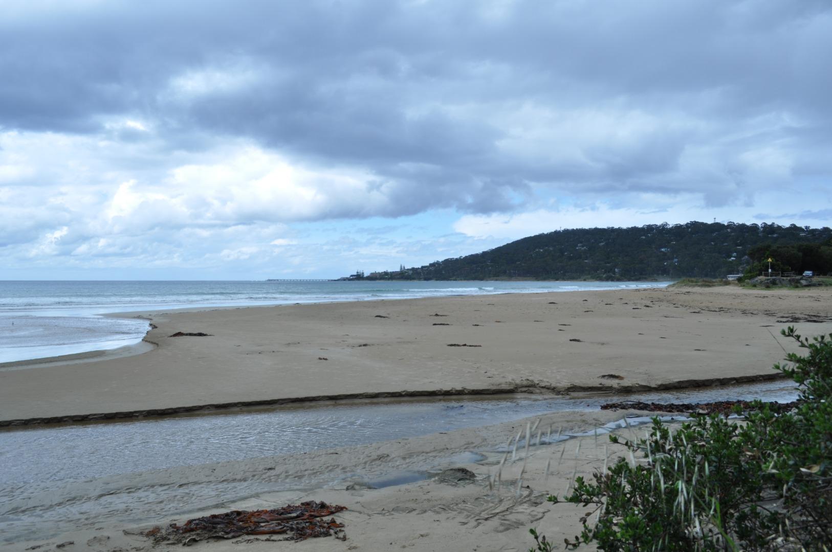
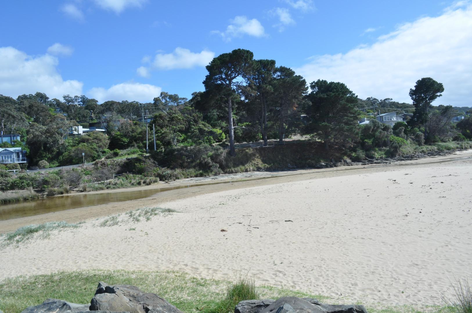
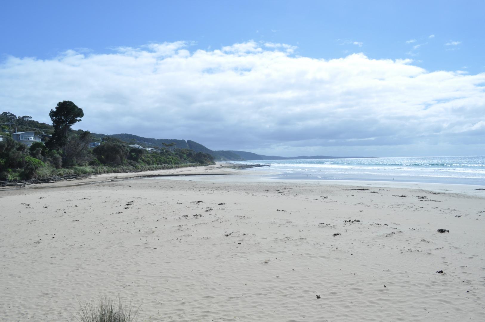
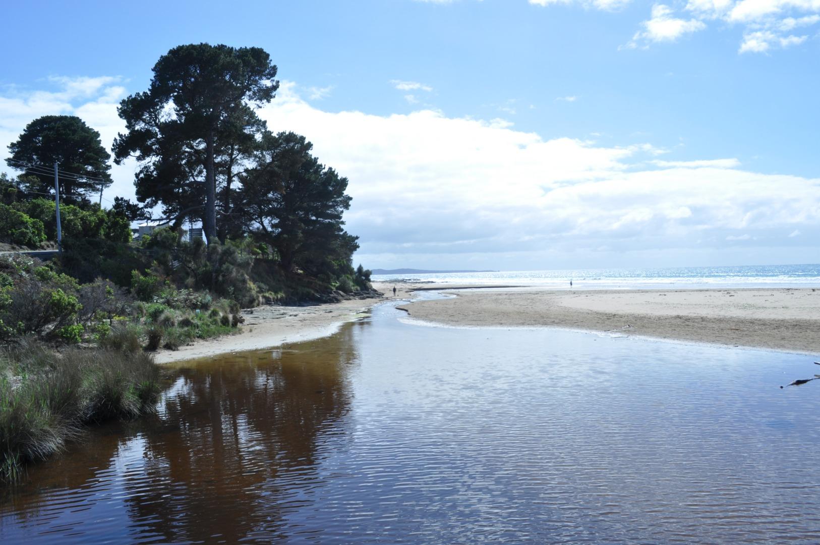
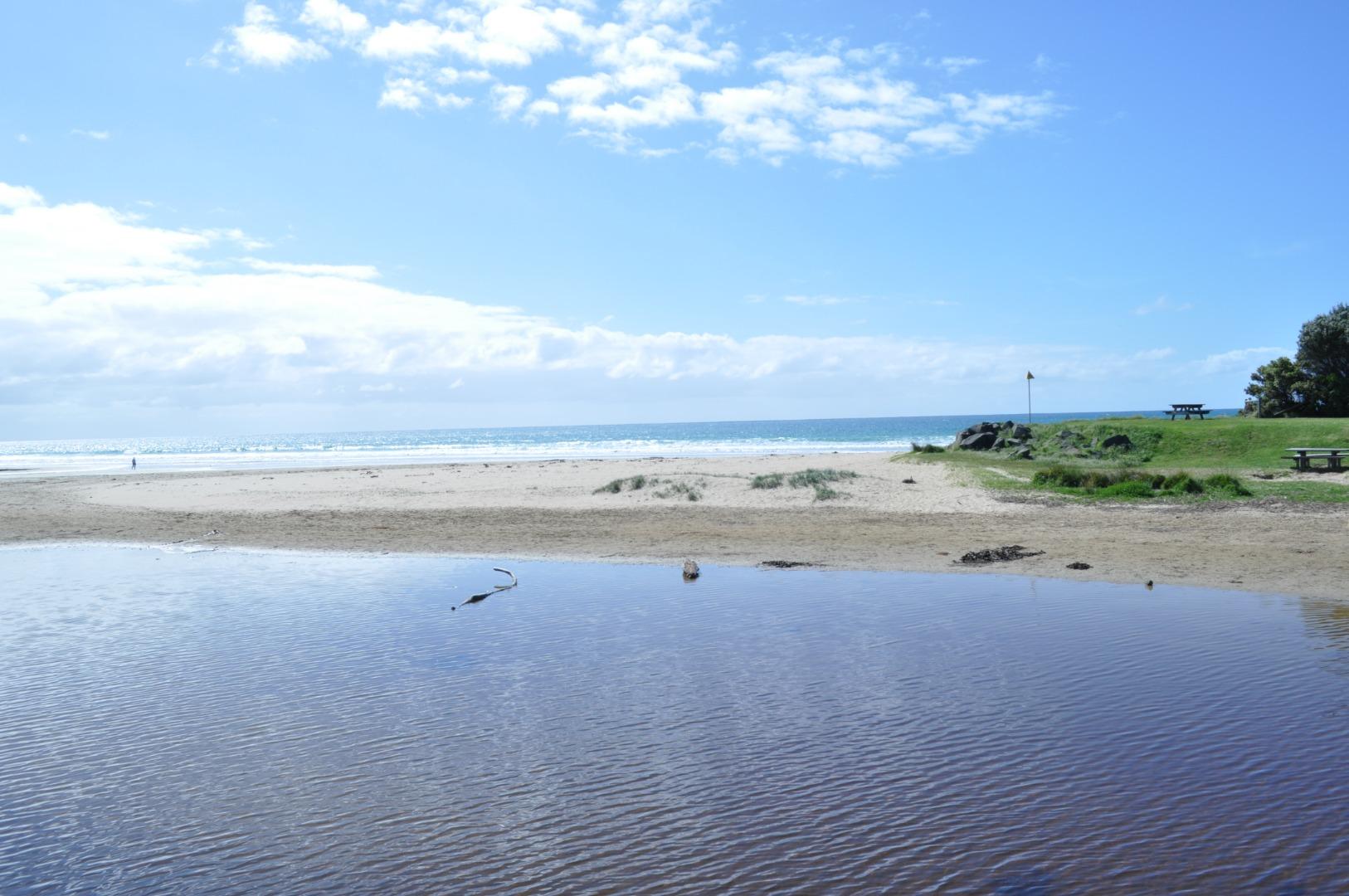
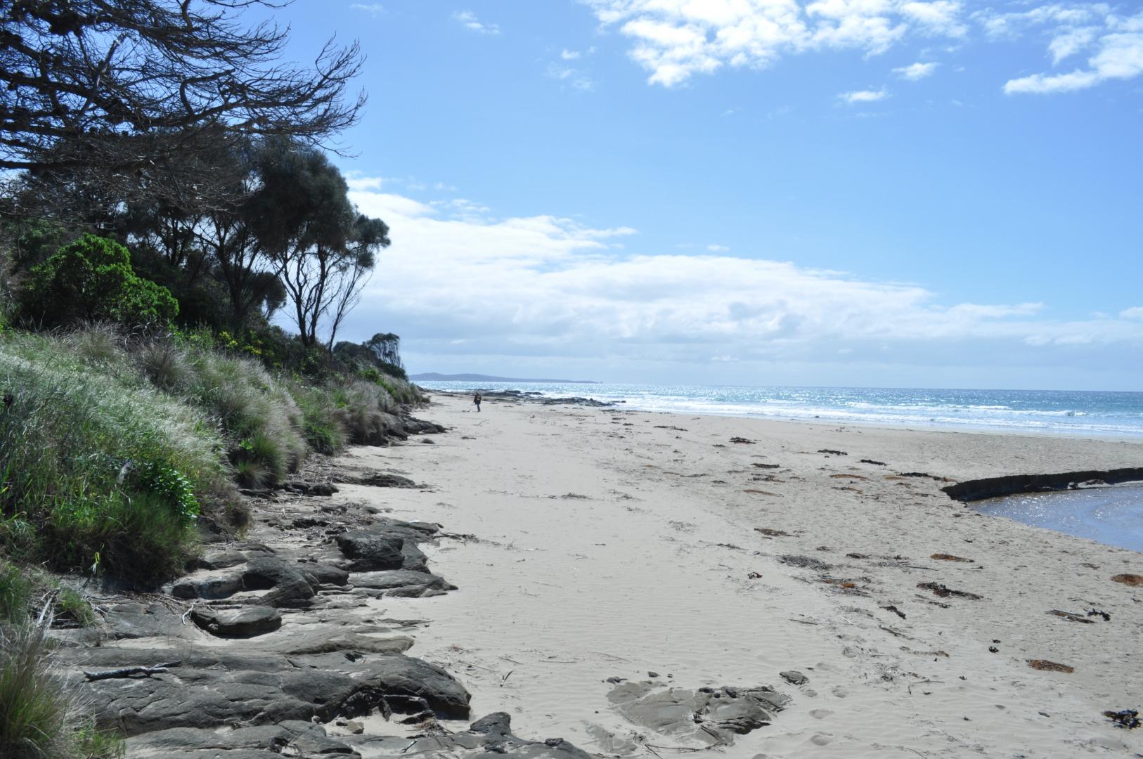
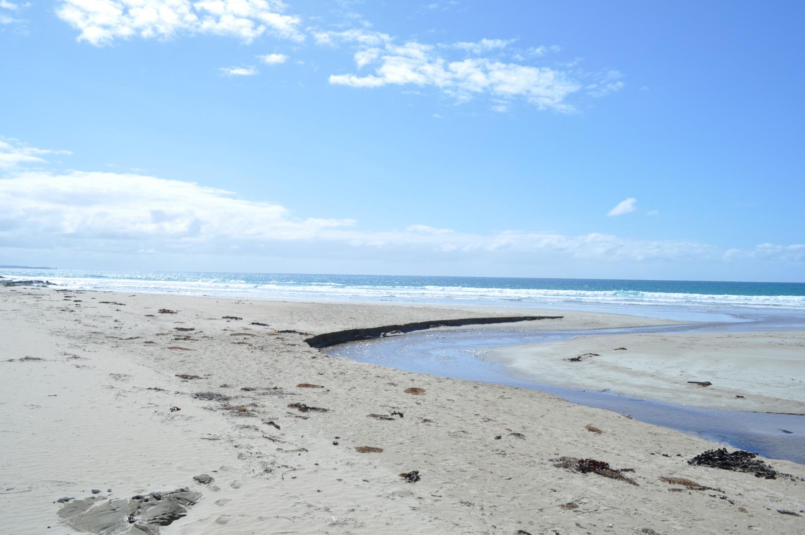
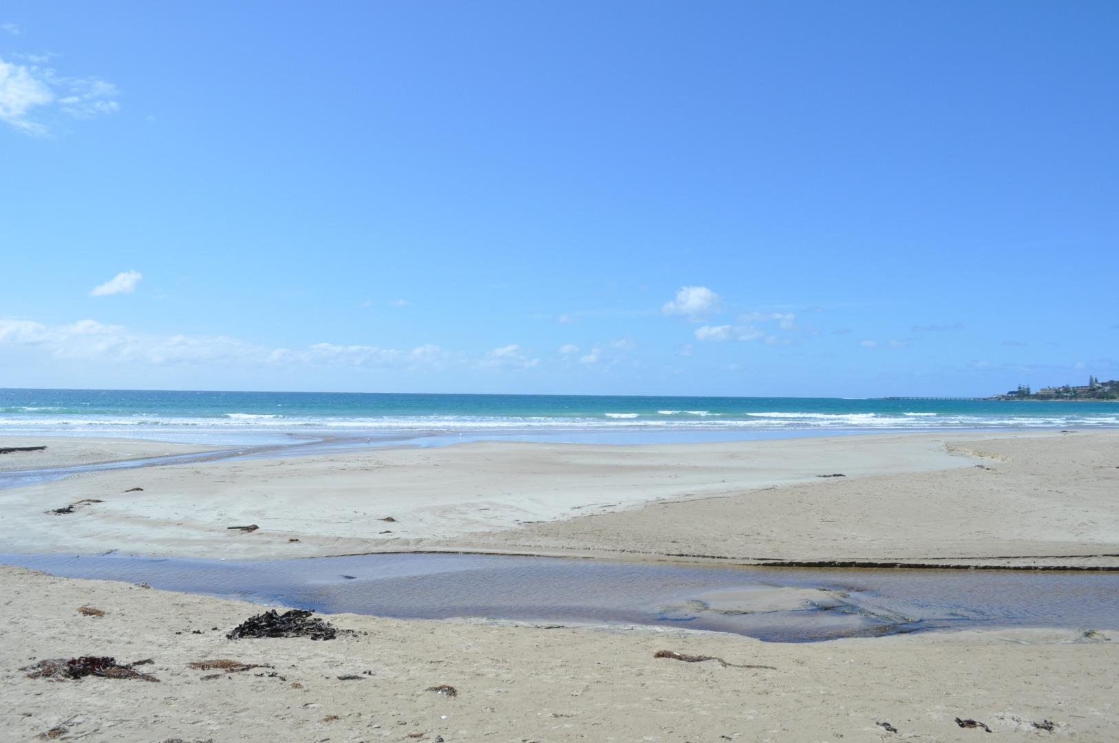
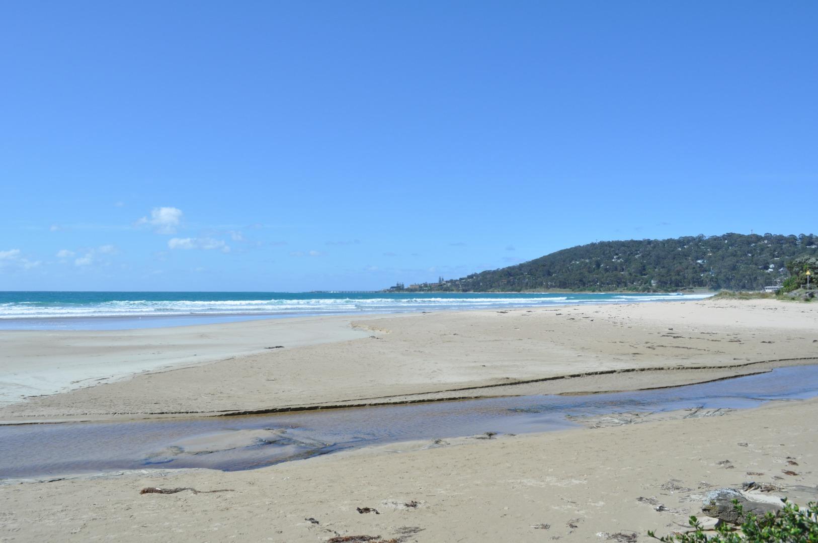
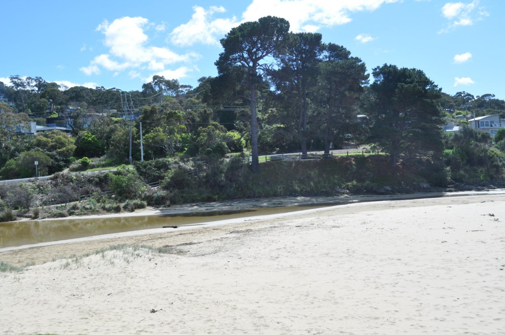
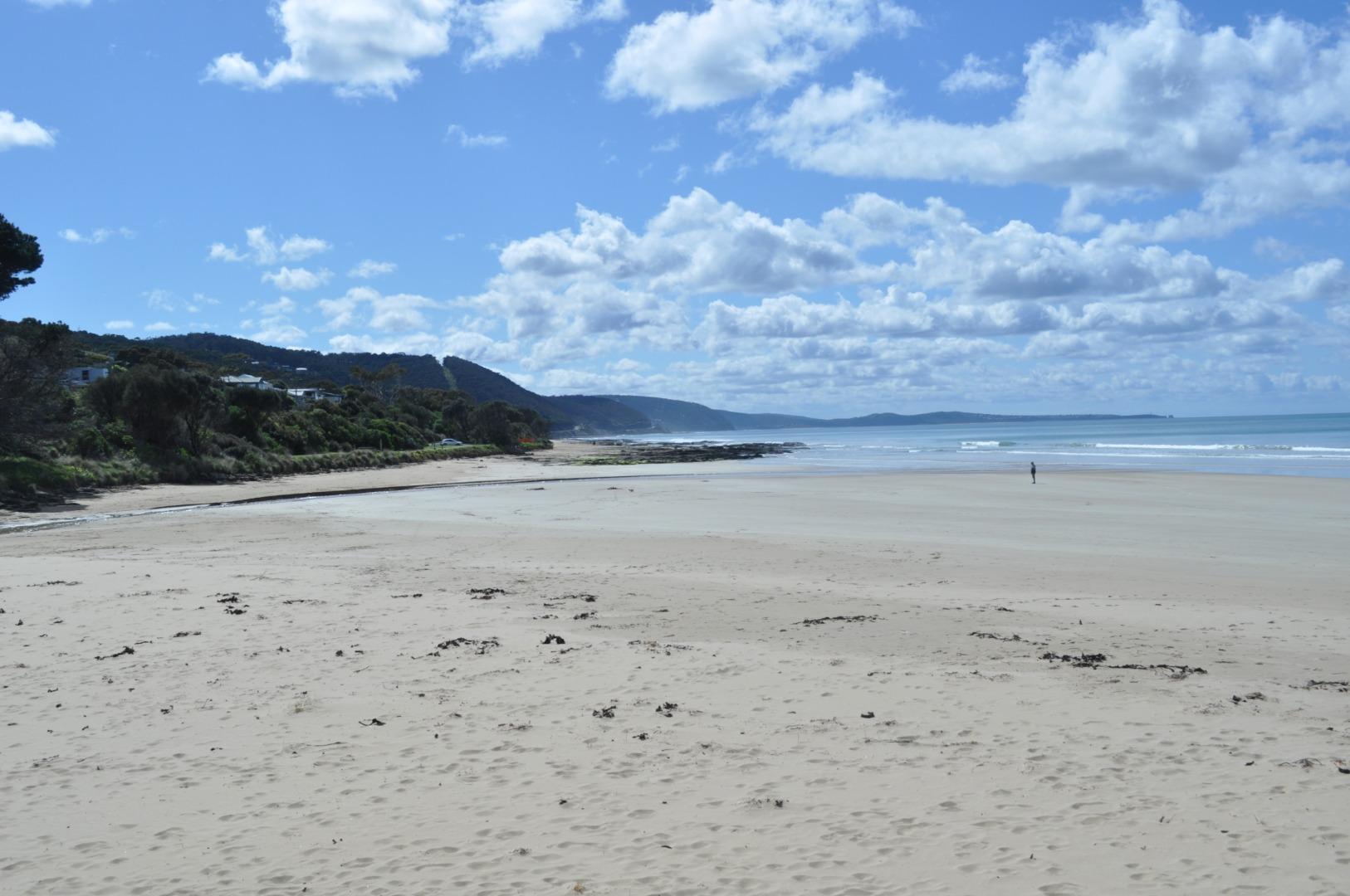
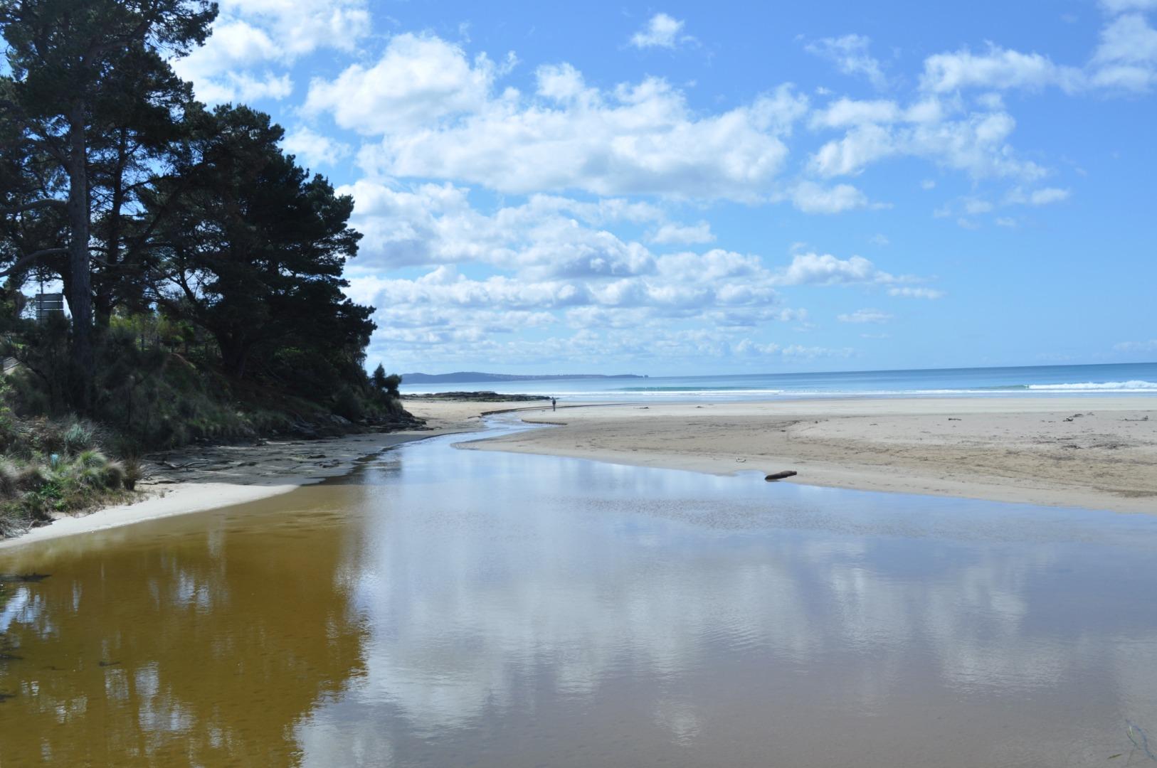
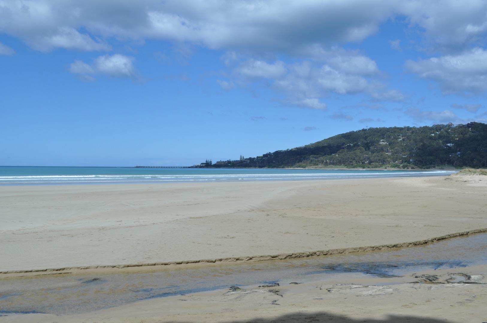
EMC Erskine River Estuary Mouth Observation Site
Inactive Mouth Condition 08-10-2007 - 23-02-2022Erskine River Estuary
| Date | Status | Details |
|---|---|---|
| 23 Feb 2022 | Approved |
Notes:
Gauge under bridge still so dirty that any depth below 1.5m is completely covered with slime/dirt |
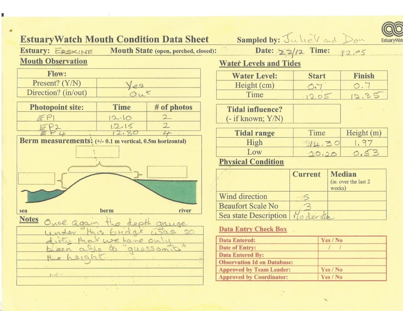
| 22 Dec 2021 | Approved |
Notes:
Once again the depth gauge under the bridge was so dirty that we have only been able to "guessomite" the height. |
| 24 Nov 2021 | Approved |
Notes:
Depth measurer so dirty could only estimate water level |
| 19 Aug 2021 | Approved |
Notes:
Water gauge under bridge still too dirty to read - so this field shows zero. |
| 15 Jul 2021 | Approved |
Notes:
Water level under bridge unable to be measured as the markings were covered in mud for any measurement >1m. This has been reported to GORCPA |
| 16 Jun 2021 | Approved | |
| 21 Mar 2020 | Approved |
Notes:
1. The weather was so calm that we couldn't define which direction the wind was coming from! 2. As mentioned in previous data portal entries, though I enter the correct date and time of each photo, after saving the file and then viewing, every single time the dates have reverted to the date/time the files were uploaded to the portal. Therefore the data sheets date/time need to be referred instead. |
| 21 Feb 2020 | Approved |
Notes:
Water gauge at bridge needs cleaning - measurement was approximated in this visit. Tourists once again questioned us about the sign indicating the river water was not suitable for swimming.
|
| 19 Jan 2020 | Approved | |
| 20 Dec 2019 | Approved | |
| 26 Nov 2019 | Approved | |
| 20 Oct 2019 | Approved | |
| 24 Sep 2019 | Approved |
Notes:
Water gauge had been cleaned |
| 21 Aug 2019 | Approved |
Notes:
Water level meter was so dirty we were unable to take any measurements. We have reported on this several times, and requested that we be given a contact name/tel no. of the person responsible at GORCC to this is carried out on a regular. I shall give the contact to Uric Orr who has offered to monitor the situation for us to ensure the meaurements are clear prior to each visit. |
| 20 Jul 2019 | Approved | |
| 19 Jun 2019 | Approved | |
| 22 May 2019 | Approved | |
| 27 Apr 2019 | Approved | |
| 20 Mar 2019 | Approved |
Notes:
1. Gauge under bridge needs cleaning, hard to read measurements. 2. River nearly perched as seaweed was piled up at the narrow mouth. Saw shoals of fish 10-15cm under bridge, unfortunately unable to identify them. |
| 20 Feb 2019 | Approved | |
| 23 Jan 2019 | Approved | |
| 19 Dec 2018 | Approved |
Notes:
Error found in Data Sheet after it was scanned. Low tide shown as 2.06 (am) should have been 2.06 pm (24 hr clock not used on Internet Lorne Tide Times). I incorrectly added the site number Ep4-4 into the Data Sheet Photopoint field and could not delete it. |
| 22 Nov 2018 | Approved |
Notes:
Once again the date and time of the photo points wasn't saved after data entry. On review these had reverted to date and time of when photos/form were downloaded to USB. This has happened for several months now. Don't know what the ramifications for data analysis will be. |
| 24 Oct 2018 | Approved |
Notes:
Deidre - Please note that there is still a problem with the software as although I carefully enter the date/time each photo was taken and then save, when I go into view, the dates all revert to the day/time I entered the data!
However in Edit mode the date/time is correct! |
| 20 Sep 2018 | Approved |
Notes:
Deidre. I don't know why I have never noticed this before but I see that though I change the date on all the photos to the day/time when photo is taken it seems to revert to the date/time when photos were uploaded into the portal in the view window. This also applies to the data sheet uploaded. Tho on the portal the date is correct. Then when I go into Edit to change things the dates look correct.
Is their an explanation for this? |


We honour Elders past and present whose knowledge and wisdom has ensured the continuation of culture and traditional practices.
 All content, files, data and images provided by the EstuaryWatch Data Portal subject to a Creative Commons Attribution License
Data portal by CeRDI
All content, files, data and images provided by the EstuaryWatch Data Portal subject to a Creative Commons Attribution License
Data portal by CeRDI