AMC Anglesea River Mouth Condition
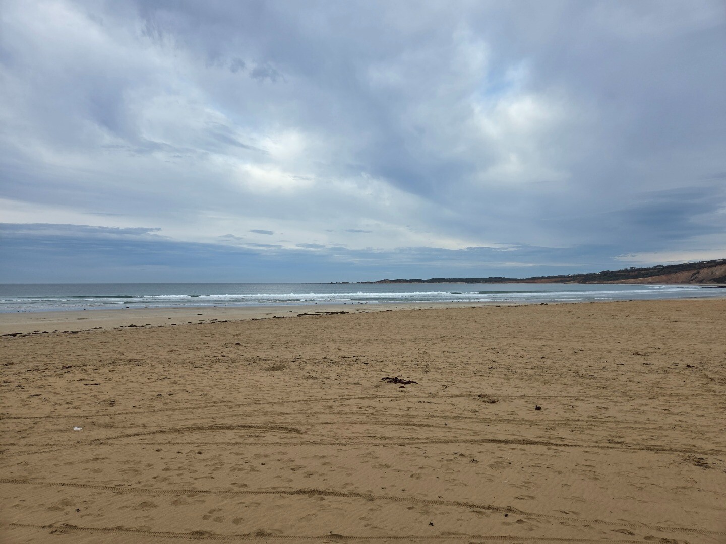
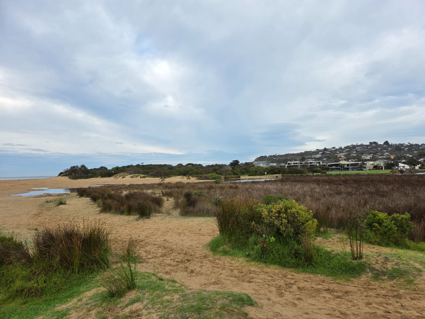
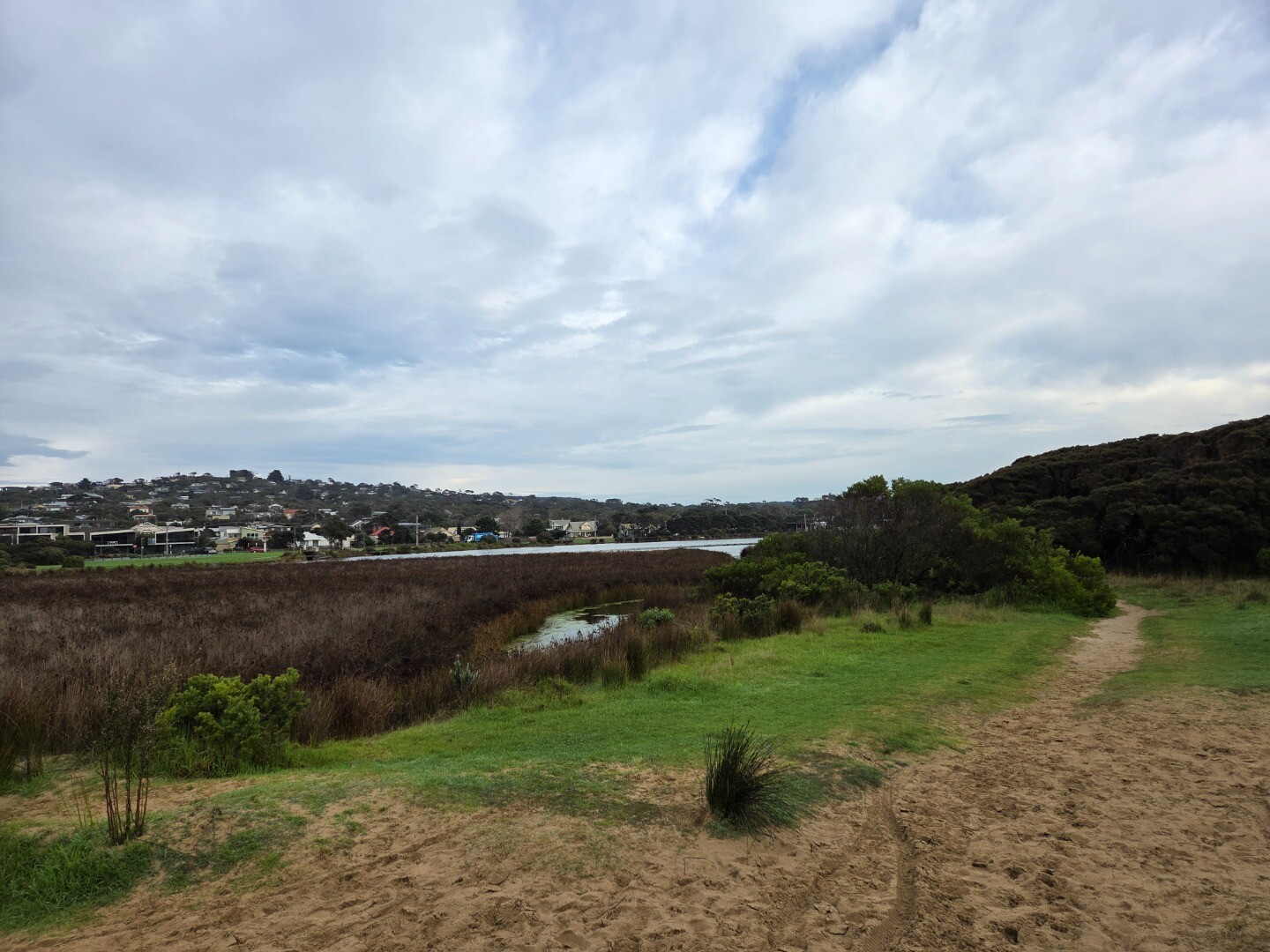
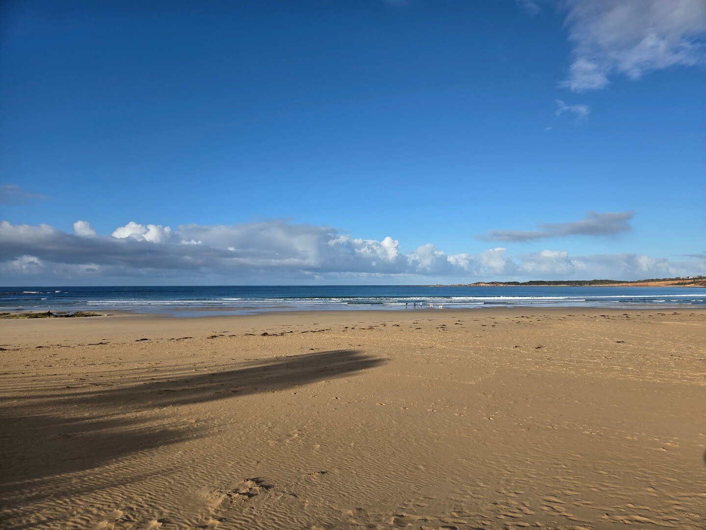
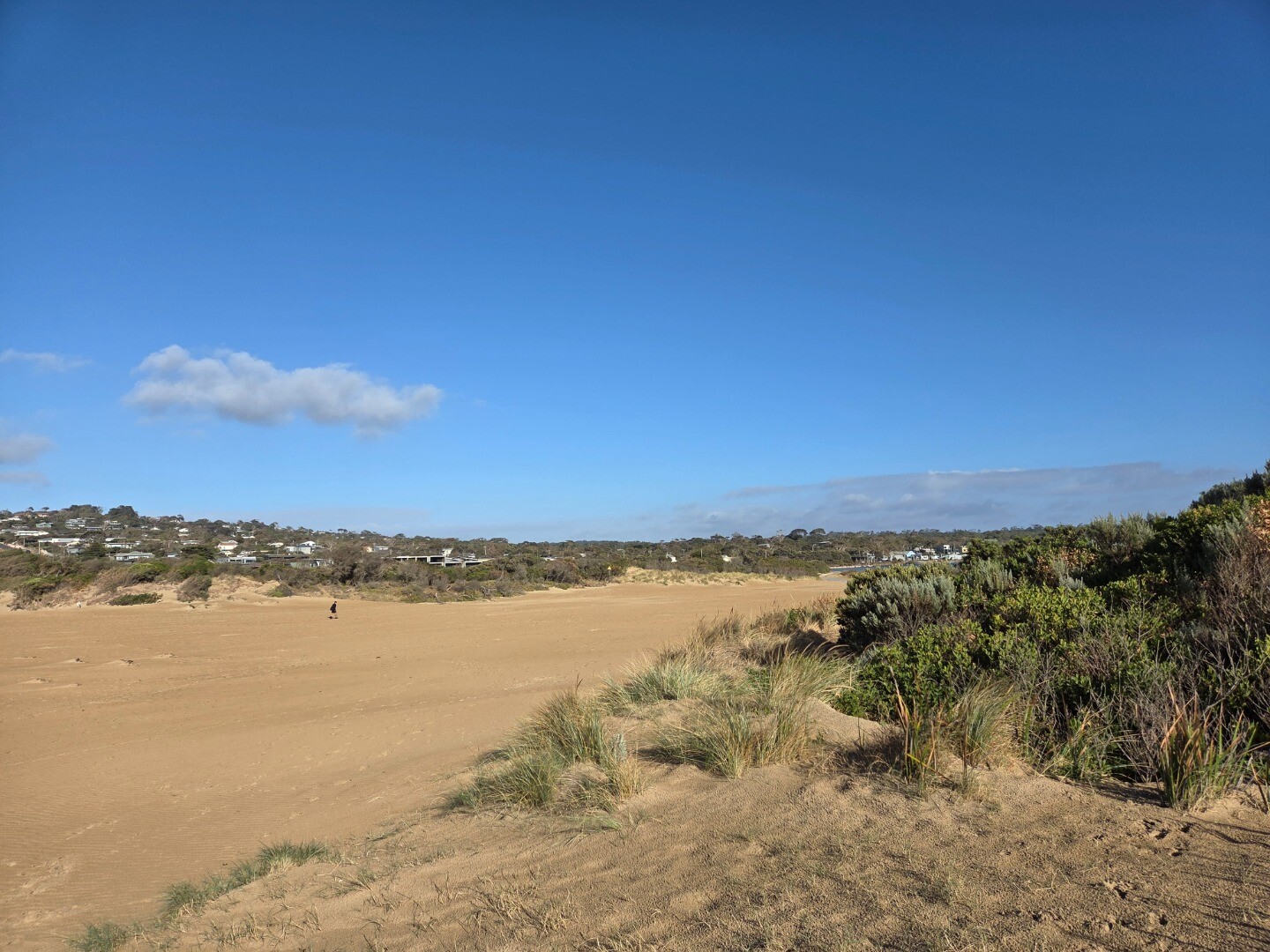
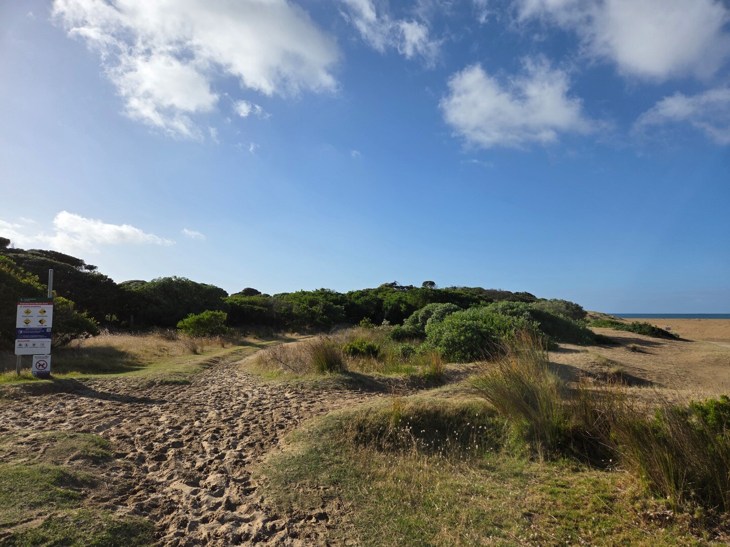
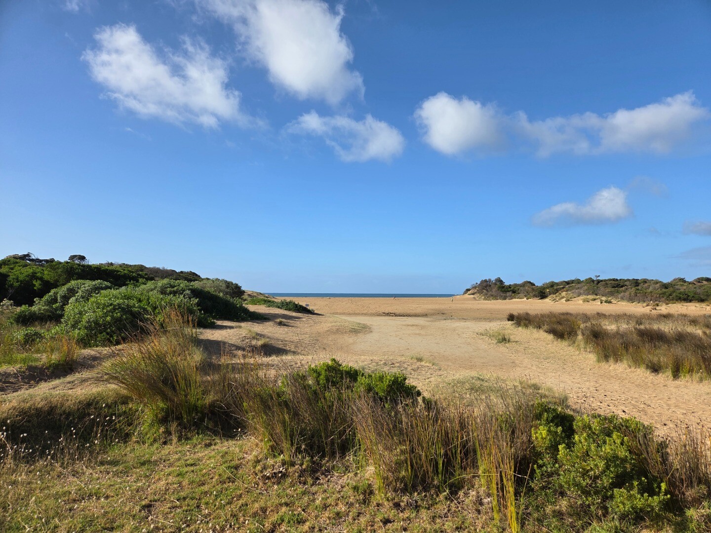
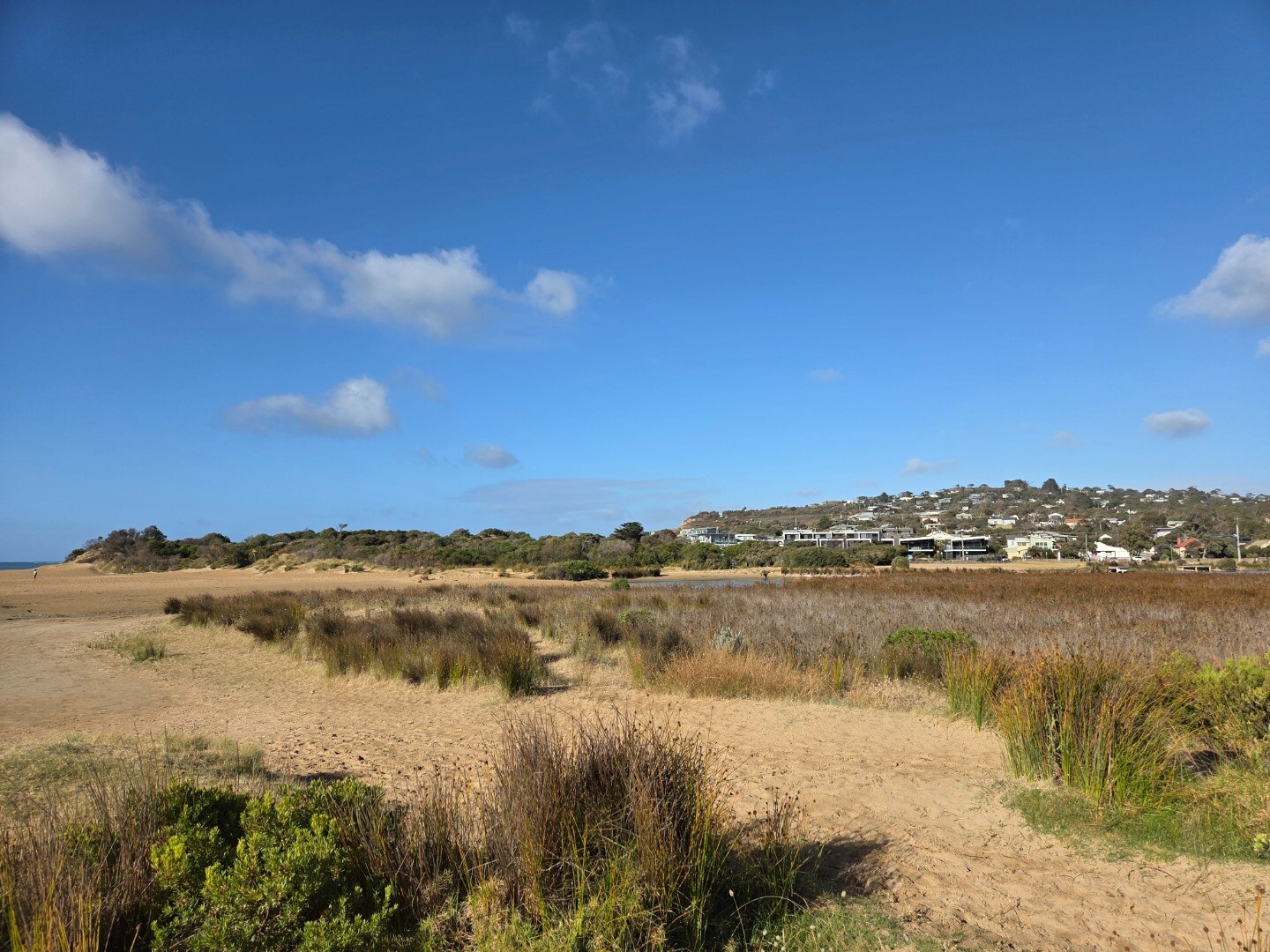
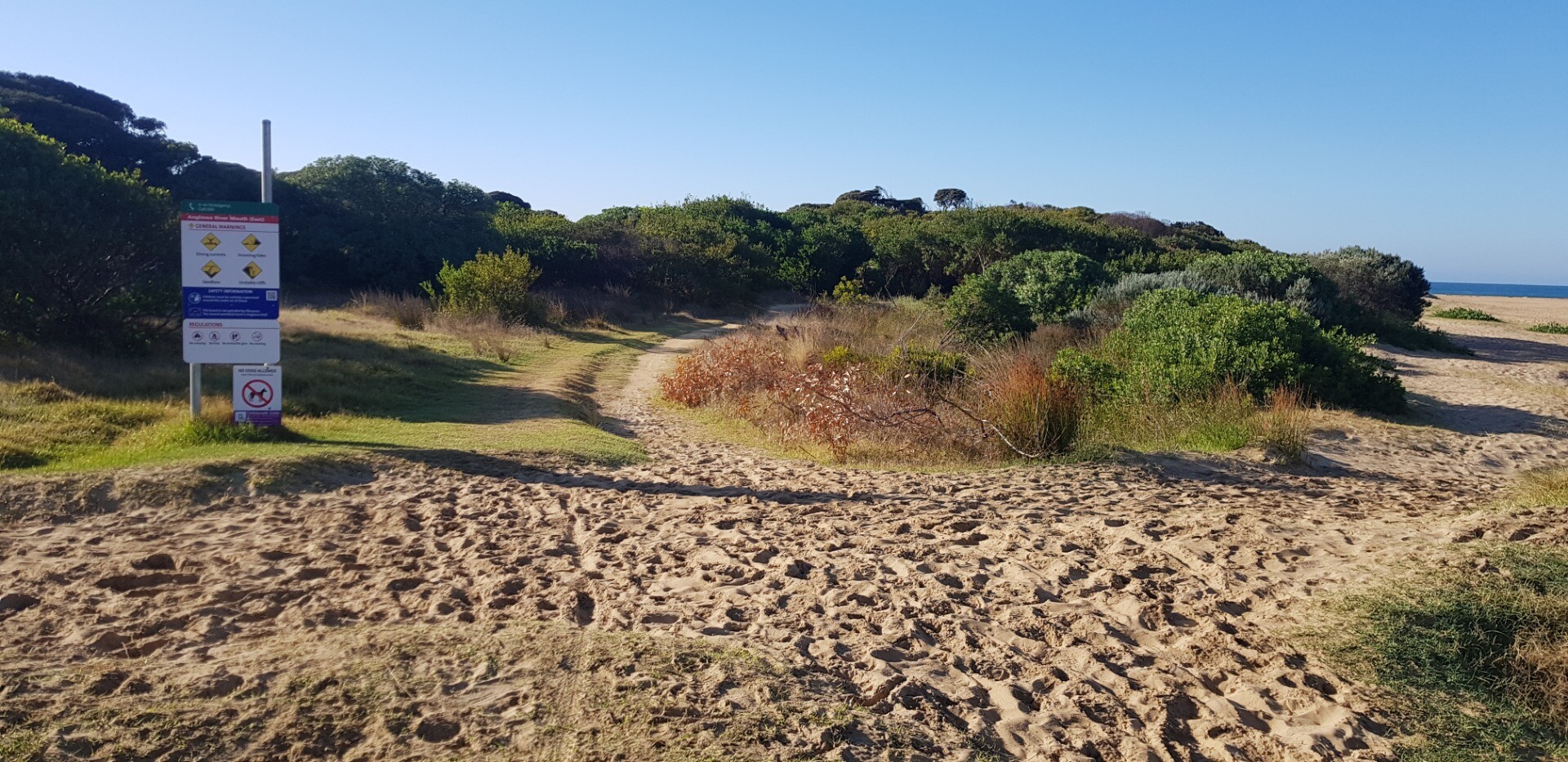
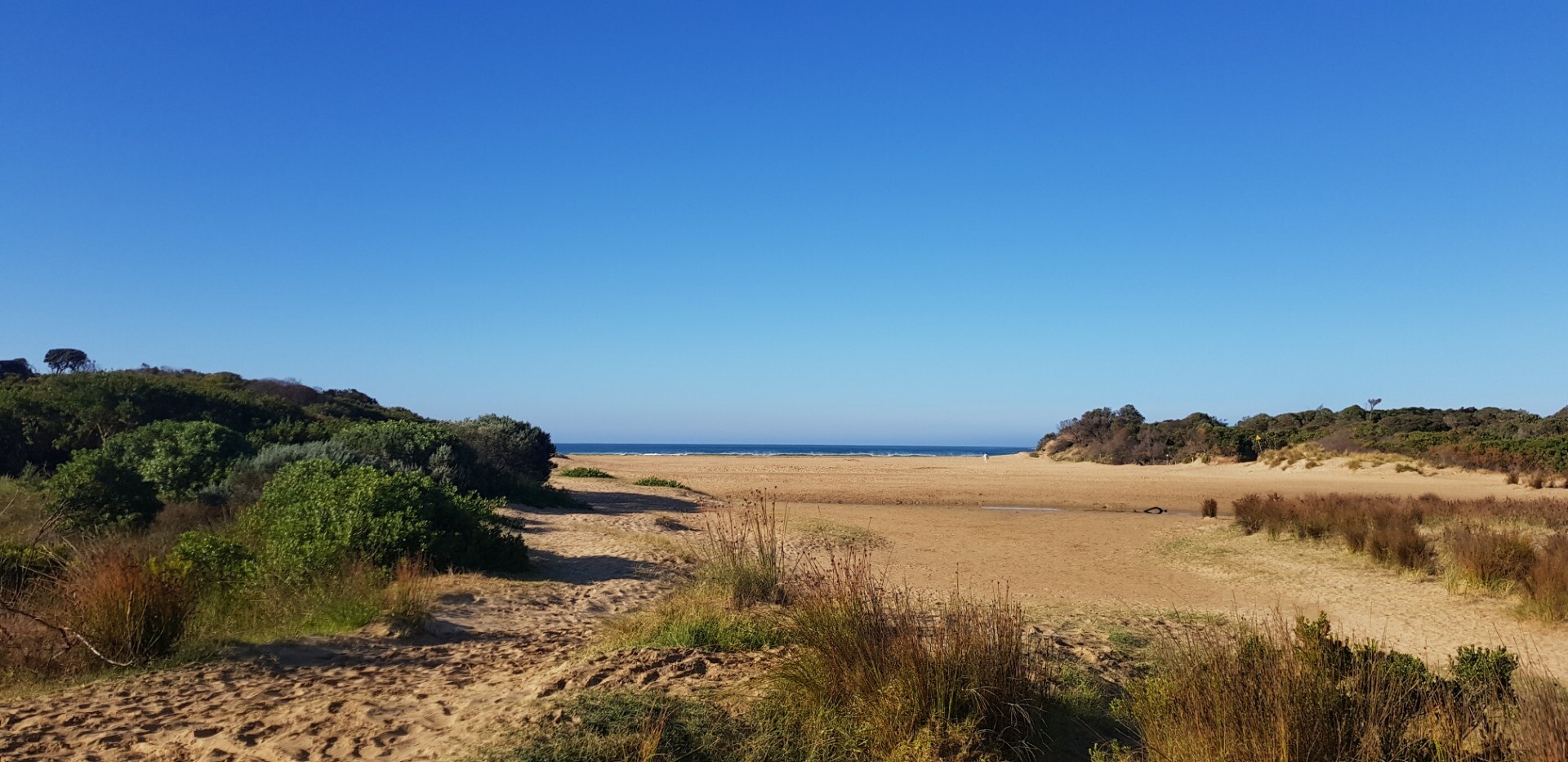
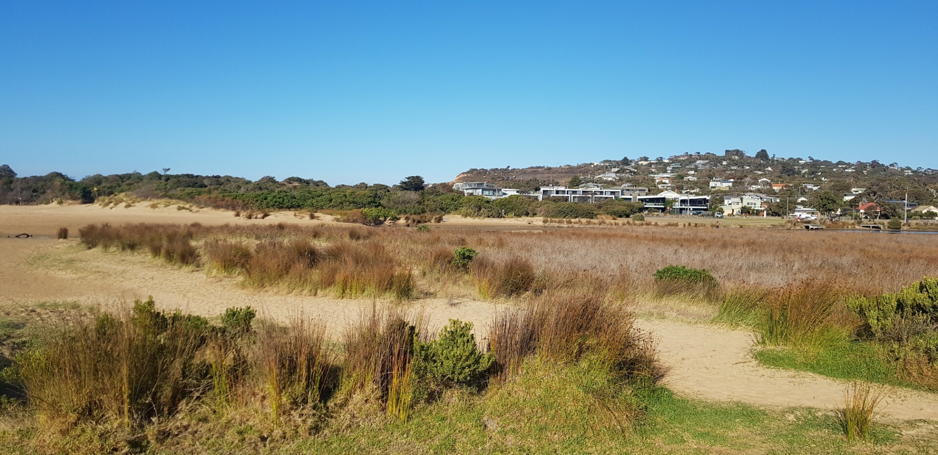
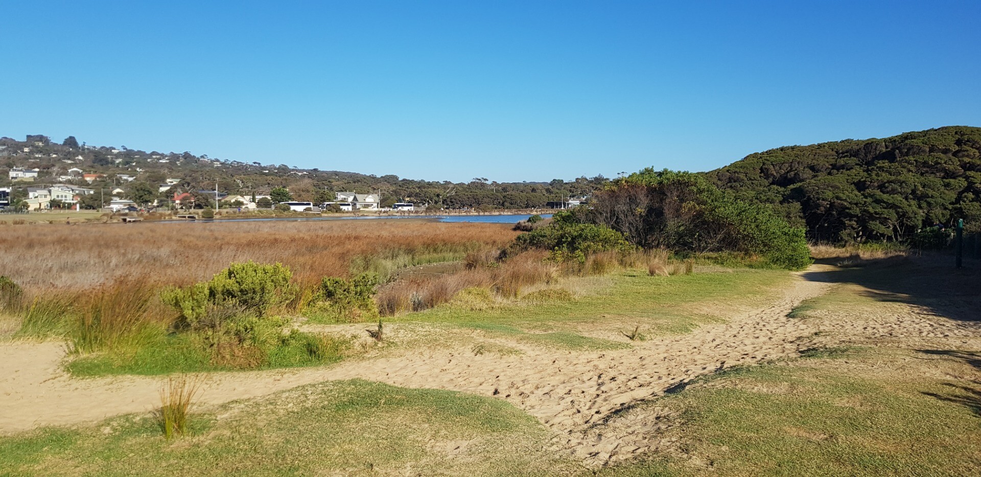
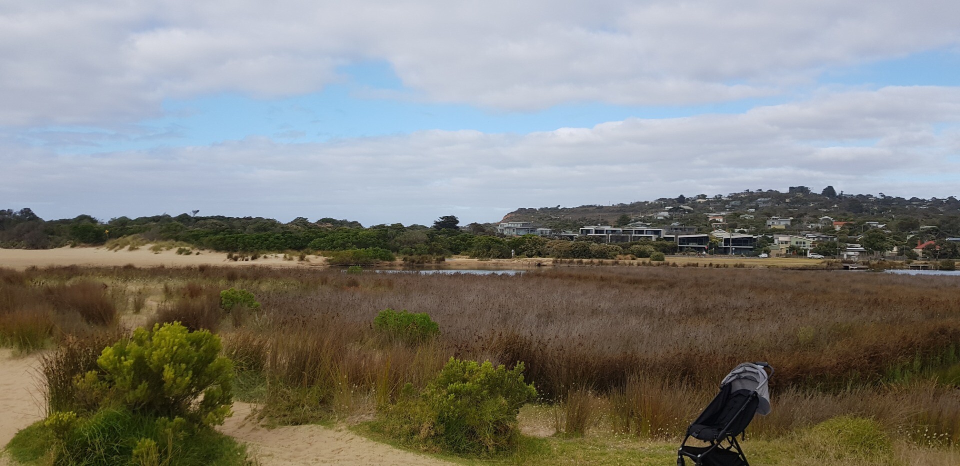
Active Mouth Condition 17-04-2007 - 17-06-2026Anglesea River Estuary
| Date | Status | Details |
|---|---|---|
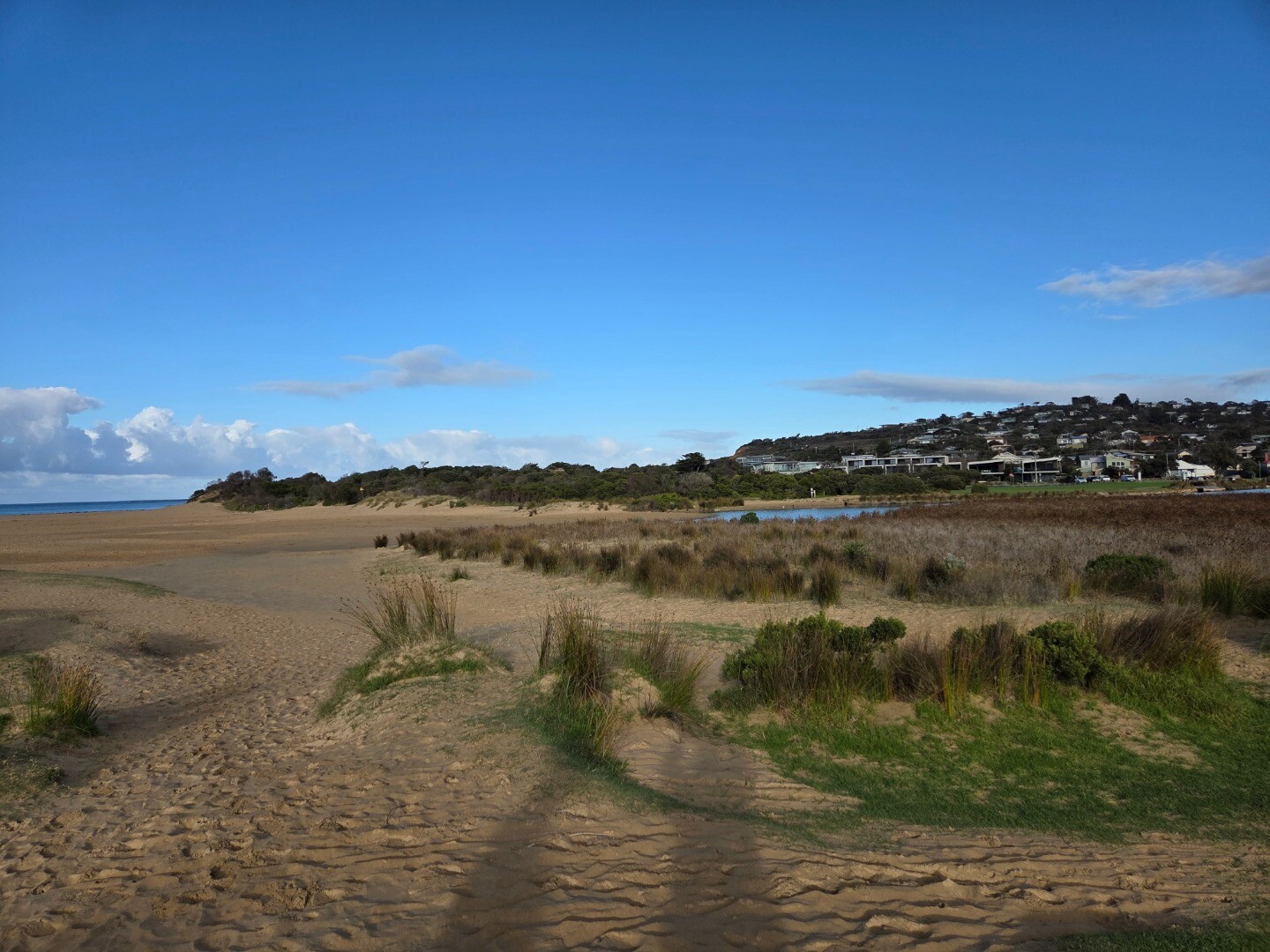
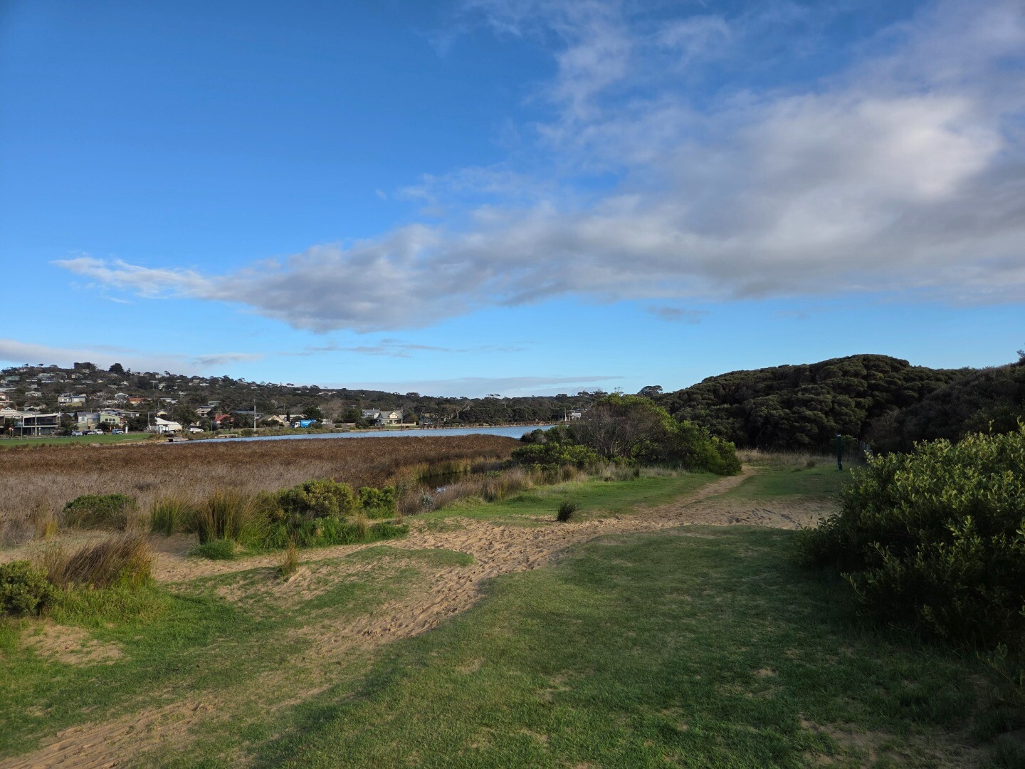
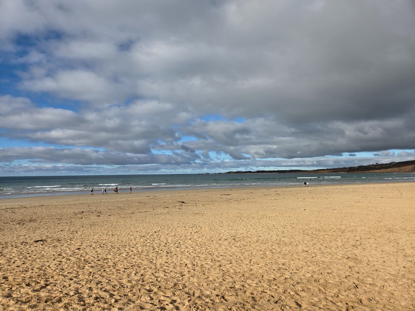
| 17 Jun 2026 | Approved |
Notes:
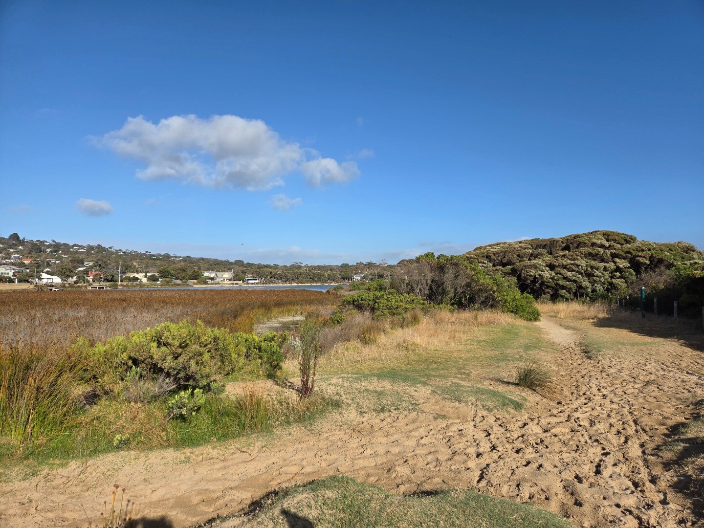
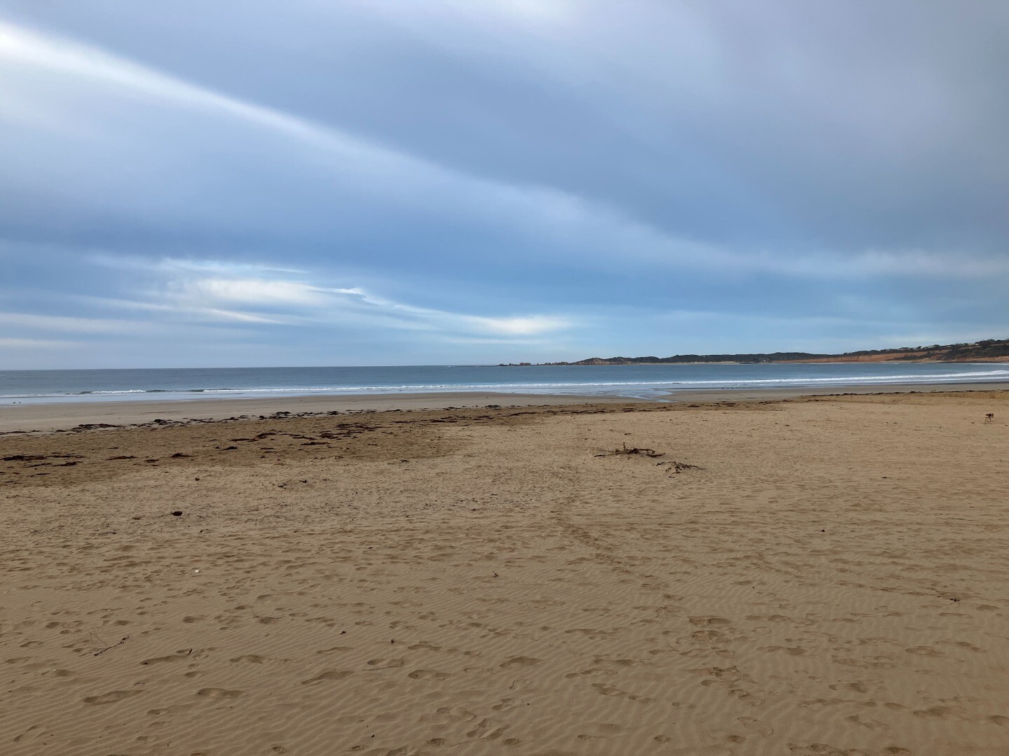
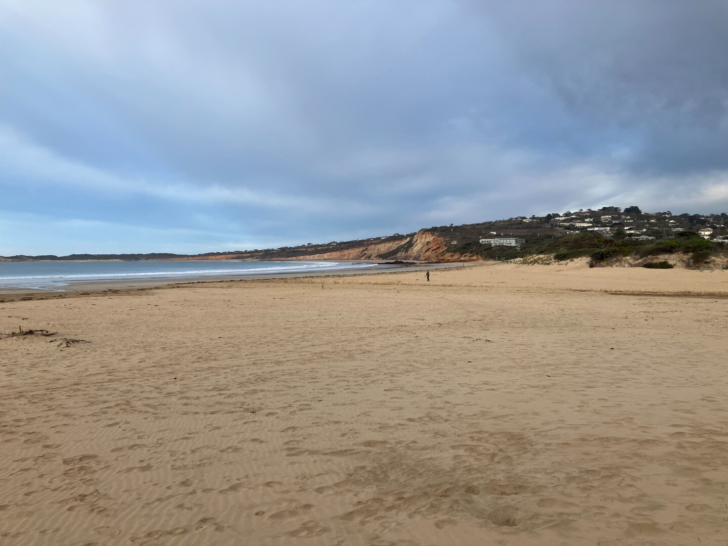
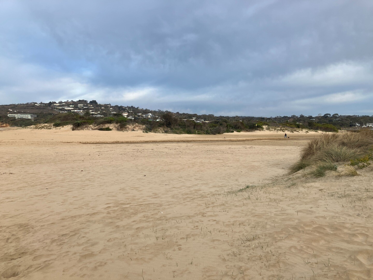
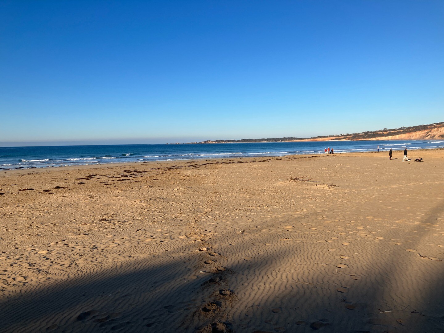
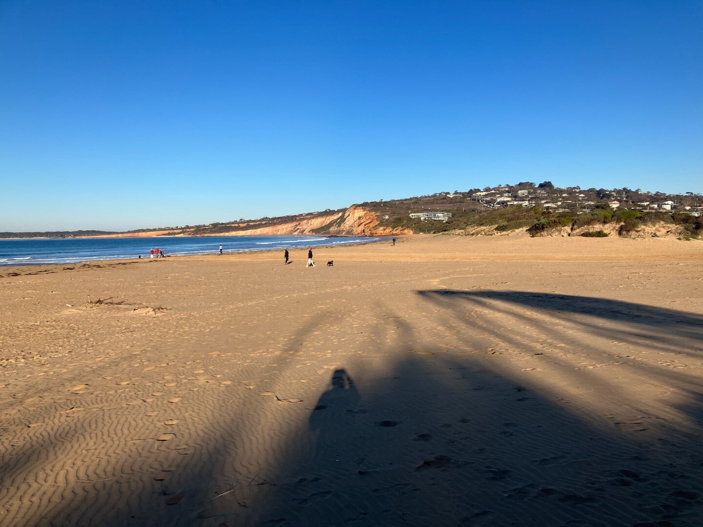
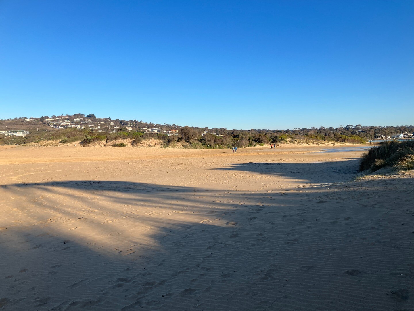
Evidence of recent overtopping 108m from estuary to top of berm Assisted by John Slykhuis |
| 20 May 2026 | Approved |
Notes:
Very Low Tide Data sheet dropped in water and dried out Assisted by John Slykhuis |
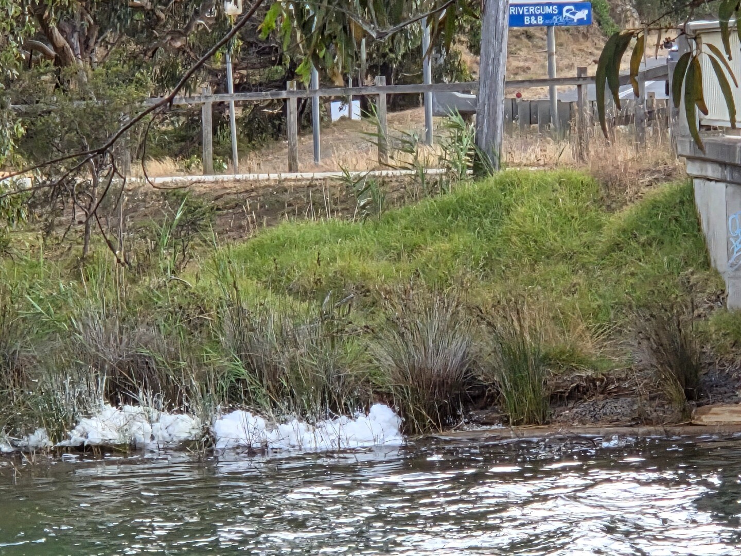
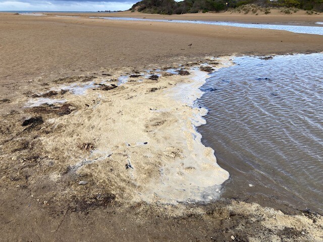
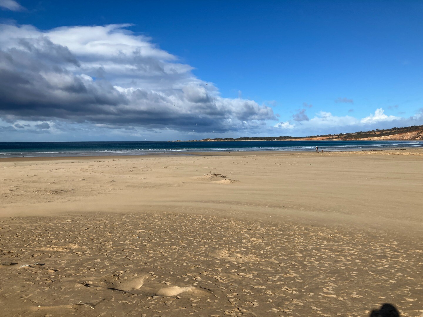
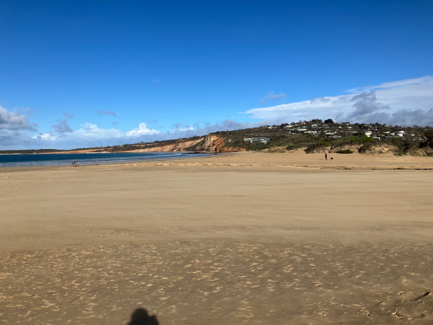
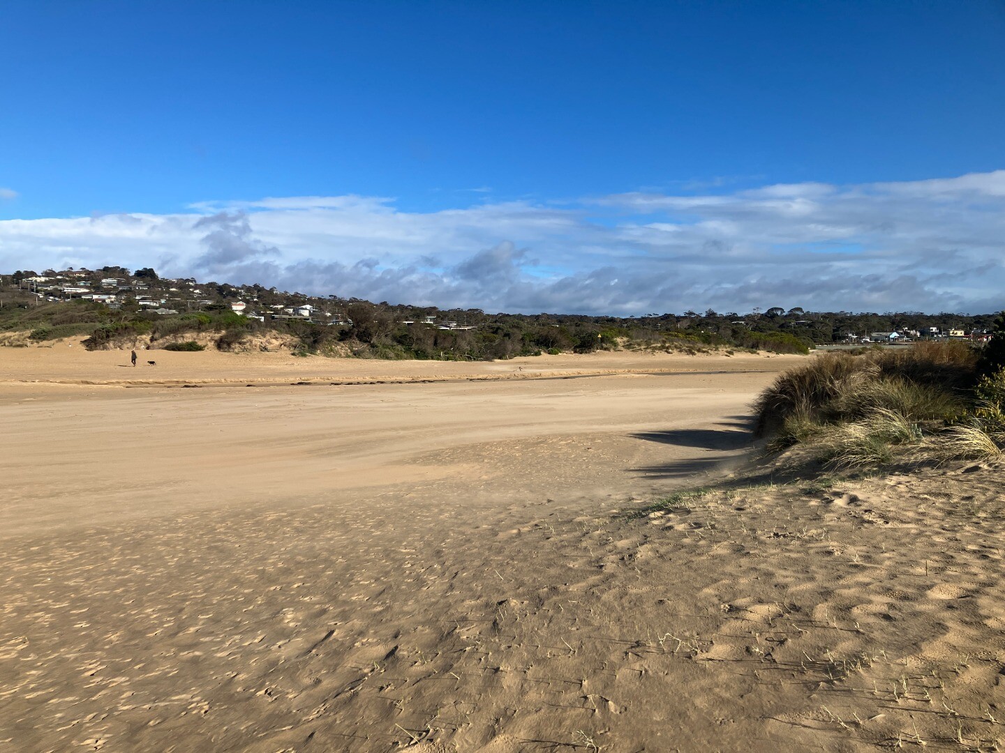
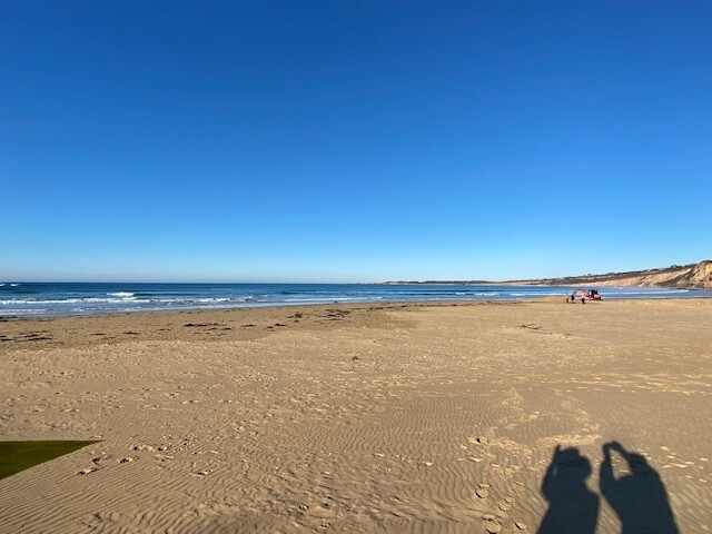
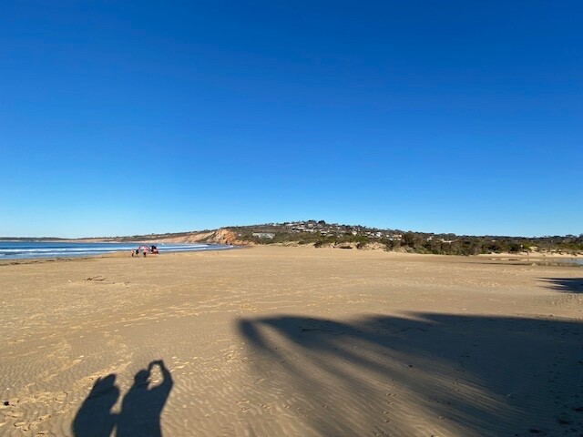
| 15 Apr 2026 | Approved |
Notes:
Assisted by John (need to sign him up) Evidence of recent small overtopping of Berm. Seaweed across area between sea and river. foam at seaward end of estuary 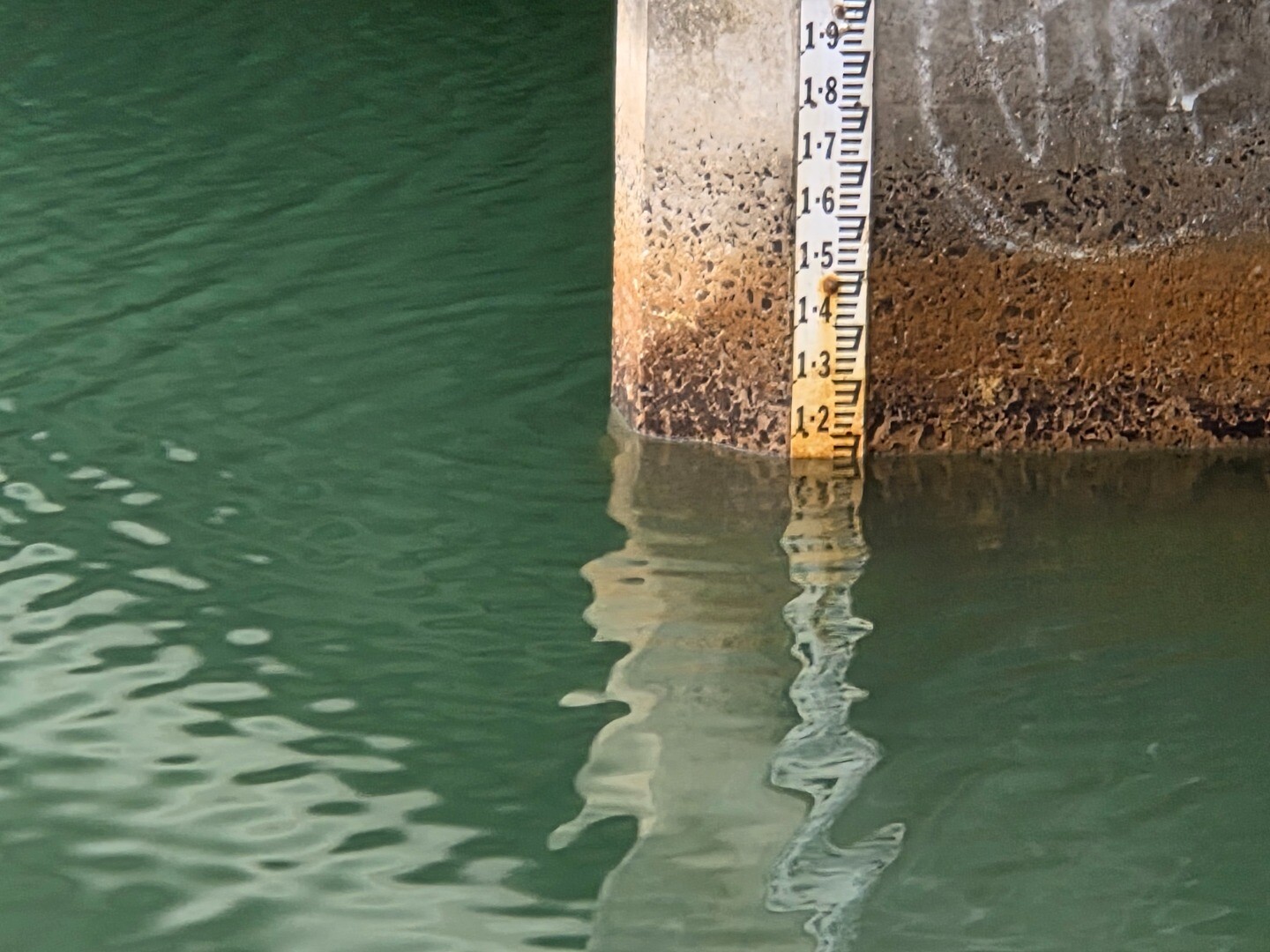 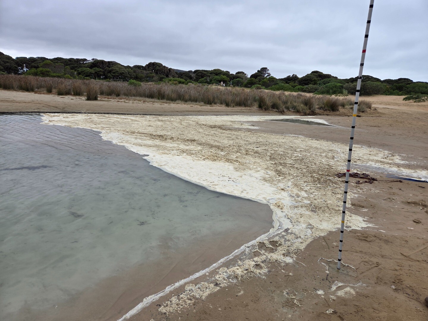        |
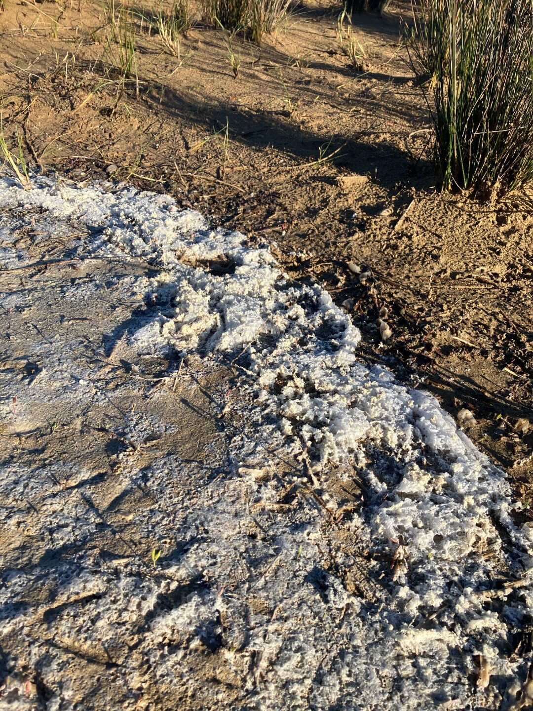
| 18 Mar 2026 | Approved |
Notes:
Assisted by John S Lots of white sediment near end of Estuary Apologies for untidy photos |
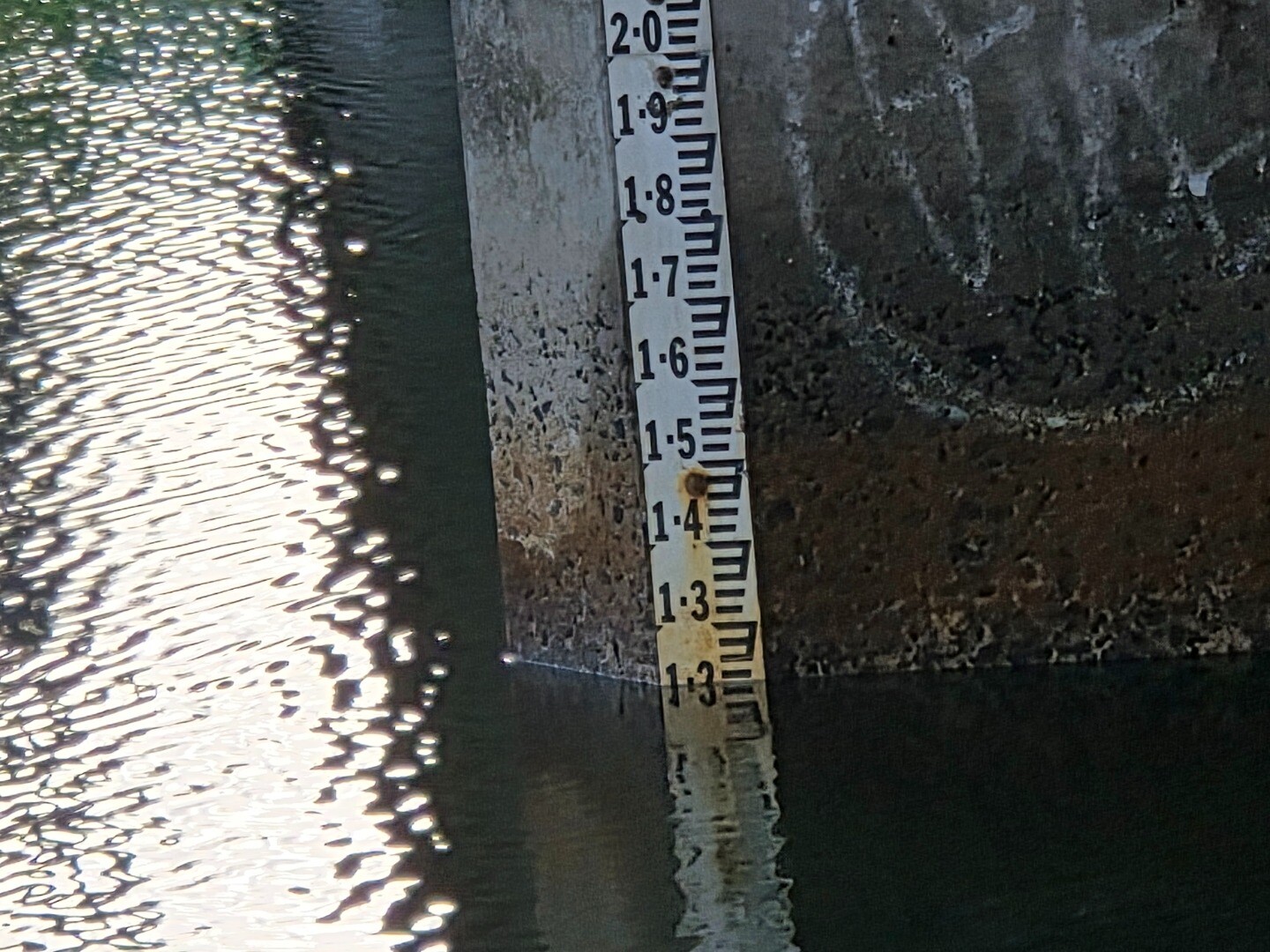
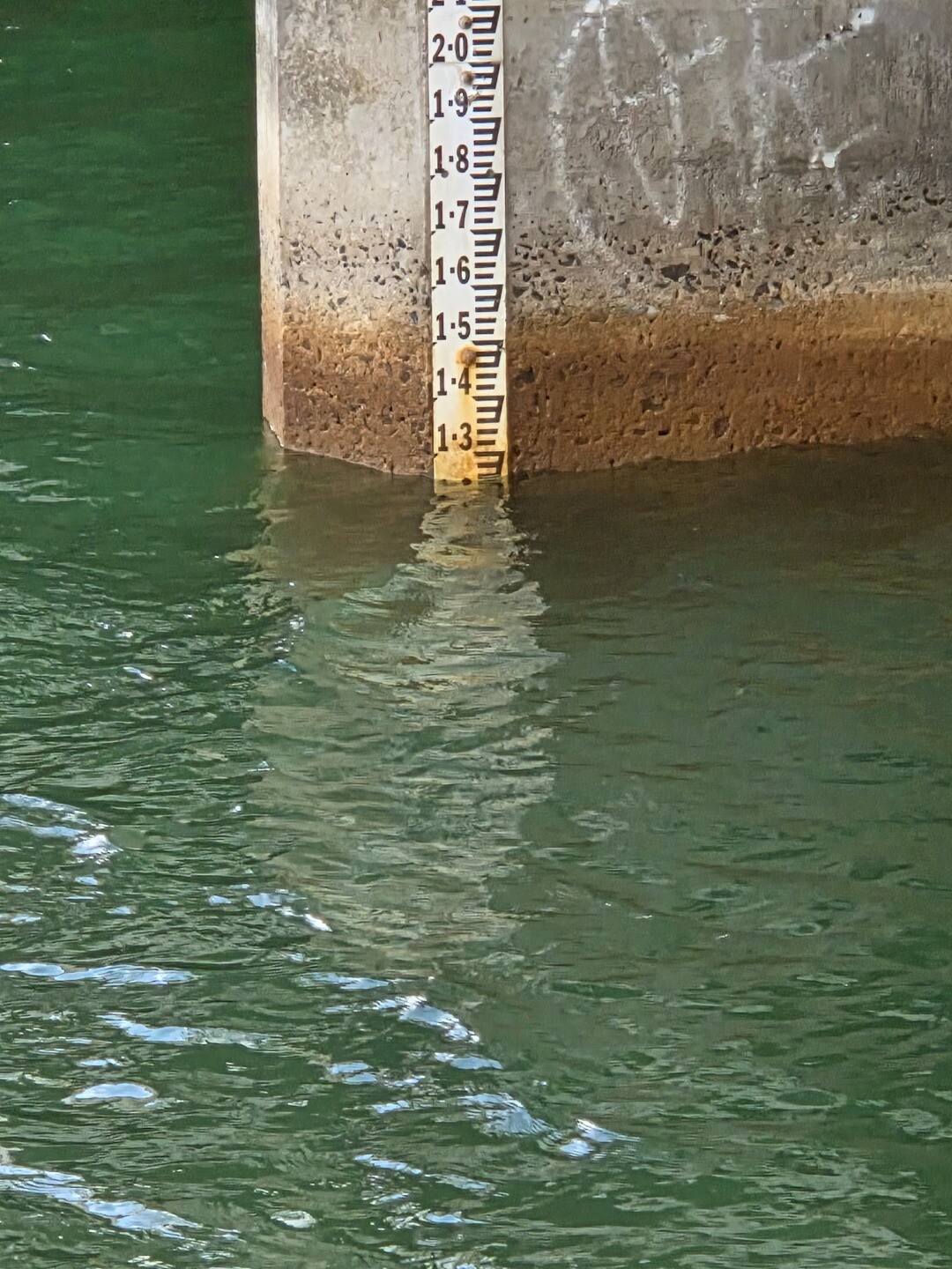
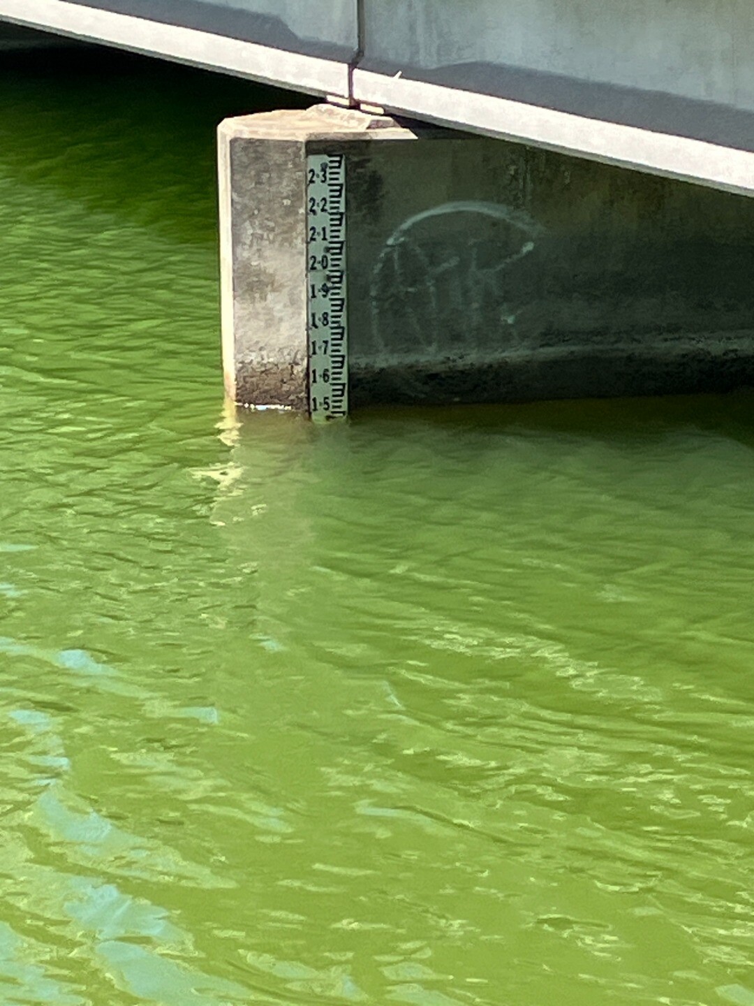
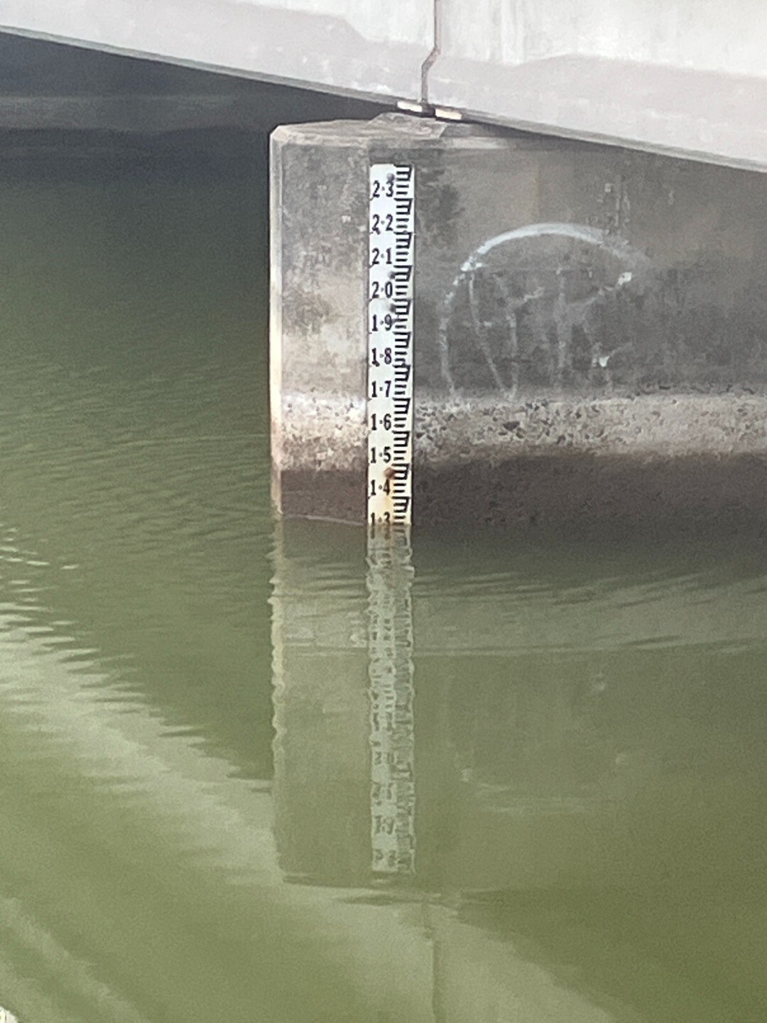
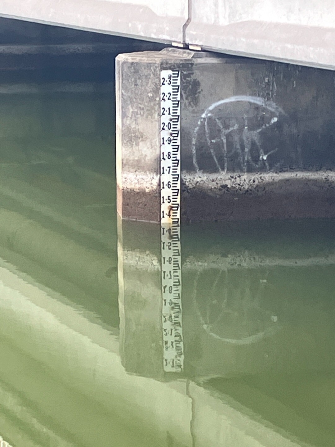
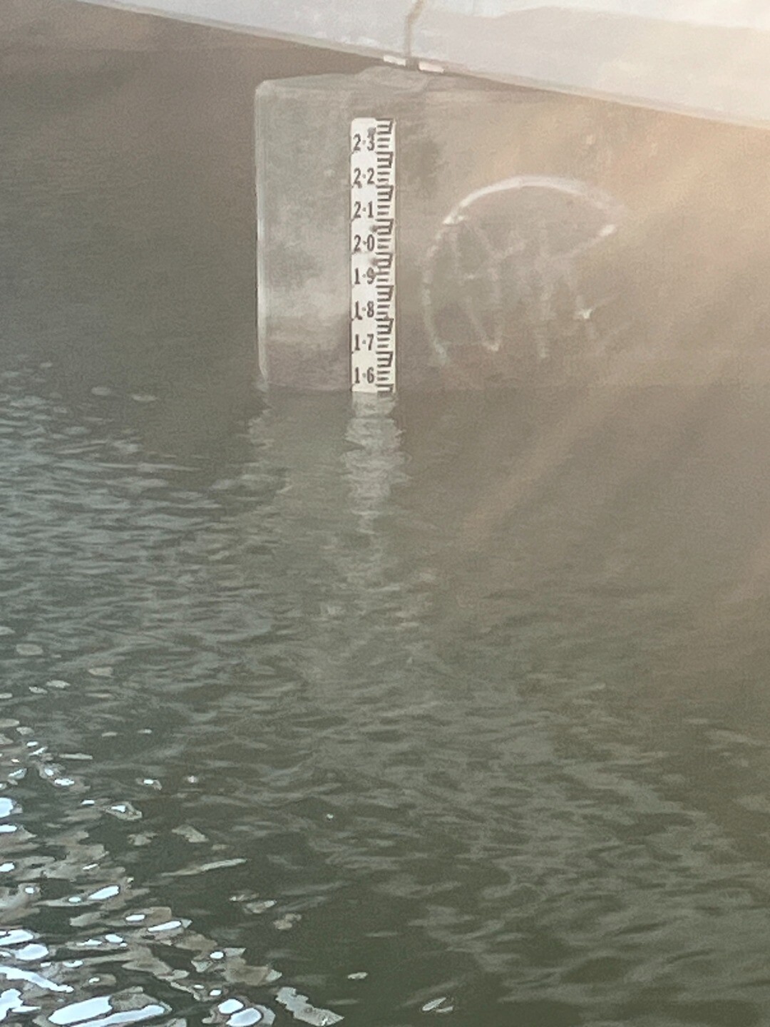
| 18 Feb 2026 | Approved |
Notes:
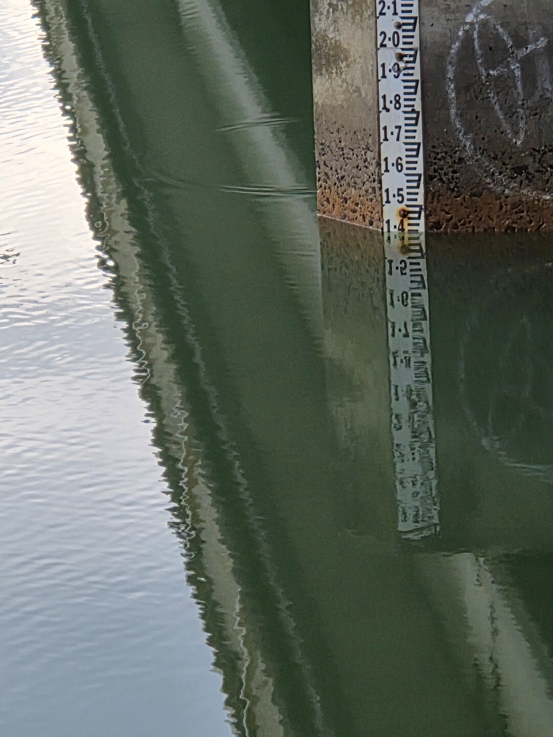
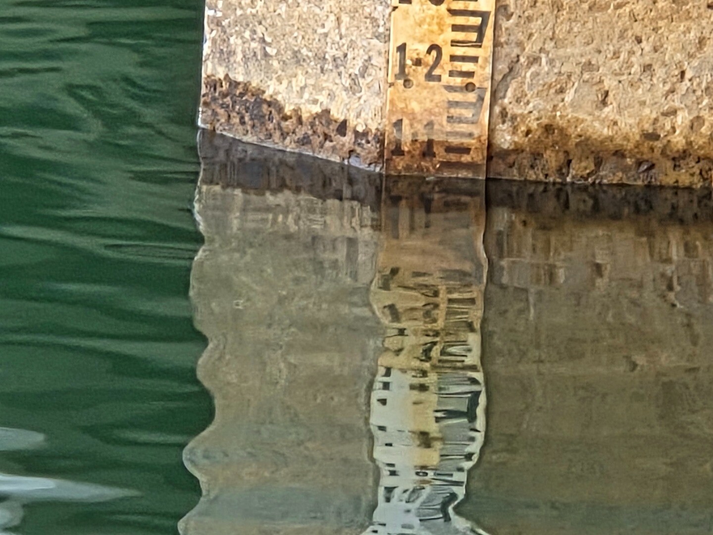
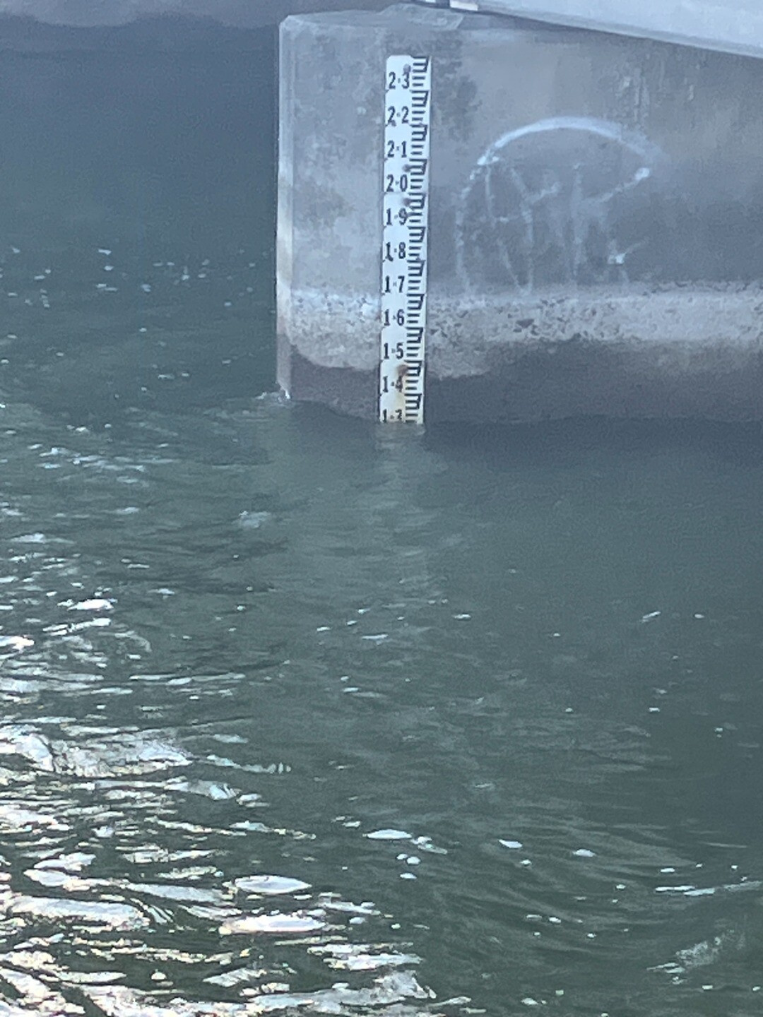
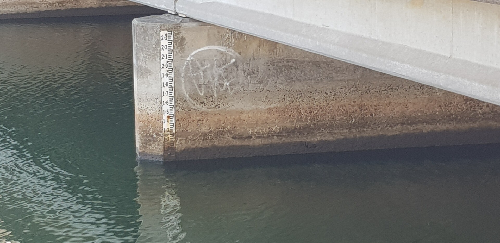
Assisted by John S Meter board at GOR Bridge reads 75mm lower than WMIS tag 235278 See photo attached |
| 21 Jan 2026 | Approved |
Notes:
Foam at Bridge |
| 17 Dec 2025 | Approved |
Notes:
Assisted by John White powder (precipitate) on bottom around river mouth |
| 19 Nov 2025 | Approved | |
| 15 Oct 2025 | Approved |
Notes:
Photo of Level board for comparison with WMIS reading        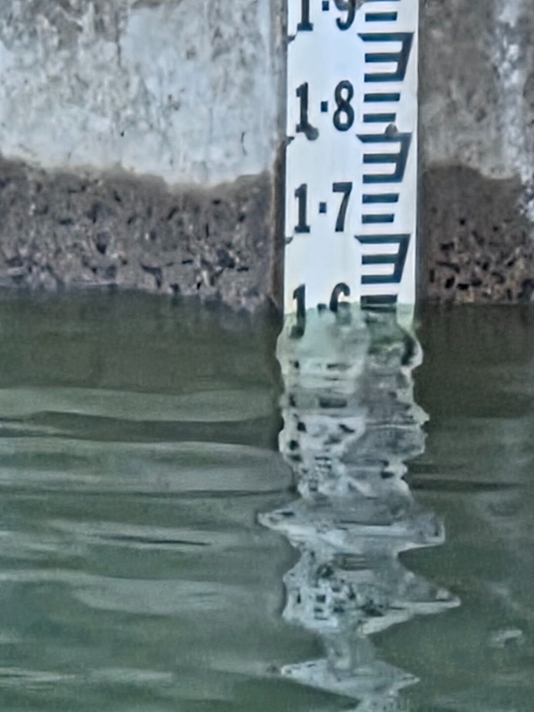 |
| 17 Sep 2025 | Approved |
Notes:
Assisted by John Kids have dug a 20m trench towards sea. Light dusting of white deposit on bottom just upstream of Estuary mouth        |
| 5 Sep 2025 | Approved |
Notes:
|
| 29 Aug 2025 | Approved |
Notes:
White Foam Edge of River SE Corner |
| 27 Aug 2025 | Approved |
Notes:
|
| 25 Aug 2025 | Approved |
Notes:
|
| 22 Aug 2025 | Approved |
Notes:
|
| 21 Aug 2025 | Approved |
Notes:
|
| 20 Aug 2025 | Approved | |
| 20 Aug 2025 | Approved |
Notes:
Digger on site had begun digging to open channel, but were stopped at about 9.30 to wait for optimum tidal conditions |
| 16 Jul 2025 | Approved |
Notes:
Assisted by John Slykhuis Distance from Top of berm to Estuary water 81m Kids have attempted a channel |
| 18 Jun 2025 | Approved | |
| 21 May 2025 | Approved |
Notes:
170m from Berm top to estuary GOR Bridge Gauge board needs clean or replacing Can't move photos properly |
| 16 Apr 2025 | Approved |
Notes:
Clear evidence of recent berm overtopping 160m from estuary to top of berm AHD scale at Bridge difficult to read accurately     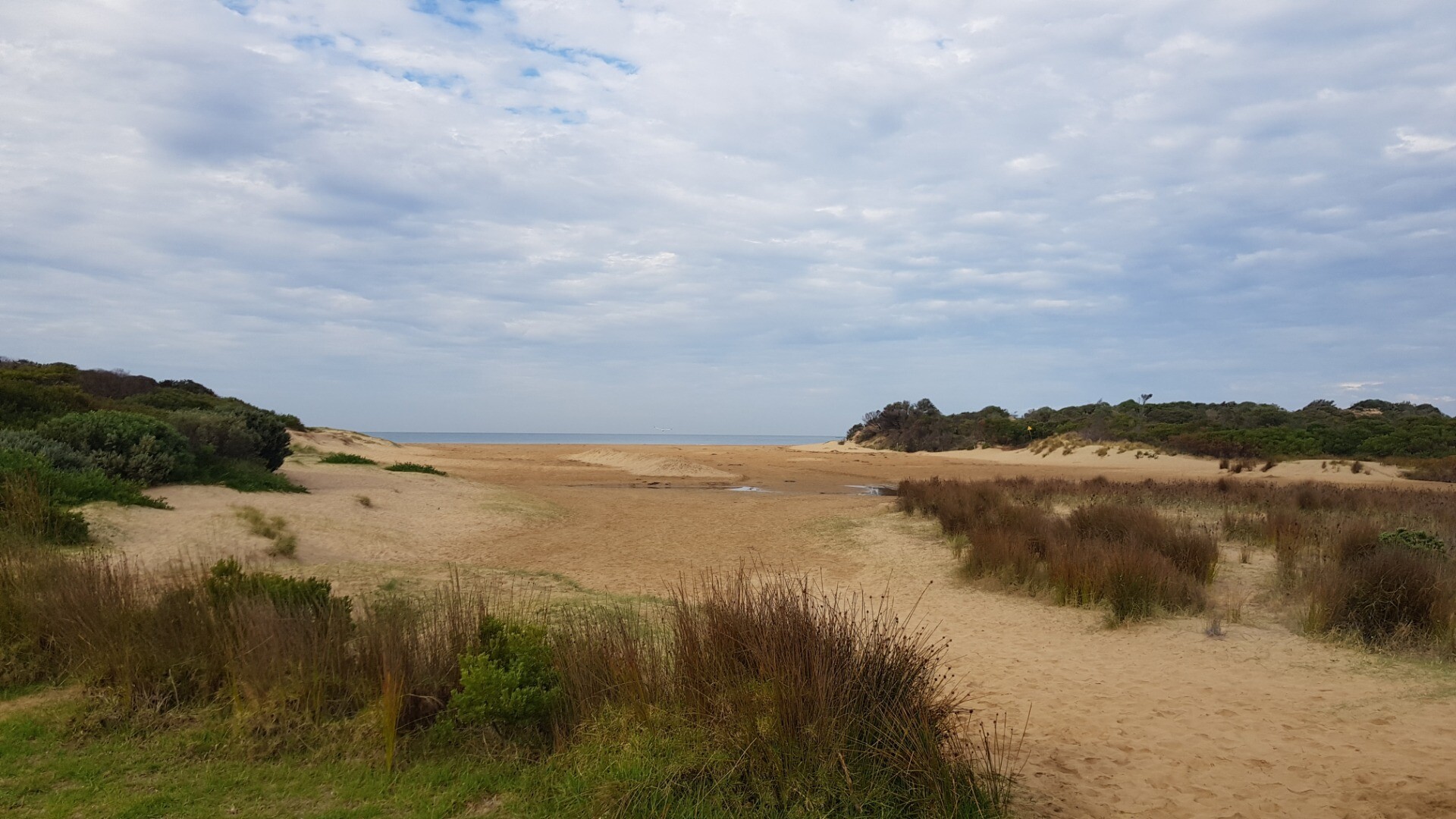 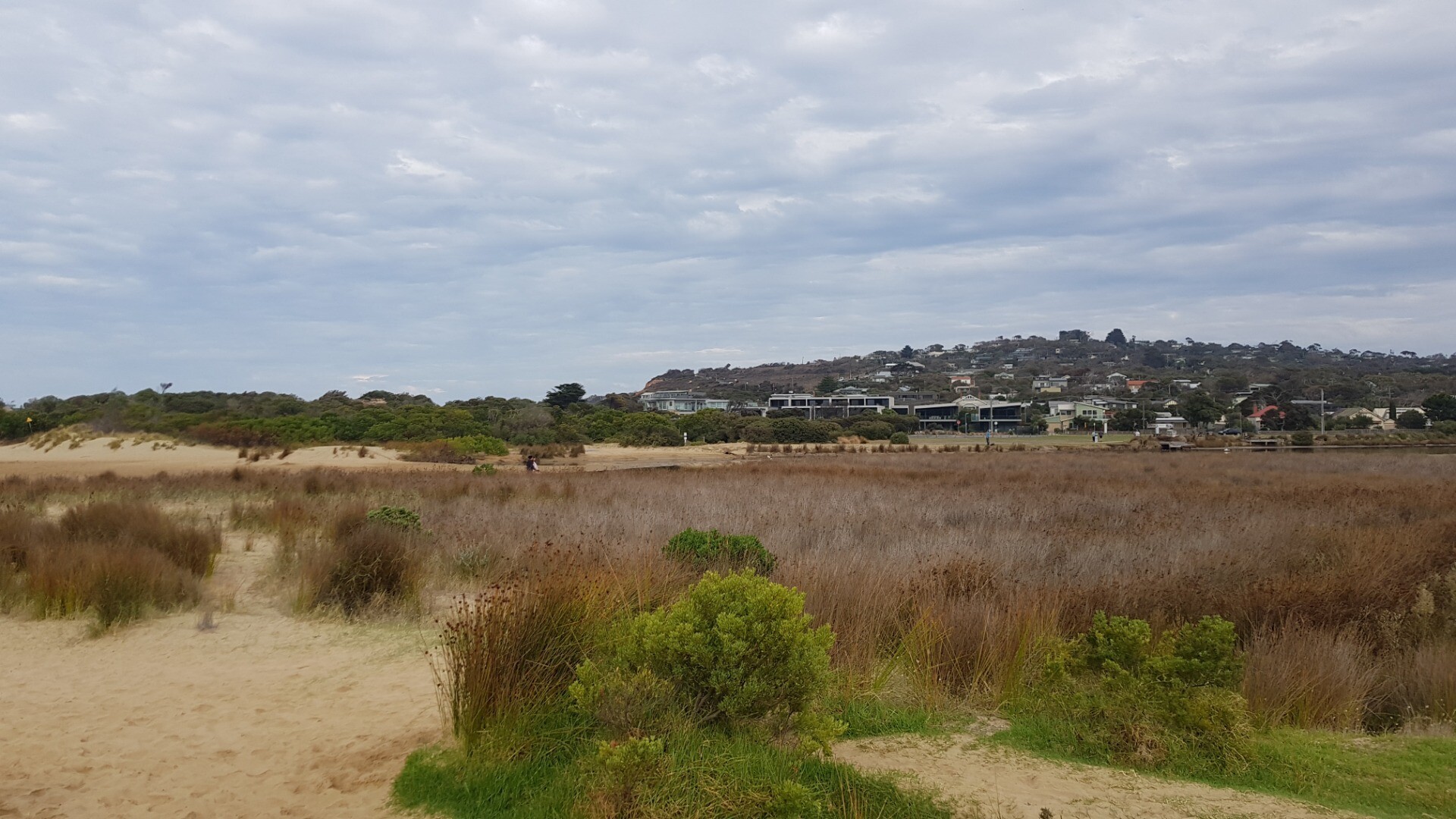 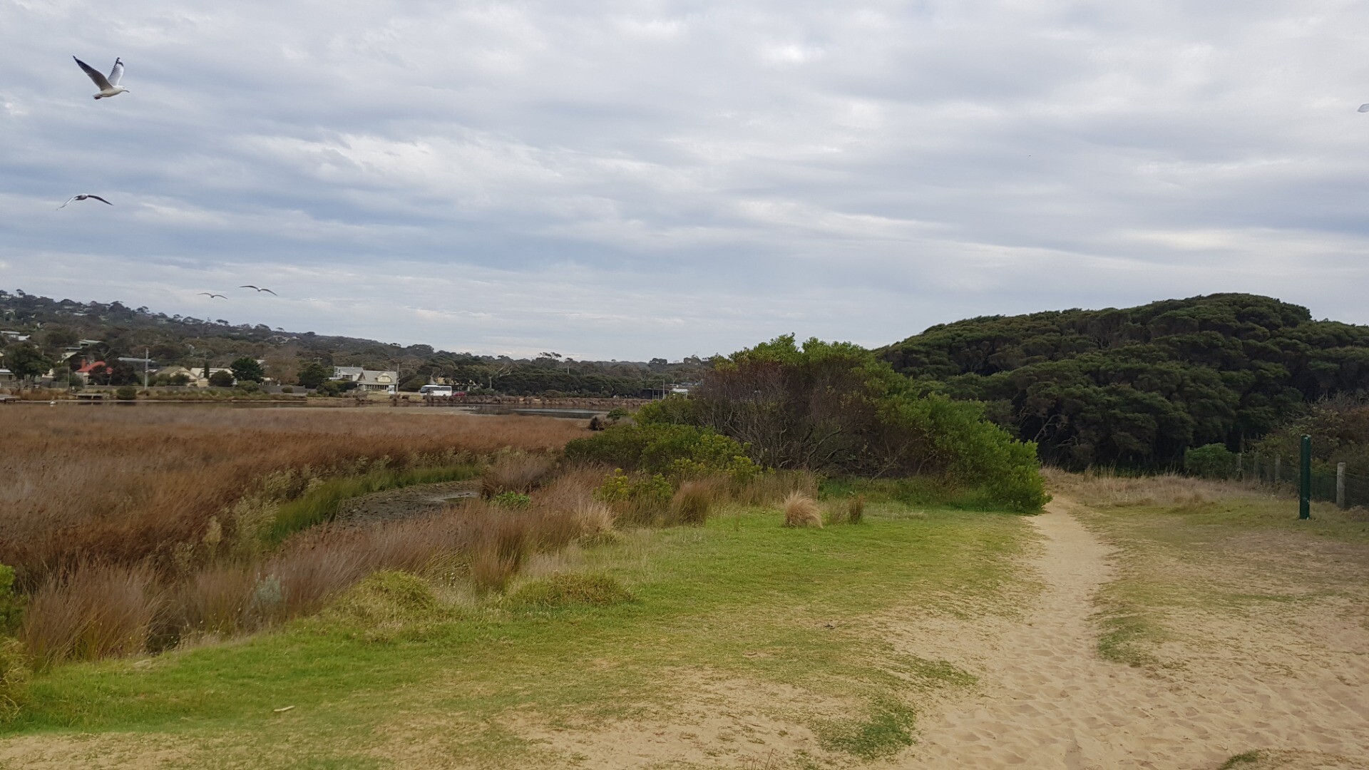 |
| 19 Mar 2025 | Approved |
Notes:
Level Gauge at GOR bridge unreadable due to fouling See photo |
| 19 Feb 2025 | Approved |
Notes:
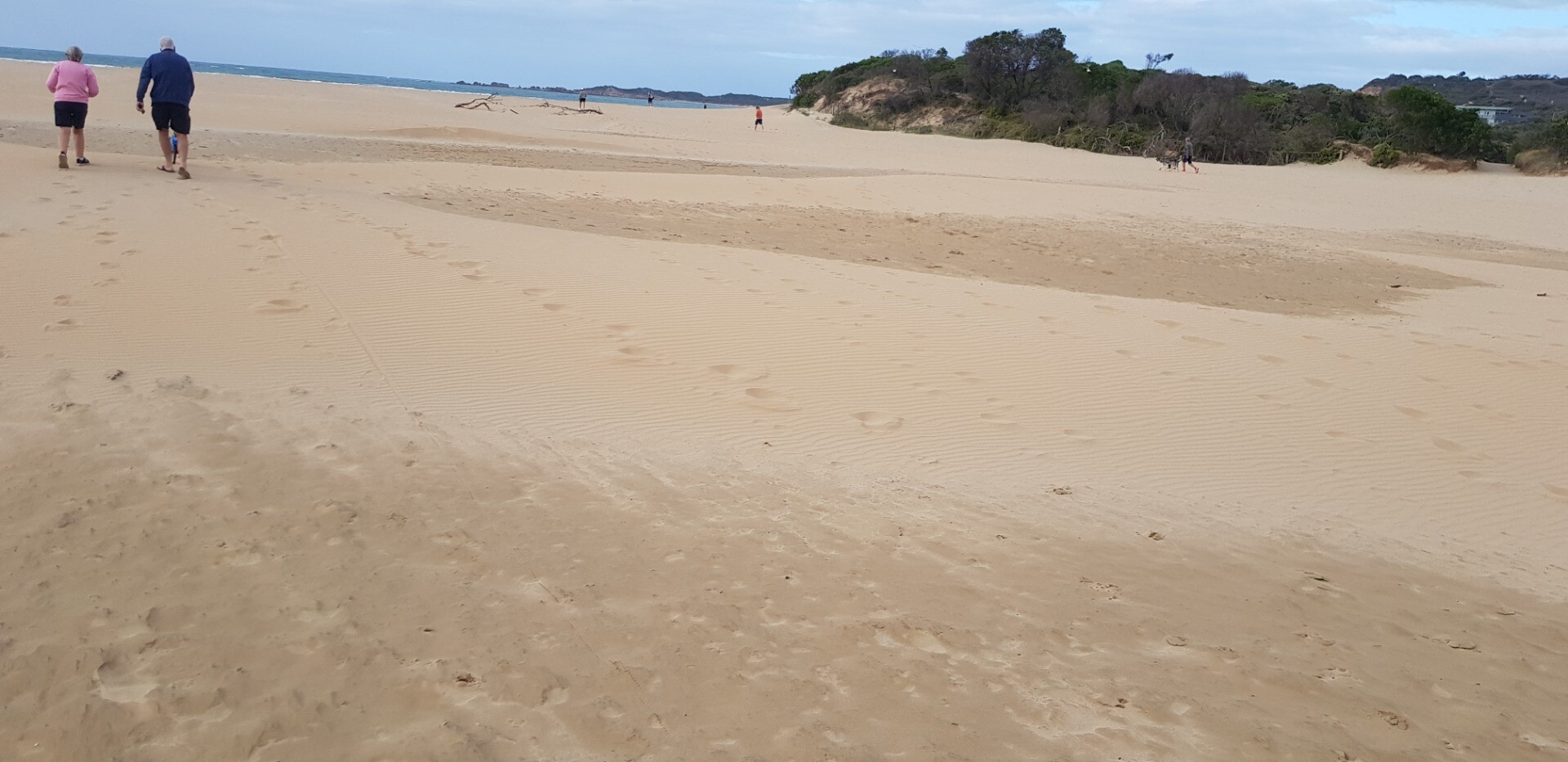
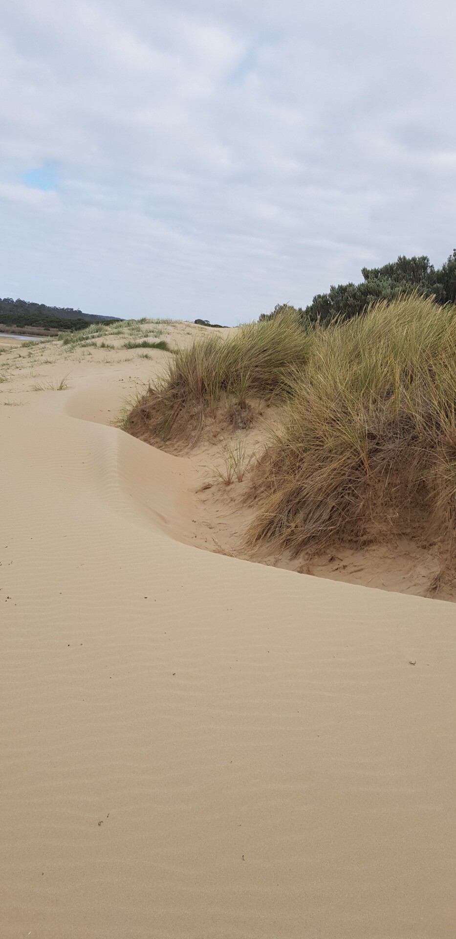
Wind blown sand on berm due to strong SE Winds during previous week Assisted by John Slykhuis and Tarryn O'Leary Level scale at Bridge impossible to read accurately Electronic indicator read 1.06m AHD at 09:30 150m from estuary to top of berm |
| 29 Jan 2025 | Approved |
Notes:
Level board at GOR bridge has been cleaned Wind has blown dry sand over damp base at river mouth. Two photos attached showing sand drifts over the damp sand. |


We honour Elders past and present whose knowledge and wisdom has ensured the continuation of culture and traditional practices.
 All content, files, data and images provided by the EstuaryWatch Data Portal subject to a Creative Commons Attribution License
Data portal by CeRDI
All content, files, data and images provided by the EstuaryWatch Data Portal subject to a Creative Commons Attribution License
Data portal by CeRDI