Powlett River Estuary
West Gippsland CMA
DOWNLOAD DATAOverview
Active
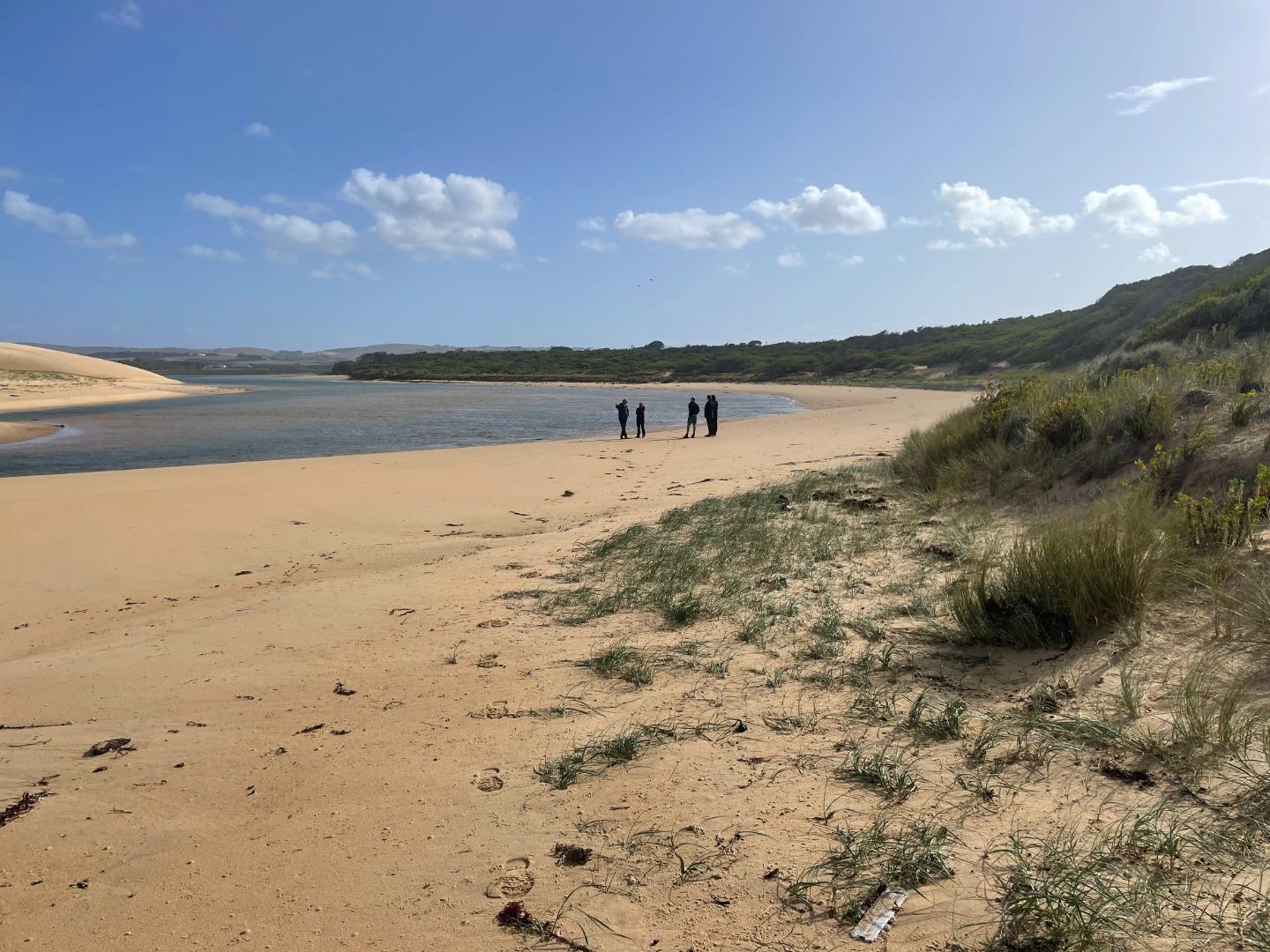
The Powlett River Estuary is approximately 8km in length with a catchment area of 67.77km2. There are a number of bridges, roads and carparks in the area, that provide access to the estuary.
Map
Estuary Values
- significant bird species such as the Australasian Shoveler (Anas rhynchotis) Status- Vulnerable (Adv list), Gull-billed Tern (Gelochelidon nilotica) Status- Endangered (Adv list) and the Royal Spoonbill (Platalea regia) Status- Near Threatened (Adv list).
- Swampy Riparian Woodland- Endangered
- Swamp Scrub- Endangered
- Coastal Tussock Saltmarsh- Vulnerable
- Wet Saltmarsh Herbland-Depleted
- Estuarine Wetland-Depleted
- Coast Banksia Woodland-Vulnerable
- a significant fish species that exists on the Powlett River estuary is the Australian Grayling.
- non-motor boating
- picnics
- swimming
- walking
- bird watching
- coastal middens
- water supply
Estuary Threats
- pest animals and plants
- degraded water quality
- bank instability
- disturbance of acid sulphate soils
- livestock access
- altered marine exchange
- rural drainage and drain clearing
- litter
- channelisation of the river channel
- trampling and bank erosion associated with pedestrian access
- Powlett_River_EMP_section1.pdf
- Powlett_River_EMP_section2.pdf
- WGCMA_PowlettRiver_EMP_summary.pdf
- WGCMA_PowlettRiver_Threats.pdf
- WGCMA_PowlettRiver_Values.pdf
Recent Events
| Event Details |
|---|
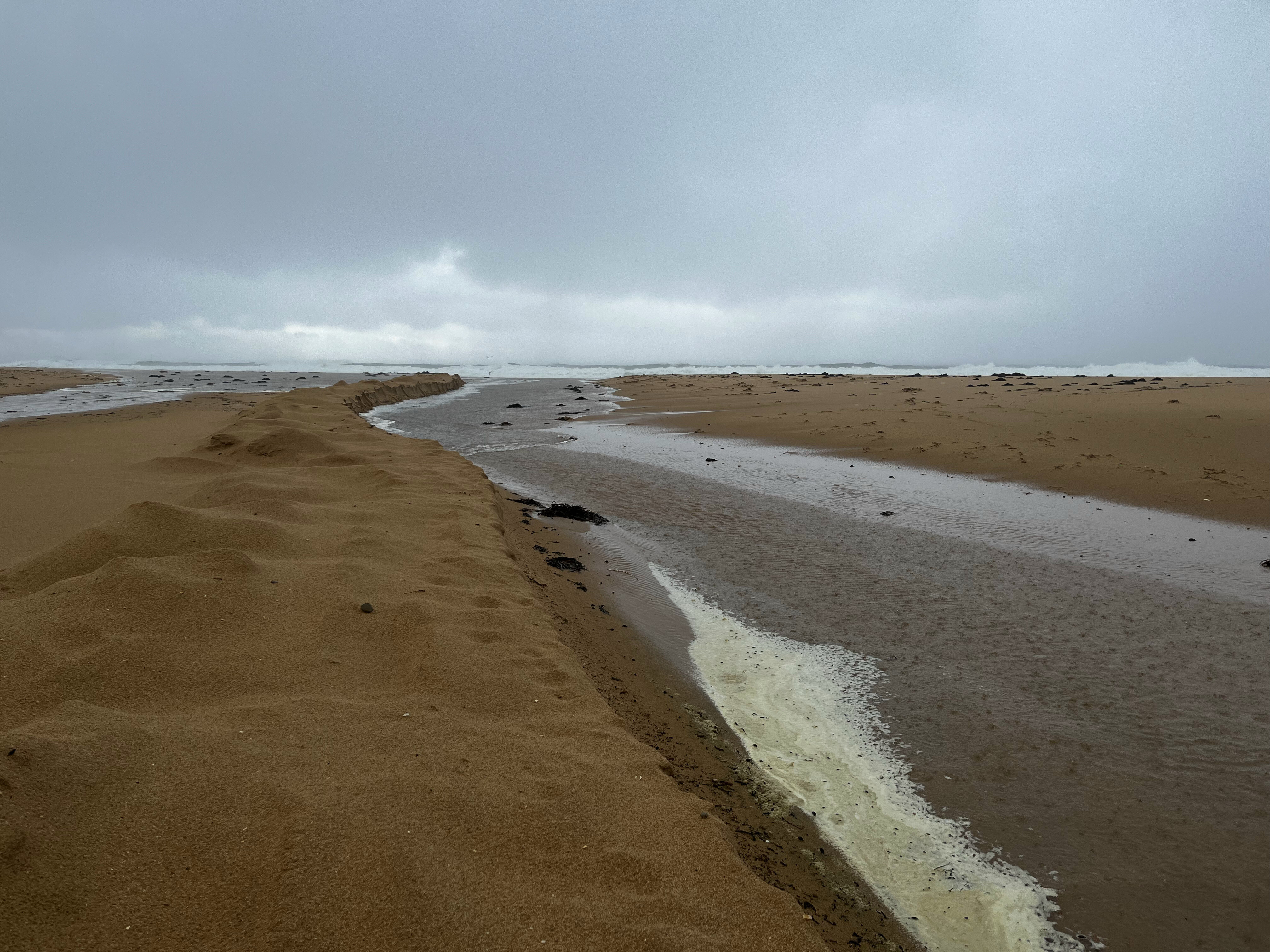
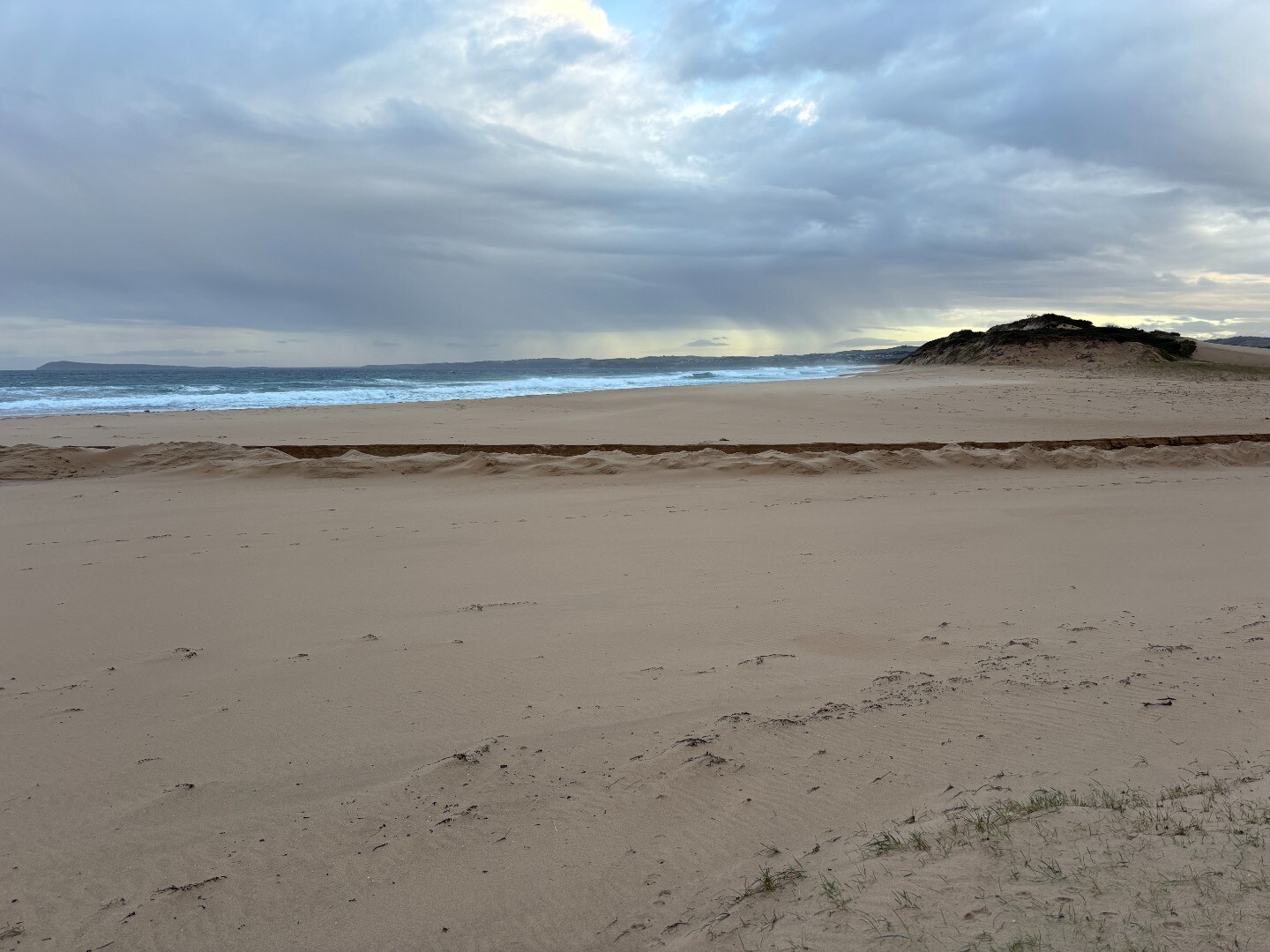
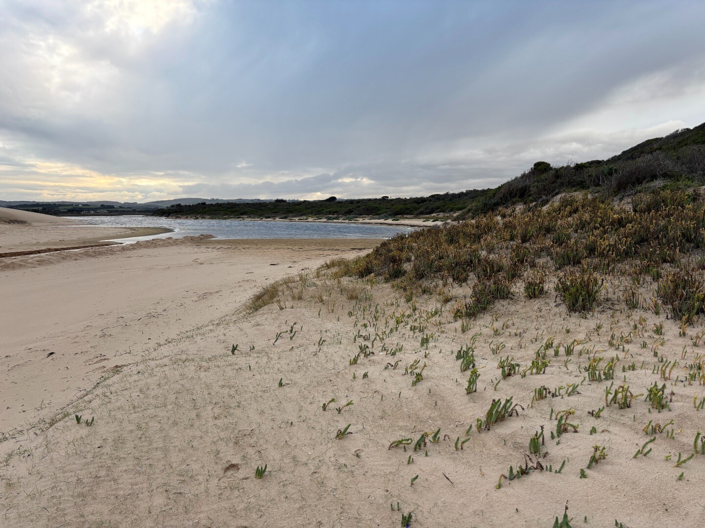
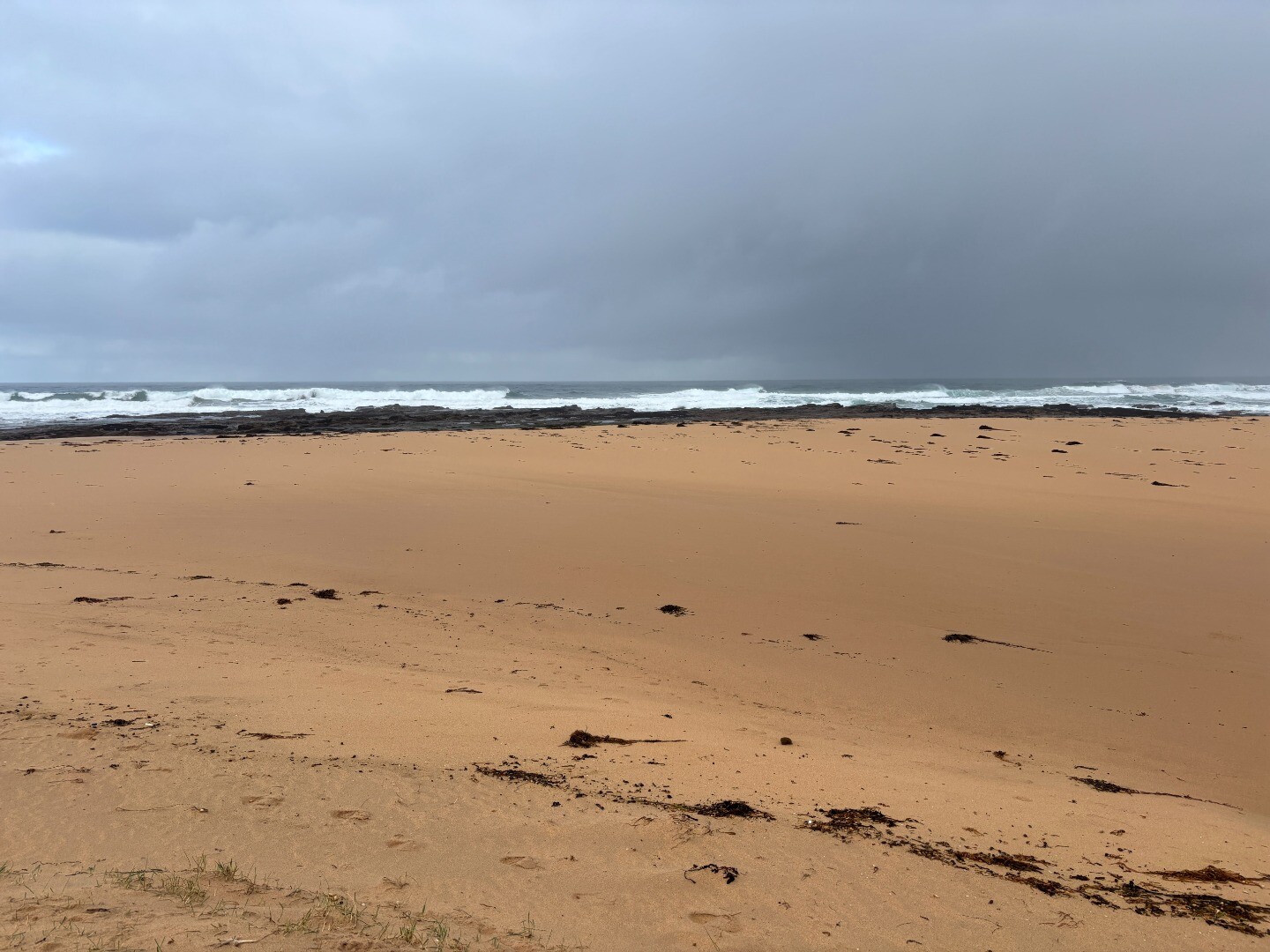
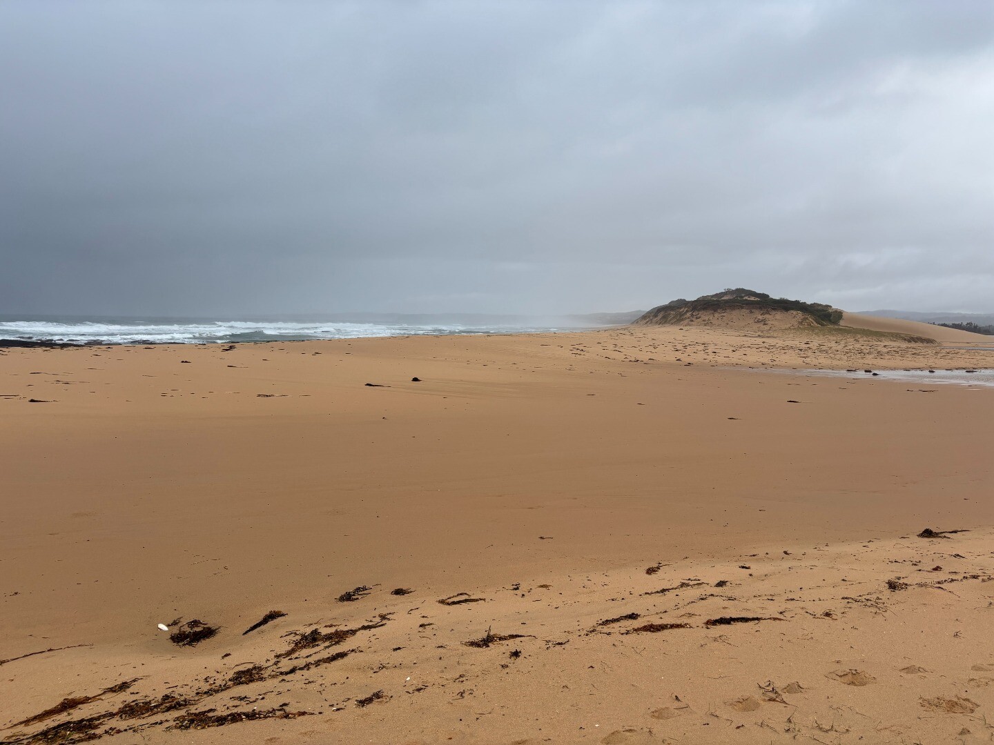
| 24-06-2025 Estuary Entrance Closure After water levels had dropped 22.5cm, the entrance closed over again after sustained large swells and high tides. 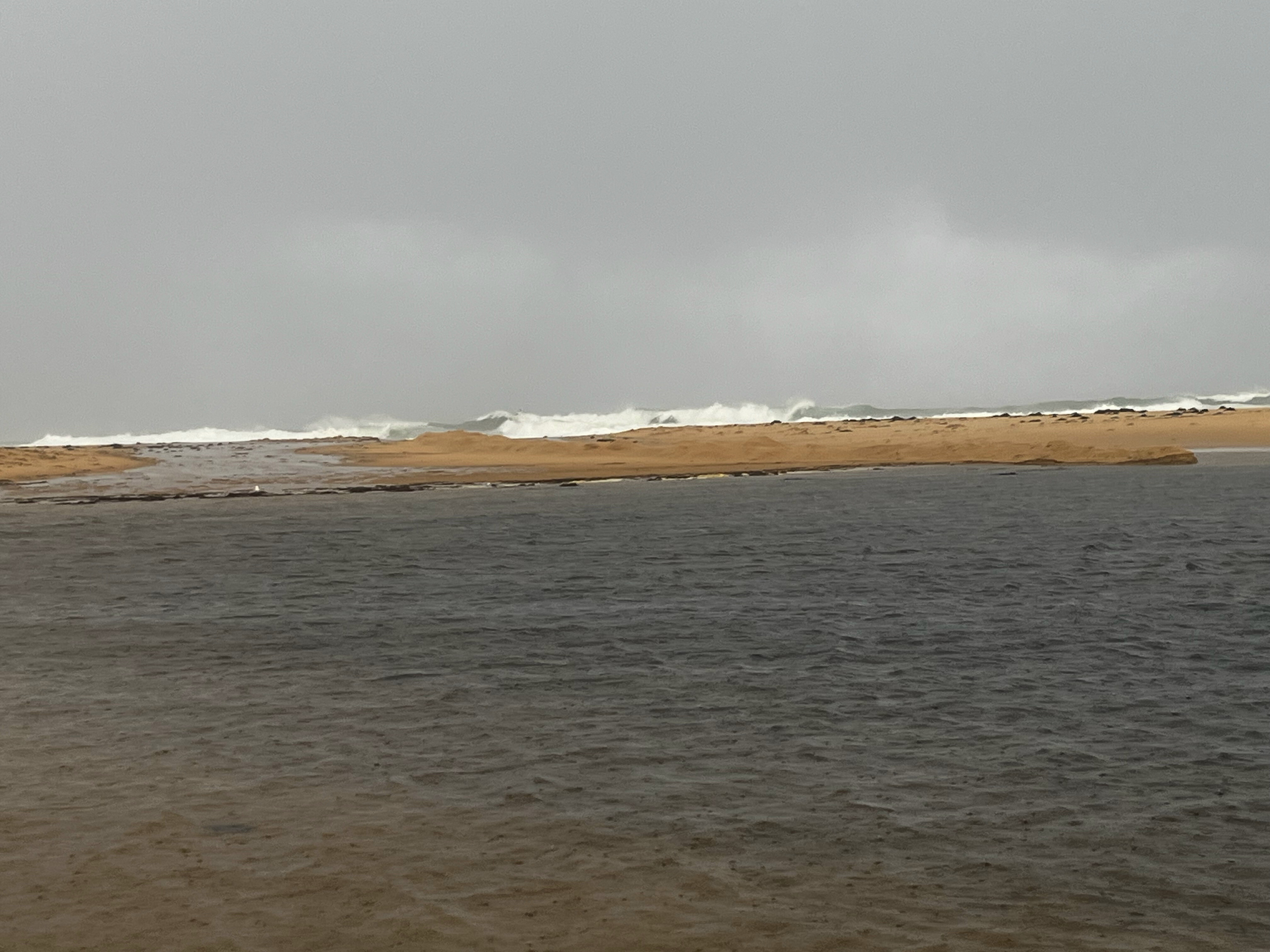
|
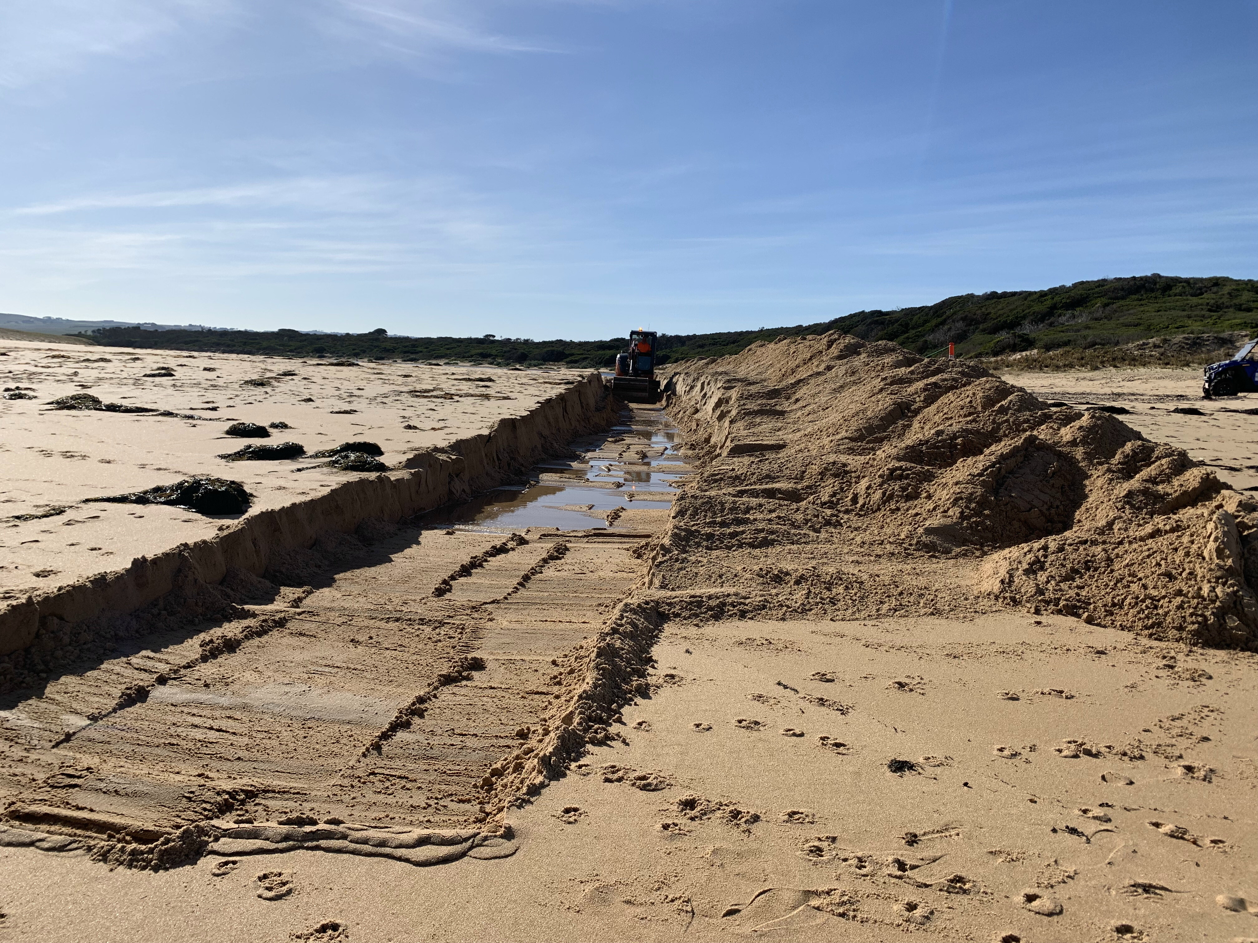
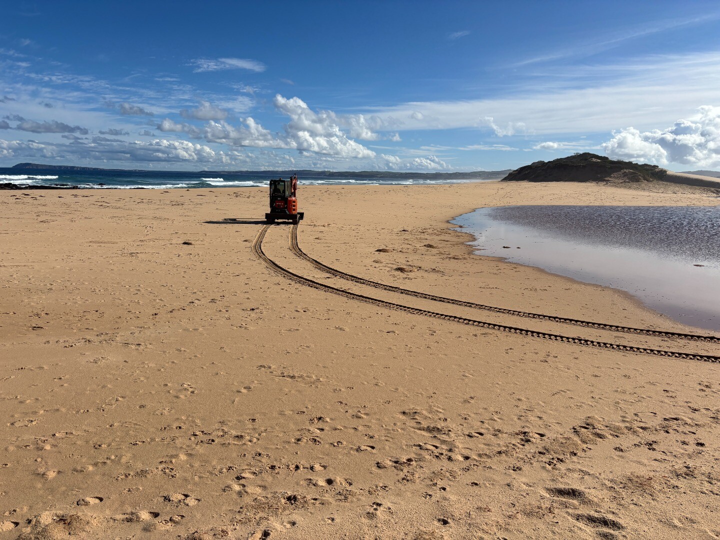
| 20-06-2025 Estuary Entrance Opening The Powlett River estuary was artificially opened to the ocean whilst oxygen levels were still adequate. Given the low water levels and the length and height of the berm, it is expected that water levels will drop marginally, and the estuary will close over again sometime next week. 
|
| 17-01-2025 Estuary Entrance Closure Powlett River estuary entrance closed to the ocean after sustained low freshwater flows as well as moderate swells and tides. 
|
| 24-09-2024 Estuary Entrance Opening With water levels reaching a maximum of 2.67mAHD and peak flows recorded at 556ML/day on September 21 at Powlett/Foster confluence (Wattlebank) the decision was made to artificially open the Powlett River Estuary. Water levels dropped by over 1.5m. 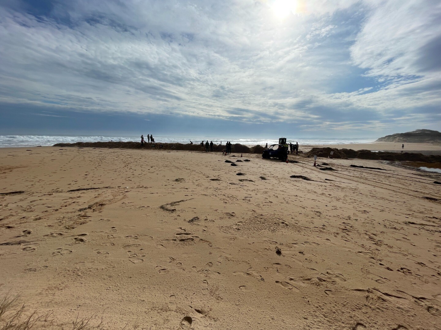
|
| 31-08-2024 Estuary Entrance Closure The Powlett River estuary closed its entrance to the ocean after sustained large swells brought large amounts of sand into the estuary entrance. 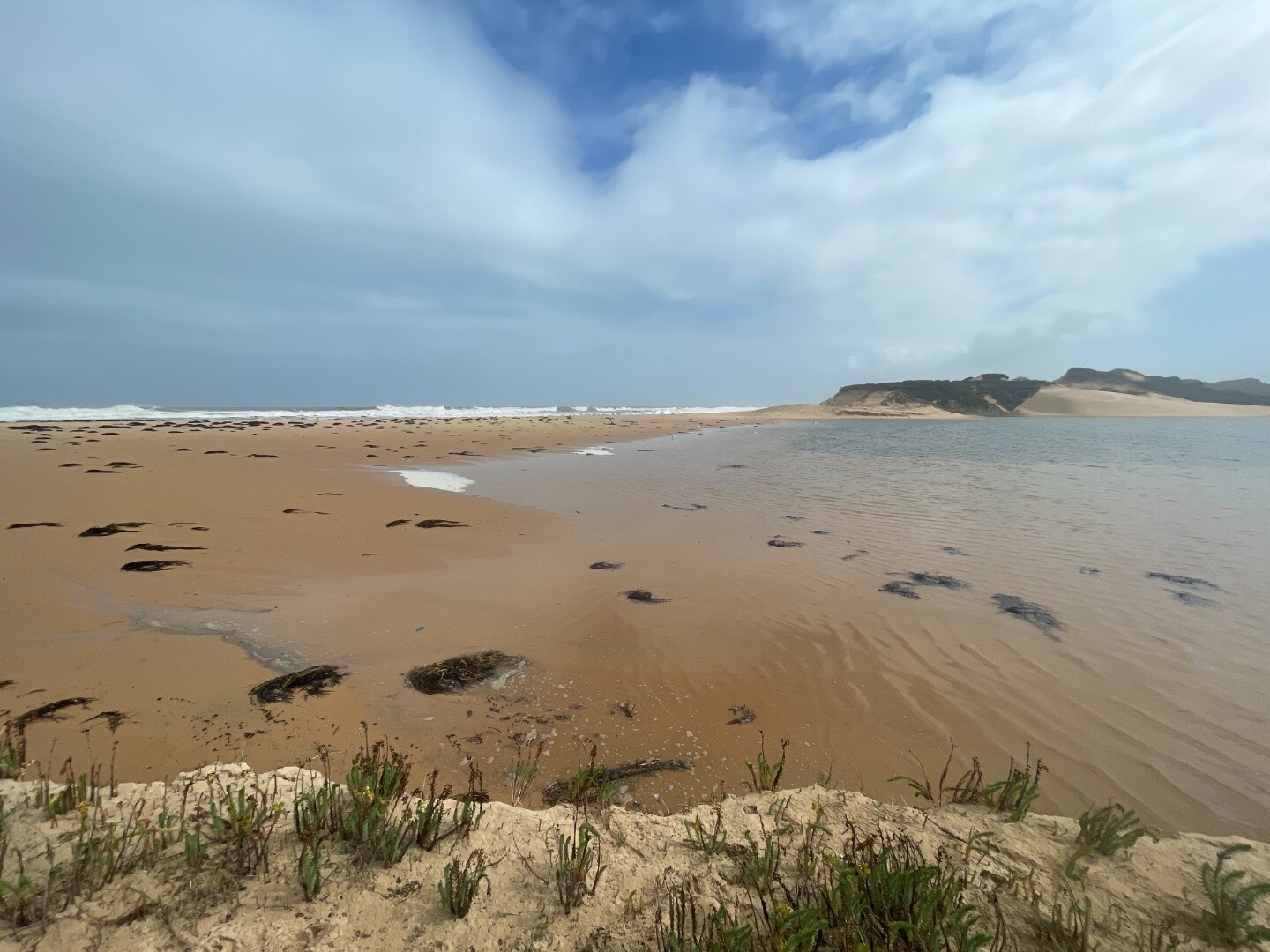
|
Sites
Po1 |
Site one (Estuary Mouth)Inactive Physico-Chemical 31-03-2010 - 09-06-2013Middle of the estuary directly opposite the Powlett River Caravan Park and Mouth of the Powlett Carpark (site accessed in kayak). Observations 5 |
Po2 |
Site two (Mouth of Powlett Road Bridge)Active Physico-Chemical 13-03-2010 - 13-11-2025Ocean side of Mouth of Powlett Road Bridge, in between the 6th and 7th reflector when coming from the Kilcunda side of bridge (approx halfway). Observations 255 |
Po3 |
Site three (Bridge Creek)Inactive Physico-Chemical 31-03-2010 - 14-04-2012Monitoring is conducted from a kayak at the point where Bridge Creek (tributary) meets the Powlett River. Observations 13 |
Po4 |
Site four (Old Town Drain)Inactive Physico-Chemical 29-11-2010 - 14-04-2012Site located in the middle of the river, directly opposite the old fence found on the upstream side of the old town drain. Observations 8 |
Po5 |
Site five (Daly Bridge)Active Physico-Chemical 01-04-2010 - 20-04-2026Pedestrian bridge located at the end of Daly Street. This bridge crosses the Powlett River, and is part of the Kilcunda Rail Trail. Observations 204 |
Po6 |
Site six (Fishing Hole)Inactive Physico-Chemical 05-04-2010 - 01-07-2014Second bend in river inland of Bass Hwy Bridge. Observations 32 |
PoGB |
Powlett River Water Level Gauge BoardActive Gauge BoardThis sites water level monitoring gauge board is located on the western river bank beside the Mouth of Powlett Road Bridge (downstream side). |
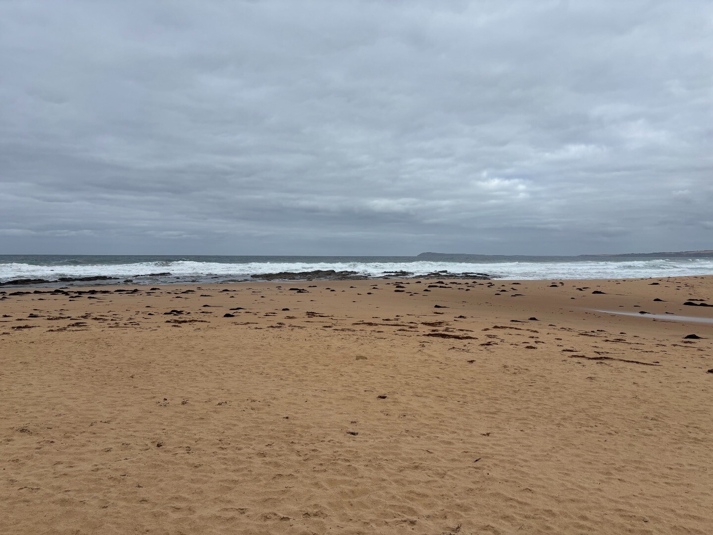
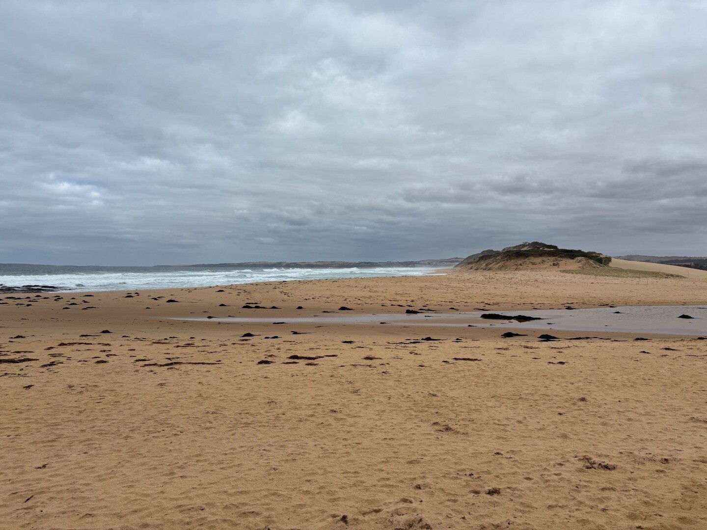
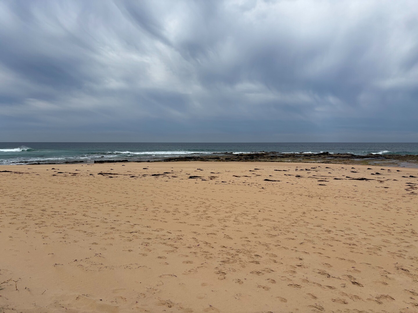
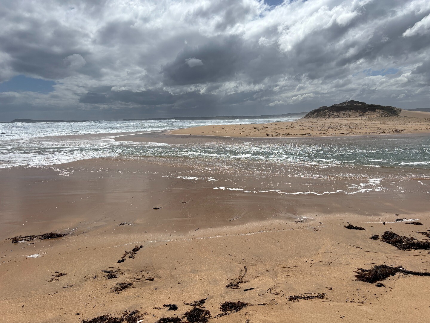
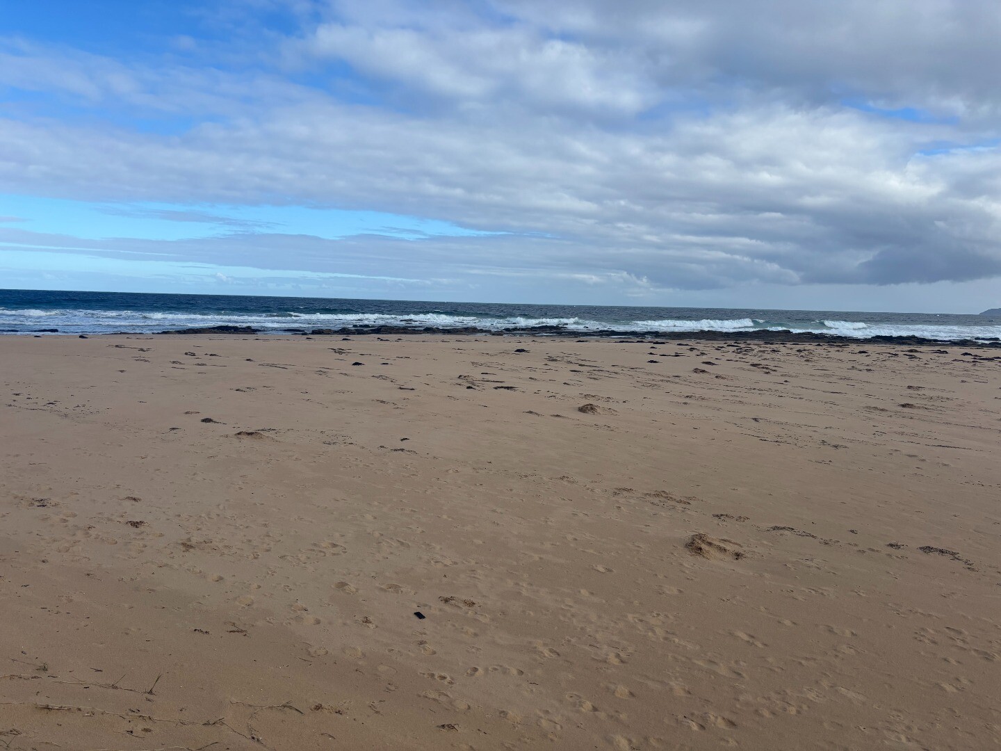
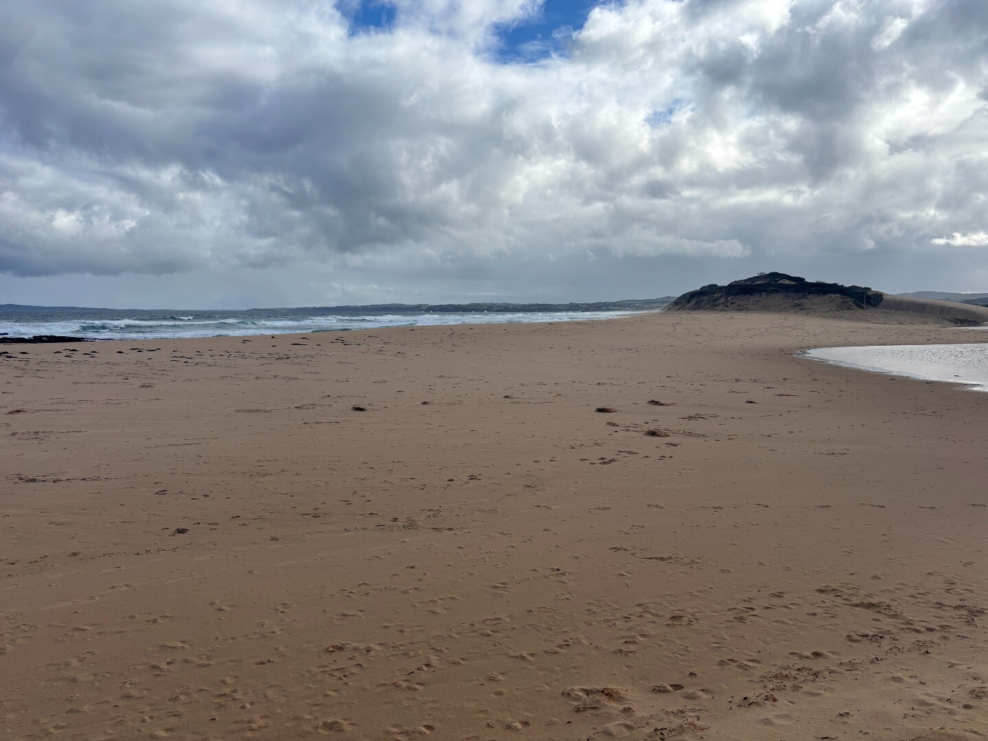
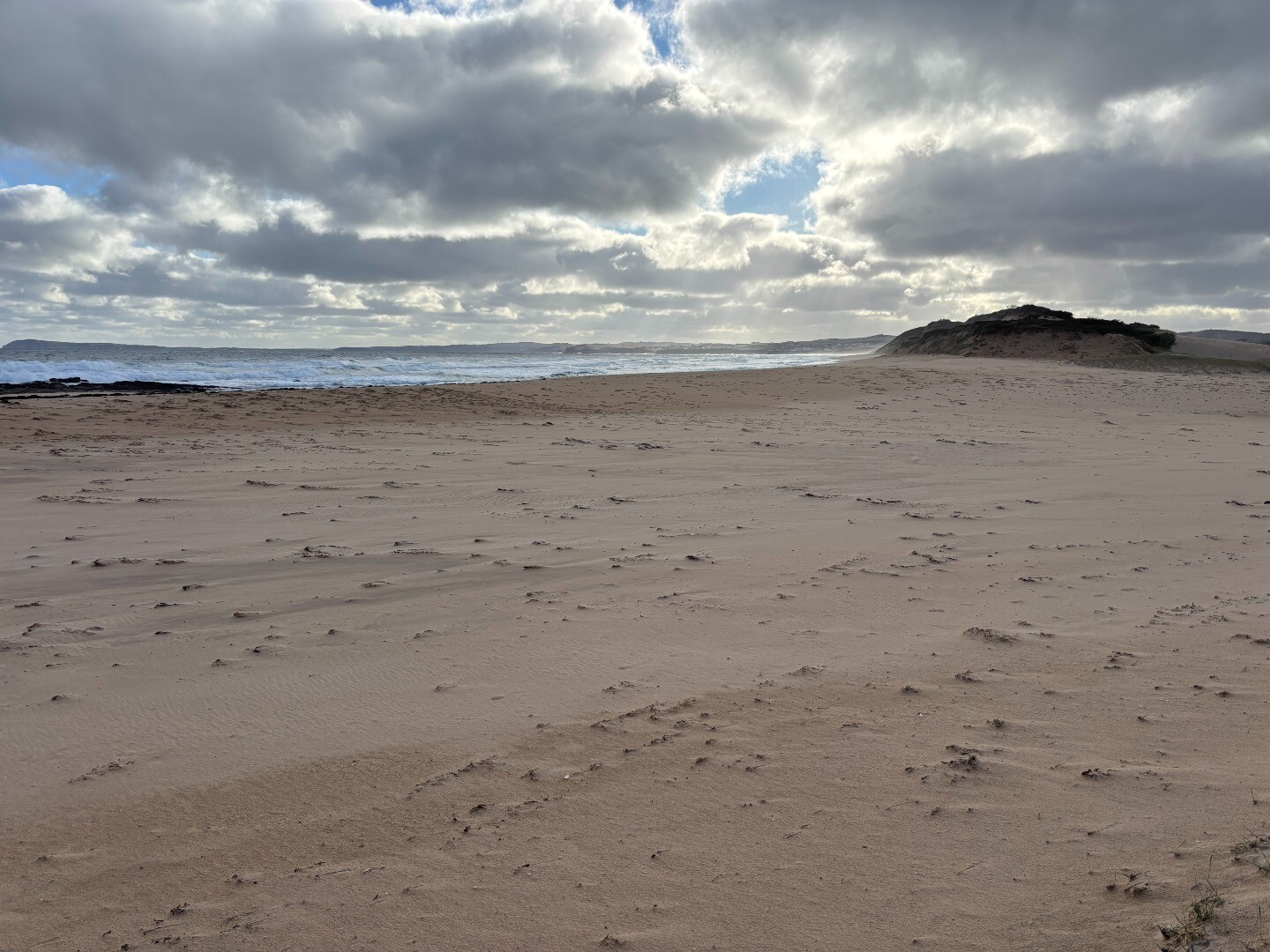
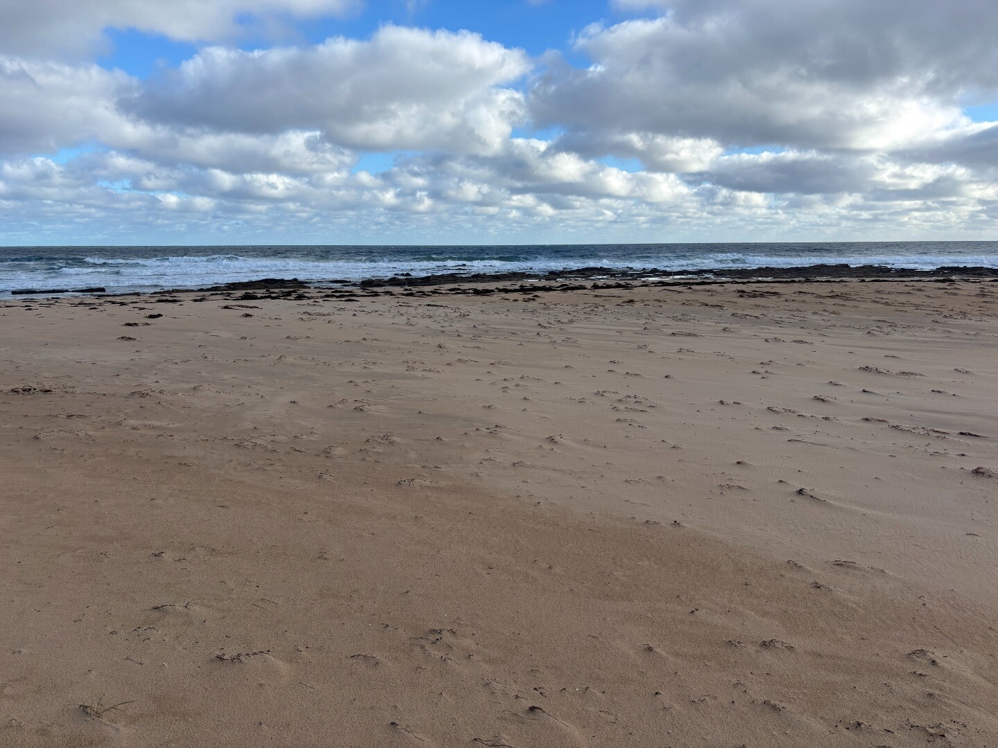
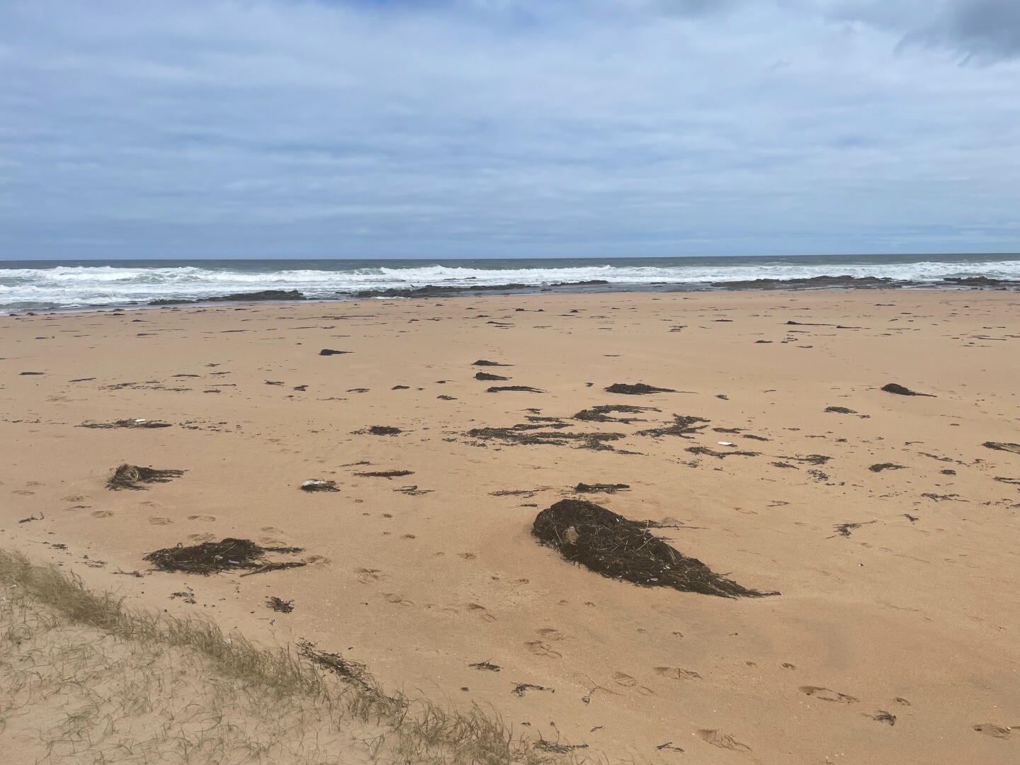
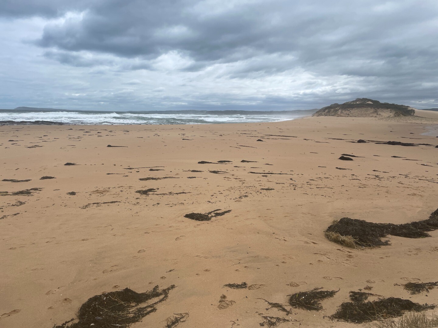
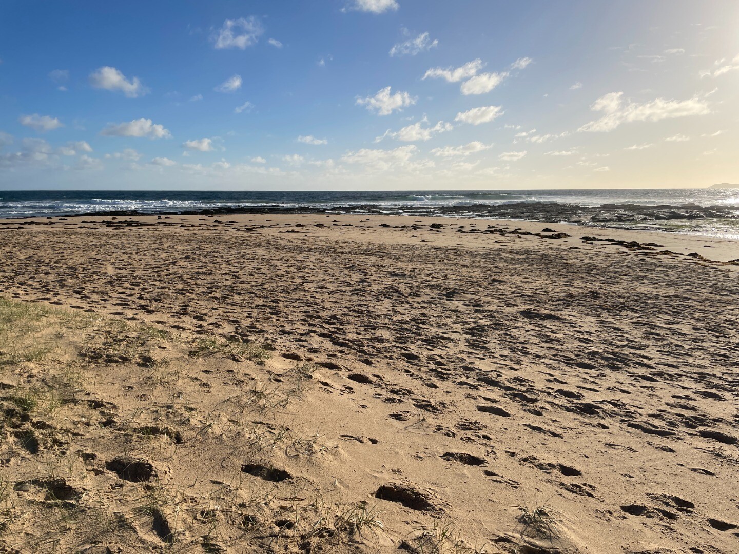
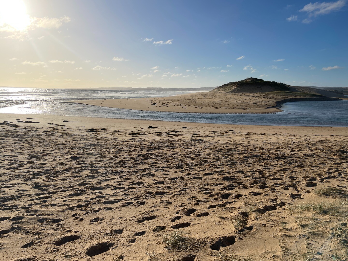
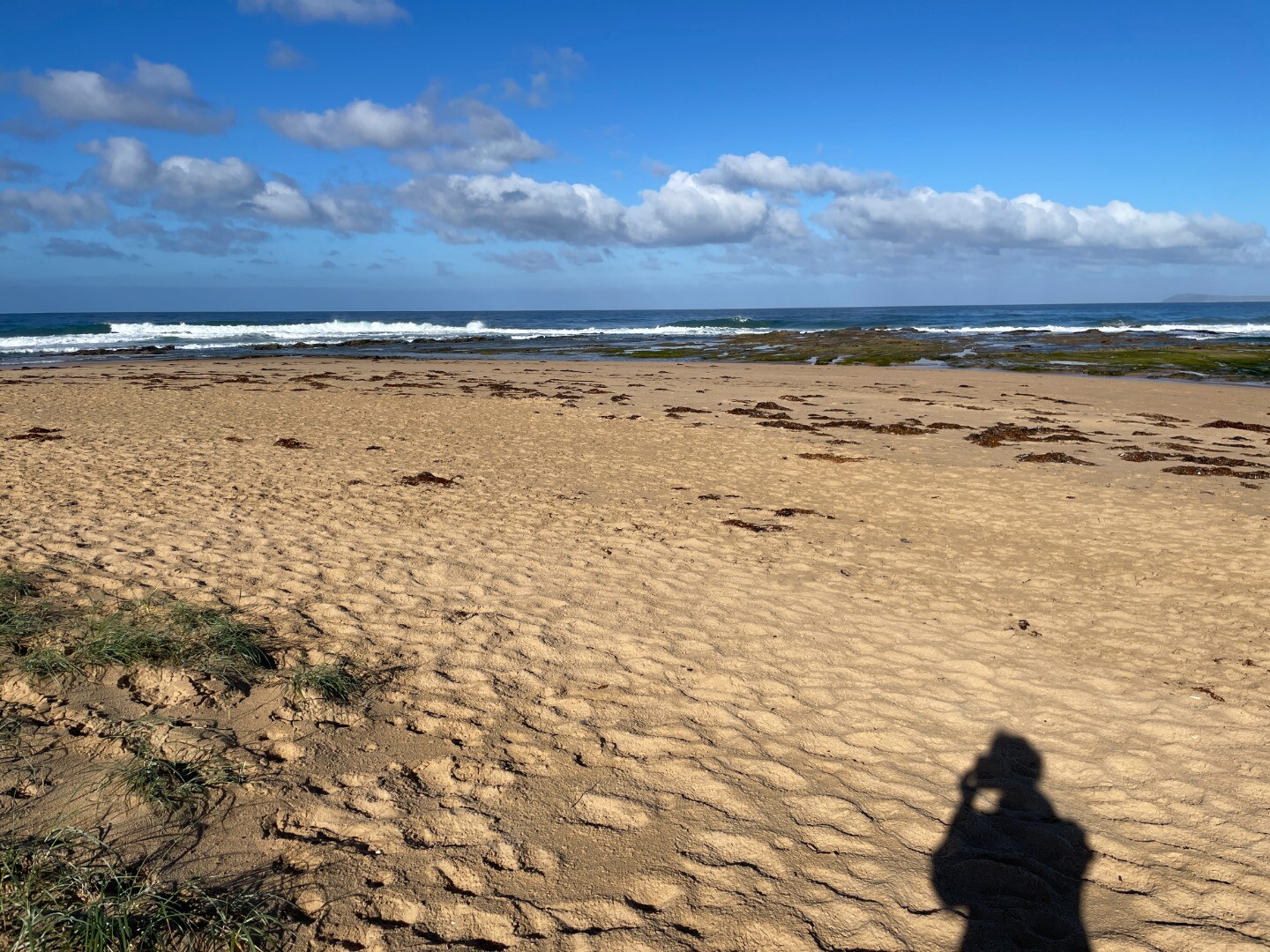
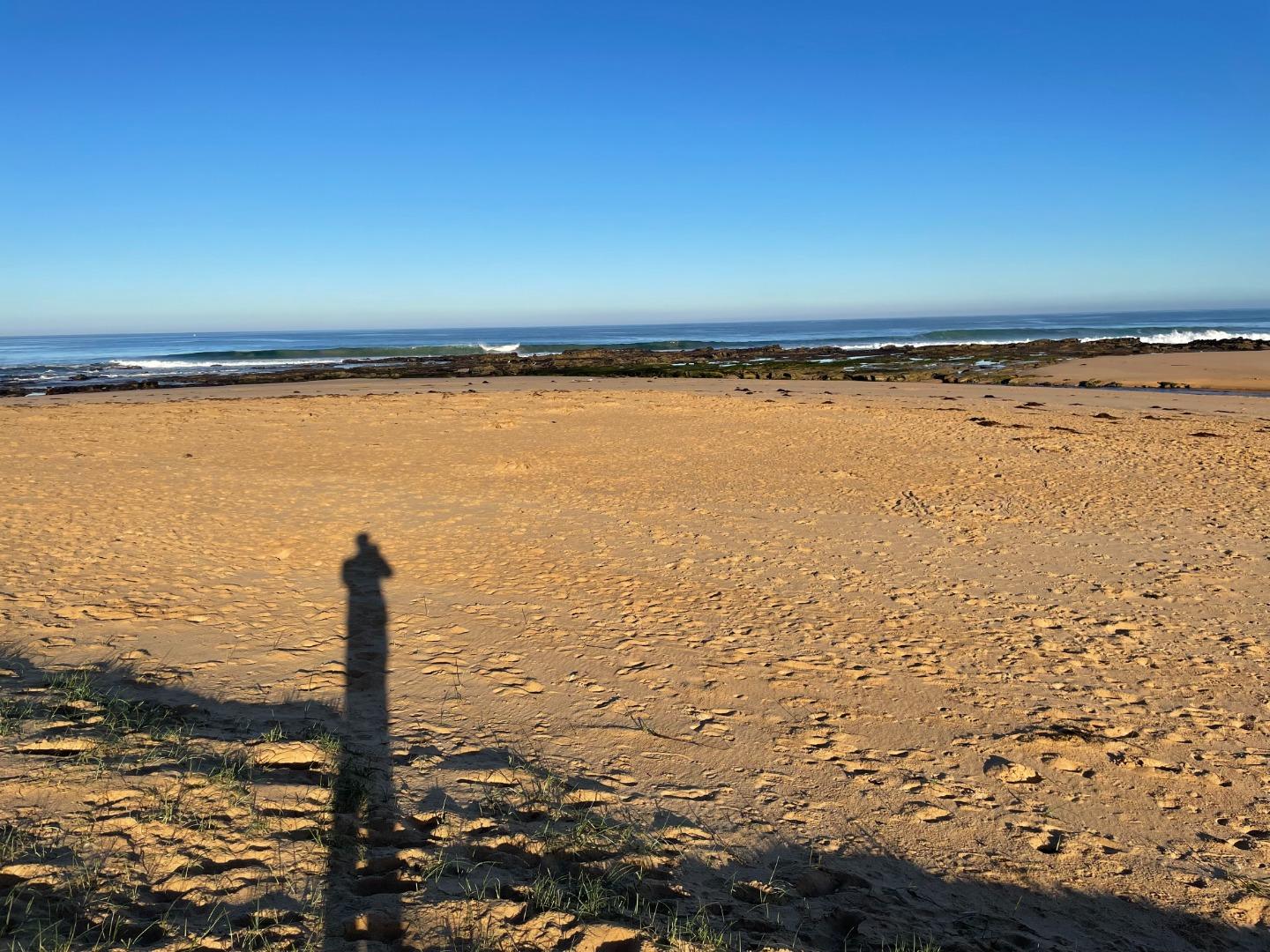
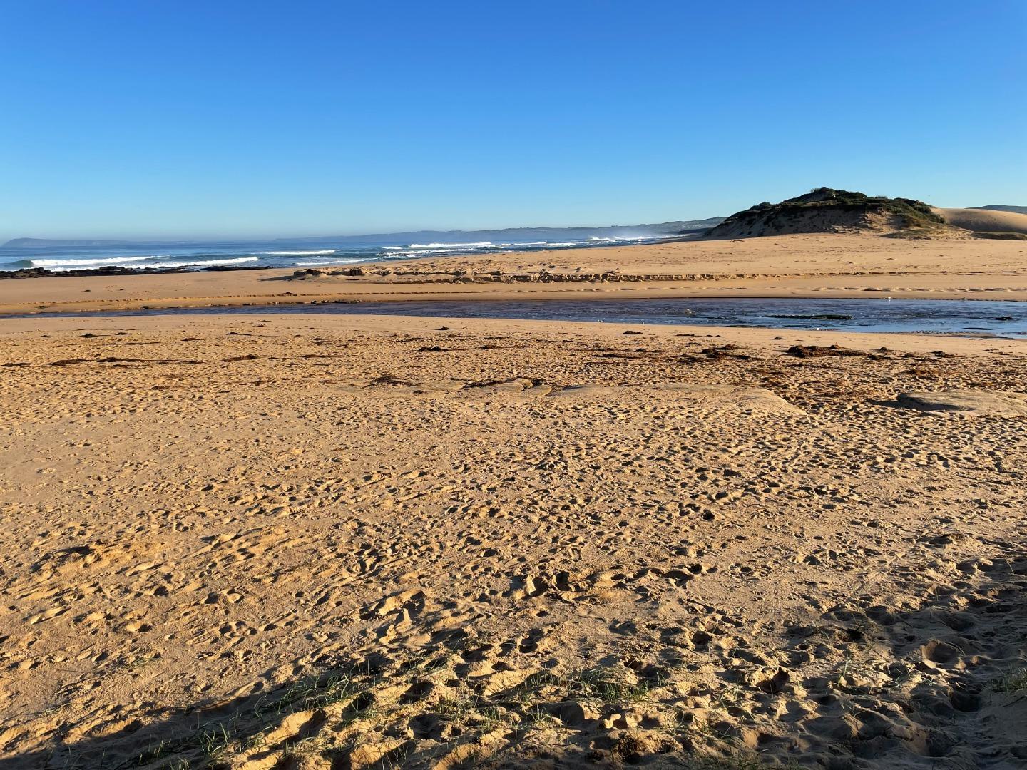
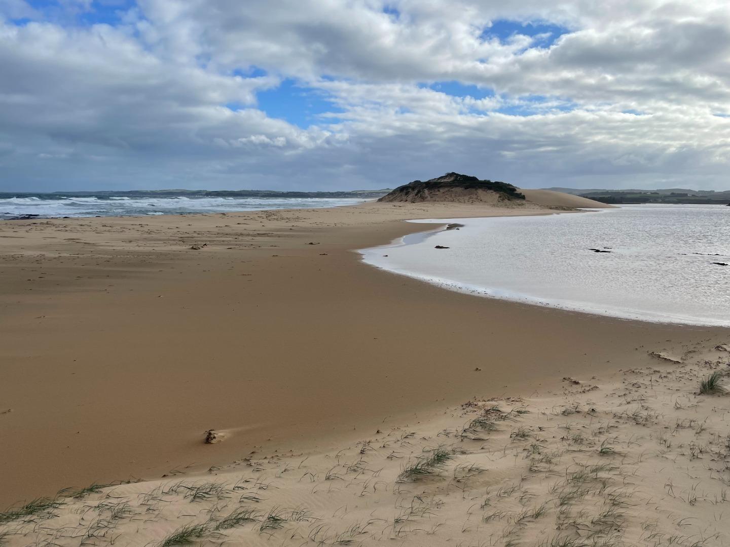
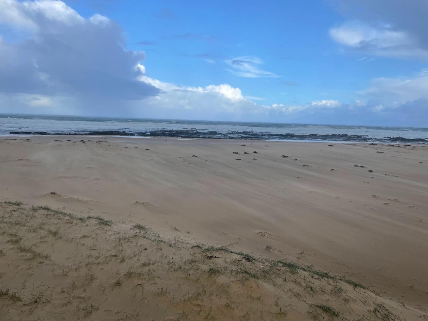
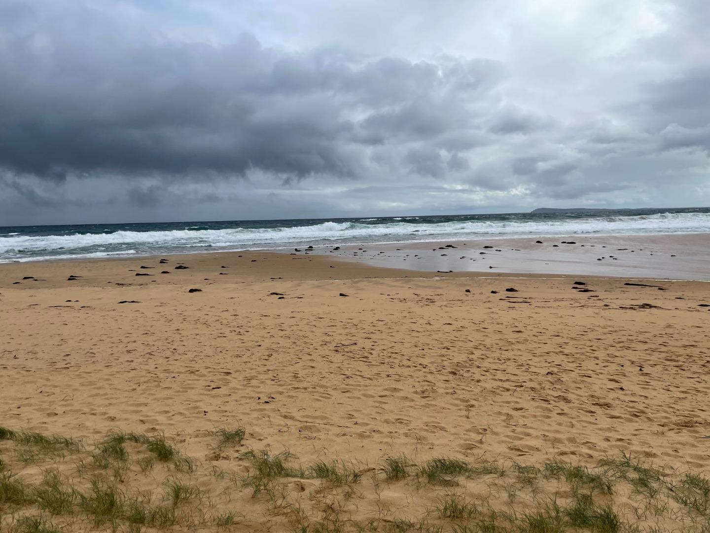
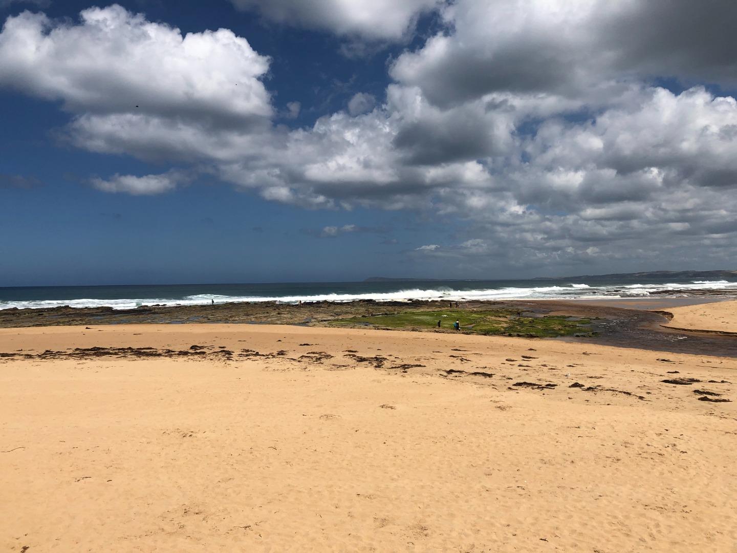
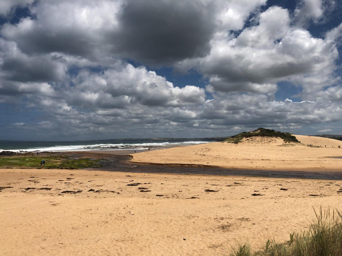
PoMC |
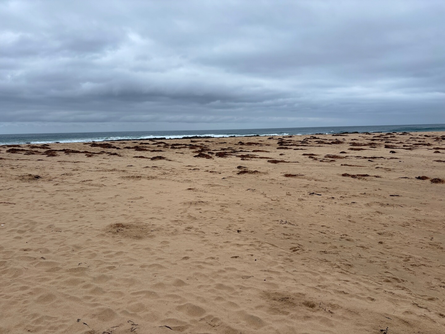
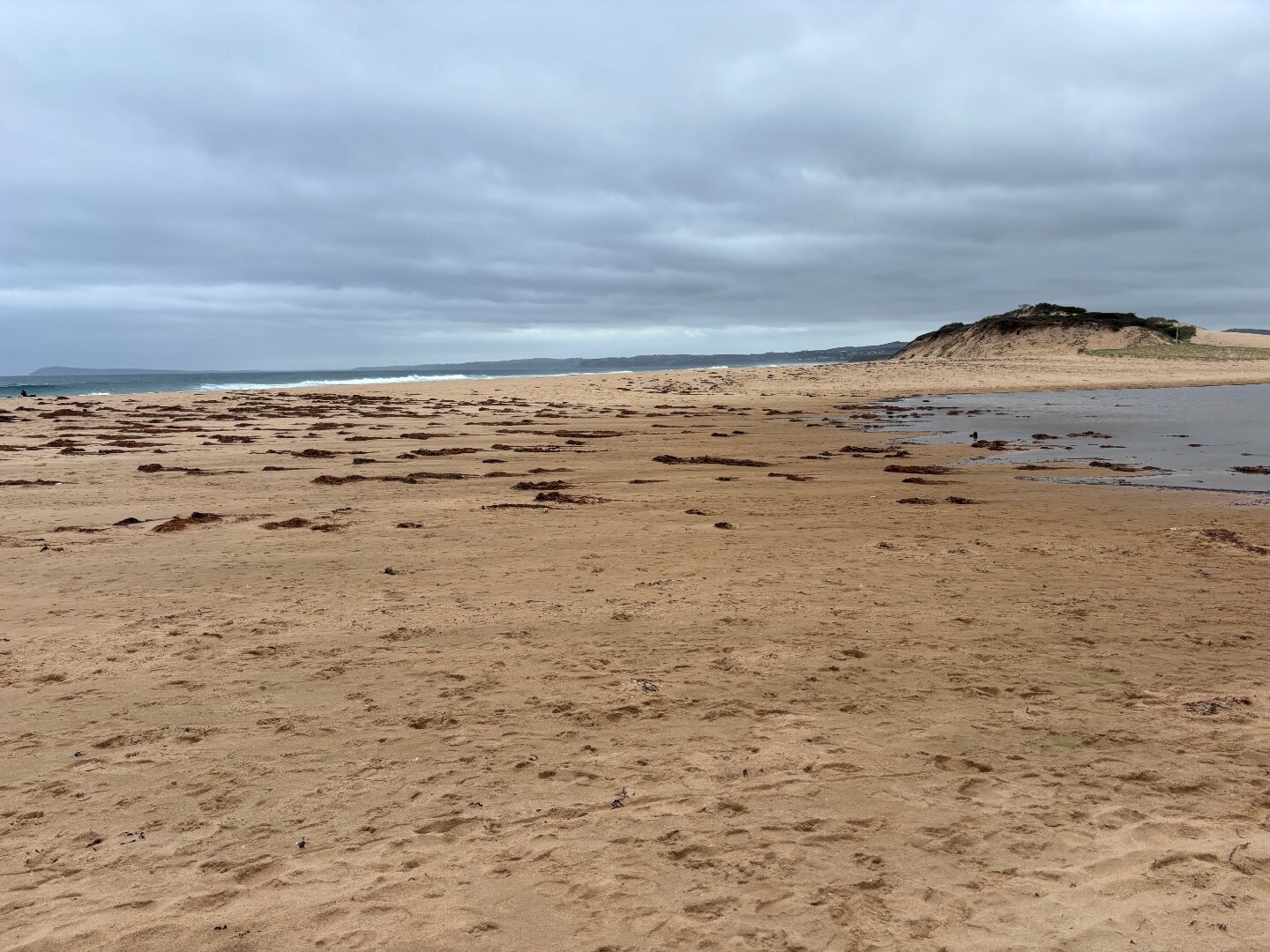
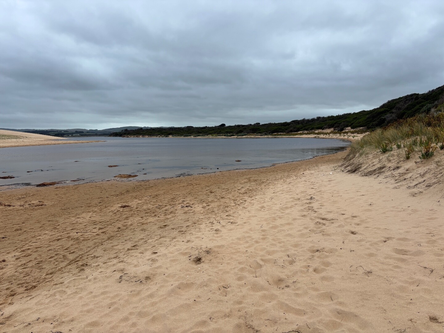
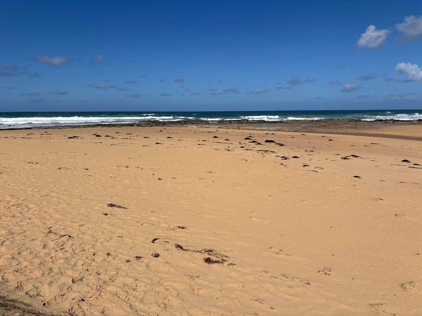
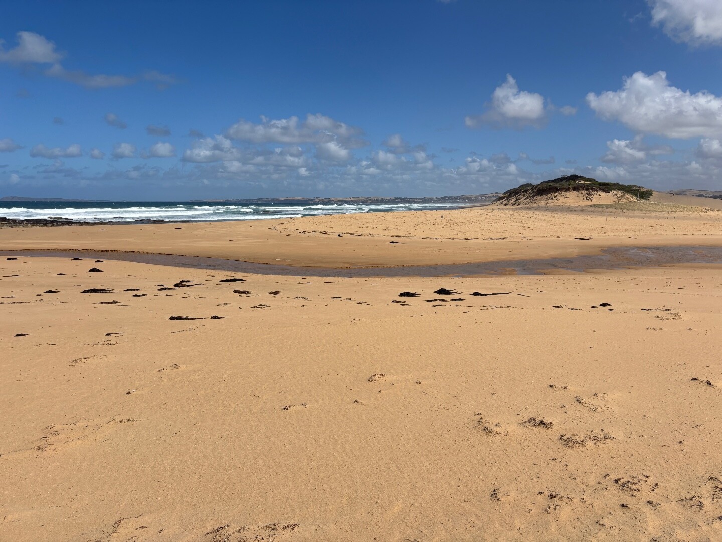
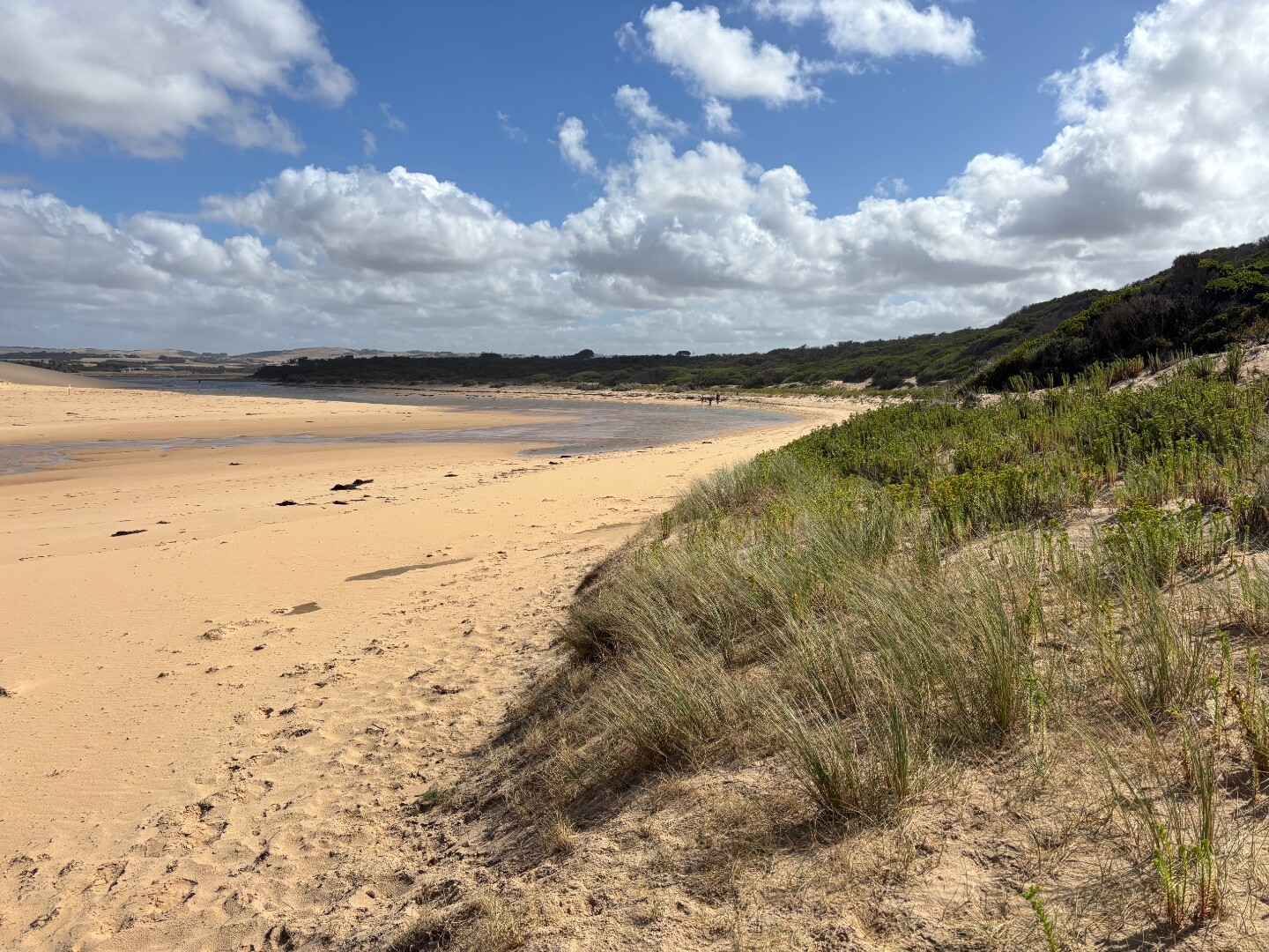
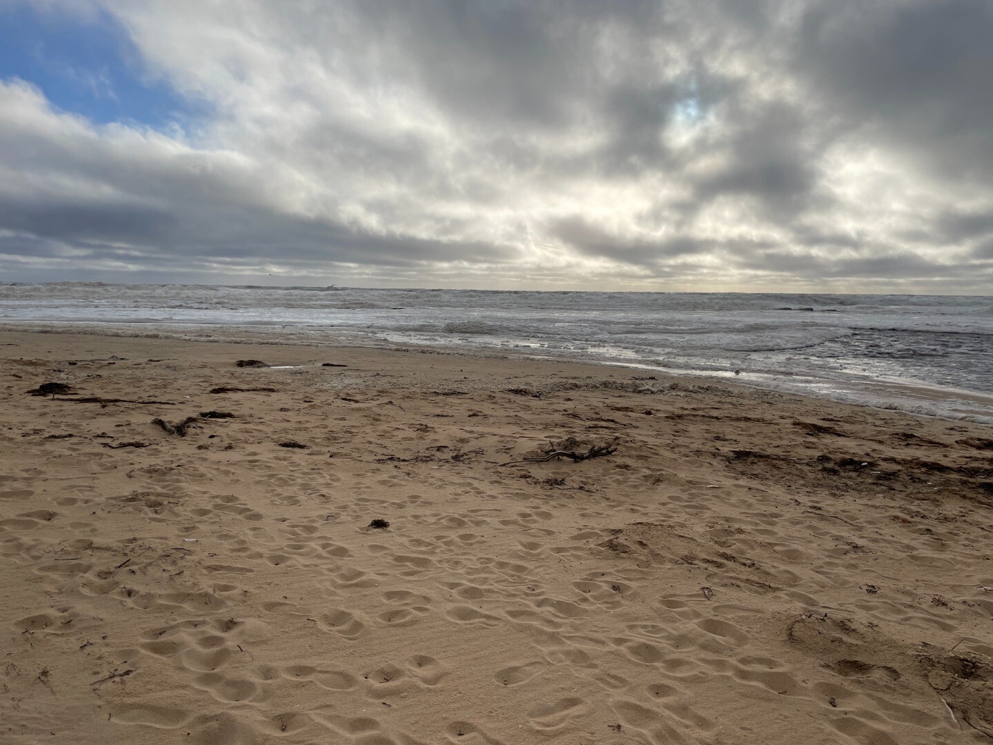
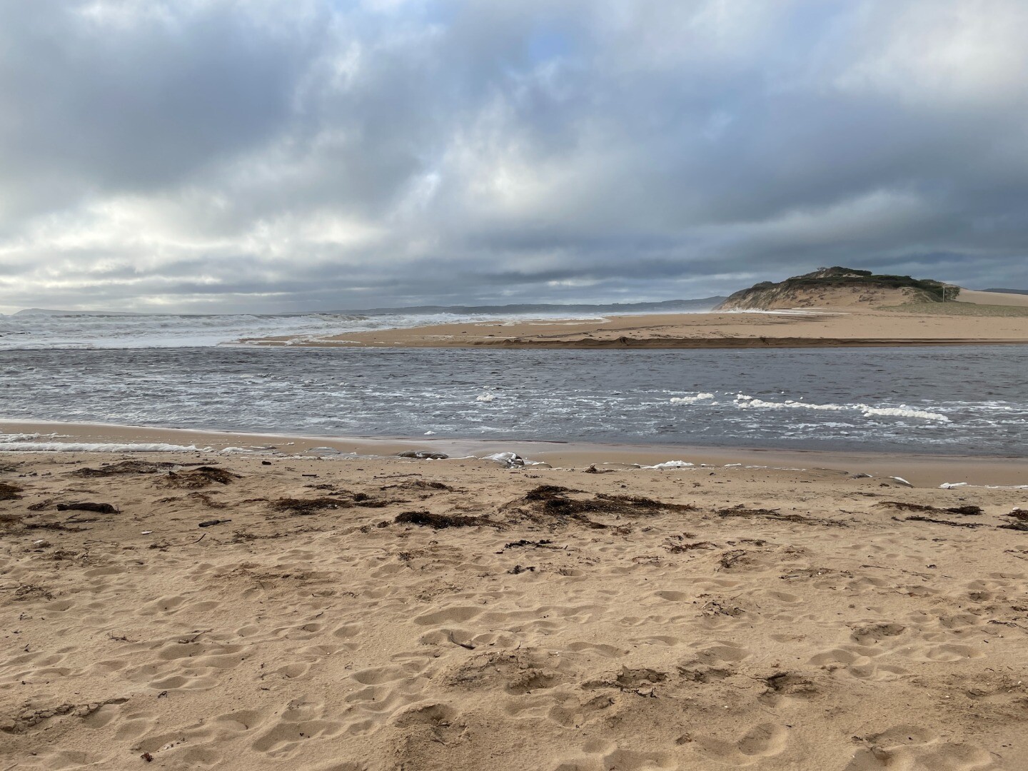
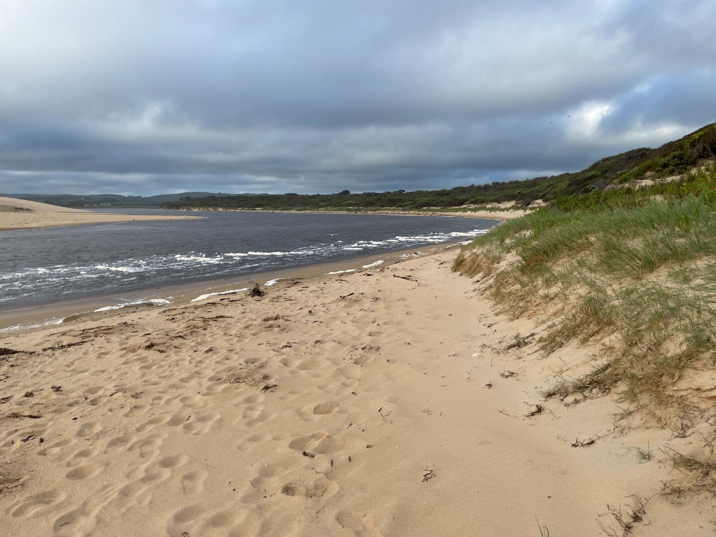
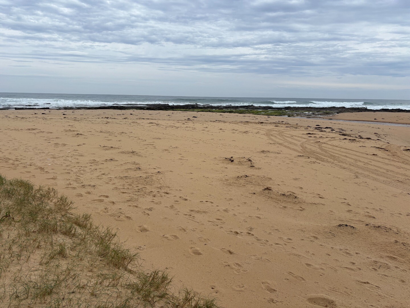
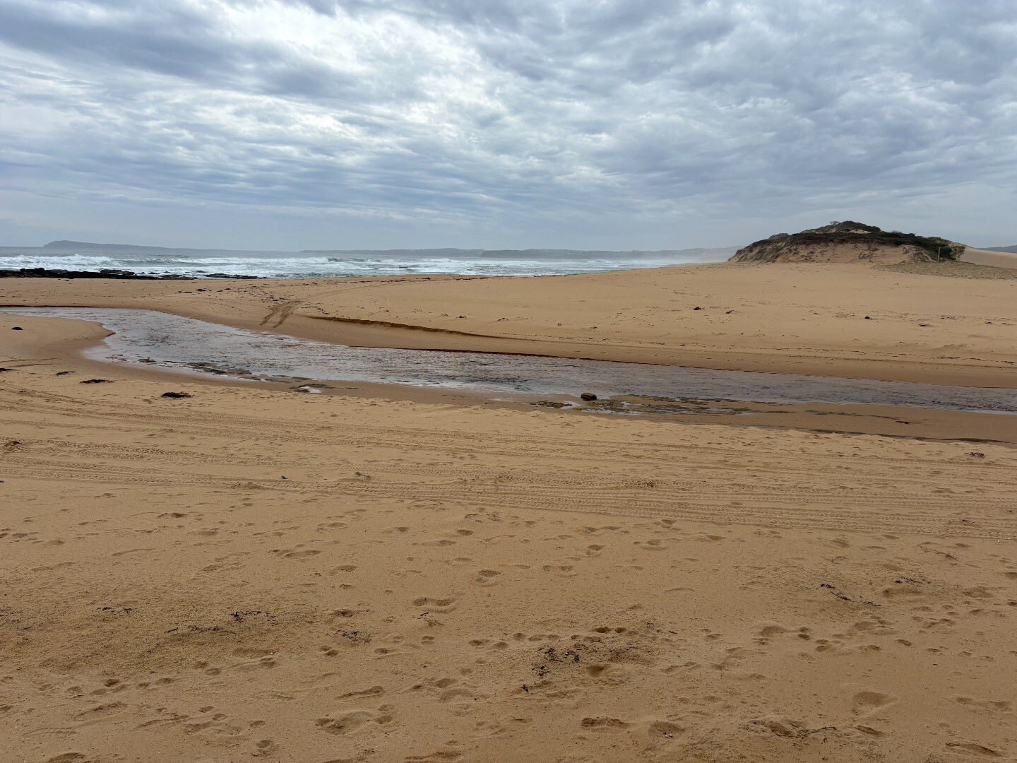
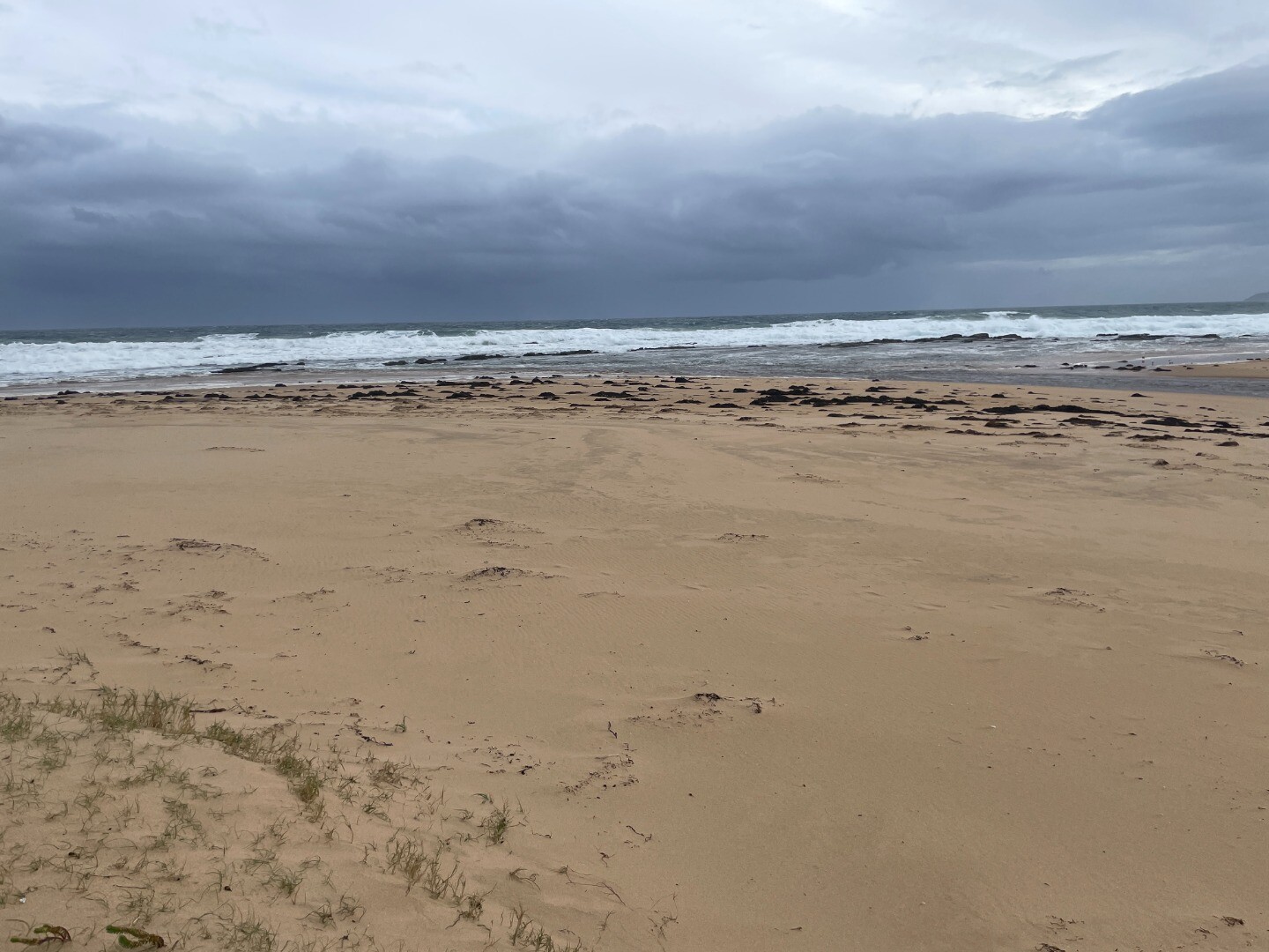
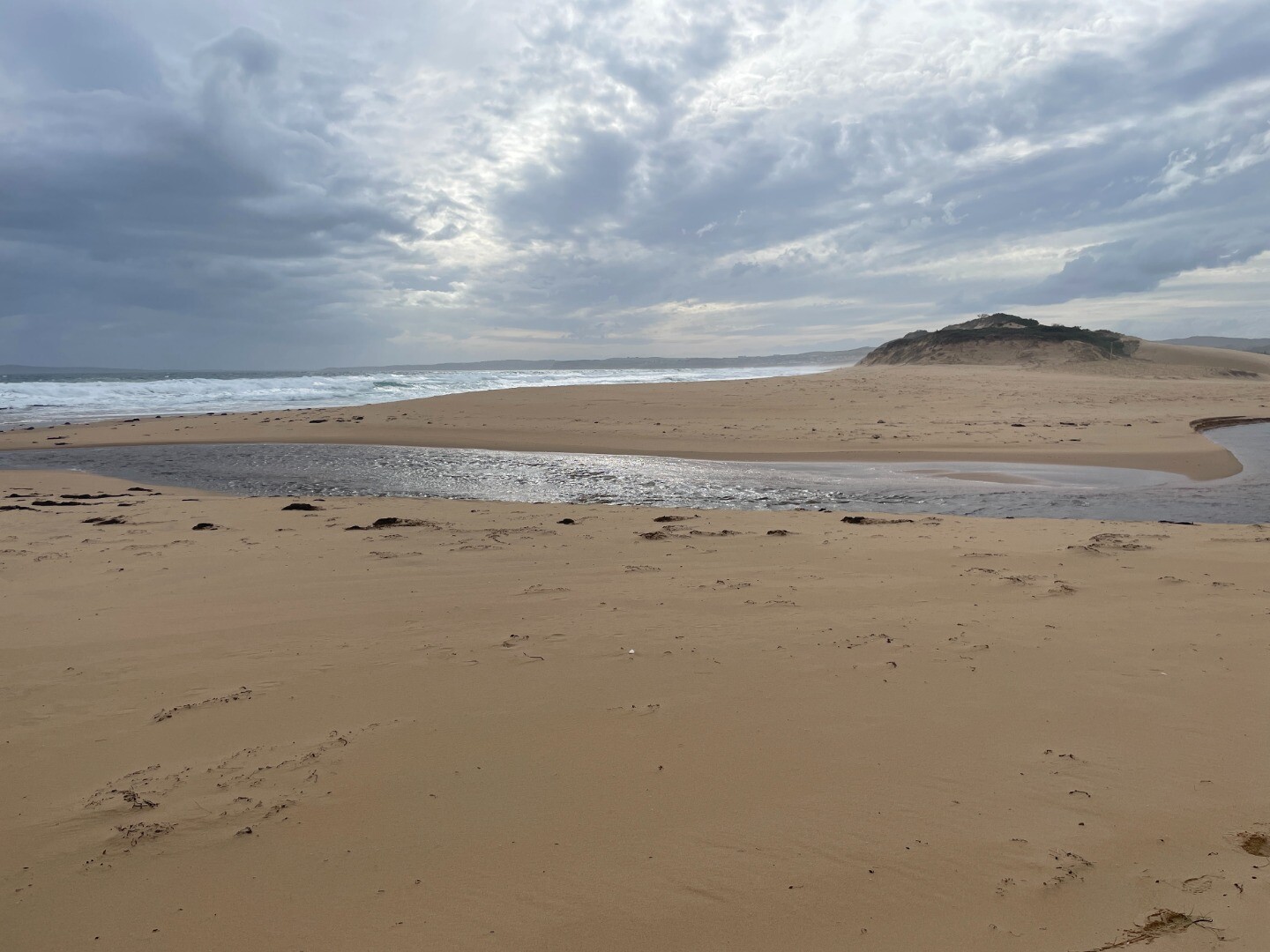
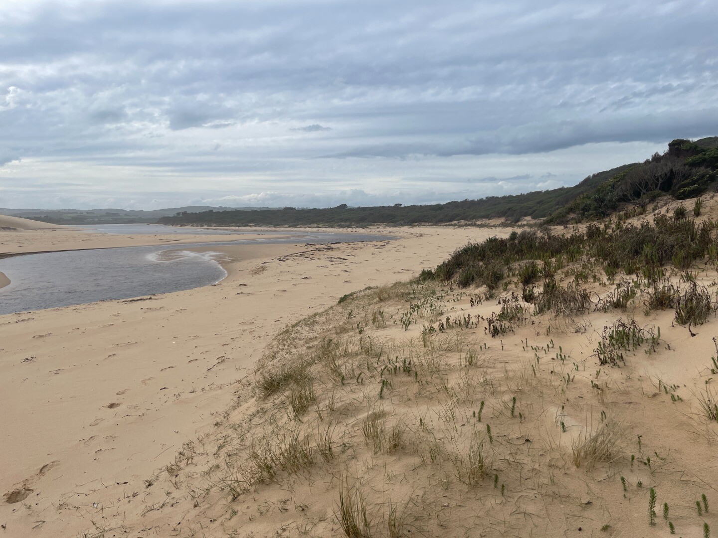
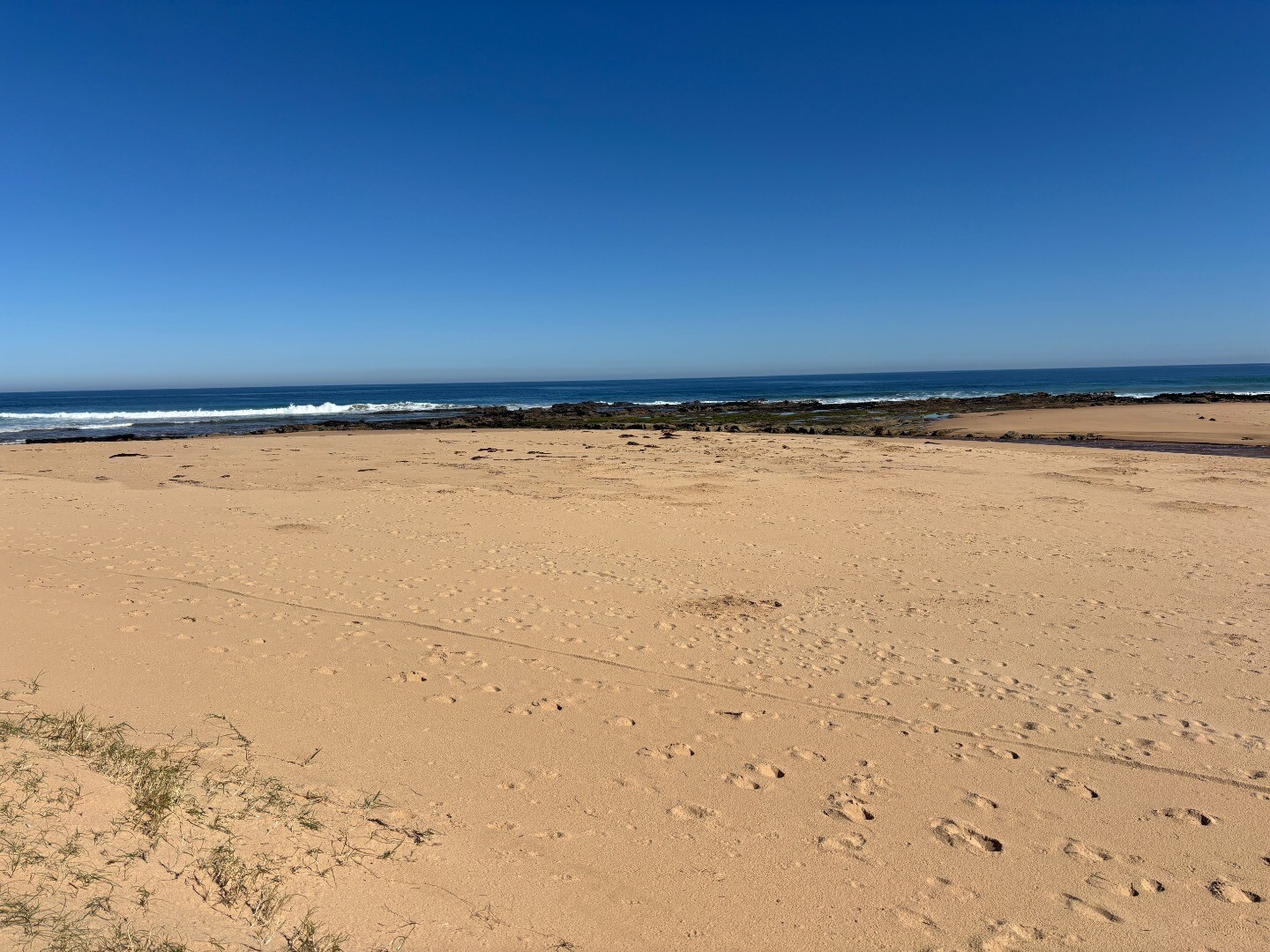
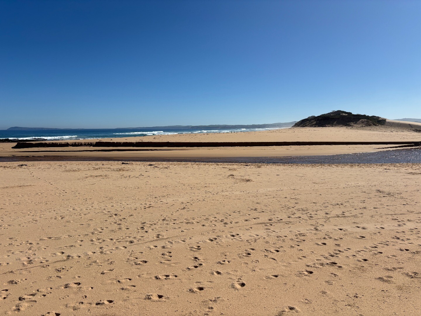
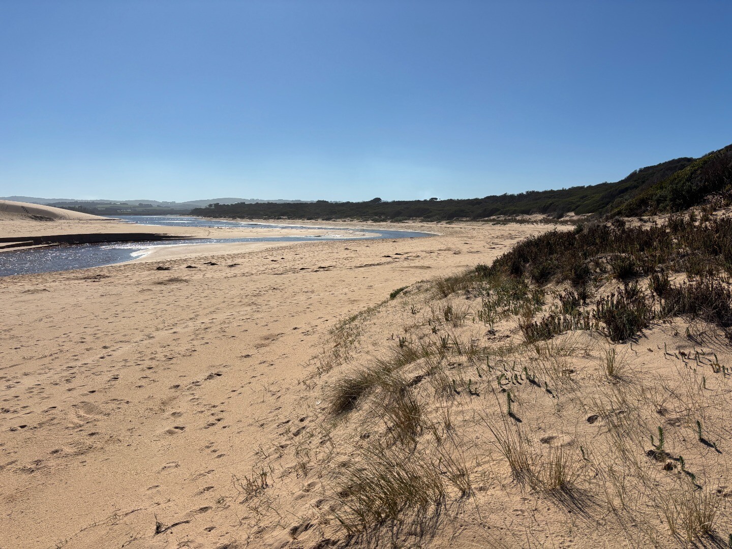
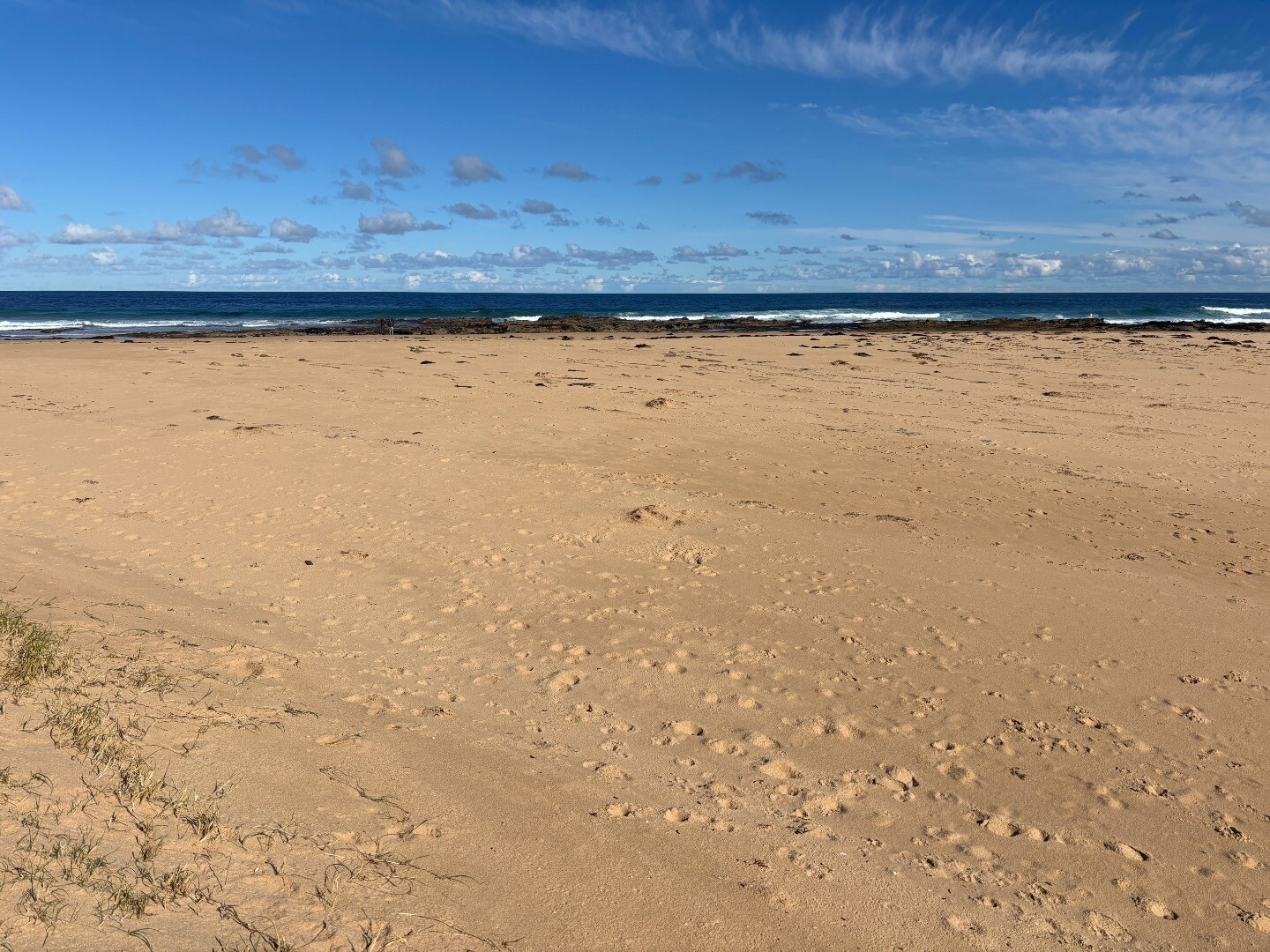
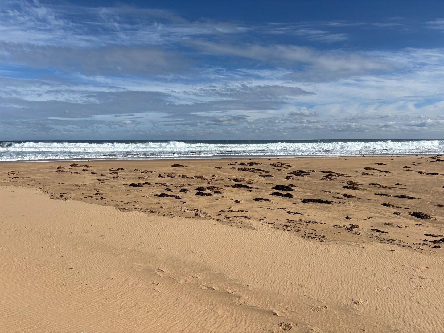
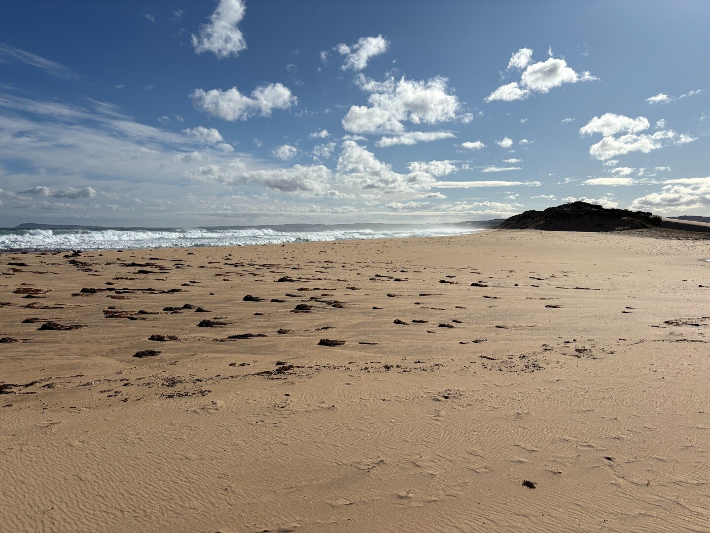
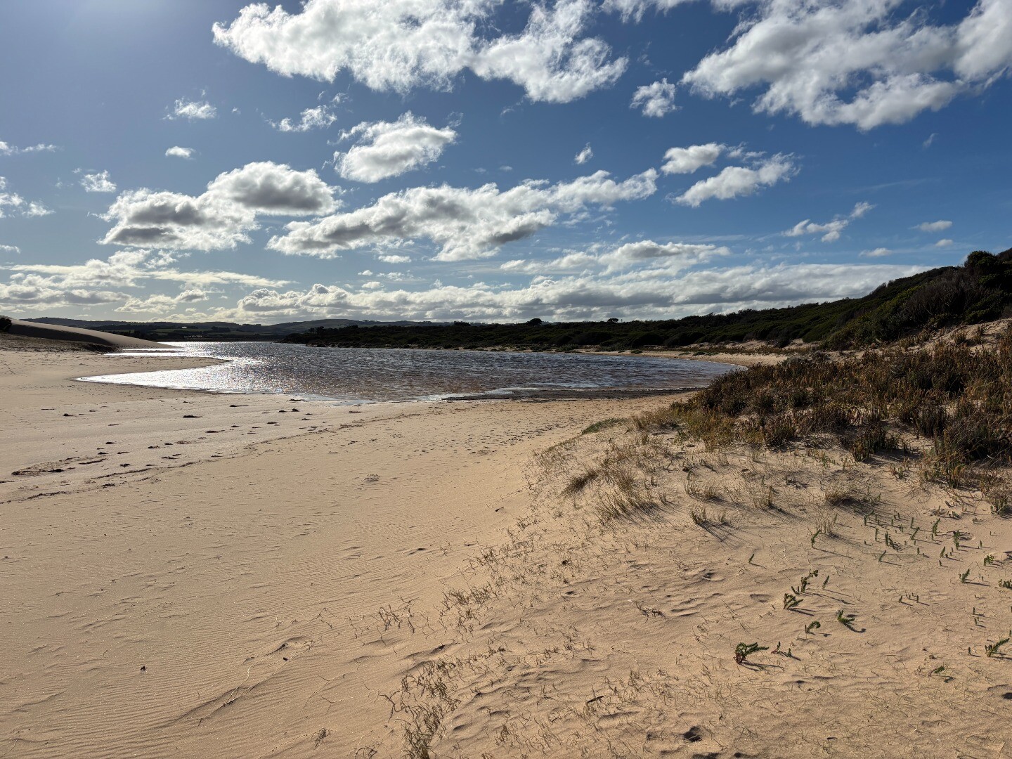
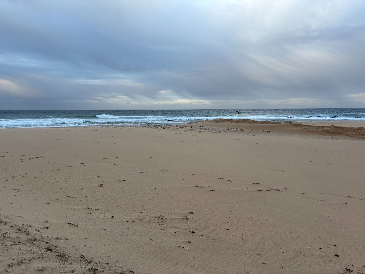
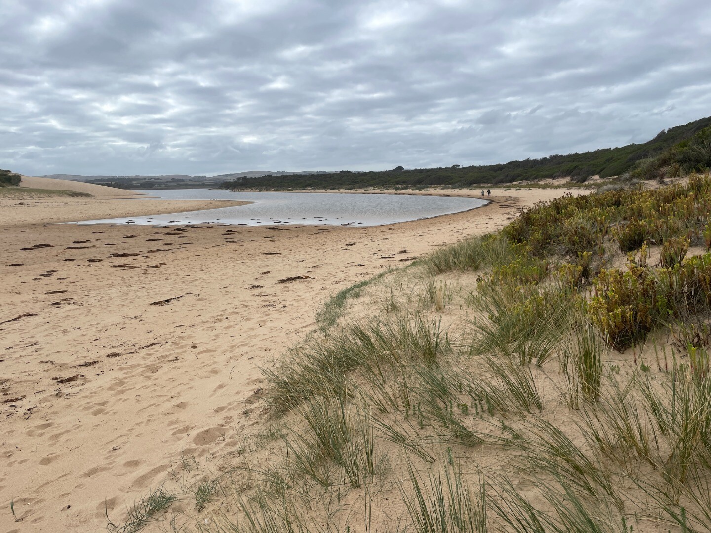
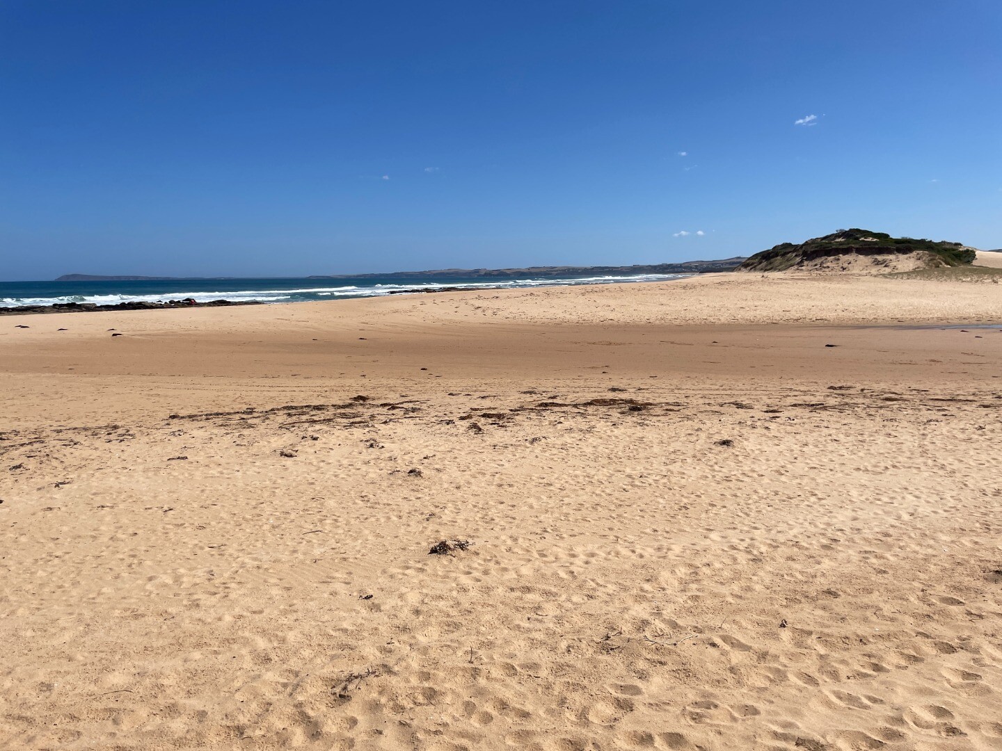
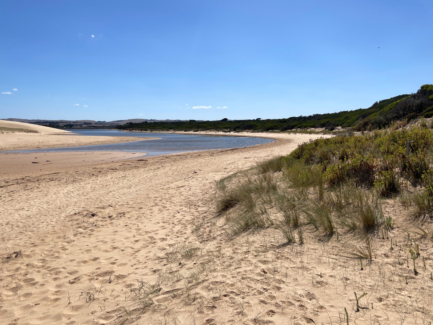
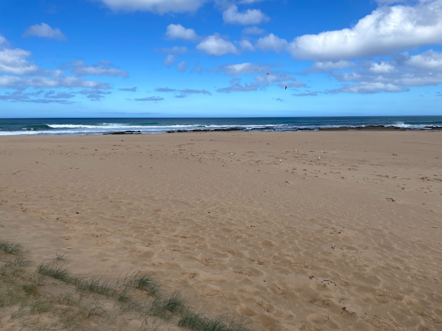
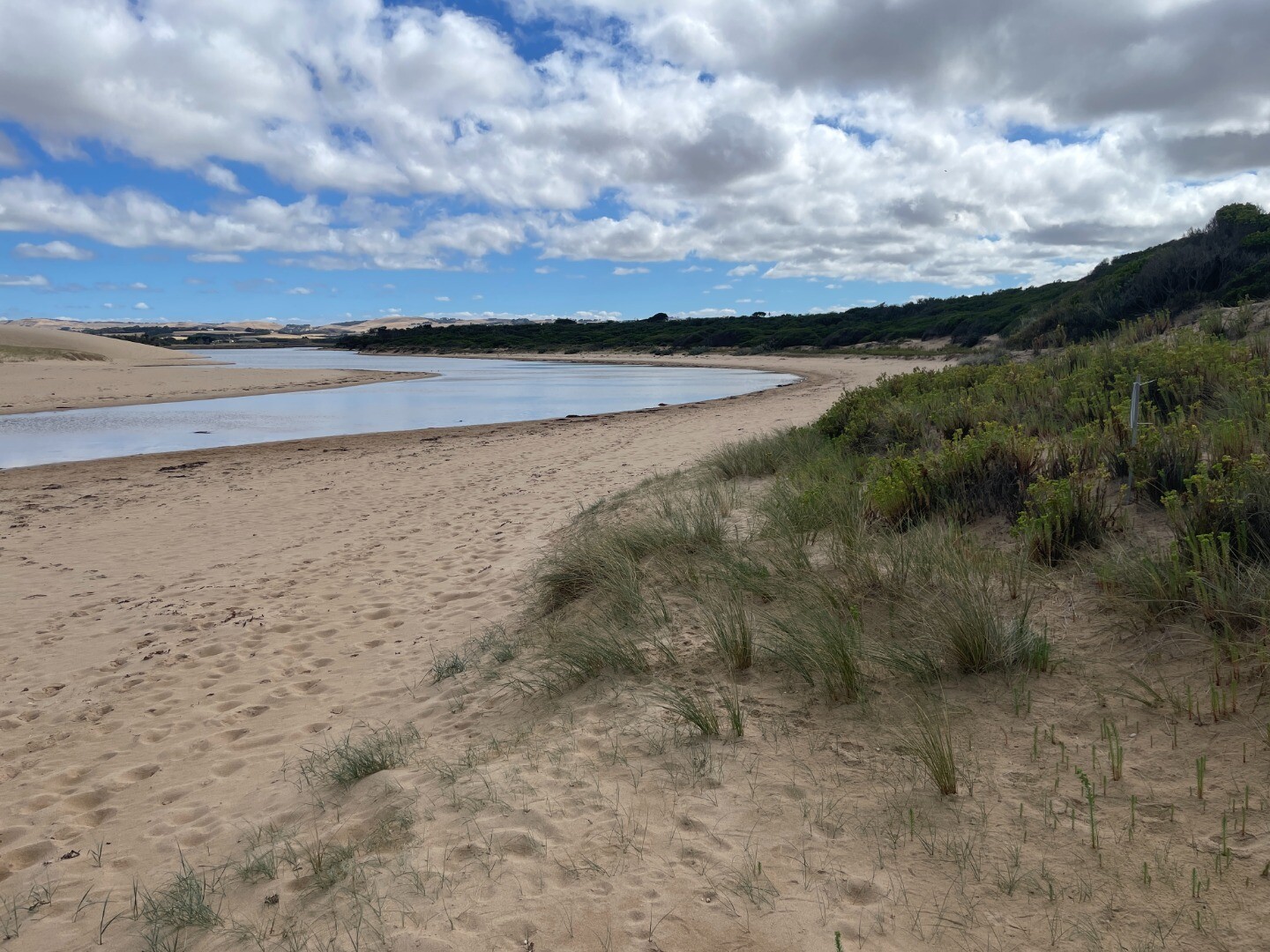
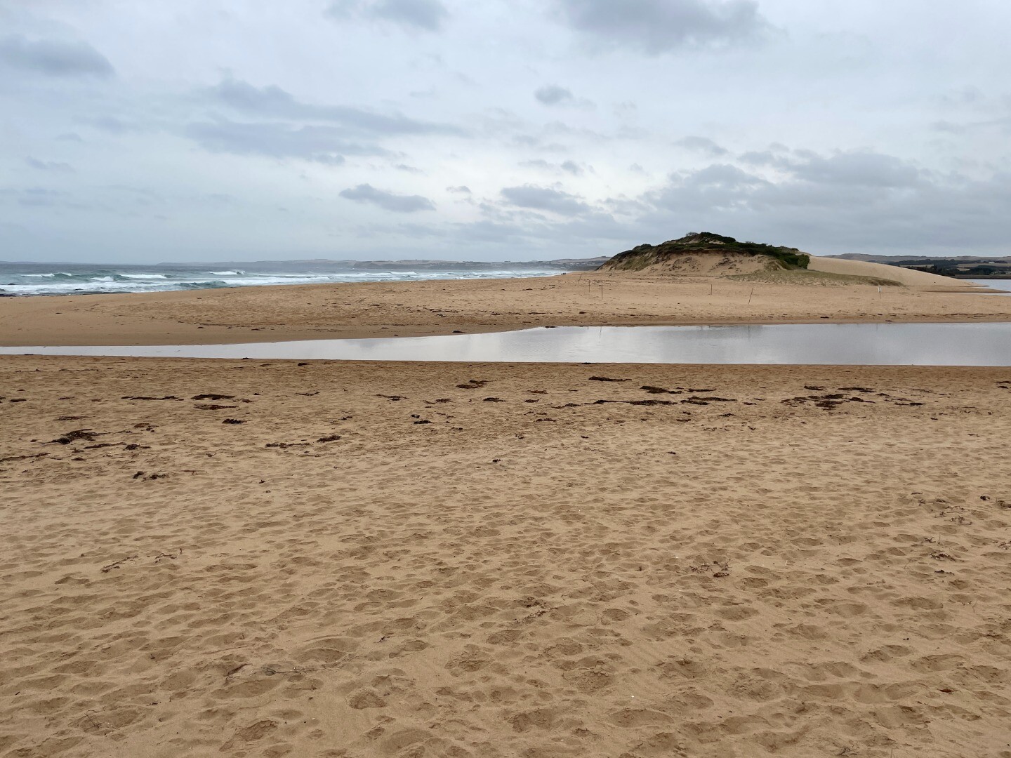
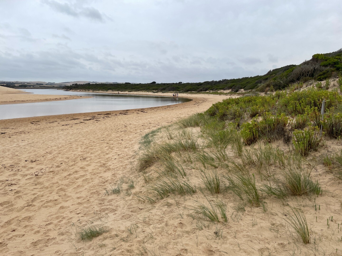
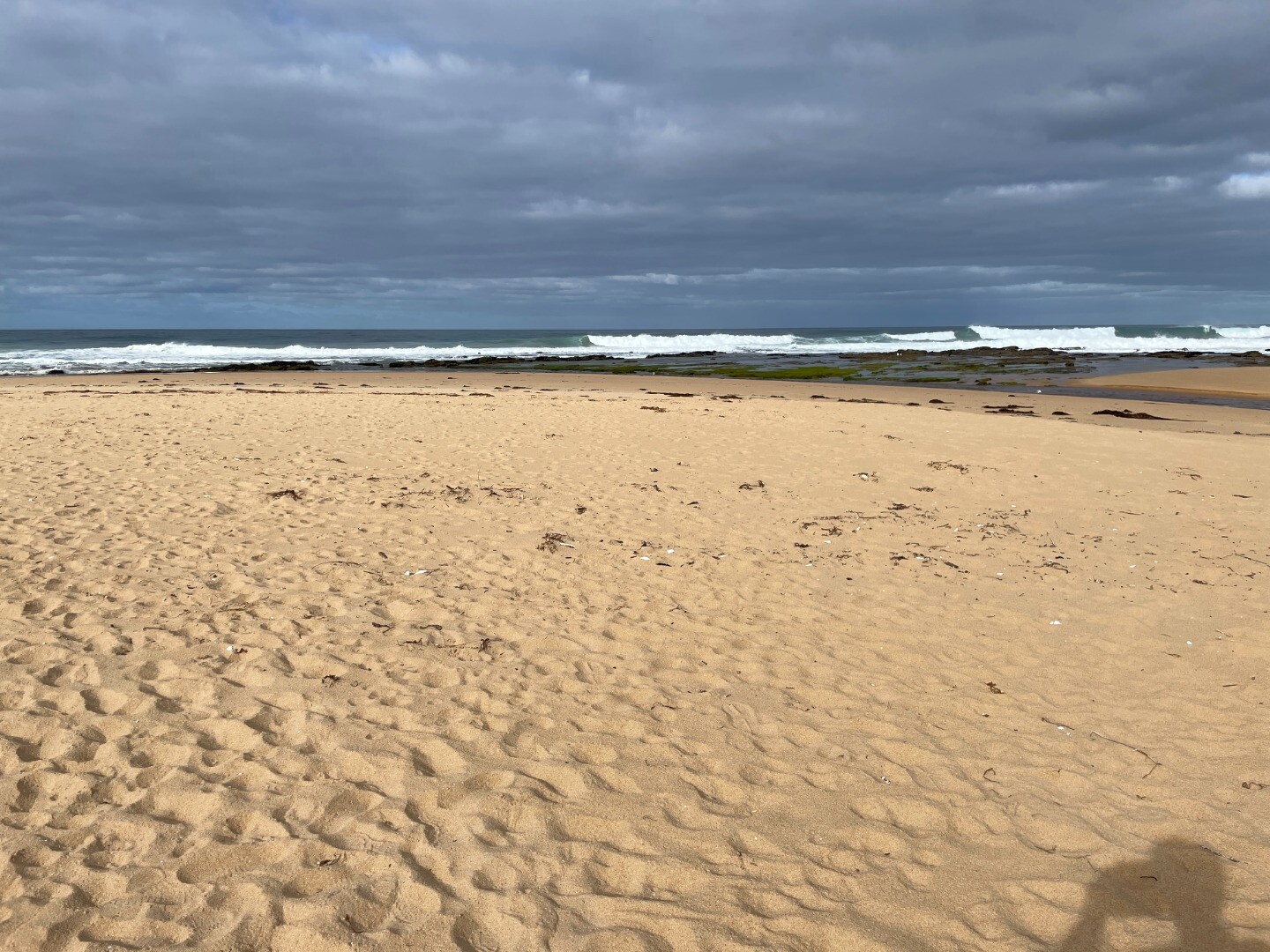
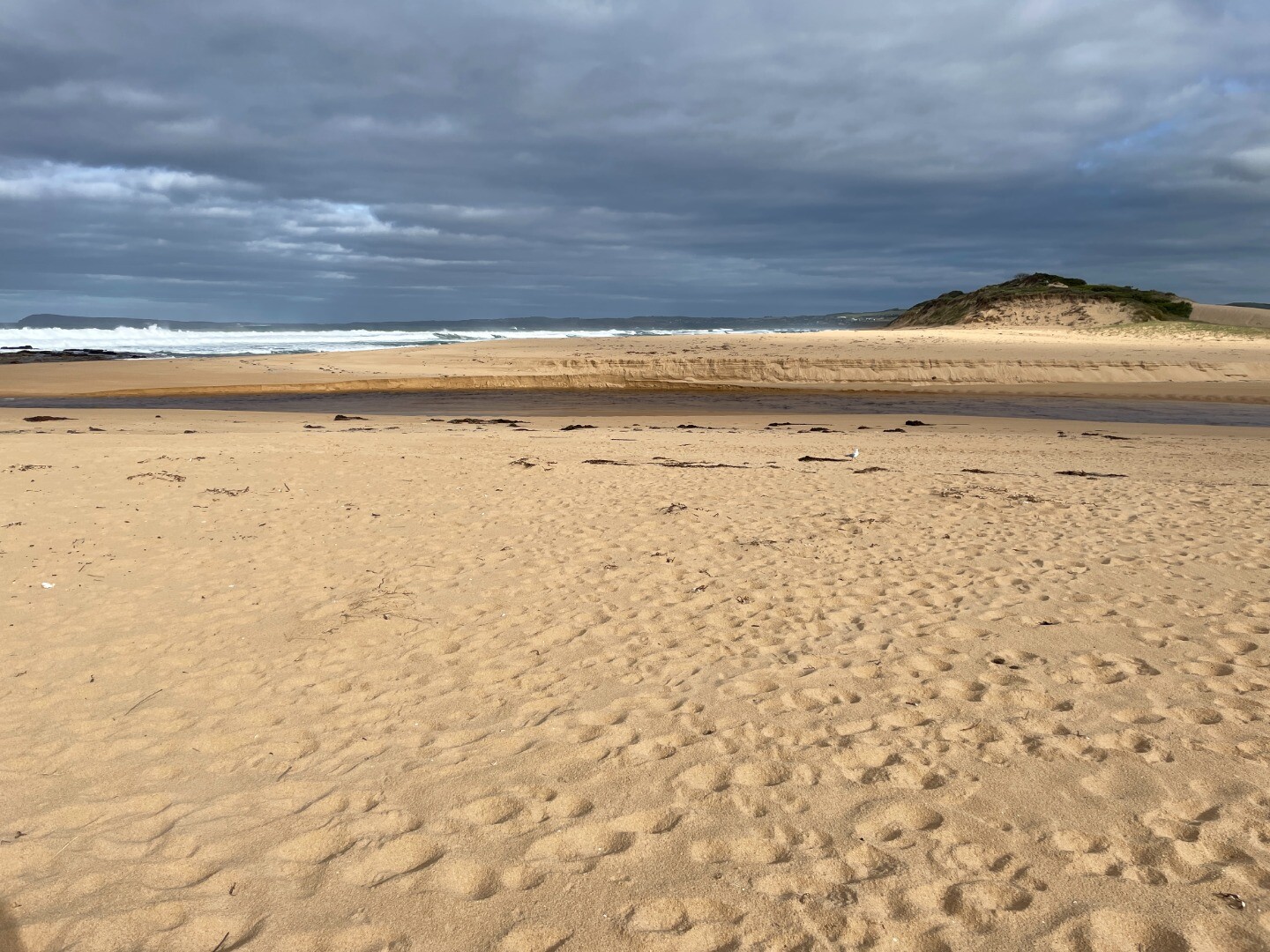
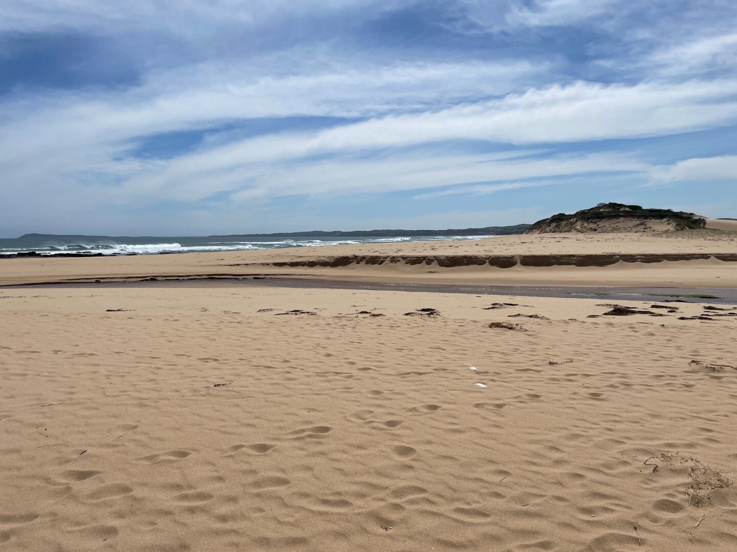
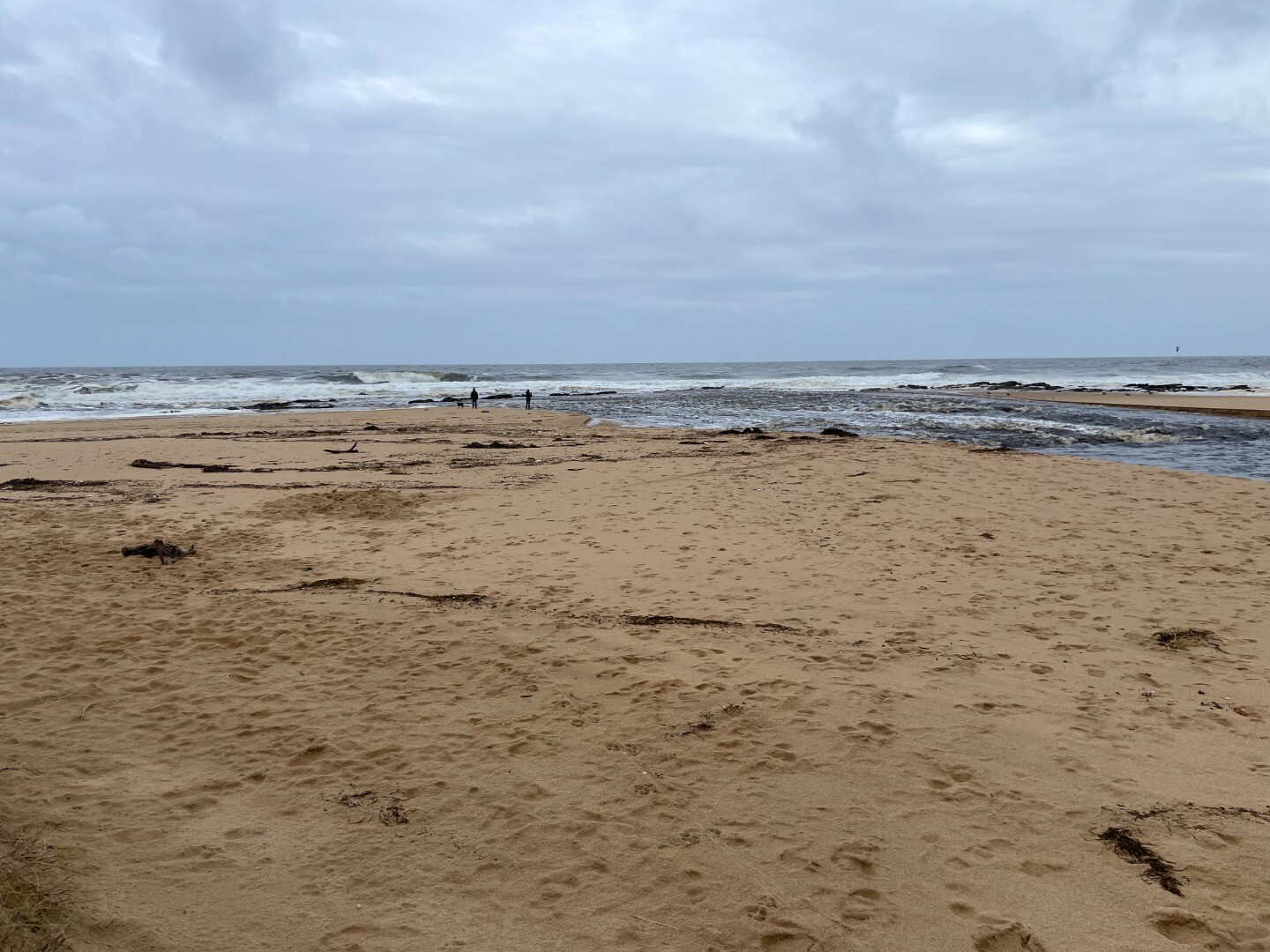
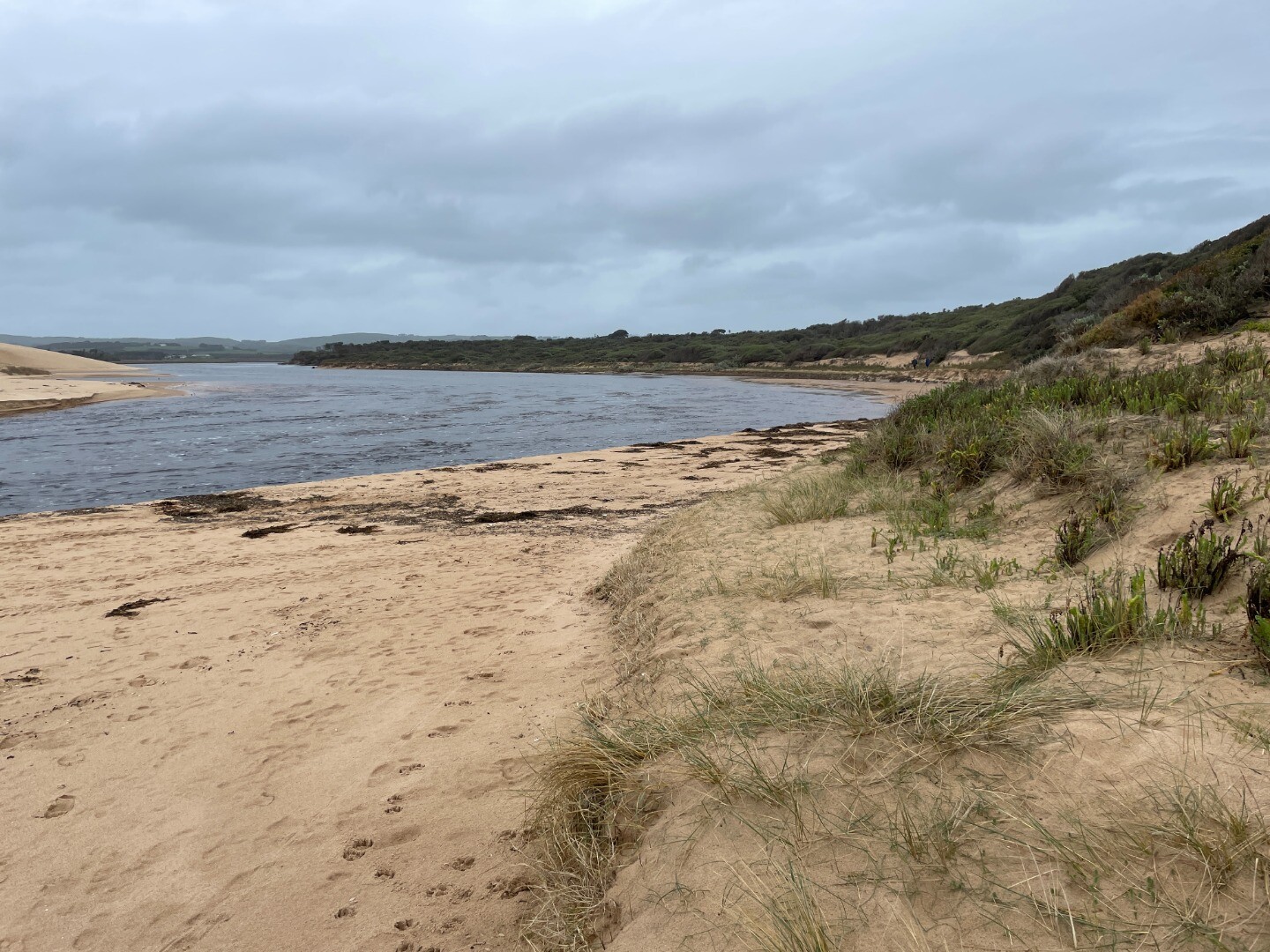
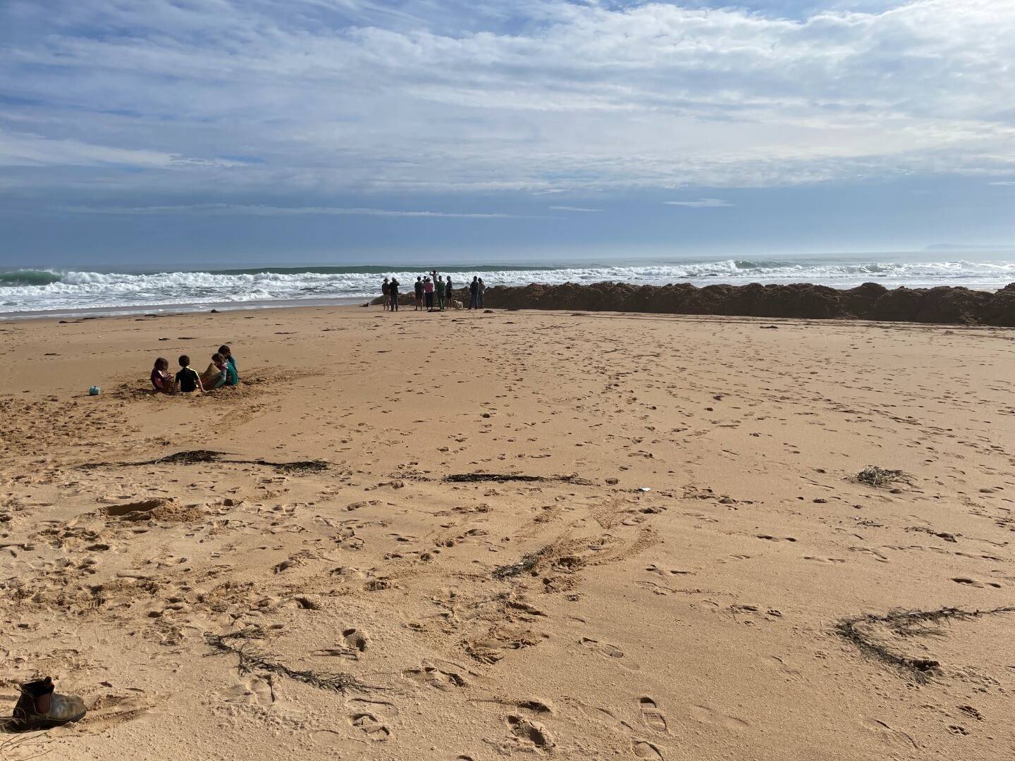
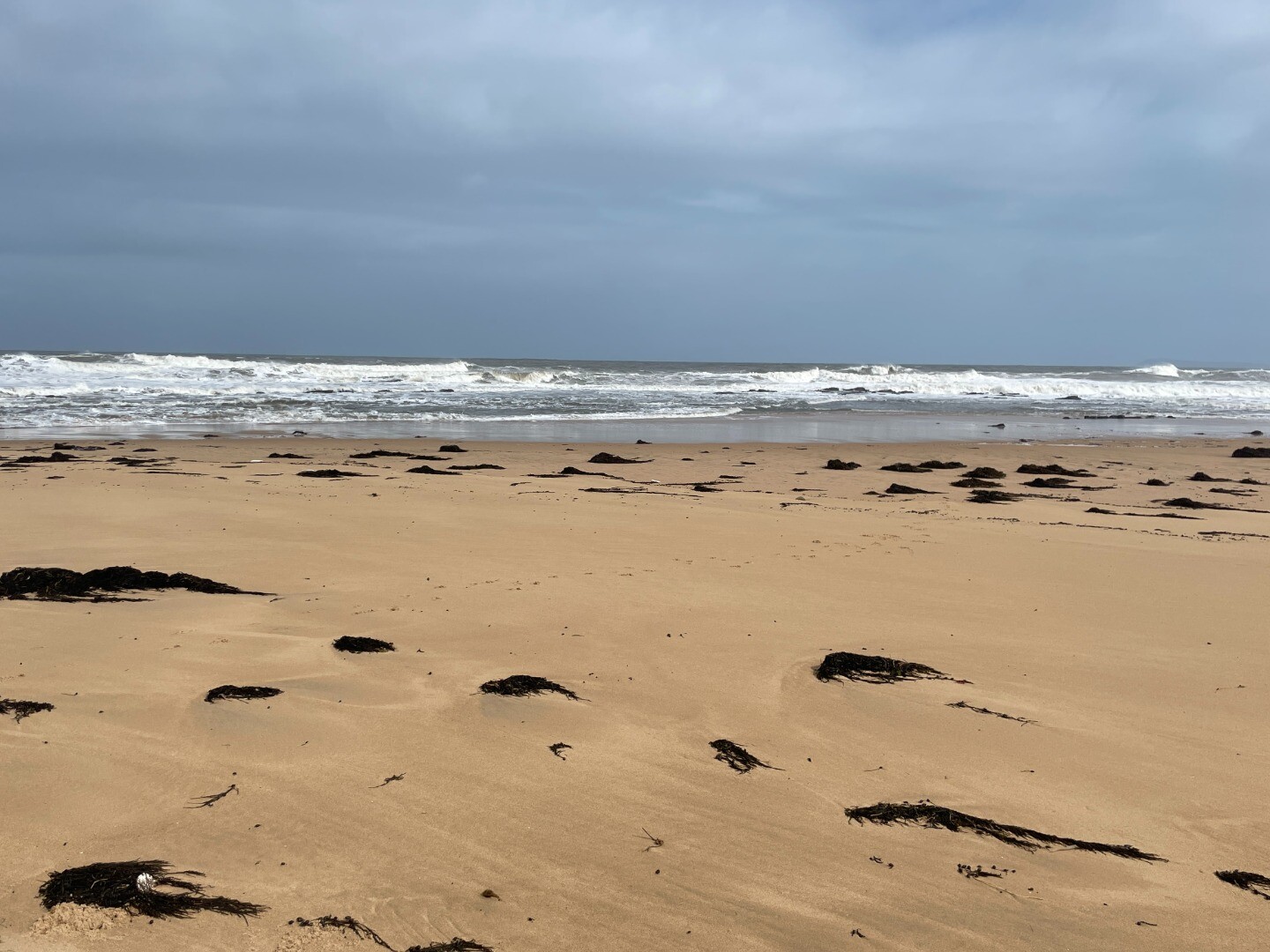
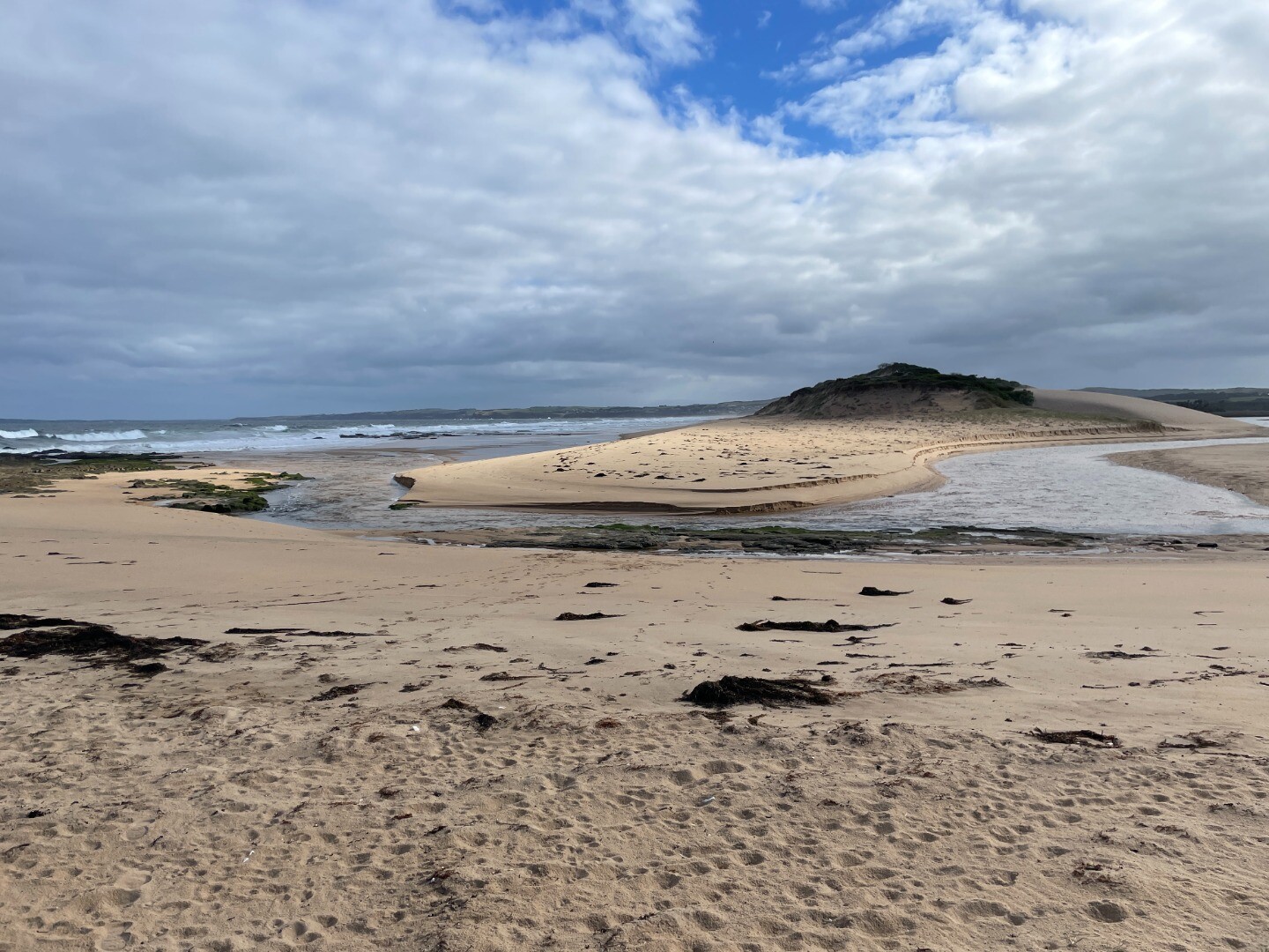
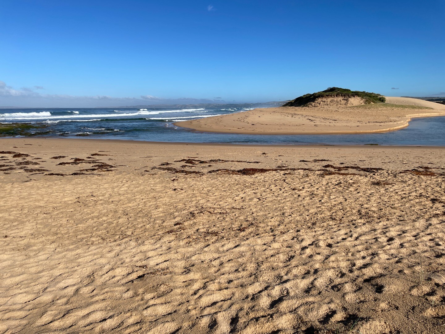
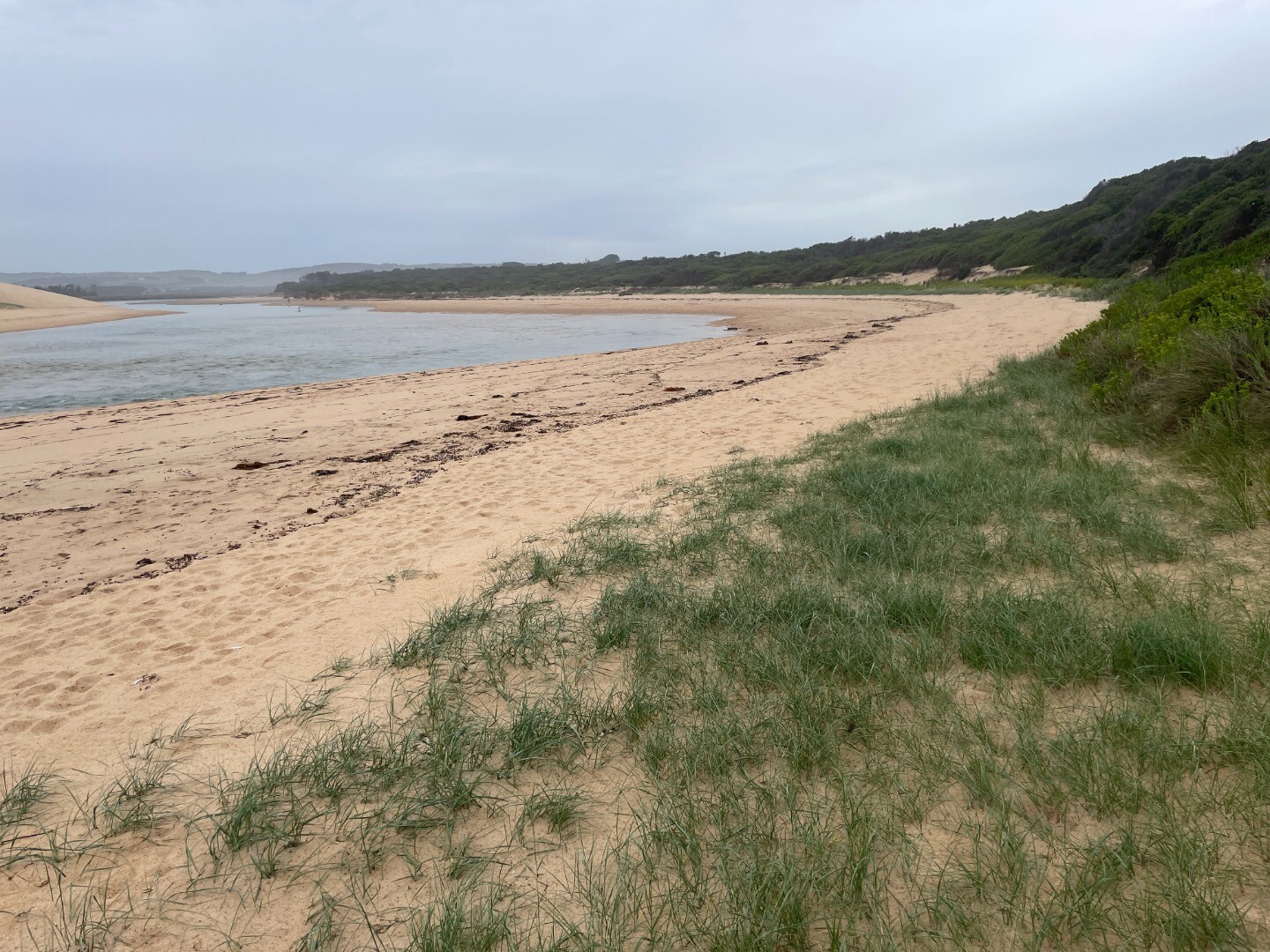
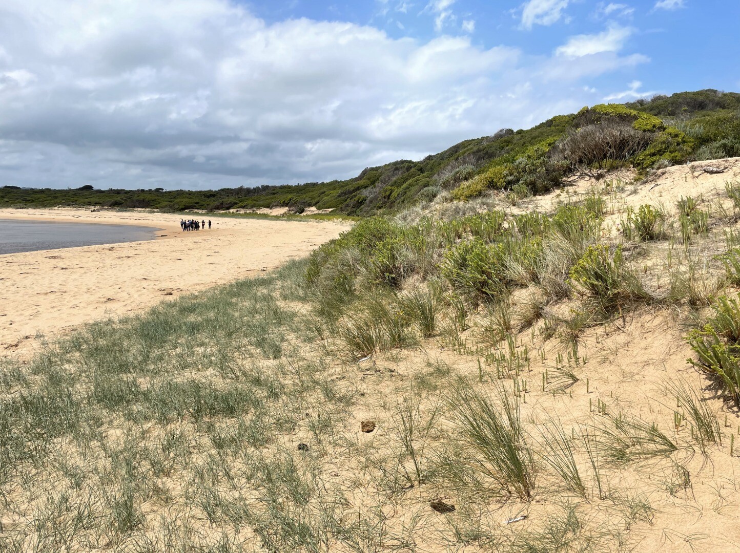
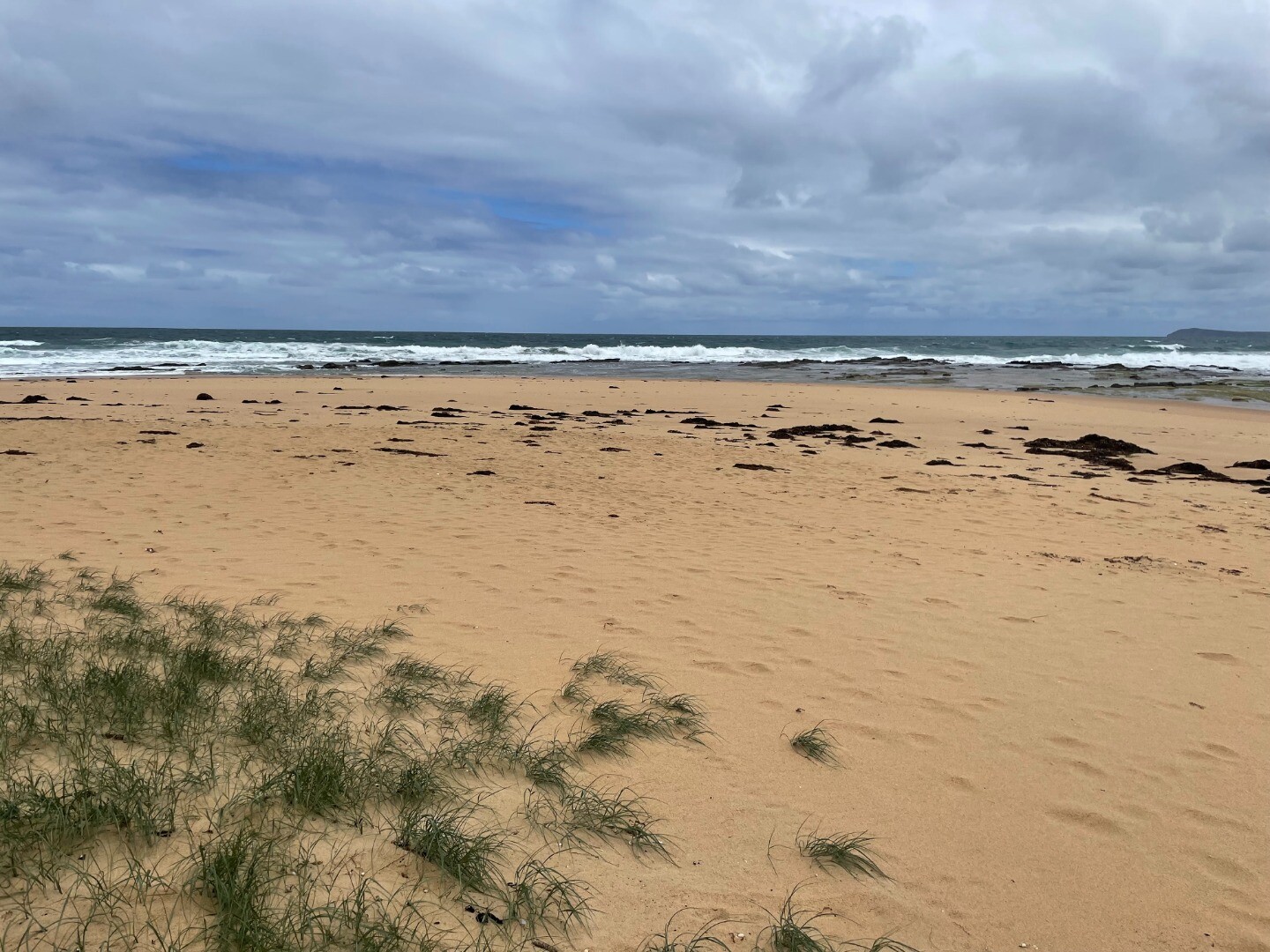
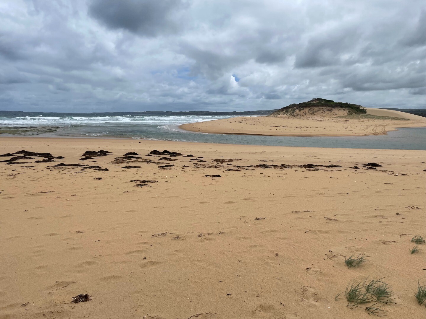
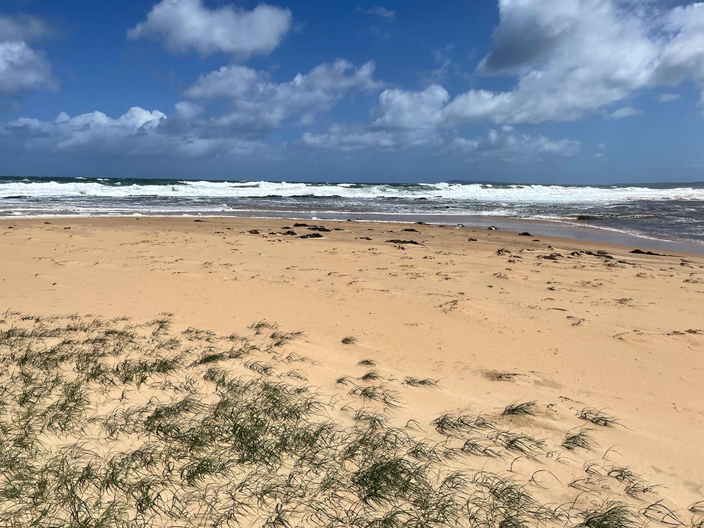
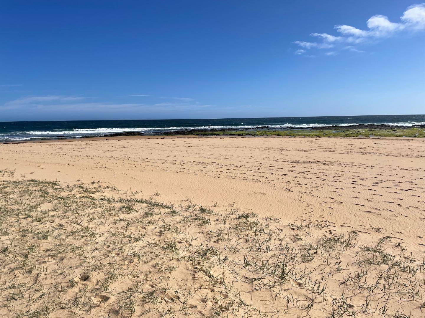
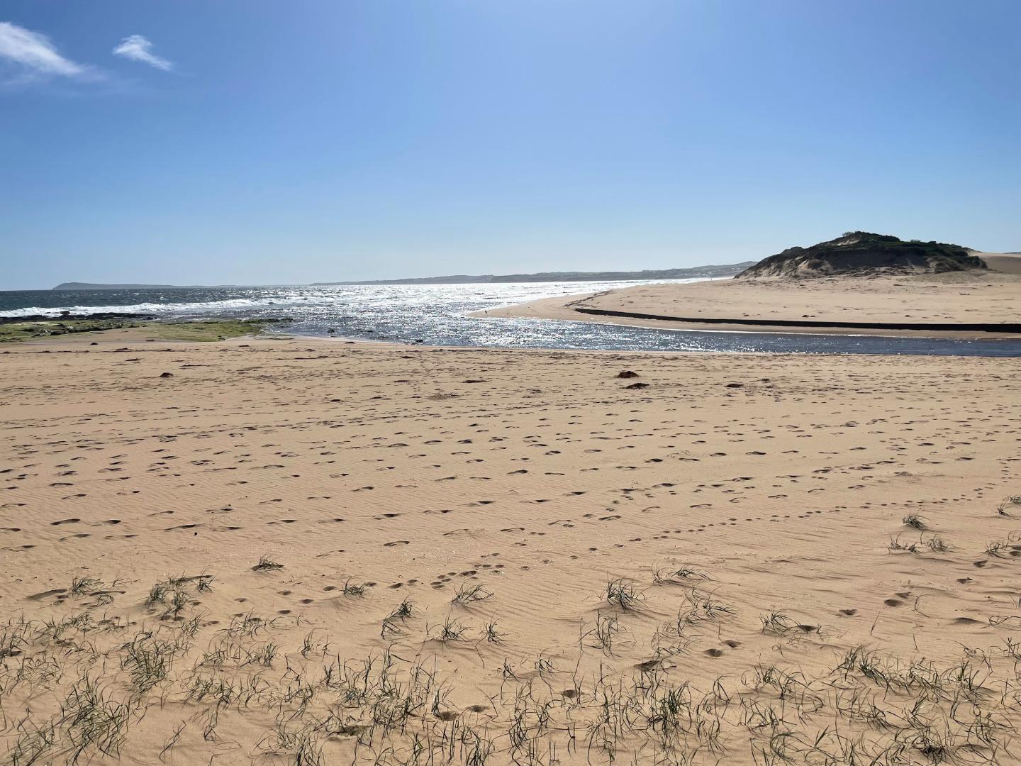
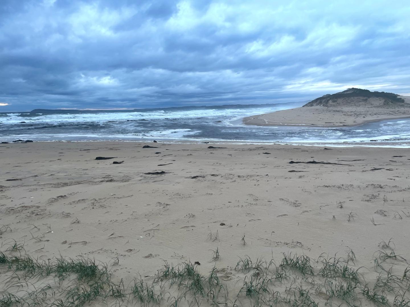
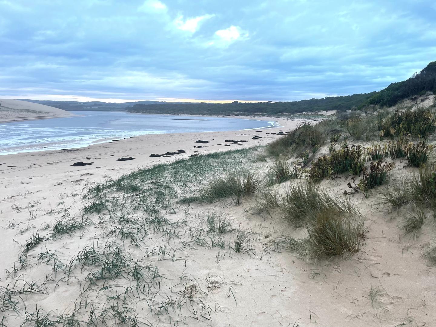
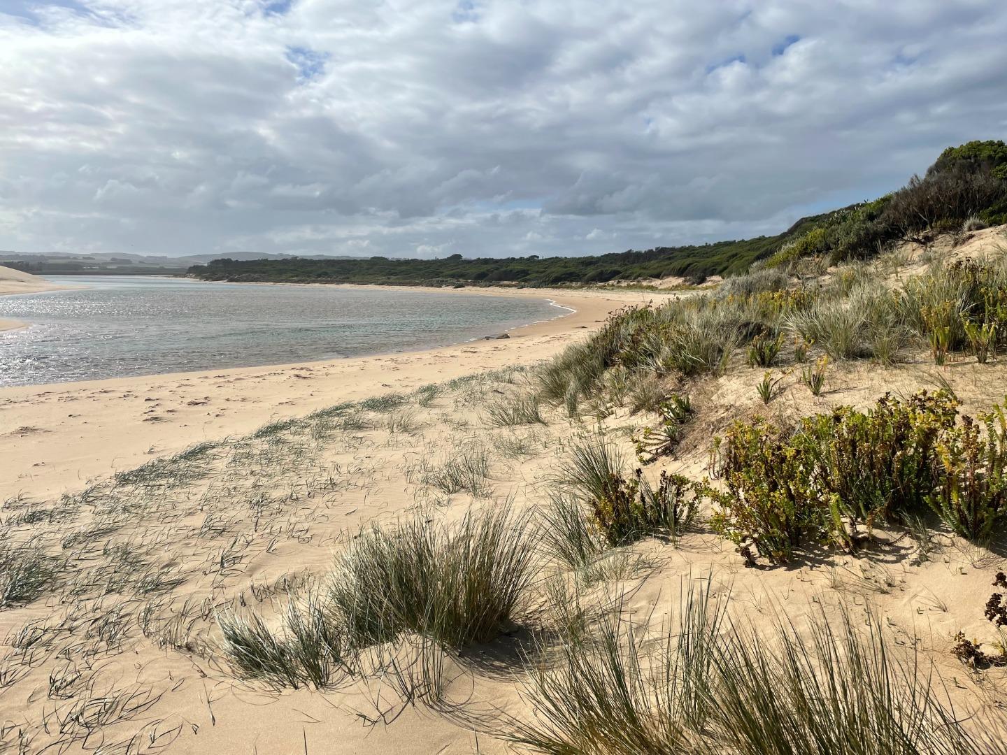
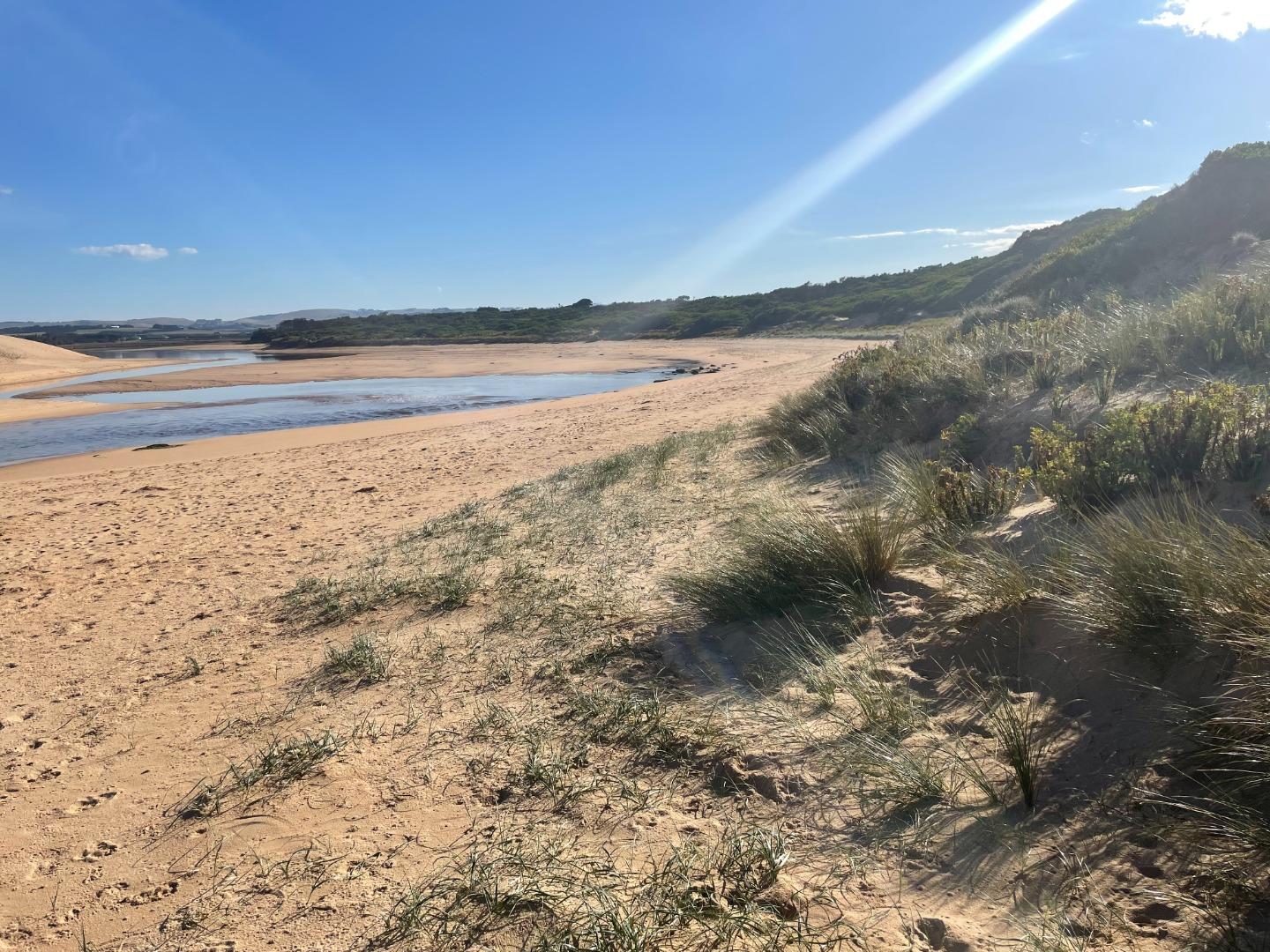
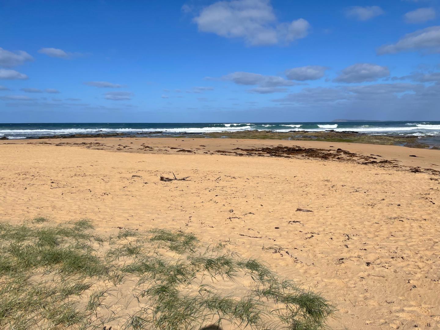
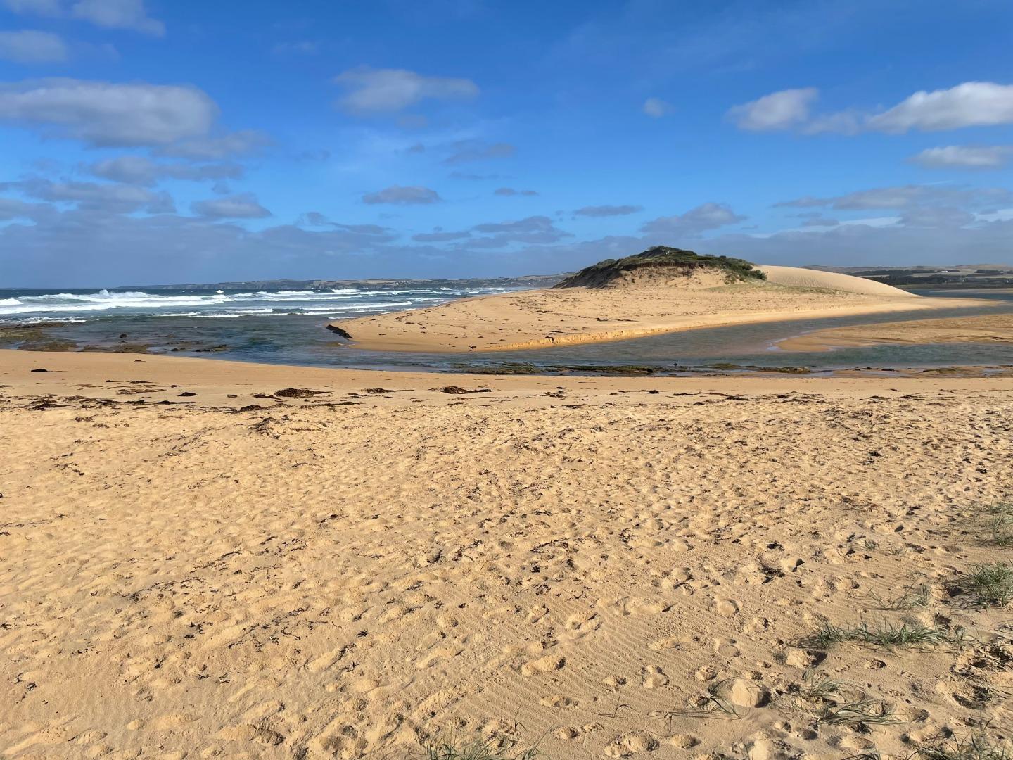
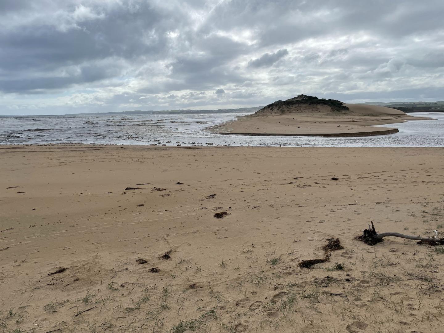
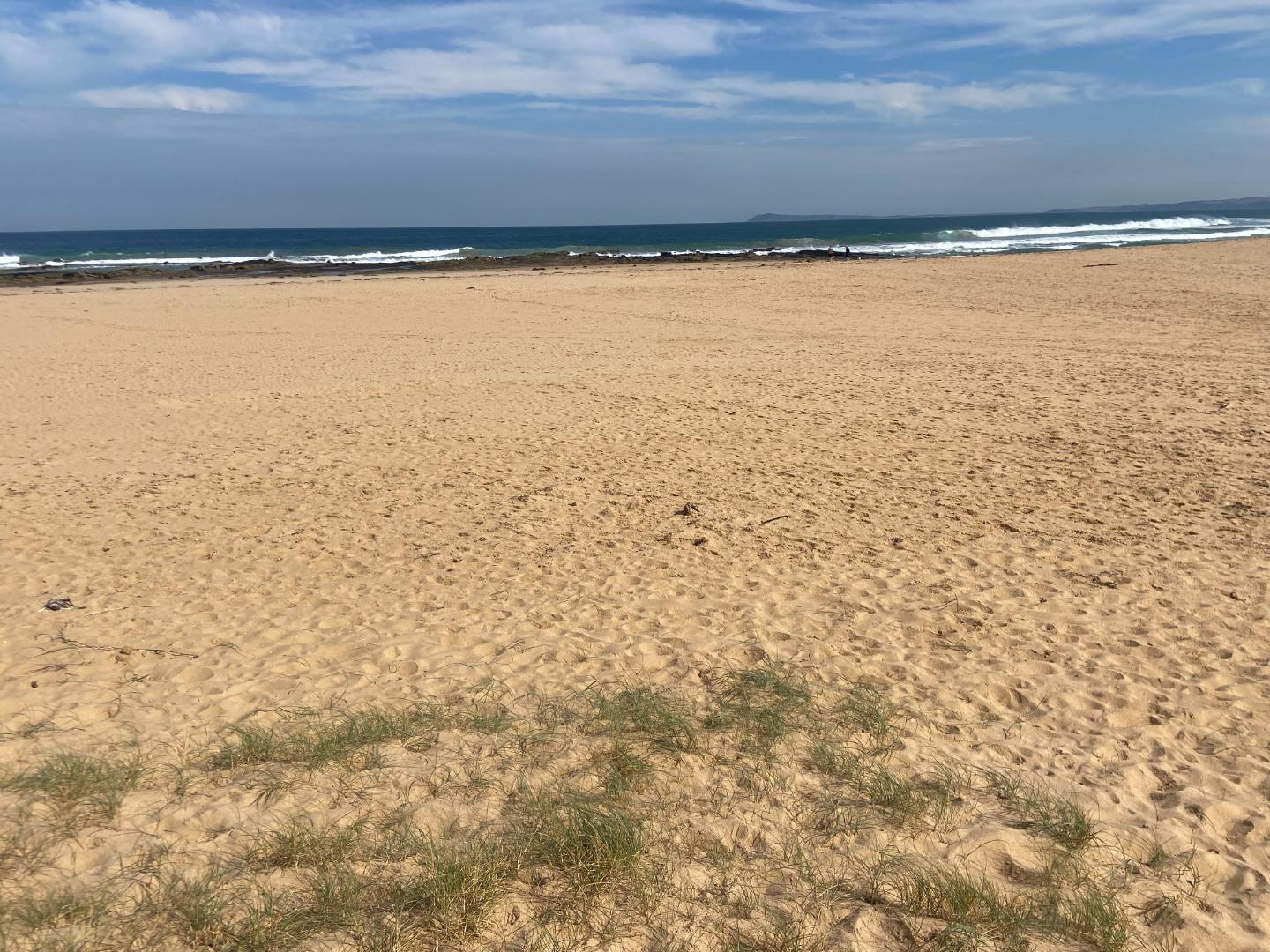
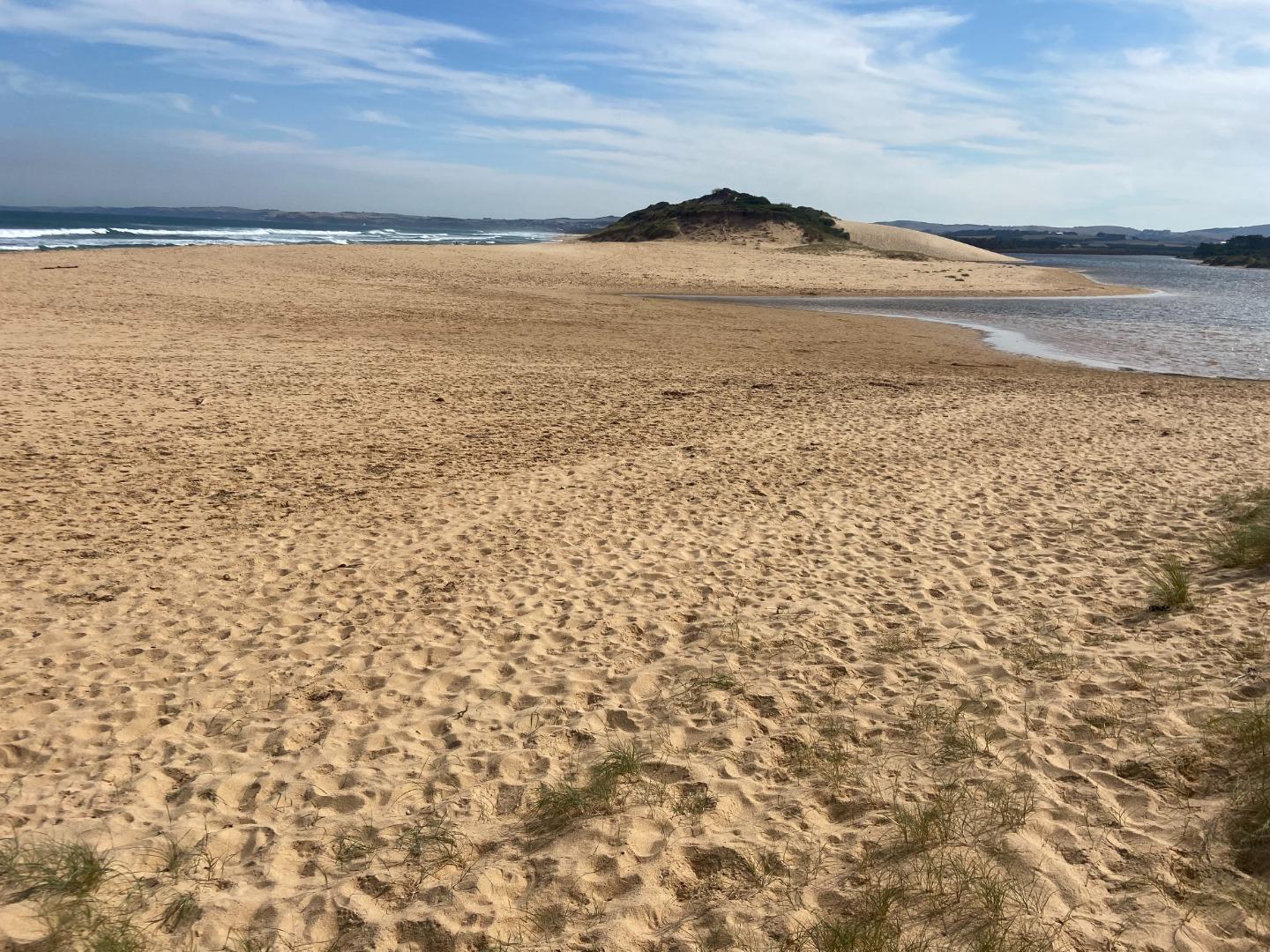
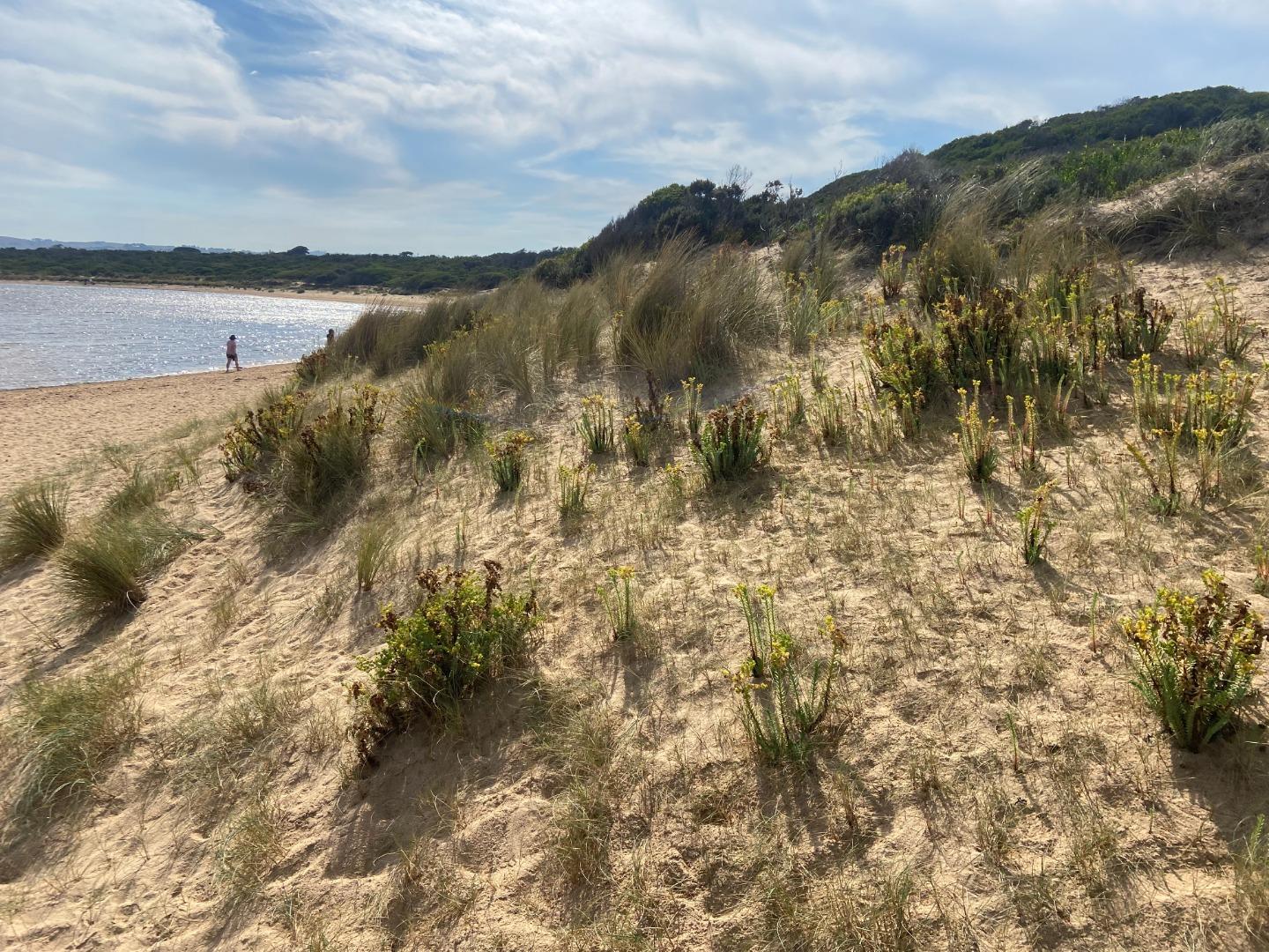
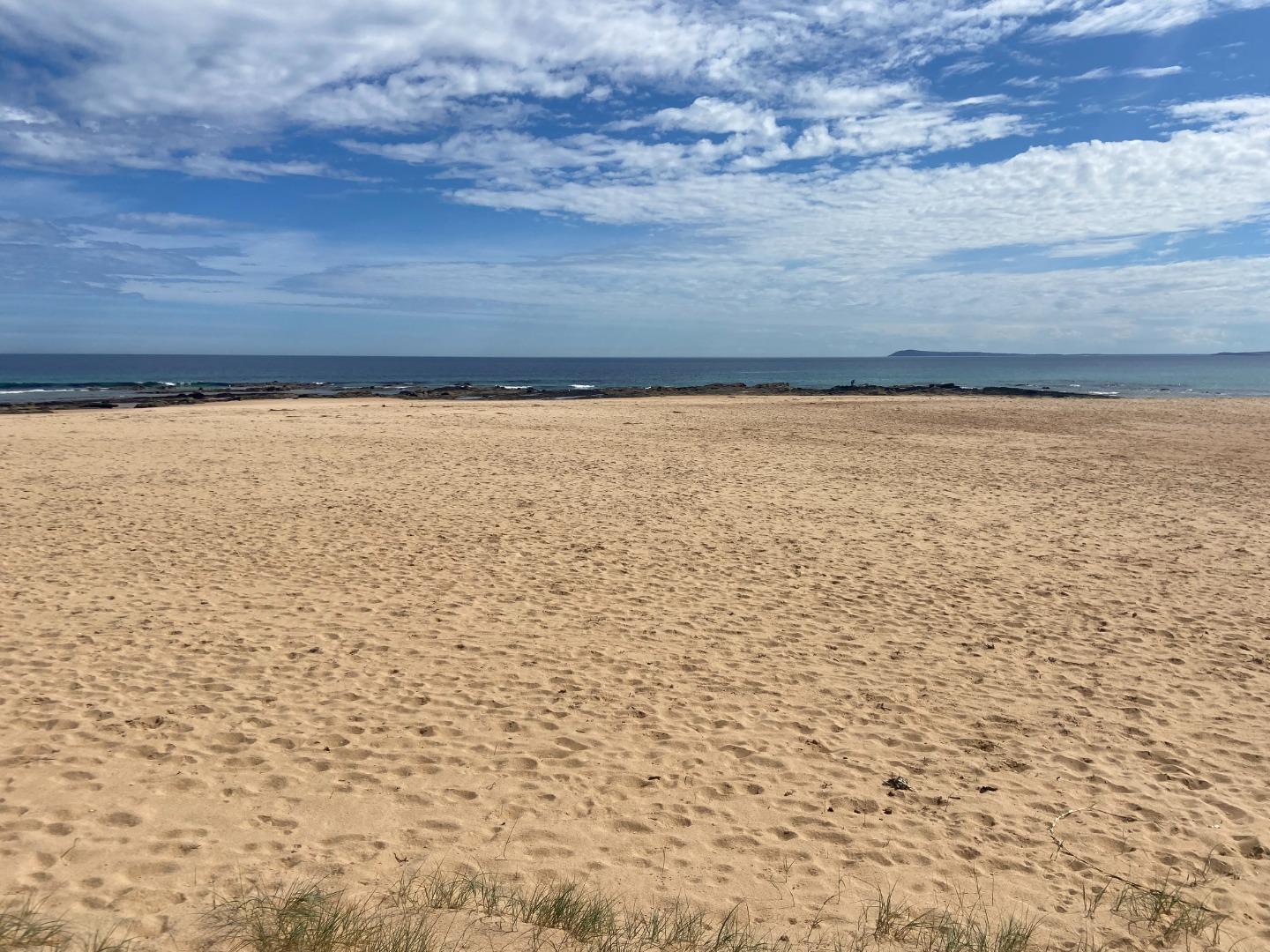
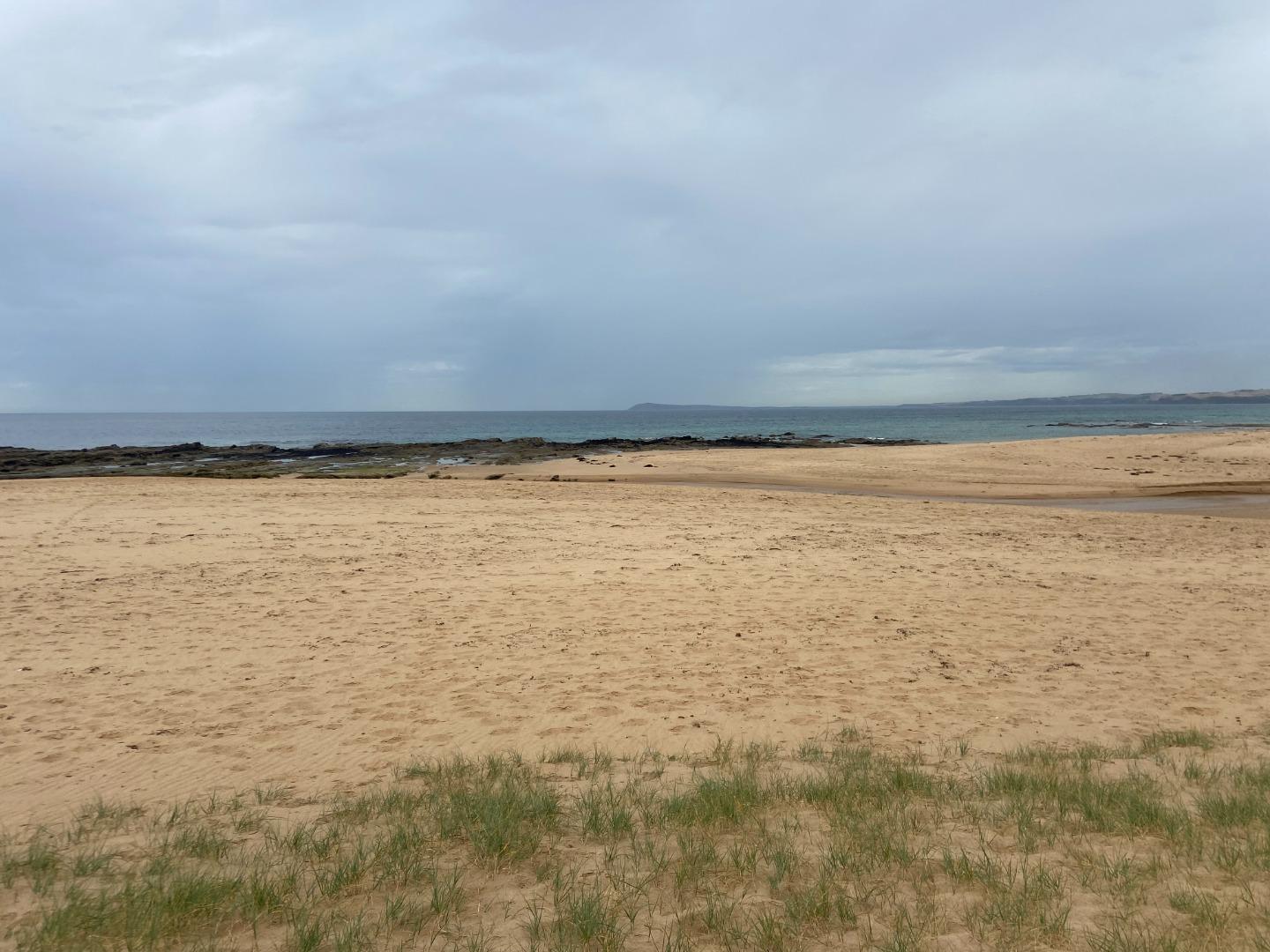
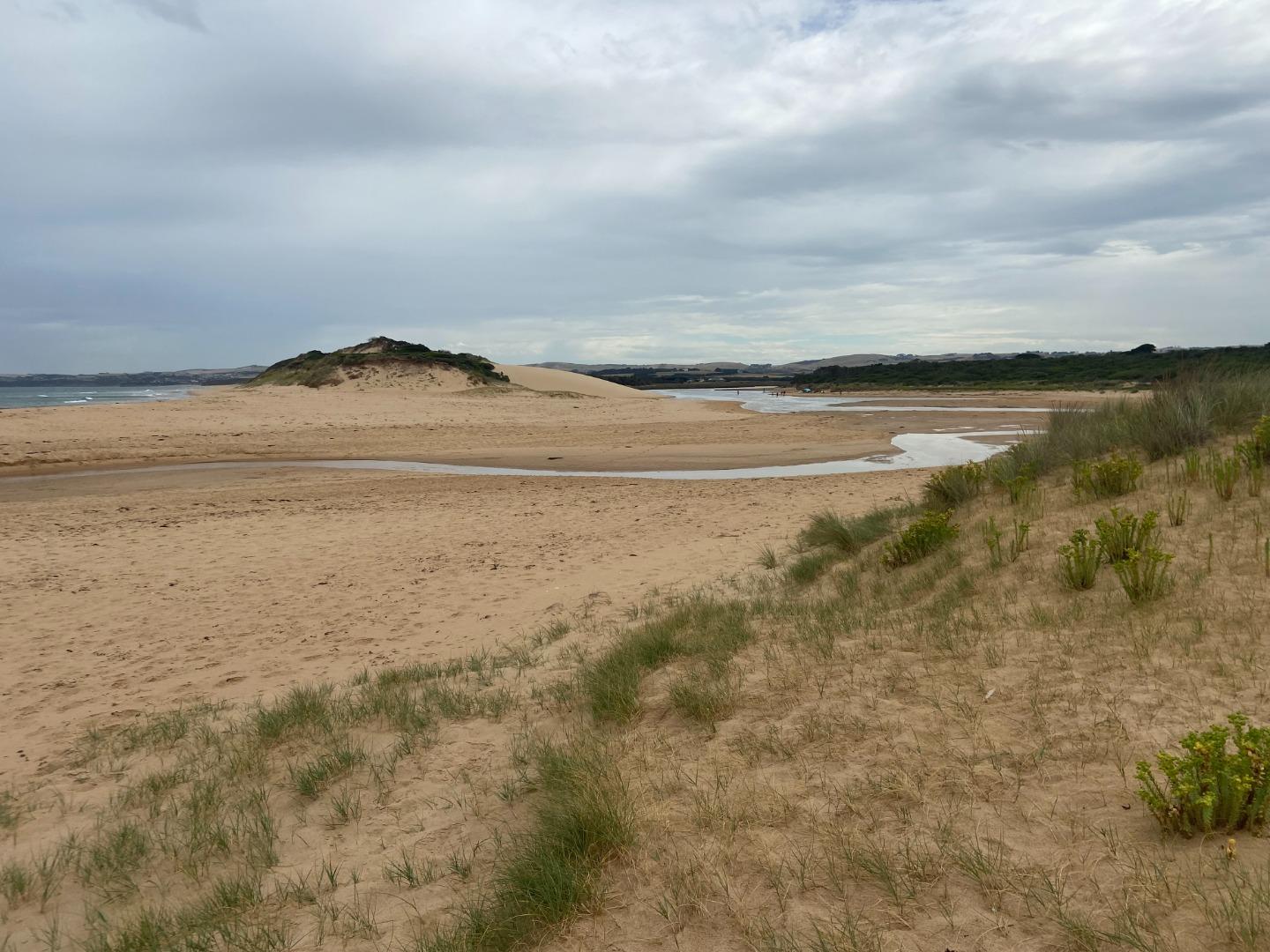
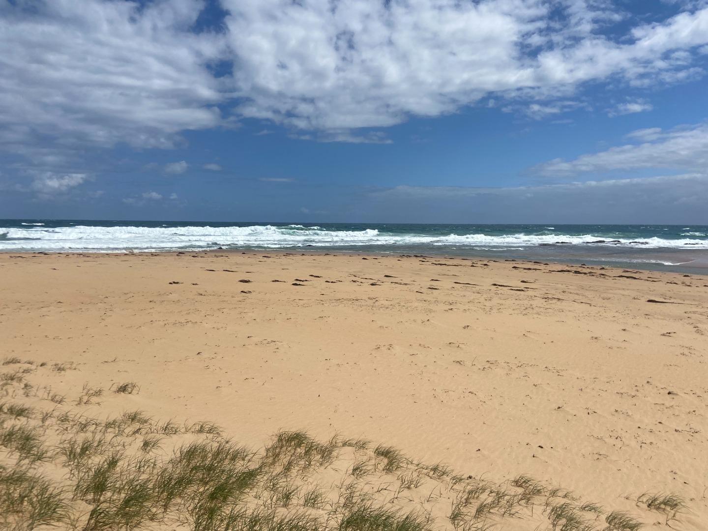
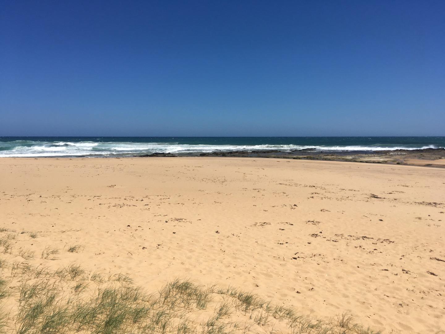
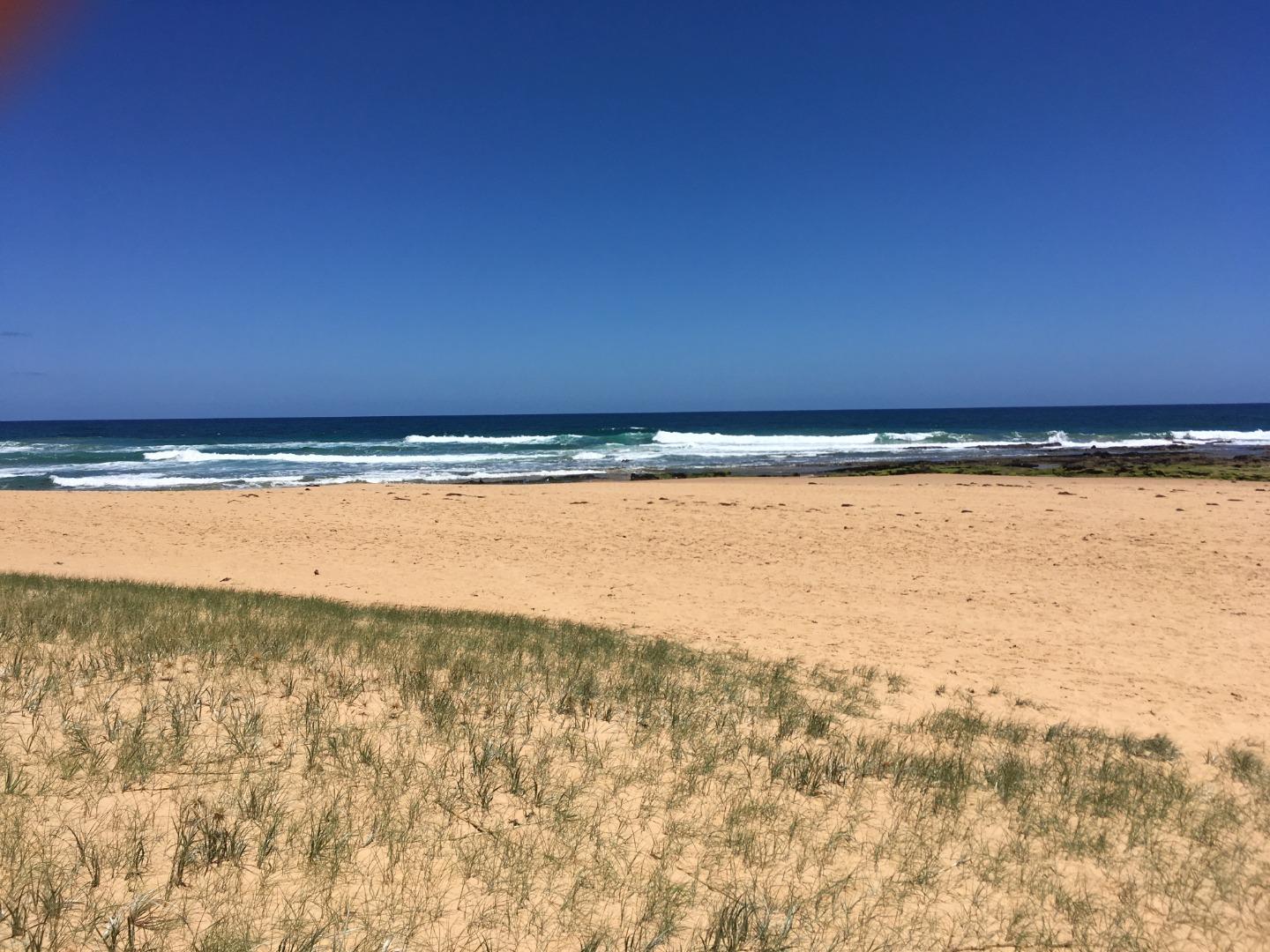
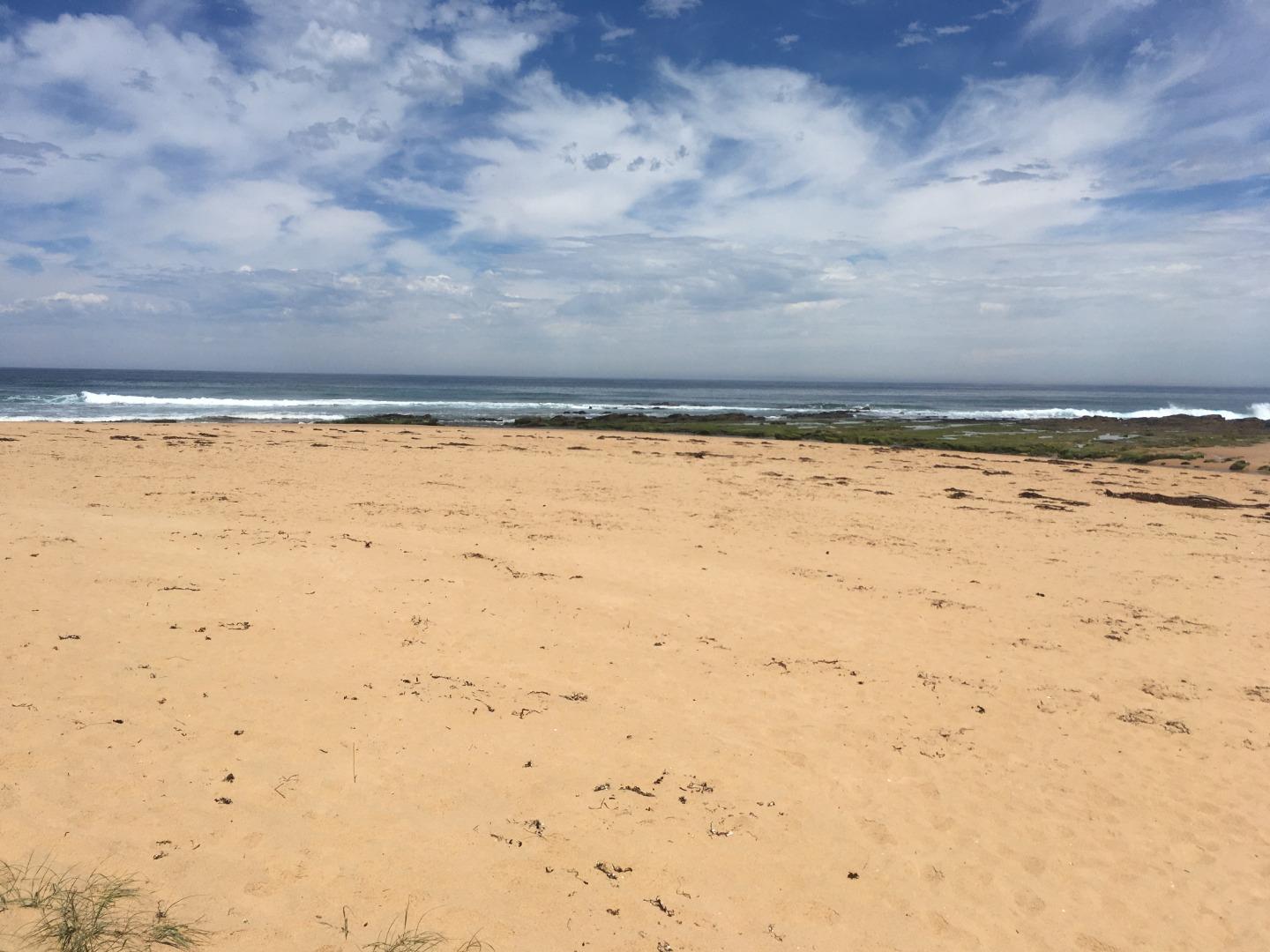
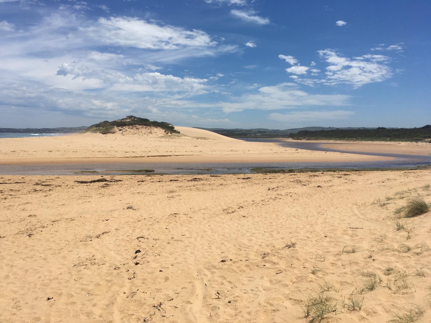
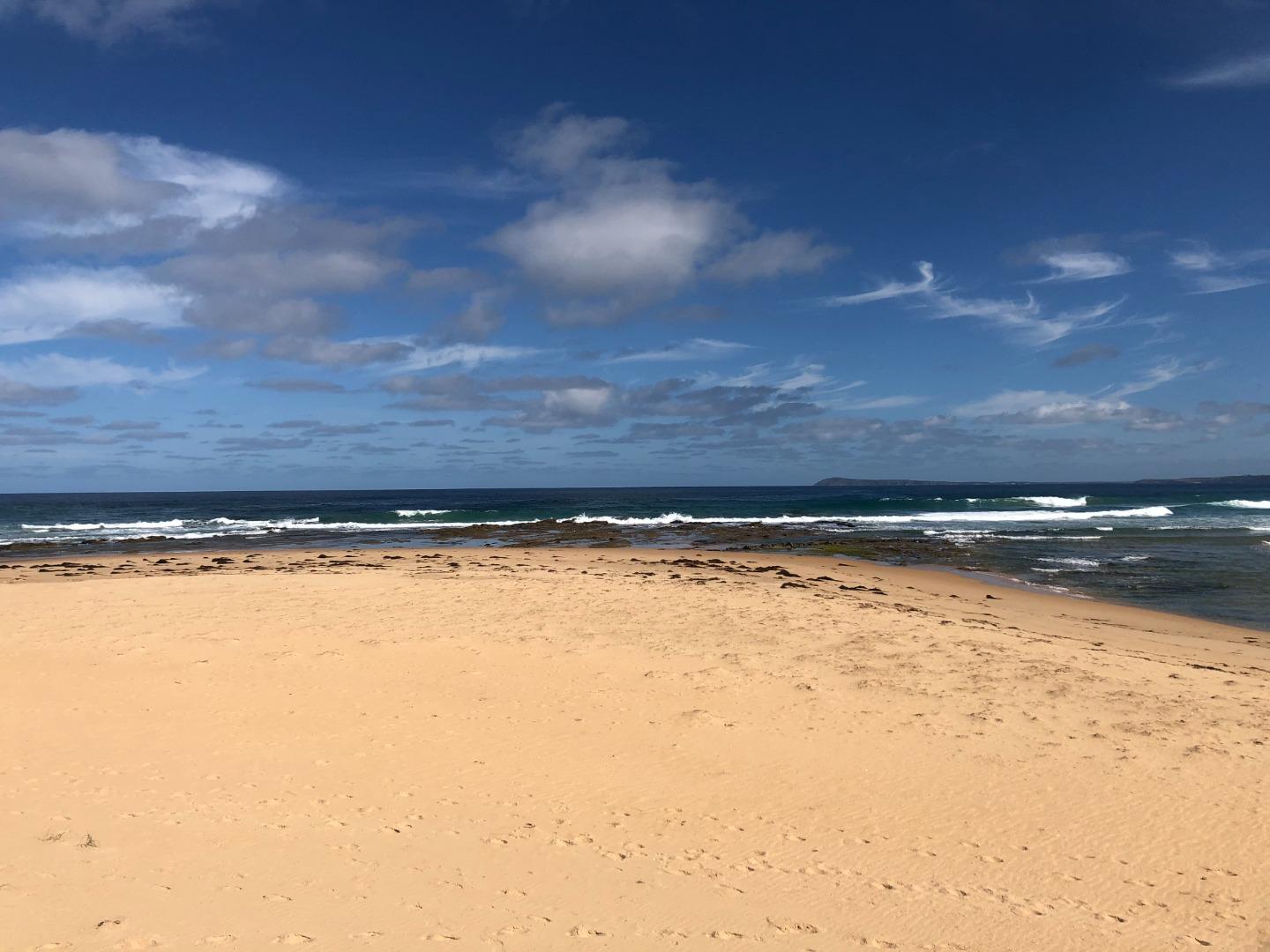
Powlett River Mouth Condition Observation SiteActive Mouth Condition 13-03-2010 - 26-05-2026Rocky platform located on eastern side of the river mouth. Observations 293 |
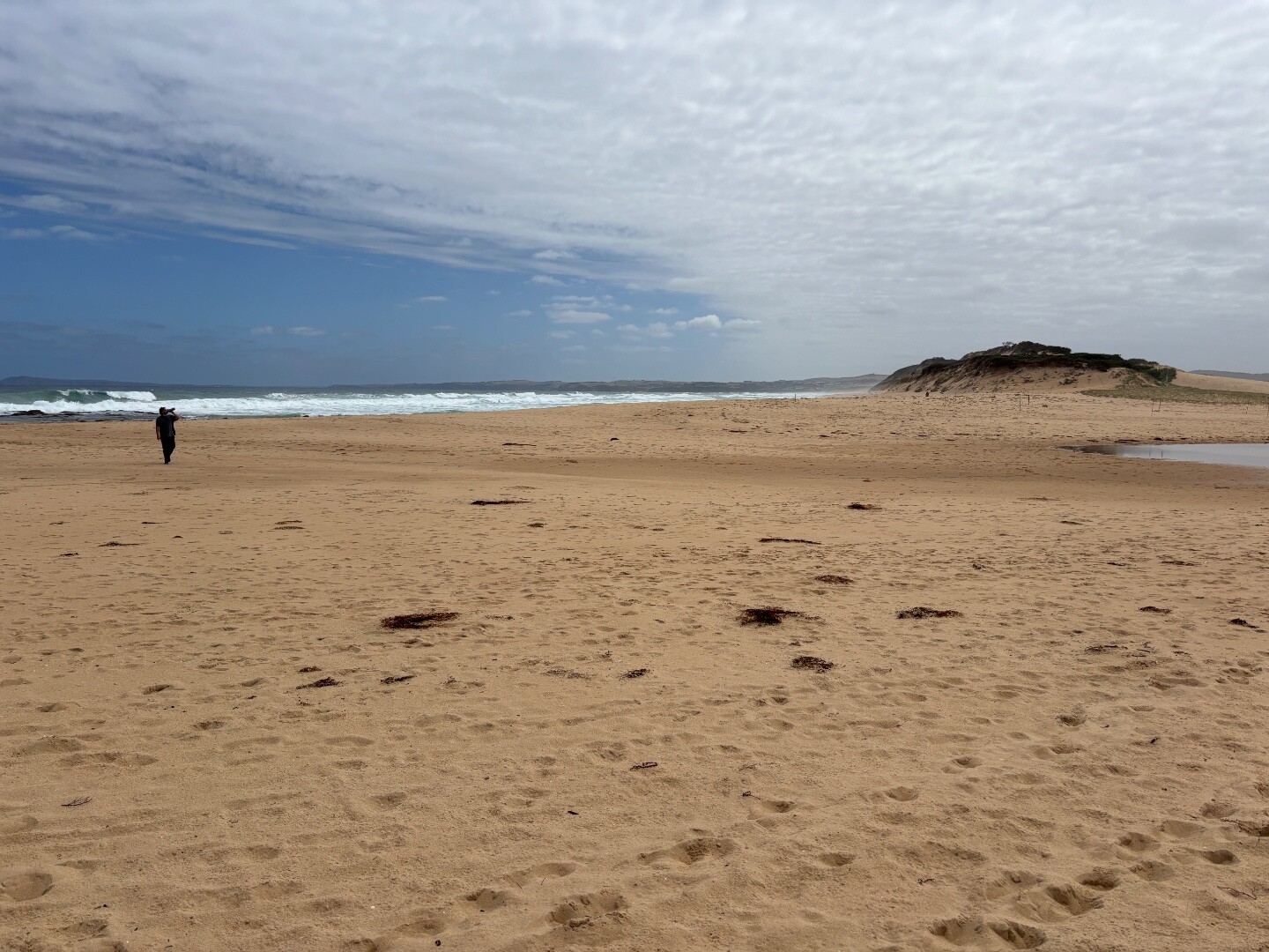
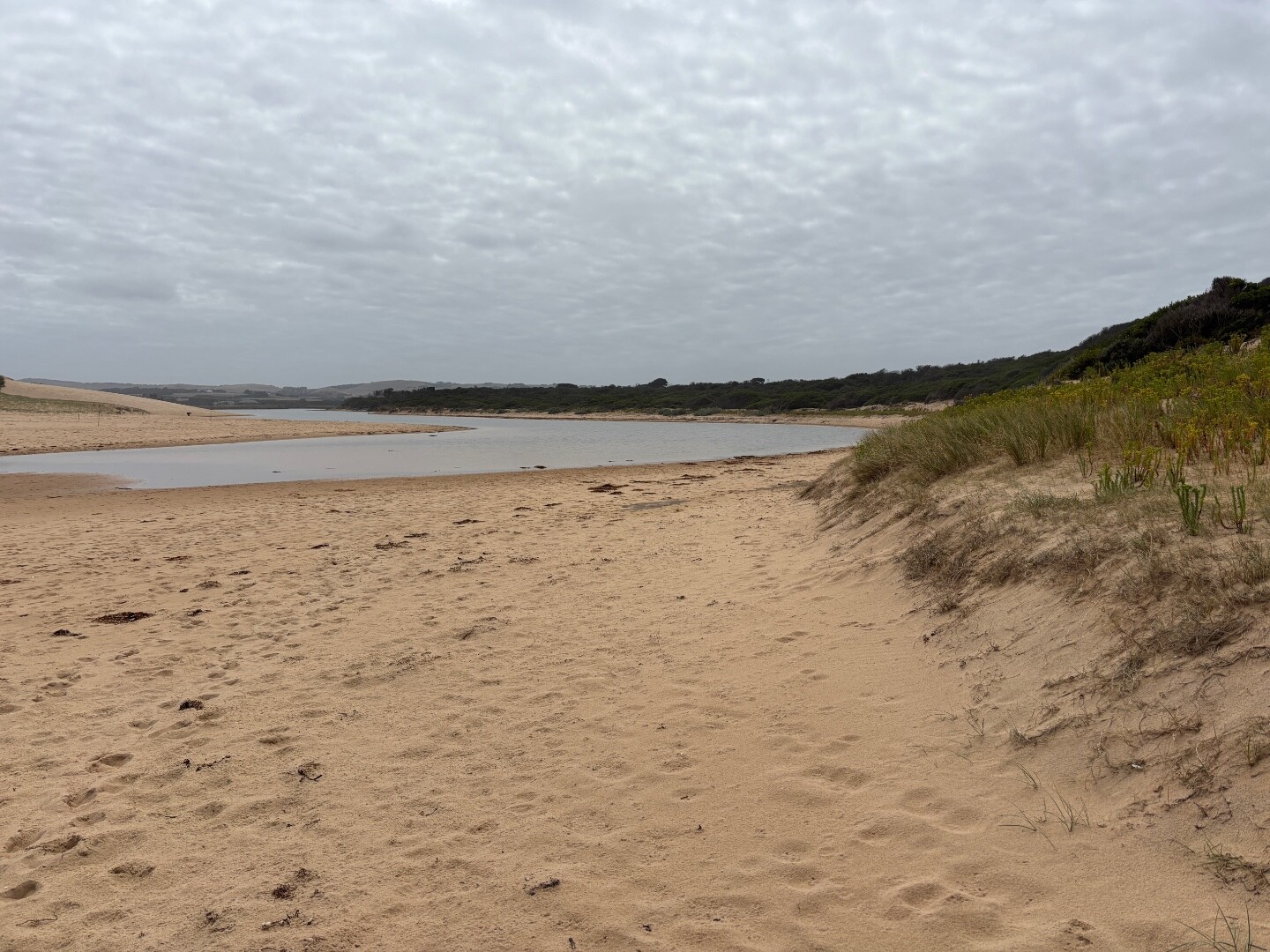
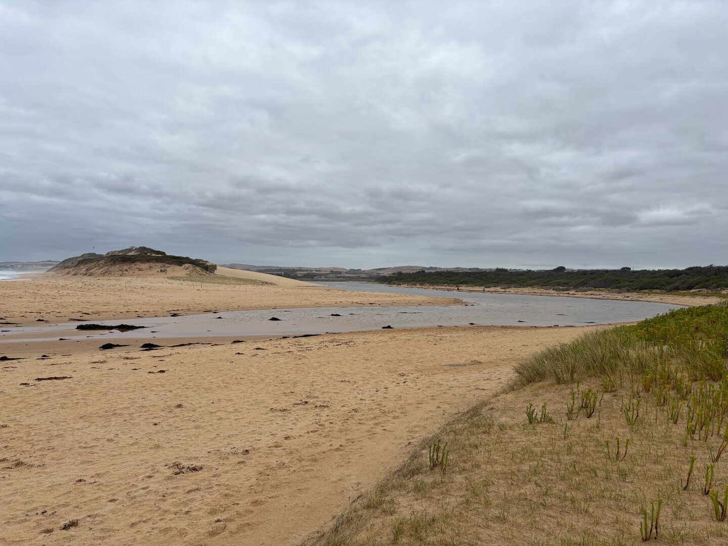
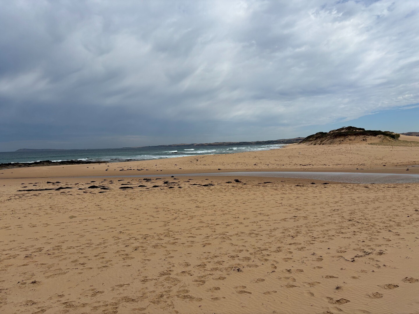
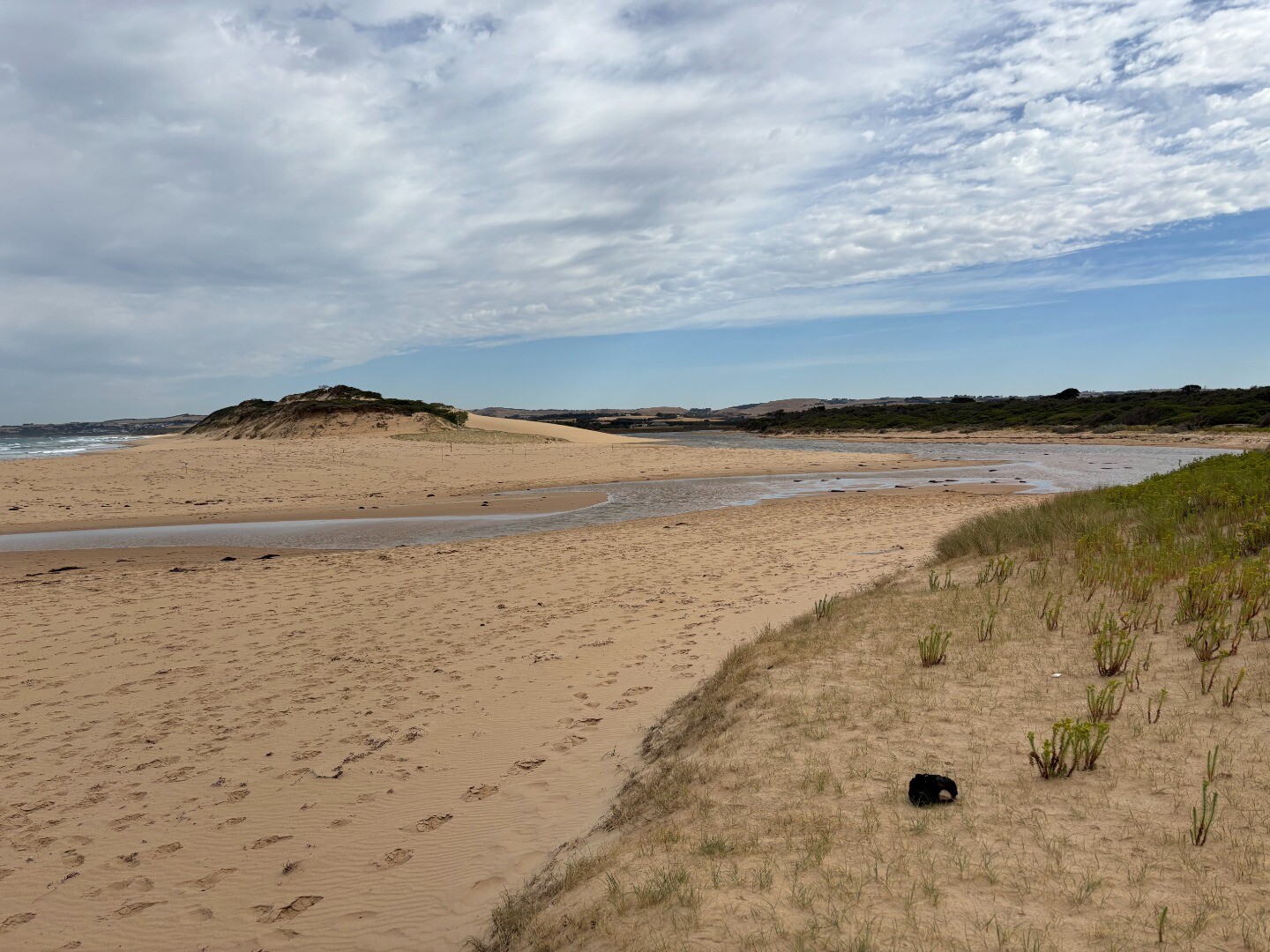
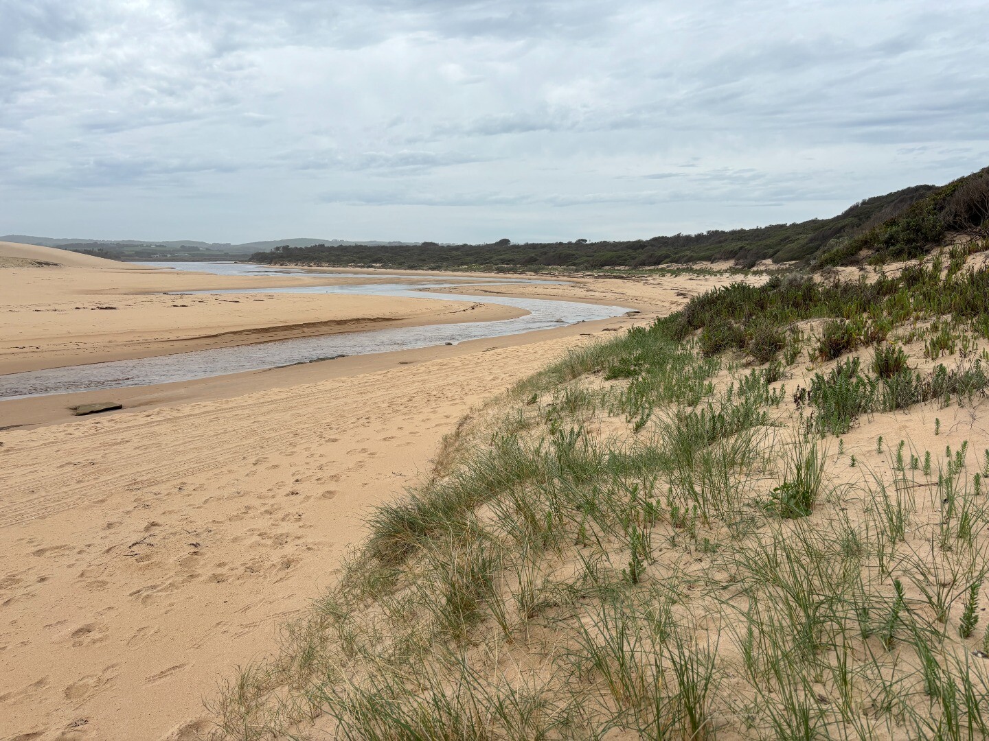
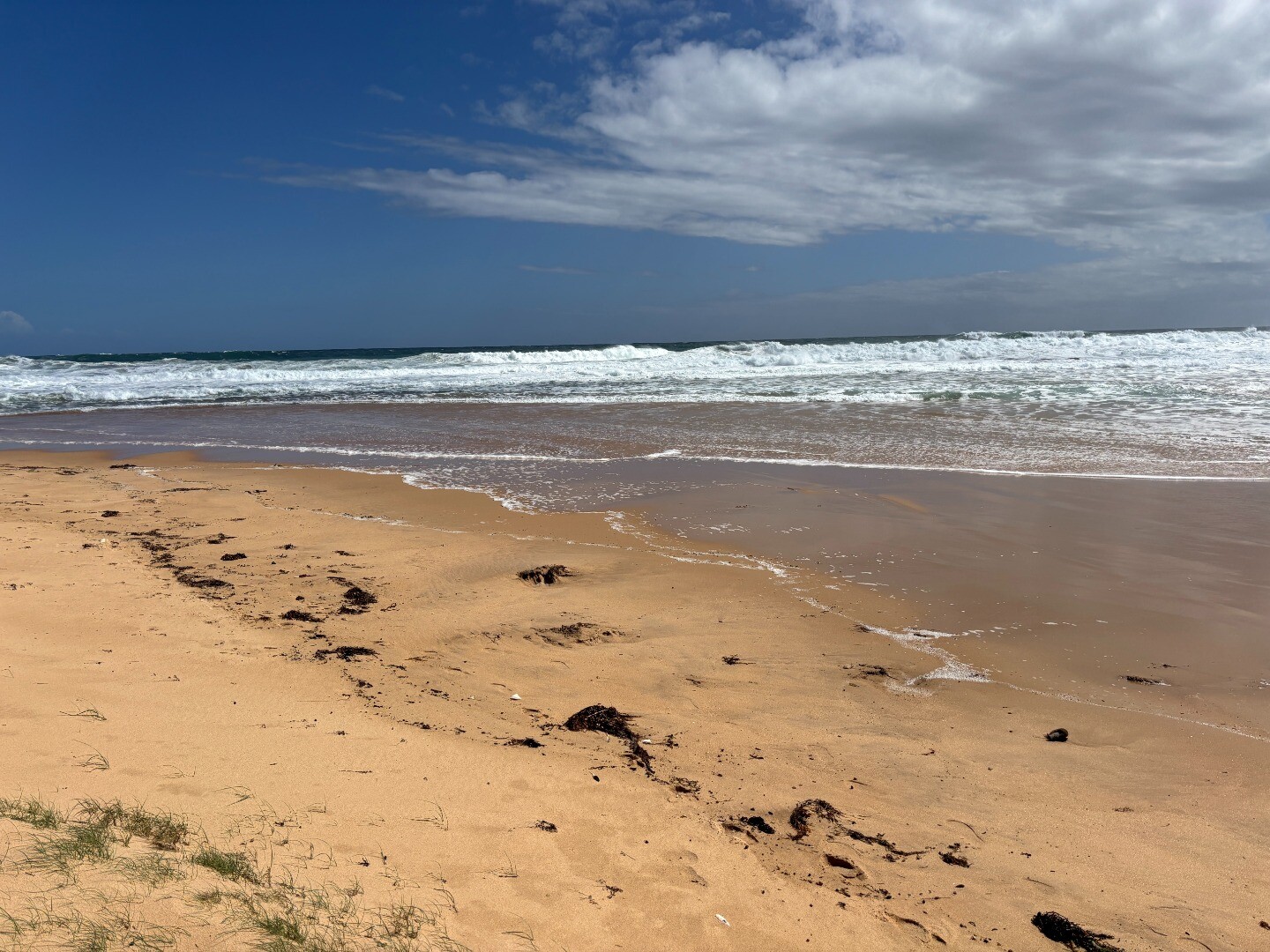
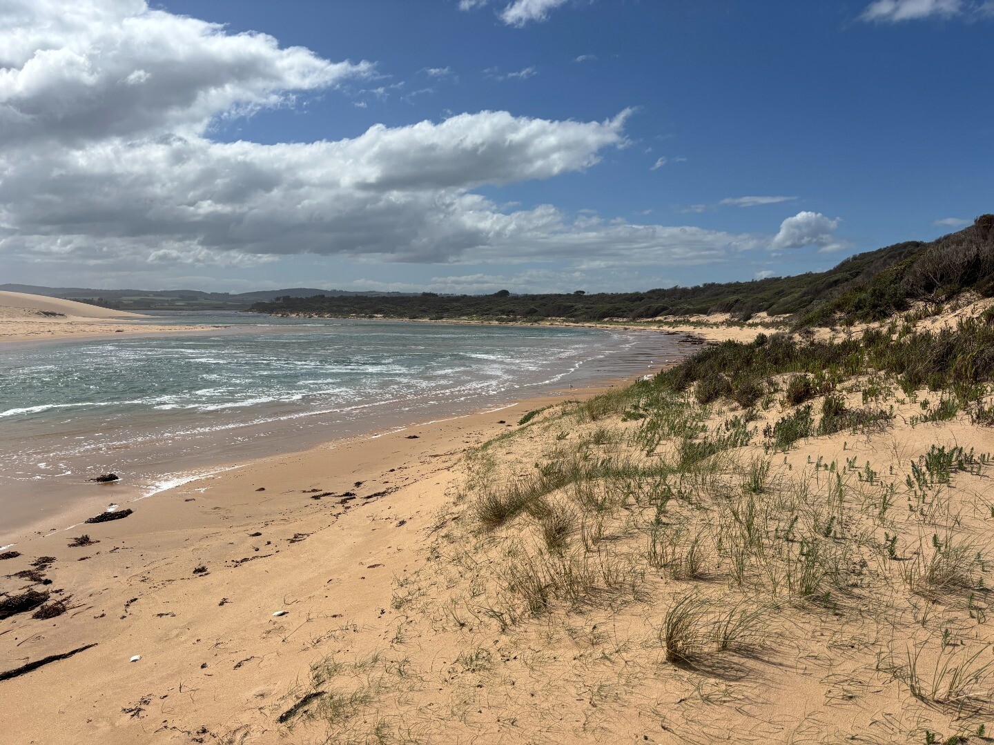
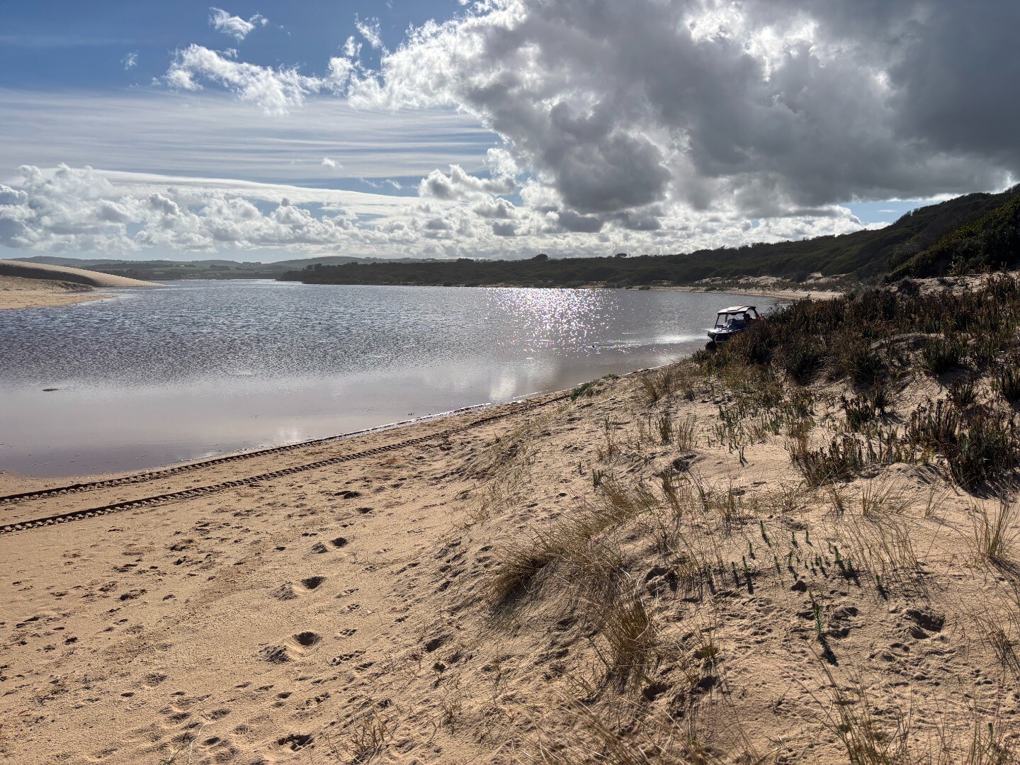
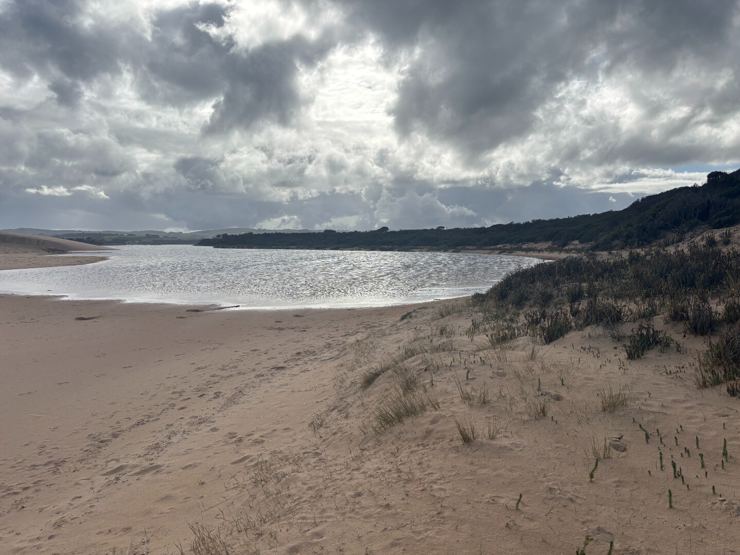
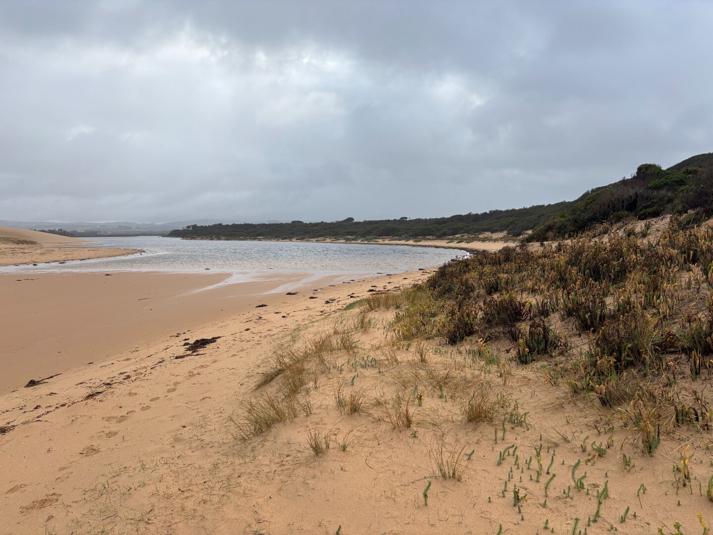
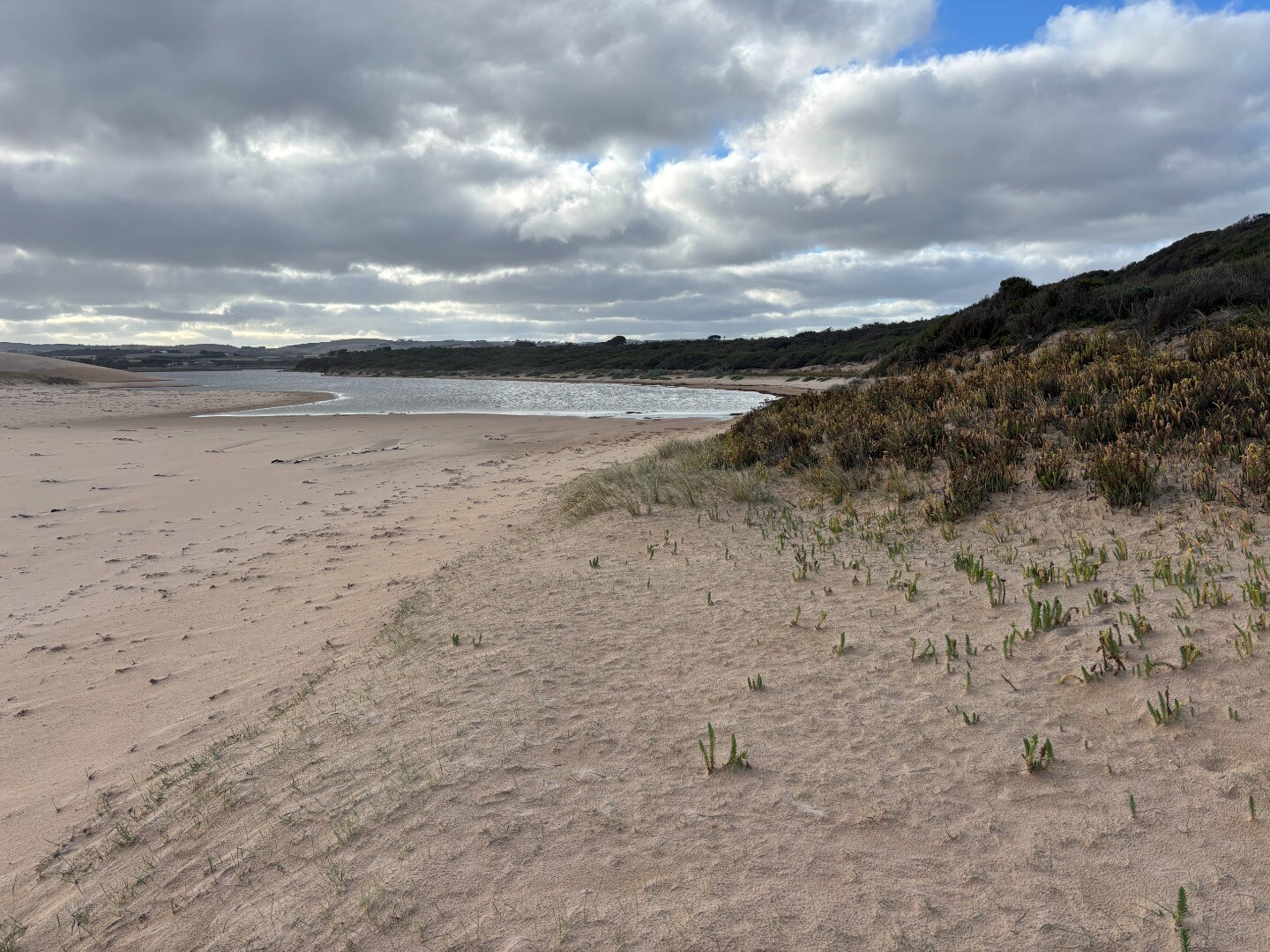
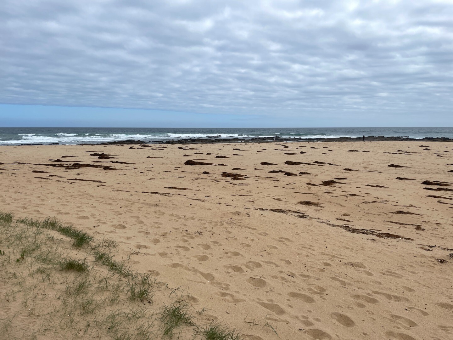
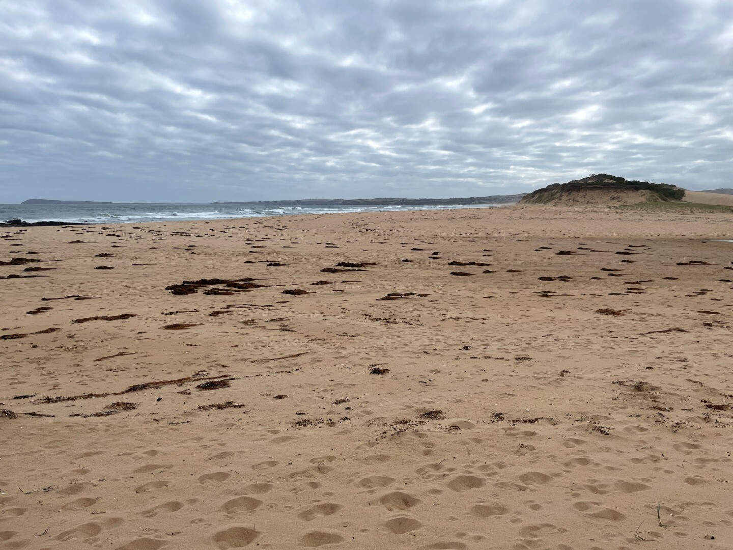
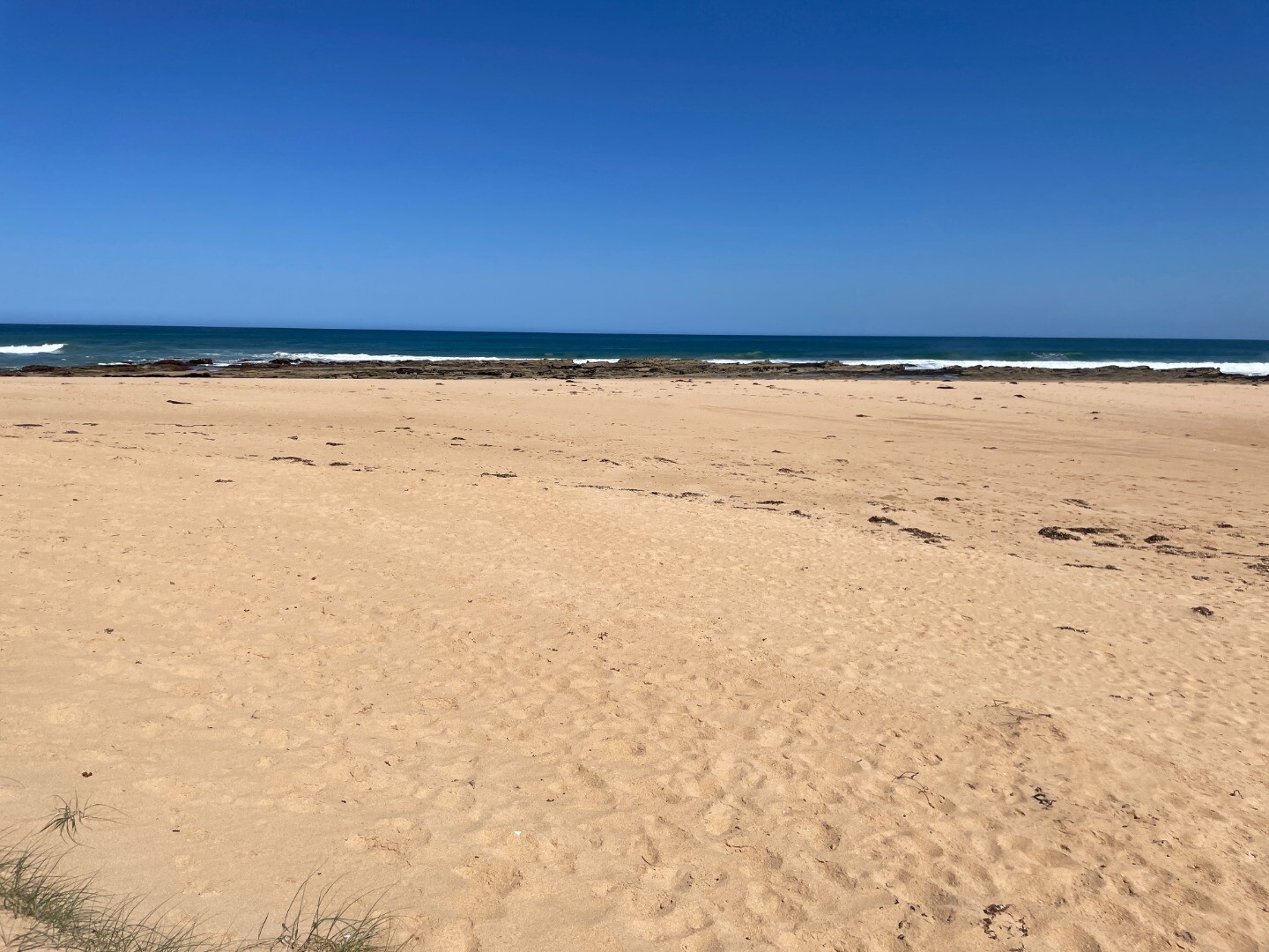
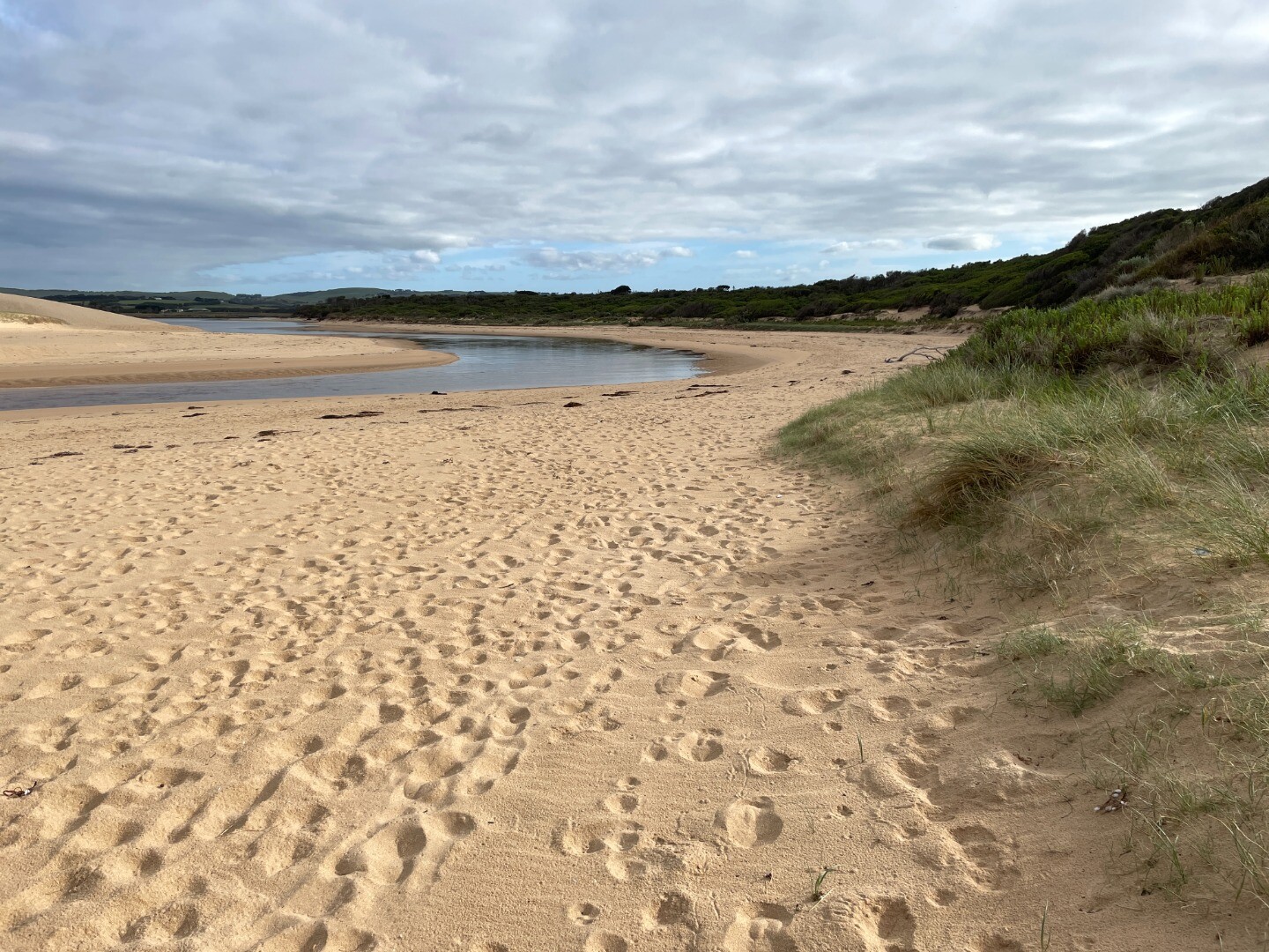
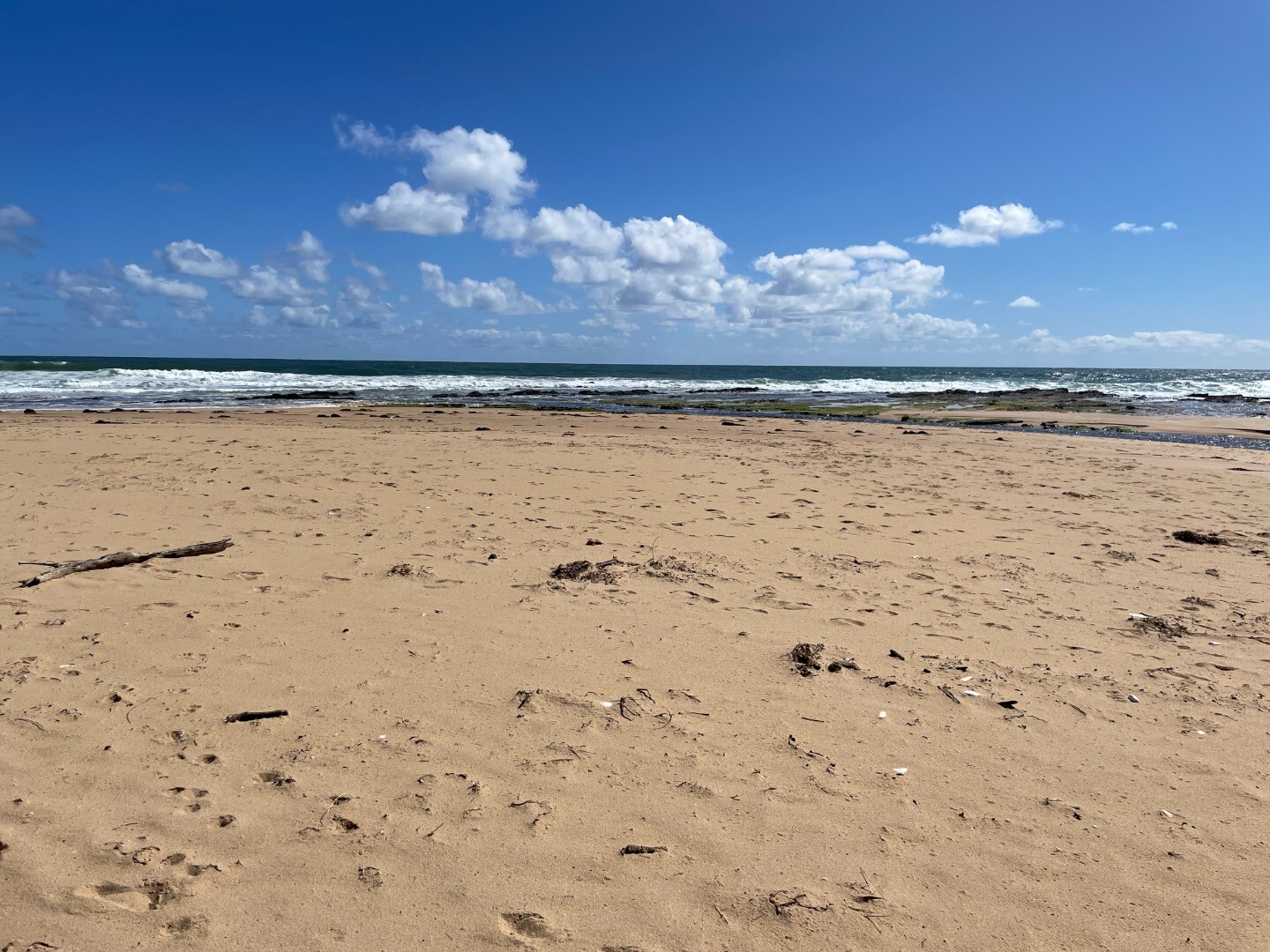
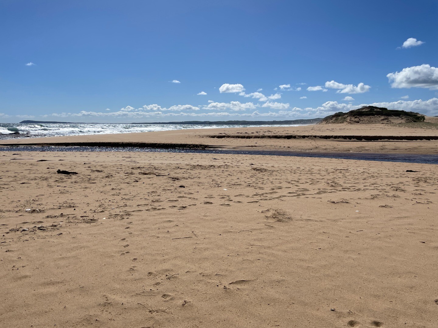
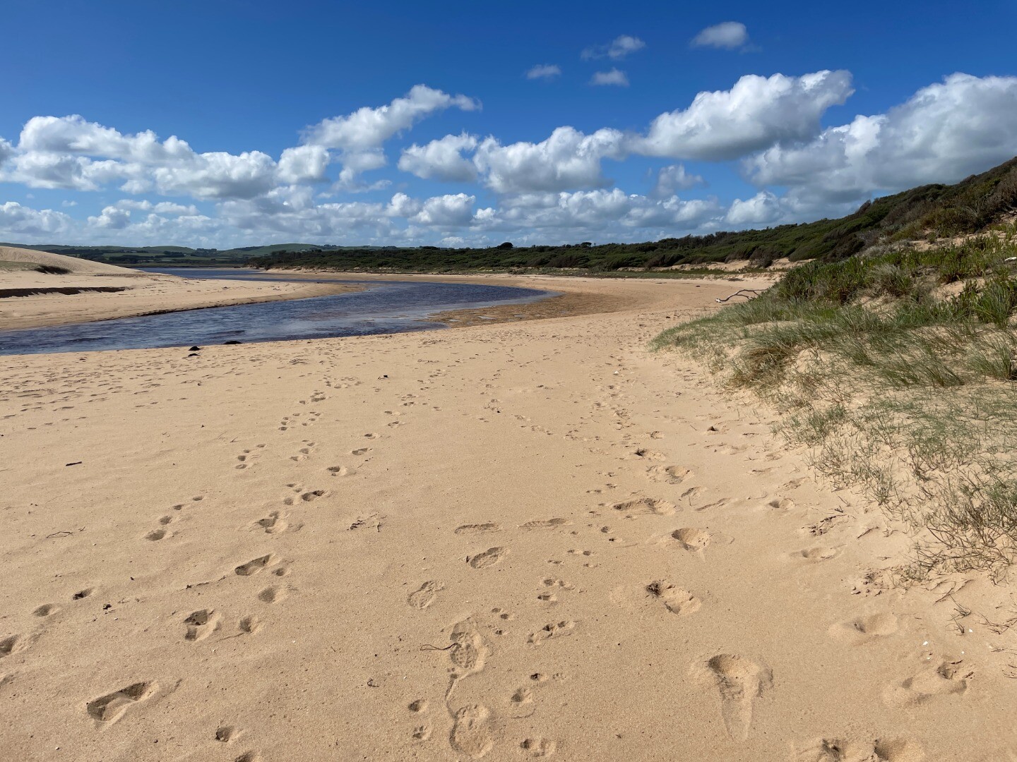
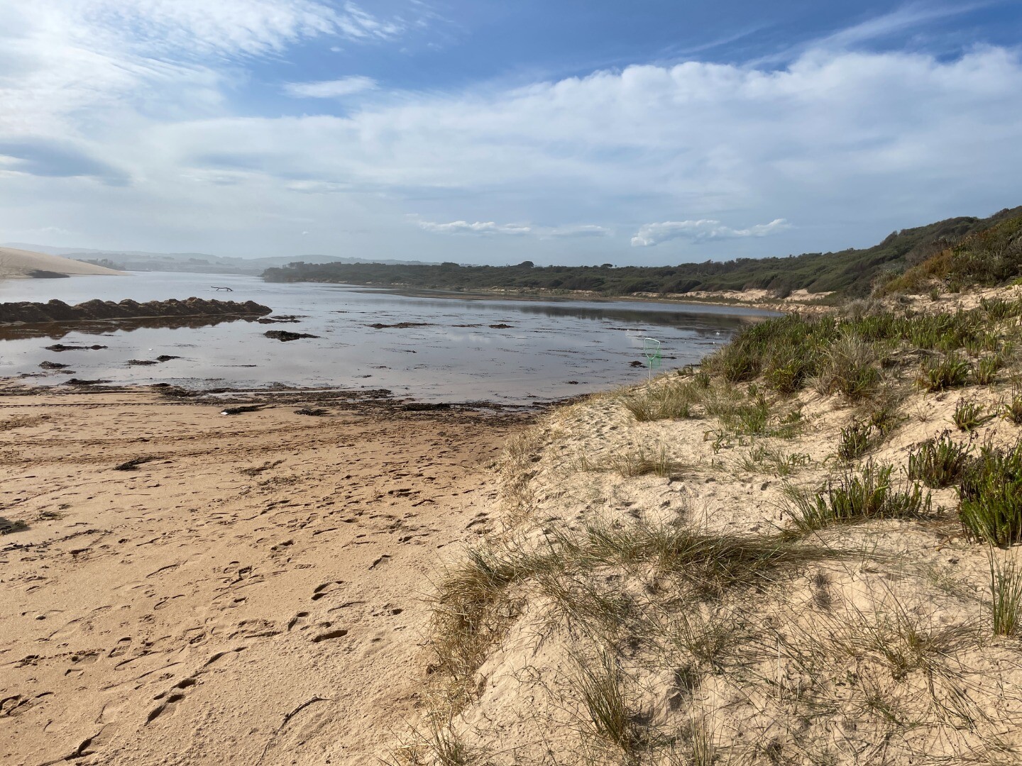
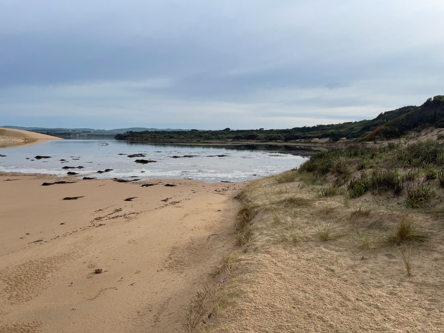
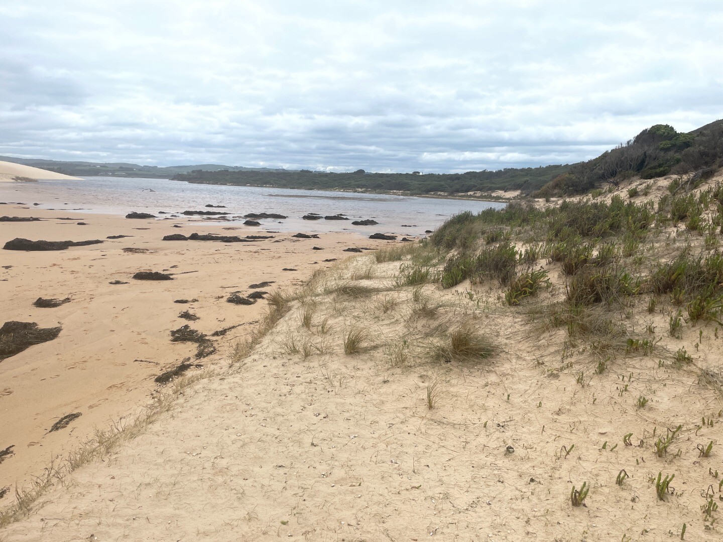
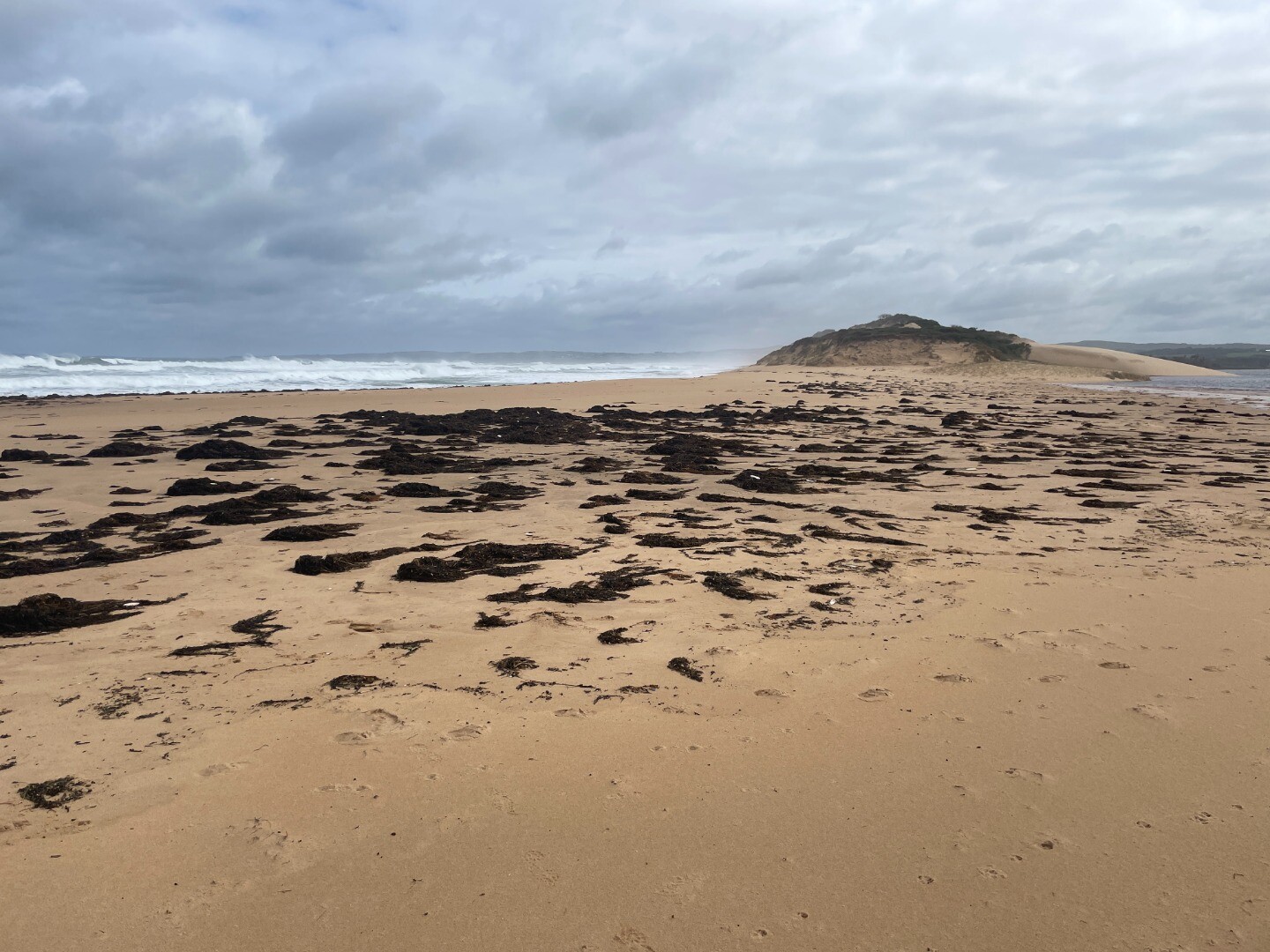
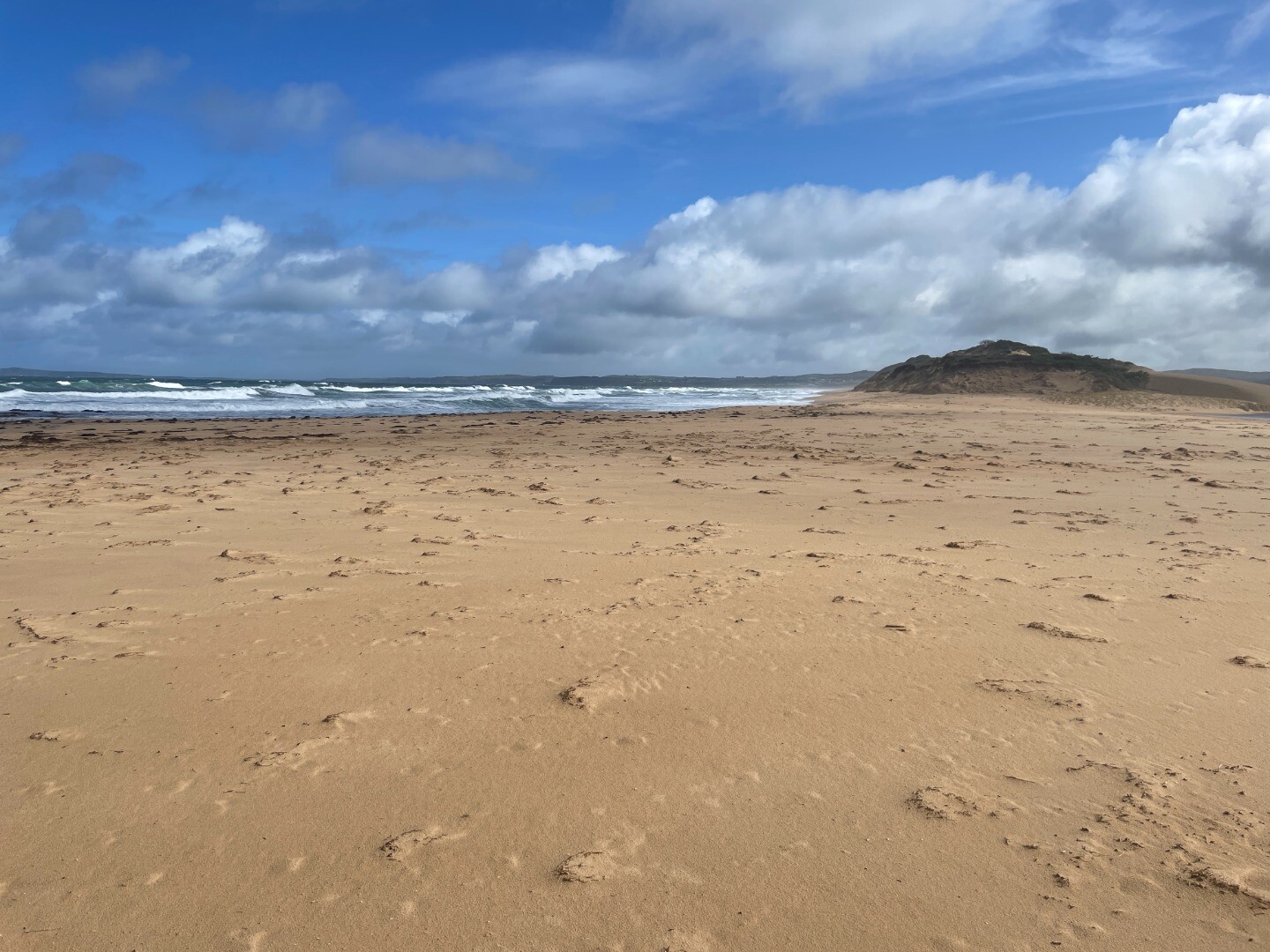
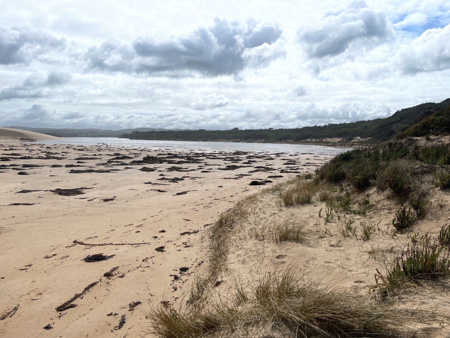
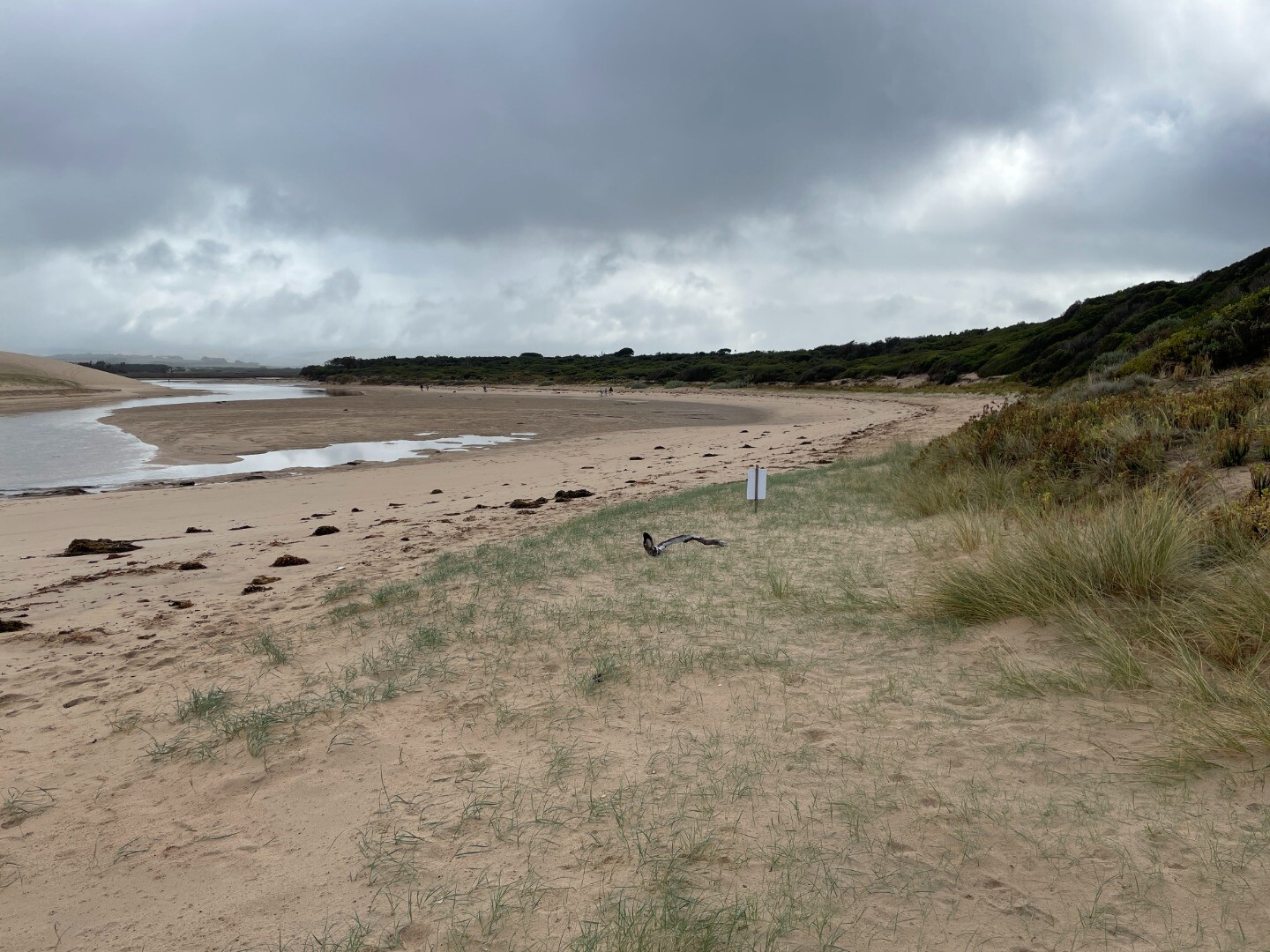
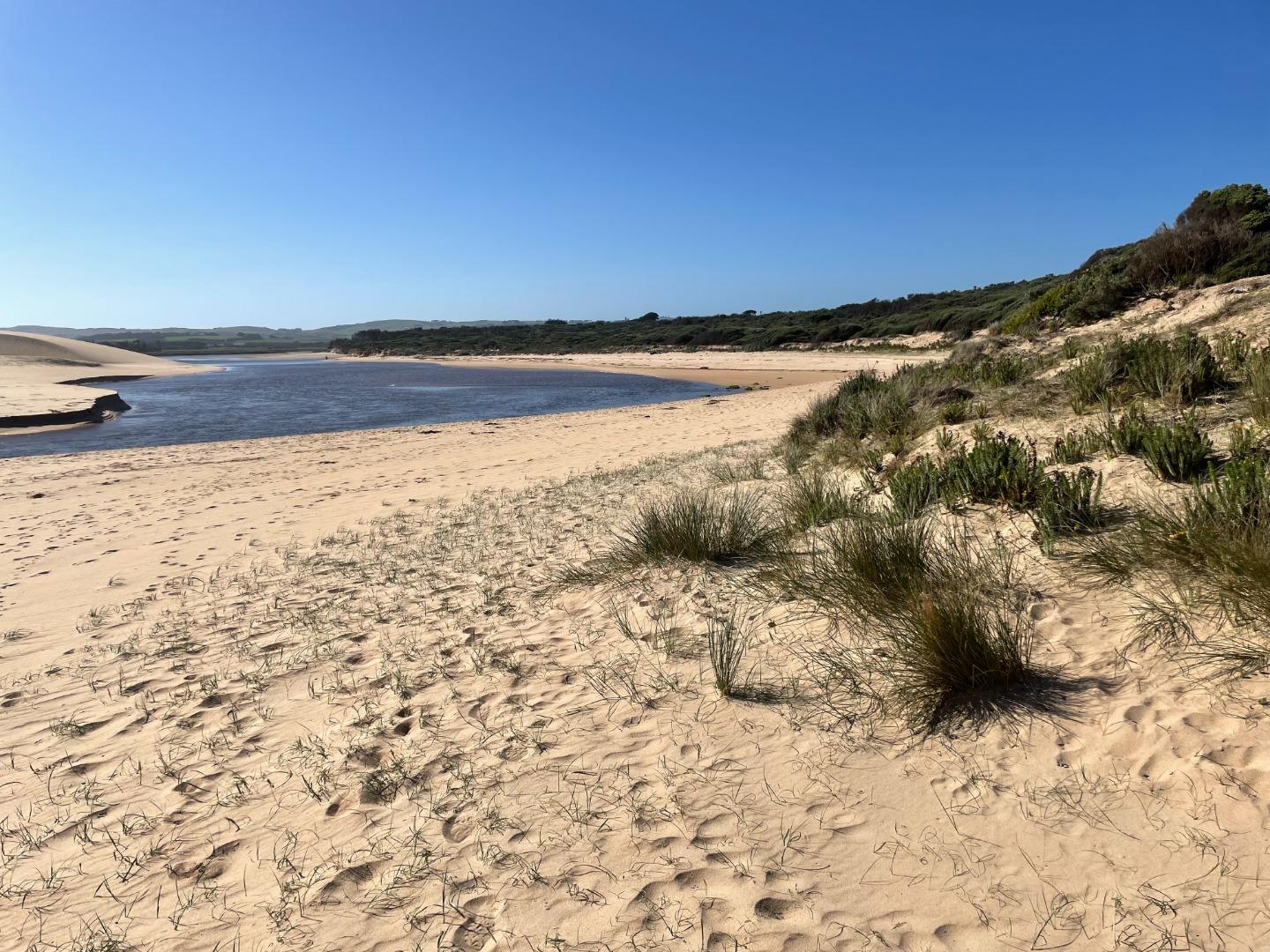
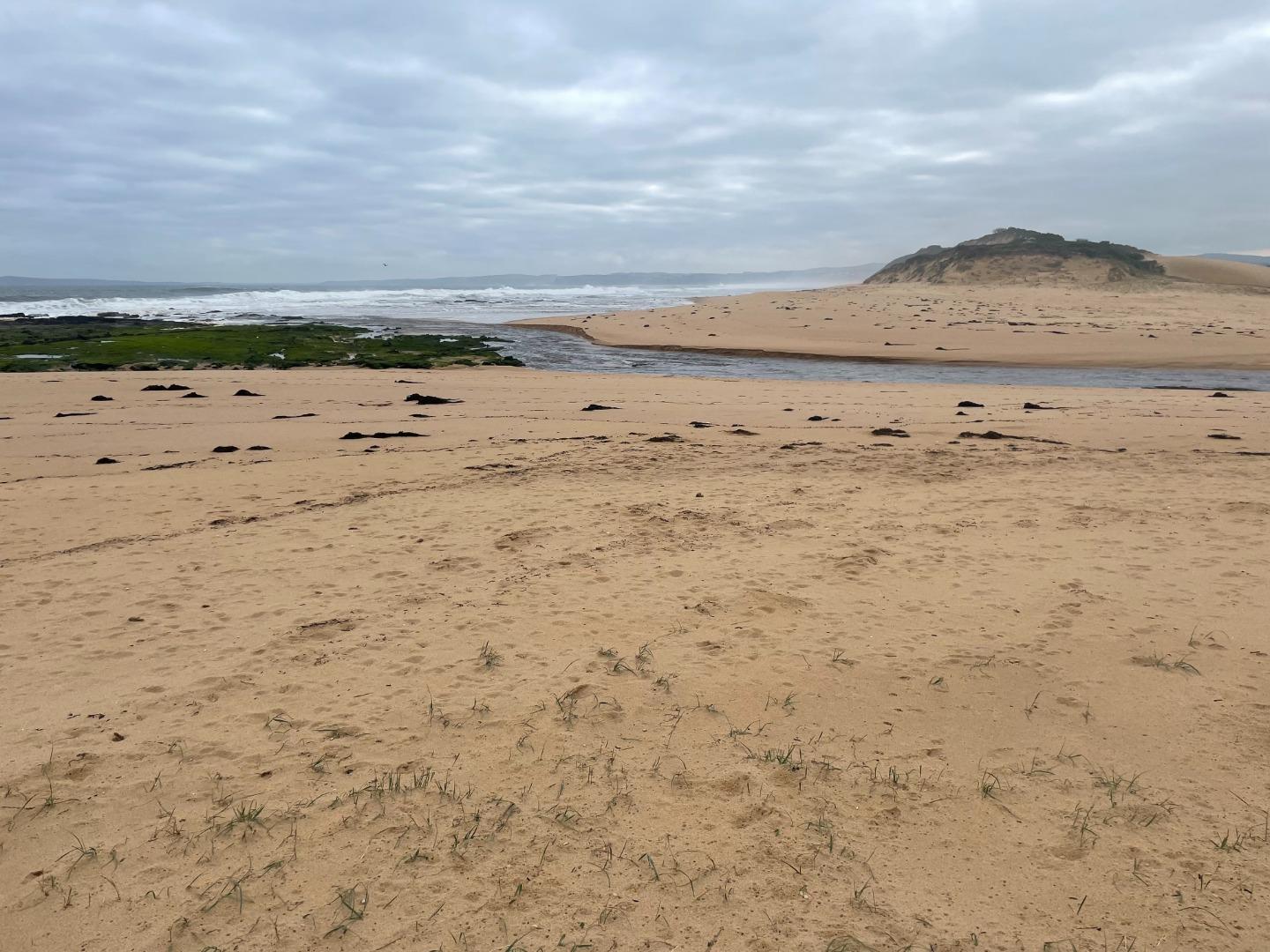
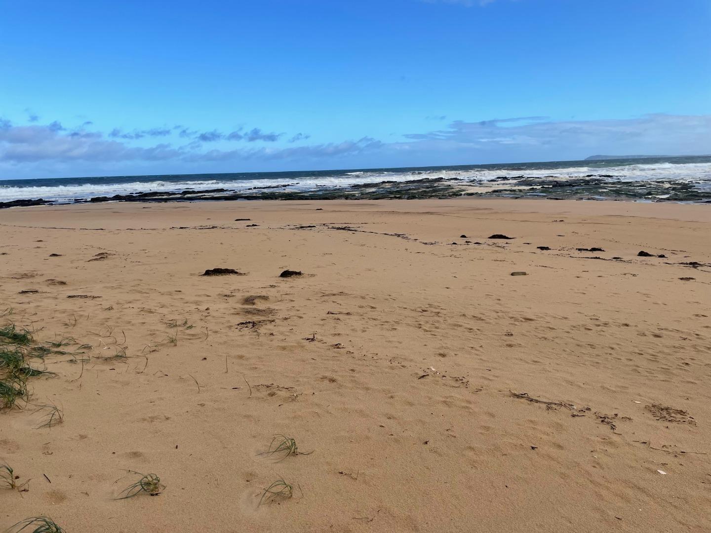
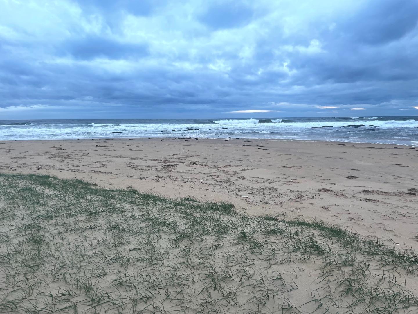
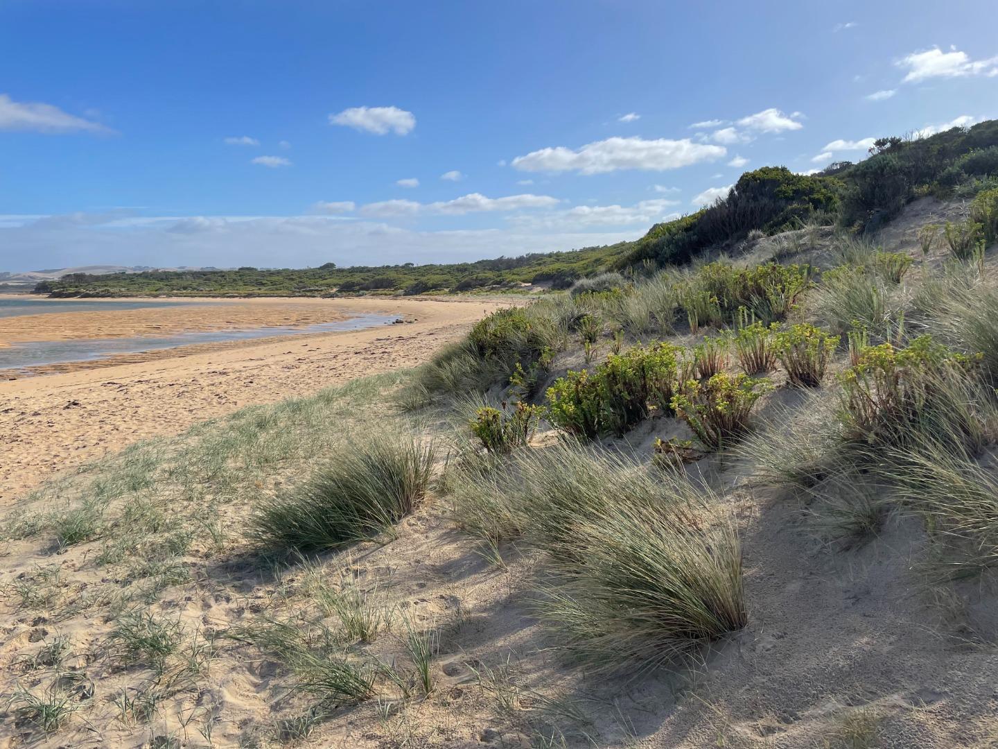
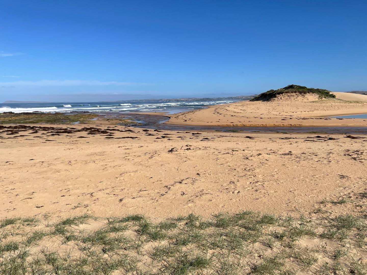
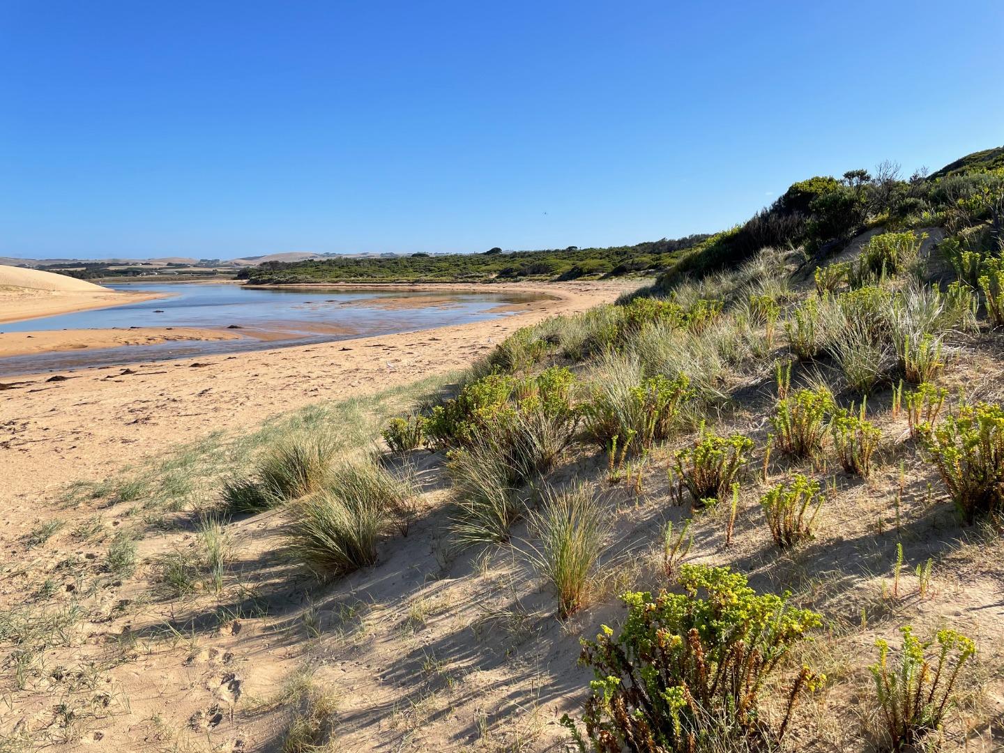
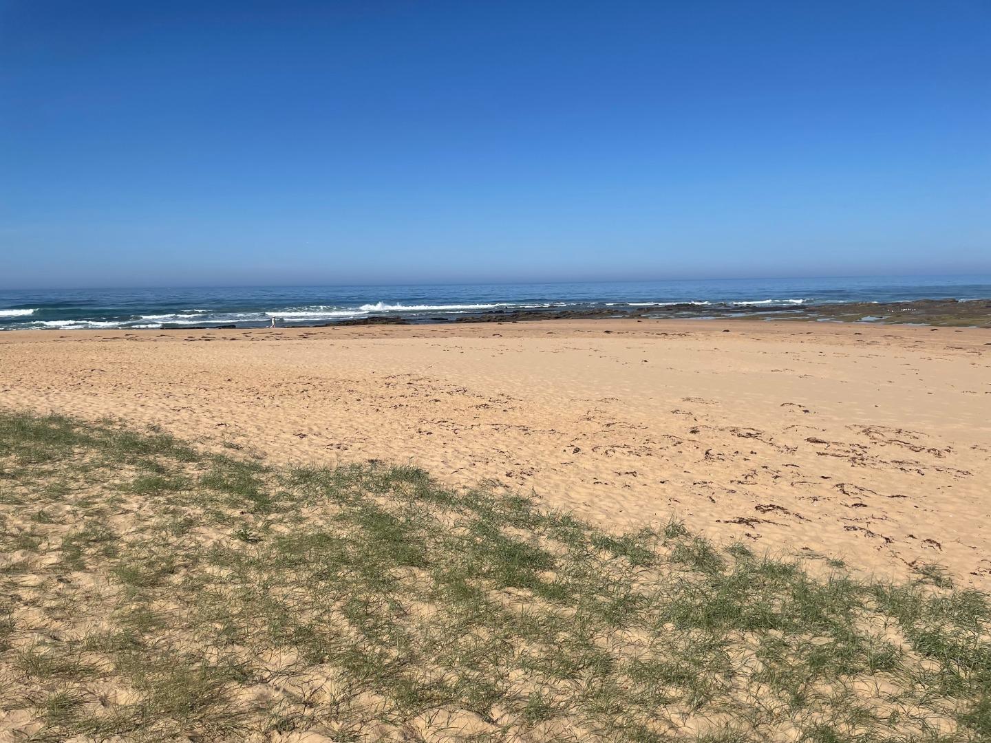
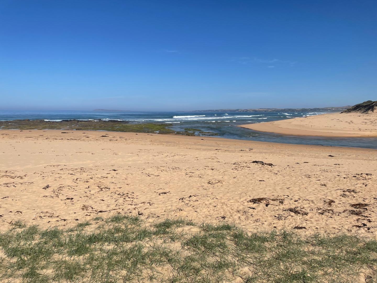
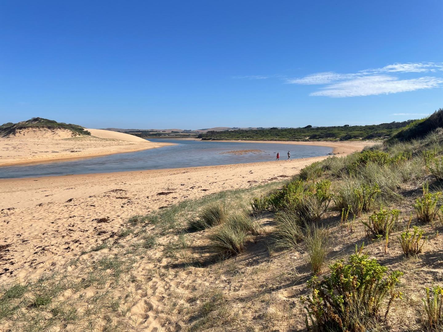
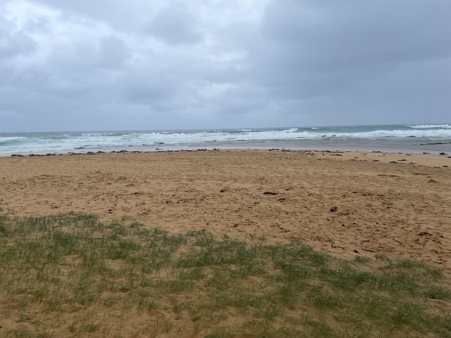
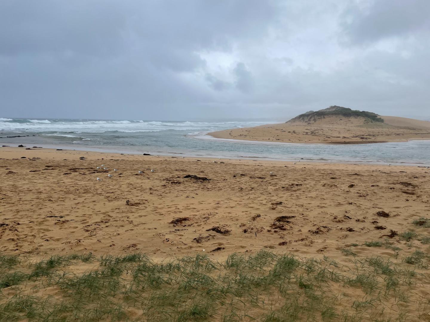
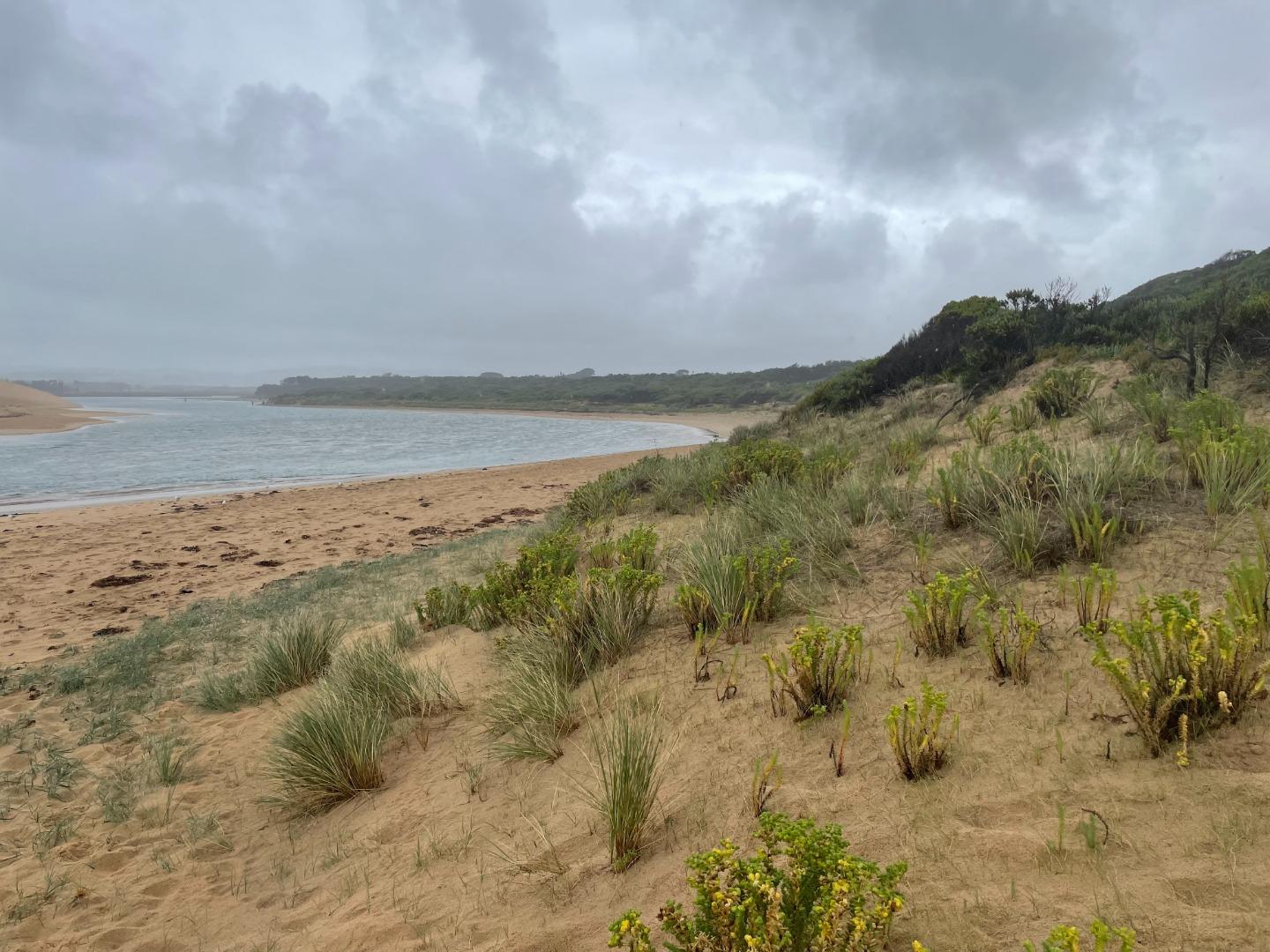
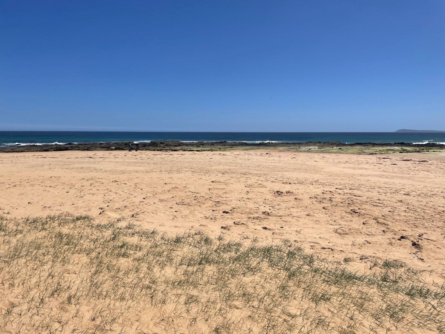
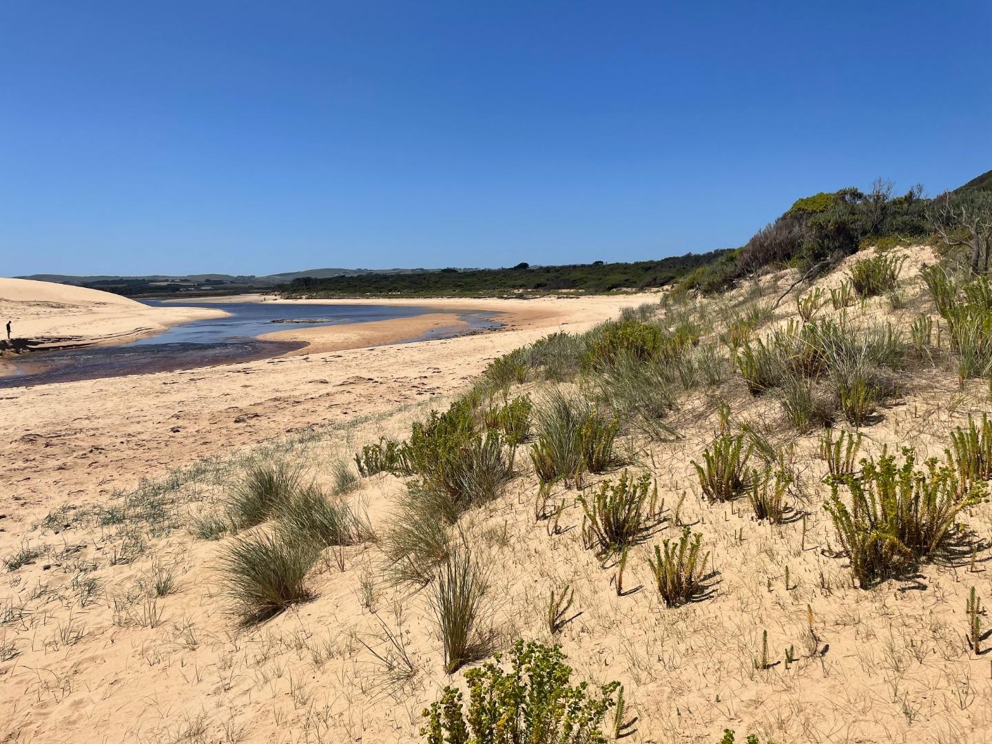
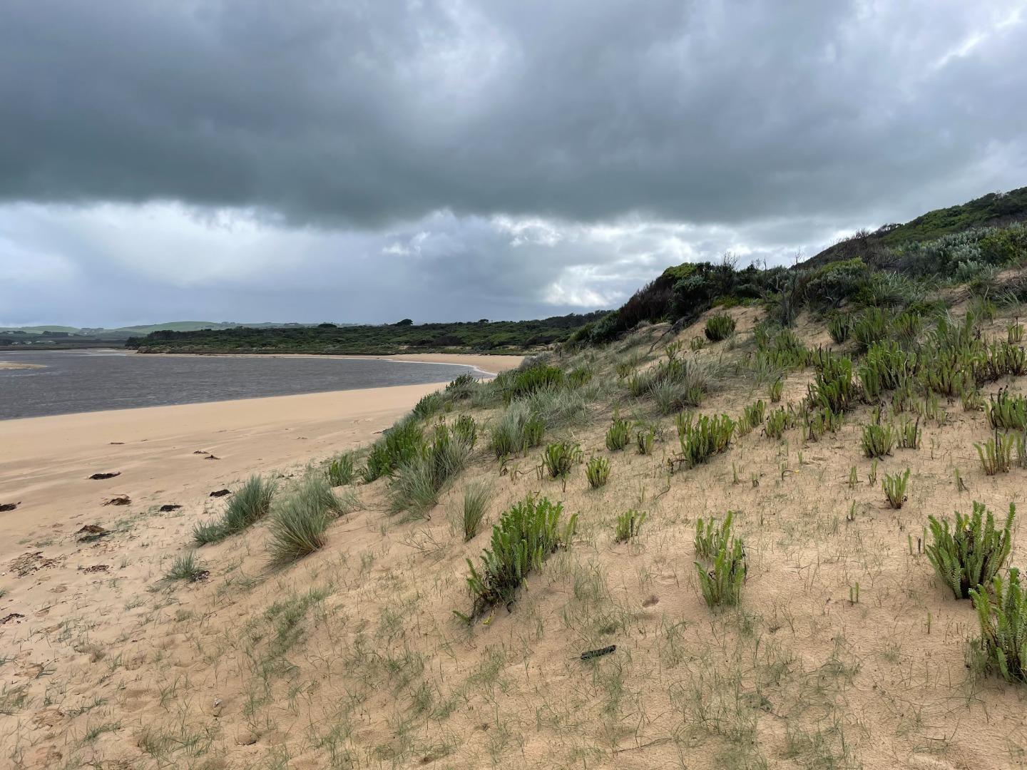
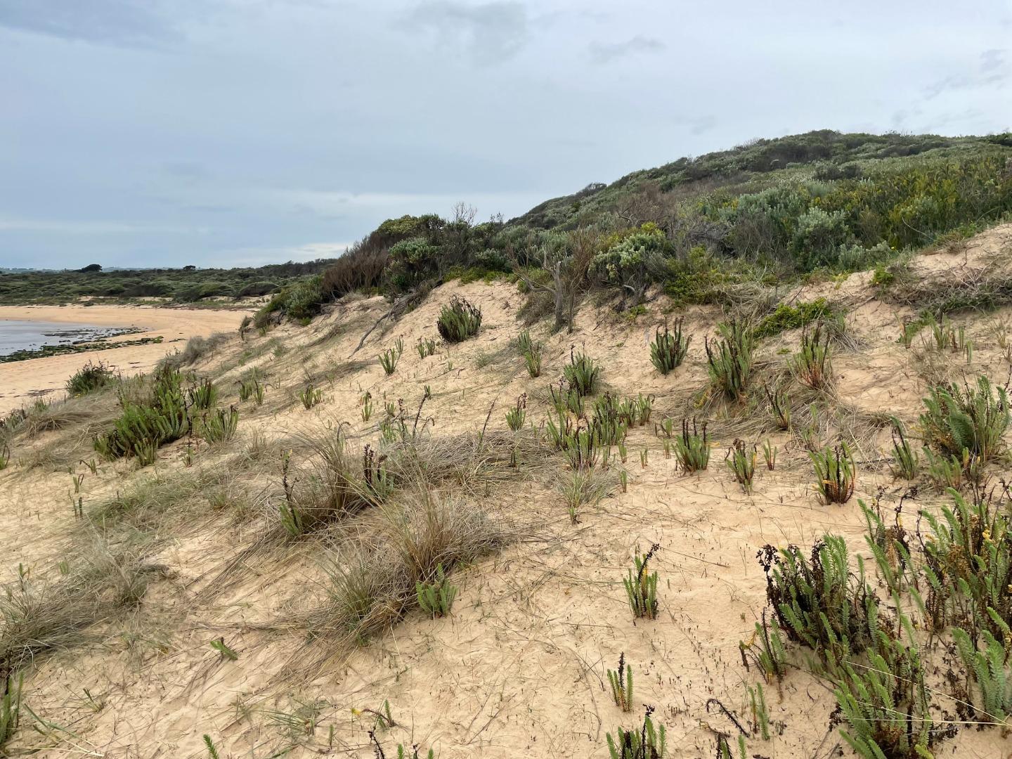
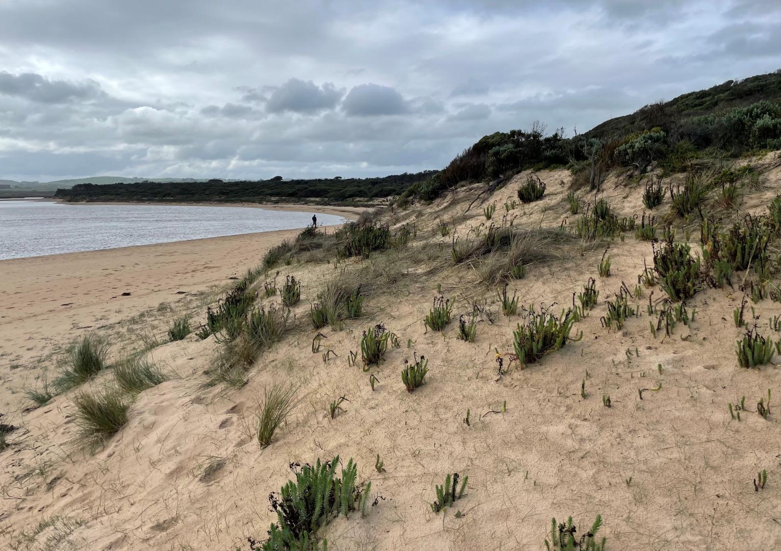
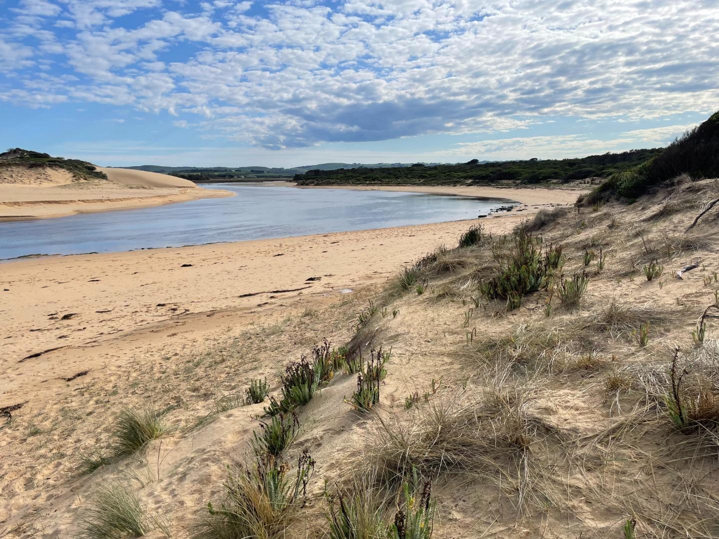
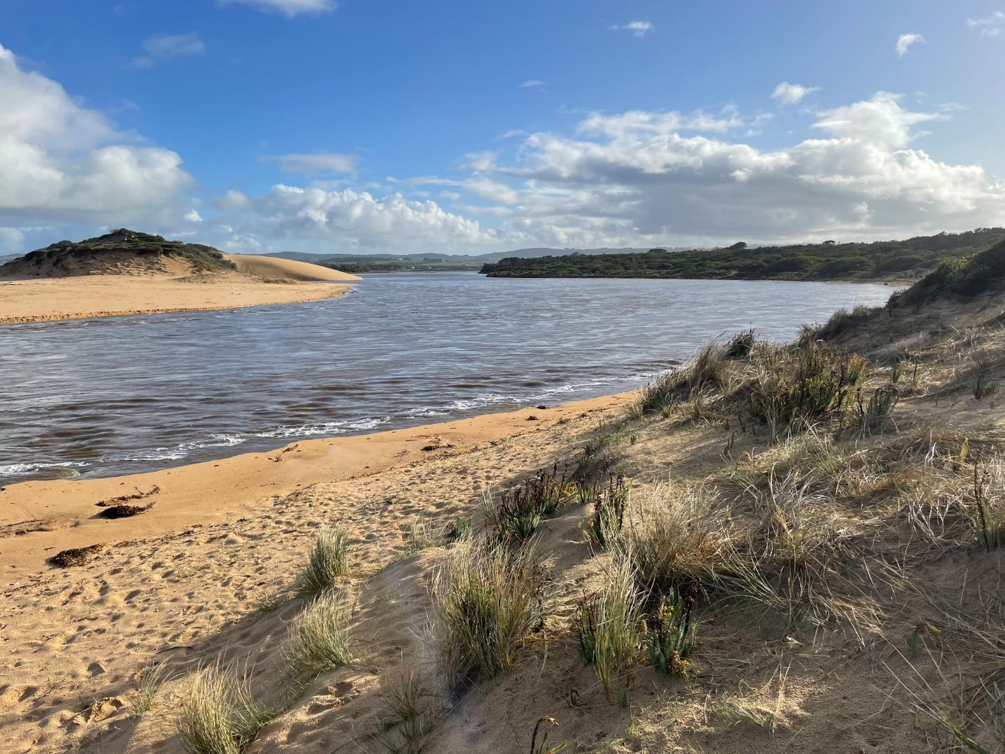
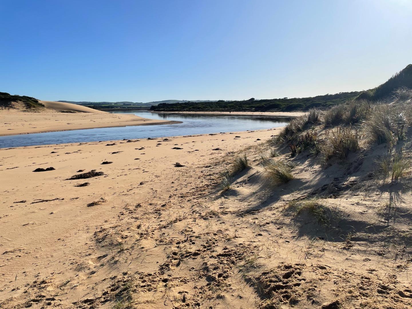
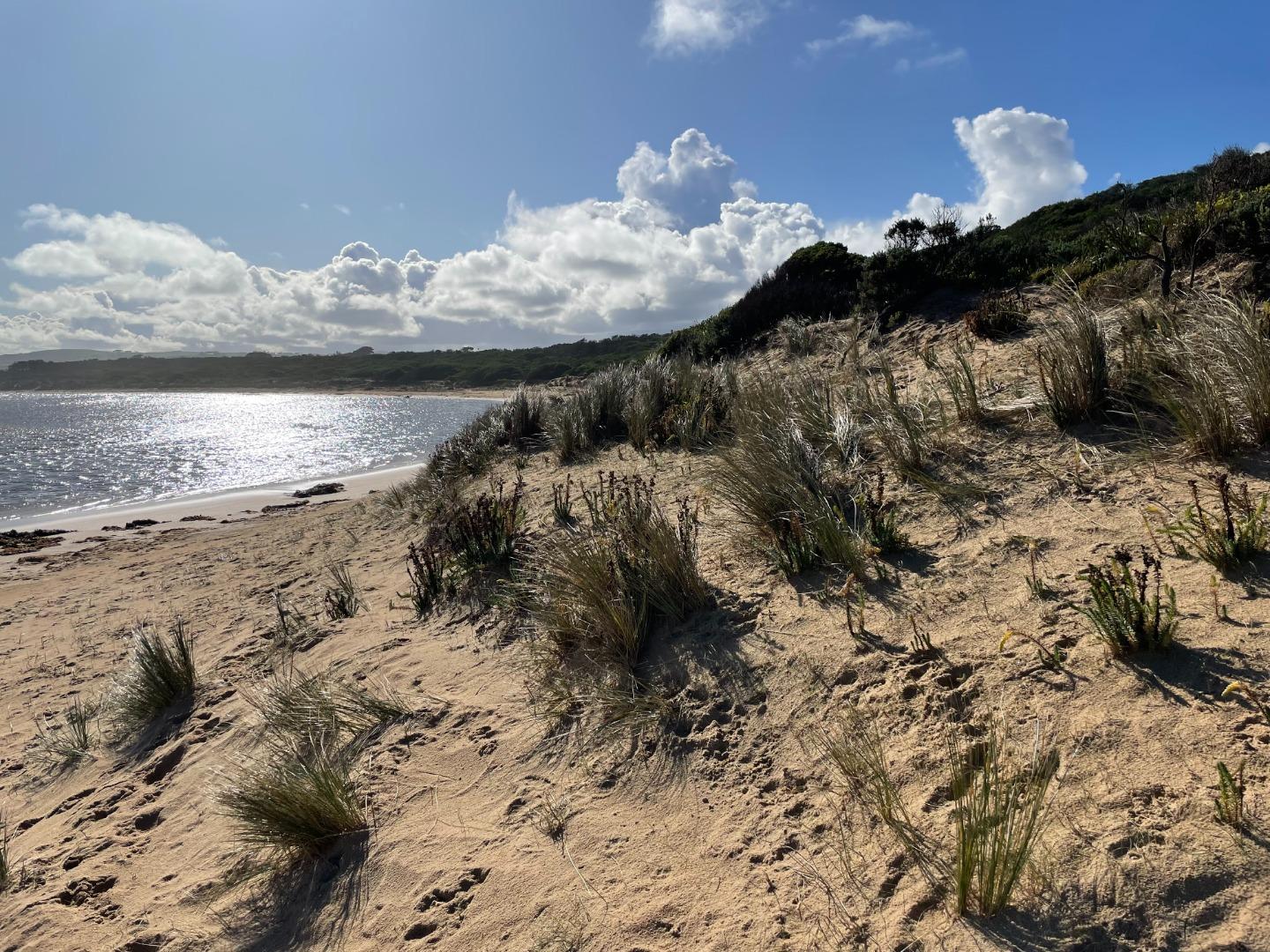
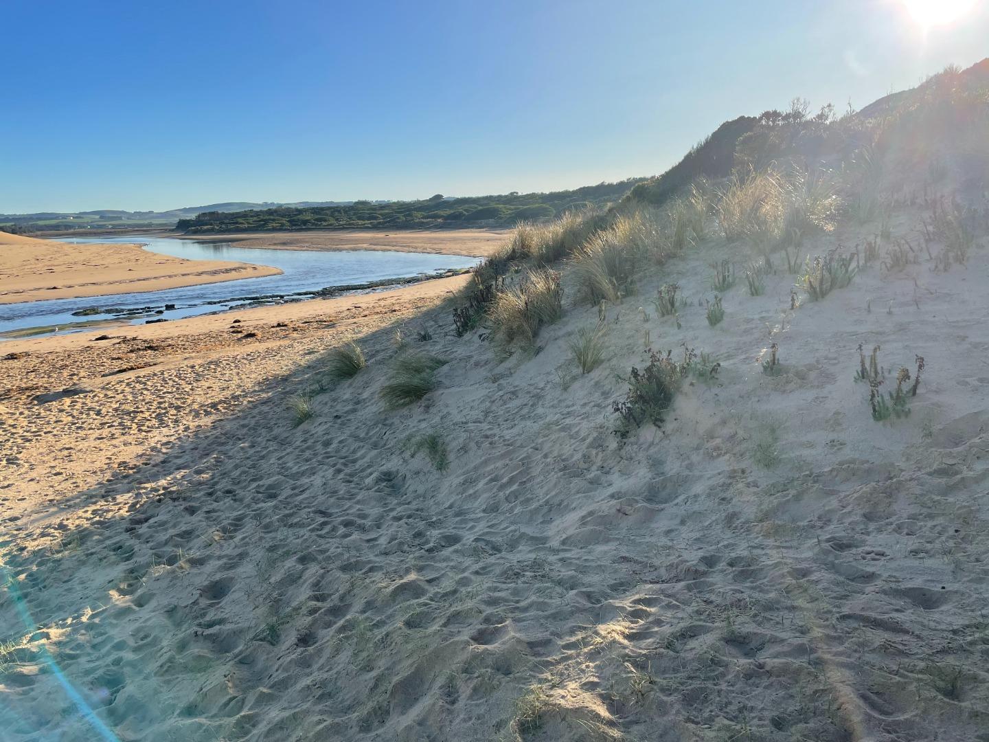
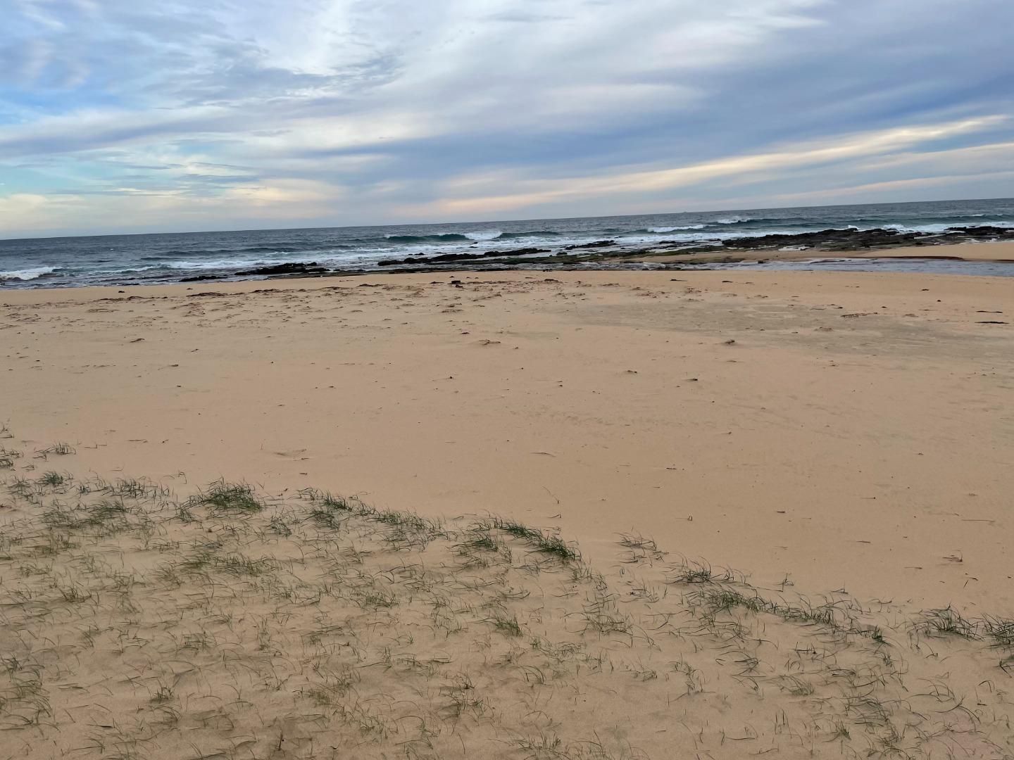
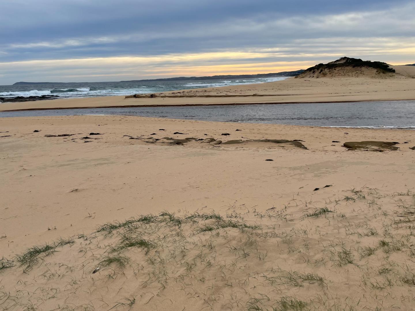
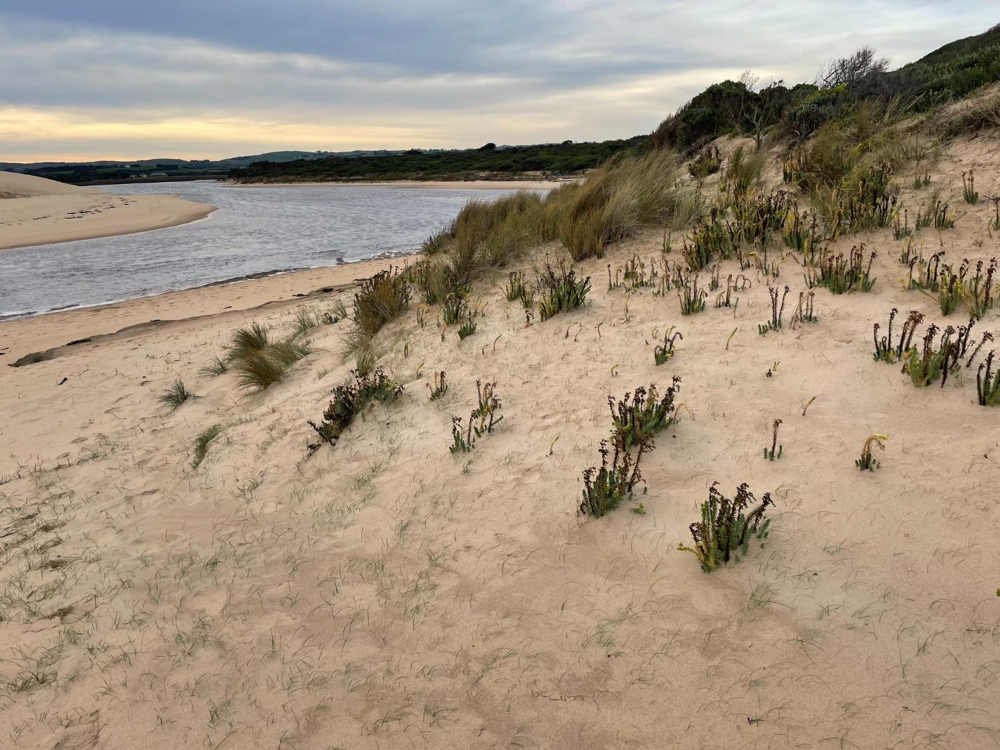
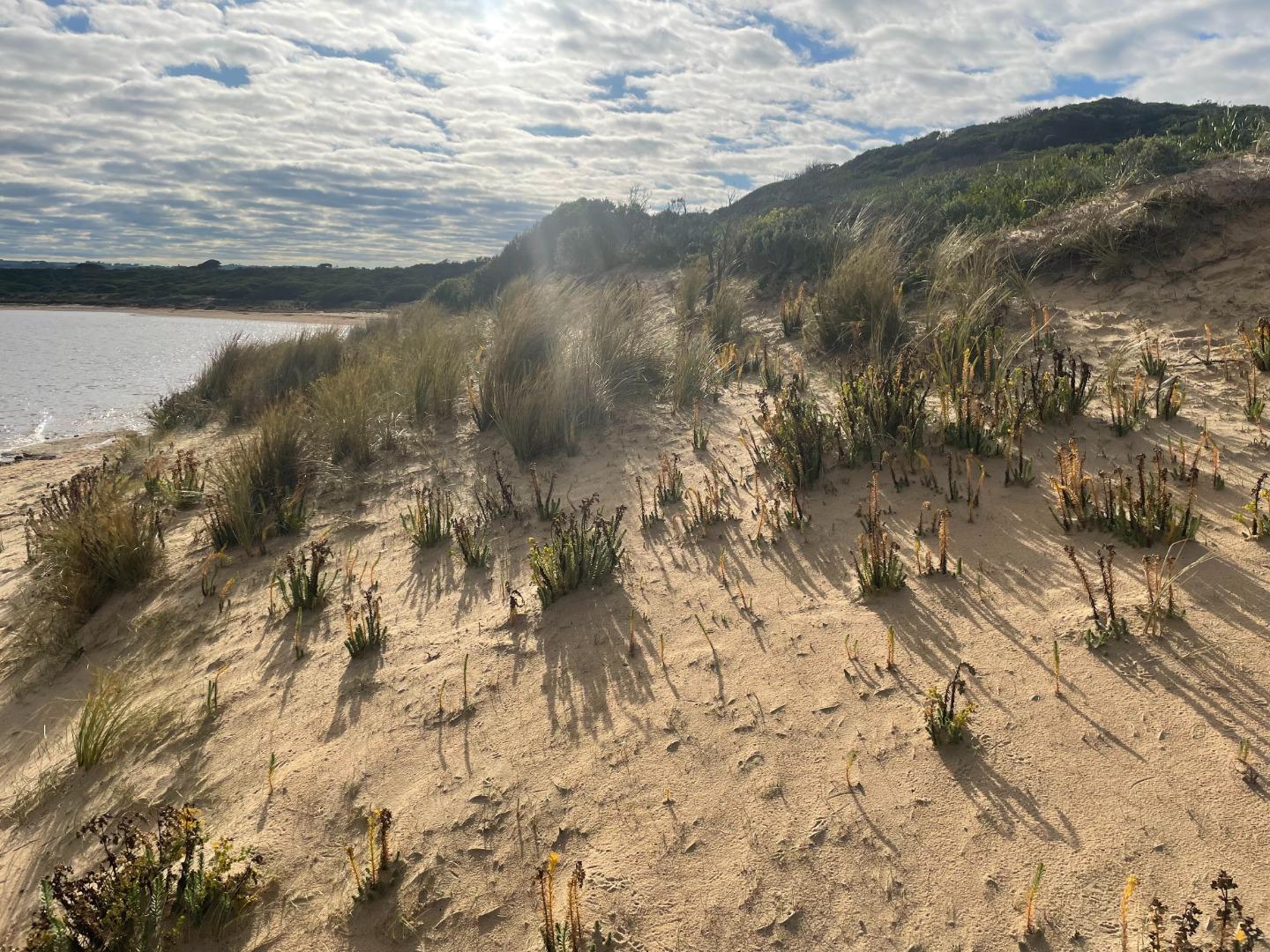
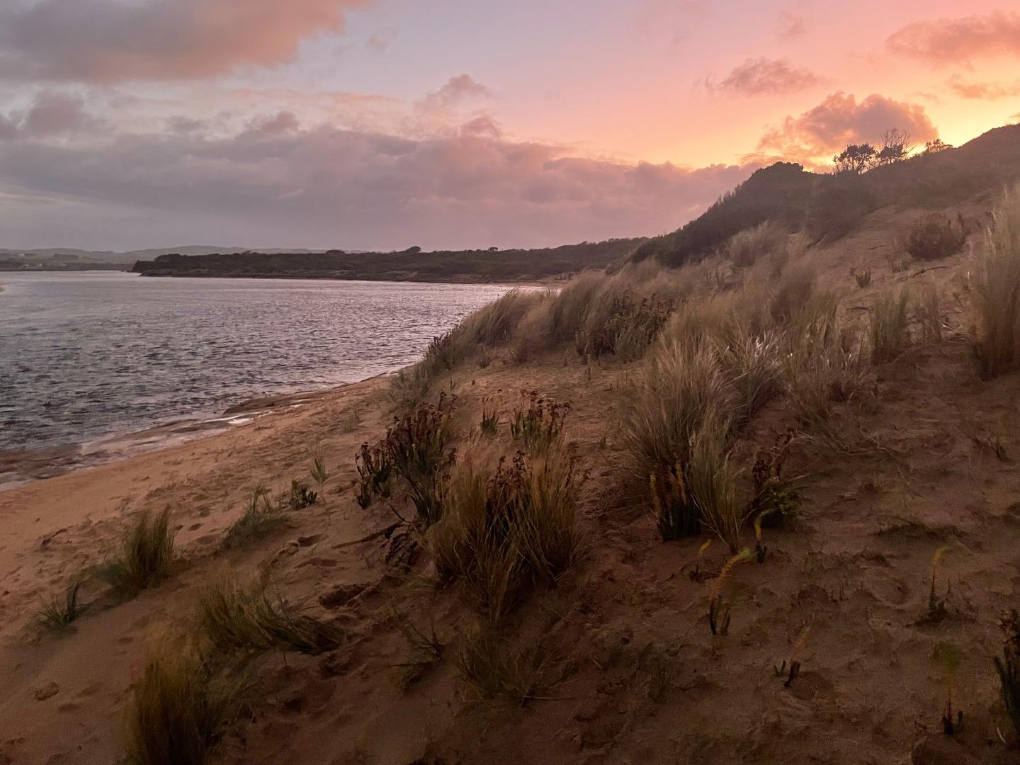
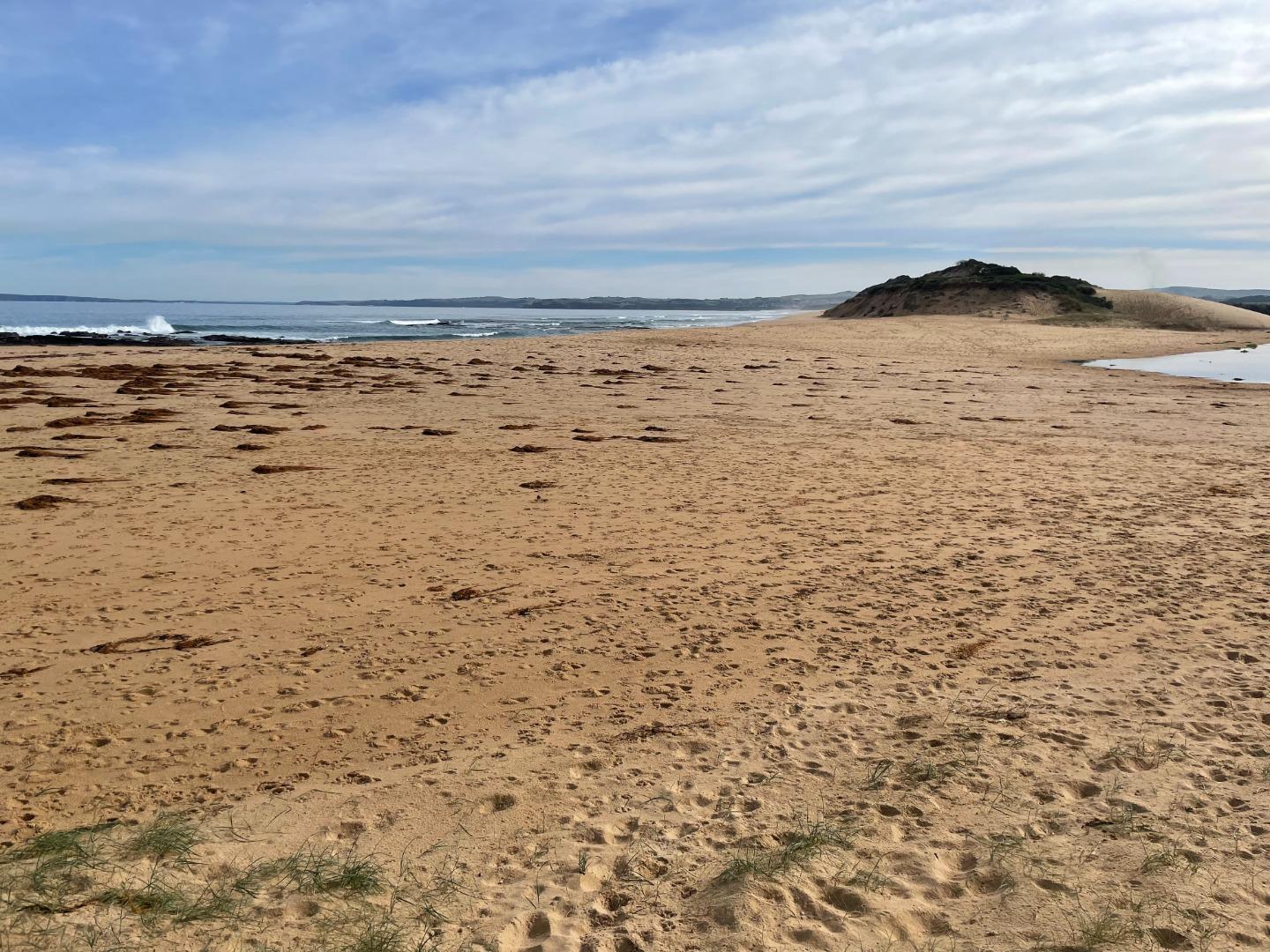
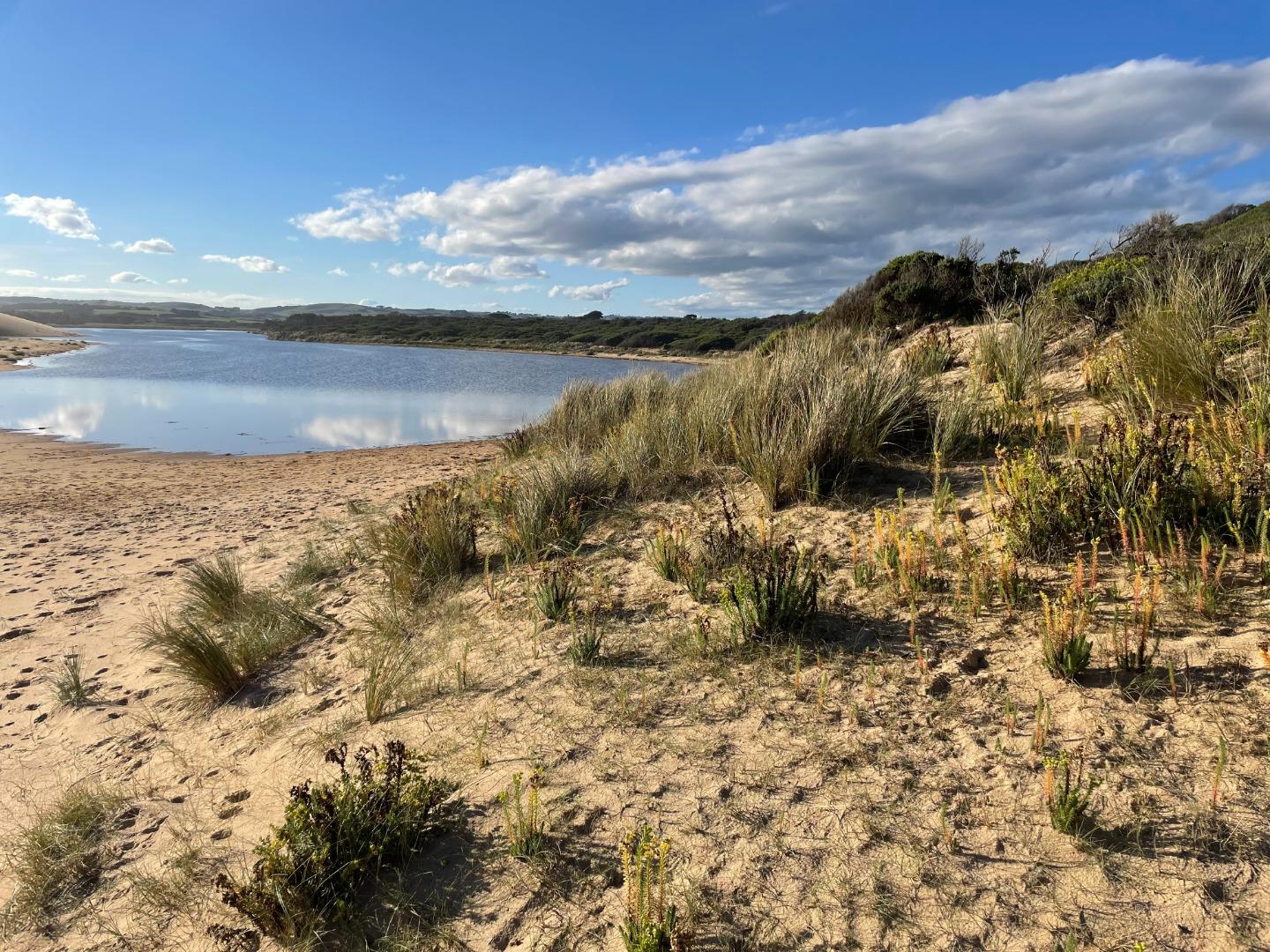
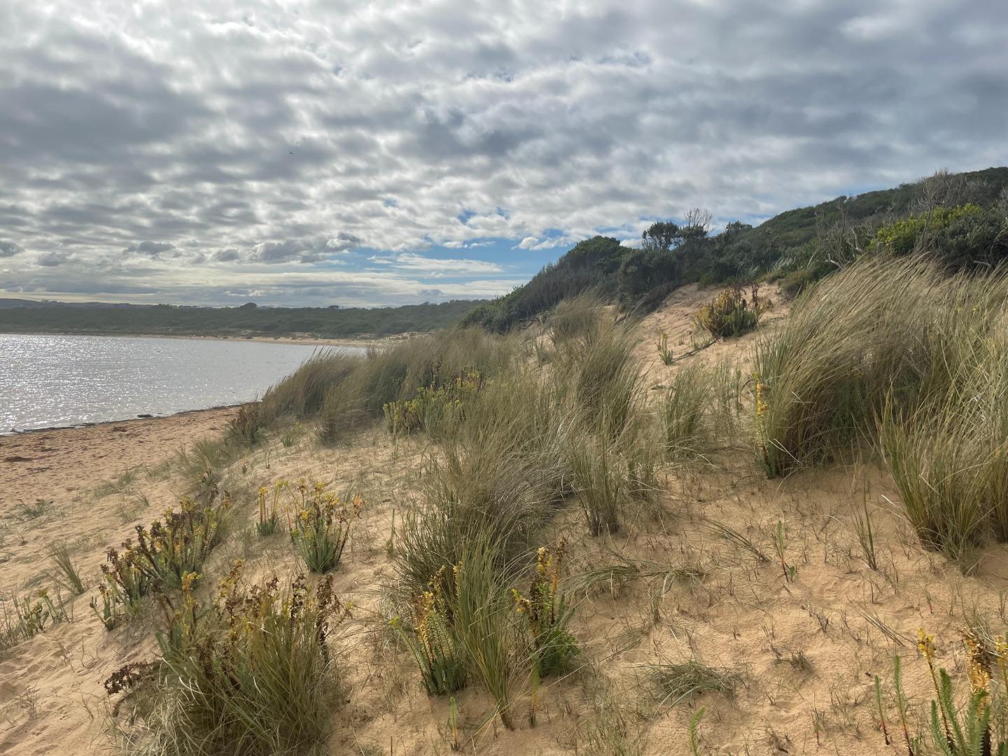
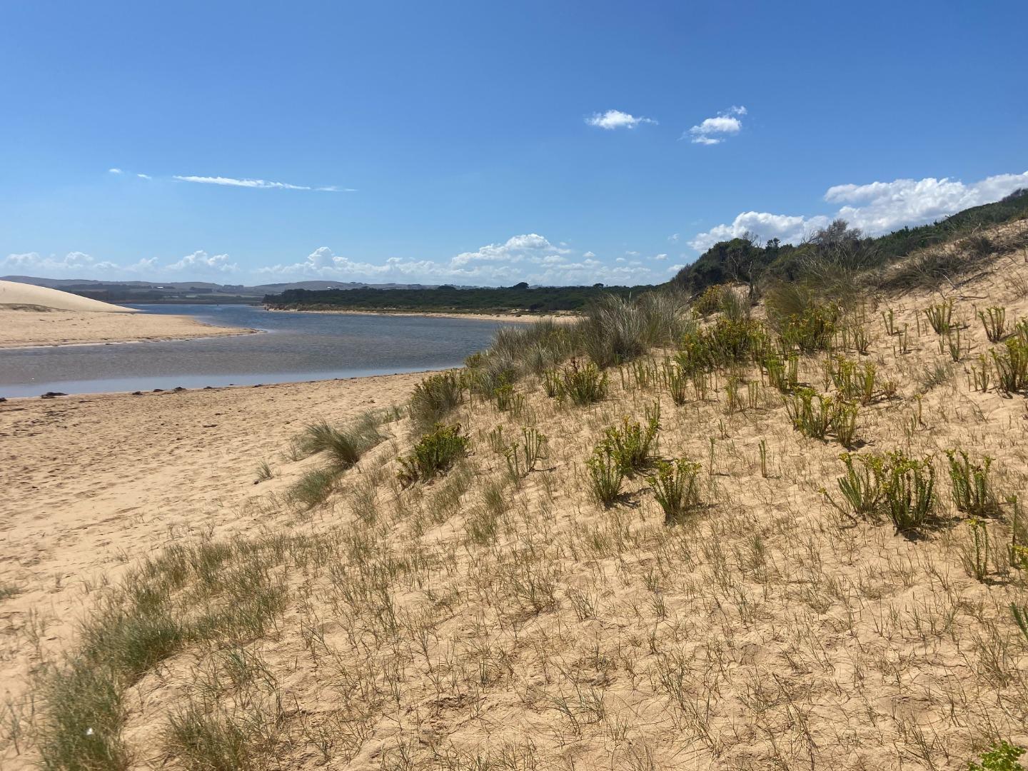
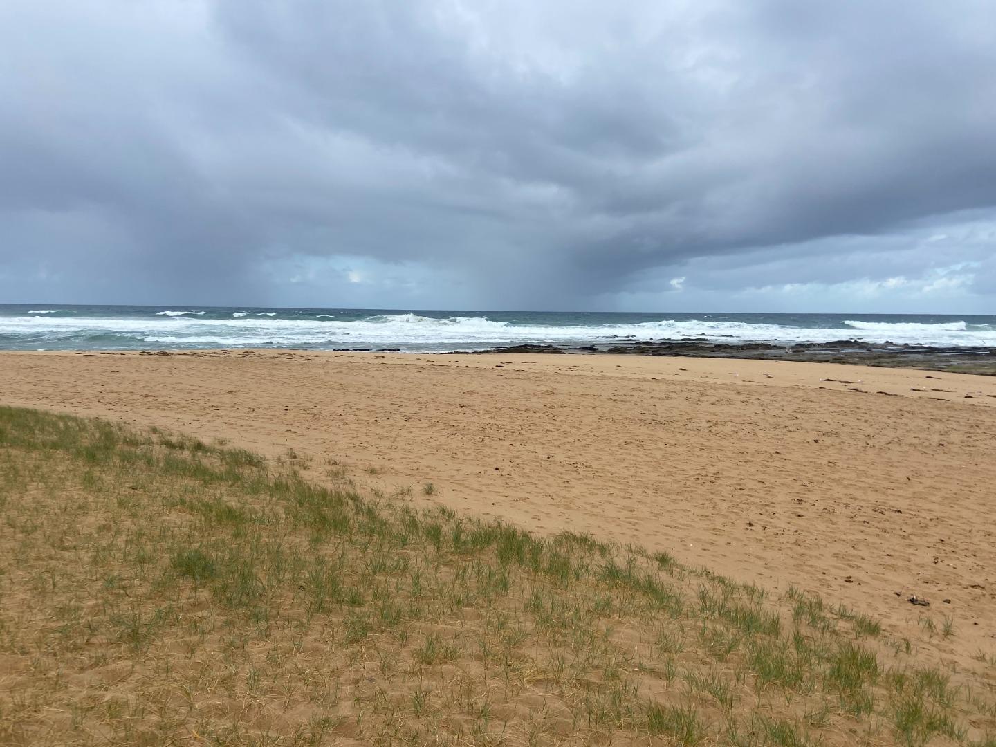
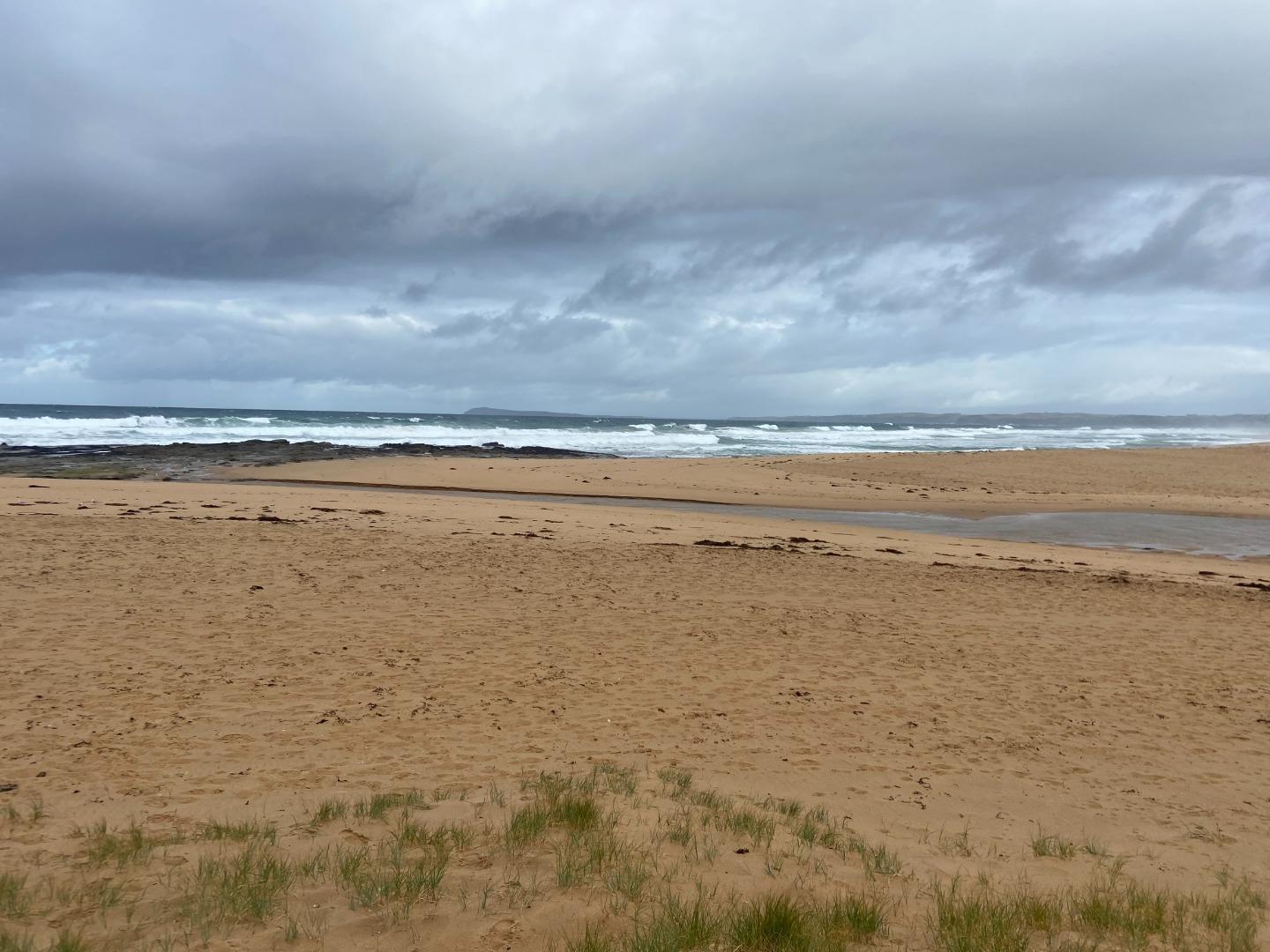
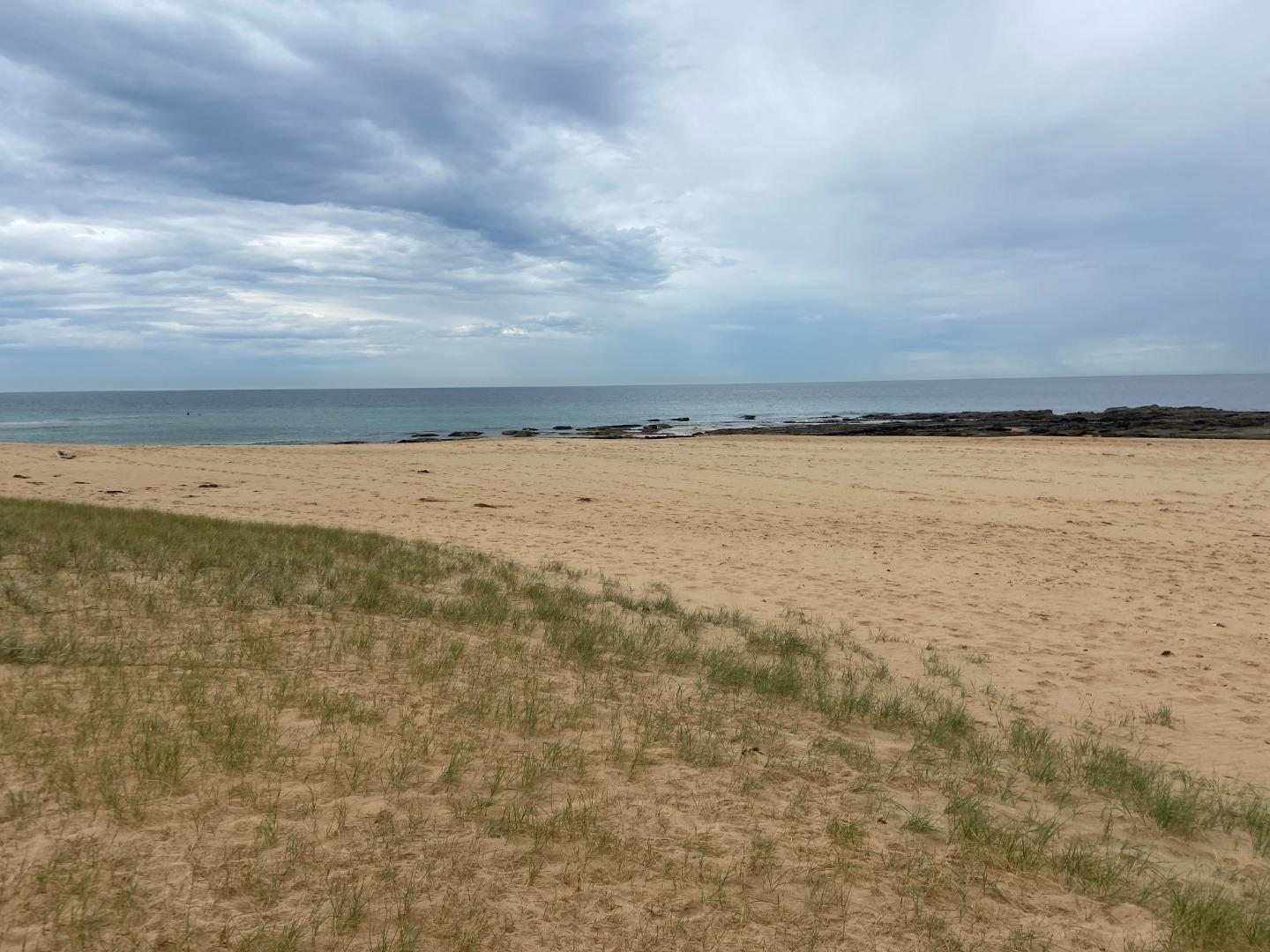
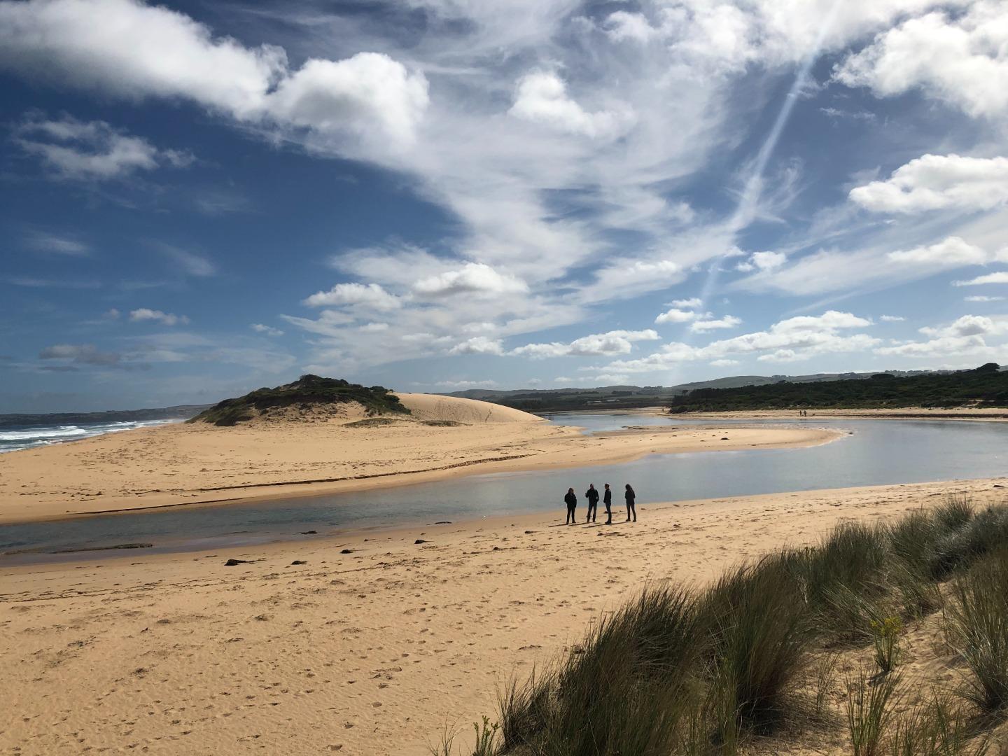
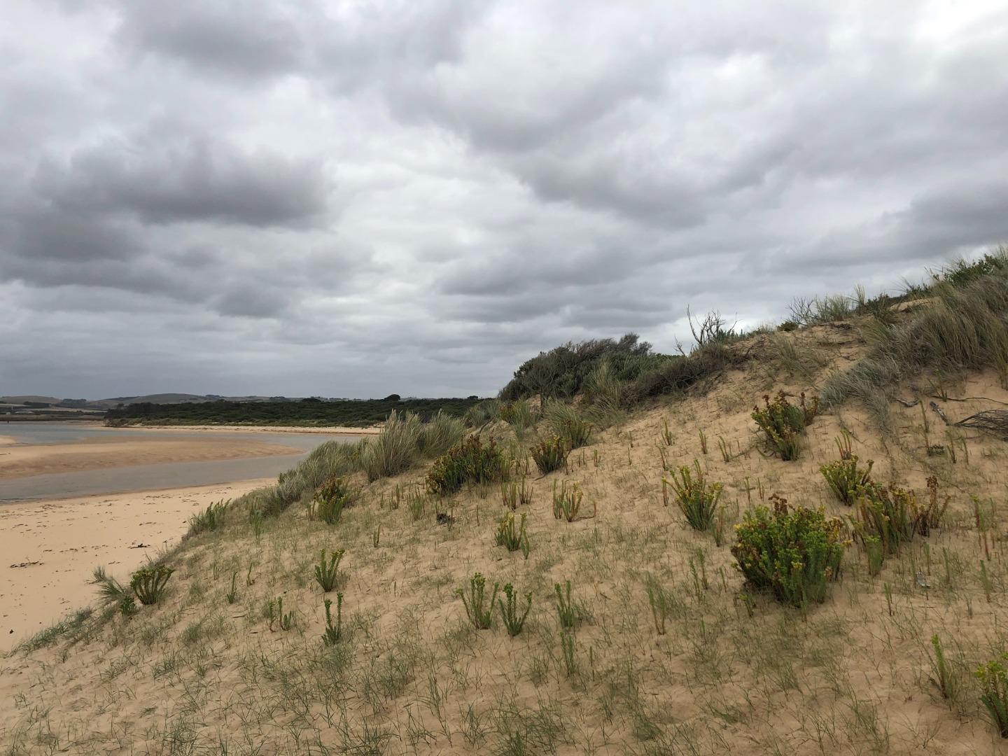
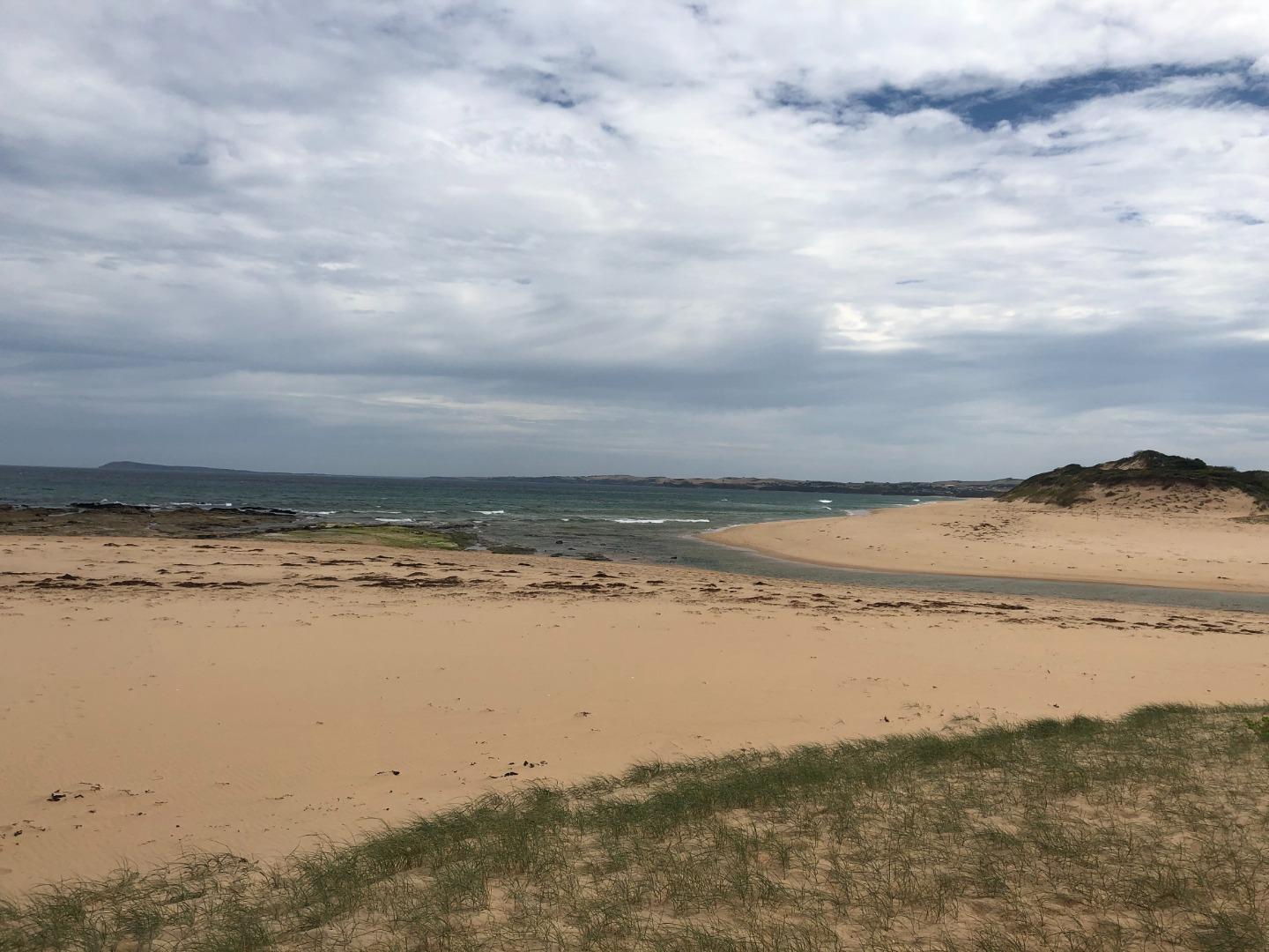
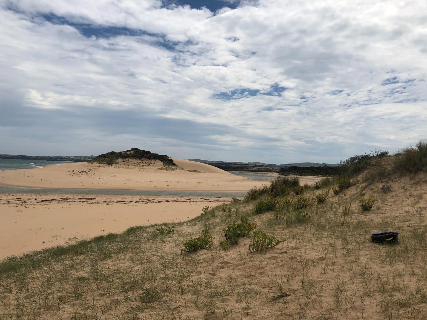
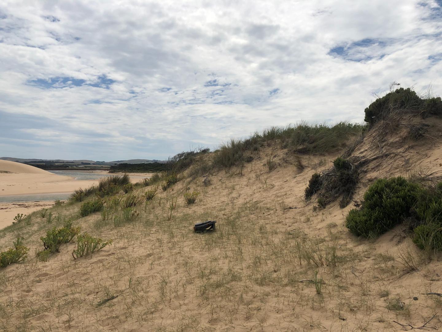
Pop1 |
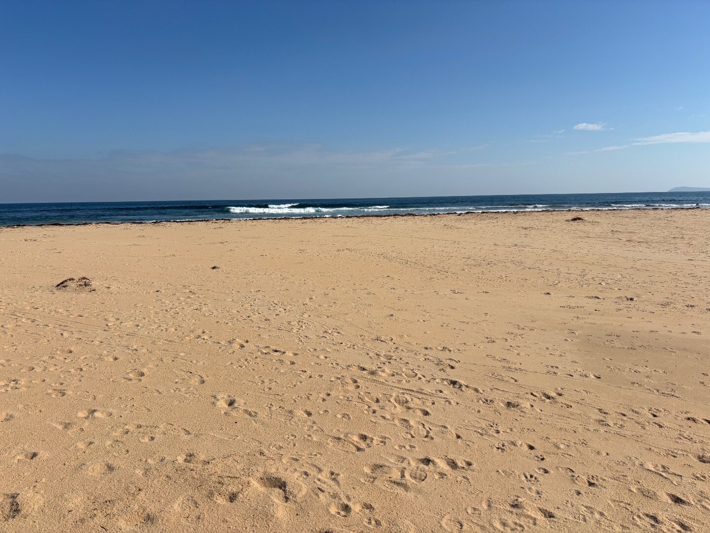
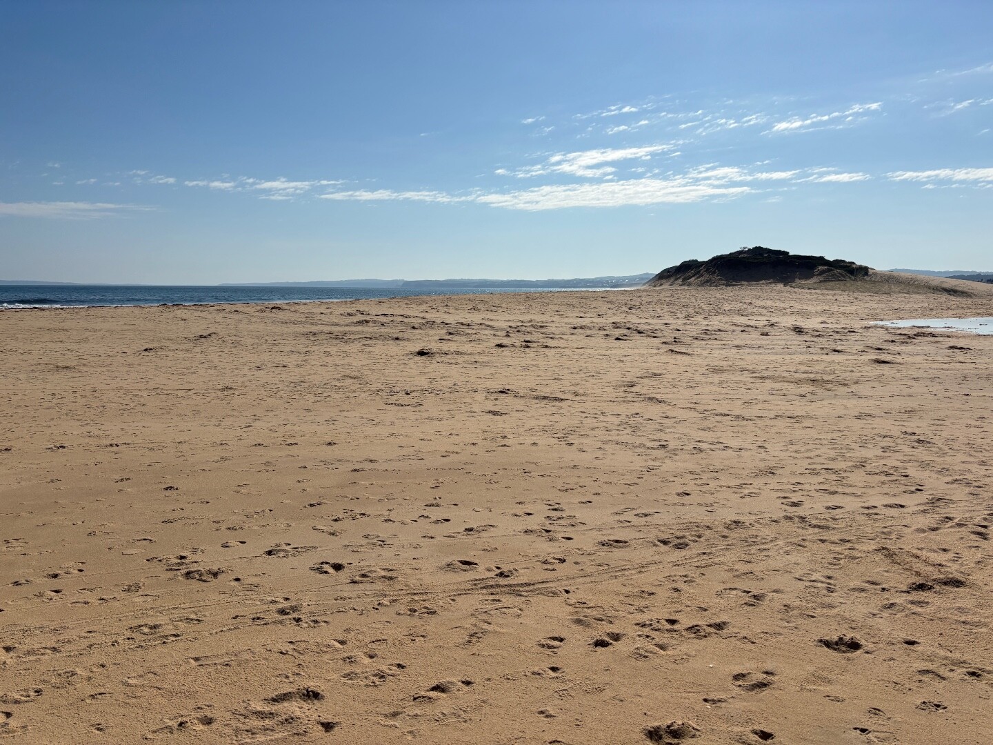
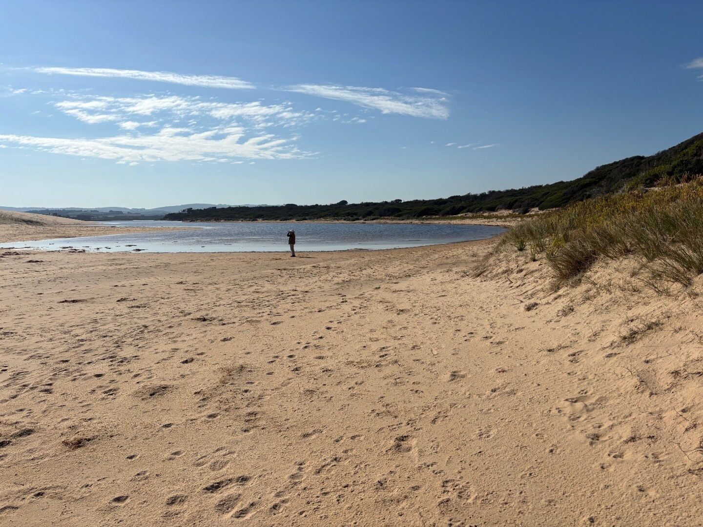
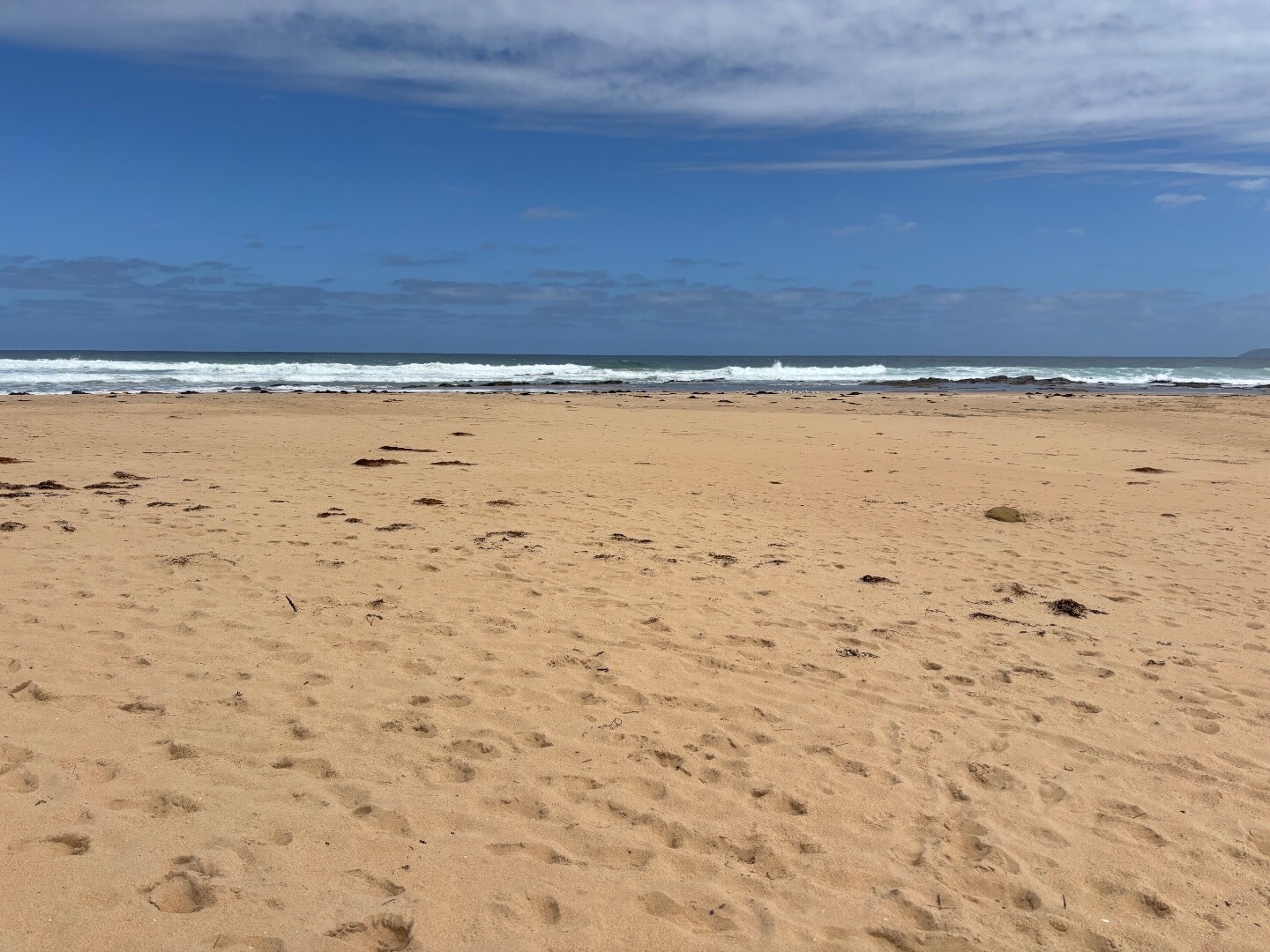
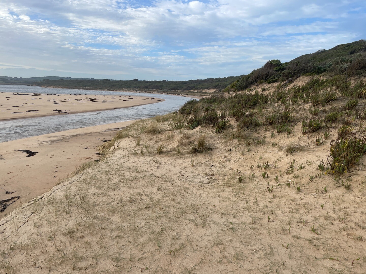
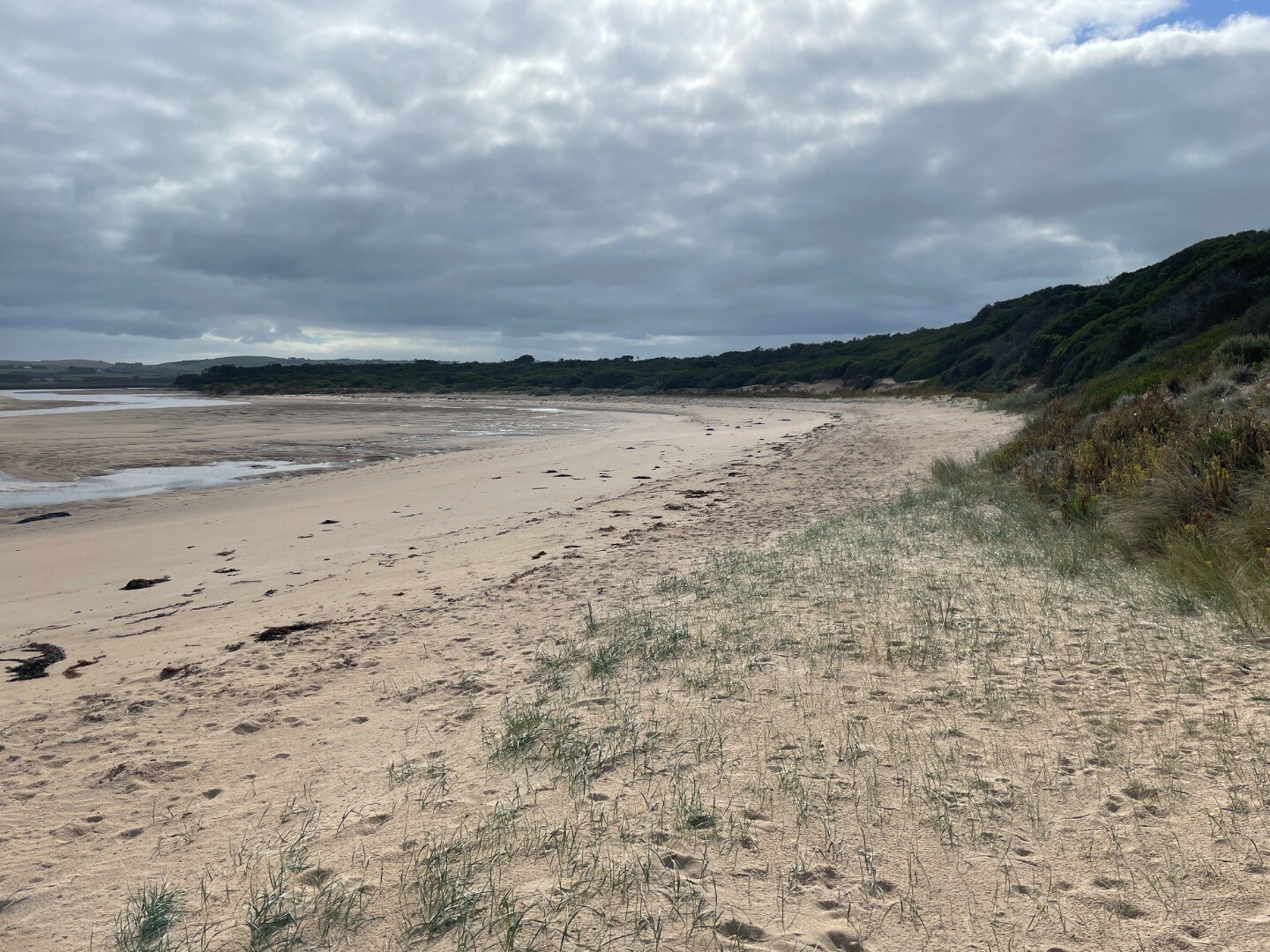
Powlett River Photopoint Site OneActive Photopoint 16-12-2012 - 26-05-2026Sand dune located on the eastern side of the river, approx 70 metres from ocean waters edge. Photos 851 |
Autumn 2026
Spring 2025
Winter 2025
Autumn 2025
Summer 2025
Spring 2024
Winter 2024
Autumn 2024
Summer 2024
Spring 2023
Winter 2023
Autumn 2023
Summer 2023
Spring 2022
Winter 2022
Autumn 2022
Summer 2022
Spring 2021
Autumn 2021
Summer 2021
Mouth Condition Snapshots


We honour Elders past and present whose knowledge and wisdom has ensured the continuation of culture and traditional practices.
 All content, files, data and images provided by the EstuaryWatch Data Portal subject to a Creative Commons Attribution License
Data portal by CeRDI
All content, files, data and images provided by the EstuaryWatch Data Portal subject to a Creative Commons Attribution License
Data portal by CeRDI