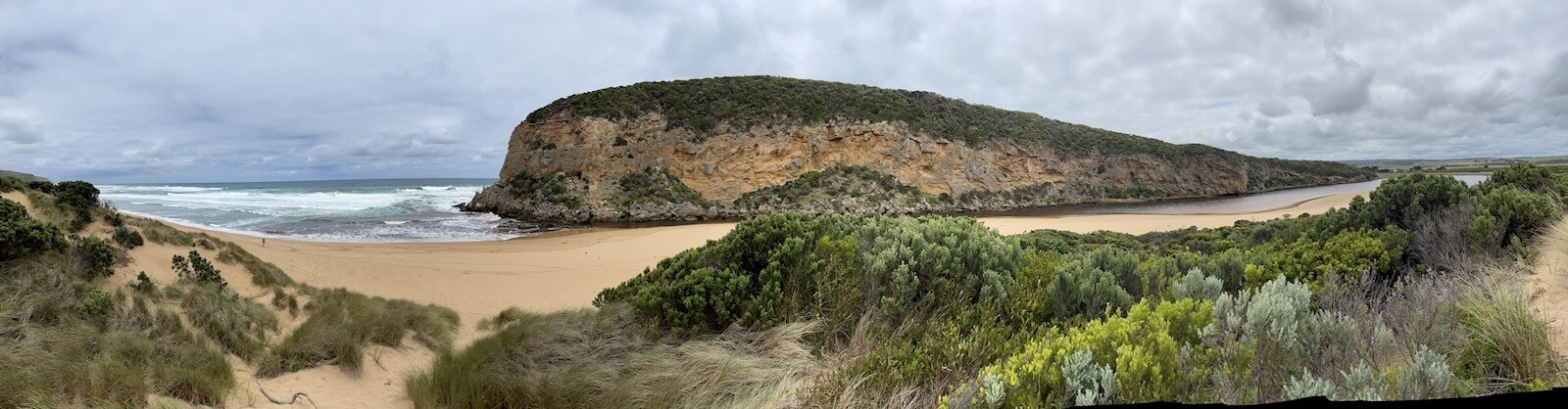
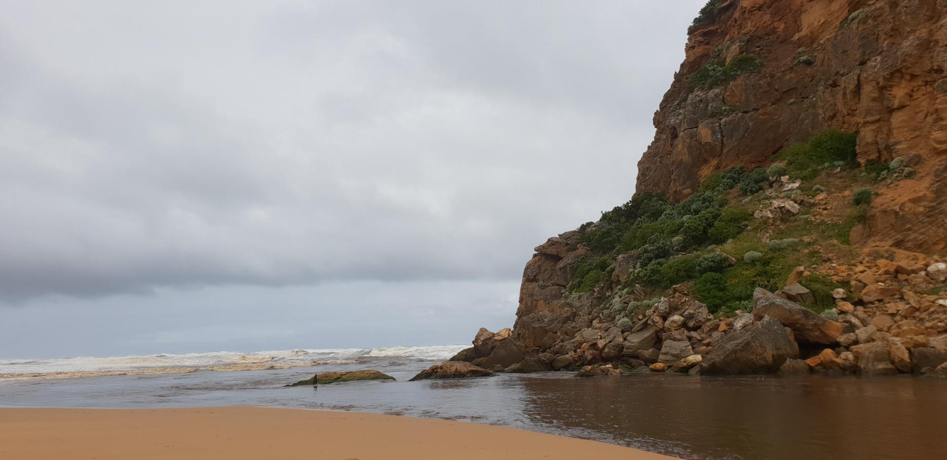
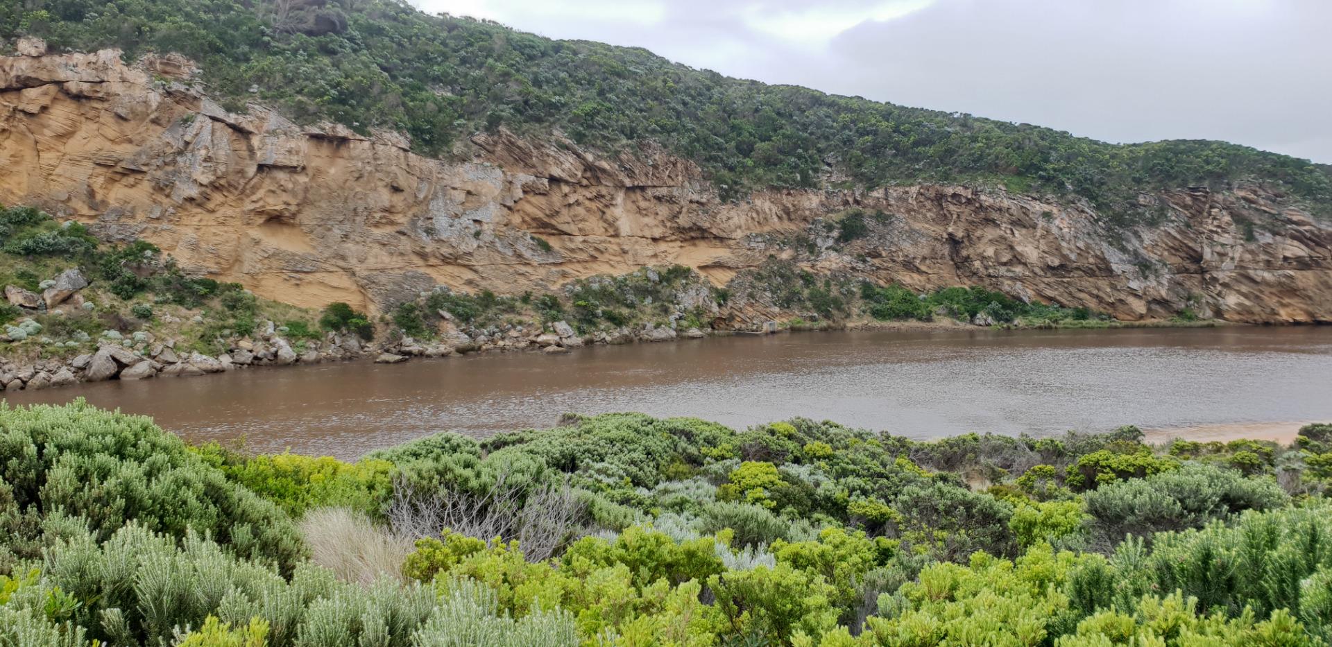
Gellibrand River Estuary
Corangamite CMA
DOWNLOAD DATAOverview
Active Gellibrand River EstuaryWatchers
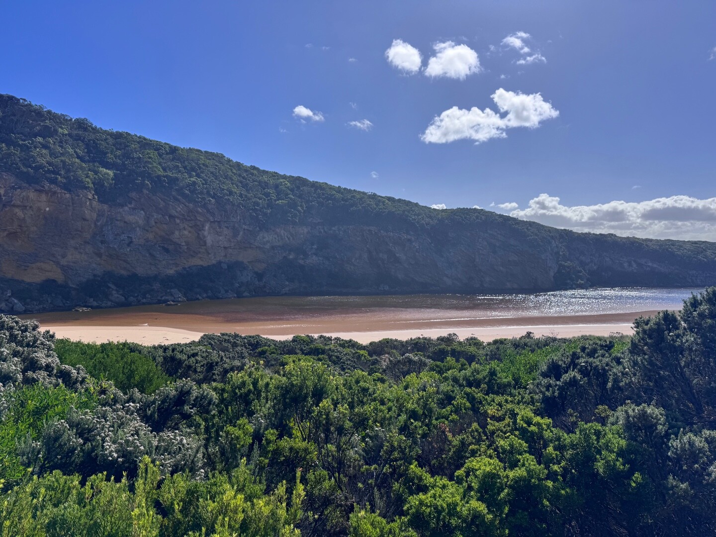
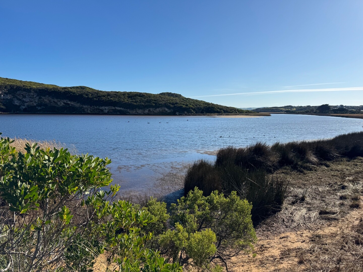
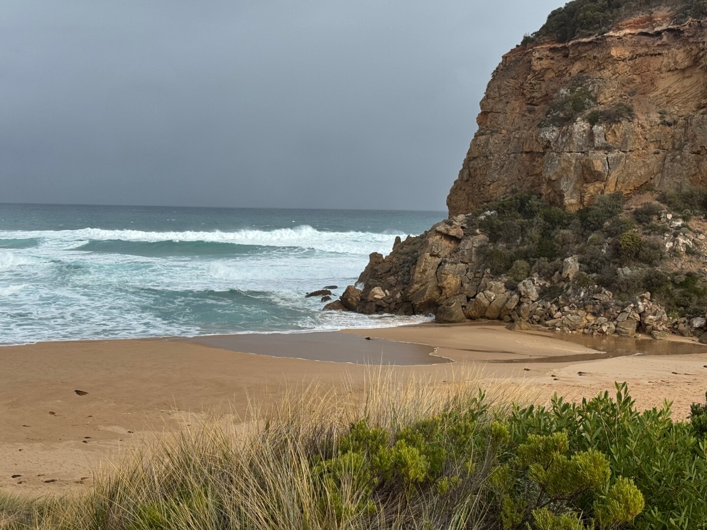
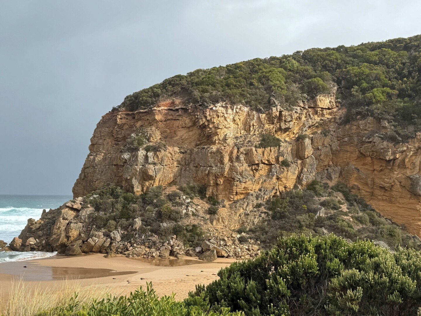
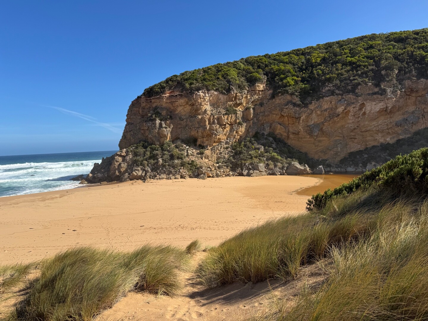
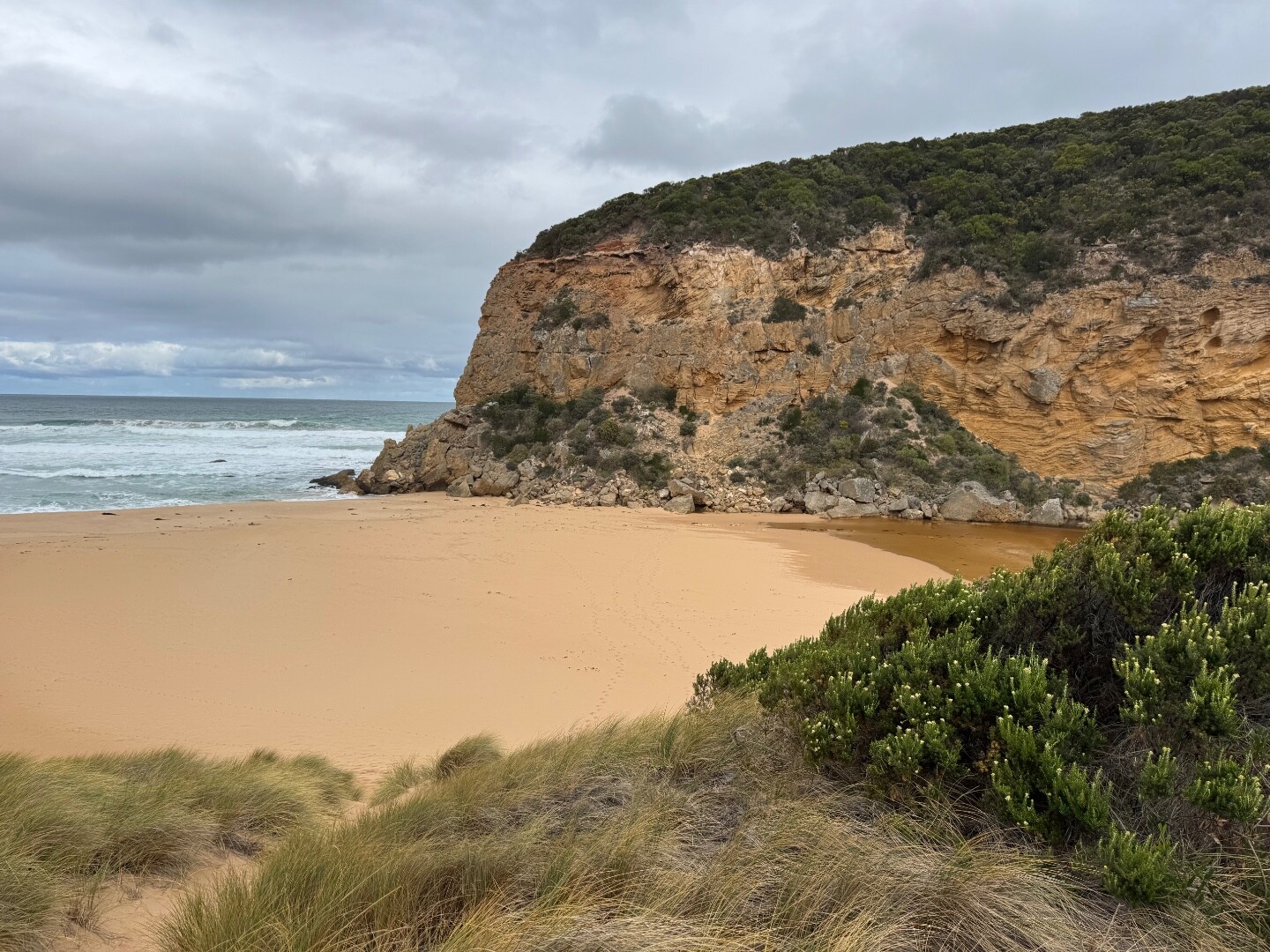
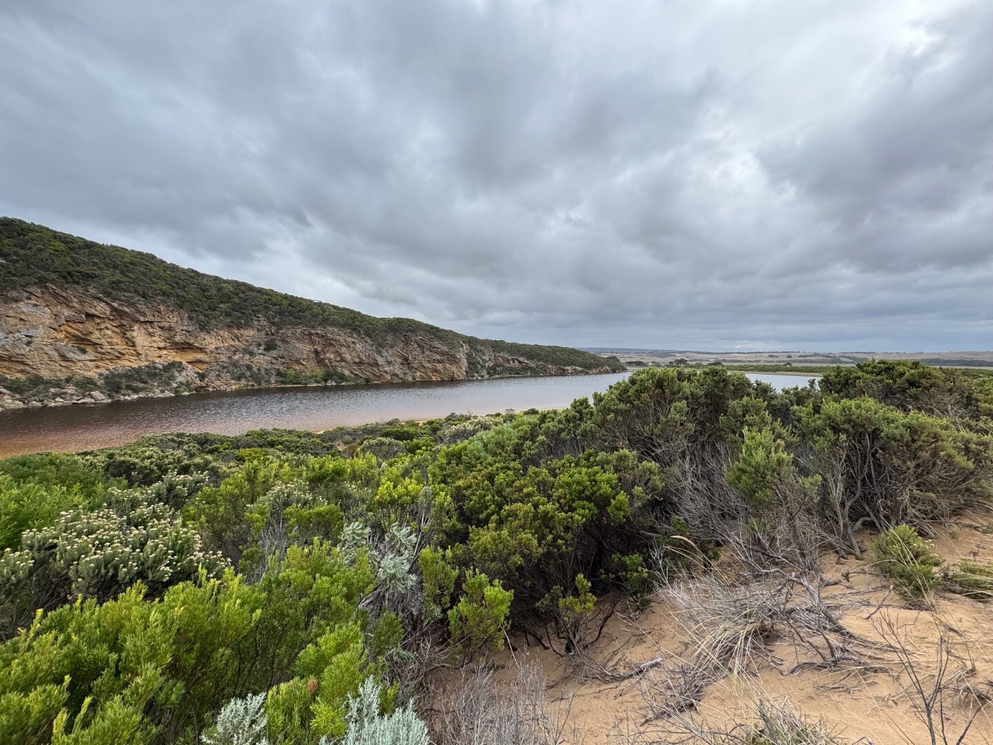
The Gellibrand River Estuary is approximately 8.7km's in length and flows through a variety of different landscape types before it enters the ocean directly into the Twelve Apostles Marine National Park. It has a catchment area of 2346Ha.
Map
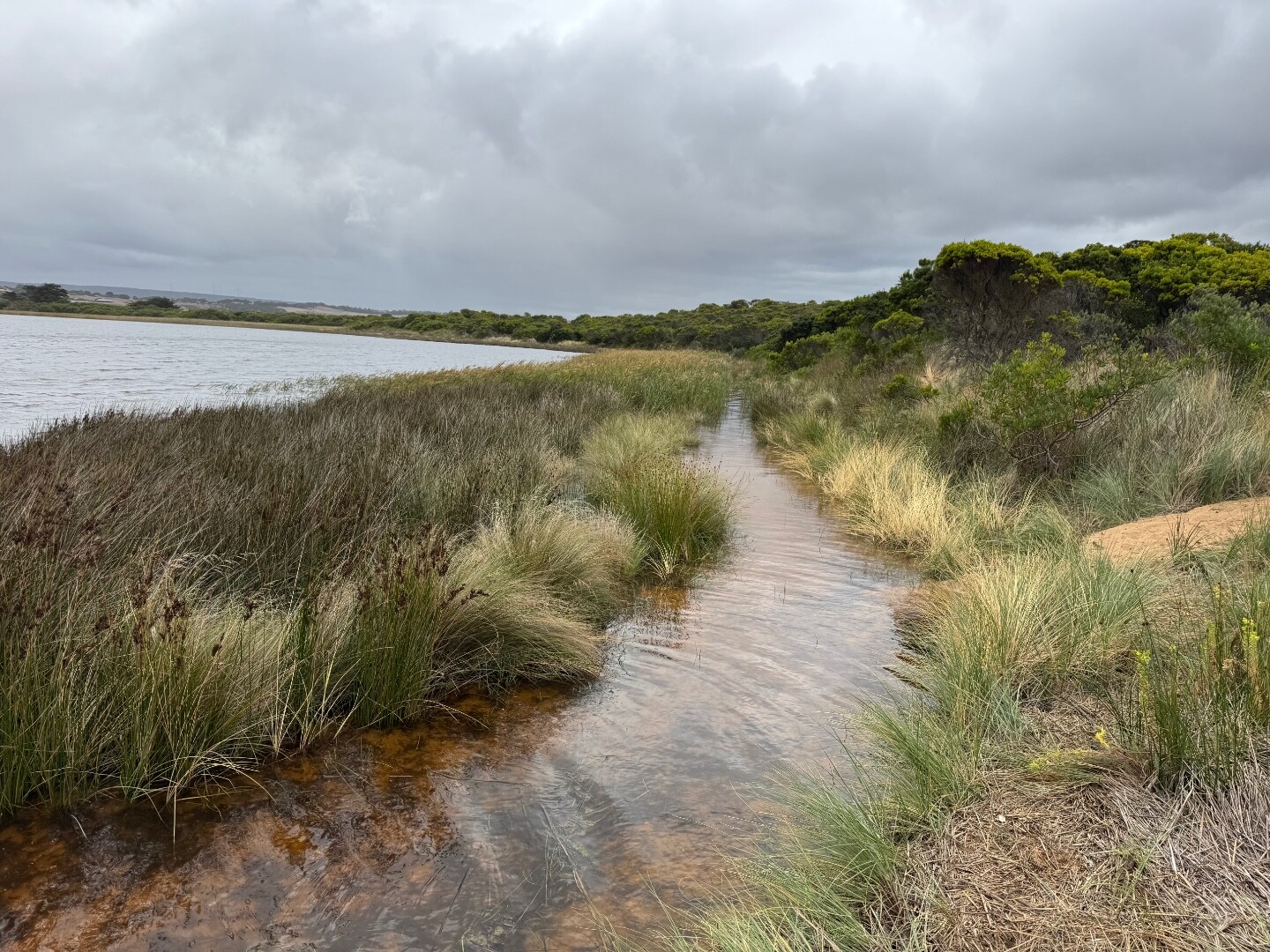
Estuary Values
- the Princetown Wetlands-Gellibrand estuary are listed in the Directory of Important Wetlands for Australia.
- significant birds can be found on the Gellibrand River estuary such as the Australasian Bittern (Botaurus poiciloptilus)- Status: Endangered (IUCN, Adv List) and the Royal Spoonbill (Platalea regia)- Status: Vulnerable (Adv List).
- a significant fish species found on the Gellibrand River is the Australian Grayling.
- Estuarine Wetland Ecological Vegetation Class is Depleted in the Otway Ranges bioregion
- Riparian Forest Ecological Vegetation Class (Vulnerable)
- Swamp Scrub Ecological Vegetation Class (Endangered)
- camping
- game hunting
- motor boating
- non-motor boating
- picnics and barbecues
- recreat
Estuary Threats
- degraded estuarine vegetation
- degraded water quality
- disturbance of acid sulphate soils
- intermittently open estuary
- invasive fauna
- livestock access
- reduced floodplain and wetland connectivity
Recent Events
No recent estuary events found
View all events
Sites
G1 |
Gellibrand River Estuary MouthRetired Physico-Chemical 20-04-2007 - 16-05-2008Open estuary area behind sand dune Observations 11 |
G2 |
Old Coach Road Bridge PrincetownActive Physico-Chemical 20-04-2007 - 19-06-2026Road bridge over estuary on Old Coach Road Observations 651 |
G3 |
Camp KangaroobieRetired Physico-Chemical 20-04-2007 - 15-06-2012Platform at estuary adjacent to Camp Kangaroobie Observations 28 |
L1 |
Bridge at Latrobe Creek Mouth as it enters the GellibrandActive Physico-Chemical 15-06-2007 - 19-06-2026Foot bridge over wetlands Observations 248 |
G4 |
Bridge at RivernookActive Physico-Chemical 21-04-2007 - 19-06-2026Bridge at Rivernook Observations 203 |
G5 |
Coxon's BridgeActive Physico-Chemical 21-04-2007 - 19-06-2026Bridge at Coxon's Observations 258 |
G6 |
Great Ocean Road Bridge at Lower GellibrandRetired Physico-Chemical 20-04-2007 - 11-03-2017Great Ocean Road Bridge at Lower Gellibrand Observations 227 |
G6GB |
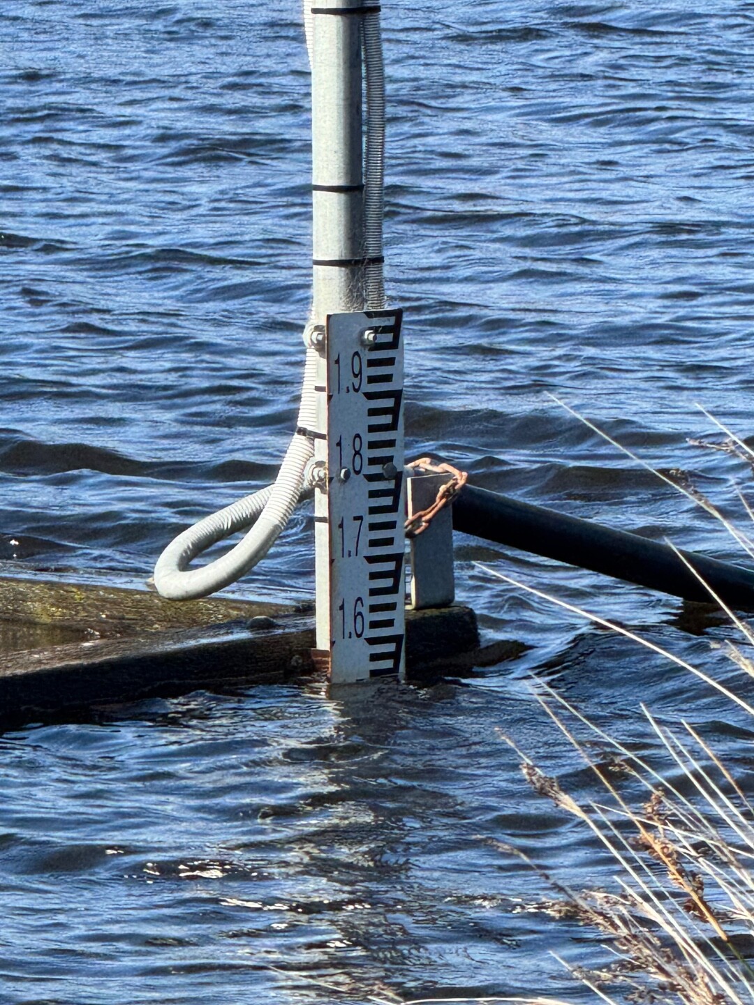
Gellibrand River (upstream) Water Level Gauge BoardRetired Gauge BoardWater level gauge board located on eastern river bank, downstream of Great Ocean Road bridge. |
GGB |
Gellibrand River Gauge BoardActive Gauge BoardAdjacent to the permanent monitoring station approximately 5m upstream of the Old Coach Road bridge. |
GMC |
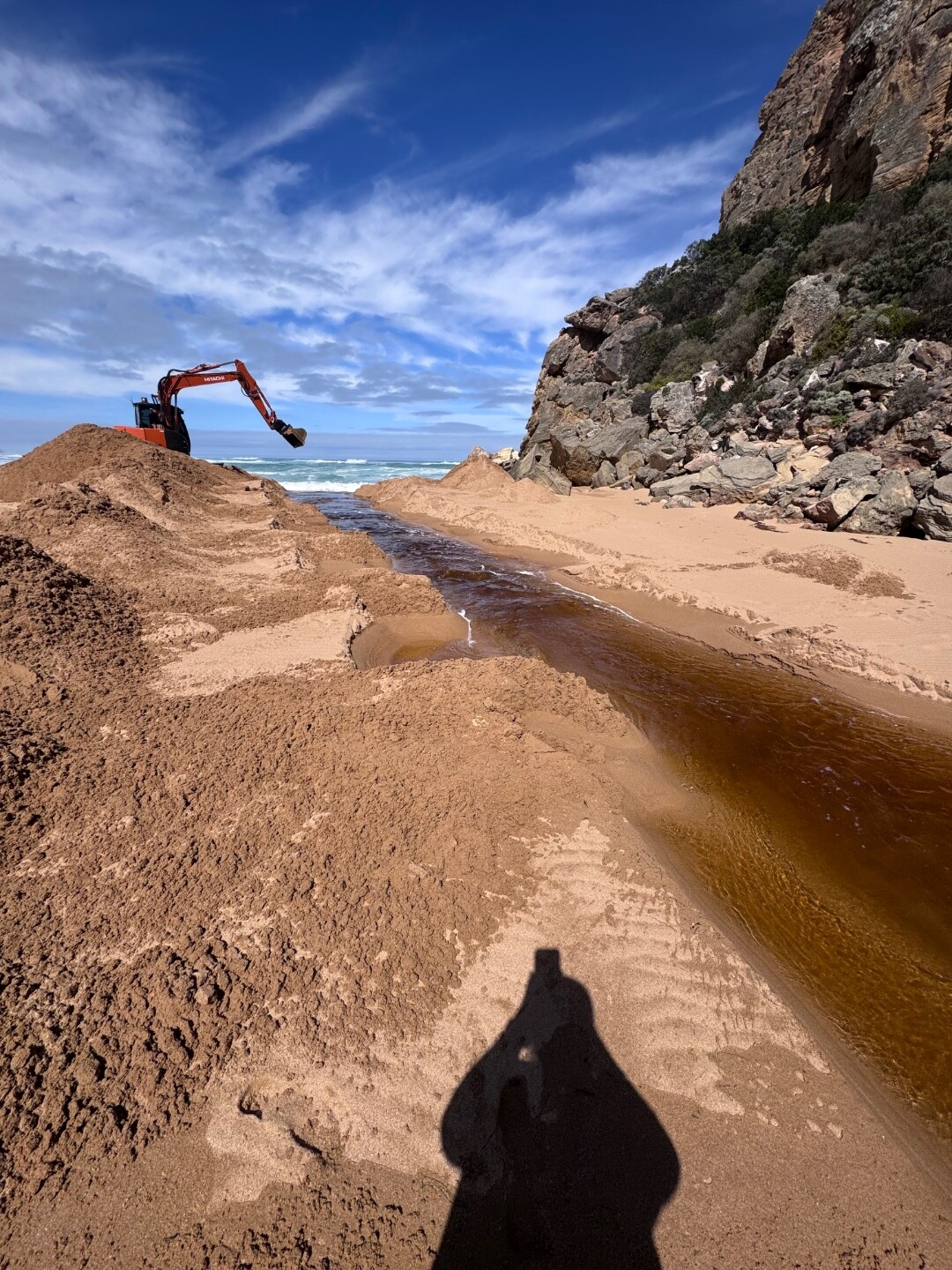
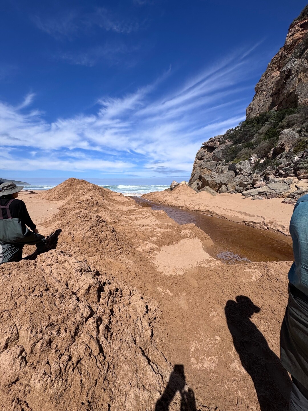
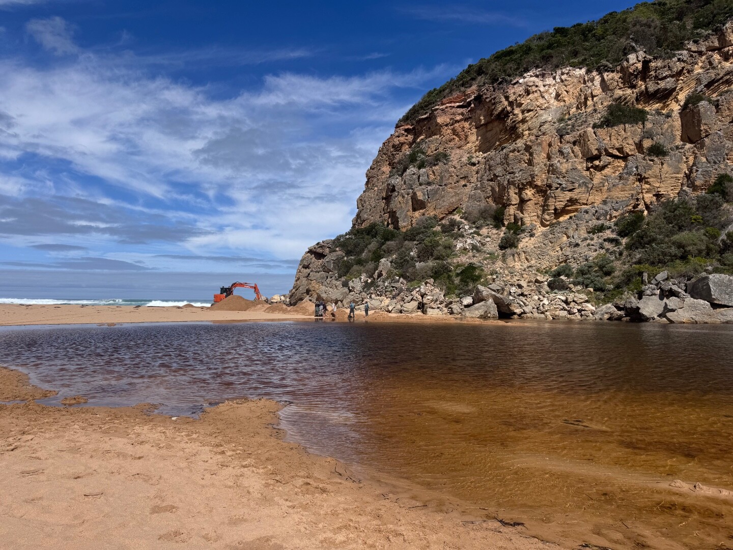
Gellibrand River Mouth ConditionActive Mouth Condition 20-04-2007 - 19-06-2026EstuaryWatch post marker on top of sandune at estuary mouth Observations 798 |
GP1 |
Gellibrand River PhotopointActive Photopoint 18-07-2010 - 16-07-2026EstuaryWatch post marker on top of sandune at estuary mouth Photos 2871 |
Full estuary snapshots below use dates where samples at every active monitoring site were recorded.
View full and partial snapshots
Winter 2026
Autumn 2026
Summer 2026
Spring 2025
Winter 2025
Autumn 2025
Summer 2025
Spring 2024
Winter 2024
Autumn 2024
Summer 2024
Spring 2023
Winter 2023
Autumn 2023
Summer 2023
Spring 2022
Winter 2022
Summer 2022
Spring 2021
Autumn 2021
Mouth Condition Snapshots


We acknowledge and respect Victorian Traditional Owners as the original custodians of Victoria’s land and waters, their unique ability to care for Country and deep spiritual connection to it.
We honour Elders past and present whose knowledge and wisdom has ensured the continuation of culture and traditional practices.
We honour Elders past and present whose knowledge and wisdom has ensured the continuation of culture and traditional practices.
 All content, files, data and images provided by the EstuaryWatch Data Portal subject to a Creative Commons Attribution License
Data portal by CeRDI
All content, files, data and images provided by the EstuaryWatch Data Portal subject to a Creative Commons Attribution License
Data portal by CeRDI