GMC Gellibrand River Estuary Mouth Observation Site
7 March 2020
Observation details
Overview
| Estuary | Gellibrand River Estuary |
|---|---|
| Site | Gellibrand River Estuary Mouth Observation Site |
| Observation ID | #13608 |
| Date and Time | Saturday 7th March 2020 10:05am |
| Approved | Approved |
Notes
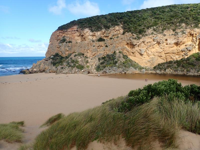
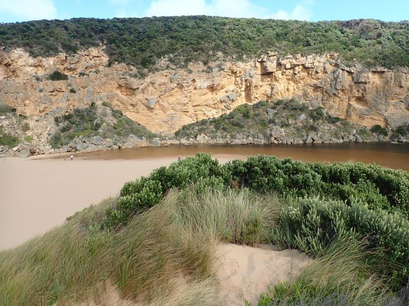
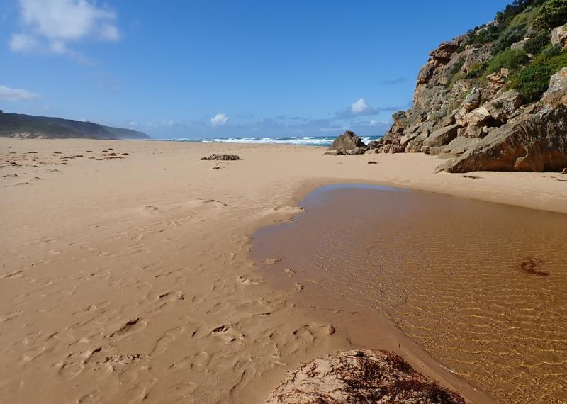
Observation taken @ low tide
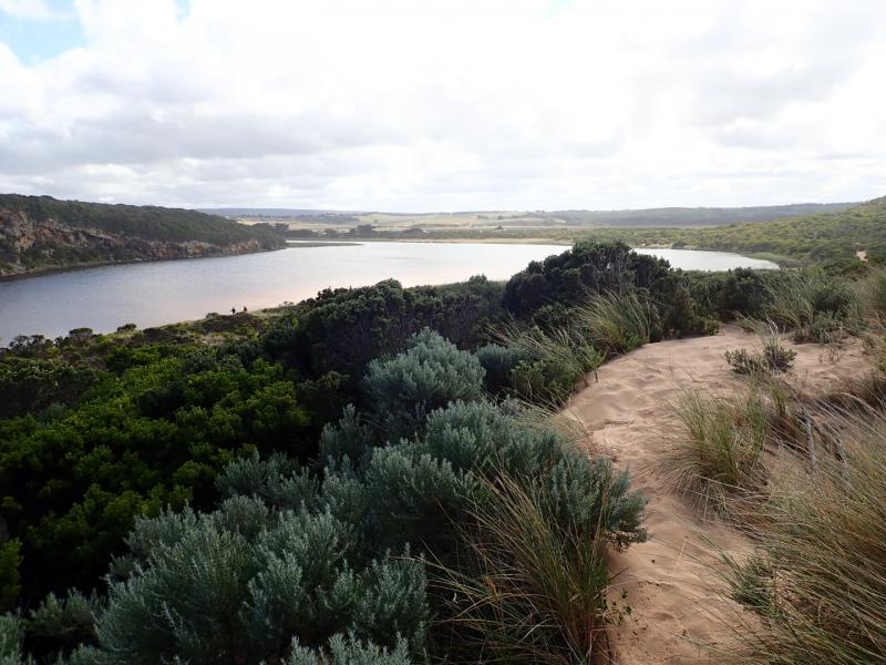
Sand height has increased between mid beach & mouth. Beach shape has changed, higher @ mid beach with broad projection extending slightly out to sea, while area towards mouth is higher - the area to east is lower & undulating. A sandbar is running parallel to shore about 40m. out, starting from the projection & continuing close to mouth
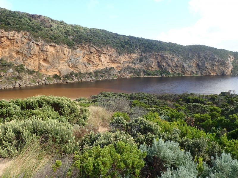
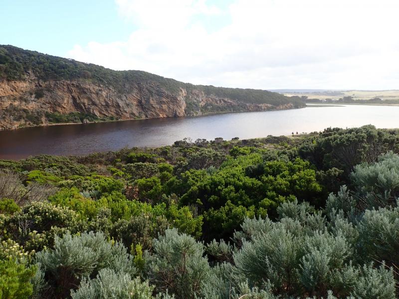
Upstream flats up to G4 are starting to flood . No water over OOR nor in area upstream G4 apart from small area between G5& G4
Mouth Observation
| Mouth state | Closed |
|---|---|
| Previous | O O O O O O P |
| Flow Present? | No |
| Previous | Y Y Y Y Y Y N |
| Flow Direction | N/A |
| Previous | O O O O O O N |
| Above Sea | Above Estuary | |
|---|---|---|
| Berm Height (m) | 0.5m | 0.3m |
| Berm Length (m) | 52.5m |
Physical Condition
| Current | Mode | |
|---|---|---|
| Wind Direction | South-East | |
| Beaufort Scale | Moderate breeze | |
| Sea State | Moderate |

We acknowledge and respect Victorian Traditional Owners as the original custodians of Victoria’s land and waters, their unique ability to care for Country and deep spiritual connection to it.
We honour Elders past and present whose knowledge and wisdom has ensured the continuation of culture and traditional practices.
We honour Elders past and present whose knowledge and wisdom has ensured the continuation of culture and traditional practices.
 All content, files, data and images provided by the EstuaryWatch Data Portal subject to a Creative Commons Attribution License
Data portal by CeRDI
All content, files, data and images provided by the EstuaryWatch Data Portal subject to a Creative Commons Attribution License
Data portal by CeRDI