GMC Gellibrand River Estuary Mouth Observation Site
7 January 2020
Observation details
Overview
| Estuary | Gellibrand River Estuary |
|---|---|
| Site | Gellibrand River Estuary Mouth Observation Site |
| Observation ID | #13494 |
| Date and Time | Tuesday 7th January 2020 14:35pm |
| Approved | Approved |
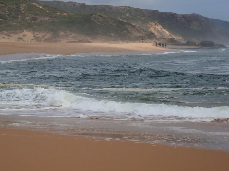
Notes
AHD board @ G6 covered with silt -unreadable
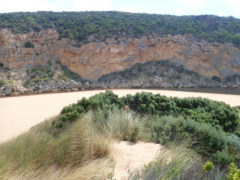
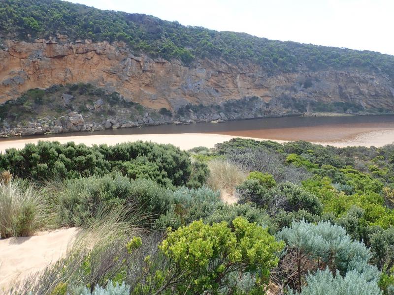
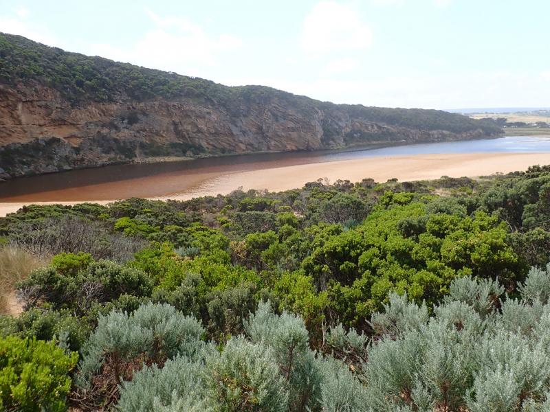
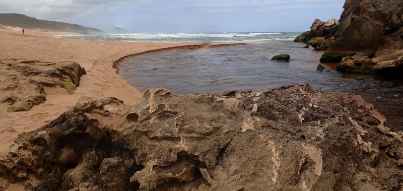
Very pale narrow, shallow outflow curving to east out over high sand build up. Waves & longshore drift impacting across entrance. Large amount of sand visible moving in flow down channel. Sand bar exposed also very large sand area projecting into lagoon south side of lagoon.
Edge of channel directly downstream of rocks has sheer east side
Sand high & projecting out to sea @ mid beach & continuing on to east end. Waves have overtopped beach front in this area & run down shallow channel in sand towards entrance


We acknowledge and respect Victorian Traditional Owners as the original custodians of Victoria’s land and waters, their unique ability to care for Country and deep spiritual connection to it.
We honour Elders past and present whose knowledge and wisdom has ensured the continuation of culture and traditional practices.
We honour Elders past and present whose knowledge and wisdom has ensured the continuation of culture and traditional practices.
 All content, files, data and images provided by the EstuaryWatch Data Portal subject to a Creative Commons Attribution License
Data portal by CeRDI
All content, files, data and images provided by the EstuaryWatch Data Portal subject to a Creative Commons Attribution License
Data portal by CeRDI