Thompson Creek Estuary
Corangamite CMA
DOWNLOAD DATAOverview
Active Thompson Creek EstuaryWatchers
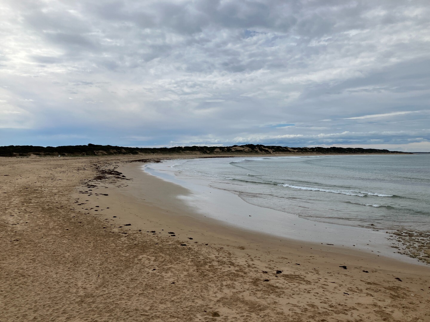
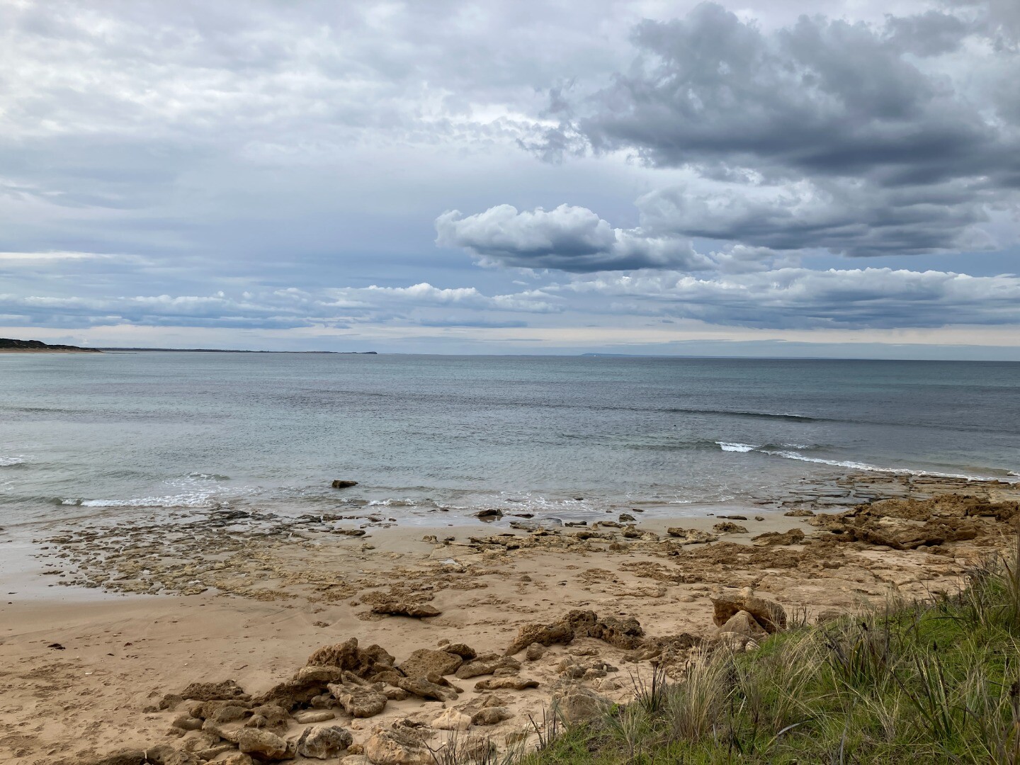
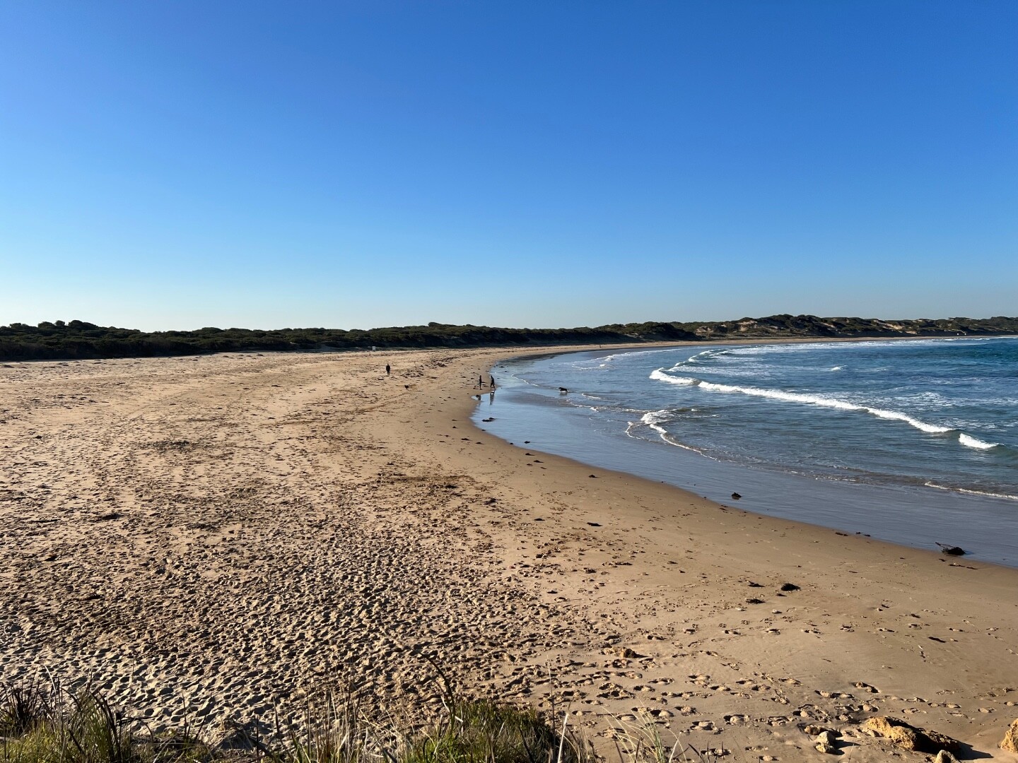
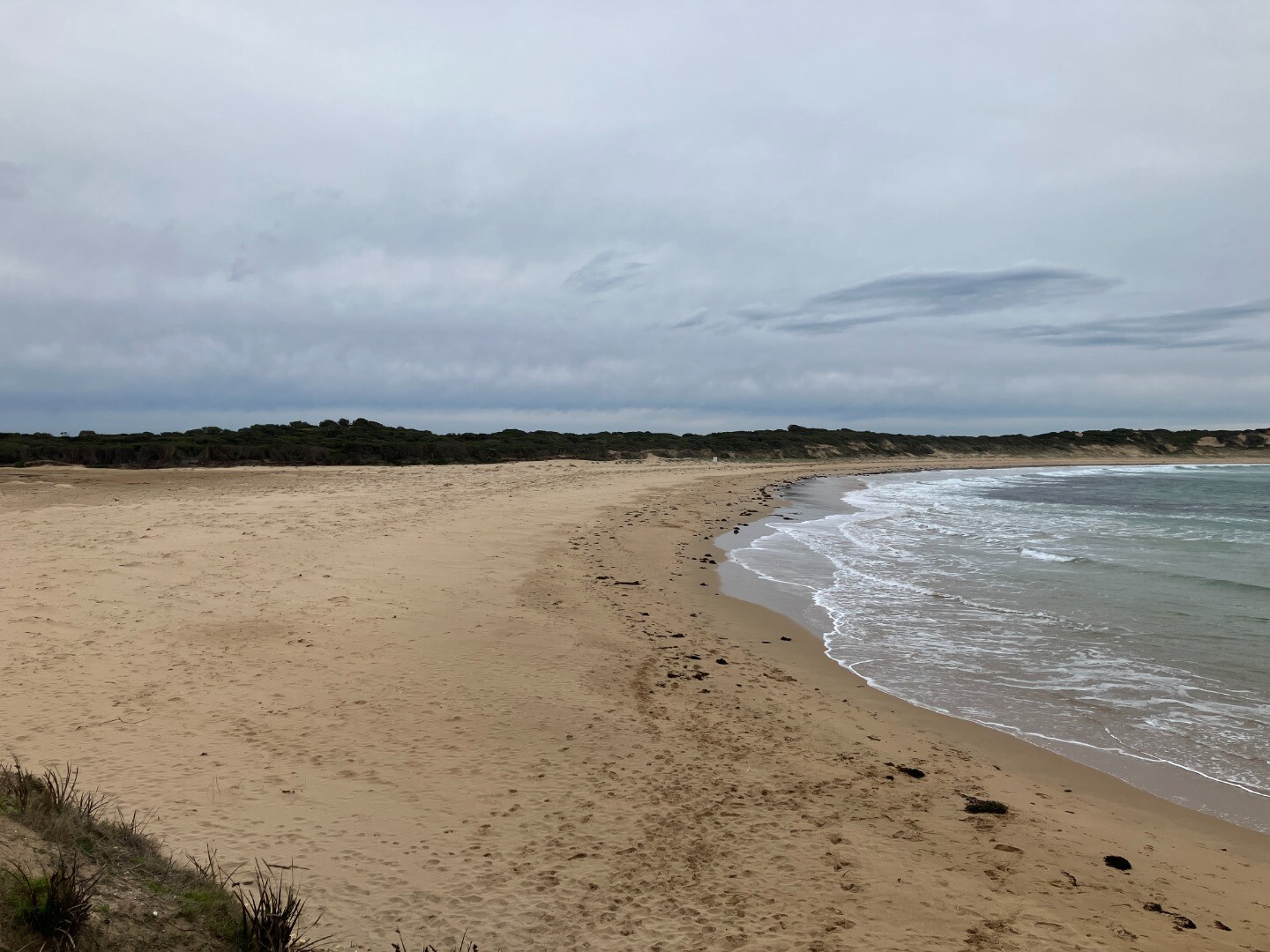
The Thompson Creek Estuary has a catchment area of 2795Ha, and is approximately 5.5km in length. It is part of the important Karaaf Wetlands which are rich in local cultural history.
Map
Estuary Values
- significant birds found on Thompson Creek estuary include the Eastern Great Egret (Ardea modesta) Status: Vulnerable (Adv List).
- significant fish found on Thompson Creek inlcude the Yarra Pygmy Perch (Nannoperca obscura) Status: Vulnerable (EPBC) Near Threatened (Adv List)
- Coastal Saltmarsh Ecological Vegetation Class (Endangered)
- Swamp Scrub Ecological Vegetation Class (Vulnerable)
- Floodplain Riparian Woodland Ecologcial Vegetation Class (Endangered)
- Swampy Riparian Woodland Ecological Vegetation Class (Endangered)
- drought refuge for the Yarra Pygmy Perch
- the Thompson Creek estuary is identified as a Important Bird Area
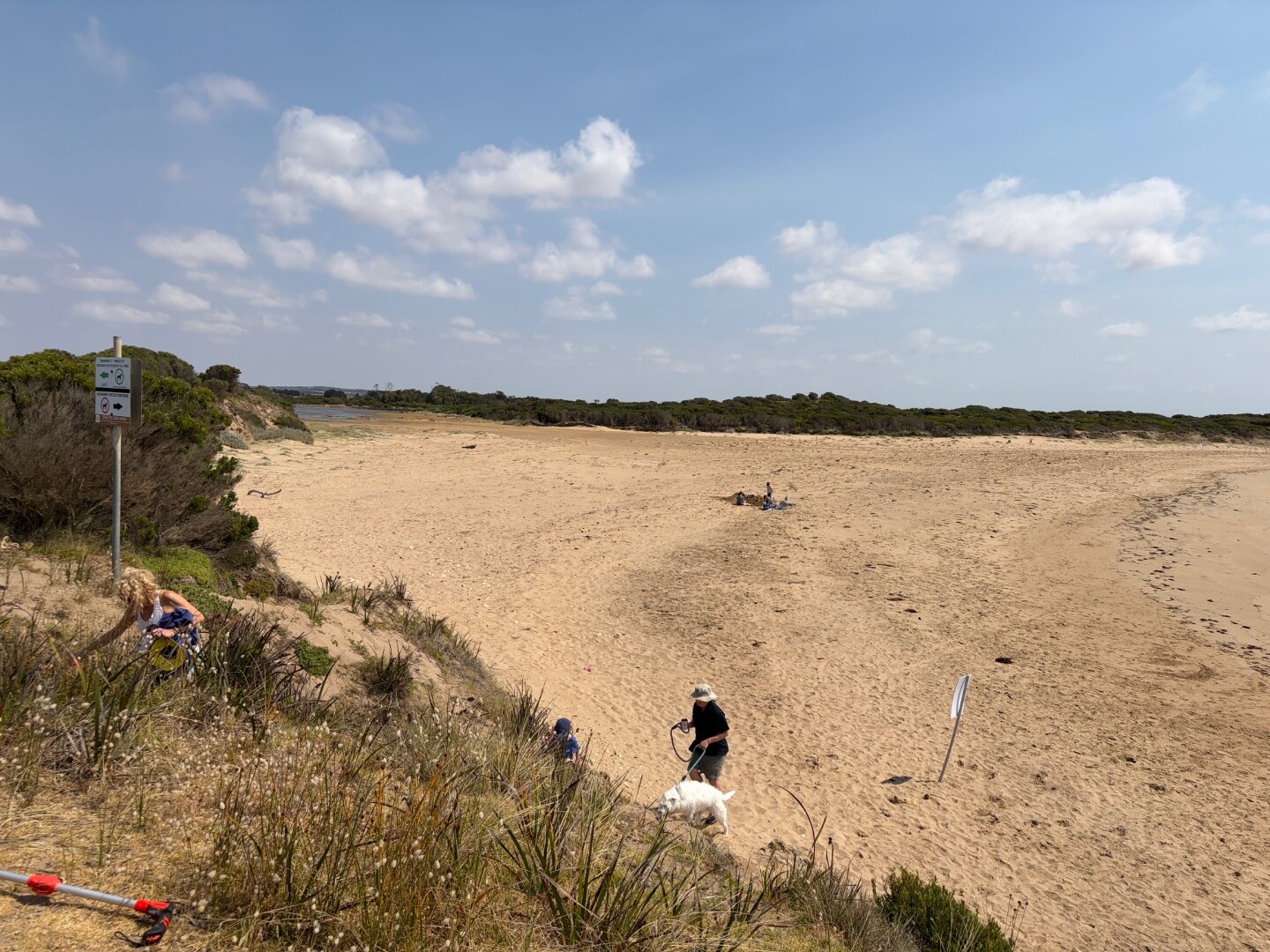
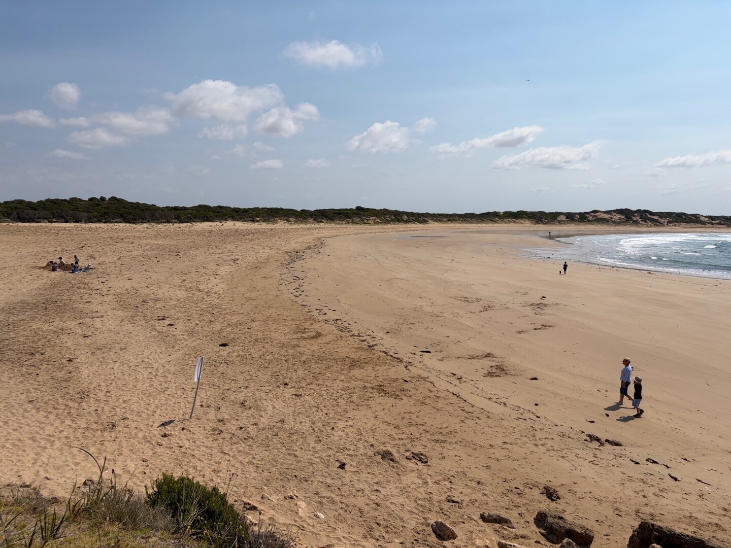
- non-motor boating
- picnics and barbecues
- recreational fishing
- game hunting
Estuary Threats
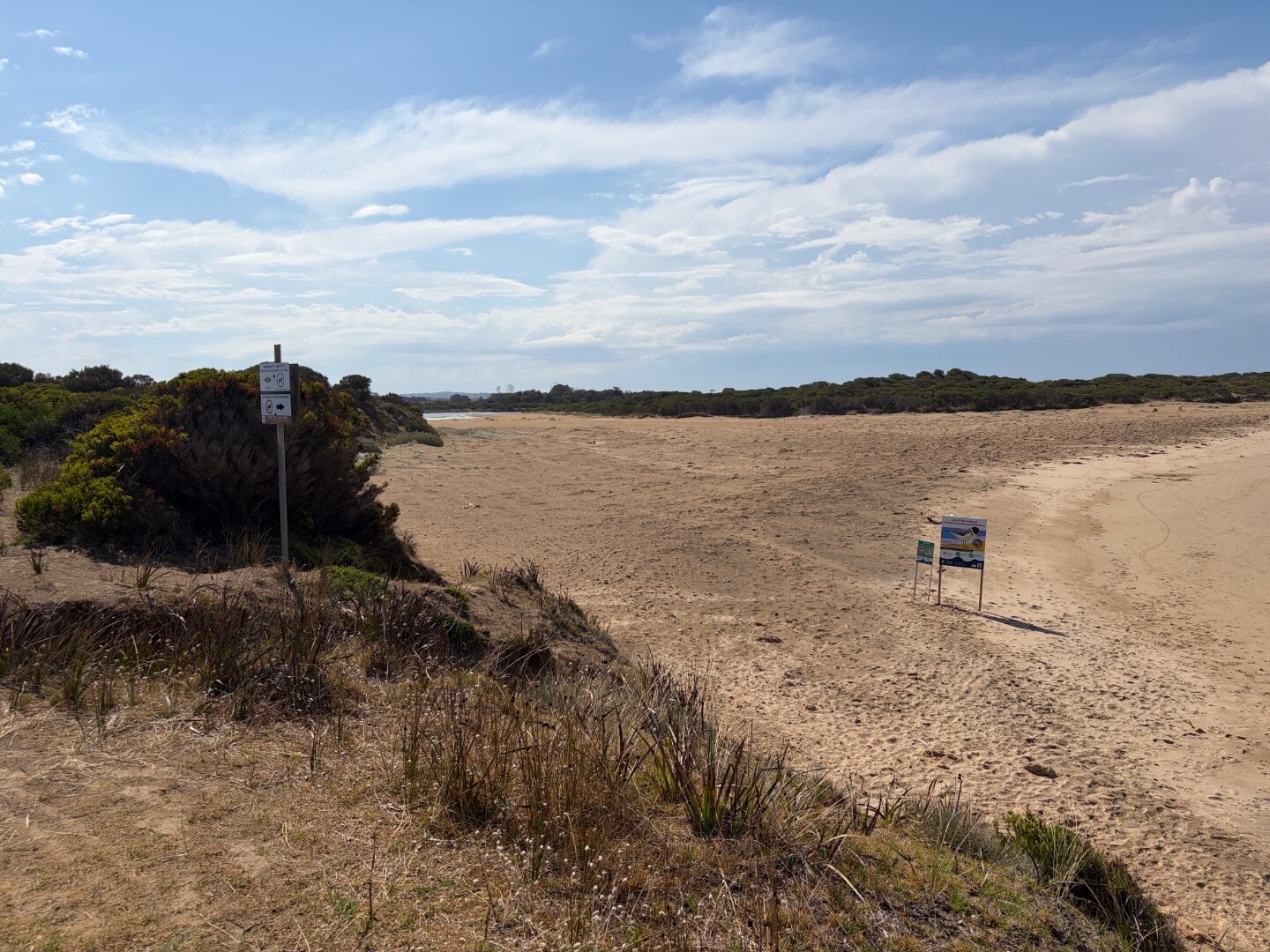
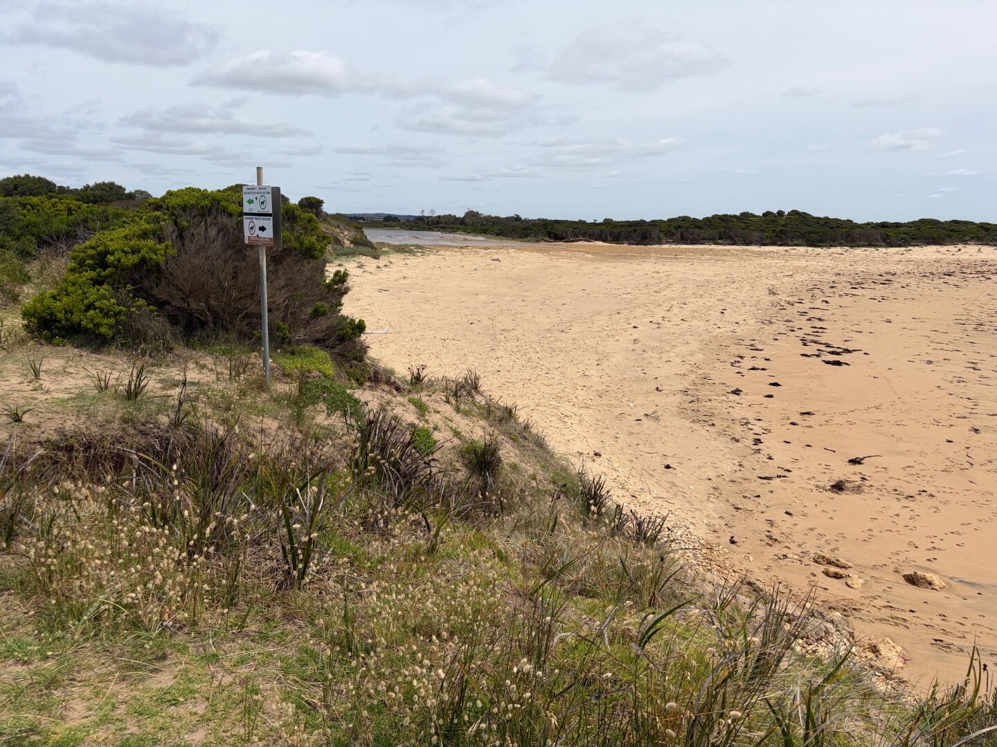
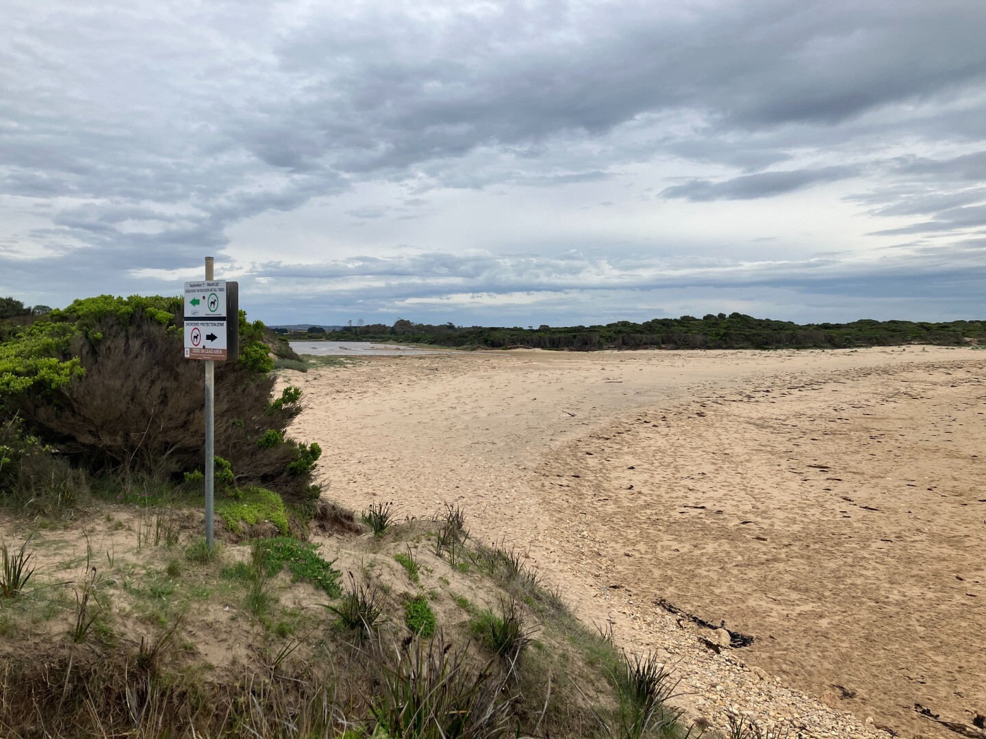
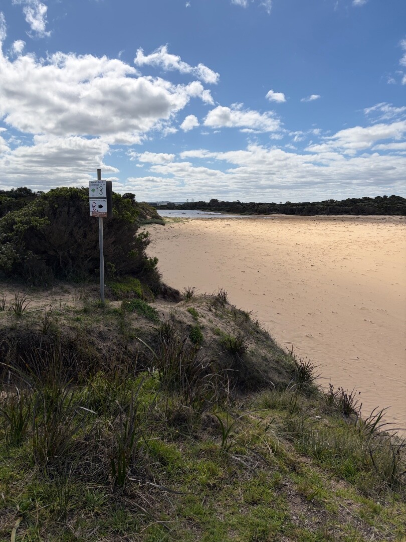
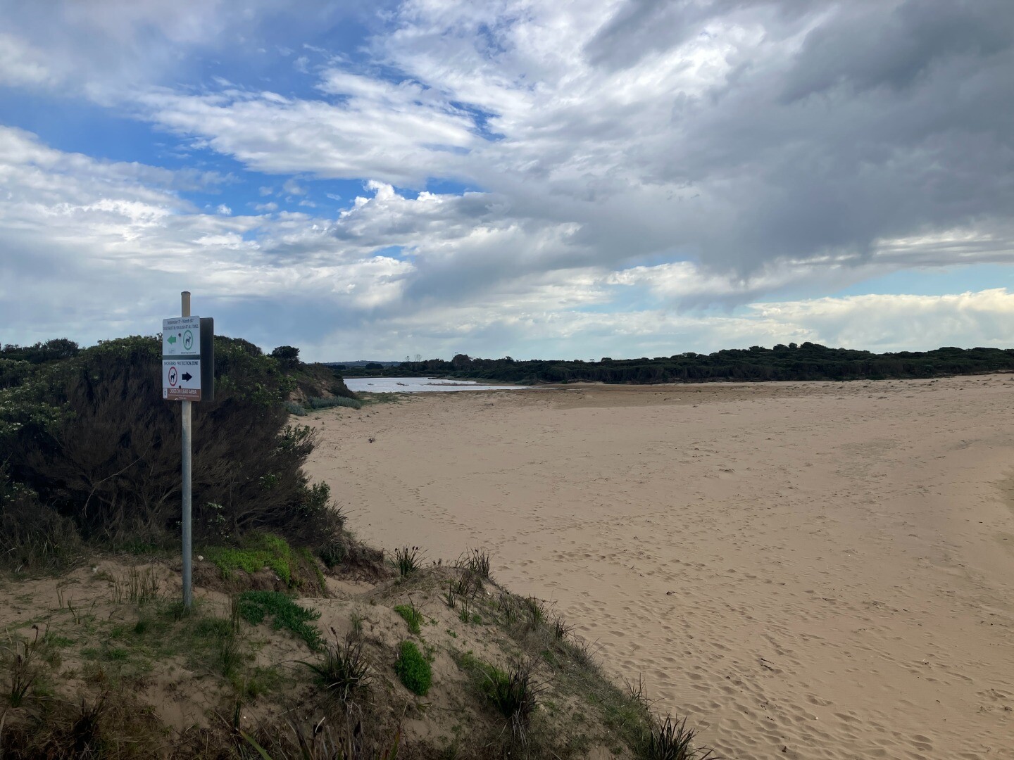
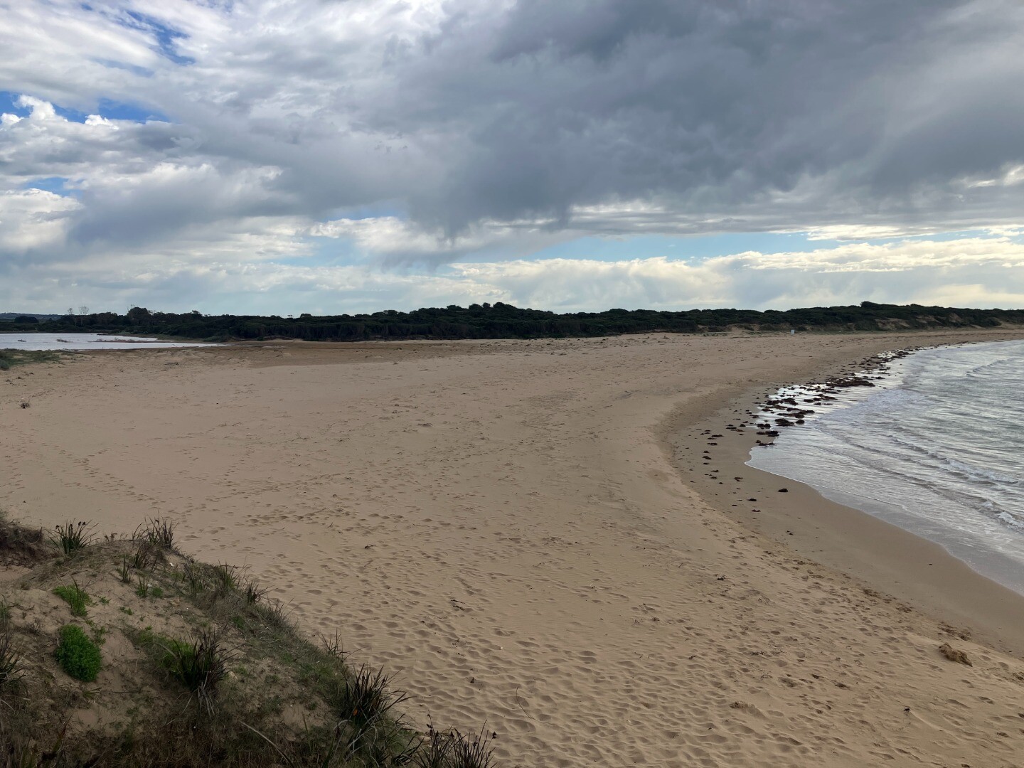
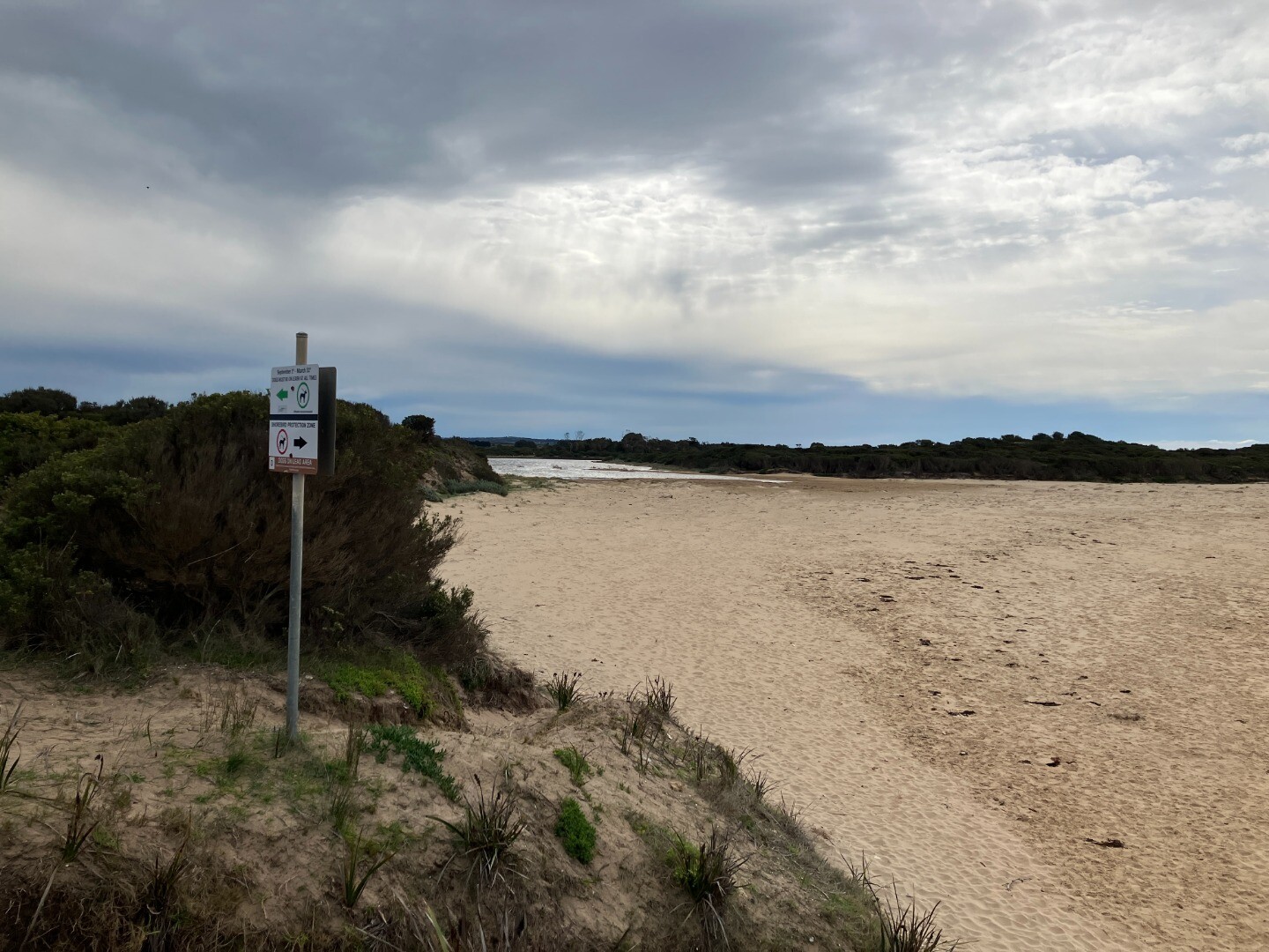
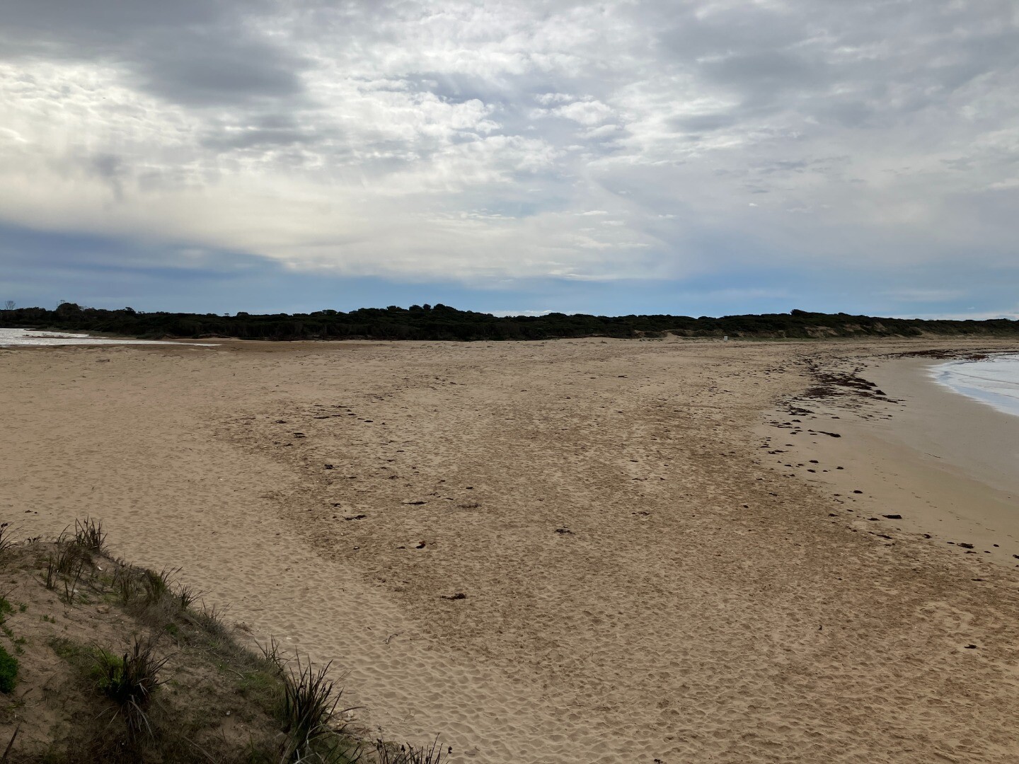
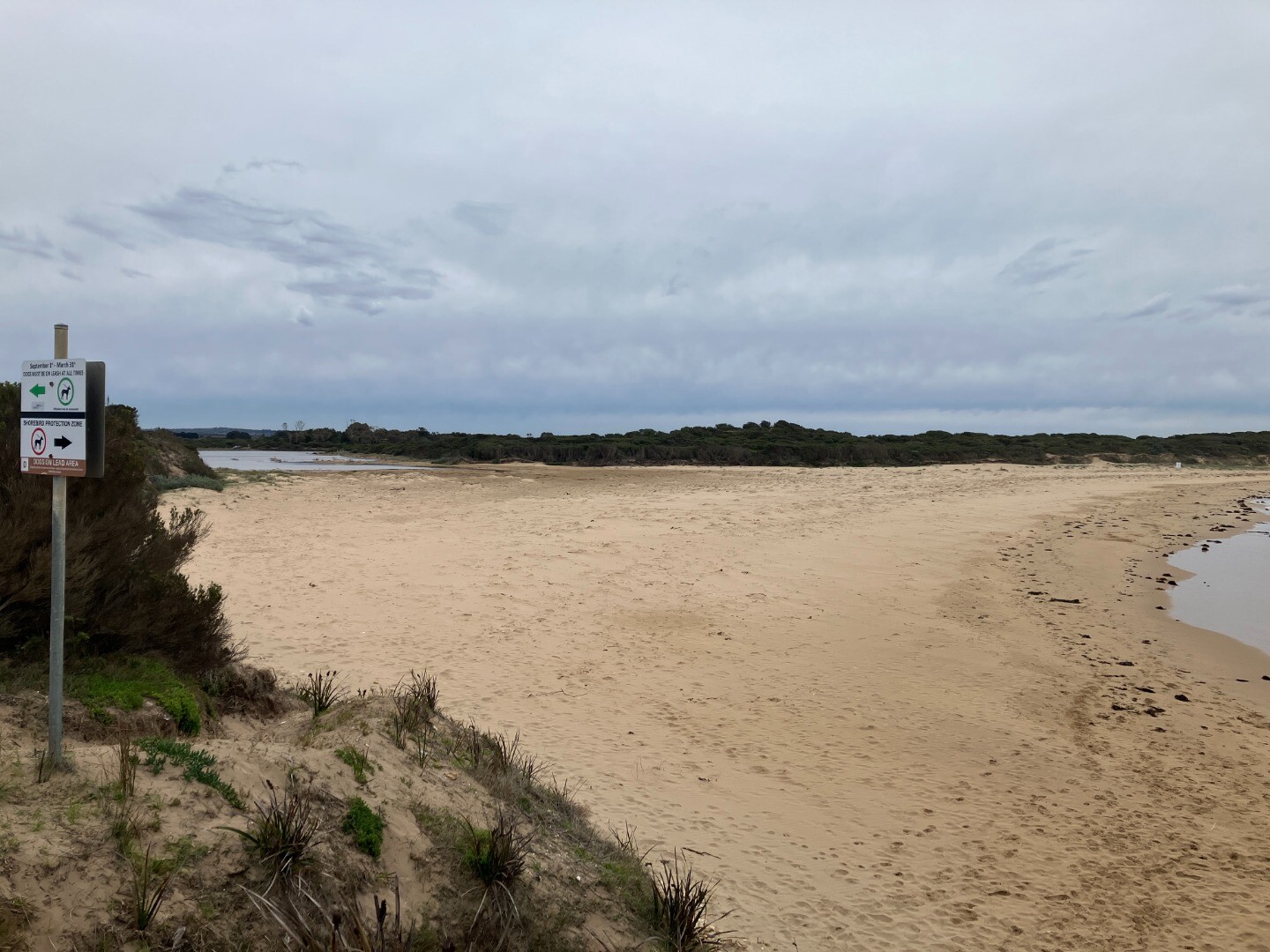
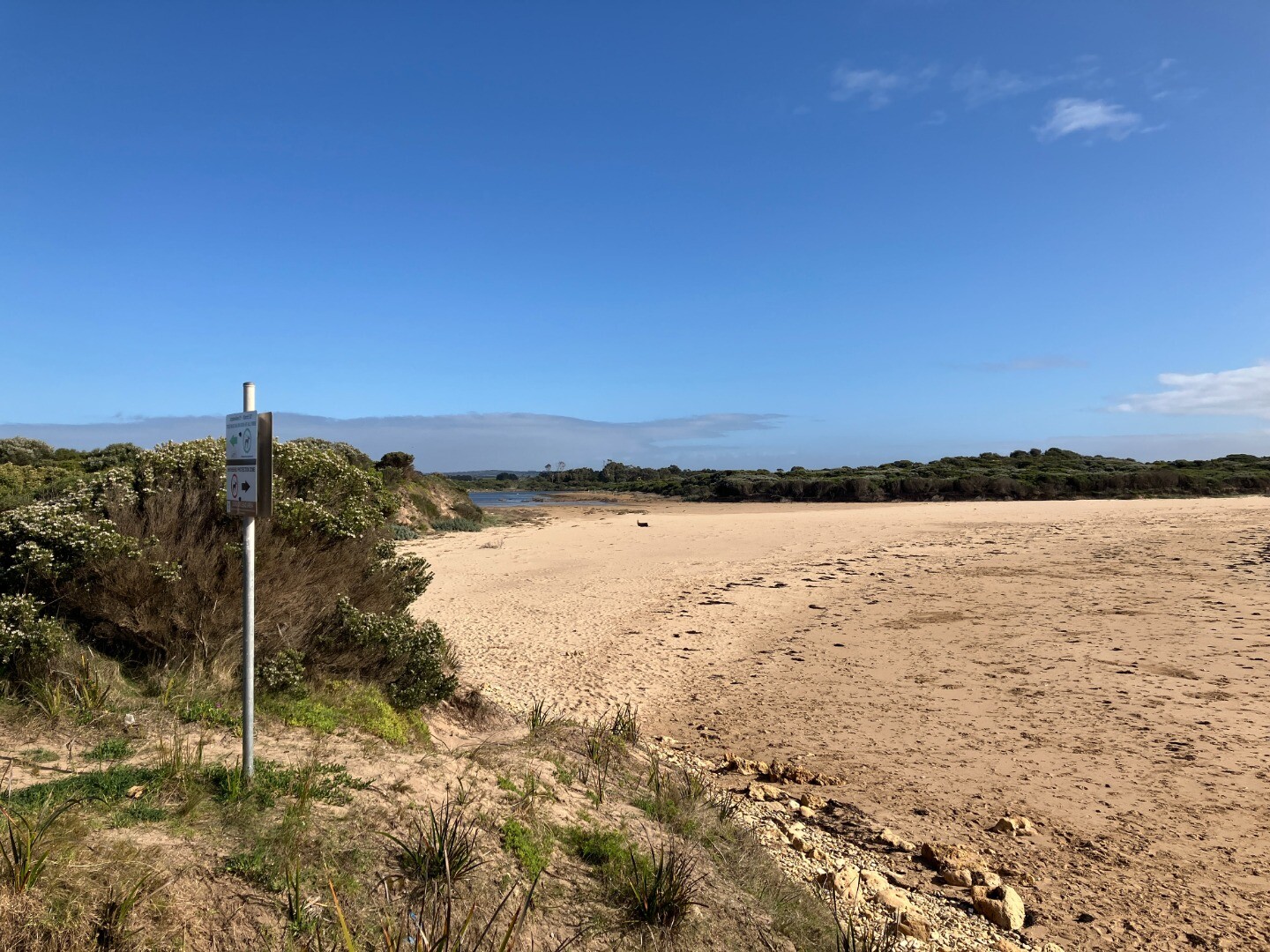
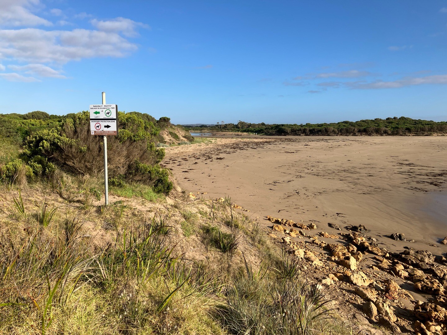
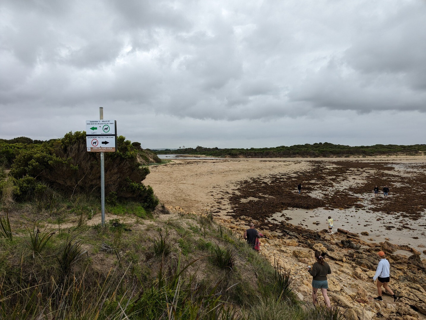
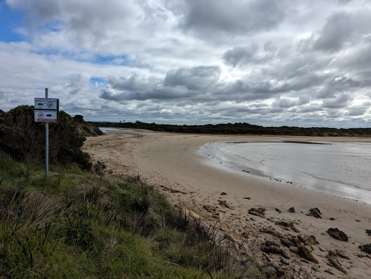
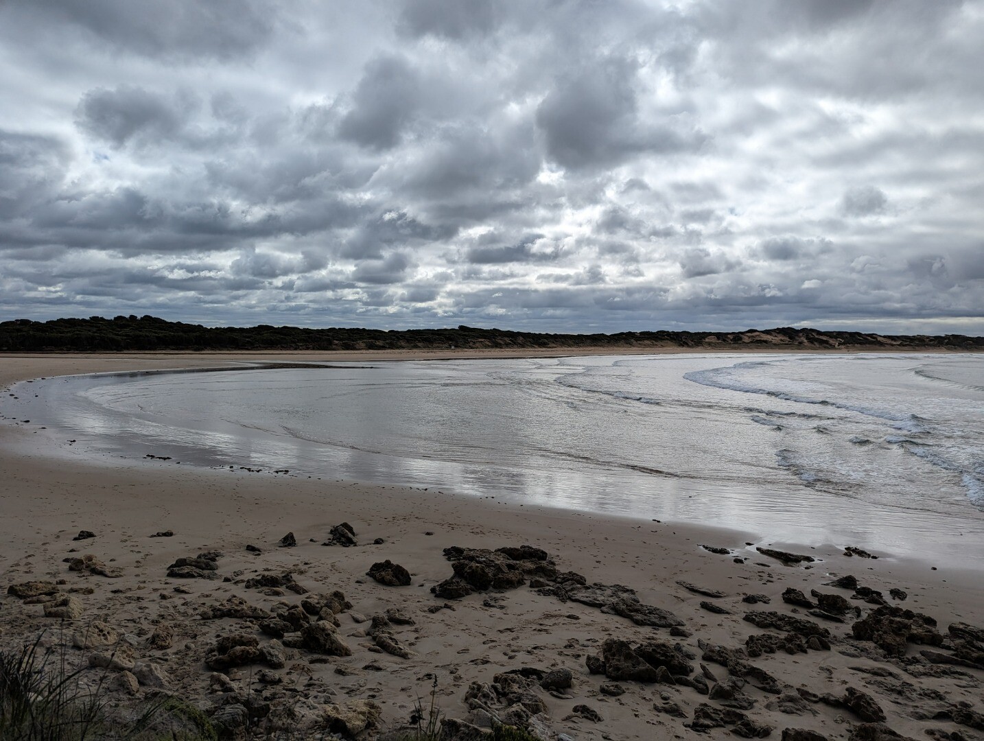
- intermittently open estuary
- degraded estuary vegetation
- invasive fauna
- livestock access
- invasive flora
- degraded riparian vegetation
- degraded water quality
- disturbance of acid sulfate soils
- reduced riparian connectivity
- reduced vegetation width
- barriers to fish migration
- Thompson Creek Estuary Fact Sheet
Recent Events
| Event Details |
|---|
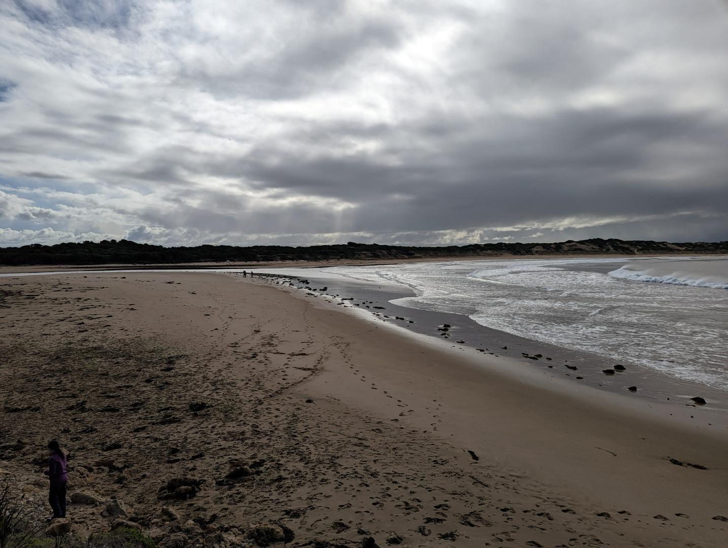
| 19-01-2024 Estuary Entrance Closure Estuary closure reported by Breamlea resident. Photos show estuary opened on the 18th of January 2024 and closed on the 19th of January. 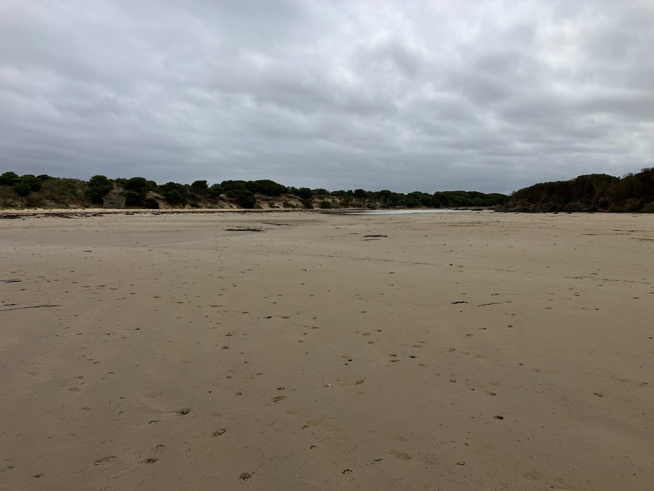
|
Sites
KWP1 |
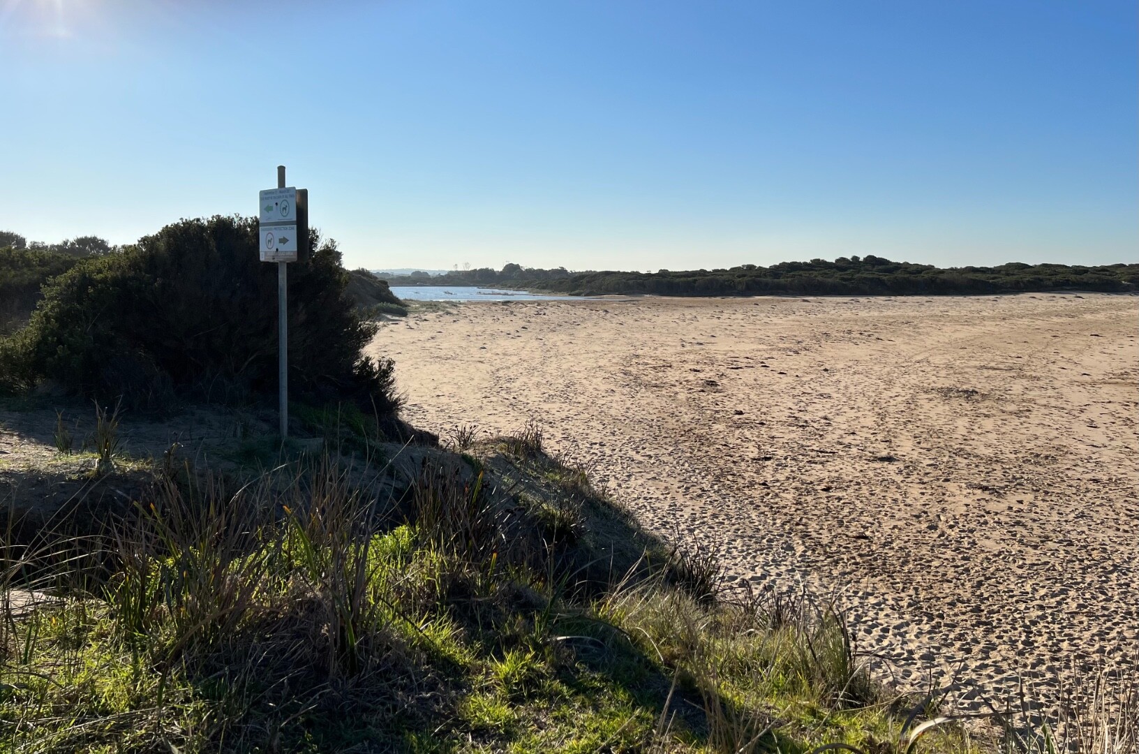
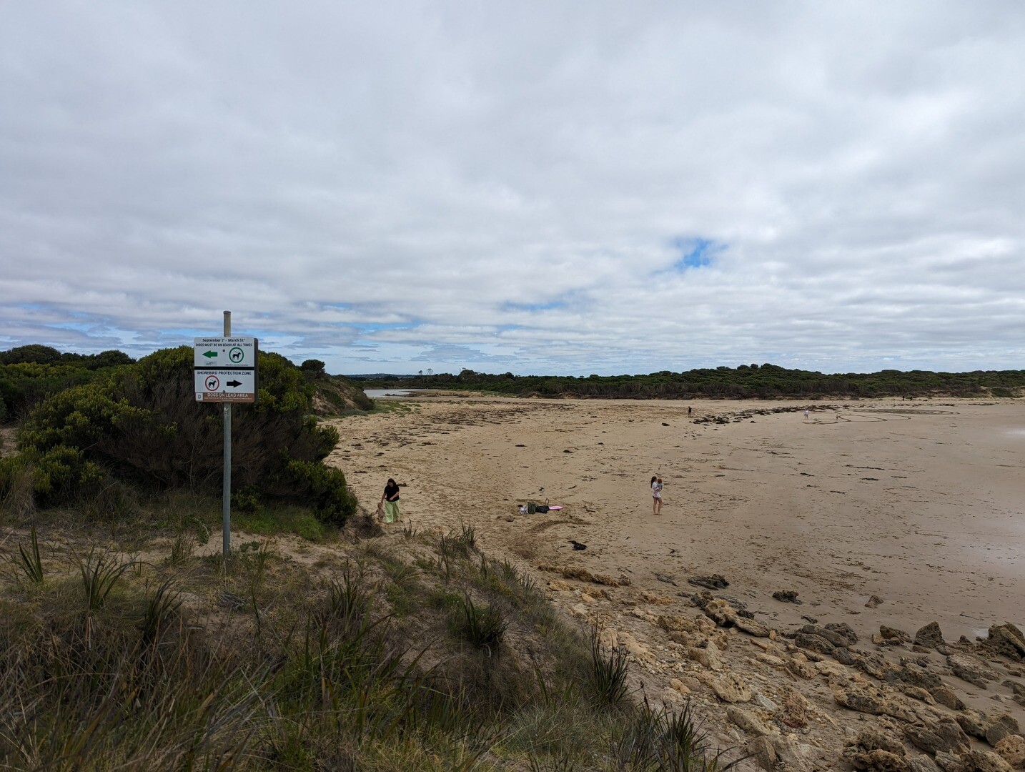
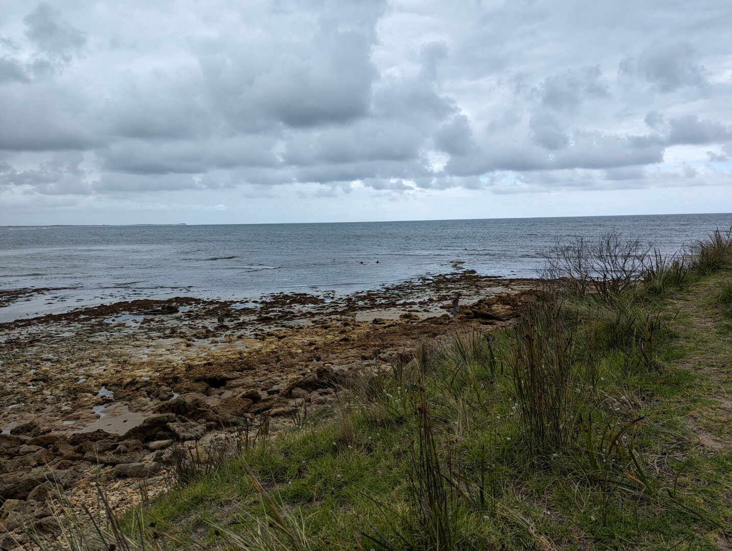
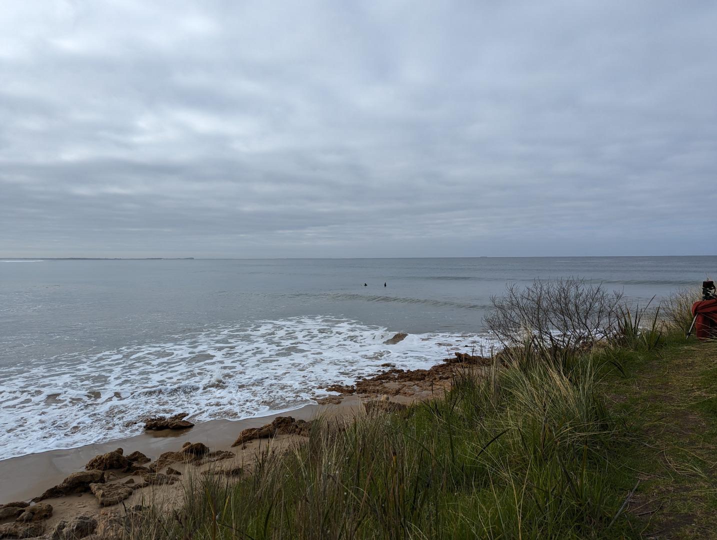
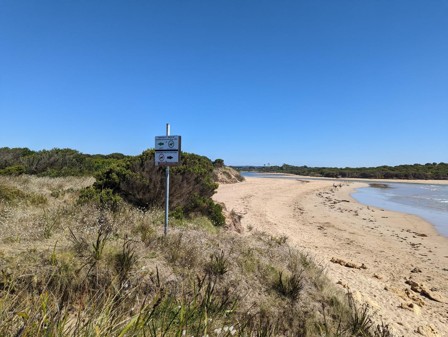
Karaaf Wetlands PhotopointActive Photopoint N/A - N/AThe Karaaf wetlands lie within Wadawurrung Country and remain culturally significant to Traditional Owners. They form part of the Breamlea Flora and Fauna Reserve saltmarsh system, connected to Thompson Creek and the ocean at Point Impossible. Historically, the wetlands experienced tidal inundation when the creek mouth was open, and flooding when it closed, driven by freshwater flows from the Thompson catchment near Gherang. This pattern continues today, classifying the system as an ICOLL estuary. The area provides important habitat for wildlife, including birds such as the critically endangered Orange-bellied Parrot. |
T1 |
Point Impossible Road Culvert at Mullet CreekActive Physico-Chemical 17-10-2014 - 17-06-2026Site is on the side of the culvert where Mullet Creek enters Thompson Creek estuary. Observations 98 |
T2 |
Blackgate Road Pedestrian BridgeActive Physico-Chemical 03-10-2007 - 17-06-2026The walkbridge over Thompson Creek which runs adjacent to Blackgate Road. Observations 106 |
TGB |
Thompson Creek Gauge BoardActive Gauge BoardDownstream of the culvert where Mullet Creek enters Thompson Creek. |
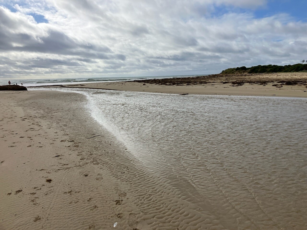
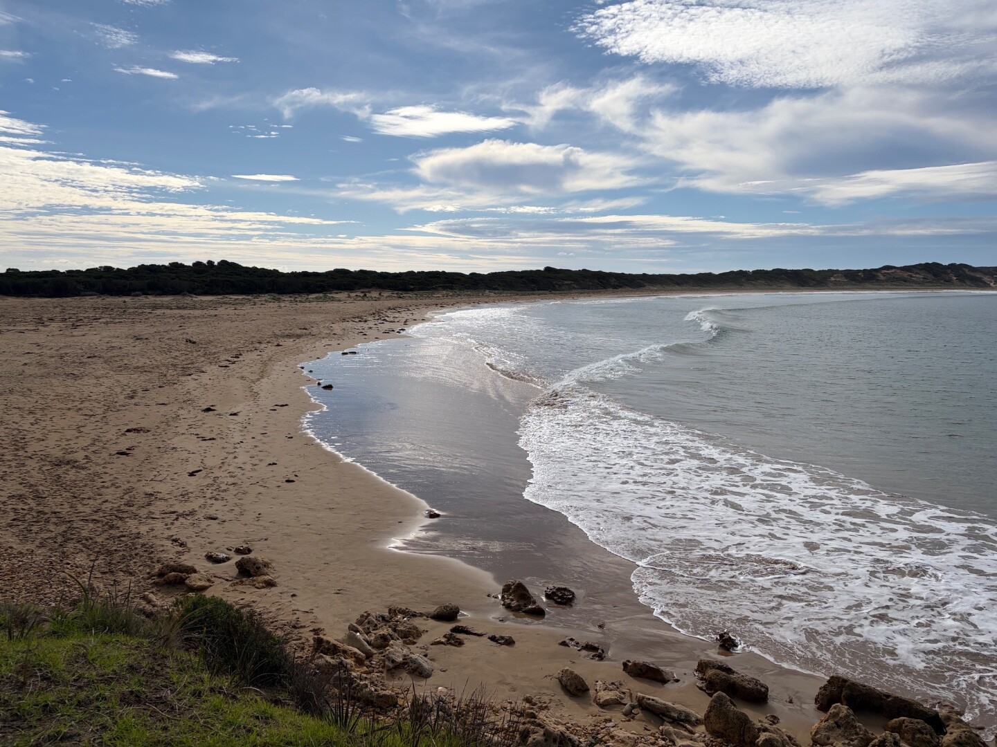
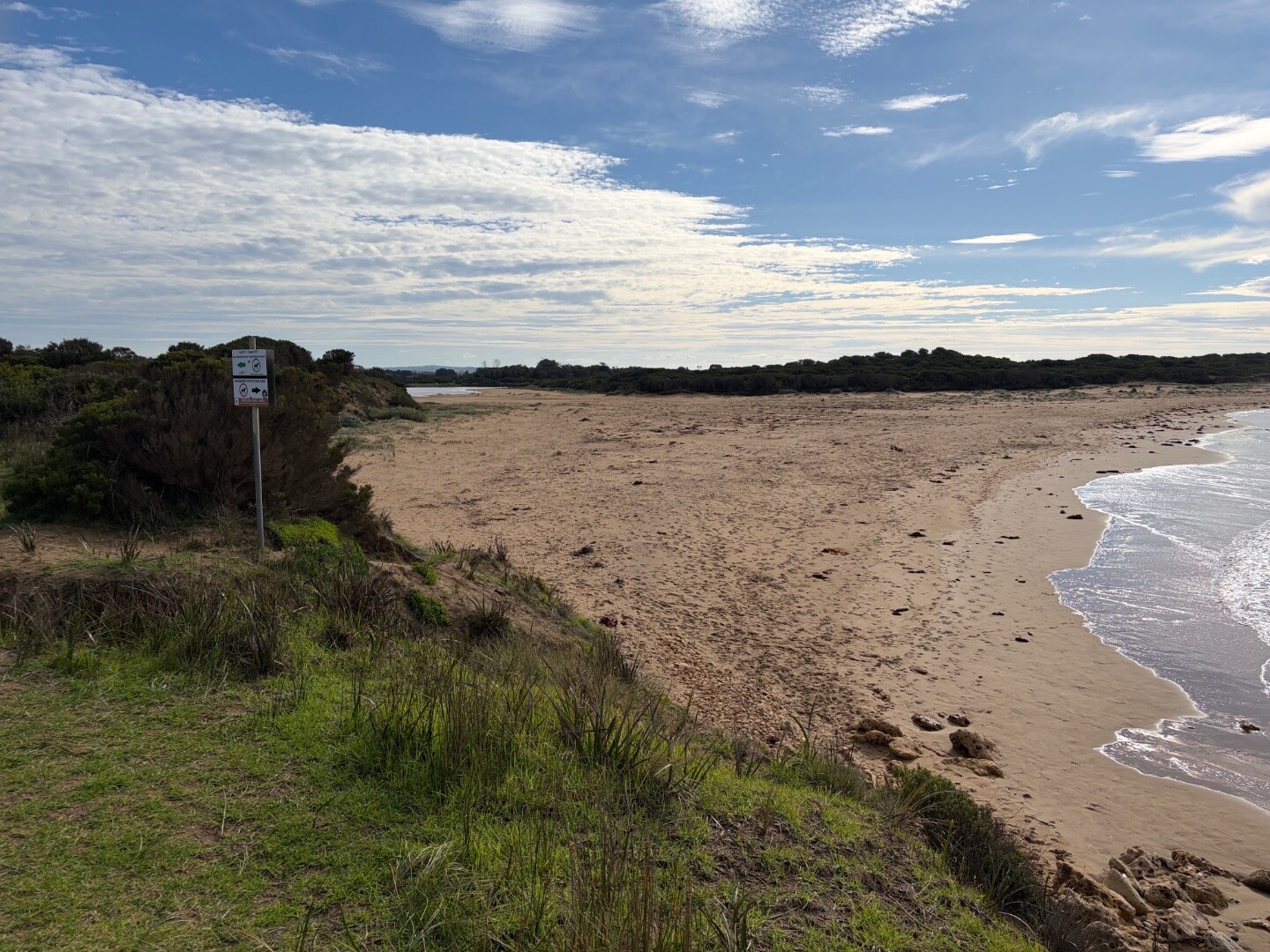
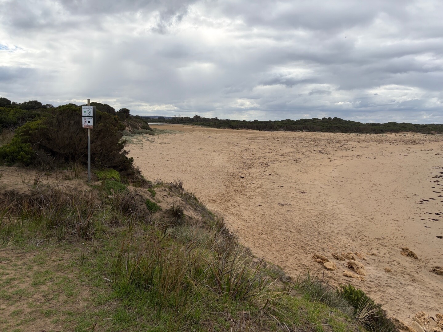
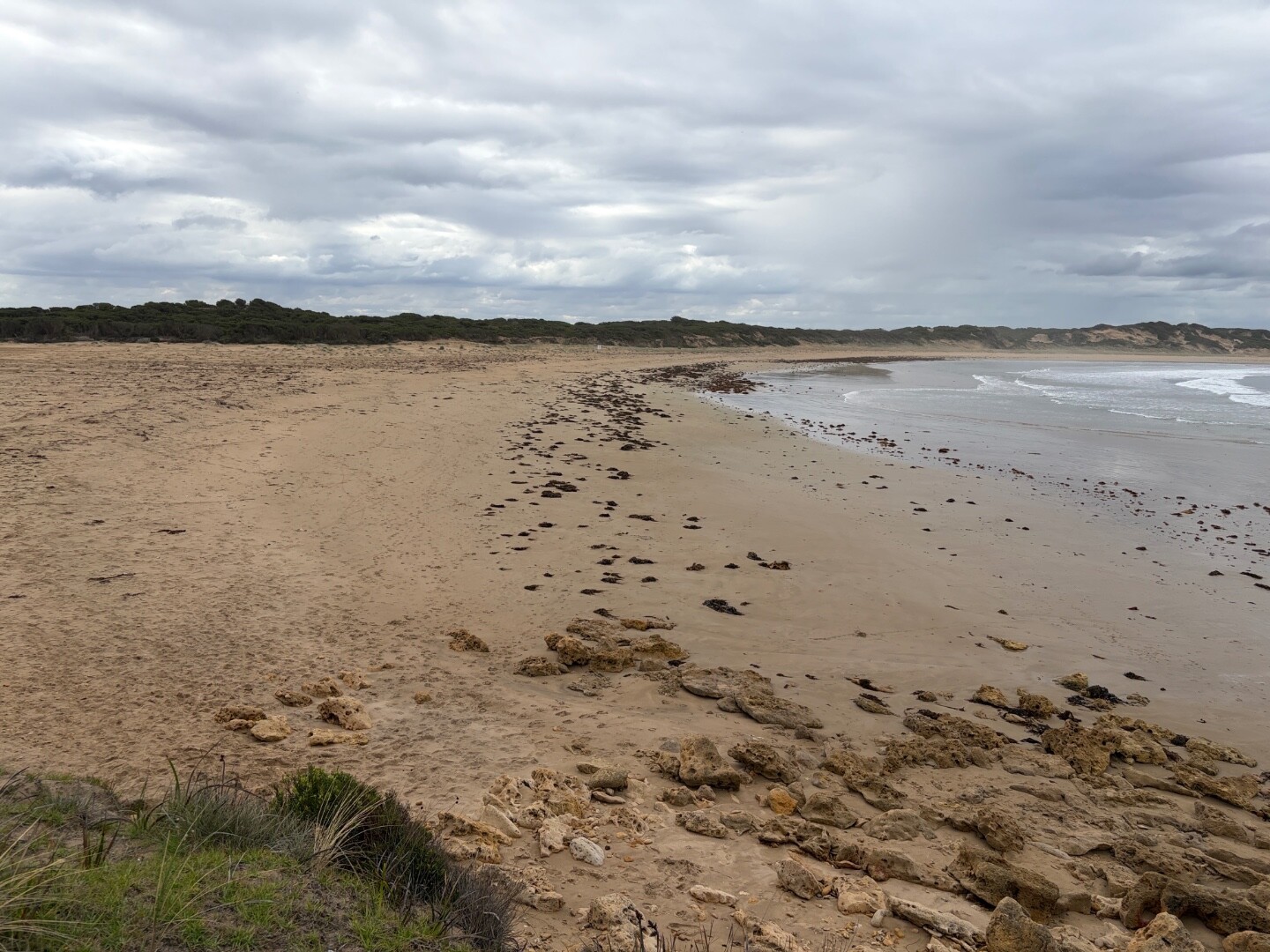
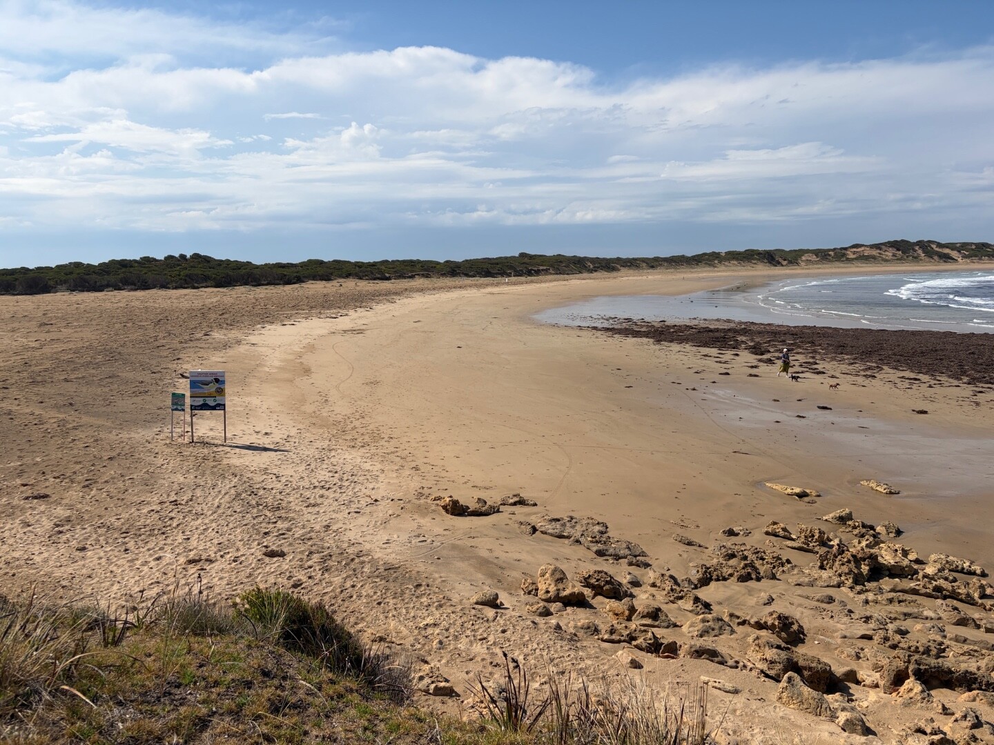
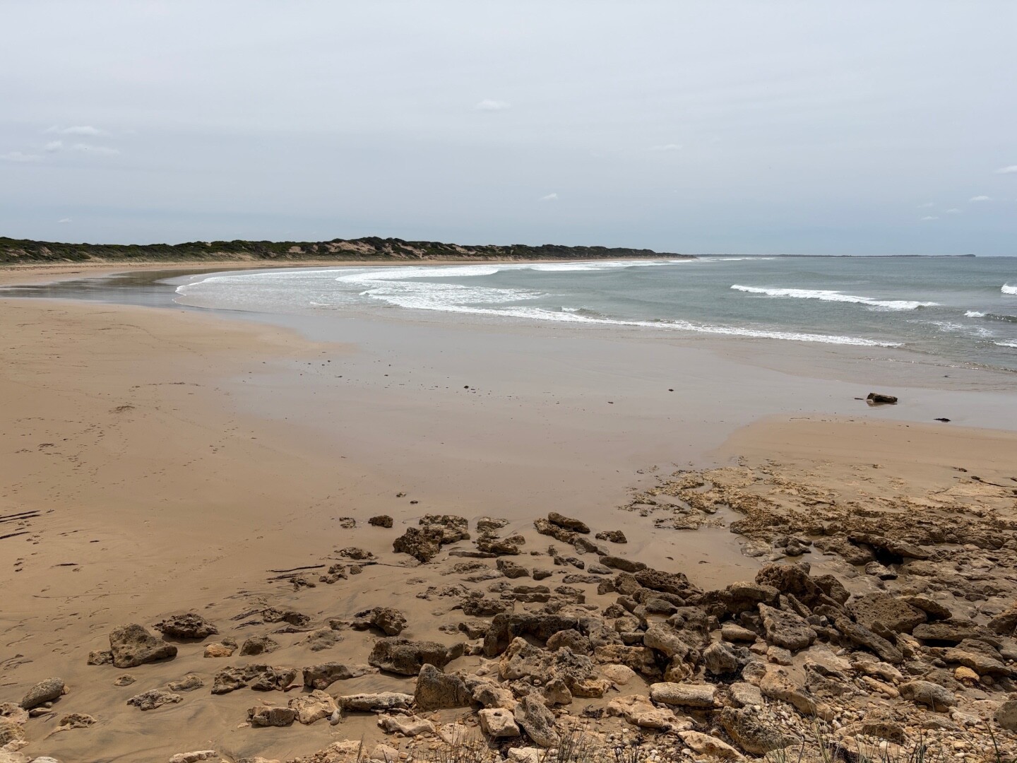
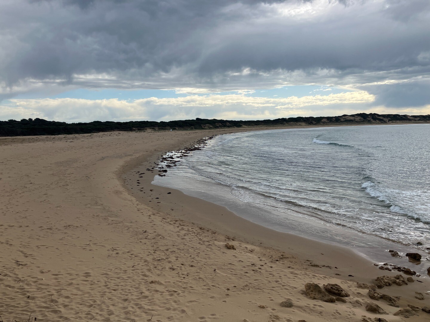
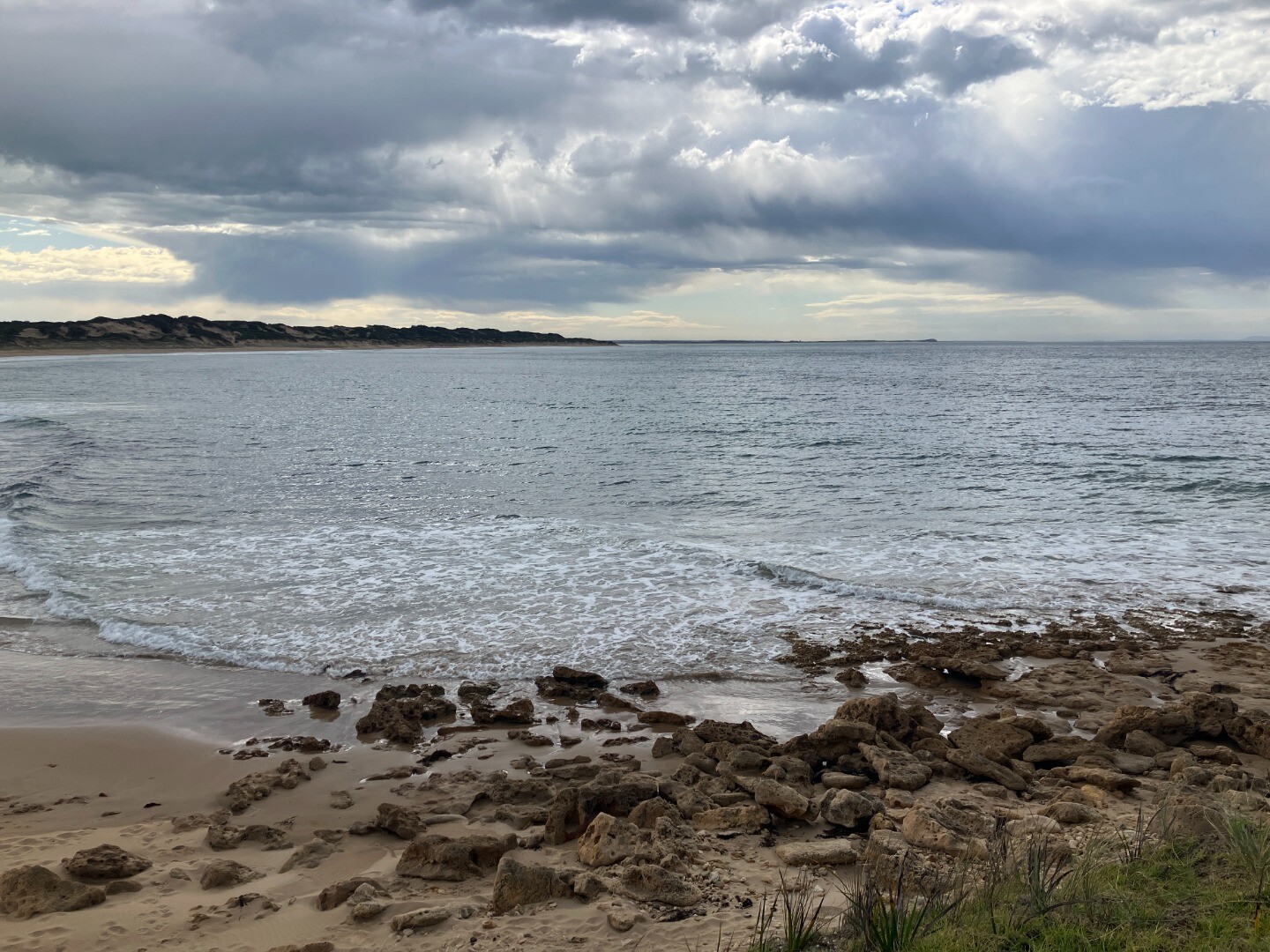
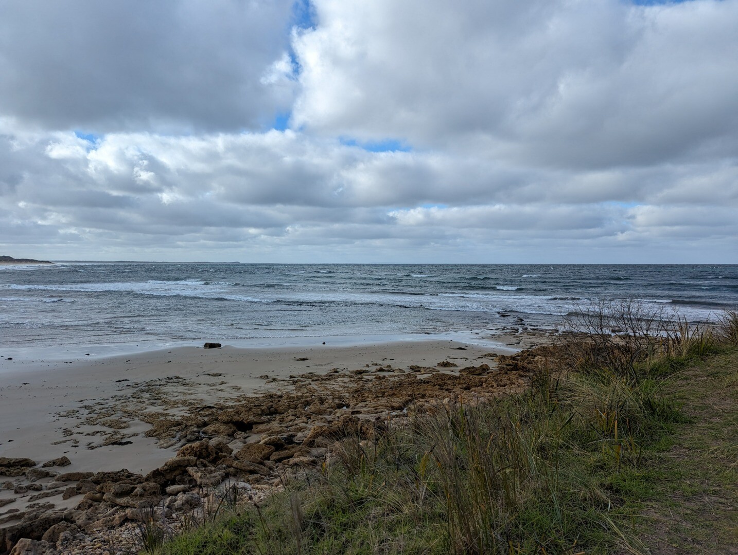
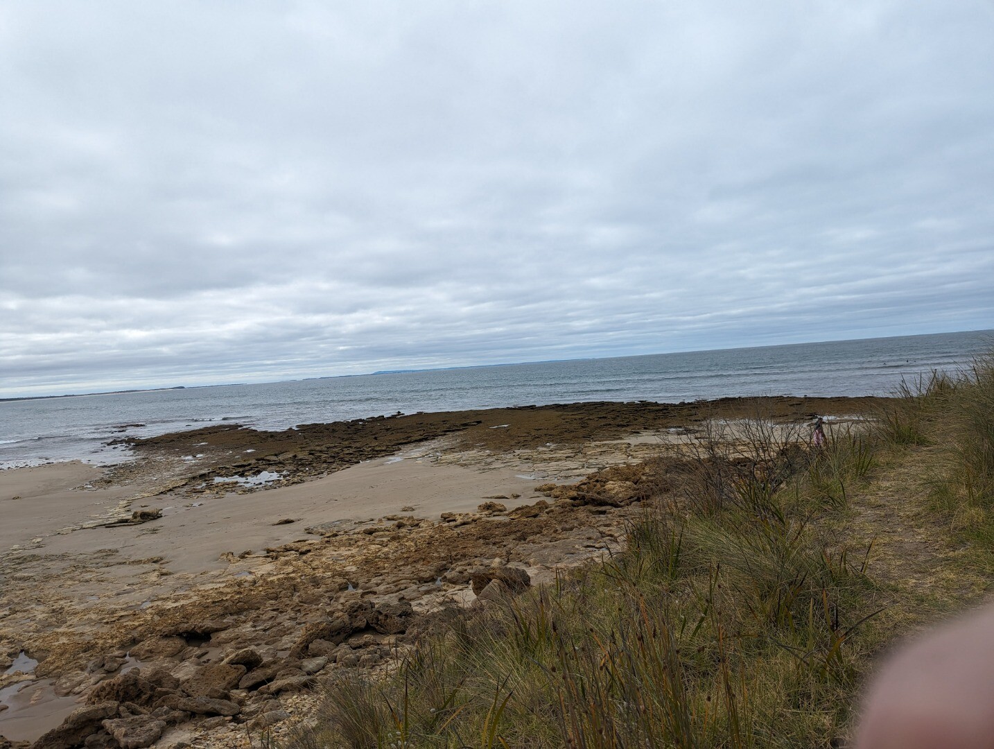
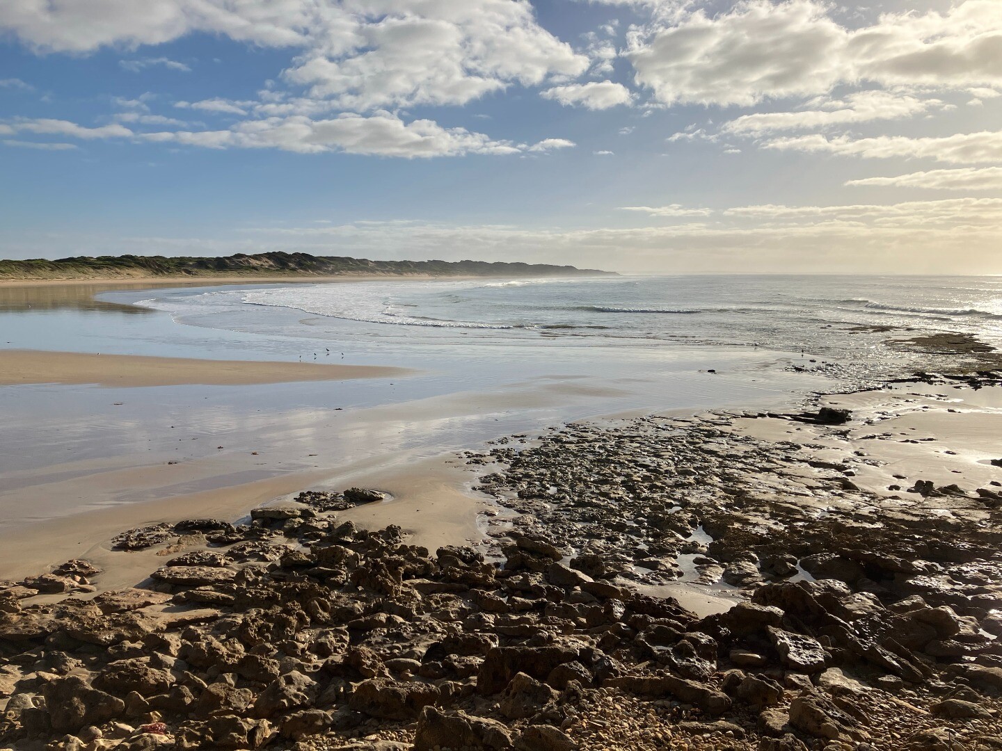
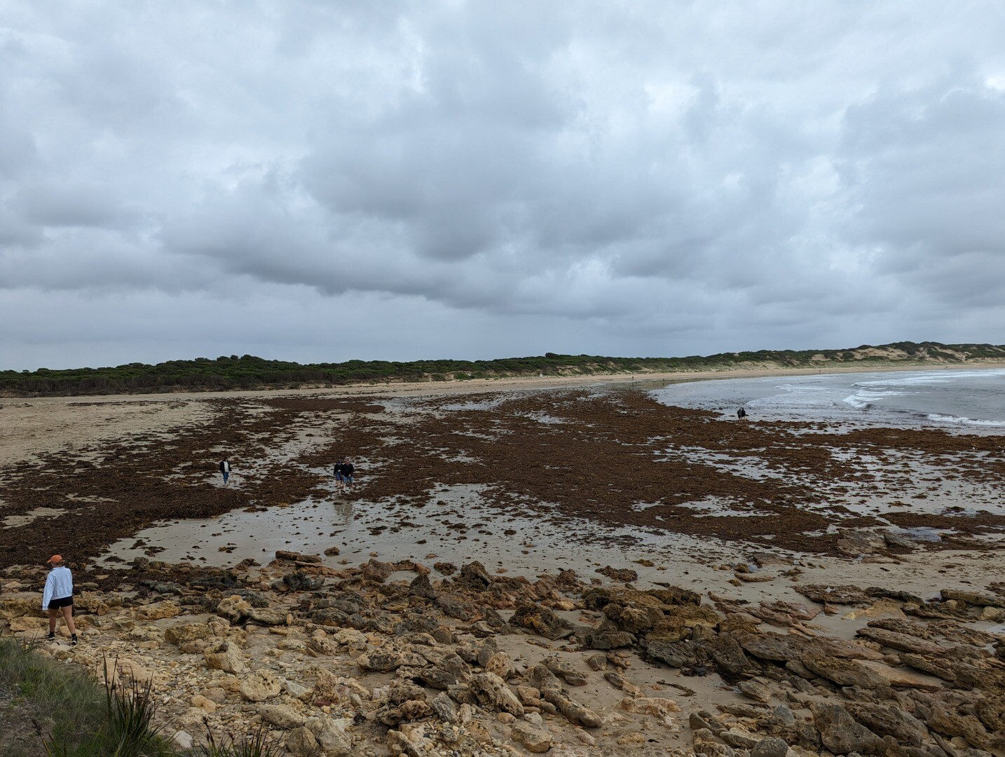
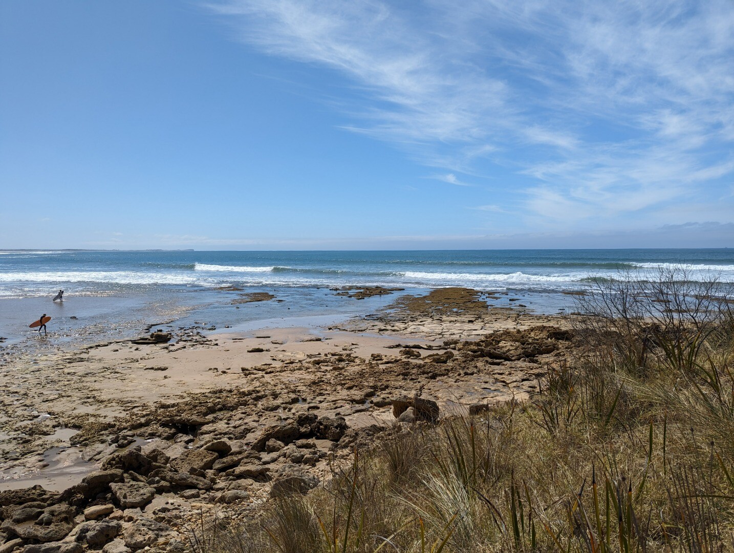
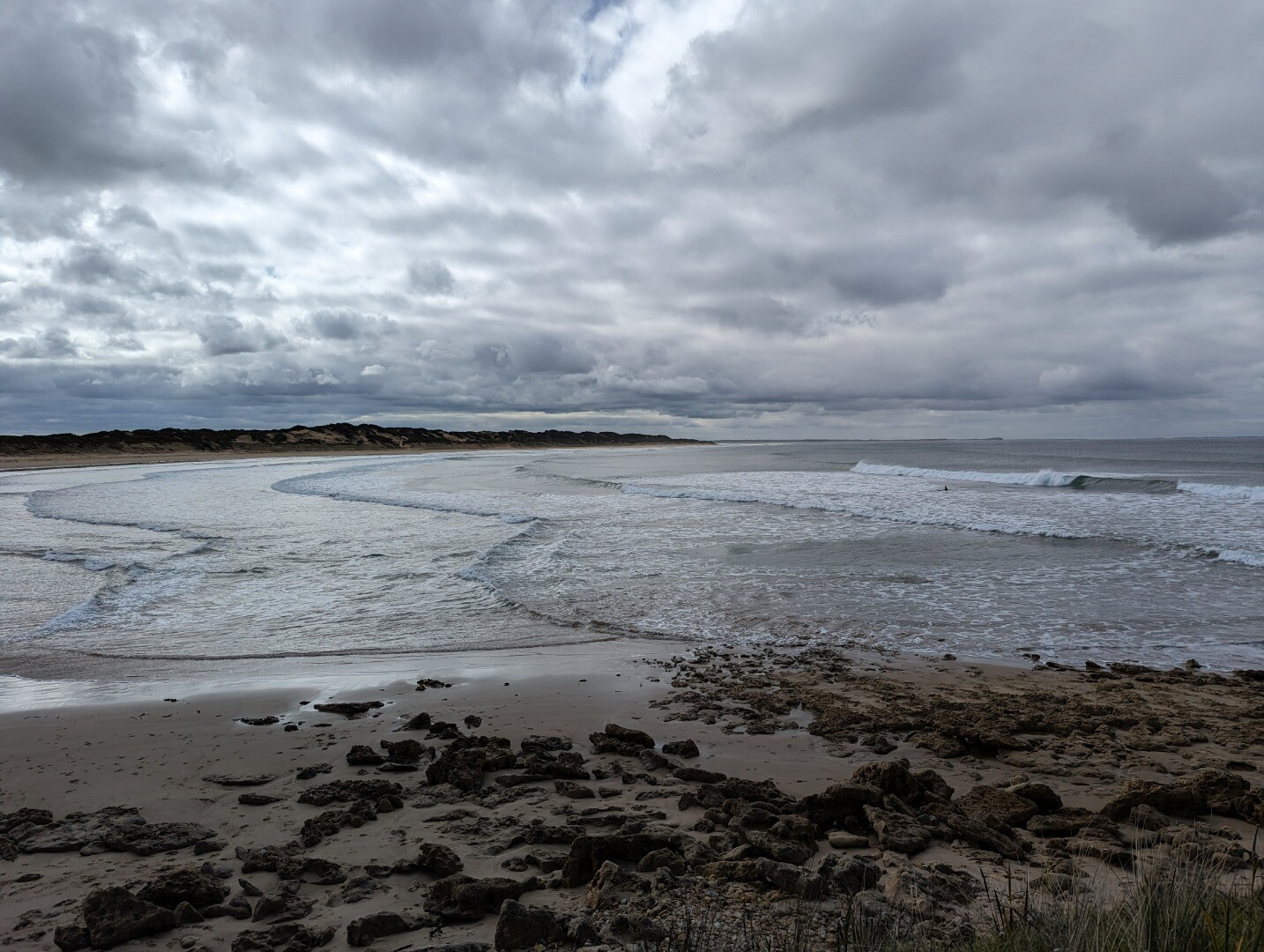
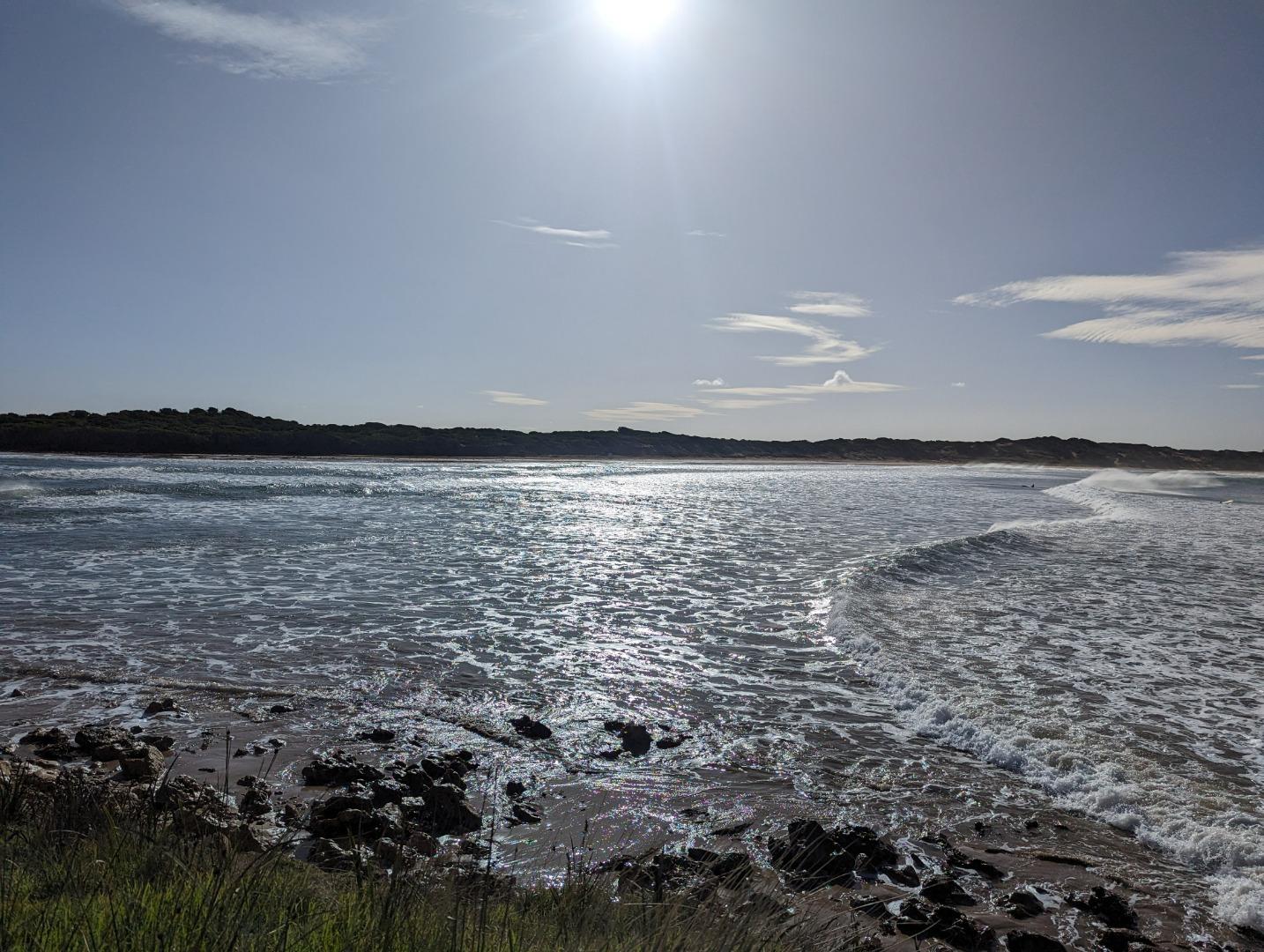
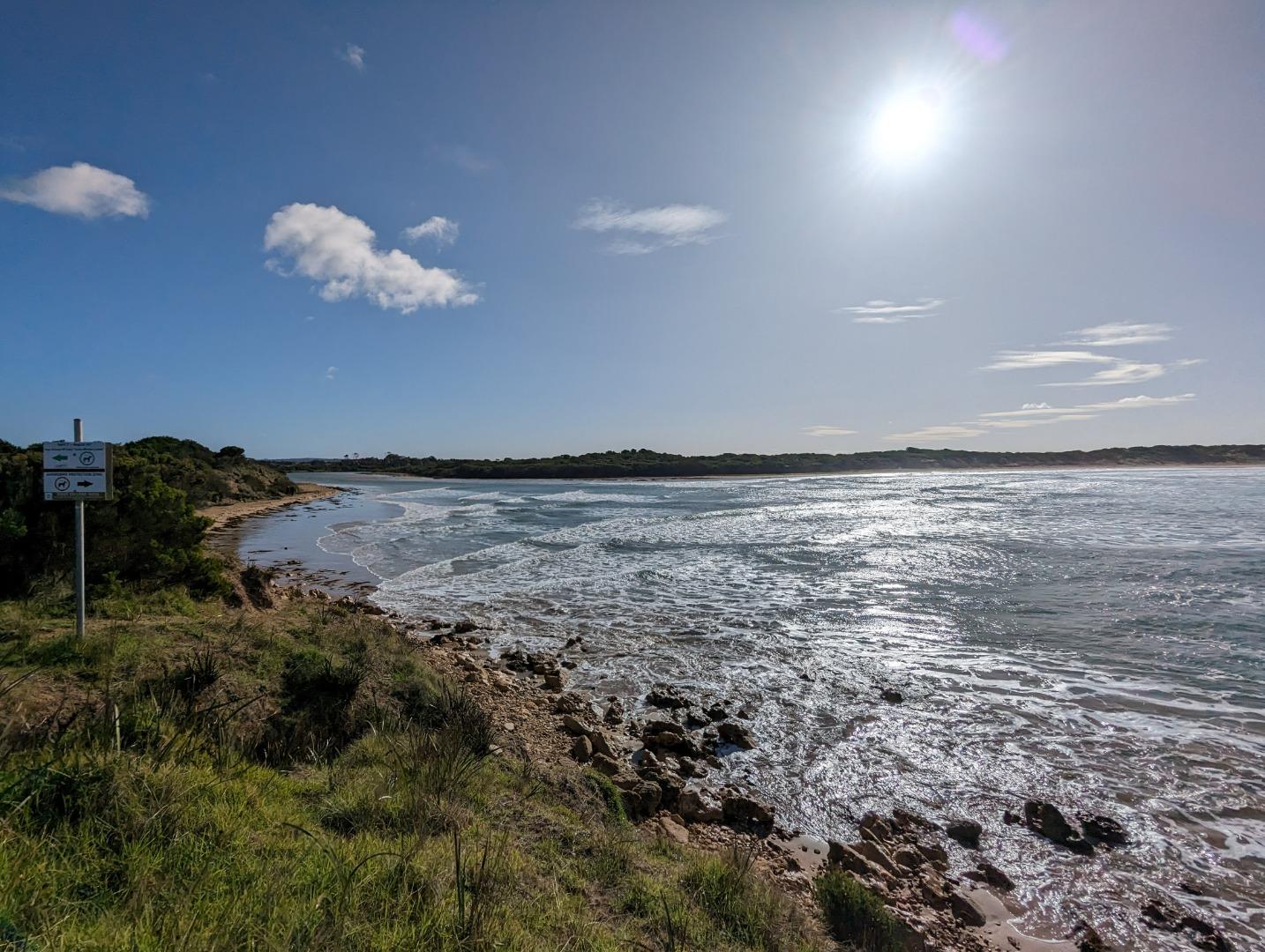
TMC |
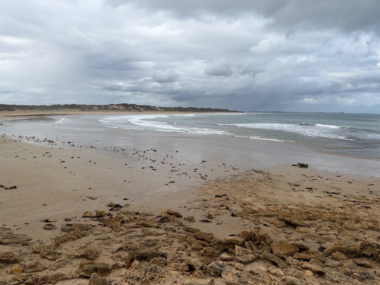
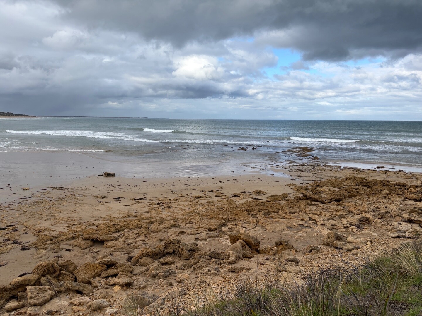
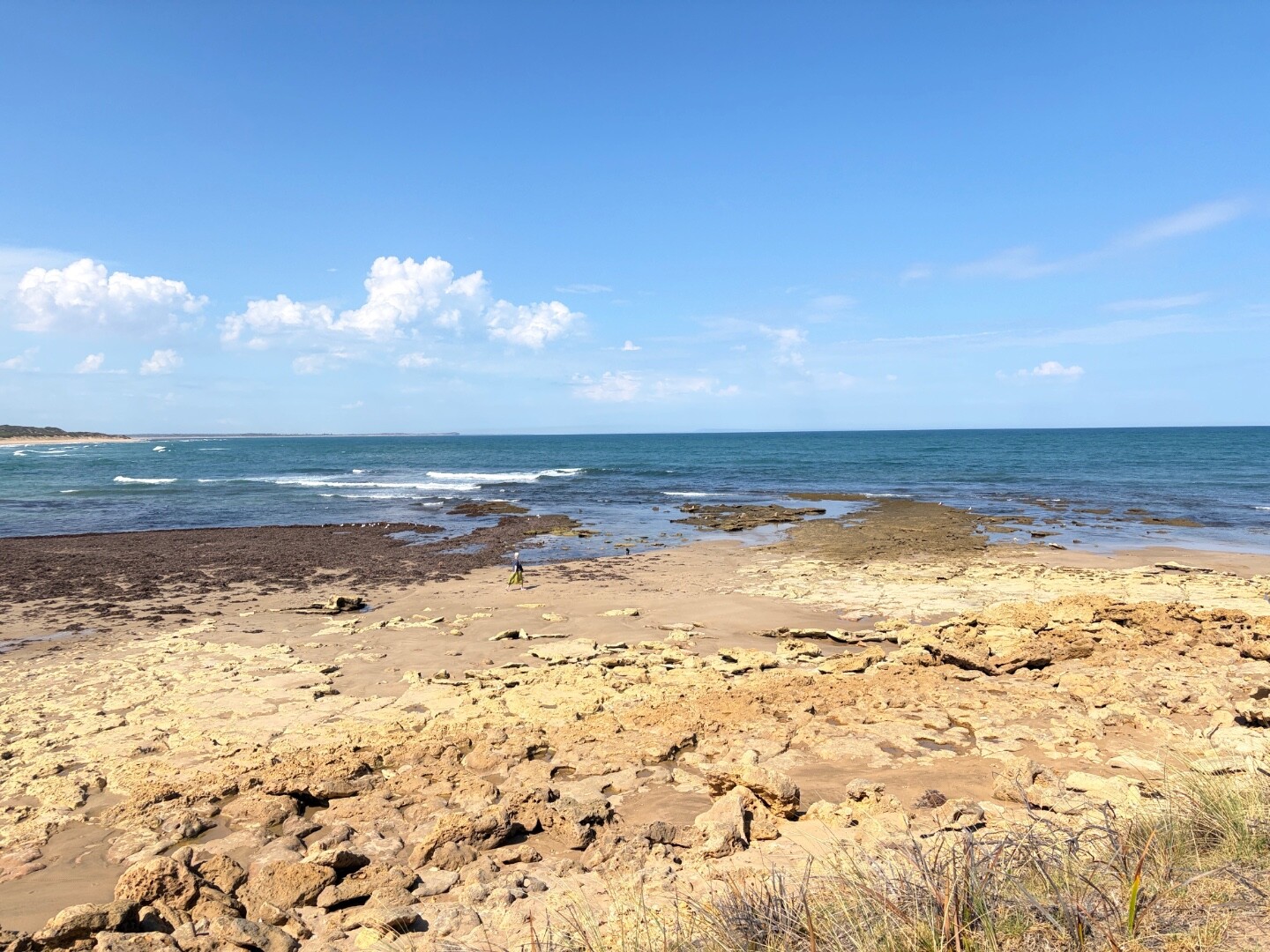
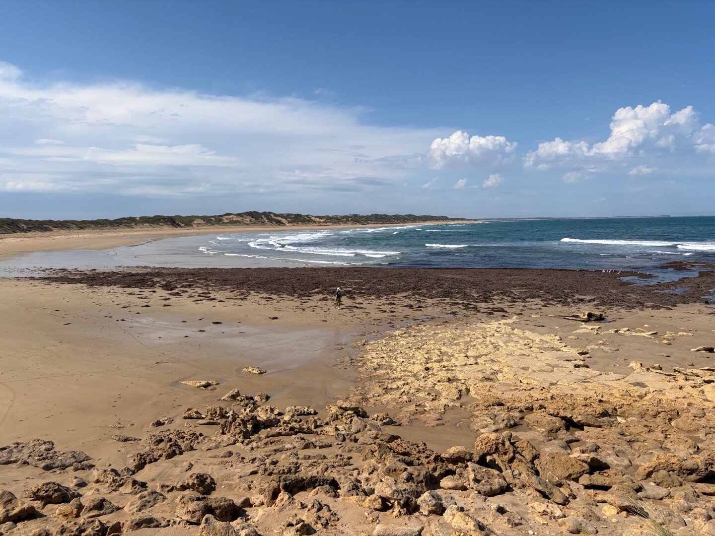
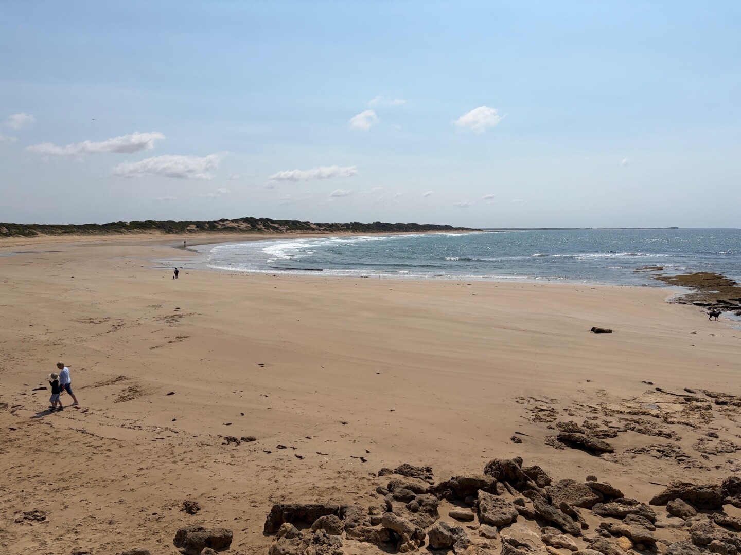
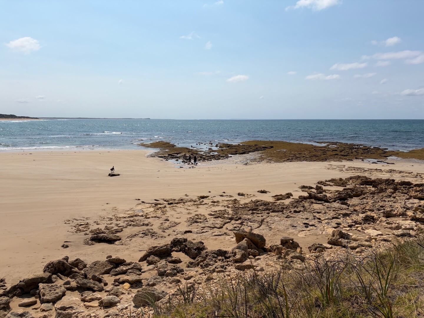
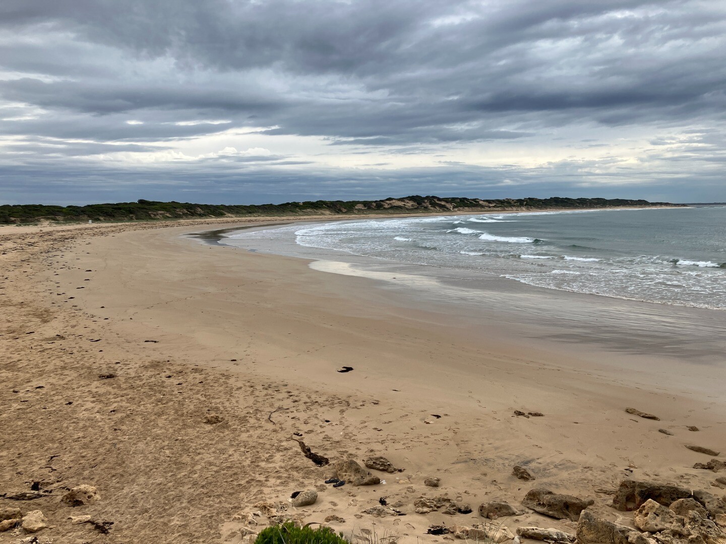
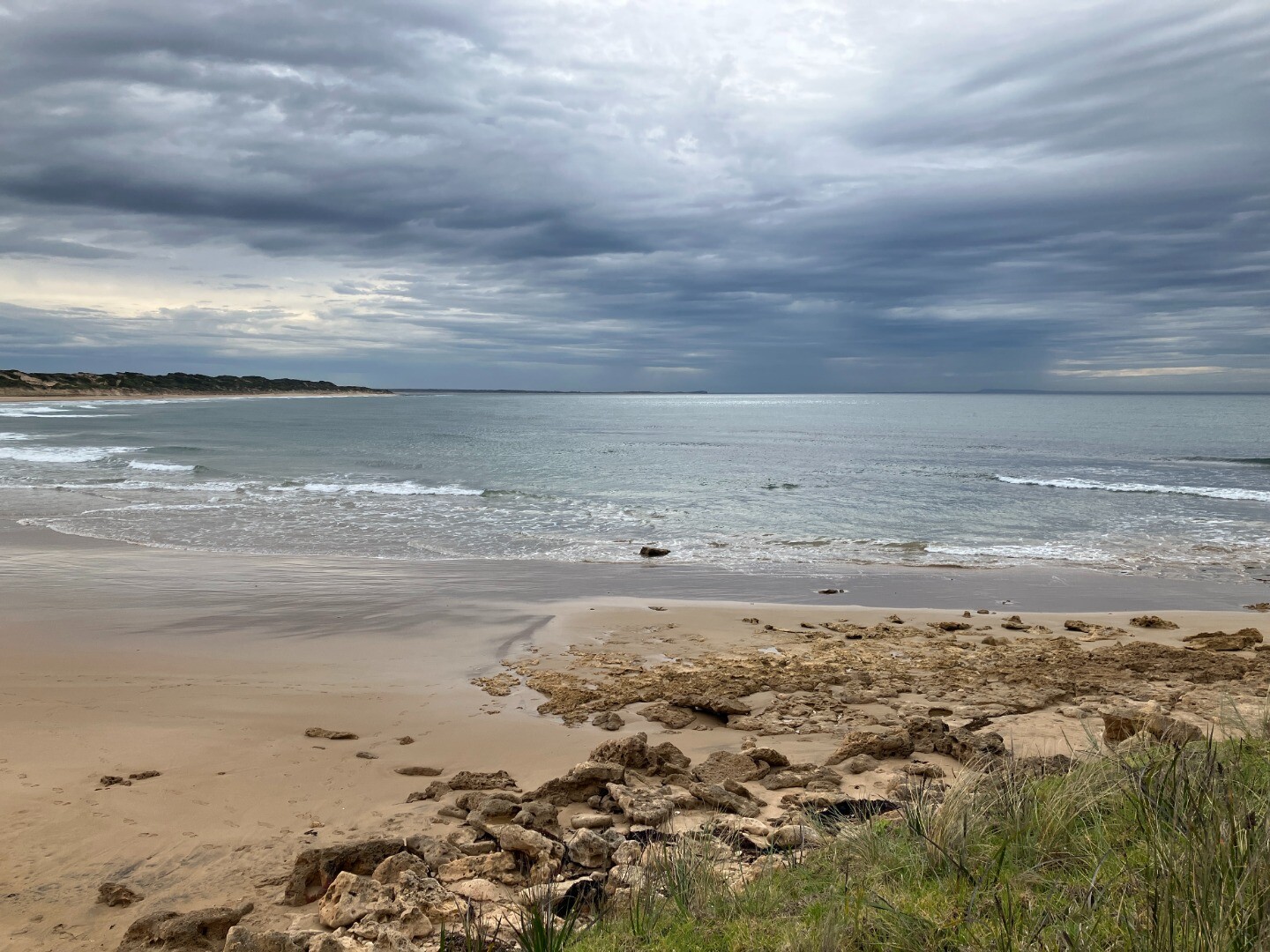
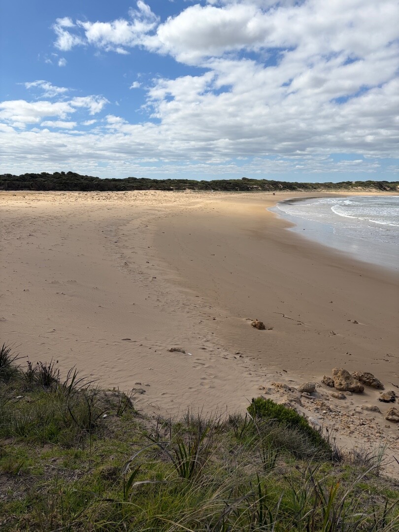
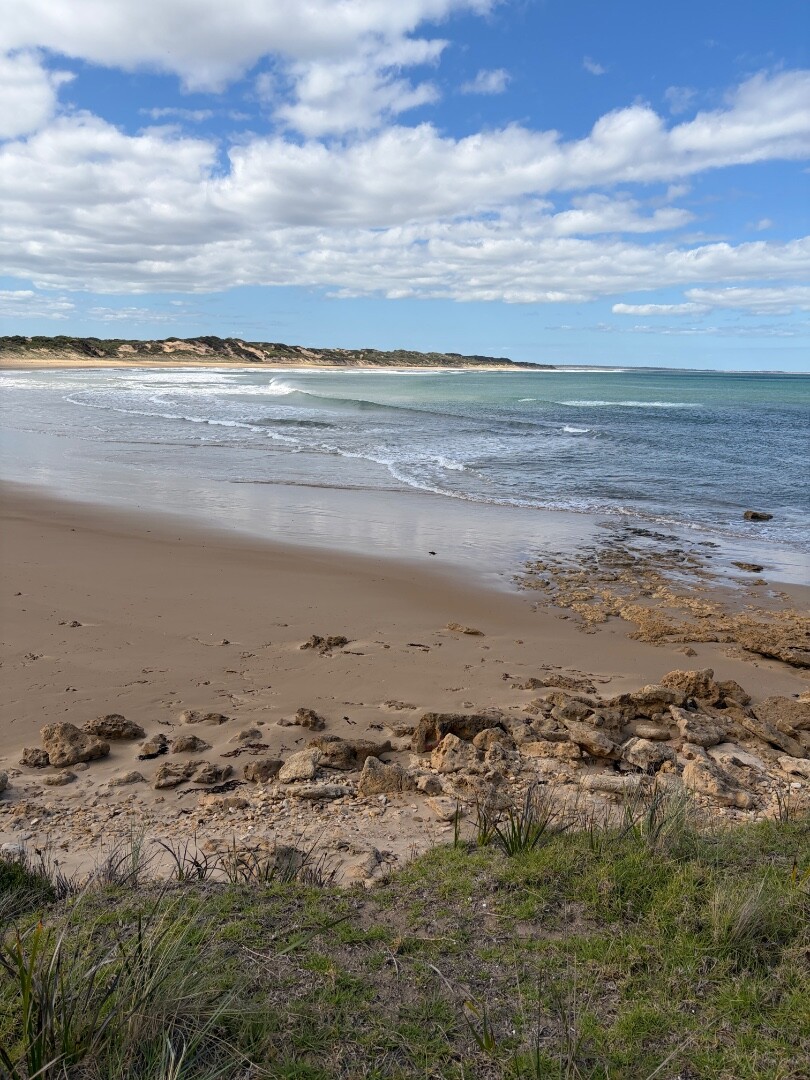
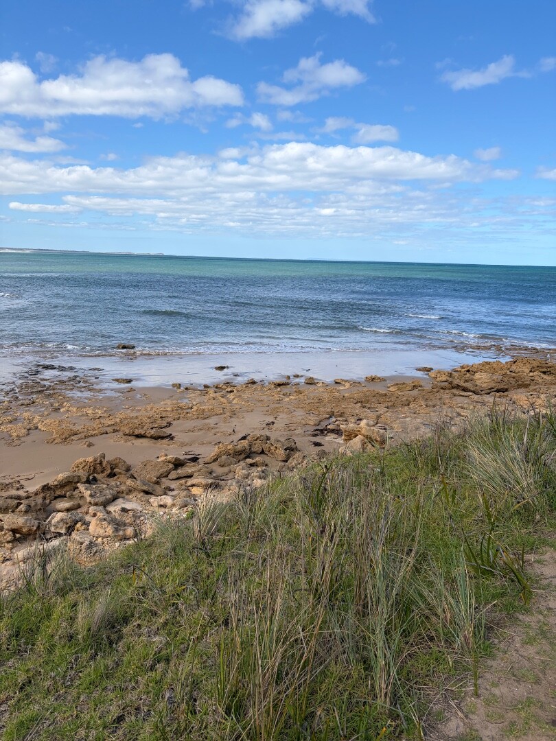
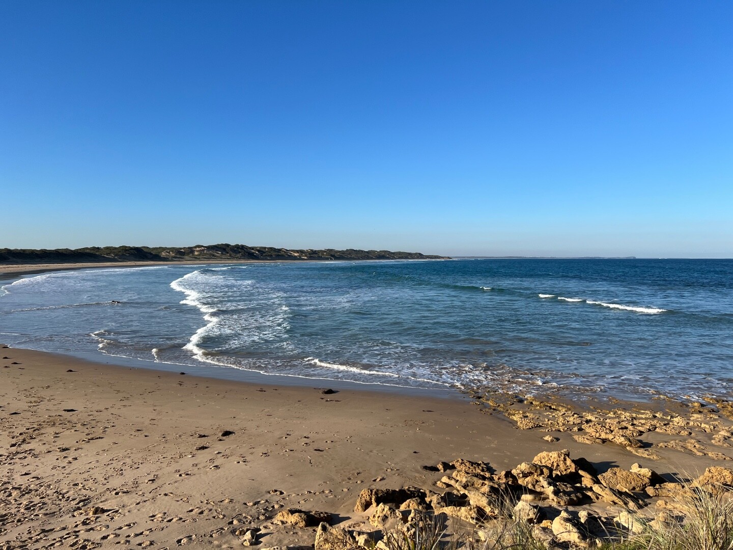
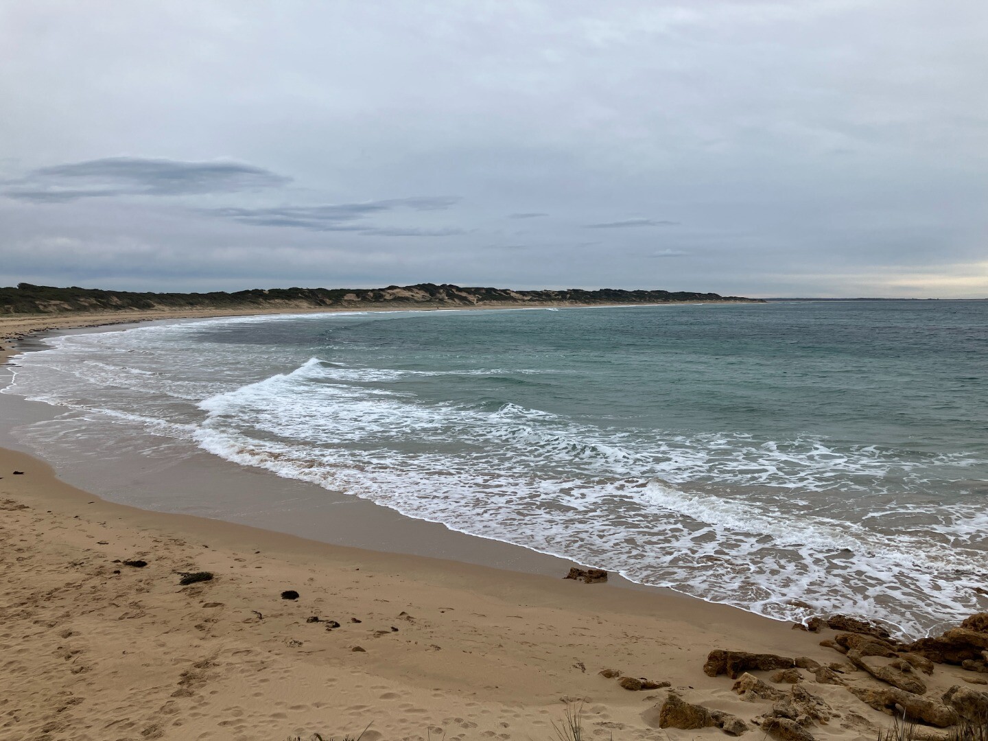
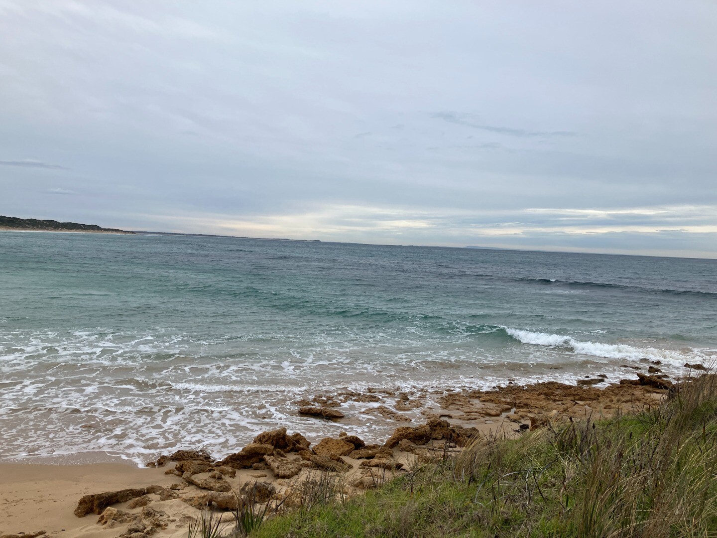
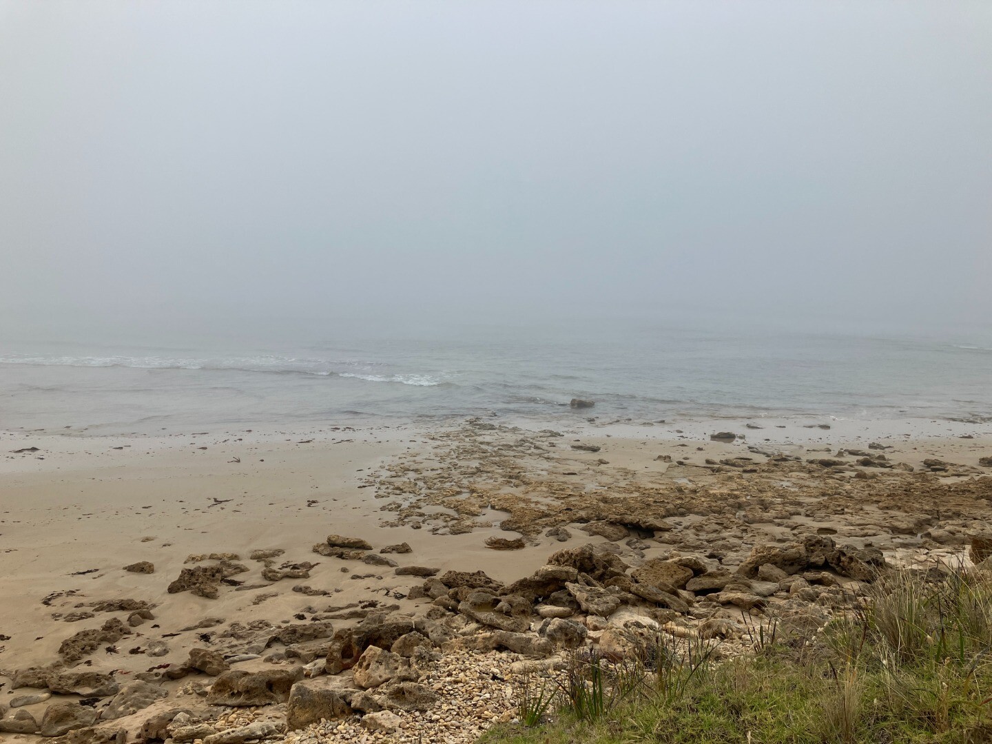
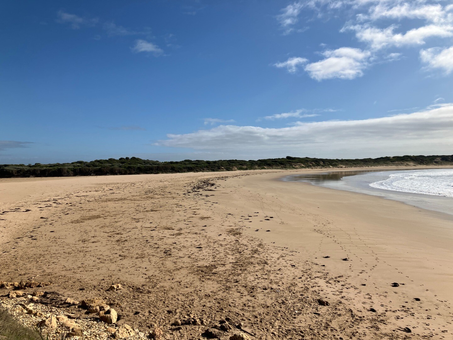
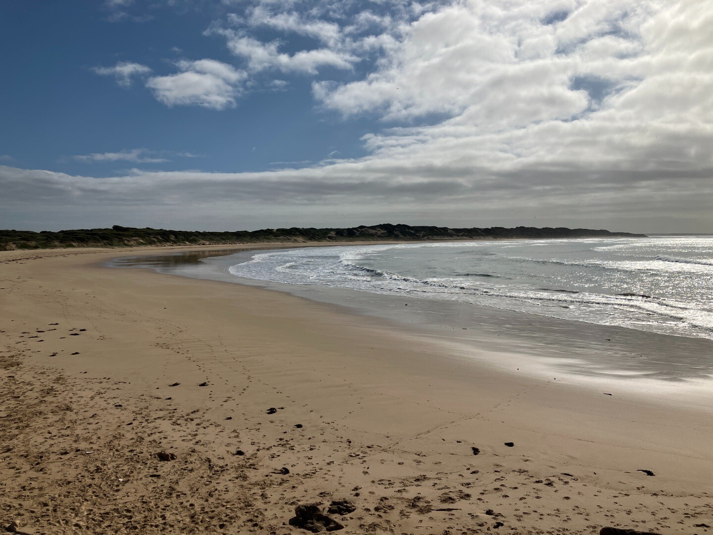
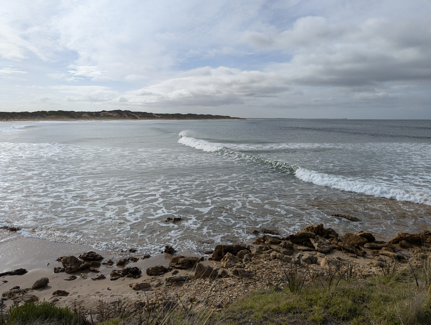
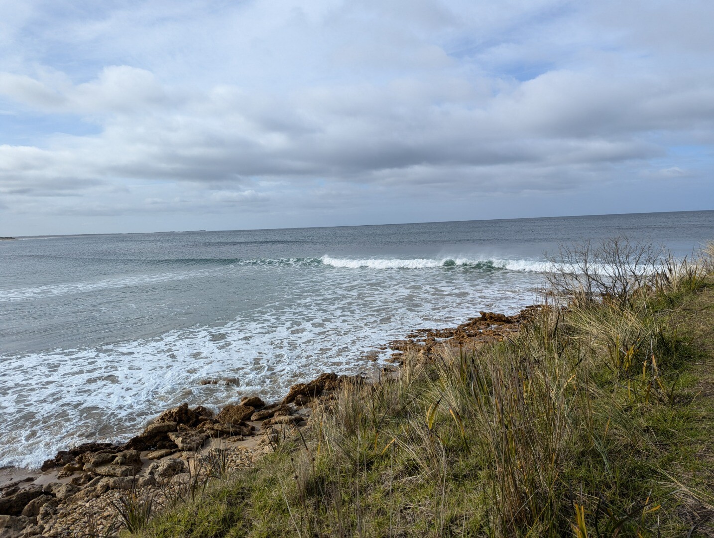
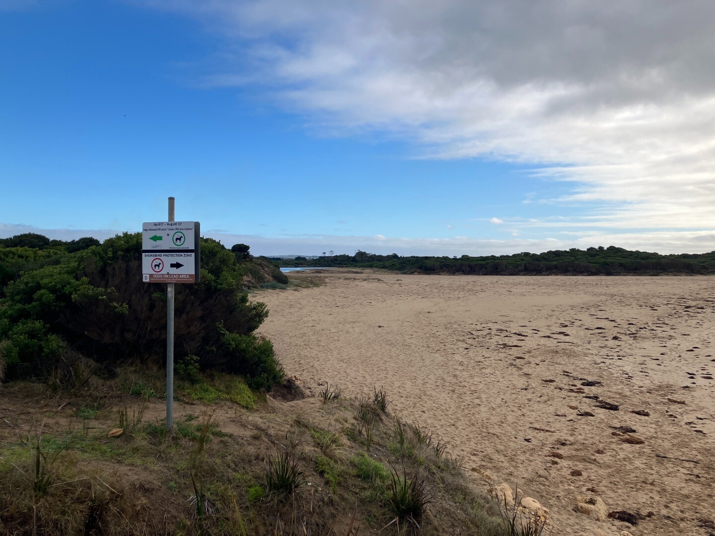
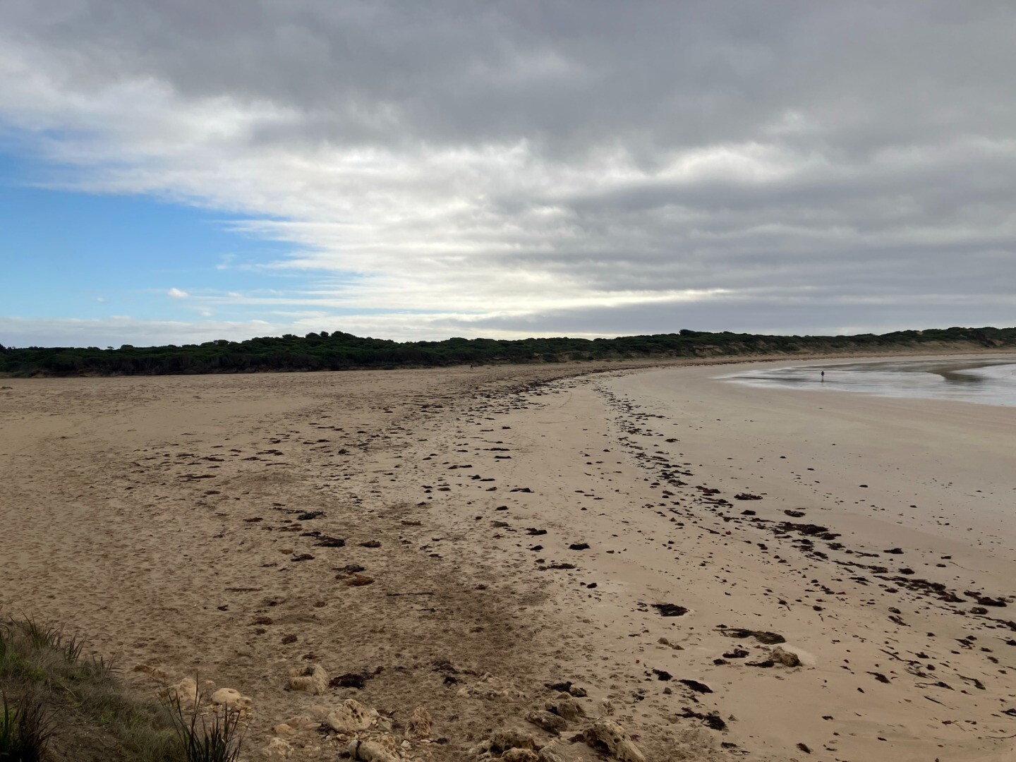
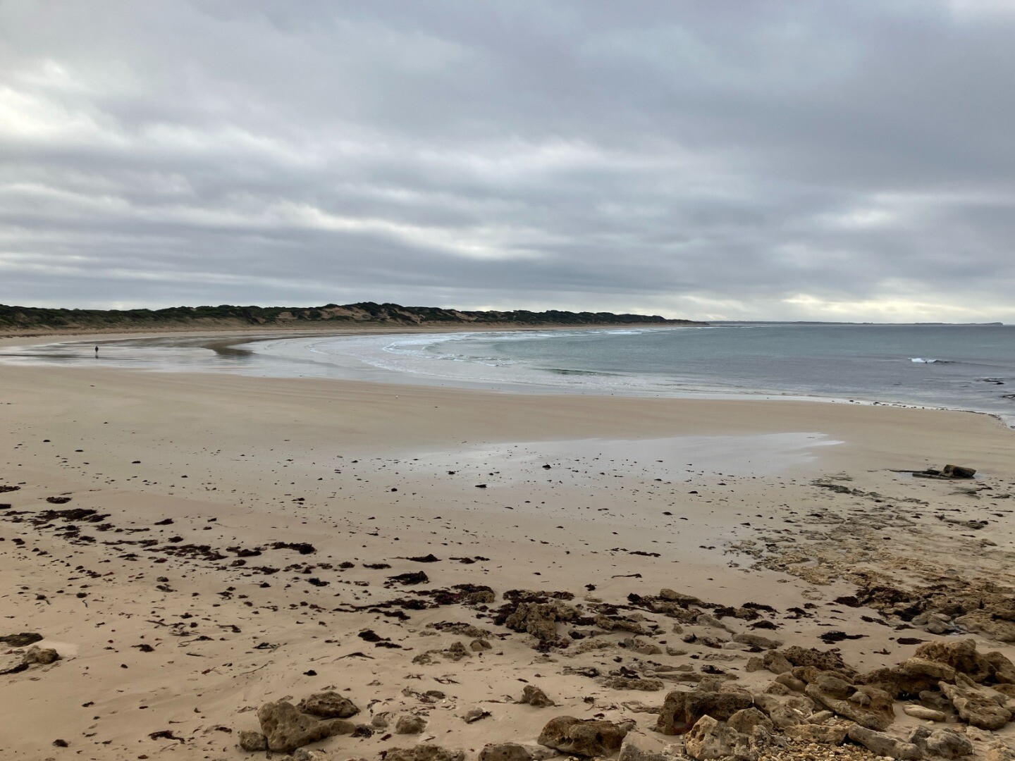
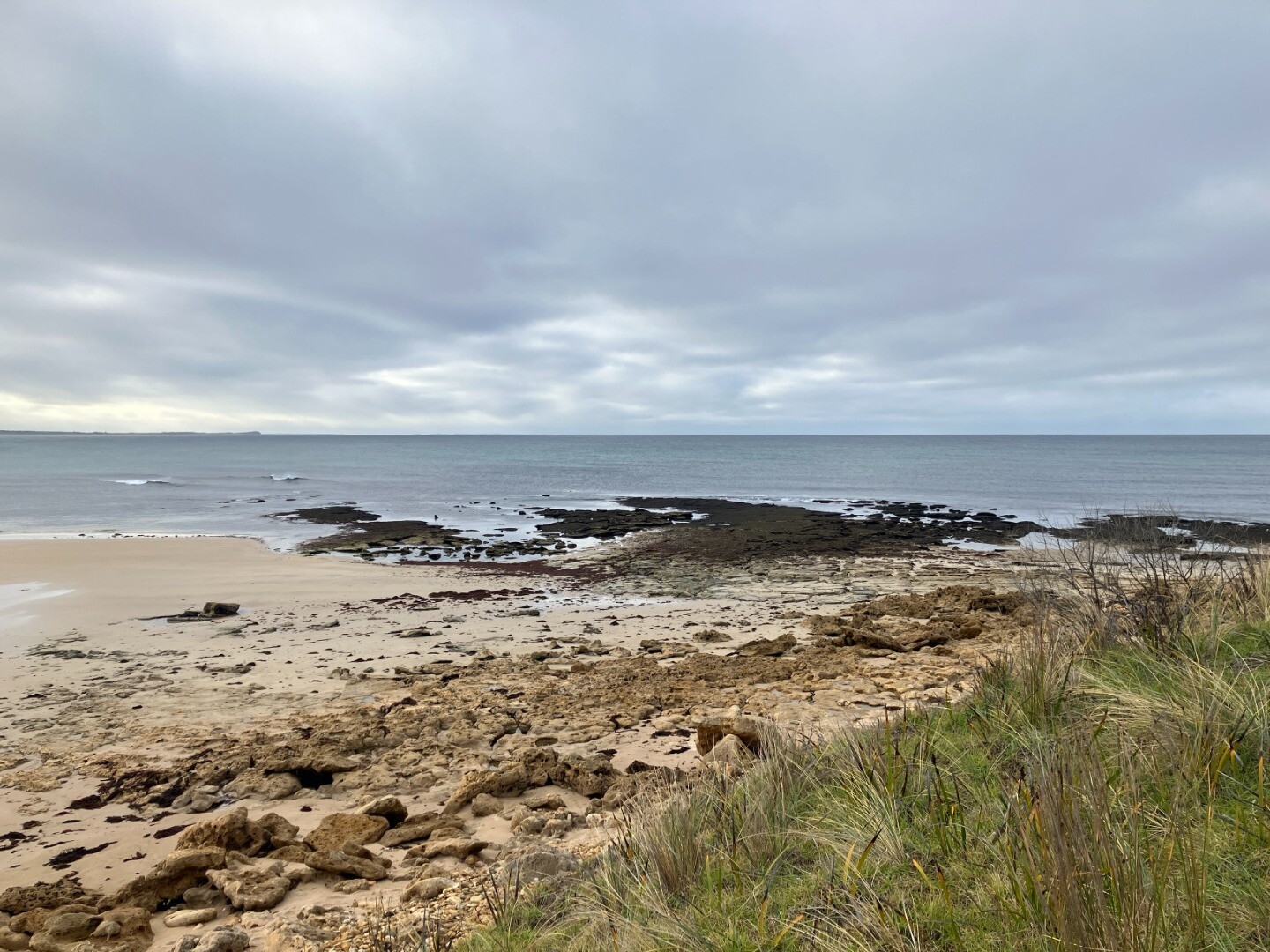
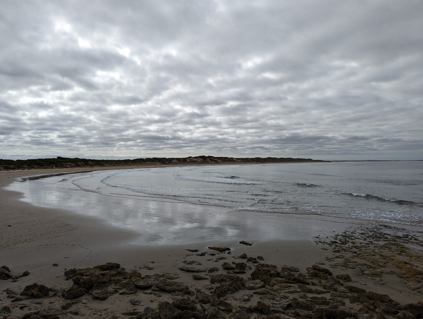
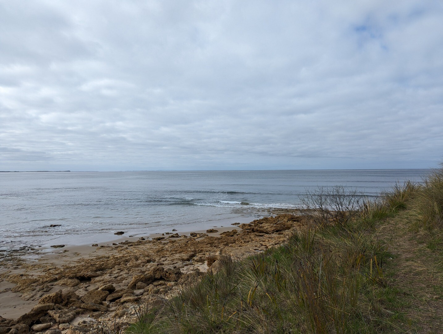
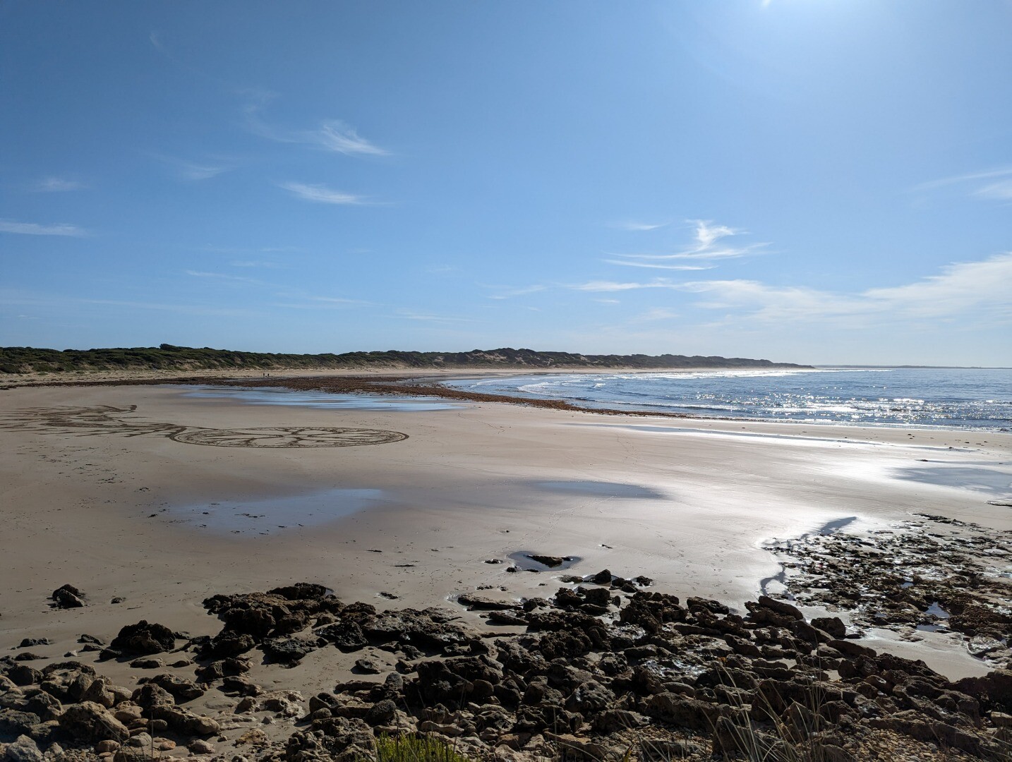
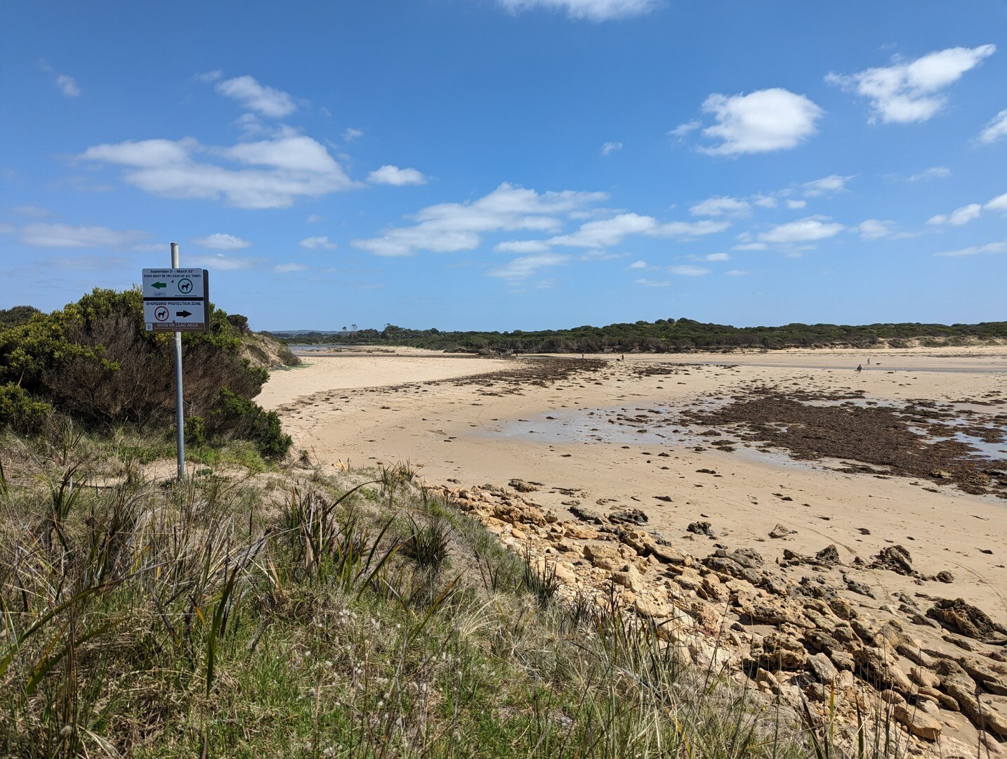
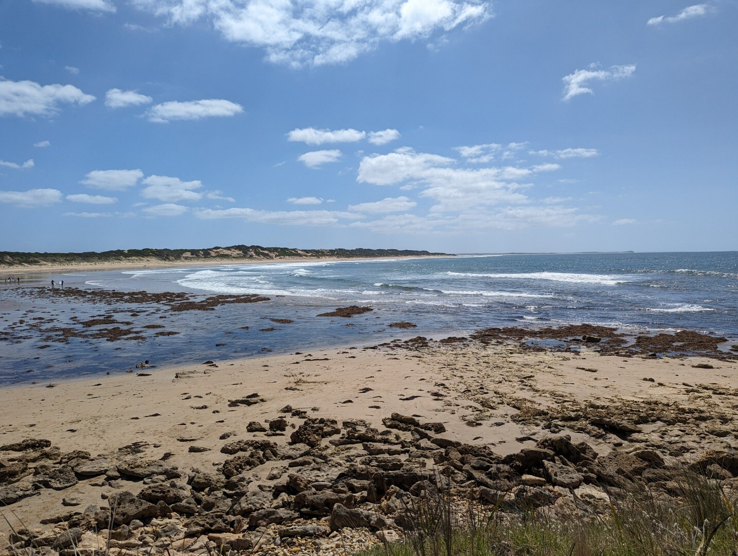
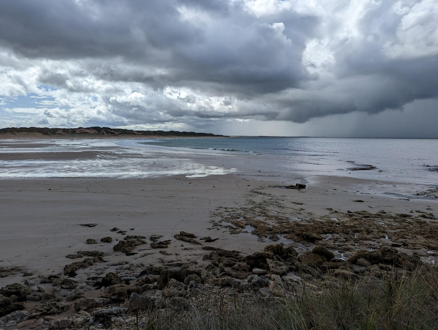
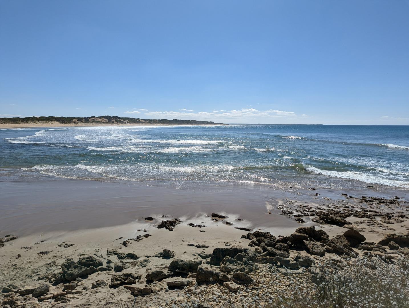
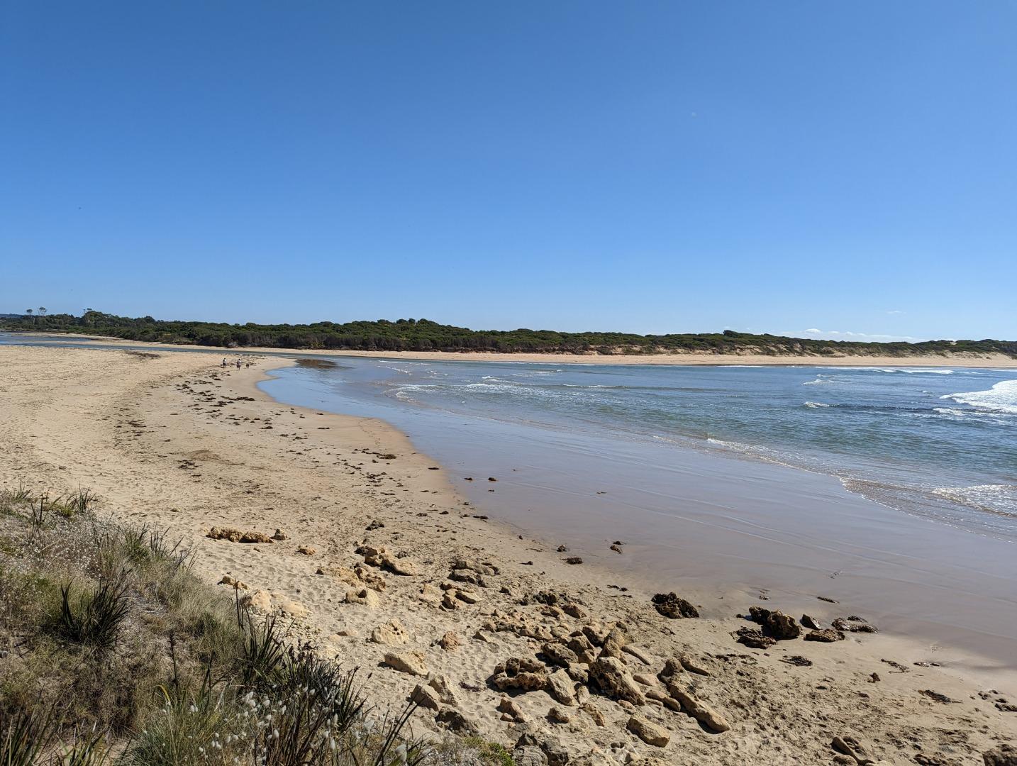
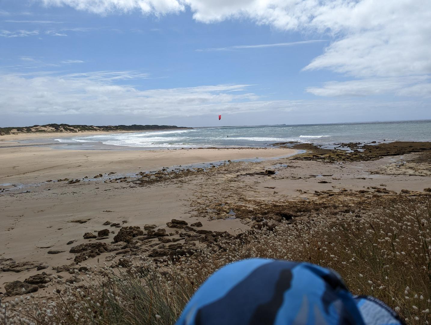
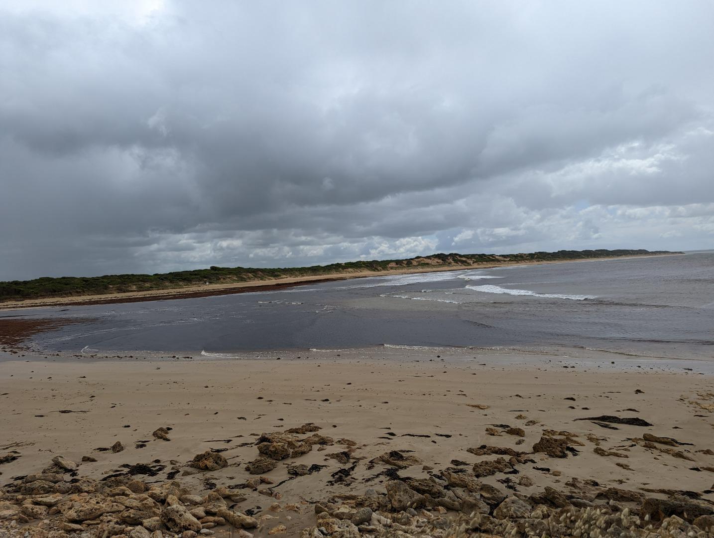
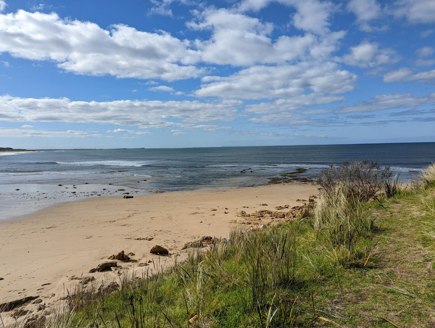
Thompson Creek Mouth ConditionActive Mouth Condition 03-10-2007 - 17-06-2026Grassy knoll on sandbank adjacent to car park at Point Impossible. Observations 201 |
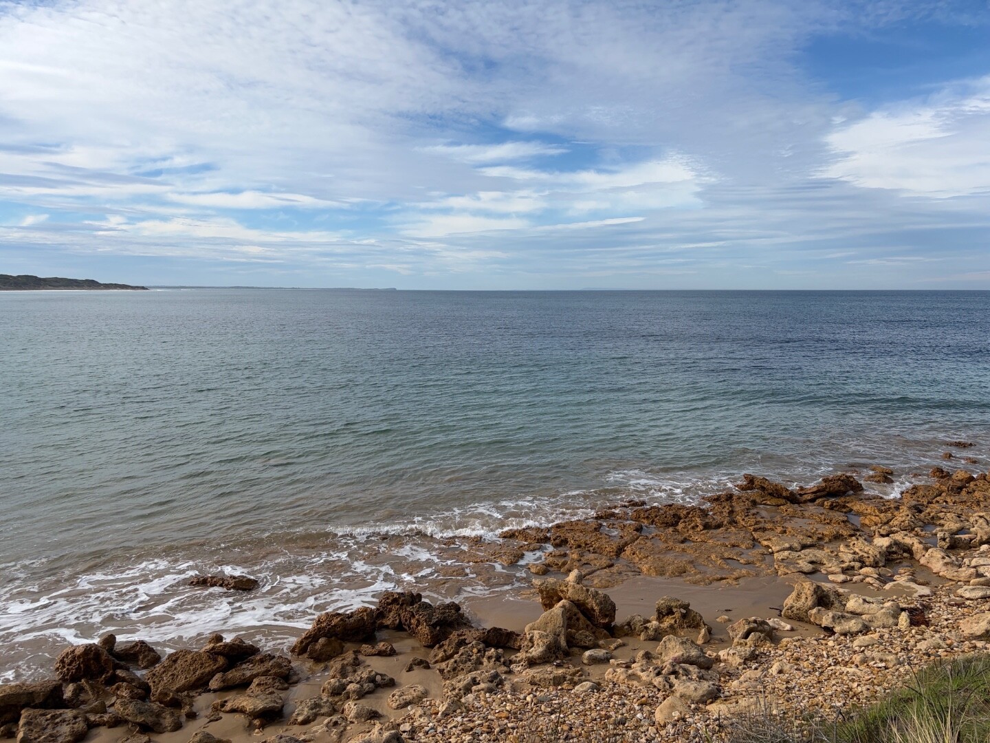
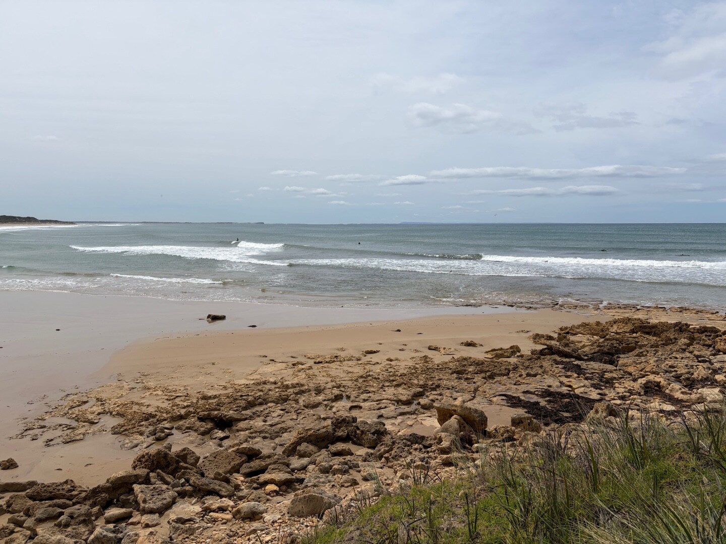
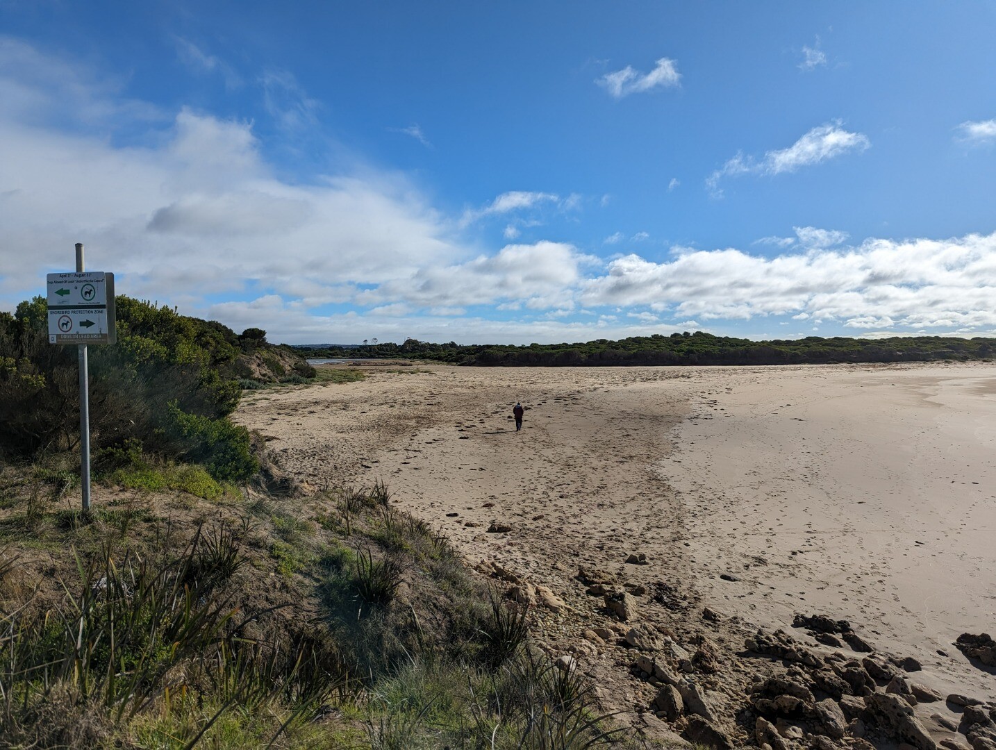
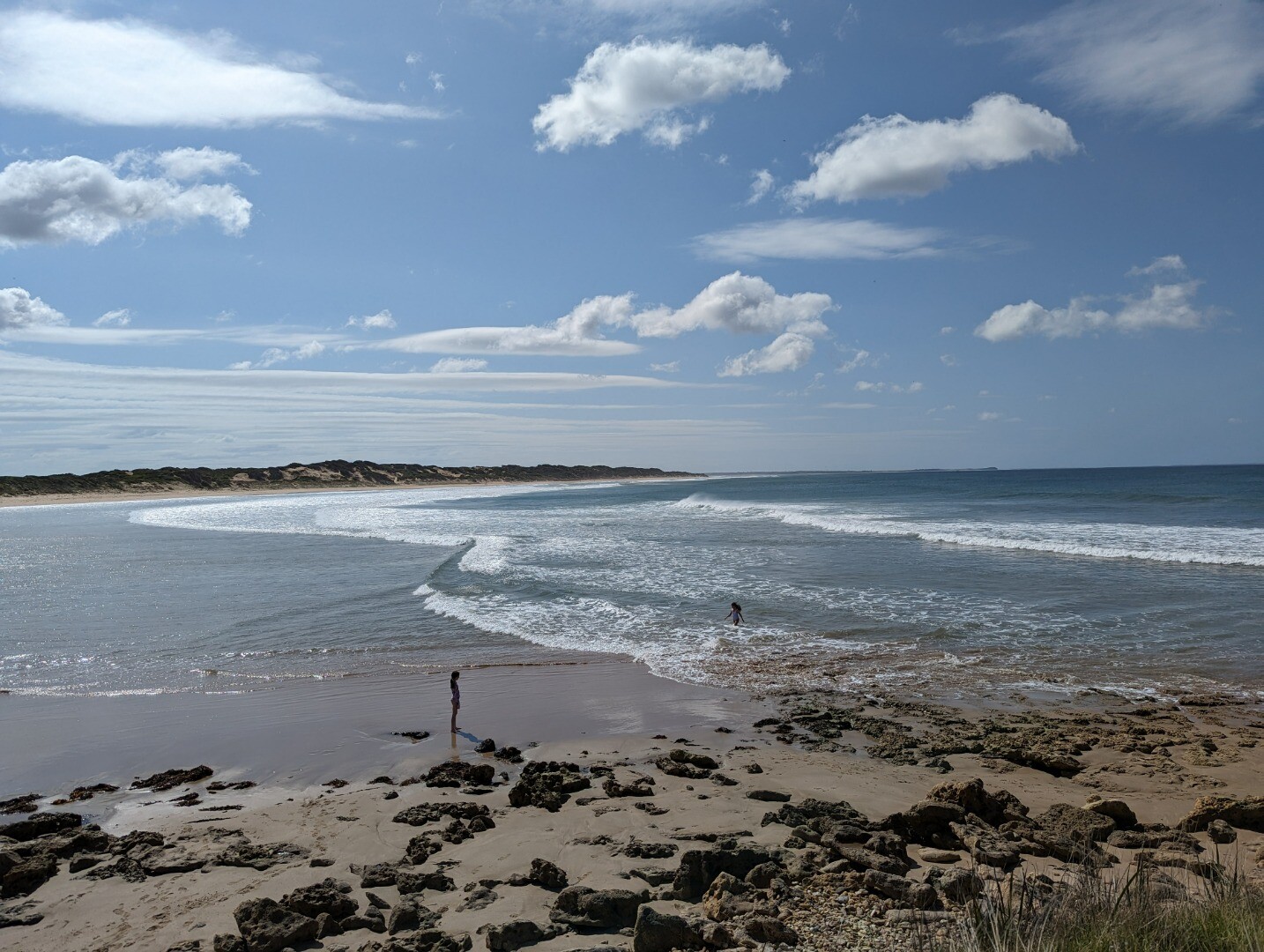
TP1 |
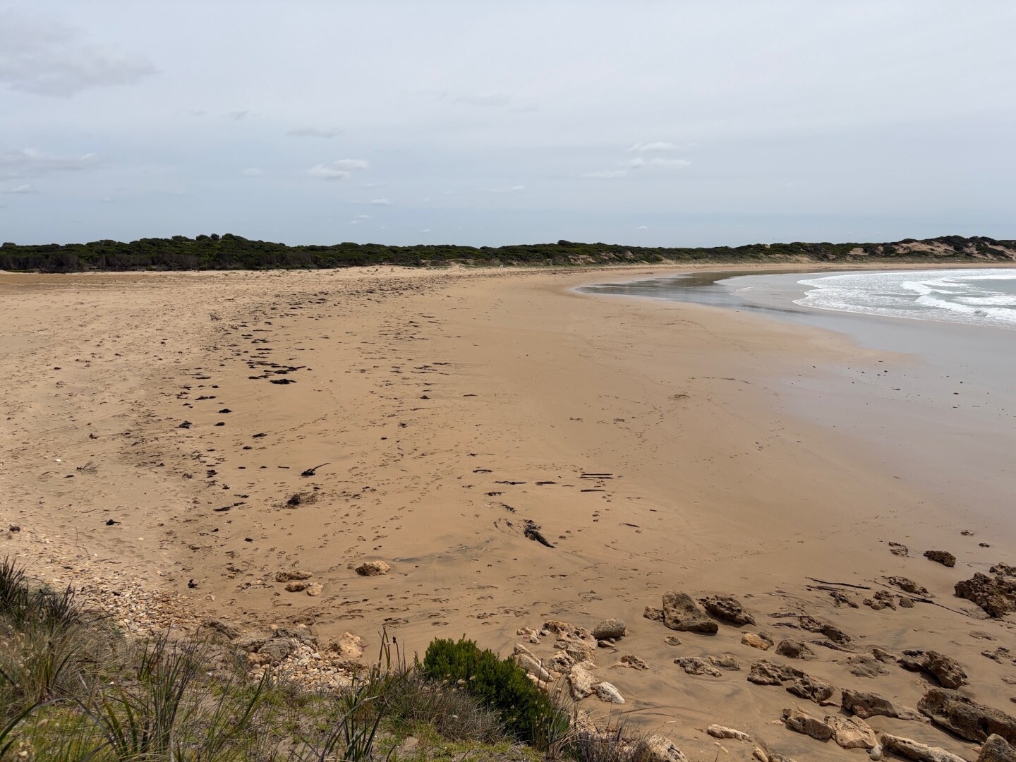
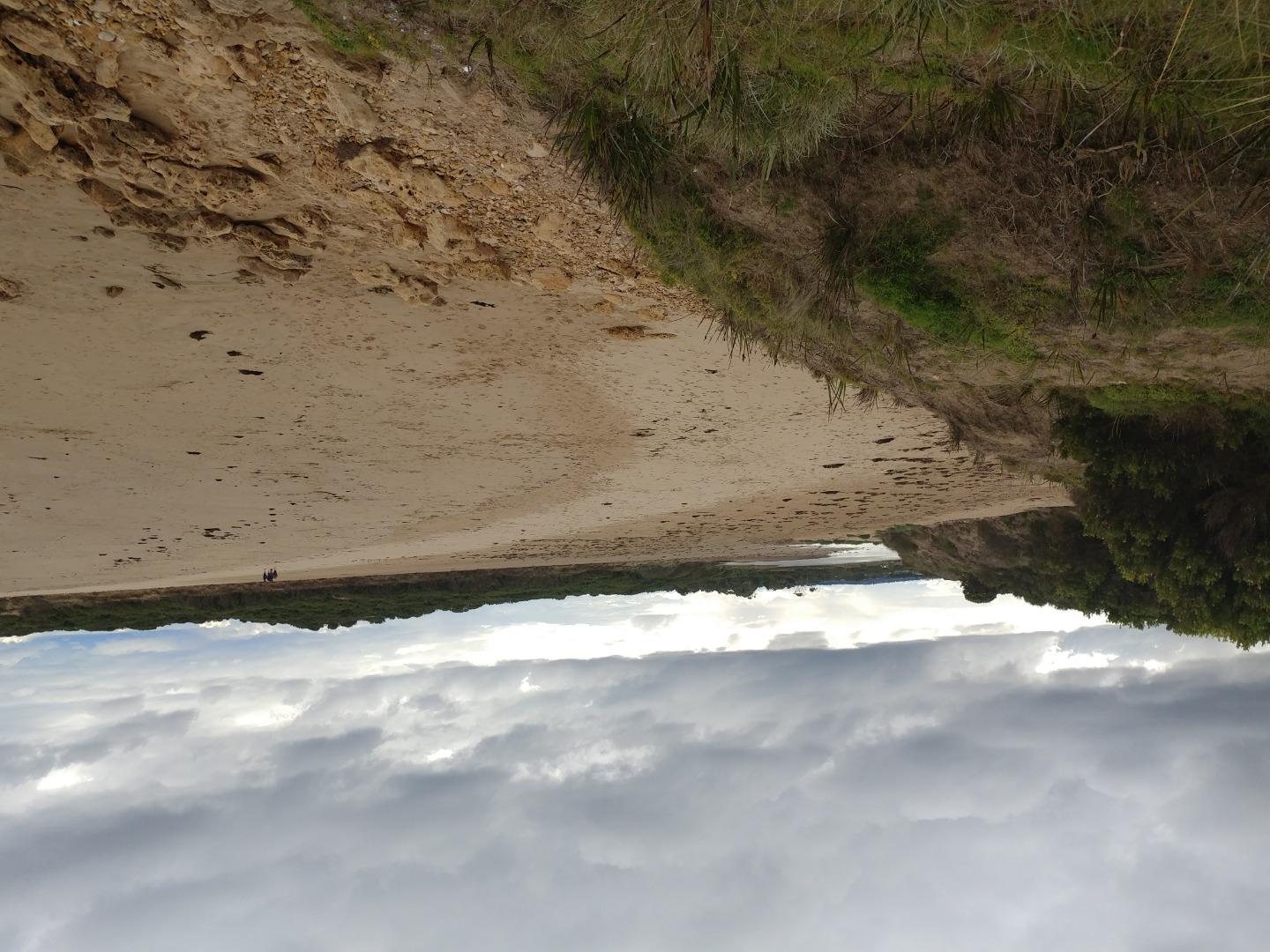
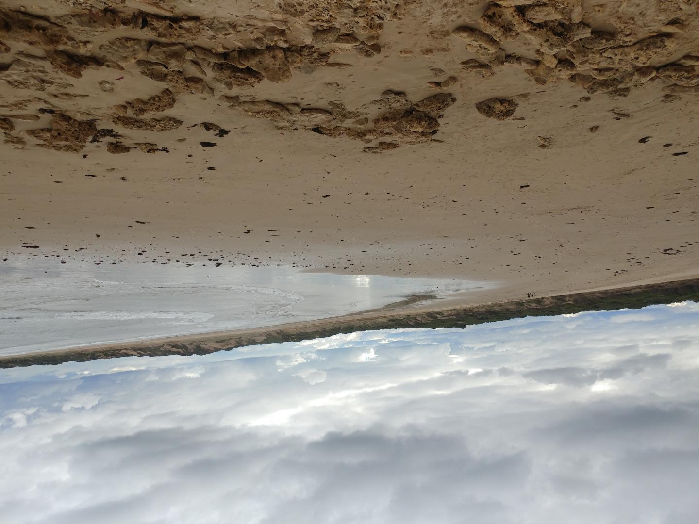
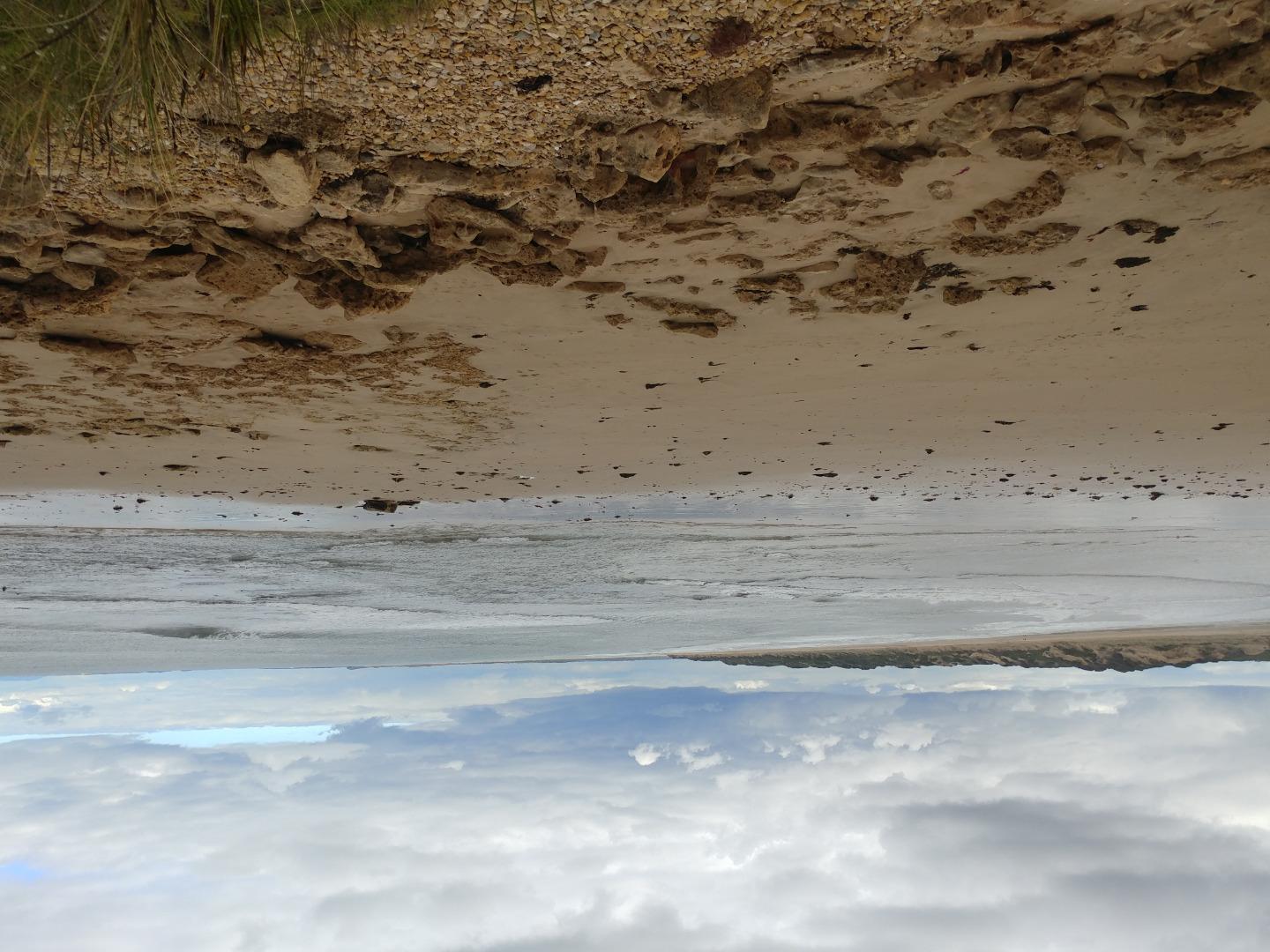
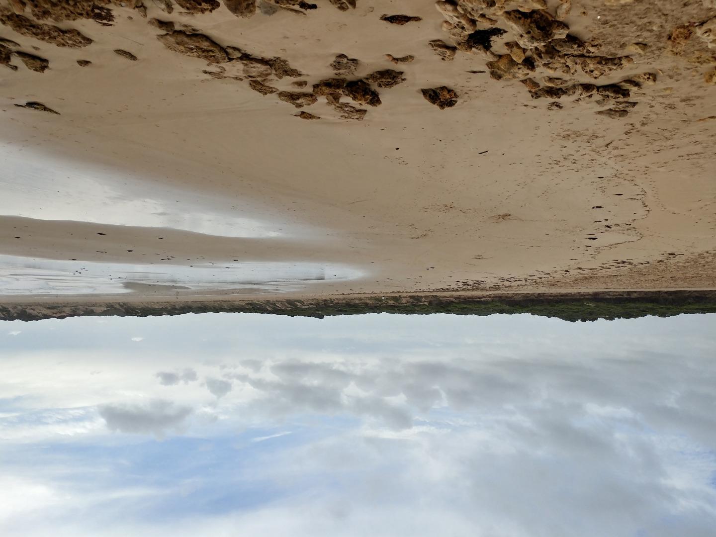
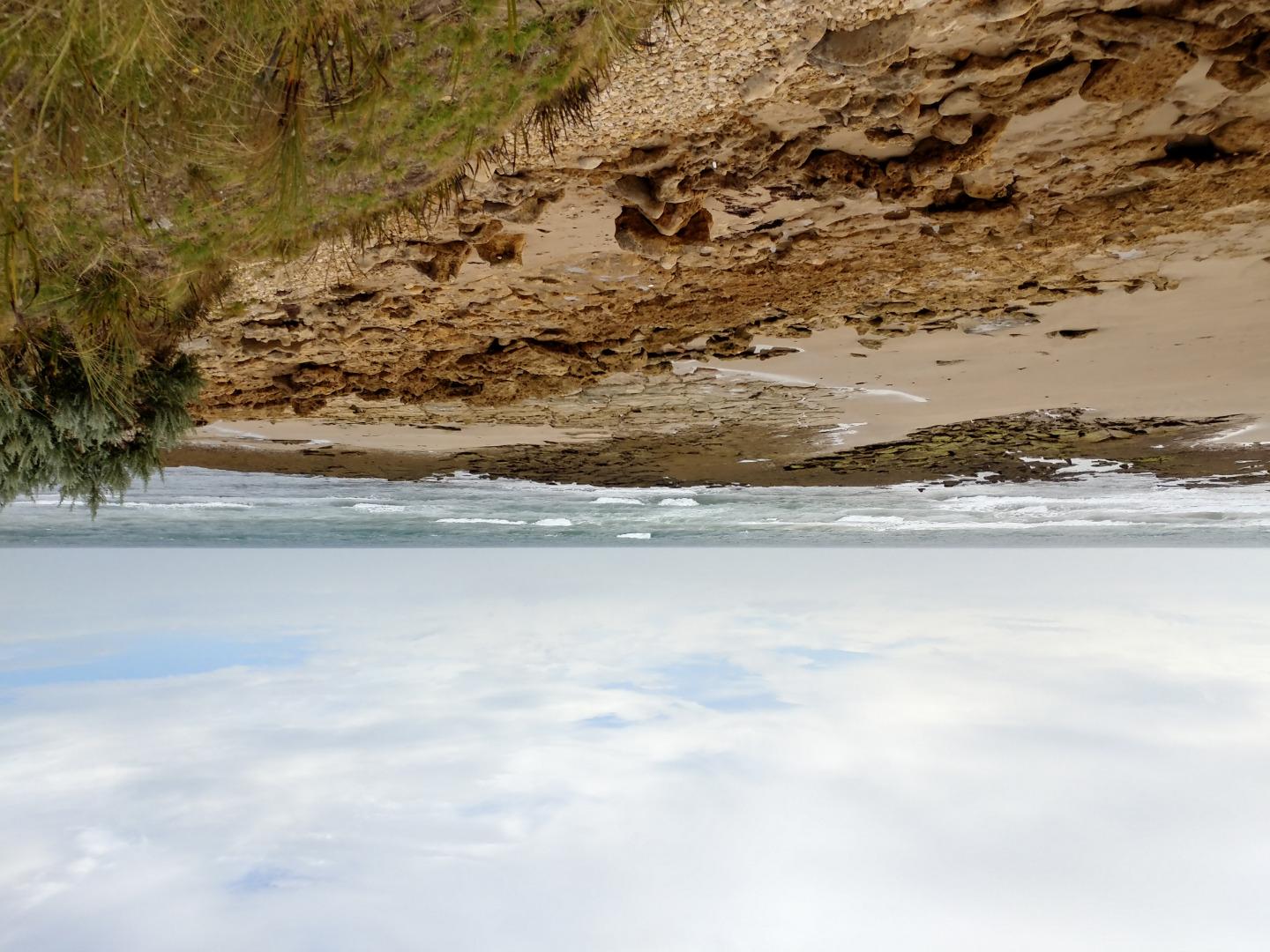
Thompson Creek Photopoint 1Active Photopoint 18-02-2009 - 15-07-2026Grassy knoll on sandbank adjacent to car park at Point Impossible. Photos 624 |
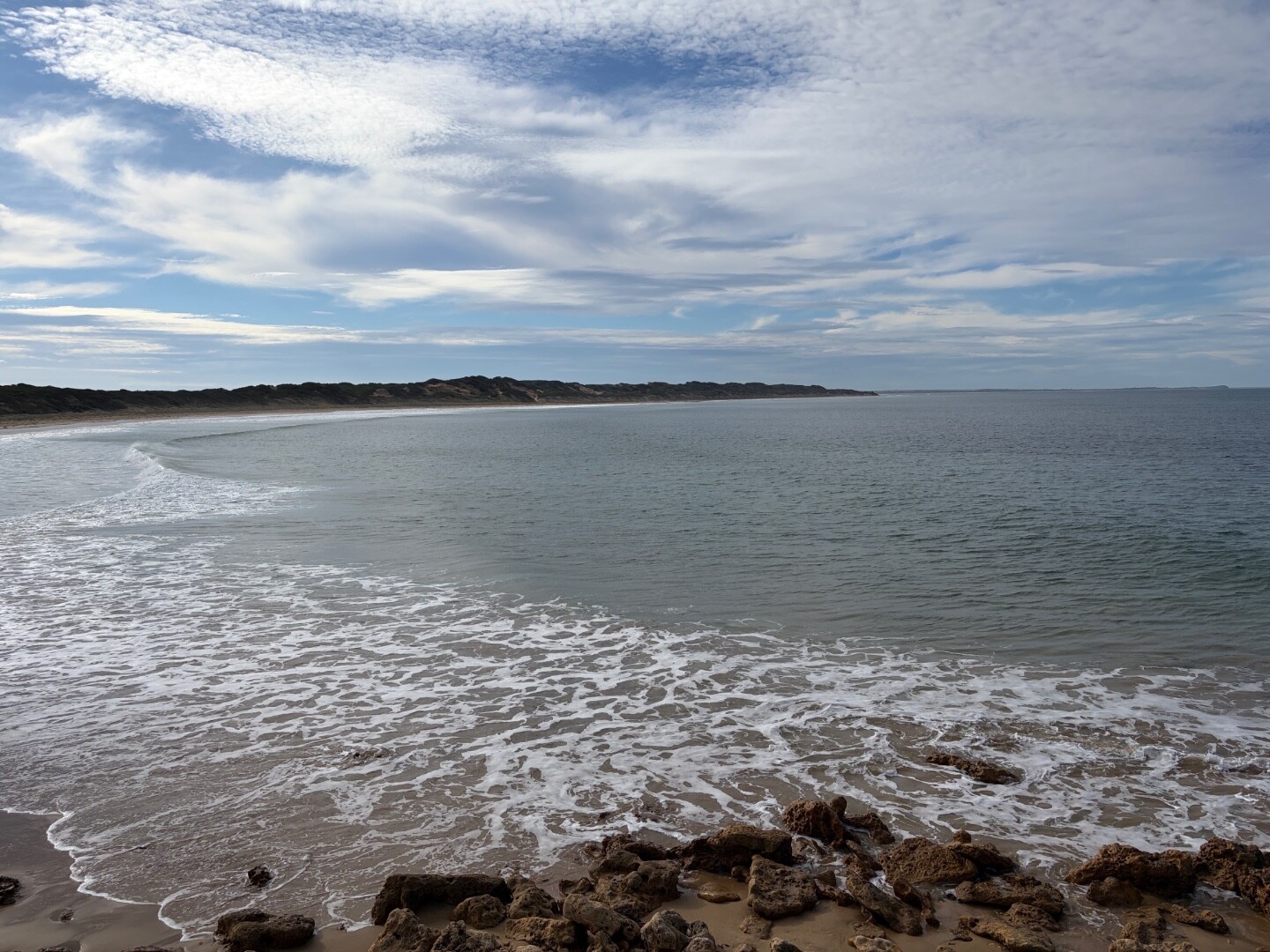
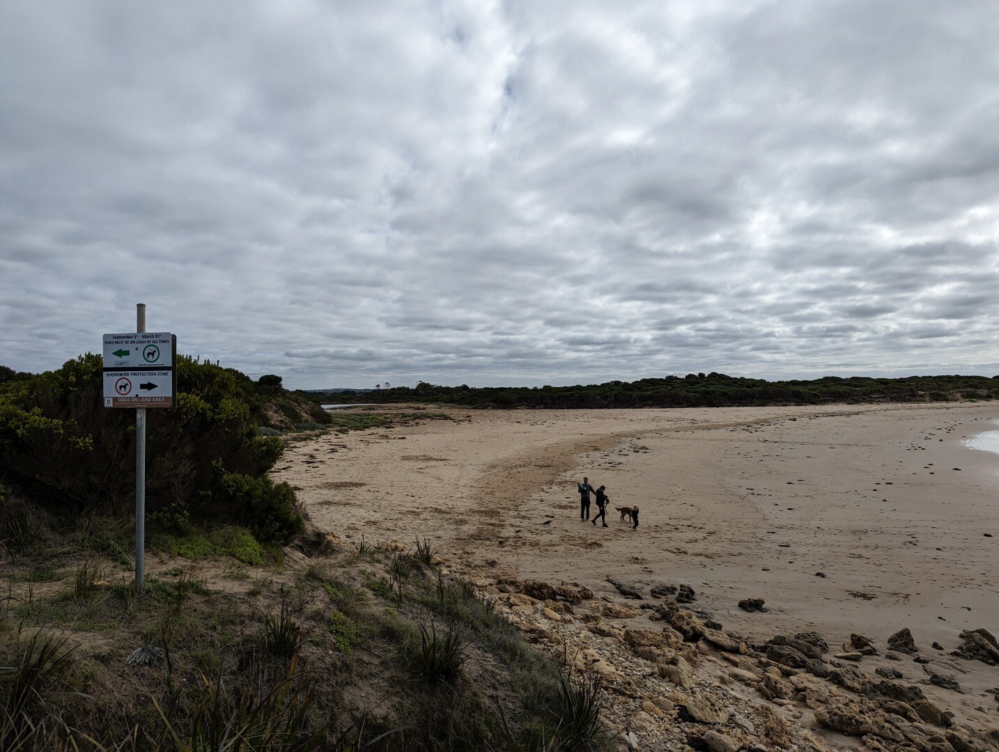
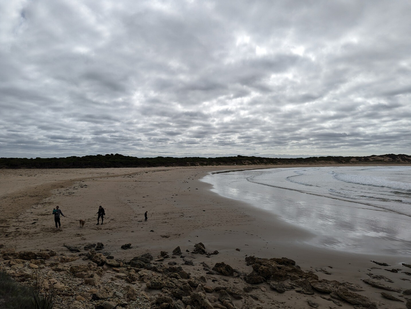
TP2 |
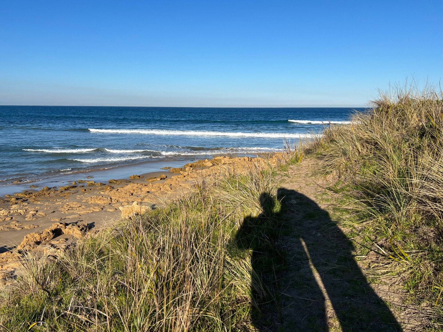
Thompson Creek Photopoint 2Active Photopoint 02-08-2010 - 19-12-2025On top of 'Pill Box Photos 94 |
Winter 2026
Autumn 2026
Summer 2026
Spring 2025
Winter 2025
Autumn 2025
Winter 2024
Autumn 2024
Summer 2024
Spring 2023
Winter 2023
Autumn 2023
Summer 2023
Spring 2022
Winter 2022
Autumn 2022
Summer 2022
Spring 2021
Autumn 2021
Summer 2021
Mouth Condition Snapshots


We honour Elders past and present whose knowledge and wisdom has ensured the continuation of culture and traditional practices.
 All content, files, data and images provided by the EstuaryWatch Data Portal subject to a Creative Commons Attribution License
Data portal by CeRDI
All content, files, data and images provided by the EstuaryWatch Data Portal subject to a Creative Commons Attribution License
Data portal by CeRDI