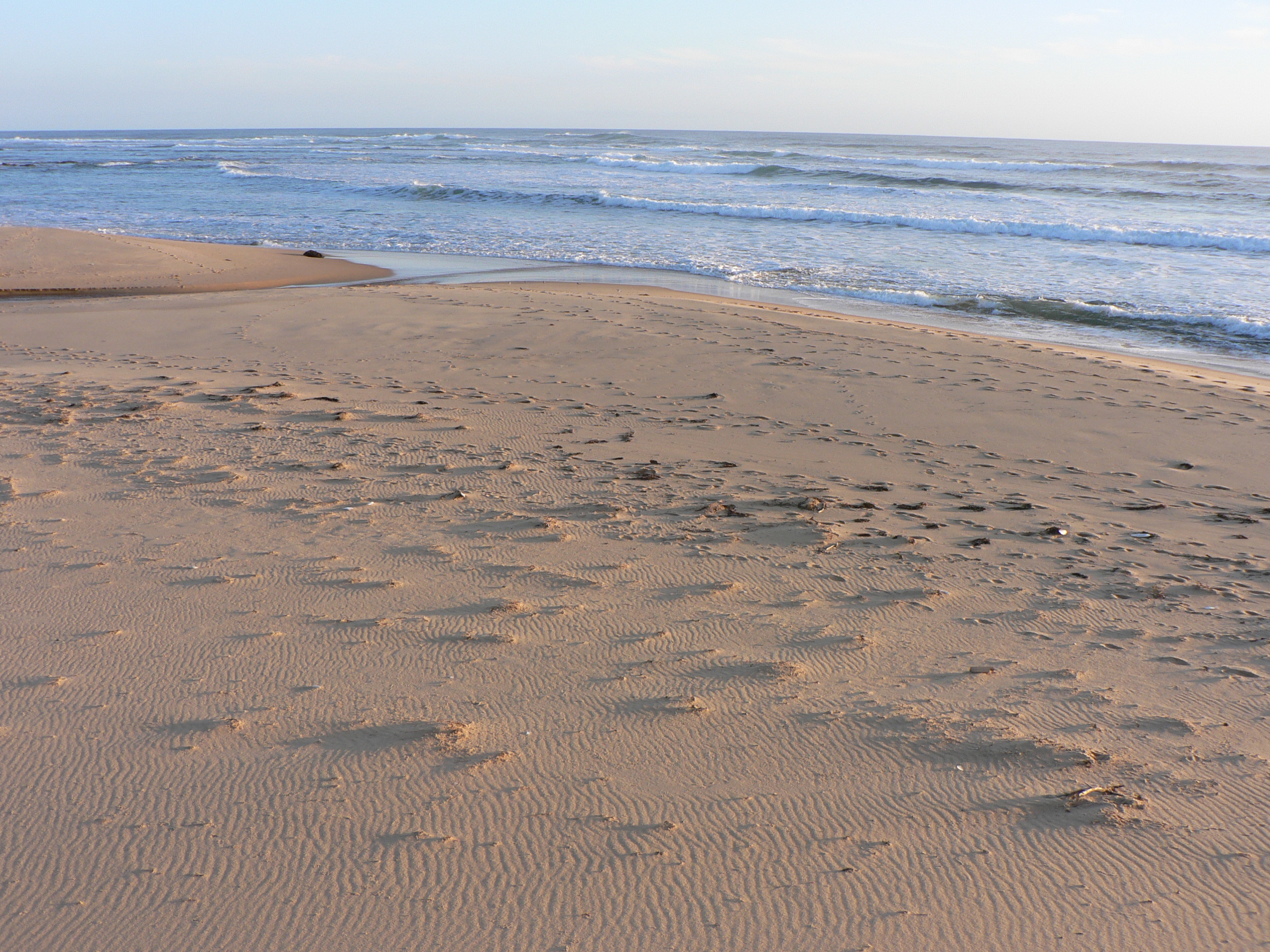
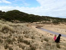
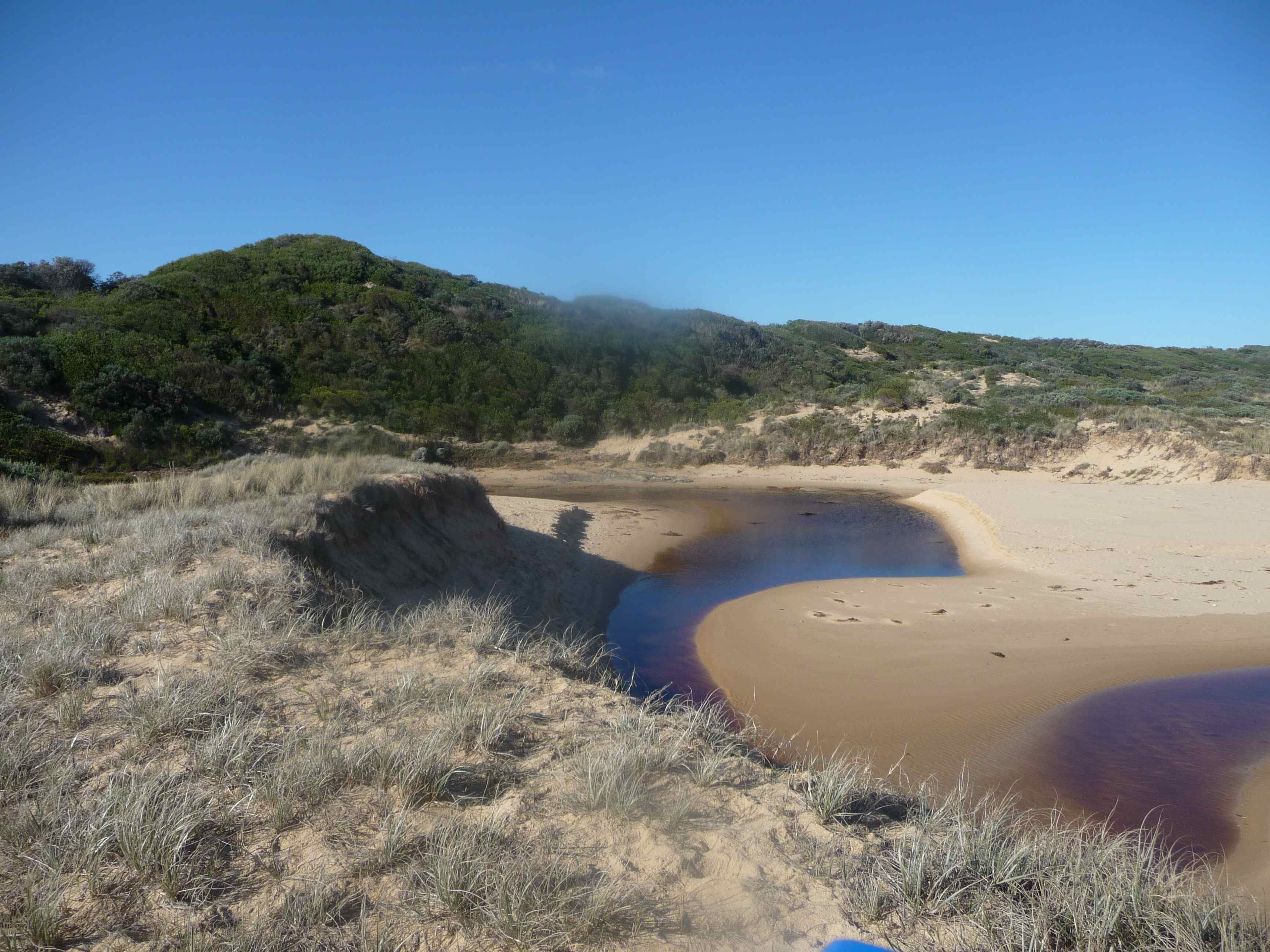
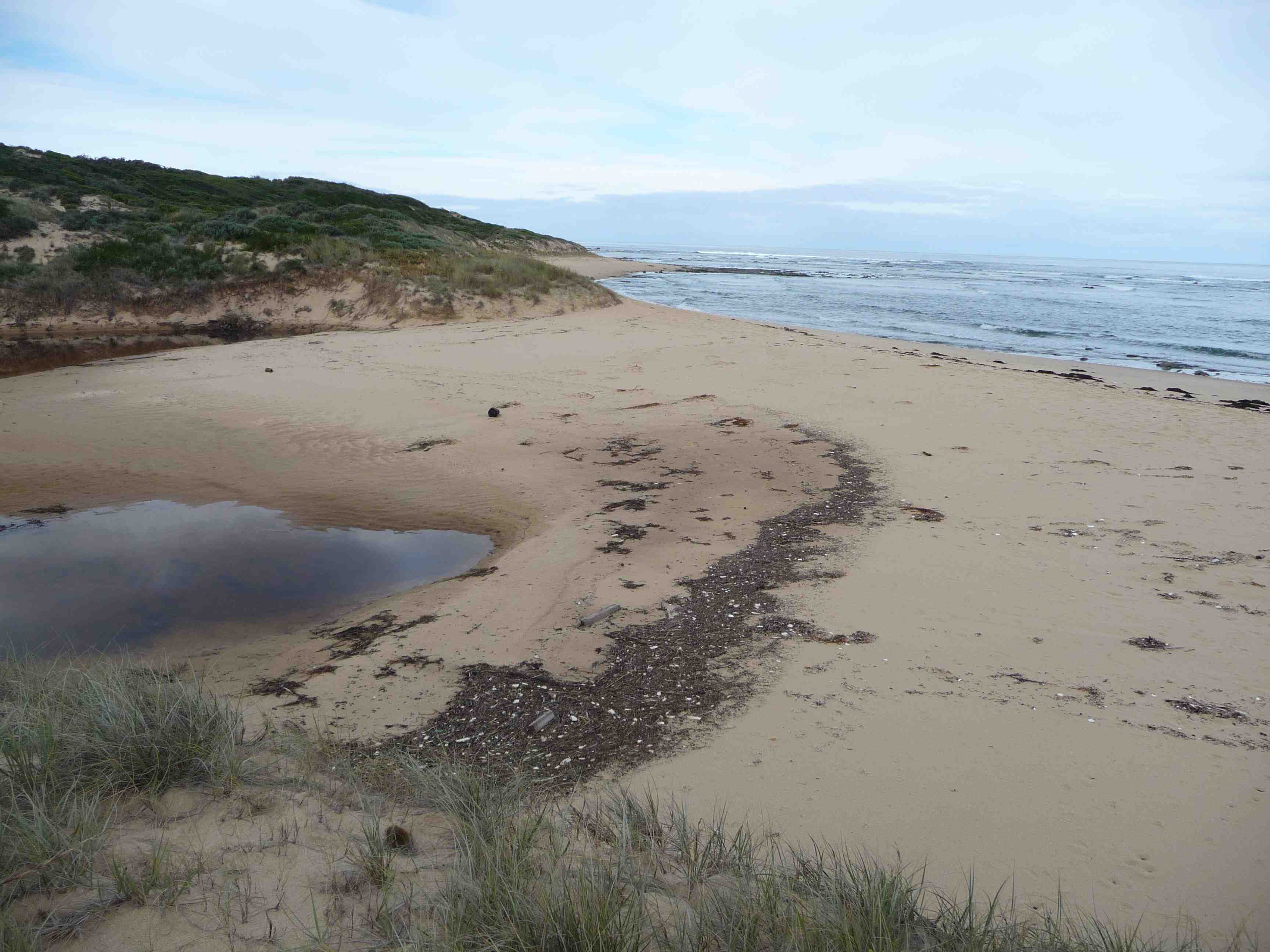
Coal Creek Estuary
West Gippsland CMA
DOWNLOAD DATACp2 Coal Creek Estuary Photopoint 2
Inactive Photopoint Harmers Haven
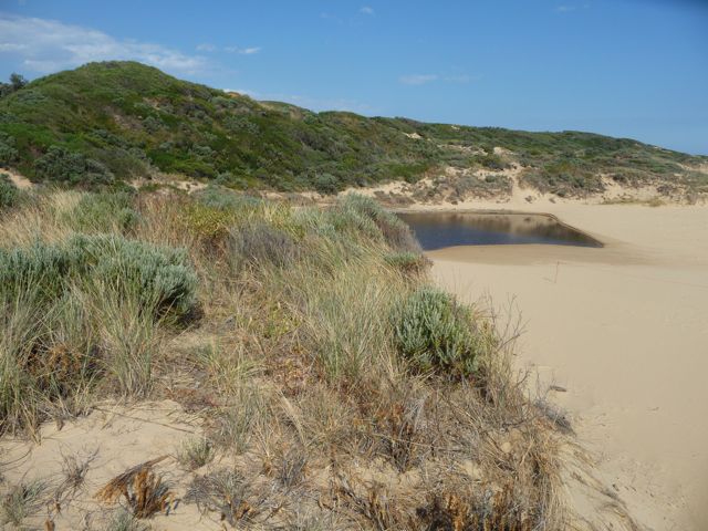
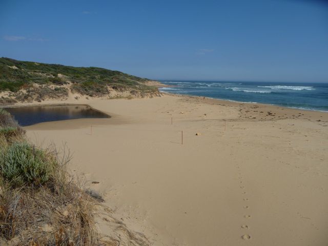
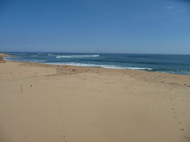
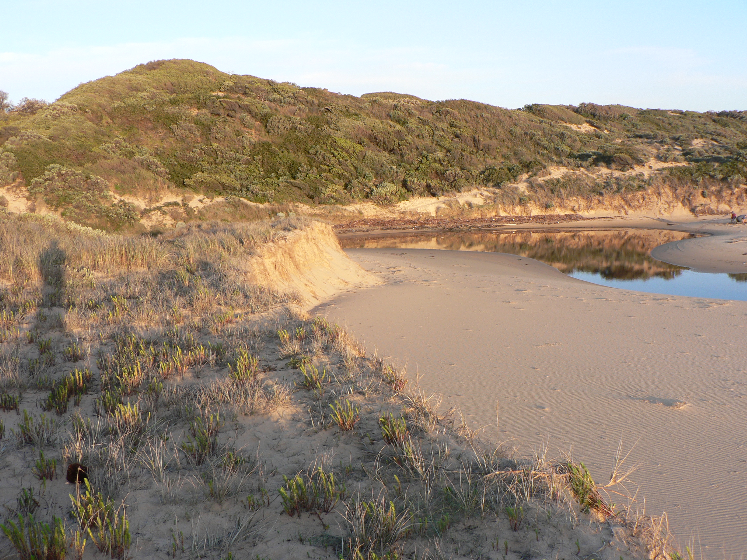
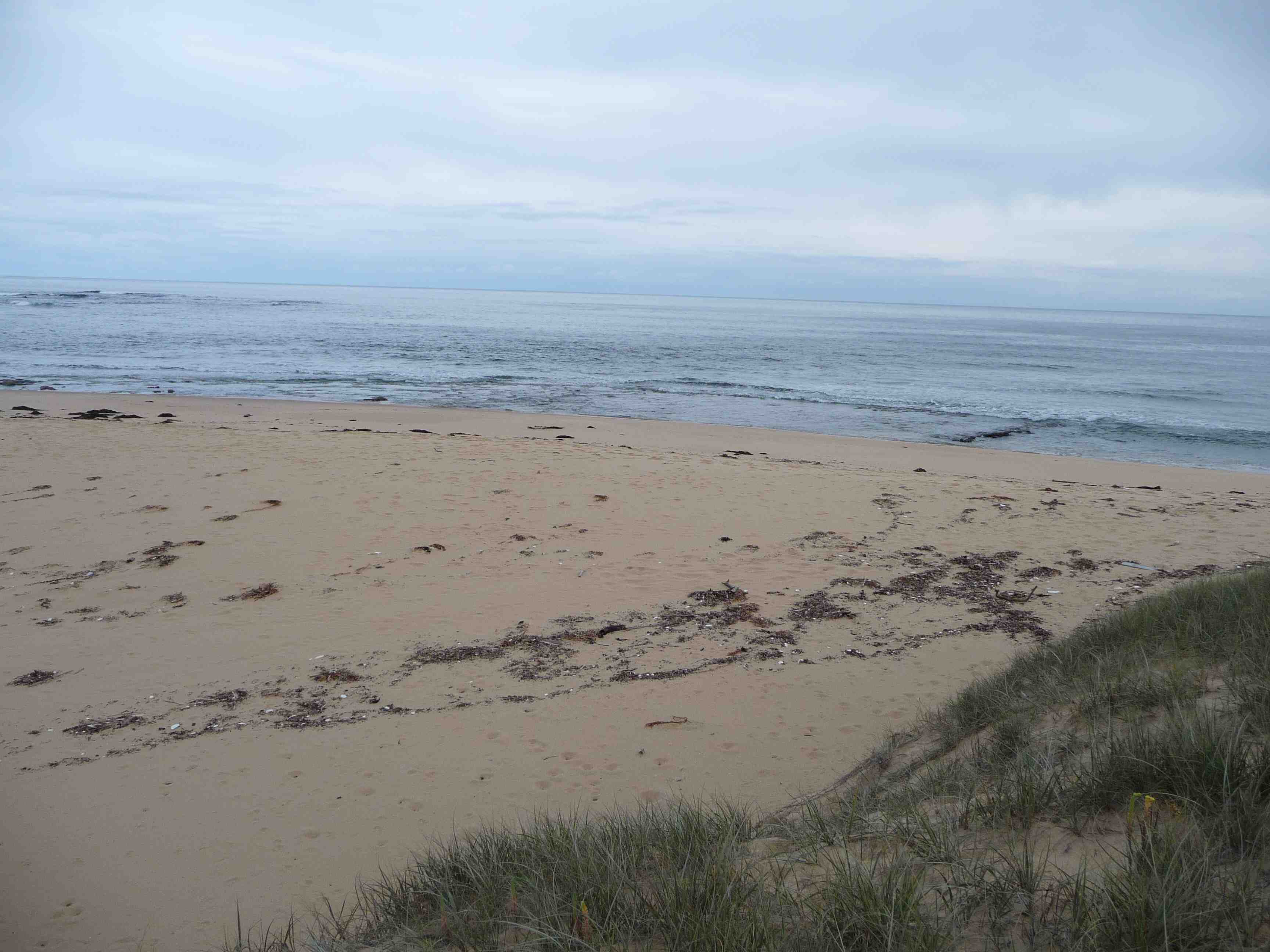
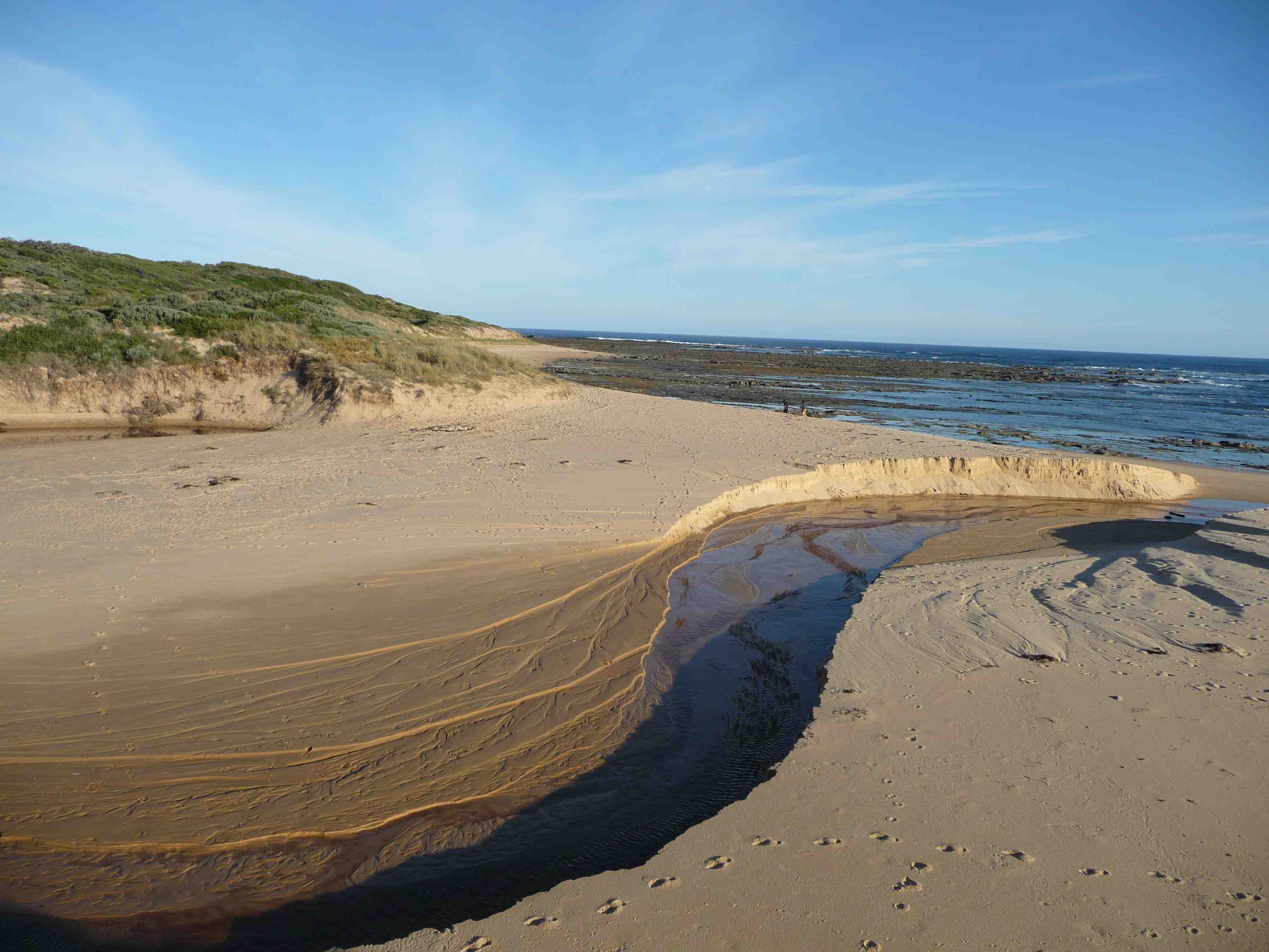
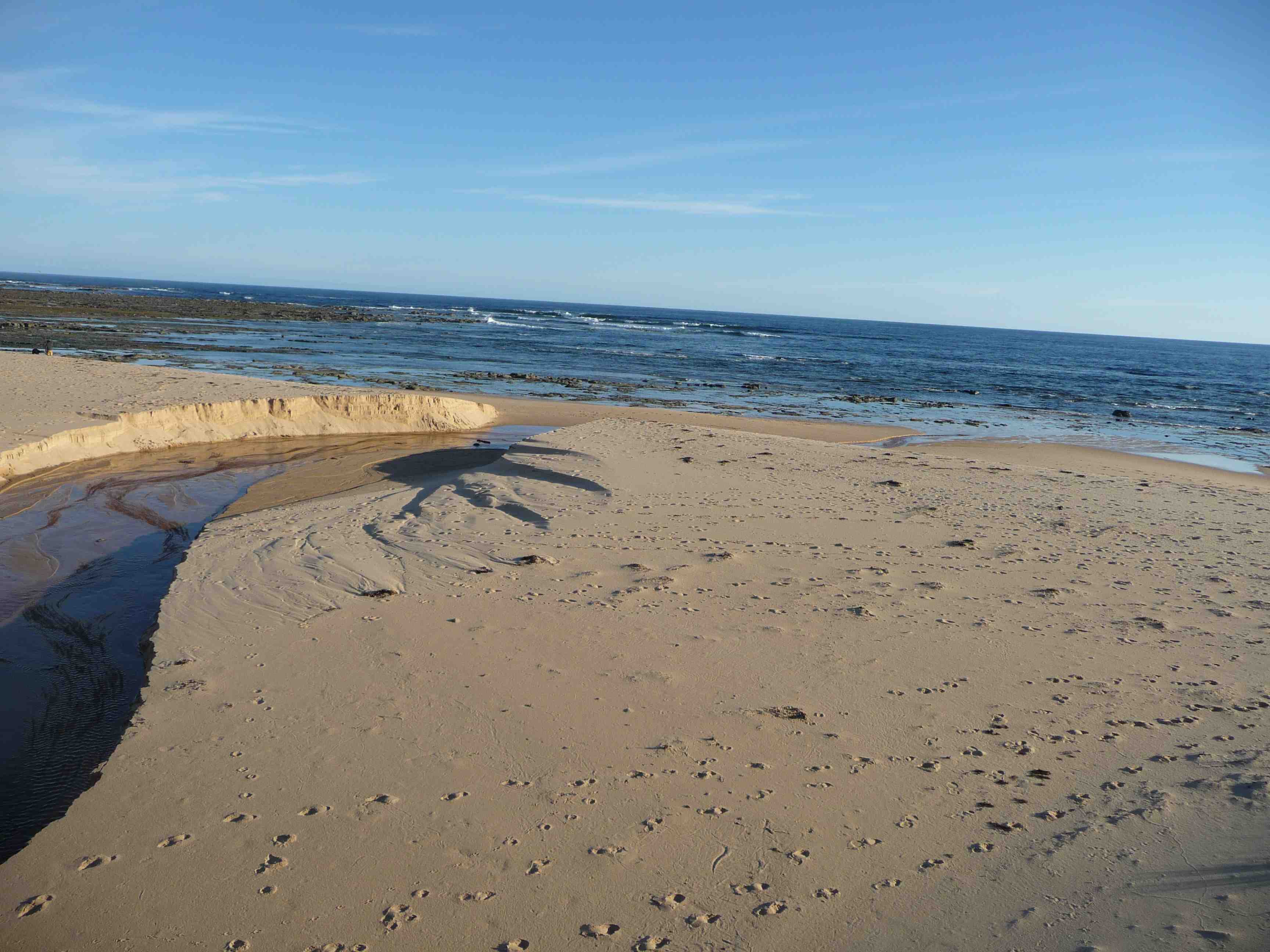
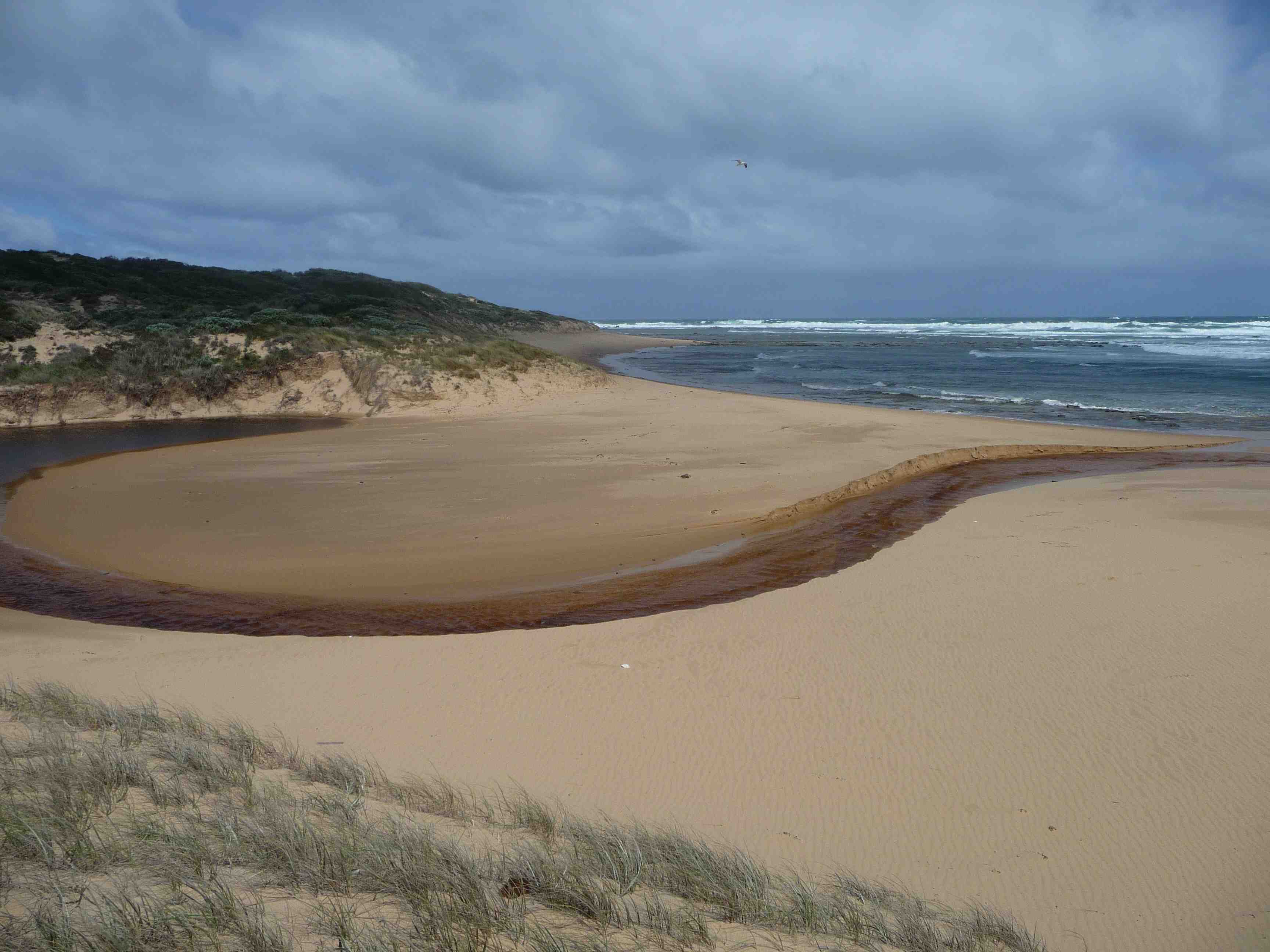
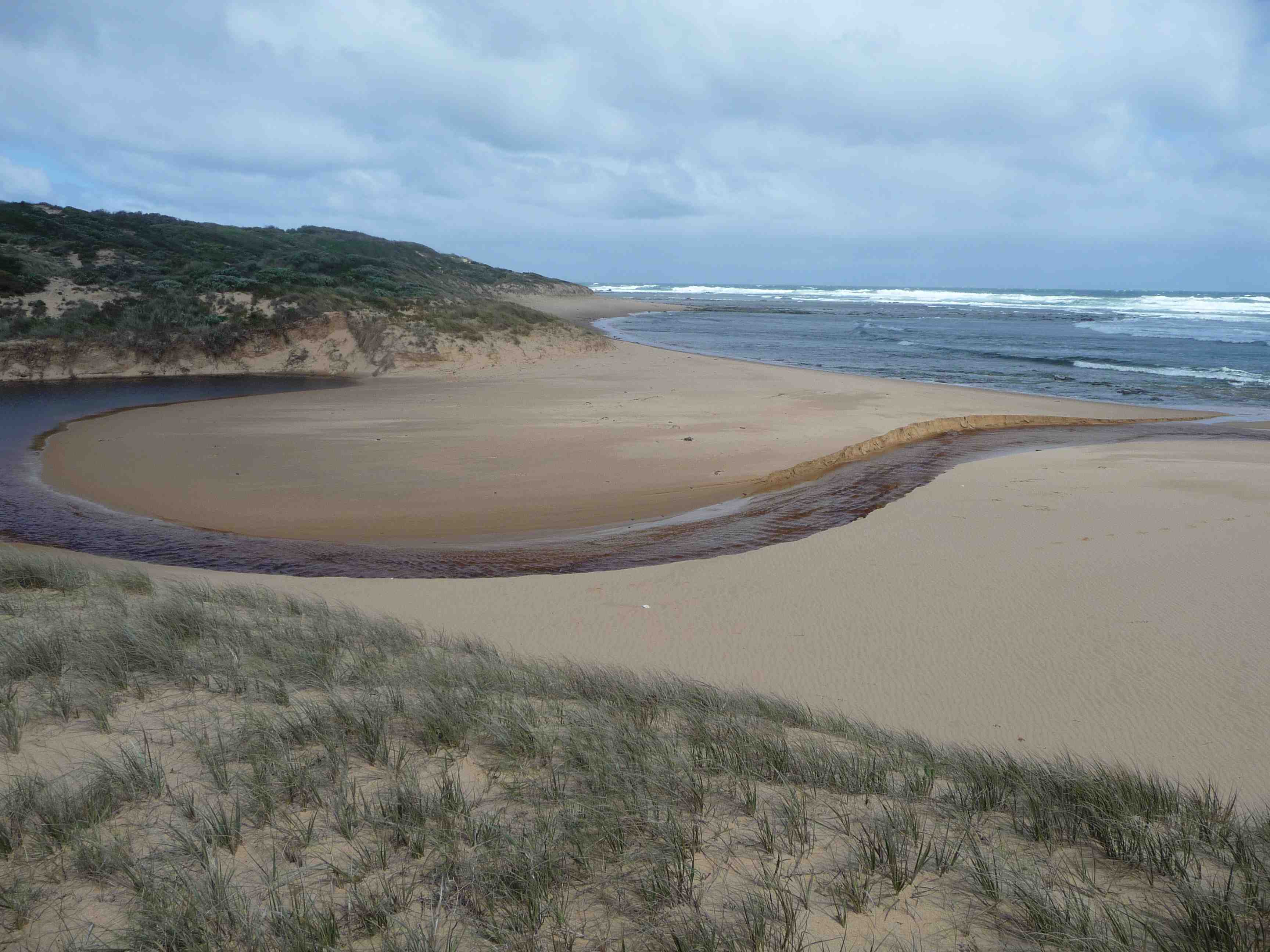
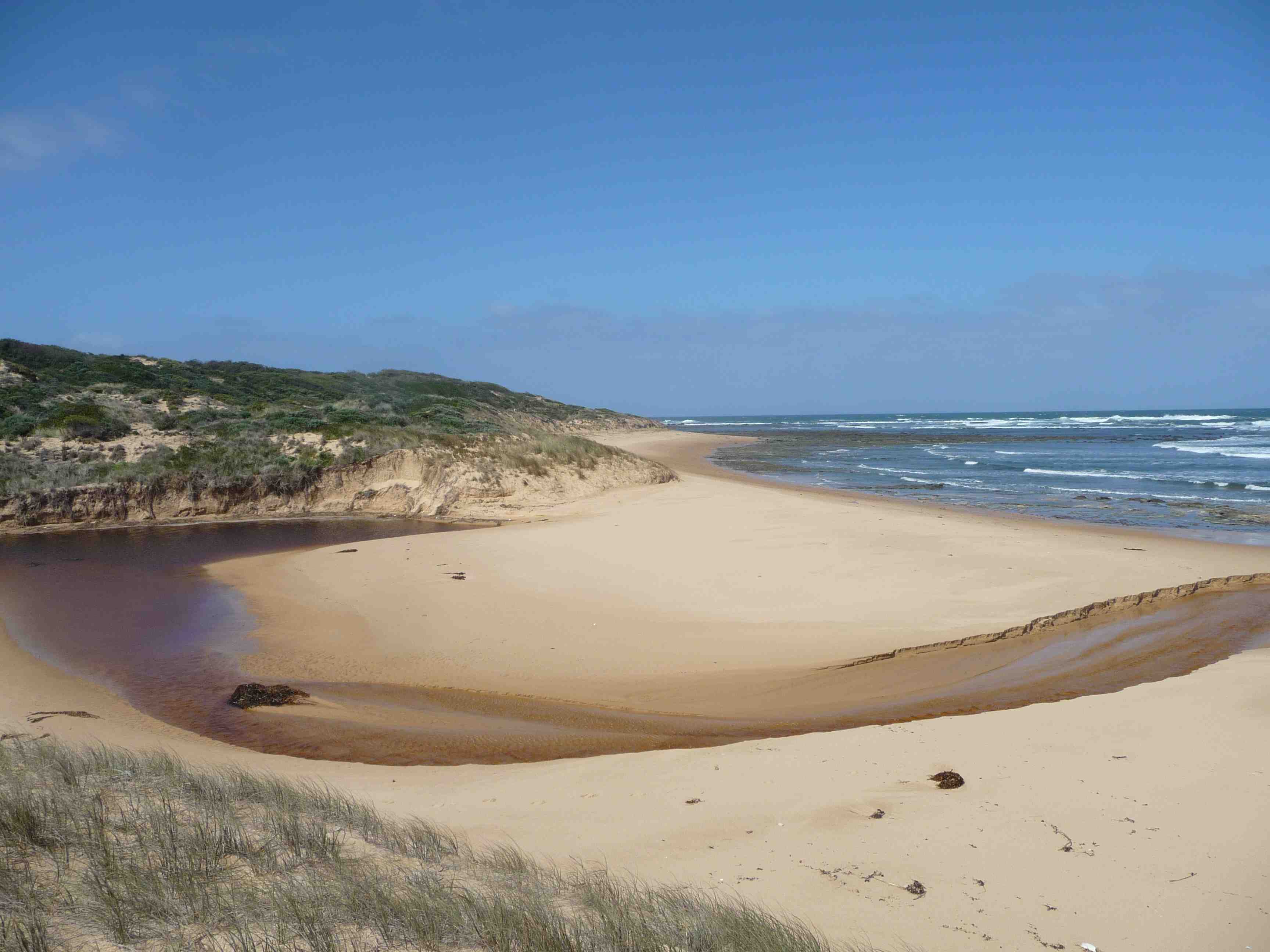
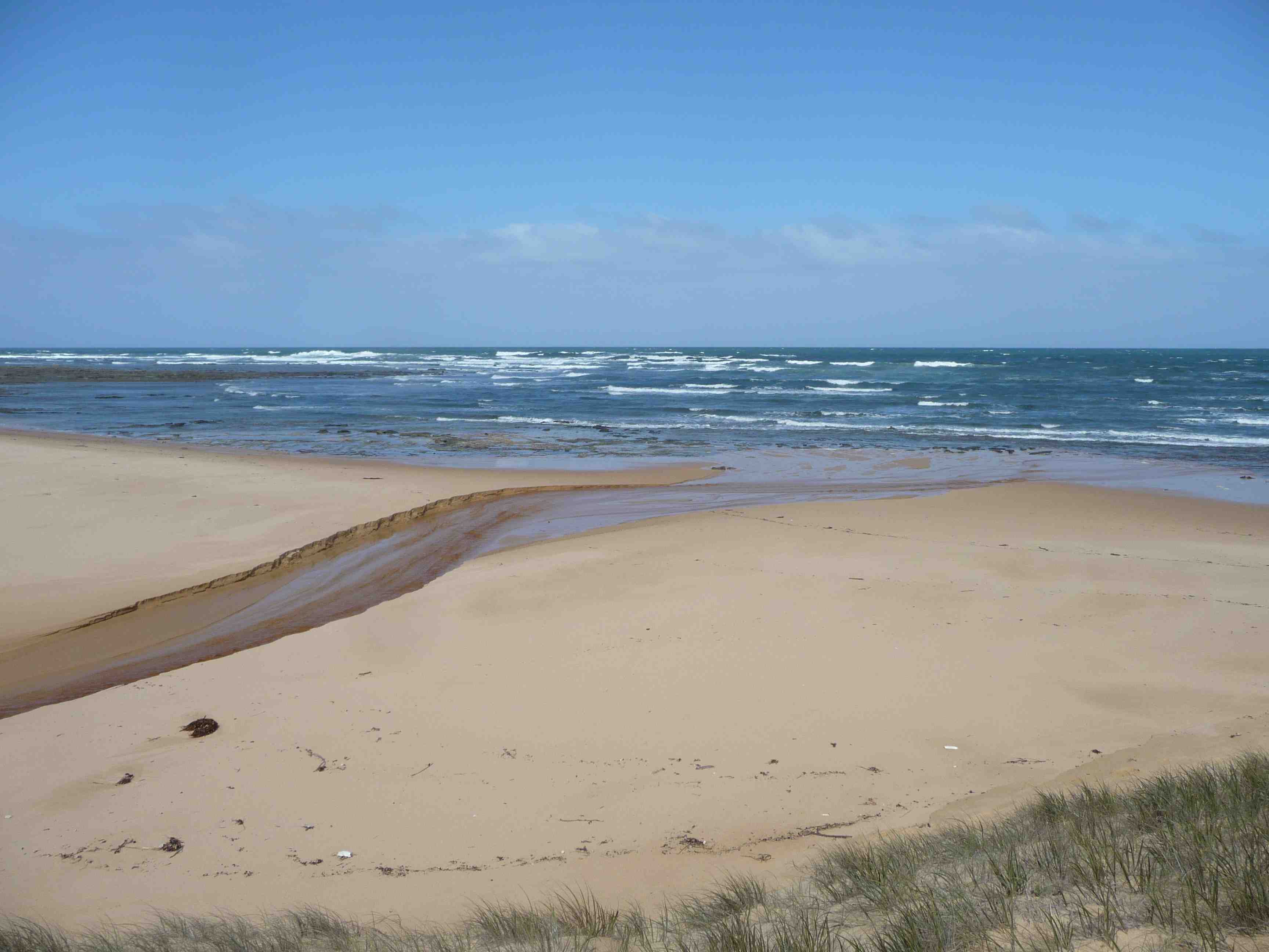
Drive down Berrys Road after the road veers to the east take the first right to beach access car park. Follow the beach access track to the estuary. Once on the beach head east 200m to the estuary mouth. Photos are to be taken on dune on the western side of the estuary.
Drive down Berrys Road after the road veers to the east take the first right to beach access car park. Follow the beach access track to the estuary. Once on the beach head east 200m to the estuary mouth. Photos are to be taken on dune on the western side of the estuary.
Land Use
- Native Bushland
- Rural Residential
Photopoint site
This is a Photopoint site.
No observational data is recorded at this location.
No observational data is recorded at this location.


We acknowledge and respect Victorian Traditional Owners as the original custodians of Victoria’s land and waters, their unique ability to care for Country and deep spiritual connection to it.
We honour Elders past and present whose knowledge and wisdom has ensured the continuation of culture and traditional practices.
We honour Elders past and present whose knowledge and wisdom has ensured the continuation of culture and traditional practices.
 All content, files, data and images provided by the EstuaryWatch Data Portal subject to a Creative Commons Attribution License
Data portal by CeRDI
All content, files, data and images provided by the EstuaryWatch Data Portal subject to a Creative Commons Attribution License
Data portal by CeRDI