MMC2 Rutledges Cutting
12 July 2014
Observation details
Overview
| Estuary | Merri River Estuary |
|---|---|
| Site | Rutledges Cutting |
| Observation ID | #5090 |
| Date and Time | Saturday 12th July 2014 12:00pm |
| Approved | Approved |
Notes
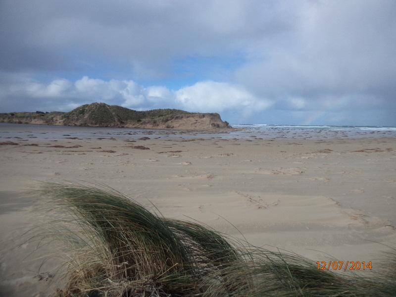
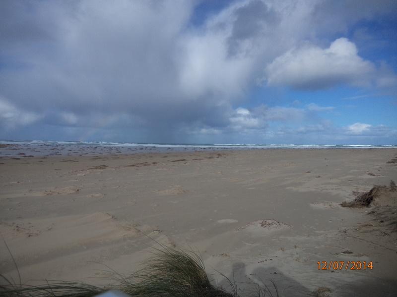
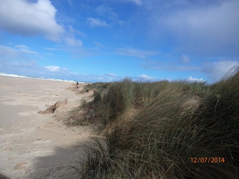
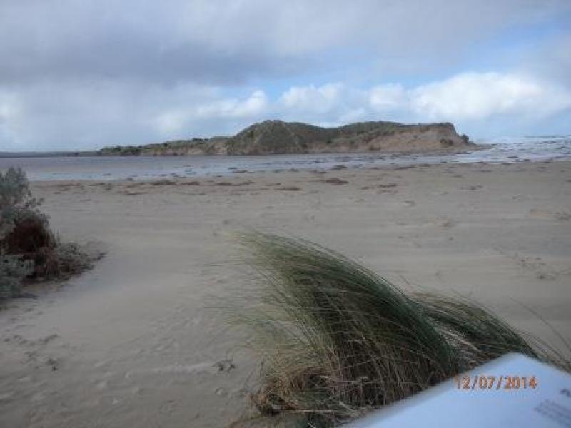
Severe erosion on intertidal and dune system. No berm reading as fresh and sea water meeting. Saltwater action from tip of eastern headland to just below dunes was very broad. Photos on camera show extent of erosion. Main dune has receded by approx two metres. Sea weed and coastal grasses deposited among dunes.
ps.. Extreme weather event 24th June 2014
We acknowledge and respect Victorian Traditional Owners as the original custodians of Victoria’s land and waters, their unique ability to care for Country and deep spiritual connection to it.
We honour Elders past and present whose knowledge and wisdom has ensured the continuation of culture and traditional practices.
We honour Elders past and present whose knowledge and wisdom has ensured the continuation of culture and traditional practices.
 All content, files, data and images provided by the EstuaryWatch Data Portal subject to a Creative Commons Attribution License
Data portal by CeRDI
All content, files, data and images provided by the EstuaryWatch Data Portal subject to a Creative Commons Attribution License
Data portal by CeRDI