GMC Gellibrand River Estuary Mouth Observation Site
28 September 2015
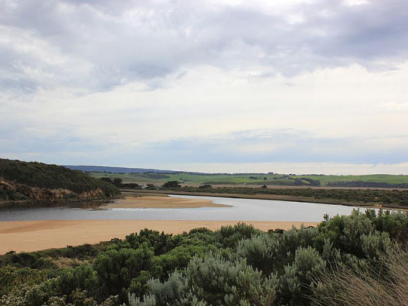
Observation details
Overview
| Estuary | Gellibrand River Estuary |
|---|---|
| Site | Gellibrand River Estuary Mouth Observation Site |
| Observation ID | #9856 |
| Date and Time | Monday 28th September 2015 08:29am |
| Approved | Approved |
Notes
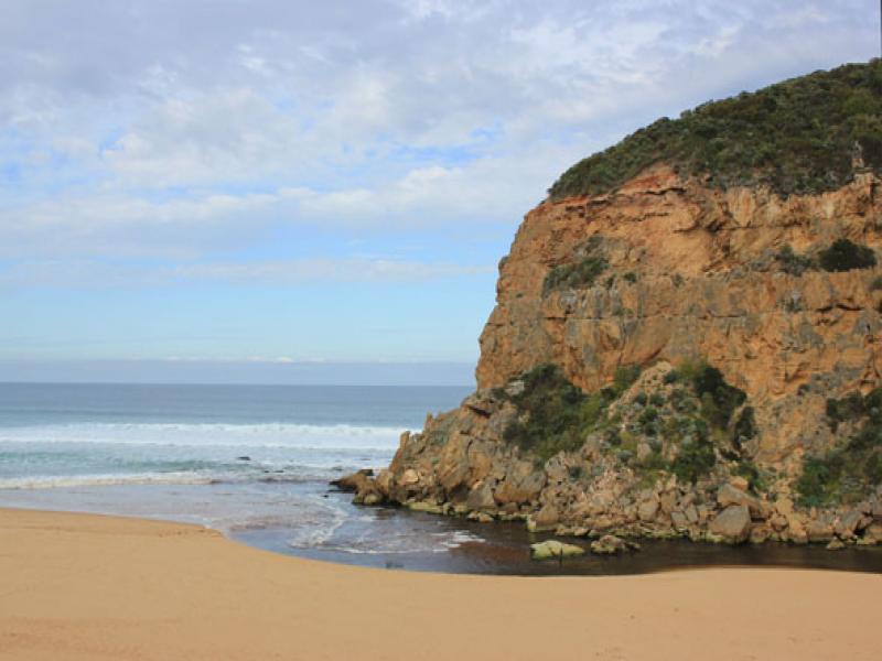
- Dark discharge out along shoreline to east
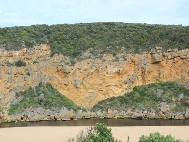
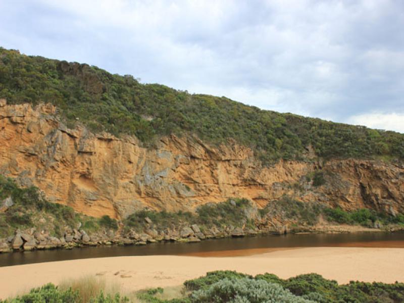
- Out flow reducing, actual entrance about 5m. wide up against cliff face, much wider & larger area of water around rocks
- Small waves entering into estuary
- Sand building up in front (downstream rocks)
- Strong longshore drift rolling sand into channel mouth
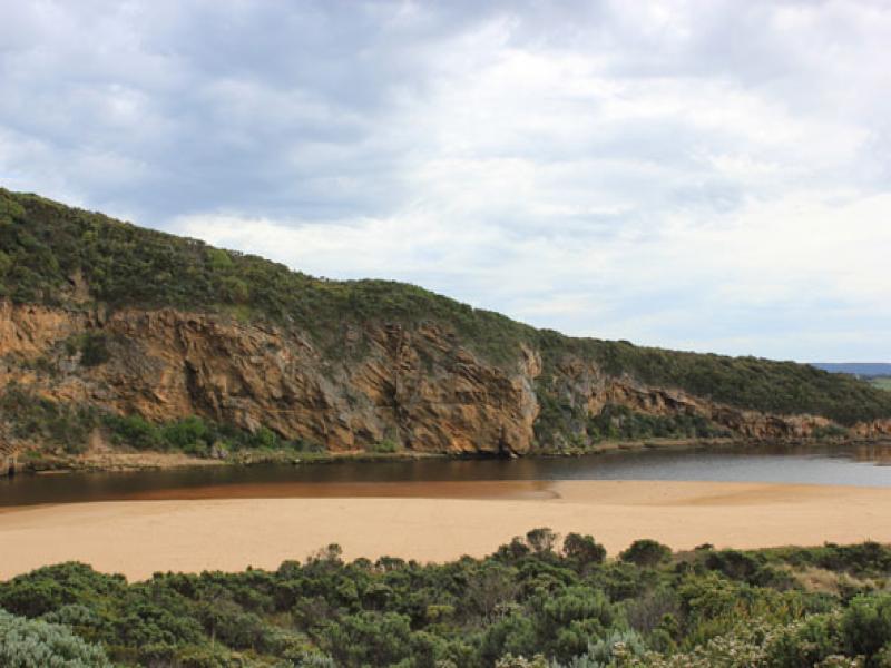
- Beach horseshoe shaped, widest beside mouth & highest just east of mouth
- Low tide level -sandbar & sides of estuary well exposed revealing large areas of dead silt covered rotting sea grass
We acknowledge and respect Victorian Traditional Owners as the original custodians of Victoria’s land and waters, their unique ability to care for Country and deep spiritual connection to it.
We honour Elders past and present whose knowledge and wisdom has ensured the continuation of culture and traditional practices.
We honour Elders past and present whose knowledge and wisdom has ensured the continuation of culture and traditional practices.
 All content, files, data and images provided by the EstuaryWatch Data Portal subject to a Creative Commons Attribution License
Data portal by CeRDI
All content, files, data and images provided by the EstuaryWatch Data Portal subject to a Creative Commons Attribution License
Data portal by CeRDI