GMC Gellibrand River Estuary Mouth Observation Site
26 July 2015
Observation details
Overview
| Estuary | Gellibrand River Estuary |
|---|---|
| Site | Gellibrand River Estuary Mouth Observation Site |
| Observation ID | #9747 |
| Date and Time | Sunday 26th July 2015 10:18am |
| Approved | Approved |
Notes
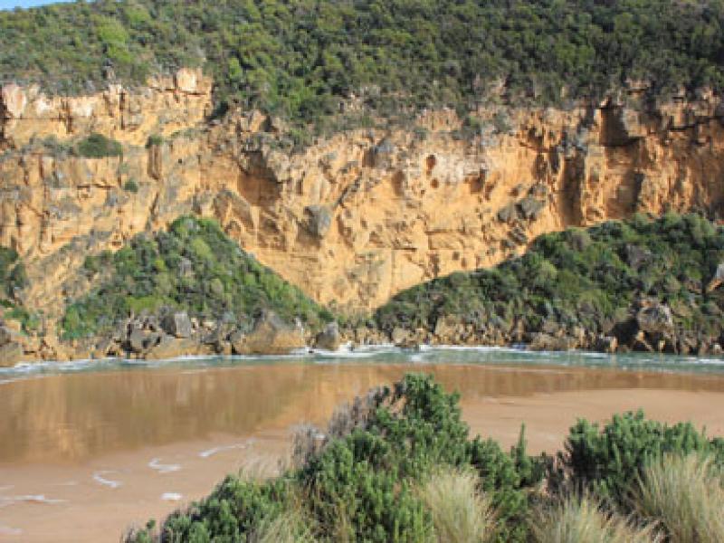
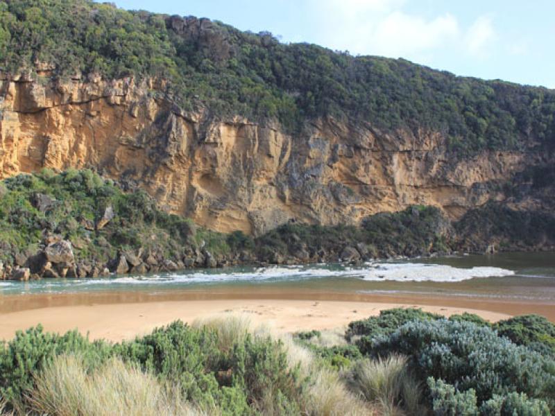
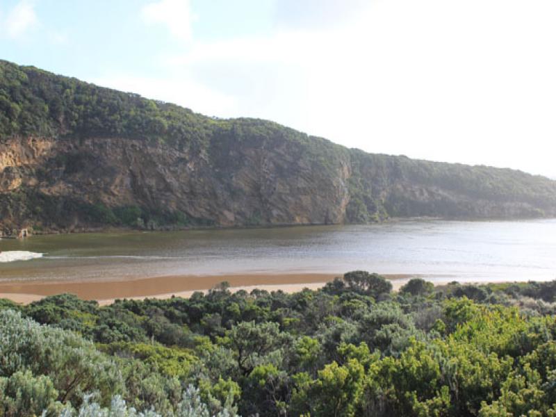
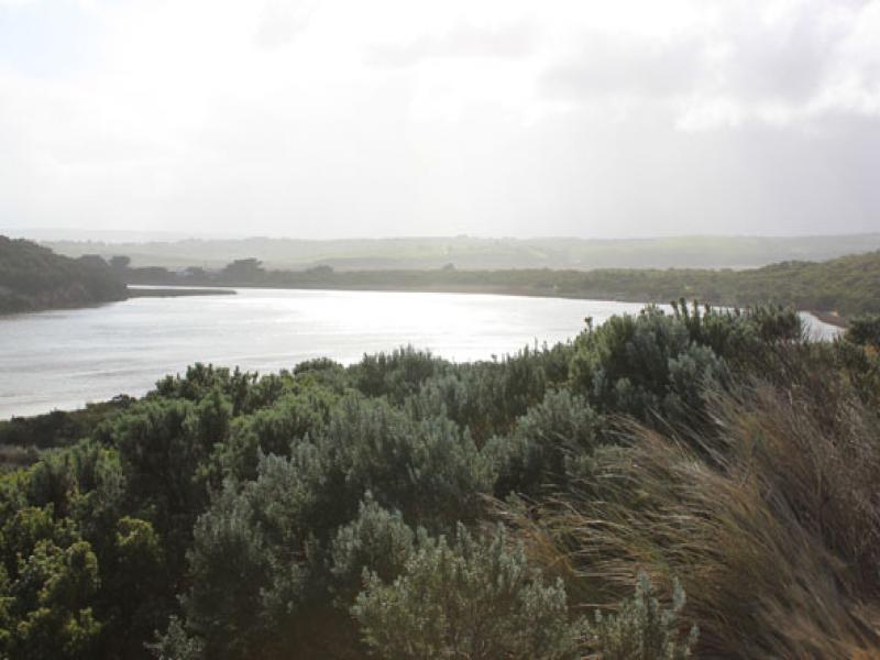
- Near Gale force winds & high sea driving waves over sand build up, covering area across from the mouth to sand dunes -only salt return back down narrow channel
- Very strong longshore drift across mouth. Waves in all directions around rocks & continuing strongly down channel into estuary, large areas of foam swirling
- Waves up to base of dunes at east end of beach removing more vegetation, former sand projection into ocean (mid beach) has been completely removed & beach flattened out.
- Near gale winds from S.E. at Gp1, S. slightly further east, & S.W. closer to east end of beach
- Air temp 5-7C. & 5cm. hail in some areas (covering G.O.R near Lower Gellibrand)
- Rainfall 44.5ml since 24th July.( G6 AHD 2.05)

We acknowledge and respect Victorian Traditional Owners as the original custodians of Victoria’s land and waters, their unique ability to care for Country and deep spiritual connection to it.
We honour Elders past and present whose knowledge and wisdom has ensured the continuation of culture and traditional practices.
We honour Elders past and present whose knowledge and wisdom has ensured the continuation of culture and traditional practices.
 All content, files, data and images provided by the EstuaryWatch Data Portal subject to a Creative Commons Attribution License
Data portal by CeRDI
All content, files, data and images provided by the EstuaryWatch Data Portal subject to a Creative Commons Attribution License
Data portal by CeRDI