GMC Gellibrand River Estuary Mouth Observation Site
20 June 2015
Observation details
Overview
| Estuary | Gellibrand River Estuary |
|---|---|
| Site | Gellibrand River Estuary Mouth Observation Site |
| Observation ID | #9686 |
| Date and Time | Saturday 20th June 2015 09:40am |
| Approved | Approved |
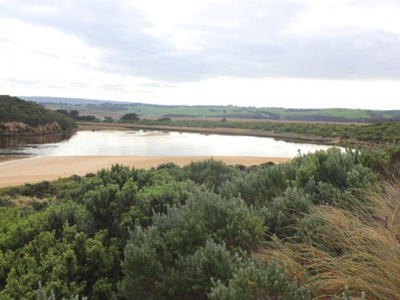
Notes
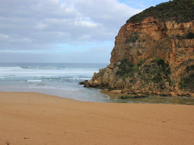
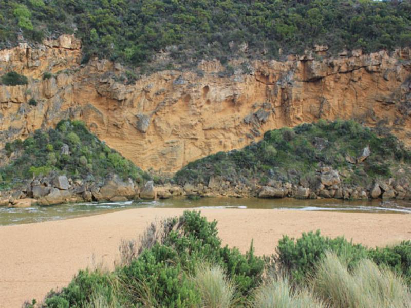
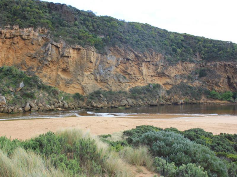
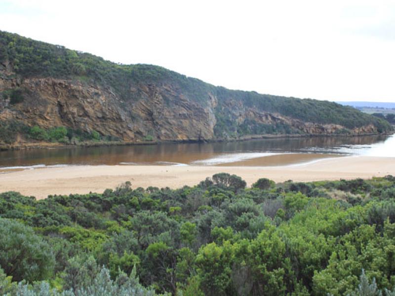
- Flow was out at start of monitoring but salt water (green)had reached tunnel entrance & flow upstream at G2 was noted at 12:10
- Water level very low at start, seagrass/sandbar exposed & steep side(1m.+) along channel to mouth
- High sand build up around mouth, higher & projecting out to sea slightly further east
- Beach very wide.
- Waves in all directions along whole of beachfront, strong longshore drift across mouth.
- Salt water entering & sending high wave 'clusters' up channel in front of salt/fresh divide
- Large amount of sand visible in turbulent water around rocks
We acknowledge and respect Victorian Traditional Owners as the original custodians of Victoria’s land and waters, their unique ability to care for Country and deep spiritual connection to it.
We honour Elders past and present whose knowledge and wisdom has ensured the continuation of culture and traditional practices.
We honour Elders past and present whose knowledge and wisdom has ensured the continuation of culture and traditional practices.
 All content, files, data and images provided by the EstuaryWatch Data Portal subject to a Creative Commons Attribution License
Data portal by CeRDI
All content, files, data and images provided by the EstuaryWatch Data Portal subject to a Creative Commons Attribution License
Data portal by CeRDI