GMC Gellibrand River Estuary Mouth Observation Site
16 May 2015
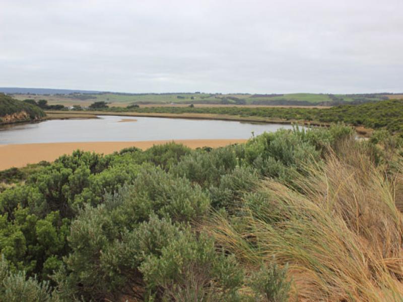
Observation details
Overview
| Estuary | Gellibrand River Estuary |
|---|---|
| Site | Gellibrand River Estuary Mouth Observation Site |
| Observation ID | #9617 |
| Date and Time | Saturday 16th May 2015 09:25am |
| Approved | Approved |
Notes
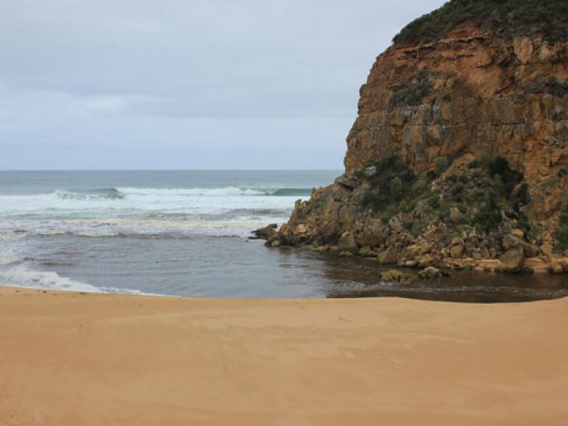
- Natural opening 14/05/15 has now created a very wide opening (30-40m).
- Large amount of dark discharge travelling both to south & east along foreshore
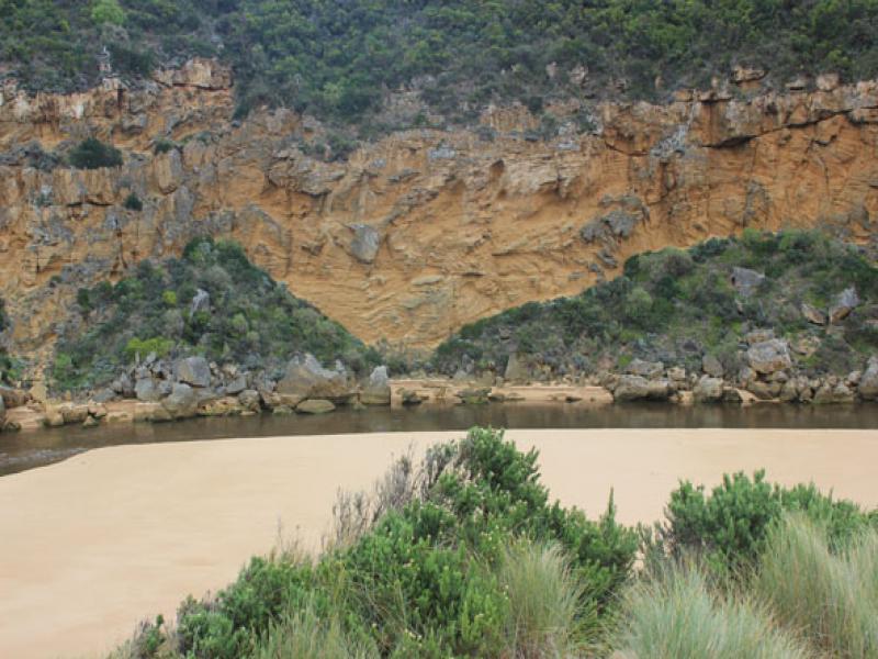
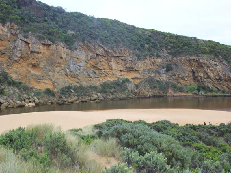
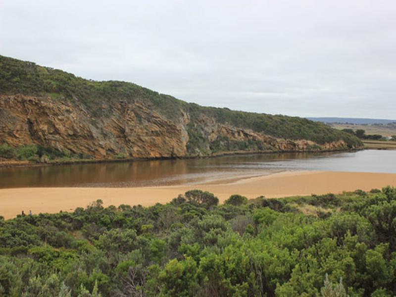
- Channel to estuary is also wide with steep sheer edge 2-3m above present water level
- Sudden & rapid discharge overnight has revealed sand bar & large expanses of sand extending north into estuary at the south side
- Beach front is projecting out to sea at centre. Large waves scouring out 3m. high sand cliff below dunes at east end of beach
- Strong rip & longshore drift
- Some sand build up in front of rocks at entrance
- Waves at mouth in all directions. Very large amount of sand visible in current
- Low track fully exposed covered with dark silt, slime & debris. This is also over ocean beach
- No sign of any dead fish or invertebrates
- No water over any roads, camp ground still has water in very low areas on south, flats are draining
We acknowledge and respect Victorian Traditional Owners as the original custodians of Victoria’s land and waters, their unique ability to care for Country and deep spiritual connection to it.
We honour Elders past and present whose knowledge and wisdom has ensured the continuation of culture and traditional practices.
We honour Elders past and present whose knowledge and wisdom has ensured the continuation of culture and traditional practices.
 All content, files, data and images provided by the EstuaryWatch Data Portal subject to a Creative Commons Attribution License
Data portal by CeRDI
All content, files, data and images provided by the EstuaryWatch Data Portal subject to a Creative Commons Attribution License
Data portal by CeRDI