GMC Gellibrand River Estuary Mouth Observation Site
14 May 2015
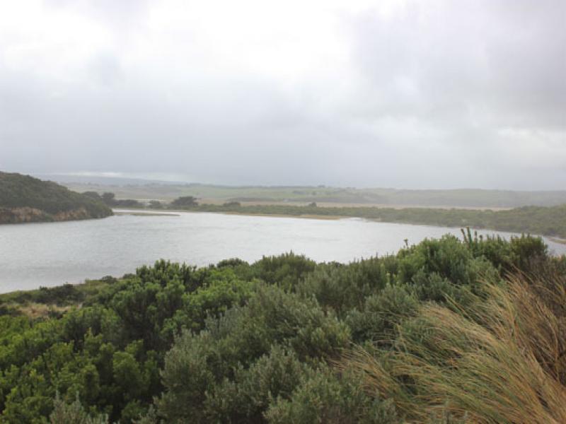
Observation details
Overview
| Estuary | Gellibrand River Estuary |
|---|---|
| Site | Gellibrand River Estuary Mouth Observation Site |
| Observation ID | #9615 |
| Date and Time | Thursday 14th May 2015 09:30am |
| Approved | Approved |
Notes
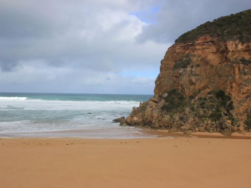
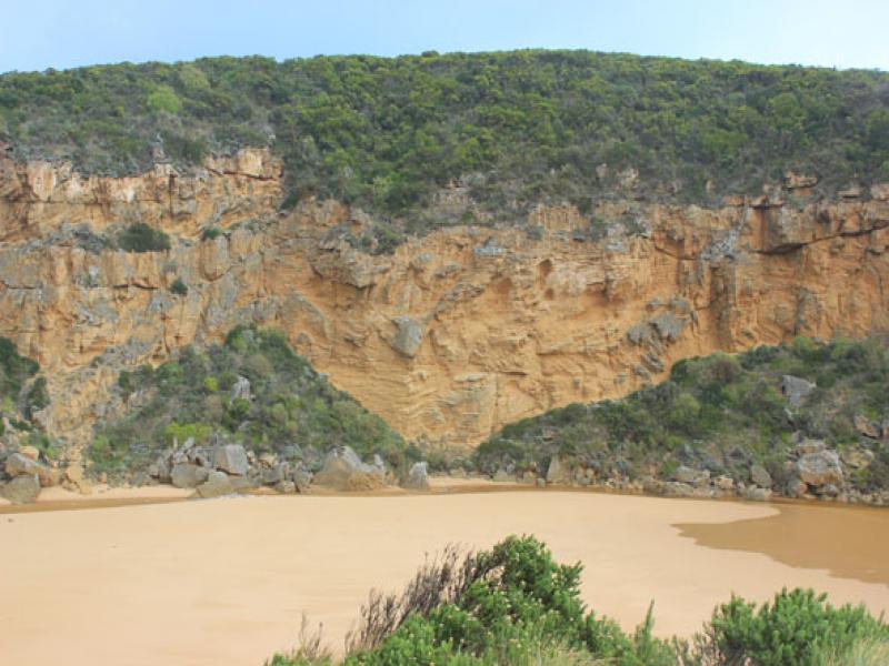
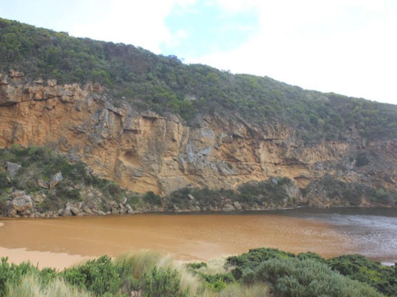
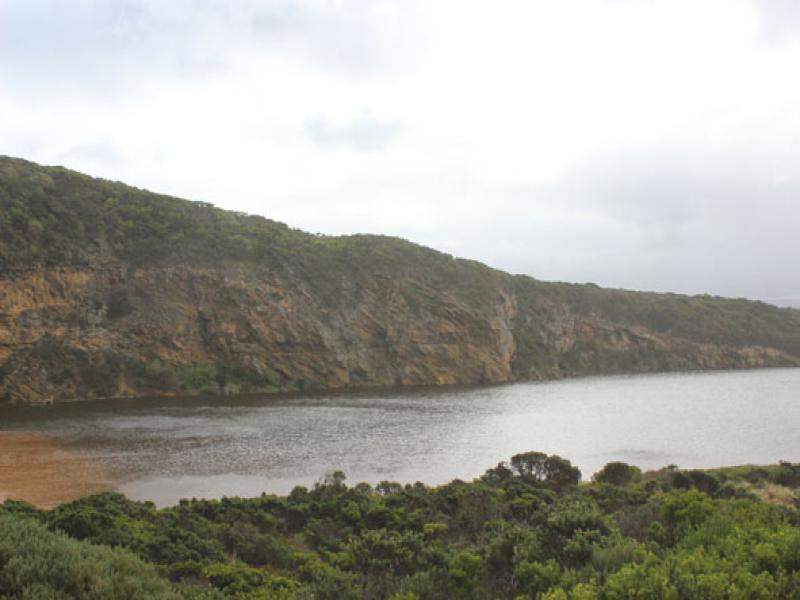
- Natural opening over night, very shallow entrance & channel only about 3-5m. between rocks & cliff
- Slight pale discharge only around mouth & slightly to east
- Very strong longshore drift across mouth
- Sand dunes (ocean beach) almost parallel to ocean & smoothed out by wind, beach very flat
- East end scouring out from strong wave surge
- Channel area being impacted by strong south wind blowing sand which is reaching into estuary
- All roads flooded. GOR closed (traffic lights)
- Boardwalk under water , deep water in camp ground, .80m. at flood markers OOR, Ocean Car park partially flooded. Water now on to bridge deck G4.
- Water level from rainfall at G6 dropping
We acknowledge and respect Victorian Traditional Owners as the original custodians of Victoria’s land and waters, their unique ability to care for Country and deep spiritual connection to it.
We honour Elders past and present whose knowledge and wisdom has ensured the continuation of culture and traditional practices.
We honour Elders past and present whose knowledge and wisdom has ensured the continuation of culture and traditional practices.
 All content, files, data and images provided by the EstuaryWatch Data Portal subject to a Creative Commons Attribution License
Data portal by CeRDI
All content, files, data and images provided by the EstuaryWatch Data Portal subject to a Creative Commons Attribution License
Data portal by CeRDI