GMC Gellibrand River Estuary Mouth Observation Site
13 May 2015
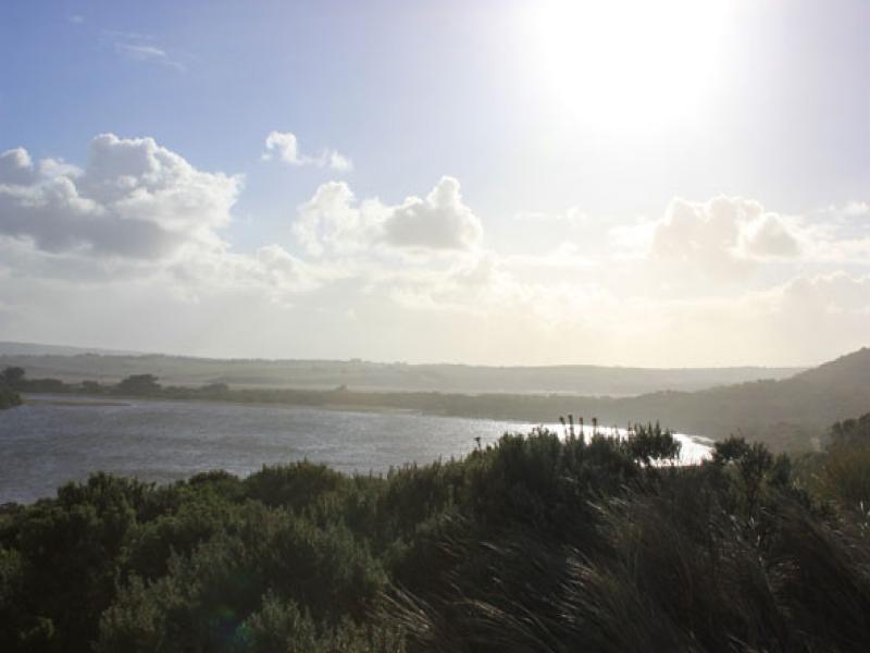
Observation details
Overview
| Estuary | Gellibrand River Estuary |
|---|---|
| Site | Gellibrand River Estuary Mouth Observation Site |
| Observation ID | #9614 |
| Date and Time | Wednesday 13th May 2015 08:03am |
| Approved | Approved |
Notes
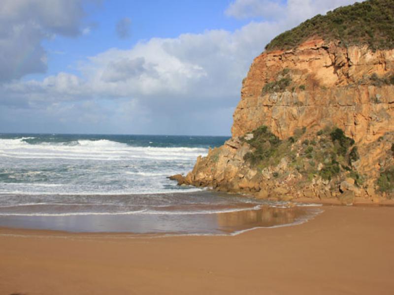
- Mouth perched occasional waves across v. wide area, some reaching estuary resulting in small return against cliff
- Dune below GP1 site has been cut away by high sea & strong winds
- Ocean beach very flat
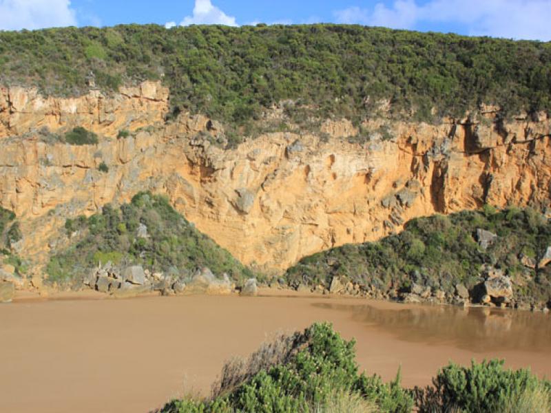
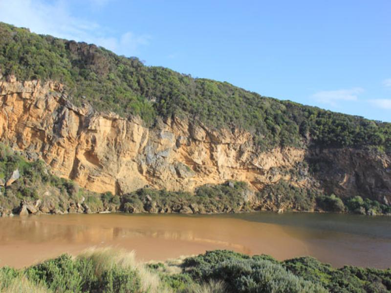
- Previous high sand just east of mouth has been moved toward estuary, large sand build up under shallow water close to tunnel entrance in estuary
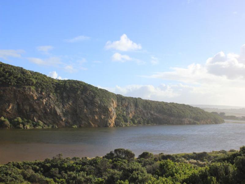
- All roads & camp ground flooded(.77cm at flood markers OOR). Water nearly across GOR
- Serious flooding along lower estuary but not upstream (Water about .40. from concrete deck at G4 & only runoff upstream G5)
We acknowledge and respect Victorian Traditional Owners as the original custodians of Victoria’s land and waters, their unique ability to care for Country and deep spiritual connection to it.
We honour Elders past and present whose knowledge and wisdom has ensured the continuation of culture and traditional practices.
We honour Elders past and present whose knowledge and wisdom has ensured the continuation of culture and traditional practices.
 All content, files, data and images provided by the EstuaryWatch Data Portal subject to a Creative Commons Attribution License
Data portal by CeRDI
All content, files, data and images provided by the EstuaryWatch Data Portal subject to a Creative Commons Attribution License
Data portal by CeRDI