GMC Gellibrand River Estuary Mouth Observation Site
10 April 2015
Observation details
Overview
| Estuary | Gellibrand River Estuary |
|---|---|
| Site | Gellibrand River Estuary Mouth Observation Site |
| Observation ID | #9508 |
| Date and Time | Friday 10th April 2015 09:30am |
| Approved | Approved |
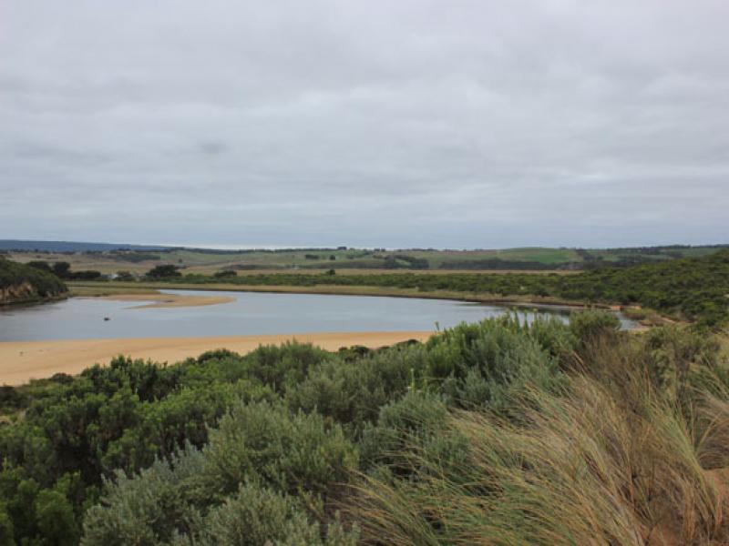
Notes
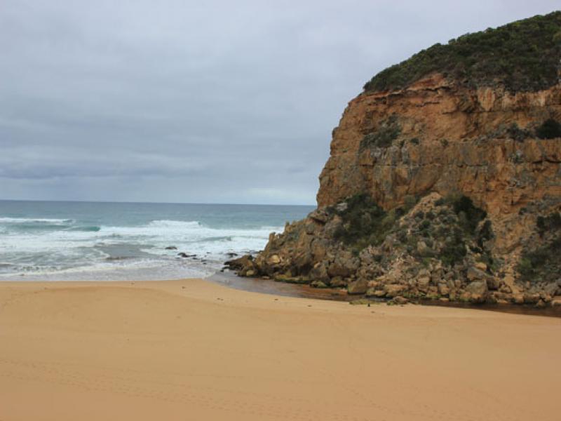
- Flow out over shallow area, some discharge visible around mouth & slightly to east
- Occasional waves entering
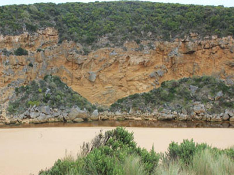
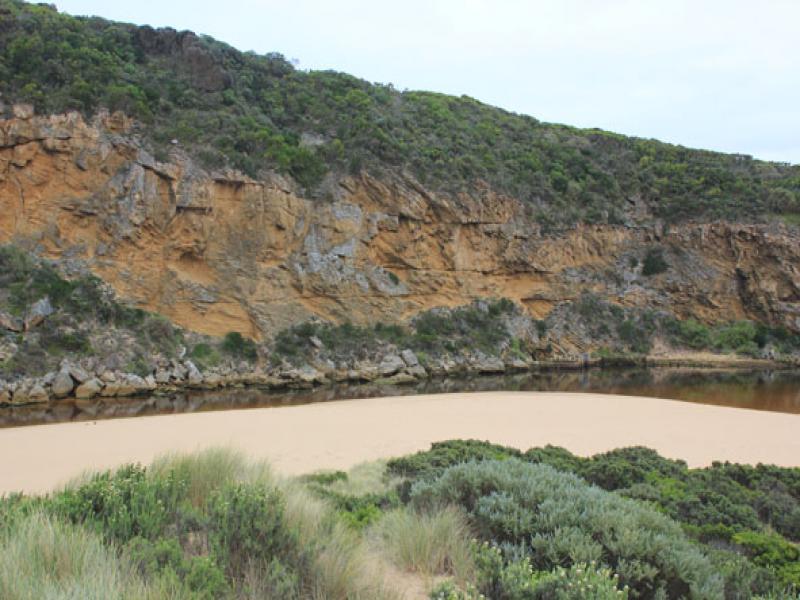
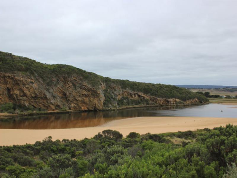
- Large amount of sand has built up around mouth & upstream of rocks
- Steep(to 40cm.) high sheer face to east side of channel about 8m. from waters edge
- Beach- horseshoe shaped with steep slope to ocean
- Slight longshore drift toward mouth but much stronger at east end of beach
- Sand bar well exposed ( very low water level)
- Large areas of seagrass becoming exposed, some covered by rotting algae especially in area near recent Phragmities establishment
- Very large no. millipedes throughout the area
We acknowledge and respect Victorian Traditional Owners as the original custodians of Victoria’s land and waters, their unique ability to care for Country and deep spiritual connection to it.
We honour Elders past and present whose knowledge and wisdom has ensured the continuation of culture and traditional practices.
We honour Elders past and present whose knowledge and wisdom has ensured the continuation of culture and traditional practices.
 All content, files, data and images provided by the EstuaryWatch Data Portal subject to a Creative Commons Attribution License
Data portal by CeRDI
All content, files, data and images provided by the EstuaryWatch Data Portal subject to a Creative Commons Attribution License
Data portal by CeRDI