GMC Gellibrand River Estuary Mouth Observation Site
31 March 2015
Observation details
Overview
| Estuary | Gellibrand River Estuary |
|---|---|
| Site | Gellibrand River Estuary Mouth Observation Site |
| Observation ID | #9475 |
| Date and Time | Tuesday 31st March 2015 11:20am |
| Approved | Approved |
Notes
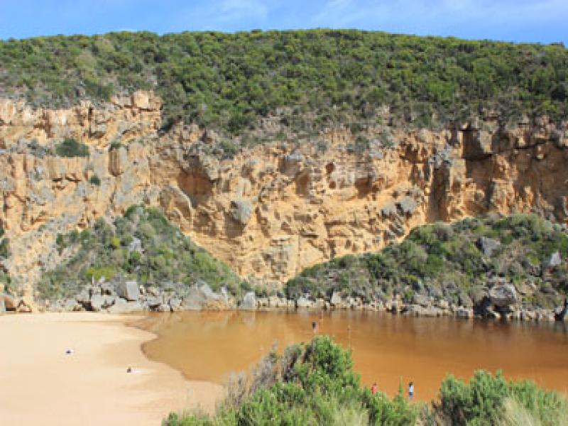
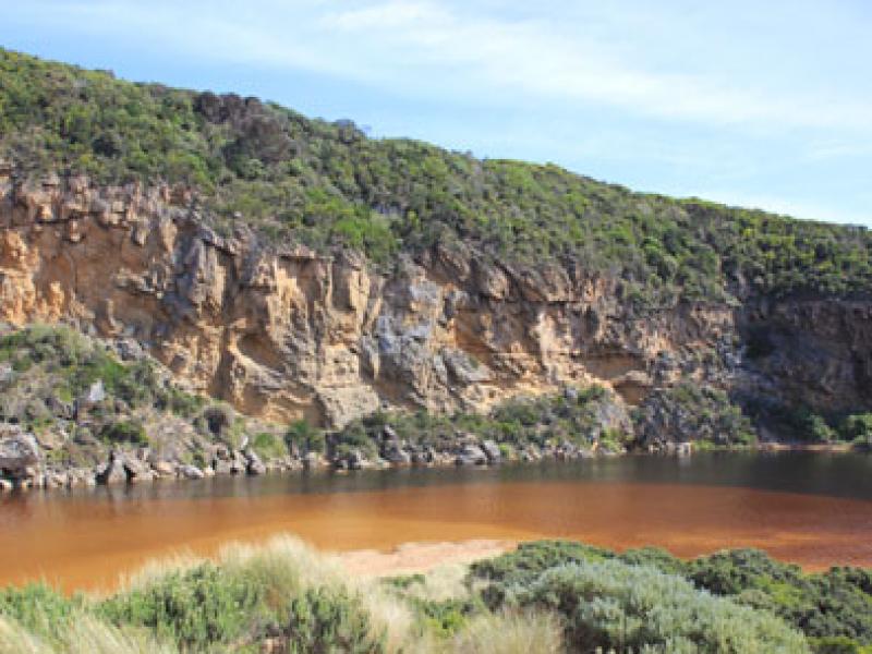
- Mouth barred but waves over front of berm
- Estuary at start of berm is wider & closer to sea
- Large no. small fish (1-3cm.) swimming in shallow water amongst vegetation at start of low track
- Water starting to enter camping ground
- Extensive flooding around G4 & south side of river to G5. Water over bank between G5&G4 & at drain close to G4 on north side.
- Bitterns calling near flood markers (OOR) as water rises & starts to go over road(OOR) - small crayfish in water at side of road

We acknowledge and respect Victorian Traditional Owners as the original custodians of Victoria’s land and waters, their unique ability to care for Country and deep spiritual connection to it.
We honour Elders past and present whose knowledge and wisdom has ensured the continuation of culture and traditional practices.
We honour Elders past and present whose knowledge and wisdom has ensured the continuation of culture and traditional practices.
 All content, files, data and images provided by the EstuaryWatch Data Portal subject to a Creative Commons Attribution License
Data portal by CeRDI
All content, files, data and images provided by the EstuaryWatch Data Portal subject to a Creative Commons Attribution License
Data portal by CeRDI