GMC Gellibrand River Estuary Mouth Observation Site
27 December 2014
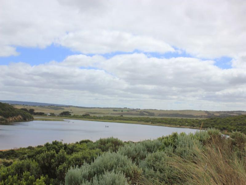
Observation details
Overview
| Estuary | Gellibrand River Estuary |
|---|---|
| Site | Gellibrand River Estuary Mouth Observation Site |
| Observation ID | #9287 |
| Date and Time | Saturday 27th December 2014 09:15am |
| Approved | Approved |
Notes
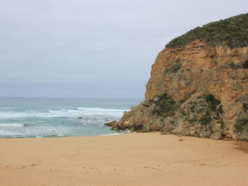
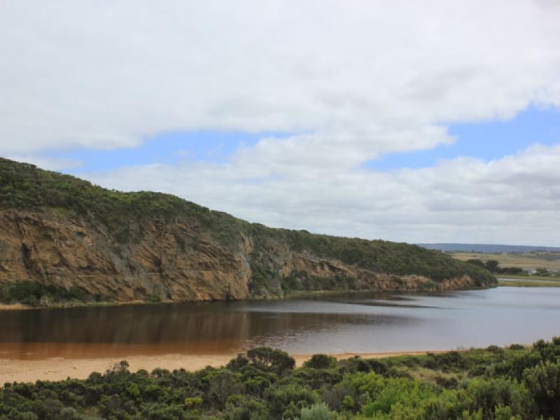
- Mouth closed, no flow but swash line indicates waves have been high on beach then travelled west behind berm into channel
- Berm higher, highest point about 20-40m. east of mouth (lower across mouth)
- 2nd. rock in channel nearly covered with sand
- Beach horseshoe shaped lowest area mid beach
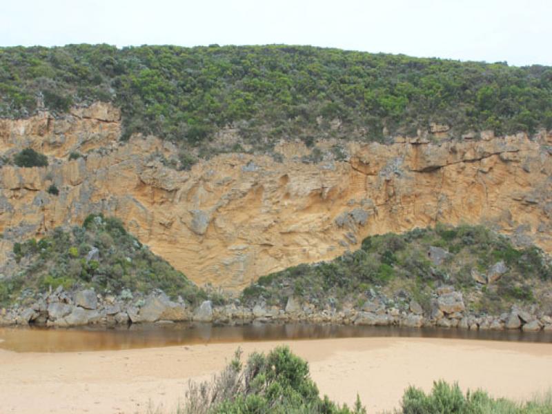
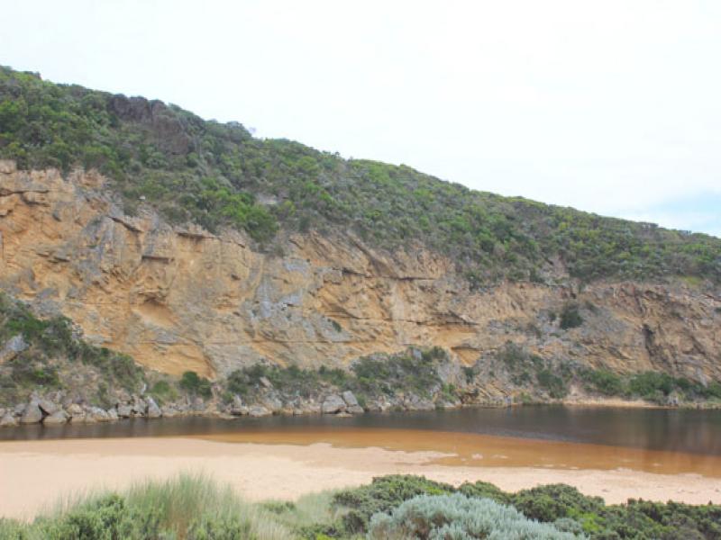
- Large slip has occurred along cliff at next beach to east, much sand being eroded
- Dead White faced Petrol
We acknowledge and respect Victorian Traditional Owners as the original custodians of Victoria’s land and waters, their unique ability to care for Country and deep spiritual connection to it.
We honour Elders past and present whose knowledge and wisdom has ensured the continuation of culture and traditional practices.
We honour Elders past and present whose knowledge and wisdom has ensured the continuation of culture and traditional practices.
 All content, files, data and images provided by the EstuaryWatch Data Portal subject to a Creative Commons Attribution License
Data portal by CeRDI
All content, files, data and images provided by the EstuaryWatch Data Portal subject to a Creative Commons Attribution License
Data portal by CeRDI