GMC Gellibrand River Estuary Mouth Observation Site
1 August 2014
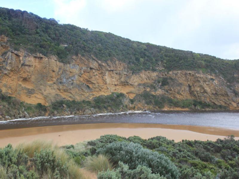
Observation details
Overview
| Estuary | Gellibrand River Estuary |
|---|---|
| Site | Gellibrand River Estuary Mouth Observation Site |
| Observation ID | #9042 |
| Date and Time | Friday 1st August 2014 12:16pm |
| Approved | Approved |
Notes
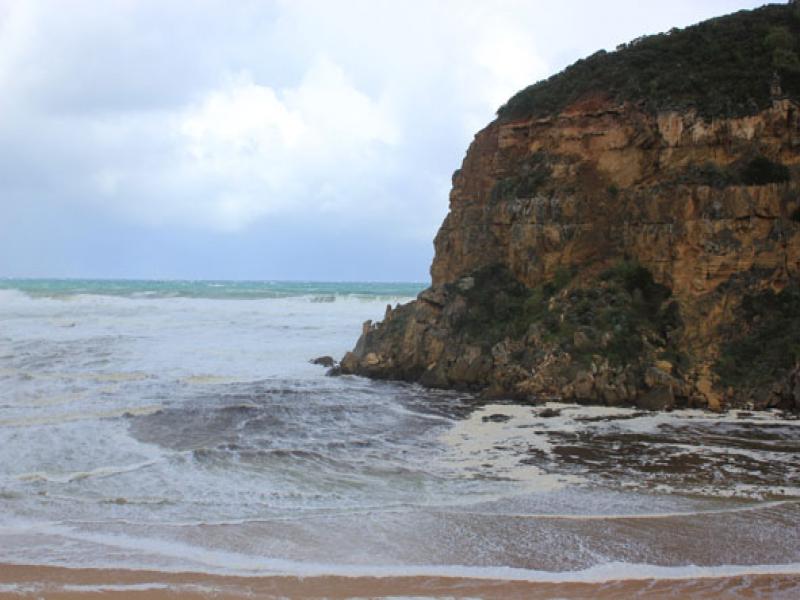
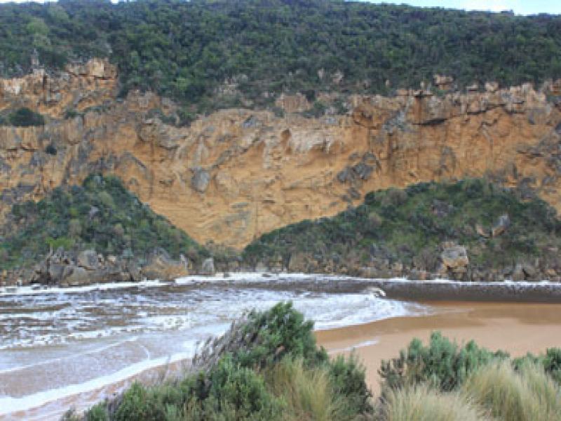
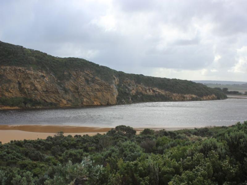
- Dark discharge out around mouth into high sea
- Waves entering across a wide area up channel travelling north & east (wind driven)- in all directions at mouth
- Waves up to base of dunes & more damage both here & in estuary from high sea 31/07/14
- While water is currently dark & dirty it was reported that 'clear green water with wind slop waves 30cm. high' was going up past Princetown township on 31/07/14)
We acknowledge and respect Victorian Traditional Owners as the original custodians of Victoria’s land and waters, their unique ability to care for Country and deep spiritual connection to it.
We honour Elders past and present whose knowledge and wisdom has ensured the continuation of culture and traditional practices.
We honour Elders past and present whose knowledge and wisdom has ensured the continuation of culture and traditional practices.
 All content, files, data and images provided by the EstuaryWatch Data Portal subject to a Creative Commons Attribution License
Data portal by CeRDI
All content, files, data and images provided by the EstuaryWatch Data Portal subject to a Creative Commons Attribution License
Data portal by CeRDI