GMC Gellibrand River Estuary Mouth Observation Site
24 June 2014
Observation details
Overview
| Estuary | Gellibrand River Estuary |
|---|---|
| Site | Gellibrand River Estuary Mouth Observation Site |
| Observation ID | #8964 |
| Date and Time | Tuesday 24th June 2014 11:25am |
| Approved | Approved |
Notes
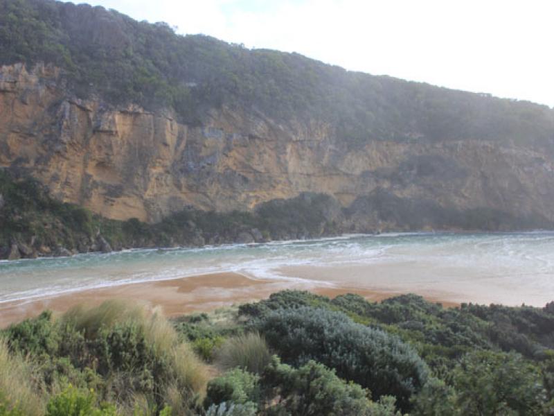
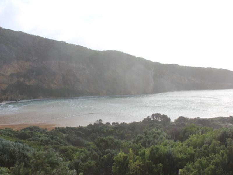
-Waves over 1-2m. high along the channel & into the estuary where they turn to east & impact east side of estuary & reach car park
- Waves in all directions in channel with huge whirlpool near tunnel entrance -some over top of structure
- Flooding west end of camp ground & wetlands west & north, water forming on side of OCR
- Fishing platform under water
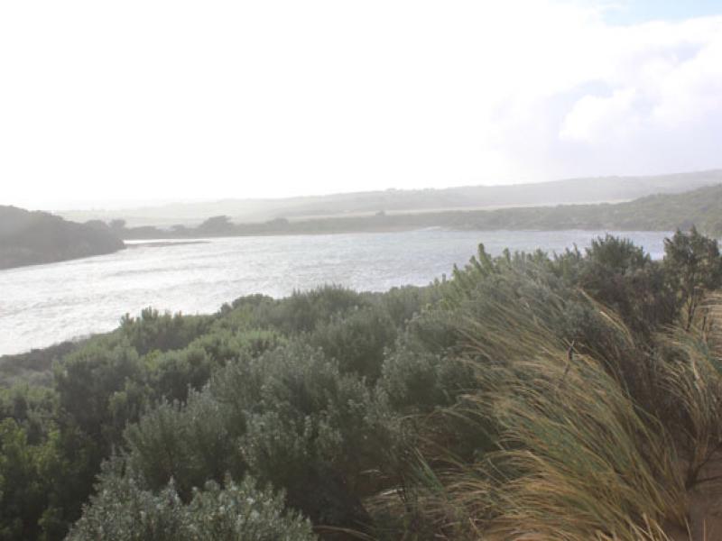
- Green water under bridge (G2) & upstream well past township
- Extreme winds have up rooted many very large trees & closed GOR
- Flood water just starting to come across OOR


We acknowledge and respect Victorian Traditional Owners as the original custodians of Victoria’s land and waters, their unique ability to care for Country and deep spiritual connection to it.
We honour Elders past and present whose knowledge and wisdom has ensured the continuation of culture and traditional practices.
We honour Elders past and present whose knowledge and wisdom has ensured the continuation of culture and traditional practices.
 All content, files, data and images provided by the EstuaryWatch Data Portal subject to a Creative Commons Attribution License
Data portal by CeRDI
All content, files, data and images provided by the EstuaryWatch Data Portal subject to a Creative Commons Attribution License
Data portal by CeRDI