GMC Gellibrand River Estuary Mouth Observation Site
9 April 2014
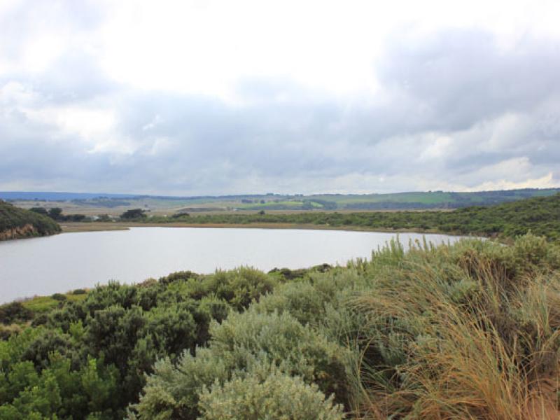
Observation details
Overview
| Estuary | Gellibrand River Estuary |
|---|---|
| Site | Gellibrand River Estuary Mouth Observation Site |
| Observation ID | #8878 |
| Date and Time | Wednesday 9th April 2014 10:10am |
| Approved | Approved |
Notes
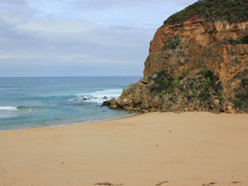
- Mouth barred
- no waves over berm at last hi tide
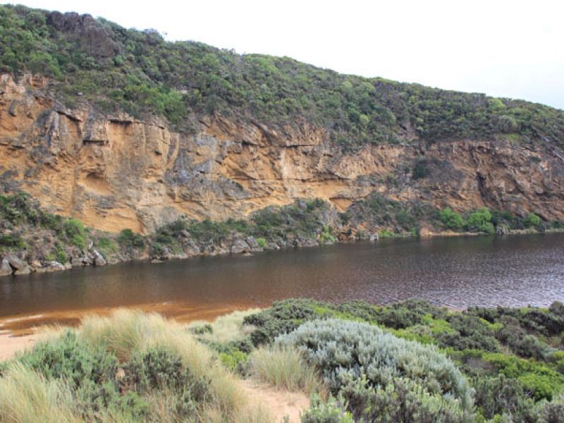
- water levels have risen but no water over roads except for some along the edge of O.O.R. near flood markers (above 0.2)
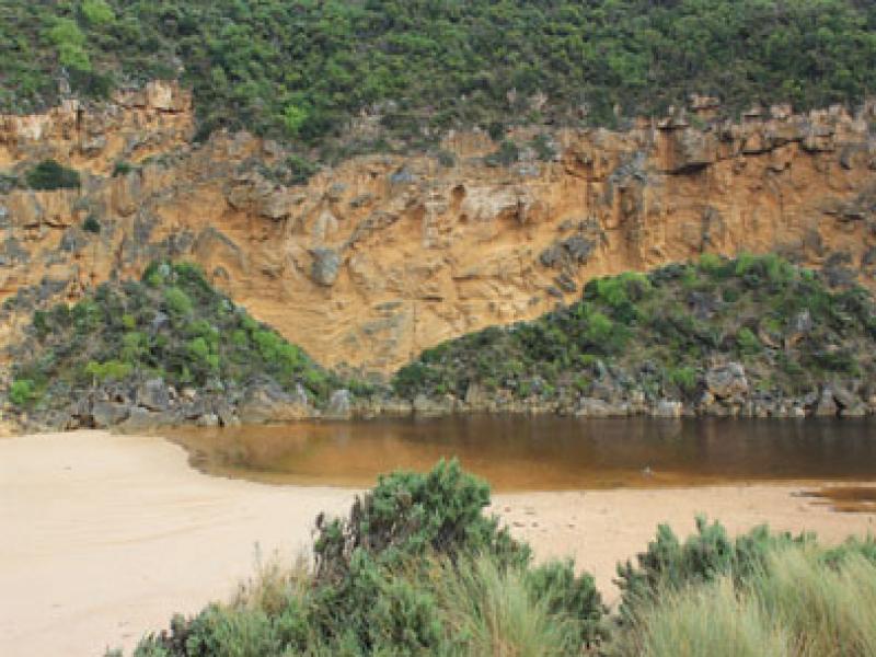
- very small amount of water in extremely low areas in camp. ground
- water increased in low area of top track to beach
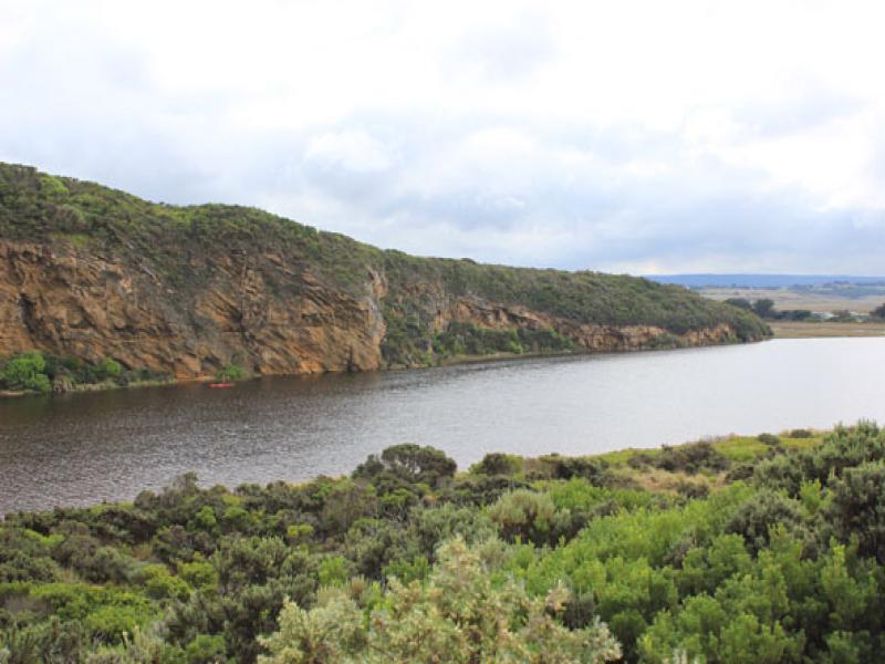
- Floodwater starting (waterlogging) downstream, midway between G5&G4
- water in drains & very low areas around G5 & upstream to G6
We acknowledge and respect Victorian Traditional Owners as the original custodians of Victoria’s land and waters, their unique ability to care for Country and deep spiritual connection to it.
We honour Elders past and present whose knowledge and wisdom has ensured the continuation of culture and traditional practices.
We honour Elders past and present whose knowledge and wisdom has ensured the continuation of culture and traditional practices.
 All content, files, data and images provided by the EstuaryWatch Data Portal subject to a Creative Commons Attribution License
Data portal by CeRDI
All content, files, data and images provided by the EstuaryWatch Data Portal subject to a Creative Commons Attribution License
Data portal by CeRDI