GMC Gellibrand River Estuary Mouth Observation Site
9 May 2014
Observation details
Overview
| Estuary | Gellibrand River Estuary |
|---|---|
| Site | Gellibrand River Estuary Mouth Observation Site |
| Observation ID | #8854 |
| Date and Time | Friday 9th May 2014 09:43am |
| Approved | Approved |
Notes
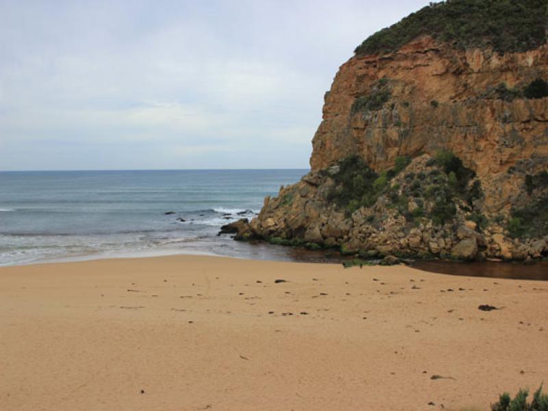
- Dark discharge out between rocks & cliff over shallow area, turning to east
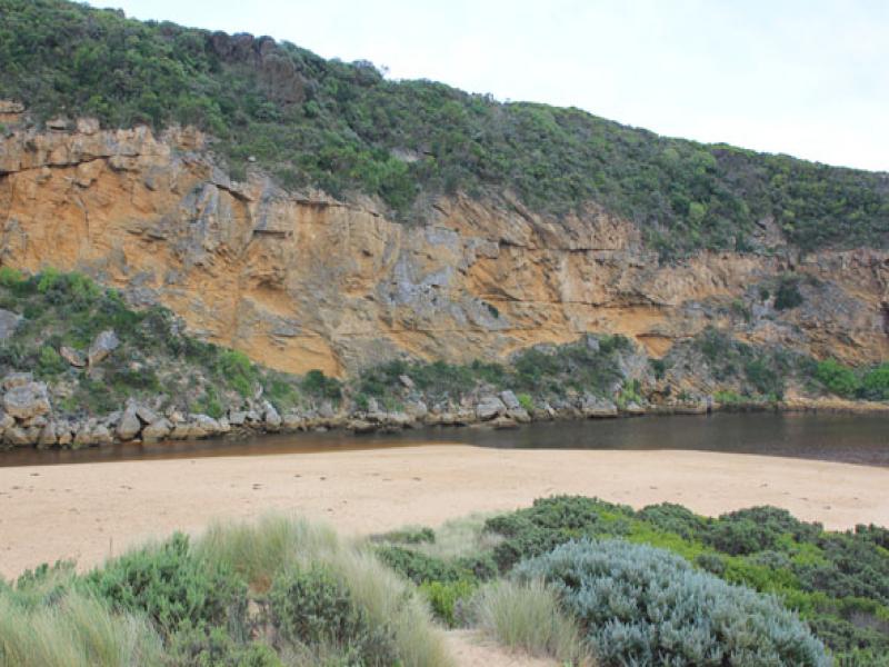
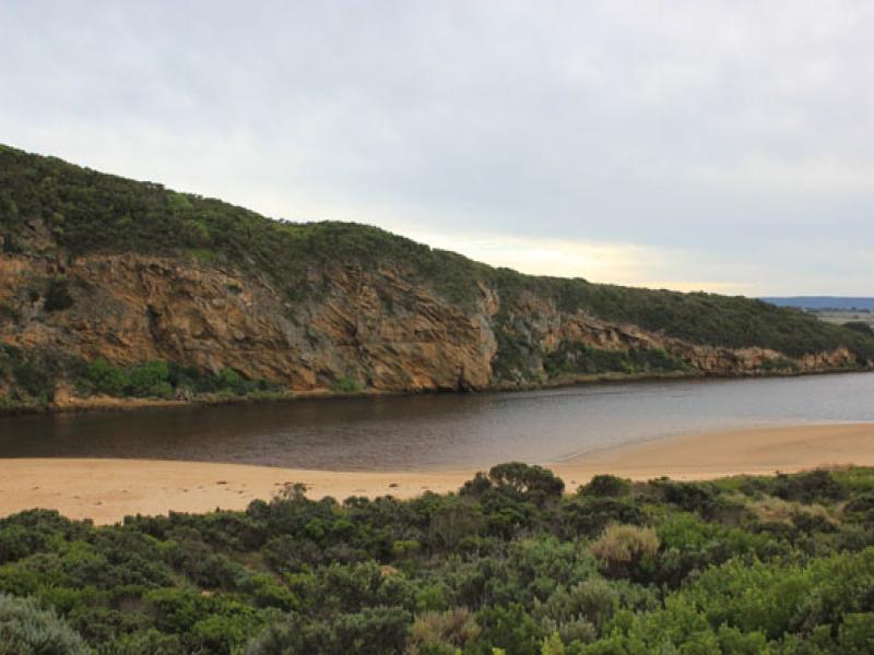
- Channel very wide forming a pool with steep east bank directly upstream rocks, but starts cascading down through shallow area between rocks & cliff
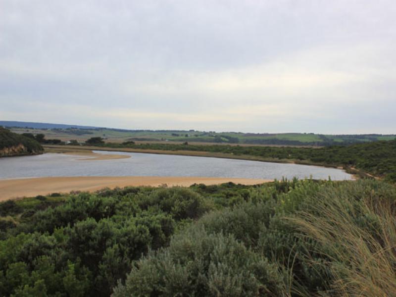
- More erosion to east side of estuary, many large mounds of seaweed & scattered shells from ocean beach along channel to near car park. Sandbar exposed
- many small fish in shallow water(east side of est.)
- Shoreline on Ocean beach is becoming straighter, east end scoured out & sand highest near mouth
- Longshore drift both to east & to west, also meeting return waves at east end of beach
- Strong north wind flattening out sea

We acknowledge and respect Victorian Traditional Owners as the original custodians of Victoria’s land and waters, their unique ability to care for Country and deep spiritual connection to it.
We honour Elders past and present whose knowledge and wisdom has ensured the continuation of culture and traditional practices.
We honour Elders past and present whose knowledge and wisdom has ensured the continuation of culture and traditional practices.
 All content, files, data and images provided by the EstuaryWatch Data Portal subject to a Creative Commons Attribution License
Data portal by CeRDI
All content, files, data and images provided by the EstuaryWatch Data Portal subject to a Creative Commons Attribution License
Data portal by CeRDI