GMC Gellibrand River Estuary Mouth Observation Site
6 April 2014
Observation details
Overview
| Estuary | Gellibrand River Estuary |
|---|---|
| Site | Gellibrand River Estuary Mouth Observation Site |
| Observation ID | #8822 |
| Date and Time | Sunday 6th April 2014 10:04am |
| Approved | Approved |
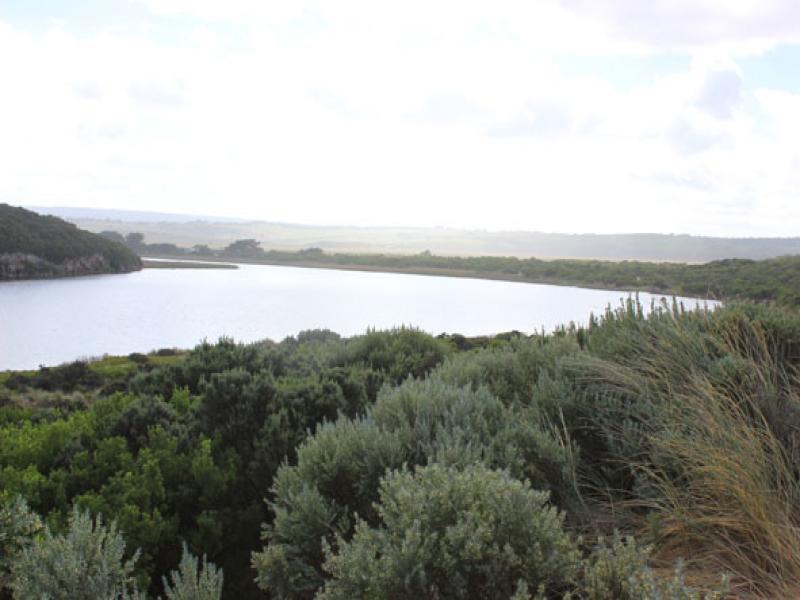
Notes
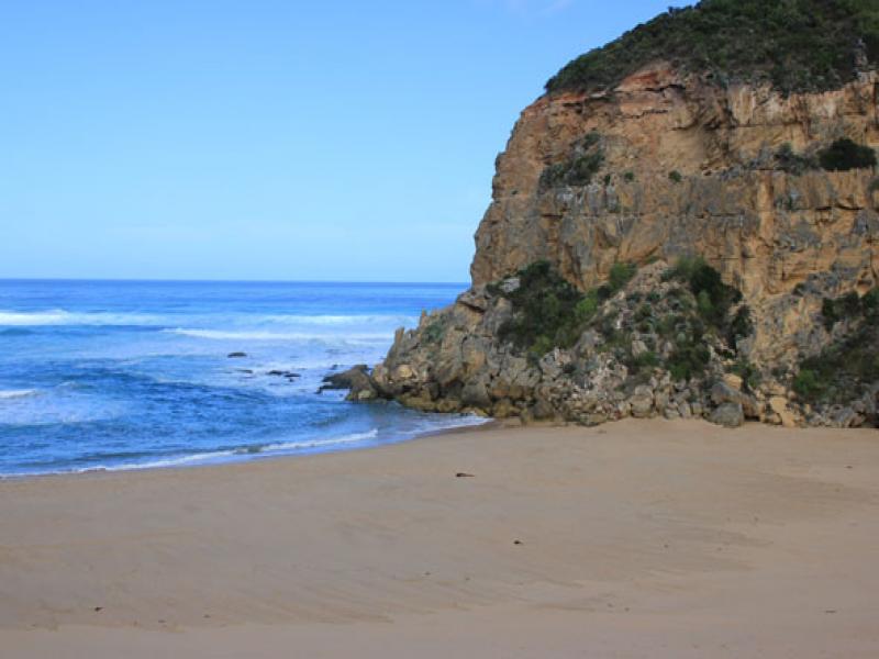
- Mouth barred but waves have been over berm at hi tide
- Berm highest along beach east of the mouth but toward cliff ( going west) it gradually slopes down
- Ocean beach horseshoe shaped - waves up to base of dunes at last hi tide
- swell from s/w with strong rip & longshore drift to west across mouth
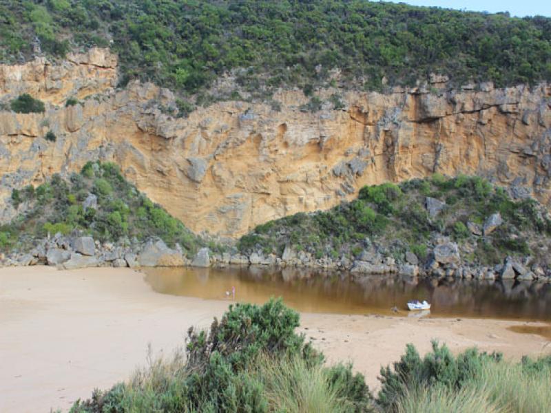
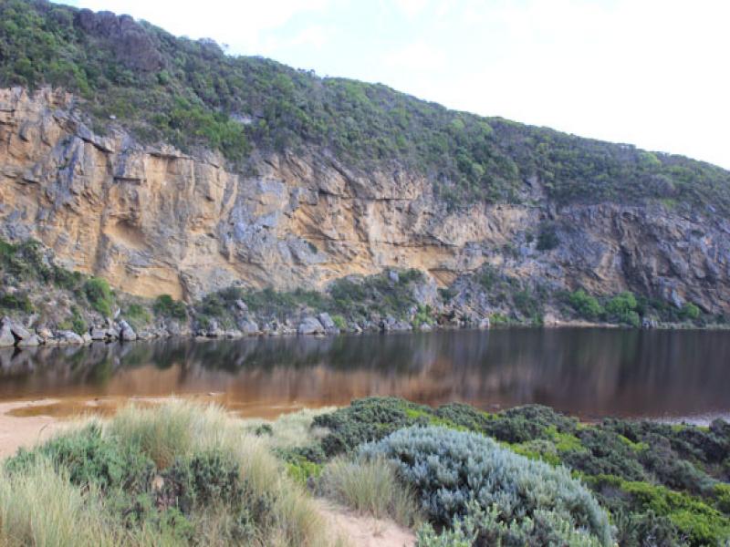
- Estuary is much wider near sea
- Water levels in estuary increased, water in dip & across track to river south of camp ground -no flooding in camp ground or across roads (water to edge of O.O.R. in low areas near flood markers)
- Water still beneath deck of fishing platform near G2
We acknowledge and respect Victorian Traditional Owners as the original custodians of Victoria’s land and waters, their unique ability to care for Country and deep spiritual connection to it.
We honour Elders past and present whose knowledge and wisdom has ensured the continuation of culture and traditional practices.
We honour Elders past and present whose knowledge and wisdom has ensured the continuation of culture and traditional practices.
 All content, files, data and images provided by the EstuaryWatch Data Portal subject to a Creative Commons Attribution License
Data portal by CeRDI
All content, files, data and images provided by the EstuaryWatch Data Portal subject to a Creative Commons Attribution License
Data portal by CeRDI