GMC Gellibrand River Estuary Mouth Observation Site
2 April 2014
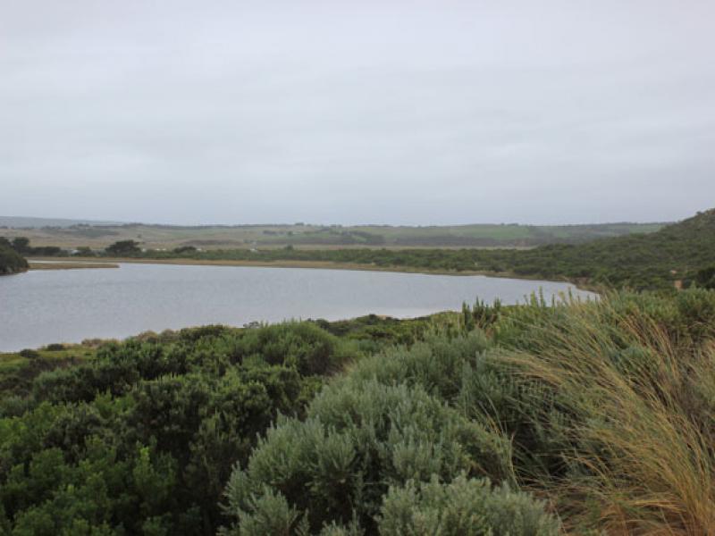
Observation details
Overview
| Estuary | Gellibrand River Estuary |
|---|---|
| Site | Gellibrand River Estuary Mouth Observation Site |
| Observation ID | #8818 |
| Date and Time | Wednesday 2nd April 2014 15:25pm |
| Approved | Approved |
Notes
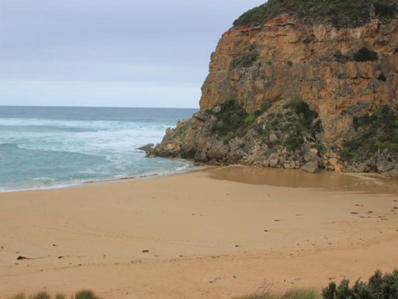
- Waves over berm entering estuary from rough sea across a wide area
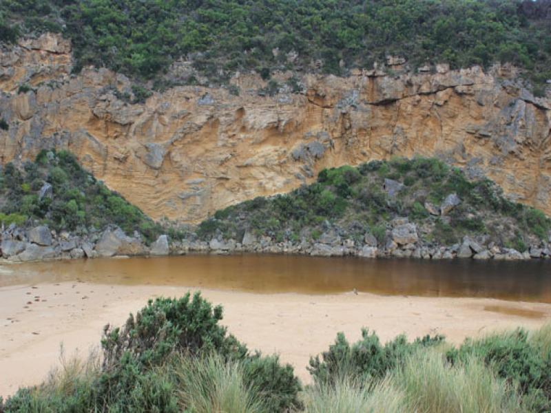
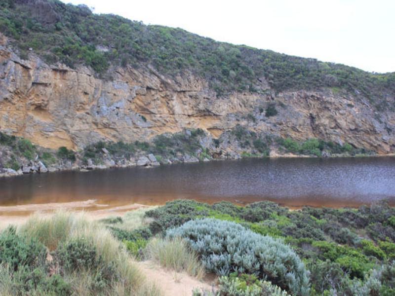
- Water level in estuary high
- Waves also up to base of dunes, longshore drift active travelling behind berm
- Water over low track & visible in vegetation beside car park, also in dip on road south side of camp. ground where the track to the river is also covered. Water visible in wetland west of camp ground boundary
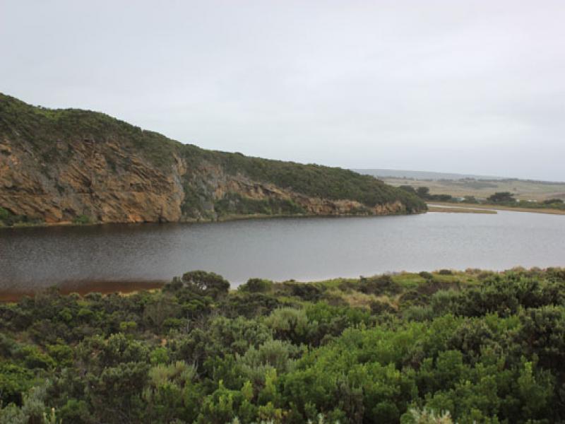
- Flats around Princetown up to G4 have water cover but no flooding around G5 & upstream
We acknowledge and respect Victorian Traditional Owners as the original custodians of Victoria’s land and waters, their unique ability to care for Country and deep spiritual connection to it.
We honour Elders past and present whose knowledge and wisdom has ensured the continuation of culture and traditional practices.
We honour Elders past and present whose knowledge and wisdom has ensured the continuation of culture and traditional practices.
 All content, files, data and images provided by the EstuaryWatch Data Portal subject to a Creative Commons Attribution License
Data portal by CeRDI
All content, files, data and images provided by the EstuaryWatch Data Portal subject to a Creative Commons Attribution License
Data portal by CeRDI