GMC Gellibrand River Estuary Mouth Observation Site
14 December 2013
Observation details
Overview
| Estuary | Gellibrand River Estuary |
|---|---|
| Site | Gellibrand River Estuary Mouth Observation Site |
| Observation ID | #8615 |
| Date and Time | Saturday 14th December 2013 11:15am |
| Approved | Approved |
Notes
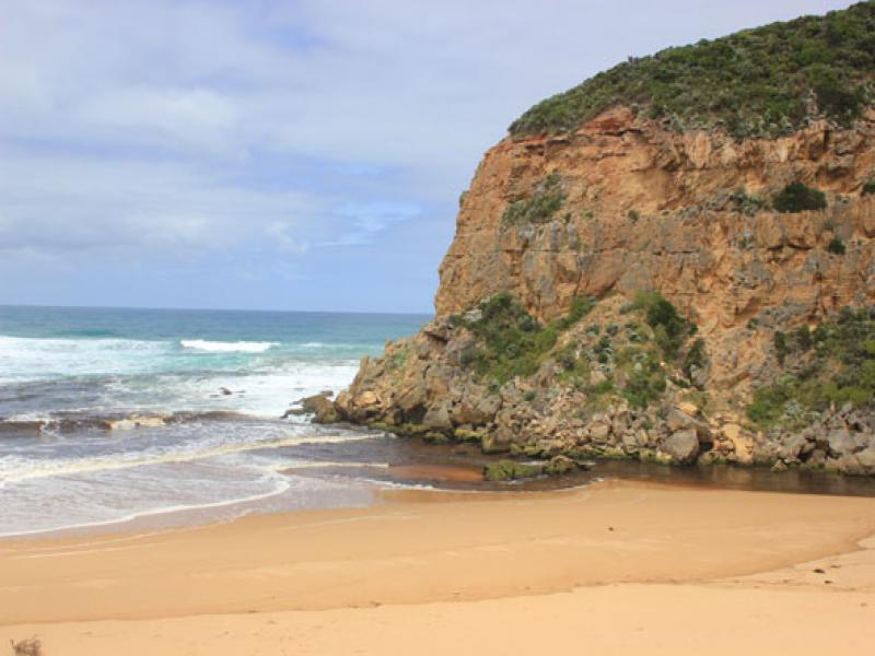
- Dark discharge only around mouth & to west
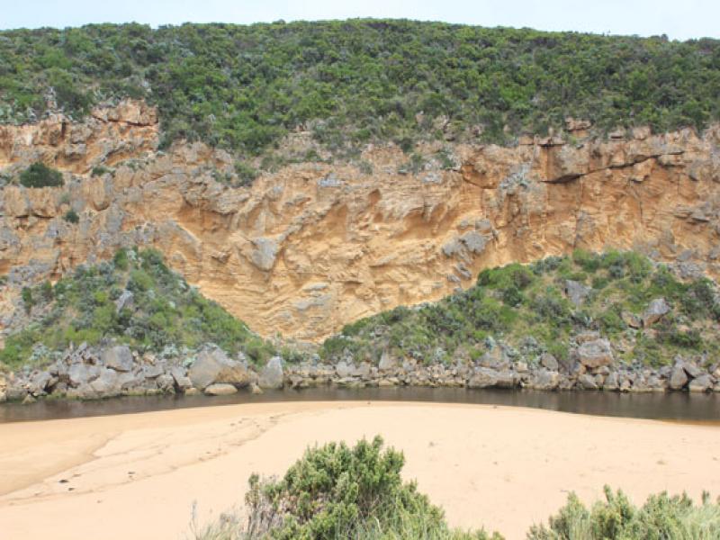
- Increased sand build up around mouth & around rocks
- Dark silt line along Ocean beach- up to base of dunes
- Despite being close to hi tide the sandbar is still partially exposed
- 58 cm. Trout caught in river about 15m. upstream rocks
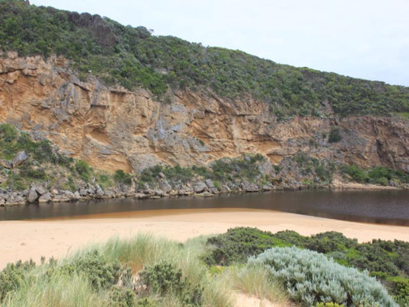
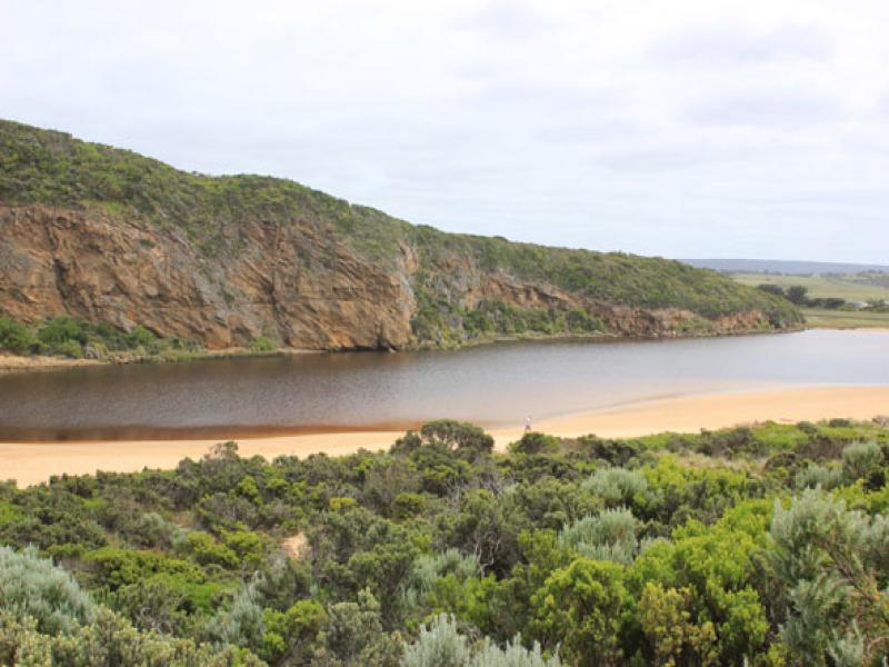
- Large increase of Melilotus indica along side low track, also sand at south side of estuary is being re-colonised by Cakile maritima

We acknowledge and respect Victorian Traditional Owners as the original custodians of Victoria’s land and waters, their unique ability to care for Country and deep spiritual connection to it.
We honour Elders past and present whose knowledge and wisdom has ensured the continuation of culture and traditional practices.
We honour Elders past and present whose knowledge and wisdom has ensured the continuation of culture and traditional practices.
 All content, files, data and images provided by the EstuaryWatch Data Portal subject to a Creative Commons Attribution License
Data portal by CeRDI
All content, files, data and images provided by the EstuaryWatch Data Portal subject to a Creative Commons Attribution License
Data portal by CeRDI