GMC Gellibrand River Estuary Mouth Observation Site
31 October 2013
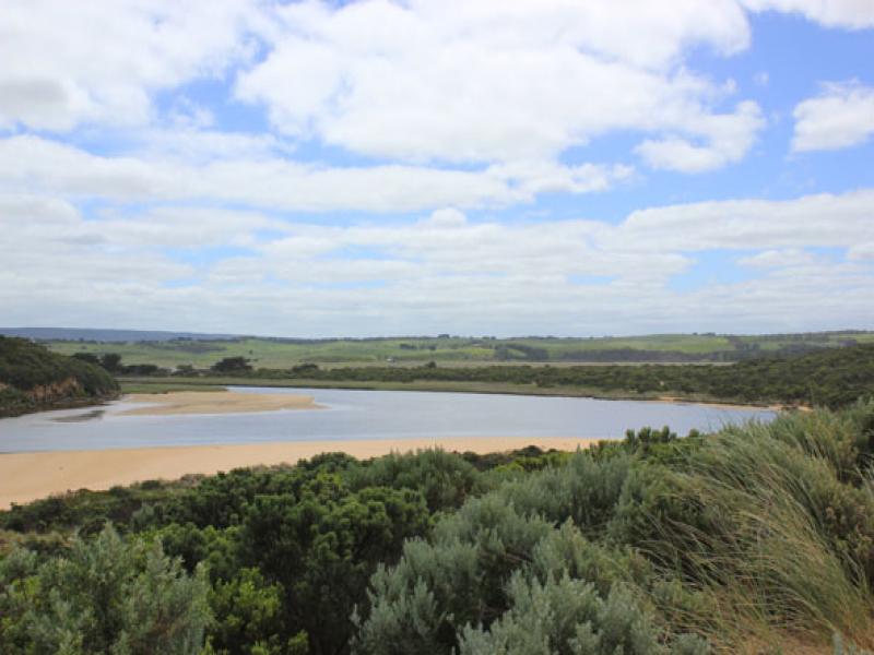
Observation details
Overview
| Estuary | Gellibrand River Estuary |
|---|---|
| Site | Gellibrand River Estuary Mouth Observation Site |
| Observation ID | #8543 |
| Date and Time | Thursday 31st October 2013 11:50am |
| Approved | Approved |
Notes
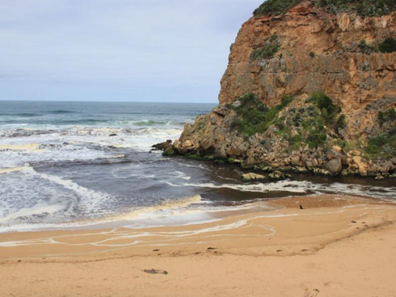
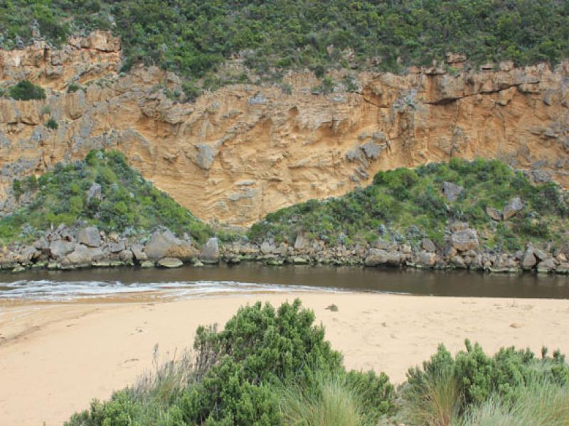
- Dark discharge around mouth, along foreshore, slightly out to sea & west
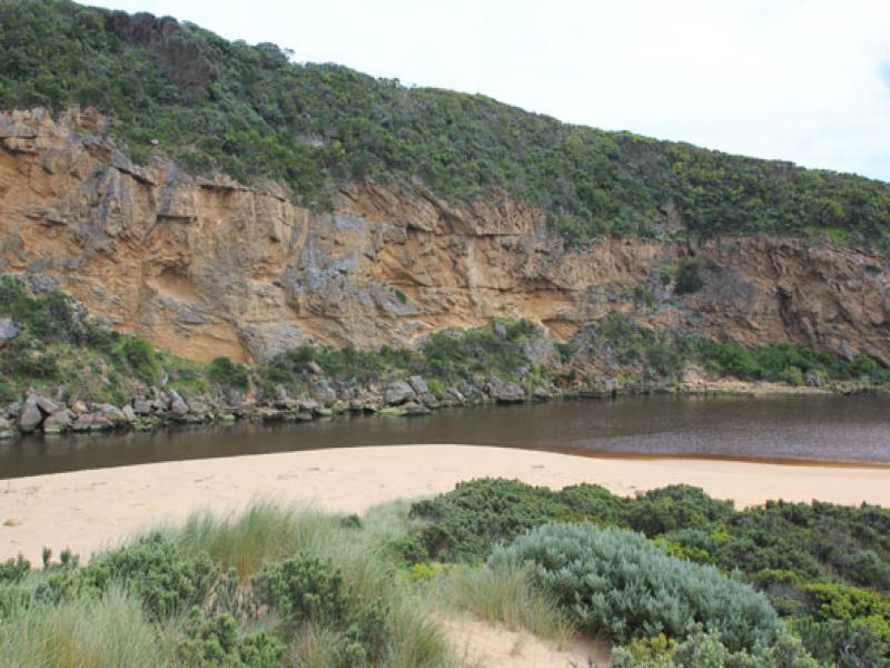
- Water levels in estuary very low, sand bar, south side & low track well exposed
- Waves entering channel
- Sand dunes on ocean beach more severely eroded, . steep face now about 3-5m. high, sand,shrubs & vegetation have been driven toward mouth and around into estuary
- 2nd (30-70 cm. high) small sand cliff forming below dune face
- 13 dead black shearwaters & many small purple shells along beach.
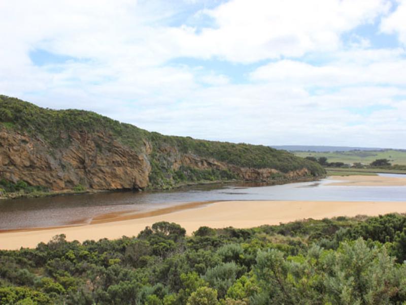
- Flood waters upstream are receding but all flats around G5 are still underwater
- Strong flow under bridge G4
We acknowledge and respect Victorian Traditional Owners as the original custodians of Victoria’s land and waters, their unique ability to care for Country and deep spiritual connection to it.
We honour Elders past and present whose knowledge and wisdom has ensured the continuation of culture and traditional practices.
We honour Elders past and present whose knowledge and wisdom has ensured the continuation of culture and traditional practices.
 All content, files, data and images provided by the EstuaryWatch Data Portal subject to a Creative Commons Attribution License
Data portal by CeRDI
All content, files, data and images provided by the EstuaryWatch Data Portal subject to a Creative Commons Attribution License
Data portal by CeRDI