GMC Gellibrand River Estuary Mouth Observation Site
31 May 2013
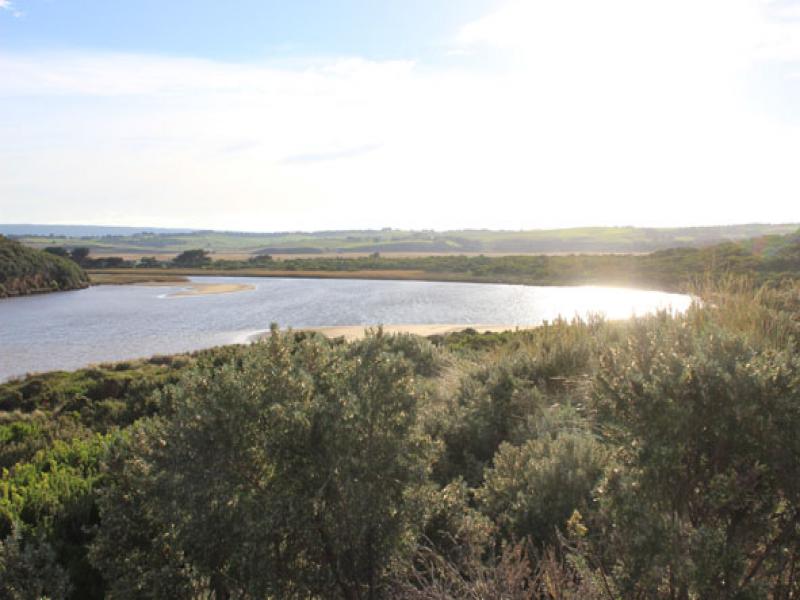
Observation details
Overview
| Estuary | Gellibrand River Estuary |
|---|---|
| Site | Gellibrand River Estuary Mouth Observation Site |
| Observation ID | #8315 |
| Date and Time | Friday 31st May 2013 08:50am |
| Approved | Approved |
Notes
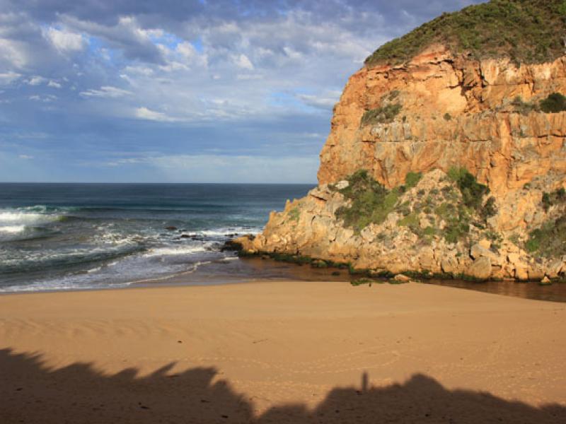
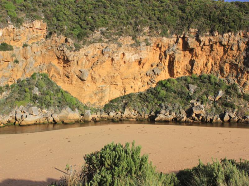
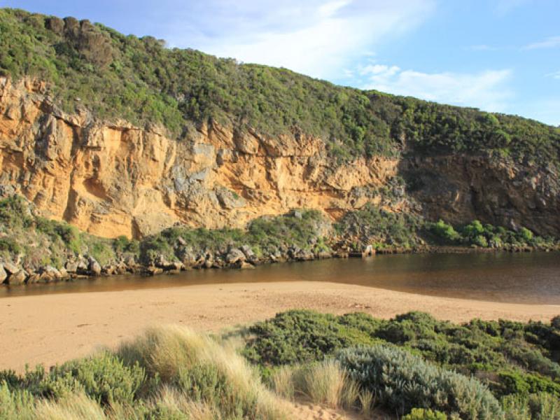
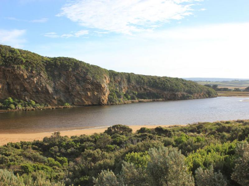
- Pale discharge out over shallow entrance
- Strong longshore drift towards entrance
- Sand build up at mid beach has increased to east & out to sea. - now highest point on beach
- East end of beach has steep drop with sheer sand cliff below dunes(1.5m+)
- Sand bar & large area south side of estuary exposed
- Low track has been reformed by recent wave action
- Large no. dog & fox prints in all areas
We acknowledge and respect Victorian Traditional Owners as the original custodians of Victoria’s land and waters, their unique ability to care for Country and deep spiritual connection to it.
We honour Elders past and present whose knowledge and wisdom has ensured the continuation of culture and traditional practices.
We honour Elders past and present whose knowledge and wisdom has ensured the continuation of culture and traditional practices.
 All content, files, data and images provided by the EstuaryWatch Data Portal subject to a Creative Commons Attribution License
Data portal by CeRDI
All content, files, data and images provided by the EstuaryWatch Data Portal subject to a Creative Commons Attribution License
Data portal by CeRDI