GMC Gellibrand River Estuary Mouth Observation Site
2 May 2013
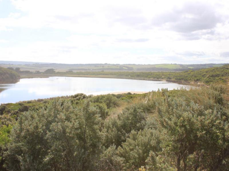
Observation details
Overview
| Estuary | Gellibrand River Estuary |
|---|---|
| Site | Gellibrand River Estuary Mouth Observation Site |
| Observation ID | #8258 |
| Date and Time | Thursday 2nd May 2013 10:42am |
| Approved | Approved |
Notes
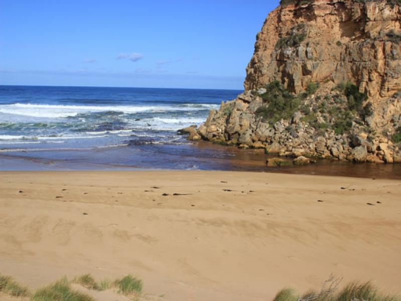
- Natural opening (possibly last night) dark discharge out to south & west with a lessor flow to east along foreshore, longshore drift active in this area
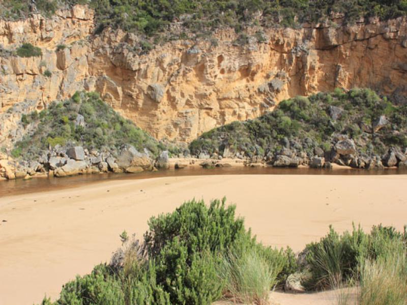
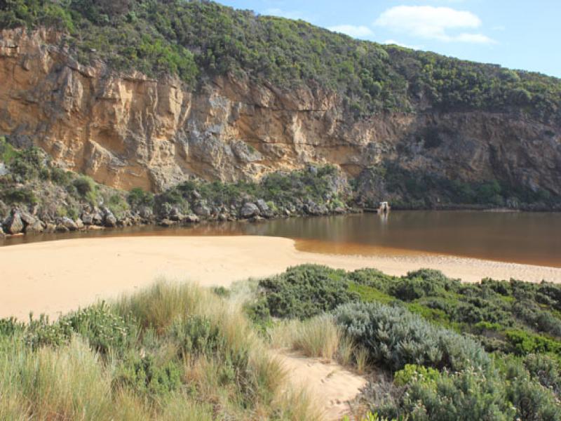
- Channel wide & shallow, but narrow infront of rocks where the sand build up is visiable
- Channel flowing along base of cliff
- Beach(Ocean) is wide & slopping -sand build up east mouth has been leveled out
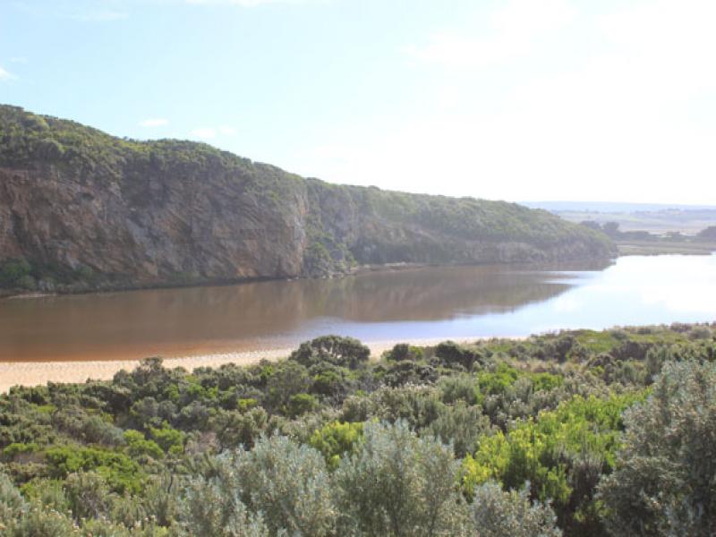
- No sign of any fish (dead or alive) in estuary, also birds seen.
- Water still visiable in very low areas & drains on flats between Princetown & upstream G5. Extensive waterlogging around G4
- AHD at G6 0.81 @ 10:15
We acknowledge and respect Victorian Traditional Owners as the original custodians of Victoria’s land and waters, their unique ability to care for Country and deep spiritual connection to it.
We honour Elders past and present whose knowledge and wisdom has ensured the continuation of culture and traditional practices.
We honour Elders past and present whose knowledge and wisdom has ensured the continuation of culture and traditional practices.
 All content, files, data and images provided by the EstuaryWatch Data Portal subject to a Creative Commons Attribution License
Data portal by CeRDI
All content, files, data and images provided by the EstuaryWatch Data Portal subject to a Creative Commons Attribution License
Data portal by CeRDI