GMC Gellibrand River Estuary Mouth Observation Site
12 April 2013
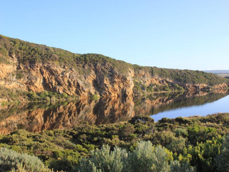
Observation details
Overview
| Estuary | Gellibrand River Estuary |
|---|---|
| Site | Gellibrand River Estuary Mouth Observation Site |
| Observation ID | #8217 |
| Date and Time | Friday 12th April 2013 06:55am |
| Approved | Approved |
Notes
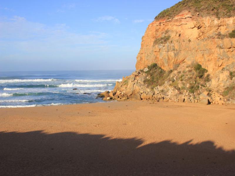
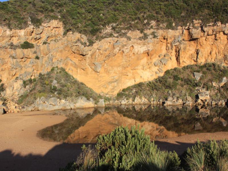
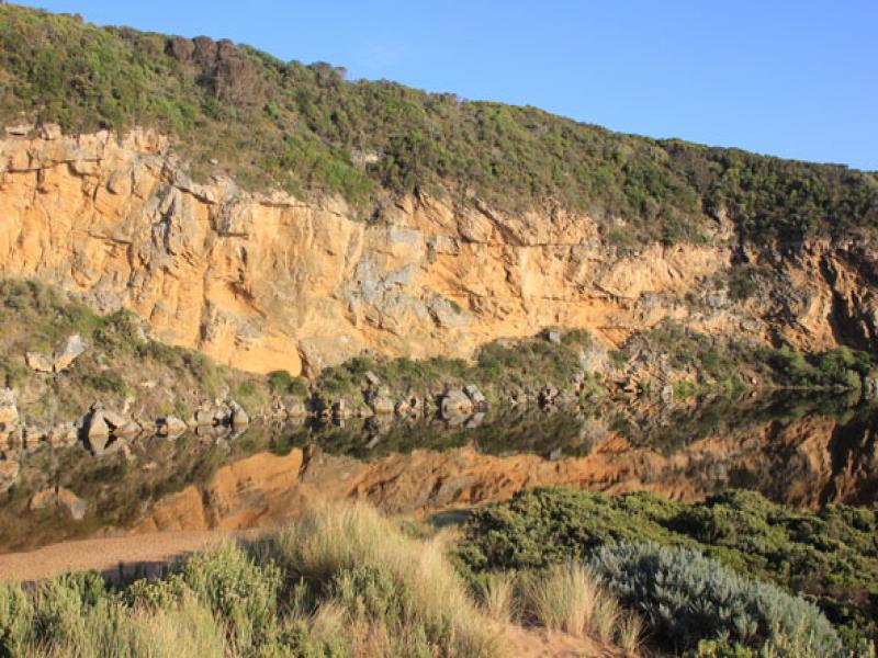
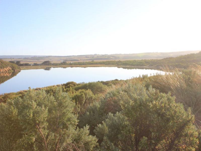
- Mouth closed but some flow out has occured along the trench recently dug during an attempt at illegal opening.
- Flow out observed 11/04/13 and signs of wave entry & outflow after hi tide noted on12/04/13
- Water is currently flowing along trench to about 20m from estuary & going under ground
- Beach wide & slopping (horseshoe shape) but highest point remains east of mouth. Lower next to cliff
- Long shore drift strong about 20-50m out to sea
We acknowledge and respect Victorian Traditional Owners as the original custodians of Victoria’s land and waters, their unique ability to care for Country and deep spiritual connection to it.
We honour Elders past and present whose knowledge and wisdom has ensured the continuation of culture and traditional practices.
We honour Elders past and present whose knowledge and wisdom has ensured the continuation of culture and traditional practices.
 All content, files, data and images provided by the EstuaryWatch Data Portal subject to a Creative Commons Attribution License
Data portal by CeRDI
All content, files, data and images provided by the EstuaryWatch Data Portal subject to a Creative Commons Attribution License
Data portal by CeRDI