GMC Gellibrand River Estuary Mouth Observation Site
7 April 2013
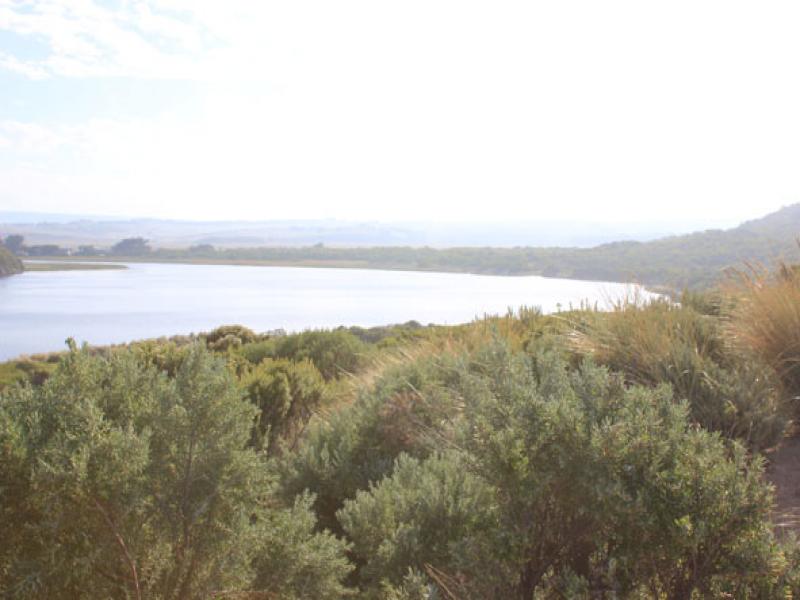
Observation details
Overview
| Estuary | Gellibrand River Estuary |
|---|---|
| Site | Gellibrand River Estuary Mouth Observation Site |
| Observation ID | #8212 |
| Date and Time | Sunday 7th April 2013 07:55am |
| Approved | Approved |
Notes
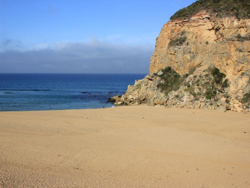
- illegal opening attempted but mouth still closed
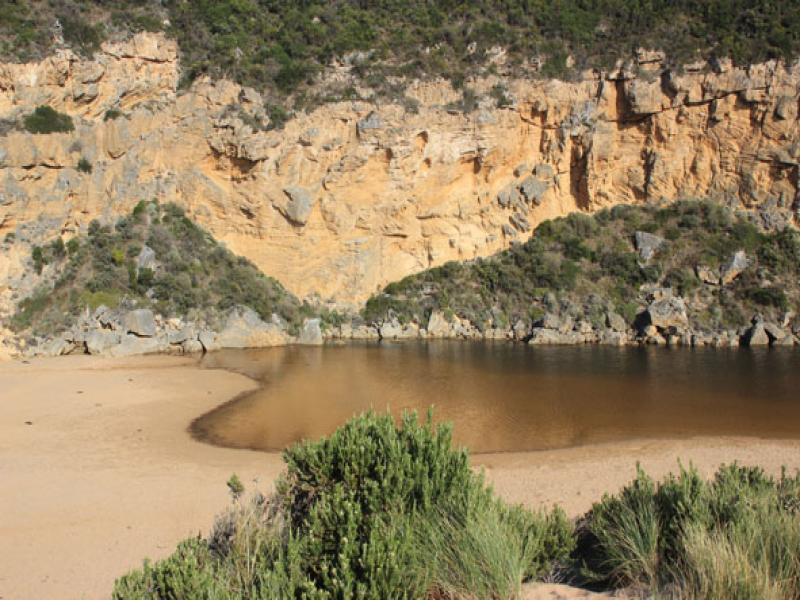
- Water flowing out from estuary but going underground about half way along trench
- Beach changing shape -undulations from north to south appearing but highest point is still east of entrance. Sand cliff starting east end
- Berm is lower against cliff
- Many small fish in flooded vegetation along side of estuary
We acknowledge and respect Victorian Traditional Owners as the original custodians of Victoria’s land and waters, their unique ability to care for Country and deep spiritual connection to it.
We honour Elders past and present whose knowledge and wisdom has ensured the continuation of culture and traditional practices.
We honour Elders past and present whose knowledge and wisdom has ensured the continuation of culture and traditional practices.
 All content, files, data and images provided by the EstuaryWatch Data Portal subject to a Creative Commons Attribution License
Data portal by CeRDI
All content, files, data and images provided by the EstuaryWatch Data Portal subject to a Creative Commons Attribution License
Data portal by CeRDI