GMC Gellibrand River Estuary Mouth Observation Site
5 April 2013
Observation details
Overview
| Estuary | Gellibrand River Estuary |
|---|---|
| Site | Gellibrand River Estuary Mouth Observation Site |
| Observation ID | #8208 |
| Date and Time | Friday 5th April 2013 12:50pm |
| Approved | Approved |
Notes
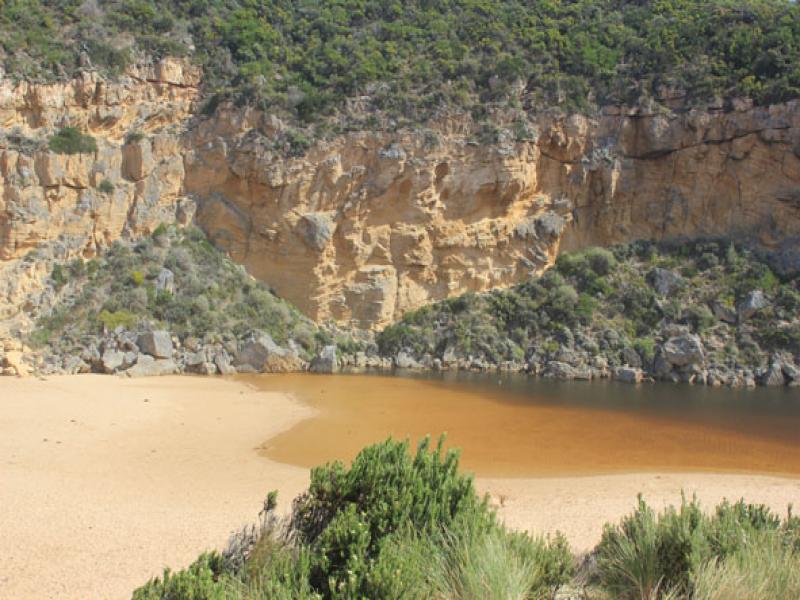
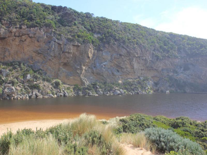
- Mouth closed -some waves have been over the bar but only entering the estuary across a narrow low area close to cliff
- Sand visiable in breakers directly south of estuary & also to west
- Ocean beach wide & slopping, sand still high east of estuary entrance but slopes down lower toward cliff
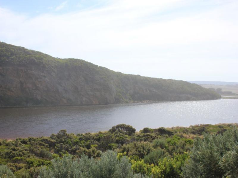
- Increased water cover on top track & in small area alongside OCR between GOR & camp. ground
- Water over deck of fishing platform(G2)
- Increased flooding upstream but not over OOR

We acknowledge and respect Victorian Traditional Owners as the original custodians of Victoria’s land and waters, their unique ability to care for Country and deep spiritual connection to it.
We honour Elders past and present whose knowledge and wisdom has ensured the continuation of culture and traditional practices.
We honour Elders past and present whose knowledge and wisdom has ensured the continuation of culture and traditional practices.
 All content, files, data and images provided by the EstuaryWatch Data Portal subject to a Creative Commons Attribution License
Data portal by CeRDI
All content, files, data and images provided by the EstuaryWatch Data Portal subject to a Creative Commons Attribution License
Data portal by CeRDI