GMC Gellibrand River Estuary Mouth Observation Site
23 March 2013
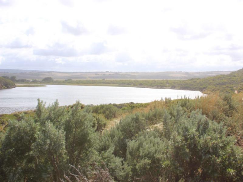
Observation details
Overview
| Estuary | Gellibrand River Estuary |
|---|---|
| Site | Gellibrand River Estuary Mouth Observation Site |
| Observation ID | #8191 |
| Date and Time | Saturday 23rd March 2013 10:15am |
| Approved | Approved |
Notes
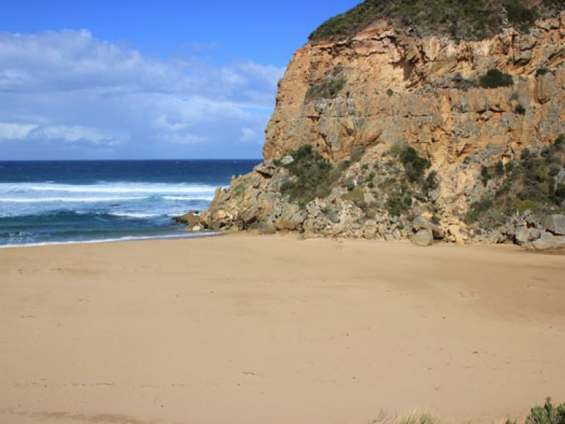
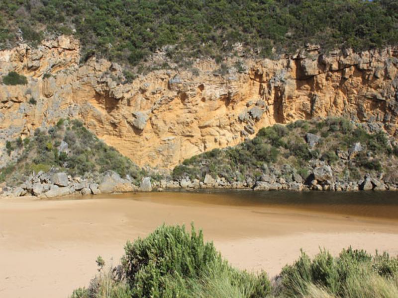
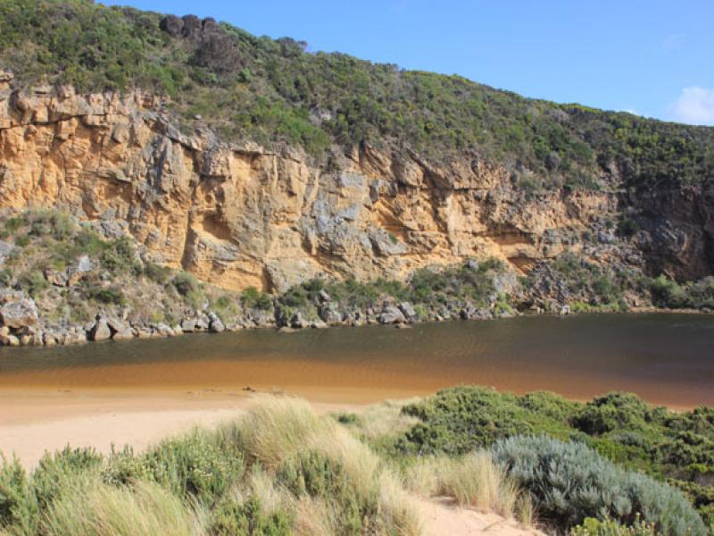
- Mouth closed but waves entering at hi tide acros a wide area
- Estuary has more sand across front but a narrow 'amr' extends closer to sea at base of cliff
- Beach - horseshoe shaped with higher sand east of entrance. Area closest to cliff is lower
- Long shore drift out to sea not as active
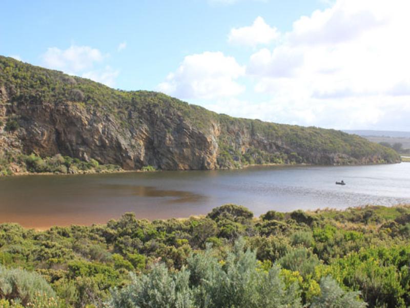
- Water in large depression (OCR)south of camp. ground & over low track but not visiable on any other roads
We acknowledge and respect Victorian Traditional Owners as the original custodians of Victoria’s land and waters, their unique ability to care for Country and deep spiritual connection to it.
We honour Elders past and present whose knowledge and wisdom has ensured the continuation of culture and traditional practices.
We honour Elders past and present whose knowledge and wisdom has ensured the continuation of culture and traditional practices.
 All content, files, data and images provided by the EstuaryWatch Data Portal subject to a Creative Commons Attribution License
Data portal by CeRDI
All content, files, data and images provided by the EstuaryWatch Data Portal subject to a Creative Commons Attribution License
Data portal by CeRDI